- Home
- ~ Camino Sanabrés (The Sanabrés Way)
- A Laza to Vilar de Barrio, Day Ten
Jump to Camino Sanabrés Stages
Camino Sanabrés, A Laza to Vilar de Barrio, Day Ten, 19.6 Kilometers (12.2 Miles)
Just so you know, the PilgrimageTraveler.com is an associate of Booking.com, Roamless, and Amazon. As associates of these merchants, we earn from qualifying purchases from our links.
Our day ten on the Camino Sanabres, from A Laza to Vilar de Barrio was another fabulous day of walking on beautiful mountain paths, and very little pavement. The five compadres carried on as a community for this cloudy and gray day, without any significant rain.
🙋♀️ Why Trust Us at the Pilgrimage Traveler?
We’re not a travel agency ~ we’re pilgrims, just like you.
We've walked Pilgrimage Routes Across Europe!
💬 We’ve:
- Gotten lost so you don’t have to. 😉
- Followed yellow arrows in the glowing sunlight, the pouring rain and by moonlight. ☀️🌧️🌙
- Slept in albergues, hostals & casa rurals. Ate and drank in cafés along the way. 🛌 😴
- Created comprehensive and downloadable GPS maps and eBook Guides, full of must-have information based on real pilgrimage travels. 🧭 🗺️
- Shared our complete journeys, step by step to help YOU plan your ultimate pilgrimage and walk with your own Heart and Soul. 💙✨
Every detail is from our own experiences ~ no fluff, no AI rewrite. Just fellow pilgrims sharing the way. We add a touch of spirituality, a huge dose of ❤️ and lots of wisdom from the road.
Ultreia and Safe Pilgrimage Travels, Caminante! 💫 💚 🤍
Quote for Day Ten on the Camino Sanabrés, A Laza to Vilar de Barrio
"The contemplative dimension of walking comes through my presence to the world around me and to what is moving through me as I walk. I listen for the ways the divine is speaking through the world. I listen to my own heart beating more loudly because of the vigor of my movement. I listen for the ways that new ideas arise in this space." ~ Christine Valters Paintner, Benedictine Oblate and Online Abbess
What a wonderful quote to contemplate the power of walking. This is what I try to achieve, whenever I walk, and especially when I am on a pilgrimage. This quote is perfect for any and every day that you walk!
Maps and Stats of Day Ten on the Camino Sanabrés, A Laza to Vilar de Barrio
Here are the GPS tracks for our day's walk. There are food services in Soutelo Verde, not quite 4 kilometers away and a bar and albergue in Alberguería, 12 kilometers into the day. There are fountains along the way where you can replenish your water if needed.
The second albergue is in Vilar de Barrio, where we ended our day. Many pilgrims choose to extend this stage for 33 kilometers to Xunqueira de Ambía where there is another municipal albergue and a private. See day eleven for this information. Our group was not interested in such a lengthy day.
Notice that the day's walk starts out flat, then a climb of about 500 meters (1640 feet) over about eight kilometers, and ends in a nice downhill five kilometer jaunt into Vilar de Barrio. This climb will feel strenuous, starting from the section leaving Tamicelas at about seven kilometers and persisting until several kilometers after Alberguería.
There are several flat areas, interspersed in the climbing, where you will have brief reprieves from the uphill.
Camino Sanabrés EBook
~ Includes 4-5 additional days on the Vía de la Plata from Salamanca!
Our Camino Sanabrés eBook Guide, in downloadable PDF Format, contains all the valuable information from our web pages, for comfortable reading offline (important in the mountainous and remote areas) and without ads, all on your personal device. Don't carry a hard copy guide book to increase your pack weight. Use our digital guides on your next Camino instead!
Our ebook guides are packed with frequently updated information, because a digital format is more nimble than hard-copy publishing. Our eBook Guide is unique because we also entertain and immerse you with our story!
Your purchase of the Camino Sanabrés eBook includes the BONUS digital guide on the Vía de la Plata from Salamanca. This allows you the opportunity to add 4-5 more days to your Camino in the beginning. Click here for more info or BUY NOW!
Jump to Camino Sanabrés Stages
Photo-Rich Travelogue for Day Ten on the Camino Sanabrés, A Laza to Vilar de Barrio
Our day began after a lovely self-service continental breakfast that was included in the price of the Pensión Casa Blanco Conde.
A few steps north from the pensión and we were back on the Camino, on the Rúa Barrio, walking westward toward the center of town. After staying straight on at the traffic circle, walk by the town hall with the flags and turn left toward the church, shown below at about 350 meters from the start.
If you are coming from the municipal albergue in Laza, you will need to walk south and back to the center of town and to the same church shown below.
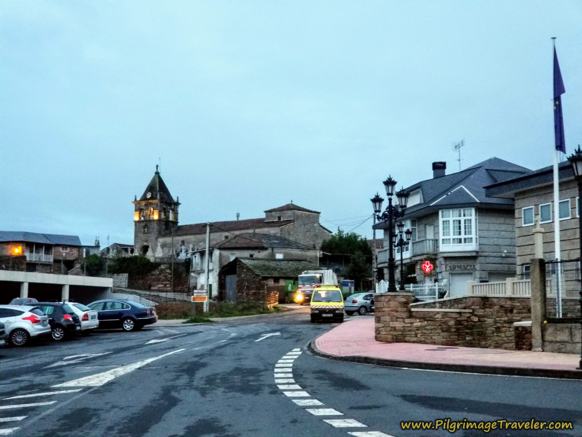 Leaving the Center of A Laza
As we neared the church, the only thing moving at daybreak was the garbage truck (the one with the headlights in the photo above). Rich, ever the clown acted like he was going to hitch a ride on it! The municipal workers just laughed at him! All the tolerance the locals must have for the goofy peregrinos! It was a fun moment.
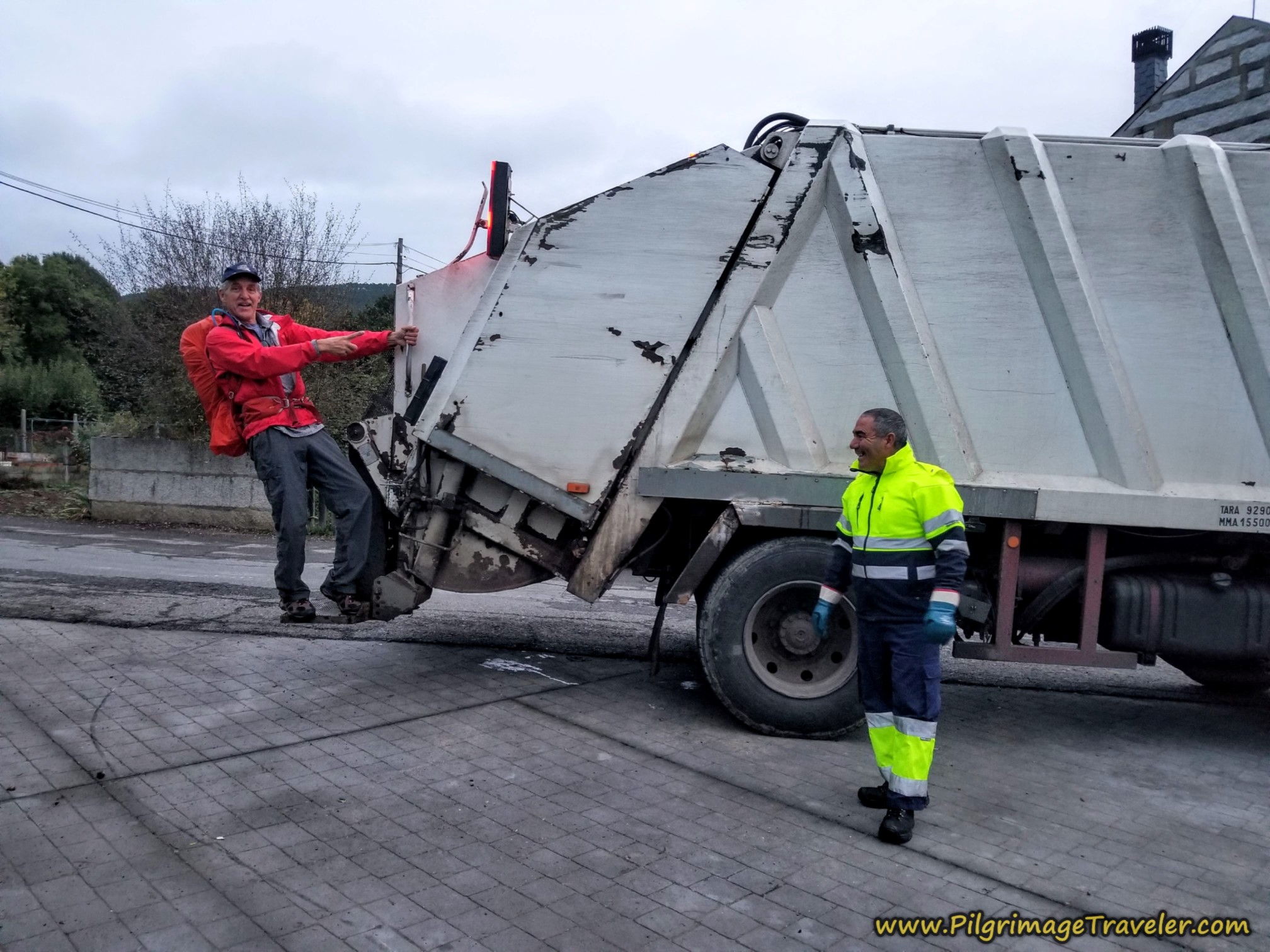 Rich Clowning with a Garbage Truck
The Camino route merges with the road from the albergue just west of the church and picks up the Rúa da Picota, by the Restaurante Picota. It is a quaint and narrow street. The photo shows the route, straight on at the first Y-intersection.
About 100 meters later, there is a cross, where you continue straight on at this intersection, where the street is now named appropriately, the Rúa do Cruceiro. The town crosses and churches always serve as a reminder for me, that this is a spiritual journey, if you desire it to be so.
After about 1/2 kilometer from the cross, the Rúa do Cruceiro merges with the OU-113 after walking about a kilometer. This was to be a common theme on day ten, as we followed the path of this road.
My photos on this day look rather dull, even after the sun was well up. I brightened them quite a bit, but they still aren't great. This is essentially a reflection of how gray the day was. It wanted to rain, but never did, fortunately.
Here is the section of the OU-113 shortly after we joined it. It is about 2.35 kilometers that you will need to walk on the shoulder of this road.
 Pick Up the OU-113, Camino Sanabrés, A Laza to Vilar de Barrio
At kilometer 3.4, you will see a yellow arrow directing you to the left, onto this side road, shown below. Just beyond the turn, we saw this confirmatory sign painted on this tree! This is the road into the next small town of Soutelo Verde.
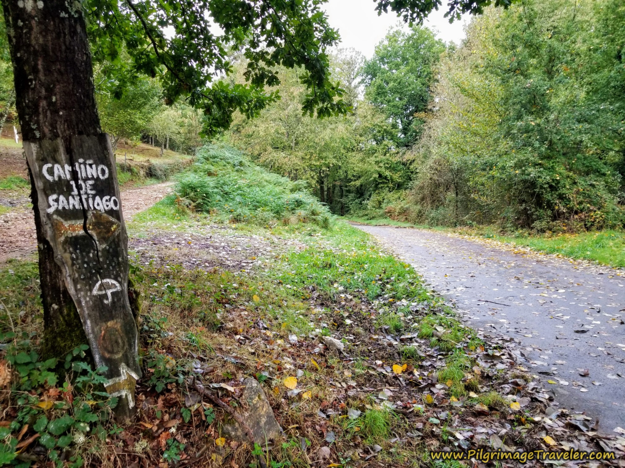 Turn Left Toward Soutelo Verde
If you stay on the OU113, there is a bakery, A Casa Das Bicas if you need it.
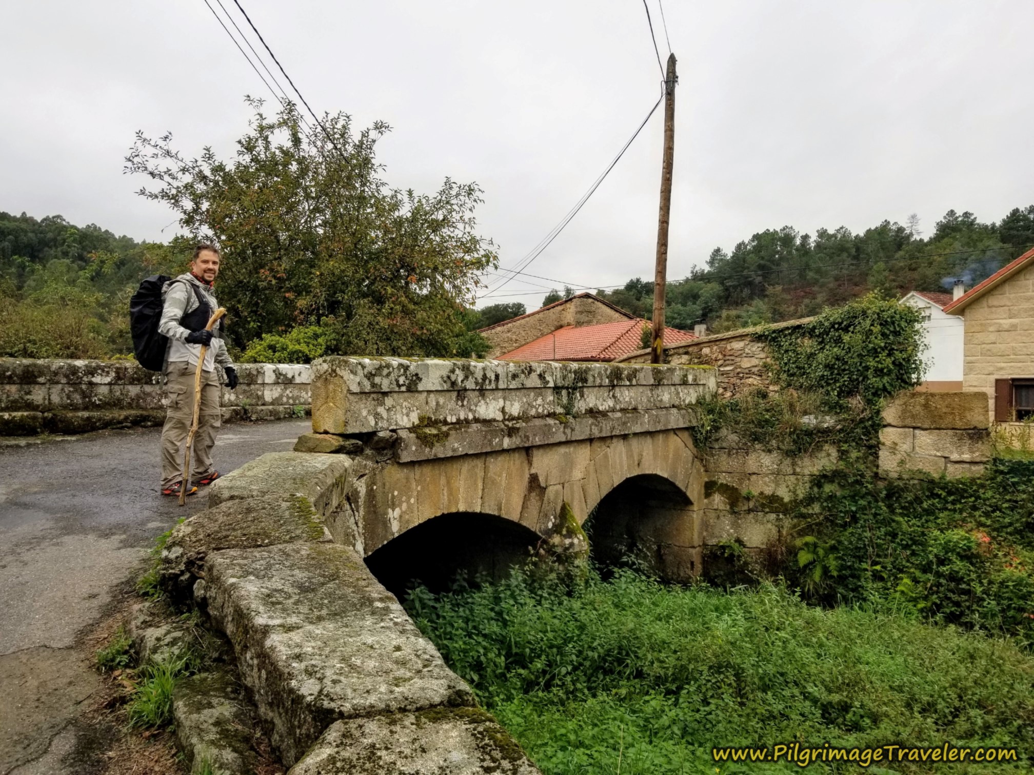
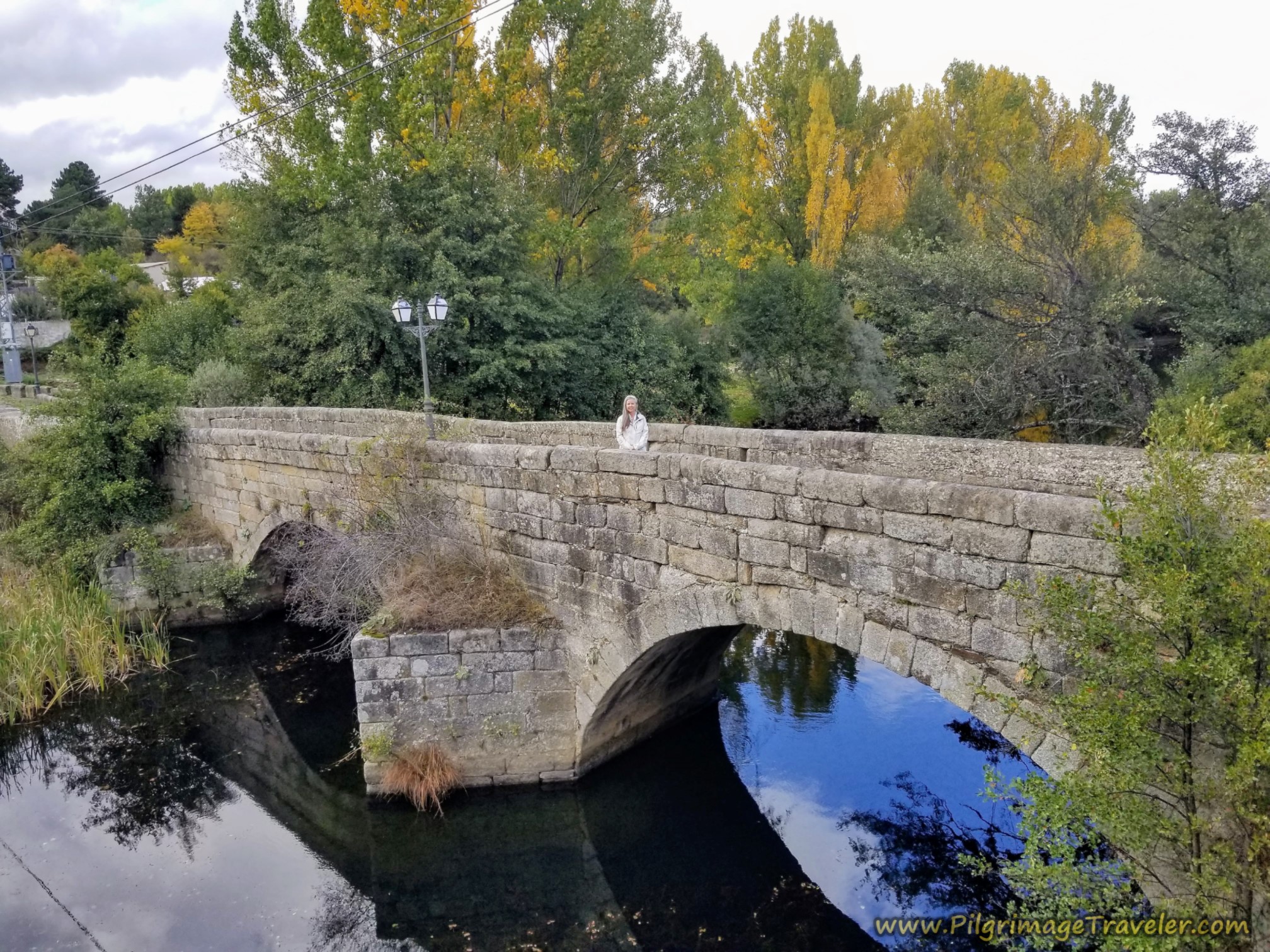
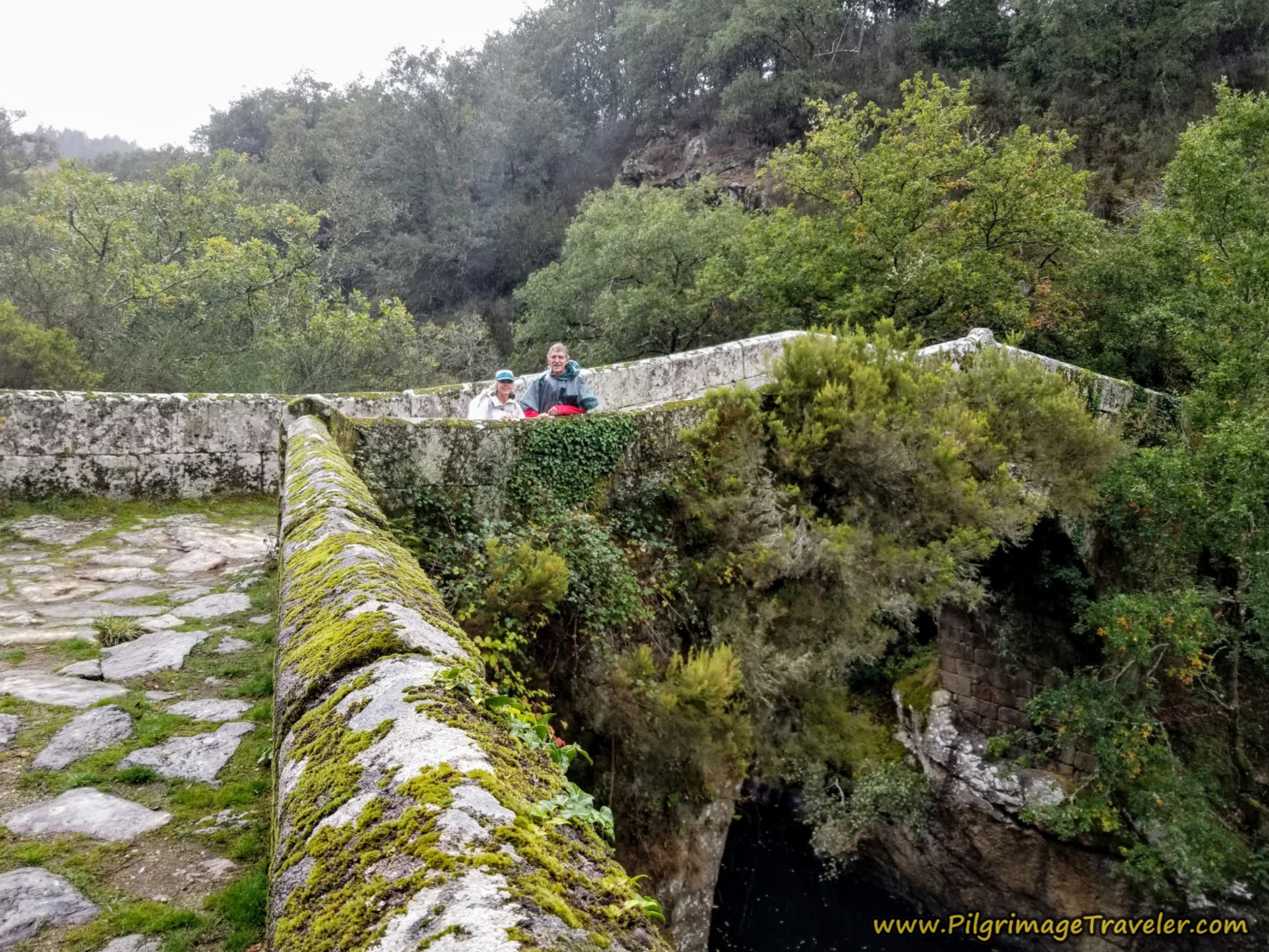
Shortly after entering the village we crossed a stream on this lovely old bridge. Miguel is posing for me! He was such a good subject.
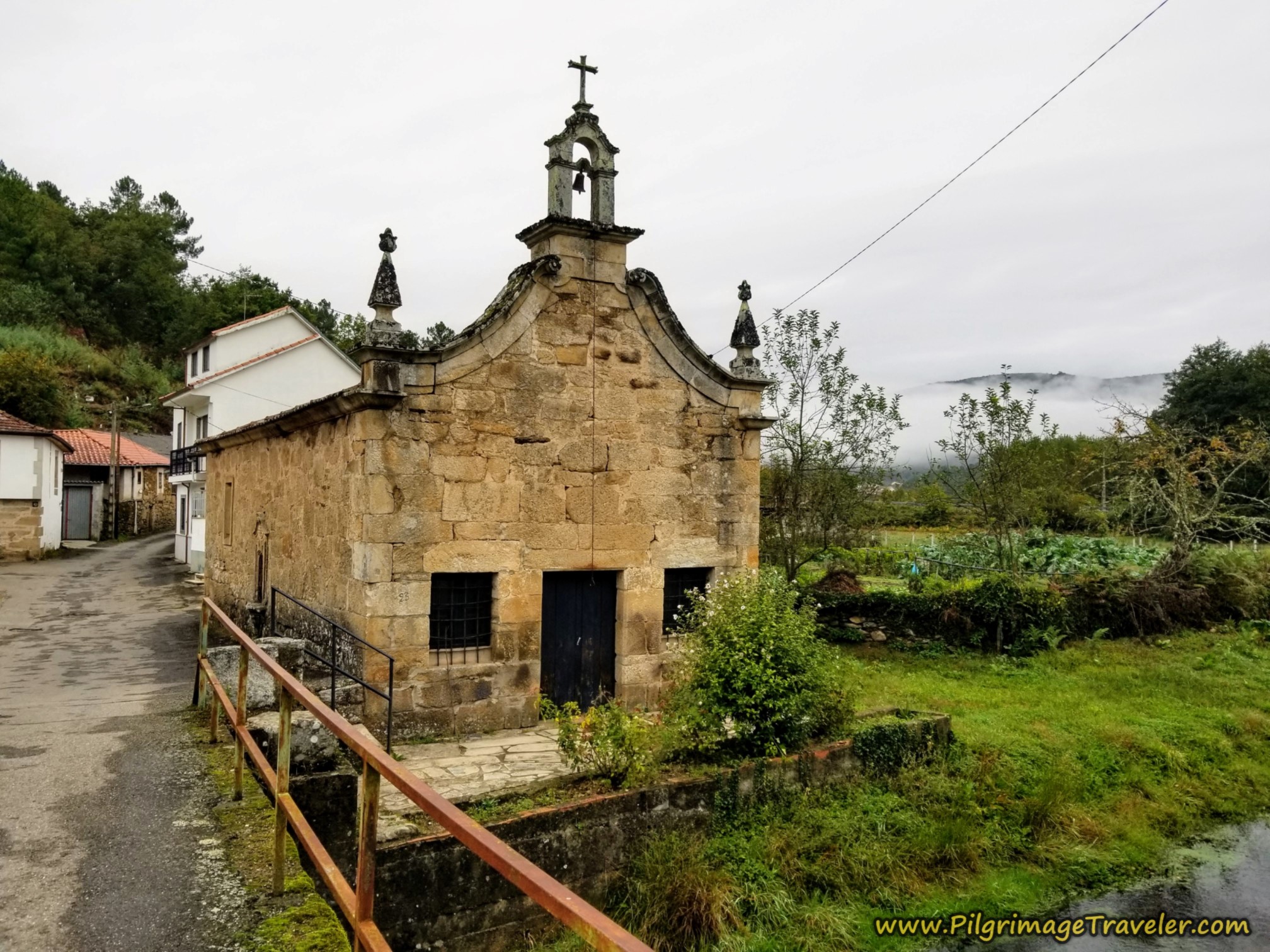
Several meters later we crossed a second stream, and were greeted by the ancient little Chapel of Two Sorrows, the Capela dos Dolores, shown below. I wondered what those two sorrows were, but I imagine that you could leave several of your sorrows here if you desired.
Jump to Camino Sanabrés Stages
After the little diversion through town, we joined the OU-113 again.
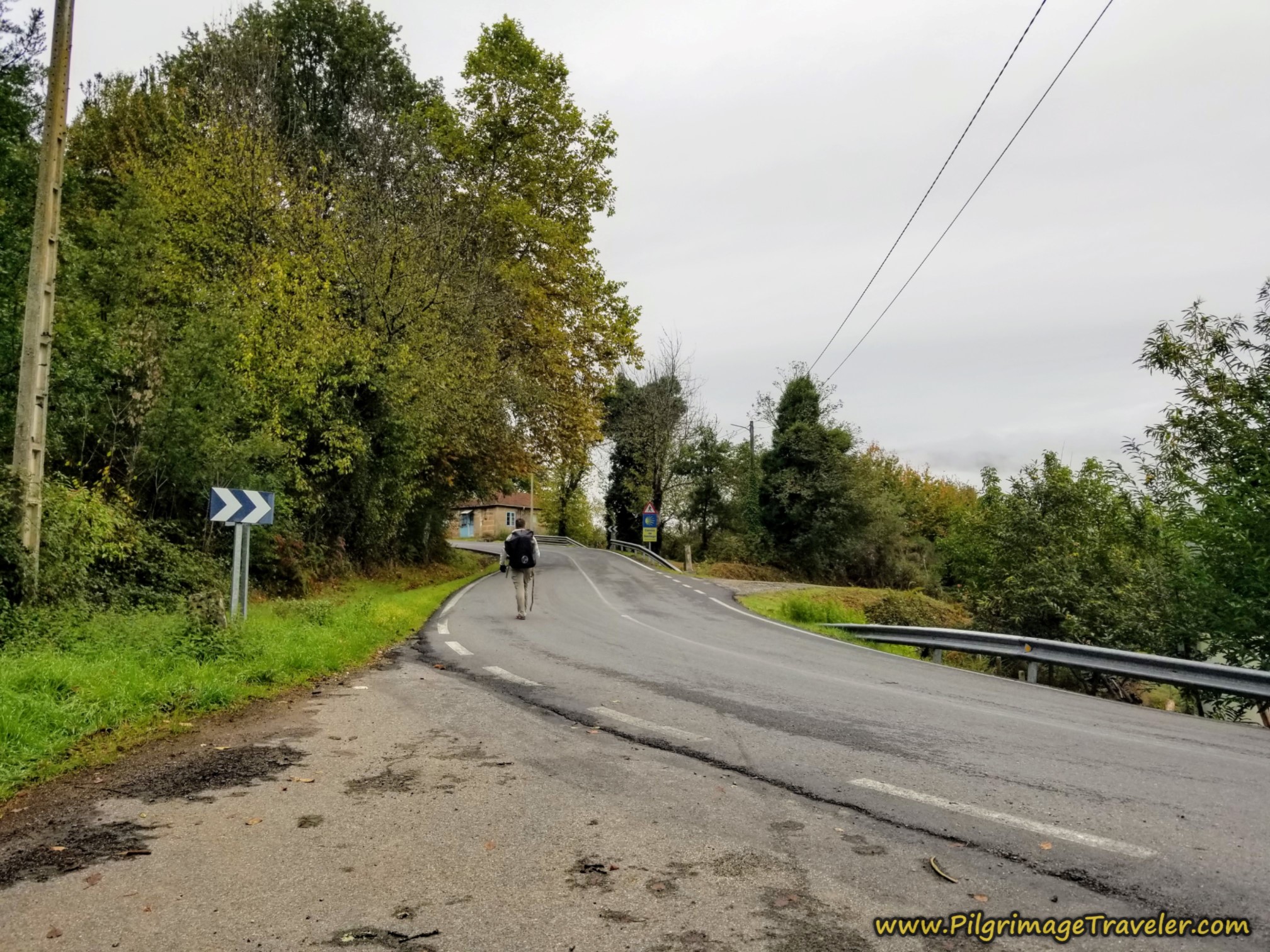 Join OU-113 Once Again
This time it was only for a bit more than 100 meters, when we spied this sign, shown in the photo below, taking us to the right and onto a road toward the next hamlet of Tamicelas. We were at about 4.4 kilometers into the day on the Camino Sanabrés from A Laza to Vilar de Barrio, at this turn.
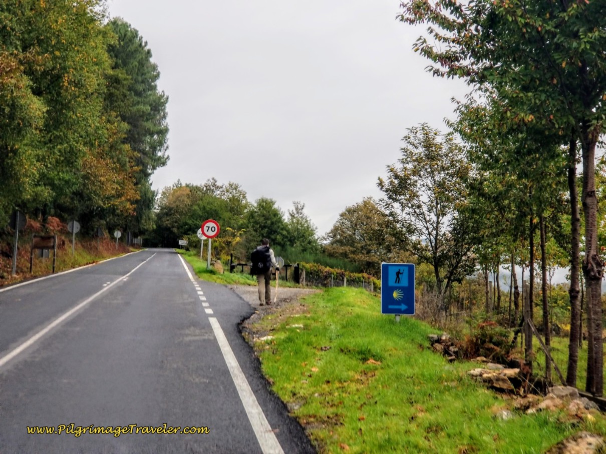 Right Turn Onto Lane Towards Tamicelas
The Way is so very peaceful through this valley. It was a good time to let the power of the Spirit talk to you and move through you!
You need to enjoy this lovely two kilometer valley walk into Tamicelas, as it is about to change!
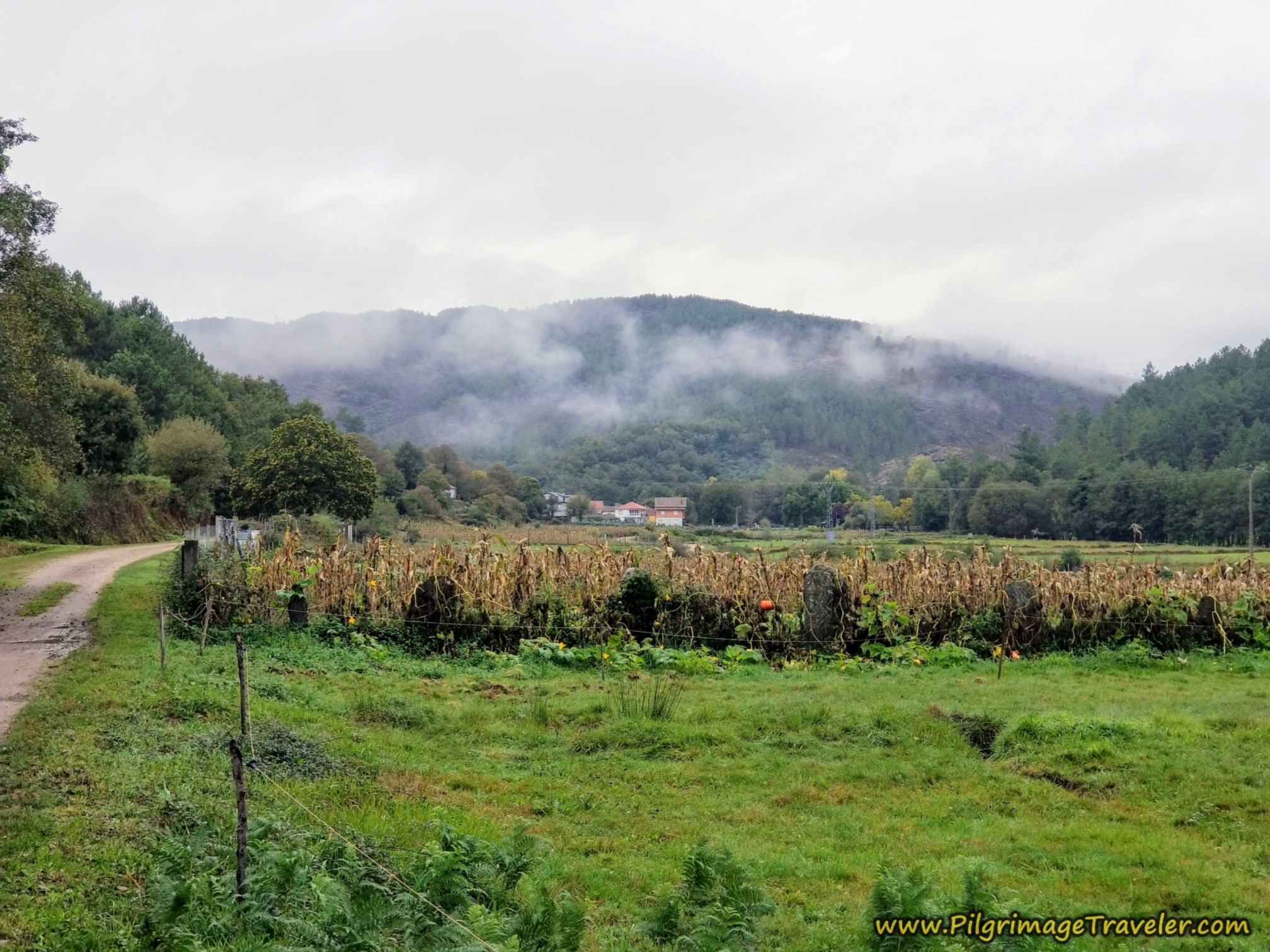 Tamicelas Ahead, Camino Sanabrés, A Laza to Vilar de Barrio
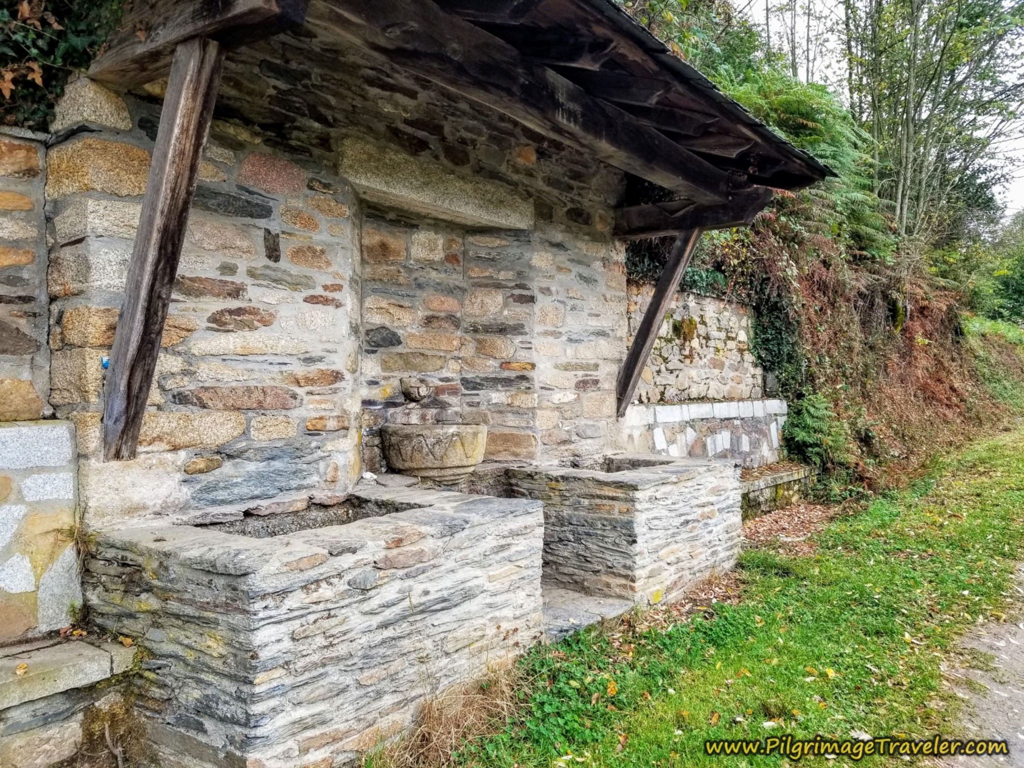
By the time you reach this stone fountain, at the entryway to Tamicelas, approximately 6.58 kilometers into the day, the long climb of the day has begun.
Here is Miguel at the entrance sign to town about 150 meters after the fountain at about 6.75 kilometers into your day on the Camino Sanabrés from A Laza to Vilar de Barrio.
The Way is up and to the left, essentially missing town. Tamicelas is on a hillside, where you will begin the climb up and onto a ridge top on the way to the next town of Alberguería. It is a 5.25 kilometer uphill walk to Alberguería!
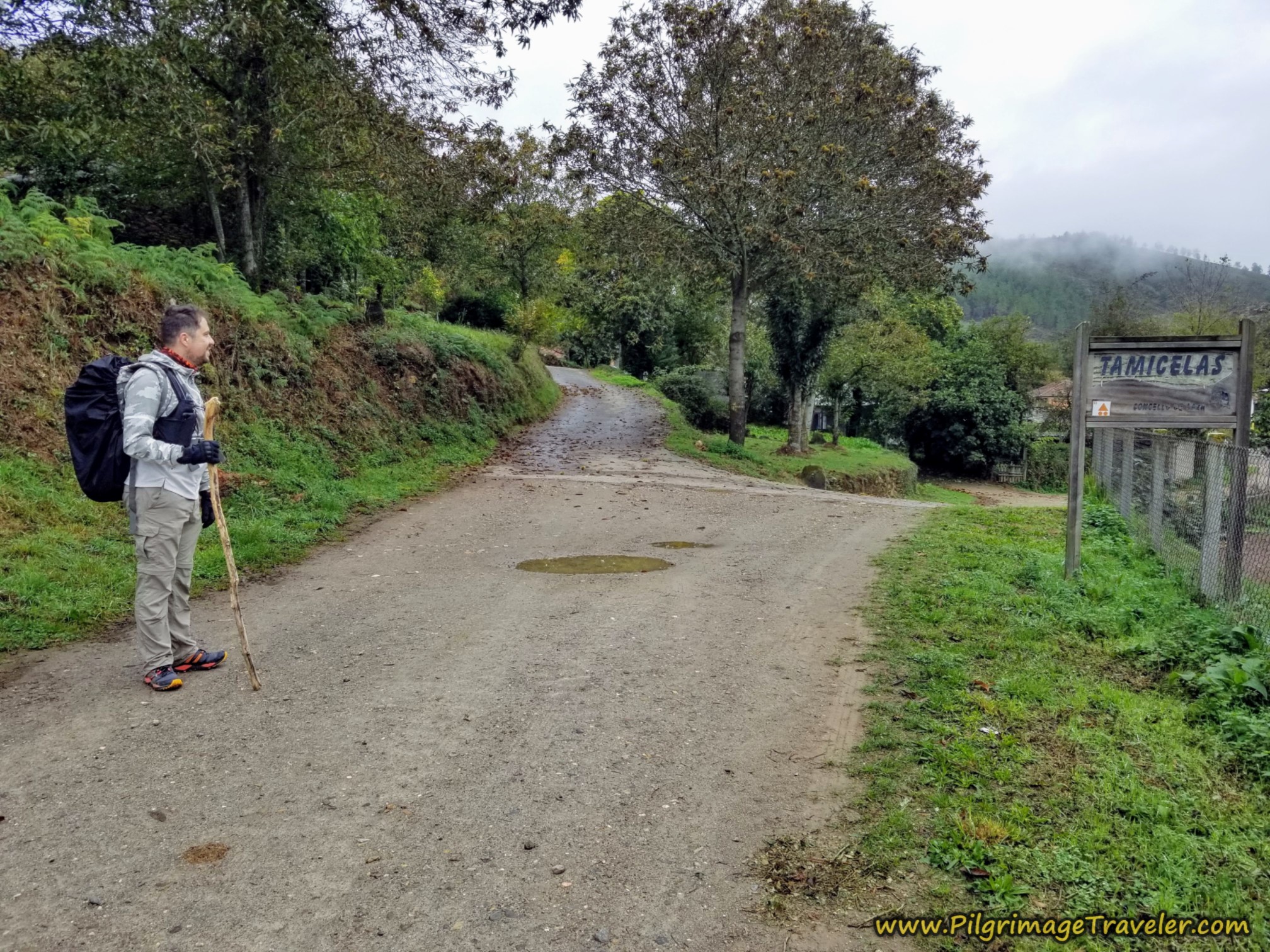 Stay Left at Tamicelas Sign
While you never really walk through Tamicelas, you do catch glimpses of it, down the hill to your right, like in the photo below. The waymark, once again directs you to the left and sharply uphill, yet we could get a peak at the open hórreo (granary) below, with hanging sheaves of corn. How lovely a glimpse into town life. There are no services in Tamicelas.
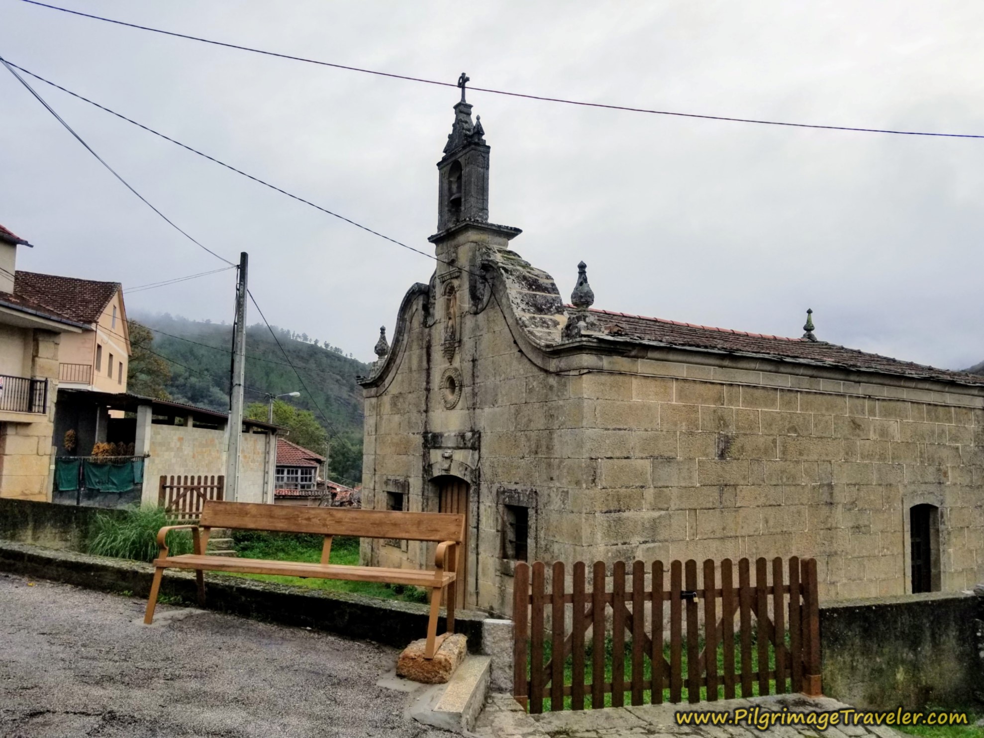
Continuing up the hill another 150 meters or so, you come to the town church, shown below. There is a nice bench where you can take a break if you wish. You might want to gather your energy, as this is where the real climb begins!
Jump to Camino Sanabrés Stages
The brief section of pavement ends after the church, as well as the town itself, as we turned left and up the hill immediately after passing it. From here, Alberguería is about five kilometers away on this quiet road by way of the mountain, or as the locals say, "de la montaña."
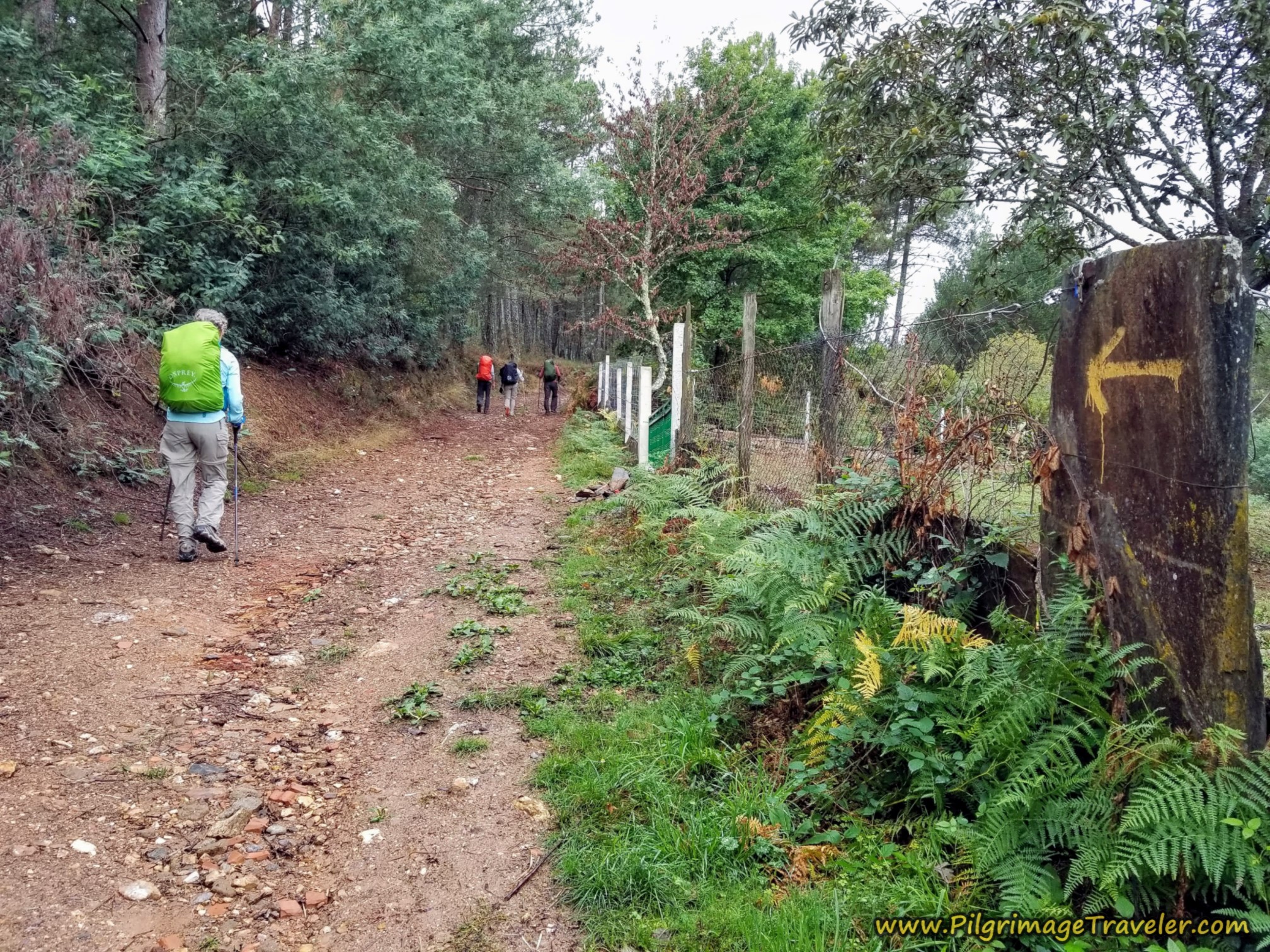 Lane Leaving Tamicelas, Onward and Upward
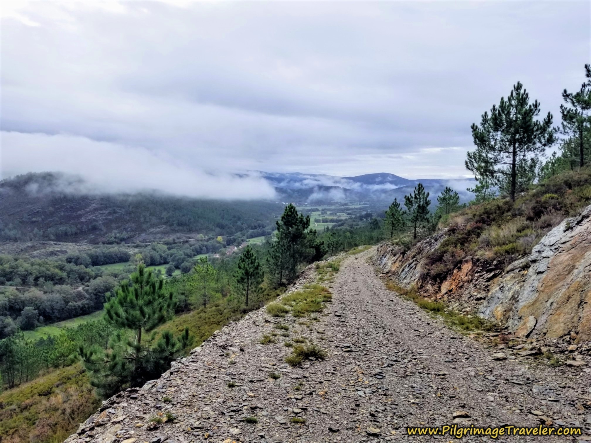
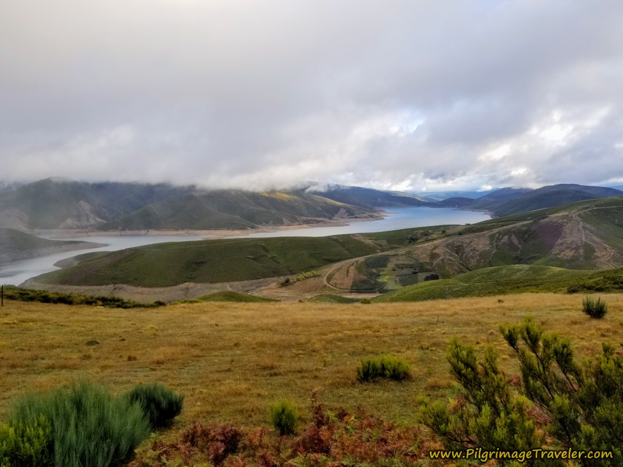
There is a section where there are some nice views to the valley below, like in the photo below, and as we climbed we were lucky enough to see it through the clouds.
The road soon takes a strong switchback left, after about 8.1 kilometers, then right as we climbed higher. The higher we climbed, the more the mist consumed us. Nadine is in the photo below, barely seen.
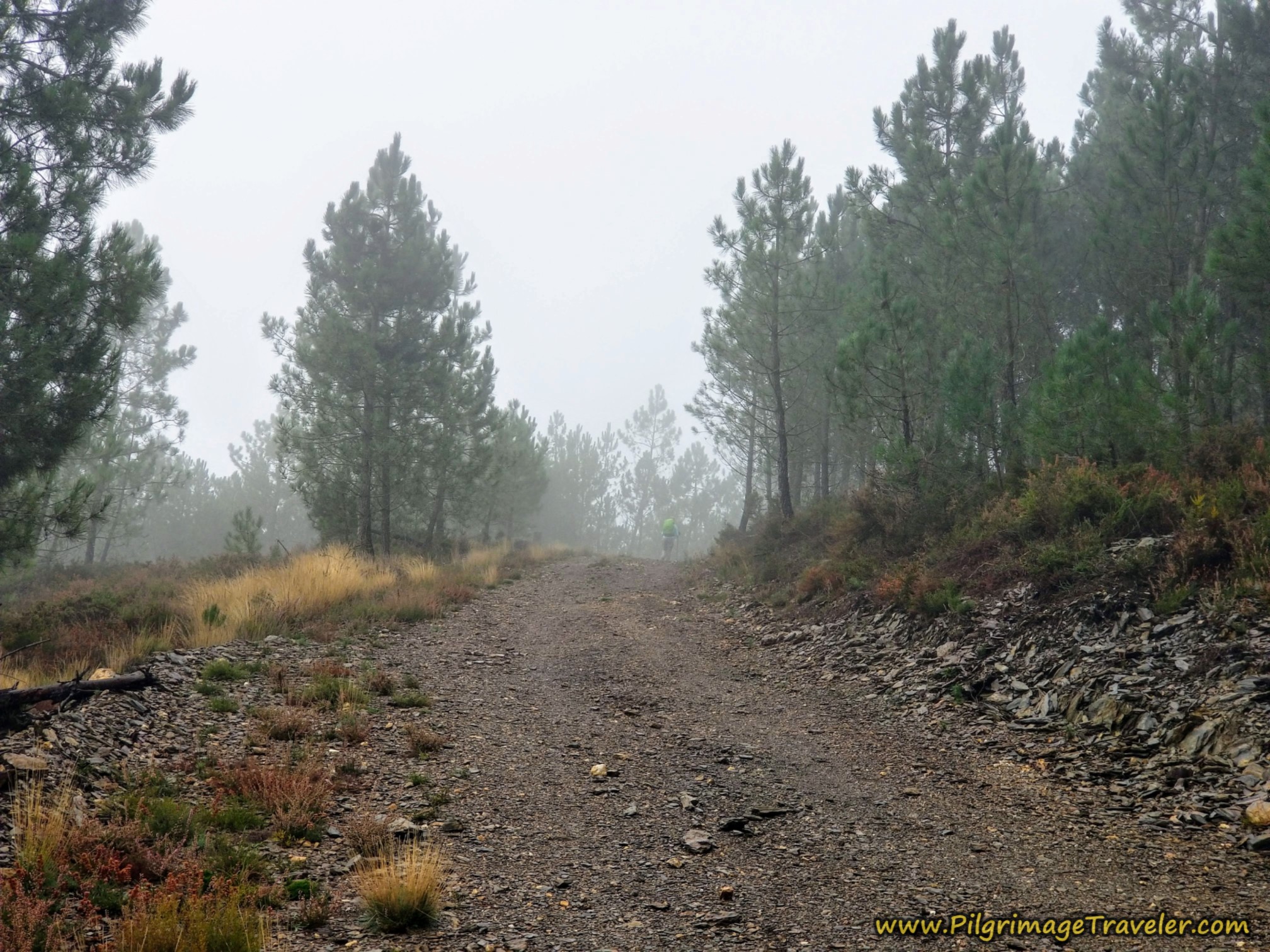 Switchbacks Into the Mist
Here the waymark was decorated with what looked to me like a helmet on the head of a man. At this flatter area, we stopped for a quick snack break.
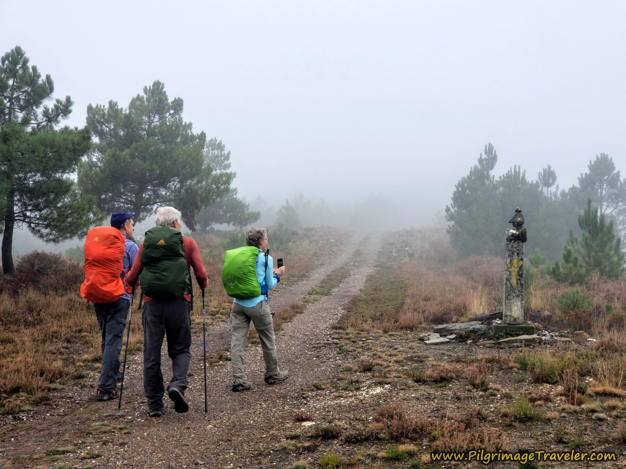 A Pause for an Interesting "Sculpture"
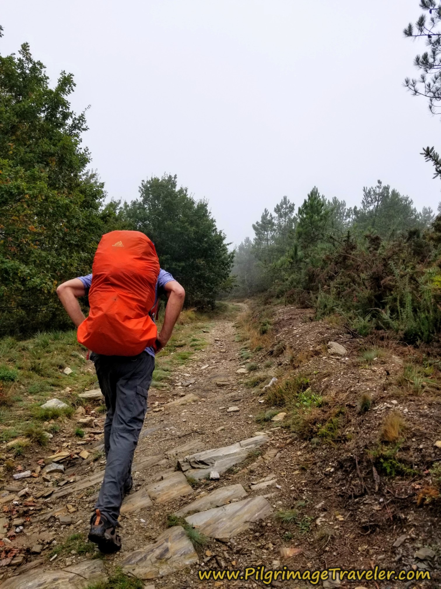
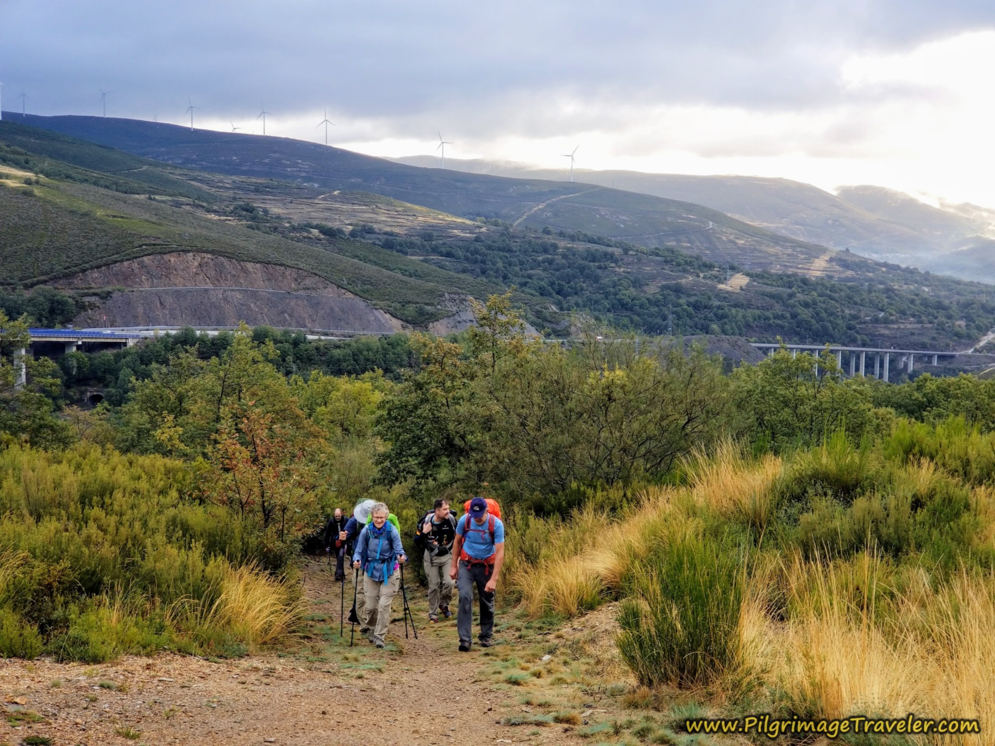
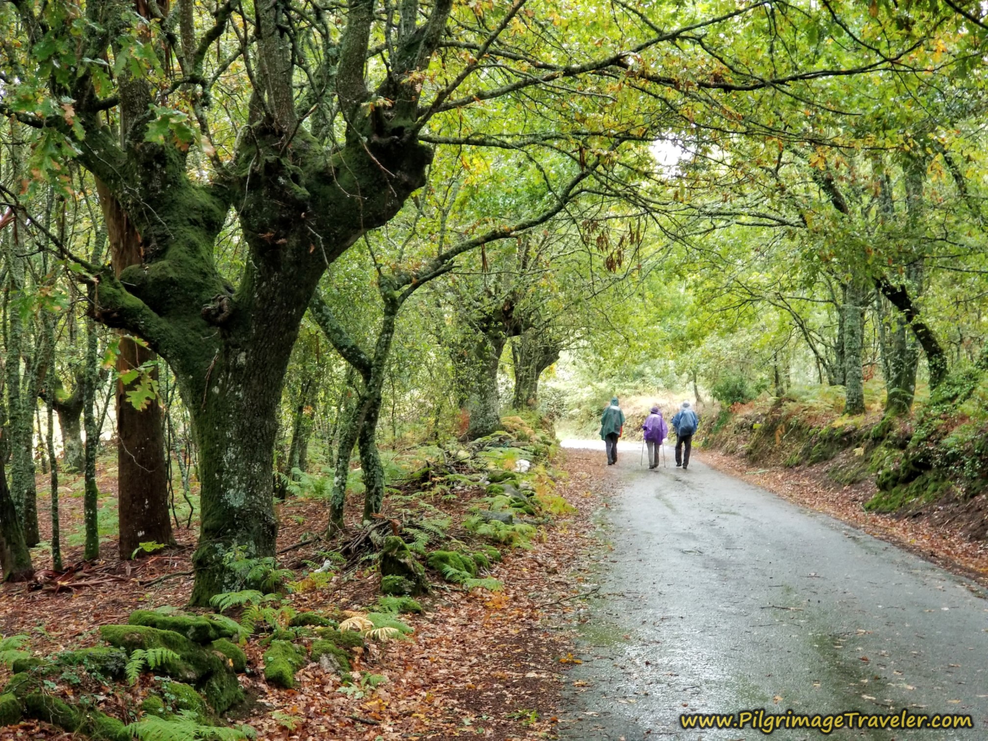
By way of the mountain, you are climbing upward and along a ridge top. As per usual in Galicia, these high areas often have more weather than down below. If there were more views, we couldn't tell. I was a bit bummed that I was not seeing all there was to see.
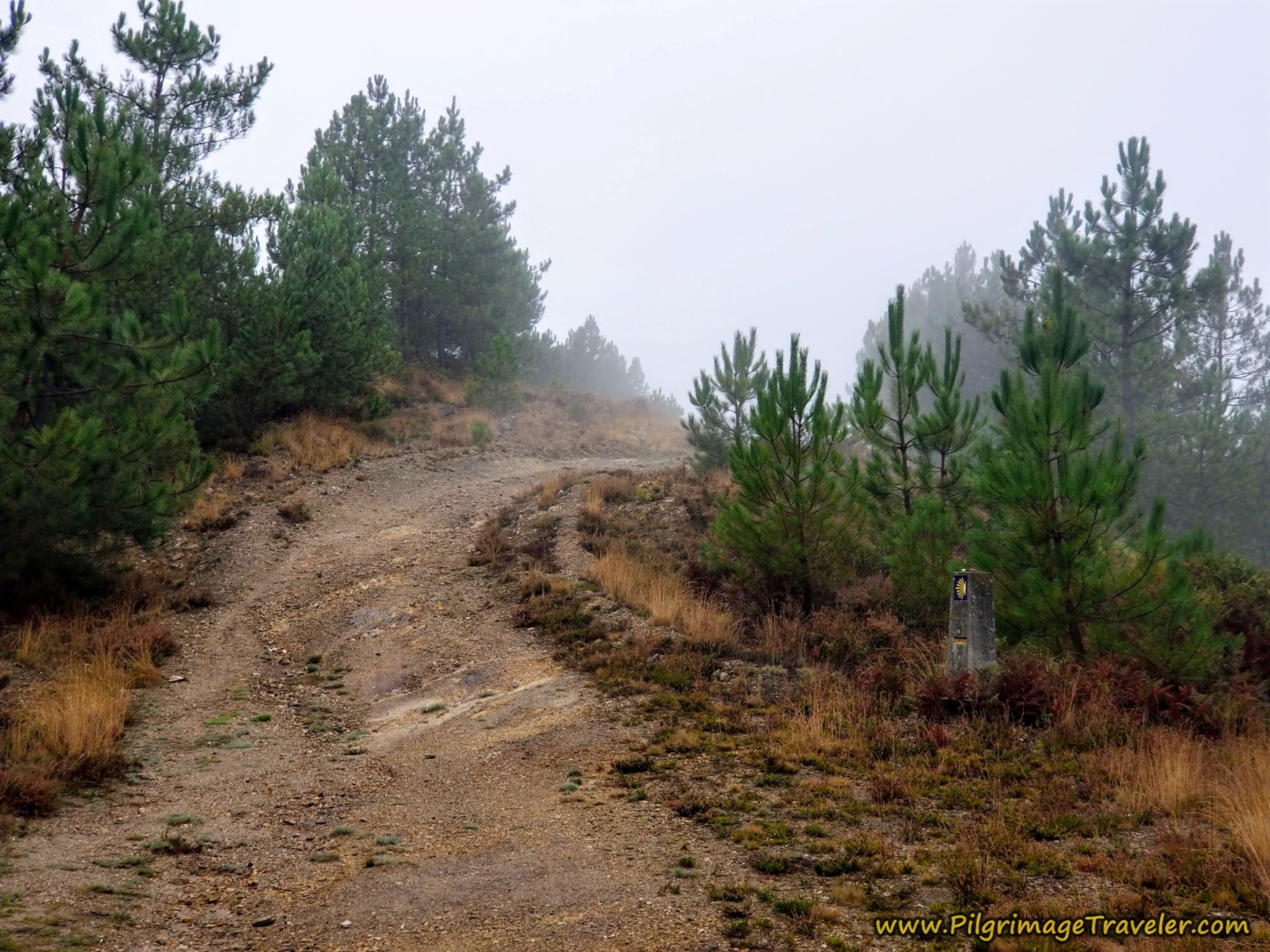 Running the Ridge
As you walk onward, the road does become more rough and rugged with rocks.
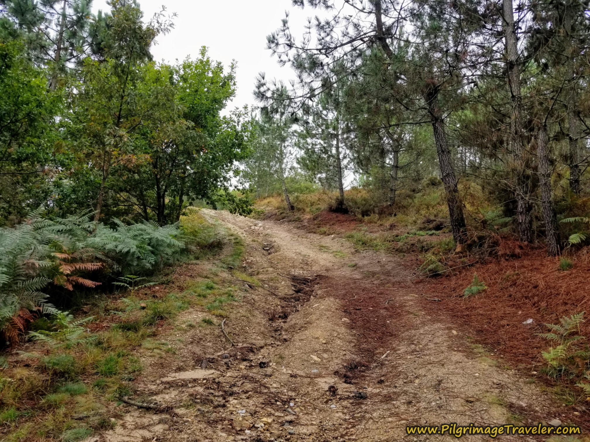 More Rough Road
You will know you are nearing the end of this mountain road when it becomes more level and is improved, shown in the photo below. You are still climbing, however!
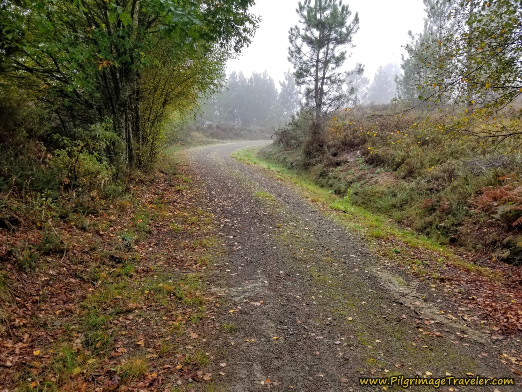 Road Levels and Improves
The second clue that we were near the top was when a power line came into view. Tops of things are almost always about windmills and power lines, in Spain!
And then suddenly, you see the pavement ahead, and the mountain road ends. And sure enough, there was the power line, as you can see in the photo of Rich, below, at the intersection with the road at the top of the climb.
It is the same old OU-113 that you join once again, by turning to the right. At this juncture you are 11 kilometers into your day on the Camino Sanabrés from A Laza to Vilar de Barrio.
Here you are more than halfway to Vilar de Barrio and almost done with the climbing for the day ~ at least the hardest part! The altitude here is 913 meters (almost 3000 feet).
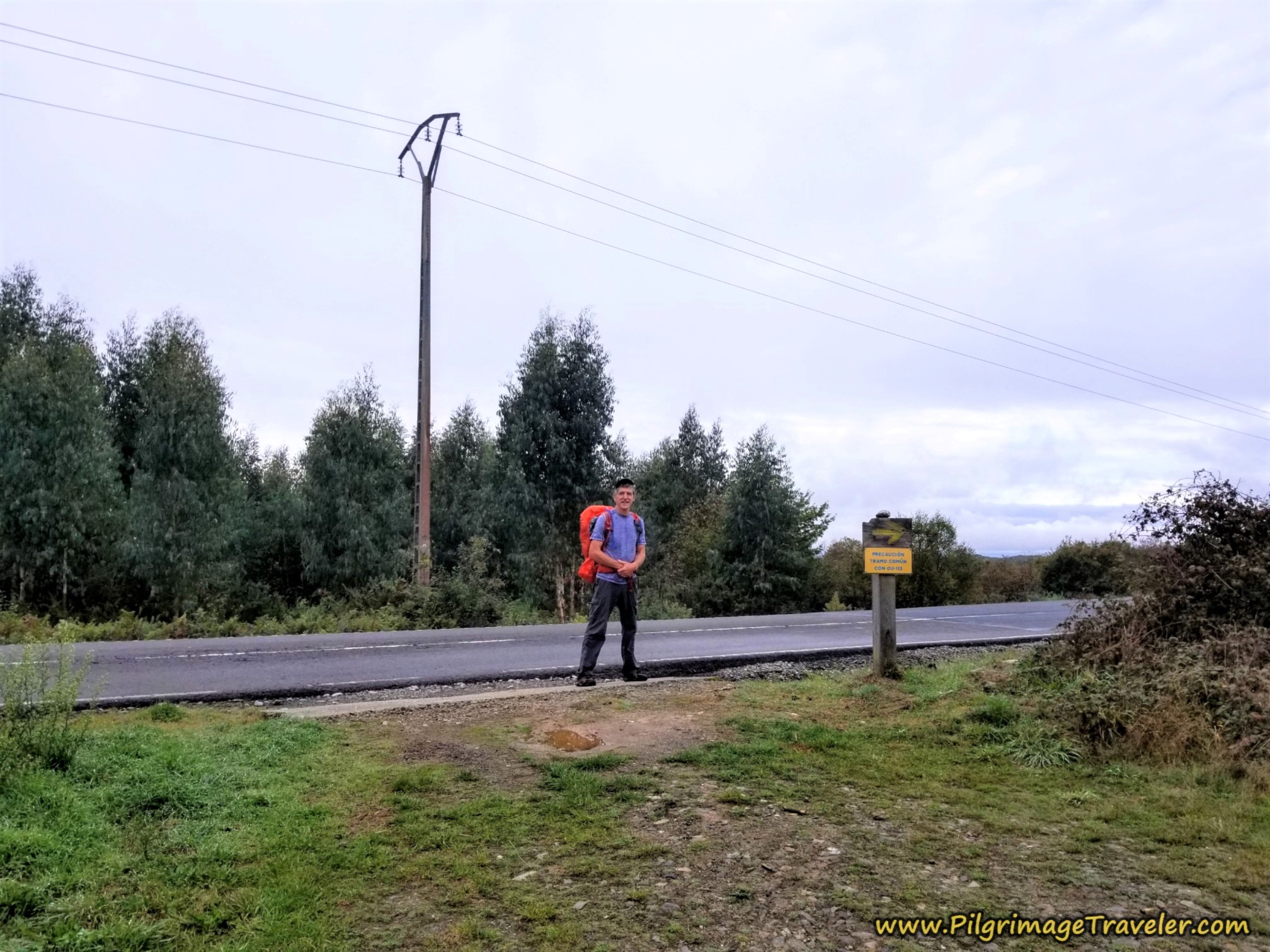 Rich at the Right Turn Onto OU-113
Jump to Camino Sanabrés Stages
The OU-113 is the way to go to the next village of Alberguería and it is on a slight descent into town.
 Road to Alberguería, Camino Sanabrés, A Laza to Vilar de Barrio
It is only a short walk of about 800 meters along this stretch of the OU-113 before you come to the sign for Alberguería. You are 12 kilometers into day ten on the Camino Sanabrés from A Laza to Vilar de Barrio, at the sign.
About 200 meters later as you approach the first buildings of town, the Camino sign directs you to the first left, shown in the photo here.
 Turn Left in Alberguería
After the turn, the Rincón del Peregrino, or Pilgrim's Corner is just ahead. Look for the tables outside and the flying flags. You can't miss it.
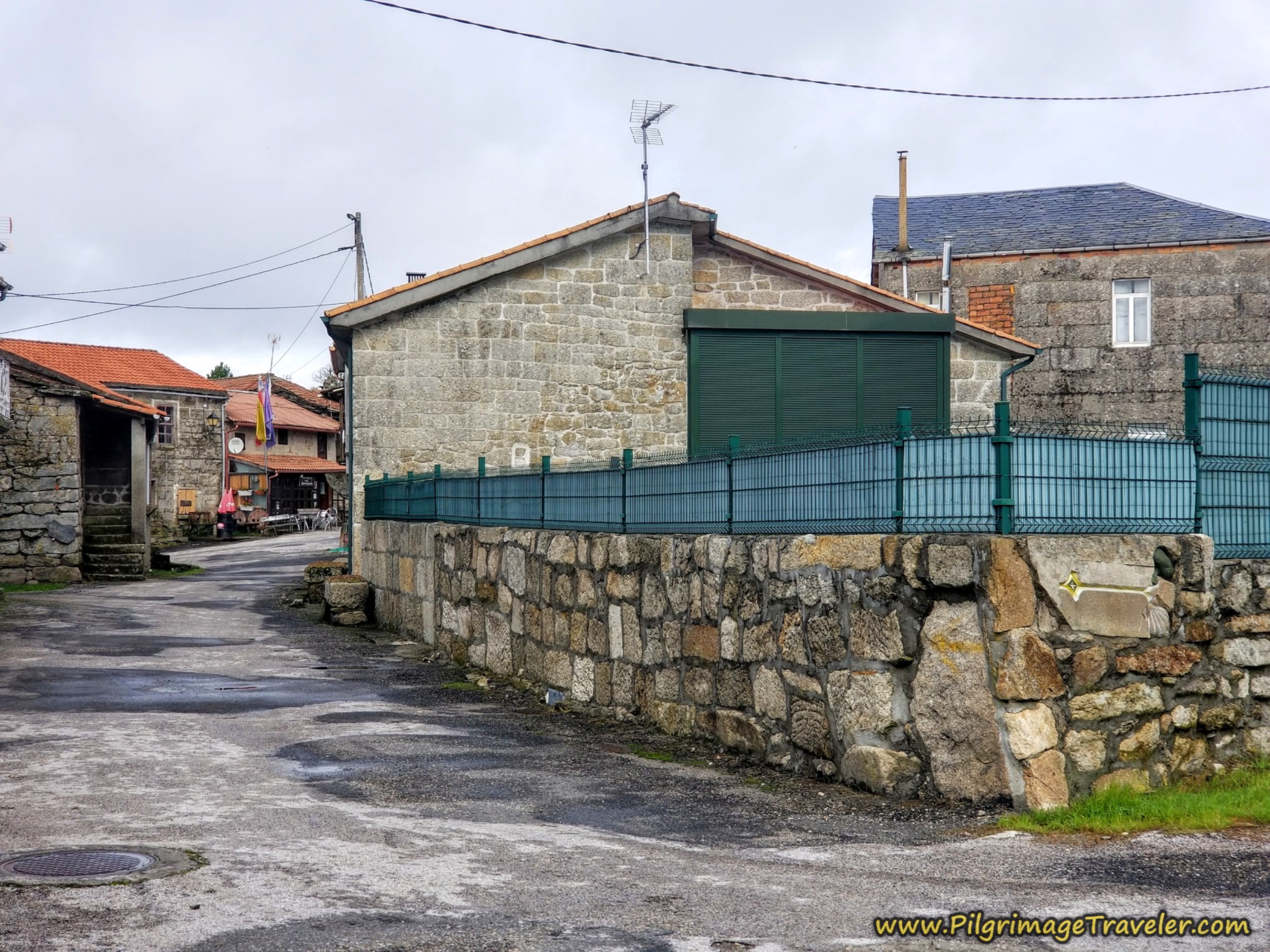 Rincón del Peregrino Ahead
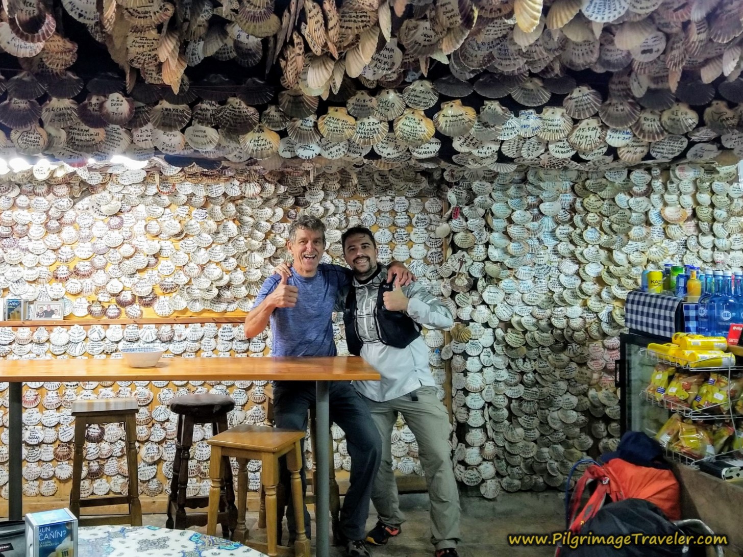
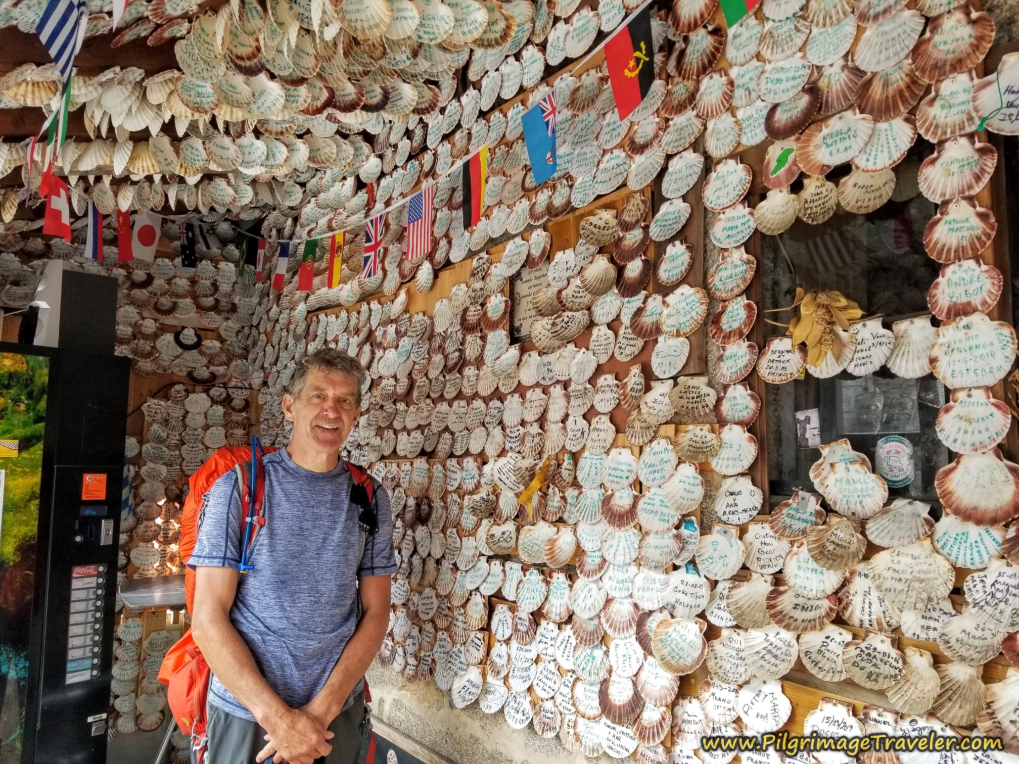
This fabulous and famous little place is covered in scallop shells left by pilgrims. Here is the gang, standing in the entryway, Elle, Norm, Miguel, Rich and Nadine.
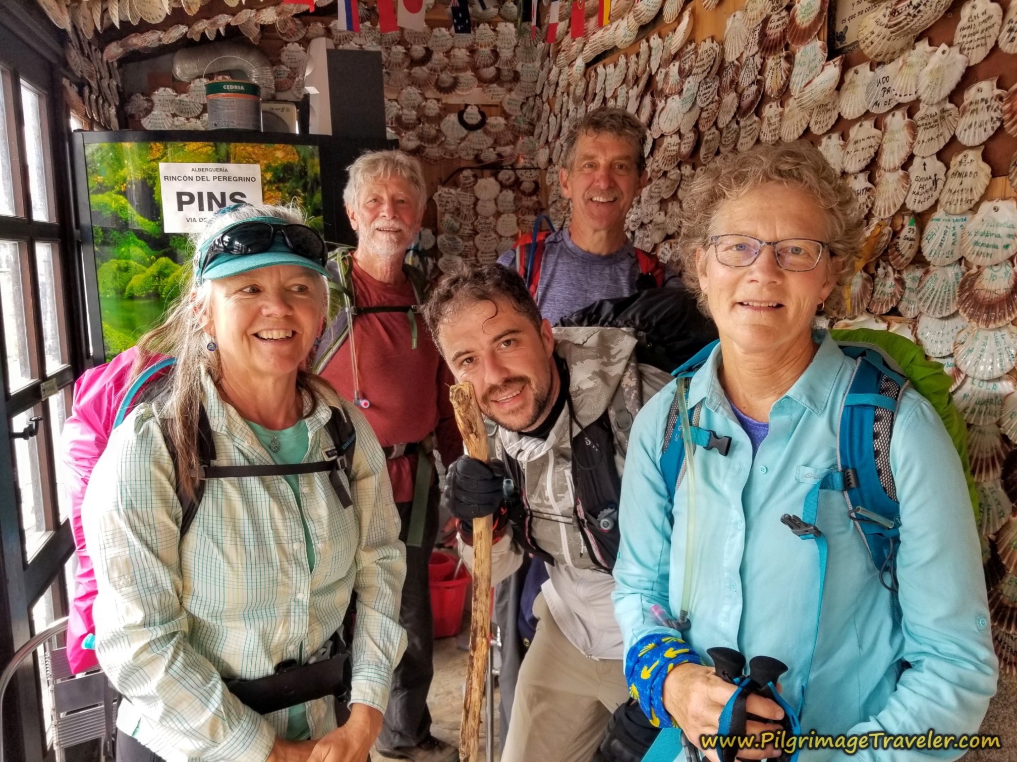 Group Photo at the Rincón del Peregrino
The proprietor, Luis, used to give the shells out, but now you have to purchase them for a small fee, in order to write your name and hang your shell. Luis will also play music from your country of origin, once he knows where you are from. He played John Denver for us! We sang "Rocky Mountain High" at the top of our lungs. Even Miguel knew the song.
We had a rip-roaring time here, and it's well worth the stop for the camaraderie. The Rincón del Peregrino is also a bar and an albergue, so we took advantage of obtaining a café con leche and a bite to eat. There is nothing else in this town!
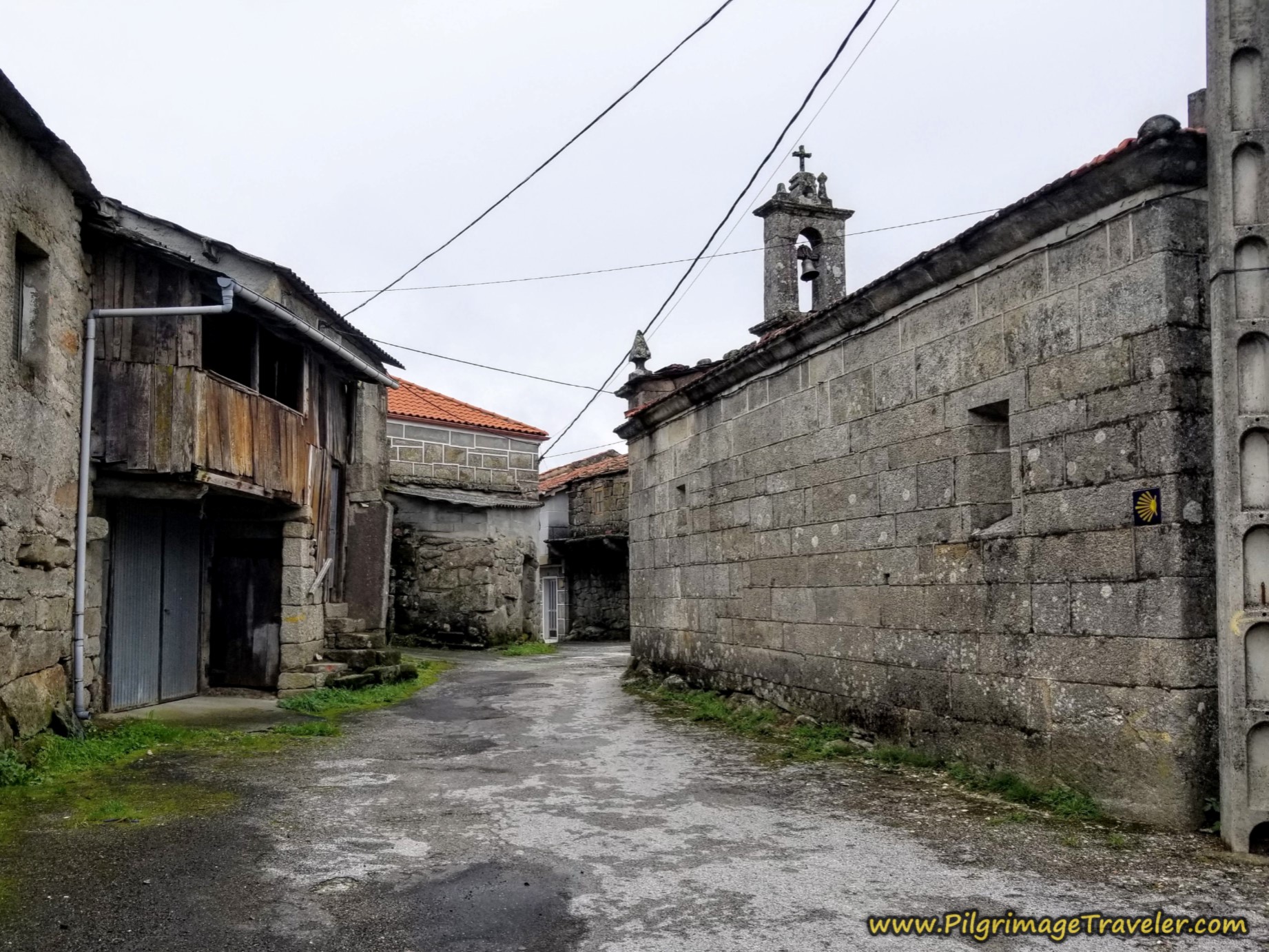
Then it was onward, with more gray skies awaiting us as we walked through the equally gray town. Immediately after the Rincón del Peregrino, turn left at this intersection, to walk by the town church, shown below.
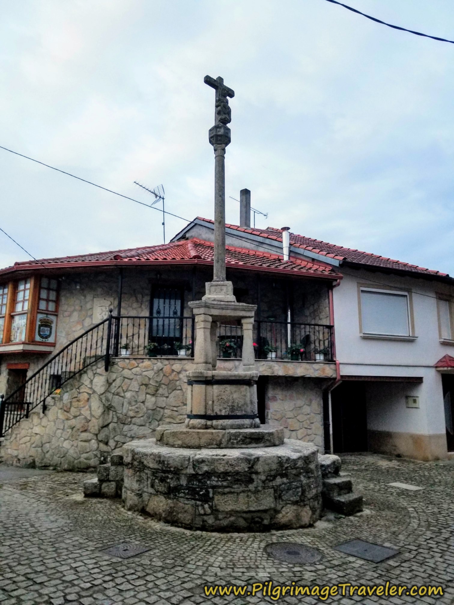
After the church, stay straight on at this pilar at the first intersection - was it an old cross once?
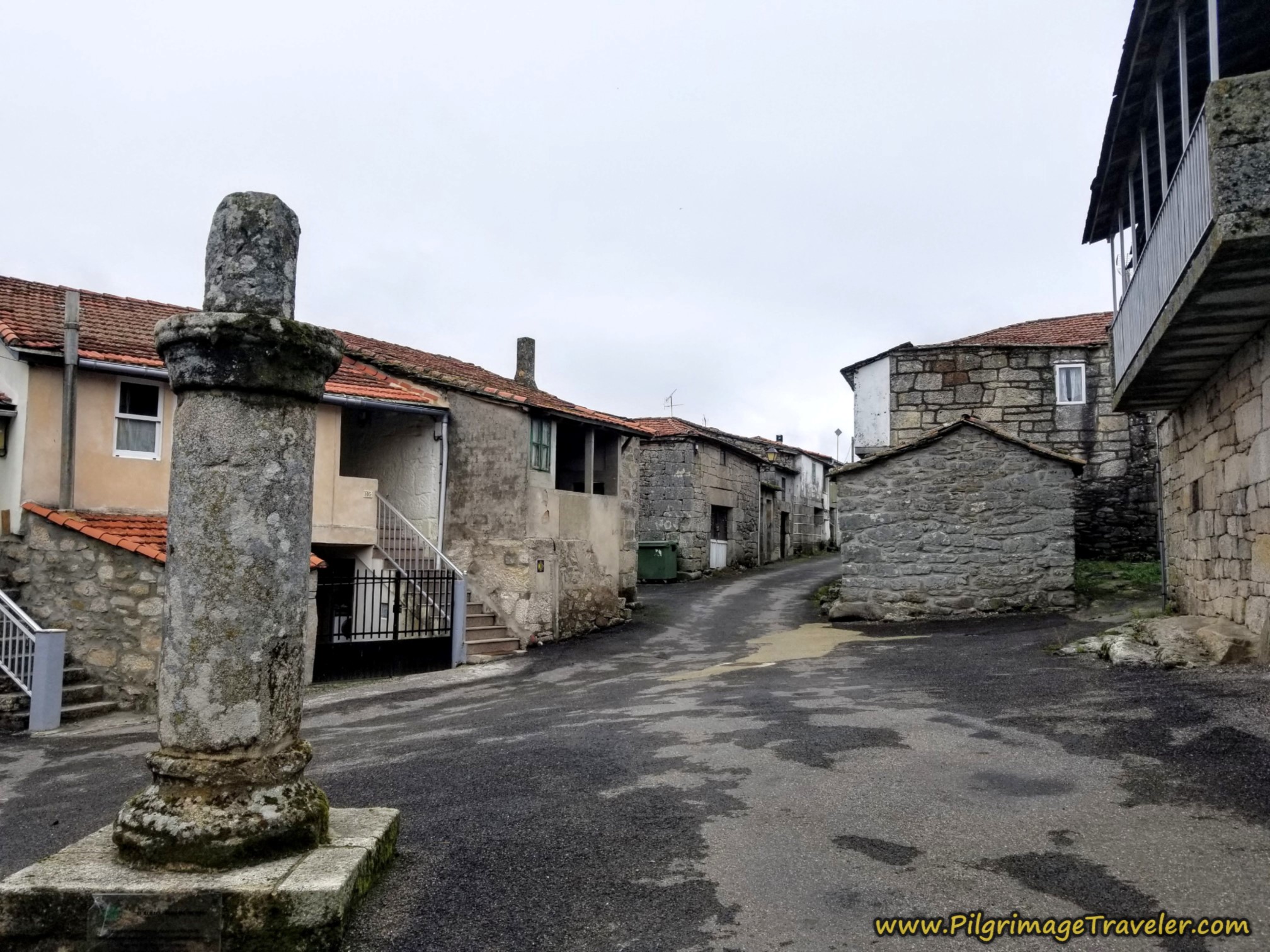 Straight On at the Pilar
Continue straight through this small town, until coming to this house on the corner, and turn to the left.
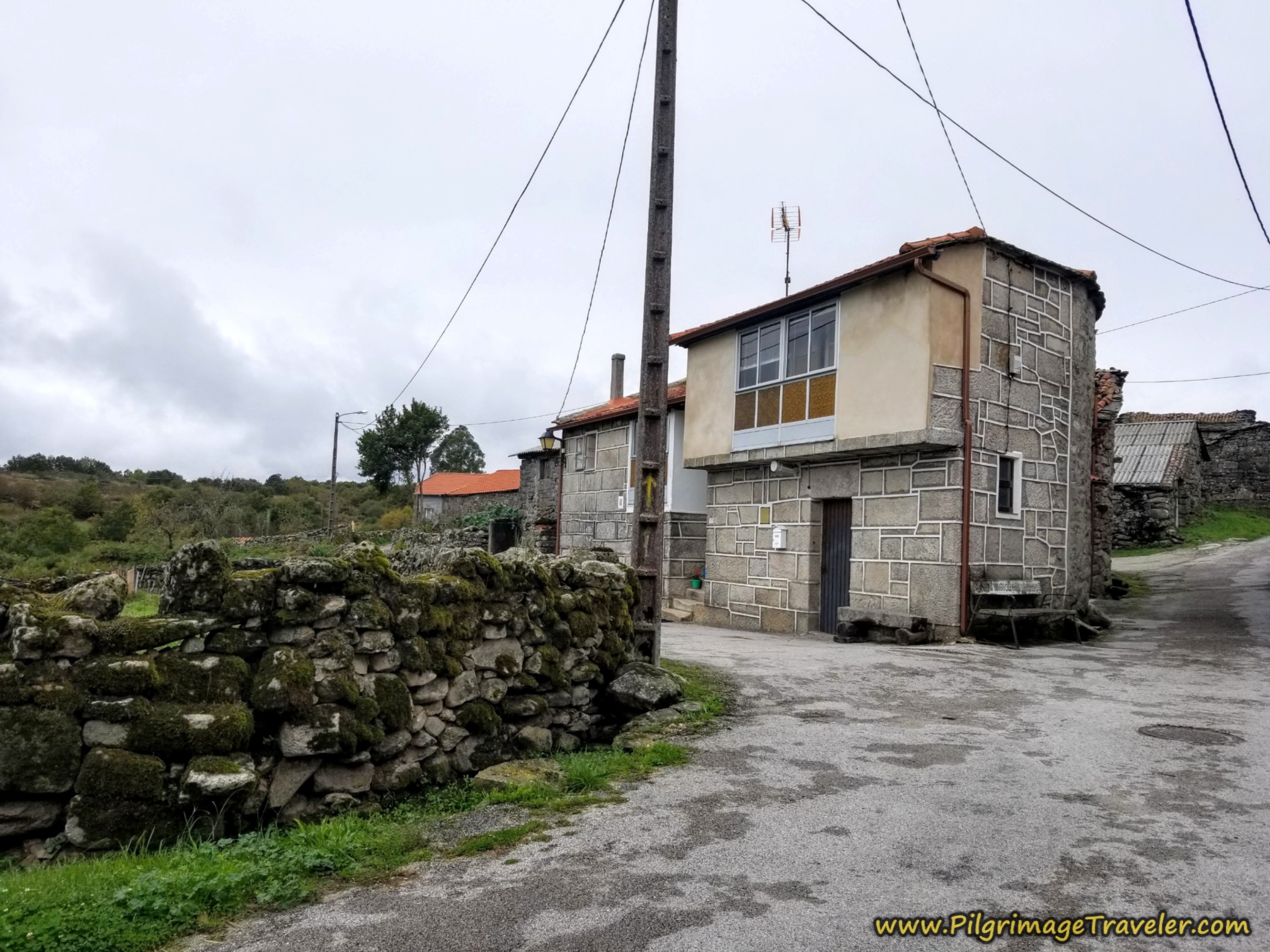 Left Turn at Corner House
Jump to Camino Sanabrés Stages
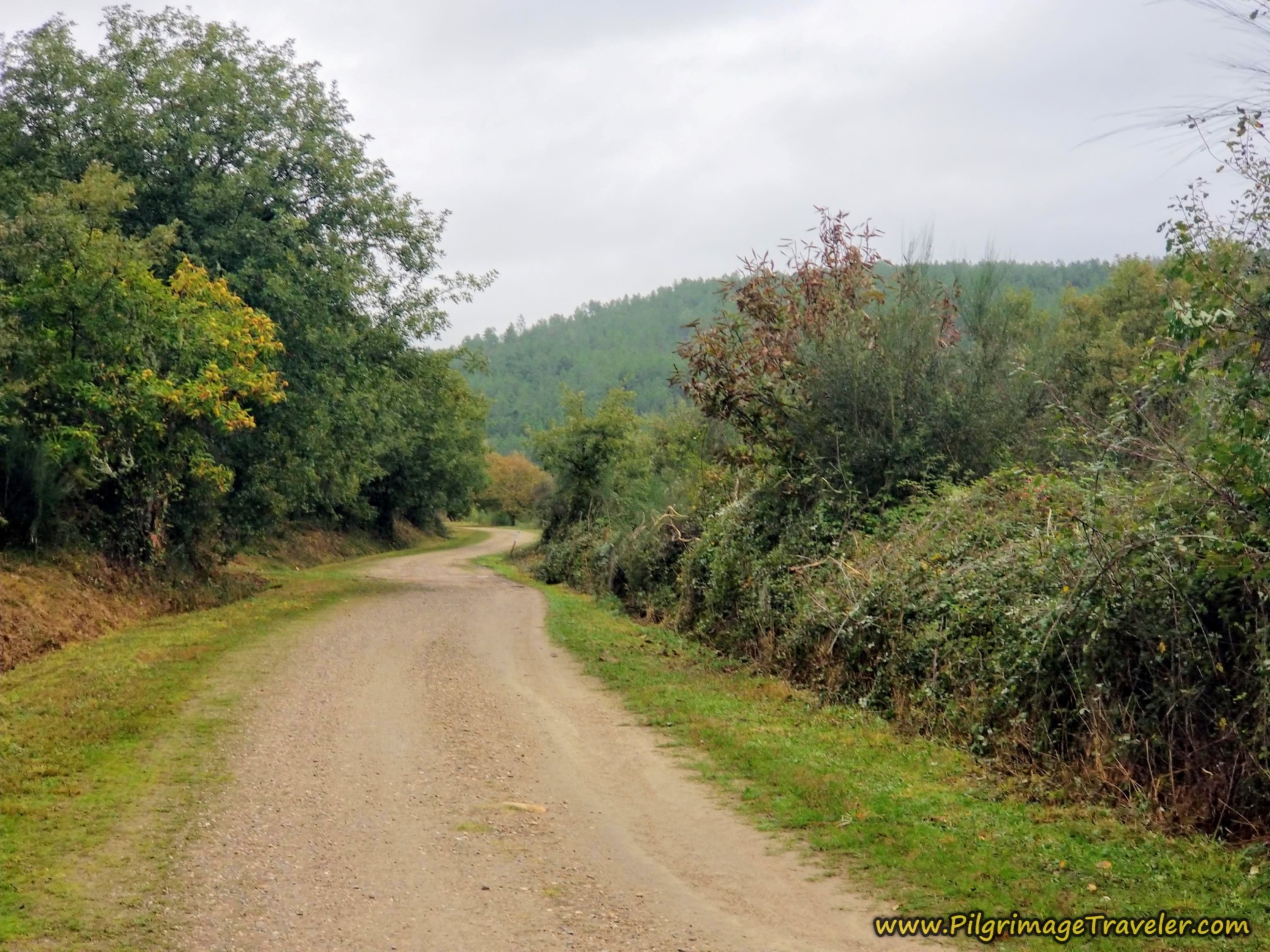
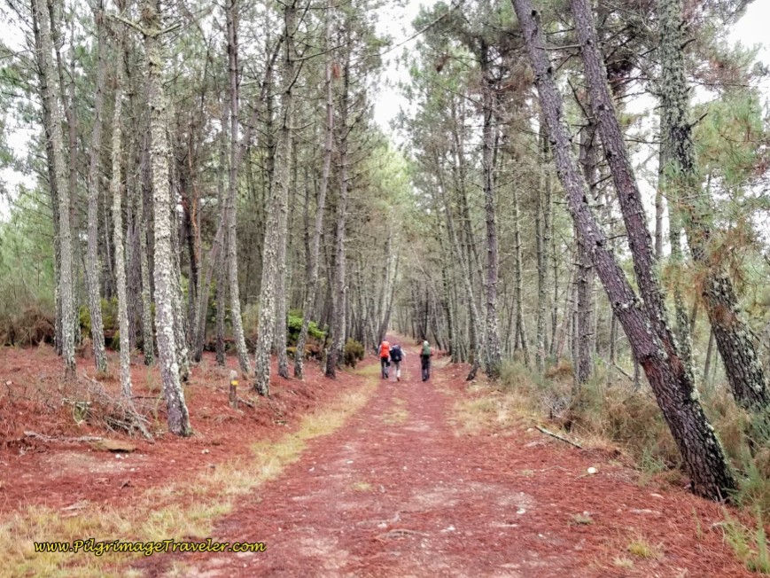
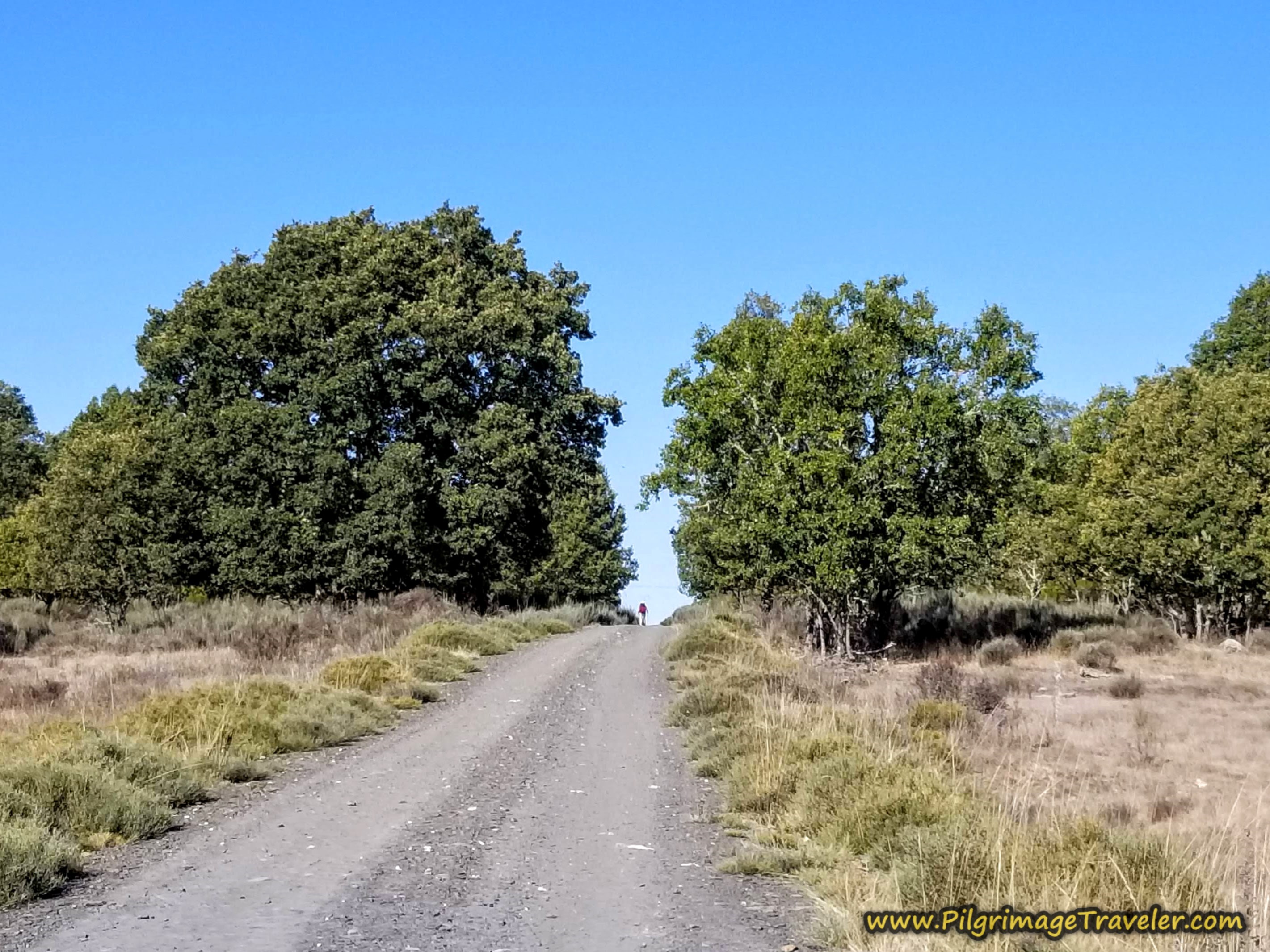
After the turn, pass by a few more houses, and you are back in open countryside. You will be on this particular lane for approximately the next three kilometers. During this walk, there is still a bit of altitude to gain, but essentially you will not feel it much.
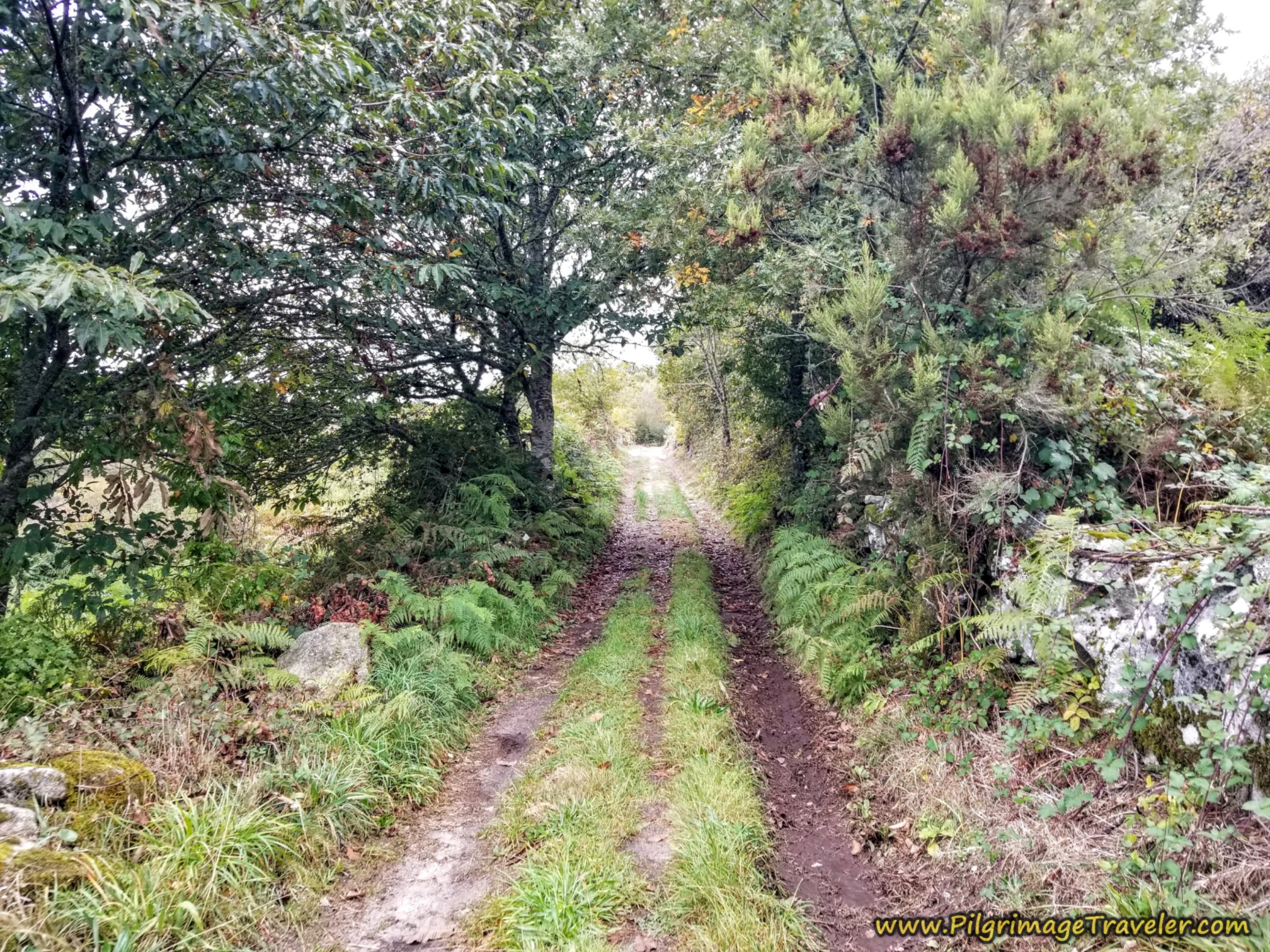 Lane Leaving Alberguería, Camino Sanabrés, A Laza to Vilar de Barrio
Your first landmark, once the forest opens to the field, is this large power plant, visible for many meters in the distance. You will pass by this plant, about one kilometer from town.
 Power Plant Ahead
Immediately after passing the power plant, you will cross over this paved secondary road.
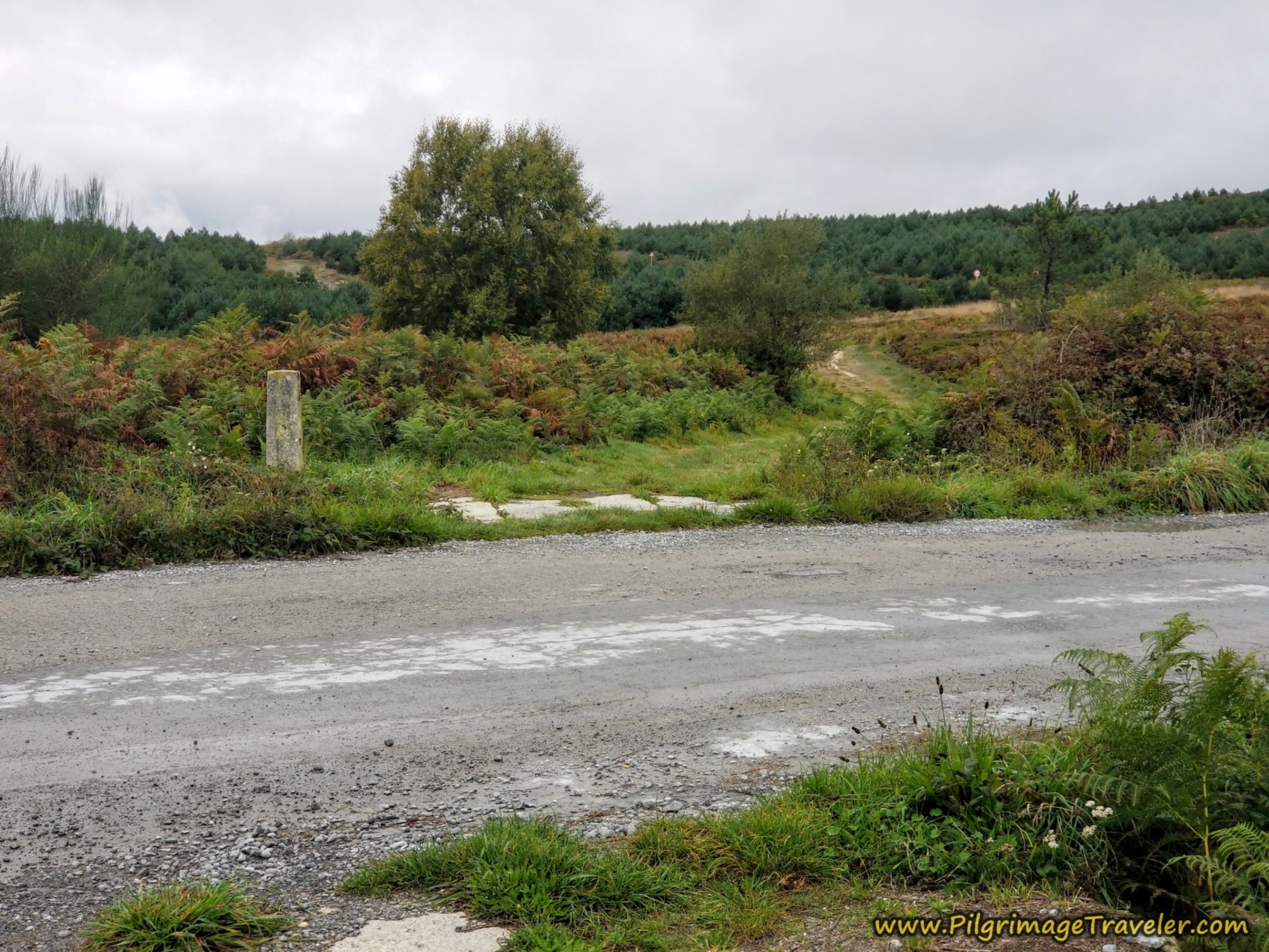 Cross Over Paved Side Road
You can see and hear the OU-113 on your right side now as the Camino lane parallels the highway.
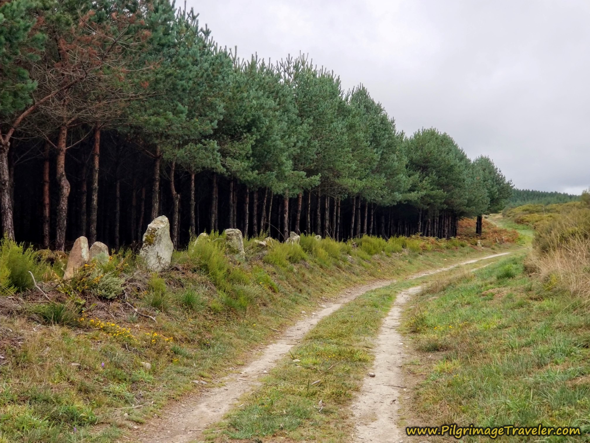 Lane Parallels the OU-113
After 14.7 kilometers, the lane meets the OU-113, but crosses over it, to continue onto the lane on the other side for the final meter's climb to the top.
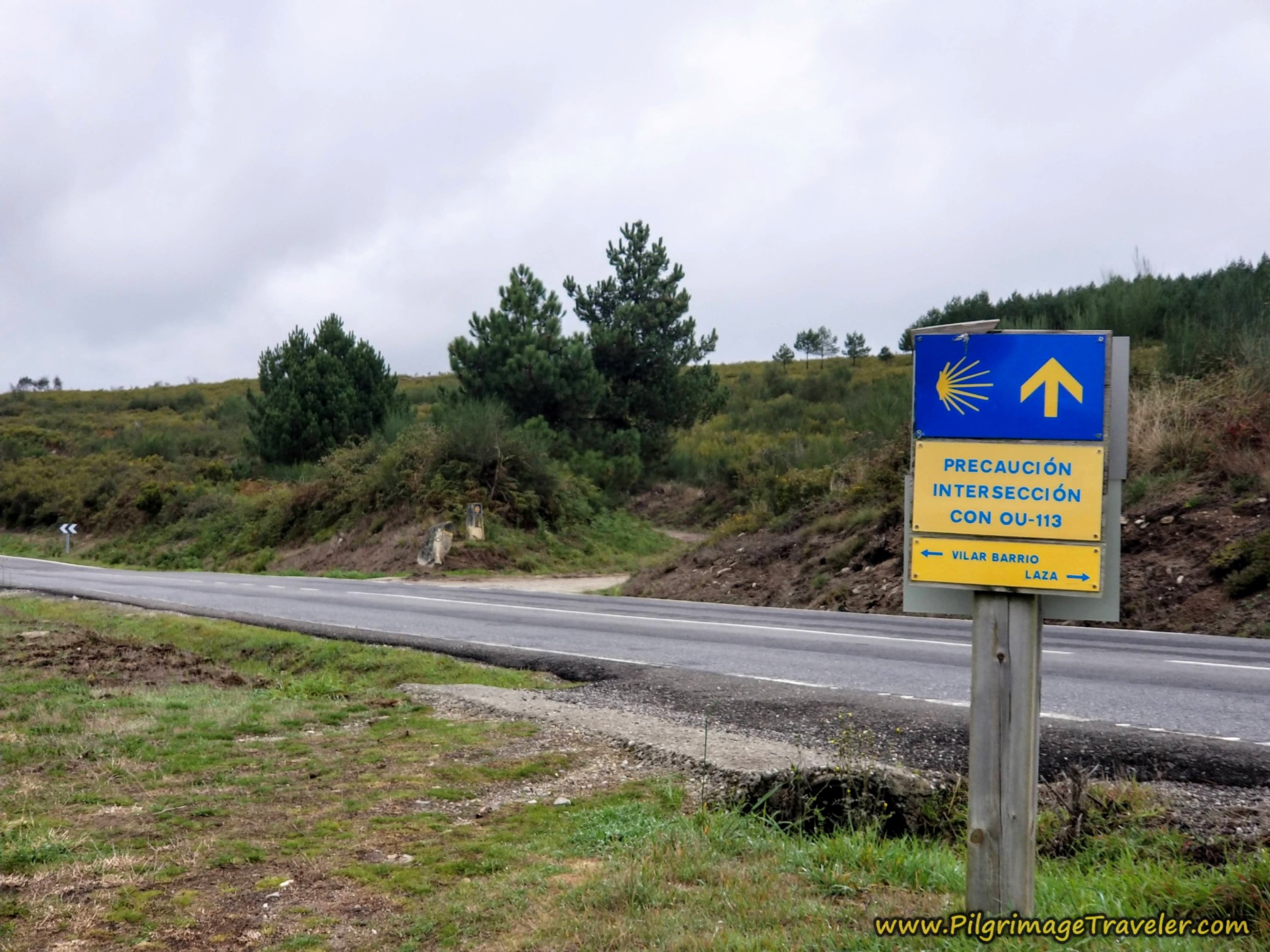 Cross Over the OU-113
Here is a close-up of the lane, with its double waymark, the traditional Galician one (now replaced with a newer one) and one by the sculptor Nicanor Carballo who hails from Ourense.
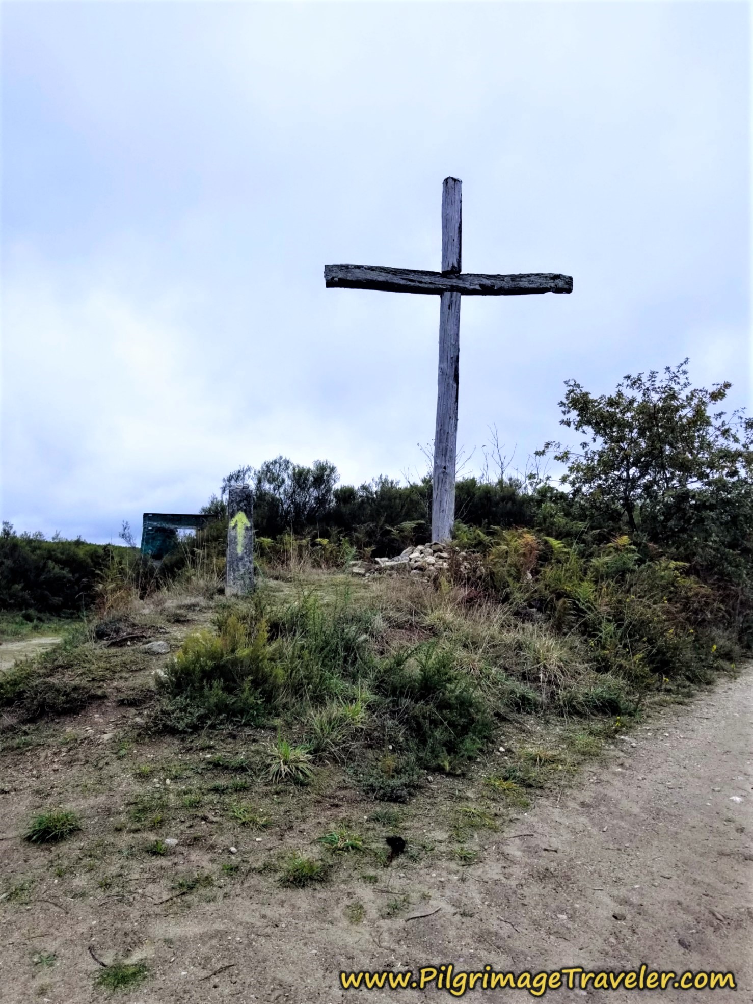
You finally come to the ultimate top of the day's altitude gain, here at this wooden cross, called the Cruz do Alto do Talariño, after about 15 kilometers into day ten on the Camino Sanabrés from A Laza to Vilar de Barrio.
From the top, the lane reverses course and now descends steeply on the other side.
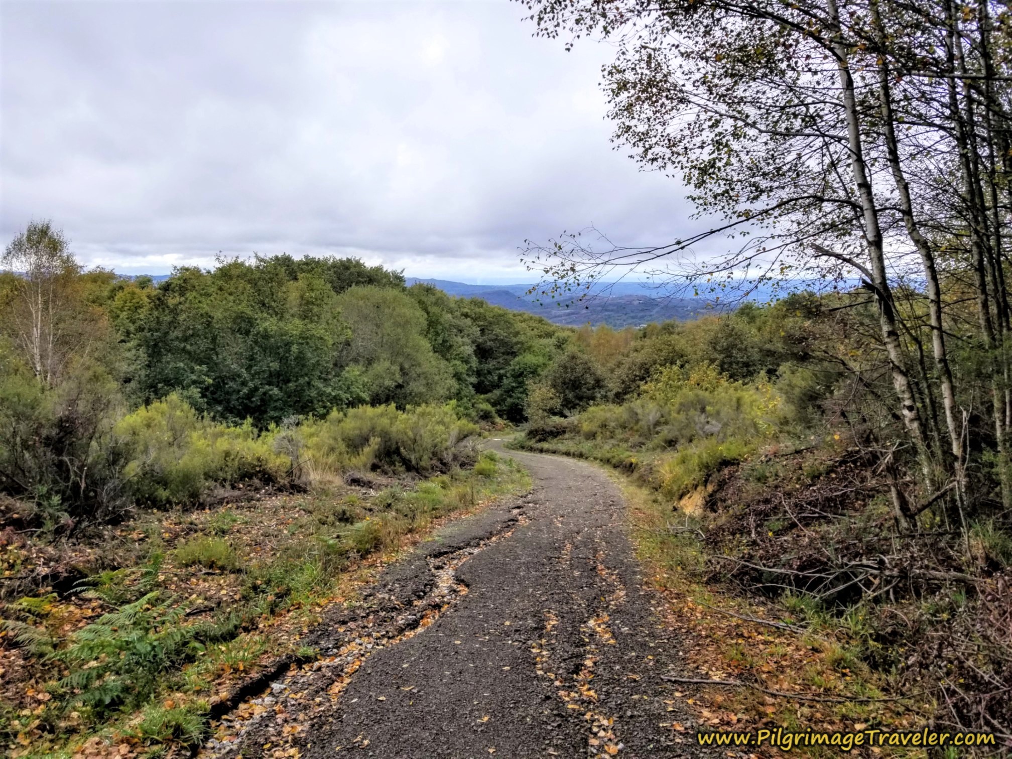 The Road Descends, Camino Sanabrés, A Laza to Vilar de Barrio
The nice walk on the lanes ends at approximately 15.5 kilometers into the day, and joins the OU-113 yet again, near kilometer marker 35.
 Walk Briefly on the OU-113
It is only 300 meters later that the Camino leaves the pavement and turns to the left on another lane, shown below.
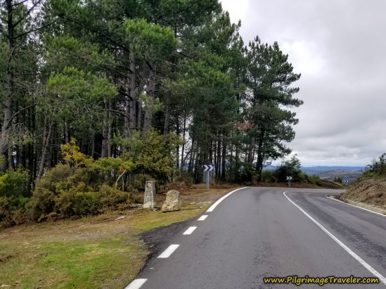 Turn Left at This Lane
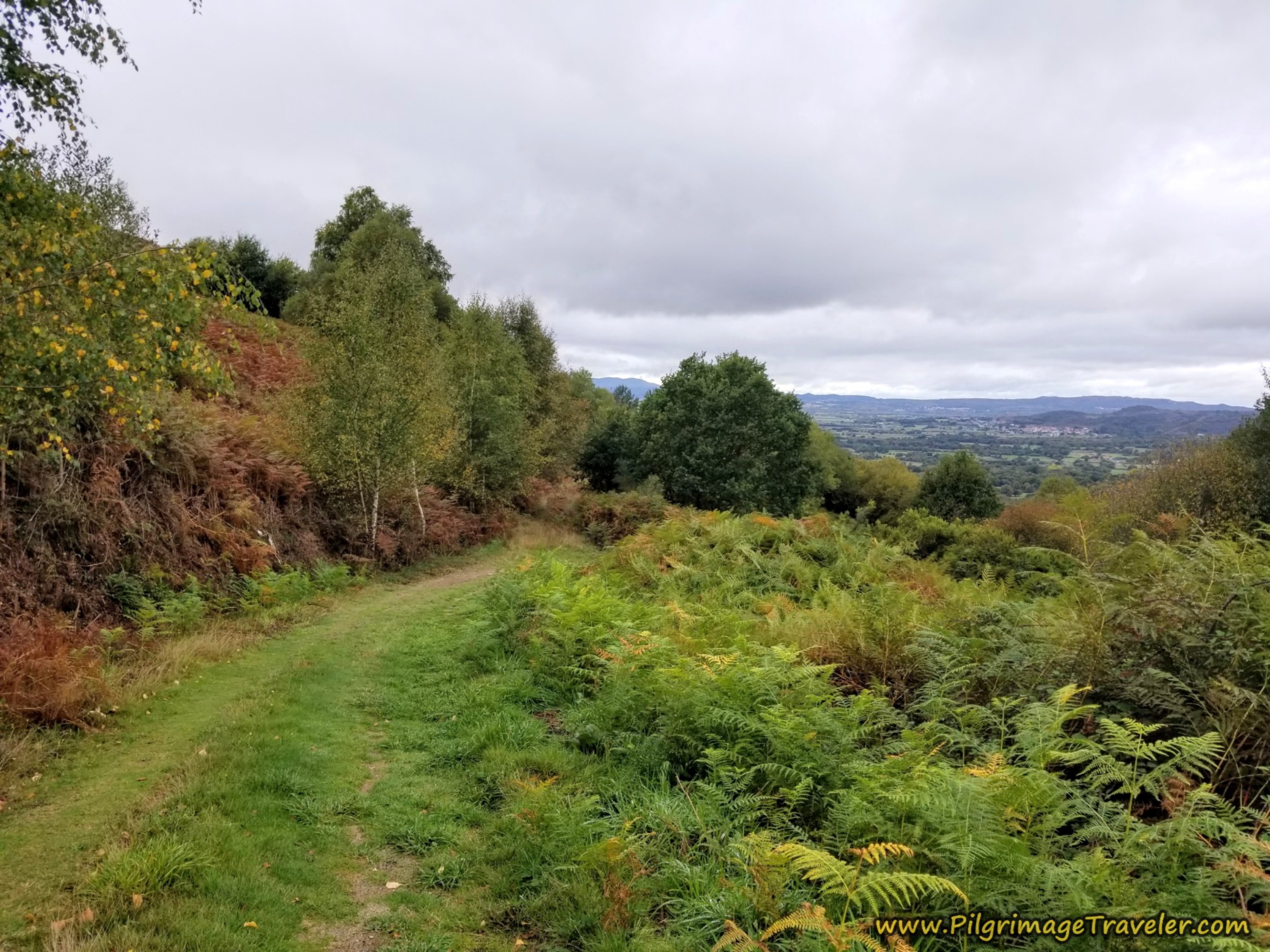
The descent continues as the lane meanders around and views of Vilar de Barrio will now grace your horizon.
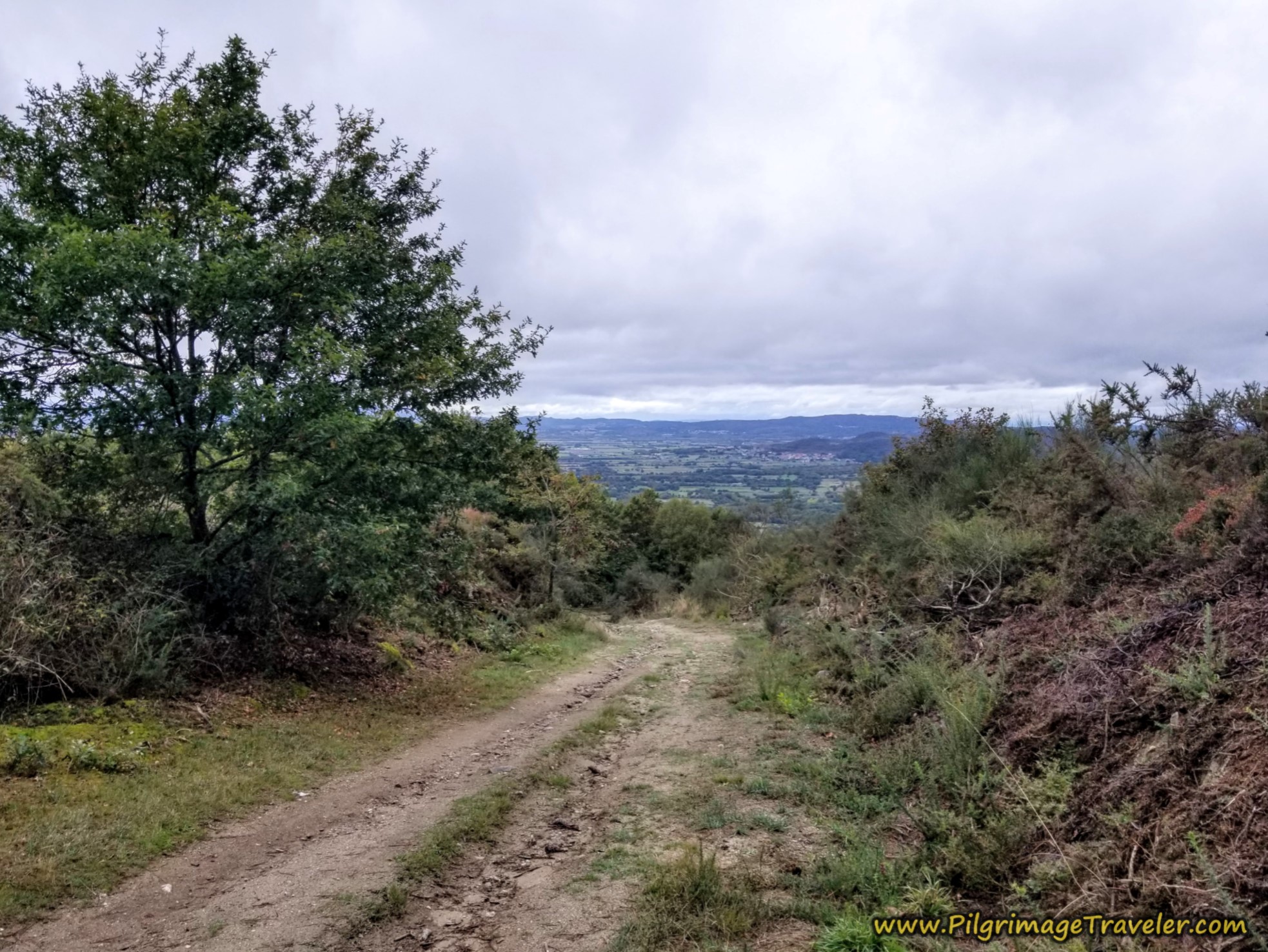 Strong Descent Continues
This is a pleasant walk through here. There are some confusing signs through this section, but if in doubt, continue going down.
Jump to Camino Sanabrés Stages
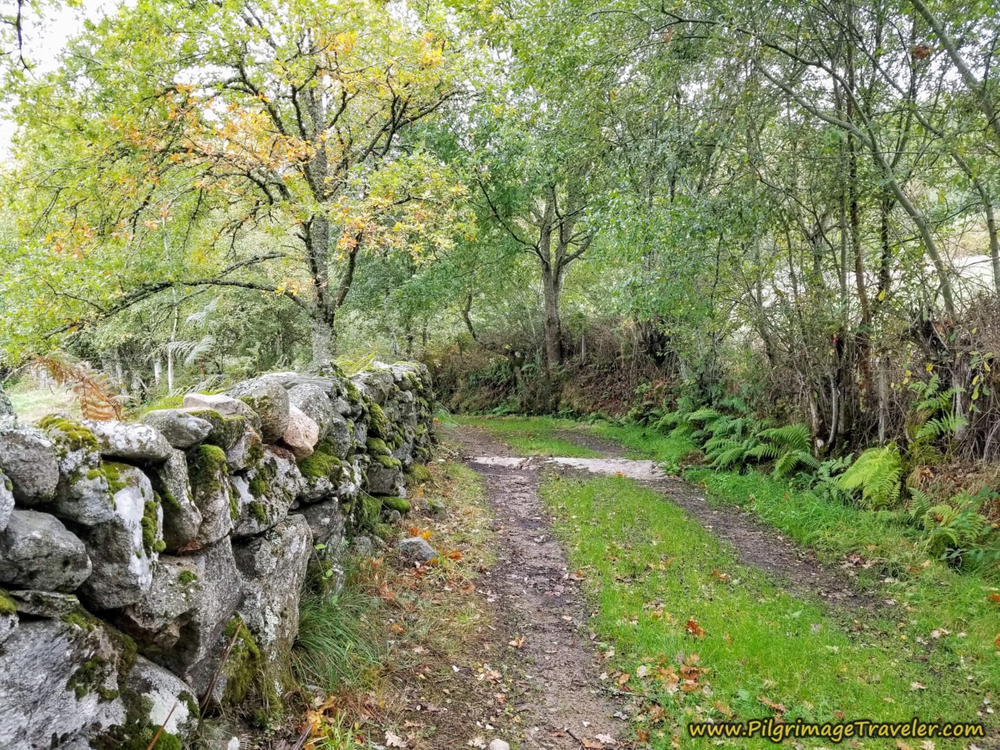
The nice lane in this section ends with a high stone wall, gracing it.
The lane comes out at a T-intersection at this picnic table, which several peregrinos were utilizing as we walked by. You are 17.1 kilometers into day ten at this intersection.
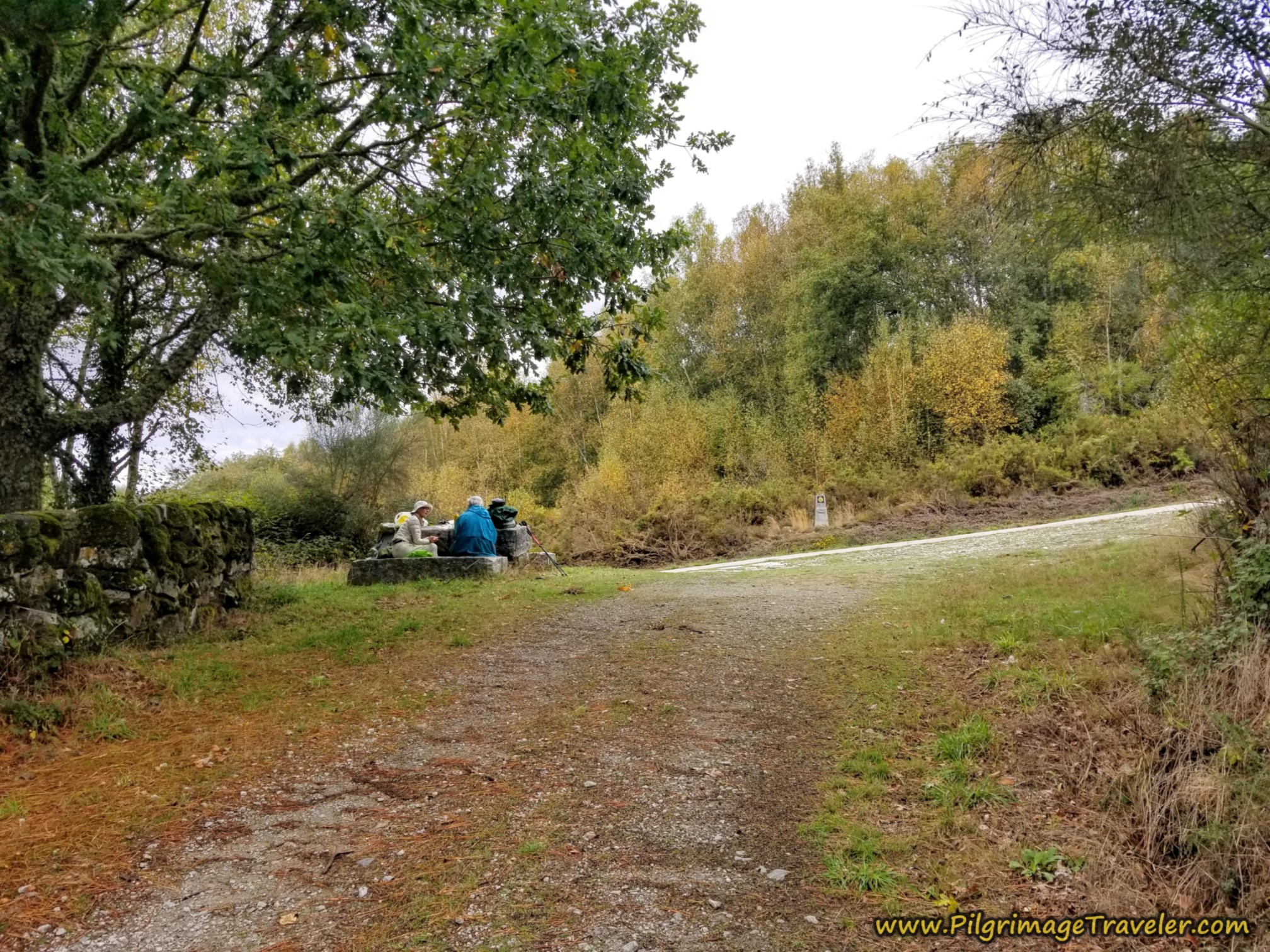 Left Turn at Picnic Area
At the intersection, a left turn is required onto this quiet paved road, still following the stone wall.
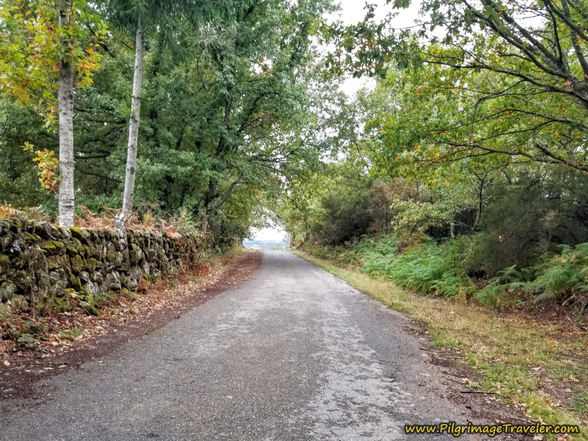 Saunter Down on Secondary Road
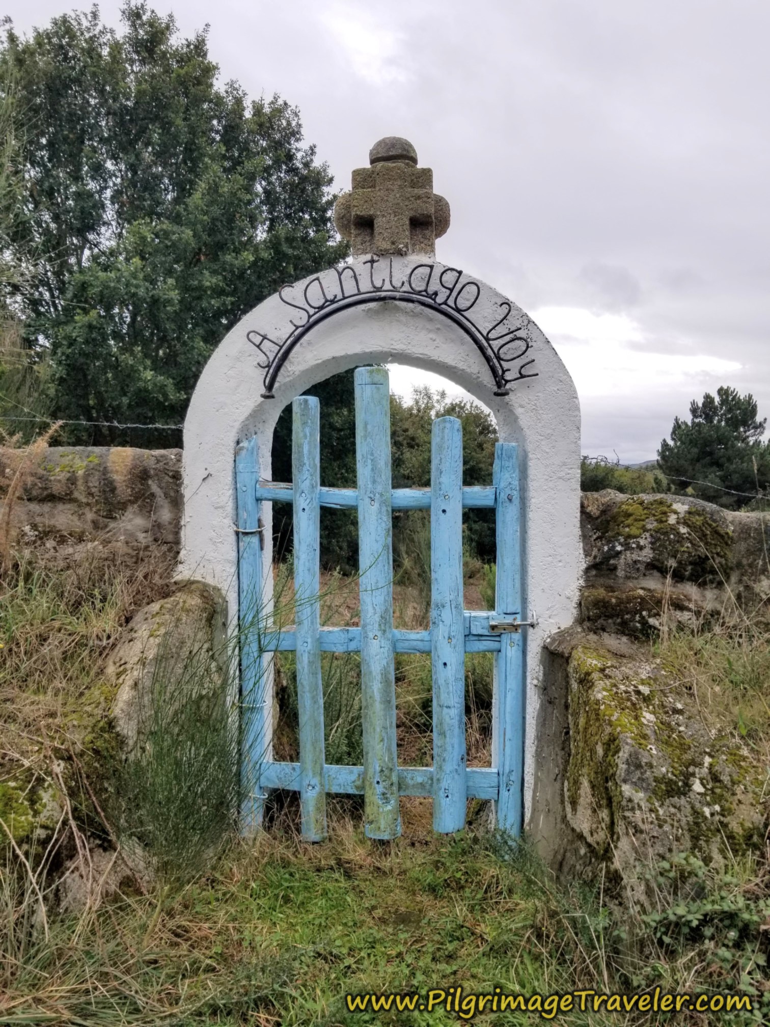
We spied this lovely gate along the wall on the Way. "A Santiago Voy" or I'm going to Santiago!
After the gate, a right turn, shown below carries you onward on a forest lane for the next 1/3 kilometer.
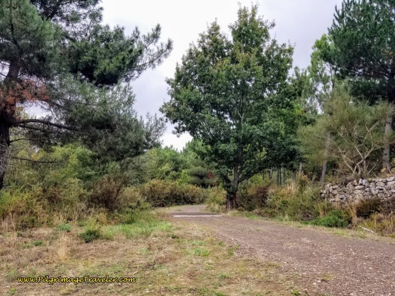 Right Turn Onto Lane
It is at around 17.9 kilometers into the day that you come to an intersection with the OU-1104 to take your final approach into Vilar de Barrio, by turning to the right, near the 17 kilometer marker, seen in the photo below.
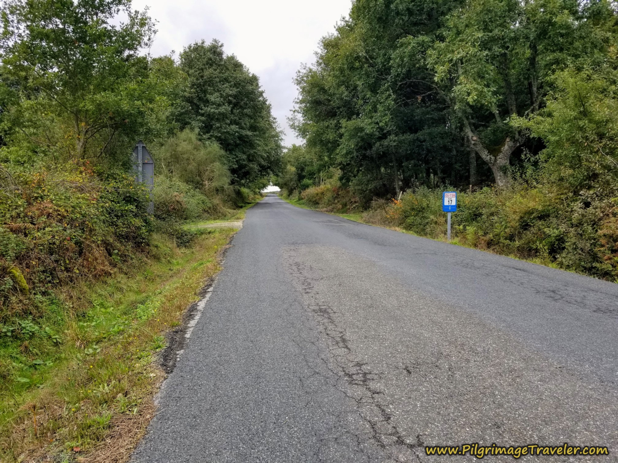 Join the OU-1104
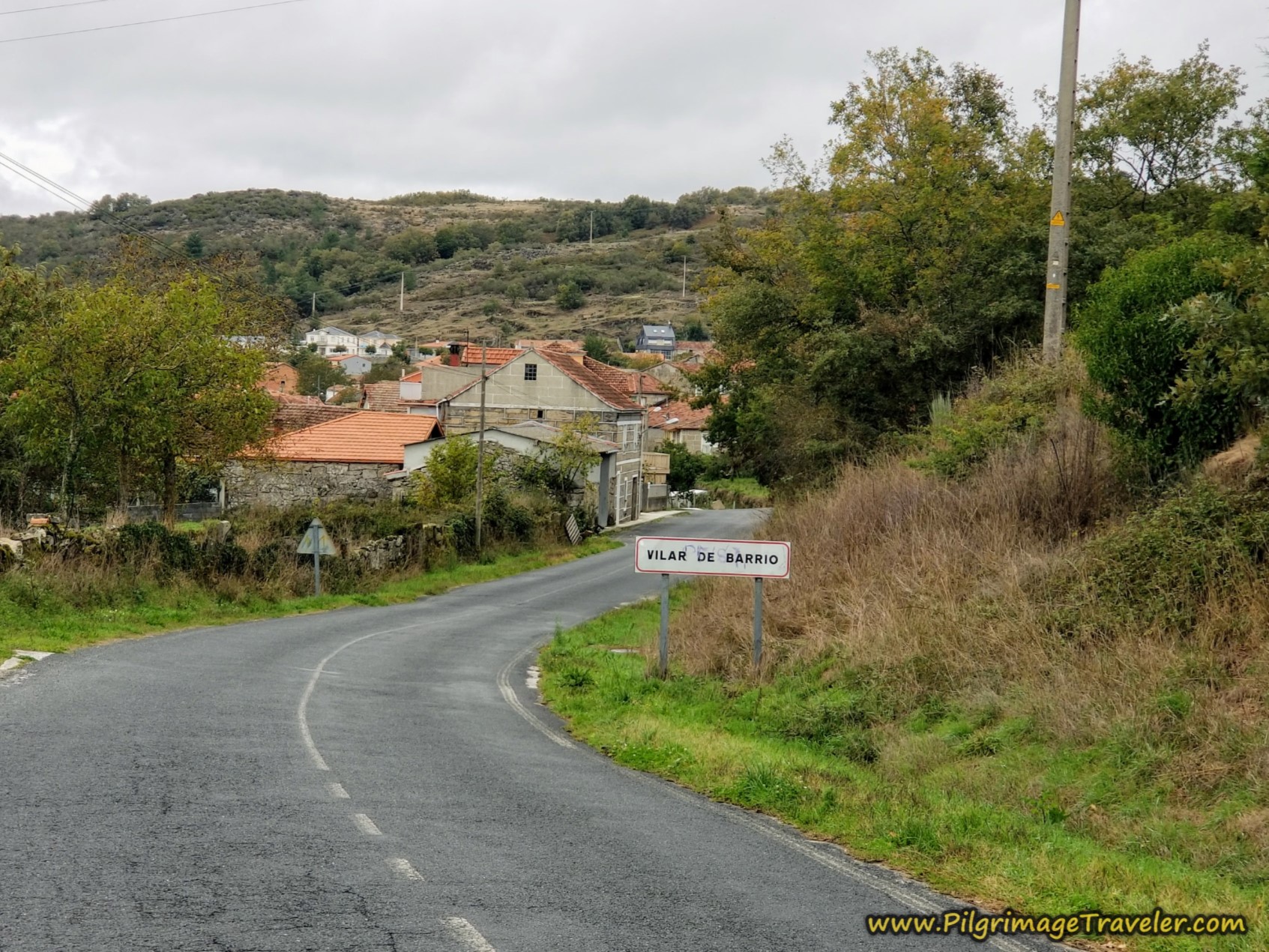
As you walk toward town, the road widens and after 18.6 kilometers, the sign for Vilar de Barrio greets you.
About 150 meters after the sign, the Camino takes a right turn onto this side road, shown below.
 Right Turn Onto Side Road
A few meters later we passed the turn-off for A Casa do Adelino, +34 609 63 57 62, a casa rural, only a few meters beyond the turn. Our objective was the municipal albergue in the center of town so we kept going.
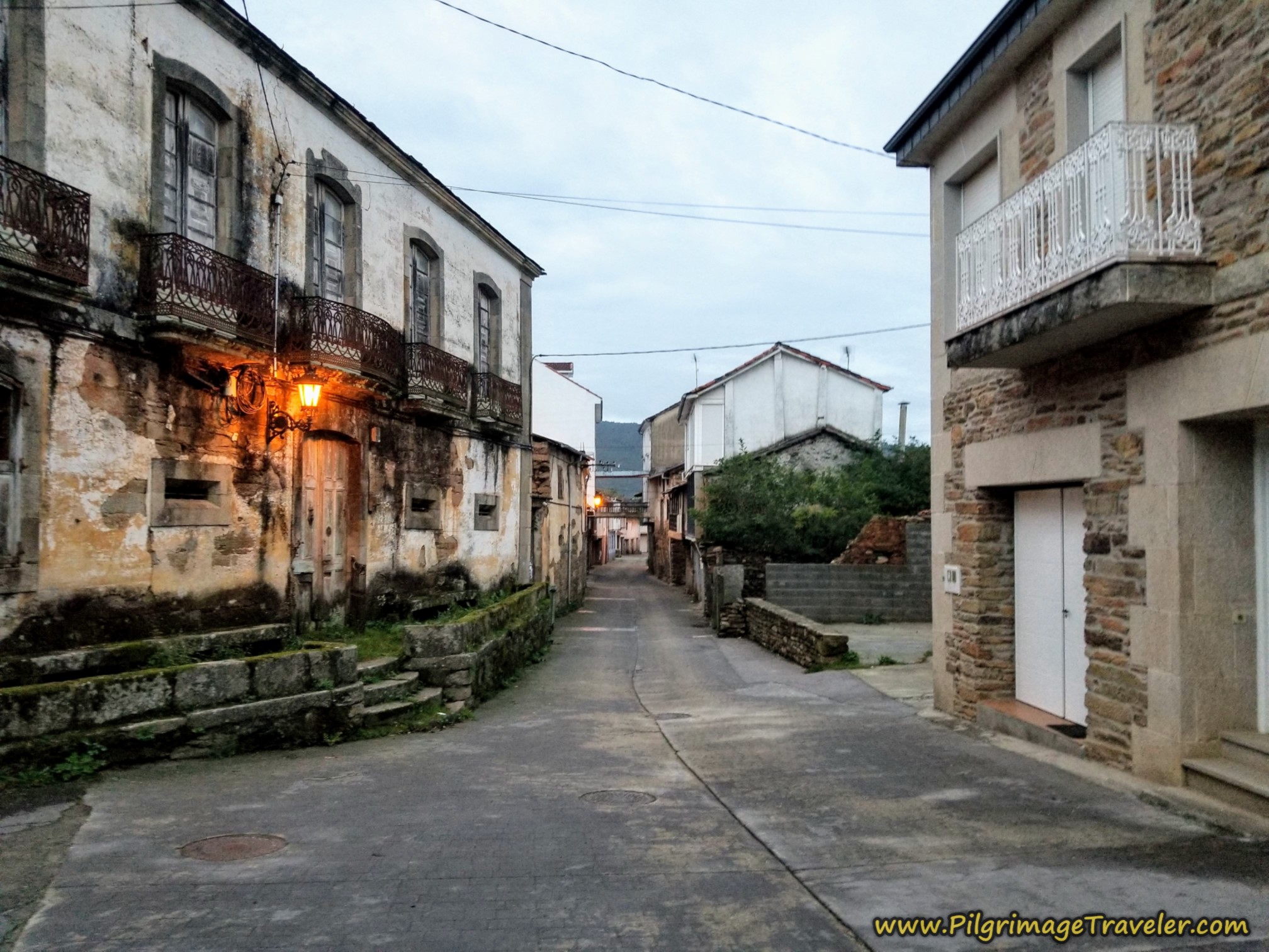
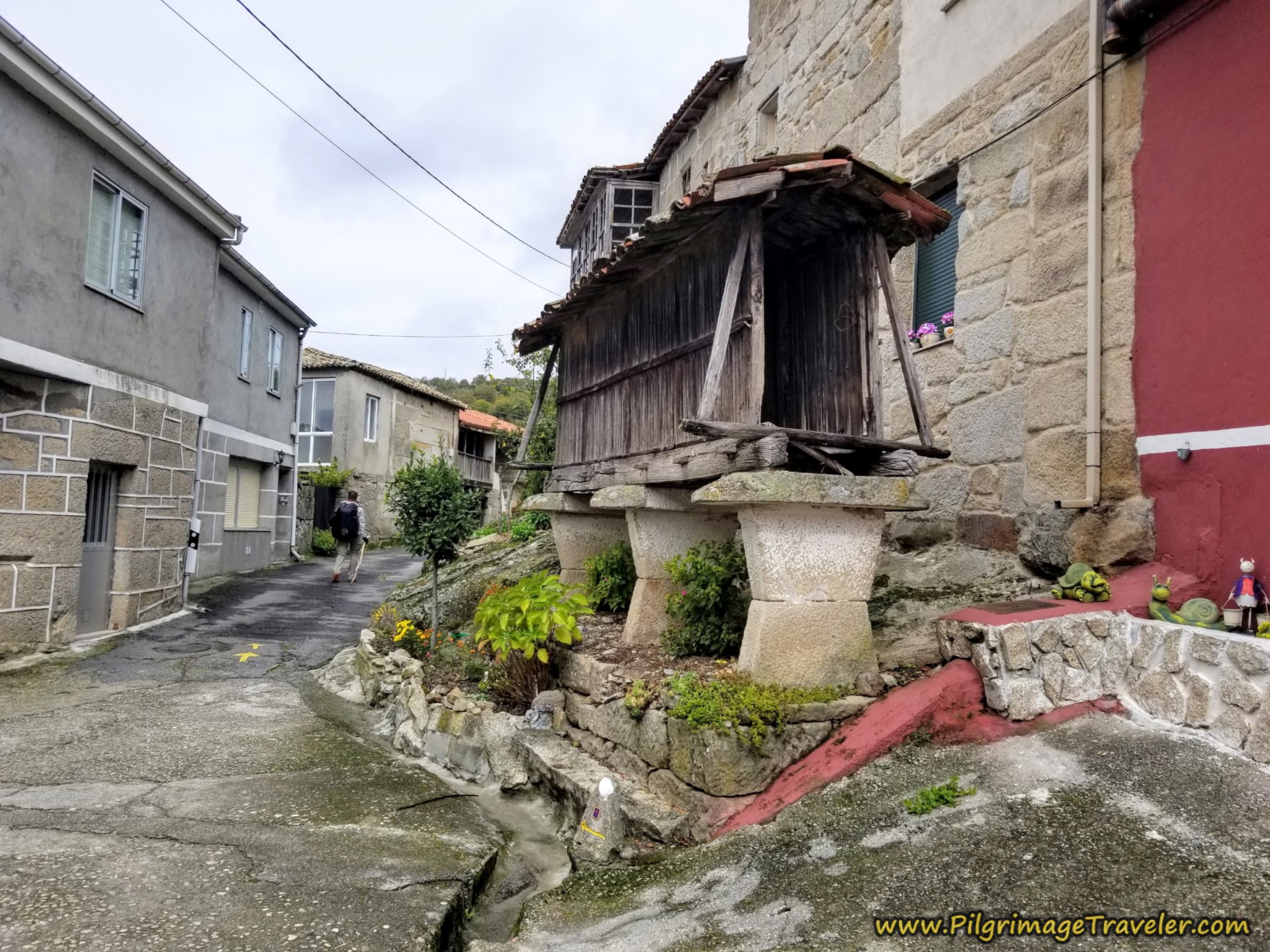
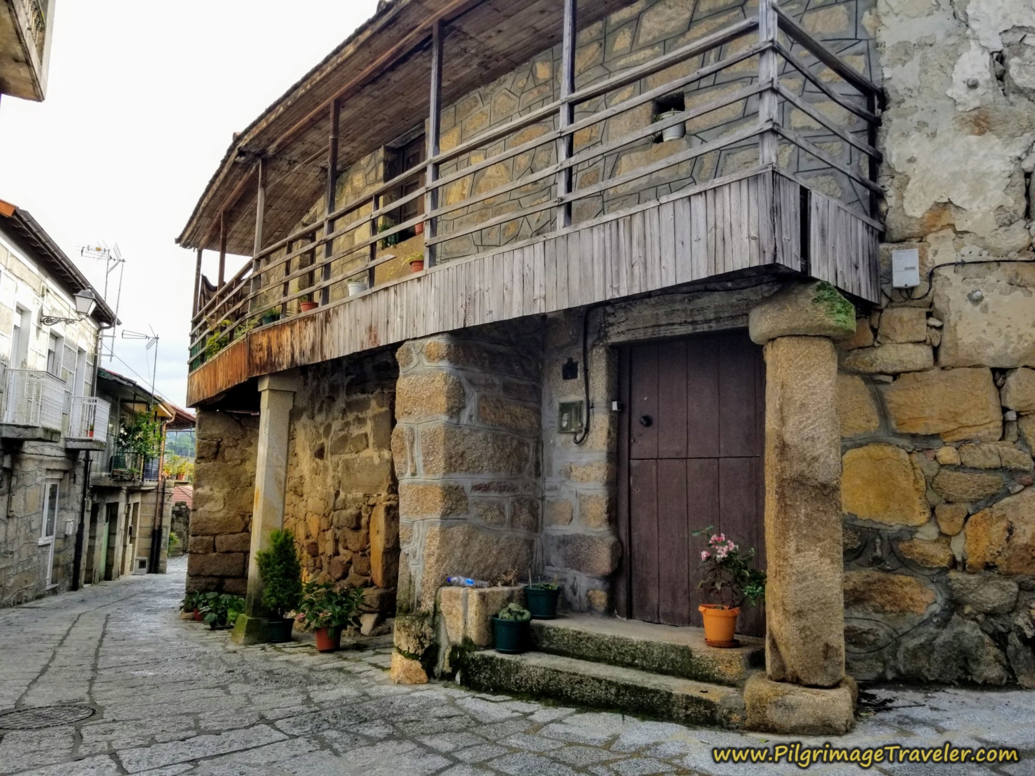
As you walk towards the center of town on the Rúa da Vilar, pass by this picturesque old granary.
After about 400 meters past the turn-off into town, on the Rúa da Vilar, make a right turn onto this street, the Avenida Río Cobo for the final few meters into the center of town.
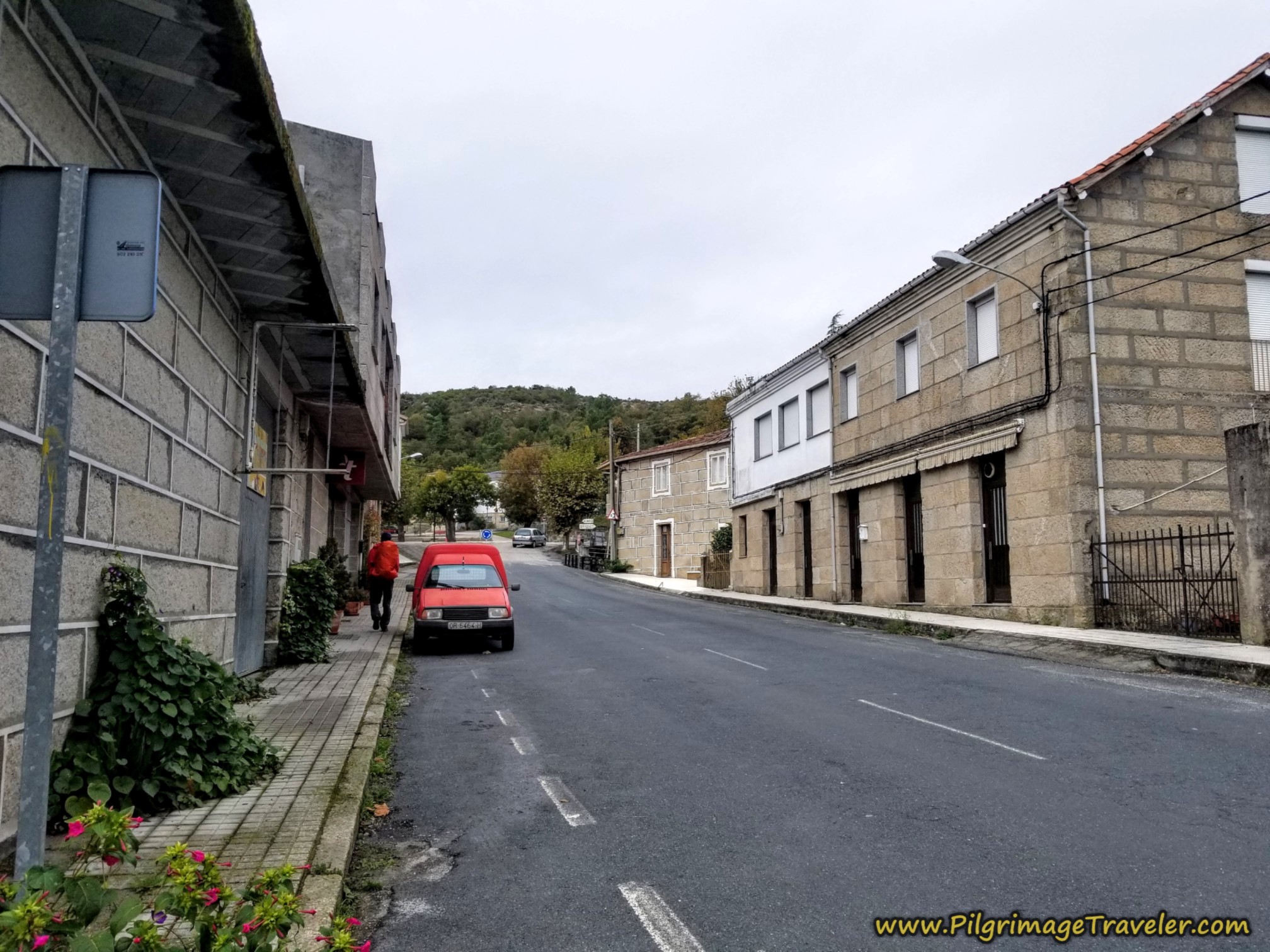 Along the Avenida Río Cobo
We took a quick left to pass by the Bistró Don Manuel to see what was cooking ~ they had an inviting menu board posted on the main road, but then decided to check into the albergue first.
We headed back through the small park, and turned right at the large traffic circle in the center of town, onto the main street, the OU-1103.
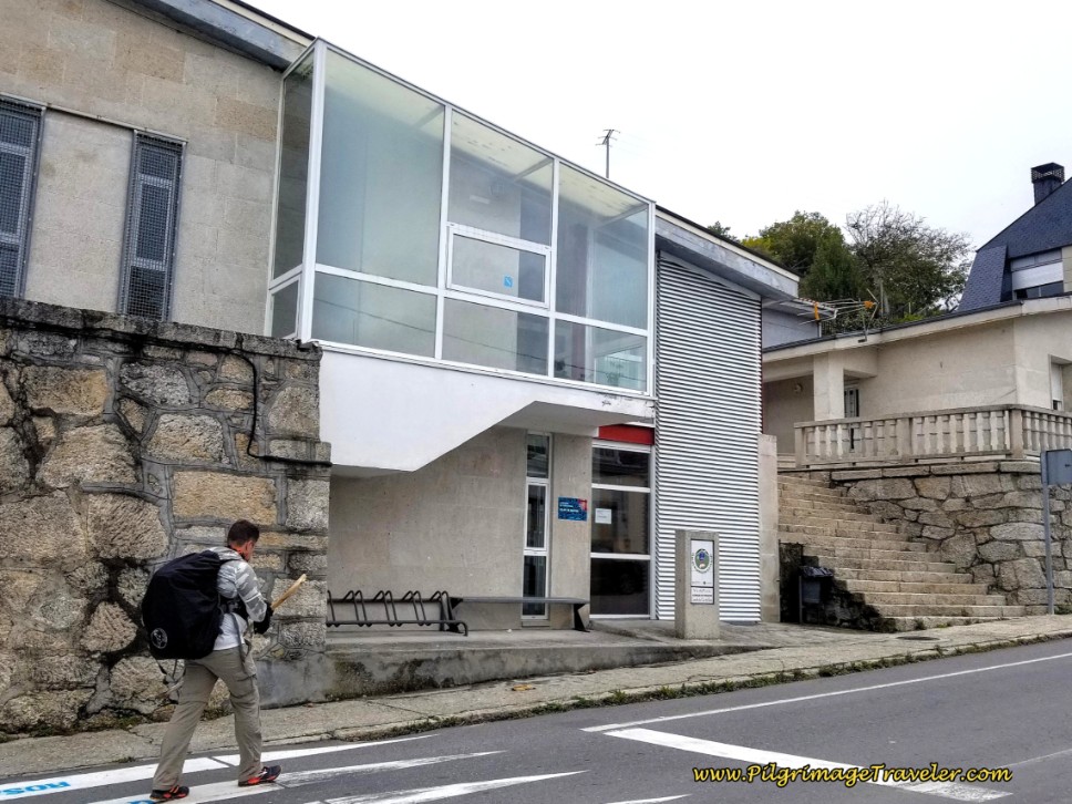
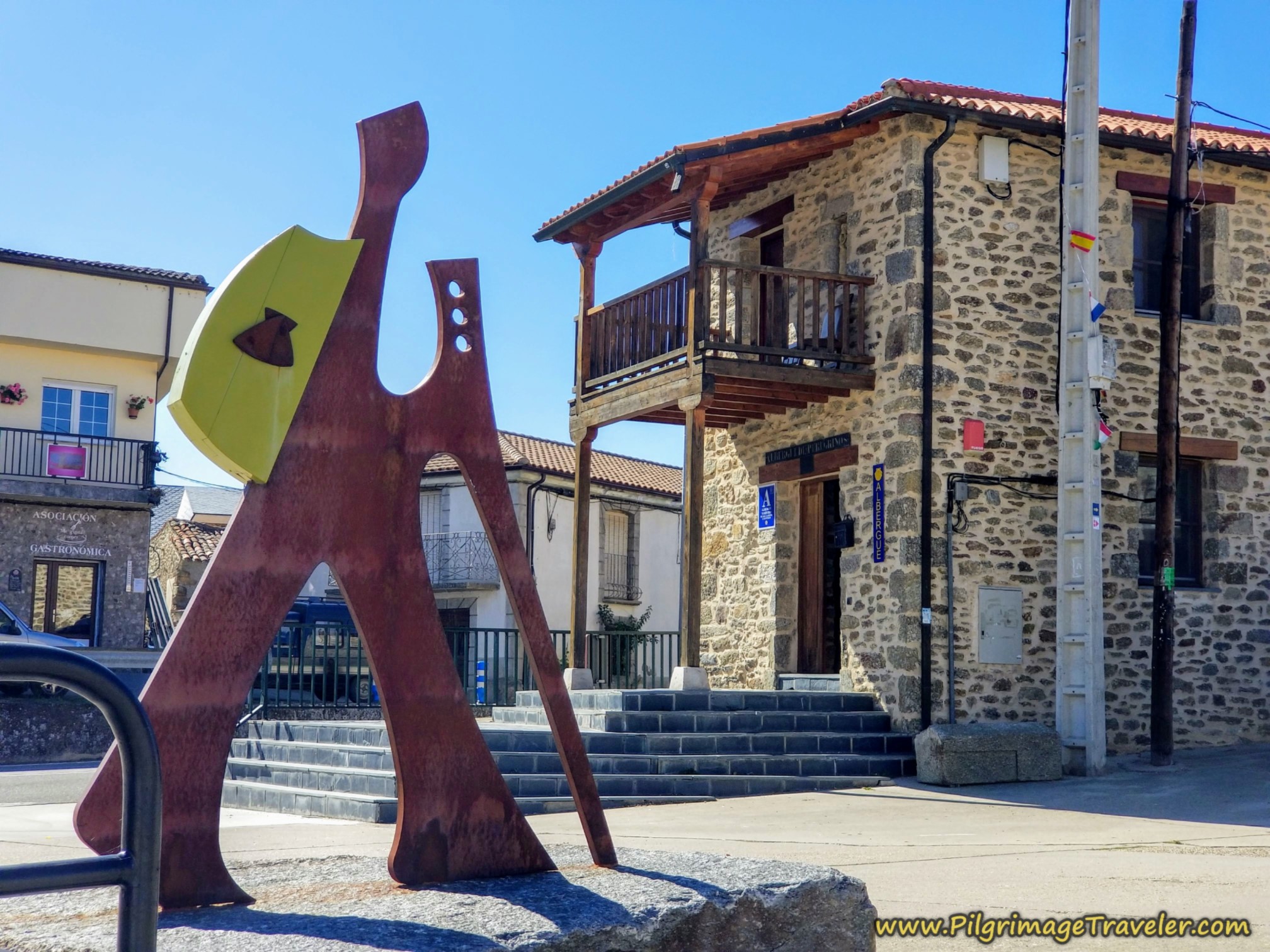
After the traffic circle it is only 90 meters up the hill to the municipal Albergue de Peregrinos de Vilar de Barrio, shown below.
The albergue is very nice, and has two upstairs dormitory rooms with 10 beds each. The one room is heated with radiant heat on the floor! Very nice! That is the one we stayed in.
There is a lovely kitchen here, but unfortunately when we arrived there were no pots, pans nor utensils with which to cook.
After cleaning up and hand-washing our laundry, we headed off to the Bistró Don Manuel for our daily celebrations. Unfortunately, Norm left his expensive rain jacket at the bar when we left. When he realized his error, several hours later, he returned when the bar reopened after siesta. The same barman denied having ever seen it. Norm knew instinctively he was lying. He pressed the man, but he insisted it was not there.
Most fortunately, with Miguel's help, Norm found a sports shop that was selling rain jackets. While it was not of the same quality, it would serve its purpose.
When you arrive in town, and should you visit this bar, guard your possessions, in the event the same staff works here. Unfortunately we did have to have an evening meal here, as it was our only choice.
Reflections on Day Ten of the Camino Sanabrés, A Laza to Vilar de Barrio
For me my dull mood reflected the grayness of the day. I voice-journaled almost nothing. While it was an uneventful day, except for the rain jacket incident, it was also an uninspiring day. It was merely a day that had to be put in, without any real inspiration or joy.
I could definitely hear "my heart beating more loudly because of the rigor of the movement," but no new ideas arose in me. It was a chit-chat type of day, with little or no purpose but to arrive at the next destination.
I think what may have been arising in me was a weariness of the journey, a weariness of the situation, and a weariness of not having more alone time. And so it was.
Salutation
May your own day ten on the Camino Sanabrés from A Laza to Vilar de Barrio take you to a contemplative dimension through the act of walking, the vigor of your movement and the arising of new ideas within you. Ultreia!
Camino Fonseca Stages
~ Vía de la Plata Stages from Salamanca
~ Camino Sanabrés Stages
Please Consider Showing Your Support
Many readers contact me, Elle, to thank me for all the time and care that I have spent creating this informative website. If you have been truly blessed by my efforts, have not purchased an eBook, yet wish to contribute, I am exeedingly grateful. Thank-you!
Search This Website:
🙋♀️ Why Trust Us at the Pilgrimage Traveler?

We’re not a travel agency ~ we’re pilgrims, just like you.
We've walked Pilgrimage Routes Across Europe!
💬 We’ve:
- Gotten lost so you don’t have to. 😉
- Followed yellow arrows in the glowing sunlight, the pouring rain and by moonlight. ☀️🌧️🌙
- Slept in albergues, hostals & casa rurals. Ate and drank in cafés along the way. 🛌 😴
- Created comprehensive and downloadable GPS maps and eBook Guides, full of must-have information based on real pilgrimage travels. 🧭 🗺️
- Shared our complete journeys, step by step to help YOU plan your ultimate pilgrimage and walk with your own Heart and Soul. 💙✨
Every detail is from our own experiences ~ no fluff, no AI rewrite. Just fellow pilgrims sharing the way. We add a touch of spirituality, a huge dose of ❤️ and lots of wisdom from the road.
Ultreia and Safe Pilgrimage Travels, Caminante! 💫 💚 🤍
Follow Me on Pinterest:
Find the Pilgrimage Traveler on Facebook:
Like / Share this page on Facebook:
Follow Me on Instagram:
***All Banners, Amazon, Roamless and Booking.com links on this website are affiliate links. As an Amazon associate and a Booking.com associate, the Pilgrimage Traveler website will earn from qualifying purchases when you click on these links, at no cost to you. We sincerely thank-you as this is a pilgrim-supported website***
PS: Our eBook Guide books are of our own creation and we appreciate your purchase of those too!!
Shroud Yourself in Mystery, along the Via de Francesco!
Walk in the Footsteps of St. Francis, and Connect Deeply to the Saint and to Nature in the Marvelous Italian Countryside!
Need suggestions on what to pack for your next pilgrimage? Click Here or on the photo below!
Carbon fiber construction (not aluminum) in a trekking pole makes them ultra lightweight. We like the Z-Pole style from Black Diamond so we can hide our poles in our pack from potential thieves before getting to our albergue! There are many to choose from! (See more of our gear recommendations! )
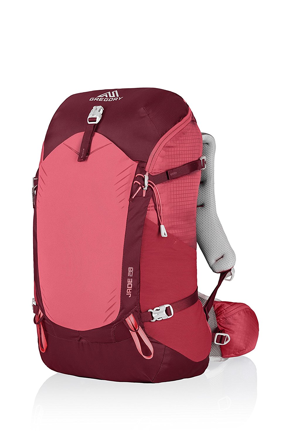
Gregory BackPack - My Favorite Brand
Do not forget your quick-dry microfiber towel!
Booking.com
My absolute favorite book on how to be a pilgrim:












Your Opinion Matters! Comments
Have you had a similar experience, have some advice to give, or have something else you'd like to share? We would love to hear from you! Please leave us a comment in the box below.