- Home
- ~ Camino de San Salvador
Jump to Camino de San Salvador Stages
The Camino de San Salvador or the Camino del Salvador ~ León to Oviedo, 119 Kilometers (74 miles)
The Camino de San Salvador is perhaps the most mountainous of all the Caminos de Santiago. This short but spectacular, pilgrimage path of only 119 kilometers (74 miles, figures by my GPS tracks), will physically test most of you! Do not be fooled by the short length.
Take as much time as you need to do this amazingly glorious route from León along the French Way to Oviedo, the start of the Camino Primitivo. Your legs, especially your knees will thank you for it!
“Mountains have long been a geography for pilgrimage, a place where people have been humbled and strengthened, they are symbols of the sacred center. Many have traveled to them in order to find the concentrated energy of Earth and to realize the strength of unimpeded space." ~ Joan Halifax, The Fruitful Darkness: A Journey through Buddhist Practice and Tribal Wisdom
A Brief History of the Camino de San Salvador
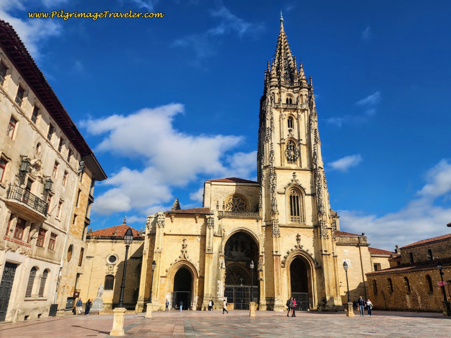
If ever there were a mountainous pilgrimage "sacred center" as the quote above describes, Oviedo is one. It is a city of churches, mighty and ancient!
Even though the above author of the quote is Buddhist, her words ring true in regard to medieval pilgrims. Yes, she is addressing the mountains themselves as a sacred center, but what could be more sacred than a sacred center in the mountains?
Since time began, humans have been drawn to the mountains. If you walk the Camino de San Salvador, traveled by many ancient and modern feet, you will arrive in a secred center, Oviedo, barely less important than Santiago de Compostela itself.
The San Salvador pilgrimage route was created for pilgrims desiring to also visit the Cathedral of Oviedo along the route to Santiago. This is because within the cathedral is the Holy Chamber or Cámara Santa, containing the famous Shroud of Oviedo. This shroud or "Sudarium" is believed to be the very cloth that covered the face of Jesus at his crucifixion.
There is a reference in the Bible, in the book of John, 20:6,7 and I quote the NIV version ~ "6 Then Simon Peter came along behind him and went straight into the tomb. He saw the strips of linen lying there, 7 as well as the cloth that had been wrapped around Jesus’ head. The cloth was still lying in its place, separate from the linen."
There is a well-known Spanish saying that goes as follows: "Quien va a Santiago y no al Salvador, visita al lacayo y no al Señor." ("He who goes to Santiago and not to San Salvador [the Cathedral in Oviedo], visits the servant and not the Lord.") ~ Author Unknown.
Because of this tradition, many pilgrims set off from León to visit the cathedral in Oviedo, 119 kilometers to the north, over treacherous mountain passes. It makes a lovely combination with the Camino Primitivo, which begins where the San Salvador ends.
The Camino de San Salvador Map of the Entire Route
Here is a fully interactive map of our GPS tracks of the entire route, León to Oviedo, uploaded to Google Maps. Click here for a direct link to the shared map, if you wish to open and retain it on your own device. The map that opens on your device will have all these same features you see below, that you will need to plan a successful Camino! It's like having a maps-only guide to the Camino!
TIPS FOR USING MY GOOGLE MAPS:
On your laptop, on the map above, just click on the box in the upper right hand corner, "View larger map" and it will open automatically in Google maps.
For a mobile device, consider using the free Google Maps App. Then, click on the box in the upper right hand corner, "View larger map" and it will open automatically in the Google Maps App, or in your browser window (click on "Save" if prompted in your browser and if you want to access it again).
If you click out of the map and want to access it again, in order to find it again, on a laptop, just go to maps.google.com, click the second icon on the task bar on the left that says "Saved." On the window that opens, on the far right click on "Maps." You will see a list of maps that you have opened in the past. Just click on the one you want!
To access the map again, on a mobile device, using the Google Maps App, open the App. On the taskbar on the bottom of the page, find the "You" flag or the "Saved" flag, and click on it. Scroll down to the bottom and on the lower right, find the "Maps" icon and click on it. You will see a list of maps. Find the one you want and click on it! On a mobile device, using maps.google.com from your browser, click on the drop-down menu under the tile "Google Maps." Scroll down until you see "My Maps." Click on it and the map should be there!
If you wish to upload my GPS tracks to your GPS device, open the shared link I provided above, and click on the three dots by the title to open a drop down menu. In the menu that appears, click on "Export to KML/KMZ." On the window that appears, click on "Entire Map" for another drop down. On this menu, choose the option that says " Tracks." Next, click on "Export as KML..." if you prefer this format to KMZ. Then click "Download." You now have a file with the tracks only to successfully upload to your GPS device.
It is important to note that my maps are not offline maps, but you will need to have a data plan for full functionality. However, you can use them offline. For instructions on how to do that, please click here.
If you decide you want to be connected and your mobile phone has eSIM capability (almost all newer phones do), I highly recommend the Roamless eSIM for your data needs. It is the only eSIM you will ever need and you can forget traditional roaming. You activate it only once, never having to swap eSIMs ever again, even when traveling to multifple countries. The inexpensive data you purchase never expires, and is a pay-as-you-go model. Find out more by clicking here and be a savvy traveler!
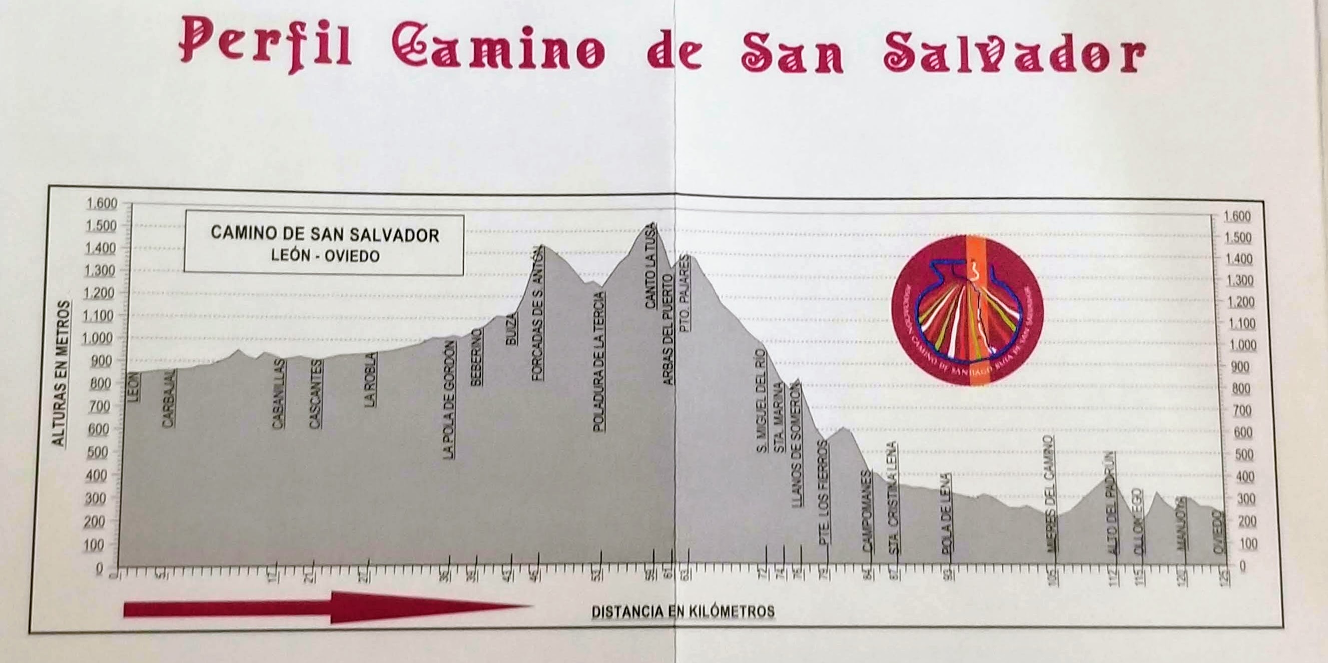
Next is the elevation profile for the entire route, taken from my photograph on the San Salvador credential, see below.
Camino de San Salvador EBook
Our Downloadable Camino de San Salvador eBook Guide in PDF Format contains all the valuable information in our web pages, for reading off-line in the remote mountain areas. Don't carry a hard copy guide book to increase your pack weight. Use our digital guide on your next Camino instead!
Our ebook guide is packed with frequently updated information, because a digital format is more nimble than hard-copy publishing. Our eBook Guide is unique because we also entertain and immerse you with our story! Click here for more information, or BUY NOW.
Jump to Camino de San Salvador Stages
The Special Credential and Document of Completion for the Camino San Salvador
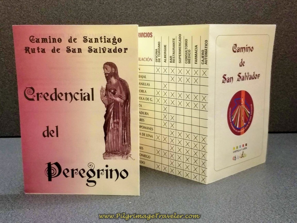
Because of the historical and spiritual significance of the Camino del Salvador, you can obtain a special credential for it, shown in the photo below. We first visited the tourist office next to the Cathedral in León, having information that we could obtain the special credential there. We were told they no longer carry it, but that we could obtain it at the Albergue de Peregrinos Las Carbajalas, at the monastery of the Benedictine nuns. It is south of the center of town, just steps off the French Way, where it enters the city from the south.
For a small fee, we obtained our credential, and returned to the center of town to visit the Cathedral.
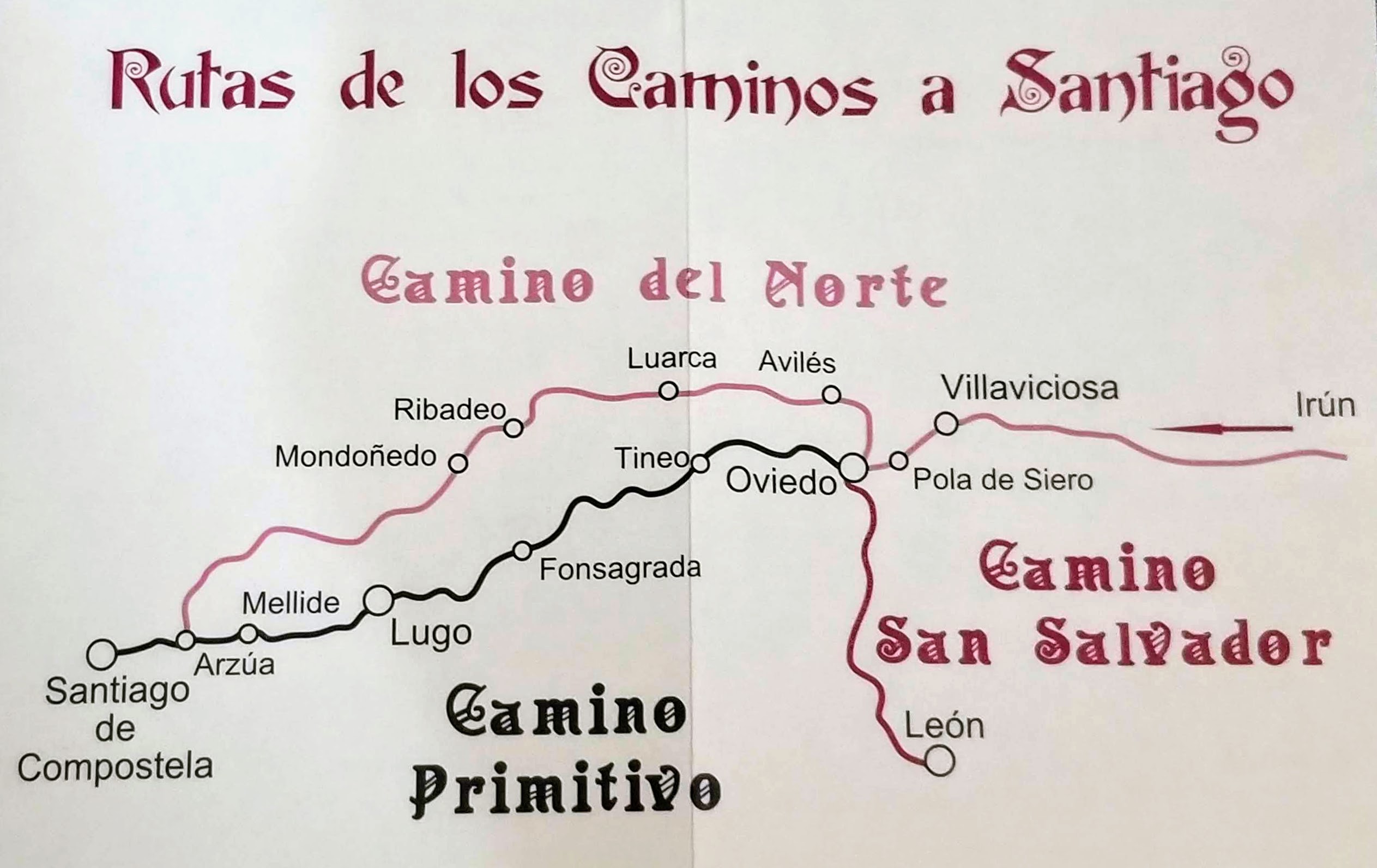
This credential has lots of information on it, including a list of albergues, location of services, the elevation profile, and a general map of the Caminos del Norte, shown below. You can see the interconnectedness of these three Caminos on the map.
*Please note that you do not need the special credential to get the Salvadorana, your certificate of completetion, shown farther below, but a regular Camino de Santiago credential will suffice.
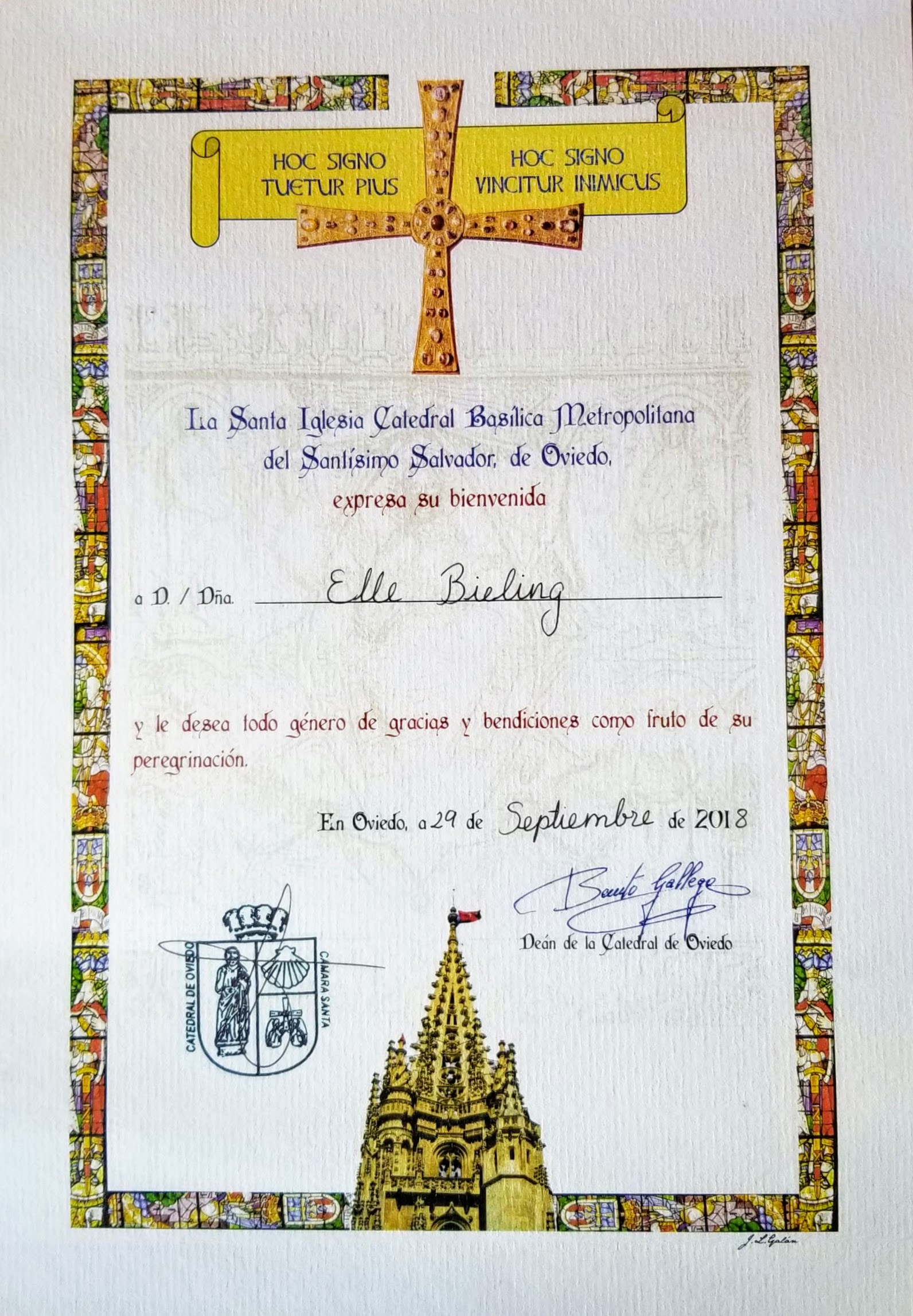
At the end of your Camino de San Salvador, you can get a document that certifies your completion called the Salvadorana, in the Cathedral of Oviedo, that is similar to the Compostela at the end of the Camino de Santiago. You will need to have your credential stamped at least twice a day to prove your pilgrimage.
The Salvadorana also grants the pilgrim a free entry into the cathedral. Be sure you get the Salvadorana first, as the admission price is not insignificant! For more information on the Cathedral of Oviedo, click on the link for their official website.
*Please note that from time to time, the appearance of this credential changes! We also have a newer one, but most likely they will change it again! The final stamp looks the same!
Jump to Camino de San Salvador Stages
The Camino San Salvador Facts, Tips and Waymarking System
This Camino now has many more pilgrims then when we first walked it and they were from many places around the world! However, you will still be able to find a lot of solitude if you so desire.
I would most certainly not advise this Camino to be your first Camino, as your up/downhill hiking and endurance skills will be put to the test. This is not a well-supported route, with long distances between albergues, up and over high mountain passes.
If this is your first Camino, you should probably have backpacking skills, long-distance hiking skills and the flexibility to deal with cultural complications and changes in the weather at altitude.
Surprisingly, there are many public fountains (fuentes) along the route, so water is less of an issue than on some Caminos.
Because of the distance between towns, you should absolutely always carry high energy snacks in your pack at all times.
The route is well-marked, with many types of waymarks you would expect, depending on the region you are walking through. They vary from concrete waymarks, to wooden, and there are always the supplemental yellow painted arrows.
The San Salvador begins in the region of Castilla y León and continues through it for about half of the entire Way, to the highest point at a mountain pass called the Puerto de Pajares. The waymarks in this region are distinct, initially made of concrete, but also of wood.
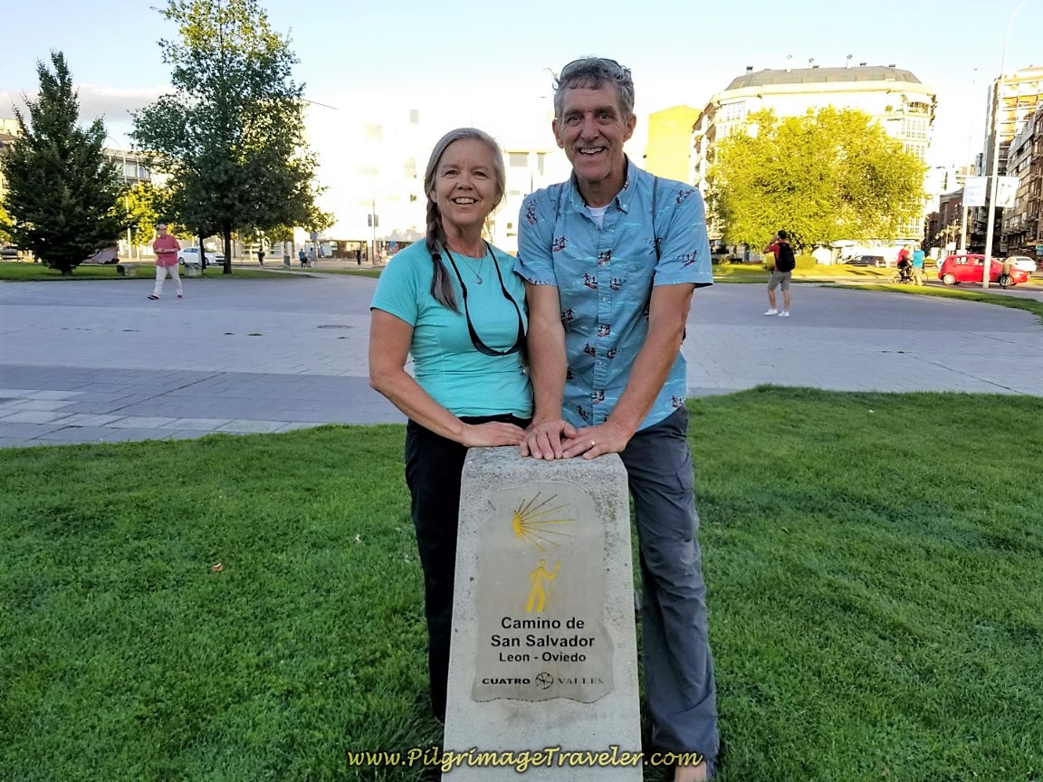
Here is the typical concrete waymark you will see in the region of Castilla y León, below. Rich and I are standing at the very first one to the east of the plaza, where the San Salvador officially starts (see farther below).
These concrete waymarks are placed along the Camino, so when you see one you know you are on the right path, however, they do not give you a direction of travel at all! Look instead for the painted yellow arrows.
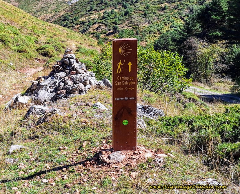
In the region of Castilla y León you will encounter these helpful wooden waymarks, shown below. Notice the rays of the shell are meaningless for the denotation of the direction of travel. It is the direction of the yellow arrow that you follow. The one in the photo below directs the pilgrimage traveler to go straight ahead.
Halfway through the Camino del Salvador, you enter the region of Asturias. Here it is the shells themselves that denote the direction of travel, but they are now always accompanied by a painted yellow arrow as well, so don’t worry about looking at the shell itself.
The shell's rays join together in the middle. It is the middle of the shell that points toward the direction of travel. See in the photo below, the middle of the shell points upward, and that means, to continue straight as the painted arrow also indicates.
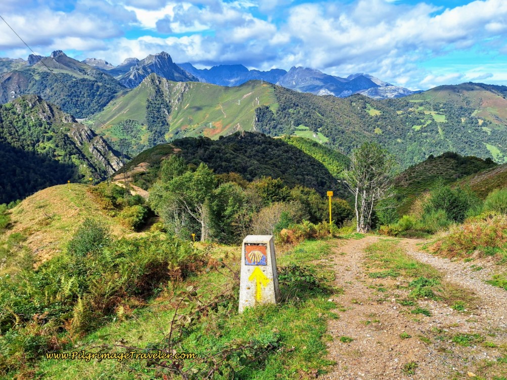 Asturian Shell Waymark
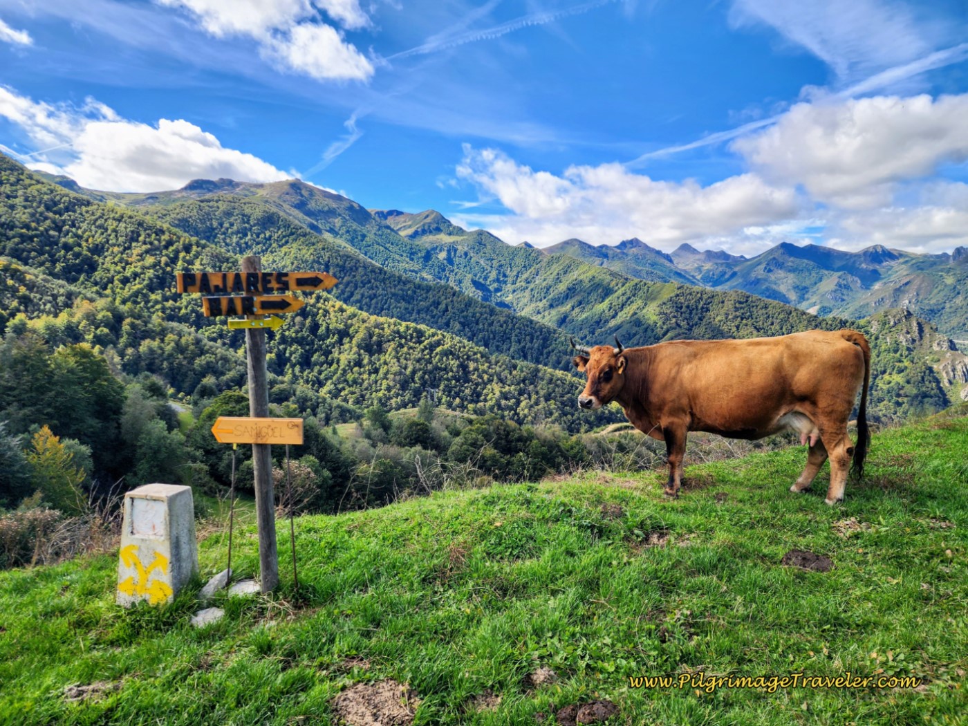
This is a confusing concept, in fact, at this juncture, below, after the Puerto de Pajares, the shell in the center of the concrete waymark was deliberately painted over in white, so that the shell wouldn’t confuse you, since you must make a choice to go left or right. The added wooden signs also help you understand your choices.
In the past, before the arrow was painted over, the shell pointed to the left towards San Miguel. But the albergue in Pajares is to the right!
Jump to Camino de San Salvador Stages
Challenges of the Camino de San Salvador
The steep grades on this Camino are not to be underestimated. The hills are relentless. For me, the downhill was much worse than the uphill. My knees really felt the downhill pounding, despite my heavy use of trekking poles and use of knee supports.
Train for this one! While we did the entire route in five days, please consider making it six or more. In my writing, I have broken down our day three into two parts, a more sane approach as I understand it now. Our day three was a Herculean effort of almost 10 hours, with the last 20 kilometers of relentless downhill pounding. It was a very, very difficult day, for which I would not recommend.
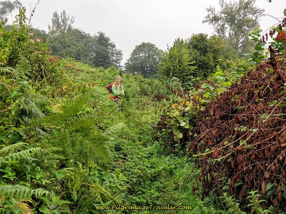
Unfortunately, sections of the route were not well-maintained. Many of the off-road trails were so overgrown when we walked it that I frequently used my hiking poles to move brush and thorny brambles out of my way as I walked. This would be interesting if you are walking just after, or during rain. The Camino is a fluid thing, and over the years this has improved a bit.
This photo below could be called "Where's Waldo?" (Rich). You can see the overgrowth on the trail.
Suggested Stages for the Camino de San Salvador, Adapted from José Antonio Cuñarro, AKA “Ender”
A Spanish gentleman, known as Ender, is a pilgrim who for years has walked, maintained and provided much useful information for other pilgrims along the San Salvador. For ease of your planning, I have provided his suggestions for staging with some adaptations of my own.
Never was there a Camino where you need to understand your abilities, like on this one! We found out the hard way. The six to seven day stages shown below is what I would recommend for the average pilgrimage walker. Assess your abilities carefully and be flexible enough to change them if needed.
| Four Days | |
|---|---|
| Day 1 - León - Buiza | 40 Km |
| Day 2 - Buiza - Pajares | 24 Km |
| Day 3 - Pajares - Pola de Lena | 25 Km |
| Day 4 - Pola de Lena - Oviedo | 34 Km |
| Five Days | |
| Day 1 - León - La Robla | 27 Km |
| Day 2 - La Robla - Poladura | 24 Km |
| Day 3 - Poladura - Bendueños/Campomanes | 30/31.6 Km |
| Day 4 - Bendueños/Campomanes - Mieres | 22.5/20.9 Km |
| Day 5 - Mieres - Oviedo | 18 Km |
| Five Days Alternative: | |
| Day 1 - León - La Robla | 27 km |
| Day 2 - La Robla - Poladura | 24 km |
| Day 3 - Poladura - Pajares (or Llanos de Somerón) | 15 km (18 km) |
| Day 4 - Pajares (or Llanos de Somerón) - Pola de Lena | 25 km (22 km) |
| Day 5 - Pola de Lena - Oviedo | 34 km |
| Six Days: | |
| Day 1 - León - La Robla | 27 km |
| Day 2 - La Robla - Poladura | 24 km |
| Day 3 - Poladura - Pajares | 15 km |
| Day 4 - Pajares - Bendueños/Campomanes | 15/16.6 km |
| Day 5 - Bendueños/Campomanes - Mieres | 22.5/20.9 km |
| Day 6 - Mieres - Oviedo | 18 km |
| Seven Days: | |
| Day 1 - León - Cabanillas | 17 km |
| Day 2 - Cabanillas - La Robla | 10 km |
| Day 3 - La Robla - Poladura | 24 km |
| Day 4 - Poladura - Pajares (or Llanos de Somerón) | 15 km (18 km) |
| Day 5 - Pajares (or Llanos de Somerón) - Pola de Lena | 25 km (22 km) |
| Day 6 - Pola de Lena - Mieres | 15 km |
| Day 7 - Mieres - Oviedo | 18 km |
| Eight Days: | |
| Day 1 - León - Cabanillas | 17 km |
| Day 2 - Cabanillas - La Robla | 10 km |
| Day 3 - La Robla - Buiza | 15 km |
| Day 4 - Buiza - Poladura | 9 km |
| Day 5 - Poladura - Pajares | 15 km |
| Day 6 - Pajares - Bendueños/Campomanes | 15/16.6 km |
| Day 7 - Bendueños/Campomanes - Mieres | 22.5/20.9 km |
| Day 8 - Mieres - Oviedo | 18 km |
| Nine Days: | |
| Day 1 – León - Cabanillas | 17 km |
| Day 2 – Cabanillas - La Robla | 10 km |
| Day 3 – La Robla - Buiza | 15 km |
| Day 4 – Buiza - Poladura | 9 km |
| Day 5 – Poladura - Pajares | 15 km |
| Day 6 – Pajares – Bendueños/Campomanes | 15/16.6 km |
| Day 7 – Bendueños/Campomanes - Pola de Lena | 10 km/8.4 km |
| Day 8 – Pola de Lena - Mieres | 15 km |
| Day 9 – Mieres - Oviedo | 18 km |
***Please note that kilometer distances are only approximate and may differ from my GPS measurements in the text!
Jump to Camino de San Salvador Stages
The Beautiful and Historic San Salvador
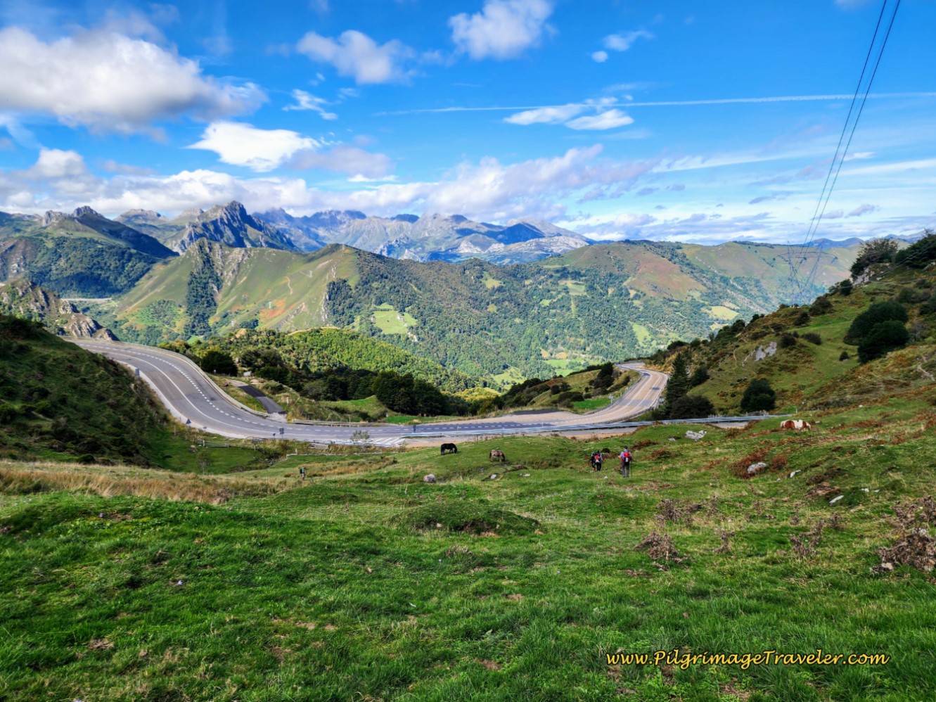
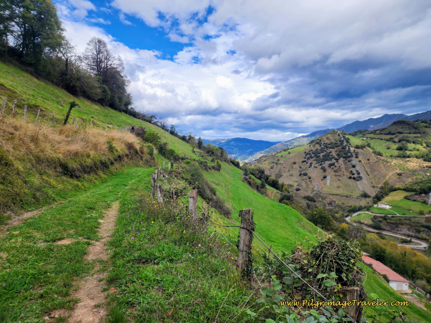
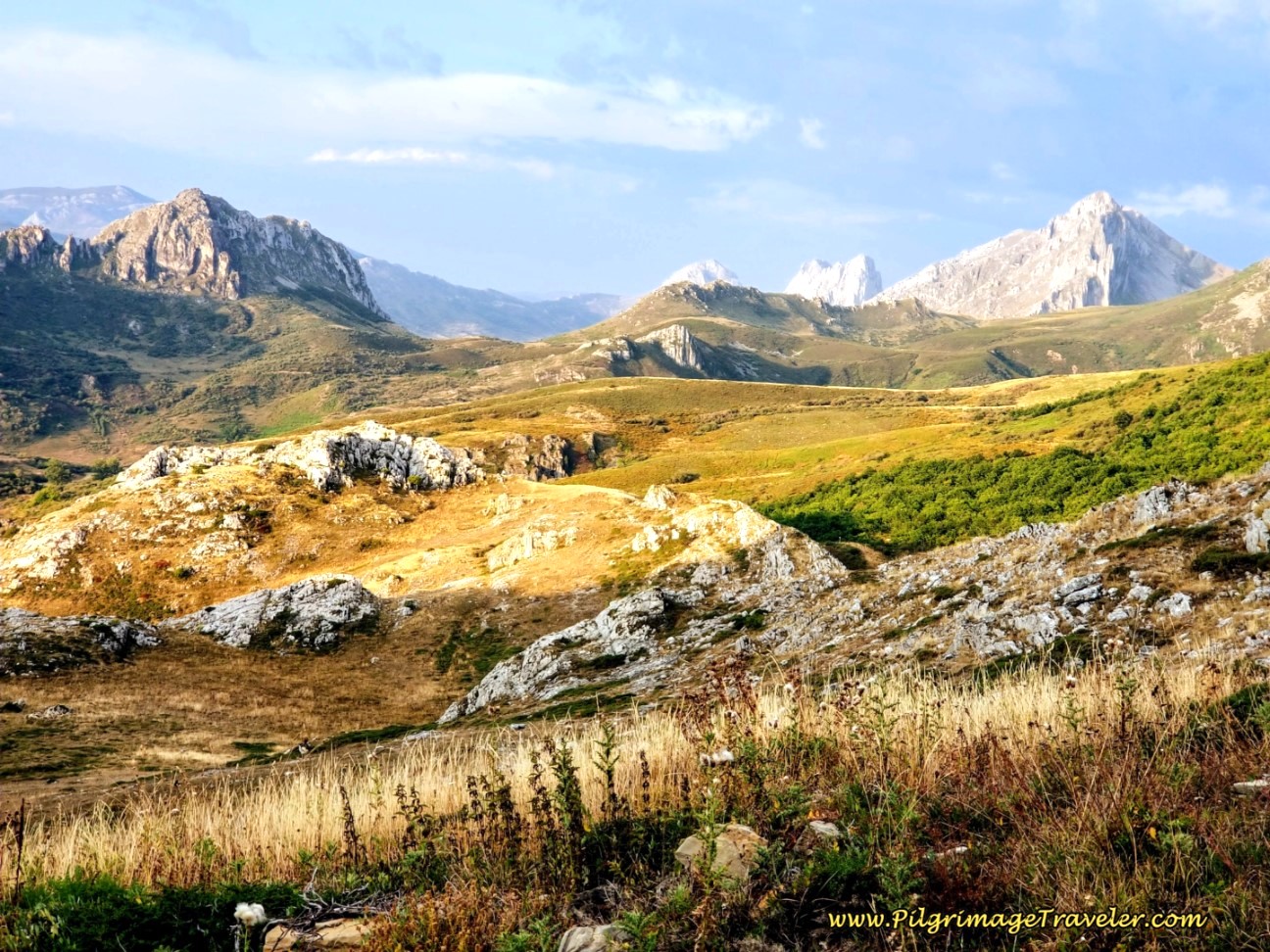
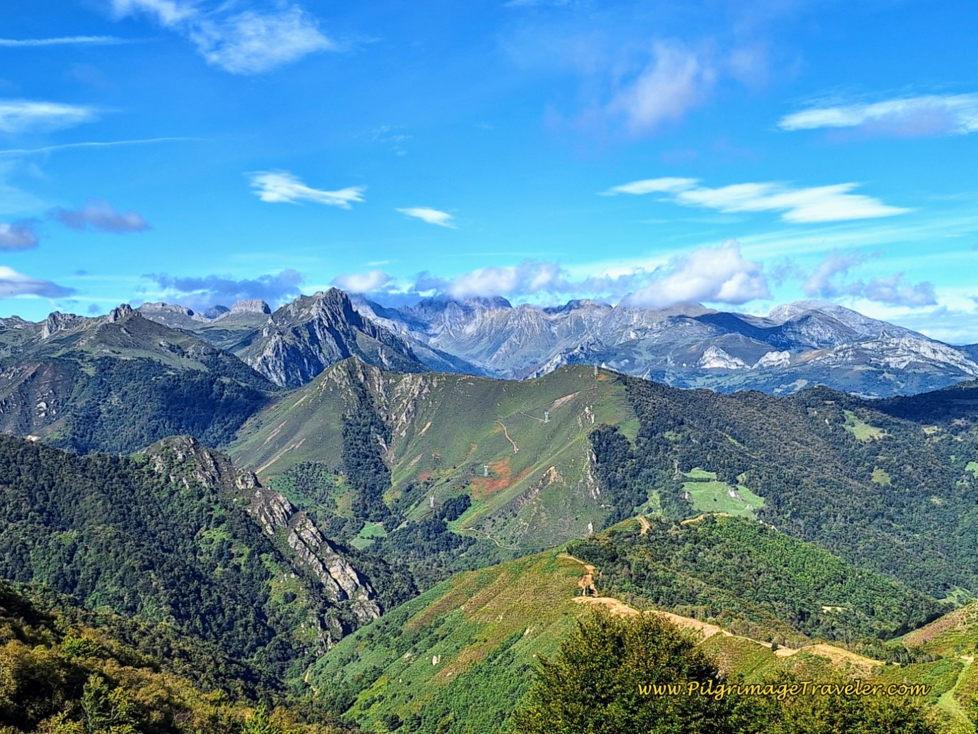
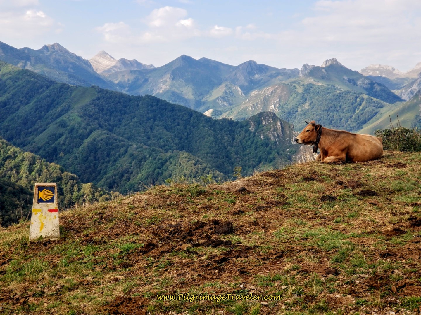
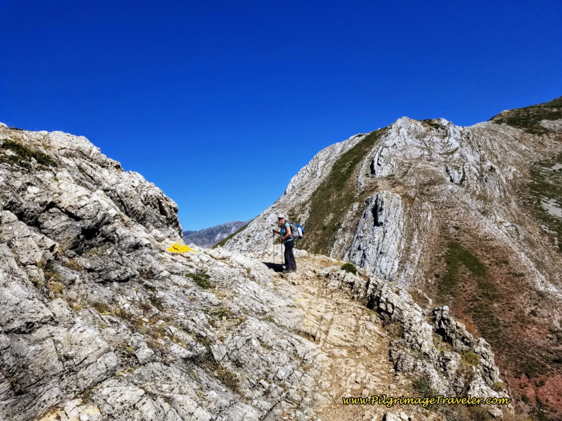
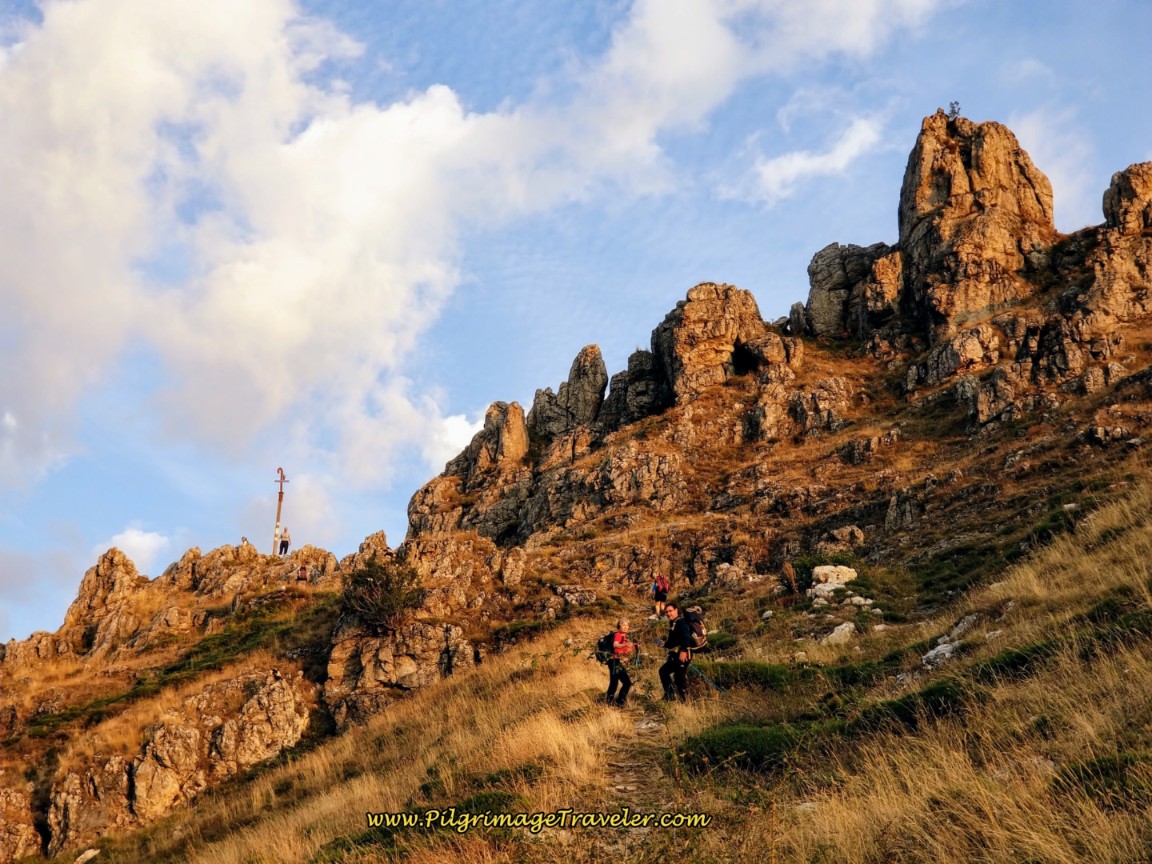
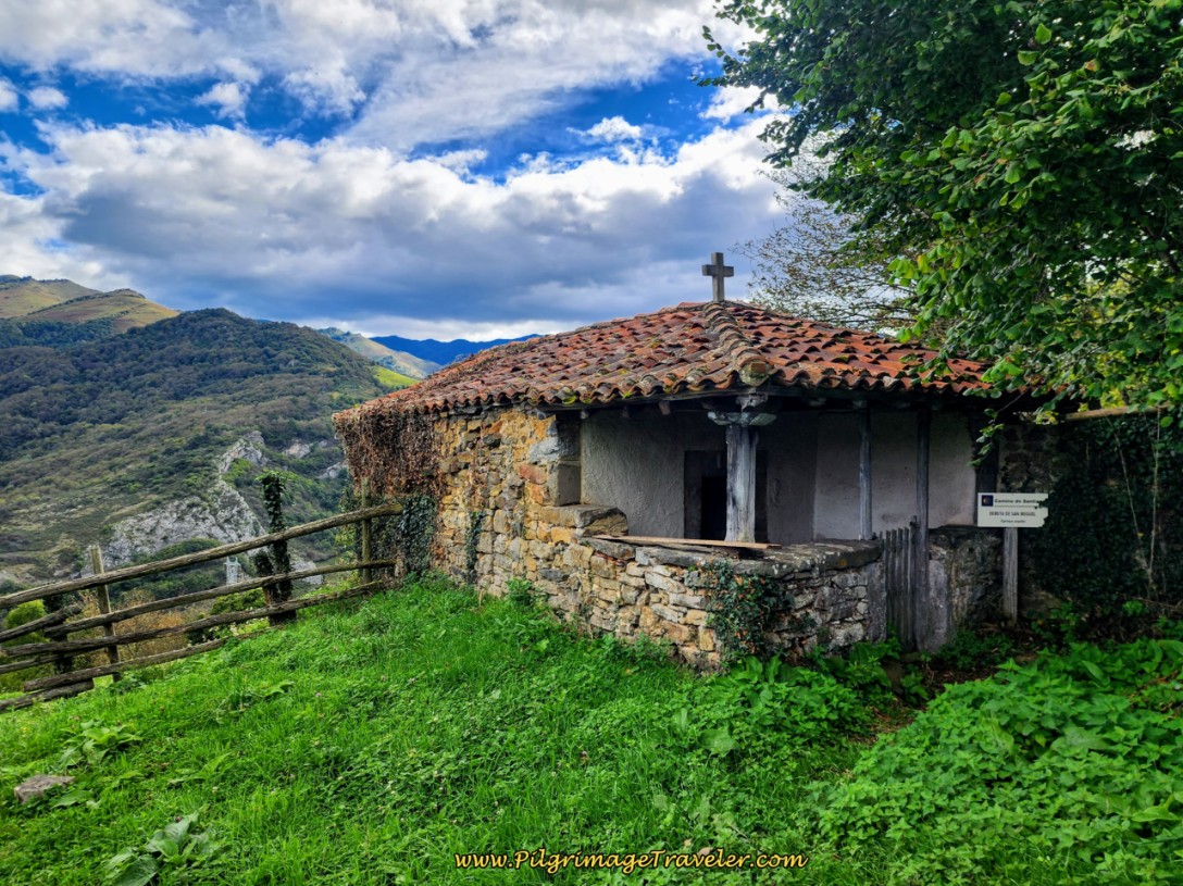
Make no mistake, despite its pitfalls, the Camino de San Salvador takes the pilgrimage traveler through lofty and stunningly beautiful country. The vistas will amaze you and be worth the effort of the climb!
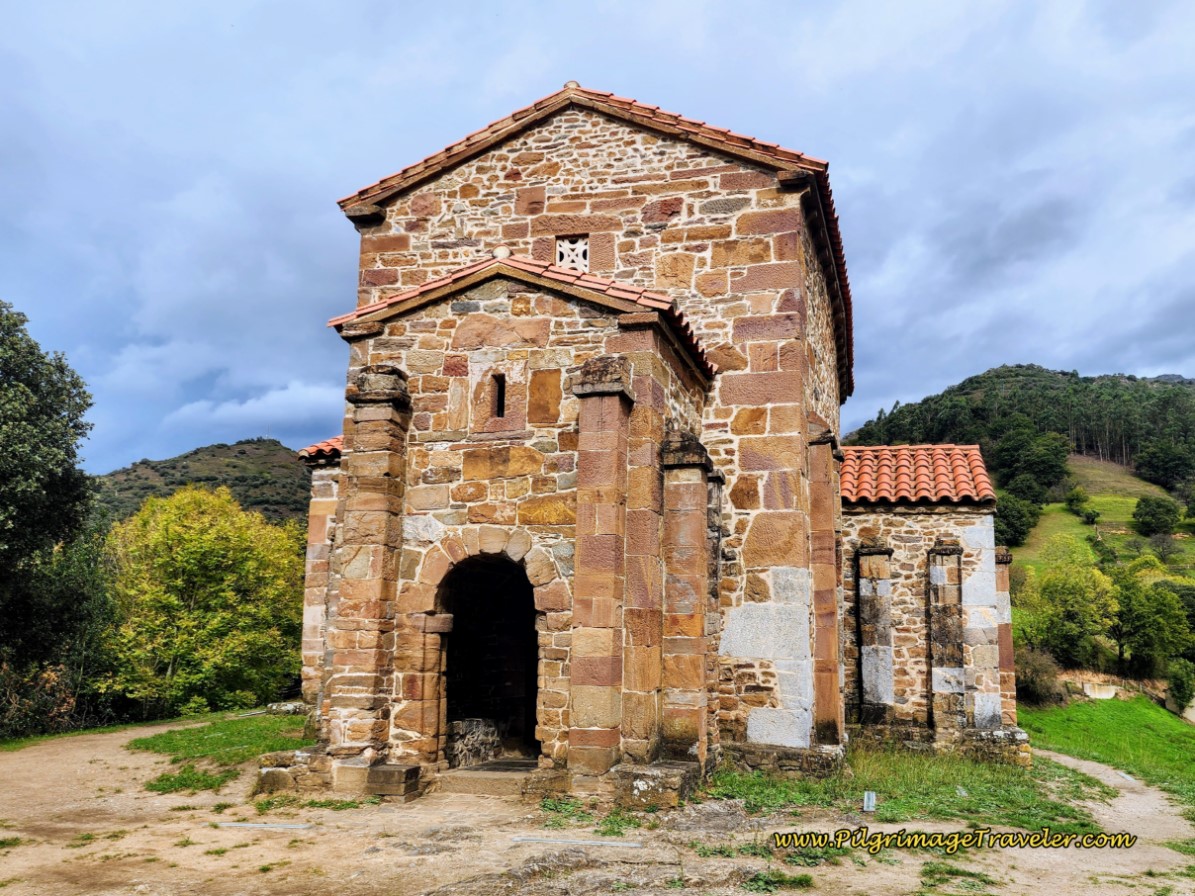
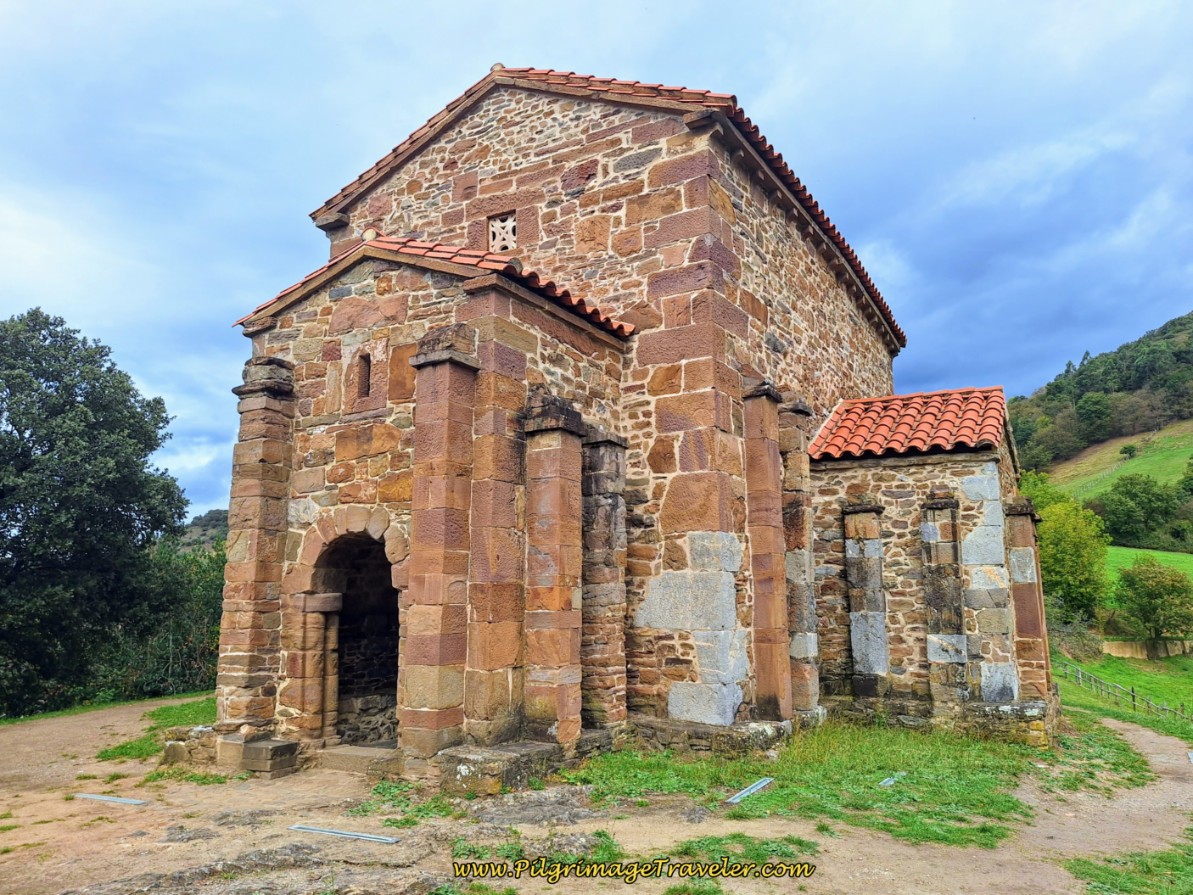
The Camino de San Salvador is also steeped with history, depicted in placards along the way. The culmination of the historical beauty along the pilgrimage way, is perhaps the 9th Century UNESCO, pre-Romanesque church of Santa Cristina de Lena, shown below.
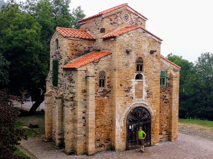
You will encounter this church 25 kilometers south of Oviedo, just after Pola de Lena and is one of five churches in this region of Oviedo, Asturias to claim the Unesco World Heritage classification. The two Naranco churches (Santa María del Naranco and San Miguel de Lillo), up the hill west of Oviedo, the San Julián de los Prados, in Oviedo itself, and the Cámara Santa within the cathedral of Oviedo make up the five.
If you get to Oviedo via the Camino del Salvador, you will be able to see all five of these pre-Romanesque, 9th century UNESCO world heritage sites! Click the links in these paragraphs to see all these amazingly historic churches! You will want to spend a day in Oviedo, if you have the time.
Jump to Camino de San Salvador Stages
Getting to León by Flying to Madrid, Barajas Airport
We found that traveling from Madrid to León was most efficient by train. You will need to transfer from Terminal 4 (T4) at Barajas airport to the Chamartín Train Station, about 15 minutes west of Barajas. It is the Cercanías Line that takes you from T4 to Chamartín Station. It is at the Chamartín station that you catch the train north to León.

To get to the Cercanías line in T4, follow signs to the metro on the lowest level. Look for the specific logo, shown here, the red circle with the white "C" inside.
If you are flying into either T1 or T2, you can take a free airport shuttle bus to T4. They run very frequently and it takes about 15 minutes to travel between them.
I would strongly advise you to book your tickets ahead, online at Renfe. We had to wait several very long hours for an afternoon train, since the earlier train was fully booked. It was not pleasant waiting in the busy and uncomfortable train station after the long overnight flight to Madrid from the USA.
When you buy your Renfe ticket from Madrid to León, the Cercanías Route is included in the cost of the ticket. Look at the top of your ticket after you purchase it, and it will say “CombinadoCercanías,” or a Combination of two tickets: T4 to Chamartín via the Cercanías and the trip from Chamartín to León. You must complete the two travel legs within a four-hour window.
It is a 2.5 hour train ride to León from Chamartín. The León train station is to the west of town within an easy walk to the center.
There are many choices of accommodation in León to book ahead if you so desire. There is also the main albergue as noted above, the Albergue de Peregrinos Las Carbajalas to the south of the city center.
We chose the Hotel Crisol Quindós, for its proximity to the start of the Camino de San Salvador, on the west side of town and a short walk across the Río Bernesga from the train station. Other economical choices near the start are the Pensión Blanca B & B, the Hostal Oviedo (where we have also stayed), the Hostal Bayón and the Hostal Prada Borges.
León is a city worth some visiting time as well, but we only took the afternoon to see it. Our time budget would not allow us more.
Jump to Camino de San Salvador Stages
The Start of the Camino de San Salvador
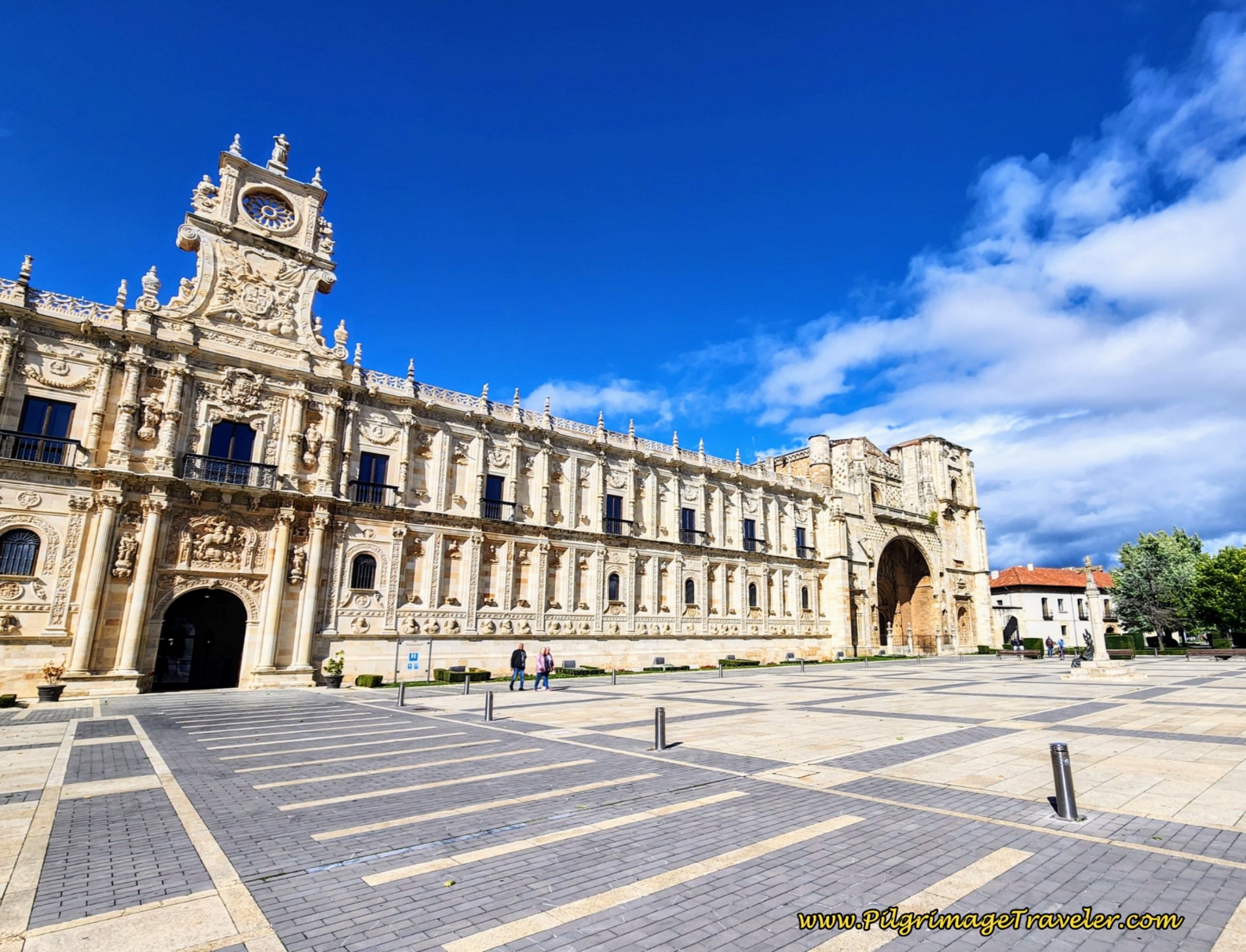
The Camino Francés goes through the city, and as it passes by the grand Catedral de León, it turns westward to walk through town. As the Camino approaches the Río Bernesga on the west side, it walks through the Plaza de San Marcus, shown below, containing the Church and Convent of San Marcus.
Here is a photo of the Plaza de San Marcus the day before our walk and at the very beginning of our Camino del Salvador.
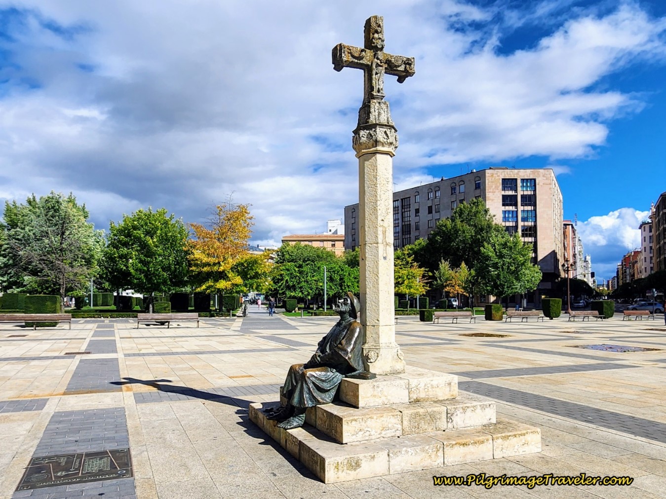
Be sure to locate this wonderful place and the pilgrim's statue, shown below, that marks the official beginning of the pilgrimage to Oviedo!
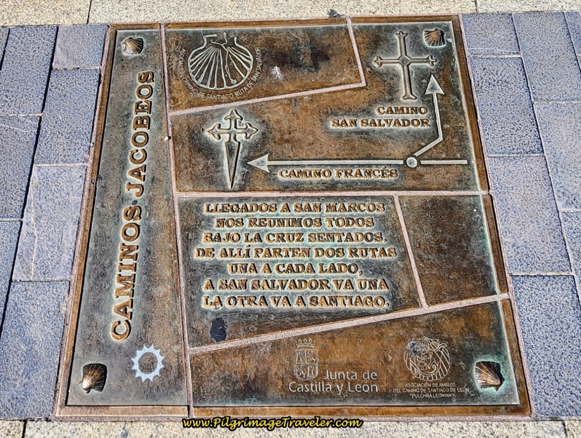
At the foot of the statue is this plaque, the official waymark to start your Camino del Salvador!
The Camino Francés continues to head west here, and across the river as the plaque shows, but the San Salvador turns northward to skirt the Parador de León to the east. You can stay at the Parador if you are up for a splurge, and be directly on the Camino San Salvador on your first day!
The Hotel Crisol Quindos, where we stayed, is very nice and comfortable, and only a few steps from the start, for a much smaller price tag than the Parador.
The Hostal Oviedo, is an adequate place, but all rooms come with shared bathrooms, so maybe not quite as comfortable, but also close to the start of the Camino de San Salvador.
Salutation
And thus, is your introduction to the wild, challenging and beautiful Camino de San Salvador. May you find the concentrated energy of the Earth and realize the strength of unimpeded space!
May your own pilgrimage journey through the sacred mountains of northern Spain, on the way to the sacred center of Oviedo, humble and strengthen you! Onward and Ultreia!
Camino de San Salvador Stages:
Please Consider Showing Your Support
Many readers contact me, Elle, to thank me for all the time and care that I have spent creating this informative website. If you have been truly blessed by my efforts, have not purchased an eBook, yet wish to contribute, I am very grateful. Thank-you!
Search This Website:
Follow Me on Pinterest:
Follow Me on Instagram:
Find the Pilgrimage Traveler on Facebook:
Like / Share this page on Facebook:
***All Banners, Amazon, Roamless and Booking.com links on this website are affiliate links. As an Amazon associate and a Booking.com associate, the Pilgrimage Traveler website will earn from qualifying purchases when you click on these links, at no cost to you. We sincerely thank-you as this is a pilgrim-supported website***
PS: Our guide books are of our own creation and we appreciate your purchase of those too!!
Shroud Yourself in Mystery, along the Via de Francesco!
Walk in the Footsteps of St. Francis, and Connect Deeply to the Saint and to Nature in the Marvelous Italian Countryside!
Recent Articles
-
Day One on the Camino Portugués, Lisbon to Alverca do Ribatejo
Apr 15, 25 08:19 PM
Our Day One on the Camino Portugués was much more beautiful and enjoyable than we had heard. -
Hiking the West Highland Way
Apr 11, 25 08:51 PM
Hiking the West Highland Way is a representation of all things Scottish, traversing 96 miles from the lowlands of Milngavie to Ft William, in the highlands. -
Way of St Francis eBook Guide (Via di San Francesco)
Apr 11, 25 08:49 PM
Our Way of St Francis eBook Guide, a digital guidebook is full of current information to assist you in finding your Way. In downloadable, digital, PDF format.
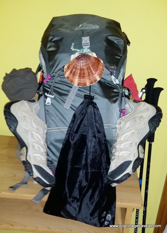
Need suggestions on what to pack for your next pilgrimage? Click Here or on the photo below!
Carbon fiber construction (not aluminum) in a trekking pole makes them ultra lightweight. We like the Z-Pole style from Black Diamond so we can hide our poles in our pack from potential thieves before getting to our albergue! There are many to choose from! (See more of our gear recommendations! )
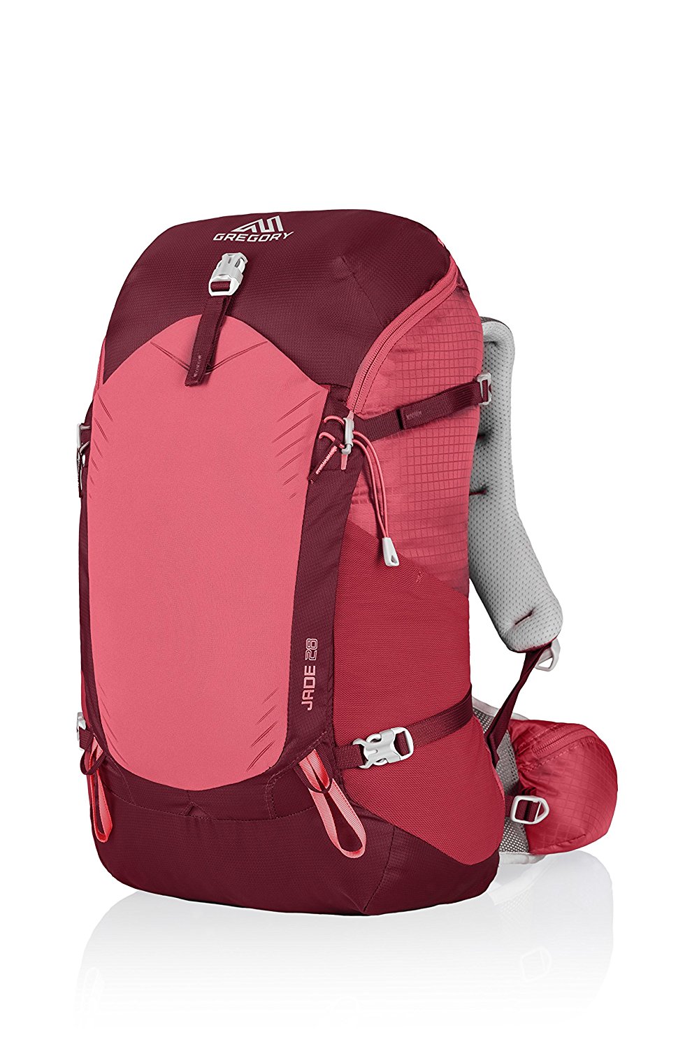
Gregory BackPack - My Favorite Brand
Do not forget your quick-dry microfiber towel!
Booking.com
My absolute favorite book on how to be a pilgrim:







Your Opinion Matters! Comments
Have you had a similar experience, have some advice to give, or have something else you'd like to share? We would love to hear from you! Please leave us a comment in the box below.