- Home
- ~ Camino Primitivo (The Original Way)
- Day Five, Pola de Allande Route, Samblismo to Puerto del Palo
Jump to Camino Primitivo Stages
Day Five on the Camino Primitivo ~ The Pola de Allande Route, Samblismo to the Puerto del Palo, 18 Kilometers (11.2 Miles)
Just so you know, the PilgrimageTraveler.com is an associate of Booking.com, Roamless, and Amazon. As associates of these merchants, we earn from qualifying purchases from our links.
Day five on the Camino Primitivo along the Pola de Allande Route is a viable alternative to the Hospitales Route, in the event that the weather is bad with fog, rain or snow. However, it is an equally beautiful route and perhaps even more challenging! While it doesn't climb quite as high, and the views may not be as expansive as the Hospitales Route, it is certainly not the easier route, so don't be fooled!
Because of its challenges, if you start this stage from Campiello or Borres, and end in Berducedo, it will be a very long and difficult day of 31.3 kilometers, with a cumulative elevation gain of 1440 meters (4724 feet) and a cumulative elevation loss of 1172 meters (3845 feet)! This is why many pilgrims take an overnight stop in Pola de Allande.
Compare the above figures to the 27.2 kilometers on the Hospitales Route, for a cumulative elevation gain of 1161 meters (3809 feet) and an a cumulative elevation loss of 868 meters (2848 feet). With about 300 meters more in both elevation gain and loss, you can see why the Pola Route is the more difficult of the two.
"Life is filled with difficult decisions, and winners are those who make them." ~ Dan Brown, American Author
Regardless of which decision you make, the Pola de Allande Route or the Hospitales Route, it will be the right one! You can't go wrong with the beauty and challenges of either route. In fact, why not add a day and do both?
🙋♀️ Why Trust Us at the Pilgrimage Traveler?
We’re not a travel agency ~ we’re pilgrims, just like you.
We've walked Pilgrimage Routes Across Europe!
💬 We’ve:
- Gotten lost so you don’t have to. 😉
- Followed yellow arrows in the glowing sunlight, the pouring rain and by moonlight. ☀️🌧️🌙
- Slept in albergues, hostals & casa rurals. Ate and drank in cafés along the way. 🛌 😴
- Created comprehensive and downloadable GPS maps and eBook Guides, full of must-have information based on real pilgrimage travels. 🧭 🗺️
- Shared our complete journeys, step by step to help YOU plan your ultimate pilgrimage and walk with your own Heart and Soul. 💙✨
Every detail is from our own experiences ~ no fluff, no AI rewrite. Just fellow pilgrims sharing the way. We add a touch of spirituality, a huge dose of ❤️ and lots of wisdom from the road.
Ultreia and Safe Pilgrimage Travels, Caminante! 💫 💚 🤍
Maps and Stats, Day Five, Camino Primitivo via the Pola de Allande Route
Here is our map of our GPS tracks for the entire day five on the Camino Primitivo, with both the Pola de Allande Route, in orange and the Hospitales Route in blue. The short red route is the shortcut to take if you stay in Colinas de Arriba along the Pola Route and you want to do the Hospitales Route.
As you can see, the orange Pola Route, has many more services, with a sizeable town in the middle, Polla de Allande. However, as you will see in our story to follow, this alternative is not easy, so taking a pack with sufficient water and snacks may serve you well!
Next is the elevation profile for only the section of this alternative from the decision point in Samblismo, until the place where the two route converge at the Puerto del Palo. This alternative is a full 18 kilometers.
The challenges of this alternative stage is the many elevation changes. There are two altitude tops, called "Altos" in Spanish; The Alto de Porciles after about 4.6 kilometers from the decision point, and the Alto de Lavadoira, several kilometers later, after approximately 6.6 kilometers. Both of these "small" climbs will be noticed.
From the Alto de Lavdoira, there is a steep descent into Pola de Allande, the low point of this alternative. This is a significant loss of 275 meters (900 feet).
And finally, a dramatic climb of 618 meters (2028 feet) over eight kilometers, up to the Puerto del Palo, the high-point of this route, where the Pola route re-joins the Hospitales Route.
 Elevation Profile, Day Five, Camino Primitivo, Polla de Allande Route, Samblismo to the Puerto del Palo
For your convenience, here are the elevation profiles of the entire route from Campiello to Berducedo for each choice, for side-by-side comparison.
For the route description for the beginning of the entire stage from Borres to the decision point in Samblismo, and the ending part of the stage from the Puerto del Palo to Berducedo, see the Hospitales Route.
Camino Primitivo EBook Guide
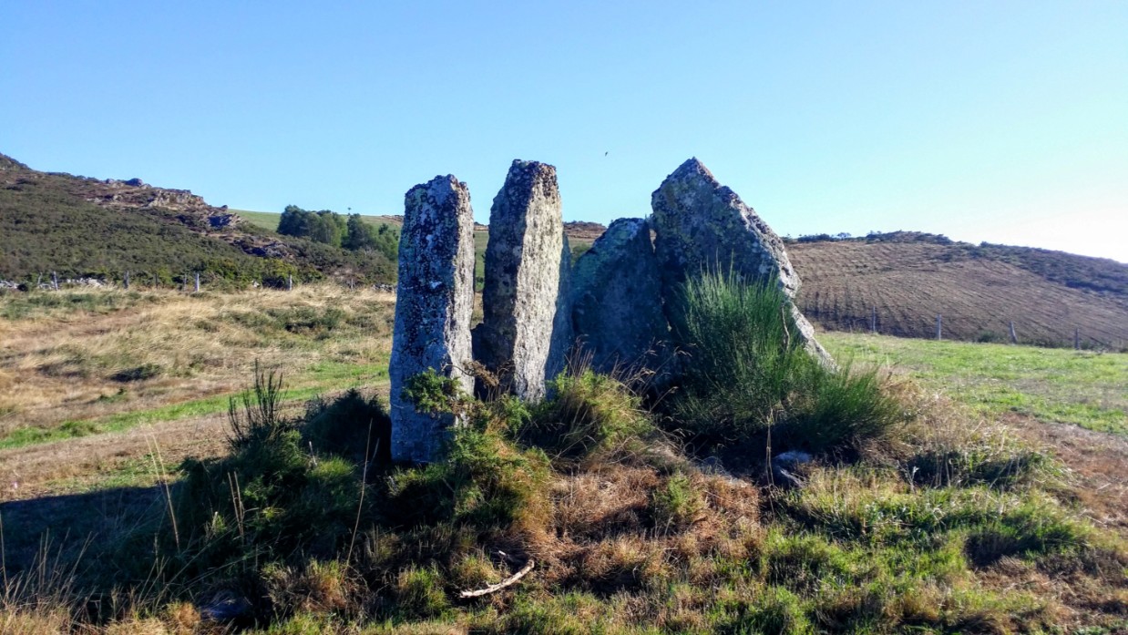
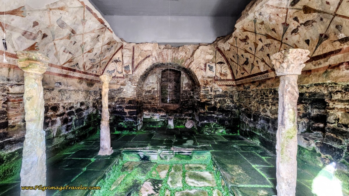
Take a look at our Camino Primitivo eBook Guide, for you to download to your personal device for comfortable reading offline and without ads. Our eBook is packed with detailed information and photos, including a *new* bonus side trip to the incredible and unusual Santa Eulalia de Bóveda temple, the mostly ingnored neolithic standing stones at Montouto and finally, the often-missed, but lovely alternative to the Hospitales Route, (which is gorgeous too), the route to take in the event of inclement weather, along the Río Nisón for 6.8 kilometers! Our eBook Guide is unique because we also entertain and immerse you with our story! Click here for more info OR BUY NOW.
Jump to Camino Primitivo Stages
The Journey
Sure enough, the day I finally got to walk the Pola Route, it was a ridiculous weather day! The wind and the rain were our constant companions. We finally threw in the towel and stopped overnight in Pola, after only 11.4 kilometers from our start in Borres and the Albergue La Montera. Rich's posture in the photo below, leaving the albergue, tells it all!
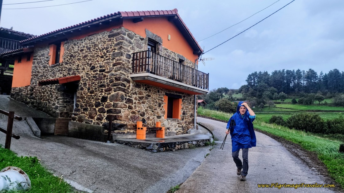 A Blustery Start at the Albergue La Montera in Borres
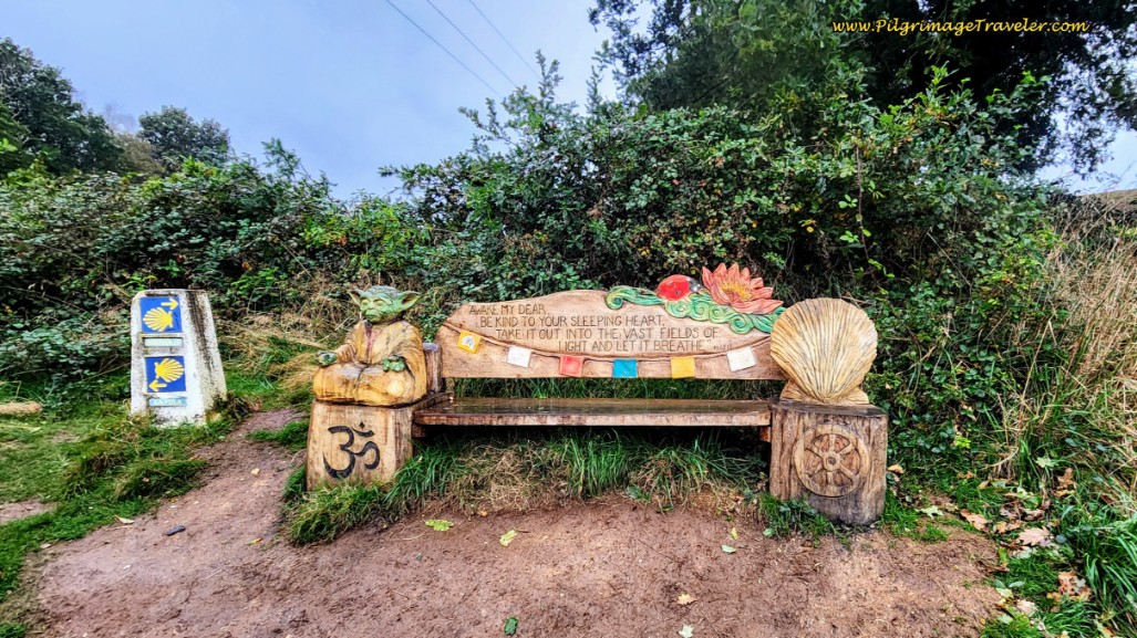
Even though we started in Borres, our description begins at the all important decision point, at the "spiritual bench," below. This painted bench with the spiritual symbols, from Yoda to the Camino shell is a nice addition in recent years. You may wish to pause here and breathe in its message.
To see our description of the Hospitales Route, click on the link. For the Pola Route, at the decision point, stay to the left and continue to follow the dirt track, below, towards the town of Samblismo.
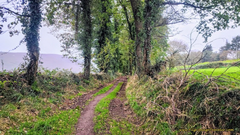 Onward on the Pola Route
After a bit more than 200 meters you will pass the closed Samblismo albergue on your left. Notice to your right a small shack with painted directions to the Hospitales Route. This is the shortcut from the albergue. You can safely ignore this. Maybe the paint will be worn off when you walk by, unless this albergue re-opens.
After about another 200 meters, cross over the paved AS-219. We will avoid walking on this main road to Pola de Allande for the next 2.3 kilometers, but essentially the Camino will walk parallel to it.
Pick up a narrow paved lane on the other side of the AS-219, and walk through the cluster of buildings that is Samblismo. A few meters on the lane and you will turn left at this bus stop, pictured next. We ducked under it for a few minutes respite from the wind and rain!
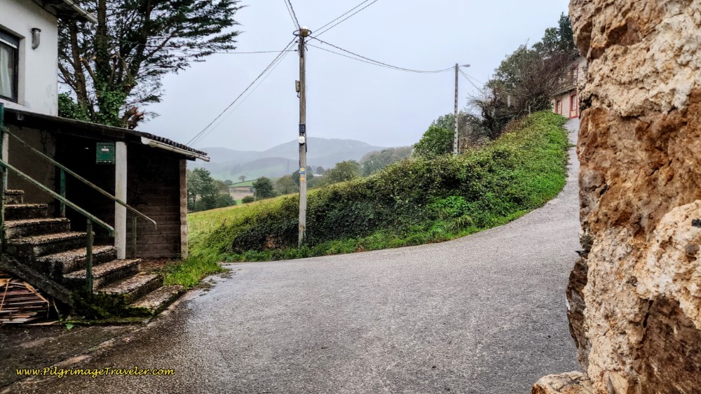 Turn Left at Bus Stop Shelter
After leaving town the lane turns to dirt. Walk not quite another 900 meters, and when the dirt turns to pavement you are entering the next town of La Mortera.
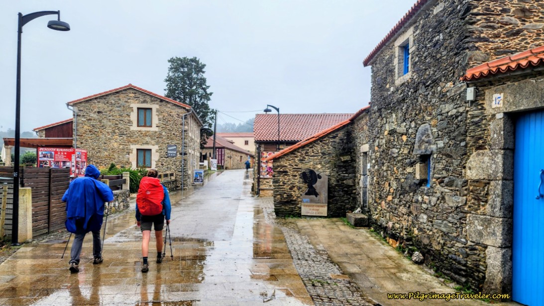
Stay to the left at every opportunity in town, like at the hórreo, below, or otherwise you will return to the AS-219! You can see how dramatically the rain was picking up on day five of the Camino Primitivo on the Pola de Allande Route!
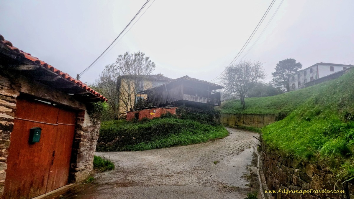 Turn Left at Hórreo in La Mortera
Continue on this quiet paved lane through town, until once again it turns to a dirt lane, below. You can just make out several pilgrims in front of us on this long lane towards the next town of Colinas de Arriba. And perhaps you can see how wet Rich looks already, not even five kilometers down the road.
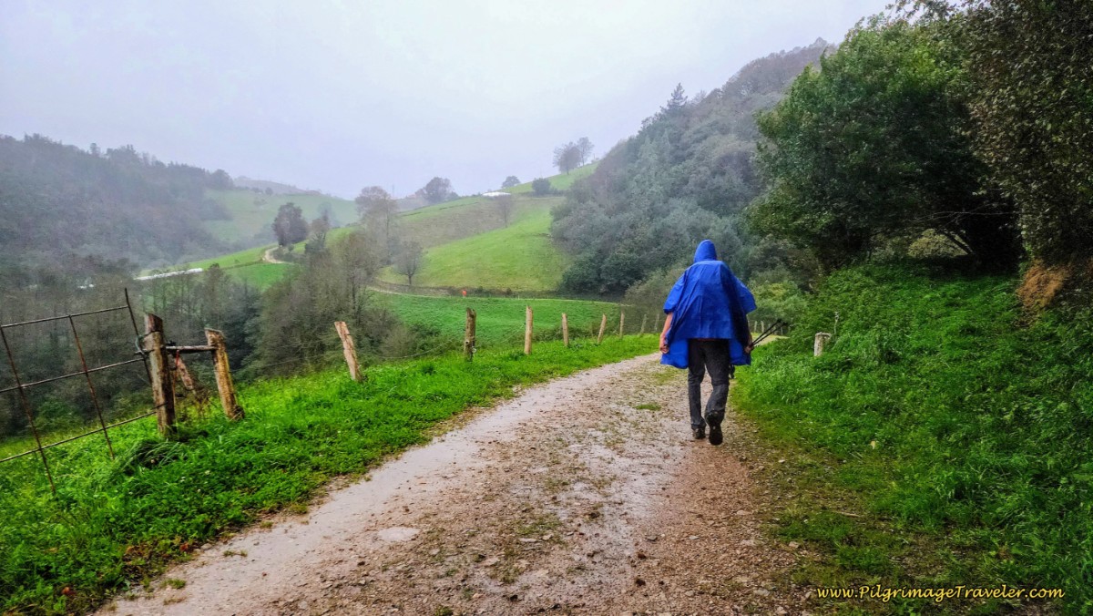 The Lane After La Mortera
After about 400 meters on the dirt lane, the Camino leaves it and turns to the right onto a narrow path, below. This is a more exposed area, I guess, because the wind was really whipping it up around us!
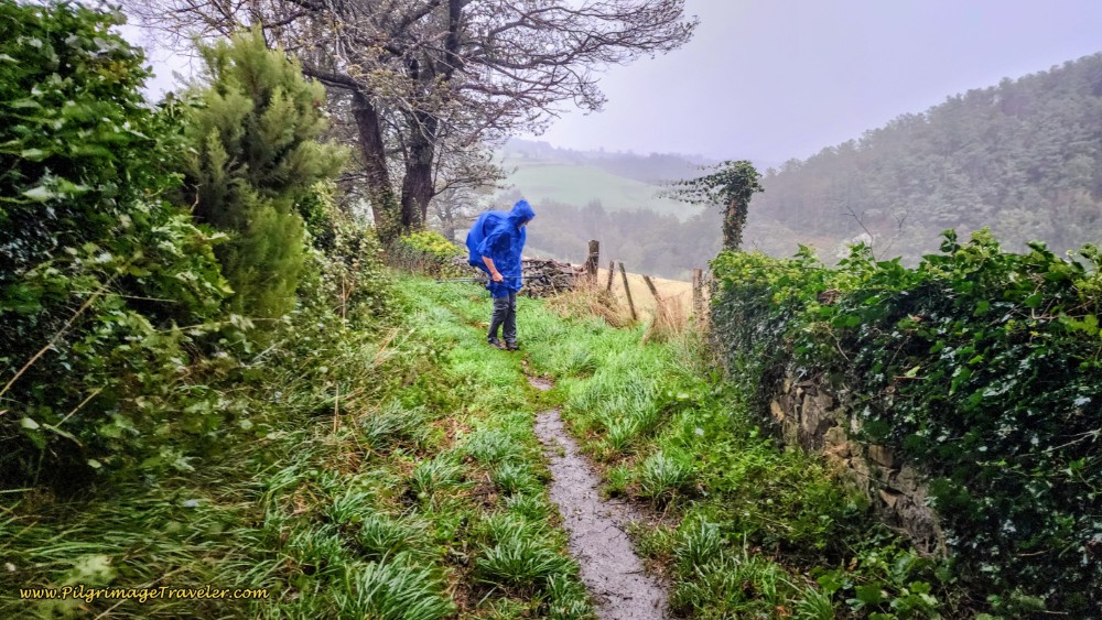 Yikes - Here Comes the Wind!
By 7.0 kilometers total from Campiello, the Camino does join the road, the AS-219, below, but it will skirt it on paths for a short while until you are forced to walk on it as you pass the entrance sign to Colinas de Arriba on day five of the Camino Primitivo on the Pola de Allande Route.
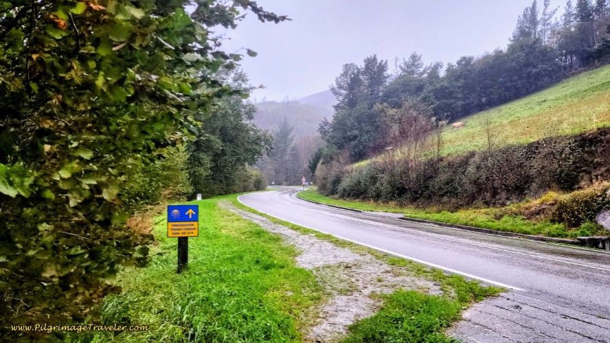 Join the AS-219 Towards Colinas de Arriba
About 350 meters after joining the highway, and almost immediately after the town entrance sign, come to a crossroad. The Camino leaves the highway and takes the second right, a diagonal turn and towards the Albergue Los Hospitales a few steps farther along. We were so happy to see this place and thought we would stop for a short coffee break to warm up and dry out.
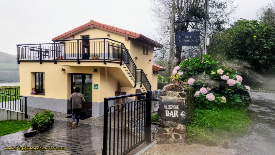 The Albergue and Bar Los Hospitales
But the proprietor was not happy to see us, and he let us know immediately that he was closed. Now, I get it, that much work needs to be done between sets of pilgrims, but I thought he could have been a little kinder in the way he addressed us. We were soaking wet and he showed no empathy. He was trying to push out the remaining pilgrims from the night before as well. We asked if we could just hang out under the eaves on his porch and he said yes, but only for 5 minutes!
Now, to be sure, this albergue gets great reviews and it is a wonderful way to lengthen the prior stage and still do the Hospitales Route. However, I, most likely will never stay here, based on his treatment of pilgrims on this particular trying day. It’s easy to get good reviews when everything is going well, isn’t it? A different story altogether when the going gets tough.
And, if you have the sign, “Bar” out front of your establishment, which I immediately saw as a welcome sign, is this only for times when it is convenient for you? A bit misleading, I felt.
If you are staying here, the day to Berducedo is shortened by over seven kilometers, to just a bit over 20 kilometers - a real bonus. However, to get onto the Hospitales Route from here, you must walk back to the crossroads, and take the road up the hill, to the left (west), climbing very steeply, gaining 230 meters in altitude (750 feet) over 1.4 kilometers, until joining the Hospitales Route higher up.
Needless to say, we were colder lingering outside at the albergue, so we moved on. I just couldn’t understand what harm it caused the proprietor, hanging outside. I suppose he didn’t want to attract more drenched pilgrims. The albergue did not leave a warm fuzzy feeling in my heart, for which I was in desperate need! And so it is.
A few steps after the albergue, the paved lane joins the AS-219 again, but there is a well-worn pilgrim’s path to the right of the road. A few meters later, you are directed to cross the highway on a crosswalk and pick up a pilgrim’s path on the other side. After only about 100 meters along the road, the Way turns to the left and onto another forest track that parallels the road.
First drop down to the Río Villaverde and cross it on a small bridge. Then, you will need to climb up and out on the other side (of course), staying uphill and to the right at this intersection, below.
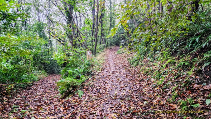 Uphill Towards the AS-219, Day Five, Camino Primitivo, Pola de Allande Route
Next, rejoin the AS-219 to walk into the next town of Porciles. At least we were more sheltered from the wind and the rain through the trees! The photo almost makes it look like a normal weather day!
We walked on the highway for a full kilometer, up and over the Alto de Porciles which coincides with the town entrance sign and arrived into the center of town after a total of about 9.4 kilometers from Campiello. There is first a worn pilgrim’s path to the left of the road, then a parallel lane through this section to keep you safe. There is also supposed to be a bar along the way, but we saw nothing that even looked like a bar.
In the center of the cluster of buildings of Porciles, the Camino makes a left turn at the bus stop and this Waymark behind it, below.
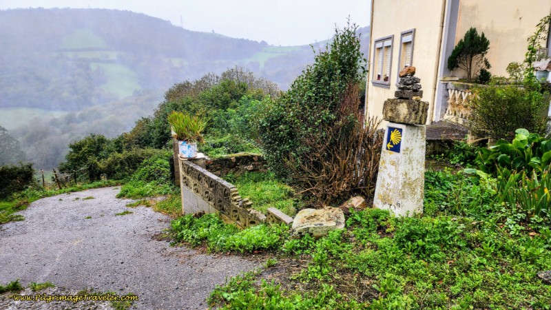 Left Turn Here, in Porciles
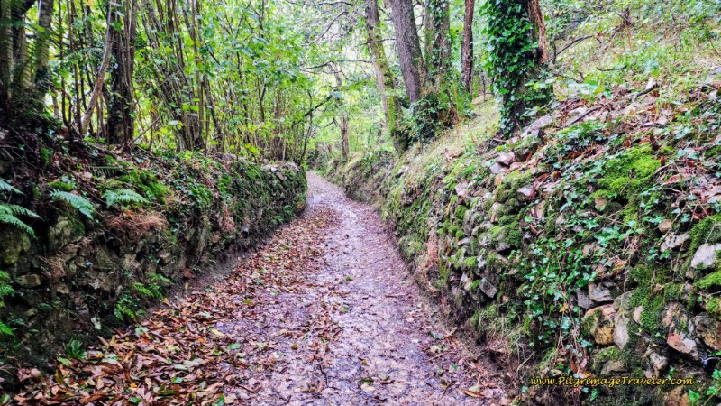
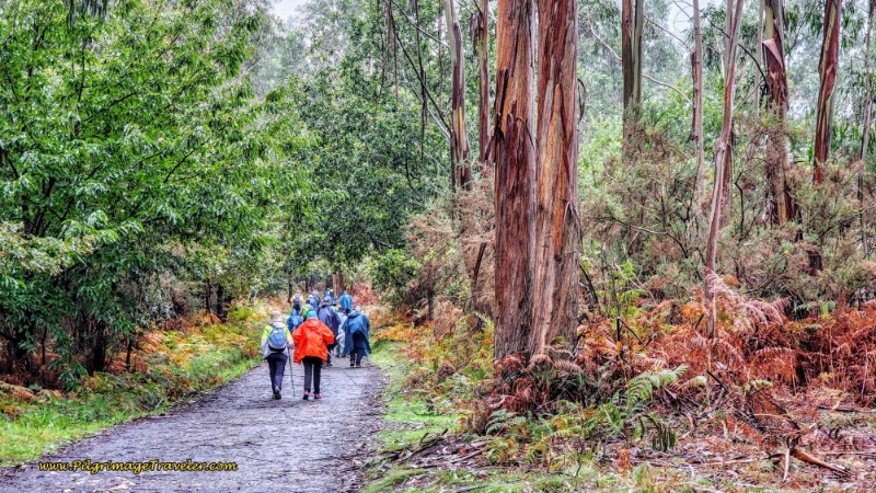
Now you will find yourself on another sheltered forest track. It is lovely here, even in the rain.
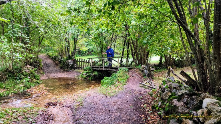
Drop down to the Porciles River, staying to the left at a Y-intersection and cross it on this footbridge, below, 300 meters later. The water was running like a river down the path to the bridge. The footing was slick as we descended!
The climb up the other side from the river is quite steep and was extremely slick for us, especially at this ridiculous section, below. I’m sure in dry weather I would have thought nothing of it, but still be careful as it is very steep! I look like a white whale! Ha ha.
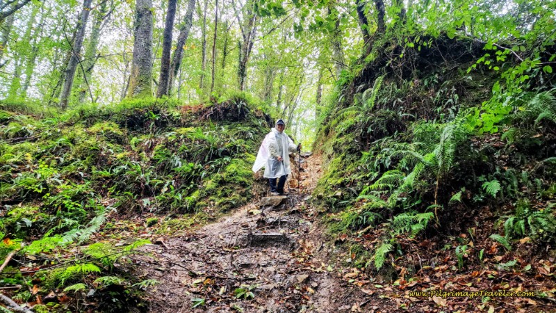 Steep, Slick Climb up from the River
You will join the AS-219, again, after the climb up from the Porciles River, about 1/2 kilometer later. This time you will remain on the highway for about 600 meters, again on a well-worn pilgrim’s path or lane, first passing through the hamlet of Lavadoira and then up and over the Alto de Lavadoira, below, after 10.8 kilometers.
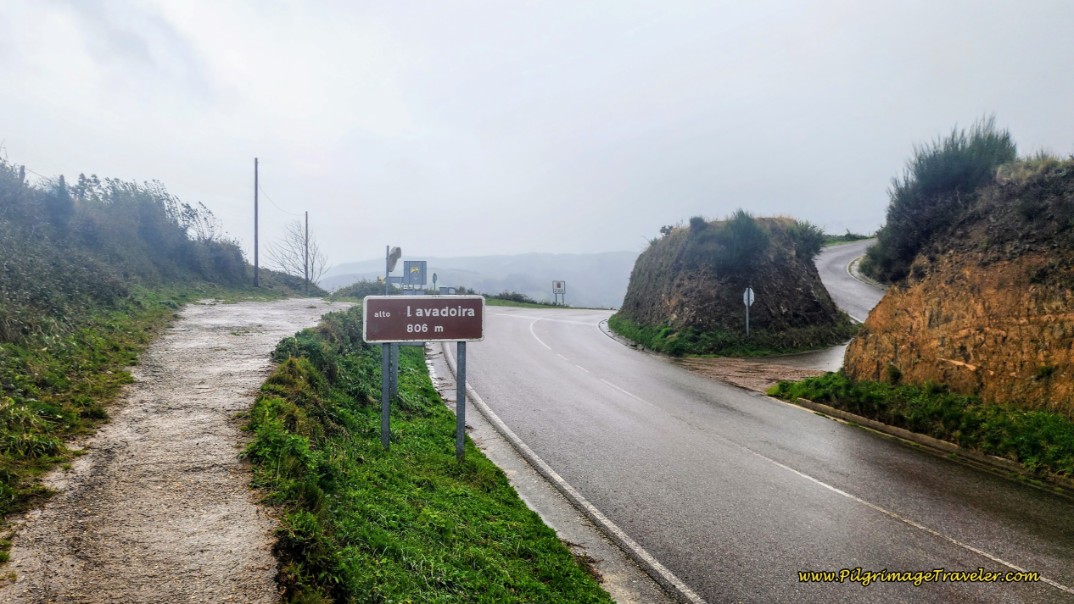 Alto de Lavadoira
It was quite exposed up here, and while it may not appear in the photo, it was quite windy and raining hard! My feet were drenched by this time and my pants were soaked up to my crotch. I was over it.
Fortunately, at the top of this pass and across a paved road, the Camino picks up a path, where there is a nice Camino sign, below, letting us know that Pola de Allande was 2.63 kilometers away! Thank God! In actuality it is three kilometers from here to the municipal Albergue de Peregrinos de Pola de Allande and 3.4 kilometers to anything in the center of town. But the mileage is close enough!
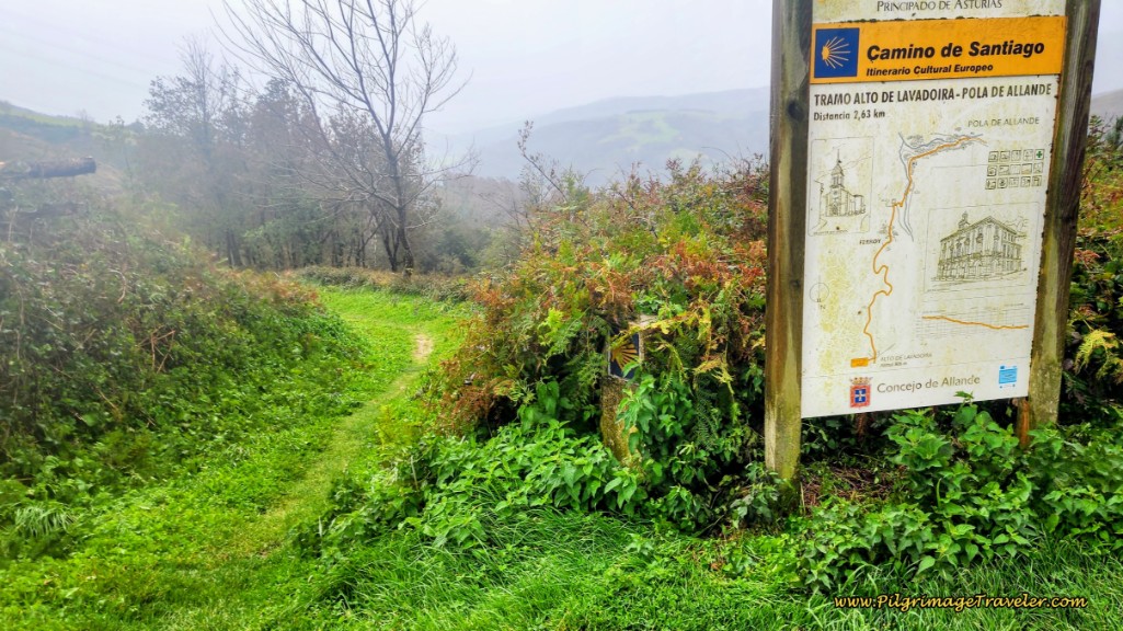 Pola de Allande, 3k Away!
It was incredibly windy at the top! The rain was coming down in sheets! I can’t believe I managed to take photos in the pouring rain. It was a struggle! I kept wiping off my camera lens from a dry spot under my poncho.
From what I could actually see of the views, below, I could tell that it would be quite lovely on a clear day. But not today! All I could do was put my head down and do what pilgrims do - keep walking!
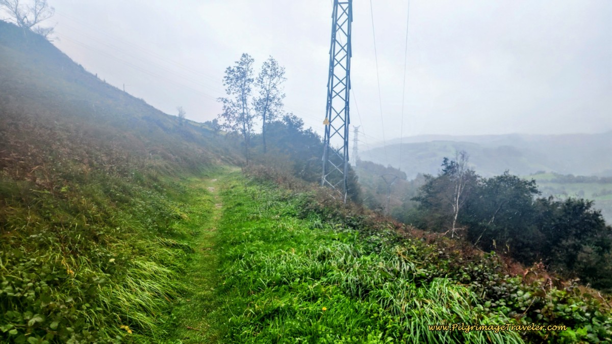 Heavy Wind, Rain and Fog at Top
Jump to Camino Primitivo Stages
I can only imagine what it would have been like on the Hospitales Route, which is higher and more exposed and most likely socked in fog, making finding your way incredibly difficult. I was thankful we had chosen the Pola Route. Don’t be fooled though; the exposure here is significant as well, especially in bad weather!
The path becomes a lane after about 600 meters, but it seemed as though the rain got harder the farther we descended. Or maybe it was just my camera getting wetter! We continued the steep descent on this lane that winds around through the countryside.
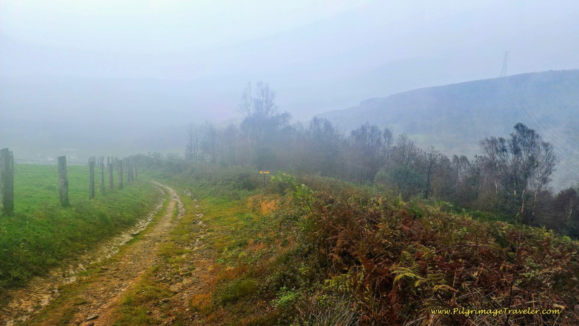 Rain Gets Heavier on Descent, Day Five, Camino Primitivo, Pola de Allande Route
You will pass a landmark ruined building with graffiti and the number 15 on it, not pictured, after 1.2 kilometers from the top. This is your first clue that civilization is finally getting closer. Steps later, a large farm appears, as you drop steeply toward the next town of Ferroy, 12.6 kilometers from the start in Campiello.
After passing the farm, enter the town, and now walking on pavement, come to an intersection where several roads converge. Take the first left and descend quite steeply on a narrow lane, straight through town, below.
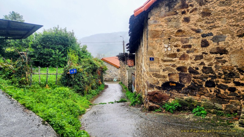 The Walk Through Ferroy, Day Five, Camino Primitivo, Pola de Allande Route
On the south side of town, come to a T-intersection and turn left onto the Caserio Ferroy. 200 meters later, still descending steeply on the pavement, come to another T-intersection and turn right.
Only a few meters later, the Way turns to the left and onto this narrow path, pictured below. This path takes a final very steep descent into Pola de Allande, crossing an arroyo on a small bridge near the bottom.
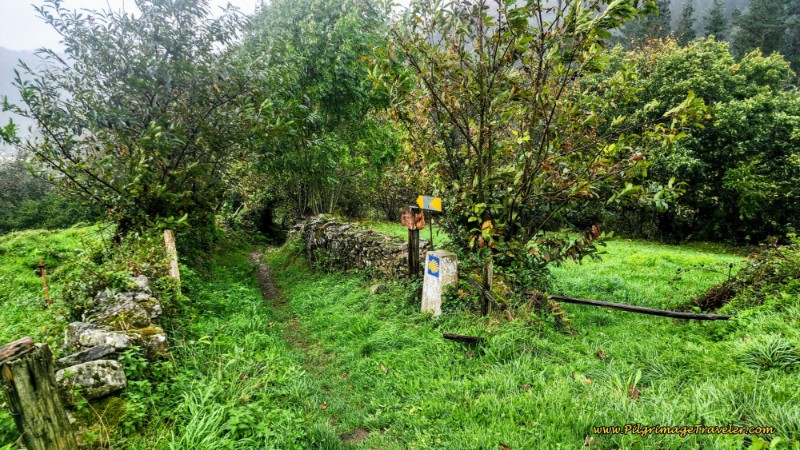 Final Path Into Pola
300 meters later, the path comes out onto the AS-217. Turn left and walk towards town. At a large bend in the road to the right, pick up the sidewalk and the municipal Albergue de Peregrinos de Pola de Allande is on your right, after 13.6 kilometers total, below. It’s the tall building in the photo, and the entrance is to the far side of the building. Look for the signs.
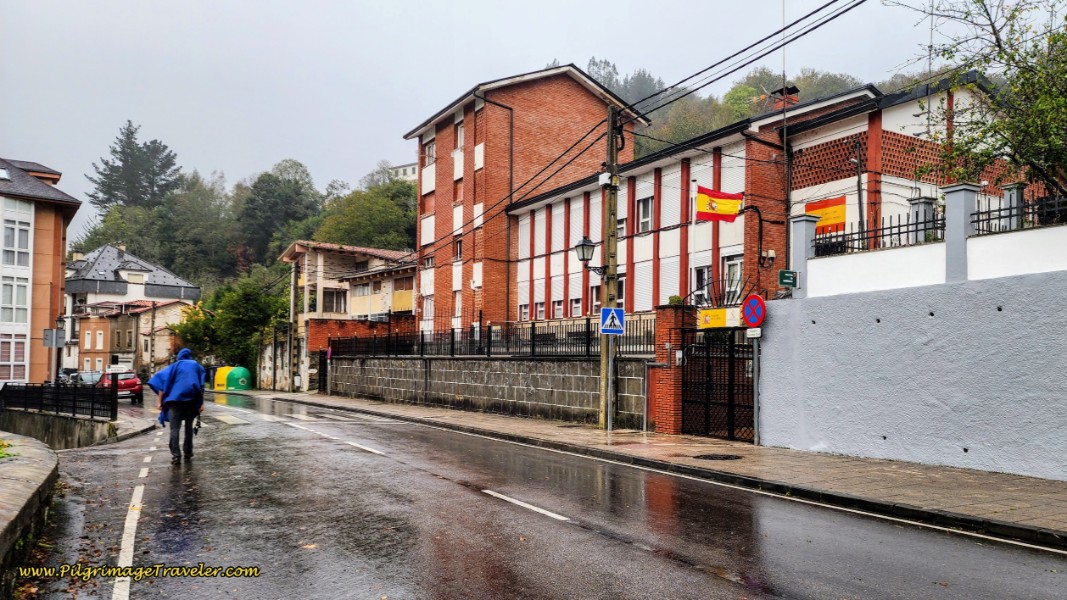 Albergue de Peregrinos de Pola de Allande
The nice part about the Pola route is that there are five accommodations here in Pola de Allande, so you may choose to break up this stage if you so desire, which is what we had to do because of the weather. We were not going to climb up to the Puerto del Palo, higher than the Lavadoira Pass, in the fog and the rain.
From Campiello to the center of Pola de Allande is about 14 kilometers, and from Borres, is about 11.4 kilometers on day five of the Camino Primitivo on the Pola de Allande Route.
Also in town, there is the the private albergue, Albergue La Casita de Aba (+34 661 26 23 97), the very funky Albergue Donativo Polagrino, (+34 651 068 840), with vegetarian meals, the Hotel Nueva Allandesa and the Hotel Restaurante Lozano, all at your service.
Or you can continue on for another 2.8 kilometers (16.9 km from Campiello and 13.9 km from Borres) to the hamlet of Peñaseita and stay at the municipal Albergue de Peregrinos de Peñaseita. If you choose this last option, obtain the keys to the albergue at the Bar Casa Viñas by the albergue and along the main road. Staying in Peñaseita would knock off about 100 meters (328 feet) of the climb to the Puerto del Palo the next day. I would not be surprised if it is closed soon, for health and safety reasons. It gets very poor reviews from pilgrims because of its neglected state. You can also click this link to see more photos on google maps.
We chose to stay in the Hotel Nueva Allandesa and wait out the weather. I wanted lots of comfort after the intense weather battle I had just suffered and the hotel fit the bill. Not sure I deserved to be spoiled, after only 11.4 kilometers from Borres, but in the intense rain and wind, I suppose it was enough, at least in my eyes.
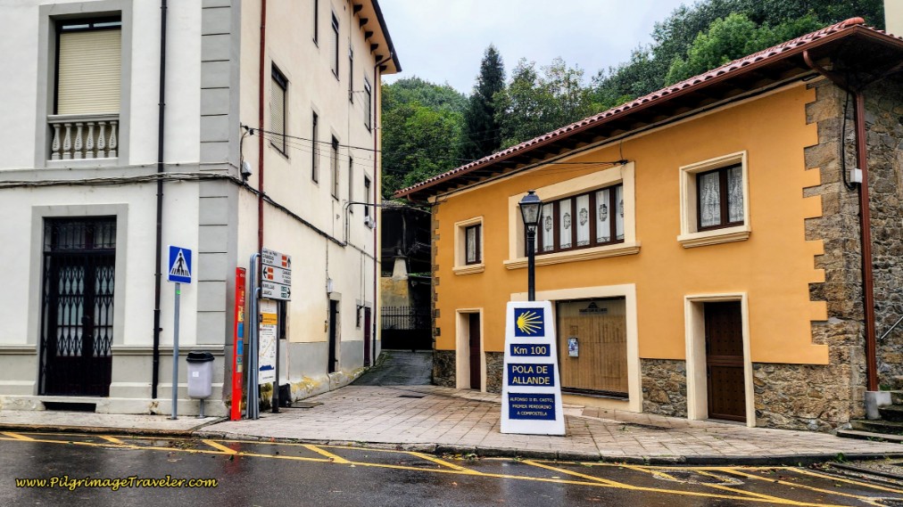
In the center of town, after exactly 14 kilometers, is none other than a large 100 kilometer waymark! See the photo below. This waymark also commemorates Alfonso II, El Castro, the first pilgrim, king of Asturias and the one who made it all happen! Congratulations, this is how far you have come - only about 200 left to go to Santiago!
We rested well, ate and drank heartily and prepared ourselves for the long, eight kilometer climb up to the Puerto del Palo in the morning.
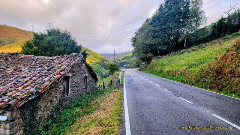
It is a 1.3 kilometer walk up the AS-14 highway from the 100 km waymark, but the views are pleasant enough.
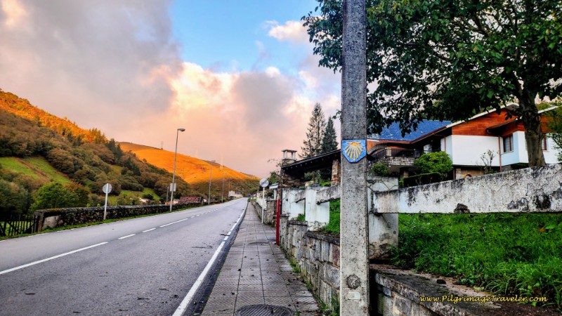 Leaving Pola de Allande on the Sidewalk
When the sidewalk ends at the west end of Pola, there is no shoulder, so it is best to walk on the left, facing the traffic. Once you pass this old stone building, below, stay alert and the turn-off is only about 150 meters ahead. The steepness of the grade along the highway is only mild.
When you have completed the highway walk after 15.5 kilometers total, you will see the path that leaves to the left, photo below. The Camino is well-waymarked throughout this Pola Route, so you shouldn’t get lost. That usually happens when you are not paying attention.
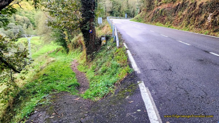 Leave the AS-14 on This Path
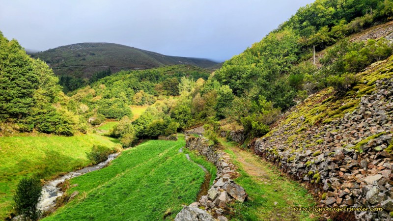
The Way onward now increases in steepness as well as beauty! Take a deep breath and settle into the next 6.8 kilometers as you climb up the valley along the path of the Río Nisón!
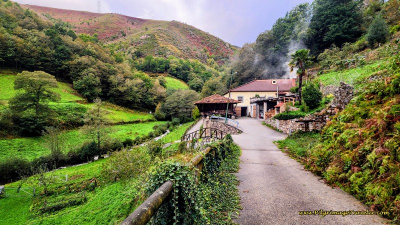
Walk on this lovely track for the next 300 meters and stay to the left at the first intersection. It is at this first intersection that the way forward is on a sort-of paved road that is very narrow. Walk on this paved road with a nice split rail fence line, past several really nice homesteads. The river is on your left side and makes for a very pleasant walk.
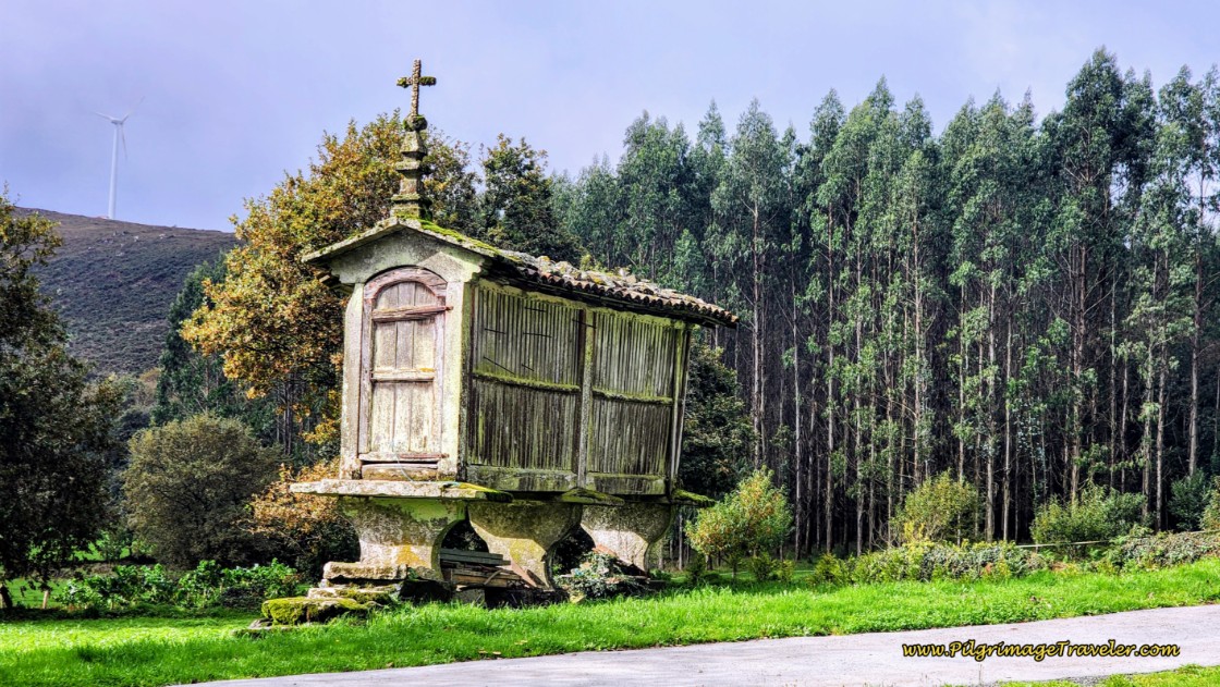
After reaching this homestead, below, with the large wooden hórreo, the path goes around it to the left, on day five of the Camino Primitivo on the Pola de Allande Route.
Continue past the homestead until this Y-intersection, below. There is a wooden sign for a fuente (fountain) pointing to the river and to the left. Stay right and up the hill. Immediately after this Y-intersection you will come to another one, not pictured, this time staying to the left.
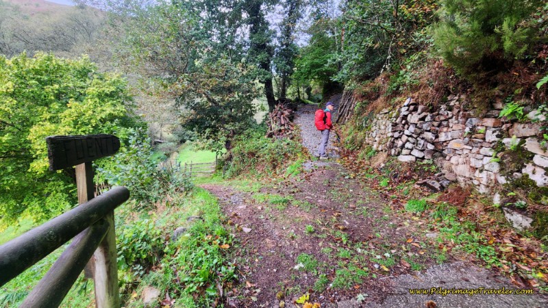 Stay Uphill to the Right By Fuente Sign
Continue on this narrow path, first photo below, climbing up another 400 meters until the turn off for the Albergue de Peregrinos de Peñaseita after 16.8 kilometers. You can see in the next photo, that the only indication for the albergue is a small blue plaque on the rock close to where Rich is standing. The turn is before the rock, behind where I was standing for the photo! There was a funky arrow on the ground made of tree branches, indicating the Camino is straight onward.
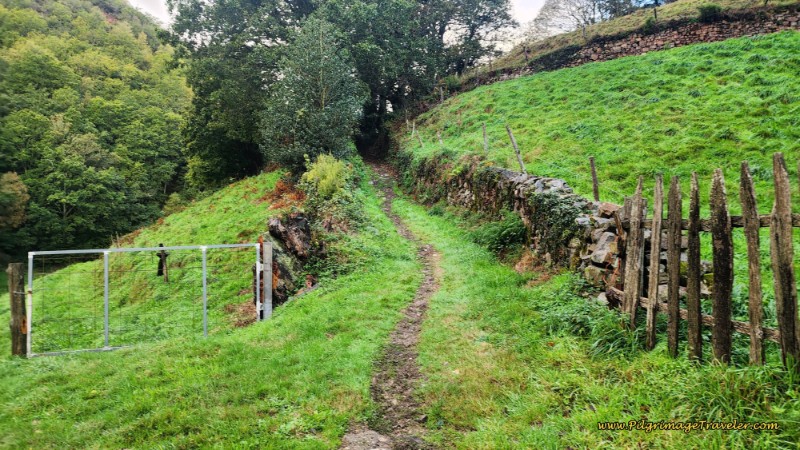 Path Toward the Albergue
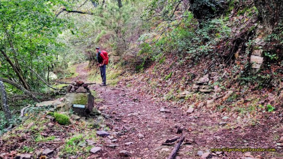 Turn-Off for the Albergue de Peñaseita
After we left the area of Peñaseita, the trail becomes decidedly more wild, as we walked deeper into the woods, continuing along the river. Cross the first bridge over a tributary of the Río Nisón after 17.5 kilometers, the Puente de Xestu Molín, below.
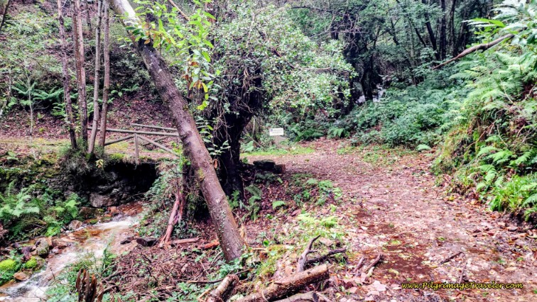 Puente de Xestu Molín, Day Five, Camino Primitivo, Pola de Allande Route
Not quite 1/2 kilometer later, we crossed another tributary, this time only on rocks. I imagine this could be a problem in flooding conditions, but we passed over it, only getting our feet a little wet.
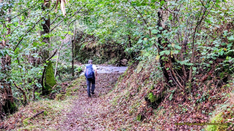 Pilgrim Crosses Tributary on Rocks
Farther along, come out of the forest into more open fields, below, and pass through yet another homestead, not pictured, after about 18.8 kilometers. In the open again as we got higher toward the treeline, the sky looked a bit more ominous. Oh dear, here we go again!
But then it was back into the woods again, below, and we forgot about the sky.
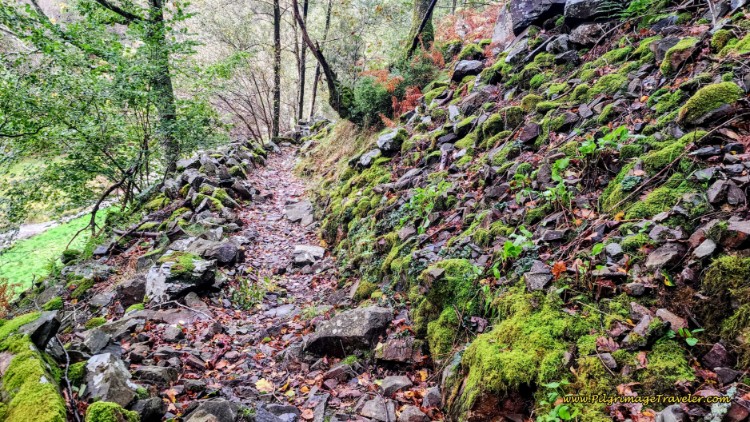 Climbing on Steeper, More Rugged Trail
Cross over the Río Nisón on a wooden footbridge, after about 19.8 kilometers, then another 50 meters later cross over it again on another wooden footbridge. One-half kilometer later, cross over a tributary on the final bridge, this one under the roadway itself. These are your final steps in the forest. It is a gorgeous, thick forest, below, as the river continues to serenade you!
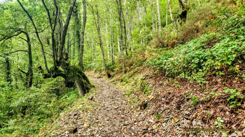 Beautiful, Thick Forest
Then, after 20.7 kilometers, we joined the AS-14, below. The walk on it was less than 200 meters.
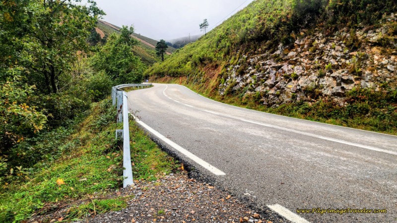 Join the AS-14 Again
Since it wasn’t raining, I was not worried. As long as it was only fog at the top, I could deal with that. After the brief walk along the road, the Camino veers off to the right and picks up this rocky path, below.
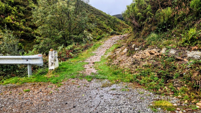 Final Rocky Path to the Top
Then it immediately climbs steeply on two gigantic S-turns, heading for the ridge above, photo below.
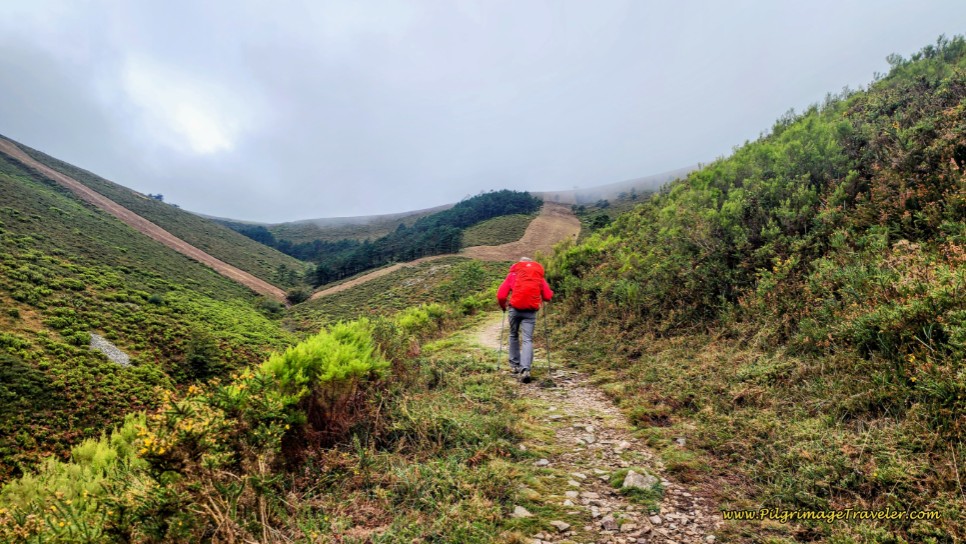 Toward the Top of the Pass
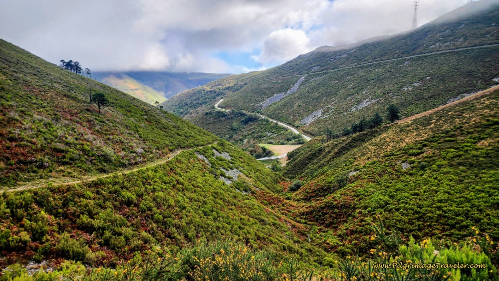
As we climbed, the views back down the Camino were amazing, below. This felt like the Hospitales Route! And it looked as if the weather was going to hold out for us after all.
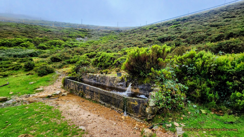
Next we walked through a bit of a pine forest, and after about 21.9 kilometers, arrived at this fountain, below. We don’t drink from these fountains in the fields, as the cattle use them and I can’t bring myself to use it too. You can see the highway above the fountain that our trail eventually will meet.
From this fountain, it is only 300 more meters to the top, the Puerto del Palo, after 22.2 kilometers of day five on the Camino Primito, via the Pola de Allande Route.
In the next photo is Rich making his way there. While it was foggy and now quite windy, no rain was a blessing.
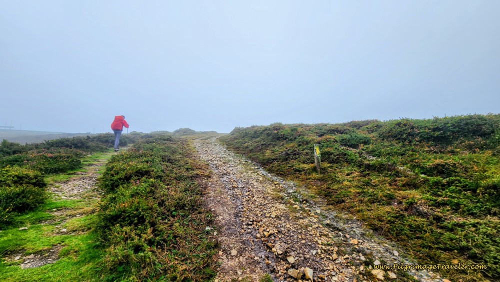 Nearing the Puerto del Palo - The Altitude Top
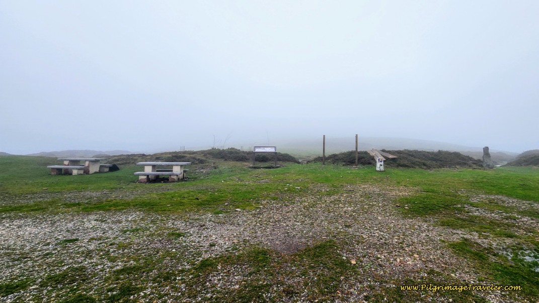
Below is a photo of the picnic tables and information boards at the convergence on this day. You couldn’t even see the high mountains! The Puerto del Palo, is only 70 meters (230 feet) lower than the highest point on the Hospitales Route, so you should not underestimate the exposure here either. However, the exposure is only for a brief distance as the onward Camino drops from this high point, very quickly and very steeply.
 Puerto del Palo - Picnic Area at Convergence
The Puerto del Palo is where the two routes, the Hospitales and the Pola, converge by the AS-14. The highway is behind where I am standing to take the photo and to the left of the Camino trail. There is also a huge electric substation that is visible across the road.
The onward Camino never joins the highway, but stays straight at the convergence on a lane parallel to the road and a power line that you will follow downward.
There is a small hut at the Puerto del Palo a few meters down the road but still visible from the lane, called the Refugio del Puerto del Palo, which I placed on our interactive Google map. However, it is a tiny structure, made of concrete that should be used in emergencies only!
For the onward Camino from the Puerto del Palo to Berducedo, click here for the Hospitales Route description.
Camino Primitivo EBook Guide
Still thinking about our downloadable, Camino Primitivo eBook Guide? Would a money-back guarantee and free updates for a full year help with your decision? Would it help if we told you that we frequently update our information as we receive it, without the need for publishers and the slow process reprinting of hard copy books, which improves our book's accuracy? Click here for more info OR BUY NOW.
Reflections
While the first part of day five on the Camino Primitivo via the Pola de Allande Route was frought with bad luck and bad weather, all-in-all, walking this section wasn't totally horrible. As my camino friend from Ireland says, "This is just one of those days where you are going to get wet." Understatement of the year.
We had made the best choice of routes in light of the weather and the best choice to stop in Pola de Allande.
Just like our Hospitales Route day, completing even 11.4 kilometers on an adverse weather day, confirmed in my heart, once again, that I was up for the task. I take credit for this, even though it was one of my shortest days ever on any Camino, and one of the worst weather days.
As I write this, I am proud that I stood up to meet the elements and persevered on an incredibly adverse day. Was I happy to be in the hotel in Pola de Allande when it was all over? Absolutely - 100%! However, looking for a free dryer in a laundromat in Pola was a challenge! There were lots of drenched pilgrims milling around town! Ha ha.
Would I walk in a weather day like this again? Now that, my fellow pilgrim friend, is another story, for another day. I was just thrilled that by the second half of the stage, on the following day, the weather had broken and we had a far superior and most enjoyable day. We were extrememly happy that we waited it out, because it rained hard the remainder of the day and into the night! Walking over the Puerto del Palo would have been a nightmare.
Salutation
May your own pilgrimage travels be filled with all the right choices and all the peseverence you need on your own day five on the Camino Primitivo via the Pola de Allande Route! And if the choices are confusing, may you always choose safety first. There is always another day to walk. Always. Breathe, Eat, Drink and Relax. And hopefully it will all be better in the morning! Buen Camino!
The Camino Primitivo Stages
Please Consider Showing Your Support
Many readers contact me, Elle, to thank me for all the time and care that I have spent creating this informative website. If you have been truly blessed by my efforts, have not purchased an eBook, yet wish to contribute, I am exeedingly grateful. Thank-you!
Search This Website:
🙋♀️ Why Trust Us at the Pilgrimage Traveler?

We’re not a travel agency ~ we’re pilgrims, just like you.
We've walked Pilgrimage Routes Across Europe!
💬 We’ve:
- Gotten lost so you don’t have to. 😉
- Followed yellow arrows in the glowing sunlight, the pouring rain and by moonlight. ☀️🌧️🌙
- Slept in albergues, hostals & casa rurals. Ate and drank in cafés along the way. 🛌 😴
- Created comprehensive and downloadable GPS maps and eBook Guides, full of must-have information based on real pilgrimage travels. 🧭 🗺️
- Shared our complete journeys, step by step to help YOU plan your ultimate pilgrimage and walk with your own Heart and Soul. 💙✨
Every detail is from our own experiences ~ no fluff, no AI rewrite. Just fellow pilgrims sharing the way. We add a touch of spirituality, a huge dose of ❤️ and lots of wisdom from the road.
Ultreia and Safe Pilgrimage Travels, Caminante! 💫 💚 🤍
Follow Me on Pinterest:
Find the Pilgrimage Traveler on Facebook:
Like / Share this page on Facebook:
Follow Me on Instagram:
***All Banners, Amazon, Roamless and Booking.com links on this website are affiliate links. As an Amazon associate and a Booking.com associate, the Pilgrimage Traveler website will earn from qualifying purchases when you click on these links, at no cost to you. We sincerely thank-you as this is a pilgrim-supported website***
PS: Our eBook Guide books are of our own creation and we appreciate your purchase of those too!!
Shroud Yourself in Mystery, along the Via de Francesco!
Walk in the Footsteps of St. Francis, and Connect Deeply to the Saint and to Nature in the Marvelous Italian Countryside!
Need suggestions on what to pack for your next pilgrimage? Click Here or on the photo below!
Carbon fiber construction (not aluminum) in a trekking pole makes them ultra lightweight. We like the Z-Pole style from Black Diamond so we can hide our poles in our pack from potential thieves before getting to our albergue! There are many to choose from! (See more of our gear recommendations! )
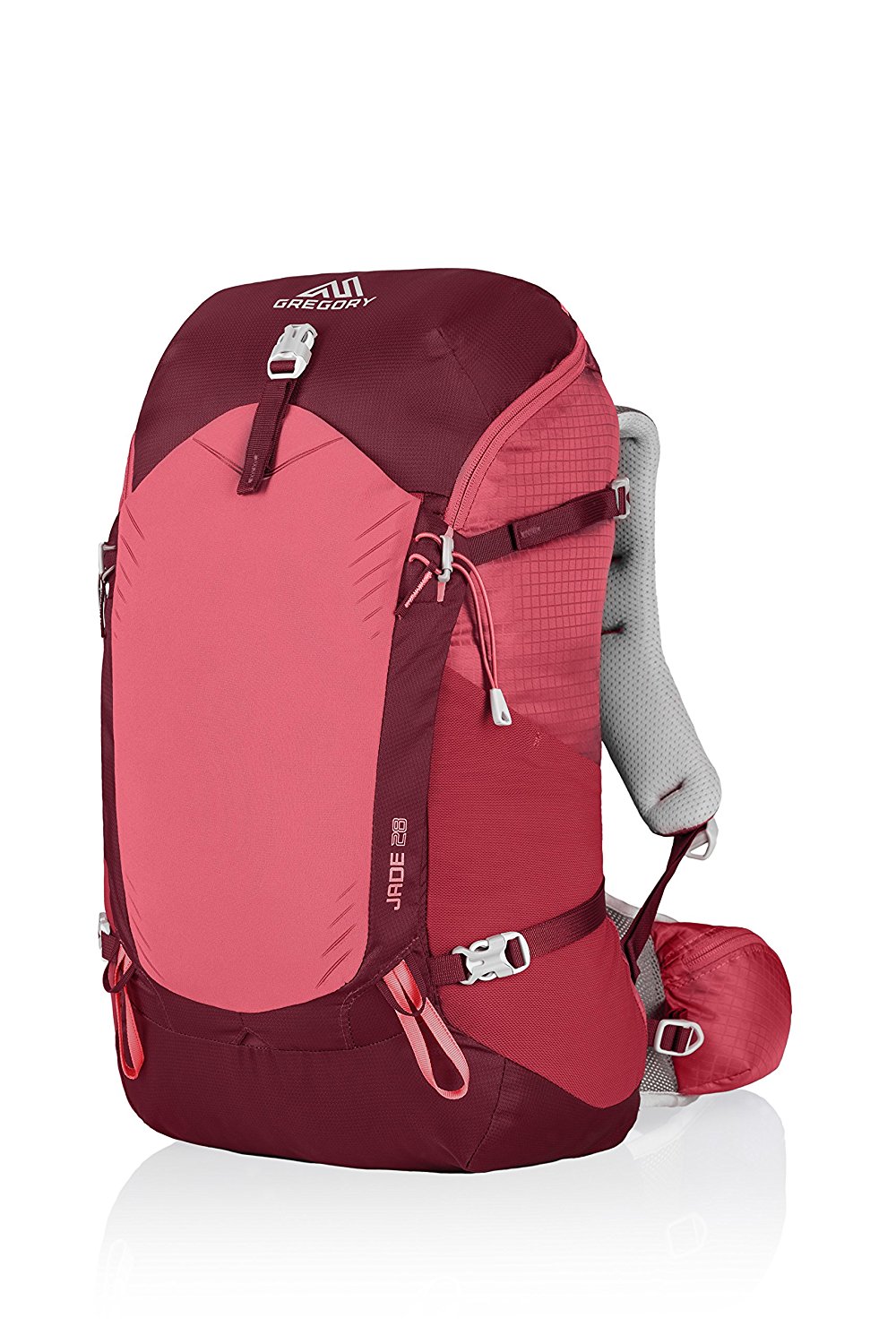
Gregory BackPack - My Favorite Brand
Do not forget your quick-dry microfiber towel!
Booking.com
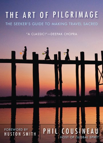
My absolute favorite book on how to be a pilgrim:








Your Opinion Matters! Comments
Have you had a similar experience, have some advice to give, or have something else you'd like to share? We would love to hear from you! Please leave us a comment in the box below.