- Home
- ~ Camino Portugues (The Portuguese Way)
- Day Four, Mino to Betanzos
Day Four on the Camino Inglés ~ Miño to Betanzos, 11.10 Km (6.9 Miles)
Just so you know, the PilgrimageTraveler.com is an associate of Booking.com, Roamless, and Amazon. As an associate of these merchants, we earn from qualifying purchases from our links.
Our day four on the Camino Inglés was another trip through the lovely Galician countryside, starting from sea level in Miño, climbing steeply, then ending at sea level in Betanzos. While this section is short, because of the elevation change, it will feel strenuous. You can easily combine this day with day three or day five, which is what we chose to do, combining day four with day five to walk onward to the albergue in Presedo.
Only those who will risk going too far can possibly find out how far they can go.” ~ T.S. Eliot
I love this quote above, because indeed, you are able to find out from what cloth you are made, when you go on any Camino, especially the ups and downs of the English Way. The risk of going too far is always a possibility until you become aware of your own rhythms and limitations. This self-discovery is priceless! Traveling with our friend with Parkinson's, continued to make me acutely aware of not only myself, but of another and his process. Here is our day's journey.
🙋♀️ Why Trust Us at the Pilgrimage Traveler?
We’re not a travel agency ~ we’re pilgrims, just like you.
We've walked Pilgrimage Routes Across Europe!
💬 We’ve:
- Gotten lost so you don’t have to. 😉
- Followed yellow arrows in the glowing sunlight, the pouring rain and by moonlight. ☀️🌧️🌙
- Slept in albergues, hostals & casa rurals. Ate and drank in cafés along the way. 🛌 😴
- Created detailed and downloadable GPS maps and eBook Guides, full of must-have information based on real pilgrimage travels. 🧭 🗺️
- Shared our complete journeys, step by step to help YOU plan your own ultimate pilgrimage and walk with your own Heart and Soul. 💙✨
Every detail is from our own experiences ~ no fluff, no AI rewrite. Just fellow pilgrims sharing the way. We add a touch of spirituality, a big dose of ❤️ and lots of wisdom from the road.
Ultreia and Safe Pilgrimage Travels, Caminante! 💫 💚 🤍
Maps and Stats of Day Four on the Camino Inglés
Below is our Google map of the day, fully interactive and with hotels, albergues, restaurants, cafés and supermarkets, placed on it ~ all to help you plan your own day four on the Camino Inglés! We uploaded these tracks from our actual GPS recordings for the day, so it is most accurate!
If you are walking straight through and not coming from the albergue, this stage is about 10 kilometers total, one kilometer less than our total.
Here is our elevation profile for the day. From sea level in Miño there are two significant climbs, starting at about 4.0 kilometers into the day, for a total of 378 meters (1270 feet) of accumulated climbing. Then the day finishes with a steep descent from the top at about 7.0 kilometers, when the Camino drops you down and into Betanzos, back to sea level once again.
Camino Inglés EBook Guide
Our Downloadable Camino Inglés eBook Guide in PDF Format contains all the valuable information from our web pages, for comfortable reading offline and without ads on your personal device. Don't carry the heavy weight of a book. Use our digital guides on your next Camino instead!
Our ebook guides are packed with frequently updated information, because a digital format is more nimble than hard-copy publishing. Our eBook Guide is unique because we also entertain and immerse you with our story! Click here for more information OR BUY NOW!
Photo-Rich Travelogue of Day Four on the Camino Inglés
We made our own breakfast at the Albergue de Peregrinos de Miño, from purchased supplies in town the evening before. It turns out that this was a wise decision. As we set off through town to join the Camino where we had left it on day three, we passed by many cafés, none of which were open as we passed, until well after 9:00 a.m.
Here is our friend Rob, as together we headed off through the streets of Miño, first along the Rúa Fonte, arriving into a plaza, then a left onto the Rúa Pardineira. The directional signs are good as you can see in the photo, below.
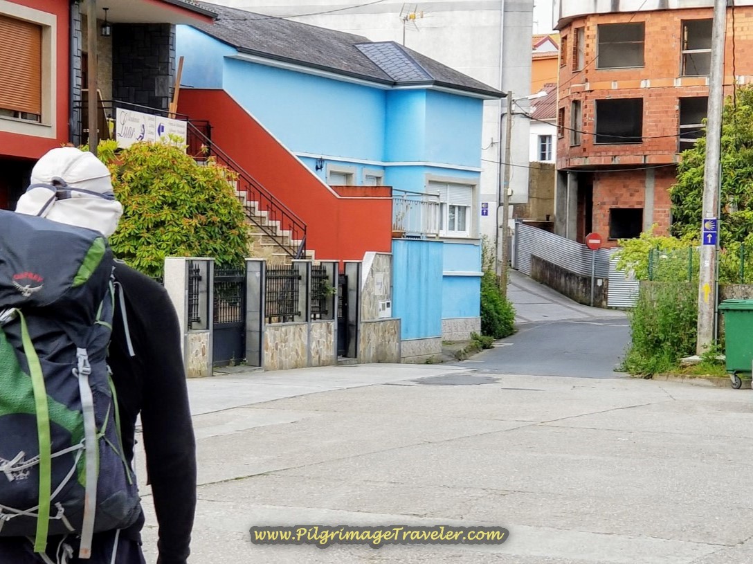 Starting Out in Miño on the Rúa Pardineira
We followed the directional signs, essentially straight onward through most intersections as we walked through town. As is often the case in Spanish cities, the name of the street changes, even when the direction does not.
Here is the Café Vidal, shown next, not open. You can see that it is a mild uphill climb through town.
After almost one kilometer of walking through town, continuing to climb, and passing several more cafes, join the Rúa a Barrosa at the top by the Hostal La Terraza.
Follow the Rúa a Barrosa for about 300 meters until you come to this intersection below. From here you are leaving Miño, and you must now follow the concrete kilometer marker to turn right, down the hill towards the Lambre River.
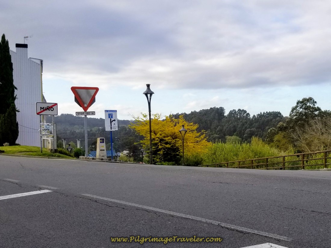 Right Turn Downhill Towards the River, Río Lambre
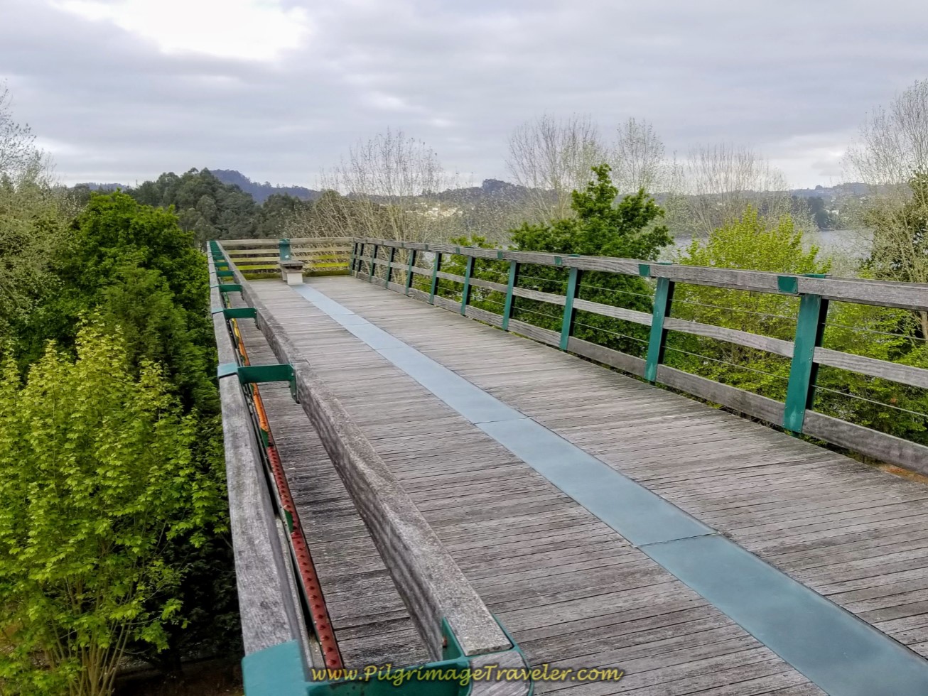
Before you turn right, from your lofty perch above the river, if you look to your right, you can see this lookout over the river. This is the Mirador de Miño, shown below. Take a moment to peer out over the lookout and take in the wonderful view over the Betanzos River.
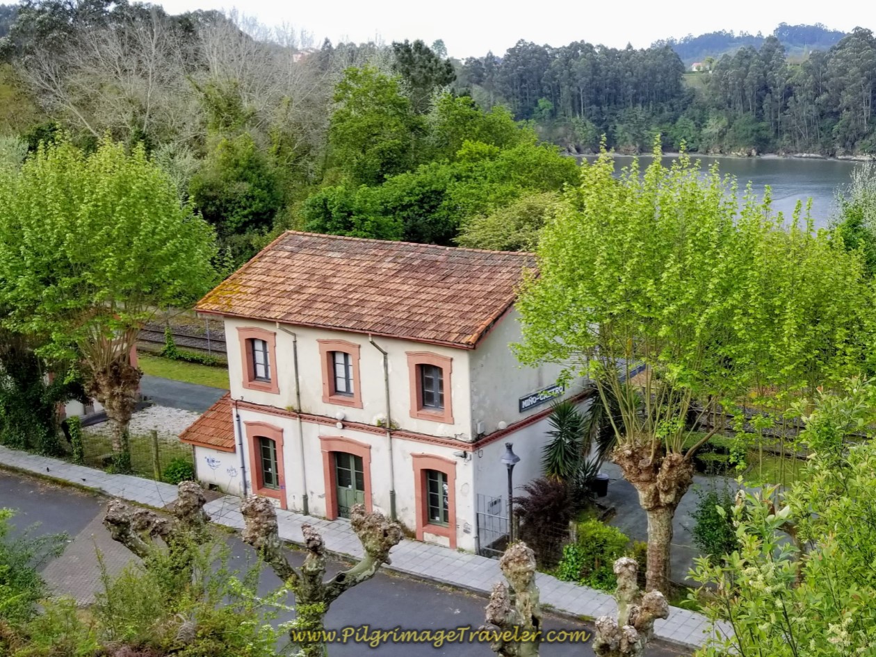
Just below the mirador you can see the Miño/Castro train station and the river behind it.
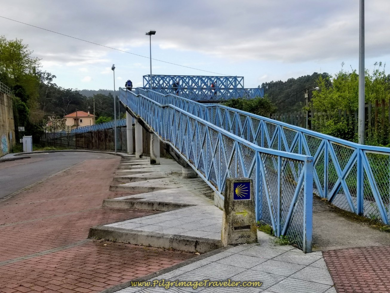
As you descend toward the river, you can see this blue pedestrian bridge several hundred meters ahead. The Camino takes this bridge which walks you across the train tracks.
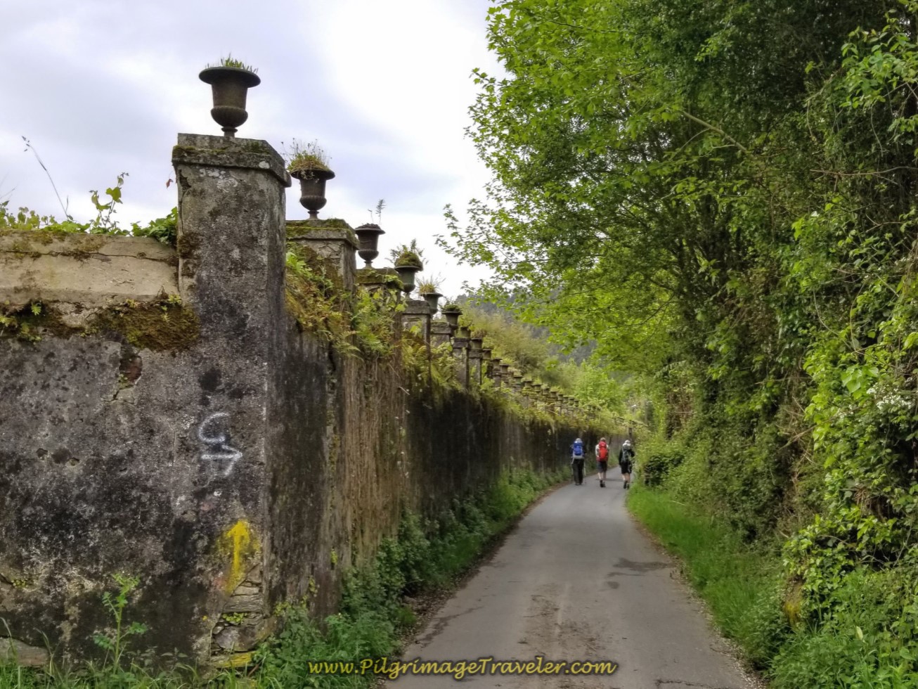
After 300 meters on the descent to the river and to the other side of the pedestrian bridge, you pick up the Rúa Alameda, a nicely shaded and rural road. Within a short distance, you walk by the walls of this estate, shown below.
Farther along the street, the forest opens and you can see the Lambre River. You pass by a natural area, shown below, with a boardwalk that leads you to the Alameda Beach.
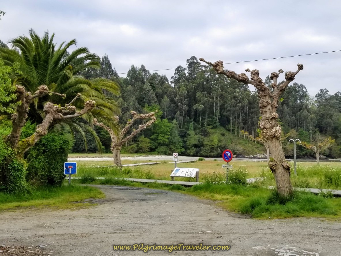 Pass the Boardwalk to the Praia da Alameda
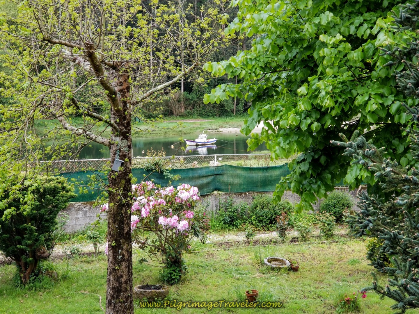
It is a pity that we did not spend much time here, as it was so lovely along the River in the spring. Next, we walked into the hamlet called A Ponte do Porco, where this view of a boat on the river caught my eye.
A short distance later, you will pass a park with the town cross and a colorful playground, just before the overpass of the N-651, not pictured.
After about one-half kilometer, along the Rúa Alameda, in the town of A Ponte do Porco, and after crossing under the N-651, you will turn right onto another country road, the DP-4804, shown below.
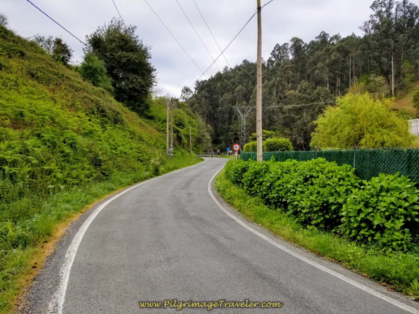 Turn Right Onto the Rural DP-4804
After about 300 meters more, next walk under the overpass of the AP-9, right along the river, shown below.
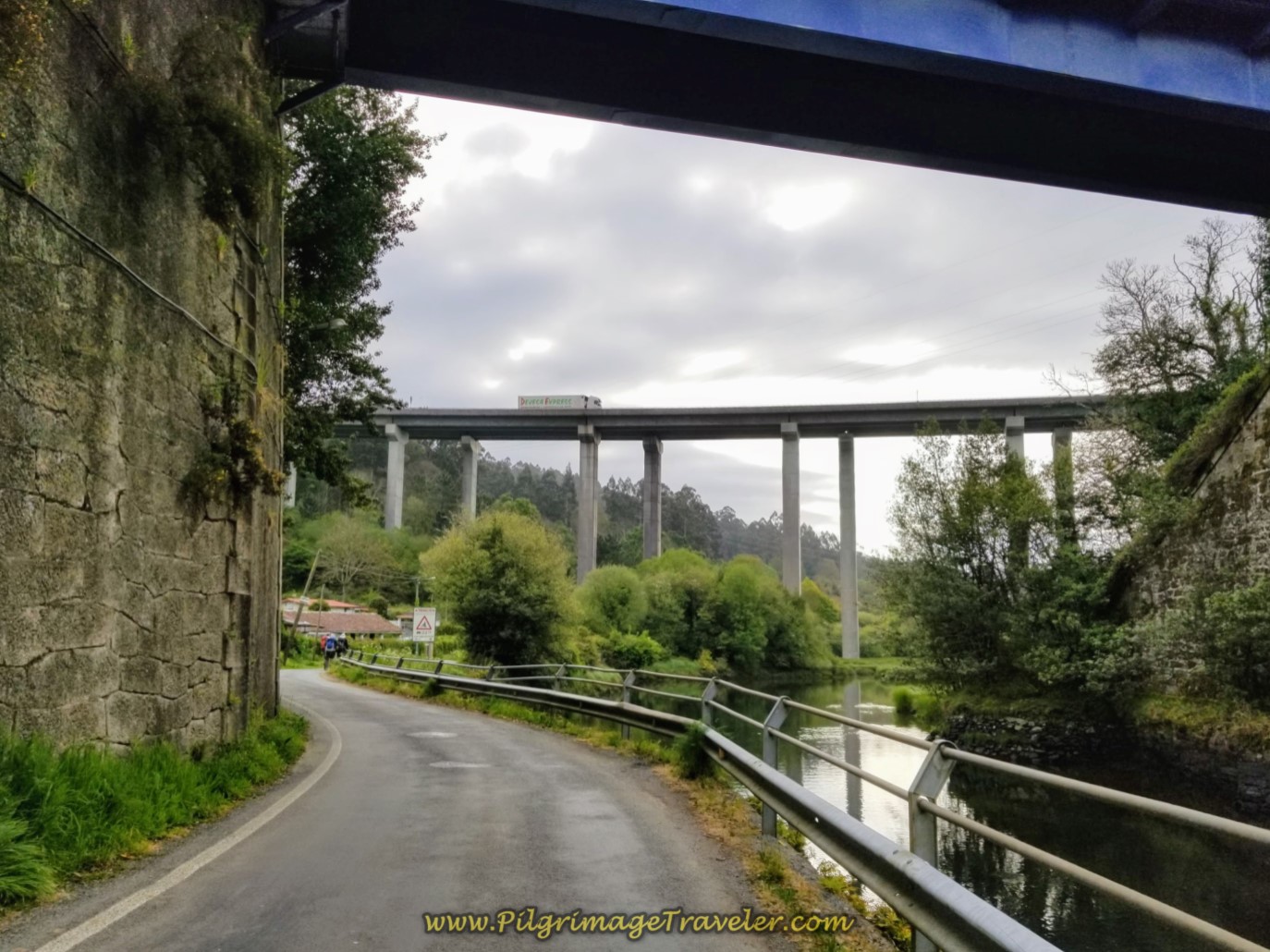 Cross Under the E-1 along the DP-4804 by the Lambre River
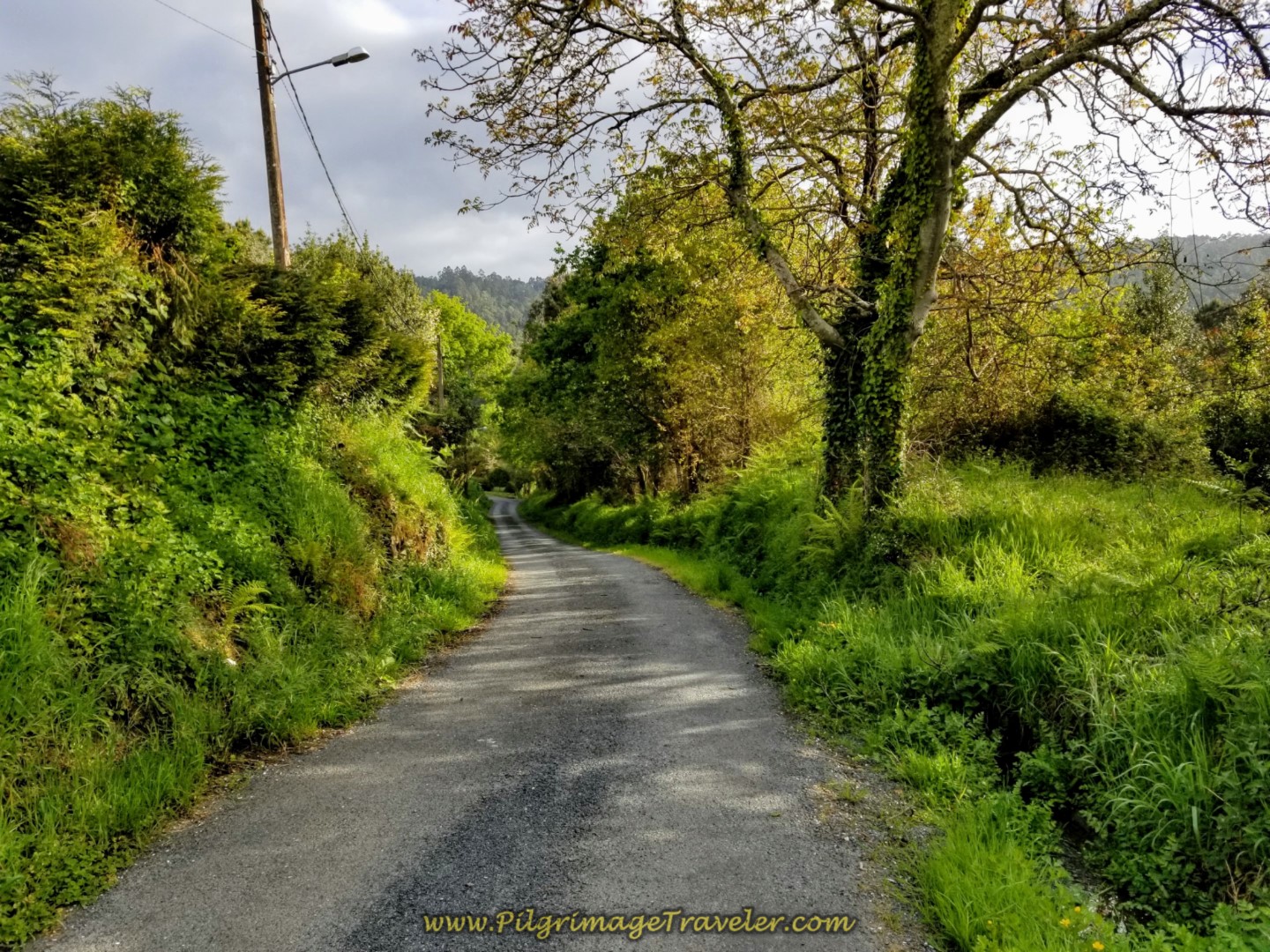
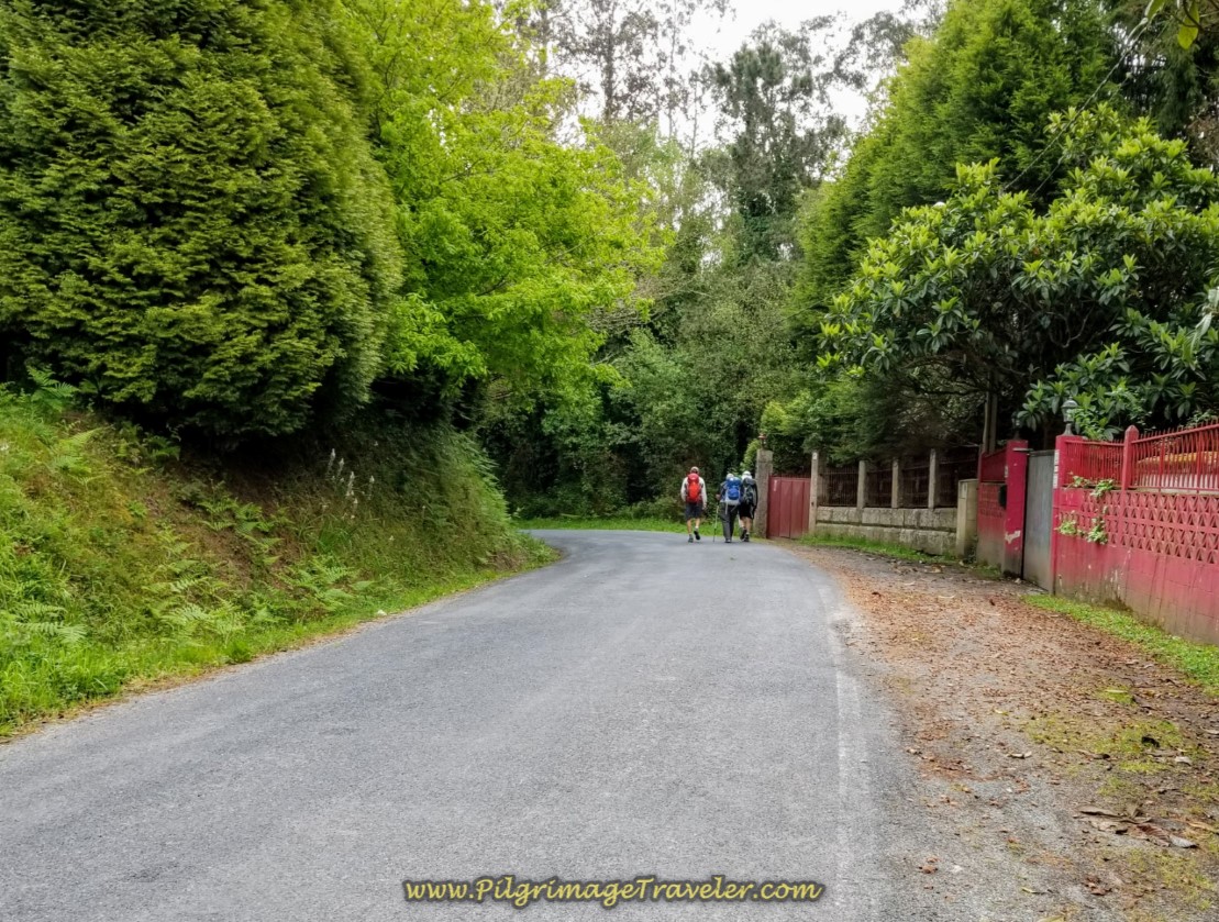 Continue Along the DP-4804
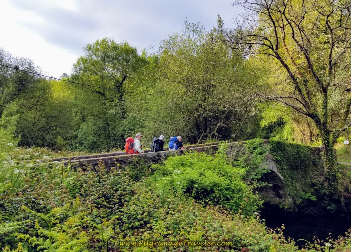
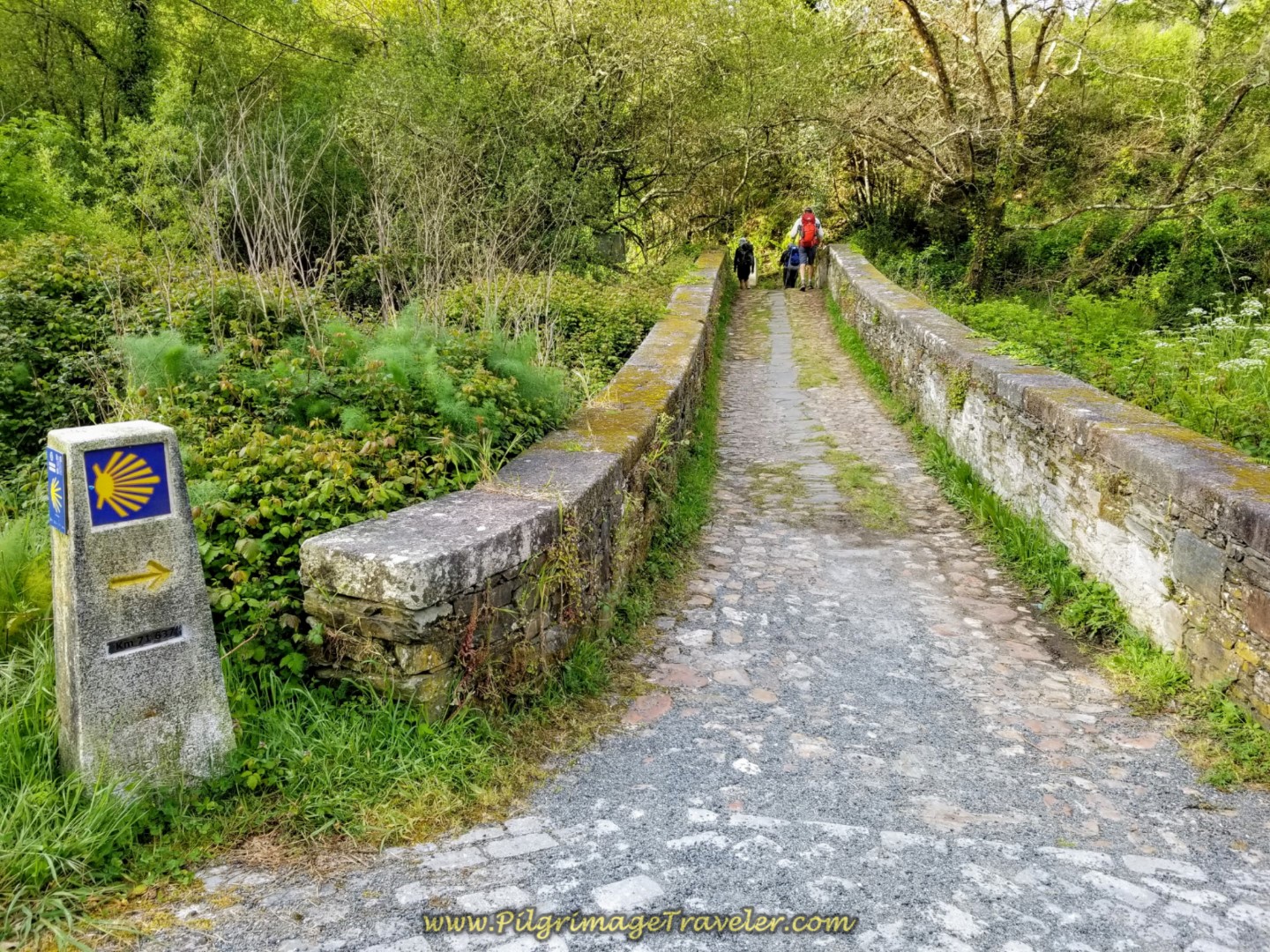
It is a full 1.4 kilometers along the DP-4804 and the walk is relatively flat. After this distance, you are directed to turn right, off the road and onto this medieval bridge, below.
From the moment you cross the bridge, it is uphill from there, beginning the first steep climb of the day toward the next town of Lambre.
You have reached the top of the first steep climb in about 3/4 kilometer from the bridge, when you reach this house shown below. Here, the total for the day is about 4.8 kilometers.
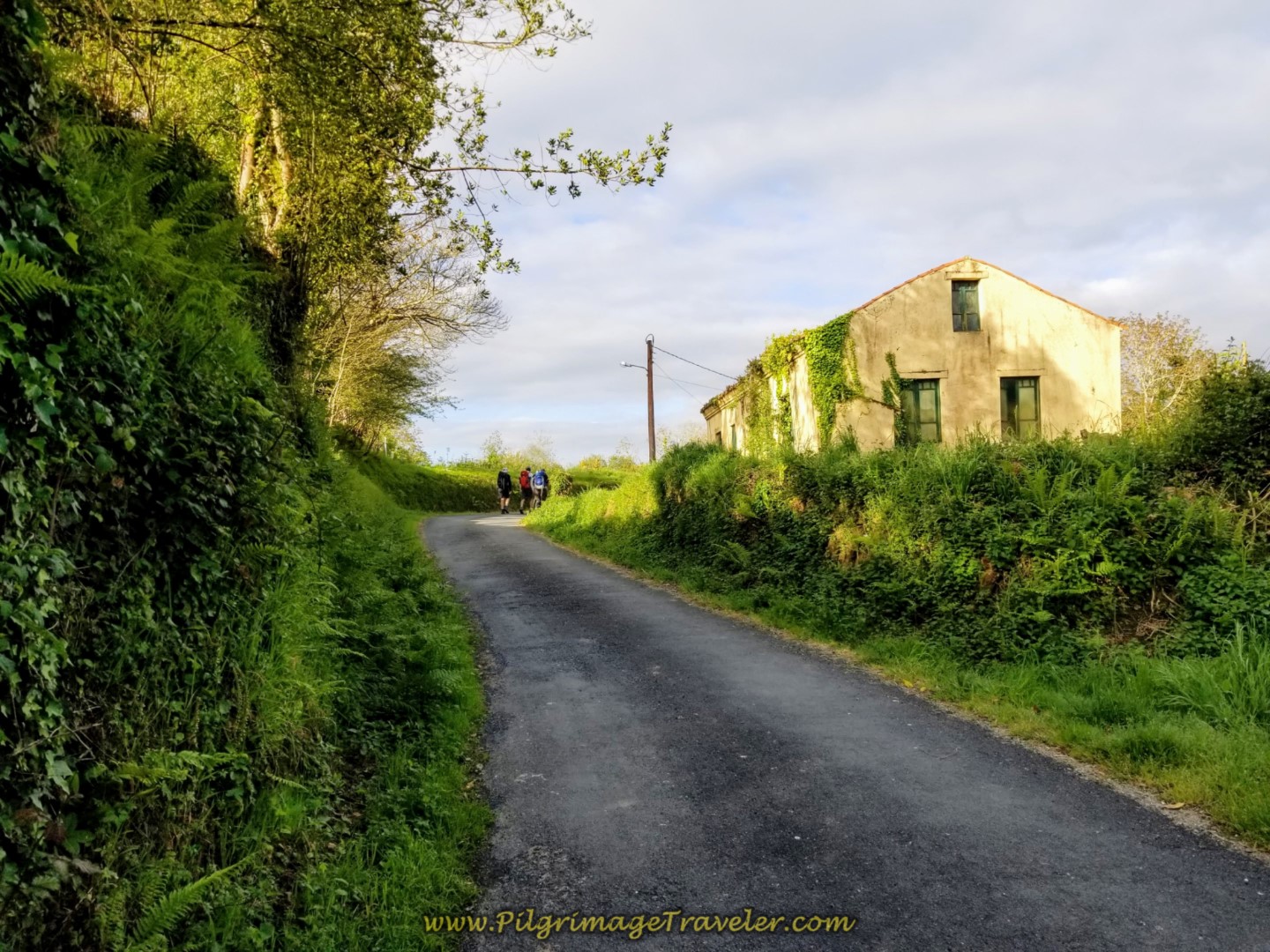 Top of First Steep Climb on the Aldea Trasmil
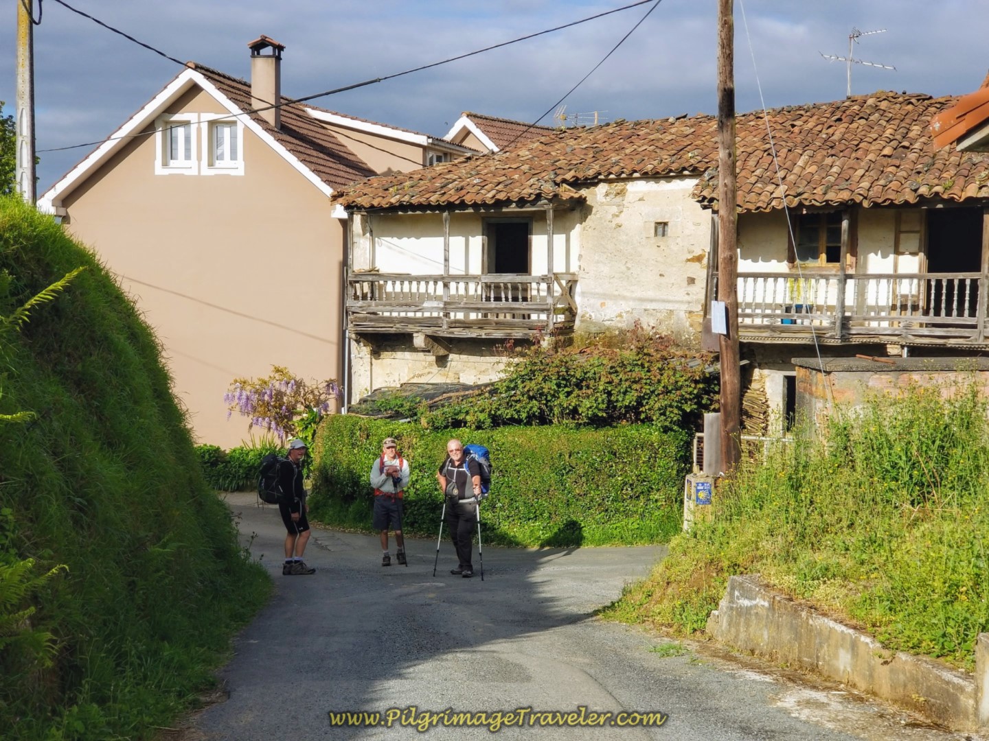
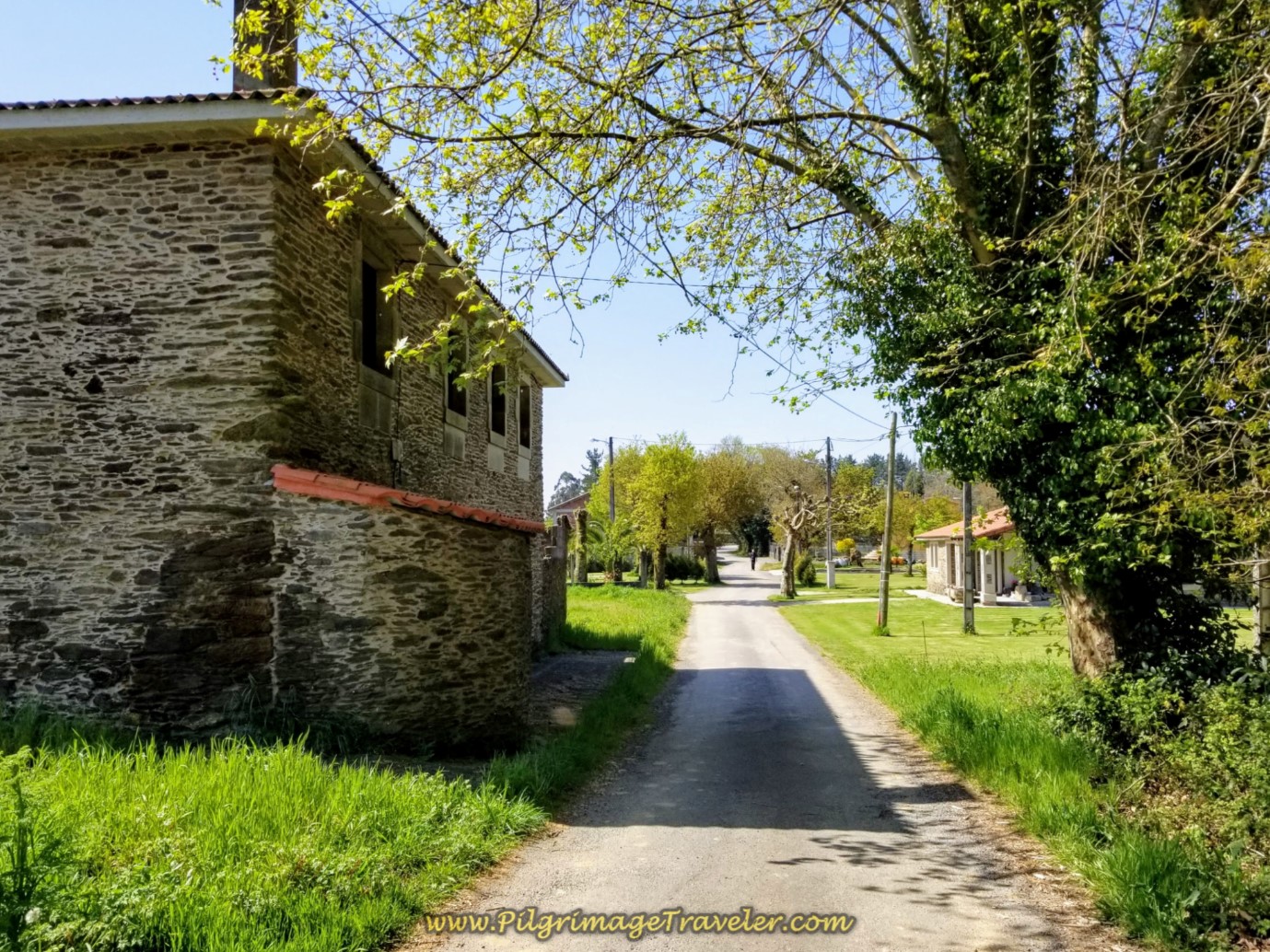
In 100 meters onward, as the Camino now descends, we walked by this interesting old home. I had the guys pose here, in the hamlet of Trasmil. (The house now has a new roof!)
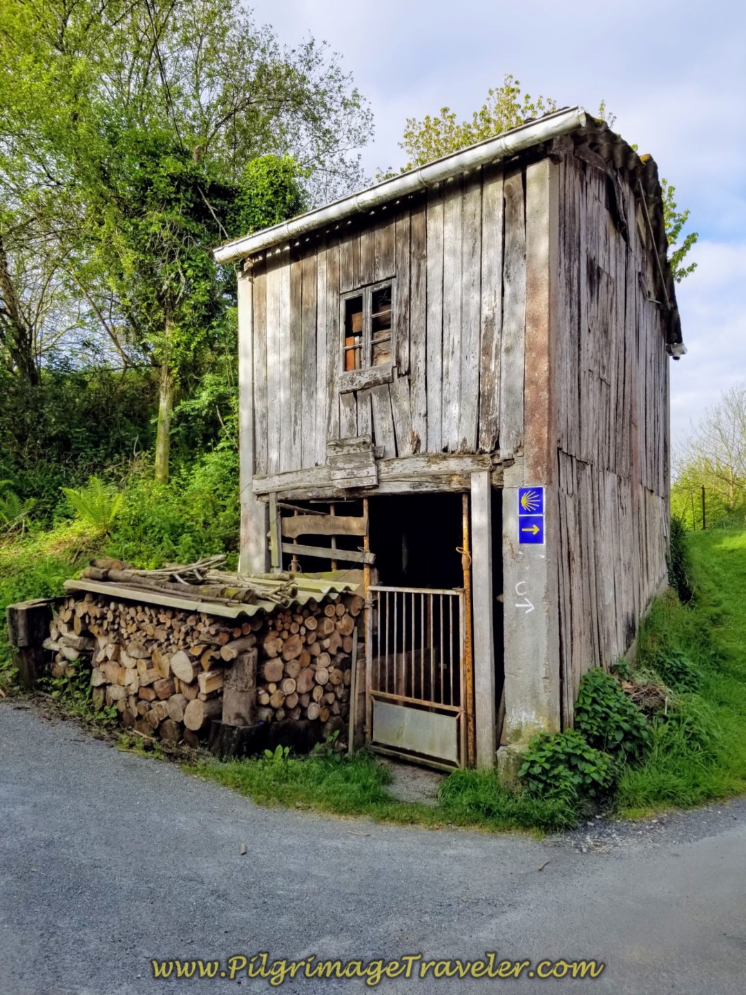
Just beyond the old house above, you come to this very interesting and eye-catching old wood shed, where you turn right on another paved country road.
In less than 1/2 kilometer you descend farther and join the N-651, shown here.
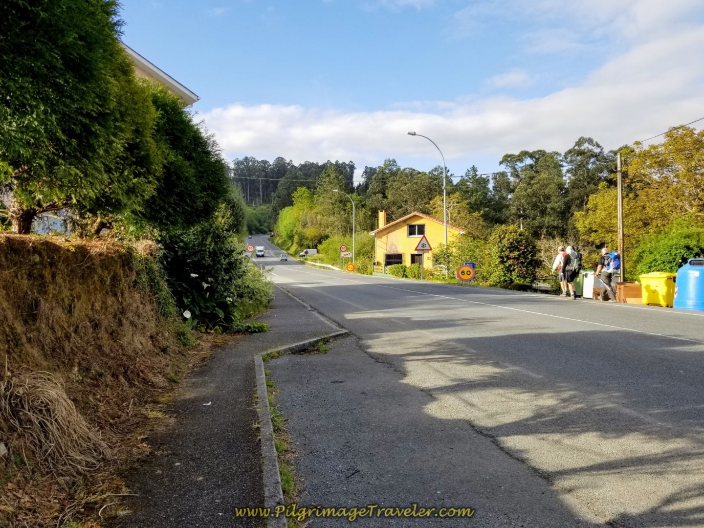 The Camino Joins the N-651
However, it is only a brief jaunt of 100 meters along the N-651, passing by the Café Bar Navedo and a bakery (panadería), before taking a turn to the left. And thus begins the second long and steep climb of day four on the Camino Inglés.
Shortly after the turn, there is a stamp station from the local parish, on the left side of the road, if you need one. A few meters later, turn left onto this side road, shown below.
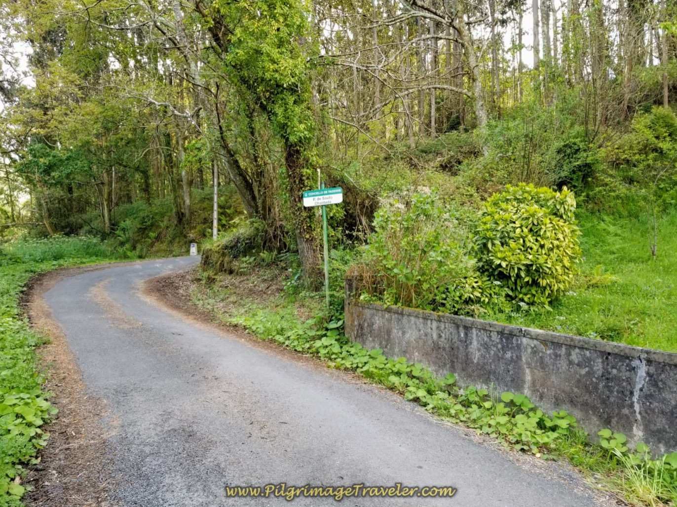 Left Turn Onto Lane ~ Begin Second steep Climb
The Way climbs steeply for about 2/3 kilometer, until this short reprieve at the halfway point on day four of the Camino Inglés.
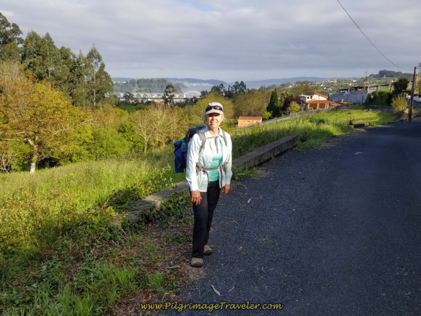 Elle at Halfway Point
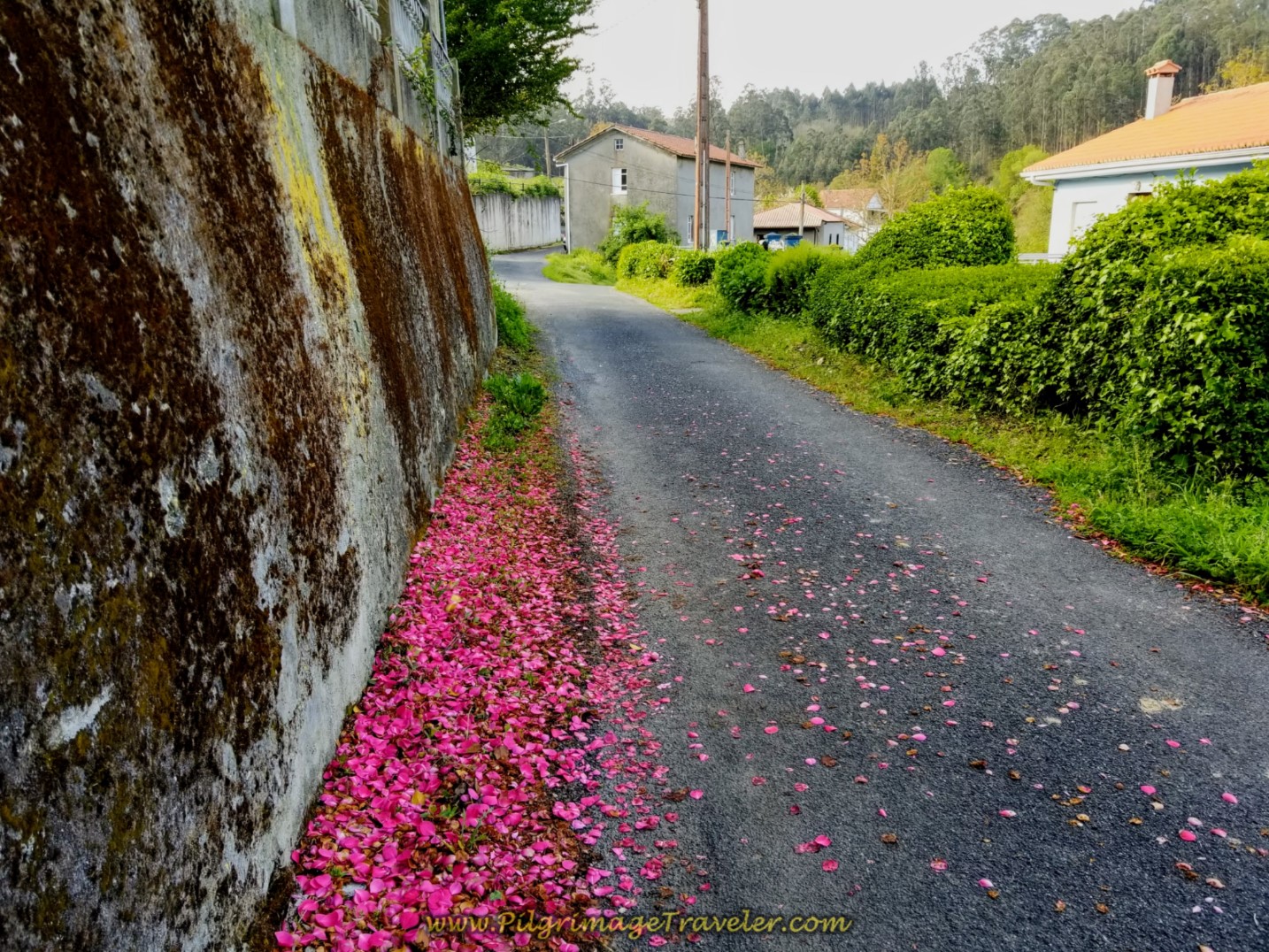
We ambled along in this lovely flat area, by the flower petals, turning right just beyond the building in the middle of the photo.
For about 300 meters more, it was relatively flat until the 69 kilometer marker, shown below, where the second half of the steep climb begins.
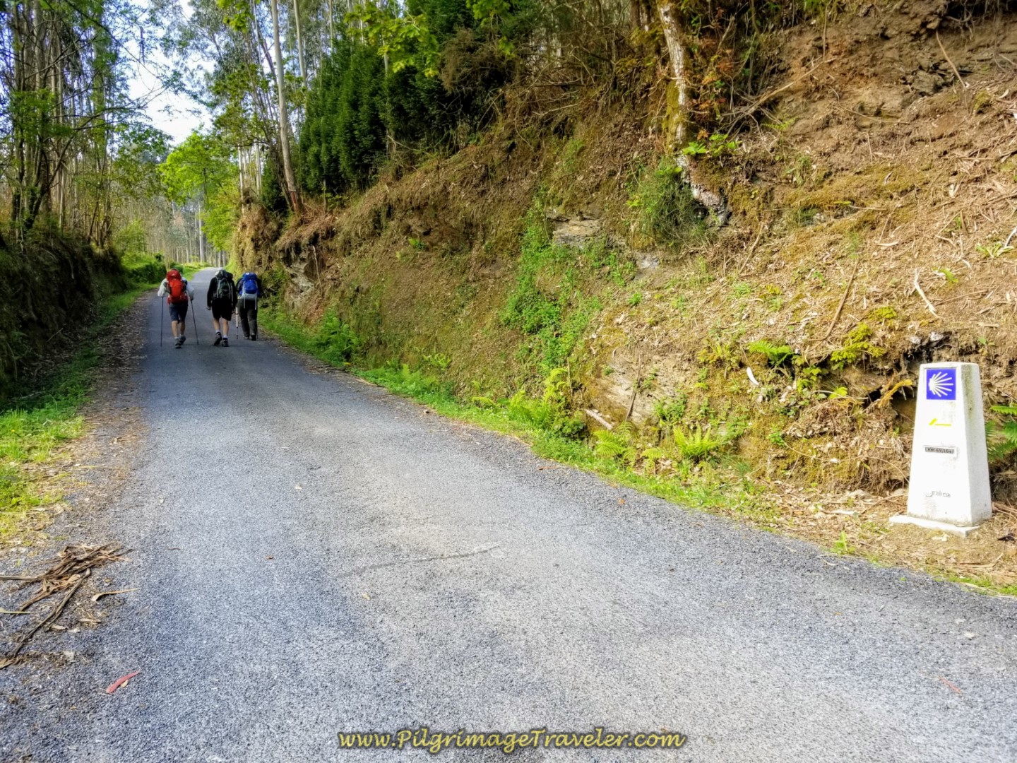 Second Half of Steep Climb Begins at 69 Kilometer Marker
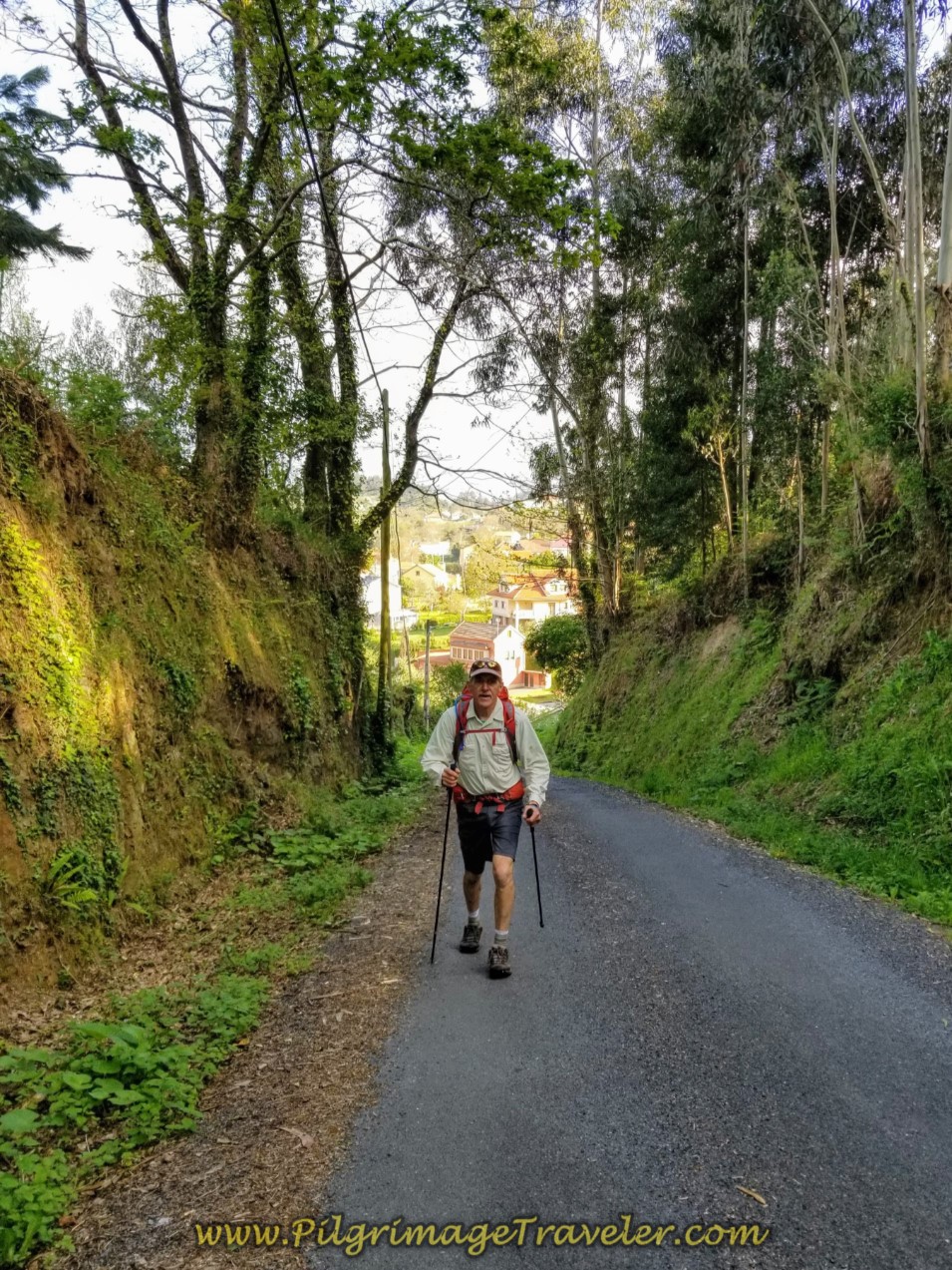
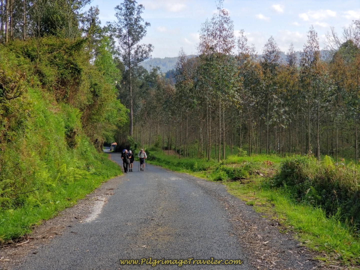
I ran ahead to photograph the guys from above. You can see how hard they are working with their heads down!
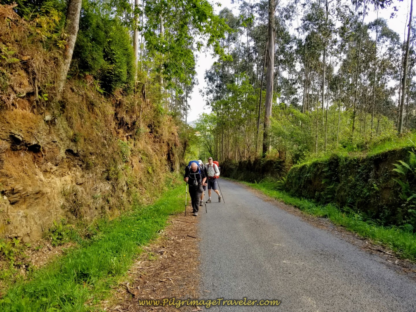 The Guys Climbing With Heads Down
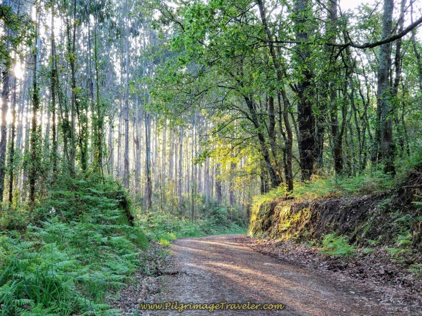
This part of the climb takes you through a lovely eucalyptus forest.
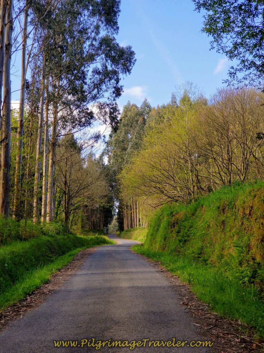 The Steep Climb Still Ahead
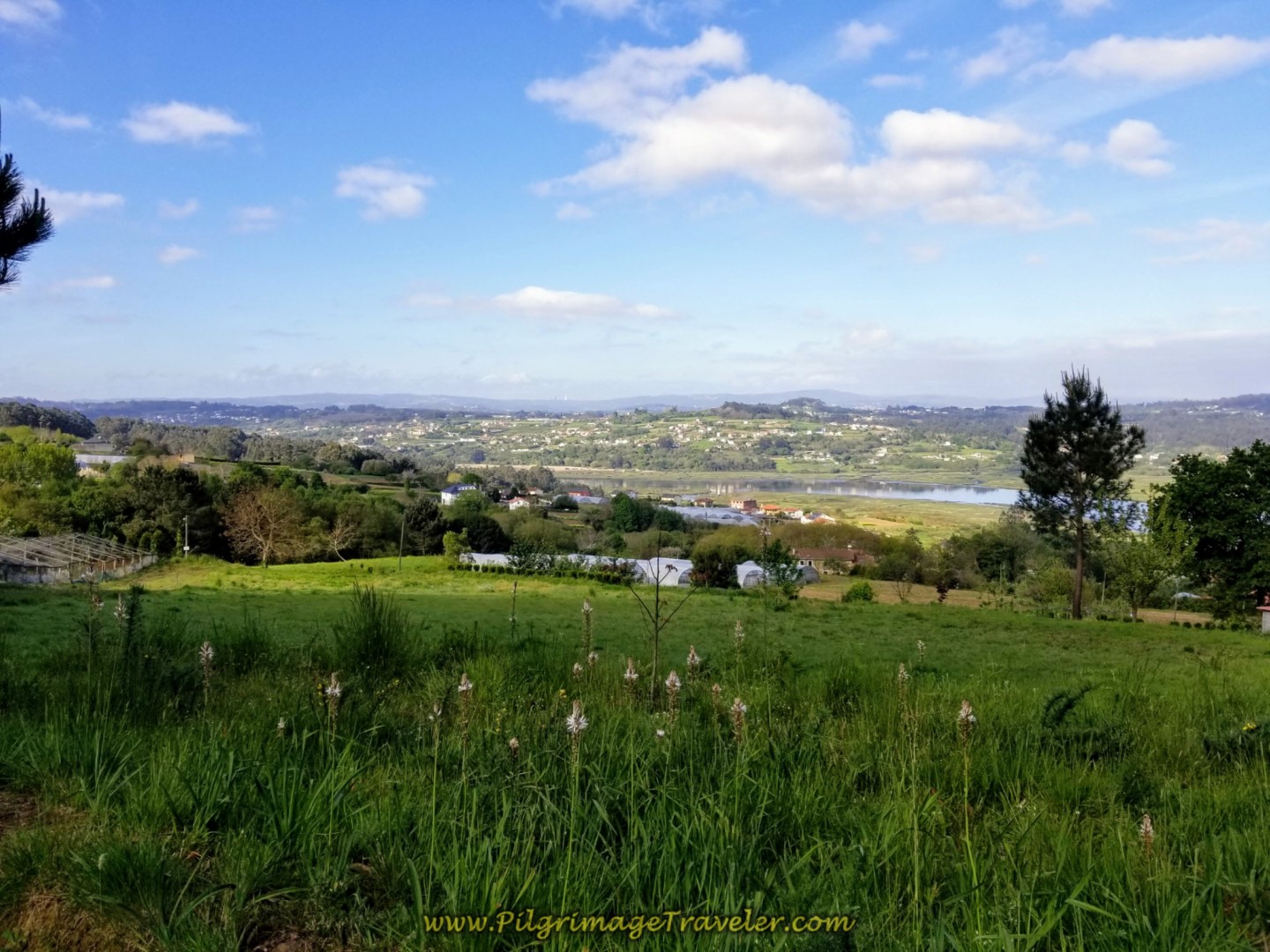
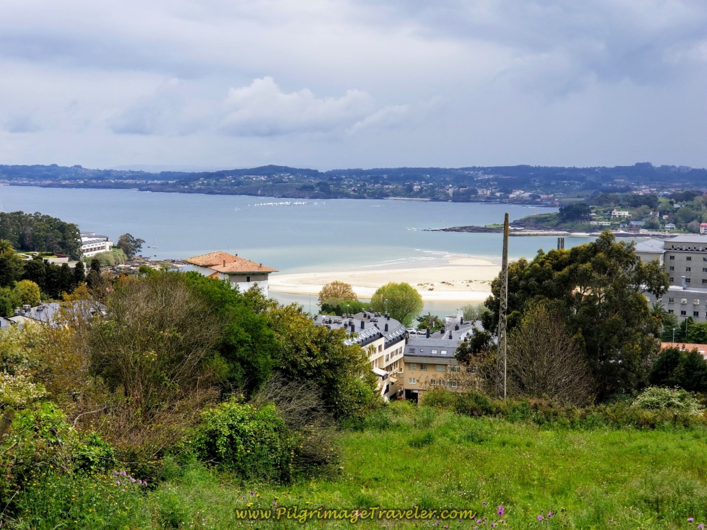
And finally after 700 meters more, your climb is rewarded by this sweeping view at the top! From our high shelf, we could see the views of the river below and miles and miles of countryside. It is a total of almost 2.0 full kilometers of climbing from the N-651. We paused to enjoy the view over the Ría de Betanzos, slow our breath and feel worthy of the climb. We had all done well!
At the top, after a total of 7.1 kilometers from Miño, there is a new, casual rest area called the Posada Camino Inglés, where you can get snacks, fruit and cold beverages. What a lovely reprieve from the sun after a long climb!
After this open top, it is all downhill from here to Betanzos!
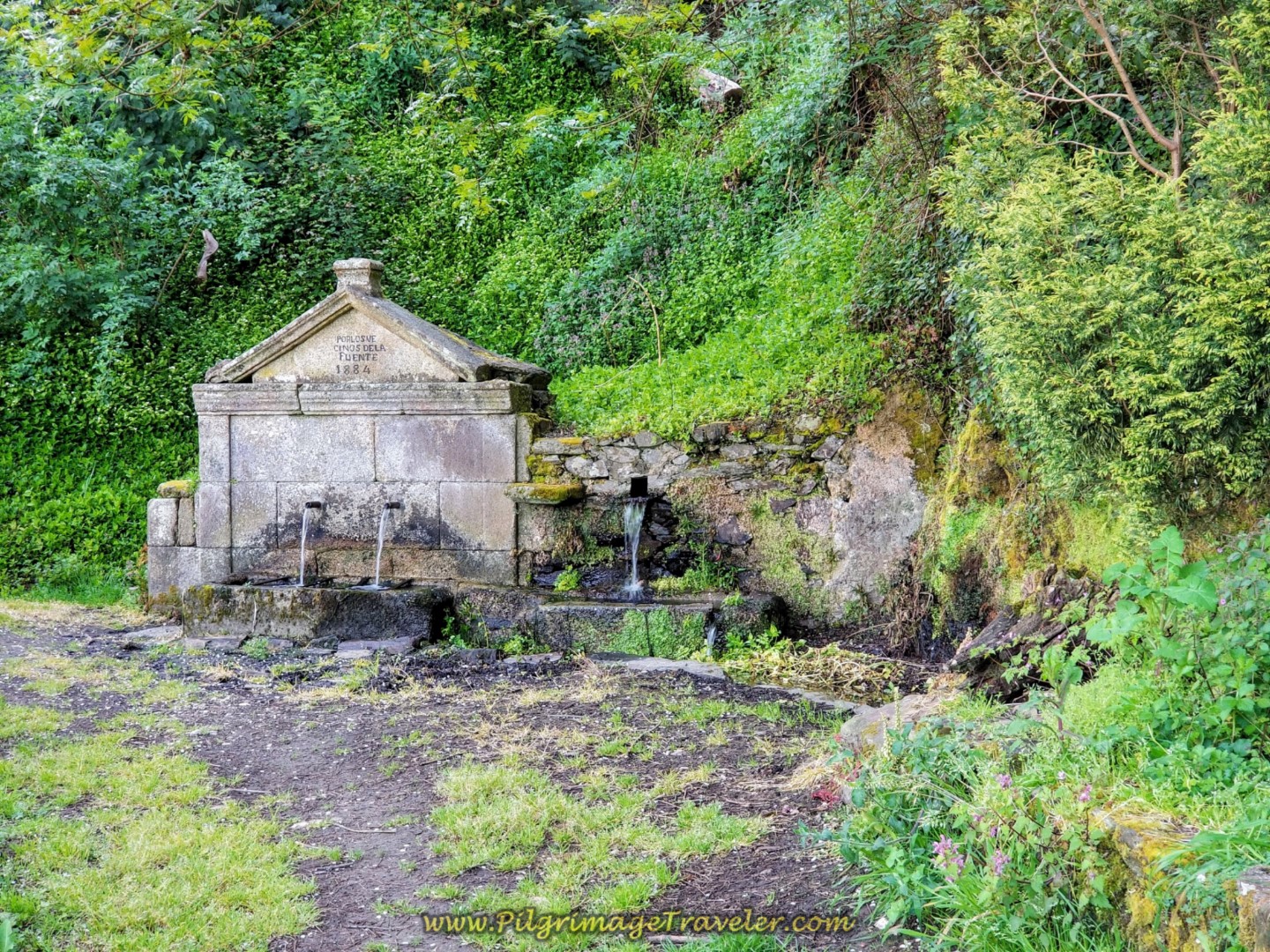
At the top, you are now arriving into the municipality of Souto Gas, as a sign along the way soon announces. 700 meters onward from the top, is the historic fountain, the Fonte de Gas with an 1884 date written on it. You can fill up your water system here. It is also a cool and shady place to rest if needed!
The next hamlet that you walk through is San Paio. Here is Rich and Rob walking by an old washing well, with a stairway across the street to the spring below. We had covered another full kilometer from the fountain above at this point.
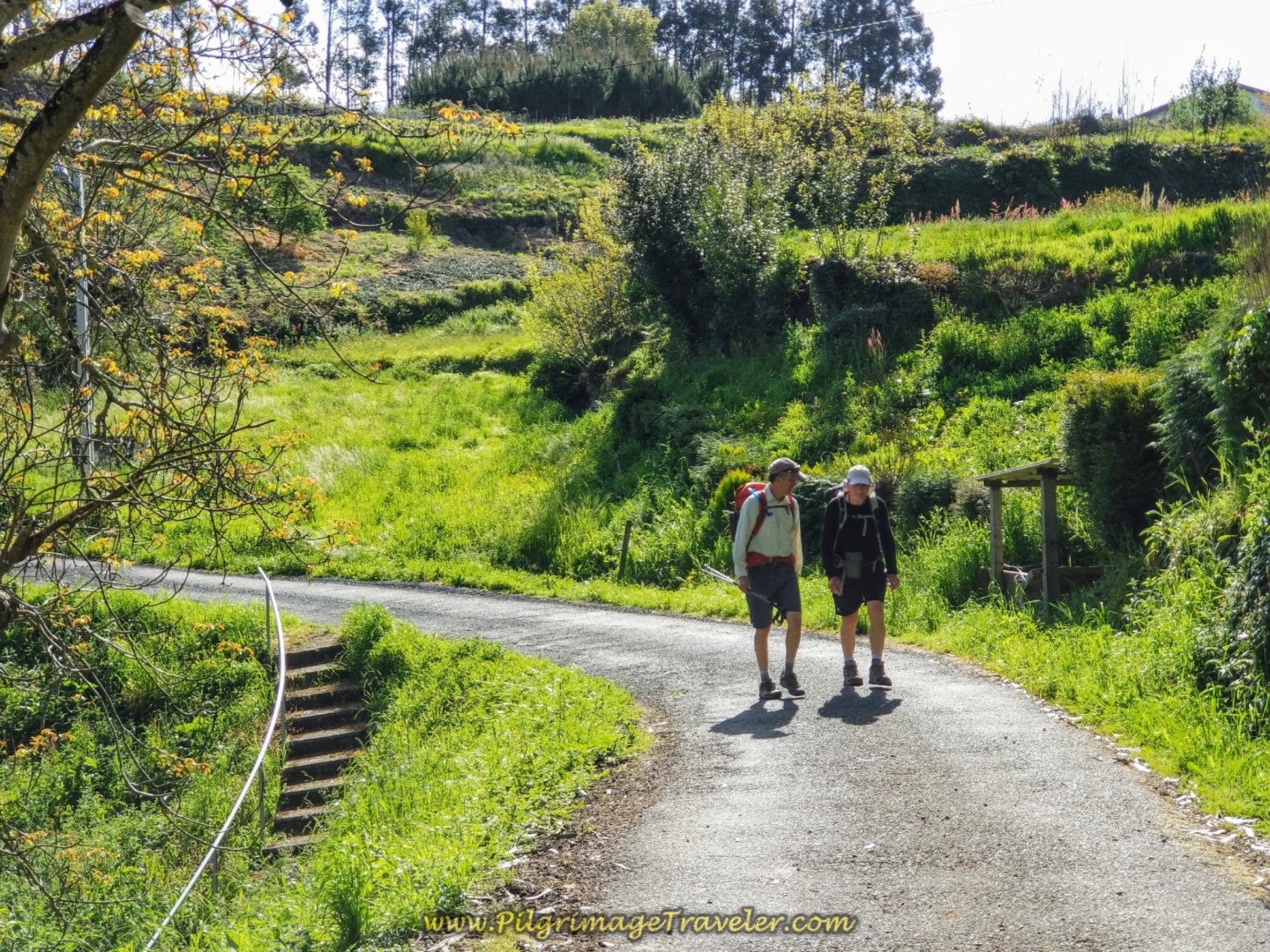 Rich and Rob on the Country Road by Spring
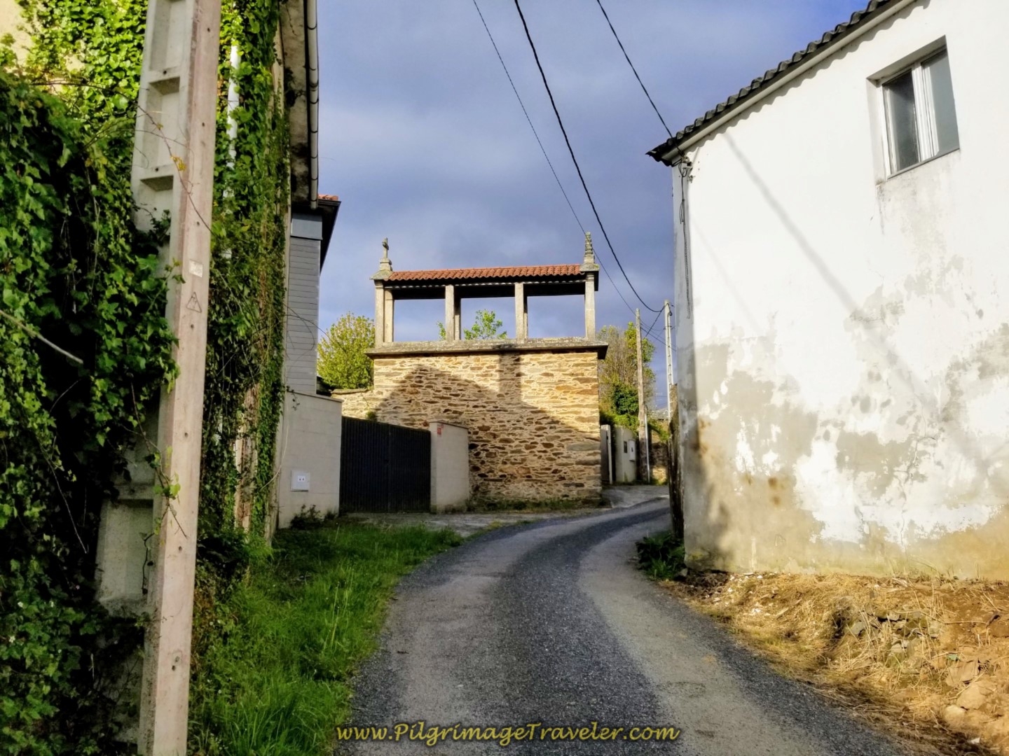
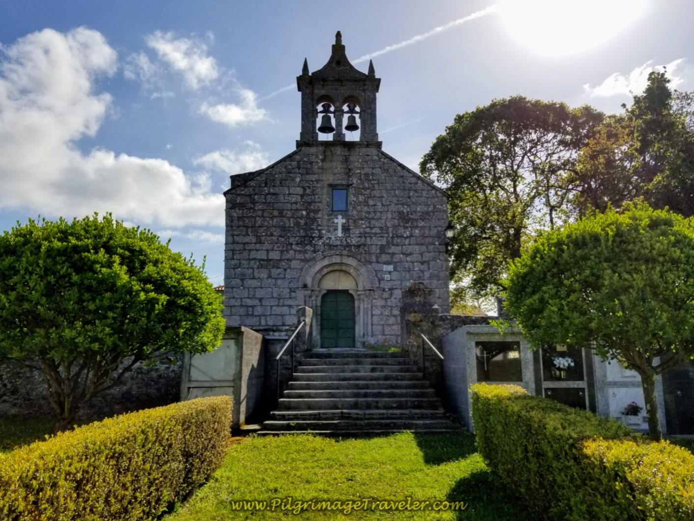
The next attractive feature you come to, in about another 1/3 kilometer is the Igrexa de San Martiño de Tiobre, shown below. This very charming 12th century church was not open both times I walked by, but just wandering through its walled grounds is satisfying. It is a very peaceful place, high on the hill above Betanzos.
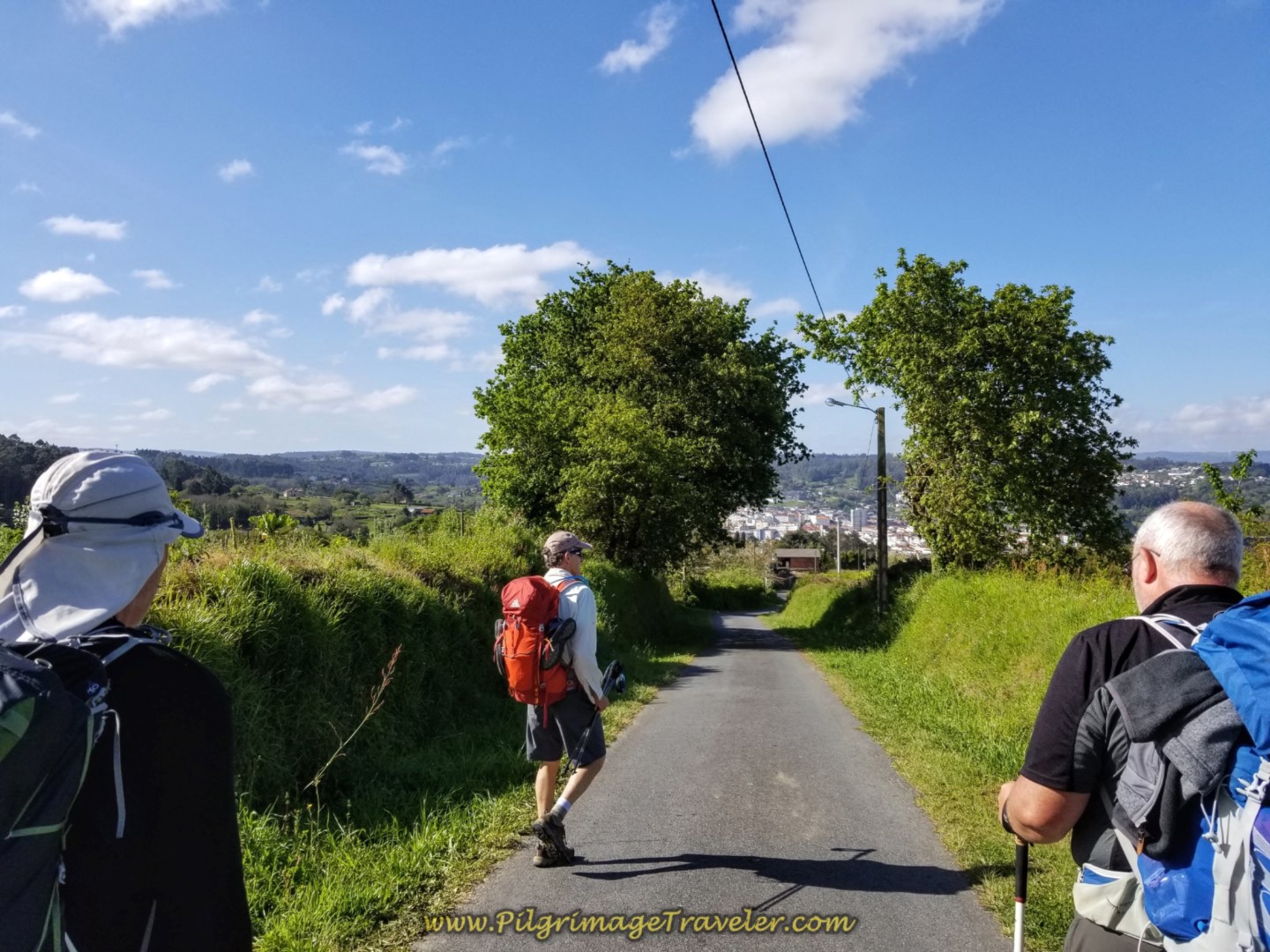
After the church you pick up a street called Betanzos Vello, which means "old" Betanzos in Galician. I think this is a lovely name for a road, and you can see we are sailing toward Betanzos on the old road!
It is a 300 meter walk on the old Betanzos road, then a left and a quick right to begin walking a steep downhill along the Caraña de Arriba, shown below.
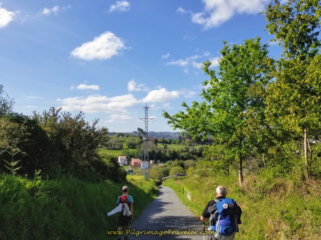 Rich and Steve Jaunting Down the Caraña de Arriba
It is not quite a full kilometer until you come to the church and the impressive high walls of its cemetery at the Santuario de Nosa Señora do Camiño.
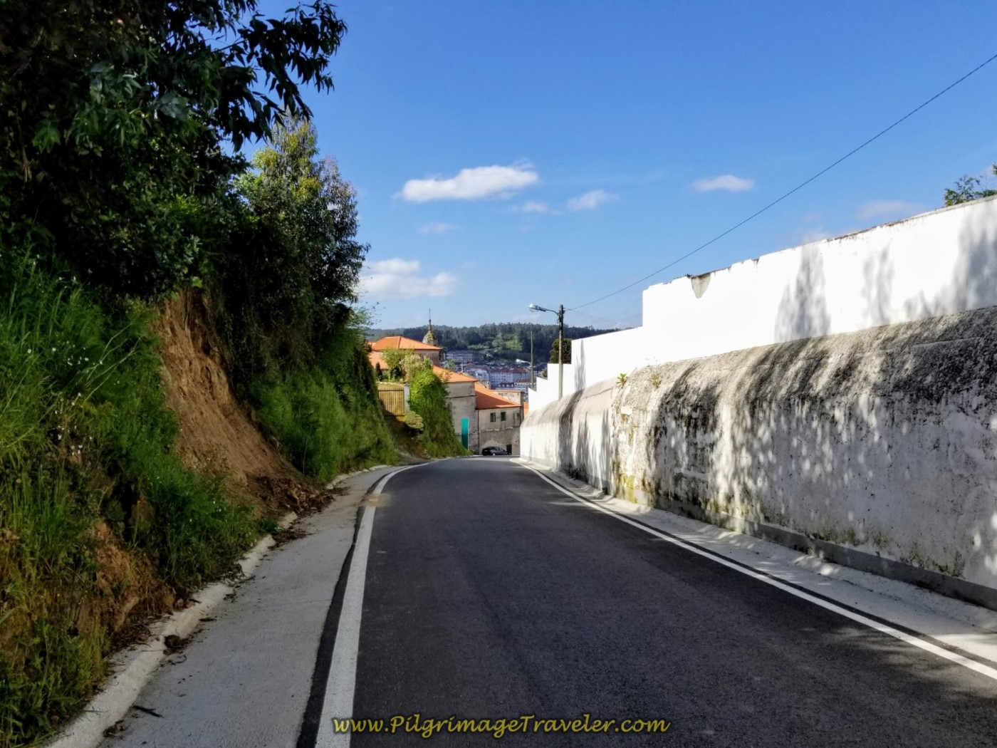 Pass the Cemetery of the Santuario de Nosa Señora do Camiño in Betanzos
Next is the church itself, farther down the steep hill, shown below. Here the street name takes on the name of the sanctuary and continues down the hill very steeply toward the river!
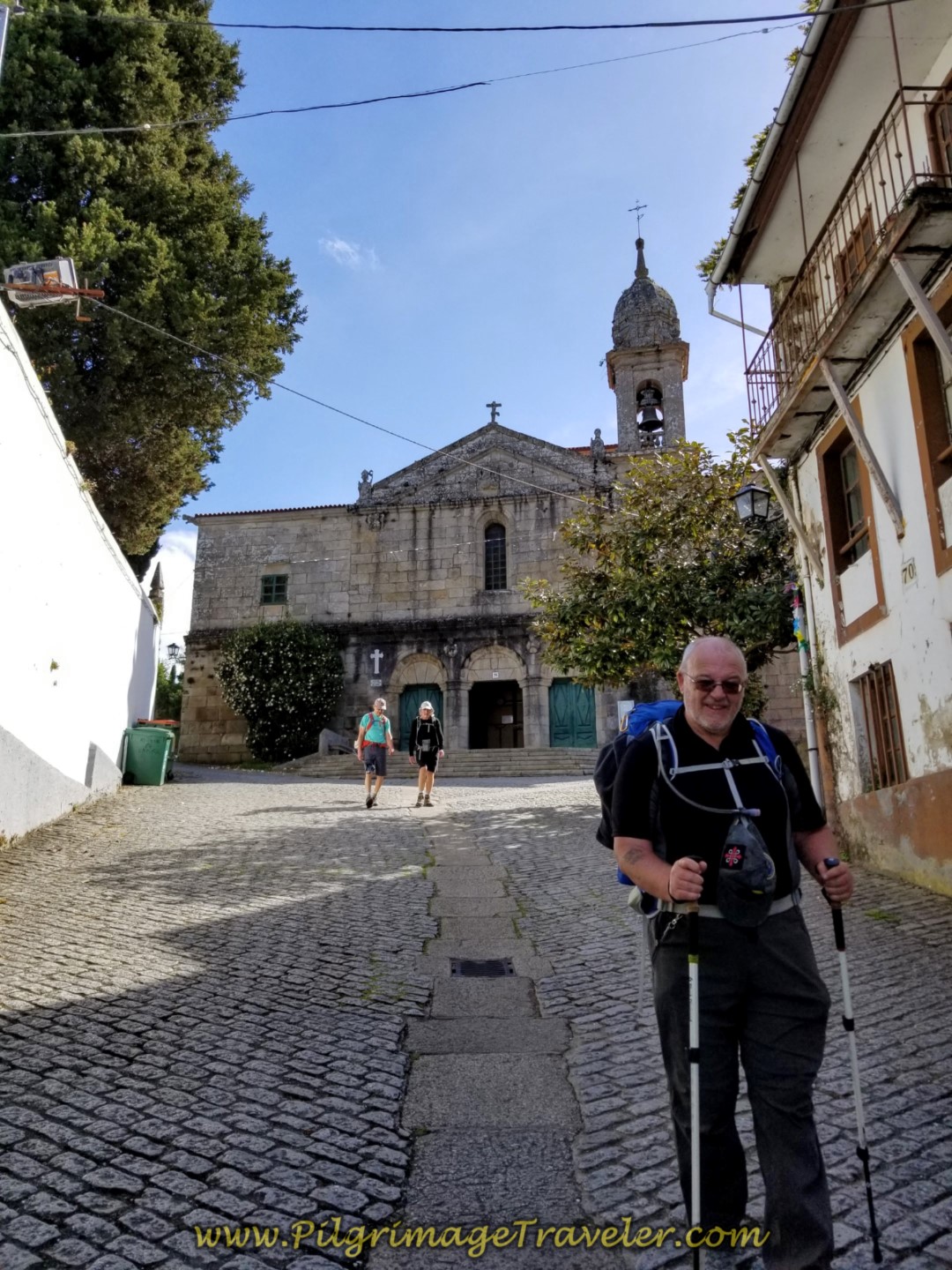 Steve Passes the Church at the Santuario de Nosa Señora do Camiño
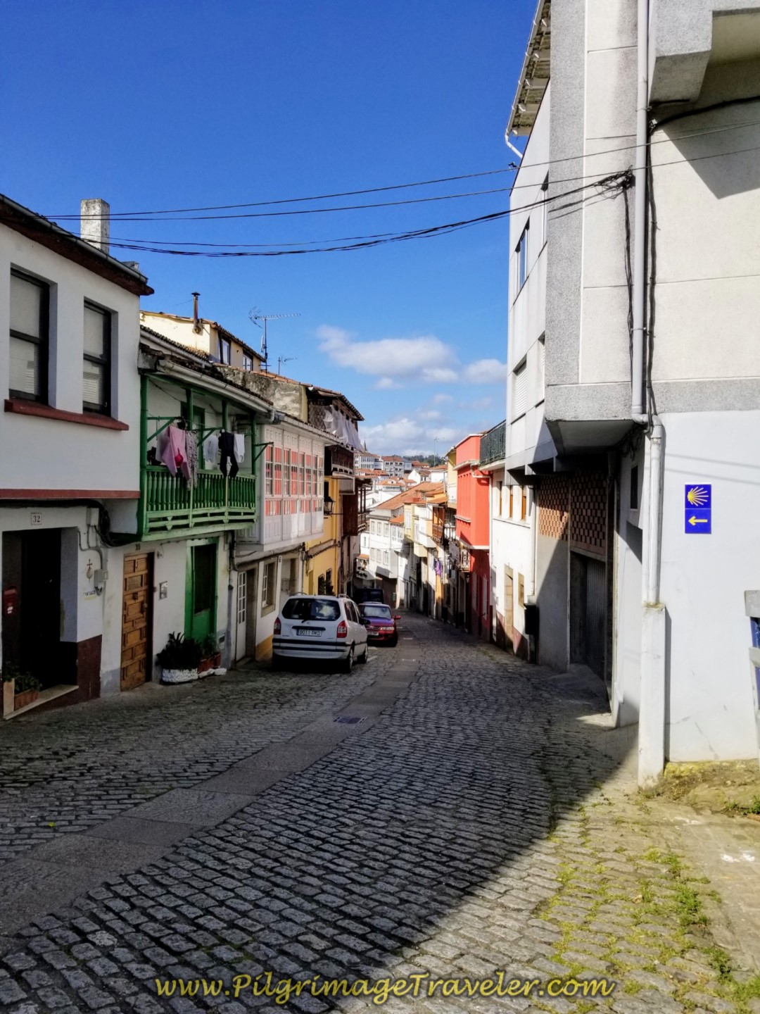 Rúa Santuario de Nosa Señora do Camiño, Day Four, Camino Inglés
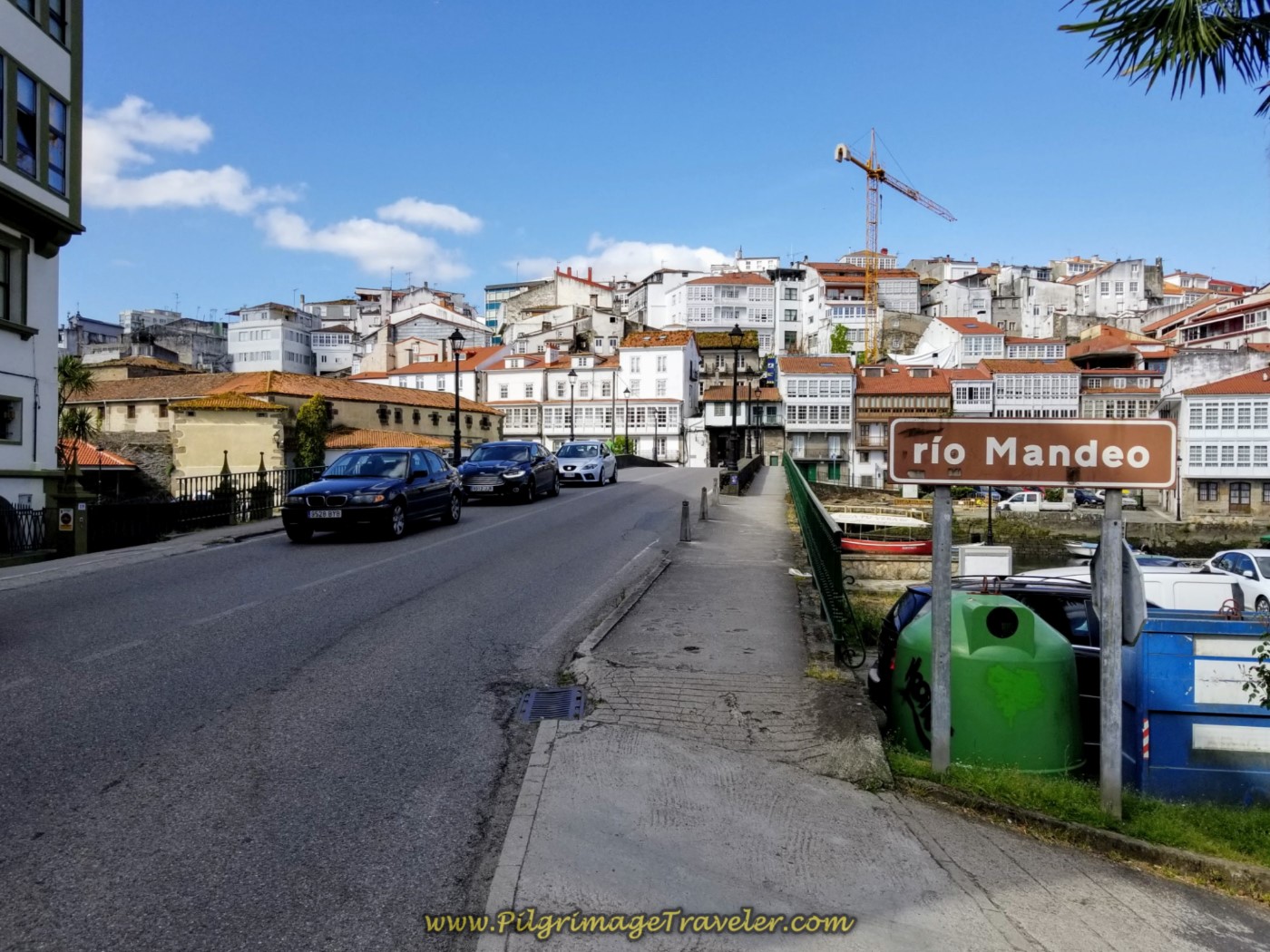
In 250 meters, the Rúa Santuario de Nosa Señora do Camiño meets the N-651 and the Camino turns to the left. After walking 200 meters more on the N-651 you cross the Río Mandeo to walk into the center of the old medieval town of Betanzos.
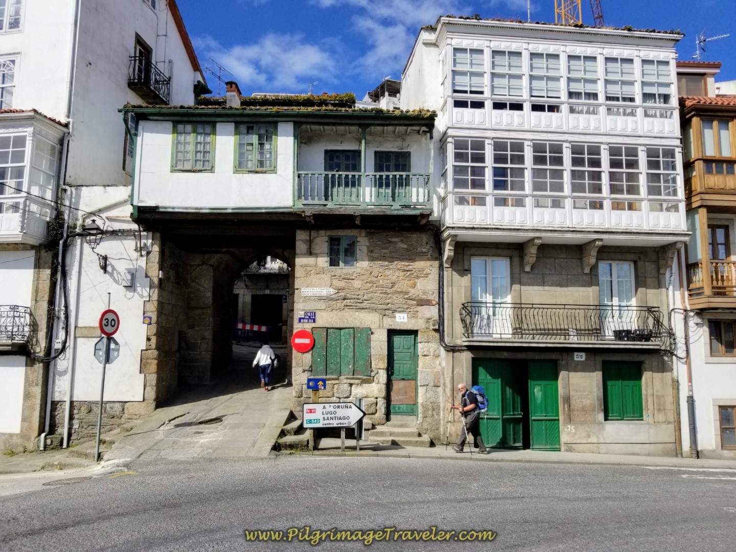
After crossing the river, cross the highway and enter into the old medieval town, through its historic gate, shown below.
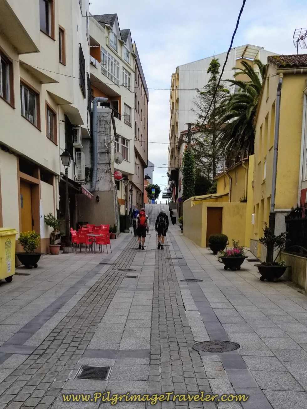
And of course, after the river the Way is uphill, through the gate, first to the left, then to the right and up the hill onto the Rúa Prateiros, shown below left. This is a steep climb of about 150 meters toward the center of town.
The guys were giving me the evil eye as I asked them to keep on climbing until the main plaza, farther on. We were all tired and wanted a break, but I felt it was worth it to continue on for the amenities in the square.
When you see a beautiful shrubbery-lined street, below right, the Camino turns left and onto the Porta do Vila, that takes you back down the hill and to the Central Plaza.
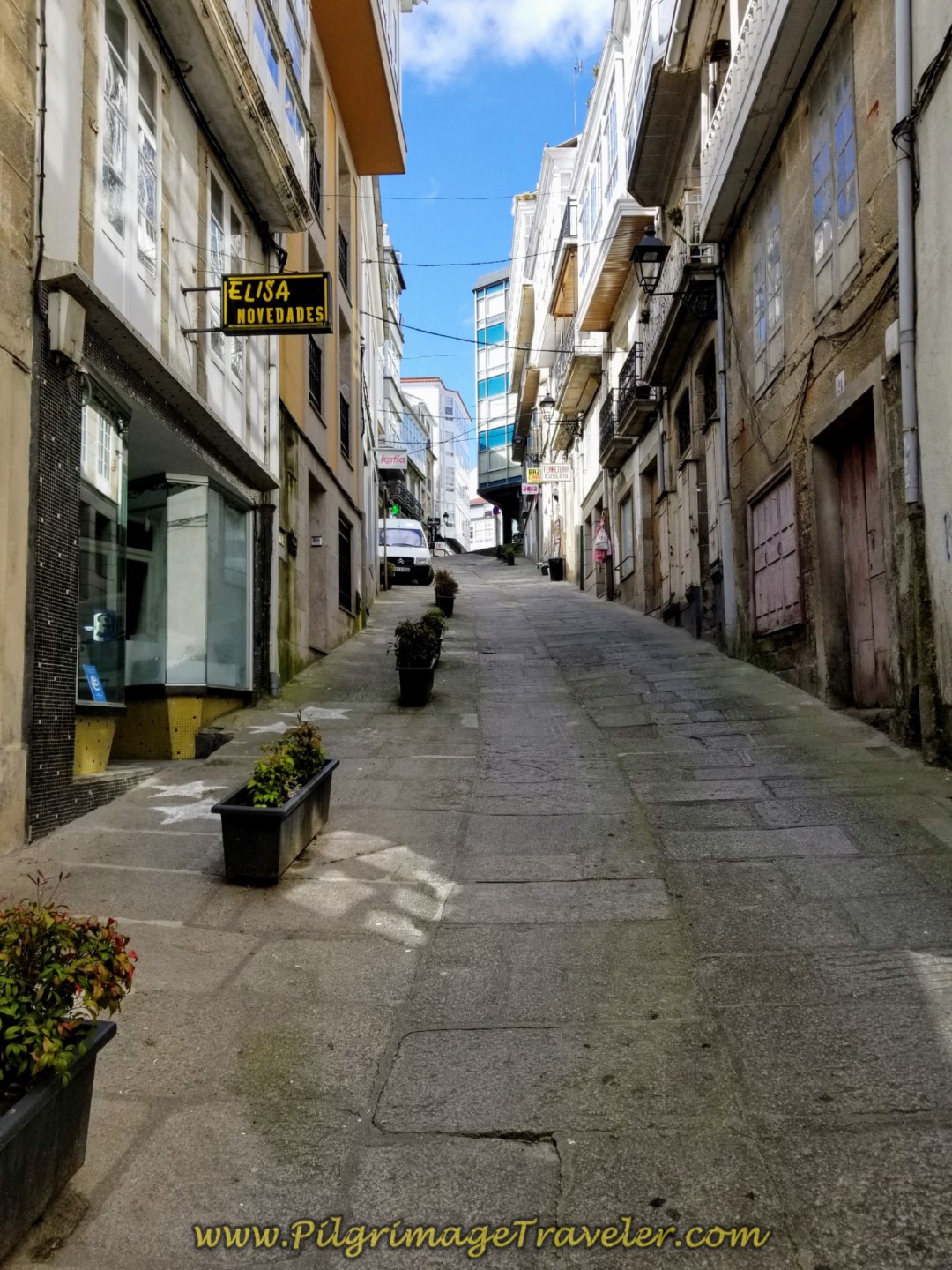 Walk Uphill on the Rúa Prateiros
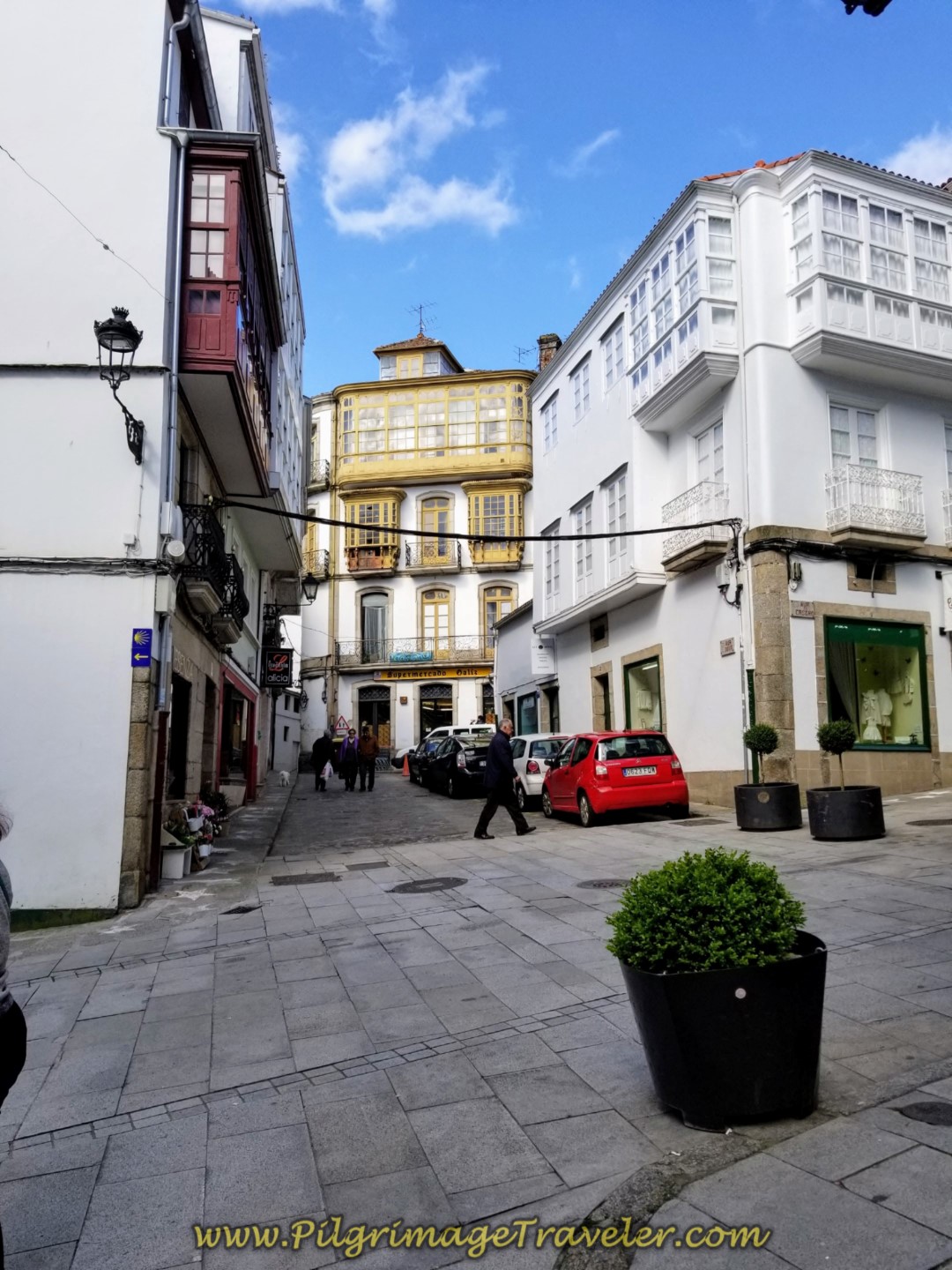 Left Turn at Shrubbery-Lined Street
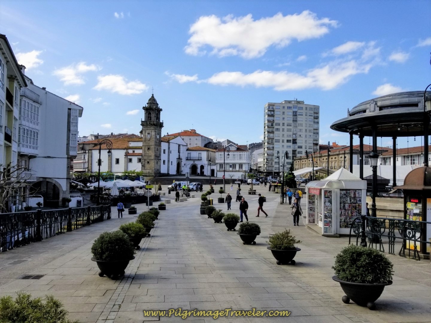
It is a mere 100 meters to the café-lined central square, with the church and convent of Santo Domingo dominating the view. You should be able to find just about anything you need close to this square. It is a wonderful place to sit and relax for awhile! Which is exactly what we did to end this stage of our day.
If you are headed to the 35-bed municipal albergue, instead of a left turn towards the central square, turn right and up the hill instead.
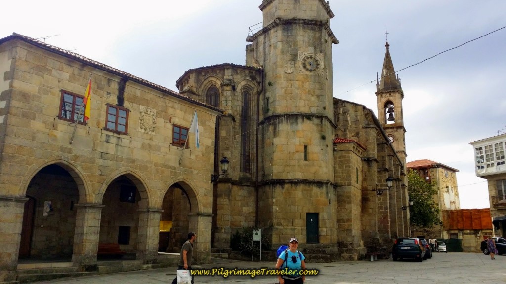
Betanzos is a city of churches and as you head farther up the hill toward the albergue, you will soon pass by the Igrexa de Santiago and its tower, shown below. There is an old manor house on the left side of the photo, in the traditional Galician style.
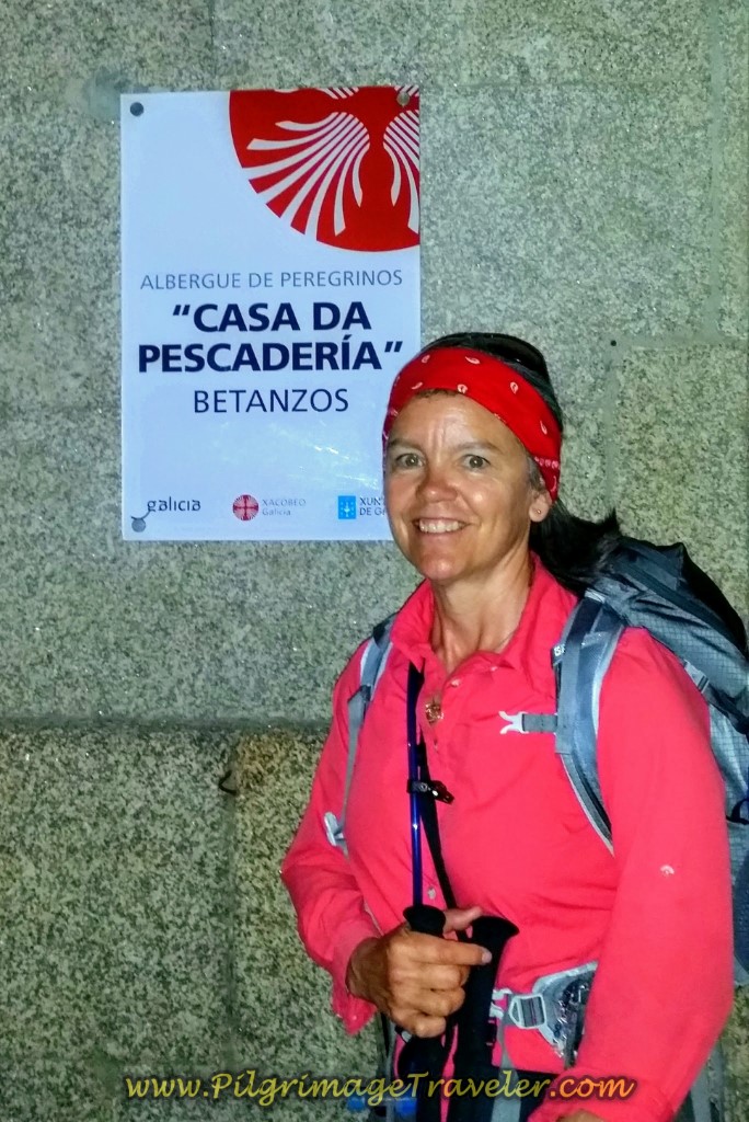
Continue past the church to Santiago and its plaza, stay right and down the hill on the Rúa Roldán and walk a total of not even 200 meters to come to the municipal Albergue de Peregrinos Casa da Pescadería that you can see on the corner of the Rúa Roldán and the Rúa Pescadería. You can't miss the sign. Here I am in the photo below, next to the albergue sign in the early morning light of my prior trip, on the Camino Inglés.
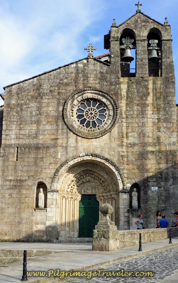
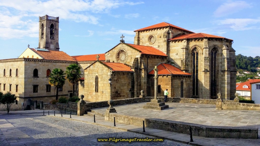
If you continue to follow the Rúa Pescadería, you will come to two more historic churches, the 14-15th century church of Igrexa de Santa María do Azougue, shown above, and the 13-14th century Igrexa de San Francisco, shown below.
There is a parochial Albergue Santa María del Azogue ACC, behind the Igrexa de Santa María do Azougue, with 16 beds and a 20-bed private Albergue Río Mandeo. Check the map above for their exact locations.
It's a good thing there are three albergues, because the additional, possible accommodations in Betanzos are expensive. You may want to first try the Pensión El Hórreo, reportedly to be very economical, clean but basic, +34 669 19 13 87.
There is also the Apartamentos Torre 21, (+34 981 77 59 30), the Hotel Garelos Betanzos, the Pórtico Hostal and the Hotel Villa de Betanzos, the Apartamentos Turísticos Betanzos and the Mirador de la Muralla Betanzos.
Touring the narrow pedestrian streets and churches of Betanzos is a must. I was able to see several of the churches on a prior trip, but you have to wait until their opening hours, after siesta, about 6:00 p.m.
On my first trip through Betanzos, I stayed at the municipal albergue. On my second trip, we walked onward. The albergue was opened in 2013, a newly remodeled old building that was clean, adequate and inviting, in a terrific location in the center of the old city. There is a kitchen and 32 places in the dormitory, but no heat.
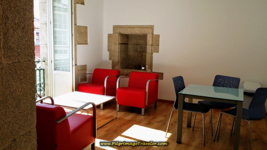 Living Area in the Albergue Casa da Pescadería in Betanzos
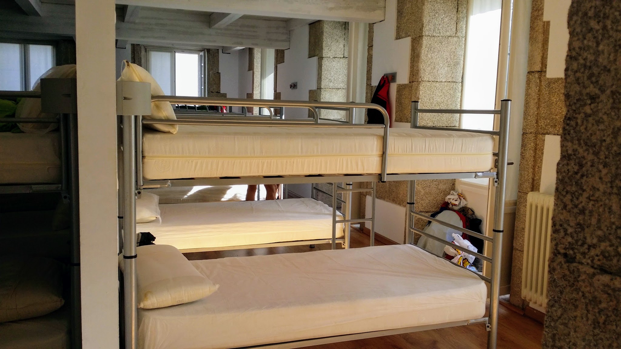 Dormitory in the Albergue Casa da Pescadería in Betanzos
If you choose not to cook at the albergue, there are plenty of bars and cafés nearby.

Still thinking about our Camino Inglés eBook Guide? Would a money back guarentee and free updates for a full year help you make your decision? Remember our guide is a digital-only eBook with no added weight in your pack which you can refer to anywhere. Click here for more information or just BUY NOW!
Reflections on Day Four on the Camino Inglés
As it turned out, none of the four of us traveling together pushed ourselves too far. In fact we decided to walk onward on the same day to Presedo, to the next available albergue. We all continued to walk well.
There are plenty of services in both Miño and Betanzos, with not so much in-between. I always advise pilgrims to carry plenty of water and snacks. The countryside is very rural throughout this day.
Day four on the Camino Inglés is a beautiful walk, strenuous, yet so very rewarding. The hills are steep but doable. Take your time and maybe stretch yourself a bit more. You will make it.
Salutation
May your own day four on the Camino Inglés involve a bit of risk, so that you too will learn just how far you can go! May your own hill climbing take you to an even higher level than before! Ultreia!
Camino Inglés Stages
~ La Coruña Arm
~ Ferrol Arm
Please Consider Showing Your Support
Many readers contact me, Elle, to thank me for all the time and care that I have spent creating this informative website. If you have been truly blessed by my efforts, have not purchased an eBook, yet wish to contribute, I am very grateful. Thank-you!
Search This Website:
🙋♀️ Why Trust Us at the Pilgrimage Traveler?

We’re not a travel agency ~ we’re pilgrims, just like you.
We've walked Pilgrimage Routes Across Europe!
💬 We’ve:
- Gotten lost so you don’t have to. 😉
- Followed yellow arrows in the glowing sunlight, the pouring rain and by moonlight. ☀️🌧️🌙
- Slept in albergues, hostals & casa rurals. Ate and drank in cafés along the way. 🛌 😴
- Created detailed and downloadable GPS maps and eBook Guides, full of must-have information based on real pilgrimage travels. 🧭 🗺️
- Shared our complete journeys, step by step to help YOU plan your own ultimate pilgrimage and walk with your own Heart and Soul. 💙✨
Every detail is from our own experiences ~ no fluff, no AI rewrite. Just fellow pilgrims sharing the way. We add a touch of spirituality, a big dose of ❤️ and lots of wisdom from the road.
Ultreia and Safe Pilgrimage Travels, Caminante! 💫 💚 🤍
Follow Me on Pinterest:
Find the Pilgrimage Traveler on Facebook:
Like / Share this page on Facebook:
Follow Me on Instagram:
***All Banners, Amazon, Roamless and Booking.com links on this website are affiliate links. As an Amazon associate and a Booking.com associate, the Pilgrimage Traveler website will earn from qualifying purchases when you click on these links, at no cost to you. We sincerely thank-you as this is a pilgrim-supported website***
PS: Our eBook Guide books are of our own creation and we appreciate your purchase of those too!!
Shroud Yourself in Mystery, along the Via de Francesco!
Walk in the Footsteps of St. Francis, and Connect Deeply to the Saint and to Nature in the Marvelous Italian Countryside!
Need suggestions on what to pack for your next pilgrimage? Click Here or on the photo below!
Carbon fiber construction (not aluminum) in a trekking pole makes them ultra lightweight. We like the Z-Pole style from Black Diamond so we can hide our poles in our pack from potential thieves before getting to our albergue! There are many to choose from! (See more of our gear recommendations! )
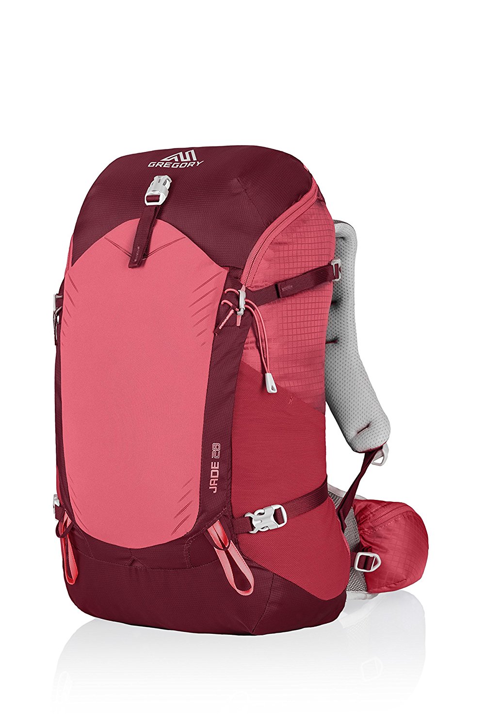
Gregory BackPack - My Favorite Brand
Do not forget your quick-dry microfiber towel!
Booking.com
My absolute favorite book on how to be a pilgrim:







Your Opinion Matters! Comments
Have you had a similar experience, have some advice to give, or have something else you'd like to share? We would love to hear from you! Please leave us a comment in the box below.