- Home
- ~ Camino de San Salvador (The Way of the Savior)
- Day Four, Pajares OR San Miguel to Campomanes
Jump to Camino de San Salvador Stages
Day Four on the Camino de San Salvador, Pajares to Campomanes, 17 Kilometers (10.56 Miles) OR San Miguel to Campomanes, 15.5 Kilometers, (9.63 Miles)
Just so you know, the PilgrimageTraveler.com is an associate of Booking.com, Roamless, and Amazon. As an associate of these merchants, we earn from qualifying purchases from our links.
Day four on the Camino de San Salvador is essentially a steep descent into San Miguel if you are starting in Pajares, followed by another climb up and out of it, and up to high shelf paths and roads that follow the valley created by the Río Pajares.
"All you need is the plan, the road map and the courage to press on to your destination." ~ Earl Nightingale
The quote above was so true for us on this portion of our journey. We were both stretched to our limits and it took quite a bit of courage to carry on. I was also struggling to manage an aching left knee, throughout most of this stage.
(Remember, this narrative, which I have chosen to keep, describes our journey when we were doing day three and day four as one stage! Something I would not recommend, unless you are extremely fit, in a hurry and/or you like to punish yourself!)
🙋♀️ Why Trust Us at the Pilgrimage Traveler?
We’re not a travel agency ~ we’re pilgrims, just like you.
We've walked Pilgrimage Routes Across Europe!
💬 We’ve:
- Gotten lost so you don’t have to. 😉
- Followed yellow arrows in the glowing sunlight, the pouring rain and by moonlight. ☀️🌧️🌙
- Slept in albergues, hostals & casa rurals. Ate and drank in cafés along the way. 🛌 😴
- Created detailed and downloadable GPS maps and eBook Guides, full of must-have information based on real pilgrimage travels. 🧭 🗺️
- Shared our complete journeys, step by step to help YOU plan your own ultimate pilgrimage and walk with your own Heart and Soul. 💙✨
Every detail is from our own experiences ~ no fluff, no AI rewrite. Just fellow pilgrims sharing the way. We add a touch of spirituality, a big dose of ❤️ and lots of wisdom from the road.
Ultreia and Safe Pilgrimage Travels, Caminante! 💫 💚 🤍
Maps and Stats of Day Four on the Camino de San Salvador
Our Google map below shows the stage, starting from Pajares, then onward, after reaching San Miguel del Río. It has services placed on it, for your planning. There are fountains along the way, in fact, one in every town, but we always carry food and water anyway. Our day was very hot and long, and I was grateful for the fountains, because I ran out of water in my reservoir by the end of the very long 30 kilometer day.
The first albergue on the route starting from Pajares is in Llanos de Somerón after about 5.3 kilometers from Pajares and the next is in Bendueños, about 15.3 kilometers (with a pick-up in Heiras by the hospitalero). If you walk to the albergue, add 1.5 kilometers for a total of 16.8. There is no albergue in Campomanes at 17 kilometers, but there are accommodations that are quite inexpensive if you choose to stay there, as we did the first time through.
Many staging systems suggest that you go on to Pola de Lena from Pajares for a 24 km day. This is what we did the second time through. If you do only five stages, the third from Pajares, the final day from Pola de Lena to Oviedo is a very long 32 kilometers. I knew several pilgrims who did this, but it is a hard day!
If you make it from Poladura de la Tercia to Llanos de Somerón after 18.5 kilometers, it is only 20 kilometers to Pola de Lena, two very reasonable stages.
Since this day’s blue route begins in Pajares, if you went the San Miguel route and skipped Pajares, you need to remember to subtract 1.65 kilometers from this day’s totals.
Also note the strenuous, alternative Munistiriu (Monastery) route shown in red. This is a more difficult route, for “mountain people” as the hospitalero in Llanos described it to me! I sent Rich this way, while I re-walked the road, to gather information for this website and my eBook.
Also note yet another alternative, also shown in red, if you take the standard highway route, in blue, once you get to Puente de los Fierros. From here, you can choose to continue on the highway to see the historic Capilla del Hospital de Peregrinos de San Bartolomé or simply, San Bartolo.
See details farther below, of these two alternative routes.
Next is our elevation profiles for the route from Pajares and the route from San Miguel del Río. There are three steep downhills (two from San Miguel) alternating with two climbs. While these climbs may not be significant compared to the prior stages’ climbs, you will feel it anyway, even more so if you are walking a longer distance before or after this stage.
 Elevation Profile, Day Four, San Miguel del Río to Campomanes
I also included the elevation profile for the Ministiriu Route, below, almost five-kilometers of rugged mountain walking, which necessitates some route finding skills, and is a full 600 meters longer than the main route. There is a steep decline into Fresneo of 280 meters over the final two kilometers. Do not attempt this route in bad weather. It begins after about 5.85 kilometers from the start at the albergue in Pajares and rejoins it after almost 11 kilometers. See farther below for a full route description.
 Elevation Profile, Day Four, Ministiriu Route
You can see in the elevation profile of the route to San Bartolomé, this is a short, sweet detour of about 1.6 kilometers, from the decision point in Puente de los Fierros. It is a gradual descent on the roadway, of 30 meters, followed by an extremely steep climb back up from the hospital to Fresneo, gaining 80 meters in altitude over only 400 meters.
 Elevation Profile, Day Four, Capilla del Hospital, Bartolomé Route
Camino de San Salvador EBook
Our Downloadable Camino de San Salvador eBook Guide in PDF Format contains all the valuable information in our web pages, for reading off-line in the remote mountain areas. Don't carry a hard copy guide book to increase your pack weight. Use our digital guide on your next Camino instead!
Our ebook guide is packed with frequently updated information, because a digital format is more nimble than hard-copy publishing. Our eBook Guide is unique because we also entertain and immerse you with our story! Click here for more information, or BUY NOW.
Jump to Camino de San Salvador Stages
Photo-Rich Travelogue, Day Four of the Camino de San Salvador
From the Albergue de Peregrinos de Pajares continue walking westward along the road through town until it joins the N-630 in 200 meters. Turn left onto the N-630.
From the Posada Real Pajares or the Pensión El Mirador (+34 636 933 069), walk to the far western end of town, along the N-630.
About 100 meters after the Posada Real on the N-630, below, watch closely for yellow arrows on a wall, and on the guardrail pointing to the left. You can see an opening in the guardrail, where a lane turns to the left, and drops sharply downhill. Take this lane.
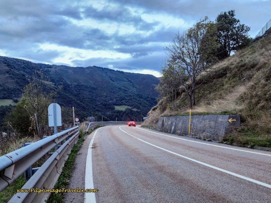 Turn Left Ahead Onto Lane
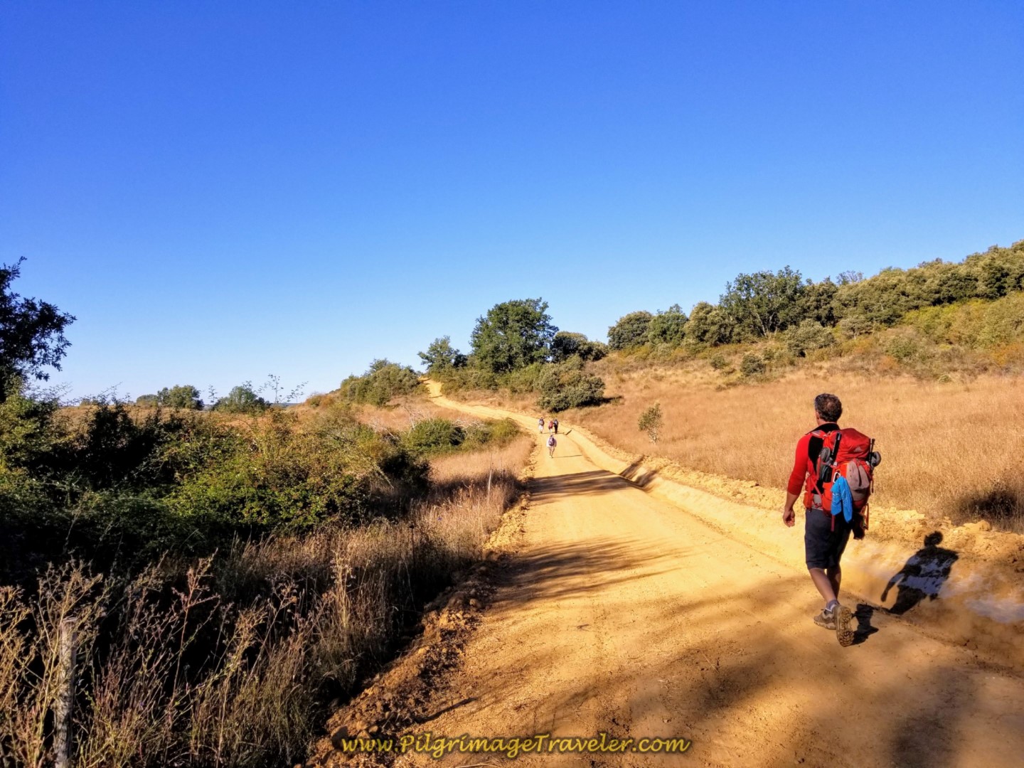
The path is a wide tractor track and descends steeply the entire way to San Miguel. Here is Rich, below, walking on this track, and you can see that the views are gorgeous.
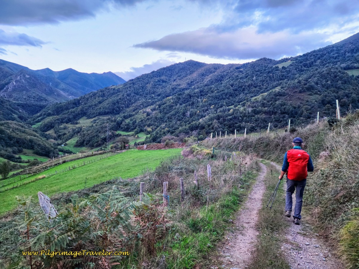 The Track From Pajares to San Miguel
After about 1.15 kilometers or so, following the track, it takes a hard bend to the right.
You know you are getting close to town when the road turns to concrete with grooves in it. The road descends very steeply into town as you can see below.
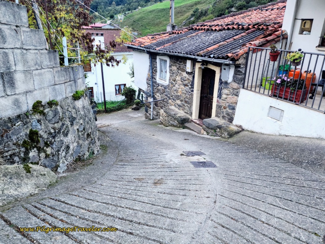 Road Descends Steeply into San Miguel
After rounding the big bend in the road, come to a T-intersection in front of the Casa Guela a casa rural, and follow the arrows to the right and the remaining 50 meters to the town church.
Turn right at the church where you join the San Miguel Route that descends from the decision point the prior day. As noted on day three, there is a nice resting area under the trees in front of the church, with benches and a fountain.
As we were adjusting our packs at the benches, we heard a commotion, and down the street, here came the sheep! The shepherdess was a ways behind, but it didn't matter! This must be their daily routine, because they turned at the church, all by themselves, walking up the hill, the way we had just come, on their way to the pasture! What a quaint experience to begin our day!
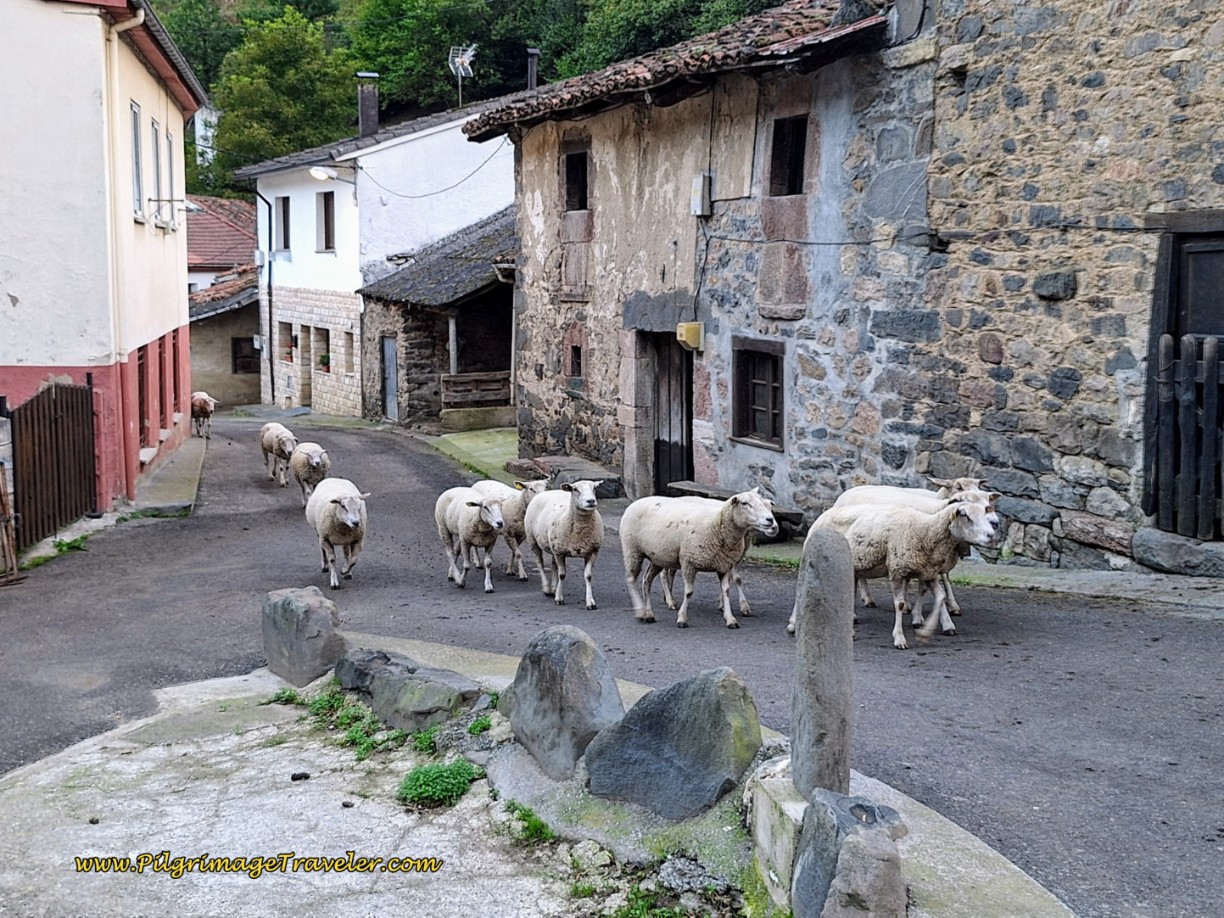 Here Come the Sheep in San Miguel!
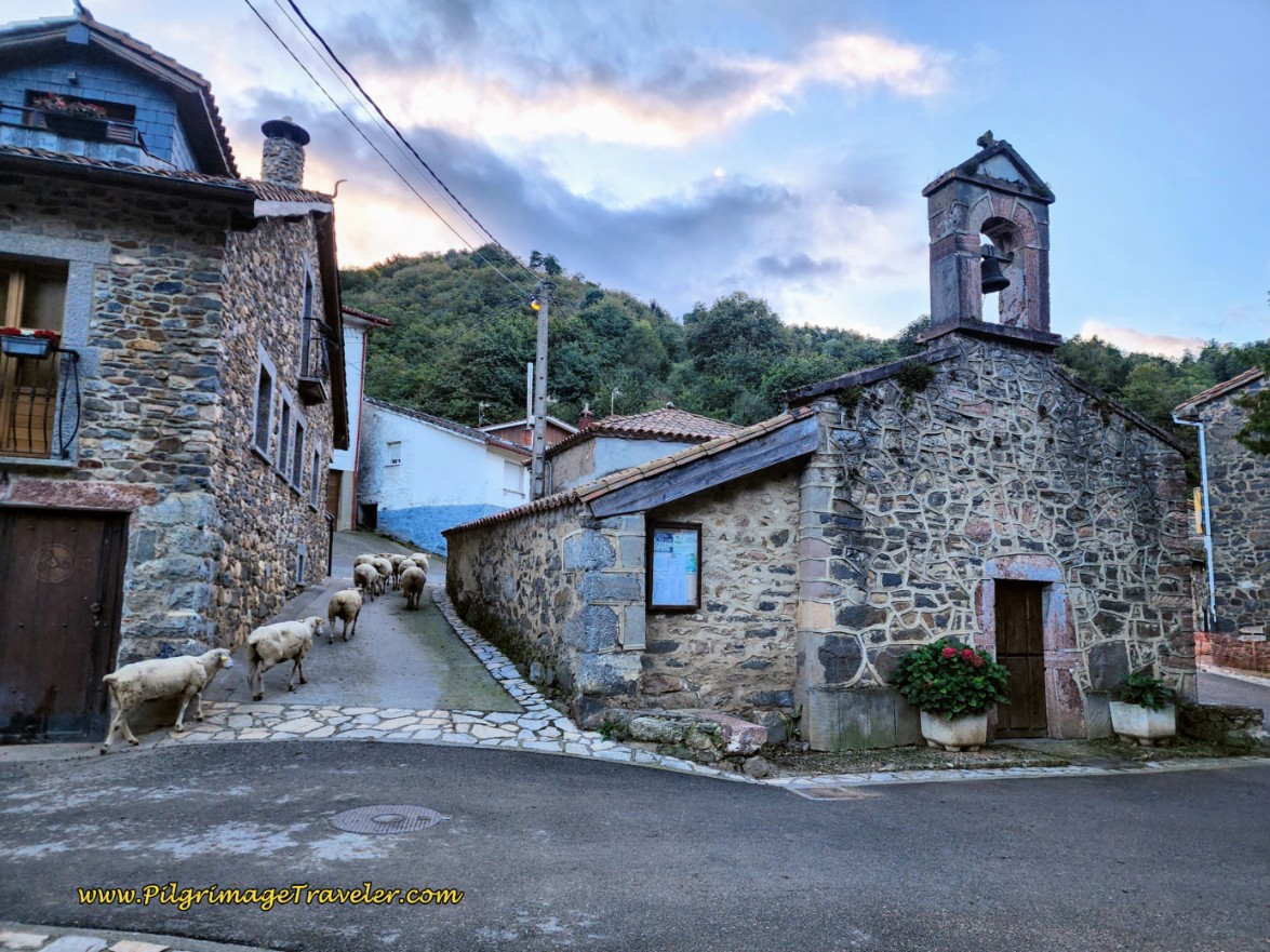 Unguided Sheep Pass by the San Miguel Church
Continuing onward from the church in San Miguel del Río, the Camino continues northward on the paved road. This quiet road follows the valley of the Valgrande River.
After not quite 3/4 kilometer you come to the first intersection in the road, with a concrete waymark and a a big blue informational sign, shown in the photo below. This is where you turn left, towards Santa Marina.
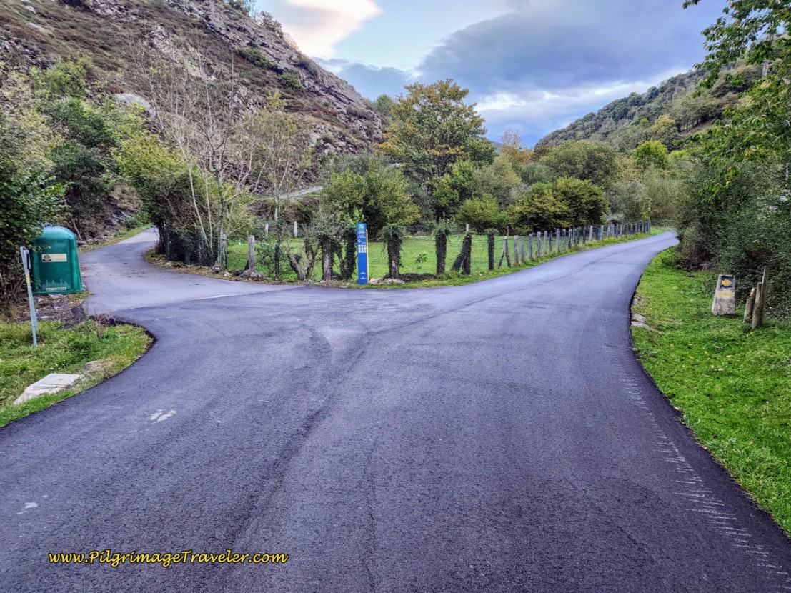 Left Turn Towards Santa Marina
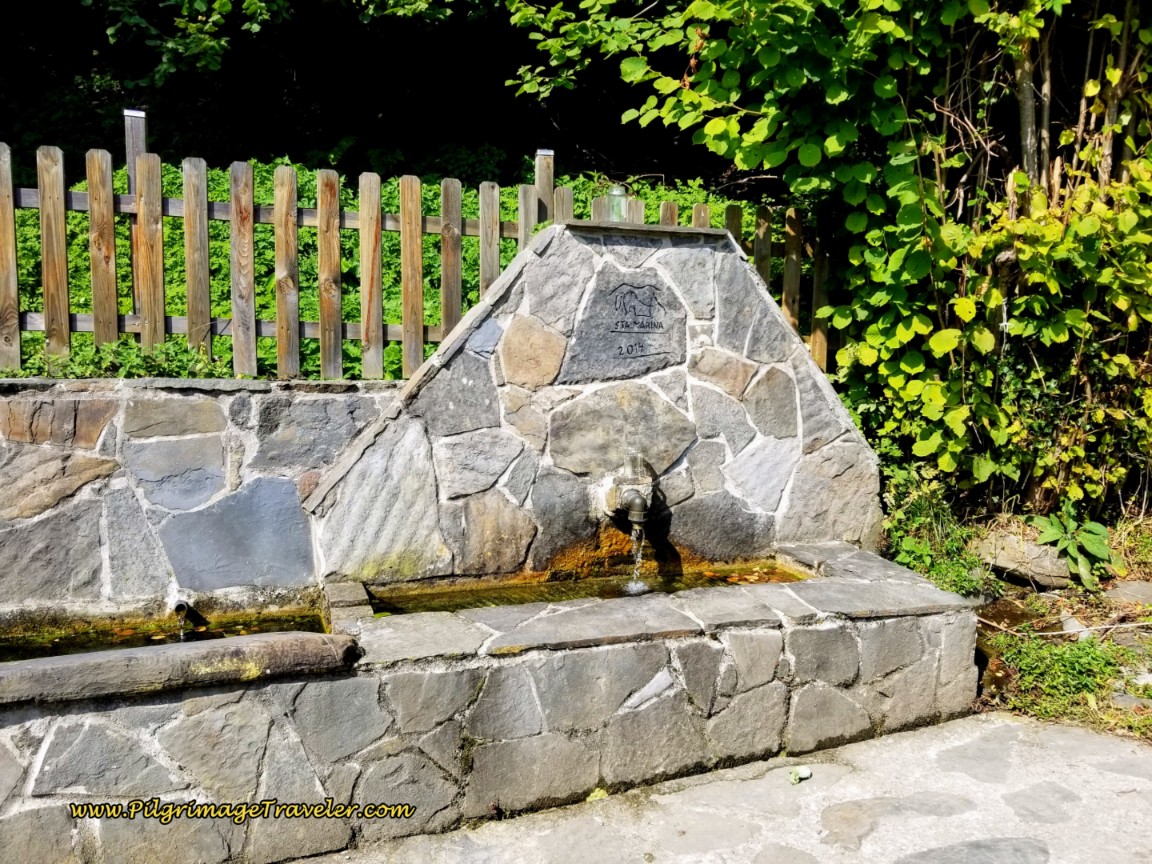
After turning left at the intersection, climb steeply on the narrow and quiet paved road, towards the ridge above. As you get near to town, pass this historic fountain, with no information about the safety of the water.
It is after only 1/2 kilometer that you enter into a small cluster of buildings with the small sign announcing that this is the town of Santa Marina, below.
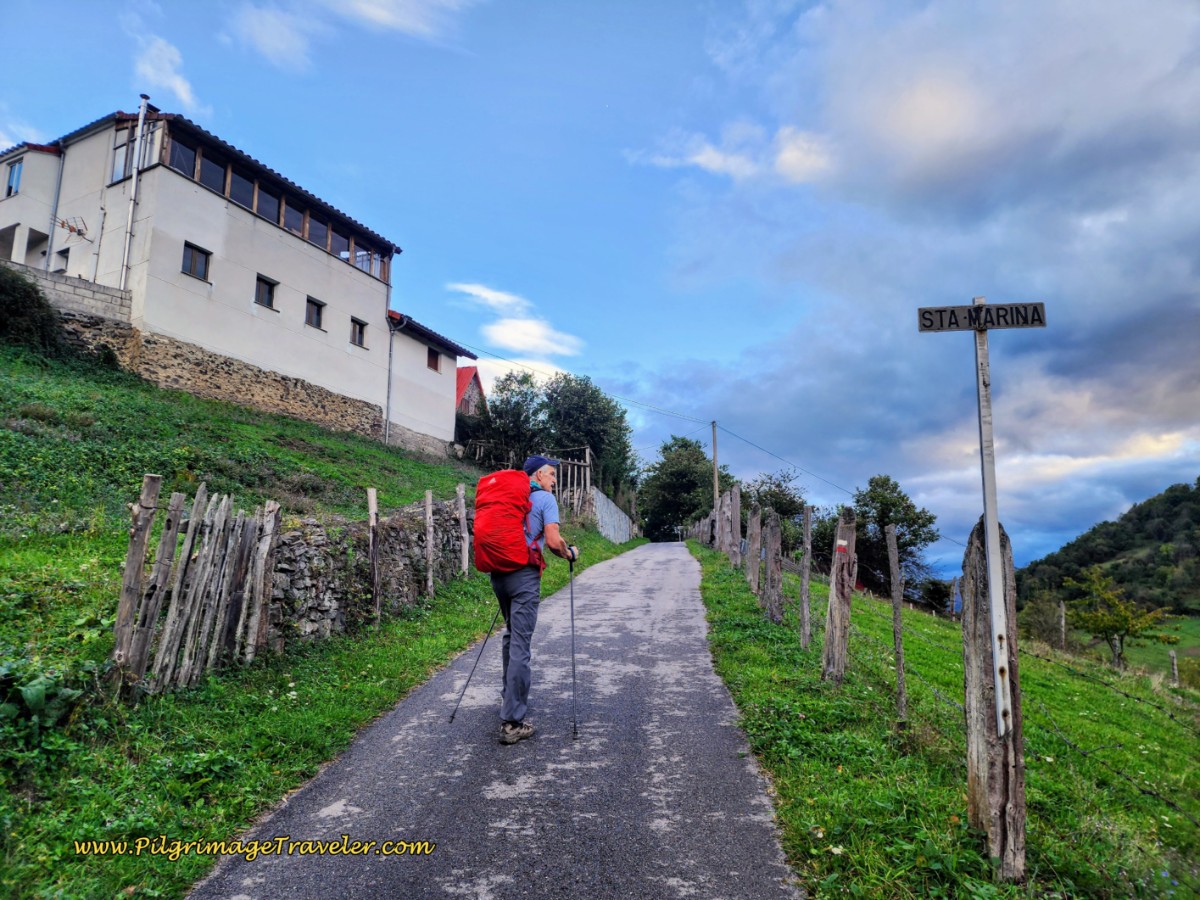 Quiet, Narrow Road into Santa Marina
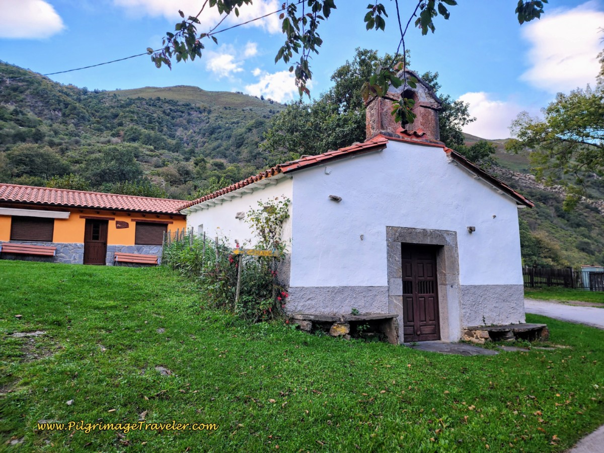
Continue climbing a few more meters toward the church. After about 2.9 kilometers from Pajares, (1.3 from San Miguel and 16.1 from Poladura), you reach this small church in Santa Marina, shown below.
Continue onward along the town street, bending all the way around the church and in less than 100 meters, turn to the right onto a concrete road, so steep it has more grooves in it, below.
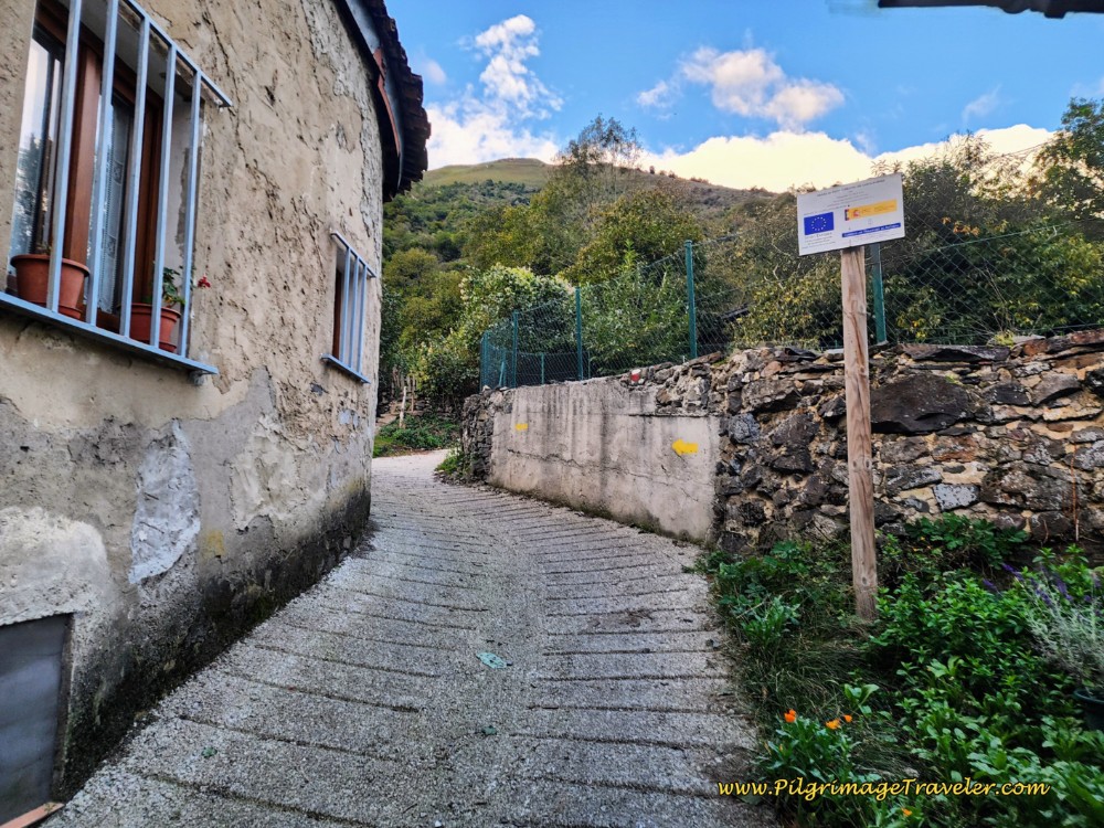 Climb Up and Out of Santa Marina on Steep Road
When the concrete road ends, look for a path to the right and between the giant, beautiful chestnut tree and the small building shown next.
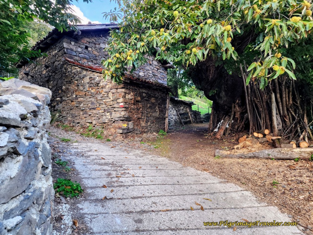 Right Turn at Majestic Chestnut Tree
Jump to Camino de San Salvador Stages
From here, all the way to the next town of Llanos de Somerón, about 2.2 kilometers away, you will be on forest paths. There is an initial climb that needs to be finished from Santa Marina, for the first 300 meters, following a wall for some of the way.
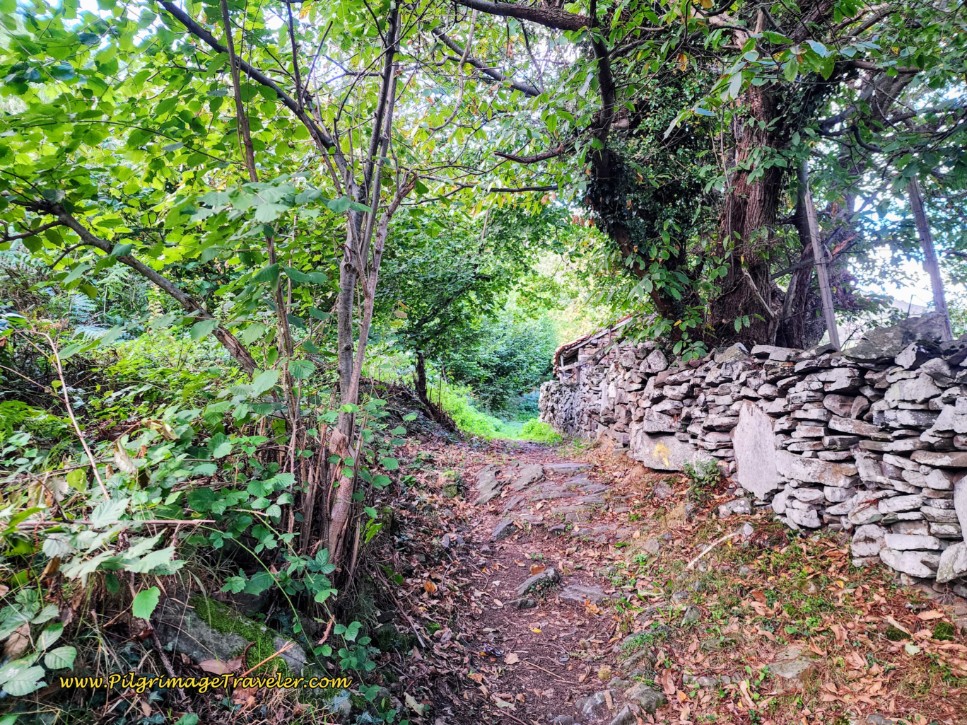 Join Forest Path
The climb tops out after a big bend to the right at a fenceline and a sign that points forward that says, “Chanos,” (Asturian for Llanos).
The downhill for the next 400 meters is really steep! (Even though the photo doesn't really depict it well.)
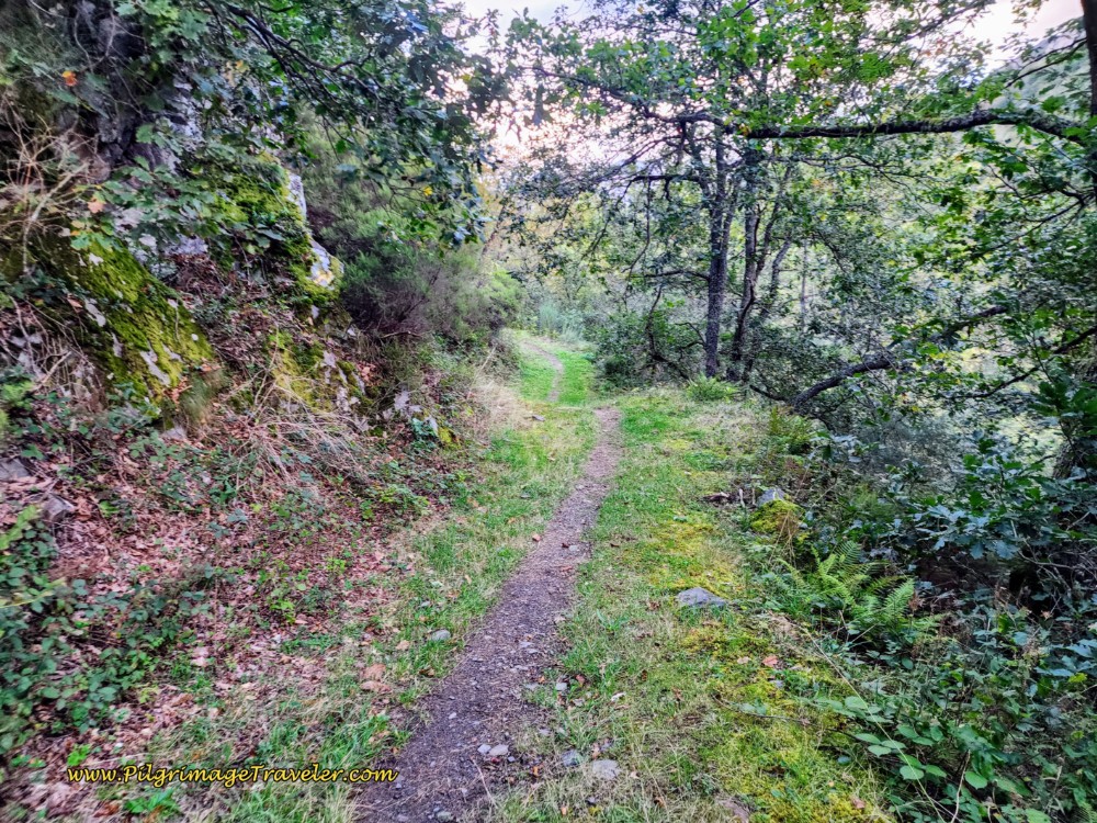 Continue Downhill on Forest Path
Next, it’s time to ascend again, with the trail climbing steadily, see below, for the next 1.5 kilometers, all the way to Llanos de Somerón.
This long climb took its toll on me, after our long day from Poladura, and I was happy to relax and enjoy it the next time through!
After about 4.75 from Pajares, (3.1 from San Miguel and 17.9 from Poladura), come to this gate, below, where the path levels out a bit, just before the approach to Llanos. This is the end of the first climb for day four on the Camino de San Salvador!
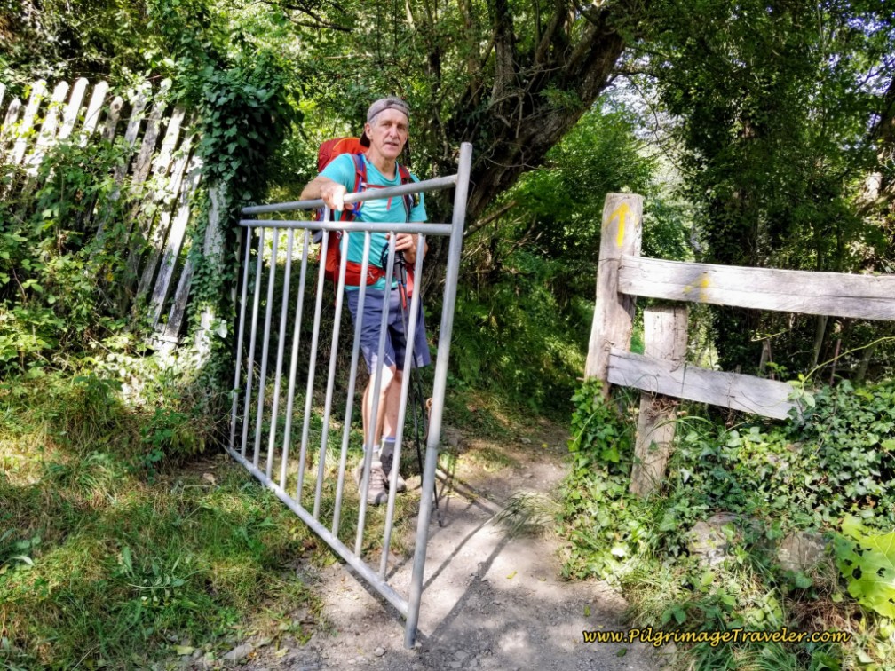 Pass Through Gate ~ End of First Big Climb
After the gate, come to a meadow, following the fence line, below. The town of Llanos de Somerón soon comes into view ahead.
After about 5.2 from Pajares, (3.6 from San Miguel and 18.4 from Poladura) arrive at another gate, guarding the entrance to town. Go through it.
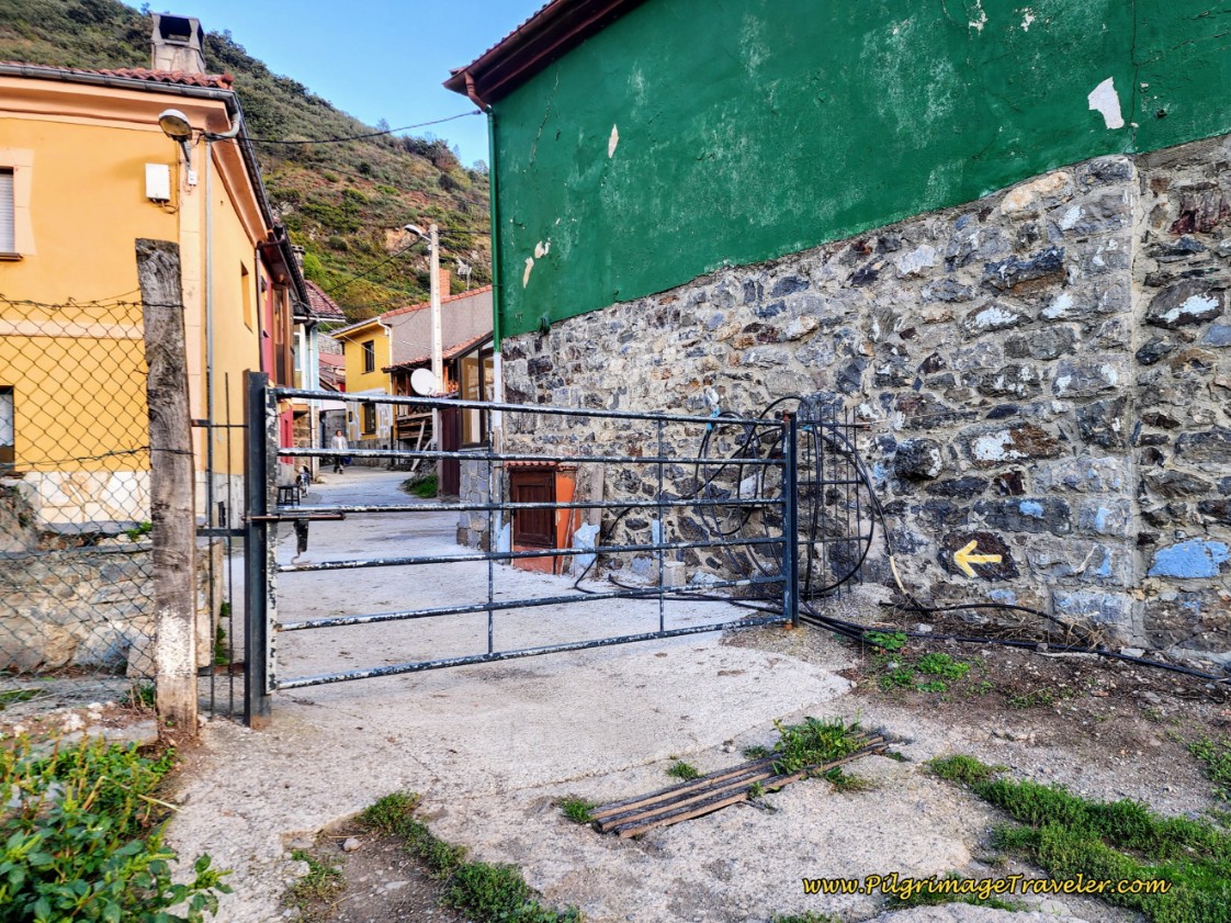 Gate Entering Llanos de Somerón
Follow the arrows through town, coming to the square and the Parroquia de Santiago de Llanos de Somerón, shown below. This is a nice shady place to stop and rest if you need it. Our day had become really, really hot, and I would have loved to have lingered here. But we could not.
Llanos de Somerón is barely bigger than Santa Marina, but luckily there is now a private albergue, called the Albergue Cascoxu. You will see the sign for it along the Camino, a few steps past the church. This new albergue is yet another option to break up the stage from Poladura without having to divert to Pajares.
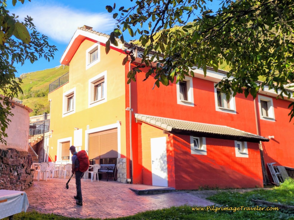 The Brightly Painted Albergue Cascoxu
After the church the Camino picks up the paved road, the LE-12 to go onward. Just as you leave town, there is a wonderful information board, describing your choice of routes ahead, “Ruta por Carretera,” the highway route, or the “Ruta por Ministiriu,” the Monastery Route. Stop if you need to validate your choice! It also shows the difference in the elevation profiles, showing the final steep descent on the Ministiriu Route ~ not for the faint of heart.
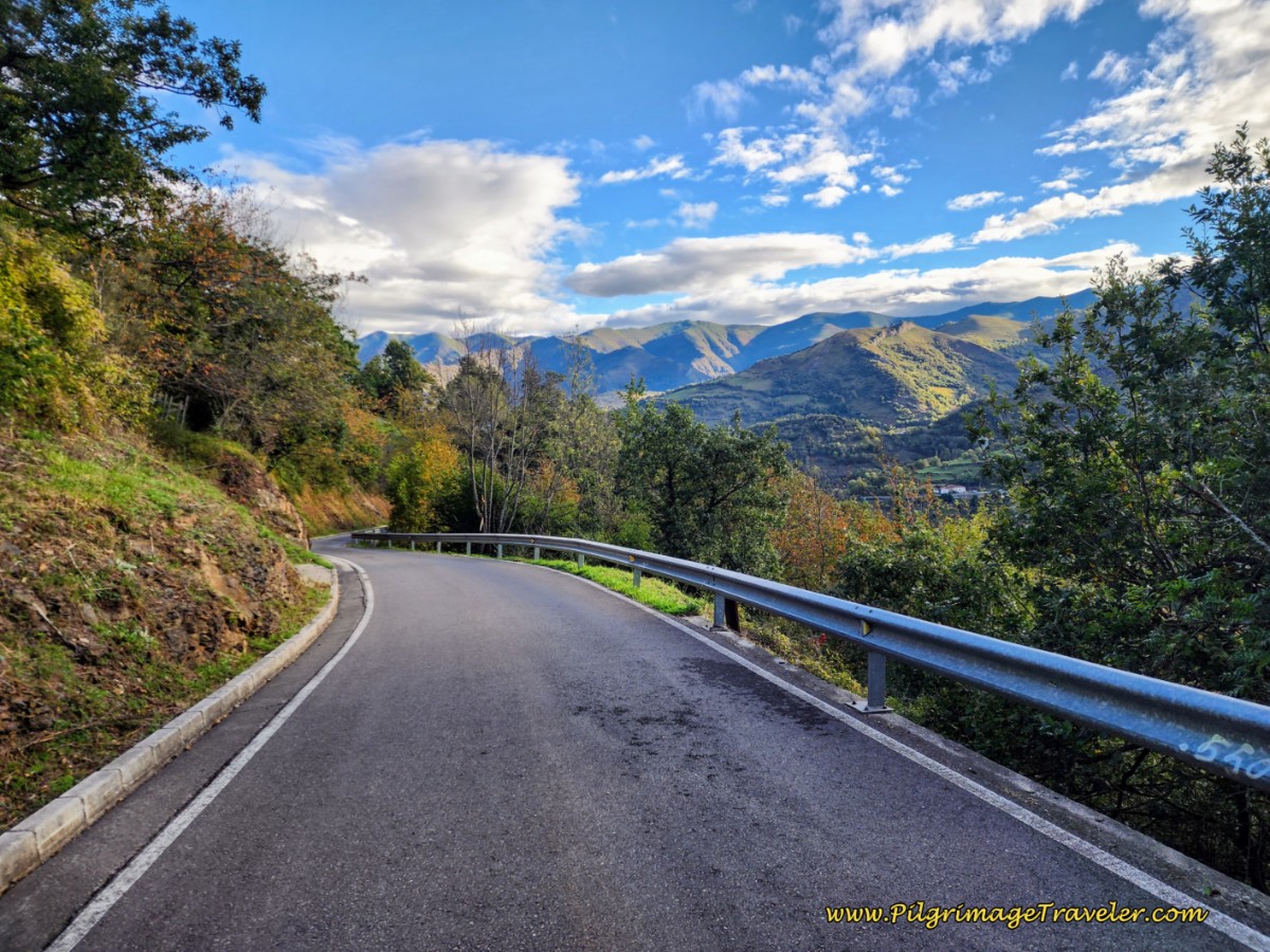
It is from Llanos de Somerón that the serious bone-jarring downhill begins, and to make it worse it is on the pavement of the LE-12, all the way to Puerto de los Fierros, see the photo below for a preview. You are on a secondary road, at least with not much traffic, for a full 4.3 kilometers.
It helps that the views of the mountains and valley all around are stunning. But it was not much enjoyment for me, as my left knee started really screaming at me after a few kilometers of more downhill and pavement pounding! And the grade is steep!
You must stay aware through all the curves, as the cars that do come, come upon you suddenly!
However, you can choose the alternative, Munistiriu Route on a high, mountainous trail that stays off pavement for almost a full five kilometers until Fresneo, where it joins the main route. This route is shown in red on my maps and begins after approximately 5.85 kilometers from Pajares, (4.2 from San Miguel and 19 from Poladura). Remember, not only is it harder, but 600 meters longer than the standard route. See farther below for a complete route description.
As you begin the steady walk downhill on the LE-12, pass by a roadside fountain. A few meters later, the alternative route leaves the roadway to turn left onto this lane, pictured below.
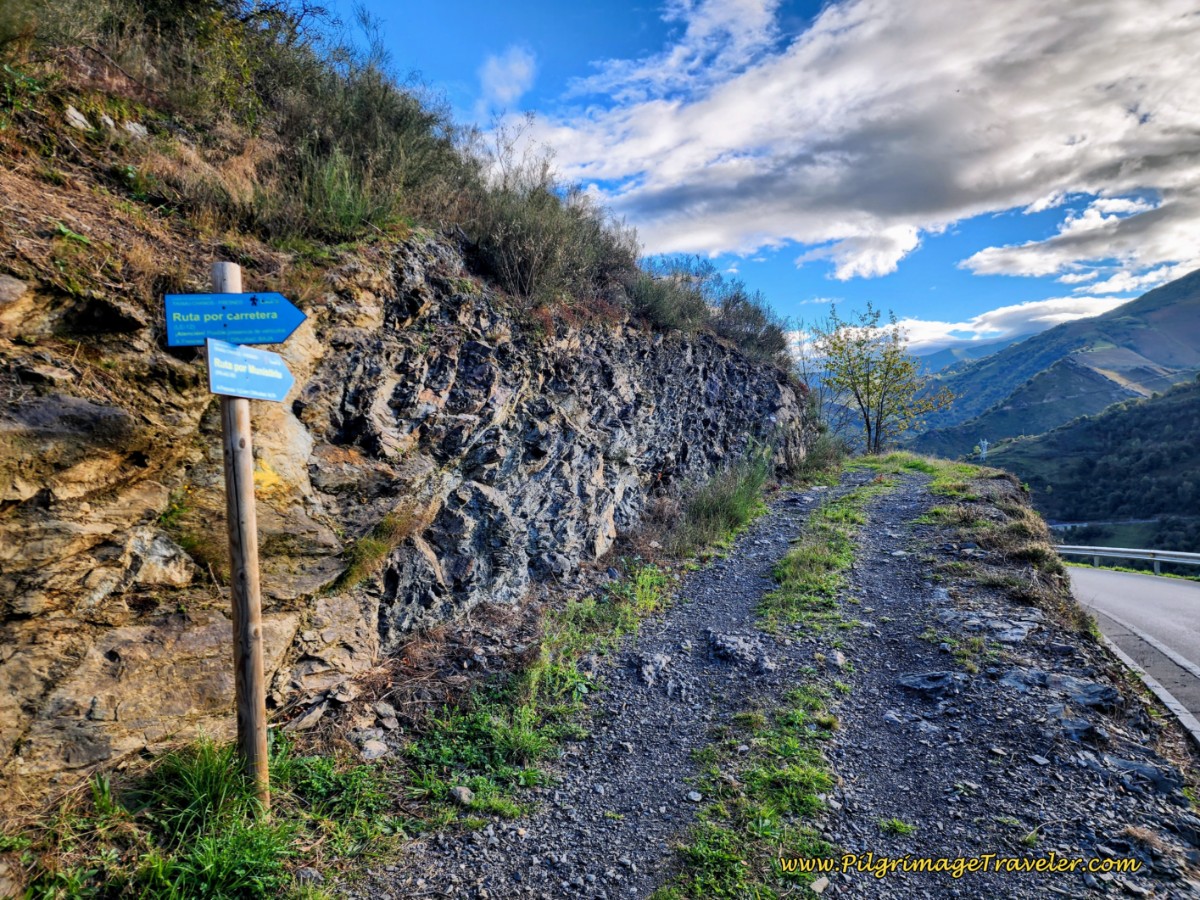 Munistiriu Route Leaves the LE-12 Here
The turn is only ½ kilometer after leaving Llanos de Somerón. It is clearly marked with the blue signs as you can see. Weigh your choice here carefully and don’t even consider this way if you have bad knees or if the weather is bad! You may want to discuss the conditions with the locals before setting off on this alternative.
Our second time through here, Rich, who did this route for me, had no trouble at all, and I am sure I would have been fine too. I just chose not to do it, in the interest of saving time, covering two routes. I think I was also still having stress-related memories of my knee issues the first time through!
Even though this alternative is called the “Monastery” route, the remains of the monastery are in severe ruin, and when reviewing Rich’s photos, I can’t even tell what was a “monastery” of the ruined buildings he photographed. Don’t do this route for the historic value. Do this route only for the challenge, the dramatic views or because you despise pavement!
However, while I was waiting for Rich in Fresneo at the end of the Ministiriu route, a youngish Spanish gentleman (much younger than us by several decades) who had just completed this route, couldn’t stop exclaiming how he would never do it again if he had the choice. He said he almost got lost and the path was too rough for him! Assess your own capabilities. Most pilgrims I saw, stuck to the road.
Jump to Camino de San Salvador Stages
"Ruta Por Carretera," The Highway Route, Day Four of the Camino de San Salvador
Continue the steady downhill after the divergence of the routes, walking along the highway, the LE-12, taking many bends in the road as you descend. The road has been newly paved and is smooth and even walking, despite the steepness.
2.5 kilometers from the turnoff, and after about 8.35 kilometers from Pajares, (6.7 from San Miguel or 21.5 from Poladura) come to the hamlet of La Muela, visible on your right, shown in the photo below.
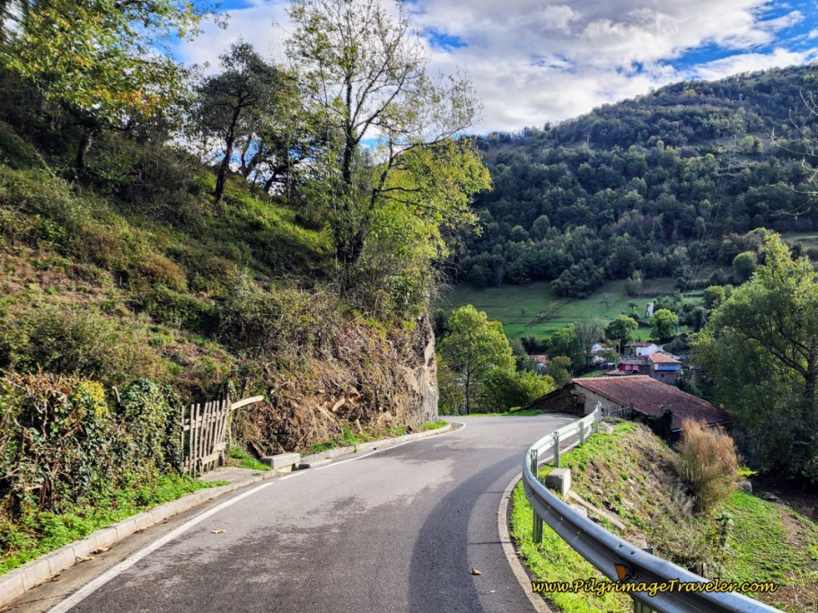 Walking By La Muela
When you see this bend in the road, pictured below, with the old stone building, you are only meters away from completing the long downhill on the highway. Round this bend and look out for the turn to the left, less than 100 meters from the buildings.
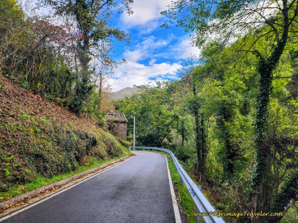 Final Bend on the Highway Route
This turn is after approximately 9.54 kilometers from Pajares, (7.9 from San Miguel or 22.7 from Poladura), when we finally made it to the bottom of the long paved hill! The Camino goes left, just as you are entering the town of Puerto de los Fierros. You will turn off the LE-12 at the telephone pole, shown in the photo below. The pole is covered with yellow arrows!
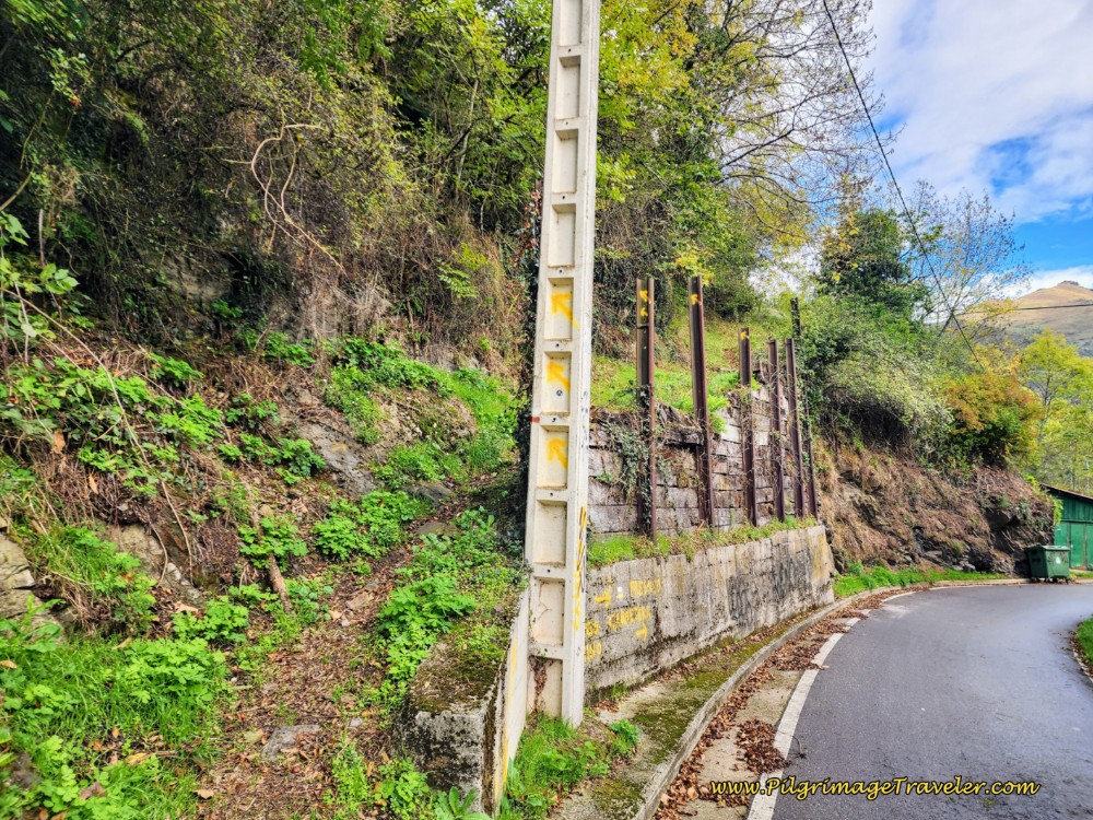 Turn Onto Path in Puente de Los Fierros
However, see below, you are given yet another option! Painted on the wall by the pole, is an arrow pointing up. Below the arrow it says, “Fresneo Camino,” or Fresneo path, and the arrow pointing to the right says, “Fresneo Carretera,” or Fresneo highway. Fresneo is the next town along the way and you have the choice of going there either on the path or the highway. Unfortunately, there is no more information supplied about this alternative, other than what you see on the wall.
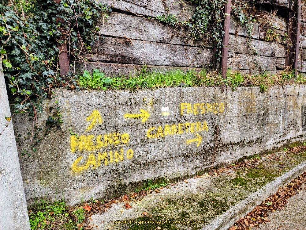 Another Alternative to Fresneo
I did know there was a historic pilgrim’s hospital, the Capilla del Hospital de Peregrinos de San Bartolomé, circa 1583 along the N-630, on the northern end of Puerto de los Fierros. What I didn’t realize is that there is actually an official alternative route to it! After studying the route, it is simple and straightforward, as you can see on the map. Here is a photo of it from this Camino blog, by an unidentified Spanish gentleman.
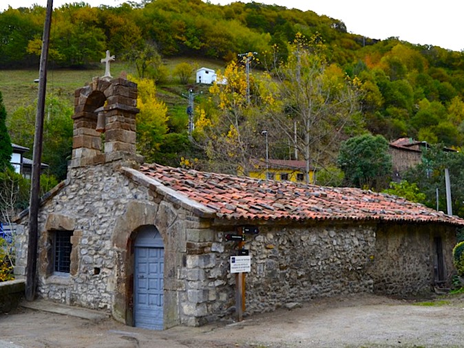 Capilla del Hospital de Peregrinos de San Bartolomé
And also, I created a close-up map of the route for your convenience. You can see that all three trails converge in Fresneo!
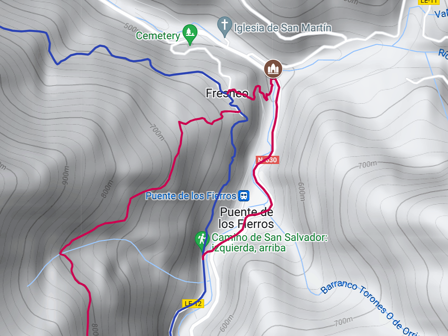 Map of Alternative Route to San Bartolomé
The tracks, from which I created the route, are from both studying the Google street view, and from GPS tracks taken from the public domain. I cannot vouch for the complete accuracy of the route after the hospital, if you use my GPS tracks. Please consider this section to be an approximation only.
This route is 600 meters longer at a total of 1.6 kilometers, it drops yet another 30 meters into town, and as noted above, it climbs really steeply from the Hospital on a narrow path to Fresneo where the trails rejoin.
It is only 900 meters on the blue route from the pole by the wall to this same point in Fresneo. However, the advantage is that the chapel would have historic value and would be worth seeing. Especially if the day is only a total of 17 kilometers. Adding another 700 meters is not that big of a deal. (But the climb may be!)
Just stay on the road at the pole, instead of leaving it, cross a prominent blue bridge over the Pajares River, turning left at the T-intersection with the N-630 on the other side. Follow a wonderful bike path on the side of the road, all the way to the Capilla del Hospital, 1.1 kilometers later. After visiting the chapel, take the path around the side of the chapel, between the two buildings and climb steeply all the way to Fresneo, gaining 80 meters of altitude over the final 400 meters.
Back on the standard blue route, my left knee was really killing me by this time after 4.3 kilometers of pavement pounding down the hill on day four of the Camino de San Salvador. I didn't know what to do, so I kept walking!
I did find that if I picked up my left knee, as in a march, instead of extending it, it would hurt much less. So I kept on with this half-march approach. I looked a bit ridiculous, but did I care? Absolutely not!
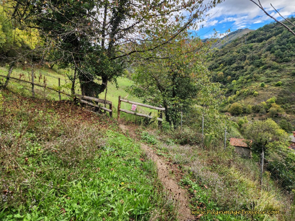
After the turn off the LE-12 at the pole, is where you begin the second climb of the day, up from the roadway, on the trail, towards the next town of Fresneo. You cover the elevation gain over one kilometer, instead of 400 meters!
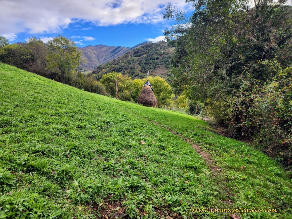
Continue climbing through the meadow shown below. When we walked here we walked by haystacks! Both times!
My knee started to feel better through here, as it actually hurt less to walk uphill. It was all about painful extension, which I did not need to do to climb. But it was still stiff and sore.
I was even having feelings of not recommending the San Salvador at all, because of the poor maintenance of the trails, the difficulty of the stages and of course, my knee and mental state at the moment. (I can now happily report that while the stages remain difficult, the maintenance of the trails have greatly improved! And I indeed recommend this Camino!)
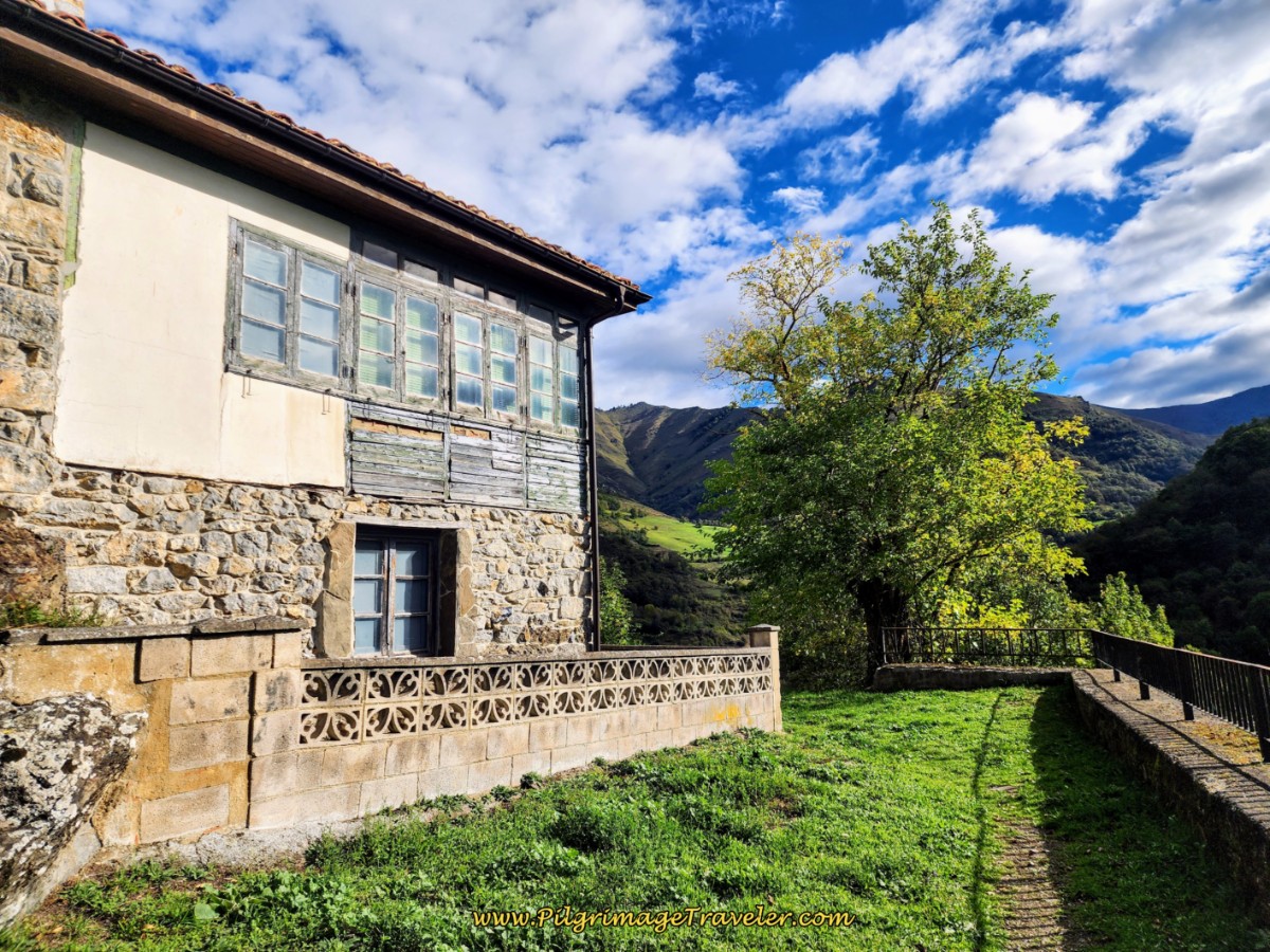
After about 10.3 kilometers from Pajares, (8.7 from San Miguel or 23.5 from Poladura), climb up to this funky old house, shown next, with a terrace and pause and enjoy the view. This terrace is about 800 meters from the turnoff lower down.
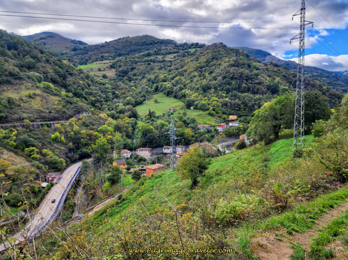
In the valley below, you can see the national highway, the railroad tracks and the town of Puente de Los Fierros from this terrace.
After rounding the house on the terrace, stay uphill and to the left at this intersection, below.
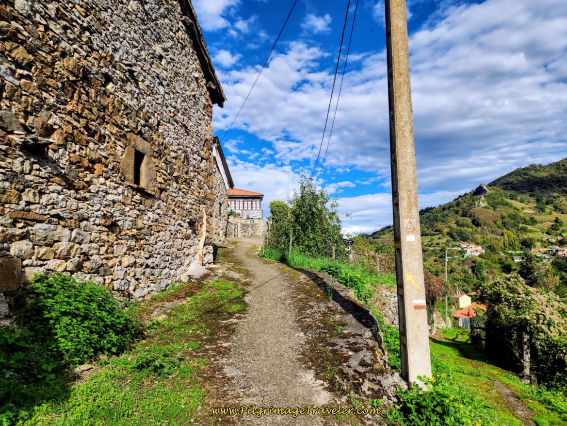 Left Up the Hill in Fresneo
A few more meters up the hill, at the next intersection, the Munistiriu Route joins the Camino from the left as it descends into town.
Continuing on the road through town, you will come to a fountain, below. The townspeople hanging out by the fountain assured me that the water was potable when I asked.
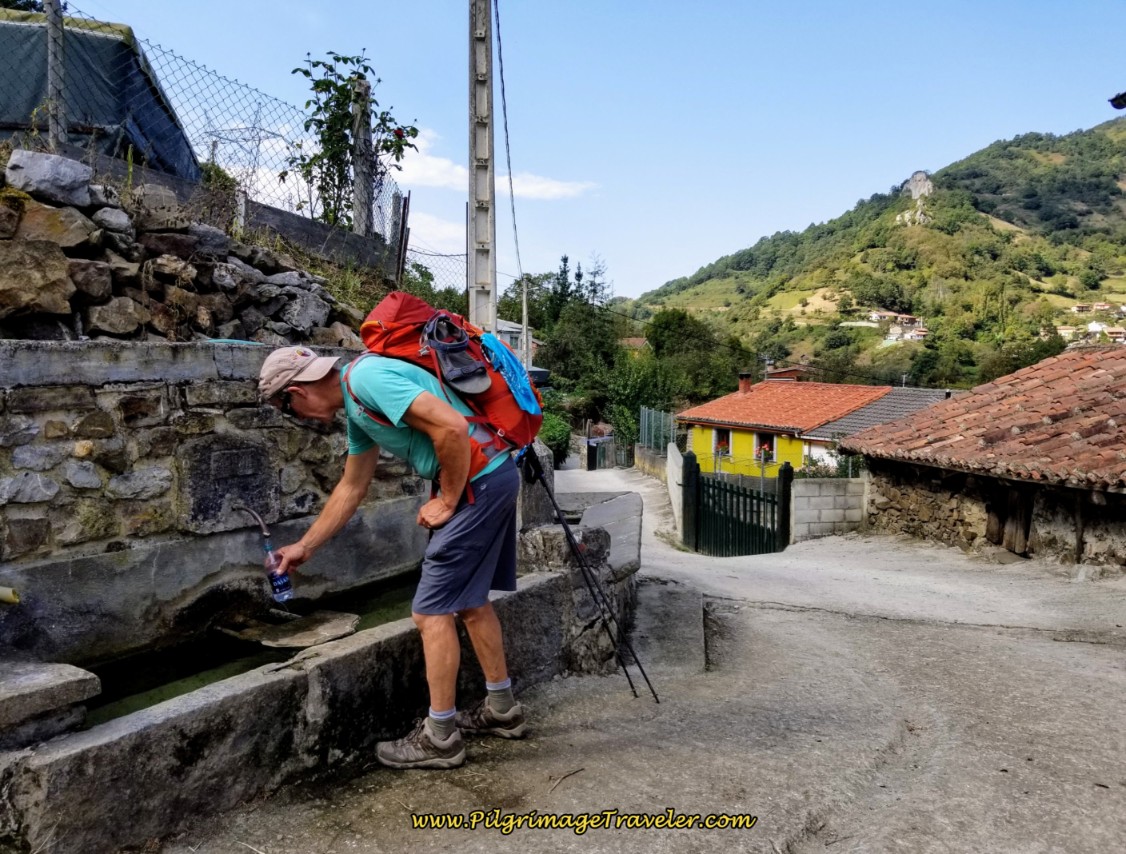 Fountain in Fresneo
And less than 50 meters onward, at the next intersection where the Camino turns to the left, the route from the Capillo del Hospital de San Bartolomé joins from the right!
Jump to Camino de San Salvador Stages
“Ruta Por Ministiriu,” The Monastery Route
Back at the divergence of the routes, 1/2 kilometer after leaving Llanos de Somerón, the Ministiriu route climbs on these nice wide tracks for about the first 450 meters, below.
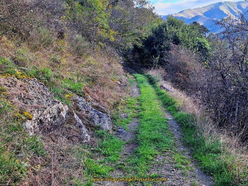 Easy, Wide Initial Tracks
Views of the highway route down below abound as you climb. The tracks follow a fenceline, coming to a gate at the top of the climb.
Continue walking after the top on an easy descent, as the wide tracks become ever narrower, until it is just a trail, below.
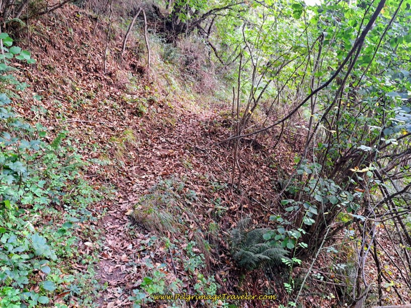 Tracks Narrow Into Trail
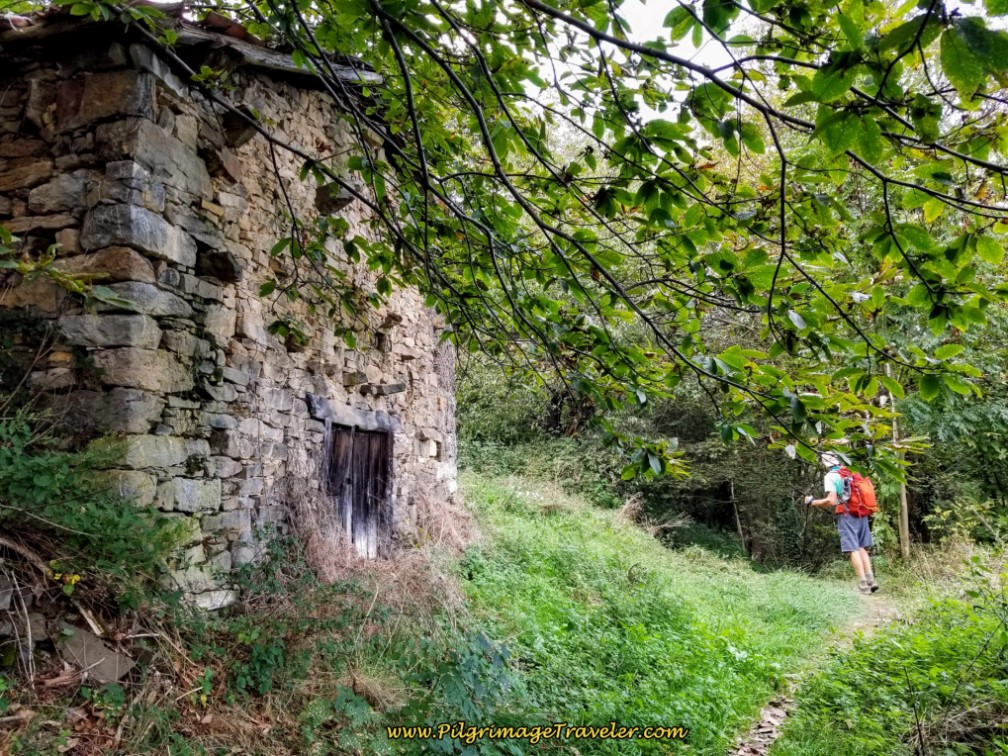
When the trail joins a stone wall, you are approaching a ruined site, perhaps a homestead of some nature. Approximately 1.3 kilometers into the route, you reach the first ruined building, below.
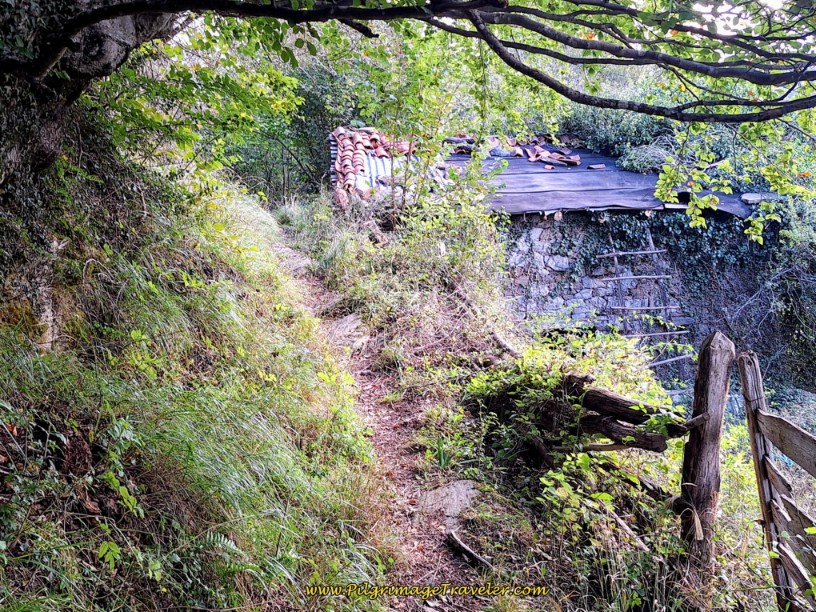 First Ruined Building
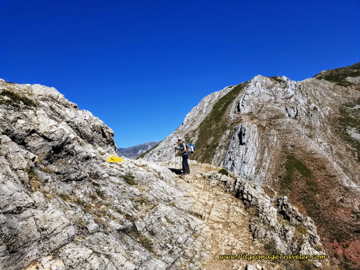
About 350 meters later, cross a small stream, after a total of 1.65 kilometers on the route. A few meters later, you will arrive in an open, treeless area and you are now climbing up and out of the drainage. You can see the rocky ridge above you. Take your time through here as the trail grows fainter, but the Way is clearly marked with yellow arrows on the rocks, like pictured next. Take your time to find them.
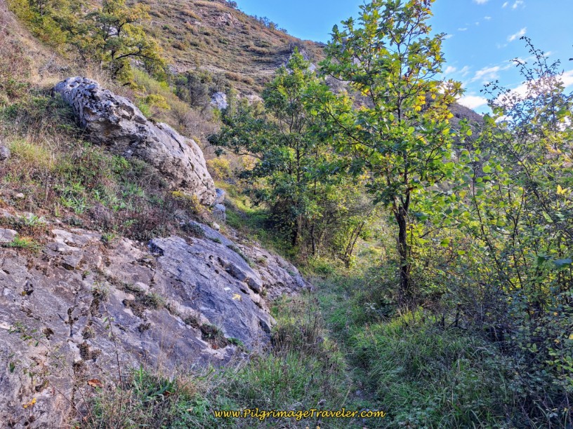 Open Area on Rocky Ridge
You can see in the next photo that the trail is rockier and rougher now and Rich thought it was even remnants of an old medieval or Roman road.
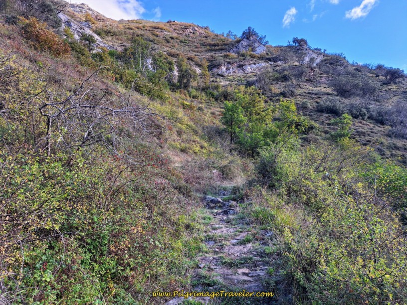 Rocky, Rough Ancient Road
You are still climbing toward the rocky ridge above, pictured next, until about 2.3 kilometers into the route, when it levels out for a bit.
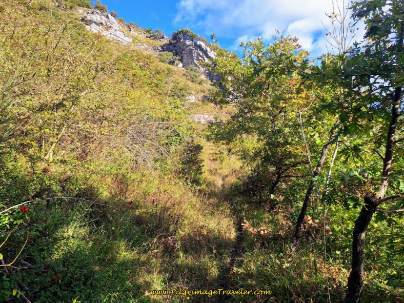 Narrow Trail with Rocky Ridge Above
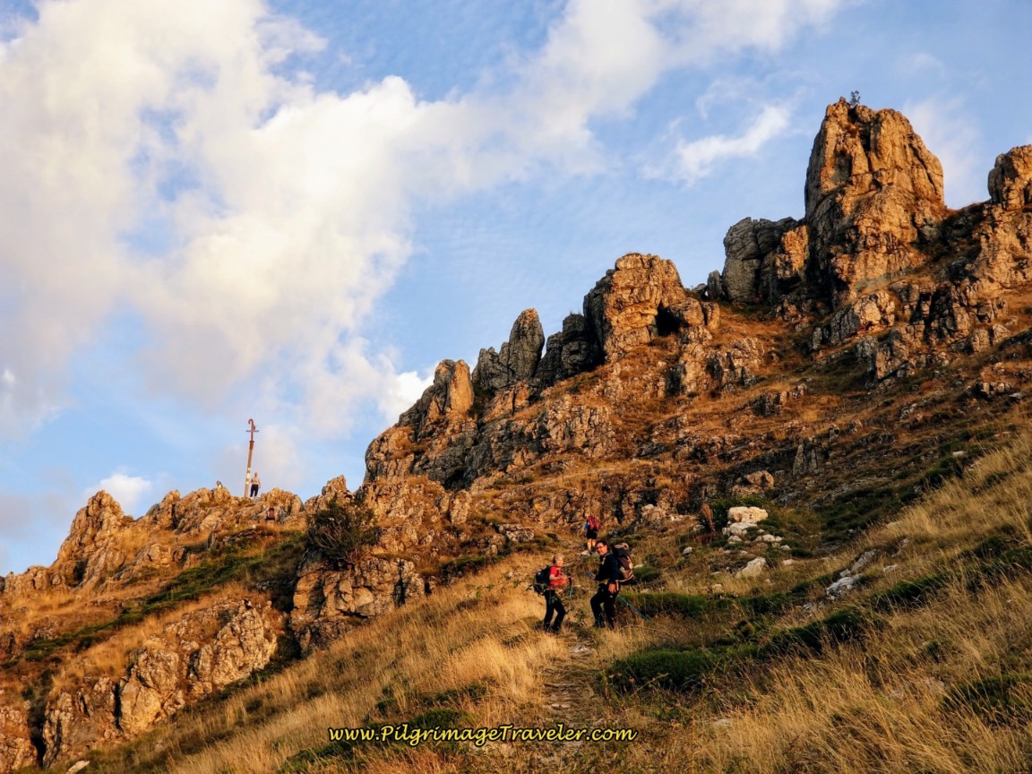
When you reach the windswept side of this top, next photo below, you will need to descend only 200 meters more to the ruins of the Monastery.
So far, so good, right?
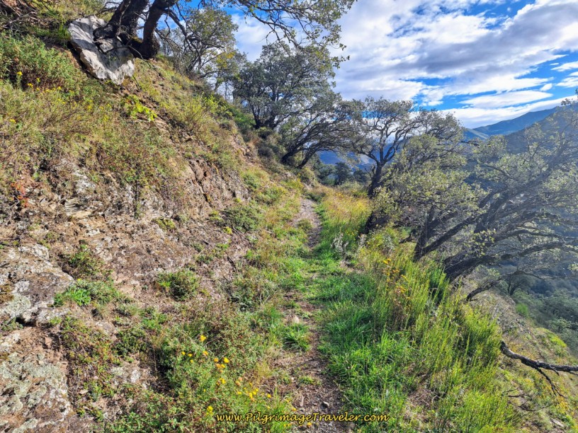 Windswept Top of the Ridge
Drop from the ridge top, back into the trees and descend steeply to the site of the monastery ruins. You will reach the first of the buildings after 2.5 kilometers into the route, almost exactly half way.
Rich only photographed two buildings, but I suppose there are more hidden among the trees, and off-route. The buildings are not marked with any historic placard and I suppose if you didn’t know it was once a monastery, you would never have guessed it when you saw it. Below is a photo of the first ruined building you will come to. Apparently this long building used to be the stables.
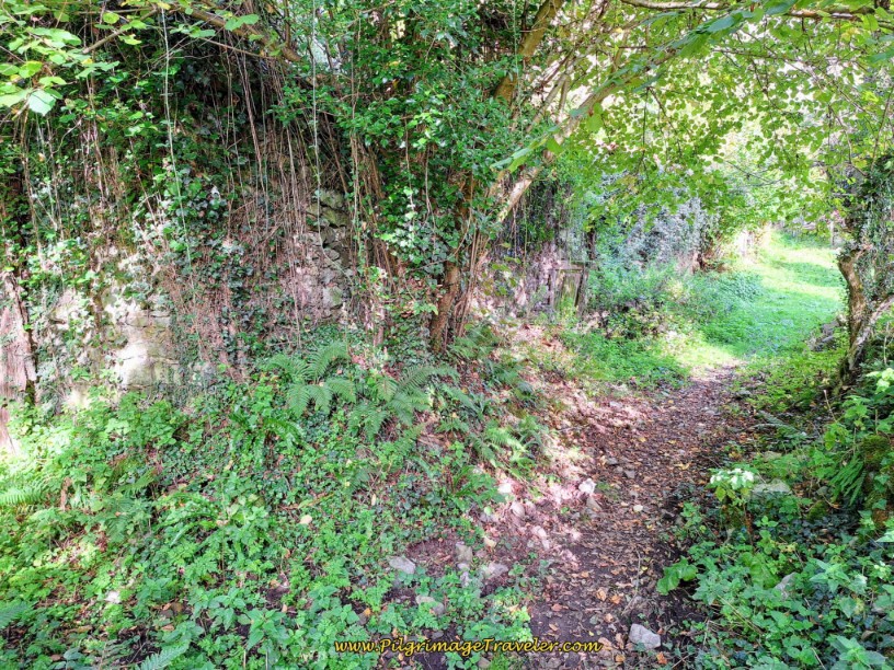 First of the Ruined Ministiriu Buildings
And a few meters later, reach the second, small building, below.
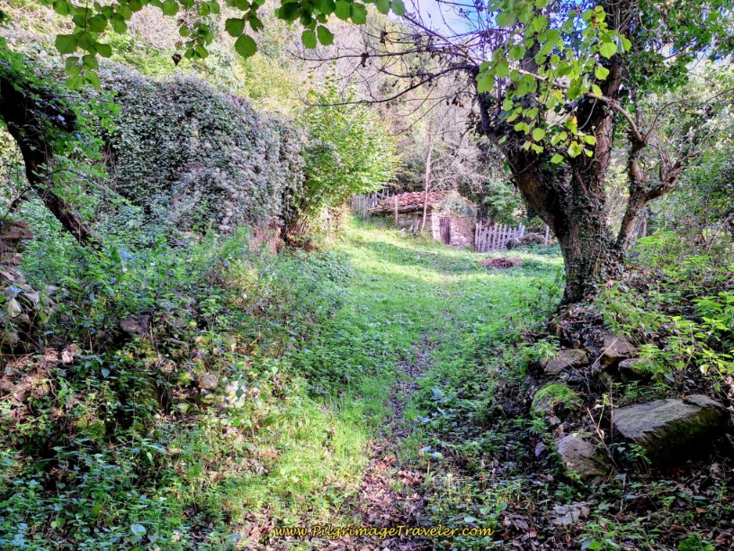 Second Building of the Ministiriu Ruins
After pausing here, for a rest, or lunch if needed, after a total of 8.35 kilometers from Pajares (6.8 from San Miguel), continue onward, past the small ruined building to the left. If you look closely in the photo below, you can see the yellow arrow painted on the side of it.
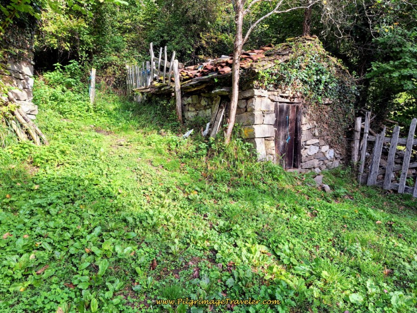 Pass Yellow Arrow on Side of Building
After leaving the ruins, climb up through the forest for another 100 meters. The trail levels off for the next 200 meters, when you come to another open area on the ridge, full of rocks above, see photo below. This next steep section is the worst of the whole route, and it is only about 200 meters long, but gains about 60 meters. Arrive at this area after 2.85 kilometers into the route.
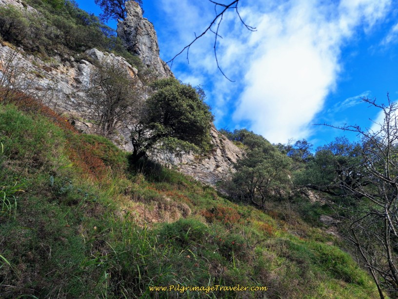 Steep Climb Begins at Rocks
I am showing a lot of pictures through this section, so you can make an informed decision, this being the most difficult section. The steepness intensifies, shown in the photo below and there is a section with stair steps, photo next, to aid your passage.
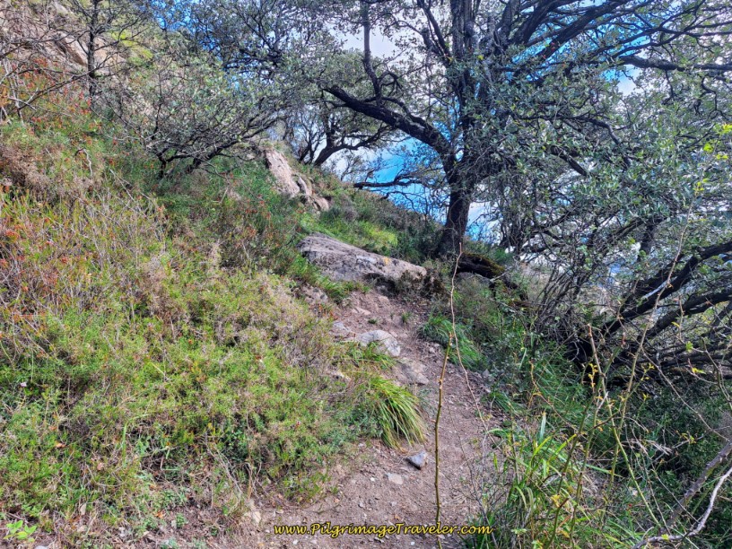 Steep and Slippery Path
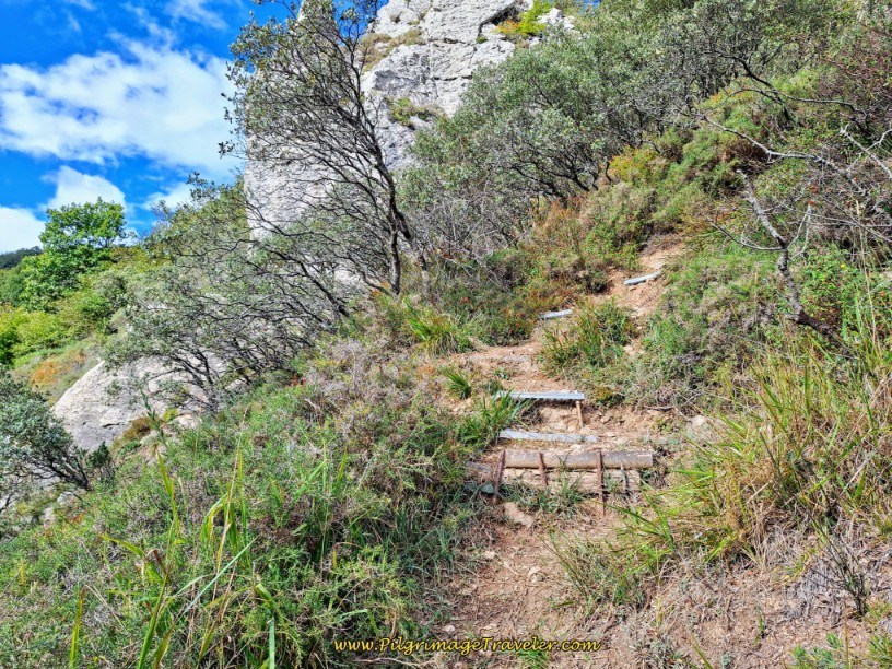 Stair Steps Aid Passage
I apologize for the poor quality of the next photo, but I included it, because, to me this looks like the worst few meters. I guess Rich was shooting into the sun. This is the final steep stretch as the trail takes a big bend to the left, then to the right as it tops out. After the S-bends, reach the ultimate top after about 3.05 kilometers.
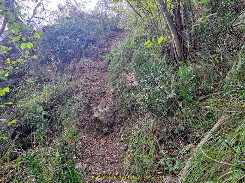 Final Steep Section
After the top, the trail descends again into the forest. And thus begins the final steep 2.0 kilometer descent. Relax and breathe as the trail gets much easier now.
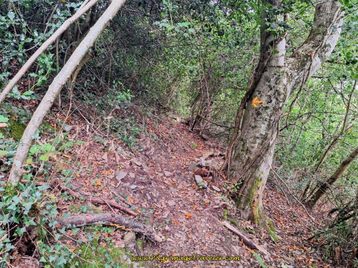 Descend into the Forest on Easier Trail
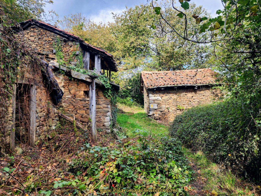
After 3.55 kilometers, pass these ruined buildings. The dark circles are doorways that you can just make out if you pinch open the photos.
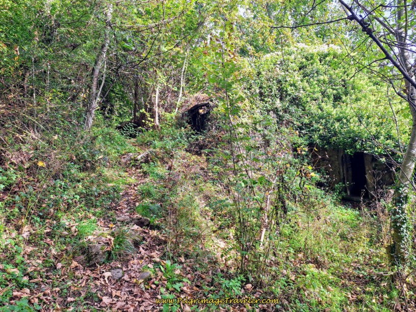 More Ruined Buildings
The trail passes on the left of the ruins, and comes to a stream crossing, less than 100 meters later, with more ruined foundations, not pictured.
After crossing the stream, the road widens suddenly.
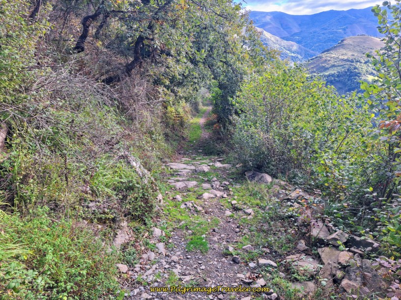 Tread the Wider Road
Pass a water pipe/fountain at a wall, after 4.08 kilometers. Along this road, views of Fresneo start to appear! When the road gets grassier and wider, you will soon come to a T-intersection after 4.58 kilometers.
Turn right onto another gravel and dirt road, following the yellow arrow, and walk the final 400 meter descent into Fresneo.
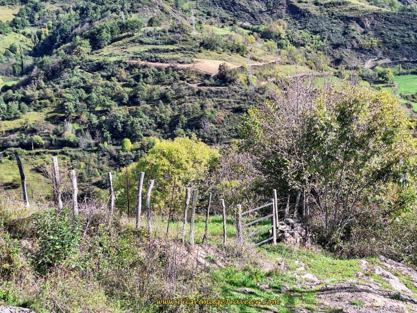 Final 1/2 Kilometer Descent
And finally, here is a photo, below, where the gravel road enters Fresneo.
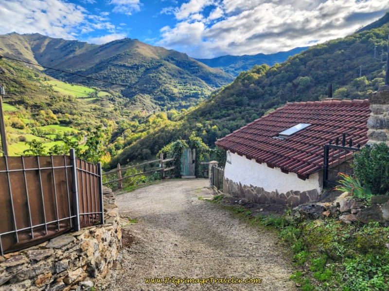 Entering Fresno Where Trails Converge
This is where I was waiting patiently for Rich, when the Spanish man came along, desiring to talk to someone about his experience. He even told me he had to crawl on all fours for a while to keep his balance! After Rich arrived and described his experience, and after reviewing the photos myself, I am convinced that the Spaniard got off trail.
Rich described nothing like what the Spaniard experienced, and I can see nothing in the photos that suggest that crawling, or serious scrambling over rocks was necessary.
Take your time, carefully find your way, looking for the many yellow arrows along the trail and you will be fine. Use my GPS tracks to guide you as well. If it becomes too difficult, you have left the trail. Double back and find the Way. Most importantly, do not attempt this in bad weather!
Jump to Camino de San Salvador Stages
The Onward Camino from Fresneo
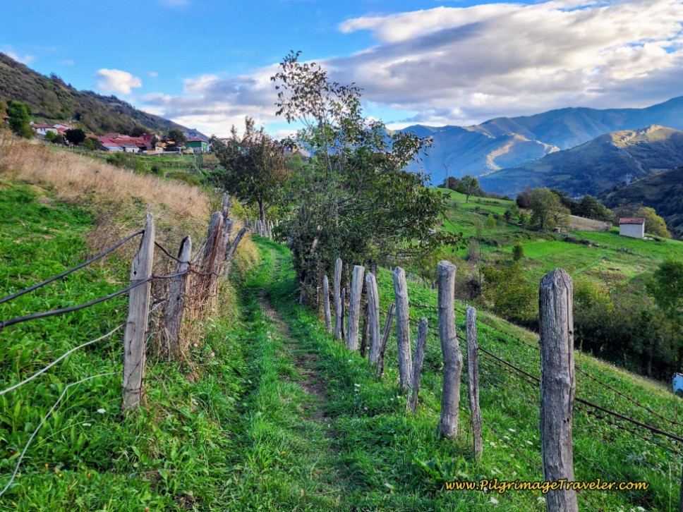
Soon after the fountain, and after leaving town, the Way becomes a path again. After Fresneo, this path you will follow is a full 4.8 kilometers until the pavement in the next town of Herías. Thank God for that!
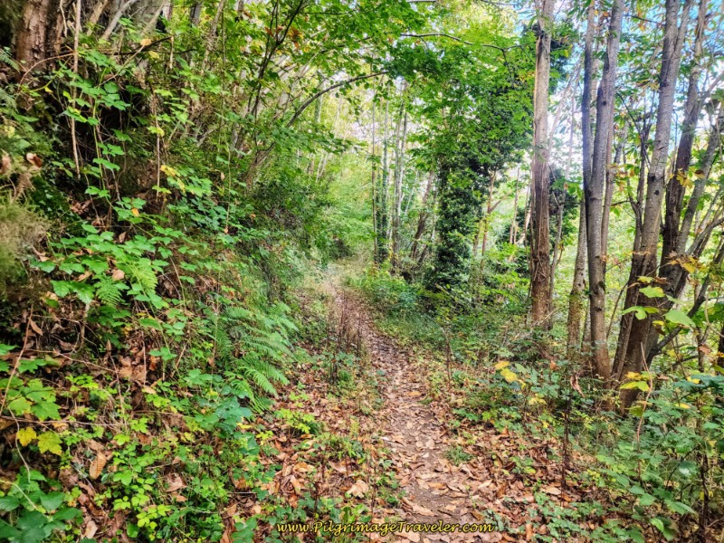 Path after Fresneo on day Four, Camino de San Salvador
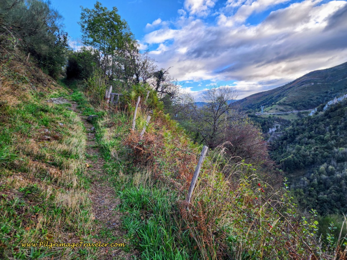
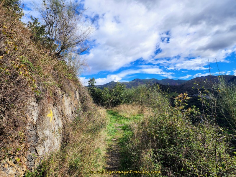
Once again, the path through this section gets more narrow and rugged. This path continues climbing up and out of the forest and to more beautiful open views.
I hope you take the time to relish these views and not rush through as we had to. They are fantastic.
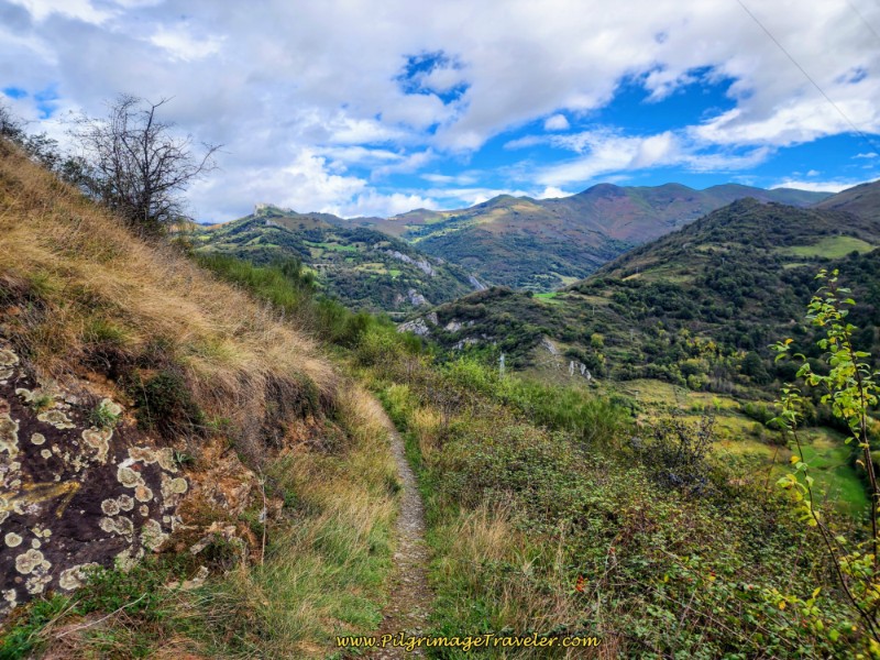 Views of Surrounding Mountains
This clearing also affords a view of the path ahead. You can see, throughout this day four, how the Camino de San Salvador hugs the hills as it undulates across the ridge lines.
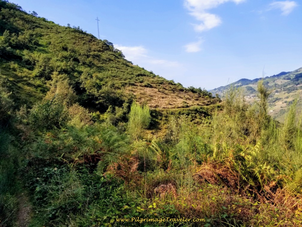 The Trail is Visible Ahead
After approximately 12 kilometers from Pajares, (10.4 from San Miguel or 25.2 from Poladura), come to the second high point of the day and start the final descent towards Campomanes. My knee definitely felt better on the walk through Fresneo, and up the hill. All that was left from here was about five more kilometers downhill!
About 700 meters after the top, drop down into a drainage with a lovely waterfall.
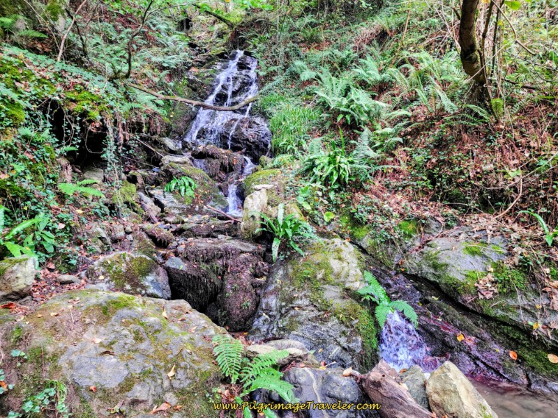 Drop to Stream Crossing on the Camino de San Salvador, Day Four
200 meters after the waterfall, you will come to this abandoned place in the woods.
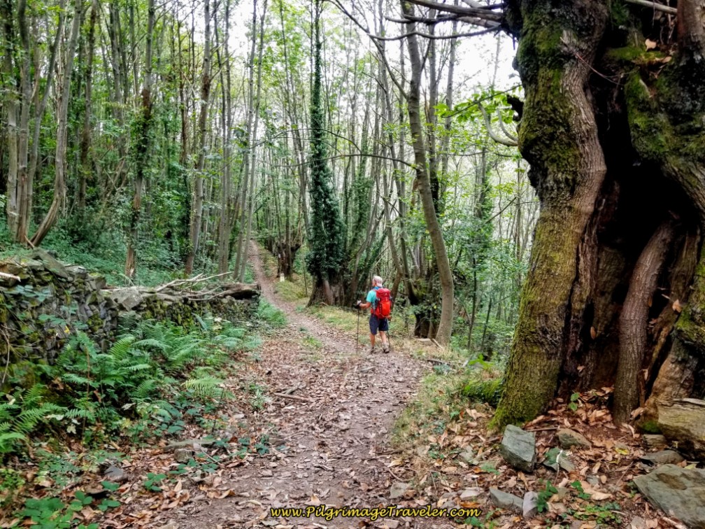
Through this section, the trail runs by a wood fence and farther on, a brick wall. The Camino starts to descend really steeply through these huge, old trees.
After about 13.4 kilometers from Pajares, (11.8 from San Miguel or 26.6 from Poladura), come to a cluster of buildings of La Barraca, now a ghost town.
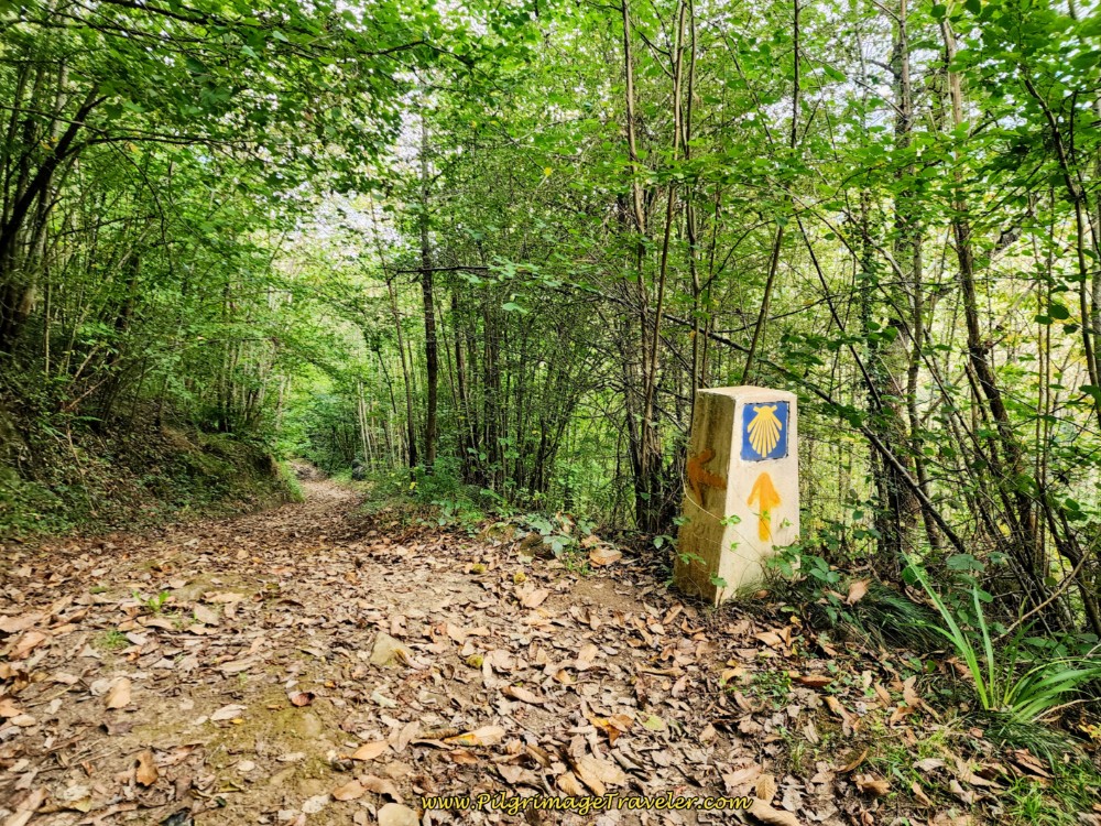
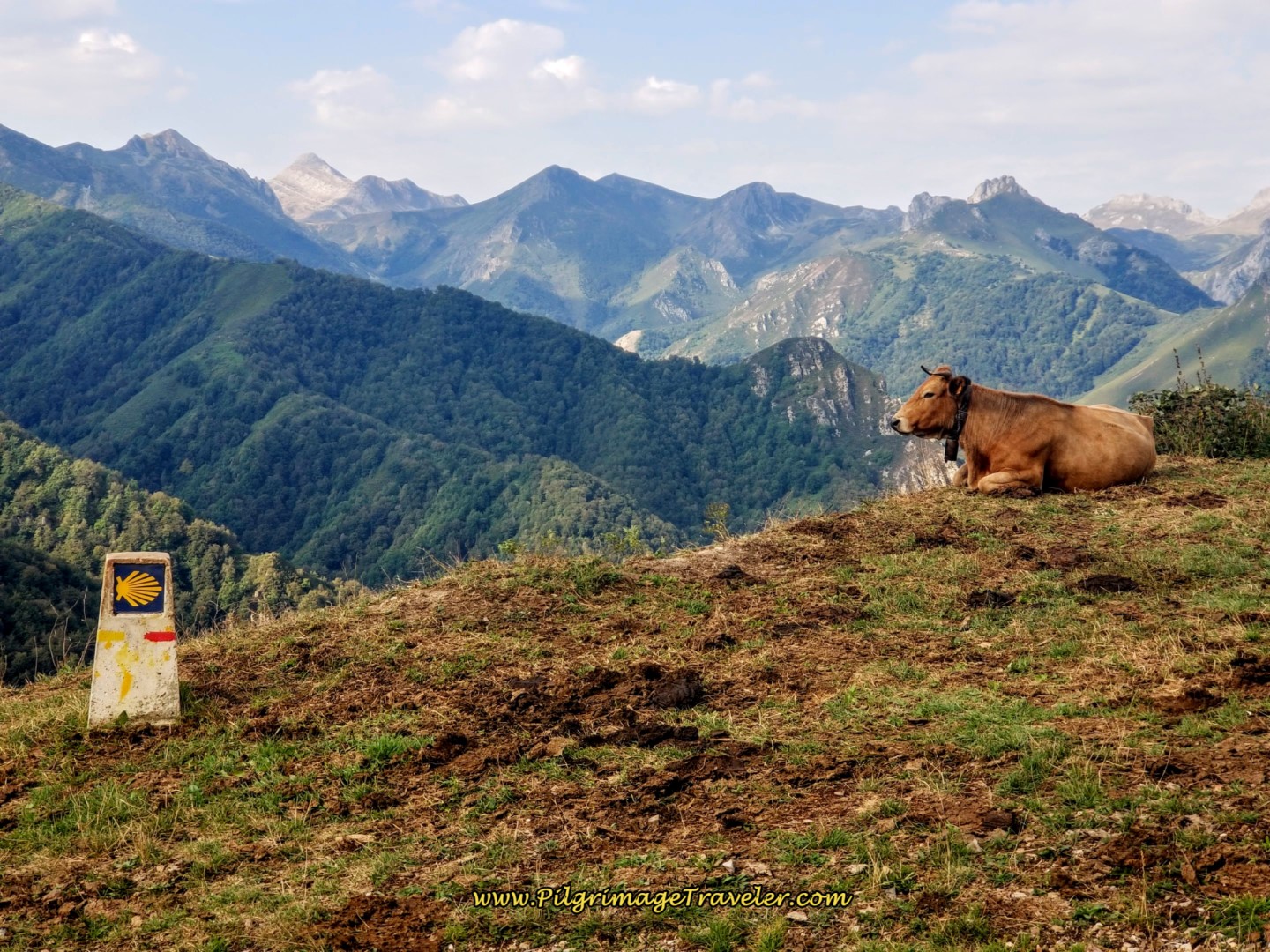
A few meters later, come to this open field, with another ruined building and with a concrete waymark showing the way forward. It was one of the first Asturian waymarks we'd seen in a long while on the trail. And just after the waymark, there is a town sign, “San Miguel d’Eros,” and an arrow pointing to a fuente, or fountain, 50 meters off Camino to the right.
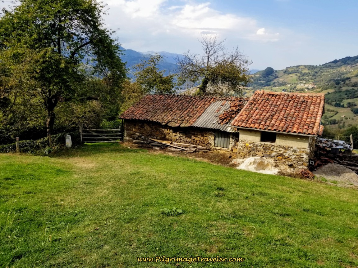 Asturian Waymark in Barraca, Day Four, Camino del Salvador
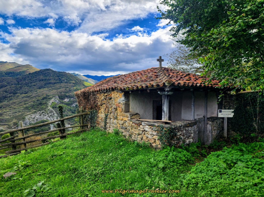
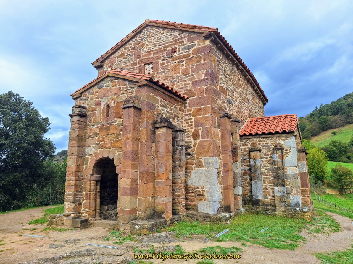
Be sure to look behind you in this field or you may miss the sweet little Ermita de San Miguel. This is a fabulous little historic chapel in the mountains. Despite my extreme fatigue, I said a prayer of gratitude here, that I had made it thus far. I wondered how the pilgrims of yore must have felt, at this place, when they knew that they had made it over the treacherous mountain passes.
The path after La Barraca is very upsy downsy and was terribly overgrown at the time. It also had some very muddy sections when we walked through. Fortunately, the photos below show much improvement along the Way now but it can still be muddy with all the drainage crossings. It has even been widened into a road! We were the only pilgrims on the Way and I continued my silly half-march on any downhills.
Plus, it started to feel like it was going to rain! Wouldn't that just be the coup d'etat at the end of a grueling day!
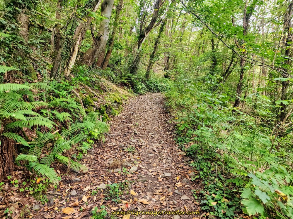 Return to Forest Path After Ermita
 Wide Track Toward Herías
Through this section, the forests clear and you can feel the next town is near.
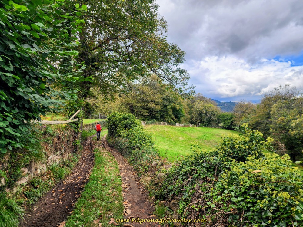 Getting Close to Herías
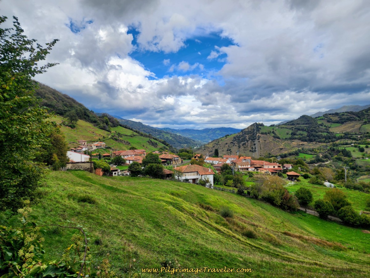
The dirt road becomes to grooved concrete and then, you see Herías on the hillside ahead. It was a lovely sight!
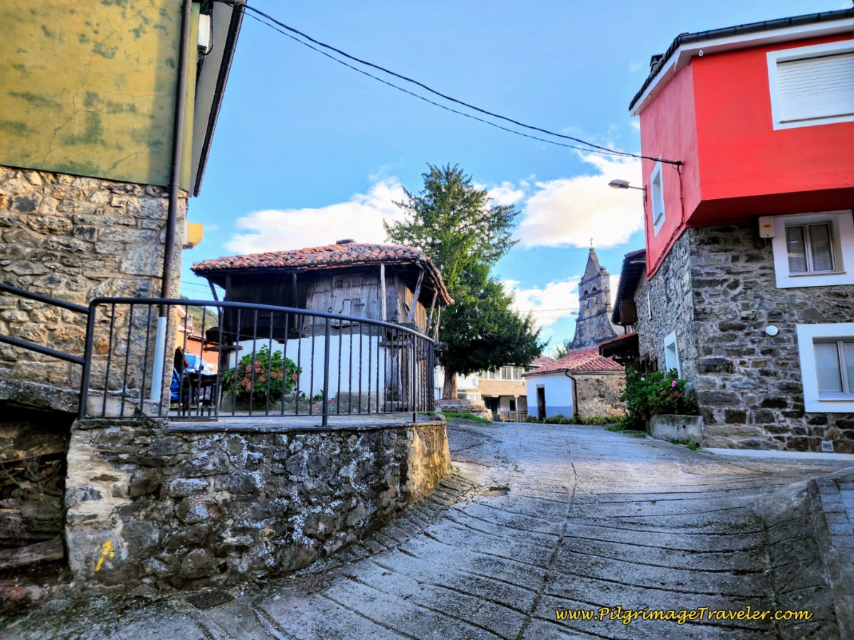
The town center, is reached very quickly, after about 15.3 kilometers from Pajares, (13.7 from San Miguel and 28.5 from Poladura). You can see the large public fountain in the square, on the left side of this photo below, but it was the large square Asturian hórreos that caught my eye.
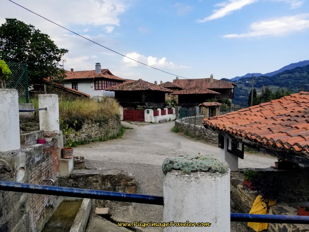 Herías Town Fountain and Square with Asturian Hórreos
While we were resting here by the fountain, two of our Spanish compadres came along. They proceeded to call the Albergue Bendueños (+34 674 671 706) to come to pick them up! I was so jealous and wished we had made the decision to stay there. But I had made a reservation in Campomanes, and wanted to honor that.
I heard nothing but fabulous reports the next day, of the stay in Bendueños. (If you wish, you can take the road leaving west from the square, following the signs, and walk the 1.5 kilometers to the albergue, as some pilgrims do.)
We still had 1.7 kilometers to go! Here is the road that climbs up and out of Herías from the square. I dragged my poor tired body up this hill as we said goodbye to our friends.
Jump to Camino de San Salvador Stages
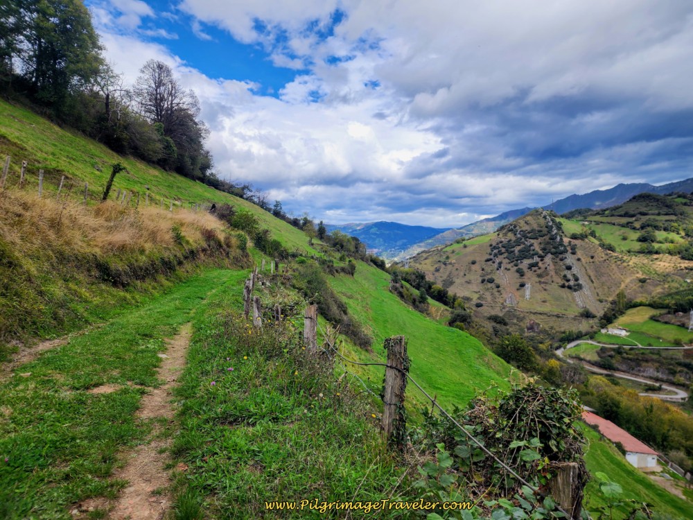 Track Towards Campomanes
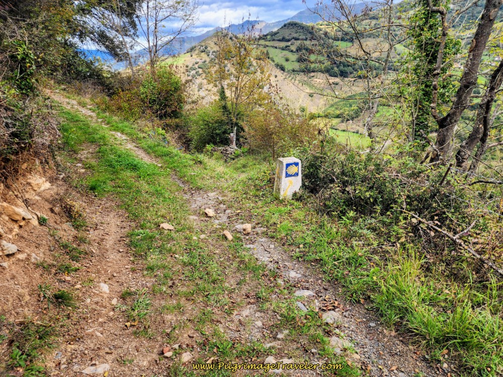
When you come to this concrete waymark, pictured below, signalling a turn to the right and about 600 meters after the square, you are only one kilometer from the center of Campomanes.
My legs and especially my left knee screamed when I asked it to take this initial steep drop down the path.
While this section looks flat, the final kilometer on the path to Campomanes was brutally steep!
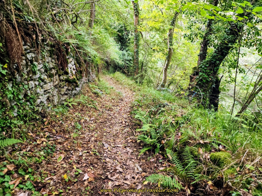 A Bit More Through the Forest
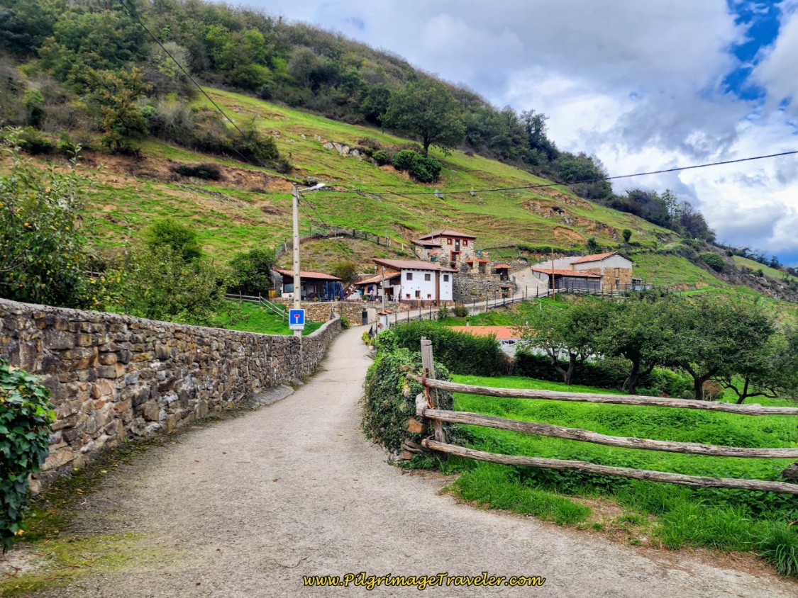
And then finally, the path passed by the first building that signaled that we were in Campomanes.
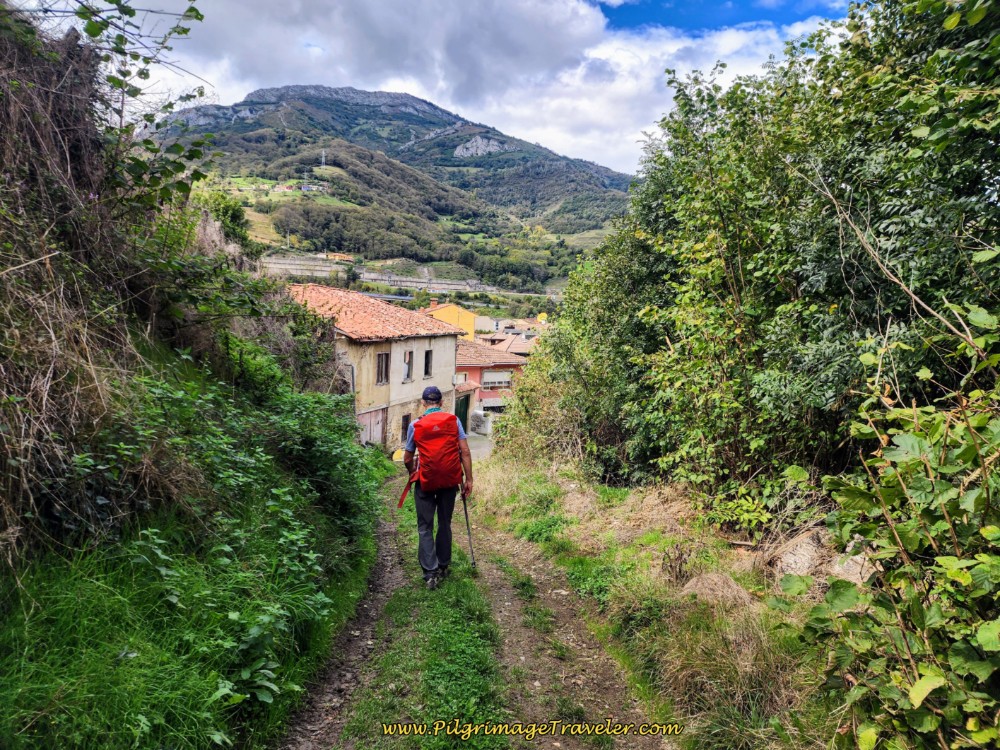 Entering Campomanes on day four of the Camino del Salvador
A left turn at the next T-intersection, and we were headed to the center of town. Fortunately for my legs, it is a small town and we arrived in the center a mere 300 meters later.
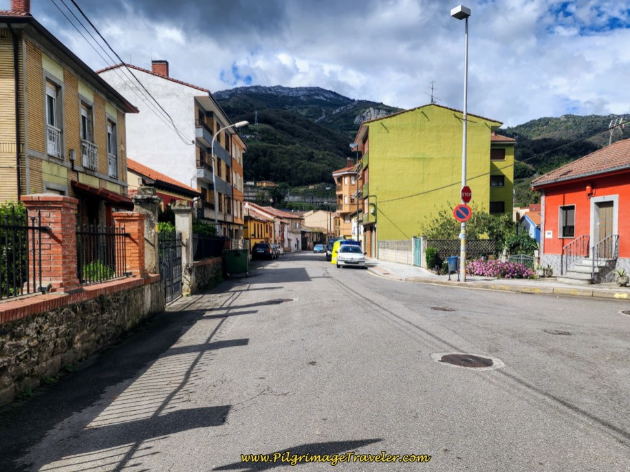 Toward Center of Campomanes
I was so exhausted when we arrived in town at 5:30 in the afternoon, that I totally forgot to take any photos of the center of town.
However, I did take a photo of the lovely, historic pilgrim’s chapel in the center of town, a few steps off-Camino, the next day, day five.
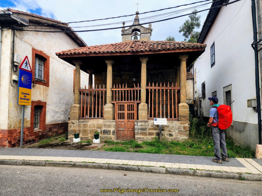 Rich Admires the Capilla del Santo Cristo, Campomanes
I also failed to take any photos of the very friendly Hospedaje Senda del Huerna (+34 675 65 45 50) where we stayed, steps off the Camino. The place is a bit shabby but clean, and for only 40 Euros. The owner, Roberto, is very, very friendly and helpful. He let us do our laundry in his washer and dryer for no additional cost. (I am not sure if this is still true, or if Roberto still owns the place.)
After showering and doing our laundry, we attempted to seek out a place for dinner. Alas, the nearest place for food was in a restaurant farther down the river by about another kilometer at the Reundu (+34 985 496 377). We declined this recommendation by Roberto. There was no way I was adding 2 more kilometers to my day!
We set out per Roberto's second recommendation and with instructions to the Sidreria Mercadiellu, (now permanently closed, but two more bars have replaced it), a bar and cider house only 200 meters away. Alas, when we arrived they had no food but bocadillos! We asked if he could put tomato, lettuce and mayonnaise on them and at least he could do that! So we had deliciously moist bocadillos and red wine for supper! We were so tired and hungry that most likely cow hide would have tasted good!
There are two more possible choices for accommodation in Campomanes, the Pensión Casa del Abad (+34 670 262 036) and the Casa Rural Fuente el Vache (+34 637 792 367) and the very economical Apartamentos Campomanes (+34 637 79 23 67), all in the center of town.
Reflections on Day Four of our Camino de San Salvador
As stated frequently through this day's journey, and yesterdays on day three, to do this entire section from Poladura de la Tercia to Campomanes is a Herculean effort, one I would never recommend. It tainted my entire Camino de San Salvador, going forward, as you will see if you read on.
My mind, I think, kept saying, "This is only 30 kilometers and you have done it many times before!" However, my body told the true story! My knee was to haunt me for the rest of this Camino.
Trust me, this is not "just 30 kilometers." It was the hardest 30 kilometers I have ever done and hope to never, ever do again!
Despite the incredible day, I didn't complain all that much. My voice journals were cursory, full of information, but not a lot of exasperation.
But I did keep on walking. Even when I needed to use the half-march to keep my left knee from hurting. I certainly did have a road map, and the courage to press on, because I arrived at the intended destination. Not to the best interests of my body, though, I am afraid.
From what I now understand, after reading information from other pilgrims on various forums, is that I was probably habitually over-striding, especially up the hills. Most likely this is what damaged my knee.
I have since learned to shorten my stride and it has made all the difference in the world! Trying to keep up with Rich’s long legs, I am afraid, taught me poor habits. I also now understand that if I swing my arms too far forward with my poles, this also causes me to take too long a stride. I learned to adjust this as well for happier, healthy knees and legs.
Salutation
May your own day four on the Camino de San Salvador be accomplished with your map and the courage to press on to your destination! May you avoid any injuries along the way as you listen to your own body! Ultreia!
Camino de San Salvador Stages:
Please Consider Showing Your Support
Many readers contact me, Elle, to thank me for all the time and care that I have spent creating this informative website. If you have been truly blessed by my efforts, have not purchased an eBook, yet wish to contribute, I am very grateful. Thank-you!
Search This Website:
🙋♀️ Why Trust Us at the Pilgrimage Traveler?

We’re not a travel agency ~ we’re pilgrims, just like you.
We've walked Pilgrimage Routes Across Europe!
💬 We’ve:
- Gotten lost so you don’t have to. 😉
- Followed yellow arrows in the glowing sunlight, the pouring rain and by moonlight. ☀️🌧️🌙
- Slept in albergues, hostals & casa rurals. Ate and drank in cafés along the way. 🛌 😴
- Created detailed and downloadable GPS maps and eBook Guides, full of must-have information based on real pilgrimage travels. 🧭 🗺️
- Shared our complete journeys, step by step to help YOU plan your own ultimate pilgrimage and walk with your own Heart and Soul. 💙✨
Every detail is from our own experiences ~ no fluff, no AI rewrite. Just fellow pilgrims sharing the way. We add a touch of spirituality, a big dose of ❤️ and lots of wisdom from the road.
Ultreia and Safe Pilgrimage Travels, Caminante! 💫 💚 🤍
Follow Me on Pinterest:
Find the Pilgrimage Traveler on Facebook:
Like / Share this page on Facebook:
Follow Me on Instagram:
***All Banners, Amazon, Roamless and Booking.com links on this website are affiliate links. As an Amazon associate and a Booking.com associate, the Pilgrimage Traveler website will earn from qualifying purchases when you click on these links, at no cost to you. We sincerely thank-you as this is a pilgrim-supported website***
PS: Our eBook Guide books are of our own creation and we appreciate your purchase of those too!!
Shroud Yourself in Mystery, along the Via de Francesco!
Walk in the Footsteps of St. Francis, and Connect Deeply to the Saint and to Nature in the Marvelous Italian Countryside!
Need suggestions on what to pack for your next pilgrimage? Click Here or on the photo below!
Carbon fiber construction (not aluminum) in a trekking pole makes them ultra lightweight. We like the Z-Pole style from Black Diamond so we can hide our poles in our pack from potential thieves before getting to our albergue! There are many to choose from! (See more of our gear recommendations! )
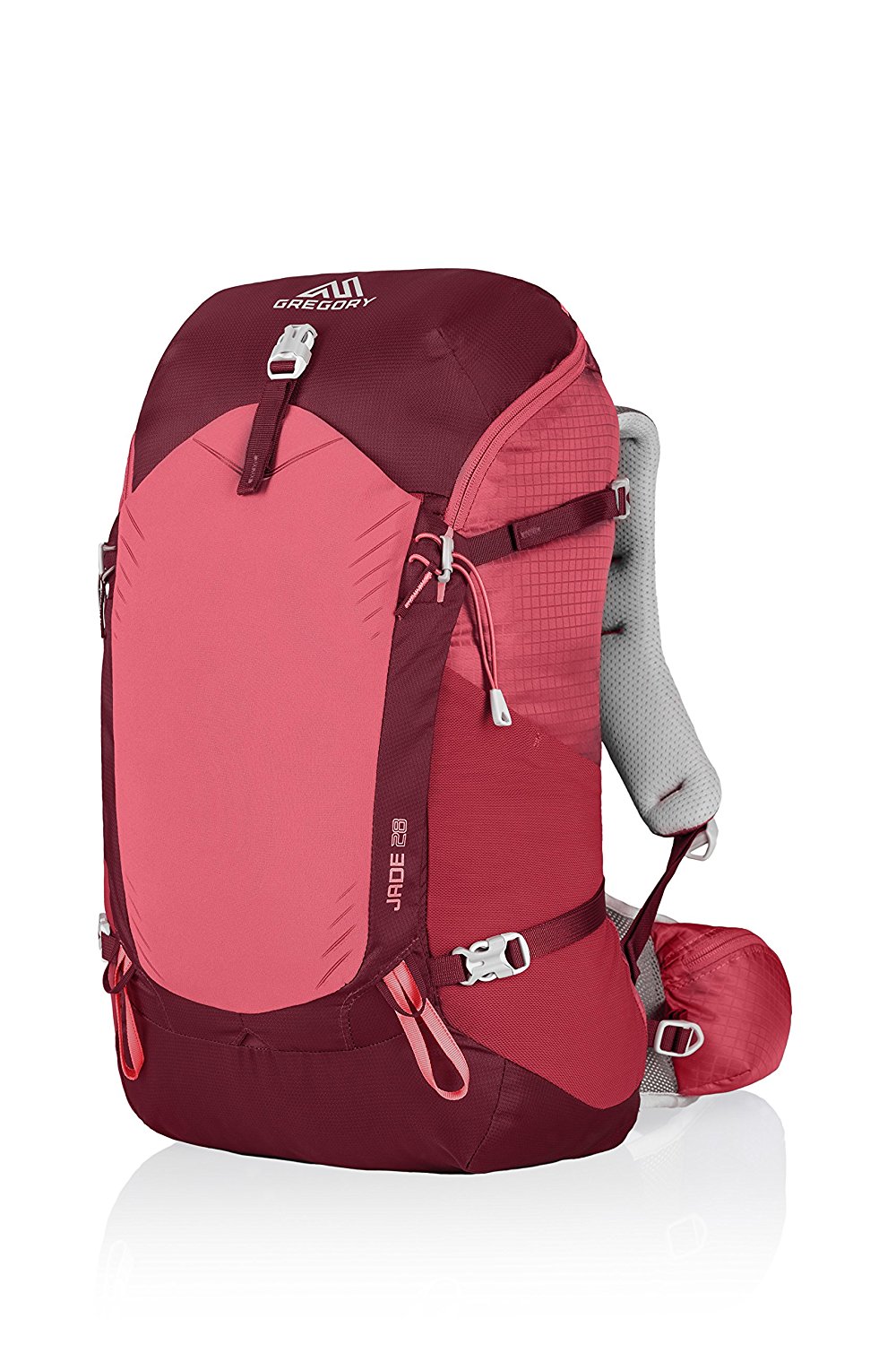
Gregory BackPack - My Favorite Brand
Do not forget your quick-dry microfiber towel!
Booking.com
My absolute favorite book on how to be a pilgrim:








Your Opinion Matters! Comments
Have you had a similar experience, have some advice to give, or have something else you'd like to share? We would love to hear from you! Please leave us a comment in the box below.