- Home
- ~ Camino Portugues (The Portuguese Way)
- Day One, La Coruna Arm, La Coruna to Sergude
Day One on the Camino Inglés, La Coruña Arm ~ La Coruña to Sergude, 19.63 Km (12.2 Miles)
Just so you know, the PilgrimageTraveler.com is an associate of Booking.com, Roamless, and Amazon. As an associate of these merchants, we earn from qualifying purchases from our links.
Our day one on the Camino Inglés, of the La Coruña Arm was a long jaunt through urban areas, a riverside park and country roads, with lofty views and a very long, very steep climb at the end of the day. While a strong and fit walker could do the entire La Coruña Arm to Hospital de Bruma in one day, for a total of 32.63 kilometers, we chose to do it in two.
This is a wonderful day for those who are completing their Celtic Camino from Ireland, having documented in their credentials, the 25-30 kilometers before arriving in La Coruña.
I hope you spend some time exploring the city of A Coruña, the name of this town in Gallego, the Galician Dialect. Gallego is a mixture of Spanish and Portuguese. Please click on the link to see what this gorgeous seaside town has to offer!
"At its heart, the journey of each life is a pilgrimage, through unforeseen sacred places that enlarge and enrich the soul." John O'Donohue
🙋♀️ Why Trust Us at the Pilgrimage Traveler?
We’re not a travel agency ~ we’re pilgrims, just like you.
We've walked Pilgrimage Routes Across Europe!
💬 We’ve:
- Gotten lost so you don’t have to. 😉
- Followed yellow arrows in the glowing sunlight, the pouring rain and by moonlight. ☀️🌧️🌙
- Slept in albergues, hostals & casa rurals. Ate and drank in cafés along the way. 🛌 😴
- Created detailed and downloadable GPS maps and eBook Guides, full of must-have information based on real pilgrimage travels. 🧭 🗺️
- Shared our complete journeys, step by step to help YOU plan your own ultimate pilgrimage and walk with your own Heart and Soul. 💙✨
Every detail is from our own experiences ~ no fluff, no AI rewrite. Just fellow pilgrims sharing the way. We add a touch of spirituality, a big dose of ❤️ and lots of wisdom from the road.
Ultreia and Safe Pilgrimage Travels, Caminante! 💫 💚 🤍
Maps and Stats of Day One, Camino Inglés, La Coruña Arm
Here is our Google map of this day, uploaded from our GPS tracks. We found the Way to be mostly easy to find except in a few rough areas in the city of La Coruña itself.
You must look closely, for the blue Camino signs, (notice them in the photos below), looking up for them, more than down. These signs are new-looking, since the Camino Inglés has been rerouted, but they are farther spaced than on other Caminos.
There are essentially no blue Camino signs unless there is a direction change, so you have to stay alert at all times. It may help you to study the route the night before.
This entire day is almost entirely on pavement, except for a few short segments. Once out of the city, the pavement isn't all that bad, because you are walking on very quiet and rural roads.
I have added accommodations, cafés and supermarkets to assist your Camino. There are so many cafés coming out of La Coruña that I only added the one where we stopped, several kilometers into the day on the outskirts of the city. Then when you leave the city, they are much fewer and far between, so I placed them on the map for your convenience.
Please note, that since my latest update, I have provided a short alternative route by the river, shown in orange in the map below. Please see the route description and rationale for this route, farther below!
Do not be fooled by the brevity of this day one! It is not easy.
While the church, at the start of this day is on a small hill, there is very little elevation change in the first three kilometers walking through the city of La Coruña.
Then the fun begins! It is uphill and down, ending the day in a long, serious 5.0 kilometer steep climb that seems to never end. The total accumulated elevation gain is 478 meters (1500 feet), nothing to take lightly.
Camino Inglés EBook Guide
Our Downloadable Camino Inglés eBook Guide in PDF Format contains all the valuable information from our web pages, for comfortable reading offline and without ads on your personal device. Don't carry the heavy weight of a book. Use our digital guides on your next Camino instead!
Our ebook guides are packed with frequently updated information, because a digital format is more nimble than hard-copy publishing. Our eBook Guide is unique because we also entertain and immerse you with our story! Click here for more information OR BUY NOW!
Photo-Rich Travelogue of Day One, Camino Inglés, La Coruña Arm
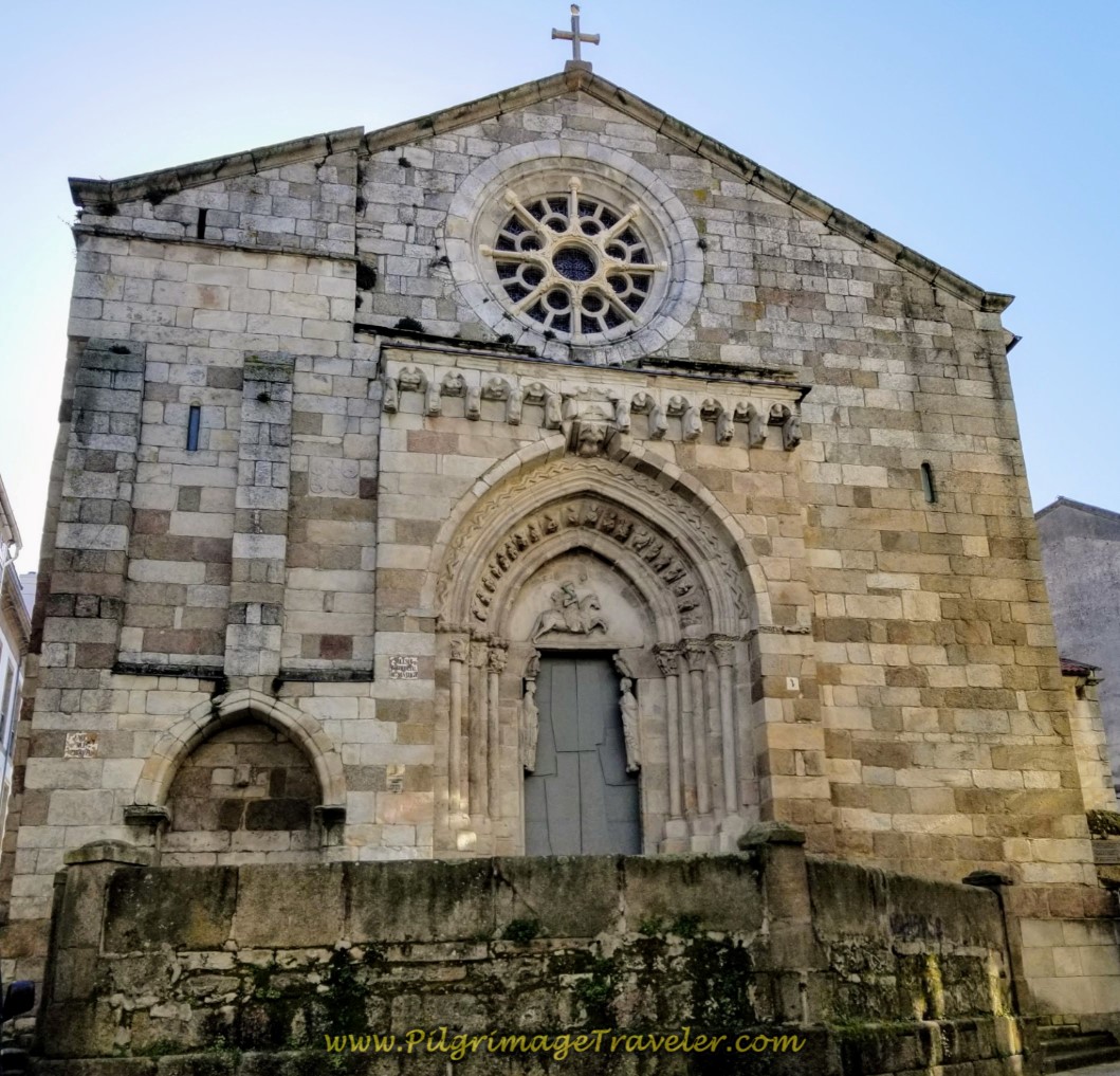
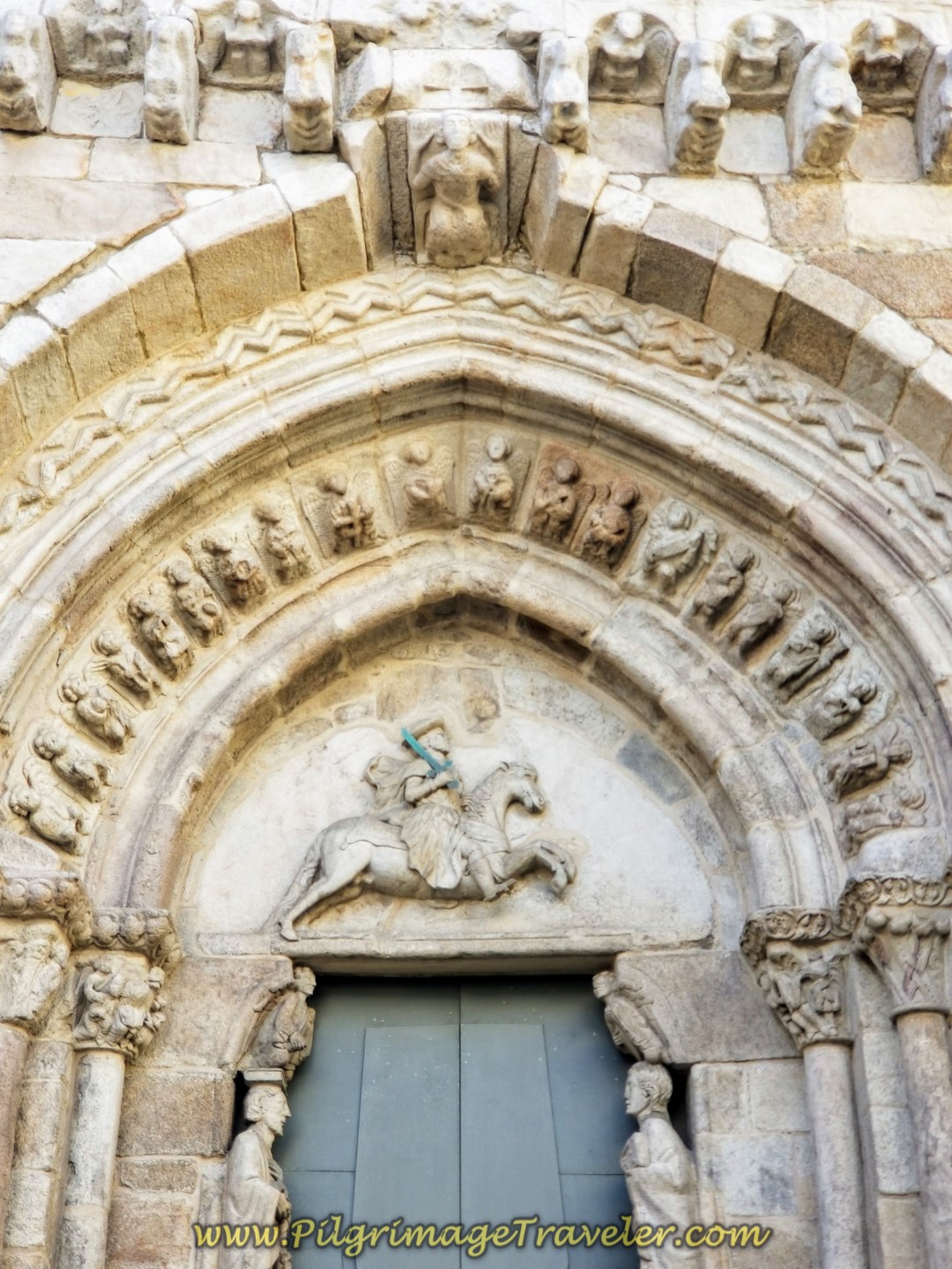
The official start of the Camino Inglés is at the Igrexa de Santiago in the old medieval part of the town within the center of the T-shaped peninsula. It is a lovely old church in the Romanesque style, built in the 12th century. The portal, below right is Gothic, with a depiction of St. James as an equestrian, the Santiago Matamoros, or St. James, the Moor Slayer.
Alas, the church was not open on the morning of our arrival, but I have read that the inside is quite lovely, with many more depictions of Santiago.
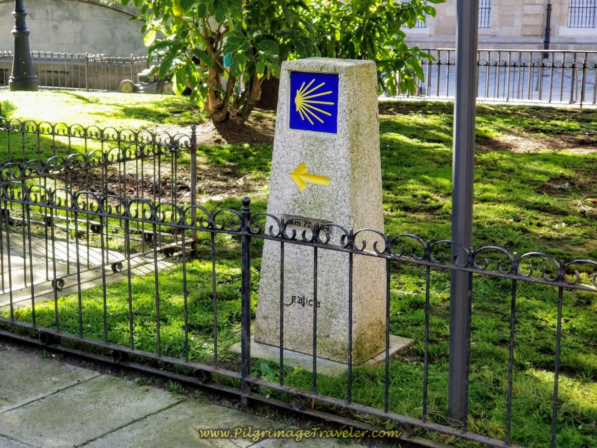
The Camino goes around to the left side of the church on the Rúa Santiago where the first official kilometer marker can be seen, just behind it. Here is a photo of it, at 72.884. The "official" length of the Camino Inglés as endorsed by the cathedral in Santiago de Compostela is 75 kilometers, so I found this one to be of interest.
After admiring the back of the Church to St. James, continue on the Rúa Santiago and look for the first blue Camino sign, with the yellow directional arrow on the wall of the building shown in the photo below.
Turn left here, as directed, onto the small pedestrian street shown. Walk through a small plaza with a statue, the Fuente de Deseo in the center. This plaza is called the Praza do Xeneral Azcárraga and was named after a famous general. The plaza in the old city was a center for commerce in the late 1800's most notably for the sale of flour. It is a very inviting and shady place lined with banana and ash trees.
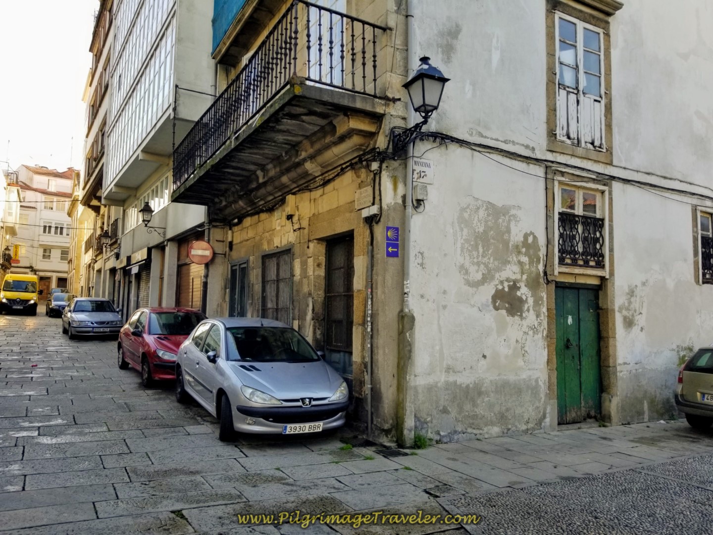 Turn Left Here Toward the Praza do Xeneral Azcárraga
After walking through the plaza, turn left onto the Rúa Dama, shown below.
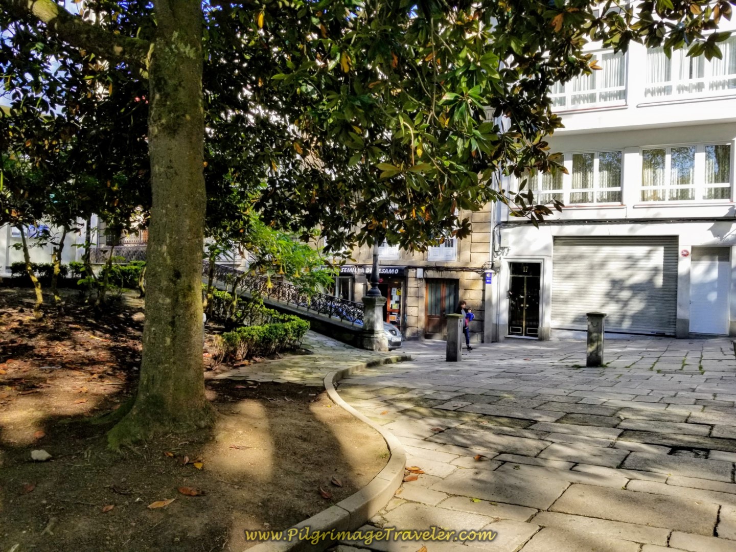 After the Plaza, Turn Left Here on the Rúa Dama
The next move is a right turn onto the Calle Ángeles at the Plaza Ángeles, shown below, heading toward the archway leading into the María Pita plaza. To see photos of how fabulous is this Praza de María Pita, be sure to read my La Coruña article.
Take note of the height of the waymark in this photo. This is how they will appear throughout the city.
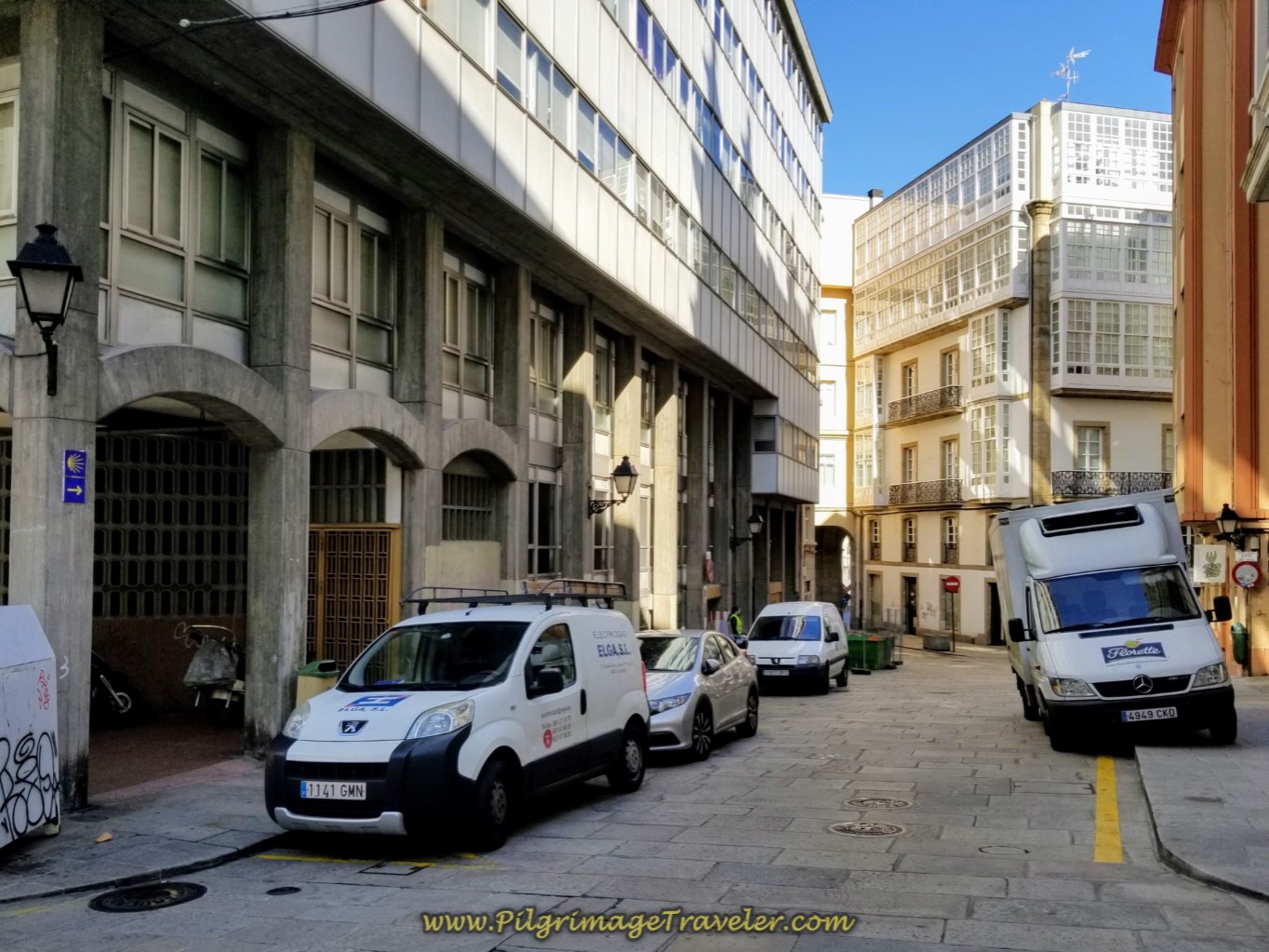 Right Turn Onto the Calle Ángeles
Walk across the large and open María Pita plaza and go through the double archway on the other side, shown below, and onto the Rúa Riego de Agua.
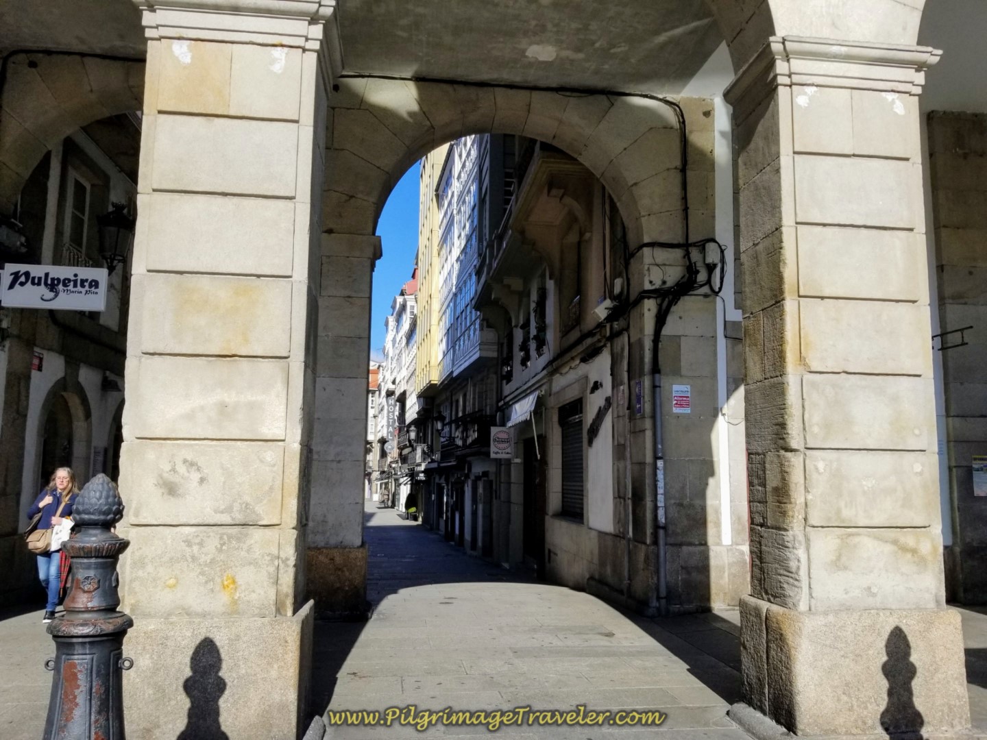 Archway Leaving the María Pita Plaza
After not quite 200 meters, bear left onto the Rúa Real, the main shopping street in town. In 300 more meters, come out onto the three-lane grand boulevard the Rúa Cantón Grande at the obelisk, shown below.
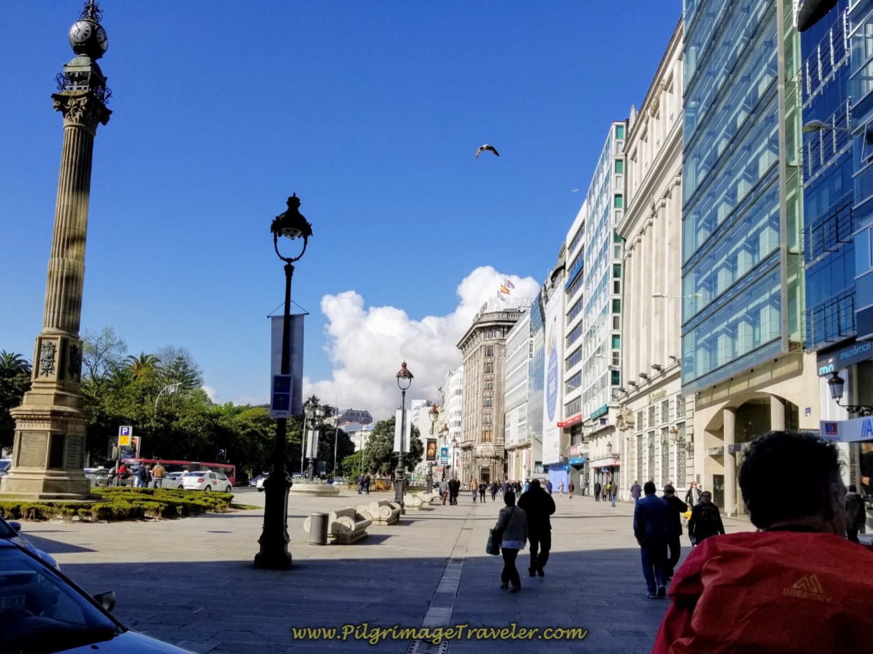 Join the Rúa Cantón Grande at the Obelisk
Continuing on the boulevard, walking through the plaza and staying to the right side of the road, head towards the landmark Abanca building with a winged statue on the summit of the tower, shown below. Pass a park on the other side of the boulevard to the left.
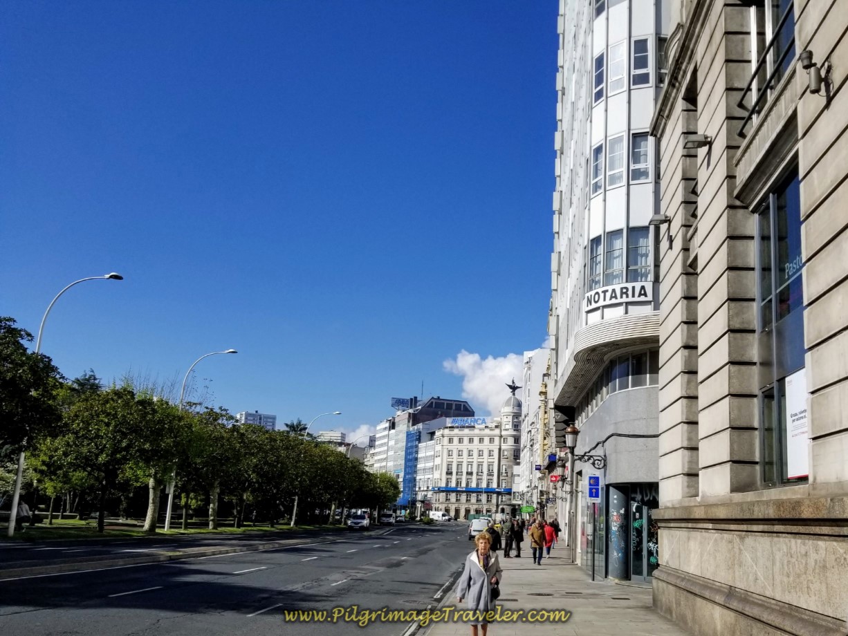 Head Toward the Abanca with Winged Sculpture
Stay left on the boulevard at the Abanca building, shown in the intersection below. The blue directional signs are easy to follow through this section. The street now becomes the Rúa Sánchez Bregua after the bank.
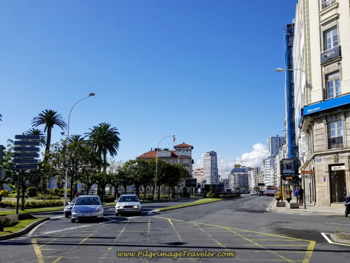 Stay Left at the Abanca Building
After not quite a full kilometer from the obelisk, you leave the street, the N-550, to walk parallel to it on a walking plaza on the right side, following the ramp up. Come to a tattoo parlor after about 150 meters, shown below, cross over to it and turn left, following the Camino blue sign.
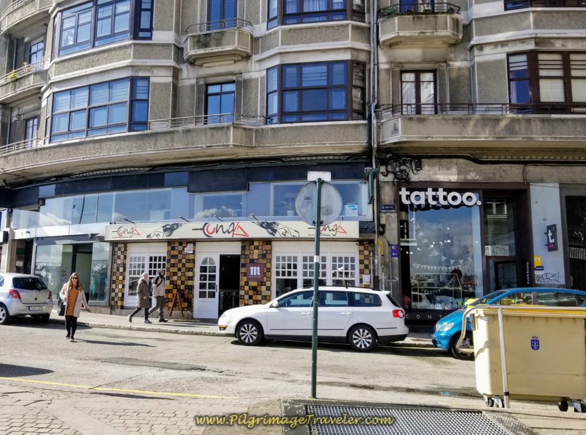 Turn Left at Tattoo Parlor on Day One of the La Coruña Arm of the Camino Inglés
A few meters after turning left, come to the N-550 and turn right onto it.
After joining the N-550, in 75 meters or so, take the first cross walk to the other side of the street as directed. Next, take the first intersection to the left after the crosswalk, onto the Av. Fernández Latorre. This turn is easy to miss! I marked this intersection on my Google map above, with a yellow caution sign, so you will be sure you pay attention when you get here. It is at about 2.0 kilometers into the day.
Walk 350 meters more, where you will come to an intersection at a roundabout with a fountain, shown below. We were to go straight on. This is the landmark, Fuente de Cuatro Caminos.
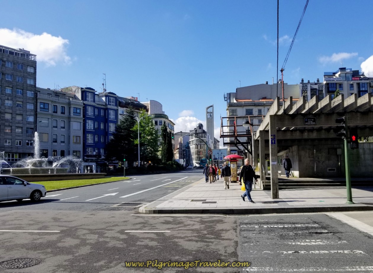 Straight On at the Fuente de Cuatro Caminos
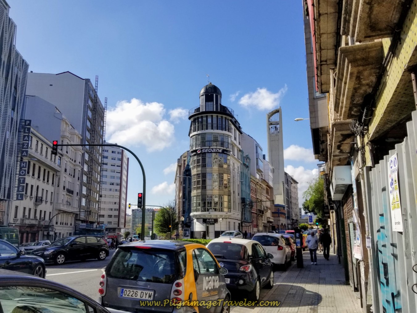
Walk another 400 meters, toward the triangular building shown below, with the big and bold "Seoane" name on it. Turn left at this building and pick up the Rúa Santiago Rey Fernández Latorre.
Walk through the next large intersection/roundabout after another 200 meters and keep straight on, picking up the Av. Alcalde Pérez Arda. You will see the large department store building of El Corte Inglés up ahead on your left. This is a good place to pick up any last minute items you need for your trip. We did!
The bus station is on your right, across from the Corte Inglés.
The photo below shows the next intersection we came to, about 300 meters past the bus station. There is a confirming, blue Camino direction sign in the median, telling you to stay straight on, through here as well.
 Stay On the Av. Alcalde Pérez Arda Through Intersection
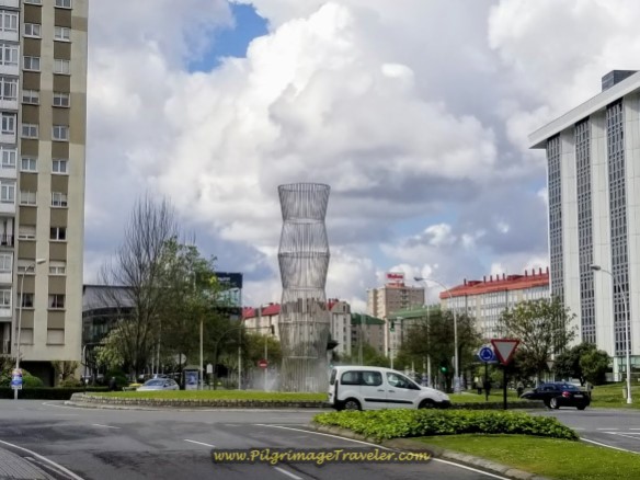
You will know you are on the right track when you come to this metal sculpture at the next roundabout, below. You take the first left at this roundabout and walk onto the Av. de Monelos.
After the metal sculpture a long climb begins that lasts about 1.4 kilometers. This is a hump!
Walk on the Monelos avenue, until the next large roundabout, below, where you are directed to walk to the left. There are several supermarkets along this section, if you need to supply your pack.
Continue on the Avenida de Monelos for the next 3/4 kilometer.
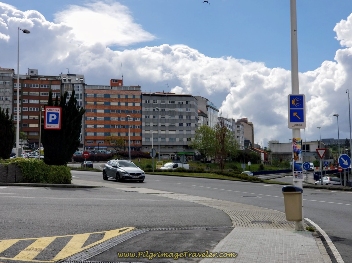 Stay Left on the Avenida de Monelos at Roundabout
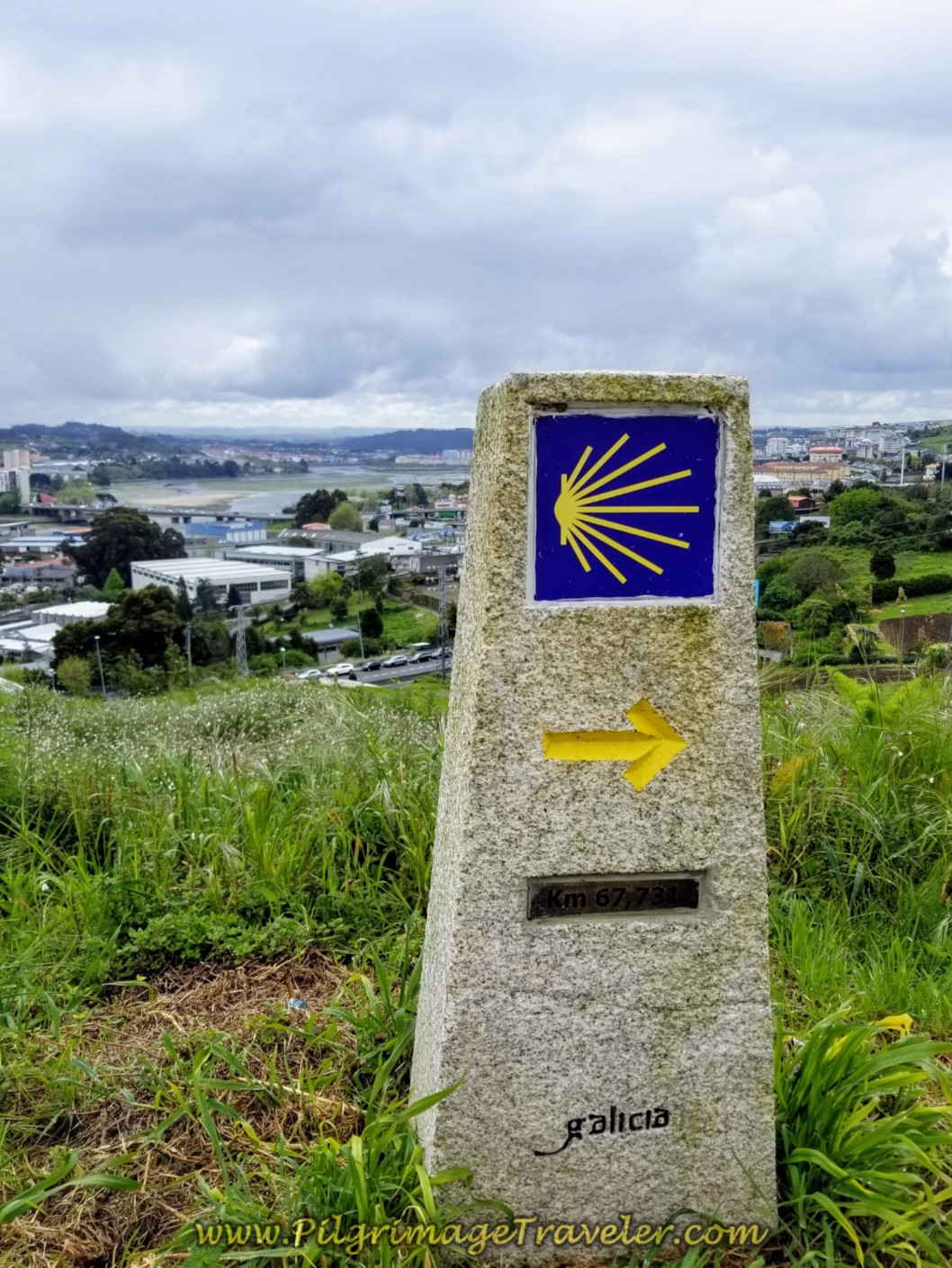
After the roundabout we passed by the first concrete kilometer marker since the beginning, in the photo below, showing 68.9. It was hard to believe that we had only come 4.0 kilometers since the start at the church! Navigating the concrete jungle can be hard work, can't it?
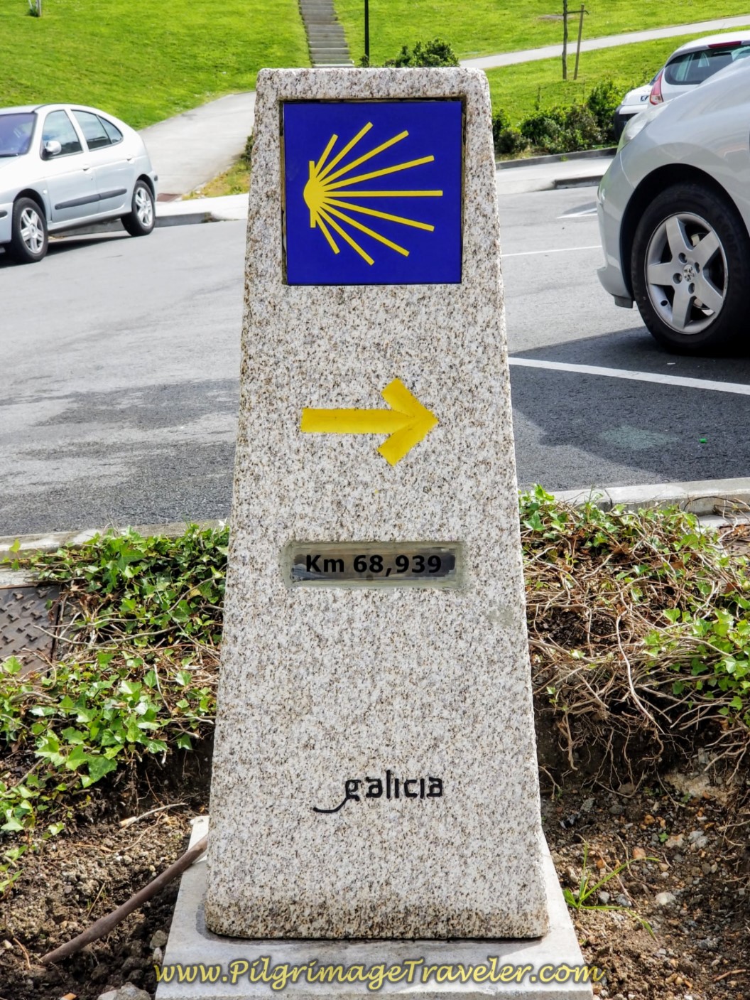 68.93 Kilometer Waymark
After the roundabout we started climbing a long hill that lasted about 1.5 kilometers. This was a hump! Near the top of the hill we walked by this café, below, the Café Bar las Cadenas after about 4.25 kilometers into the day and decided it was time for a coffee break and some food. They served delicious tortilla here with chorizo! It was the perfect fuel for the next leg of the day.
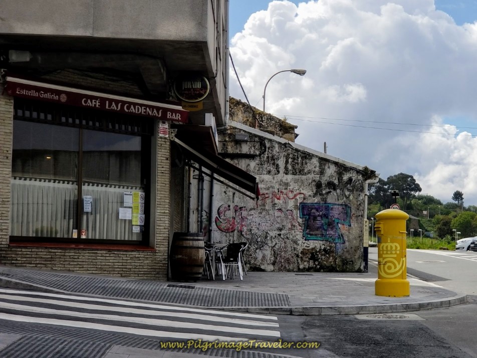 Café Bar las Cadenas in La Coruña
Shortly after the café we stumbled onto the first and only yellow arrow on the pavement. Once in awhile, along this section we stumbled on several other painted yellow arrows.
I had a strong suspicion that the locals had tired of pilgrims asking for directions in this area, so they painted their own arrows! While I can't validate this, we saw so few yellow painted arrows that this conclusion seemed to make sense!
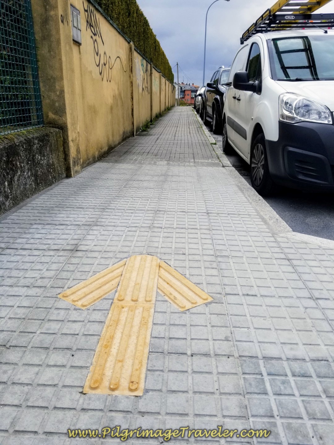 Yellow Arrow on Pavement
You keep on climbing the hill on the highway until you crest just before a Repsol station and the views of the sea below open up at approximately 4.75 kilometers into the day. This is your reward for the long uphill climb!
Walking along these lofty heights, follow the road now called the Carretera Estrada Eirís and head down the long hill on the other side.
First pass by the Hospedaje Lopez on your left. Next, pass a modern bright gold church, not pictured and stay to the right as the road bends to the right, with a concrete waymark on the other side.
You continue to stay straight on down the hill where the road becomes the N-550.
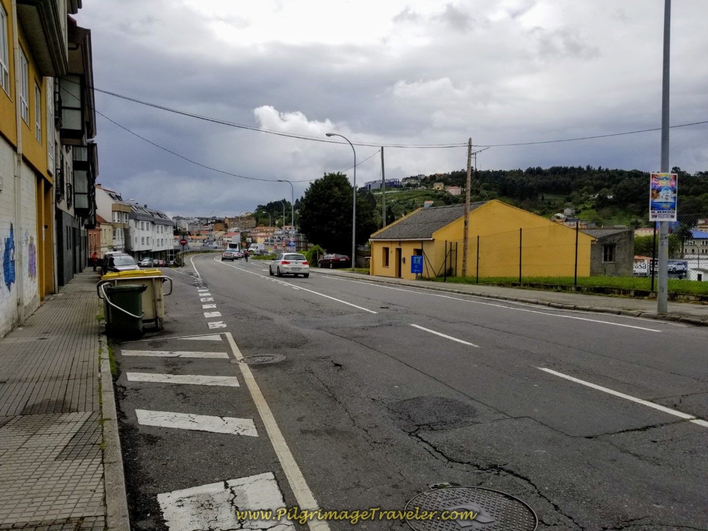 The Way Becomes the N-550 ~ Decision Point
A Decision Point
Almost at the bottom of the hill, just after the yellow building seen in the photo above, and across the street there is an on-ramp going down the hill to the left. You can see this ramp on the left side of the photo. This is where you will make a decision which way to go. The decision point is at approximately 5.65 kilometers into the day.
The official route keeps you straight on the N-550 and leads you through a busy and nasty intersection, having to stay on the shoulder without a path or sidewalk to stay safe, see below. You then have to cross over the busy AC-11 and past the large Alcampo hypermarket on your right. (on the right side of the photo by the gas station). This choice keeps you on the N-550 for another kilometer before turning left towards the river.
 Walk on Shoulder of the N-550
A casual, but waymarked alternative route that is safer, avoids this intersection and turns toward the river sooner, takes you down the ramp to the left at the yellow building.
You will see painted yellow arrows and even sometimes concrete waymarks to guide you! This must have one time been the official route, or the permanent waymarks would not be here!
I am astounded that the official route takes the pilgrimage traveler through the nasty intersection by the Alcampo, but who knows what politics were involved with this decision.
I have provided you with the GPS tracks, shown on the interactive map above if you choose this alternative. Both routes are of similar distance, so this should not affect your choice.
The Safer Alternative Route Description
Head down the ramp from across the yellow building and follow it on a nice sidewalk as it bends to the left and follows along the AC-11 to the side. After walking 1/2 kilometer on the ramp, never joining the highway at the bottom of the hill meet the AC-211 at a large roundabout. Turn to the right onto the AC-211 and walk under the AC-11. After rounding the traffic circle on the other side, stay straight to continue on the AC-211.
After not quite 400 meters, come to another roundabout which announces that you are arriving in Culleredo. Turn left at this roundabout and onto a side road that leads to the large residencial complex called Residencial La Ría.
Come to the building's small circle and turn right, at a concrete waymark leading you south onto a small paved passageway down to the river, la Ria da Coruña. Take a right turn onto the river promenade at another waymark.
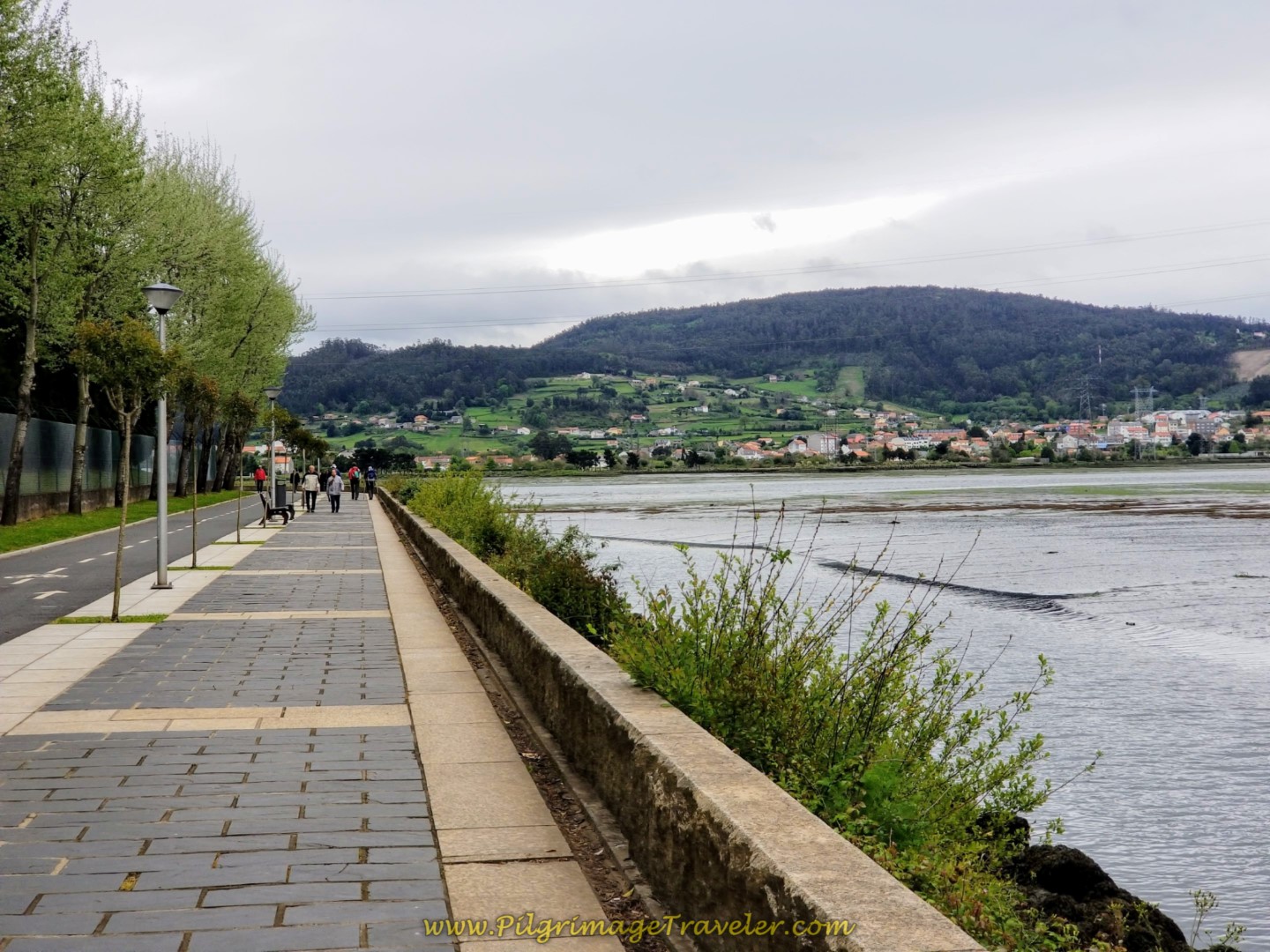
Follow the lovely promenade for about 650 meters, crossing a causeway with water on each side. On the other side of the causeway, look for the paved lane to your right and take it. This is the Paseo da Ria do Burgo.
Follow this lane as it bends back inland and joins the official route after another 600 meters after a total of 8.1 kilometers from the start. The total distance on the alternative is about 2.5 kilometers.
Jump to Camino Finisterre and Muxía Stages
Back to the Official Route
Continue along the N-550, past the yellow building as described above, walking through the dangerous intersection, crossing the dangerous AC-11 and passing the Alcampo hypermarket. The locals I have talked to about this section, call it the Suicide Plunge! Be very careful when you walk through here! Soon after the hypermarket, pass by the Apartamentos Attica21 Portazgo on your right.
Walk up a another long hill on the other side.
After walking about 700 meters from the Alcampo, leave the hill climb on the N-550 (yeah!) and turn left onto this street, the Rúa Alcalde Electo Carballo, crossing the busy N-550 highway very carefully first. There is no crosswalk here, and you have to make a mad dash to get across it.
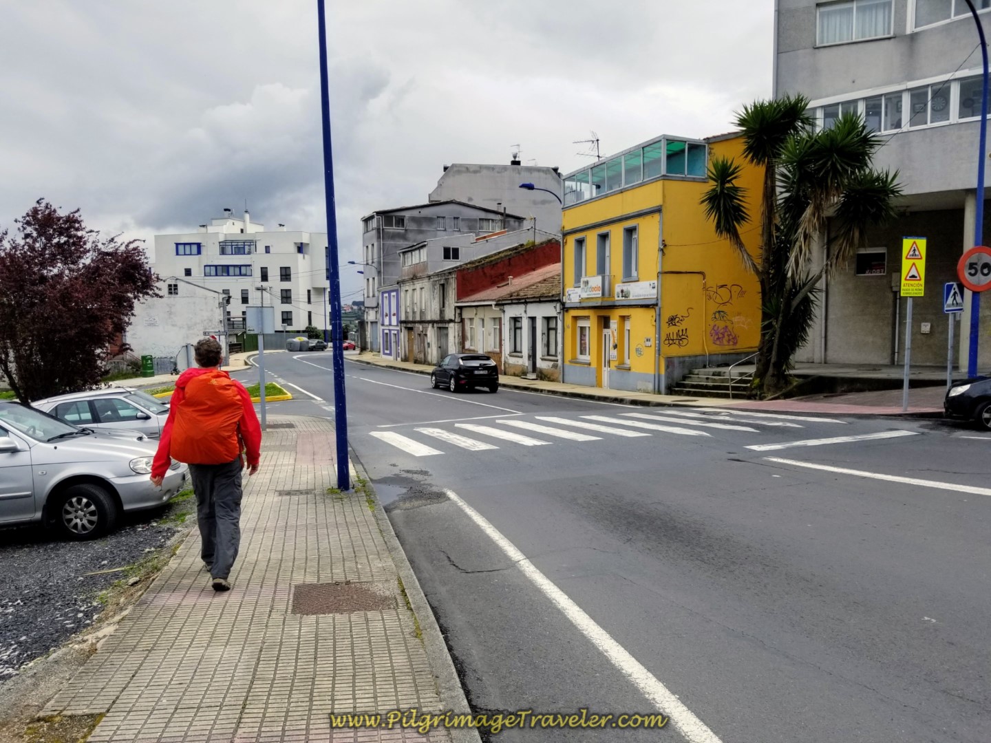 Turn Left onto Quieter Side Road
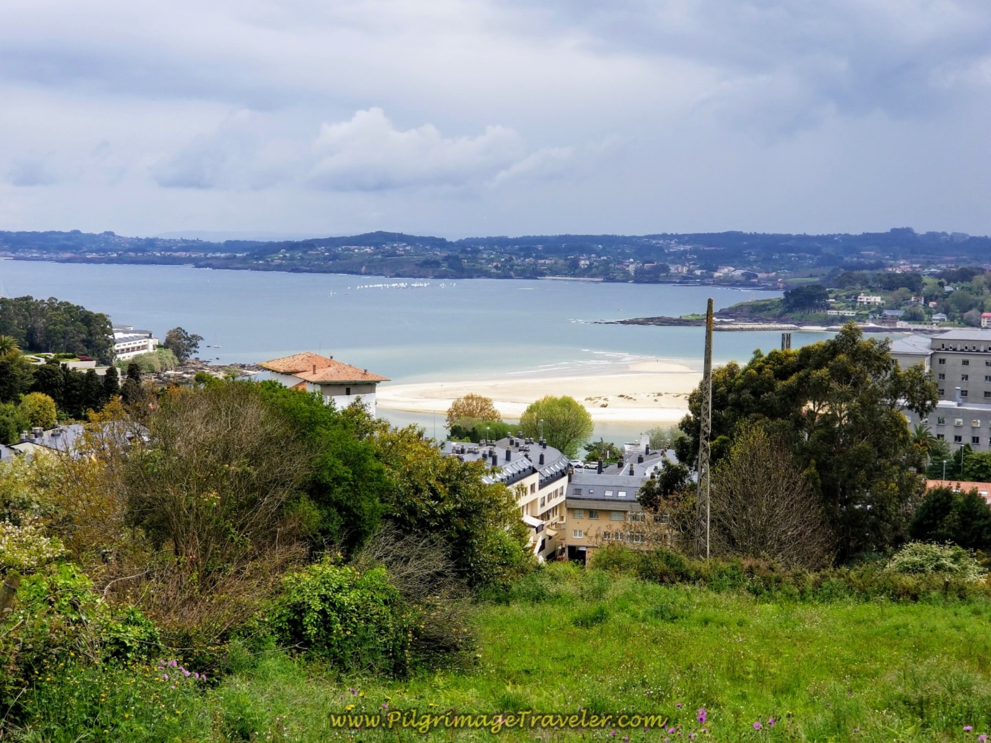
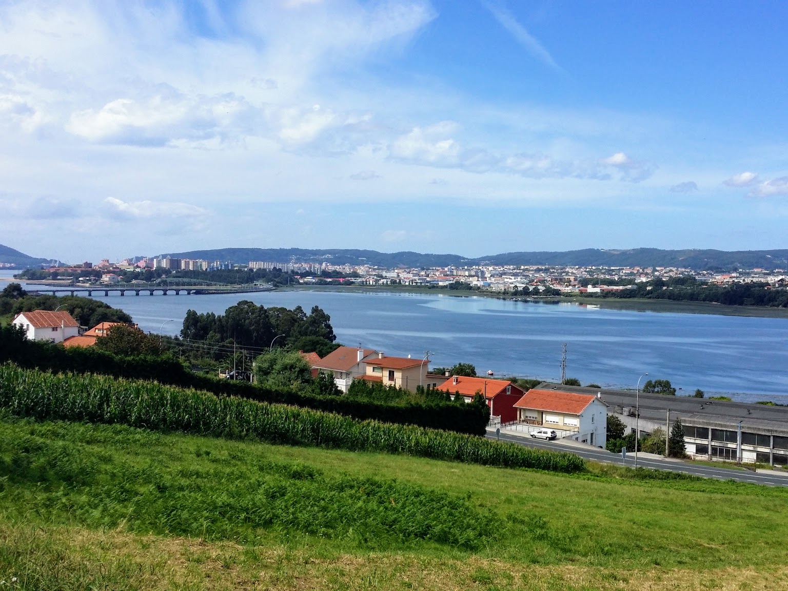
Walk down the hill once again toward the waterfront with sweeping views of the Ria da Coruña and its estuary, below.
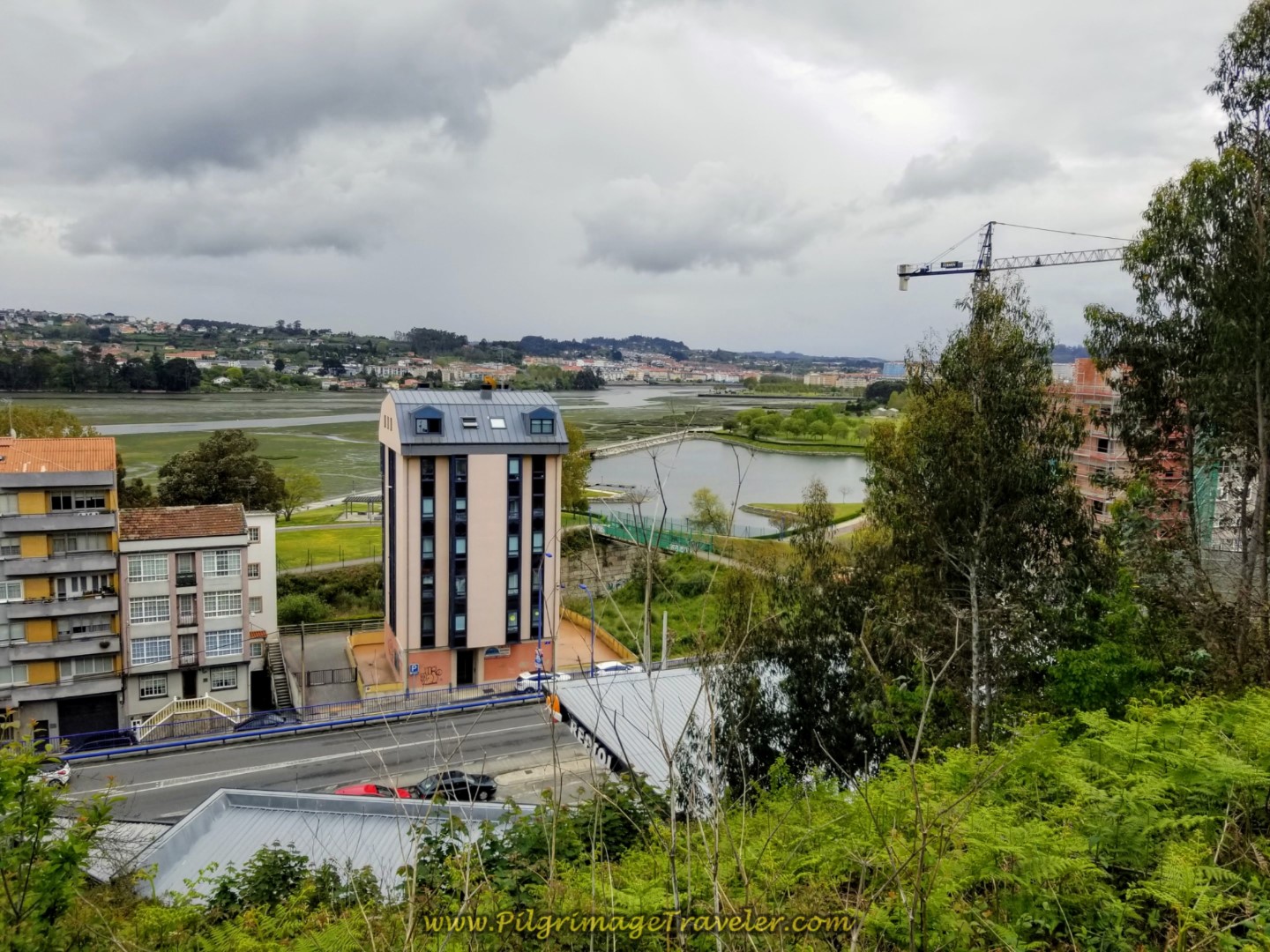 More Views of the Ria da Coruña Below
The Hotel Crunia and the Hotel A Barquiña are down the hill to your left along the AC-211.
From this point onward, when you are finally out of the city of La Coruña, the Camino Inglés on day one gets soooo much nicer!
Continue to drop in elevation, walking a total of 800 meters alon the Rúa Alcalde Electo Carballo, until this roundabout, below, and turn left toward the river.
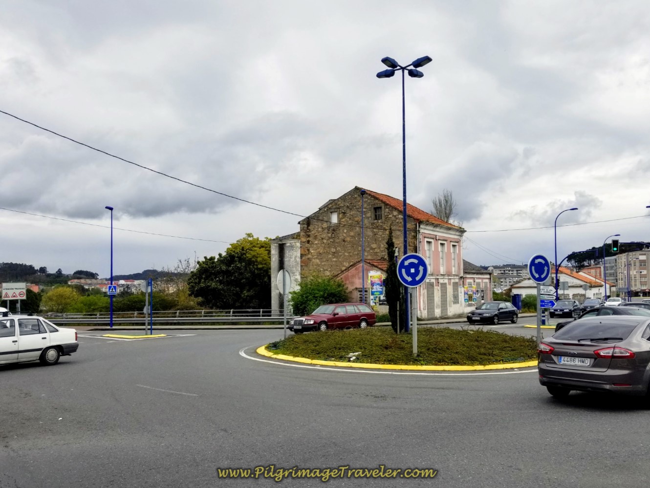 Left at Roundabout Toward the River
Walk about 60 meters to another roundabout and you will see a blue stairway down to the park below. You can take this or stay high on the road, turning right to continue walking in a southeasterly direction following the signs.
There is a beautiful pathway below, the Paseo da Ria do Burgo, that you will join, whether or not you have taken the high road or the low stairs. This is also where the alternative route joins the official, and is about 8.0 kilometers total into day one on the Coruña Arm of the Camino Inglés.
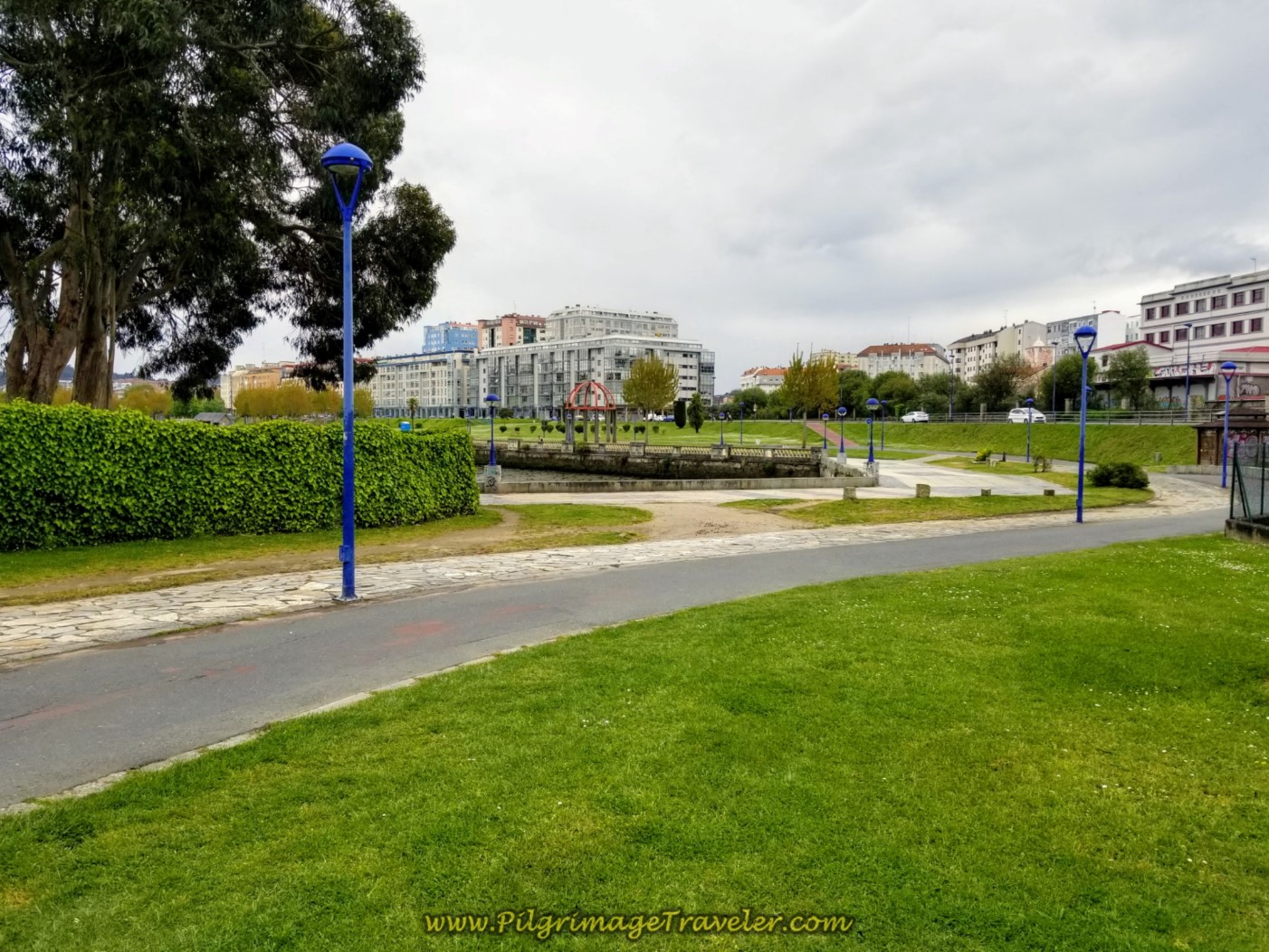
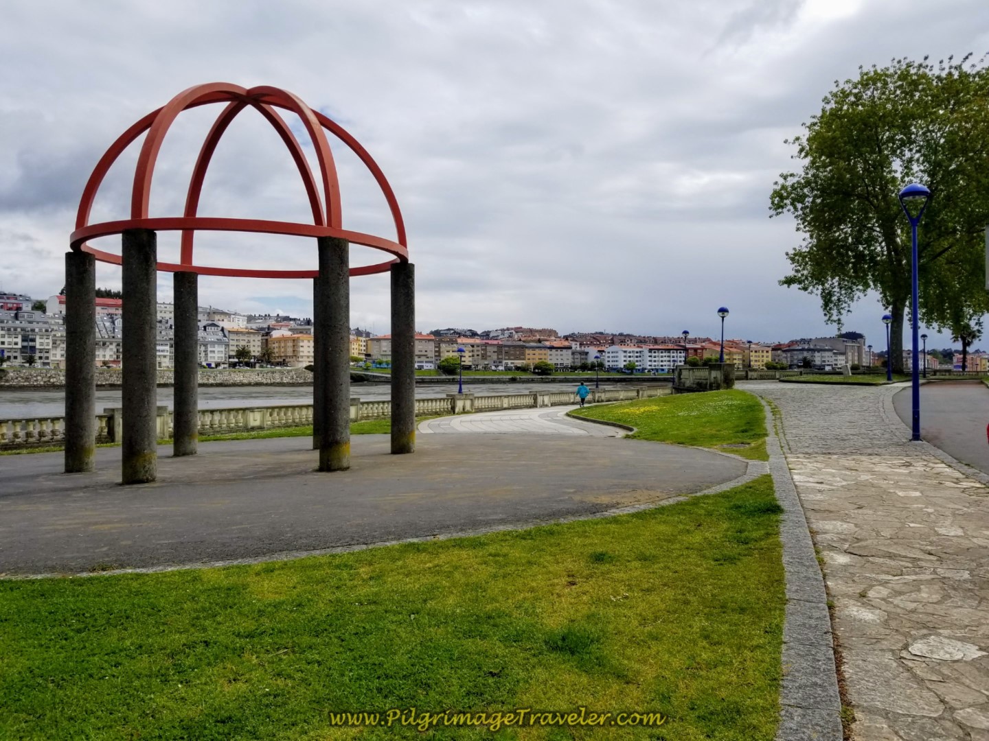
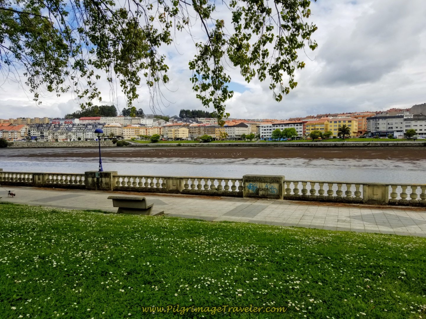
The next photos are of this beautiful paseo along the river, for about 1.22 kilometers. There are toilets, benches, gazebos, all types of places to relieve yourself in more ways than one! We took a break, at about 9.0 kilometers into the day, or so.
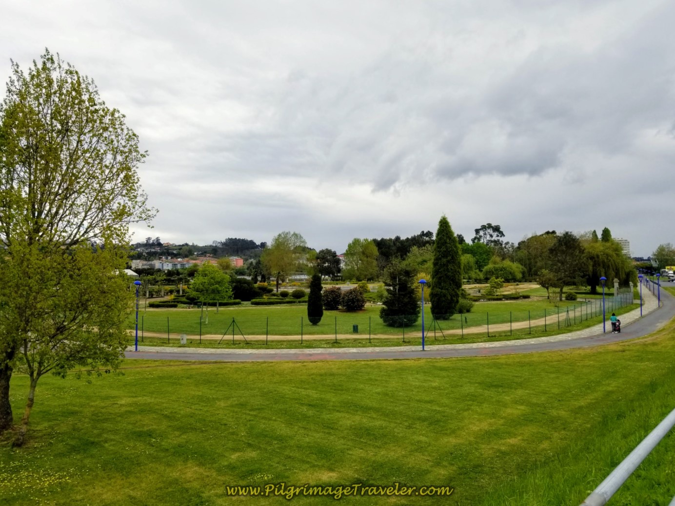 The Paseo da Ria do Burgo Ahead - Where the Alternative Route Joins the Official
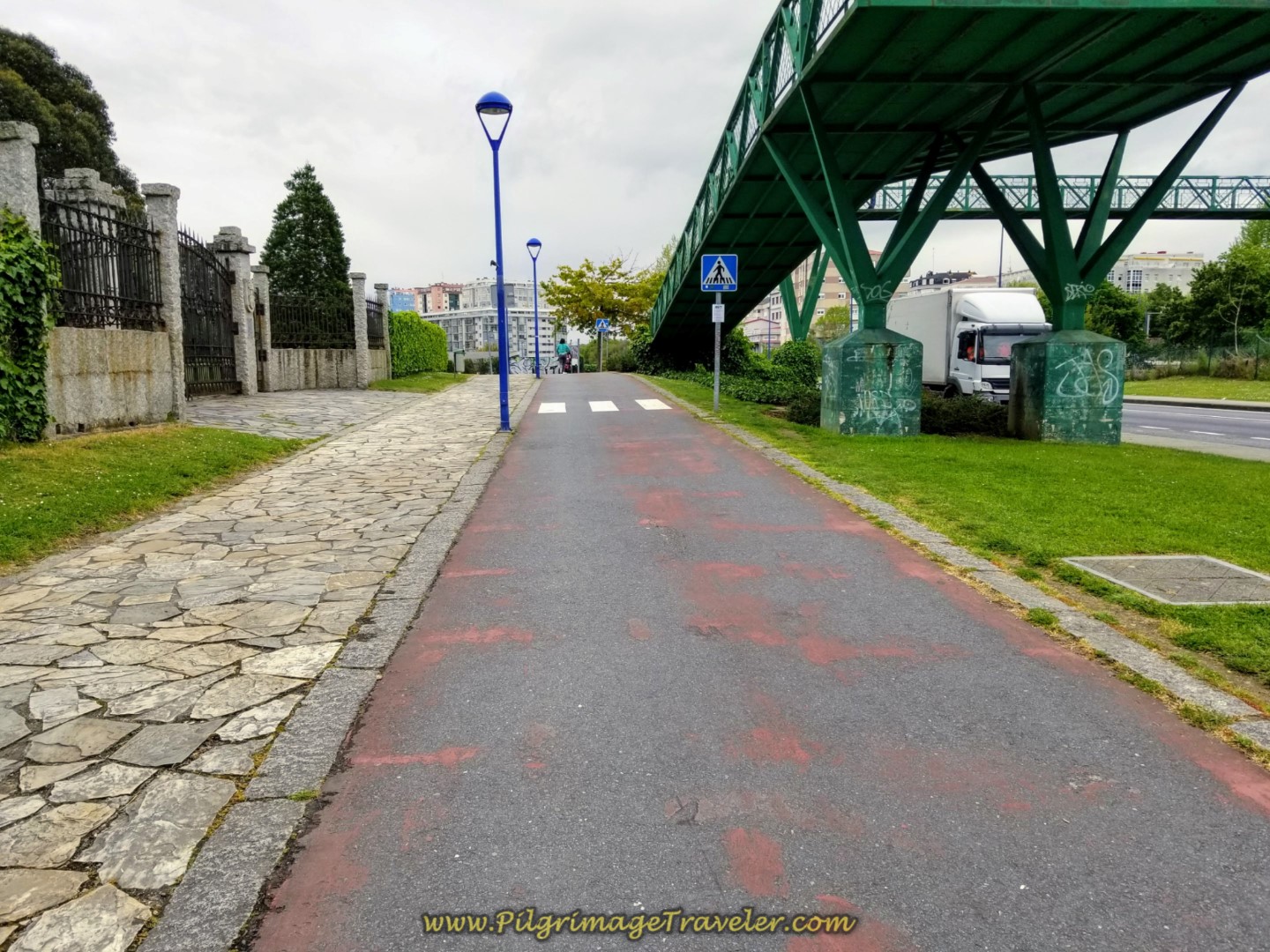 Join the Paseo da Ria do Burgo
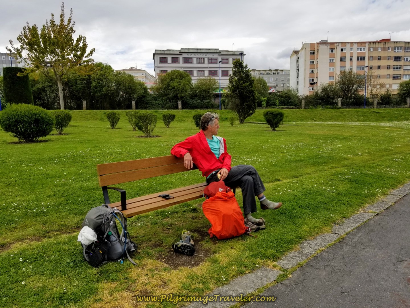 Pit Stop By the River on Day One on the Camino Inglés, La Coruña Arm
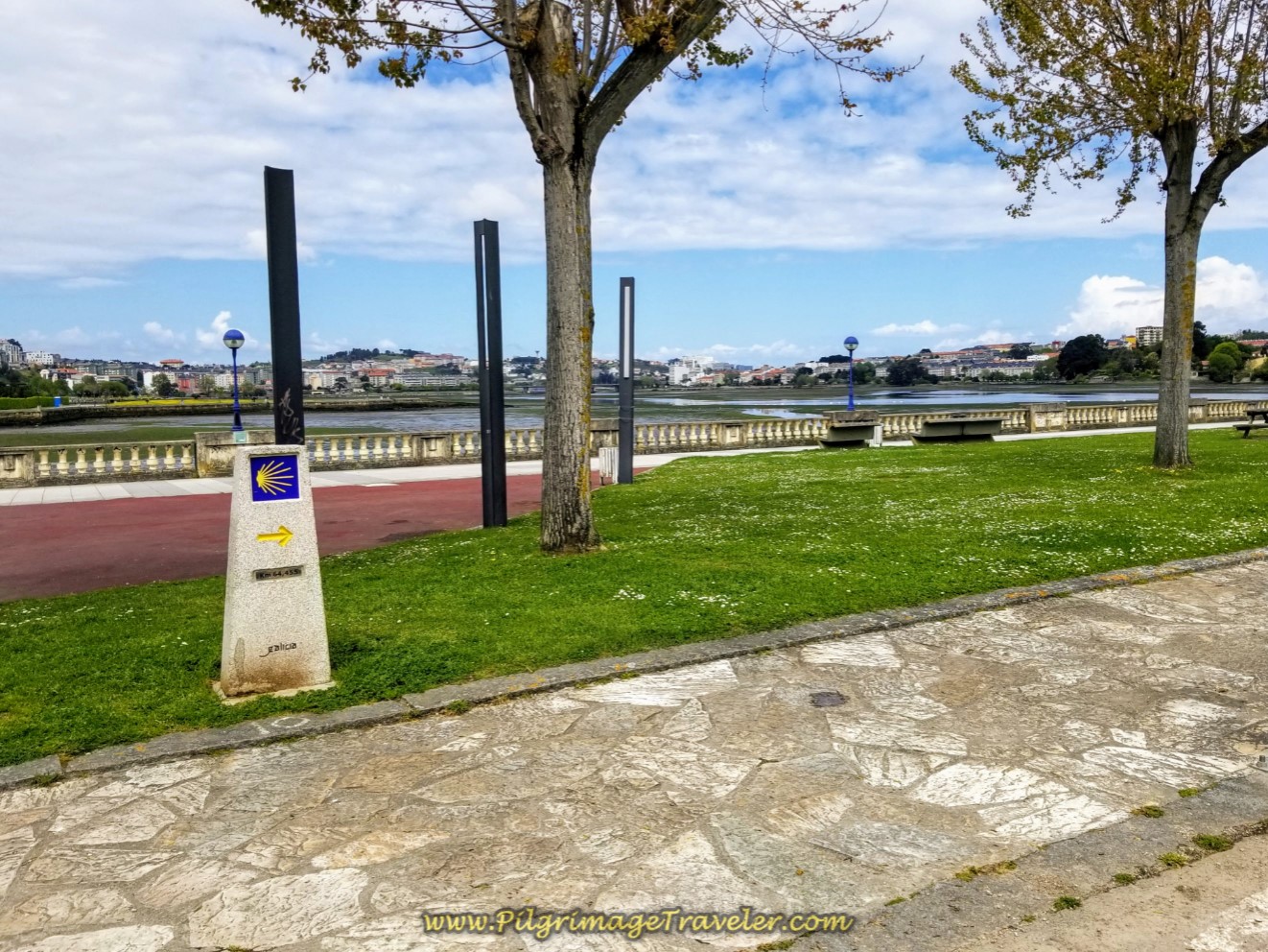 Kilometer Marker 64.4 by the River
Leave the Paseo where it joins the AC-211 and turn right onto it. However, if you look to your left, there is a wonderful old Roman bridge immediately beside the modern bridge, the Ponte Romana de O Burgo. It is worth a stroll over to have a look, and you can walk its length, if you wish, as it is now a footbridge.
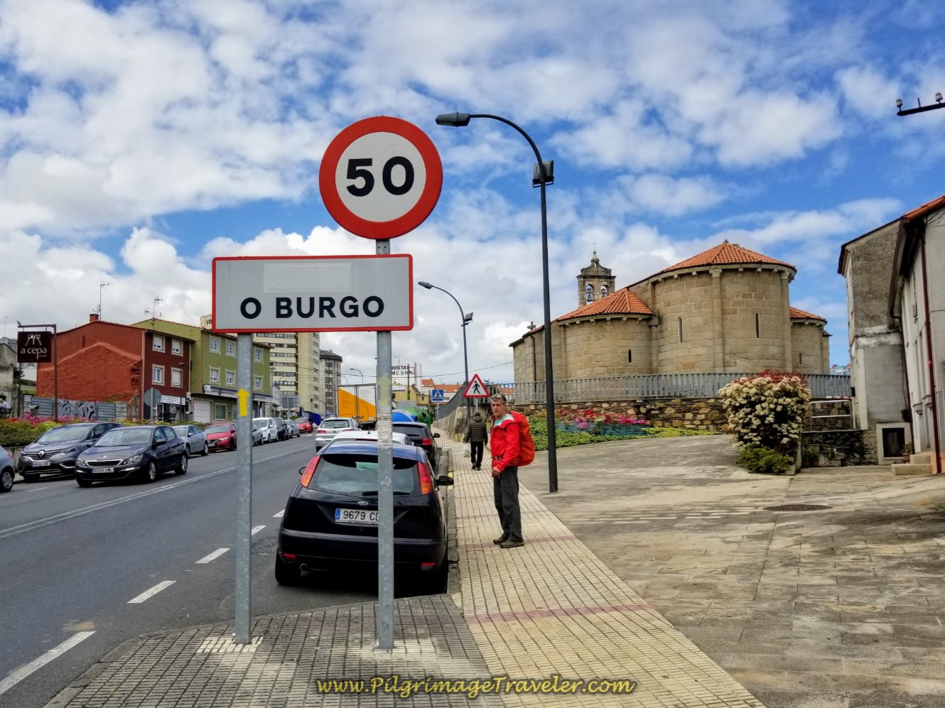
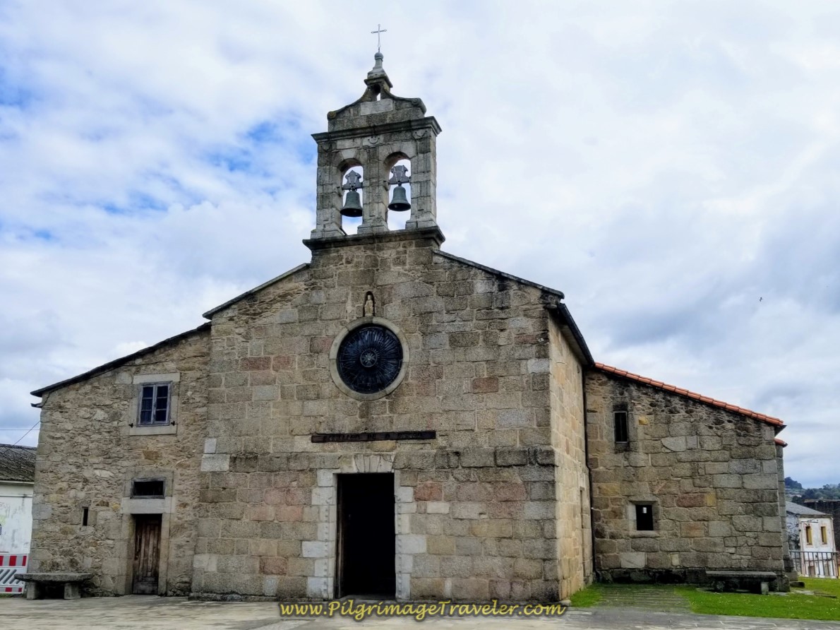
Otherwise, after turning right onto the AC-211, walk straight on, through the first roundabout and climb up the hill to the Igrexa de Santiago do Burgo that you can see ahead on the right. Enter the town of O Burgo. Thus begins the second significant climb of the day.
The church was not open when we arrived, unfortunately. It is of the 12th century Romanesque style, however it underwent major changes in the 18th century, leaving only a few features from the 12th.
Just after the church is the Pension Casa Julio if you are interested in lingering here after walking about 9.5 kilometers.
At the next intersection, the Camino takes a bend to the left and takes you up the hill through O Burgo. At the first roundabout after about 400 meters away, turn left onto the Avenida Galicia, below.
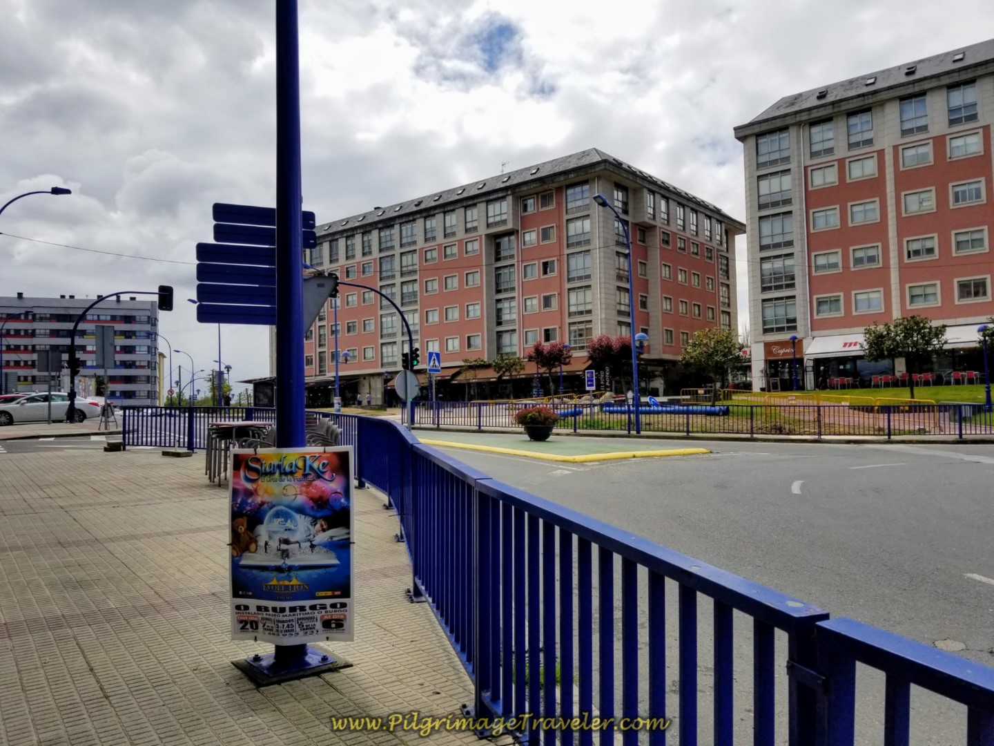 Turn Onto the Avenida Galicia
After 250 meters cross under the AP-9 overpass. Continue on for about 150 meters, bearing to the right here. This is the Rúa Pelamios.
 Right Turn onto the Rúa Pelamios
Continue climbing steeply on the pavement with sidewalks, until the first Y-intersection 150 meters later and bear right. Climb farther on the pavement with a dedicated walker's path. You are entering the town of Almeiras.
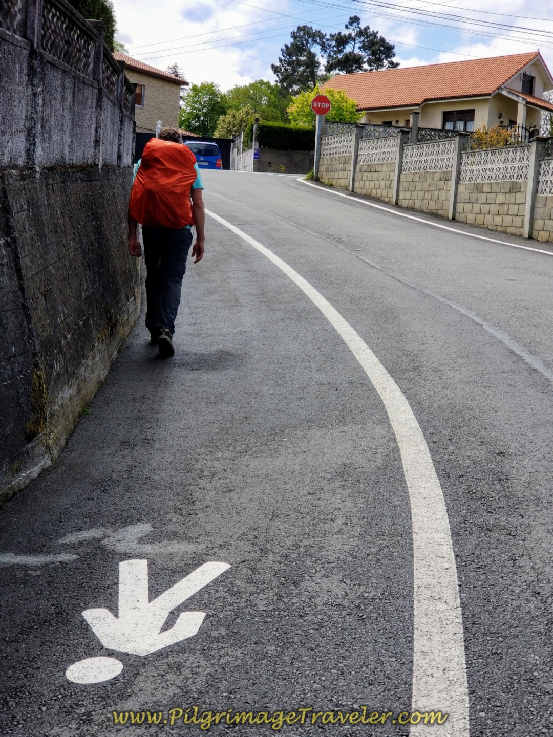 Designated Pilgrim's Path on the Rúa Eladio de la Iglesia Doldán
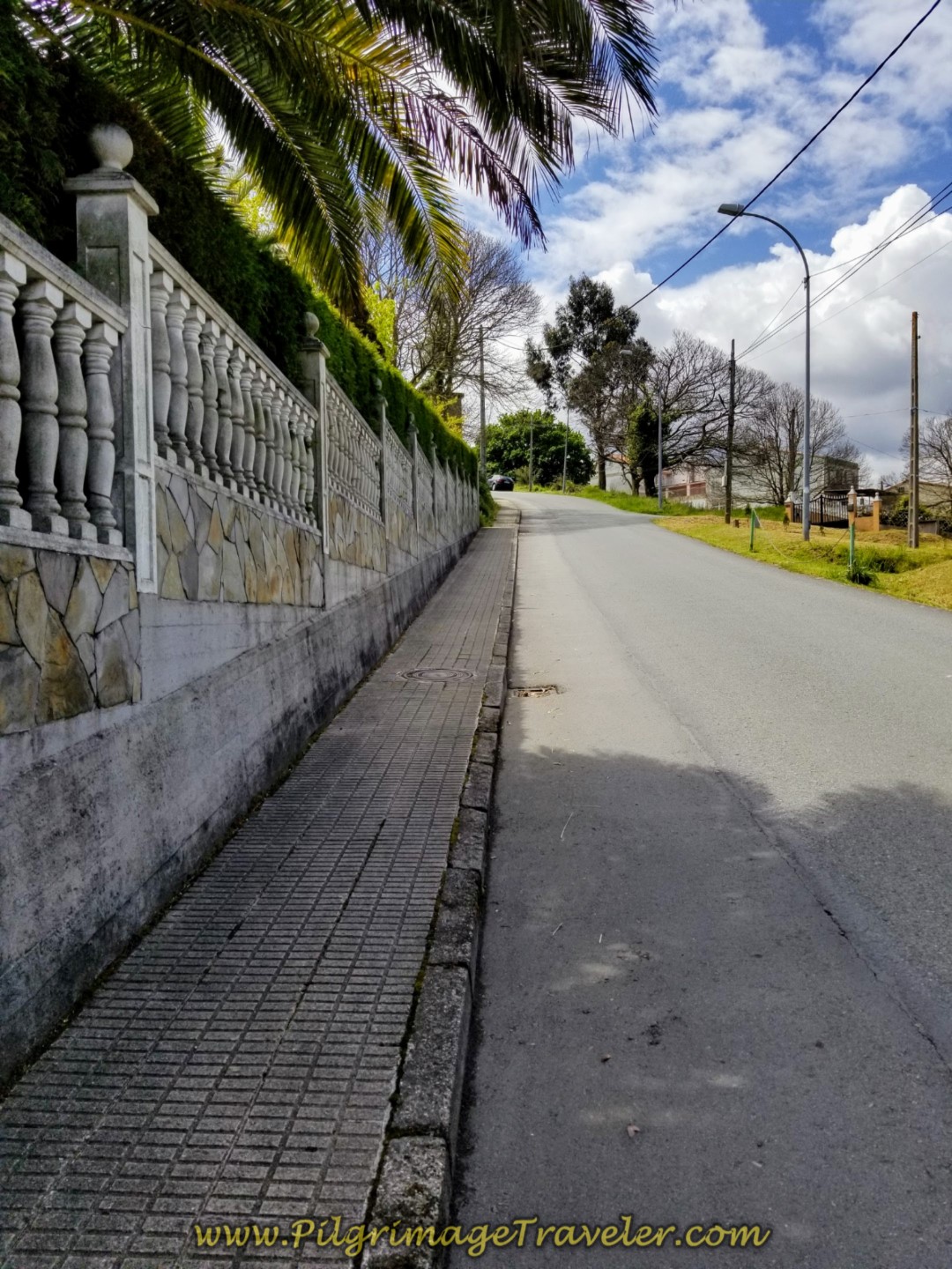 Continue Climbing on Steep Pavement in Almeiras
After another 150 meters, at the top of the photo shown above, turn right at the intersection. Walk onward steeply, up the hill, shown above right, until you come to two churches side by side in another couple hundred meters, one with a cemetery.
Here is a photo of the Parroquia de San Xiao de Almeiras, the church farthest up the hill.
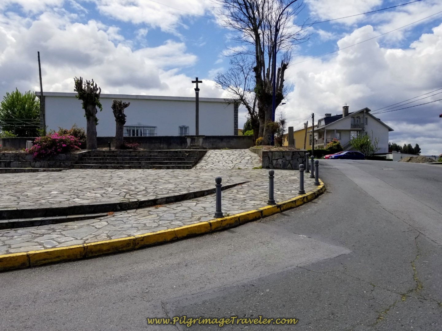 Parroquia de San Xiao on Day One of the La Coruña Arm of the Camino Inglés
Walk another 3/4 kilometer along the Rúa Catas in the direction of a small town called Alvedro. There is a nice downhill reprieve for the next kilometer or so.
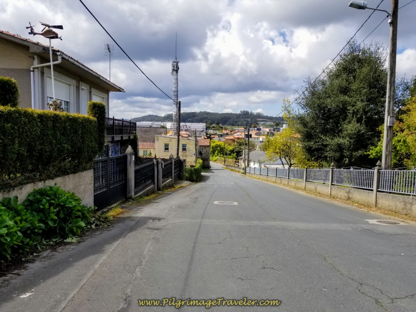 The Road Toward Alvedro
Come to an intersection, shortly after a big soccer field on you left. Turn left at this intersection, away from Alvedro and continue on down the hill, shown below.
Walk another 400 meters to this T-intersection, below on a nice downhill. Turn right at the T-intersection in an industrial-looking area.
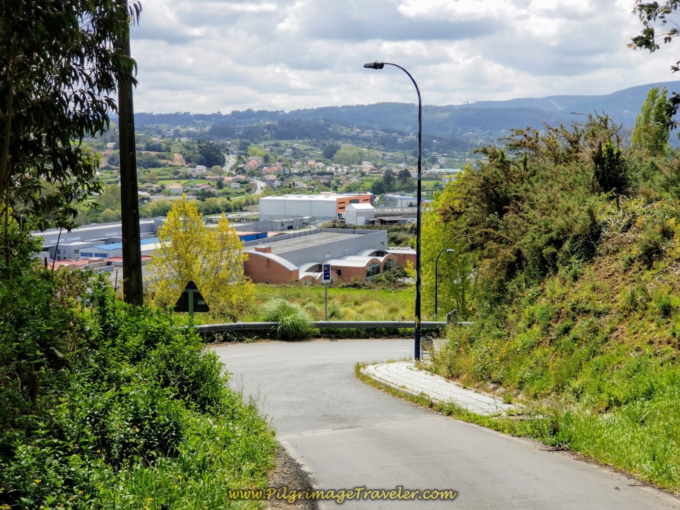 Right Turn at Industrial Area
Walk through a large roundabout and join the N-550 on a side path to the left. After about 1/2 kilometer, come to the Pensión La Paz, (+34 981 65 01 01), shown below. You are now about 12.3 kilometers into day one on the Coruña Arm of the Camino Inglés. There is a restaurant just before and one in the Pensión, one a grill that everyone was rushing to on a Monday afternoon!
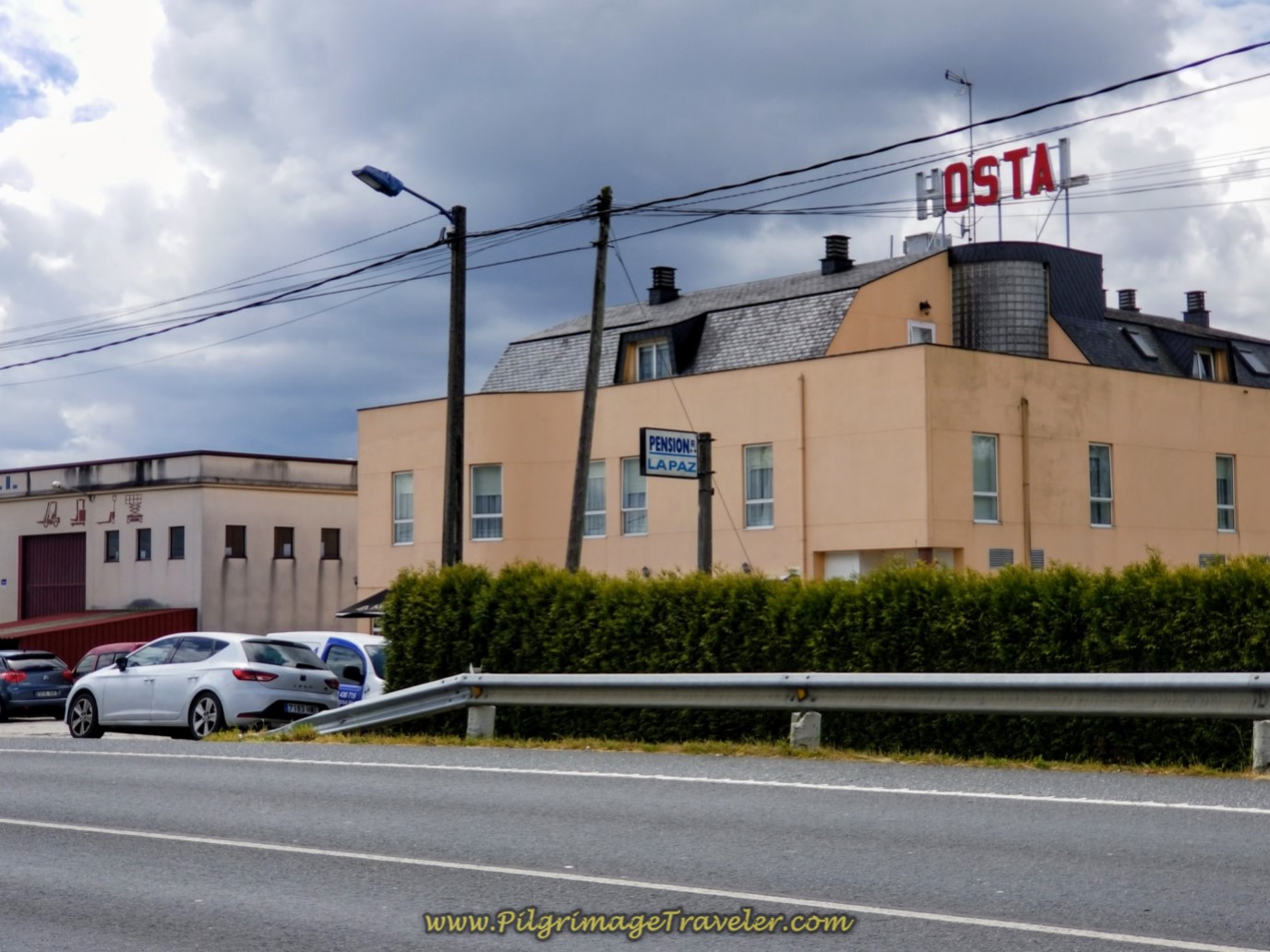 Pensión La Paz
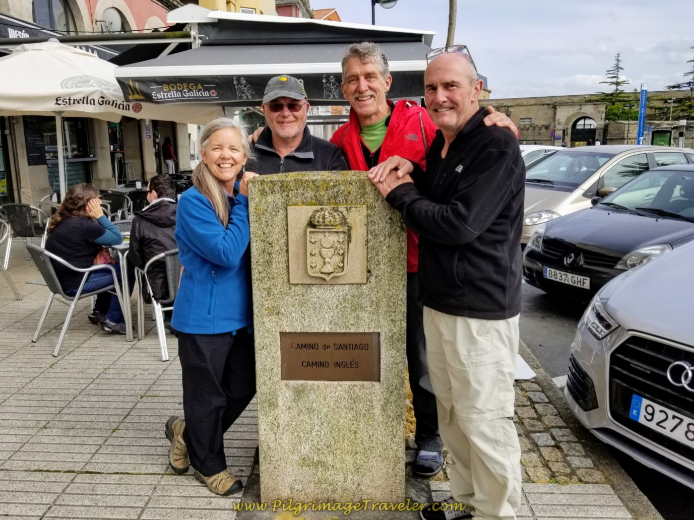
Continue down the N-550 to the side, picking up a street called none other than the Camino de Santiago. And wouldn't you know it, there was a sign for the Camino de Santiago through this section.
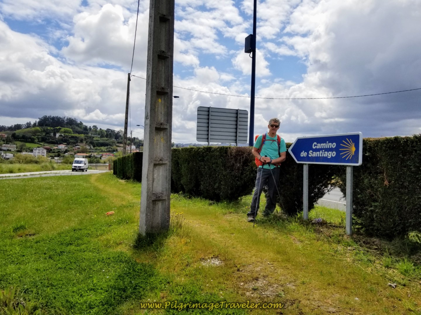 Rich and the Camino de Santiago Sign
After 1/2 kilometer from the Pensión come to a large roundabout in the town of A Pena, with a gigantic supermarket on the opposite side. This is your last chance to shop for food if you want to cook at the albergue in Sergude. There is only one café in Sergude, so if you do not cook, this will be your only choice. The albergue is still a good 7.0 kilometers away yet, and does not have much in the way of cooking equipment, so if you are buying your food for dinner, aside from a microwave, there is not much there. Not even a refrigerator, nor pots or pans, nor eating utensils!
The Camino goes left at the roundabout and picks up a path for a short while until turning right onto a dirt lane, descending and crossing over a stream with a 14th century bridge, called the Ponte da Xira (not pictured), before climbing up and onto a narrow road towards the town of Sigrás de Abaixo.
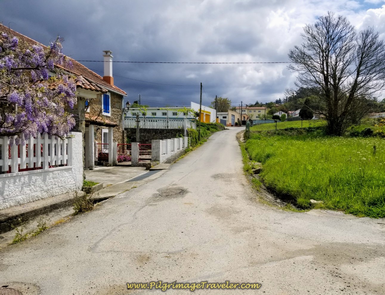 Toward the Next Town of Sigrás de Abaixo
Get ready, because from the stream onward for the next 5 kilometers it is a tough uphill climb on pavement!
Come to an intersection after about another 1/3 kilometer and cross over keeping straight on here onto the paved lane called Sigrás Dabaixo.
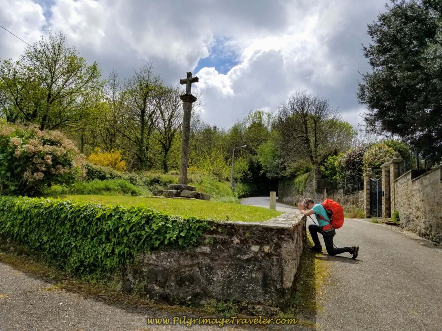
After another 1/3 kilometer we came to this cruceiro, where Rich got down on his knees and prayed for flat road! Ha ha! After a right turn at the cross, it was an arduous climb from the Pensión to here.
Not quite 150 meters down the road, pass an 1815 monument on the left, with a small statue inside. The inscription on the building says, “Si buscas milagros, mira" - If you're looking for miracles, look. Something to contemplate!
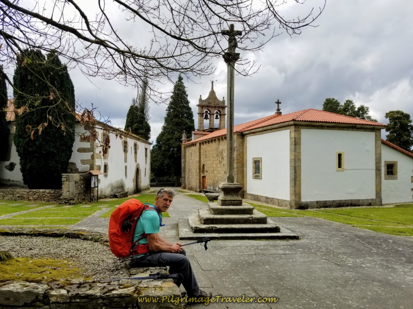
120 meters later you come to the church, shown below, the Igrexa de Santiago de Sigrás. The Camino actually levels out here for a bit! We sat down for a few minutes rest under the big tree!
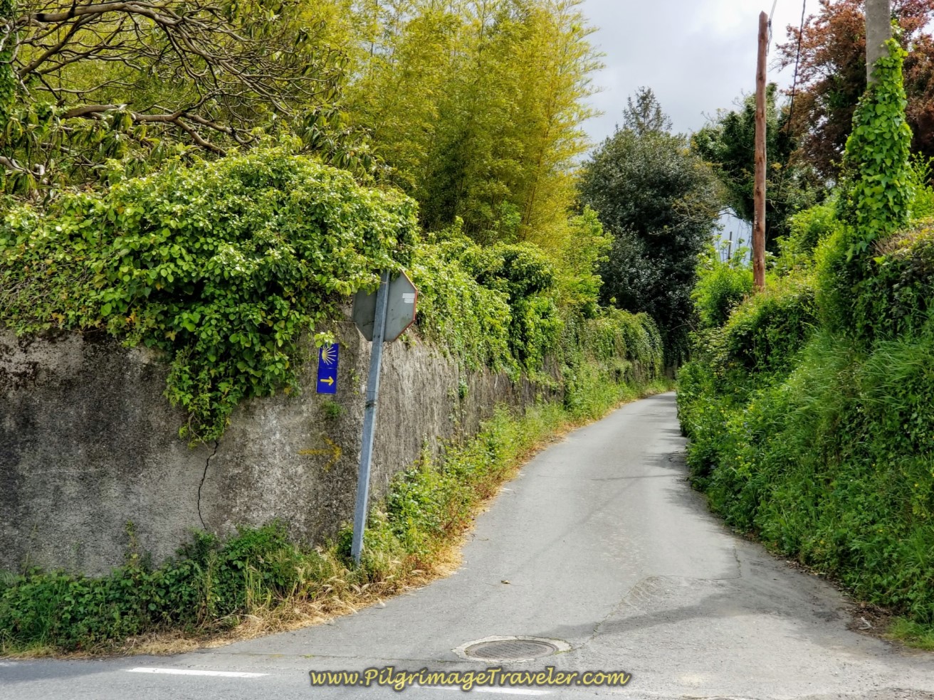
In a few hundred meters after the church, turn right here onto the street called the Sobrecarreira.
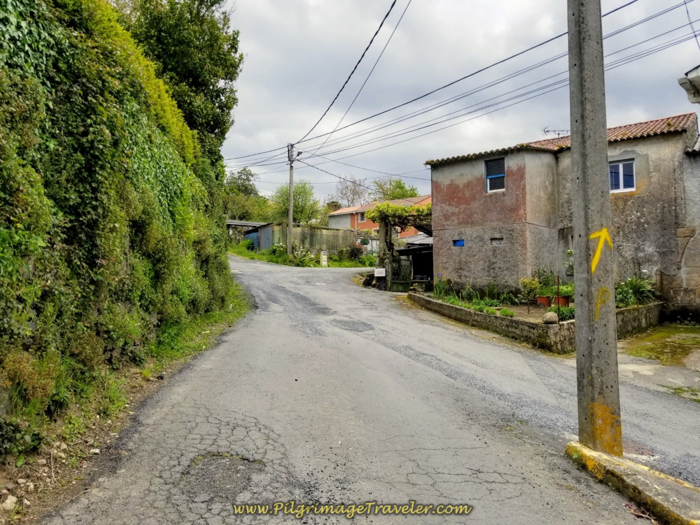 Right Turn at One of a Few Yellow Arrows
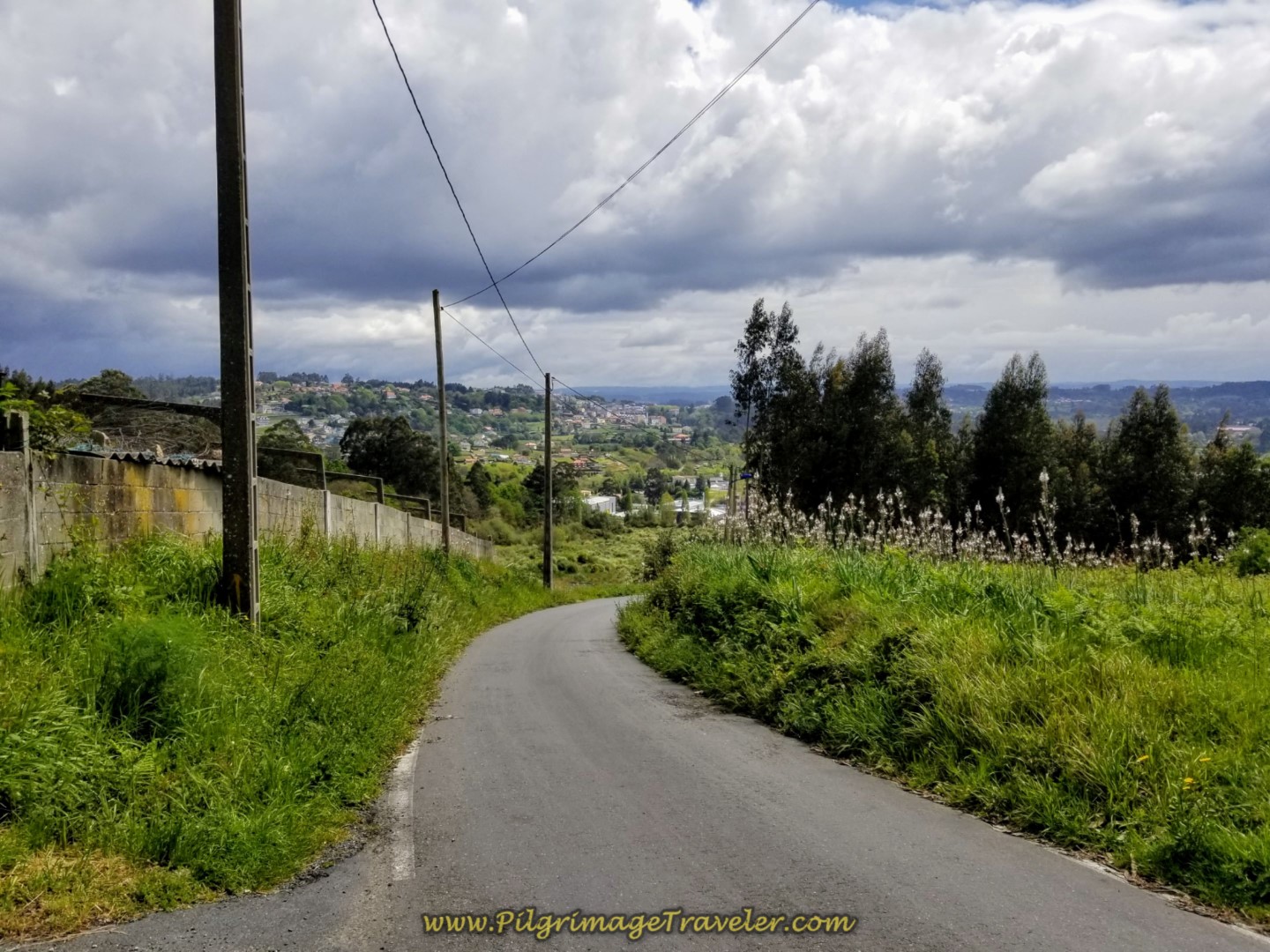
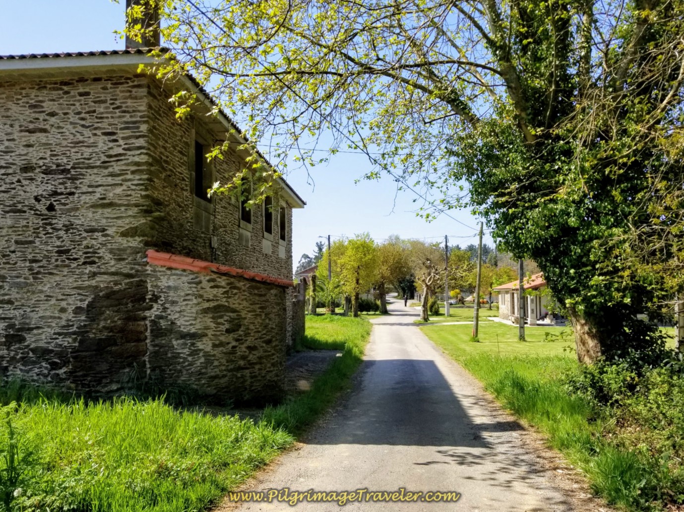
Continue on the steady, less steep climb on this very rural country road. Between the rural houses and walls, you can see the expansive views of the countryside. It is a lovely, albeit strenuous walk. You will feel very high up, walking through this area.
After another 1.0 long kilometer uphill, come to the intersection with the DP-1702, cross over this intersection and turn right here, shown in the photo below, toward the direction of Anceis. The kilometer marker reads 57.7. Getting closer to Sergude!
 Walking Toward the Town of Anceis
You are now on the busier CP-1701. A few meters onward, cross the A-6 on this bridge.
 Cross the A-6
Continue the steady climb on the CP-1701 on sidewalks, then continue on the Rúa Drozo, a narrow and rural road once again.
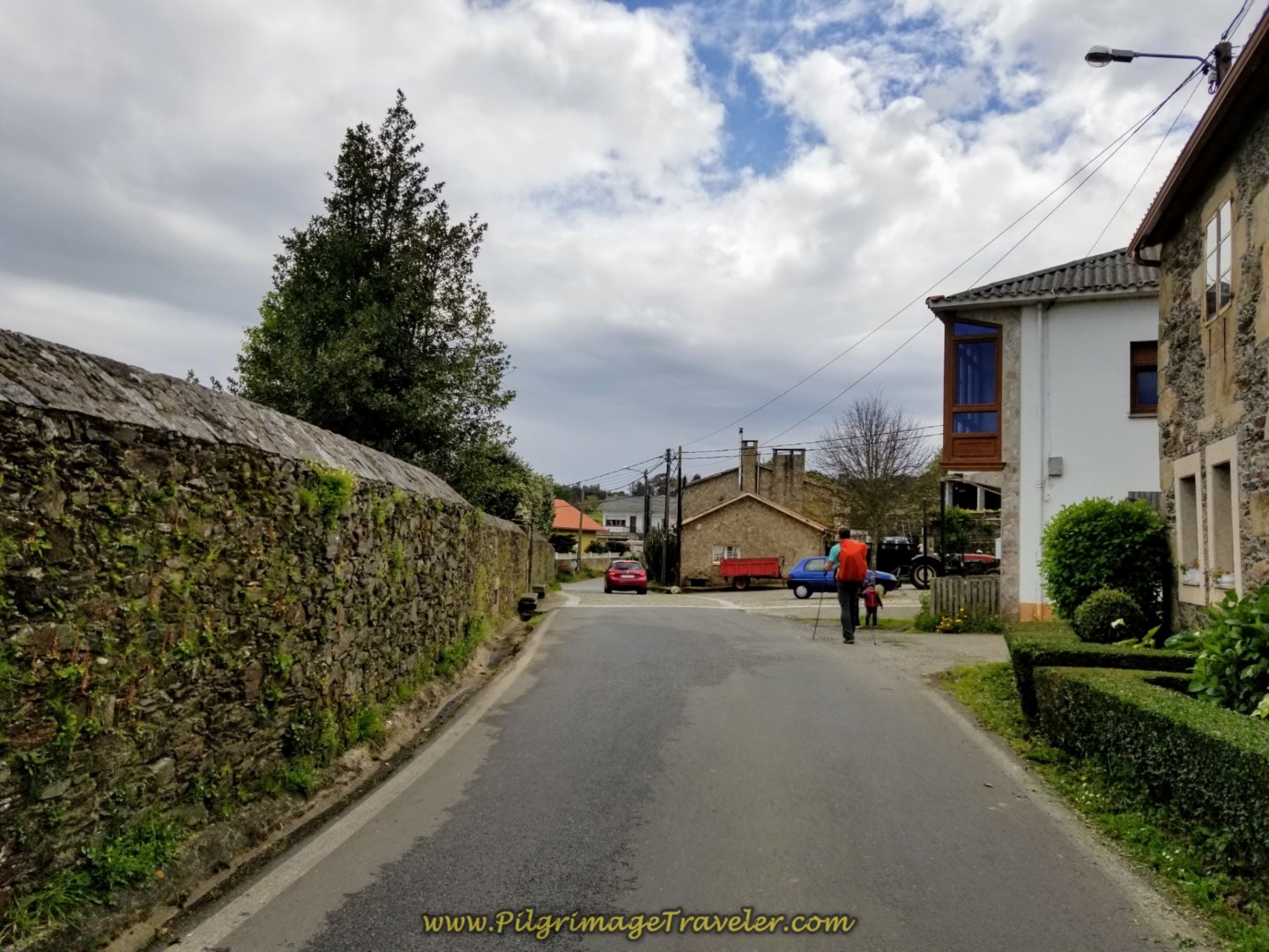
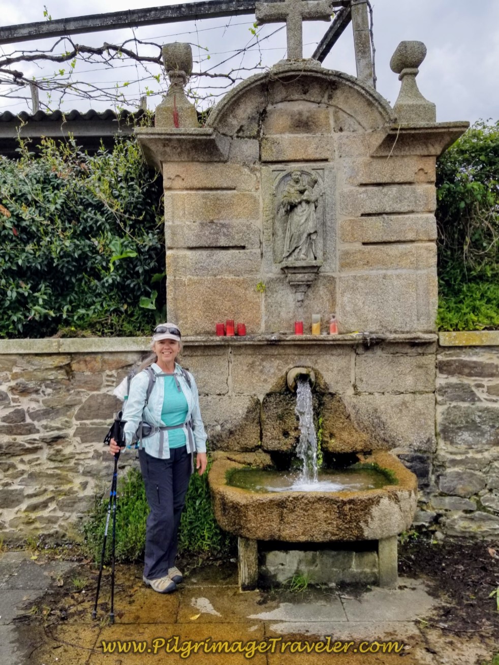
After not quite one kilometer, enter the town of Anceis. There is a nice information board here and a fountain, the Fonte de San Antonio. There are trees and benches here to rest if needed.
 Entering the Town of Anceis
You have accomplished about 16 kilometers at this lovely rest area!
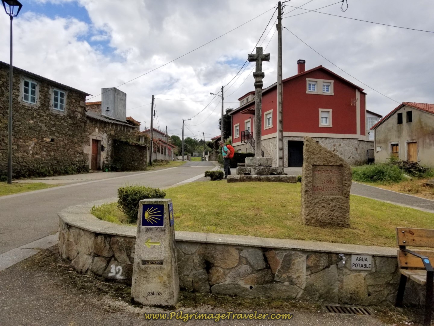
After the fountain, bend to the left on the Rúa Anceis as it walks you through the town. The street bends to the right and comes to this cruceiro, below, at the other end of town. The kilometer marker says 56.5, and there is a potable water spigot and a bench here as well. This is the Praza de San Marcos, as the sign indicates.
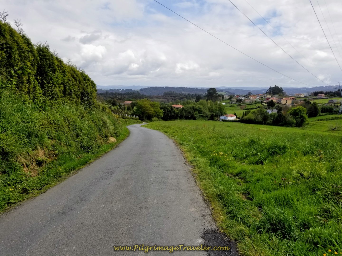
Follow the waymarks out of town, and turn right onto this gravel road. Continue the steady climb.
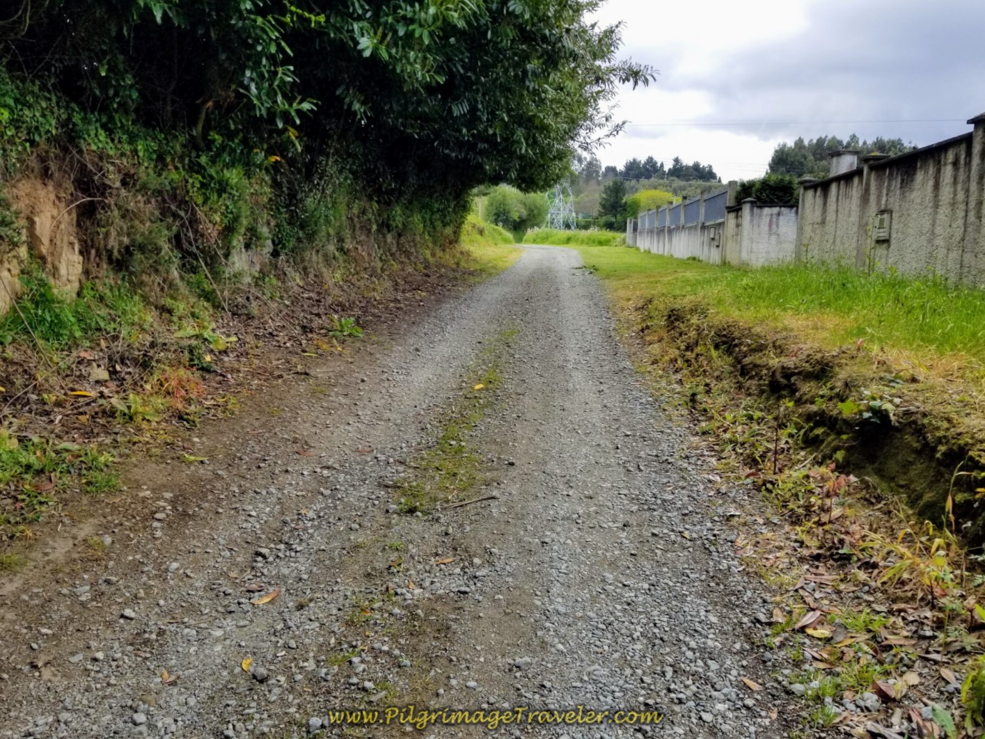 Gravel Road Through the Countryside
Come to a T-intersection, here and turn left onto a semi-paved lane. Another 600 meters down since the last kilometer marker!
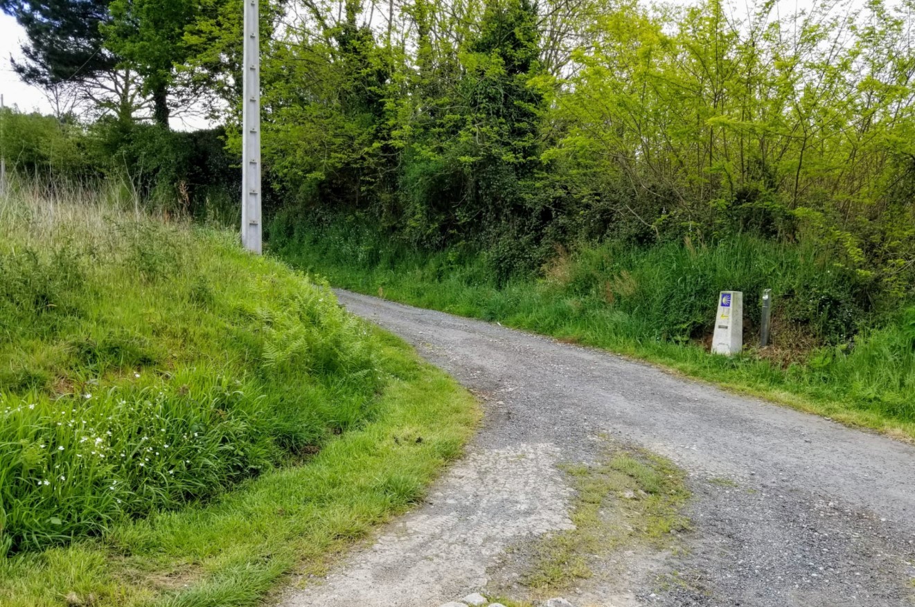 Turn Left at Next Kilometer Marker
Here is Rich on the lane, continuing to climb!
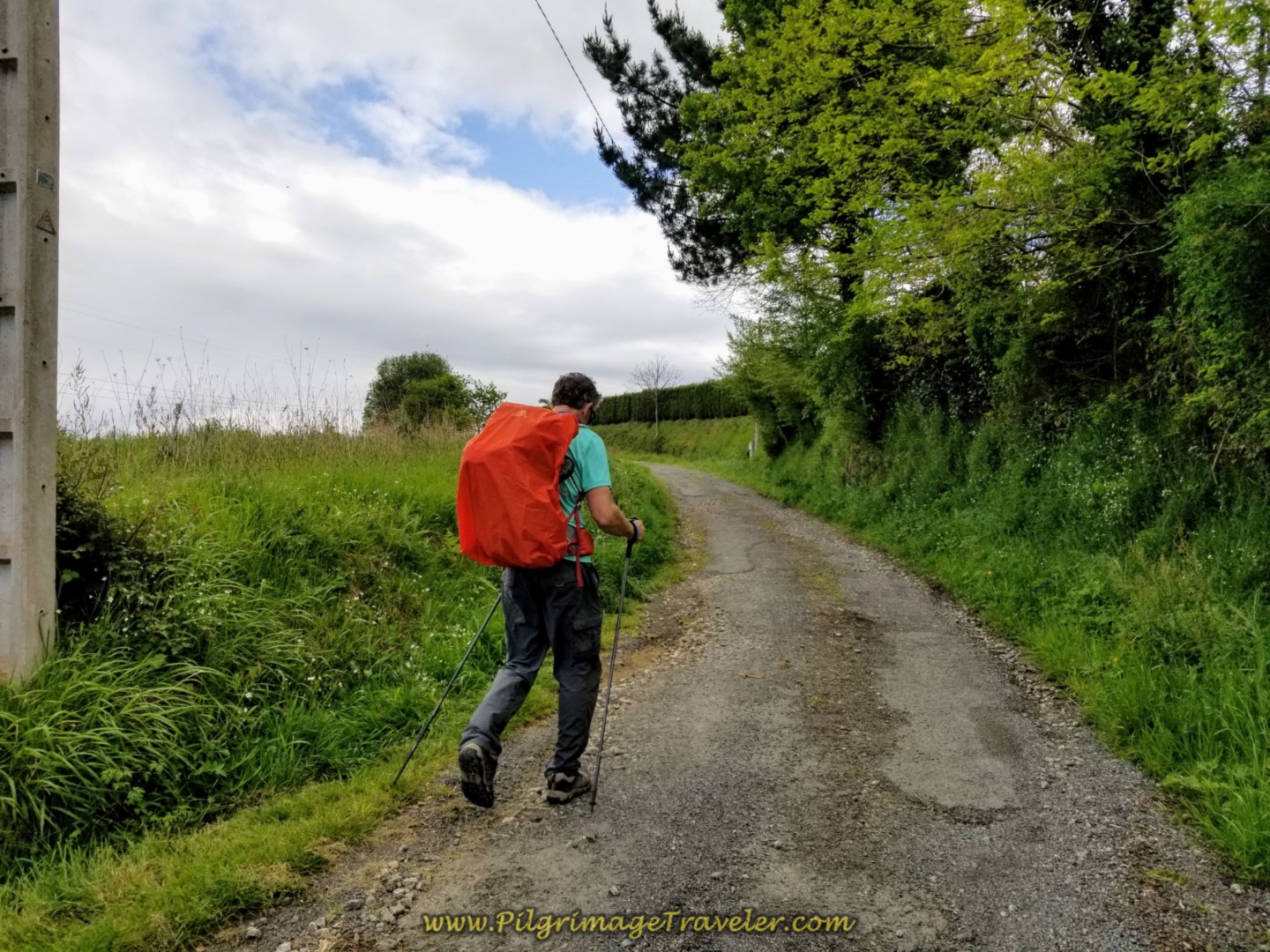 Don't Stop Climbing on Day One of the La Coruña Arm of the Camino Inglés!
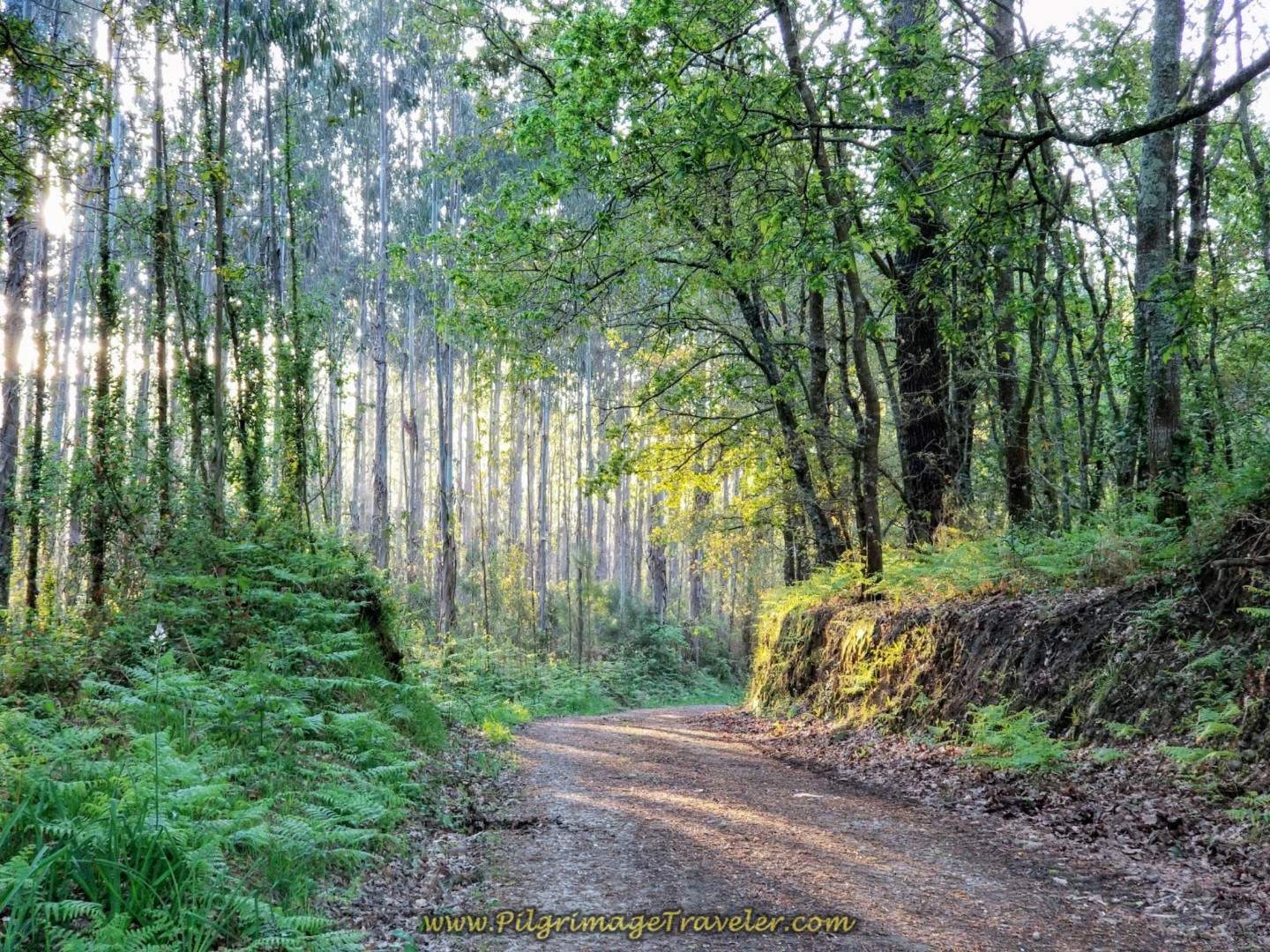
A short stint through the woods on the lane, makes for some shade, at least.
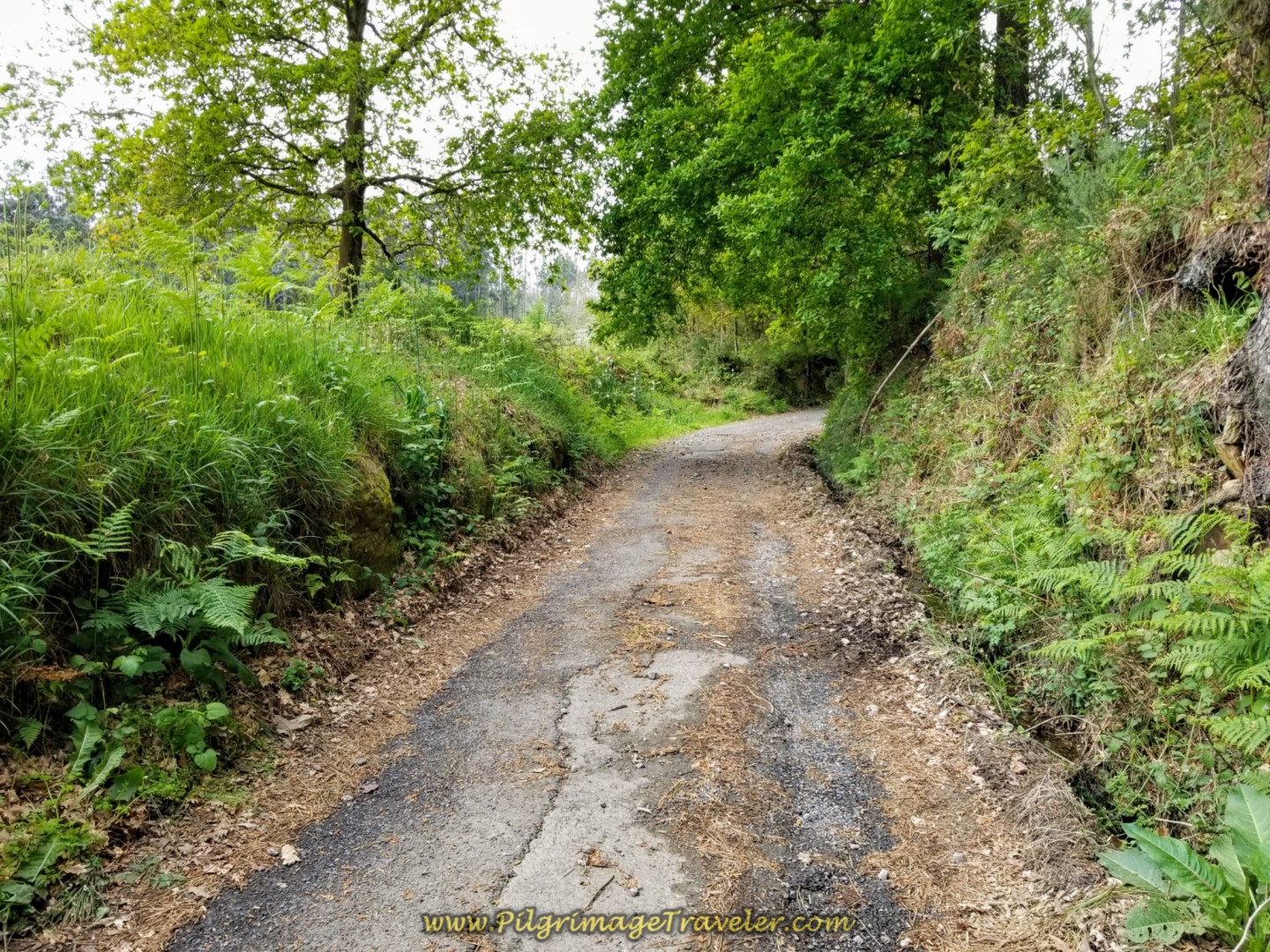 Brief Stint Through the Woods
Follow the Way to the left on another dirt lane. You come to the end of the lane, about one full kilometer later at this Camino Inglés information sign and "Welcome to Carral."
 "Welcome to Carral" Sign at End of Lane
Come out at this 54.8 Kilometer marker, and onto the paved road. There is a bakery here on the left, but since we were now less than 2.0 kilometers from Sergude, we did not stop. But it is an option!
You are home free as the climbing is also now over!! It is a nice downhill amble from here into Sergude.
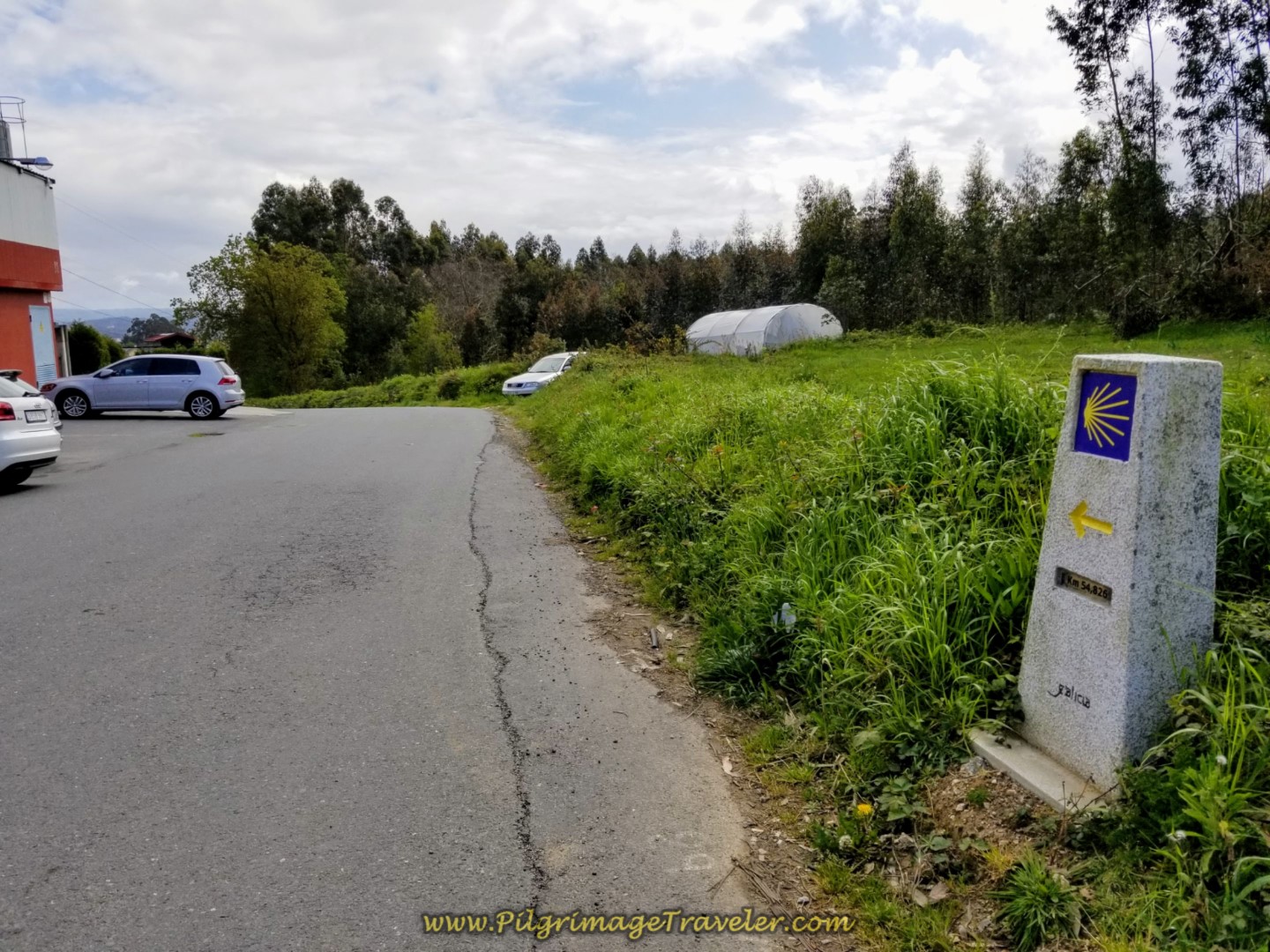 54.8 Kilometer Marker
The downhill walk through Carral is pictured below. Where's the town?
300 meters farther on, there is another option, a picnic rest area on the right, if you prefer to eat from your pack.
About 100 meters after the rest area, turn right onto the DP-1708, then in 150 meters, turn left onto the CP-2103. More wonderful downhill.
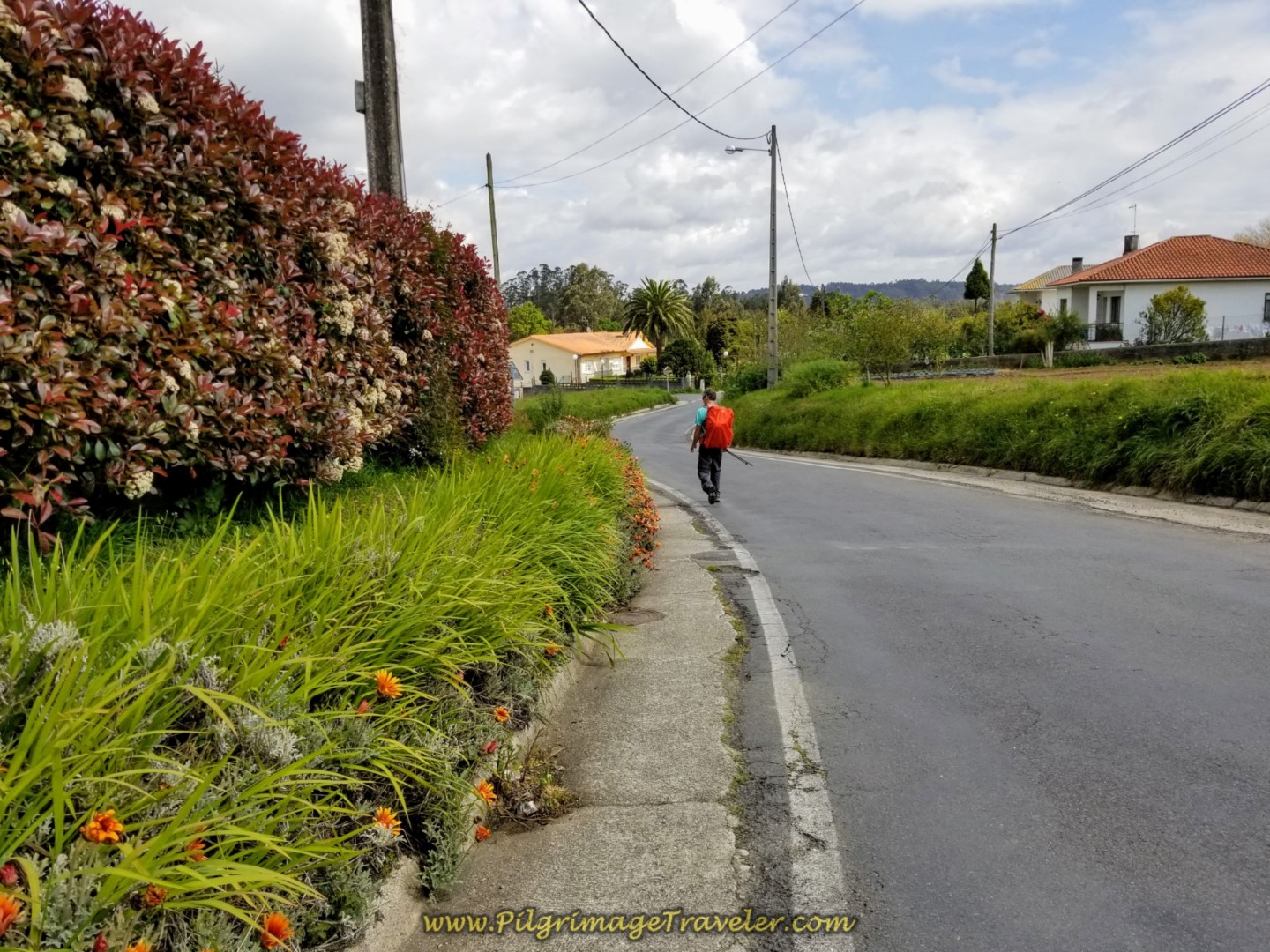 Ambling Along the CP-2103
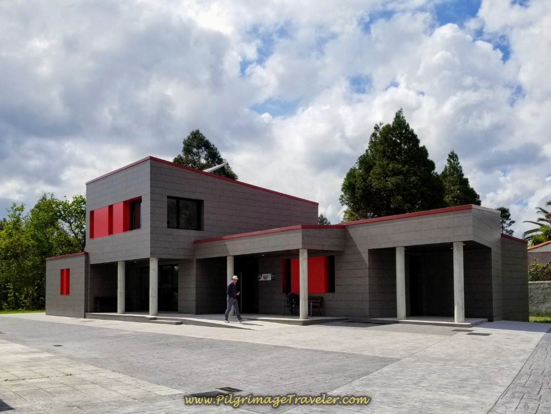
After only one kilometer on the CP-2103, you come to the sign for the albergue!
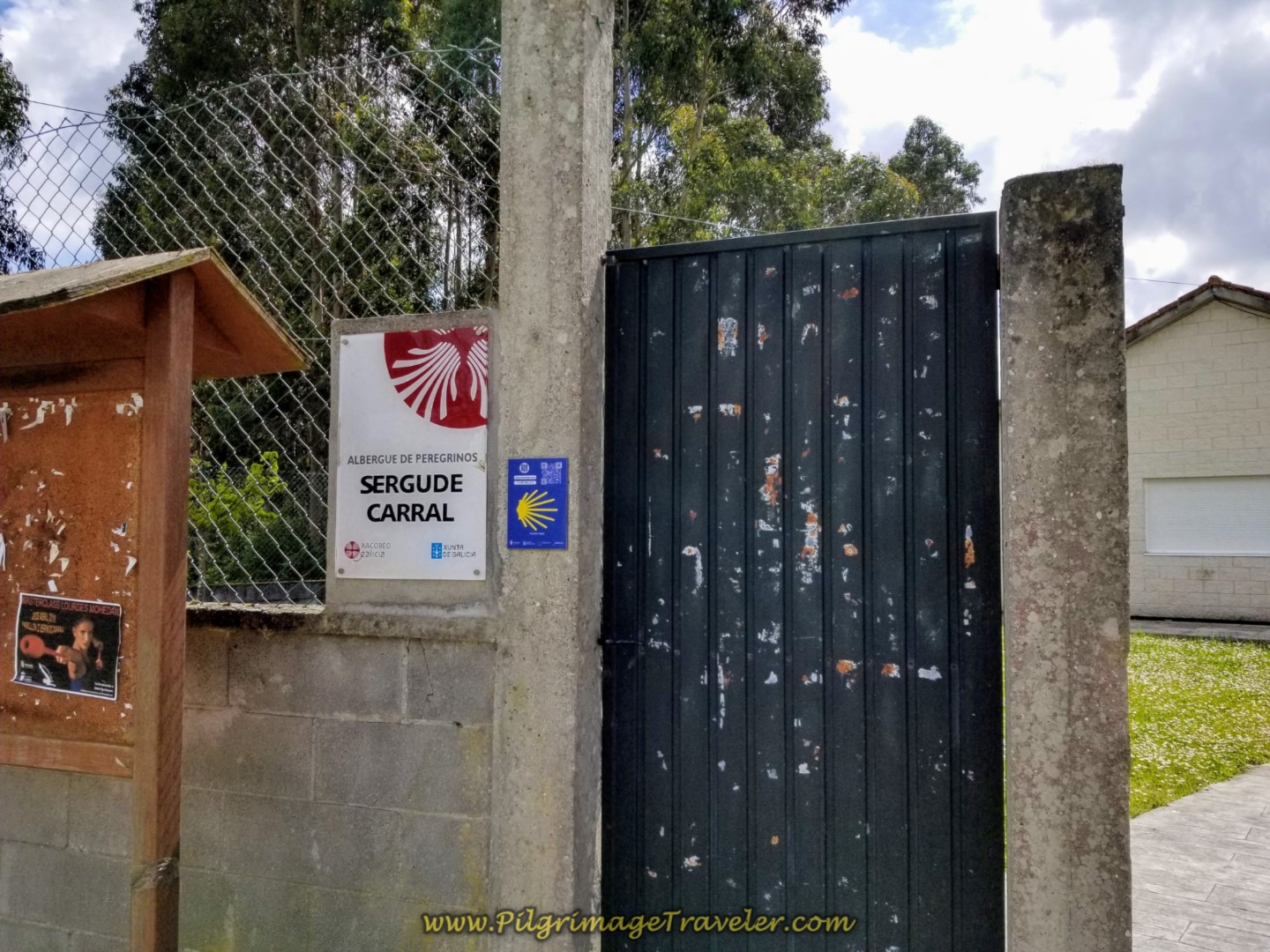 Sign for the Albergue de Sergude/Carral
And inside the gate, is the Albergue de Sergude/Carral. We shared the albergue with exactly three other pilgrims that night, for a total of five of us.
The albergue was brand new, but the kitchen had nothing to cook with, as I stated above. It had a washer and dryer which we used, for an extra charge, and two large open dormitory rooms, with about 14 beds each. There were no blankets available, but we were allowed to turn up the heat, which I did! I slept as close to the heater as possible, because it was a very cool night and all I had was a sleep liner.
In lieu of cooking, we went to the Casa Adolfo, just down the street about 400 meters. One by one the others from the albergue joined us there and we were all offered a pilgrim's meal, served to us in family style. The proprietress herself was the cook in this rural bar and she brought us mountains of salad, french fries and pork loin. The food was fantastic and served with a loving, warm and motherly heart, all for a mere pittance.

Still thinking about our Camino Inglés eBook Guide? Would a money back guarentee and free updates for a full year help you make your decision? Remember our guide is a digital-only eBook with no added weight in your pack which you can refer to anywhere. Click here for more information or just BUY NOW!
Reflections of Day One, Camino Inglés, La Coruña Arm
This day was very arduous for me, and I was feeling like I was getting a sore throat at the end of the day, along with some stomach upset. I was hoping it was just due to dehydration, so I drank a bunch of water and laid off the alcohol. I did feel better after the fabulous meal at the bar and reflected on how gorgeous the countryside that we had walked through really was.
I was missing the friends we had made on the Camino Portugués, having just come from six days on the Central Route. We had bonded with a group I fondly called "Team Magdalena," assisting a young woman in a wheelchair to complete her Camino. Click on the link to read this amazing story!
Not only was day one on the Camino Inglés, La Coruña Arm a physical challenge, it was an emotional challenge as well. I was teary for many portions of the day, missing Team Magdalena! Because of this I was reluctant to make connections with other pilgrims on this day.
Our prior day on the Central Route was long, rainy and difficult. We mistakenly thought that this day would be easier, having come from the central mountains of Portugal but it was not! We had set ourselves up for our own pain, so we had no one else to blame.
My only word of advice is definitely do NOT be fooled by day one out of La Coruña! It is full of many ups and downs, all on pavement, with the walk out of La Coruña not all that lovely! I can't imagine doing the entire way to Bruma in one day. Especially if this day was your first. The 21 kilometers beat us up enough, and we consider ourselves to be quite fit.
I felt like day one was indeed a pilgrimage, a journey through my life that did not feel very sacred, but just hard work. Was my soul enlarged and enriched after this day? I'm not sure, but this day built my character if nothing else. And that is indeed a spiritual thing.
Salutation
May your own day one on the La Coruña Arm of the Camino Inglés be a special pilgrimage day of your life. May it be through unforeseen sacred places that enlarge and enrich your soul, however that looks for you! Ultreia!
Camino Inglés Stages
~ La Coruña Arm
~ Ferrol Arm
Please Consider Showing Your Support
Many readers contact me, Elle, to thank me for all the time and care that I have spent creating this informative website. If you have been truly blessed by my efforts, have not purchased an eBook, yet wish to contribute, I am very grateful. Thank-you!
Search This Website:
🙋♀️ Why Trust Us at the Pilgrimage Traveler?

We’re not a travel agency ~ we’re pilgrims, just like you.
We've walked Pilgrimage Routes Across Europe!
💬 We’ve:
- Gotten lost so you don’t have to. 😉
- Followed yellow arrows in the glowing sunlight, the pouring rain and by moonlight. ☀️🌧️🌙
- Slept in albergues, hostals & casa rurals. Ate and drank in cafés along the way. 🛌 😴
- Created detailed and downloadable GPS maps and eBook Guides, full of must-have information based on real pilgrimage travels. 🧭 🗺️
- Shared our complete journeys, step by step to help YOU plan your own ultimate pilgrimage and walk with your own Heart and Soul. 💙✨
Every detail is from our own experiences ~ no fluff, no AI rewrite. Just fellow pilgrims sharing the way. We add a touch of spirituality, a big dose of ❤️ and lots of wisdom from the road.
Ultreia and Safe Pilgrimage Travels, Caminante! 💫 💚 🤍
Follow Me on Pinterest:
Find the Pilgrimage Traveler on Facebook:
Like / Share this page on Facebook:
Follow Me on Instagram:
***All Banners, Amazon, Roamless and Booking.com links on this website are affiliate links. As an Amazon associate and a Booking.com associate, the Pilgrimage Traveler website will earn from qualifying purchases when you click on these links, at no cost to you. We sincerely thank-you as this is a pilgrim-supported website***
PS: Our eBook Guide books are of our own creation and we appreciate your purchase of those too!!
Shroud Yourself in Mystery, along the Via de Francesco!
Walk in the Footsteps of St. Francis, and Connect Deeply to the Saint and to Nature in the Marvelous Italian Countryside!
Need suggestions on what to pack for your next pilgrimage? Click Here or on the photo below!
Carbon fiber construction (not aluminum) in a trekking pole makes them ultra lightweight. We like the Z-Pole style from Black Diamond so we can hide our poles in our pack from potential thieves before getting to our albergue! There are many to choose from! (See more of our gear recommendations! )
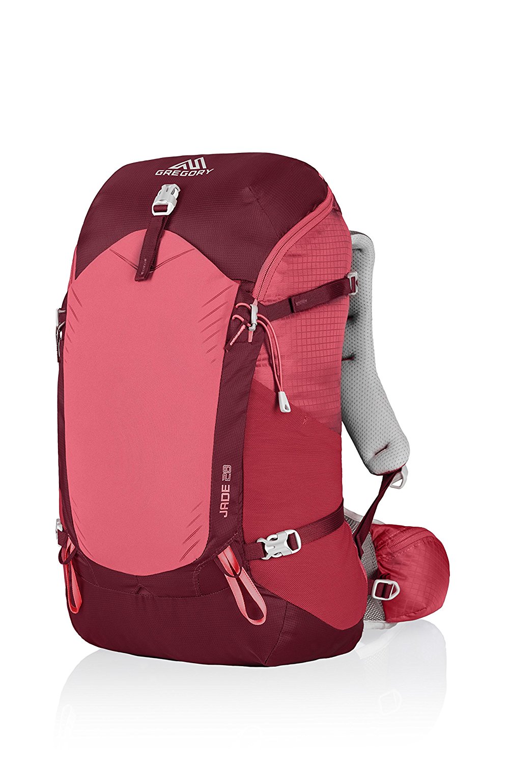
Gregory BackPack - My Favorite Brand
Do not forget your quick-dry microfiber towel!
Booking.com
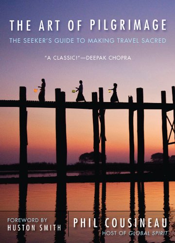
My absolute favorite book on how to be a pilgrim:







Your Opinion Matters! Comments
Have you had a similar experience, have some advice to give, or have something else you'd like to share? We would love to hear from you! Please leave us a comment in the box below.