- Home
- ~ Camino Portugués (The Portuguese Way)
- Day Six, Tomar to Alvaiazere
Jump to Camino Portugués Stages
Day Six on the Camino Portugués
~ Tomar to Alvaiázere, 31.2 Km (19.4 miles) via Portela OR 32.4 Km (20.1 Miles) via Areias
Day six on the Camino Portugués was another long stage, cooler and more hilly, with significant climbing, as we finally left the hot lowlands for the terraced olive groves and eucalyptus forests. We would also solidify our relationship with our Australian Camino friends who would be our true Camino companions.
"The true profession of a man is to find his way to himself." ~ Hermann Hesse
If you think you know yourself, the Camino will make you think again. Once again, this stage humbled us as we sought to find the right balance. I found ways to slow down the pace and to take the breaks I needed.
Map and Stats of Day Six on the Camino Portugués
Here is my google map. As you will notice, there are two possible routes on this day, the blue route, via Portela, and the red route, via Areias. The red route, a full 1.2 kilometer longer, but without much difference in elevation, takes you on a detour to see historic sites and through the town of Areias, significant in that a new albergue is coming soon in this town, about 19.6 kilometers into the stage. Unless you need the albergue, we did not feel the sites were all that impressive, plus the major attraction, the Visigoth graves, is an additional 300 meters off the main Areias route. See the two descriptions below and make your own choice. This is a long stage, but there are opportunities to break it up, as you shall see.
As you can see from my elevation statistics, below, from my GPS tracks, there is significant climbing on day six of the Camino Portugués. The day is full of ups and downs, but progressively more ups than downs!
The climbing is gradual, with a few steep spots on both routes, for a total elevation gain of 817 meters (2680 feet) and an elevation loss of 562 meters (1843 feet) for the Portela Route, and an elevation gain of 818 (2684 feet) and no difference in elevation loss for the Areias Route. You can compare the two routes' elevation profiles below.
Except for the longer length of the Areias Route, which translates into more gradual climbing from the bifurcation at 14.4 kilometers into the stage, the routes are amazingly similar. You can see the initially really steep climb on the Portela Route, if you look closely at its elevation profile.
While this is a difficult day, as far as length and elevations changes, for some reason, perhaps because of the coolness of the day, having had a nice rest day the day before, the interesting scenery and good company in the final kilometers, I didn't feel quite as exhausted as in the prior long days. My story to follow is from the first time we walked, via the Portela Route.
My description for the Areias Route is from another time, with other pilgrims than in the narrative.
Camino Portugués eBook Guides
Our Downloadable Camino Portugués eBook Guides in PDF Format contain all the valuable information from our web pages, for comfortable reading offline and without ads on your personal device. Don't carry a hard copy guide book to increase your pack weight. Use our digital guides on your next Camino instead!
Our ebook guides are packed with frequently updated information, because a digital format is more nimble than hard-copy publishing. Our eBook Guide is unique because we also entertain and immerse you with our story! Click on any eBook above for more information.
Buy only what you need OR buy ALL FOUR eBooks for the price of THREE - a 25% savings! Click here for more information or BUY NOW at only 17.85!
Jump to Camino Portugués Stages
Photo-Rich Travelogue of Day Six on the Camino Portugués
As previously stated, we woke up to a cooler morning, cloudy and with a breeze. It was much cooler than our prior days. Hallelujah!
The Hostal 2300 Tomar was full our second night there, because of the long Easter holiday weekend. Our day six fell on Good Friday, so we made reservations the previous day for Alvaiázere just to be sure that we had a place for the night. Since the route from Lisbon is gaining in popularity, it is almost mandatory to reserve in advance on holidays.
When you start out for the day from your accommodation, you cross the Nabão River on the Rua Marquês do Pombal. This is the northernmost bridge in the center of Tomar.
Almost immediately after the bridge, take the second left and head north onto the Rua Centro Republicano.
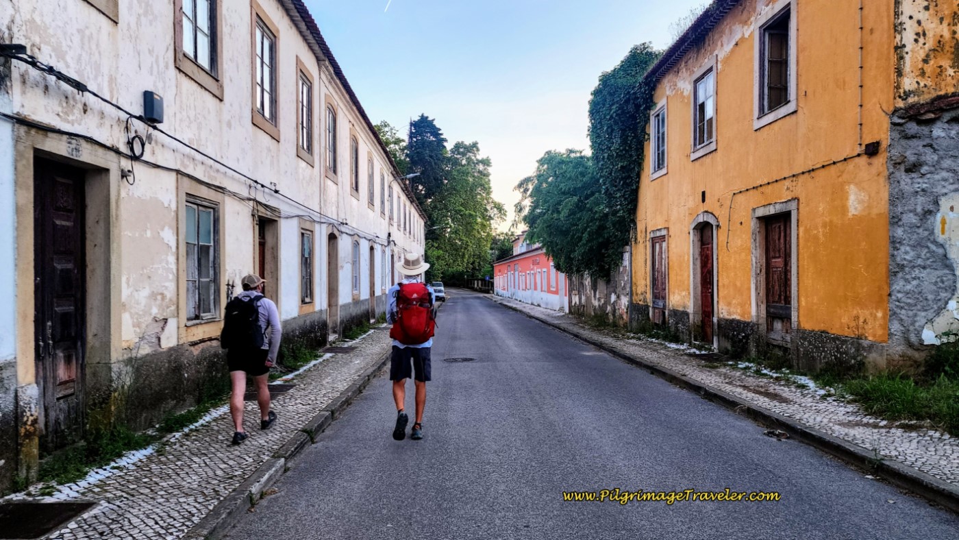
At the first intersection, stay to the right to pick up the Rua Fábrica da Fiação as it walks by colorful row houses. I thought the yellow arrow on the pole wasn’t clear.
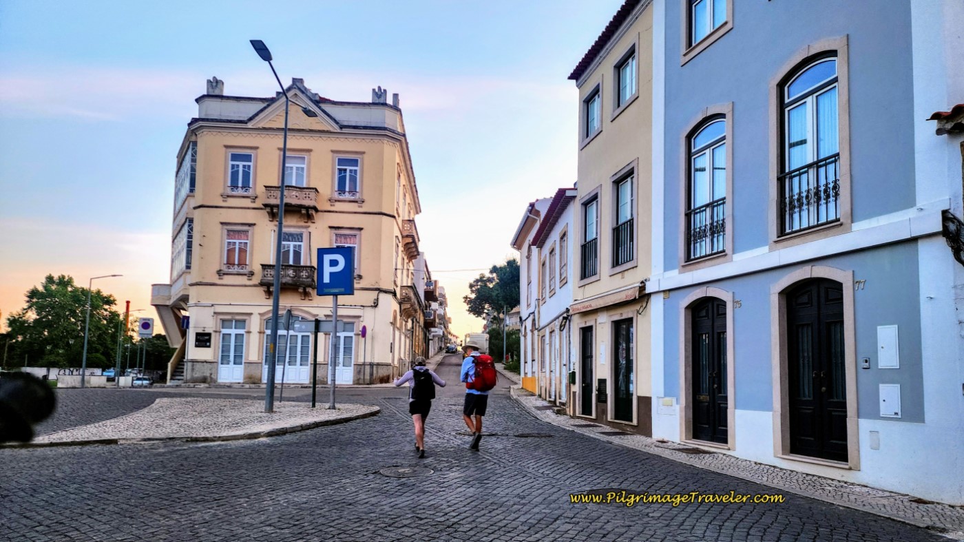 Stay Right at First Intersection, onto the Rua Fábrica da Fiação
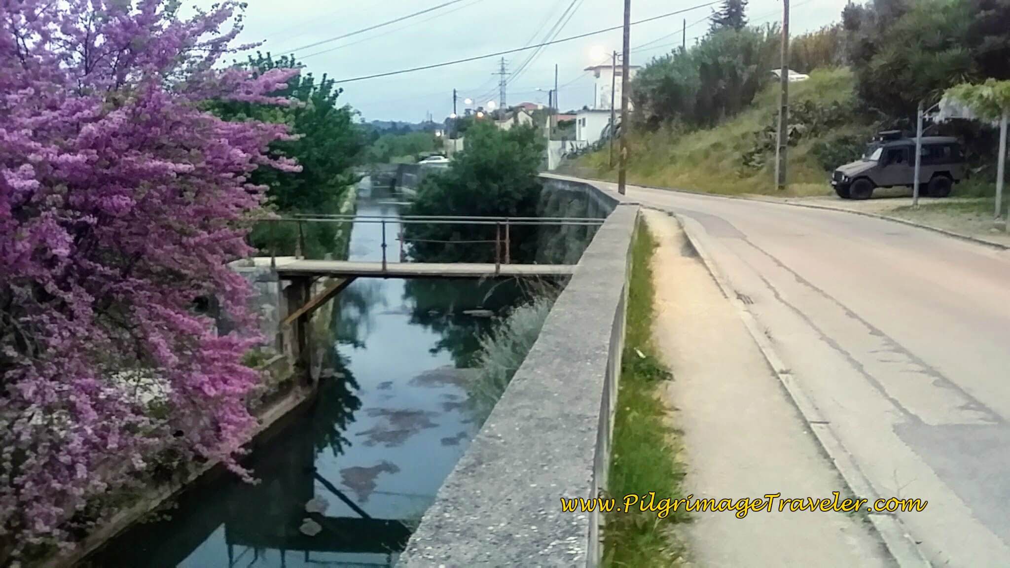
As you get farther from the city center, the road joins a canal of the Nabão River. Regardless of any yellow arrows pointing left, do not cross the canal. The way is to continue straight and northward.
As you stroll out of town, you can see the Templar castle behind your left shoulder, as you gain elevation. It was fun for me to take my final glimpses of it as we left town.
After about 1.5 kilometers, the Rua Ponte da Vala eventually peters out, and becomes a lane, below.
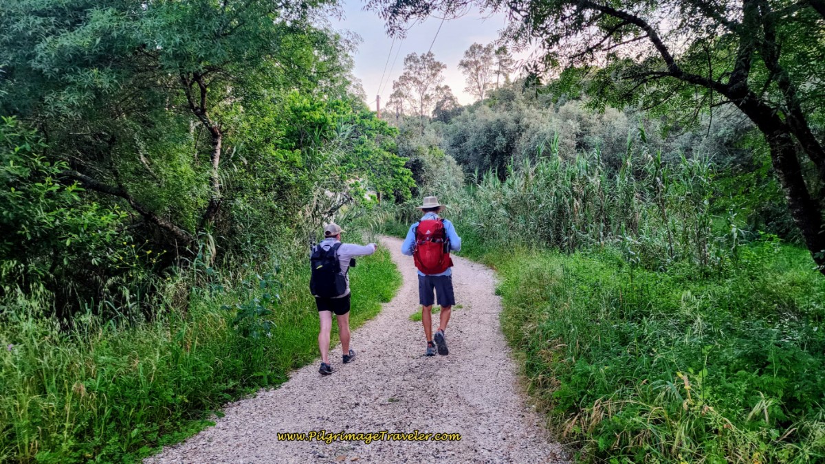
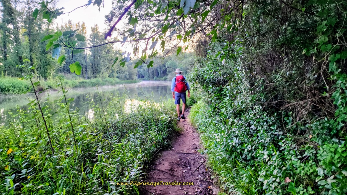
This lane also eventually peters out and soon becomes a narrow path, as it continues to follow the river. This path was lovely in the cool spring morning, with birds chirping and the aroma of the wildflowers. I was in heaven.
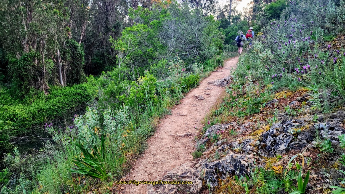 Path by Nabão River
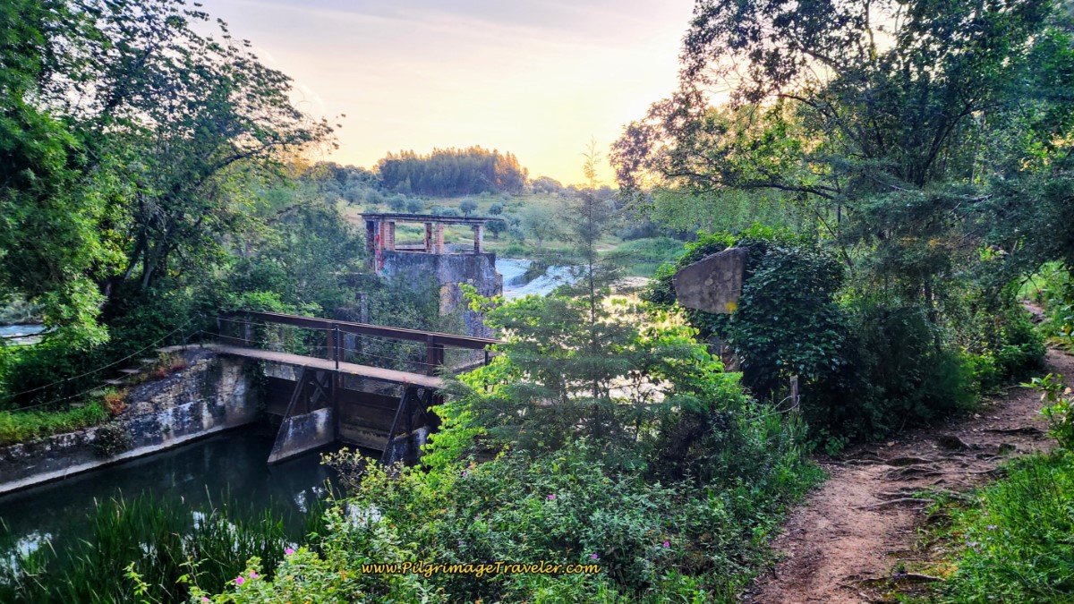
The path continues to follow the river for not quite 500 meters more, until you come to this old structure, below, a part of the Açude da Pedra, or “stone dam.” If you look closely in the photo you can see the stair-stepping stone dam behind the structure, and of course, the footbridge going across the River.
The dam was built 200 years ago to supply water to a cotton industry in Tomar. Now, the sign next to the dam identifies the area as an ecotrail system, built for public enjoyment!
The trail divides here at the dam, and even though there is a nice yellow arrow on the concrete, that you can see above, I turned right and up the hill by mistake. Stay low, left and down by the river here. I had to retrace my steps back down to the river. I'm not sure how I missed the markings.
This was one of the very few times when I climbed too high and too soon, when I made my mistake! I must have been anticipating the elevation changes for the day.
When I didn't see or hear Rich for a while, I became nervous and turned around. Good thing, as who knows how long I would have kept going the wrong way.
After about 2.5 kilometers, the path leaves the river, turns eastward, and comes to the T-intersection, below.
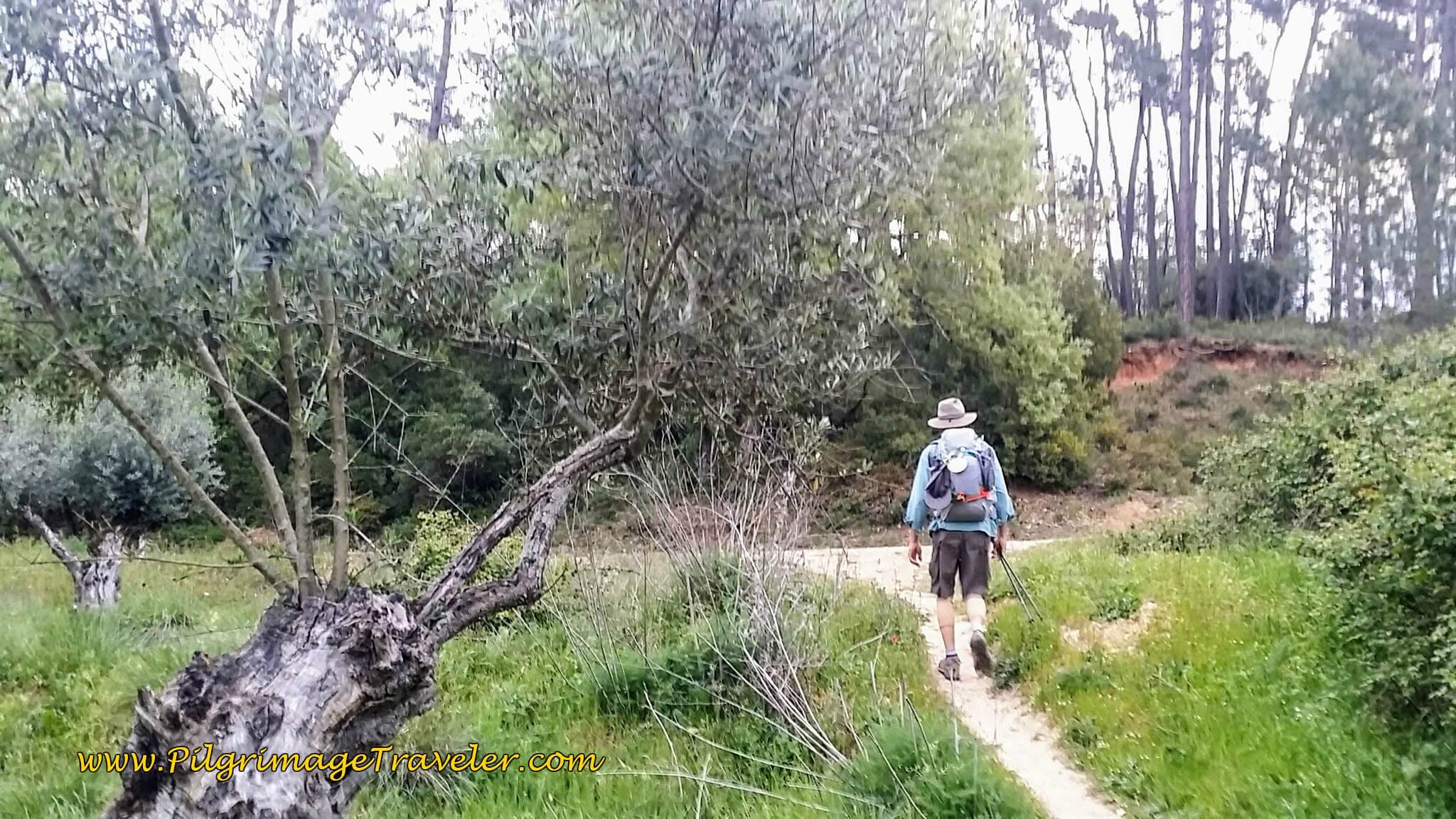 Turn Left at T-Intersection
One needs to turn left onto the wider lane.
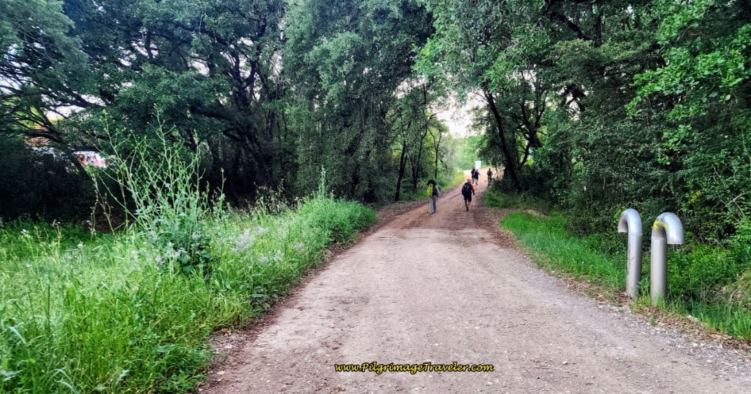 Lane Towards Ponte de Peniche
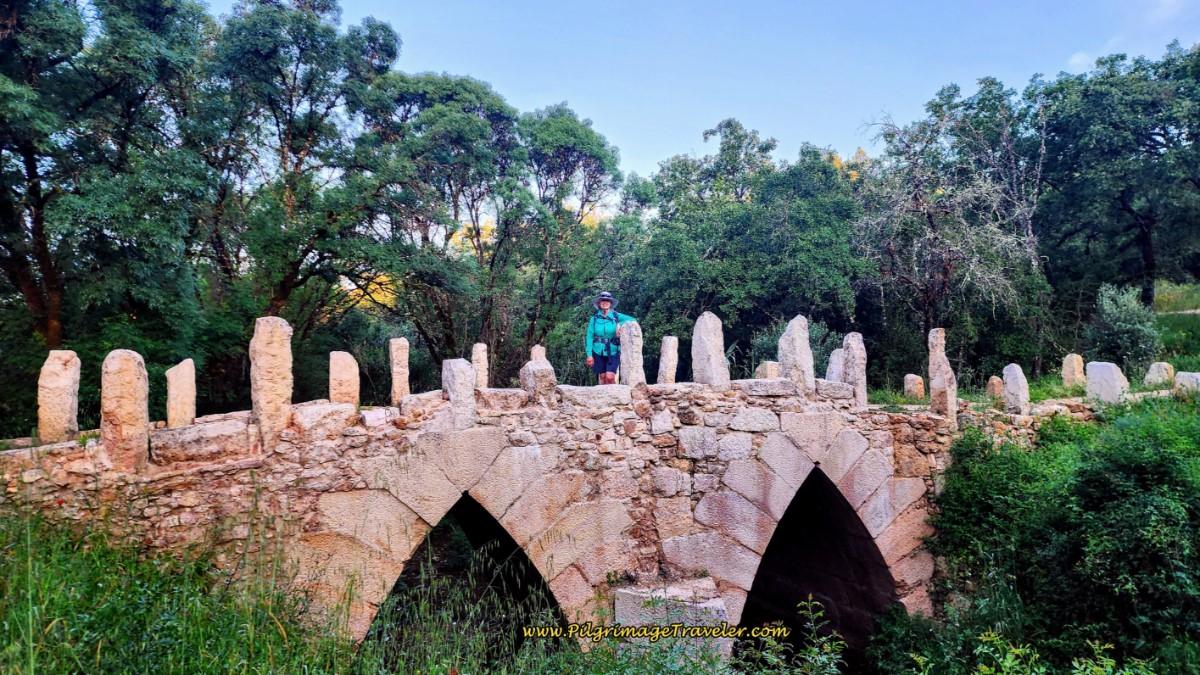
After about 2.9 kilometers, the Camino path walks over this ancient bridge, below, the Ponte de Peniche. This double-arched limestone bridge, built in the 16th century was part of an old road that ran from Tomar to Coimbra, according to the Arqueologia Patrimoniocultural website.
Within a couple hundred meters, the lane walks under the highway, the IC-9, then down a hill past a glorious estate, shown just under the bridge in the photo below.
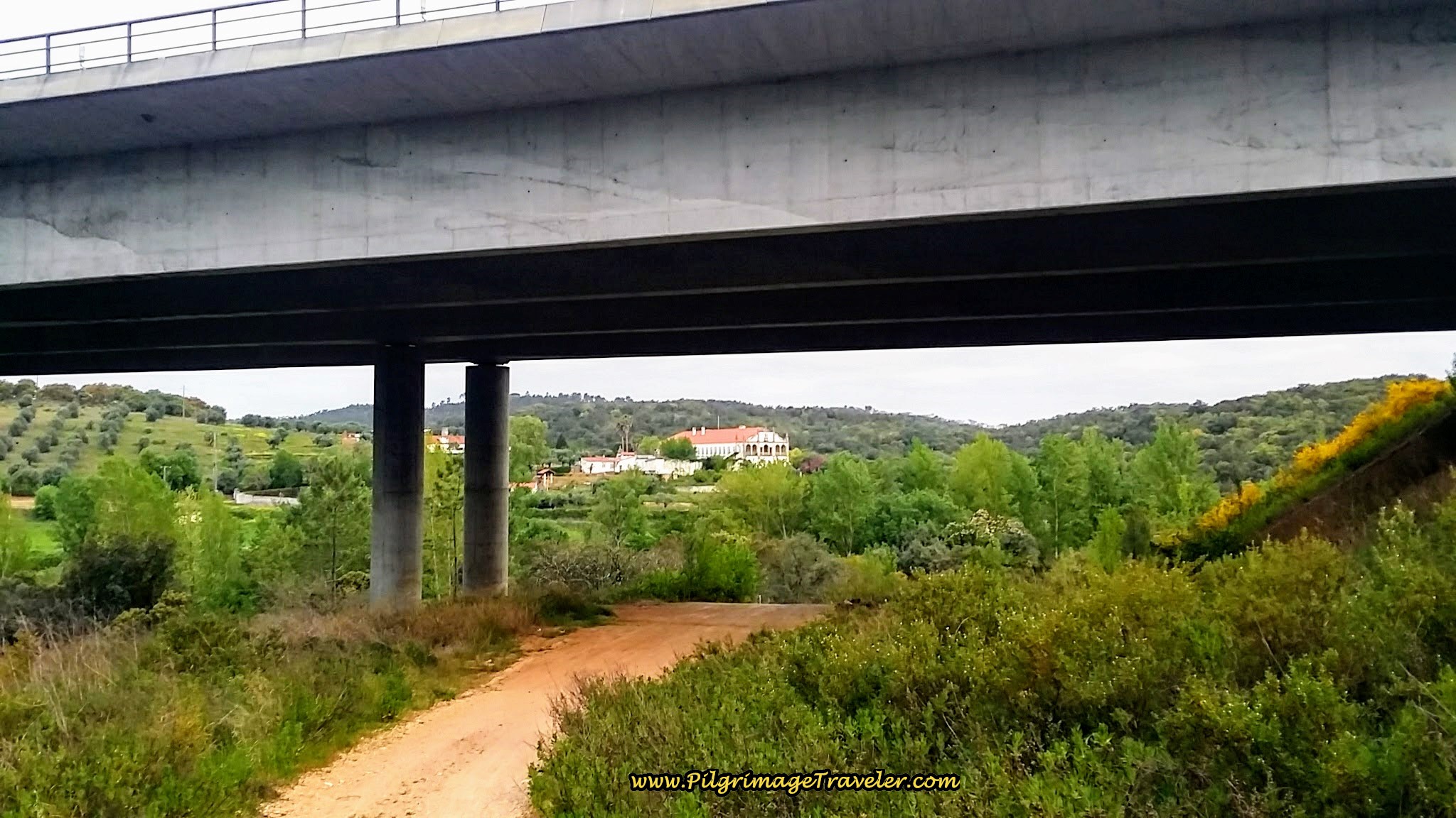 Walk Under IC-9
Lo and behold as you continue walking amongst the vinca, along the path, you rejoin the Nabão River. It is on your left. Follow the river for about another one-half kilometer.
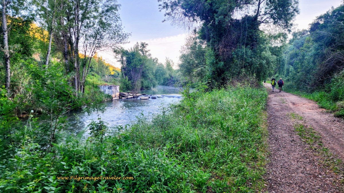 Vinca Lines the Path Where it Re-joins the Nabão River
Shortly you hear a waterfall, and see two abandoned buildings on your left. All of a sudden the nice gravel road makes an abrupt turn to the right (east), at just shy of 4 kilometers, and begins to climb up a steep hill. We almost missed the markings as there is a path that continues down below along the river.
You are now leaving the Nabão River for good and beginning the serious climbing for day six on the Camino Portugués.
As you head up the hill, look to your right (south). You can see the bridge of the IC-9 that you just crossed under and I also thought I could see the Tomar castle.
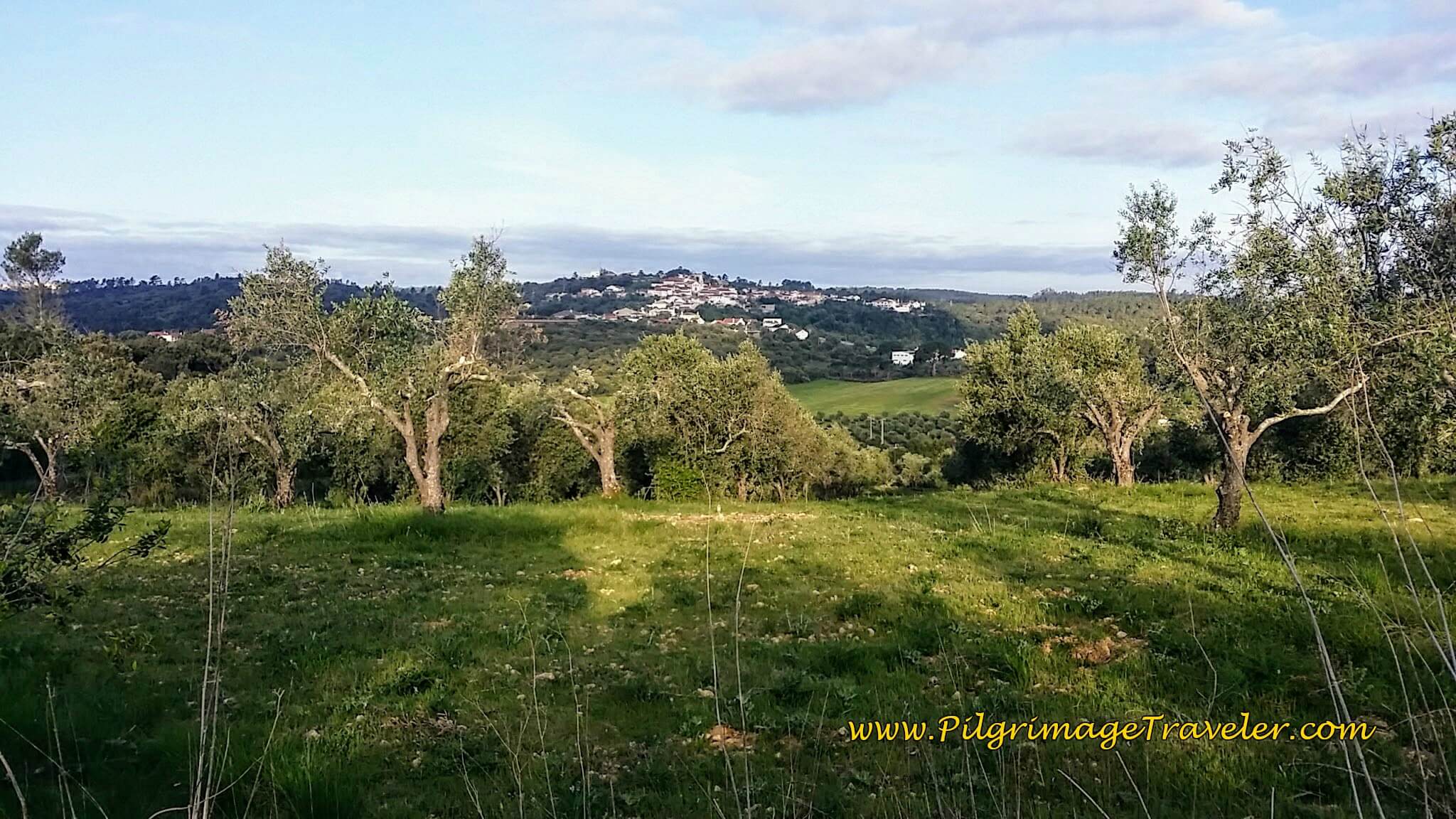
Climb up a stony lane to the top of a ridge, that looks out over an olive tree grove and village. We were walking a little slower here because the path is a bit steep at places but not too bad.
The morning was still gorgeous, with the sun finally coming out at five kilometers into our day. Yet it still remained nice and cool. Amen!
The nice path ends at this intersection, below, where you will turn right, and onto the Rua Principal, towards Casais. This intersection marks the top of the first climb after almost exactly six kilometers into the day.
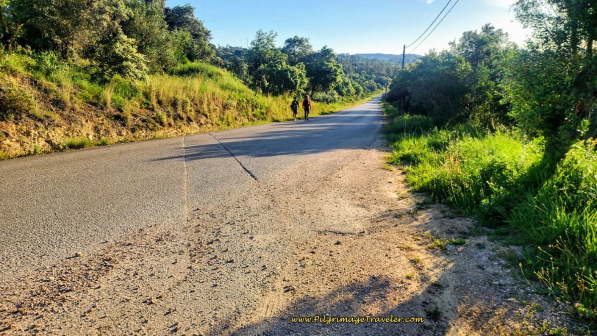 Turn Right Onto the Rua Principal, Towards Casais
Before reaching Casais, I noticed that I had a lot to say, and voice journaled quite a bit. After having settled into the first 5-6 kilometers, I began to reflect on my morning of day six on the Camino Portugués.
The thing that I noticed about myself on this day, is that I had an aversion to even getting up and out of bed. During the prior night everything had ached. When I woke up, and dragged myself out of bed, I even had an aversion to eating! I could hardly make myself eat another continental breakfast of just bread, jam and coffee!
I spoke freely into my voice recorder, spilling out my guts regarding the cultural differences. I just could not understand how Europeans do it, eating mostly carbs for breakfast and then walking for hours!
Rich and I are protein-lovers and without it in the morning, we feel it! Fortunately, we had bought eggs and hard-boiled them the night before, and had those for breakfast. We also bought meat and cheese and made hearty, protein-filled sandwiches for the day.
The Easter holiday weekend scared us, and we were warned by the locals that not much would be open. We were loaded up with food and were ready for the day!
After walking for one and a half hours, I did settle in and my body did feel better. I do believe that having had protein for breakfast helped me. I felt like I could go longer before the second breakfast, if needed on this day six of our Camino Portugués.
I felt stronger as we walked. Perhaps it was merely a mental thing, perhaps it really was the protein. Whatever the reason, I do know that as I listened to myself voice journal, that there was clearly hope in my voice.
Jump to Camino Portugués Stages
Back to Day Six on the Camino Portugués
After joining the Rua Principal and after about ½ kilometer, the road forks and the Camino stays right and onto the Rua Associação into Cascais, see below.
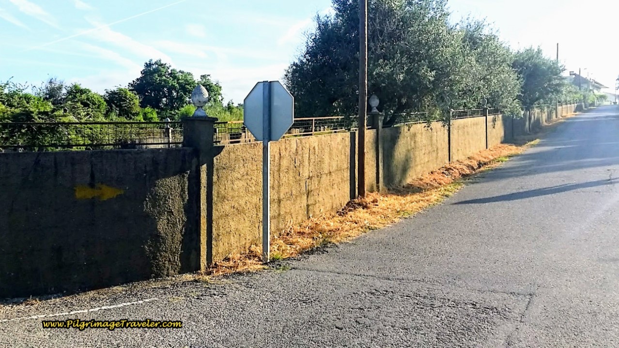 Turn Right onto the Rua Associação into Casais
A lovely fountain greets you as you enter the center of town and you can freshen up. I don't know if the water was potable, but we did not test it.
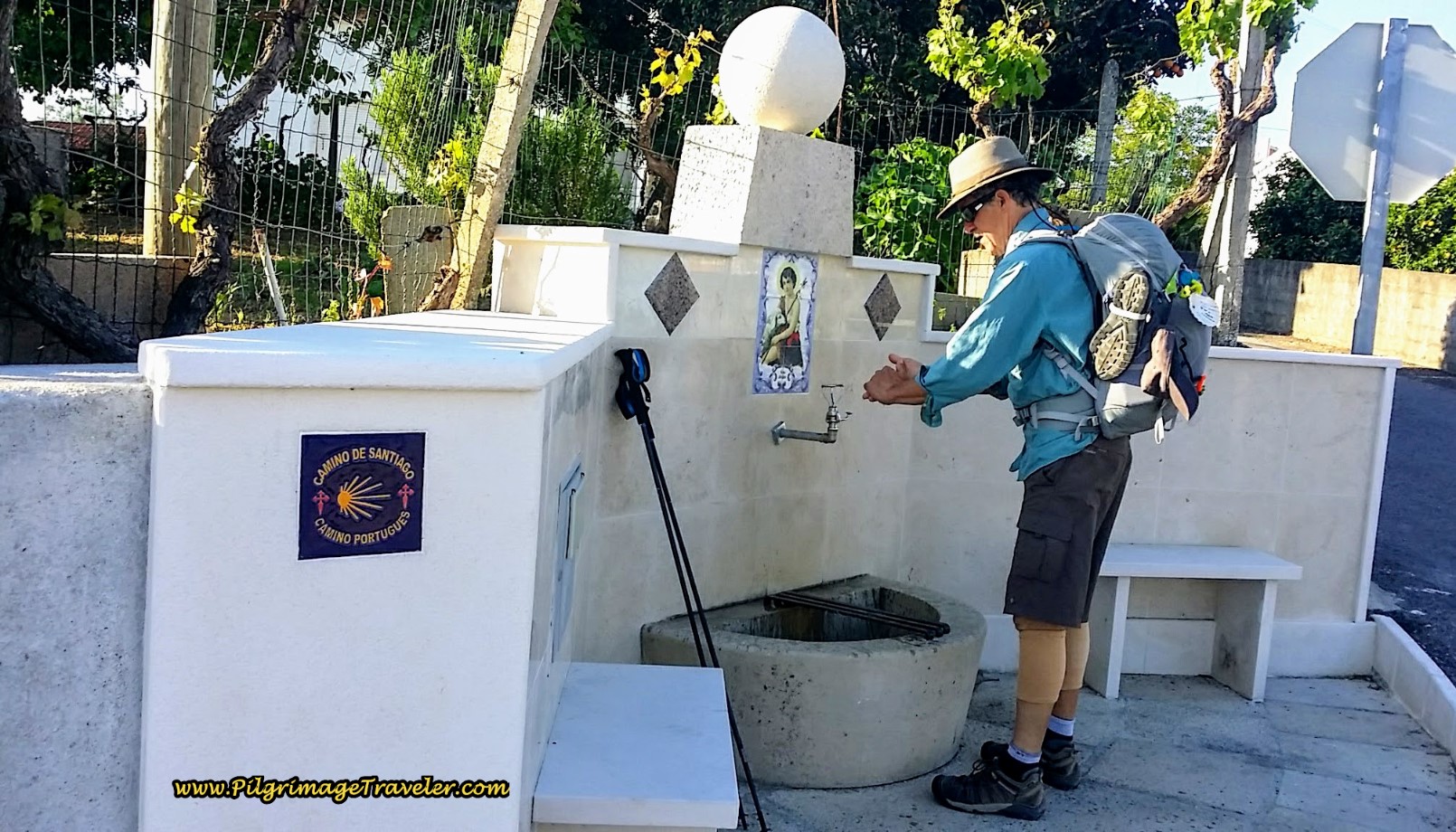 Community Fountain in Casais
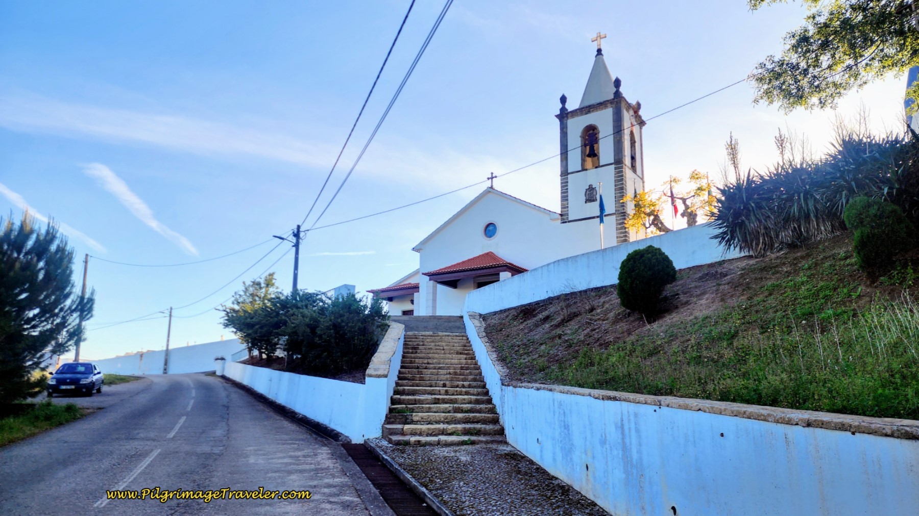
Unsurprisingly, as we walked through Casais, the church is the predominant feature. You are about seven and a third kilometers total at the church.
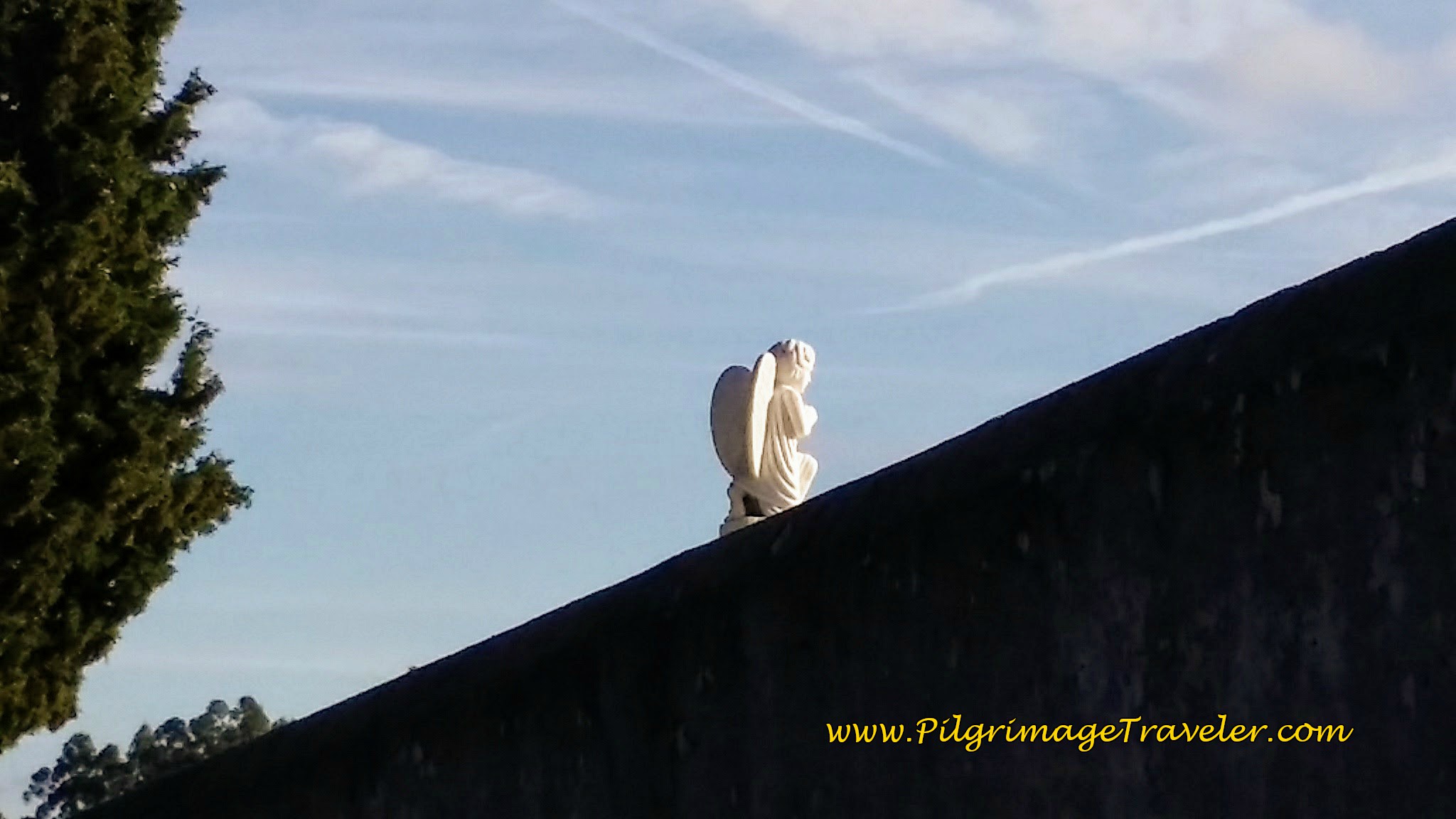
After the church is the usual cemetery, bounded by a high wall. An angel from within, was perfectly illuminated in the sunlight as we approached. The angel spoke to me from the high wall, elevated so I could see her. I was grateful for the vision and felt safe and happy.
Another blessing on day six of our Camino Portugués was the orange and lemon trees everywhere. We had timed our Camino perfectly as they were ripe and ready to be harvested.
Orange trees were everywhere, most of them quite neglected! Oranges were rotting at the foot of many a tree, so we helped ourselves to the ones remaining in the trees. They were delicious and unbelievably juicy!
At 8 a.m. we had our second breakfast of two oranges each, right from the tree! The Camino was really providing! It really did feel like a Camino, starting right then! Was the shift in my body, my mind or my soul?
Onward past Casais along the Estrada Giesteira, the signpost points to the next town called Soianda. You will follow this same paved road all the way to Calvanos, almost a full three kilometers!
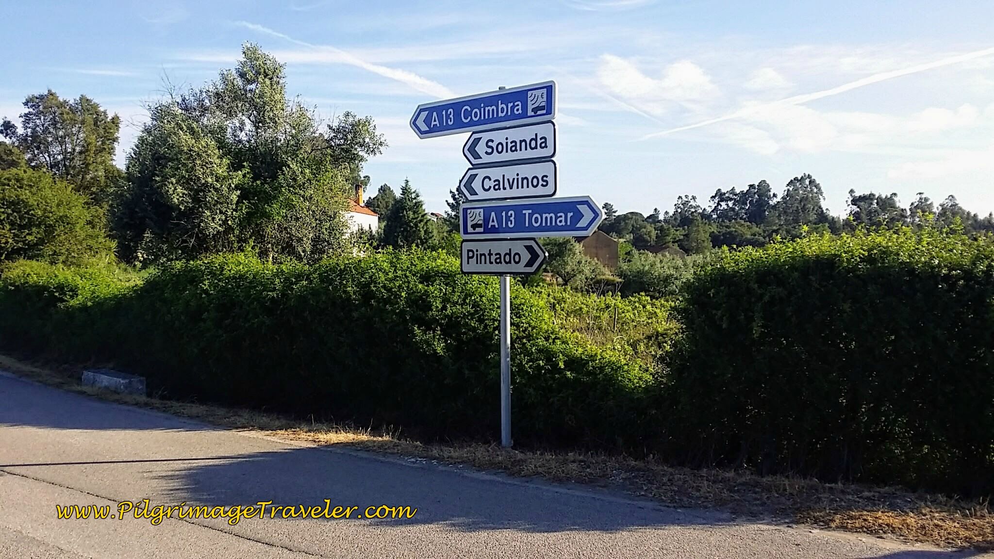 Signpost to Soianda
And only 200 meters after leaving Casais, you enter Soianda.
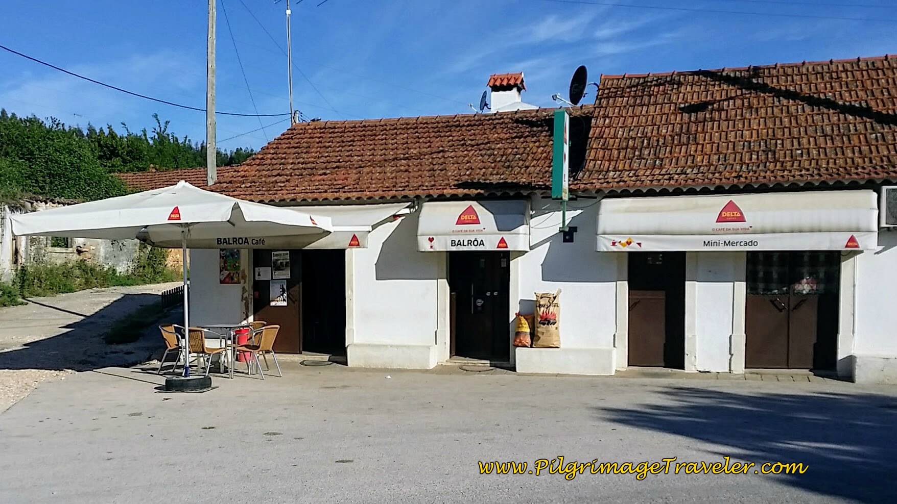
After about 8.25 kilometers total, walking through Soianda, the first open cafe appeared, the Café Balroa. Since we had oranges, we did not stop. Not even for coffee. It was all about the rejuvenating oranges!
A ways onward, at around nine kilometers into the day we did stop and rest here, sitting on the wall, below. We ate more oranges and some cheese from our pack. We also aired out our feet. Very important for Rich, who's blister was on the mend after the day off in Tomar.
The sign and yellow arrow in the photo below, points the pilgrimage traveler towards Calvinos, the next town.
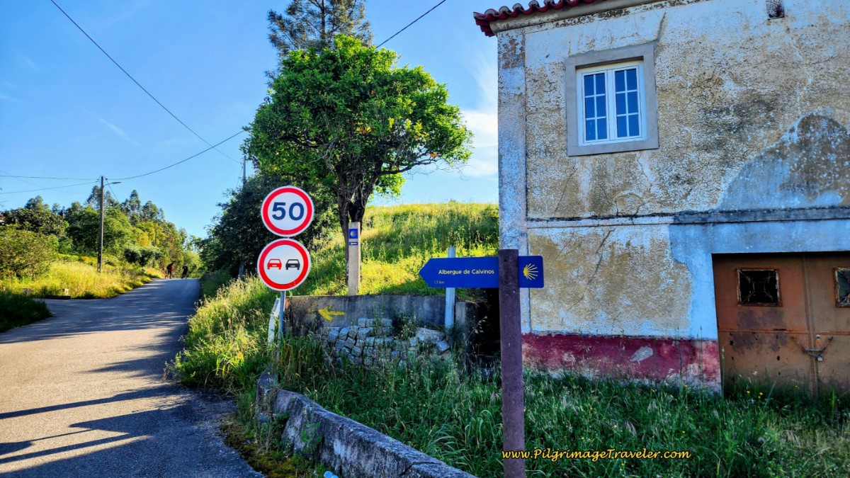 Signpost To Calvinos
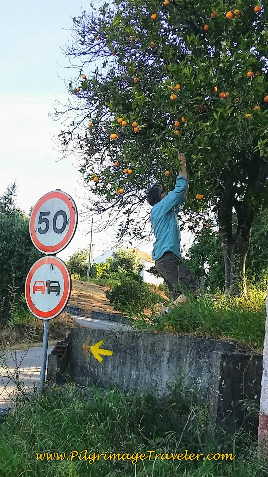
Just beyond the building, was another fabulous orange tree! Here is Rich, scrambling for a couple more to stash in our packs for the onward journey!
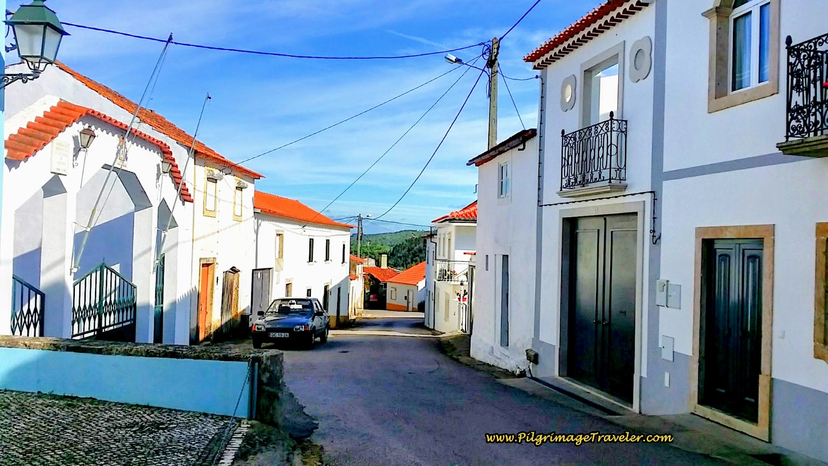
Leaving Soianda, one reaches Calvinos, rather directly, on the continuing Estrada Giesteira, below. It is a very quiet, paved road leading you onward.
You will walk up a small hill into town, and a sign for the brand-new municipal Albergue de Calvinos, with 10 beds greets you, below, after about 10.3 kilometers. You are about one-third of the way through your day six at the albergue.
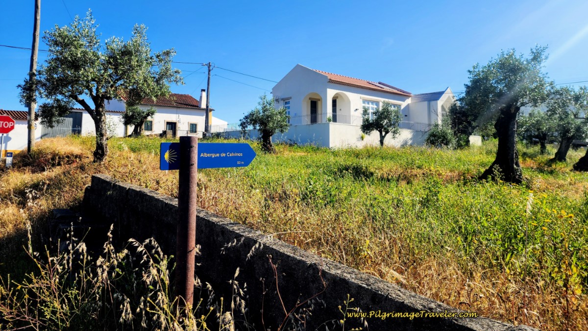 Albergue de Calvinos
At the intersection at the top of the hill, is a crossroad, where the Estrada Giesteira becomes the Rua Capela and the Camino goes straight and by this yellow house, below. To get to the albergue, turn right instead as the sign above indicates.
Onward, walking through Calvinos, along the Rua Capela is shown next.
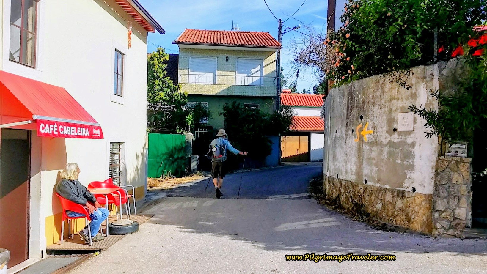
Once in the center of town, the Camino turns right onto the Rua Principal (Main Street) and we encountered the second open café, the Café Cabeleira on the left corner.
This was the very last café we saw on day six of the Camino Portugués, so make a wise decision here. There are absolutely no services after Calvinos, unless you are taking the longer route via Areias, so make sure you have sufficient food and water before you leave this town!
By this café, the Camino goes left onto the Rua Bairro, shown in the photo above, and the walk continues through Calvinos.
I loved this sign, below, as we left Calvinos. Wish I had done more than just pass through on this fine day six of our Camino Portugués!
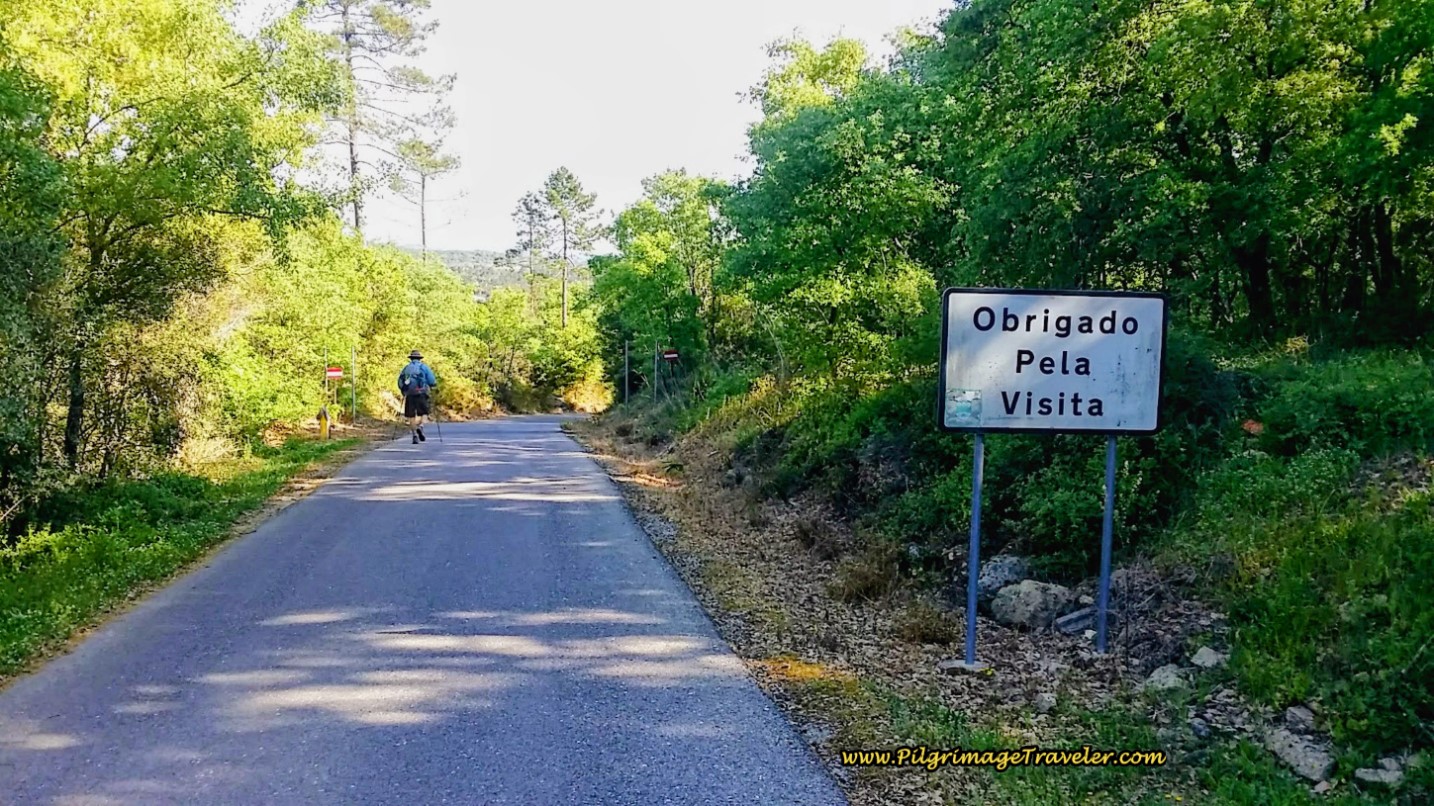 Thank-You For Your Visit ~ Signpost on the Rua Barrio
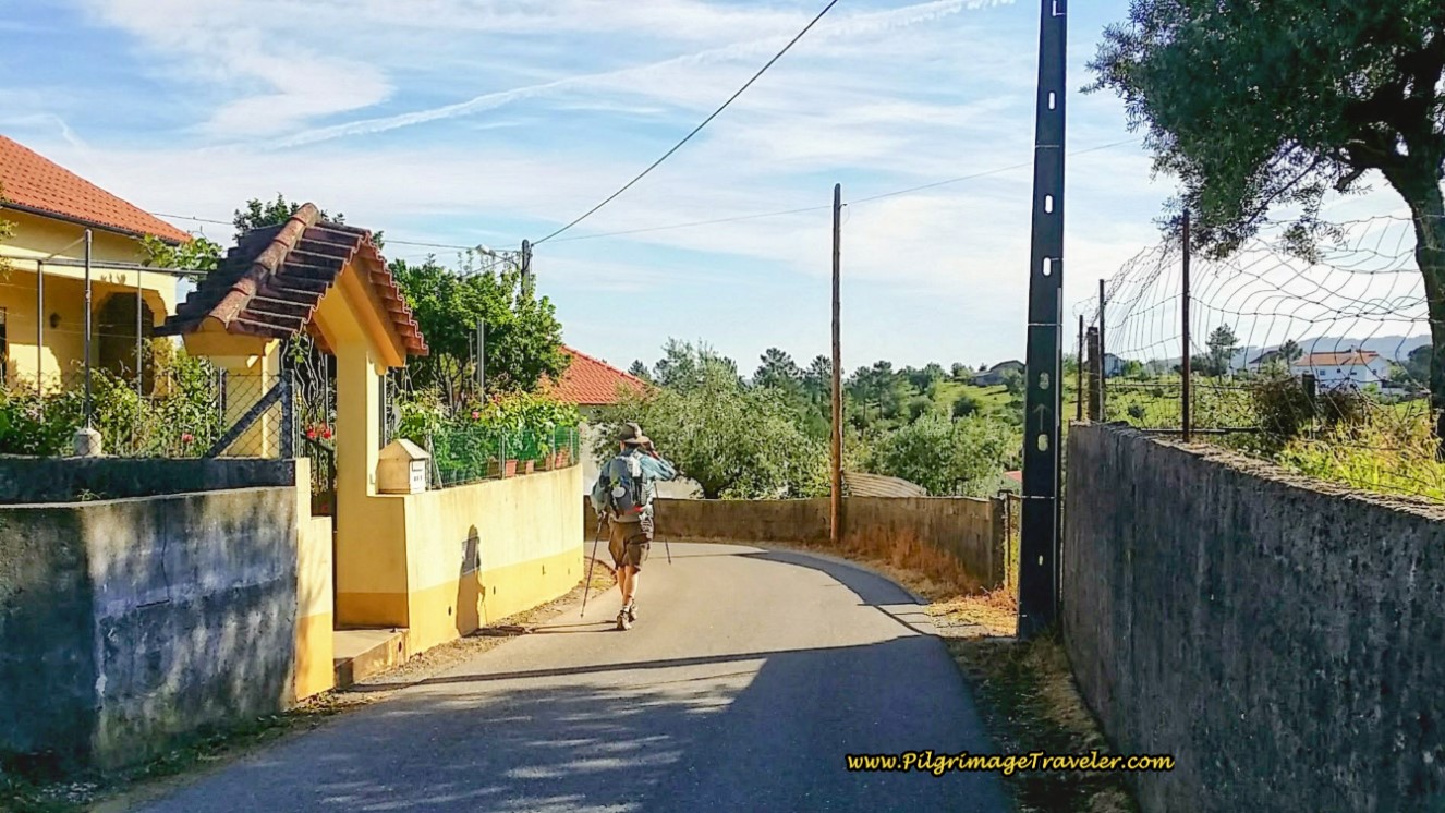
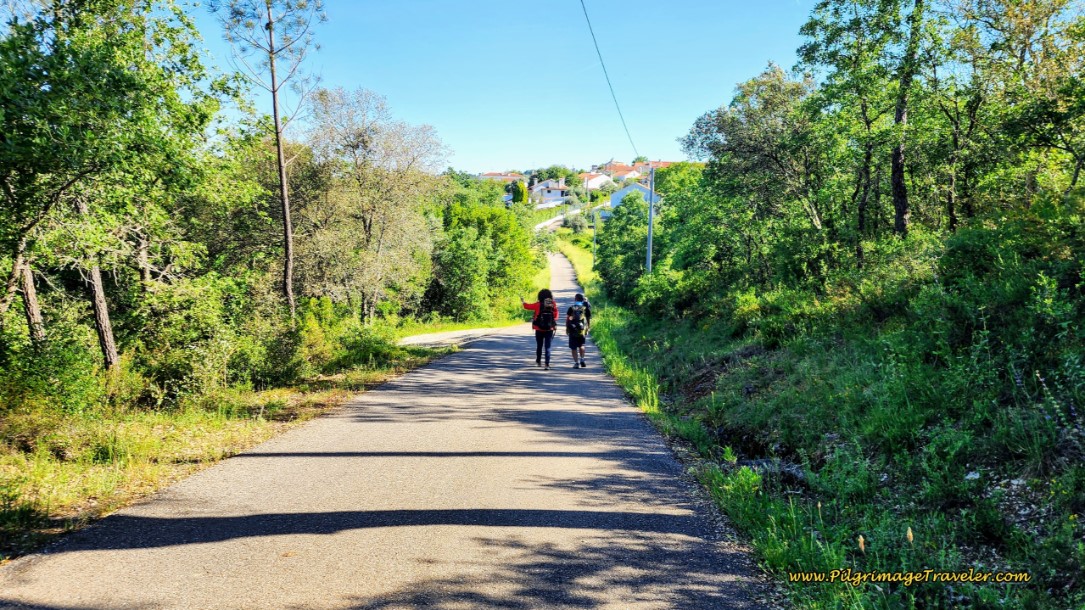 Rua Bairro Onward
Continuing straight and downhill along the Rua Bairro, above, it becomes the Rua Agostinho Freitas after about 800 meters, passing by a colorful gold and white fountain (not pictured) as it takes you into the town of Chão das Eiras after approximately 11.6 kilometers.
In town come to a T-intersection, where you take a right turn onto the Rua São João, and an almost immediate left turn again, at another welcoming fountain in the center of town, below.
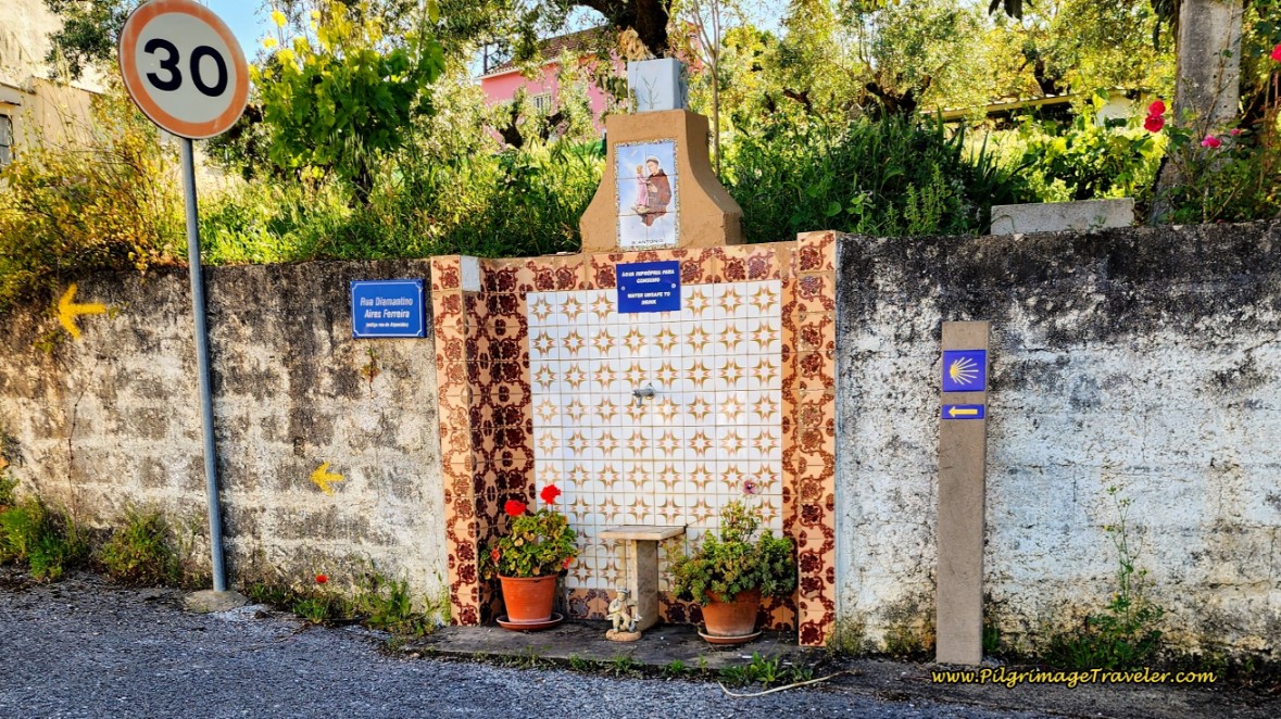 Turn Left at This Fountain onto the Rua Alqueidão
Neither of the similar-looking gold and white fountains in Chão das Eiras, within a few meters of one another, are safe to drink as their signs warn you!
After the small hamlet, the Camino continues along the Rua Alqueidão through the countryside, for about 1.5 kilometers, below, until the next hamlet of Ponta de Cera. When you come to a T-intersection in town, turn right, then an immediate left onto the Travessa Eira. 150 meters later, after a big bend, the Camino joins the N110.
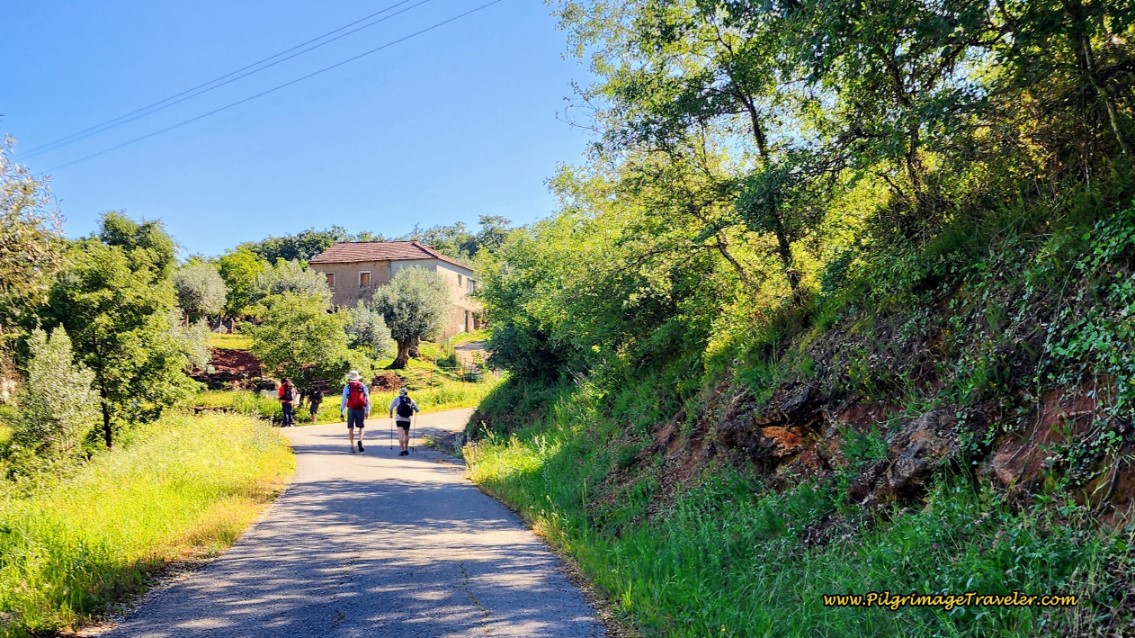 Camino Continues Along the Rua Alqueidão
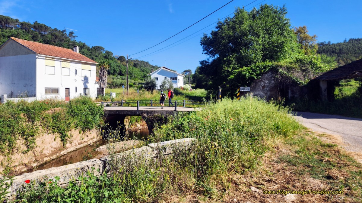
250 meters later, the Camino makes a right turn onto another side road, the Rua Lugar da Boucha. In less than 100 meters on this road, on the right hand side is the historic washing fountain, the Fonte de Ceras, (not pictured) and the historic bridge, the Ponte de Ceras, below. The town sign just before the bridge reads Escoural but I could find no such town on the Google map!
After the Fonte de Ceras, you will walk 200 meters on a paved lane and turn right onto the Rua das Azenhas. Pass a few houses, then leave the pavement where the lane turns to dirt. After about 100 meters and about 14.4 kilometers into the day, you now have an important choice to make. Pictured below is the intersection, from the past, without the signs telling you of your choices.
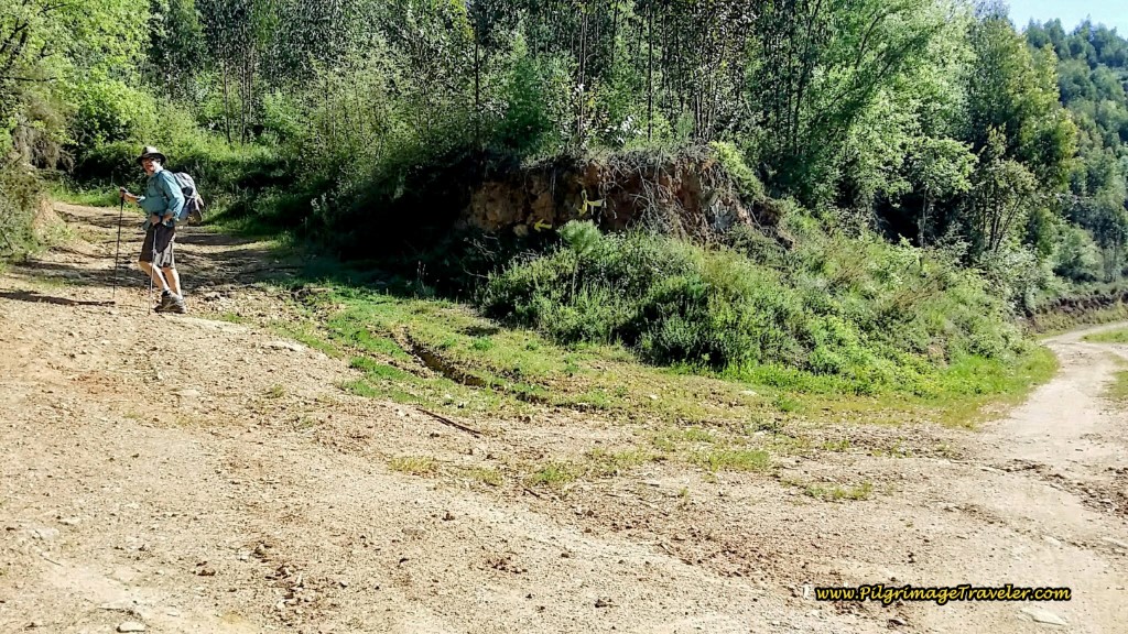 Decision Point
And below are the new signs at the same intersection. Pictured first, below, you can see that to the left is the Caminho Portela Route, and to the right is the Caminho Areias Route.
And the information board, pictured next, explains the differences in the routes, as I describe in the beginning of this stage, above.
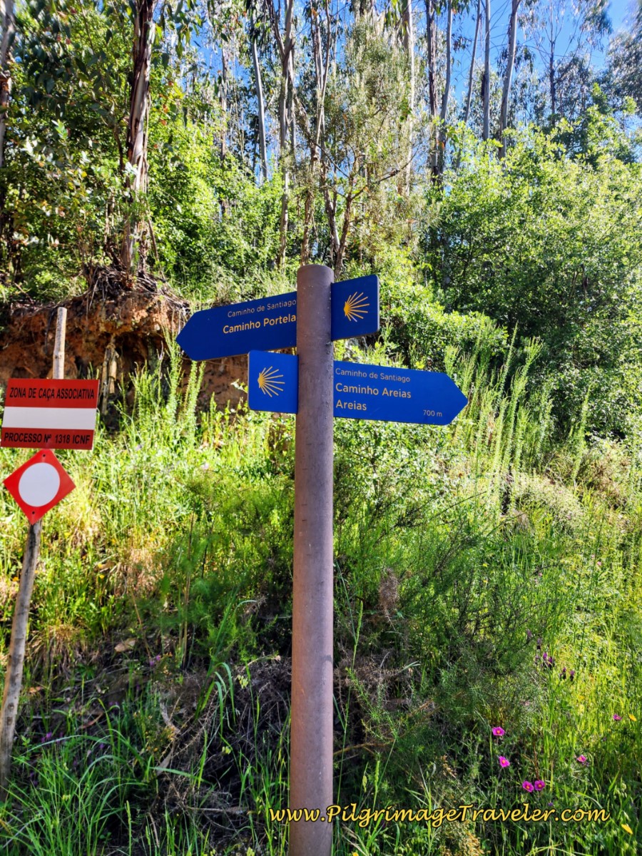 Signs at Decision Point
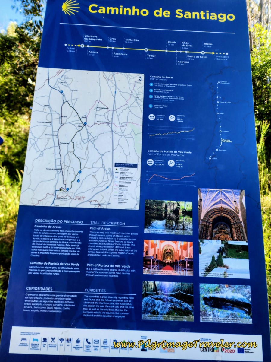 Information Board at Decision Point
Jump to Camino Portugués Stages
The Caminho Portela Route
Our first time through, we took the Caminho Portela, and this is the description to follow.
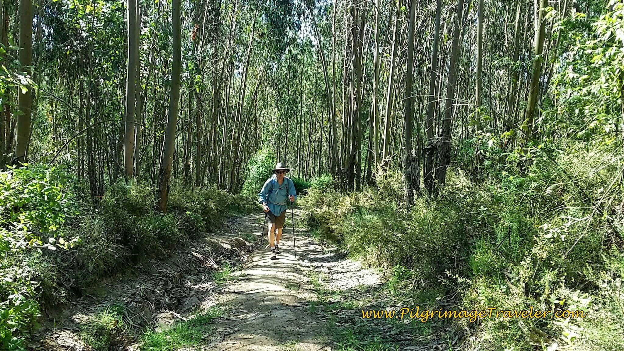
From the intersection above, this route begins steeply climbing immediately. Yes, we are now beginning the second steep ascent for the day on tractor lanes. Fortunately, it is through a shady eucalyptus forest, at least initially.
We found a nice spot to sit for lunch, close to here about 15 kilometers into our day six on our Camino Portugués. Again, we aired out our feet as we picnicked. It was a welcome break, more than halfway through our day.
Continuing on the forested lane, we even encountered the harvesting of eucalyptus. The growing of these non-native trees for commercial use is a hot topic in Portugal. Click on this article, "The Eucalypt Invasion of Portugal" if you wish to learn more about how this tree, that we all love, impacts the land, the economy and the people.
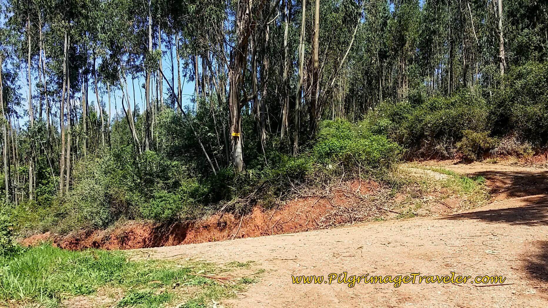
At the next intersection in the forest, below, stay straight onward here. This is a high point along the way after about 15.2 kilometers, and as you continue through the forest, you are essentially keeping to the top of a ridge.
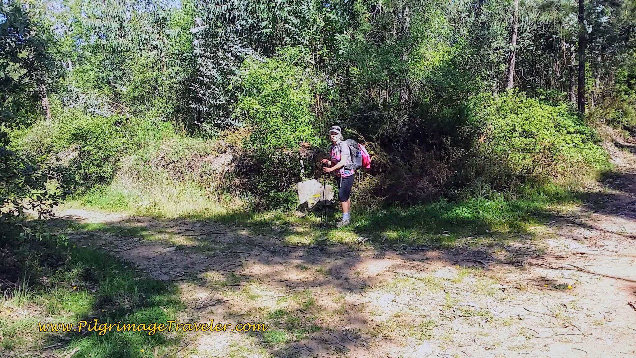 Elle at Forest Intersection - Turn Left Here
As the lane continues through the forest, after another 1/4 kilometer, you stay left, eventually exiting from the forest and walking downhill into the town of Portela de Vila Verde. The lane ends and the Camino turns to the right and onto the pavement, heading northward.
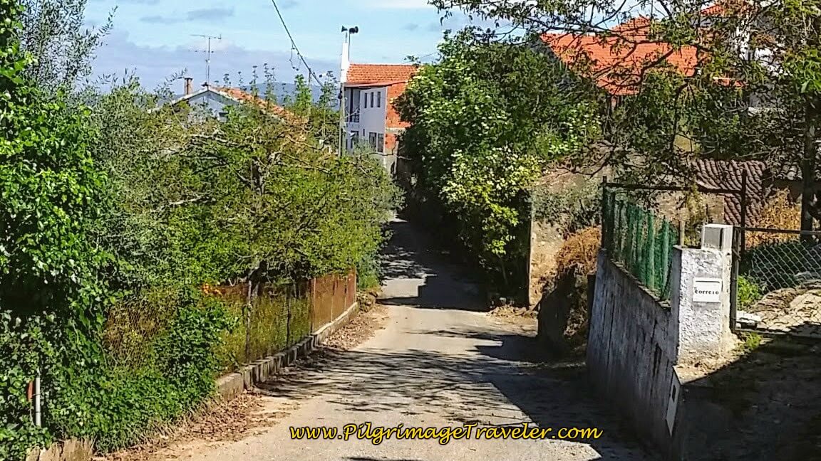
We continued to follow this quiet, paved country lane northward into the center of Portela de Vila Verde, at a quaint chapel, the Capela de Portela, around 16 kilometers into the day. This route essentially parallels the N110 to the east.
Continue along these quiet, paved country roads, following the waymarks straight and north, first along the Rua de Espanha, followed by a left turn onto the Estrada das Galegas.
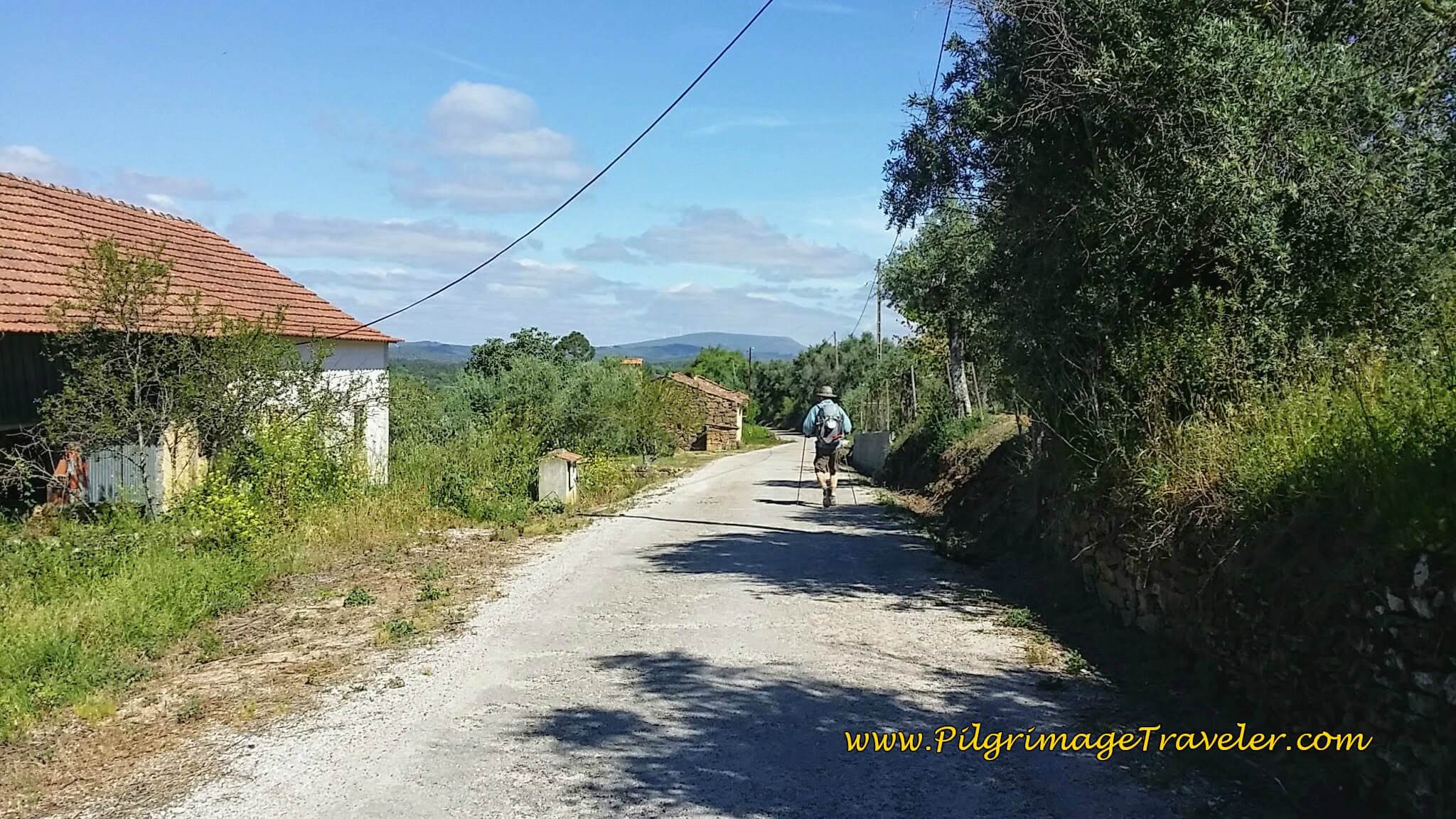 Along the Estrada das Galegas
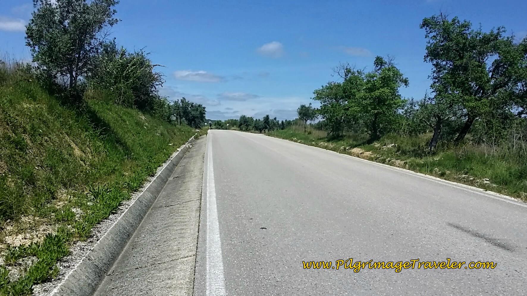
After several kilometers from Portela de Vila Verde, you walk through the small town of Casal da Sobreira and come to this intersection, where the way joins the M527, at approximately 18.4 kilometers total. Turn right onto the M527 here at this T-intersection.
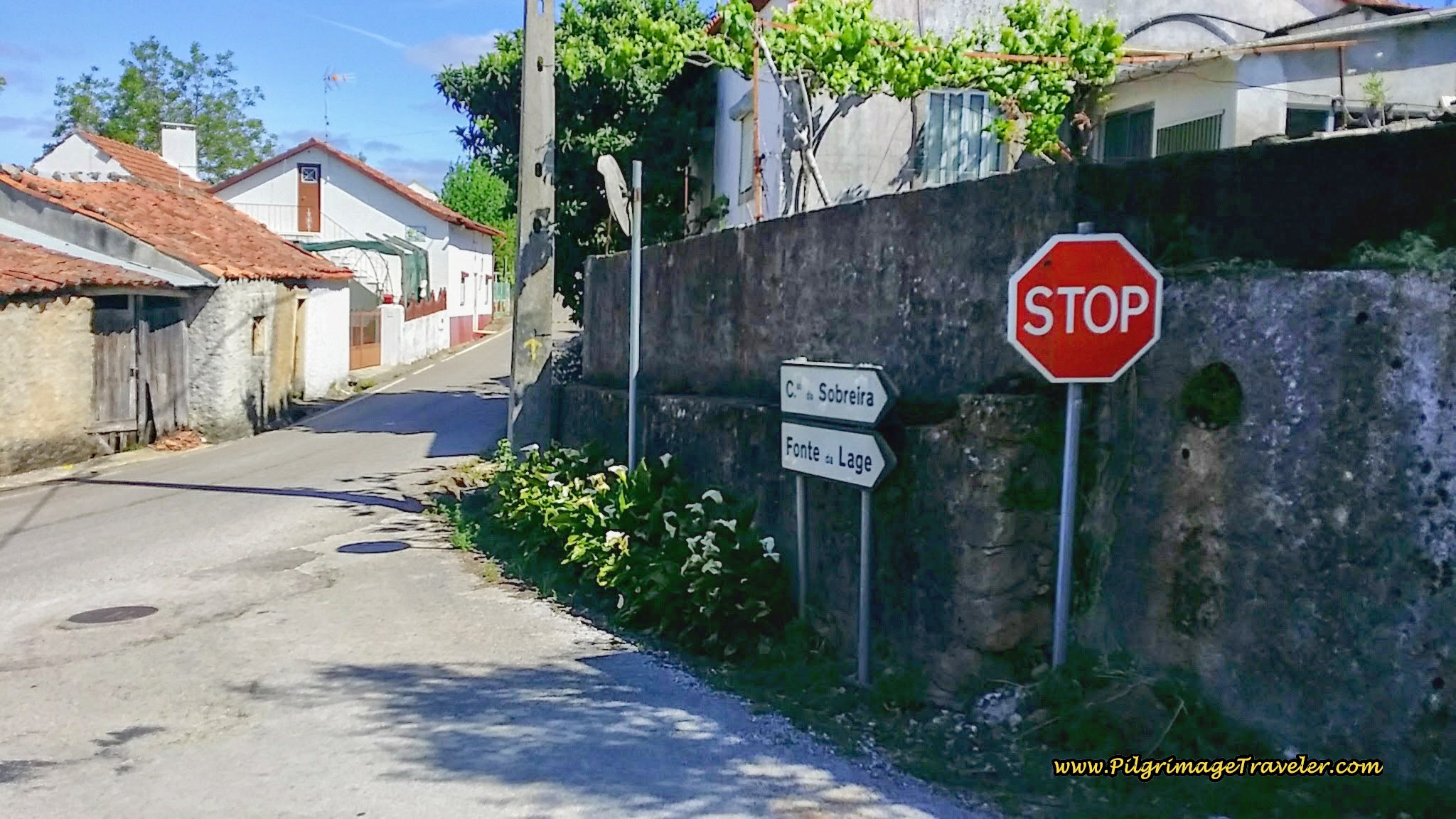 Joining the M527
It was along this way, enroute to the next town of Vila Verde, that we ran into an Aussie couple that we had met briefly in Tomar. On our way back to Tomar from the Aqueducto de Pegões, they had stopped us to ask directions to the aqueduct.
We caught up to them on day six when they had stopped at a bus stop for lunch. We reacquainted ourselves and had a nice chat. Chris was on a bicycle, recovering from knee surgery, and Christine was walking a supported Camino, with most of her gear in the saddle bags that he carried on the bike. They would meet-up for lunch and at the end of the day, using iPhone tracking apps. A nice arrangement for them both!
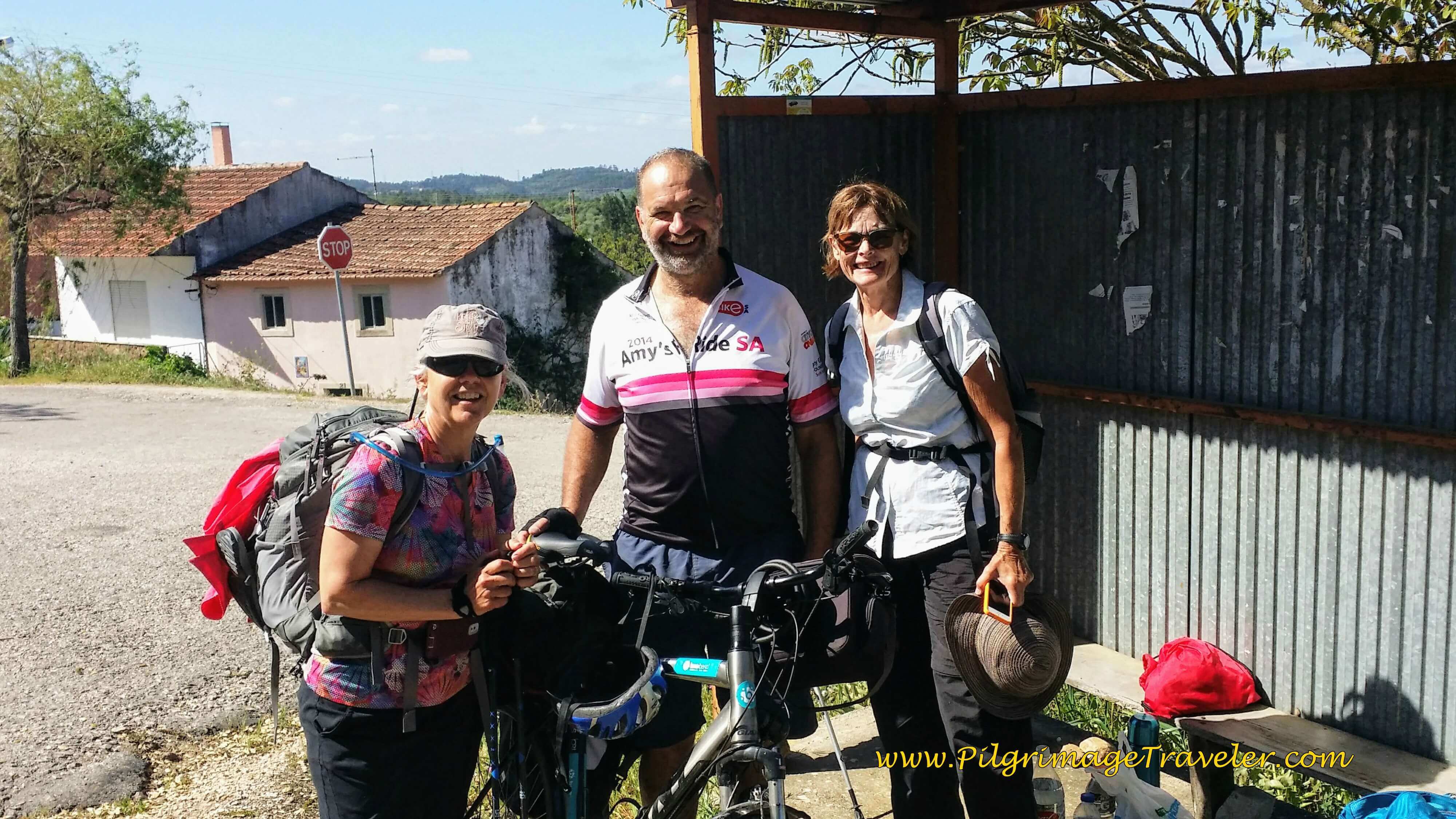 Elle with Aussie Mates
Christine continued on walking with us, for the remainder of the day, as Chris sped off on his bike. It helped the final third of our day six on the Camino Portugués fly by much faster, chatting and getting to know her better.
Continuing on the M527 for only about 1/2 km, we turn sharply left onto the Rua do Casal Dos Grilos, then after about 150 meters, the second right.
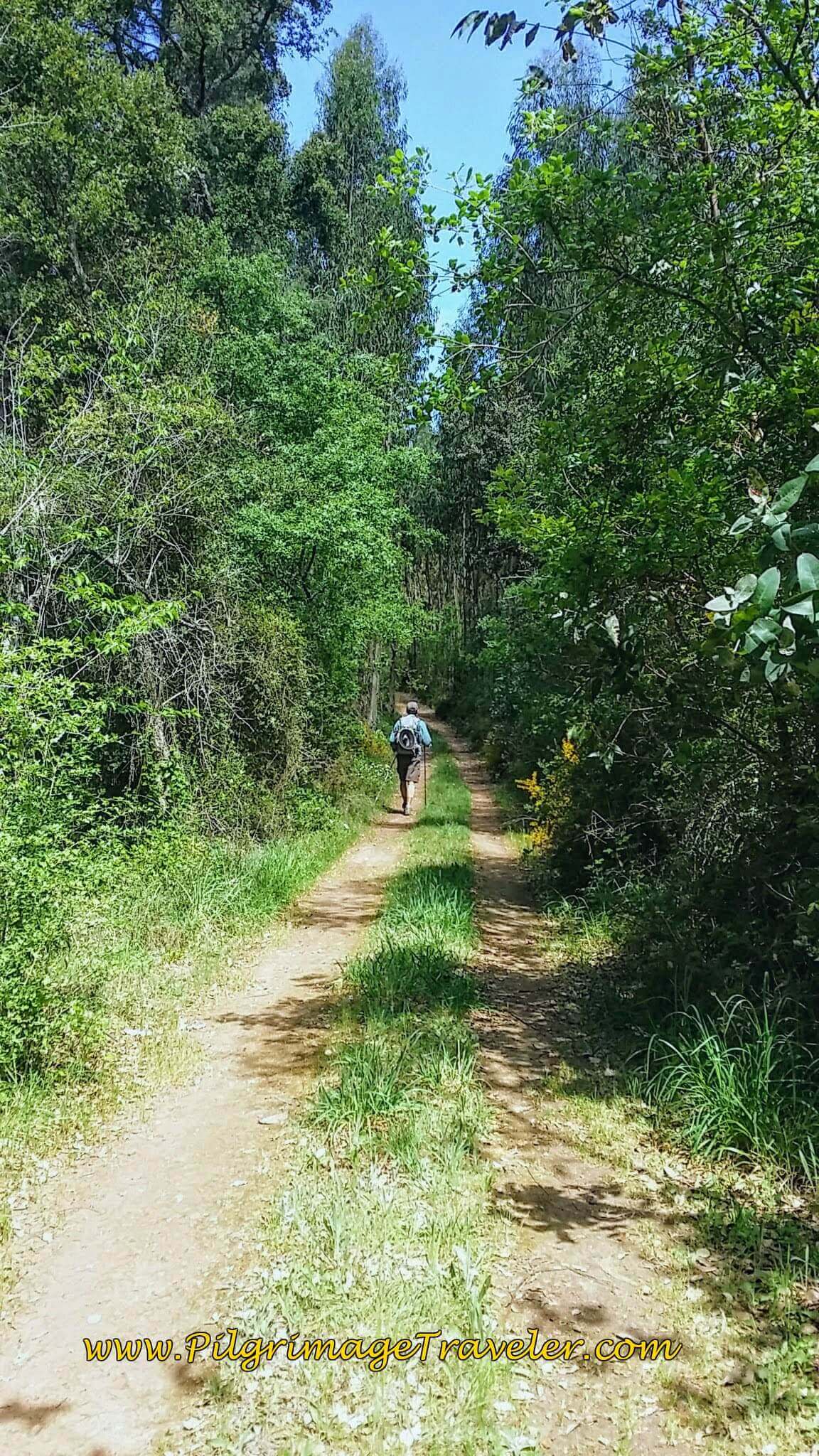
After the right hand turn you will walk again through a forest for about the next 1.3 kilometers on unpaved tractor lanes. This is the second to last ascent for the day.
Following the waymarks, you come to a large intersection of lanes, shown below after 20.4 kilometers. The Camino goes straight, and slightly uphill. Congratulations, a few 100 meters beyond this intersection is essentially the top at 20.6 kilometers into the day!
And this is also the intersection where the route from Areias joins the Portela Route.
Jump to Camino Portugués Stages
The Caminho Areias Route
From the decision point at 14.4 kilometers into the day, turn right and walk on the dirt lane for about 350 meters when you come to this first diversion, the Açude do Pego, park and dam, below. Even though the sign says it is only 80 meters away, we chose not to take the turn, and save ourselves instead, for the Visigoth graves, on this long day.
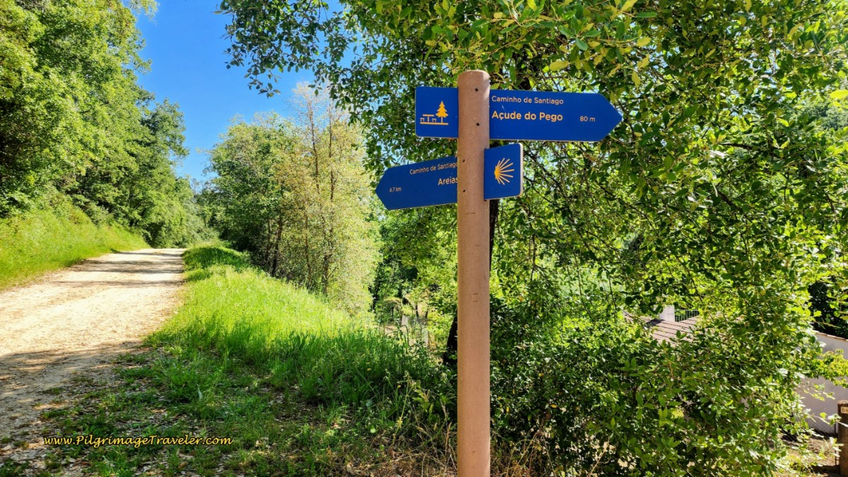 Turn for the Açude do Pego
As we walked past the turn, we could see the nice picnic tables below us, but we couldn’t see any of the dam.
About 1.1 kilometers later, along the forest road, you will come to the turn for the Visigoth Graves (5th-8th centuries), below. This diversion is about 1/2 kilometer away, but fortunately, if you check the map above you can see that you can continue onward on a parallel road, to reconnect with the Camino 300 meters later. Because of this loop, it is only 300 meters of extra walking, and may be worth it to you if you enjoy history.
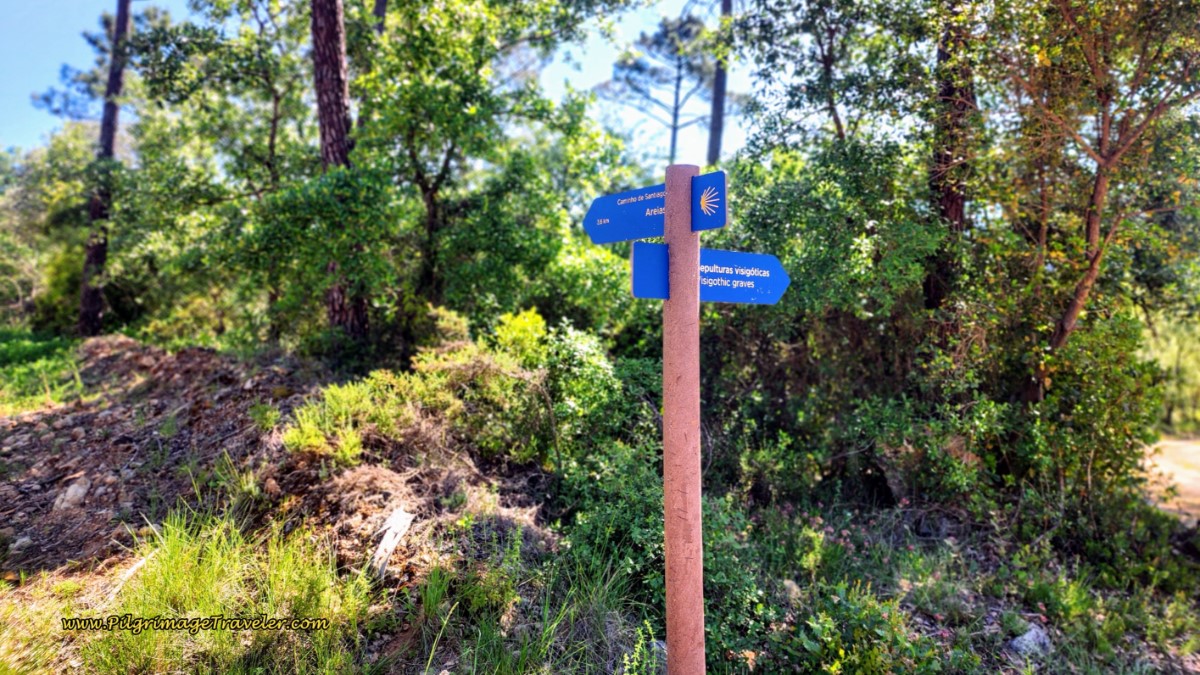 Turn for the Visigoth Graves
If you take the diversion, just continue to follow the blue signs, like above. Less than 200 meters on the diversion, there is a grave site to the right, which we did not explore, but turned to the left and northward, for the easier one to access.
Below are the photos of the northernmost grave sites, the short offshoot trail from the main road, with ropes guarding the site, pictured first and an actual grave, pictured second. You can see the rock grave was filled with water at the time. There are information boards describing the site.
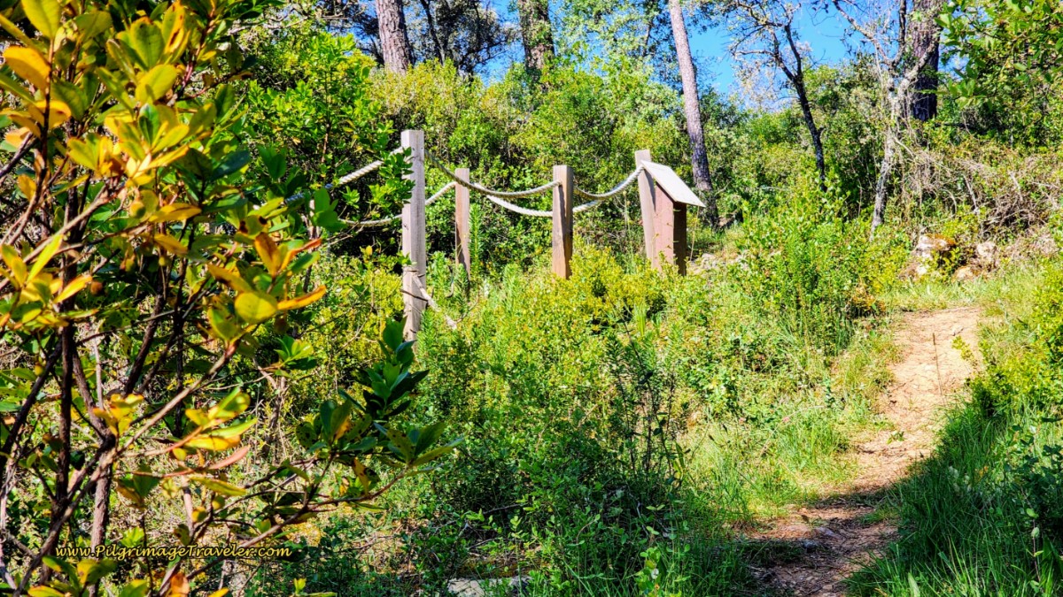 Visigoth Grave Behind the Rope
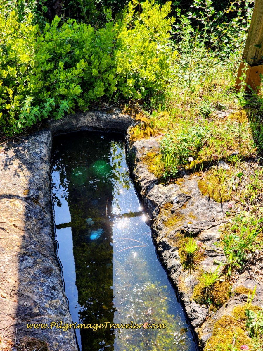 Visigoth Stone Grave
Back on the standard Areias route, 400 meters down the road from the first turnoff for the graves, you encounter an intersection for a second turnoff to the same graves. This is where you will join the main route, if you had visited the graves. Otherwise, turn left, northward at this intersection.
Continuing to follow the forest road, a few meters later, the forest opens up and after about 350 meters after the intersection, arrive at a large farm, pictured left, after about 16.7 kilometers into the day (add 300 meters if you went to the graves). You are still about 2.7 kilometers from the center of Areias at this farm.
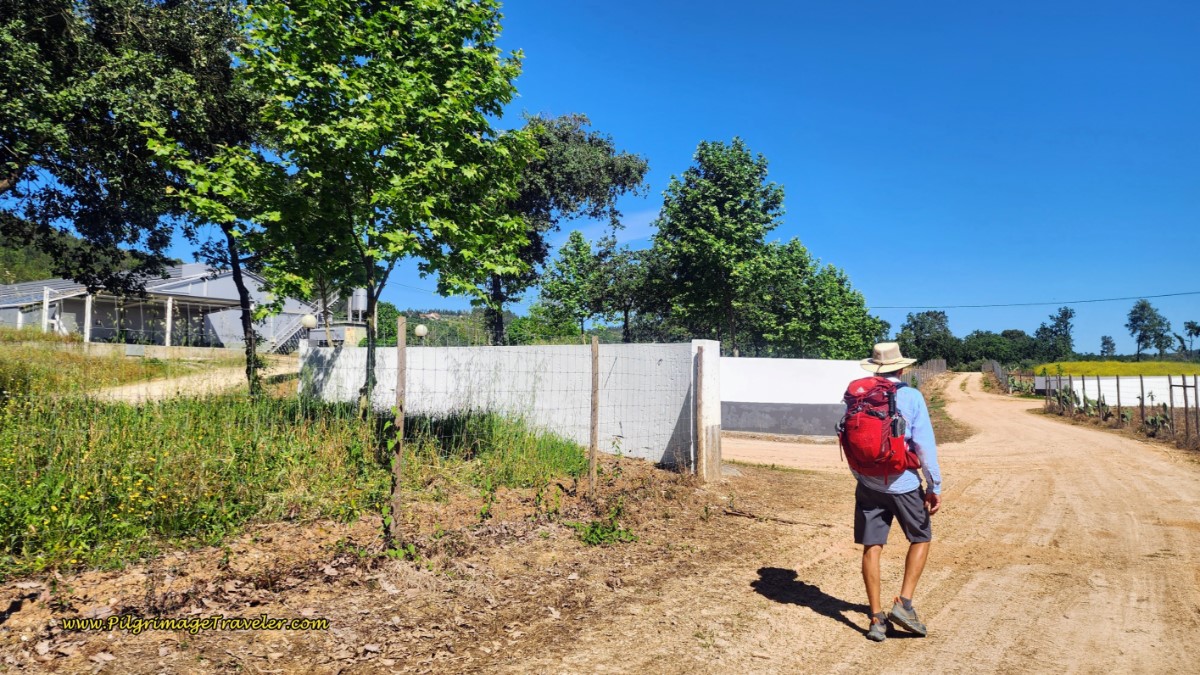 After Leaving the Forest, Arrive at Farm
750 meters after the farm, come to a Y-intersection, where you stay to the right as directed.
The photo below shows the ongoing lane that you will walk upon, and you can see the steady climb continues.
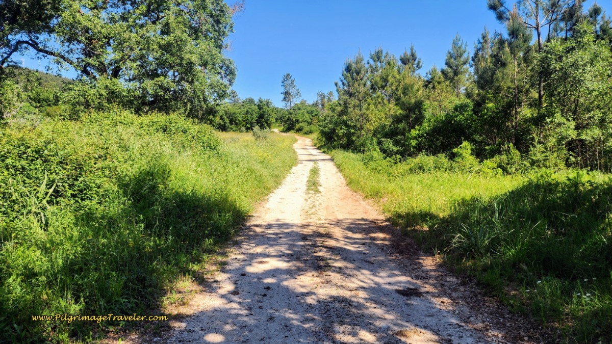 Ongoing, Climbing Lane Towards Areias
Another 900 meters later and you arrive at a T-intersection with a paved road. Turn right here and within another 900 meters, arrive at the town sign for Areias. The top of the town church looms above you.
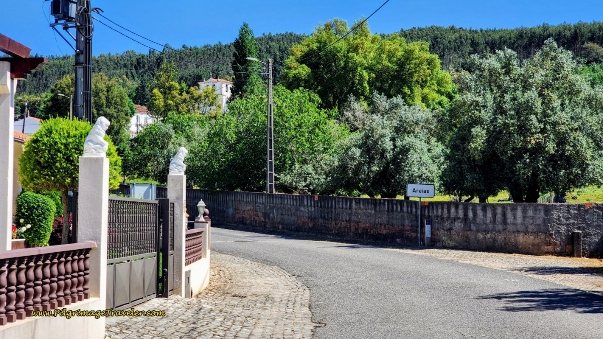 Town Sign for Areias
Saunter into the center of town by the church, after 19.4 total kilometers for the day. There is a café to either the right or the left of the church. We climbed the steep steps up to the Igreja Matriz de Nossa Senhora da Graça das Areias, below, only to be disappointed to find it locked up tight as a drum.
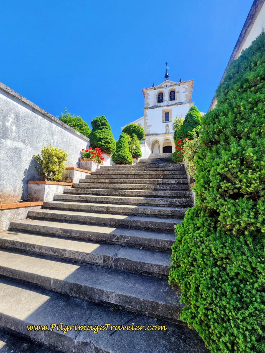 Town Church of Areias
We went down to the Café Snack-Bar O Alexandre, below, for information on how to get into the church, but they could not come up with the owner of the keys. We had to content ourselves with the nice information board about it, with photos of the inside. And this is one of the described attractions for going this route! What a pity.
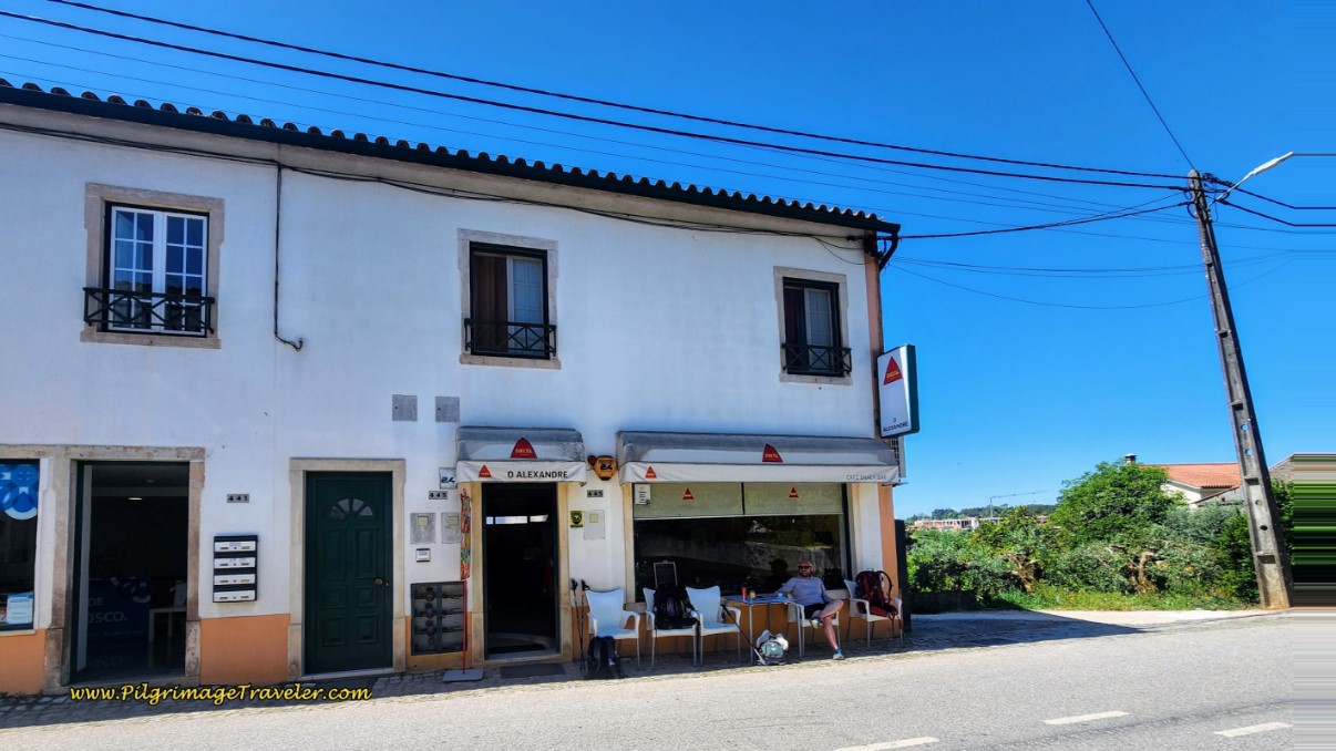 Café Snack Bar O Alexandre
We sat on the terrace up by the church for a while to take a break and to nurse our disappointment. We revived ourselves with snacks from our packs and purchased cold beverages. There is a pharmacy and a mini-market by the snack bar as well.
After our break, we continued walking, by picking up the N348 in front of the church (a left turn as you face the church).
At the first intersection, about 150 meters later is the turnoff for the Albergue de Peregrinos de Ferreira do Zêzere. There is no other accommodation in town.
We continued to slog up the pavement of the N348.
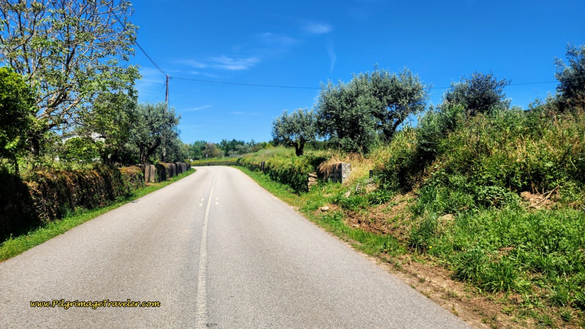 Along the N348
We reached the town sign of Fonte do Tojal, after another 1.7 kilometers and a total of 21.1 kilometers.
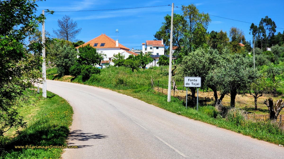 Entering Fonte do Tojal on the N348
About 300 meters later, the Camino leaves the N348, and onto this dirt lane, and you will enjoy the final, short and steep climb to the intersection where the two routes meet once again, another 300 meters later.
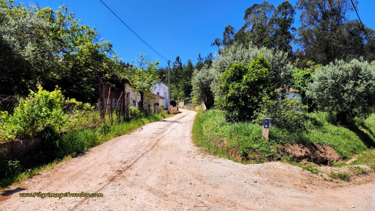 Turn Left Off the N348 Here
This is how this intersection looks from this direction. You will turn to the right here.
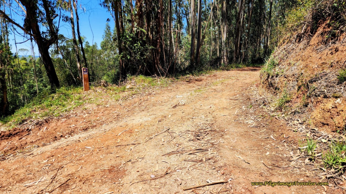 Intersection Where the Two Routes Meet
Jump to Camino Portugués Stages
The Ongoing Common Caminho
From the intersection where the two routes come together, continue northward on this lane through the forest for about another 1.1 kilometers, passing the Quinta do Tojal, below, (very expensive to rent entire villa for a minimum of two nights) and eventually coming out onto the N348 after approximately 21.7 (22.9) kilometers. (Please note that for the remainder of this stage, I will give two mileage totals, the first for the route via Portela, and the second for the longer route via Areia in parentheses.)
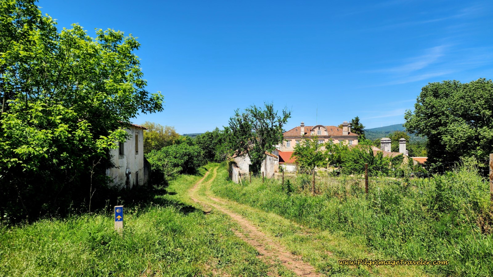 Pass the Quinta do Tojal
Walk a few more meters on this road, cross the N110 and continue on the N348 toward Cortiça.
I promised to show the good, the bad and the ugly on the Camino Portugués, and this is the ugly 3.3 kilometers that you need to walk on the pavement into Cortiça. Plus you are beginning the final, long, gradual climb at the end of the day!
Here is our Aussie friend, along the N348, three kilometers later, when the Cortiça sign post came into view. She kept a brisk pace, with her light day pack. I had a little trouble keeping up!
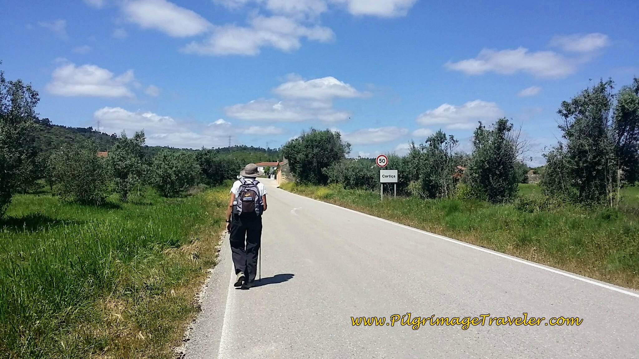 Entering Cortiça on the N348
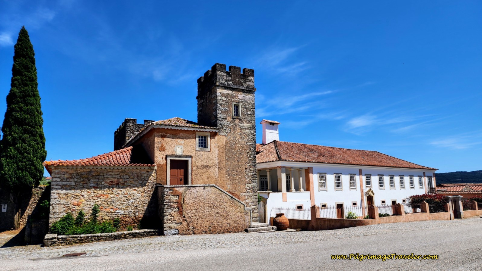
After passing the town sign, next, you will see the Quinta de Cortiça at the next intersection with the CM115, shown below. It has been turned into a pilgrim's hostel and we have stayed here. It is a very nice place with a pool, but the food is a bit lacking in character. You can order dinner when you arrive for an extra cost, but the price includes breakfast. There is nowhere else nearby to obtain food.
If you end your day here, you will have walked a very nice 25 (26.2) kilometers.
Right after the Quinta da Cortiça the Camino turns right (east) onto the CM115. Within about 0.8 kilometer, we turned north (left) again at this intersection, below, toward Outeirinho.
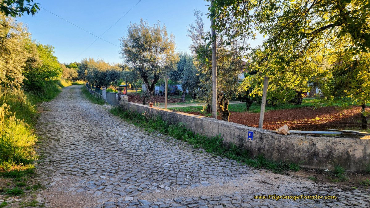 Turn Left Here Toward Outeirinho
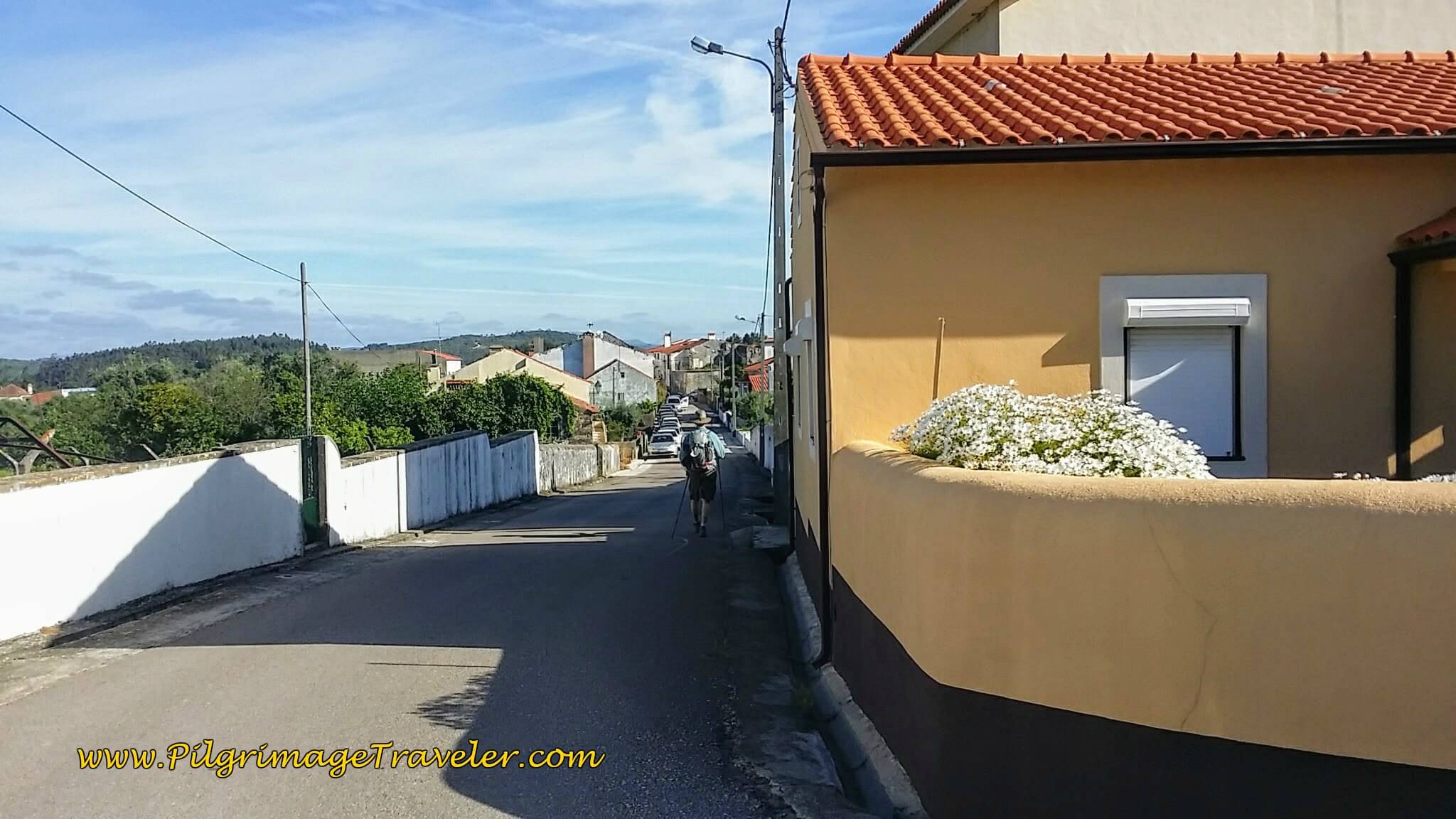
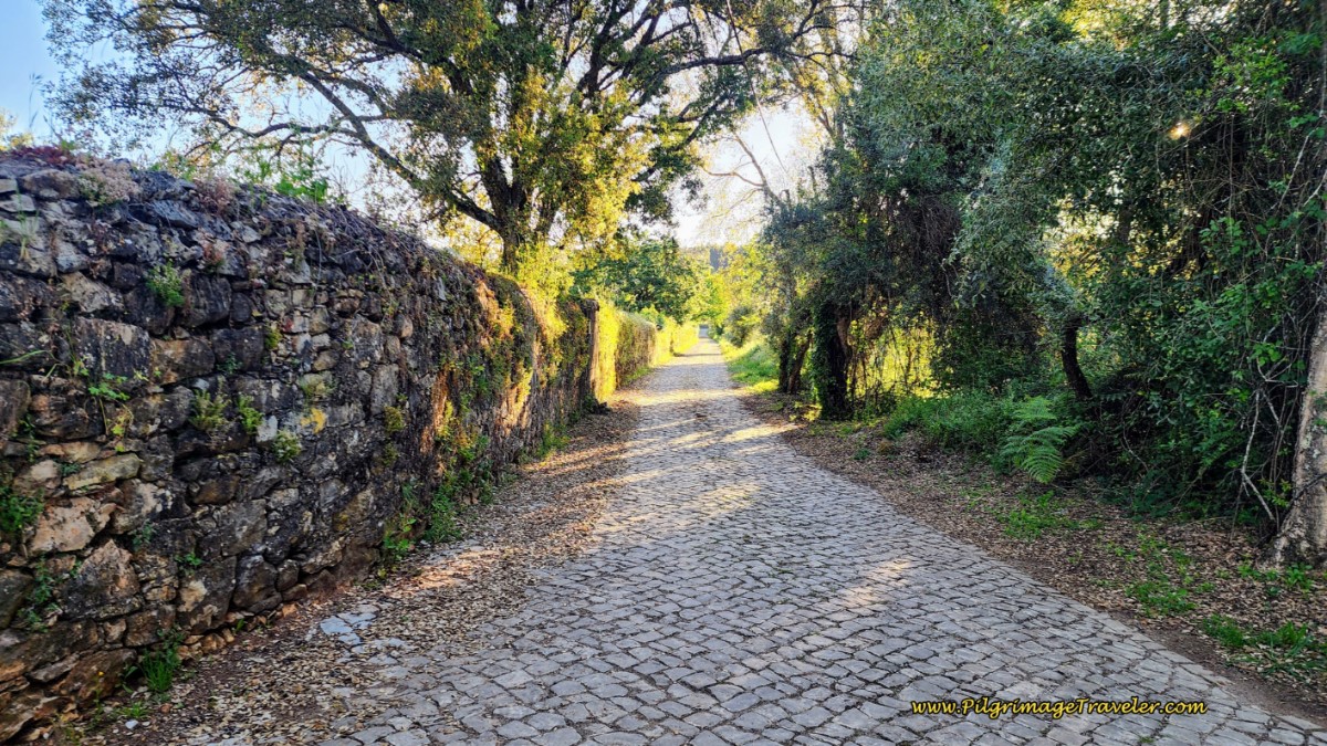
Farther along is a lovely, cobblestone lane, lined with a wall for part of the way. Here is my Aussie friend again, posing for me, but not looking in my direction!
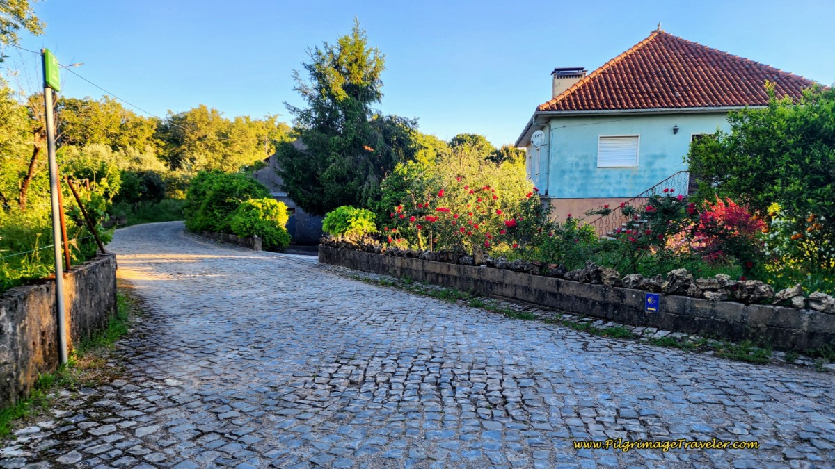
One-half kilometer later, the way enters the center of town, after about 26.3 (27.5) kilometers. There is a turn to the left, at this house with the lovely flower beds
After walking through Outeirinho, the Camino follows a road by the same name as it continues northward, then leaves this road, at 27 (28.2) kilometers, where it heads straight north on a lane for about 300 meters. Then it turns to the left onto an unnamed cobblestone street northeasterly towards Alvaiãzere, below.
400 meters farther, come to a T-intersection, where the Camino continues to the left, on a cobblestone, unnamed road, until 28.2 (29.4) kilometers, where it joins the EN356 paved road only briefly. After a left turn onto the EN356, almost immediately, the Camino leaves the road to the right, to continue northward on quiet, unnamed lanes for another 900 meters, until the road becomes the Rua do Almagre on the south side of Alvaiázere. After 29.7 (30.9) kilometers, you come to this intersection, shown below.
At this intersection below, by the lovely wall-fenced home, the Camino makes a hard left hand turn to walk westward on a lane.
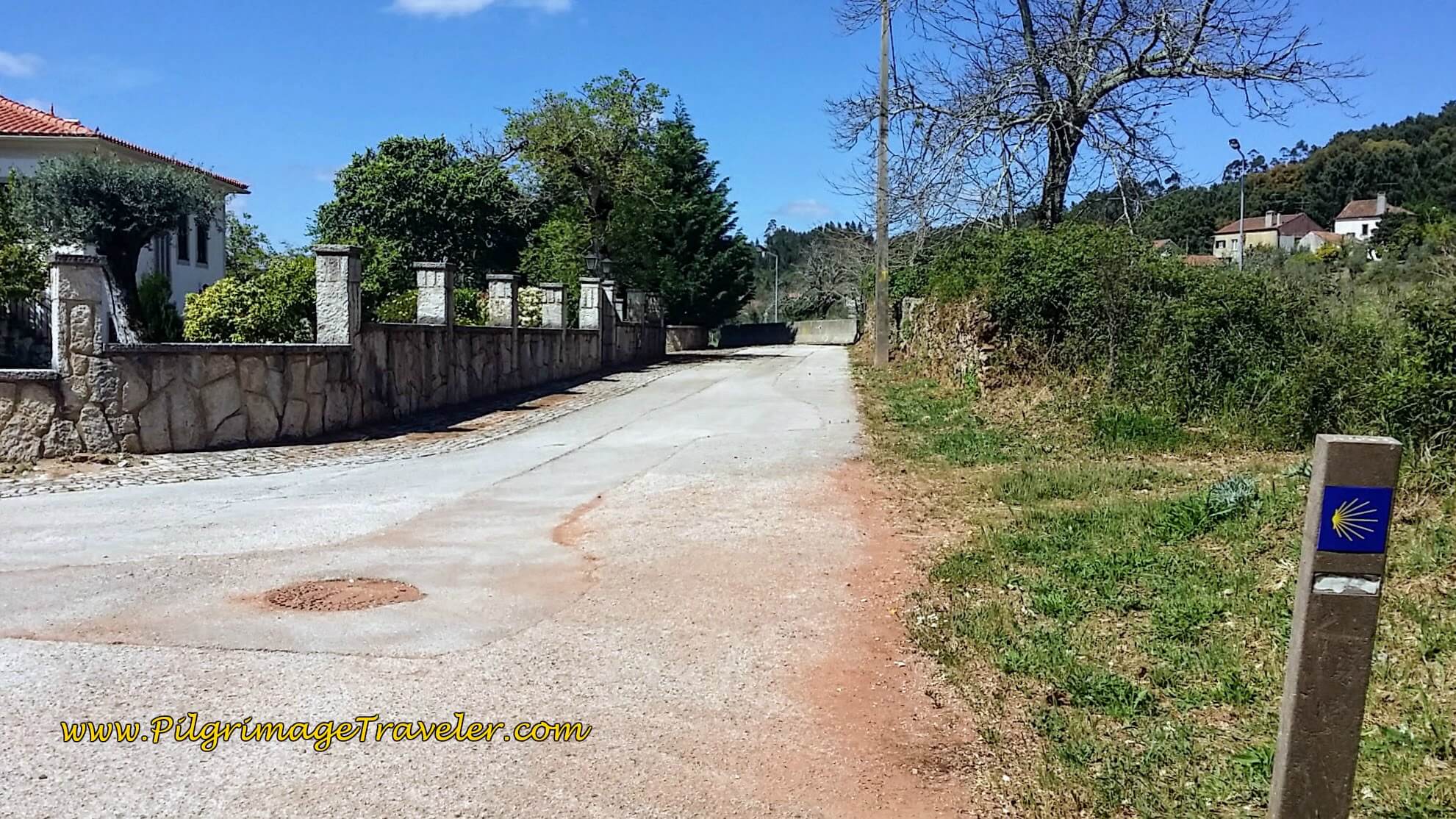 Turn Hard Left Here toward Alvaiãzere
After about 1/3 kilometer on the lane, you come to a T-intersection, where you take a right turn onto the main road, the N-348, into Alvaiázere. It is a full kilometer onward into the center of town from here. You will pass many services and cafés along the way. The town church is where the Camino ends for this stage.
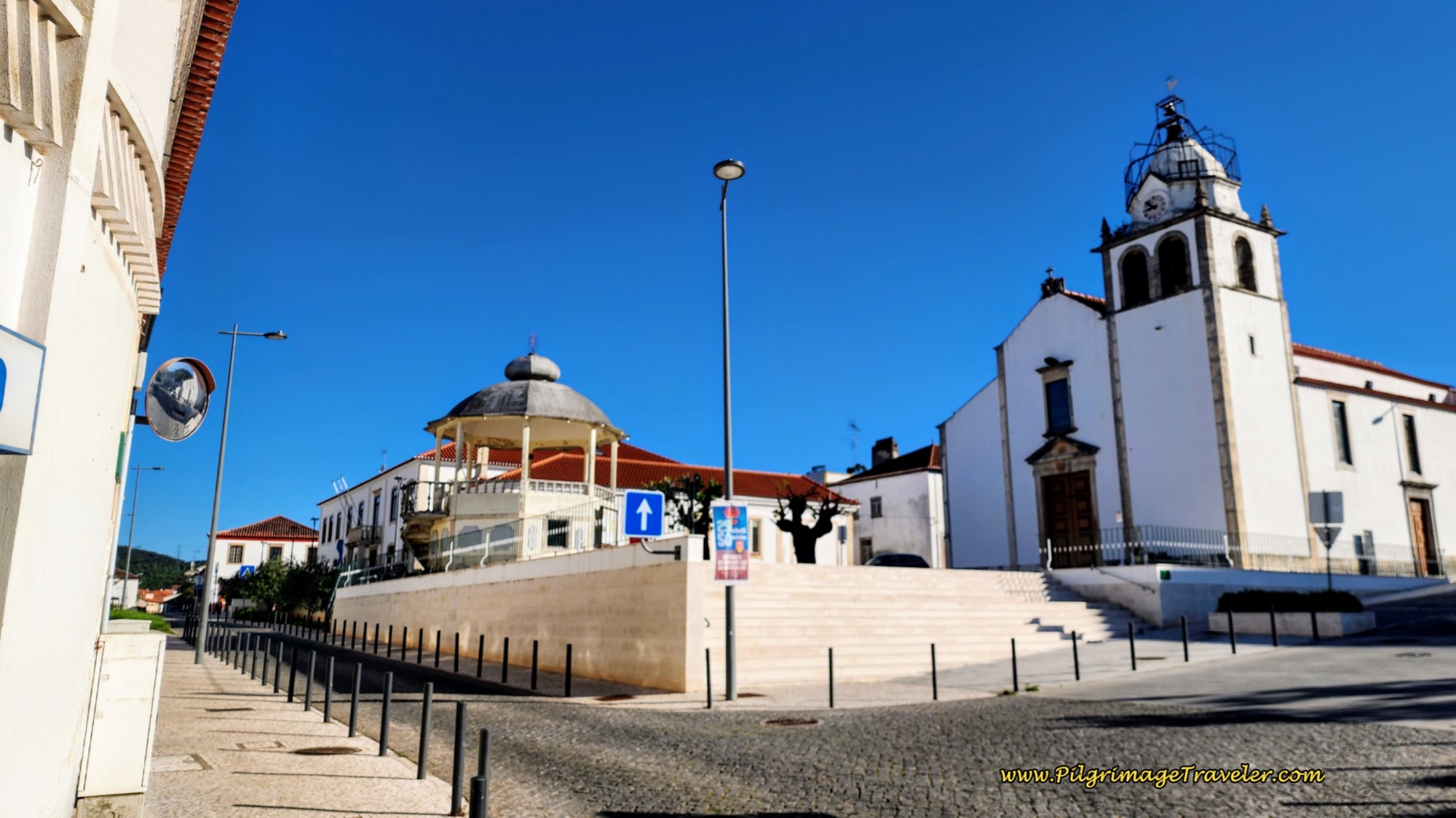 Town Church of Alvaiãzere
The municipal albergue in Alvaiãzere, the Albergaria Pinheiros (+351 915 440 196), with its colorful Templar Knights murals, is less than 100 hundred meters to the east of the church. The hospitalero will give you a custom made stamp! It is quite beautiful!
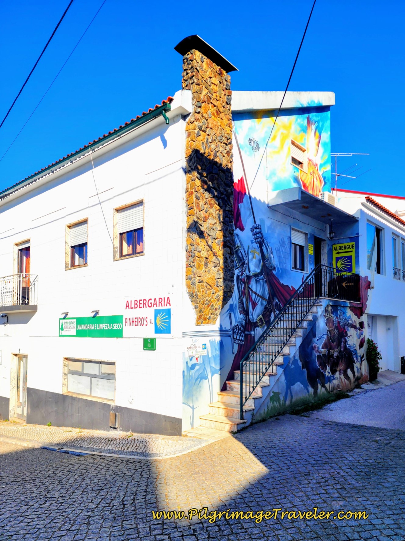 Albergaria Pinheiros Albergue
There is also the Aldear Turismo Rural e de Habitação, in the center of town, (+351 966 234 320) across from the church.
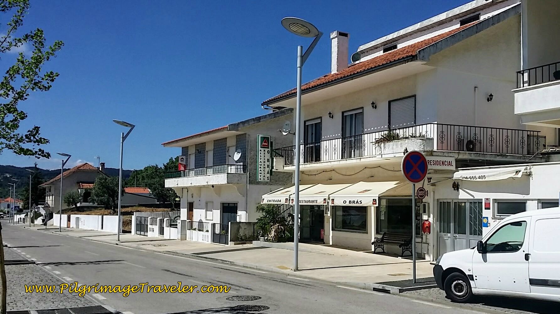
The first time on this stage, we stayed at the Residencial O Bras, shown below. I had reserved our room the day before, but as it turned out, the hotel was essentially empty except for us and the Aussie couple on this Good Friday evening.
Our room with private bath at the O Bras was clean, comfortable and inexpensive. The room had a nice balcony that overlooked the town.
When we went to check in, it was the same day, April 14th 2017, that the USA bombed the ISIS caves in Afghanistan, with "The Mother of All Bombs."
The host looked at our USA passports, rolled his eyes and said something about a "bomba." It was not a good time to be an American. We just smiled, shook our heads and shrugged. What else could we do? In retrospect, I should have stated something like, "We walk the Camino for Peace."
We never actually left the O Bras, after arriving at approximately 4:00 in the afternoon. I was exhausted! After cleaning up, we had a nice happy hour with snacks on the balcony.
Next, a nice nap, then dinner with our Aussie mates in the attached restaurant. It was so very convenient! They served up a delicious meal. I had the fresh, fried sardines that were to die for! First time I ever had sardines fresh!
We had a delightful evening getting to know our Aussie friends better, eating and drinking the delicious Portuguese wine, that always comes with dinner. Another successful day on the Camino!
Lessons Learned on Day Six, Camino Portugués
Once again, the stage was longer than expected. Actually, for me, it was another day of a ridiculous length. My left ankle was quite sore that night.
Even though the day was ridiculously long, the climbing did not feel all that bad. It is a steady and gradual climb mostly, and easy to negotiate.
We were going to shorten our stages after Tomar, but sadly our day six had no convenient places to stop before Alvaiãzere. Fortunately this has changed with the Quinta da Cortiça. For us, instead of trying to find different logistics, like arranging for a taxi service, or looking into buses, we pushed on through the entire stage, once again.
We did take lots of care by stopping every 10 kilometers for a 30 minute rest and an air-out of our feet. That definitely helped! Meeting up with our Aussie friends and chatting along the way also helped our mental status, for me especially. There was no angry voice journaling towards the end of the day! This was a nice switch for me.
Yet the physical balance we were seeking was still missing. If you read on, you will see that this finally was to take its toll.
Did I know myself any better on this day? I'm not sure. I knew that our Aussie lady friend was traveling swiftly and appeared to dislike slowing down for all my picture taking.
I loved to chronicle my journey (can you tell??), but often I would pause for photos just to slow the pace down. I know this was annoying both to Rich and to our Aussie friend. Oh well.
Yet we still pushed on for 31.4 kilometers, despite my promise to myself to take smaller stages.
I also learned on this day that indeed, I craved comfort. A pilgrimage will definitely take you out of your comfort zone, and today was no exception. It is almost certainly part of the experience. In noticing this about myself, it was much easier to deal with.
I continued to rely heavily on my voice journaling, as a way to quickly process my interior happenings! I have always been a vocal person, so this helped dissipate any negativity quickly, and prevented me from burdening Rich too much.
Deep in my bones, I also knew that the friendship we were creating with the Aussie couple was more than just a passing fancy. We were really connecting, and I was thrilled to finally feel part of a Camino community, however small, on our day six of the Camino Portugués.
Salutation
May your own day six on the Camino Portugués be filled with self-knowledge, self-wisdom, self-pacing and a sense of community! Ultreia!
Camino Portugués Stages:
Lisbon to Porto
Senda Litoral or the Coastal Routes: Porto to Santiago
Skip to Central Route Below, for Final Days 22-25 to Santiago
Central Route: Porto to Santiago
Variante Espiritual
Please Consider Showing Your Support
Many readers contact me, Elle, to thank me for all the time and care that I have spent creating this informative website. If you have been truly blessed by my efforts, have not purchased an eBook, yet wish to contribute, I am very grateful. Thank-you!
Search This Website:
Follow Me on Pinterest:
Follow Me on Instagram:
Find the Pilgrimage Traveler on Facebook:
Like / Share this page on Facebook:
***All Banners, Amazon, Roamless and Booking.com links on this website are affiliate links. As an Amazon associate and a Booking.com associate, the Pilgrimage Traveler website will earn from qualifying purchases when you click on these links, at no cost to you. We sincerely thank-you as this is a pilgrim-supported website***
PS: Our guide books are of our own creation and we appreciate your purchase of those too!!
Shroud Yourself in Mystery, along the Via de Francesco!
Walk in the Footsteps of St. Francis, and Connect Deeply to the Saint and to Nature in the Marvelous Italian Countryside!
Recent Articles
-
Day Two on the Variante Espiritual from Combarro to Barrantes, 16.3 Km
Apr 10, 25 01:14 PM
Day two on the Variante Espiritual from Combarro to Barrantes, leaves behind the scenic coastal hamlet, climbs vigorously toward the tranquil Cistercian monastery of Armenteira, -
Day Three, Variante Espiritual from Barrantes to Vilanova de Arousa
Apr 10, 25 01:13 PM
Day three on the Variante Espiritual from Barrantes to Vilanova de Arousa follows three rivers, in the first third and the last third of this day. -
The Delighful, Short but not Easy, Camino Inglés
Apr 04, 25 06:00 AM
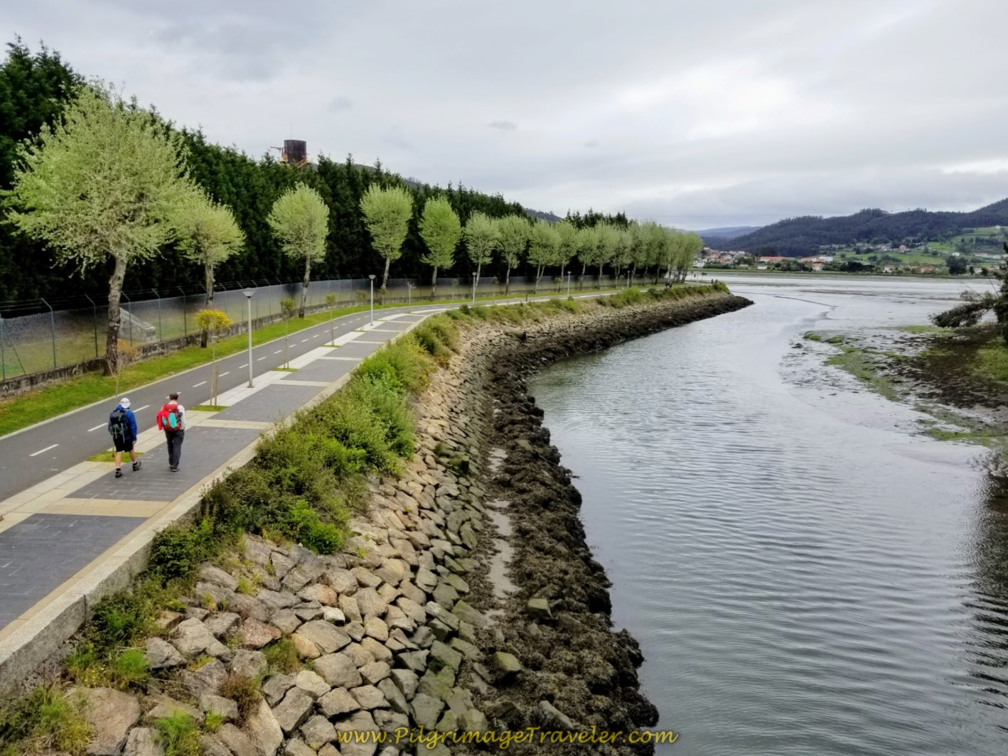 If you are somewhat timid and don't know if you can commit to a long Camino, or if you have a time-crunch, you may want to consider the Camino Inglés. It can be done in five days if you are fit, and e…
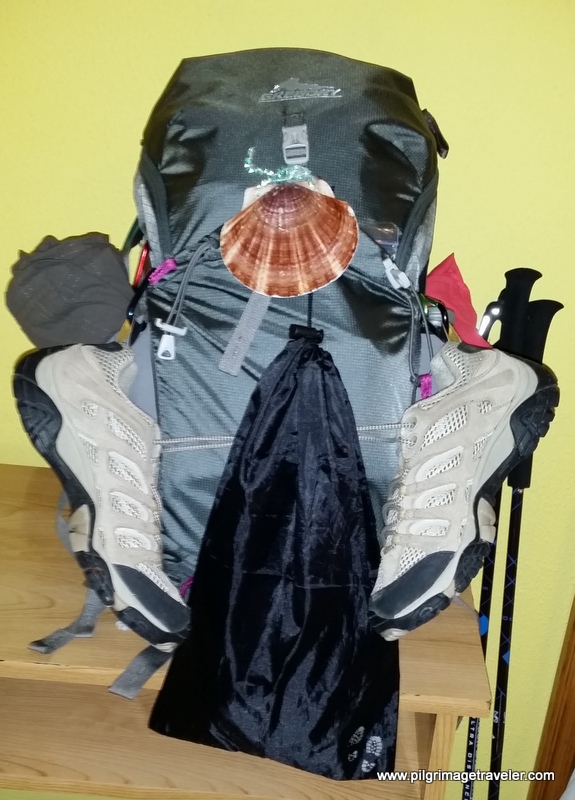
Need suggestions on what to pack for your next pilgrimage? Click Here or on the photo below!
Carbon fiber construction (not aluminum) in a trekking pole makes them ultra lightweight. We like the Z-Pole style from Black Diamond so we can hide our poles in our pack from potential thieves before getting to our albergue! There are many to choose from! (See more of our gear recommendations! )
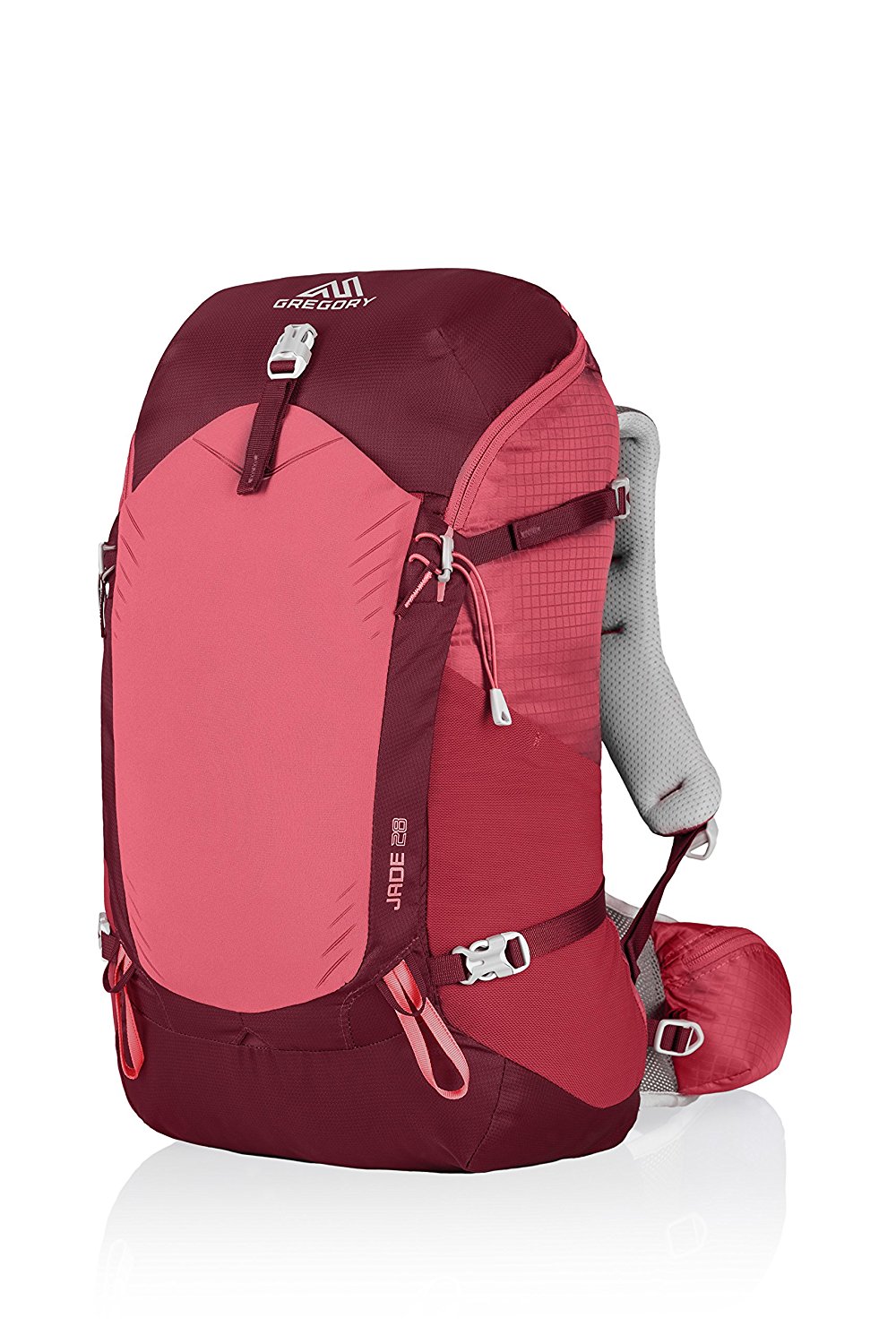
Gregory BackPack - My Favorite Brand
Do not forget your quick-dry microfiber towel!
Booking.com
My absolute favorite book on how to be a pilgrim:

























Your Opinion Matters! Comments
Have you had a similar experience, have some advice to give, or have something else you'd like to share? We would love to hear from you! Please leave us a comment in the box below.