- ~ Home
- ~ Camino de San Salvador (The Way of the Savior)
- Day Six, Mieres del Camino to Oviedo
Jump to Camino de San Salvador Stages
Day Six on the Camino de San Salvador, Mieres del Camino to Oviedo, 18 Kilometers (11.2 Miles)
Disclosure: the PilgrimageTraveler.com is an associate of Booking.com, Roamless, and Amazon. As associates of these merchants, we earn from qualifying purchases from our links.
The final day six into Oviedo on the Camino de San Salvador is a shorter but lovely walk, up and down scenic hills with stunning views of Oviedo ahead.
"The mountain remains unmoved at seeming defeat by the mist." ~ Rabindranath Tagore
Most of our day was indeed misty as you can see from the photos below, adding a mystique to the journey. Our spirits were high, eager to arrive at the great city and cathedral of Oviedo once again and its treasured Catholic relics.
🙋♀️ Why Trust Us at the Pilgrimage Traveler?
We’re not a travel agency ~ we’re fellow pilgrims! (See About Us)
We've trekked Pilgrimage Routes Across Europe since 2014!
💬 We’ve:
- Gotten lost so you don’t have to. 😉
- Followed waymarks in the glowing sunlight, the pouring rain and by moonlight. ☀️🌧️🌙
- Slept in albergues, hostels & casa rurals. Ate and drank in cafés along the way. 🛌 😴
- Created comprehensive and downloadable GPS maps and eBook Guides, full of must-have information based on real pilgrimage travels. 🧭 🗺️
- Shared our complete journeys, step by step to help YOU plan your ultimate pilgrimage and walk with your own Heart and Soul. 💙✨
Every detail is from our own experiences. Just fellow pilgrims sharing the Way. We have added a touch of spirituality, heartfelt insights and practical guidance from the road ~ offering a genuine connection to the spirit of pilgrimage. Tap into the wisdom of seasoned pilgrims!
Ultreia and Safe Pilgrimage Travels, Caminante! 💫 💚 🤍
Maps and Stats of Day Six on the Camino de San Salvador
Here is our Google map of our day, including services and accommodations. Plan on your first stop being in Olloniego after about 9.0 kilometers. There are many cafés there but none before that. Nor after!
There are three accommodations after Mieres on the route to Oviedo, the brand-new Orange Teddy Bear Hostal, in La Peña, 2.0 kilometers after the start from the church and the donativo, Casa Alba (+34 624 83 34 03), that is 3.7 kilometers from the center in the town of El Rollu, where you could extend your day five. Finally, there is the Albergue Luz (+34 686 044 979) in Olloniego after 9.3 kilometers from Mieres, about halfway to Oviedo.
Once you arrive in Oviedo, there is the giant parochial Albergue de Peregrinos de Oviedo, the private albergues of La Hospedería Oviedo and the Albergue Turístico La Peregrina (+34 687 13 39 32) and many other choices of accommodation, if you do not prefer an albergue. Click here to see them on booking.com and to see the current deals.
As you can see from the elevation profile below, the day is full of many ups and downs. The total elevation gain is 754 meters (2474 feet) and the loss is 730 meters (2400 feet). 2500 feet of elevation gain is a considerable effort, but because the mileage is short, it was a more reasonable day.
I always prefer the last day on a Camino to be relatively short, so I can visit the destination town with extra hours. I was very happy that we did not have to walk another 14 kilometers from La Pola de Lena, almost twice as far as from Mieres! For me, with the degree of effort needed for the final hill climbs shown below, it would have been way too much.
(Plus we have also shaved off almost 4.0 kilometers from the day, having started in El Rollu at the Casa Alba our second time through.)
👣 Camino de San Salvador EBook Guide
Walk smarter with our ad-free, beautifully formatted and downloadable Camino de San Salvador eBook Guide in PDF Format ~ perfect for offline use in the mountainous and remote areas along the Way. Includes daily stage details, alternative routes and stunning photos! Our eBook Guide is unique because we also entertain and immerse you with our story!
Don't carry a hard copy guide book to increase your pack weight. Use our digital guide on your mobile device on your next Camino instead! Now, you can walk with clarity and confidence in the Cantabrian mountains.
📲 Instant download. 💸 Money-back guarantee. 🔄 Free updates for 1 year.
👉 Click here for more information, or BUY NOW.
Jump to Camino de San Salvador Stages
Photo-Rich Travelogue for Day Six on the Camino de San Salvador
You will start out from where we left off in Mieres del Camino, after turning onto the AS-375 northward, passing first the St. John’s church. There is a fountain in the park, on the right, just before the church.
The photo below, shows the sign telling you that you are exiting the city limits of Mieres. It is just after passing the Hotel Mieres del Camino, 3/4 kilometer from the start in the center of town.
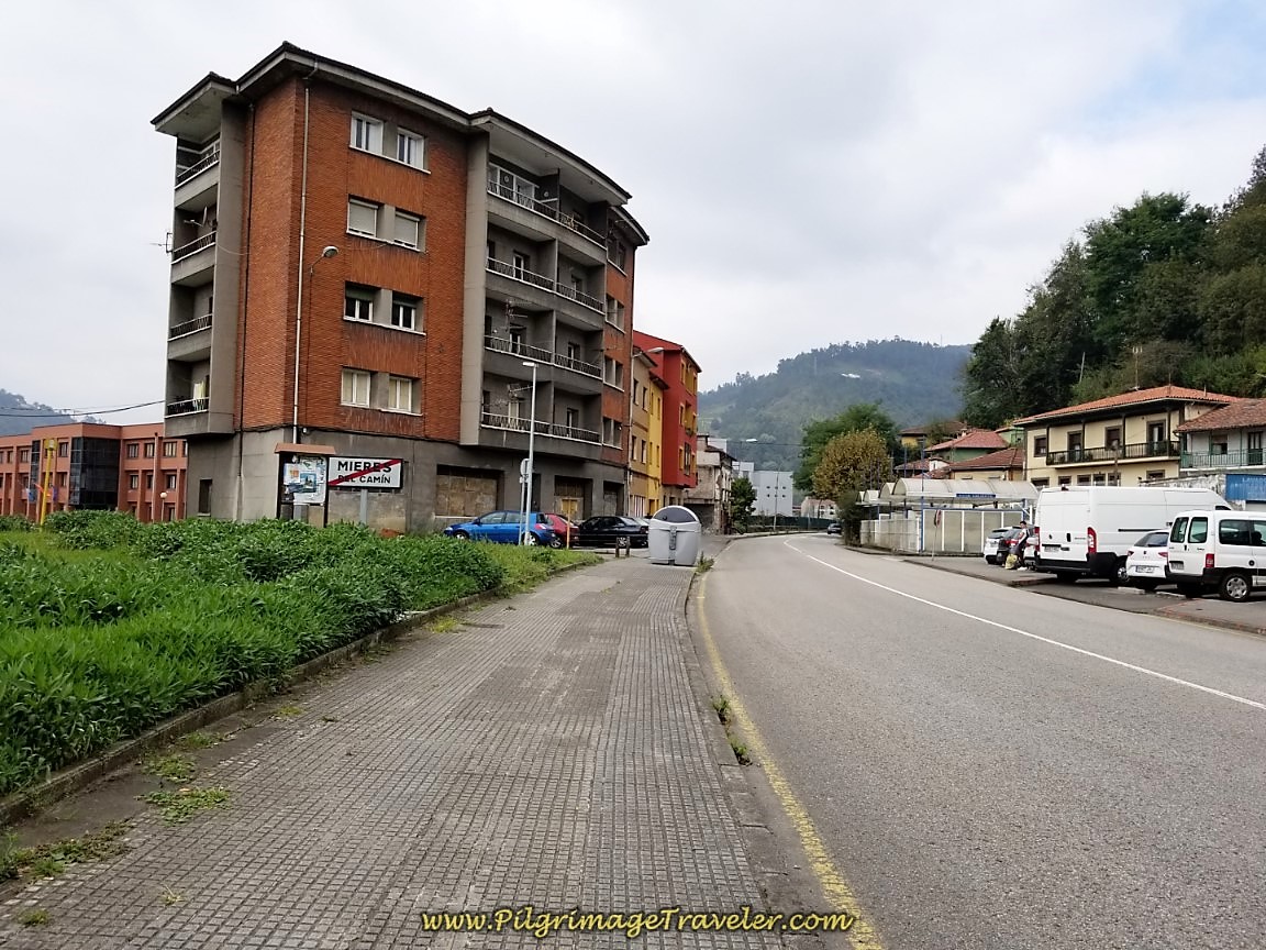 Leaving Mieres del Camino
Continuing northward, we walked under the overpass of the AS-1, shown below, after about 1.54 kilometers on the AS-375, and arrived in the town of La Peña.
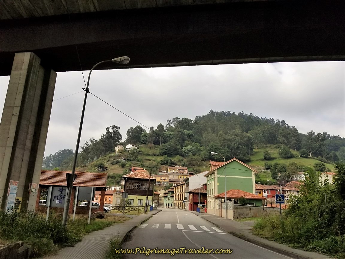 Walk Under the AS-1
Shortly after the overpass, you come to a traffic circle, where you will stay straight and continue on the AS-375. Just after the circle, you will encounter the brand-new Orange Teddy Bear Hostel, the former Hostel La Peña.
Almost immediately after leaving the roundabout, the first climb of 185 meters (about 600 feet) of day six begins. You can see the highway below, to your left, as you climb, leaving La Peña behind. The pitch steepens a bit, soon after entering the next town of La Rebollá about 500 meters after the roundabout.
My left knee didn't mind the climb, in fact, it relished it! However, I was more worried about the downhills to come.
The Way becomes more rural as you climb towards your first landmark, the Iglesia de Santa Maria Magdalena de la Rebollá. Enter the town, turn the corner and the church is on the right.
You will reach this lovely little historic church after about 2.8 kilometers into day six on the Camino de San Salvador. It was built in 1923, according to the Conceyu Mieres, on a 13th century foundation. Little else is know about the church's history. Click on the link to the Conceyu for more details.
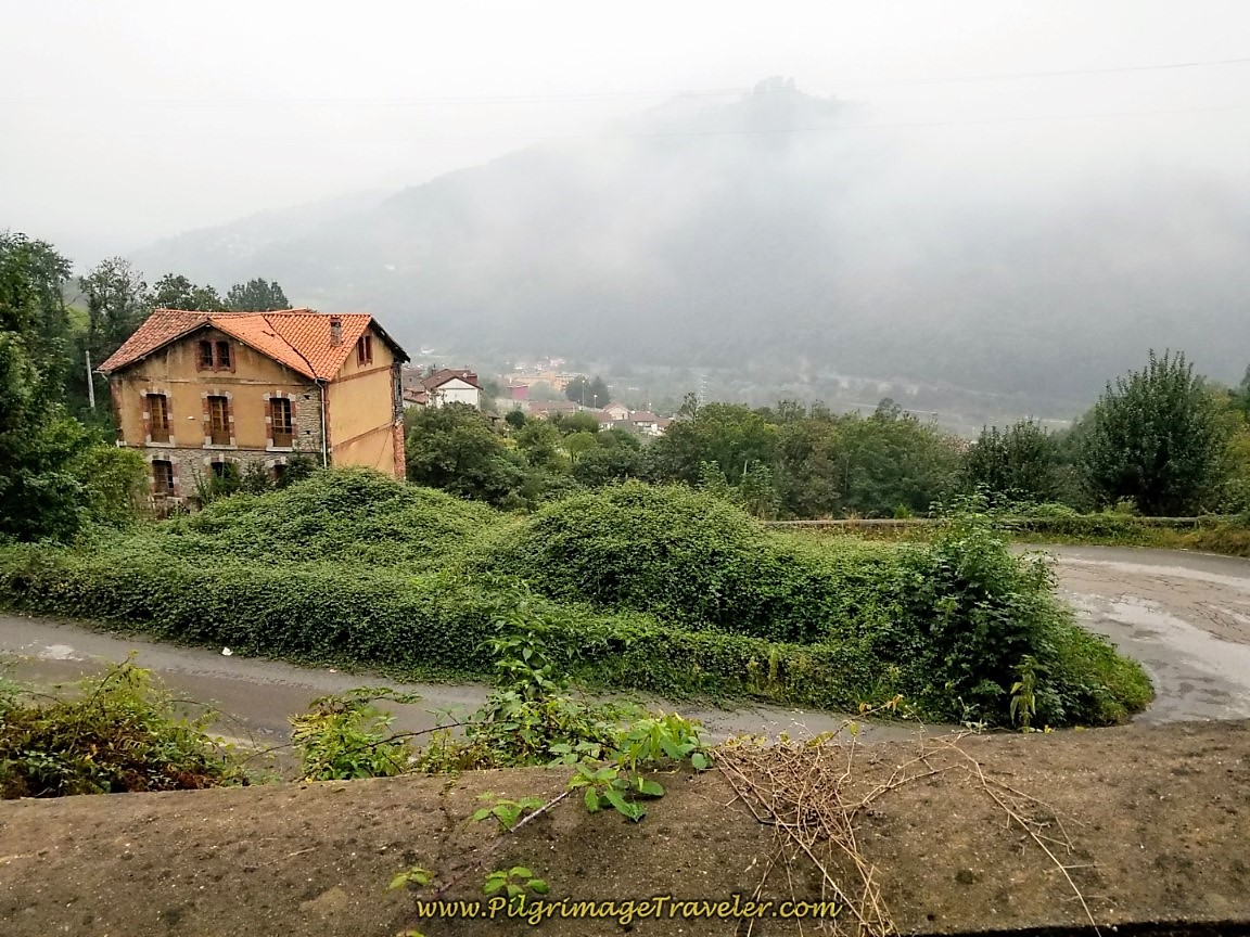
Upon leaving the very small hamlet of La Rebollá, the San Salvador begins to climb steeply on switchbacks, up the mountain. On a clear day, the views all around are phenomenal. Even through the mist it was still grand! Here is a look back down on the climb we had just done on the AS-375.
Continuing the climb, you come to the next hamlet of El Rollu. It is just a cluster of a few houses, one of which is the donativo, Casa Alba (+34 624 83 34 03). This 5-bed home is another opportunity to extend your walk from Mieres, after 3.7 kilometers.
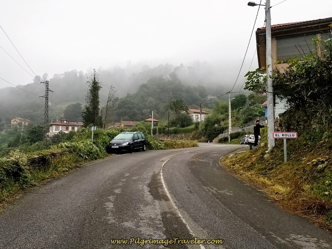 Entering the Town of El Rollu
We stayed here and Alba is a bit eccentric, but she treats pilgrims very well! The gardens surrounding the house are lovely and the home is comfortable with a nice kitchen. You will have to bring your own food to cook for dinner, but she provides a very nice breakfast. Below is a photo of her place, about 200 meters past the town sign. I grabbed the photo from the Google street view, since by the time we got here in the late afternoon, it was raining too hard for a photo!
(Due to the heavy rain our last time through, my photos for this day are a mix of old and new and different times of the day walking.)
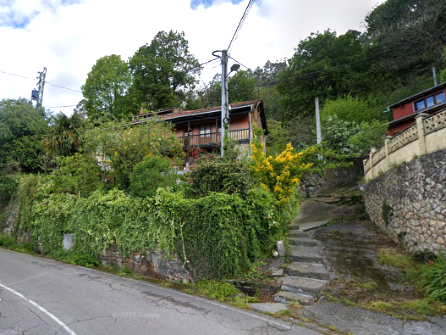 The Casa Alba
Almost immediately after leaving El Rollu, come to the next town of Copían.
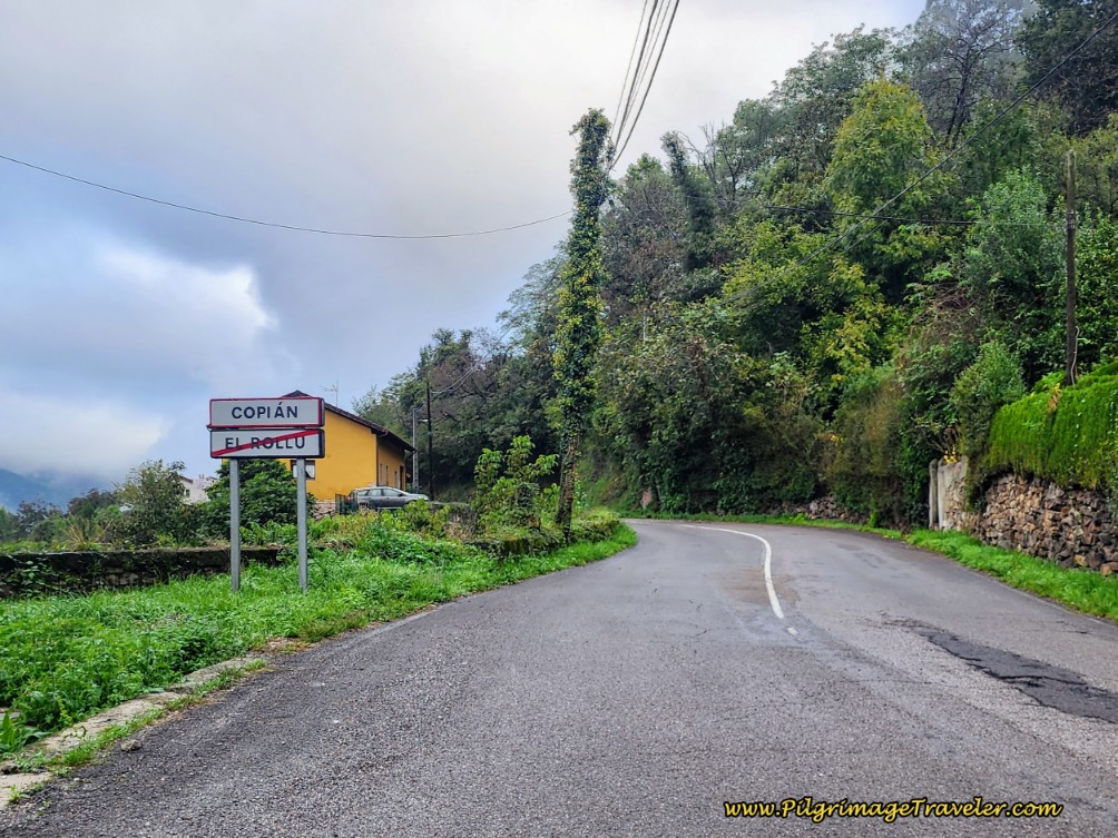 Entering Copían on Day Six of the Camino de San Salvador
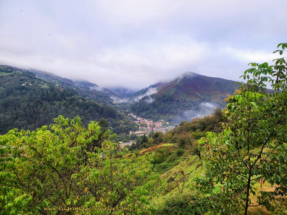
Through this stretch as the mist cleared, we could see the valley below, see photo below. There were stunning views, albeit with lots of industrial buildings, lining the Caudal River valley.
After about 4.0 kilometers, and after passing the sign leaving Copían, the Way flattens out a bit for a brief reprieve. We hoped this was the top of the first climb, but of course, it wasn't.
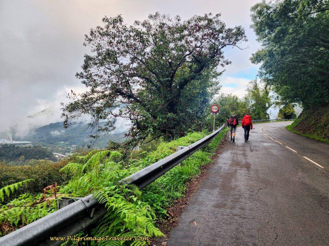 Leaving Copían, the Climb Continues
Next, pass by the sign for the hamlet of Santa Llucía. Where is the hamlet?
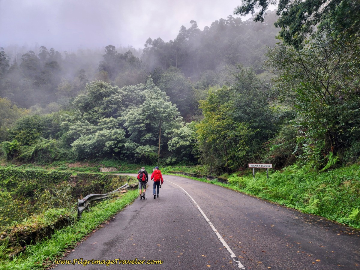 Entering Santa Llucía
Shortly after the sign, you will see a path off to the right, to this town’s fountain by the stream you just crossed. And farther down the road after approximately 4.9 kilometers at kilometer marker 14 on the AS-375, we came to the row houses in the photo below. There is nothing much more to this town!
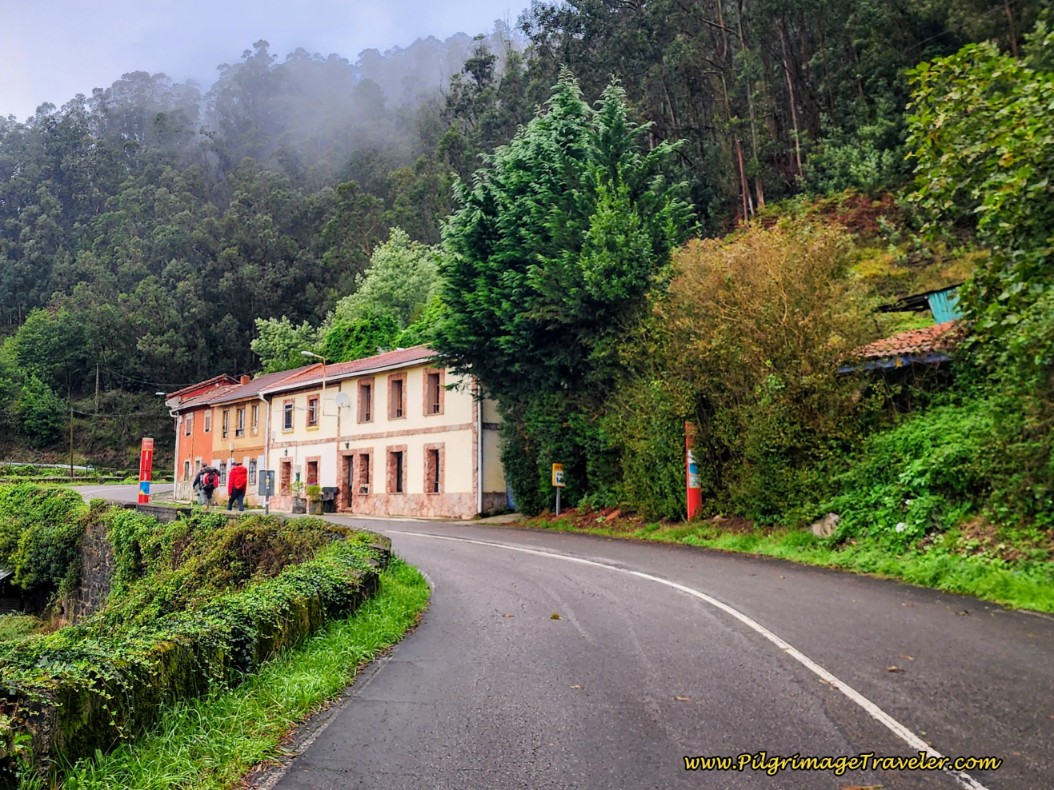 Row Houses in Santa Llucía
I was full of gratitude that on our second time through here, though a bit misty, we could see the amazing views all around. It seems that the mist is the theme here, at least it was for us.
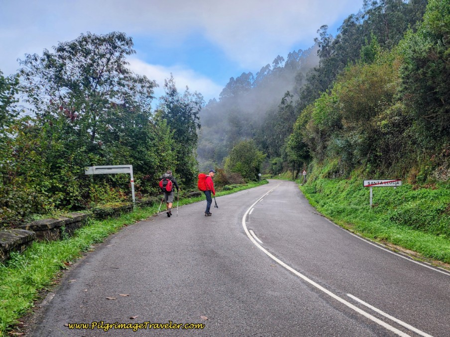 Pilgrims on the Road to Aguilar
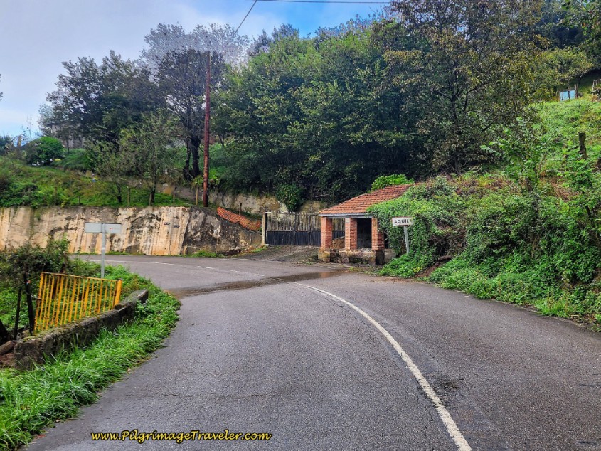
After about 5.8 kilometers into day six, we came to a fountain, and the sign for the town of Aguilar, below. The road once again flattened out a bit here, albeit briefly. Walking through Aguilar, pass the 13 kilometer marker.
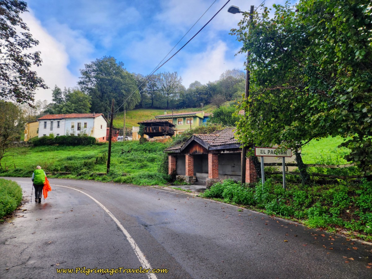
After Aguilar, almost immediately you will come to the sign for El Padrún and yet another town fountain. This is after about 6.24 kilometers into the day.
The town of El Padrún doesn't actually begin until about 120 meters after the sign as it climbs just a short way longer. As we reached the row of buildings, my knee immediately sensed the change in elevation as the road flattened. I knew that the first climb had ended. The first altitude top is reached after about 6.45 kilometers.
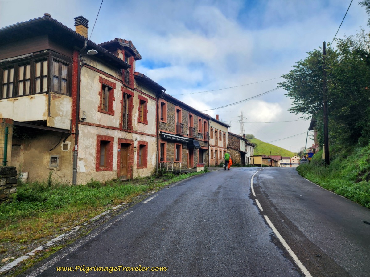
In the glory days of El Padrún, these buildings were all cider houses. Alas, they are all gone now, the last one as recently as only a few years ago. It was sad, but time marches on and people's preferences change, I guess. El Padrún felt like nothing more than a ghost town now, especially early in the morning.
Just after these row houses, pass by the sign welcoming you to the Consejo (Council) de Oviedo! Less than 12 kilometers left to go to the city of Oviedo!
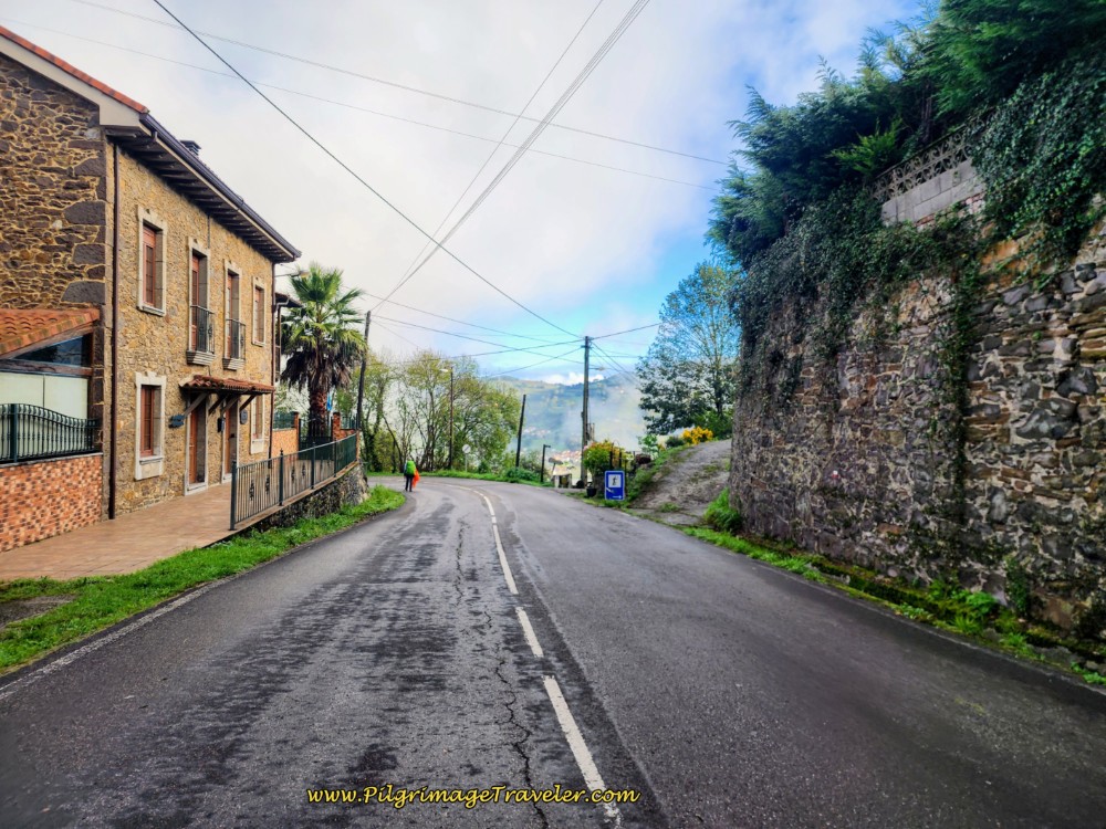
On the north side of town, as you walk down the hill, and after the high stone wall, pictured below, come to a path that descends very steeply toward the next town of Casares. The Camino takes this path to the right, designated by a concrete waymark.
Jump to Camino de San Salvador Stages
However, on our very wet day, some pilgrims opted to stay on the road. The standard route meets up with the AS-375 to re-join the Camino farther down the hill. This would avoid the rough paths ahead altogether. The road option is quite a bit longer as it switchbacks down the hill, however, in the rain this option may be more desirable.
I relied heavily on my poles to take my weight off my left knee, as I continued my half-march down the hill. I had discovered that if I picked up my left knee, rather than pulling through in extension, that I could avoid deeper knee pain.
We walked along this lane, shown next, towards Casares. The Way was quite muddy when we passed through but we chose this way anyway.
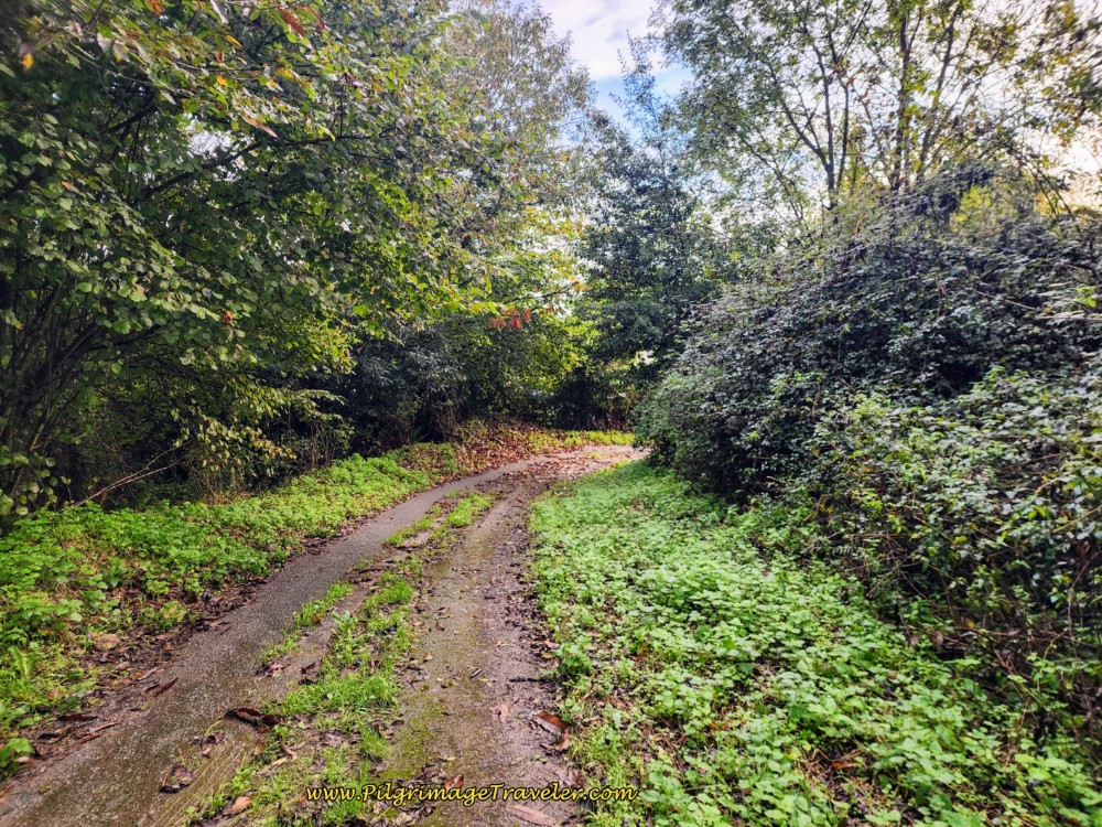 Muddy Lane Towards Casares
The lovely views over the valley persist, on the way to Casares.
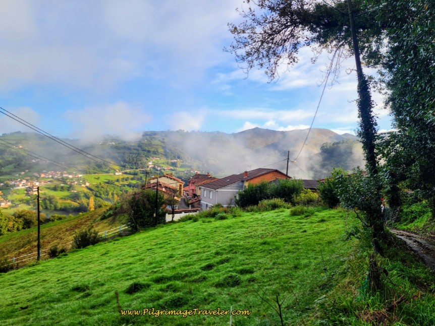 On the Way to Casares
After only 250 meters the Camino joins the pavement again as you come into the town. Make a left hand turn at a small roundabout and again a few meters onward at this waymark below, just across from the town fountain. You can see the Way ahead along the road. In fact, the AS-375 is also ahead, if you want to divert back to it!
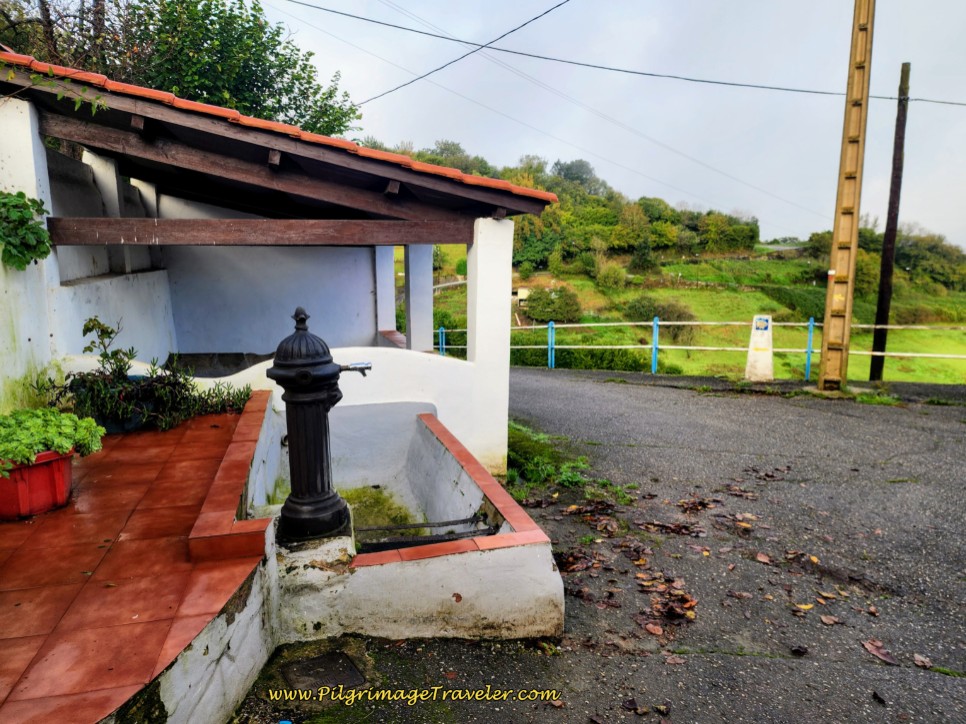 Left Turn in Casares After Fountain
Only 120 meters later, the Camino turns right onto yet another path through the fields, pictured here. It was quite wet after the rains, but onwad we went.
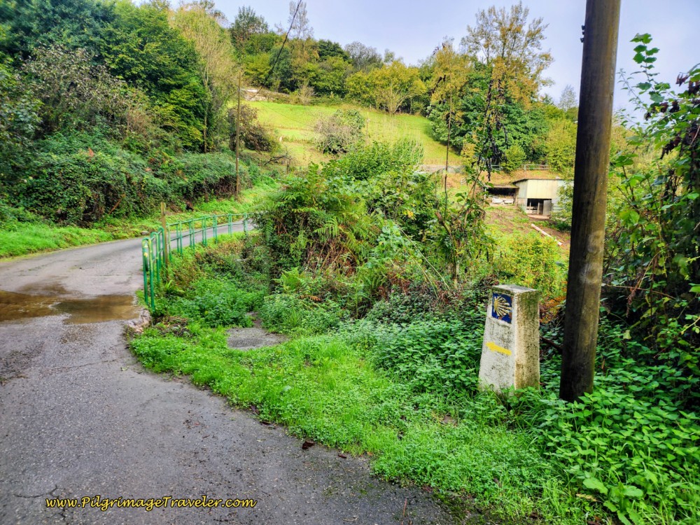 Right Turn Onto the Path
This path has the propensity to be overgrown as it continues to drop steeply. Here is a section that was not so overgrown.
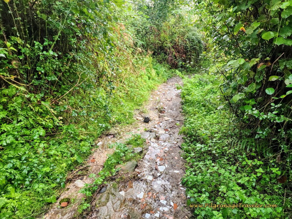 Clear, But Muddy Path
And here is a section that is overgrown!
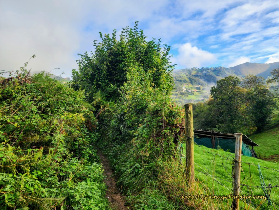 Overgrown Path in Places
This portion of the Camino is not quite 1/2 kilometer, and had lovely blooming butterfly bushes along the way to admire.
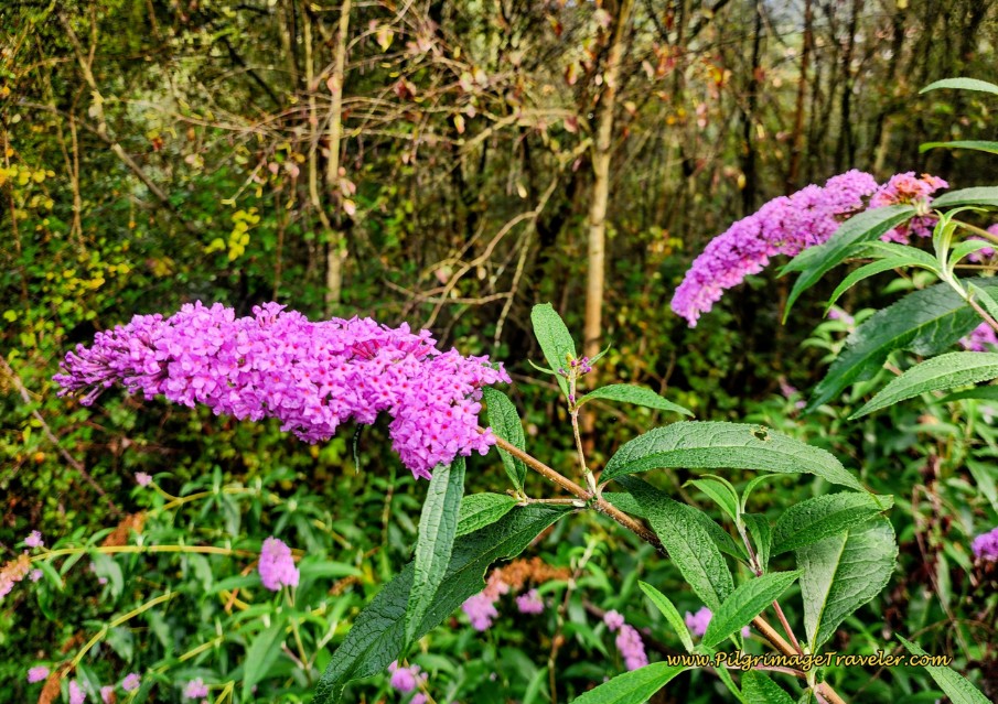 Butterfly Bushes Along the Way
After about 7.5 kilometers into day six on the Camino de San Salvador, the path eventually meets up again with the AS-375, shown below. Once you meet the AS-375, and turn right, you will be walking on the pavement for the next 2.95 kilometers, continuing along this road.
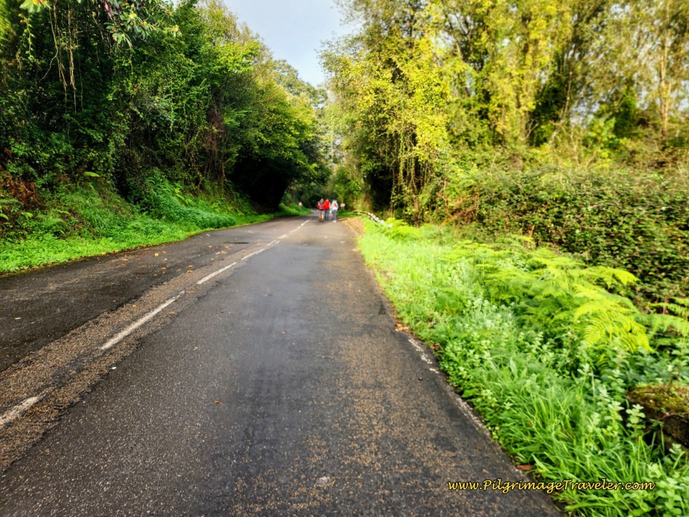 Join the AS-375
Pass the 10 kilometer marker on the way to the next town of Olloniego, at a strong bend to the right. This lovely waymark on the stone wall at the bend, caught my eye, below.
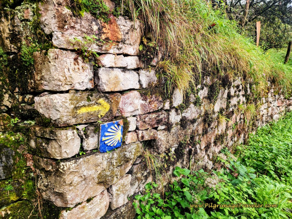 Waymark on Wall Just Before Entering Olloniego
After about 8.25 kilometers into the day, take a left hand turn onto this side road, shown below, toward "La Estacion" or the train station of Olloniego. You will briefly leave the AS-375 here.
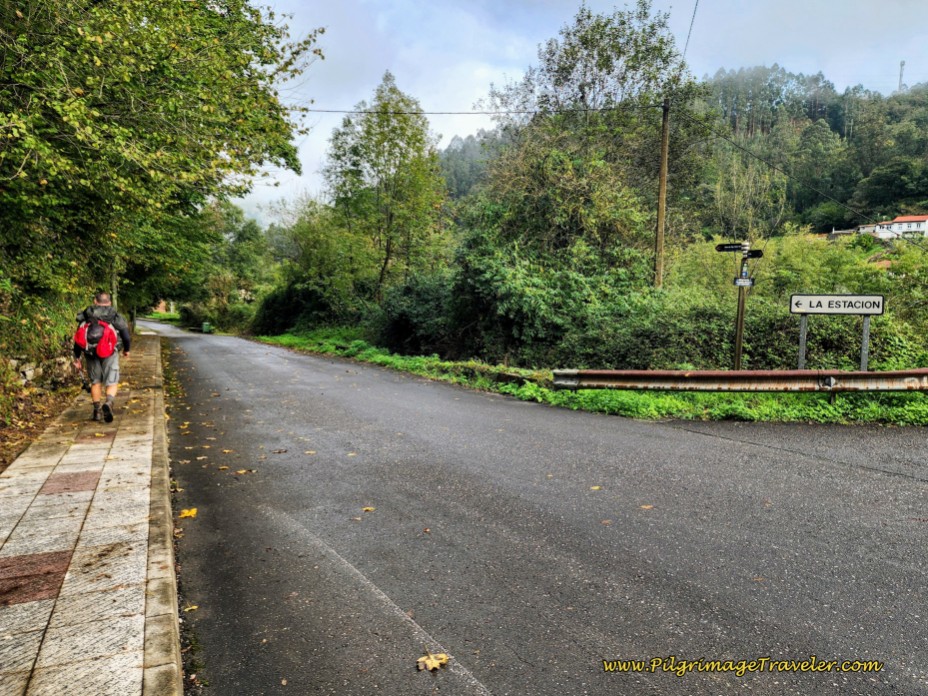 Left Turn on Side Road Toward Train Station
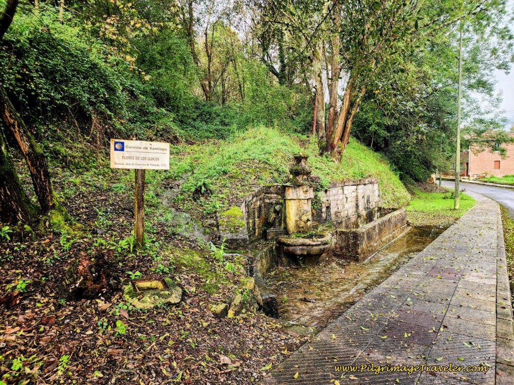
Following the train tracks on your right, pass by the historic fountain, the Fuente de los Llocos, built in 1776.
Prior to reaching the train station, find a pedestrian tunnel on your right. This tunnel will take you under the railroad tracks. Most likely the colorful graffiti, below, will still be there to guide you!
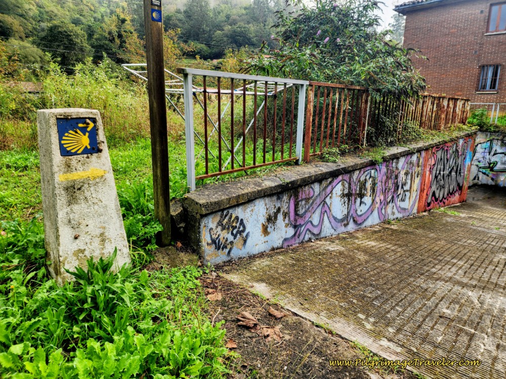 Pedestrian Tunnel Under RR Tracks
After emerging from the tunnel, it immediately connects to a pedestrian bridge over the A-66 motorway, and takes you directly into the center of Olloniego.
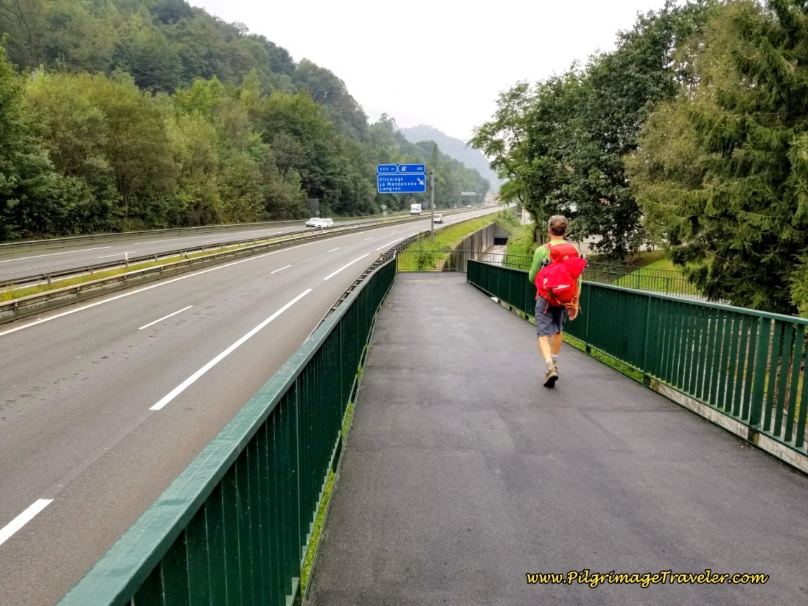 Pedestrian Bridge Over A-66
After the pedestrian bridge, join up with the AS-375 again, which is now the main street through town. This town marks the low point before the second climb of the day.
Turn left onto the street, now called the Carretera Oviedo! How appropriate ~ the Oviedo Street. Getting closer now.
There are many cafés along the Oviedo Street in town for your second breakfast. We stopped at the first cafe that was open, after about 8.9 kilometers thus far.
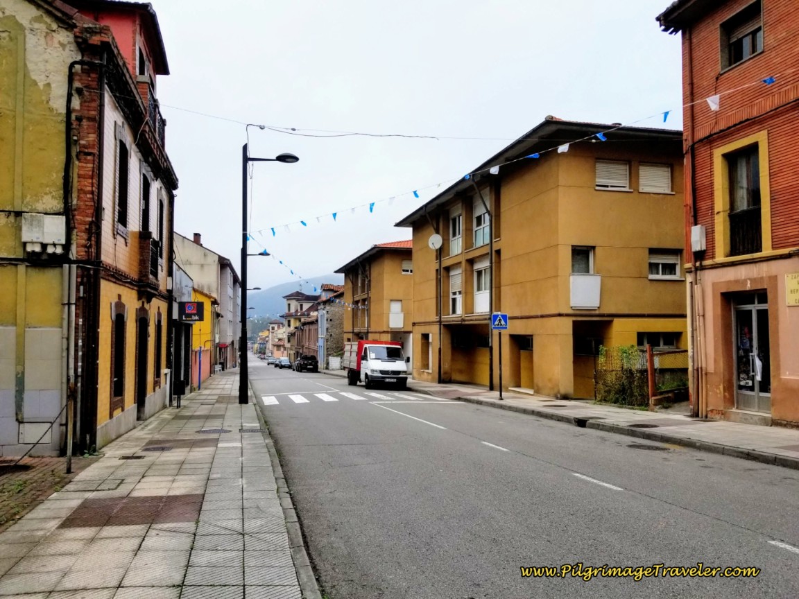 Walking Through Olloniego
Our stop here was not quite halfway into day six, with about 9.2 kilometers to go to Oviedo on the Camino del Salvador. There are no more available cafés after Olloniego until the outskirts of Oviedo so you may want to resupply your pack with snacks here if needed.
There are many cafés in Olloniego and one accommodation, the Albergue Luz (+34 686 044 979), on the western side of town and just before the Conjuncto Histórico (see just below). This new albergue makes it possible for a shorter stage from Pola de Lena if you plan to stay there instead of Mieres, giving you more options. From Olloniego, Oviedo is less than nine kilometers away.
As you leave town, you come to this beautiful picnic area, below, which gives you the signal that the medieval historic center is actually behind you. We almost missed this historic site, because you don't see it until you are past it and you have to look backwards!
You will not miss the historic site if you know to look for this picnic area. In addition the Camino del Salvador starts to climb once again as soon as you pass the site. It is after about 9.5 kilometers into day six.
This would be a lovely place for a picnic, if you prefer not to stop at a café in town. It is a nice resting place at the lowest point, before the second climb to Picullanza that is ahead.
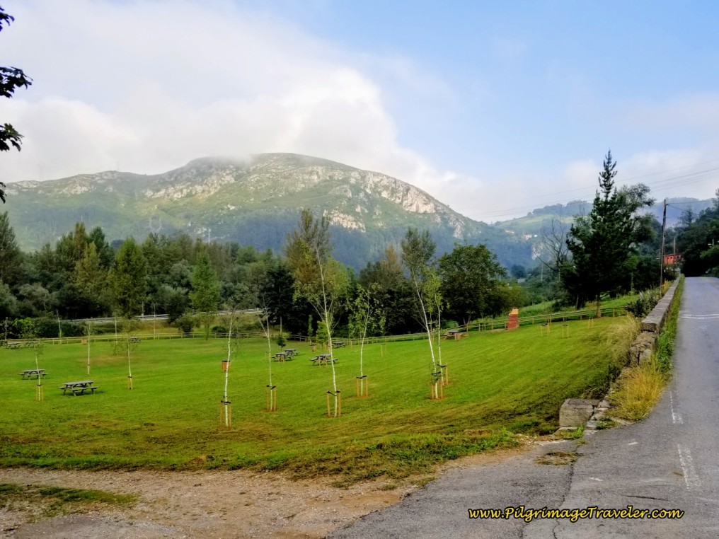 Beautiful Picnic Area at Olloniego Medieval Site
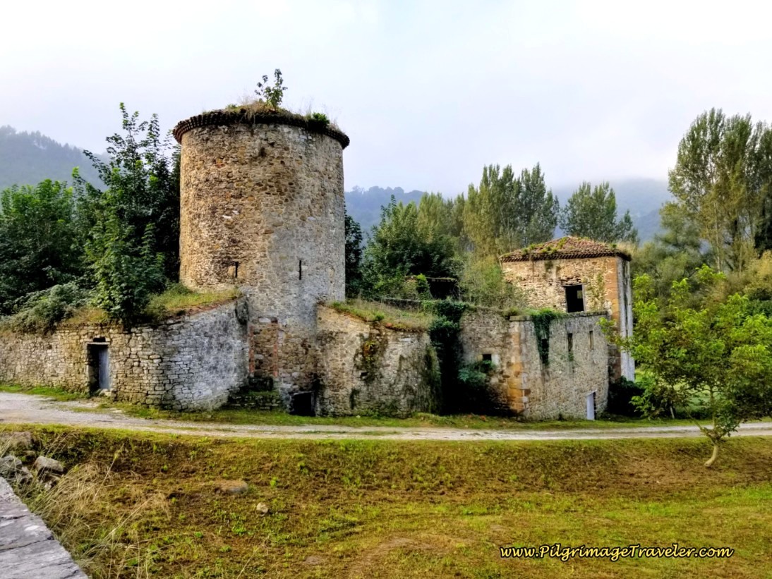
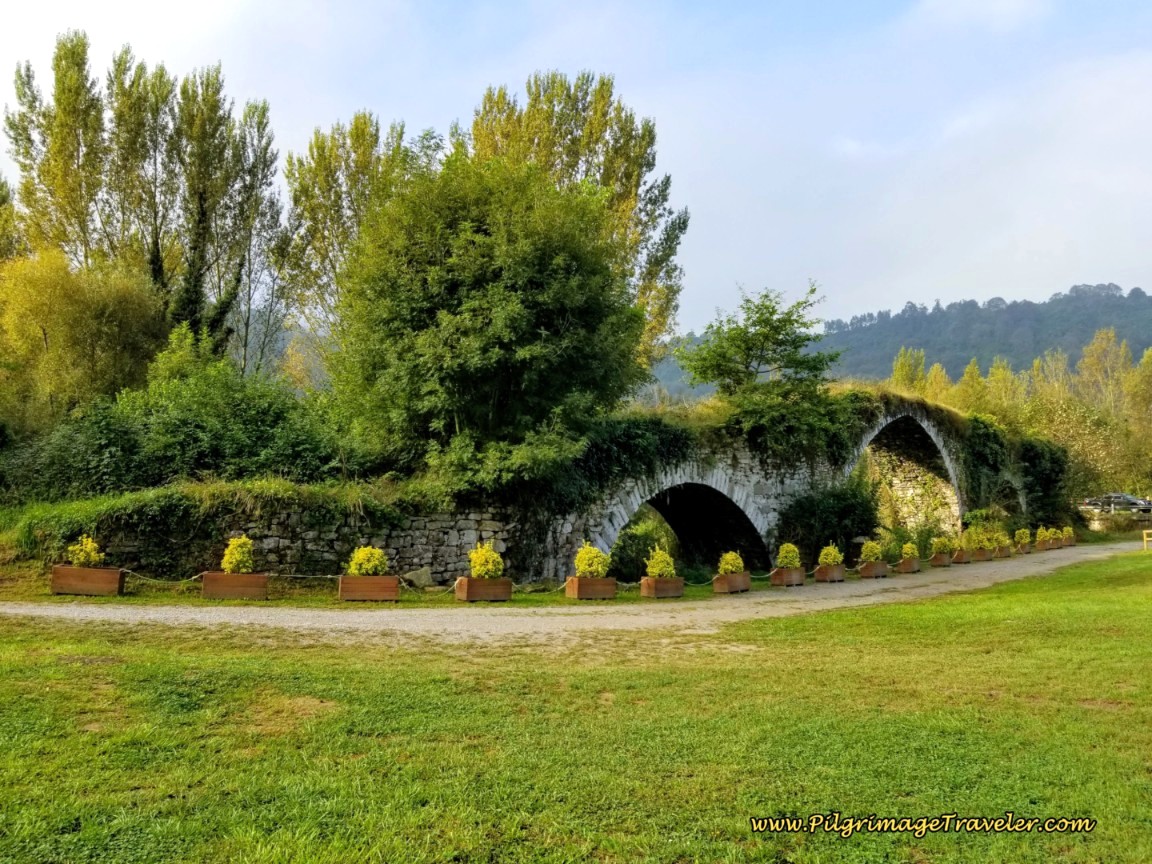
To your left, before the picnic area is the cluster of buildings, the 14th Century historic center of Olloniego or the "Conjuncto Histórico de Olloniego." The complex consists of the bridge, built first, then the palace with its circular tower, the Torre de Muniz and a small church, the Chapel of San Pelayo.
There is some dispute regarding the date these buildings were constructed, some scholars say the 13th century, and most the 14th. The chapel is believed to be the oldest. Despite the current structure being built in medieval times, it may have initially been built in the pre-Romanesque time.
The current ruins were supposed to have had restorative endeavors, however, to me it appeared more run down than in earlier years. These photos here are from years ago, which I kept because there were less weeds and overgrowth than the current photos! Click on the link above for more information regarding the historic site.
Just beyond the cluster of buildings is the medieval bridge, below, with the typical arches, the center being taller than the ends. This bridge is now dry, after the river Nalón was diverted in the 18th century after a major flood.
Jump to Camino de San Salvador Stages
The bridge was a toll bridge, and the circular tower, the Torre de Muniz was constructed to guard the bridge to prevent any crossing without paying the toll first.
After visiting the historic site, begin the second climb of the day on the AS-375. Be very careful as there is no shoulder on this road and it is very busy! You have not quite a kilometer to negotiate along it - quite the long way. Walk on the left, facing traffic!
Next, walk by a sign for the town of Cruze, with a few buildings. Come next to the large interchange with the AS-116, pictured below. The signs here I thought were a bit confusing. Stay straight on the AS-375, neither going up the hill to the right, nor to the left.
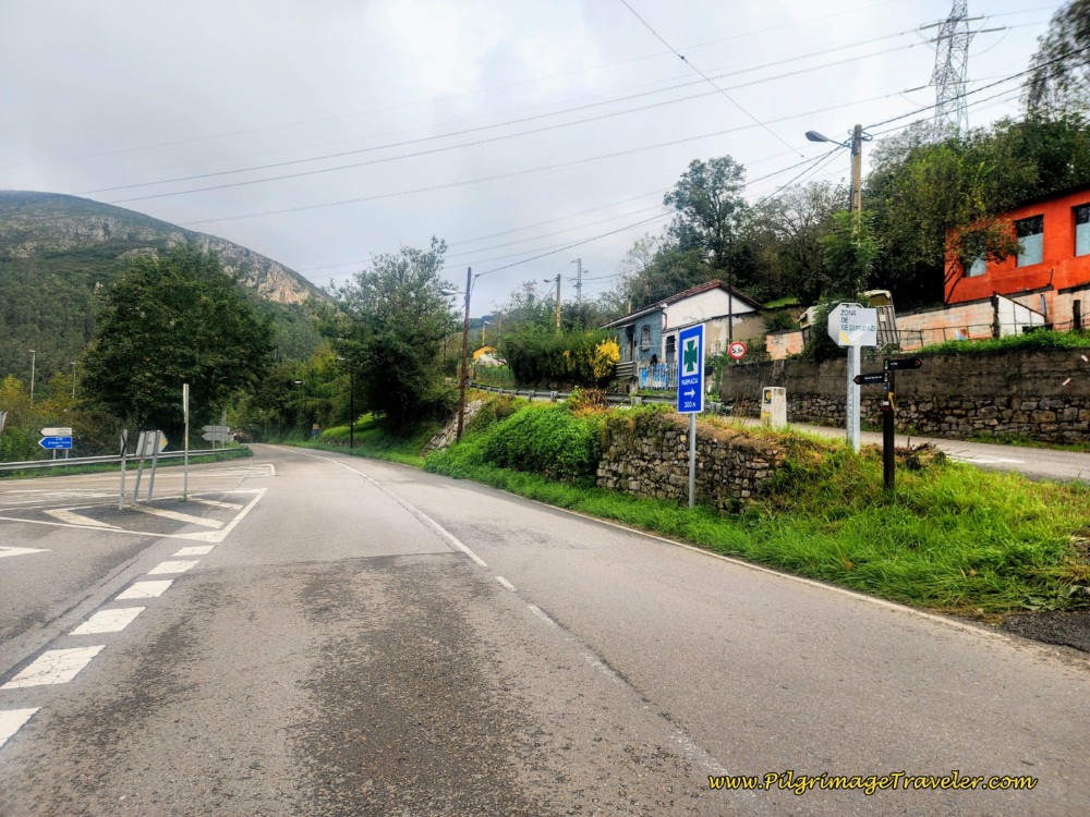 Stay Straight Along the AS-375 at Intersection
About 250 meters later, walk under the AS-116 on a bridge overhead.
Next, come to the Río Nalón and cross the historic 18th century bridge, the Puente de La Carretera de Castilla, pictured below. I saw the Camino de Santiago sign for the 18th century bridge, and tried to take a decent photograph of the actual arches of the bridge, but I could not get a good angle of it. It has the typical arches but they are out of view as you walk over the bridge.
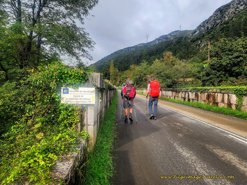 Bridge Over the River Nalón
At the far end of the bridge, enter into the town of Portazgo. Immediately after the bridge on your left after about 10.4 kilometers, is the historic Oficina de Peaje del Real Portazgo, or the Royal Toll Office of Portazgo, built in 1833.
This toll house was also a place to collect a toll from those crossing the bridge in the 19th century. Supposedly, the pilgrims were exempt from this toll, according to the blog in the link below.
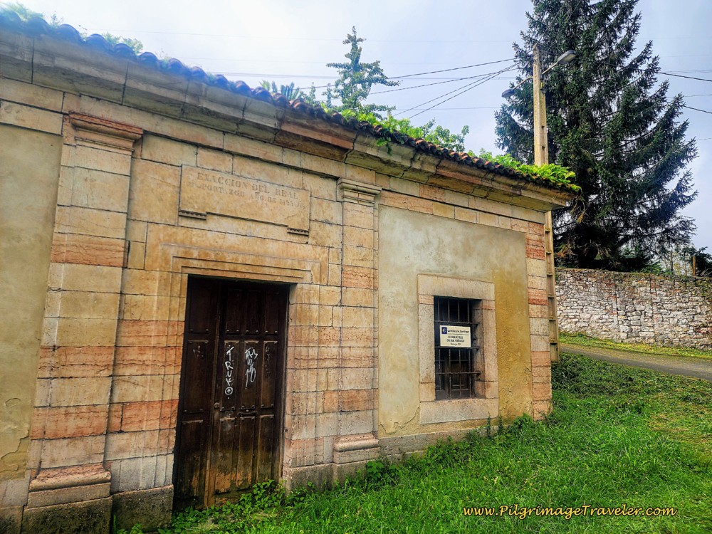 Oficina de Peaje del Real Portazgo
If you look to your right, standing in front of the toll house on the AS-375, a few meters along, you can see a Roman league marker, below the supporting wall of the Roman road above. It is along the bend in the road by a red brick building. It may be covered in bramble, so look closely.
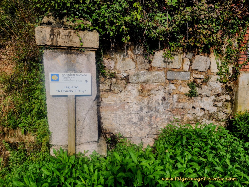 Roman League Marker
The league marker notified the traveler that Oviedo was 1.5 leagues away. A league in Roman times was meant to measure the distance a man could walk in one hour, roughly 2.2 kilometers or 1.4 miles. Because of its inaccuracy, the measurement was later abandoned.
You can click here to learn more about the history of this area.
After finding the league marker, return to the toll house again and continue straight up the hill to find this path, below, to follow the old Roman road.
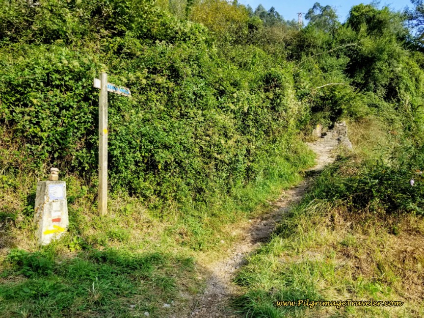 Turn Right onto Path to Begin the Roman Road
Turn right onto the path. It is waymarked very well. This trail may also be overgrown at times. It wasn’t bad in recent times, see below.
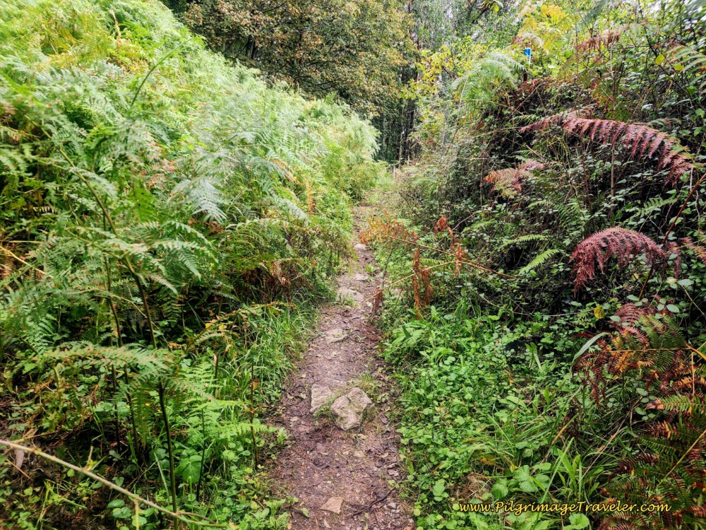 Trail From Portazgo
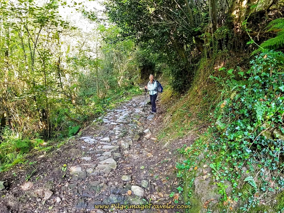
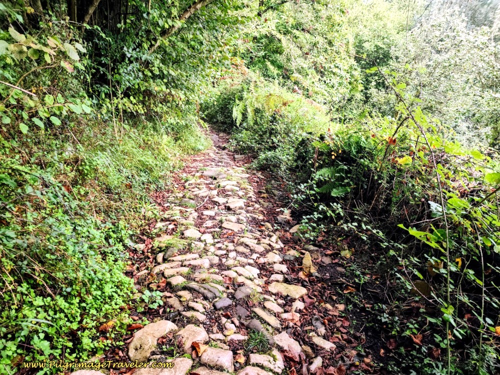
Farther along, the trail widens, and rocks lining the path on each side tells the tale of the established Roman road.
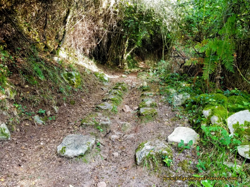 Vestiges of the Roman Road
The Way comes out to the pavement and to a soccer field, after about 3/4 kilometer along the path. It turns left onto this grooved pavement, below.
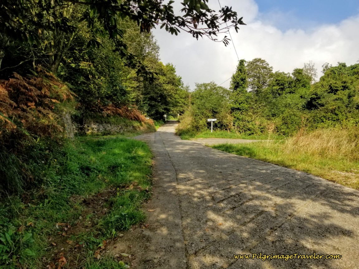 Follow Grooved Pavement After Soccer Field
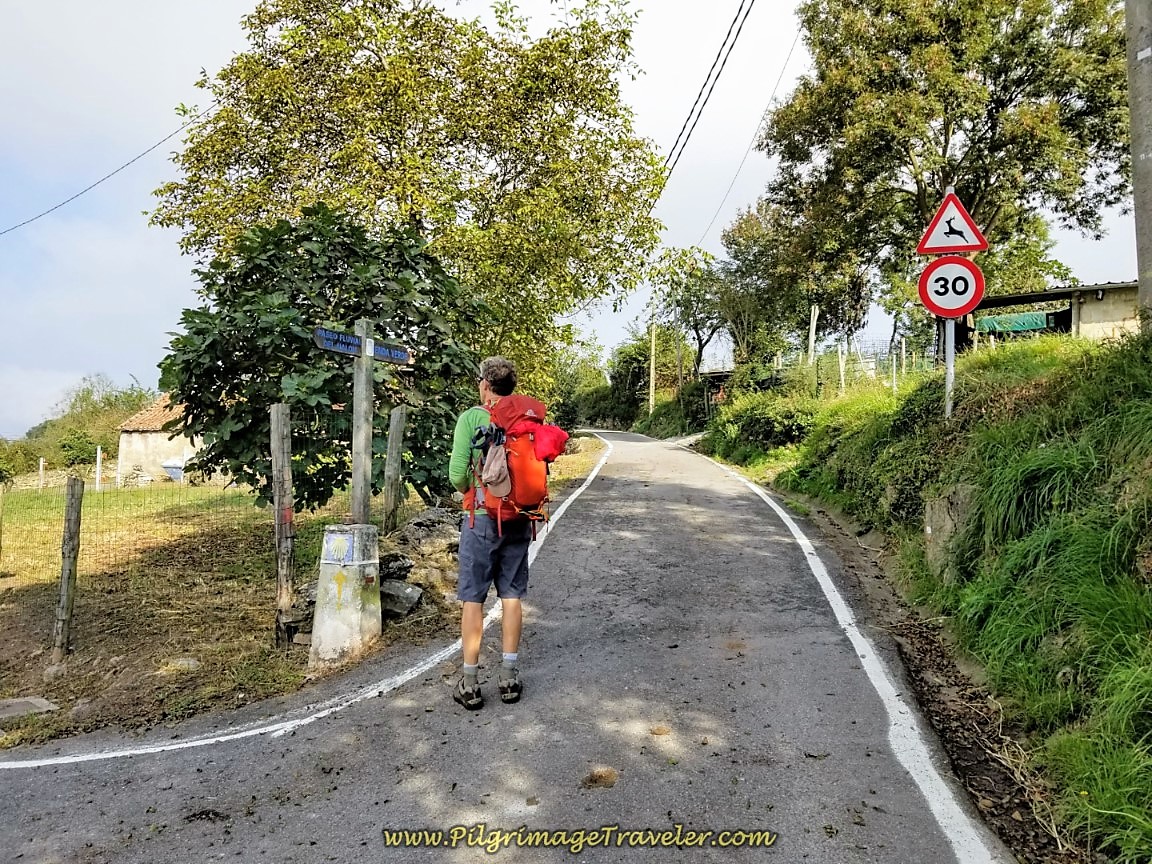
After about 11.4 kilometers into day six, the Camino del Salvador makes a diversion to the right. Here is where we leave the paved secondary road for another path that is a continuation of the Roman road for another 1/2 kilometer. There is a blue camino sign and a concrete pylon here at the turn, shown below.
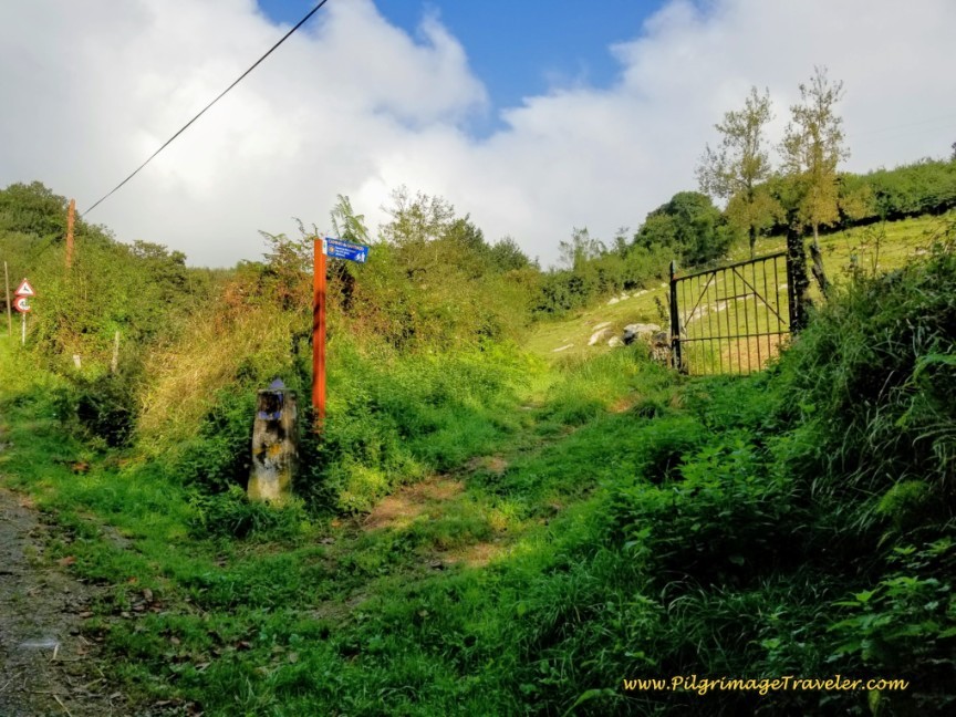 Right Turn to Continue on the Roman Road
The old Roman road is better preserved through this section. You can see a drainage canal under the pavers, placed on top of the rocks on each side of the road. I always love to walk on these ancient roads and am fascinated by the engineering that is still visible to this day. Quite the feat compared to our modern roads!
When we passed through this section it was a muddy slog fest, with extremely slippery rocks on a very steep path! With my bad knee it was tricky to say the least. Proceed with caution if your conditions are wet. Quite a few pilgrims opted to stay on the road here again, because it joins up at the yellow house in Pico de Lanza, shown farther below.
The downside of walking on the wonderful historic Roman paths is that the sections that are well preserved through the mountains are almost always super steep, regardless of the Camino. This is at least my experience.
Your next landmark, right before the town of Pico de Lanza is a power line where the forest opens up, shown below.
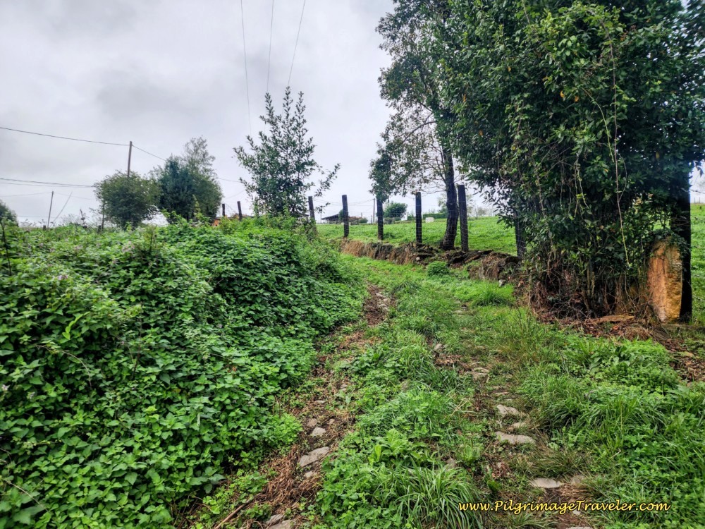 Reach the Power Line Next in Pico de Lanza
After approximately 11.9 kilometers, come to a T-intersection with a paved road and turn right at this yellow house and onto the Carretera a Picullanza (Picullanza Street). You are now in the town of Pico de Lanza. If you stayed on the road this is where you will meet the official Camino once again.
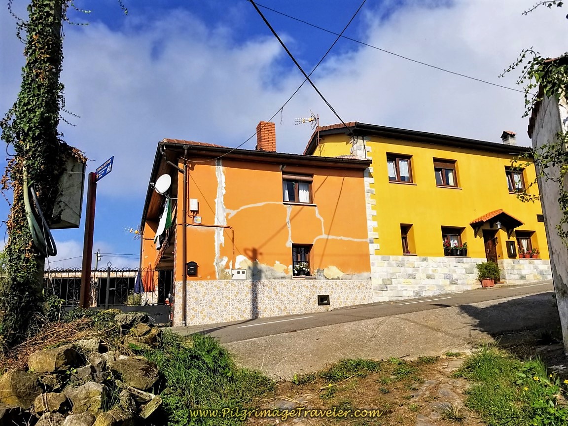 Right Turn at Yellow House in Pico de Lanza
The name of the street is significant, because the top of the second climb, known as the Picullanza takes its name from it. The steepness does abate a bit when you walk on this street.
As we walked through town we were hopeful that this was the top. Not so, but we were almost there.
Next, you come to this Y-intersection, and bend to the right, of course continuing uphill.
After about 12.2 kilometers, the Camino del Salvador comes to an intersection where you go left near the top and onto a more primitive road shown in the photos farther below.
You are approaching the next town of Venta del Aire, which is only a mere cluster of homes.
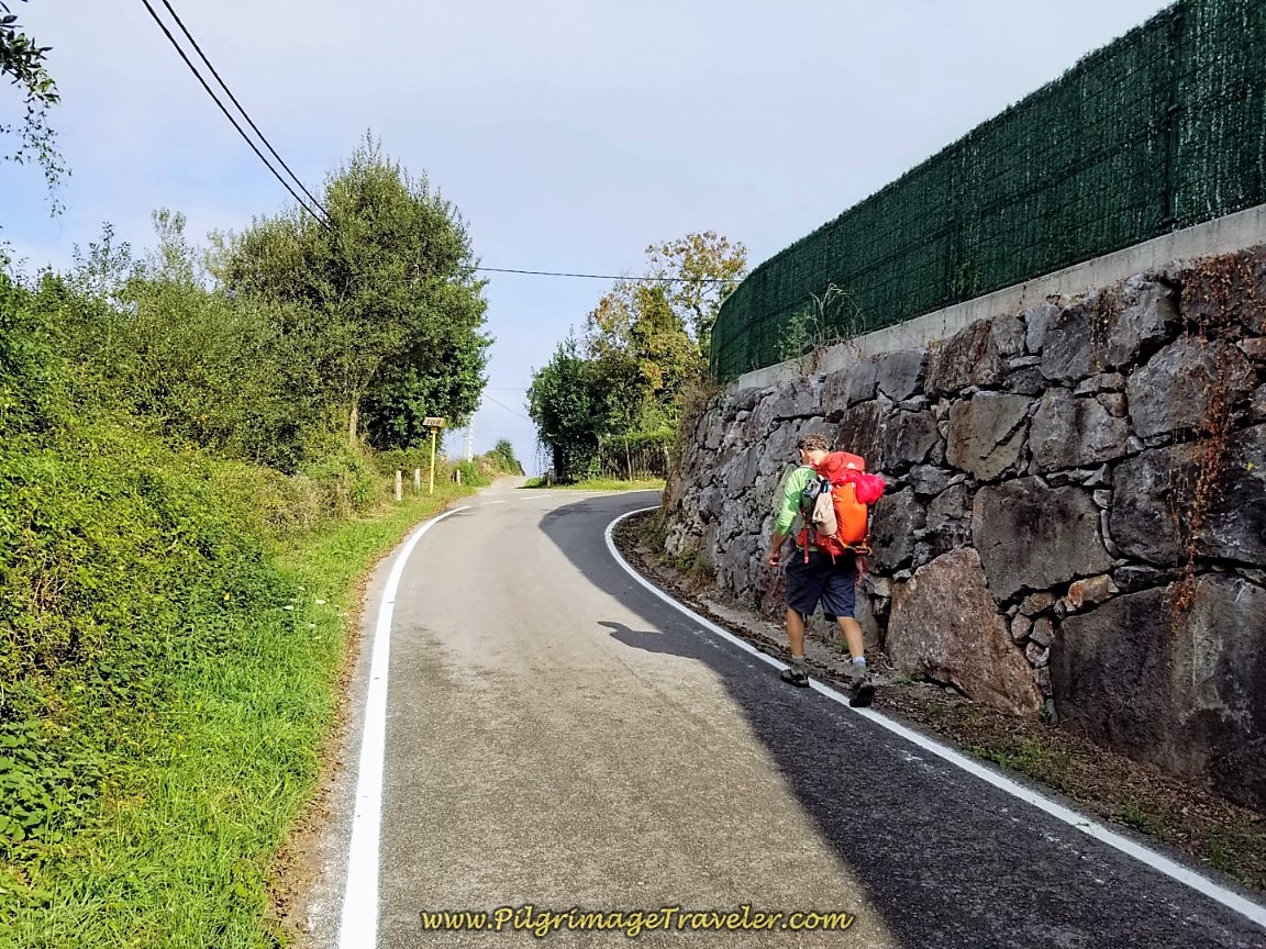 Rich Climbing Towards Venta del Aire
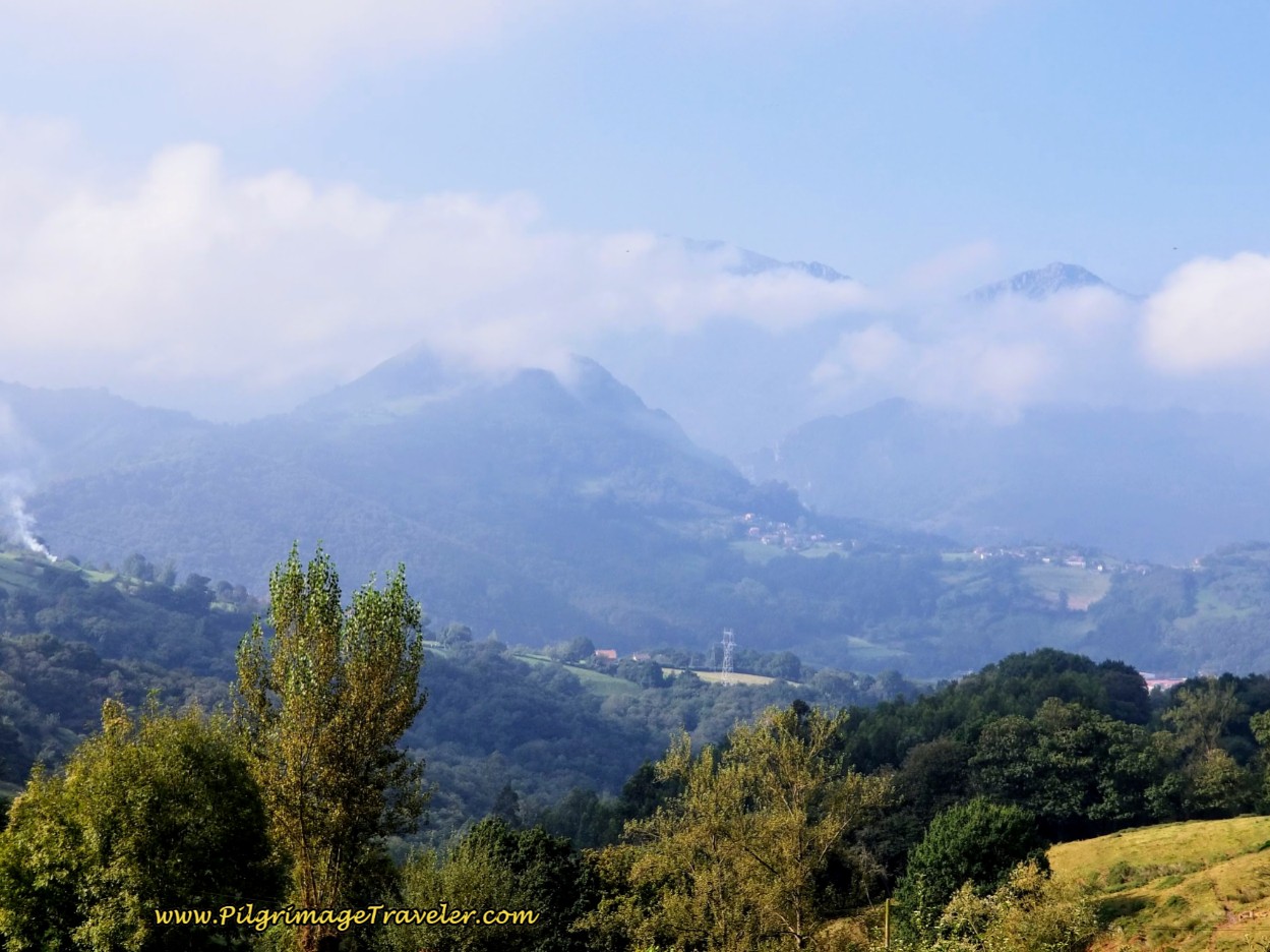
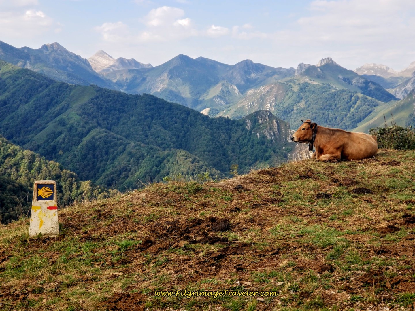
You are reaching the sky when you do this climb! Arduous but oh-so-beautiful views off to the left! The mountains were solid, unfazed by the mist.
The final ascent to the top is shown below, in Venta del Aire.
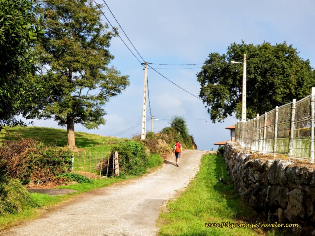 Almost at the Picullanza Top
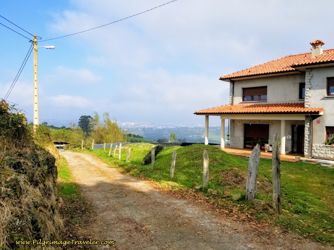
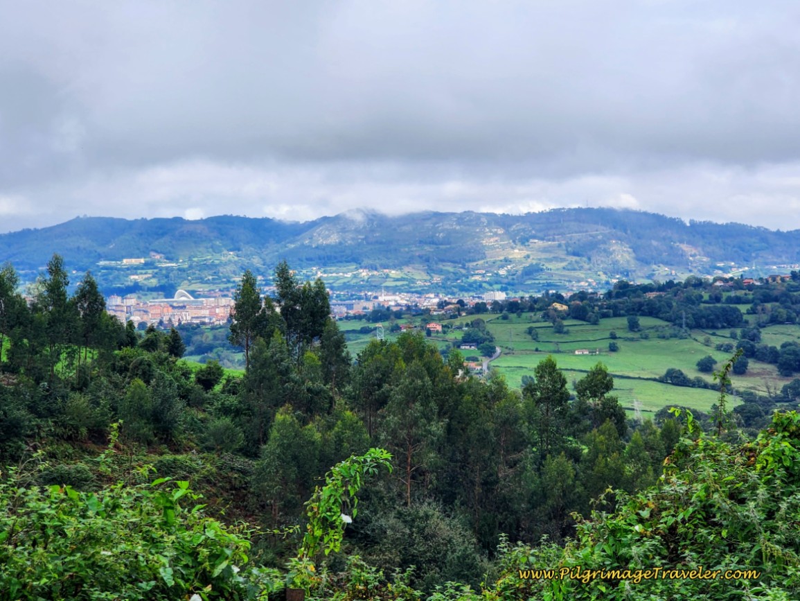
When you reach these few houses along the road, shown in the photo above and below, after about 12.3 kilometers, you know that you have arrived at the Alto de Picullanza! The views of Oviedo open up ahead and will enthrall you! You can see prominent features of the Oviedo, including the big white archway of the Modoo Shopping and Convention Center.
Jump to Camino de San Salvador Stages
I would have loved to linger here over a snack or a cup of coffee, but alas there is no place that invites you to stay awhile. Even though there is one remaining small hill climb, the difficulties of the day ended here and I knew it! I wanted to breathe in the views and expansiveness for awhile.
I wanted to relish in the accomplishment! Despite my bum knee, the "mountain" that was me remained solid. I would complete this journey.
The land now becomes more pastoral as you descend steeply from the top on farmer's lanes that most likely continue to follow the old Roman road. We will see more vestiges of this ancient road ahead. You will also pass a picnic area, a bit down from top.
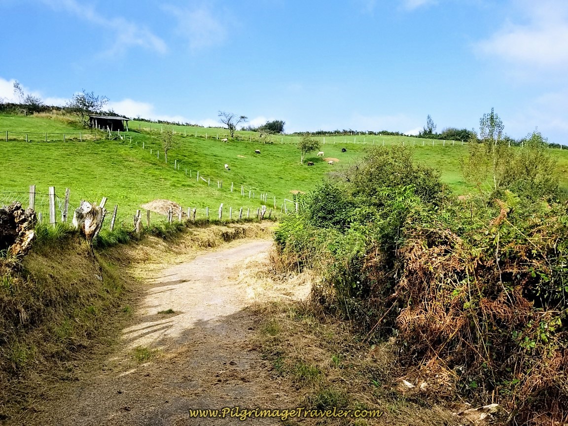 Descent from the Top
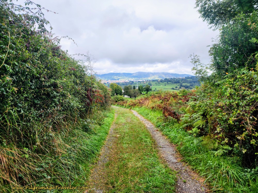 Lane Towards San Miguel de la Pereda
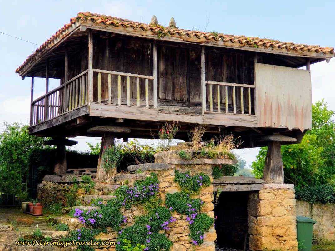
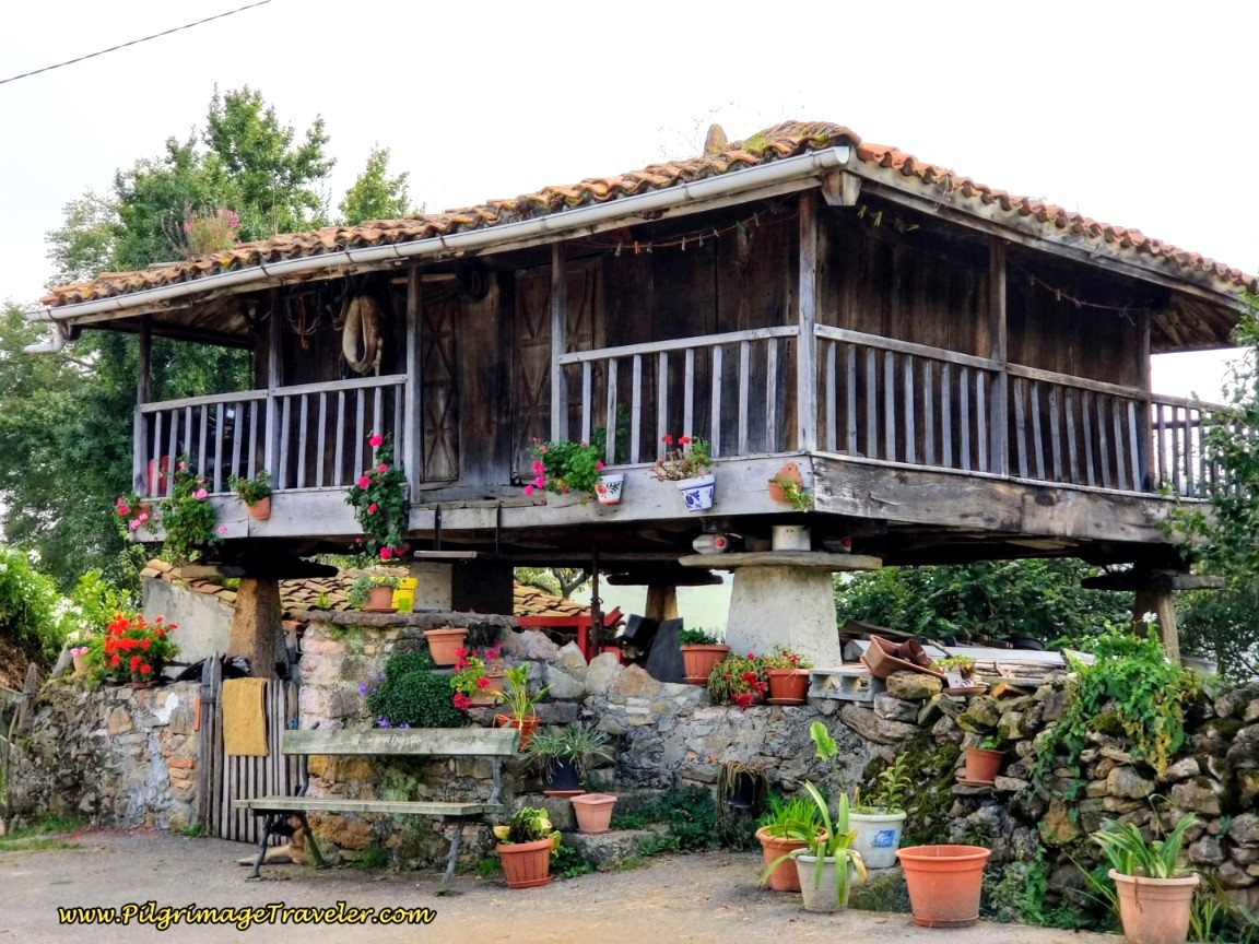
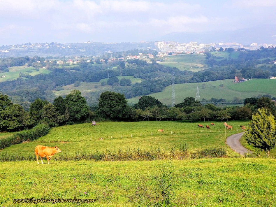
And then, after about 740 meters from the top, you arrive in the quaint little town of San Miguel de la Pereda. Its attractiveness is unparalleled with these lavishly embellished hórreos. You can rest here in all the loveliness at the provided bench, shown in the second photo below.
As we were admiring the hórreos, there was an elderly gentleman tending a garden nearby. He was thrilled to chat with us, show us special painted tiles he had created that were embedded in the wall, introduce us to his donkey and tell us we must have a dish called Cachopo when we are in Oviedo! How charming!
(We actually did have this dish from the traditional Asturian cuisine, after arriving in Oviedo at his recommendation! It is essentially breaded and fried steak stuffed with Serrano ham, cheese and peppers. Just beware if you try it, that the dish is enormous, served in a multi-portion format! The one we got was enough to feed 4-5 people!)
After leaving San Miguel de la Pereda, walking straight on in town by the hórreos, after a few meters the pavement gives way to a dirt road. The gorgeous countryside with views of Oviedo continues to grace your walk. It was so spirit-lifting for me!
The road descends steeply and as we walked onward on the path for 600 meters, it became increasingly evident that we were once again on an old Roman road. I loved this section and barely noticed my left knee, even as I continued my half-marching gait.
The Romans never went around a mountain, but did a direct assault up and over them! (This was extremely true of the Roman road on the central route of the Camino Portugués from Ponte de Lima to Rubiães on our day eighteen, the famed Alto da Portela Grande de Labruja.)
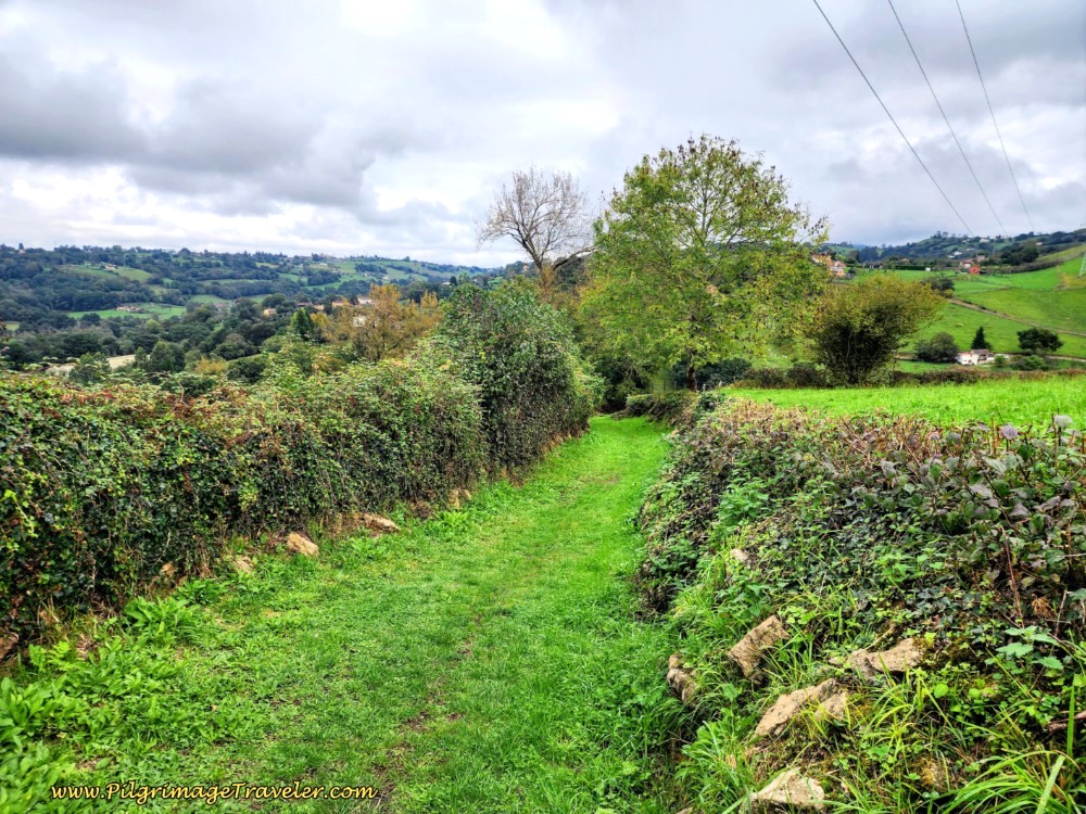 Continue Following the Roman Road
And then, our ancient Roman way ends and joins the pavement here for the remainder of day six on the San Salvador.
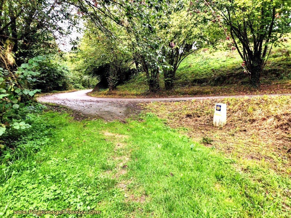 Join Pavement at T-Intersection, Turn Left
The Camino turns left and takes you about 120 meters down the hill to the next small drainage and an hórreo at the bottom.
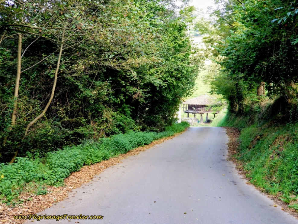 Down the Hill Towards Arroyo
Once dropping down to the arroyo, the Camino de San Salvador now begins the third and final climb of day six on the other side. Don't be fooled, this is a significant "little" climb of 125 meters (410 feet), and if it's hot, you will notice it!
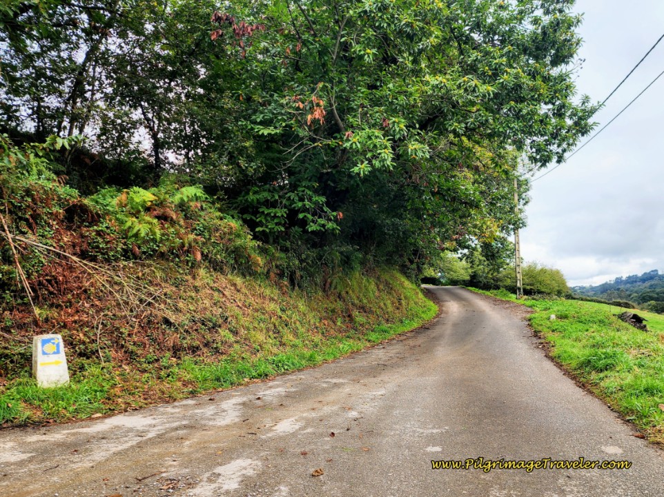 Up the Hill on the Other Side
As the day was growing increasingly hot, we grew tired and hungry once again. About one kilometer from the arroyo crossing, when we came to the area of Prietos and saw the picnic area in the shade by the fountain, the charming little Fuente El Árbol, we seized the opportunity to take a reprieve from the hot pavement. We were not quite yet at the top of the third climb here after approximately 14.9 kilometers into day six on the Camino del Salvador.
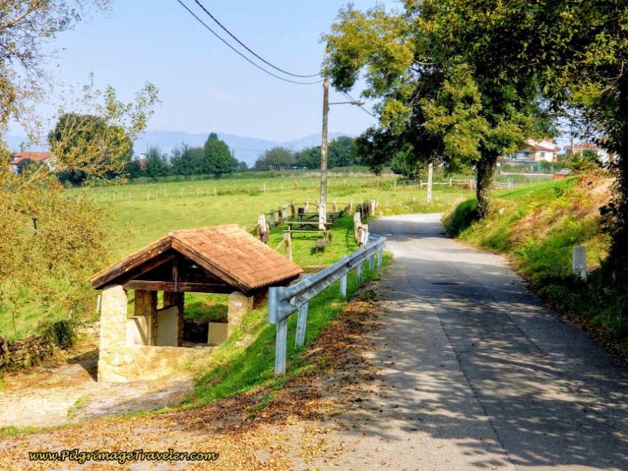 Pass Picnic Area and the Fuente El Árbol
We rested and snacked from the food in our pack, a necessary thing on any Camino and were content.
270 meters or so onward from the picnic area, you come to a T-intersection in the town of Los Prietos and turn right. Continue on your steady climb on the pavement for another 300 meters.
After about 15.3 kilometers into day six, the Camino del Salvador takes you to a small triangular square with benches. This is finally the top of the third climb of the day in an area known as La Manjoya.
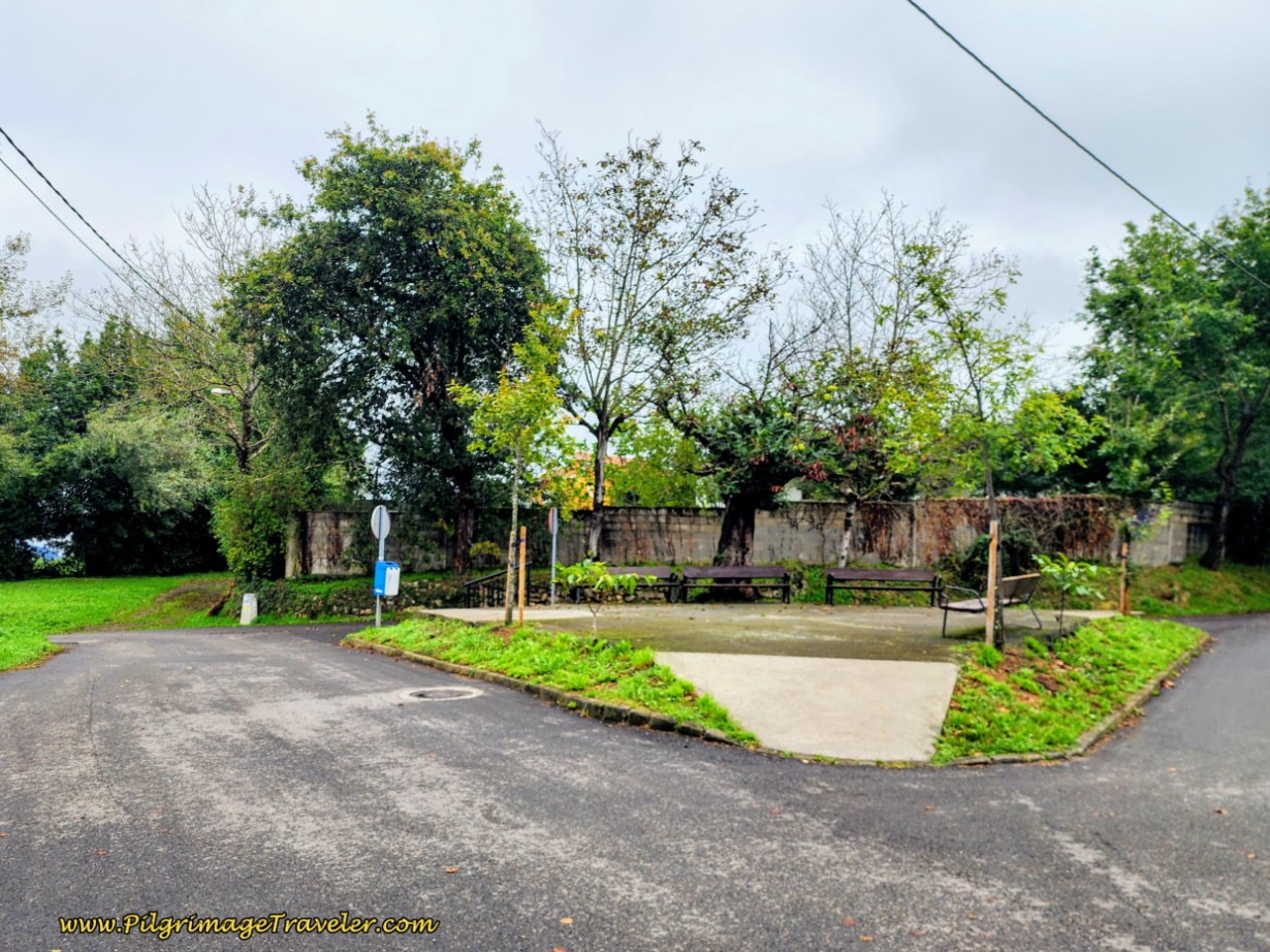 The Third Top at La Manjoya
From here, you may be able to discern in the photo above, a more inviting path leading straight on, that you would think is the Camino. It is not. The Way turns to the left here and continues on the paved road, essentially staying straight on, all the way into Oviedo for the next 1.2 kilometers.
Only 200 meters after the turn, come to a crossroads, where you will see your first place to get something to eat or drink, the Sidreria El Caseron, a cider house, below. This bright blue building jumps out at you!
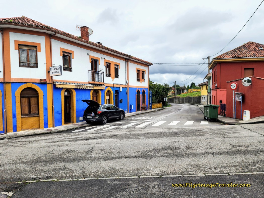 Sidreria El Casaron
Jump to Camino de San Salvador Stages
Glimpses of the city abound as you make your descent on the pavement.
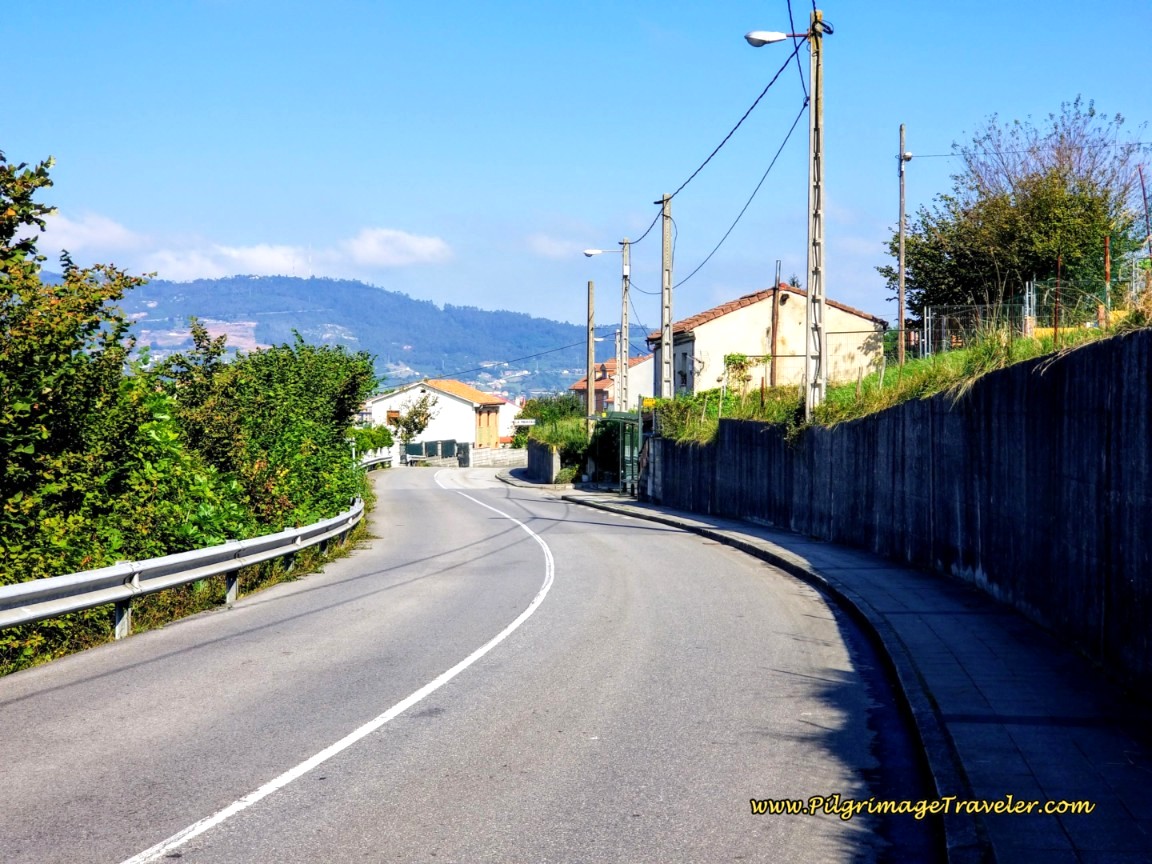 Entering the Outskirts of Oviedo
Below you can see the views westward, again, with the prominent architecture of the white archway of the Modoo Shopping and Convention Center.
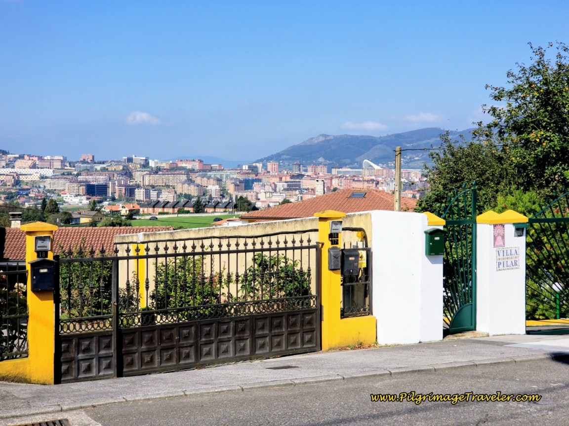 Modoo Shopping and Convention Center and the City of Oviedo
The views of Oviedo and its surrounding hills are wonderful. You may be able to make out the tall white statue on the distant hill in the next photo. This is the famous Monumento al Sagrado Corazón de Jesús or Monument to the Sacred Heart of Jesus. You can visit it when you walk to the UNESCO churches of Naranco on the hill just below it. Click on the links for a view of these sites to perhaps put on your bucket list when you visit Oviedo.
And shortly onward, after about 16 kilometers into the day are the ruins of the 15th century Ermita de Santiago de la Manjoya. There is very little left of it, hence I have included no photo, but there is a Camino sign marking its location that you can see in the photo below. The current church of Santiago de la Manjoya is down the hill a bit more on your left.
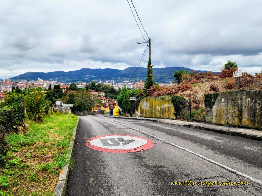
And then shortly after, the very welcoming sign appears, also seen in the photo, letting you know that you have entered the city limits of Oviedo! After entering the city limits you will begin to see brass shells on the sidewalk!
Continue the strong descent into the city, passing under the A-66 highway, until you reach the bottom of the hill at this park, below.
After approximately 16.6 kilometers, the Camino del Salvador turns left into the Parque de Invierno, staying high on the paved pedestrian pathway. This is the final small hill climb into the main part of the city.
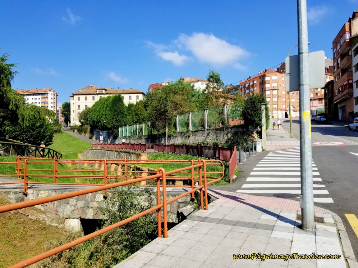 Left Turn at Parque Invierno
After approximately 200 meters on this pedestrian way through the park, come to a T-intersection with the Calle Gil Blas. Turn right as the Camino sign indicates, below.
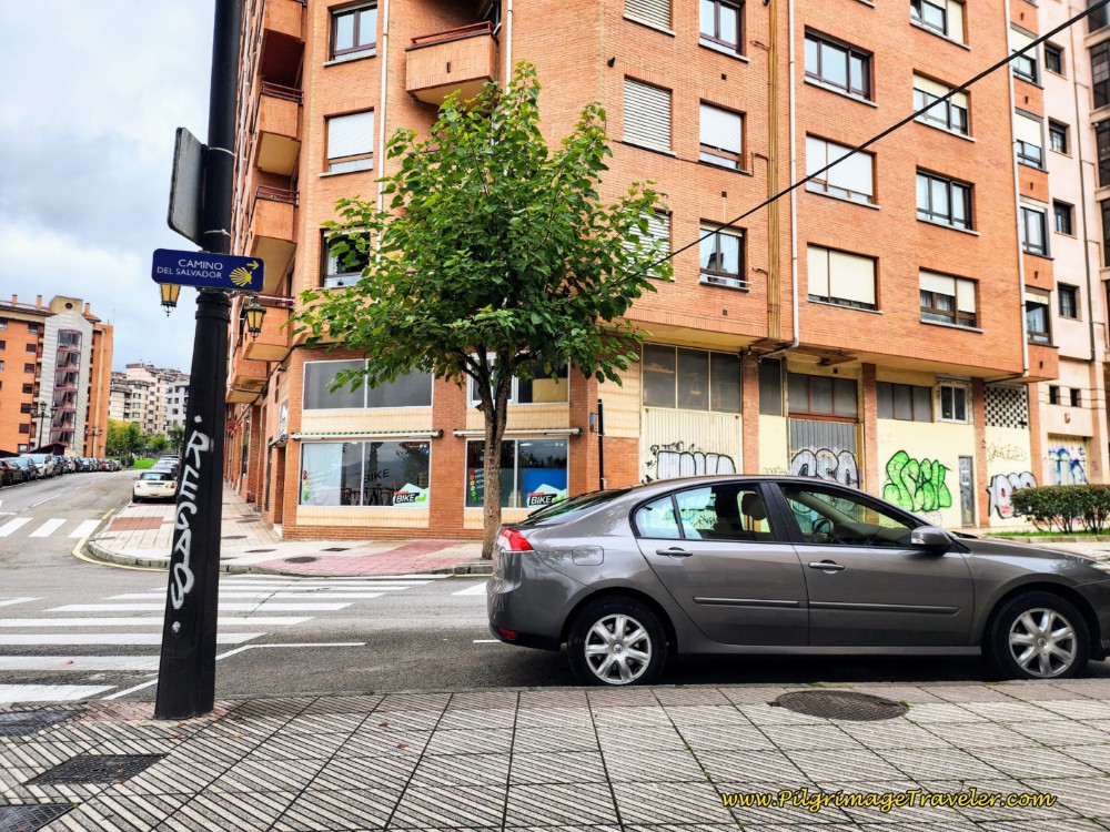 Right Turn Onto Calle Gil Blas
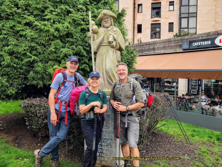
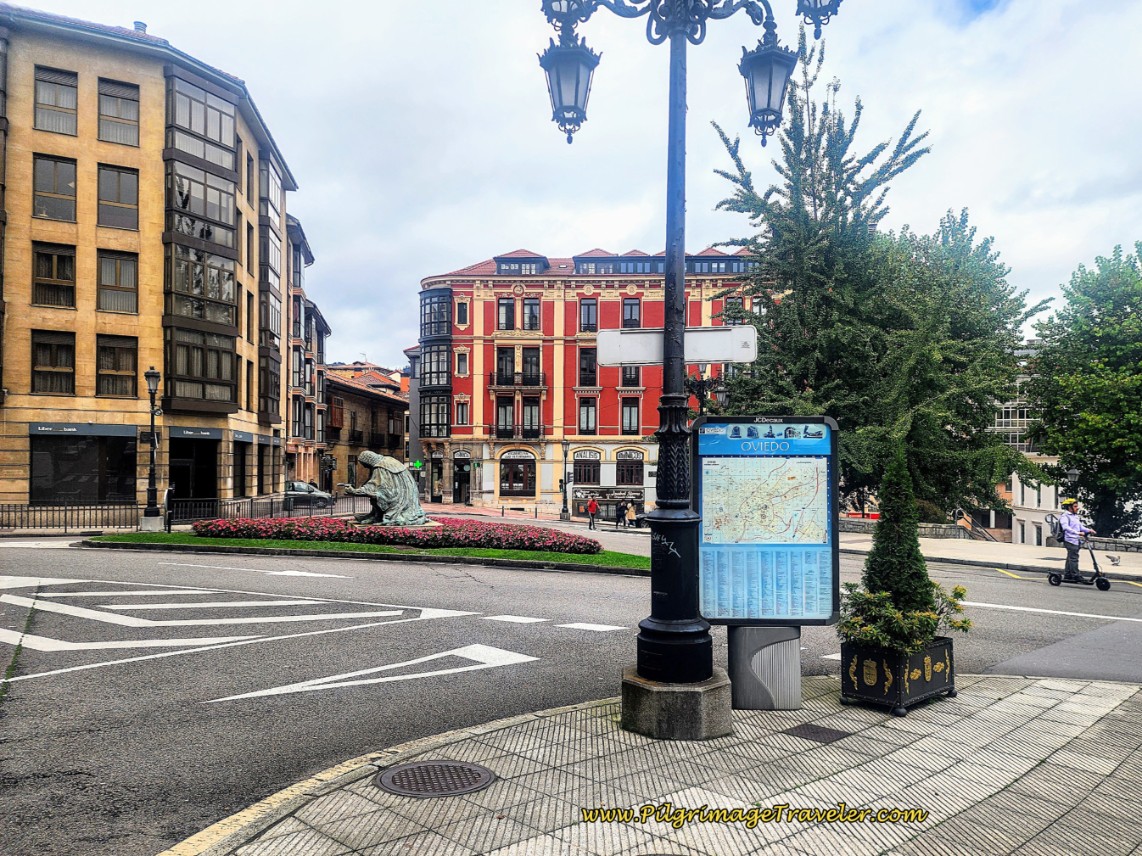
Take the immediate left onto the next street, the Calle Aurelio de Llano and walk for another 120 meters. The arrows for this turn were a bit difficult to find. Come out to a small traffic circle that intersects with the wide Calle Muñoz Degraín and this statue of St. James as a pilgrim appears on your right.
Also on this corner is the restaurant, El Horno de Lucky, where we stopped for something to eat. We had the best hamburgers I think we have ever had!
There are also grocery stores in this area (check my Google map) which is important since the albergue is just a few meters ahead.
After snapping your photo at the Santiago statue, cross over the wide Calle Muñoz Degraín and pick up the Calle Leopoldo Alas on the north side.
You can actually see the brown buildings of the Seminario Metropolitano de Oviedo dominating the view ahead, a mere 100 meters onward. This is the complex, which also houses the Albergue de Peregrinos El Salvador de Oviedo. It has 50 places.
After about 17.2 kilometers into day six on the San Salvador, the Camino comes to the brick monastery wall, shown below. Look for the door in the wall. The gate here may be locked if you arrive before 4:30 p.m. when the albergue opens.
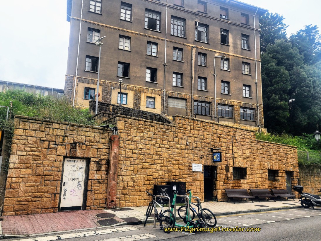 Entrance to the Albergue de Peregrinos El Salvador de Oviedo
Through the gate is a set of stairs, leading you up and to the right on a path to the albergue. The albergue is shown above the wall, and to the right in the next two photos.
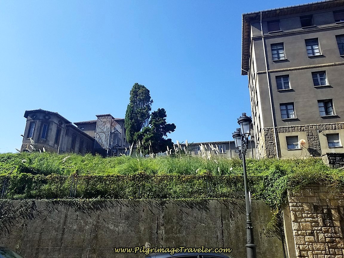
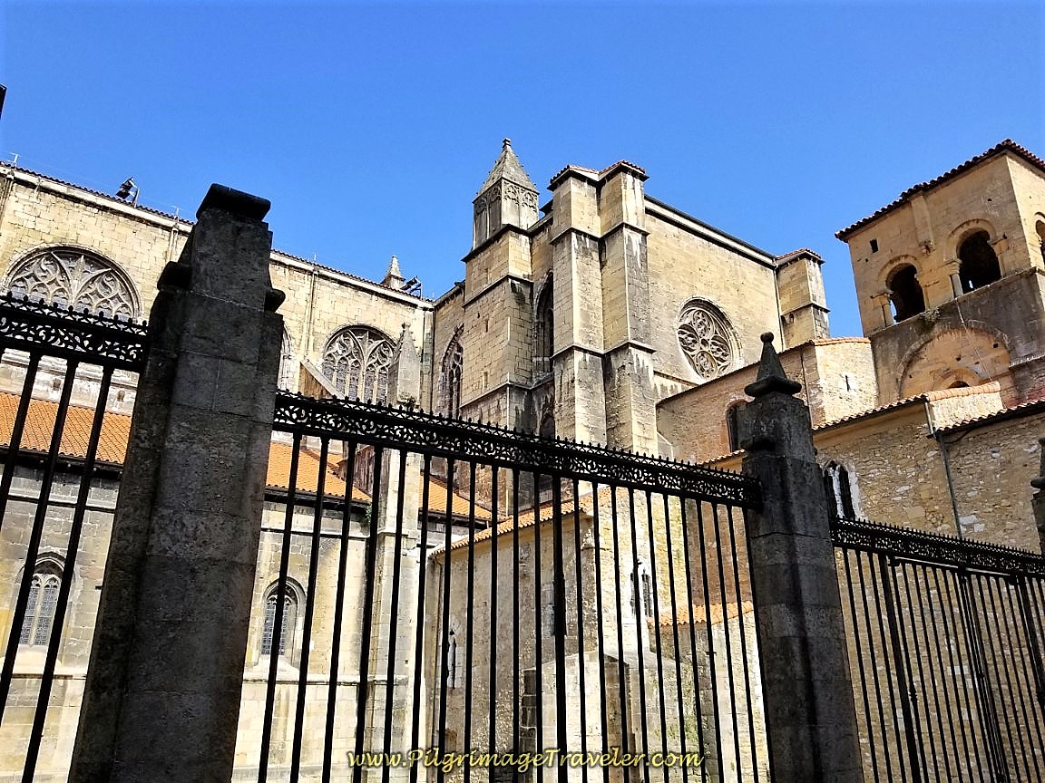 Seminario Looms Overhead Above the Wall
To finish your final steps (less than one kilometer) on the Camino de San Salvador on day six, continue northward on the Calle Leopoldo Alas.
After 400 meters from the albergue, come to an intersection with a small triangular median, with the Campomanes Memorial, the first Count of Oviedo, pictured below. Cross over on the right side of the median and pick up the red-brick pedestrian street, the Calle Magdalena on the other side. It is directly behind the memorial in the photo. Continue straight on and northward along the Calle Magdalena.
You are now in the heart of the center of Oviedo and very close to the cathedral! About 160 meters after entering the pedestrian way, come to the Plaza de Constitución, and the massive town hall building, shown below. The Camino del Salvador actually goes through the archway in the middle of the building and continues along the pedestrian way.
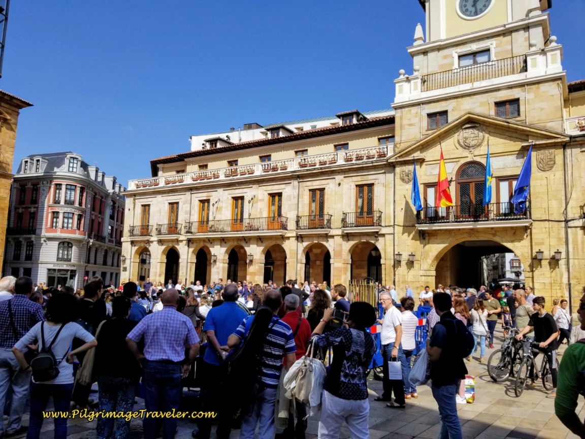 Ayuntamiento de Oviedo, Town Hall
When we arrived here there was a free symphony performance in the plaza and crowds of people. If you look left (west) the lovely Iglesia de San Isidro can be seen, shown below. You can see the orchestra set up in front of it. May you be so lucky!
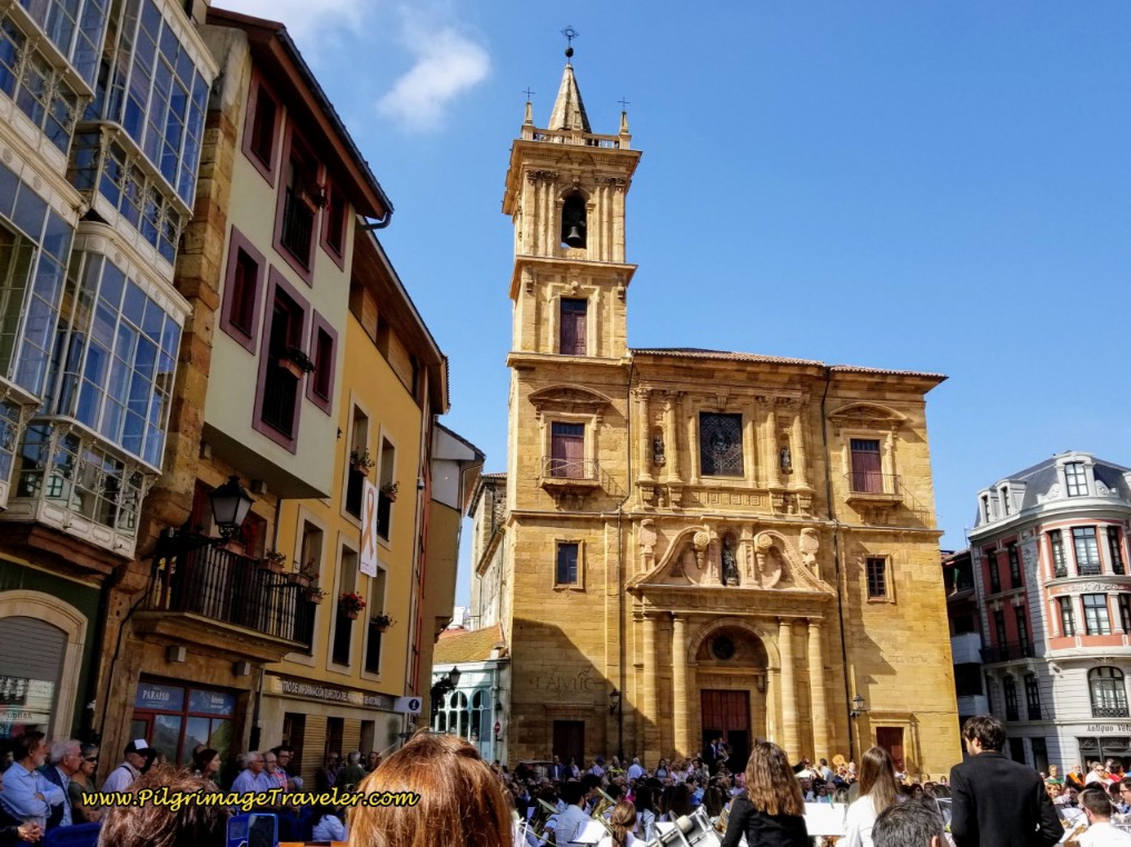 Iglesia de San Isidro
There is also a tourist information center to the left of the San Isidro Church, if you need it.
After passing through the archway of the Oviedo town hall, it is less than 200 meters to the Plaza de la Catedral! When you see this opening ahead, the plaza is almost before you!
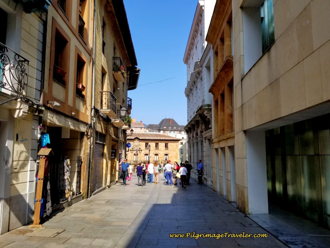 Steps From the Plaza and Cathedral of Oviedo
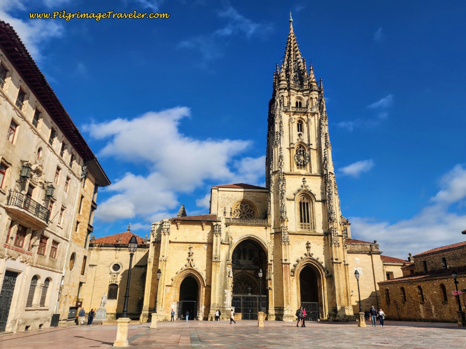
And then suddenly, as you enter the plaza, the Cathedral of Oviedo rises up to the right, before you! It is a marvelous sight, as it must also have been to all pilgrims over the centuries. It is especially lovely after having navigated the difficulties of the high mountain ranges. We had entered the plaza just before two in the afternoon.
After checking into our Hotel Astures, we cleaned up and rested before our cathedral visit later that evening. (Make sure you check the opening times, usually 10 a.m to 1 p.m. and 4 p.m. to 7 p.m., but it may close at 5 p.m. when the winter season starts!) The Astures is a nice hotel to the north of the cathedral and is a good value. Click on the link to see it.
Currently, the entrance to the cathedral is free for pilgrims, however that has changed back and forth over the years! The price is currently 7/8 euros for a regular adult/senior. The reception for pilgrims is now at the main entrance, where the clerk will also give you the Salvadorana certificate in an official manner, but without any fanfare. It used to be that pilgrims were treated like royalty when they arrived at the cathedral for the Salvadorana, but as the numbers steadily increase, this is no longer true. I miss that time!
Plus, you are not allowed to enter the cathedral with your backpack, so make sure you have your accommodation store it for you if you arrive into town before their check-in. You will have to arrive very early into Oviedo to make it to the cathedral before one p.m. when it closes until four p.m. for siesta! Don’t forget your credential if you are getting the Salvadorana.
There are many other accommodations in Oviedo, if you prefer something other than the albergue. We have also stayed in the Pensión Romero, near the train station to the west. It is an even greater value, but clean and accommodating and very close to the Camino Primitivo if your goal is to continue on to Santiago.
And we have stayed at the Hotel and Restaurant Ovetense, another comfortable family-run place, mere steps from the cathedral. Their restaurant at lunchtime is always packed!
For more information about the cathedral, the city of Oviedo and its wonderful sites, click here for my article on it. The UNESCO world heritage churches of Naranco, in the outskirts of town are also a must see!
Oviedo is full of wonder and history, and is the origin of the very first Camino route, the Camino Primitivo. Spend some time here if you can! It is a glorious city. And consider walking on to Santiago. The Primitivo is a lovely mountain walk, longer, but less difficult than the San Salvador in my opinion.
Reflections on Day Six of the Camino de San Salvador
Our day was a very enjoyable day, not too difficult and with gorgeous scenery. The 18 kilometer distance was perfect, and allowed for slow walking with plenty of breaks and lots of time left over for exploring Oviedo.
I had made it, despite my knee, but as a result made the executive decision not to push my knee more by going farther on the Camino Primitivo. This was our plan, but it was not in the cards for this trip. My next journey on the Primitivo could wait.
The San Salvador is not for the weak hiker. In my opinion, it is best to ignore the five standard stages, as we should have done, and take it slower over more days. It is a beautiful walk, and I would hate to see others suffer as I did.
It was a humbling experience for me, always the strong, mountain climber from Colorado! But the mountain remained unmoved, for sure. My own spirit was not as strong as the mountain this time, at least not in the way I had approached it.
This journey for me was not about moving mountains, but about adapting to them. It was about taking their steep slopes slower and for less daily steps. All in all the journey was still completed, even in the mist where no surety could be expected.
And so it was.
Salutation
May your own day six on the Camino de San Salvador and your entire journey to Oviedo be slow and steady as you navigate your own mountains, internal and external. May your mist not be too thick as you approach the unmovable mountains with reverence and care! Ultreia!
Camino de San Salvador Stages:
Please Consider Showing Your Support
Many readers contact me, Elle, to thank me for all the time and care that I have spent creating this informative website. If you have been truly blessed by my efforts, have not purchased an eBook, yet wish to contribute, I am exeedingly grateful. Thank you!
Search This Website:
🙋♀️ Why Trust Us at the Pilgrimage Traveler?

We’re not a travel agency ~ we’re fellow pilgrims! (See About Us)
We've trekked Pilgrimage Routes Across Europe since 2014!
💬 We’ve:
- Gotten lost so you don’t have to. 😉
- Followed waymarks in the glowing sunlight, the pouring rain and by moonlight. ☀️🌧️🌙
- Slept in albergues, hostels & casa rurals. Ate and drank in cafés along the way. 🛌 😴
- Created comprehensive and downloadable GPS maps and eBook Guides, full of must-have information based on real pilgrimage travels. 🧭 🗺️
- Shared our complete journeys, step by step to help YOU plan your ultimate pilgrimage and walk with your own Heart and Soul. 💙✨
Every detail is from our own experiences. Just fellow pilgrims sharing the Way. We have added a touch of spirituality, heartfelt insights and practical guidance from the road ~ offering a genuine connection to the spirit of pilgrimage. Tap into the wisdom of seasoned pilgrims!
Ultreia and Safe Pilgrimage Travels, Caminante! 💫 💚 🤍
Follow Me on Pinterest:
Find the Pilgrimage Traveler on Facebook:
Like / Share this page on Facebook:
***All Banners, Amazon, Roamless and Booking.com links on this website are affiliate links. As an Amazon associate and a Booking.com associate, the Pilgrimage Traveler website will earn from qualifying purchases when you click on these links, at no cost to you. We sincerely thank you as this is a pilgrim-supported website***
PS: Our eBook Guide books are of our own creation and we appreciate your purchase of those too!!
Shroud Yourself in Mystery, along the Via de Francesco!
Walk in the Footsteps of St. Francis, and Connect Deeply to the Saint and to Nature in the Marvelous Italian Countryside!
Need suggestions on what to pack for your next pilgrimage? Click Here or on the photo below!
Find the Best Hotel Deals Using This Tool!
Carbon Trekking Poles ~ My Favorites!
Carbon fiber construction (not aluminum) in a trekking pole makes them ultra lightweight. We like the Z-Pole style from Black Diamond so we can hide our poles in our pack from potential thieves before getting to our albergue! There are many to choose from! (See more of our gear recommendations! )
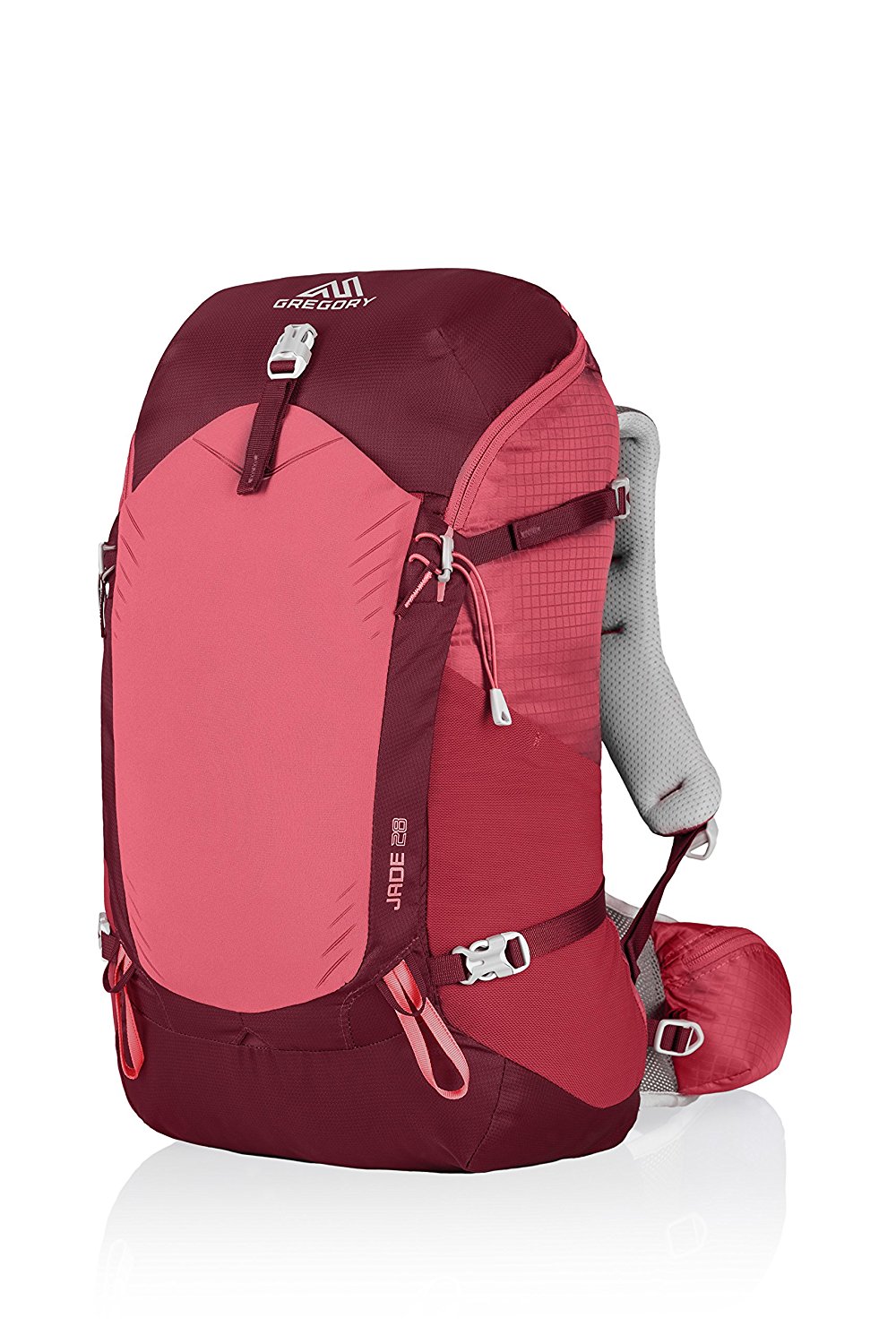
Gregory BackPack ~ My Favorite Brand
Do not forget your quick-dry microfiber towel!






Your Opinion Matters! Comments
Have you had a similar experience, have some advice to give, or have something else you'd like to share? We would love to hear from you! Please leave us a comment in the box below.