- Home
- ~ Camino Portugués (The Portuguese Way)
- Day Thirteen, Albergaria to Sao Joao da Madeira
Jump to Camino Portugués Stages
Day Thirteen on the Camino Portugués
~ Albergaria-a-Nova to São João da Madeira, 22.9 Km (14.22 Miles)
Our day thirteen on the Camino Portugués was full of interesting railroad crossings, a walk on medieval bridges, through the historic town of Bemposta and up and down many hills. While the hills made the walk more difficult, it also made it much more interesting.
We would have loved to shorten the next day, our day fourteen, as much as possible, which would have been a total of 33.6 kilometers if we had done the whole traditional stage, all the way to the cathedral Sé from São João da Madeira. Instead we trimmed off 2 kilometers by staying in Vila Nova de Gaia, a southern suburb of Porto, at the Holiday Inn. It is out of the way and pricey for a pilgrim, but we had points saved up that we wanted to use for our two nights there.
We found the actual walk on day fourteen to be farther than expected, so some planning ahead on day twelve and thirteen might save you some headaches on your final leg into Porto. I don’t know about you, but I like the day into a big city to be short and sweet, allowing for plenty of time to explore!
Another option is to lengthen your day twelve from Águeda, as noted on day twelve, walking all the way to the Albergue Casa Católica, +351 916 571 106, in Branca, about 10 kilometers additional from the traditional stage, after Albergaria-a-Velha. This makes for a very reasonable day’s total of 25.7.
Alternatively, if you have even more energy to lengthen your day thirteen, you can walk an additional 7/7.8 kilometers from São João da Madeira to the Malaposta area, for about a 30/30.8 kilometer total day. After 7.0 kilometers there is the Hotel Feira Pedra Bela, a bit of a splurge for a pilgrim and 800 meters later, the very economical Residencial Solar Albergue (+351 915 635 067), both right along the Way.
If you walked all the way to Branca (25.7 kilometers from Águeda), on your day twelve, the length of your day thirteen, from Branca to Malaposta, would be a total of 26.5/27.3 kilometers. That leaves the remainder of day fourteen at 26.6/25.8 kilometers total. Not a bad three days walking totals, in my opinion!
Or, your fourth choice to shorten day fourteen, is to make it two stages with a stop in Grijó at the Albergue in Grijó, after 18.5 kilometers from São João da Madeira, and a mere 15 remaining kilometers to Porto. With this option, you could see a lot in Porto in the afternoon of your arrival.
Reflection
Wanderer, your footsteps are the road, and nothing more;
Wanderer, there is no road, the way is made by walking.
By walking one makes the road, and upon glancing behind
one sees the path that never will be trod again.
Wanderer, there is no road - Only wakes upon the sea.
Caminante, son tus huellas el camino, y nada más;
Caminante, no hay camino, se hace camino al andar.
Al andar se hace camino, y al volver la vista atrás
se ve la senda que nunca se ha de volver a pisar.
Caminante, no hay camino, sino estelas en la mar.
~ Antonio Machado, "Proverbios y cantares XXIX" in Campos de Castilla
Map and Stats of Day Thirteen on the Camino Portugués
Here is my Google map from my GPS files, with accommodations available, places to eat and grocery stores. Zoom, pinch move around the map - it is interactive!
When you look at the elevation profile below, there is some climbing on day thirteen, in fact, three distinct ones, and in the heat of the day it can certainly feel strenuous. In actuality the elevation gains are at most about 125 meters (400 feet) each, and fortunately not too prolonged.
Camino Portugués eBook Guides
Our Downloadable Camino Portugués eBook Guides in PDF Format contain all the valuable information from our web pages, for comfortable reading offline and without ads on your personal device. Don't carry a hard copy guide book to increase your pack weight. Use our digital guides on your next Camino instead!
Our ebook guides are packed with frequently updated information, because a digital format is more nimble than hard-copy publishing. Our eBook Guide is unique because we also entertain and immerse you with our story! Click on any eBook above for more information.
Buy only what you need OR buy ALL FOUR eBooks for the price of THREE - a 25% savings! Click here for more information or BUY NOW at only 17.85!
Jump to Camino Portugués Stages
Photo-Rich Travelogue of Day Thirteen on the Camino Portugués
We started off our day with full bellies, after the Albergue Albergaria-a-Nova's hearty and inexpensive continental breakfast. It was lovely to start out this way and yet the day was heavy with humidity as we set off north on the N1.
My own heart was heavy setting out, and I had a hard time getting into the rhythm of the walk. It was oppressively humid this morning and we shed our layers quickly. I couldn't seem to get anything right, not my water tube, my walking sticks, my pack, nor my hair! Nothing felt right.
The loneliness and repetition of it all was weighing on me. Everything felt so redundant. Even the photos I was taking seemed like the same ones I had taken the day before! The trucks rushing by on the main road bothered me too!
I forced myself to reflect on the redundancies of life. How do I deal with the ins and outs of it? How do I deal with the boredom versus dealing with events that shake up my life? All good questions, that were there for me to continue to consider.
Walking on the busy road, though noisy, was at least safe with the nice cobblestone sidewalk for pedestrians.
The way diverts to a side road, called the Rua Velha, off the N1 and to the right, within about 300 meters, below. However, if you need food passing through here, stay on the N1 for a bakery as the Camino rejoins the N1 a short distance ahead.
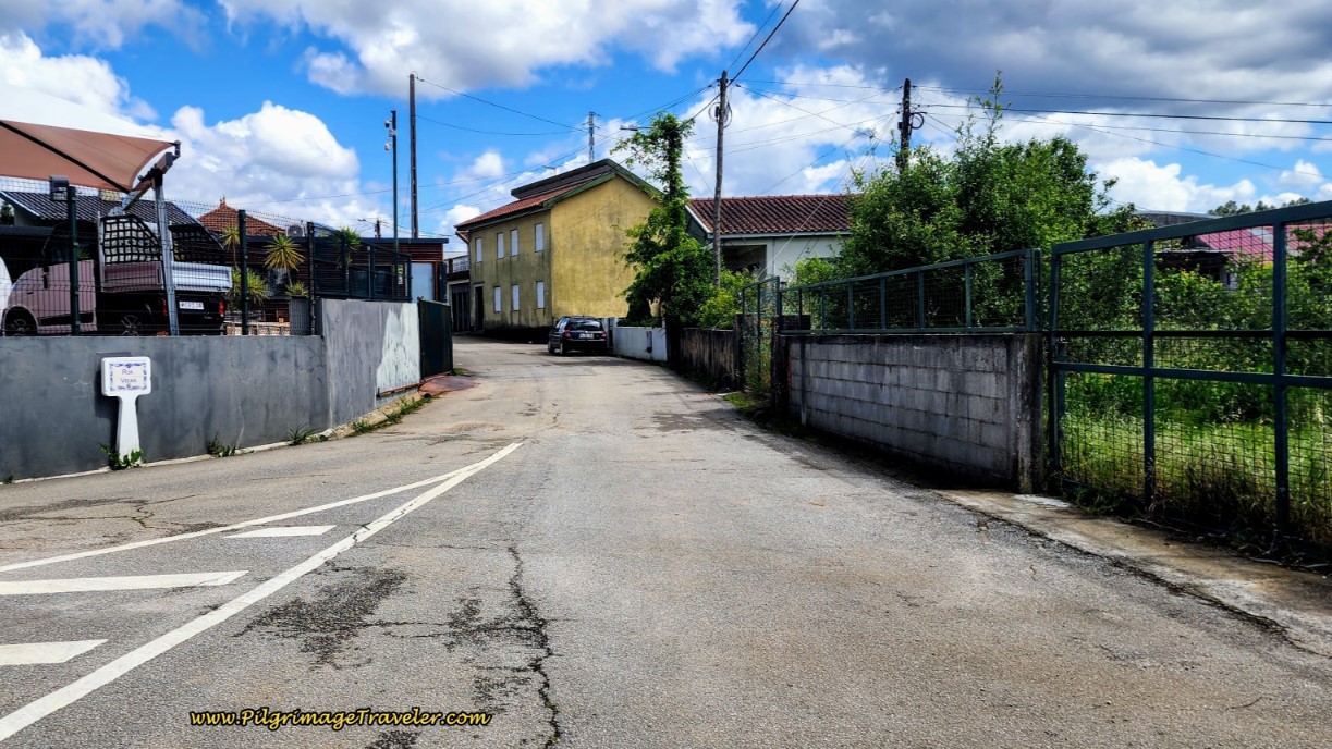 Right Turn onto the Rua Velha For One-Half Kilometer
The Camino rejoins the N1 after 1/2 kilometer along the Rua Velha and takes you north to the main intersection with the N1-12 at the center of Albergaria-a-Nova, below. There is a mini-market in this greenish building, and across the street is the Tomas Café. More opportunities for you to obtain food if needed.
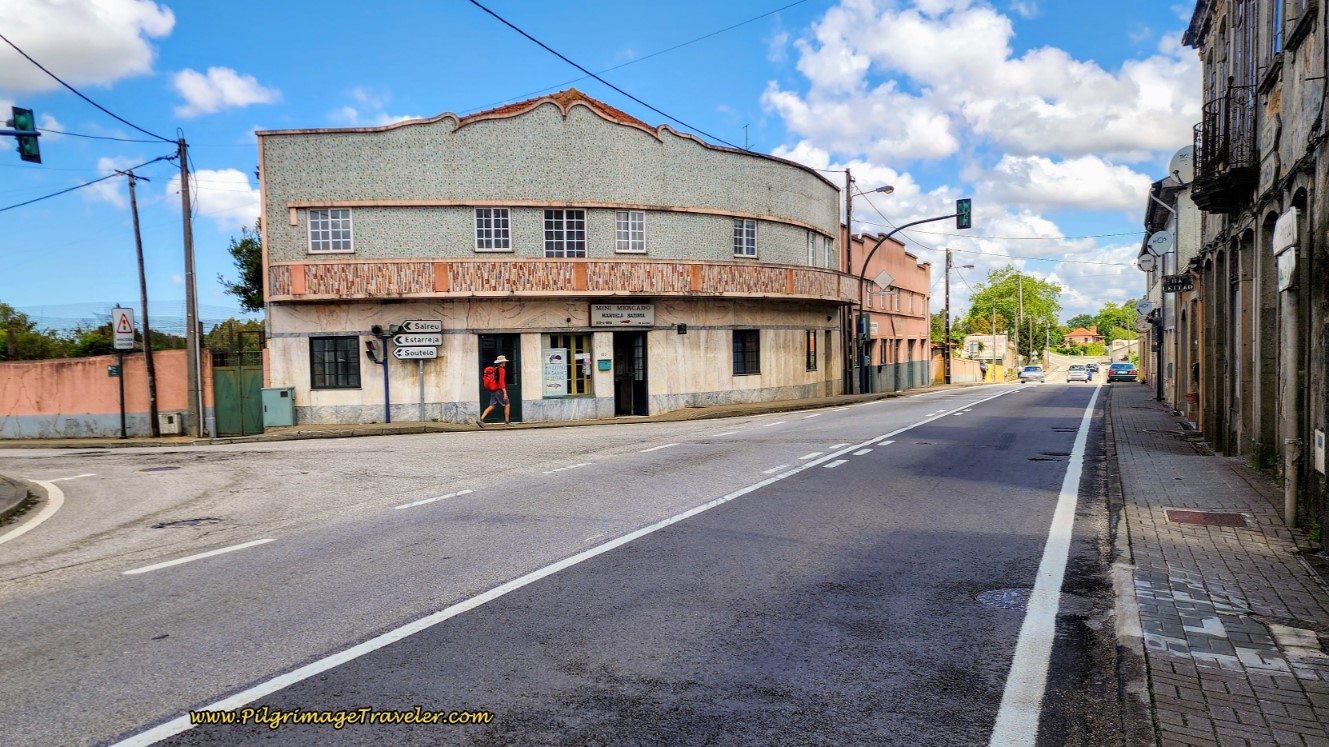 Mini-Market at N1-12 Intersection
Leave town, as noted by the sign below, after 1.2 kilometers.
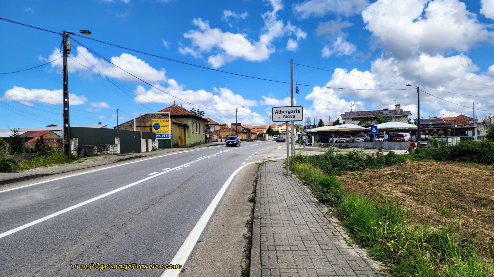
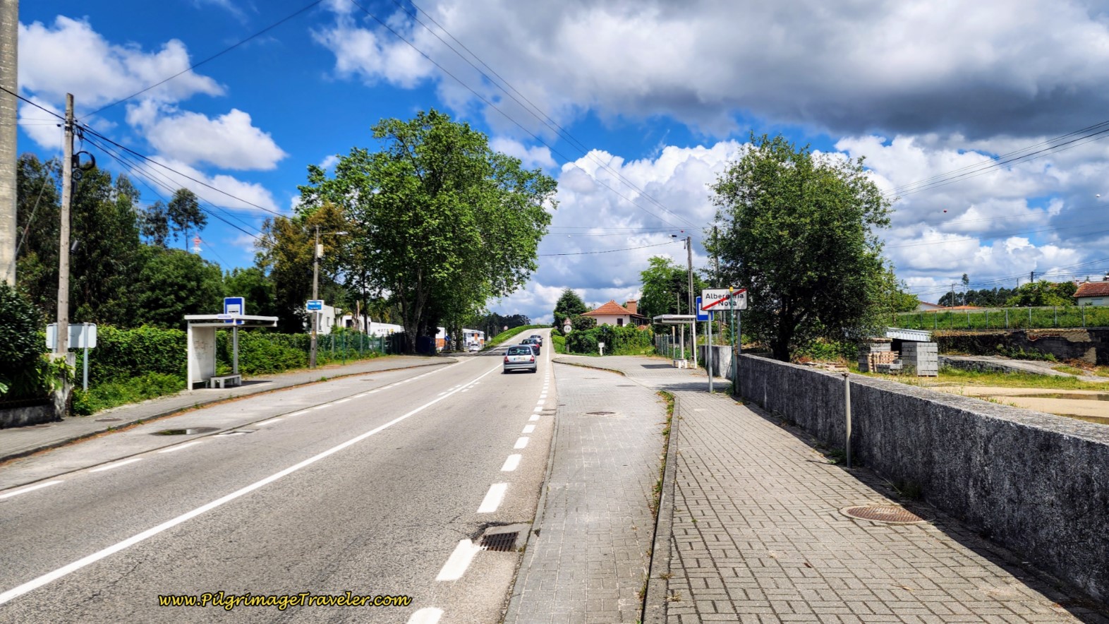 Leaving Albergaria-a-Nova on the N1
Less than 100 meters after the sign, we turned left off the N1 to join the Estrada Real, the Royal Road. Initially the Royal Road parallels the N1, then stays to the left to follow a railroad instead, farther along.
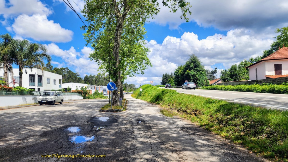 The Royal Road Parallels the N1
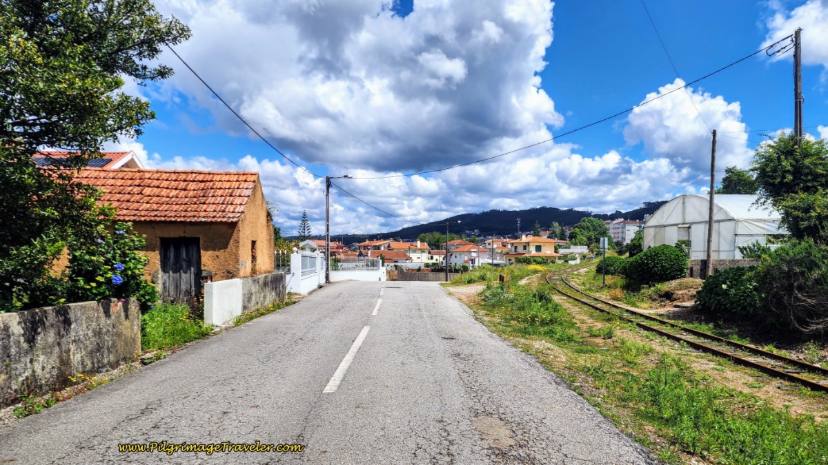 Farther Along, the Estrada Real Follows the Railroad
Continuing along the Estrada Real, after approximately 2.4 kilometers, we stayed straight at an intersection, where the road is now named Rua das Barreiras, in an area called Laginhas.
100 meters later at an intersection, pass a large open square with a small shrine and several benches where you can rest if needed.
250 meters after the square, we stayed to the right, at this distinctive intersection with the old stone building and another shrine, below.
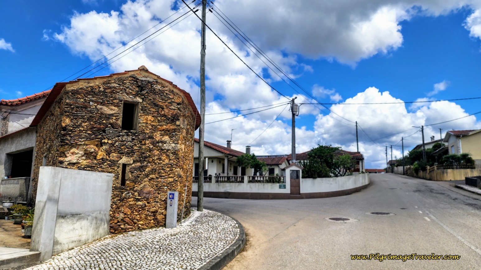 Stay Right Here
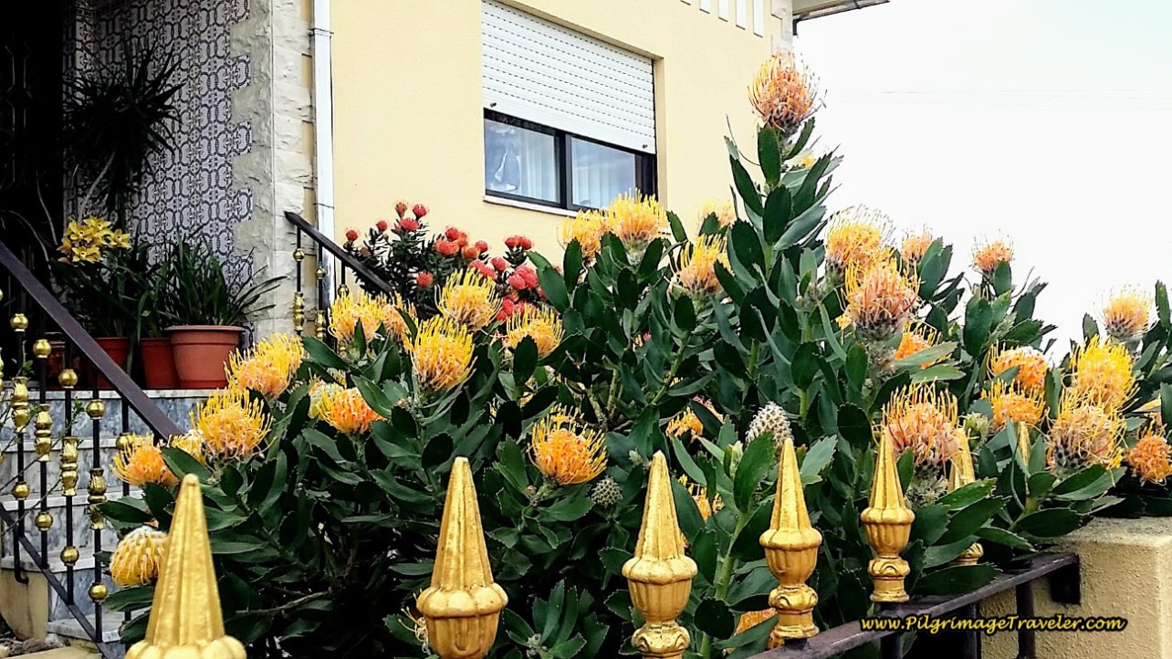
A lovely home graced us, with the King Protea, a tropical flower that matched their iron fence ornaments. I loved it!
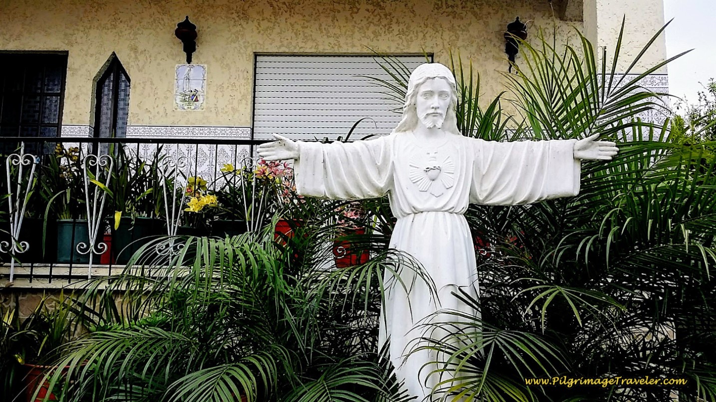
And in the garden of the same home, a statue of Jesus with the sacred heart and arms wide open drew me in. I was grateful to the homeowner for this. I felt loved.
After about 3.1 kilometers the pilgrimage travelers came to a T-intersection with the M533, turned right and then an immediate left onto the CM1453-1. Instead if you were to walk east, continuing on the M533, in one kilometer more you would encounter the Eco Hostel Quinta das Relvas, another economical choice in this area, with glamping tents and cottages.
Jump to Camino Portugués Stages
We were walking on quiet roads, still paralleling the N1 through rural areas, below. When you see the long yellow wall in the photo, you are approaching the Albergue Casa Católico (+351 916 561 106), where you can stay the night, for a donation. Look for it on the right side of the road.
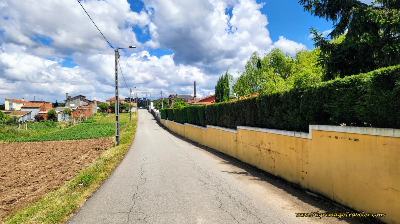 Walk on the CM1453-1
Arrive at the gate, after the white tower in the photo below, after 300 meters.
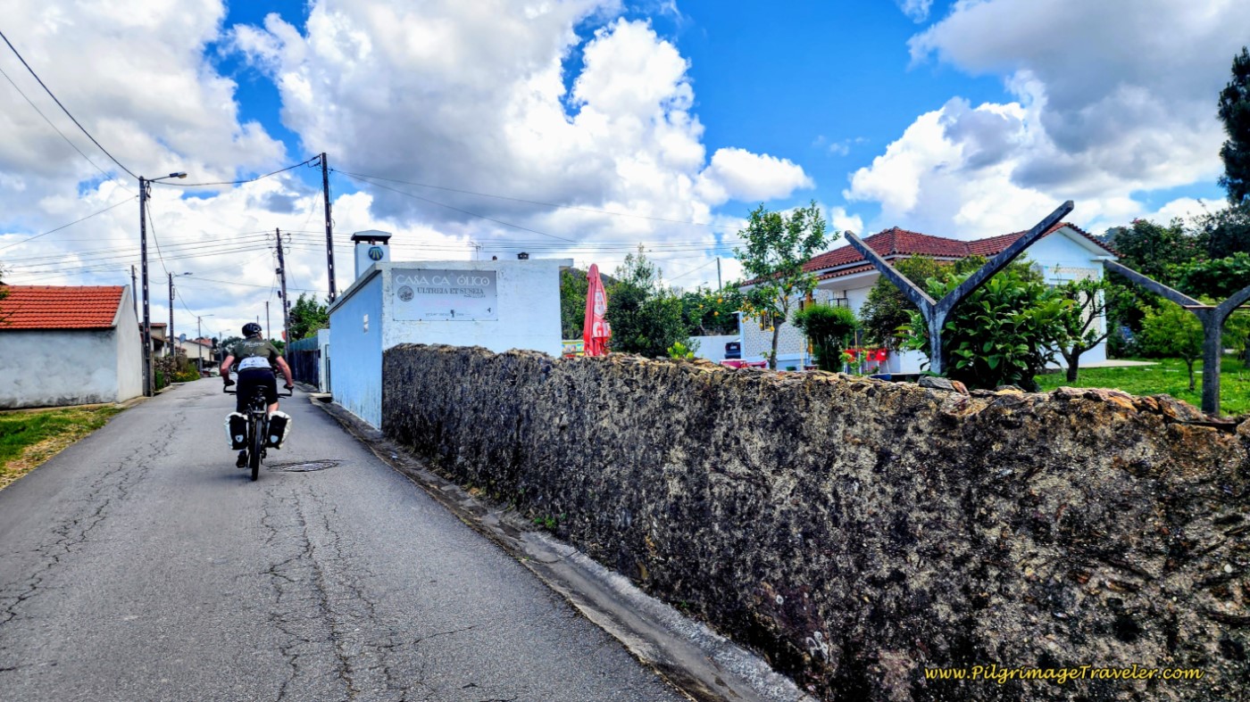 The Casa Católico
I can’t say enough good things about the Casa Católico. When we stayed here, the proprietor went out of his way to make everything as wonderful for the pilgrim as possible. He has opened his home on a donation basis and sees that all meals are provided along with the comfortable beds. The 18 beds are in various rooms, with a maximum of four people. There are snacks and beverages available for a donation as well. It is a true community service he provides.
Continuing on the quiet, paved CM1453-1 for about 350 meters past the Casa Católico, come to this wonderful little capela, below. Here the street is now called the Estrado dos Reis, again, the King’s Road.
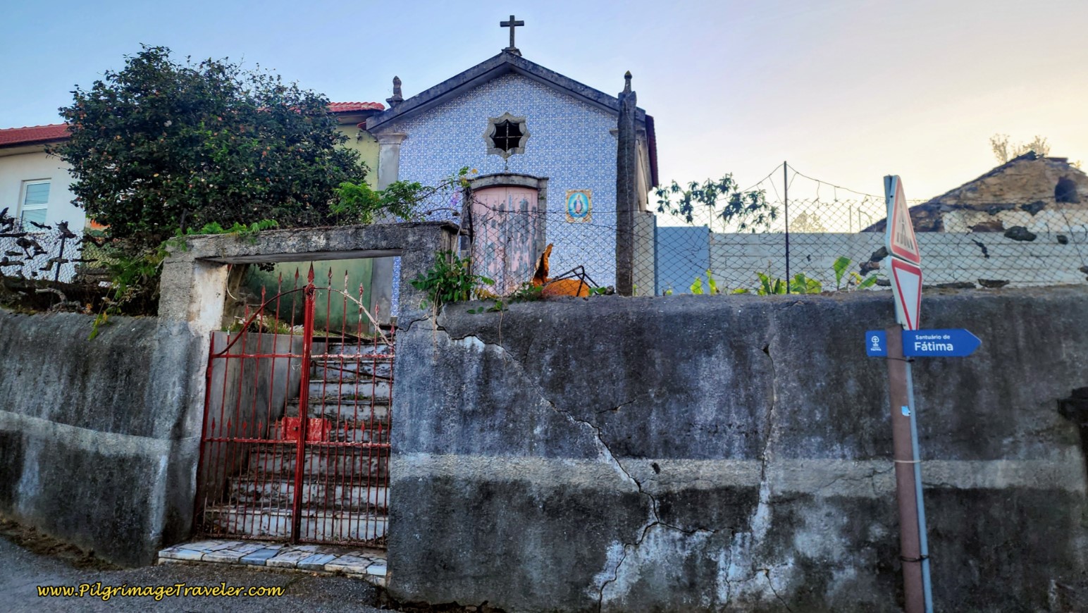 Pass Capela along the Estrado dos Reis
A few meters later at a Y-intersection, stay to the right. After the Y, at the bottom of the hill and after not quite four kilometers, you will see a picnic area and a fountain on your right, not pictured.
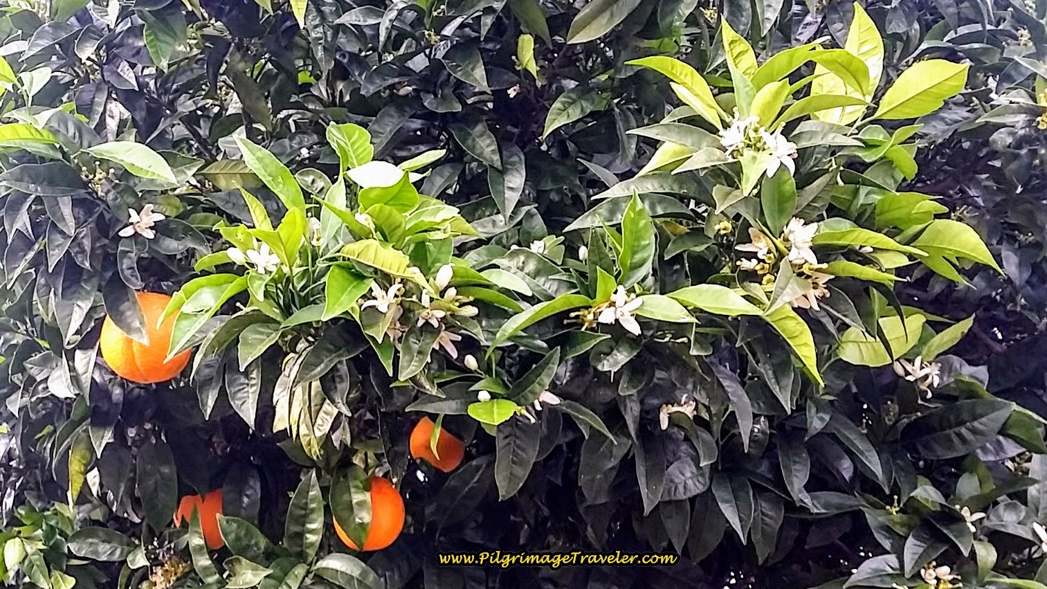
It was along this road that I noticed that the orange trees carried both fully ripened fruit and blossoms. Does this mean the tree bears fruit for many weeks? If so, what a wonderful thing! We continued to help ourselves to them when they were unkempt and had fallen.
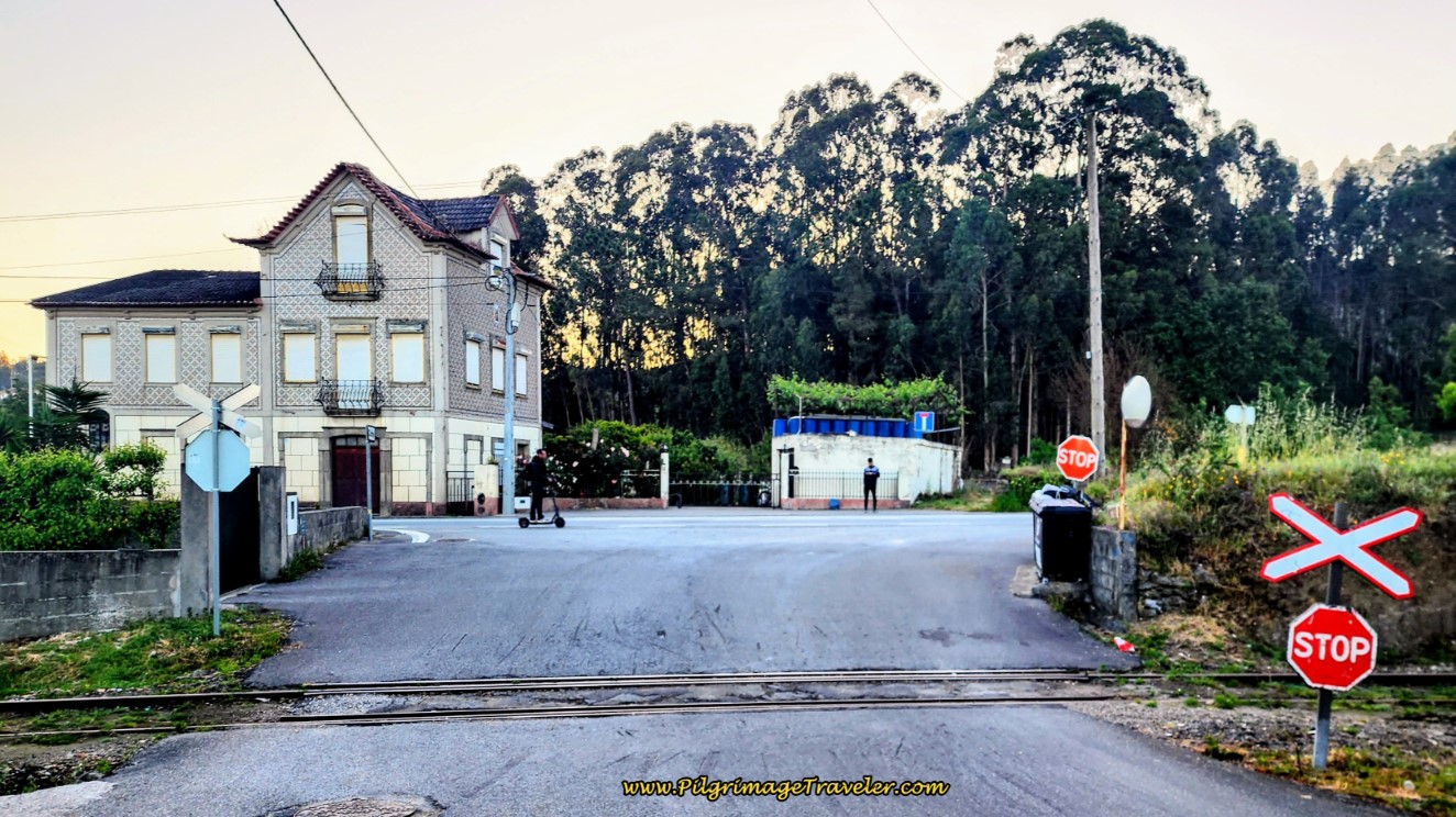
The Estrada dos Reis ends here, at this railroad crossing and at the junction of the N1 after about 4.4 kilometers.
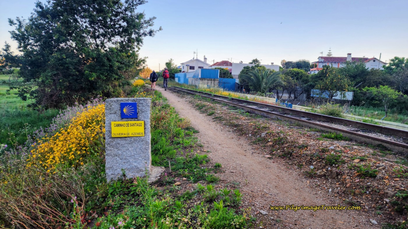
I was very happy not to cross over the railroad tracks to the N1, but to follow the tracks along this wonderful path to the left, shown below. There is something about railroads and the tracks that spark our imagination, isn't there? The vagabundo concept, the life of a wanderer, I think, that is so appealing.
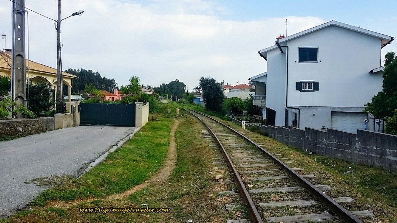 Path Along the Railroad Track
And here is a confirming waymark along the tracks that we were going in the right direction. Our Camino just took a turn for the more interesting!
This railroad path, unfortunately, lasted only about 300 meters and then back on the pavement of the Rua Tinturaria we went.
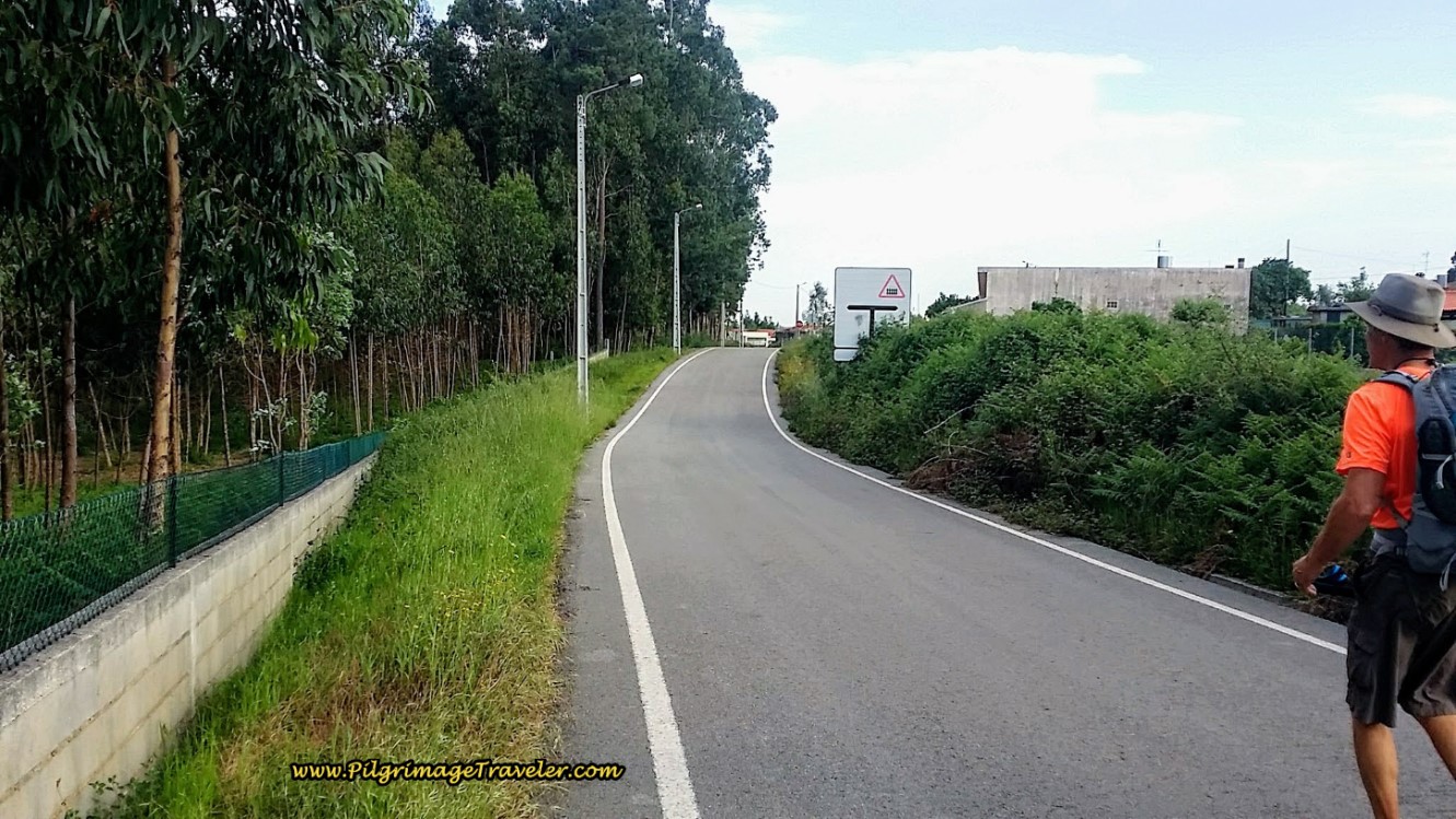 Camino Portugués Joins The Rua Tinturaria
Following the waymarks, on country paved roads, we took three more right turns. The first, after 1/2 kilometer from the tracks, onto the Rua do Lagar de Azeite for 1/4 kilometer, then the second onto the Rua da Gandara for 380 meters, and finally, the third onto the Rua dos Soares for only 100 meters. And then a final right, onto a more major road, the Rua de São Paio after almost exactly six kilometers, below. There are several cafes at this turn. Then we crossed back over the railroad tracks again and walked into the town of Pinheiro da Bemposta.
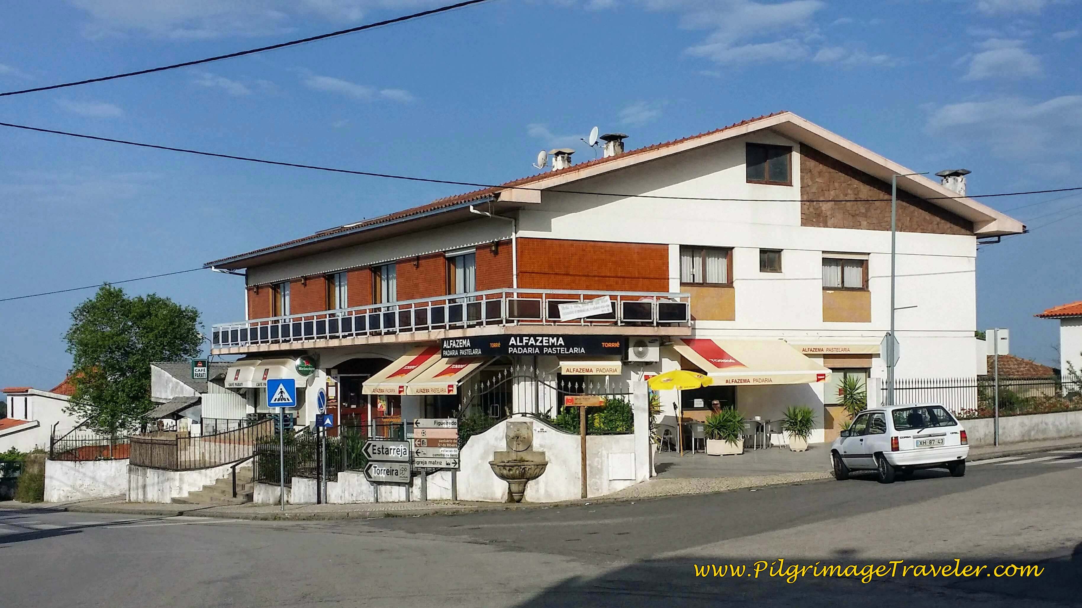
We walked up a small hill and soon came to the square in Pinheiro da Bemposta and one of the best cafés we had been to along the Way, the Alfazema Pastelari, shown below. We had logged only about 6.25 kilometers, a bit early for a stop, but the place looked too inviting to walk on by! We knew to seize an opportunity when it presented itself!
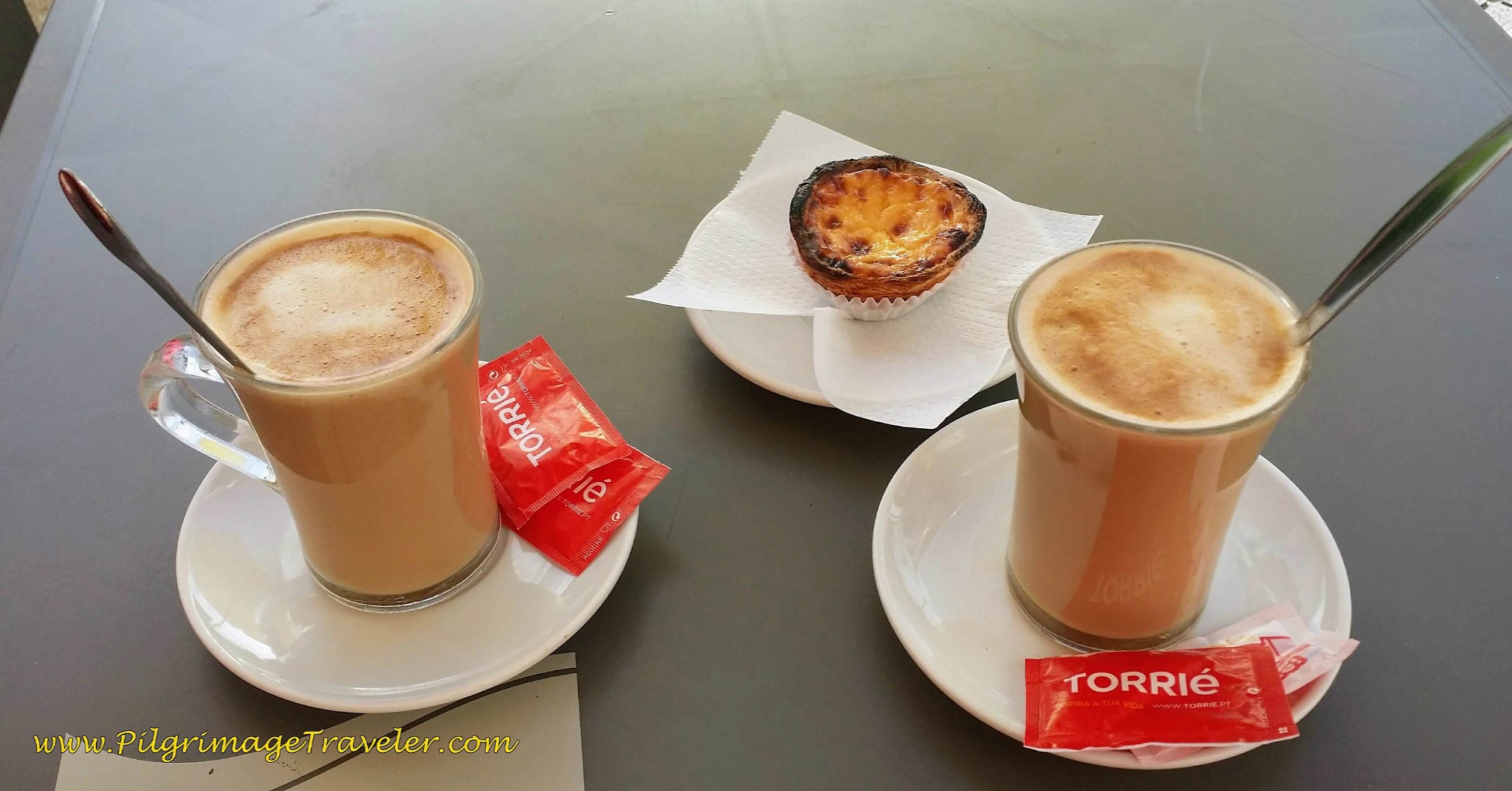
And what a delightful break it was! As I sat in the pastry shop, I noticed my mojo started to pick up! It's phenomenal what caffeine and sugar will do!
No sooner had we finished our delights when a bicyclist showed up with his walking partner close behind! While we had "made our own road by walking," it was a great pleasure to meet up once again with our Aussie mates!
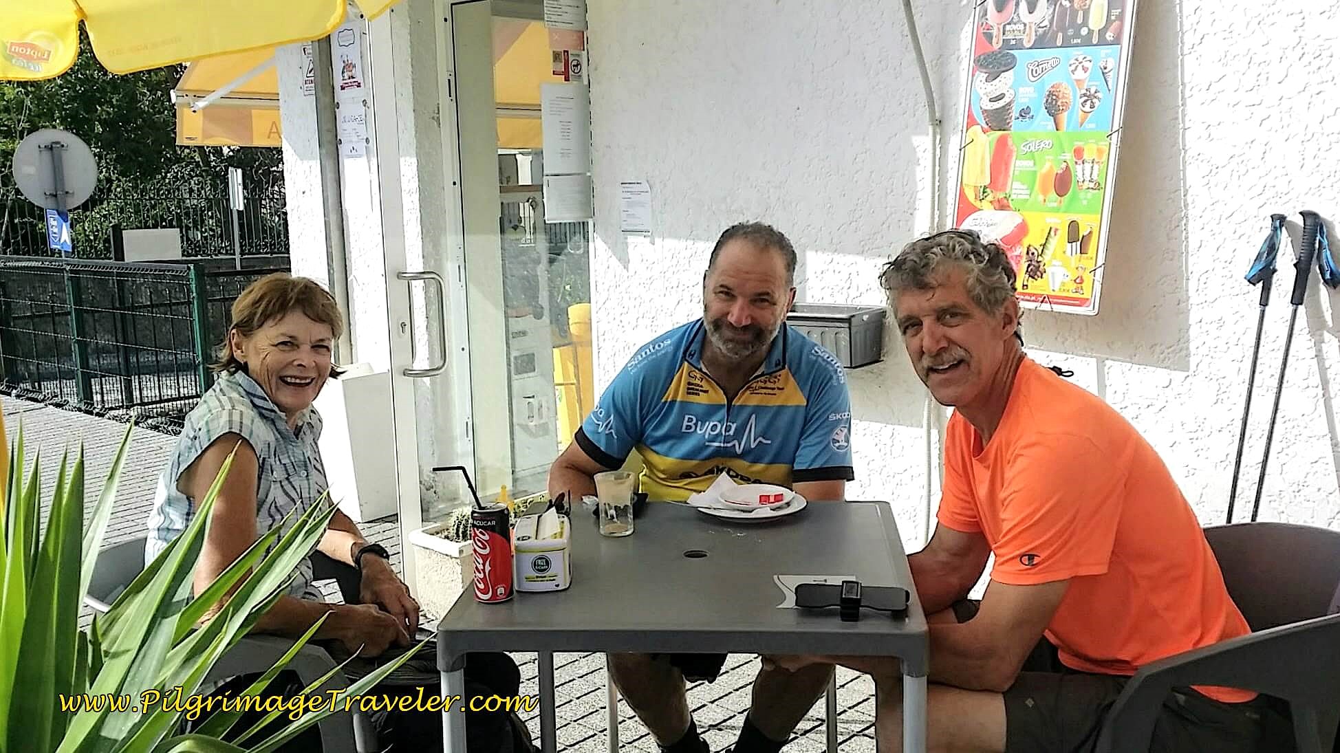 Christine, Chris and Rich at the Alfazema Pastelari
Jump to Camino Portugués Stages
After our break, we chose once again to make our own roads. We had different walking styles and paces, but we knew we would meet up again eventually.
Partially because our days were shorter with more frequent breaks, and partially because I was beginning to really get my Camino mojo, I was now feeling great on day thirteen of the Camino Portugués. Or maybe it was because we saw our friends again? Or maybe it was the caffeine and sugar? Whatever the reason, it was working for me and I rolled with it!
There are plenty of cafés in Pinheiro to take a break, all clustered around the square with a covered cross in the middle.
After walking straight through Pinheiro da Bemposta, and after a turn to the right at a Y-intersection, the road became the Rua da Banda de Música or the "Band Street Music," below. However this delightful street got its name, I didn't care, but it sure brought sweet music to me as I walked upon it!
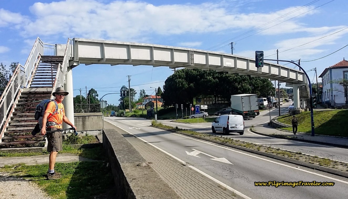
And soon enough, the all-too-familiar N1 was up ahead in our path, and we turned left just before the highway and crossed up and over it on this wonderful pedestrian bridge.
You may have noticed that you are now on a steady climb, and it will continue for the next two kilometers.
The view of the Rua do Pinheiro, ahead, from the top of the bridge was lovely, as we scanned the horizon towards our next destination.
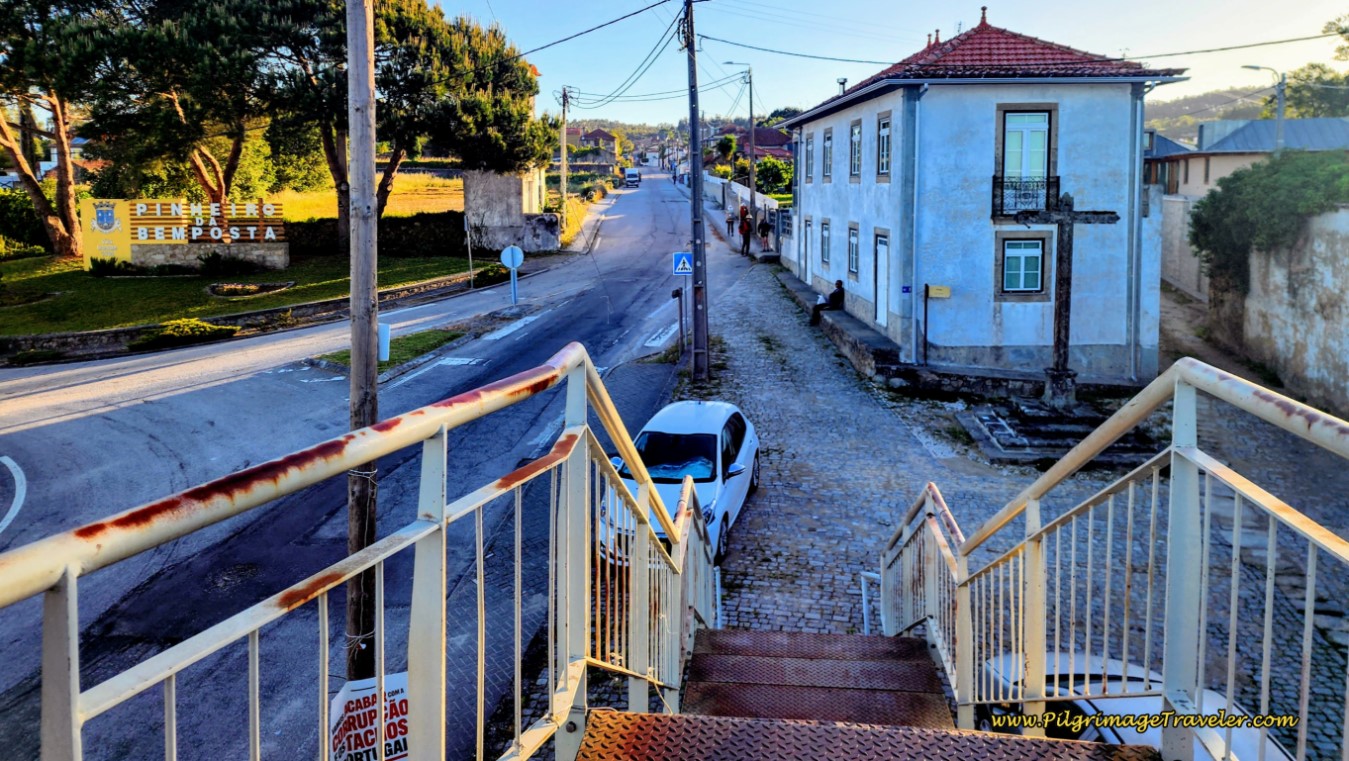 Towards the Rua do Pinheiro
From the Rua do Pinheiro, after about 300 meters, we turned right at a Y-intersection onto the Rua Dom Manuel, climbing toward the historic town of Bemposta. This turn is easy to miss, so stay alert! You would not want to miss this historic town!
Pass several cafés and a picnic area with a pavilion on the way to the center of town.
The Rua Dom Manuel becomes more narrow as it nears the historic section.
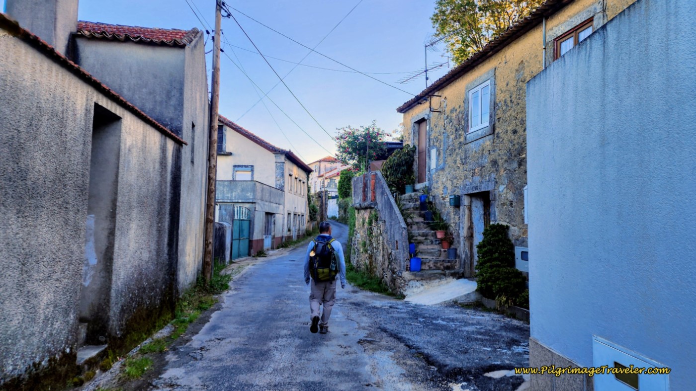
Soon, you feel like you are walking back through time, with the narrow street and the buildings, from a time gone by, below.
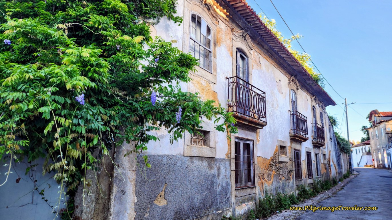 Historic Estate Along the Rua Dom Manuel
Walking through Bemposta is like an open air museum, its history elucidated by many helpful information boards, identifying various buildings, their date of construction and their purpose. Wonderful! I was enchanted walking through this historic town.
Bemposta, thriving from the 16th-19th centuries, was along the Royal Road, the Estrada Real, the same road that we have already been following. The Royal Road may have followed a Roman road and connected towns of major significance.
Arrive at the historic square, after about 7.8 kilometers into the day. At this square you have completed the first major climb of the day.
Just before the square is the Capela de São Sebastião, below, constructed of more recent azulejo tiles. You can read the information board about its interior. The chapel was closed when we visited.
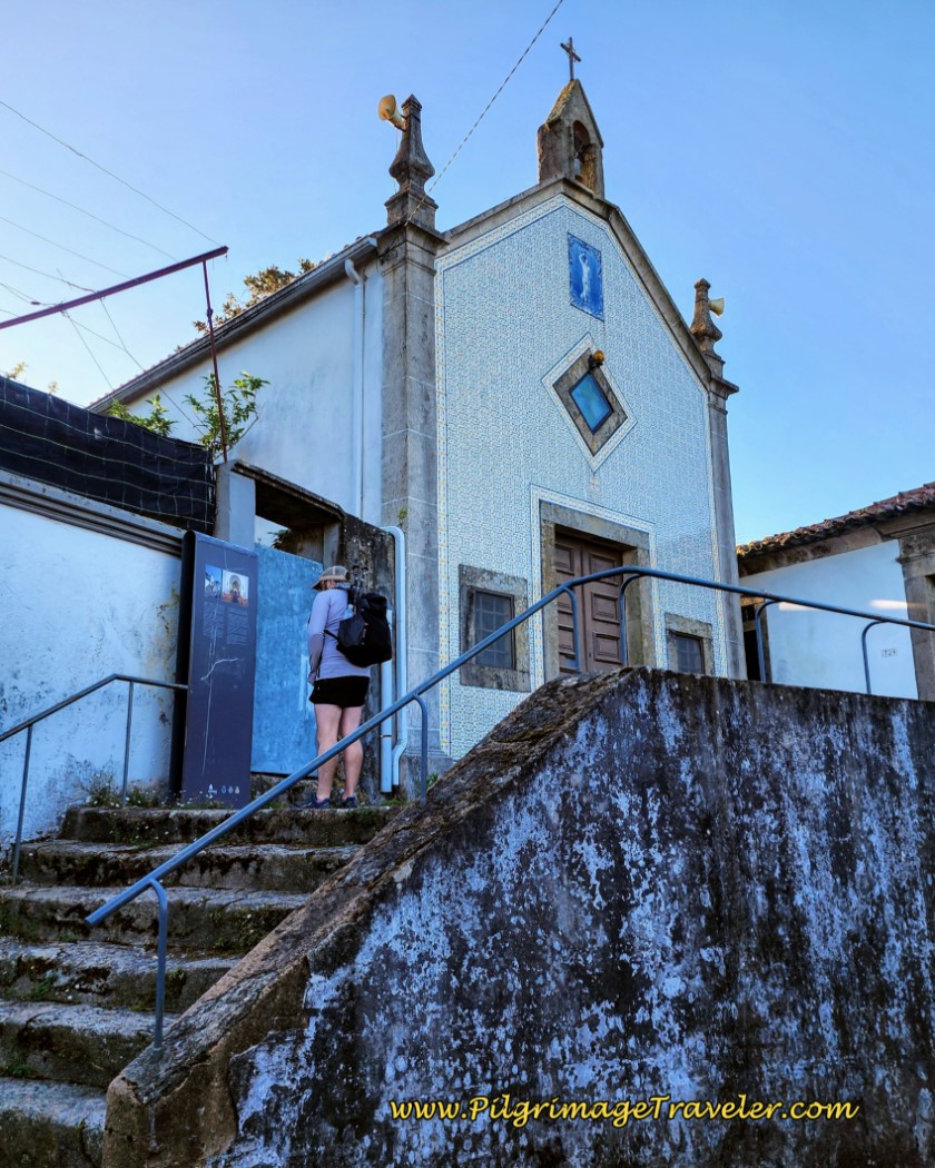 Capela de São Sebastião, Bemposta
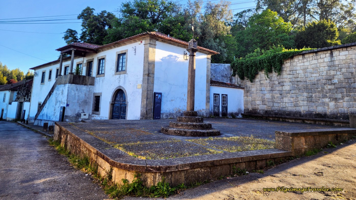
Below, in the square, is the Paços do Concelhos, housing the administrative and judicial services for the town, in the upper stories. On the ground floor was the prison, and in the archway, resided a butcher shop. Most likely this building was either restored or built in the later half of the 18th century.
The column in front of the justice building, to the right of the photo is actually a pillory, a symbol of regal power, and also served as a place for public executions, similar to the pillory in front of the cathedral in Porto.
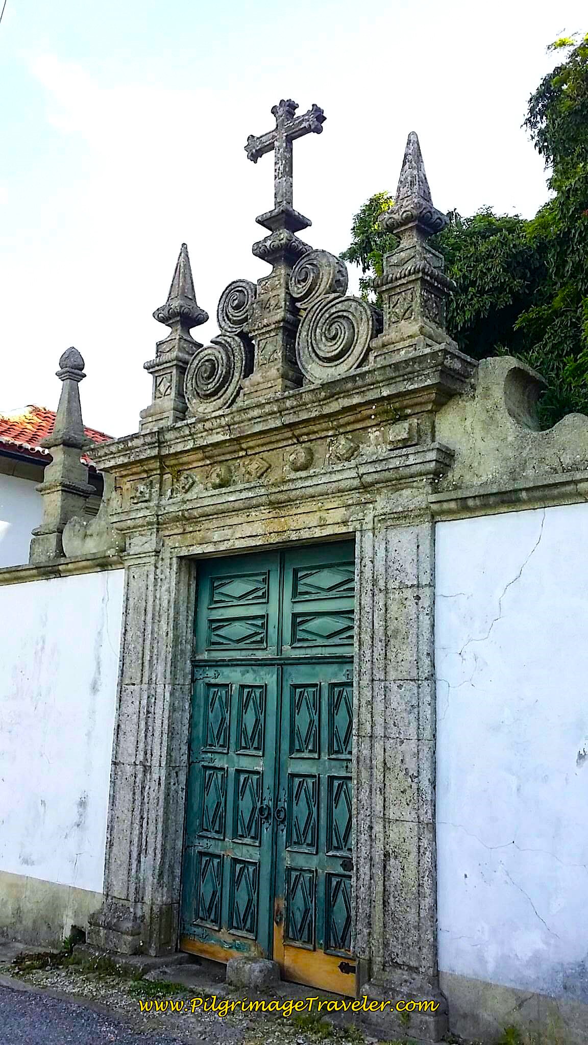
Here is the gate to the Casa de São Gonçalo. While the house itself is rather drab, the portal is imposing, with its Baroque embellishments, including a cross at the top.
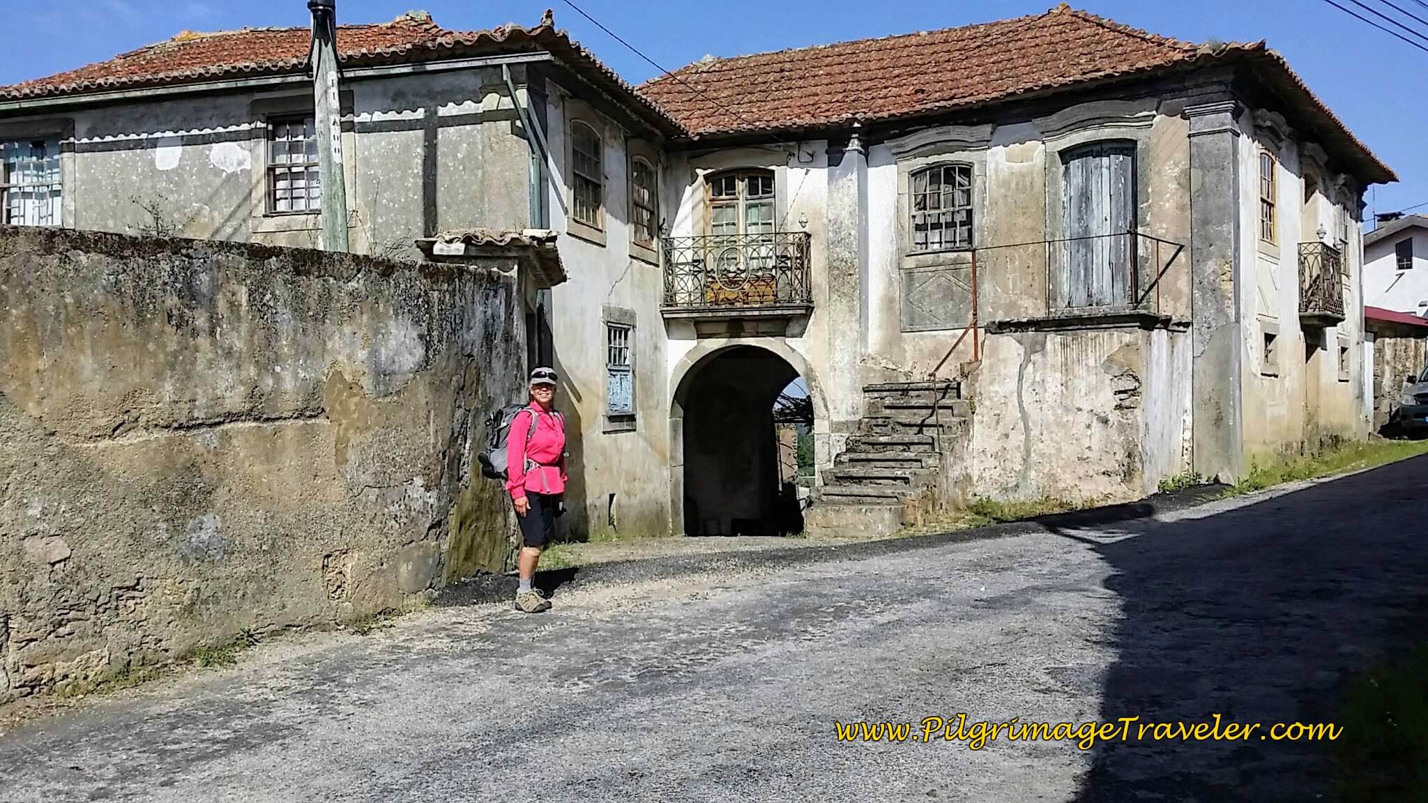
We saw evidence of restoration of these ancient homes, as you can see in the estate, below.
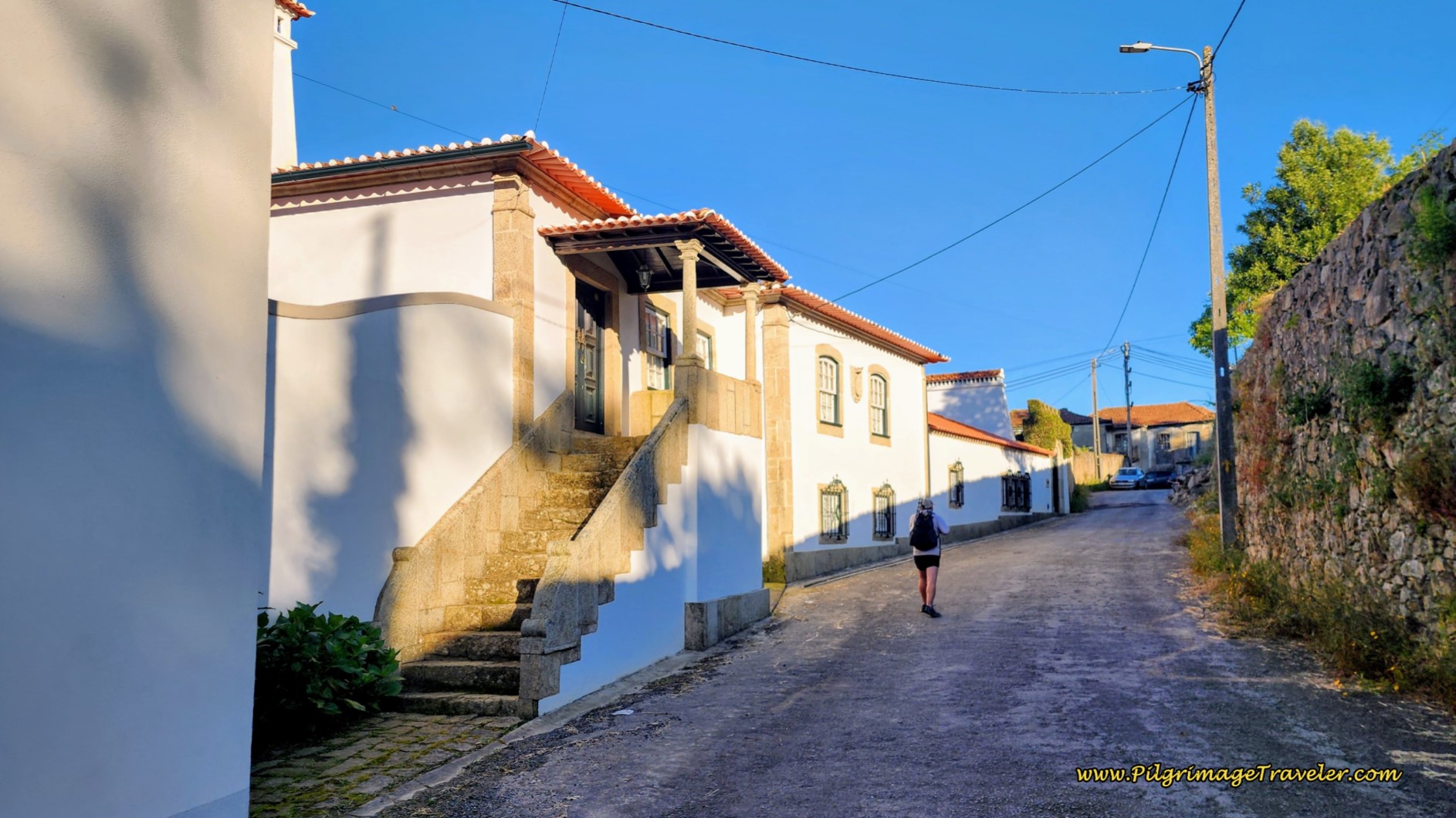 Continuing Through Bemposta on Day Thirteen of the Camino Portugués
According to the information board, this house, the Casa do Arco, built in 1782, was a humble one, as it's embellishments were made to resemble stone work. The house is smaller, and shows evidence of agricultural activity in its lower floors.
I thoroughly enjoyed this walk back in time through Bemposta. There are many more buildings, stairways and a fountain for you to explore. Now that there are lots of information boards, you should plan on spending some time here, learning about the history of this wonderful place. You will be as enchanted as I was!
Less than 100 meters past the Casa do Arco, come to a T-intersection and turn left onto the 2-lane Avenida Nossa Sra. das Flores, and follow it as it takes several big bends, with a final big bend to the right where you come to a crossroads with the N1. You will cross over the N1 once again, walking straight onward.
After crossing the N1, in the direction of Figueiredo, continue on the road as it bends northward, and after about 1/3 kilometer, arrive at a roundabout. Take the first left onto the Avenida do Espiritu Santo and arrive in the next town of Besteiros after approximately 9 kilometers. You are now walking on a significant downhill through Besteiros, below. Along the next 2/3 kilometers, there are cafés if you need a stop.
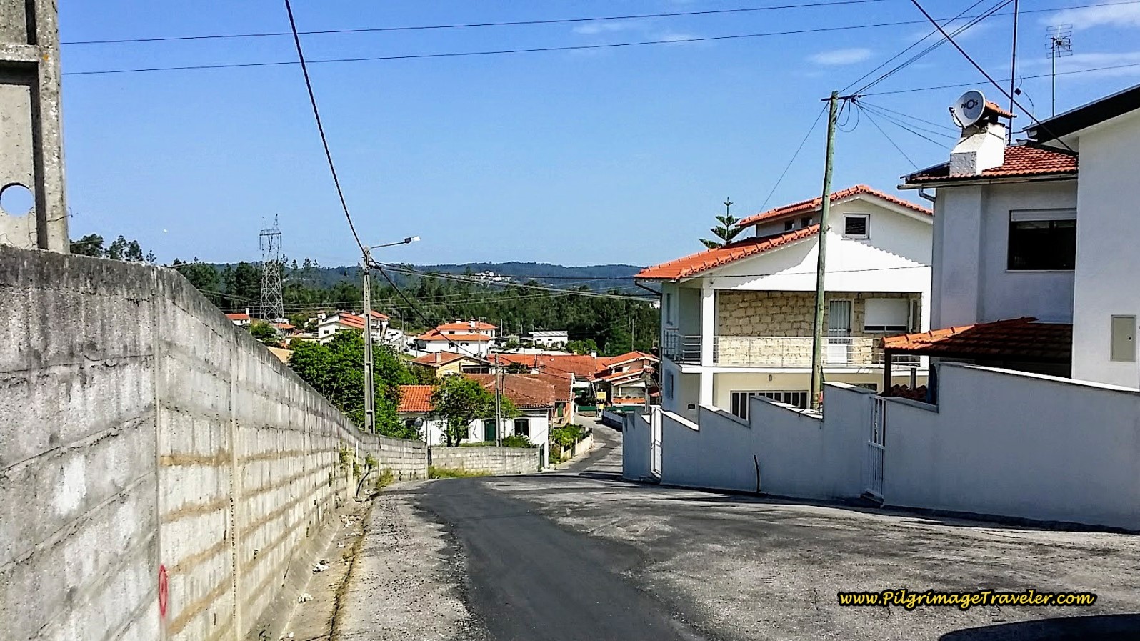 Down the Hill on the Avenida do Espiritu Santo in Besteiros
On the north side of Besteiros, the Way crosses the railroad tracks again, and takes the first right, shown below, and an immediate second right, onto the Rua da Estrada Real. Back on the Royal Road.
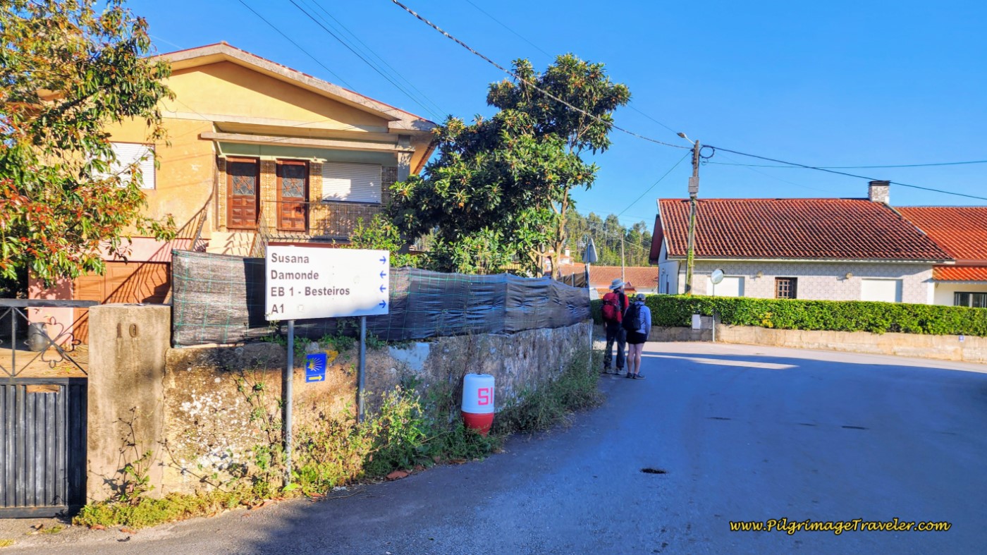 A Right Turn Here off the Rua de Besteiros To Rua de Estrada Real
We walked on for about one kilometer along the Rua de Estrada Real, staying on this road through bends, continuing on it as it becomes a divided highway after about 10 kilometers into the day, and eventually crossing over the N224 highway on a bridge. After the bridge, at the bottom of the hill, the Camino turns right onto the Rua Monte D'Além.
About 6oo meters later, stay alert to high terraced walls on your right, pictured below. You are getting close to a turn to the right that is easy to miss. It is after the Rua Monte D'Além takes a long bend to the left and while climbing a small hill, after about 11 kilometers total.
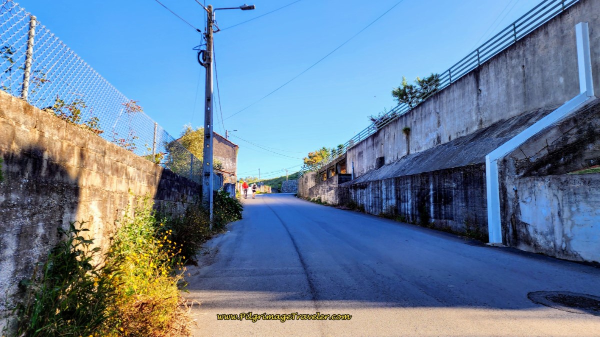 Look for a High Terraced Wall
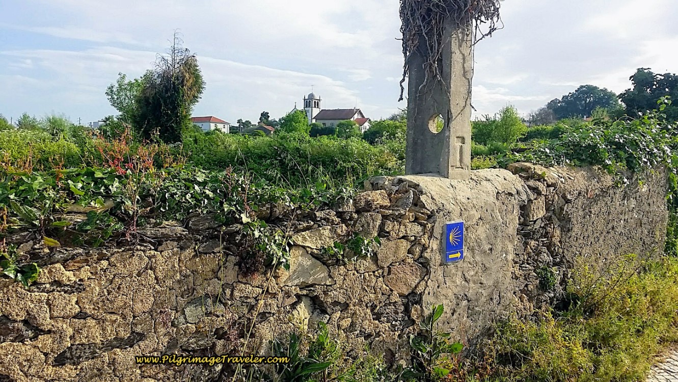
At the top of this small hill, the Camino takes a sharp turn to the right onto a small, paved lane by a high stone wall and a highway bridge, see the photo below. There is a waymark on this wall, but it's still easy to miss. The paved lane is short-lived. Walk to the left of the iron gate, seen in the photo, and onto a gravel lane.
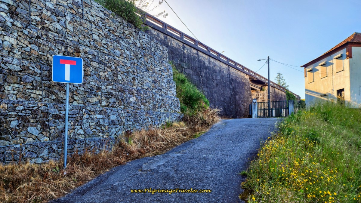 Right Turn at Bridge Onto Paved Lane
The gravel lane ends at railroad tracks, and a waymark indicates a left turn to walk under the bridge and parallel to the tracks, pictured below.
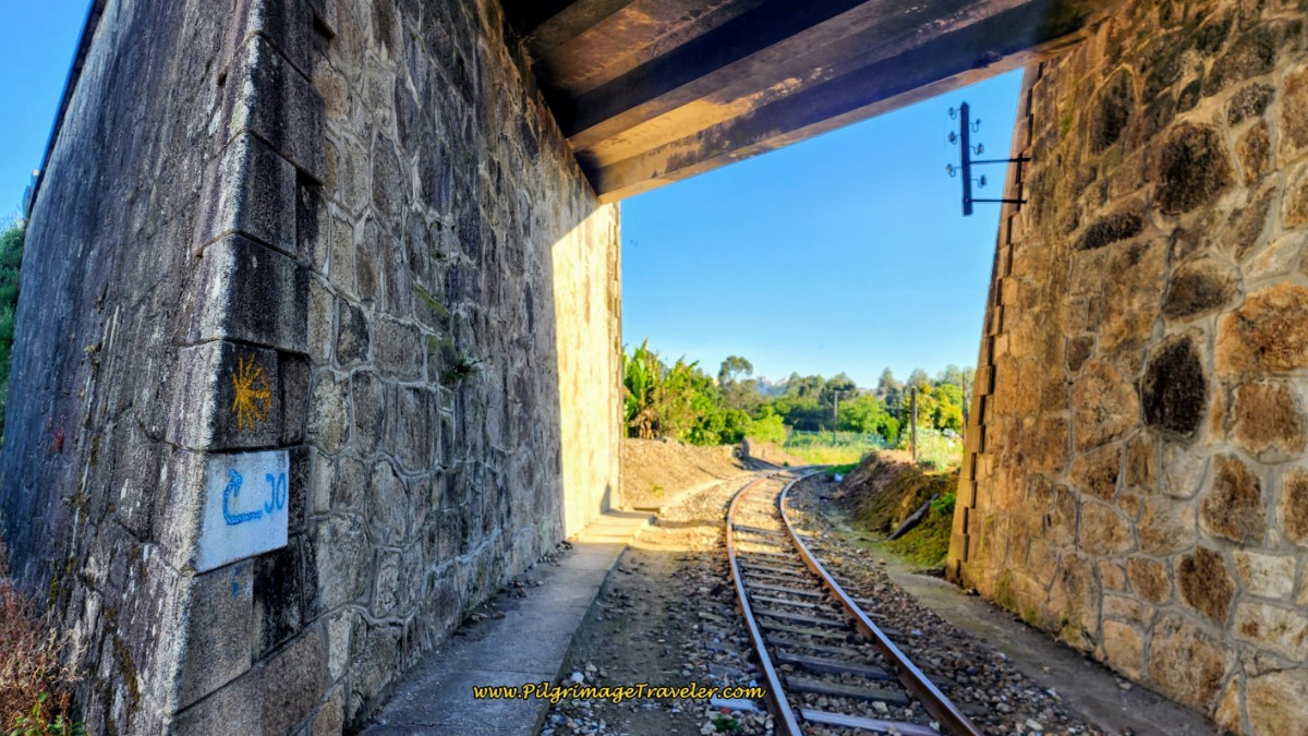 Follow Path Left, Parallel Railroad Tracks
The path along the railroad is also short-lived, and a few meters later you will join a lovely cobblestone lane, descending the hill you just climbed, to the river valley below, see below.
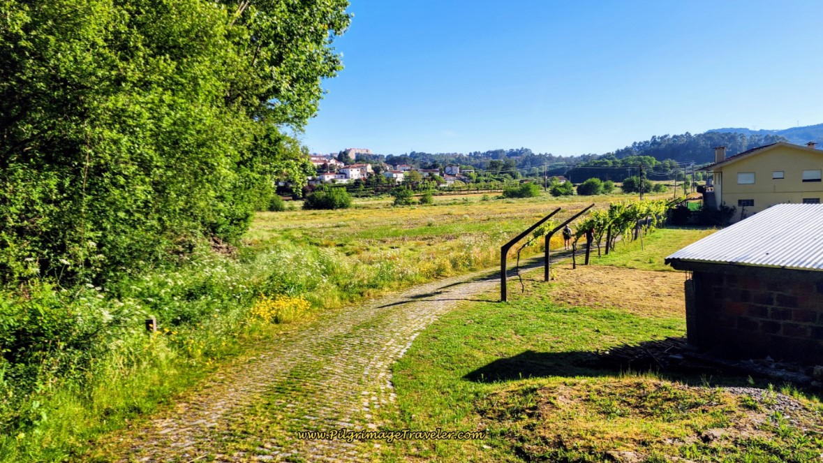 Cobblestone Lane through Valley
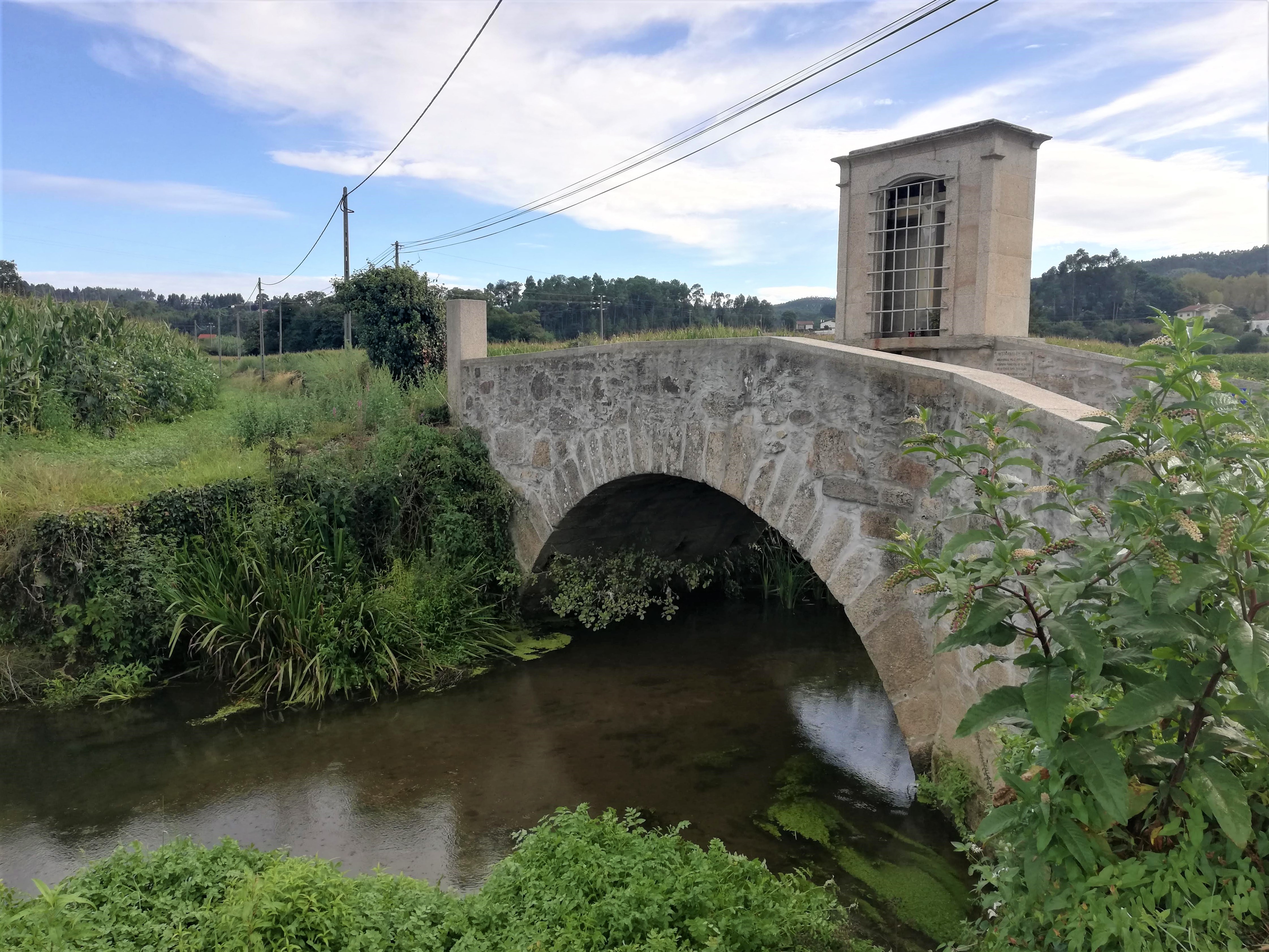
This interesting diversion is to take the pilgrimage traveler by this historic medieval bridge, the Senhor da Ponte after a total of 11.6 kilometers. The bridge is at a low point, so prepare yourself for the second long climb of the day.
100 meters after the bridge, it is a steep climb on cobblestone, crossing the railroad on the way and ignoring the left turn at the crossing. 100 meters after the tracks, at the first T-intersection, take a right turn off the cobblestone and onto a paved road, called the Rua do Requeixo.
Follow the Rua do Requeixo until the next intersection, 130 meters later, where you will make a hard left onto a narrower and even steeper road. Continue the climb toward Oliveira de Azeméis, as the street widens, then narrows again, through several intersections, staying straight onward. After not quite a kilometer, you will come to the crossroads with the Rua António Bernardo that I have pictured below. The street becomes the Travessa do Cruzeiro after this intersection.
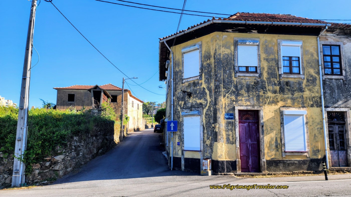 Cross the Rua António Bernardo
Carry straight through the intersection continuing the steep hill climbing, below. Notice the sweet prayer niche in the wall along the Travessa.
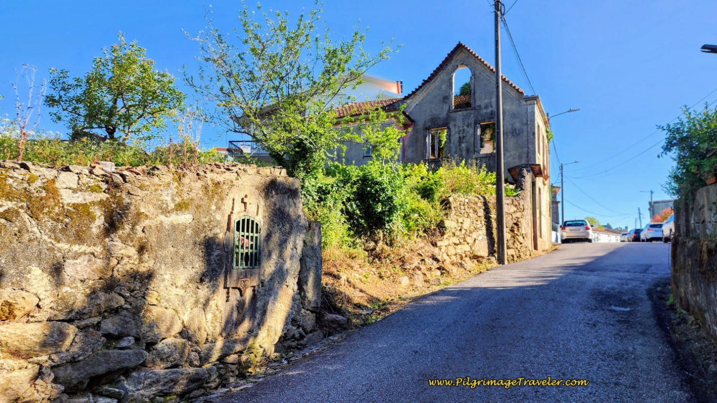 Farther Uphill to Go
300 meters later, at the next intersection with a cross in the middle, walk straight through, passing the cross and the Travessa becomes the Rua do Cruzeiro.
Several blocks later, you cross over to a pedestrian-only street, into the heart of Oliveira de Azeméis. You follow this Rua António Alegria street until it reaches the town hall, below, after about 13.8 kilometers and just after passing the Hotel Dighton on the corner.
The Camino walks by the left of the town hall, onto the Rua Dr. Bento Carqueja.
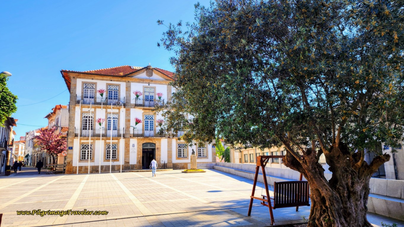 Town Hall, Center of Oliveira de Azeméis
And wouldn't you know it, we spotted Chris on his bicycle ahead! Wherever Chris was, Christine was not far behind and we joined them to find a nice place for lunch. We were all carrying our own food, so we headed to the central square to sit and have a picnic.
It was in the town square, the Praça José da Costa, just to the east of the town hall, that we sat in the park for lunch with our friends from Down Under.
After eating our picnic, we just happened to notice a pastry shop on the square and had more coffee and sweets for dessert!
We gathered up our things, put back on our shoes and socks and set off once again to complete day thirteen of the Camino Portugués. If you are ending your day here, there is only one accommodation in town, the Hotel Dighton, you just passed, and no albergue.
I estimated that we had about 9.0 more kilometers to go to São João da Madeira. There is a smattering of cafés along this 9.0 kilometers, so if you need another stop, it is not an issue.
Back on the Camino and along the Rua Dr. Bento Carqueja, less than 200 meters from the town hall, we walked by the lovely church, the Igreja Matriz de Oliveira de Azeméis.
Jump to Camino Portugués Stages
Up the hill we went and one block after the church, joined the Rua Antônio Pinto de Carvalho, by turning left, and where the pedestrian street ends. One block later, we finally reached the top of the second significant climb of the day.
We continued straight on this street and down the long hill, seen below, where the street changes its name to the Rua Mte. Guilherme Pereira da Silva.
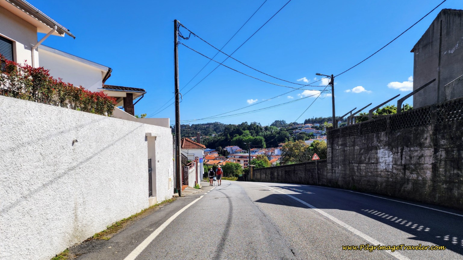 Down the Hill Along the Rua Mte. Guilherme Pereira da Silva
After about 14.5 kilometers, and after several long bends in the road, come to a large T-intersection and continue on the Rua Mte. Guilherme Pereira da Silva by turning right. 100 meters later, at the bottom of the steep hill, go straight at the next intersection, still continuing on the Rua Mte. Guilherme Pereira da Silva.
Another 100 meters later, come to a large roundabout and now go left and onto the tree-lined Rua Comenda de Cristo. Follow this street for about one kilometer, as it changes to the Rua do Monte, crosses the railroad track and enters the town of Lugar do Monte.
 Continuing on Rua do Monte thru Suburbs
After approximately 15.9 kilometers, there is a right turn off the Rua do Monte onto a paved lane.
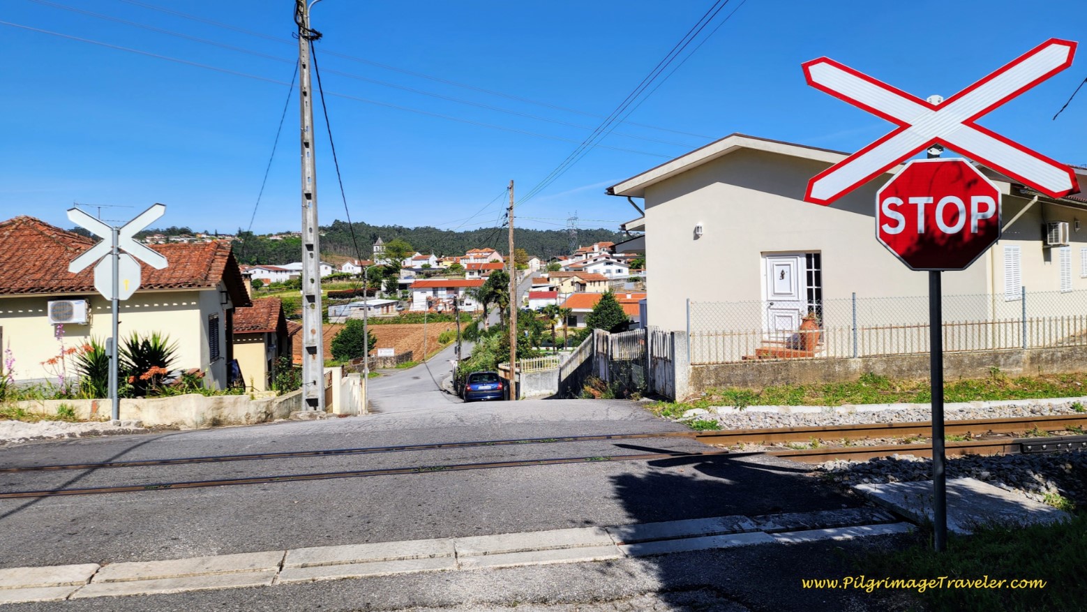
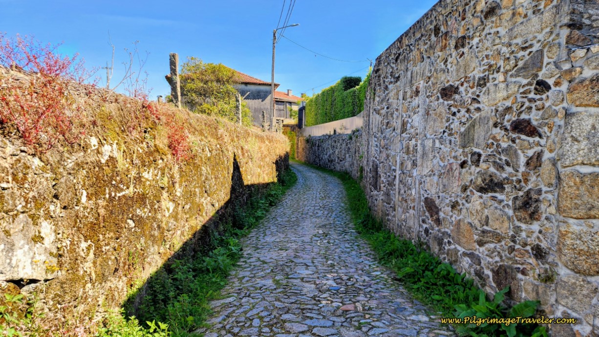
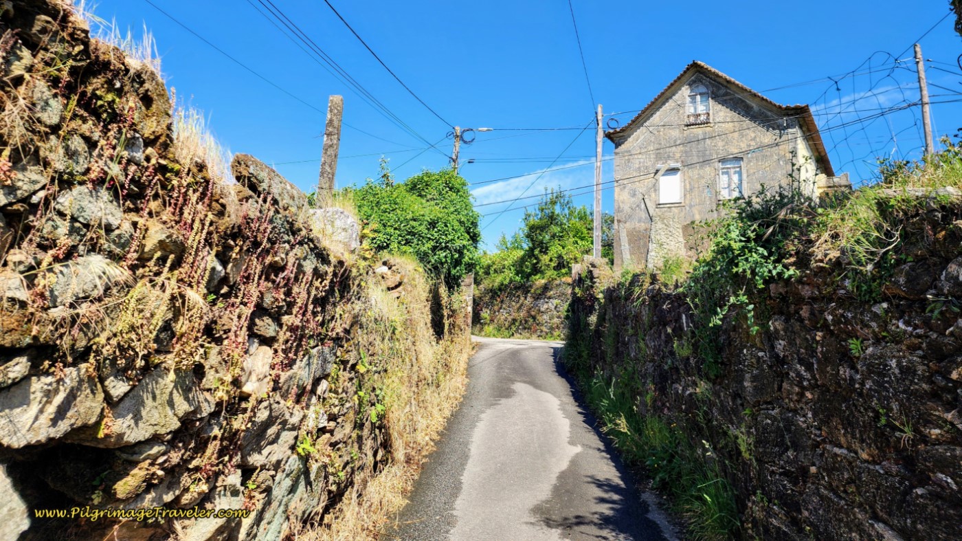
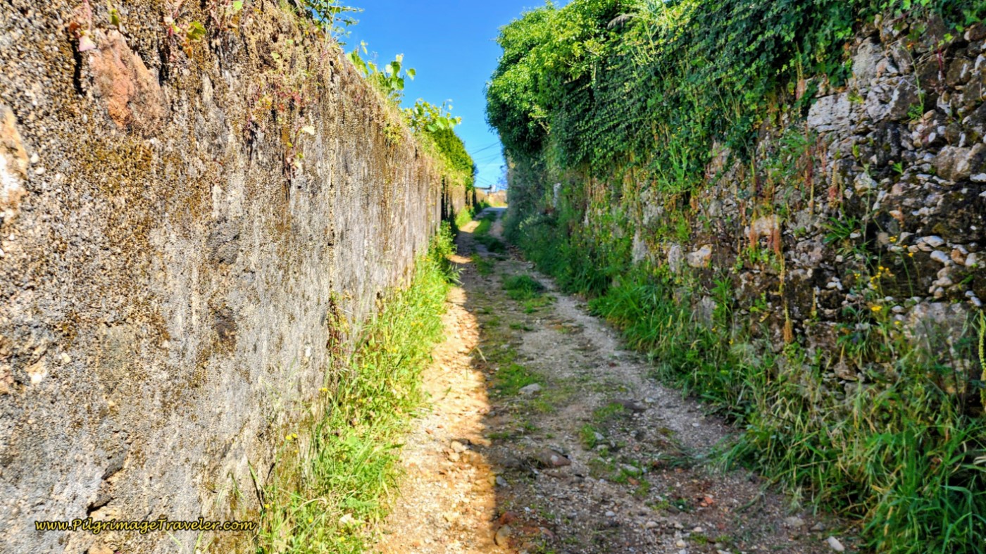
The nice lane doesn’t even last for 200 meters, when you reach a T-intersection, turn right onto a paved road and cross over the railroad tracks on a bridge, then take an immediate left onto the Rua da Sardoeira, with fun, high walls, below.
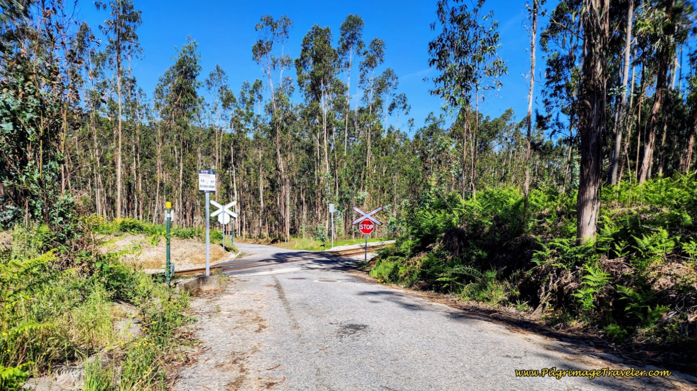
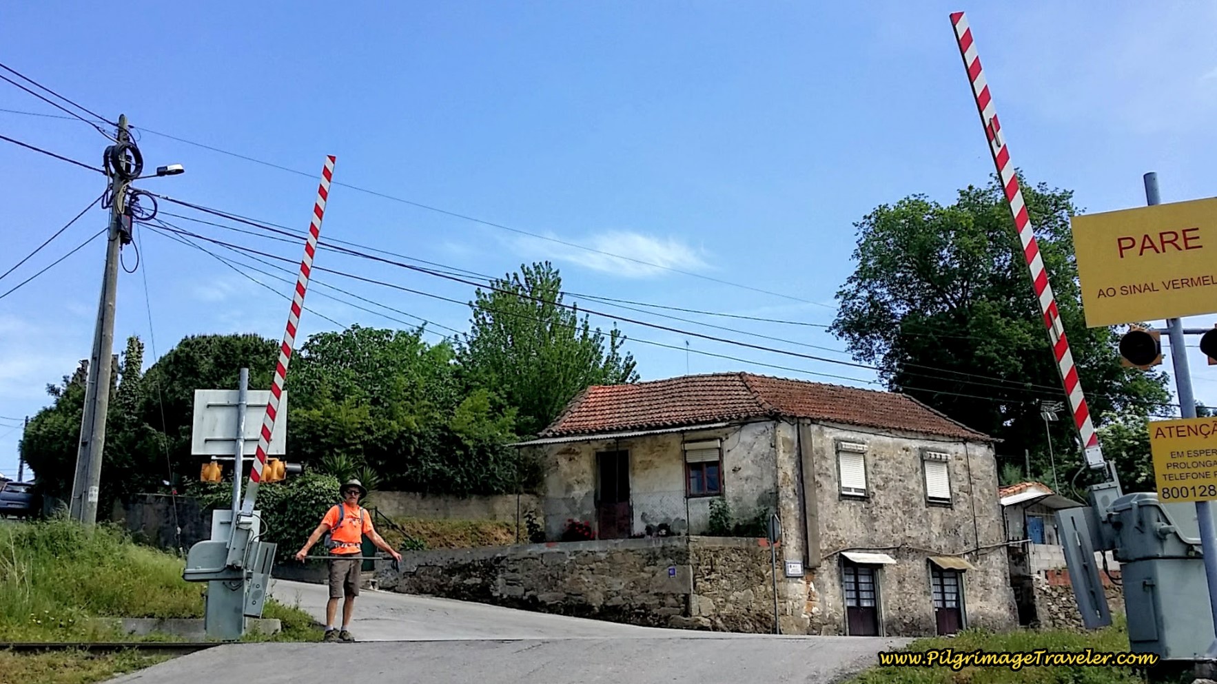
The high walls definitely gave this section a more medieval feel. After another 1/2 kilometer, come to a T-intersection and turn left onto the Rua Ponte Medieval, the medieval bridge street. Hmm, I wonder what is up ahead? 230 meters later, come to another railroad crossing, below.
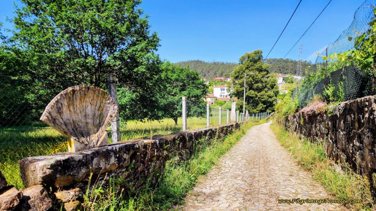
After the eucalyptus trees clear and 150 meters after the tracks, a lovely cobblestone road appears with a large Camino shell sculpture.
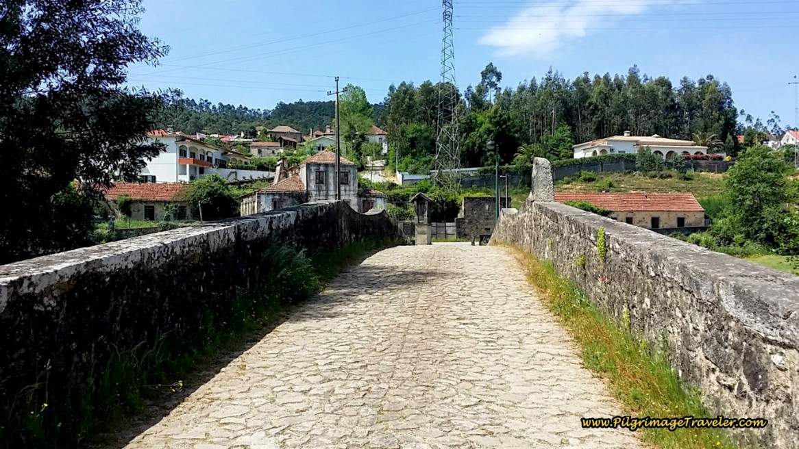
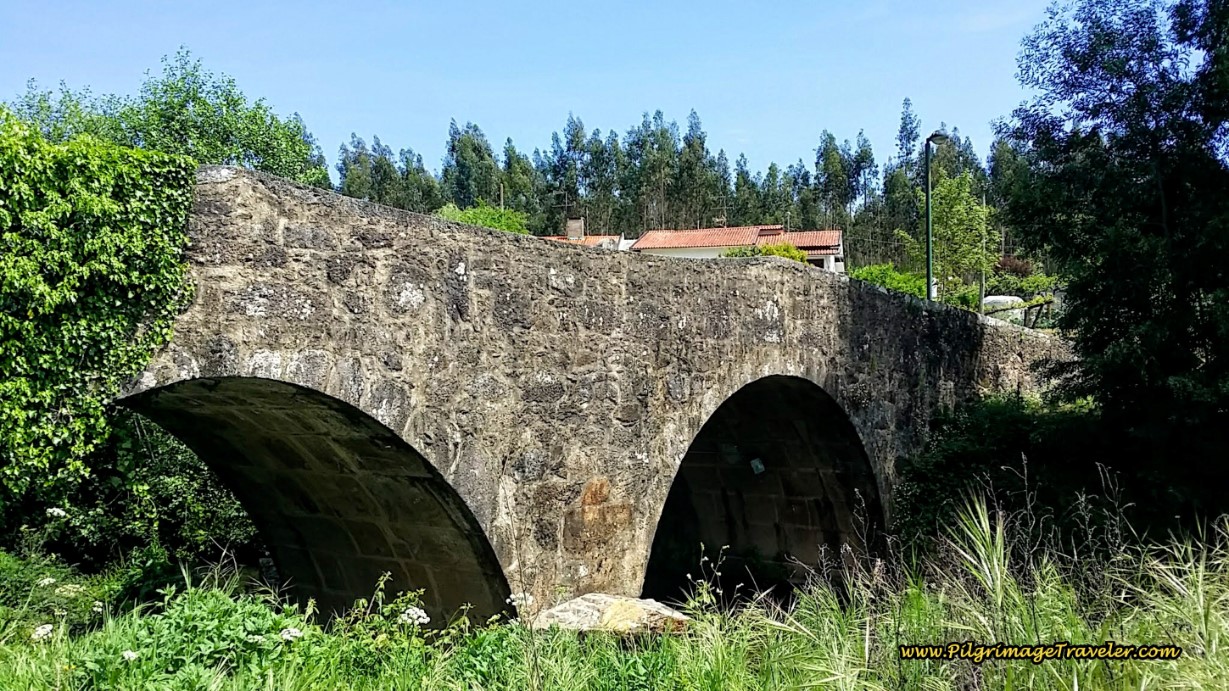
This cobblestone lane leads to a medieval bridge, less than 100 meters later.
To see the bridge, you have to walk around to the south side to get a close-up. It is a wonderful old bridge. Passing over it kicked in our imaginations, as we envisioned ourselves in times of yore with our staffs and gourds filled with water strolling along the bridge!
You have completed about 17 kilometers on your day’s journey at this bridge.
Immediately after the wonderful historic bridge, the Portuguese Way turns right and onto the street below, the Rua de Riba, to walk into the town of Vila de Cucujães.
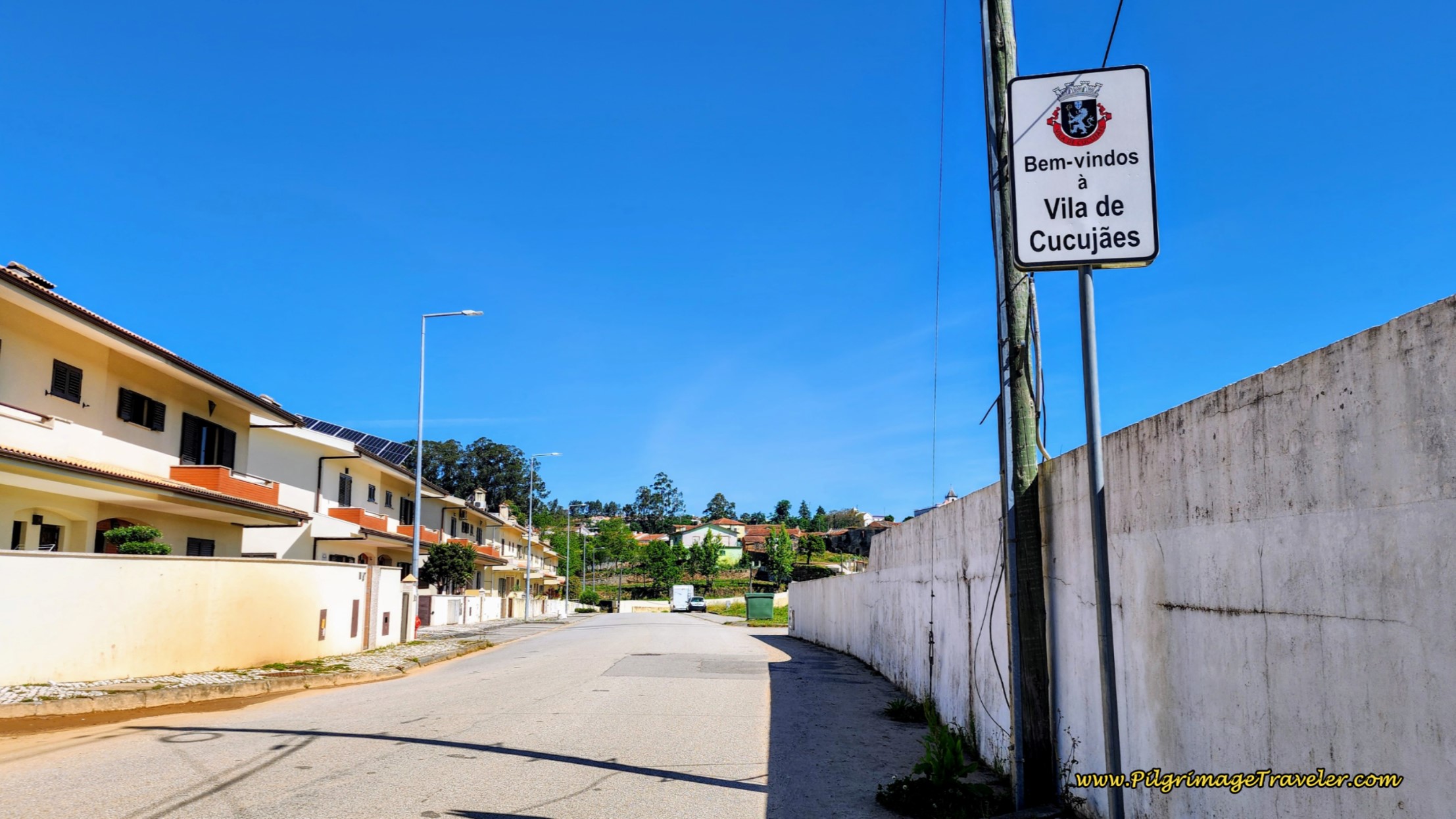 Along the Rua de Riba in Vila de Cucujães
Continue on as the road, straight through the first intersection, where there is a café on the corner. The street is now called the Rua do Ferral as it takes a bend to the right and more hill climbing was ahead for the next 1/2 kilometer. This is the beginning of the third climb for the day. It was hard work in the heat and on the pavement!
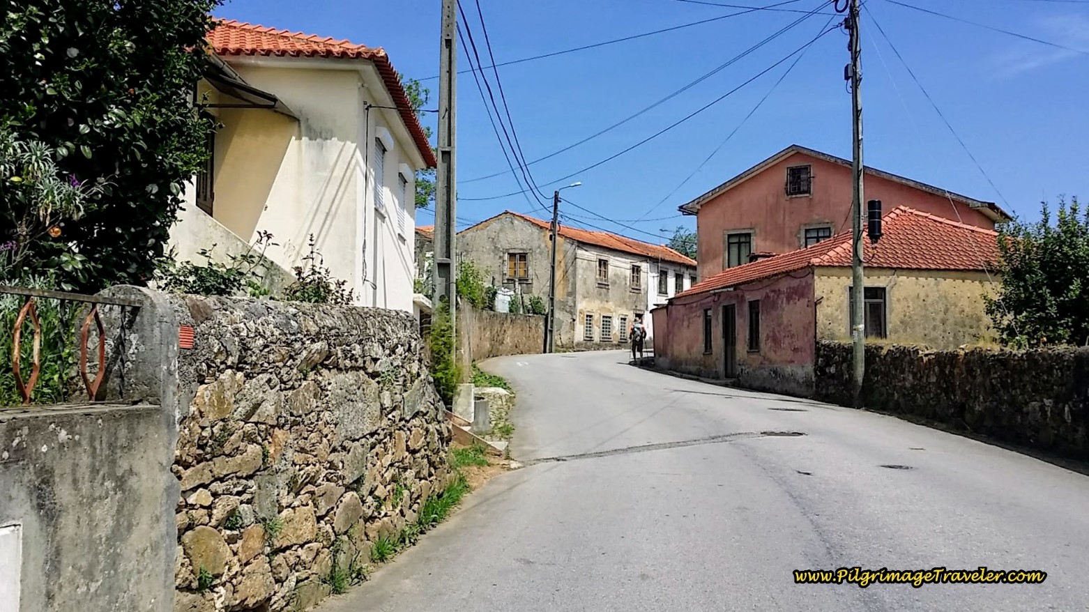 Uphill Walk on the Rua do Ferral on Day Thirteen on the Camino Portugués
When the Rua do Ferral ends at a T-intersection, we turned left onto the Rua Mosteiro in Vila de Cucujães, about 18.2 kilometers into the day.
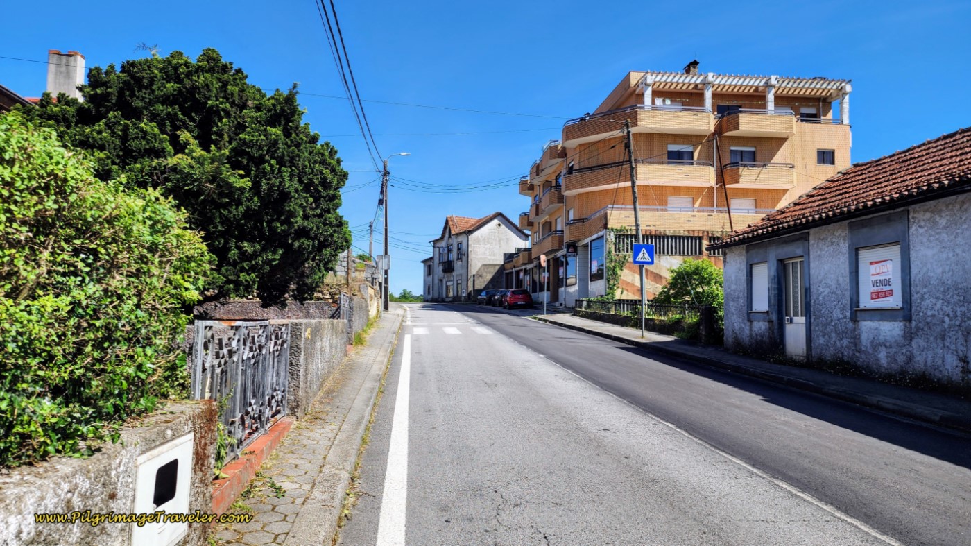 Left Turn onto the Rua do Mosteiro in Cucujães
The Rua do Mosteiro bends to the left but the Way bears to the right onto the Rua Dom Crisostomo de Aguiar at this intersection, below, and keeps climbing, now even more steeply. Note the café on the right.
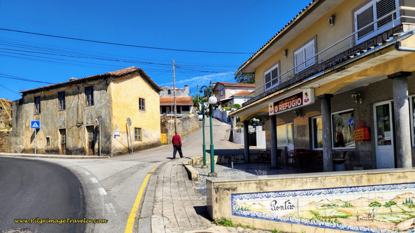 More Uphill on the Way Towards São João da Madeira
As the route continues to climb, it becomes more quaint.
It even turns into a lane for a few meters!
When the dirt lane ends, you are at the top of the steep climb. Next, bear left onto the pavement, followed by a right turn onto the Rua Padre José Manuel Soares Albergaria. Follow this road, walking down the hill for the next 2/3 kilometer, where it ends at a T-intersection. Turn right.
A few meters after the right turn, come to a railroad crossing again, in the town of Faria, below, and after about 20 kilometers total for the day.
Jump to Camino Portugués Stages
After the railroad crossing, there is more climbing, but now the pilgrimage traveler has arrived in the outskirts of São João da Madeira, shown in the following photos. The steep climbing only ends after you have completed the next 1.2 kilometers, almost the end of the stage.
Cross the railroad tracks and continue straight onward, walking uphill along the Rua Jornal Quinzena de Cucujães, below.
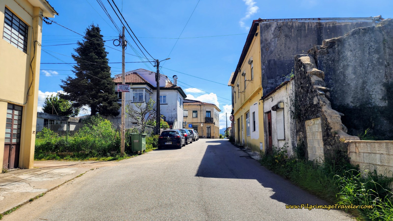 Walking on the Rua Jornal Quinzena de Cucujães in São João da Madeira
After 300 meters, come to a crossroads, where you take a left turn onto the Rua Dr. Angelo da Fonseca.
100 meters later, come to a large roundabout, go straight, pictured below, then a second roundabout 150 meters later, and continue straight again. You are now walking through a short industrial area on the outskirts of the city.
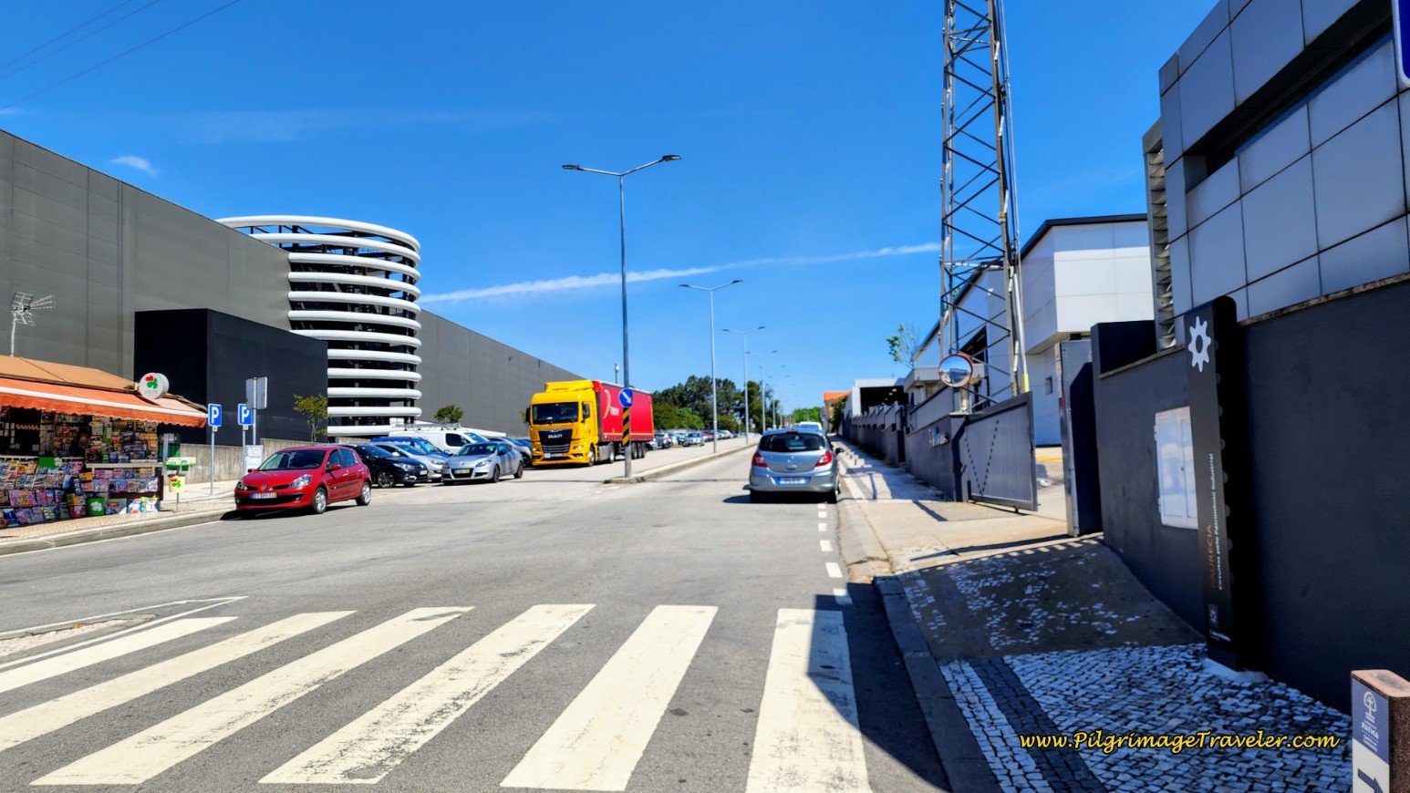 Straight On at Roundabout ~ Road Walks Through this Industrial Area
At the 3rd roundabout, turn left onto the Rua Dr. Renato Araújo, below, after approximately 21 kilometers.
There is a Lidl supermarket on the corner and a Mercadona a few steps onward if you need to stock up.
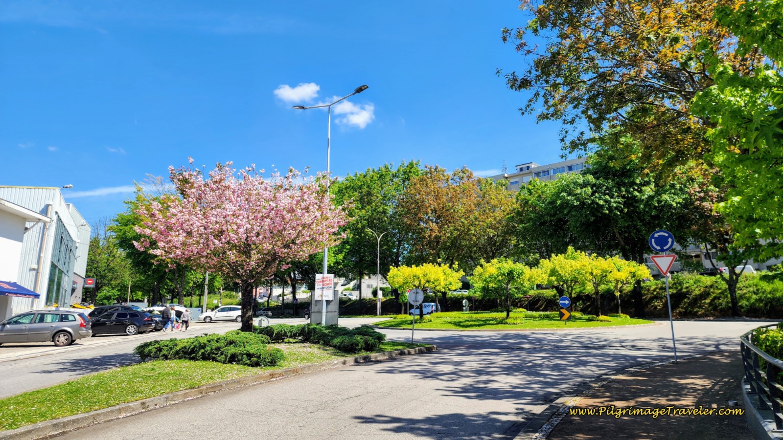 At 3rd Roundabout, Left Onto Rua Dr. Renato Araújo
Walk straight on again through the 4th roundabout, continuing along the Rua Dr. Renato Araújo, below, and walk straight through the next, the 5th roundabout, not pictured.
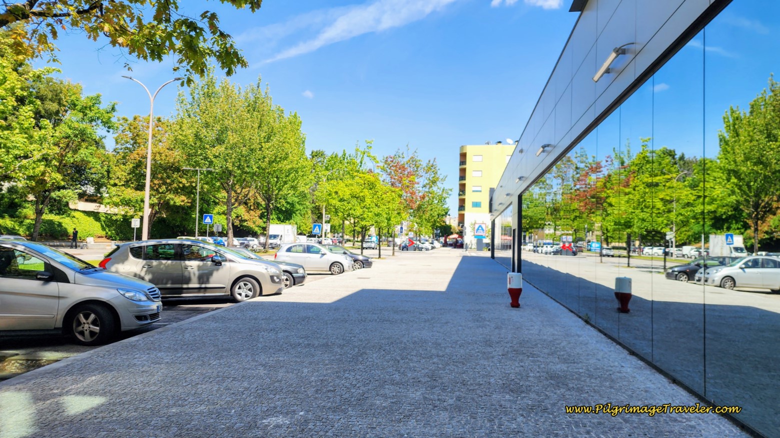 Continue along Rua Dr. Renato Araújo
After coming to the 6th roundabout, shown below, the Camino goes right, but if you were to turn left, you would walk past the hospital and in one block you would come to the Albergue Santa Casa da Misericórdia, (+351 256 837 240/ +351 256 837 241, Rua Manuel Luís Leite Júnior 777, see the map above). The one and only albergue in town is housed in a nursing home, across the next traffic circle, to the west of the hospital. The albergue is very basic with some bunks and mattresses on the floor, and is a donativo.
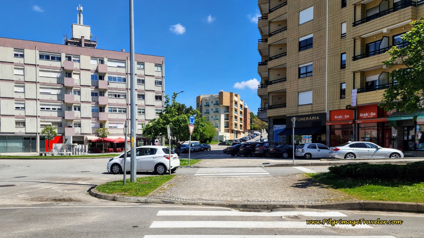 At 6th Roundabout Follow Yellow Arrow Right onto Rua Padre António Maria Pinto
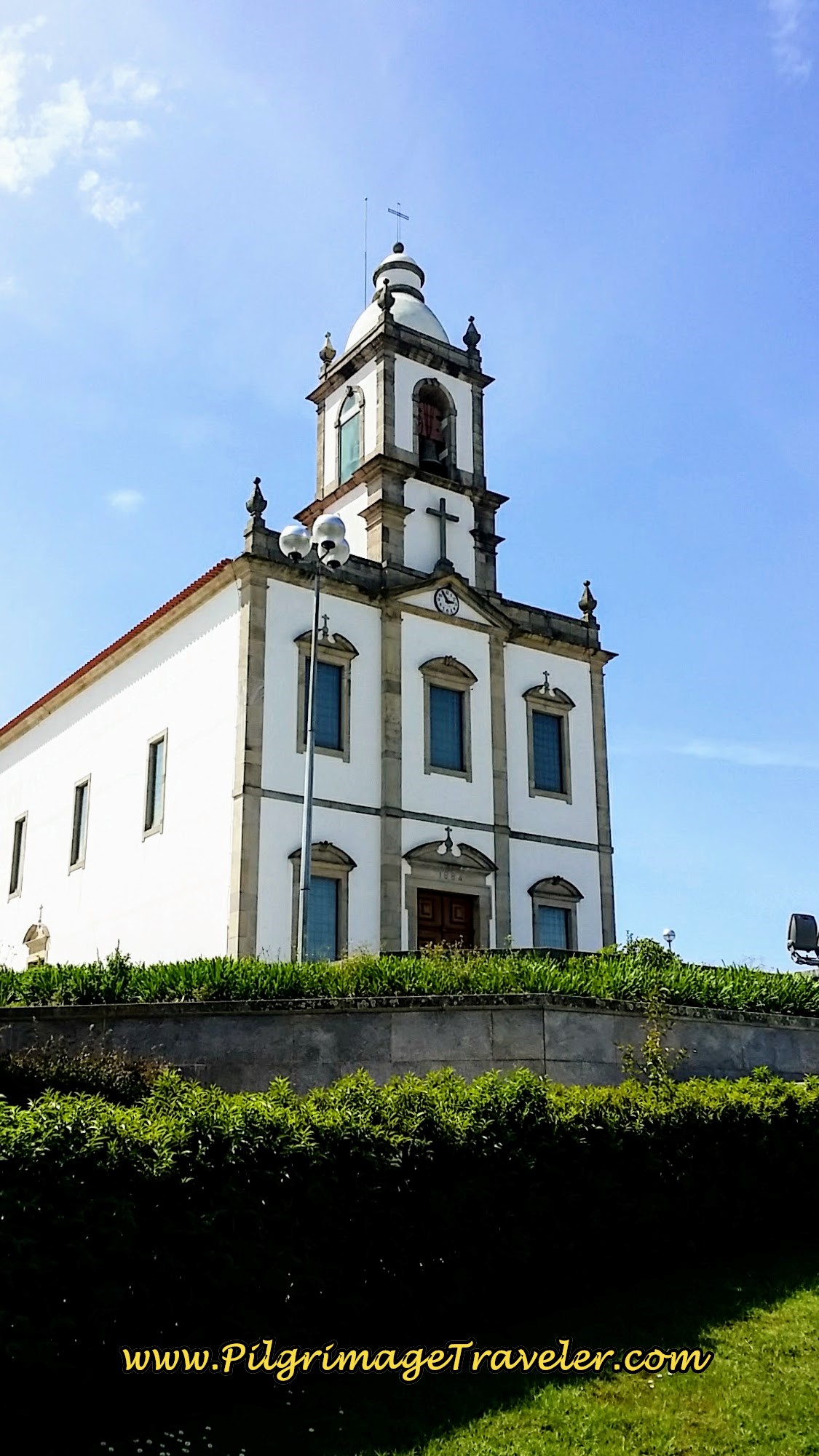
For the final approach, we walked up the hill and this church loomed above us to our left. It was here that we turned left onto the Rua Visc. de São João da Madeira.
The Rua Visc. de São João da Madeira is a narrow street, which after one block becomes a pedestrian-only way.
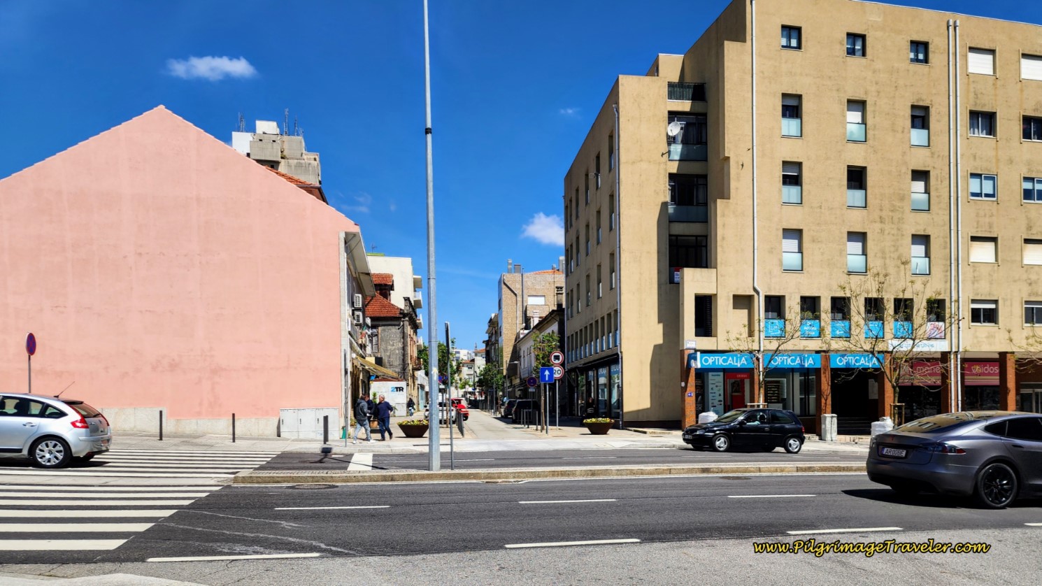 Pedestrian Way to the Center of São João da Madeira
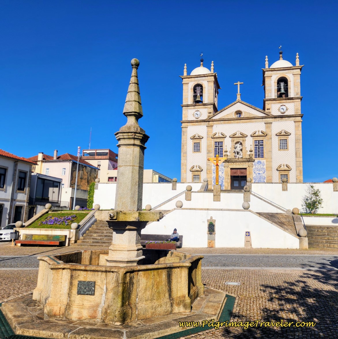
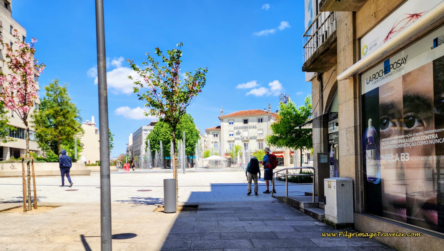
One block later, you will reach the final destination, the square in the center of town, with a large fountain, pictured below.
After a beer break in a café in the square, we walked to our hotel the Central Suites, mere feet from the square. It is a wonderful new place, very modern with private rooms, a shared kitchen and living area, a rooftop sitting area and BBQ grill for you to use. You can click on the link to see the photos of the place. I would highly recommend staying here, and you can't beat the location, just steps from the central square. The staff is ultra-friendly and helpful and speak great English.
There are several other hotels in town, including the Hotel A.S. São João da Madeira, mostly clustered around the central square. To see them and to book, click here. In addition, there is the very economical Residencial Solar São João, +351 256 202 540, on the main square.
And for the third time on day thirteen of our Portuguese Way, we ran into our Aussie friends and joined them for another lovely dinner. It was a special day indeed.
Lessons Learned on Day Thirteen, Camino Portugués
This was the day we walked on and didn't look back, made our own walk yet met up with friends. Yes, our footsteps became the road, a road filled with history and enchantment.
At times it felt we were indeed one with the road. There was no more struggle, only the singular purpose of putting one foot in front of the other. We had reached a comfortable rhythm of our own walking.
If only life were so clean and easy...
Salutation
May your own day thirteen on the Camino Portugués bring you into oneness with the road! May you always look forward and never back, and make your own road by walking!
Camino Portugués Stages:
Lisbon to Porto
Senda Litoral or the Coastal Routes: Porto to Santiago
Skip to Central Route Below, for Final Days 22-25 to Santiago
Central Route: Porto to Santiago
Variante Espiritual
Please Consider Showing Your Support
Many readers contact me, Elle, to thank me for all the time and care that I have spent creating this informative website. If you have been truly blessed by my efforts, have not purchased an eBook, yet wish to contribute, I am very grateful. Thank-you!
Search This Website:
Follow Me on Pinterest:
Follow Me on Instagram:
Find the Pilgrimage Traveler on Facebook:
Like / Share this page on Facebook:
***All Banners, Amazon, Roamless and Booking.com links on this website are affiliate links. As an Amazon associate and a Booking.com associate, the Pilgrimage Traveler website will earn from qualifying purchases when you click on these links, at no cost to you. We sincerely thank-you as this is a pilgrim-supported website***
PS: Our guide books are of our own creation and we appreciate your purchase of those too!!
Shroud Yourself in Mystery, along the Via de Francesco!
Walk in the Footsteps of St. Francis, and Connect Deeply to the Saint and to Nature in the Marvelous Italian Countryside!
Recent Articles
-
Day Two on the Variante Espiritual from Combarro to Barrantes, 16.3 Km
Apr 10, 25 01:14 PM
Day two on the Variante Espiritual from Combarro to Barrantes, leaves behind the scenic coastal hamlet, climbs vigorously toward the tranquil Cistercian monastery of Armenteira, -
Day Three, Variante Espiritual from Barrantes to Vilanova de Arousa
Apr 10, 25 01:13 PM
Day three on the Variante Espiritual from Barrantes to Vilanova de Arousa follows three rivers, in the first third and the last third of this day. -
The Delighful, Short but not Easy, Camino Inglés
Apr 04, 25 06:00 AM
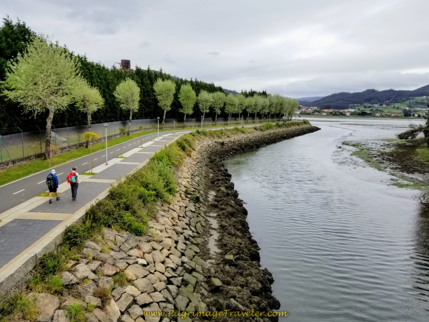 If you are somewhat timid and don't know if you can commit to a long Camino, or if you have a time-crunch, you may want to consider the Camino Inglés. It can be done in five days if you are fit, and e…
Need suggestions on what to pack for your next pilgrimage? Click Here or on the photo below!
Carbon fiber construction (not aluminum) in a trekking pole makes them ultra lightweight. We like the Z-Pole style from Black Diamond so we can hide our poles in our pack from potential thieves before getting to our albergue! There are many to choose from! (See more of our gear recommendations! )
Gregory BackPack - My Favorite Brand
Do not forget your quick-dry microfiber towel!
Booking.com
My absolute favorite book on how to be a pilgrim:

























Your Opinion Matters! Comments
Have you had a similar experience, have some advice to give, or have something else you'd like to share? We would love to hear from you! Please leave us a comment in the box below.