- Home
- ~ Camino Portugués (The Portuguese Way)
- Day Twenty-Three, Pontevedra to Valga
Jump to Camino Portugués Stages
Day Twenty-Three on the Camino Portugués
~ Pontevedra to Valga (Magariños), 30.5 Km (19 Miles) via the Central Route
Our day twenty-three on the Camino Portugués was filled with long stretches through the Spanish countryside, on a consistent-appearing terrain. It was not my favorite day, nor the most beautiful, but none-the-less we kept walking through the monotony.
"Indeed, this life is a test. It is a test of many things - of our convictions and priorities, our faith and our faithfulness, our patience and our resilience, and in the end, our ultimate desires." ~ Sheri L. Dew
Map and Stats of Day Twenty-Three on the Camino Portugués
Here is my Google map with my GPS tracks on it. You will notice that there are many more albergues, as you get closer to Santiago de Compostela, as indeed there are many more pilgrims. I also placed the places where we stayed and the cafés where we ate on the map.
The map below is entirely interactive, so click away!
There is a slow gradual climb out of Pontevedra of 120 meters (400 feet) in the first 8 kilometers (5 miles) on the way to San Amaro, and then a final climb of 130 meters (440 feet) in the last 8 kilometers (5 miles) out of Caldas de Reis on the way to the Valga Albergue.
This leg can feel strenuous, especially with a climb at the end of a long day. We had plenty of food, rest stops and an interesting diversion, as you shall see. Plus our conditioning was now at a place where 30 km days no longer took us to our edge. Most likely Rich could have even gone farther, as did our friend Steve, from Britain, albeit inadvertently.
You can indeed end your day in Caldas de Reis as many people do, after just shy of 21 kilometers.
Camino Portugués eBook Guides
Our Downloadable Camino Portugués eBook Guides in PDF Format contain all the valuable information from our web pages, for comfortable reading offline and without ads on your personal device. Don't carry a hard copy guide book to increase your pack weight. Use our digital guides on your next Camino instead!
Our ebook guides are packed with frequently updated information, because a digital format is more nimble than hard-copy publishing. Our eBook Guide is unique because we also entertain and immerse you with our story! Click on any eBook above for more information.
Buy only what you need OR buy ALL FOUR eBooks for the price of THREE - a 25% savings! Click here for more information or BUY NOW at only 17.85!
Jump to Camino Portugués Stages
Photo-Rich Travelogue of Day Twenty-Three on the Camino Portugués
If you are walking directly through the town of Pontevedra, from the central plaza, the Plaza da Ferraría, just past the pilgrim's church, there are waymarks guiding you to walk down the colonnaded Rúa dos Soportais. Walk only a few meters, then turn right at a fountain, below, see the fancy Burger King straight ahead at the other end of the plaza. Turn left at the Burger King, following the waymarks to find the Rúa Real.
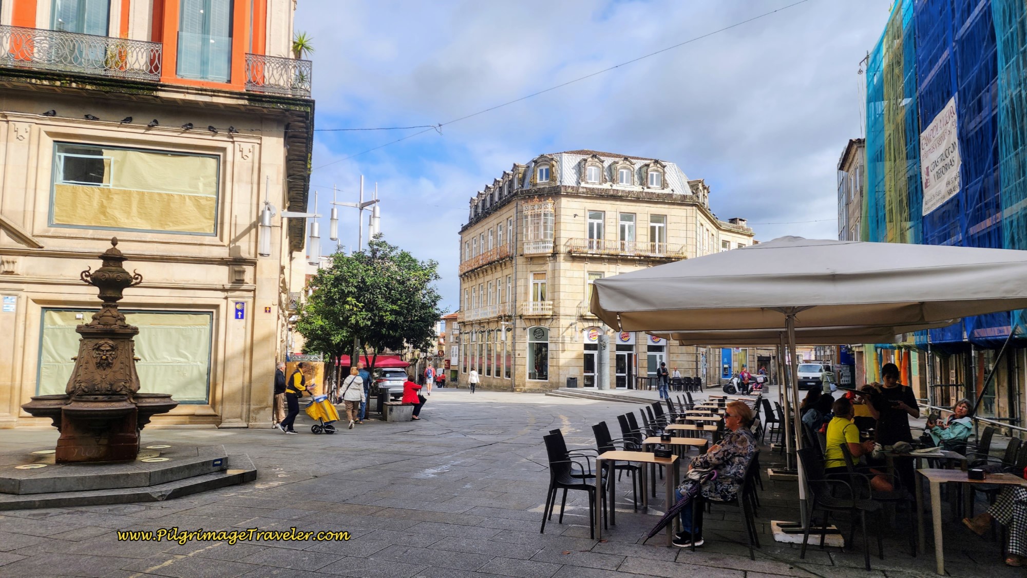 Right Turn at Fountain, Toward Burger King
The Rúa Real is a straight shot north to the Lérez River and the bridge, the Ponte do Burgo, where you cross over. Here are shots, below, of the Rúa Real, and you can see another bronze shell waymark. The yellow umbrellas cheered us onward.
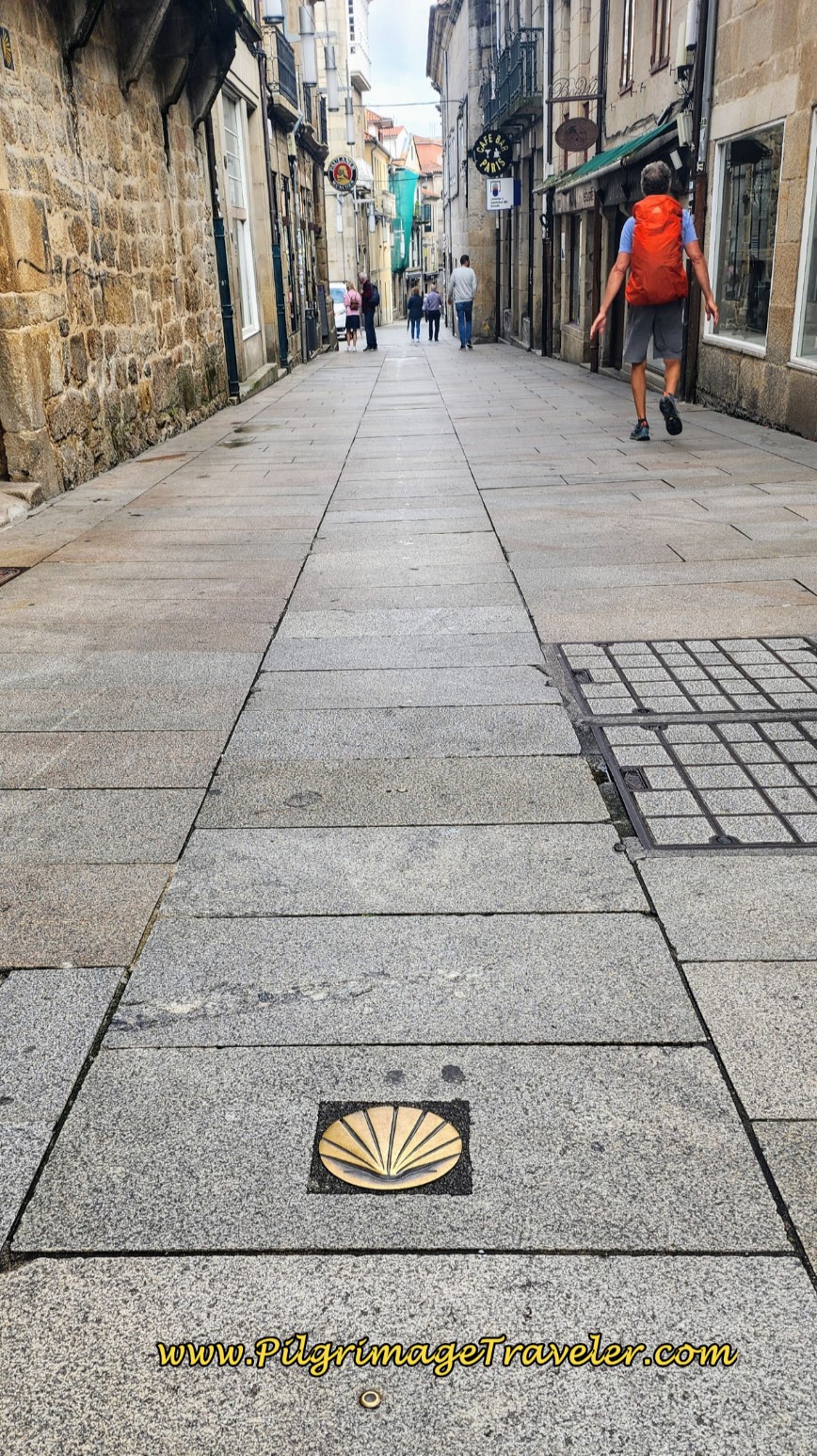 Along the Rúa Real
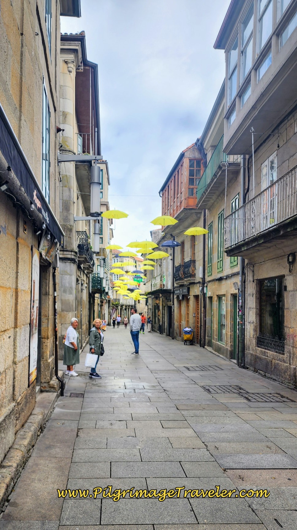 Yellow Umbrellas on the Continuing Rúa Real
The Rúa Real ends at a small plaza, where you will have a choice of passage to the river and the Ponte do Burgo. The official signage takes the pilgrimage traveler to the left, but it is extremely easy to continue straight onward and cross a small park to the bridge you can see ahead.
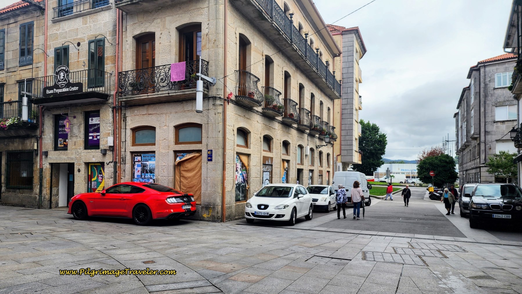 Small Plaza and Decision Point
I placed both routes to the bridge on my Google map above for your reference. It can be tricky to get through larger towns, however I found Pontevedra to be extremely easy to navigate because of the many waymarks placed to guide you.
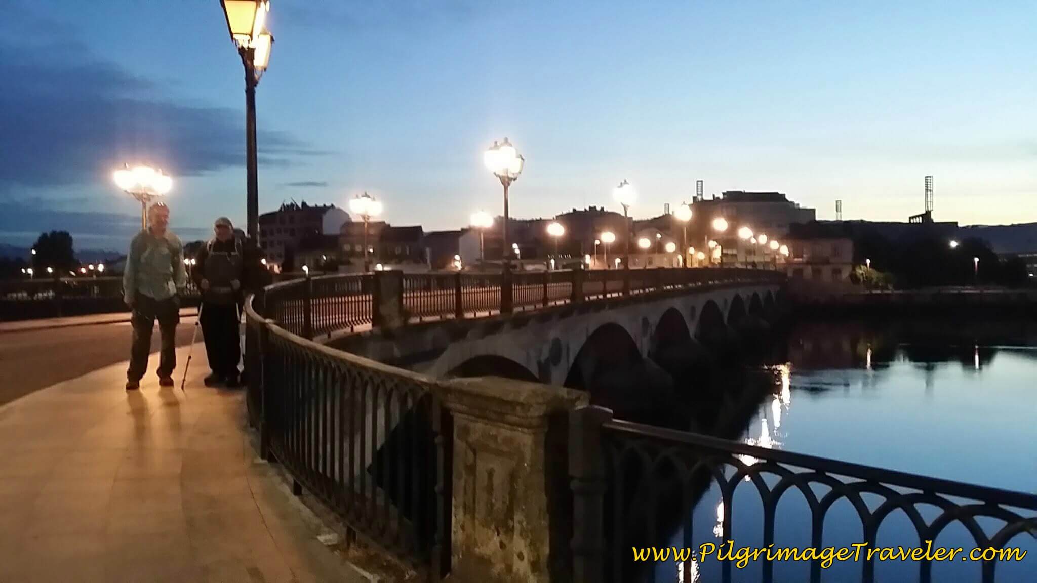
The Ponte do Burgo is a wonderful old bridge, built originally by the Romans. Here is where we met Steve to start our day twenty-three on the Camino Portugués and where I return to our original story. We left the Casa Maruxa (+34 986 85 49 01), in the early morning without breakfast and no food in our packs.
You cross the river and walk through a roundabout staying straight. Take your first left onto the Rúa da Santiña, a nice quiet side road through the north side of Pontevedra. The town was asleep and we saw no open cafés at all this early in the morning.
Walk on the Rúa da Santiña for about 0.9 kilometer as the road walks through increasingly more rural areas.
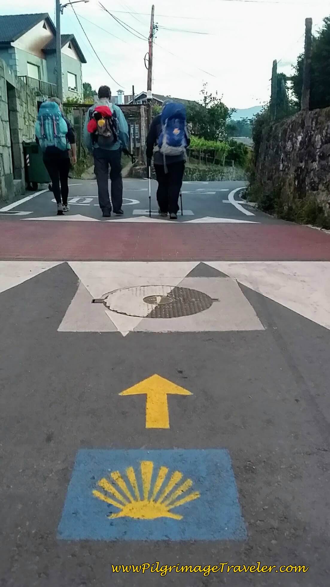
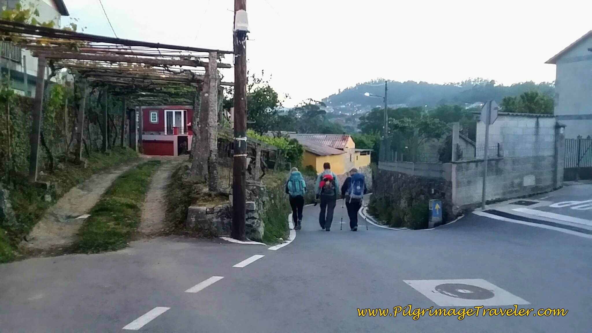
This street becomes the Rúa da Gándara as you leave the urban area altogether to join lovely vineyards. Here is Rich and Steve, who hooked up with another pilgrim, Marta, a physical therapist from Poland.
The three were moving well, and I was content to fall behind, taking photos and voice journaling.
Here is a quaint arbor over a driveway to a home.
In a a bit over 1/2 kilometer, you walk by a nature area, with a boardwalk system heading west. Continue straight onward through this nature preserve area, the "Refuxio de Fauna," a wildlife refuge, after about 2.2 kilometers from the center of Pontevedra.
After another few hundred meters, walk by a nice fountain and picnic area under a large willow tree in this stretch. This is a wonderful area in which to walk, the best part of day twenty-three on the Camino Portugués.
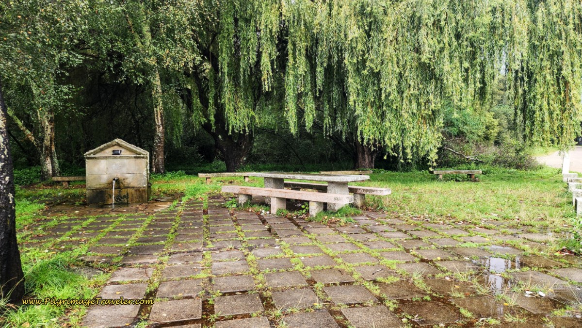 Picnic Area and Fountain Under Willow Tree
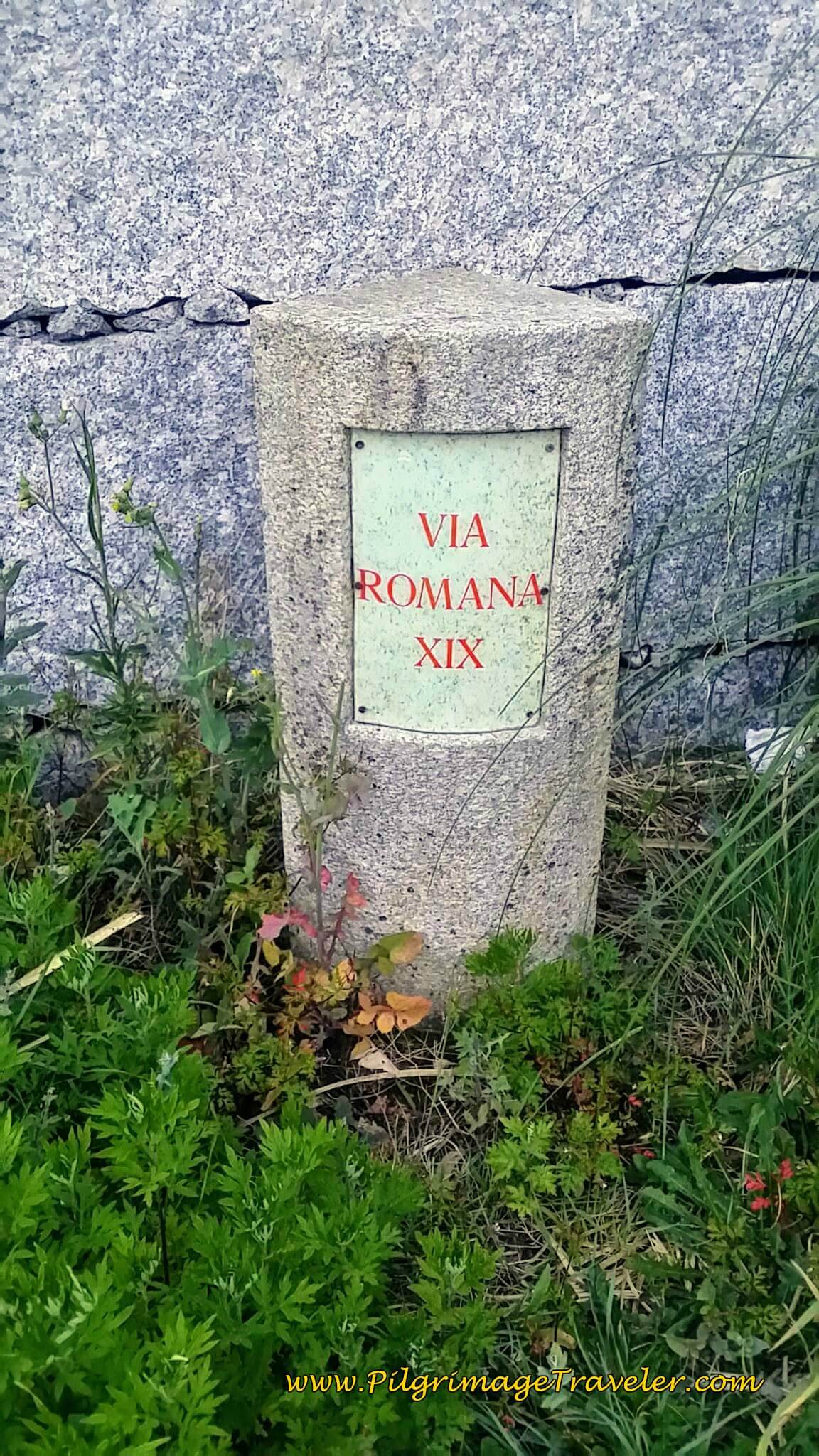
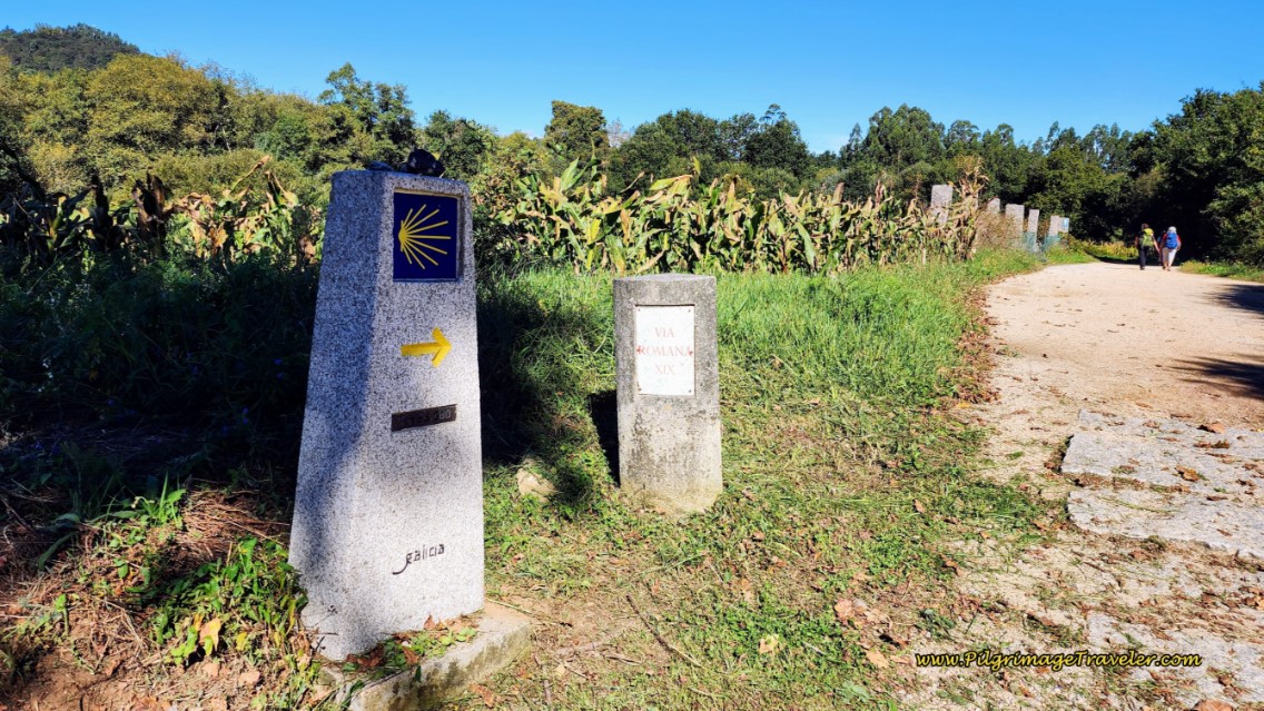
Thus begins the Via Romana XIX, or the Roman Road. Click on the link to learn more about this ancient road system in Galicia. You will see these markers along this route.
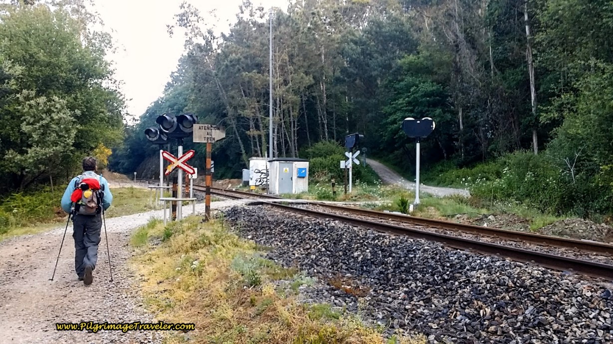
The Camino Portuguese now becomes a nice dirt road. By this time you may have noticed the railroad track on a high bank off to your right. You will follow this for about 600 meters.
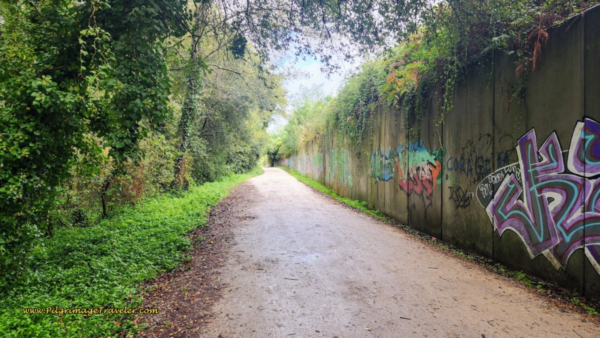 Nature Area Walk by Railroad Track
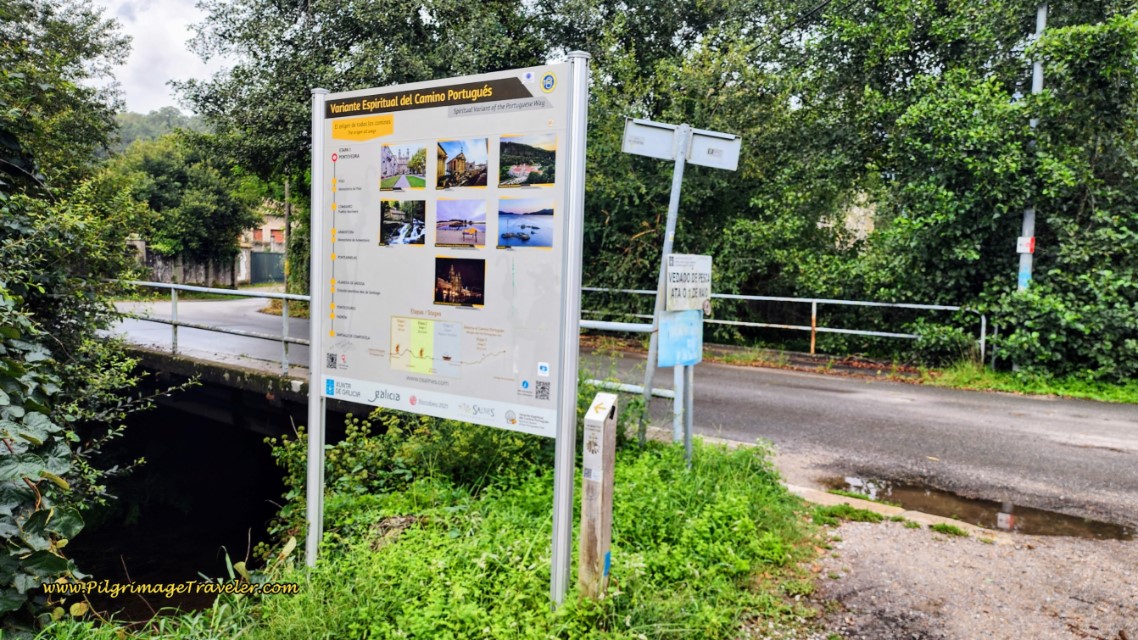
After a total of 1.5 km on the Rúa da Gándara you come to an intersection, with a bridge on your left, across the Rio da Gándara. You will see this sign, for the Variante Espiritual that turns left here. This juncture is 3.0 kilometers from the center of Pontevedra. This variant is a most wonderful walk which I hope you will do in the near future, if not today!
The Central Route turns right onto the paved road, walks through the underpass of the railroad bridge and takes you up the hill, staying left to join the Aldea a Ferreira in the town of Pontecabras.
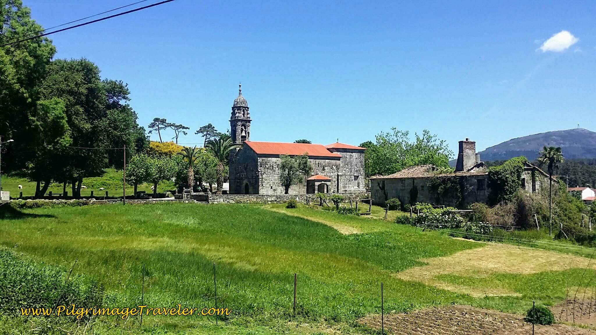
After the small town, continue to walk in the rural areas, following the railroad tracks, now on your left, until the church on the hill catches your eye. This is the Iglesia Santa Maria Alba. For me, in the early morning light, the silhouette that was created made the vision even more special.
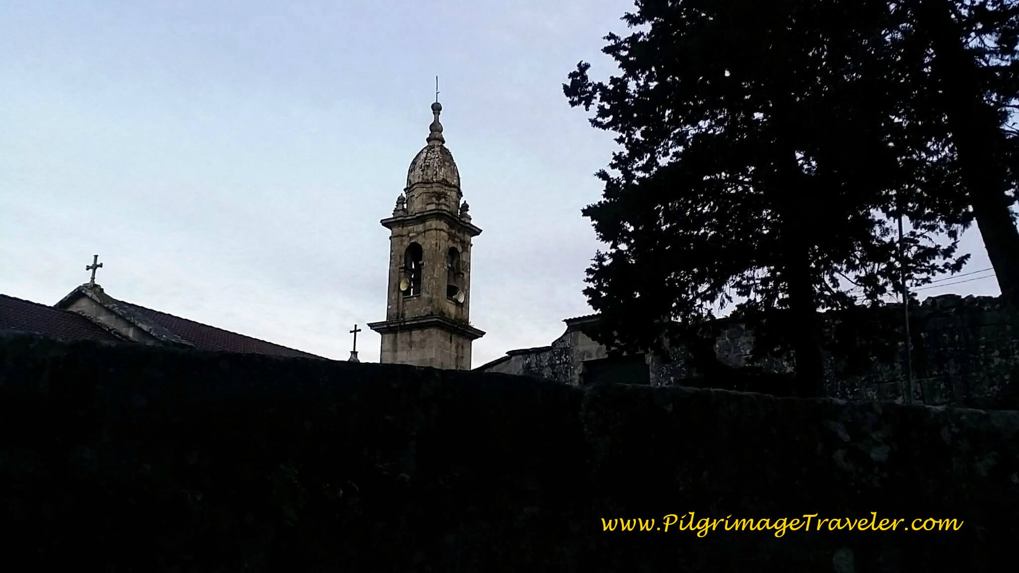 Contemplating the Iglesia Santa Maria Alba Silhouette
Bend around the Iglesia Santa Maria Alba, built in the 12th century and re-built in 1595. You can spend some time here visiting this church, if you arrive when it is open. It is a quaint place.
At the top of the hill is the church's cross. Here I am, stopping and giving thanks for my health, my pilgrimage and all of life's good things bestowed upon me. I was so far succeeding on my priority to complete this pilgrimage at this juncture in my life.
Jump to Camino Portugués Stages
Shortly after the cruceiro, the road bends to the left. Walking on for about a total of 1.0 kilometer from the juncture, the Way comes to a T-intersection. Turn left here onto the PO-225 and cross under the railroad tracks.
After walking on a nice pilgrim's path along the PO-225 for about 1/2 kilometer, pass by this lovely little chapel in the next town of San Cayetano, named after the town.
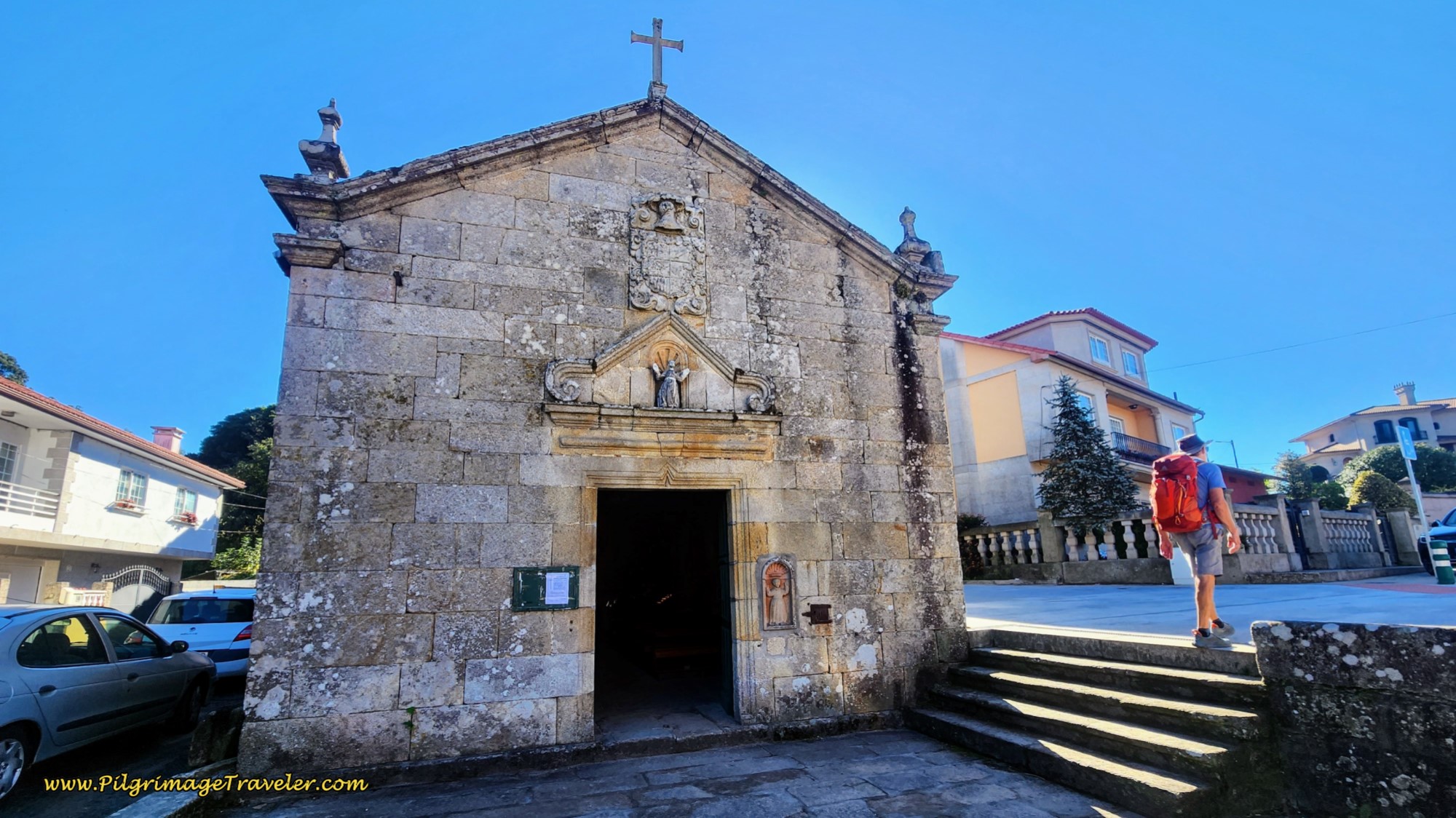 Capela de San Cayetano
We did not see any cafés here, but we were looking! We had had no breakfast and at about 4.5 km into our day twenty-three on the Camino Portugués, we were getting quite hungry! (There is now a café a few meters after the chapel, called the Stop San Cayentano.)
About 120 meters after the little chapel, turn right off the PO-225 at the Avigal factory, staying left at their gate. It is opposite the Avigal factory that you will see the Stop San Cayetano café.
Come to a Y-intersection in a few meters, staying left again.
After another left, in another several hundred meters, come to another Roman milario, called the Milario Magno Magnencio, shown below.
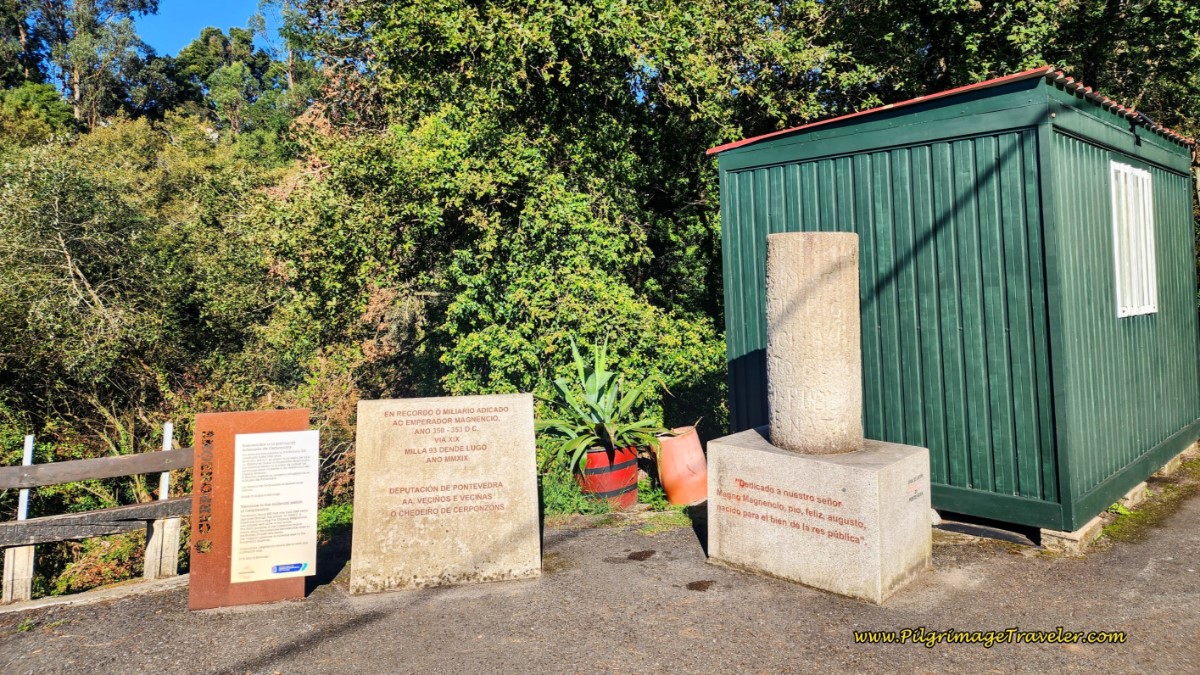 Milario Magno Magnencio After San Cayetano
After the milario you stay north and follow the arrows on quiet roads that parallel the train tracks. There are many arrows to guide you. Not only have you been following the train tracks, but also the Río de Gándara river valley.
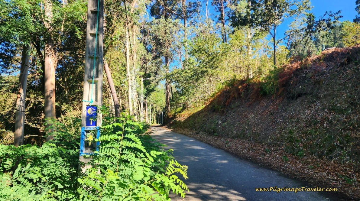 Quiet Paved Road After San Cayetano
After walking through the above forested area, and then by a cluster of buildings, in the town of O Castrado, the road turns to dirt.
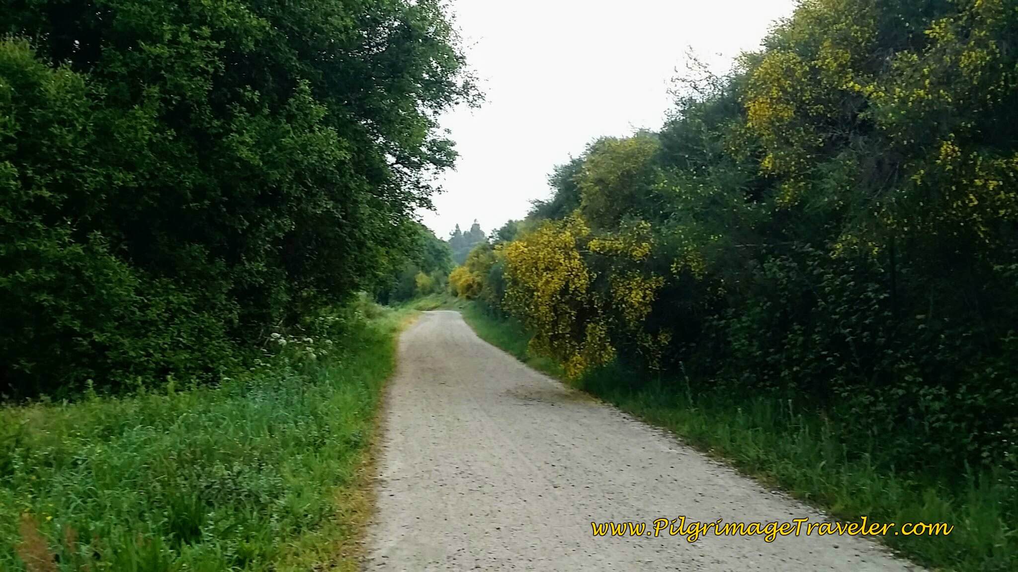 Dirt Lane After O Castrado
You may or may not be able to hear the trains as you walk through this long, secluded section. The tracks are up on the high bank to the right in the photo below.
We luckily missed the trains on our sojourn through this peaceful section. We didn't really didn't see any pilgrims here either.
The road follows the river, the Río da Gándara and eventually crosses it.
After about 3.3 km on this respite from the urban areas, cross the railroad tracks.
Walk up the hill on the other side of the tracks, and in a few meters turn left onto a narrow paved road which walks you into the town of San Amaro. After about 1/2 kilometer you come to a T-intersection with the PO-224.
Turn right onto the PO-224 and within meters, see the lovely, A Pousada do Peregrino! Finally a place for breakfast. San Amaro is 8.7 kilometers into the day and the high point of the first climb.
The café had a delightful and innovative menu and I would strongly recommend it.
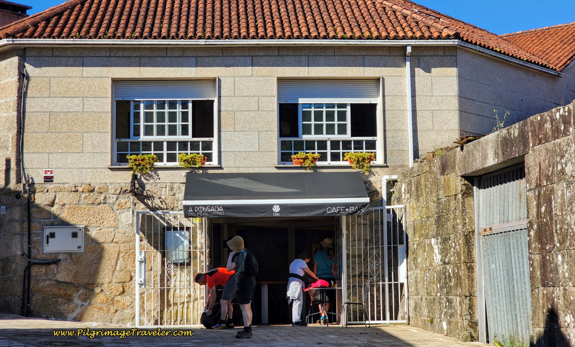 Café Bar A Pousada do Peregrino
Steve and Marta had beaten Rich and I to this café when Marta kicked it into high gear a ways back. Steve was challenging himself to keep up with her, but Rich stayed back to be with me. Awwww!
Within a few minutes of our arrival at the café, Steve and Marta took off again. I could feel Rich's angst, but I was not going to eat and rush off. I had no desire to keep up with a cute physical therapist half my age, as the gentlemen seemed to want to do!
After our breakfast, back on the Camino, within 50 meters, you pass by the lovely Capela de San Amaro de Barro, below. You can visit the chapel and get a stamp if you are passing through during opening hours. This area is often congested with many pilgrims as there is another restaurant across the street, the Meson Don Pulpo.
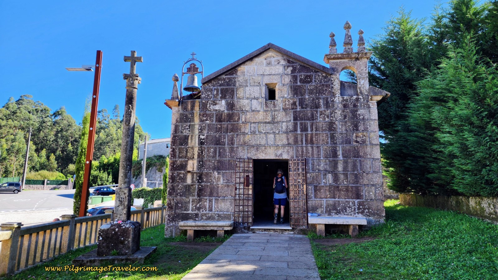 Capela de San Amaro de Barro
Jump to Camino Portugués Stages
Just after the meson, the Camino turns left and onto the EP-0508. There is a nice picnic area and a fountain, shortly after town on the right, if you wish to eat food from your pack, relax in the shade or just fill up your water bottles.
The goal was coming into closer focus. About 3/4 kilometer down the road, and after taking a short diversion from the EP-0508, on a side path to the right, pictured below, you stay to the right and up the hill.
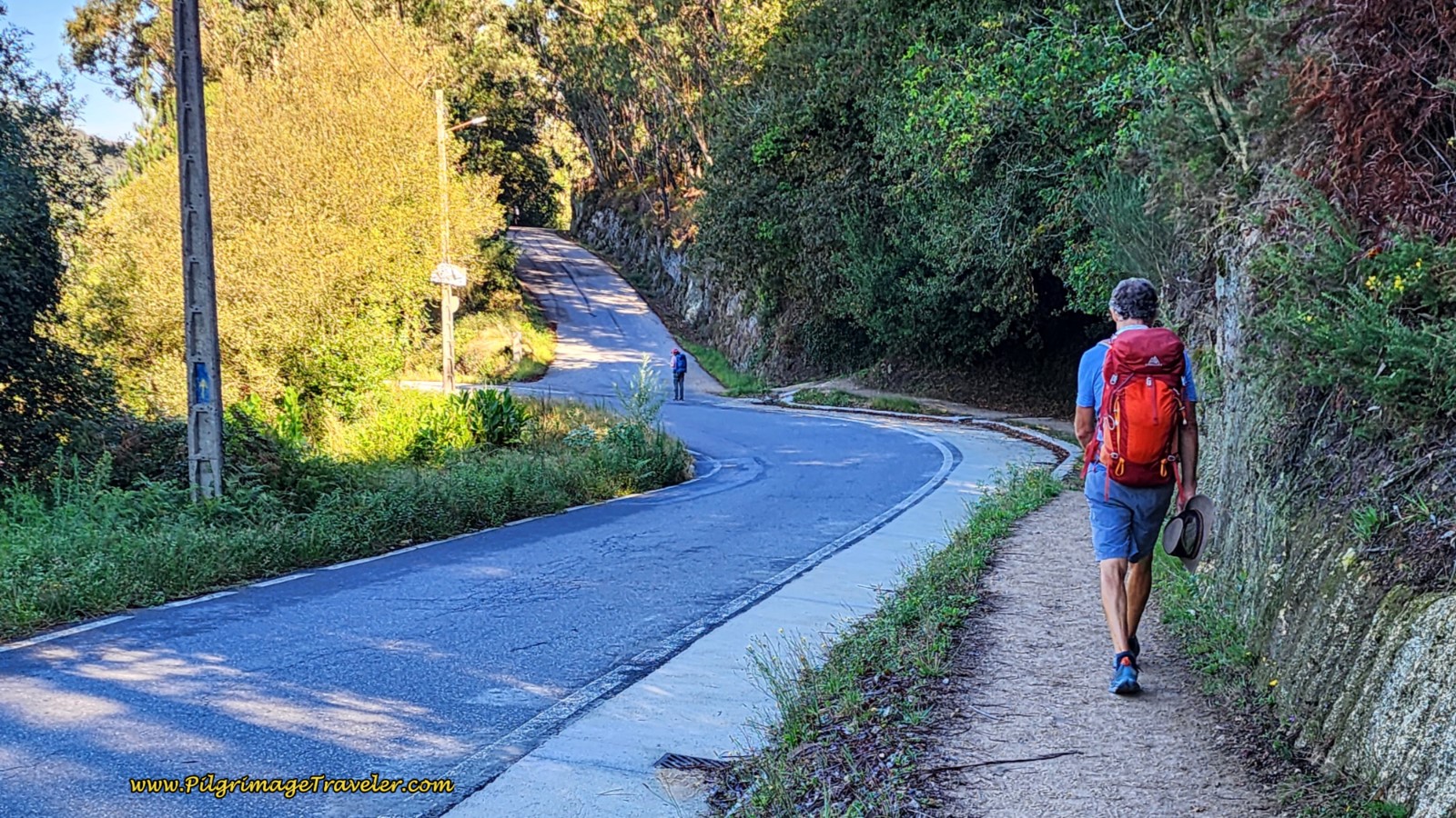 Side Path Along the EP-0508
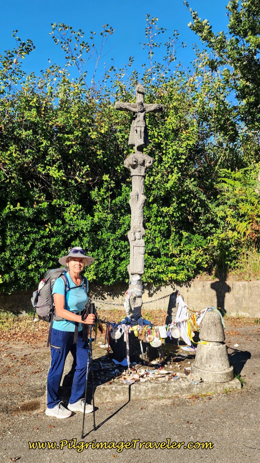
Follow the EP-0508, passing a lovely park with wood carvings, and until you come to a crossroads and the Cruceiro de Lamas. Turn right to re-join the EP-0508 at the cross. The waymark states that it is 56.6 kilometers to Santiago!
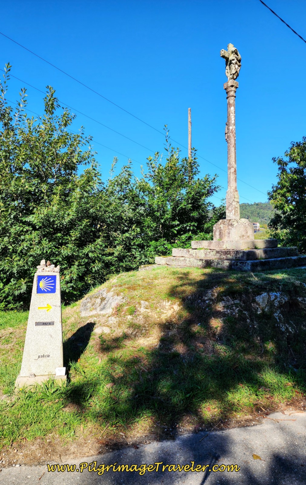 Cruceiro de Lamas
Walk for a total of about 1.7 km on the EP-0508 on a well established Camino path to the side of the roadway.
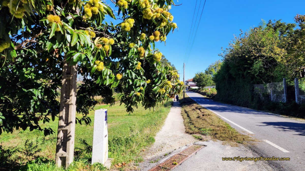 Pilgrim’s Path Continues along the EP-0508
After about 1.2 kilometers on this road, come to a side road that leads you to the right (east) towards the first accommodation since Pontevedra, the economical, private Albergue da Portela ~ Barre, in the town of A Cancela, about 150 meters off-Camino. Check the interactive map for its location. It is about 10 km from Pontevedra.
Otherwise in 1.7 km, take a short diversion on a path to the left and in a few meters, cross over the EP-0506 and continue onto another dirt agricultural road called the Rúa das Baladas. This is the 55 kilometer waymark and notice the Via Romana XIX pillar.
After only 600 meters come to another T-intersection and turn right onto the Rúa Areal.
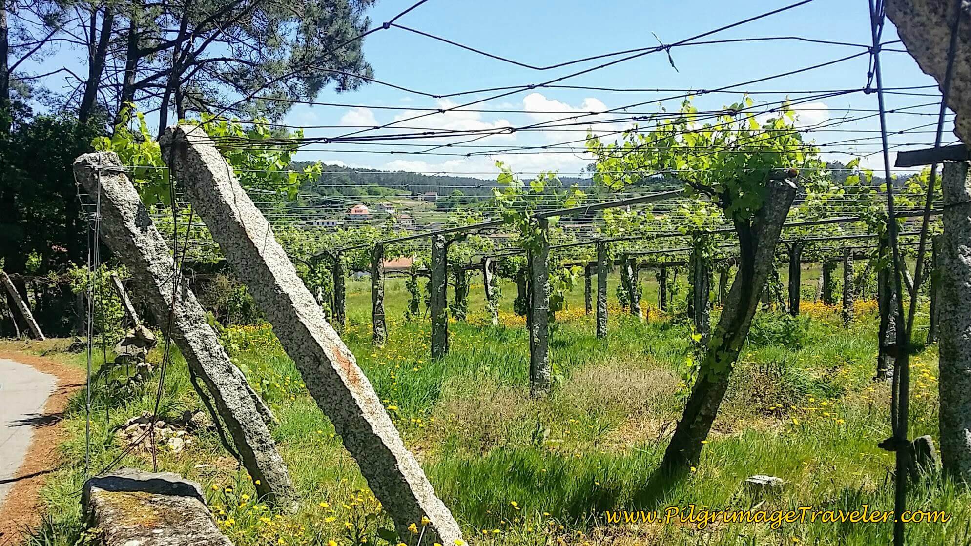
This is God's country, with fruits-on-the-vine everywhere. I never thought I would grow tired of vineyards, but I was becoming weary of them and the day's walk. It is very open and hot along this section!
Continue on the Rúa Areal toward Valbón. When you reach a T-intersection in Valbón, turn right to stay on the Rúa Areal. There is a café a few short meters away.
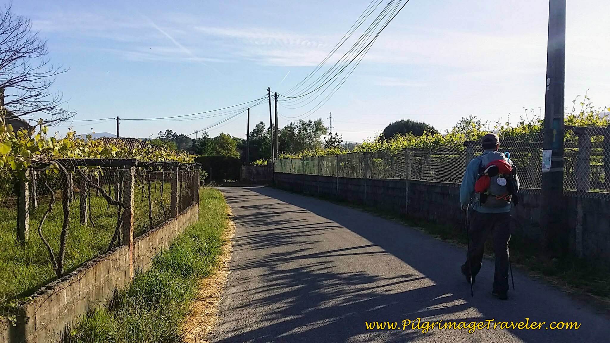 Walking Through Vineyards on the Rúa Areal
Continuing to follow the Camino, in only a few meters more you come to a Y-intersection with the Cruceiro de Vilar. Keep to the left.
In a few meters, turn hard left and meander through the countryside on a quiet paved road, that eventually turns to dirt, following the many waymarks and arrows along the way.
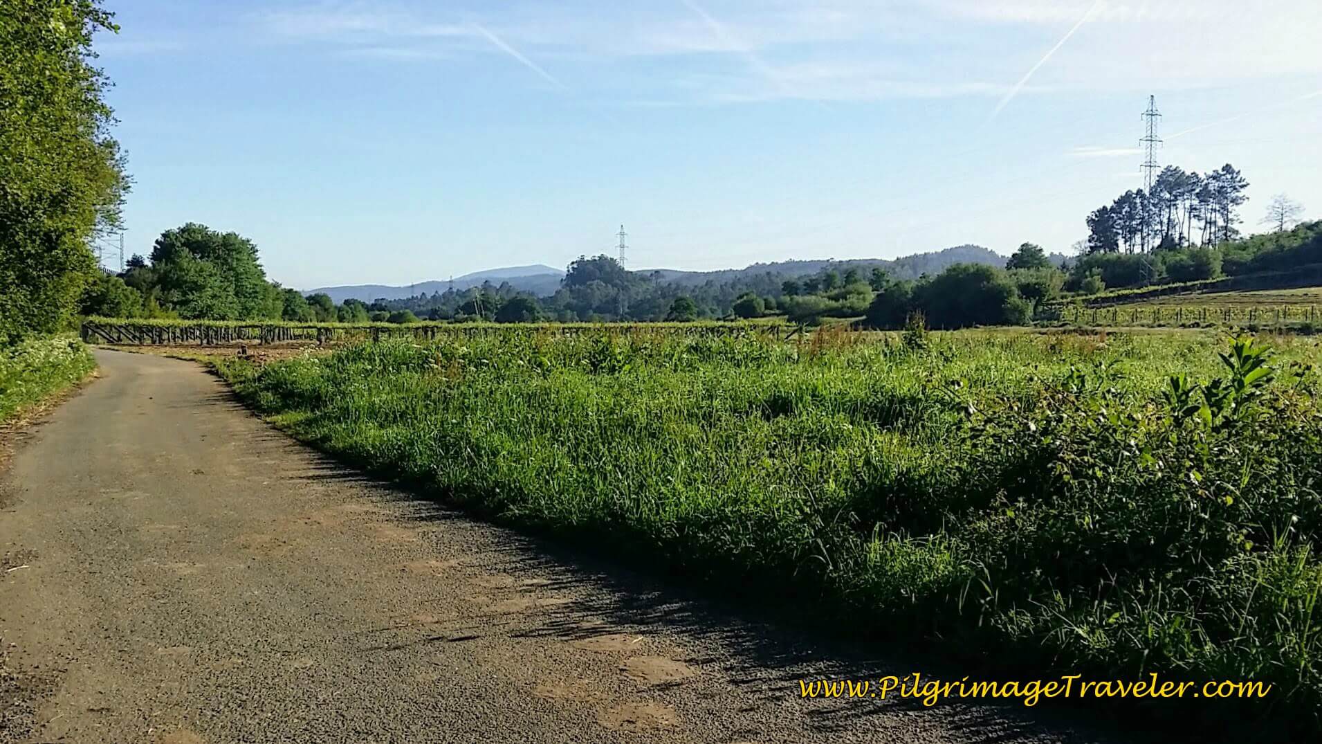 Agricultural Road in Spanish Wine Country
Stay on the dirt road, come to a cluster of trees by the stream, the Rego do Areal.
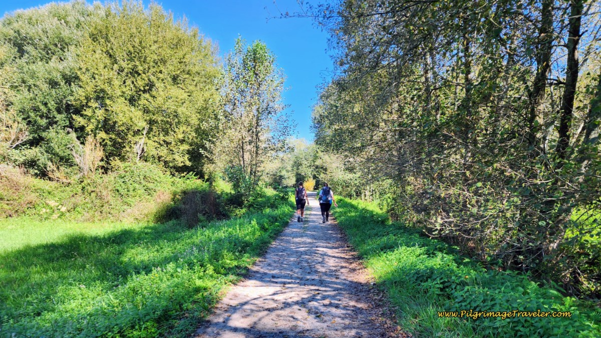 Cluster of Trees by the Rego do Areal, Day Twenty-Three, Camino Portugués
After a total of approximately 2 km from the Cruceiro de Vilar in Valbón, the pilgrimage traveler reaches the intersection of the EP-9047, the next substantial highway.
Cross over the EP-9047 to a paved road. Meander again, for another 2 km as the Way engages your senses in the wide open agricultural spaces and the many vineyards.
I kept pushing onward through the monotony.
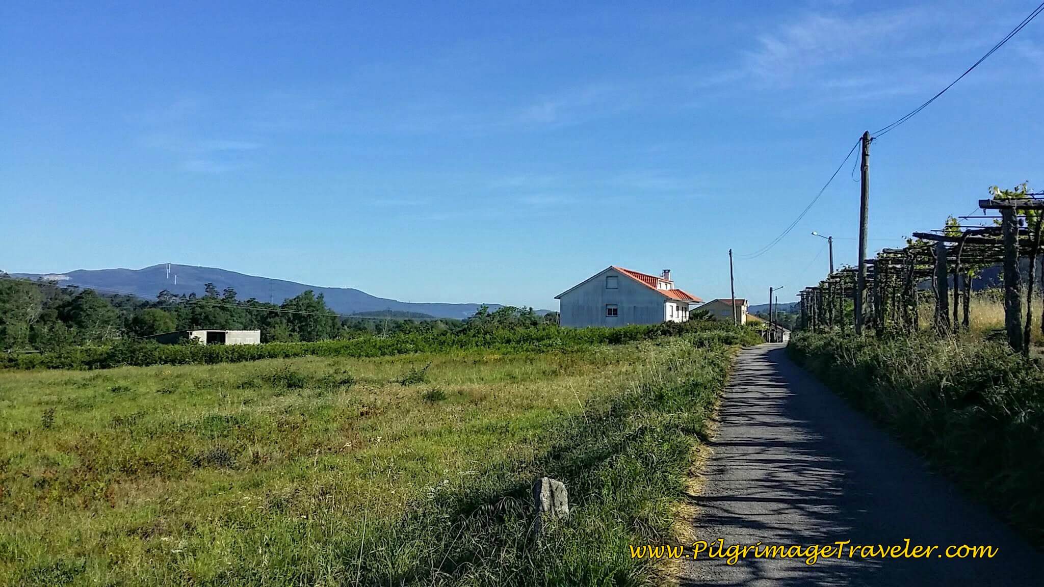 Open Country Road
The pilgrimage traveler drops out onto the N-550 at approximately 15 kilometers into the day, and turns left onto the highway. There is a well-worn pilgrim's path on the side of the highway, in addition to a nice wide shoulder to keep you safe. There are several cafés in this section, if you need a break.
The highway sign says 40 km to Santiago, clearly the most direct route. Not for us though on our day twenty-three of the Camino Portugués!
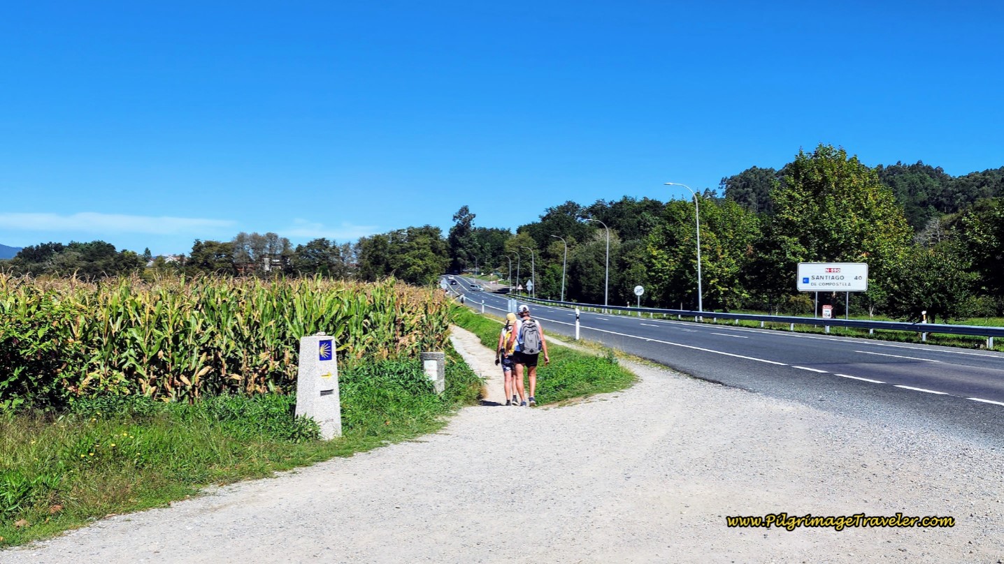 Join the N-550 Highway and Turn Left on Day Twenty, Camino Portugués
The walk along the highway is only 300 meters, before the Way veers off to the left onto a farmer's lane. The Way makes another left at the next lane and takes you through this lovely grape arbor.
The diversion from the N-550 is a short 1/2 km and the nice tractor lane through the vineyards turns eastward to join the highway again.
You barely walk 100 meters on the N-550 and the Camino veers off to the left on yet another nice tractor lane and walks you through the town of Briallos. This lane brings you to the EP-8102, where if you were to turn left, after about 16.2 kilometers total for the day, the municipal Albergue de Peregrinos de Briallos is a few hundred meters away as the sign indicates.
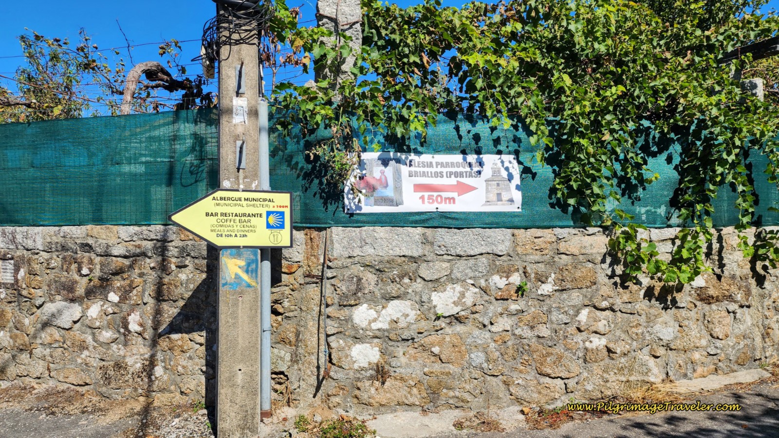 Turn-Off for the Albergue de Peregrinos de Briallos
The Camino walks straight on here, leaving the roadway on lovely paths through vineyards.
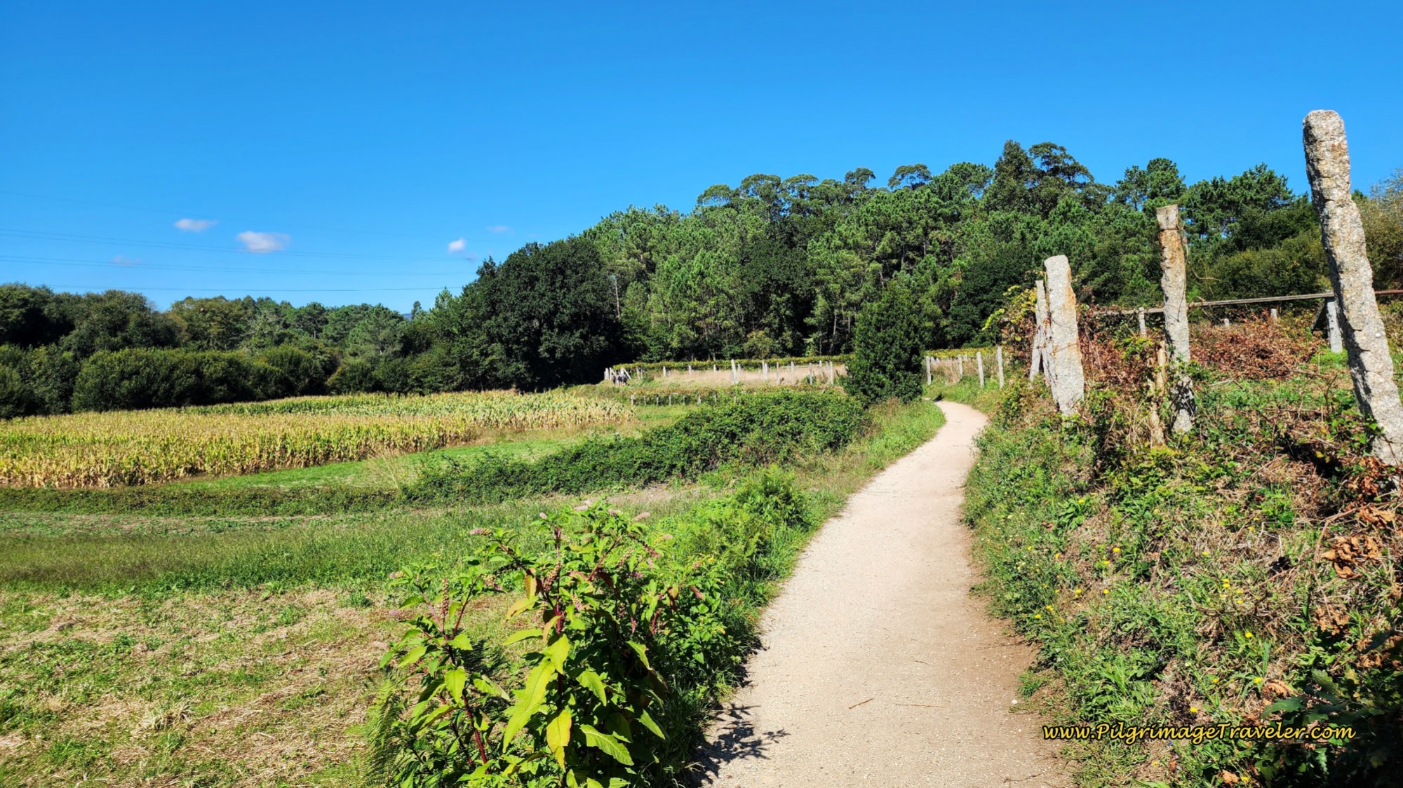 Path Through Vineyards Toward Tivo
You can catch glimpses of the highway to the East and after walking about 800 meters, turn left at a T-intersection to avoid the N-550 once again. Walk about 1/2 km more, staying right at a Y, and in a few meters turn left to once again head northward on more lanes. These tractor lanes parallel the N-550 to the west, as they travel northward toward the next town of Tívo.
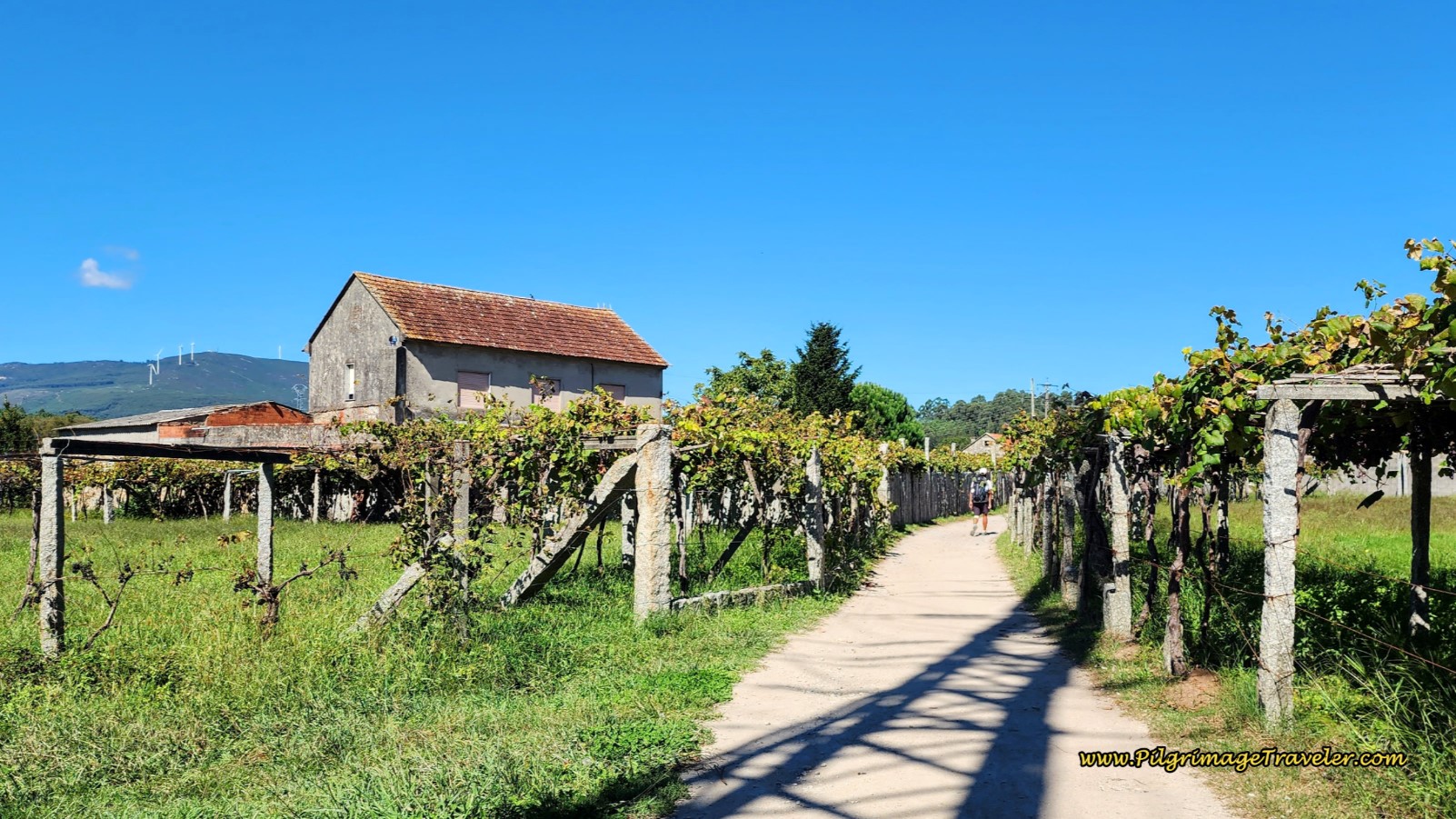 Entering the Next Town of Tivo
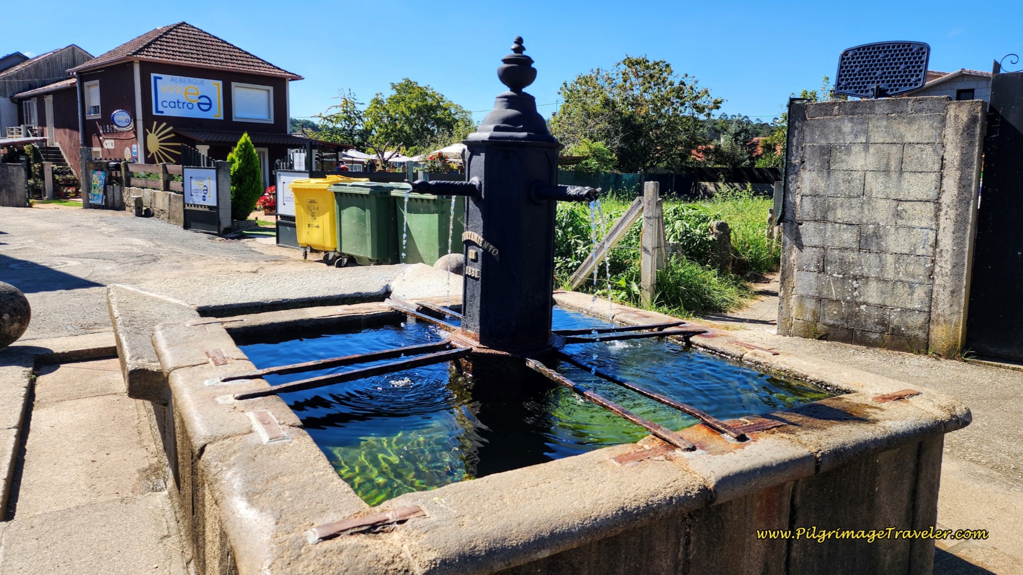
In another two kilometers or so, walk into the center of Tívo, through town, past an open plaza with a huge spreading shade tree and a fountain. A few meters onward, come to another fountain and the entrance to the private Albergue Vintecatro after approximately 19.2 kilometers total for the day.
We have stayed in this wonderful albergue and it is a true haven for peregrinos, in lovely gardens with an above ground pool. They serve a pilgrim’s menu and a substantial continental breakfast is self-serve in the morning.
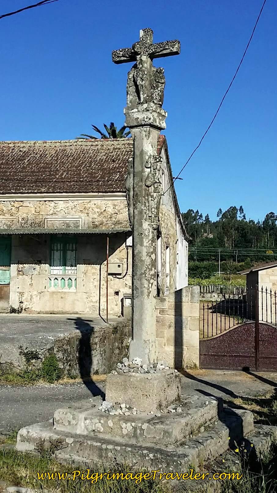
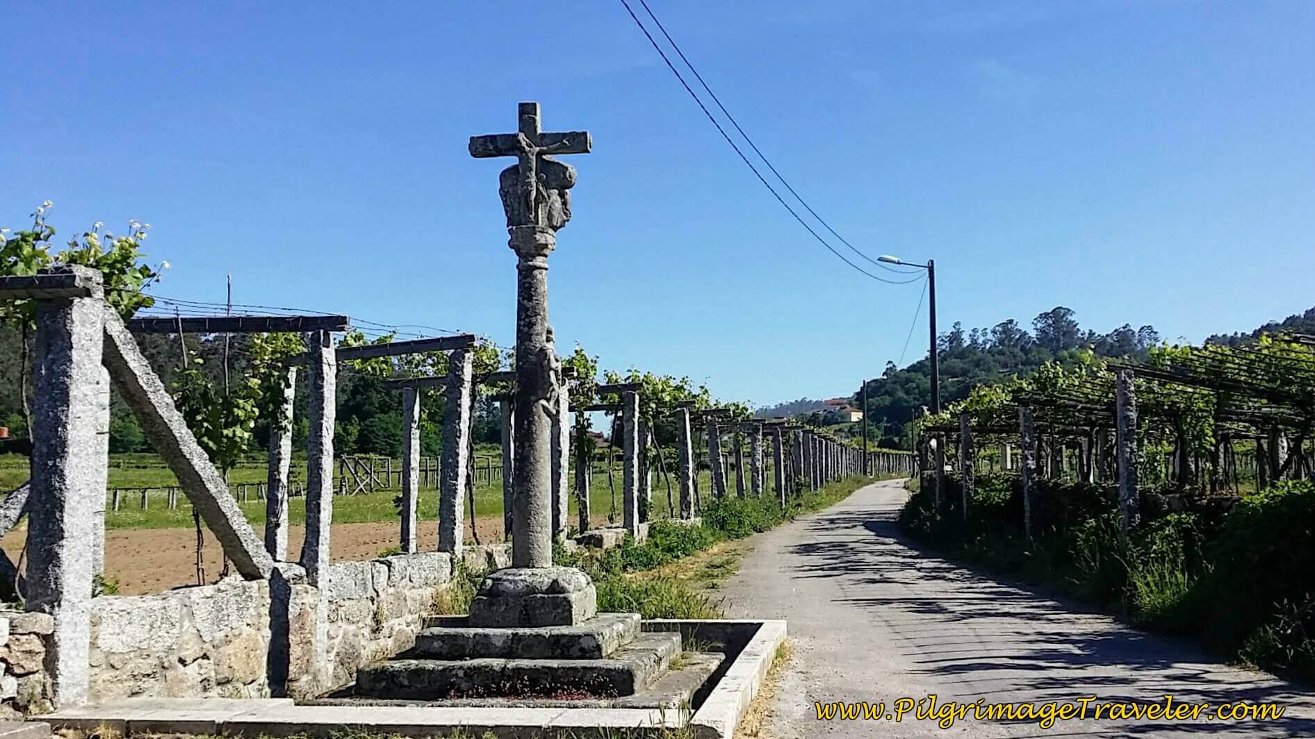
Just by the albergue is this lovely cruceiro, with the amazing vineyards extending beyond.
Jump to Camino Portugués Stages
Continue walking north on the narrow paved road toward Caldas de Reis.
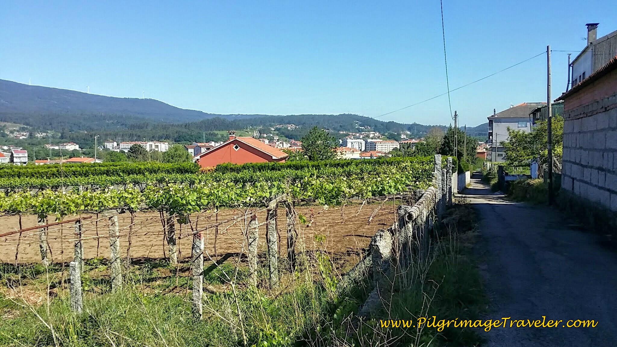 Camino Toward Caldas de Reis
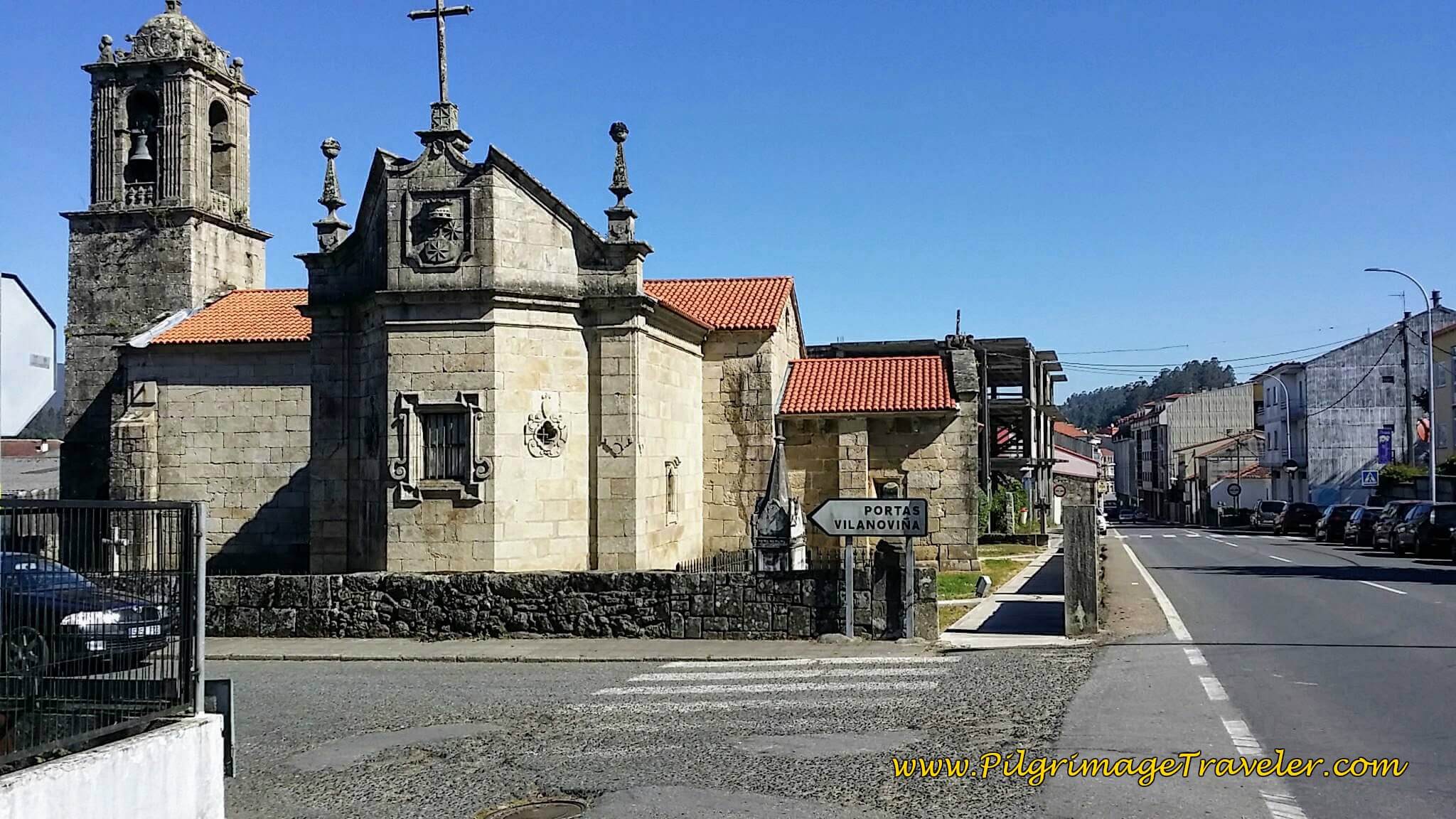
Avoid the N-550 for another 1.2 km after Tívo, walking on side roads and lanes, paralleling the highway, until you join it at the private Albergue and Café A Senda on the corner to your right. The Igrexa de Santa María de Caldas de Reis, below, is just ahead on your left at the intersection, and you turn left onto the highway once again to walk into town.
In the short 300 meters after the church and before the river crossing are five accommodations, the Pensión and Albergue Alecer (+34 630 10 55 82), the Casa Herreria, the private Albergue A Quemada Hostel, the Kalidas Hostel Suites and the Albergue Timonel and for the complete thermal spa experience for which the city is well-known, the Hotel Balneario Acuña. I wish we had lingered a day to soak, but alas, we chose to go on!
Next, cross the bridge over the Río Umia and into town.
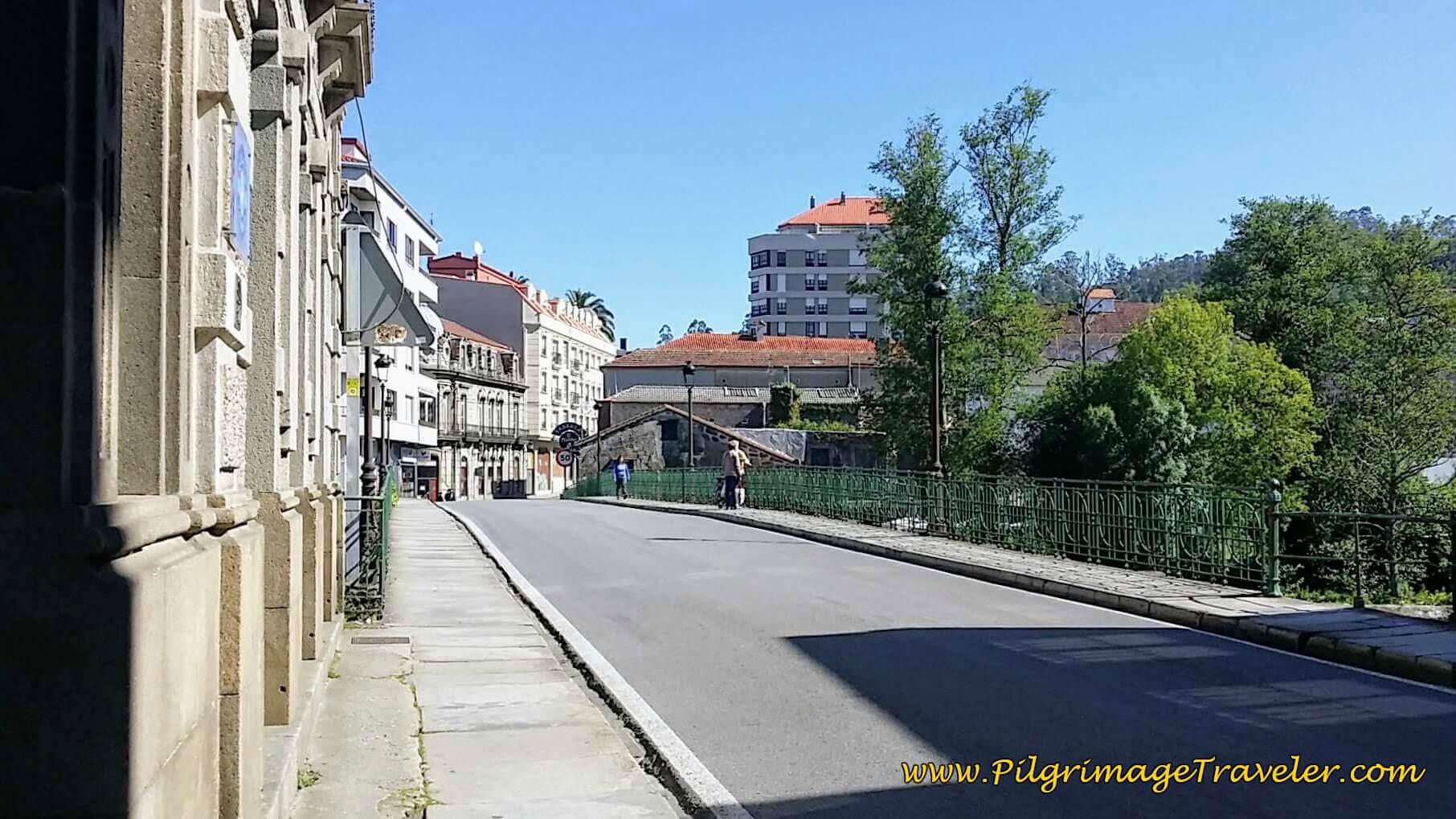 Bridge over the Río Umia in Caldas de Reis
Here is Rich and Steve at the Cafetería Termas, just across the river, by the bridge to the left. It was a lovely spot for a break at about 21 kilometers into the day.
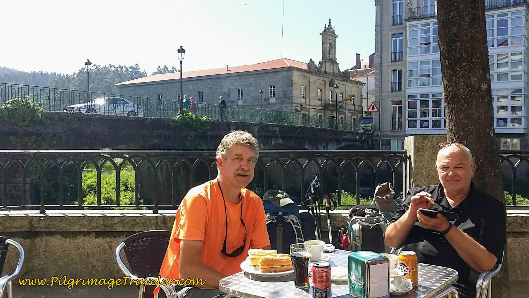 Rich and Steve at the Cafetería Termas
Just beyond the bridge, the Camino turns left and onto the Rúa Real, or the Royal Road.
Next, you pass the thermal fountain, Fonte Termal das Burgos on the left, in front of the front of the fabulous-looking Balneário Hotel Davila, also with spa services.
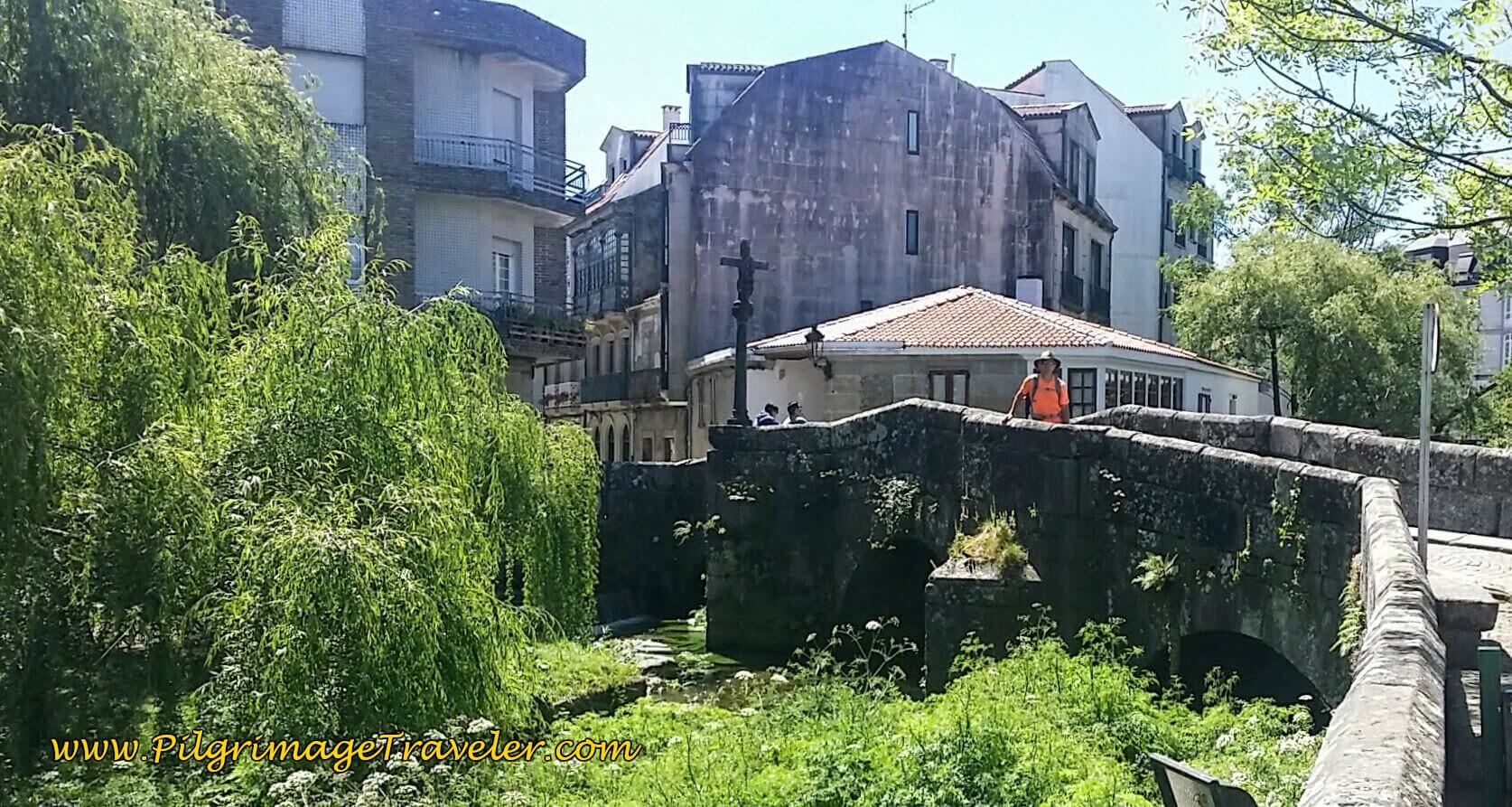
It is a short 350 meters on this road through town to the antique Roman bridge, the Puente Romano. This historic bridge takes the pilgrimage traveler across the Río Bermaña. It was originally built in Roman times with the cross added in medieval times.
Unfortunately there is no municipal albergue in Caldas de Reis. Just past the bridge on the left, the old municipal albergue is now privately owned and called the Albergue de Peregrinos de Caldas de Reis.
There are many more private albergues in town, including the Albergue Agarimo, the Albergue Albor, the Albergue Celenis, the Albergue As pozas Termais and the Albergue "O Cruceiro," all within steps of the Roman bridge. Click on any link to see which is running the special at the moment!
If your destination is Caldas de Reis, click on the link for even more options for accommodation.
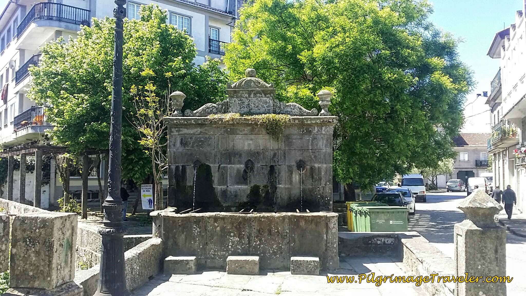
On the other side of the bridge is a historic fountain, the Fonte do Campo da Torre.
After crossing the Roman bridge, the street becomes the Rúa San Roque.
Walk a short 200 meters, turning left into an alleyway and onto the Travesía San Roque to the chapel of the same name, the Capela de San Roque, below. As you can see my photo was taken in the dark, on a different journey than the story. When my story was originally written, the Camino did not pass this way.
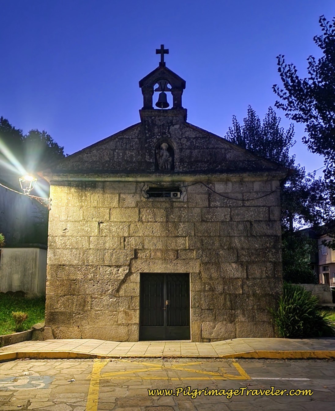 Capela de San Roque
A few meters beyond the chapel the Camino joins the N-550 once again. Walk another 125 meters and turn right off the highway before it climbs the hill and onto the continuing Rúa San Roque. The road quickly becomes a dirt one.
Thus we begin another lovely trail system of mostly wide dirt lanes. In another 1/2 km, leave the Rúa San Roque to walk straight north on a nice lane toward this overpass of the N-550.
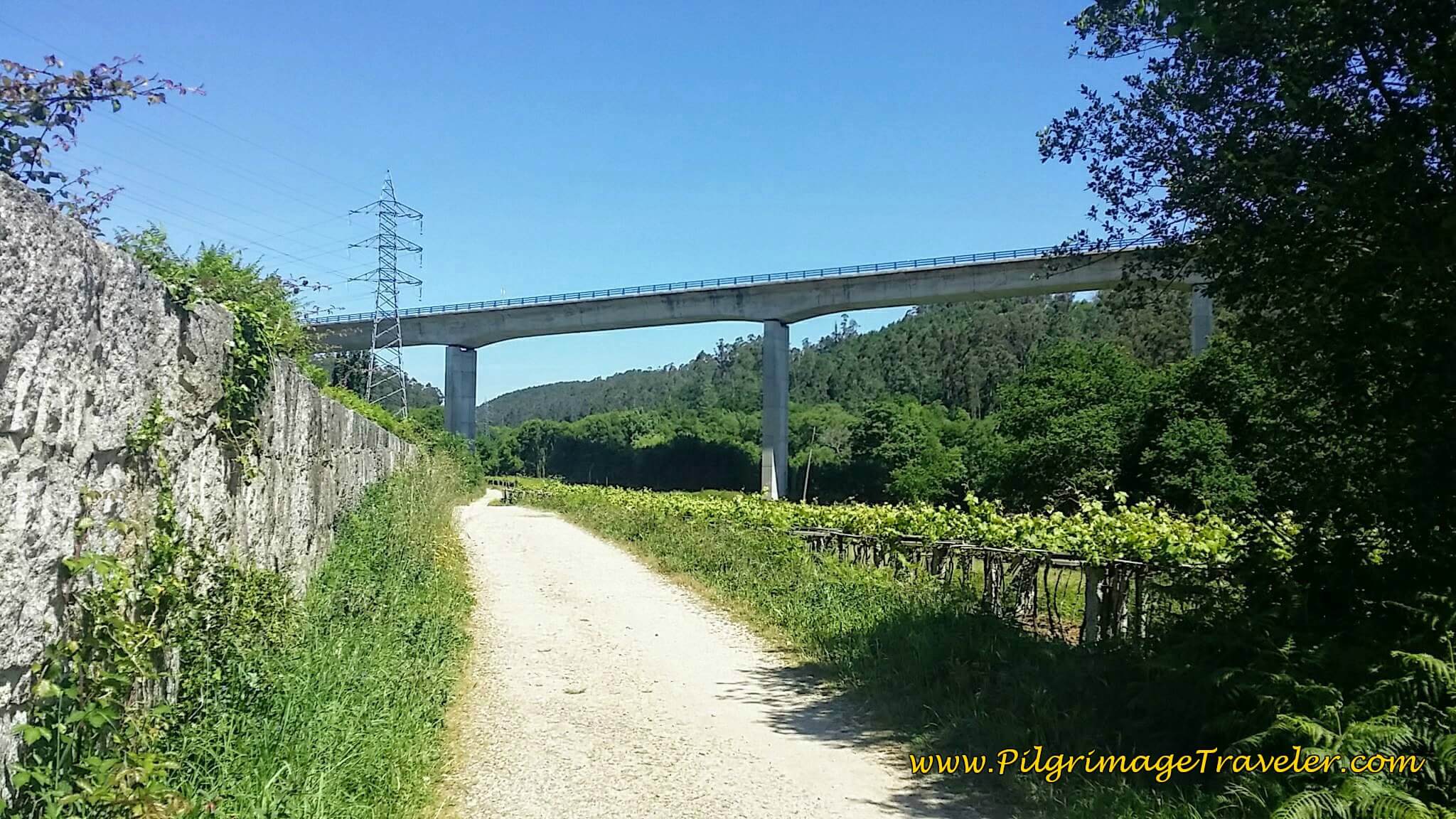 Walk Under N-550 Overpass
Turn right under the bridge onto a road that is paved for a short while, then becomes dirt again.
From the N-550 intersection in Caldas de Reis, to the N-550 intersection in O Cruceiro, it is 4.6 km of lovely countryside walking, following the Río Bermaña river valley.
Jump to Camino Portugués Stages
The Encounter With the Romanian Runner
Along this stretch, I had fallen into place, walking behind Rich, with my head down, trying to dig out another eight kilometers for the day. I was tired of the Camino and wanted the day to be over with!
All of a sudden, out of nowhere, I heard someone running up behind me. Before I could turn around, a young man was next to me, looking at me intently, and said, "Hi, I am Mihai from Romania. Who are you?'
I was instantly taken aback with this intrusion. With Rich just a few steps ahead of me, I managed to quickly regain my composure at this harmless-looking man. I said, "I am Elle from the USA."
Mihai continued to walk alongside me, quite closely, happily chatting away about his Camino thus far. He was giving me his Camino play-by-play. His English was near perfect. I am continually astounded by the English capabilities of educated Europeans. Puts me and my Tarzan Spanish to shame!
Mihai explained that he was running from Porto, putting in 60 km days! His plan was to make it to Santiago by the end of the day. Wow! Santiago was only about 40 km away at this juncture.
He said he was very lonely because he would meet new pilgrims every day, since no one else was going as far as he did in a day, and the cyclists would go even farther.
Rich, slowed his pace and joined in on the conversation, with this delightful young man.
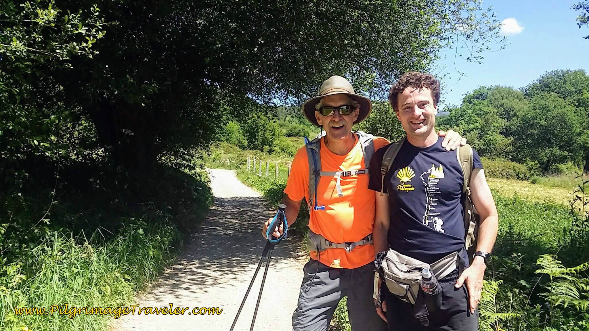 Rich and Romanian Runner, Mihai
Here is Rich and Mihai walking into the next town of O Cruceiro at a total of 26.2 kilometers into the day.
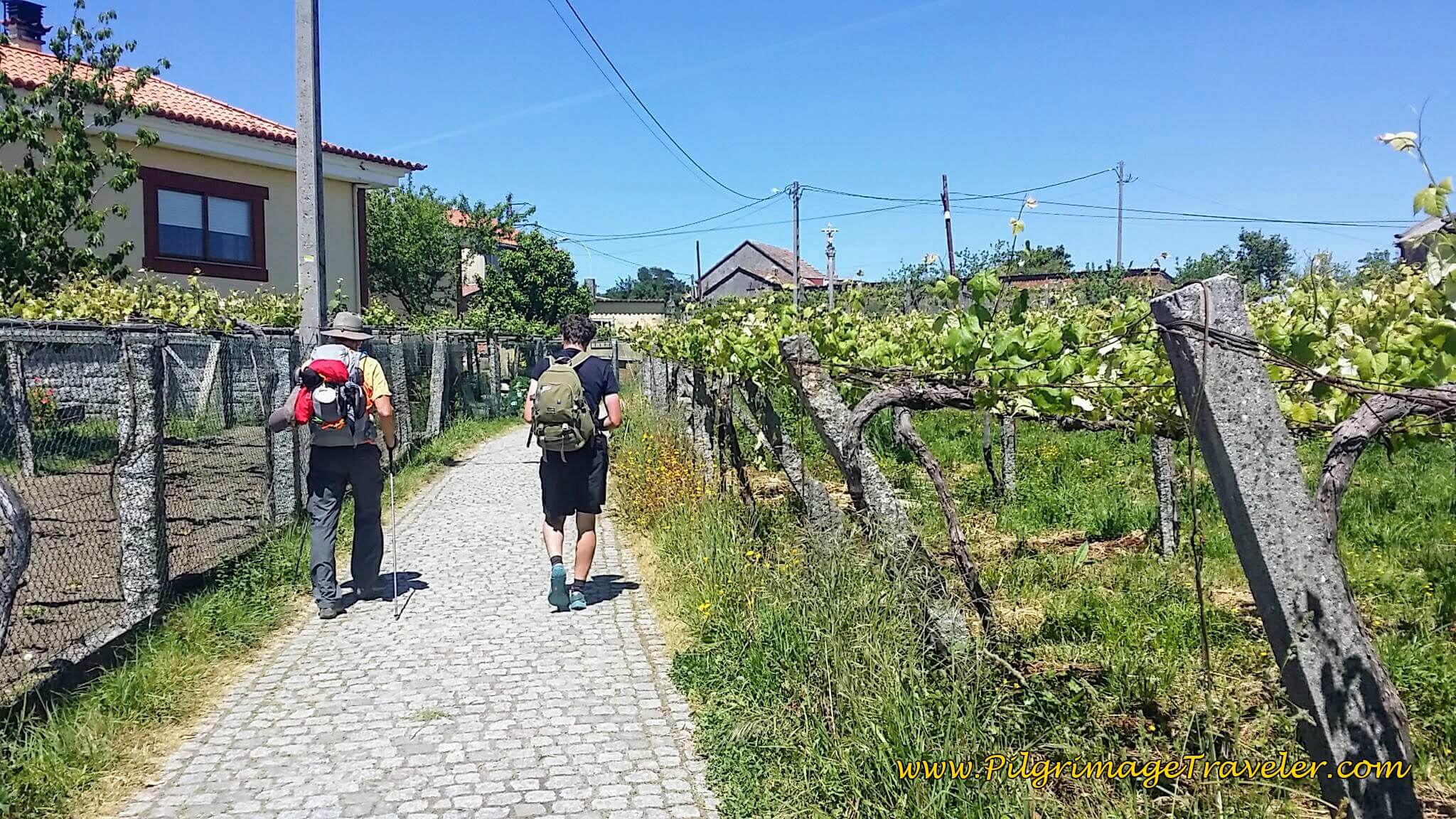 Rich and Mihai Walking into O Cruceiro
Mihai walked along with us for the next four kilometers, just chatting and chatting. He was so lonely! He said it was OK for him to walk and rest for a while, as he would still easily make it to Santiago today.
He chose to walk with us, he said, because we were walking faster than the others he had recently passed! Too hilarious! I did notice that when he joined us, that we had indeed picked up the pace. His energy was truly infectious and his fast jibber jabber moved our legs almost as fast as he could talk! It made the remaining kilometers go by much quicker than otherwise.
Jump to Camino Portugués Stages
Continuing Onward on Day Twenty-Three of the Camino Portugués
We joined the N-550 in O Cruceiro, and carefully crossed over to the other side, we looked left and went a short jog, turning onto the dirt road across the street. There is a bar a few meters farther to the left if you need a respite.
We walked 200 meters, staying right and then turning right to follow the road to the church in the distance, the Iglesia de Santa Mariña in the town of O Campo. I could barely pause long enough to snap this photo. The three of us were moving! You may enter to see this church and get a stamp if you desire.
We walked north, past the church, across its parking lot and continued on the adjacent road as it bends northward.
We meandered along country roads, now paved and paralleling the N-550 to the west, for about another 1.4 kilometers until once again we met up with the N-550!
Along the way we walked through the small consecutive towns of Carracedo, As Cortiñnas and O Gurgullón and passed by more wonderful vineyards.
It is in the small town of O Gurgullón that you reach the second altitude top for the day, at 27.1 kilometers and 165 meters in elevation. It is clear sailing downhill for the remaining 3 kilometers. There is a fountain by some nice benches in town that marks the top. An appropriate place to sit and have a rest!
We went left on the N-550 and then immediately right, to walk on a paved road, again paralleling the N-550, but now on the other side to the east. We walked briefly along this paved road, passing another pilgrim’s hangout, the Fogar do Peregrino and took the next left to join a dirt lane. We came to another pilgrim’s tribute area, with ribbons and shells adorning the fence.
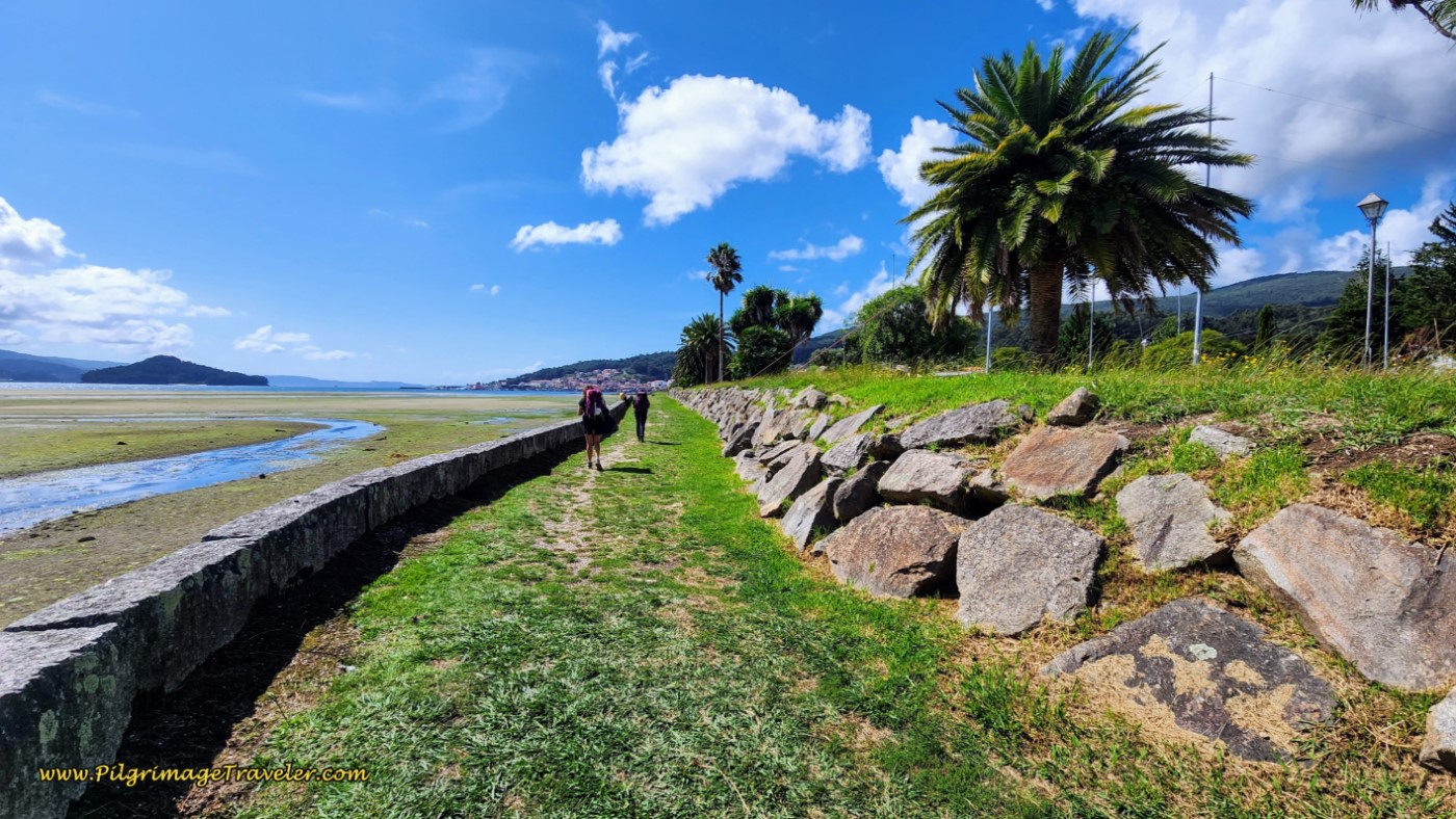
And here is Rich walking on the path along the highway, with the town of Magariños, our destination, ahead.
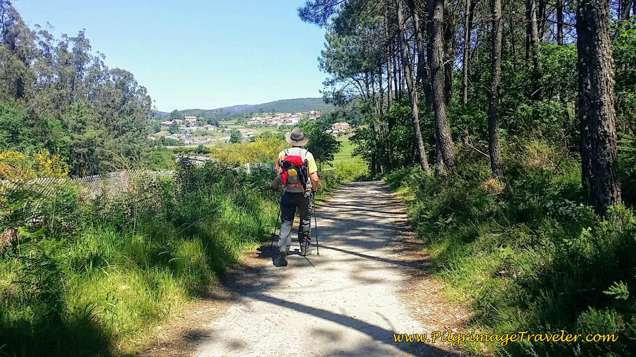 Walking Towards Magariños by the Highway
Here Rich took a photo of Mihai and me, on our final steps before the turn off to the Albergue in Valga.
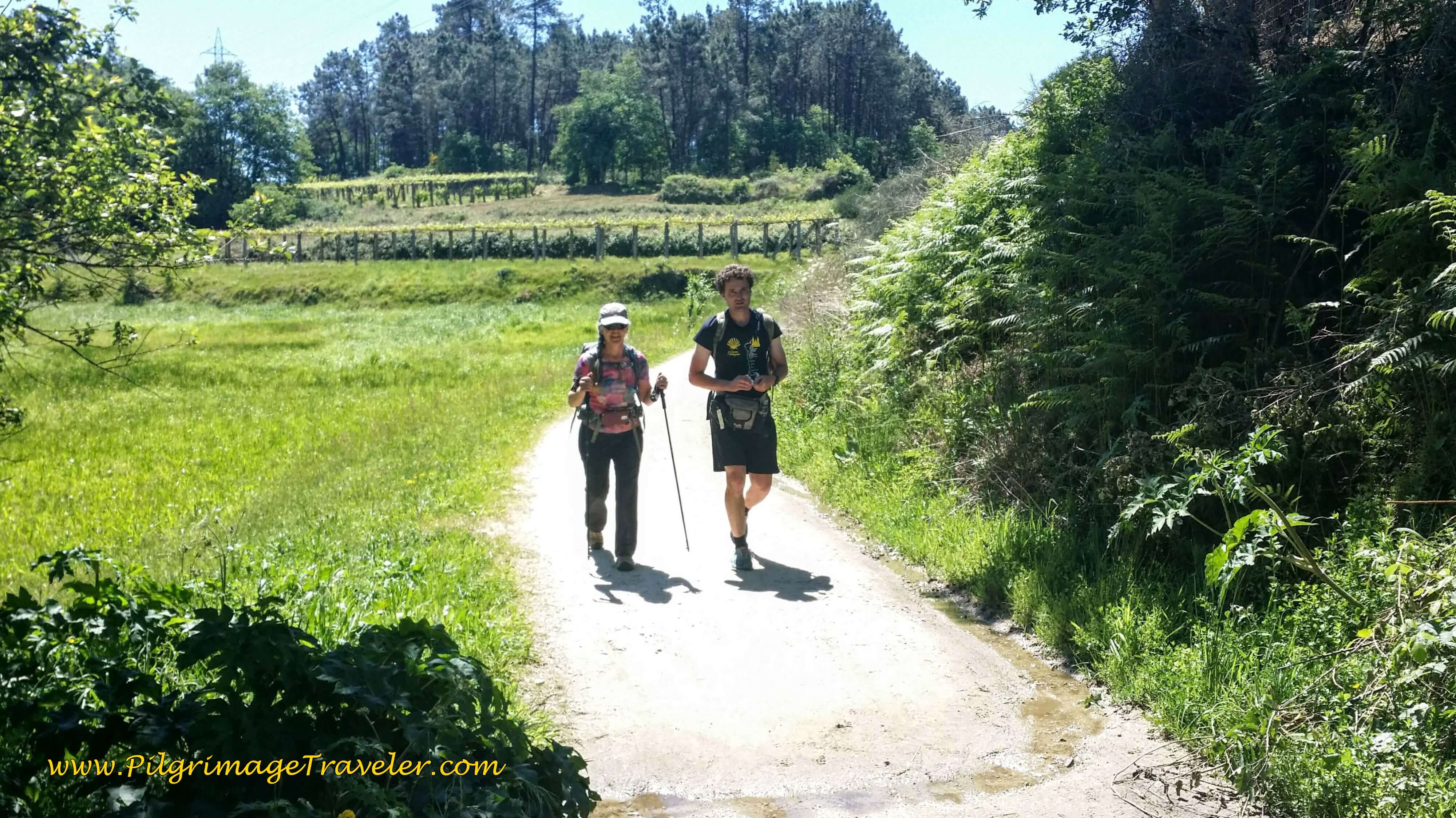 Elle and Mihai on the Road to Valga
We went along this stretch east of the N-550 for about one-and-a-quarter kilometers, where the dirt lane essentially is a frontage road, following the AP-9. We walked up a short hill and met the PO-220, turned left and walked on the bridge across the AP-9.
Immediately after the bridge, the Way turns right onto another well-marked frontage road along the AP-9. Not ideal, following the AP-9, but better than walking on the highway!
After about 600 meters the dirt lane meets a paved road, crosses it to turn left onto a lovely path just for pilgrims that runs alongside the road. There is a nice fence between the path and the road as it enters a cool forest with a rest area.
After another 650 meters onward, the way turns right, or north onto another path at the 35 kilometer waymark.
But then we saw the sign for the Albergue de Peregrinos de Valga at this juncture. Instead of turning north on the path, we stayed on the road. We said our goodbyes to Mihai who was going on to Santiago. We wished him well!
I was never so happy to find the turn for an albergue! I was exhausted, probably keeping a 6 km/hour pace for the last 4 kilometers on mostly uphill terrain! And to boot, it was the last 4 kilometers of the day, when I am usually running out of juice!
I didn't know whether to thank or curse our friendly Romanian runner! He surely made our Camino more interesting!
In only a few meters after the turn to the albergue the road comes to the busy N-550 once again. We turned right onto the highway, and crossed to the west side, very carefully!
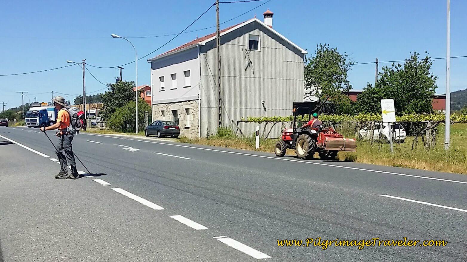 Cross the N-550 Towards the Valga Albergue
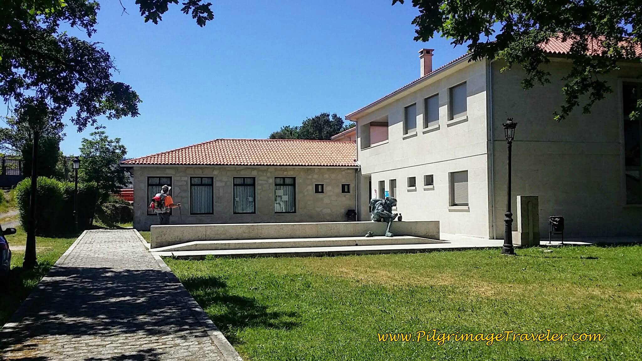
The Albergue de Peregrinos de Valga is only another 120 meters away, below.
This is a relatively new albergue and has two floors of dormitories and wonderful large separate shower/bathrooms for men and women and a modern, fully-equipped kitchen. They even have a handicapped-accessible room!
We got a chuckle out of the pilgrim statue!
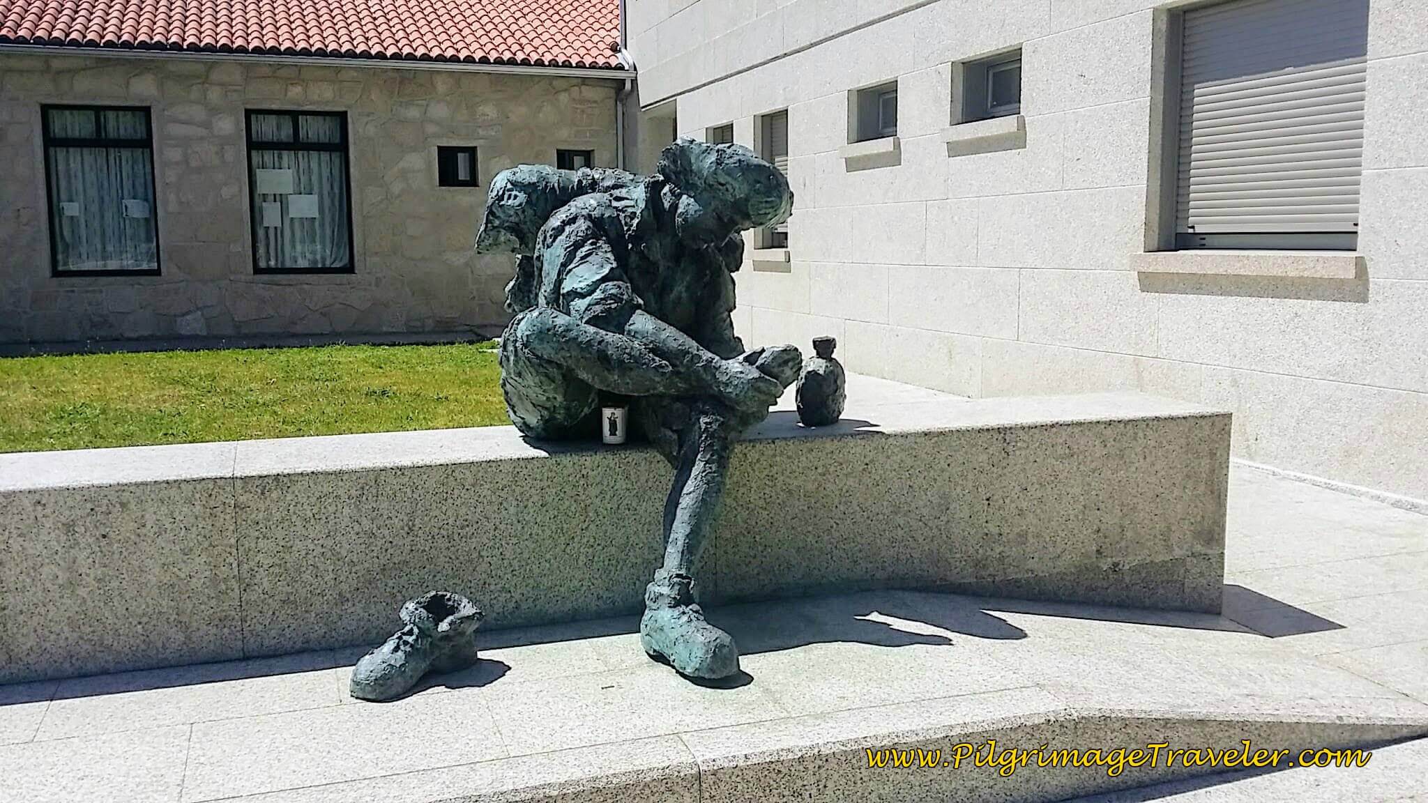 Pilgrim Statue by the Albergue
Just down the street from the albergue is the Bar Los Camioneros, or the Trucker's Bar. After cleaning up and doing our laundry, we went to it for a celebratory beer and snacks. They have a wonderful-looking menu, but since the kitchen was so nice at the albergue we decided to cook for a change.
As an added bonus, the bar also sells fresh meat, produce and groceries! A pilgrim's heaven! We bought enough food for dinner and breakfast the next day.
Reflections on Day Twenty-Three, Camino Portugués
For me, this day was the least interesting of all the days thus far. I actually think I like walking through quaint towns better than long legs in the country. But I think it was more true that we were both just growing tired of being on the Camino. We were just sick of the whole thing.
We asked ourselves again, Why are we doing this? As I voice journaled on this day twenty-three on my Camino Portugués, I was still trying to "figure it all out on a who-cares day!"
When I asked Rich the question, we kept coming back to the same answer; to have a reprieve from caregiving for Rich's Mom and to spend time together. This was a special and important time for both of us and we needed one another's company and support.
We lost our friend Steve, who missed the turn to the Albergue in Valga where we had planned to meet up. So we never reconnected at the end of the day. He texted us that he had walked on to Padrón. And so it is.
Who cares? Just keep on walking!
Salutation
May your own day twenty-three on the Camino Portugués be full of conviction, faith, patience and resilience! May your ultimate desire be to finish your pilgrimage, however that looks for you! Ultreia! Almost there!
Camino Portugués Stages:
Lisbon to Porto
Senda Litoral or the Coastal Routes: Porto to Santiago
Skip to Central Route Below, for Final Days 22-25 to Santiago
Central Route: Porto to Santiago
Variante Espiritual
Please Consider Showing Your Support
Many readers contact me, Elle, to thank me for all the time and care that I have spent creating this informative website. If you have been truly blessed by my efforts, have not purchased an eBook, yet wish to contribute, I am very grateful. Thank-you!
Search This Website:
Follow Me on Pinterest:
Follow Me on Instagram:
Find the Pilgrimage Traveler on Facebook:
Like / Share this page on Facebook:
***All Banners, Amazon, Roamless and Booking.com links on this website are affiliate links. As an Amazon associate and a Booking.com associate, the Pilgrimage Traveler website will earn from qualifying purchases when you click on these links, at no cost to you. We sincerely thank-you as this is a pilgrim-supported website***
PS: Our guide books are of our own creation and we appreciate your purchase of those too!!
Shroud Yourself in Mystery, along the Via de Francesco!
Walk in the Footsteps of St. Francis, and Connect Deeply to the Saint and to Nature in the Marvelous Italian Countryside!
Recent Articles
-
Day Two on the Variante Espiritual from Combarro to Barrantes, 16.3 Km
Apr 10, 25 01:14 PM
Day two on the Variante Espiritual from Combarro to Barrantes, leaves behind the scenic coastal hamlet, climbs vigorously toward the tranquil Cistercian monastery of Armenteira, -
Day Three, Variante Espiritual from Barrantes to Vilanova de Arousa
Apr 10, 25 01:13 PM
Day three on the Variante Espiritual from Barrantes to Vilanova de Arousa follows three rivers, in the first third and the last third of this day. -
The Delighful, Short but not Easy, Camino Inglés
Apr 04, 25 06:00 AM
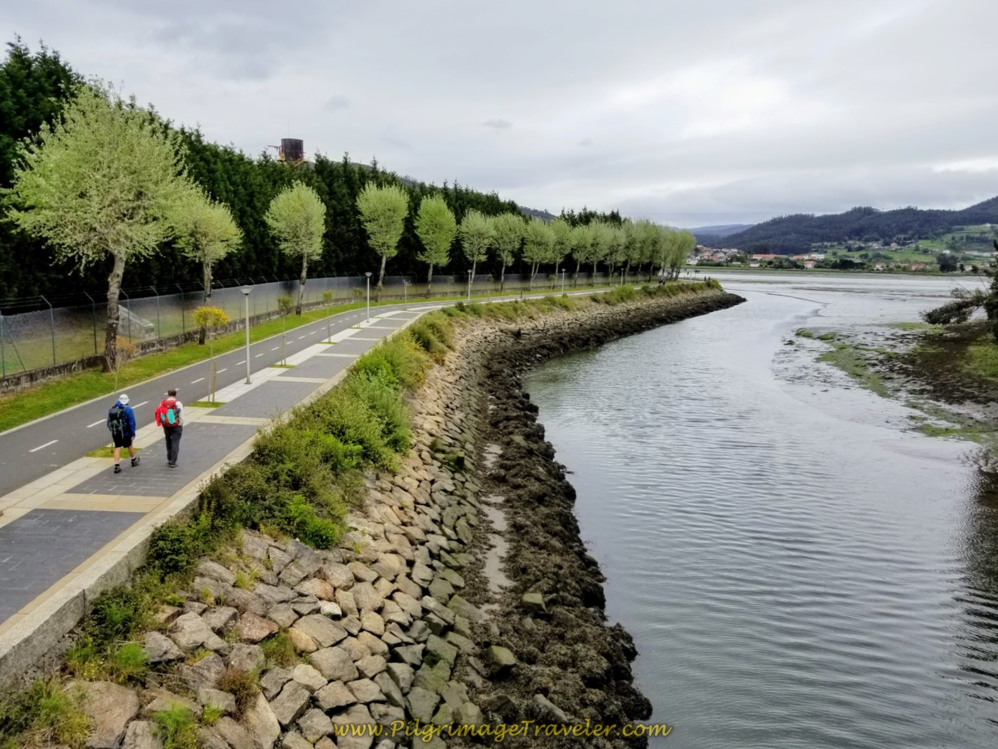 If you are somewhat timid and don't know if you can commit to a long Camino, or if you have a time-crunch, you may want to consider the Camino Inglés. It can be done in five days if you are fit, and e…
Need suggestions on what to pack for your next pilgrimage? Click Here or on the photo below!
Carbon fiber construction (not aluminum) in a trekking pole makes them ultra lightweight. We like the Z-Pole style from Black Diamond so we can hide our poles in our pack from potential thieves before getting to our albergue! There are many to choose from! (See more of our gear recommendations! )
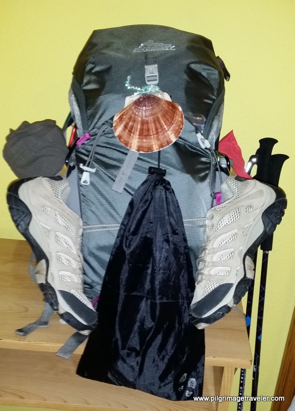
Gregory BackPack - My Favorite Brand
Do not forget your quick-dry microfiber towel!
Booking.com
My absolute favorite book on how to be a pilgrim:
























Your Opinion Matters! Comments
Have you had a similar experience, have some advice to give, or have something else you'd like to share? We would love to hear from you! Please leave us a comment in the box below.