- ~ Home
- ~ Camino Portugués (The Portuguese Way)
- Day One, Lisbon to Alverca do Ribatejo
Jump to Camino Portugués Stages
Day One on the Camino Portugués
~ Lisbon to Alverca do Ribatejo (Verdelha), 25.6 Km (16 Miles)
Disclosure: the PilgrimageTraveler.com is an associate of Booking.com, Roamless, and Amazon. As associates of these merchants, we earn from qualifying purchases from our links.
Our day one on the Camino Portugués is now updated to include the new route out of Lisbon! The day was much more beautiful and enjoyable than we had heard. However, as the Camino wills it, some important lessons had to be learned! Reflect on this:
"This being human is a guest house.Every morning a new arrival.
A joy, a depression, a meanness,
some momentary awareness comes
As an unexpected visitor.
Welcome and entertain them all!
Even if they're a crowd of sorrows,
who violently sweep your house
empty of its furniture,
still treat each guest honorably.
He may be clearing you out
for some new delight.
The dark thought, the shame, the malice,
meet them at the door laughing,
and invite them in.
Be grateful for whoever comes,
because each has been sent
as a guide from beyond."
~ From "The Guest House," Rumi
🙋♀️ Why Trust Us at the Pilgrimage Traveler?
We’re not a travel agency ~ we’re fellow pilgrims! (See About Us)
We've trekked Pilgrimage Routes Across Europe since 2014!
💬 We’ve:
- Gotten lost so you don’t have to. 😉
- Followed waymarks in the glowing sunlight, the pouring rain and by moonlight. ☀️🌧️🌙
- Slept in albergues, hostels & casa rurals. Ate and drank in cafés along the way. 🛌 😴
- Created comprehensive and downloadable GPS maps and eBook Guides, full of must-have information based on real pilgrimage travels. 🧭 🗺️
- Shared our complete journeys, step by step to help YOU plan your ultimate pilgrimage and walk with your own Heart and Soul. 💙✨
Every detail is from our own experiences. Just fellow pilgrims sharing the Way. We have added a touch of spirituality, heartfelt insights and practical guidance from the road ~ offering a genuine connection to the spirit of pilgrimage. Tap into the wisdom of seasoned pilgrims!
Ultreia and Safe Pilgrimage Travels, Caminante! 💫 💚 🤍
A lot has been said, mostly negative, about day one on the Camino Portugués and walking out of Lisbon. I was even advised to skip this part entirely, by many pilgrims. I was told it is ugly and too industrial.
I was told not to start the Camino Portugués in Lisbon, but in Fátima: It is much nicer. I did not heed their advice, but wanted to see for myself! And I am glad I did.
I am not sure why the first day on the Camino Portugués has received such a bad reputation. My experience of it was nothing like I was warned about, and aside from the length, I loved it!
By viewing our experience of Day One on the Camino Portugués, below, I hope to dispel the myth about this part of the Camino, once and for all! You may judge for yourself, like I did.
Map and Stats of Day One on the Camino Portugués
Here is my google map created from our GPS tracks, and the accompanying elevation map. In addition, I have located albergues, hotels and restaurants along the way for your reference. The map is fully interactive, so go ahead and play with it!
If you are looking for accommodation in Lisbon, click here for a list of hotels to pre-book. For a list of hostels and the one albergue near the airport, click here. It is too bad there is no albergue near the official start.
I am pleased to announce that as of Sept, 2023, the new route entirely along the river, in Sacovém is now open! This has greatly reduced the total mileage from over 31 kilometers to only 25. 6. If this is still too long for you, you can split the day, as you can see in the interactive map below.
I also included on this map, the shortcut to Verdelha, also seen in red, to the north, and described farther below.
You can see the elevation changes below. While the profile looks dramatic, it is truly just little ups and downs of 100 feet (30 meters) or so, early on, with the remainder of the day totally flat.
👣 Camino Portugués eBook Guides
Enjoy all the valuable info from our web pages ~ offline, ad-free, and beautifully formatted, including our photos. Why carry a heavy guidebook when you can use a nimble digital version on your device?
Our guides are frequently updated and uniquely entertaining, as we share our own Camino story along the way.
📲 Instant download. 💸 Money-back guarantee. 🔄 Free updates for 1 year.
Buy only what you need ~ or grab all four for the price of three (25% savings). Click here for more information or BUY NOW at only 17.85!
Jump to Camino Portugués Stages
Yellow Arrows Can Be Difficult to Locate in Lisbon
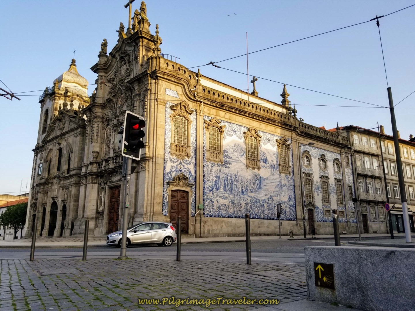
A word of warning to the pilgrimage traveler, regarding the waymarking. It is not always easy to find the yellow arrows and blue stickers on the way out of Lisbon. You have to be especially alert and look on electrical boxes, the backs of street signposts and along the curb at the level of the street. The arrows/stickers are often small, but often accompanied by the blue Fátima arrows, which share the Camino de Santiago route.
Even though the waymarks are there, they are often difficult to see.
Photo-Rich Travelogue of Day One on the Camino Portugués
What can I say? I have included a lot of photos in this day's article. If you want to be surprised, don't look at the photos. I promise, that I am depicting the route as I saw it, the good, the bad and the ugly.
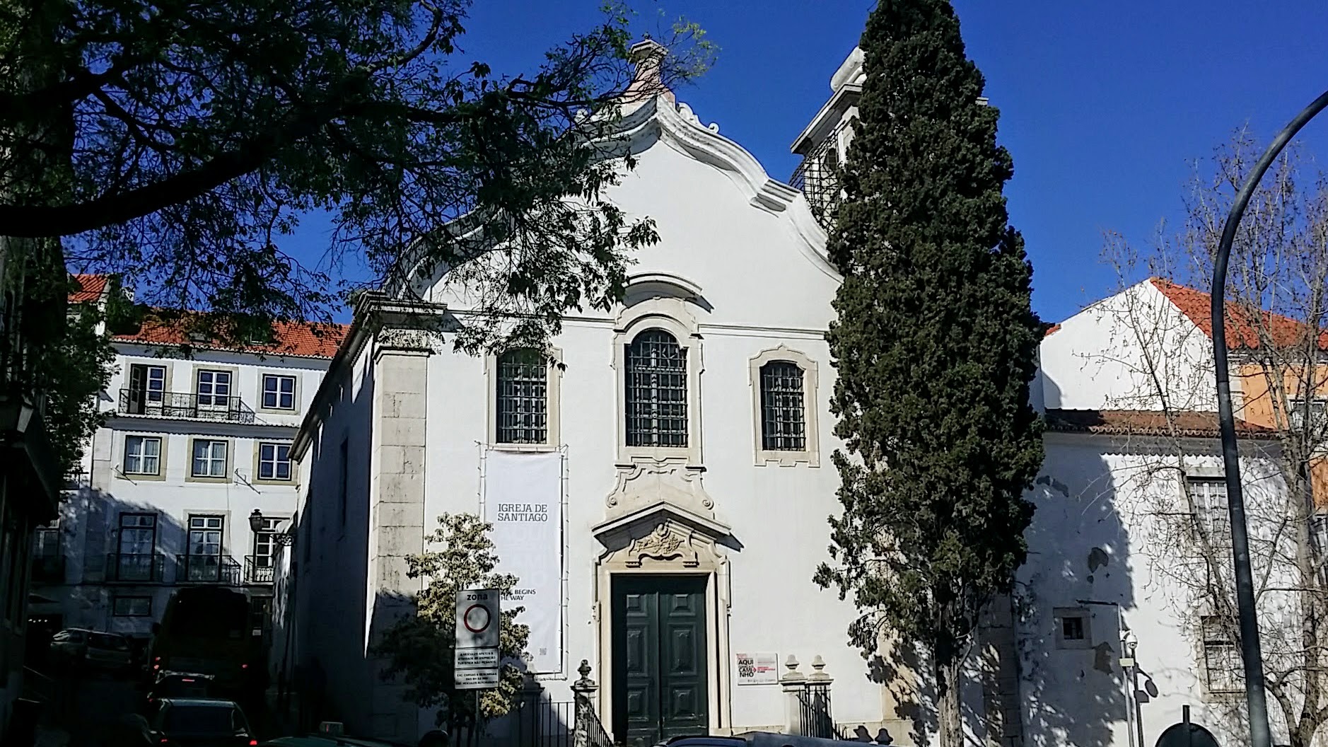
Our tale of day one on the Camino Portugués begins with a seven a.m. start at the cathedral in Lisbon. We had walked from the official start at the Igreja de Santiago, just up the hill on the day before.
It was a perfect spring morning in early April!
In the early morning hours, very few were stirring, neither natives nor tourists. The crazy crowded entrance to the grand cathedral was replaced by stillness and silence. I was able to snap the photo, below, amazingly unobstructed by anything, save for one lone man by the right of the door, in a blue jacket. He is barely visible on the photo.
As it turns out, this solitary gentleman was hanging out in front of the cathedral, in order to hook up with other pilgrims. As we approached he asked if he could join us. We said, yes, of course.
We quickly struck up a conversation with our new friend from Switzerland, and off we went, through the quiet streets of the Alfama district. That's our new Swiss friend and my husband, Rich, in the photos to follow.
The Portuguese Way takes you around to the right of the cathedral door, marked by a yellow arrow.
See my official start page if you want photos and a description of the beginning steps from the cathedral.
After only about 1/2 kilometer, you pass by the landmark, Old Alfama Square with the Museu do Fado, the Fado Museum. This is a photo in the day, when the height of tourist activity occurs in the plaza. A good place to visit, before or after your Camino.
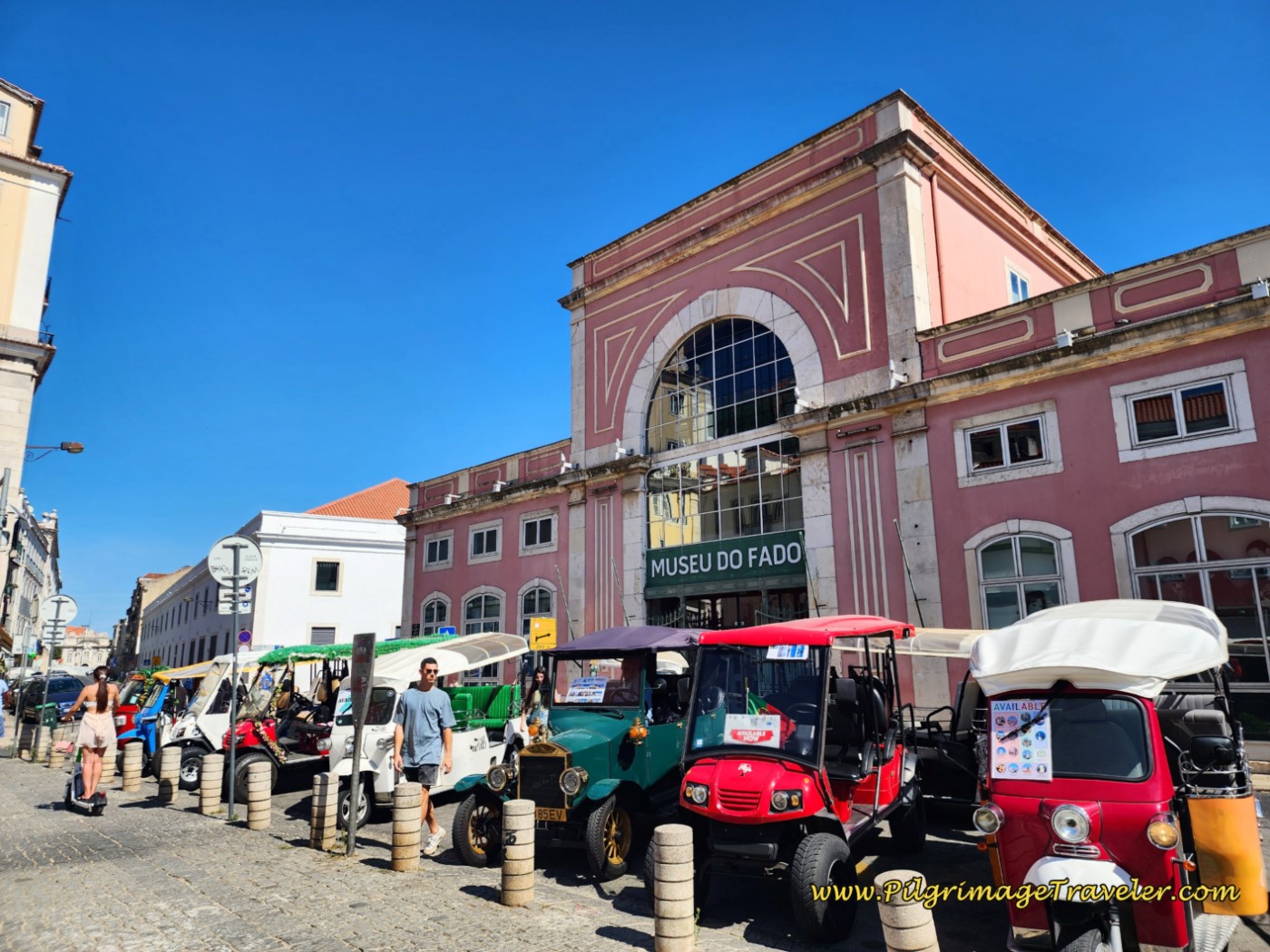 Museu do Fado
And walking farther along in the Alfama district, here is the touristy Rua dos Remédios, again, in the active daylight.
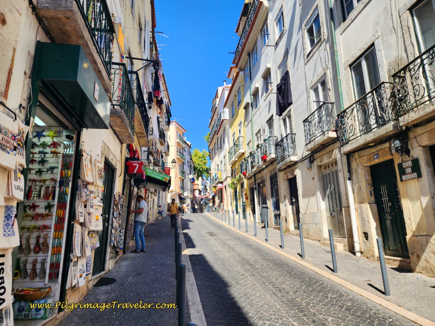 Rua dos Remédios, Alfama District
If we had not already had a bite to eat, we would have stopped at the pastelaria, farther along on the Rua do Paraíso where an early worker is already on the clock.
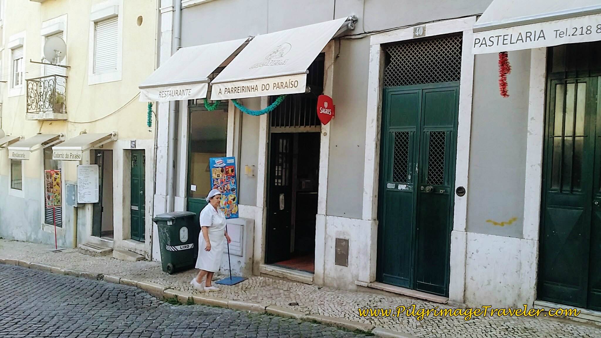 Pastelaria along the Rua do Paraíso
We continued along the Rua do Paraíso under this interesting architectural archway.
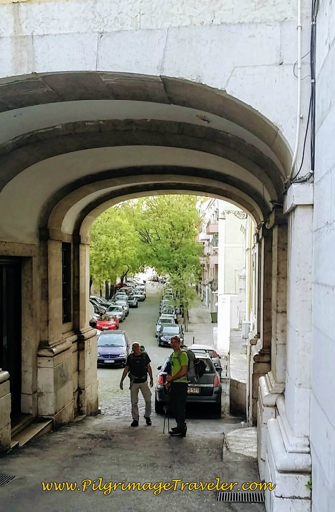 Archway along the Rua do Paraíso
As we walked we chatted with our new Swiss friend. As synchronicity meets us often in our lives, this man had just celebrated his 61st birthday the previous day. He was the same age as Rich. Additionally, his son is 30 years old, and Rich also has a 30 year old son. Incredible! Significance? Who knows! Interesting nonetheless. We were meant to walk together, I suppose, on this day one of our Camino Portugués.
After several kilometers, the route follows the train tracks that run parallel to the docks of the Rio Tejo (AKA Tagus River in English), that can be seen to the right in the next photos. The early morning light cast a wonderful glow on the Rua de Santa Apolónia and the bridge ahead.
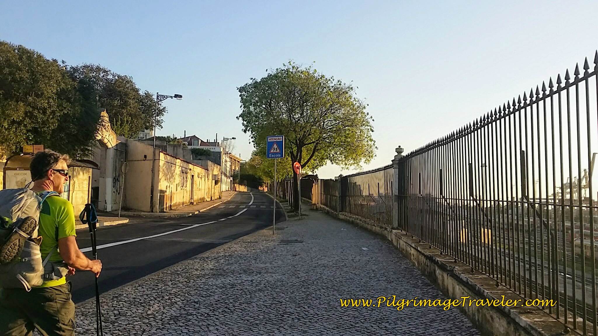
We had a bit of a hill climb along the railroad tracks, after passing the bridge. If this is what the naysayers meant by the "industrial" areas, I found it to be quite nice in the glow of the morning light. We skipped along the cobblestone sidewalks on the Calçada da Cruz da Pedra. I snapped a picture of Rich.
The streets, framed by bright spring green leaves and interesting buildings, kept the route far from boring and industrial, as we passed by.
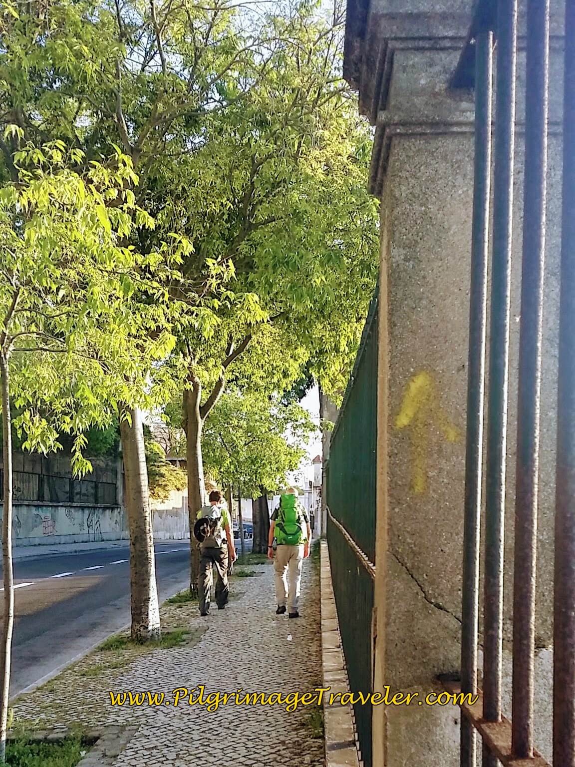 Yellow Arrow on the Calçada da Cruz da Pedra
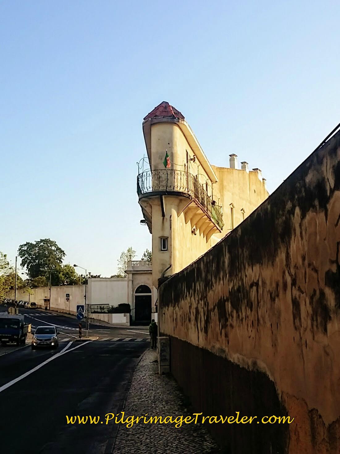 Most Interesting Building on the Calçada da Cruz da Pedra
Maybe not so interesting a section below, but the ugly, high walls shielded the railroad tracks and the docks from view. The cobblestone everywhere is quite charming as well.
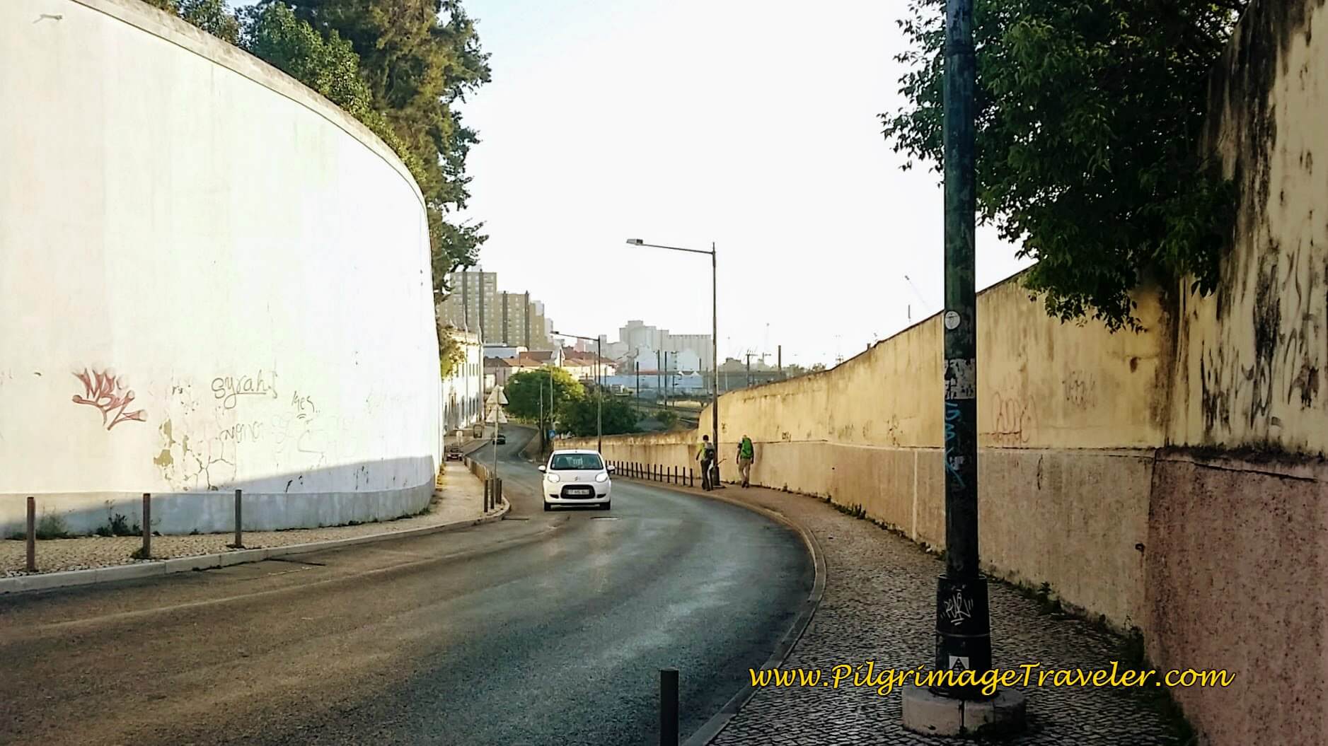 High Walls Along the Calçada da Cruz da Pedra
At about 2.75 kilometers into the day we walked past the Museu National do Azulejos, or the National Museum for the famous Portuguese blue tiles. Unfortunately, on this trip, we were not able to see this famous tourist site.
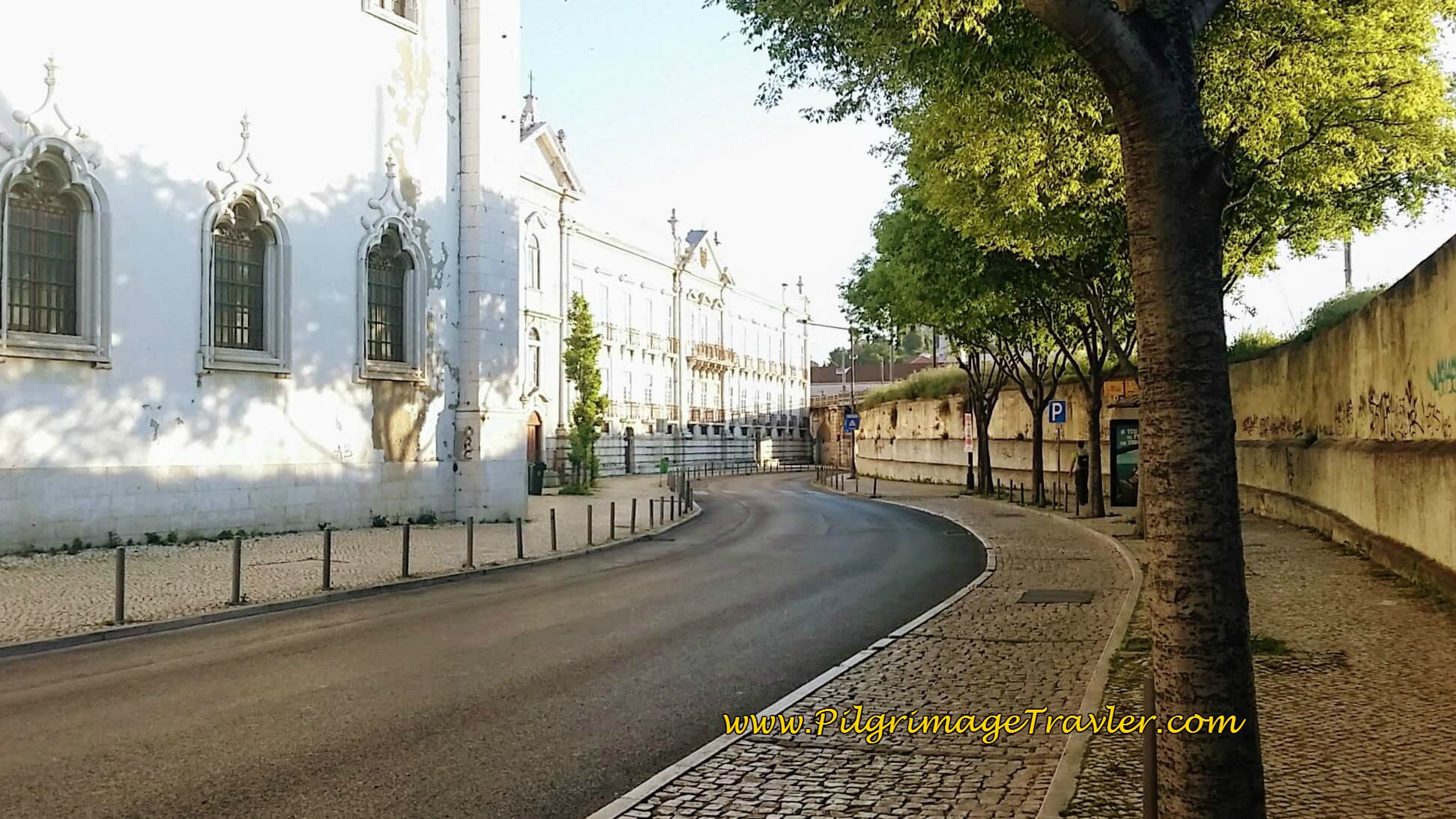 Museu National do Azulejos
Farther along on the Rua do Beato, I photographed this street signpost with the yellow arrow. While visible, one doesn't see it until quite close, as the arrow is small.
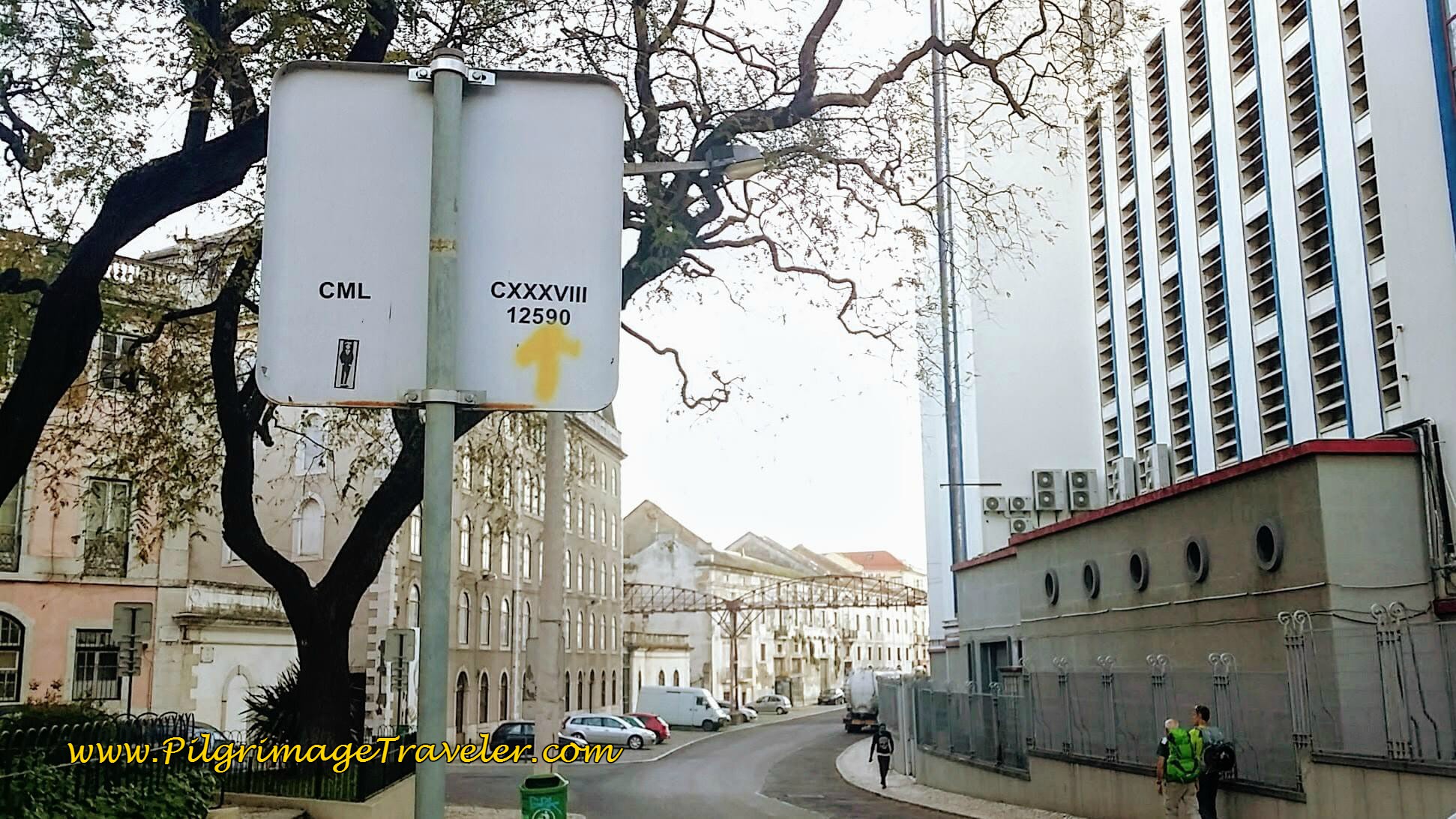 Yellow Arrow on the Rua do Beato
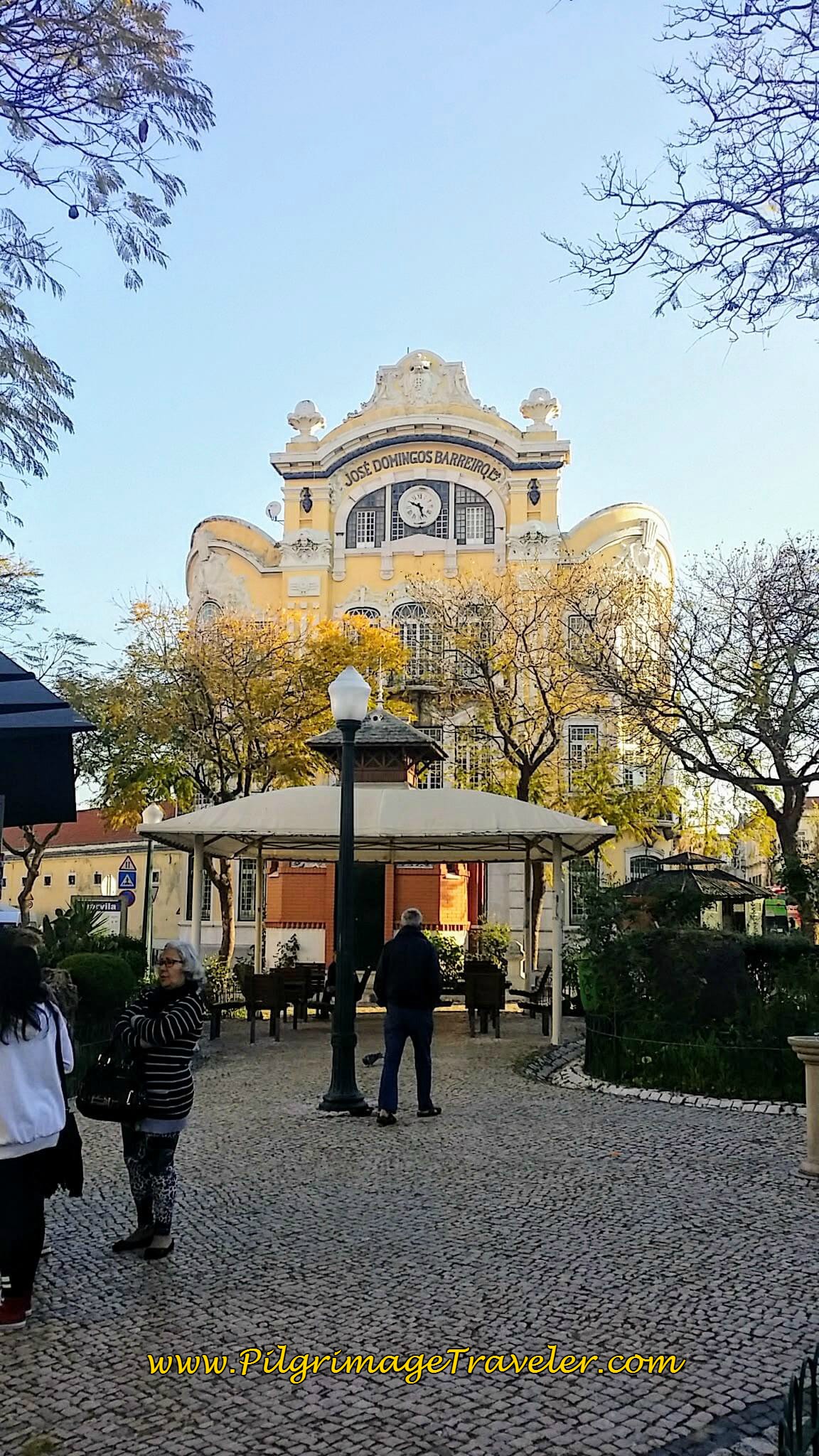
At about 5 kilometers on day one of the Camino Portugués, the Way walks through this lovely plaza, or praça as it is known. I wished I could linger and mill about as these folks were doing. It was too early in the day for a coffee break.
At about 5.5 kilometers and a bit more than an hour into our journey, we did stop at a café on the Rua Vale Formoso for our second breakfast. It was a perfectly located restaurant along the Camino where we had delicious ham croissant sandwiches and café con leite (coffee with milk).
From the hill climb on the Rua Val Formoso, the road then descends and turns back toward the River Tagus (Tejo in Portuguese) and the 1998 World Expo Site.
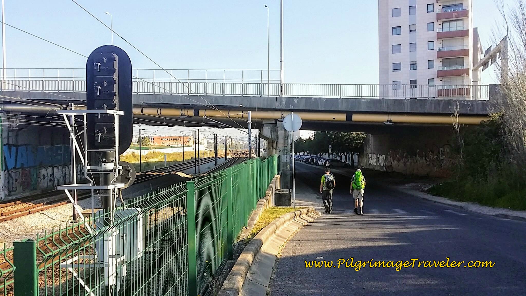 Rua Vale Formoso ~ Descending Toward the Rio Tejo
In the next photos, you can see the road and sidewalks widen and you are nearing the Expo site, with buildings that provide an interesting backdrop!
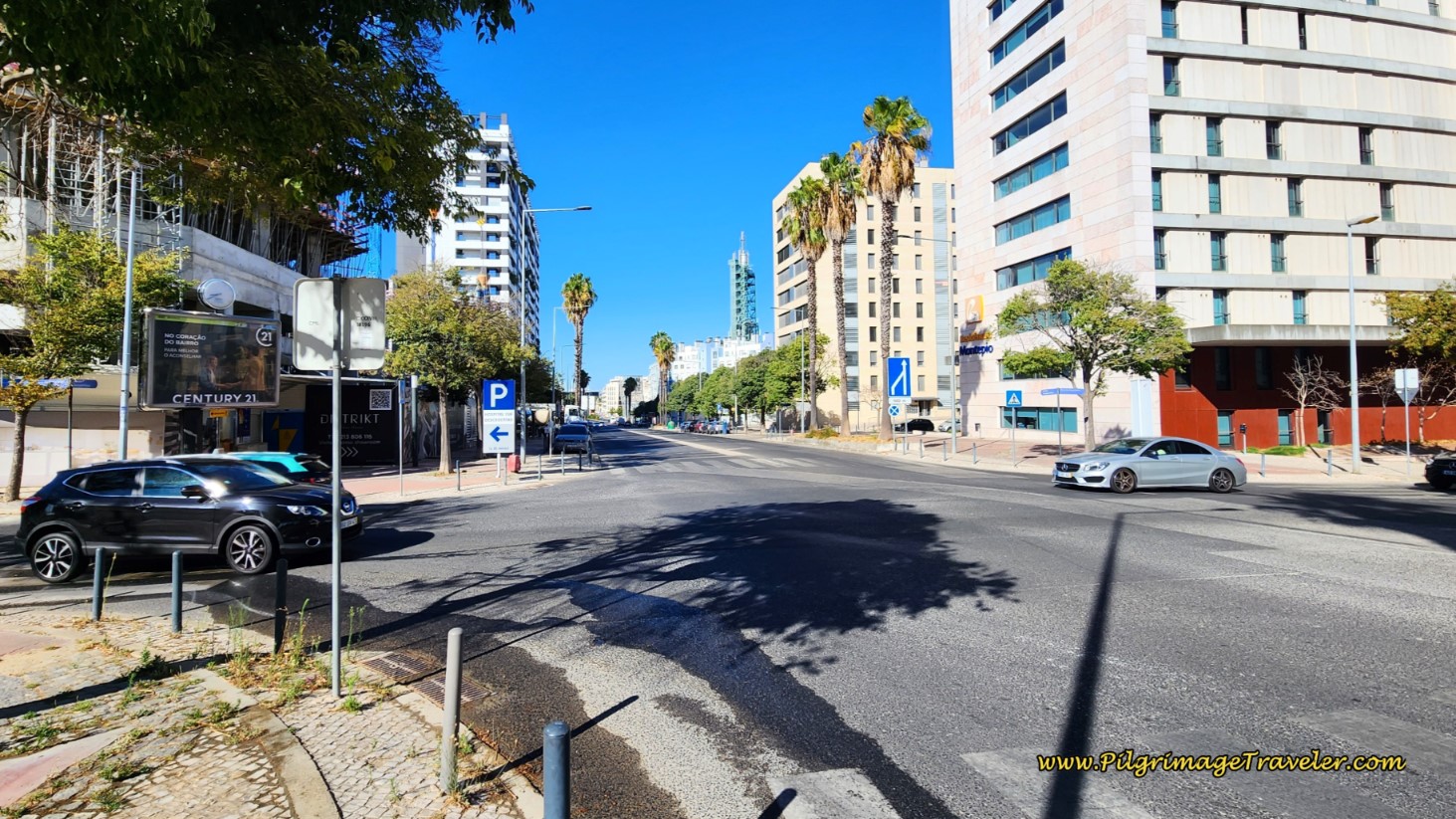 The Wide Avenida Fernando Pessoa
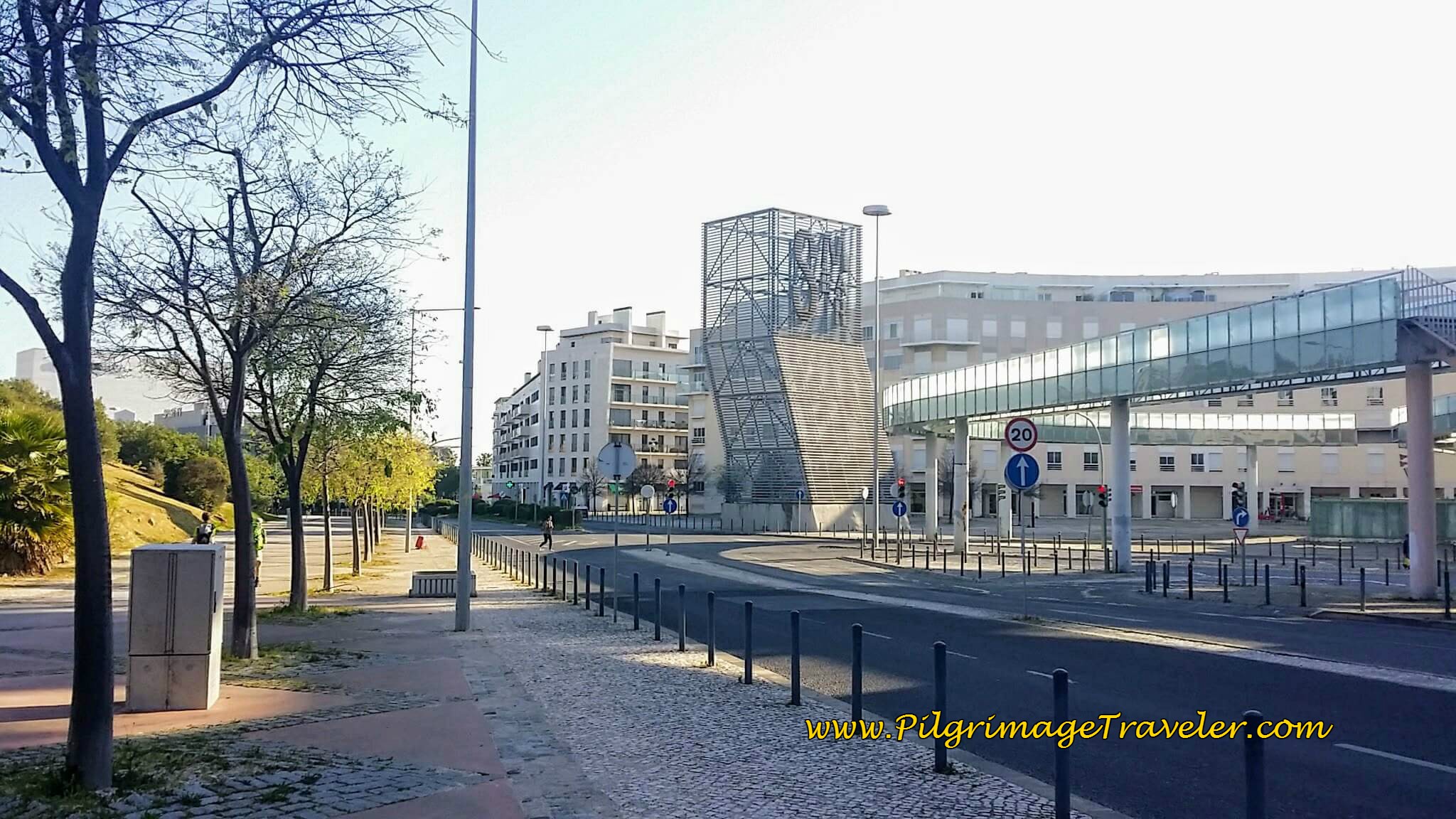 Unique Structures on the Avenida Fernando Pessoa
Turning onto the Alameda dos Oceanos, you enter the world expo site, with it's gumby-like greeter on the other side of the roundabout at about 7.25 kilometers into the day. This is the mascot of the expo named "Gil."
 Welcome to the World Expo!
The Camino walks through the Expo site, now called the Park of Nations or Parque das Nações. It soon diverts to the riverfront as seen in the next photo. There are many, many restaurants through the Park of Nations, if you have not yet had a meal and need one. The choices of eateries are abundant. I did not place them on the interactive map as they are too numerous.
The promenade shown below is an amazing waterfront walkway called the Cais Português that is extremely popular with the locals, and shows the wonders that were created for the World Expo.
Walking along this promenade was pleasant indeed, and with a nice cool breeze!
Here is a photo of the MEO Arena in the distance, an exhibit hall converted into a multi-purpose arena.
Here is our Swiss friend, and my husband, Rich, pointing to one of the many visible Camino markers in this area.
 Cais Português - the Waterfront Promenade
At the end of the Cais Português, you turn right onto the Rossio dos Olivais, by a large and colorful sculpture of a cat, made entirely from trash bins!
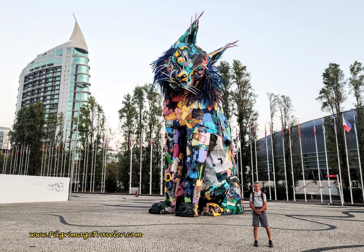 Giant Cat Sculpture, Parque das Nações
Next, you walk by the flags in the Park of Nations. Looking back over your shoulder is the huge Centro Vasco da Gama, an exhibit hall turned into a giant shopping complex. I loved this part of day one on the Camino Portugués and wished I had more time to explore this amazing Expo site.
 Looking back to the Centro Vasco da Gama a Huge Shopping Complex
Looking toward the waterfront, the flags lead you to yet another mascot Gil.
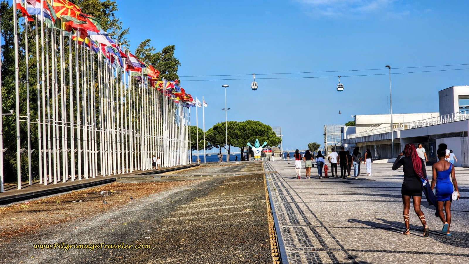 Flags Lead to Another Mascot, Gil at the Waterfront
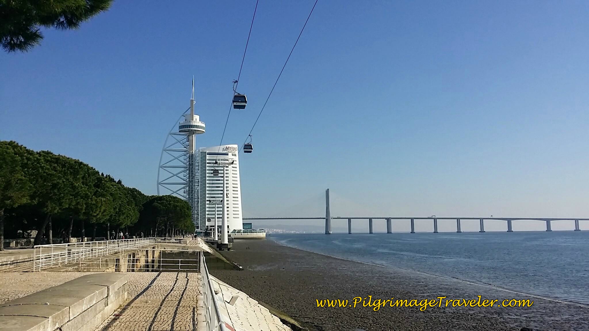
Turning left onto another promenade, one walks along the Passeio do Tágides, shown below, where the Vasco da Gama bridge first comes into focus. This is a lovely shady walk along the Tagus River.
 Passeio das Tágides
Farther along the Passeio do Tejo, and under the cable car, the grand Vasco da Gama Tower is your next destination, where you will arrive after about a 9.0 kilometer walk for the day.
Jump to Camino Portugués Stages
Beyond the Tower, the Ponte (bridge) Vasco da Gama gets ever closer. Here is Rich under the sign that says "Passeio do Tejo."
 Rich Posing by the Vasco da Gama Bridge on the Passeio do Tejo
Rich and our Swiss friend closing in on the Vasco da Gama bridge, on a nice boardwalk that relieved our feet of hard surfaces for awhile.
After walking under the bridge, a path continues northward along the river. If you look closely in the photo below, by expanding it, you can see the new pedestrian bridge towers, your next destination.
The path ends at a wide brick walkway and the Way turns inland. The pedestrian bridge ahead is clearly in focus now! Reach the bridge at 11.6 kilometers from the cathedral.
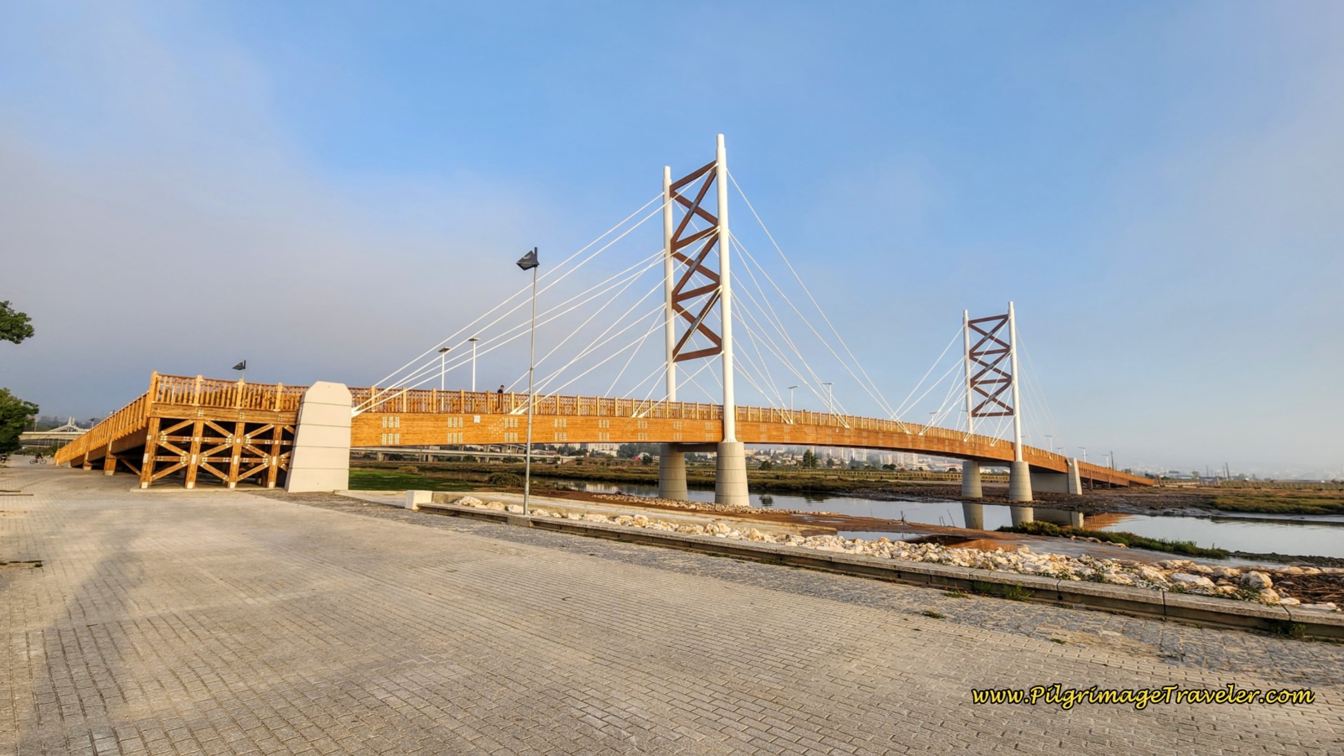 Ponte Ciclopedonal do Trancão, Bridge
A tip for the wise: just before the turn towards the pedestrian bridge there is a clump of trees and bushes on the river side to your right. This is clearly a "pilgrim's toilet," judging by all the strewn about toilet paper, and my advice to you is to use it, because once you get on the boardwalk system, described next, there is no escape and nowhere to use nature! Just please take your TP with you!
The next photos document the full 6.1 kilometers along this new boardwalk. As you can see, my photos of this Way were taken in the early morning light. The Portuguese were out in full force, utilizing this lovely new "ciclopedonal" or cycling/pedestrian way, starting at the Ponte Ciclopedonal do Trancão for their morning exercise. According to the plaque, the bridge was commemorated on 6 July, 2023.
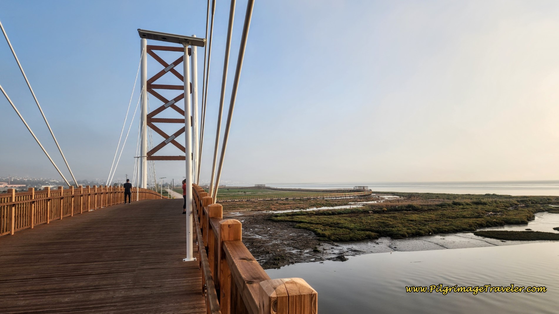 6.1 Kilometer Boardwalk Ahead
The sign below, at the entrance to this long boardwalk route, shows the full 6.1 kilometers on the map on the side, and notifying you that it is the Percurso Ribeirinho de Loures, or the Loures Riverside Route. And what a route it is!
However, there are no waymarks for the Caminos to Santiago and Fátima along this long boardwalk system. But who would need them here? Once you commit to this route, there is no turning around!
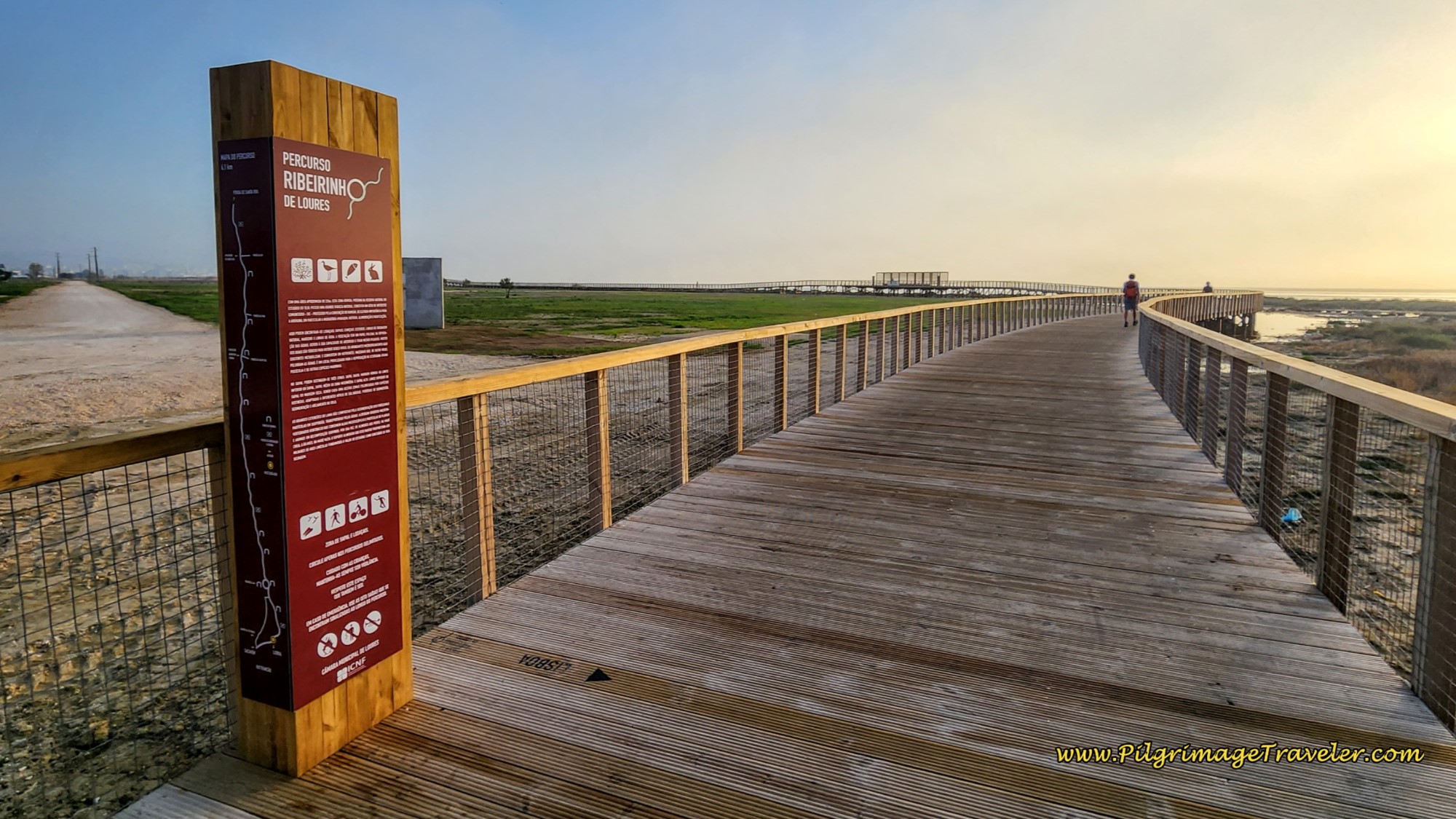 Percurso Ribeirinho de Loures
There was a clear effort from the project planners, to make this route a true nature walk through a preserve, including many observatories, and flora and fauna signs along the way.
Helping us to understand the importance of conservation and preservation of these estuary wetlands was the goal of this wonderful project. A huge amount of time, effort and infrastructure went into it and we appreciated it very much!
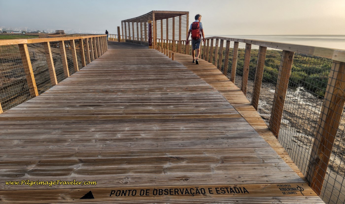 Ponto de Observacao e Estadia
The walker is also given mileage markers, every 250 meters! Here is one of them. Plus it is so lovely to walk on spongy boardwarks that are so easy on the feet and legs.
 1250 Kilometer Marker
And indeed, you can observe many species of birds. Here are Flamingos that we saw in October! Apparently they migrate from France and winter in the Algarve, south coast of Portugal.
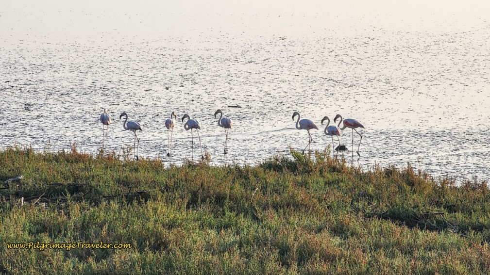 Flamingos on the Tejo Estuary
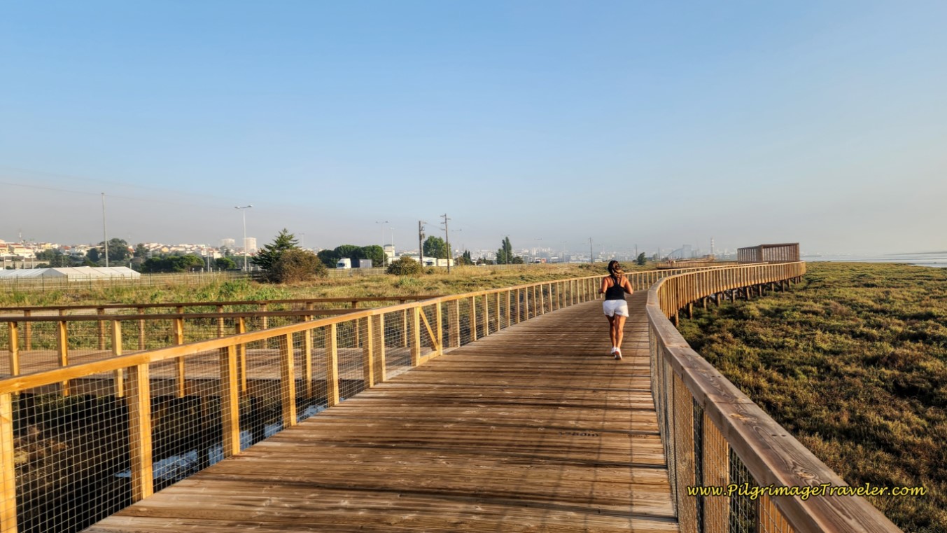 Continue Along the Loures Riverside Boardwalk
Despite all this beauty and wonder, the boardwalk route closely follows the path of the A-30 highway, and takes you through lots and lots of industrial areas. Plus, you can see the smog from the cities, in the photos too.
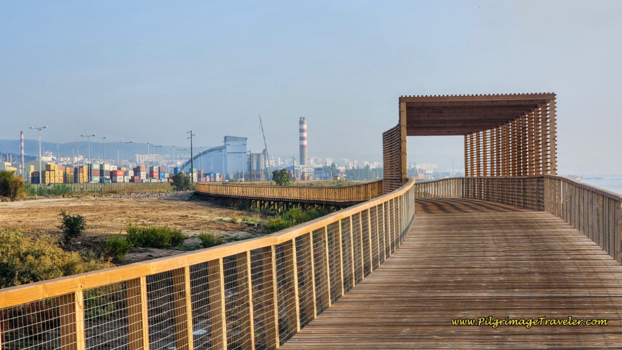 Loures Riverside Boardwalk Through Industry
While this route is a vast improvement over the old route through the ugly areas of Sacovém, the pilgrimage traveler hears the heavy highway traffic on the entire boardwalk route. Perhaps the best thing to do, is just plug into music and keep your head turned toward the river as you walk through! And focus on the birds!
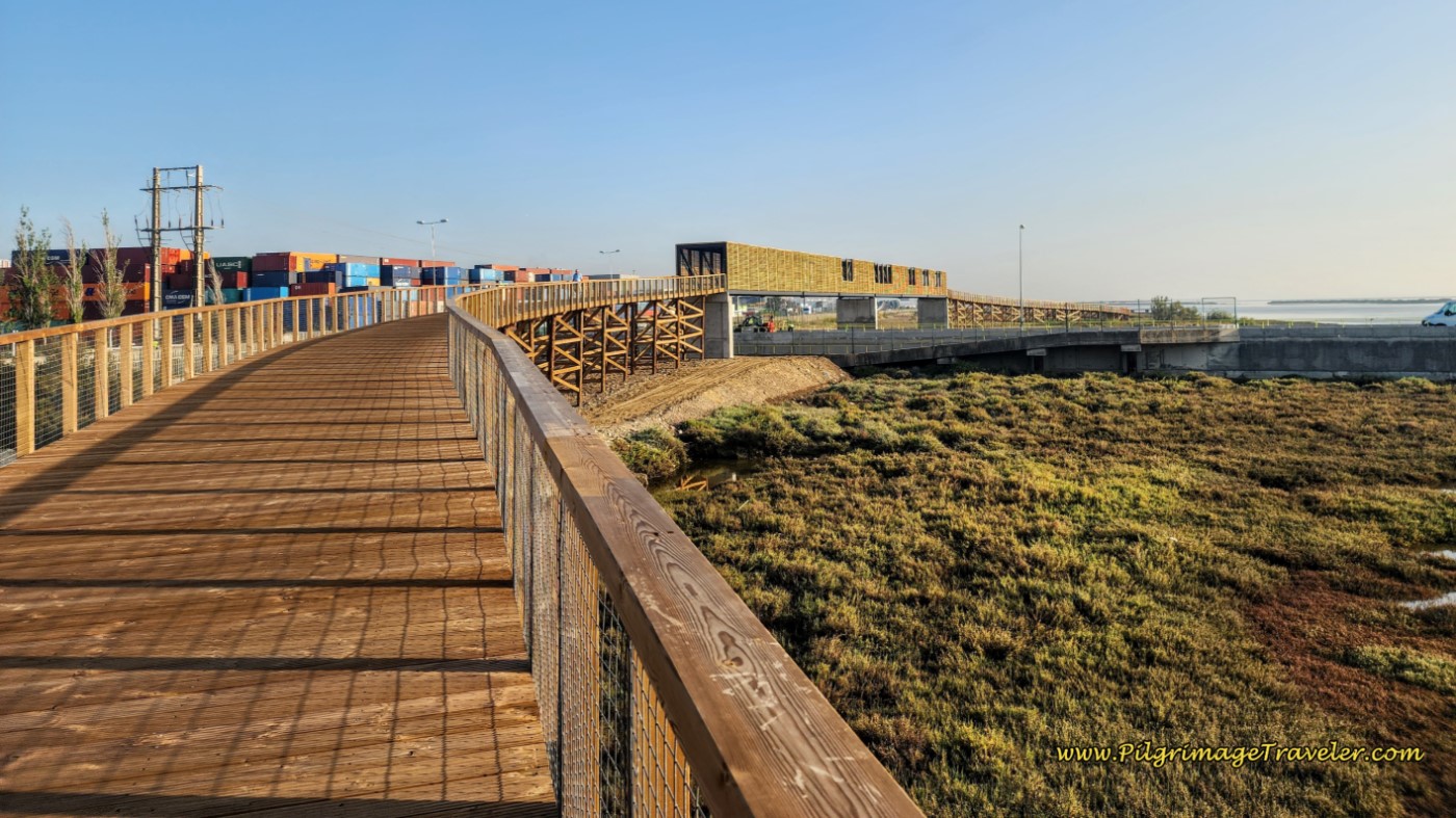 Approaching Large Observatory on the Percurso Ribeirinho de Loures
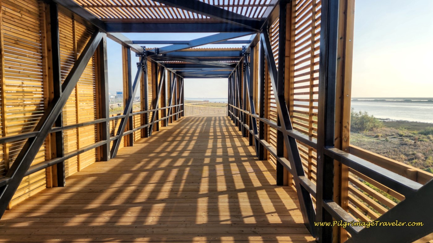 Continuing Boardwalk After the Observatory
One of the issues on the boardwalk, is that after the first few kilometers from the bridge, there are no escape routes. You are essentially committed to all 5-6 kilometers before you can take an alternative path! This photo below shows one escape route, but it is after about five kilometers along the boardwalk!
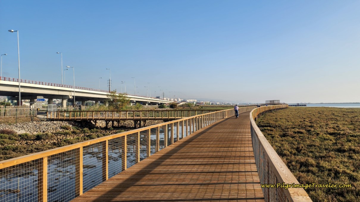 Rare Escape Route from the Boardwalk
Just before the Loures Riverside Route ends, it gets very near to the busy, noisy A-30 highway!
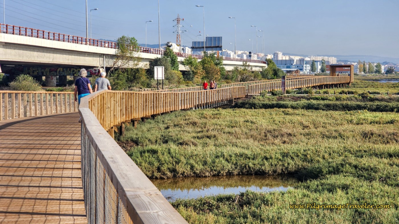 Close Proximity to the A-30 Highway
When the boardwalk finally ends, after about 17.6 kilometers, you pass by a sign (not pictured) that notifies you of a new trail system, the Tejo Riverside Walkway, that goes 22 kilometers more, all the way to Vila Franca de Xira. Here is what this section looks like. You can also see the new stickers, waymarking the route.
 Loures Riverside Boardwalk Ends and the Tejo Riverside Walkway Begins
Along this new route, the path finally diverges from the highway, and the highway noise! Along the way, the pilgrimage traveler will now encounter a very interesting microalgae growing plant and other not-so-nice industrial plants.
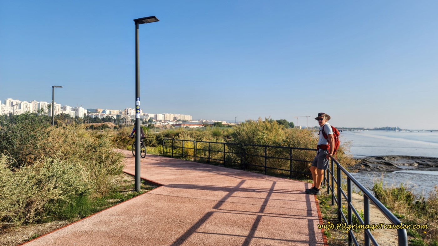 Rich on the Tejo Riverside Walkway
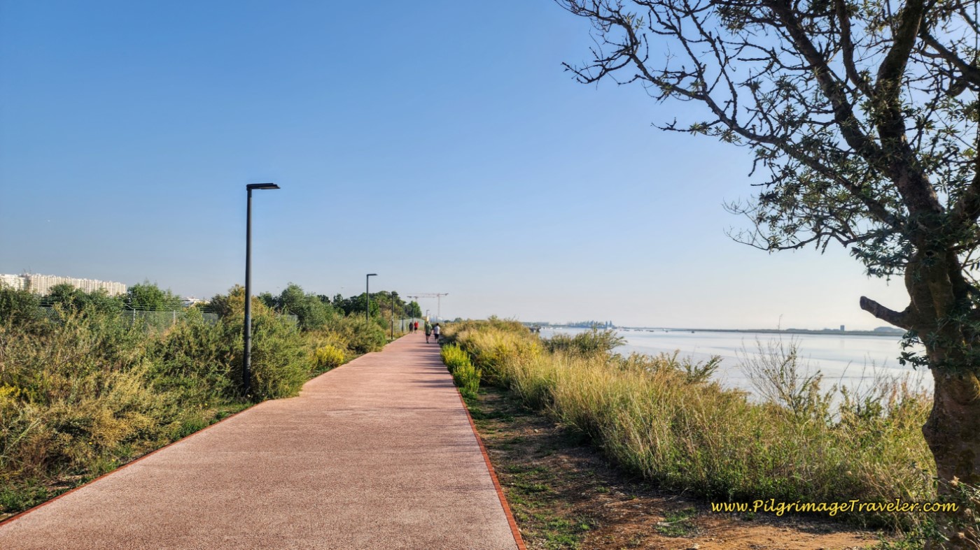 Tejo Riverside Walkway Continues for About Two More Kilometers
Farther along, the Tejo Riverside Walkway becomes elevated as it passes through swampy areas.
 Tejo Riverside Walkway Becomes Elevated
And near the end of this particular pavement, you encounter signs informing you that you are entering the Parque Ribeirinho Moinhos da Póvoa, with lots of facilities, including the very rare WC!
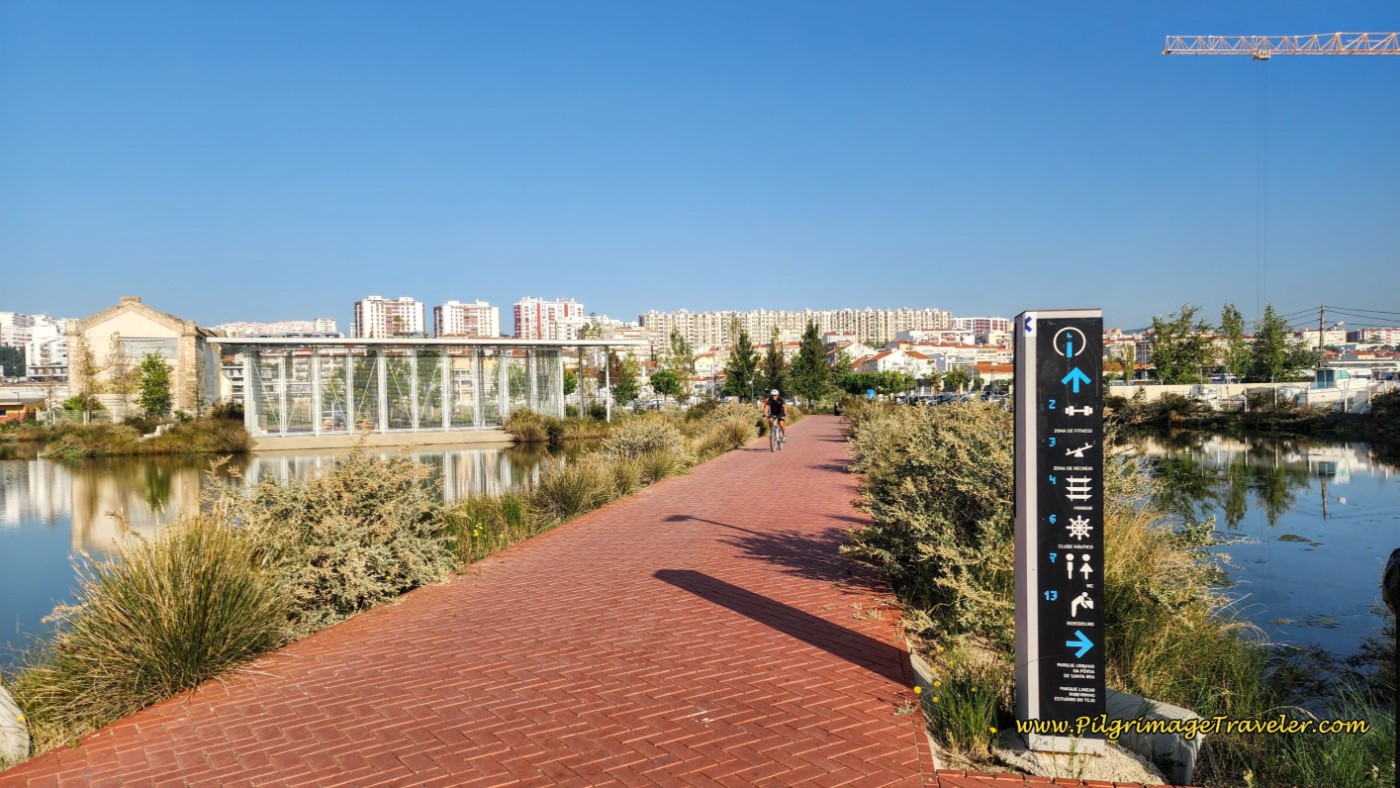 Facilities with WC on the Walkway
When the nice red pavement ends, the Way crosses a bridge, and passes by interesting wooden houses, whose function I am not certain, and leads you to another park, shown next, the Parque Urbano da Póvoa de Santa Iria.
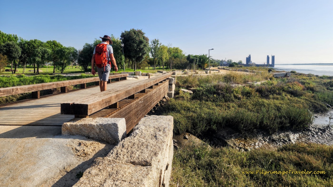 Approaching the Parque Urbano da Póvoa de Santa Iria
While the route never enters the park, but skirts along its border, one could easily take a nice break here if needed.
 Skirt the Urban Park on its Northeast Boundary
In the photo above, you can see the path continues on the north and east side of the park, and continues inland. However, the Way turns to the right at this small bridge that you can make out in the photo.
It is by this bridge, that the new route along the river joins the old route once again, coming down the path from inland! Congrats, you have just shaved off 4.4 kilometers from the old route!
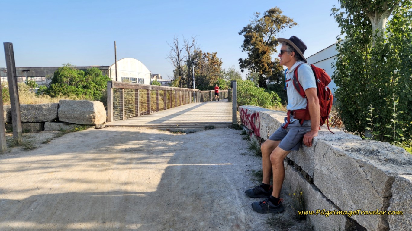 Join the Original Route at this Bridge
After crossing the small bridge above, you must walk on a path, by a huge truck depot/warehouse. After skirting the warehouse, the Way turns right onto this lovely path, back towards the river and the Praia dos Pescadores, or Fisherman's Beach.
 Left Turn Ahead at Metal Sculpture
The walk on this pathway is short, turning left at the metal sculpture that you can just see in the photo above.
After the turn, another boardwalk presents itself. This unnamed boardwalk path beginning at the Praia dos Pescadores, is at approximately 21 kilometers.
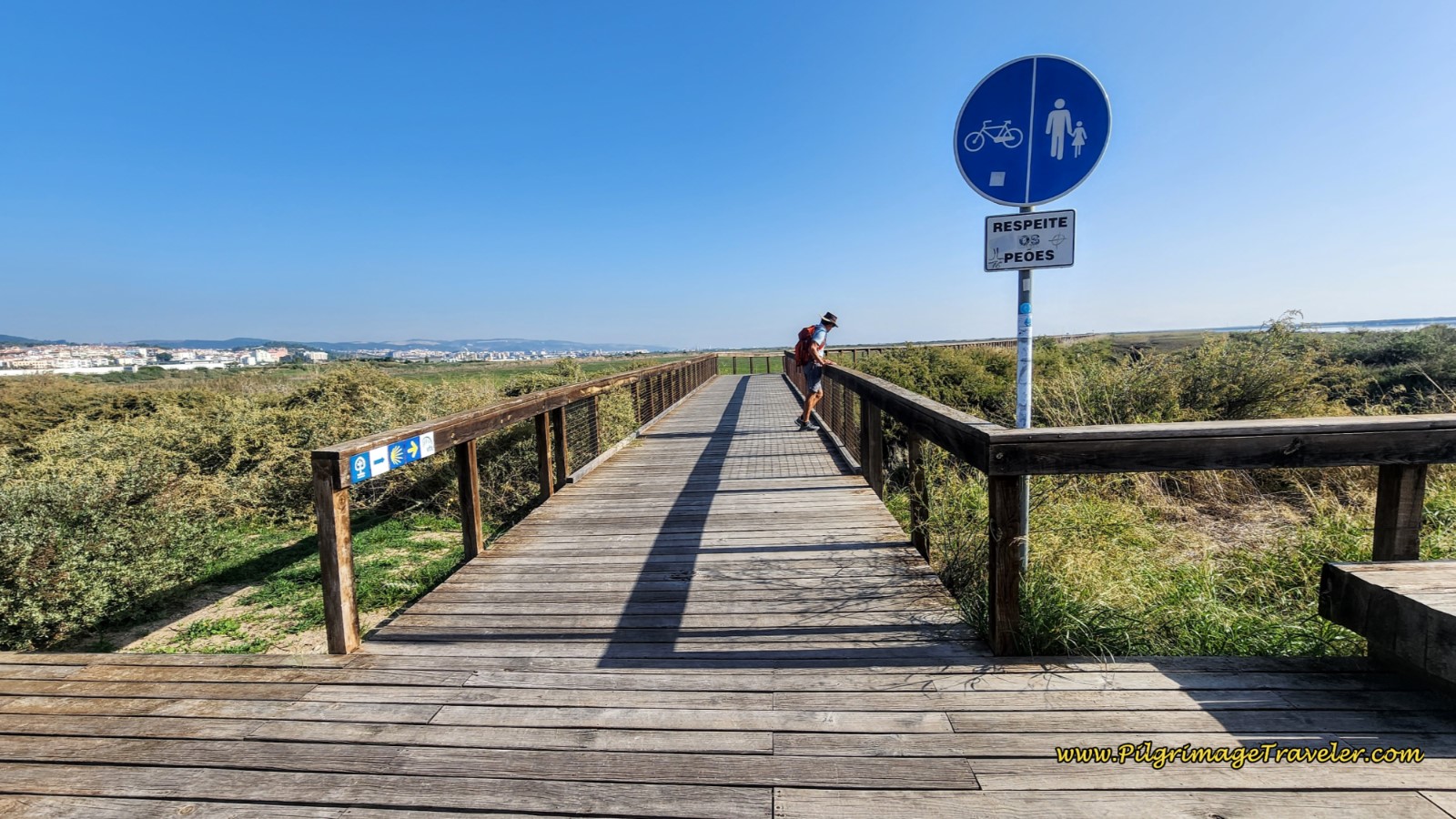 Entrance to the Boardwalk at Fisherman's Beach
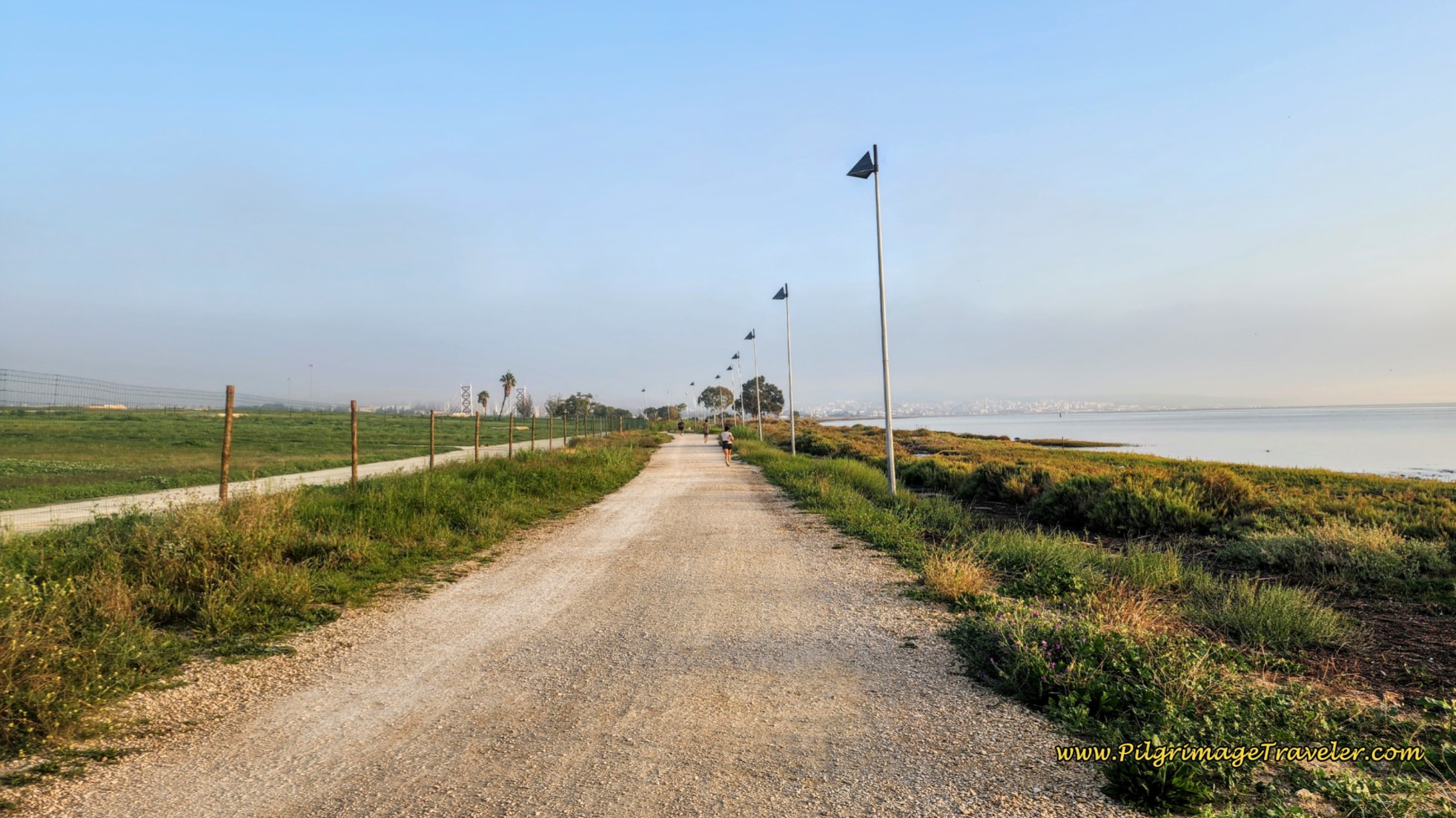
The boardwalk goes on for about 700 meters, before the Way again veers off the waterfront, to the left and onto a longer dirt path toward Alverca do Ribatejo.
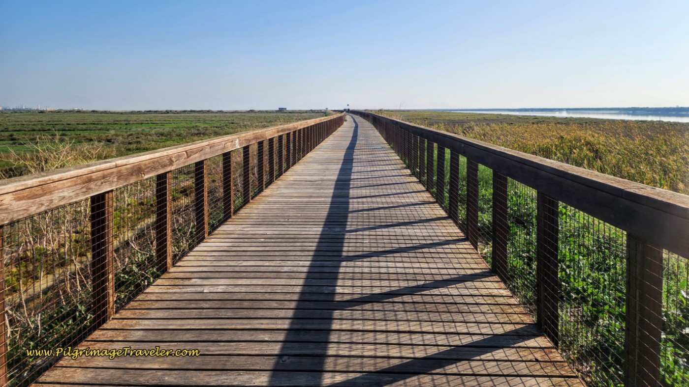 The Long Boardwalk along the Tagus
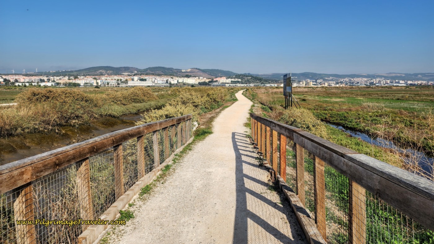 Gravel Path Where Boardwalk Ends
Fortunately, this gravel path is also shaded with ornamental grasses that were not here the last time we passed through. It was a very welcome cover!
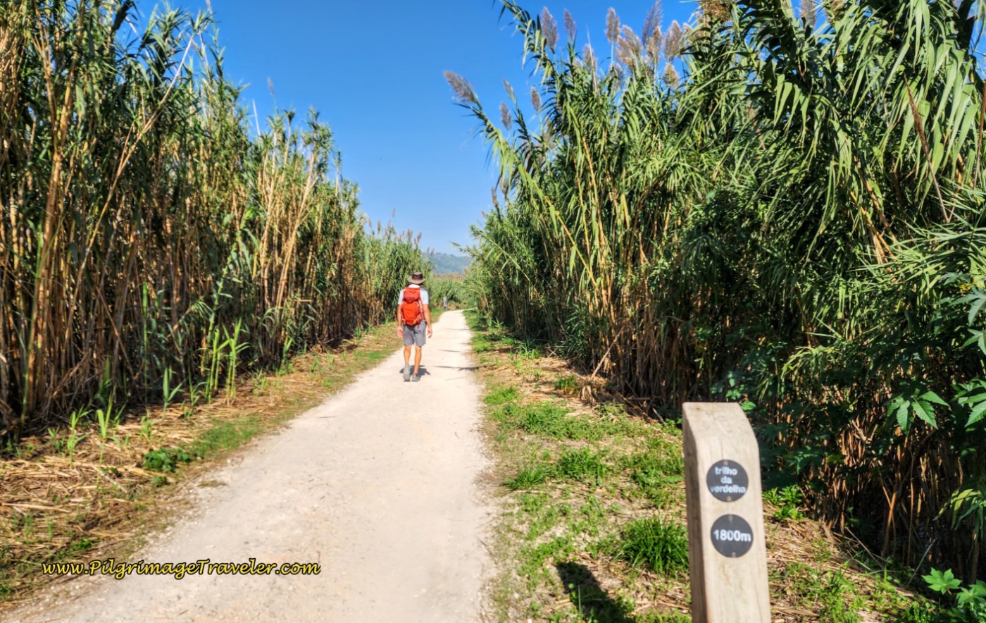 Path Shaded with Tall Ornamental Grass
The long dirt path zig zags here and there and eventually turns to the right to follow the railroad tracks, now on our left.
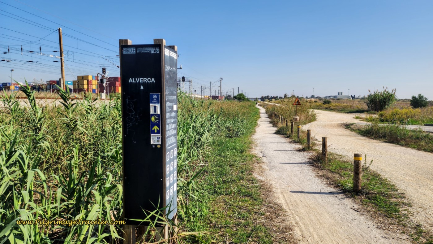 Turn Onto Path to Follow the Train Tracks
Jump to Camino Portugués Stages
Personal Tale - From Years Prior
Please remember that since this story, so much has changed in our years of walking Caminos! This tale occurred many years ago when we walked the old Route, through Alpriate, but I feel it still deserves to be told:
When we were trying to make the decision whether to stay in Alpriate for the night or walk on, the proprietress of the Grillus Bar in town told us that there is a little hostal in 7 more kilometers in a town called something that started with a "V" that I didn't comprehend. (This turned out to be Verdelha ~ important information that I totally missed, due to the language barrier. First mistake.)
Based on this information, we decided to walk onward. We kept on the Camino until the railroad station in Alverca, which was our second mistake, since we really didn't understand where we were going. Our third mistake was having insufficient information on an albergue which I was trying to locate in Alverca called the Fundação CEBI. Please do not look for this albergue, regardless of what information you may have. It is not even listed in the official Portuguese Via Lusitana guide to hostels!
We crossed the railroad tracks inside this funky glass building with stairs and elevators, pictured below, and stopped on the other side of the tracks to Google the address of the Albergue Fundação CEBI. Where the Camino turned away from the directions to the albergue, I stopped recording our tracks, as you can see by my map above. This was after about 300 meters from the train station along the Avenida Infante Dom Pedro. (This is where you need to go if you are walking through Alverca and is the ongoing Camino.)
 Waymark at Train Station in Alverca
We were unable to find the albergue, despite the google directions, so we proceeded to ask a local. We gave her the street and she was so willing to help, despite her inability to locate the place either!
After wandering about town a bit, we grew frustrated, released our kind Portuguese guide and being so tired, we sat down on the curb, by a cafe, and tried to pool our resources. It was six o'clock in the evening, and something had to be done soon. I was preparing to sleep outdoors on a park bench!
I asked our Swiss friend to help me and please look in his German guide book. He dutifully tried to find information, then shook his head and handed me his book! As if I could read German! Both gentlemen were looking to me to solve the problem!
I finally recalled the Via Lusitana SOS line that I knew about, looked up the number I had added to my contact list before leaving for Portugal and called it. What I was told by the helpful English-speaking person is that the Albergue Fundação CEBI is open only by reservation and never on weekends. It was Saturday!! Ay!
She also stated that there are NO other accommodations AT ALL in Alverca, no hotels, no nothing, despite the fact that Alverca is a sizable town! I couldn't believe it when she said we must go forward to Vila Franca de Xira, another 10 km or so, OR backward to Verdelha. OMG!
When I told the guys what the SOS person said, our Swiss friend was a bit miffed, and said "I never go backwards!" Not a helpful spirit. I certainly was not going to walk forward another 10 km after already logging over 30! The park bench was looking more and more inviting.
As we were sitting on the curb on the side of the street, frantically searching our books for a solution, a young Portuguese man approached us and said "You look like you need help." We said, "Yes!" and told him we were looking for accommodation. I started to daydream of a private home sofa and/or floor. Much better than a park bench!
He immediately explained to us where to go to find two places to sleep, only about one kilometer away. In his broken English, and my broken Spanish, we managed to communicate. although his directions were difficult to follow.
Finally, I pulled out my cell phone and google maps, and he showed us where to go! We were so close to the Estrada da Alfarrobeira (name of the road) where there are four accommodations in that "town that started with a V!" We had no idea that we were so close to Verdelha, and needed to "go backwards" less than one kilometer at the most. Turns out that when we were looking for the albergue CEBI, we were actually heading back in the direction of Verdelha! Hallelujah!
What a relief! Tragedy averted! A Camino Angel had arrived at our most desperate moment! Thank God for this wonderful, wonderful young Portuguese man. Our Angel indeed.
Even our Swiss friend was happy with the solution, and tagged along as we went "backward" to Verdelha first along the R. José Sabino Ferreira Lopes and then along the N10.
I was saying many, many prayers of gratitude as we walked toward Verdelha.
The first accommodation we came to on the corner of the N10 and the Estrada da Alfarrobeira was the A Faia, restaurant and dormidas. We rang the doorbell to the office, but no one answered. I suppose it was not yet the high season for the Camino. I was going to call the number on the door, when I saw the Alfa 10 just up the road. It looked like a hotel.
We chose the Alfa 10. For only 15 E each at the Alfa 10, we were thrilled to secure two nice, small and clean hotel rooms. No one was actually there but us! Wow!
 Entrance to the Alfa 10 from the Estrada da Alfarrobeira
Everyone was now happy, me the most! Our Swiss friend arrived later to our room with beers for all. He'd had almost no food on our day one on the Camino Portugués. Maybe beer is indeed his number one guest??
Just beyond the Alfa 10 we could see a bustling eatery. It was the Cafeteria and Restaurant, Segafredo A Lantera. After showering and washing our clothes, we had a delicious fish dinner there.
Most of the accommodations for Verdelha are along this street, the Estrada da Alfarrobeira, including yet another farther along, the Silvina Ferreira Guesthouse.(+351 965 824 782 / +351 219 583 911).
And finally, farther southeast along the N10, there is now a fourth accommodation, the Sol Rio D'Alverca Dormidas e Pastelaria, a brand new and gorgeous looking place, that you will find on the first side street to the right, after the A Faia, on the corner of the N10 and the Rua Maria Lamas.
Back in the room for the night, my throat was sore and my hips were aching. I had absolutely no idea how I was going to get up again the next day and do another ridiculous 30 kilometers! I made a note to myself that I absolutely had to plan better for the next day.
I was absolutely exhausted when we added on another 1-2 km from where we left off on the Camino and where I stopped recording.
I confirmed the extra mileage later, when the Alfa 10 hotel owner gave us a little map, for the morning, on how to rejoin the Camino in Alverca. It showed that it was 1.5 km from the Alverca train station to the Alfa 10, for an additional 3 km round trip from where I had stopped GPS tracking. The accurate total for our day, including the 1.5 kilometer backtrack to Verdelha, was actually 33 kilometers (this was via the old route, through Alpriate, of course)!
If you plan to reach Alverca on your own day one of the Camino Portugués, I have included the shortcut to Verdelha that we should have taken, on my map above.
The way to Verdelha is easy after you join the railroad tracks as you approach town. Just find the first bridge over the tracks and take it, joining the Estrado do Aeroporto on the other side, to walk northwest into Verdelha. Then turn left at the first major roundabout and onto the N10. Two roundabouts farther along the N10, you arrive at the A Faia on the corner of the Estrada da Alfarrobeira.
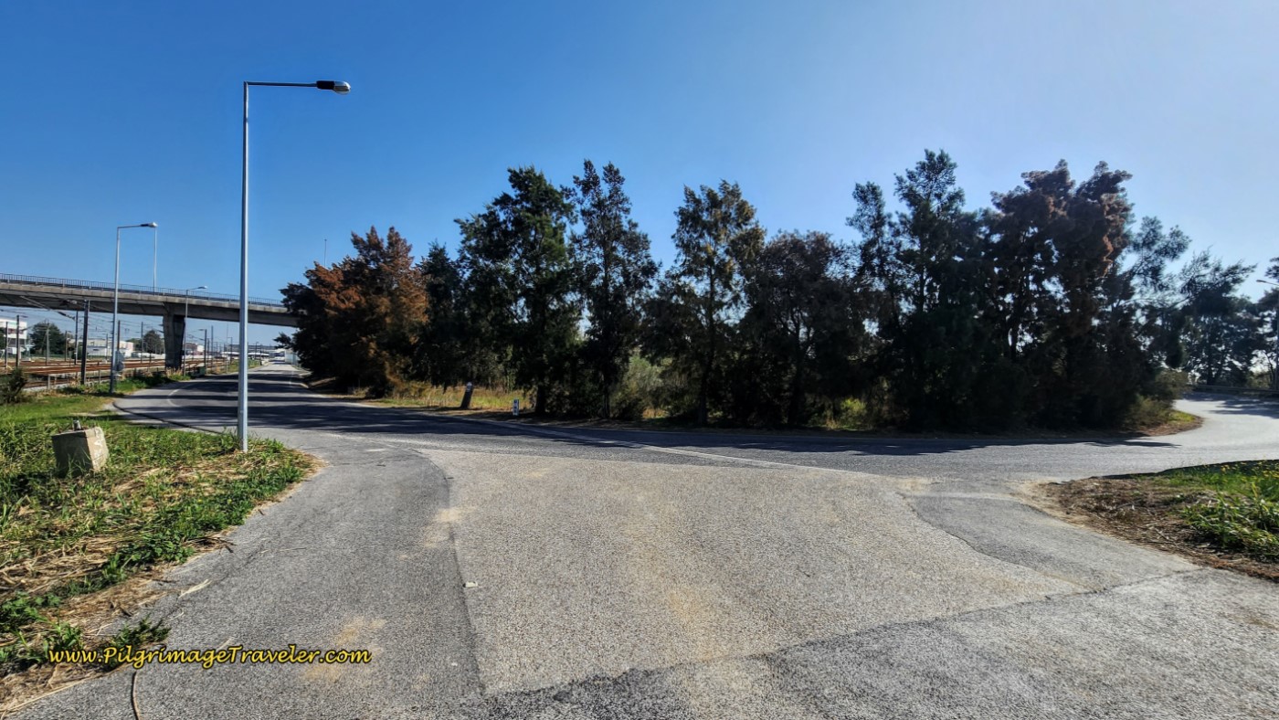 Turn for Accommodations in Verdelha
If only I had paid attention! You must plan ahead for this day, because there are no yellow arrows to guide you to Verdelha.
Lessons Learned on Day One, Camino Portugués
Plan, plan, plan! If I had only looked more carefully at the information I already had, we could have cut off at least 4 or more kilometers from our day's journey.
As per the Rumi quote above, the new arrival in my human house was a large dose of humble pie. I am always the well-informed one, doing research until I am blue in the face. This trip, I took more of a "the Camino will provide" approach, and yes, even though the Camino did provide, I could have saved myself some heartache and body aches.
The other lesson learned, is that I really can't do it all and be all things for all people. It seemed that not only was I carrying the responsibility for a smooth journey for my husband and I, now I seemed to have inherited another responsibility in our Swiss friend.
How would this second guest's arrival serve me in the coming days? Seemed like in only one day, we were hooked up together. I could tell there were more lessons coming and it was going to be interesting! I only hoped I would be up for the challenge.
Salutation
May your own day one on your Camino Portugués, be filled with adventure, discovery and guests invited and uninvited. May you greet each and every guest with the respect it deserves! Ultreia!
Looking for a Place to Stay in Lisbon?
For an exhaustive list of hotels and hostels in Lisbon, and to see the current deals on Booking.com, click here for instant booking. Unfortunately there is no albergue in the center of town or near the albergue. Also check my interactive map of day one, to see many inexpensive hostels throughout the city.
Camino Portugués Overview
Camino Portugués Stages
Central Route: Lisbon to Porto Stages
Central Route: Porto to Santiago Stages
Senda Litoral or the Coastal Routes: Porto to Santiago Stages
Skip to Central Route Above, for Final Days 22-25 to Santiago
Variante Espiritual Stages
Please Consider Showing Your Support
Many readers contact me, Elle, to thank me for all the time and care that I have spent creating this informative website. If you have been truly blessed by my efforts, have not purchased an eBook, yet wish to contribute, I am exeedingly grateful. Thank you!
Search This Website:
🙋♀️ Why Trust Us at the Pilgrimage Traveler?

We’re not a travel agency ~ we’re fellow pilgrims! (See About Us)
We've trekked Pilgrimage Routes Across Europe since 2014!
💬 We’ve:
- Gotten lost so you don’t have to. 😉
- Followed waymarks in the glowing sunlight, the pouring rain and by moonlight. ☀️🌧️🌙
- Slept in albergues, hostels & casa rurals. Ate and drank in cafés along the way. 🛌 😴
- Created comprehensive and downloadable GPS maps and eBook Guides, full of must-have information based on real pilgrimage travels. 🧭 🗺️
- Shared our complete journeys, step by step to help YOU plan your ultimate pilgrimage and walk with your own Heart and Soul. 💙✨
Every detail is from our own experiences. Just fellow pilgrims sharing the Way. We have added a touch of spirituality, heartfelt insights and practical guidance from the road ~ offering a genuine connection to the spirit of pilgrimage. Tap into the wisdom of seasoned pilgrims!
Ultreia and Safe Pilgrimage Travels, Caminante! 💫 💚 🤍
Follow Me on Pinterest:
Find the Pilgrimage Traveler on Facebook:
Like / Share this page on Facebook:
***All Banners, Amazon, Roamless and Booking.com links on this website are affiliate links. As an Amazon associate and a Booking.com associate, the Pilgrimage Traveler website will earn from qualifying purchases when you click on these links, at no cost to you. We sincerely thank you as this is a pilgrim-supported website***
PS: Our eBook Guide books are of our own creation and we appreciate your purchase of those too!!
Shroud Yourself in Mystery, along the Via de Francesco!
Walk in the Footsteps of St. Francis, and Connect Deeply to the Saint and to Nature in the Marvelous Italian Countryside!
Need suggestions on what to pack for your next pilgrimage? Click Here or on the photo below!
Find the Best Hotel Deals Using This Tool!
Carbon Trekking Poles ~ My Favorites!
Carbon fiber construction (not aluminum) in a trekking pole makes them ultra lightweight. We like the Z-Pole style from Black Diamond so we can hide our poles in our pack from potential thieves before getting to our albergue! There are many to choose from! (See more of our gear recommendations! )
Gregory BackPack ~ My Favorite Brand
Do not forget your quick-dry microfiber towel!





















Your Opinion Matters! Comments
Have you had a similar experience, have some advice to give, or have something else you'd like to share? We would love to hear from you! Please leave us a comment in the box below.