- Home
- ~ Camino Sanabrés (The Sanabrés Way)
- A Gudina to A Venda da Capela, Day Eight
Jump to Camino Sanabrés Stages
Camino Sanabrés, A Gudiña to A Venda da Capela, Day Eight, 10.2 Kilometers (6.34 Miles)
Our day eight on the Camino Sanabres from A Gudiña to A Venda da Capela was very short and not-so-sweet in the wind and pouring rain, ending in a taxi ride from A Venda da Capela to the albergue in Campobecerros.
Quote for Day Eight on the Camino Sanabrés, A Gudiña to A Venda da Capela
"People are like stained-glass windows. They sparkle and shine when the sun is out, but when the darkness sets in their true beauty is revealed only if there is light from within." ~ Elisabeth Kübler-Ross
Today was indeed a day to see what one was truly made of, light or darkness.
Maps and Stats of Day Eight on the Camino Sanabrés, A Gudiña to A Venda da Capela
Below is my interactive map, created from actual GPS tracks. The map includes our walk on day eight, in orange and our walk the next day, day nine, in red. This map represents the full 34 kilometers of the traditional stage, for your planning convenience.
Had our day not been cut short due to the inclement weather, we would still have stopped in Campobecerros after about 20 kilometers total from A Gudiña. Our group was not willing to do over 30 kilometers in a day, because our driving factor continued to be Nadine's limp, which was not getting any better. In fact, to me, as a nurse, it was looking worse every day.
Fortunately, there is now a new casa rural, the Casa Terra Alma, in As Eiras, after 28 kilometers, so the stage, in good weather, would not have to be all the way to A Laza.
Because of the severe weather, we made it only 10.2 kilometers, past the high mark, the Alto do Espiño, before calling it quits and getting a taxi to take us down the mountain to Campobecerros.
There are absolutely no services for the 20k from A Gudiña to Campobecerros as you can see by the map below, so make sure you stock your pack before setting out.
Campobecerros has a few services. Please know that the private O Albergue da Rosario (+34 988 30 89 43) is still closed for personal reasons/illness. Please call before you plan to stay here, as it is currently unknown when they will open again. If you do make it all the way to A Laza, there is every service available.
The New and Official Route From A Gudiña to A Venda da Capela
In recent years, a new route was created after leaving A Gudiña on the road to the high pass, the Alto do Espiño. A gravel road for pilgrims now parallels the paved road. This is a great thing, because this official route keeps the pilgrimage traveler off the main road as much as possible. You can see from the photos below, that this would greatly enhance one's safety, where the traffic was heavy with trucks, prior to A Venda da Teresa.
However, as I research this route, it seems that some pilgrims still choose the pavement of the road, if it is shorter and/or if they feel it is easier. There is no consistency, but a pick and choose methodology as far as which segment they chose to do on the pavement!
After the turn off the main road to A Venda da Teresa, there is almost no traffic. For this reason, I have chosen to keep both routes on my Google map for comparison's sake, both the old route in orange, as an alternative, and the official route in blue.
It will be up to you, whether you prefer the shorter and perhaps easier way on pavement, or the longer way on gravel roads. All-in-all, the difference is only about 200 meters, but as you can see from the elevation profiles, the official route has a bit more of a climb, but by only 17 meters.
The Alto do Espiño, which I marked with a yellow star, is the third major high point on the Camino Sanabrés, at 1085 meters (3560 feet) and wouldn't it just be our luck to have to cross it on a bad weather day. The Camino road that runs from A Gudiña to Campobecerros is a high and exposed place as we were to find out.
The 4.0 kilometer climb up and out of A Gudiña on the old route, shown first, below, has an elevation gain of 109 meters (358 feet) on an easy paved secondary road. On a normal day this climb would not feel all that bad, but with the weather it was a trial, to put it mildly! Especially on the road with traffic.
The remaining kilometers are mostly a bounce along the top, with a climb up about 30 meters into the town of A Capela da Teresa, followed by a descent into the hamlet of A Venda da Capela.
The official route, shown next, reaches the high point after 3.5 kilometers, and trends downhill until just before A Venda da Teresa, then climbs for two kilometers into the village itself. There are a few more ups and downs along the way with some additional elevation gain/loss, but nothing that significant. The final kilometer is a nice descent into A Venda da Capela.
 Elevation Profile, Camino Sanabrés, A Gudiña to A Venda da Capela, Official Route
Along the high ridge between A Gudiña and Campobecerros are four villages called A "Venda." In order of them that you will walk through, are A Venda do Espiño, A Venda da Teresa, A Venda da Capela, and A Venda do Bolaño.
Venda is the Spanish word for country inn. The four villages were built around country inns, that once upon a time sheltered seasonal agricultural workers traveling between Galicia and the meseta of Castille. Later they were used for workers on the railway which you can see on either side of the ridge road from time to time.
Camino Sanabrés EBook
~ Includes 4-5 additional days on the Vía de la Plata from Salamanca!
Our Camino Sanabrés eBook Guide, in downloadable PDF Format, contains all the valuable information from our web pages, for comfortable reading offline (important in the mountainous and remote areas) and without ads, all on your personal device. Don't carry a hard copy guide book to increase your pack weight. Use our digital guides on your next Camino instead!
Our ebook guides are packed with frequently updated information, because a digital format is more nimble than hard-copy publishing. Our eBook Guide is unique because we also entertain and immerse you with our story!
Your purchase of the Camino Sanabrés eBook includes the BONUS digital guide on the Vía de la Plata from Salamanca. This allows you the opportunity to add 4-5 more days to your Camino in the beginning. Click here for more info or BUY NOW!
Jump to Camino Sanabrés Stages
Photo-Rich Travelogue for Day Eight on the Camino Sanabrés, A Gudiña to A Venda da Capela
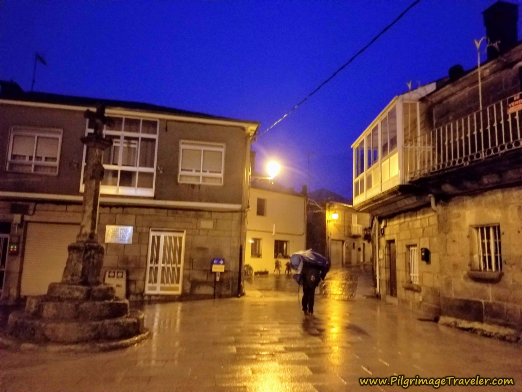
We left the Albergue de Peregrinos da Gudiña in the pre-dawn light.
My narrative will begin at the intersection of the N-525 and the Rúa Maior, just east of the albergue. If you stayed at the albergue, just take the shortcut across the street, northward to join the Camino along the Rúa Maior one-third kilometer farther along. The Rúa Maior runs parallel to the N-525.
Back at the route's start, within a block, at the first Y-intersection, shown below, stay left to continue on the Rúa Maior. My flash lit up the shell waymark on the building, to a warm, yellow glow. Look to the right of the photo, below. How fun!
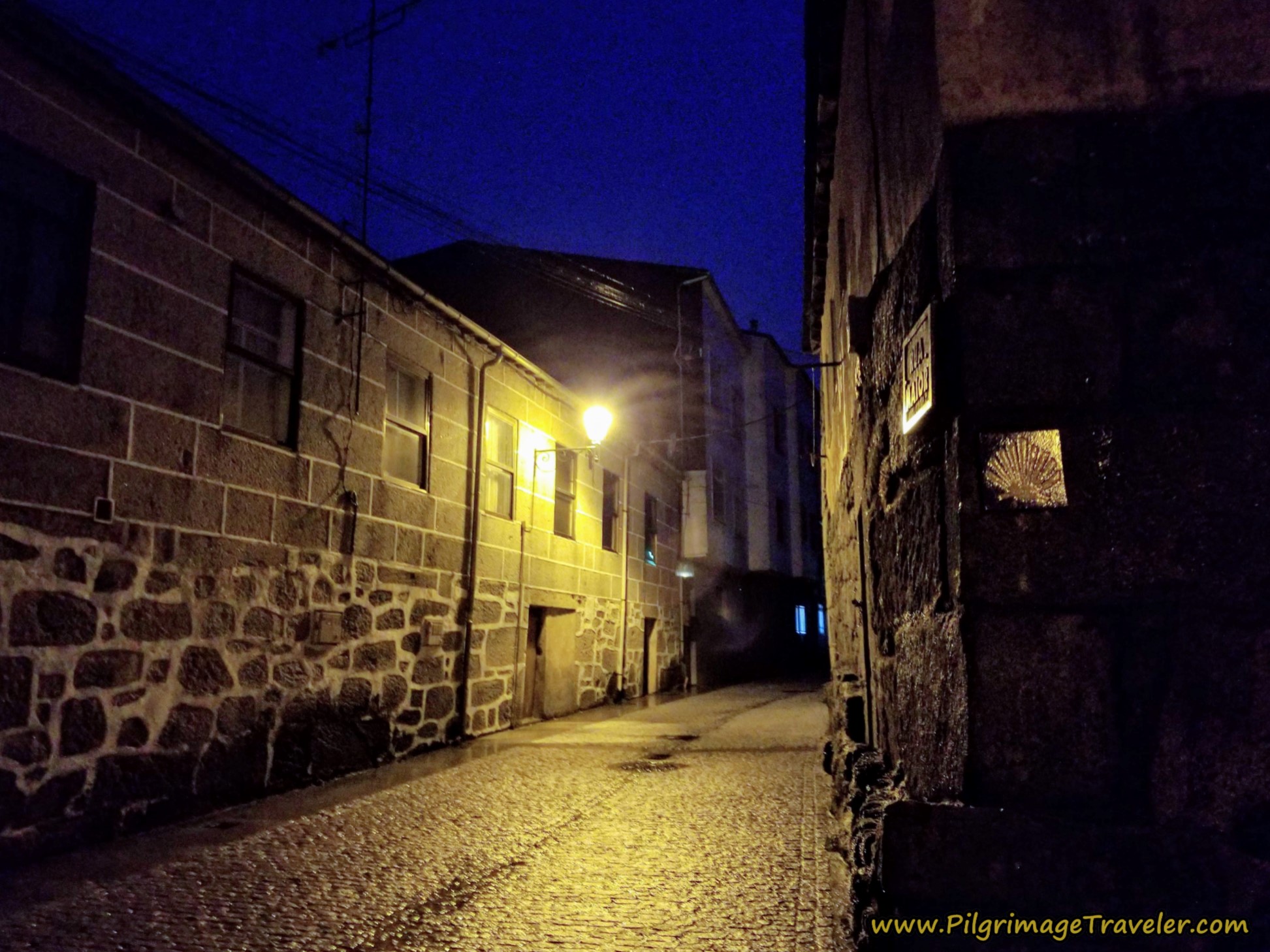 Right Turn Onto the Rúa Maior
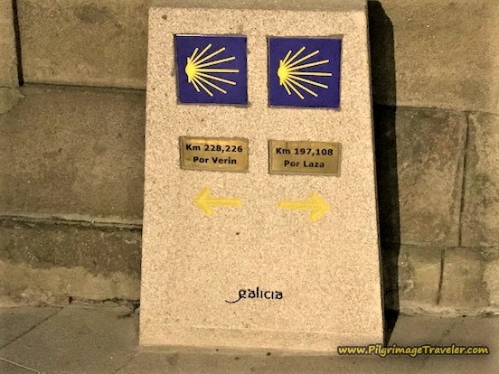
You come to the town square, the Praza Maior and the town cross, after about 1/3 kilometer. If you look closely behind the cross, you can see two waymarks. This is the bifurcation of the Camino, with the Way to the left being the Camino Sanabrés por Verín, the southerly variation that I mapped here, in orange.
We were taking the standard route to the right. Can you see Miguel's poncho blowing up in the strong winds? This was to portend our walk for the day.
Here is a close-up of the bifurcation waymarks, courtesy of my Camino friend, MaryEllen! For the rest of this article, all her photos will be followed by an asterisk (*) in the description!
Only 197 kilometers to Santiago!
The road you have turned onto is called the Rúa Cima de Aldea, or the "village top road." How appropriate! Leave town on this road, and walk it for about one full kilometer.
 Outskirts of A Gudiña on the Rúa Cima de Aldea
At about kilometer 1.41, the Camino merges with the secondary paved road from A Gudiña to A Venda do Espiño, by turning to the right.
If you are walking the official route, it is only 200 kilometers on this road, before the Camino turns right and onto a gravel road, newly created.
The old route took you via a two kilometer road slog to the high point, the Alto do Espiño, waymarked by a road identification sign, shown farther below.
The sky eventually started to brighten, but it was clear that the fog and rain were going to sock us in for the day. Here is how it looked for us, before the turn-off.
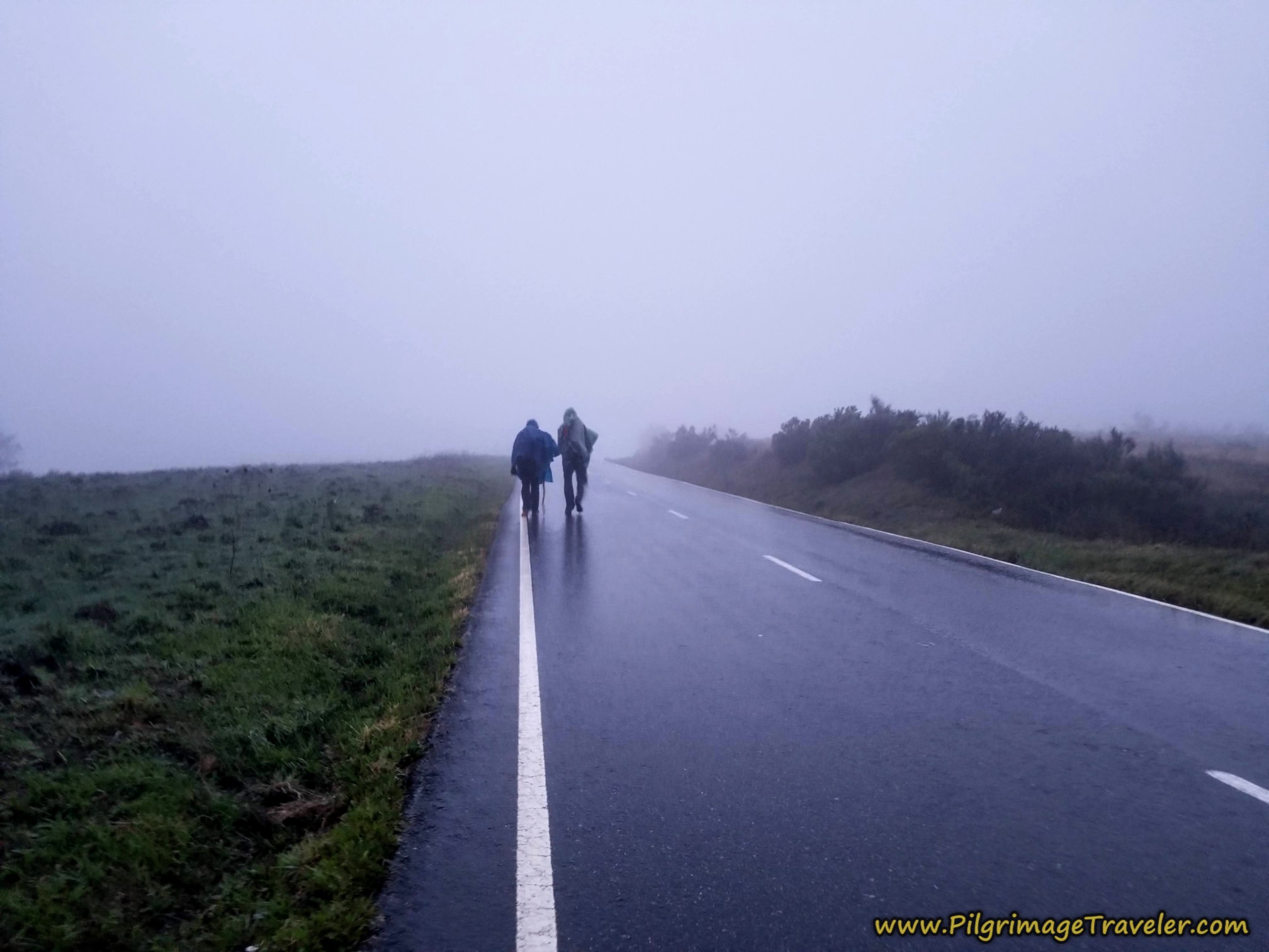 Paved Road Towards A Venda do Espiño
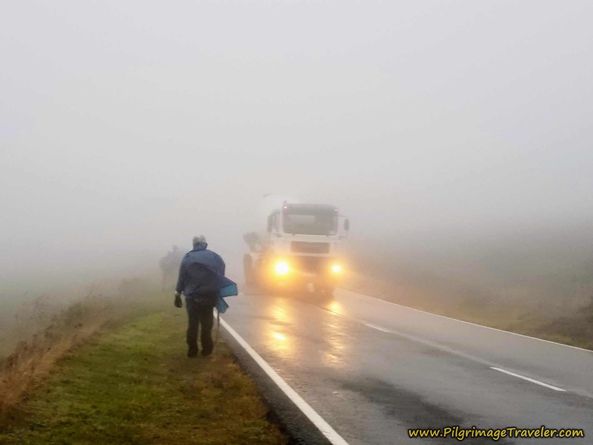
The next photos are of the journey on the road, which is no longer the official way, and you can see just how dangerous it was to walk along this road.
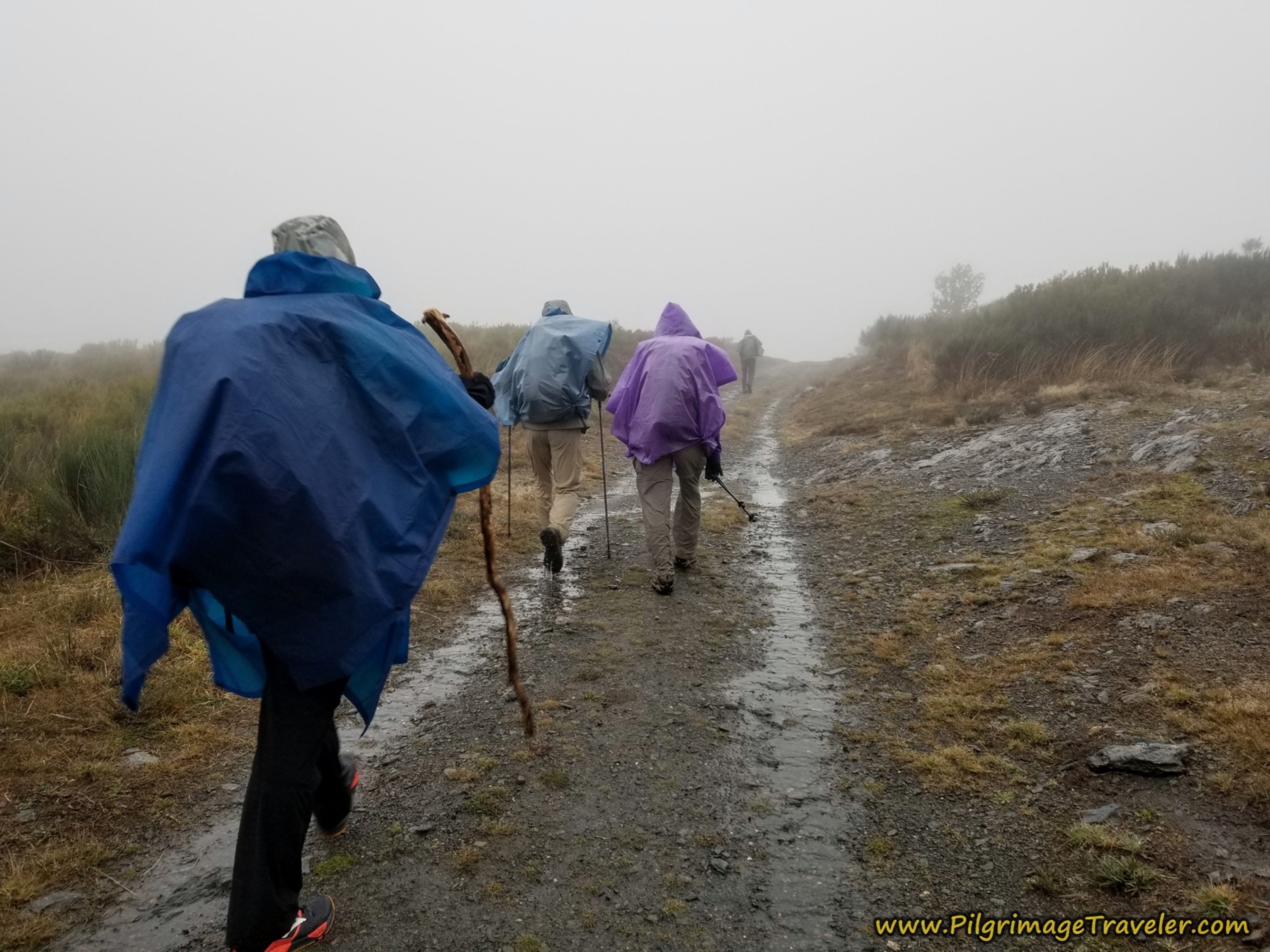
As we climbed, increasing in exposure, the fog thickened and the wind and the rain worsened. I took this photo next to one of the few trees along the way. We could see absolutely nothing in any direction.
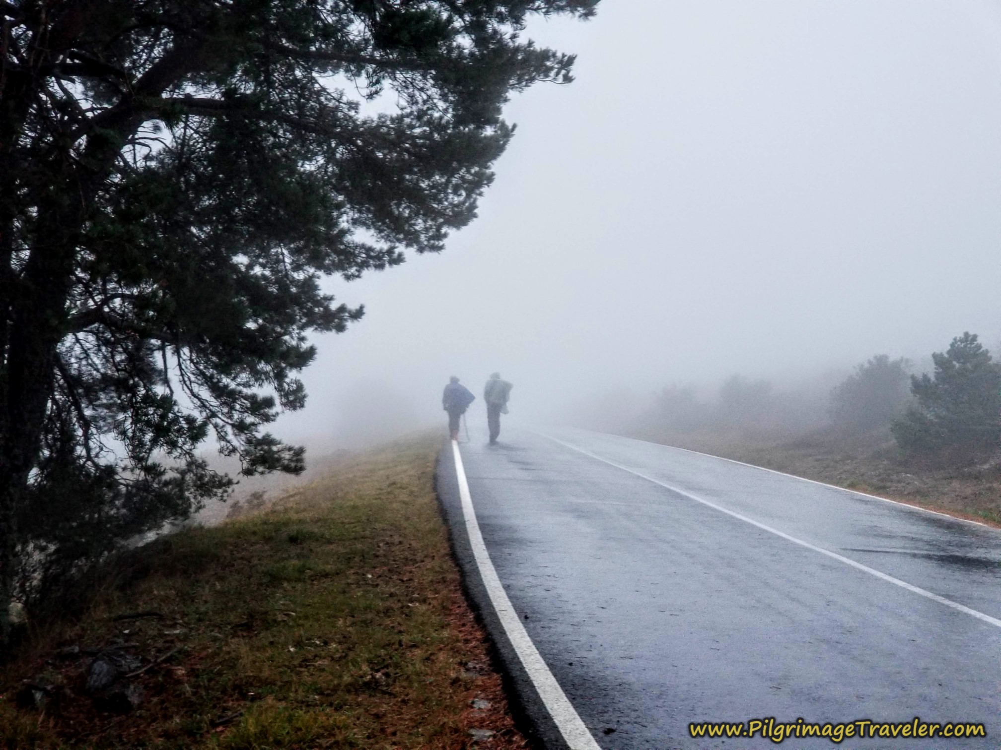 Negotiating Strong Winds
There was certainly the danger of large trucks passing us, as we jumped off the highway as they approached. The backsplash from the trucks was intense! The drivers would blare their horns, warning us of their approach (as if we couldn't see them) and they would just shake their heads at us as they drove by. Nutty pilgrims! Thank heavens this has now changed!
The fog cast an eerie light as we walked along the roadway. Rich was pushing forward in the lead, followed by Miguel. I was next, taking the photo, casting a constant and wary eye on Nadine and Norm following in the rear. I was worried about them.
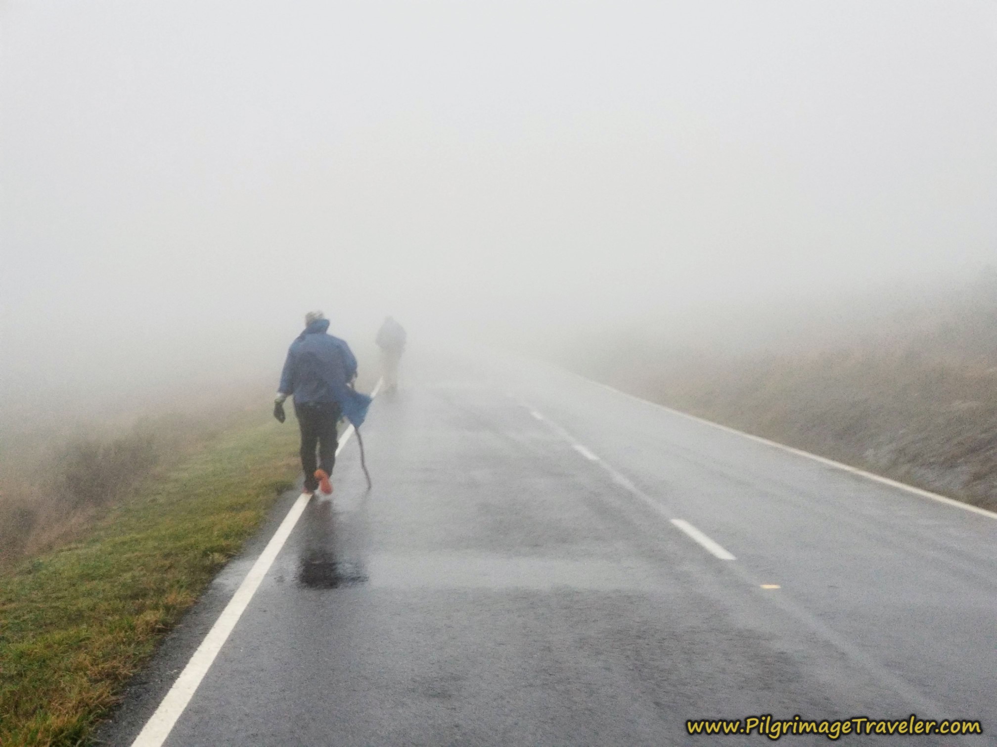 Close to the Alto do Espiño
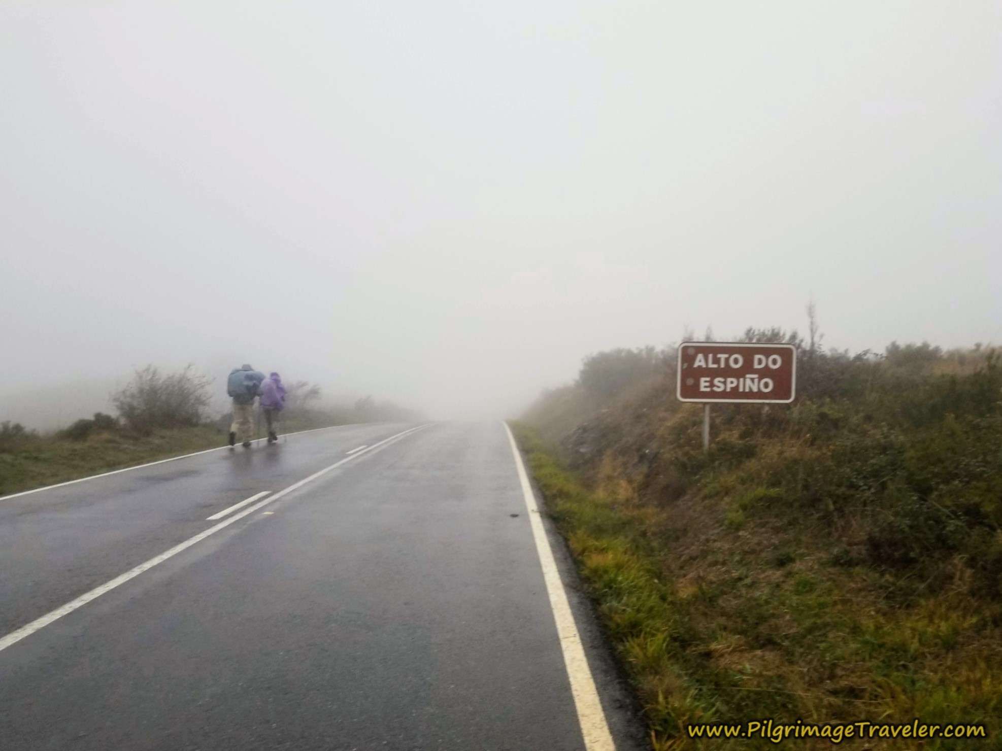
Here we are arriving at the summit top for the day, the Alto do Espiño, at 1085 meters (3560 feet), in the fog and pouring rain. If there was no sign, we would not have had a clue where we were. This sign is at approximately 4.1 kilometers into the day.
After the turn-off from the main road after about 1.4 kilometers, the official route now parallels the roadway for about 2.75 kilometers, at various distances, and even approximates it at places. It is open and exposed up here, and essentially treeless.
The official route summits the high point along this stretch, after about 3.3 kilometers into the day and at an elevation of 1102, slightly before and higher than the road sign shown above.
After the summit, the official way descends and joins the highway once again after another kilometer, after approximately 4.2 kilometers.
Not even 200 meters later, after about 4.4 kilometers, both Camino routes take a right onto a side road, for a bit of a more sheltered walk into the first venda, the hamlet of A Venda do Espiño. It is amazing how less exposed it felt walking into the town.
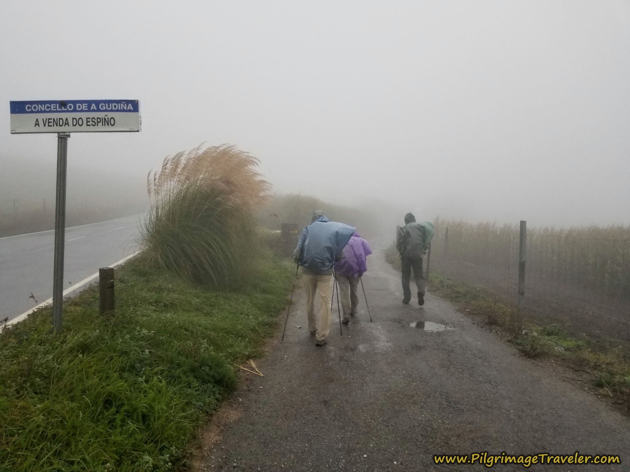 Side Road to A Venda do Espiño
The few meter diversion through town soon led us back out onto the exposed pavement. The cars were very considerate that passed us and they all slowed way down, but there was no preventing the backsplash, no matter what they did. It drenched us.
The official route, after leaving A Venda do Espiño, follows the roadway to the north, on a separate path for a bit more than one-half kilometer, so you no longer are faced with this scenario, shown below.
I started to sing songs to keep our morale up and to stay happy and warm myself. I sang silly songs and the other joined in. Miguel, a Spanish military nurse, actually knew some of our military songs that we tried on him, and he was able to sing along! He is a cheerful soul and he seemed impervious to the rain.
Norm and Nadine were not impervious to the conditions. I often would slow up and see how they were doing. Nadine kept her strained happy face on, but Norm looked grim. I, being the leader, felt responsible and wasn't sure what to do.
Rich just pushed ahead. When the going gets rough, he has a tendency to push harder. Miguel was showing no signs of cracking at all. Nadine and Norm were slowing down.
After walking the 1/2 kilometer from A Venda do Espiño, the official route suddenly takes an abrupt turn to the right (north) on an established gravel lane after about 5.3 kilometers into the day. The Camino then immediately bends to the left, descending and following just below the roadway for the next 1.5 kilometers. Along the way it meanders and has more ups and downs than along the roadway that the old route takes.
After approximately 6.9 kilometers the official route joins the roadway once again, this time for only about 100 meters, then takes its own path to the right once again.
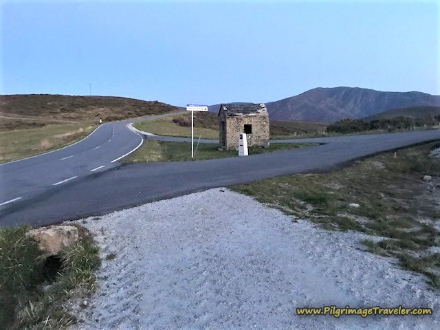
At about kilometer 7.2 the path joins the road yet again and the old route, by this small shelter, most likely a bus station. The intersection you see is with the road to Carracedo da Serra, to the north. This is how the shelter appeared to us in the freezing rain.
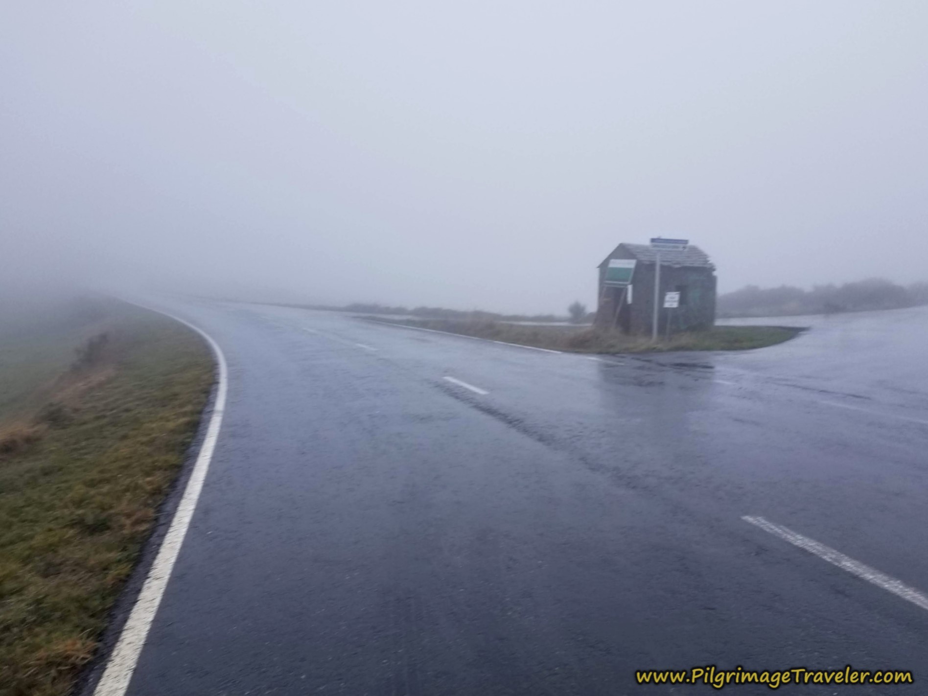 Small Shelter at Intersection
This is how the shelter appeared to my friend. You can see the fresh, white newly-created gravel road where the official route meets the roadway of the old route, at this intersection. The nice new concrete mojón (waymark) marks the direction.
Jump to Camino Sanabrés Stages
On my walk, in the rain, we all went towards the shelter and huddled inside for a brief respite from the wind and the rain. All the respite seemed to achieve was to make us colder, so after only a few minutes "inside" we carried onward.
Almost immediately after the shelter, the Camino now takes a tractor lane to the left for about 300 meters, ascending toward the next town of A Venda da Teresa.
The old route continues along the road a few meters farther to take a left turn, leaving the main road, and onto a side road towards A Venda da Teresa, shown below.
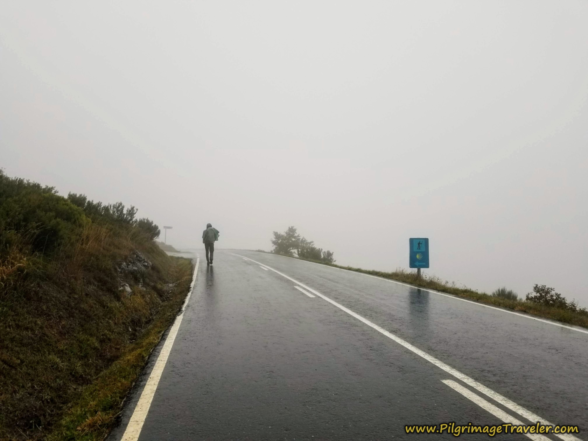 Left Turn Towards A Venda da Teresa
When the official route's tractor lane ends in 300 meters at a T-intersection with another lane, it turns to the right for about 50 meters and then a left turn onto the paved secondary road through town, continuing its westward ascent. (The old route stays straight at the T-intersection.)
The official route walks on an ascending traverse to the north of the main cluster of buildings that make up this hamlet. It takes a path to the north of the old route which goes directly below it in a parallel traverse.
Both routes through A Venda da Teresa are very quiet, with almost no traffic, so I'm not sure precisely why the route was changed through here.
After about 7.8 kilometers, when entering A Venda da Teresa, Nadine declared that she must have something to eat. In the sheltered walls of the town (along the old route), we all stopped and waited while Nadine pulled out and ate a bar. She is a slight person, and can bonk quickly if she doesn't attend to her needs. While waiting, our metabolic rates slowed a bit. Without moving, a chill set in quickly.
None of the rest of us were hungry and we were eager to get going and stay warm. Rich kept his head down, and I could sense his grumpiness at the stop.
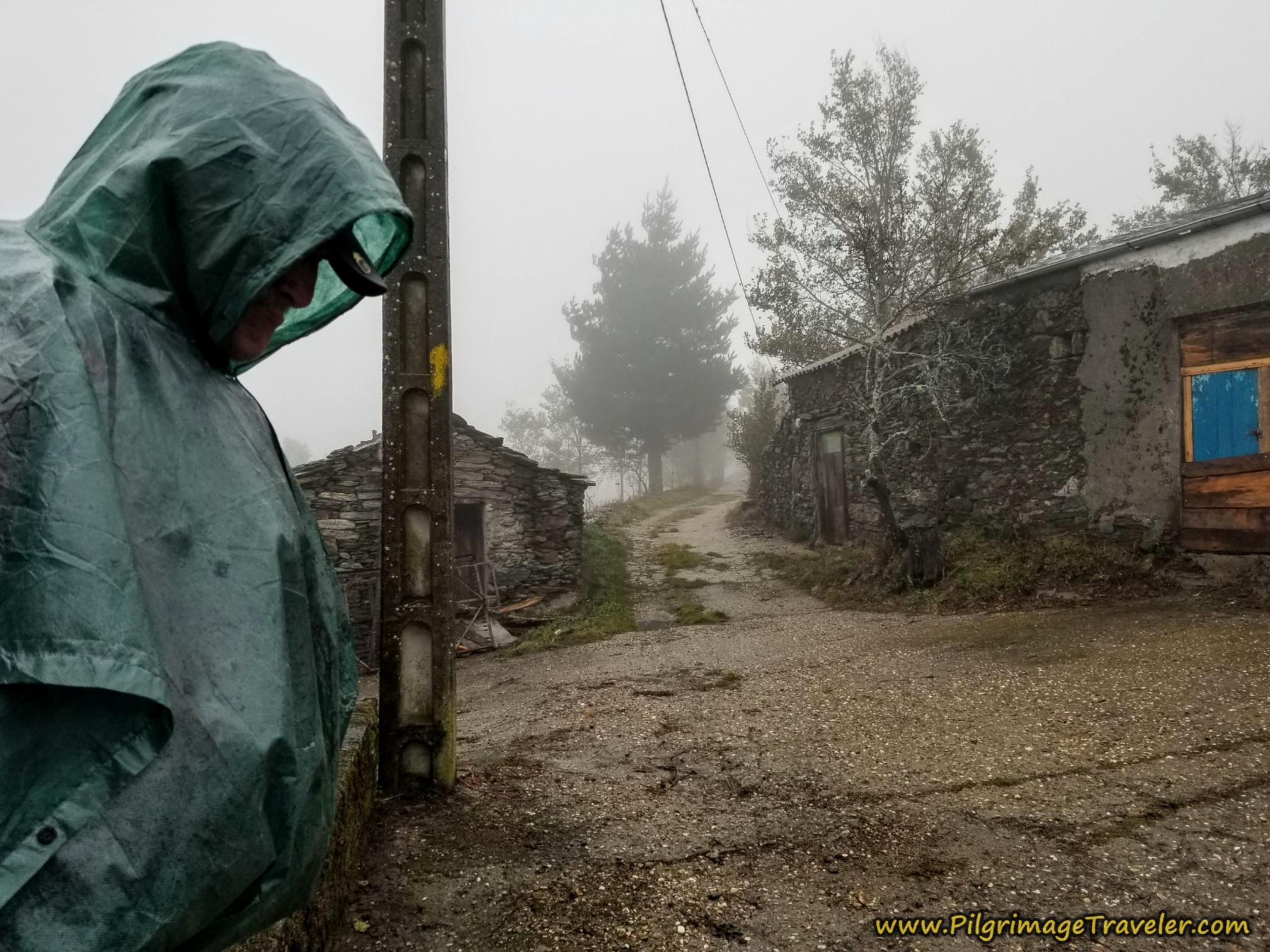 Rich Looking Unhappy
Norm declared that walking in this kind of weather was ridiculous. I believe these were his exact words, according to my voice journal. He has quite the grim look on his face, below, as Miguel remained cheerful and Nadine attempted to be so.
In this moment, the group decision was to continue on.
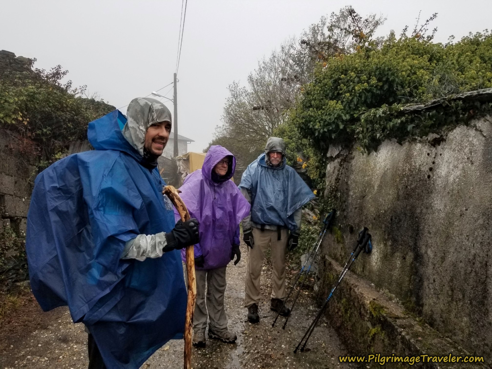 Miguel, Nadine and Norm Attempt to Look Happy
On the official route, after walking 300 meters on the pavement through A Venda da Teresa, you come to this intersection, below, leaving the pavement for the lane to the right. The pavement actually ends in a few meters anyway, and both the old and official routes leave the village on parallel unimproved lanes.
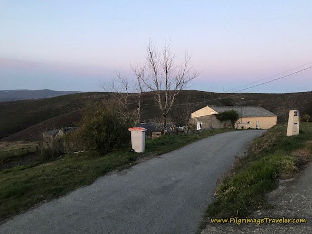 Right Turn, Leaving Pavement in A Venda da Teresa*
As we left the small village of A Venda da Teresa, the road turned into this somewhat soppy lane. In the photo below is Rich, pushing ahead, walking alone at the front of the pack, trying to get the walk over with as quickly as possible. The rest of us slogged behind.
After 300 meters of walking on the lane on the official route, you reach the second summit of the day at 8.25 kilometers and an altitude of 1068. A few meters after this summit, the two routes join one another on the continuing lane for another 2/3 kilometer on a slight descent.
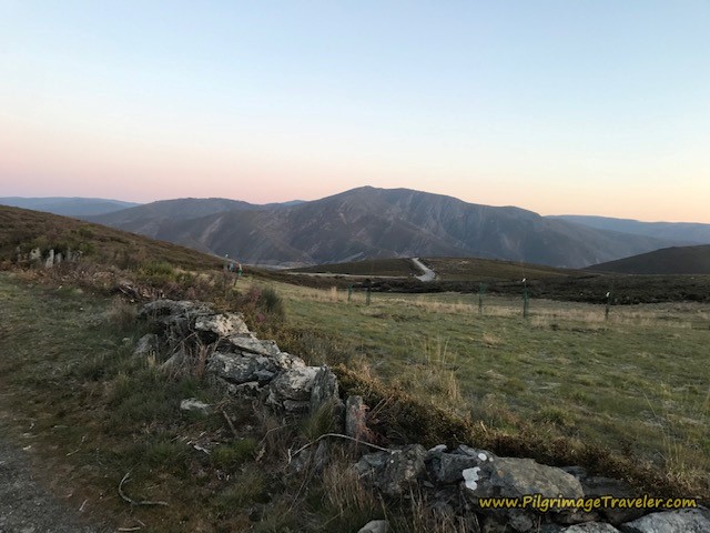
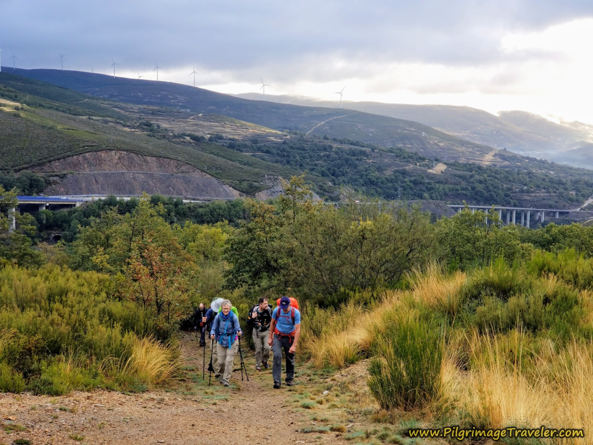
Here is a wonderful view of the countryside at dawn, just after the summit. You can see the continuing main roadway below that we had left just prior to A Venda da Teresa. My friend was so lucky to be walking at this time of day, and on a clear one at that! Thank-you MaryEllen for these fabulous photos!
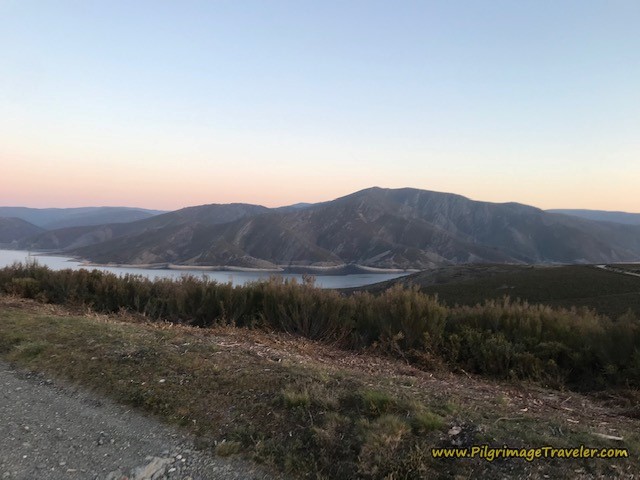
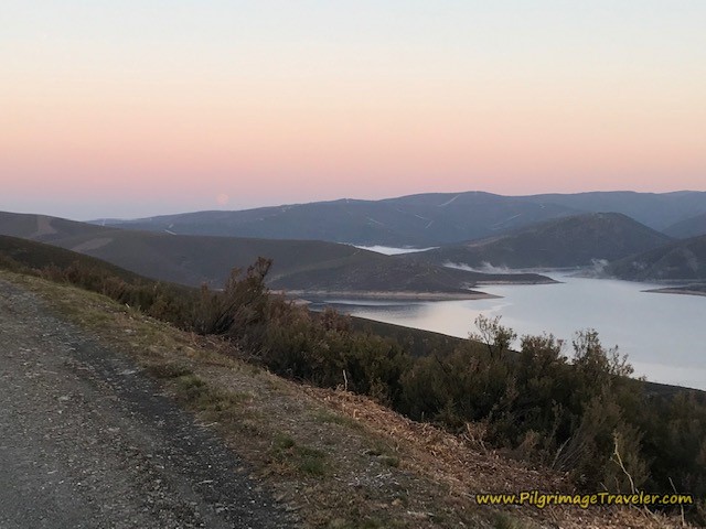
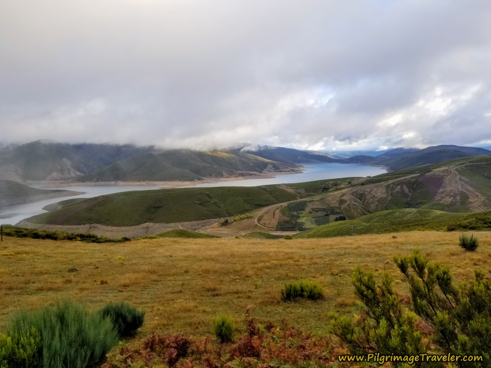
Unbeknownst to us, on our rainy and foggy day, soon after the summit, wonderful first views of the reservoir, the Embalse de As Portas appear! Thanks to my Camino friend, this is what you will see! (You will also see views of the new AVE high speed rail construction/completion, not pictured).
Jump to Camino Sanabrés Stages
At approximately kilometer 9.1, the village lane ends, descending down the hill toward the main road, shown below, back in the rain! The exposure continued to be severe as the wind and the rain did not let up for us.
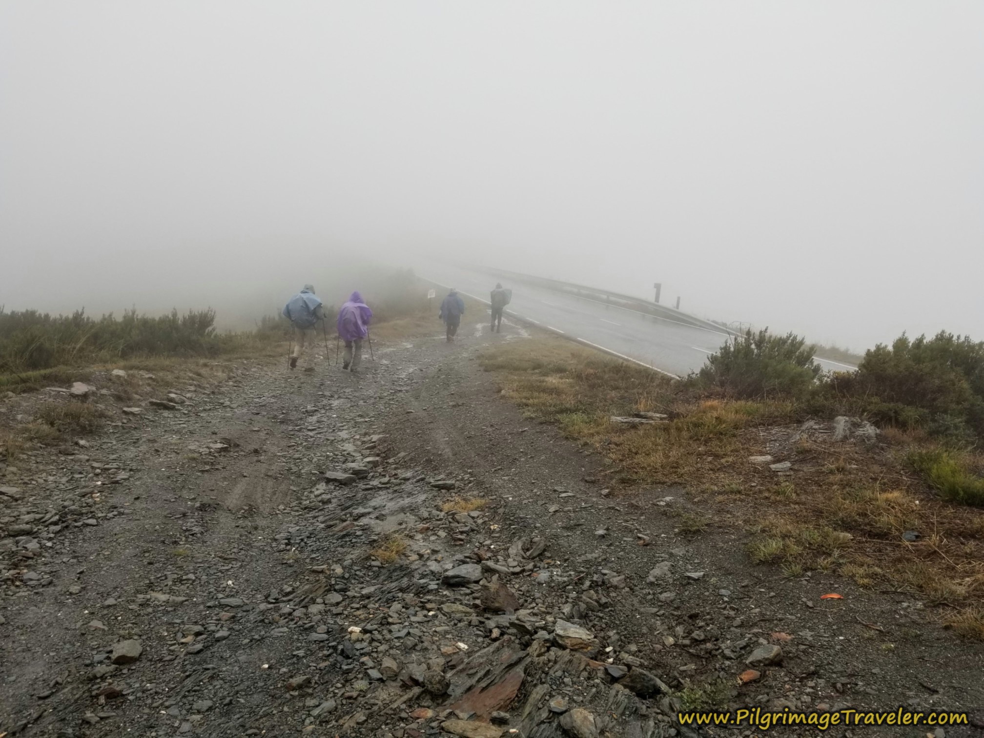 Downhill and Rejoining the Pavement
For reasons unknown to me, just before the descent back to the highway shown in the photo above, the official route takes a left hand turn and makes a giant switchback, then another loop, before joining up again with the main road. This small diversion to keep the pilgrim off the pavement of the highway a bit longer, when the walk on the road is half that amount! Almost no one takes this official diversion!
I have now educated you to choose your own way here. Consult the map to see this diversion just before the next hamlet of A Venda da Capela.
Back on the old highway route, we pushed on for the next kilometer, shown below, towards A Venda da Capela.
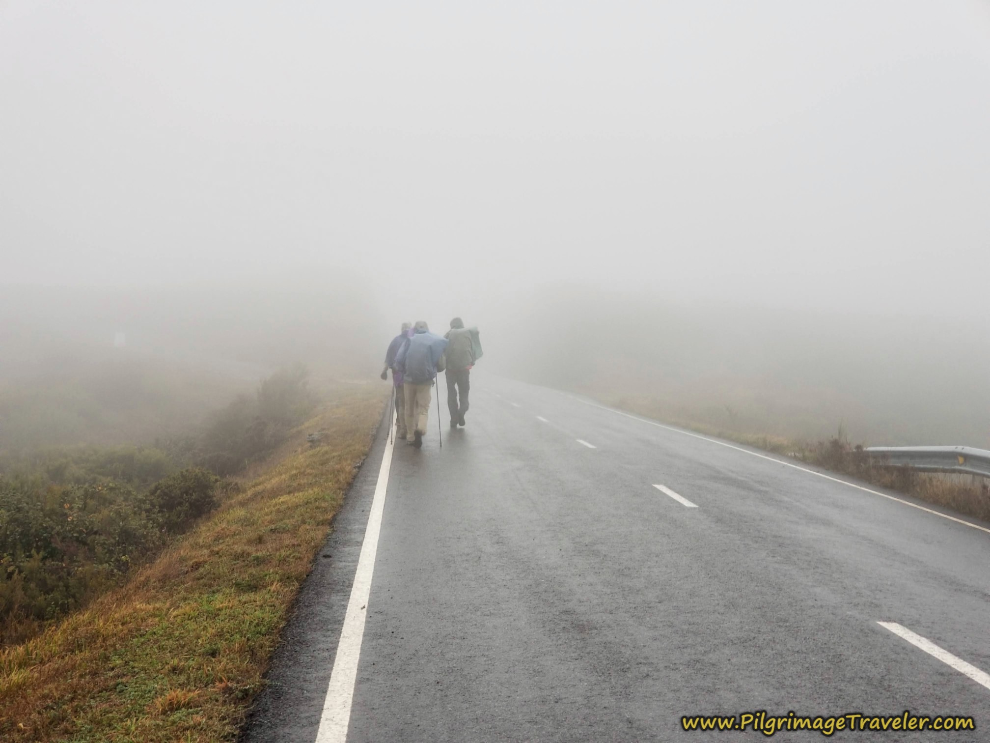 Final Stretch of Pavement Towards A Venda da Capela
Next are some photos of the sunny day, of the route into A Venda da Capela, that both the old and official routes now follow. We just were unable to see much of the route in the rain!
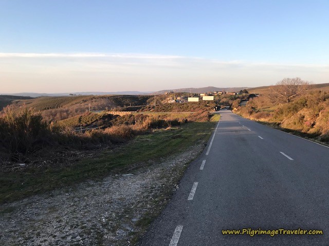 The Pavement Towards A Venda da Capela*
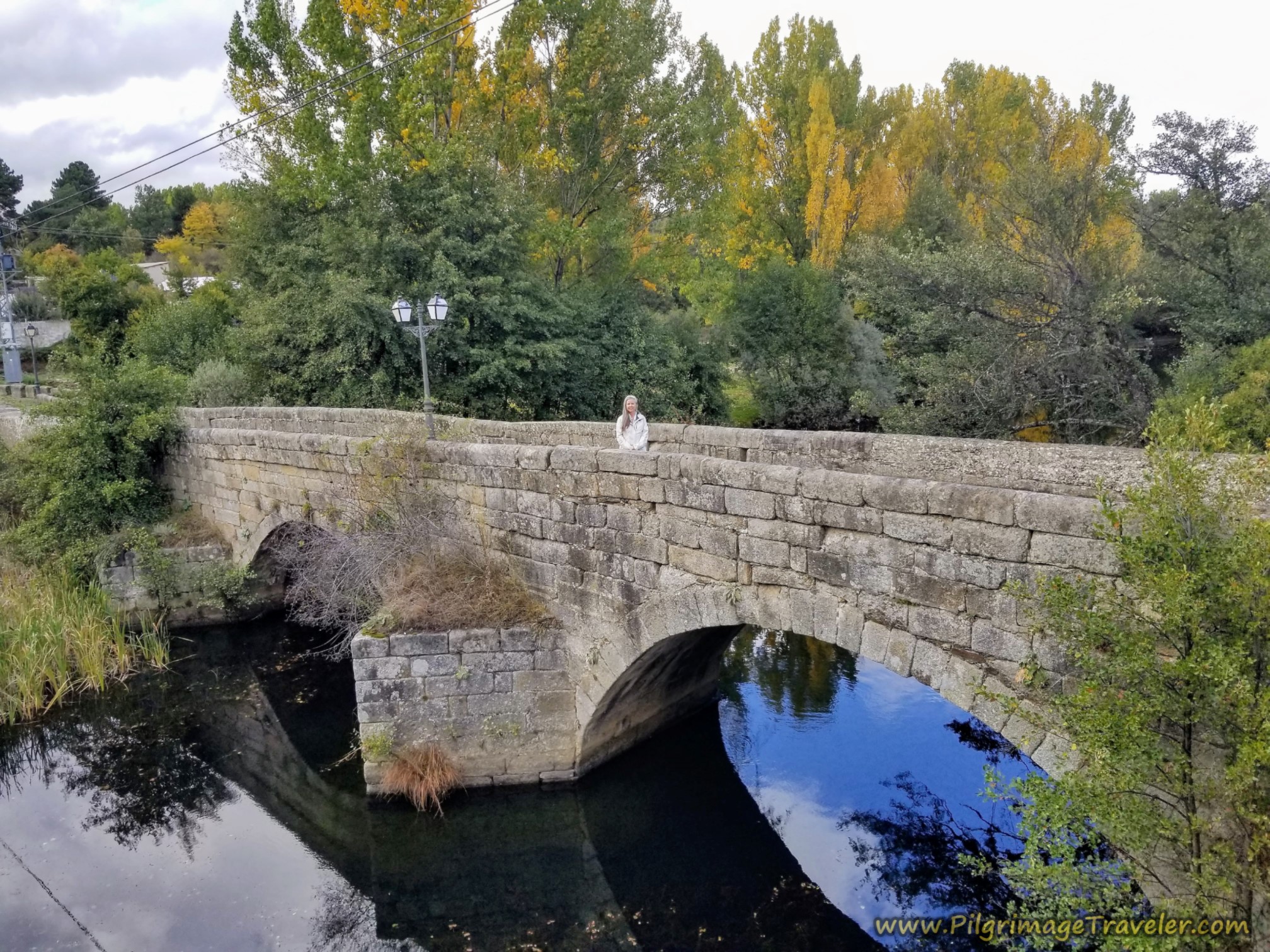
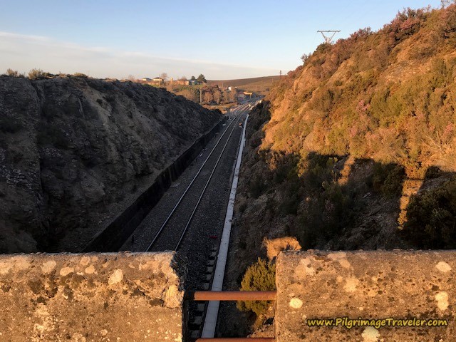 Landmark Railroad Crossing on the Bridge Before A Venda da Capela*
Jump to Camino Sanabrés Stages
We Throw in the Towel
After arriving in A Venda da Capela at around 10.2 kilometers, Norm finally spoke up, in protection of Nadine. He was worried that she could not continue and would get hypothermia. He stated that it is just when people keep pushing so hard that they do get into trouble. He had had enough. Nadine said nothing. She didn't need to ~ her expression told the story.
As soon as I heard the word "hypothermia," I knew that both of their spirits had been broken, and indeed if we carried on, most likely it would not be a favorable outcome. Even though I disagreed with his assessment, there was no arguing the matter. Their spirits were gone.
I could tell that Rich did not want to give up just yet, but was willing to go along with the group decision. I could have gone on as well, but as the leader of the group, I needed to make the best decision for the entire group.
Miguel, however, decided that he was going to walk on alone. But before he did, he called the taxi for us, coming from A Gudiña, to take us down the mountain to Campobecerros. He graciously waited for us, for what seemed like an eternity, for the taxi to arrive about 20 minutes later, before he went on his way. What a gracious Spanish host, and what a trooper!!
We all huddled by a farm building in A Venda da Capela, waiting for the taxi to arrive. Standing around only served to make us colder and colder.
While we were waiting, along came another peregrino, Colin, from Ireland, whom we had just met. He stopped to have a chat. We told him that we were throwing in the towel, and waiting for a taxi to arrive. The big fellow, decked out in black rain gear from head to foot and a wide-brimmed hat, just smirked and said, "This is just one of those days when you accept that you are going to get wet!" Ha ha! Talk about the British understatement!!
What a shining star Colin was in that moment! His light truly was not extinguished in the abysmal weather. He brought me cheer with his humor and I wished I could walk on with him, Miguel and Rich. However, I stayed with the group, as the taxi arrived, and Miguel and Colin walked on into the rain and fog.
I must say, it was lovely being in the warm taxi, as we all had gotten quite cold standing around waiting for it to arrive.
Jump to Camino Sanabrés Stages
Campobecceros
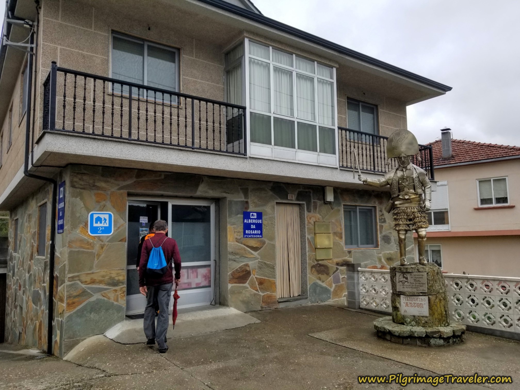
We arrived into town quite early, after having only walked 10.2 kilometers. The owner of O Albergue da Rosario (+34 650 53 05 47) was notified by the taxi driver and he was waiting for us to arrive. He signed us in and soon we were luxuriating in a hot shower and relaxing while we washed and dried our clothes. (Please remember this albergue may still be closed, so call first!)
O Albergue da Rosario is a charming place, with a statue out front of the famed A Laza carnival costume of the Peliqueiro. This medieval carnival occurs every year in February. Click on the link provided to learn about this interesting custom.
The albergue has 18 beds that are a bit tight on the lower floor. We were given disposable sheets. There is a funky kitchen in a separate building, round and down the back in a garage with a big horno oven. The kitchen has adequate utensils and a refrigerator. We did not spend a lot of time there because it had no heat unless we lit the oven. It was really cold and damp, and after spending the day freezing we had no desire to freeze more.
Also in the garage is a washer and dryer to use for five Euros/cycle.
We hung out at the Bar Casa Núñez, up the street for a lot of the afternoon, sipping café con leche and debriefing the events of the day. The Casa Núñez also has rooms to rent, (+34 988 07 76 24) if you prefer it to the albergue.
We were looking for a meal, but needed to wait for when the kitchen opened for the midday feast. As we waited to be served, a drenched Colin walked in! He had walked down the mountain and had made it in time for lunch. Miguel had already joined us. The walk from where we had stopped, into Campobecerros was only another 10 kilometers, and both men were strong walkers, easily arriving by lunchtime.
As the AVE workers piled into the dining room our peregrino group was served last! It was worth the wait, however, as the full course meal including copious amounts of wine was delicious and inexpensive.
Colin took his time over the lengthy lunch, as we all did, and then after drying out, he announced that he was going to walk on another 14 kilometers to A Laza, to complete the full 34 kilometer stage! The weather had not miffed him a bit. I was impressed! It was still raining, although the exposure at this lower altitude was significantly less than on top of the mountain.
Miguel made the decision to stay in the albergue with us, and wait to continue on until the morning. The steep decline into Campobecerros was rocky and slippery, as you shall see on day nine, and he said he actually fell down once. His family instructed him to stay with the Americans, and stay safe. He was an expectant father, after all and had a responsibility to them.
Reflections on Day Eight of the Camino Sanabrés, A Gudiña to A Venda da Capela
After our group's lengthy discussion, Rich and I decided to go back up the mountain the next day to A Venda da Capela, via a taxi, and complete the walk where we left off. Not only did I want to document my journey on this website, but I also felt in my heart that this day's stage was perhaps one of the most beautiful walks, and I wanted to see it. The day was after all, along one of three high mountain passes on the Sanabrés. As it turned out, I was right and day nine's walk was fabulous.
Norm and Nadine decided not to join us, but to do a short day of 14 kilometers to A Laza from Campobecerros. We would all join up in A Laza. Miguel, to our surprise, was going to walk with Norm and Nadine to be their guide and stay with us in A Laza. He was taking his family's mandate seriously.
By this time, after almost two weeks of walking together as a group, it was clear to Rich and I that our level of skill and commitment to this Camino was different from Norm and Nadine's. We were afraid that it would come to this, and it had.
Both Rich and I felt that indeed we could have walked on had we been alone. It would have been difficult, but we could have done it. But I was going to stick with the group. That was my commitment. Rich also admitted that by the time we had waited for the taxi at the top of the mountain, he was too cold to continue. For Miguel to walk on after a lengthy stop in the frigid rain was quite admirable.
We brought up the subject with Norm and Nadine, of whether or not we should continue walking as a group. I wanted to give them the Grace to continue on at their own pace if that was their desire. Nadine was still limping and we did not want to apply any more pressure than was needed. I needed to give them permission to do their own thing. Plus my own feelings were mixed regarding walking on together.
It was immediately clear that they truly did want to follow us and continue on with us. I think mostly it was due to the effort that would be required of them to continue on alone, and perhaps fear of the separation. They had both grown quite dependent on us. Indeed, I had made it too easy for them.
While on this day, I had regretted not walking onward after witnessing Colin and Miguel's shining examples, but as it turned out, it was the best thing that could have possibly happened. On day nine's walk, I absolutely did not regret that I was able to see the top of the mountain in clearer weather and marvel in the beauty of it all.
Salutation
May your own day eight on the Camino Sanabrés from A Gudiña to A Venda da Capela reflect your inner light, so that your own stained-glass window may sparkle and shine, showing your true beauty regardless of the "weather!" Ultreia!
*Photo credit given to my Camino Follower, MaryEllen, from La Coruña, Spain
Camino Fonseca Stages
~ Vía de la Plata Stages from Salamanca
~ Camino Sanabrés Stages
Please Consider Showing Your Support
Many readers contact me, Elle, to thank me for all the time and care that I have spent creating this informative website. If you have been truly blessed by my efforts, have not purchased an eBook, yet wish to contribute, I am very grateful. Thank-you!
Search This Website:
Follow Me on Pinterest:
Follow Me on Instagram:
Find the Pilgrimage Traveler on Facebook:
Like / Share this page on Facebook:
***All Banners, Amazon, Roamless and Booking.com links on this website are affiliate links. As an Amazon associate and a Booking.com associate, the Pilgrimage Traveler website will earn from qualifying purchases when you click on these links, at no cost to you. We sincerely thank-you as this is a pilgrim-supported website***
PS: Our guide books are of our own creation and we appreciate your purchase of those too!!
Shroud Yourself in Mystery, along the Via de Francesco!
Walk in the Footsteps of St. Francis, and Connect Deeply to the Saint and to Nature in the Marvelous Italian Countryside!
Recent Articles
-
Day One on the Camino Portugués, Lisbon to Alverca do Ribatejo
Apr 15, 25 08:19 PM
Our Day One on the Camino Portugués was much more beautiful and enjoyable than we had heard. -
Hiking the West Highland Way
Apr 11, 25 08:51 PM
Hiking the West Highland Way is a representation of all things Scottish, traversing 96 miles from the lowlands of Milngavie to Ft William, in the highlands. -
Way of St Francis eBook Guide (Via di San Francesco)
Apr 11, 25 08:49 PM
Our Way of St Francis eBook Guide, a digital guidebook is full of current information to assist you in finding your Way. In downloadable, digital, PDF format.
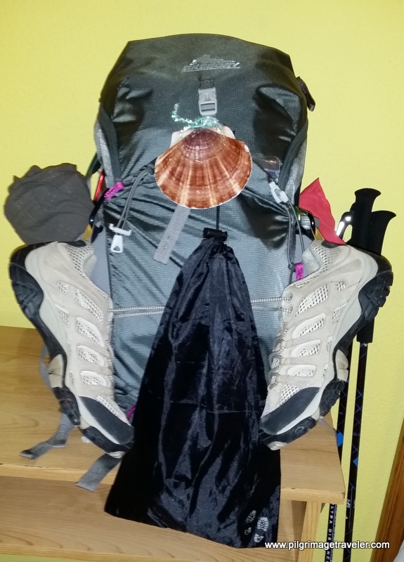
Need suggestions on what to pack for your next pilgrimage? Click Here or on the photo below!
Carbon fiber construction (not aluminum) in a trekking pole makes them ultra lightweight. We like the Z-Pole style from Black Diamond so we can hide our poles in our pack from potential thieves before getting to our albergue! There are many to choose from! (See more of our gear recommendations! )
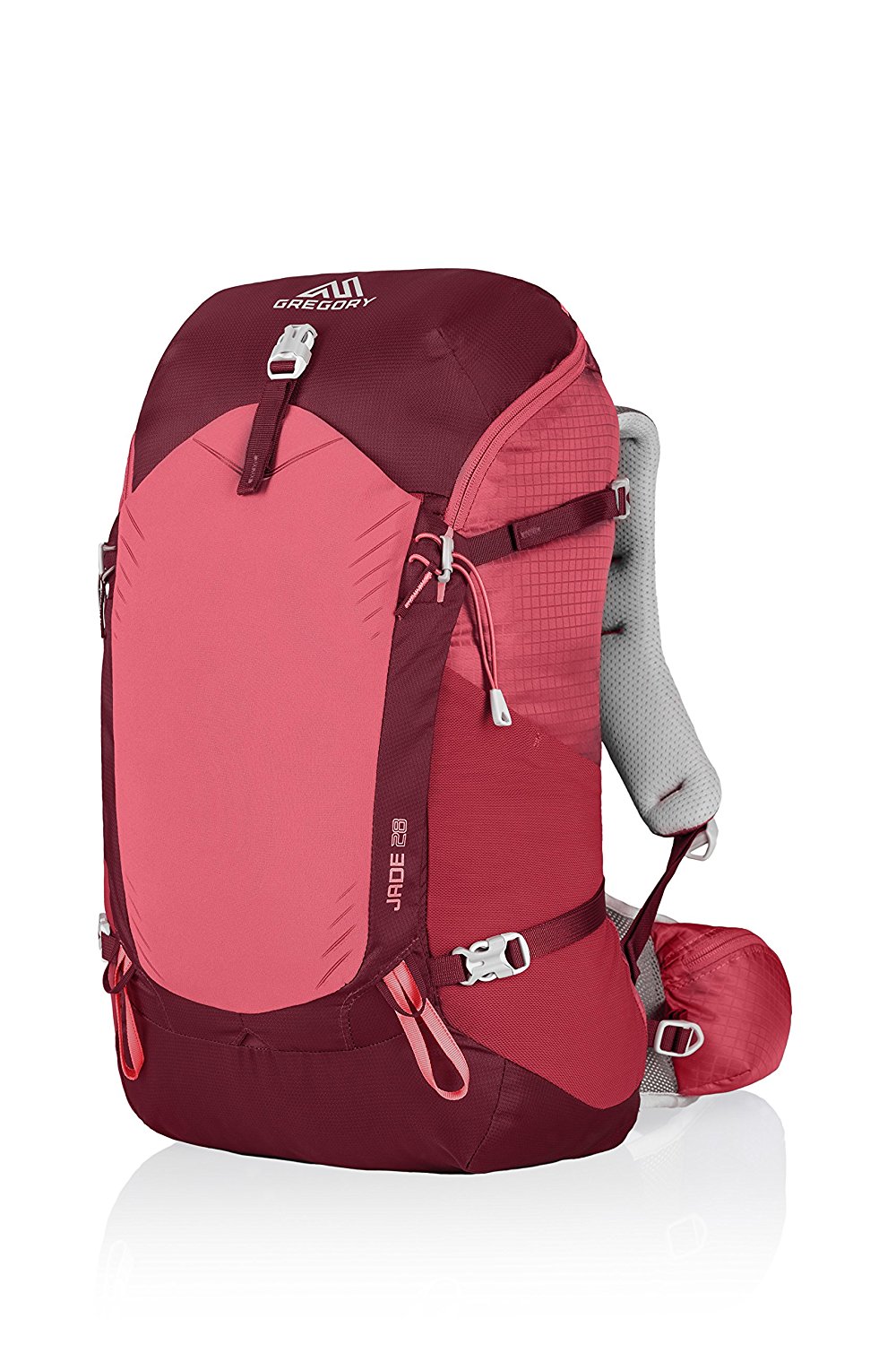
Gregory BackPack - My Favorite Brand
Do not forget your quick-dry microfiber towel!
Booking.com
My absolute favorite book on how to be a pilgrim:









Your Opinion Matters! Comments
Have you had a similar experience, have some advice to give, or have something else you'd like to share? We would love to hear from you! Please leave us a comment in the box below.