- ~ Home
- ~ Camino Sanabrés (The Sanabrés Way)
- Bandeira to Susana, Day Sixteen
Jump to Camino Sanabrés Stages
Camino Sanabrés, A Bandeira to A Susana, Day Sixteen, 23.1 Kilometers (14.35 Miles)
Disclosure: the PilgrimageTraveler.com is an associate of Booking.com, Roamless, and Amazon. As associates of these merchants, we earn from qualifying purchases from our links.
Our day sixteen on the Camino Sanabres from A Bandeira to A Susana was a day of ups and downs, both on the physical journey and in our hearts and souls as well.
🙋♀️ Why Trust Us at the Pilgrimage Traveler?
We’re not a travel agency ~ we’re fellow pilgrims! (See About Us)
We've trekked Pilgrimage Routes Across Europe since 2014!
💬 We’ve:
- Gotten lost so you don’t have to. 😉
- Followed waymarks in the glowing sunlight, the pouring rain and by moonlight. ☀️🌧️🌙
- Slept in albergues, hostels & casa rurals. Ate and drank in cafés along the way. 🛌 😴
- Created comprehensive and downloadable GPS maps and eBook Guides, full of must-have information based on real pilgrimage travels. 🧭 🗺️
- Shared our complete journeys, step by step to help YOU plan your ultimate pilgrimage and walk with your own Heart and Soul. 💙✨
Every detail is from our own experiences. Just fellow pilgrims sharing the Way. We have added a touch of spirituality, heartfelt insights and practical guidance from the road ~ offering a genuine connection to the spirit of pilgrimage. Tap into the wisdom of seasoned pilgrims!
Ultreia and Safe Pilgrimage Travels, Caminante! 💫 💚 🤍
Quote for Day Sixteen on the Camino Sanabrés, A Bandeira to A Susana
"Rejoice with those who rejoice, weep with those who weep." Romans 12:15
Today was a day of both rejoicing and weeping. We were thrilled to be walking the final legs of this Camino, and rejoiced with the pilgrims we met.
However, touching base with our friends in Santiago, after Nadine's injury took her off her pilgrimage, she said she had been crying her eyes out the previous day. Again, this fact clouded our own journey, and my only choice was to also weep with those who weep.
We were walking the precipice between joy and sadness, throughout the length of the day. And so it is.
Maps and Stats of Day Sixteen on the Camino Sanabrés, A Bandeira to A Susana
Here are the GPS tracks that I recorded, with services added to the map. There are plenty of opportunities to find what you need on this day. We did not stop until the town of Ponte Ulla, about halfway into the day.
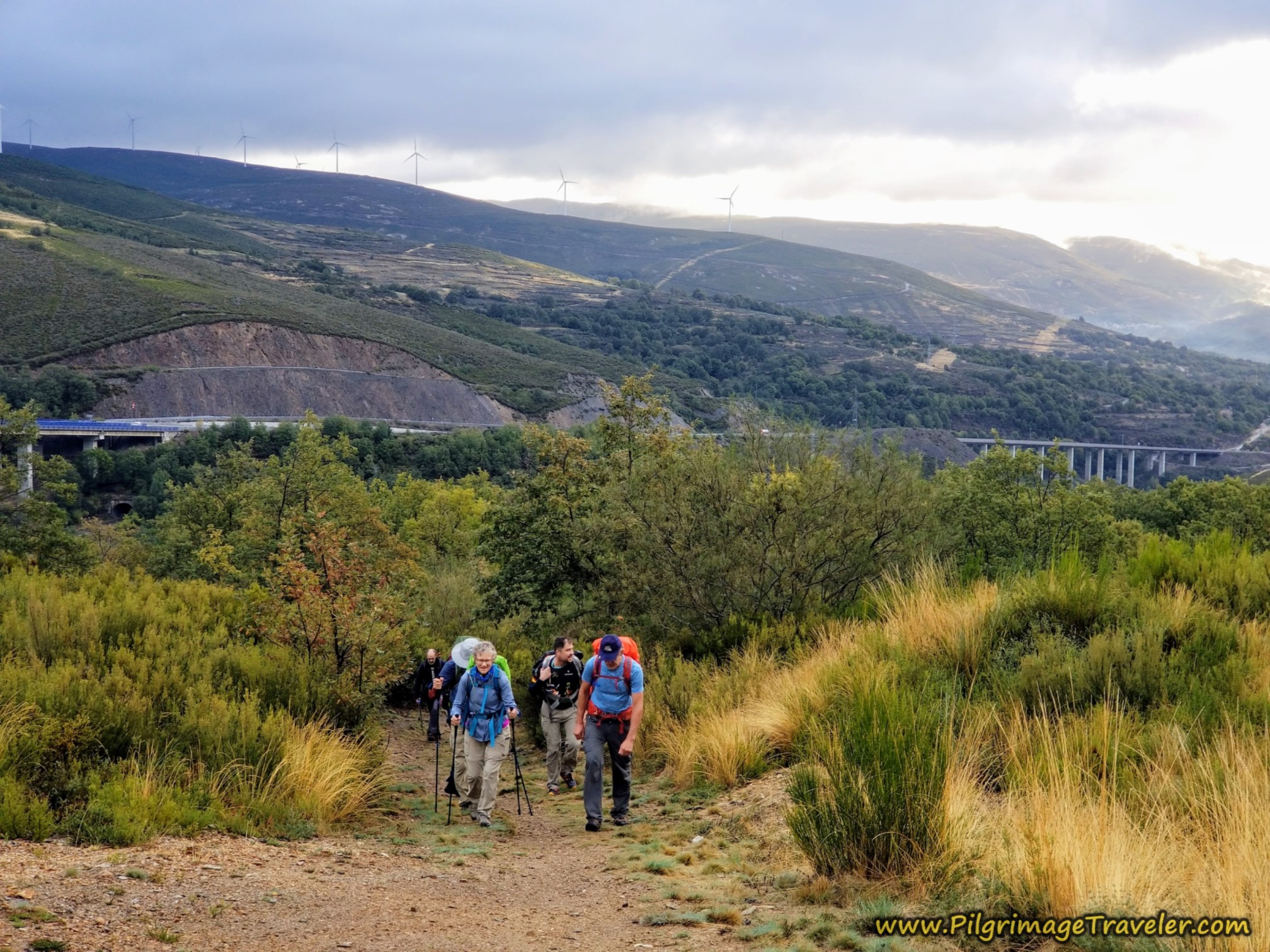
It is mostly an easy walk for the first half of the day, gradually climbing about 100 meters (328 feet) over 6.25 kilometers, after the initial loss of elevation out of Bandeira. Then the elevation drops dramatically, 300 meters (984 feet) over the next 5.0 kilometers, all the way to the Río Ulla.
Then, after Ponte Ulla at 12.5 kilometers, it is a strong climb up from the river, about another 300 meters, over the next seven kilometers or so, followed by a downhill cruise into the Susana area for the final four kilometers. Most likely, like us, you will feel this day.
With only 10 kilometers left to go to Santiago, you may choose to go all the way, for a long 33k day. We always prefer an easy last day, and prefer arriving early into Santiago. This is why we stopped in A Susana.
👣 Camino Sanabrés EBook:
Offline Guide with Bonus Route
~ Includes 4-5 additional days on the Vía de la Plata from Salamanca!
Walk smarter with our ad-free, beautifully formatted Camino Sanabrés eBook Guide, perfect for offline use ~ important in the mountainous and remote areas. Includes daily stage details, stunning photos, historical background and a BONUS digital guide on the Vía de la Plata from Salamanca, called the Camino Fonseca. This allows you the opportunity to add 4-5 more days to your Camino in the beginning.
Don't carry a hard copy guide book to increase your pack weight. Use our frequently updated digital guide on your next Camino instead!
📲 Instant download. 💸 Money-back guarantee. 🔄 Free updates for 1 year.
👉 Click here for more info or BUY NOW!
Jump to Camino Sanabrés Stages
Photo-Rich Travelogue for Day Sixteen on the Camino Sanabrés, A Bandeira to A Susana
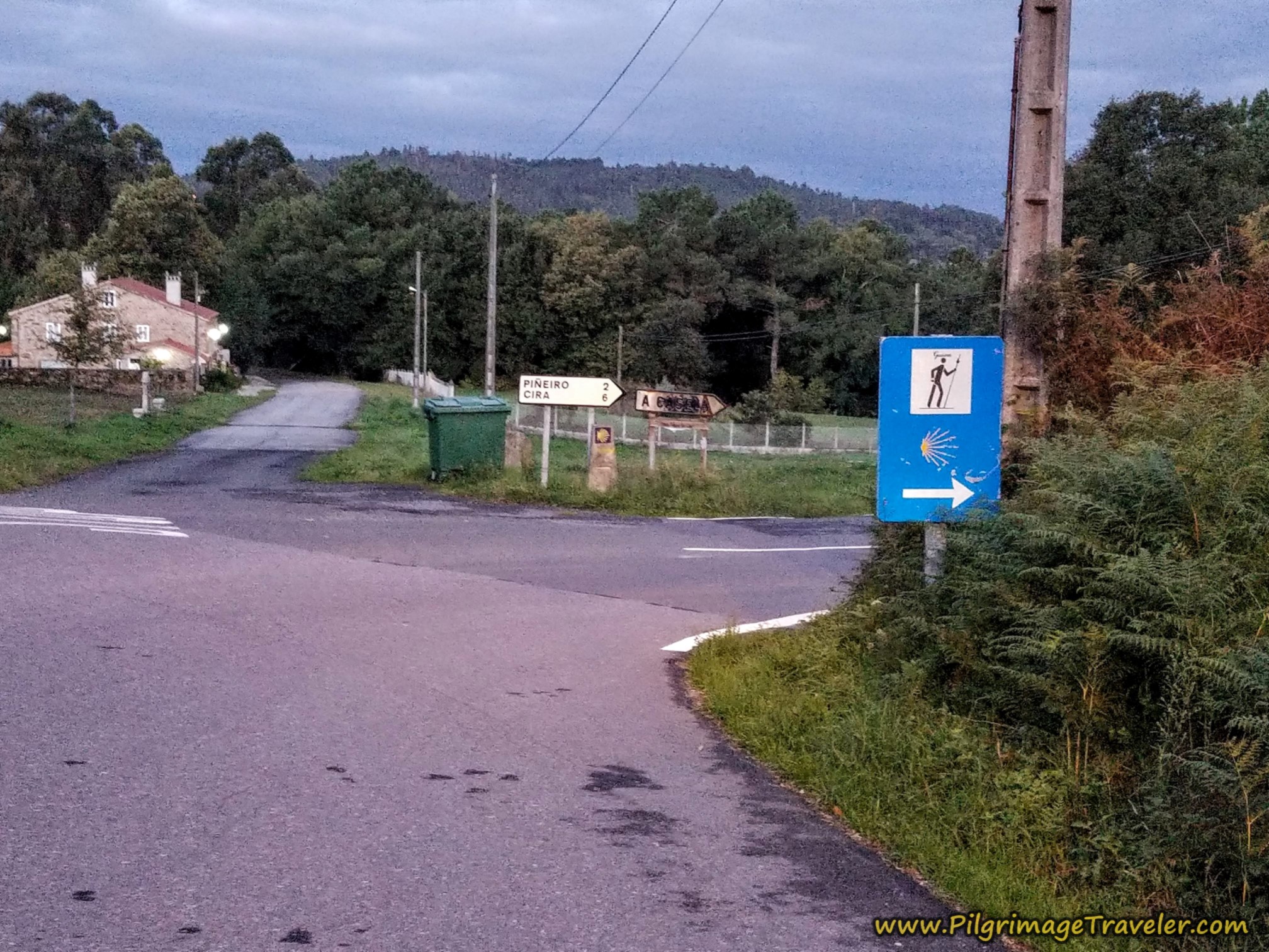
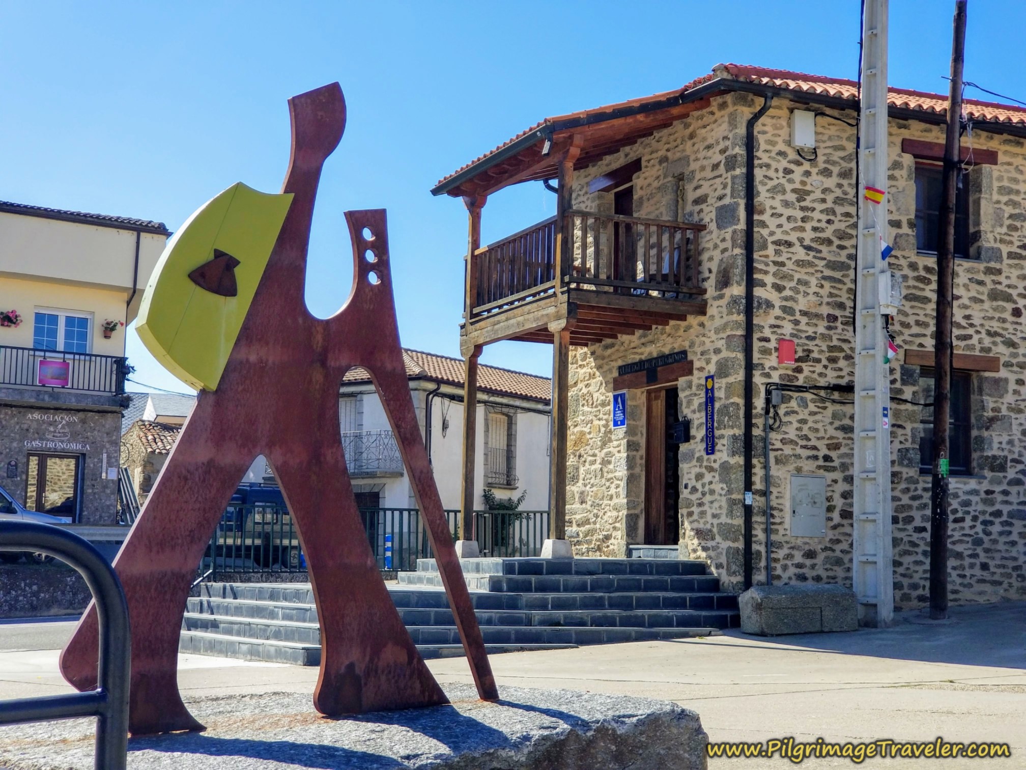
We start off the day from the Albergue de Peregrinos de A Bandeira, returning southward to the main road through town, the N-525. After a right turn onto the highway, walk about 1/3 kilometer, when you see this sign shown below, directing you off the N-525 and onto a country road in the direction of Piñeiro.
We will follow this country, paved road for not quite a kilometer, heading northward initially, then taking a more northwesterly direction.
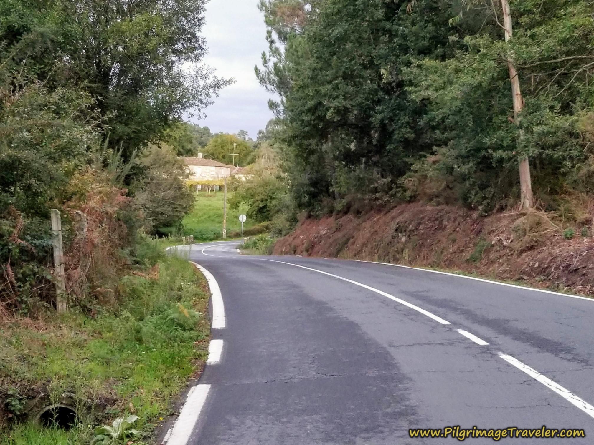 Follow the Country, Paved Road
After about 1.25 kilometers, you leave this broader road, for a secondary road, by turning left.
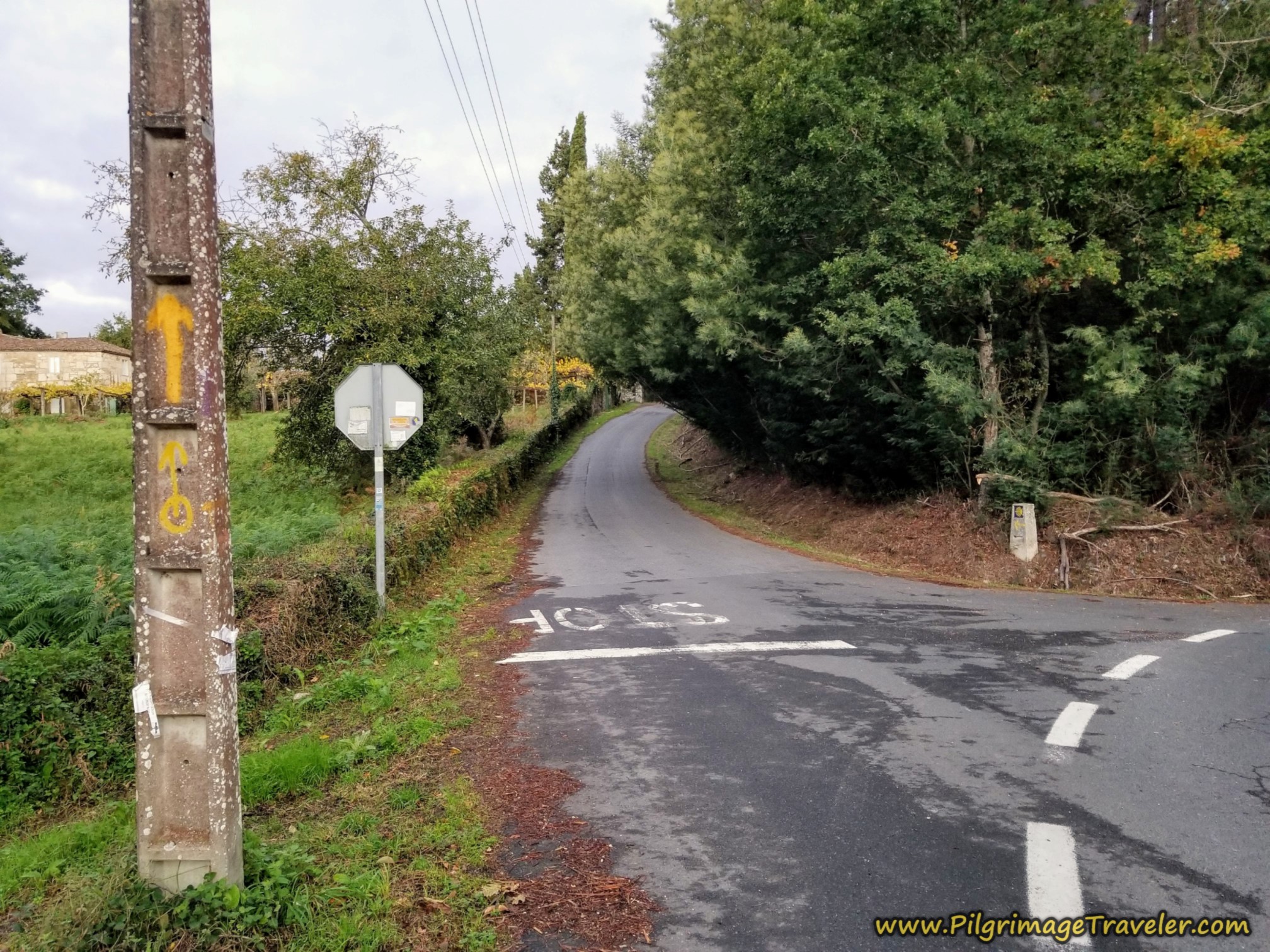 Left Turn Onto Secondary Road
Walk onward toward the cluster of buildings ahead, into the open countryside with lots of surrounding vistas.
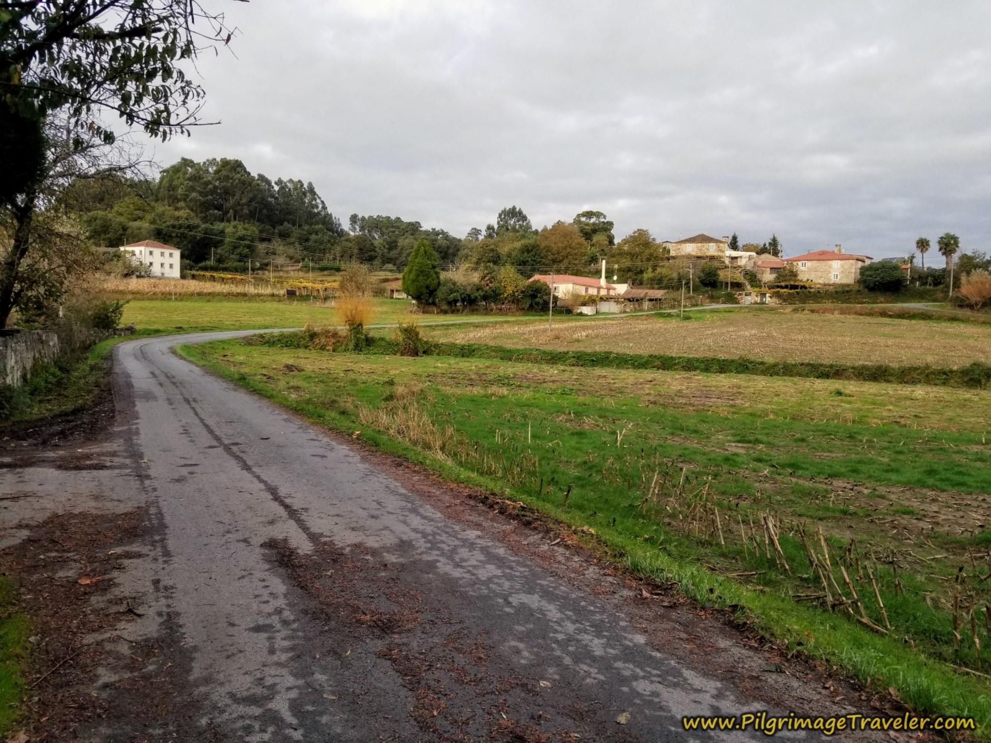 Continue Toward Cluster of Buildings
Once you arrive in the unnamed cluster of buildings, about 1/3 kilometer later, you come to a T-intersection where you turn to the right, then an immediate left two more times, through more buildings to continue your northwesterly direction.
Continue on this secondary road, staying straight on when at this intersection, shown next and through several more intersections when given the choice. Again, notice the sweeping views that you will have walking through this area!
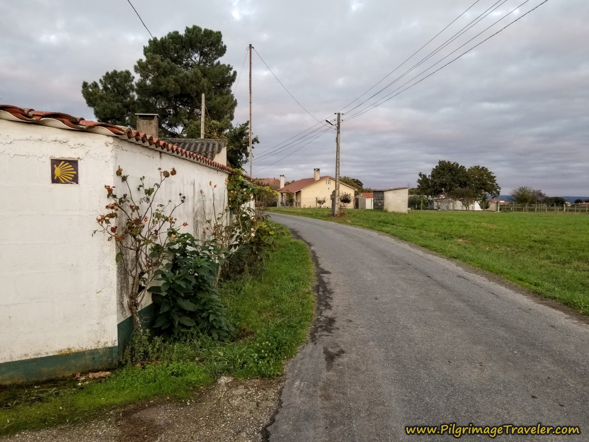 Stay Straight On Here
When you see this large farm ahead, this is your next destination of significance. Walk straight on at this intersection towards the farm.
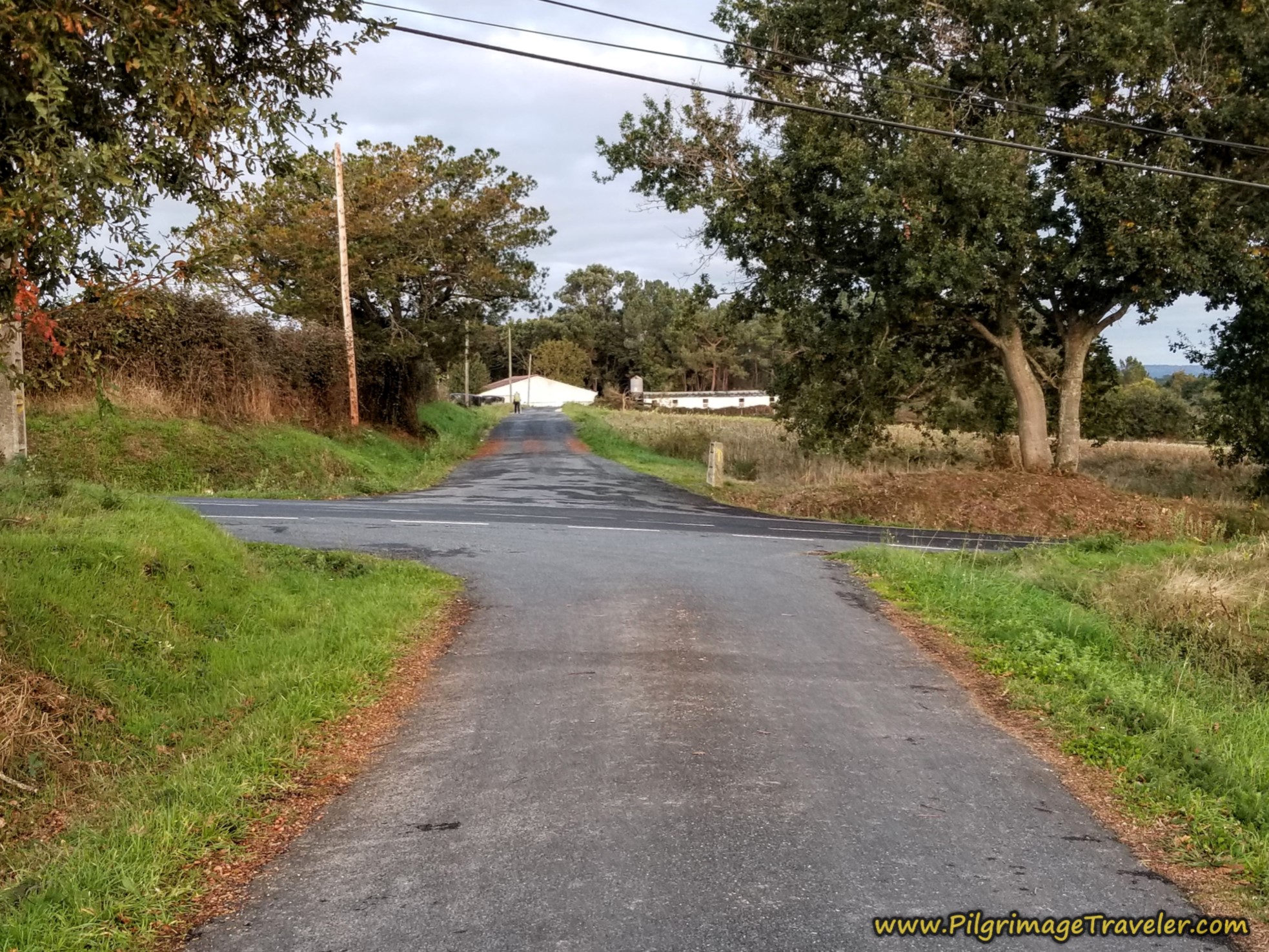 Straight On Towards Large Farm
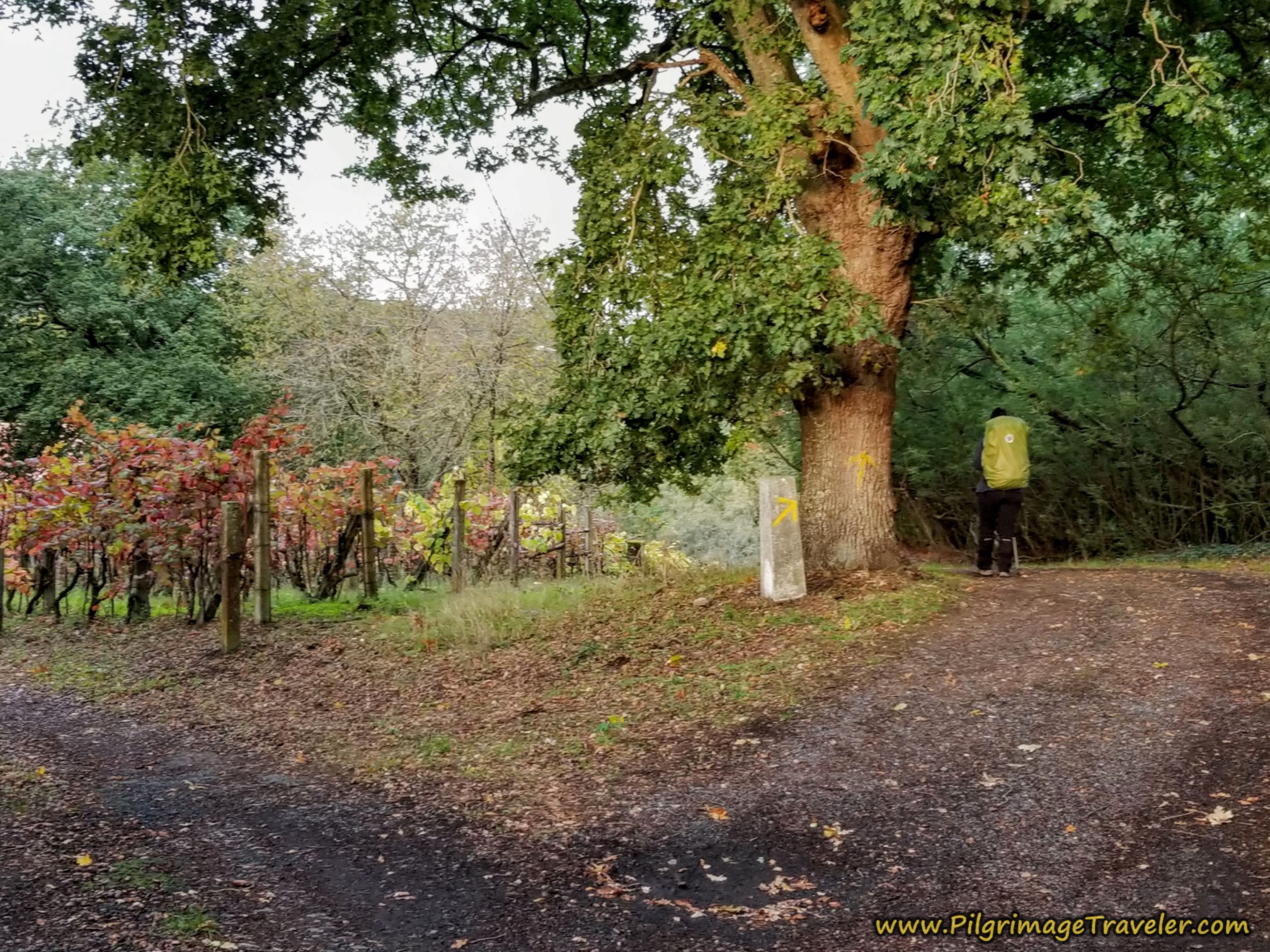
It is a full 1.34 kilometers along this lane until you wind through the farm, shown above, where the road ends. The narrow road turns into a tractor lane, and you will notice vineyards all around.
Look for this turn to the right, as the tractor lane continues onward, and take the turn. You are at about 3.1 kilometers into the day at this turn, on the Camino Sanabrés from A Bandeira to A Susana.
It was through here that we caught up with an Italian peregrina that we had met, many days back and had not seen for days. She was hobbling along from her own injury and had to take a bus to start from this point again. Yet another person with whom to weep!
We said our hellos, gave our commiserations and encouragements, and went on. We would not see her again.
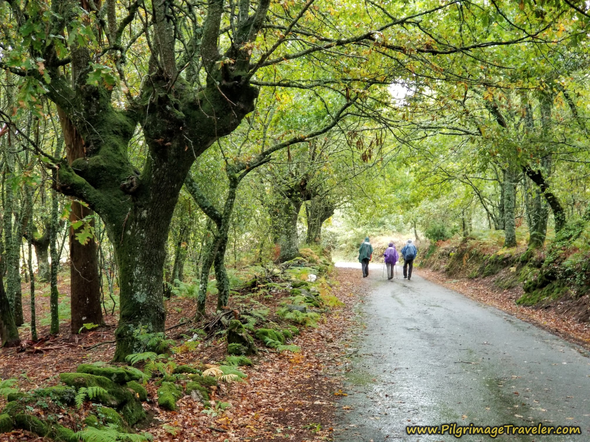
After passing the vineyards of the farms, we now return to the woods on this lovely forest lane.
Jump to Camino Sanabrés Stages
Weave in and out of the forest for the next 830 meters or so and come out to a meadow, shown in this next photo, where the Camino turns due north and to the right toward the next town of Dornelas. The sun was finally coming out, to help us rejoice!
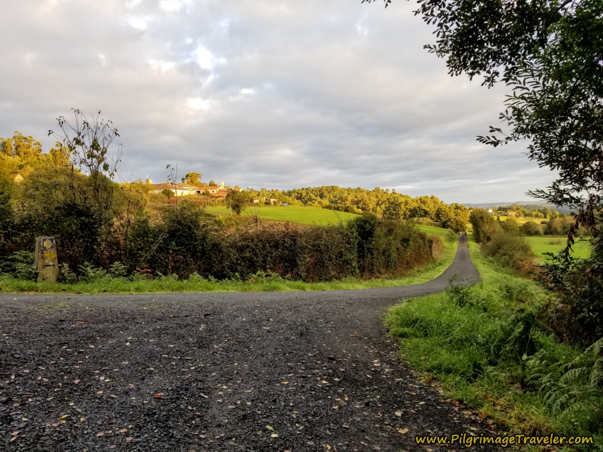 The Sun Peeks Out at the Right Turn
Walk on this country lane until your next landmark, the most popular Casa Leiras (+34 634 613 690) in the town of Dornelas. It is the first building to your right as you enter the town. The place is an albergue only, with no private rooms.
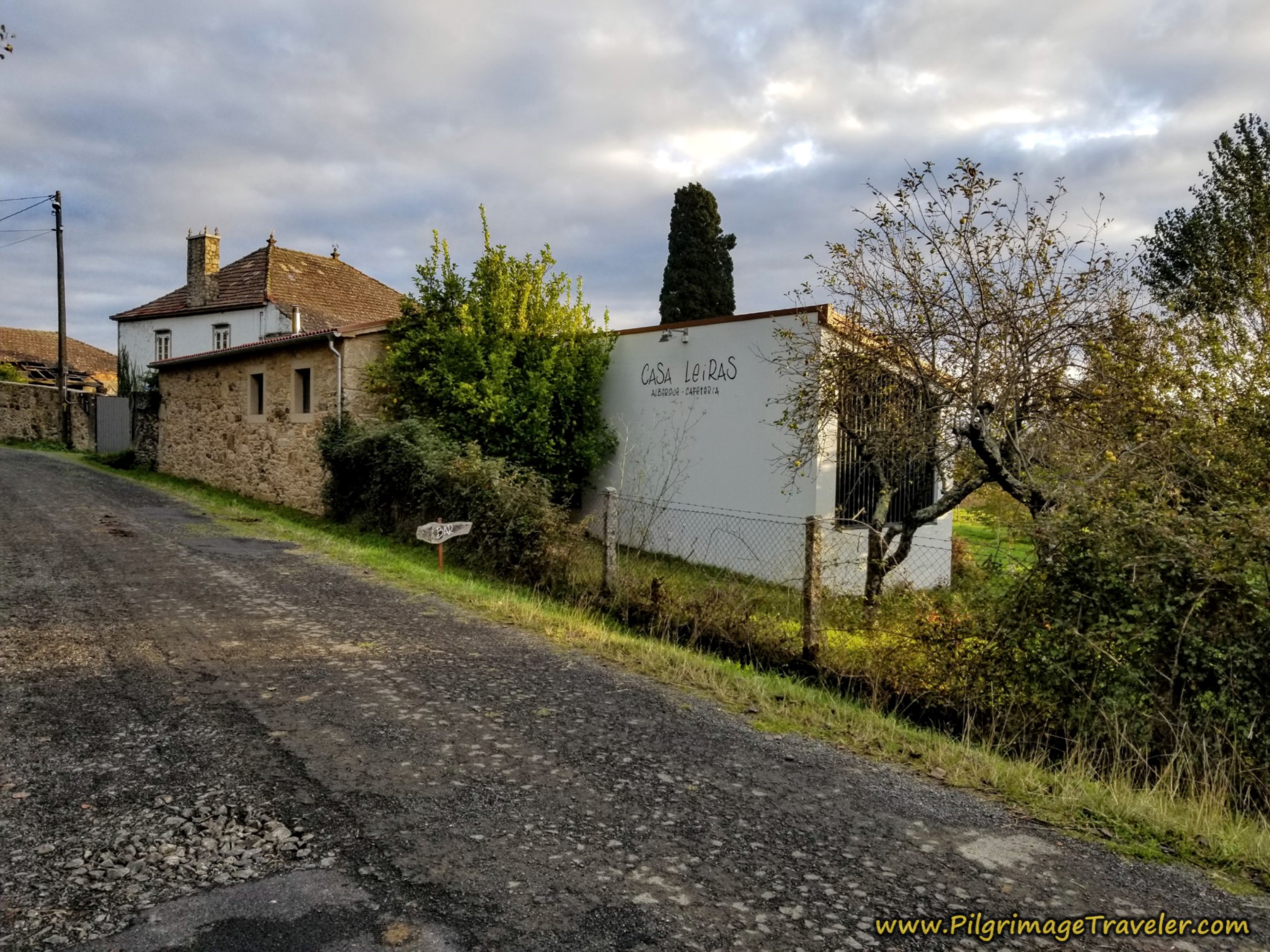 Casa Leiras, Dornela
Because this place gets such high recommendations, I had really wanted to stay here. But due to the extra 4.6 kilometers from A Bandeira that we would have had to slog through in the rain, on day fifteen, we decided not to push onward. Plus, if you read about our prior day, you would know that it was an already extremely difficult day due to personal events.
From the Casa Leiras it is about 28 kilometers to Santiago if your day ends here.
Do try to stay here, as the Italian couple who runs it continue to receive glowing compliments for their hospitality as well as their Italian cooking. You could also, perhaps have a meal here, if the timing is right, as they advertise as a cafeteria as well as an albergue.
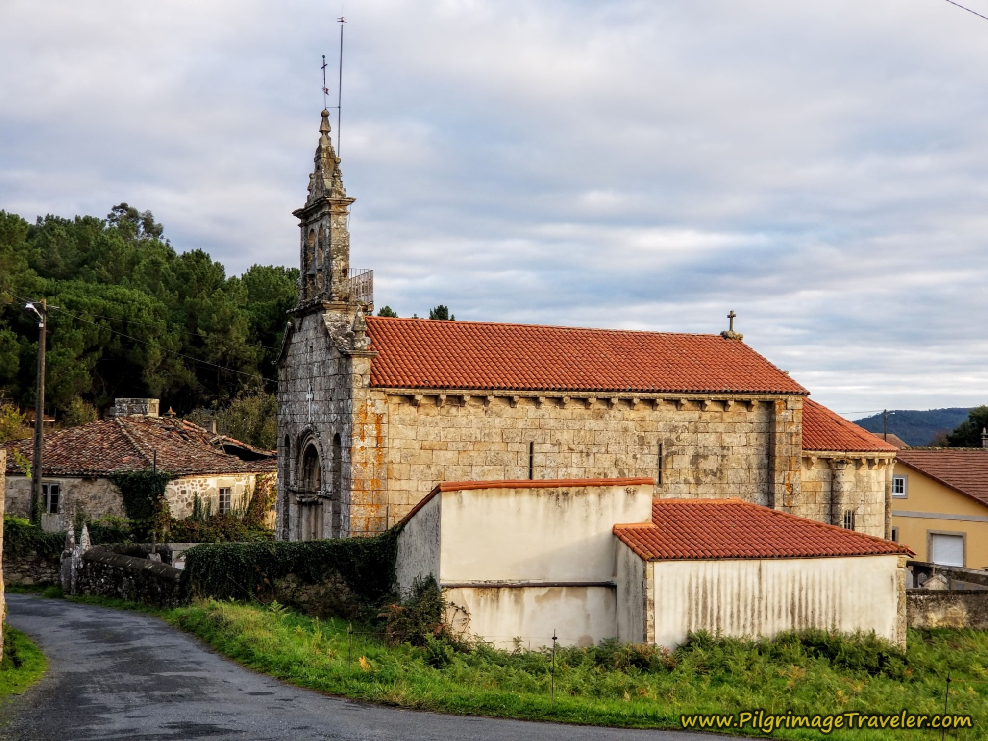
Walk up the hill after the Casa Leiras, turn right to walk through the town, then turn left at the Igrexa de San Martiño de Dornelas in the center, shown below. You are about 5.0 kilometers into the day at this church.
After turning left at the church, you are still climbing and in 1/4 kilometer come to a T-intersection and make a right turn.
150 meters later, at this large bend in the road, stay left both before and after this house shown in the photo.
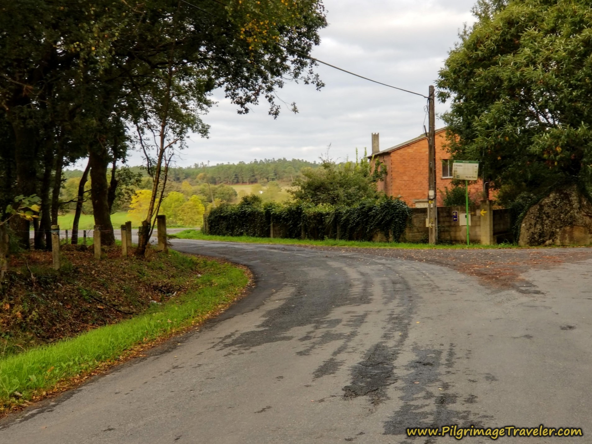 Stay Left by Brick House
You will stay on this road for about one kilometer, walking again through a predominantly forested area, with eucalyptus trees for the first time. This time the walk is on pavement.
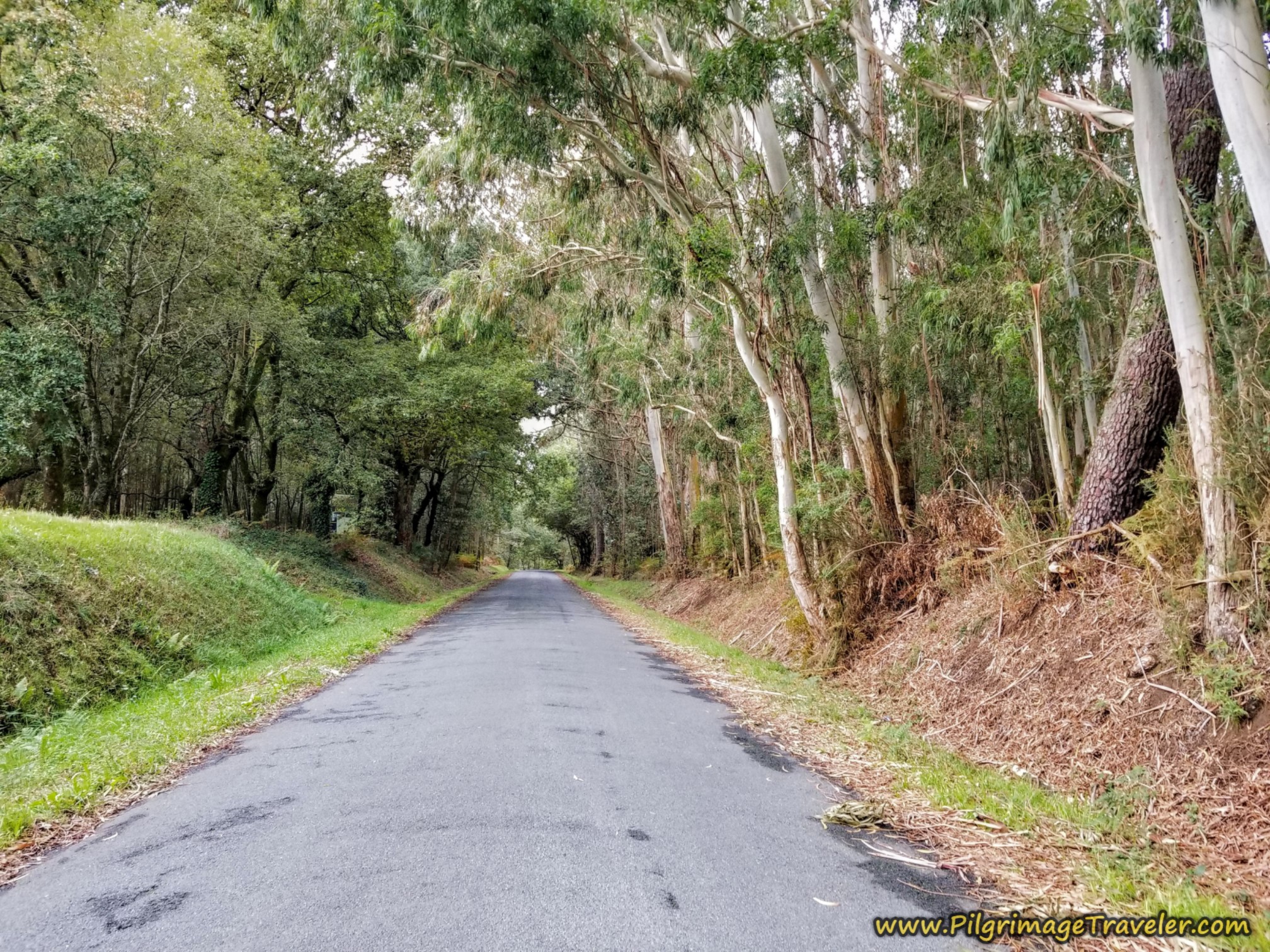 Walk Through Mixed Forest After Dornelas
You are at approximately kilometer 6.52 when you arrive at this T-intersection, where you will turn left on the Camino Sanabrés from A Bandeira to A Susana.
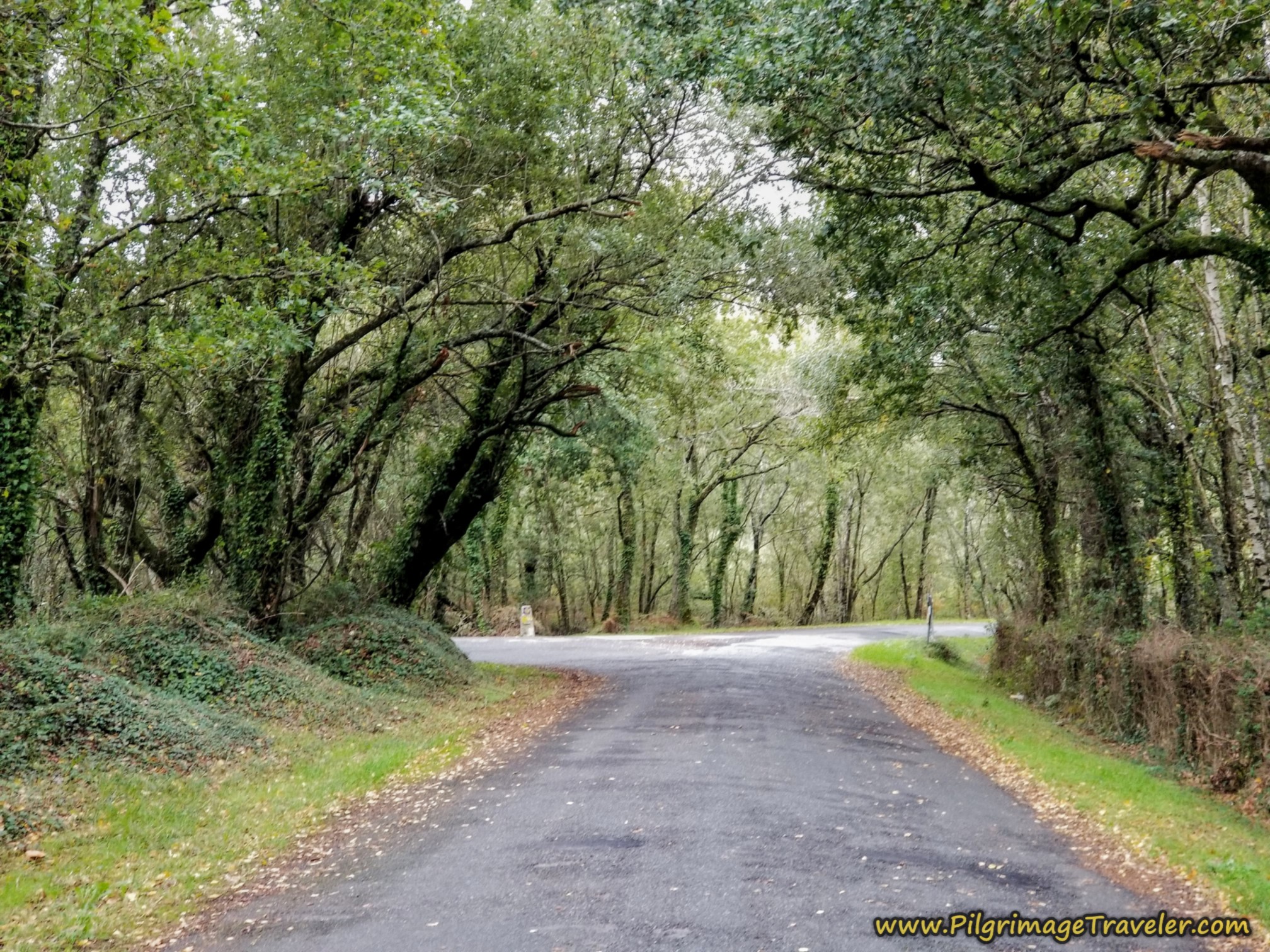 Left Turn at T-Intersection in the Forest
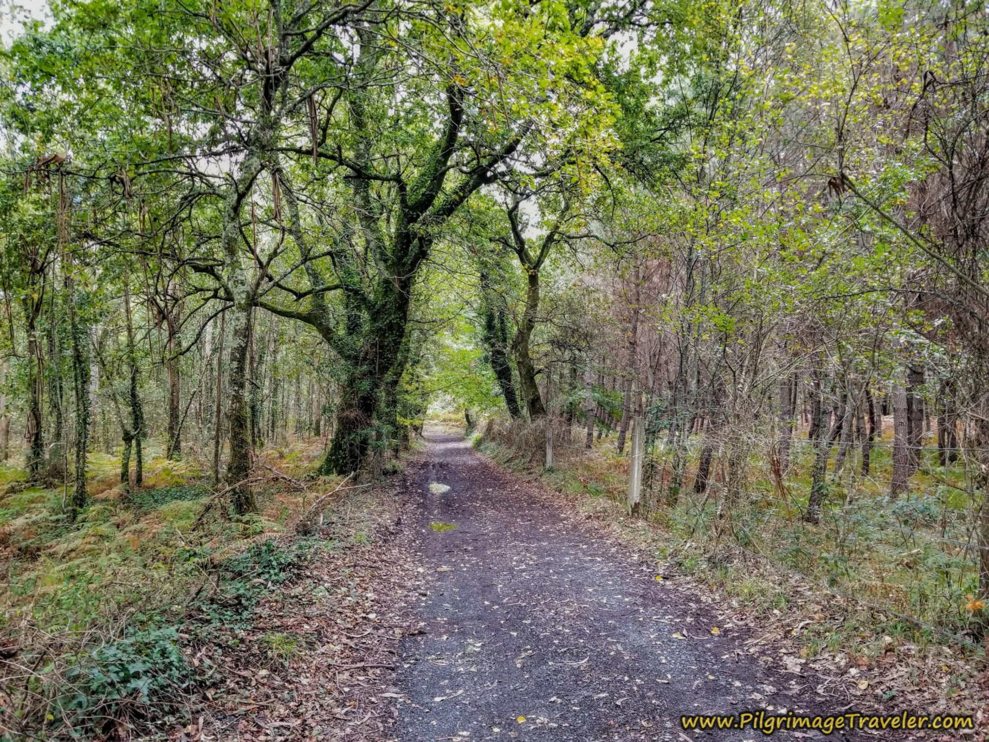
A bit more than 100 meters onward, make a right hand turn by a dilapidated concrete building to stay in the forest and to walk on this gravel lane. You can hear the traffic of the N-525 to your left. I was grateful that we at least weren't walking on it, but were on this lovely forest lane.
The Camino will now stay on mostly forested lanes for approximately the next 2.1 kilometers. It is easy to follow the waymarks through this area.
After 7.46 kilometers, come to this intersection and go right as indicated on the Camino Sanabrés from A Bandeira to A Susana.
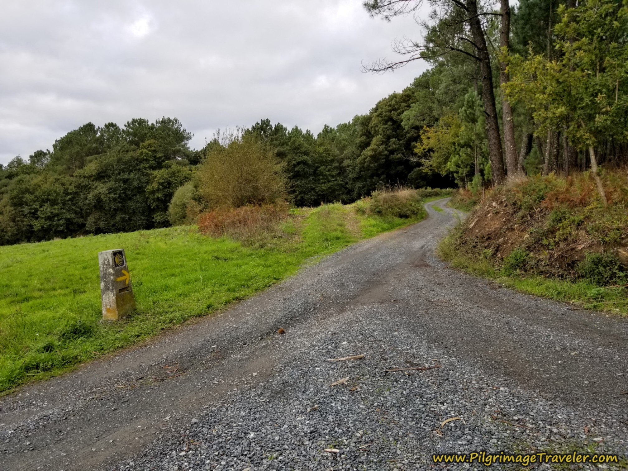 Right Turn Through the Forest
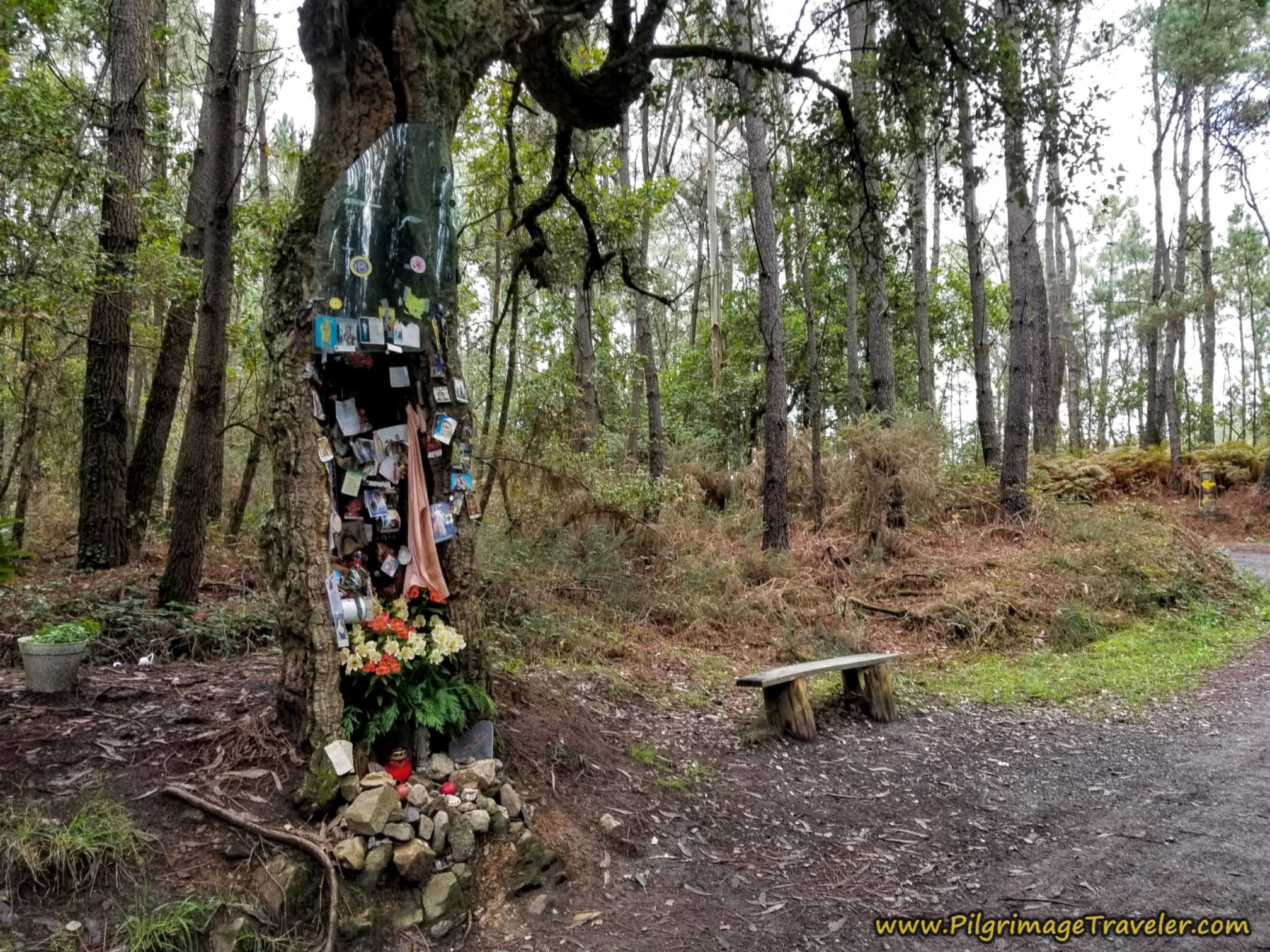
In 200 meters more, pass by this memorial at kilometer 7.66. Once you see this shrine, you are essentially at the top of the climb for the first half of the day. However it is a few more meters to the ultimate top after 7.75 kilometers.
You will know you are reaching the next town of A Carballeira when you see a clearing and a long pig barn ahead.
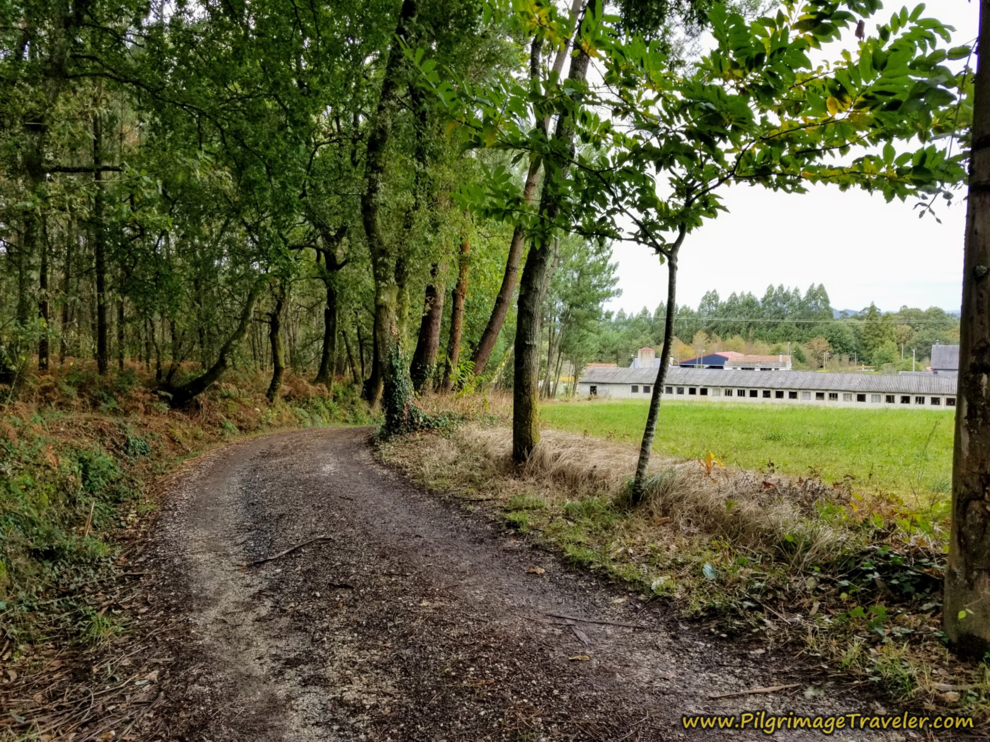 Nearing A Carballeira at the Chicken House
When you get to the dilapidated barn, at a T-intersection, turn right.
At kilometer 8.82, come to the crossroads in town at a sawmill. Continue straight onward at the crossroads. I couldn't help but notice the purple sign to the "Castro de San Miguel de Castro." A "castro" usually indicates a pre-historic village, and this was true for this site. However, according to this Galician website, there is only a visible mound over some remnants of walls and a moat that remains. This historic castro mound is best viewed from the Alto do Castro lookout, described farther below.
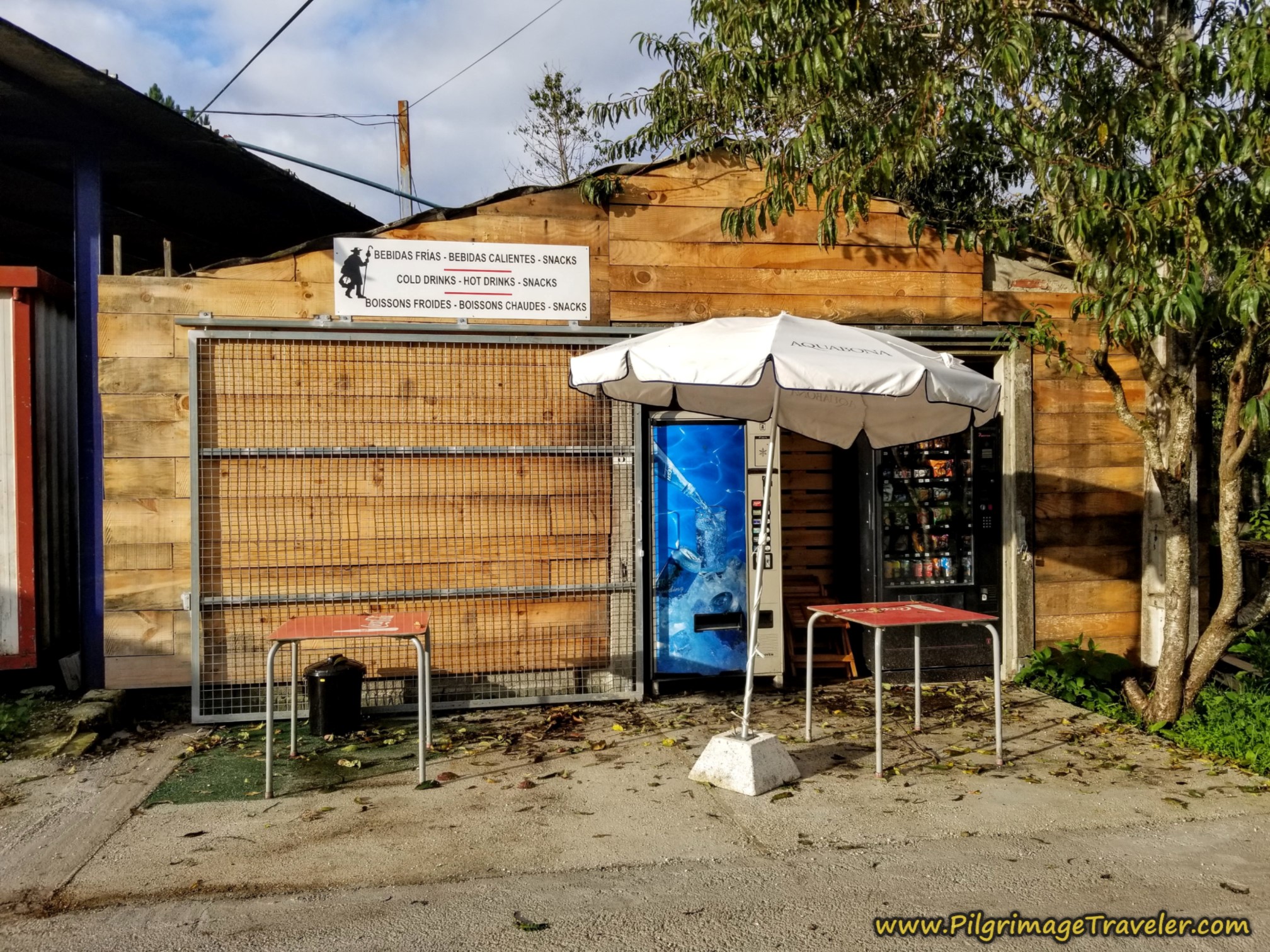
A few steps beyond the crossroads is a vending area where you can get snacks and hot or cold beverages. It is a nice feature for the pilgrim. We felt energetic, so we carried on.
Jump to Camino Sanabrés Stages
While we have been descending since before A Carballeira, it is from here that it becomes more steep and dramatic. But first we walk onward from A Carballeira on this quiet road.
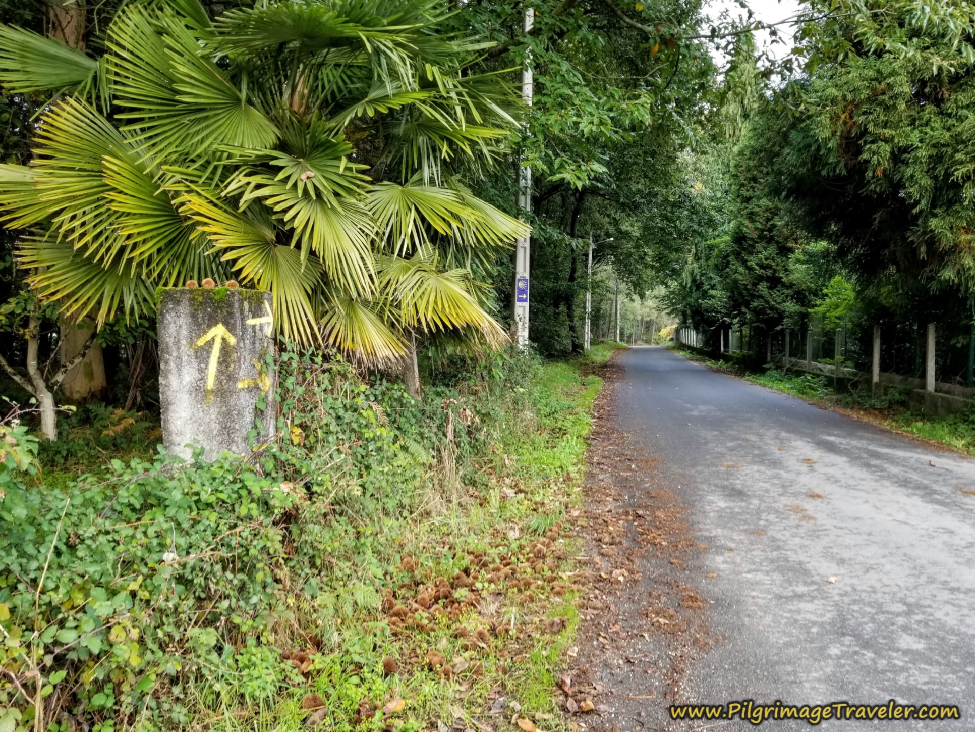 Roadway Beyond A Carballeira
After not quite a kilometer along this road, you come into a wide opening from the forest amid a small cluster of buildings. After 9.85 kilometers come to the Ermita de las Angustias, the next landmark. Pass by it and continue straight on.
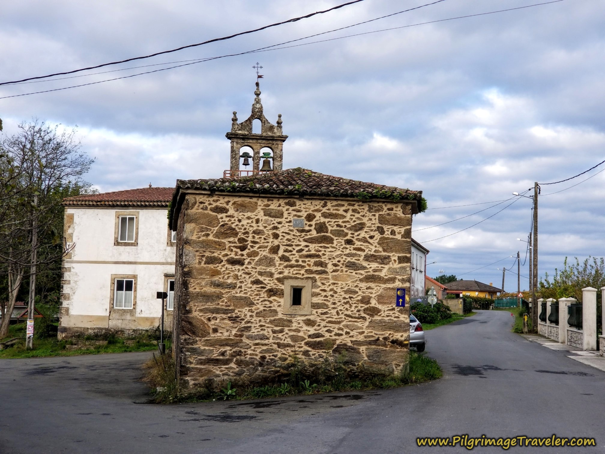 Ermita de las Angustias, Camino Sanabrés, A Bandeira to A Susana
Just south of the Ermita is an accommodation, A Quinta das Maceiras, about 100 meters off-Camino, if you are interested in stopping here.
After 1/3 kilometer from the Ermita, come to this intersection and take a right turn, still following the purple sign toward Castro de San Miguel de Castro.
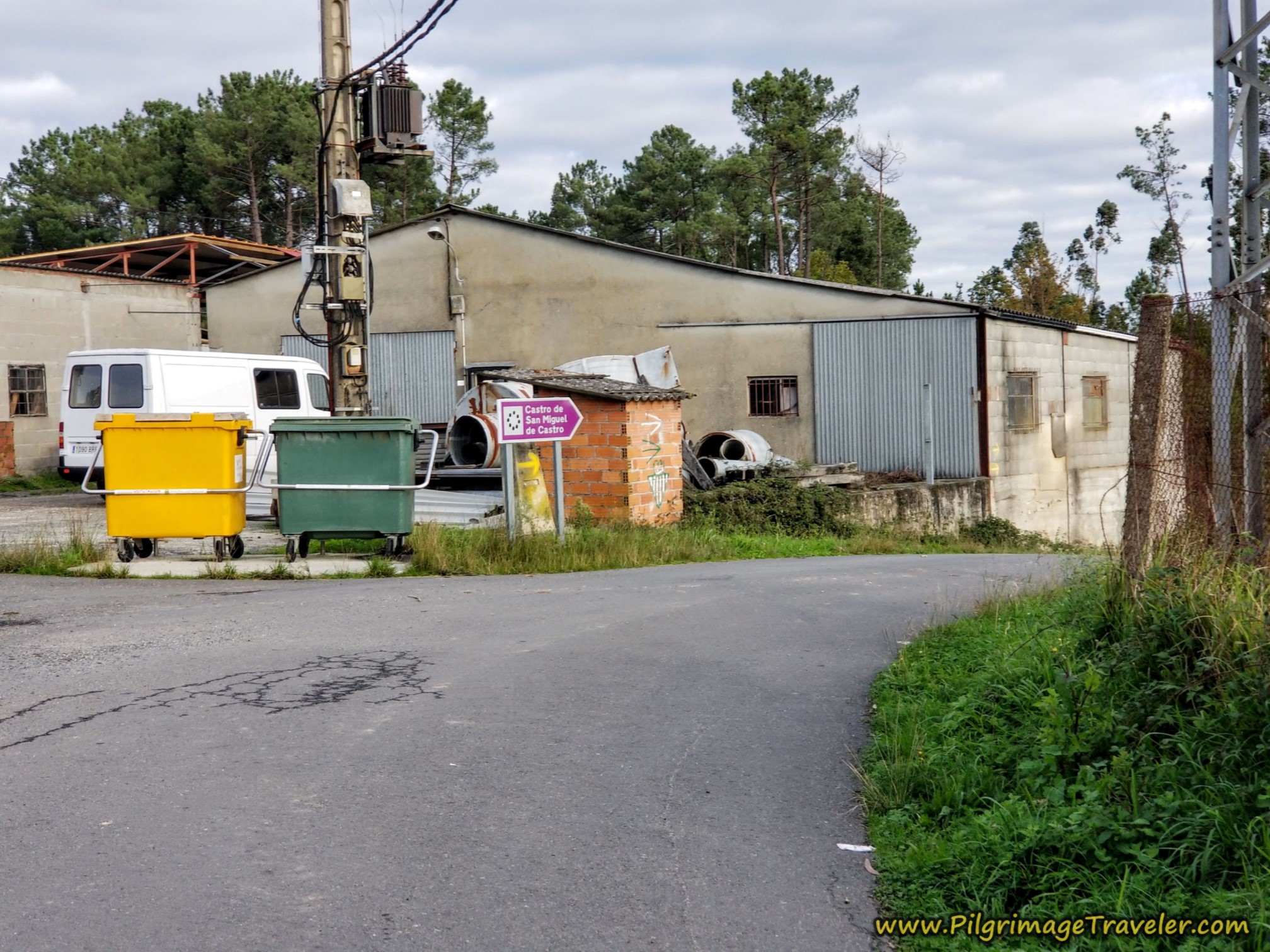 Right Turn Towards Castro de San Miguel de Castro
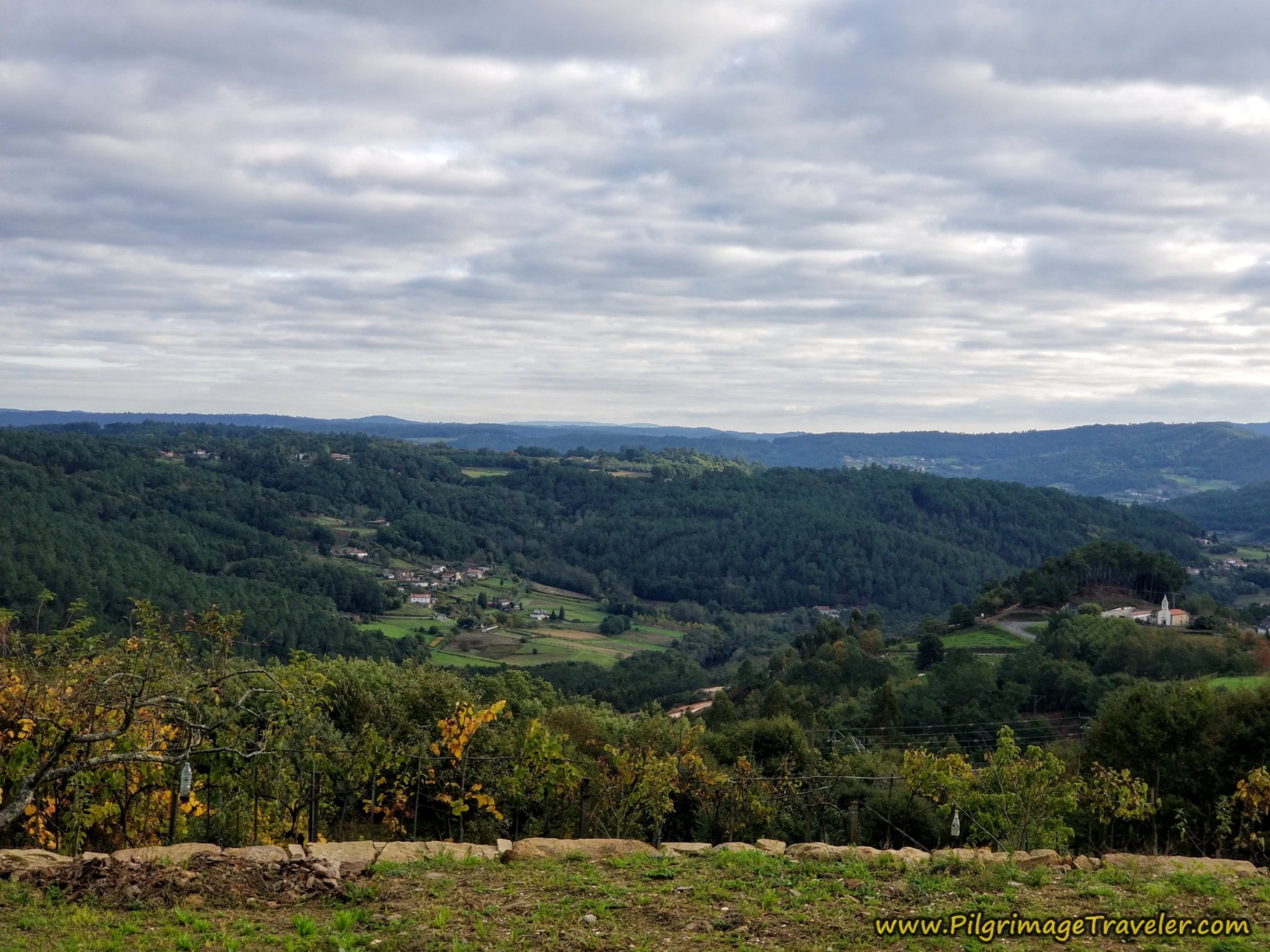
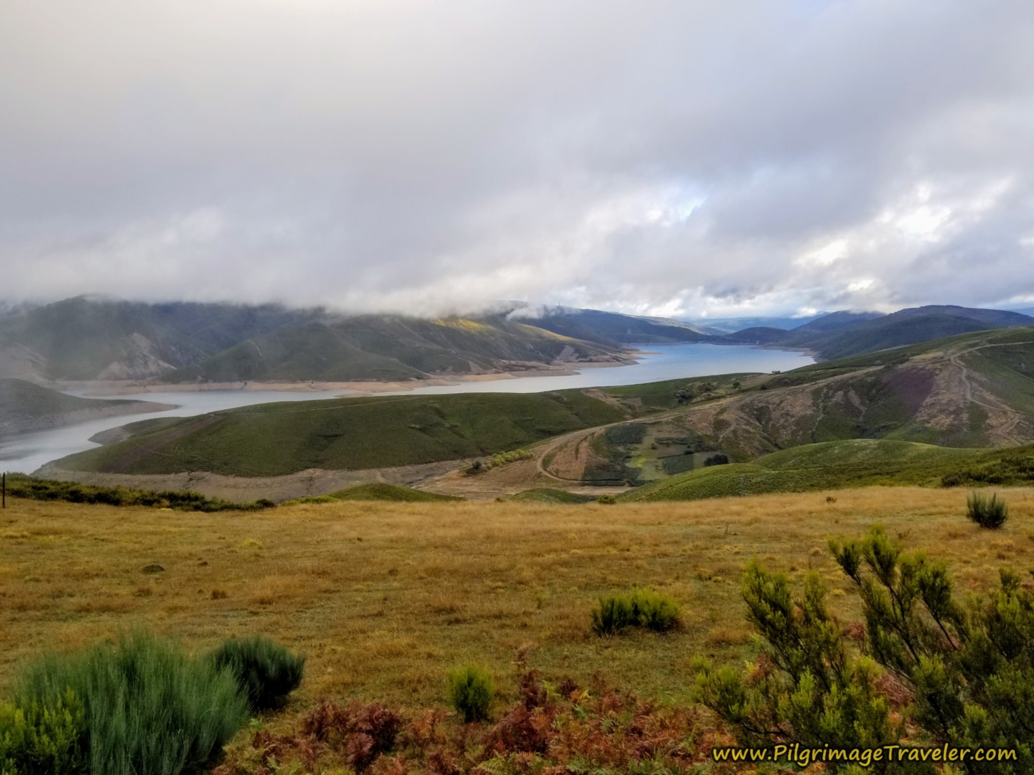
As we walked onward, we could see out over the Ulla River valley, to the east.
After a bit less than 1/2 kilometer, you enter the next town of Castro, shown below. You are now at about kilometer 10.5 in this town. Apparently the Castros of Cuban fame hail from the town of the same name!
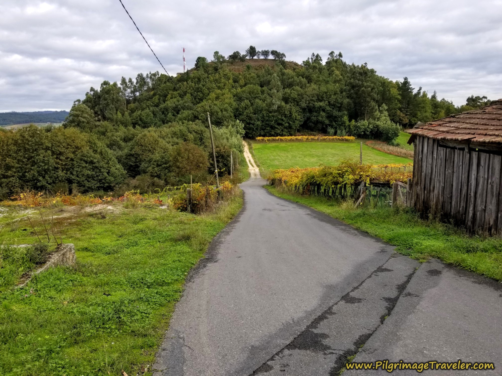
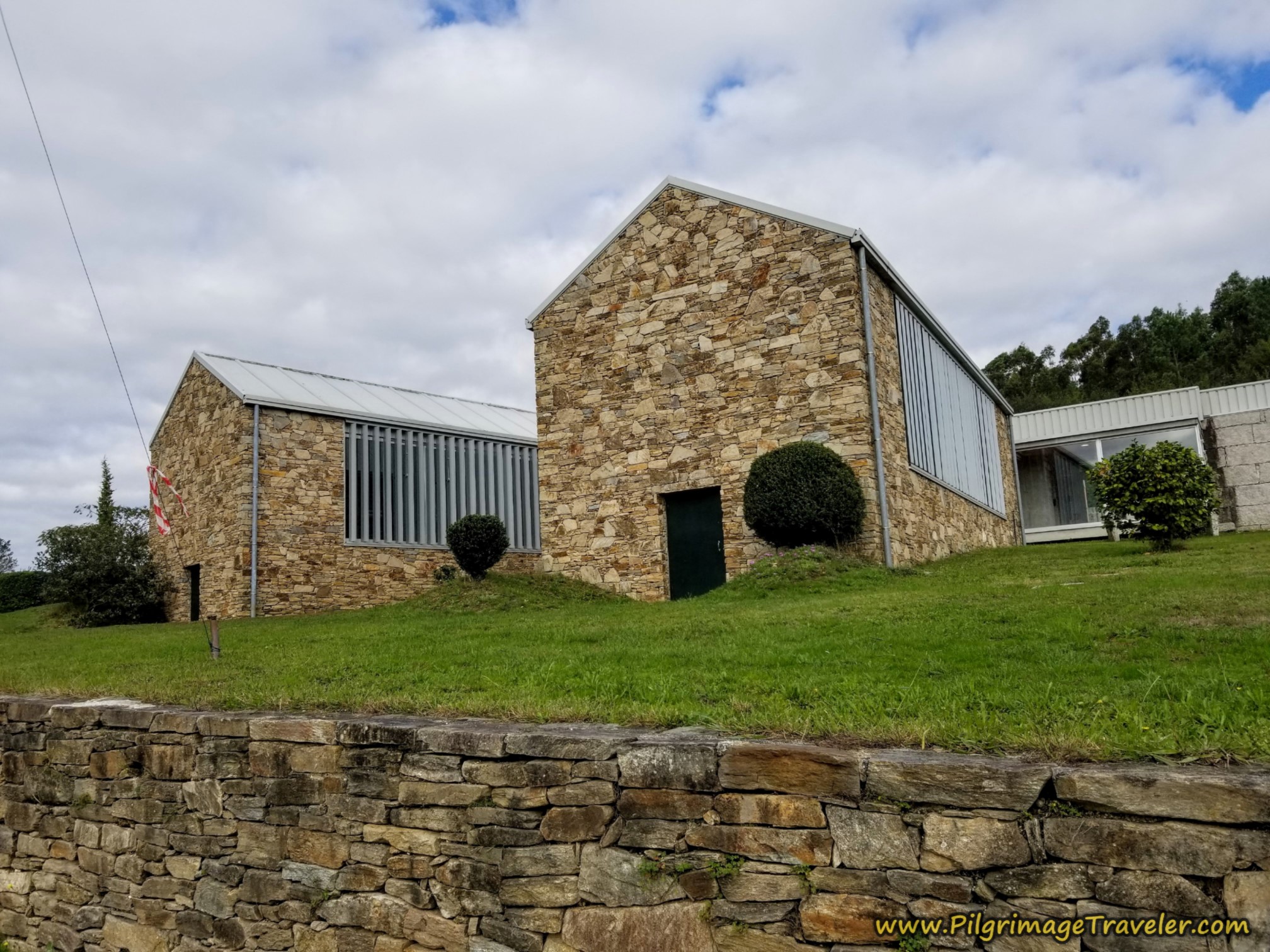
On the far side of town, down the road, you can see a small hill, and at the top is the lookout over the Ulla River Valley, called the Alto do Castro, shown below. On top of this hill is a small building designed to be similar to the ancient castro round houses.
Photos of the views from atop this lookout are quite phenomenal. You can see the viaduct for the high-speed train line from above, the Ulla River viaduct as well as the large quartz quarries on the near side of the river.
You can also see the mound to the East, that is the prehistoric site of the Castro de San Miguel de Castro that the signs announced. We never did see another purple sign as we walked, so without having done my research, I had no idea where it was. It is not close by, only the view of the mound from the miradoiro (lookout).
I also did not realize there was a miradoiro (mirador in Spanish) just up the small hill. It is less than 1/2 kilometer off-Camino to get to the lookout, with an added small climb. I most likely would have chosen to go, had I known. And now, you can make an informed decision!
Just before the dirt road up the hill containing the lookout, take a left turn to stay on the pavement.
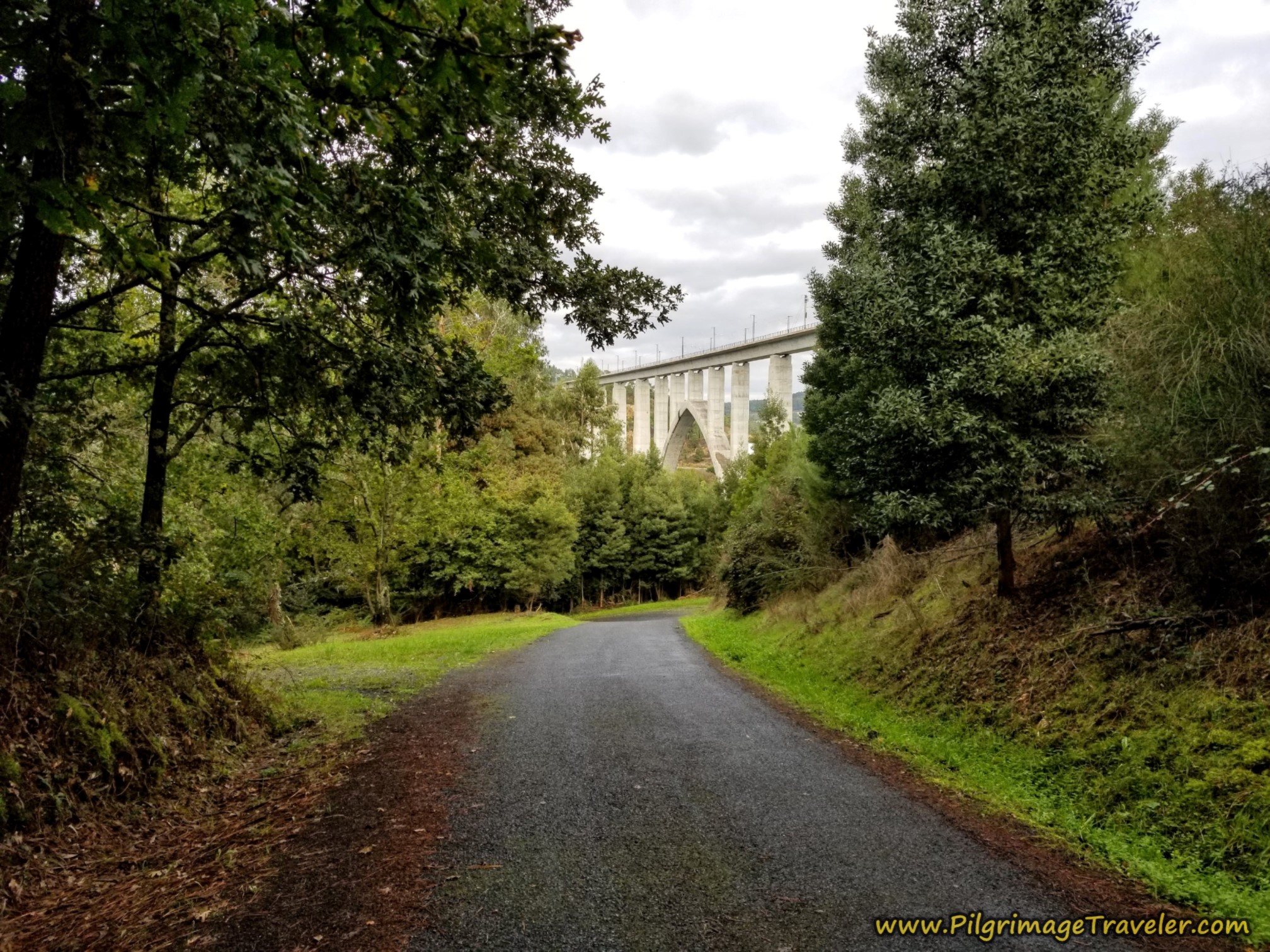
Continue the steep descent on the pavement, winding down switch backs. At about kilometer 11.4 you can now see the same viaduct over the Ulla River, that I described above, now from below. It is an engineering wonder.
The Camino does not walk under the viaduct, but bends to the left, and westward toward the next town of Ponte Ulla, on the other side of the river.
A few meters after the big bend by the viaduct, you can find the casa rural, Eira Gundián. Ponte Ulla is just down the road, and if you want to stay here in style, this place looks quite wonderful, with lovely mountain views.
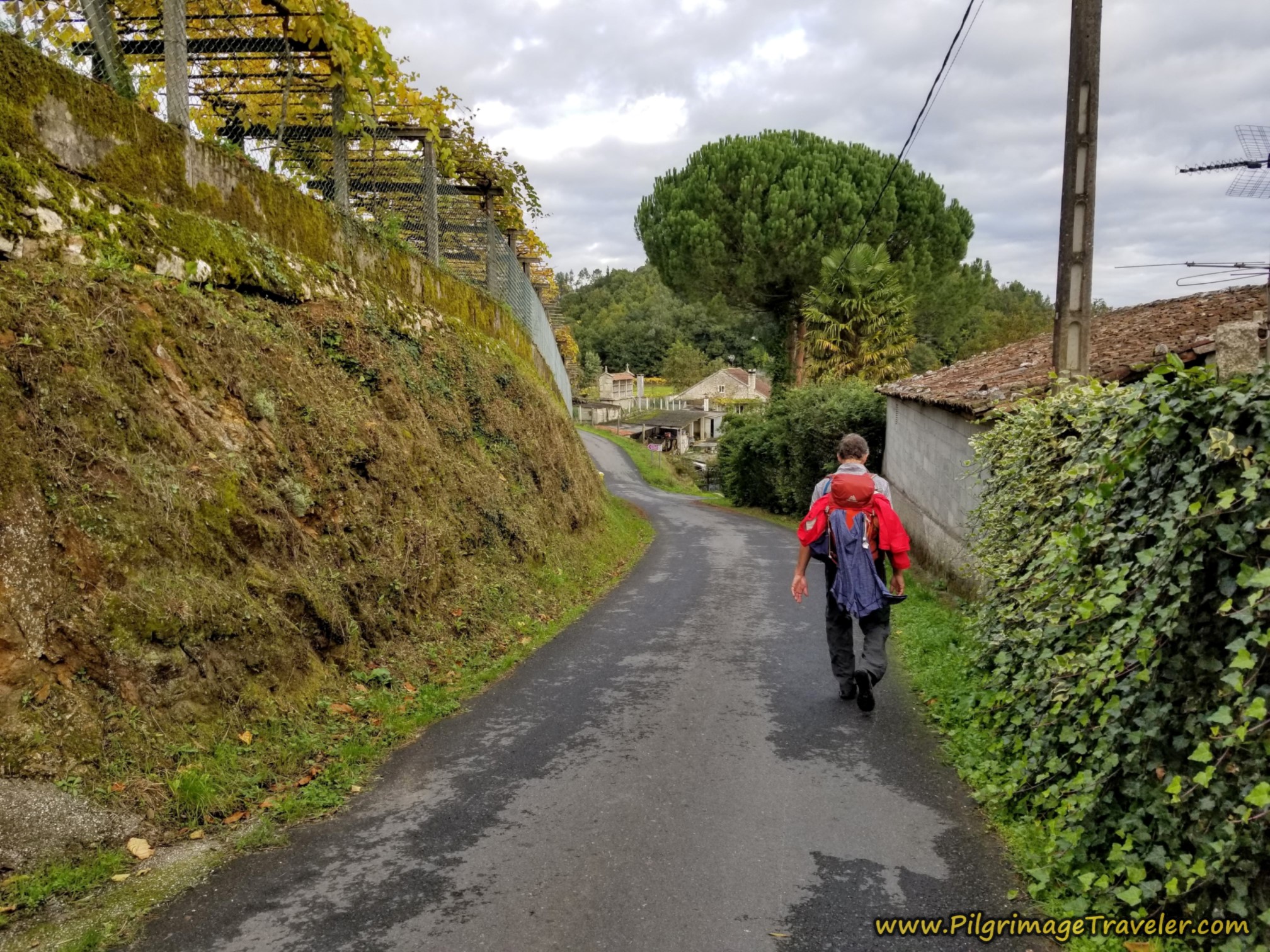
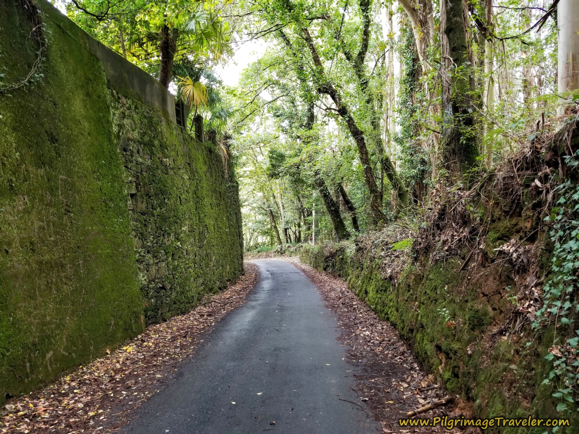
Otherwise, continue descending steeply on this paved road for another full kilometer past the viaduct, and by this high-walled section.
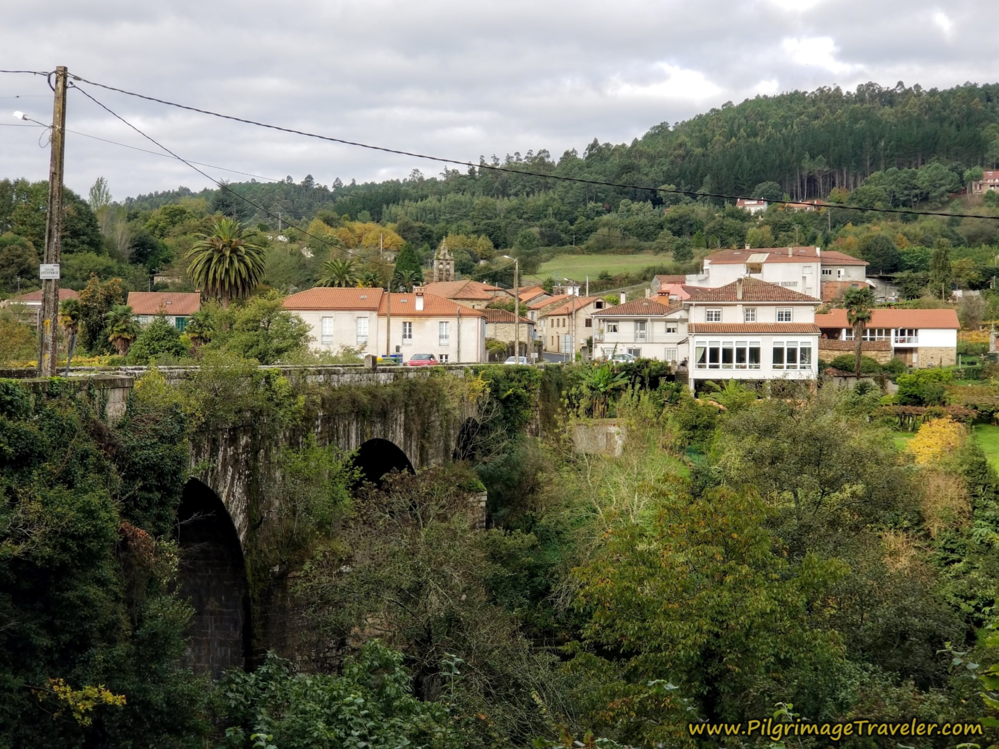
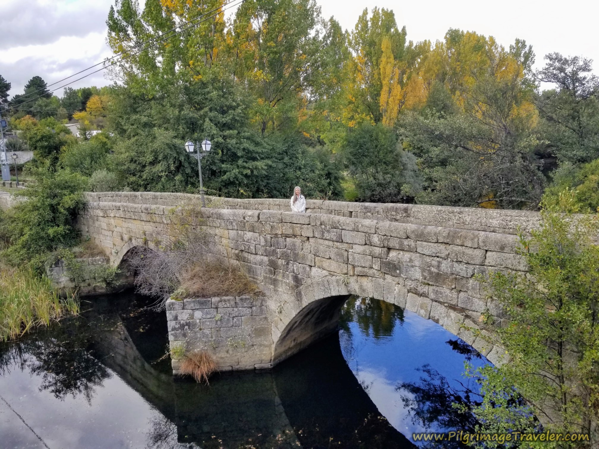
When you near Ponte Ulla, you will see a double bridge ahead. The lower one is the ancient bridge, and the upper one the modern bridge where the N-525 crosses.
Here is how the Roman bridge appears as you near it.
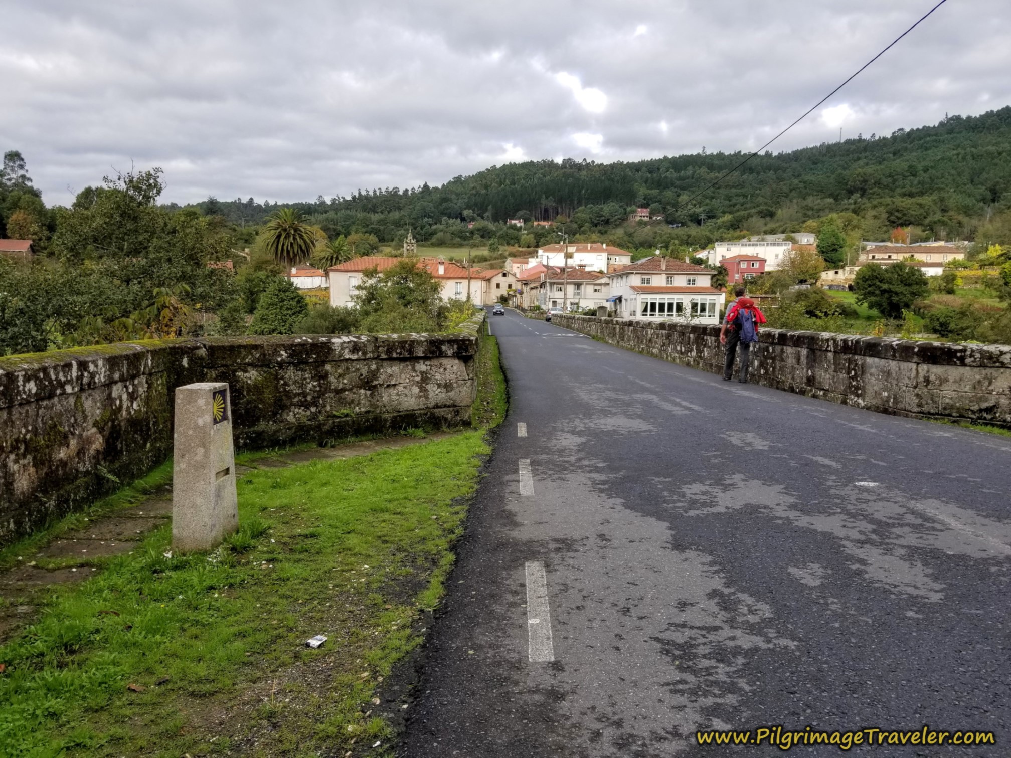
Take the right turn to walk on the bridge and into Ponte Ulla. Be sure to pause on the bridge and marvel at the many bridges crossing the Río Ulla, on your left and your right! This is a town of bridges, for sure. As well as the two bridges to the west, you can see two bridges to the east, the old and new viaduct for the railway line. Both tunnel through the hill where the Miradoiro do Alto do Castro sits.
Jump to Camino Sanabrés Stages
After crossing the Río Ulla, we were so ready for a break after 12.5 kilometers of walking, that we went to the first one we came to after crossing the river.
You will first come to the Pensión and Restaurante A Taberna de Gudiña, +34 981 512 431, by the church, a few meters from the bridge. There is one more possibility for accommodation if your day ends here, the Restaurante Albergue-Pension Cruceiro Da Ulla, farther ahead along the N-525.
After the Roman bridge, it is a 150 meter walk when you take a left turn onto the AC-240.
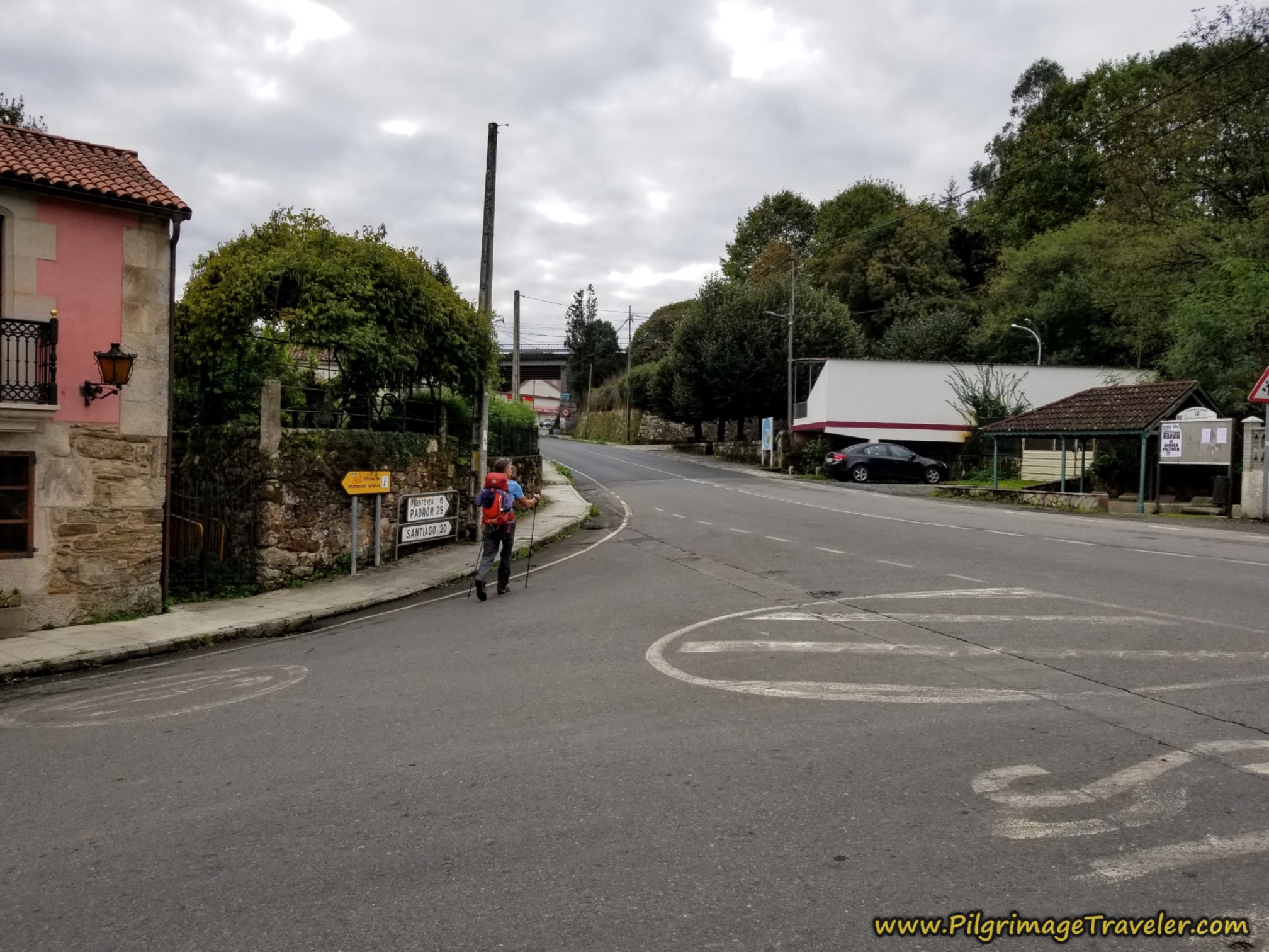 Left Turn Onto the AC-240 in Ponte Ulla
Only a few meters farther on, and visible in the photo above, turn right by the stone wall, and just before the overpass of the N-525 and onto an interesting cobblestone side street called the Aldea Monreal.
Below is a close-up of the turn. If you were to continue under the bridge, the Albergue Cruceiro da Ulla is to the right along the N-525.
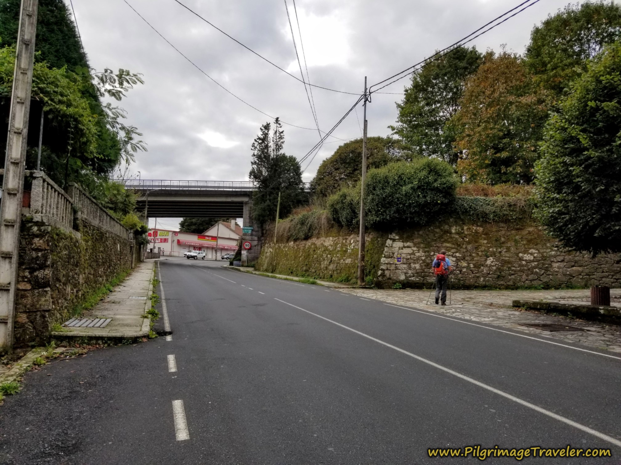 Right Turn Onto the Aldea Monreal
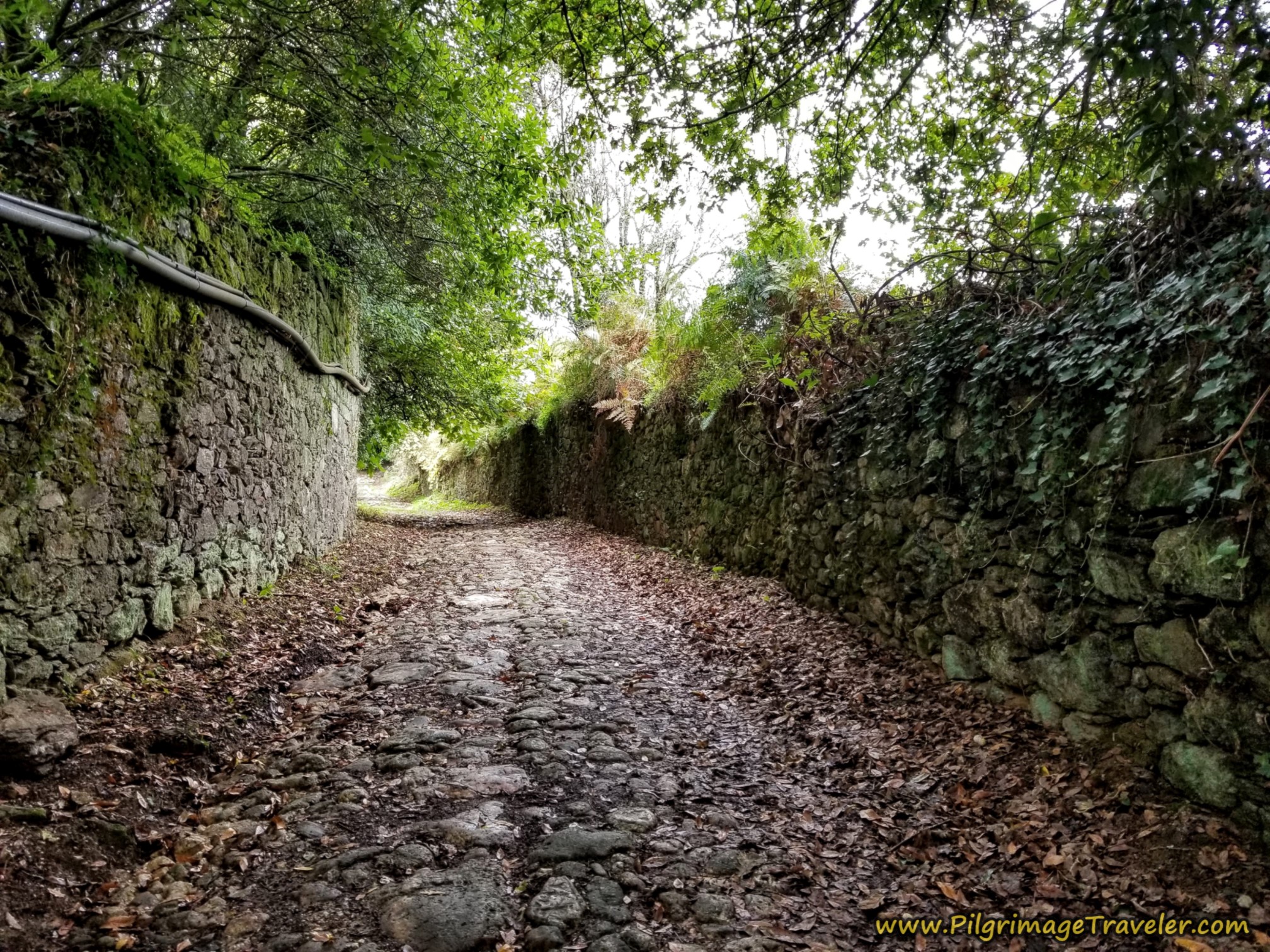
The Aldea Monreal is a funky, high-walled side road that is made of cobblestone. It is a steep climb on this street, although the photo doesn't depict it well.
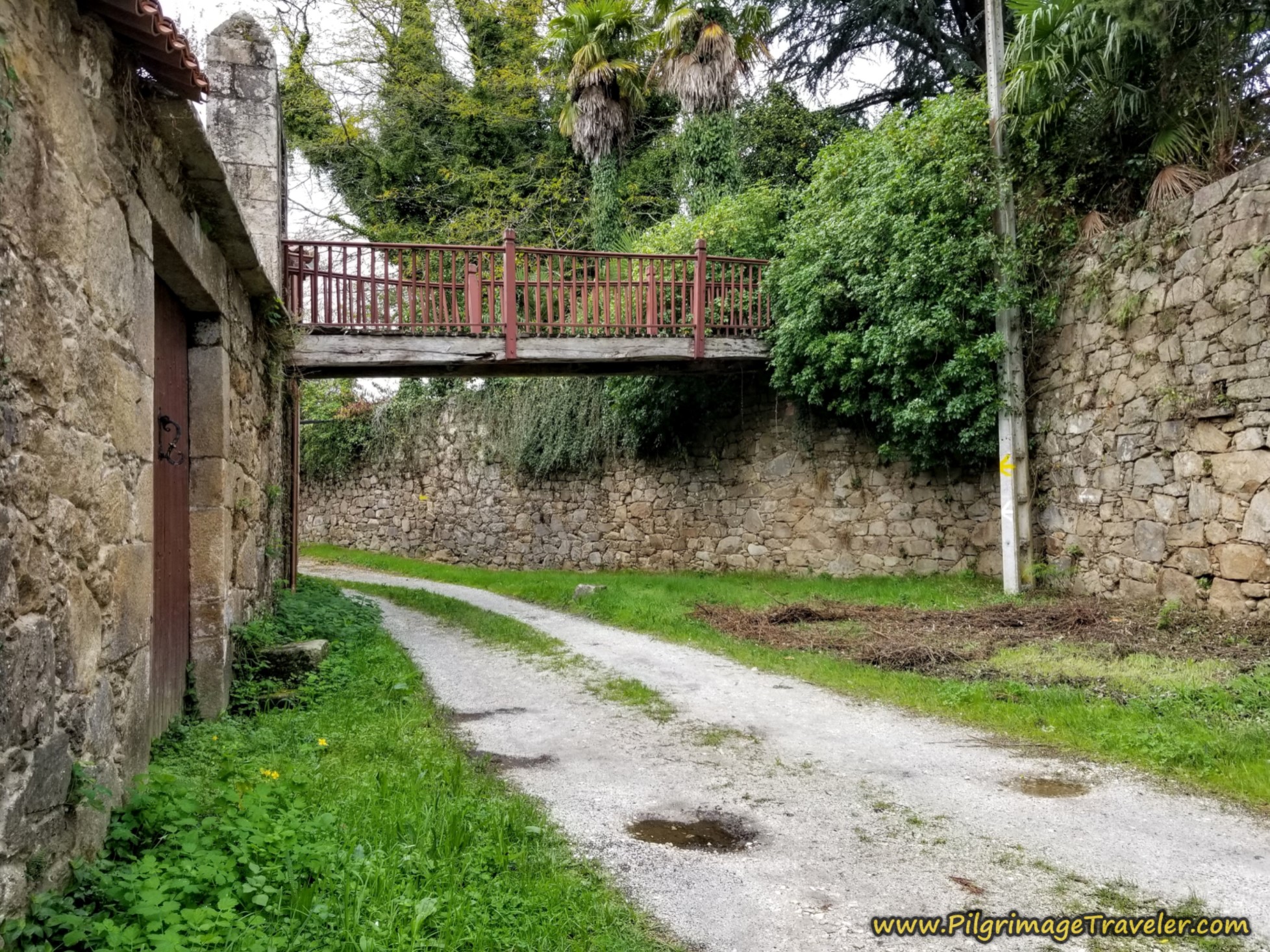
After the cobblestone ends, the road takes the pilgrimage traveler under this rugged-looking old footbridge.
The bend in the road after the footbridge leads you to pavement and after a total of 1/2 kilometer on the interesting Aldea Monreal, you arrive at the intersection with the N-525.
Turn right and northwest onto the N-525. You are at approximately kilometer 13.3 into your day.
The Camino now follows the N-525, however, on a parallel path to the right side of the highway to keep you safe as you begin the steep climb for the day. After 300 meters, it takes a short diversion to the right and off the highway, but rejoins the N-525 after crossing a small creek a few meters later.
Continue along the highway, now protected by concrete barriers, for another 400 meters, then leaving it on a paved secondary road to the right. However, the steep climb continues.
A few meters after the right turn, we reach the next landmark, after approximately 14.3 kilometers, this tunnel, crossing under railroad tracks.
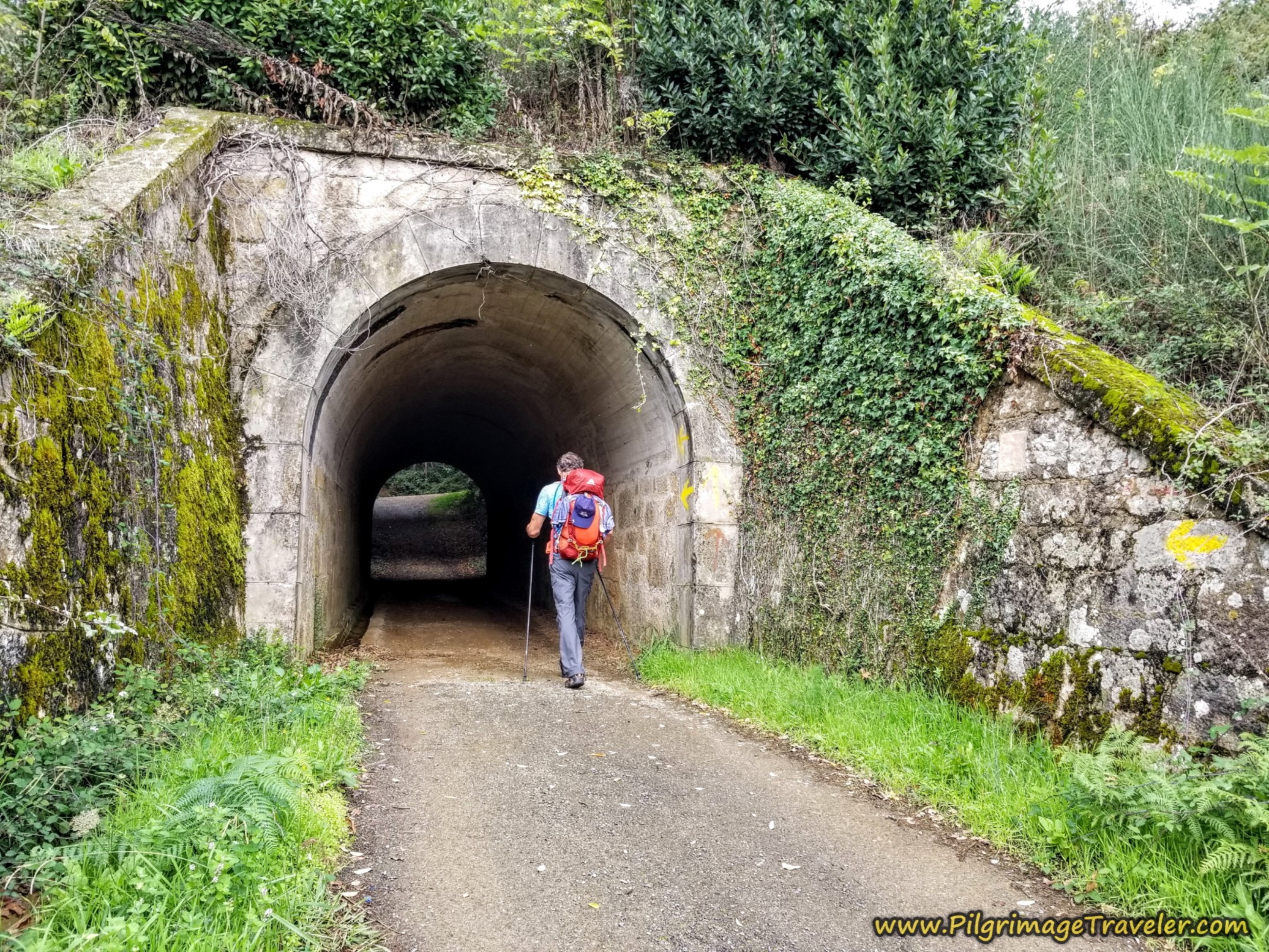 Walk Under Railroad Tracks
Immediately after the tunnel, a T-intersection greets you and the Camino goes to the left and onto this lane, below. It is a steep climb here and with my lower energy day, it was work.
Stay to the left at the next T-intersection and in a few more meters, come to this T-intersection. Turn right here by this large home, continuing up the hill.
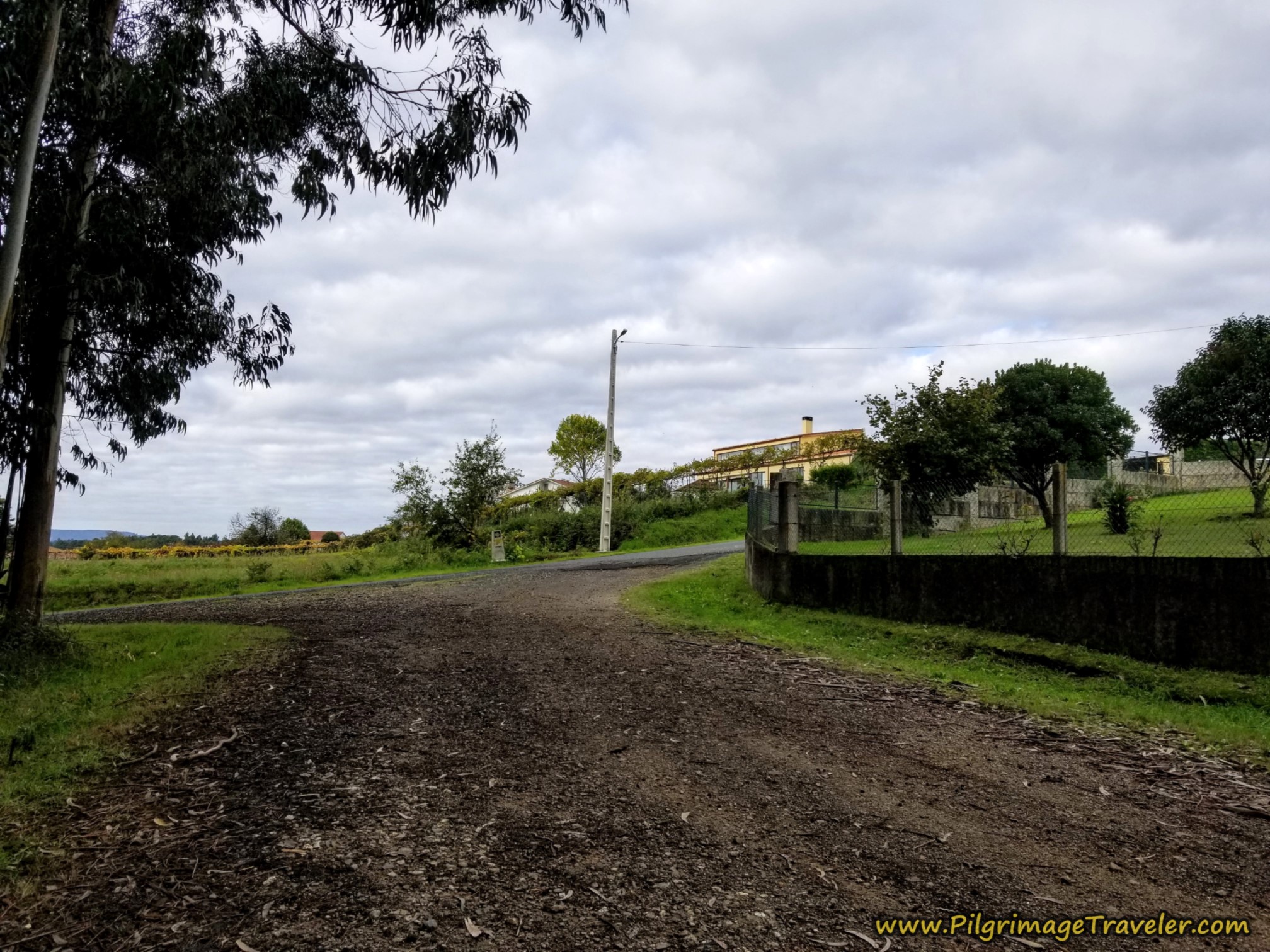 Right Turn Onto Pavement at Large Home
100 more meters walking up the hill you come to a crossroads, where you turn right to continue uphill. Yes, it's a climb!
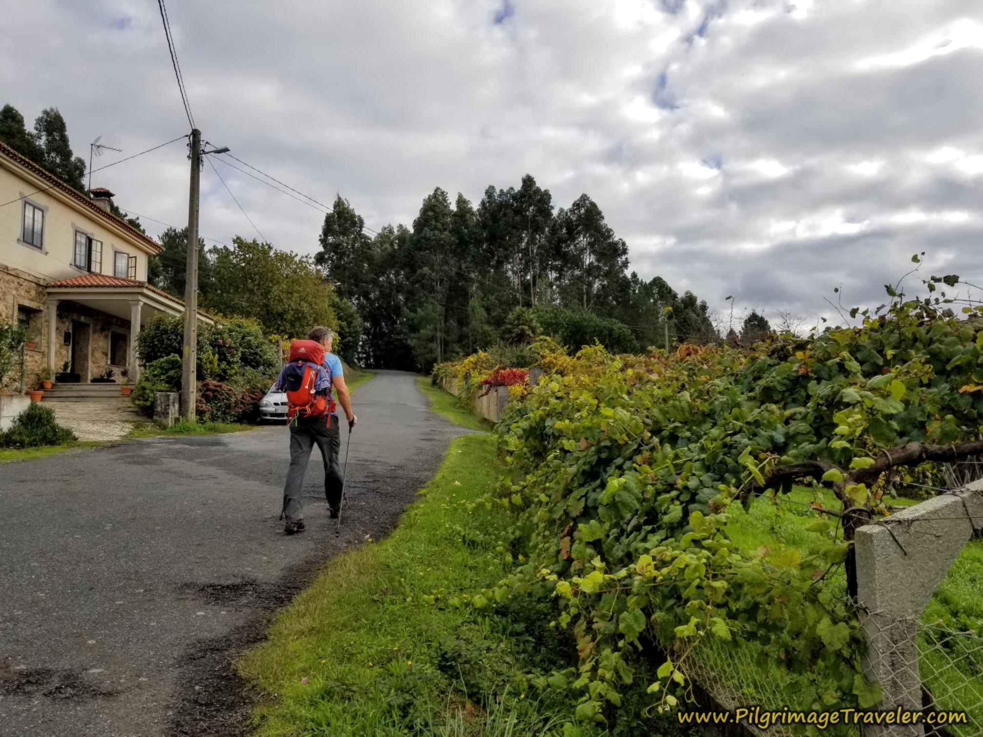 Another Right at the Next Crossroads
If instead, you were to turn left at the crossroads, another possible accommodation, the Pension Residencial Victoria can be found after about 1/3 kilometer.
300 meters after the crossroads, at almost exactly 15 kilometers total for the day, the Camino goes to the left and onto this dirt lane, shown below. Keep climbing!
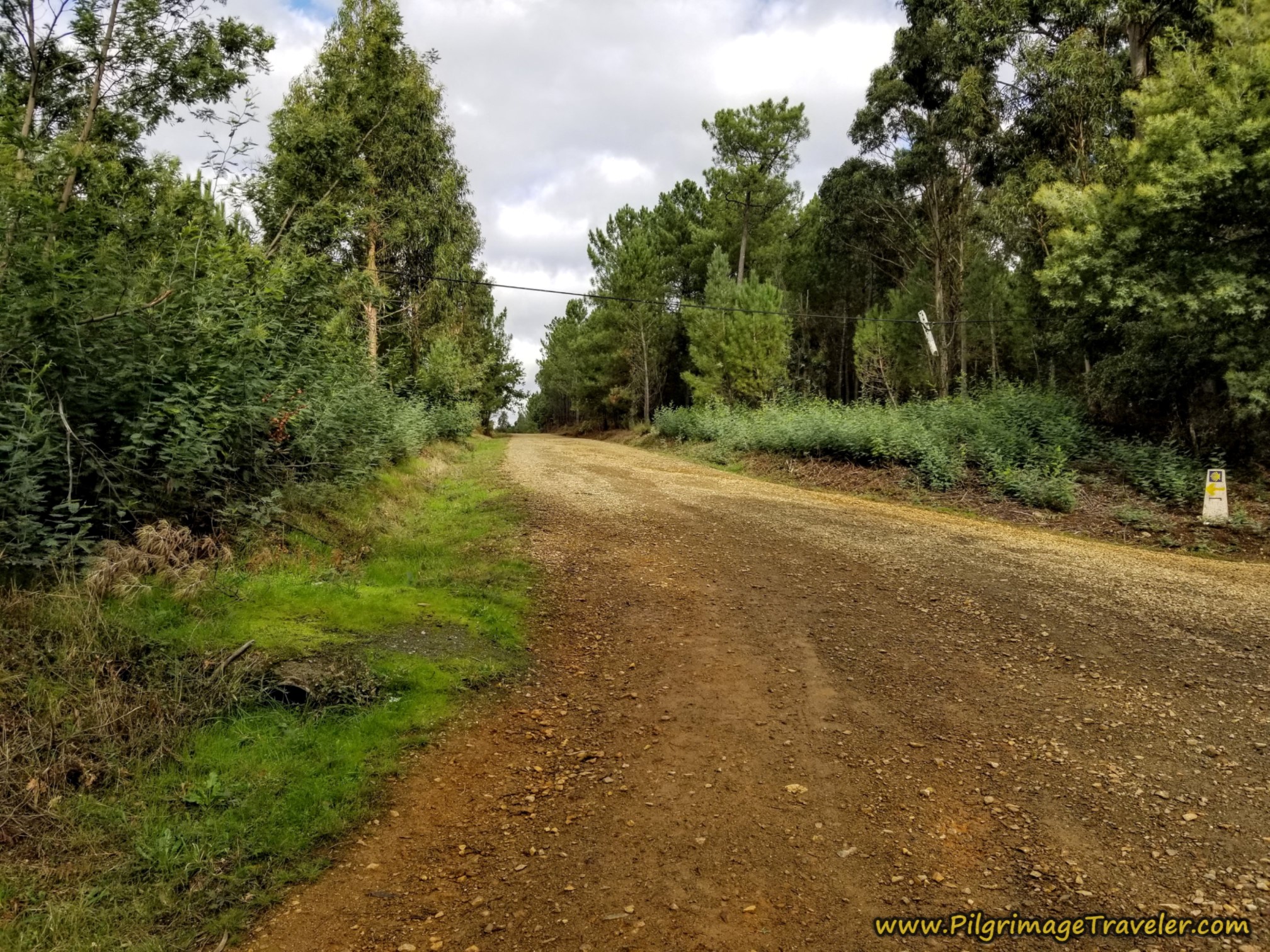 Turn Left Onto Another Uphill Dirt Lane
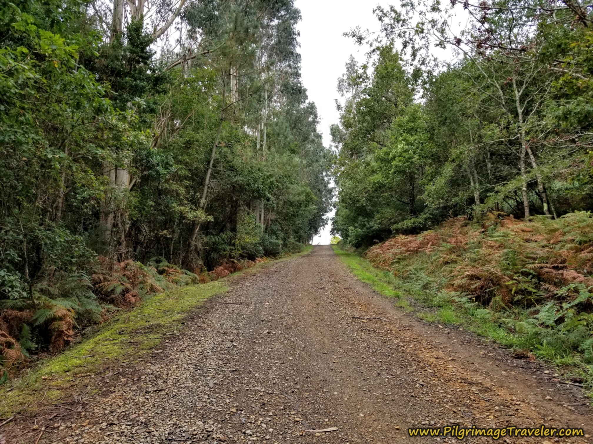
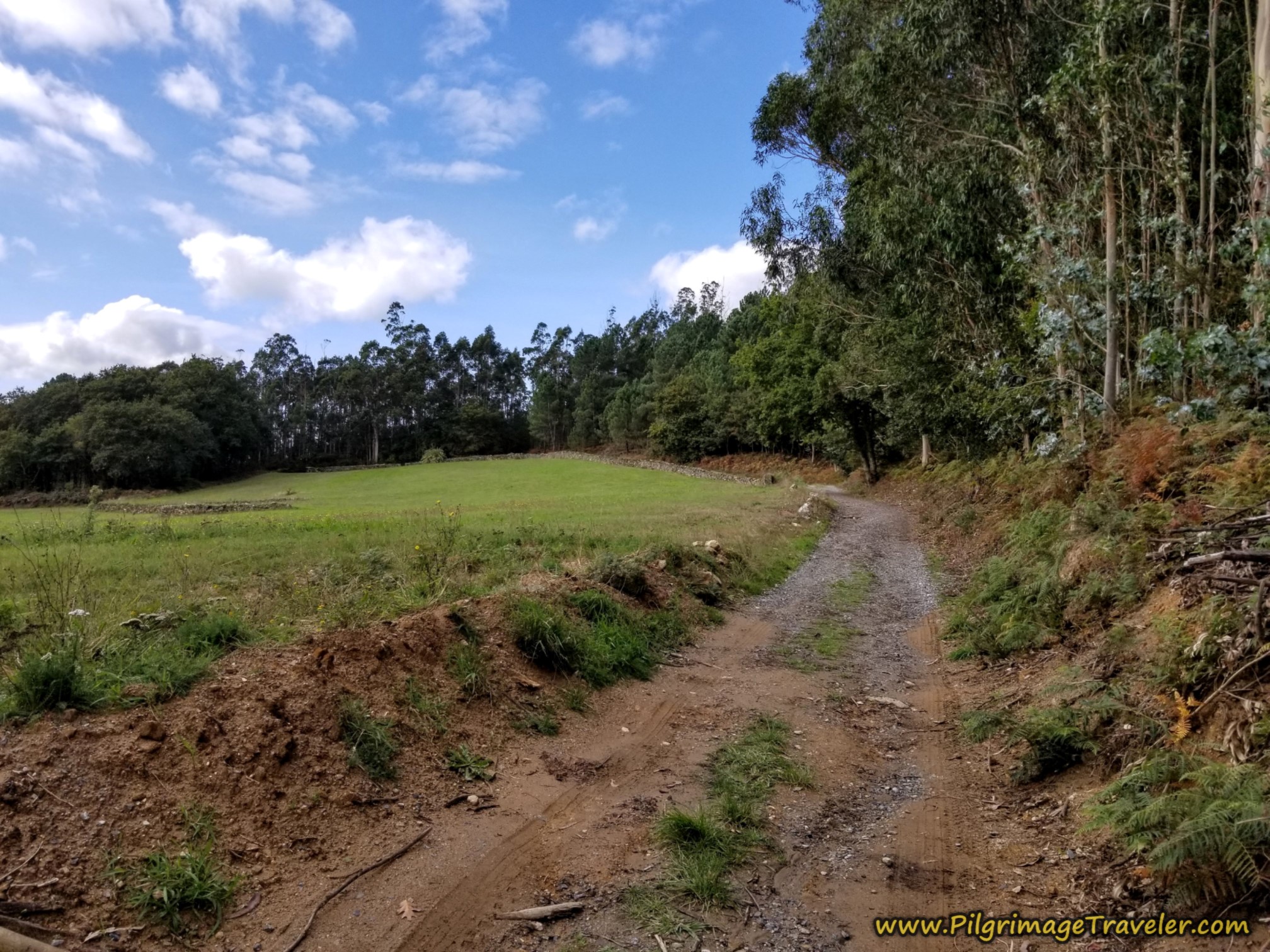
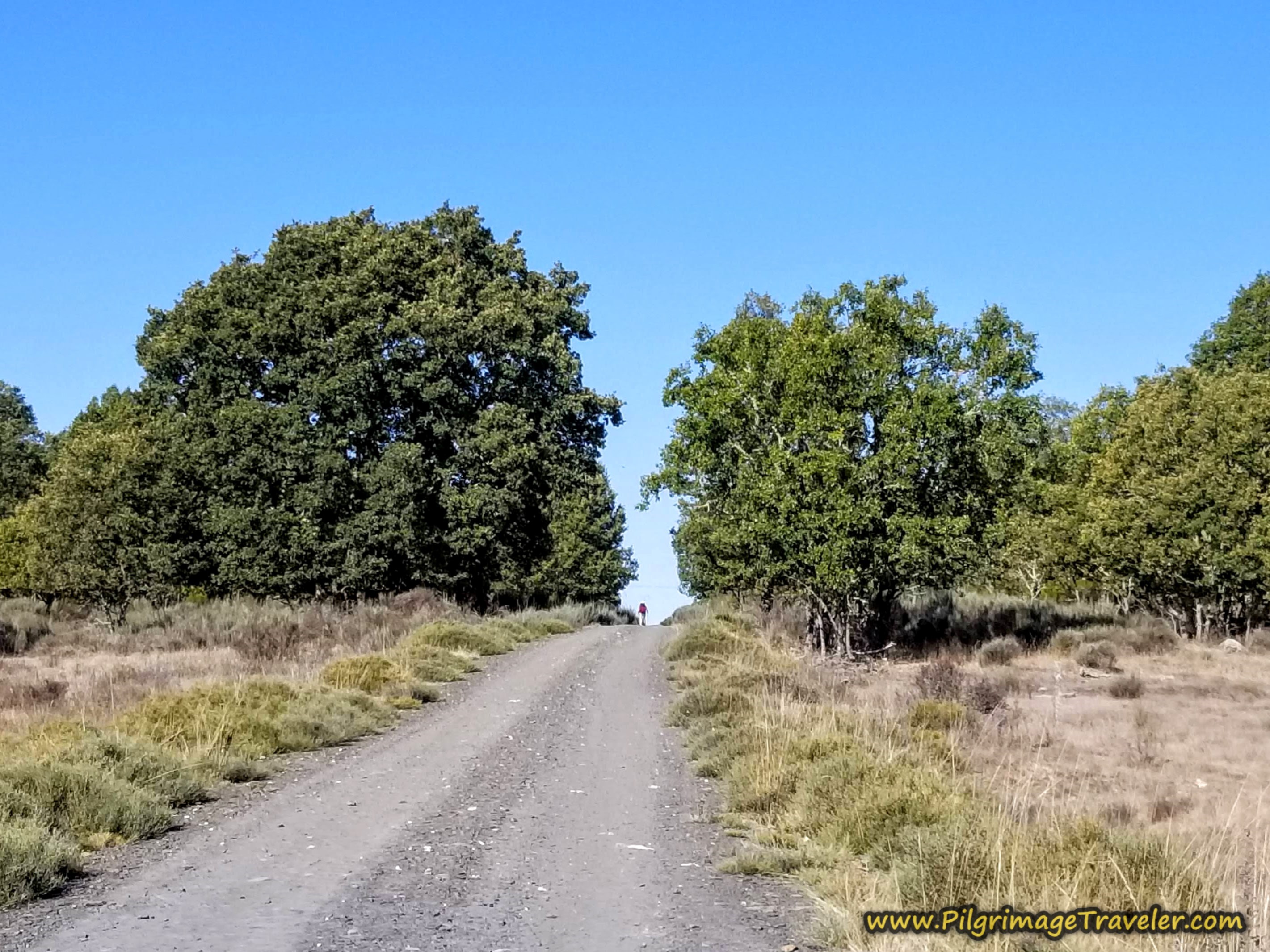
You will now be walking on this nice lane that is straight on for the next full kilometer, regardless of the intersections that you encounter along the way.
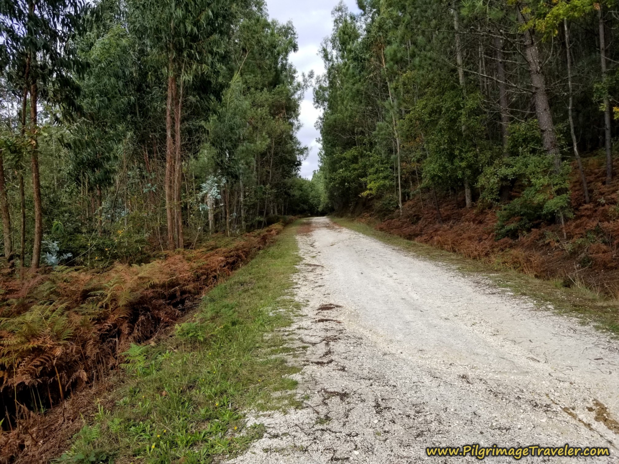
Continue climbing as the track turns from brown to white soil. I'm guessing the color is due to the quartz in the area. If you look on the Google map there are more white-quartz quarries just north of this section.
The white-soiled lane ends at kilometer 16.1 and you enter a more deeply-forested and narrower way for the next 1/2 kilometer on your way to the next town of Outeiro.
When you come out to the pavement at a T-intersection, turn left.
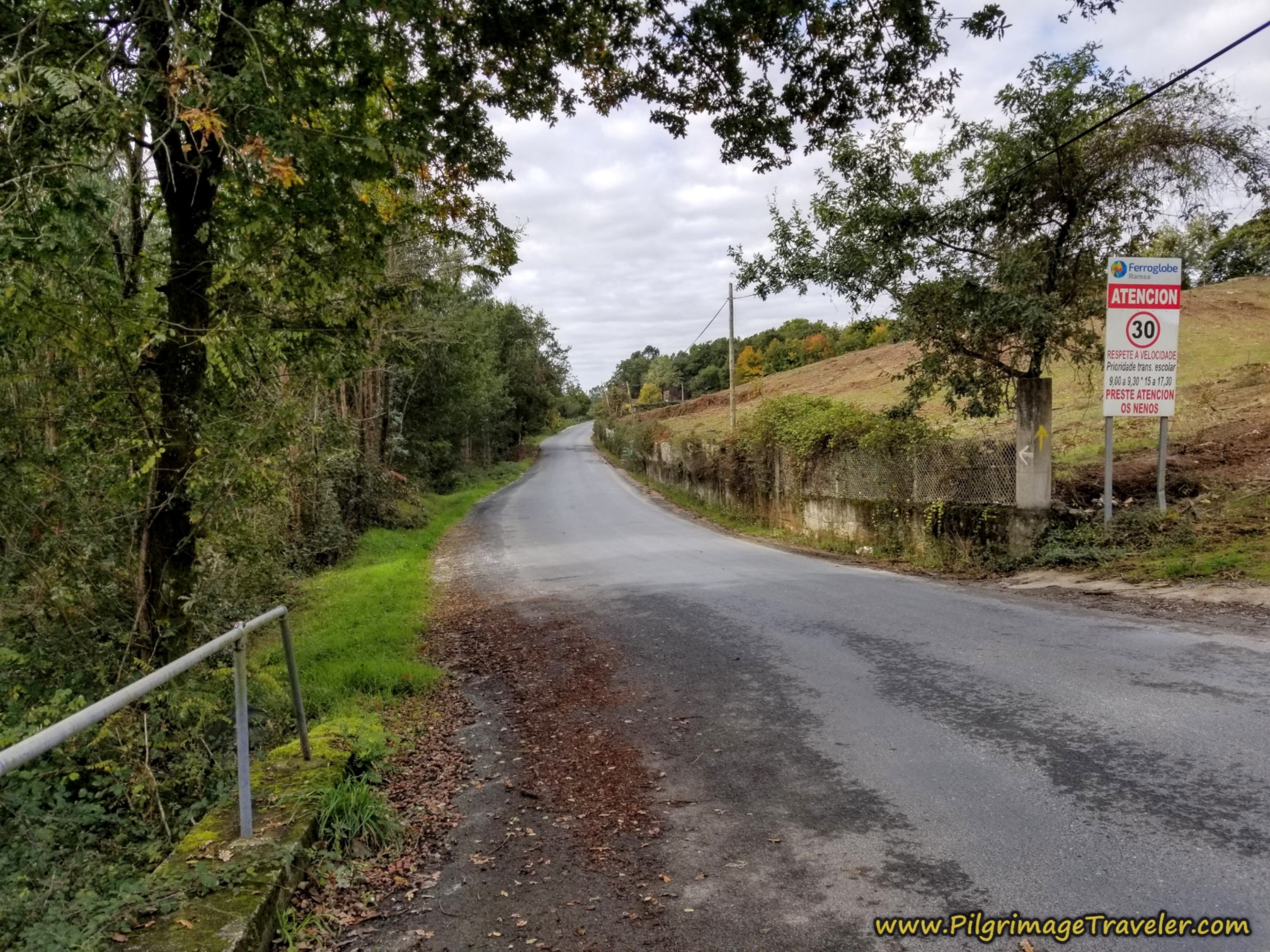 Left Turn Toward Outeiro
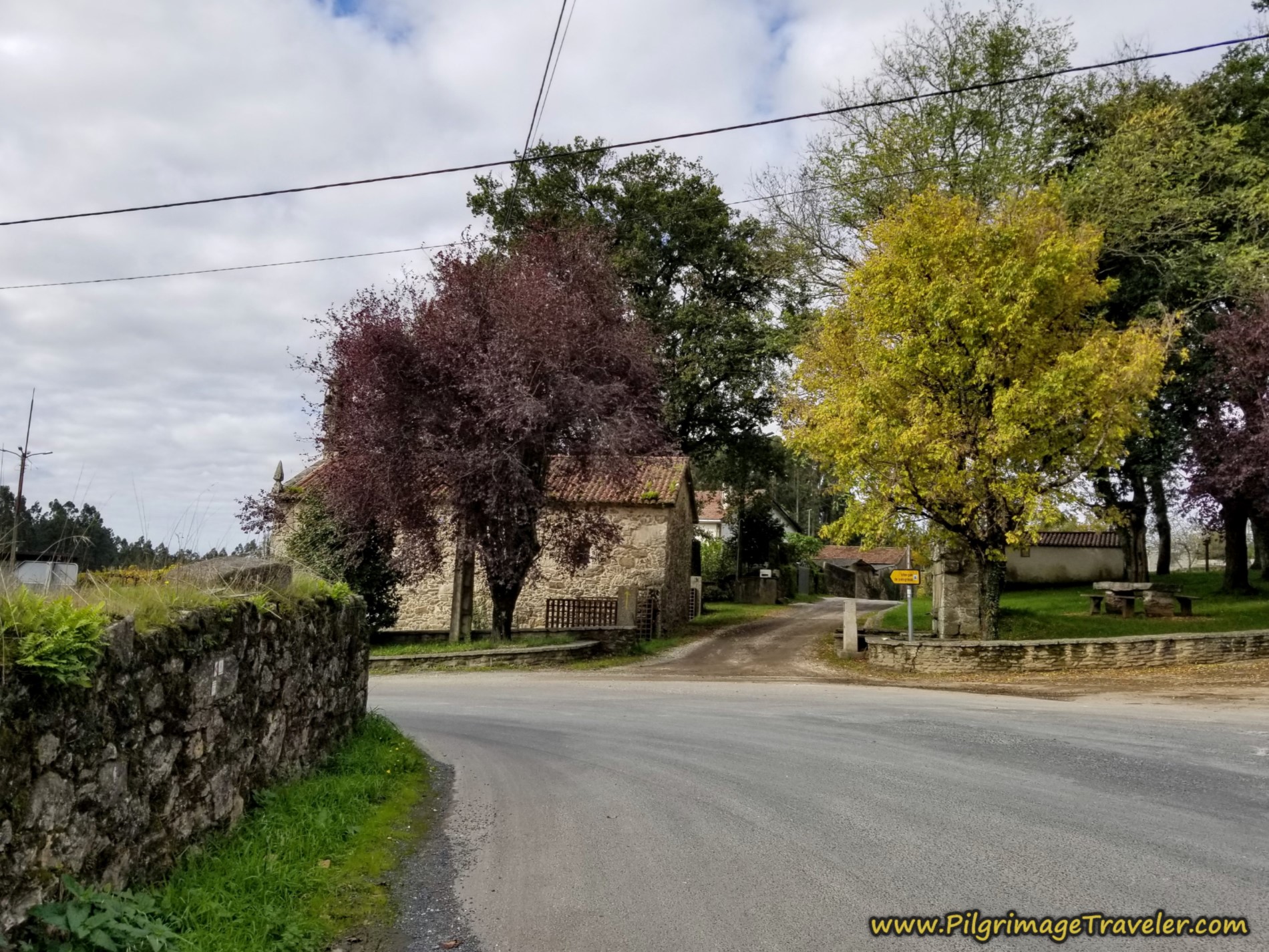
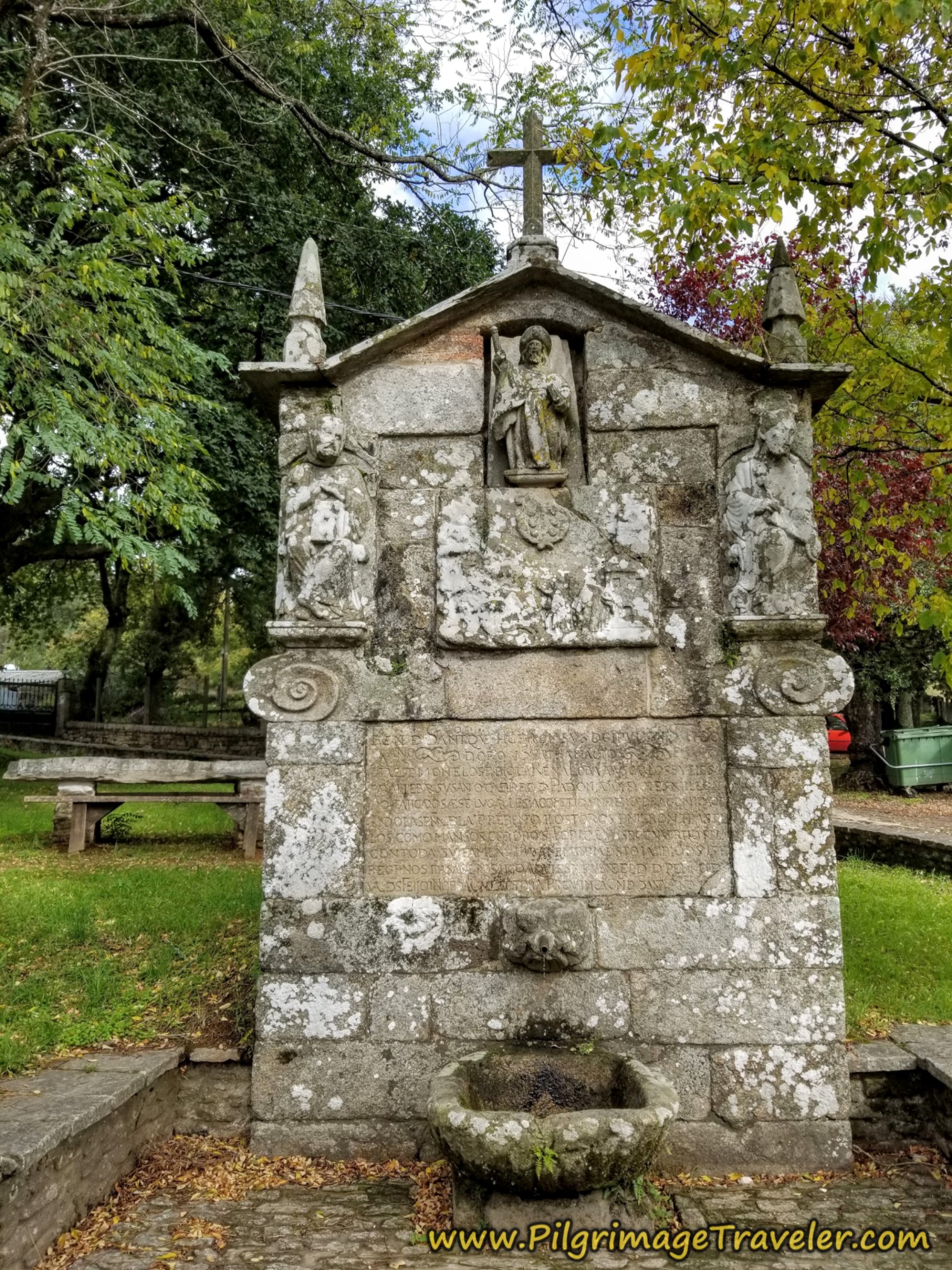
After only about 1/4 kilometer, the Camino leaves the paved road and turns to the right, shown below, at the charming Capela do Santiaguiño. Right beside the church is a fountain, with none other than Santiago gracing the top.
The Way finally levels out through here! Walk by the church and the fountain, and in less than 200 meters you come to the Albergue de Peregrinos de Outerio.
This 32-bed municipal albergue is a funky looking place, but it is very nice inside. There are lovely views from the nice picnic table near the entrance on the far side. After the long uphill climb from Ponte Ulla, we took the opportunity to have a snack and a break while we took in the views at 17 kilometers into our day on the Camino Sanabrés from A Bandeira to A Susana.
Jump to Camino Sanabrés Stages
Walking on past the albergue, we will be on country lanes and paths until the area of Lestedo, about 2.3 kilometers from the albergue.
Initially we passed beautiful and newly cultivated grape arbors, appearing to be a commercial operation. As a wine lover, to me it was a gorgeous sight, nonetheless.
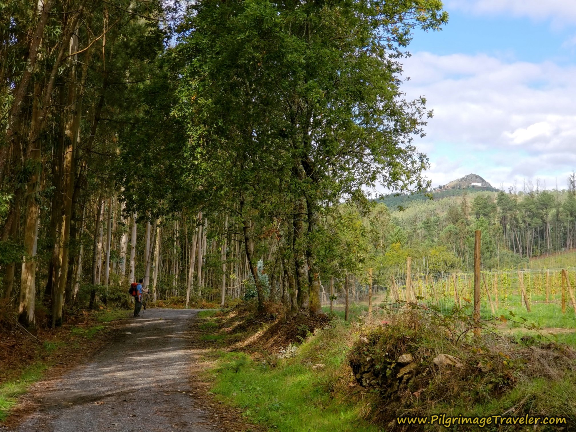
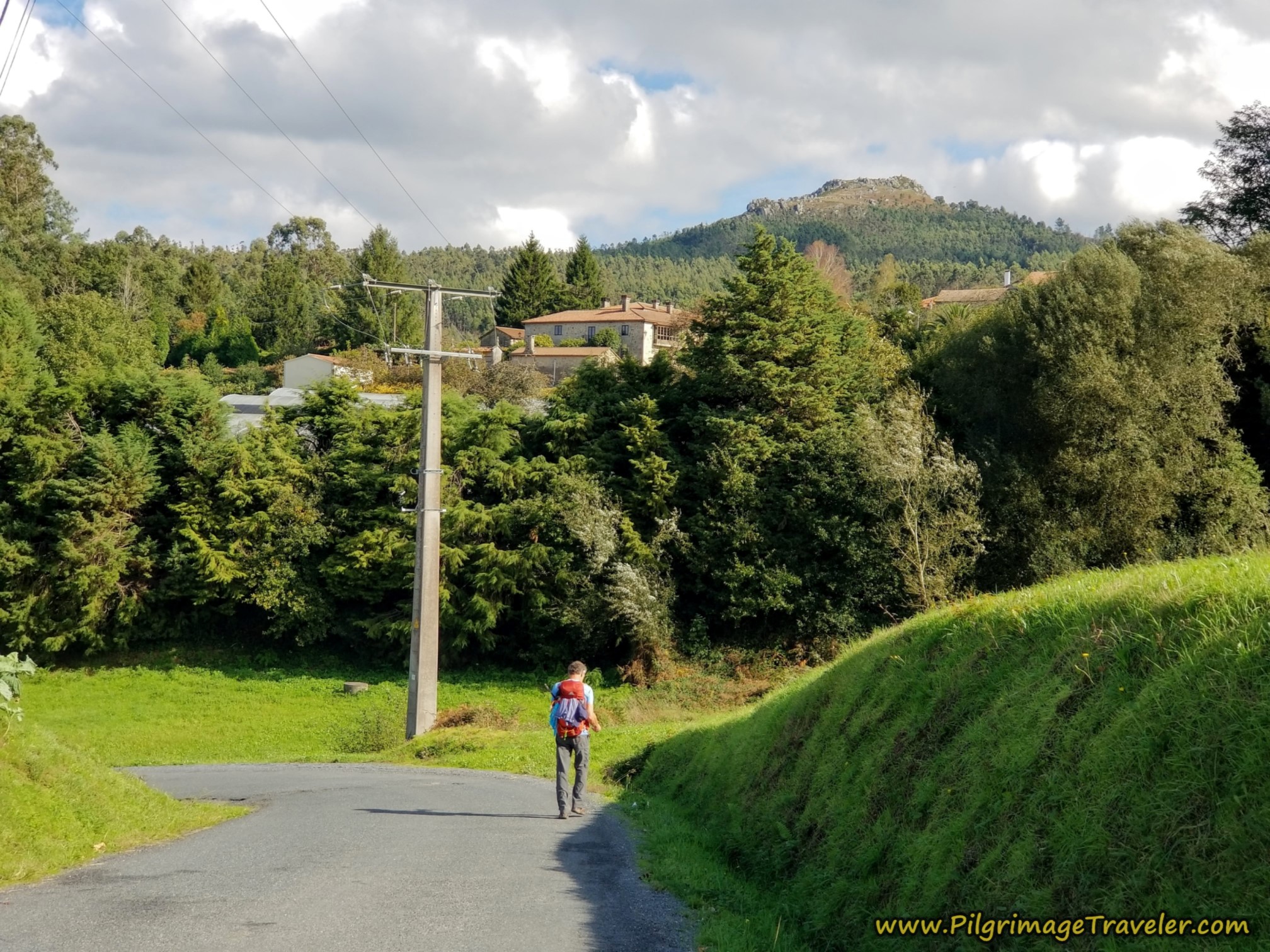
It is important to note that shortly beyond the albergue, you can see the quartz mound of the legendary Pico Sacro, the "Sacred Peak," an important part of Jacobean folk-lore. It rises from the landscape at 530 meters high.
The legend goes like this: At the time of the discovery of the body of St. James, the ruling monarch, Queen Lupa was asked for assistance in transporting the body to Santiago. The queen sent the disciples requesting help to the top of the sacred peak for a cart, hoping the dragon who lived there would destroy them, so she would reign supreme. Instead they defeated the dragon by making the sign of the cross, St James was taken to Santiago and the Queen converted to Christianity as a result.
Ponder this geological feature as you walk along. There is a small church at the top of the peak, below the top rock outcropping. The views of Santiago and the cathedral are said to be fantastic here and you can see why. For me, this would be the only reason to climb the peak, 1.7 kilometers off-Camino.
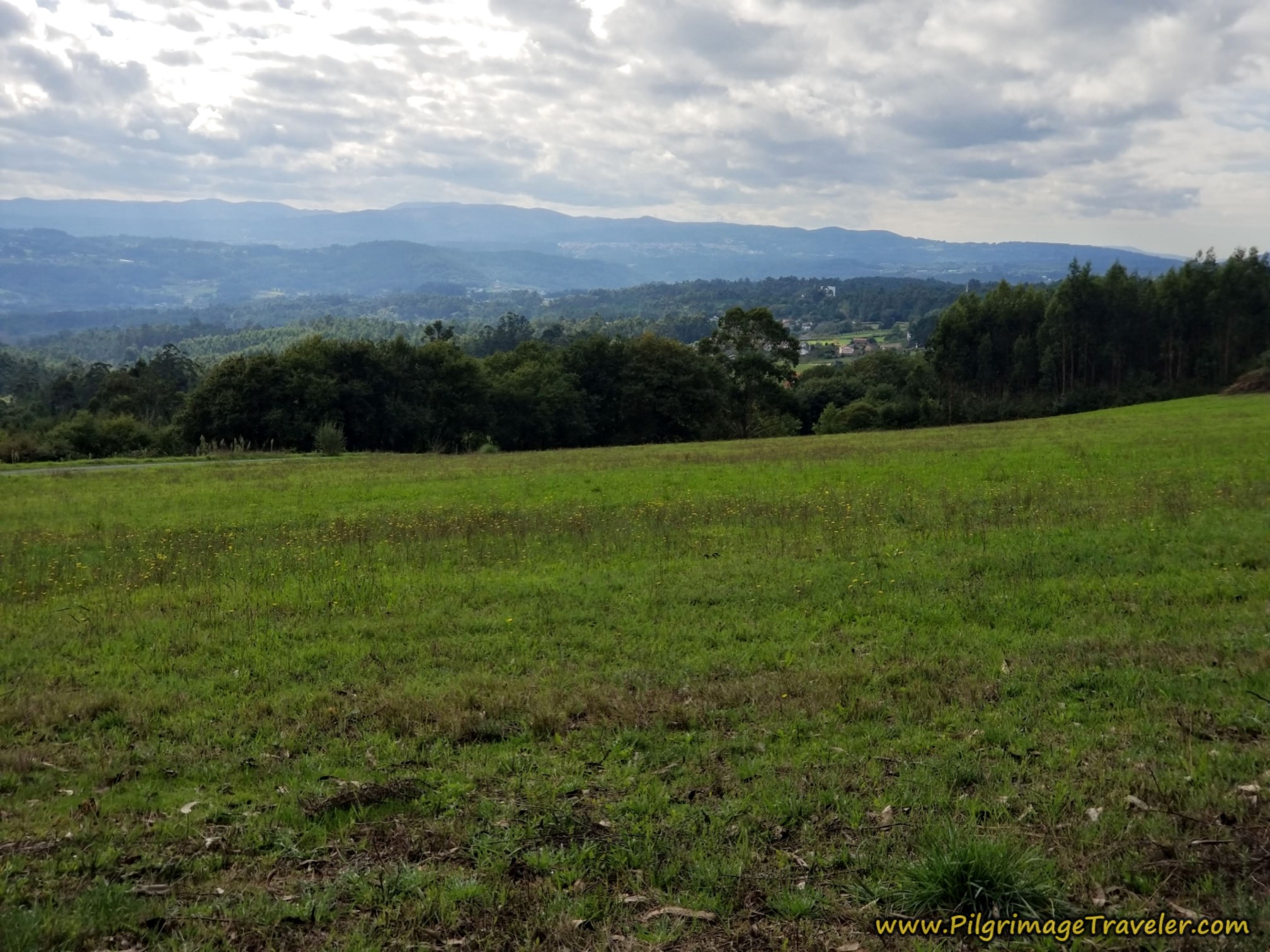
The Camino continues on through field and forest, with views along the way. Stay straight onward whenever you see an intersection, and follow the waymarks for the 2.3 kilometers. This is an enjoyable walk, especially if it is sunny!
When you come out on the pavement, after 19.2 kilometers, the Camino goes to the left and onto this secondary road, shown below. If you were to choose to go to the Pico Sacro, you would turn to the right at this intersection, and follow the road, taking the second left near the top of the peak. Always go in the direction of up and you will be fine!
We chose to carry forward on the Camino. We thought hard about going, then decided we'd rather keep this day short. Now, I wish we had gone, in hindsight.
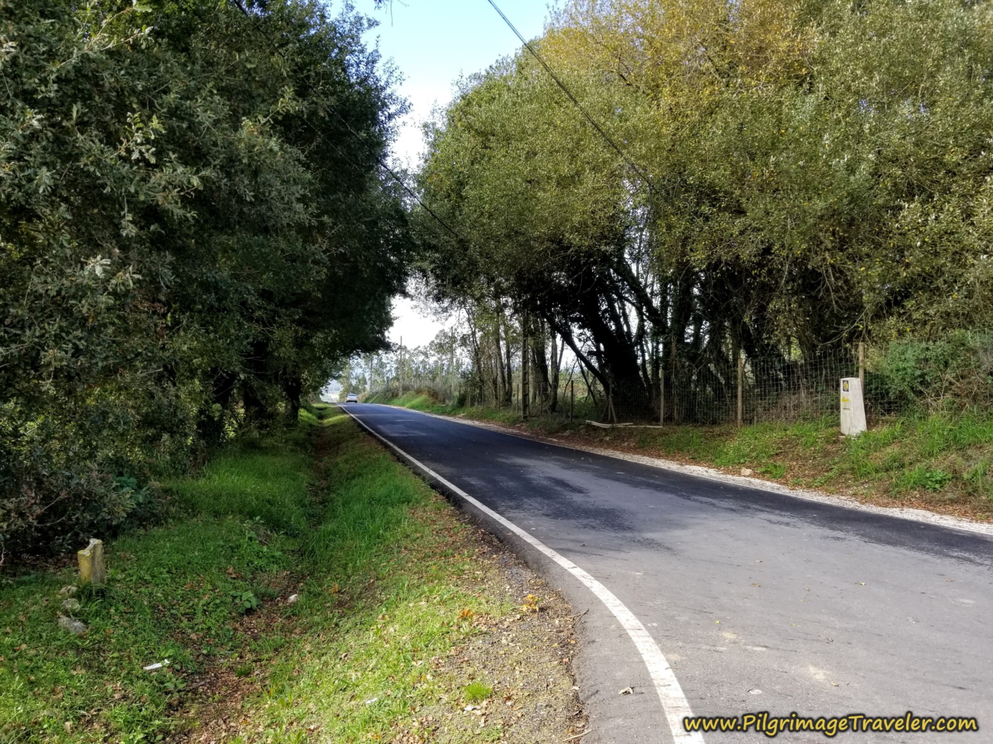 Left Turn Onto Road Toward Lestedo
As you walk along the paved road you can clearly see the Pico Sacro on your right, through clearings in the trees.
After about 650 meters, you come to this intersection, shown below, with a brown signpost telling you to go back the way you came to go to the Pico Sacro. Also at this intersection, but not pictured, is a sign for the Pico Sacro Interpretive Center, if you are interested in learning more about the Queen Lupa legend.
The center is to the right, about 1/3 kilometer away, off-Camino, however the Camino continues straight here.
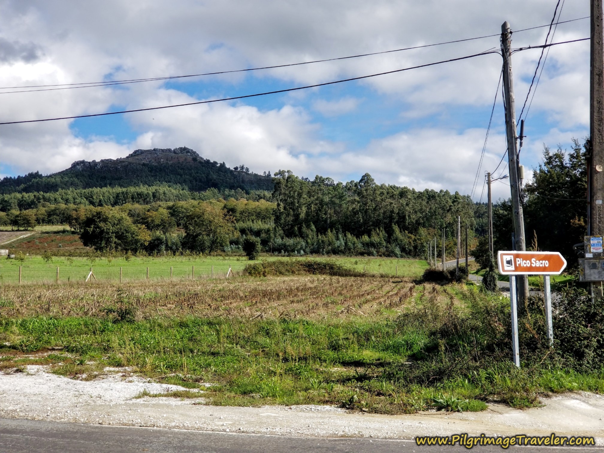 Signpost to Pico Sacro Interpretive Center
After another 180 meters or so, after the intersection, come to the cross, shown below, in the town of Lestedo. You are now at 20 kilometers total, at this cross, on the Camino Sanabrés from A Bandeira to A Susana.
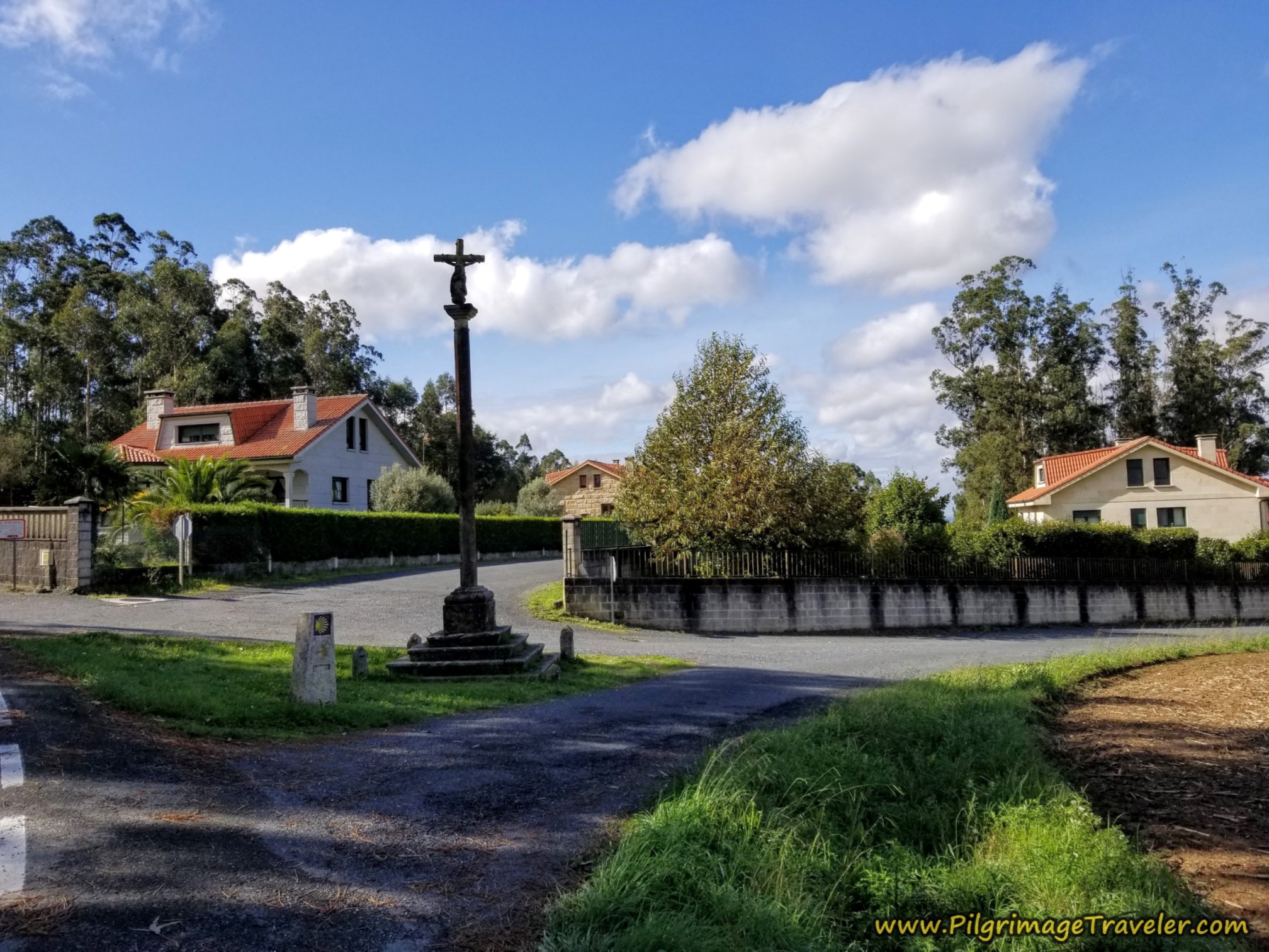 Turn Right at Cross in Lestedo
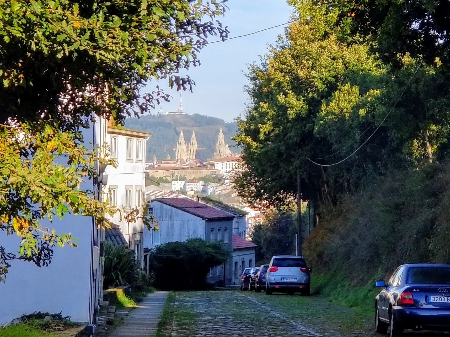
As you are walking toward the cross, on your right, to the north, if you look carefully across the open field, you can see the cathedral spires of Santiago de Compostela!
I did not realize this, but when we took the right turn at the cross, to now face northward, I spied the spires. I was astounded that we could see the cathedral from so far away. I asked a local to be sure, and indeed, he confirmed that it was the Santiago cathedral.
If you pinch open the photo below, you can see the spires, just above the line of the road and just below the ridgeline! Woo hoo! We were almost there.
After admiring the spires, we continued walking northward and down the hill, staying straight at the crossroads shown below.
If you wanted to stay at the foot of the Pico Sacro in a casa rural, the Casa de Casal looks stunning, with views of the peak. It could be a perfect ending for your long walk, with only a 13 kilometer stroll to Santiago remaining from here. Look for the signpost to the casa at the intersection, shown above, and turn right. However, they may have a multi-night requirement.
For the Camino, walk onward until the second crossroads after the cross, where the Camino takes a right turn, shown next.
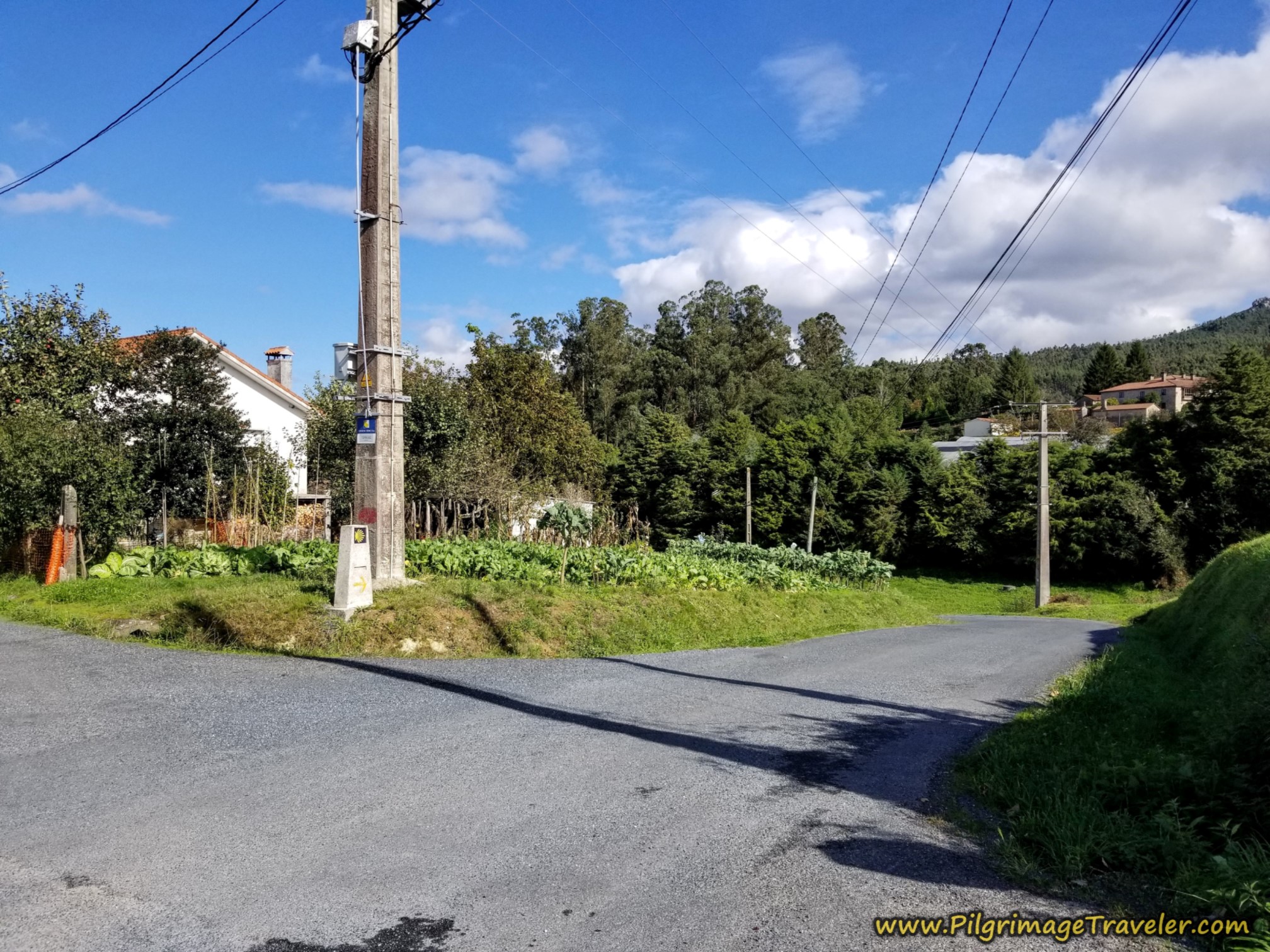 Right Turn at Second Crossroads
After turning right, there is a perfect photo opportunity of the Pico Sacro, shown below.
Jump to Camino Sanabrés Stages
This rural road winds around for the next 1/2 kilometer until the next town of Rubial, shown here. You are at kilometer 21 in the center of town, where you turn to the right at the home with red brick pavement. You can see the turn in the photo if you look closely.
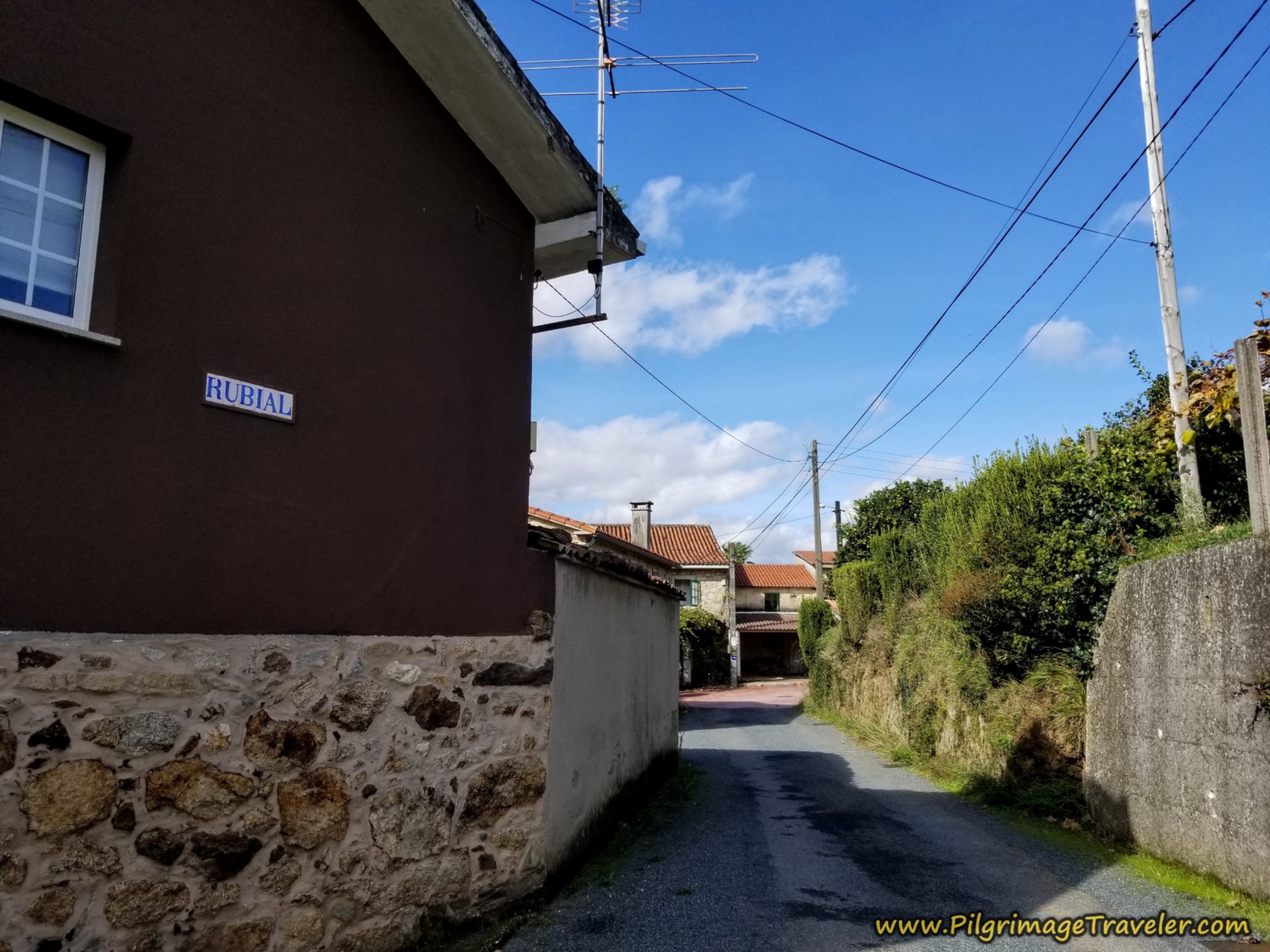 Right Turn in Rubial
Continuing onward, take the next left turn, at a crossroads.
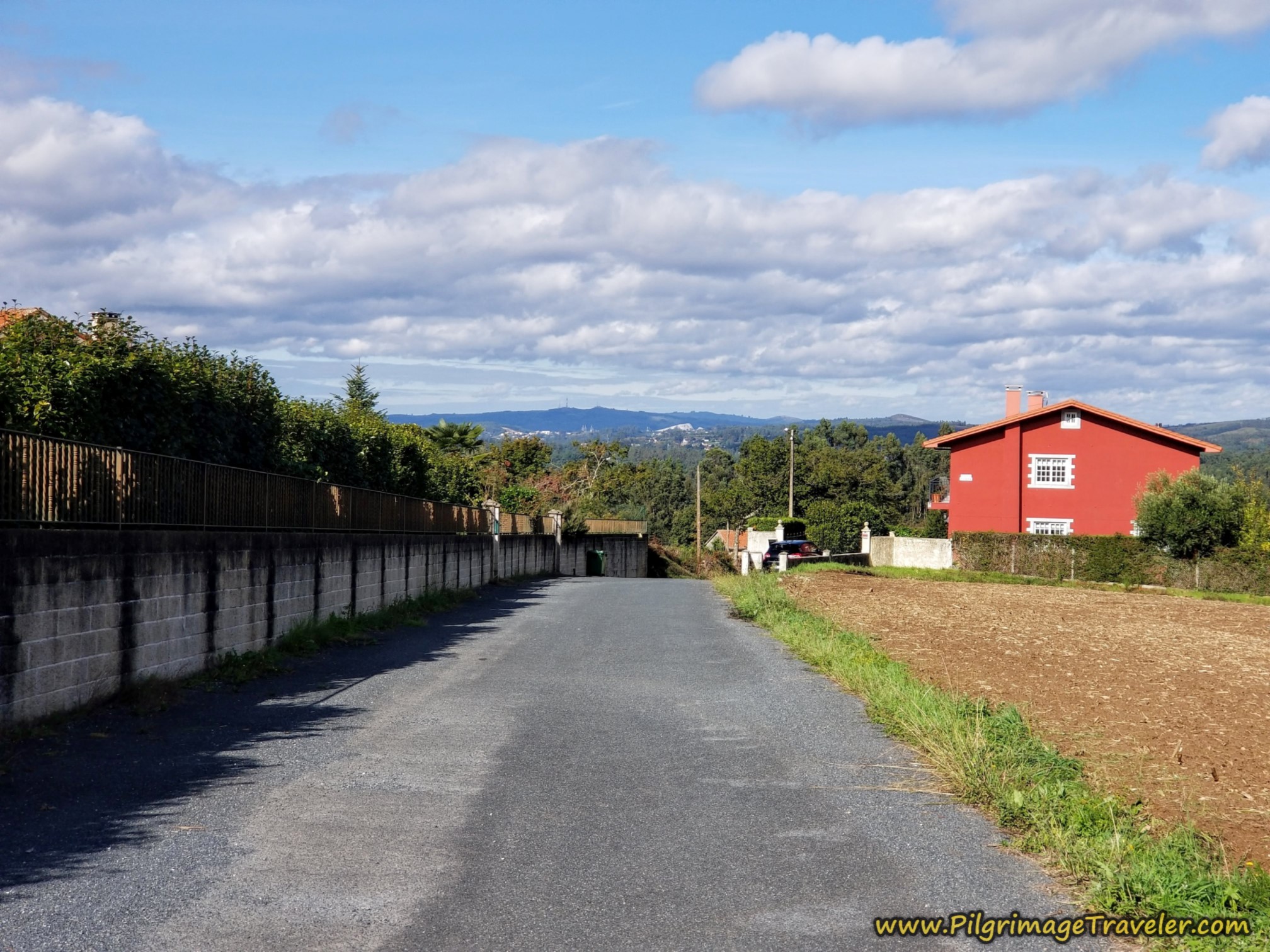
After the crossroads, the Camino continues straight on for the next 1.75 kilometers toward the final destination town of Deseiro. It walks you through fields and forests.
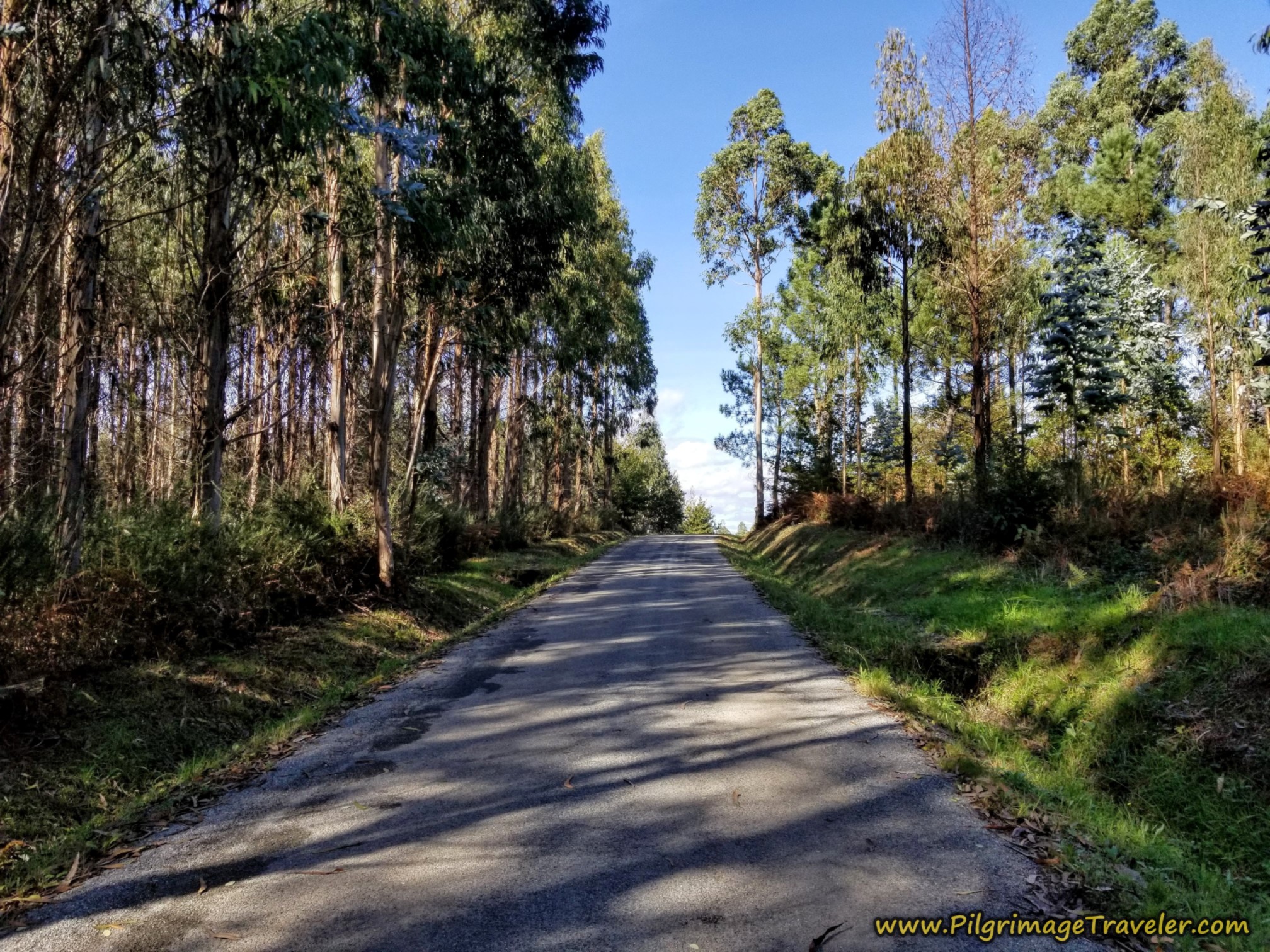 Short Uphill, Camino Sanabrés, A Bandeira to A Susana
At kilometer 22.3, cross under another railroad track through this tunnel. You are less than one kilometer from Desiero at this landmark and about one kilometer from the private albergue there.
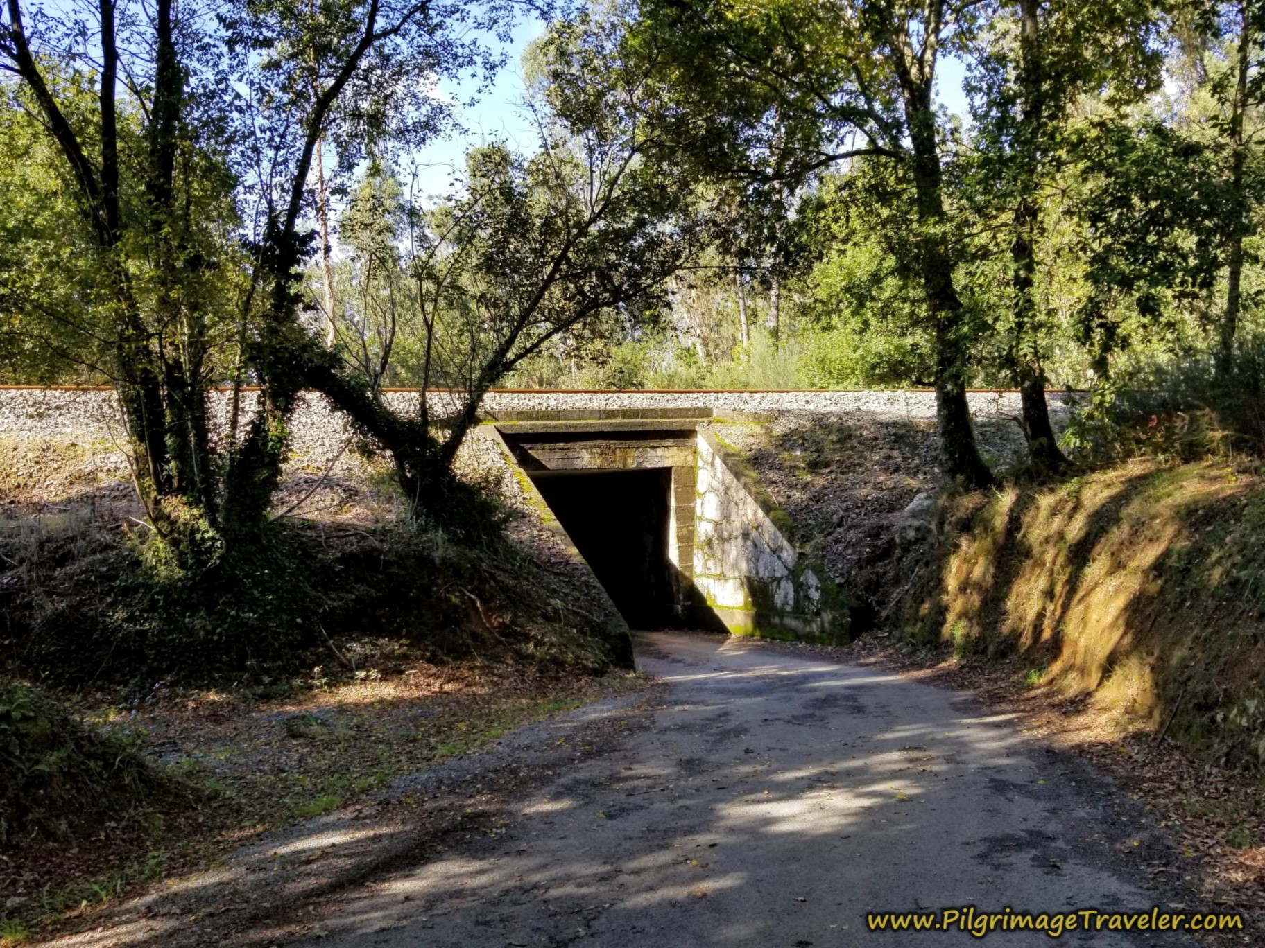 Tunnel Under Railroad Tracks
Descend steeply to cross the Río Saramo on this red iron bridge, the next landmark just before entering town.
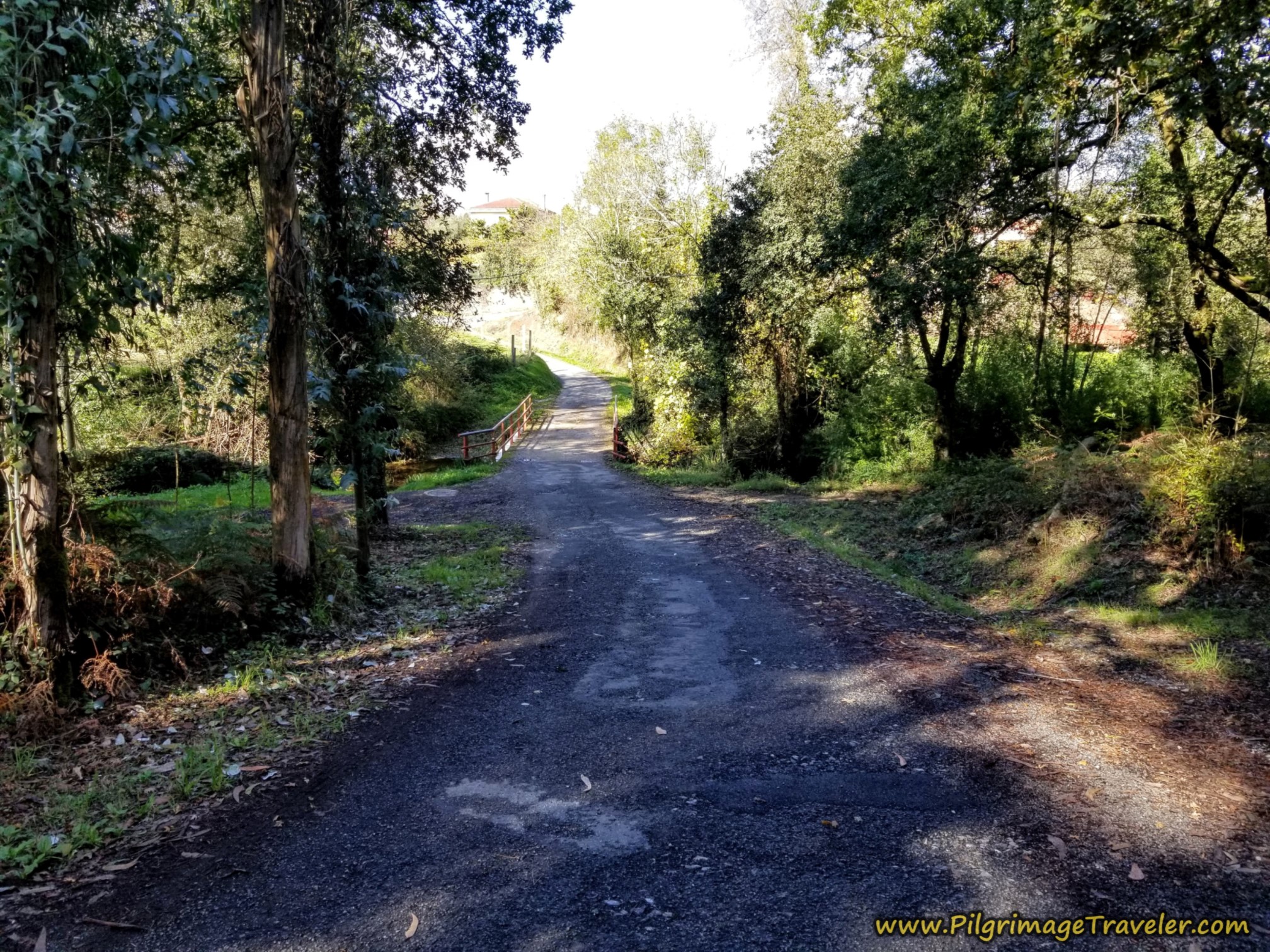 Cross the Río Saramo
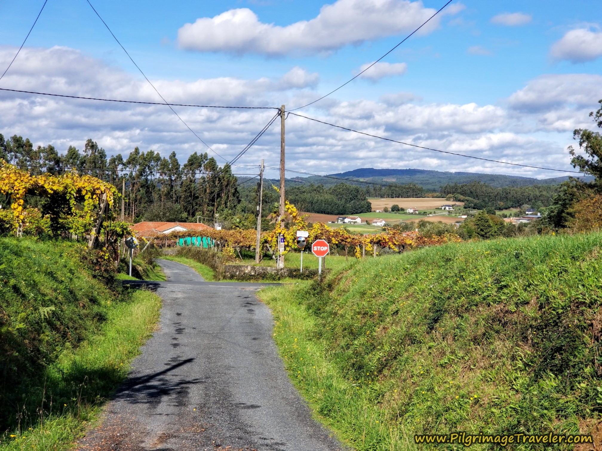
Walk under this lovely grape arbor that shades this portion of the road for you as you enter Deseiro.
After winding around through the small town, come to a T-intersection, shown below. You can see the sign under the arbor for the Albergue Reina Lupa. This was our destination.
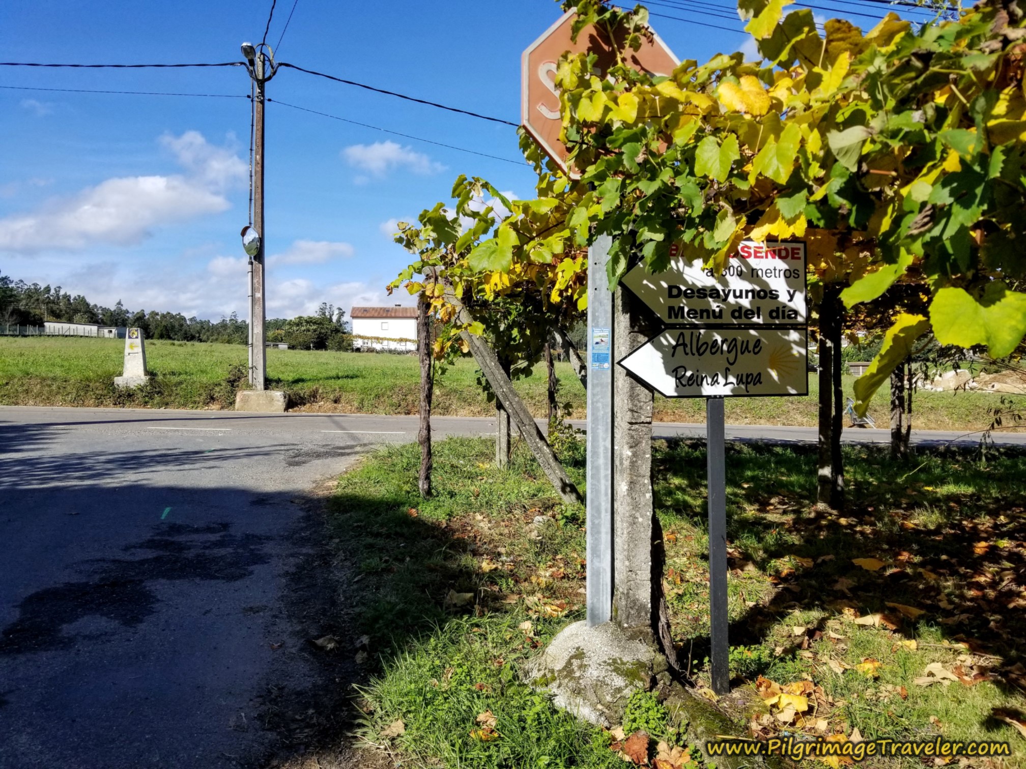 Left Turn Towards the Reina Lupa Albergue
Turn left and in only 150 meters, the Camino goes to the right, at this intersection, below. It is 23.1 kilometers total at this intersection, where I turned off my GPS recording.
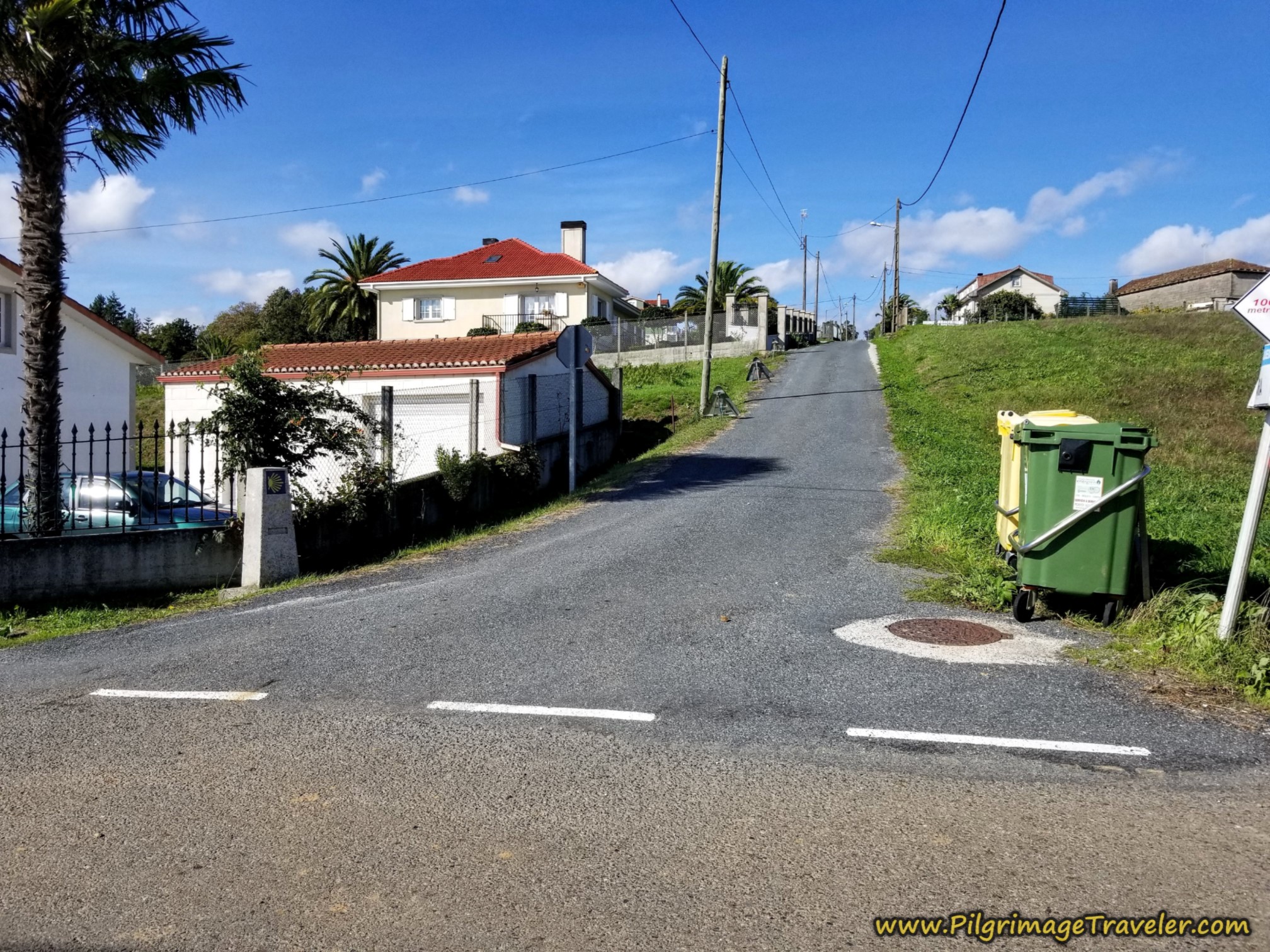 Camino Continues Northward Here
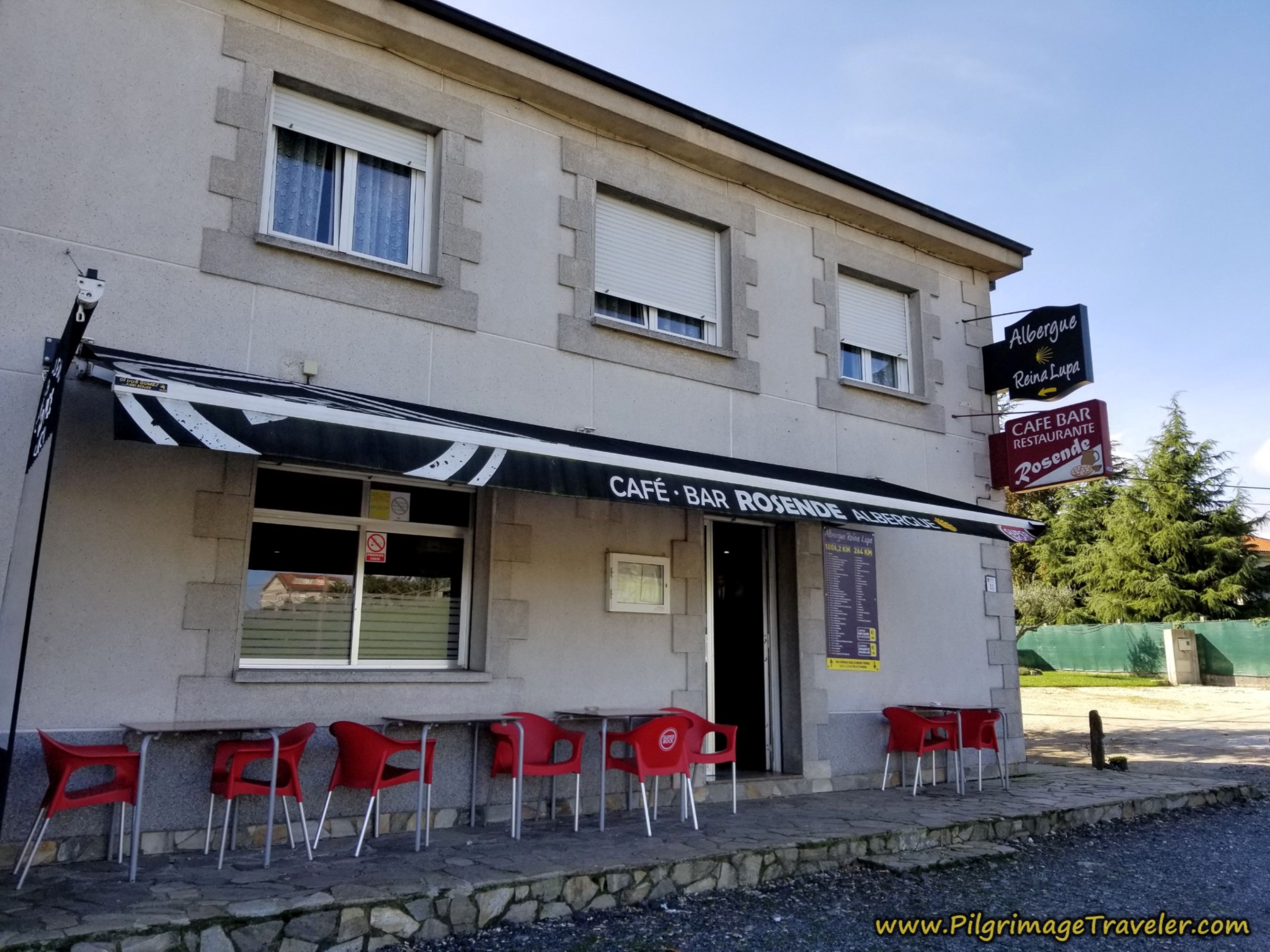
We, however, were going straight, and in another 150 meters, we came to the N-525, crossed it to the Bar Rosende. It is here that you register for the Albergue Reina Lupa, located just behind the bar and owned by the same family. The proprietors are warm and friendly, and the food at the bar is generously proportioned and very good.
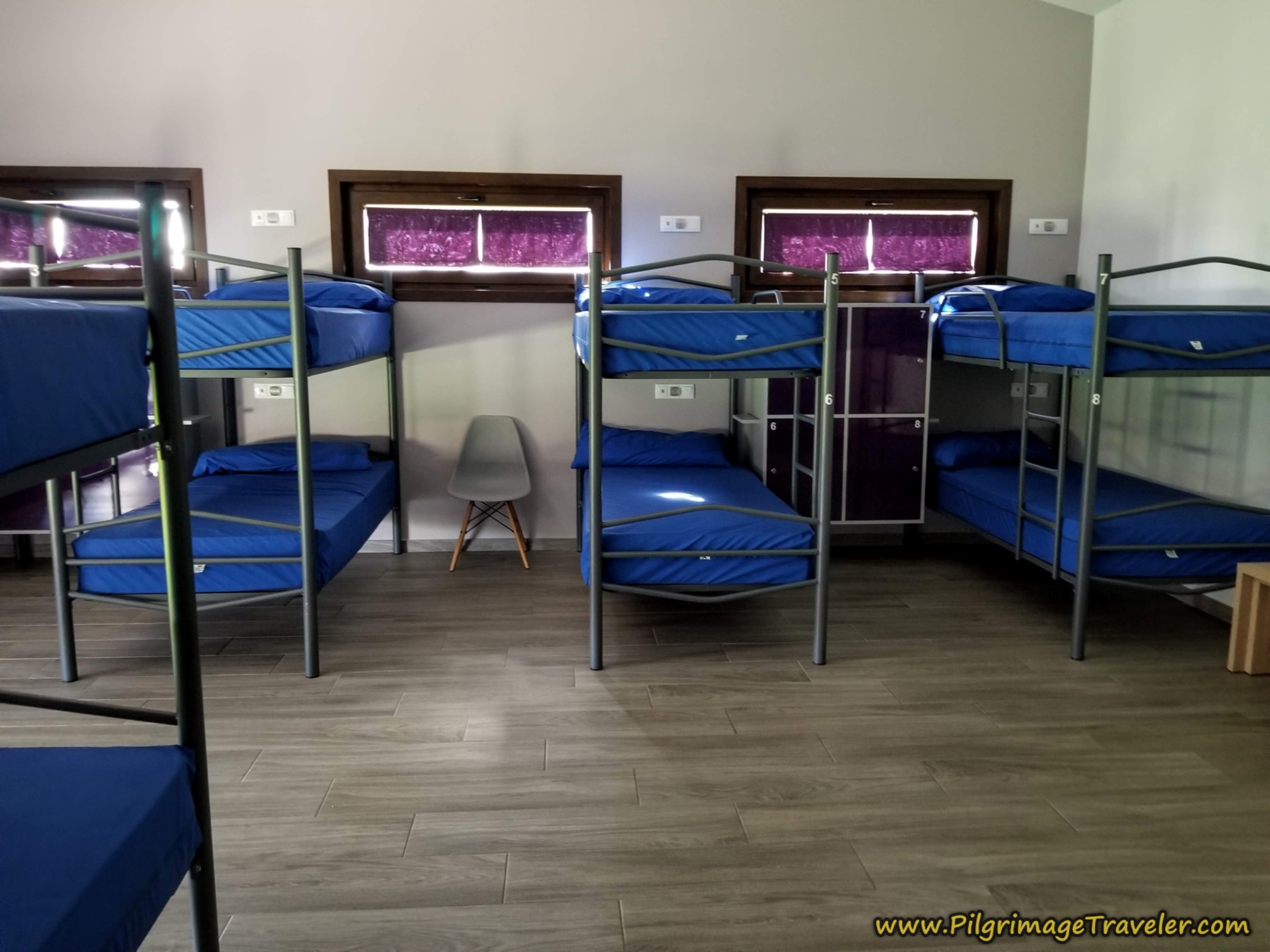
The albergue, with two large separate dormitory rooms, is clean and new and all the facilities are pristine. There is only a wee small kitchen, essentially for heating food only.
They do also have private rooms with private baths that are also pristine and new. This is what we chose instead of the shared dormitory.
Reflections on Day Sixteen of the Camino Sanabrés, A Bandeira to A Susana
Despite a rather short length to this day, it felt strenuous to me. Yes, there was a lot of climbing, but in addition I carried a heavy heart for my injured friend, hanging out in Santiago.
While Nadine was not able to get to Santiago by foot, however, she had indeed done a pilgrimage. It just looked different. A pilgrimage may take many different forms.
In my opinion, the physical journey is only that which "moves" you for the interior journey. The destination isn't the goal. As the cliché goes, it's the journey that matters. Hopefully the journey will stimulate interior movement as well.
I pondered that even if my friend was at the destination, there was more movement that needed to occur. Rich and I were hoping that with the change in plans, this would enhance her movement on the inside as she sought meaning in the experience.
And perhaps this was so, as to this day, Nadine states the Camino impacted her more than anything else in her life. This is a reason to rejoice! And perhaps, one day, she will tell her own story.
Salutation
May your own day sixteen on the Camino Sanabrés from A Bandeira to A Susana be filled with more rejoicing than weeping! And if weeping comes, be sure that you are not alone with your tears! Ultreia!
Camino Fonseca Stages
~ Vía de la Plata Stages from Salamanca
~ Camino Sanabrés Stages
Please Consider Showing Your Support
Many readers contact me, Elle, to thank me for all the time and care that I have spent creating this informative website. If you have been truly blessed by my efforts, have not purchased an eBook, yet wish to contribute, I am exeedingly grateful. Thank you!
Search This Website:
🙋♀️ Why Trust Us at the Pilgrimage Traveler?

We’re not a travel agency ~ we’re fellow pilgrims! (See About Us)
We've trekked Pilgrimage Routes Across Europe since 2014!
💬 We’ve:
- Gotten lost so you don’t have to. 😉
- Followed waymarks in the glowing sunlight, the pouring rain and by moonlight. ☀️🌧️🌙
- Slept in albergues, hostels & casa rurals. Ate and drank in cafés along the way. 🛌 😴
- Created comprehensive and downloadable GPS maps and eBook Guides, full of must-have information based on real pilgrimage travels. 🧭 🗺️
- Shared our complete journeys, step by step to help YOU plan your ultimate pilgrimage and walk with your own Heart and Soul. 💙✨
Every detail is from our own experiences. Just fellow pilgrims sharing the Way. We have added a touch of spirituality, heartfelt insights and practical guidance from the road ~ offering a genuine connection to the spirit of pilgrimage. Tap into the wisdom of seasoned pilgrims!
Ultreia and Safe Pilgrimage Travels, Caminante! 💫 💚 🤍
Follow Me on Pinterest:
Find the Pilgrimage Traveler on Facebook:
Like / Share this page on Facebook:
***All Banners, Amazon, Roamless and Booking.com links on this website are affiliate links. As an Amazon associate and a Booking.com associate, the Pilgrimage Traveler website will earn from qualifying purchases when you click on these links, at no cost to you. We sincerely thank you as this is a pilgrim-supported website***
PS: Our eBook Guide books are of our own creation and we appreciate your purchase of those too!!
Shroud Yourself in Mystery, along the Via de Francesco!
Walk in the Footsteps of St. Francis, and Connect Deeply with the Saint and to Nature in the Marvelous Italian Countryside!
Need suggestions on what to pack for your next pilgrimage? Click Here or on the photo below!
Find the Best Hotel Deals Using This Tool!
Carbon Trekking Poles ~ My Favorites!
Carbon fiber construction (not aluminum) in a trekking pole makes them ultra lightweight. We like the Z-Pole style from Black Diamond so we can hide our poles in our pack from potential thieves before getting to our albergue! There are many to choose from! (See more of our gear recommendations! )
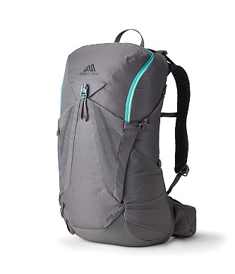
Gregory BackPack ~ My Favorite Brand
Do not forget your quick-dry microfiber towel!








Your Opinion Matters! Comments
Have you had a similar experience, have some advice to give, or have something else you'd like to share? We would love to hear from you! Please leave us a comment in the box below.