- ~ Home
- ~ Camino Sanabrés (The Sanabrés Way)
- Granja de Moreruela to Tabara, Day One
Jump to Camino Sanabrés Stages
Camino Sanabrés, Granja de Moreruela to Tábara, Day One, 25.1 Kilometers (15.6 Miles)
Just so you know, this website contains affiliate links from merchants like Amazon and Booking.com. As associates of these merchants, we will earn a small commission from qualifying purchases when you click on these links.
Disclosure: the PilgrimageTraveler.com is an associate of Booking.com, Roamless, and Amazon. As associates of these merchants, we earn from qualifying purchases from our links.
Our day one on the Camino Sanabres from Granja de Moreruela to Tábara was another long, hot one, with an optional four kilometer side trip to the Monasterio de Santa María de Moreruela. If you choose to take this round trip, you will need to add on four kilometers to the total given here.
I highly recommend you see the monastery, if you love this type of history and architecture. For me the extra kilometers were worth it, however, hindsight is 20/20 and it may not have been true for all in our party.
🙋♀️ Why Trust Us at the Pilgrimage Traveler?
We’re not a travel agency ~ we’re fellow pilgrims! (See About Us)
We've trekked Pilgrimage Routes Across Europe since 2014!
💬 We’ve:
- Gotten lost so you don’t have to. 😉
- Followed waymarks in the glowing sunlight, the pouring rain and by moonlight. ☀️🌧️🌙
- Slept in albergues, hostels & casa rurals. Ate and drank in cafés along the way. 🛌 😴
- Created comprehensive and downloadable GPS maps and eBook Guides, full of must-have information based on real pilgrimage travels. 🧭 🗺️
- Shared our complete journeys, step by step to help YOU plan your ultimate pilgrimage and walk with your own Heart and Soul. 💙✨
Every detail is from our own experiences. Just fellow pilgrims sharing the Way. We have added a touch of spirituality, heartfelt insights and practical guidance from the road ~ offering a genuine connection to the spirit of pilgrimage. Tap into the wisdom of seasoned pilgrims!
Ultreia and Safe Pilgrimage Travels, Caminante! 💫 💚 🤍
Quote for Day One on the Camino Sanabrés, Granja de Moreruela to Tábara
"Injury in general teaches you to appreciate every moment. I've had my share of injuries throughout my career. It's humbling. It gives you perspective. No matter how many times I've been hurt, I've learned from that injury and come back even more humble. ~ Troy Polamalu, former safety for the Pittsburgh Steelers
This day would prove that injuries are definitely a part of the Camino. I have had my share of them and our first day on the Sanabrés would change the group's experience, going forward.
Maps and Stats of Day One on the Camino Sanabrés, Granja de Moreruela to Tábara
Here is our GPS map created on Google maps. There are no services; absolutely nothing for the first 18 kilometers until you reach the town of Faramontanos de Tábara. Be sure to stock up at the tienda in Granja before you set out.
There are several cafés in Faramontanos de Tábara, and one accommodation, a casa rural. The next accommodation on this stage is in the destination town of Tábara, the full 25.1 kilometers. Plus the donativo albergue in Tábara is another 3/4 kilometer beyond the center of town, so you should count on a 26 kilometer day, minimum, if you are planning to go to the albergue.
If you are doing the side trip to the monastery, add another 4.0 kilometers for 30 total for the day.
As you can see from the elevation profile there are a lot of little ups and downs, though each change in elevation is still less than 100 meters (330 feet) for a total gain/loss of about 300 meters each. The terrain is definitely changing compared to the Vía de la Plata from Salamanca and there are a few climbs that you will feel, especially the one up from the Esla River. It is quite steep.
Here is the elevation profile with the addition of the four kilometers to the Monastario Moreruela. You can see the addition if you look closely, from about 2.25 kilometers to 6.25 kilometers. The four extra kilometers are, at least, essentially flat. Depending on how long you stay, you will only add an hour-and-a-half to two hours to your day.
👣 Camino Sanabrés EBook:
Offline Guide with Bonus Route
~ Includes 4-5 additional days on the Vía de la Plata from Salamanca!
Walk smarter with our ad-free, beautifully formatted Camino Sanabrés eBook Guide, perfect for offline use ~ important in the mountainous and remote areas. Includes daily stage details, stunning photos, historical background and a BONUS digital guide on the Vía de la Plata from Salamanca, called the Camino Fonseca. This allows you the opportunity to add 4-5 more days to your Camino in the beginning.
Don't carry a hard copy guide book to increase your pack weight. Use our frequently updated digital guide on your next Camino instead!
📲 Instant download. 💸 Money-back guarantee. 🔄 Free updates for 1 year.
👉 Click here for more info or BUY NOW!
Jump to Camino Sanabrés Stages
Photo-Rich Travelogue for Day One on the Camino Sanabrés, Granja de Moreruela to Tábara
We started out at daybreak from the extremely comfortable and economical rural home, La Casa Del Tío Quico, on the major east/west artery in Granja de Moreruela, the Calle Dr. Damián González Galindo. The waymark on the building shown below was clear.
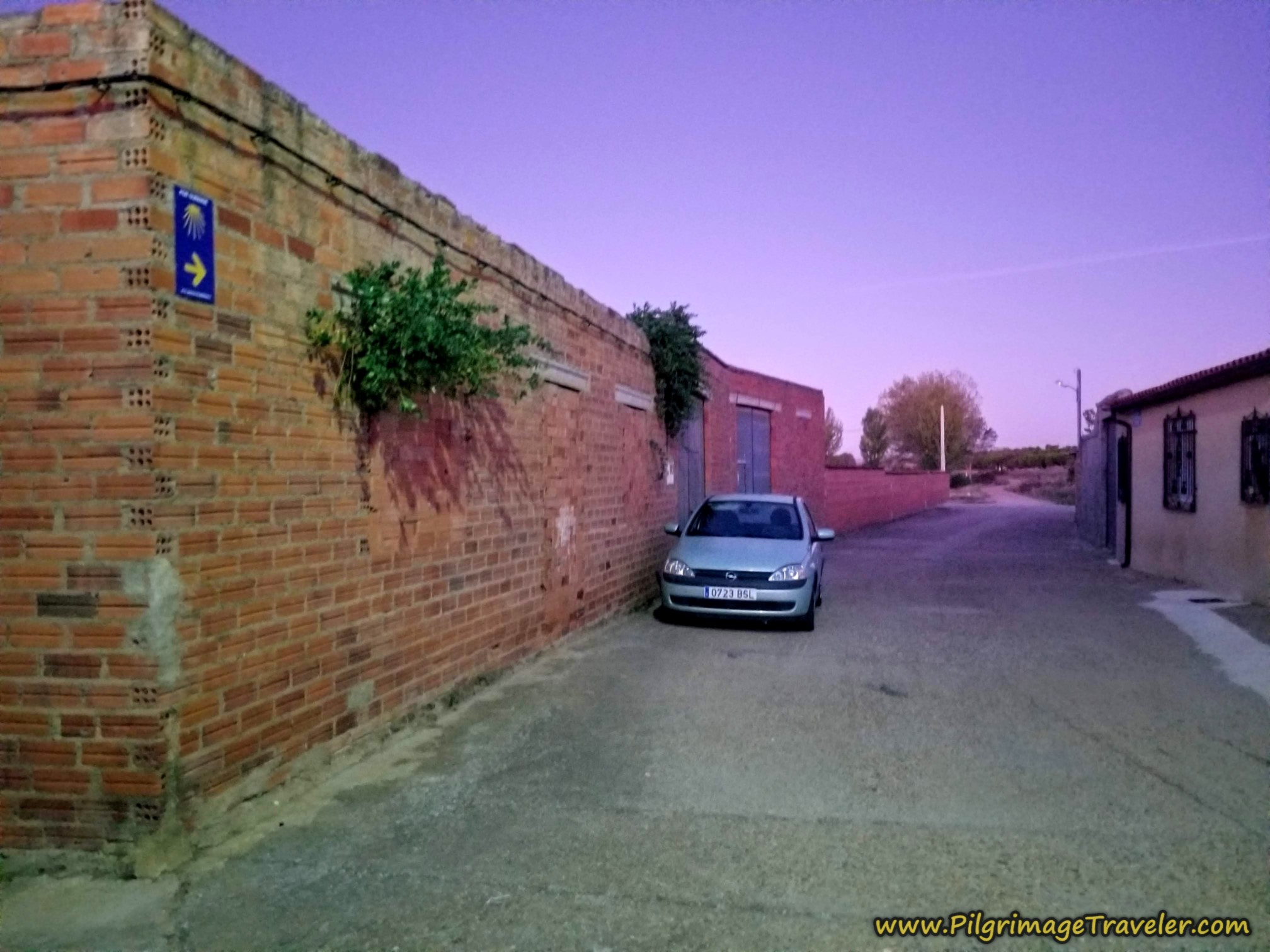 Leaving Granja de Moreruela at Dawn
If you are starting out from the albergue, go north on the N-630 to the church and turn left onto the Calle Dr. Damián González Galindo.
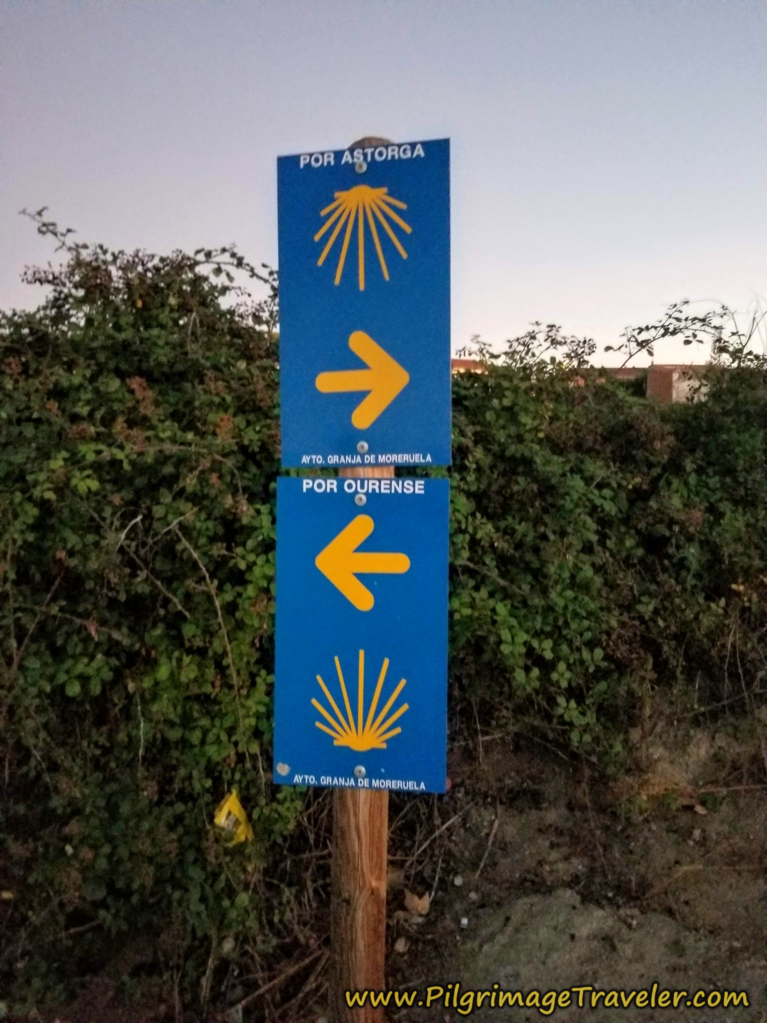
Within only 250 meters, come to the western edge of town and see the bifurcation reminder once again, that you encountered on the prior day on the Vía de la Plata.
If you wish to stay on the Vía de la Plata you would take the route "por Astorga" as the sign states. Or, as we were doing, you would go "por Ourense" and follow the route along the Camino Sanabrés.
Continuing onward, after about 700 meters you see the overpass of the A-66 highway ahead. Walk underneath it.
As we walked onward, in the pre-dawn light, the sky and earth was alit with alpenglow. This is the time of day that I love the most. Hence, I took more photos than I should have!
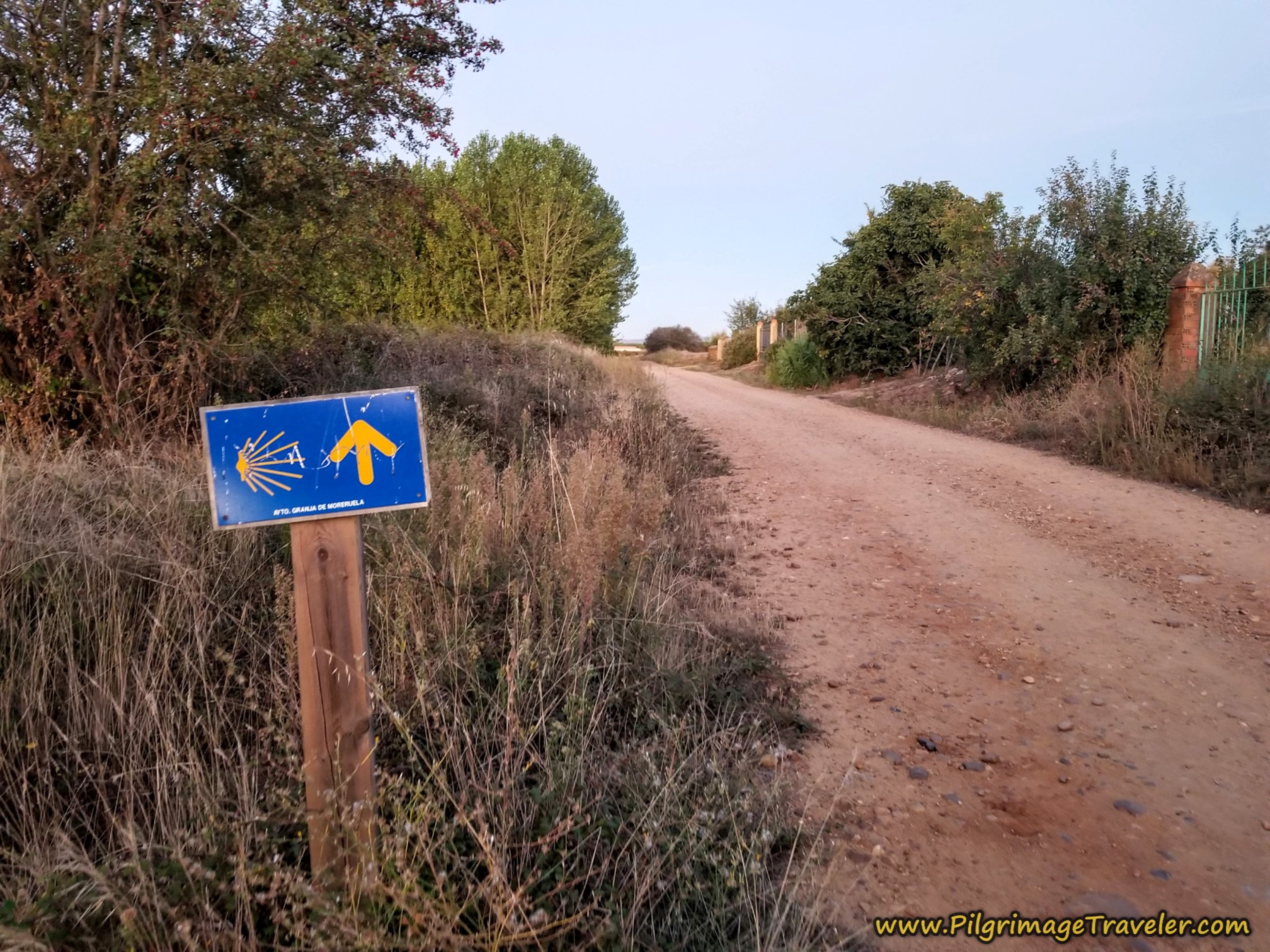
As you can see, the Way is very well waymarked.
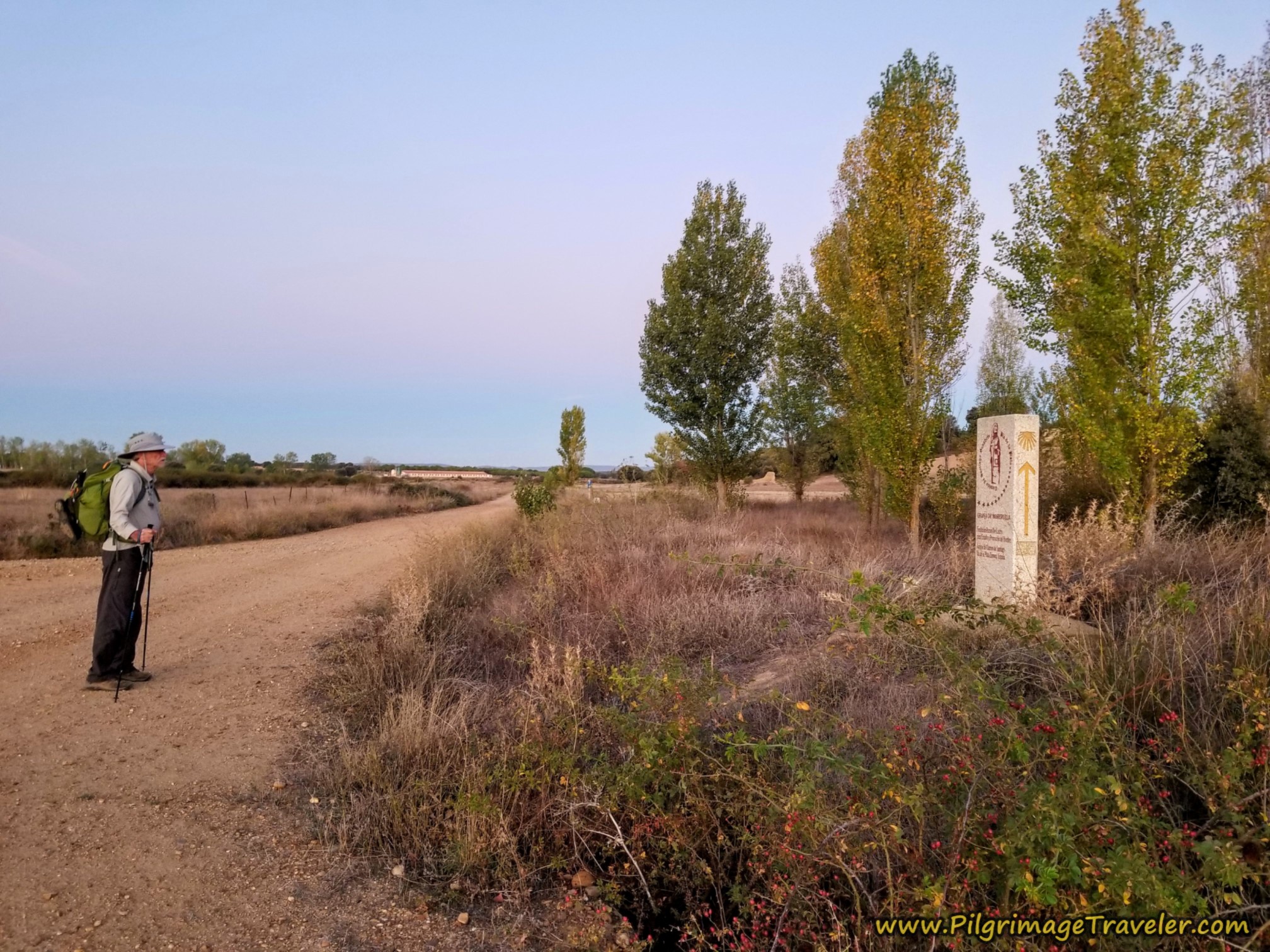
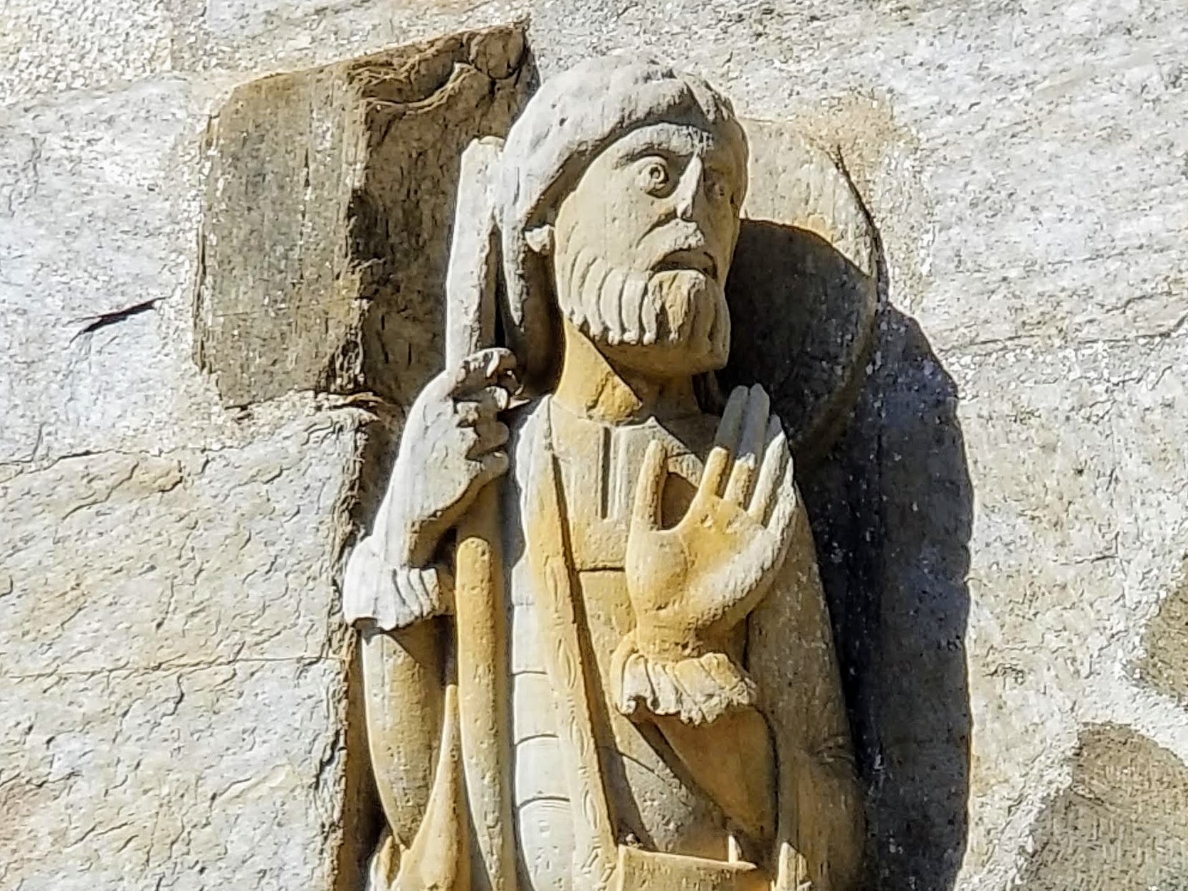
Aftee only about 1.30 kilometers, you come to this engraved waymark, shown below. The people of this region are very, very proud of their historic sculpture of Santiago, dressed as a pilgrim, the oldest one known. This Santiago is depicted everywhere, including on this and future waymarks. We stopped to admire it and anticipated seeing this sculpture on the second day of the Camino Sanabrés in Santa Marta de Tera.
After only a few more meters beyond the above waymark and after about 1.34 kilometers into the day on the Camino Sanabrés from Granja de Moreruela to Tábara, take the turn to the right. Here is the turn, where Norm stopped to do a shoe adjustment. Nadine watches as he tries to figure out what was going on.
He would develop a blister on his heel, then figure out how to put in his own inserts made of cardboard to raise up the foot box to prevent future rubbing at the heel. It was an ingenious solution that would work out for him for the rest of his Camino!
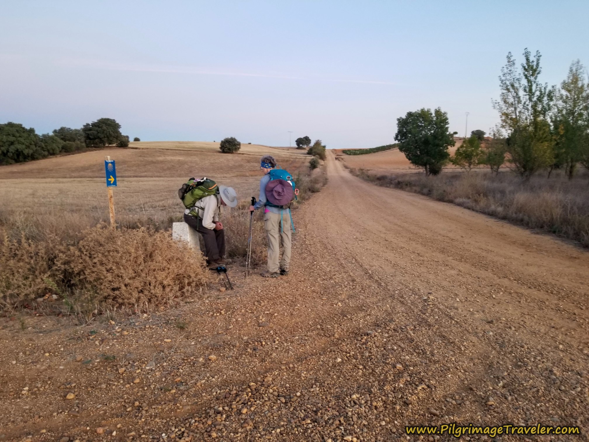 Shoe Adjustments at First Turn
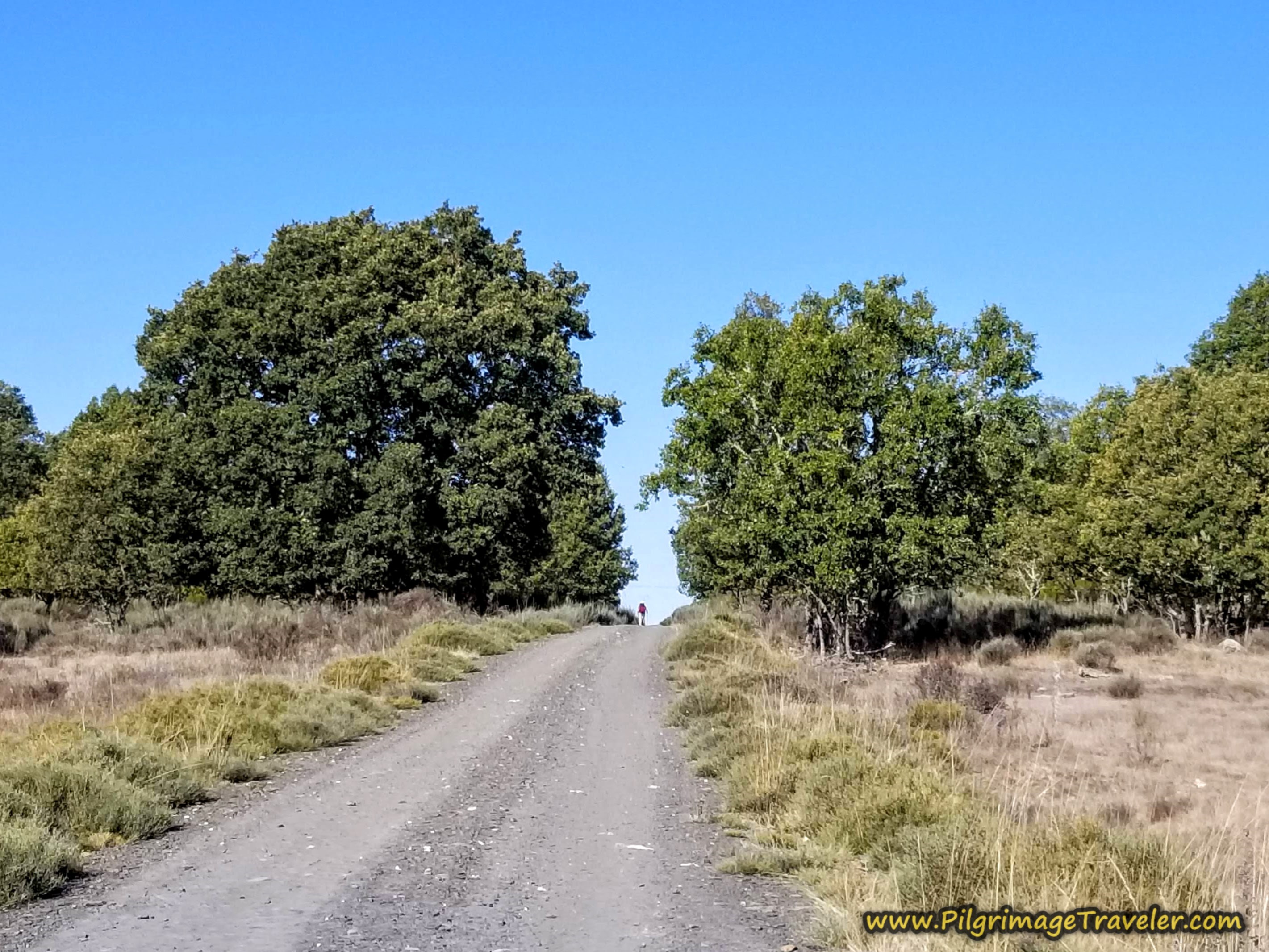
After the turn you can see the first small hill ahead. We would crest the hill after 1.7 kilometers. That is Ledi, our Portuguese friend ahead at the top of the hill when I took this photo.
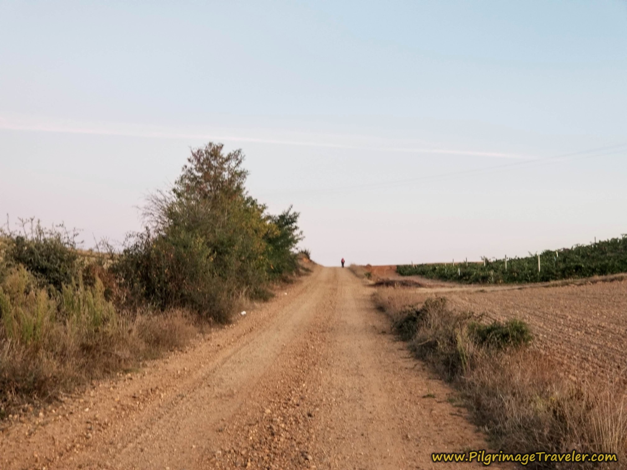 Pilgrim at Crest of the Hill
Many more pilgrims could be seen ahead after we crested the top of the hill. It looked like none of them were going to take the turn at the bottom of the hill to see the Monasterio Moreruela. You can see at the line of trees, in the photo below, there is a lane to the left. That is the way to the monastery.
You arrive at the turn for the monastery, after a total of approximately 2.15 kilometers thus far, at the bottom of the hill. If you are going onward, skip to farther below.
Jump to Camino Sanabrés Stages
Optional Diversional Route to the Monasterio Moreruela
We turned to the left at the bottom of the hill where there is another wonderful engraved waymark with the oldest Santiago as a pilgrim, like the first one.
After 2.8 kilometers into the day on the Camino Sanabrés from Granja de Moreruela to Tábara, you come to the first intersection after about 600 meters, and you see a pylon with an arrow to the right, back toward the way we came!
I was surprised to see this waymark, yet I was following GPS tracks of someone who had come this exact way. I now understand that this is a route marking from the monastery back to the Camino, if you had opted to detour here from the south at Riego del Camino. It did feel weird to be walking opposite the waymark's direction.
After not quite 3.2 kilometers, and about 400 meters more, you come to the walled area shown below at the intersection with a paved road, the ZA-L-2566. You turn right onto the paved road. There are high fences on both sides of the road, leading you through a "dehesa," or a fenced-in pastureland. This one is the Dehesa de la Guadaña, the name of the homestead.
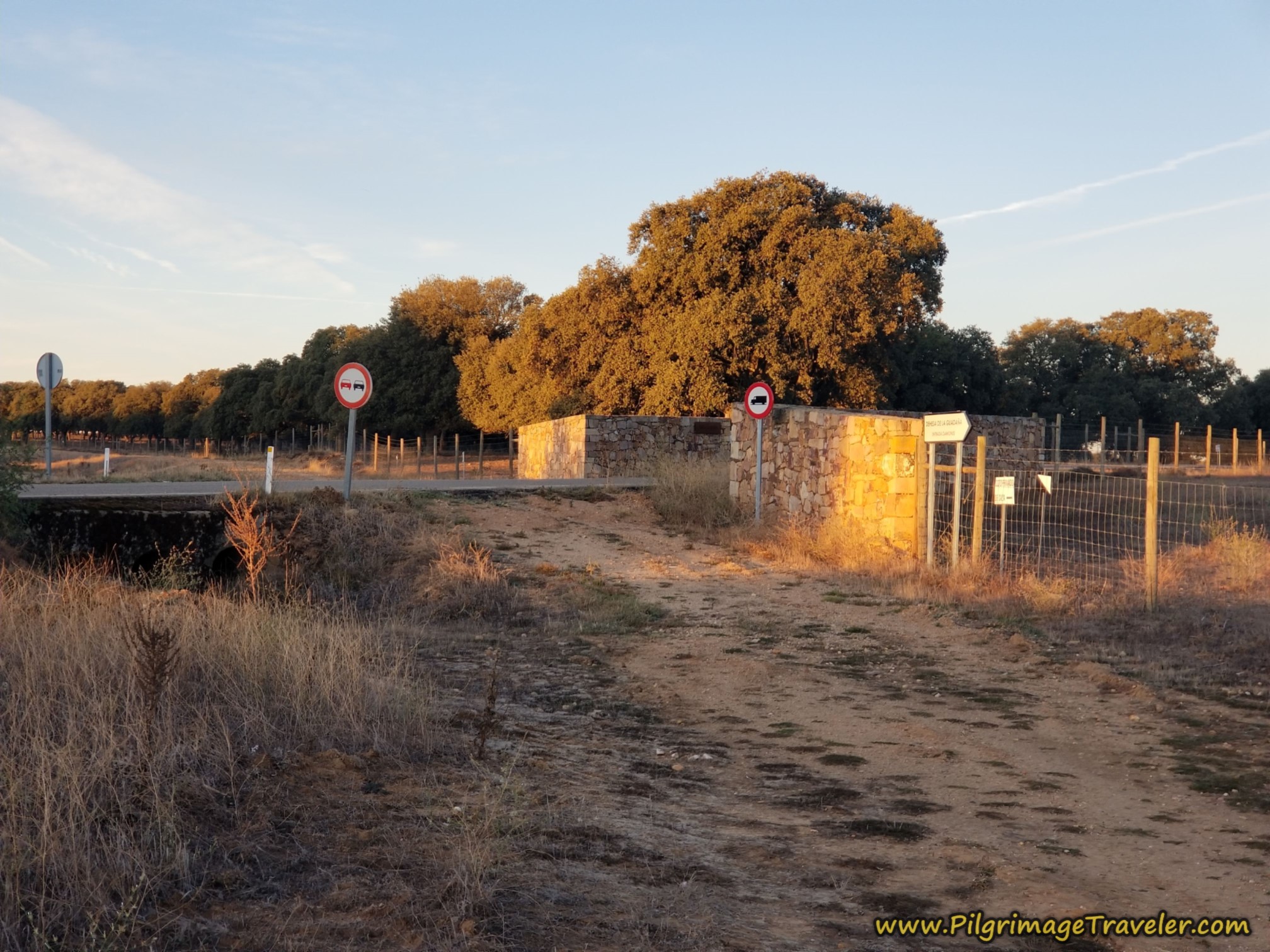 Right Turn Onto ZA-L-2566
From the turn, the monastery is not quite a kilometer from here, on this easy, flat and paved country road.
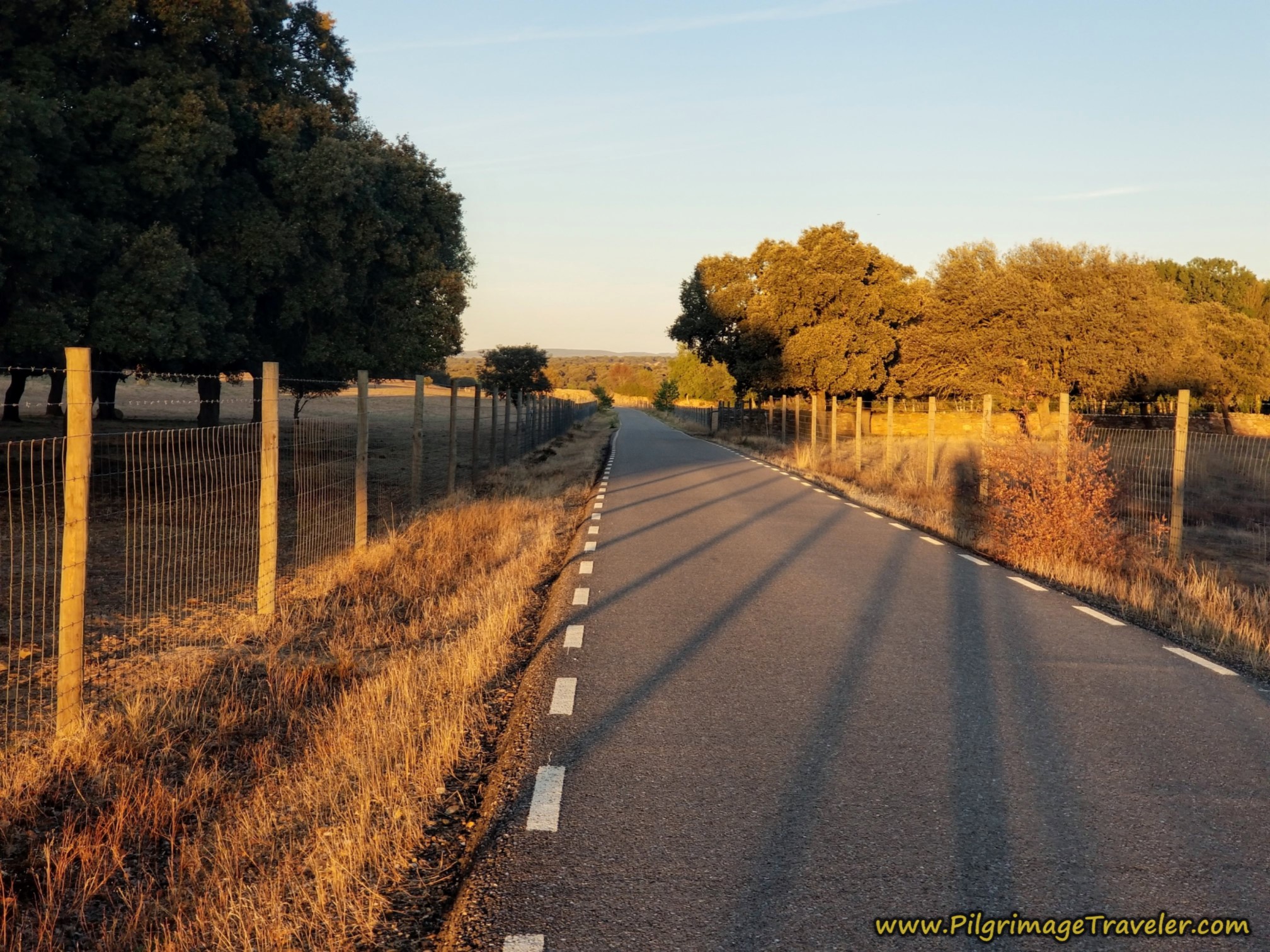 Along the ZA-L-2566 Towards the Monastery
And then you come to a wall that delineates the property of the monastery, just before a big bend. As we walked toward the ruins, the early morning light glowed on the tippy top of the ruined steeple, the first thing we were able to glimpse as we approached.
You are about exactly 4.0 kilometers total, when you arrive at the gate to the monastery.
The sign welcoming you to the site had posted the visiting hours. Alas, in "winter" from October to March, the hours are 11-17:30. It was just after 9:00 when we arrived. (In summer, the hours are 10-1400 and 1600-20:00.) No way were we going to wait for two hours for the official opening.
Because the sign also said "Visita Gratuita" or free admission, we just hopped over the wall, next to a stone fountain and let ourselves in! It was easy to do. There was another pilgrim ahead of us who had done the very same thing.
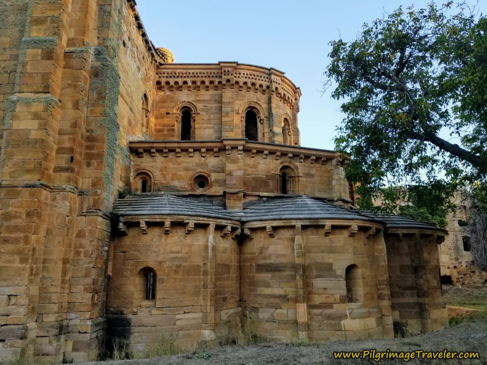
The Monasterio Moreruela, a Cistercian monastery built in the 12th century in the Romanesque and Gothic styles is massive and in total ruin. It was abandoned in 1793, "discovered" in 1966, but the vegetation wasn't removed until 1996. Throughout this open air museum you will see posters with photos of how the monastery originally looked before the attempt to uncover it in the nineties.
I find that ruins are more romantic than sites not in ruin as one's imagination can be more easily accessed. We were lucky to have the entire place to ourselves for our entire visit, enhancing our experience of the place. No other pilgrims cared to go the approximately four kilometers extra to see it.
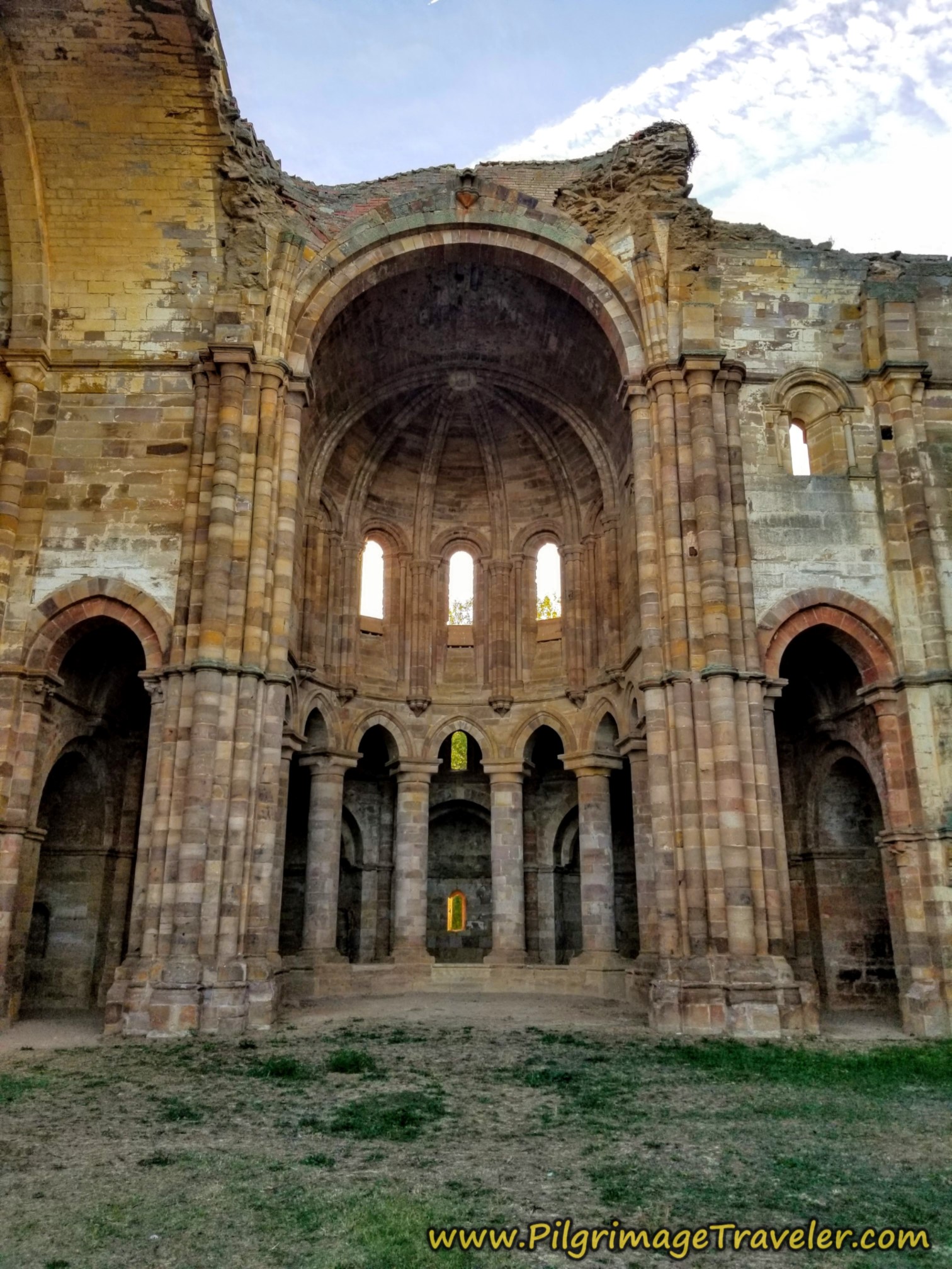
The ruined cathedral was the most impressive of the remaining buildings, shown below. All the rest of the complex was not nearly as enchanting, however, the one building contained lovely posters of the history and excavation of this place.
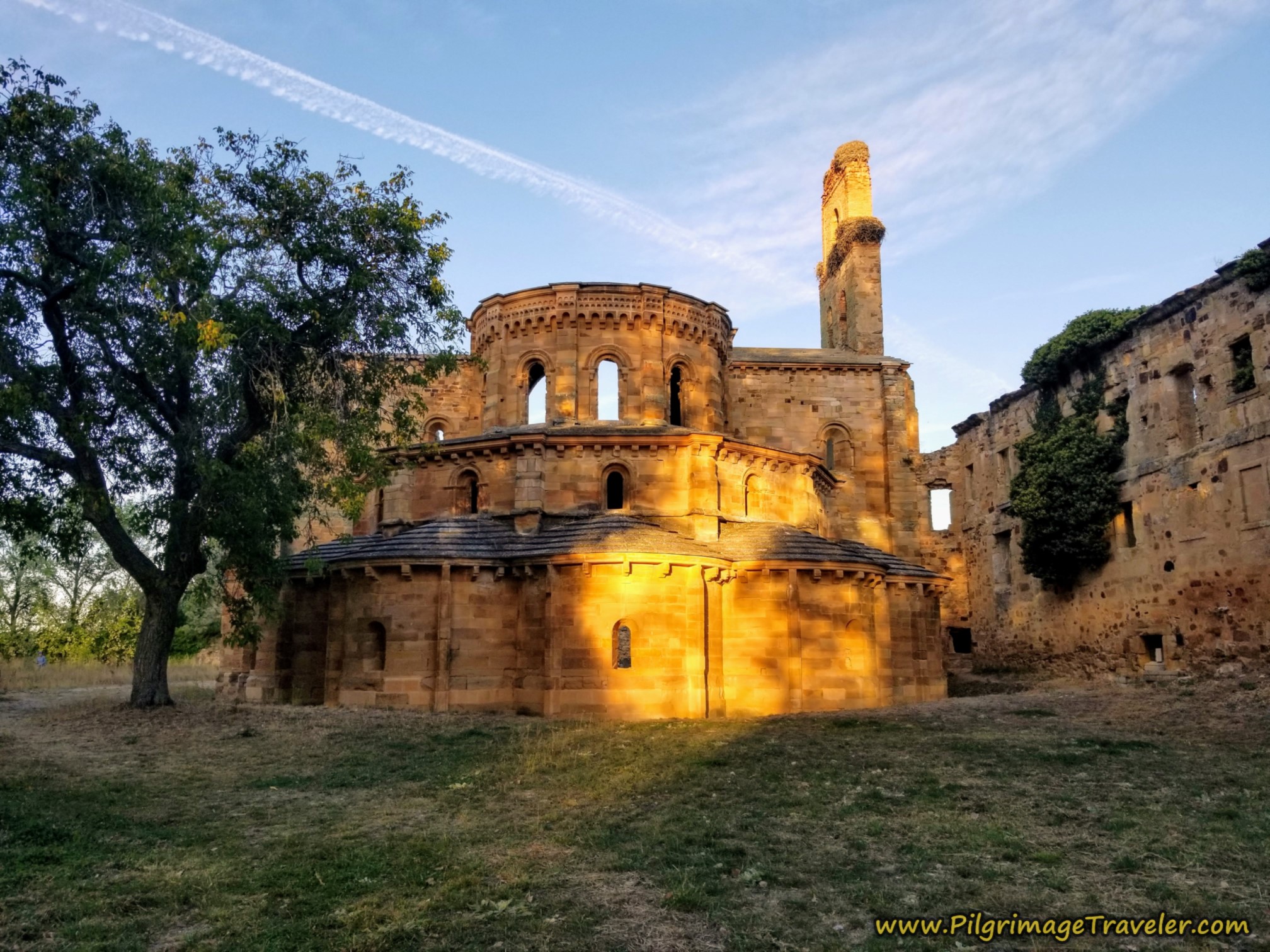
Here is a photo of the gorgeous view we had of the upper storey of the cathedral apse. It truly glowed in the morning eastern light.
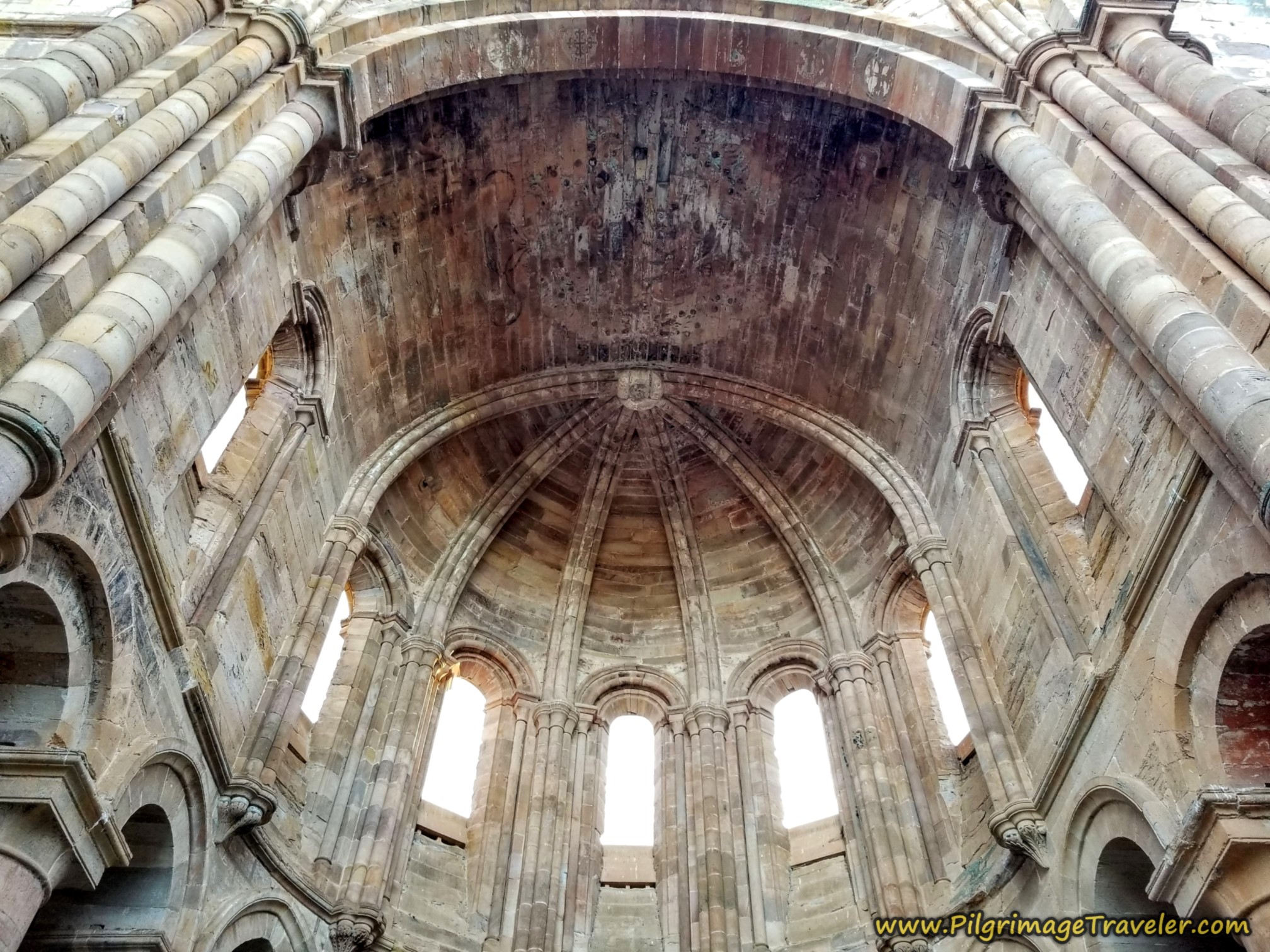
We walked around the back of the cathedral to the most beautifully excavated and preserved part of all the monastery complex.
The morning light cast an enchanting glow on the apse of the cathedral on the Eastern side. I thought this was the best viewing area. This view is not visible from the road, only the top of the bell tower.
If you want to read more information about this fabulous place, click here for the Santa María de Moreruela Official Website.
Then it was back on the Camino Sanabrés from Granja de Moreruela to Tábara. Here is the waymark I mentioned above, that we passed again as we retraced our steps on the two-kilometer return.
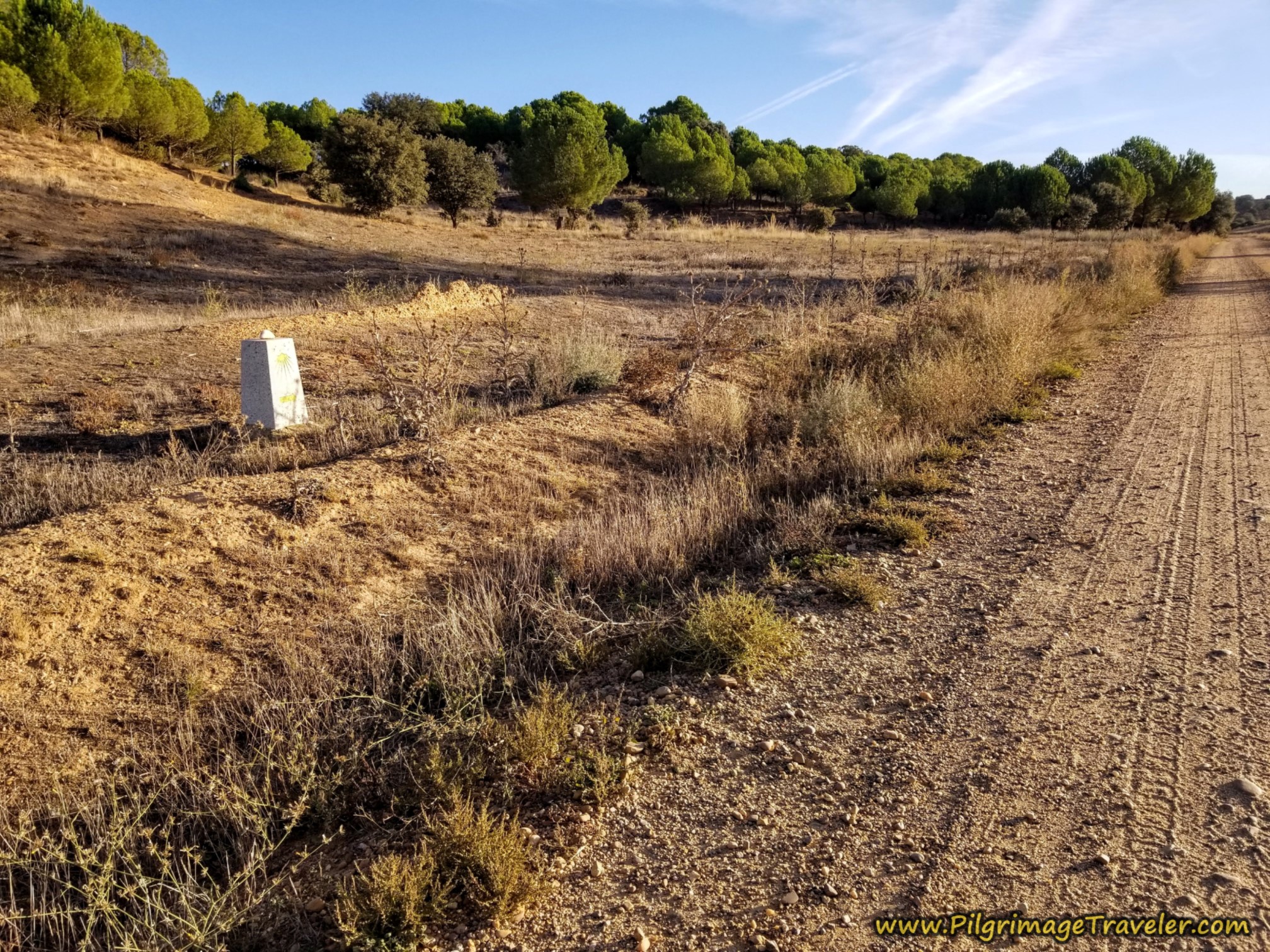 Waymark Back to Main Camino
Jump to Camino Sanabrés Stages
Back on the Camino Sanabrés, Granja de Moreruela to Tábara
It was a total of about 6.25 (2.15) kilometers, when we re-joined the main camino, here at this intersection where we had first left it. (From here on out I will give the day's distance with the additional 4.1 kilometers that we added on the diversion. I will give the distance without the diversion in parentheses beside it.)
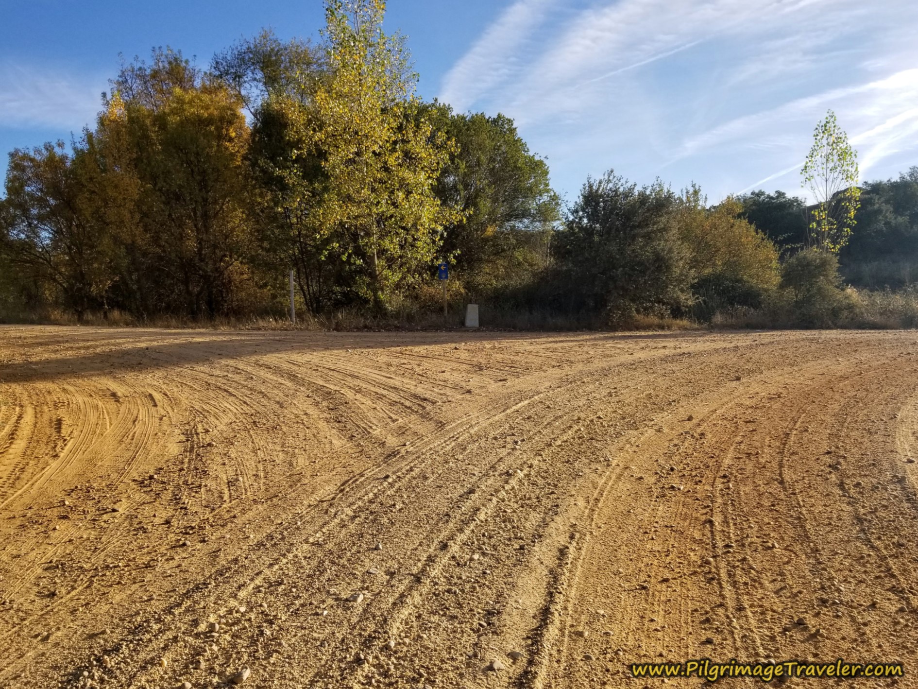 Joining the Main Camino, Turn Left
After rejoining the Camino you start up a hot, long hill. At the top, carry straight on at the next intersection shown below.
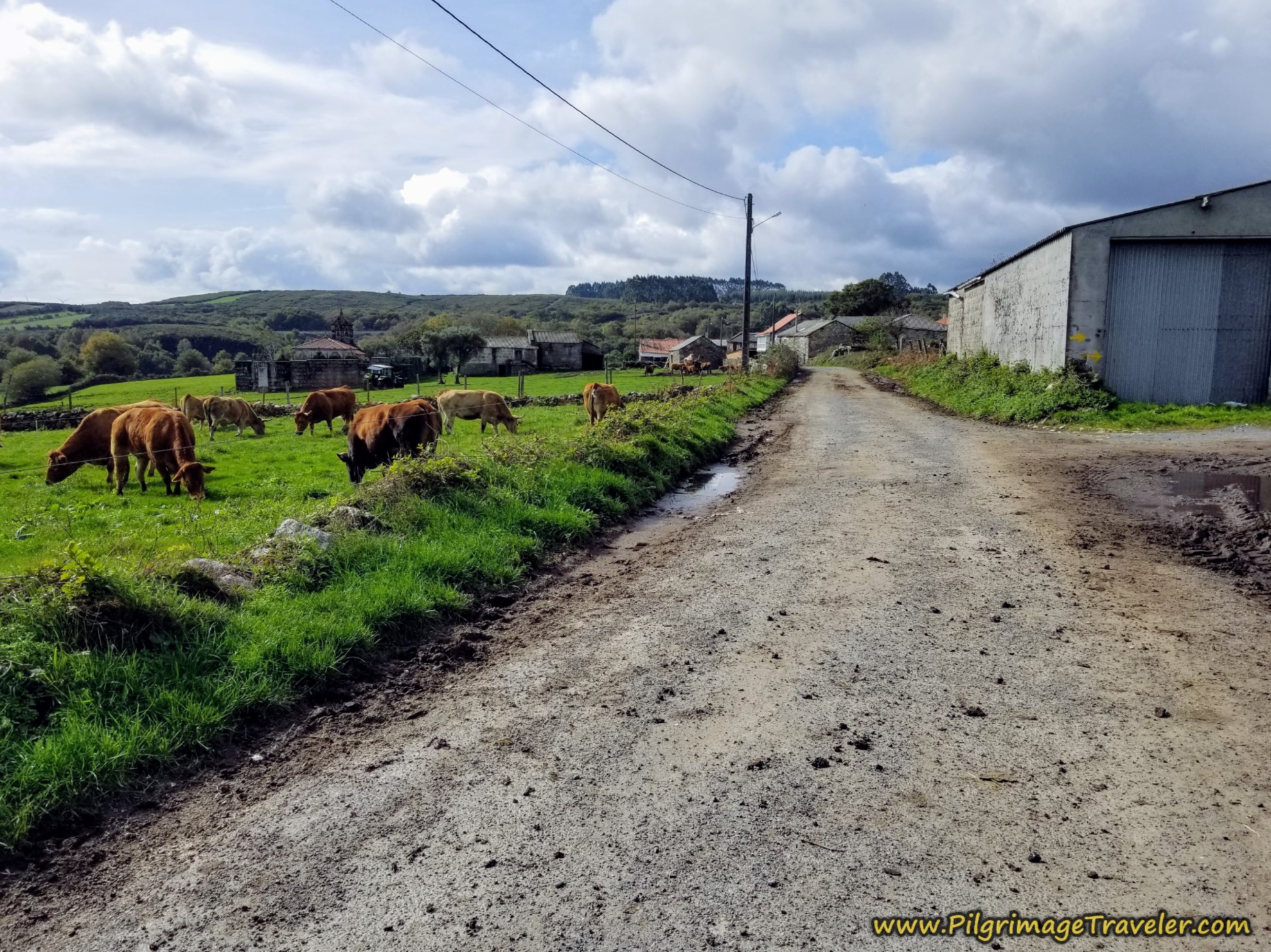
You pass by cattle in more fenced pasture land, and some magnificent oak trees.
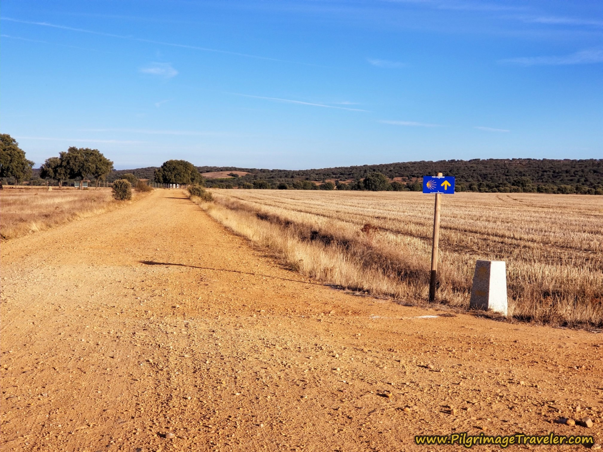 Straight Onward From Here
Next, you pass the sign for the Dehesa de la Guadaña, the same fenced pasture land estate we had encountered before at the monastery.
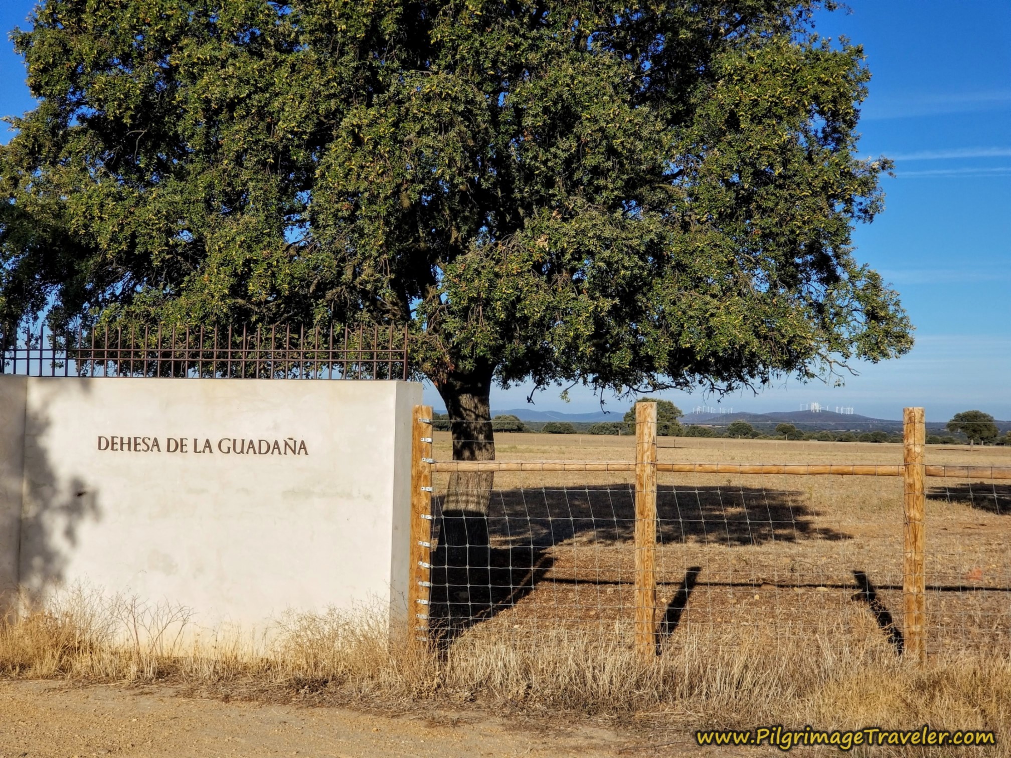 Walk by the Dehesa de la Guadaña Sign
After walking past the estate sign, as you go down a hill, you can see forested mountains ahead, even though the terrain thus far has been relatively flat. The terrain is definitely getting different, with more hills and more trees. You will see several hillocks of windmills in the distance.
After walking through an oak-treed area and at the top of the next hill, we turned right, at this intersection shown below. You are about 8.3 (4.2) kilometers into the day at this turn.
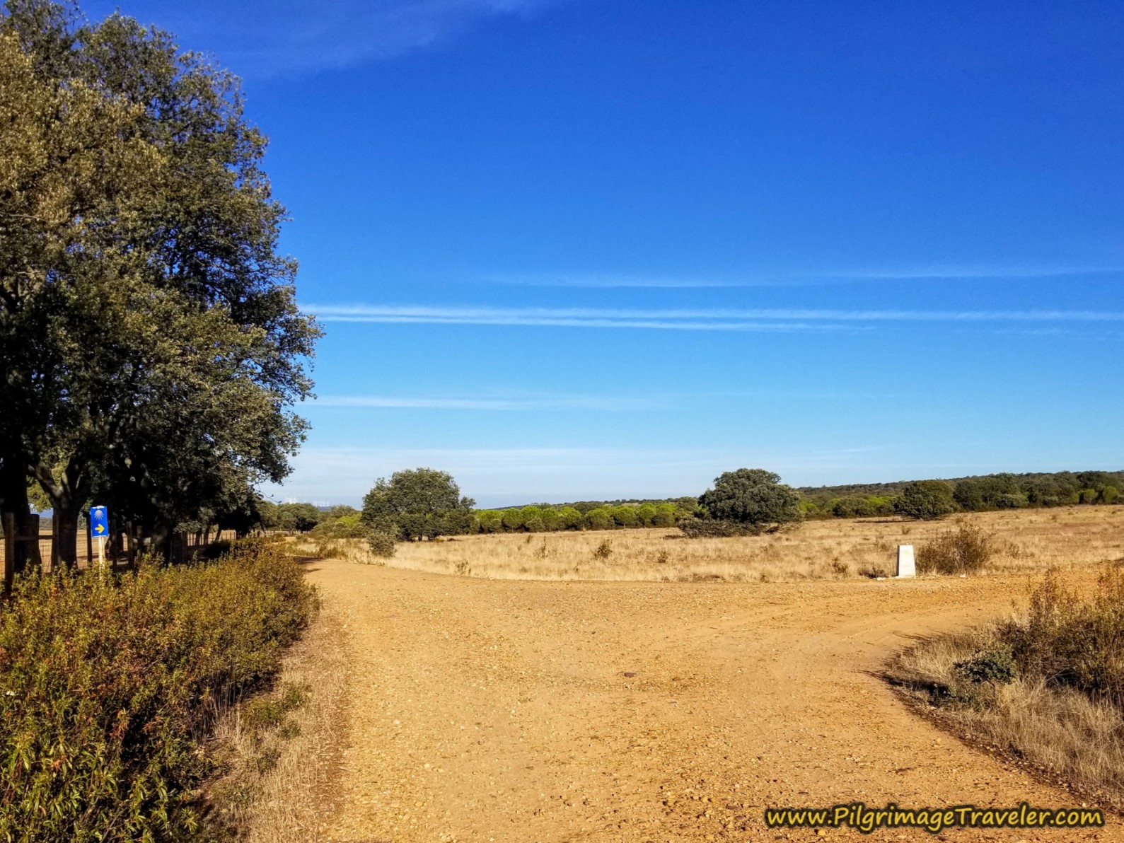 Right Turn at Next Waymark
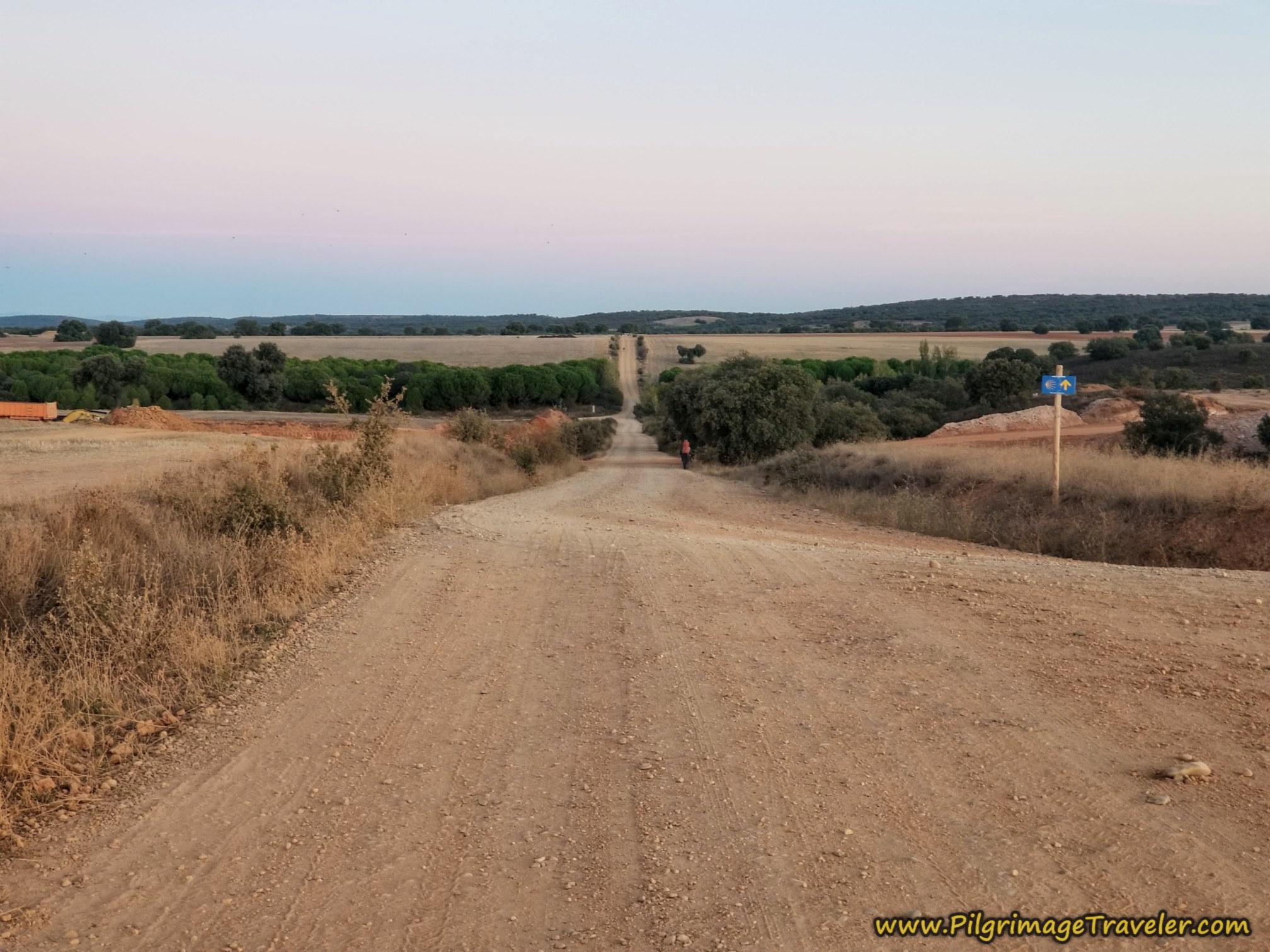
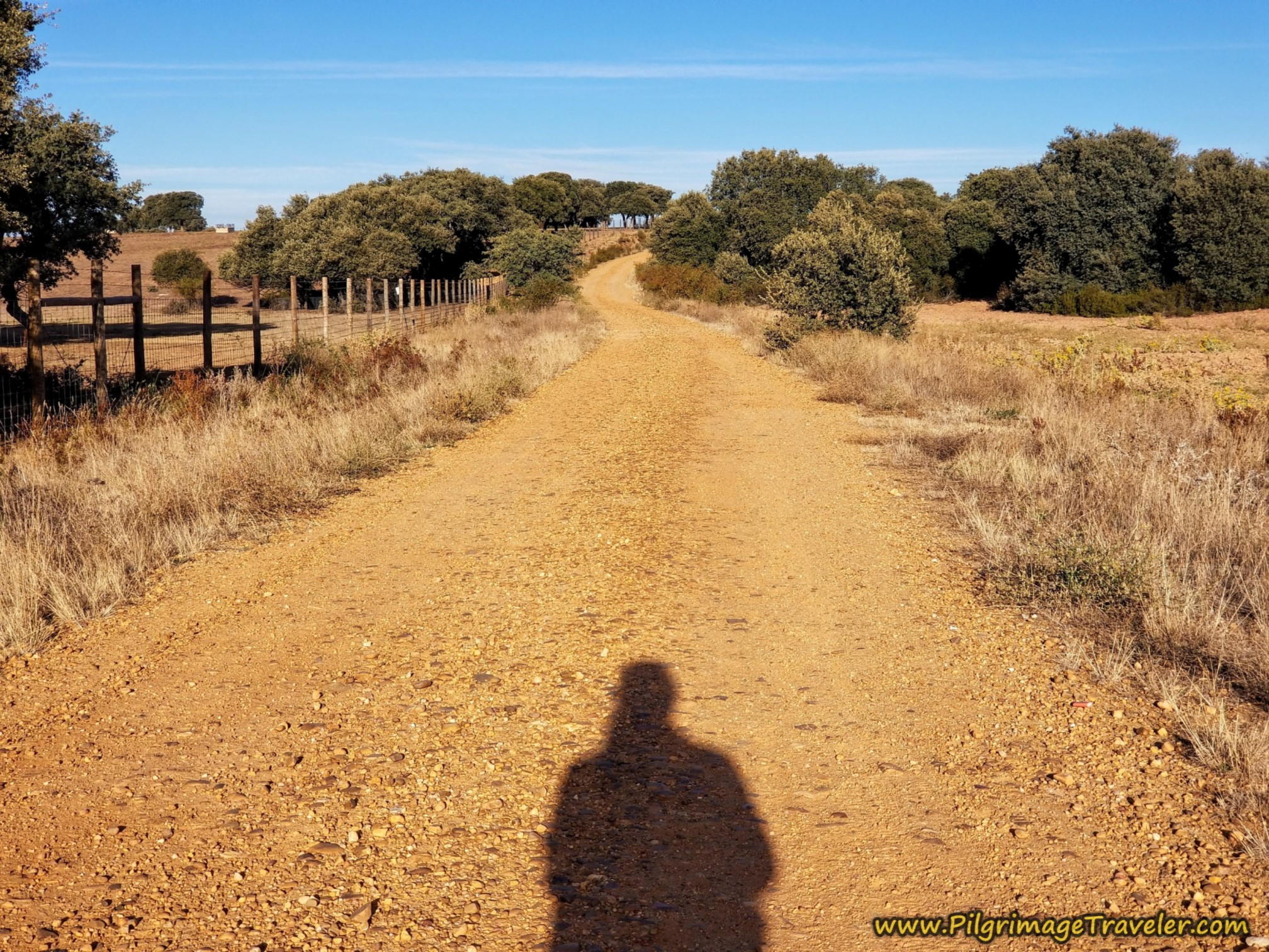
We were heading towards the reservoir of the Río Esla, with another hill ahead, accessed by this loose gravel lane, shown below.
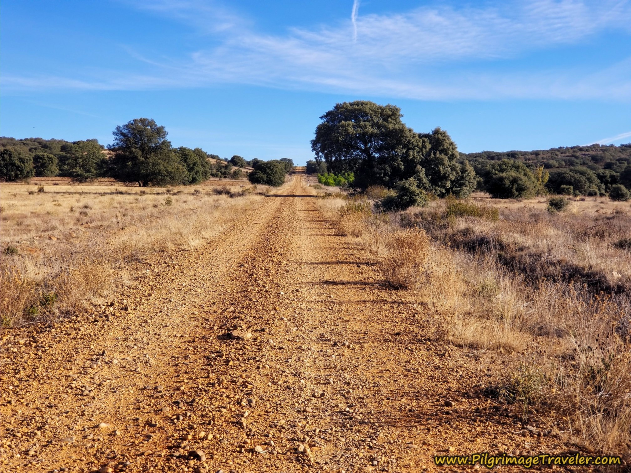 Gravel Road Ahead
It is after approx. 9.0 (4.9) kilometers into the day on the Camino Sanabrés from Granja de Moreruela to Tábara, when you crest the loose gravelly hill shown above. It is all downhill from here to the river.
This loose gravel was starting to hurt the bottom of my feet. I felt every bump, through the sliding Spenco pads in my shoes. My feet were sliding all over. Thus far, I had no blisters, thank God.
After 9.25 (5.15) kilometers, you take a left turn at this T-intersection, below, heading toward the reservoir in a general direction to the west, continuing downhill.
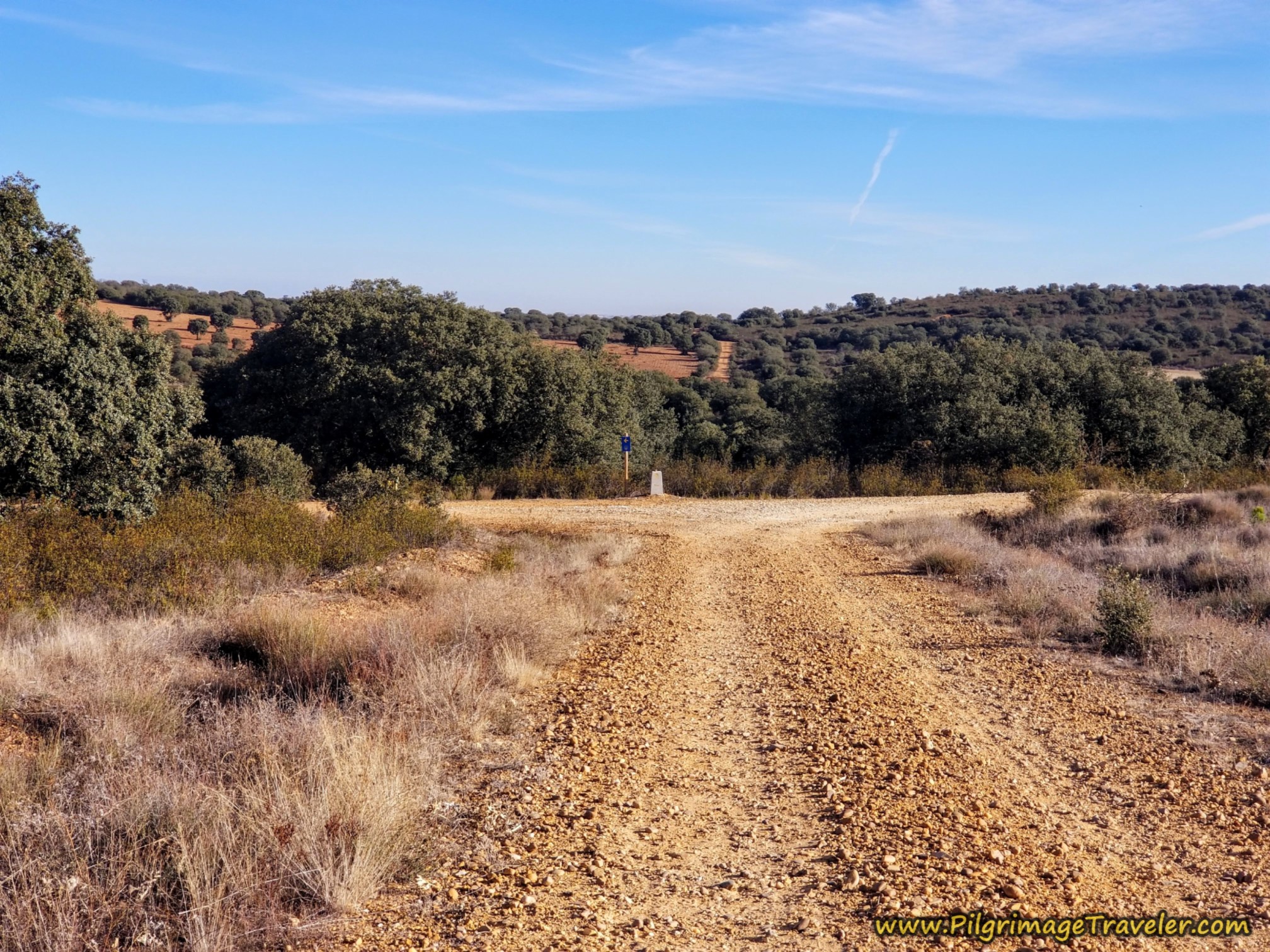 Left Turn at T-Intersection
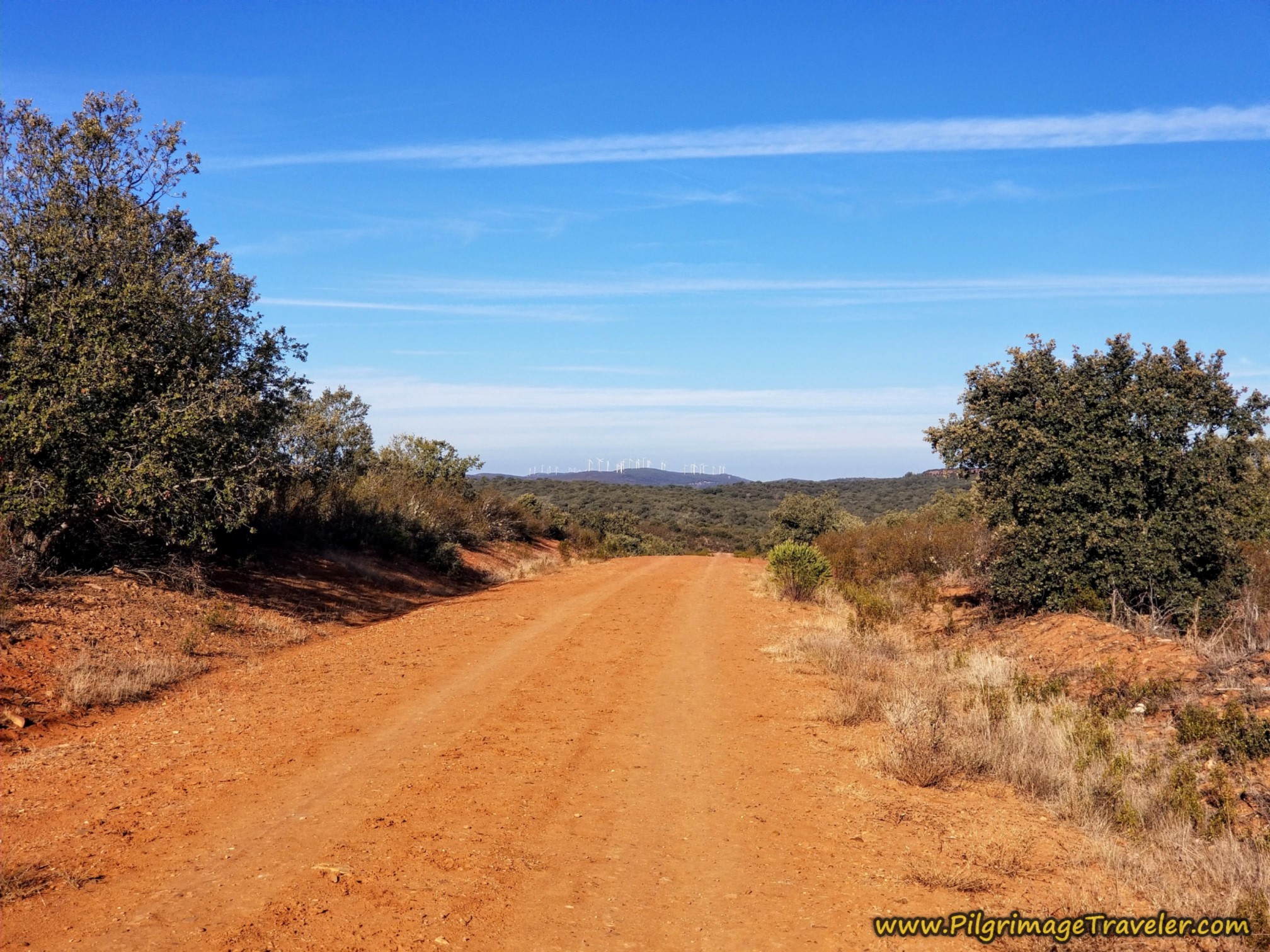 Onward Toward the Reservoir After Left Turn
By around 9.5 (5.4) kilometers, the lane descends super steeply, for a short way. I took a photo of the steep road, but it just didn't do it justice. I think I slid down this section! If it is wet, you will need to be very careful. You can see the highway toward the bridge across the river ahead.
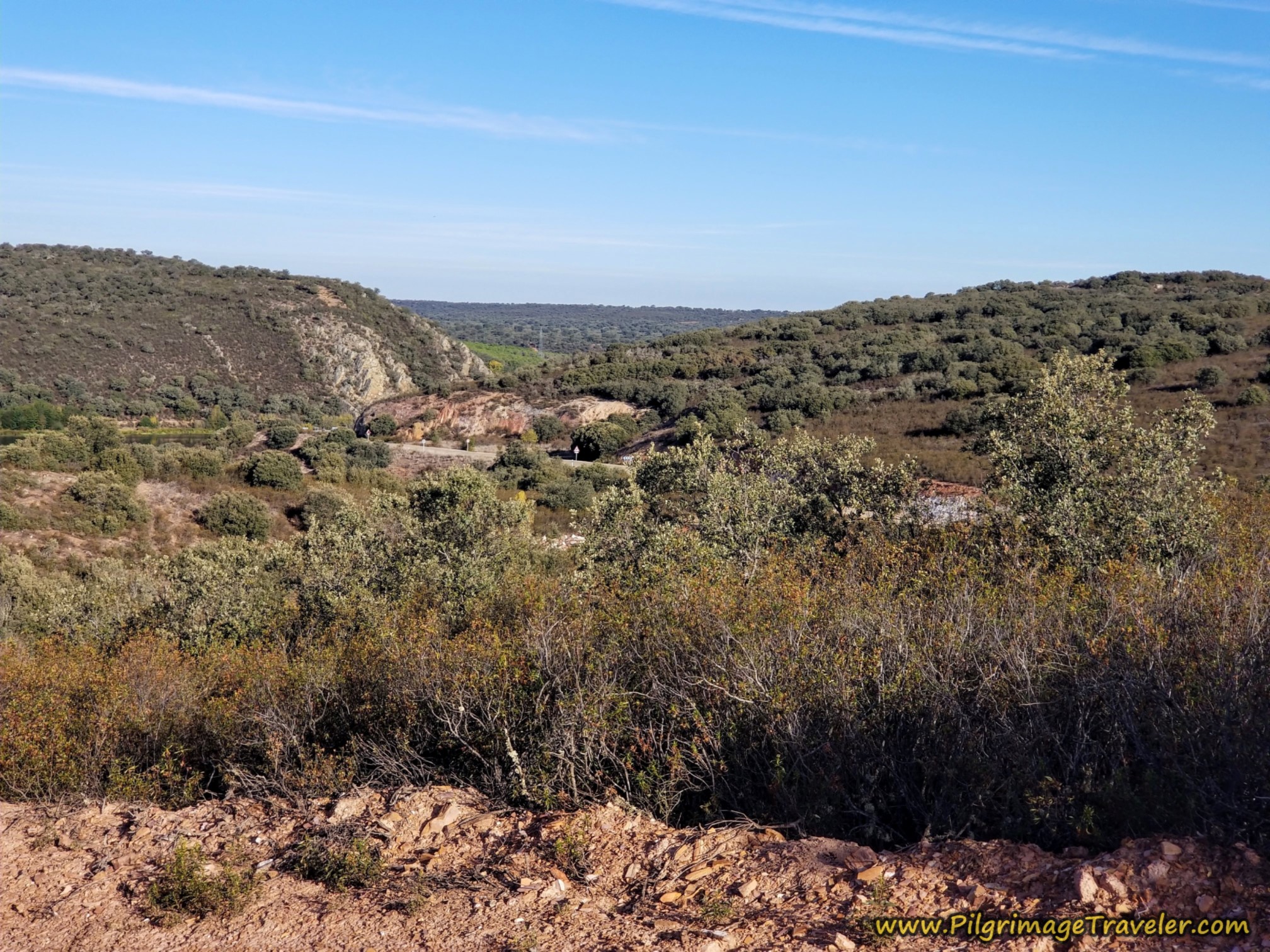 Highway ZA-123 Ahead
After the steep downhill slide the lane bends to the right and joins the ZA-123 at a T-intersection. You turn left at the "T." You will need to be on the pavement to cross the river on the bridge ahead, so don't attempt any shortcuts here, or you will have a miserable climb back up from the river.
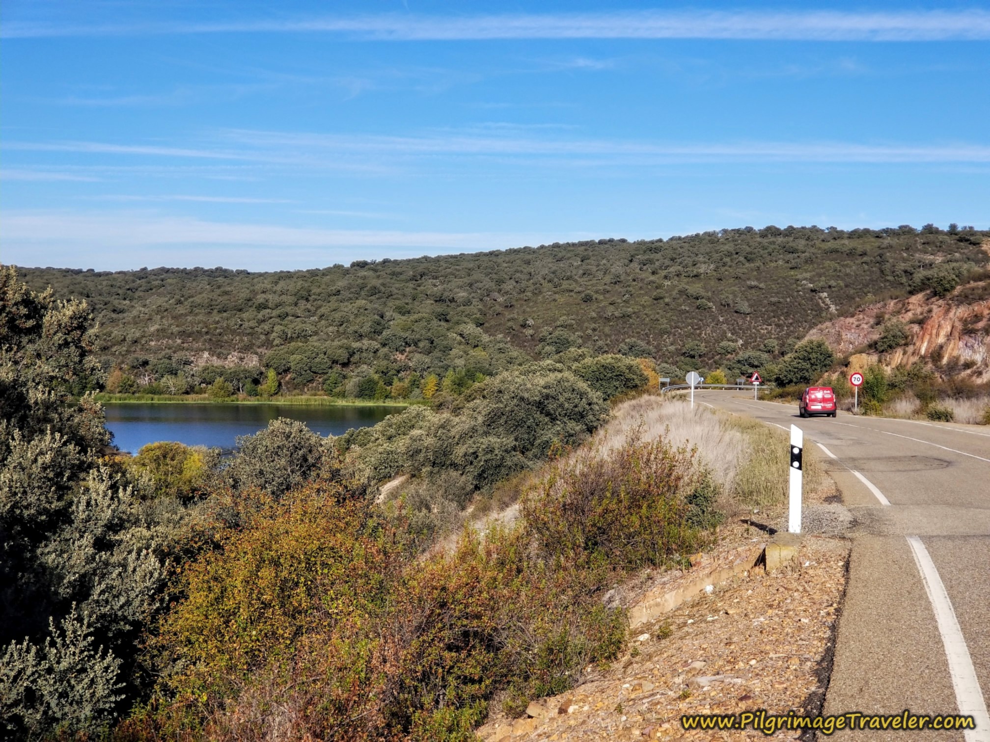 Turn Left Onto the ZA-123, Esla River in Sight
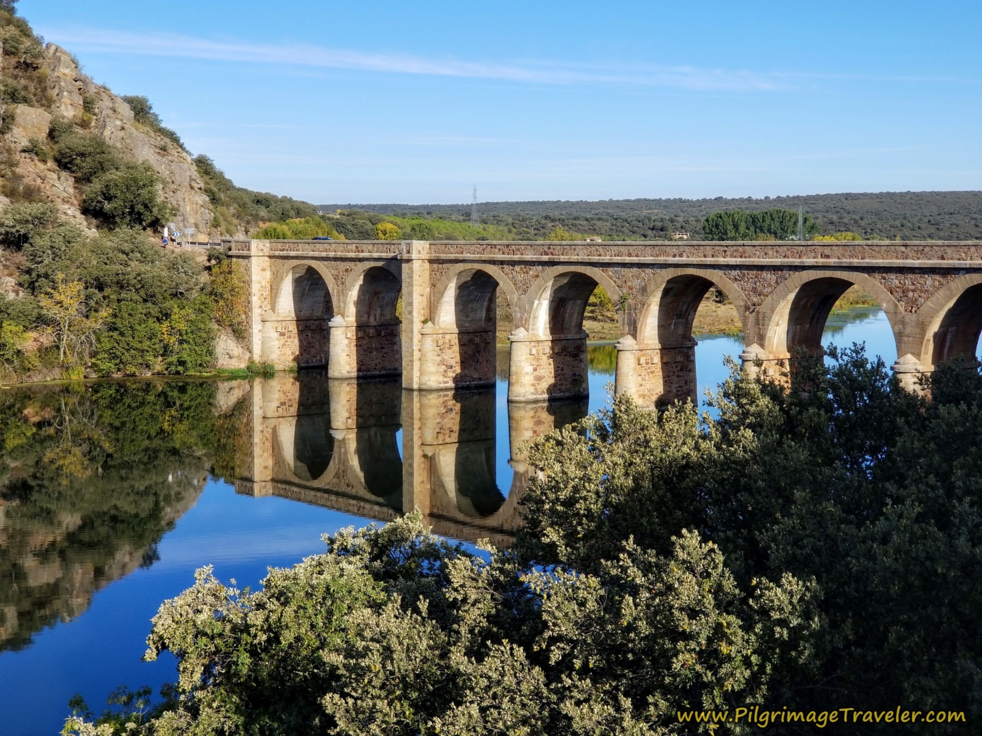
Crossing the Río Esla on this bridge is a beautiful experience on a clear day! After admiring it as you approach, reach the bridge after 10.6 (6.5) kilometers on the Camino Sanabrés from Granja de Moreruela to Tábara.
Immediately after crossing the bridge, on the other side you will notice this sign for the Camino, with the yellow arrows pointing to the left.
(Notice the name “Mozárabe” on the sign, for the first time. The word Mozárab, is a Spanish word derived from Arabic, meaning a Christian who lived in Spain during the Moorish rule in the Iberian Peninsula from the 8th to the 11th centuries. The Via de la Plata is also known as the Camino Mozárabe and you will encounter this name again as you walk along).
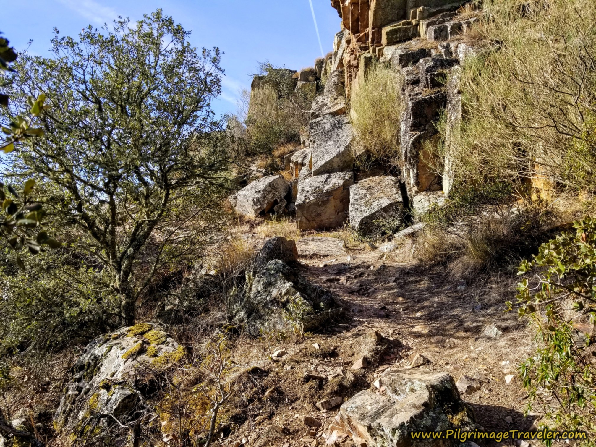
The trail ahead is very rocky and steep and if it is raining, I would highly suggest you just stay on the paved road, the ZA-123 all the way to Faramontanos de Tábara.
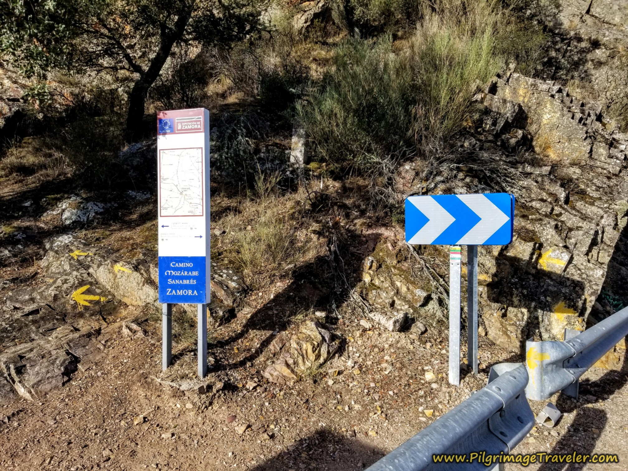 Choice of Routes After Bridge
Do not make this decision lightly, because if you choose the road it is about 10 kilometers of pavement until you can rejoin the Camino on the west end of Faramontanos de Tábara.
The steep rocky section of trail is only a bit more than one kilometer, before you are back on nice gravel lanes. I suppose gravel lanes could get quite muddy depending on how hard it is raining, so choose as best you can after viewing my photos of this section!
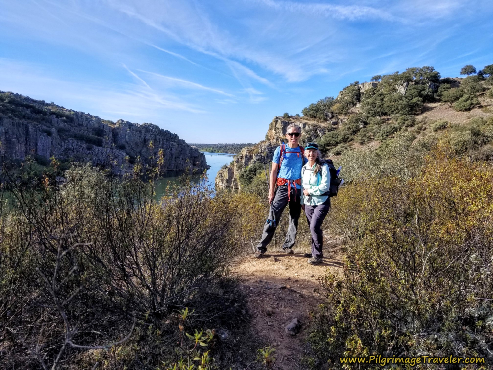
I must admit I was surprised by the roughness of this trail. It looked quite unmaintained to my eye, but it was worth it, for the loveliness of the views it afforded over the river.
In order to get to the views it does involve scrambling over rocks though slick dirt that could be a muddy nightmare in the rain. Tread carefully, even in dry weather.
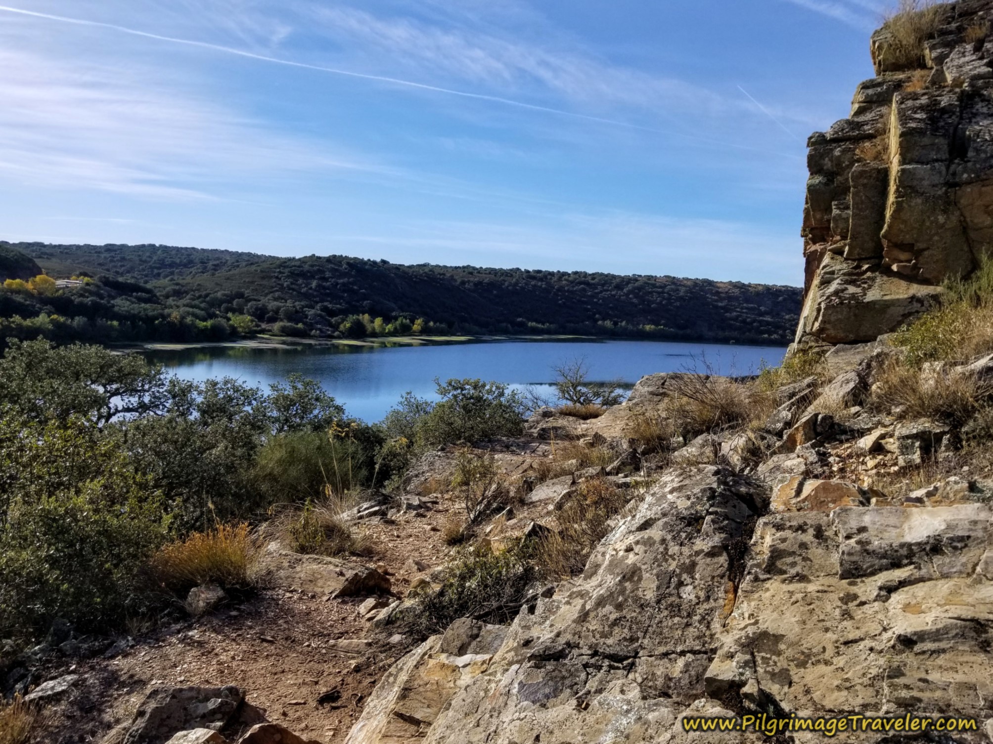 Lovely Views of the Esla River Along the Trail
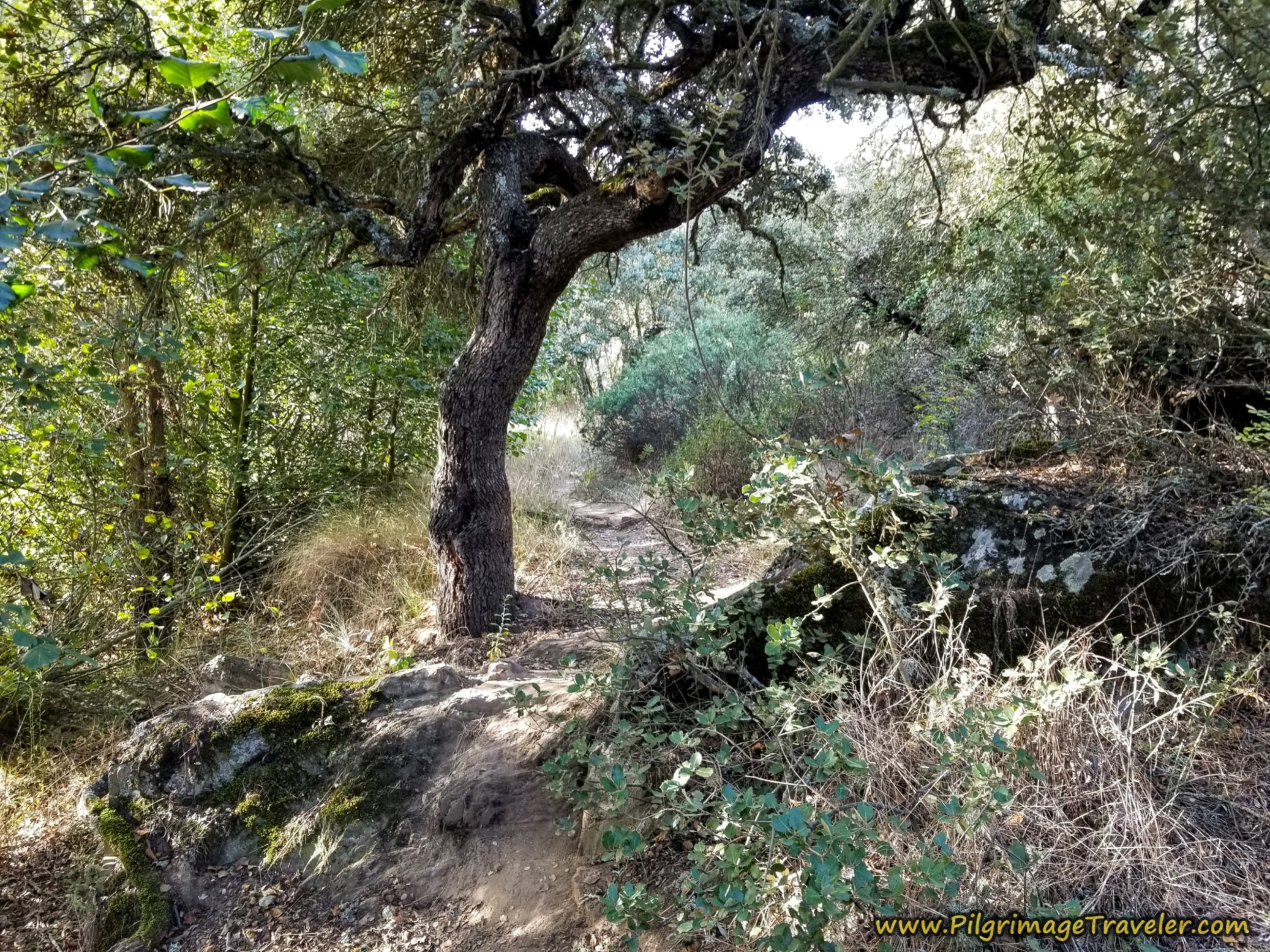 Steep and Slippery When Wet
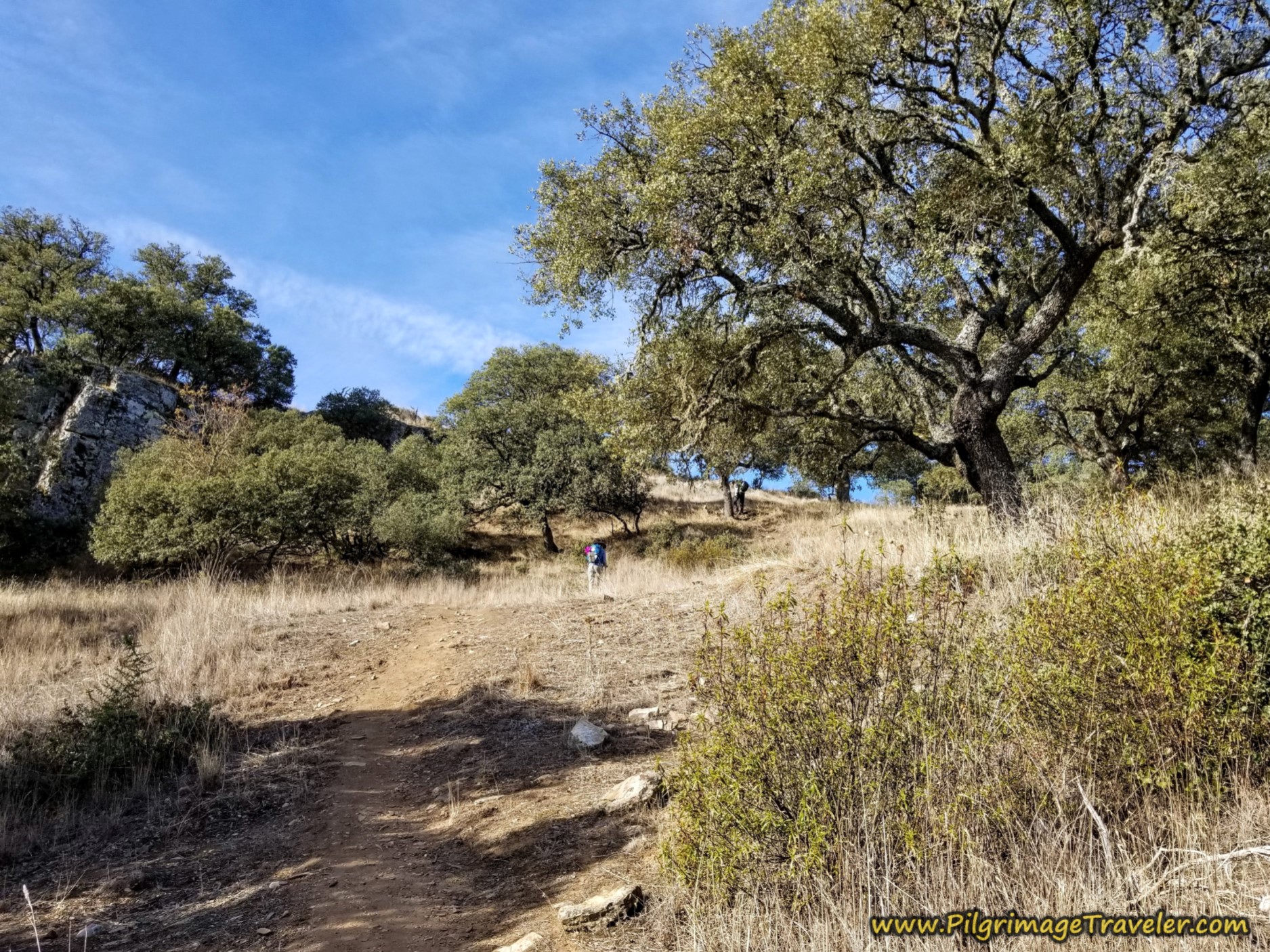
The climb up and out from the river is full of amazingly grand evergreen oak trees like the ones in the photo below.
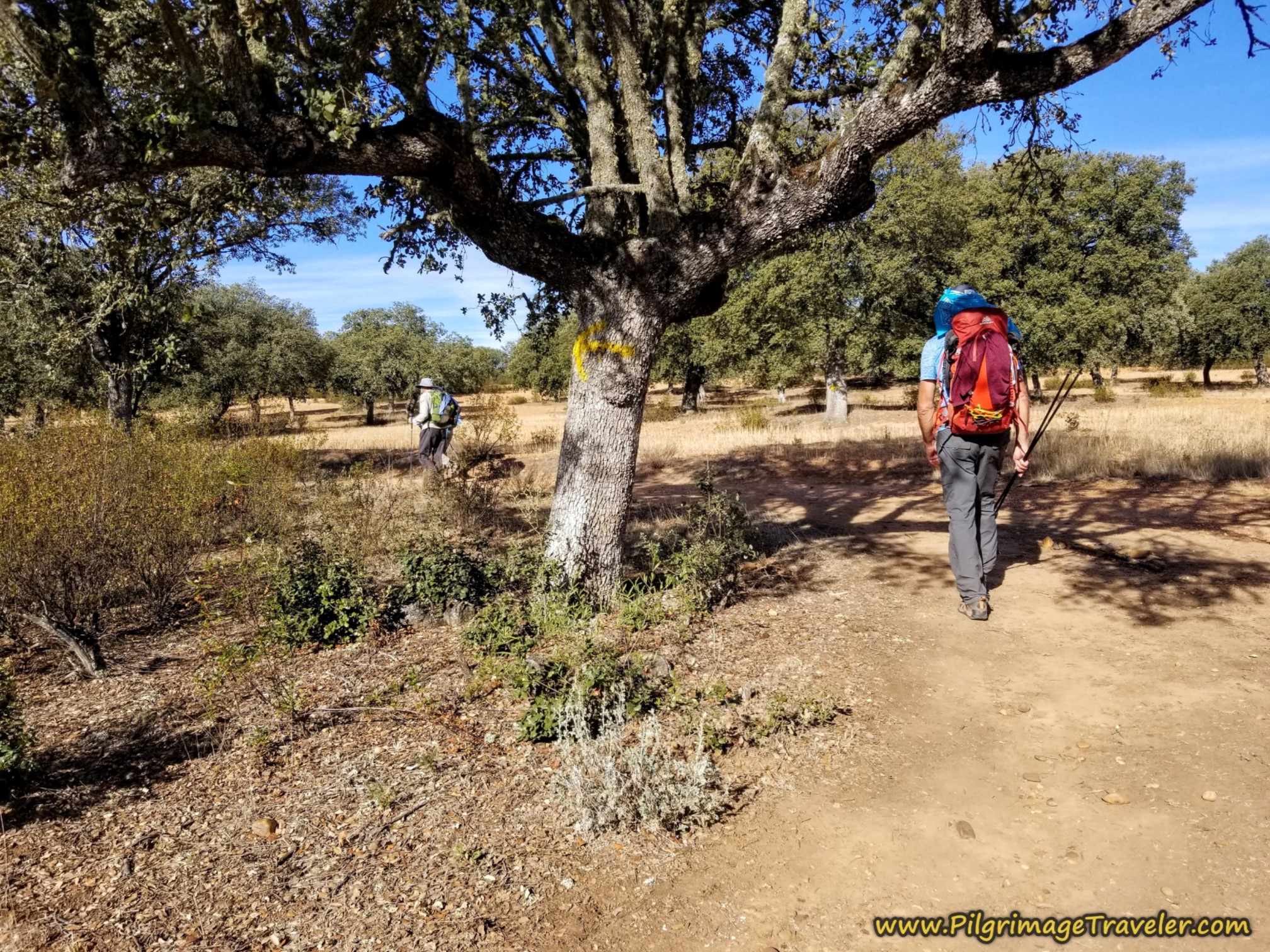
Through this higher, more open area and scrubby forest, there are plenty of yellow arrows on trees, and arrows created from rocks, and actual signs, so that at least you will not get lost.
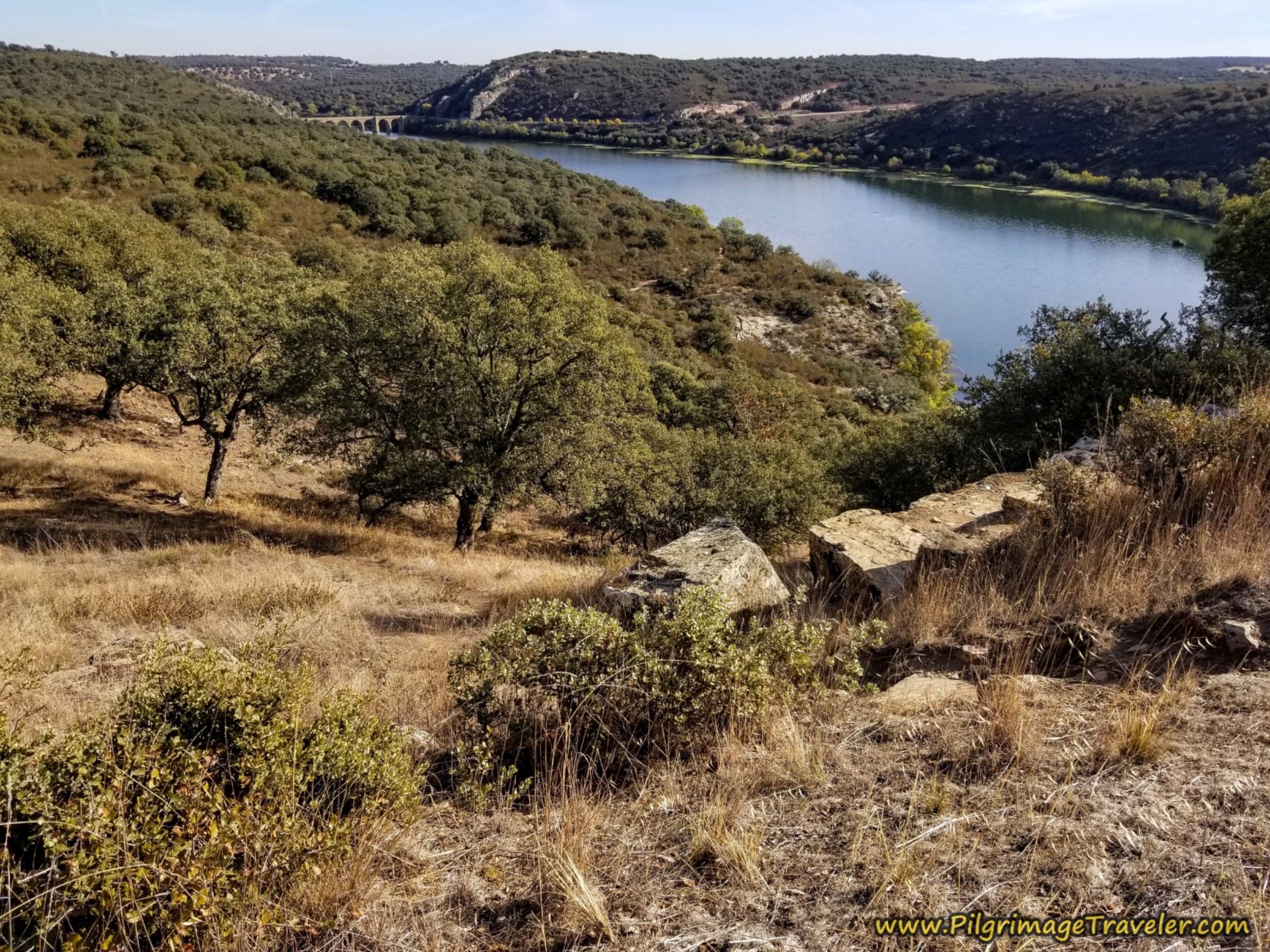
After about 11.5 (7.4) kilometers, you go up a sharp and final incline. At the top you take a sharp turn to the right. But before you take the final turn, stop and have a look back at what you have just accomplished.
Jump to Camino Sanabrés Stages
I love my Altra trail running shoes, but they were inadequate on this rough trail. This would be the only part of the Camino Sanabrés that would challenge my feet so much. (I later just took out the Spenco insoles and my feet were much happier and no longer slid around. The Altras were sufficient unto themselves - lesson learned.)
This arrow we saw near the top, directing us onward. The ultimate flat top is just beyond 12.1 (8.0) kilometers.
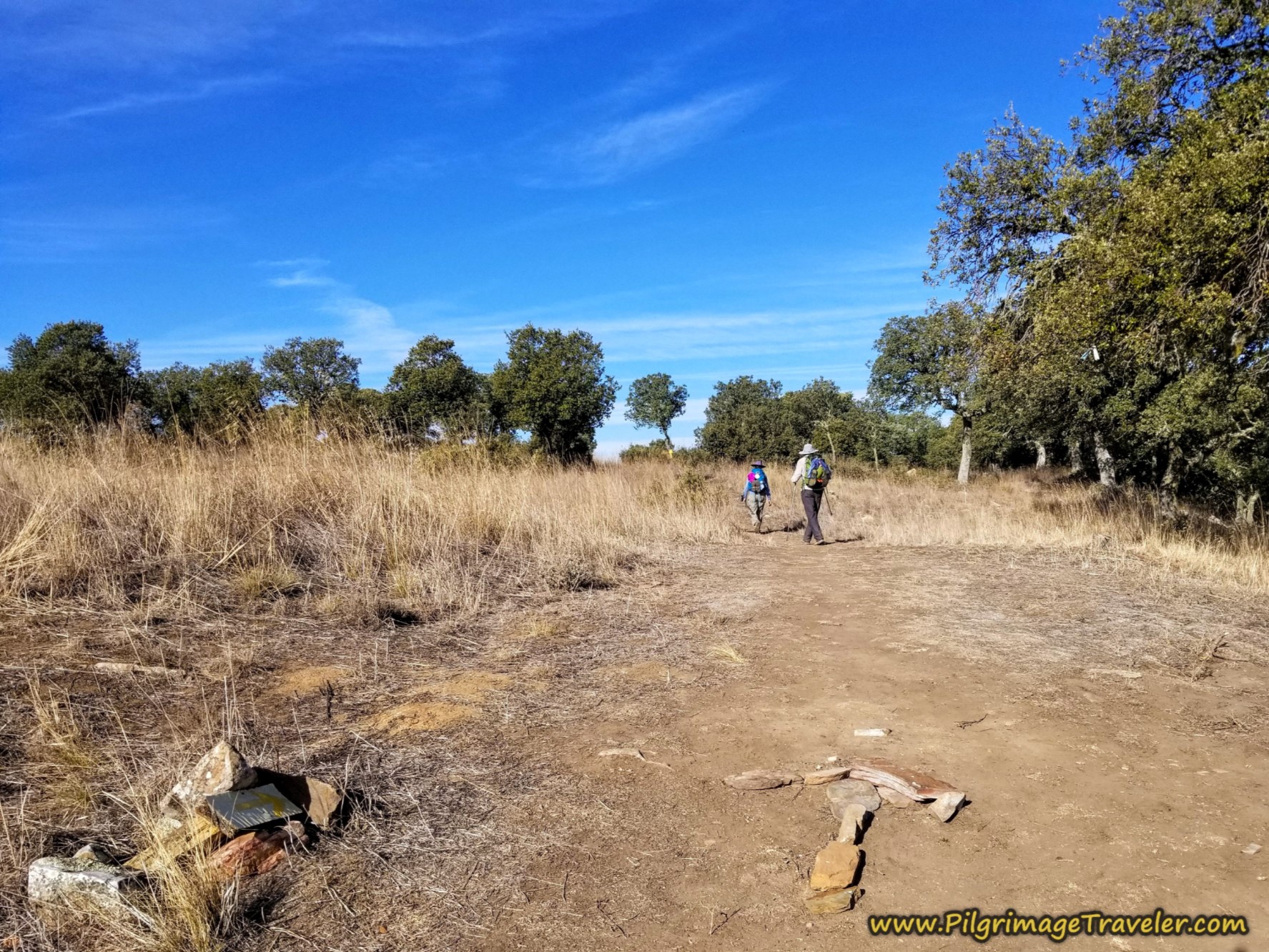 Arrow Made of Stone
400 meters later on the Camino Sanabrés, follow the yellow arrow on the oak tree and turn to the left at a T-intersection, as shown here.
The long lane ahead is flat and then becomes downhill as we walked through scruffier-looking trees. Oaks are still quite prolific on this part of the Camino Sanabrés from Granja de Moreruela to Tábara.
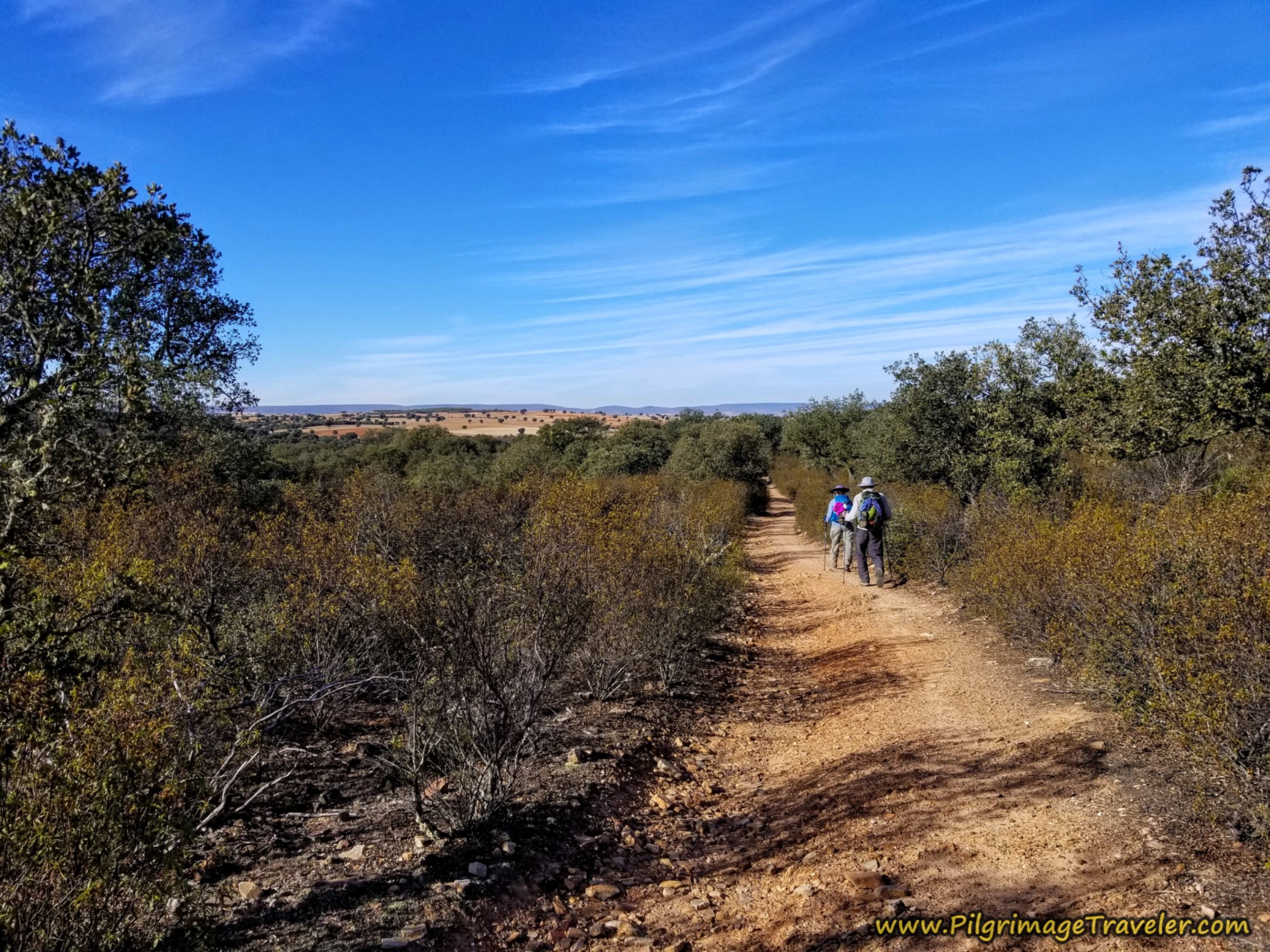 Long Way Through Scrub Forest
As you descend through this area, you cross several arroyos on the way, that may be wet or dry depending on the season. By about 14.1 (10) kilometers, very close to our halfway point for the day, we sat in the oak forest, on the grass for a lunch break.
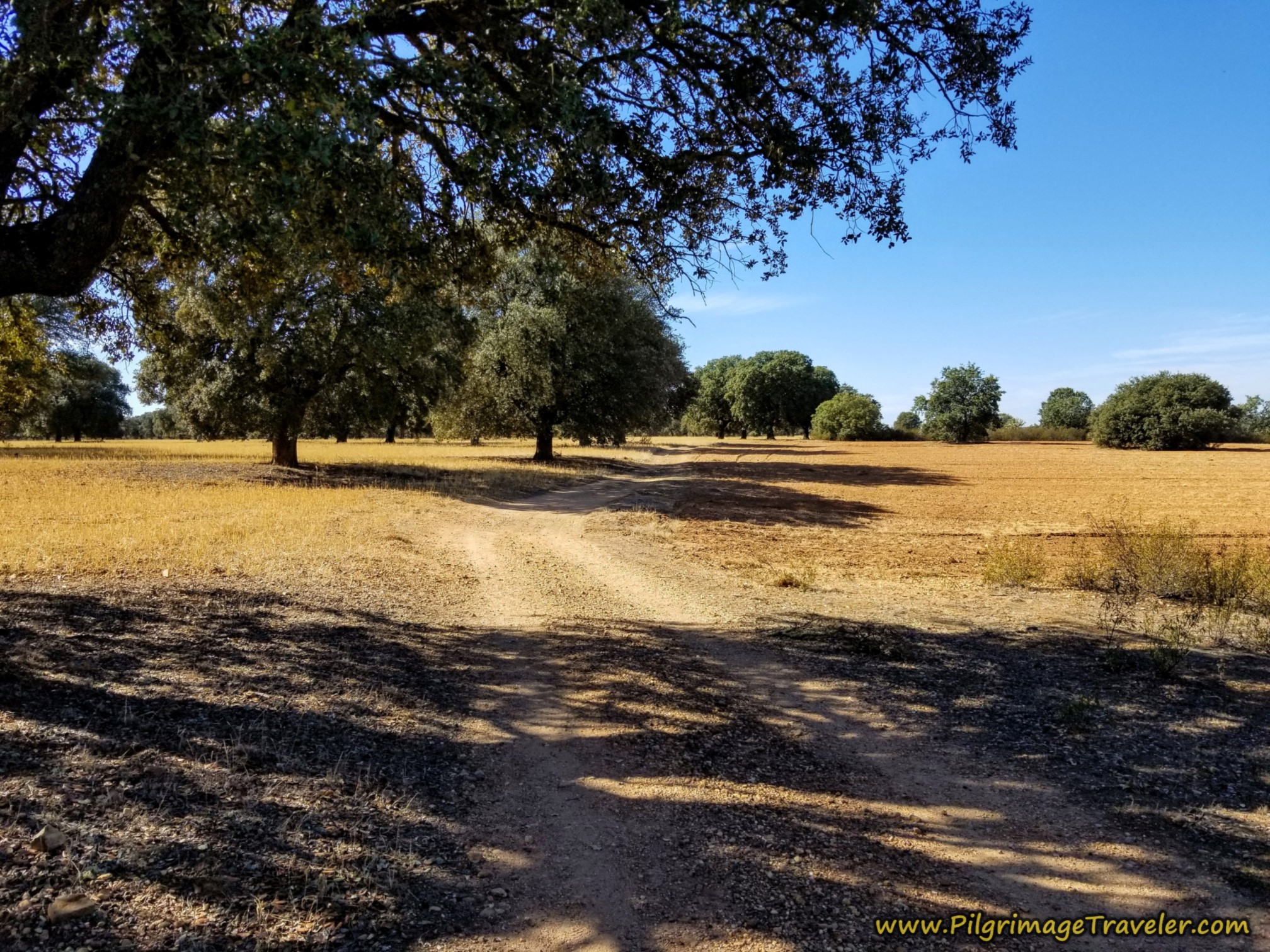
It was nice flat walking after lunch, among more gorgeous large oak trees. After about 15.1 (11) kilometers, you come to an intersection with a tall white structure on your left announcing the Valde la Rosa estate. The turn is to the right at this intersection, shown below.
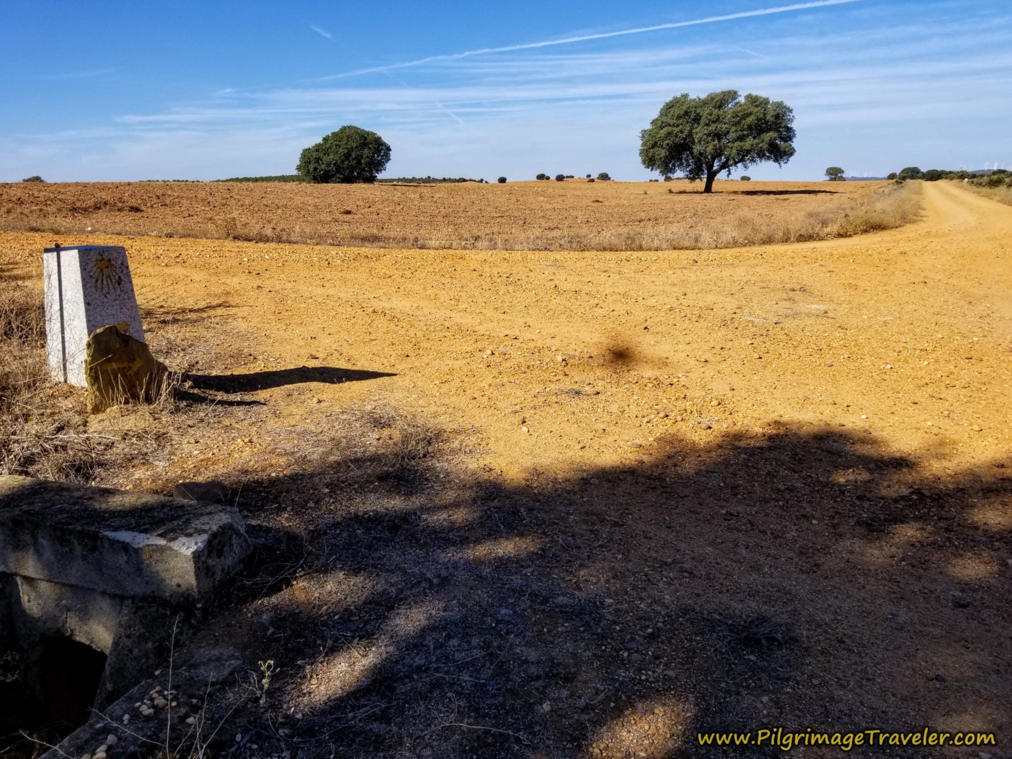 Right Turn at Estate
After the turn at the estate, come to yet another intersection, where you go straight on. This is after about 15.5 (11.4) kilometers into the day on the Camino Sanabrés from Granja de Moreruela to Tábara.
It is very hot and open through this next section, with very few oak trees.
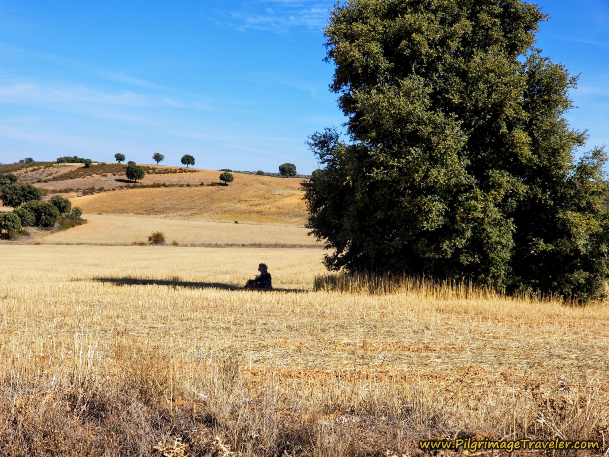
We soon passed our Brazilian friend, Ledi, taking a break under one of the grand trees! Couldn't help but snap a photo of her. She looked so peaceful, as we waved and walked onward. We had caught up to her despite our extra 4.1 kilometers. She was in no hurry. A remarkable woman at 75 and walking alone!
After 16.7 (12.6) kilometers, you cross a paved road, the ZA-2443. Are we nearing civilization? No, not quite yet. The next town is still about 5K away!
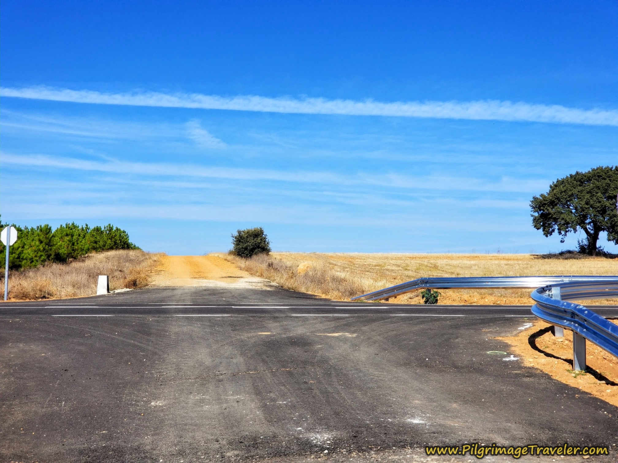 Crossover ZA-2443
By about 17.2 (13.1) kilometers, the Camino takes a hard left at this intersection shown below. The windmills on the ridge ahead are getting closer, yet Faramontanos de Tábara is still not quite four kilometers away from here!
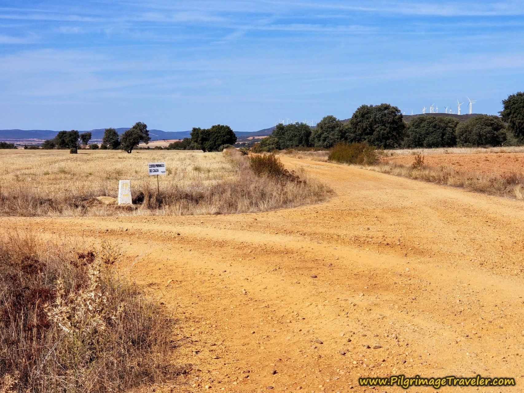 Left Turn Before Windmills
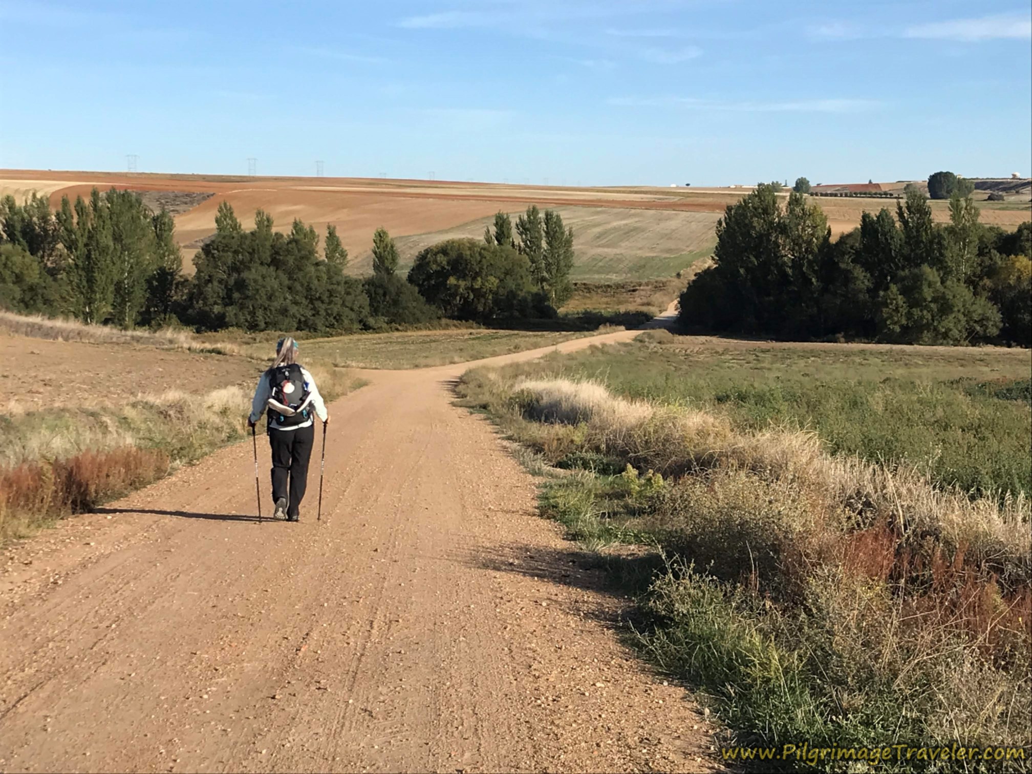
You continue to follow the well waymarked gravel lanes, meandering through the countryside and, through more intersections. There are few landmarks.
After around 18.4 (14.3) kilometers, you pass this lonely, red-roofed house at another intersection. We continued to see the windmills on the ridge to our right. The sun was roasting and hot by this time.
I was listening to music by the group, "Yes," pushing myself onward, counting down the kilometers to town! The music did help spur me on! I was careful not to stride too fast or hard. I did not want to re-injure my left knee!
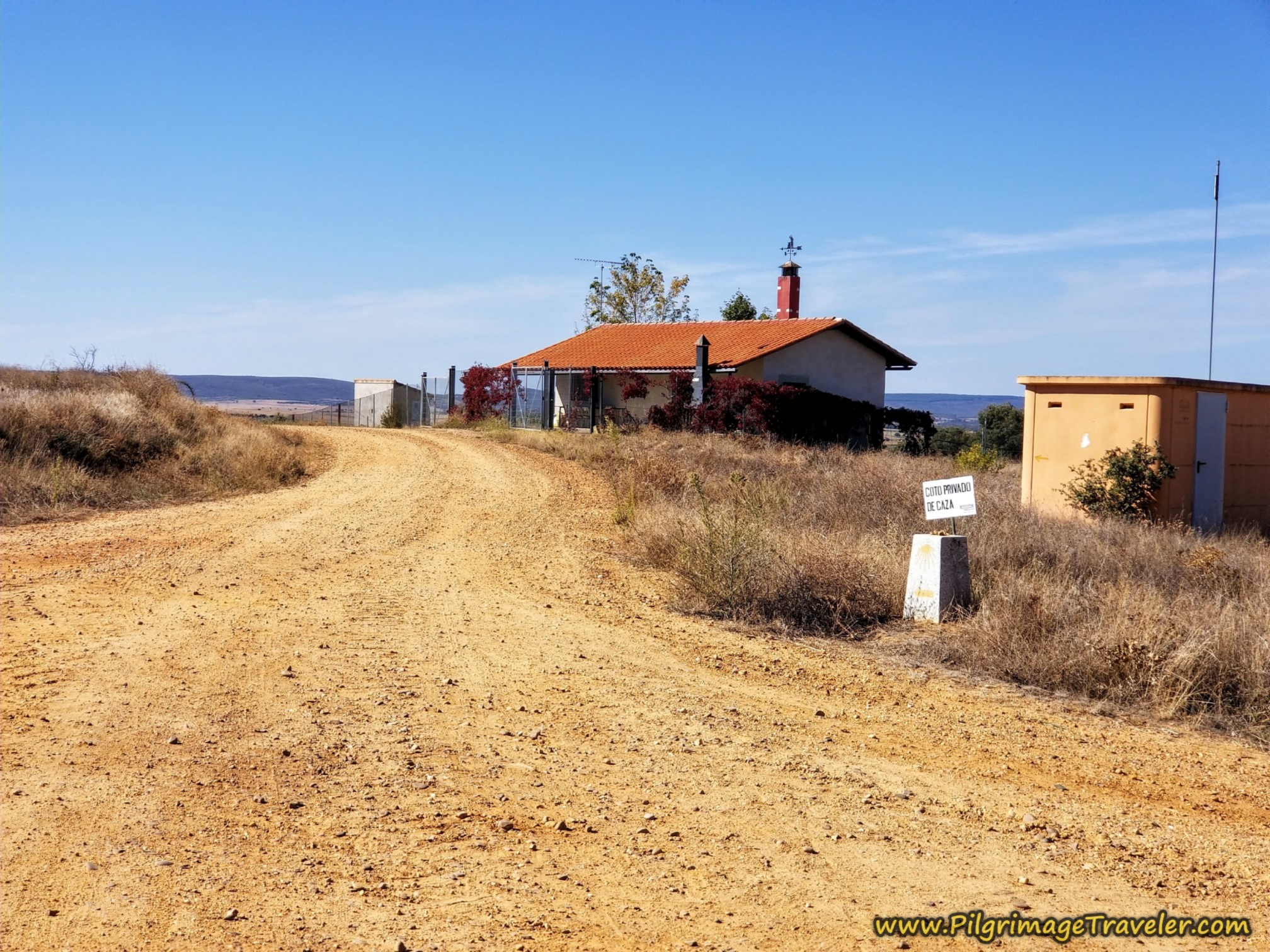 Straight On at Red Roofed House
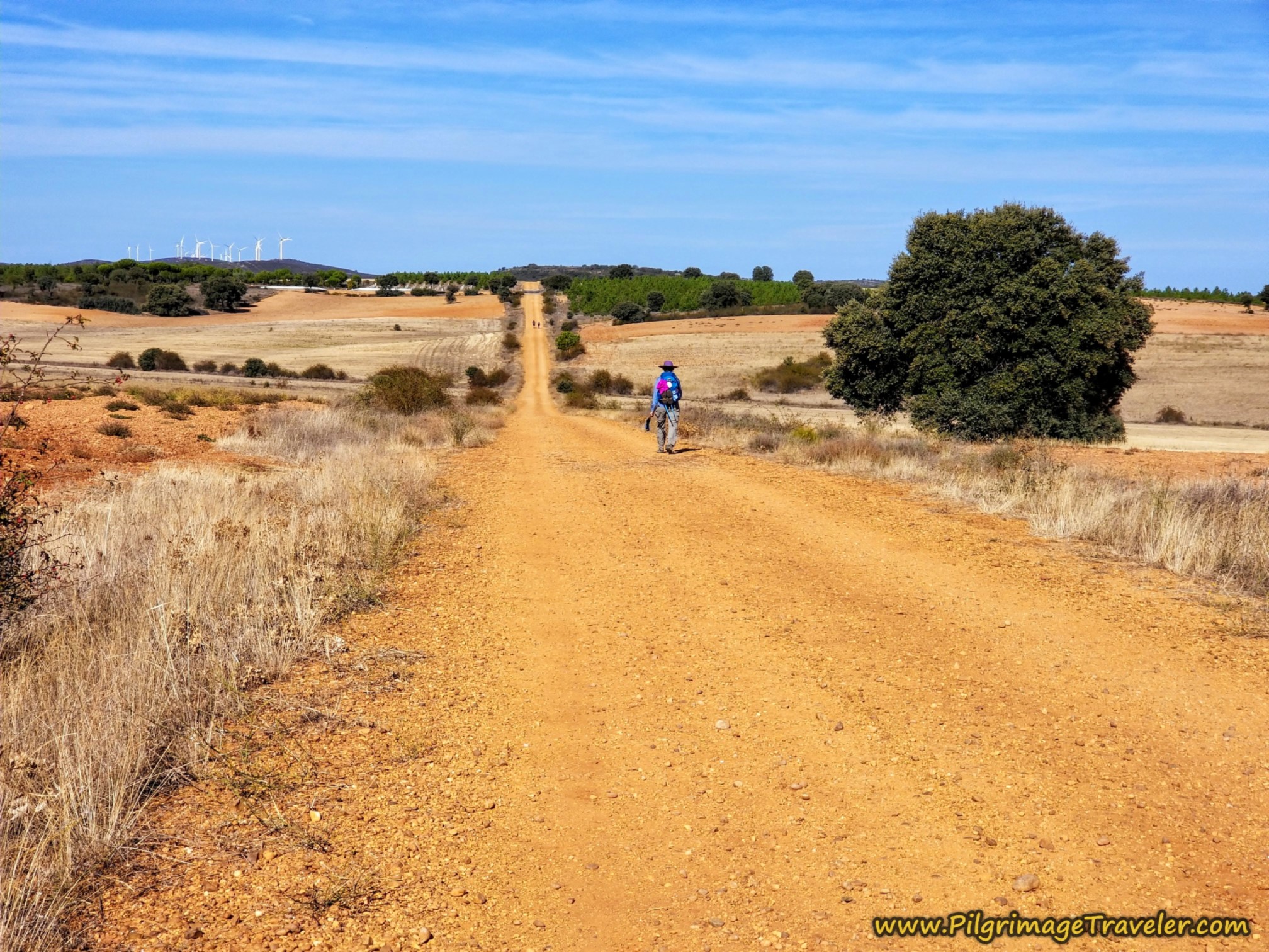
It is at this intersection after 19 (14.9) kilometers, where the Camino takes a hard right at a barn/shed. In the distance, you can now finally see a town ahead, but it is still about 2.6 km away on a very long-appearing, hot gravel lane!
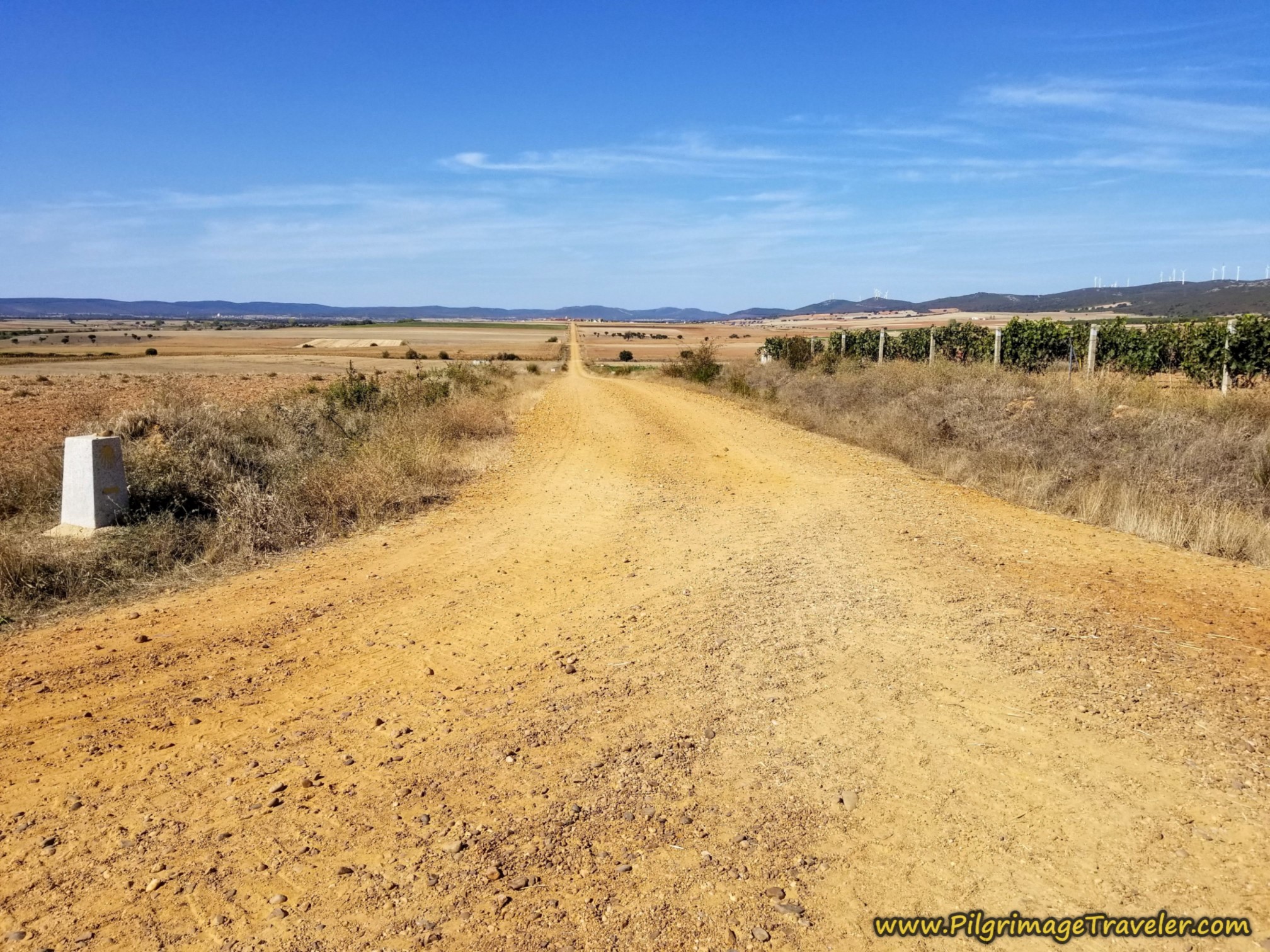 Long Road to Faramontanos de Tábara
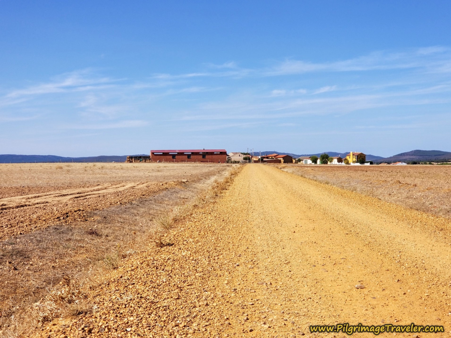 Faramontanos de Tábara Getting Close!
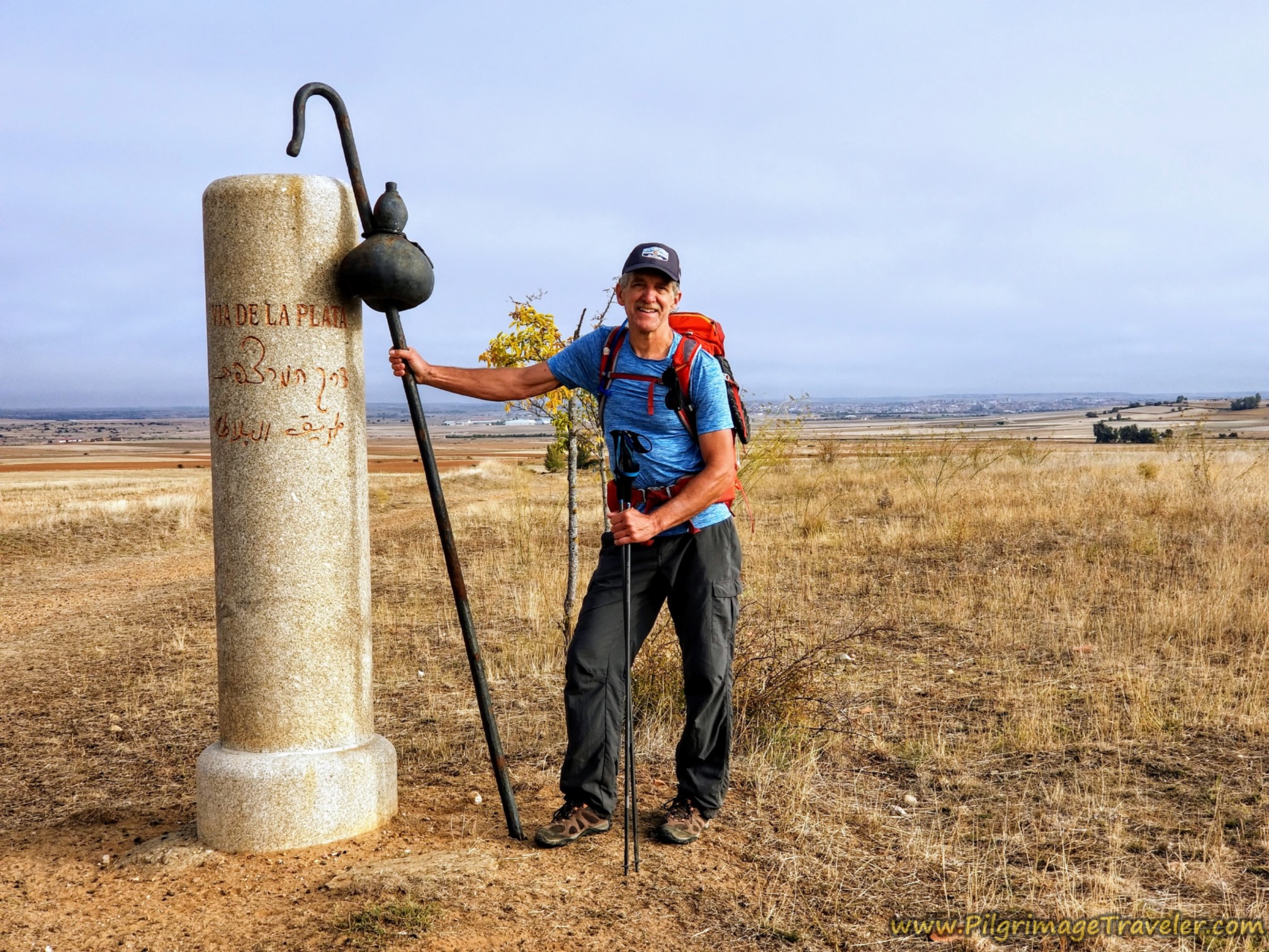
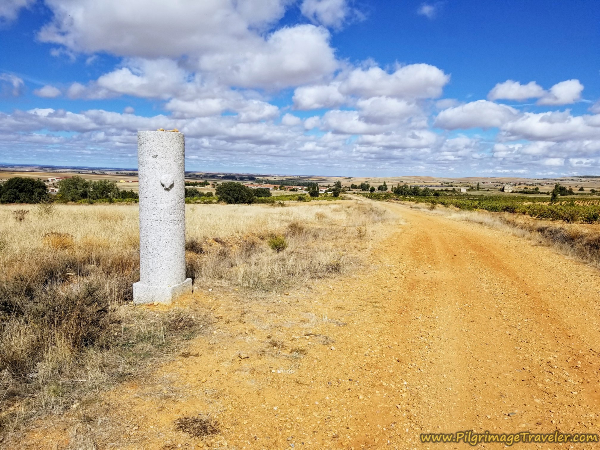
As we approached town, we could still see the windmills on the ridge to our right, much closer now. It was after about 21.6 (17.5) kilometers into the day on the Camino Sanabrés from Granja de Moreruela to Tábara, that we arrived at the town's edge of Faramontanos de Tábara. After the road turned to pavement, we were greeted by the familiar Vía de la Plata pillar. The pillar now says, "Camino Mozárabe Sanabrés," for the first time.
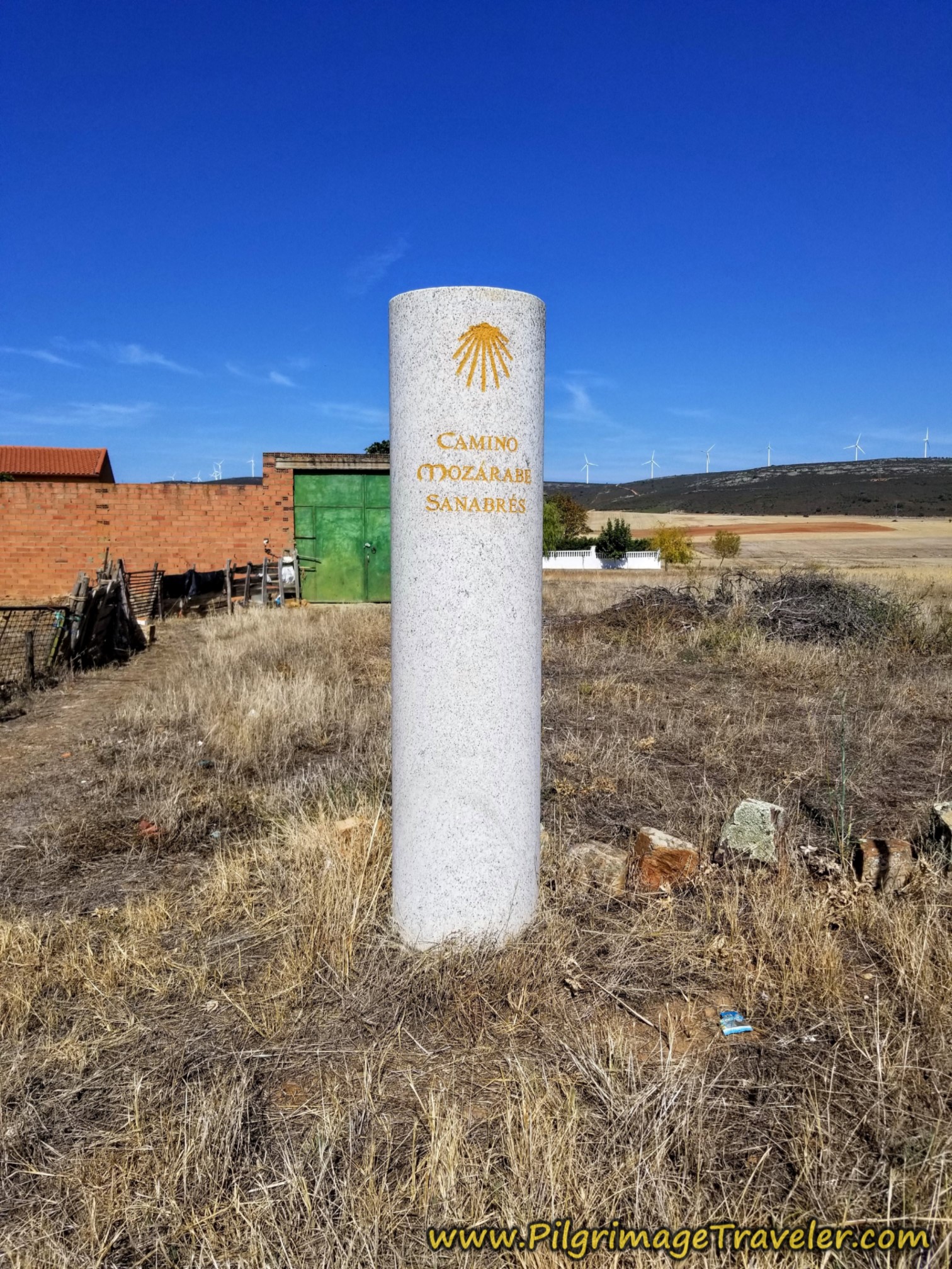 Familiar Vía de la Plata Pillar
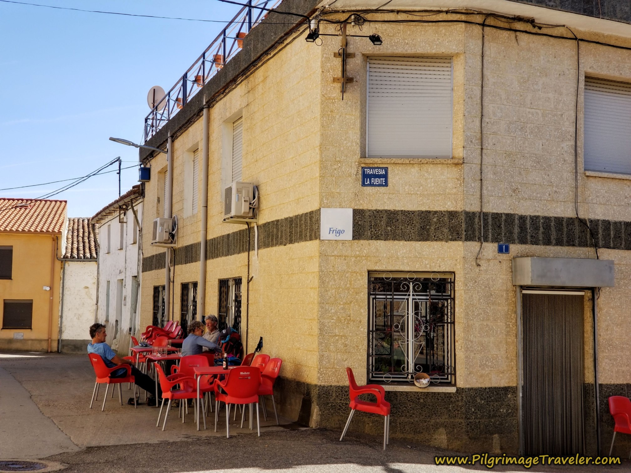
When in town, the road you are on is named the Calle Benavente, and you follow it left, then right to enter the main part of town, heading towards the town church at the center. Within about 1/3 kilometer from the pillar, the most welcoming Bar Boya presented itself to us, see the photo below.
We were freaking ecstatic to see the bar and sit comfortably in the shade for an ice cold Aquarius and a snack. You are at about 22 (17.9) kilometers total for the day, at this bar.
After chugging several Aquarius,' I asked at the Bar Boya if there is an albergue in town, because I had seen some information regarding this. I was told no, that it has been closed for years. It had only five beds and very few people used it. Pilgrims wouldn't come and get the keys at the bar like they were supposed to and eventually they trashed it out. So the town closed the albergue.
Regardless of what information you come across, there is no albergue in Faramontanos de Tábara! However, there is a mid-price range casa rural, La Bodega de Antonio a few blocks north of the bar, if you wish to stay here.
There is also the Bar Nemesio, a few steps south of the Bar Boya in the event it is closed. The Nemesio is also a restaurant, where you can get a full meal if you desire.
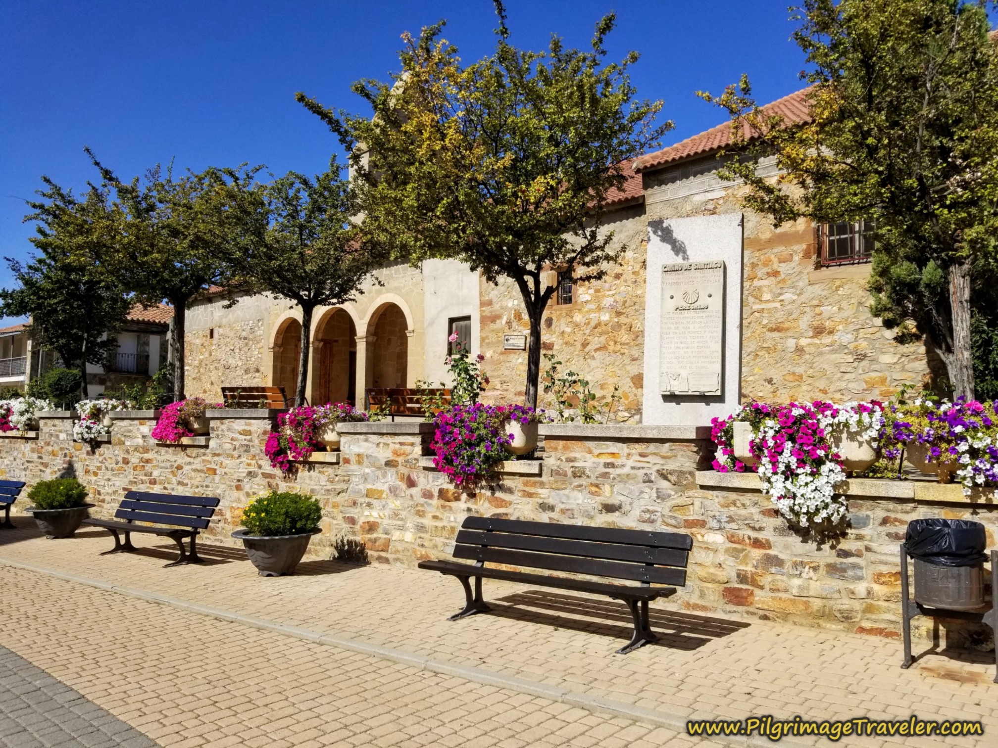
As you find repose at the Bar Boya, you can see the town church a few steps farther on the Camino. It is very well maintained and you could take a break here also, if desired, on the lovely park benches by the flowers.
We lingered at the bar, reluctant to get back out in the hot sun. It is still over seven kilometers to Tábara from here and we were hot and tired.
When you go to leave town, walk past the church, take a left, and a few steps later take a right onto the Calle el Pozo. After about 300 meters, the road takes a big bend to the right in front of a small church.
From here the signage is confusing and unclear, whether to go straight on and onto a lane, or to take the big bend to the right on the paved road. Either way will be fine.
If you take the bend, come to a T-intersection and take a left onto a two-lane paved road, that leads you to this park with courts, shown below, in a few steps.
If you follow the lane, it will also bring you to the same park, just farther along. You must follow this paved road to the far western corner of the park, until you see the major road, the ZA-123. You must cross the ZA-123. It is the gravel lane that you pick up on the other side for the Camino, not the highway.
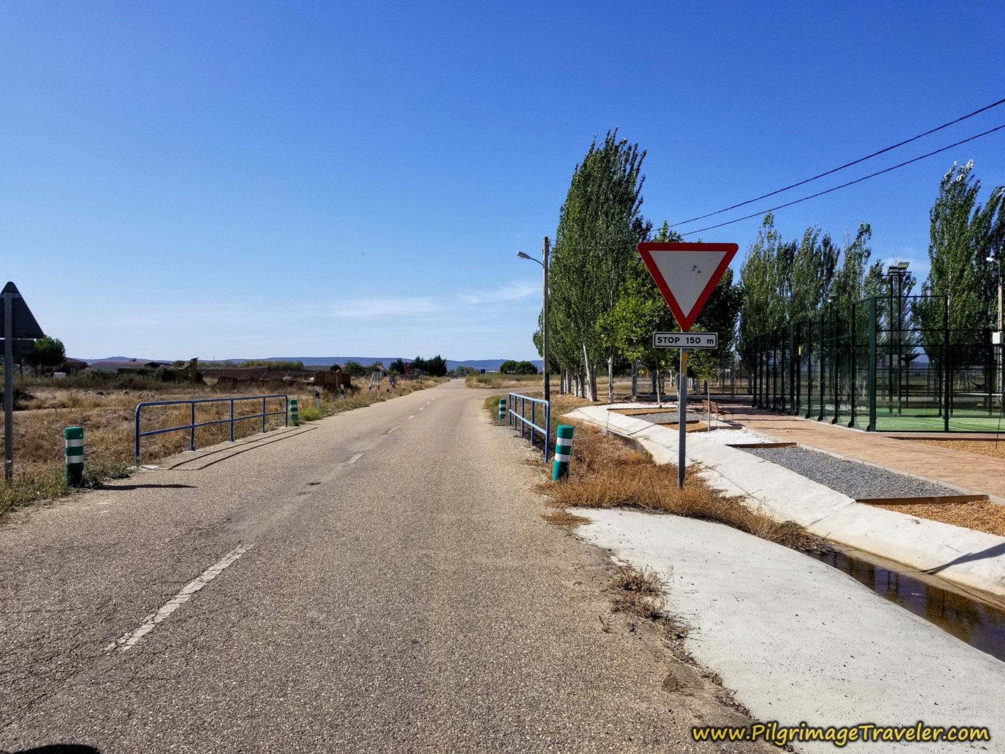 Pass Park at West End, Faramontanos de Tábara
The waymarks are now better, after leaving town and there is a nice one across the ZA-123 to guide you to the onward lane.
This is the same ZA-123 that you may have chosen at the Esla River, and it joins the Camino here. If you are on the ZA-123, after you see the park and the courts on your left, look for the waymark on the right, right after the park.
The gravel lane leaving Faramontanos de Tábara looks like this, shown in the photo below.
Jump to Camino Sanabrés Stages
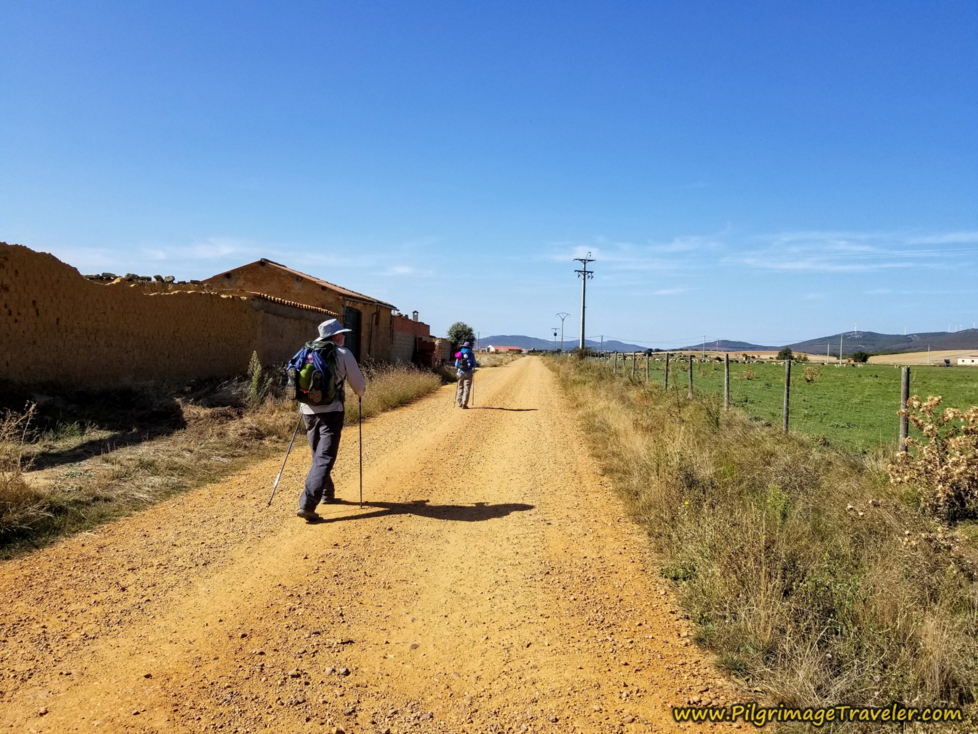
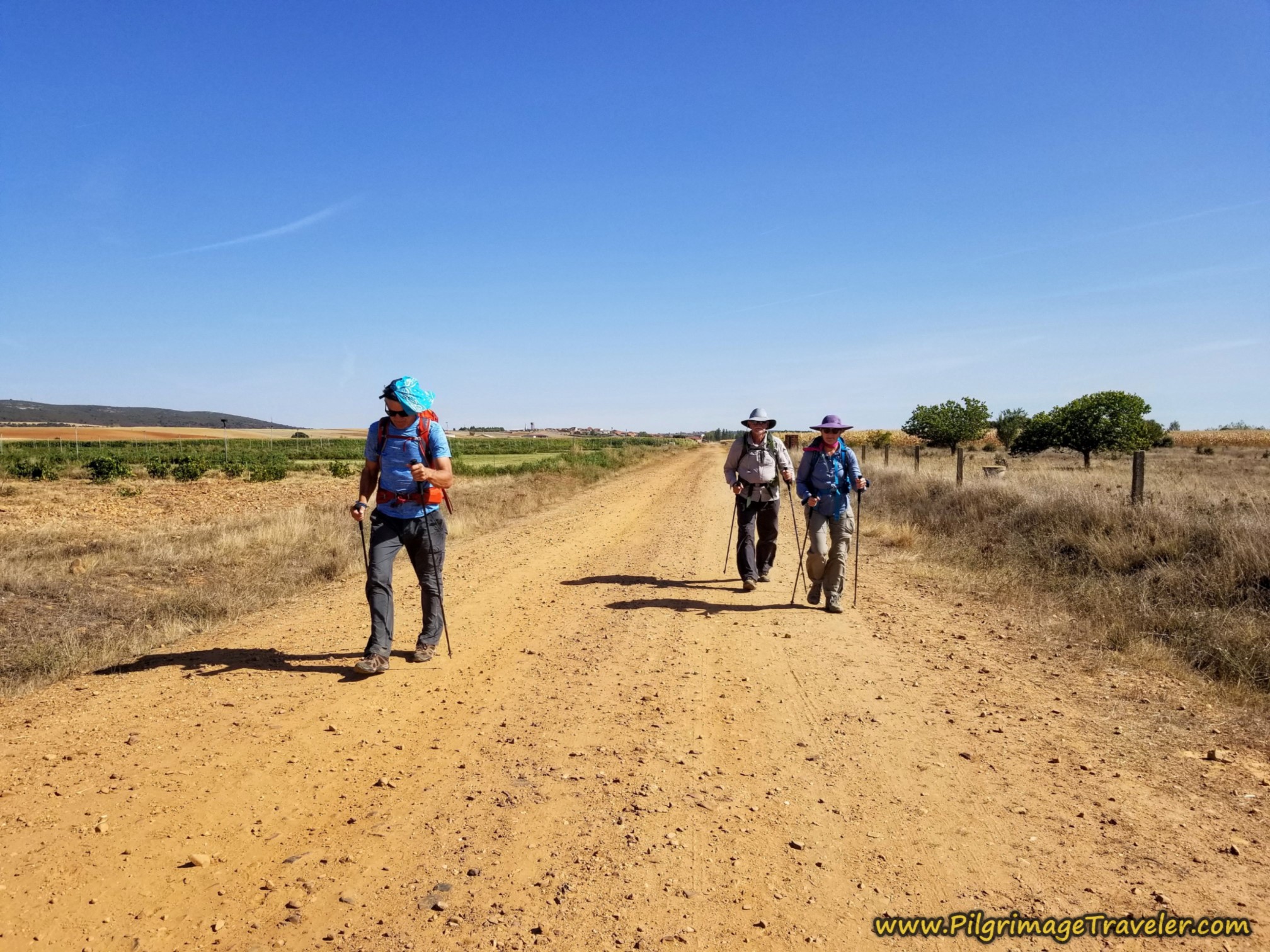
From here, the open and hot lanes were nothing less than a trudge. This is the type of environment when you just put your head down and keep moving. I was a few steps ahead and I looked back at the others marching along.
My husband especially wants to get the pain over in these situations and he always puts it into a higher gear with his long strides. I try to keep up, but usually I'm a few steps behind. I settle into my own rhythm. To make matters worse, we would be walking on an incline all the way to Tábara!
It wasn't until almost two kilometers later, a total of 24.8 (20.7) kilometers on the Camino Sanabrés from Granja de Moreruela to Tábara, that we came to this intersection with two tan small buildings, perhaps well pump houses. We took a strong left and southward, heading right into the sun! Argh!
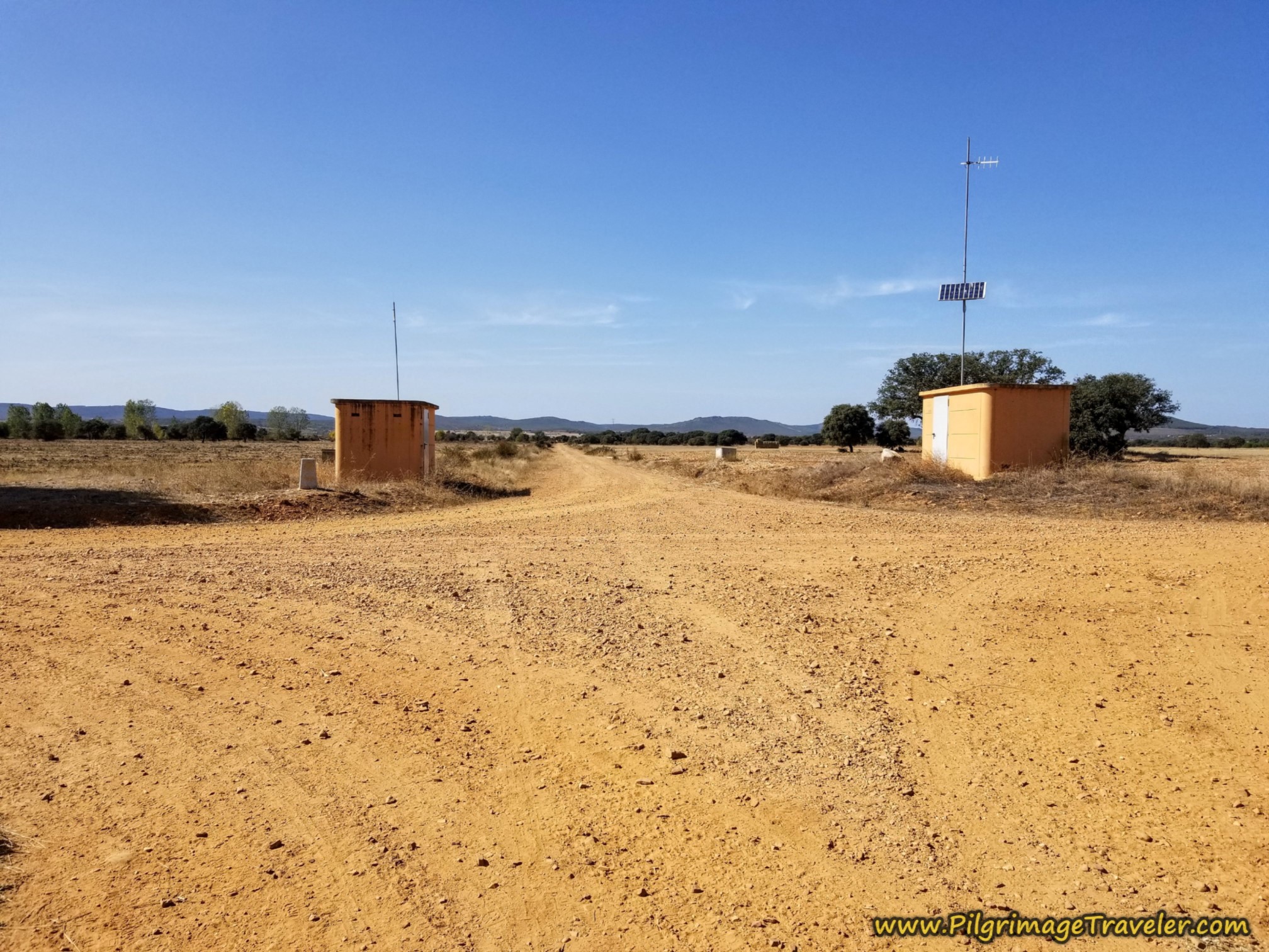 Left Turn at Pump Houses
After around 25.3 (21.2) kilometers, you cross a concrete bridge over a small drainage. Fortunately the southerly direction we had taken was less than one kilometer, when after 25.6 (21.5) kilometers, you come to an intersection and take a strong right onto another long dry lane shown below. At least there were a few more trees now!
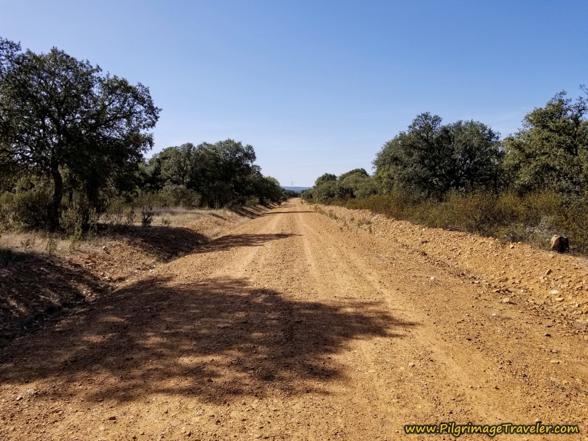 Trees Again!
Powered by our motivation to be done with this day, and my music in my ears, Rich and I started to pull away from our friends. We had them in our eyesight mostly until now, as we periodically looked back to see their progress.
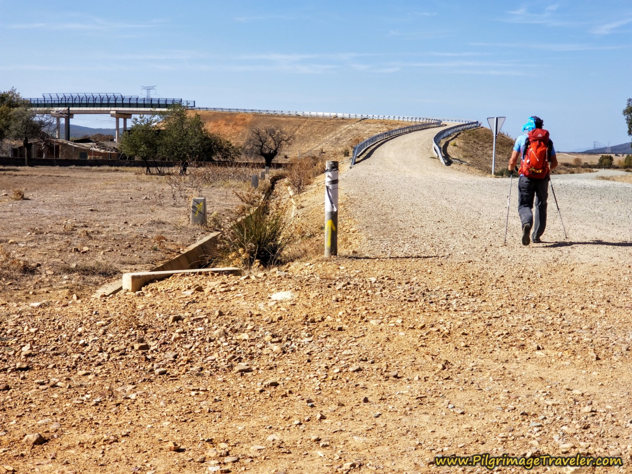
A bit more than one kilometer later, after 26.8 (22.7) kilometers total, we came to a giant overpass, shown here. The Camino goes straight up and over the bridge. At the top of the bridge you may be able to see Tábara and its church steeple for the first time, far off in the distance.
After winding around on the overpass and a bit onward, after 27.6 (23.5) kilometers, you come to a big power pole, shown below. There is a little off-shoot road to the left and a faintly painted yellow arrow to go straight on, which we did.
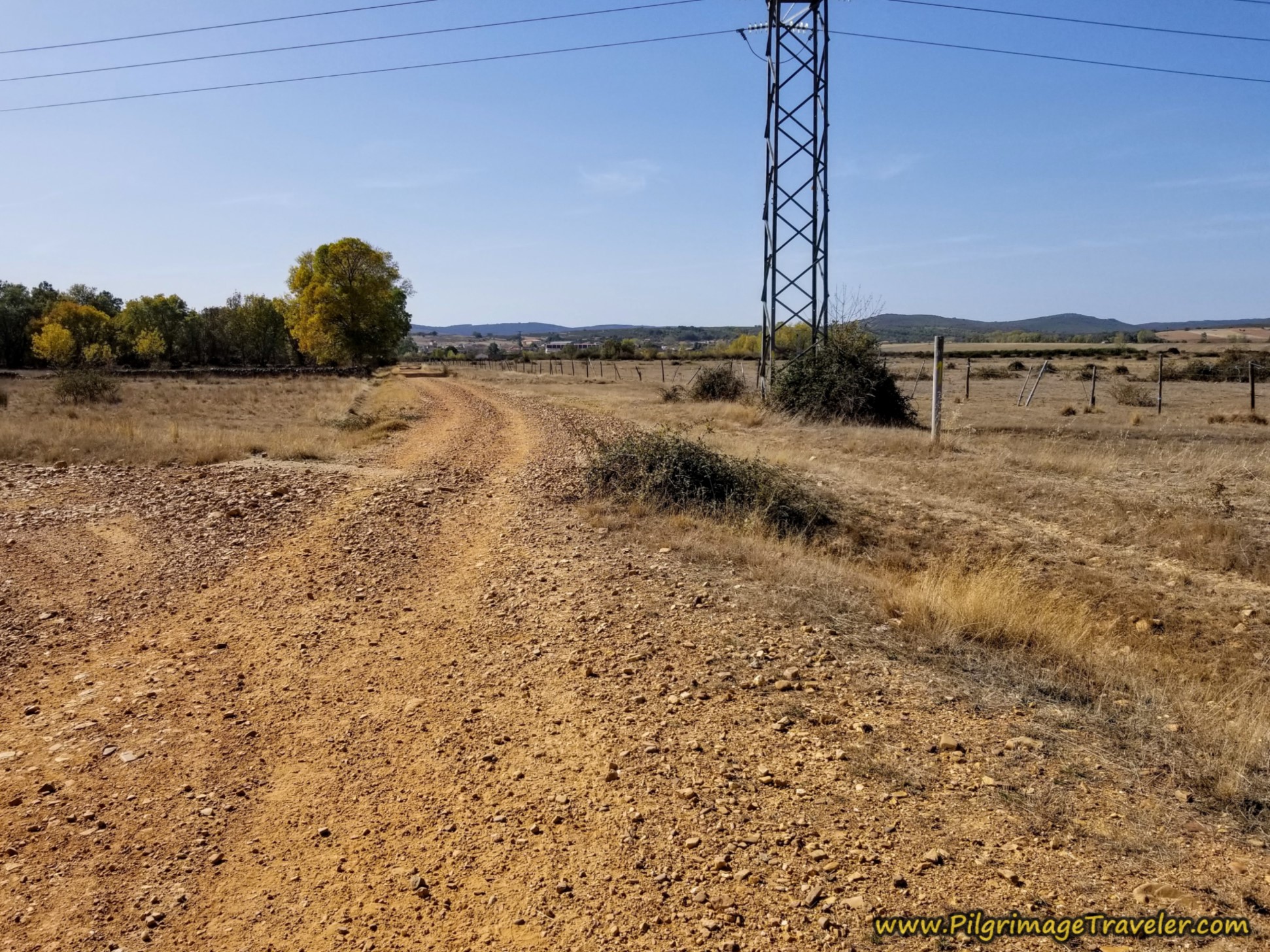 Straight On at Power Pole
In this photo below, you can finally see some buildings of Tábara ahead.
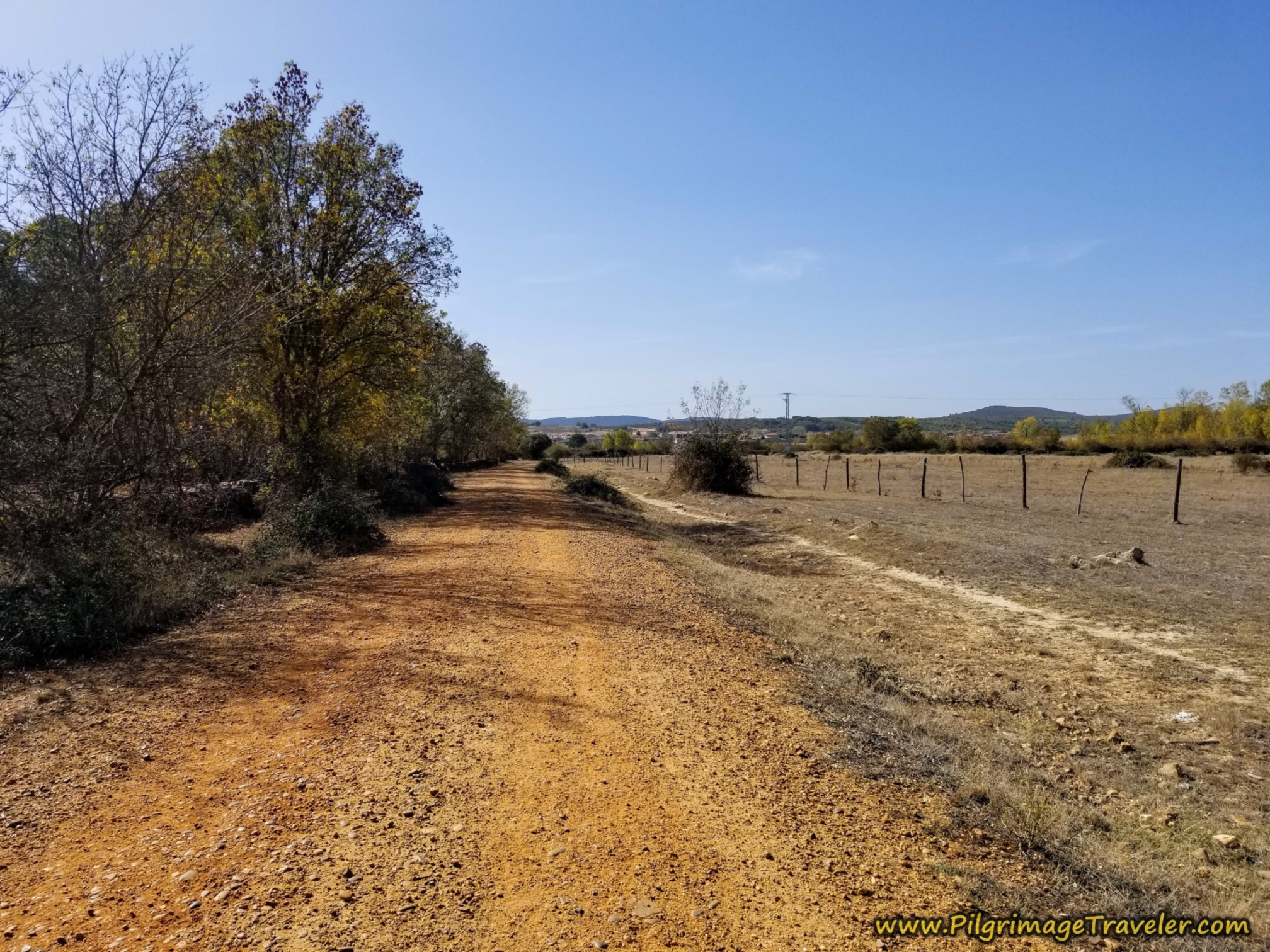 Buildings of Tábara Ahead
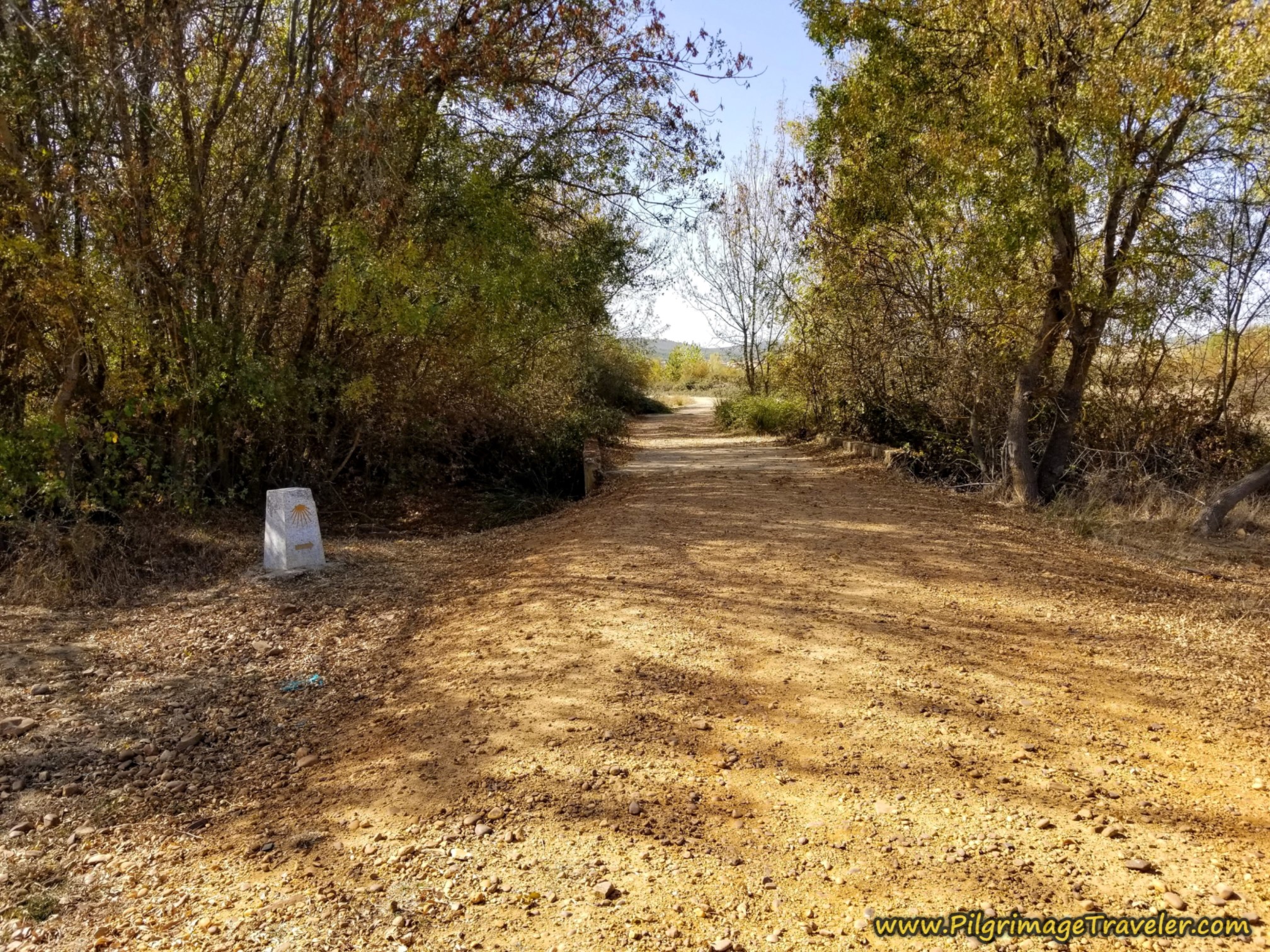 Cross Arroyo on Concrete Bridge Just Before Town
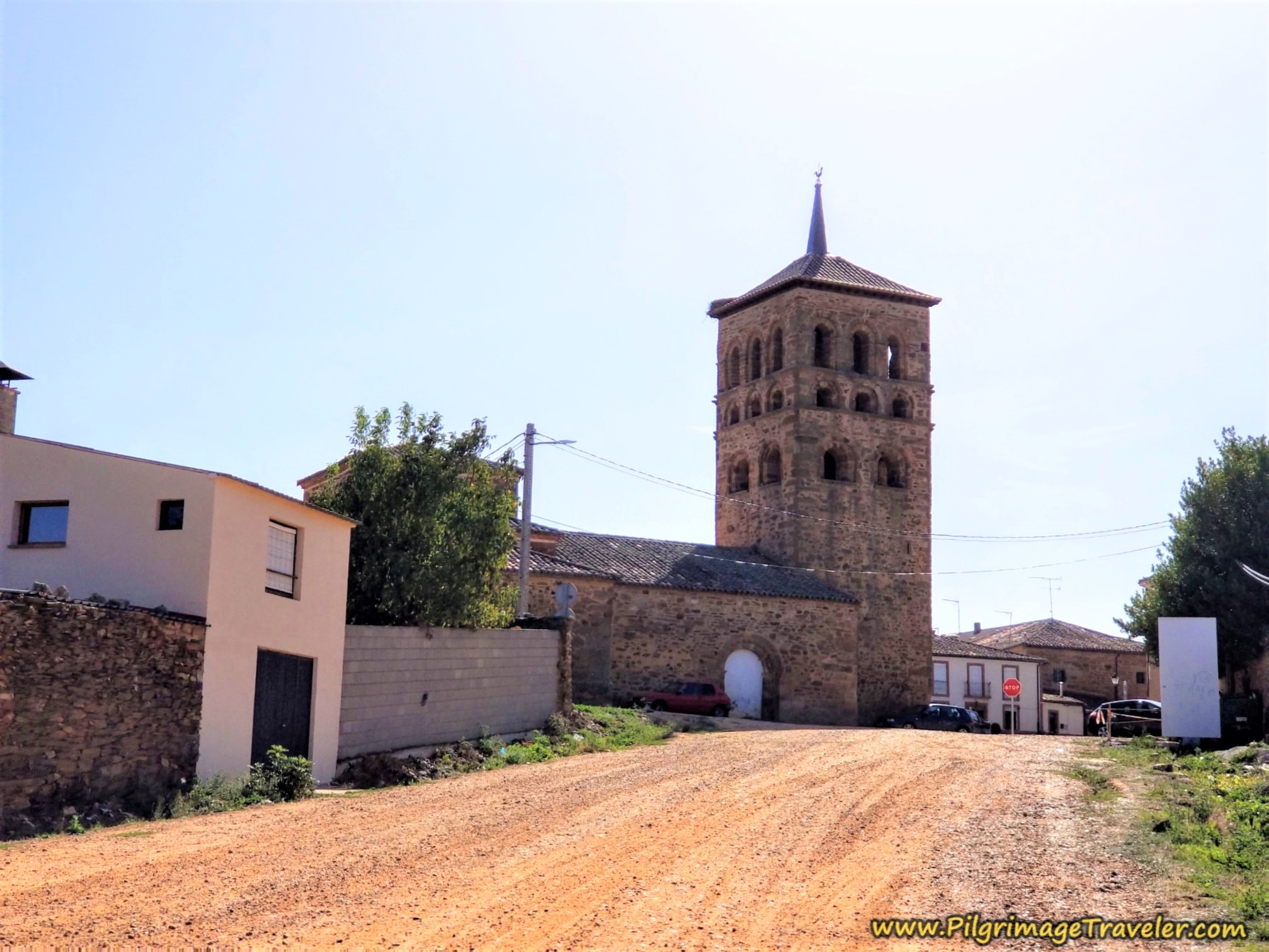
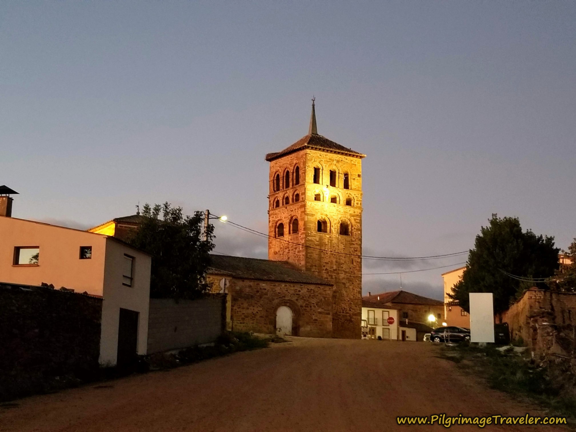
The first real thing you can pick out is the church steeple, as seen in the photo below.
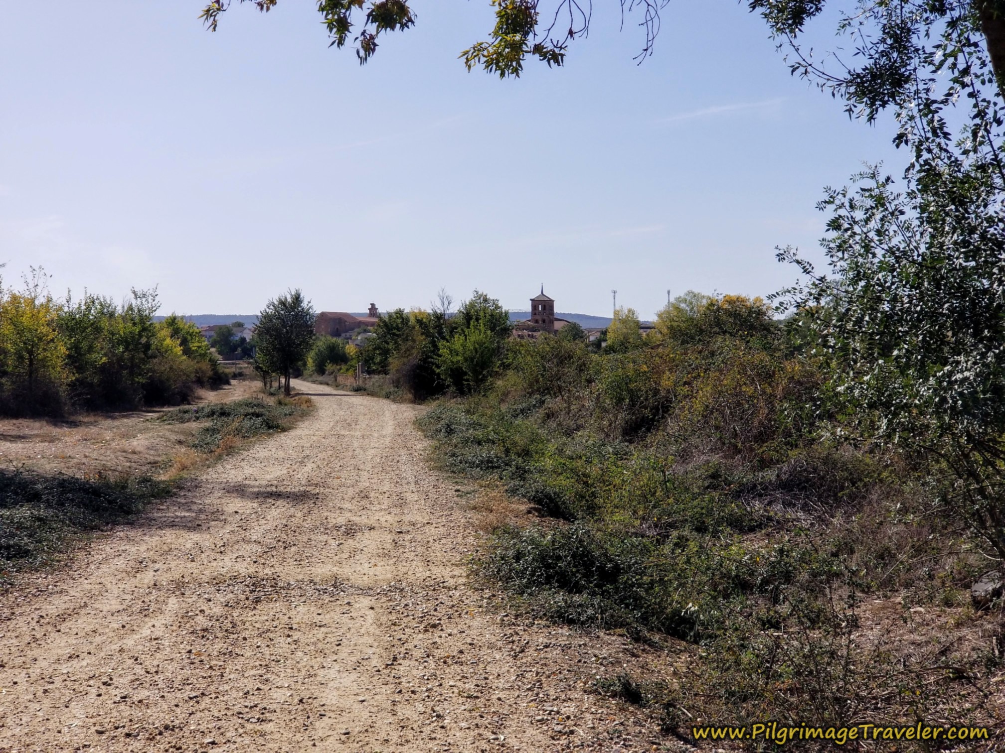 Bell Tower of the Iglesia de Santa María de Tábara is Visible
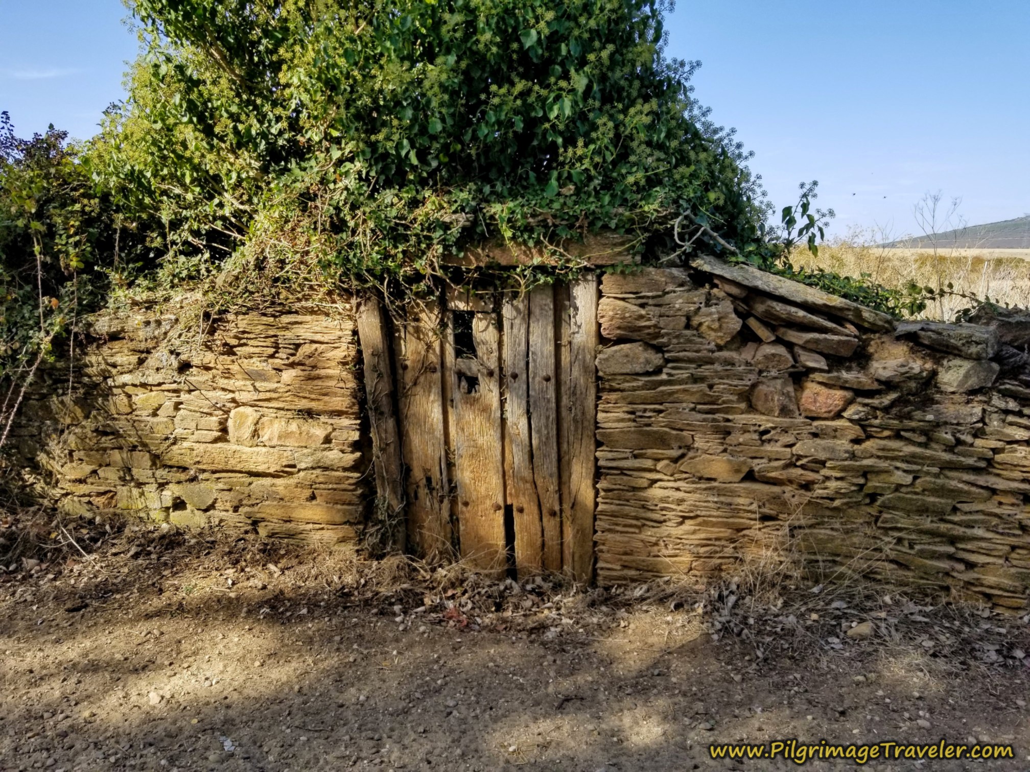
The road winds around a bit, coming up onto a brick wall, with the remnants of this door, below. It was a photo opportunity for sure, on the Camino Sanabrés from Granja de Moreruela to Tábara!
It is after 28.8 (24.7) kilometers, when you come to this mojón at a T-intersection. There is something I thought looked goofy on this waymark. It is attempting to show two ways to go. It is obvious that to the left is towards town and the albergue.
What is not so obvious, is that if you go to the right, it is the continuation onward of the Camino. This is where you will pick up the Camino the next day. Walking into town is a diversion from the Camino, so I stopped my GPS here. Please take a note of this waymark. It is just before the town church, farther below.
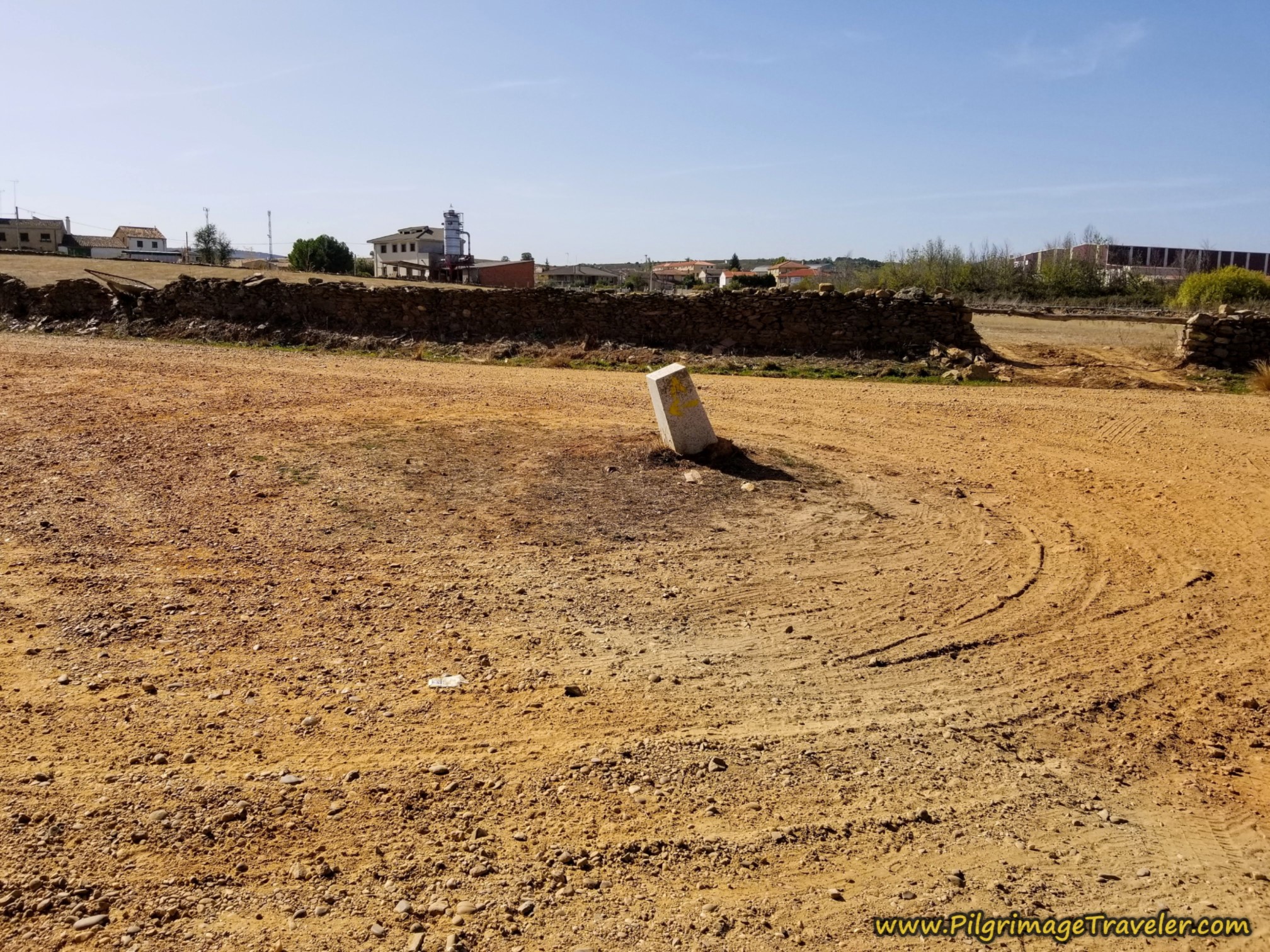 Onward on the Camino to the Right, Town to the Left
When we arrived at the above waymark, I was concerned that Norm and Nadine were no longer in sight. We all had Spanish SIM cards, so I called Nadine. They were OK and coming along shortly.
As I walked up to the church I sat down in the shade by the white door below, to wait for them, so we could find a place for the night together. Rich noted a bar just ahead and across the N-631 and agreed to fetch two cold drinks for us while we waited.
When Norm and Nadine came plodding up the lane from the waymark to the church, Nadine had a pronounced limp off her right leg. I was alarmed with concern when I saw her limping. As Rich said to her, after she joined us, she had a "flat tire" and needed some air. Oh my! I immediately felt guilty that we had pulled ahead.
According to Nadine, quite suddenly she felt a pain in her right shin and she had to slow down her pace. It was a good limp. Oh dear. I gave her my cold drink while she sat down and took a breather.
My head was filled with processing this new information, on her day six of the Camino, as we got up and proceeded to head into town from the church (We had started in Salamanca).
Jump to Camino Sanabrés Stages
Accommodations in Tábara
The main plaza is steps after crossing the N-631 by the church, and it has two bars, a grocery store, a pharmacy and a bank right there for your convenience. The private albergue, hotel and restaurant El Roble is just a few more steps past the Plaza mayor, continuing straight on.
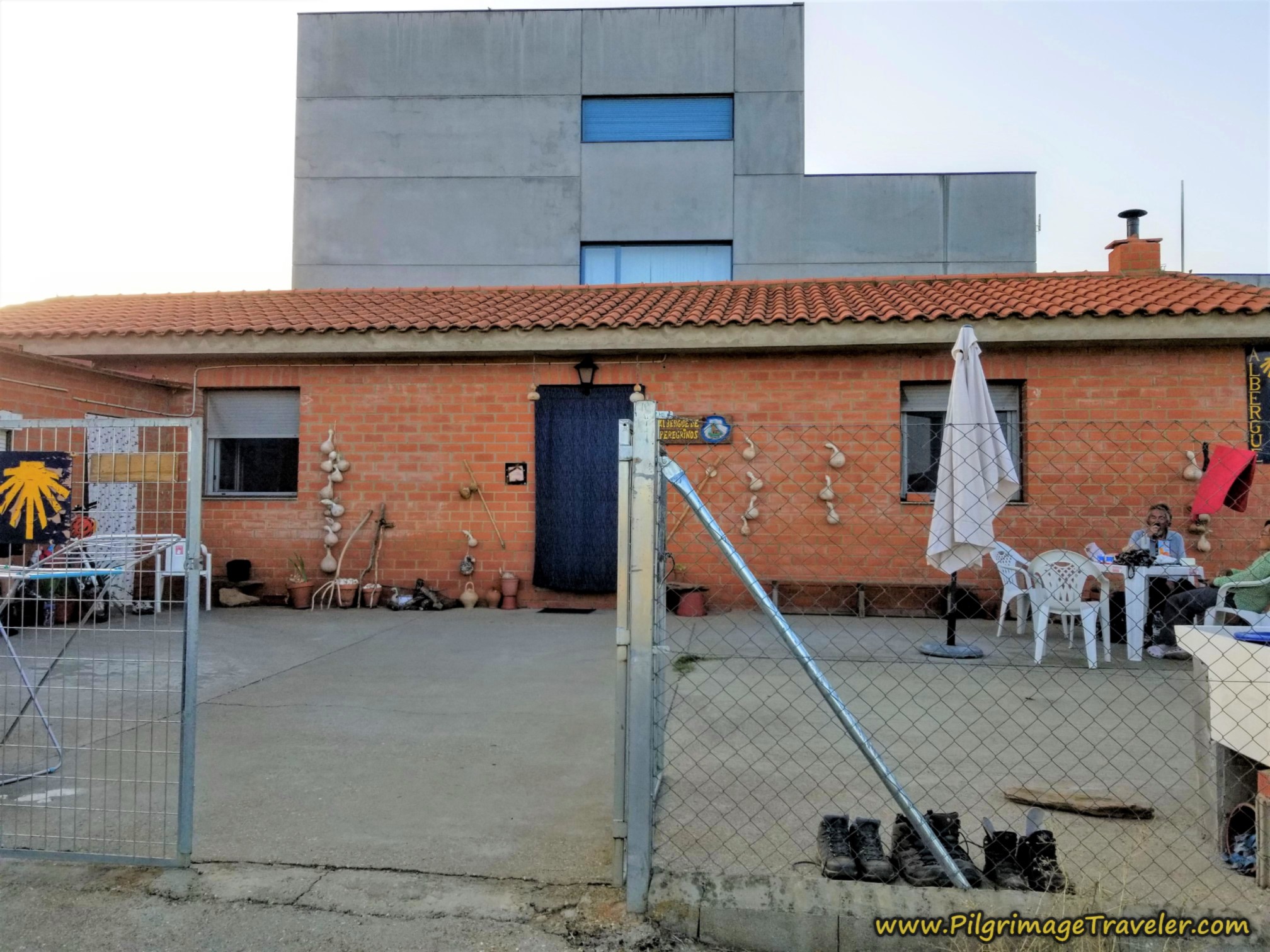
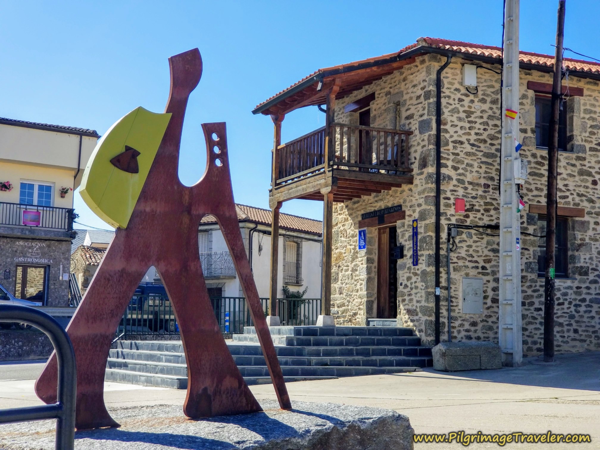
The 28-bed donativo Albergue de Peregrinos de Tábara (+34 637 926068) is a full 3/4 kilometer from the church. To get there you would head diagonally across the Plaza Mayor, to pick up the Calle Vistahermosa going south for about 100 meters. Next, you take a right turn onto the Calle Generalísimo. After about 1/4 kilometer, you come to a public fountain and turn right onto the Camino Sotillo. You will walk another 1/3 kilometer or so and come to the brick building shown in the next photo below. It is on a corner of an intersection.
We had a brief discussion regarding walking an additional 150 meters or 3/4 kilometer? Judging by my friend's condition and her reaction, the decision was a no-brainer. She needed to rest ASAP. It was a deal! No one wanted the additional walk.
After Rich and I cleaned up, we did take the extra walk to check out the donativo albergue.
The albergue is cute but very tight, has 14 bunk beds with additional mats if needed and it serves a community meal. We said hello to another Brazilian friend we had just made, Roque in the red shirt below. That is Rich with him. We saw even more people that we hadn't seen before. There were four empty beds that night.
Later, when chatting with peregrina Kathryn from France, she said the kitchen was dirty, so she came back to El Roble. I did not notice that it was dirty, but I did not check out the kitchen. There is only one shower and one toilet, so the place is indeed very tight. However, our friends who stayed here loved the community meal and said the hospitalero was incredibly nice.
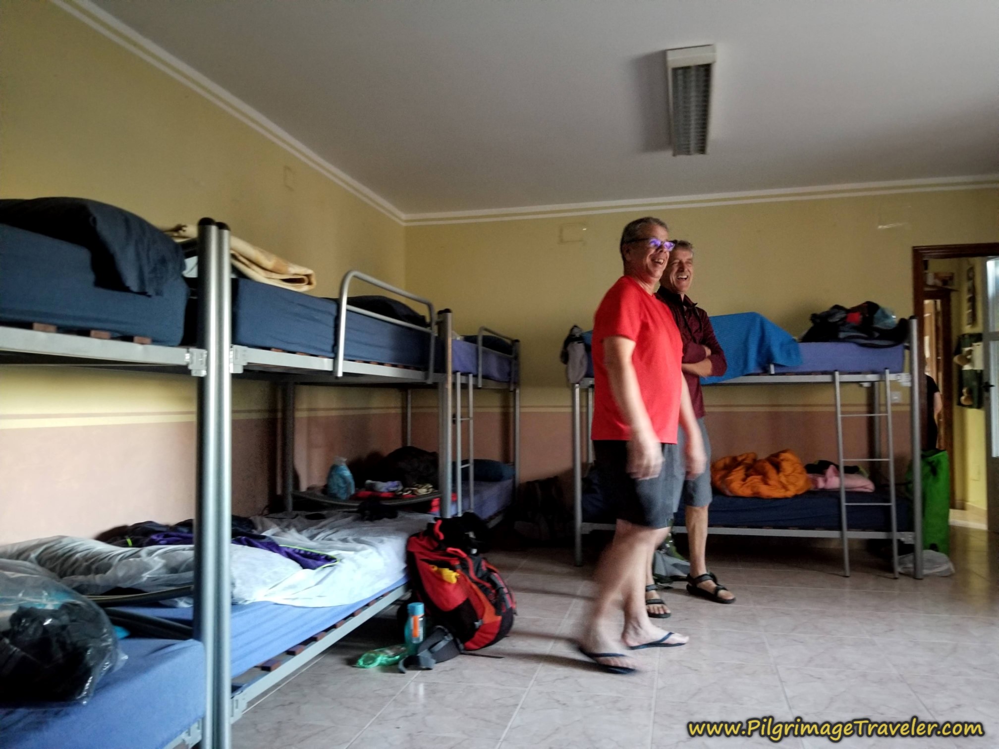 Dormitory of the Albergue de Peregrinos de Tábara
The private albergue El Roble also has 14 beds that are a bit tight. It has three shower rooms, all individual stalls, that were very clean. The outside area to hang your clothes in a courtyard is a bit narrow with little direct sunlight, so it would be harder to dry your clothes on a less sunny or shortened day.
El Roble has no kitchen, just a microwave and refrigerator, but we didn’t care because it was very inexpensive. More than eight of us stayed in the El Roble that night and had the community meal together in the upstairs restaurant. It was delicious and we got to know our Camino friends a lot better.
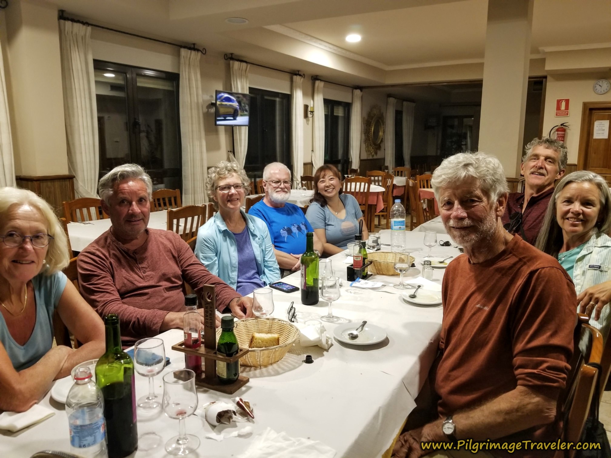 Community Meal at El Roble Restaurant
Plus there is also a really nice downstairs café-bar where you can hang out and sample delicious libations of Spain, which we did! The chilled verdejo was the perfect white wine to refresh and relax us at the end of a long day. The café opens at 7:30 in the morning, so you can have breakfast there before you set off as well. The perfect pilgrim accommodation, in my opinion.
Not only is the albergue inexpensive by today’s standards, but so is the hotel. Several pilgrims chose to stay in private rooms.
There is one more accommodation in Tábara. The Casa Rural la Villa de Tábara but it is expensive and is not a practical option for pilgrims.
Reflections on Day One of the Camino Sanabrés, Granja de Moreruela to Tábara
While this was our first day on the Camino Sanabrés, it was our 6th day on the Camino Fonseca (Vía de la Plata) from Salamanca to SdC. It was a long, hot day, especially when we added the Monasterio Moreruela to the journey.
Perhaps this was my mistake, to push Camino newbies up to a 30 kilometer day for the first time, too soon. Yet, it was not me who continued to put one determined foot in front of the other until an injury occurred. I was after all, only a phone call away, if help was needed.
When I stated to Nadine, that if she had called us, we would have come with help, she replied that she didn't feel that she needed help. Ok, then.
Nadine assured me that it didn't hurt all that much, and none at all when she wasn't actually moving. She seemed positive about everything and perhaps it was only a tweak after all that would resolve itself, maybe even overnight.
Indeed, my own runner's knee had resolved itself after several days, when we had walked the Camino Teresiano, immediately prior to this walk when we joined our friends in Salamanca.
I watched as my friend rested on her albergue bed, stretching and rolling her right, injured shin with a fascia ball. I felt terrible. I had no idea what the future held. I reassured her many times that she needed to walk at her own pace, regardless of how long it takes. I reassured her that we would be there, waiting for her, and could provide assistance if needed.
We would just have to wait to see what tomorrow would bring.
Salutation
May your own day one on the Camino Sanabrés from Granja de Moreruela to Tábara be injury-free! If you do have a misstep, may it humble you, give you perspective and teach you to be appreciative of every moment, as you learn ever more about yourself!
Camino Fonseca Stages
~ Vía de la Plata Stages from Salamanca
~ Camino Sanabrés Stages
Please Consider Showing Your Support
Many readers contact me, Elle, to thank me for all the time and care that I have spent creating this informative website. If you have been truly blessed by my efforts, have not purchased an eBook, yet wish to contribute, I am exeedingly grateful. Thank you!
Search This Website:
🙋♀️ Why Trust Us at the Pilgrimage Traveler?

We’re not a travel agency ~ we’re fellow pilgrims! (See About Us)
We've trekked Pilgrimage Routes Across Europe since 2014!
💬 We’ve:
- Gotten lost so you don’t have to. 😉
- Followed waymarks in the glowing sunlight, the pouring rain and by moonlight. ☀️🌧️🌙
- Slept in albergues, hostels & casa rurals. Ate and drank in cafés along the way. 🛌 😴
- Created comprehensive and downloadable GPS maps and eBook Guides, full of must-have information based on real pilgrimage travels. 🧭 🗺️
- Shared our complete journeys, step by step to help YOU plan your ultimate pilgrimage and walk with your own Heart and Soul. 💙✨
Every detail is from our own experiences. Just fellow pilgrims sharing the Way. We have added a touch of spirituality, heartfelt insights and practical guidance from the road ~ offering a genuine connection to the spirit of pilgrimage. Tap into the wisdom of seasoned pilgrims!
Ultreia and Safe Pilgrimage Travels, Caminante! 💫 💚 🤍
Follow Me on Pinterest:
Find the Pilgrimage Traveler on Facebook:
Like / Share this page on Facebook:
***All Banners, Amazon, Roamless and Booking.com links on this website are affiliate links. As an Amazon associate and a Booking.com associate, the Pilgrimage Traveler website will earn from qualifying purchases when you click on these links, at no cost to you. We sincerely thank you as this is a pilgrim-supported website***
PS: Our eBook Guide books are of our own creation and we appreciate your purchase of those too!!
Shroud Yourself in Mystery, along the Via de Francesco!
Walk in the Footsteps of St. Francis, and Connect Deeply to the Saint and to Nature in the Marvelous Italian Countryside!
Need suggestions on what to pack for your next pilgrimage? Click Here or on the photo below!
Find the Best Hotel Deals Using This Tool!
Carbon Trekking Poles ~ My Favorites!
Carbon fiber construction (not aluminum) in a trekking pole makes them ultra lightweight. We like the Z-Pole style from Black Diamond so we can hide our poles in our pack from potential thieves before getting to our albergue! There are many to choose from! (See more of our gear recommendations! )
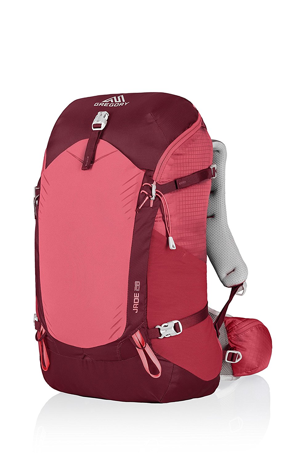
Gregory BackPack ~ My Favorite Brand
Do not forget your quick-dry microfiber towel!







Your Opinion Matters! Comments
Have you had a similar experience, have some advice to give, or have something else you'd like to share? We would love to hear from you! Please leave us a comment in the box below.