- Home
- ~ Camino Sanabrés (The Sanabrés Way)
- Vilar de Barrio to Xunqueira de Ambia, Day Eleven
Jump to Camino Sanabrés Stages
Camino Sanabrés, Vilar de Barrio to Xunqueira de Ambía, Day Eleven, 13.63 Kilometers (8.47 Miles)
Our day eleven on the Camino Sanabrés from Vilar de Barrio to Xunqueira de Ambía was another rain-soaked day, though not like our day eight, this gentle rain was manageable. It was a short day and demanded little physical exertion, so we remained comfortable throughout the day's journey.
Quote for Day Eleven on the Camino Sanabrés, Vilar de Barrio to Xunqueira de Ambía
“Walk slow, don’t rush. That place you have to reach is yourself.” ~ José Ortega y Gasset, Spanish Philosopher and Essayist
This day's quote was very appropriate for us as a group. I found myself repeatedly rearranging our schedule to accommodate the group's needs. It was a bit difficult for me to do a day as short as 14 kilometers, but it was necessary.
My friend, Nadine's limp was not going away, despite frequent doses of Ibuprofen, kinesiology tape, and the daily rolling of her right shin with a fascia ball. It was now ten days of limping. I knew in my heart, from all my experience as a rehab nurse, and an avid walker, that she was suffering from tendonitis of the muscles of the shin. The only way to heal tendonitis is to rest. Period.
On our day to Campobecerros, several days ago, we had a discussion and she stated that she did not want to hold up the group. While I did my best to accommodate her and create a schedule for shorter days, it was still not enough. In fact, her limp was worsening. She was holding up the group.
We continued to have the group discussion, that Nadine could shorten her days by taking a taxi or a bus for part of them. But she was determined to walk the Way for every step and continue to do it with us, as a group. No one could convince her otherwise.
She did not wish to do her own Camino, or perhaps, she did not wish to be left behind. I was not sure. The place within herself was speaking to her, and I could only hope that she would listen. My worry for her and her health was increasing each day.
We all were looking forward to another rest day, in two days, in Ourense because we all hoped for a miracle for Nadine's worsening tendonitis. However, we all agreed to stay together, take this day slower and appreciate each and every moment as the Camino was asking of us. It was easy to do, despite the rain that was gently falling on us throughout the day.
Most surprising of all was that our Spanish ambassador and group member, Miguel, continued to stay with us. He was perhaps the strongest walker of all, but I believe his family's desire that he not walk alone was foremost in his mind. Or perhaps, he just enjoyed helping us and being our ambassador.
I had the conversation with Miguel, releasing him from any responsibilities to our group, so that he could go on with his own Camino and his own pace. He heard me, but thus far continued to walk with us.
As you can see in the photos to follow, he was not in a lot of them, but was walking ahead, as the group's pace slowed even more.
Maps and Stats of Day Eleven on the Camino Sanabrés, Vilar de Barrio to Xunqueira de Ambía
Here is our map of the day, interactive and with the available services placed on it. There are no accommodations in this 14 kilometers, but there are several bars, as you can see, if you like a coffee break along the Way.
The day's profile is a gentle one, with a 100 meter-or-so climb after the long flat farm fields, that you will see in the photos below. The climb is over about three kilometers with two steeper sections. The final few kilometers are all downhill, into Xunqueira de Ambía.
Camino Sanabrés EBook
~ Includes 4-5 additional days on the Vía de la Plata from Salamanca!
Our Camino Sanabrés eBook Guide, in downloadable PDF Format, contains all the valuable information from our web pages, for comfortable reading offline (important in the mountainous and remote areas) and without ads, all on your personal device. Don't carry a hard copy guide book to increase your pack weight. Use our digital guides on your next Camino instead!
Our ebook guides are packed with frequently updated information, because a digital format is more nimble than hard-copy publishing. Our eBook Guide is unique because we also entertain and immerse you with our story!
Your purchase of the Camino Sanabrés eBook includes the BONUS digital guide on the Vía de la Plata from Salamanca. This allows you the opportunity to add 4-5 more days to your Camino in the beginning. Click here for more info or BUY NOW!
Jump to Camino Sanabrés Stages
Photo-Rich Travelogue for Day Eleven on the Camino Sanabrés, Vilar de Barrio to Xunqueira de Ambía
We started off our morning, in the rain and dark. It had rained significantly during the night and when we first got up. We looked at each other, with questions in our eyes, as we ate breakfast, but as it turned out, by the time we started walking, the rain was very light.
Within a few meters of leaving the albergue, on the OU-1103, walking westward through the main traffic circle, we came to this open bar. We had already eaten, so we carried on. Vilar de Barrio is a sizable town, so most likely at least one bar will be open if you need it.
The way through the streets of Vilar de Barrio was almost a kilometer long, with houses and buildings spread out along the main road.
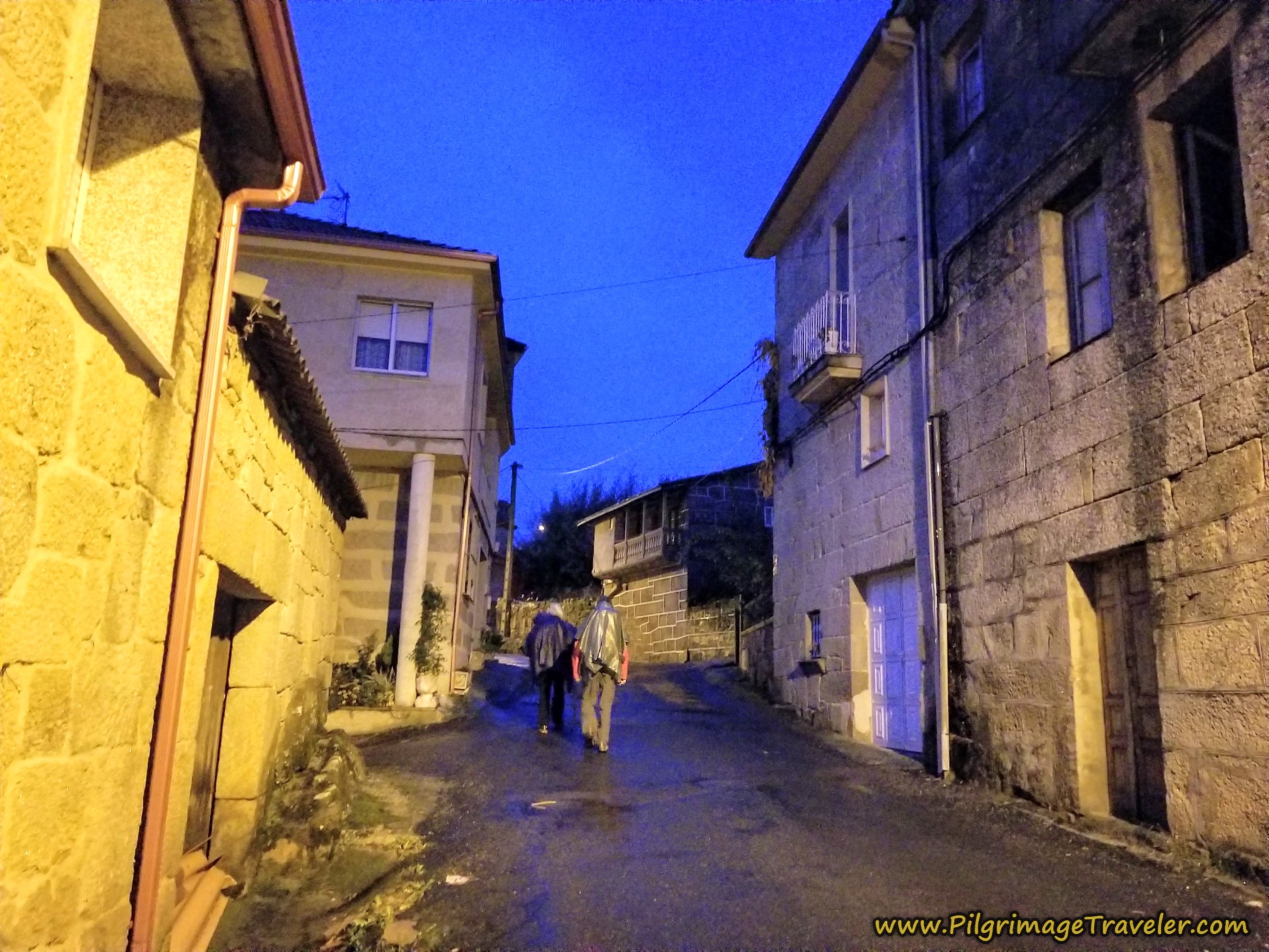 Walking Through Vilar de Barrio at Dawn
We soon passed the last buildings of town, and walked into the countryside. It is about 1.2 kilometers into the day that we came to this sign, where we were directed to the left, off the main road and towards the next hamlet of Boveda.
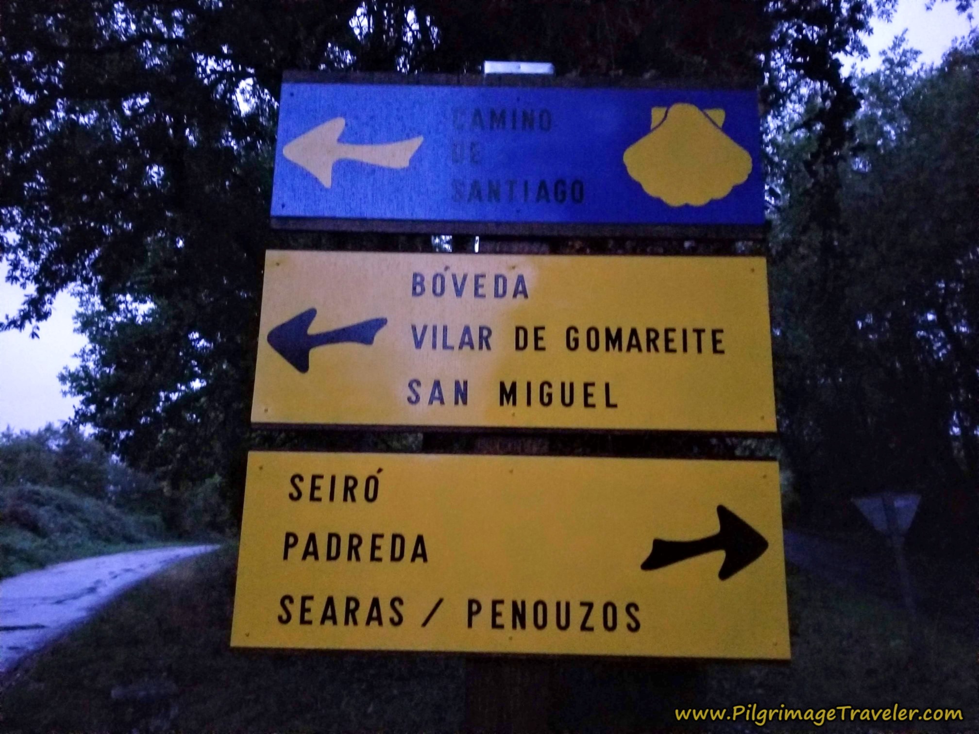 Left Turn Toward Boveda
It is not even 1/2 kilometer after the turn, that you arrive into the town limits, on this secondary road, shown below, approximately 1.7 kilometers into the day.
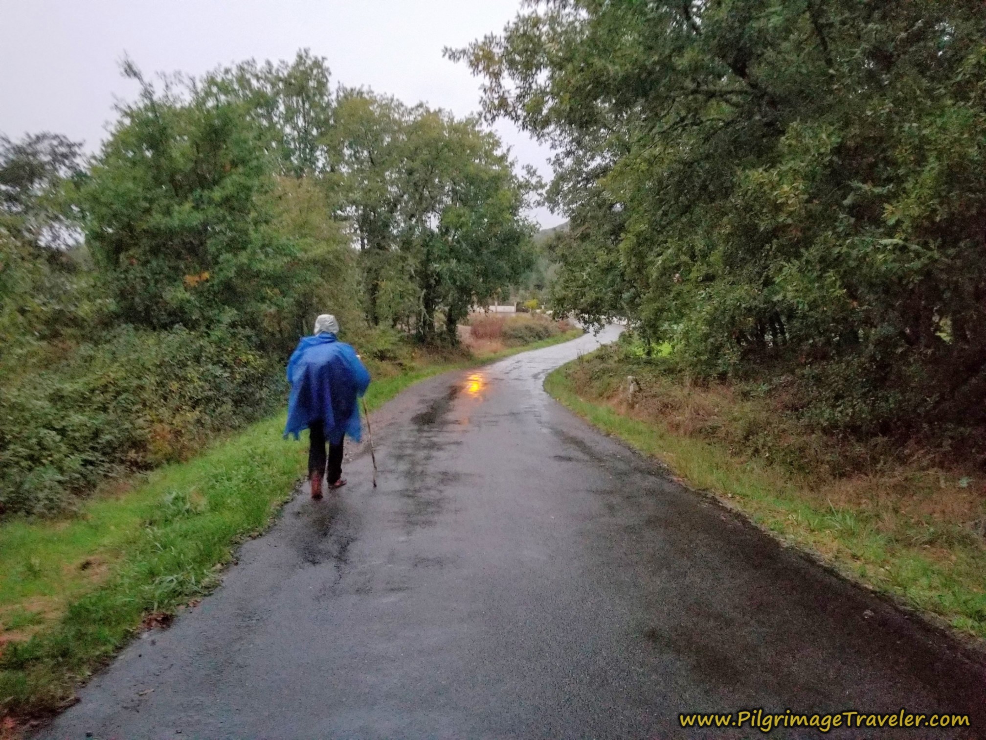 Boveda Ahead, Camino Sanabrés
Shortly after entering the town proper, about 1/2 kilometer later, the Camino takes you to the right at a Y-intersection and off the main road, by this picnic area, shown next. If it were a nice day and the timing was right, this would be a nice rest area. It also has a fountain as you can see.
This rest area is approximately 2.3 kilometers into the day on the Camino Sanabrés from Vilar de Barrio to Xunqueira de Ambía.
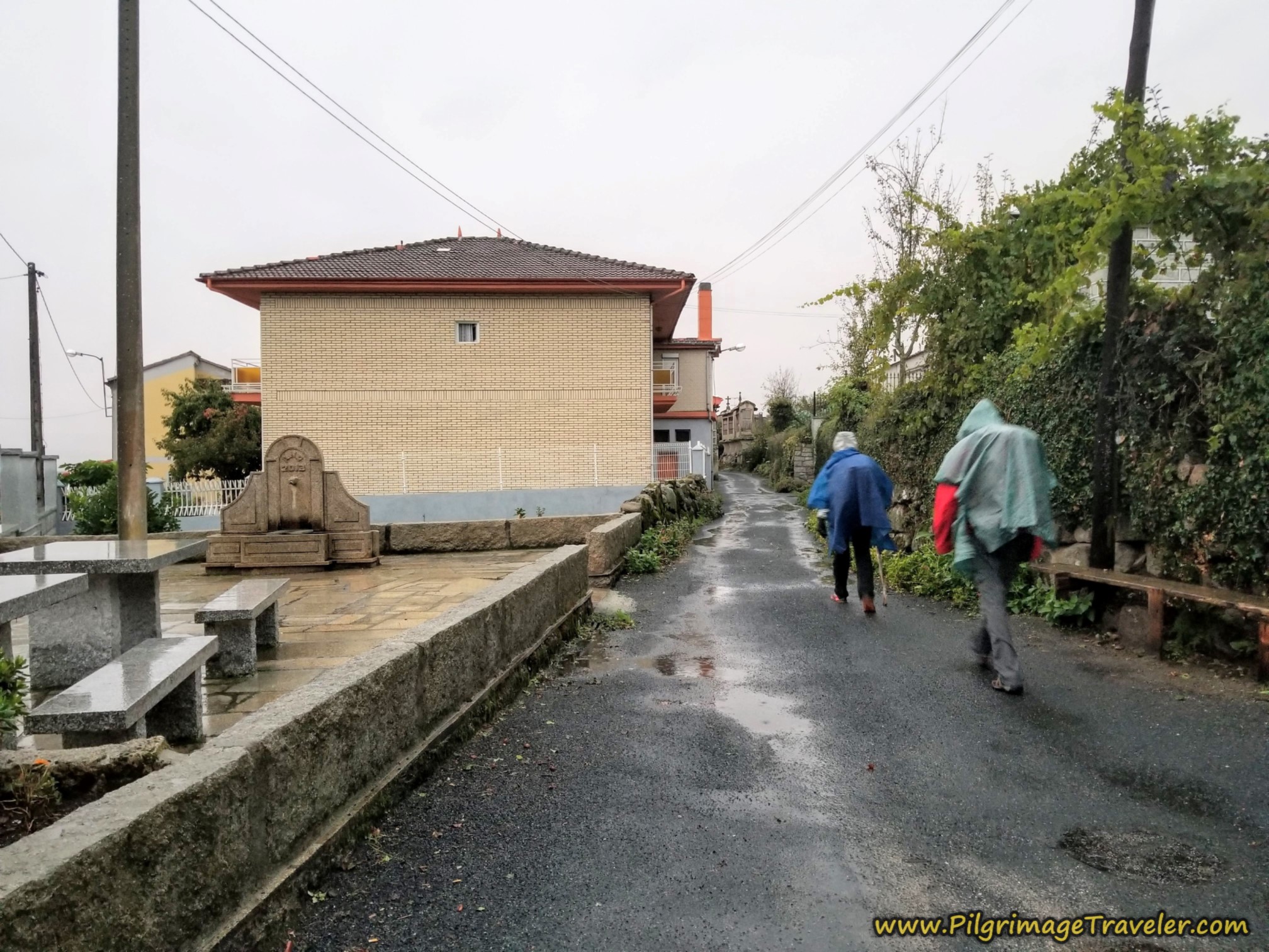 Pass Picnic Area and Public Fountain
If you were to stay to the left here at the picnic area, there is a bar a few meters ahead, and if you continue onward, you will meet up with the Camino again in only a few more meters.
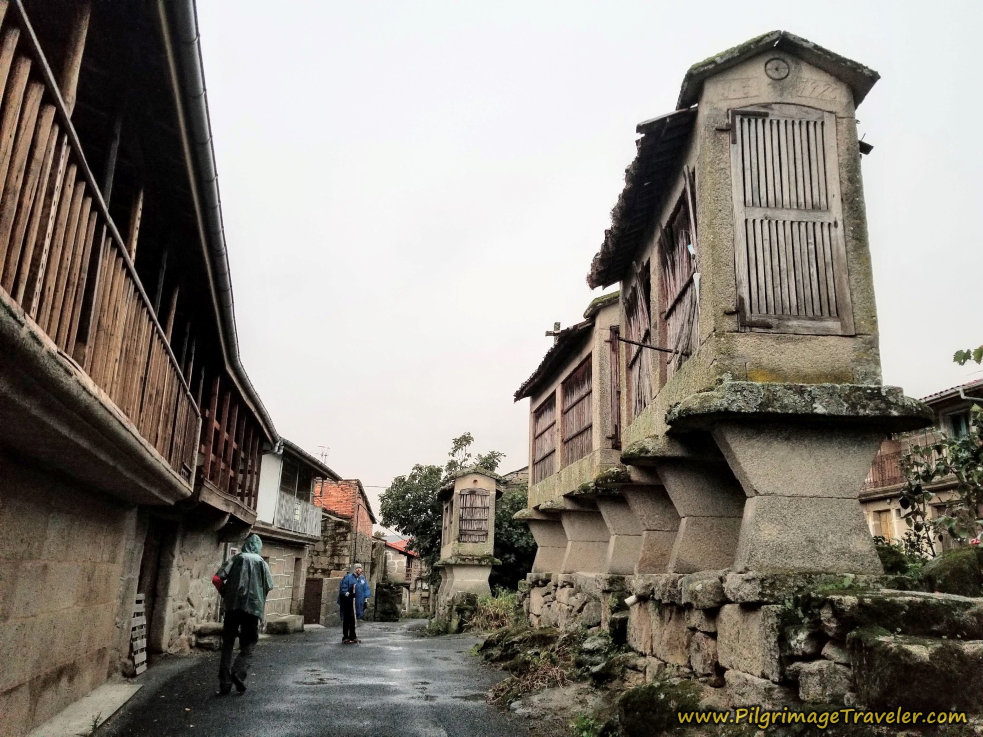
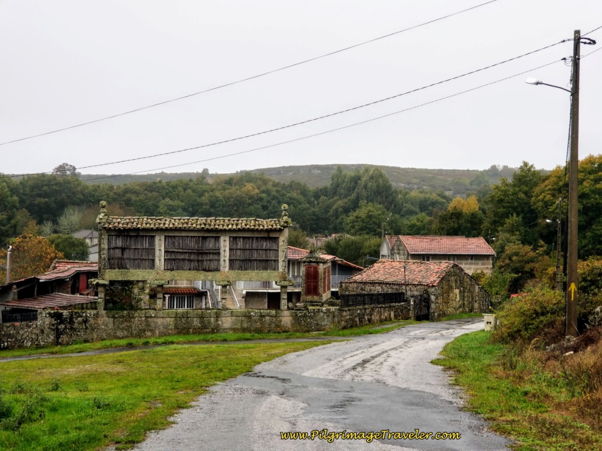
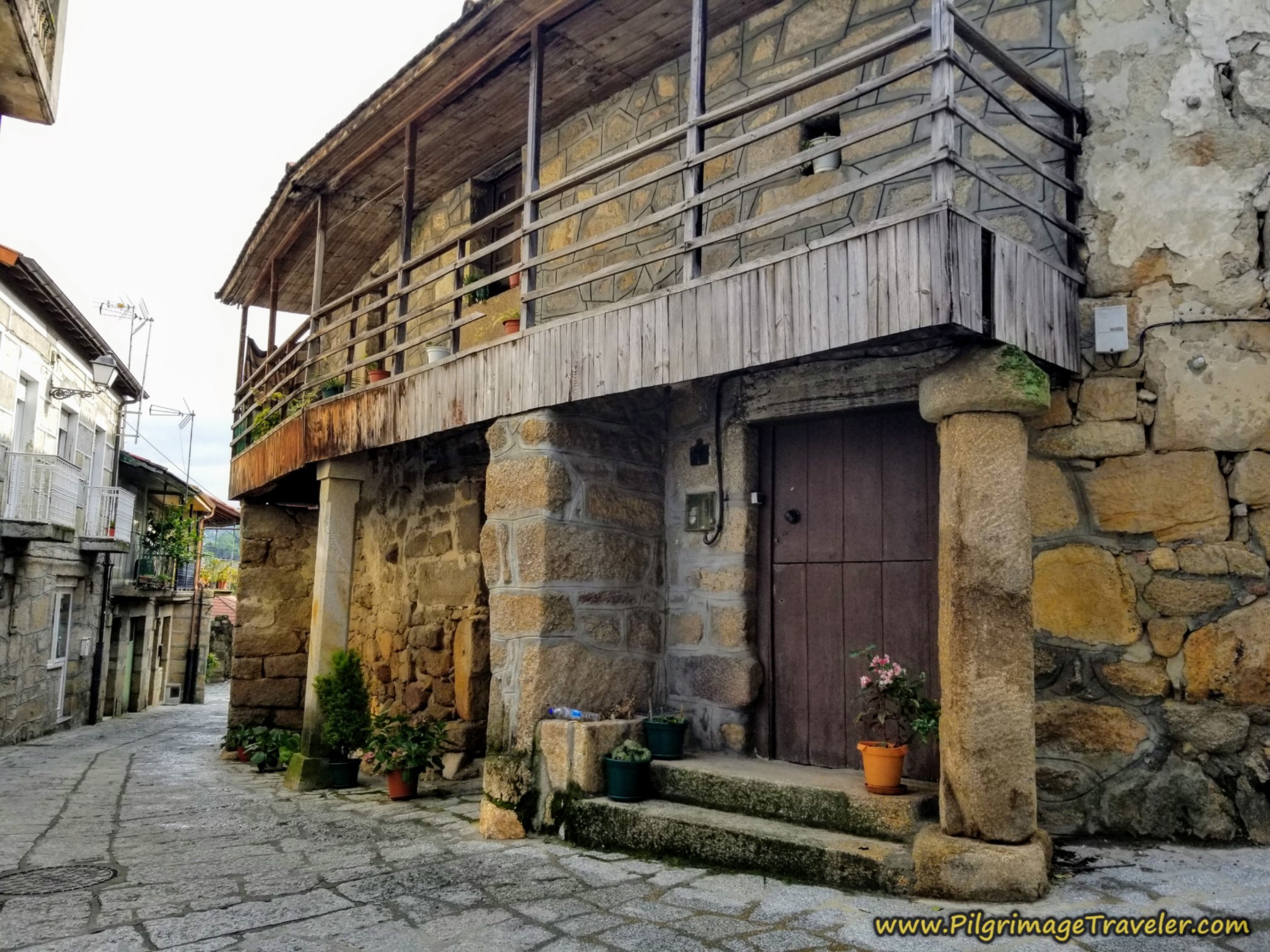
As we walked through the center of Boveda, the elevated old hórreos (granaries) were something to see! Not to mention the architectural features of the buildings on the left, in the photo below.
The waymarking is perfect through town, and at this intersection, below, at yet another Nicanor Carballo sculpture, you stay to the right, to join the main road once again. This is about 1/3 kilometer from the picnic area.
As you can see, a small climb commences here as you are leaving Boveda. It is the small hump after 2.5 kilometers, in the elevation profile shown at the beginning of this article.
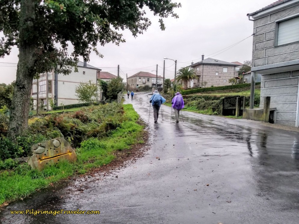 Right Turn in Boveda
After the short climb, you enter the next town of Vilar de Gomareite. It is not discernable where Boveda ends and Vilar de Gomareite begins, if it were not for this sign. The two towns blend into one another.
It is after almost exactly 3.0 kilometers into day eleven, when you encounter the town sign, on the Camino Sanabrés from Vilar de Barrio to Xunqueira de Ambía.
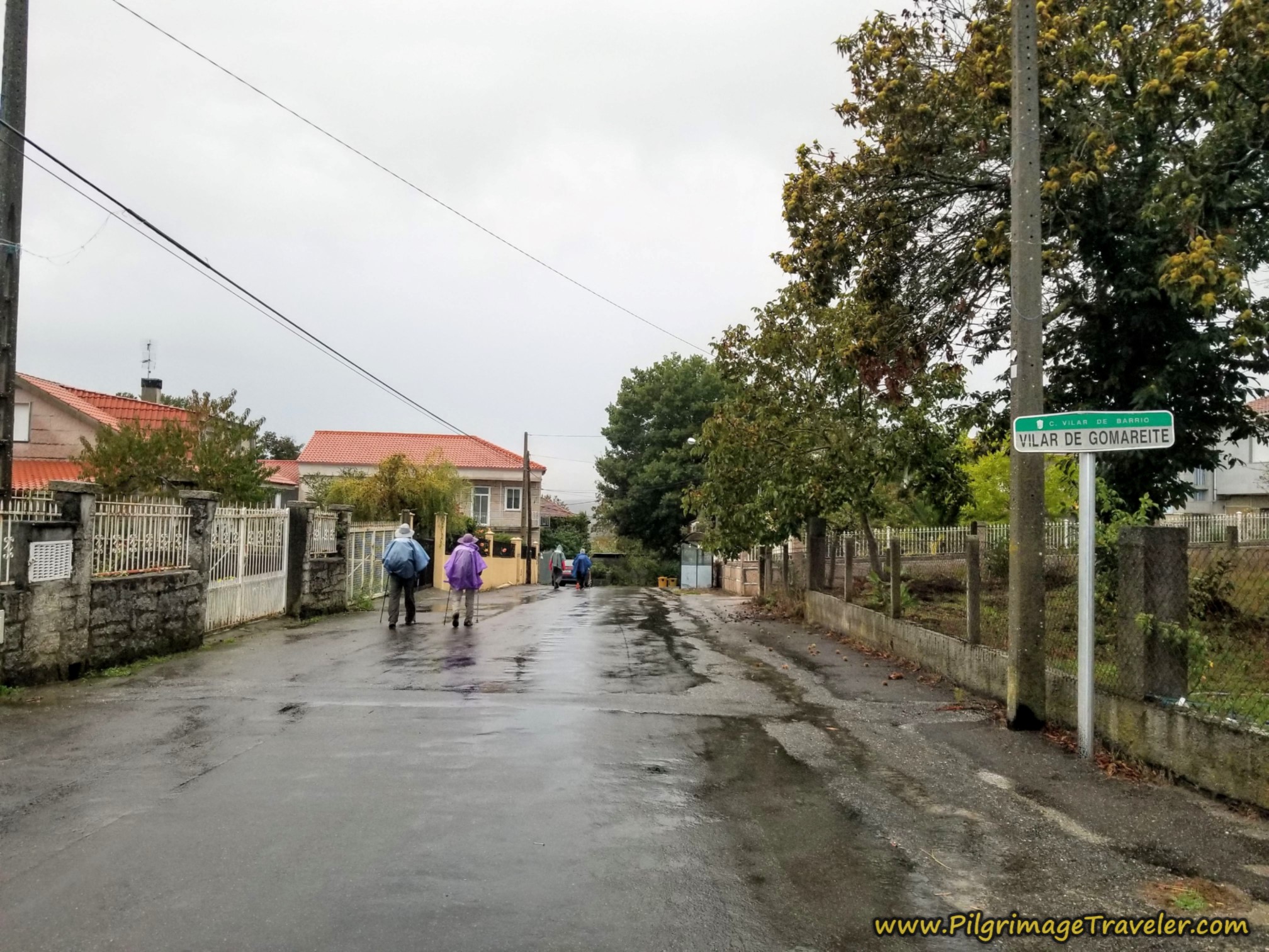 Entering Vilar de Gomareite
At the very next intersection after the town sign, shown below, about 100 meters later, the Camino goes straight on. If you were to take a right turn here instead, there is another bar in about 150 meters, if you need it.
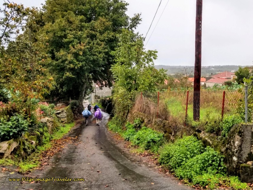 Straight On In Vilar de Gomareite
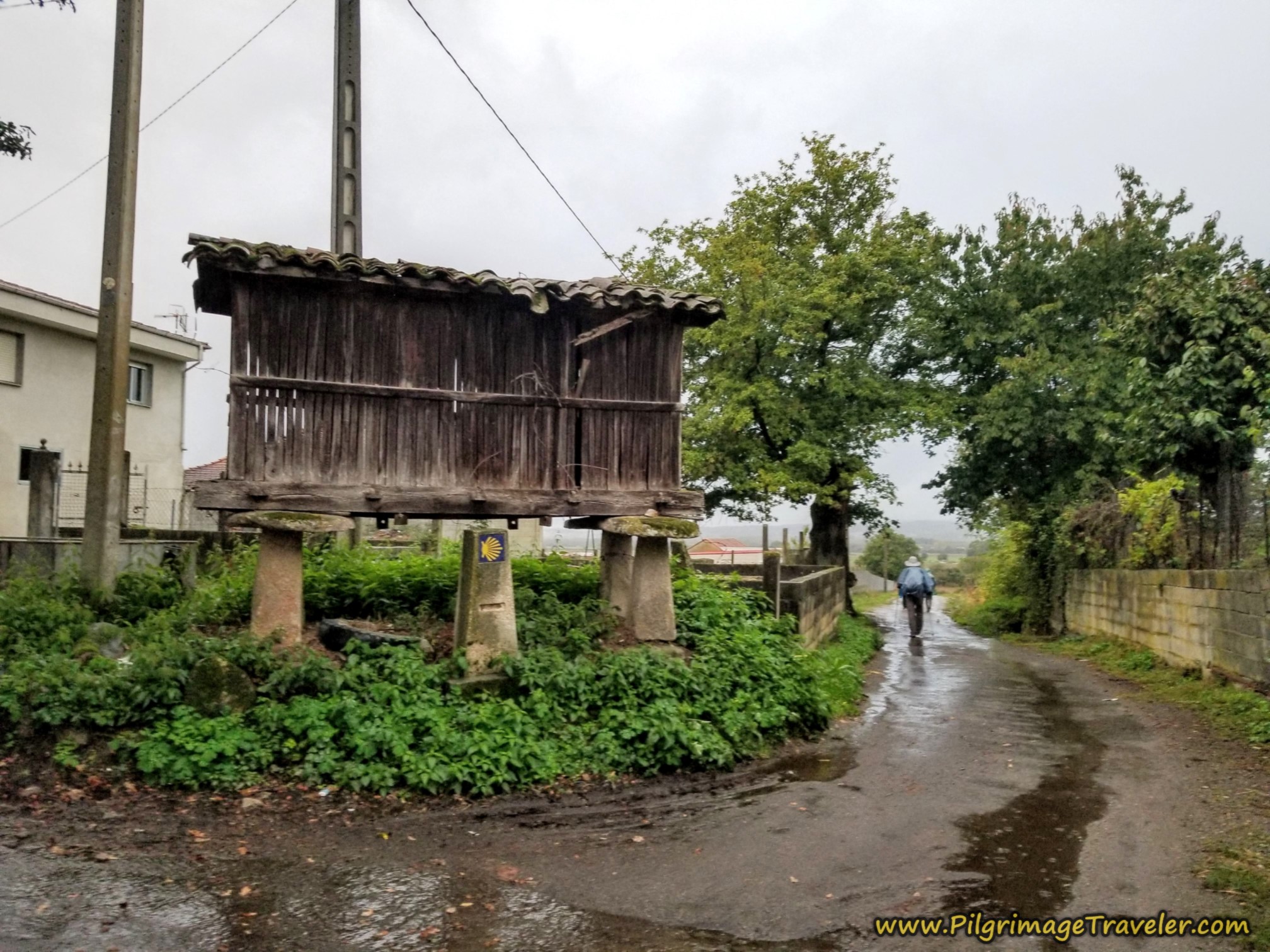
The Camino stays straight on, at yet another old granary as you leave Vilar de Gomareite, shown below.
Jump to Camino Sanabrés Stages
After walking through Vilar de Gomareite, you come to a T-intersection, and you take a right turn northward, onto this secondary road, approximately 3.5 kilometers into the day.
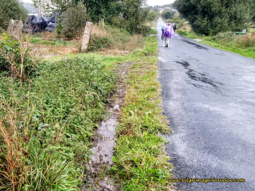 Right Turn Toward Open Fields
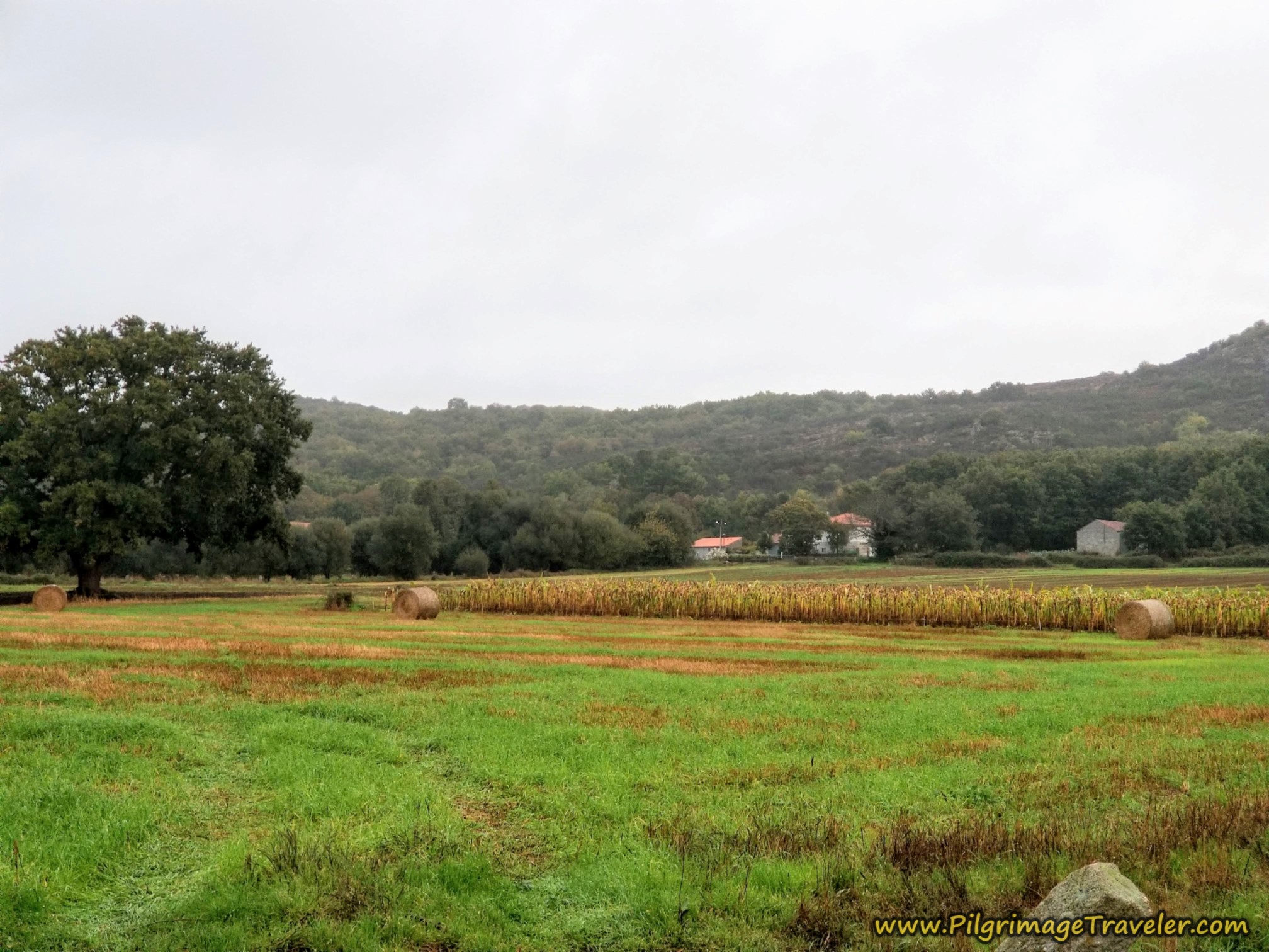
And thus begins the long farm lanes that you will walk on. The harvest was happening in October, and the bales of hay were a lovely sight.
After approximately kilometer 4.0, the Way takes this farmer's lane to the left and westward.
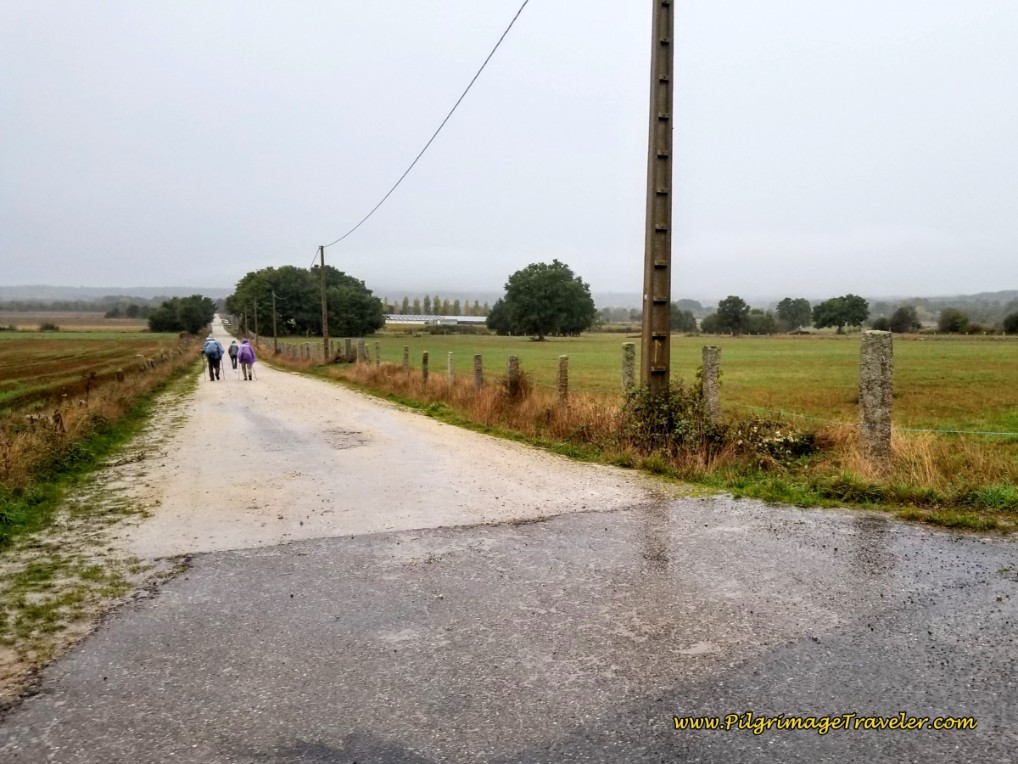 Left Turn Westward Onto Long Lane
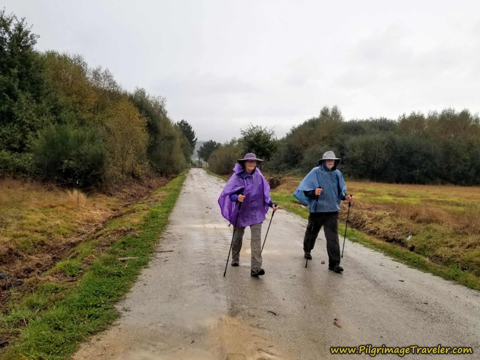
It continued to rain lightly, as we walked onward.
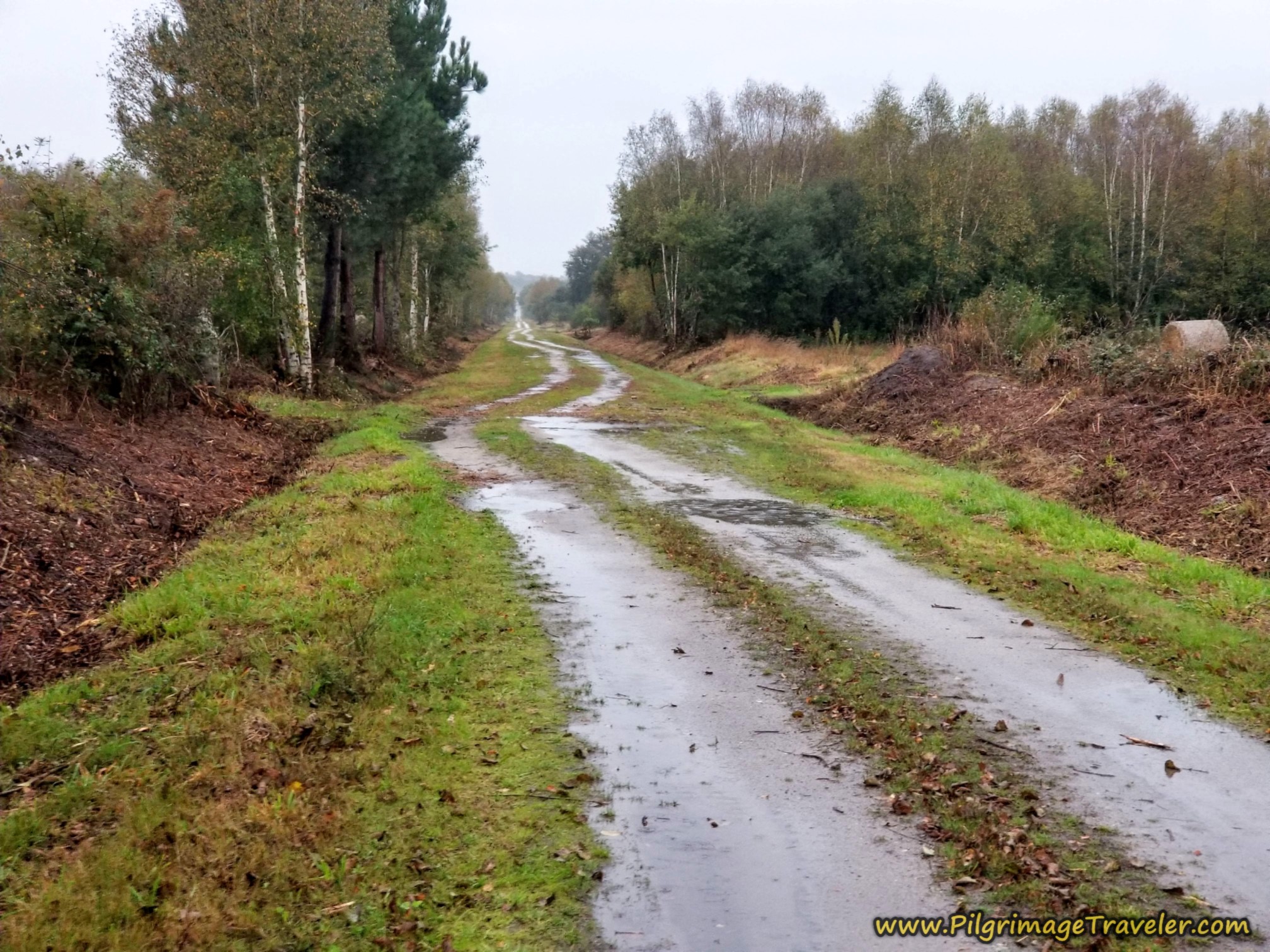
The long lane ahead became more primitive and soggy.
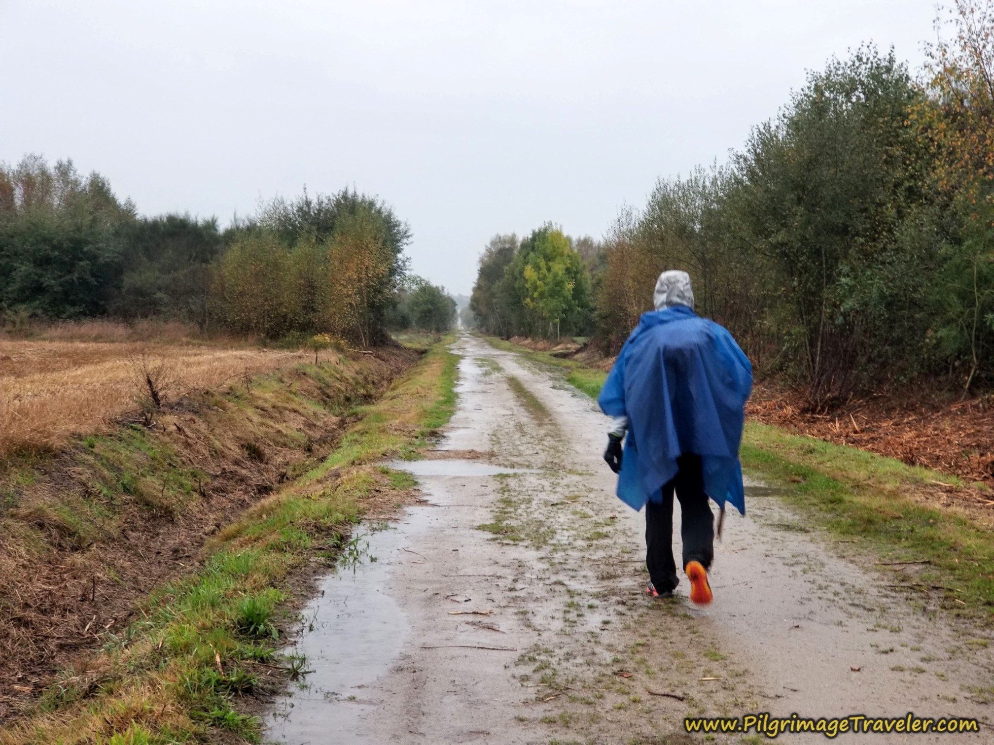 Miguel on Sloshy Lane
The walk on this long lane is over three kilometers of flat loveliness! Even in the rain it held a certain magic.
At kilometer 7.5, a bit more than halfway through this day, the Way goes to the right, at this intersection. It was starting to rain a bit harder now. Not as lovely.
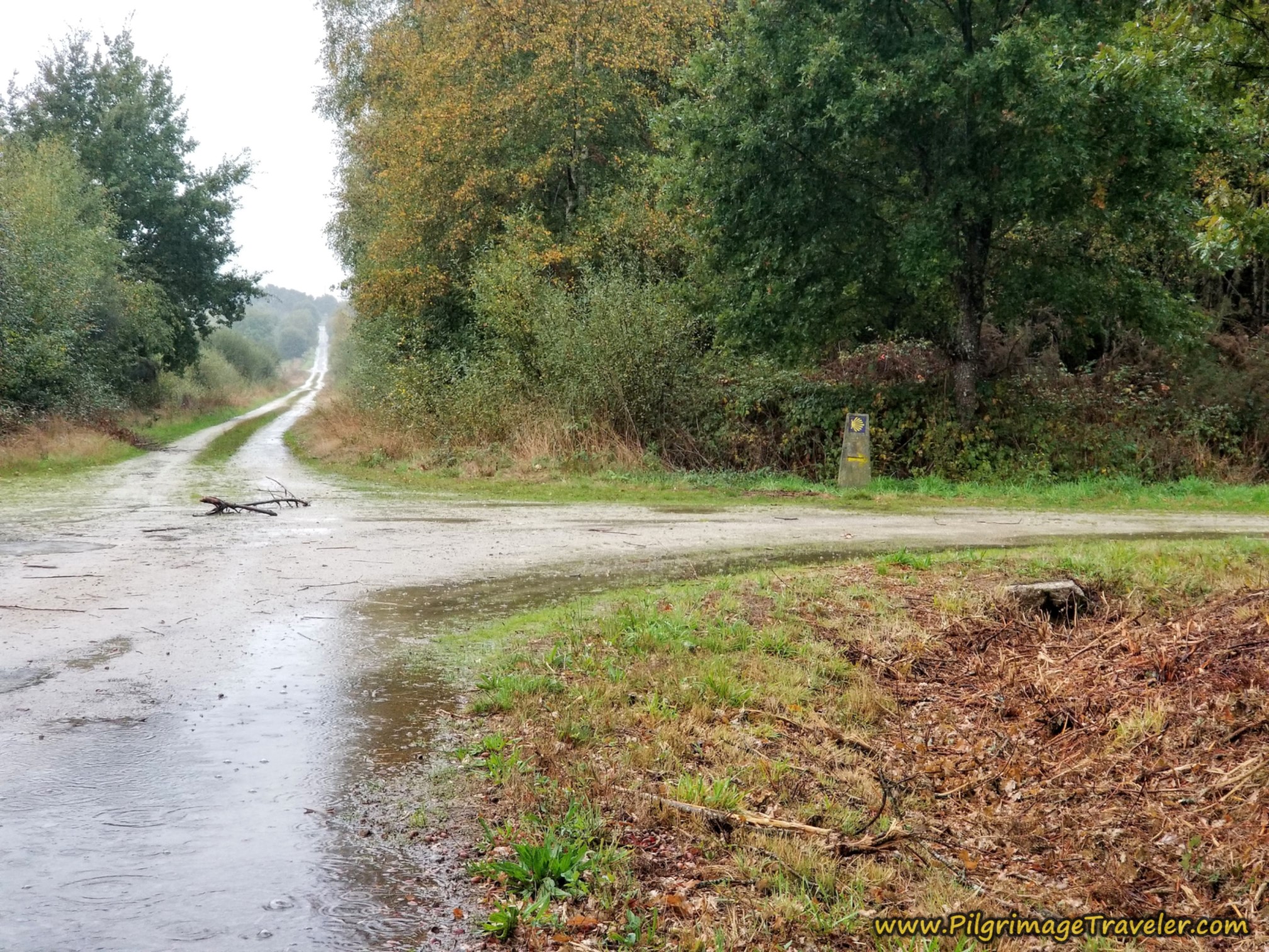 Right Turn onto Another Farm Lane
This is the way to the next town of Bobadela. Less than one kilometer after the turn, you cross the paved road shown, and the town is just ahead. The lane also turns to pavement here, after the stop sign.
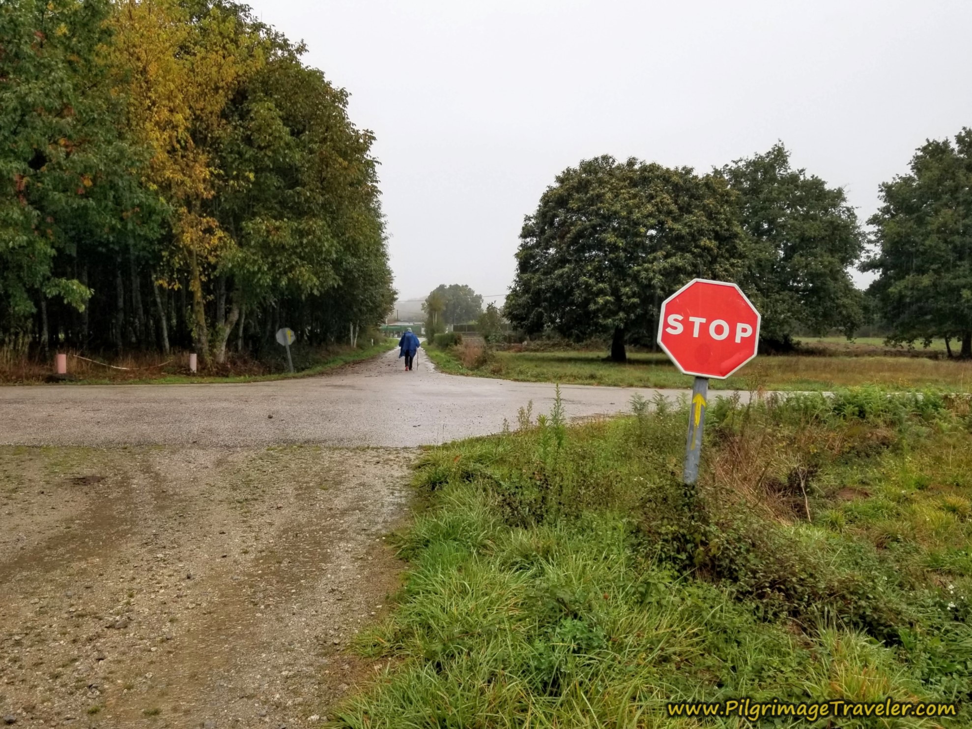 Cross Paved Road
One hundred meters later, a left turn takes you into town. In another 150 meters come to the next intersection, after approximately 8.43 kilometers on the Camino Sanabrés from Vilar de Barrio to Xunqueira de Ambía.
The way is to the left onto the main road. First, you must walk a few meters on this main road, then take a right turn, at the 3-story house pictured below.
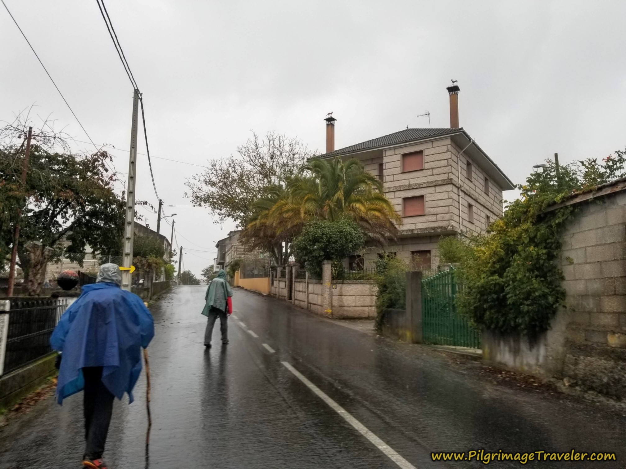 Right Turn in Bobadela, Camino Sanabrés, Vilar de Barrio to Xunqueira de Ambía
And then, it was onward, winding through the streets of Bobadela. Unfortunately, there are no services in Bobadela.
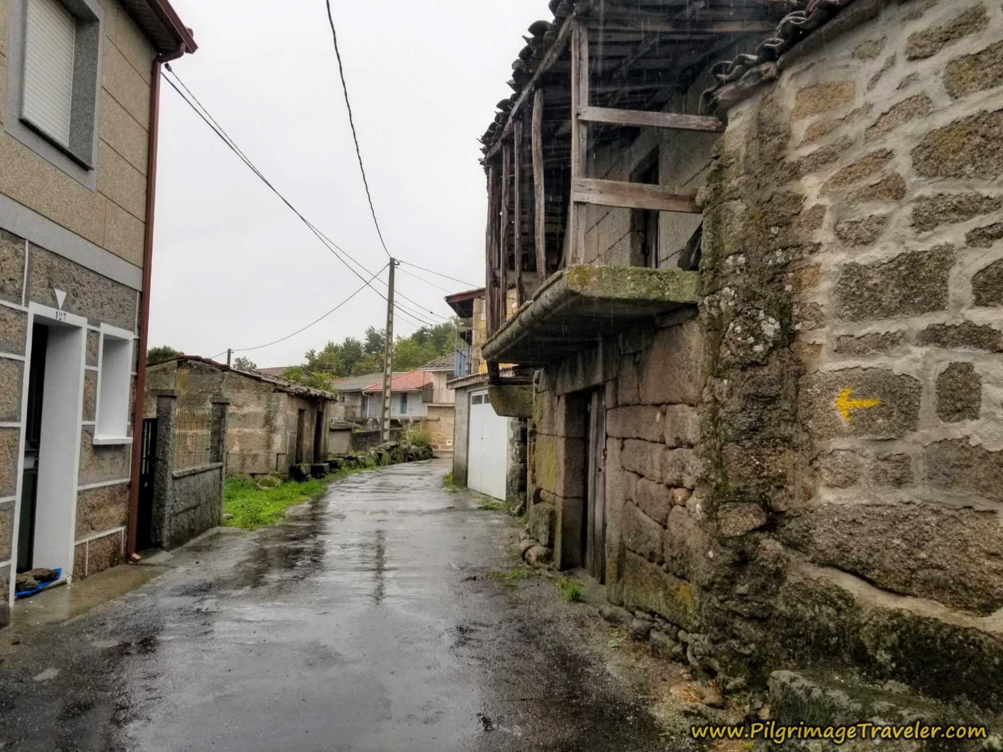 Onward Through Bobadela
Jump to Camino Sanabrés Stages
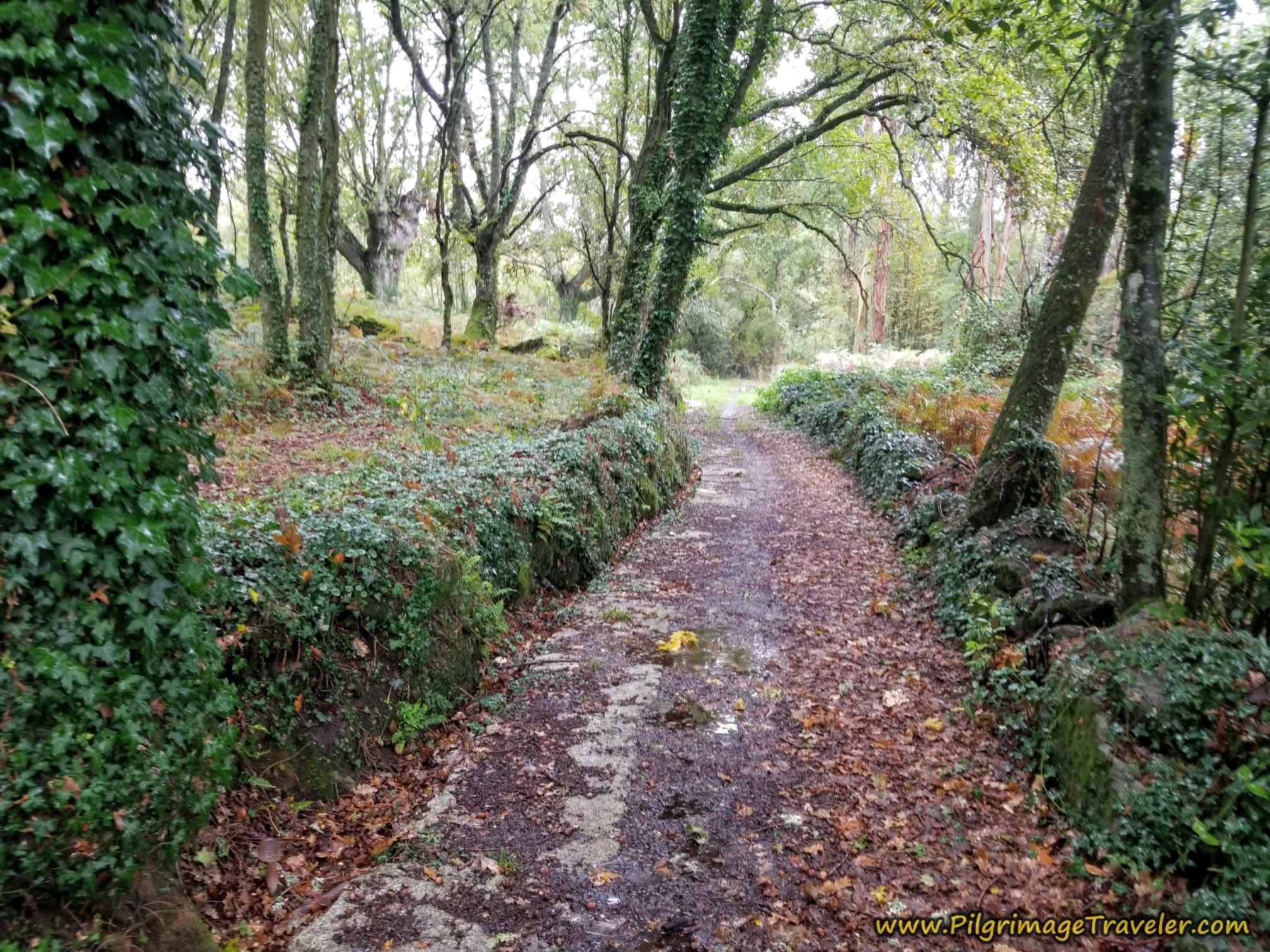
After a total of about 8.75 kilometers, the Camino leave the town and takes a right hand turn and onto this lovely, deeply-cut forest lane.
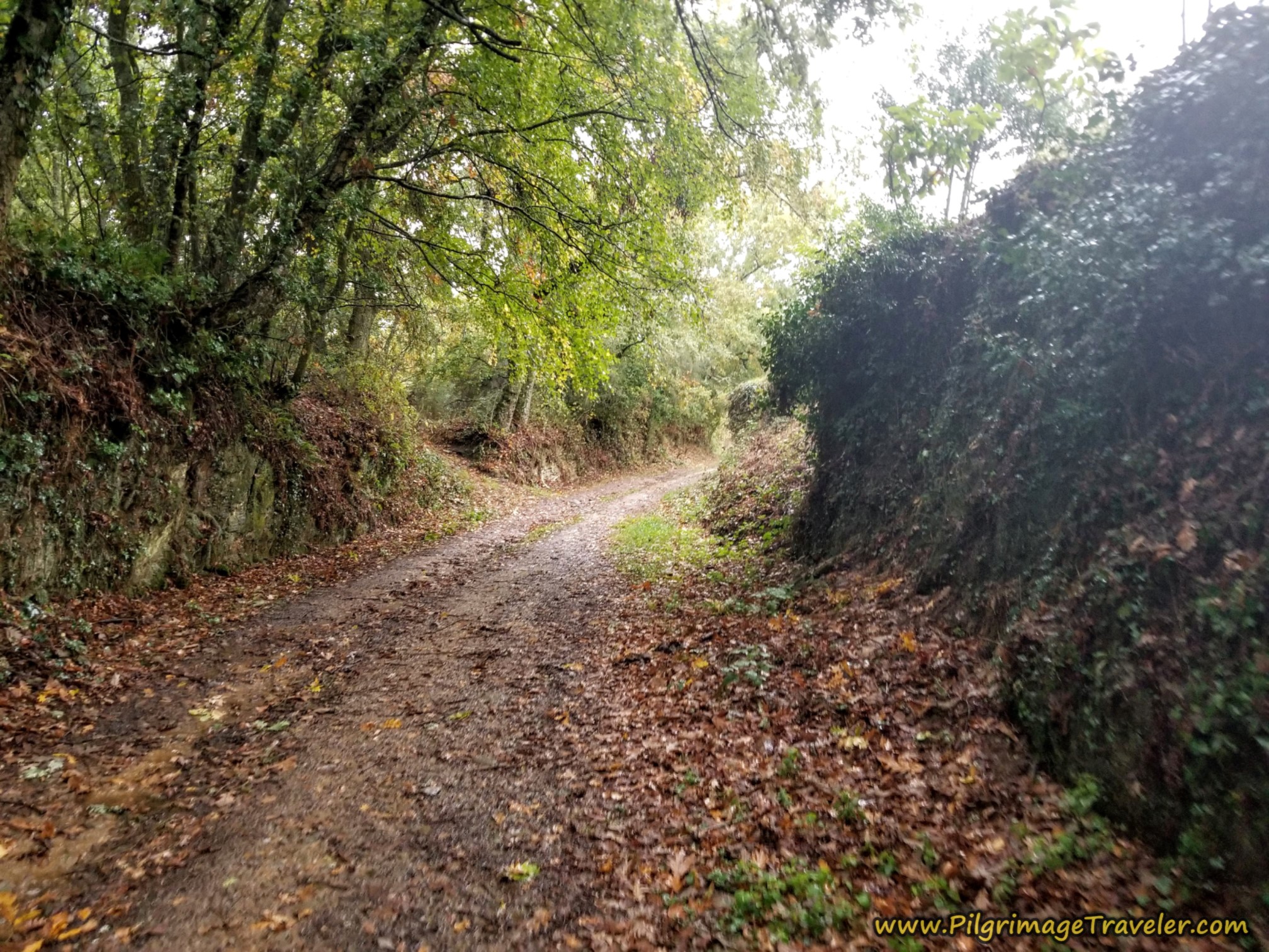 Right Turn Into Forest
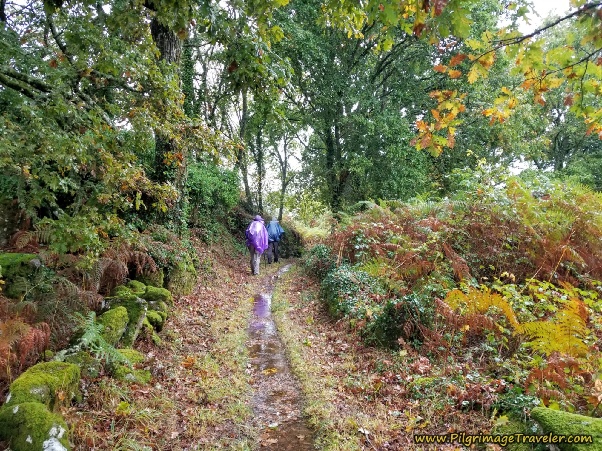
It was a most typical Galician forest, with lichen-covered stones and mossy trees. We followed the waymarking to turn left here.
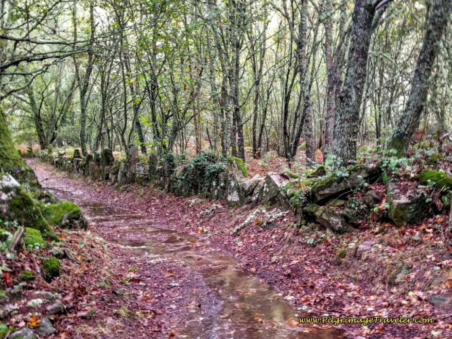 Left Turn in Forest
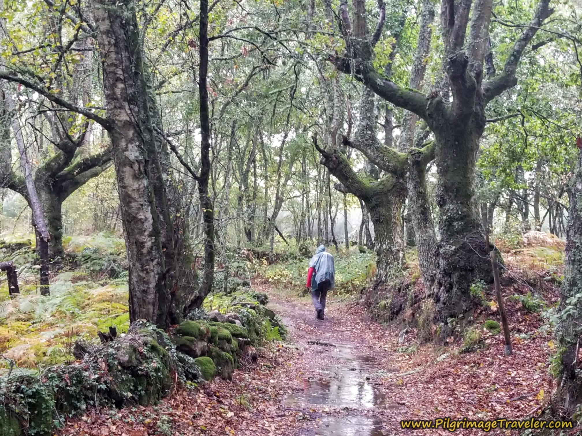
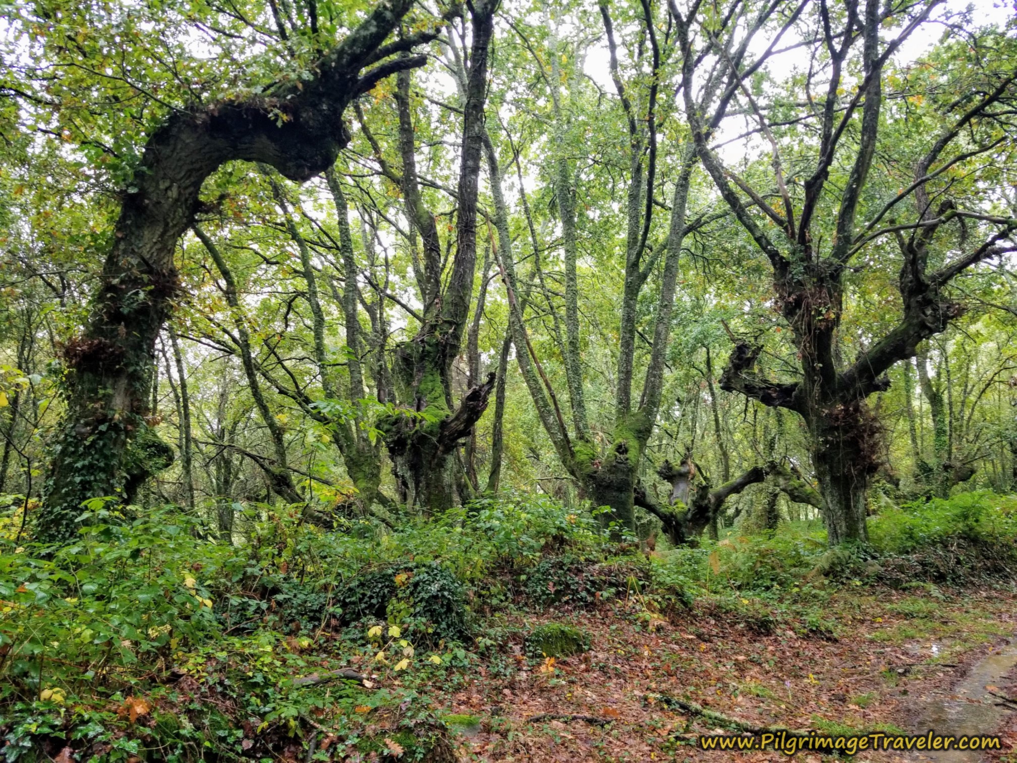
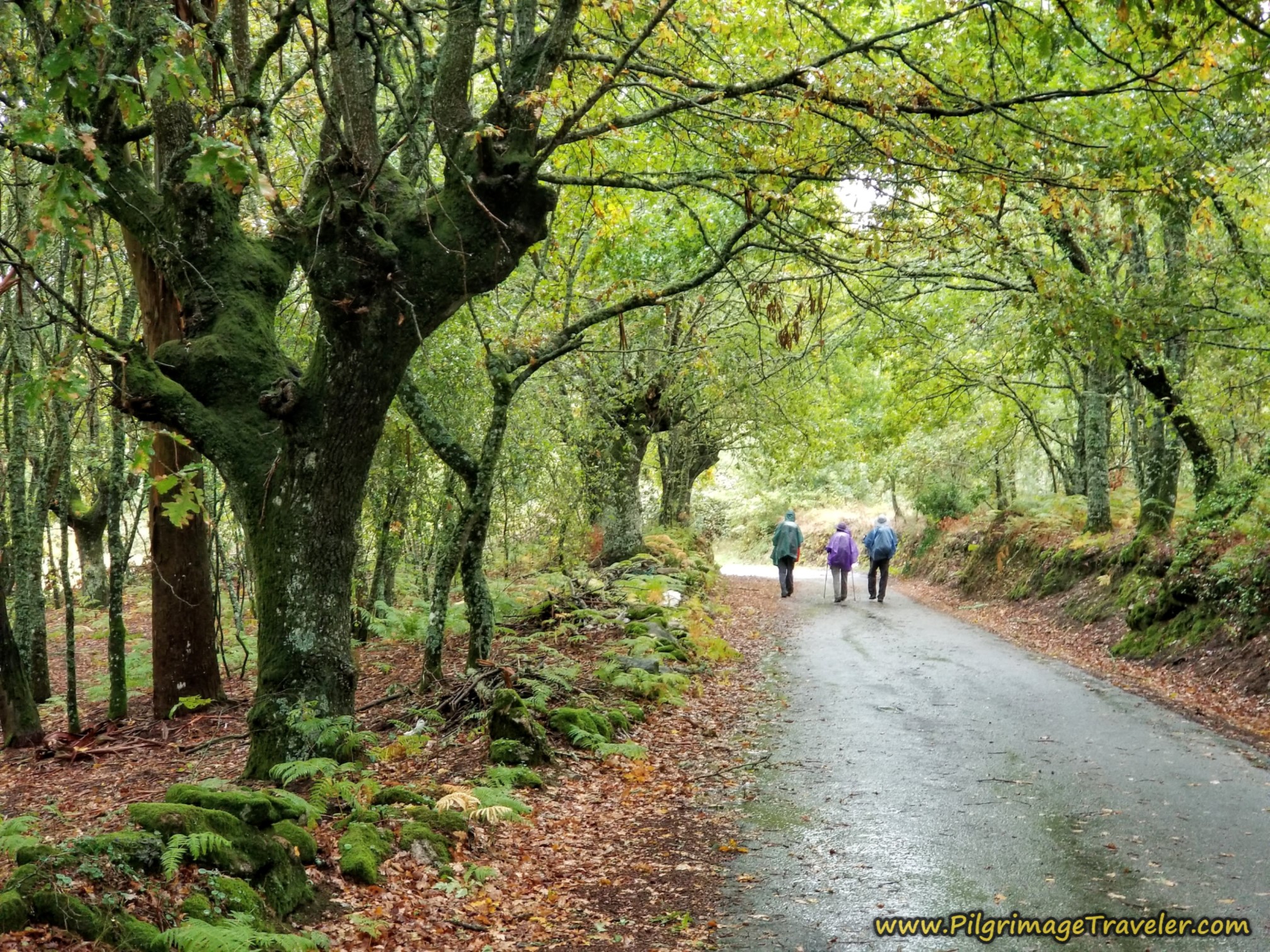
I am just fascinated by the trees in this area. We sloshed through the puddled lanes among the stately trees.
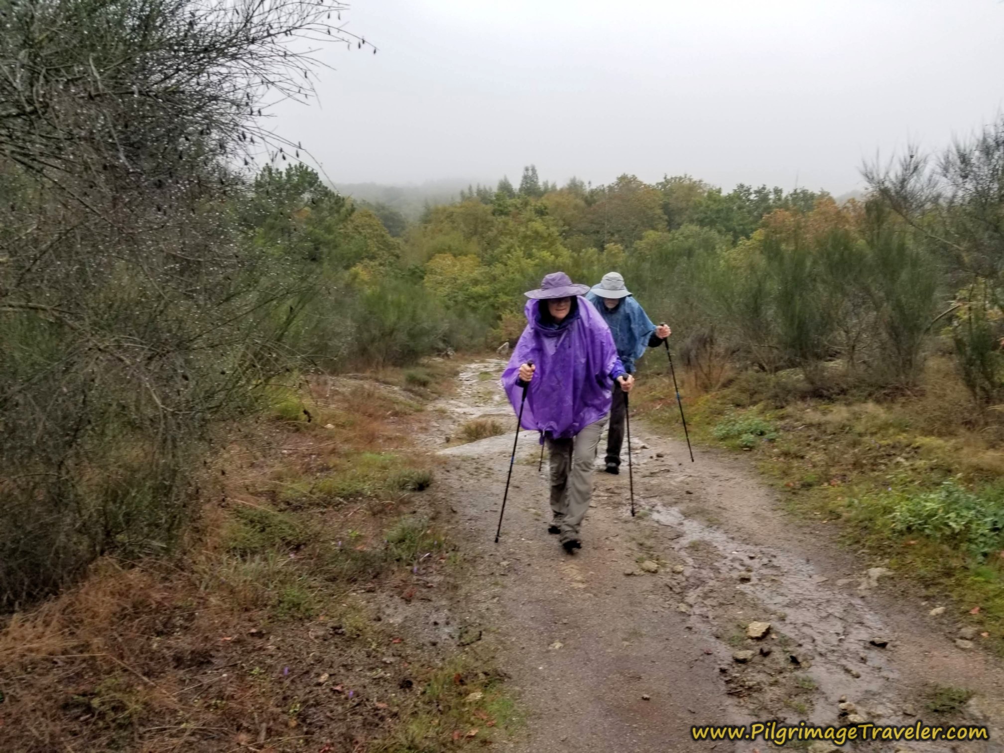
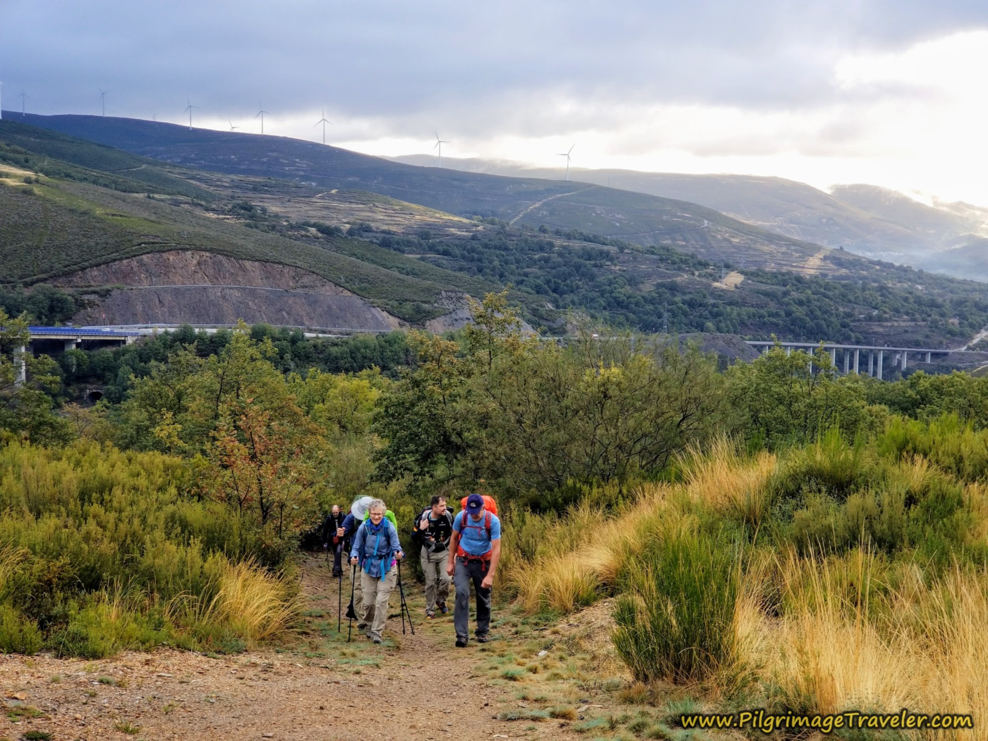
Upon entering Bobadela and then the forest afterwards, the long climb for the day had begun. Here is Nadine and Norm negotiating the first steeper section after about 9.0 kilometers into the day on the Camino Sanabrés from Vilar de Barrio to Xunqueira de Ambía.
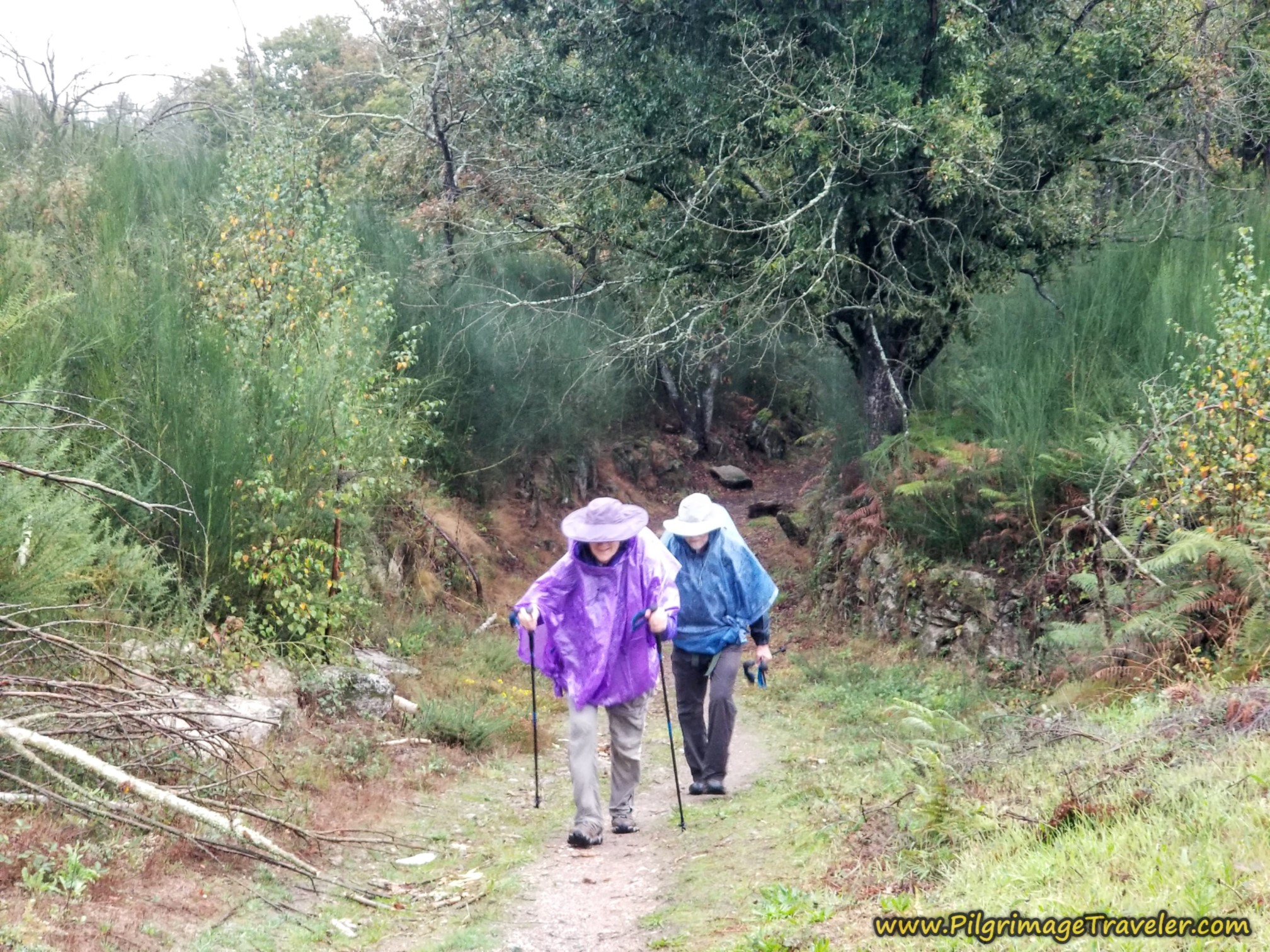 Nadine and Norm Negotiate the Hill
At the top of this first steep section, at about kilometer 9.44, you cross a paved road and continue on the lane toward the next town of Padroso.
After about another 120 meters, turn left onto the paved road towards town, and encounter the sign for the town limits. Upon reaching this pavement, it is a downhill stroll into town. All-in-all the first climb only lasts about 800 meters. Not bad at all.
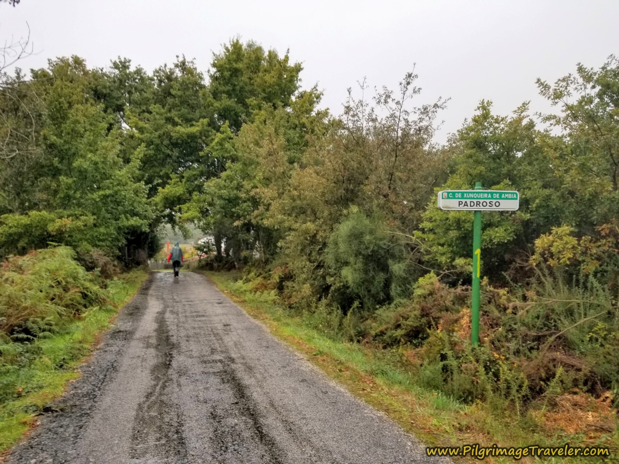 Entering Padroso
Padroso is a tiny hamlet and you wind through it on the road, passing an initial cluster of buildings at this hórreo.
You stay straight at this intersection shown below, toward the main cluster of buildings. There are no services in this town.
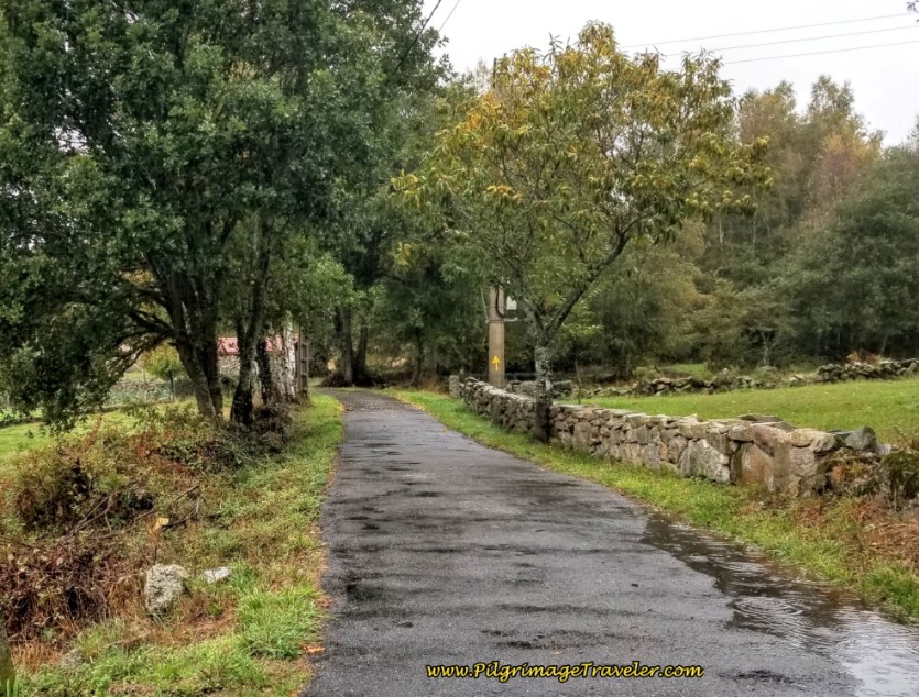 Straight On Towards Center of Padroso
At the western edge of town, follow this sign onto a forest lane in the direction of Cima de Vila. This is just shy of 10 kilometers into the day.
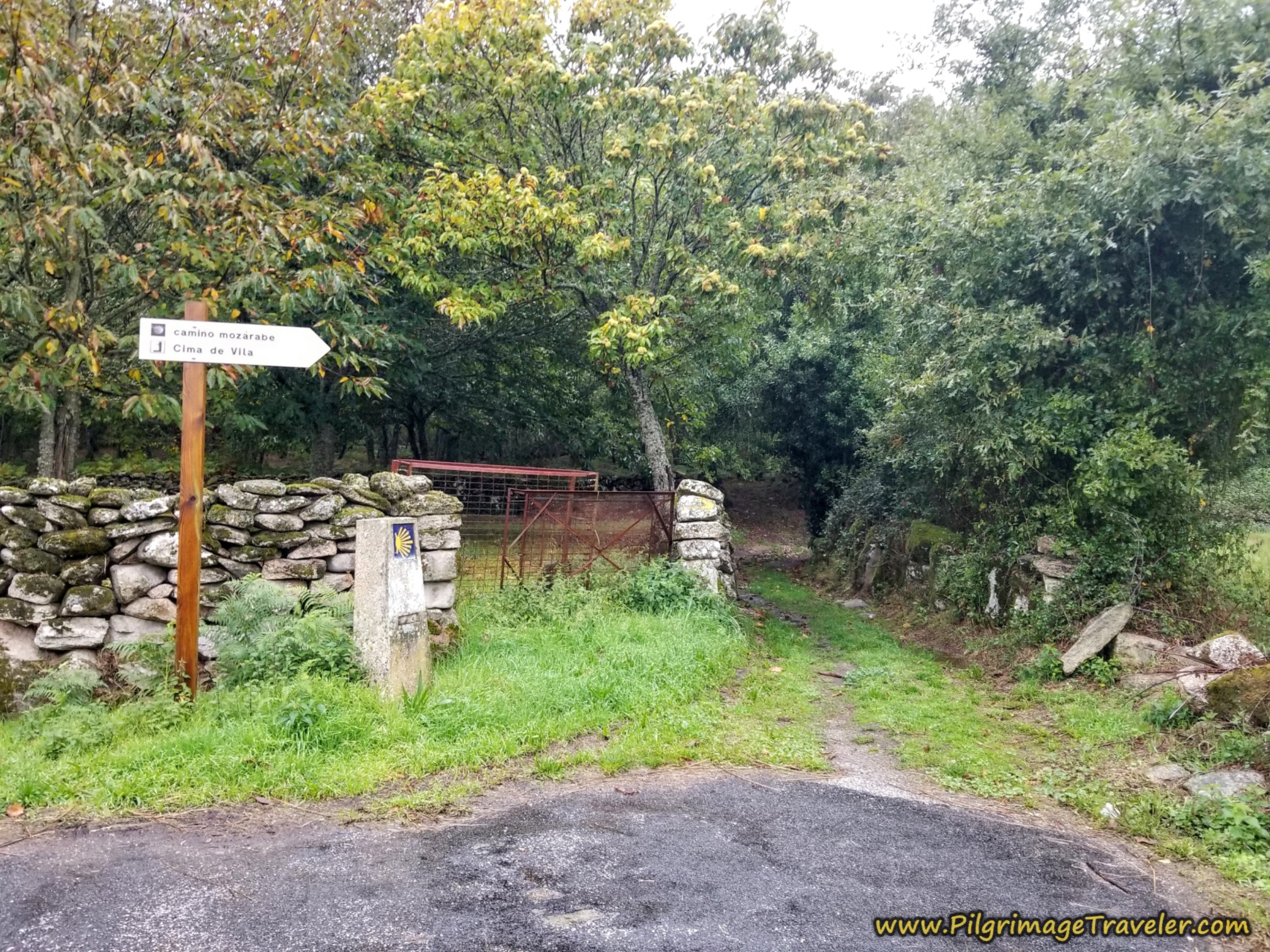 Lane Toward Cima de Vila
Once again, it is back into the lush Galician forest on day eleven on the Camino Sanabrés from Vilar de Barrio to Xunqueira de Ambía.
And once again, the strong, second and final climb begins.
Here is Rich on the final approach to the top of the climb for the day. It was continuing to rain softly, and fortunately, there was no wind. It was sloppy wet on the path as you can see.
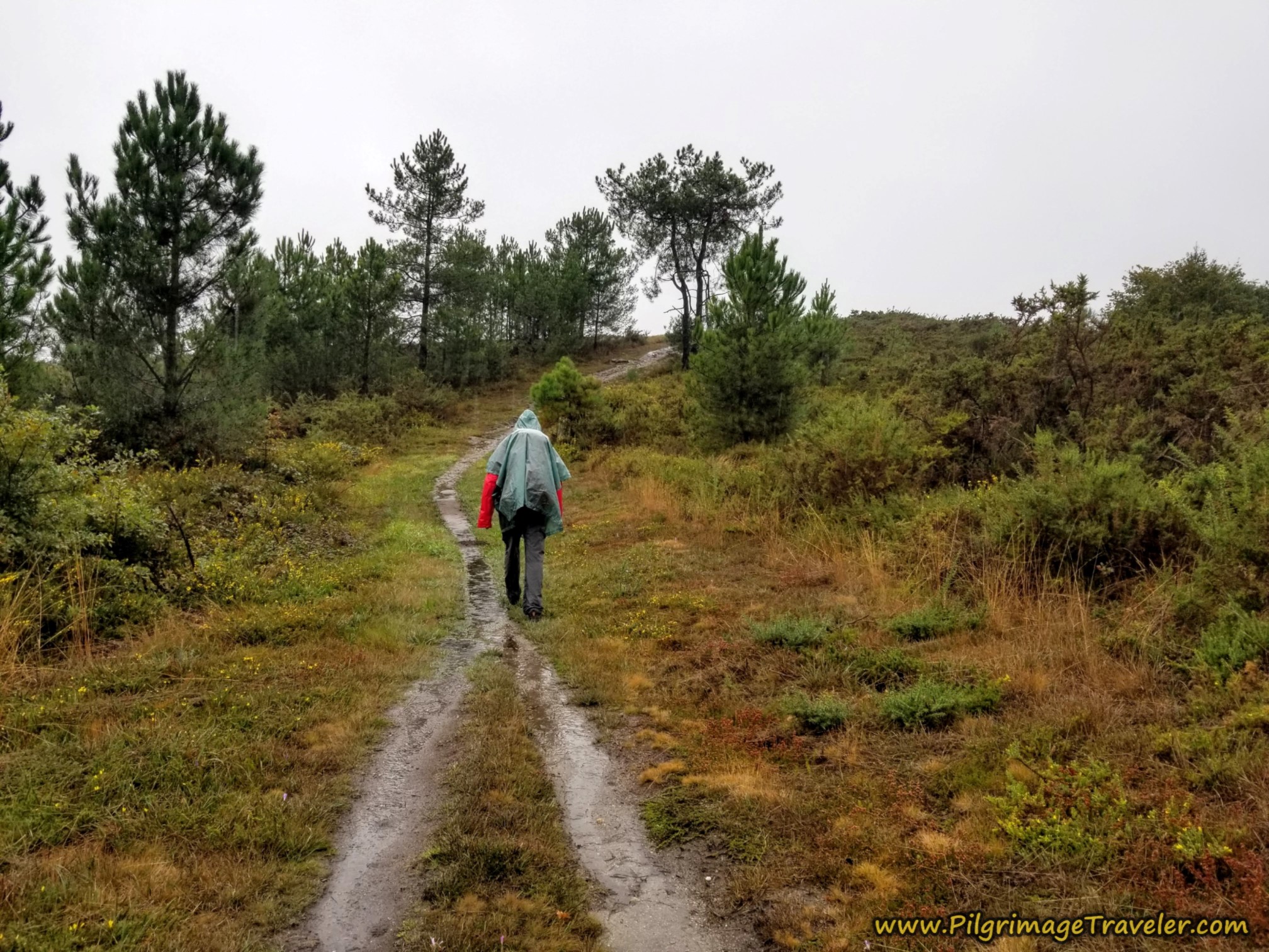 Final Approach to the Top
It is after 10.6 kilometers when you approach the intersection seen ahead in the photo below. The top is now steps away. The distance for the second climb is also only about 800 meters total. Bingo - climbing done!
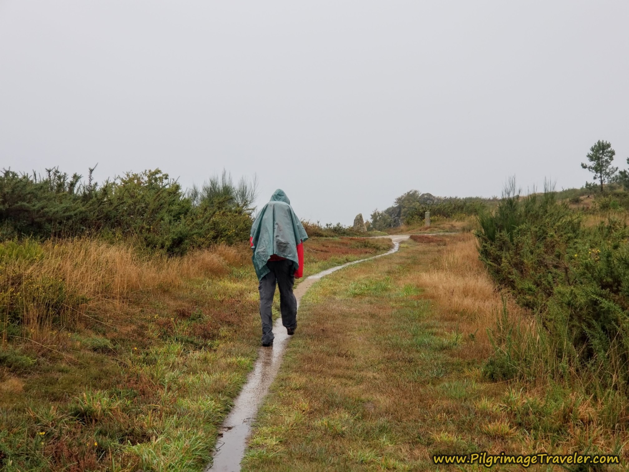 High Point Just Ahead
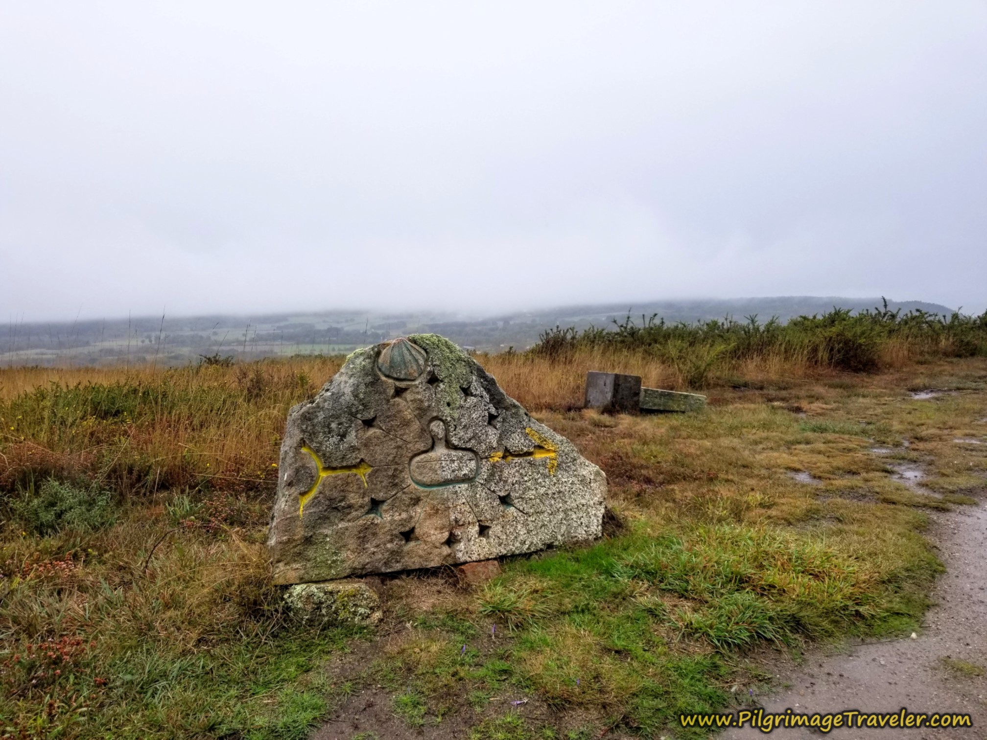
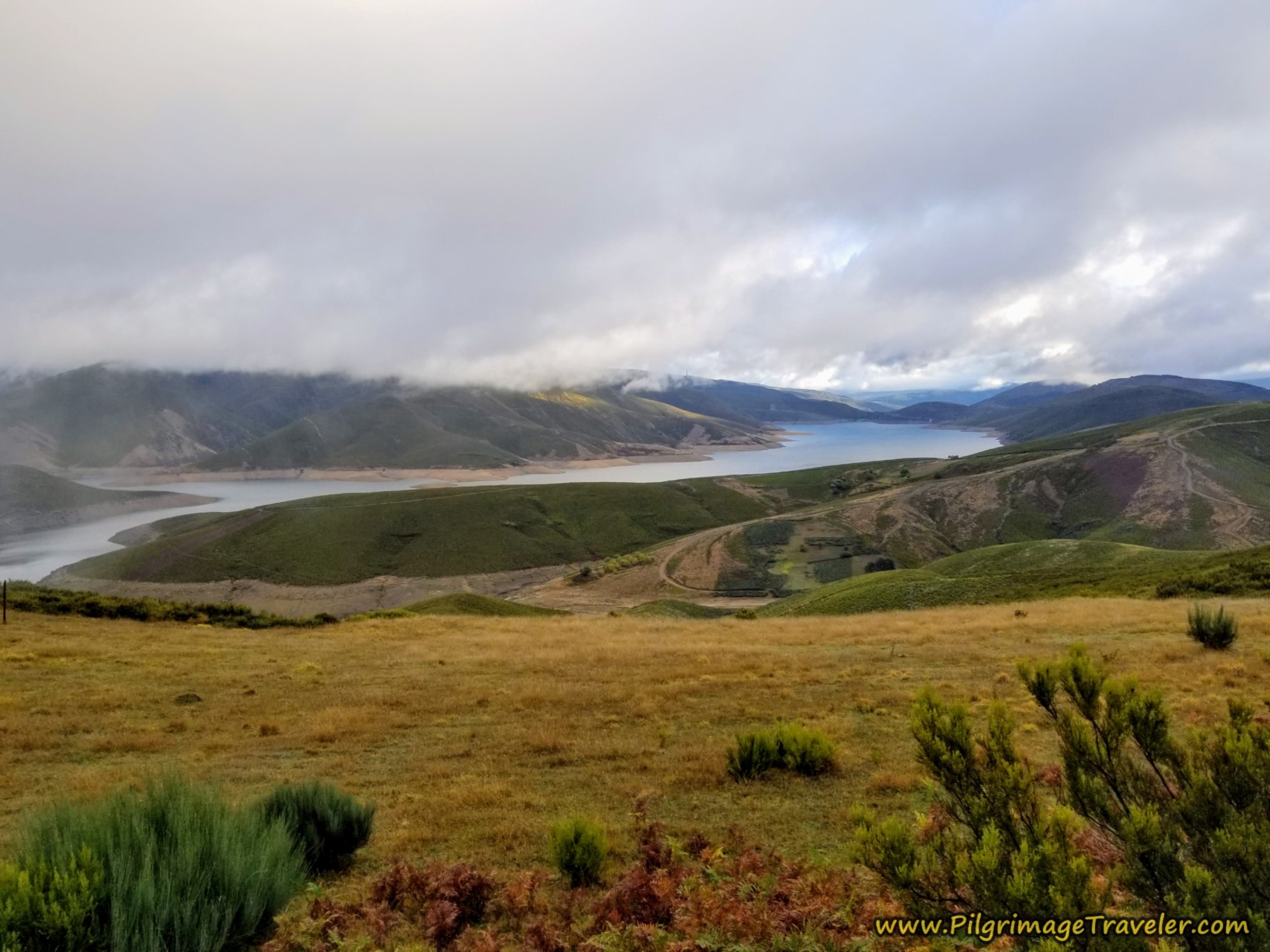
At the aforementioned intersection, is one of the best Nicanor Carballo Camino sculptures, in my opinion. As the carving depicts, it is straight on here. The view was lovely at the top, even through the mist.
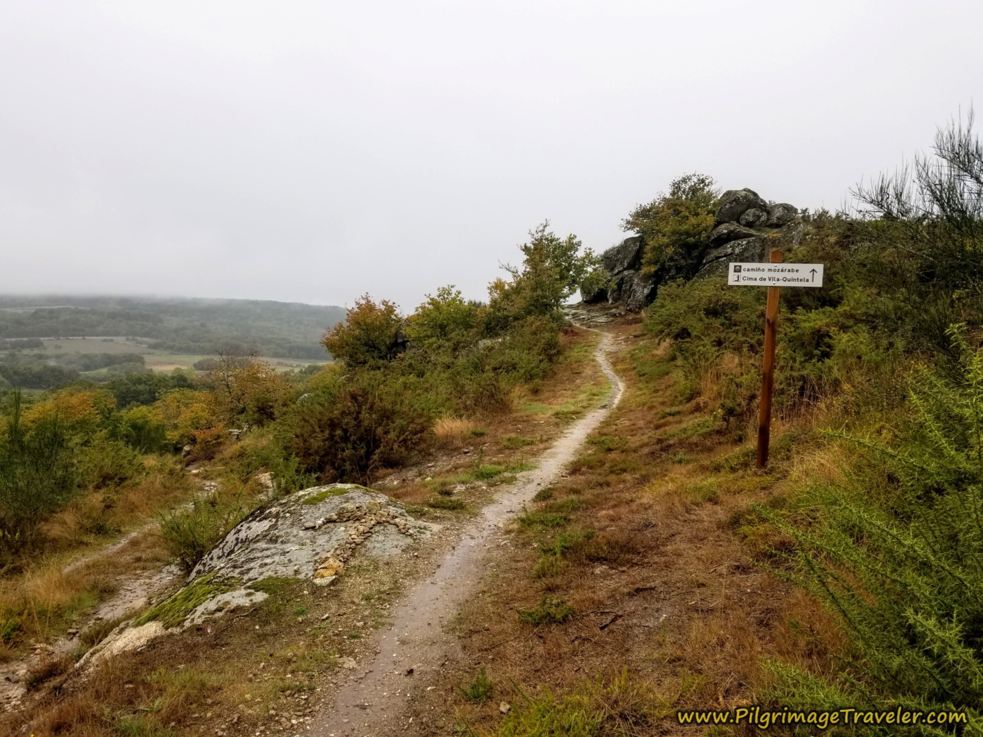
A few steps beyond the intersection, stay high and to the right, following the Way to Cima de Vila. It is interesting to me that the name used for the Camino here is the Camiño Mozárabe. Mozárabe is the Arab name for an Arabic Christian. I hadn't seen this terminology since we left the Vía de la Plata, not quite two weeks ago.
The ultimate top is just steps beyond the sign in the photo above, after 10.7 kilometers into the day on the Camino Sanabrés from Vilar de Barrio to Xunqueira de Ambía.
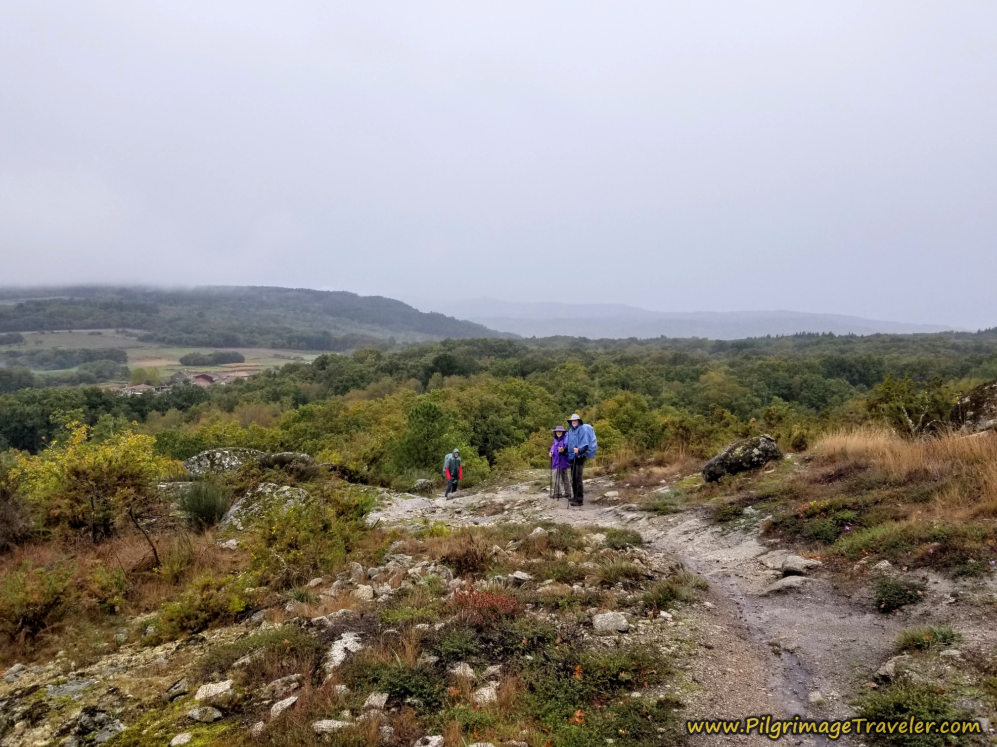
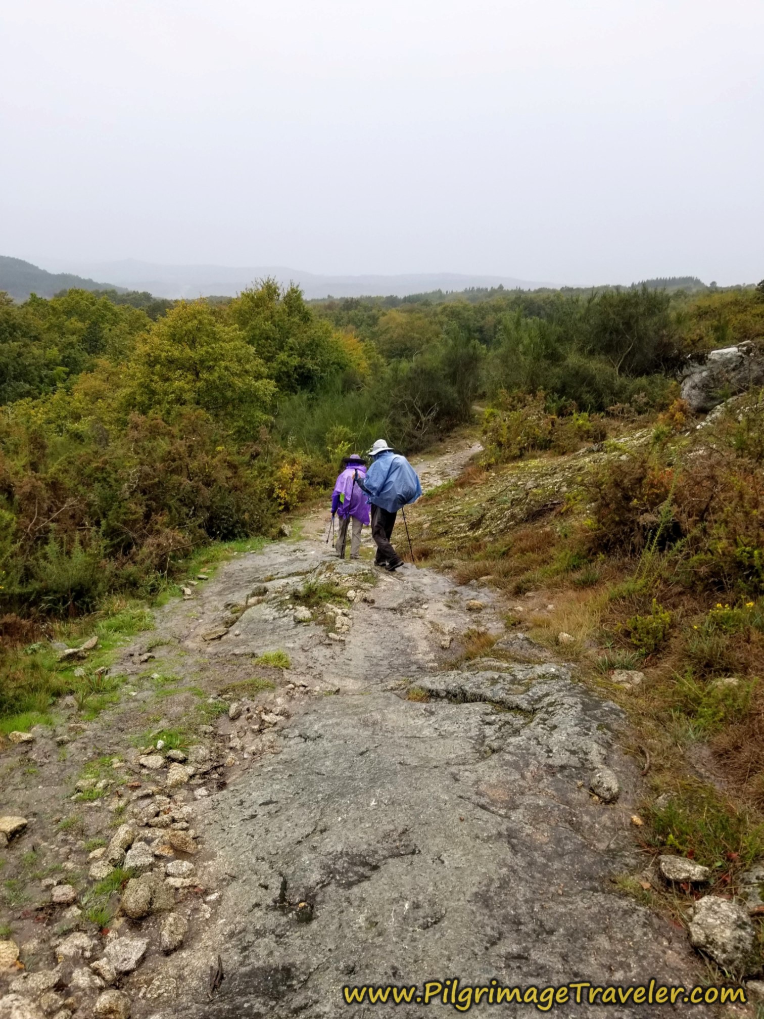
And then the steep descent on the other side begins.
Jump to Camino Sanabrés Stages
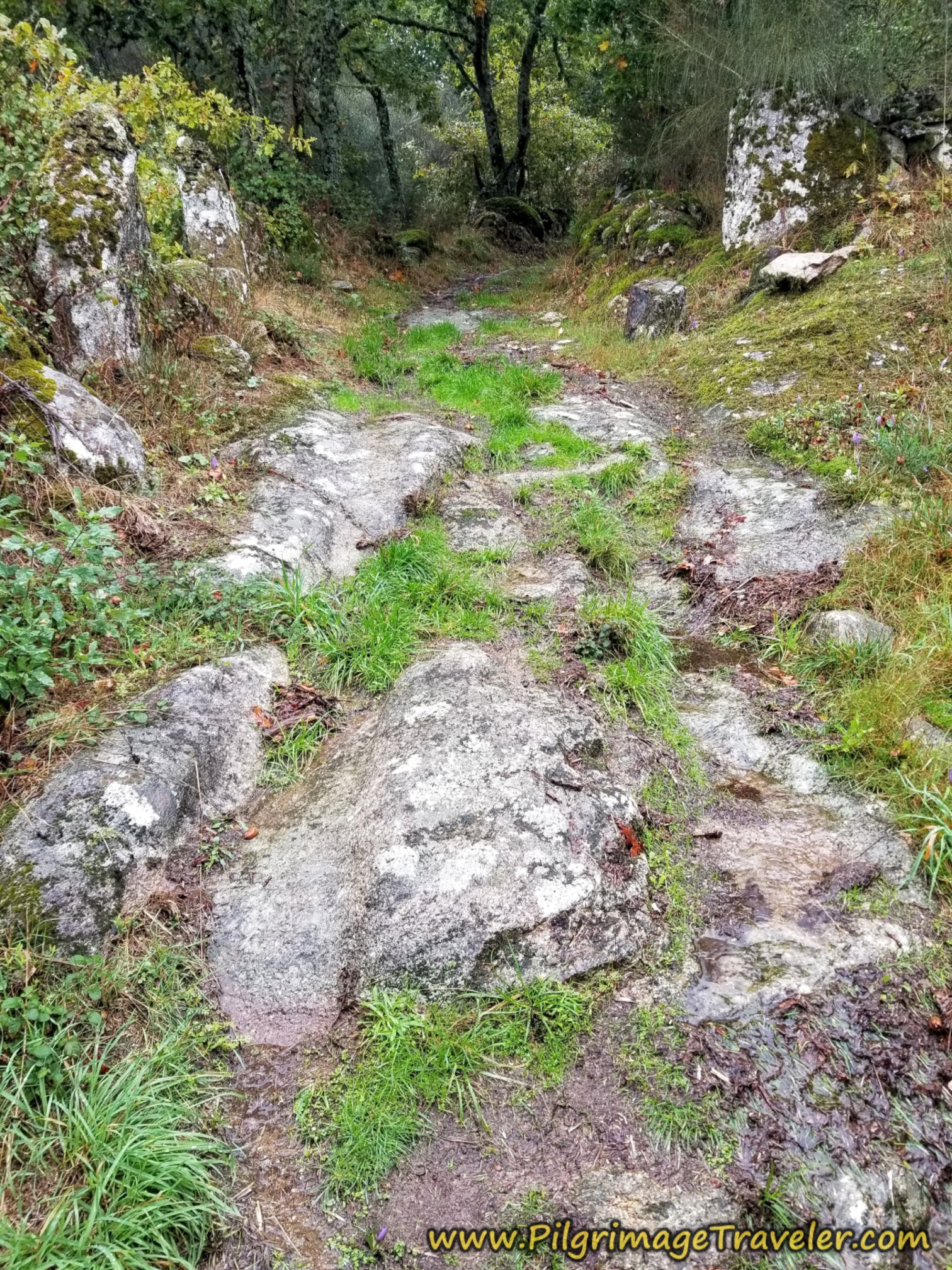
The rocks were slippery in the rain, so we exercised caution.
After negotiating the rock ledges, we dropped back into the forest. The stately trees were gorgeous in the rain.
After 11.1 kilometers, you come to an opening in the forest, and this sign shown below. You could take this diversion to see the 13th century cross, the Cruceiro de Cima de Vila linked with the Camino de Santiago, at a rest area in Cima de Vila. It would not be a longer way to go to see this landmark. You can click on the link to see it in Google maps, so you can make an educated decision.
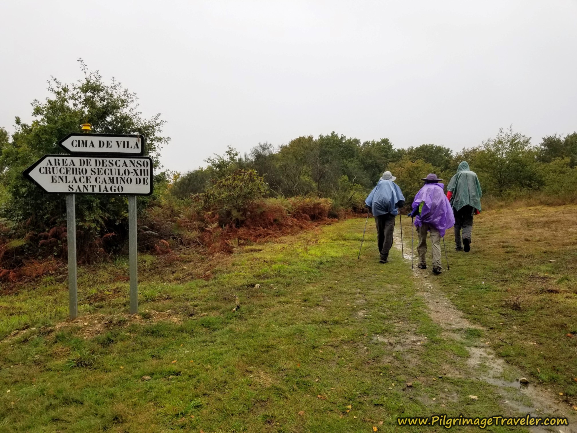 Possible Side Trip
The diversion, like the standard route, takes you into the town of Cima de Vila where the path takes you to an intersection where you turn right onto the OU-0110 to encounter the historic cross. There is a nice rest area here.
At the cross, stay right at the Y-intersection to leave the OU-0110 and join a secondary road northward through town. If you take the standard route, it joins this same road, just farther to the north for an equidistant walk.
I did not know of this optional route, so we went on straight, staying on the standard route. I didn't feel at the time that a 13th century cross was sufficient to add on any extra distance. Plus, getting a group consensus can be difficult at times, and the consensus was to carry on straight.
Now with this knowledge, I would most likely go, as it adds no distance and I would definitely be interested in seeing the cross.
We carried along on the continuing path through the forest towards town.
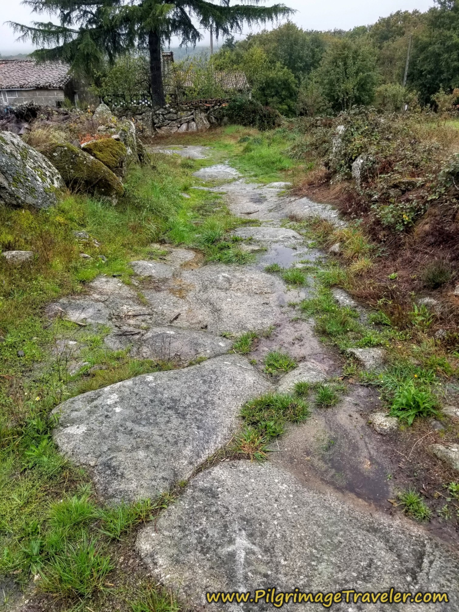
If you went to see the cross, you would miss the old Roman road section, a bit beyond the sign and on the northern fringes of town. However, it is less than 100 meters from the joining road so you could walk up the path to see it from the road through town and take in both historic sites.
You can see the wagon ruts in the Via Romana, especially on the photo on the left.
It is at this juncture, shown below where both routes converge, so if you are coming from the cross in the center of town, it is at this hórreo where you would turn right to see the section of the old Roman road in less than 100 meters.
If you are coming down to town from the Roman road on the standard route, you turn right here at this same hórreo to join the paved road northward. This intersection is after 11.4 kilometers total, for the day on the Camino Sanabrés from Vilar de Barrio to Xunqueira de Ambía.
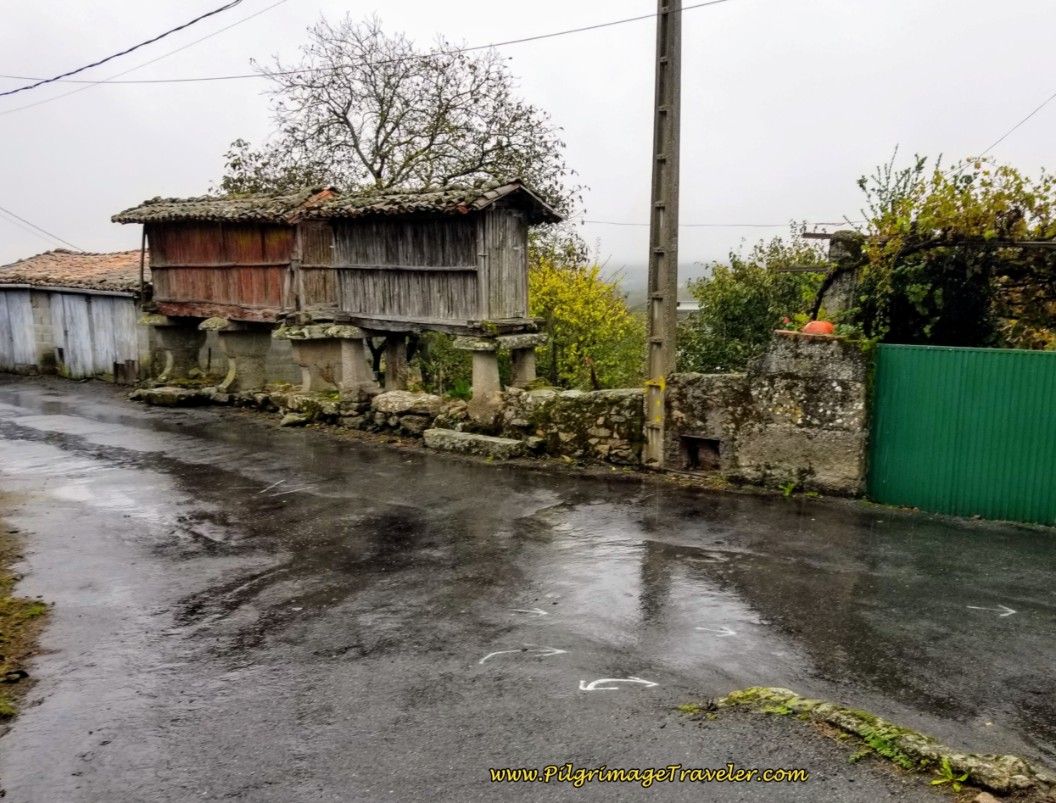 Right Turn Into Cima de Vila
There are no services in Cima de Vila.
Just past the hórreo above, the road becomes this lane, below. Not much of a lane, at that!
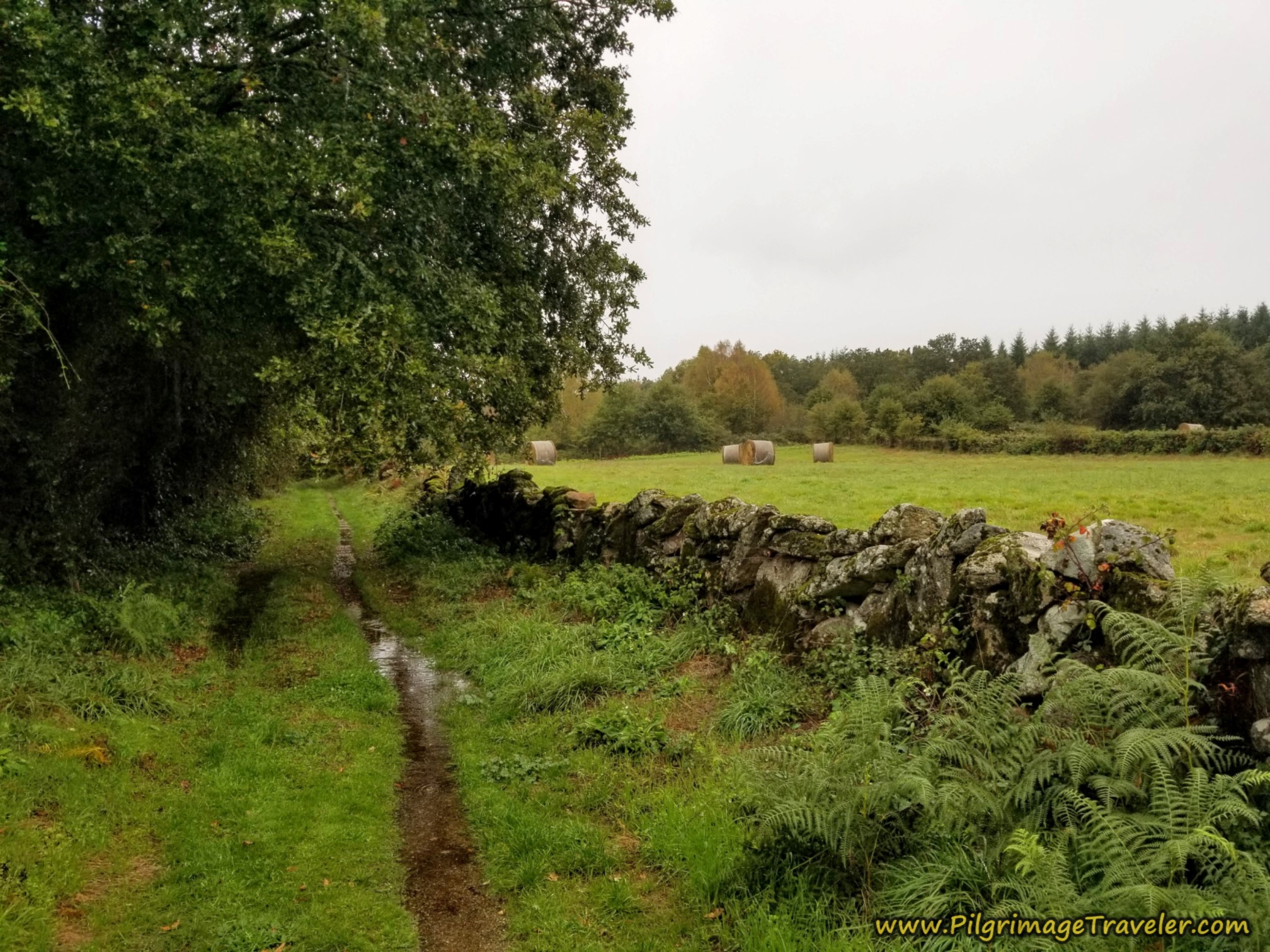 Back Into the Countryside
There is a forested section, once again.
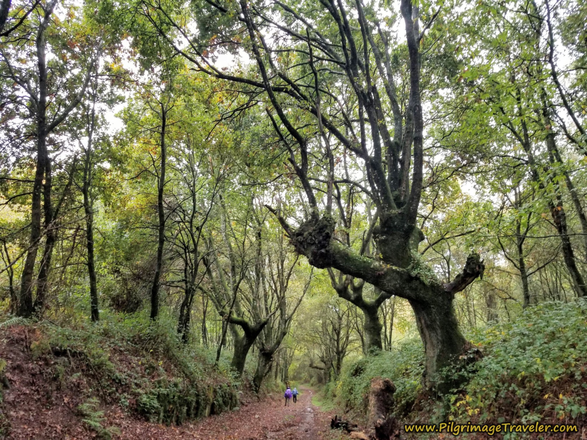 Enchanted Forest Section
After about 12.0 kilometers, cross the OU-0110 from Cima de Vila and continue on the lane, as it descends strongly on the other side.
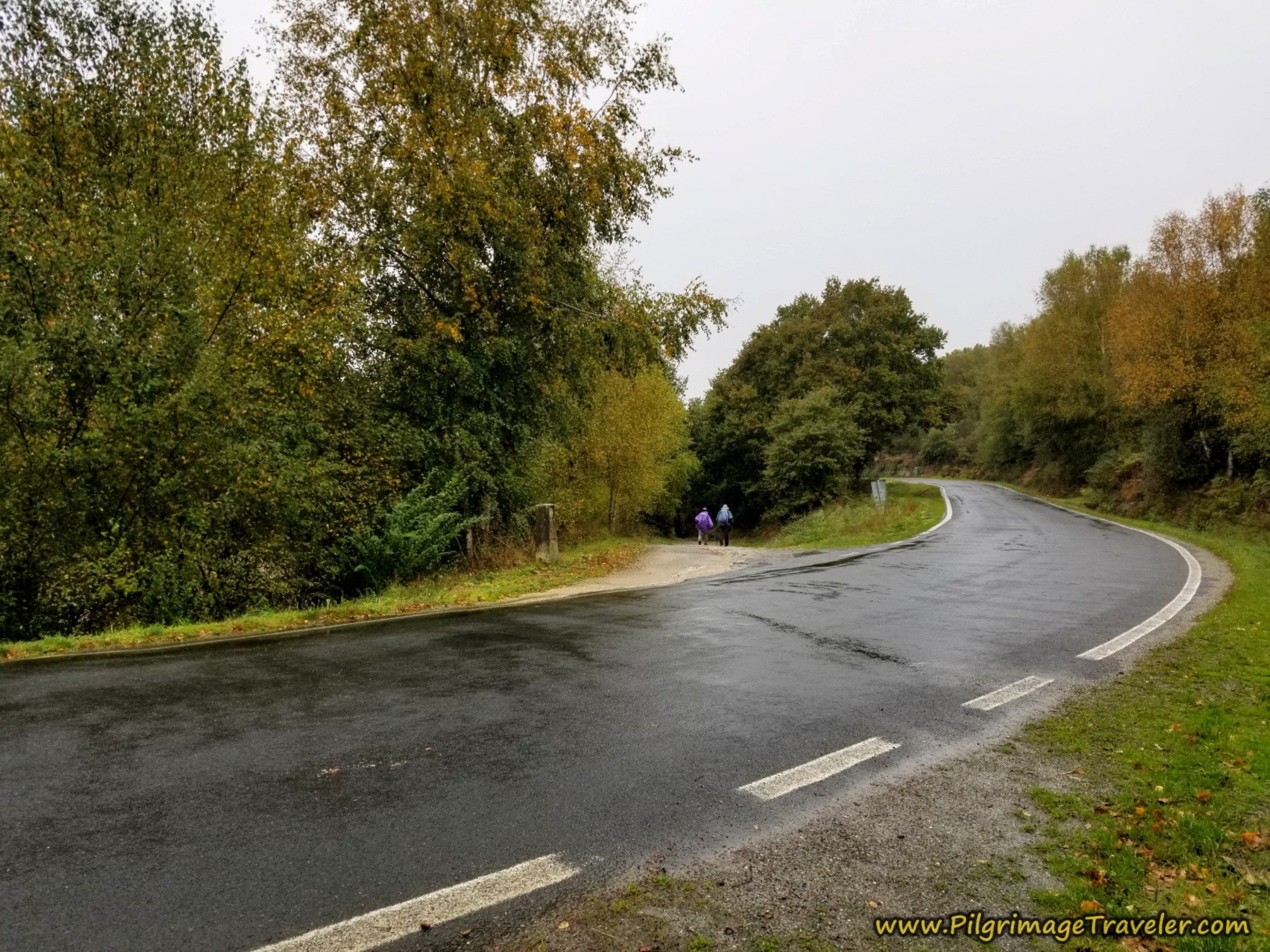 Cross Secondary Paved Road
There is yet more forest to walk through...
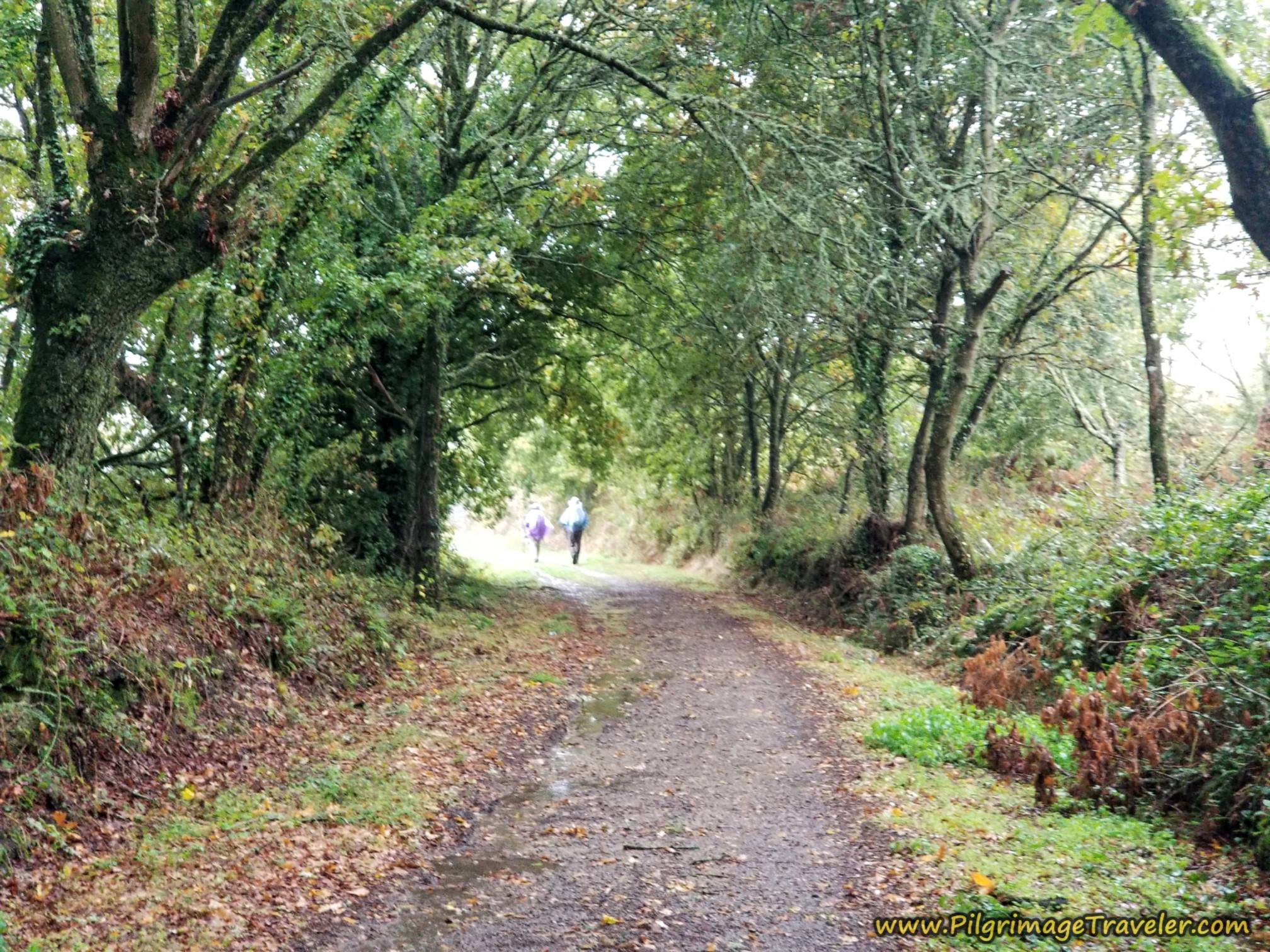 Final Path Through Forest
...until 12.8 kilometers, when the lane turns to pavement, you walk up a slight hill, passing an historic washing area on your left, called a lavadero, then you turn left to join the OU-0110 in the hamlet of Quintela. The sign for the OU-0110 says one kilometer left to go to Xunqueira de Ambía.
There are no services in Quintela. The albergue in Xunqueira de Ambía is only about a kilometer away from this juncture.
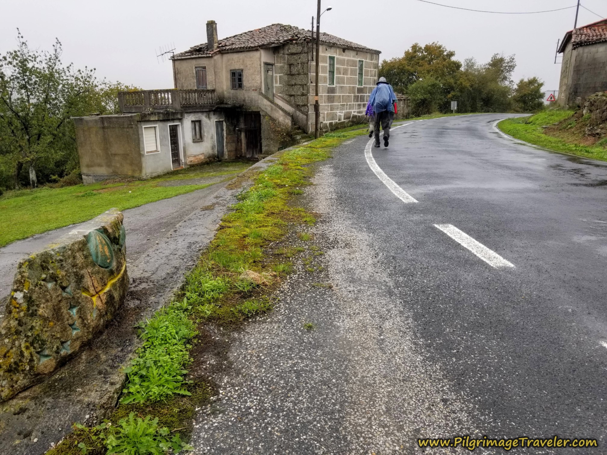 Join the OU-0110
You only walk on the OU-0110 for a bit more than 100 meters, and the Camino picks up a side road, to the right at kilometer 12.9 on the Camino Sanabrés from Vilar de Barrio to Xunqueira de Ambía.
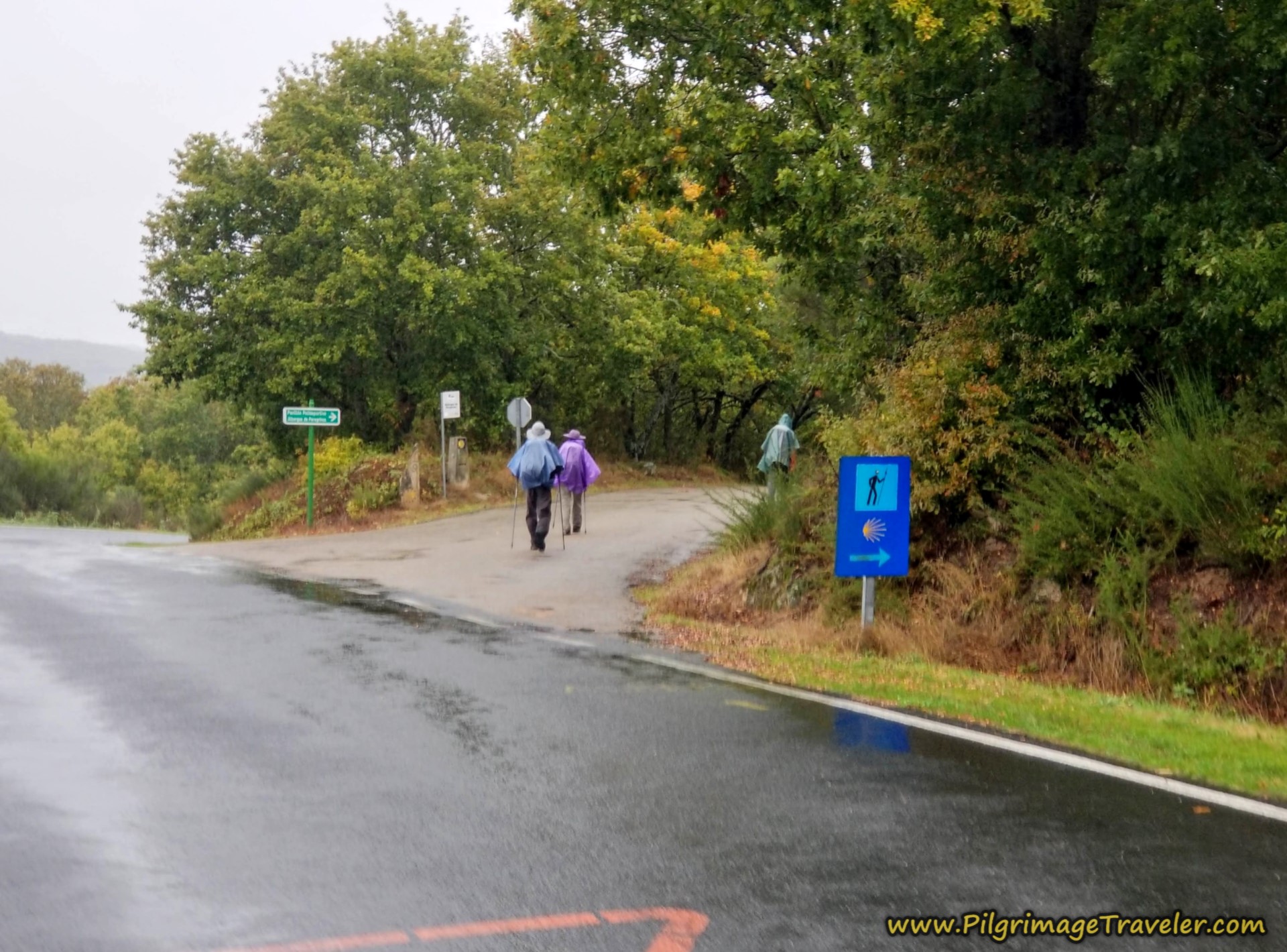 Right Turn Onto Side Road to Xunqueira de Ambía
The quiet lane again walks the pilgrimage traveler through a lush wooded area.
Jump to Camino Sanabrés Stages
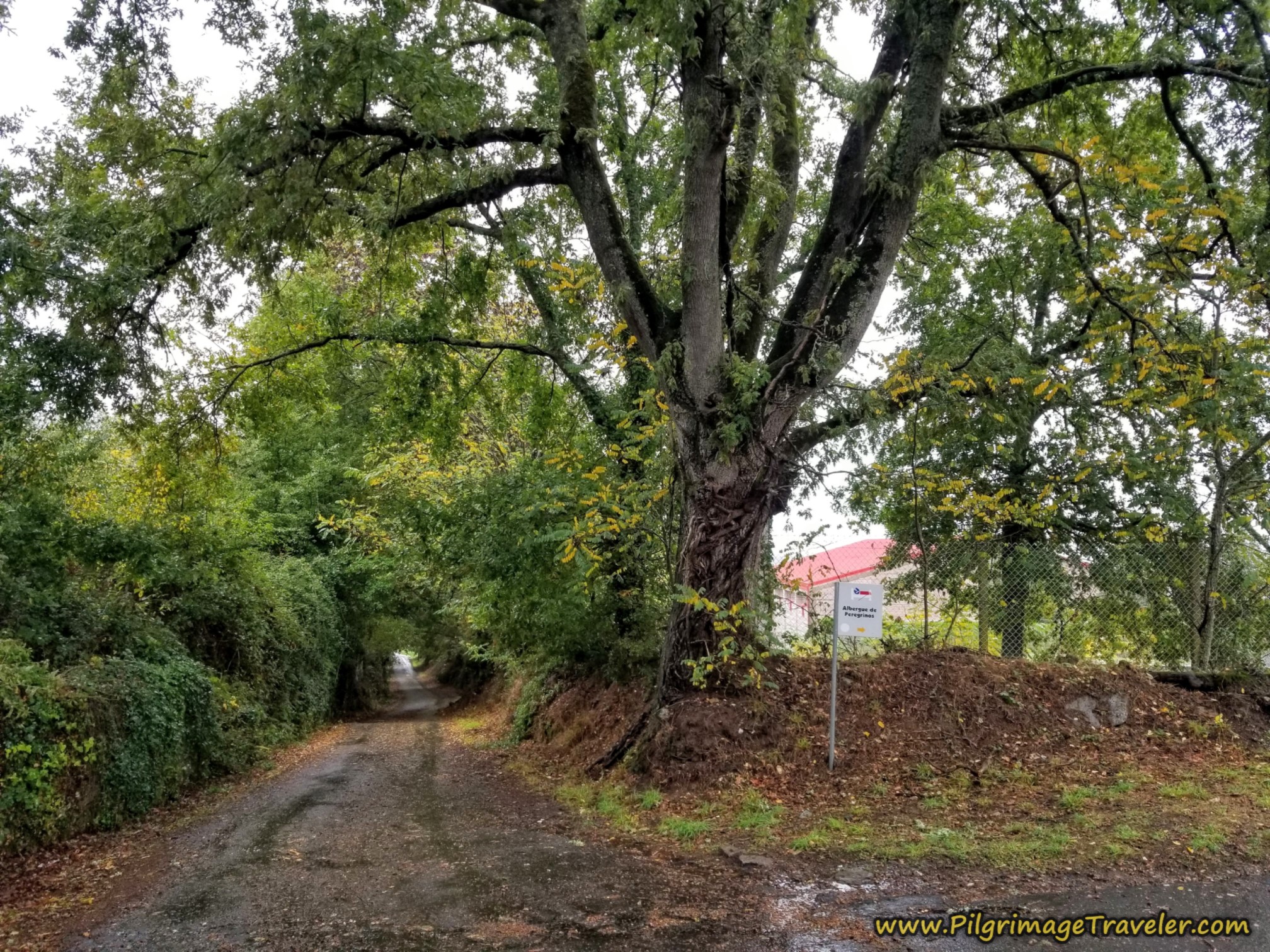
The walk on the nice, quiet side road is only for about 600 meters, when the sign and the turn for the albergue appears, shown below, at kilometer 13.5, before you actually enter Xunqueira de Ambía itself.
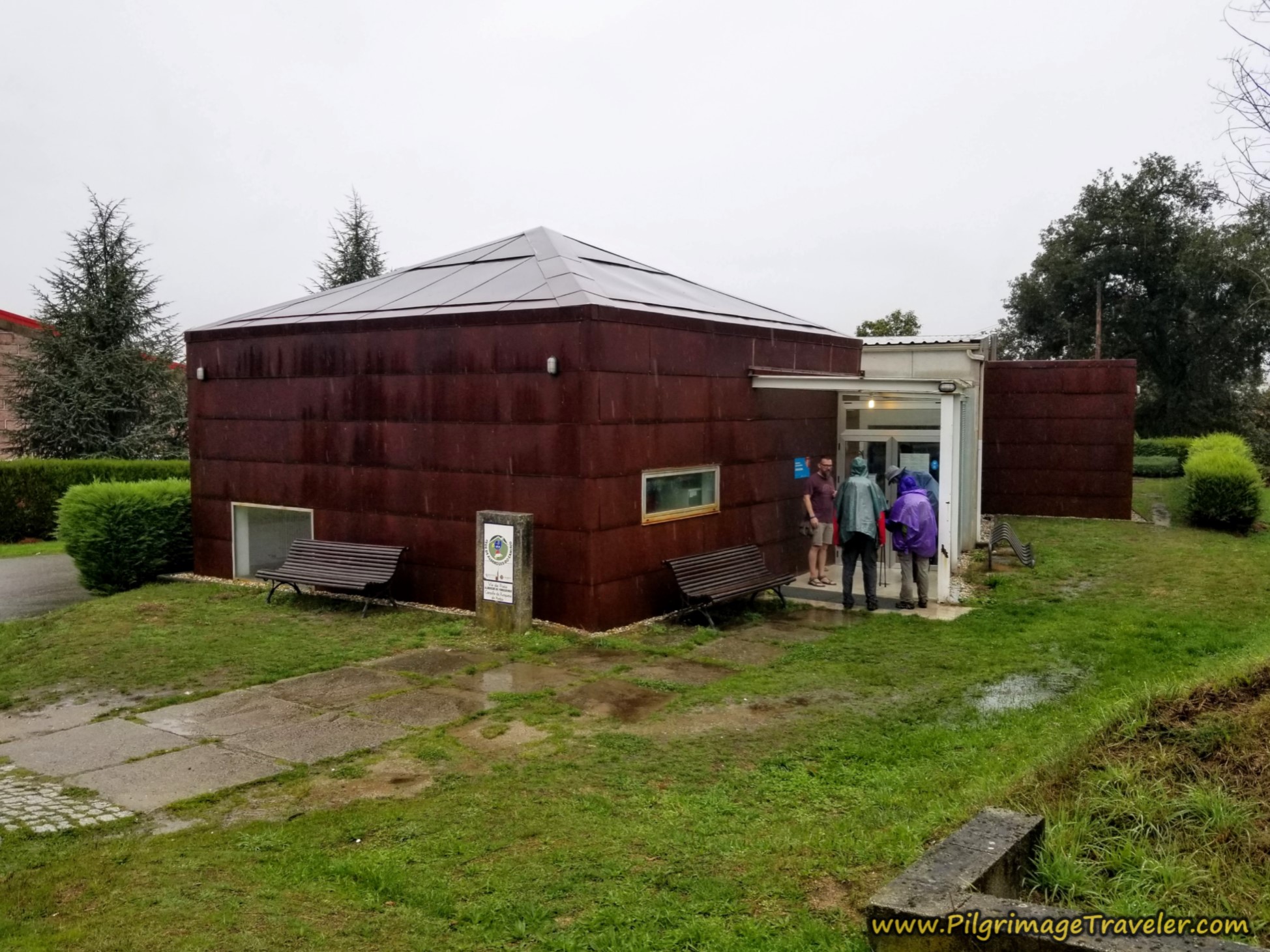
We were happy to see the Albergue de Peregrinos de Xunqueira de Ambía, just a few more meters onward, even though the day was short, as we were glad to finally get out of the rain.
Here are more pilgrims joining in on the laughter as we stood drenched in the vestibule of the albergue. That is Miguel on the far left and Rich on the far right.
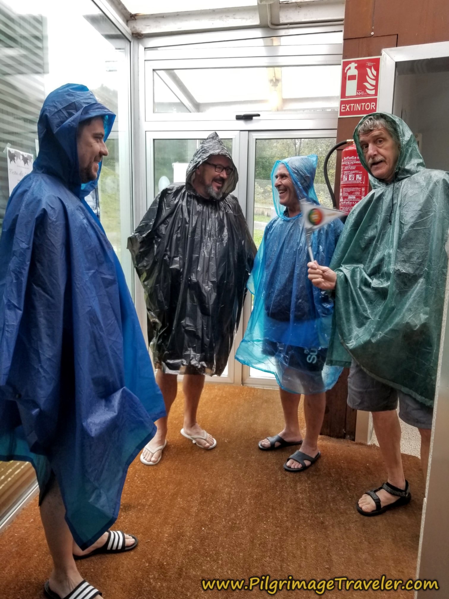 Drenched Pilgrims
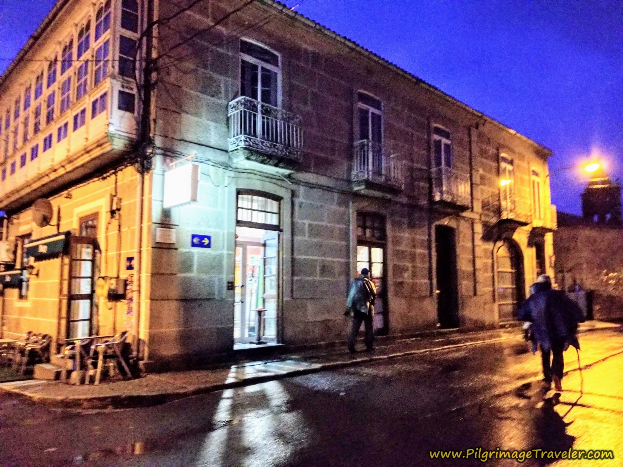
The town of Xunqueira de Ambía is another 1/2 kilometer, farther along the side road. After drying out, showering to warm up and doing our laundry (which we hung in the heated albergue room!) we decided to head into town to get food to cook for dinner.
The albergue has two rooms with 10 beds each and a handicapped room with four beds. Most information says there are no cooking utensils, but we found sufficient to cook our dinner. We also bought eggs to hard boil for the next morning, as well as buying yogurt and fruit. We were all set!
There are three more accommodations in Xunqueira de Ambía, farther along in town. In the center is the private, Casa Tomás Albergue Turístico (+34 637 58 07 72) and the Casa Rural Miraval (+34 687 38 67 61), both right along the Camino and the Casa Rural Do Souto (+34 988 436 080), a few meters off-route.
Reflections on Day Eleven of the Camino Sanabrés, Vilar de Barrio to Xunqueira de Ambía
All-in-all, because this day was short, we all did well, despite the rain. Nadine's limp was still present, but she continued to push on. I honestly didn't know how she did it.
I was growing ever more frustrated, not knowing how to manage the situation, so I did nothing. I suppose this was the best strategy anyway. My motto is often, "If you don't know what to do, do nothing."
However, it was my observation, at least with our group, that when you walk together in a group, the ones who suffer the most are the fastest walker and the slowest walker. For me, this was a dilemma that I could not fix.
We had a long afternoon and evening, watching it rain. Because of the rain we did not wander around town, nor visit any establishments, but instead stayed sequestered in the albergue, with food, wine and other peregrinos to chat with.
We had met new pilgrims who had done the long stage from A Laza. It was a bit humbling to admit that we had only come from Vilar de Barrio. I tried to keep my ego in check, but Rich and I grumbled to one another later about it. We would have loved to have made it farther by now. Rich was suffering even more than I.
Our next day to Ourense was about 22 kilometers, a comfortable, but respectable distance, in my opinion, and I hoped that indeed we would make it that far. The rest day that was planned in Ourense was necessary, but it also held appeal, as I would soak away any sorrows in the hot springs there. Hot springs are one of my most favorite things in the whole world (aside from mountains) so I was looking forward to a day of sheer indulgence.
Salutation
May your own day eleven on the Camino Sanabrés from Vilar de Barrio to Xunqueira de Ambía be unrushed and as slow as you desire. May you find the only place you need to reach is that place inside yourself! Ultreia!
Camino Fonseca Stages
~ Vía de la Plata Stages from Salamanca
~ Camino Sanabrés Stages
Please Consider Showing Your Support
Many readers contact me, Elle, to thank me for all the time and care that I have spent creating this informative website. If you have been truly blessed by my efforts, have not purchased an eBook, yet wish to contribute, I am very grateful. Thank-you!
Search This Website:
Follow Me on Pinterest:
Follow Me on Instagram:
Find the Pilgrimage Traveler on Facebook:
Like / Share this page on Facebook:
***All Banners, Amazon, Roamless and Booking.com links on this website are affiliate links. As an Amazon associate and a Booking.com associate, the Pilgrimage Traveler website will earn from qualifying purchases when you click on these links, at no cost to you. We sincerely thank-you as this is a pilgrim-supported website***
PS: Our guide books are of our own creation and we appreciate your purchase of those too!!
Shroud Yourself in Mystery, along the Via de Francesco!
Walk in the Footsteps of St. Francis, and Connect Deeply to the Saint and to Nature in the Marvelous Italian Countryside!
Recent Articles
-
Day One on the Camino Portugués, Lisbon to Alverca do Ribatejo
Apr 15, 25 08:19 PM
Our Day One on the Camino Portugués was much more beautiful and enjoyable than we had heard. -
Hiking the West Highland Way
Apr 11, 25 08:51 PM
Hiking the West Highland Way is a representation of all things Scottish, traversing 96 miles from the lowlands of Milngavie to Ft William, in the highlands. -
Way of St Francis eBook Guide (Via di San Francesco)
Apr 11, 25 08:49 PM
Our Way of St Francis eBook Guide, a digital guidebook is full of current information to assist you in finding your Way. In downloadable, digital, PDF format.
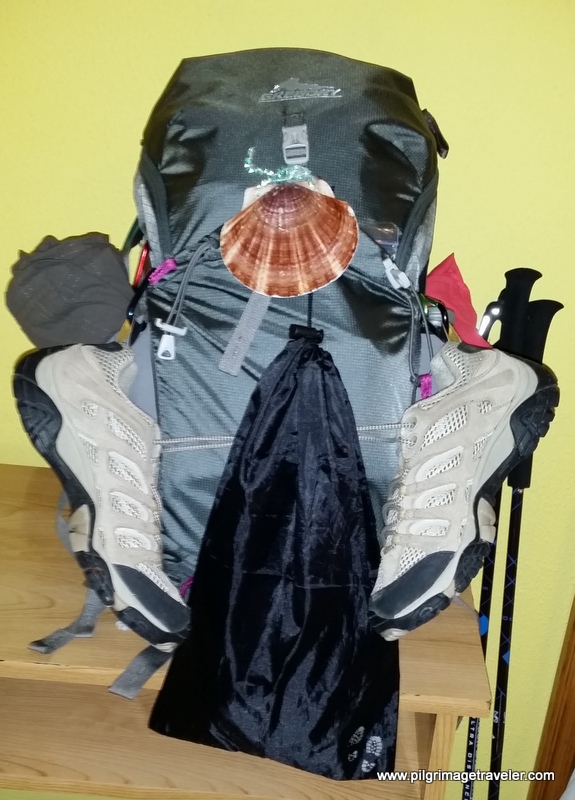
Need suggestions on what to pack for your next pilgrimage? Click Here or on the photo below!
Carbon fiber construction (not aluminum) in a trekking pole makes them ultra lightweight. We like the Z-Pole style from Black Diamond so we can hide our poles in our pack from potential thieves before getting to our albergue! There are many to choose from! (See more of our gear recommendations! )
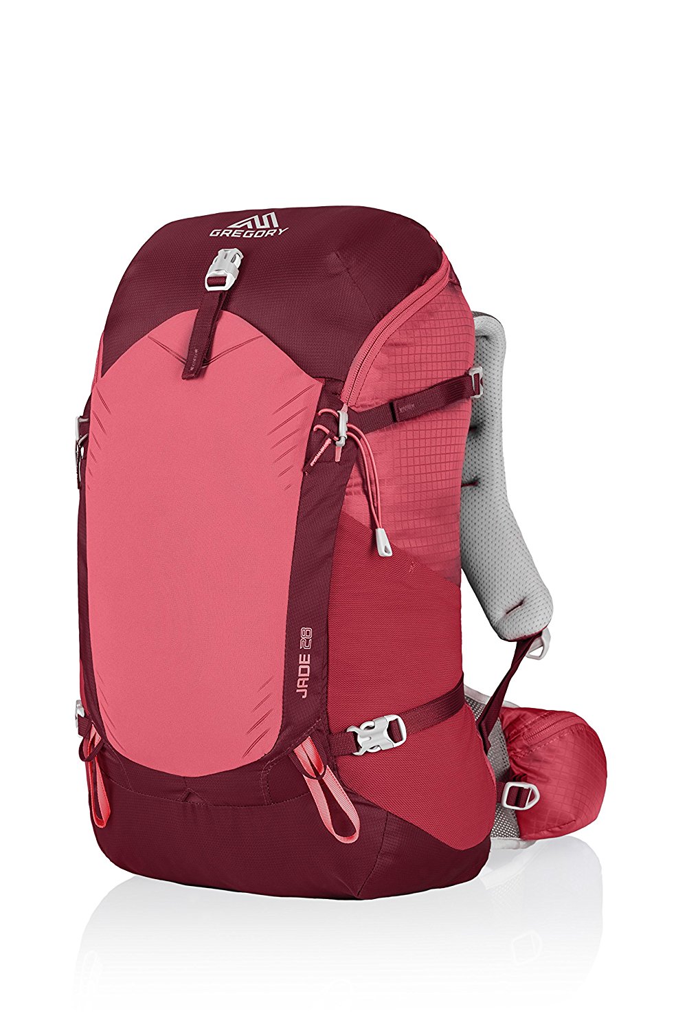
Gregory BackPack - My Favorite Brand
Do not forget your quick-dry microfiber towel!
Booking.com
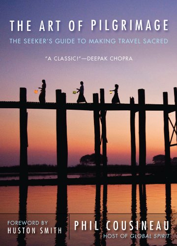
My absolute favorite book on how to be a pilgrim:









Your Opinion Matters! Comments
Have you had a similar experience, have some advice to give, or have something else you'd like to share? We would love to hear from you! Please leave us a comment in the box below.