- ~ Home
- ~ Camino Portugués (The Portuguese Way)
- Day Eight, Alvorge to Condeixa-a-Velha
Jump to Camino Portugués Stages
Day Eight on the Camino Portugués
~ Alvorge to Condeixa-a-Velha, 20.6 Km (12.8 Miles)
Disclosure: the PilgrimageTraveler.com is an associate of Booking.com, Roamless, and Amazon. As associates of these merchants, we earn from qualifying purchases from our links.
Our day eight on the Camino Portugués was a walk by Roman ruins, a windmill, a medieval bridge, shrines and through the wonderful countryside.
My left ankle swelling had gone down overnight, with all the pampering I had done to it! It did not feel all that bad on this morning. I was newly charged, on day eight, a glorious Easter Sunday and ready to go. Why was I still willing to walk despite my ankle?
"Le cœur a ses
raisons que la raison ne connaît pas." (The heart has its reasons, of which
reason knows nothing.) ~Blaise Pascal, mathematician, physicist and philosopher, "Pensées," 1670
🙋♀️ Why Trust Us at the Pilgrimage Traveler?
We’re not a travel agency ~ we’re fellow pilgrims! (See About Us)
We've trekked Pilgrimage Routes Across Europe since 2014!
💬 We’ve:
- Gotten lost so you don’t have to. 😉
- Followed waymarks in the glowing sunlight, the pouring rain and by moonlight. ☀️🌧️🌙
- Slept in albergues, hostels & casa rurals. Ate and drank in cafés along the way. 🛌 😴
- Created comprehensive and downloadable GPS maps and eBook Guides, full of must-have information based on real pilgrimage travels. 🧭 🗺️
- Shared our complete journeys, step by step to help YOU plan your ultimate pilgrimage and walk with your own Heart and Soul. 💙✨
Every detail is from our own experiences. Just fellow pilgrims sharing the Way. We have added a touch of spirituality, heartfelt insights and practical guidance from the road ~ offering a genuine connection to the spirit of pilgrimage. Tap into the wisdom of seasoned pilgrims!
Ultreia and Safe Pilgrimage Travels, Caminante! 💫 💚 🤍
Map and Stats of Day Eight on the Camino Portugués
Below is my interactive Google map from my GPS tracks for the day. I also placed the albergues/hotels/cafés on the maps that we visited, plus additional places of service.
There is a shortcut, avoiding Rabaçal, that I show in red. It will save you about 2.0 kilometers, if you do not need services at that juncture!!
As you can see from the elevation profile below, aside from a few, short uphills, the day was essentially downhill! In the text below, you will see photos of the short climbs at the beginning and the end of this day.
👣 Camino Portugués eBook Guides
Enjoy all the valuable info from our web pages ~ offline, ad-free, and beautifully formatted, including our photos. Why carry a heavy guidebook when you can use a nimble digital version on your device?
Our guides are frequently updated and uniquely entertaining, as we share our own Camino story along the way.
📲 Instant download. 💸 Money-back guarantee. 🔄 Free updates for 1 year.
Buy only what you need ~ or grab all four for the price of three (25% savings). Click here for more information or BUY NOW at only 17.85!
Jump to Camino Portugués Stages
Photo-Rich Travelogue of Day Eight on the Camino Portugués
Day eight on our Portuguese Camino dawned over Alvorge with spectacular abandon. Here is the view eastward from the albergue. I just love the windmills on the ridge in silhouette. It was a beautiful vision for this Easter Sunday!
We quickly ate our cold breakfast in the albergue (no kitchen to speak of) and set off by 7:00 a.m. Below is a photo of the sunrise along the road by the albergue.
If you wanted to avoid the wee climb back up to the church where the official route continues, you could just walk down the hill from the albergue and turn left at the first side road that you can see in the photo below. This turn is just past the albergue sign. Continue down the hill 150 meters, turning left onto a narrow and very steep cobblestone lane where only 30 meters later, the path from the church comes out. This shortcut is shorter by half, a total of about 200 meters.
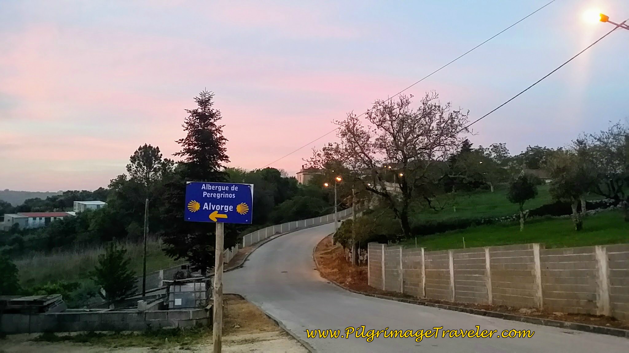 Sign for Albergue de Peregrinos
If you are walking through Alvorge, continue past the church until you come to a T-intersection with the Av. Circular Norte. Turn left. If you are walking back up the hill from the albergue, you will already be on the Av. Circular Norte that passes behind the church. After the parking spaces along the avenida, look right to find this lovely path several meters later, below. This is the Official Way.
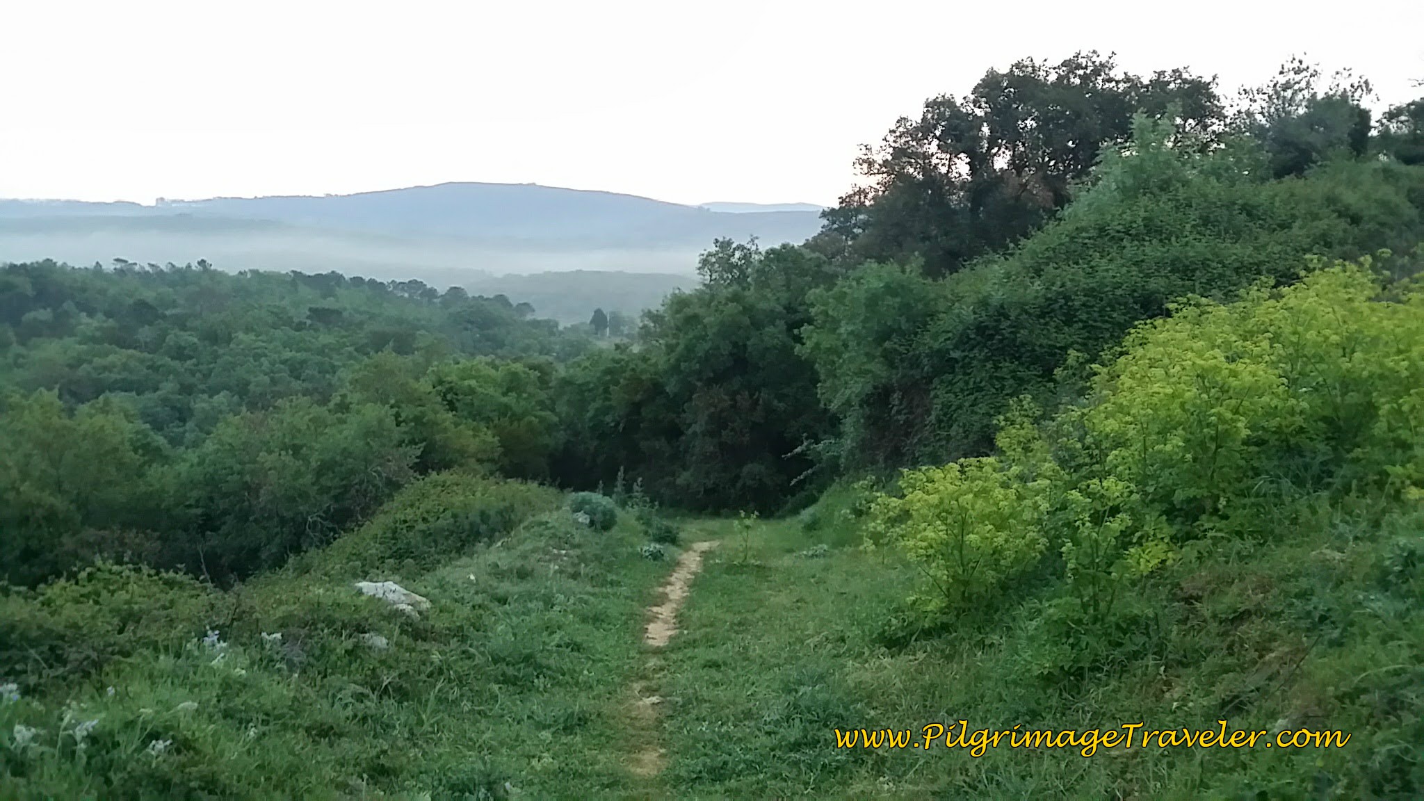 Path Down the Hill from Alvorge
The path down the hill is short and sweet and joins the cobblestone road, just before the picnic grove, below. If you are passing through Alvorge and need a place to stop, this would be nice.
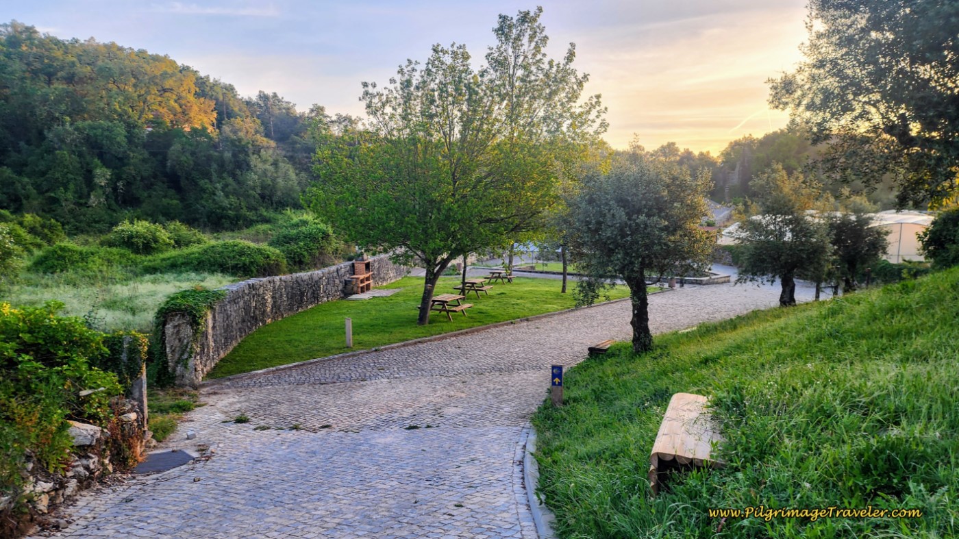 Path Joins the Cobblestone Road Just Before Picnic Area
After the picnic grove, pick up a road to the left, at a signpost for the historic Ruinas da Torre da Ladeia. The ruins are only a few meters onward, and all that remains of the Quinta da Ladeia, an estate that began in the 15th Century. There are steps up to the chapel that are still visible on your right as you pass by, with a lovely family coat of arms at the top of the door. Not much else remains of the estate.
After about 500 meters from the picnic grove, meandering along the paved road, come to this T-intersection, below, after a total of 1.1 kilometers. Turn left onto the wider, two-lane ER347-1.
You will only be on this road for a few meters, before the Way veers off to the right and onto this tractor lane, below. For the next 3.8 kilometers, you will remain walking on similar lanes until the first town of Ribera de Alcalamouque.
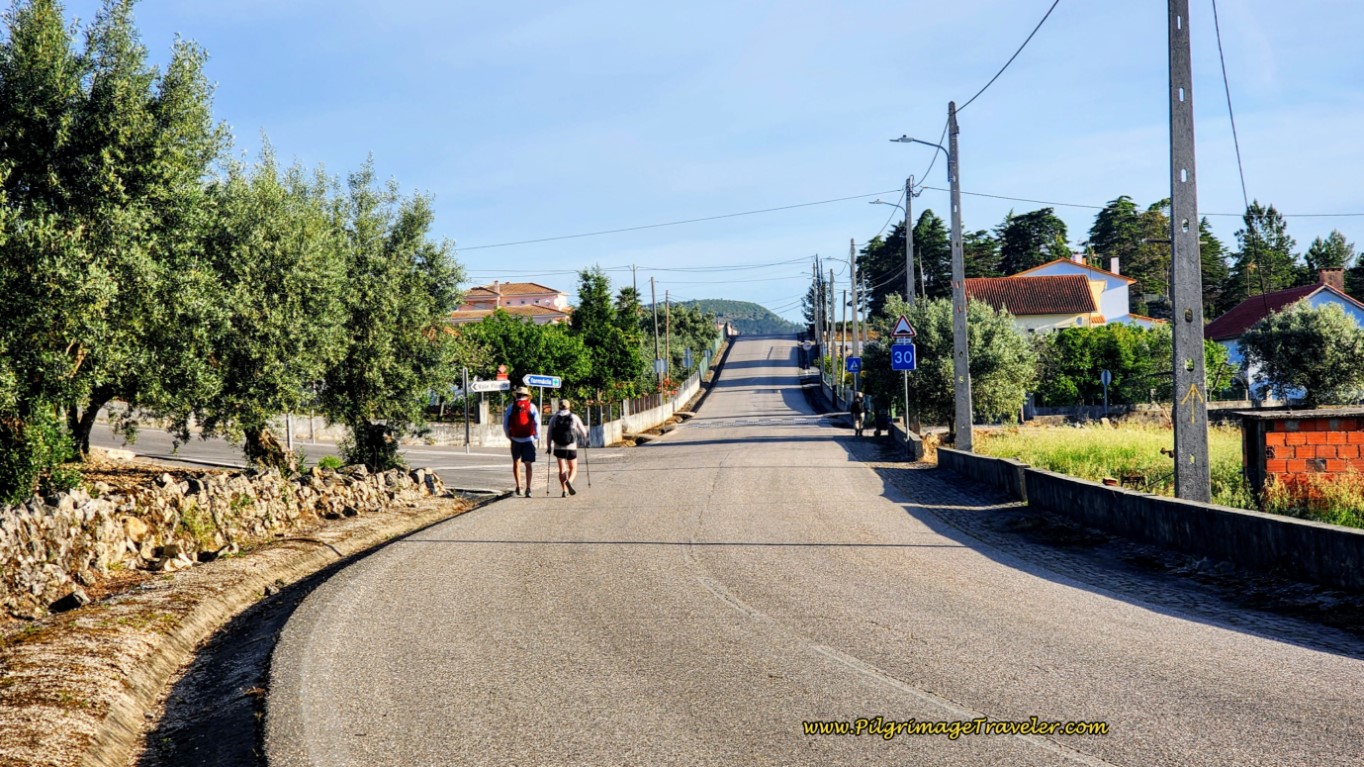
One kilometer after joining the tractor lane, begin the first small climb of the day. You can see as the lane steepens, it becomes rockier and more uneven.
 Begin First Small Climb of the Day
After about 1.5 kilometers on this country lane, and a total of 2.6 kilometers into the day, you reach the top of the first incline of the day. The photo below is just before the top.
 Nearing Top of First Incline to the Caminho de Portela a Casas Novas
Less than 100 meters later, after descending from the top, the Way turns left onto a road called the Caminho de Portela a Casas Novas, for a few hundred meters, then right again here, below, and onto yet another quiet tractor lane.
You can see the next ridge that you will need to ascend, below, on a small climb towards the second altitude top.
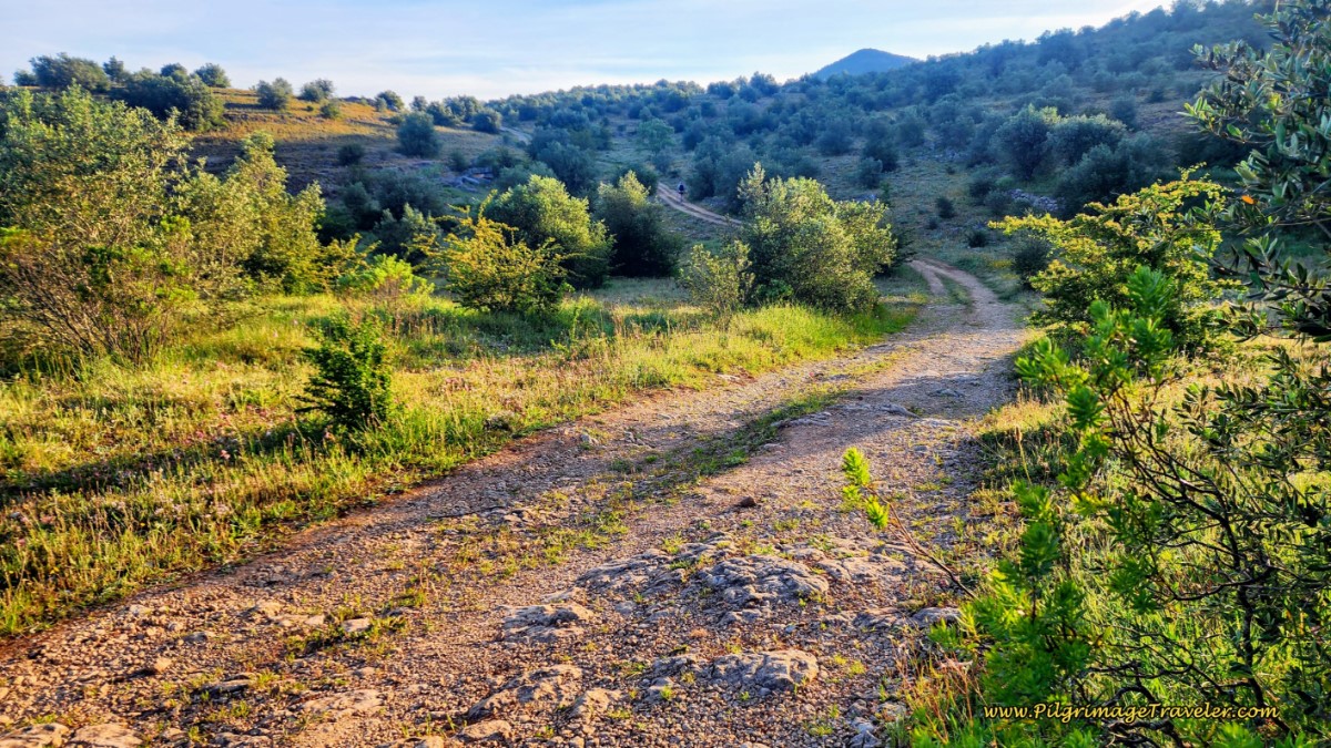 Ongoing Tractor Lane Towards Second Small Climb
After reaching the second top after about 3.2 kilometers, you will walk along a ridge where the country views are wonderful. You can see the town of Ribera de Alcalamouque, your next destination.
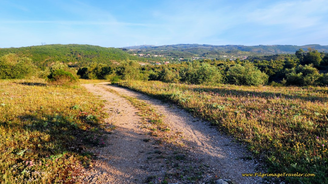 Onward on Lane towards Ribera de Alcalamouque on Day Eight, Camino Portugués
Rounding the bend and down a slight hill, a large ruin of what looked like a quarry to us, became visible. It was big rubble piles and long steps carved out of the hillside. After the quarry ruins, continuing to walk on the ridge, with the town of Ribera de Alcalamouque getting visibly closer.
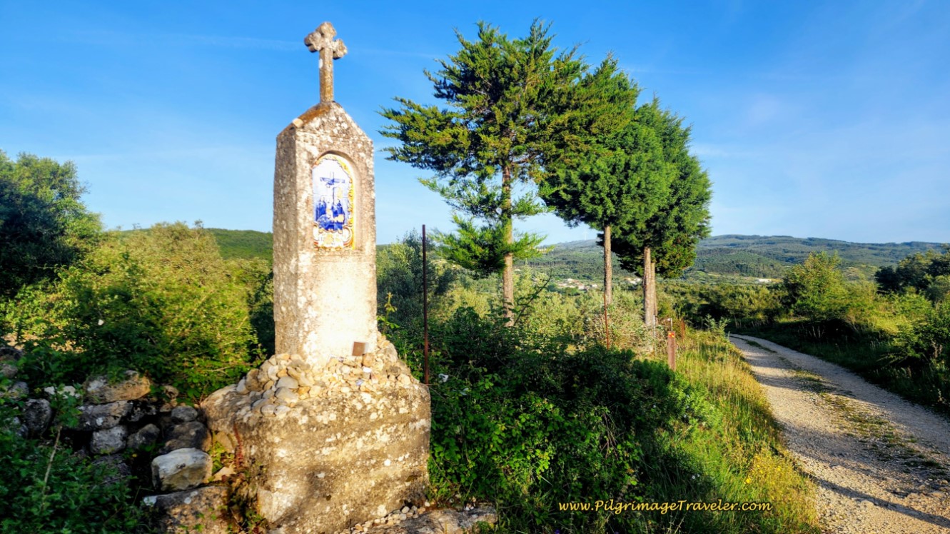
In the middle of this lonely countryside, a beautiful, azulejo tiled shrine appears. It felt quite appropriate on this Easter Sunday morning. We stopped briefly and paid homage.
We turned left at the shrine, after about 3.9 kilometers, onto yet another country lane as we walked down the hill toward Ribera de Alcalamouque on day eight of our Camino Portugués. From here at the top, it is a nice, long downhill into town.
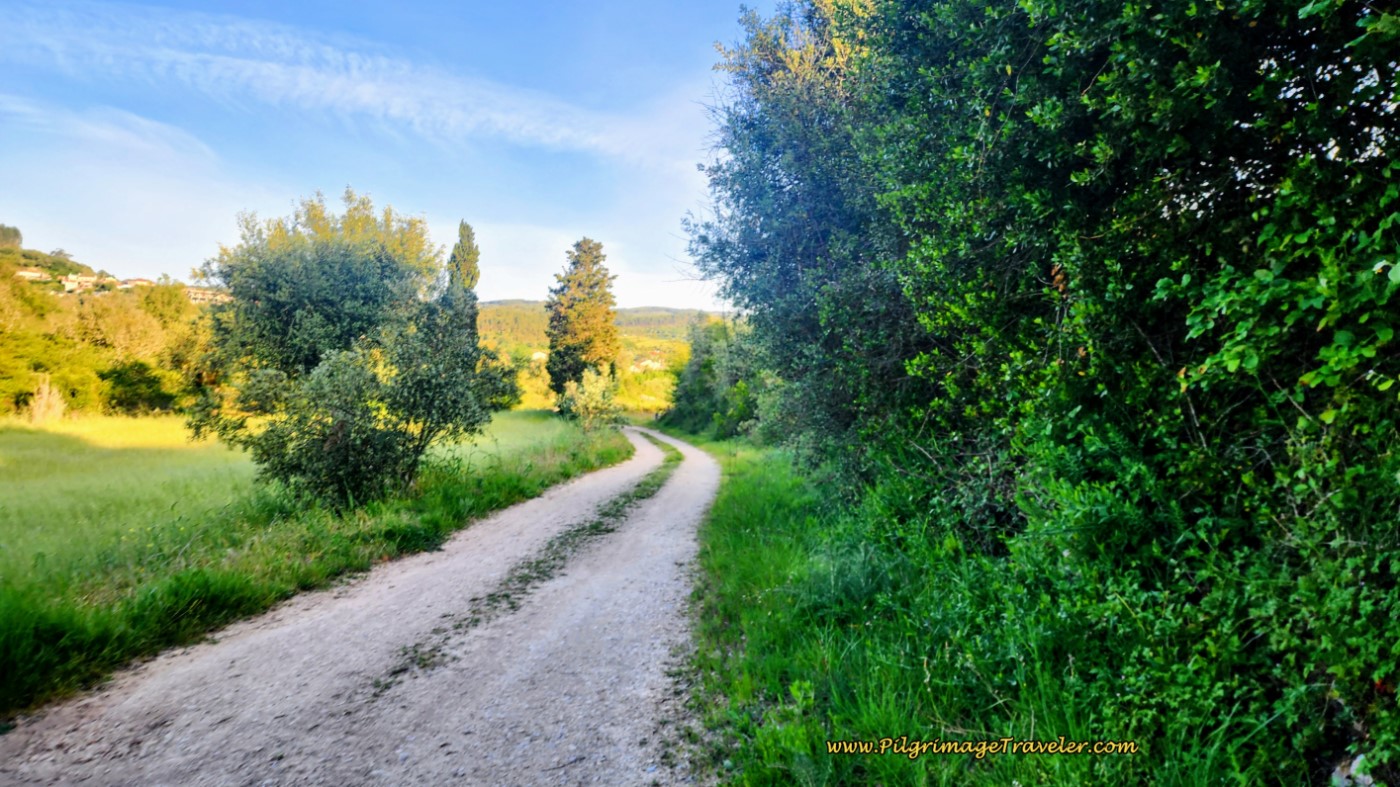 The Lane Toward Ribera de Alcalamouque
The country lane ends at a T-intersection, one kilometer later and after a total of about 4.9 kilometers. The Camino goes right at this intersection and onto the N347-1 through town.
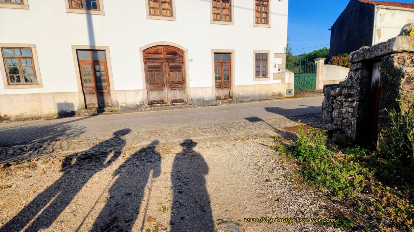 Entering Ribera de Alcalamouque
There is not much to this town, no cafés, but farther along there are two accommodations that have sprung up.
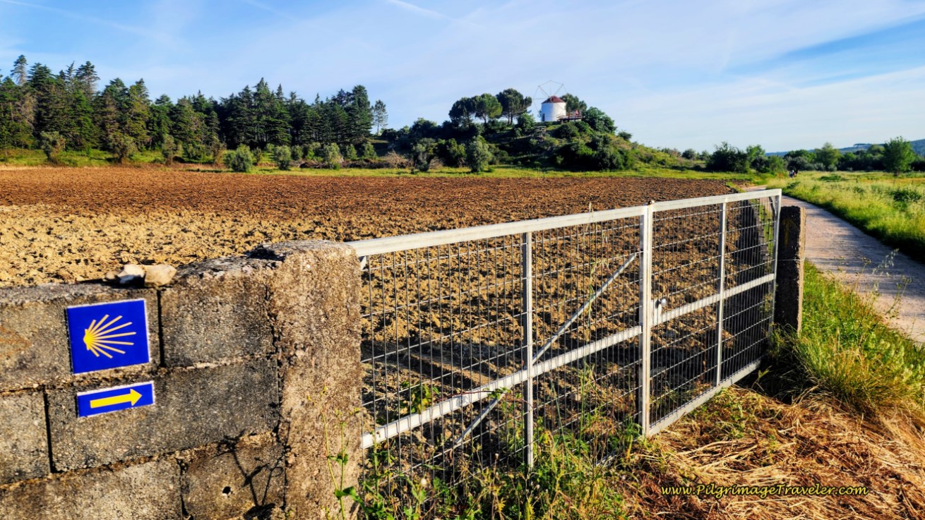
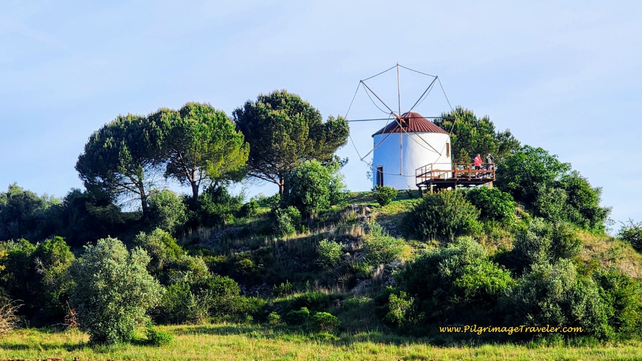
After only about 1/2 kilometer on the N347-1, we turned right onto a cobblestone lane that leads to this wonderful windmill, below. This windmill is now one of the possible accommodations in town, called the Moinho do Cubo. To access it, stay straight on the N347-1 another 350 meters, instead of turning right.
240 meters after turning right, from the N347-1, a left turn onto another lane is necessary to stay on the Camino, at the windmill. The intersection marks approximately 5.7 kilometers total for the day.
You will see signs for the Casa de Lima at this intersection, turning to the right, the second accommodation in Ribera de Alcalamouque. After the intersection, you can get lovely close ups of the windmill.
After the windmill, the road bends to the east, and the Camino takes a left turn 250 meters later, onto another quiet tractor lane toward Fartosa.
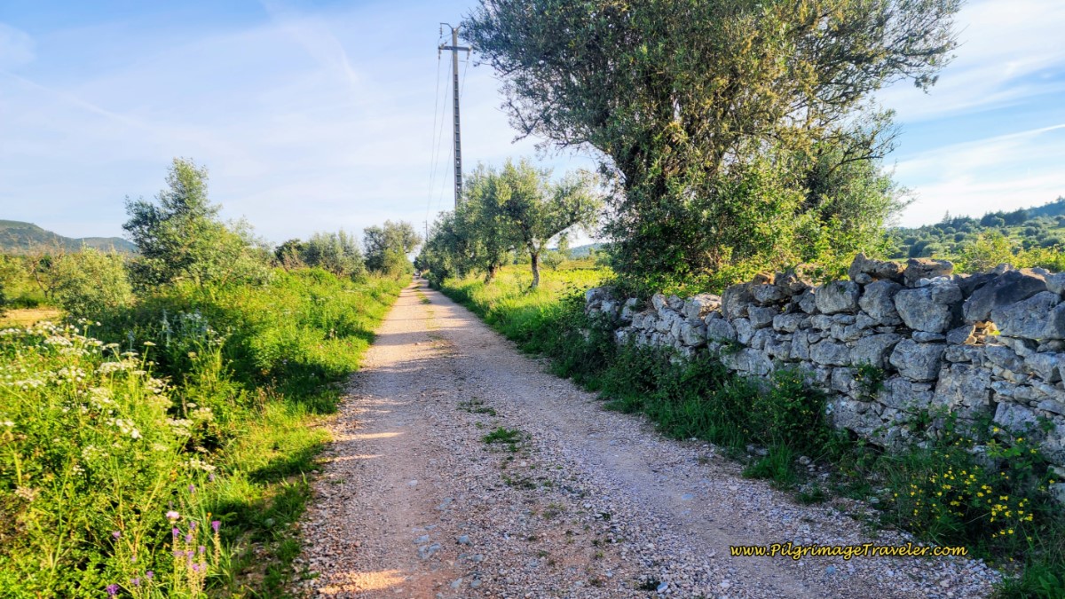 More Quiet Lanes Toward Fartosa
After about 600 meters on this lane, the Camino comes to a crossroads, and turns left and northward, away from Fartosa and onward toward Rabaçal. Along the way we encountered lots of country charm, like below.
After another full kilometer the Camino directed us to turn left, onto the pavement, to walk into Rabaçal. (Go straight here for the shortcut, if you don’t need services in Rabaçal!! See farther below).
We arrived in Rabaçal to immediately stumble upon the Hostel Albergue O Bonito, (+351 916 890 599), at the intersection with the N347-1, once again. It is about 8.6 kilometers from the albergue in Alvorge, to the Hostel Albergue O Bonito.
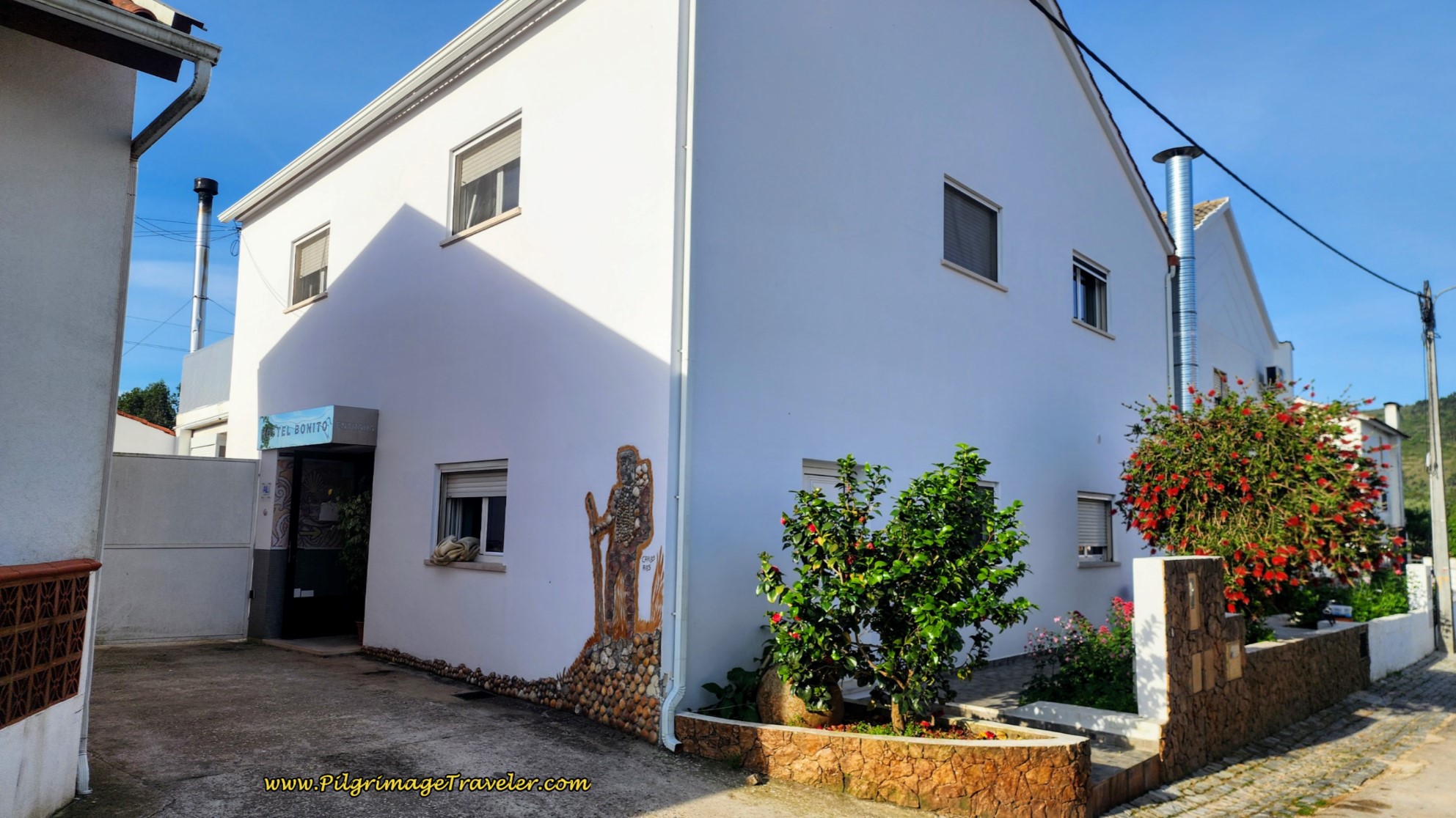 Rabaçal Hostel Albergue O Bonito
Just a few steps farther is the Café Bonito, attached to the albergue, where we stopped for our first break of the day, for what else? - café con leite!
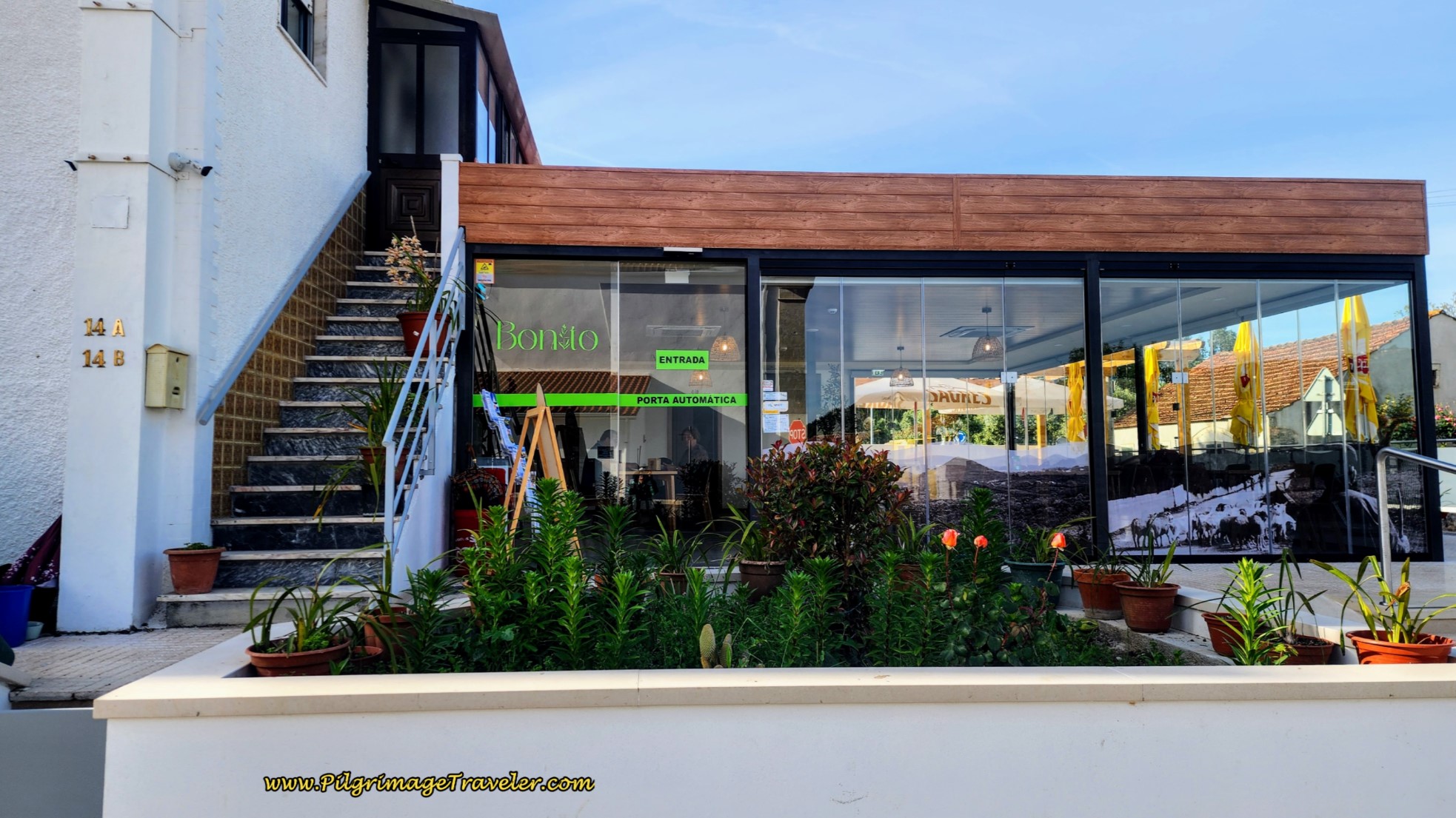 Café Bonito at the Albergue
The proprietress was extremely friendly and insisted on showing me the albergue. It was brand new at the time and absolutely gorgeous! If your stages bring you to Rabaçal for the night, I would definitely recommend this place. It even has a small pool now.
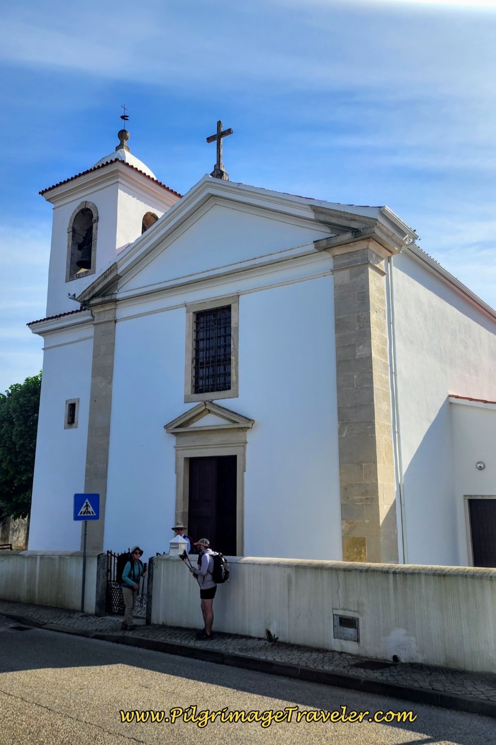
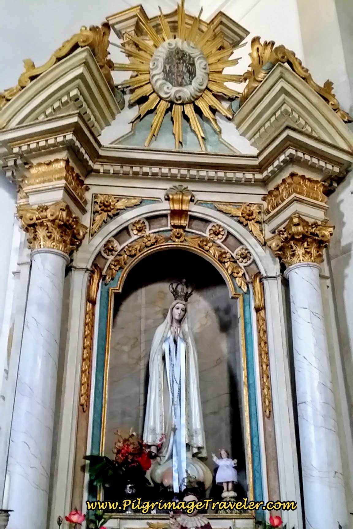
Across the street from the albergue, you see the church. Of course, I had to stop in to express my gratitude for everything! Inside, the altar to Fátima was one of my favorites along the entire Way.
Jump to Camino Portugués Stages
After the albergue here is the T-intersection of the N347-1 where you turn right to go northward toward Zambujal, our next destination on day eight of the Camino Portugués.
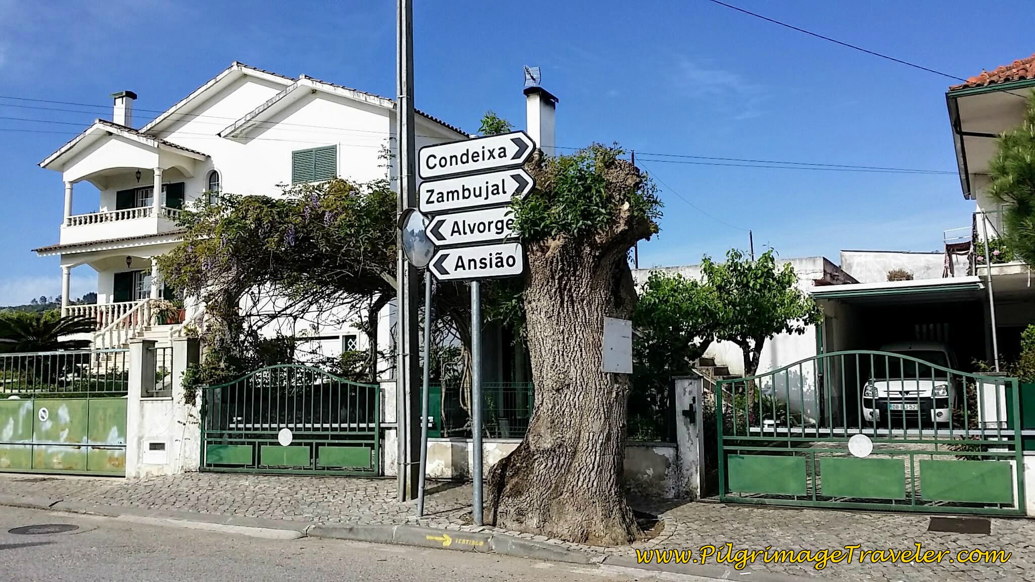 Right Turn back onto N347-1 Toward Condeixa
Walking on the main street, the N347-1 through town, this historic church caught my eye. While it was closed, you can peek inside through a newly created iron grate, not pictured in my original photo below.
300 meters later we again turn right, off the N347-1 and in the direction of Penela at this juncture.
 Right Turn on M563 toward Penela
When I studied the map, if I had known, we would not have taken the longer Camino route into Rabaçal at all. You can see on my route map above that it would have been much shorter to go straight north, cutting off the entire section to Rabaçal and saving two kilometers! Where the lanes before Rabaçal turn to pavement, stay straight instead of turning left into town.
But we did enjoy our pastel de nata and coffee and the tour of town! If you are not interested in touring or staying in Rabaçal or don't need refueling, I would recommend the shortcut.
We continued to walk on the paved M563 to where the Camino turns north (left) at a crossroad after about 900 meters, and after about 9.75 kilometers for the day. It is at this intersection where the shortcut joins the official route. Also, if you were to walk straight onward here, along the M563, only 275 meters farther on is a new shop and café at a dairy farm! So you wouldn’t miss an opportunity for refresments by not walking through Rabaçal.
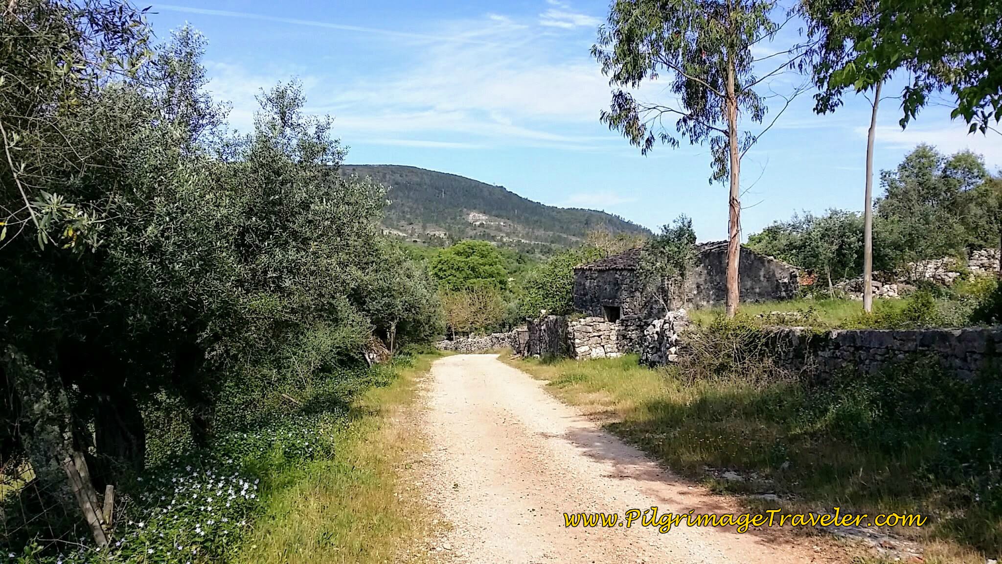
After turning left off the M563, it was back onto the country lanes below. The Way was blooming with spring flowers!
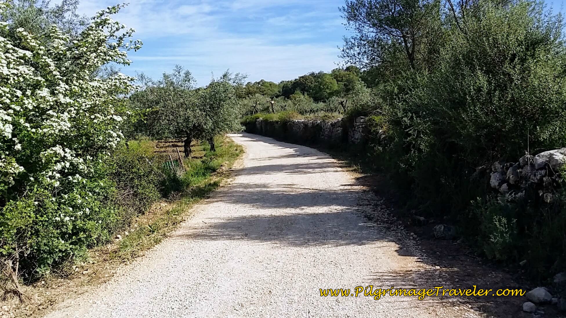 Long Country Road Toward Zambujal
Soon, the town of Zambujal comes into view, below.
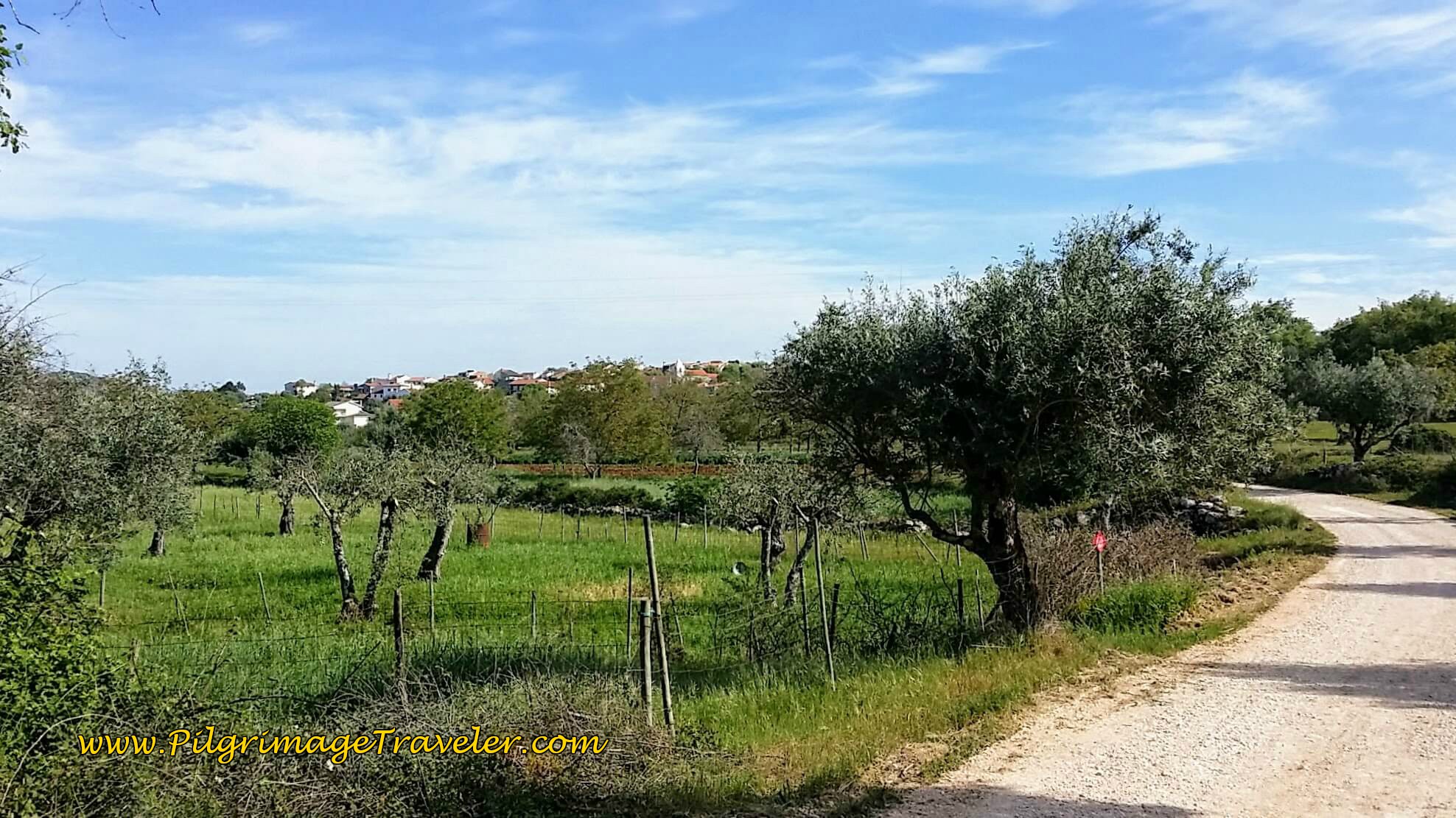 Zambujal Ahead
It is about a 3.2 km walk from Rabaçal to Zambuja, and you arrive at the south of town after 12.2 kilometers total.
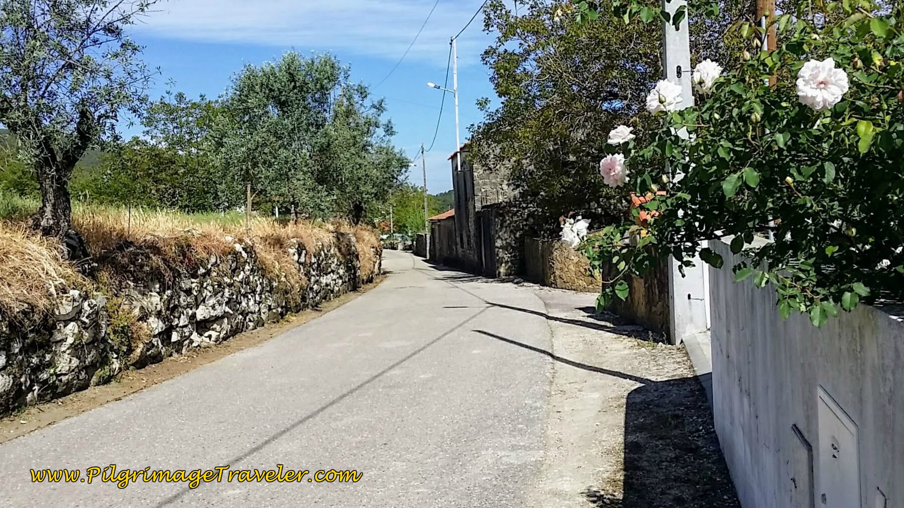
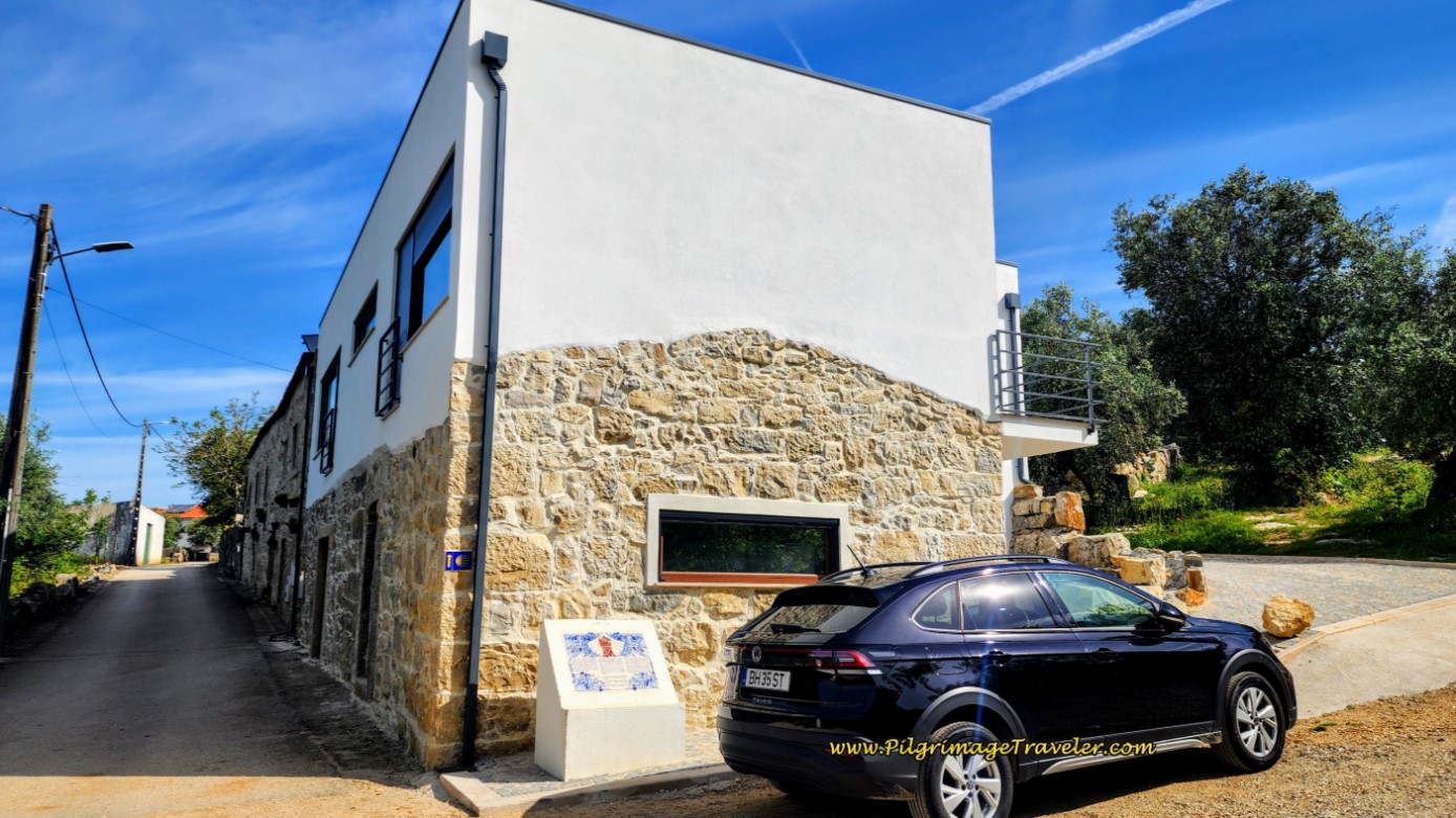 Entering Zambujal on the Rua de Santiago
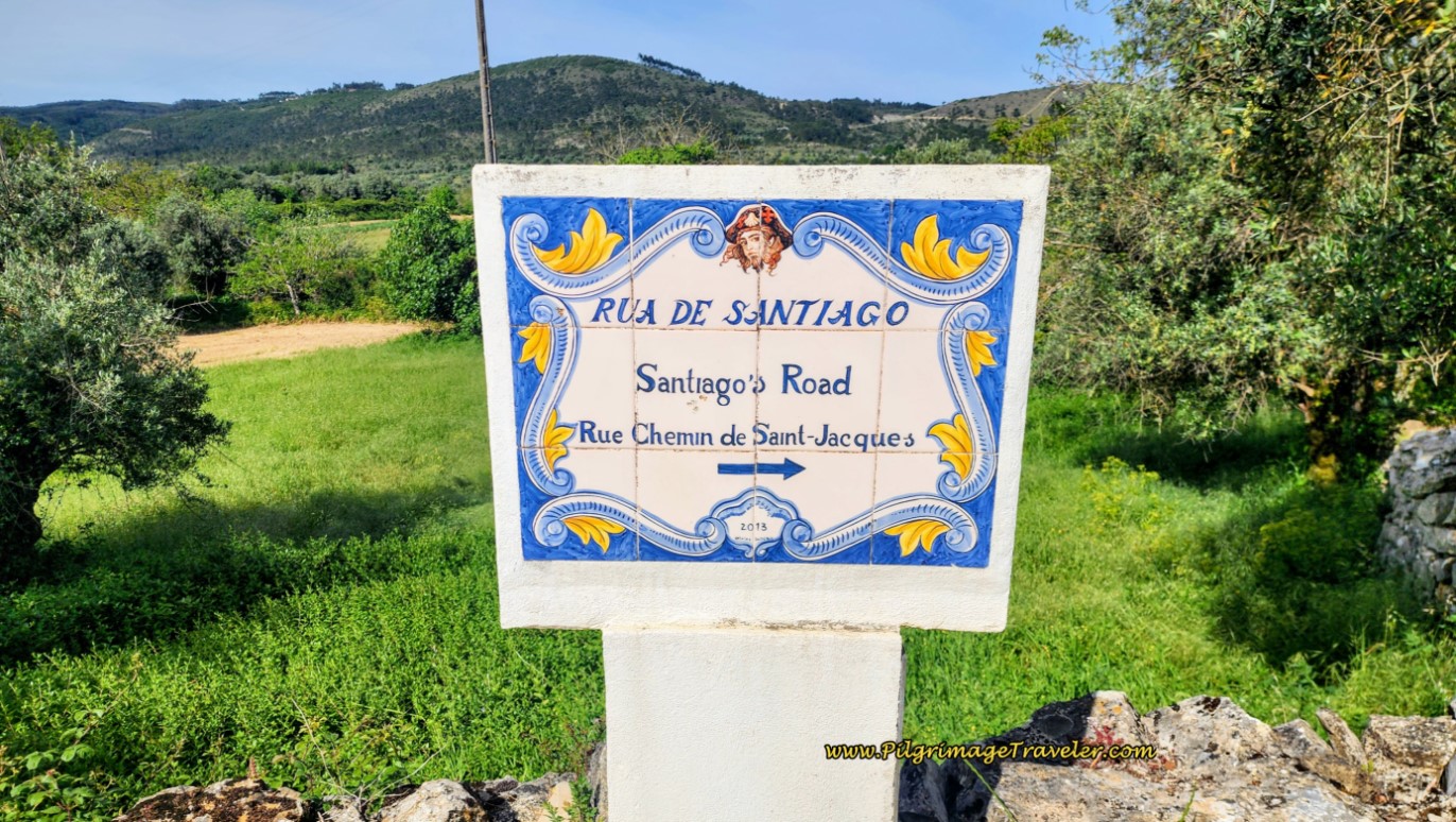
The town, or perhaps the Coimbra district has erected the most lovely signposts, in the traditional Azulejo styling. The photo above, shows one of them as you are greeted at the entrance to town, with the back side of the Casa Das Reposas, (+351 965 006 277), just behind it. The entrance is a few meters farther along.
Below is the close-up of this sign, telling the legend of St. James!
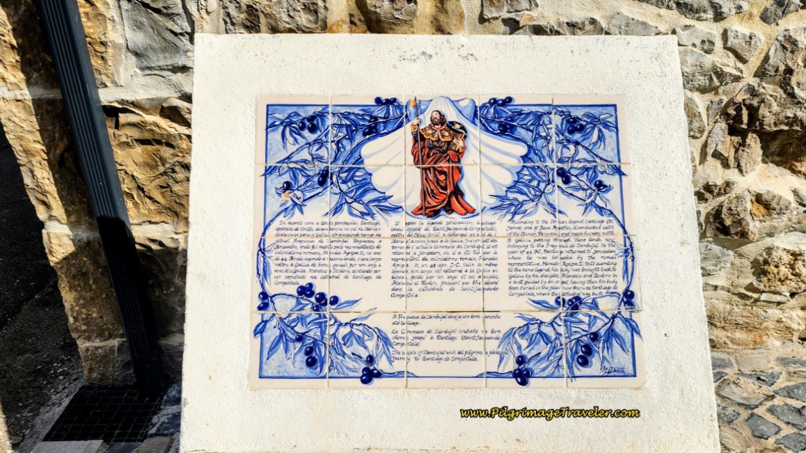 Information Board Mural with Legend of Santiago
The street here, of course, is the Santiago Road, which the sign announces in the photo below, visible just across the street.
As you meander through town, nice, large Caminho signs pave the way for you. Pass the Largo do Camponés, a water fountain just before the church square, the church itself, and look for this brown waymark, below, that directs you to the left.
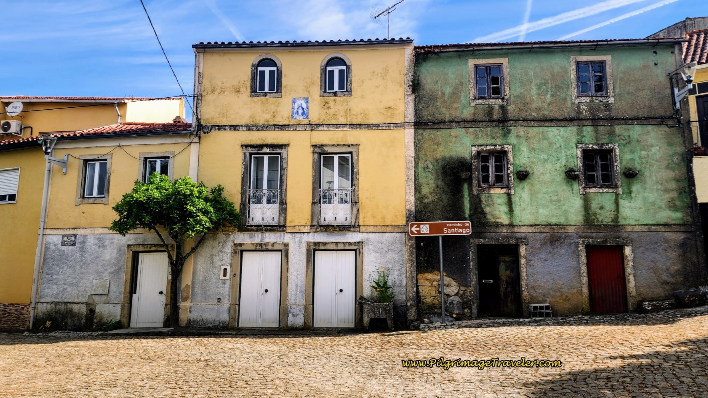 Walking on the Rua Jogo da Bolo thru Zambujal
There are no cafés in this town. A few meters past the church square you make a left turn and you are leaving town on a dirt country lane, shown below, heading north and west.
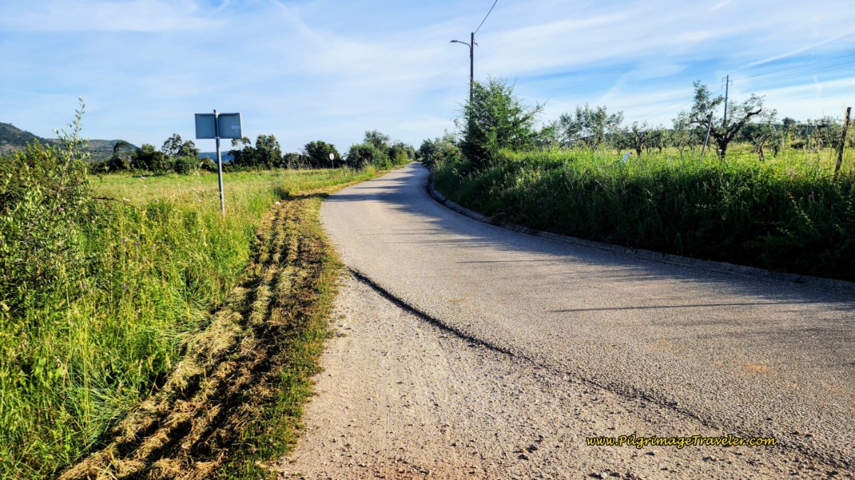
Another 3/4 kilometer or so after Zambujal, the Camino crosses the N347-1 again, and shortcuts onto a paved road on the other side, below. This is the Rua Principal towards the next town of Fonte Coberta.
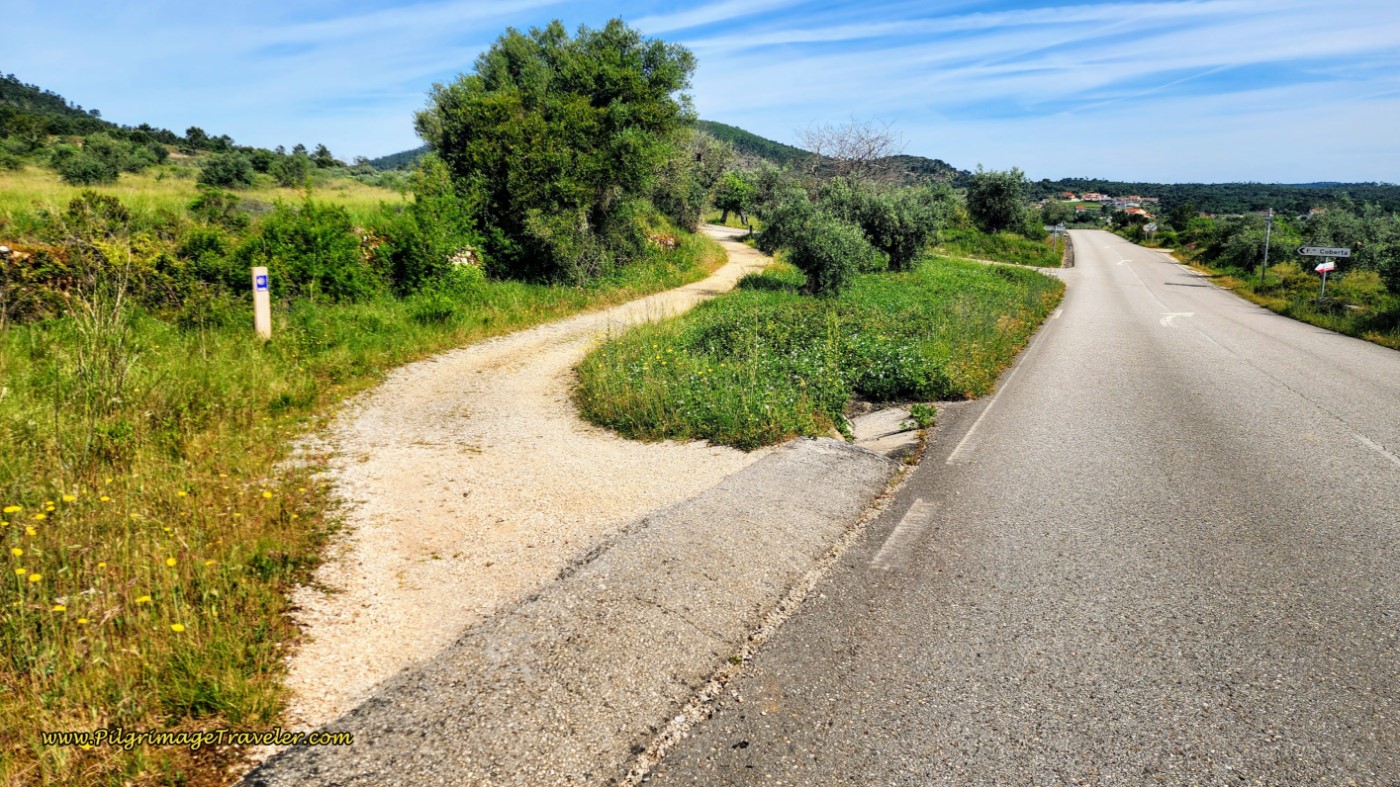 Shortcut to the Rua Principal Towards Fonte Coberta
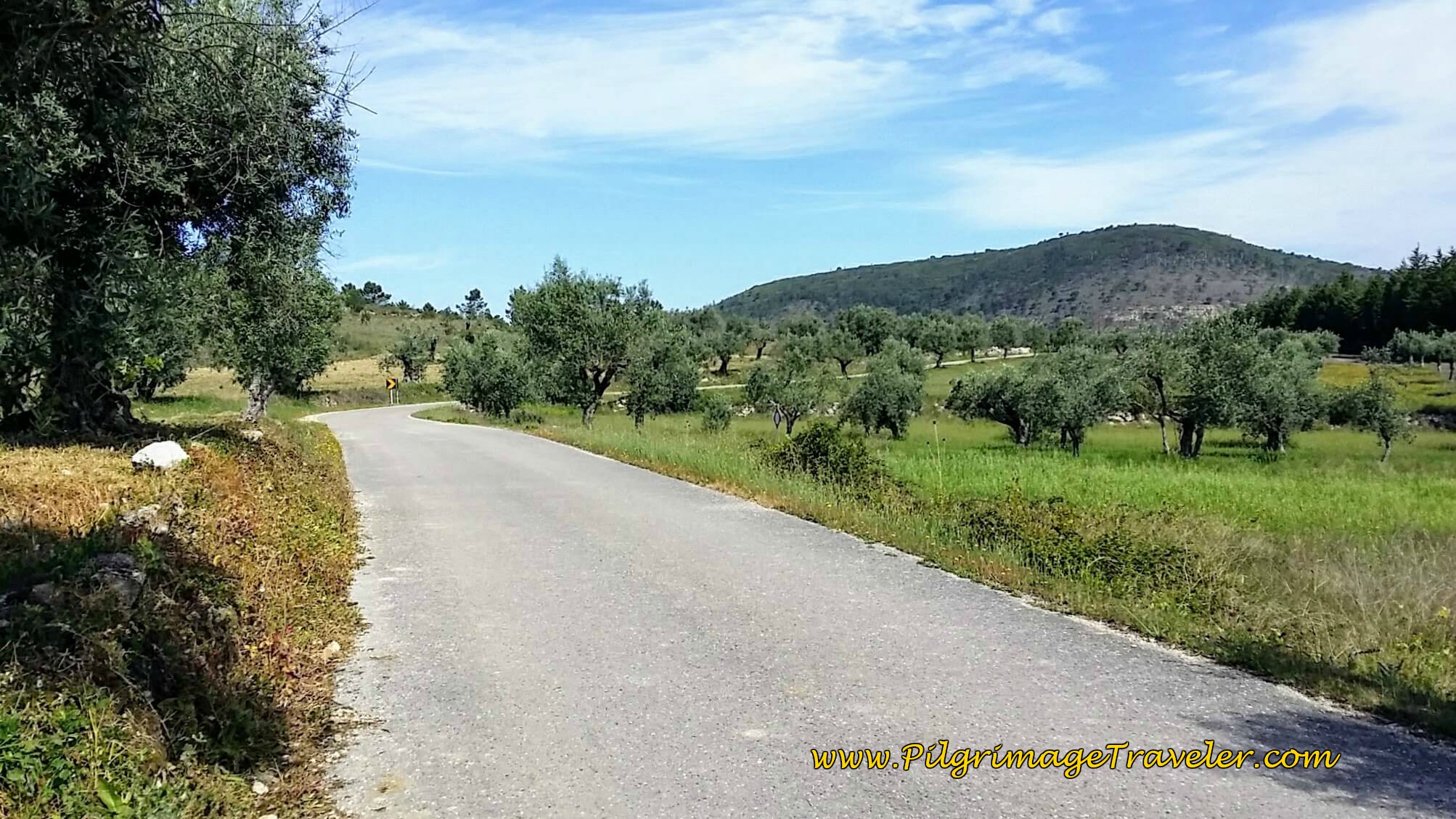 Rua Principal to Fonte Coberta
It was a long, solitary walk for the two of us today. We met no other pilgrims. I was feeling lonely, and a bit sorry for myself around this area, when a sudden flash of insight hit me. Maybe my purpose on this Camino was not to meet other pilgrims, but solely to walk with my husband!
We had such a whirlwind in our lives, the prior nine months. Rich's mother had a significant stroke, and we had to go to upstate New York, be with her for months, close her house, and transport her and a selection of her things to a facility close to us in Colorado.
Concluding a lifetime of 90 years in one town was not an easy task. We had essentially disconnected from our own lives to accomplish this. It took us three months!
On our Caminho, we were having time together, without external pressures for the first time in nine months. It was good to get reacquainted with one another! Certainly a reason of the heart!
I felt content with this purpose of my heart and was happy in the moment.
New to this original story, is the next attraction, about one kilometer down the Rua Principal, the Refúgio das Cabaças, (+351 963 327 662), after 14.4 kilometers into the day. This is a garden haven for pilgrims, a place to stop and have refreshments and a place to pause and pray in the little hobbit chapel. However, I saw no restrooms, unfortunately. I could have spent more time here than my walking mates had the patience for!
There are reports that you can actually camp here, for a donation, but call first to see what they provide. Their reviews on Google imply that they only provide drinking water. However, I saw no welcoming signs for camping when we walked through.
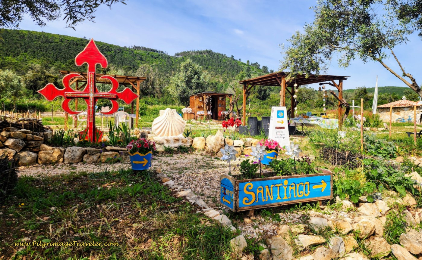 Refúgio das Cabaças
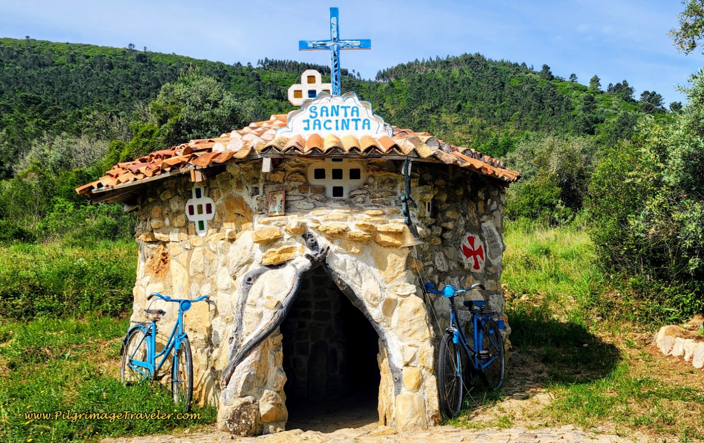 Santa Jacinta Hobbit Chapel
Between Zambujal and Fonte Coberta we encountered this tourist attraction mural. Unfortunately, it is quite chipped up in its current state, so I kept my photo from my original walk, when it was much nicer, below.
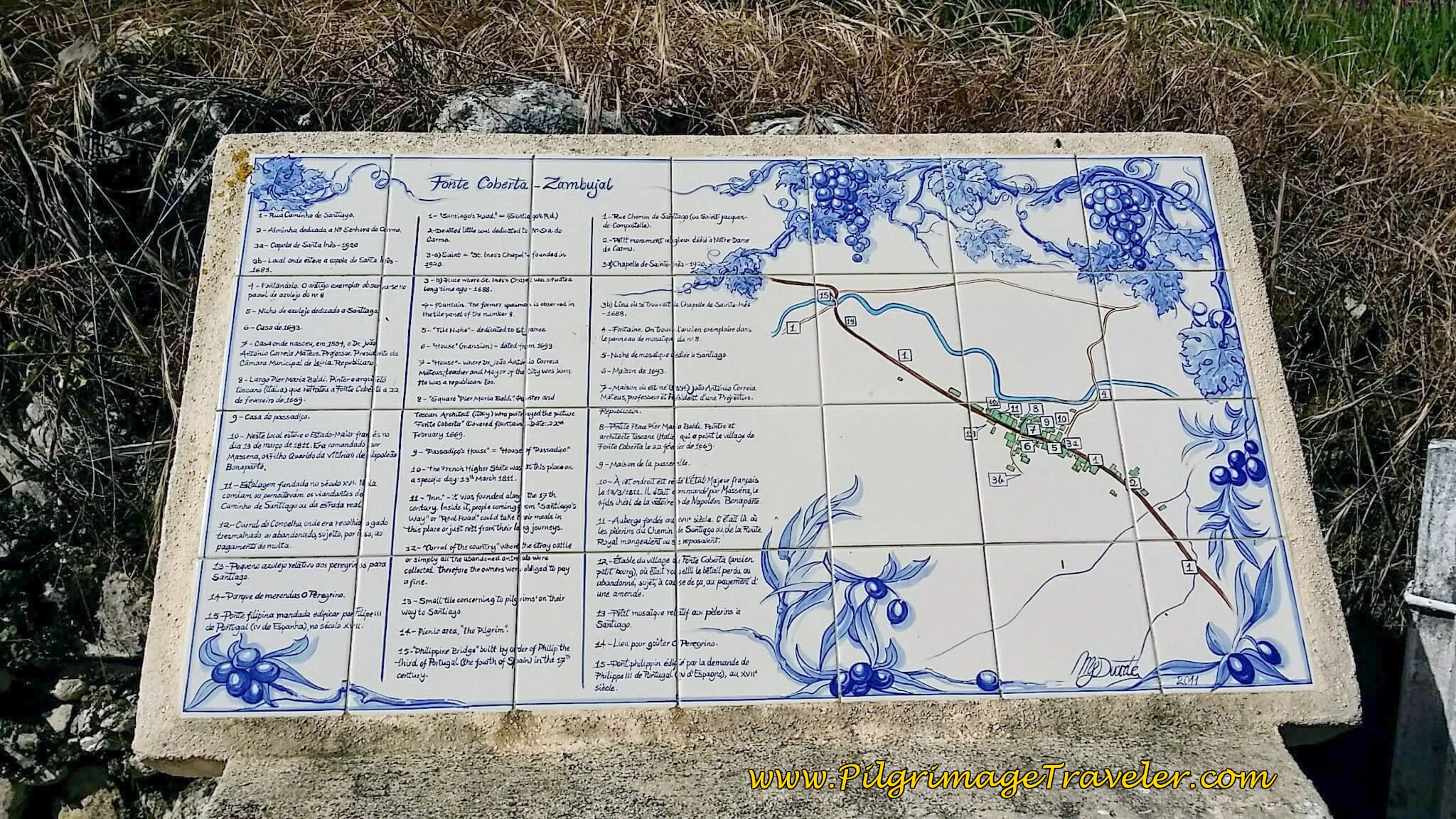 Mural Map of Area Attractions
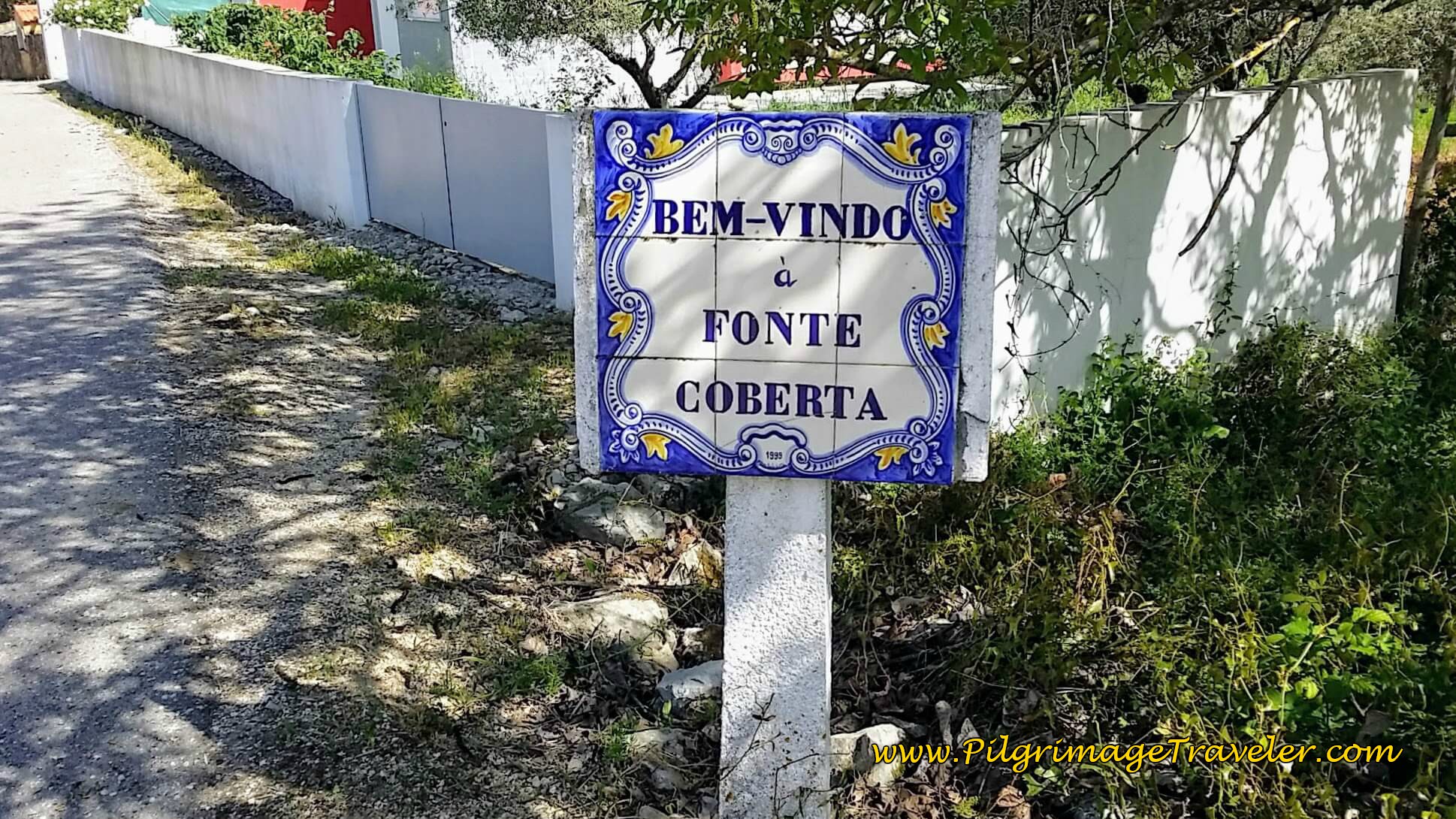
After about two kilometers from Zambujal, we reached Fonte Coberta. This lovely sign welcomes the peregrino!
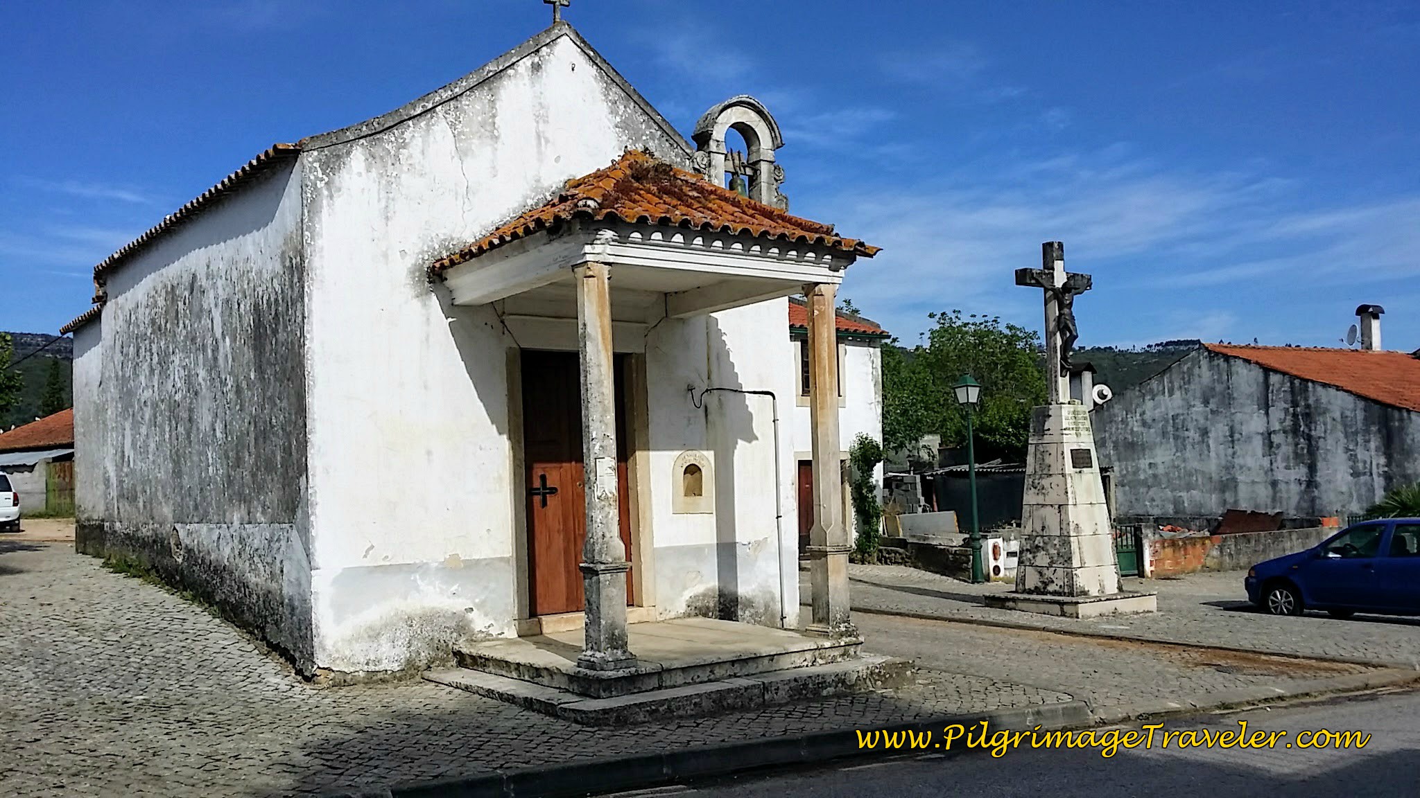
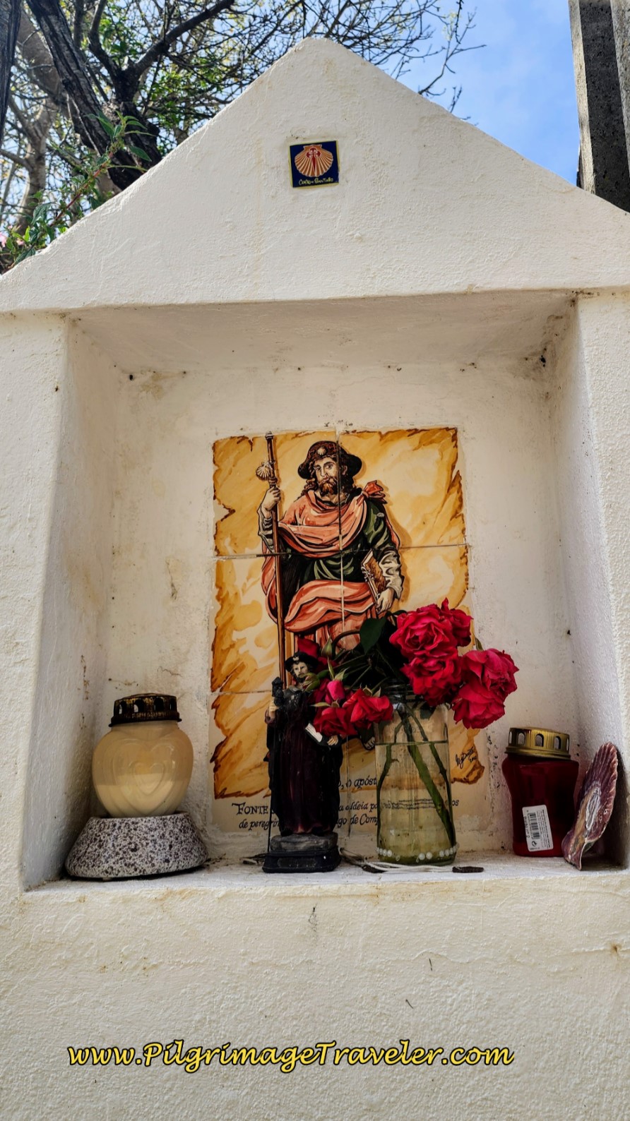
Below are more engaging shrines in the town that we encountered along the Way on day eight of our Camino Portugués!
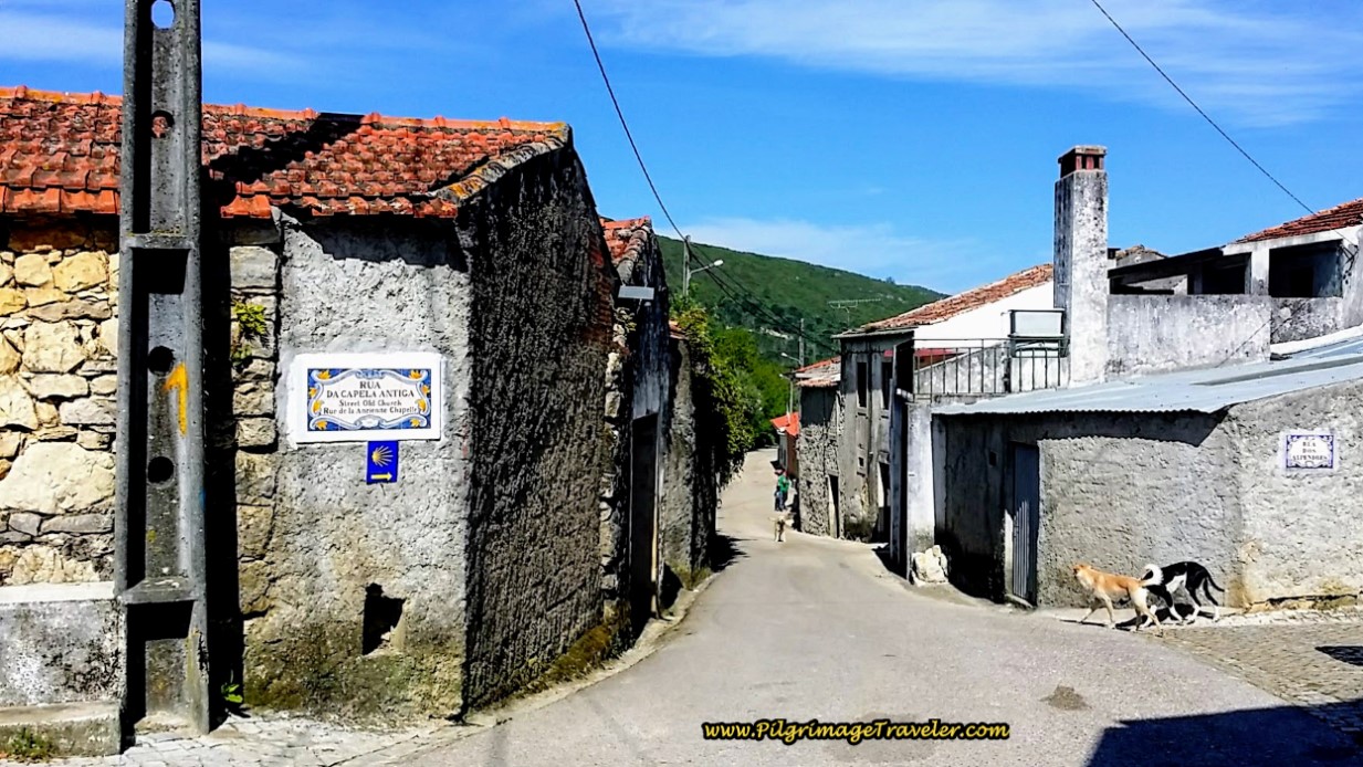
The town of Fonte Coberta was such a charming place and a pleasure to walk through. It is a straight shot through town, continuing along the Rua Principal.
Jump to Camino Portugués Stages
Wisteria graced our walk as well!
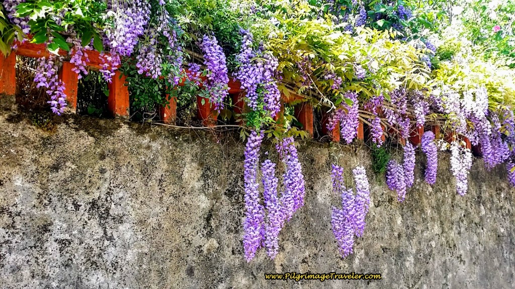 Wisteria Hangs From the Walls
Several hundred meters after leaving Fonte Coberta, there is a very nice picnic area.
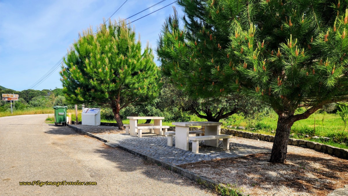 Ponte Filipina Picnic Area by Bridge
And by the picnic area is an information board for the historic Ponte Filibina, built at the turn of the 16th Century, below. The historic bridge is just beyond the picnic area on the road to the right.
 Information Board for Ponte Filipina
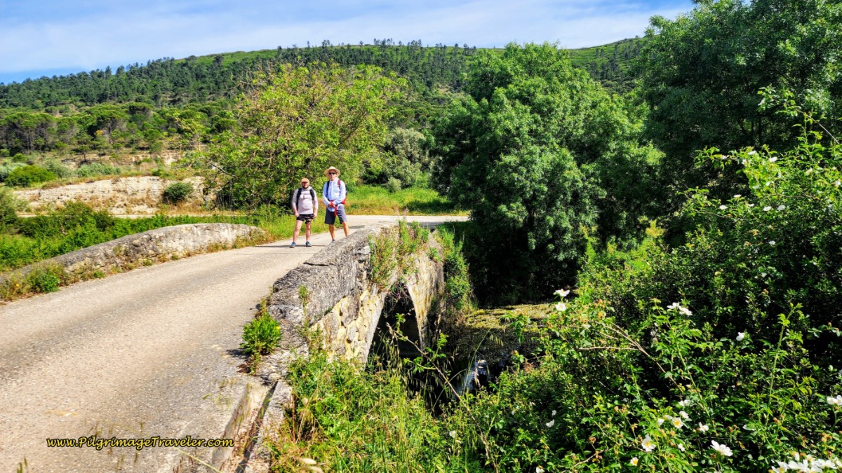
After the historic bridge at Ponte Filipina, there is a lovely walk on country paths to Poço, the next hamlet, as I show in the photos below. The paths follow along the Rio dos Mouros riverbed.
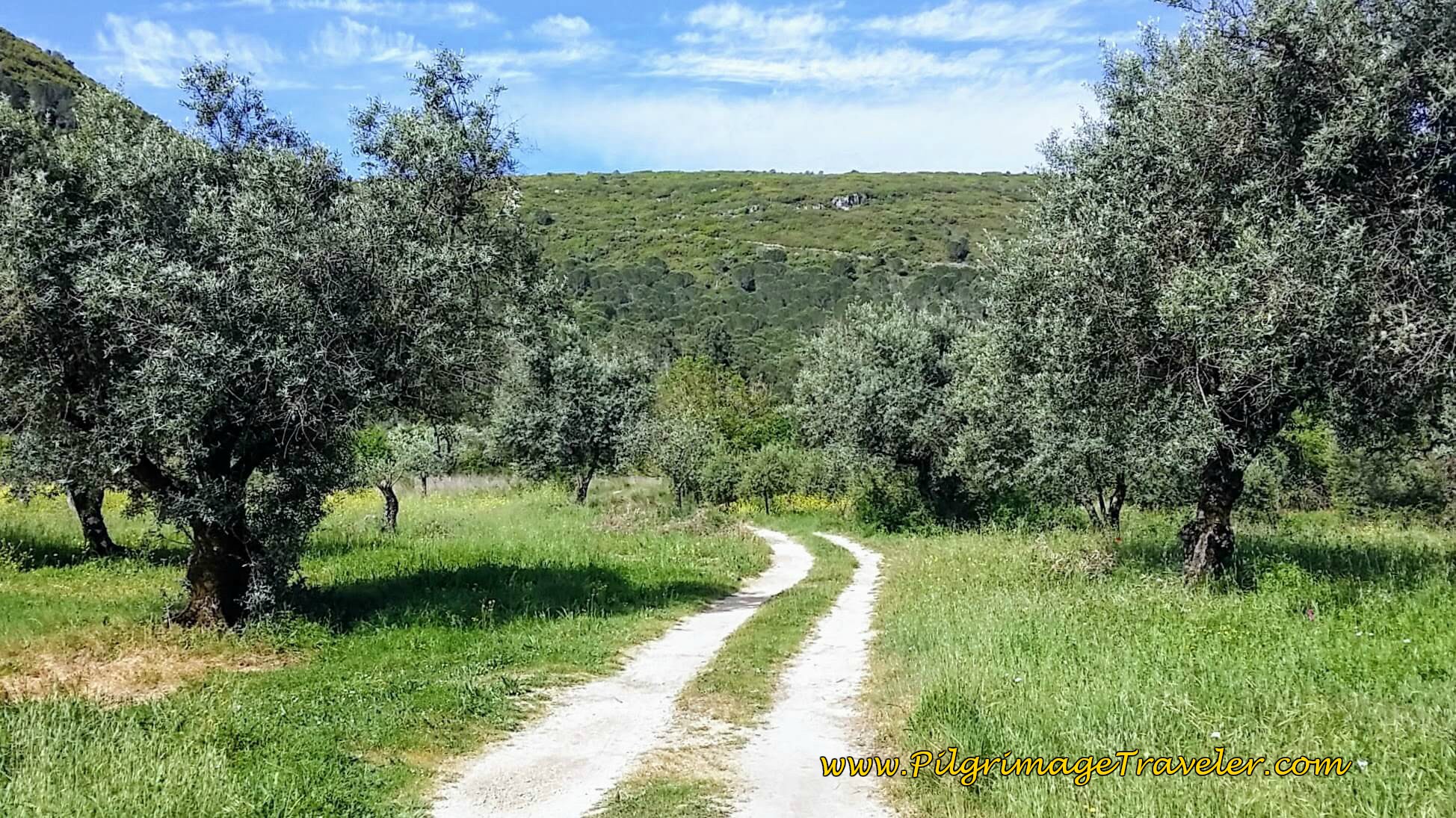 Onward Track thru Olive Groves on Day Eight, Camino Portugués
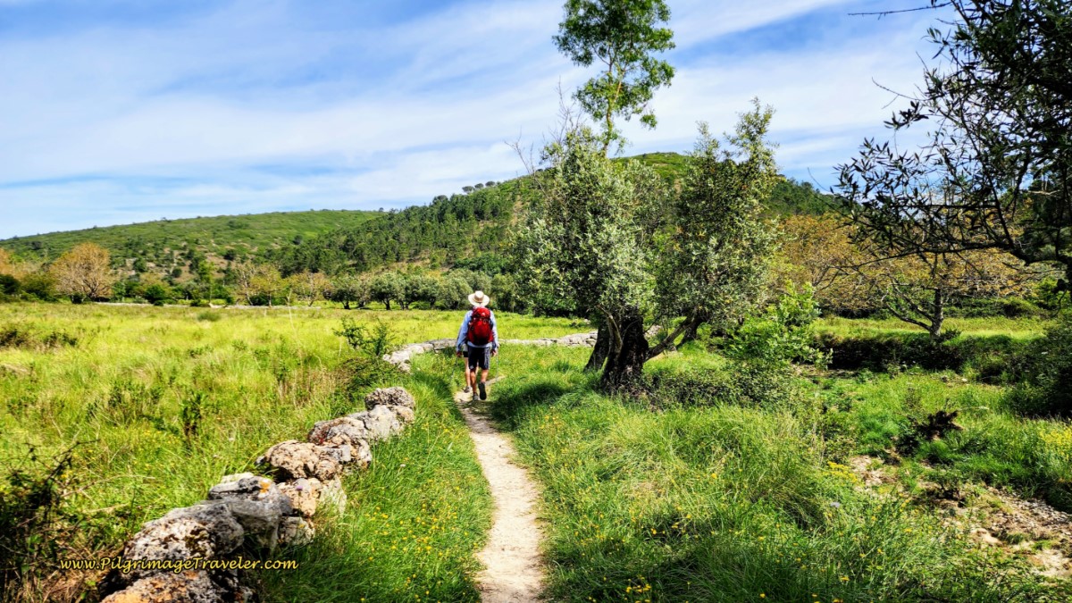 Double Track Fades to Single Track
About 1.3 kilometers after the Ponte Filipina, and about 16.4 kilometers total, we arrived in the hamlet of Poço. Not pictured, but to the right of this photo below, there is yet another nice picnic area by the river! So pack plenty of food, as we did, because as you can see these small towns have no services!
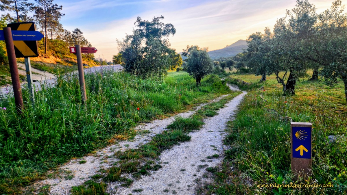
And below is the turn to the left, and up the hill as you leave town.
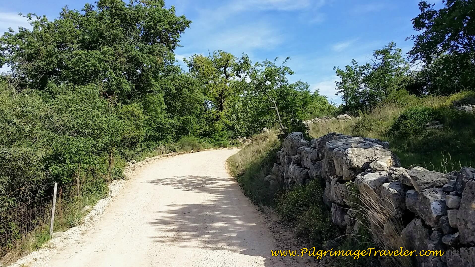
There is an initial small climb out of Poço and then you will drop down a bit on the other side. The steeper, final small climb of about 40 meters is next, shown in the photos below.
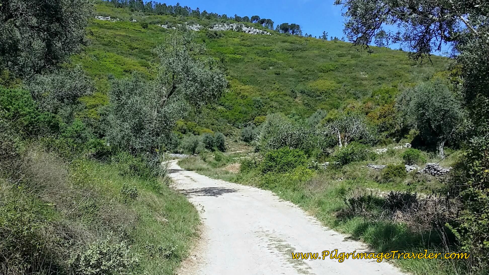 Start of Final Climb Out of Poço
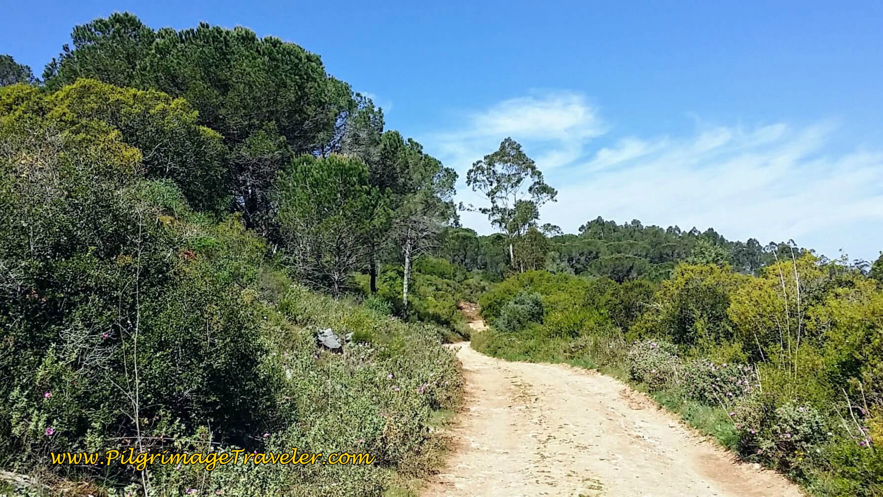 Up the Hill toward Conímbriga
Once you near the top, the Way evens out, below, before an 80 meter drop on the other side, as you near Conímbriga.
When you reach the top, the eucalyptus forest was clear cut, so expect fewer trees here.
Three kilometers after leaving Poço, and after the nice downhill run, you will cross a stream then climb up on the other side. At the top of this short climb, the country roads bring you right out to the Roman ruin site of Conímbriga, below, after approximately 19.7 kilometers. The ruins are immediately south of the town of Condeixa-a-Velha.
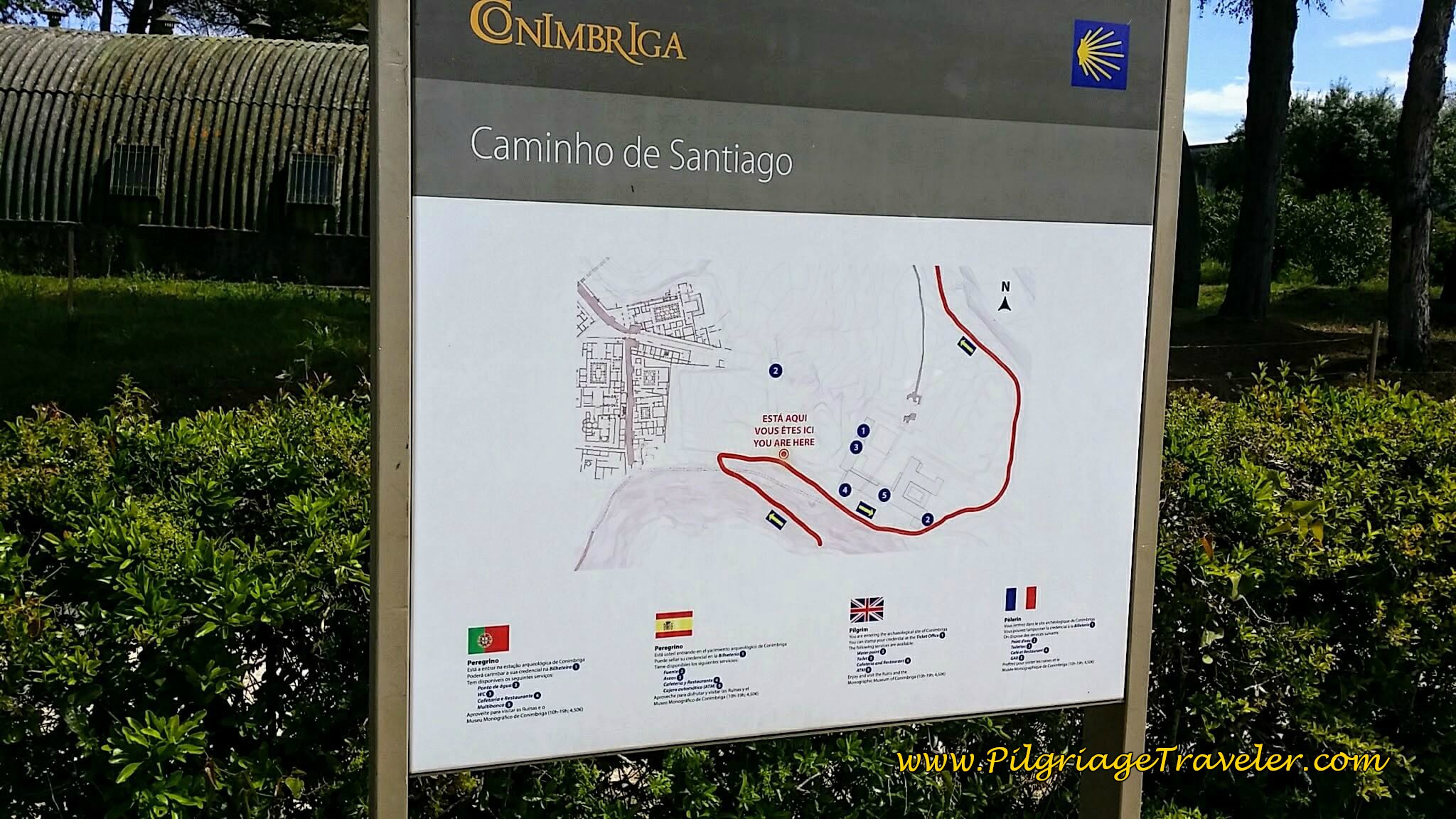 Entering Roman Ruins of Conímbriga
Unfortunately, the ruins were closed on Easter Sunday, including the café, on our initial time through. We were able to see the ruins at a later date and it is definitely worth it. It is also enjoyable to sit on the high terrace of the museum café and enjoy refreshments! The Camino passes right by the café and you don't have to enter the site to enjoy it.
There are impressive houses with preserved mosaic floors. The colonnaded gardens, below, actually have functioning plumbing that allows for the fountains to turn on as it would have been originally! It was lovely to see!
To see the fountains in their full splendor, find the meter to feed it some coins to initiate them.
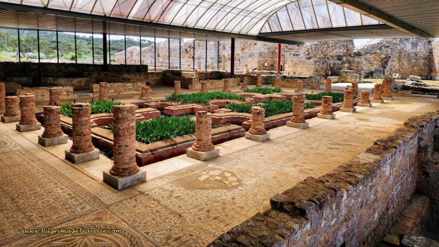 Famous Gardens of Conímbriga
Next are the impressive walls of the forum, that you can see from the outside of the park.
 Forum Wall at Conímbriga
After touring the ruins, we resumed our Camino as it continues around the south side of the site, passing the café and to the parking lot. Below is a photo of the arrows on the concrete post on the east side of the parking lot along the N342-1. You could just as easily cut through the parking lot to pick up this same street on the north side of the ruins.
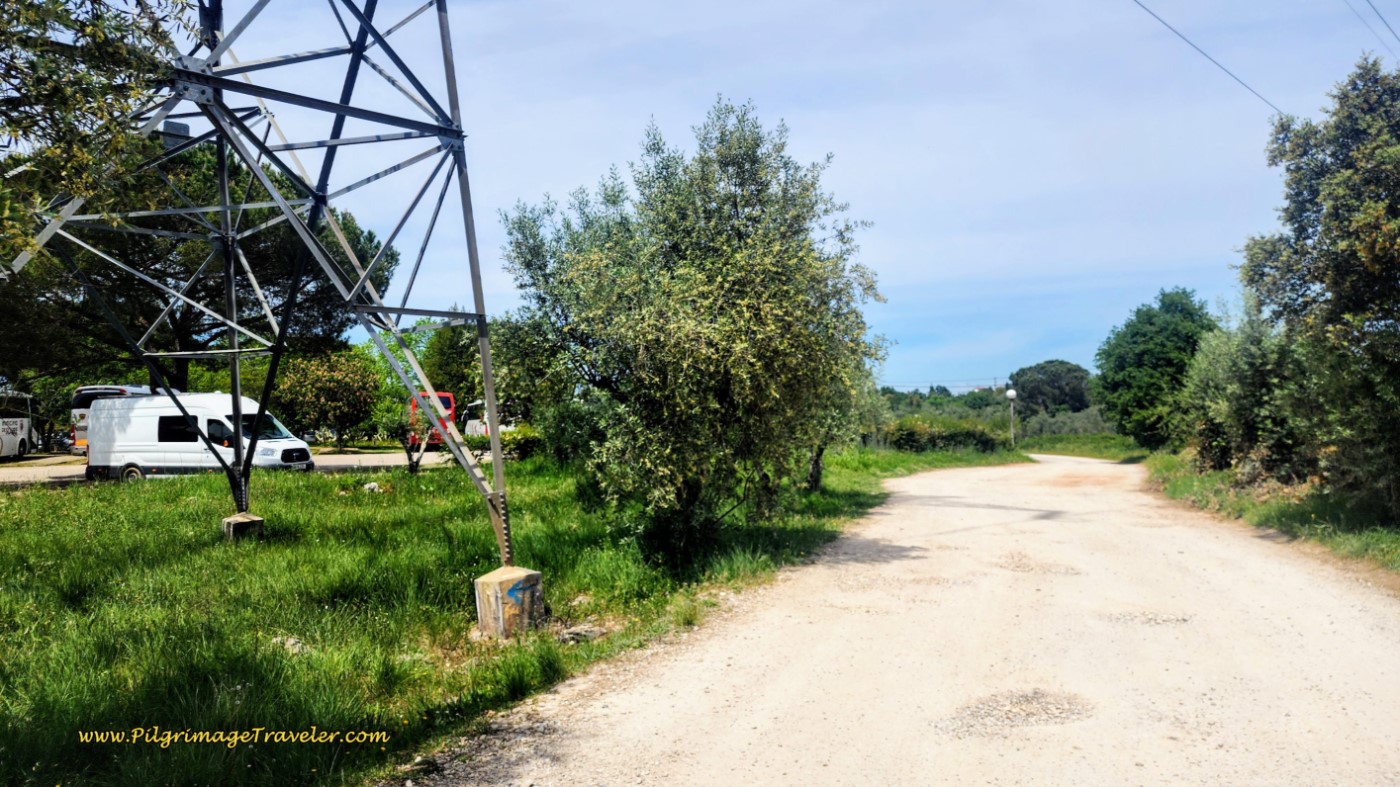 N342-1 on East Side of Conímbriga Parking Lot
Next, about 200 meters after the parking lot, take the first right hand turn onto the N342-2, below. You are heading towards a tunnel to cross under a highway.
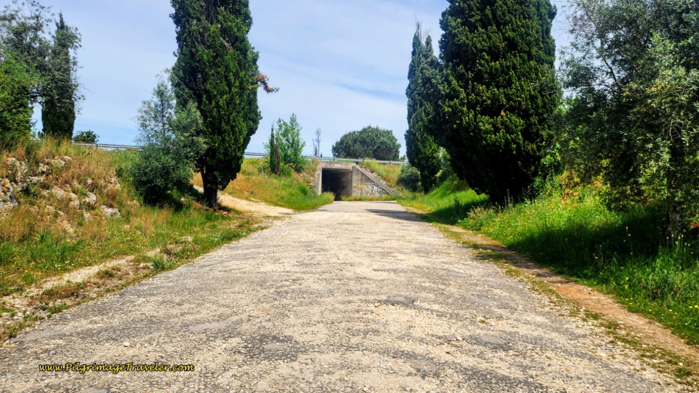 First Right Turn Onto N342-2 Towards Tunnel
After walking through the tunnel, several meters later, at the next intersection with the N342 is the Bar Triplo Jota on the left. By the bar, turn right to stay on the Camino and onto the Rua da Rossa. You can just see the bar on the left side of the photo below.
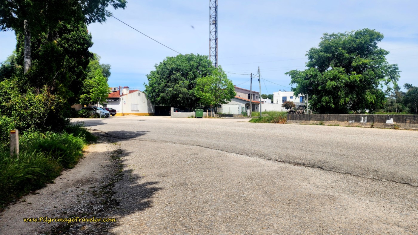 Cross the N342 Towards the Bar Triplo Jota
100 meters later you will see a small blue sign for an albergue, below, the only albergue in town. This is where I have ended this stage.
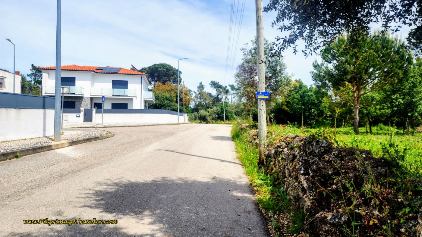 Rua da Rossa and Blue Albergue Sign
If you are going to the private, 10-bed Albergue de Conímbriga, (+351 962 870 633), take a left turn at the sign, and in 200 meters, arrive at the albergue entrance across the street. Follow the albergue signs! You will have to call the owners to let you into their gate when you arrive. It has a code lock on it.
We have stayed here and it is very nice, very economical and with a kitchenette. It is in a nice location, near several bars and restaurants as well as a nice minimarket if you wish to cook. On a different pilgrimage than the original story here, we prepared our own breakfast, but went out to the Tennessee Original, a USA-style BBQ place, with interesting Western decor! And the food was surprisingly good!
There are also two places to stay, one kilometer to the west, in Condeixa-a-Nova, in the center of town on the Rua Francisco de Lemos, the Residencial Borges, as well as the expensive Conímbriga Hotel do Paço, farther north.
And directly west of the ruins in Condeixa-a-Velha is the Alojamento Local Casa da Fonte, an inexpensive apartment for up to four.
The shorter day was worth it to me at this time, as my ankle was once again, getting more swollen and painful as the day progressed. I could feel the tension from Rich, who was a bit annoyed at me. He had pushed himself through blisters earlier, and I felt like he wanted me to push on as well. However, I persisted in my need to keep this day eight on our Portuguese Camino shorter and sweeter!
My ankle had held up another day. While it was still swollen, it wasn't all that bad. Ibuprofen, prescription-strength, had been a lifesaver. I kept my legs/feet up in the air for as long as I could that evening, and continued to massage my ankle toward the knee/heart to reduce the swelling.
I still had absolutely no idea what was causing the swelling. A slight sprain for which I had been unaware? Simple overuse? Stress fractures from overuse seemed unlikely as I was able to reduce the swelling significantly the night before. It was an unsolved mystery.
Reflection from Day Eight, Camino Portugués
During our walk on this day, we constantly asked ourselves, why are we doing this? Why were we walking? What was the purpose? We never really answered the question, and most certainly not on day eight of the Camino Portugués. If our purpose was to walk together alone, indeed we were doing that and doing it well!
Despite all our questions, the reasons of the heart defy reasons, for sure. All I knew was that I was happy and at peace, merely moving along. I was here and I was walking with my best friend, my husband! And for the moment it was enough.
Salutation
May your own day eight on the Camino Portugués be filled with your own heart's reasons. May you walk this lovely path in the moment, and in tune to hear your own messages from the heart!
Camino Portugués Overview
Camino Portugués Stages
Central Route: Lisbon to Porto Stages
Central Route: Porto to Santiago Stages
Senda Litoral or the Coastal Routes: Porto to Santiago Stages
Skip to Central Route Above, for Final Days 22-25 to Santiago
Variante Espiritual Stages
Please Consider Showing Your Support
Many readers contact me, Elle, to thank me for all the time and care that I have spent creating this informative website. If you have been truly blessed by my efforts, have not purchased an eBook, yet wish to contribute, I am exeedingly grateful. Thank you!
Search This Website:
🙋♀️ Why Trust Us at the Pilgrimage Traveler?

We’re not a travel agency ~ we’re fellow pilgrims! (See About Us)
We've trekked Pilgrimage Routes Across Europe since 2014!
💬 We’ve:
- Gotten lost so you don’t have to. 😉
- Followed waymarks in the glowing sunlight, the pouring rain and by moonlight. ☀️🌧️🌙
- Slept in albergues, hostels & casa rurals. Ate and drank in cafés along the way. 🛌 😴
- Created comprehensive and downloadable GPS maps and eBook Guides, full of must-have information based on real pilgrimage travels. 🧭 🗺️
- Shared our complete journeys, step by step to help YOU plan your ultimate pilgrimage and walk with your own Heart and Soul. 💙✨
Every detail is from our own experiences. Just fellow pilgrims sharing the Way. We have added a touch of spirituality, heartfelt insights and practical guidance from the road ~ offering a genuine connection to the spirit of pilgrimage. Tap into the wisdom of seasoned pilgrims!
Ultreia and Safe Pilgrimage Travels, Caminante! 💫 💚 🤍
Follow Me on Pinterest:
Find the Pilgrimage Traveler on Facebook:
Like / Share this page on Facebook:
***All Banners, Amazon, Roamless and Booking.com links on this website are affiliate links. As an Amazon associate and a Booking.com associate, the Pilgrimage Traveler website will earn from qualifying purchases when you click on these links, at no cost to you. We sincerely thank you as this is a pilgrim-supported website***
PS: Our eBook Guide books are of our own creation and we appreciate your purchase of those too!!
Shroud Yourself in Mystery, along the Via de Francesco!
Walk in the Footsteps of St. Francis, and Connect Deeply to the Saint and to Nature in the Marvelous Italian Countryside!
Need suggestions on what to pack for your next pilgrimage? Click Here or on the photo below!
Find the Best Hotel Deals Using This Tool!
Carbon Trekking Poles ~ My Favorites!
Carbon fiber construction (not aluminum) in a trekking pole makes them ultra lightweight. We like the Z-Pole style from Black Diamond so we can hide our poles in our pack from potential thieves before getting to our albergue! There are many to choose from! (See more of our gear recommendations! )
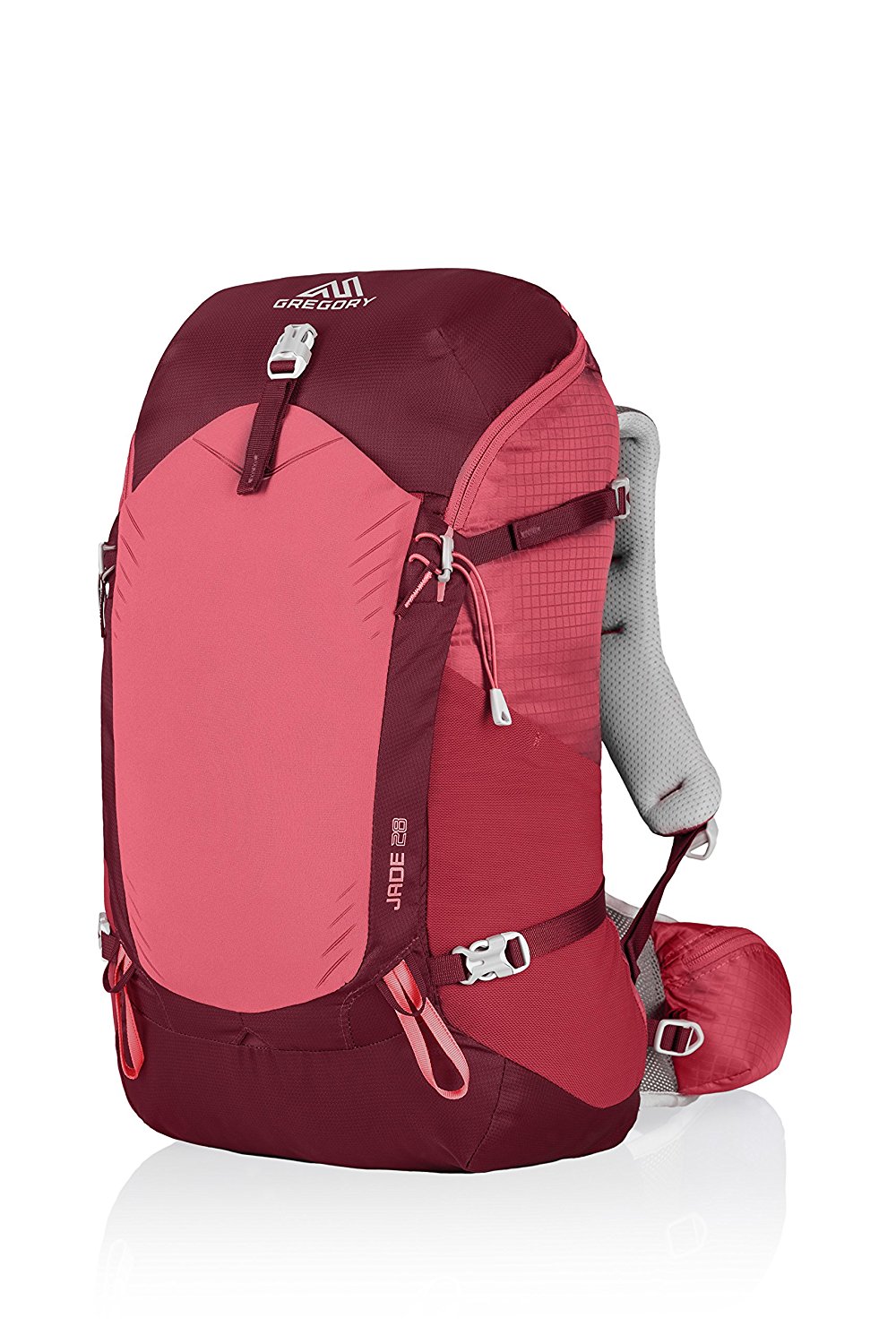
Gregory BackPack ~ My Favorite Brand
Do not forget your quick-dry microfiber towel!






















Your Opinion Matters! Comments
Have you had a similar experience, have some advice to give, or have something else you'd like to share? We would love to hear from you! Please leave us a comment in the box below.