- ~ Home
- ~ Camino Portugués (The Portuguese Way)
- Day Eighteen, Coastal Route, Viana do Castelo to Caminha
Jump to Camino Portugués Stages
Day Eighteen on the Coastal Route of the Camino Portugués
~ Viana do Castelo to Caminha, 27.8 Km
(17.27 Miles)
Disclosure: the PilgrimageTraveler.com is an associate of Booking.com, Roamless, and Amazon. As associates of these merchants, we earn from qualifying purchases from our links.
On our day eighteen on the Coastal Route of the Camino Portugués, until Vila Praia de Âncora, was a most enchanting stroll through time on old roads made of real cobblestone and rutted stone pavers that were full of twists and turns and plentiful views of the sea along the high ridge. After Vila Praia de Âncora, it joins the Senda Litoral for a short jaunt, then ends on the modern paved roads to Caminha.
This Coastal Route is shorter than the Senda Litoral by about 1.6 kilometers and perhaps is even more interesting, albeit harder on the feet and legs. It is without a doubt more historical, so choose wisely!
“But the beauty is in the walking -- we are betrayed by destinations.” ~ Gwyn Thomas, Welsh Poet
If ever there was a day to settle in and enjoy the walk itself, this is the day! As you will see below, this is no ordinary day.
🙋♀️ Why Trust Us at the Pilgrimage Traveler?
We’re not a travel agency ~ we’re fellow pilgrims! (See About Us)
We've trekked Pilgrimage Routes Across Europe since 2014!
💬 We’ve:
- Gotten lost so you don’t have to. 😉
- Followed waymarks in the glowing sunlight, the pouring rain and by moonlight. ☀️🌧️🌙
- Slept in albergues, hostels & casa rurals. Ate and drank in cafés along the way. 🛌 😴
- Created comprehensive and downloadable GPS maps and eBook Guides, full of must-have information based on real pilgrimage travels. 🧭 🗺️
- Shared our complete journeys, step by step to help YOU plan your ultimate pilgrimage and walk with your own Heart and Soul. 💙✨
Every detail is from our own experiences. Just fellow pilgrims sharing the Way. We have added a touch of spirituality, heartfelt insights and practical guidance from the road ~ offering a genuine connection to the spirit of pilgrimage. Tap into the wisdom of seasoned pilgrims!
Ultreia and Safe Pilgrimage Travels, Caminante! 💫 💚 🤍
Map and Stats of Day Eighteen, Coastal Route, Camino Portugués
Here are our GPS tracks, for you so you can follow along. I have included the Sendal Litoral in orange. The two routes come together in Vila Praia de Âncora, until the next town of Moledo. The Coastal Route after Moledo is shorter by one kilometer.
I placed the many albergues/hotels/cafés on the map below. For a link to places to stay/reserve in Viana do Castelo and Caminha, click on the desired town.
The day's elevation profile shows some climbing, initially 50 meters (164 feet) from sea level, then not quite another 100 meters (328 feet) in the middle of the stage, before dropping dramatically to the seacoast. There is nothing that is super taxing to a reasonably fit individual, however, you will feel the cobblestones and the length of this day.
👣 Camino Portugués eBook Guides
Enjoy all the valuable info from our web pages ~ offline, ad-free, and beautifully formatted, including our photos. Why carry a heavy guidebook when you can use a nimble digital version on your device?
Our guides are frequently updated and uniquely entertaining, as we share our own Camino story along the way.
📲 Instant download. 💸 Money-back guarantee. 🔄 Free updates for 1 year.
Buy only what you need ~ or grab all four for the price of three (25% savings). Click here for more information or BUY NOW at only 17.85!
Jump to Camino Portugués Stages
Photo-Rich Travelogue of Day Eighteen, Coastal Route, Camino Portugués
The Albergue de Peregrinos de São João da Cruz dos Caminhos is the start of this day's route description. If you stayed in the albergue or near it, there is a nice shortcut along the EN202 (Av. 25 de Abril) that avoids the longer, standard route through the center of town. Consult the map for this alternative in red, the most southerly one in Vila Praia de Âncora.
For the Shortcut: As you leave the albergue, turn right onto the EN 202 and walk a full kilometer on the sidewalk along the road. There are yellow arrows marking the way.
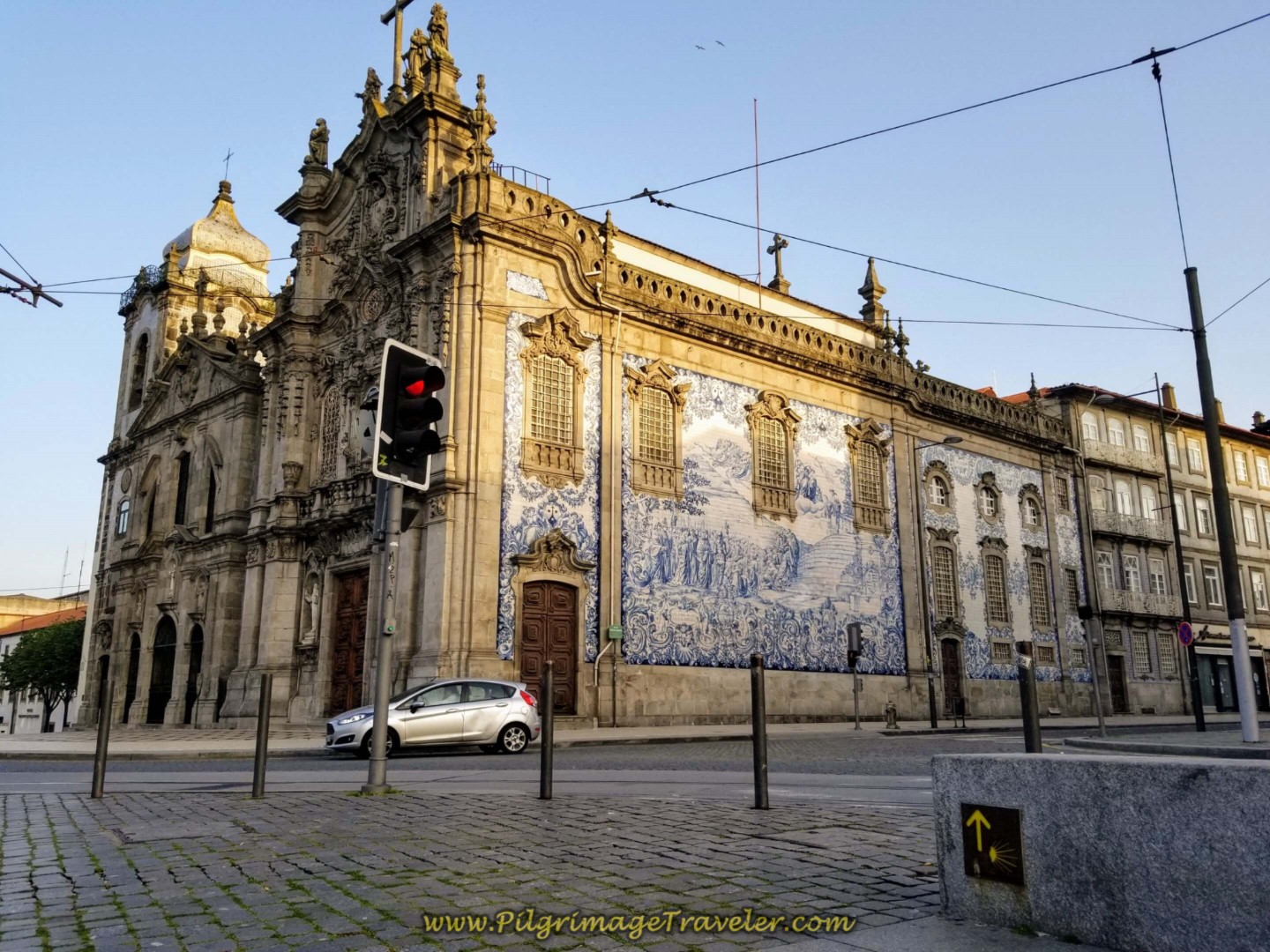
Along the way, pass the beautiful church, the Igreja da Ordem Terceira de São Francisco, and where the road splits, stay to the right and up the hill, passing the entryway to the Elevador de Santa Luzia, the funicular that takes you to the top of the hill to the sanctuary. This would be an opportune time to visit this amazing place (see day seventeen for photos and description).
After the funicular entryway, walk through a large roundabout, where the Viana do Castelo mall is on your left and the large hospital is up on the high hill to your right. At the top of the hill, at the first street after the hospital, turn to the right and join the official coastal route, described next.
For the Official Route: If you are not staying in Viana do Castelo, but walking through it, or if you still wish to take in the major sights of the town, use the following directions for the Coastal Route.
From the bottom of the stairs of the highway bridge that crosses the river, you will find yourself directly under the bridge facing east. Do a hard turn around to face west, towards the main part of town and look for the yellow arrows.
Walk one block westward, with the park called the Jardim da Marginal, by the Limia River on your left, taking the first right hand turn onto the Rua Abel Viana. We could not find a yellow arrow for this turn. You will be walking northward, paralleling the continuing river bridge. You will see a large roundabout ahead. Here is a photo of it with pilgrims checking their maps!
Also in this photo, you can see a crosswalk, just before the roundabout with a yellow arrow on the pavement if you look closely.
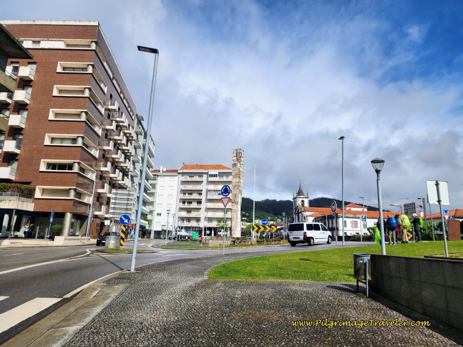 Right Turn Toward Roundabout in Viana do Castelo
Here is a close-up of this arrow, pointing to the left. You can see the Camino de Santiago blue sign on the other side of the street. You are clearly on the Camino which the sign validates. Perhaps the pilgrims missed this turn?
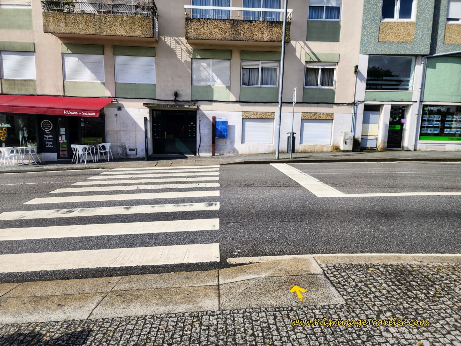 Blue Sign Across the Roundabout Validates the Camino
Once you cross the roundabout, another yellow arrow tells you to turn right and you walk toward the circle, now on the other side. Take the very first left, a few meters later, directly across from the roundabout, onto the Rua do Gontim.
If you look very closely, you will spot a metal Camino waymark embedded in the sidewalk, but off to the left side. These metal waymarks are infrequent in town and are hard to spot. If not for the yellow arrows, navigating through Viana do Castelo by metal waymarks would be difficult at best.
Walk on the Rua do Gontim for about 1/4 kilometer, until you come to the lovely chapel, the Capela das Almas.
The street takes a bend to the right, but the Camino continues straight onward, onto the Rua Barbarosa and into the heart of the city. We never could find a waymark here either, however as you continue farther along the street you will see them, below.
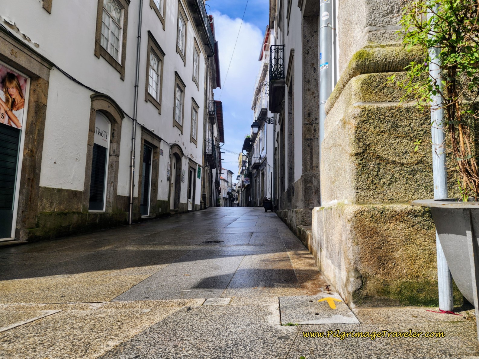 Along the Rua Mateus Barbarosa, Viana do Castelo
When you cross the first large intersection after about 100 meters, pay attention. This next intersection is not marked! In a few meters you are looking for a historic marker on your right, shown below to the right side, for the Porta da Piedade. Through this historic gate is the way to go, to the right.
This area marks one of the four gates in the 14th century wall which would have provided access to the medieval town. Nothing of the wall or gate remains, just the historic marker.
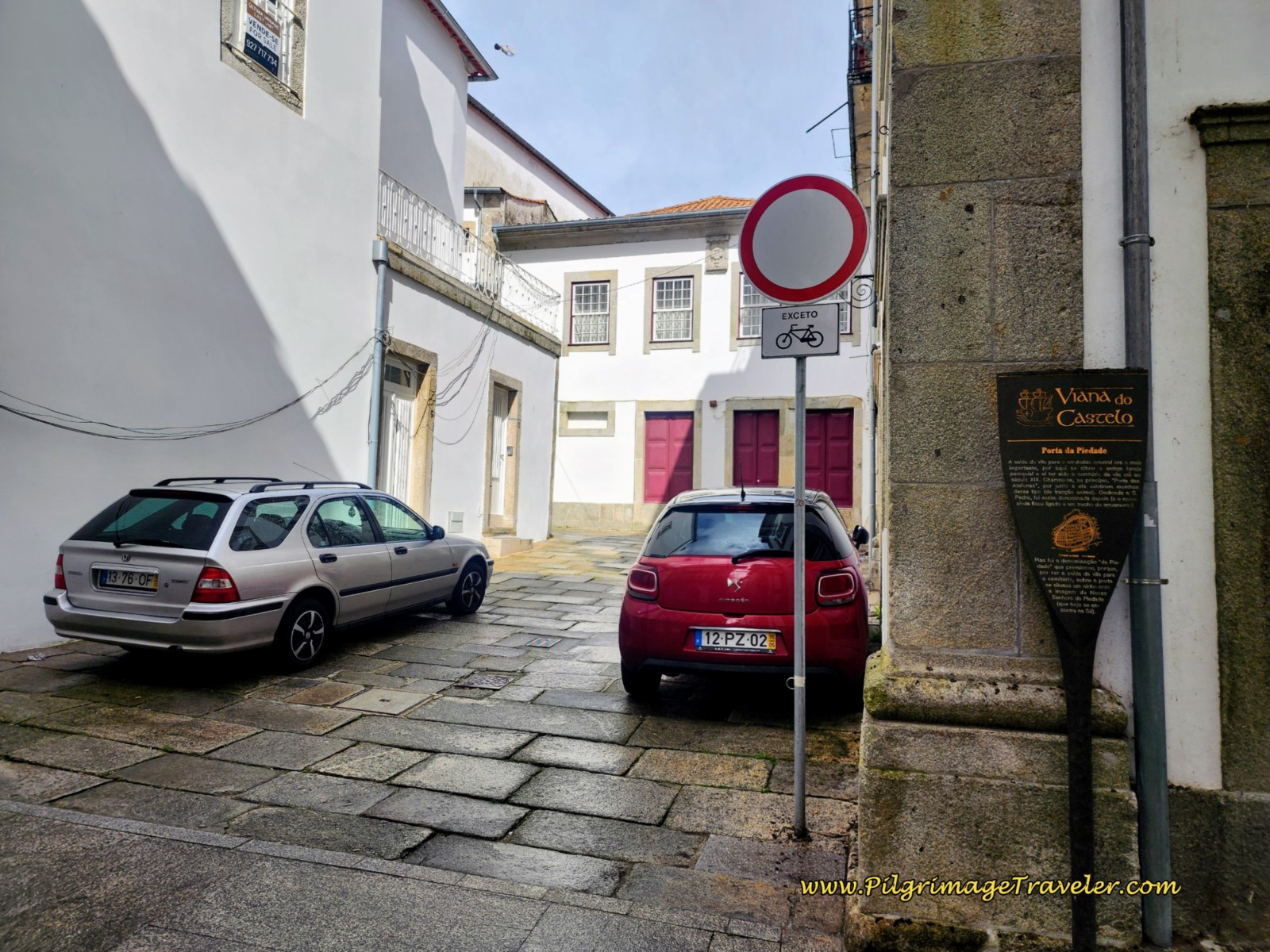 Porta da Piedade, Viana do Castelo
Turn right through the gate, and immediately bend to the left. A few meters later, you will turn to the right, heading toward the Porta Santa door of the Sé Catedral de Viana do Castelo. This is the cathedral's side entrance. Bend around to the right again and arrive at the front of the cathedral, pictured below. May day events were happening when this photo was taken.
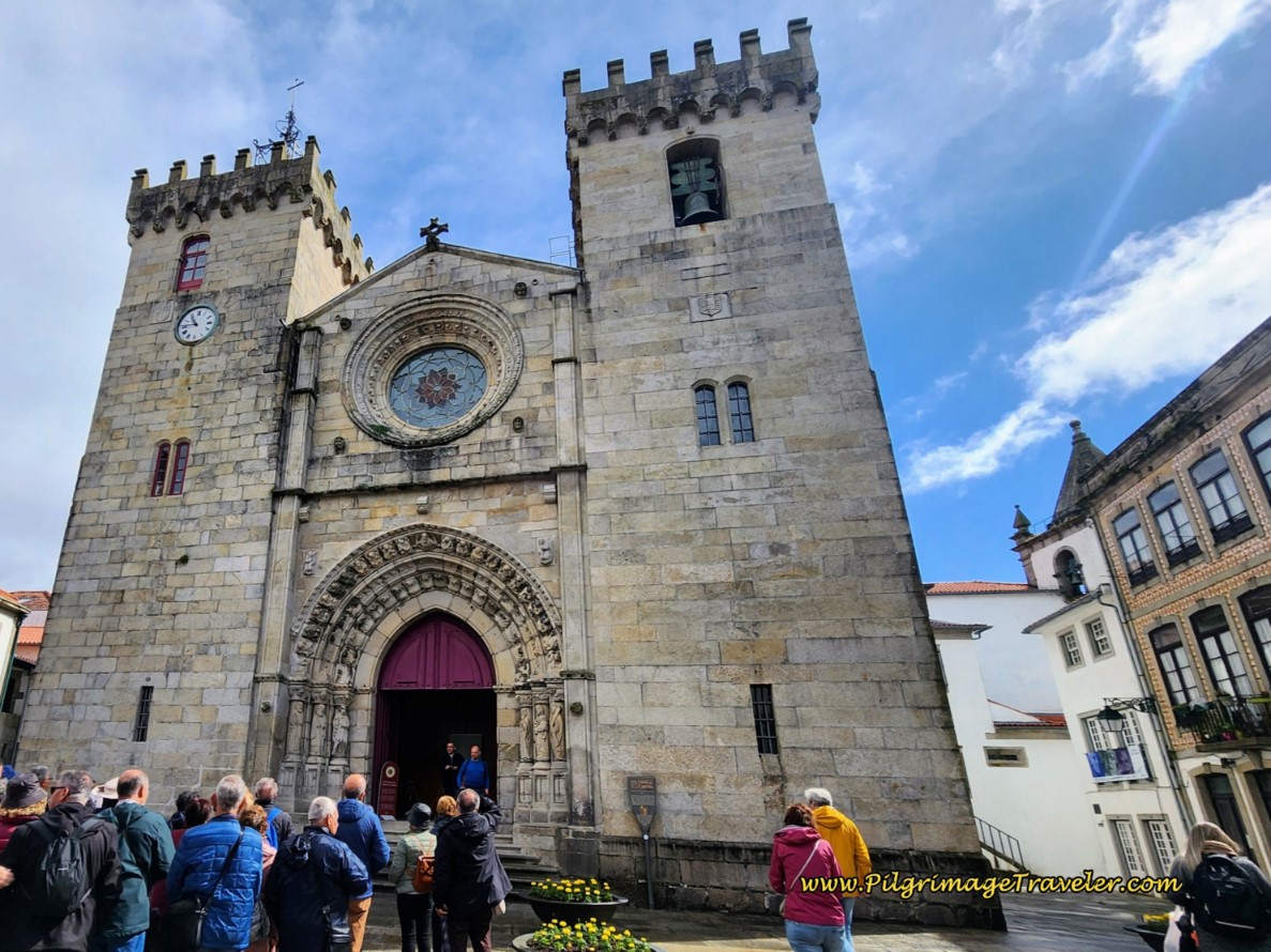 Sé Catedral de Viana do Castelo
After visiting the cathedral, continue walking not even 100 meters until you arrive at the main square, the Praça da República. This square houses many historic buildings (see day seventeen), but the way forward is to the left of this prominent building. If you look closely you can see yellow arrows on the red post in the photo below.
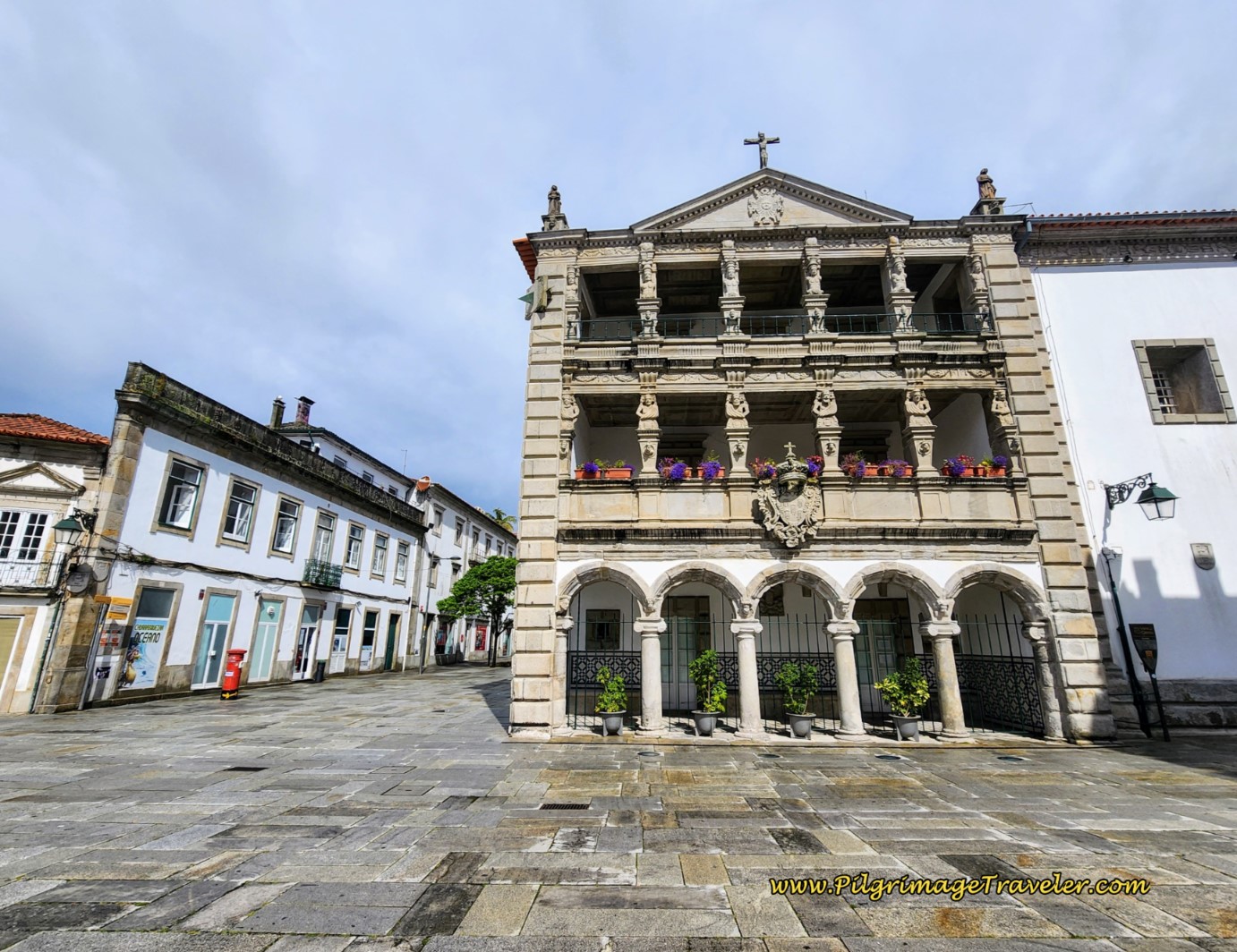 Praça da República, Viana do Castelo
After the Republic Square, continue on this wide, paved walking boulevard for about 100 meters, passing a lovely café along the way. Take the first left onto a narrow cobblestone street.
Below is a photo of this street, the Rua Gen. Luis de Rego, and one of the few metal waymarks we found. You can see how they are positioned to the left side. Hard to spot!
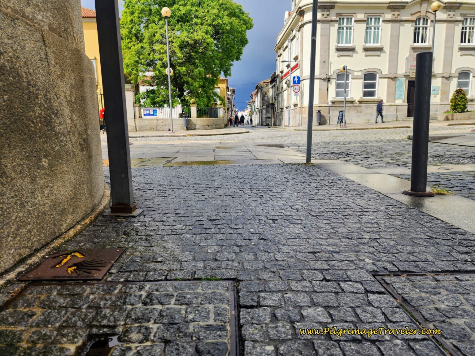 Rua Gen. Luis de Rego Camino Waymark
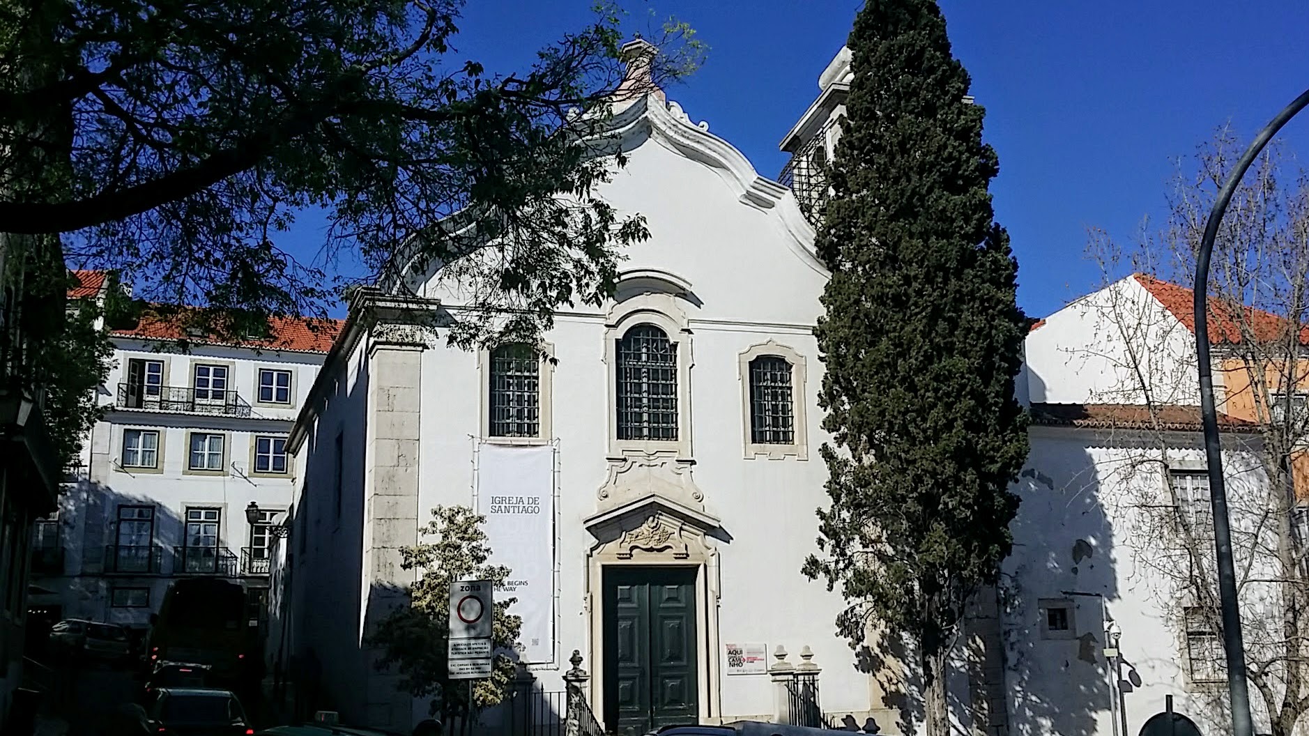
Continue on this street about 300 meters until you arrive at a plaza on your right. Turn to the right onto the plaza, walk through it to the opposite corner. Notice the monument honoring the Portuguese soldiers who died in the Battle of Lys in WWI. Just beyond the monument, turn left onto the Rua de São Tiago, or the St. James Street!
Follow this narrow street for about 200 meters, passing the distinct chapel-like building shown below.
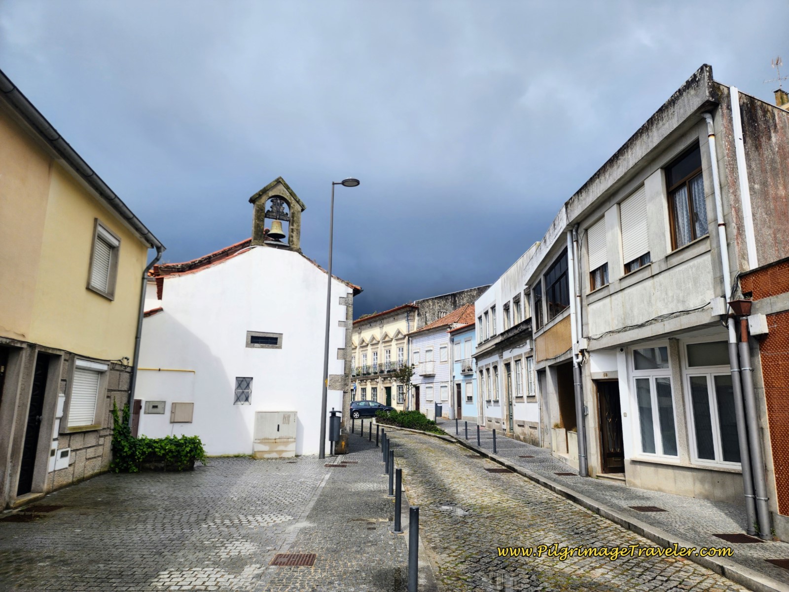 Along the Rua de São Tiago, Viana do Castelo
At the first intersection, make a right turn by the Colegio do Minho, and follow this narrow street up the hill, until you come to this dead end and set of stairs. Go down the stairs to cross under the railroad tracks.
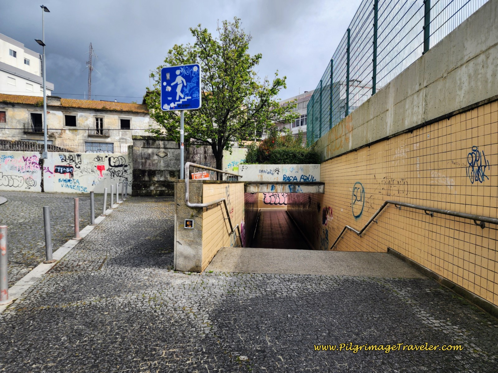 Walk Under the Railroad Tracks
Come up on the other side and turn to the right onto the continuing Rua de São Tiago. One block later, turn to the left onto the cobblestone Rua da Portela de Cima at what I call a leopard-print stone wall. If you look straight ahead, you can see the Viana do Castelo mall.
Continue along the Rua da Portela de Cima until it dead ends at this stairway, shown below, after about 150 meters.
Instead of taking the stairs up to the highway, take the passageway to the left, that Rich is modeling so well, and walk under the highway instead.
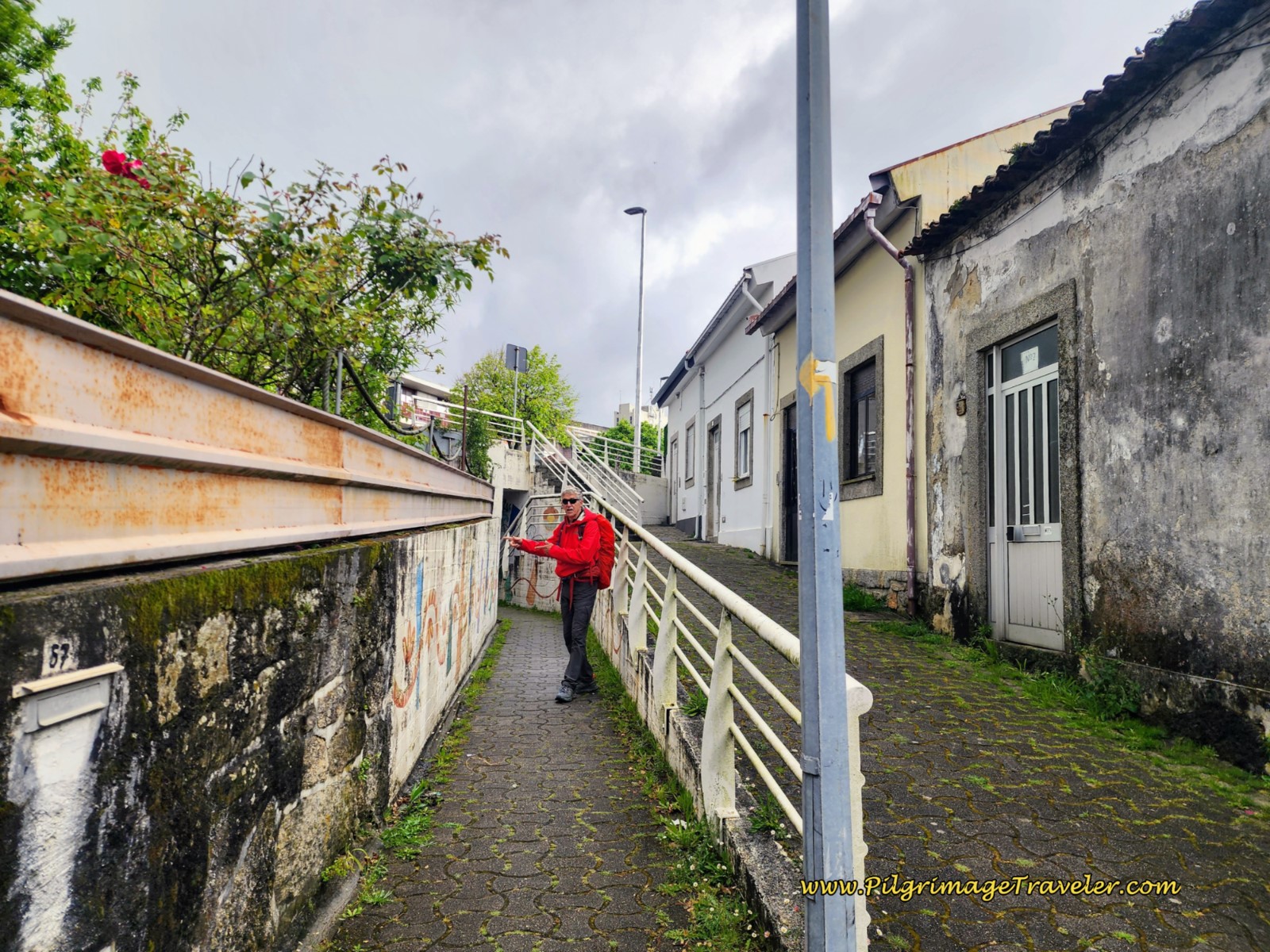 Walk Under the N13 Highway
When you come up on the other side, turn to the right once again. After only a few meters arrive at this intersection below and turn to the left. The brown-sided building is the Clinica Saleiro, and this is where the shortcut route from the parochial albergue meets the standard route.
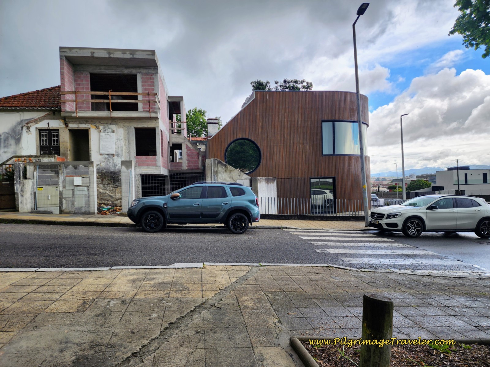 Shortcut Joins the Standard Route at the Clinica Saleiro
Finally now, after 1.75 kilometers on day eighteen on the Coastal Route of the Camino Portugués, you are out of the heart of the city and the Way is better waymarked with signposts and yellow arrows.
The way forward along this main street lasts for a total of about 1.5 kilometers and for the first 1/4 kilometer, finishes the final climb out of the city.
It had begun to rain as we first passed the Igreja dos Santos Mártires. The pilgrims have donned their rain gear and several had ducked under the eave of the entryway to the church.
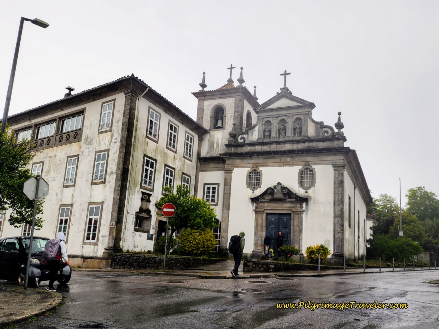 Igreja dos Santos Mártires, Viana do Castelo
We continued on the long, straight Rua dos Sobreiros.
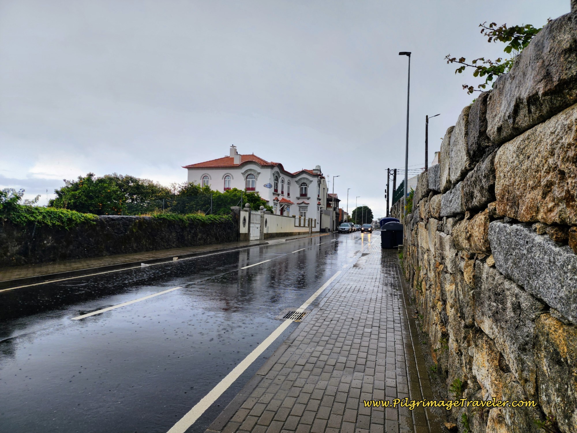 Along the wet Rua Dos Sobreiros
After 3.3 kilometers total, the Way turns to the left onto a side road. Thus, we begin the charming, quaint road sections of day eighteen on the Coastal Route of the Camino Portugués.
The high walls and real stone pavers would be a common theme for the next thirteen or so kilometers! It makes for a very interesting walk, but more difficult to find footing!
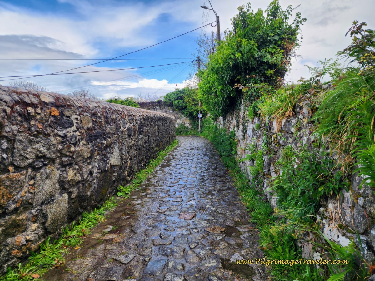 The Quaint Rua José Pedro
For the route description from this point when we leave the main road after 3.3 kilometers, to the outskirts of Vila Praia de Âncora, I will only describe the character of the route instead of giving a turn-by-turn description. There are so very many twists and turns and the route is exceptionally well marked, that it is almost impossible to get lost!
The first cobblestone section, shown above, lasts for approximately 1/4 kilometer, before joining the pavement again. The photo through this paved section shows how clearly waymarked this route is, with blue signposts and yellow arrows as you walk through the first town of Areosa.
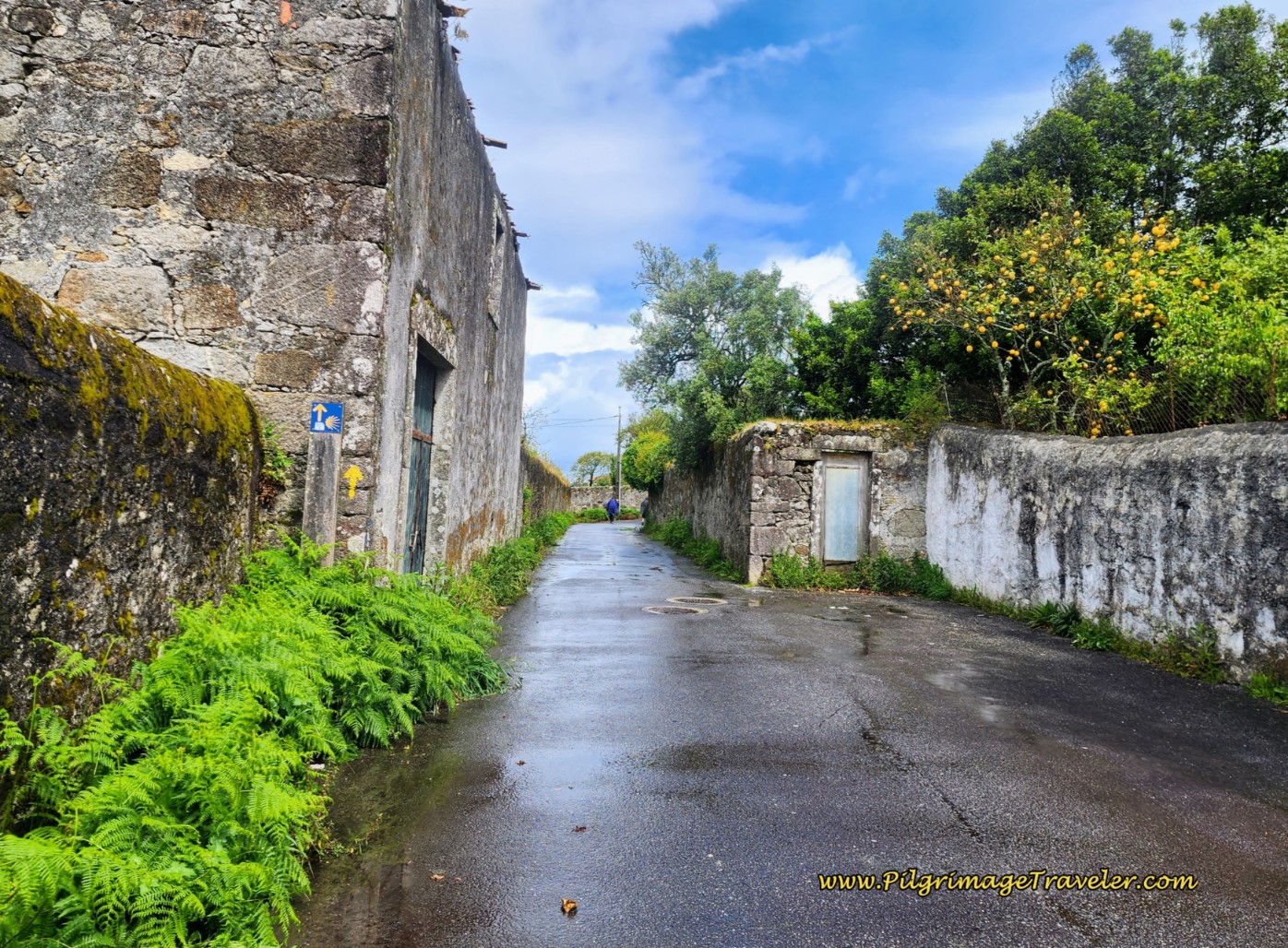 Waymarked Pavement Through the Quaint Town of Areosa
You will wind around on the pavement for the next 850 meters, until coming to this roundabout with an interesting clock sculpture in the center, called the Rotunda do Relógio, O Despertar D'Areosa or the Clock Rotunda, the Awakening of D'Areosa. Interesting landmark for sure. Continue straight onward, passing the monument.
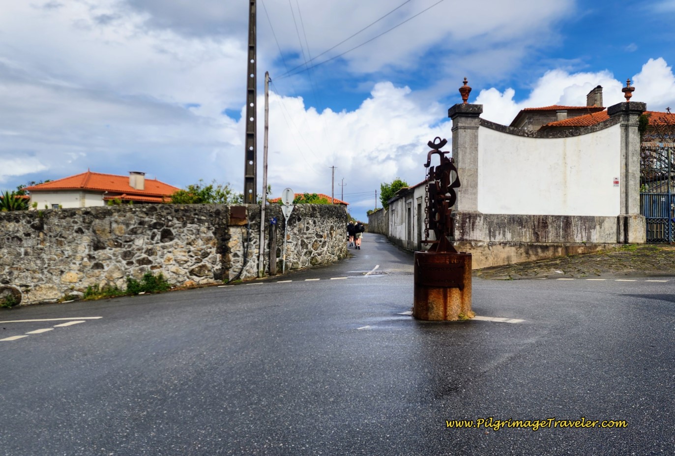 Rotunda do Relógio - O Despertar D'Areosa Sculpture
Jump to Camino Portugués Stages
And just beyond the sculpture another high-walled cobblestone street section begins. This next 1.25 kilometer section is truly enchanting and full of history.
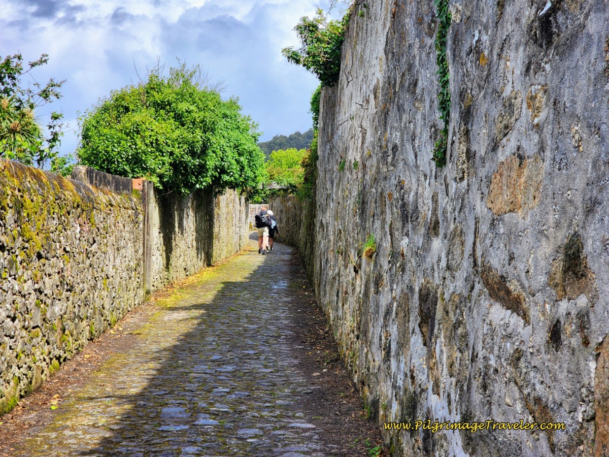 High-Walled Cobblestone Street Continues
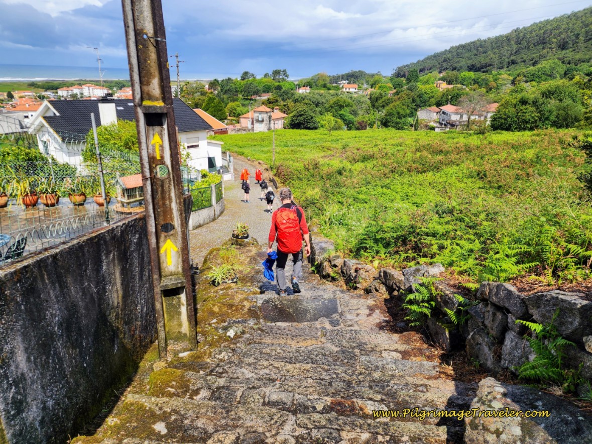 Steps Down to Next Road
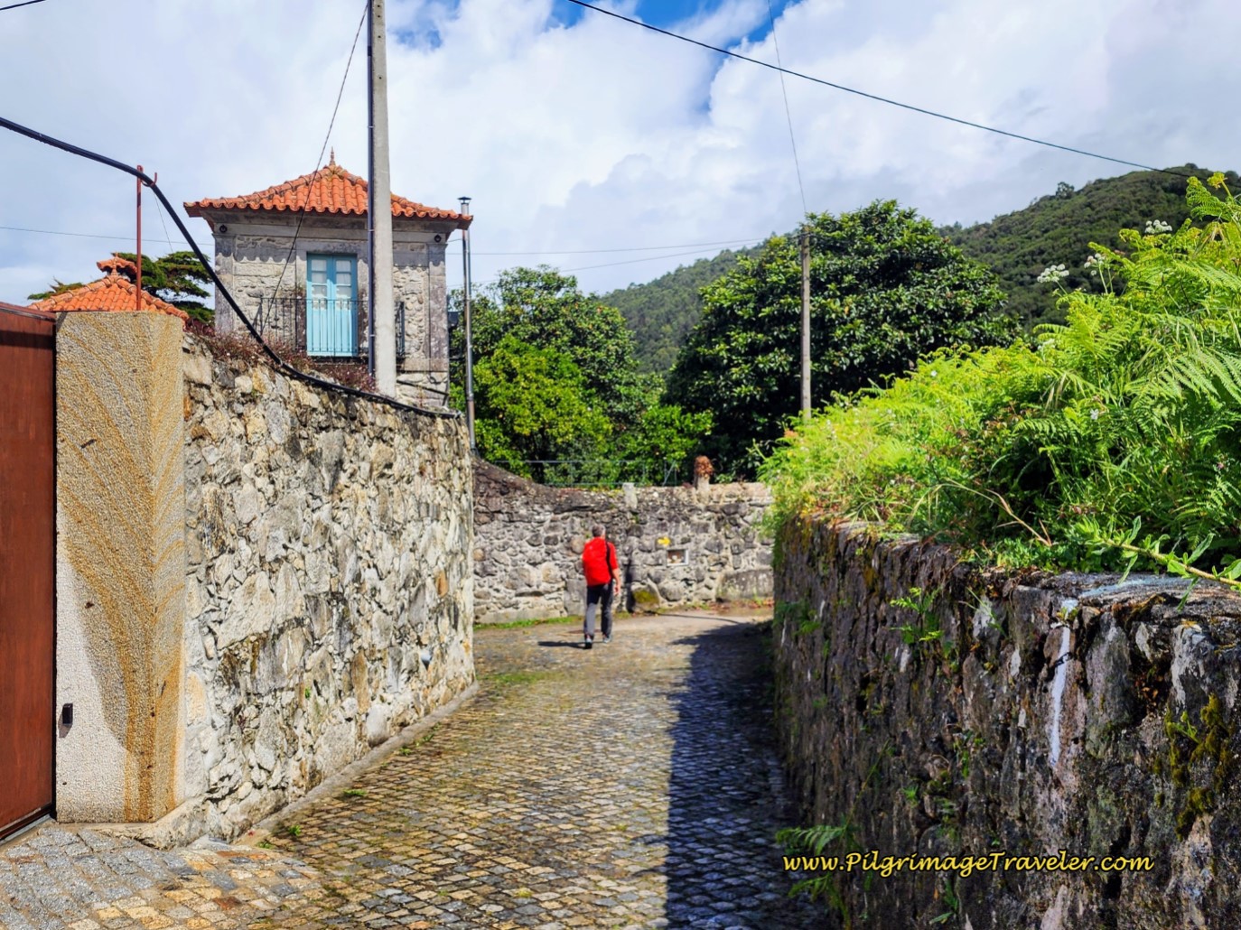 Right Turn at Tower-Like Building
After turning to the right at this tower-like structure above, the first authentic-looking medieval paved road appears!
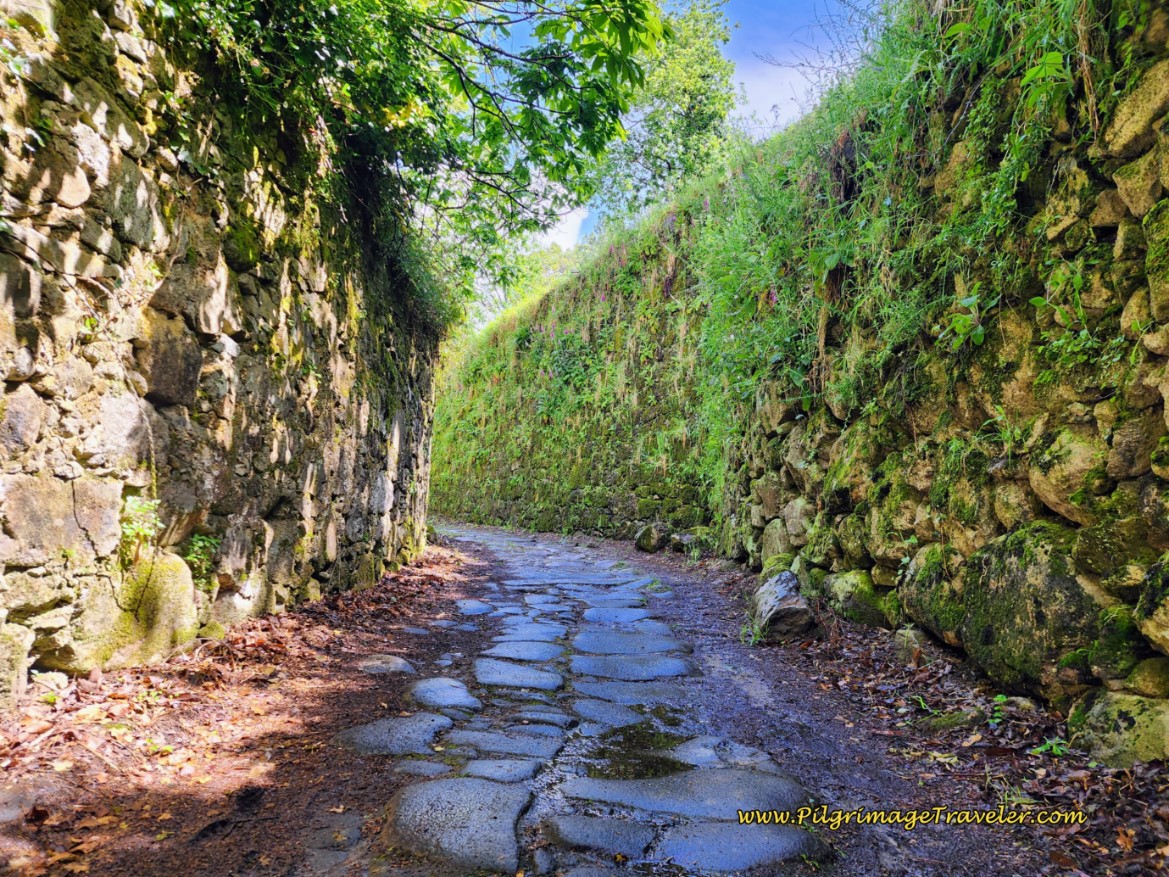 Medieval-Looking Paved Road, Day Eighteen, Coastal Route, Camino Portugués
After approximately 5.4 kilometers total, and after crossing a river on an old stone bridge, the Camino takes a hard left, and to your left is a historic flour mill, called the Moinho de Rodízio, not pictured.
After 100 meters more, you will pass by the yellow gate of the Quinta da Boa Viagem, a possible accommodation along your way. And as the next photo shows the small chapel called the Capela da Boa Viagem is just beyond the gate. This photo is a look-back to these two landmarks.
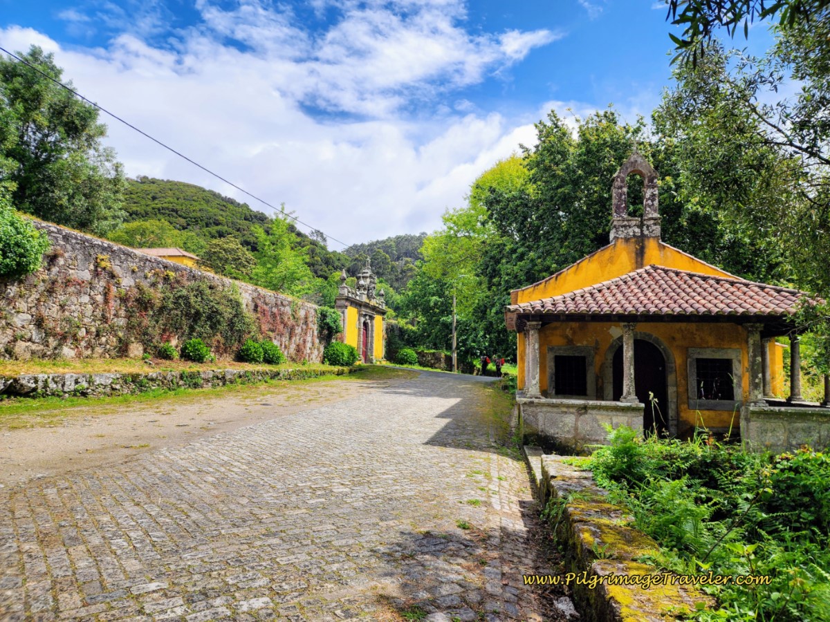 Quinta and Capela da Boa Viagem
After the chapel, the Way turns right and onto uninteresting pavement for the next full kilometer, except for this house with a very creative garden.
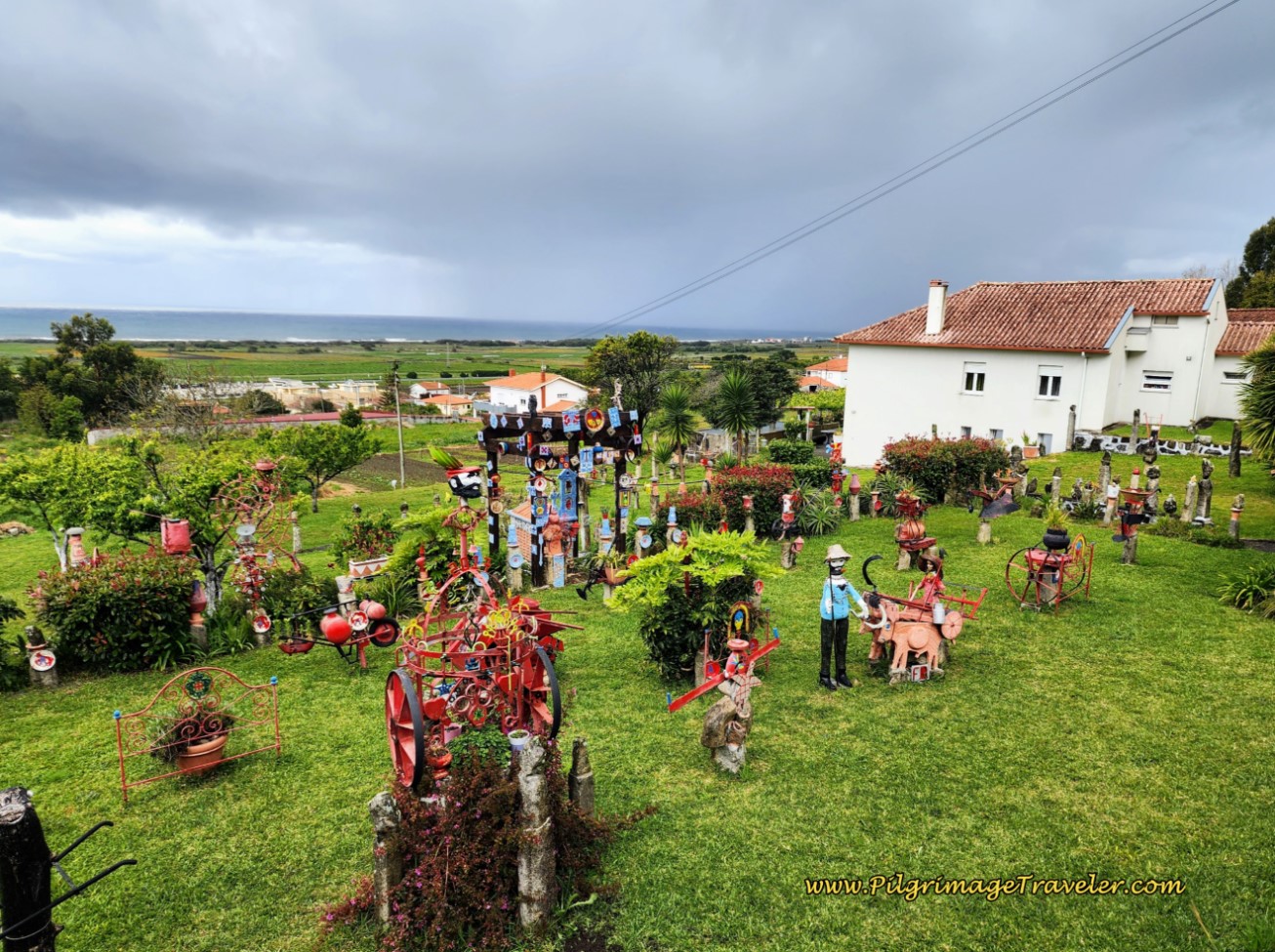 Home with Creative Garden
After about 6.6 kilometers, a right turn takes you along a high wall, on a dirt path. This descends very steeply as you go around the wall, on what appears to be remnants of an old paved road. This old path/road was an absolute mud bath for us, so if it is raining, use caution! Fortunately, it is only about 1/4 kilometer long!
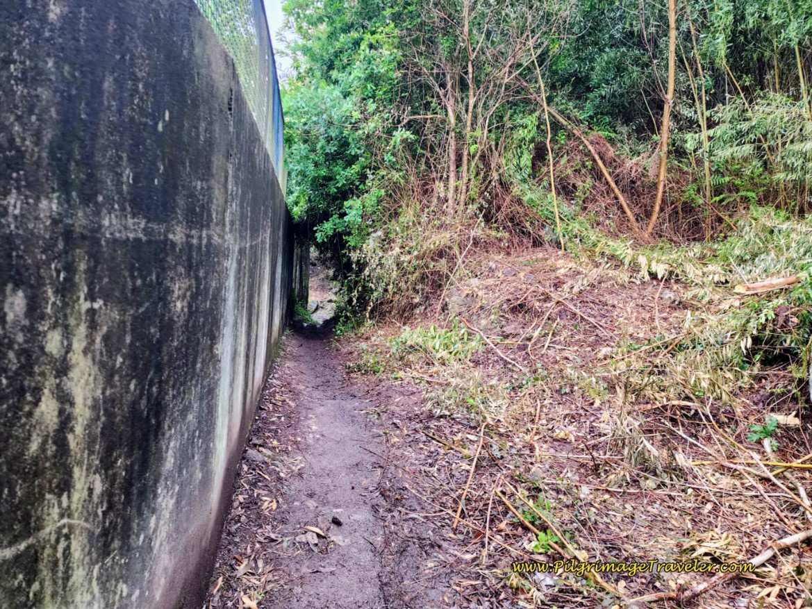 Old Road Along a Wall
After the dirt path ends, the Way joins a modern granite sett "cobblestone" road for the next 140 meters or so. Then the road turns once again, to official stone cobblestone as it meanders around on similar high-walled roads through rows of houses and countryside for about 1.8 kilometers on the way to the next town of Carreço. While still charming, this section is less inviting.
When the real cobblestone high-walled roads temporarily end and the granite setts begin, you know you are nearing town. You will soon join the pavement and cross a bridge over railroad tracks, with a lovely Capela and its cross greeting you on the other side.
This is the Capela de São Paio. The bridge and chapel are reached at approximately 8.8 kilometers into day eighteen on the Coastal Route of the Camino Portugués.
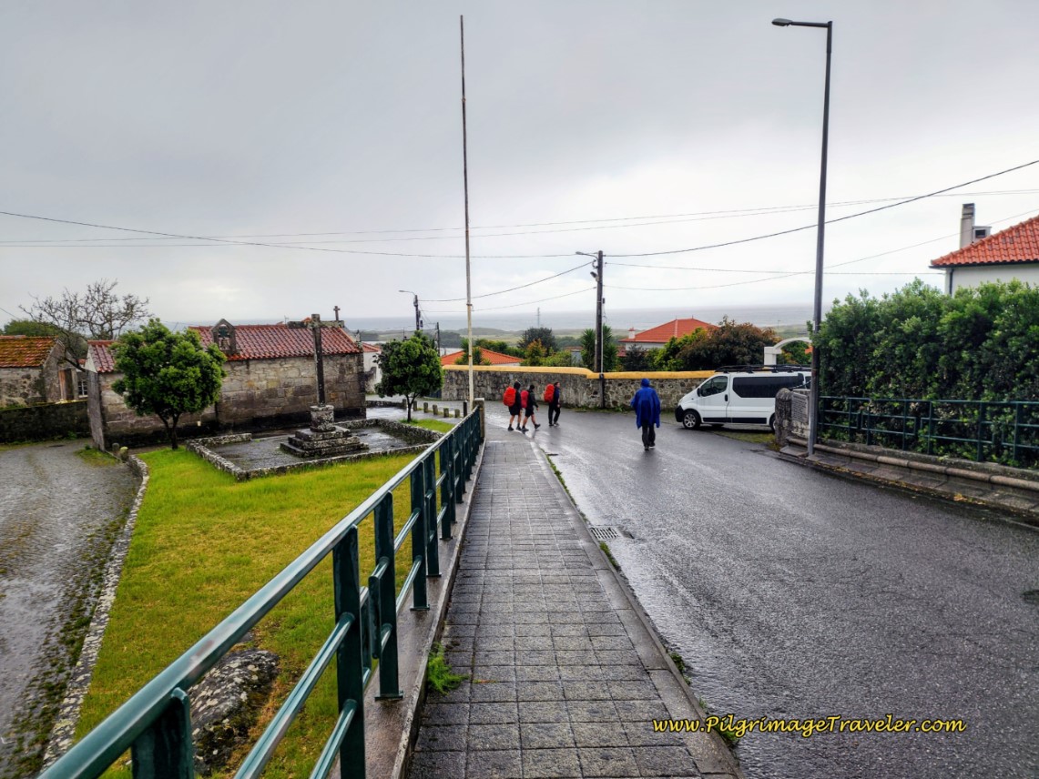 Capela de São Paio, Carreço
You can see that it had begun to rain again, as the pilgrims are crossing to the other side to turn right and pick up a very narrow ancient road.
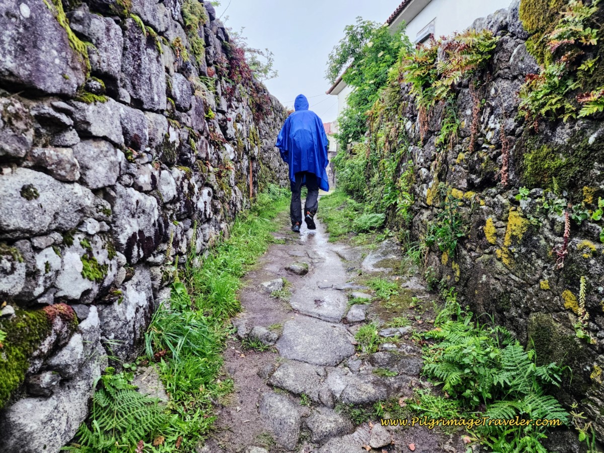 More Narrow Medieval Road
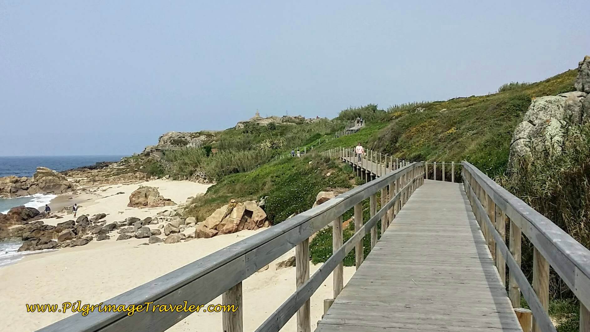
As you walk along this road, views of the sea and the Senda Litoral are visible as you descend, along with the prominent light house on the Montedor Hill, not pictured. The two Caminos are not far apart through here.
And below you can see the wagon wheel ruts on the ancient road. How amazingly charming is this? This dramatic section of the Way only lasts for a mere 150 meters. The road descends extremely steeply through here and can be muddy as well, so again, extreme caution is warranted.
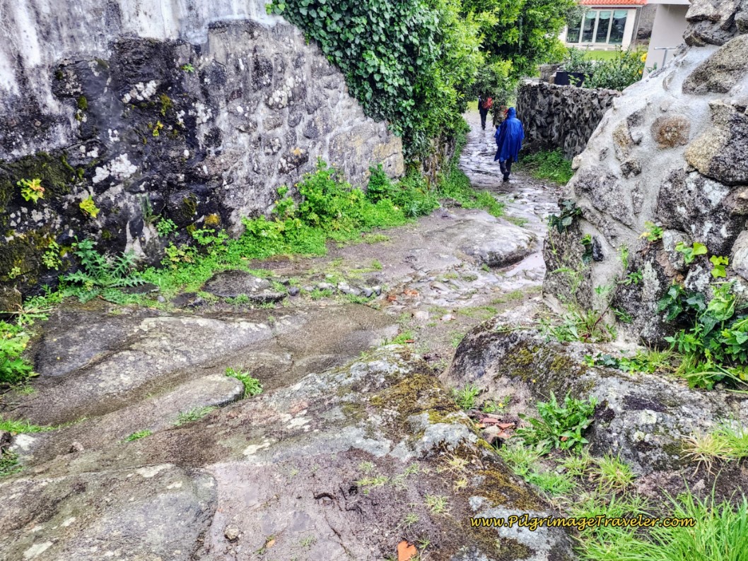 Ruts in Steep Medieval Road on Day Eighteen, Coastal Route, Camino Portugués
After joining a cobblestone road again, when the ancient one ends, walk northward and up the hill to the next landmarks, the town cemetery on your left, the Capela Mortuária (Mortuary Chapel) on your right and across from the cemetery and the parish church of Carreço, the Igreja Paroquial de Carreço.
Here is a view of the twin churches from the top of the hill, looking back. While you have passed some picnic tables on your way up this hill, the benches that line the walkway in front of the church, as it descends into the center of town, are a nicer place to rest and have a picnic break (if you prefer the outdoors to a café). The church was not open when we passed by.
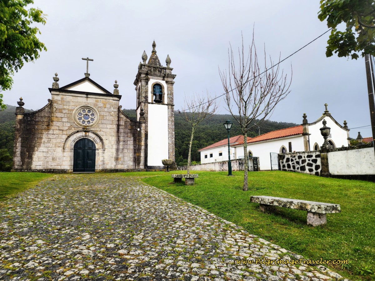 The Igreja Paroquial de Carreço and the Capela Mortuária
After admiring the churches and the view, descend steeply on this cobblestone path toward the street below, however, take a sharp right turn before the stairs at the bottom and continue the steep descent to the street.
When you reach the street, look to your right and you will see the Central Café and Minimarket, which was closed on the May holiday (first Monday in May). The market is important if you are planning to stay at the albergue, just another kilometer down the road and you plan to cook.
Also at this intersection is the Casa do Adro with a dormitory and private rooms. Because Carreço is a beach town, there are other accommodations you can book in this area, some are a bit off-Camino and are quite economical. Click here to see more of them.
You are now in the center of Carreço. Walk north on the pavement through town about 150 meters, when you turn right and walk up a hill.
We had given up on a café, until we saw an ice cream novelty sign out by a peach-colored building and many cars parked around it. This building (not pictured) was totally unmarked and turned out to be the Sociedade de Instrução e Recreio de Carreço or the Society of Instruction and Recreation for Carreço. OK, we would check it out. It was located about 9.5 kilometers from where we started. Perfect timing we thought.
And sure enough, as you enter the far door, there is a hallway that leads you down to a café. It was a lovely break here, because it had started to rain significantly again! I marked this Society on my map above, you can find it, if needed. It is on the right-hand side.
After our break, we donned our rain gear, to continue walking up the hill, past the Carreço Train Station and towards the private and reservable Albergue Casa do Sardão (+351 961 790 759), which we reached after 10.2 kilometers from Viana do Castelo. The climb eases just before you arrive at the albergue.
Here is Rich looking a bit grim when he posed for me in front of the albergue, in the rain.
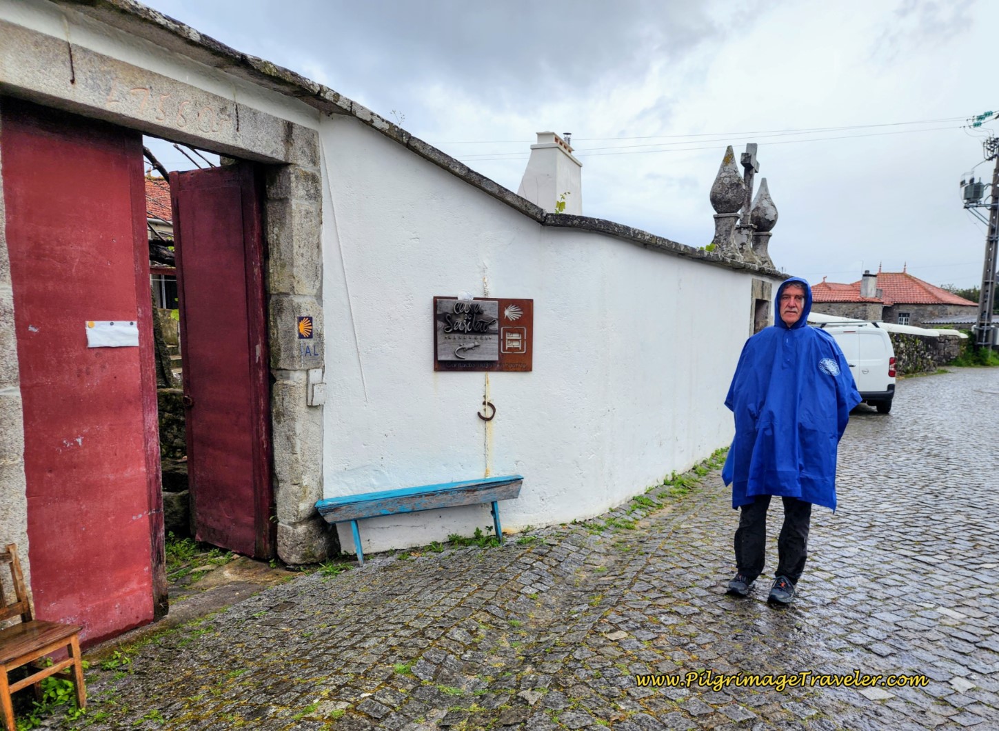 Albergue Casa do Sardão
For the next 600 meters, you will follow the Camino along ordinary rural and granite cobblestone roads until about 10.8 kilometers total, when you veer off to the right onto another dirt road. It is soon evident that this dirt road is yet another ancient road section. You will follow this dirt/ancient pavers/(perhaps) muddy medieval road through the forest for the next 1.2 kilometers! Wow, I believe this is the longest section of ancient road that I have ever been on!
For us, this road began as a puddle jumping exercise through the tractor lane.
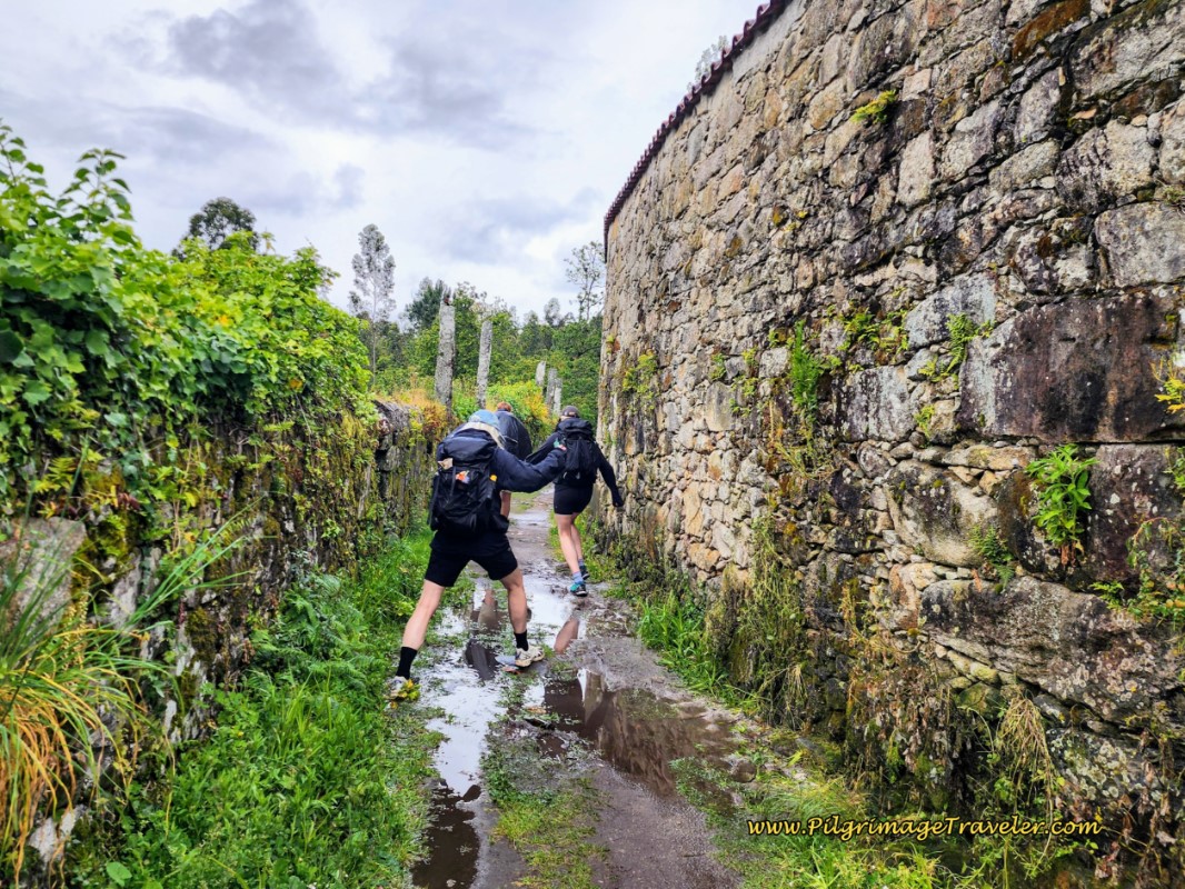 Puddle Jumping Pilgrims on the Medieval Road
Then, the wagon-ruts on pavers appeared.
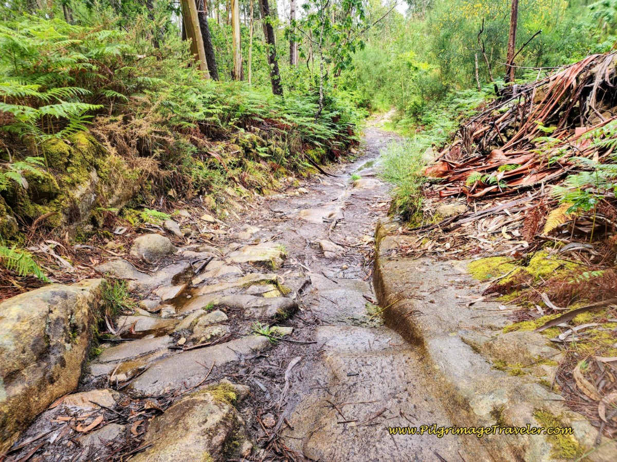 Wagon Ruts in the Pavers, Day Eighteen, Coastal Route, Camino Portugués
We broke out of the forest after approximately 11.6 kilometers, and walked by some homes, but the ancient road continued a while longer. The Casa Penedo da Saudade is in this vicinity, if you wish to call it a day here. Check the map for its exact location.
There are many attractive photo opportunities along this high-walled road, and here is a ruined gate along the moss-covered stones. Lovely!
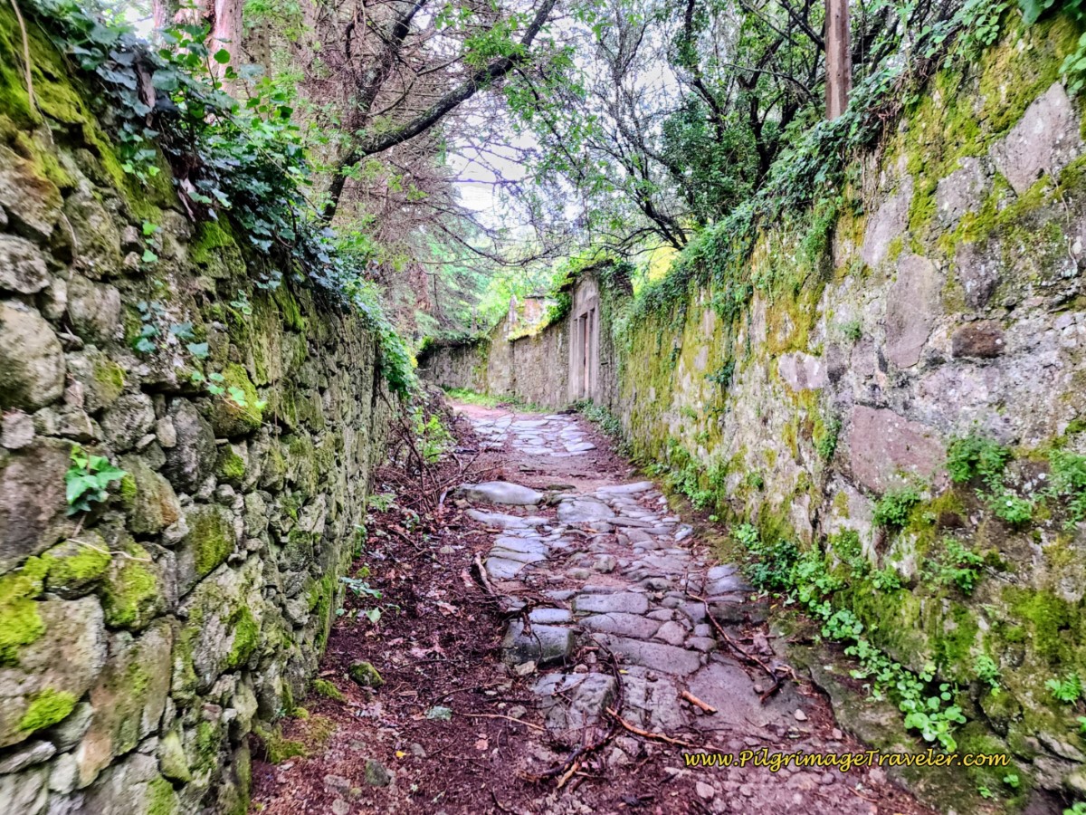 Ruined Gate Along Continuing Medieval Road
When you arrive in the town of Armada, after the medieval road ends, after approximately 12 kilometers, the Camino once again uses granite cobblestone roads forward.
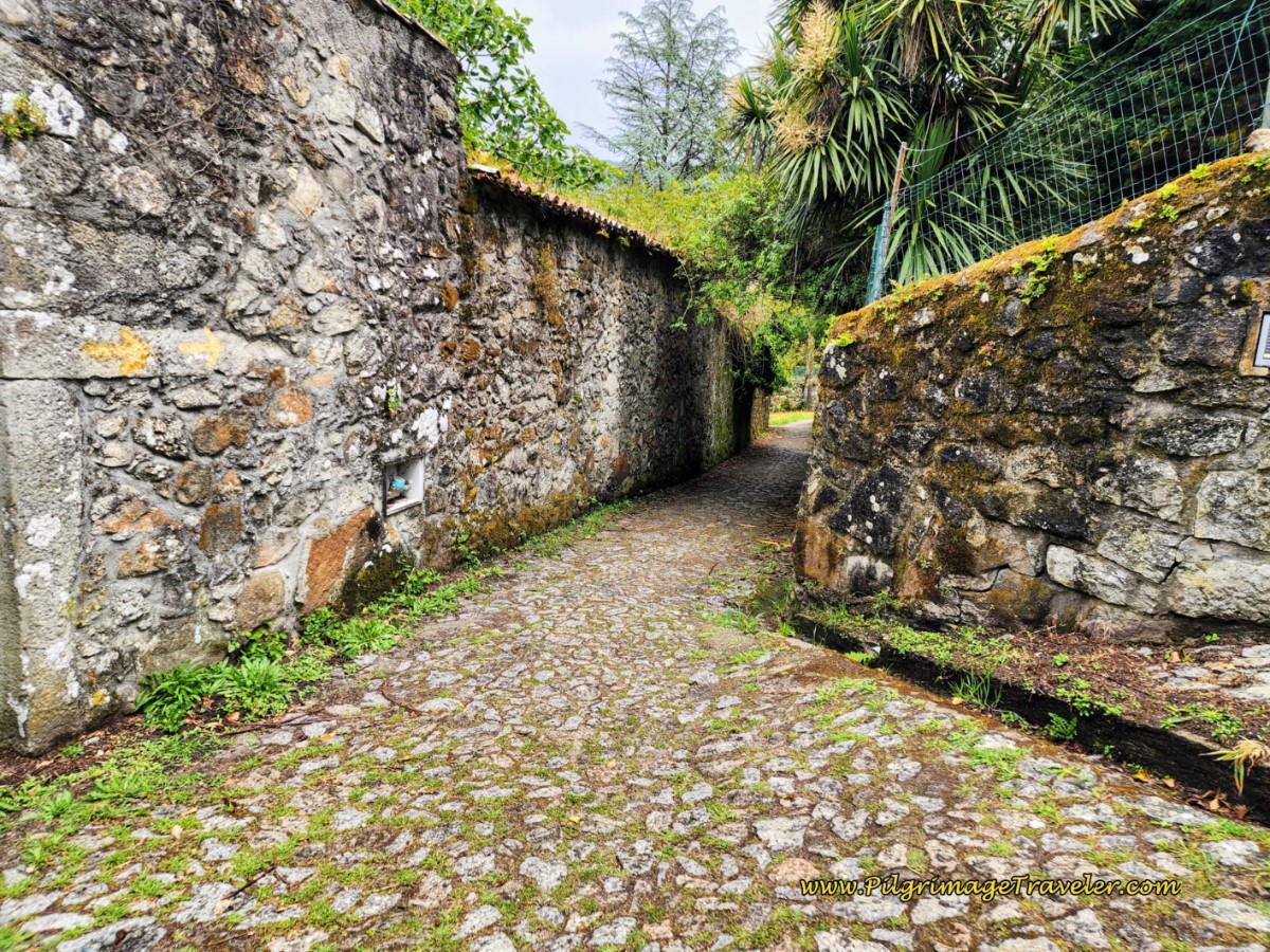 Granite Cobblestone Roads through Armada
Even though you are supposedly in "town" things remain decidedly ancient and rural-looking.
As you meander through this area, the Casa de Santa Ana, +351 258 981 774, another accommodation is nearby.
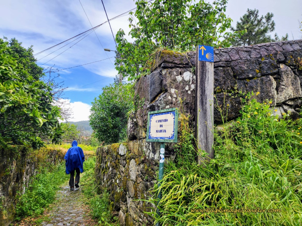 Along the Caminho da Maruja in Armada
After walking through the cluster of buildings of Armada, it is back into the forest, through more twists and turns on granite cobblestone roads.
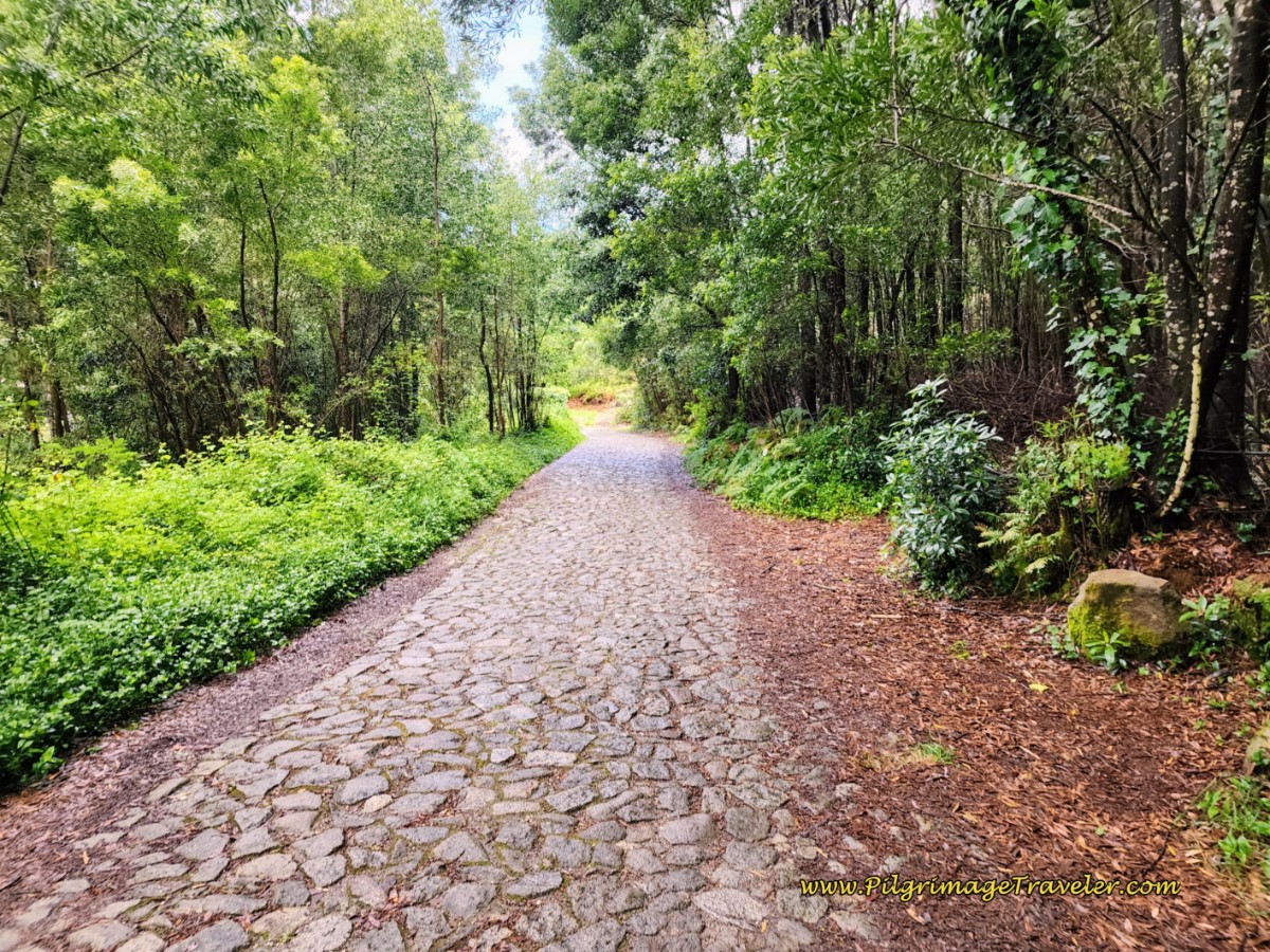 Granite Cobblestone Forest Walk
After walking down a hill and after approximately 13 kilometers total, you will come to the next landmark historic site, the Convento de São João de Cabanas in the square called the Largo de Cabanas. However, this convent is hidden behind a wall and a gate on your left.
What will catch your eye is on the right, this lovely old building, for whose purpose I am unsure, just before a river and a bridge that you can see on the left side of the photo below.
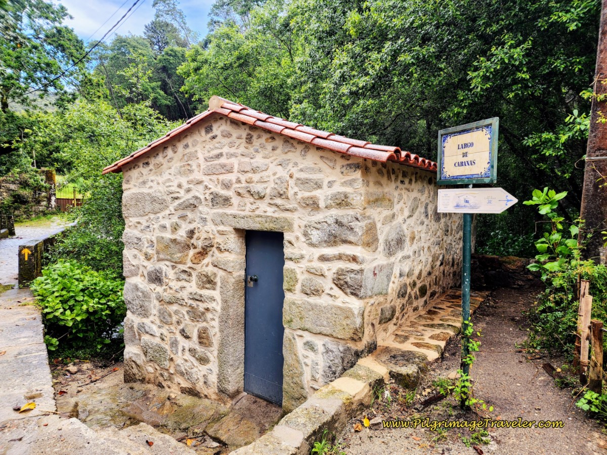 Largo de Cabanas, Day Eighteen, Coastal Route, Camino Portugués
Jump to Camino Portugués Stages
After crossing the bridge beyond the Largo, turn to the right, and once again begin another historic road section. Begin a brief climb along the river, with a wonderful waterfall off to your right. You can almost see it in the photo below. You will definitely hear it, so breathe and enjoy!
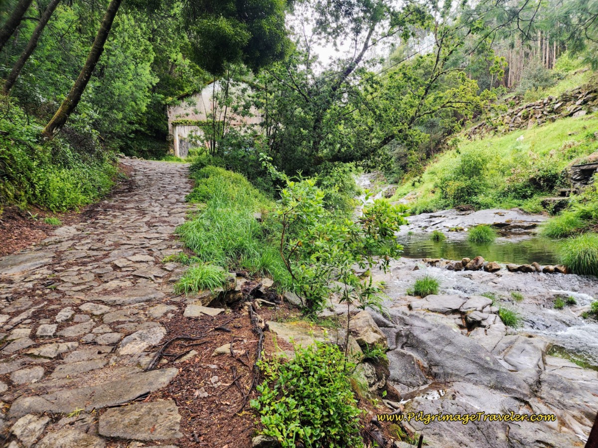 Ancient Road Follows the River with Waterfall
Then it is a sharp bend to the left away from the river, with a sharper climb on the ancient pavers. Look out for signs through here offering you a ride! Ha ha.
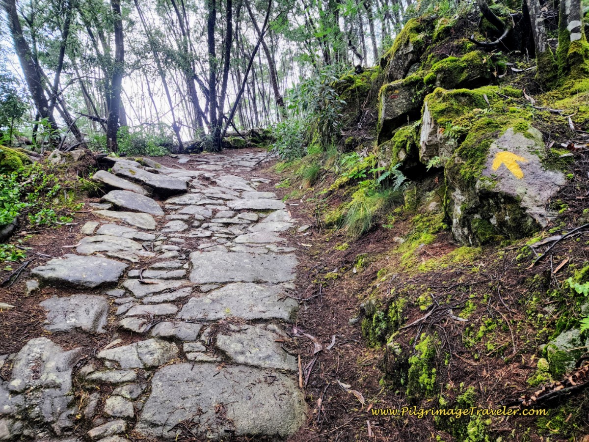 Short, Steep Climb on the Ancient Road
The ancient road is short-lived and when it ends, you will join the setts of the granite cobblestone again.
A few meters farther along you reach the top of the climb at a T-intersection, which takes you to the left, on a small downhill. At the bottom of this hill, a right turn onto the Caminho da Pioca begins the final, steep climb of the day over the next kilometer. You are at approximately 13.5 kilometers into day eighteen on the Coastal Route of the Camino Portugués when you begin this final climb.
Following the arrows, about 200 meters later you will be directed to turn off the road to the right and climb a set of stairs. At the top of the stairs is the wonderful little chapel, the Capela Nossa Senhora do Amparo with a glorious view of the sea to the east. You have reached 13.8 kilometers into the day at this chapel.
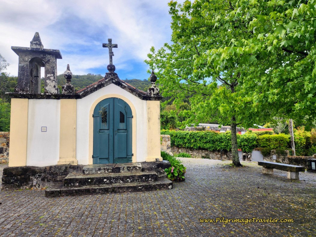 Capela Nossa Senhora do Amparo
This is a wonderful spot to take a picnic break.
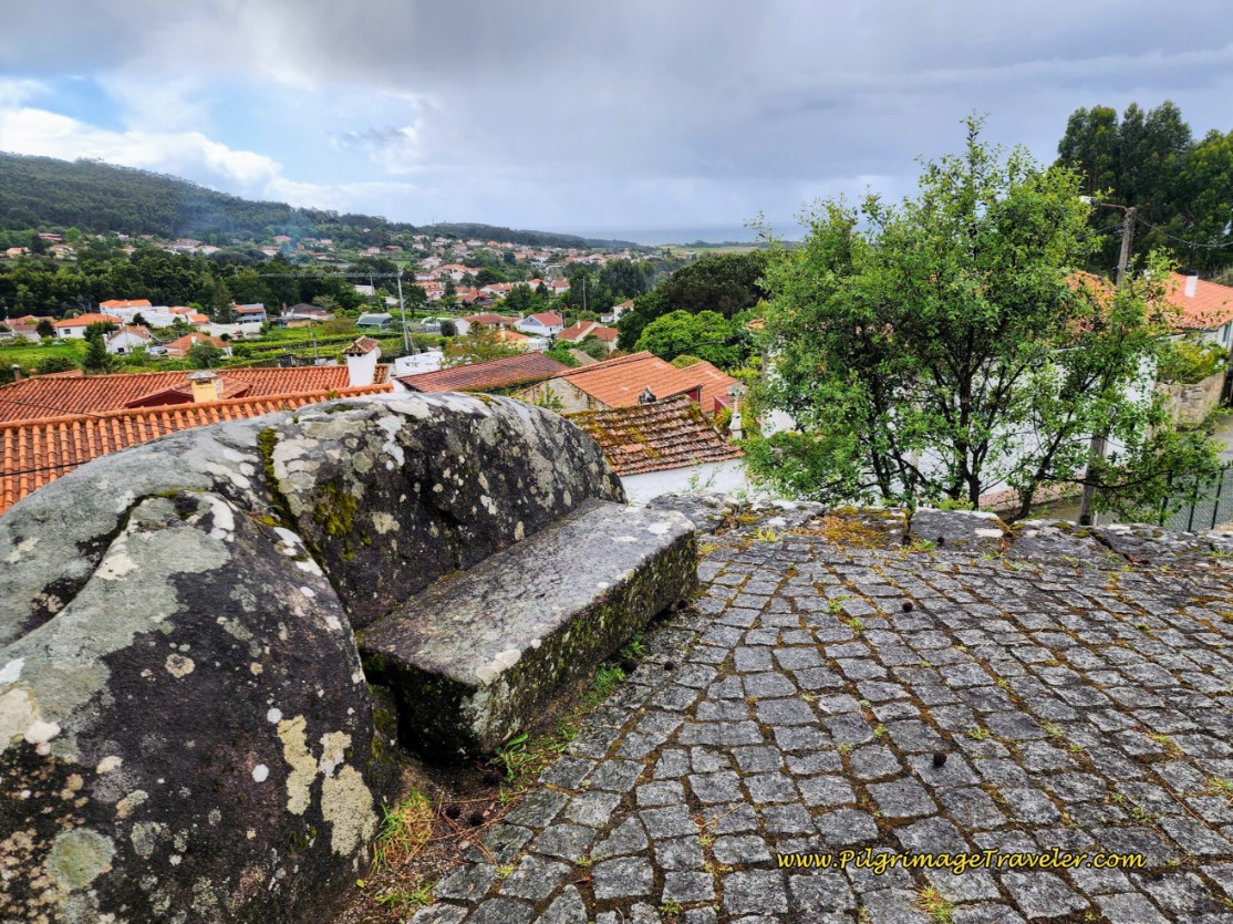 Viewpoint from the Capela Nossa Senhora do Amparo
Immediately after the viewpoint, the Camino follows a dirt road through a forest where a lot of clear cutting and road work was going on. Not very lovely, but fortunately it is only about 150 meters.
When the Camino joins a granite cobblestone road, you think you are going back into civilization, however, after a few meters, it is back on a dirt road into the forest again for about the next 1.7 kilometers!
And sure enough, a few more meters onward, and you are reminded that you are yet again on the ancient byway of yesteryear!
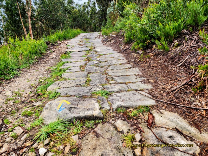 Ancient Road to the Altitude Top of the Day
And this final steep climb is worth it, since not only does it remind you that the seacoast is never far away, but it offers supreme views of it!
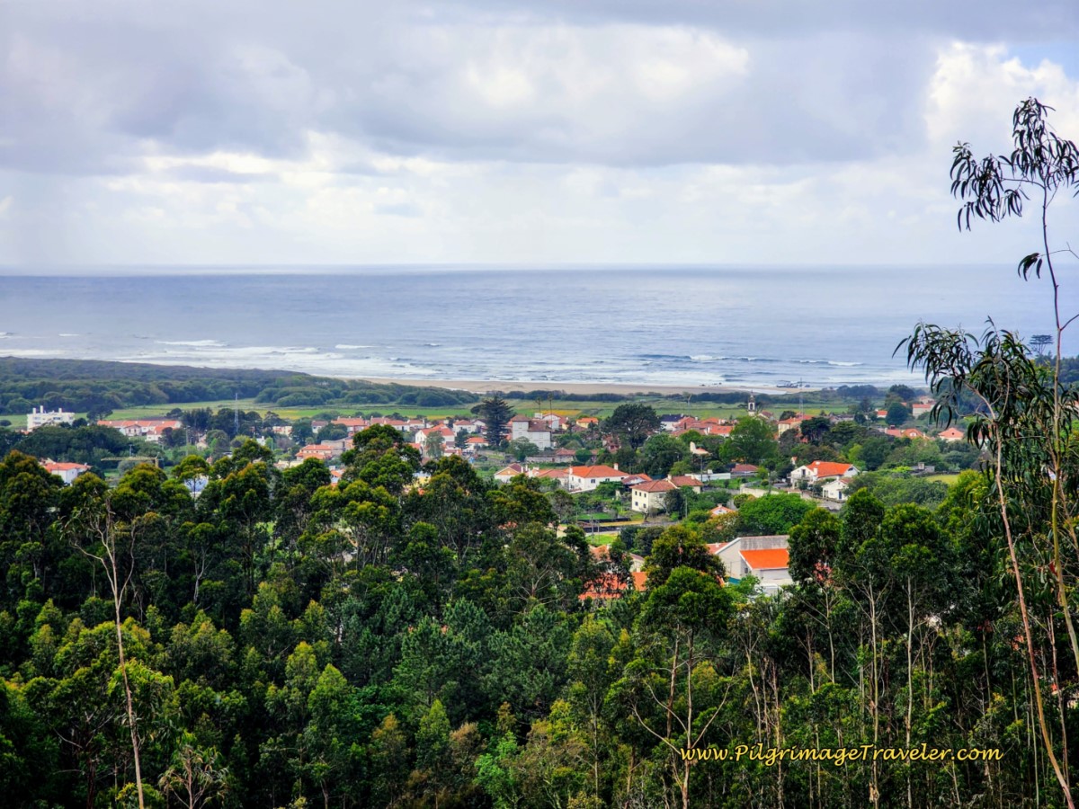 Sea Views Near the Top
And this, my fellow pilgrimage travelers is the top, after about 14.3 kilometers total, from the bridge in Viana!
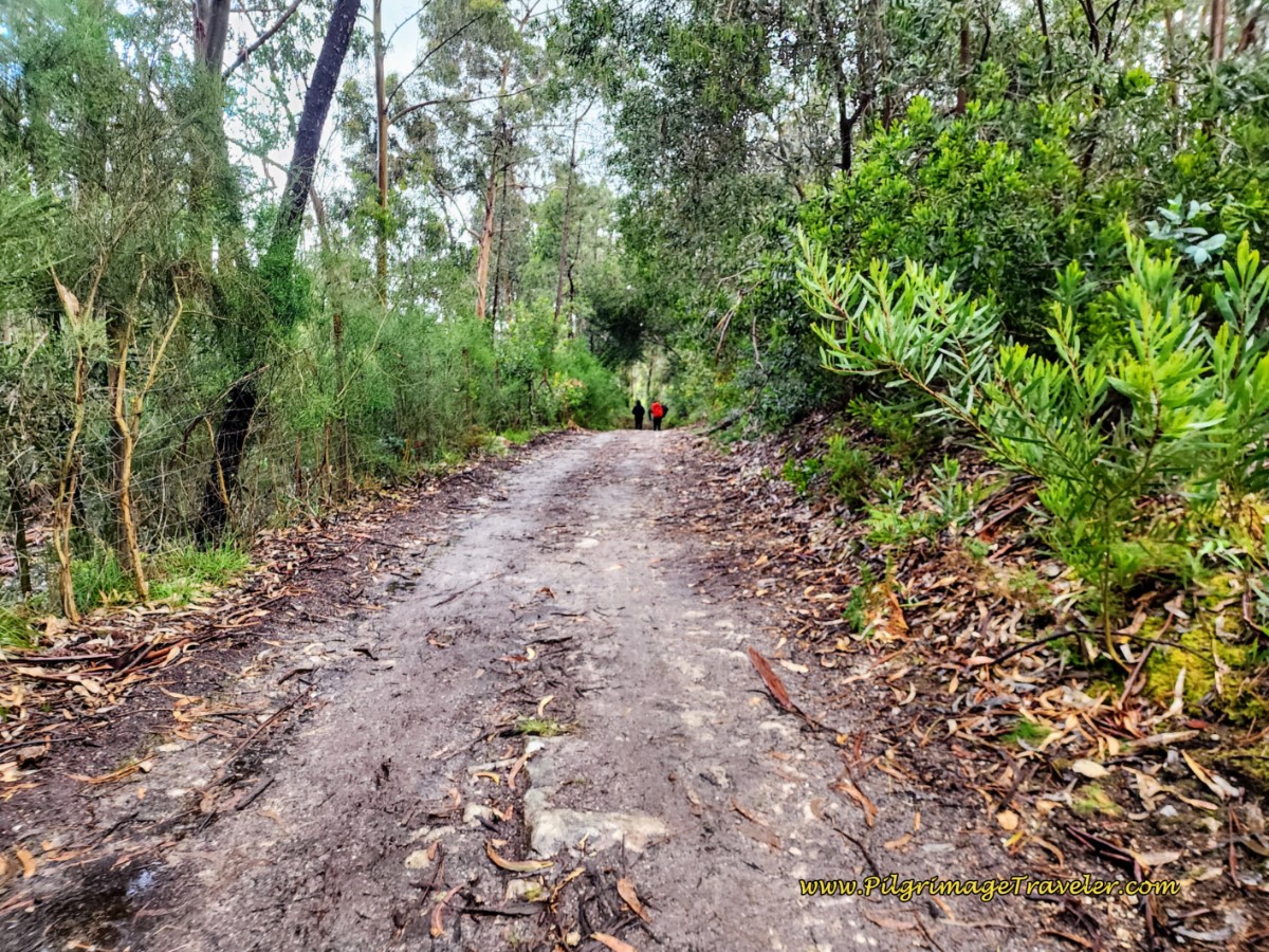 The Altitude Top at 14.3 Kilometers
About 15o meters after the top, you come to a confluence of roads, with this cross where you can pay homage.
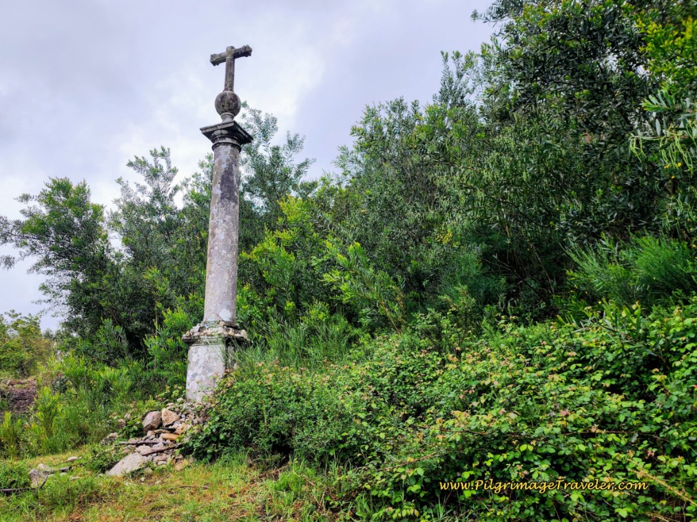 A Cross at a Crossroad on Day Eighteen, Coastal Route, Camino Portugués
Continuing through the forest, you will now join a granite cobblestone road on a nice descent for the next 350 meters or so, until you arrive at a landmark radio tower in an open flat area, not pictured. A few meters beyond the radio tower is another cross, the Cruceiro da Matança, also not pictured.
After the cross, you will immediately turn right onto a very steep, dirt forest lane for not quite the next 1/2 kilometer, continuing the long descent all the way into the next town of Barreiros.
And what did we see along this road? Ha ha, the definition of true love! Look closely to see what I mean. He was keeping a surprisingly brisk pace, despite the extra load!
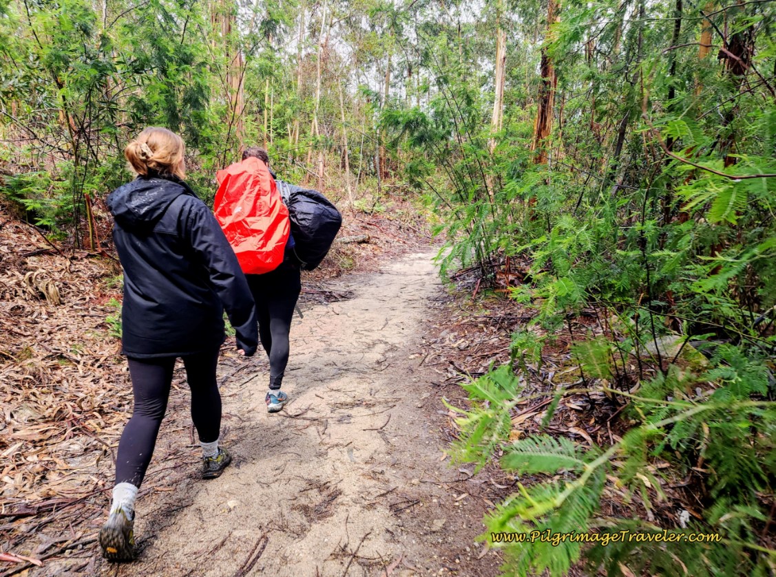 The Definition of Love!
You will exit the forest after about 15.6 kilometers total, and walk by a farm. This farm lane becomes a granite cobblestone road and leads you down into the town of Barreiros.
At the bottom of the hill, take a left turn onto the Rua da Socorro. Take a right turn onto a short diversion shown in the photo below, which will take you by an interesting historic washing well. You can just see the well in the distance. The bright yellow, embedded waymark shells were a nice added feature through this town.
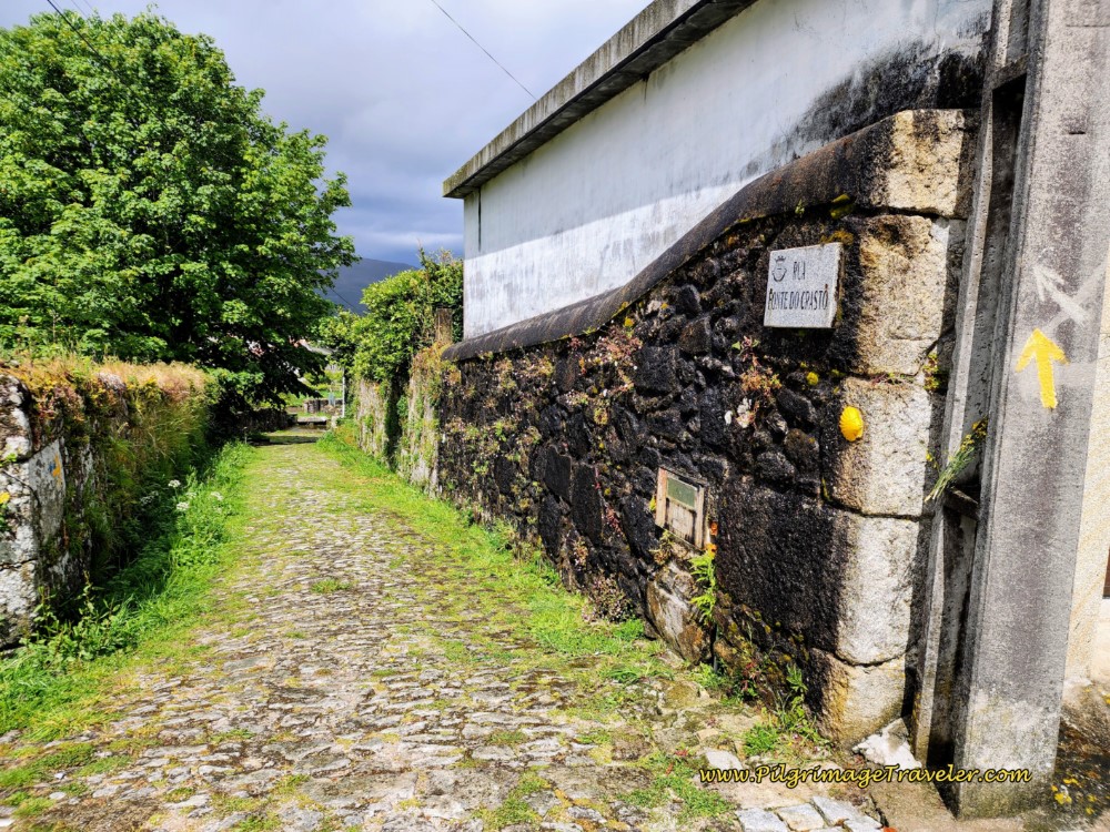 Diversion to a Historic Washing Well
When you return to the Rua da Socorro from the short diversion, it leads you to this landmark cross after 16.2 kilometers. For the first time you will now see sweeping views of Vila Praia de Âncora, your destination. We did not linger here, as you can see the storm clouds were threatening rain once again.
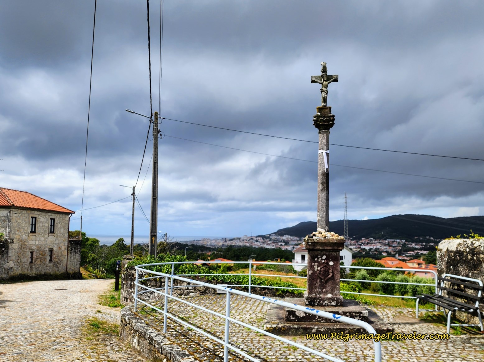 Cross with Views of Vila Praia de Âncora
Continuing the strong descent on the cobblestone road, less than 200 meters later when you come to a crossroads with a small cross, walk straight onward where the cobblestone finally ends and the pavement begins. My feet were so happy for the smooth pavement!
We sailed down the wide, new pavement of the Rua do Calvário on a straight shot through the town of Âncora for the next 2/3 kilometer.
Then the road narrows and becomes cobblestone, and at this cross monument in the center of town, takes a right hand turn.
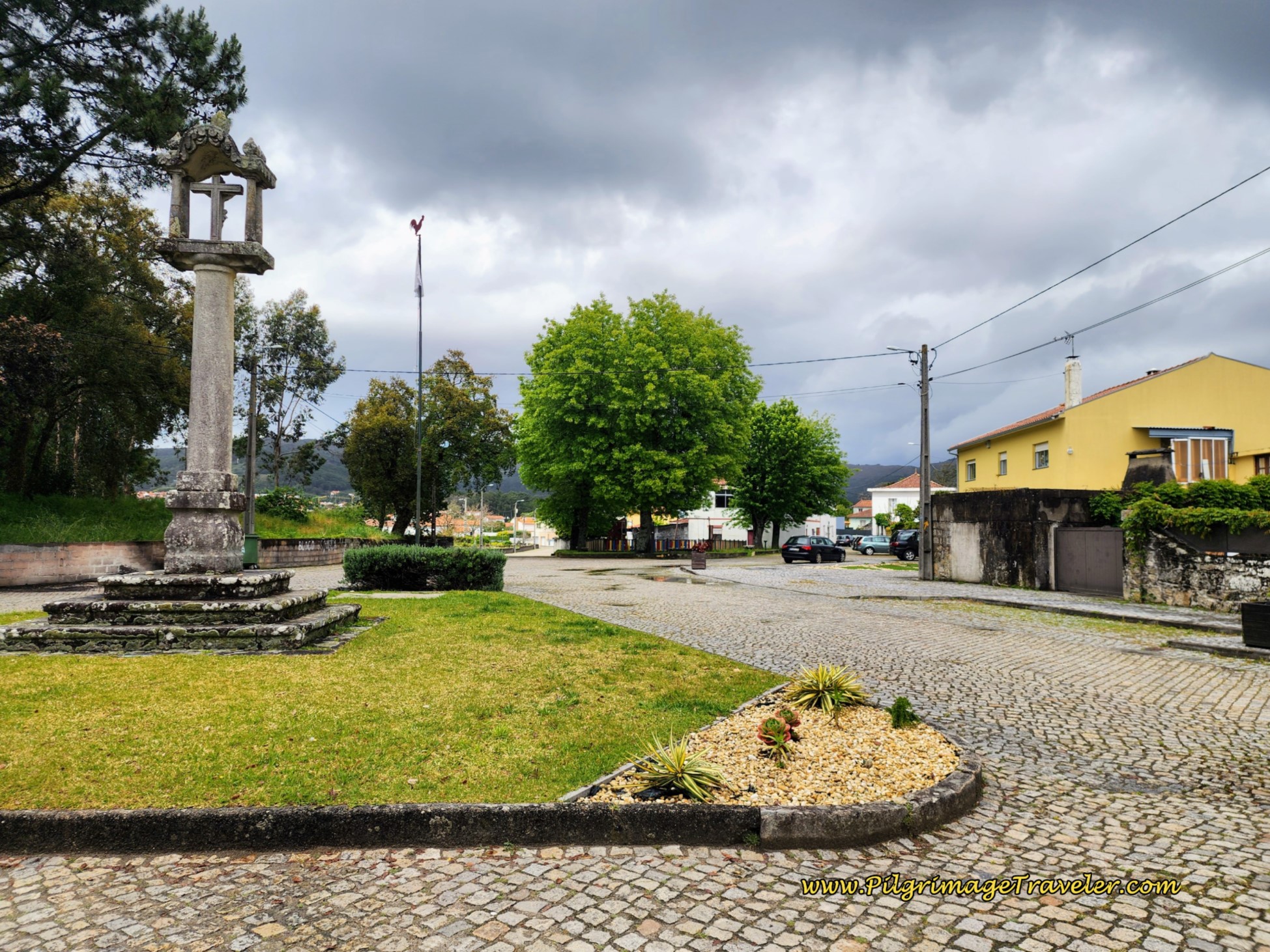 Right Turn at Cross Monument in Âncora
Several meters later, you will pass a small capela in the middle of the road and stay straight onward. You will now follow the Rua da Torre, back into the countryside.
First cross the bridge, the Ponte da Torre.
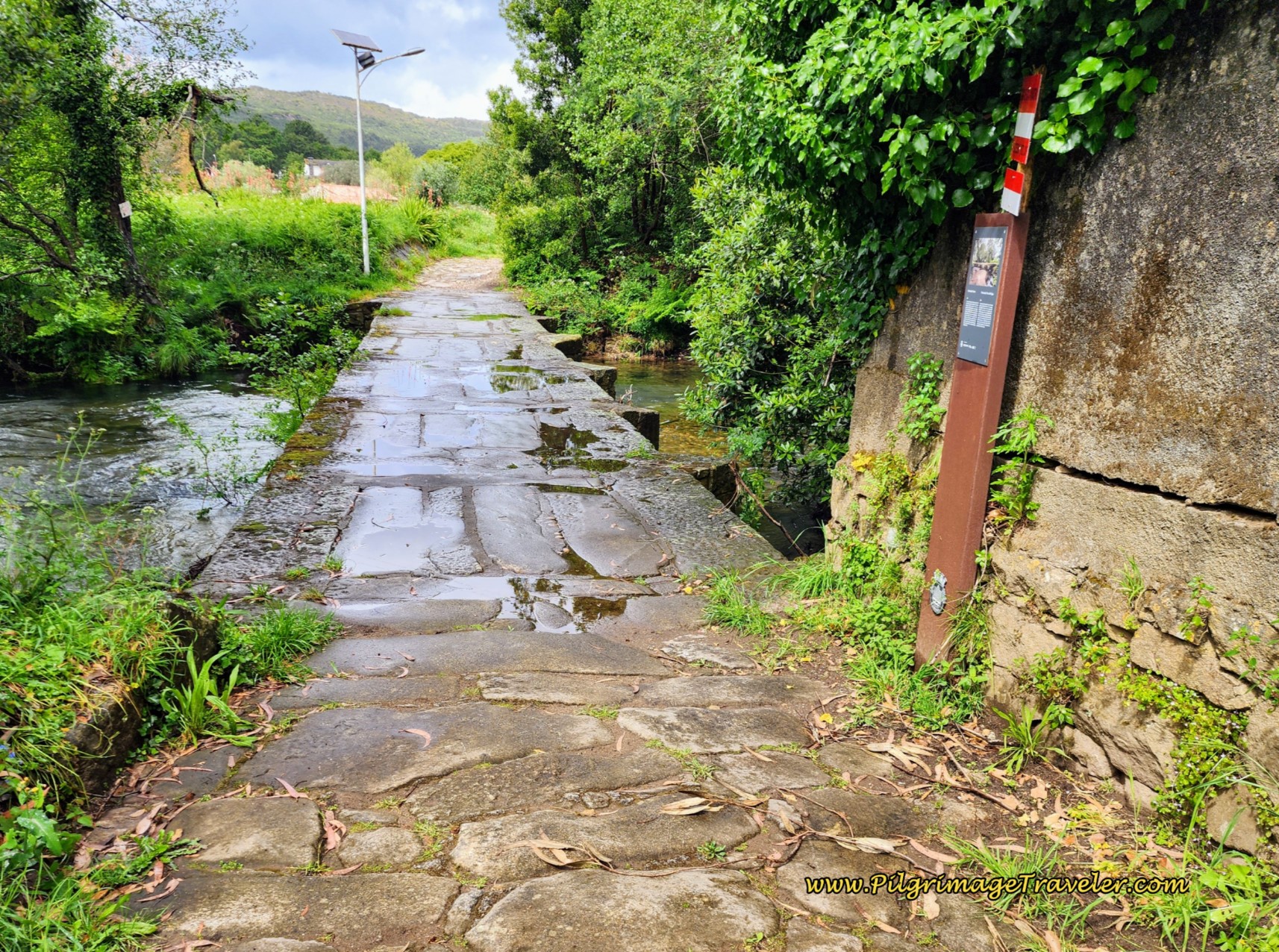 Ponte da Torre, Âncora on Day Eighteen, Coastal Route, Camino Portugués
After the bridge, turn left onto a narrow path. Next you will walk past another old mill, the Moinho da Ponte da Torre after 17.5 kilometers.
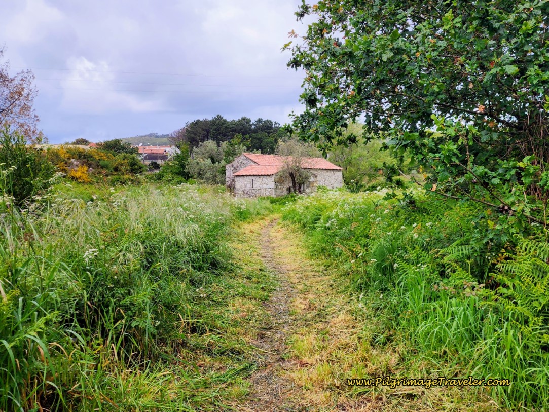 The Path to the Moinho da Ponte da Torre, Âncora
Be careful when you pass the mill, there is a step around the edge where if you are not paying attention you will step right into the waterway. You can see the steep drop off if you misstep in the photo below.
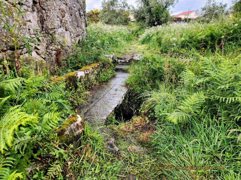 Step Around the Moinho da Ponte da Torre
I believe that once you cross the Âncora River you are now in Vila Praia de Âncora. But I am not sure.
Follow the path until it joins the pavement, and continue straight onward for 250 meters until it narrows and eventually becomes a dirt road for a few meters.
When the road becomes pavement again, eventually pass a large school, the town pool (piscina), both on your left and walk parallel to the N13 highway for a brief period. Turn right away from the highway, then two blocks later turn left at a metal signpost waymark onto the Rua Miguel Bombarda and walk under the highway.
Continue on this street for 500 meters all the way to the Capela de Nossa Senhora da Bonança. Because we arrived on the May holiday, the church was decked out in flowers. It was gorgeous!
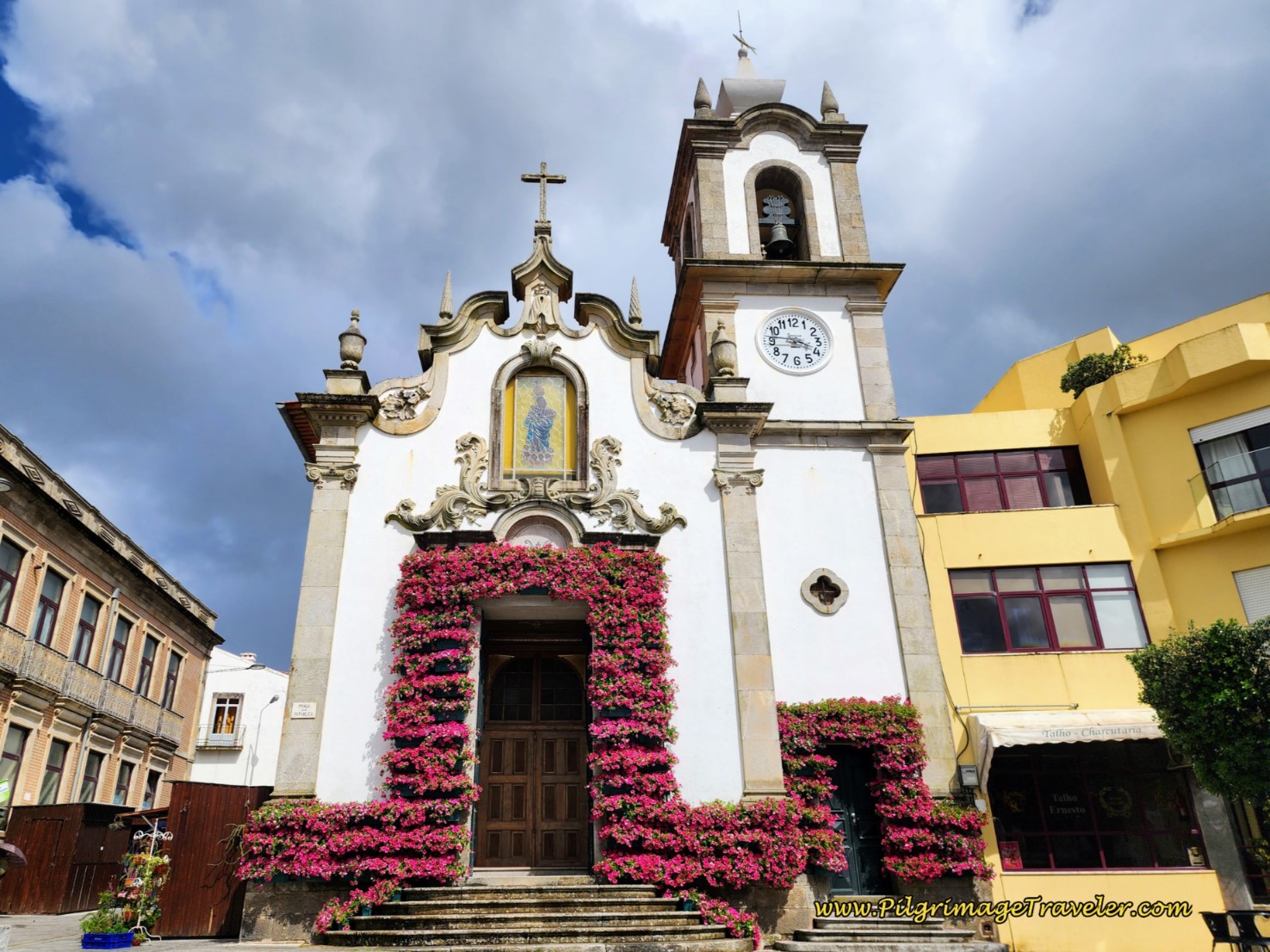 Capela de Nossa Senhora da Bonança, Vila Praia de Âncora
After the church, turn to the right at the Camino de Santiago blue sign, pictured next and onto the Rua 5 de Outubro and walk through the heart of town. Pass the Hotel Meira.
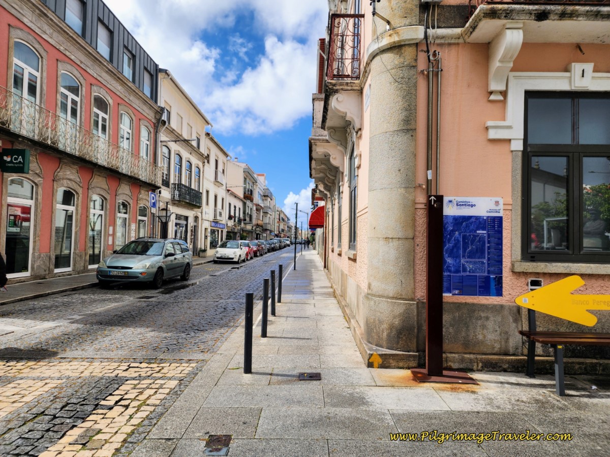 Take the Rua 5 de Outubro by the Blue Camino Sign
One-quarter kilometer later, you are directed to turn left onto the Rua Celestino Fernandes, shown below. You can see the railroad tracks ahead that you will cross and turn right immediately afterward.
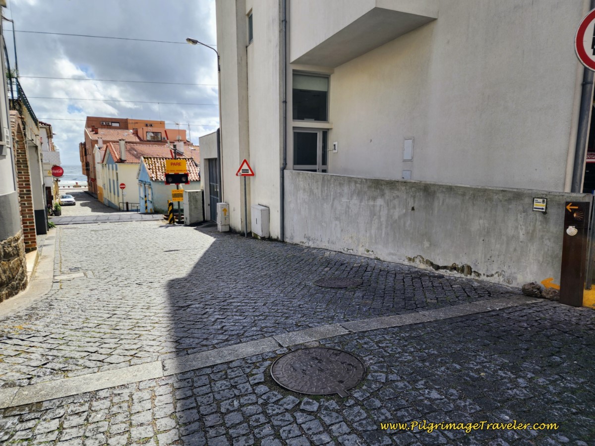 Cross the Railroad Tracks on the Rua Celestino Hernandes
While you can just continue straight to meet the sea that you can see a block ahead, the Camino takes you right and onto the Rua dos Pescadores. As you walk on this street for the final steps, the Forte da Lagarteira comes into view. Maybe that's the reason to walk down this street?
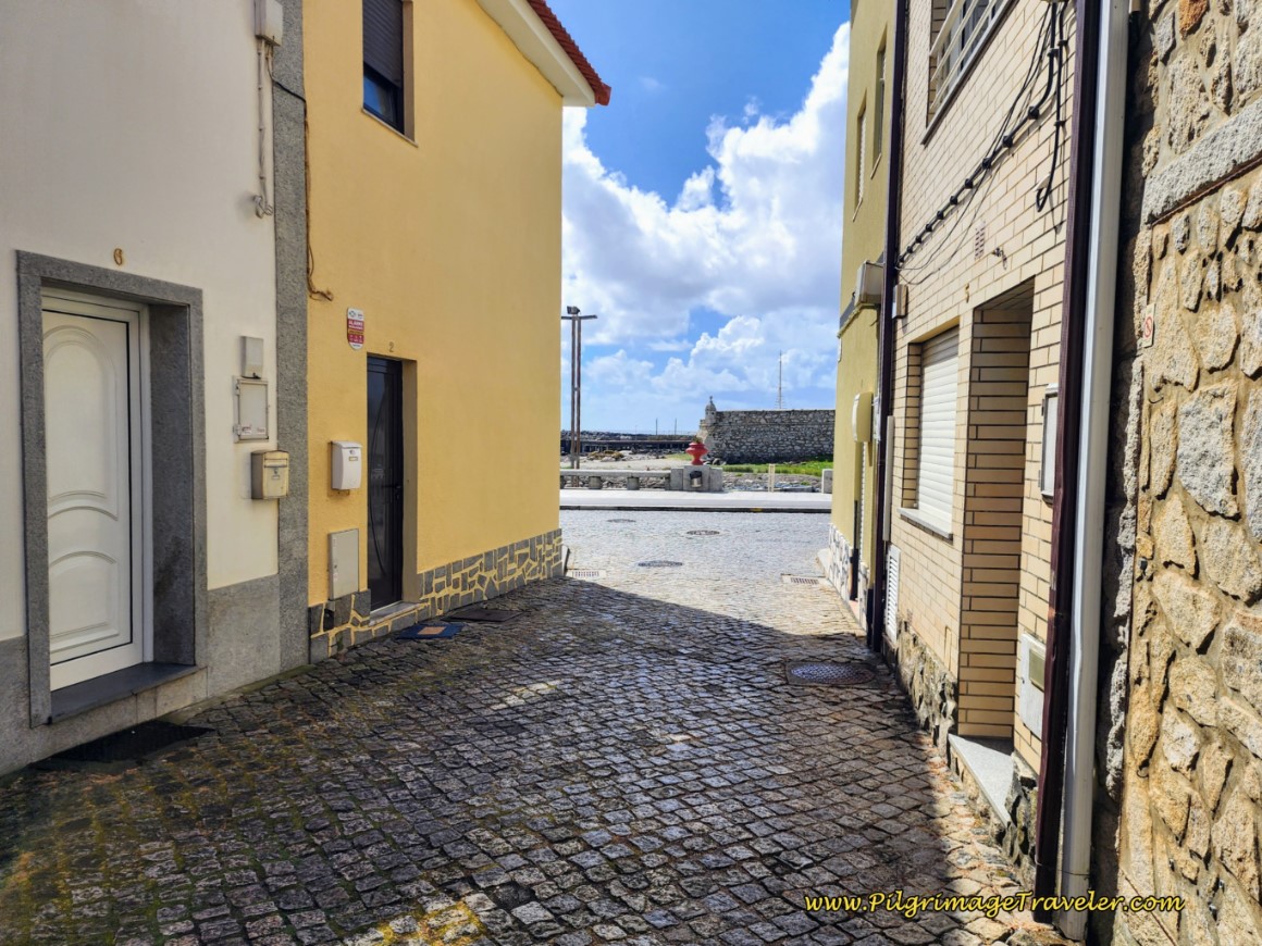 Toward the Forte da Lagateira
The fort, pictured farther below, is a fine coastal entry point where the Coastal Route joins the sea and the Senda Litoral.
There are many cafés in town, as well as many accommodations, if your day’s journey ends here.
We have stayed at the Hostel D’Avenida right along the seacoast yet it is very economical! It has dormitory beds and regular rooms and is in the center of town, very close to where the two Caminos meet. There is the Albergue Quinta da Quinhas, also with dormitory rooms, and the very economical Pousada Farol do Portinho (+351 258 911 542) and the Abrigo do Portinho. All but the Quinta are mere steps off-Camino.
You will turn right when you join the Senda Litoral and walk around the Forte da Lagarteira and join the Avenida Campo do Castelo.
By the time you reach this fort, it is about 19.4 kilometers into your day eighteen on the Coastal Route of the Camino Portugués. You are more than two-thirds of the way! Only about 9k to go! (Or just stay in Vila Praia de Âncora ~ a very respectable distance!)
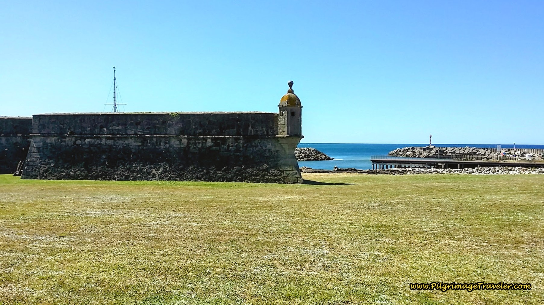 Forte da Lagarteira, Vila Praia de Âncora
Jump to Camino Portugués Stages
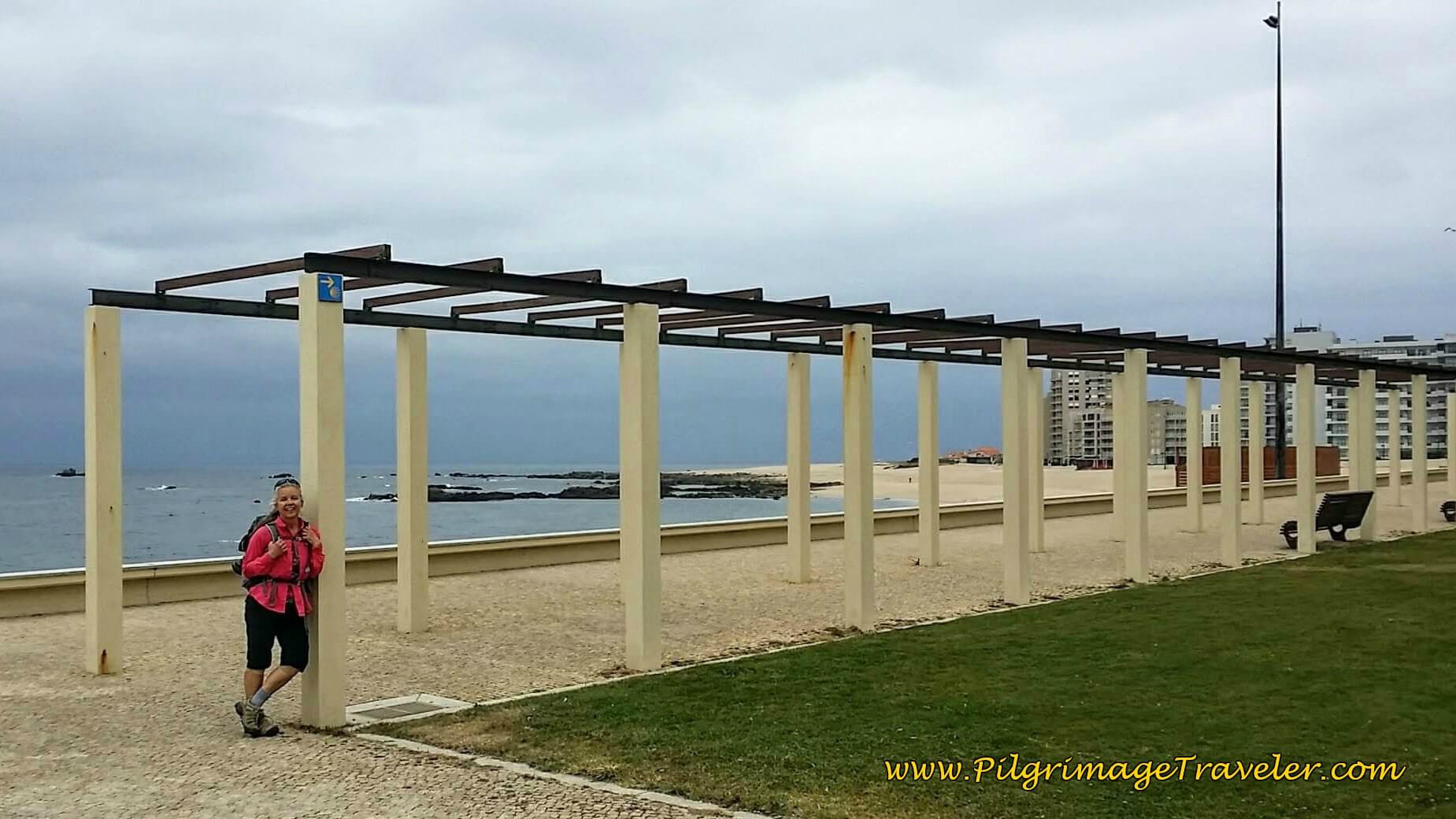
As you walk onward, after the fortress, you will pass many seaside amusements. Then, it is a nice easy 1.25 kilometers along this coastal bike path. Along the way, pass a lovely pilgrim statue with “Bom Caminho” cheering you onward!
When the bike path ends at a Y-intersection, and the Avenida bends to the right, the Camino stays left and along the coast. About 1/2 km later, you will come to a large seafood distributor, and after another 180 meters, pass this lovely little chapel, the 19th century Capela Santo Isidoro, with a statue of Santiago inside, pictured below.
The Senda Litoral turns left here, towards the sea, by the capela, to join a path that follows the coast more closely, and eventually meets up again with the Coastal Route in the town of Moledo, 1.7 kilometers or so away. There are some conflicting yellow arrows here, but it really doesn’t matter which way you choose, as the two ways essentially parallel one another.
If you go to the left, the route along the sea on the Senda Litoral is prettier than following the railroad tracks and walking through Moledo. If you go straight it is a wee bit shorter and I am calling this way the Coastal Route, since this used to be the old route. The inland route is more sheltered and shaded if that is important for your day.
If you choose to stay straight at the Capela and stay on the old Coastal Route along a dirt road, a few hundred meters later, the road bends inland and passes the Cruzeiro de Santo Isidoro.
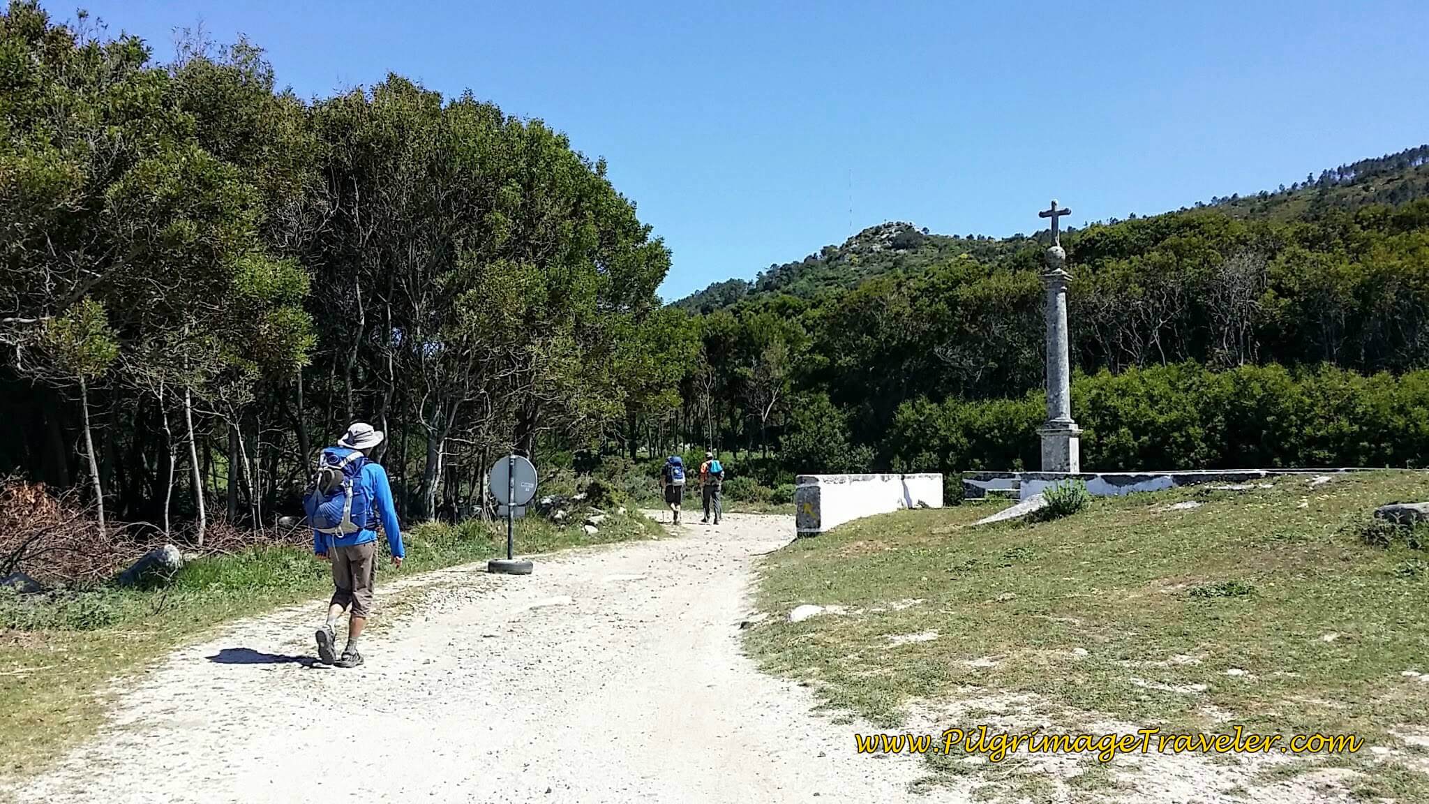 Join Railroad Tracks at Cruzeiro de Santo Isidoro
The Way now follows the railroad tracks on a gravel road.
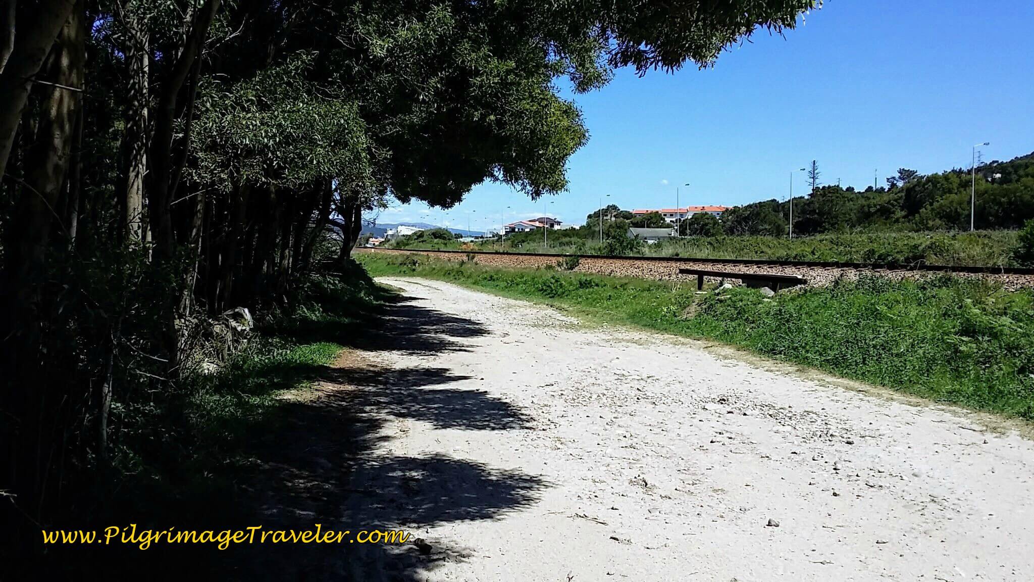 Gravel Road, the Rua da Estrada Real, Along the Railroad Tracks
And around the corner, Spain is visible ahead, at a prominent landmark, the Monte de Santa Trega (Mount Tecla), seen in the photo below.
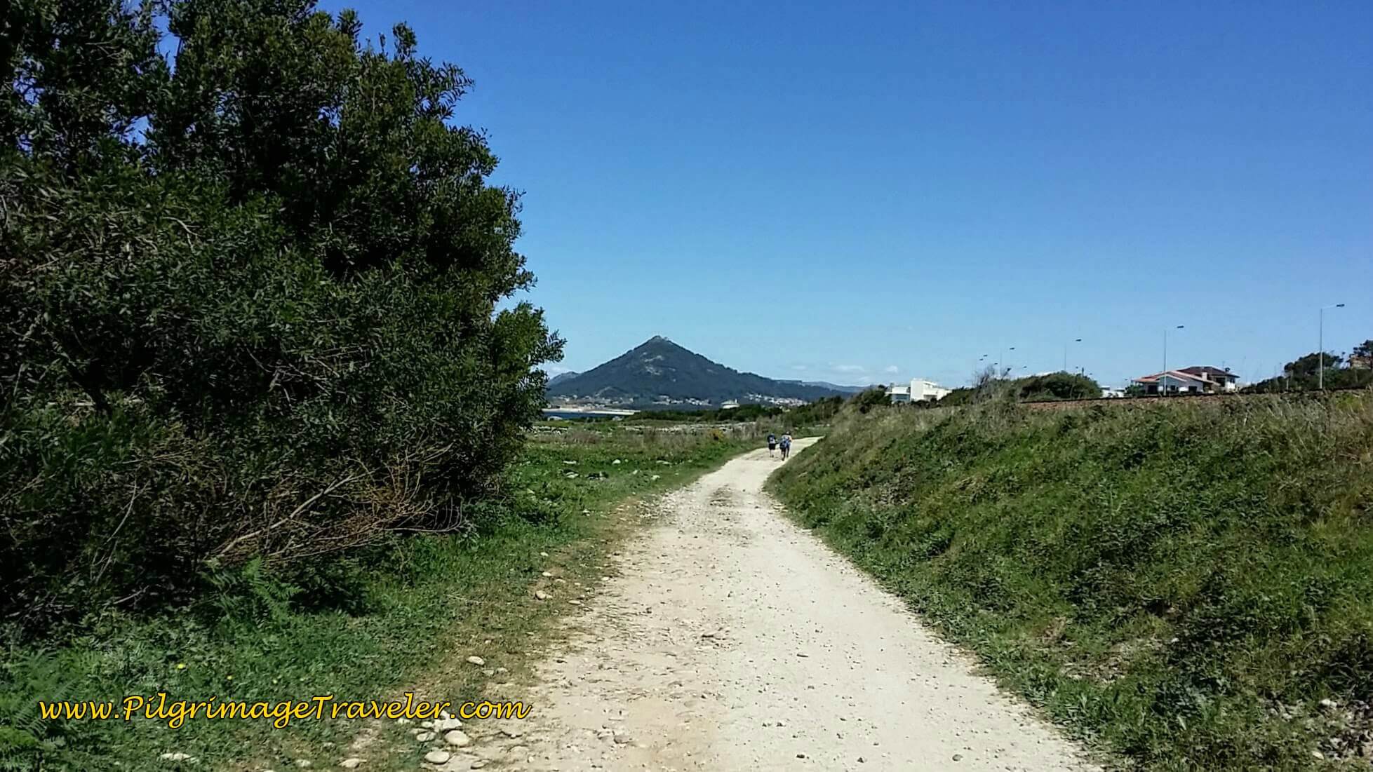 Monte de Santa Trega Ahead
The gravel road beside the tracks becomes cobblestone and is the Rua da Estrada Real as we walked into the next town of Moledo. Here another pilgrim who had joined us earlier and Rich pause to wait for the psycho-journal-person to catch up! As usual, whenever Rich walks with another male, they tend to pick up the pace. It was a bit annoying, but I just lolly-gagged along at my usual pace!
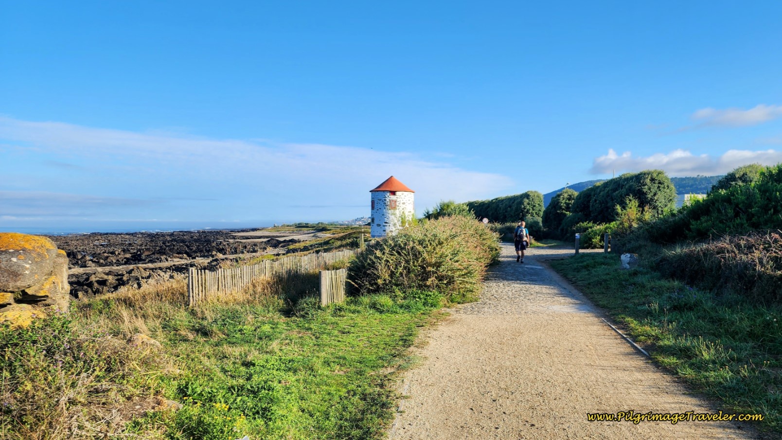
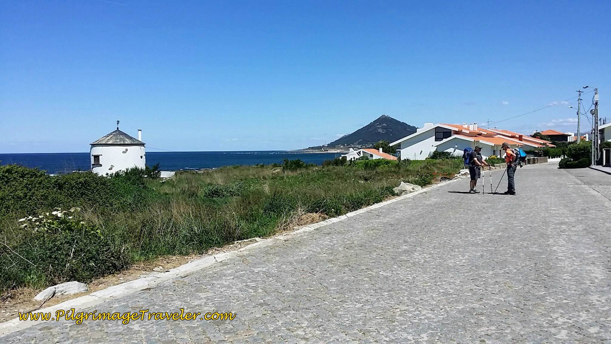 Walking Toward Moledo by Another Old Windmill
On day eighteen, of the Coastal Route, the Caminho Portugués then takes a final jog toward the beach, just beyond a large green house, see a photo farther below, where the two routes come together. However, I was tired and hungry after more than 10 additional kilometers from our last stop.
I talked the gentlemen into stopping a final time by the gorgeous rocky seacoast, below, to have a bite of tuna and crackers. Neither one wanted to stop, but I insisted. If we were to walk the coast, then I wanted to enjoy it and not rush on by.
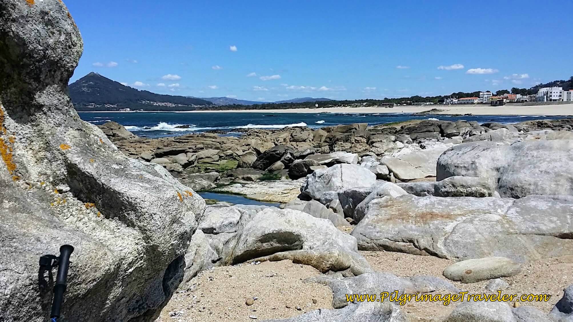 Snack Break Among the Rocks at Praia de Moledo
The gentlemen conceded and we had a lovely break as we viewed the Moledo Beach and pondered our next day's foray into Spain. The Monte de Santa Trega was in full view from this beach. Gorgeous! You can find this beach at around the 23 kilometer mark.
After our break, we continued on the Coastal Route after it joins the Senda Litoral at the large green house, shown below. (This photo was taken from the Senda Litoral and earlier in the morning on a different day.) Both routes share this coastal section for a few more meters once again.
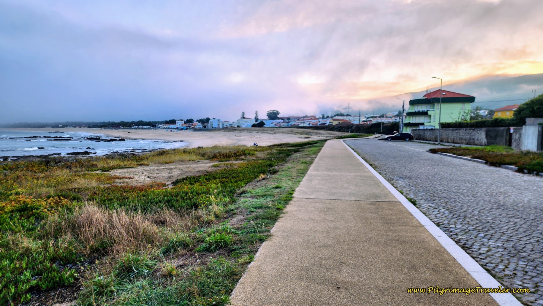 Routes Come Together at the Praia de Moledo
About 100 meters after the green house, you will come to this tunnel, below, where your next decision faces you on day eighteen on the Coastal Route of the Camino Portugués.
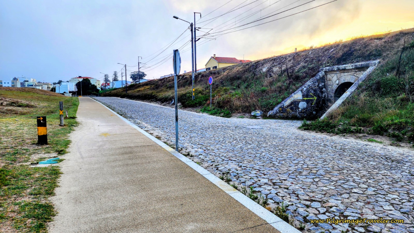 Decision Point at Tunnel in Moledo
The Coastal Route turns to the right and goes through the tunnel to head inland. You can clearly see the waymark leading you to the right in the photo above. However, there is a yellow arrow straight onwards, shortly after the tunnel!
It is my opinion that the Senda Litoral is much nicer through here than the Coastal Route, which is shorter by one kilometer, but a less interesting walk through the towns on paved roads, all the way to Caminha as you will see in the photos to follow.
If you choose the shorter Coastal Route, after turning right to walk through the tunnel, you will join the Avenida Santana in the center of Moledo. The yellow arrows were now abundant in Moledo, appearing frequently, below.
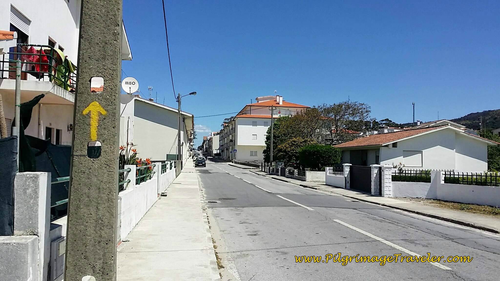 Frequent Yellow Arrows Inland Along Avenida Santana in Moledo
300 meters onward and through town, we came to a large roundabout with the N13, taking the 3rd right and onto the Avenida da Senhora ao Pé-da-Cruz, below. This road essentially parallels the busy N13, on much nicer and quieter pavement. It is a straight, long shot from here into Caminha, more than three kilometers away.
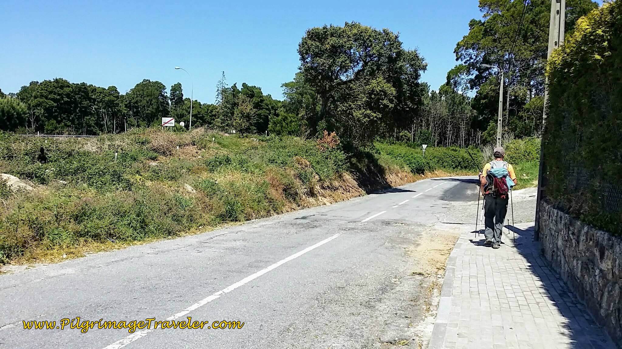 Right Turn on Av. da Senhora ao Pé-da-Cruz
Shortly, a concrete bikeway begins along the Av. da Senhora ao Pé-da-Cruz on the final stretch to Caminha. This section felt really long, hot and hard for me, as my feet were pounding the pavement! As is always true, for me, the final kilometers are always the hardest, and I am the most discouraged.
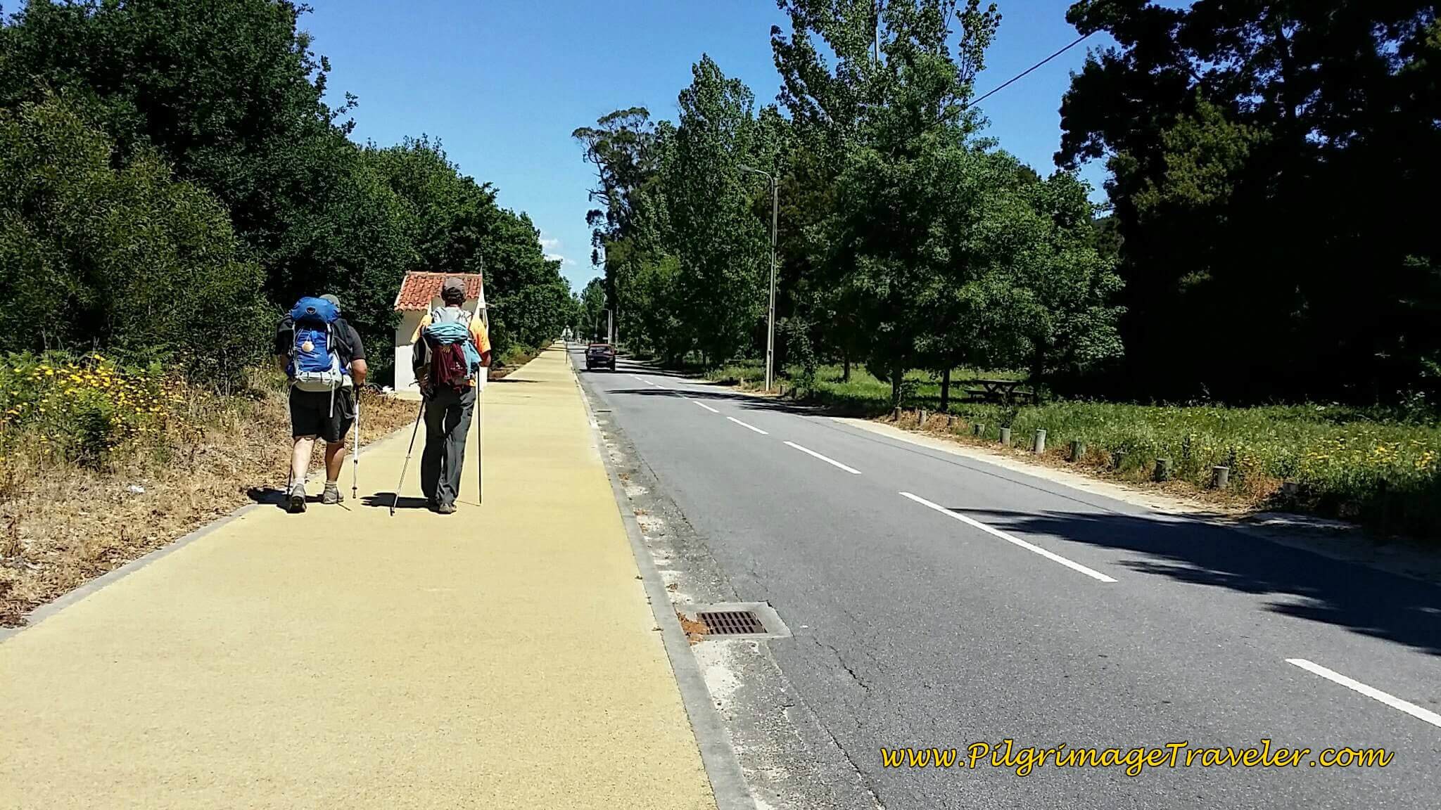 Concrete Pathway on the Avenida da Senhora ao Pé-da-Cruz
We walked onward, for another 1/2 kilometer, when the yellow path ends, and the street crosses the railroad tracks and becomes the Rua do Pombal, pictured below.
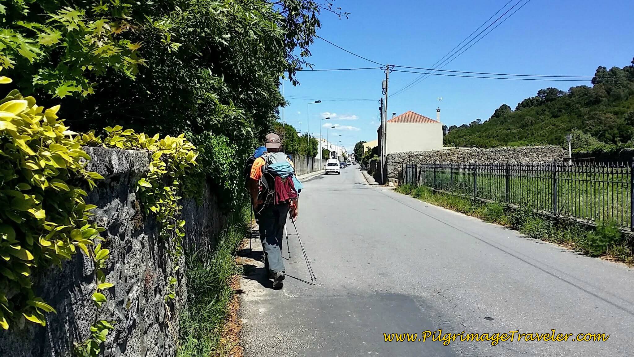 Following the Tracks on the Rua do Pombal into Caminha
In another 1.0 kilometer or so, we walked by the Senhora da Agonia train station, shown below.
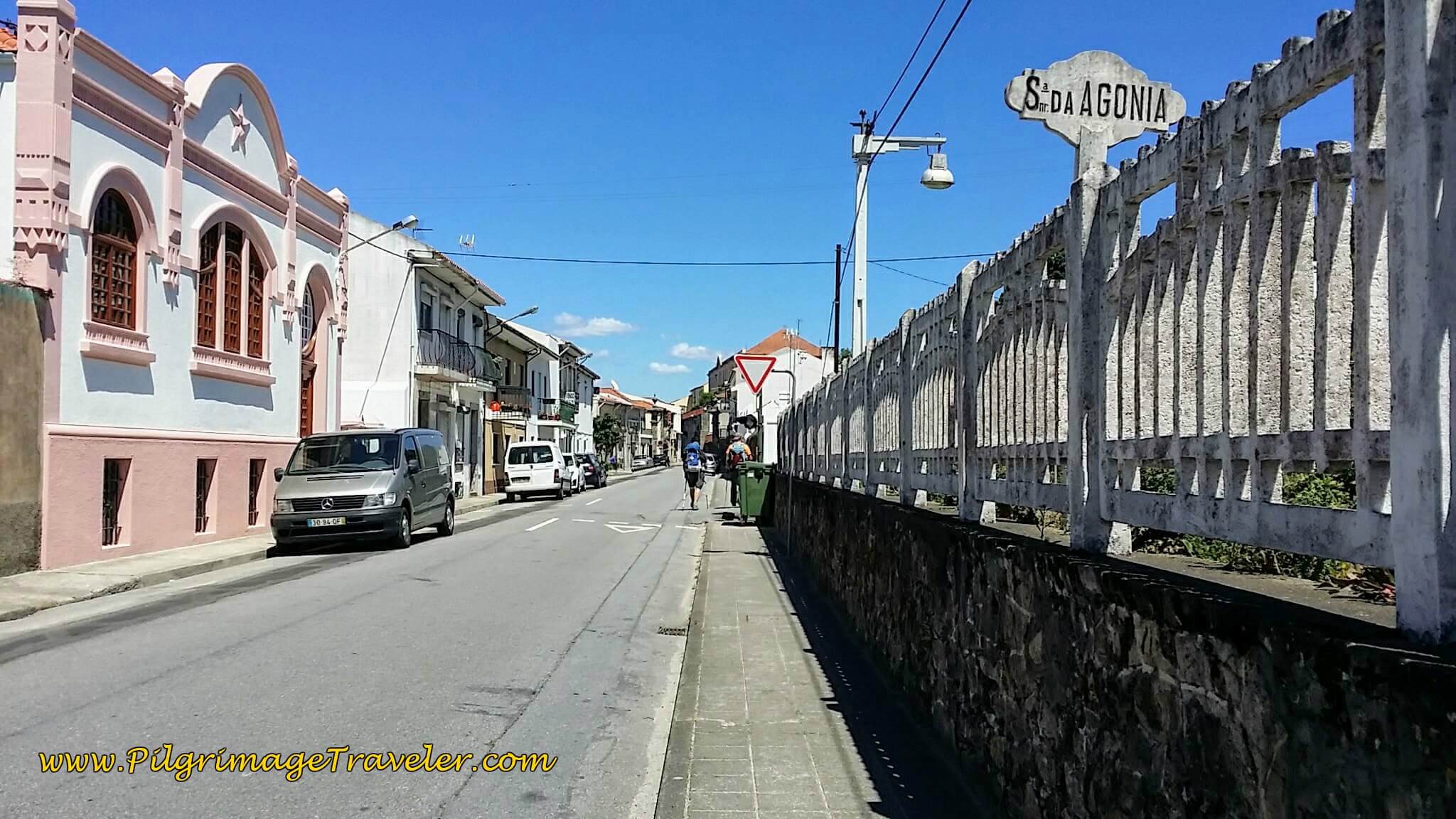 Senhora da Agonia Train Station, Day Eighteen, Coastal Route, Camino Portugués
Then we continued straight on, where the street becomes the Rua Benemérito Joaquim Rosas.
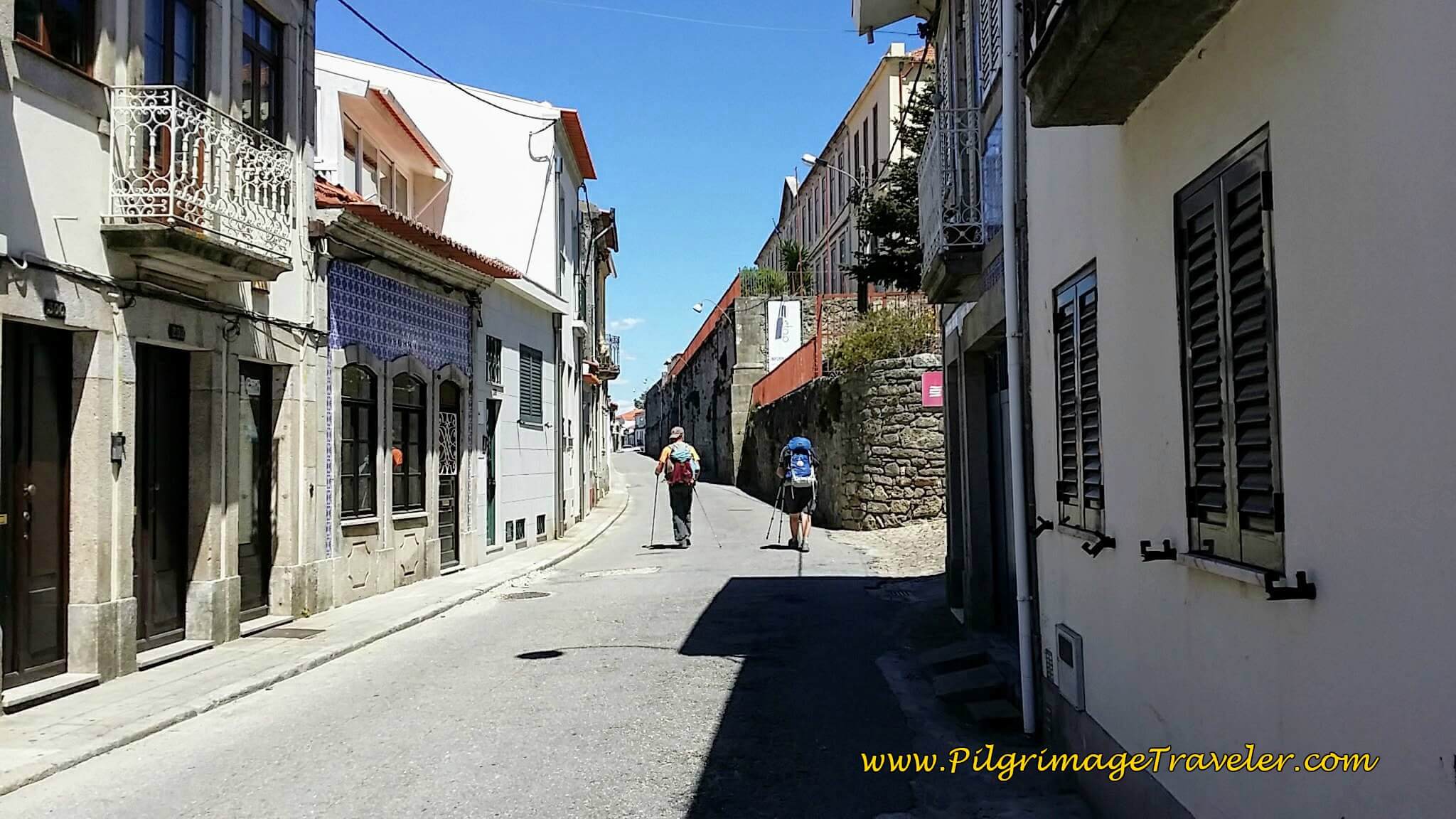 Getting Closer to Caminha Town Center on the Rua Benemérito Joaquim Rosas
Just before the town center of Caminha, the street turns to cobblestone and becomes the Rua Visc. Sousa Rego, and is mostly a walking plaza...
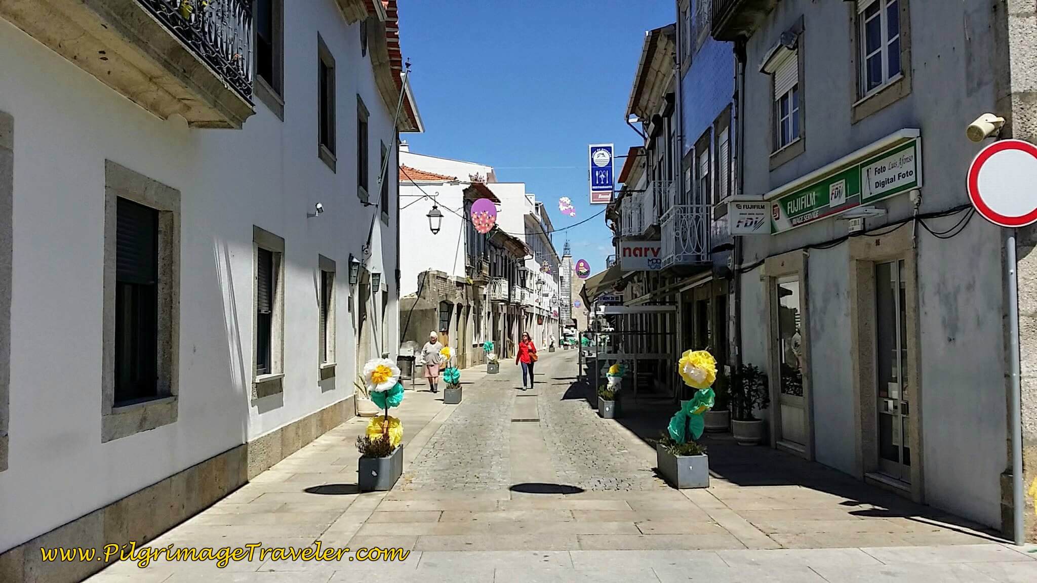 Walking Into Town Center on the Rua Visc. Sousa Rego
 ...that takes you to the famous landmark, the Clock Tower or Torre de Relogio (in Portuguese). My GPS said it was about 4.5 kilometers or so from Moledo to this town center of Caminha.
We walked on by the obvious town square, to look for the albergue. We walked by the church, the Igreja da Misericórdia, below.
Actually, a right turn, at the town square is the easiest way to the albergue, onto the walking street and then the next left onto the Av. São João de Deus, and the sign for the Albergue de Peregrinos de Caminha, +351 914 290 431, appears. The albergue opens at 3:00. We arrived at 3:09.
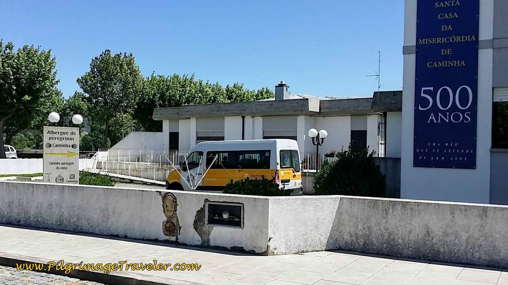 Entrance to the Albergue de Peregrinos de Caminha
There is a number to call on the door, which we did. A woman came to let us in and show us around. I knew immediately that I was not going to stay here. It was in the basement of the building, below a kindergarten child care center, and it smelled too musty for my taste. Everything there looked bare and minimally accommodating, and at minimal pricing, you get what you pay for.
We chose instead to book at the inexpensive Residencial Galo d'Ouro, an old, yet charming and clean family-run hotel, just steps south, from the main square (see the Google map above for its location). The proprietress was the usual ultra-friendly and helpful Portuguese woman. She even offered to hang our clothes after washing them if we needed.
We were so glad we chose the Residencial, because we were told by other pilgrims that not only was the albergue stinky, but there was no hot water, and the lights in the shower were on a timer and kept going off every 10 seconds! Our friend, Yanni told us she felt like she was in a big open gas chamber! Egads! (Hopefully this has changed in recent years, but you may wish to check it out yourself first.)
If you want to check out other possibilities for accommodation in the Caminha and the Moledo area, click here. For starters, there is the economical Arca Nova Guest House, the Albergue Santiago de Caminha, and the Bom Caminha (along the way as you walk into town), all three with dormitory accommodations, the Olá Vida - Hostel Caminha, right by the old ferry dock, but pricer dormitory beds due to its location and the Camping Orbitur - Caminha Park with tenting and bungalows, conveniently located by the Taxi Boat Peregrinos on the Foz de Minho Beach.
After securing our place, we joined Steve, our English friend, and hung out at the Café Central, in the Clock Tower Plaza, watching one pilgrim after another stumble into town.
We spied a young dark-haired woman, looking around and we waved enthusiastically for her to join us. When she approached the table and smiled, I realized that I didn't know her! I later asked Rich and Steve if they knew her, and they both said, "I thought YOU knew her!" Ha ha, we had a great time getting to know Lisa, from Germany!
Later on the trail, I told Lisa that we all thought we knew her when we waved at her in the square. She said that she didn't care, that she was very happy to join other pilgrims! Nowhere else but on the Camino would this happen!
After a few beers, a shower and reconnecting with other pilgrims, we walked around town a bit to see the few sights. The old walls of the town, called the Muralha de Caminha, can be found at the Praça de Espanha, on the waterfront by the central plaza.
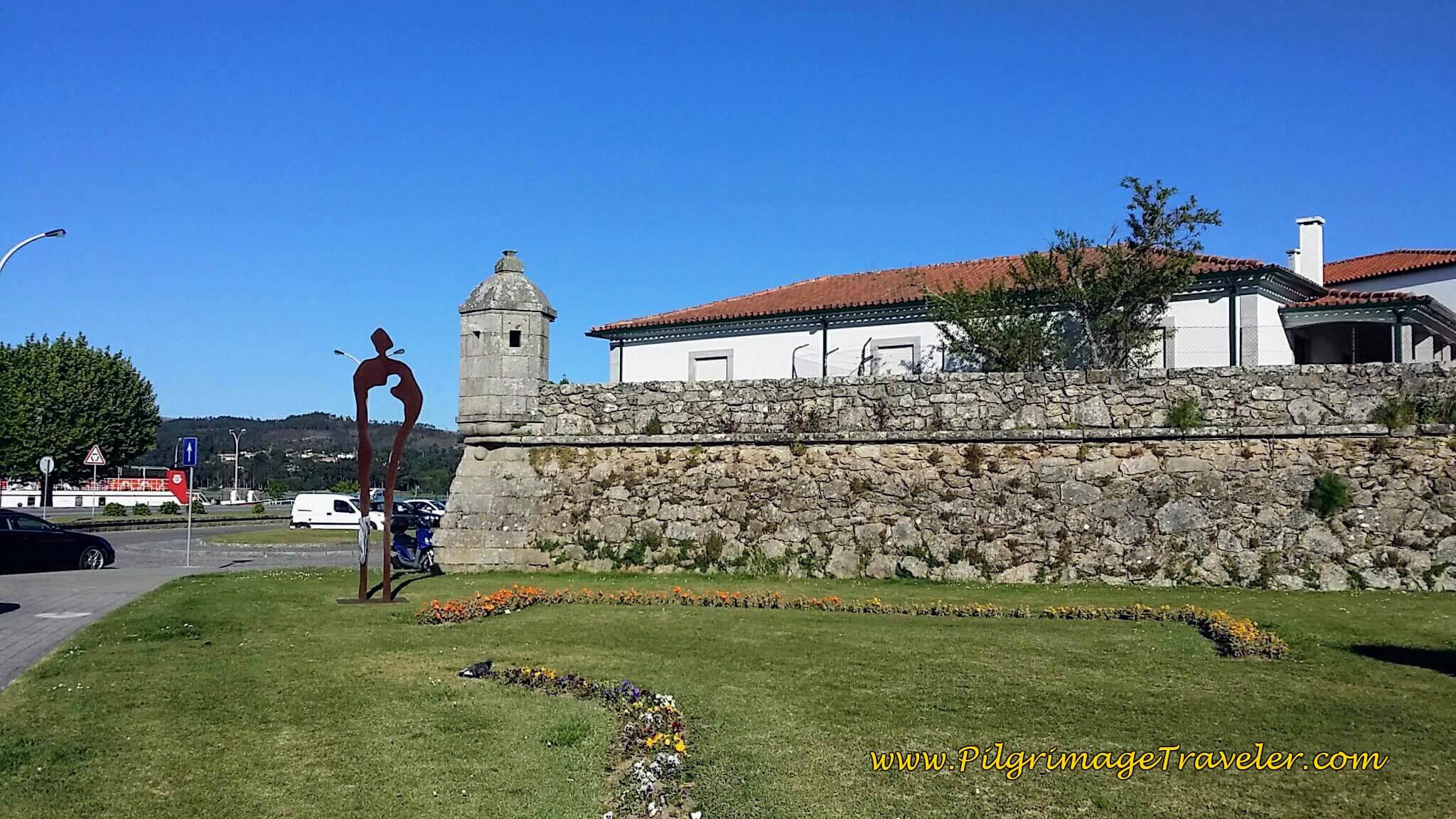 Old Fortress Walls of Caminha at Praça de Espanha
By the fortress walls is the Igreja Matriz de Caminha, below. It was fun to walk on the walls, and look northward to the River Minho, the dividing boundary between Portugal and Spain.
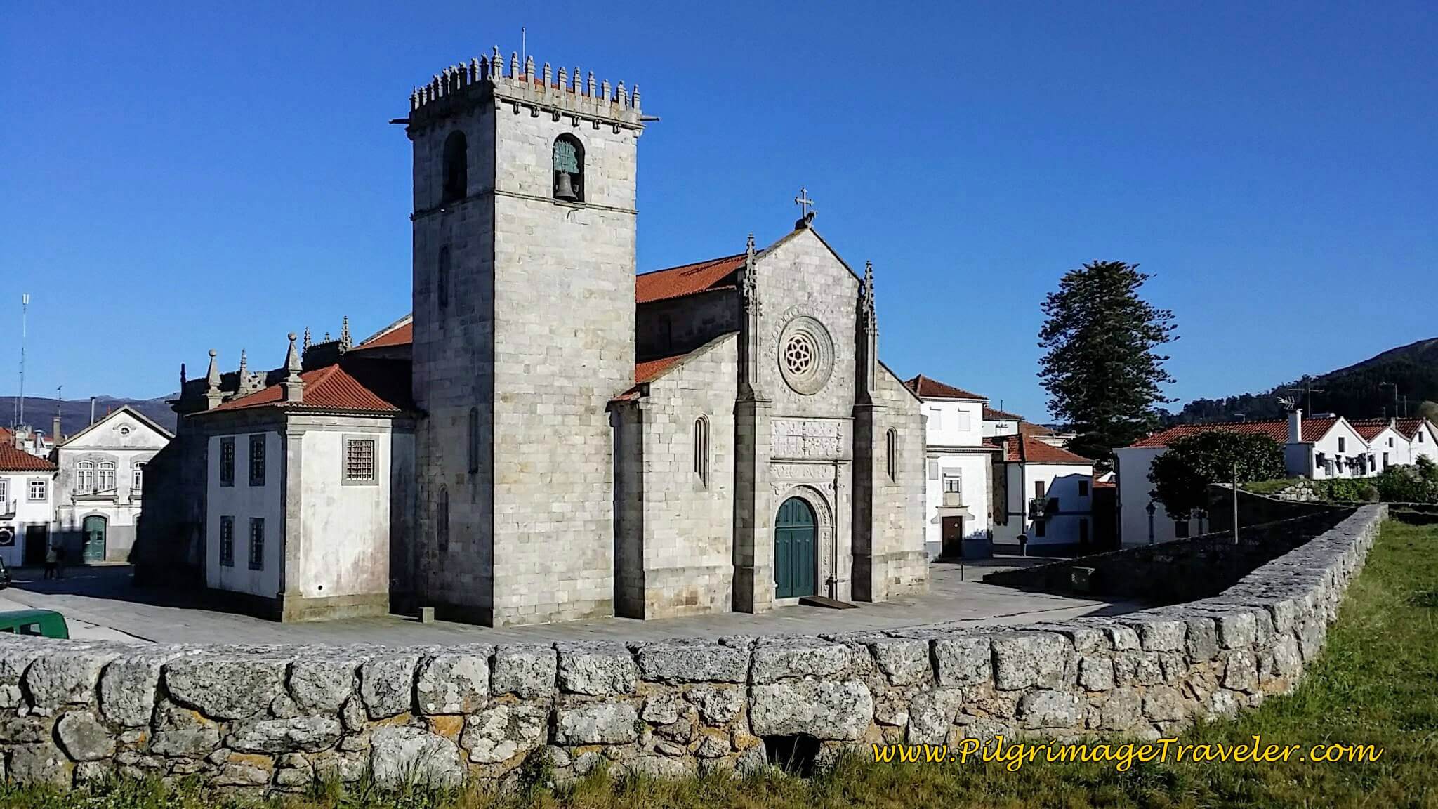 Igreja Matriz de Caminha
Getting to Spain with a Boat Taxi
Not that long ago, one had to take a ferry from Caminha to A Guarda, and be at the mercy of the tides. We were unable to cross for more than 24 hours because of low tide, but instead, a local fisherman, Mario, took us across the Minho River in his small fishing boat. (Mario’s boat service is now the Taxi Boat Peregrinos, see just below.)
Since the ferry boats totally ceased, there is now several water taxi companies. The first one is called the Xacobeo Transfer. These are small boats that can carry up to five people, so it may be best to reserve your spot online, by clicking on the link provided! It will cost you 6 Euros each. They run every hour in the morning, starting at 7:30 a.m., and several more times in the afternoon, with the last boat at 6:30 p.m. You can find their boats at the far northern end of Caminha at the old ferry boat dock site. Their boats land at the far right side of the dock. They are only identified by a small, hard to see sign, as of this writing. They do NOT sell their tickets at the old ferry station house, so don't even ask there or the Taximar folks will be upset with you.
As noted above, there is yet another water boat taxi service called Taxi Boat Peregrinos. They can be found at the Praia Foz de Minho, or the beach by the mouth of the river. This is the same area where Mario the Fisherman operated from in the past. It is a good 2.5 kilometers southwest, from the center of Caminha. Their advantage is that they run more often, earlier and later than Xacobeo Transfer. All you have to do is call them. They will even take you all the way to Tui, by boat, if you wish to cross over to the Central from Caminha!! They are the most convenient if you are walking the Senda Litoral and staying in this area.
And finally, there is the Taximar Peregrinos, which you can reach at +351 915 955 827. They also pick you up by the old ferry dock at the north end of town. They sell their tickets at the old ferry station itself.
With all these three competing taxi services, you should have no trouble getting a boat, even if you don’t reserve ahead. However, it may be prudent to reserve ahead in order to get the specific time you want. The Xacobeo Transfer people would just come every fifteen minutes, despite what their schedule says and pick up anyone they had on their roster, regardless of the time of the reservation! But fellow pilgrims, on the honor system, ensured that those with earlier reservations got on before they did!
Reflections on Day Eighteen, Coastal Route, Camino Portugués
The first part of this day's walk to Vila Praia de Âncora was fun! Pure and simple fun. Even in the rain with slippery footing on the pavers, I was fascinated, always, by the preserved ancient roads. I understand the love of the coastline completely, however, this most historic and charming day was exactly what I needed. May you also find it so! Plus, we still got to see a bit of the sea. However, the long and boring trek to Caminha was tiresome and boring. At least until we got into the town itself!
If I were to pick my favorite for day eighteen's walk, either the Senda Litoral or the Coastal Route of the Portuguese Way, it would be a total toss-up! My answer would be: both!! Ha ha.
Salutation
May your own day eighteen on the Coastal Route of the Portuguese Way find the beauty in the walking and may you forget about the destination as Gwyn Thomas advises! Ultreia!
Camino Portugués Overview
Camino Portugués Stages
Central Route: Lisbon to Porto Stages
Central Route: Porto to Santiago Stages
Senda Litoral or the Coastal Routes: Porto to Santiago Stages
Skip to Central Route Above, for Final Days 22-25 to Santiago
Variante Espiritual Stages
Please Consider Showing Your Support
Many readers contact me, Elle, to thank me for all the time and care that I have spent creating this informative website. If you have been truly blessed by my efforts, have not purchased an eBook, yet wish to contribute, I am exeedingly grateful. Thank you!
Search This Website:
🙋♀️ Why Trust Us at the Pilgrimage Traveler?

We’re not a travel agency ~ we’re fellow pilgrims! (See About Us)
We've trekked Pilgrimage Routes Across Europe since 2014!
💬 We’ve:
- Gotten lost so you don’t have to. 😉
- Followed waymarks in the glowing sunlight, the pouring rain and by moonlight. ☀️🌧️🌙
- Slept in albergues, hostels & casa rurals. Ate and drank in cafés along the way. 🛌 😴
- Created comprehensive and downloadable GPS maps and eBook Guides, full of must-have information based on real pilgrimage travels. 🧭 🗺️
- Shared our complete journeys, step by step to help YOU plan your ultimate pilgrimage and walk with your own Heart and Soul. 💙✨
Every detail is from our own experiences. Just fellow pilgrims sharing the Way. We have added a touch of spirituality, heartfelt insights and practical guidance from the road ~ offering a genuine connection to the spirit of pilgrimage. Tap into the wisdom of seasoned pilgrims!
Ultreia and Safe Pilgrimage Travels, Caminante! 💫 💚 🤍
Follow Me on Pinterest:
Find the Pilgrimage Traveler on Facebook:
Like / Share this page on Facebook:
***All Banners, Amazon, Roamless and Booking.com links on this website are affiliate links. As an Amazon associate and a Booking.com associate, the Pilgrimage Traveler website will earn from qualifying purchases when you click on these links, at no cost to you. We sincerely thank you as this is a pilgrim-supported website***
PS: Our eBook Guide books are of our own creation and we appreciate your purchase of those too!!
Shroud Yourself in Mystery, along the Via de Francesco!
Walk in the Footsteps of St. Francis, and Connect Deeply with the Saint and to Nature in the Marvelous Italian Countryside!
Need suggestions on what to pack for your next pilgrimage? Click Here or on the photo below!
Find the Best Hotel Deals Using This Tool!
Carbon Trekking Poles ~ My Favorites!
Carbon fiber construction (not aluminum) in a trekking pole makes them ultra lightweight. We like the Z-Pole style from Black Diamond so we can hide our poles in our pack from potential thieves before getting to our albergue! There are many to choose from! (See more of our gear recommendations! )
Gregory BackPack ~ My Favorite Brand
Do not forget your quick-dry microfiber towel!



















Your Opinion Matters! Comments
Have you had a similar experience, have some advice to give, or have something else you'd like to share? We would love to hear from you! Please leave us a comment in the box below.