- Home
- Camino Portugués
- Day Eighteen, Senda Litoral, Viana do Castelo to Caminha
Jump to Camino Portugués Stages
Day Eighteen on the Senda Litoral of the Camino Portugués
~ Viana do Castelo to Caminha, 29.4 Km
(18.27 Miles)
On our day eighteen on the Senda Litoral of the Camino Portugués we blazed our way on an alternative, actually walking on the long, flat beaches and connecting with the sea! The traditional Coastal Route mostly parallels the coastline, but never actually walks on any beaches nor any boardwalks like the Senda Litoral.
The Senda Litoral on this day is on and off nice boardwalks, and on nice paths through the dunes. It was a bit of discovery and adventure, which wasn't all that hard, but what we loved!
Pay close attention to our route between the small fort called the Forte de Paçô and Afife, if you want to walk the beach part of the Senda Litoral. In recent days, many pilgrims take many different Ways, and I will show you alternatives on the maps, to give you more options if you choose the Senda Litoral but do not want to walk on the beach itself, yet still stay close to the sea.
“It is because Humanity has never known where it was going that it has been able to find its way.” ~ Oscar Wilde, The Critic as Artist
Map and Stats of Day Eighteen, Senda Litoral, Camino Portugués
Here are our GPS tracks, for you so you can follow along. If you are a bit more tech savvy, you can download the GPS tracks from the Google Map below, then upload it to a compatible GPS app on your smart phone! It is very easy to do, and will help ensure that you will not get lost.
I have included the Coastal Route in blue. The two routes come together in Vila Praia de Âncora, until the next town of Moledo. The Senda Litoral after Moledo adds another kilometer to the day.
There is also a shorter, by about 1/2 kilometer, Senda Litoral alternative near Carreço, the first route shown in red, that you can take to hug the coast and which avoids climbing the Montedor Hill. This alternative is more rugged and wild, and does have some climbing on rough rocks. If you prefer a smoother climb, take the standard route.
The standard Senda Litoral also goes inland before Afife (shown in red on the map), but takes paths and paved roads. We chose the beach route, on local recommendation that is not marked, but extremely doable! If you love beach walking, this is your best chance!
And finally, just before Âncora, instead of taking the official, long loop around the Âncora river, you can take a nice and easy shortcut through the dunes, not waymarked, but also quite doable! Ah, the many ways on the Camino Portugues!
I placed the many albergues/hotels/cafés on the maps. For a link to places to stay/reserve in Viana do Castelo and Caminha, click on the desired town.
The day's elevation is essentially flat as you would expect along the coast on the Senda Litoral. However, there is a small climb of 30 meters (100 feet) up and over a coastal hill in Montedor, near Carreço.
The flat line you see in the middle of the elevation profile is our walk on Arda Beach!
Camino Portugués eBook Guides
Our Downloadable Camino Portugués eBook Guides in PDF Format contain all the valuable information from our web pages, for comfortable reading offline and without ads on your personal device. Don't carry a hard copy guide book to increase your pack weight. Use our digital guides on your next Camino instead!
Our ebook guides are packed with frequently updated information, because a digital format is more nimble than hard-copy publishing. Our eBook Guide is unique because we also entertain and immerse you with our story! Click on any eBook above for more information.
Buy only what you need OR buy ALL FOUR eBooks for the price of THREE - a 25% savings! Click here for more information or BUY NOW at only 17.85!
Jump to Camino Portugués Stages
Photo-Rich Travelogue of Day Eighteen, Senda Litoral, Camino Portugués
The Albergue de Peregrinos de São João da Cruz dos Caminhos was cramped and crowded and we just wanted to get out of there as quickly as possible. We did not have breakfast, but quickly dressed and left the place. We were going to find an open café ASAP. There are several establishments within a close distance along the riverfront route, two by the fort on the west side of town.
After leaving the albergue, we walked along the Rua do Carmo that runs in front of the Igreja do Carmo and heads south toward the waterfront. As soon as it was possible we took an immediate right to walk under the bridge and toward the park called the Jardim da Marginal, along the Limia River.
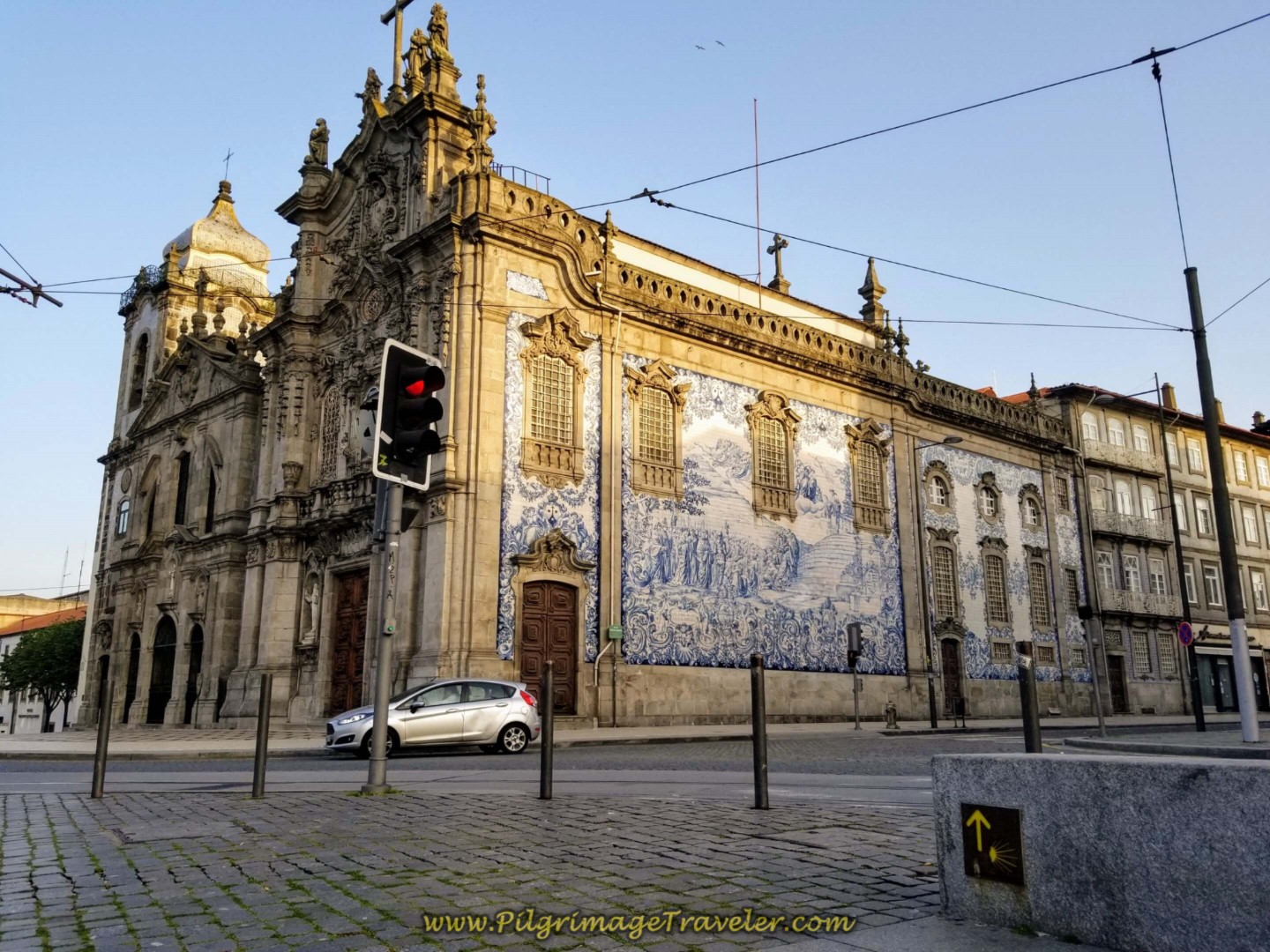
Here is the last look at the Igreja do Carmo from just after the underpass, with the first light of day illuminating its steeple. This street is actually the way of the Coastal Route, see day eighteen on this route for its ongoing description.
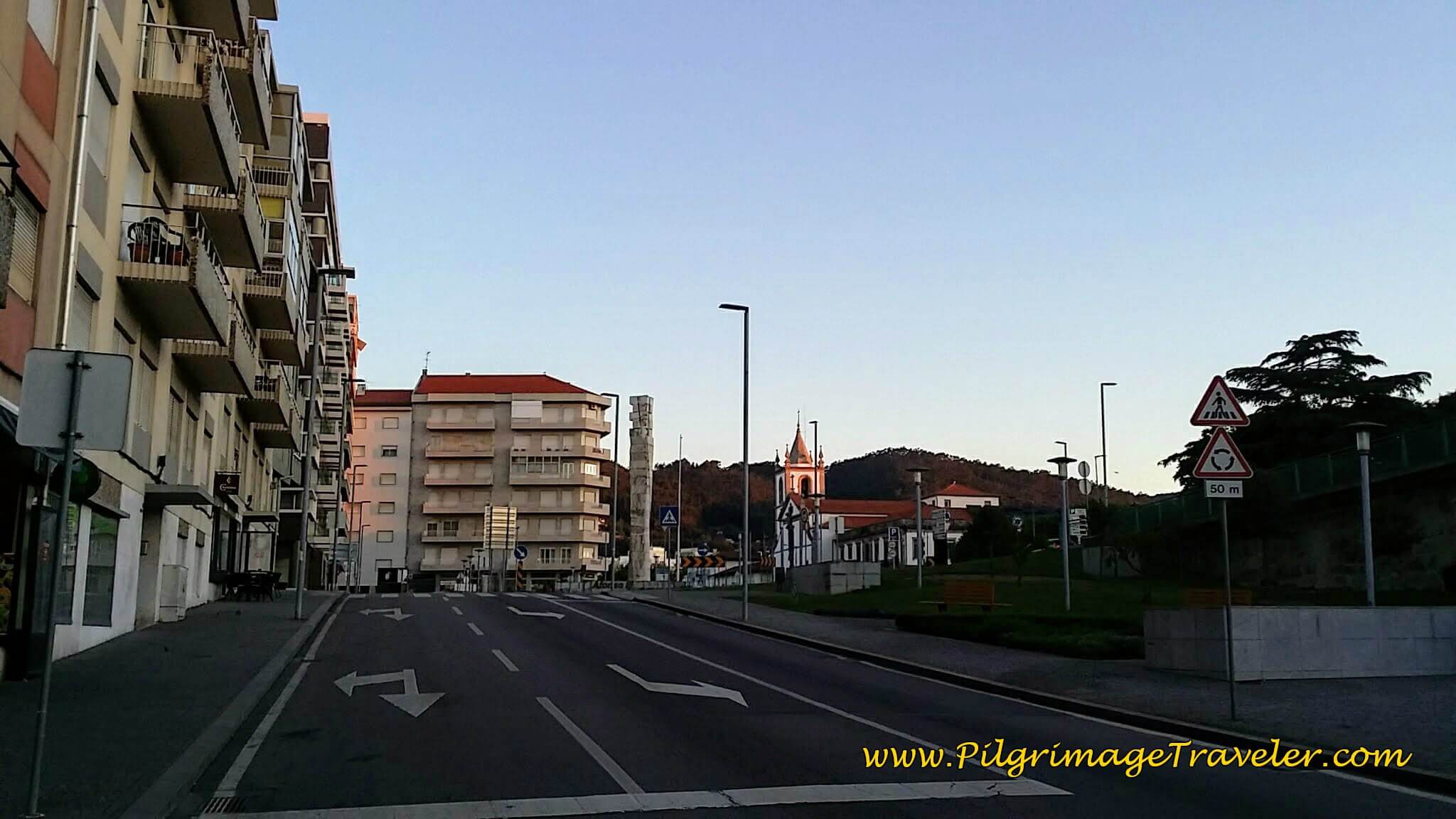 Igreja do Carmo Look Back
We chose to walk down the middle of the park and through its inviting trees.
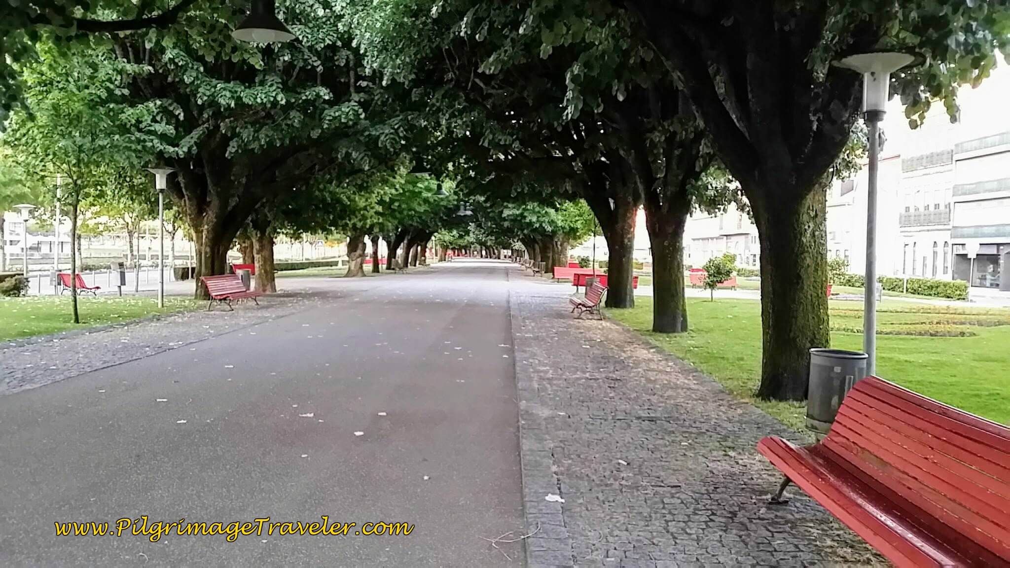 A Walk Through the Jardim da Marginal, along the Limia River
If you are taking the Coastal Route, it turns right before this park, and then left onto the Rua do Gontim to walk through town and eventually turn northward to walk inland. Check the map above for a continuation of the Coastal Route.
We continued to walk the main avenue along the river, the Rua Alves Cerqueira...
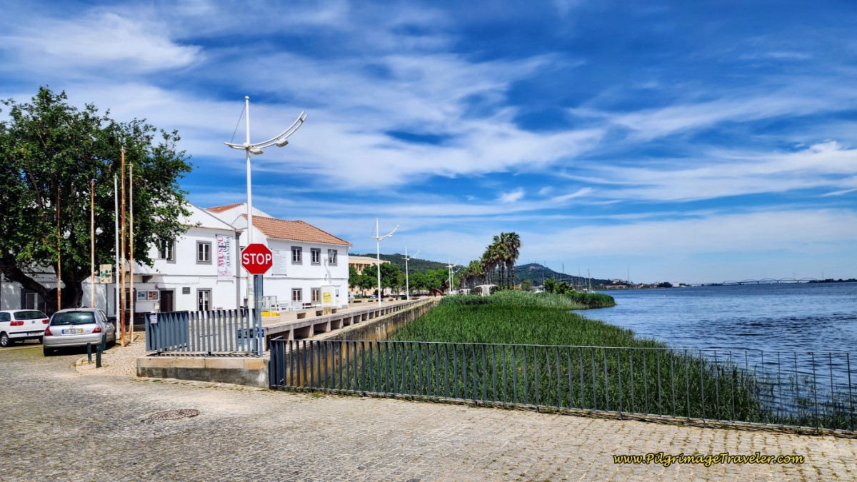
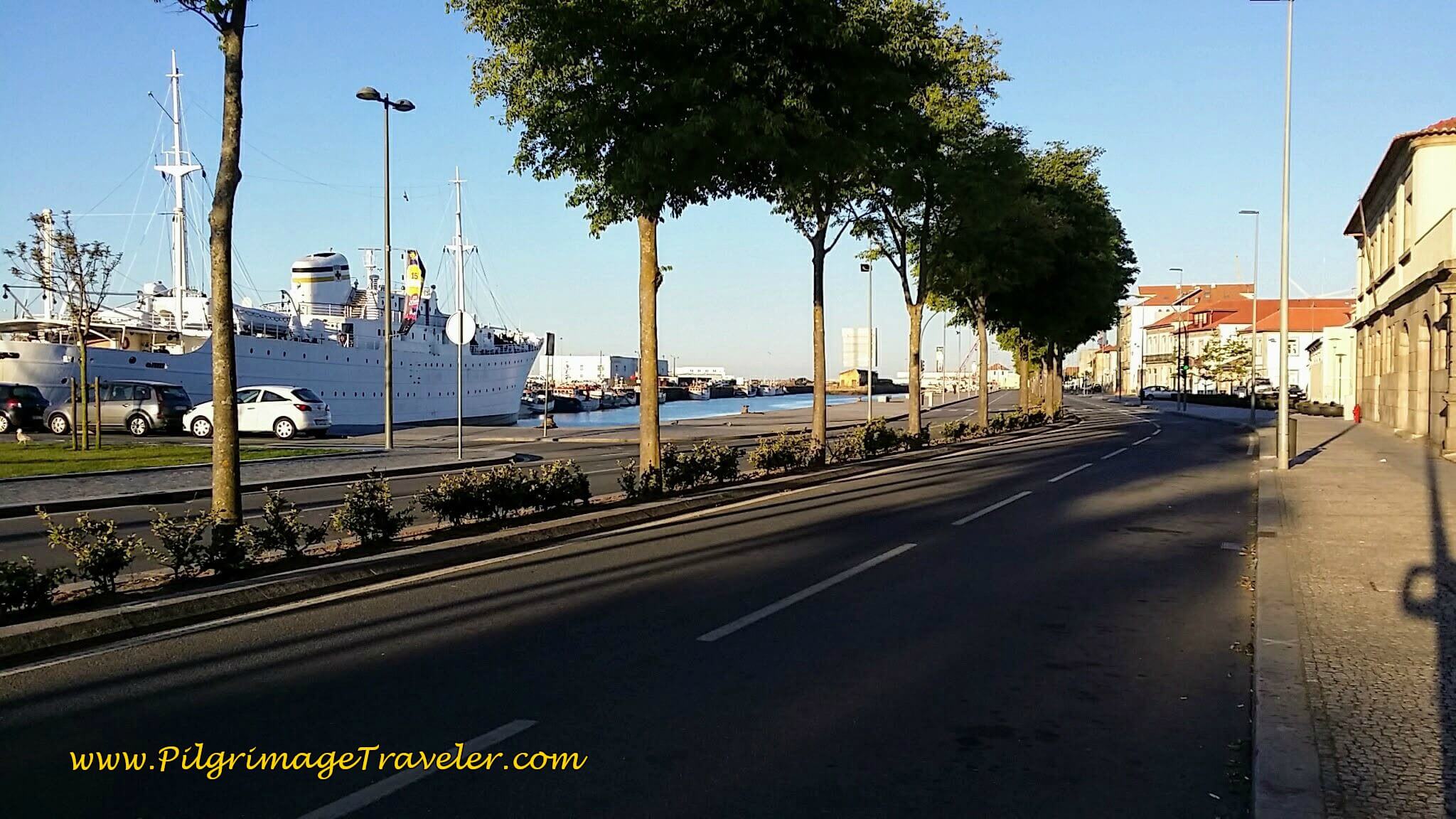 The Harbor along the Rua Alves Cerqueira
...until we came to this fortress, the Castelo Santiago da Barra close to the mouth of the harbor about 1.7 kilometers from our start.
There is no clear way past this fortress toward the sea, because the shipyards are in the way, so instead take the road here where it takes a big bend to the north by the fortress, and becomes the Avenida Campo do Castelo.
On the corner is a Grab & Go vending machine area, but just past it is the Café Pinto where we stopped for the real thing.
As you turn north, there is a huge park to your left where the weekly market/fair is held, and the Capela de Nossa Senhora da Agonia is ahead in the distance. Keep on walking on this avenida towards the church. We then cut across this park on a diagonal, in front of the church, north-westward and towards the sea, to skirt the shipyards.
On the left (west) side of the church, you can pick up the Avenida do Atlântico, and it's a straight shot toward the coast. This is the most efficient way we found through town and to the coast on the Senda Litoral. It is not well-marked through here.
After a long 700 meters straight on the Avenida do Atlântico, through an ugly industrial stretch, you come to a large roundabout at the edge of the sea. Stay straight on through and head towards the coast and the promenade that runs along it. After reaching the sea, bend northward to follow it.
There is no real beach along this stretch after a very small one initially, so you are almost walking directly on the coast when walking on the Marginal Road.
You will see this Portuguese word, "marginal" frequently to describe something right next to a waterfront. This is a useful word to know on the Senda Litoral!
At the next point in the coastline, about a kilometer onward and 4.0 kilometers total from the albergue, you reach the small fort, the Forte da Areosa, built in 1703. The pathway becomes a boardwalk around this nice diversion. We explored a bit and climbed up on the walls and gazed toward the sea.
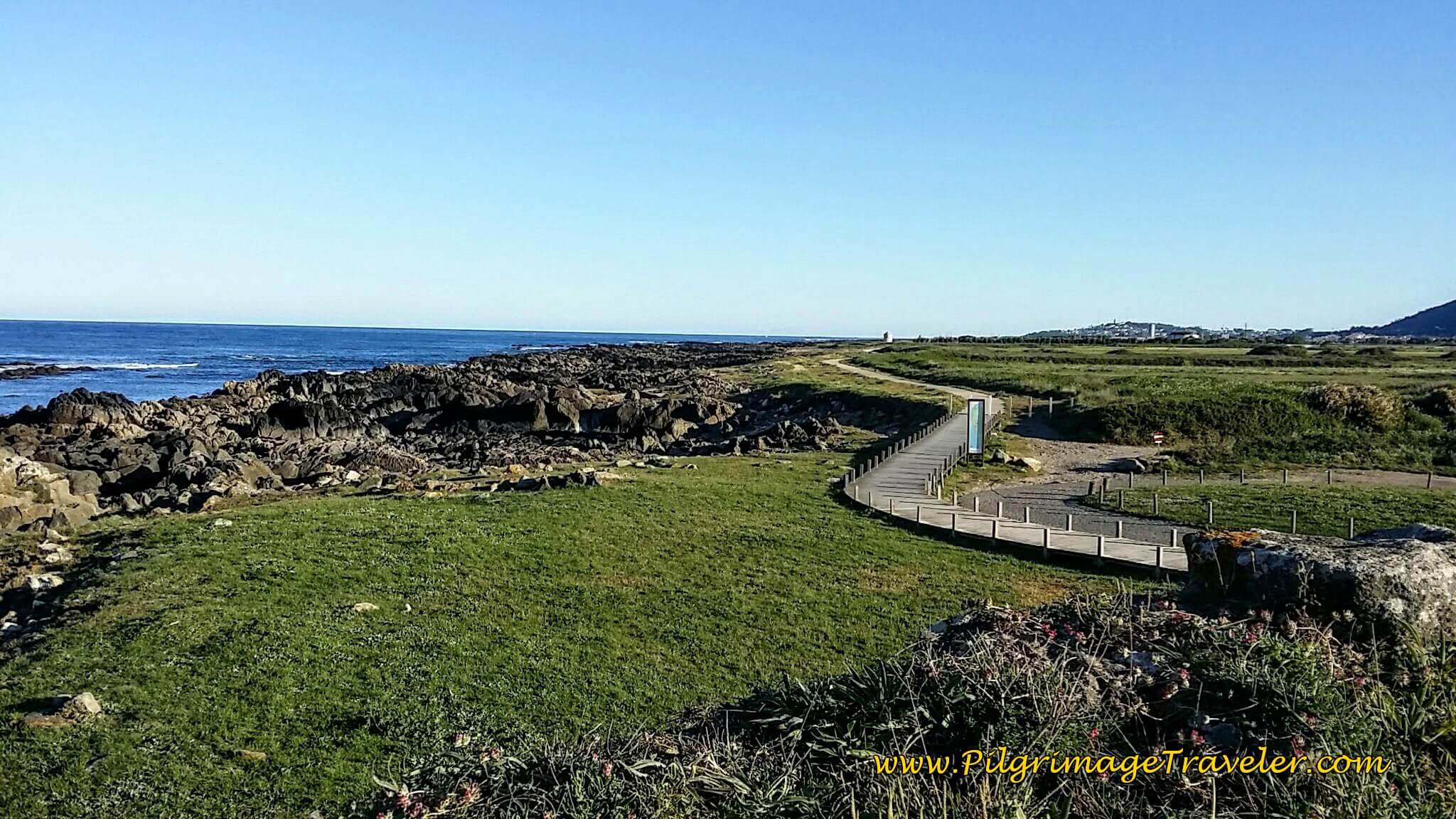
The boardwalk continues and in the distance you can see one of the nice information boards for the seaside walk to come and the first windmill still far off.
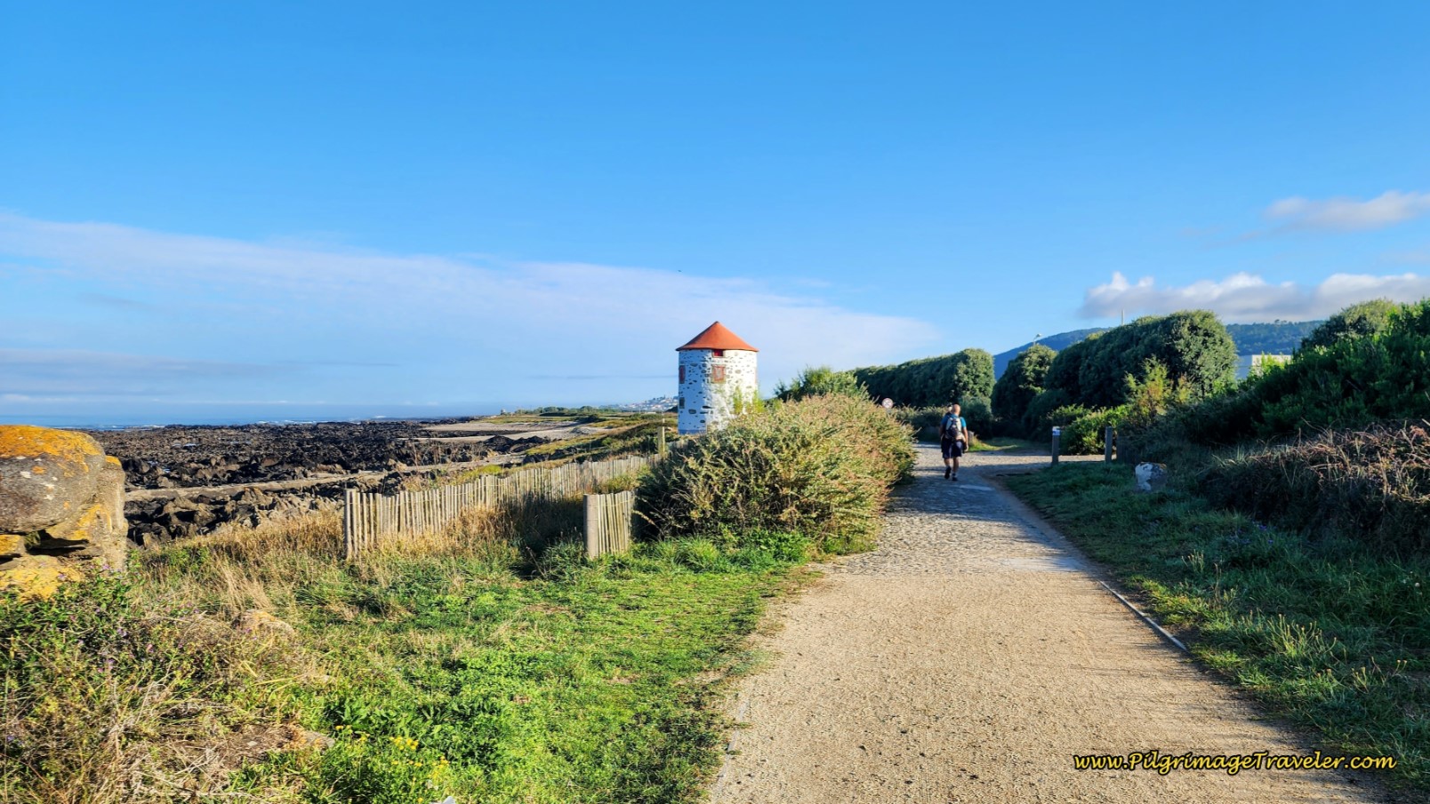
About 800 meters after the small fort, you come to the first old windmill on a path that changes from boardwalk to dirt to cobblestone.
After another kilometer you walk by a huge sports soccer complex for the town of Areosa, and the next old windmill is adjacent to the soccer field, reached at kilometer 6.1.
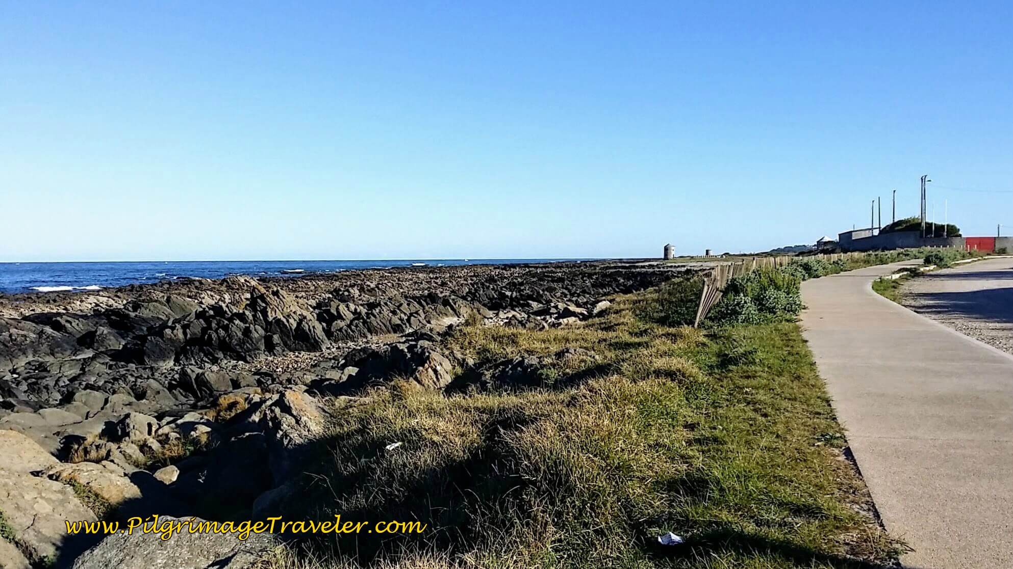 Areosa Soccer Complex Ahead, Day Eighteen, Senda Litoral, Camino Portugués
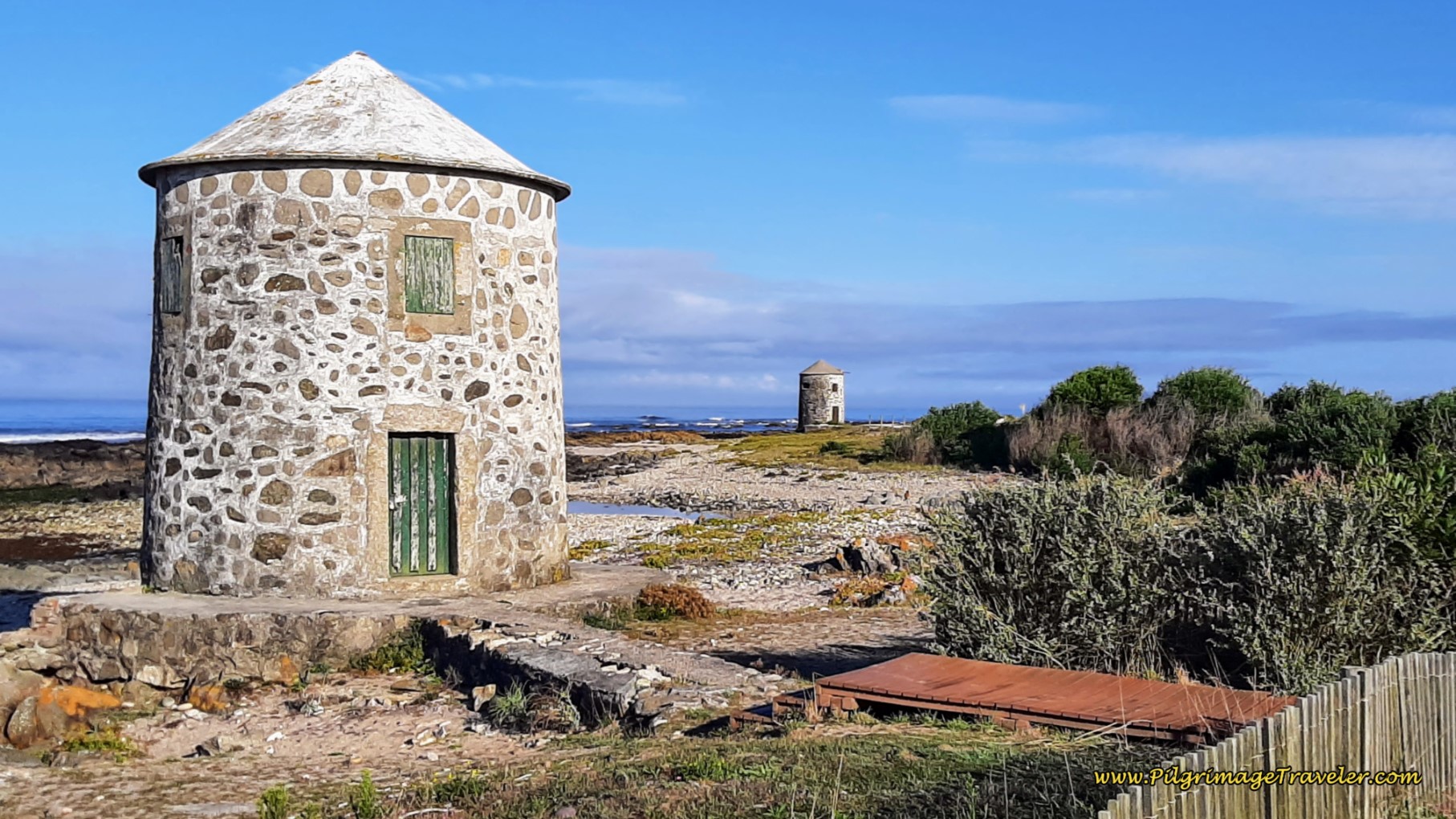
As we passed the soccer complex, there were three old windmills in a row ahead, all within about 600 meters of one another. It was a very picturesque sight. The coastline is rugged and without beaches along this section, until the Praia do Marco Branco, a few hundred meters after the 3rd windmill.
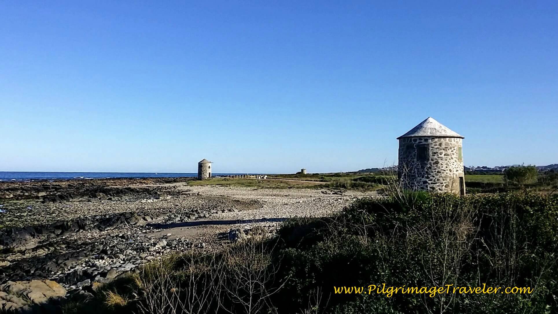 Row of Windmills
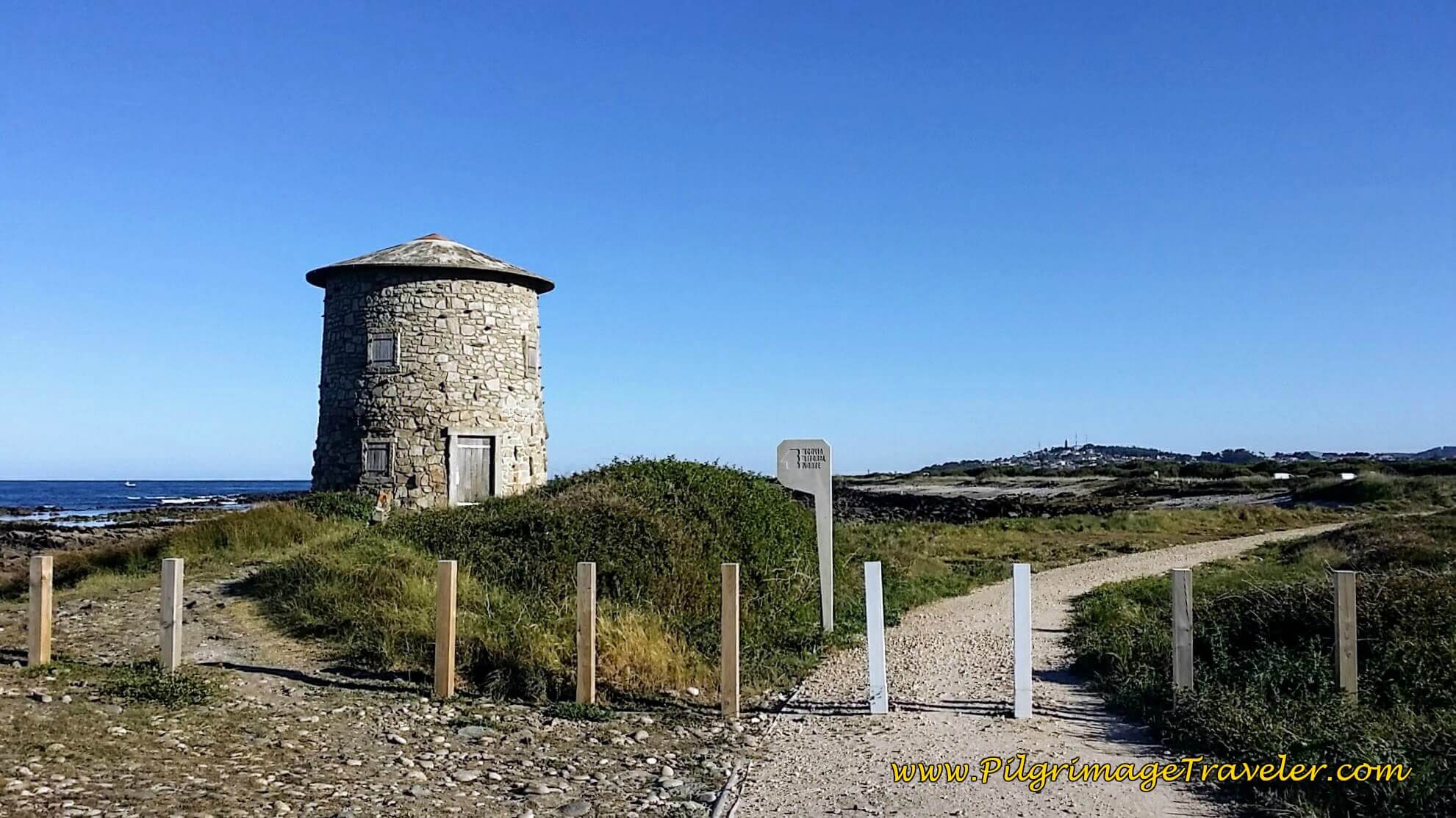
Walking toward the final windmill, the Way was a gravel road, with the Northern Coastal Route well signposted, below.
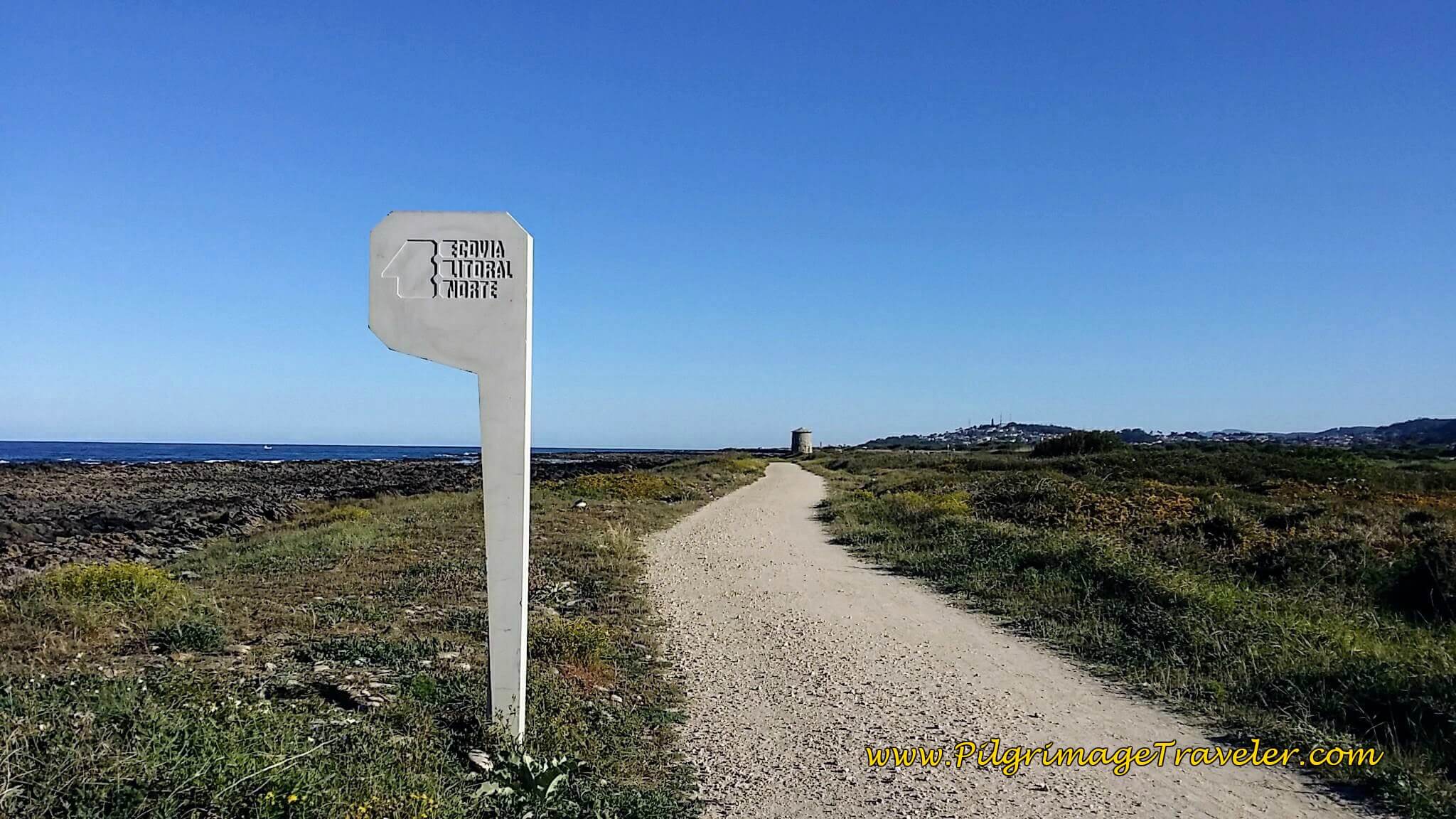 Well-Marked "Ecovia Litoral Norte"
Jump to Camino Portugués Stages
The gravel road continues to the Praia do Marco Branco. The hill of Montedor can be seen in the distance, a prominent landmark, visible for many kilometers. This is our next destination.
 Gravel Coastal Road Continues Past Windmills
Next is the Praia do Canto Marinho and its long boardwalk. It is almost 8 kilometers into day eighteen on the Senda Litoral of the Camino Portugués, until this boardwalk appears.
In only a few hundred meters later, the Senda Litoral joins a cobblestone road, at a parking lot and just beyond the distinct ruined fish houses, below, that are in the process of being restored.
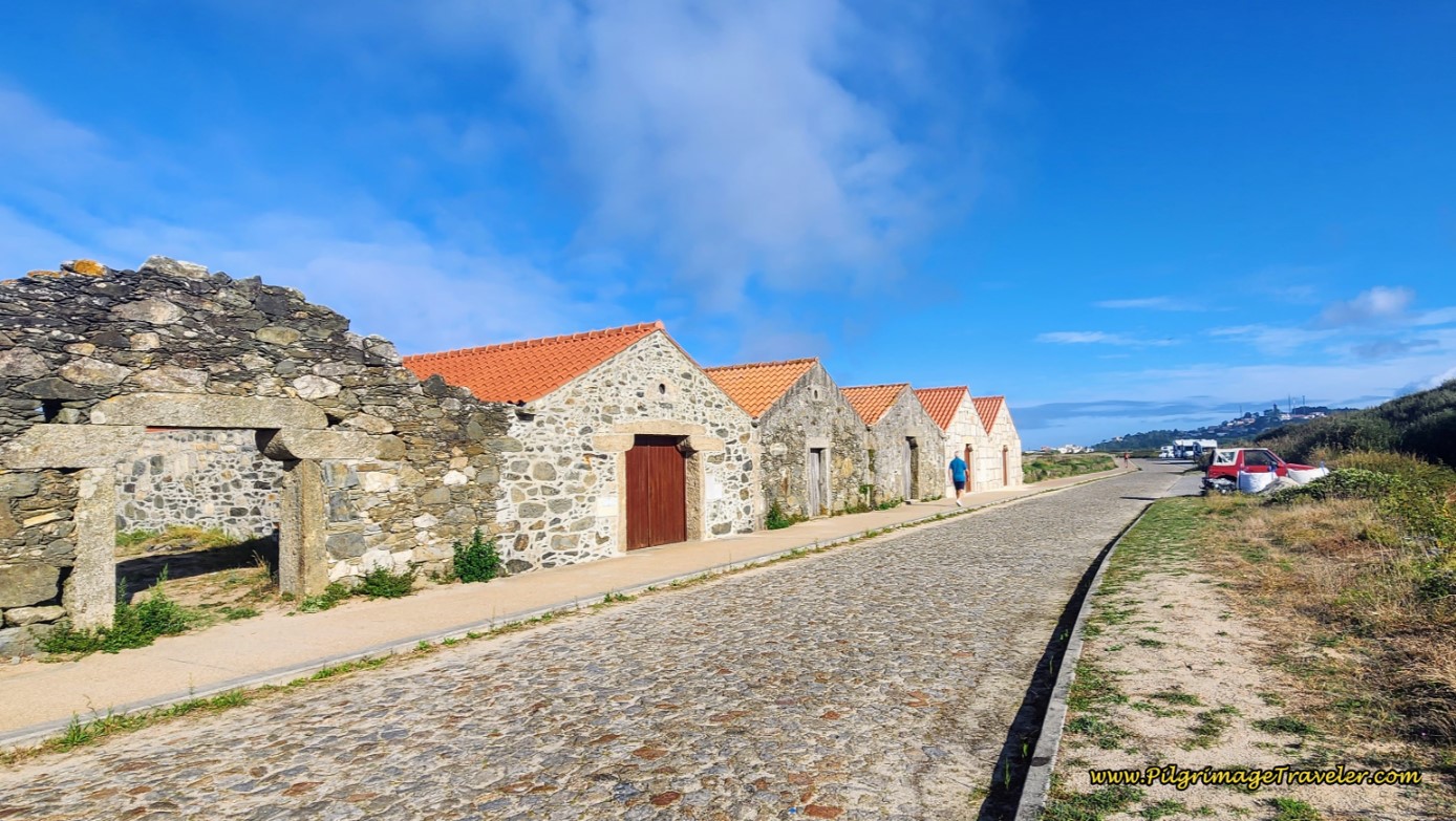 Ruined Fish Houses
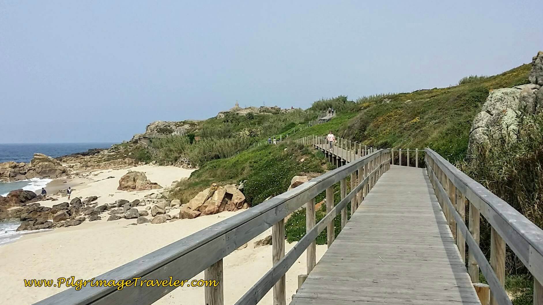
Then walk by the lovely little beaches of Praia do Lumiar and the Praia do Camarido just before the town of Carreço. You can choose to take the short boardwalk on the beach behind the town, below, or stay on the road through town, shown next. They both join up after about ½ kilometer on the north side of town by the Areia Restaurante/Bar. Turn north onto or stay on the Rua do Portinho.
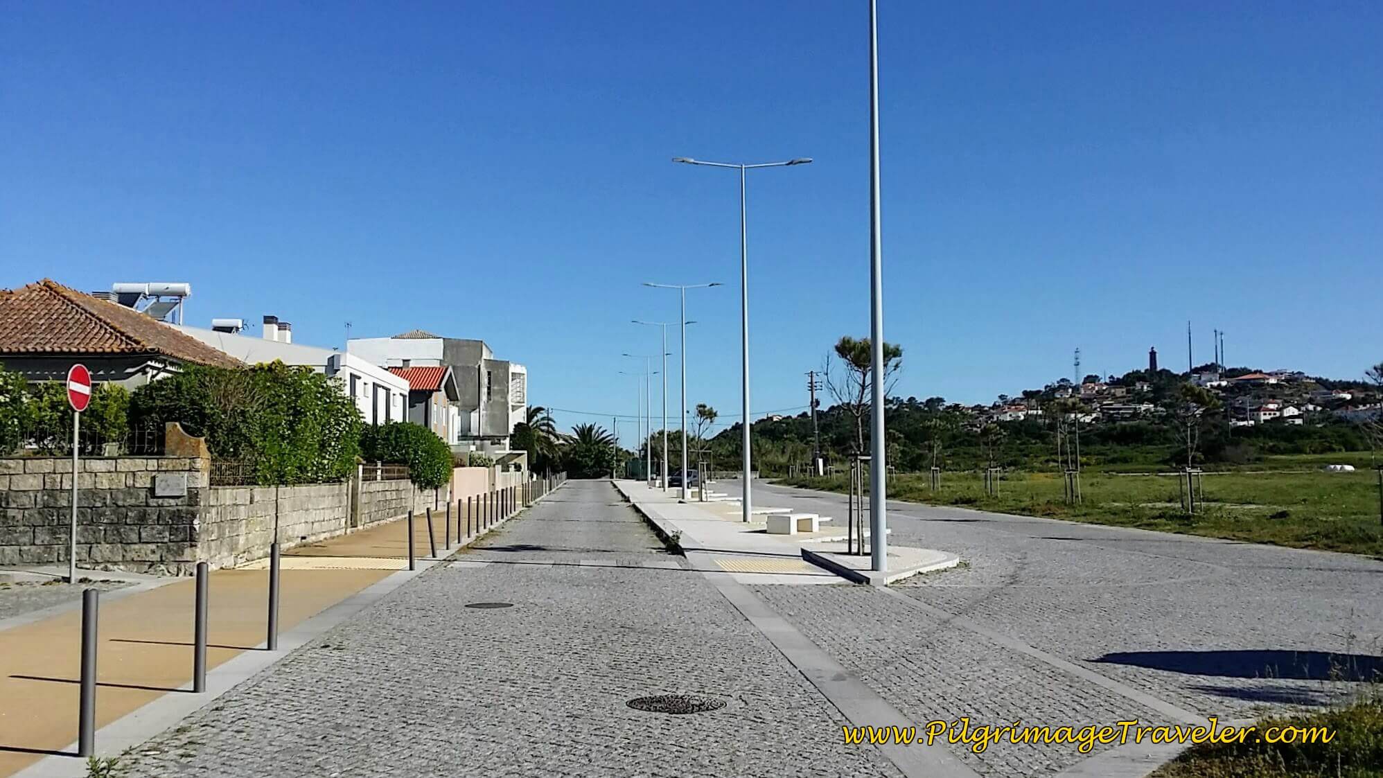 Walking through Carreço
After the bar, continue northward on the Rua do Portinho.
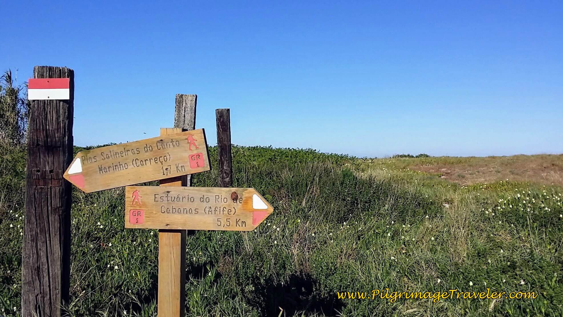
We knew we were following the correct way when we came to this signpost for the trail to Afife. According to the sign we were only 5.5 kilometers away from Afife on our day eighteen on the Senda Litoral of the Camino Portugués.
Continue on the Rua do Portinho until it ends at a parking lot, seen on the right side of the photo, below, after about 9.8 kilometers. You can see the Torre de Montedor in the distance off to the left.
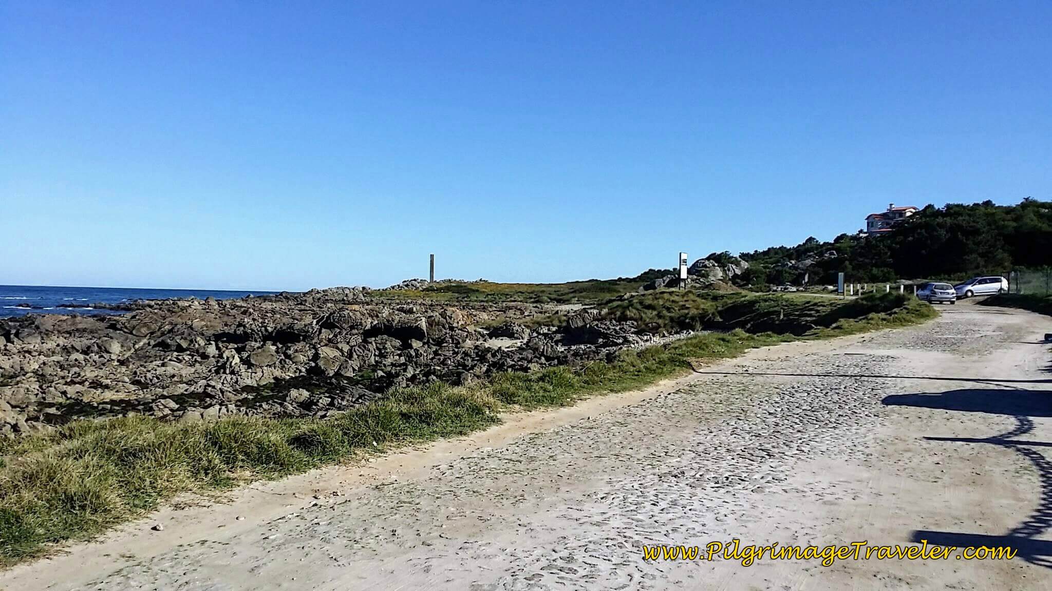 The Rua do Portinho Leads to Parking Lot
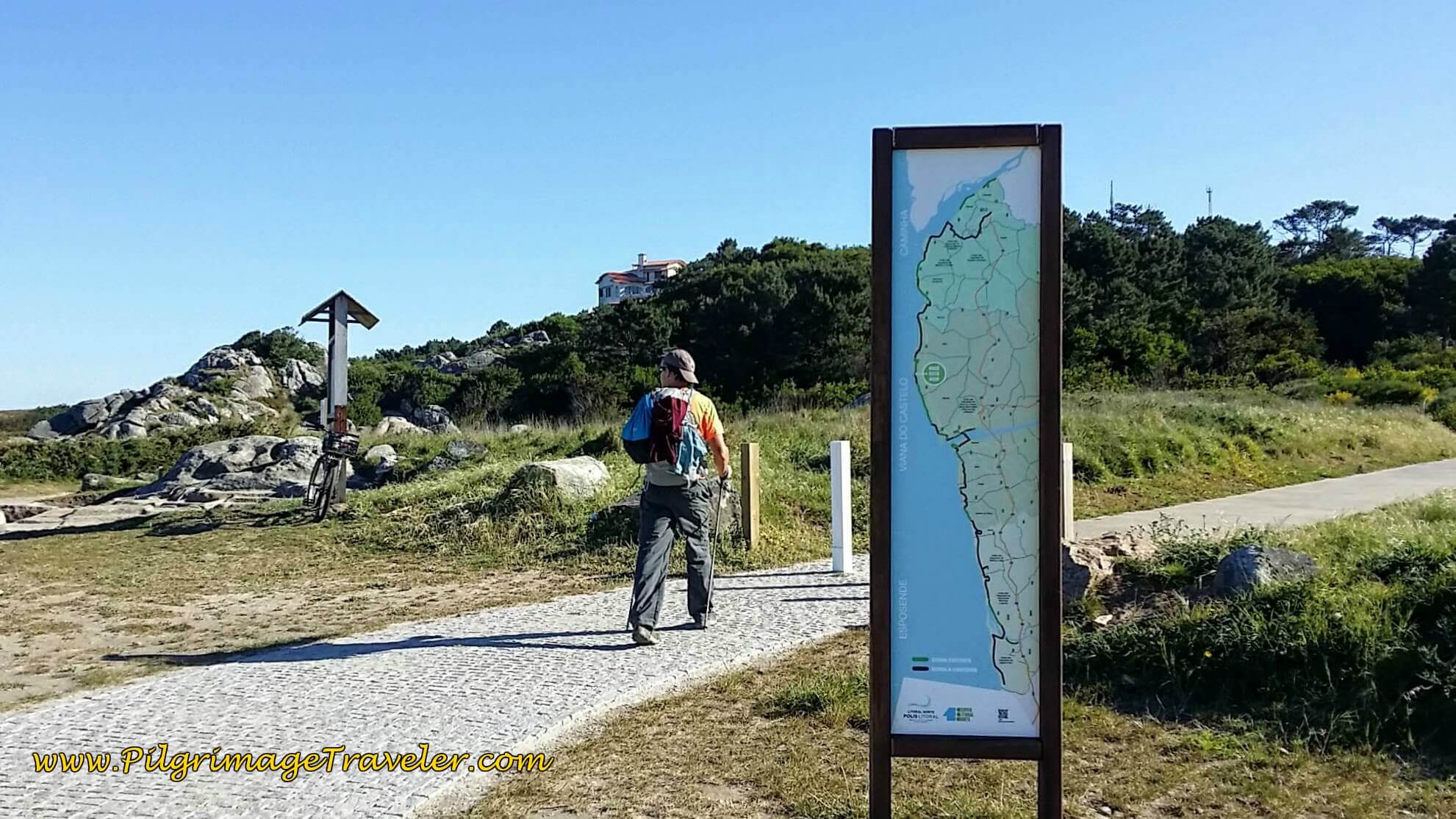
The trail to Afife takes a right at the parking lot, on this lovely path, below, on the other side of the information board. This is the official Senda Litoral Route.
You can also see Iron Age salt production slabs (Gravuras e Salineiras in Portuguese) on the far left of the photo, if you look closely! Its description is under the little roofed board.
Just beyond the parking lot you can see the promontory of Montedor before the path turns to the right and uphill.
Jump to Camino Portugués Stages
The Senda Litoral Alternative to the Torre Montedor
You can create your own Senda Litoral here and not take the paved path up the hill towards the lighthouse in Montedor, but stay straight along the coastline. This route is in red, the first alternative shown on the map above.
You can actually see the Tower of Montedor, from kilometers away before you even arrive at the decision point by the salt slabs. The alternative route is a bit rough and overgrown at first, but is clearly doable, more direct and shorter by ½ kilometer and avoids the climb up the Montedor hill.
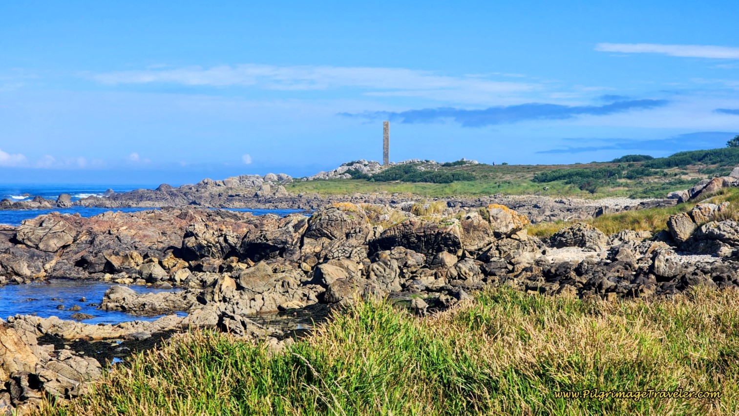 Torre de Montedor from a Distance
First walk by the salt slabs, on a rocky path that leads you next to a site with rock engravings from the late Bronze Age or Iron Age. You can explore the rocks here if you wish.
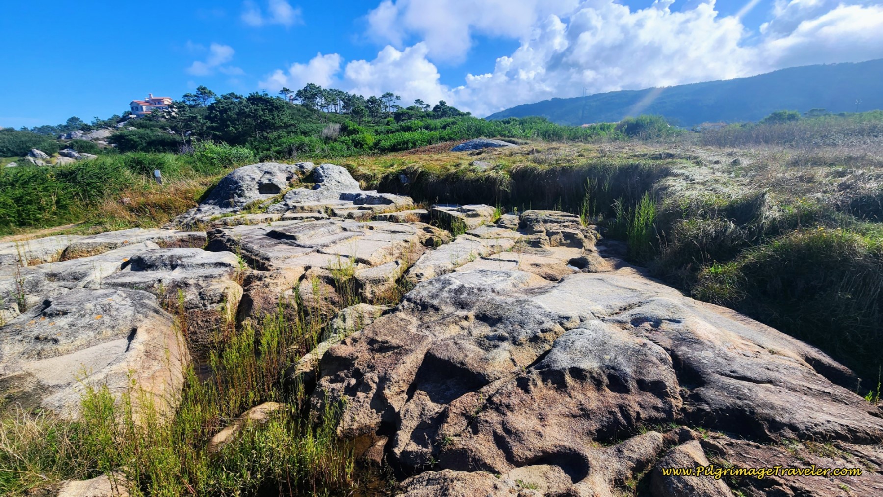 Salt Production Slabs
After the rock art site, the path begins to climb on a rough, brambled path.
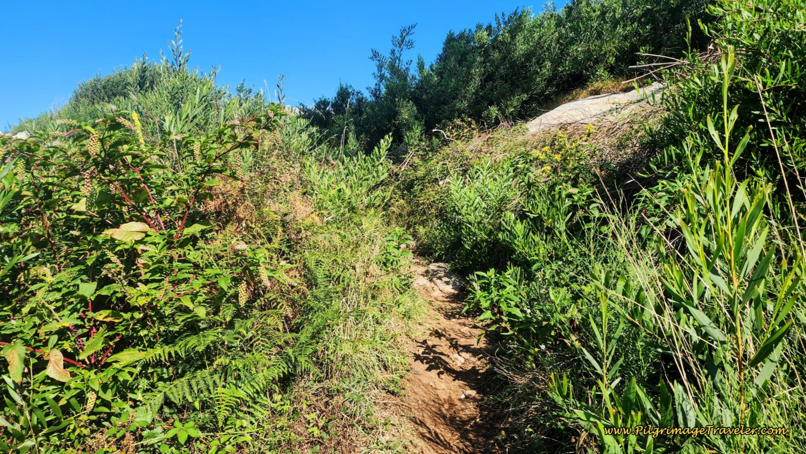 Brambled Path
The trail then climbs steeply over some rocks, which you must scramble up, pictured next. Keep your eyes open for more salt production squares through here if you are interested. They are everywhere!
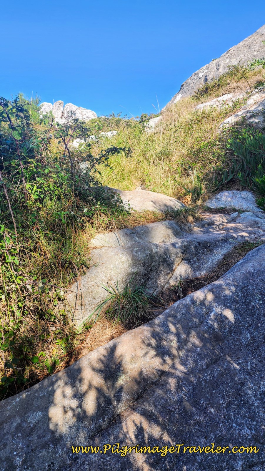 Scramble Up Rocks
The tall grass ahead almost completely obscured the path when I walked through here, but it was still easy to find. When you see the tower distinctly ahead, the path is now less overgrown.
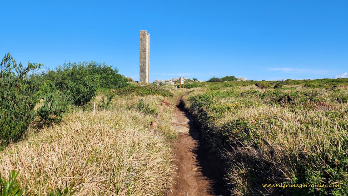 Torre de Montedor Ahead
The Torre de Montedor was built in 1960, in between the Montedor Lighthouse on the hill to your right and the Atlantic Ocean. It had a siren to warn boats on foggy days, that they were close to shore. It was used until 2001 when it was deactivated.
The views of the sea are gorgeous here, and the path is now well-established as it descends from the hill, towards the Praia de Paço on the other side.
 Well-Established Coastal Path
The Senda Litoral alternative then continues to descend, coming to the Praia de Paço, crossing it at the edge on a casual path, and joining the boardwalk of the official route on the other side. It is easy to spot the boardwalk as you cross the beach, just before the small fort, the Forto do Paçô, pictured farther down.
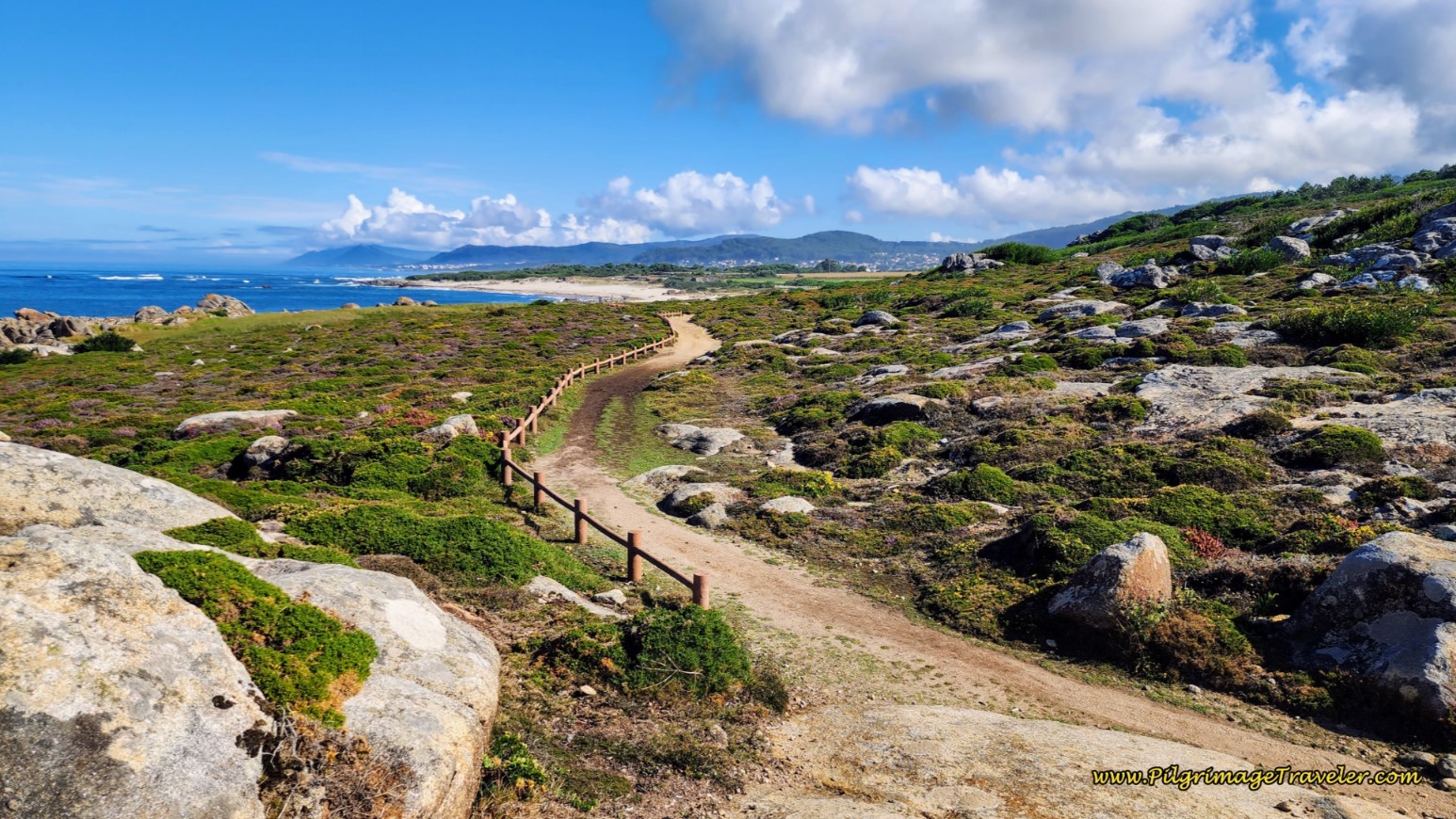 Descent to Praia do Paçô
Jump to Camino Portugués Stages
The Official Senda Litoral Up the Montedor Hill
From the salt production slabs, above, the path climbs up, on a grade as steep as 10% for a short distance, towards the top of Montedor hill. It may be easier, but perhaps not as beautiful as taking the tower route. We climbed the hill on the lovely cobblestone path, towards the Montedor Lighthouse, below.
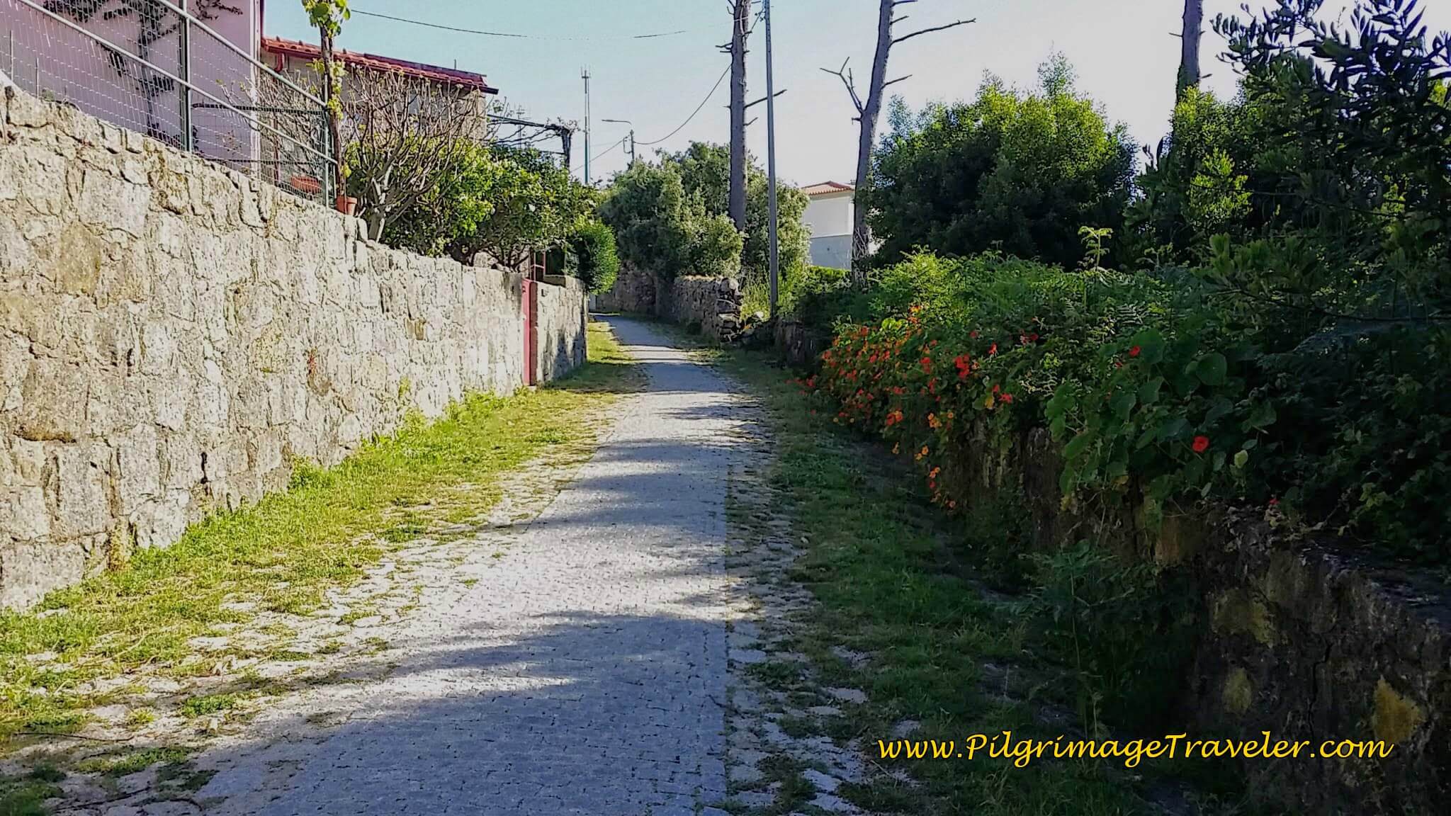 The Path to Montedor
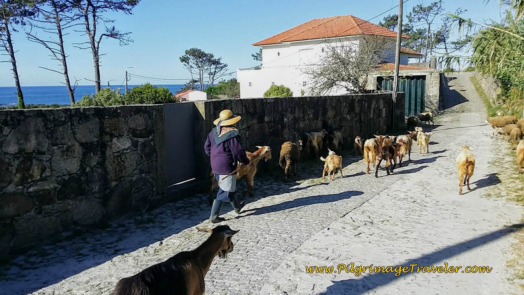
After about 350 meters, come to an intersection, turn right, then a quick left onto the Avenida de Montedor. Along this avenue, we ran into a goatherd, directing her flock along the road!
Shortly along the Avenida de Montedor, there is a nice concrete walkway, and a sign which says "Trilha do Forto do Paçô," or Trail to the Paçô Fort, which is your next destination. From the top of the hill, the view is lovely, and worth the 30 meter climb up it! You can see the small fort in the distance.
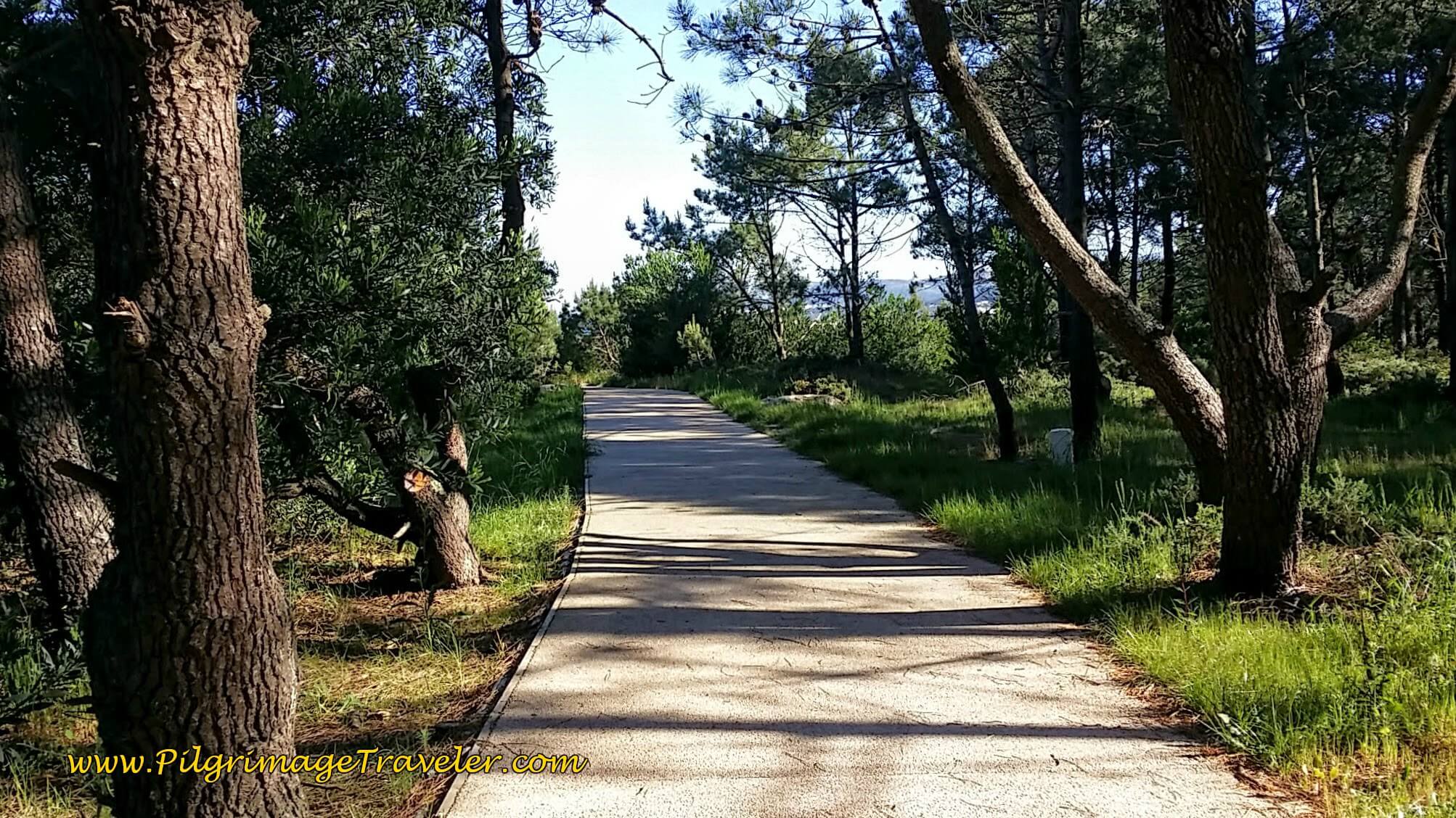
This developed path leaves the road, but continues straight onward, taking you from the tower hill, and through a forest, next.
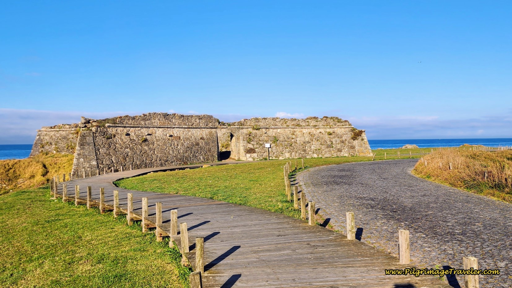
After the forest, the path comes to a T-intersection, where you turn to the left. It now winds around at the bottom, leaves the path on a dirt lane to the right before becoming a lovely boardwalk that leads you to the highly ruined Forto do Paçô. You are at about 12 kilometers when you arrive at this fort.
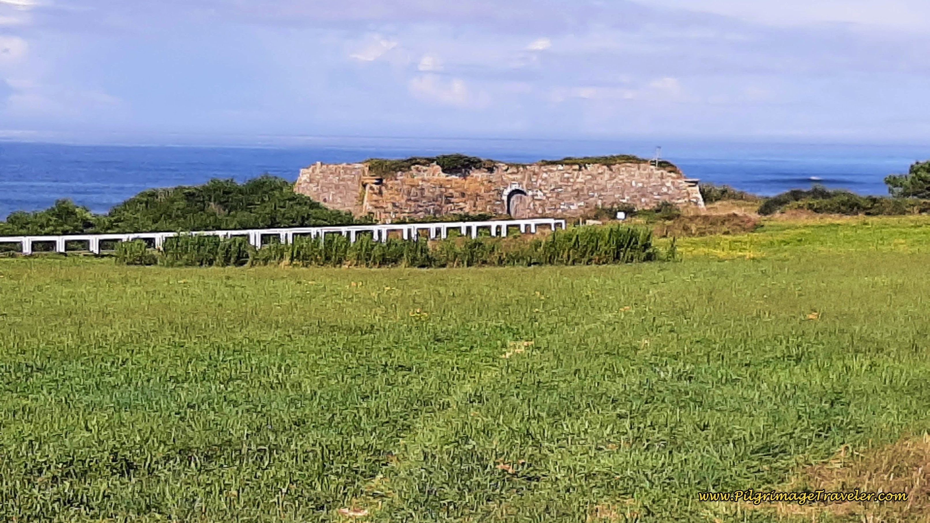 Forto do Paçô
We thought it was time for a mid-morning food break, and who did we see on the other side of the fort, lounging around, but Steve, our British friend! We joined him to sit on a sea wall by the Praia do Paçô, and have some food from our packs. It was a nice respite.
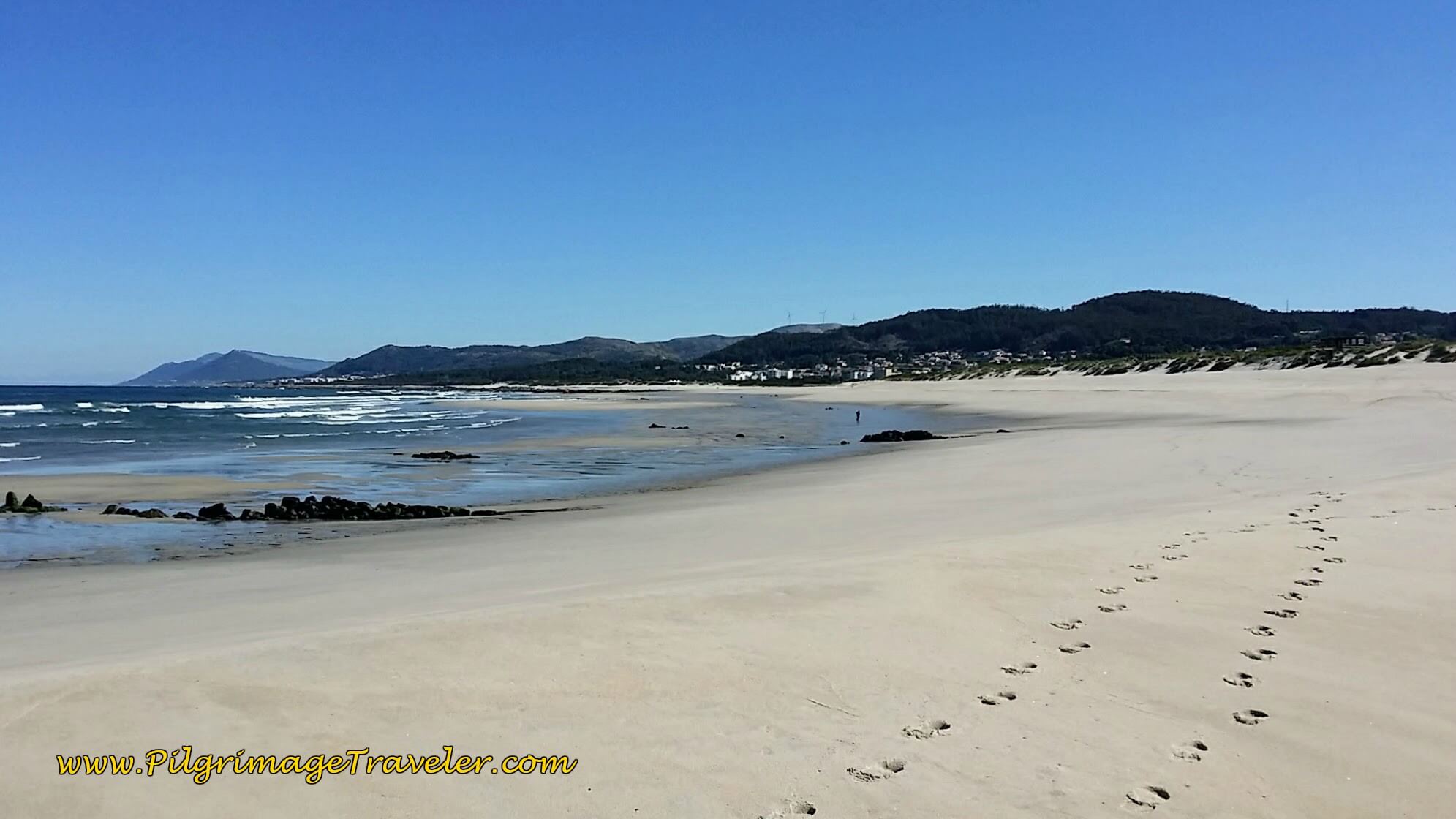
Back on the path towards the sea, after the fort, Steve joined us on our journey. As we followed the path, in only about 225 meters, you have a decision to make at a Y-intersection. You can turn left, onto a path, marked as a horse trail, that drops you onto the long and lovely Arda Beach. If ever there was a dream of yours to hike on the beach, this is your chance!
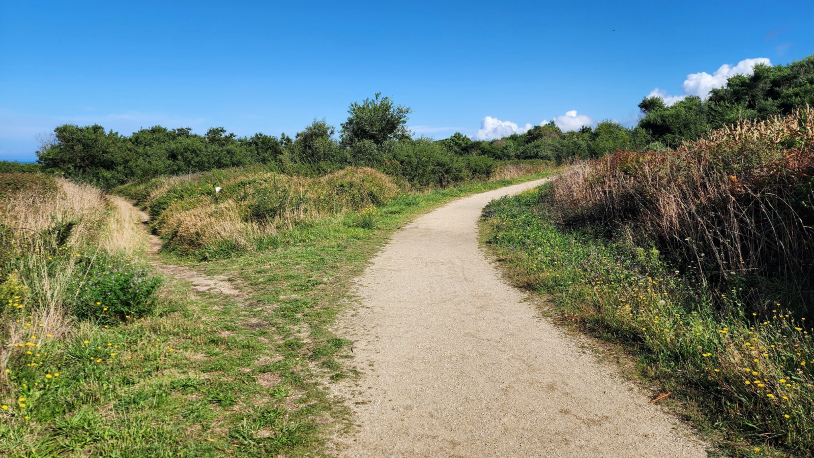 Path to the Arda Beach at Y-Intersection
OR, you can turn right to stay on a dirt road that avoids walking in the sand. This would be the best choice, if the weather indicates a more sheltered approach. I marked this second alternative, in red on the maps, for you to follow. They both join up at the Praia da Ínsua, at the stairs described below, after about three kilometers.
For us, walking on the beach was a no-brainer, even though it was harder! But it may take some effort, depending on the condition of the sand! It has been either hard-packed or soft and fluffy the times we walked this way.
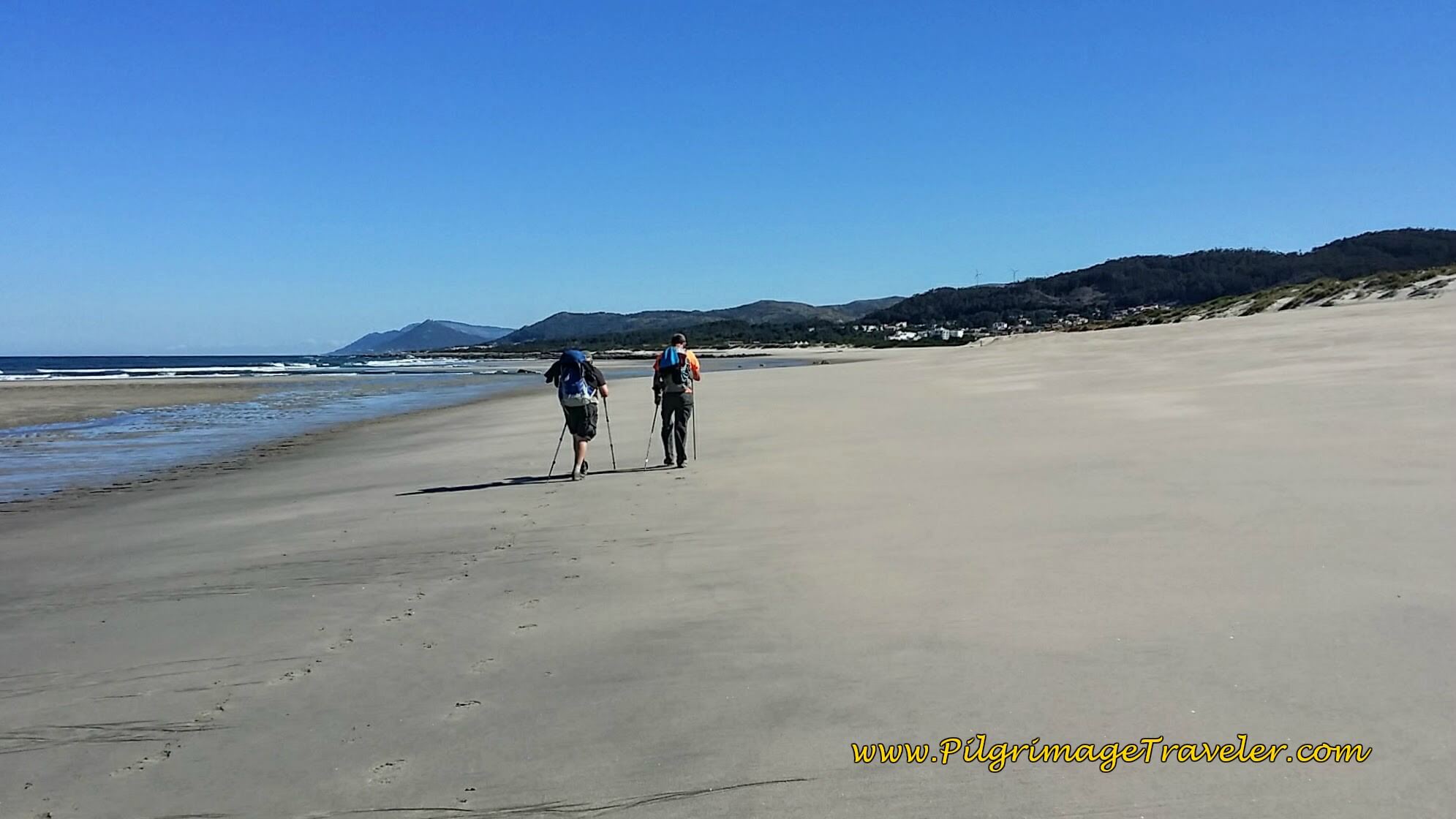 Steve and Rich on the Long, Flat, Lovely Sand!
After about a full two kilometers on the Arda Beach, look out for several sets of stairs to buildings and to the boardwalk. This is your escape route, after about 14.5 kilometers. This is now Afife Beach and you will see buildings appear, signaling an established beach with facilities and a parking lot.
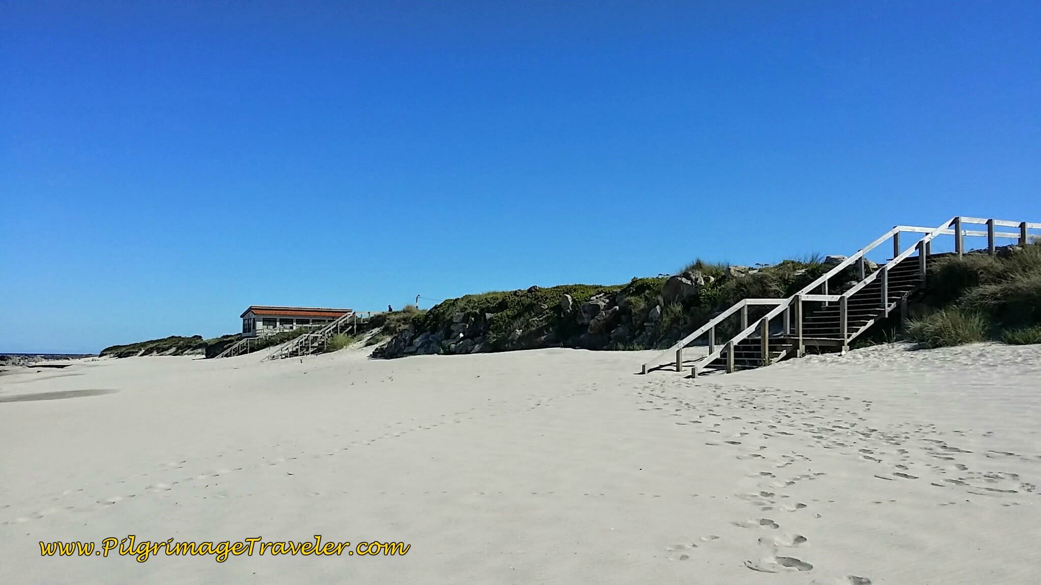 Look for Stairs to the Boardwalk
You could actually continue longer on the beach if you so desired, but I wouldn't advise it, because not much farther on the beach all but disappears. Unless you like to pick your way along the rocky coast, it is better to walk on the boardwalk now available to you.
The boardwalk comes to a T, where you take a right turn, then ends at a road just ahead. Turn left onto the paved road, which is the CM1162. This is where the official route joins our alternative. We followed this road for about 1/2 kilometer until the pavement ended. We turned right onto a dirt road, then immediately left onto a trail.
We found this trail easily, and after an initial walk through a field, it took us through the woods on a single track for about 600 meters.
 Follow Single Track Path
And then the trail directly dumps you out onto yet another beach, the Praia da Gelfa, after approximately 16.3 kilometers.
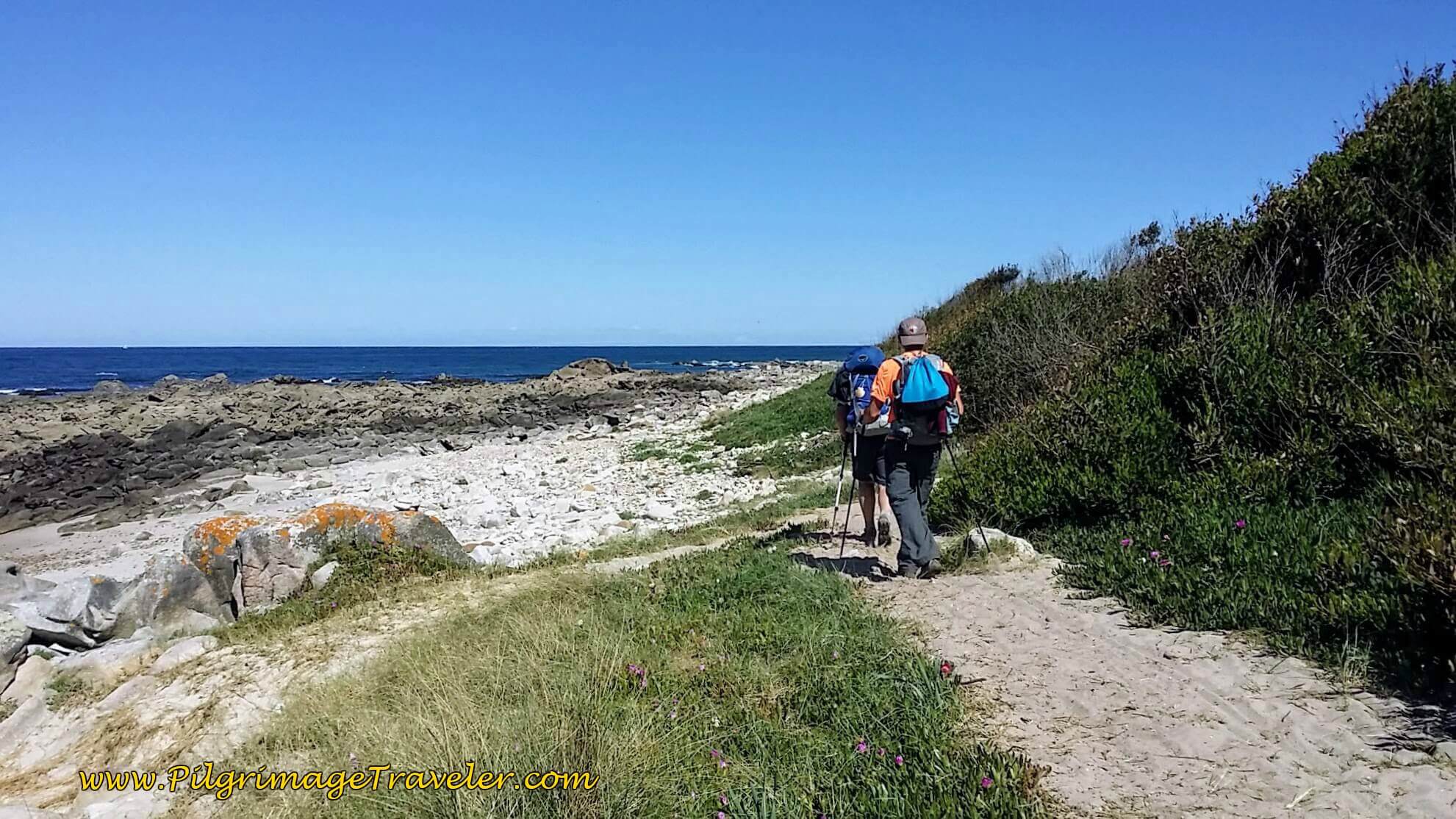 Single Track Leads to Praia da Gelfa, Day Eighteen, Senda Litoral, Camino Portugués
The trail along the beach led us to another seacoast fort, the Forte do Cão in about another 1/2 kilometer.
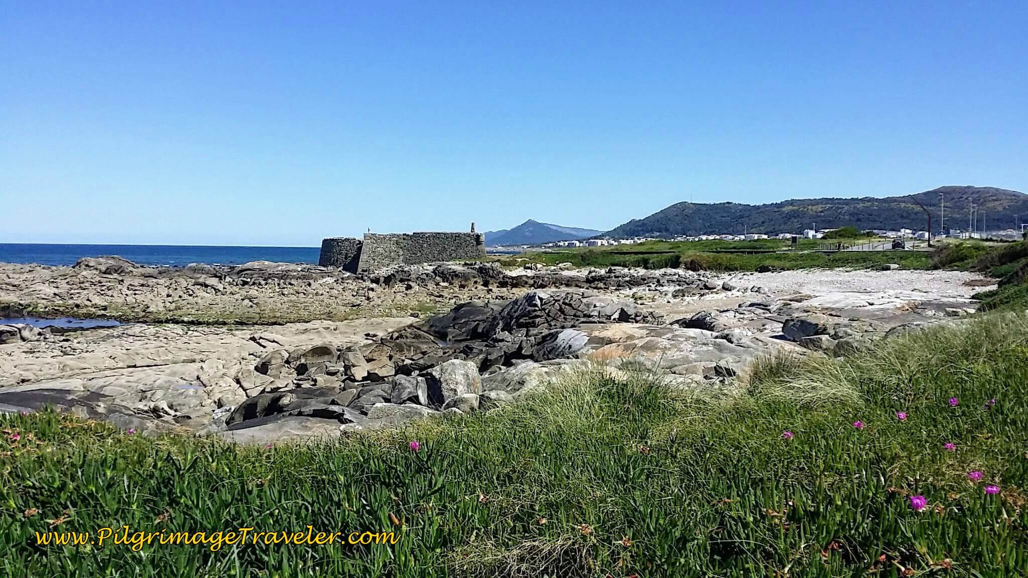 Forte do Cão
And then we walked on the Avenida Forte do Cão in front of it. We followed this Avenida north...
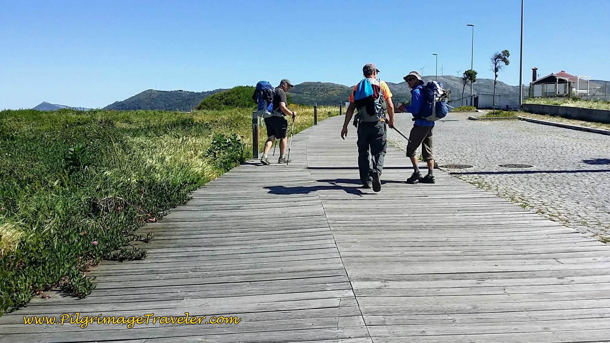 Along the Avenida Forte do Cão
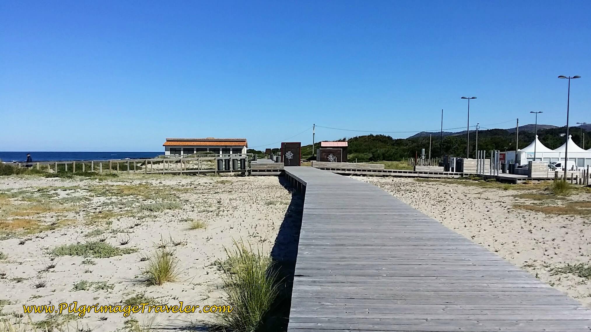
...until it ended at a parking lot and a café. Soon we saw yet another boardwalk system to follow, below, towards the city of Vila Praia de Âncora, which you can clearly see ahead.
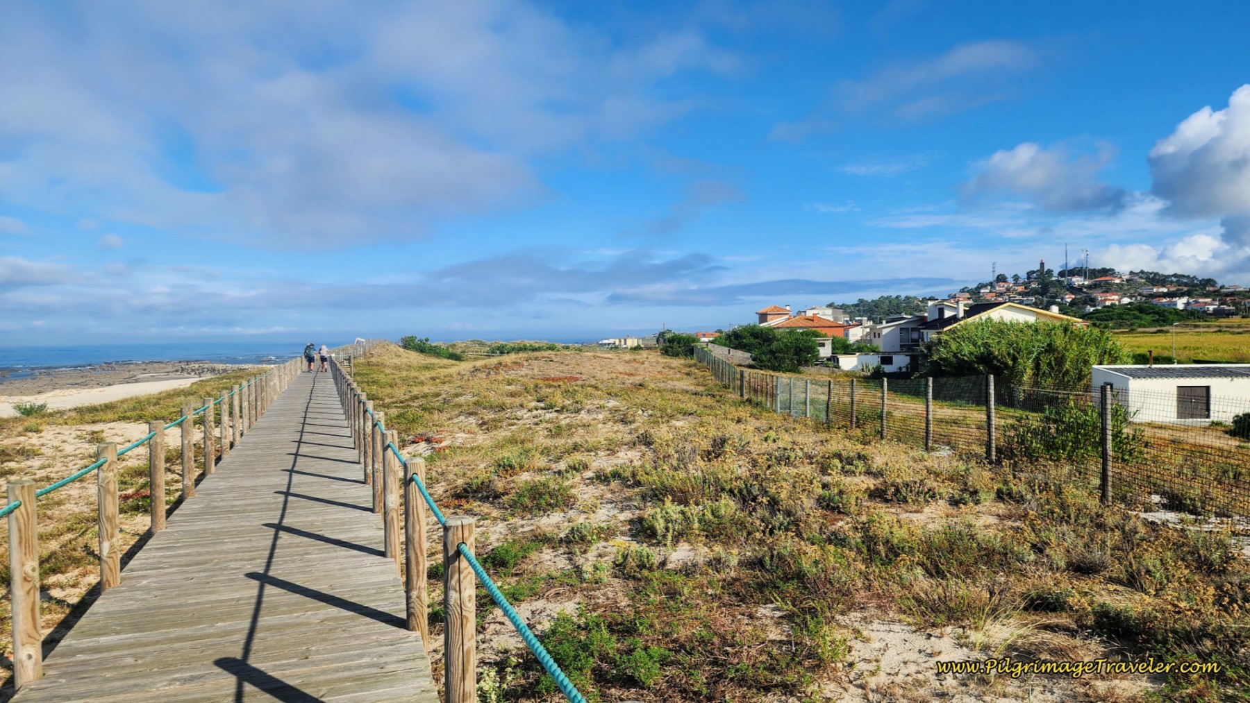
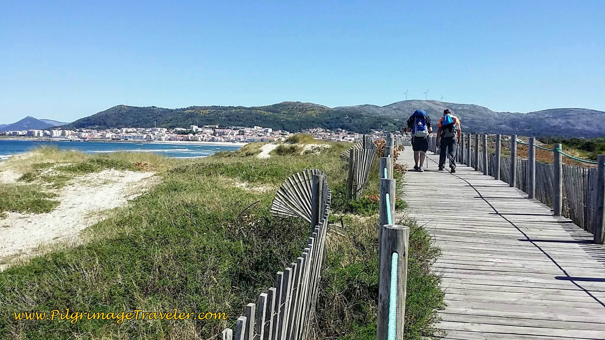
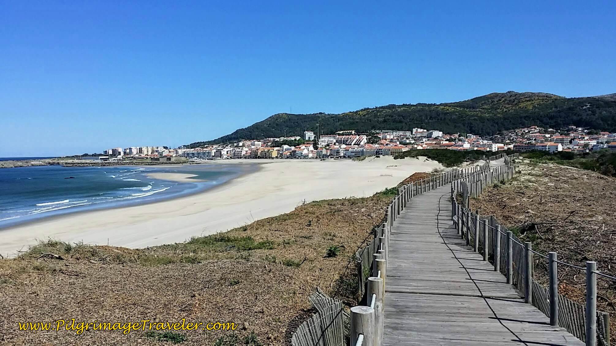
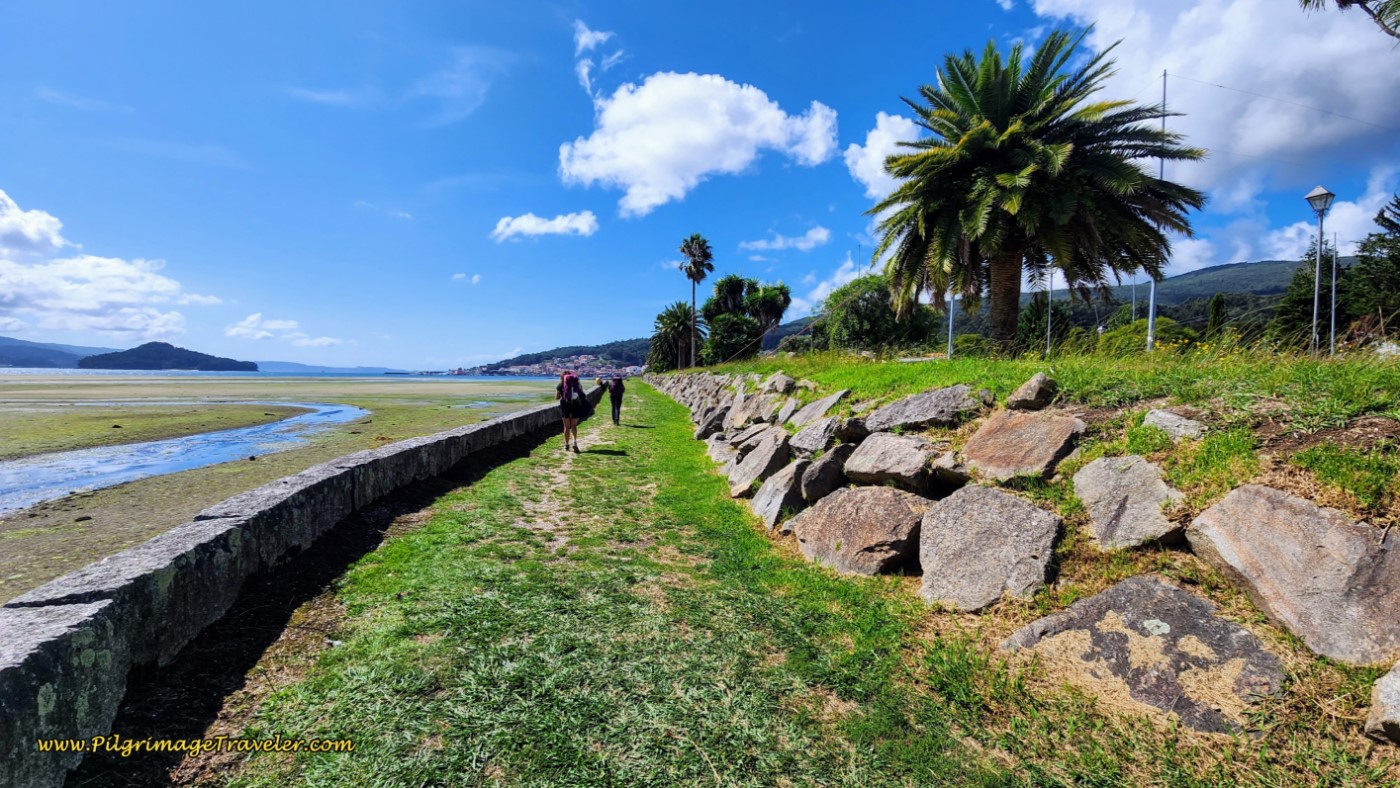
This boardwalk was lengthy, about 1.2 kilometers with views of Vila Praia de Âncora ever present ahead and the Praia da Duna do Caldeirão (Caldron Beach Dunes) ever visible on your left. It was a gorgeous place to be walking.
After approximately 18.1 kilometers, the boardwalk takes a 90 degree turn to the right and descends on stairs, away from the beach and toward the street ahead.
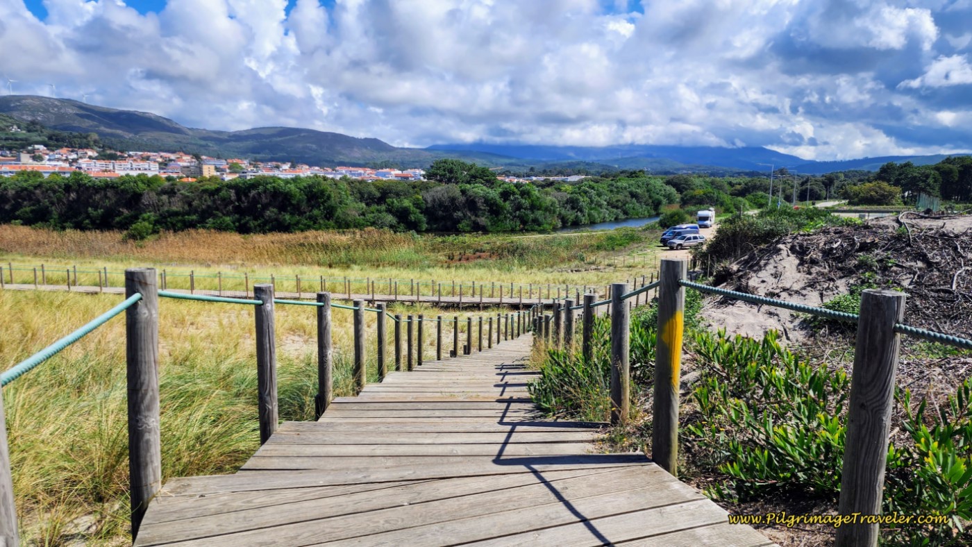 Boardwalk Descends on Stairs
As you start the descent, there is another boardwalk to the left, that takes you back towards the beach, which you can see in the photo above. The official route clearly shows a yellow arrow, taking you straight toward the road. However, if you take this left, you will find a shortcut across the dunes to another boardwalk that leads you across the Âncora River and directly into town. This route will save you not quite one kilometer, so it is worth it in my opinion.
For the shortcut take the boardwalk to the left, and go back up the dune. When the boardwalk takes another hard turn to the left to descend the dune to the beach, look to your right and see the long dune with many footprints leading along the top, on a sort of dune-top path. This is where you cross. It is only about 200 meters on the sand, staying to the left of the protective grass.
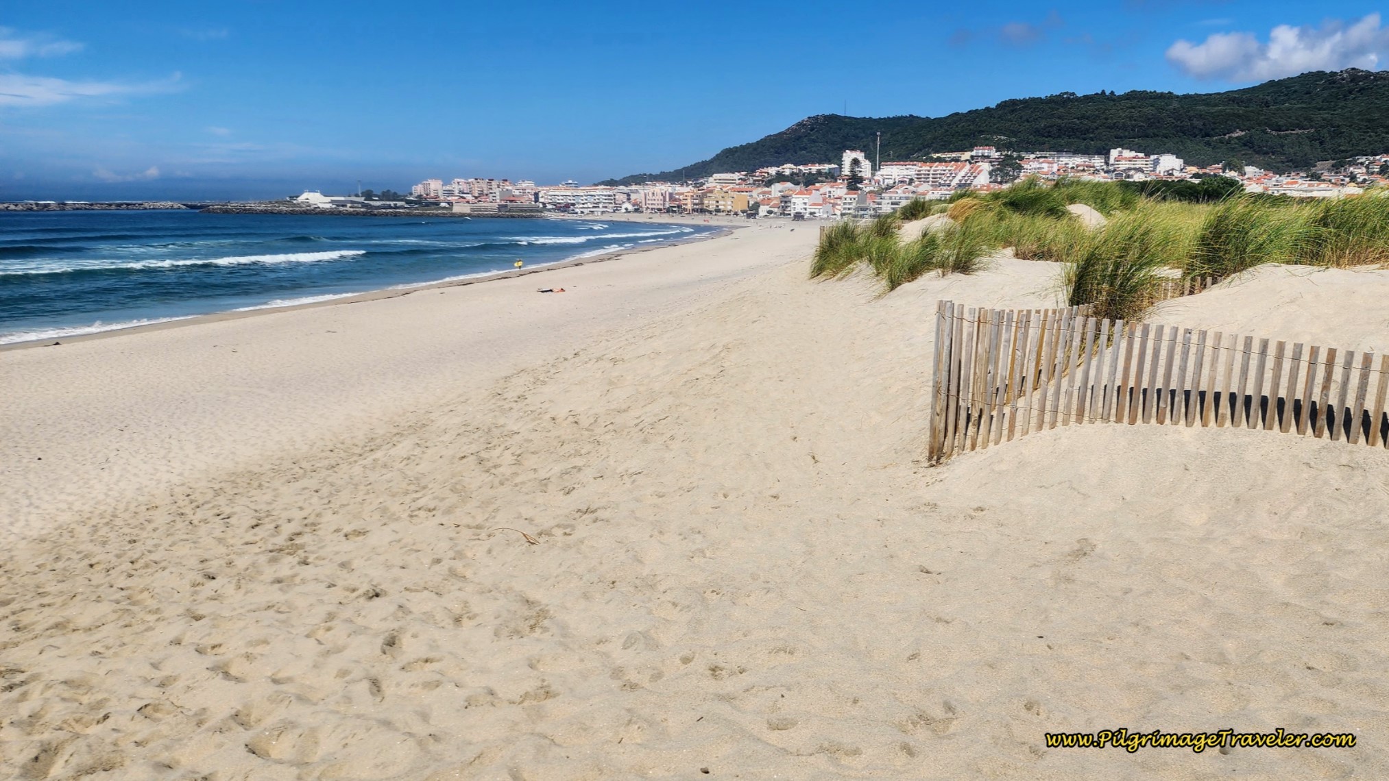 Dune Crossing - Stay Left of Protective Grass
After the 200 meters you will see a boardwalk ahead, below. Take it. This boardwalk will lead you to a bridge that crosses the Âncora River into town, pictured next.
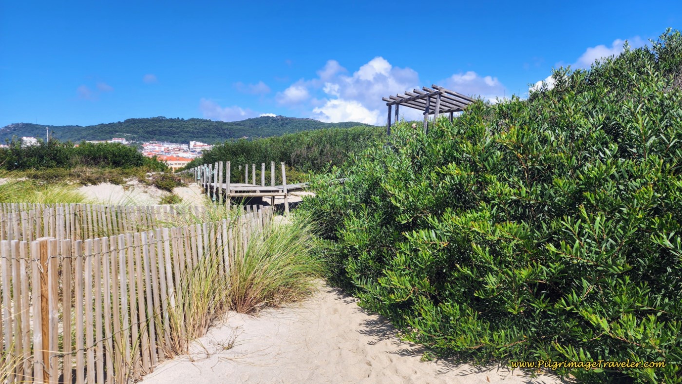 Across the Dune is the Next Boardwalk System
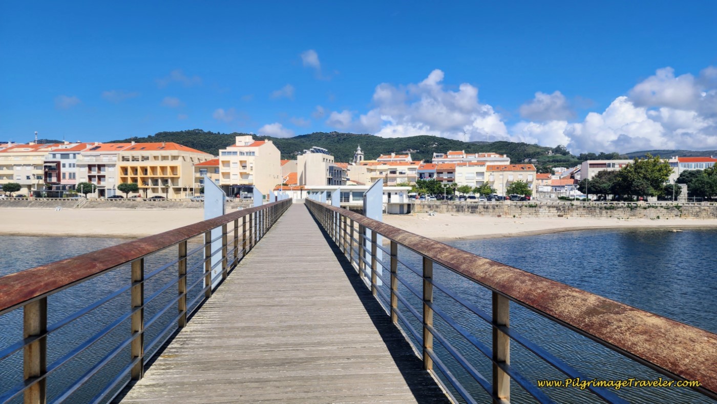 Boardwalk Bridge into Âncora
On the other side, the boardwalk ends at the information center, and meets the official route here.
Jump to Camino Portugués Stages
Back on the official route, from the descending boardwalk stairs, farther above, join the road straight ahead, pictured below. In a few meters you will see your next boardwalk to take.
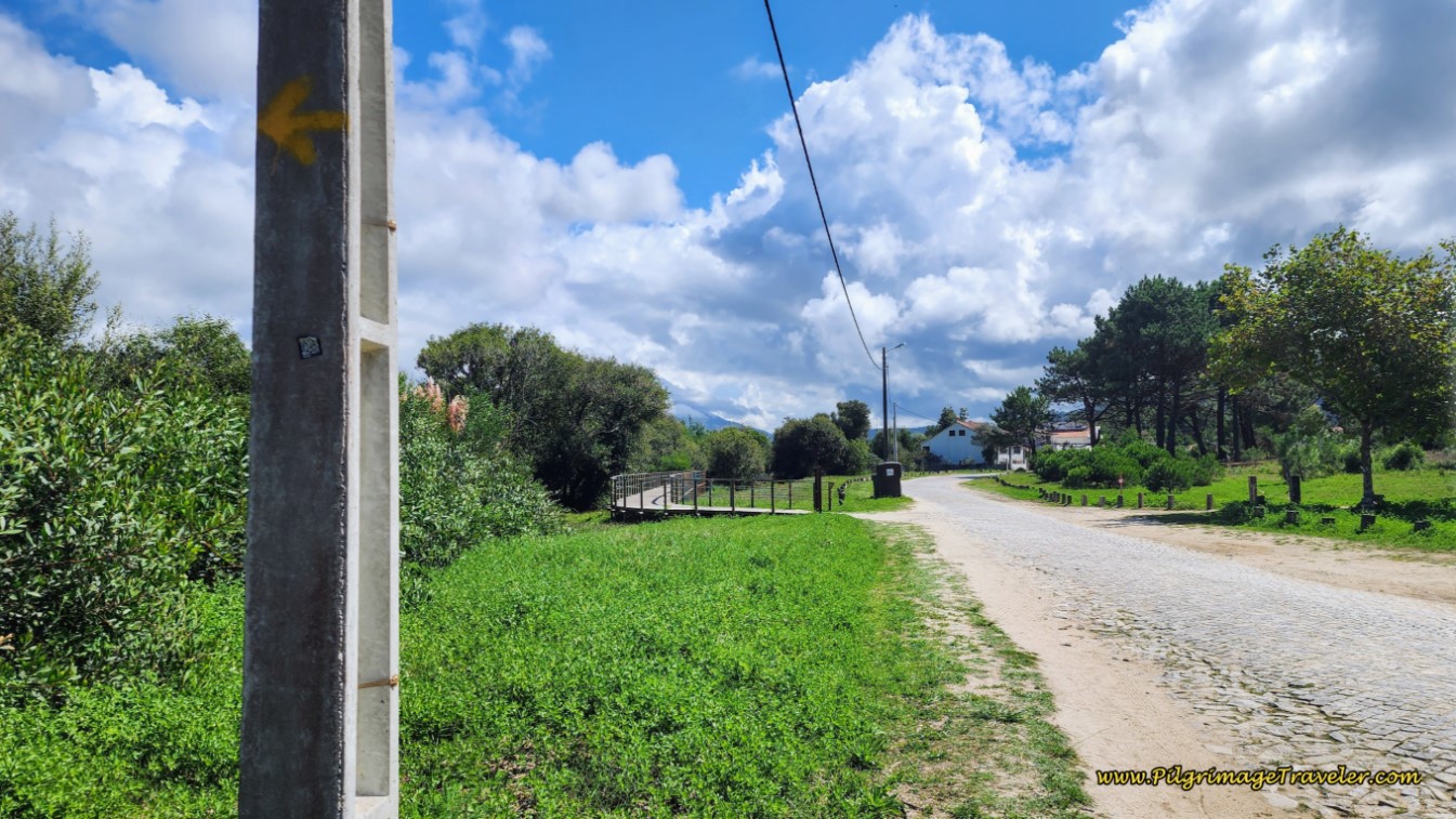 New Boardwalk System Ahead
After about 250 meters the boardwalk ends, but a cobblestone path continues to the left and crosses the Rio Âncora on a concrete footbridge, directly by a green railroad bridge to your right.
Another boardwalk system takes you onward through a boggy area and later a forested area for not quite ½ kilometer. The Portuguese sure love their boardwalks and so do I!
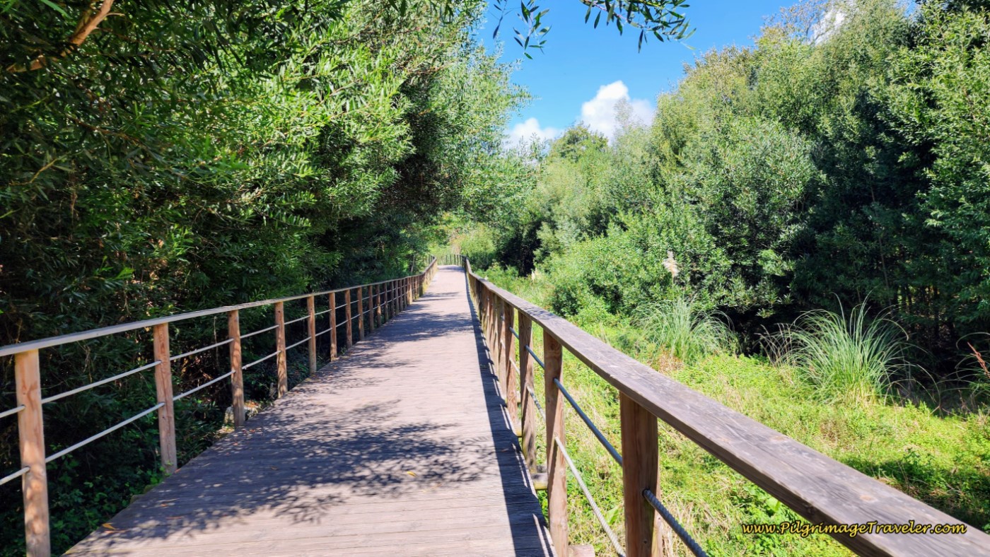 Boardwalk Through Riparian Area
Eventually you join a street on a lovely riverfront promenade.
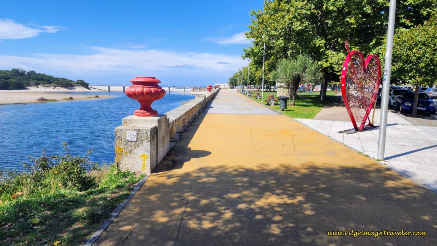 Join the Riverfront Promenade
Pass the information center and the boardwalk bridge where the shortcut meets the official route and the river meets the sea. Continue onward through town on the promenade. You can see yet another fortress, the Forte da Lagarteira in the distance, this one quite large!
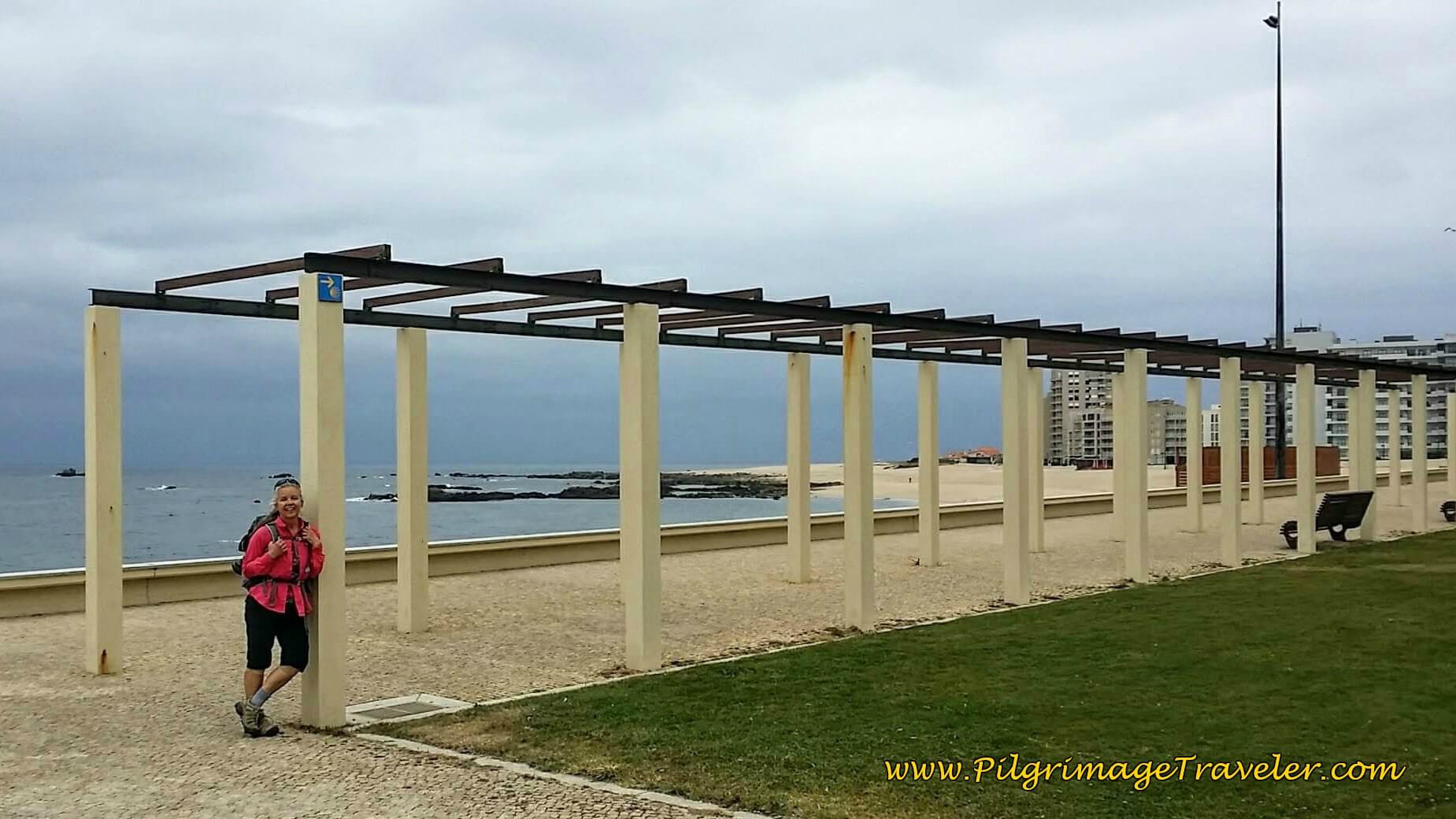
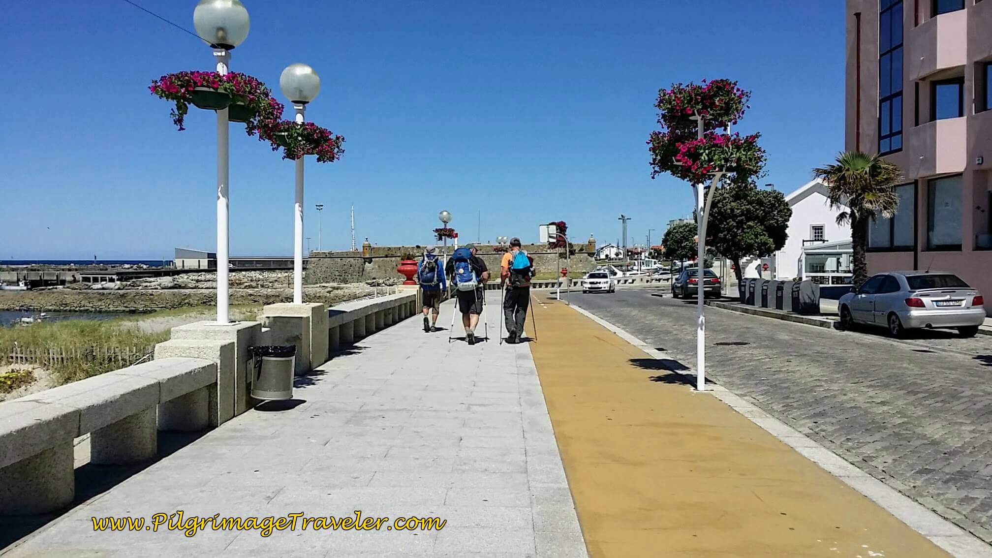 Michele, Steve and Rich on Seacoast Promenade of Vila Praia de Âncora
There are many cafés in town, as well as many accommodations, if your day’s journey ends here.
We have stayed at the Hostel D’Avenida right along the seacoast yet very economical! It has dormitory beds and regular rooms and is in the center of town. There is the Albergue Quinta da Quinhas, also with dormitory rooms, and the very economical Pousada Farol do Portinho (+351 258 911 542) and the Abrigo do Portinho. All but the Quinta are mere steps off-Camino.
Strolling along the promenade, it is along this section that the Senda Litoral joins the traditional Portuguese Coastal Route.
The promenade winds around the Forte da Lagarteira and joins the Avenida Campo do Castelo.
By the time you reach this fort, it is about 20.2 kilometers into your day eighteen on the Senda Litoral of the Camino Portugués. You are more than two-thirds of the way! Only about 9k to go! (Or just stay in Vila Praia de Âncora, after 20 kilometers ~ a very respectable distance!)
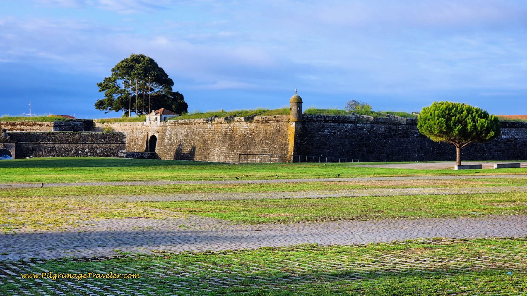
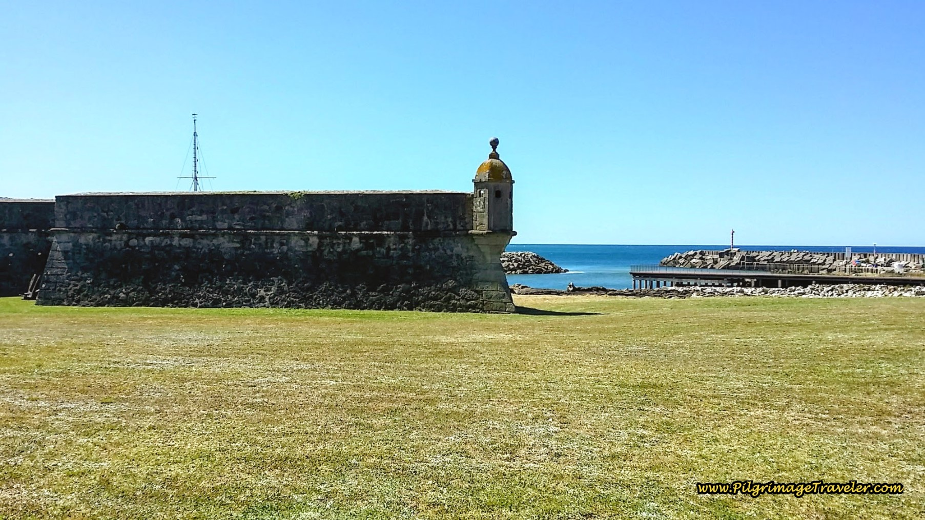 Forte da Lagarteira, Vila Praia de Âncora
As you walk onward, after the fortress, you will pass many seaside amusements. Then, it is a nice easy 1.25 kilometers along this coastal bike path. Along the way, pass a lovely pilgrim statue with “Bom Caminho” cheering you onward!
When the bike path ends at a Y-intersection, and the Avenida bends to the right, the Camino stays left and along the coast. About 1/2 km later, you will come to a large seafood distributor, and after another 180 meters, pass this lovely little chapel, the 19th century Capela Santo Isidoro, with a statue of Santiago inside, pictured below.
The Senda Litoral turns left here, towards the sea, by the capela, to join a path that follows the coast more closely, and eventually meets up with the Coastal Route in the town of Moledo, 1.7 kilometers or so away. There are some conflicting yellow arrows here, but it really doesn’t matter which way you choose, as the two ways essentially parallel one another.
If you go to the left, the route along the sea is prettier than following the railroad tracks and walking through town. If you go straight it is a wee bit shorter and I am calling this way the Coastal Route, since this used to be the old route. The inland route is more sheltered and shaded if that is important for your day.
You could also cross over after about only 1/3 km along the Senda Litoral if you wish to pass the Cruceiro de Santo Isidoro, pictured farther below in the Coastal Route description. I marked this crossover in red on my map. But you can easily see this cruceiro (cross) if you hug the shoreline on the new and improved path of the Senda Litoral.
Jump to Camino Portugués Stages
The Senda Litoral Route Past the Capela Santo Isidro, to Caminha
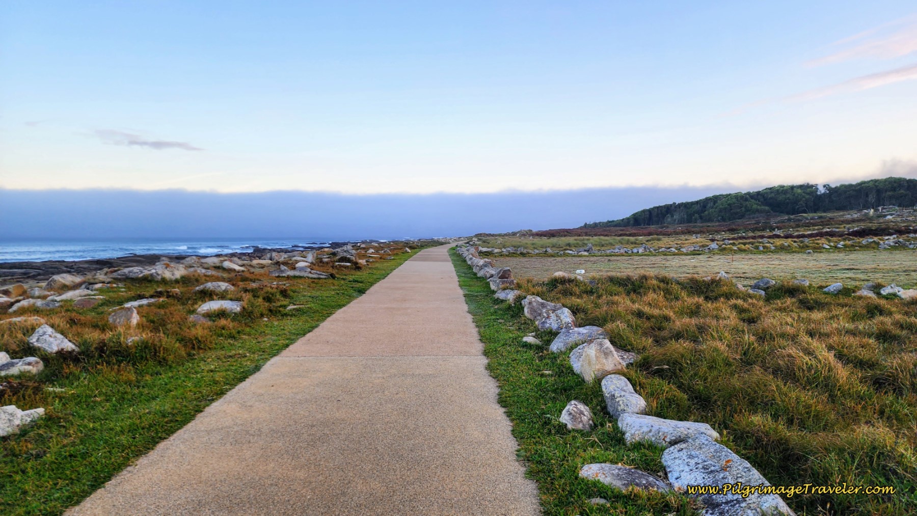 Senda Litoral After the Capela Santo Isidro
The new path continues along the shoreline for about 1.3 kilometers, and even after joining the Rua Estrada Real at the southside of Moledo, with a windmill on your right. After skirting the town on the west side, with the wonderful Praia de Moledo in view ahead, the Coastal Route joins the Senda Litoral at the large green house, shown below.
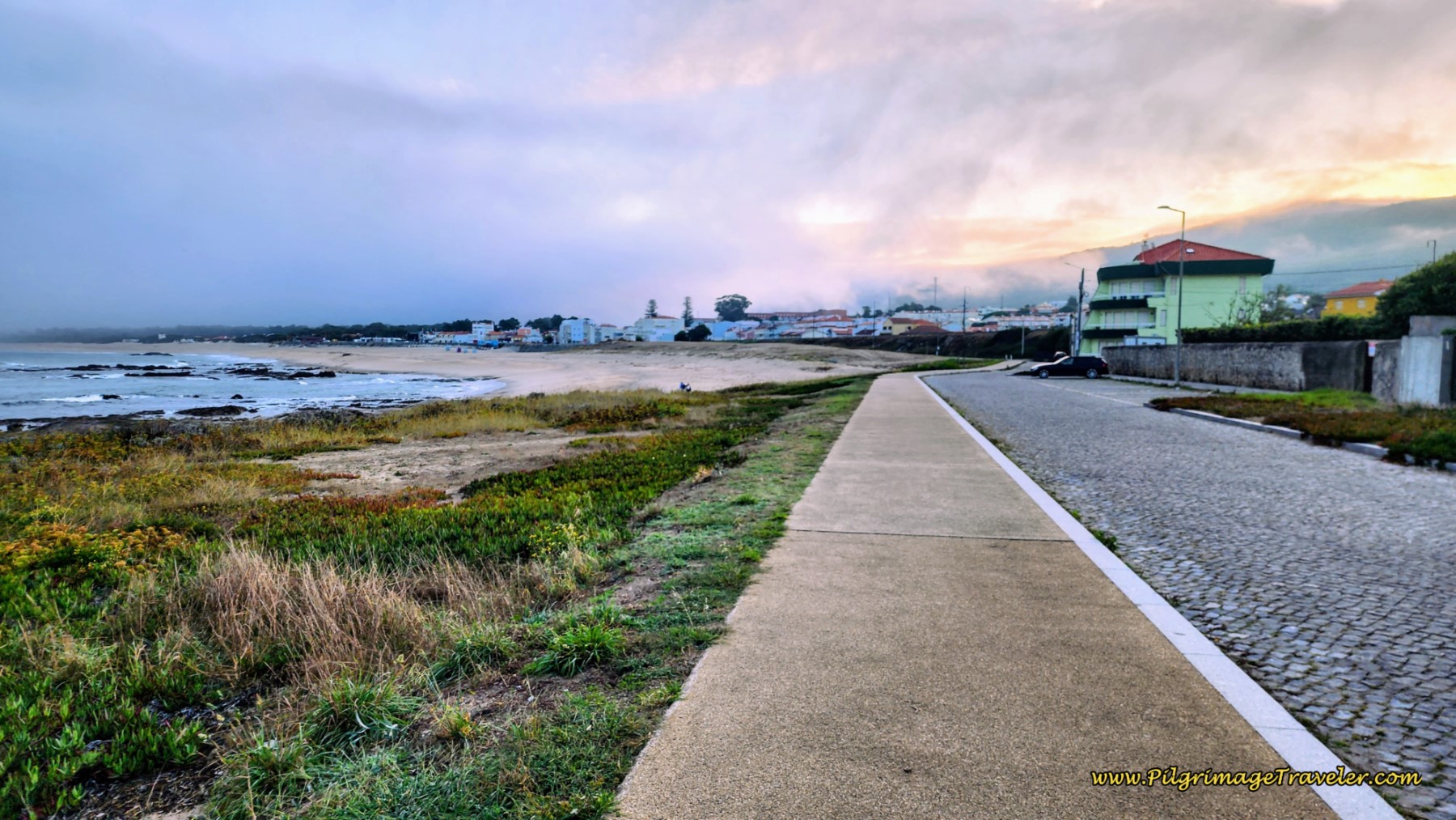 Routes Come Together at the Praia de Moledo
A few meters later, you come to this tunnel, below, where your next decision faces you at 24 kilometers into day eighteen on the Senda Litoral of the Camino Portugués.
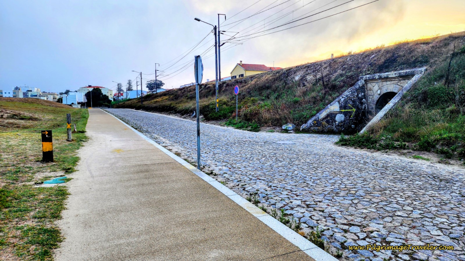 Decision Point at Tunnel in Moledo
The Coastal Route turns to the right, goes through the tunnel to head inland. You can clearly see the waymark leading you to the right in the photo. However, there is a yellow arrow, shortly after the tunnel! It is my opinion that the Senda Litoral is much nicer here than the Coastal Route, which is shorter by one kilometer, but an uninteresting walk through the towns on paved roads, all the way to Caminha. Keep reading to make your own decision.
To take the Senda Litoral, continue straight ahead past the tunnel and in 200 meters take the next left turn to walk up and onto the seaside promenade.
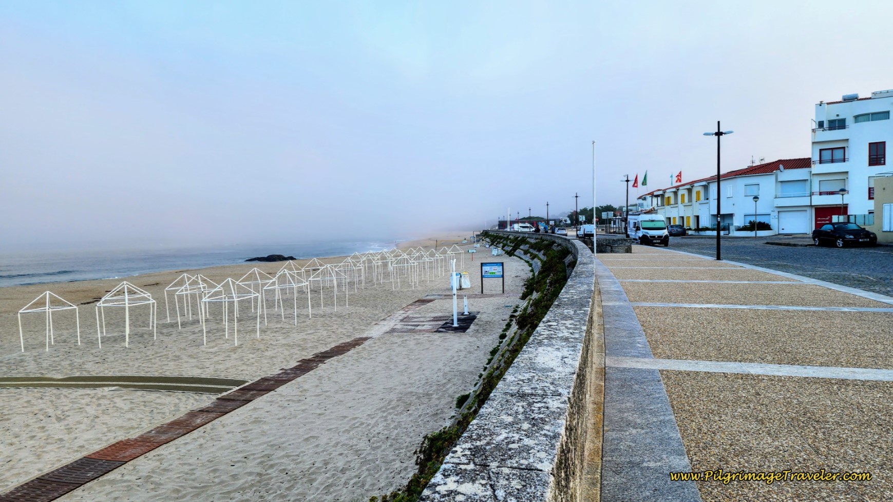 Moledo Beach Promenade
The Moledo Beach is wide and beautiful here. Walk on until the promenade ends after only about 350 meters. Continue straight on this street, now with high dunes on your left. You will pass a windmill that you can see, but has no access to it. When the road bends to the right, a path continues, straight on, see photo below. You can clearly see the yellow arrows on this “unofficial” route!
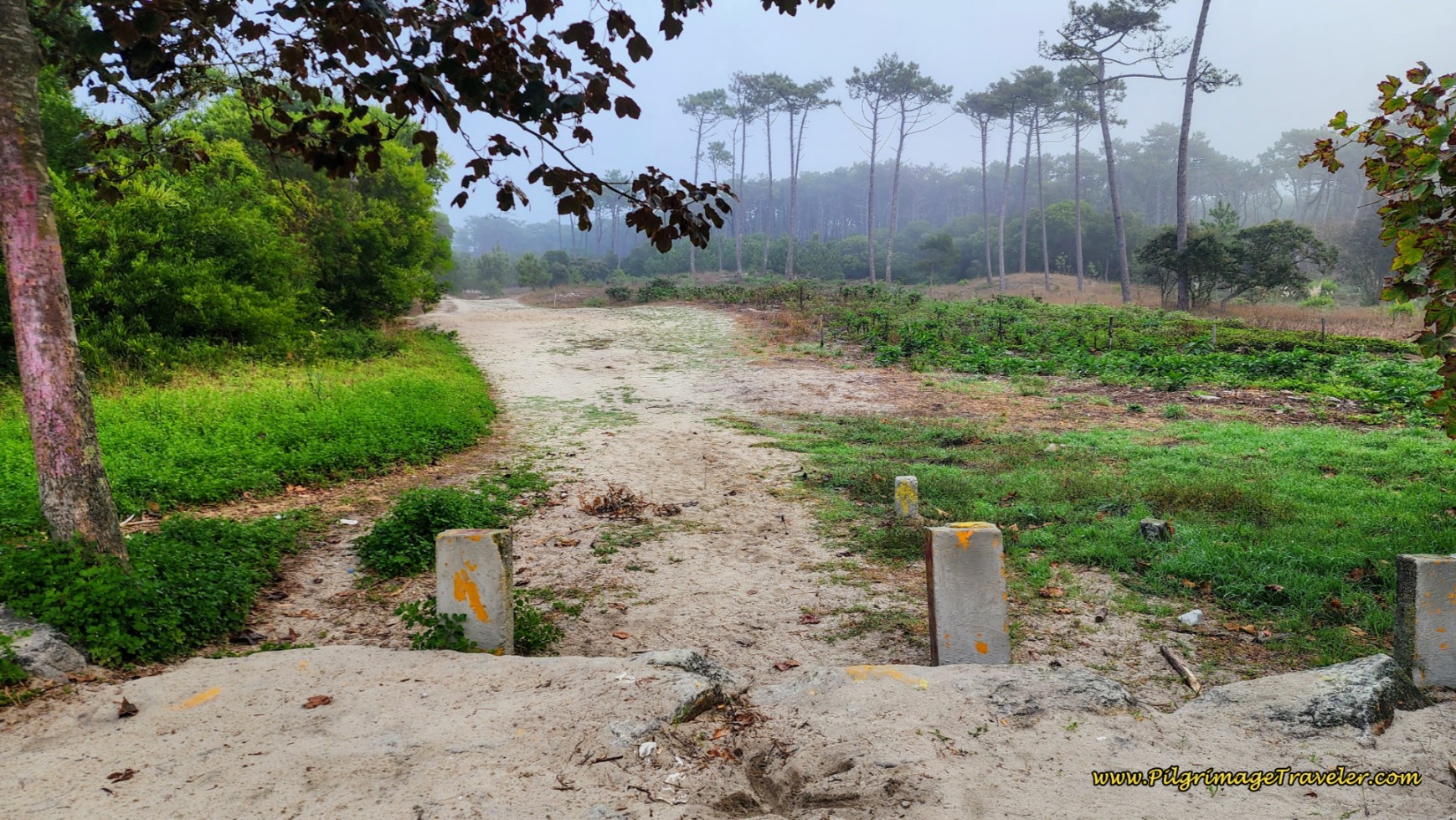 Turn Onto Sandy Forest Path
This sandy path is wonderfully soft on your tired feet and leads you through a pine forest that is indeed, very uplifting as well! This path carries on for 1.7 kilometers! The air was fresh, the birds chirping, and joggers passing by. You are heading for the beach at the mouth of the Minho to the north.
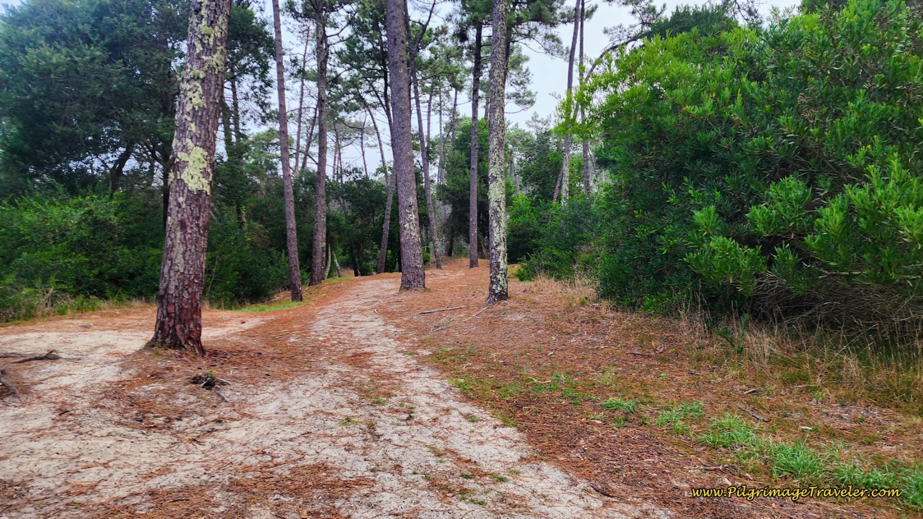 Lovely, Sandy Forest Path
You will know you are close to the beach when a small, white chapel appears ahead in the forest. Continue past the chapel to a parking area, cross over the street to the waterfront, and turn to the right onto the boardwalk there. Pass a restaurant on your right. Shortly, you will pass a campground on your right and the Caminha Taxi Boat Peregrino landing, pictured below, at the Camping Orbitur Caminha. You can stay the night at the campground and get a water taxi first thing in the morning to Spain! They offer tents and bungalows for pilgrims at a special rate.
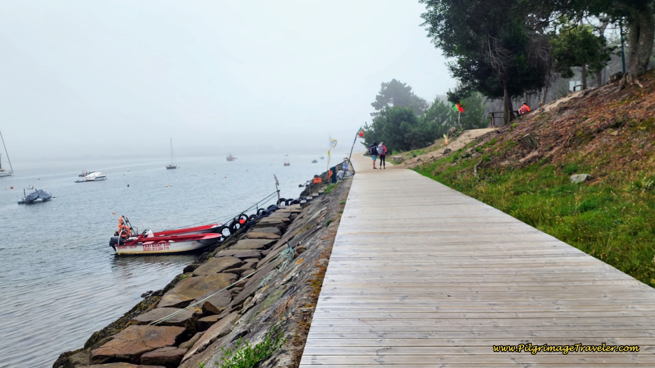 Caminha Taxi Barco Peregrino
To book your ride across the Minho River here, call +351 913 254 110. The fare was six Euros/person to A Guarda on the Spanish side, as of this writing. The riverfront boardwalk continues along the Minho for another 850 meters, turning to the left and joining the busy N13, which continues to follow the river.
You have two choices here. You can either continue along the riverfront promenade through Caminha and as far as the old ferry station to the north of town, a full 1.8 kilometers and get another boat service there to A Guarda (best if you are walking onward on the Coastal Route), the Xacobea Transfer (+34 613 01 12 26) or turn inland along the Rua do Pombal to walk to the center of Caminha, depending on your destination. If you are staying the night in Caminha, click here and/or scroll down to the Coastal Route description for more information.
Jump to Camino Portugués Stages
The Coastal Route Past the Capela Santo Isidro
If you choose to stay straight at the Capela and take the shortcut along a dirt road, a few hundred meters later, the road bends inland and passes the Cruzeiro de Santo Isidoro.
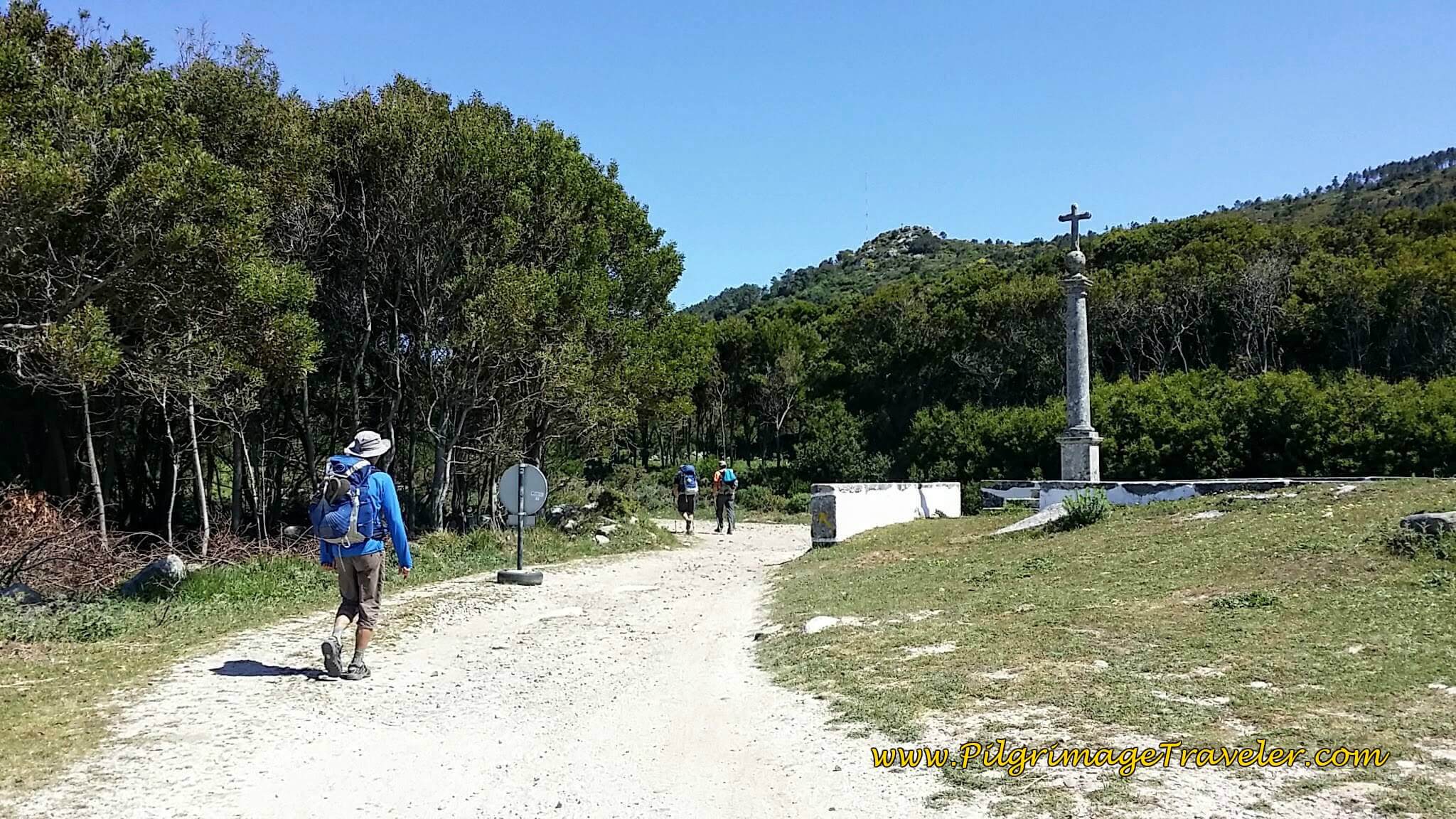 Join Railroad Tracks at Cruzeiro de Santo Isidoro
The Way now follows the railroad tracks on a gravel road.
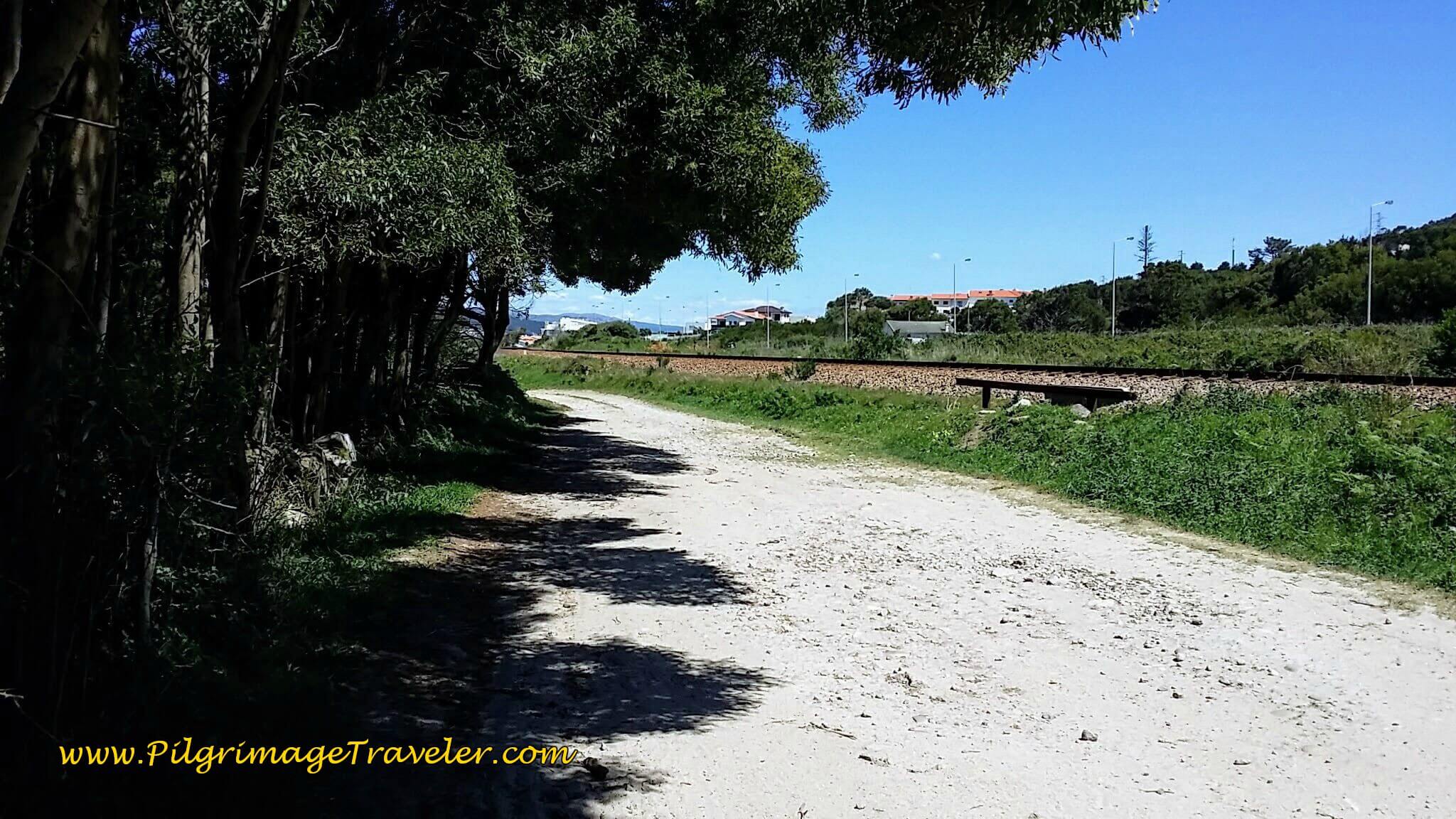 Gravel Road, the Rua da Estrada Real, Along the Railroad Tracks
And around the corner, Spain is visible ahead, at a prominent landmark, the Monte de Santa Trega (Mount Tecla), seen in the photo below.
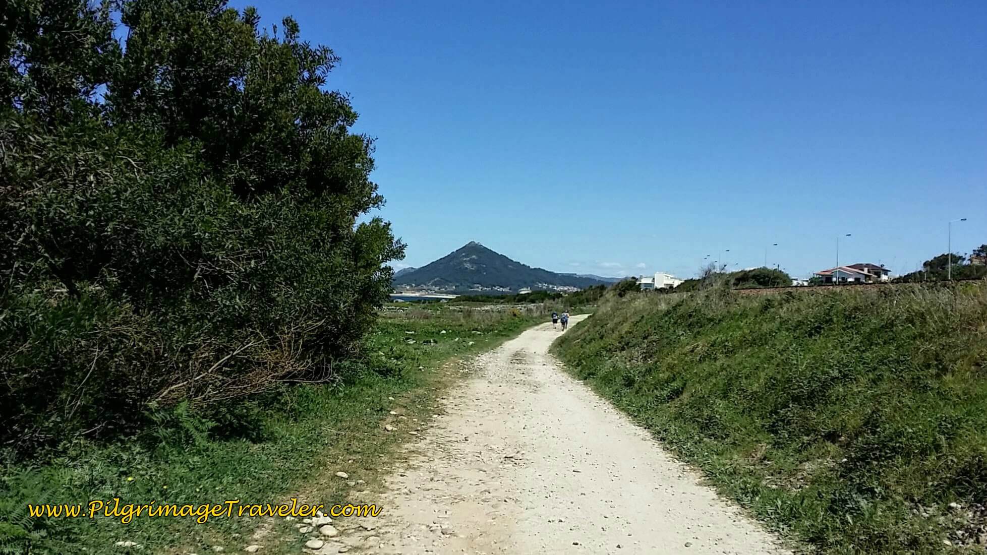 Monte de Santa Trega Ahead
The gravel road beside the tracks becomes cobblestone and is the Rua da Estrada Real as we walked into the next town of Moledo. Here Steve and Rich pause to wait for the psycho-journal-person to catch up! As usual, whenever Rich walks with another male, they tend to pick up the pace. It was a bit annoying, but I just lolly-gagged along at my usual pace!
We had lost Michele, who wandered off to find a place to buy bread. He would not accept food that we offered from our packs, but insisted that all he eats is bread and cheese on his Camino! Wow! I was a bit worried as he wandered away in town - he looked like he was going to bonk. He is a thin man, and didn't look like he could afford to go without food for long.
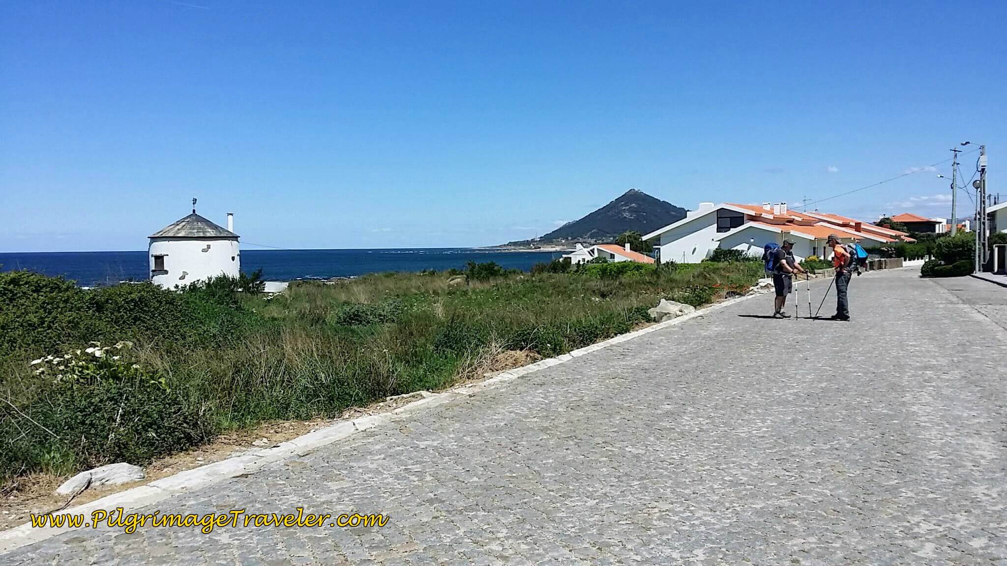 Walking Toward Moledo by Another Old Windmill
On day eighteen, of the Senda Litoral, the Caminho Portugués then takes a final jog toward the beach, just beyond a large green house. Both routes share this coastal section a few meters until the tunnel. I was tired and hungry after more than 10 additional kilometers from our last stop.
I talked the gentleman into stopping a final time by the gorgeous rocky seacoast, below to have a bite of tuna and crackers. Neither one wanted to stop, but I insisted. If we were to walk the coast, then I wanted to enjoy it and not rush on by.
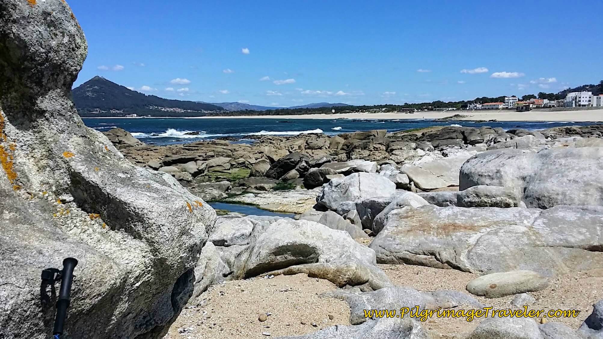 Snack Break Among the Rocks at Praia de Moledo
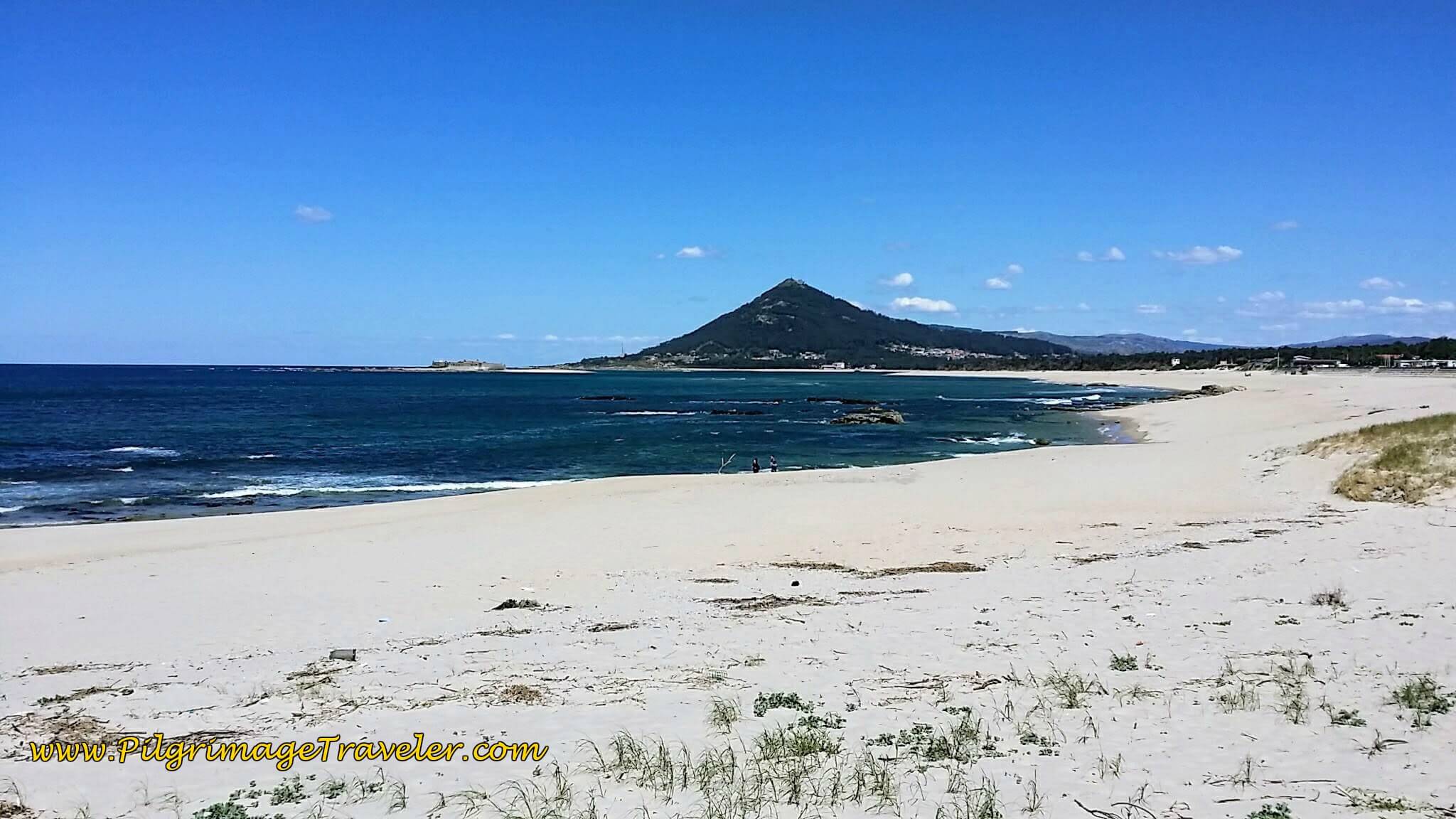
The gentlemen conceded and we had a lovely break as we viewed the Moledo Beach and pondered our next day's foray into Spain. The Monte de Santa Trega was in full view from this beach. Gorgeous! You can find this beach at around the 23 kilometer mark.
And after a short reprieve on the lovely beach, we returned to the Rua Estrada Real, turned right to walk under the tunnel, pictured farther above in the Senda Litoral description, and joined the Avenida Santana in the center of Moledo. Once again, instead of turning inland, you can take the Senda Litoral to continue northward along the Praia de Moledo, continuing to hug the coastline all the way to Caminha. It is about one kilometer longer if you do so. The yellow arrows were now abundant in Moledo, appearing frequently, below.
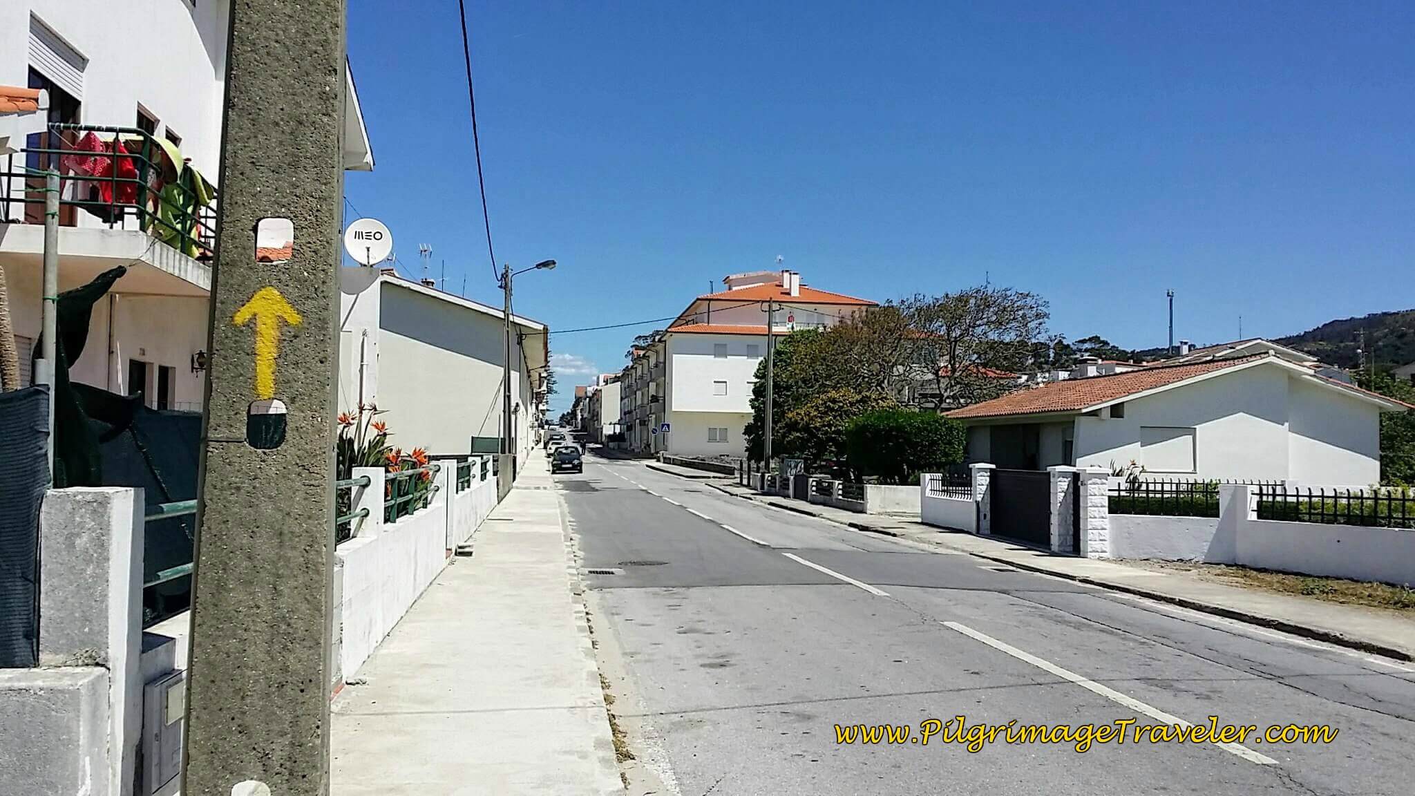 Frequent Yellow Arrows Inland Along Avenida Santana in Moledo
300 meters onward and through town, we came to a large roundabout with the N13, taking the 3rd right and onto the Avenida da Senhora ao Pé-da-Cruz, below. This road essentially parallels the busy N13, on much nicer and quieter pavement. It is a straight, long shot from here into Caminha, more than three kilometers away.
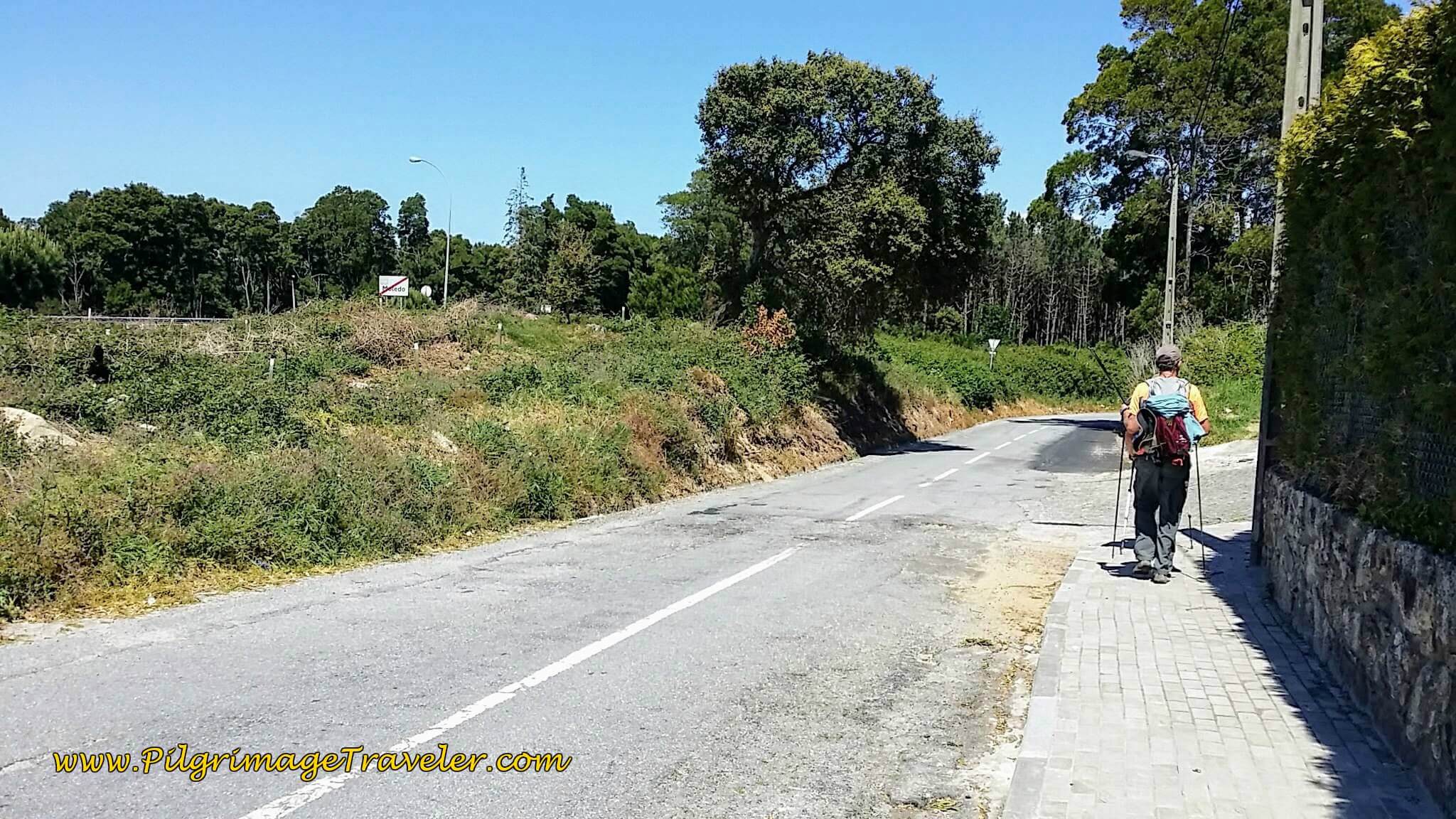 Right Turn on Av. da Senhora ao Pé-da-Cruz
Shortly, a concrete bikeway begins along the Av. da Senhora ao Pé-da-Cruz on the final stretch to Caminha. This section felt really long, hot and hard for me, as my feet were pounding the pavement! As is always true, for me, the final kilometers are always the hardest, and I am the most discouraged.
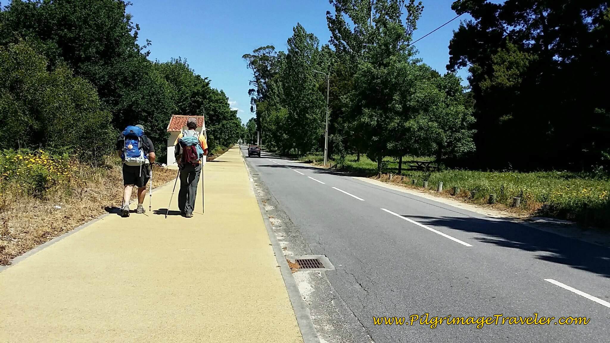 Concrete Pathway on the Avenida da Senhora ao Pé-da-Cruz
We walked onward, for another 1/2 kilometer, when the yellow path ends, and the street crosses the railroad tracks and becomes the Rua do Pombal, pictured below.
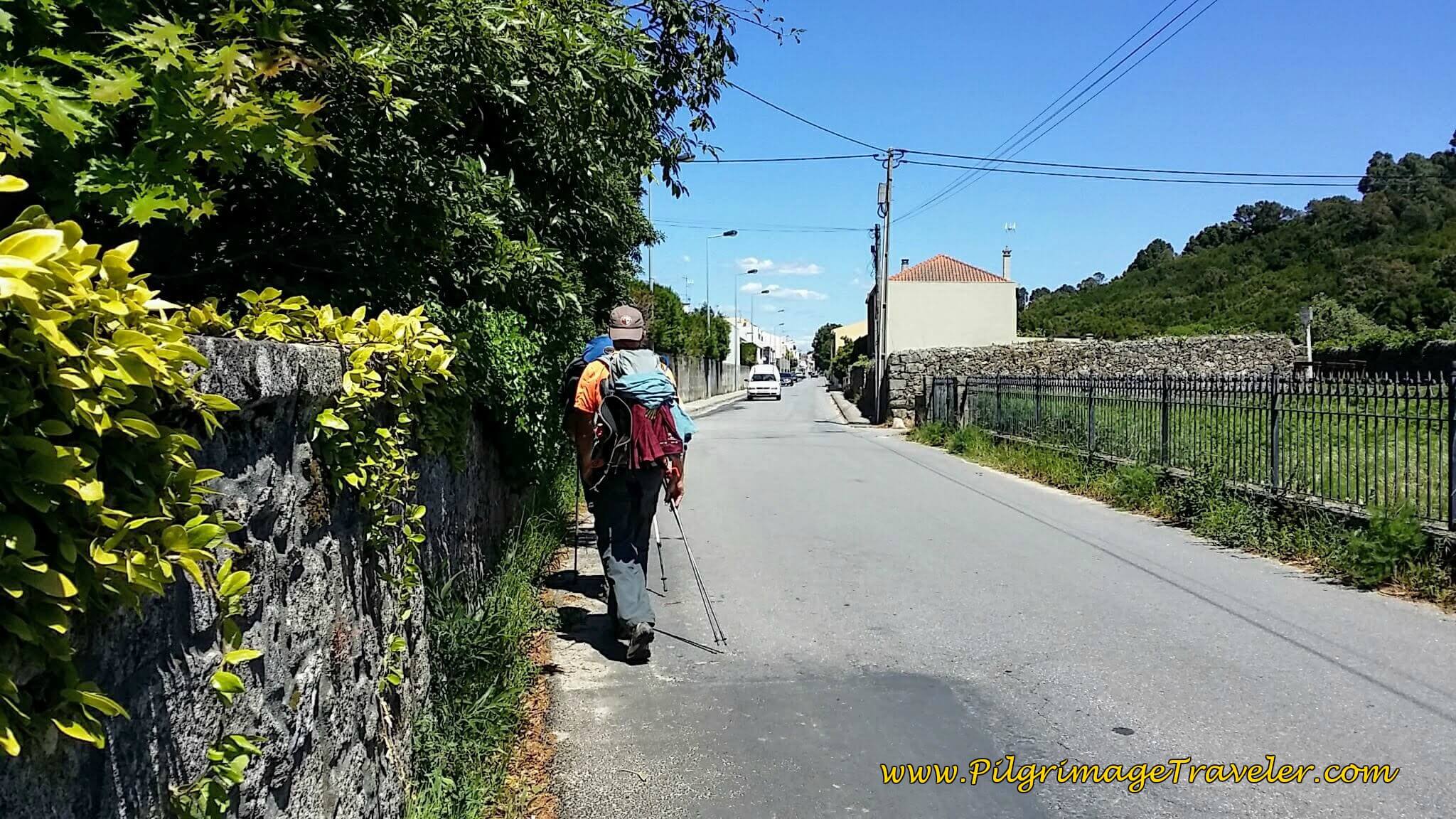 Following the Tracks on the Rua do Pombal into Caminha
In another 1.0 kilometer or so, we walked by the Senhora da Agonia train station, shown below.
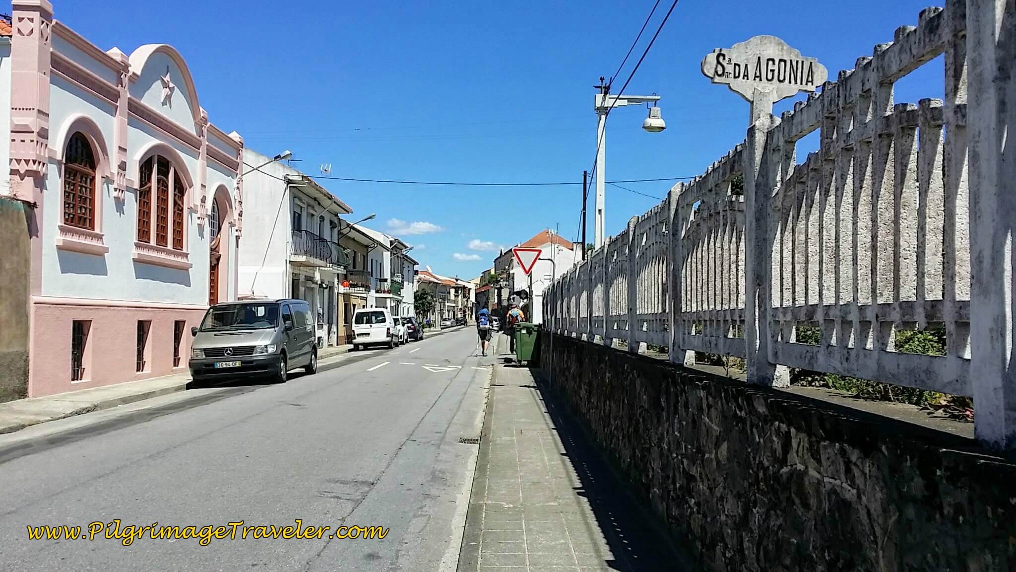 Senhora da Agonia Train Station, Day Eighteen, Senda Litoral, Camino Portugués
Then we continued straight on, where the street becomes the Rua Benemérito Joaquim Rosas.
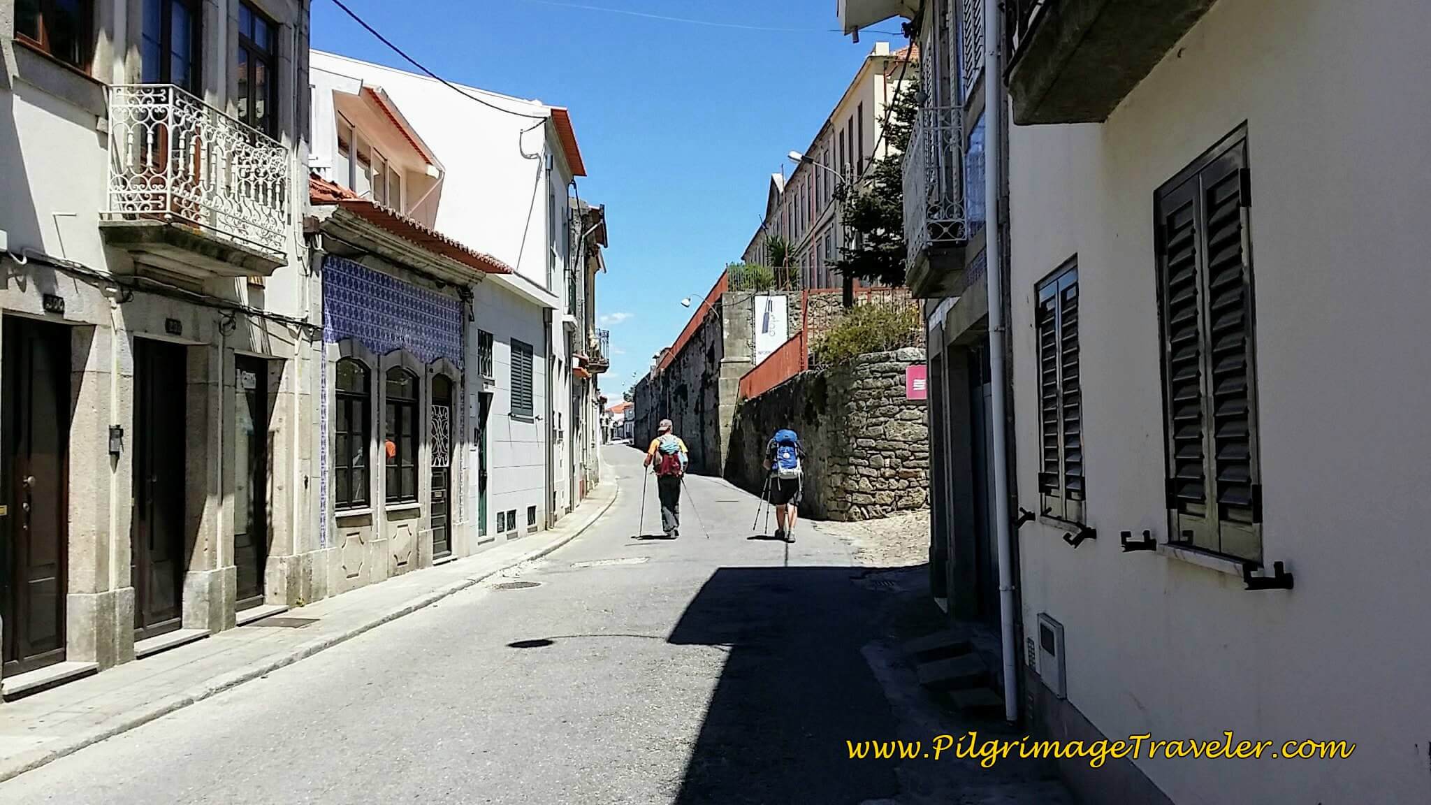 Getting Closer to Caminha Town Center on the Rua Benemérito Joaquim Rosas
Just before the town center of Caminha, the street turns to cobblestone and becomes the Rua Visc. Sousa Rego, and is mostly a walking plaza...
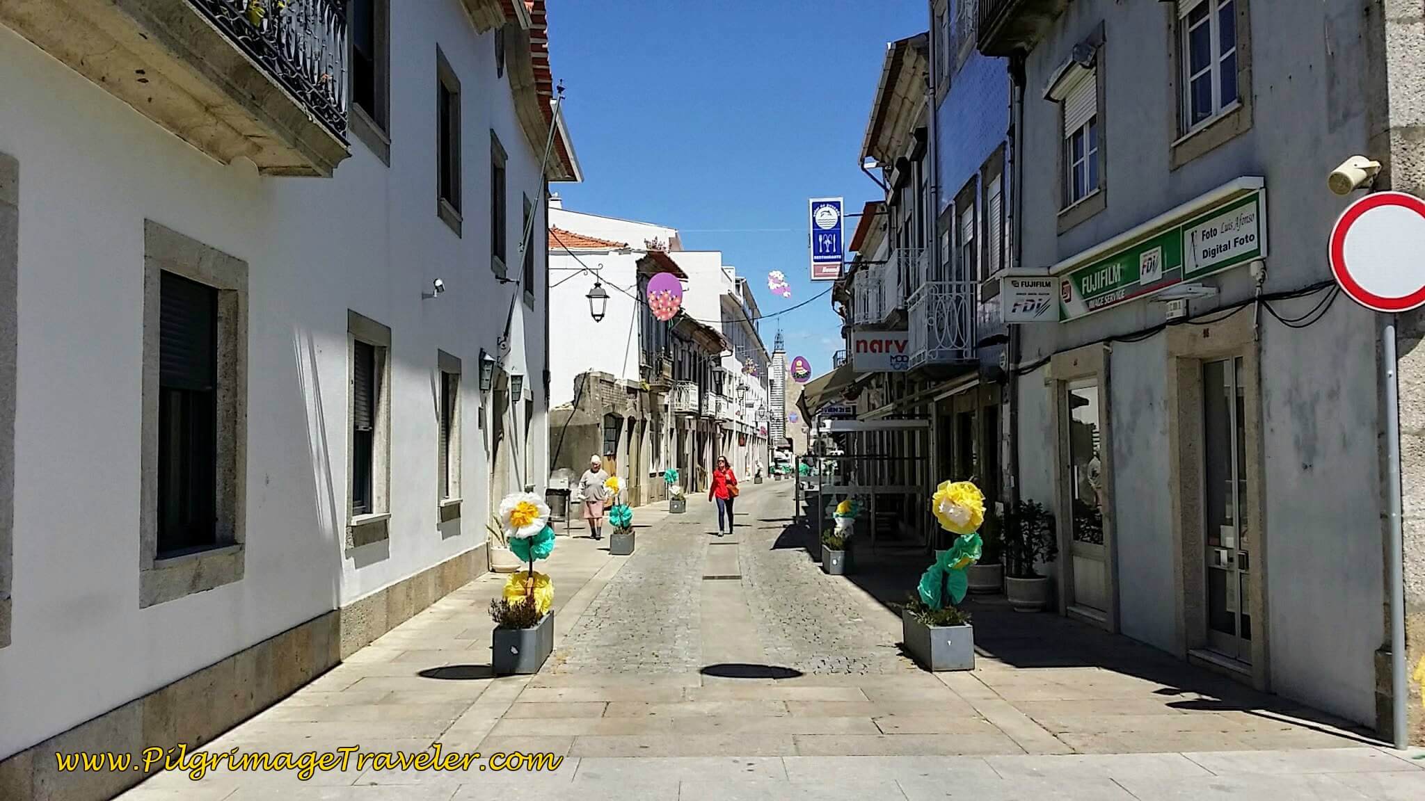 Walking Into Town Center on the Rua Visc. Sousa Rego
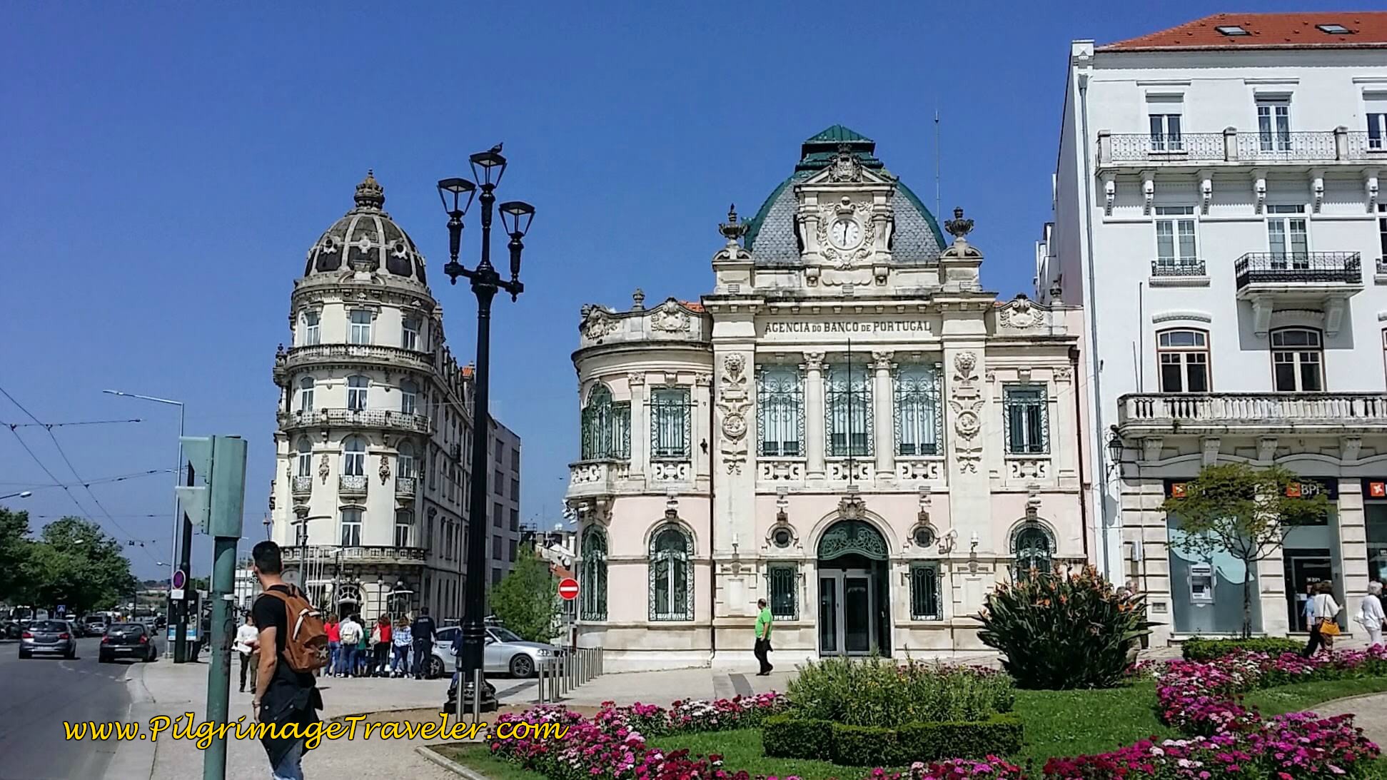
 ...that takes you to the famous landmark, the Clock Tower or Torre de Relogio (in Portuguese). My GPS said it was about 4.5 kilometers or so from Moledo to this town center of Caminha.
We walked on by the obvious town square, to look for the albergue. We walked by the church, the Igreja da Misericórdia, below.
Actually, a right turn, at the town square is the easiest way to the albergue, onto the walking street and then the next left onto the Av. São João de Deus, and the sign for the Albergue de Peregrinos de Caminha, +351 914 290 431, appears. The albergue opens at 3:00. We arrived at 3:09.
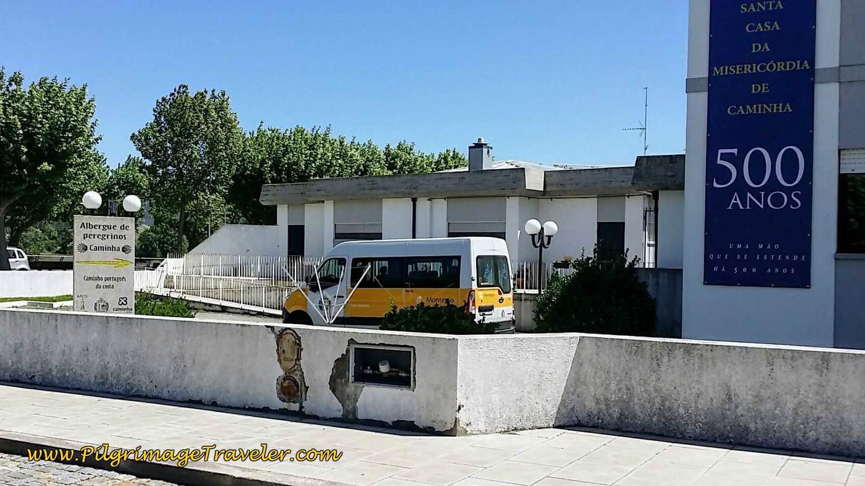 Entrance to the Albergue de Peregrinos de Caminha
There is a number to call on the door, which we did. A woman came to let us in and show us around. I knew immediately that I was not going to stay here. It was in the basement of the building, below a kindergarten child care center, and it smelled too musty for my taste. Everything there looked bare and minimally accommodating, and at minimal pricing, you get what you pay for.
We chose instead to book at the inexpensive Residencial Galo d'Ouro, an old, yet charming and clean family-run hotel, just steps south, from the main square (see the Google map above for its location). The proprietress was the usual ultra-friendly and helpful Portuguese woman. She even offered to hang our clothes after washing them if we needed.
We were so glad we chose the Residencial, because we were told by other pilgrims that not only was the albergue stinky, but there was no hot water, and the lights in the shower were on a timer and kept going off every 10 seconds! Our friend, Yanni told us she felt like she was in a big open gas chamber! Egads!
If you want to check out other possibilities for accommodation in the Caminha and the Moledo area, click here. For starters, there is the economical Arca Nova Guest House, the Albergue Santiago de Caminha, and the Bom Caminha (along the way as you walk into town), all three with dormitory accommodations, the Olá Vida - Hostel Caminha, right by the old ferry dock, but pricer dormitory beds due to its location and the Camping Orbitur - Caminha Park with tenting and bungalows, conveniently located by the Taxi Boat Peregrinos on the Foz de Minho Beach.
After securing our place, we joined Steve, our English friend, and hung out at the Café Central, in the Clock Tower Plaza, watching one pilgrim after another stumble into town.
We spied a young dark-haired woman, looking around and we waved enthusiastically for her to join us. When she approached the table and smiled, I realized that I didn't know her! I later asked Rich and Steve if they knew her, and they both said, "I thought YOU knew her!" Ha ha, we had a great time getting to know Lisa, from Germany!
Later on the trail, I told Lisa that we all thought we knew her when we waved at her in the square. She said that she didn't care, that she was very happy to join other pilgrims! Nowhere else but on the Camino would this happen!
After a few beers, a shower and reconnecting with other pilgrims, we walked around town a bit to see the few sights. The old walls of the town, called the Muralha de Caminha, can be found at the Praça de Espanha, on the waterfront by the central plaza.
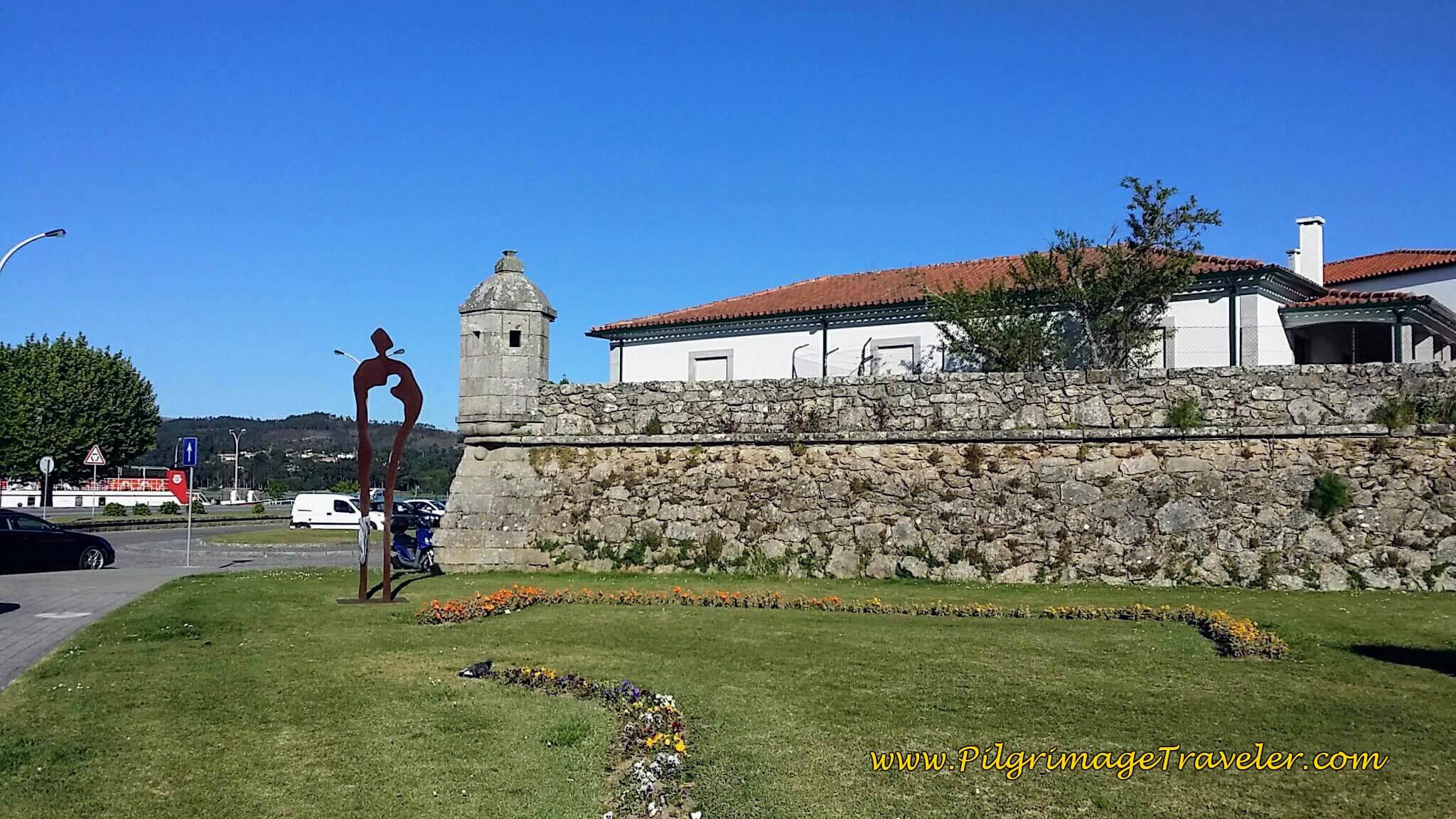 Old Fortress Walls of Caminha at Praça de Espanha
By the fortress walls is the Igreja Matriz de Caminha, below. It was fun to walk on the walls, and look northward to the River Minho, the dividing boundary between Portugal and Spain.
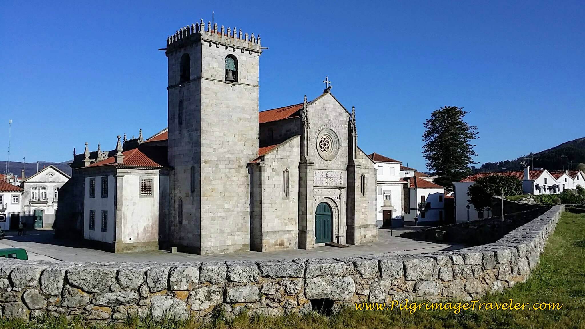 Igreja Matriz de Caminha
Getting to Spain with a Boat Taxi
Not that long ago, one had to take a ferry from Caminha to A Guarda, and be at the mercy of the tides. We were unable to cross for more than 24 hours because of low tide, but instead, a local fisherman, Mario, took us across the Minho River in his small fishing boat. (Mario’s boat service is now the Taxi Boat Peregrinos, see just below.)
Since the ferry boats have totally ceased, there are serveral taxi boat services. The first is the Xacobeo Transfer (+34 613 01 12 26). You can find them at the dock on the north end of town, on the far right side as you face the water, by their small sign. These are small boats that can carry up to 5-6 people, so it may be best to reserve your spot online, by clicking on the link provided! It will cost you 6 Euros each. They run every hour in the morning, starting at 7:30 a.m., and several more times in the afternoon, with the last boat at 6:30 p.m.
As noted above, there is yet another water boat taxi service called Taxi Boat Peregrinos (+351 913 254 110) They can be found at the Praia Foz de Minho, or the beach by the mouth of the river. This is the same area where Mario the Fisherman operated from in the past. It is a good 2.5 kilometers west, from the center of Caminha on the boardwalk along the waterfront. Their advantage is that they run more often, earlier and later than Xacobeo Transfer. All you have to do is call them. They will even take you all the way to Tui, by boat, if you wish to cross over to the Central from Caminha!!
And finally, there is the Taximar Peregrinos, which you can reach at +351 915 955 827. They also pick you up by the old ferry dock at the north end of town.
With all these three competing taxi services, you should have no trouble getting a boat, even if you don’t reserve ahead. However, it may be prudent to reserve ahead in order to get the specific time you want. The Xacobeo Transfer people would just come every fifteen minutes, despite what their schedule says and pick up anyone they had on their roster, regardless of the time of the reservation! But fellow pilgrims, on the honor system, ensured that those with earlier reservations got on before they did!
Reflections on Day Eighteen, Senda Litoral, Camino Portugués
I had only to reflect on the beauty of this day's walk. It was a glorious day, in all ways, walking along with friends and making footprints in the sand.
Occasionally, though, I did notice emotions bubbling up to the surface. I was not sure why, but I would just let the tears flow. It was very cleansing.
We stopped at zero cafés on this day. We never even looked for one. We had two breaks, both along the seacoast, having food from our packs. For some reason, I didn't feel I needed coffee. It was invigorating enough to have my breaks next to the sea!
But do, by all means pick a beach to walk upon, as it is a fabulous way to experience the Sendal Litoral on your day eighteen on the Senda Litoral of the Camino Portugués.
Salutation
May you find your own way, by losing your way on the Senda Litoral on your own day eighteen on the Portuguese Way! May you leave many footprints in the sand!
Camino Portugués Stages:
Lisbon to Porto
Senda Litoral or the Coastal Routes: Porto to Santiago
Skip to Central Route Below, for Final Days 22-25 to Santiago
Central Route: Porto to Santiago
Variante Espiritual
Please Consider Showing Your Support
Many readers contact me, Elle, to thank me for all the time and care that I have spent creating this informative website. If you have been truly blessed by my efforts, have not purchased an eBook, yet wish to contribute, I am very grateful. Thank-you!
Search This Website:
Follow Me on Pinterest:
Follow Me on Instagram:
Find the Pilgrimage Traveler on Facebook:
Like / Share this page on Facebook:
***All Banners, Amazon, Roamless and Booking.com links on this website are affiliate links. As an Amazon associate and a Booking.com associate, the Pilgrimage Traveler website will earn from qualifying purchases when you click on these links, at no cost to you. We sincerely thank-you as this is a pilgrim-supported website***
PS: Our guide books are of our own creation and we appreciate your purchase of those too!!
Shroud Yourself in Mystery, along the Via de Francesco!
Walk in the Footsteps of St. Francis, and Connect Deeply to the Saint and to Nature in the Marvelous Italian Countryside!
Recent Articles
-
Day One on the Camino Portugués, Lisbon to Alverca do Ribatejo
Apr 15, 25 08:19 PM
Our Day One on the Camino Portugués was much more beautiful and enjoyable than we had heard. -
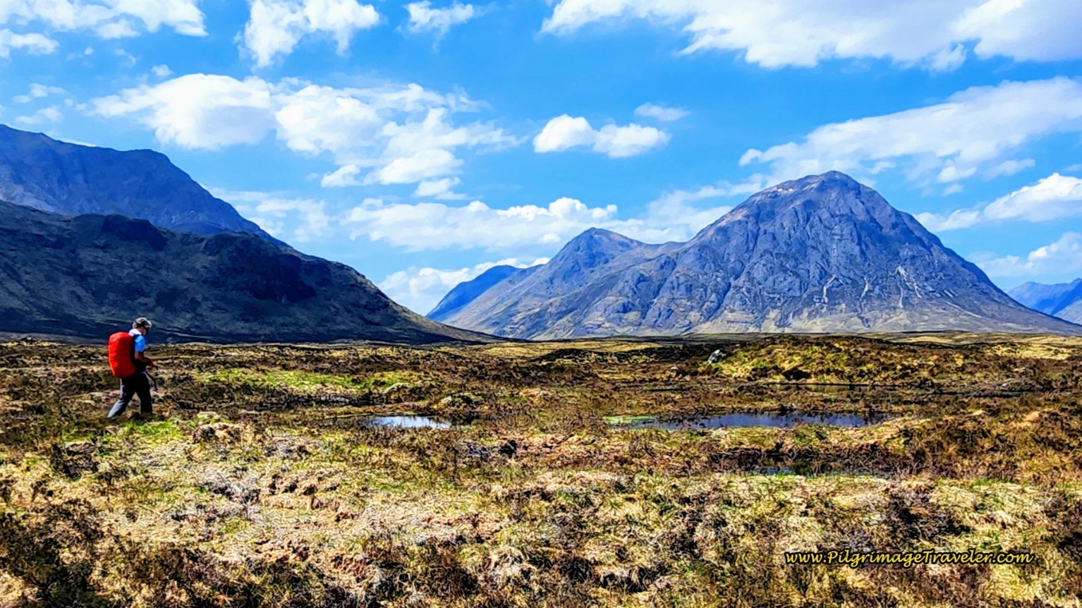
Hiking the West Highland Way
Apr 11, 25 08:51 PM
Hiking the West Highland Way is a representation of all things Scottish, traversing 96 miles from the lowlands of Milngavie to Ft William, in the highlands. -
Way of St Francis eBook Guide (Via di San Francesco)
Apr 11, 25 08:49 PM
Our Way of St Francis eBook Guide, a digital guidebook is full of current information to assist you in finding your Way. In downloadable, digital, PDF format.
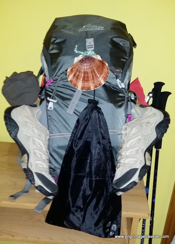
Need suggestions on what to pack for your next pilgrimage? Click Here or on the photo below!
Carbon fiber construction (not aluminum) in a trekking pole makes them ultra lightweight. We like the Z-Pole style from Black Diamond so we can hide our poles in our pack from potential thieves before getting to our albergue! There are many to choose from! (See more of our gear recommendations! )
Gregory BackPack - My Favorite Brand
Do not forget your quick-dry microfiber towel!
Booking.com
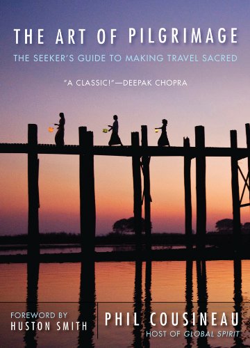
My absolute favorite book on how to be a pilgrim:



























Your Opinion Matters! Comments
Have you had a similar experience, have some advice to give, or have something else you'd like to share? We would love to hear from you! Please leave us a comment in the box below.