- ~ Home
- ~ Camino Portugués (The Portuguese Way)
- Day Fifteen, Coastal Route, Porto to Vila do Conde
Jump to Camino Portugués Stages
Day Fifteen on the Coastal Route of the Camino Portugués
~ Sé do Porto to Vila do Conde, 27.4 Km (17.03 Miles)
Disclosure: the PilgrimageTraveler.com is an associate of Booking.com, Roamless, and Amazon. As associates of these merchants, we earn from qualifying purchases from our links.
Day fifteen on the Coastal Route of the Camino Portugués, from the Sé do Porto cathedral to Vila do Conde is shorter than the Senda Litoral by about five kilometers. Please reference the link for the full description of that amazing seaside route.
For a detailed and overall comparison of all the Portuguese routes from Porto, see our comparison guide, if you are still trying to decide!
The Coastal Route on this day is perhaps the single most under-walked day of most, if not all of the more popular Caminos. Most people ride the metro to Matosinhos to start the seaside journey there.
I hope to convince you that this leg is deserving in its own right. While not as beautiful nor as peaceful as the Senda Litoral along the Douro River (waterways hold a special appeal for me), in my opionion this route does not get enough credit. It is not all that industrial and there are wonderful neighborhoods and churches that you will see along the way.
"In the middle of it all, pause and look around you. Appreciate what’s beautiful. Take in the love. Nod to what’s good and true. And then move forward one step at a time." ~ Kathy Freston
🙋♀️ Why Trust Us at the Pilgrimage Traveler?
We’re not a travel agency ~ we’re fellow pilgrims! (See About Us)
We've trekked Pilgrimage Routes Across Europe since 2014!
💬 We’ve:
- Gotten lost so you don’t have to. 😉
- Followed waymarks in the glowing sunlight, the pouring rain and by moonlight. ☀️🌧️🌙
- Slept in albergues, hostels & casa rurals. Ate and drank in cafés along the way. 🛌 😴
- Created comprehensive and downloadable GPS maps and eBook Guides, full of must-have information based on real pilgrimage travels. 🧭 🗺️
- Shared our complete journeys, step by step to help YOU plan your ultimate pilgrimage and walk with your own Heart and Soul. 💙✨
Every detail is from our own experiences. Just fellow pilgrims sharing the Way. We have added a touch of spirituality, heartfelt insights and practical guidance from the road ~ offering a genuine connection to the spirit of pilgrimage. Tap into the wisdom of seasoned pilgrims!
Ultreia and Safe Pilgrimage Travels, Caminante! 💫 💚 🤍
Map and Stats of Day Fifteen, Coastal Route, Camino Portugués
If you are planning to stay in Porto, there is only one municipal albergue in the north of town, far from the center, the Albergue de Peregrinos de Porto. Even farther north and off-Camino is the donativo albergue, Refúgio de Senhora da Hora, if you don’t mind walking 2.5 km west from the Coastal Route towards Matosinhos.
I placed on my interactive map below, many accommodations with the word "hostel" in the name, to help you locate other inexpensive places to stay.
There are many other accommodations in Porto, and you can pre-book them all. This may be necessary to get the best price and/or best location for your needs. Click here to see your choices on booking.com. They are always running specials, especially in this large tourist city! We have also stayed at the Chateau Flores and enjoyed it's apartment, with a kitchen to cook for an early Camino start when we walked the Central Route.
I placed many services on my interactive Google map, below, and places of interest along the way. There are so many places to eat on this day, that I only placed ones where we stopped.
For your convenience, I have also included the GPS tracks for the senda litoral, in orange on the map below. It is about five kilometers longer, to do the entire Senda Litoral, for a 32.67 kilometer day (20.3 miles).
Many pilgrims choose to start their journey from the Porto airport, so if this is your desire, the coastal route walks right by the airport. If you start there, you also have the option to head west at the Igreja São Tiago de Labruge in the town of Labruge and finish your day on the Senda Litoral.
If you plan to stay the night near the airport, there is only one inexpensive hostel, the AirPorto Hostel. But if there are two of you, there are many inexpensive hotels as well. Click here to see them, or go to the interactive map below.
And as you can see in the elevation profile below, there are some ups and downs. Nothing dramatic, just a few little hills.
👣 Camino Portugués eBook Guides
Enjoy all the valuable info from our web pages ~ offline, ad-free, and beautifully formatted, including our photos. Why carry a heavy guidebook when you can use a nimble digital version on your device?
Our guides are frequently updated and uniquely entertaining, as we share our own Camino story along the way.
📲 Instant download. 💸 Money-back guarantee. 🔄 Free updates for 1 year.
Buy only what you need ~ or grab all four for the price of three (25% savings). Click here for more information or BUY NOW at only 17.85!
Jump to Camino Portugués Stages
The Official Starting Point of the Coastal Route, Camino Portugués
The official starting point of the Coastal Route is the Sé do Porto, pictured here. However, this start is not as simple as it sounds.
In order to find the proper direction of travel, it can be a bit confusing, with all the differing arrows and waymarks. In order to begin at the official starting point of the Coastal Route, find the first concrete waymark across from the Cathedral at the top of the ramp pictured next.
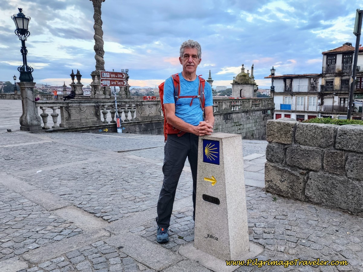 Rich at the First Concrete Waymark for the Central and Coastal Route, by Porto Cathedral
You can see the arrow on the waymark points to the right. Head to the right and you will see the first metal waymark a few meters later, pictured below. This metal signage is the standard for the Coastal Route, and it signifies that you are starting the Camino Portugués da Costa.

Do not follow any yellow arrows down the ramp from the front of the cathedral! This is the way for the Senda Litoral and any yellow arrows you see will eventually peter out!
The Coastal Route shares the same path as the Central Route, for the first 6.2 kilometers. Please click on this link for the description of these first kilometers.
Photo-Rich Travelogue of Day Fifteen, Coastal Route, Camino Portugués
After the 6.2 kilometers total and after walking about 1.5 hours, you will come upon the division of the Camino, designated by the signposts pictured below. The Central Route continues onward here, and the Coastal Route now veers off to the left. Keep a lookout for the Galp gas station, one block before this turn to help you find it!
 The Division Point Where the Coastal Route Heads West
This waymark was difficult to see due to the parked cars all around it, so stay alert to find the route. It used to be accompanied by a large blue map like ones you will see farther along, that filled in the space above to make a large square and was easier to see, but that is now gone.
If you miss this turn, you might find it again, if you stay aware and look for a small park, pictured next, on your left. The Coastal route crosses this small park on the left side, after the turn onto the Rua Fonte Velha.
 Cross Small Park onto the Rua Fonte Velha
About 300 meters after the divergence, the Rua Fonte Velha comes to an intersection and stays to the left, continuing along this street for the next full kilometer, with no cobblestone!
This street is much quieter now, walking through neighborhoods.
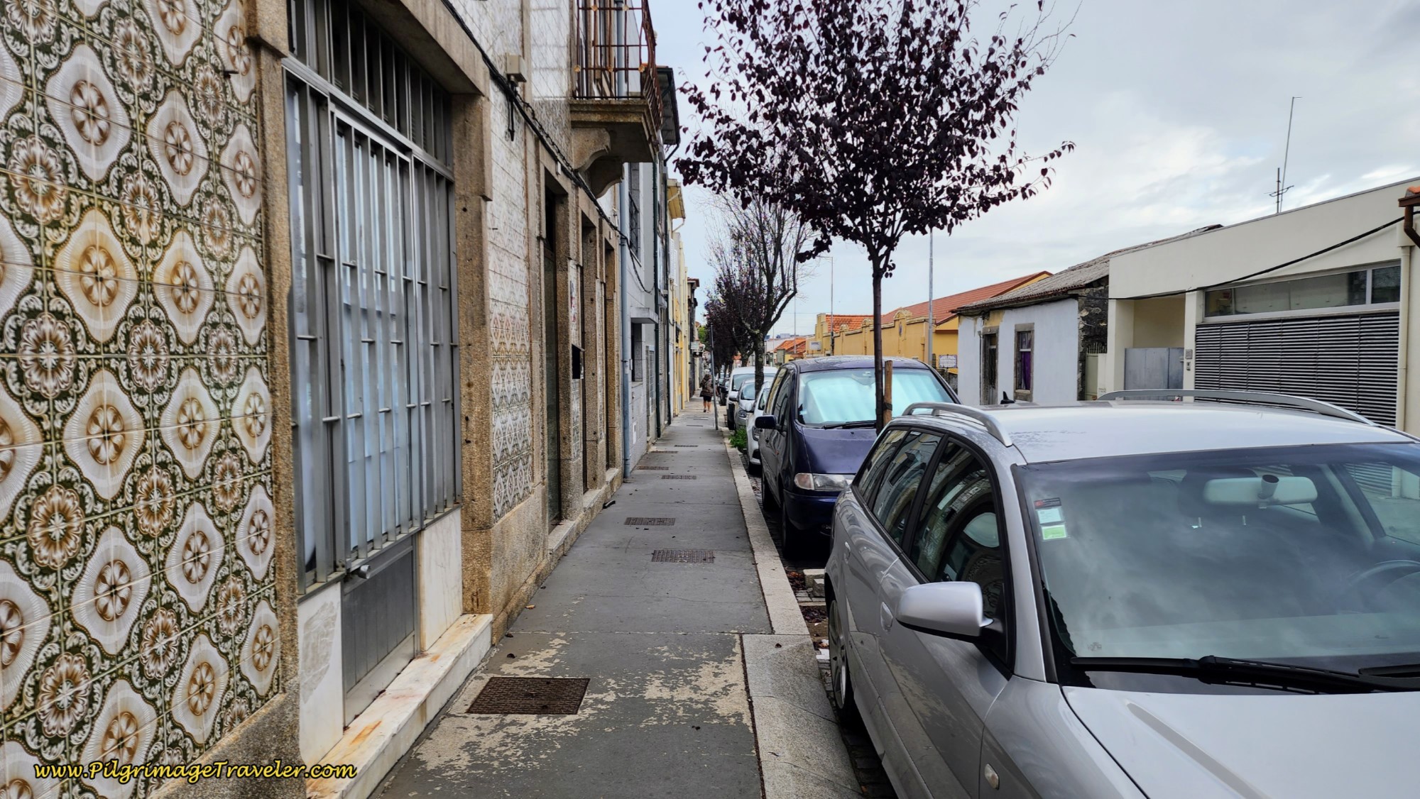 Walk Through Rua Fonte Velha Neighborhood
We stopped for a second breakfast after about 6.9 kilometers total from the cathedral at a wonderful bakery along this street called the Confeitaria Santiago.
And soon after the bakery you will encounter this wonderful and unique waymark, below. It's difficult to see in the photo, but it is a giant metal sculpture with the cathedral of Santiago.
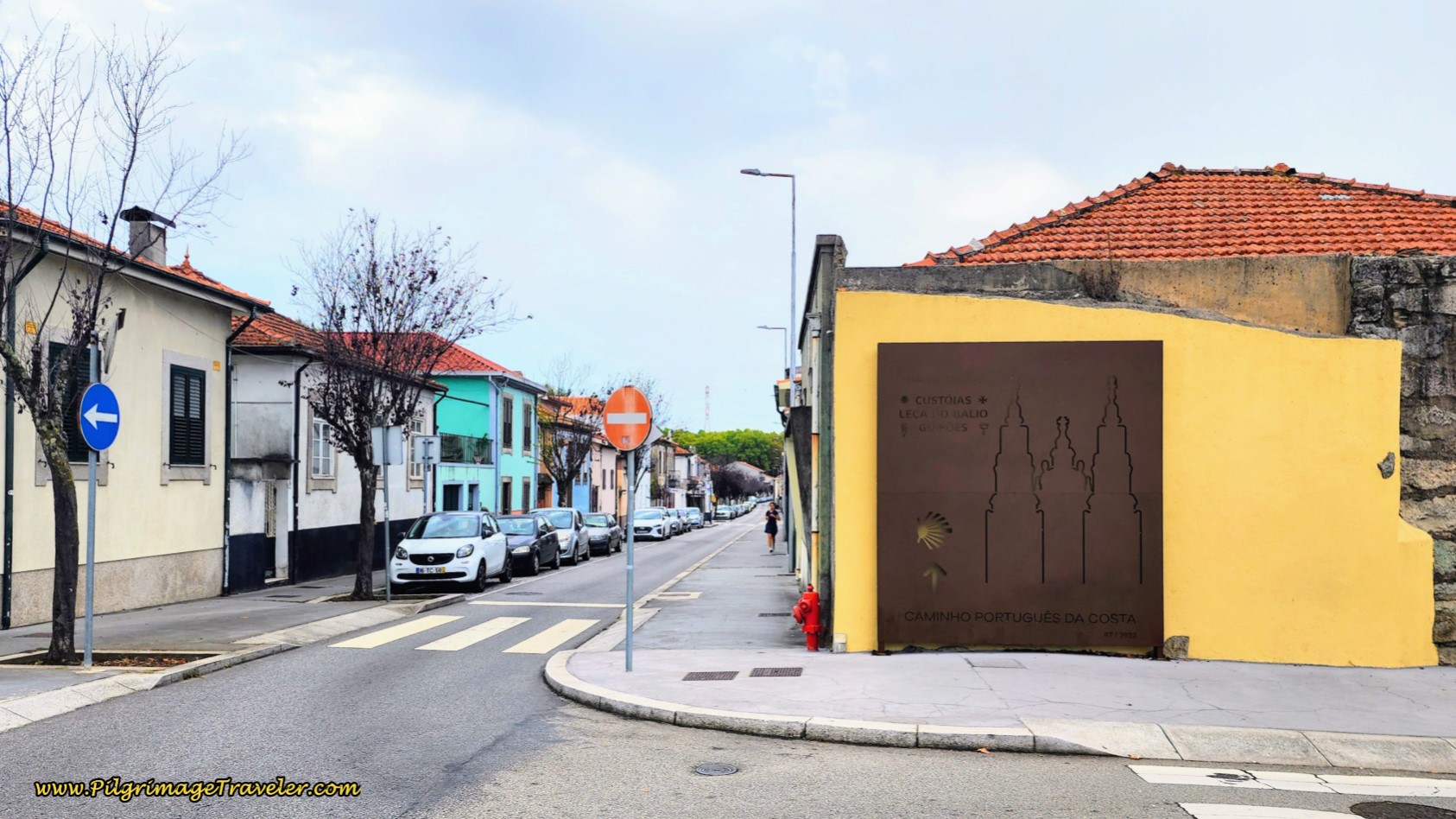 Unique Santiago Waymark Sculpture
After the kilometer walk along the Rua Fonte Velha, you come to a large square and park called the Largo do Souto. This would be a nice picnic spot if needed as well.
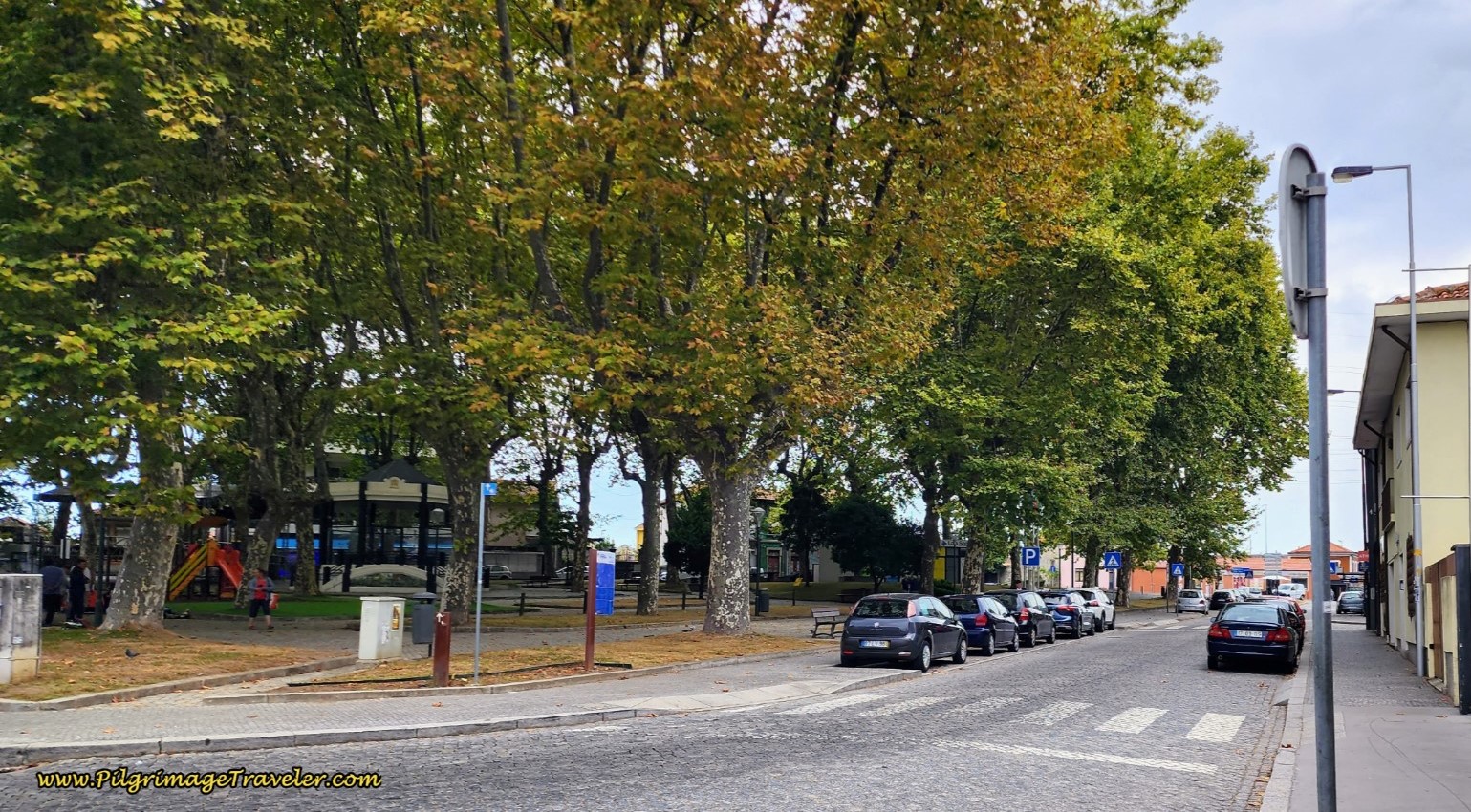 Come to the Largo do Souto Park
Continue straight past the park and walk under the landmark A4, through this tunnel.
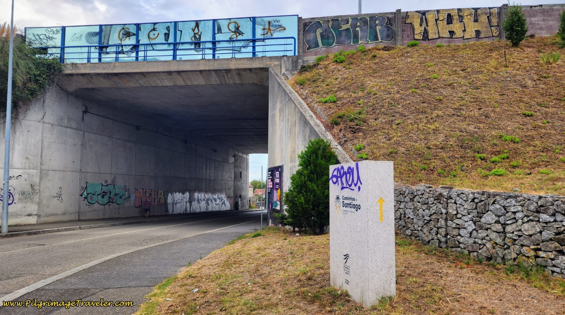 Walk Through Tunnel Under the A4
After the tunnel the street becomes the Rua da Cal and after about ½ kilometer, there is a turn to the left to stay on this street, pictured below, crossing up and over a railroad.
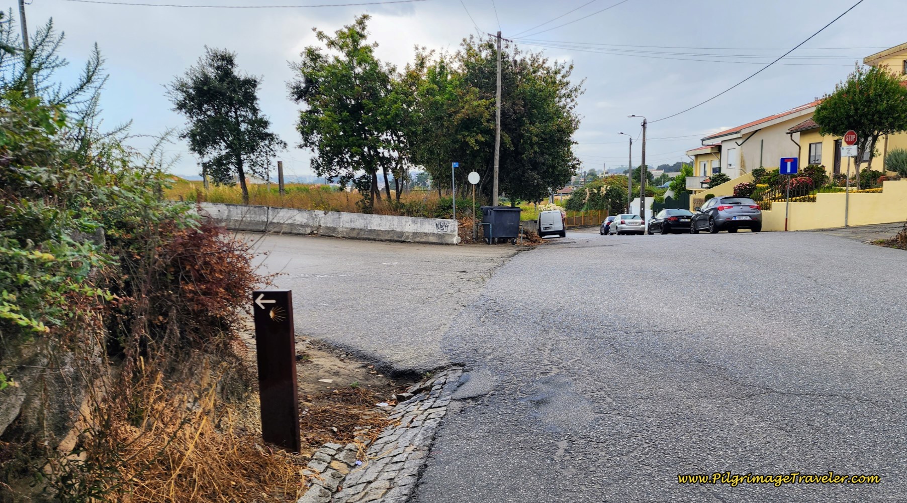 Turn Left to Stay on the Rua da Cal
Continue on the Rua da Cal several hundred more meters and cross under another railroad and through a tunnel. As we walked along this street, it began to rain, and you can see there is very little shoulder to walk safely upon.
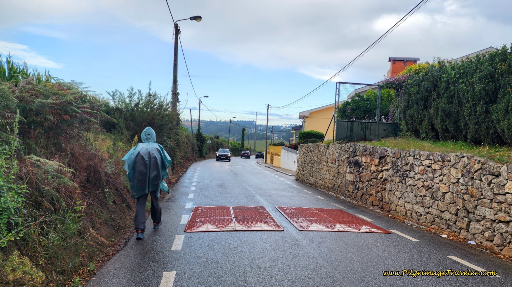 Not Much Shoulder Along the Rua da Cal
Continue along the Rua da Cal for almost 1.5 kilometers, eventually passing stone walls on both sides, until you come to a large intersection and a long hill ahead. Look to your right, and notice a blue Camino information board from the municipality of Matosinhos.
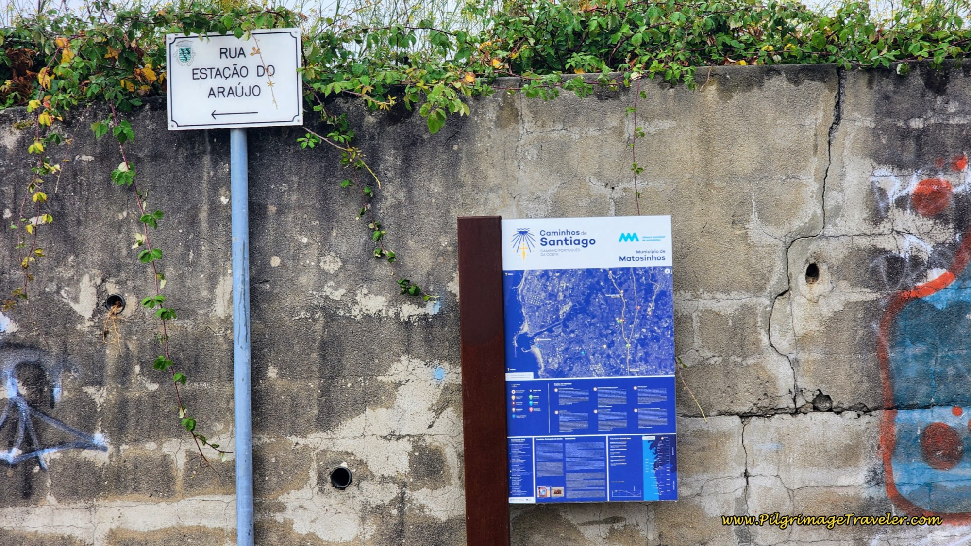 Municipality of Matosinhos Blue Camino Information Board
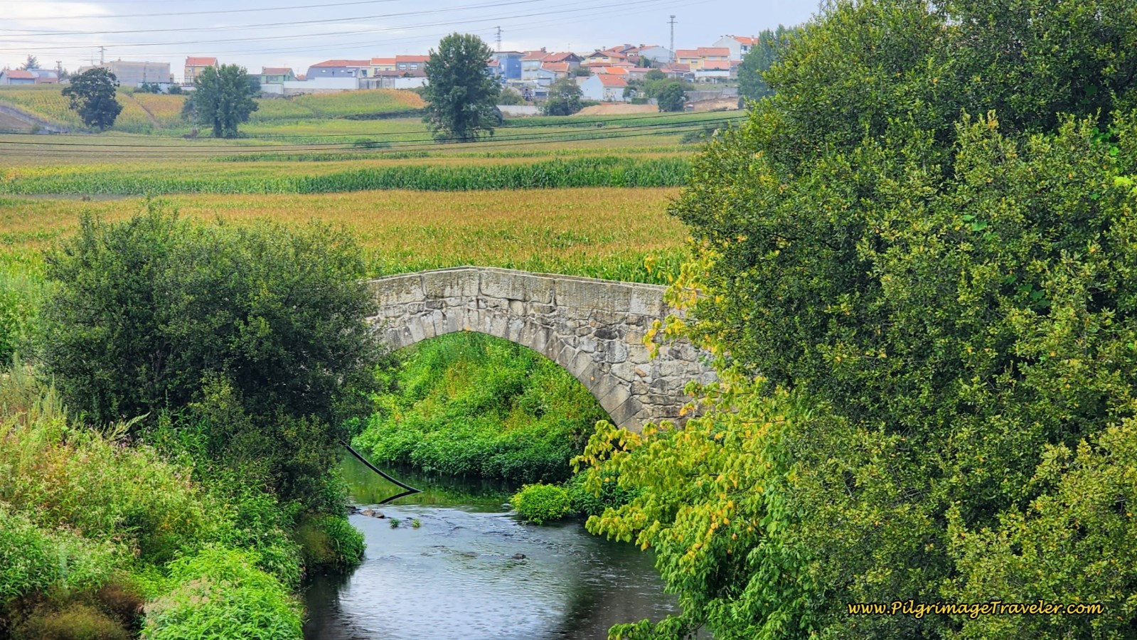
If you were to take the second right, onto a side road shown by the white sign above, the Rua Estação do Araújo, it will take you to the medieval bridge, the Ponte Medieval de D. Goimil, that crosses the Rio Leça, pictured below. However, this bridge, visible from the intersection was taped off to foot traffic, with visible surrounding construction, so we continued onward straight ahead and within a few meters, noticed the bridge from the main road where this photo was taken. It was sufficient for us.
The medieval bridge is after approximately 9.4 kilometers into the day’s walk, a bit more than one-third completed. Maybe the bridge will be open when you go by.
Jump to Camino Portugués Stages
Begin your 50 meter hill climb on the Rua das Carvalhas on day fifteen of the Coastal Route on the Camino Portugués.
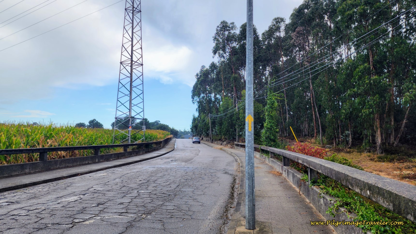 Climb Hill After the Medieval Bridge
600 meters after the bridge and after crossing over another railroad track, pass a fitness park and playground with a nice picnic table on your right (not pictured). This is called the Golfers Place, “Lugar dos Golfeiros.” A possible break place.
You are now entering the airport industrial area, pictured below. The airport itself is just to the northwest. The Rua das Carvalhas ends as it crosses over the A41 highway on a bridge, which you can barely ahead see in the photo.
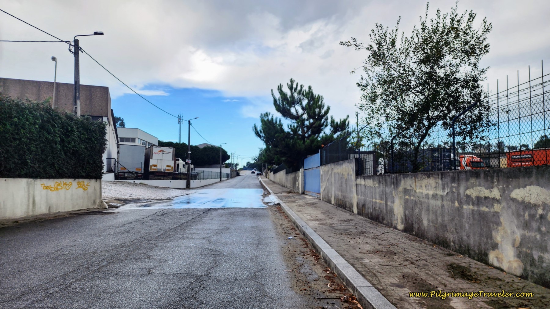 Entering Airport Industrial Area
Pick up the Rua da Estrada on the other side of the bridge and walk into the next town of Moreira.
It is not all ugliness walking by the airport. You will walk through neighborhoods as well, as you can see in the photo below, just the east of the airport. You will also see lots of eateries by the airport if you need one.
You will pass by the AirPorto Hostel on this street, your most economical choice if you are staying by the airport. All the accommodations are clustered in this area. Click here to see them and find the best deal.

Next come to an intersection with the busy N107 thoroughfare to the airport, and cross the median, staying straight onward. The street now is the Rua da Botica.
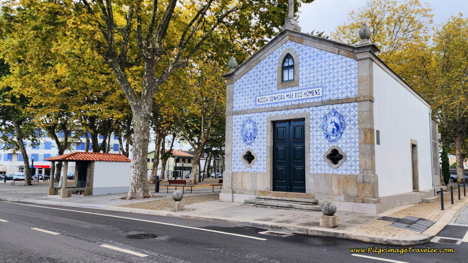
Walk about 350 meters, when you come to a wonderful, large park, in an area of Moreira called Pedras Rubras. After the glorious and large trees ahead, the Capela de Nossa Senhora Mãe dos Homens, catches your eye.
The Way continues onward through the park, below. We lingered here for a few minutes, sitting at a park bench and eating a snack, it was so very inviting! There are also many cafes in this area if you prefer.
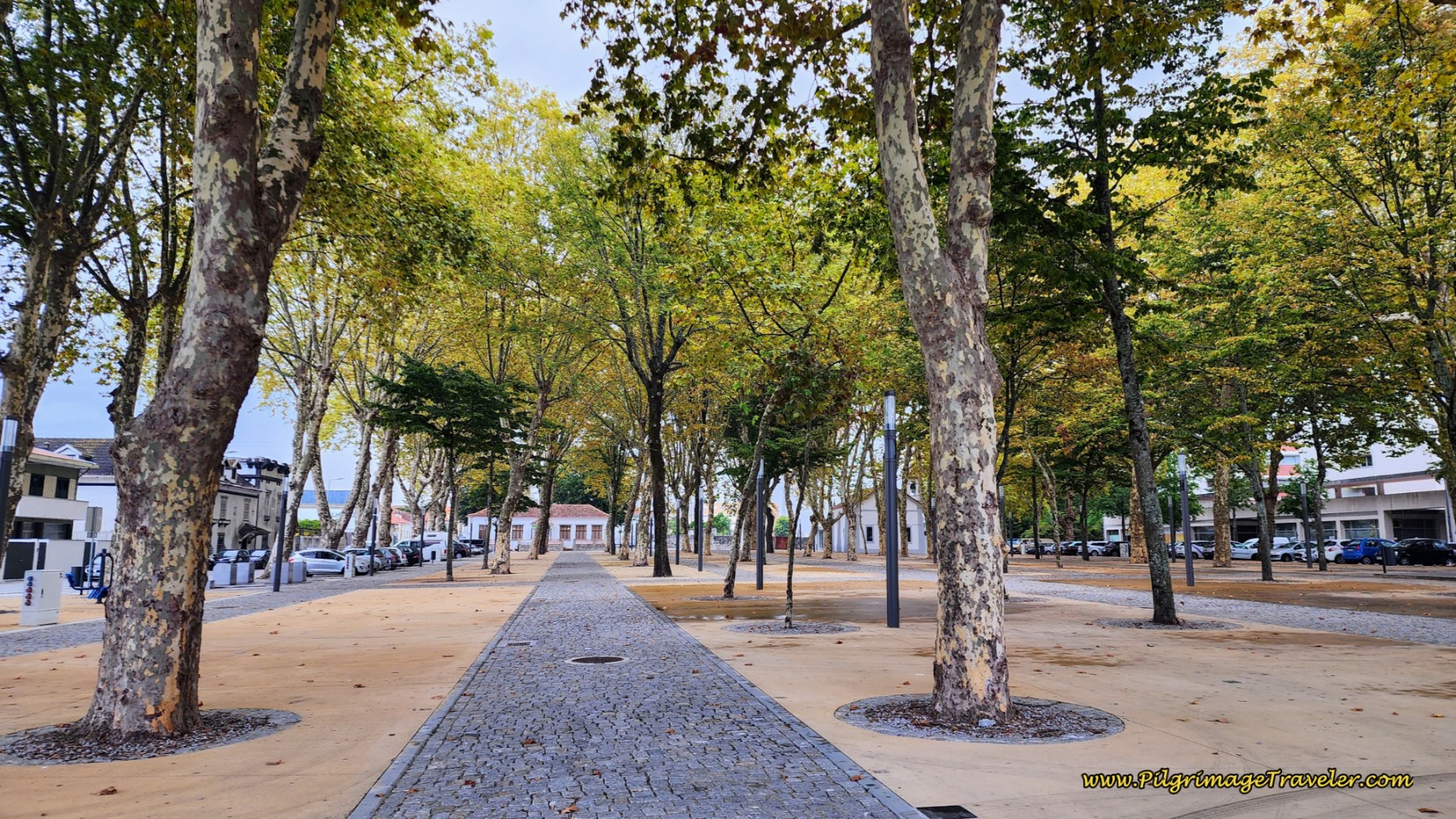 Park in Pedras Rubras
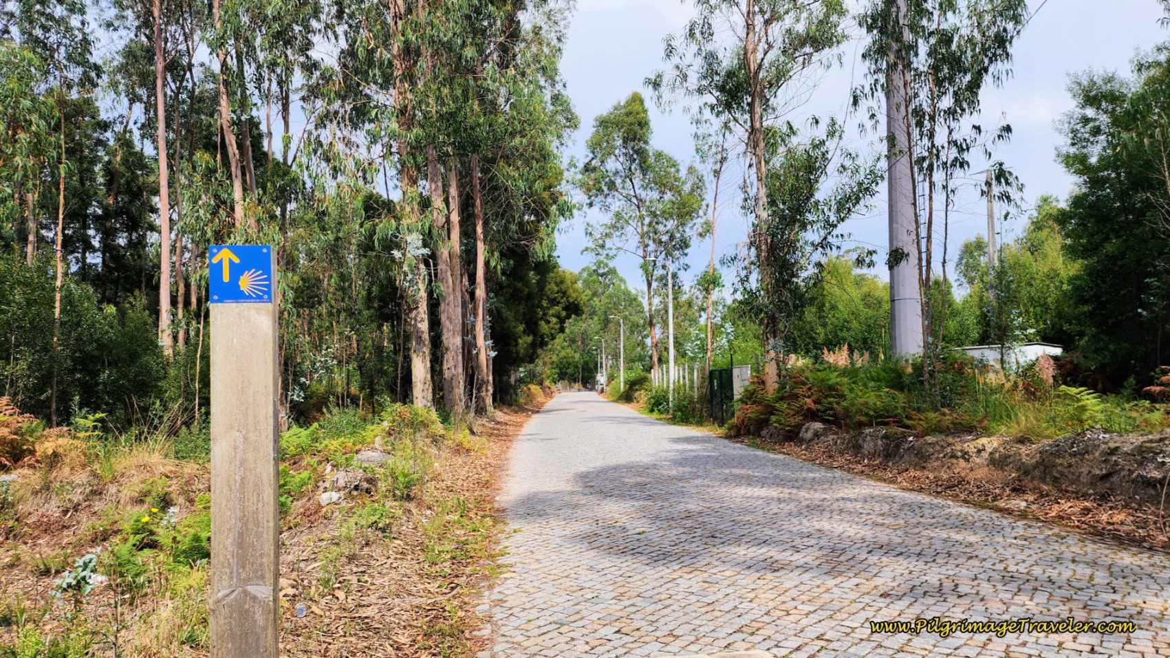
After passing the park, take the first left turn onto a quaint cobblestone road. Follow this road for 1.6 kilometers on the cobblestone.
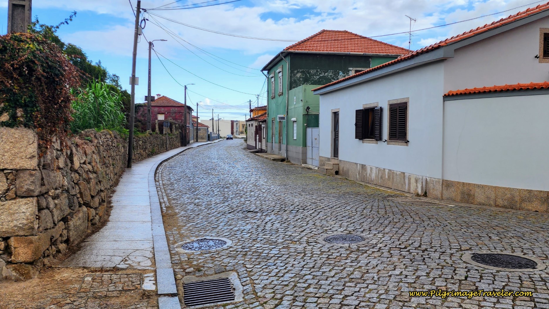 Continue on Cobblestone Road
 Meet Overhead Bridge, Day Fifteen, Coastal Route, Camino Portugués
Come to a large intersection at 14.3 kilometers, pictured below, with a cross.
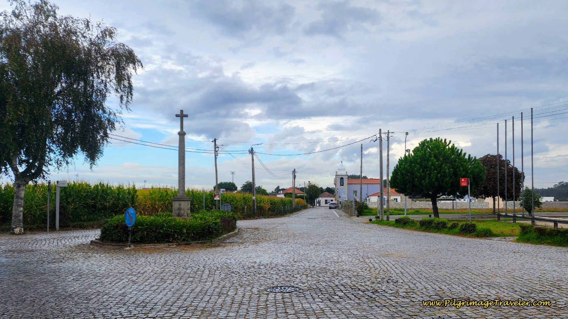 Turn Right at Cross
The Way goes to the right, and toward the Igreja Paroquial de Vila Nova da Telha (Igreja de Santa Maria) that you can see in the distance. Arrive at the church, a few meters later, below.
Continue on this church road a few meters, turning left at another cross in the next intersection. After another few meters come to an intersection with the Rua da Lagielas and turn right at this airport service entrance.
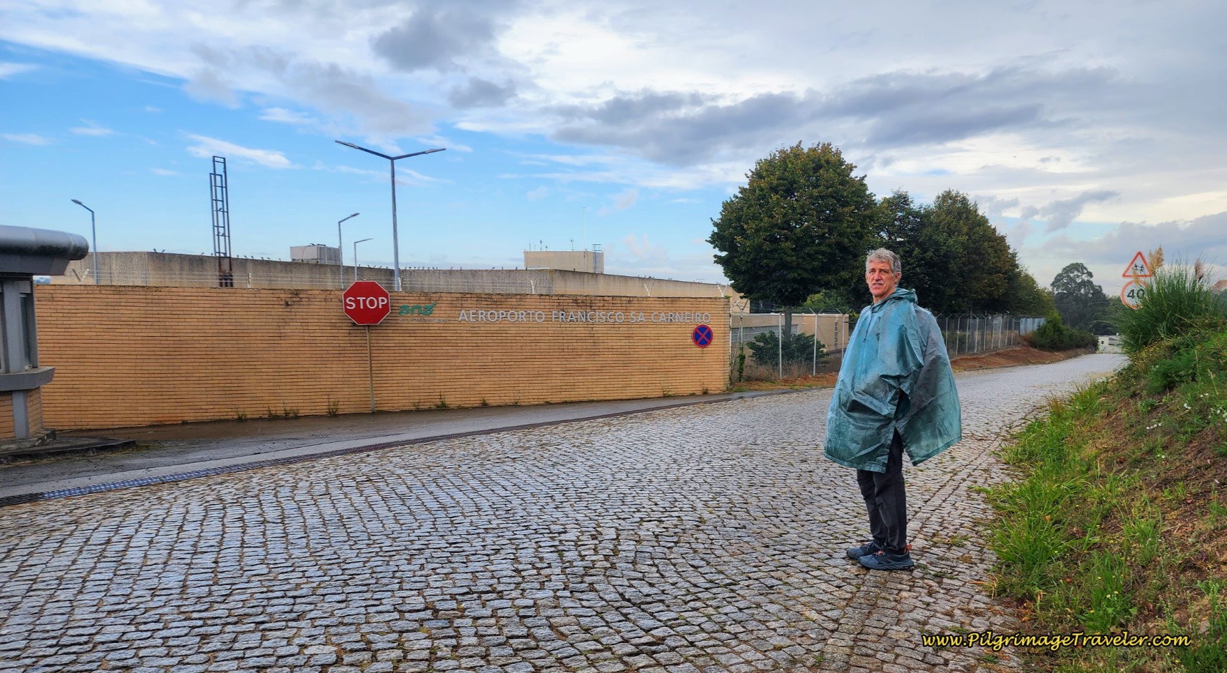 Pass by Airport Service Area
Farther along you are notified that you are walking through the neighborhoods of Aveleda.
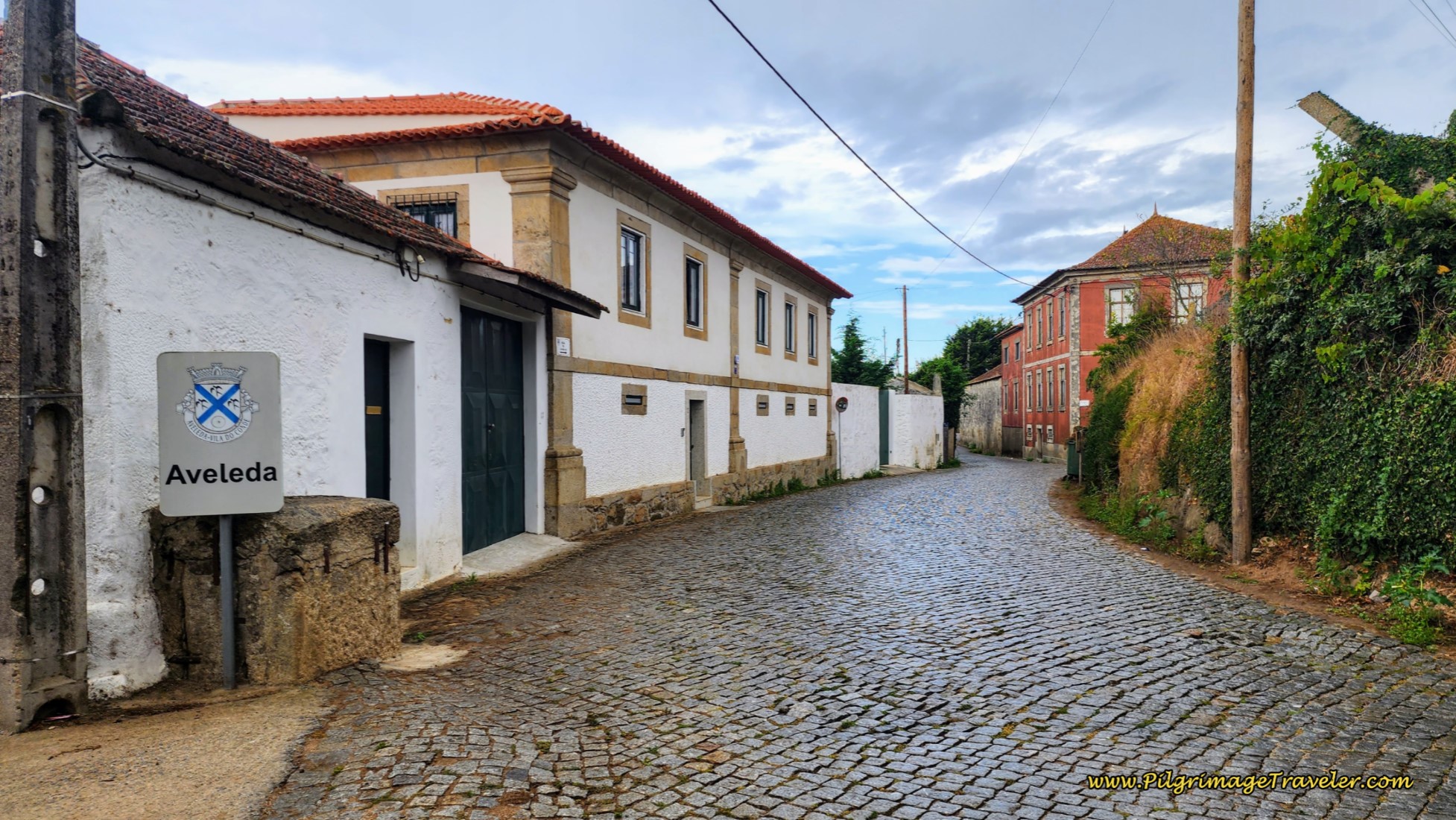 Entering the Town of Aveleda
As you walk, you will notice the high fence-line boundary of the airport on your left. After about 1.2 kilometers on the Rua da Lagielas, you take a left turn at the northern airport boundary and you walk on this lane, below, through a restricted area with high-fences on each side, on the north side of the airport. Lots of planes flew overhead as we walked the distance through this section.
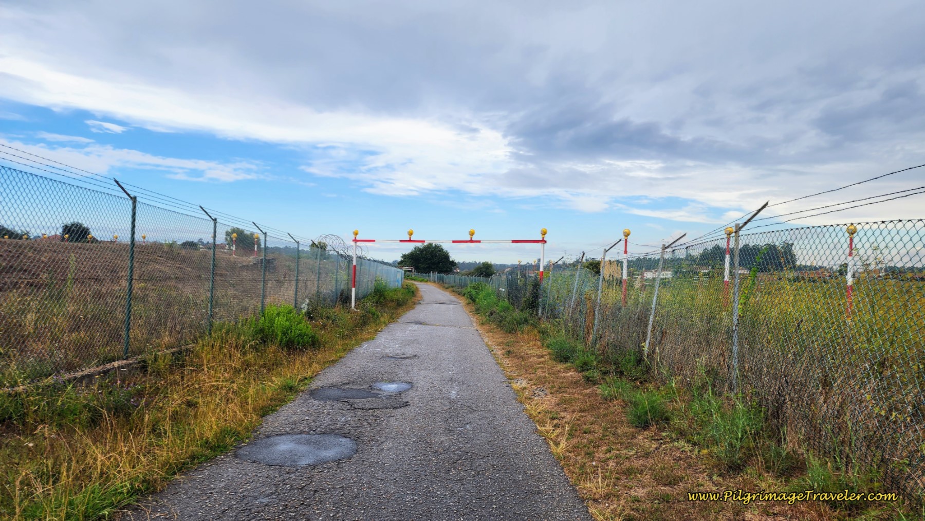 Walk Around Porto Airport, Day Fifteen Coastal Route, Camino Portugués
The paved road turns to a cobblestone path after about ½ kilometer and brings you to a T-intersection where you turn right onto another cobblestone lane. You then wind your way through the countryside, on more well-marked cobblestone lanes until you come to a T-intersection with a major, paved road. Turn to the right.
In only a few meters, stay left at the Y-intersection by a high-walled school, and pick up a wider, cobblestone road, the Rua Botica, that leaves Aveleda, pictured below.
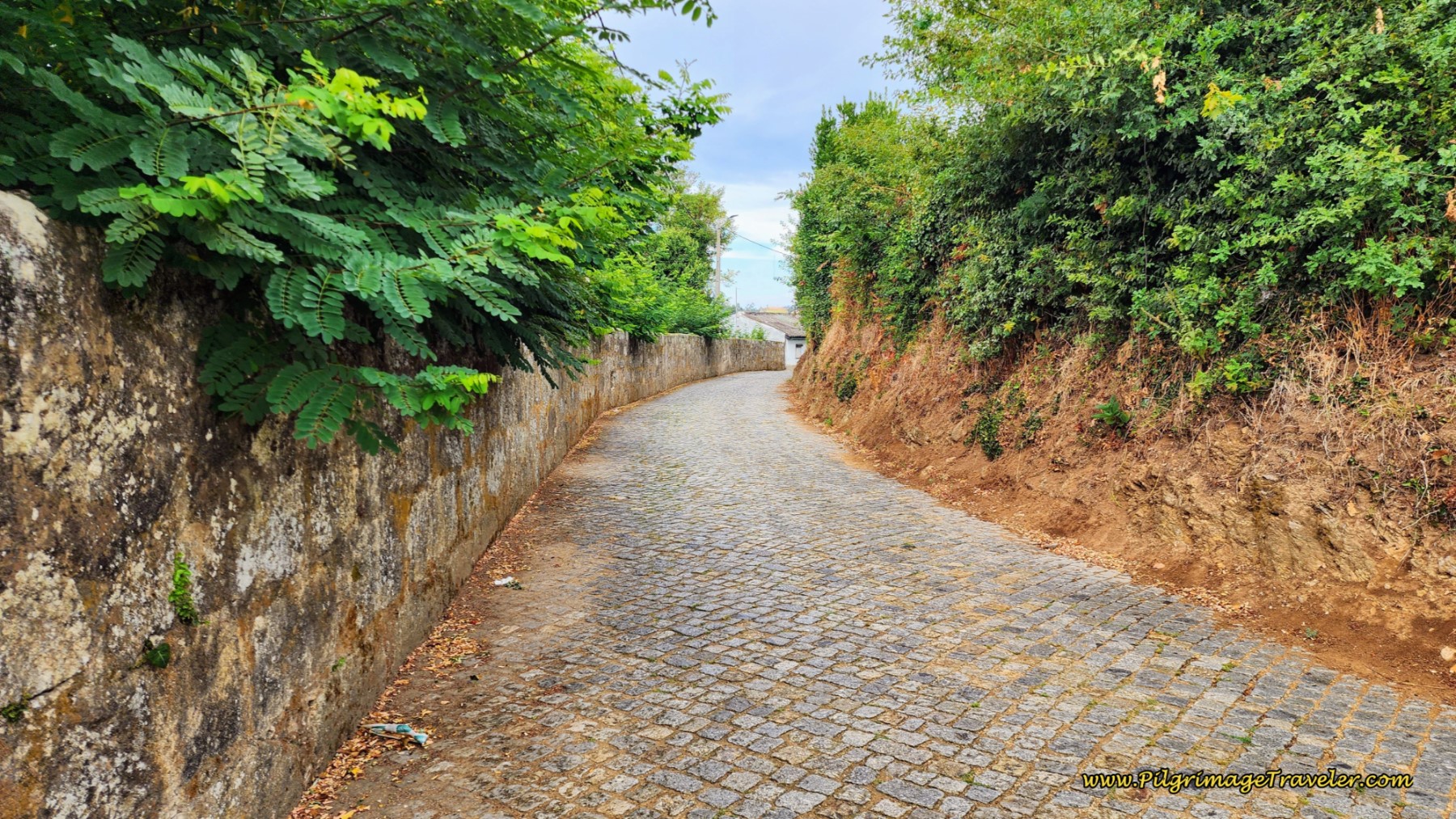 Leaving Aveleda on Cobblestone Rua Botica
You will stay on this quaint cobblestone road until it becomes the Rua da Venda Velha at an intersection with a high wall. Stay to the left.
Continue on the cobblestone Rua da Venda Velha for about 700 meters, crossing under the A28 through a tunnel. Just before the tunnel the road becomes paved and changes its name to the Rua dos Marcos. After exiting the tunnel, the landmark church, the Igreja São Tiago de Labruge is visible ahead.
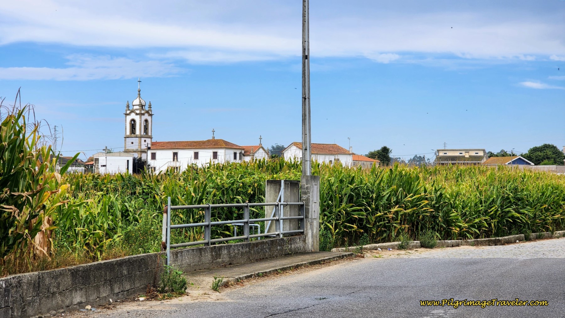 Igreja São Tiago de Labruge in View
It is important to note this church if you are headed to the albergue in Labruge. The turn-off for the church is about 300 meters past the tunnel, but the sign for the albergue is not for another 200 meters at the next T-intersection with the EM5314.
If you consult the interactive map, you can see it is shorter to leave the road and turn left at the intersection where you can see the church. However, the Camino planners felt it was easier, I guess, to take the next intersection. This is strange to me, because they usually take the pilgrimage traveler out of the way to see a church! Make your own decision which is best. To actually walk to the church, take the first intersection. It will make your day fifteen on the Coastal Route of the Camino Portugués shorter.
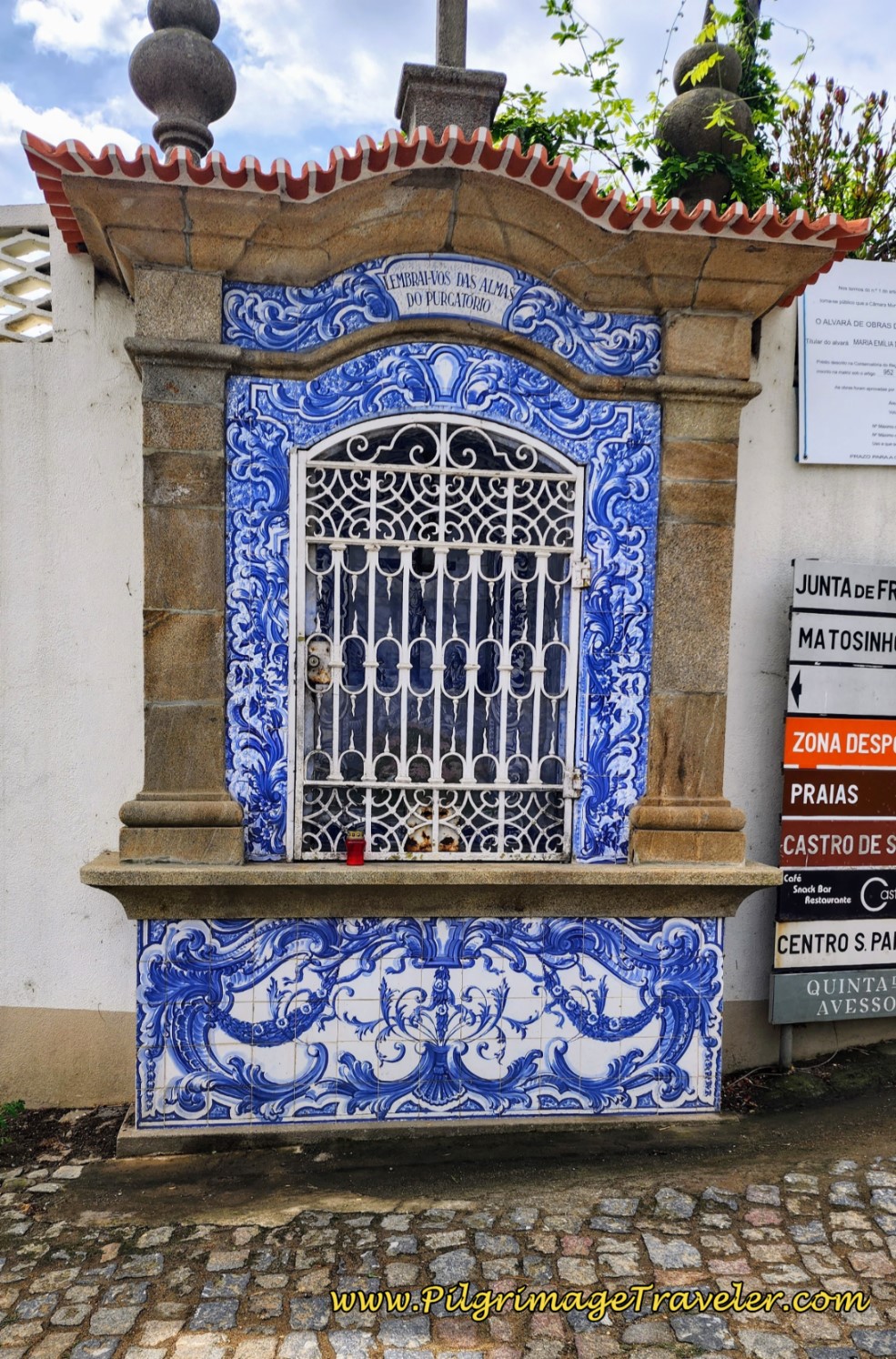
The intersection for the “official” left turn to the albergue and onto the EM5314, not only has the little blue albergue sign on the far wall, below, but also this eye-catching shrine, pictured next.
 Sign for the Labruge Albergue
When you arrive at this T-intersection with the EM5314, you have completed 18.4 kilometers. You are still 1.7 kilometers from the albergue at the turn-off. Make a wise decision here, as the center of Vila do Conde is still 9.5 kilometers away. The town of Vila Chã and the albergue there is also ahead, another possible place to cross-over to the Senda Litoral, if that is your desire.
Otherwise, take a right turn at the intersection above and onto the Em5314 heading north. Only a few meters later, veer to the left to pick up the Rua do Fojo, continuing on cobblestone. 400 meters onward, turn left onto the Rua dos Combatentes, below, that parallels the noisy A-28. Pass a truck stop with a Burger King and a gas station, about 700 meters later.
 Turn left onto Rua do Fojo
Continue onward into a nice forested area, below, however, still paralleling the A-28. Beware the drivers go really fast through here!
Jump to Camino Portugués Stages
After about 20.6 kilometers into the day, arrive at the intersection pictured below, with a small shrine on the right and a sign welcoming you to the town of Vila Chã and a gas station in the distance.
This is yet another choice that presents itself on day fifteen on the Coastal Route of the Camino Portugués. You can continue straight on the Coastal Route, with the knowledge that Vila do Conde is still 7.3 kilometers away, or choose to take a left turn here and walk to the Albergue São Mamede De Vila Chã, another 2.5 kilometers.
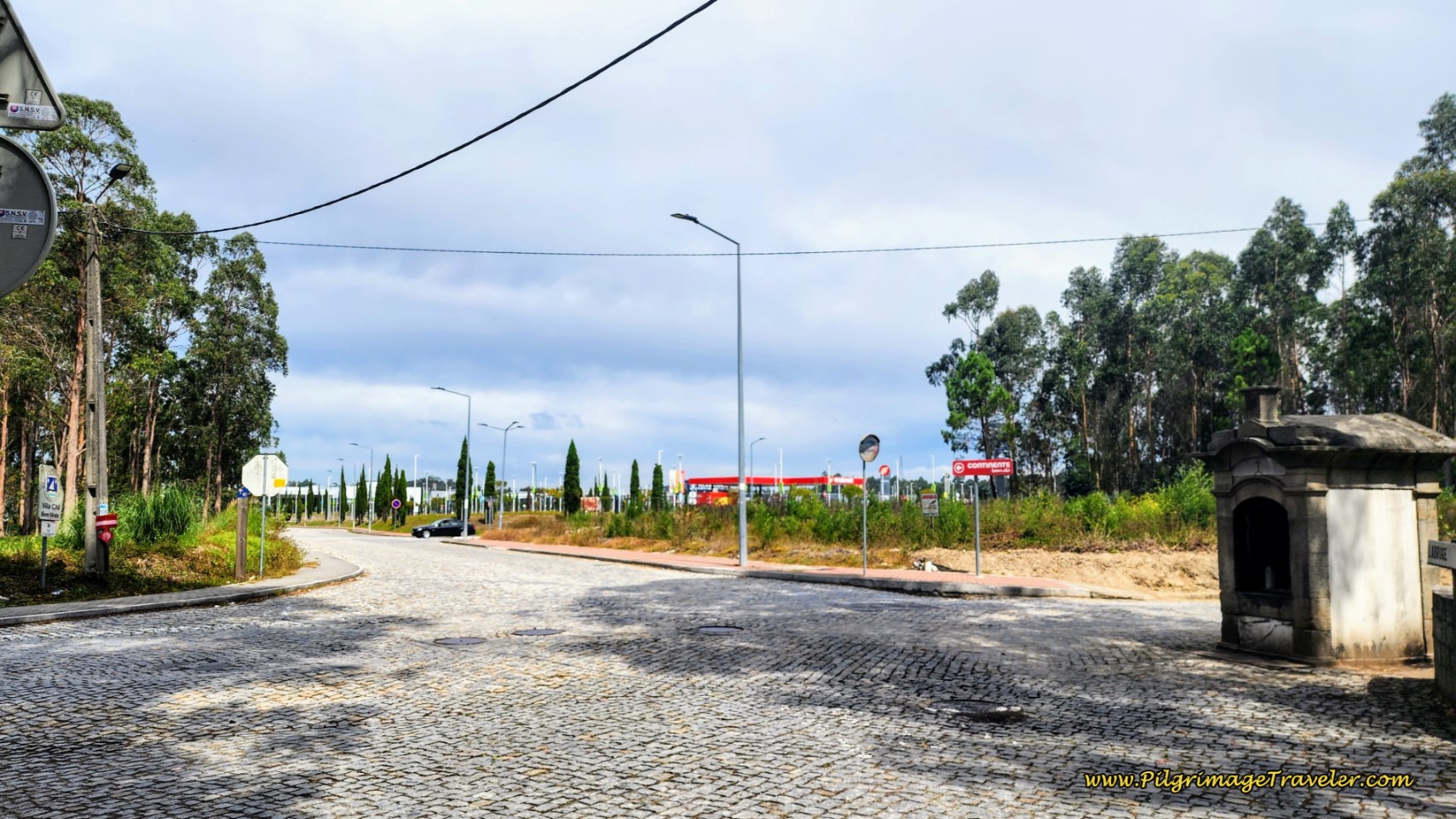 Turn Here for Vila Chã Albergue
Otherwise, continue onwards past a large retail park, shown below. There is now a wonderful sidewalk to keep you safe.
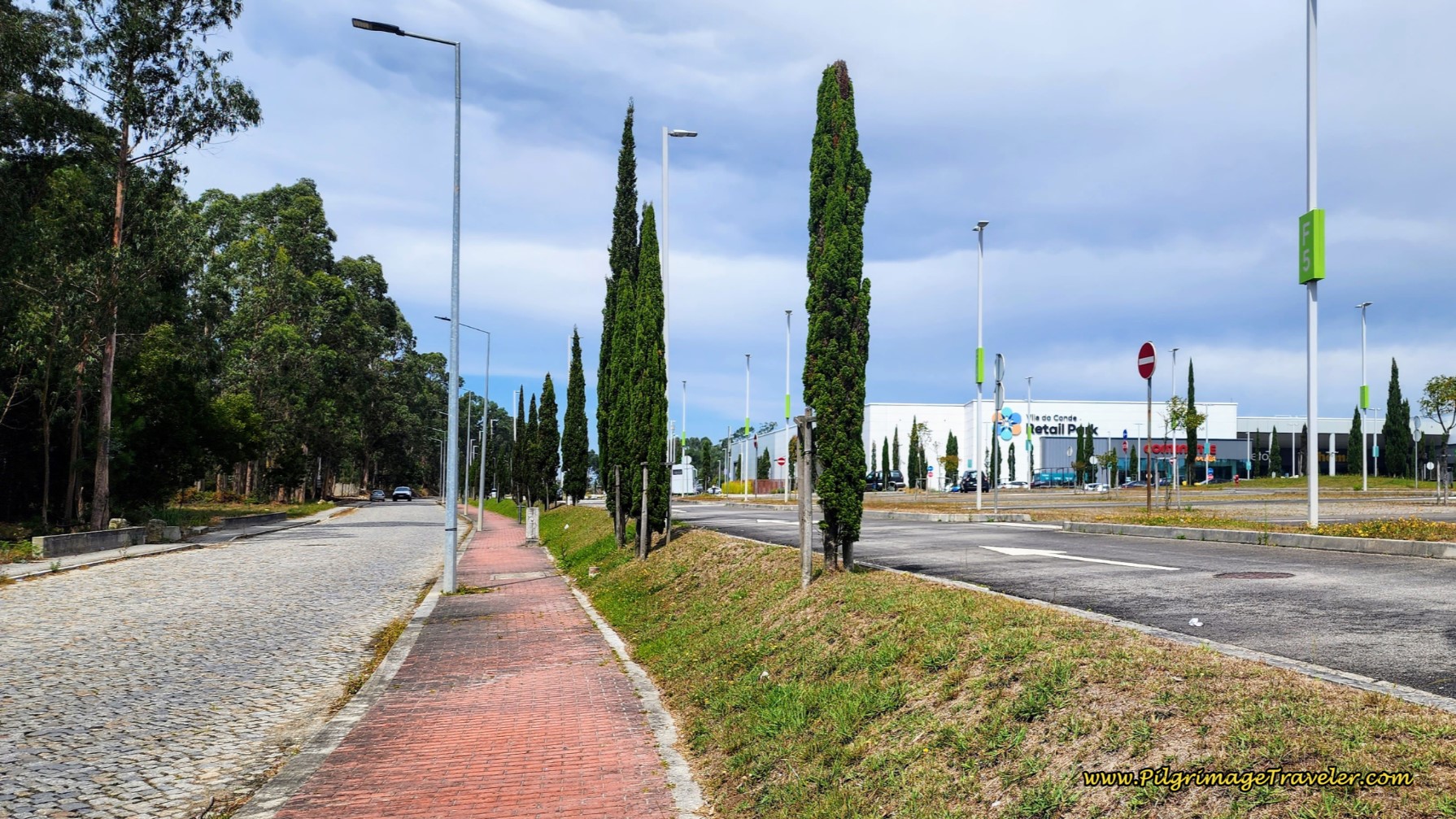 Pass Retail Park, Day Fifteen, Coastal Route, Camino Portugués
1.4 kilometers later after walking through open and rural areas, pass a group of school buildings with a cross out front, and enter the next town of Mindelo.
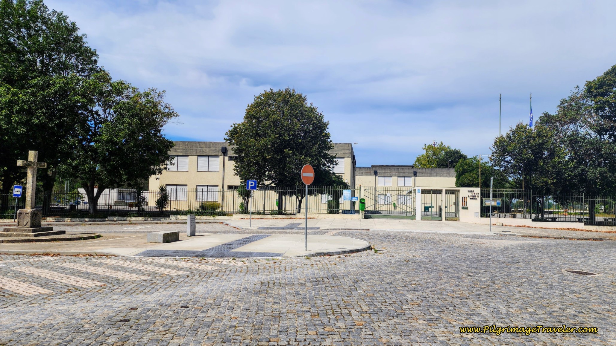 Pass School Buildings with Cross, Day Fifteen Senda Litoral Camino Portugues
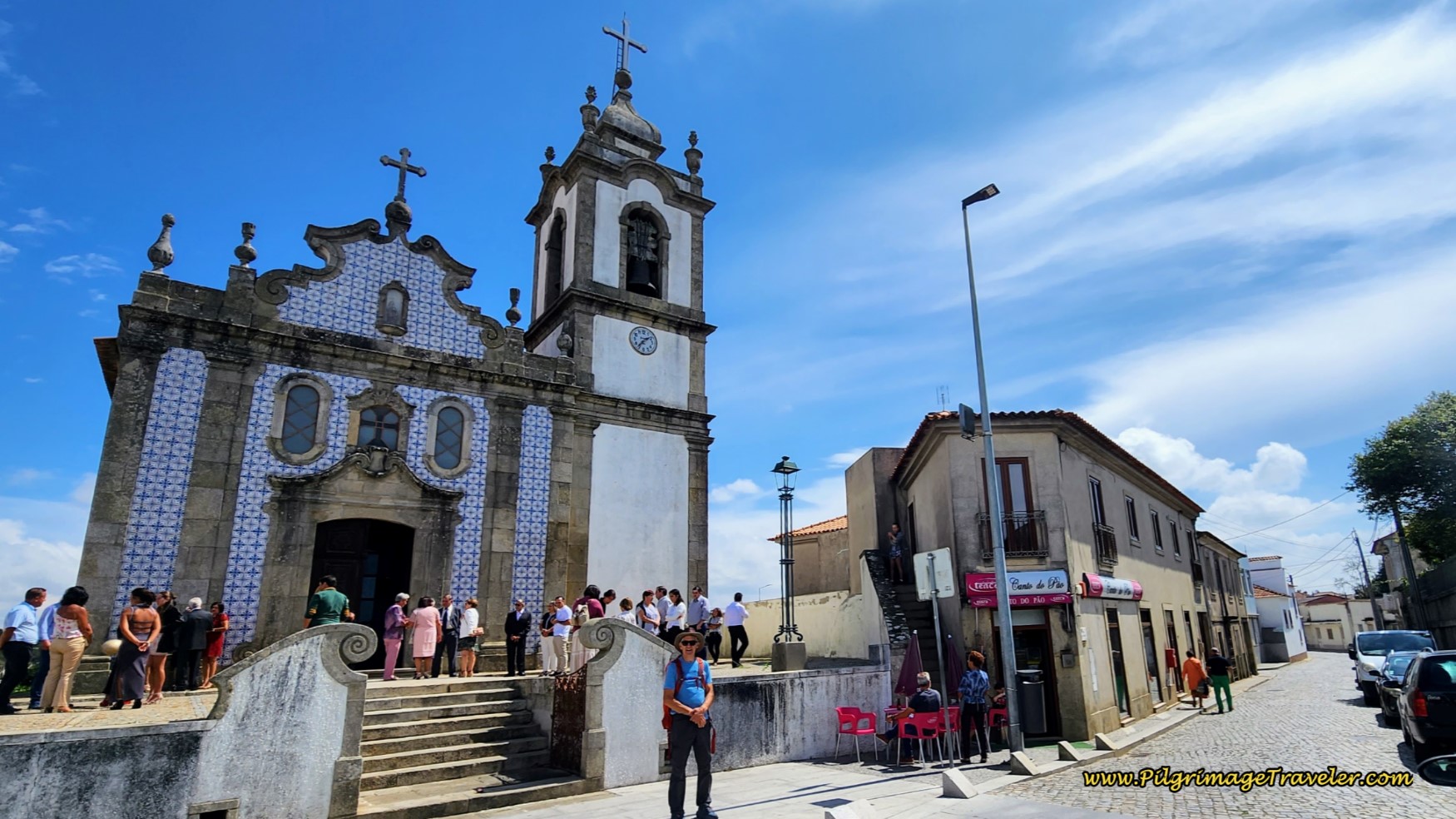
By 22.8 kilometers into the day, you will arrive at the town church, the Igreja de São João Evangelista, Paróquia de Mindelo, whose church tower can be seen long before your arrival at the church itself. And there is a lovely little snack shop called the Canto di Pão where we happily took our second break of the day. You can see it in the photo, right next to the church.
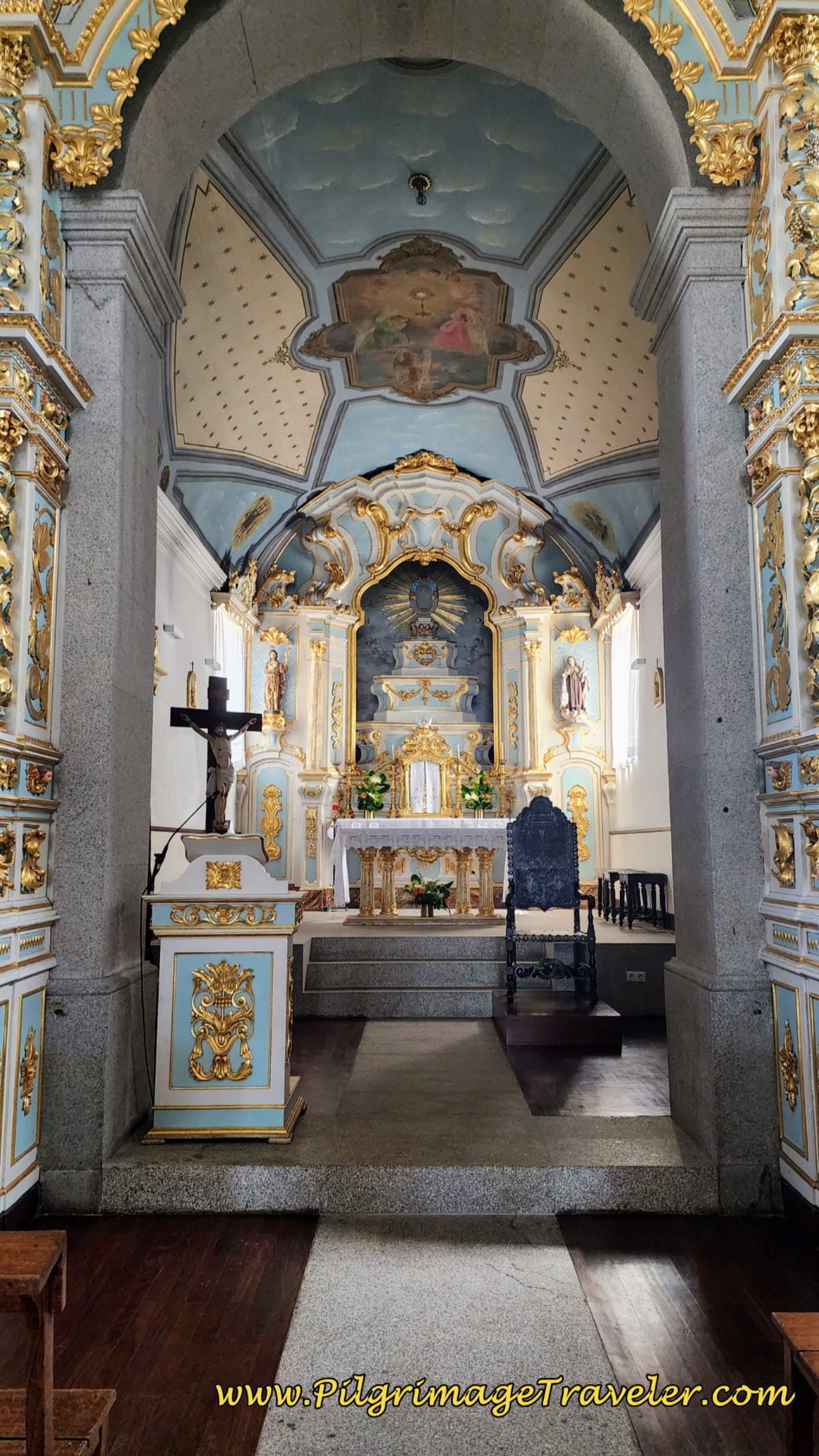
There was a wedding happening in the church, which was fortunate, because we were able to go inside afterwards and have a look around. It is a darling little country church. The Fátima side altar, I thought, was exceptionally nice.
After our break it was onward, northward across the church square, past another blue information board and we picked up the Rua da Estrada Velha. One-half kilometer later, we came to a large roundabout, and continued straight on through it. After the roundabout and after leaving the rural area of Mindelo, we walked through another forested area for about one kilometer.
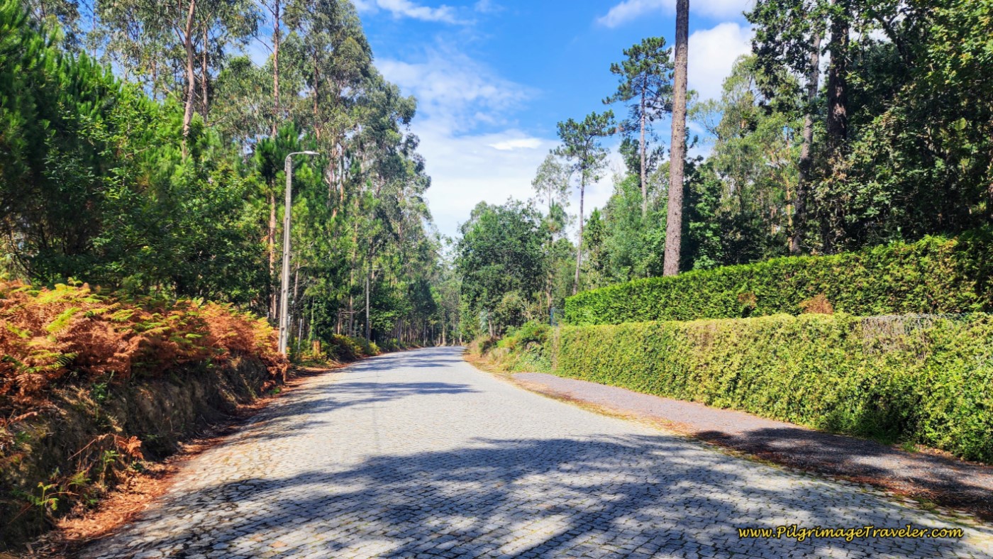 Re-Enter Forested Area
Continuing still on the Rua da Estrada Velha, come to an urban area, reaching an intersection with this large, distinctive commercial and residential building, below. At about 25.2 kilometers at this intersection, you are within striking distance of Vila do Conde on day fifteen on the Coastal Route of the Camino Portugués.
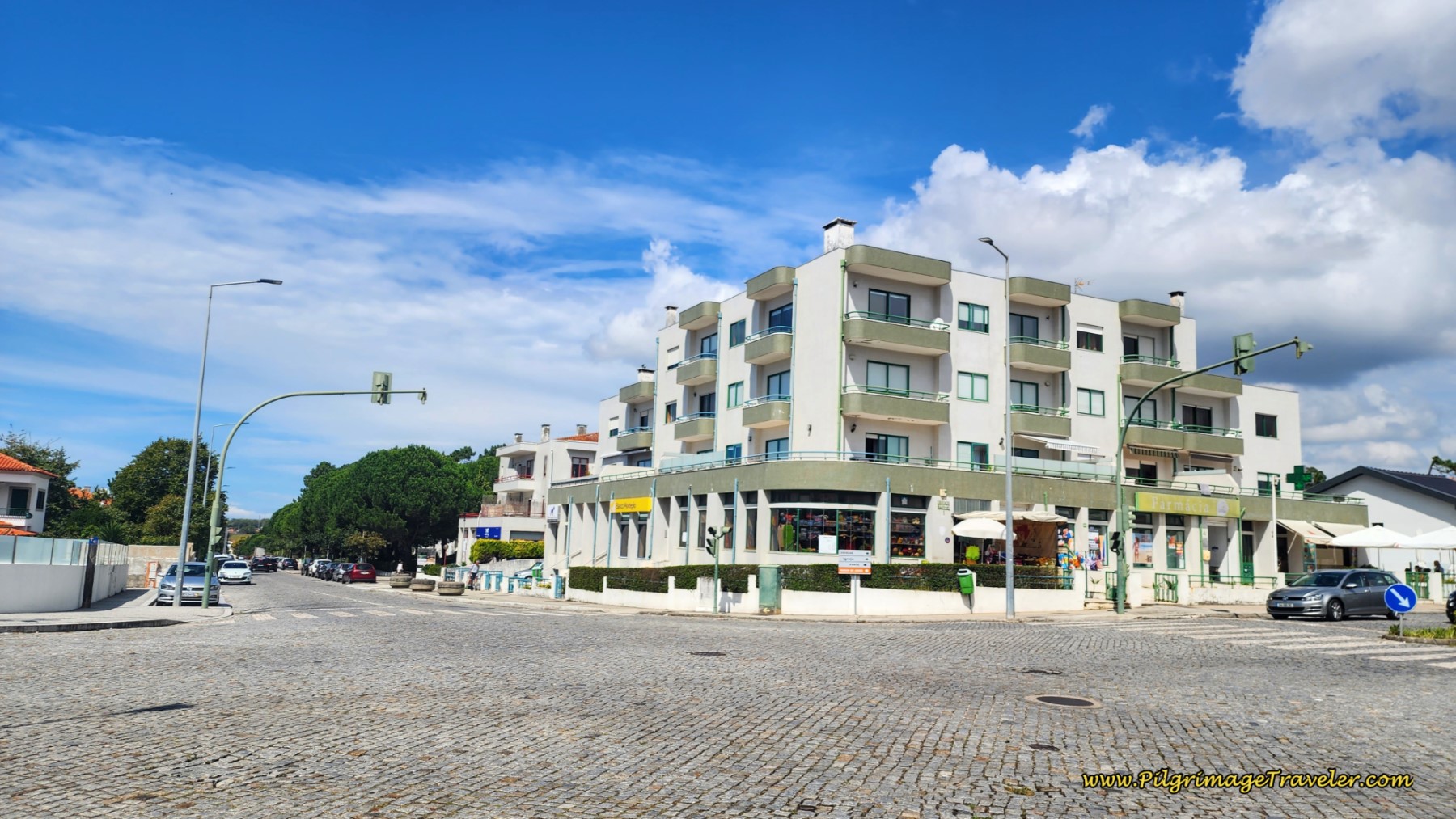 Pass Large Commercial/Residential Building
One-half kilometer later pass another large roundabout, and walk straight through it. After yet another one-half kilometer come to a larger roundabout with this gigantic tree in the middle.
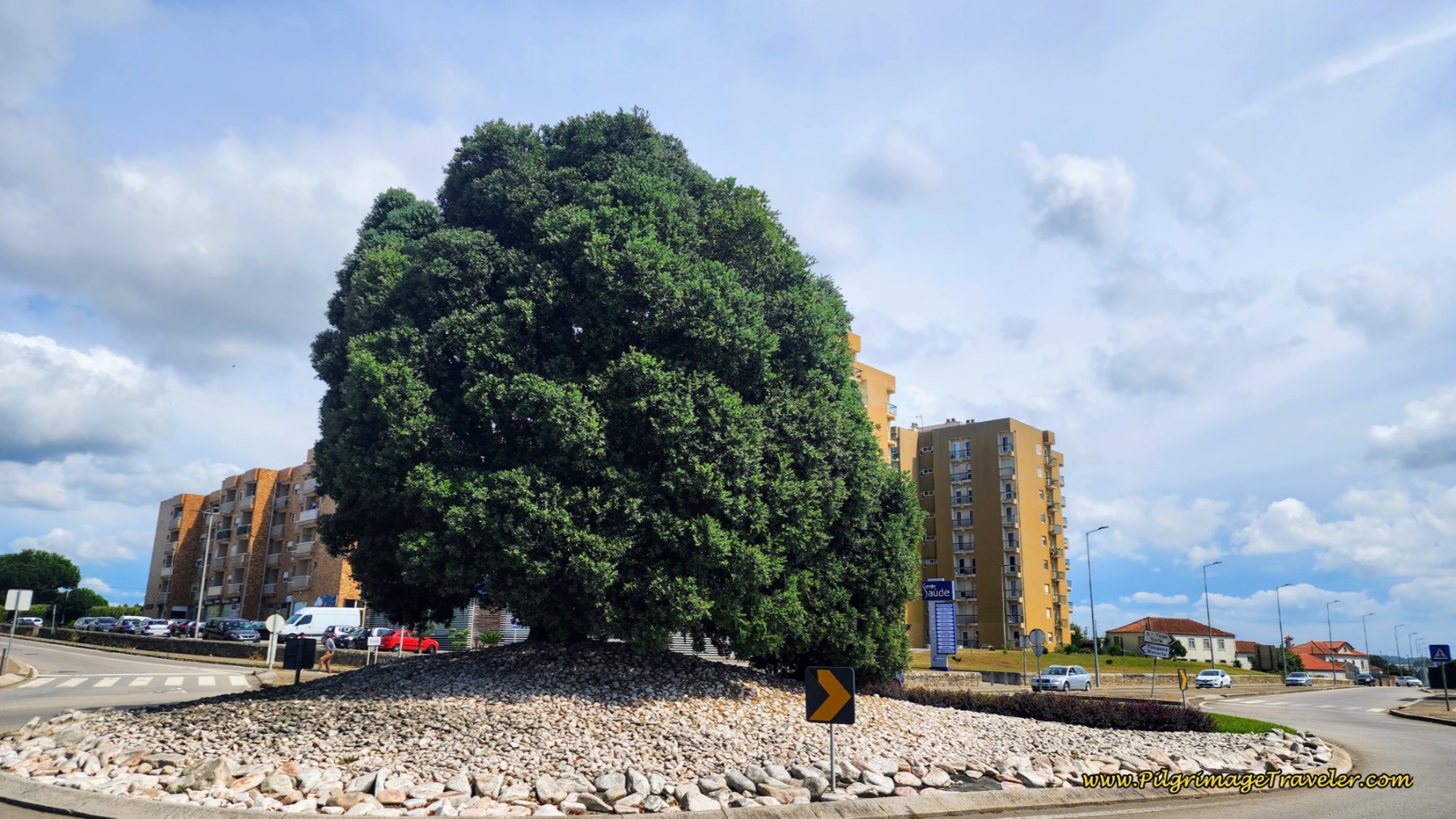 Cross N-13 at Roundabout with Large Tree
Stay to the left at the roundabout, and take a few steps to the left onto the N13. Cross the N13 at the first crosswalk after you turn left. It is imperative that you leave the N13 after the crossing and find a small diagonal side street to the right, called the Rua Padre Serafim das Neves. There are waymarks to guide you but they are tricky to find! The photo below shows the entrance to this street and the funky wood-slatted building to aim towards.
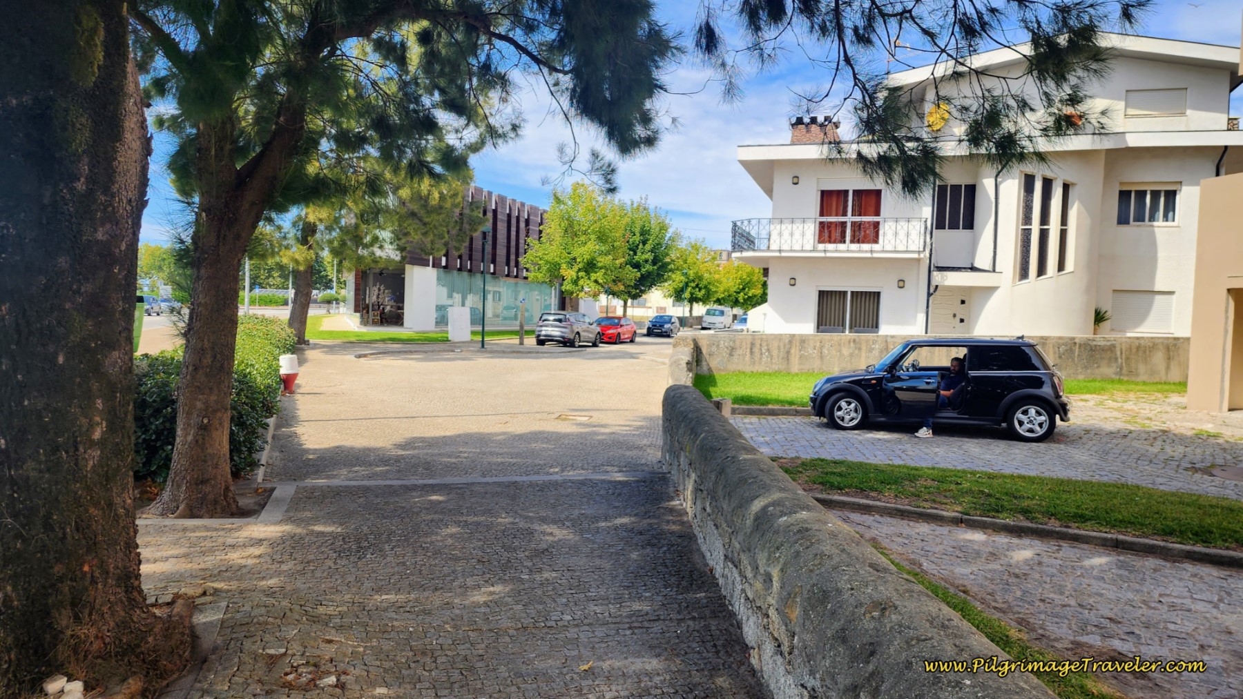 Find Side Street, Rua Padre Serafim das Neves
Jump to Camino Portugués Stages
As you walk along this street, you are entering the town of Azurara, a suburb of Vila do Conde, just south of the Ave river. The way becomes more interesting as you can see with this ruined gate.
A few meters after the gate, pass the local parish church, the Igreja Santa Maria de Azurara.
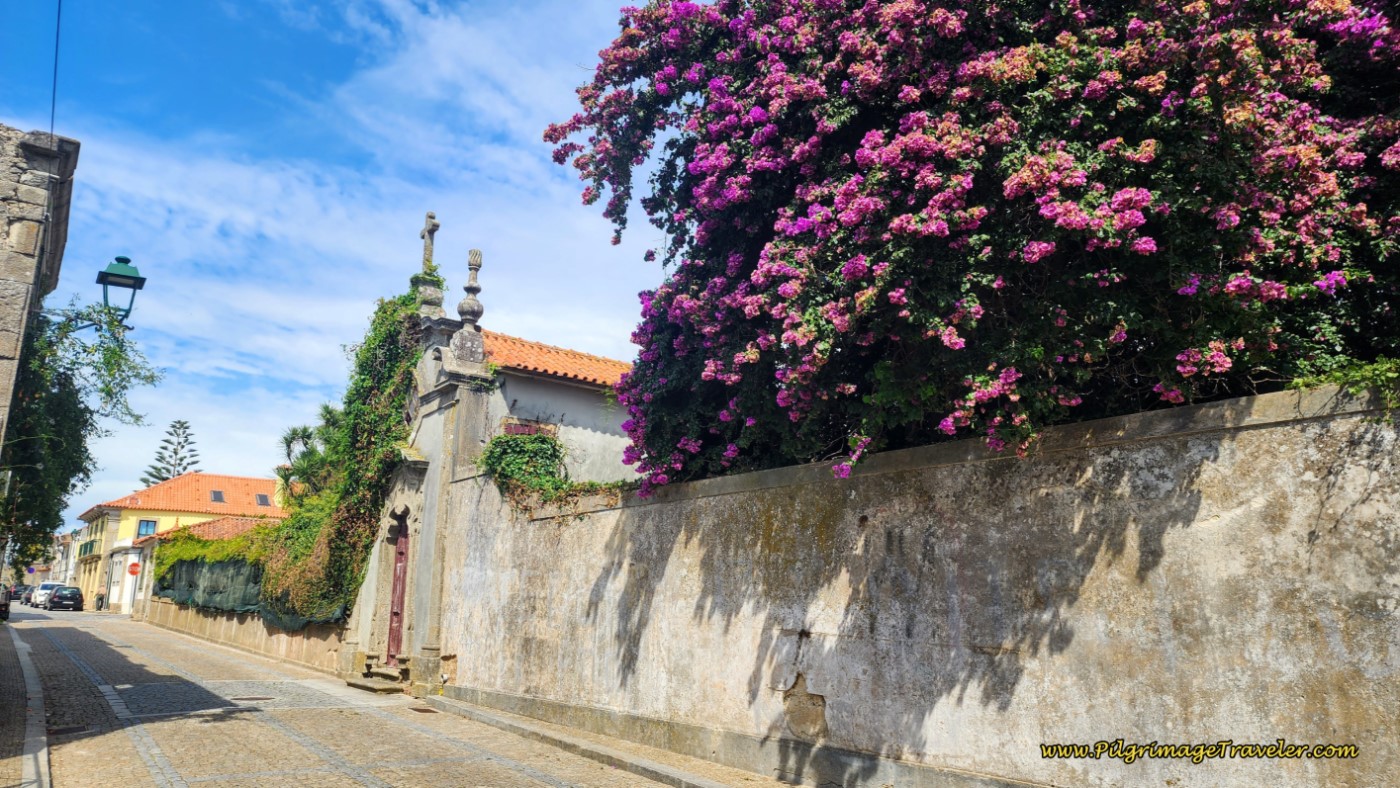
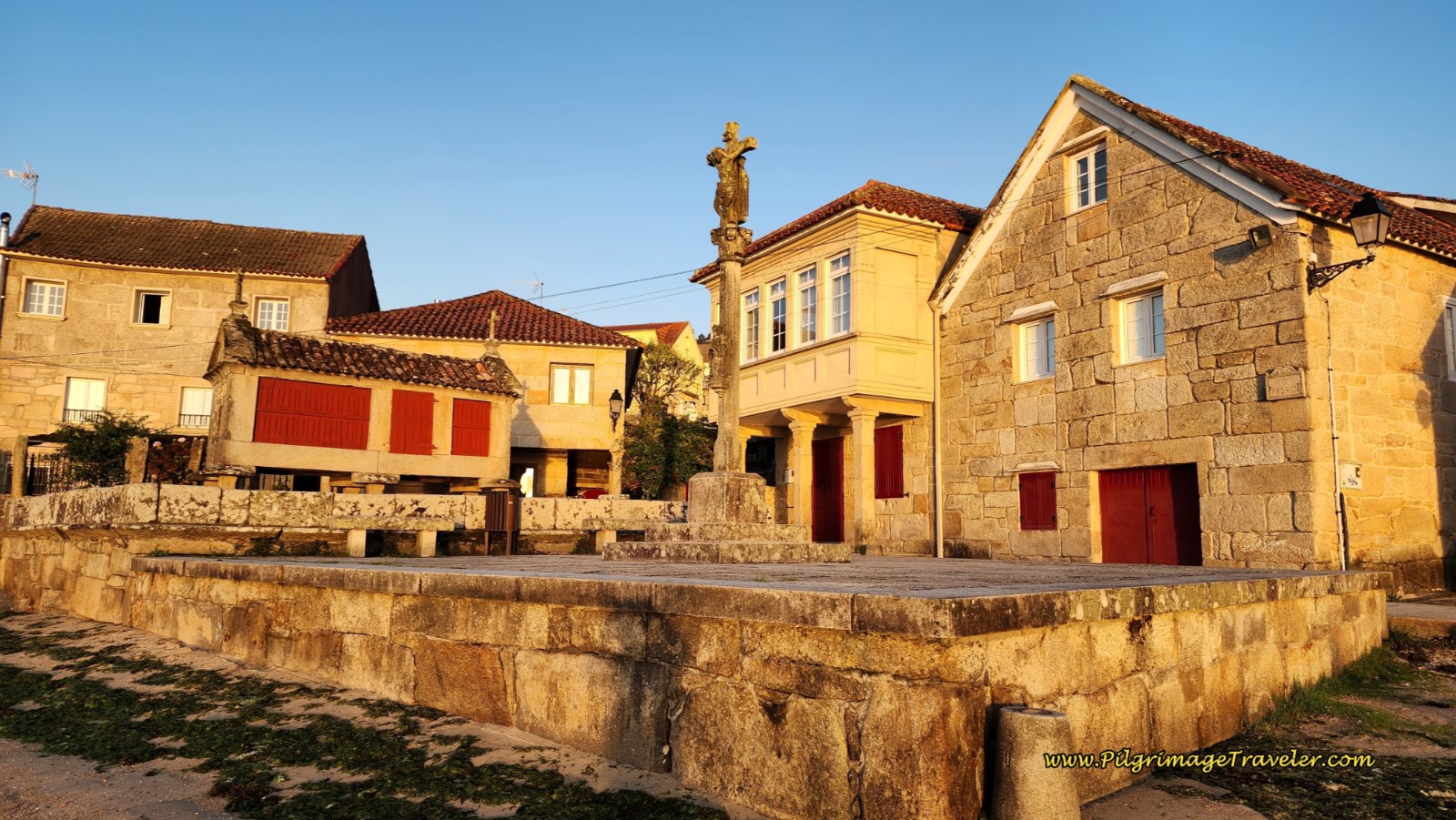
Just beyond the church is a plaza, below, which you will walk across, picking up the Rua Dr. Americo Silva. You are now entering the very attractive old town of Azurara. Enjoy these final steps to the river! It is all downhill from here.
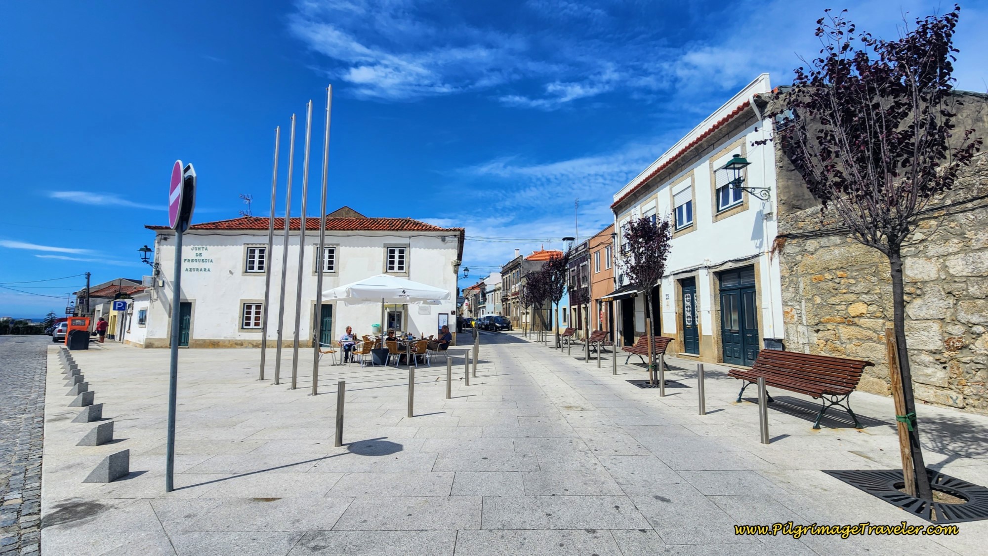 Cross Plaza to Rua Dr. Americo Silva
Next are two shots of this attractive street as you walk the final 700 meters to the Ave River.
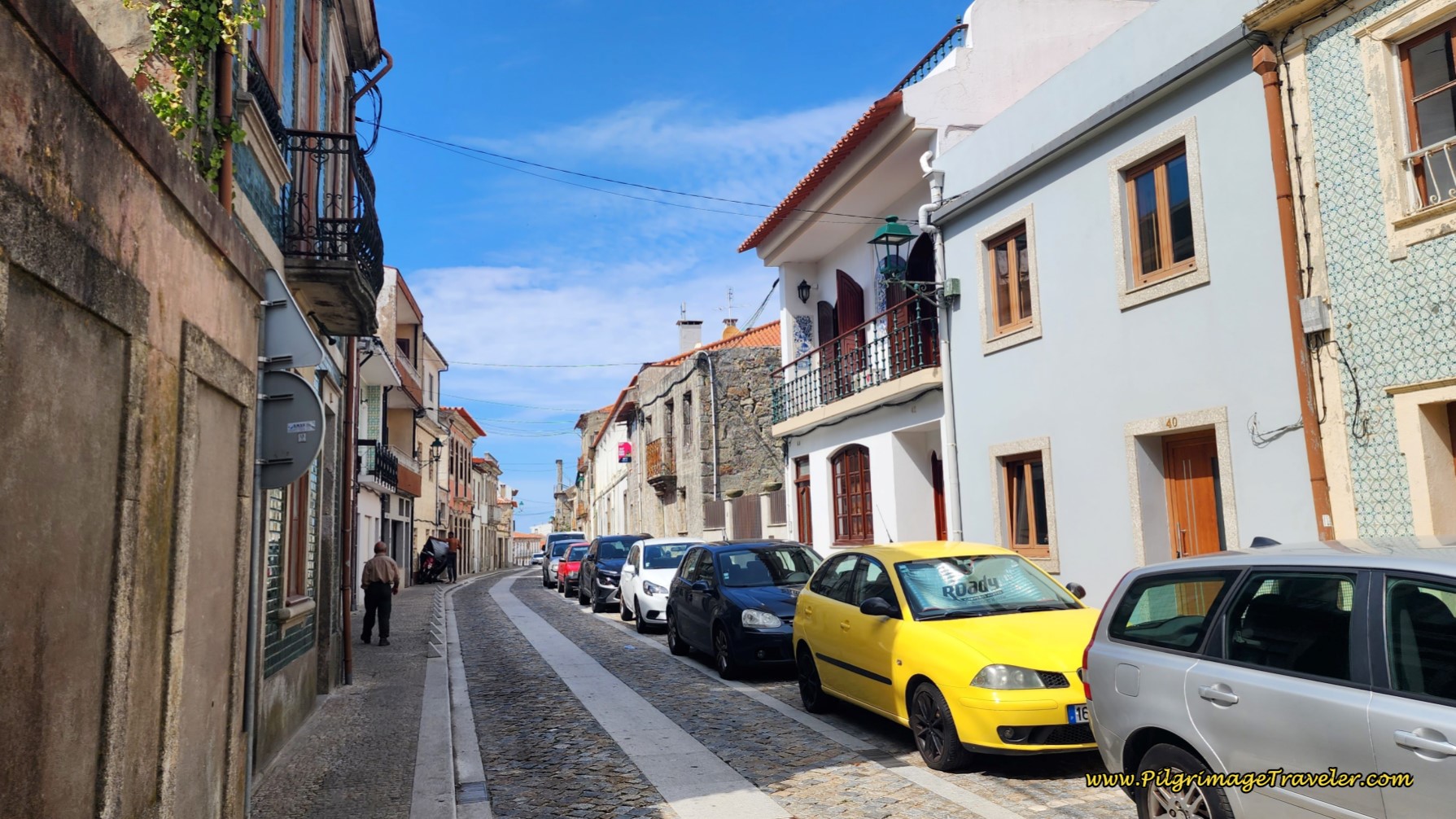 Along the Rua Dr. Americo Silva Toward Vila do Conde
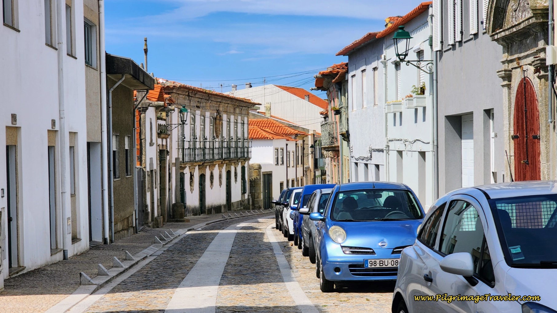 Down the Hill in Azurara Toward the Ave River
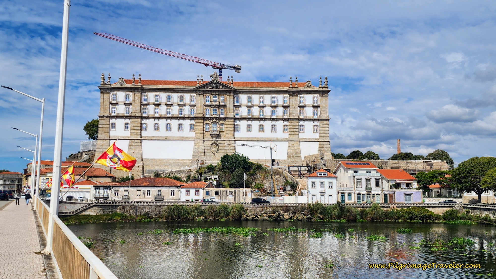
On the final steps down the hill to the Ave River, the amazing Mosteiro de Santa Clara looms over the skyline, below. It is a wonderful approach to Vila do Conde.
And at the bottom of the hill, the Rua Dr. Americo Silva ends at a T-intersection with the N-13. The Coastal Route turn to the right, and crosses the Ave River to walk into the town of Vila do Conde. Here is how the monastery looked as we crossed the river.
There are two accommodations in Azurara, close to the Camino that might meet your needs, the Santana Hotel and Spa, and the Villa C Boutique Hotel.
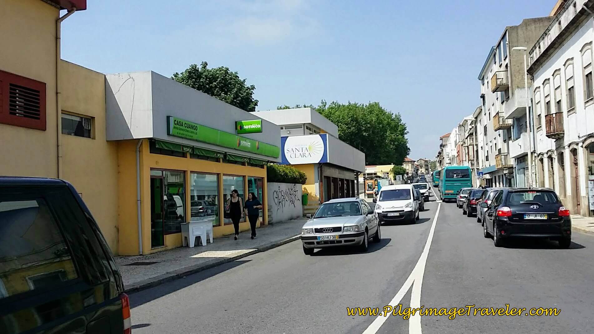
Just beyond the river a few hundred meters is the municipal Albergue de Peregrinos de Vila do Conde Santa Clara, pictured below. This is a very nice, modern facility that was built in 2016.
There are also four more inexpensive accommodations, the Bellamar Hostel along the river, the Hostel Two Double One (+351 912 230 442) and the Casa da Laura (+351 935 470 990) in the center and the HI Vila do Conde - Pousada de Juventude near the coast. All can be pre-booked.
There are many other accommodations in Vila do Conde, just click here to see all the choices. Just remember that if you wish to stay on the beaches south of town, or anything near the waterfront in high season, pre-booking is almost mandatory! Also keep in mind that there is often a 2-3 night minimum for some of these popular seaside places.
After checking in at the albergue, we met for beers with our new friends in the plaza, the Praça de São João in the Café Saura. The Vila do Conde municipal market is here in the plaza as well.
At the end of the plaza, is a lovely fountain with blue azulejo murals that I noticed while sitting in the café.
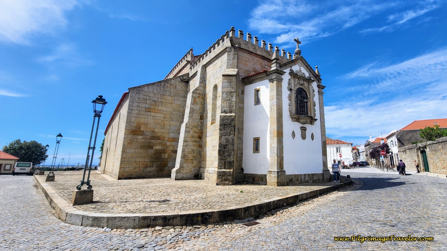
Beside the fountain is a set of stairs leading up and to the right, just calling my name to go explore! This stairway leads to the church, the Igreja de São João Baptista and its grand terrace.
The three gents wanted to have their second beer and I wanted to explore the town. I couldn't convince any of them to join me.
So I went to the church myself and beheld the most beautiful Fátima altar I had seen yet. And as it turns out, it would continue to be my favorite of all.
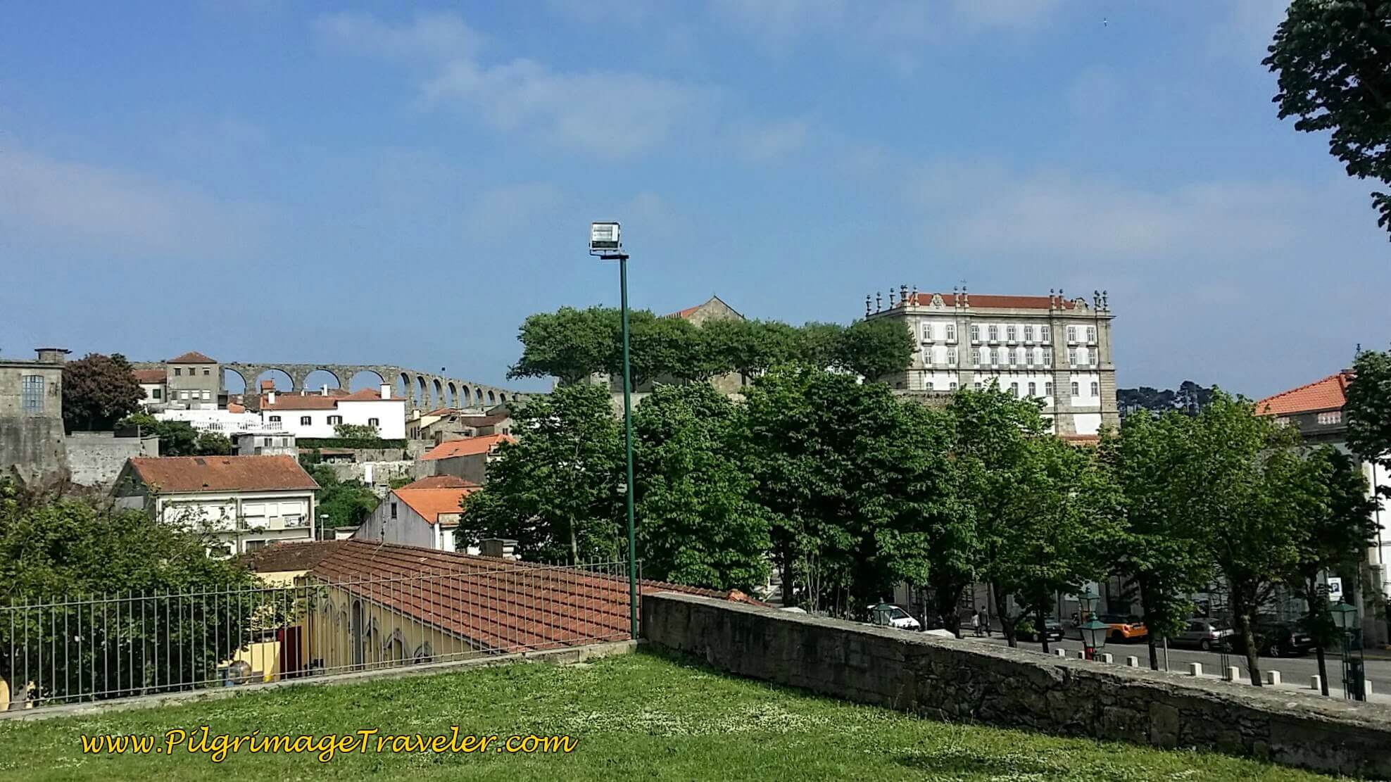
And from the church's terrace, one can behold the Monastery of Santa Clara, built in the 14th century, and the 17th century aqueduct system. How I longed to go see this sight, but after 32 kilometers and no one to go with me, I acquiesced.
The four of us had dinner later. We retired early, with bellies full on a funky double-size lower bunk, happy and content to be on the Sendal Litoral with new friends.
Reflections on Day Fifteen, Coastal Route, Camino Portugués
This route has plenty of places to get food, however, snacks in your pack are always a good thing, regardless. Water fountains are not common, so be prepared to carry water, unless you plan on stopping at restaurants. Signage, yellow arrows and waymarks are also abundant on this route.
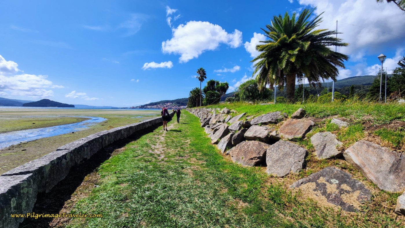
This route had very few pilgrims, way less than the Senda Litoral! I think the word has finally gone out regarding the Senda Litoral. If you plan to walk and not take the metro for any part of this day and want the shortest possible route, I would now recommend walking the Coastal Route. Believe it or not! This route has a lot to offer as you can see from the photos above, and we did not find that walking out of Porto was all that terrible. But, I am one who commits to walking every step of a pilgrimage, so I may be the exception.
However, if you enjoy the rhythm of your feet in every step, and enjoy more solitude, this day on the Coastal Route (and perhaps the Coastal route after A Ramallosa) is your only chance on the now-busy Camino Portugués!
Salutation
May your own day fifteen on the Coastal Route of the Camino Portugués be filled with pauses, to take in and appreciate all that is beautiful around you. And may you take in the love you find there as you move forward one step at a time. Ultreia!
Camino Portugués Overview
Camino Portugués Stages
Central Route: Lisbon to Porto Stages
Central Route: Porto to Santiago Stages
Senda Litoral or the Coastal Routes: Porto to Santiago Stages
Skip to Central Route Above, for Final Days 22-25 to Santiago
Variante Espiritual Stages
Please Consider Showing Your Support
Many readers contact me, Elle, to thank me for all the time and care that I have spent creating this informative website. If you have been truly blessed by my efforts, have not purchased an eBook, yet wish to contribute, I am exeedingly grateful. Thank you!
Search This Website:
🙋♀️ Why Trust Us at the Pilgrimage Traveler?

We’re not a travel agency ~ we’re fellow pilgrims! (See About Us)
We've trekked Pilgrimage Routes Across Europe since 2014!
💬 We’ve:
- Gotten lost so you don’t have to. 😉
- Followed waymarks in the glowing sunlight, the pouring rain and by moonlight. ☀️🌧️🌙
- Slept in albergues, hostels & casa rurals. Ate and drank in cafés along the way. 🛌 😴
- Created comprehensive and downloadable GPS maps and eBook Guides, full of must-have information based on real pilgrimage travels. 🧭 🗺️
- Shared our complete journeys, step by step to help YOU plan your ultimate pilgrimage and walk with your own Heart and Soul. 💙✨
Every detail is from our own experiences. Just fellow pilgrims sharing the Way. We have added a touch of spirituality, heartfelt insights and practical guidance from the road ~ offering a genuine connection to the spirit of pilgrimage. Tap into the wisdom of seasoned pilgrims!
Ultreia and Safe Pilgrimage Travels, Caminante! 💫 💚 🤍
Follow Me on Pinterest:
Find the Pilgrimage Traveler on Facebook:
Like / Share this page on Facebook:
***All Banners, Amazon, Roamless and Booking.com links on this website are affiliate links. As an Amazon associate and a Booking.com associate, the Pilgrimage Traveler website will earn from qualifying purchases when you click on these links, at no cost to you. We sincerely thank you as this is a pilgrim-supported website***
PS: Our eBook Guide books are of our own creation and we appreciate your purchase of those too!!
Shroud Yourself in Mystery, along the Via de Francesco!
Walk in the Footsteps of St. Francis, and Connect Deeply to the Saint and to Nature in the Marvelous Italian Countryside!
Need suggestions on what to pack for your next pilgrimage? Click Here or on the photo below!
Find the Best Hotel Deals Using This Tool!
Carbon Trekking Poles ~ My Favorites!
Carbon fiber construction (not aluminum) in a trekking pole makes them ultra lightweight. We like the Z-Pole style from Black Diamond so we can hide our poles in our pack from potential thieves before getting to our albergue! There are many to choose from! (See more of our gear recommendations! )
Gregory BackPack ~ My Favorite Brand
Do not forget your quick-dry microfiber towel!
























Your Opinion Matters! Comments
Have you had a similar experience, have some advice to give, or have something else you'd like to share? We would love to hear from you! Please leave us a comment in the box below.