- Home
- ~ Camino Primitivo (The Original Way)
- Day Nine, O Cadavo to Lugo
Jump to Camino Primitivo Stages
Day Nine on the Camino Primitivo ~ O Cádavo to Lugo, 29.8 Kilometers (18.52 Miles)
Our day nine on the Camino Primitivo was a long-anticipated walk into the historic, medieval town of Lugo, Spain. Here we were to indulge in what the city had to offer, and to take a well-deserved day off. We were to also learn how the Camino de Santiago tears down borders, both in humans and the animal kingdom, and makes us closer to one world.
"Some outer, credible purpose usually motivates my journey, but inside I am waiting for that moment when the ground shifts - when humor or sadness or a shared recognition makes the distance between "my" world and "the" world beyond my borders vanish, at least for a moment." ~ From "Digging In" Elias Amidon, a short story from the book, "Dirt, A Love Story" edited by Barbara Richardson
Day Nine, Camino Primitivo Maps and Stats
While the walk on day nine was longer than most of the prior stages, this one didn't feel as hard. This is because the exertion level was less due to very little hill climbing required, as you can see in the elevation profile below. I did have a problem keeping hydrated, as along with the lower elevation, the heat of the day was much higher.
As I listened to my voice journal from this ninth stage, I was much less negative than day eight! It was almost a totally enjoyable day!
By day eight, we were beginning to be known as the "high end" pilgrims. We got this moniker because we would stay in hotels about half the time instead of albergues. We thought this was rather amusing, as we thought we were traveling on quite a budget. With two of us, the savings in an albergue was less significant, and for a few euros more I could have the comfort of a good night's sleep. This was important for me, as my coughing kept others awake, and kept me awake for fear that I would keep others awake!
Despite choosing to stay in the comfortable Hotel Moneda the prior night, I did not sleep that well, due to my coughing. By day nine on my Camino Primitivo, I had now resigned myself to the fact that I was going to have my virus the entire time on the Camino. And this also I included in the Camino experience - and this was my Camino.
Here is the interactive Google Map of our day, with all the available services. However, I did not include all the accommodations in Lugo on the map, nor all the restaurants as there are so very many! (click on the link for reservations).
I did include the albergues in Lugo, both the municipal and the private ones. Use the map to zoom around and see what is available.
In the narrative for the day, I describe both routes, the "Camino Complementario" route that was once official but is now an alternative route, the first route shown in orange in the map below and the standard route in blue. The Complementary Route travels to the north through the town of Vilabade. It is about 600 meters longer, but is almost identical in elevation changes, when you compare the two profiles, below. In addition, the Complementary Route affords the ability to see two lovely churches in Vilabade, the Ermita de la Virgen del Carmen and the Parroquia de Santa María de Vilabade.
I was disappointed when the official route was changed, as in my opinion, these churches are worth the small extra effort, as I hope to show you in the narrative below. However, you must make your own decision. It appears that about 1/2 of pilgrims currently choose the Camino Complementario route. Apparently many pilgrims share my point of view.
I also included in the map below the optional, 1.5 kilometer trip to the ruined, historic Igrexa de San Salvador de Soutomerille, the second route shown in orange.
If you walk both the Camino Complementario and the optional Church of Soutomerille routes you will add 0.66 and 0.8 additional kilometers respectively, to your day, for a total of 1.46 additional kilometers.
As you can see from the elevation profile of the standard route, below, there is a climb out of O Cádavo of about 150 meters (500 feet), followed by a long and sometimes steep downhill of 350 meters (1150 feet).
The rest of the day is gentle ups and downs, with a final short climb into Lugo itself.

If you take the Camino Complementario, there is about another 12 meters of additional elevation gain, staying at the top altitude of 867 meters for an additional ½ kilometer before the long descent.
 Elevation Profile, Day Nine, Camino Primitivo, O Cádavo to Lugo, Camino Complementario
Camino Primitivo EBook Guide

Take a look at our Camino Primitivo eBook Guide, for you to download to your personal device for comfortable reading offline and without ads. Our eBook is packed with detailed information and photos, including a *new* bonus side trip, to the incredible and unusual Santa Eulalia de Bóveda temple, the mostly ingnored neolithic standing stones at Montouto and finally, the often-missed, but lovely alternative to the Hospitales Route, (which is gorgeous too), the route to take in the event of inclement weather, along the Río Nisón for 6.8 kilometers! Our eBook Guide is unique because we also entertain and immerse you with our story! Click here for more info OR BUY NOW.
Jump to Camino Primitivo Stages
The Journey
We left at 07:30, which was early compared to the other pilgrims staying in O Cádavo that night. It was another misty morning, and all was extremely quiet when we left our hotel. The café bar at the Hotel Moneda was open at 07:00 which was wonderful, to start off with the usual café con leche and tostada. We pulled out some of the cold cuts that we had bought the night before, to add a bit of protein and sustenance to our breakfast.
From the albergue, or the center of town, make your way to this intersection at the LU-750, below, just past the historic fountain, from the end of day eight. This is how the intersection looks in the daylight.
 Right Turn Onto the LU-750
Walk less than 100 meters, and at the bend to the right, look for a turn to the left onto a narrow paved lane called the Travesía de Meira. 60 meters later at the next crossroads, walk straight onward, below, and you are already out of town. You will now begin a gentle climb after town, which affords nice early morning views of the surrounding countryside.
 Misty Morning Sunrise Over O Cádavo
Continue on this wonderful paved lane through the countryside for about 700 meters when you come upon a cluster of buildings. Walk through them, below, and on the other side, the pavement ends and you will pick up a dirt tractor lane, after the white post you can see in the photo.
 Pass Cluster of Buildings and Onto Dirt Lane
A few meters after the buildings, as we climbed and the dirt lane bent to the right, I could see an opening into a meadow that afforded this glorious view of the now almost perfect sunrise, pictured next. I hoped it was a good omen!
 Glorious Sunrise View, Day Nine, Camino Primitivo
The ongoing dirt lane leads into and out of the woods, coming to a Y-intersection after about 1.5 kilometers from the center of O Cádavo. Stay to the left here and continue about another 2/3 kilometer until the Camino lane intersects with our old friend, the LU-530 and the sign for the Concello (municipality) of Castroverde, below. Fortunately, the Camino does not join it, but immediately veers to the right onto yet another dirt lane as you can see in the photo, initially flat, then steepens once again.
 The Camino Avoids the Highway
Not quite 1/2 kilometer later and after about 2.6 kilometers total for the day, the climbing tops out and you reach a decision point, pictured below. The Camino Complementario turns to the right and north staying straight onward as the waymark indicates, OR the official, shorter southern route which takes a left turn. The nice information board at this intersection gives you a good look at the two options.
 Decision Point
Jump to Camino Primitivo Stages
The Camino Complementario Route Description from the Decision Point, Day Nine, Camino Primitivo
If you take the Camino Complementario by staying straight (or to the right), you must achieve a bit more gradual elevation gain over about the next 1.2 kilometers on lovely forest lanes shown below. This gain is only another 12 meters so it feels totally flat. You will be afforded nice views of the countryside along this top.
 Walking on Forest Lanes
After the 1.2 kilometers, you will come to a Y-intersection, where you will stay to the left. Immediately after the turn, from this high plateau, the Camino now descends sharply for the next kilometer, towards the next town of Vilabade.
When the forest lane ends at a T-intersection, turn left, and the Ermita de la Virgen del Carmen appears before you, after about 5.2 kilometers into the day. The Ermita, below, was a hospital for pilgrims, built in the 17th century under the dedication of San Gabriel by local families.

While we were not able to see inside, in front of the church is a nice picnic area, if you need a break when you go by.
 Picnic Grounds by the Ermita de la Virgen del Carmen
It is a gravel lane that you join to walk by the Ermita and after passing it and the picnic area, the gravel road soon ends as you make your way along the one kilometer walk towards the town of Vilabade. After passing through a short forested area, the photo below shows our arrival at the entrance to town, with cows in repose in the pasture.
 Vilabade Appears Ahead
When you arrive at an intersection by the town church, stay low and to the left, passing a fountain by the nice church square, the Plaza de Vilabade, pictured below, after 6.1 kilometers for the day. The parish church, the Iglesia de Santa María de Vilabade, is in the center of the plaza. The historic Pazo de Vilabade is right beside the church, also seen in the photo. You can stay the night at the palace, only with prior reservations. It is quite expensive for a pilgrim and is mostly a wedding venue.
 Plaza de Vilabade with Church and Palace
(Unfortunately, the church was closed our last time through. I have been unable to find its current hours, perhaps it is only open on Sundays, now that it is no longer along the standard route. It was a nice stop for pilgrims, with tables of information, and a very friendly hostess to help out if needed. You could also get a sello here for your pilgrim's passport if it’s open.)
The altar is quite nice, in the Gothic style of the 15th century, with the famous and controversial "Matamoros" or St. James, depicted as the Moorslayer, always on horseback, crowning the altar.

After spending some minutes here, sitting, meditating and sending prayers of gratitude for my journey and my experiences thus far, we continued on through town, see the photo below. There are no services in this town - you will have to wait until the next.
If you are a group of 2-5 people, there is a 2-BR casa rural, La Casa del Abuelo Moya a few steps north of the plaza, that is economical. However, in order to use the kitchen, you would have to bring your groceries with you from O Cádavo, or arrange for a taxi to the nearest grocery store once you arrive.
After the plaza, the Camino follows the narrow, paved LU-P-1206 onward.
 Following the LU-P-1206 to Castroverde on Day Nine of the Camino Primitivo
A Camino kitty drew my attention to her, in the photo below, as she warmed in the sunshine of the day, sitting atop this little structure framed by flowers. I "noticed" the kitty, or did she draw my attention to her? Interesting change in frame of reference, isn't it, if you think about it!
According to Priscilla Stuckey, contemplative author of Kissed by a Fox, animals send intentions to us humans to draw our attention to them! Indeed, we both love to bask in the sun!
 Camino Kitty Warming in the Sun
The Camino continues along the LU-P-1206 for about a total of 1.7 kilometers, passing a sign for the Castroverde albergue about halfway. When you reach the outskirts of Castroverde, just before reaching the LU-530 which runs through it and which you can see a few meters ahead, the Camino takes a right turn onto a path, below. This is where the Camino Complementario joins the Standard Route.
 Right Turn Towards the Albergue
The municipal Albergue de Peregrinos de Castroverde is less than 100 meters ahead, after the turn. You are about 7.9 kilometers into the day when you reach the albergue, on the Camino Complementario.
Jump to Camino Primitivo Stages
The Standard Route Description from the Decision Point, Day Nine, Camino Primitivo
If instead you take the standard route to the south, by turning left at the decision point, the path starts its sharp descent immediately toward the next town of Vilalle approximately another 2.6 kilometers away. This section of the Camino is entirely on nice forest lanes, below.
 Forest Lanes Toward Vilalle
You will know you are getting close to town when these delightful ivy-covered walls appear, below.
 Getting Close to Vilalle
But first, you will join a small stream, below and follow it to the entrance to town, after about 5.2 kilometers total into day nine on the Camino Primitivo.
 Follow the Stream on Path into Town
The town of Vilalle is quite small and and other than one rather expensive casa rural at the entrance to town, the Casa Maldente (2-BR, sleeps 2-6), there are no services here, so it is not a reason to take the standard route. You would also have to figure out how to get groceries here too.
It takes all of 300 meters to walk through Vilalle, staying essentially straight through all the intersections, until the one on the far end of town, where you will turn right to exit the town.
 Walking Through Stone Buildings of Vilalle
From Vilalle, once again, the Camino follows fantastic shaded forest lanes, similar as before, again descending steeply, for the next 2.0 kilometers or so. You will catch glimpses of the LU-530 along the way, and also hear it, but never join it as you walk on deeply-cut tracks through fields.
When the two-track lane flattens out, you know you are nearing the next town of Castroverde. When it passes by a large industrial building on the right, it is only about 100 meters more to the intersection with the LU-P-1206, where the standard route joins the Camino Complementario at the entrance to town after 7.25 kilometers total.
After crossing over the LU-P-1206, the 34-bed municipal Albergue de Peregrinos de Castroverde is only steps ahead.
 Albergue de Peregrinos de Castroverde, Day Nine, Camino Primitivo
Jump to Camino Primitivo Stages
The Onward Standard Route Description, Day Nine, Camino Primitivo
Please note that going forward, all mileage figures will be given for the standard route first. If you went via the Camino Complementario, I have added 0.66 kilometers to the total, which I give in parentheses, second.
Continue past the albergue until you come to the intersection with the LU-530. The Camino crosses the highway to join this nice shortcut path, shown below, to skirt the town to the south.
 Shortcut Path Through Castroverde
Castroverde is truly the last chance for obtaining meaningful food prior to Lugo, more than 20 kilometers away, so check your supplies to ensure you have sufficient. There is a vending machine ahead, with sandwiches, snacks and drinks, which may be sufficient for you and a “pilgrim oasis” (keep reading farther below,) where you can get fruit and water. This will help you plan your day. I would have loved to have had this information my first time thru! The Way is entirely rural in the next 20 kilometers with no real towns to speak of. This is truly amazing when you consider that you are walking towards a major city in Galicia.
There are three grocery stores in town, so if you want food from them, don't take the shortcut, but turn right onto the main road after passing the albergue to find them. There are also several café bars along the LU-530 in town, if you prefer this to the grocery store and also one if you stay on the Camino, see further below.
If you decide to go through town on the main road, you can easily re-join the Camino at the western end when you are leaving town, where the LU-530 meets the Camino at a large intersection with an overpass. The turn is before the overpass, a parallel right. You will see the waymark to follow from the LU-530. Or you can study the interactive map above to see the way so you know beforehand.
After about 250 meters on the shortcut path described above, come to a T-intersection with a paved road and turn left, walking a few meters before turning right again, onto a dirt lane. Walk up the hill on the lane for another 200 meters before walking down the other side, coming to a large square with the Café Bar Pereira which you will see first on the left. The church, the Iglesia Santiago Castroverde with an interesting fountain, the Fonte dos Nenos (Fountain of the Children) is on your right, pictured next.
 Iglesia Santiago Castroverde and the Fonte dos Nenos
The Camino takes you straight on by the church, but if you head south a few meters at the square, there is the Pensión Residencia Cortés, and if you head north a few meters, back to the LU-530, there is the Pensión Roma in the café of the same name, and farther north, the Casa do Queixeiro: All are three more inexpensive options if you plan to stay here for the night. There is one more option in the center of town, a 2-BR casa rural, the Casa Lameliña 1, but it is quite expensive for most pilgrims.
Almost immediately after passing the church, this picnic area and fountain appear, below. If the timing is right, and you brought food, this is a lovely spot to take a break. We kept going as it was only 09:30 when we passed.
The shady diversion was a welcome relief from walking through the pavement of town. I was grateful the Camino planners did not change it as they did in Cornellana. The day was already quite hot by this time!
 Picnic Area and Fountain on Outskirts of Castroverde
Continue on the lane after the fountain, staying to the right at a Y-intersection and coming to the LU-530 after about 350 meters from the church. This intersection is where the option of walking through town, joins the shortcut as described above. After crossing the highway, take a left onto a parallel side road and into an underpass tunnel to continue onward.
Past Castroverde, after about 1.0 kilometer on the pavement, and through the hamlet of San Miguel, once again the Camino goes back onto country lanes, staying low and to the left at this intersection, below.
 Stay Left at Y-Intersection
Walk through fields and lovely forests next!
 Lovely Walking on More Country Lanes
After 1.3 kilometers on country lanes and 10.6 (11.3) kilometers total, come to a T-intersection and turn left to join the pavement again. It is not even 200 meters on the pavement when the Way veers off to the left onto a nice forest lane for the remaining 700 meters towards the next hamlet of Souto de Torres. But first you will pass the small country church, the Iglesia de Santo Tomé, below, and come out to a paved road by the cross. The photo is a look-back shot after passing the church.

There is a nice open area across from the church, which has an inviting bench behind the cross, to sit and gaze at both for a while. We arrived here just after 10:00, after only about 11.4 (12.1) kilometers into the day, so we lingered only a short while.
After the church, the town itself, of Souto de Torres is only a few meters ahead, where you turn to the right at T-intersection to walk through town. When you enter town, pass a newly-rehabbed fountain and stay left at the first intersection, then turn right 1/4 kilometer later, pictured below, and you will already be exiting the tiny town.
 Leaving Souto de Torres, Day Nine, Camino Primitivo
After leaving Souto de Torres, walk about 700 meters through the countryside along a wonderful forest lane. Come to a T-intersection at the next cluster of farm buildings, where you will turn right as directed and walk along a high stone fence on both sides.
Then it's back into the forest for another 400 meters, after which you come to this T-intersection, below, and turn right onto a now-paved lane.
 Right Turn Towards Nadela
A few meters later at another T-intersection, turn left and arrive into the next hamlet of Nadela, 300 meters later, below.
 Waymark Through the Hamlet of Nadela
By the time we reached Nadela, 1.8 kilometers from the Santo Tomé church and barely seen on most maps, Magdalena, a Camino family member, had caught up to us. Rich and she walked ahead, as he loved to chat whenever he could. I felt more like walking in silence, again today. My constitution, with my cold virus, still didn't put me in the mood for much socializing.
In Nadela, another animal drew my attention to him. This silent dog in the shadows, below, that I saw watching me as I instinctively turned my head to the right after passing his house, was gazing contemplatively at me. Most likely he spent his days here watching over the pilgrims as they passed. He didn't bark or move a muscle - just gazed. I can still feel the feeling of being drawn to this creature, even as I write today! I was happy for his watchfulness, and wished I could go and pet him or give him a treat! I silently thanked him instead.
 Camino Dog - Look Closely in the Shadow
Continue along the narrow paved road, soon passing the town sign and this cross, below, on the way to the next town of Vilar de Cas.
 Cross on the Road to Vilar de Cas, Day Nine, Camino Primitivo
By the time we reached Vilar de Cas at 11:00, a short 700 meters later and after not quite 14 (14.7) kilometers on the Camino, we were ready for a longer break.
As you enter Vilar de Cas, there is a private albergue called A Pociña de Muñiz, that you can see to the left side of the photo below. If you click on the link, the place looks fabulous and they get rave reviews. They have private rooms in addition to a dormitory and each bunk has its own privacy curtain.
Years ago there was a vending area here in the center of town, but it is now gone and there are absolutely no services here now. It was here where we took the longer break and where I gave a fellow pilgrim some of my Halls throat lozenges, because she thought she might have been getting a cold too. Argh! I hope I didn't give it to her! It was an extremely hot day, so maybe she only had a dry throat from dehydration.
Plus she had blisters because she was forced to wear socks that hadn't dried out the night before. She had lost her second pair. Blisters and wet socks - what a horrible combination. I had three pairs of socks, so I gave a pair to her. What goes round comes round, and I needed all the good karma I could get!
As we were sitting enjoying the rest stop, we looked up to see sheep coming toward us. I was actually sitting on a bench, when the sheep approached. I was so lucky to have the sheep draw my attention to them at this perfect location! Coincidence?? Was I becoming more one with the animals?
I laughed when I realized the coming set-up for the photo below, well before I shot it! I was able to prepare for the photo, with plenty of time to spare. How lucky I was to be sitting at precisely the right bench to get this photo. Or was it luck?

It was also through Vilar de Cas that I began to realize the significance of the numbers on the kilometer markers. We were at the 114.932 kilometer marker. Since Lugo is at the 100 kilometers marker, it meant that we had 14.9 kilometers left to go to Lugo! We were now aware of the countdown and realized that in Vilar de Cas, you are 1/2 the way through this stage!
After Vilar de Cas, the Original Way joins the LU-P-1203 for barely 300 meters, to walk into the next hamlet of Soutomerille. When you reach Soutomerille, you come to an intersection, after the route turns to dirt, where you have two choices in routes, see photo below. Both choices are waymarked.
 The Decision to Go to Soutomerille to the Right
To the right, the Camino takes you through a lovely forested path to the ruined 12th century Igrexa de San Salvador de Soutomerille, 500 meters farther to the north. The trip will add an additional 800 meters to your day, in comparison to the standard, shorter route to the left, which I will add as a third figure to the totals for the day.
If you choose to go to the historic site at Soutomerille, turn right, and walk first through a field, then a deep forest and arrive 500 meters later at the back side of the complex with several ruined buildings and a plaque to explain what they are.
Continue walking and after about another 150 meters, you will notice the amazing and huge Chestnut tree, below, with a plaque that states it is around 350 years old!
 350 Year Old Chestnut Tree
Walk onward as you circle around the complex and arrive at the backside of the church, below. The church was originally built in 897 and rebuilt in 1590 as a shelter for pilgrims. It is most famous for a Mozarabic-style window on the east side, seen in the photo, with four slats and an inscription in Latin above it. This window shows its pre-romanesque past, during the time of Alfonso III (9th-10th centuries)!
 The Igrexa de San Salvador de Soutomerille, Backside
Continue walking down the lane and come to the front side of the church.
 Igrexa de San Salvador de Soutomerille, Frontside
The entire complex is in quite a ruined state, for which I was disappointed, however it does not take away from the mystique of the place. But I would still not choose to walk the extra meters a second time.
In the tangled mess of vines, there are vestiges of a fortress, medieval houses, a monastery and a cemetery. To read more about the history of the place, click on the link: Igrexa de San Salvador de Soutomerille.
After visiting the historic site, it is a quick walk back through the forest to join the standard route, 600 meters later. If you chose the standard route instead, from the decision point it is only 650 meters on forest lanes to where the two routes join again.
Both routes leave the dirt forest lanes, to join together on the pavement of a narrow road, with a nice stone wall alongside it.
After the convergence of the two routes, pass a large lake on your right. This narrow road eventually becomes the LU-P-2917 and enters the next town of Santa María de Gondar, about 1.2 kilometers from the joining routes and about 16.3 (17 or 17.8) kilometers into day nine on the Camino Primitivo.
A few meters past the town entrance sign is a fountain, and a few meters later, in a field to your right is El Oasis Primitivo, below, a place “to be able to rest, relax and learn about Lugo” according to their Facebook page. You can rest on wood benches with umbrellas and get water, fruit and a stamp.
 El Oasis Primitivo, Santa María de Gondar
As we walked through Gondar, two doggies, sitting back to back with each other on the stone wall watched us as we walked by! I noticed them and I smiled. Too cute!
 More Doggies on a Wall, Santa María de Gondar
And on the western edge of town, you will come to your final place for refreshments before Lugo, about another 13 kilometers away! This is a very sophisticated vending area, below, with a microwave and a sink, and food in the machines that you can heat up! Sandwiches, meats, snacks, all sorts of cold beverages and of course, coffee!
 Gondar Vending Area
After the vending area in Gondar, the Camino Primitivo stays along the LU-P-2917 for 1.7 kilometers to walk towards but not into Bascuas, shown below, and is a bit of a strenuous uphill. Along the way, pass a sign for the economical Albergue Rectoral de Romeán at the kilometer marker 111.686, signalling a left turn to it, a full 1.3 kilometers off-Camino to the south.
 LU-P-2917 Towards Bascuas
By the time you reach a large quarry, the climbing is over. The Way leaves the pavement soon after the quarry and turns onto a dirt tractor lane, after 18.5 (19.2 or 20) kilometers into the day, pictured next.
 Leave the LU-P-2917 for Trail
About 350 meters later, you will come to a T-intersection with a paved road. Turn left and only a few meters later, leave the road to the right for yet another lovely lane through the countryside, below.
 Right Turn Onto Country Lane
Walk another 3/4 kilometer along nice country lanes, through clusters of buildings that is the next town of Carretera until reaching another T-intersection with a paved road at a large farm that raises specialty cattle. Turn left, walk only another 150 meters when you reach the familiar LU-530 and turn right.
Recently, a lot of work is being done on the pilgrimage path along this long section of roadway as it takes you towards Carbadillo for about the next 1.8 more kilometers. Here is a section of this stretch of road, shown in the next two photos. Not great, but no hills and a bit of shade here and there along the way. There are some diversions from the actual roadway in this 1.8 kilometers, but everything is well-marked and they are short-lived.
 Joining the LU-530 Again
Notice that you will cross The Carballido River along the way, below. This bridge is after approximately 20.7 (21.4 or 22.2) kilometers total into day nine on the Camino Primitivo.
 Crossing the River Carballido
Once you see the exit sign for Carbadillo, it is only about 100 more meters, when at the next intersection the Way turns right, onto a paved road. Only 1/4 kilometer later, it turns left, off the pavement and onto a tree-lined side road, a welcome afternoon solace from the hot sun.
We stopped here for lunch, below, around 1:00 p.m. and ate from the ample supply of food we had been carrying in our packs. Whenever possible, we also took a foot break, as you can see. Airing out your feet is essential, in my opinion, to prevent the formation of blisters. Especially on this hot day nine of the Camino Primitivo!
 Lunch and Foot Break
Can you see the hiking poles by the gate, just beyond Rich? This is exactly where he left them as we walked on after lunch! He discovered his mistake about a half a kilometer down the road. I waited here in the shade, below, while he went back to retrieve his poles!
 Tree-Lined Tractor Lane
While not entirely tree-lined, this section of country lanes lasts for 1.6 kilometers. The day turned very hot and dry for the remaining eight kilometers into Lugo. I was carrying a hydration pack and though I was drinking as I walked, I still felt like I could not get enough.
This unshaded stretch of the road seemed particularly hot and dry, despite this unusual fence that broke up the monotony, shown below. When you arrive at this unique stone wall, a few meters later, pass the 105.505 kilometer marker and the hamlet of As Casas da Viña is ahead, after about 23.5 (24.2 or 25) kilometers into day nine on the Camino Primitivo. We were now only about 5.0 kilometers from the outskirts of Lugo.

When you arrive in the town of As Casas da Viña, turn right at the first intersection, shown at the end of the buildings, in the next photo. The roads never become paved through town, but remain dirt!
 Walking Towards As Casas da Viña
Continue through this small town and pick up more country dirt lanes on the other side.
Surprisingly, we remained on dirt lanes after walking through As Casas da Viña for the next 3.3 kilometers, despite walking over two major highways, the A6 and the LU-021 on the way to Lugo.
When the country lanes approach the large urban area that is Lugo, the topography begins to change. You can see and feel the city ahead. The first sign of entering the urban area is the cypress trees, lining a paved walkway, below. When you reach this area, you are approaching the large A6 motorway.
 Towards “Civilization”
However, the Camino makes a right turn to the north just before it, by a driver’s examination station on your left, and onto another dirt road. Walk for about 550 meters as the lane bends westward and crosses the A6 on a bridge.
 Cross the A6 on Bridge
After crossing the bridge, follow the lane another 1/2 kilometer, bending southward, now approaching the LU-021 highway. Make a right-hand turn to cross this highway on another bridge.
After crossing this highway, you will walk on the lane by what appears to be a ruined cattle farm.
 Ruined Cattle Farm Before Lugo
I was intrigued by the feeling of seclusion of the walls in the next photos. If I didn't know it, I would never have guessed that we were approaching a very large city! The planners did a great job here. At the end of the cattle stalls, you will come to an intersection. Cross over it onto this walled lane, below.
My excitement was growing when we came to the waymark along this inviting lane announcing 101.9 kilometers to Santiago! I knew that Lugo, at 100 kilometers from Santiago de Compostela, is often the starting point for those only interested in going the final 100 kilometers. We were not far now. It seemed truly doable from here!
 Wall-lined Road, Pass the 101.9 Km Waymark
Continue about 300 meters along this walled lane when the dirt finally gives way to the pavement as you approach this cluster of buildings, below. There is a designated walkers lane to the left, as you can see!
 Dirt Lanes Give Way to Pavement, Day Nine, Camino Primitivo
100 meters after these buildings, the high walls continue as you come to a crossroads. Turn right. Continuing along the walkers lane, you will come to a cemetery, the Cementerio de Santiago Apóstolo, below, after not quite 1/2 kilometer and 27.8 (28.5 or 29.3) kilometers for day nine on the Camino Primitivo. You are still 2.0 kilometers from the Cathedral de Santa María de Lugo and the end of the stage.
 Pass the Cementerio de Santiago Apóstolo
The cemetery is an important landmark, because from here you will get your first glimpses of the city on the hill ahead. You can easily see why the Romans built their fortifications on this site. Lugo, being on a hill, is very defensible, with rivers and streams on its borders. So the Way, of course, descends first to the river before entering the old city.
It is also important to note that the street by the cemetery is now called the Rúa da Chanca, named for the next landmark ahead, below, the Viaduto da Chanca. This viaduct was completed in 1879 and the first train crossed it in 1885, according to the placard nearby.
 Viaduto da Chanca, Railroad Bridge
You can admire the views of Lugo and eventually the viaduct as you descend 700 meters from the cemetery to the bridge across the Río da Chanca, below.

After crossing the bridge, shown above, the Way turns uphill, continuing along the high-walled Rúa da Chanca for the final ascent into Lugo. About 200 meters after the river, pass a nice placard describing the historic Fonte da Chanca and the fountain itself.
Continuing uphill, 100 meters later, walk through the railroad tunnel. 40 meters later, cross a major street, the Rúa San Eufrasio, and continue on the now-concrete Rúa da Chanca on the other side. The concrete pedestrian way ends at a steep set of stairs, below, where at the top of the stairs you enter into the city center at a large divided street called the Ronda das Fontiñas.
 The Rúa da Chanca Ends at Stairway
Turn left onto the Ronda das Fontiñas and use the crosswalk to cross it and observe the giant LUGO/Km 100 sculpture on the other side, below, letting you know this is the official 100 kilometer distance marker, to Santiago de Compostela! Welcome to Lugo!
 The 100 KM Waymark in Lugo
After taking the appropriate photographs, continue westward on a street called the Rúa Carril das Flores, (to the left of the sculpture) for the final climb towards the medieval city.
After about 250 meters, walk through another tunnel, which brings you out on the other side, to this ramp, below, where the fortifications loom above you!

We walked up the ramp, and at the top, turned right to cross the Ronda da Muralla (the Wall Street) and enter the gate, below.
What a feeling of euphoria, to walk into the old city, through this gate, the Porta de San Pedro ou Toledana! I was hot, thirsty and sweaty, but happy to be finally here! We arrived around 3:00 p.m., after a full 7.5 or so hours on the Camino.

My euphoria soon vanished when loud, thumping music was soon heard inside the gate. We peeked into a side area to see a restaurant with some guy grooving to a karaoke song! It was only 3:00 p.m.!
Just as we turned about face to continue walking toward our hotel, we ran into Igor and a new-found friend. We greeted one another with joy, they grabbed us and we headed back to the same loud restaurant for tapas and beer.
I later realized that the loud attention-grabbing music did precisely its job, attracting weary pilgrims in the afternoon of their day nine on the Camino Primitivo! Ha ha ha! I had to be careful to re-hydrate and drank two large bottles of cold water too! With my hunger and thirst quelled, I was becoming a happy pilgrimage traveler once again!
Soon, in walked Matias! It was a sweet celebration for the end of a very long day's walk in the heat, and the beginning of a long rest period! Salud!
It is right after this café, called the O Candil, that the municipal Albergue de Peregrinos de Lugo can be found, on the first turn to the right after entering through the gate, on the Rúa das Noreas, several meters farther along.
Once inside the gate, begin to look for bronze Camino shells on the pavement to guide you through the city! You will find them at every intersection. The first shell is under the gate itself.
The Camino continues onward after the gate, along the Rúa San Pedro, through the center of town and after about another 1/4 kilometer it arrives at the main plaza (Praza Maior), with the city hall (Concello de Lugo) on the east end. Cafés line the plaza, below, as you would expect.
 Cafés Line the Praza Maior
After reaching the far, west end of the plaza, looking straight ahead, or westward, look for the shell on the pavement and this alleyway, below, that leads you to the backside of the grand Catedral de Lugo.
 Find Alleyway to the Cathedral
Walk around to the front of the cathedral, and admire it! This is where the stage officially ends!
 Cathedral de Santa María de Lugo
After our celebrations we picked ourselves up and went to our hotel, the Hotel España, right outside the medieval walls, on the south side of town, just steps from the Catedral de Santa María de Lugo. We would be here for a glorious two nights. (To see our tour of Lugo, and the way through the city on the Camino de Santiago, click here. We walked the Roman walls, went to the cathedral and other sites.)
There are many more accommodations in Lugo, and more private albergues, Roots and Boots, (+34 982 22 97 09), the Hostal Albergue Lucus and the Bretema Albergue, all on the southside of town. The Hostel Cross, the Hostel Porton and the Hostel Viatori are near the center by the cathedral.
In addition to the Hotel España, there are more economical hotels, the Hostal Pension Mar De Plata, the Pension San Roque and the Hotel Méndez Núñez. To see even more choices, click here for booking.com.
Jump to Camino Primitivo Stages
One World
The evening of day nine on the Camino Primitivo, our Camino family all gathered in the Praza Maior and enjoyed dinner together at one of the outdoor restaurants.
 The Camino Primitivo Family by Day Nine, Camino Primitivo
Tonight was to be Igor's final night on the Camino. His personal Camino ended here as he was leaving to go back to work. He was our Spanish ambassador. It was he
who would ensure that we all were cared for, that we understood and loved his
country. It was us, who were receptive to his guidance, whether as a language
interpreter, a food explainer, or a friendly Spaniard who was always positive,
smiling and walking faster than most of us!
Igor would herd us together like sheep, and tell us information about Spain and it's culture that we would have surely missed had it not been for his guidance. He was there to ensure that all of us had the information that we needed. He was a prime example of Spanish hospitality.
Igor definitely assisted in the vanishing of the borders between all the countries that were represented in our Camino family. As my husband is skilled in bringing people together with his incredible social skills, so was Igor able to further this process to tear down borders, so that we were all one world - Americans, Austrians, Irish, Swiss, German and Spanish.
Here is his heart-felt farewell speech at our family gathering for dinner in Lugo. It is so poignant! Thank-you Igor!
Reflections
Day nine on my Camino Primitivo was certainly about uniting with all beings that I encountered. On this very special day, yes, I was able to notice a shift.
I noticed and communed with the animals. As for the humans, our shared pilgrimage goal united us in nationality, yes perhaps, from similar European cultures, yet it felt not so similar many times.
"My" world became "Our World" as we shared the comunitas which Sheryl A. Kujawa-Holbrook speaks so fondly, regarding pilgrimages. I got it. We all got it that night. We were united.
Perhaps, our family on the Original Way was, as a whole, younger and/or more physically active than other pilgrims on the other Caminos, which helped to unite us. I do not know. I do know that this Camino Primitivo definitely attracts athletic and/or determined people who are up for the challenge of the grueling climbs and descents of the first 200 kilometers. The sustained effort is the challenge for this Camino.
Here, in Lugo, we were to rest tomorrow and stay another night. I deserved it and had been looking forward to it.
However, it was cloaked in sadness as well. This perhaps, was our final get-together as this particular Camino Family. Most likely, everything was about to change in our final 100 kilometers to Santiago de Compostela.
I was happy that most of the physical effort on this Camino was now behind us. Lugo is symbolic in that way. Not only do you have most of the kilometers completed, but you have most of the physical effort completed.
But I was ready for what was to come. I was grateful for the comunitas I had with these people for the first 200 kilometers. I knew that we would be OK, and that more wonderful experiences lay ahead. And I did indeed, as it turned out, make lifelong friends!
Salutation
May you also find the spirit of community as you form your own Camino connection on your own day nine of the Camino Primitivo! May you always know that "Nunca caminarás solo!" (You'll never walk alone!) May we all unite as one world!
The Camino Primitivo Stages


Please Consider Showing Your Support
Many readers contact me, Elle, to thank me for all the time and care that I have spent creating this informative website. If you have been truly blessed by my efforts, have not purchased an eBook, yet wish to contribute, I am very grateful. Thank-you!
Search This Website:
The Pilgrimage Traveler Digital Guides
Our Guides Help You:
~ Know what to expect each day!
~ Locate historic sites along the Way!
~ Know where you are in your journey!
~ Discover a quote from the sages, for your daily reflection on the journey!
Click on a Photo Below to Get Your Copy.
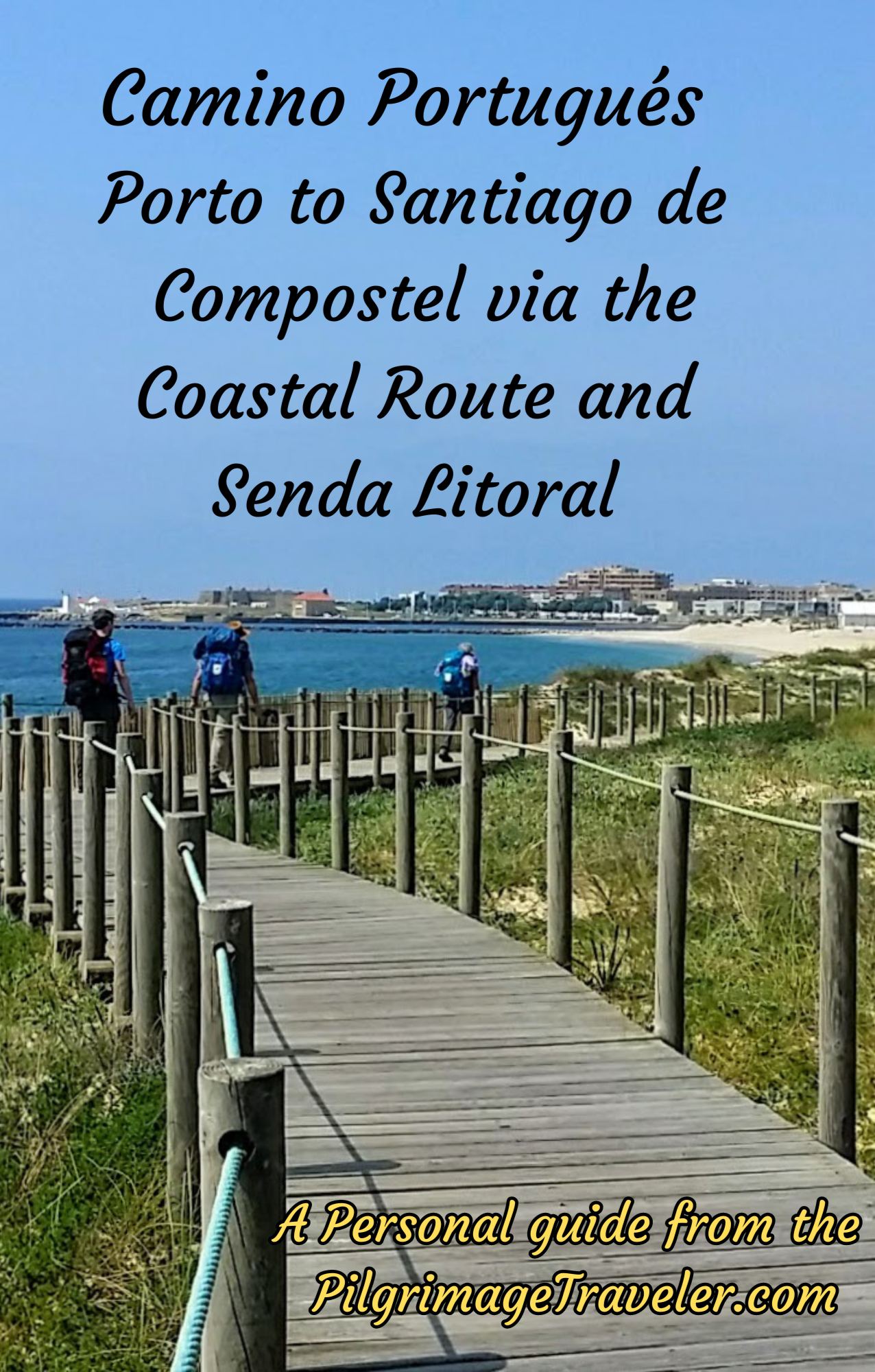
A most popular alternative on the Central Route of the Camino Portugués!

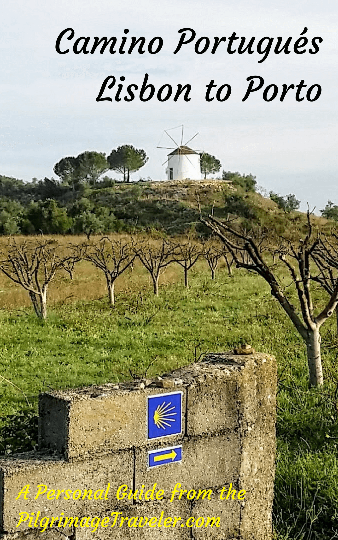
The Portuguese Routes are rapidly gaining in popularity, especially the section from Lisbon! Plan to walk this one soon, before it is no longer a quiet experience!
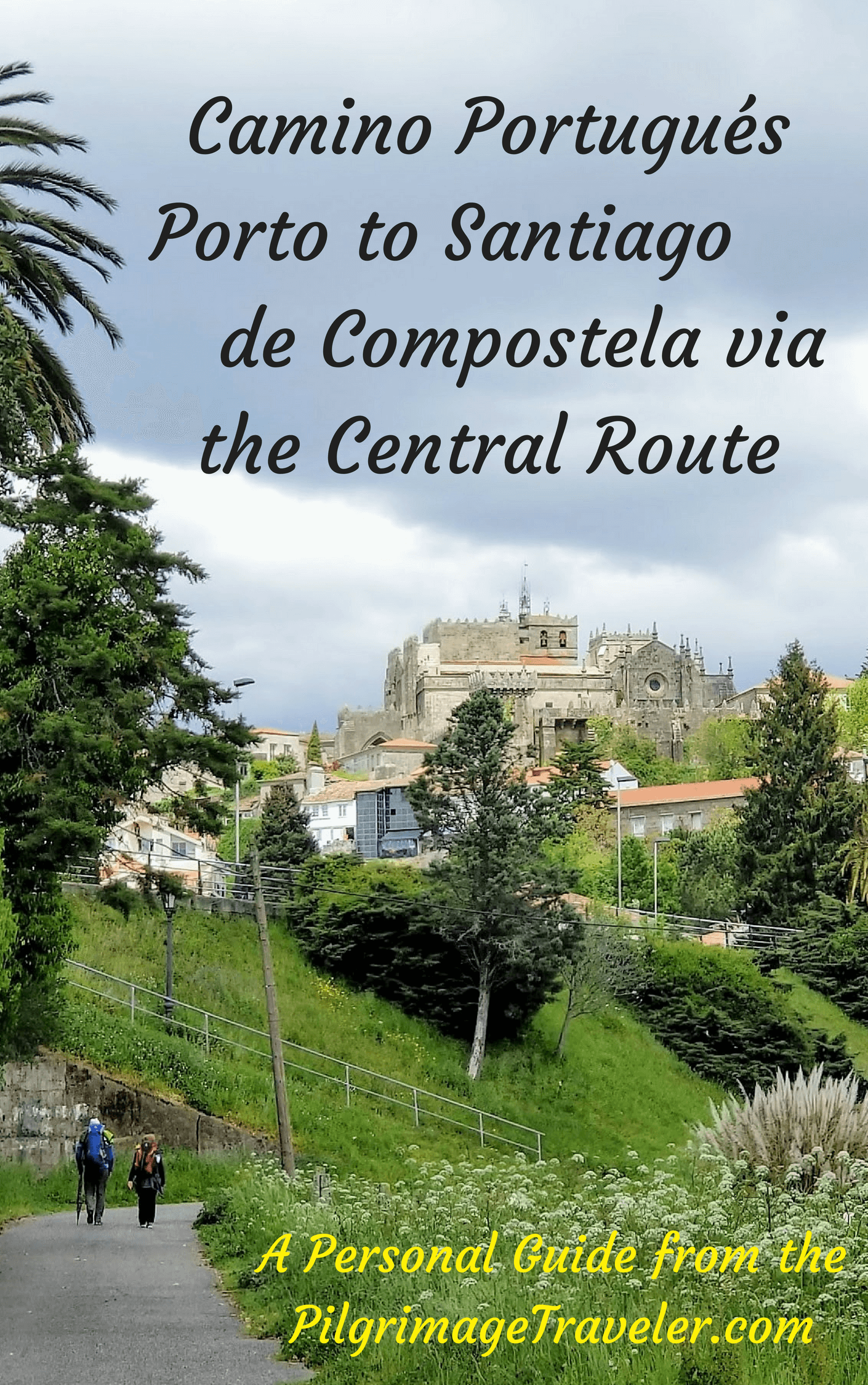
Our Most Popular Guide!
The Most Historic of the Portuguese Caminos - not to be missed!
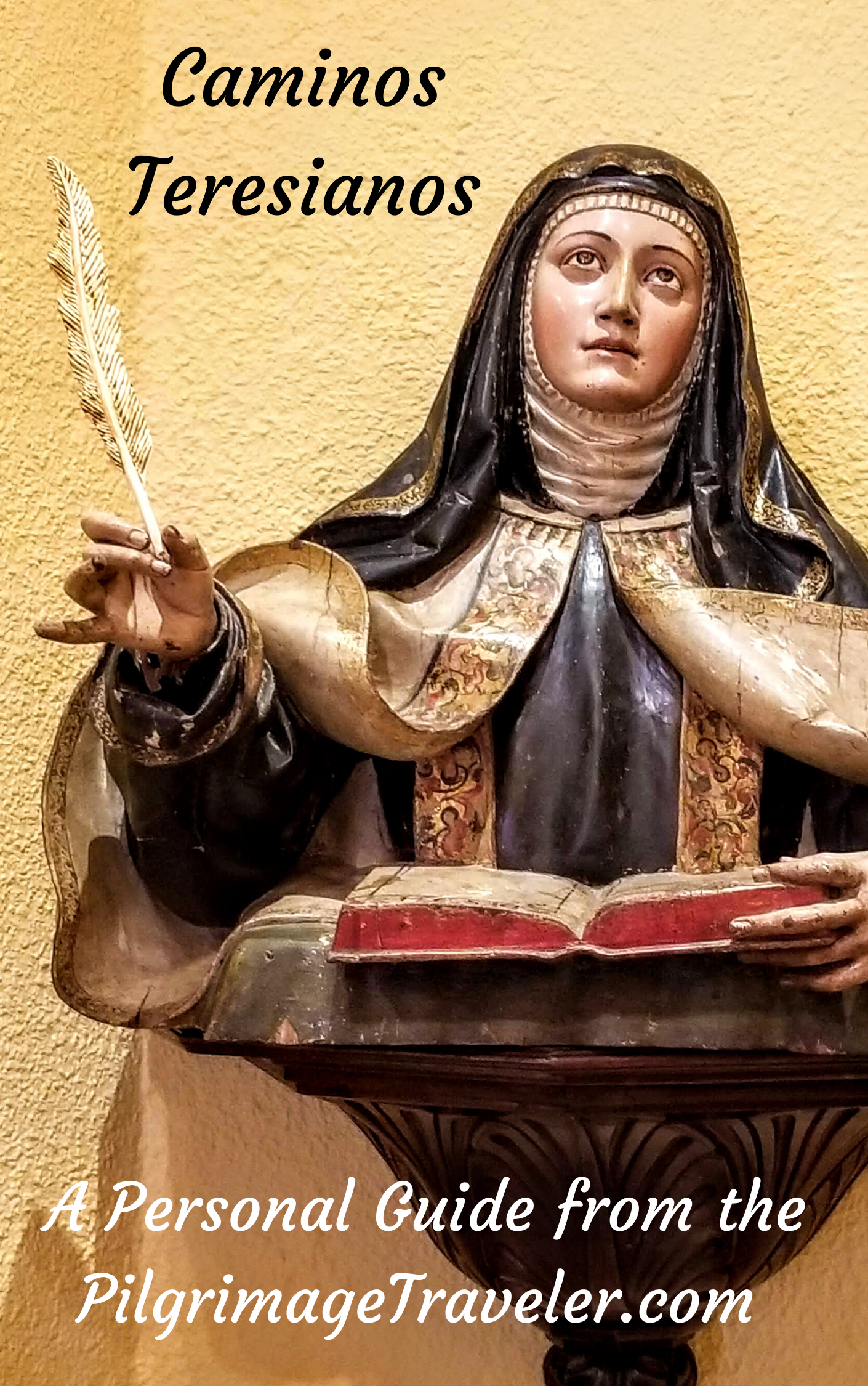
The Spiritual Adventure of a Lifetime, Following in the Footsteps of St. Teresa of Ávila!
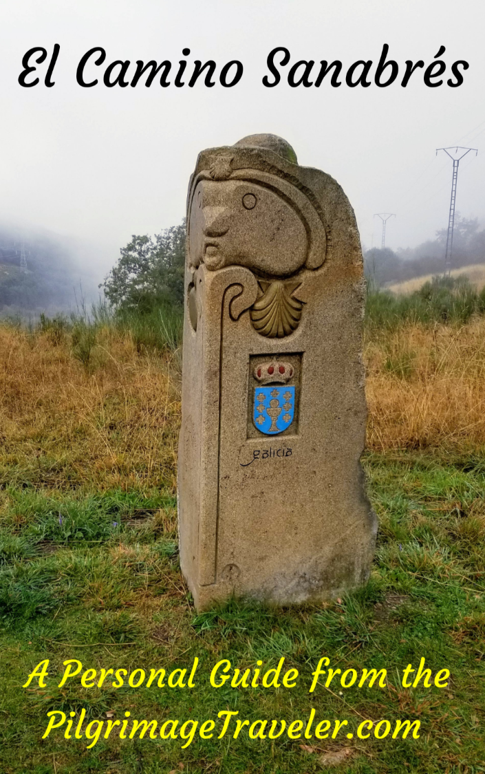
The Amazing Mountain Route Alternative, the Camino Sanabrés, from Granja de Moreruela on the Vía de la Plata!
The Most Incredible Mountain Scenery on this Camino from Leon to Oviedo!

The Shortest of the Caminos, but Not Easy!
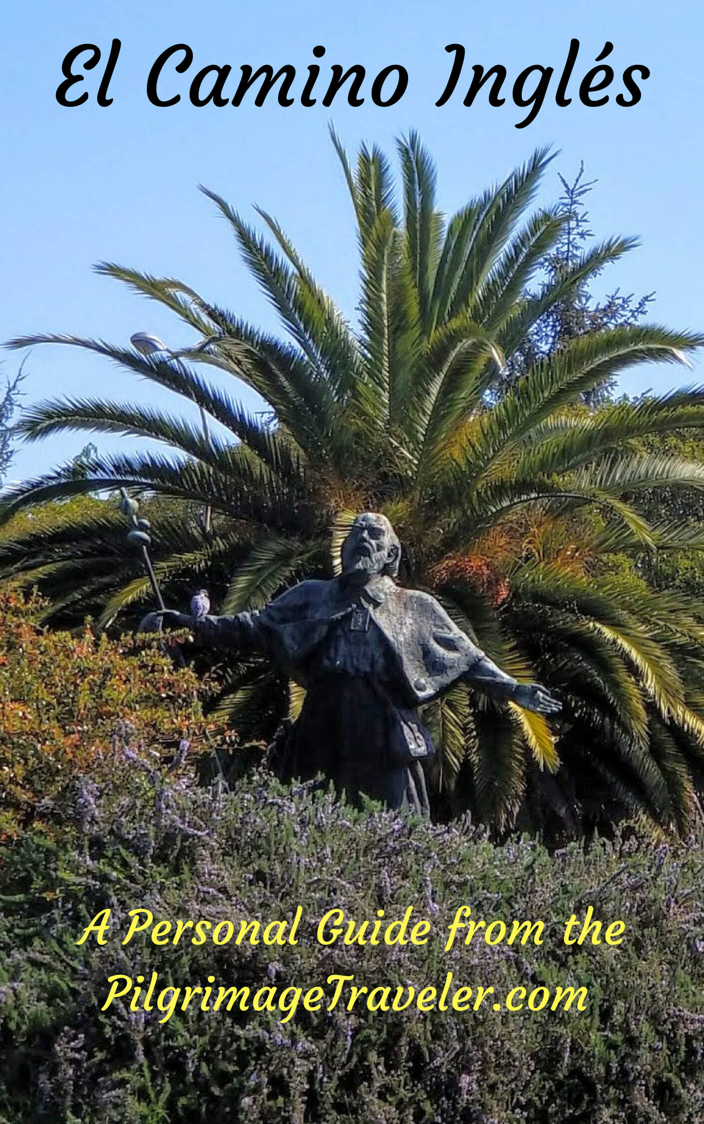
The Very First, Original Camino from Oviedo to Santiago
Entirely Updated and New Version for 2025
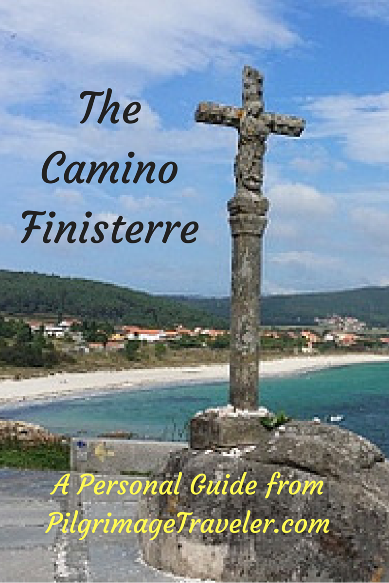
The Pilgrimage to the End of the World - A Must Do!
All Banners, Amazon, Roamless and Booking.com links on this website are affiliate links. As an associate of these companies, the Pilgrimage Traveler website will earn from qualifying purchases when you click on these links. We have used and love all of our product recommendations and believe you will too! We sincerely thank-you!
Follow Me on Pinterest:
Follow Me on Instagram:
Find the Pilgrimage Traveler on Facebook:
Like / Share this page on Facebook:
***All Banners, Amazon, Roamless and Booking.com links on this website are affiliate links. As an Amazon associate and a Booking.com associate, the Pilgrimage Traveler website will earn from qualifying purchases when you click on these links, at no cost to you. We sincerely thank-you as this is a pilgrim-supported website***
PS: Our guide books are of our own creation and we appreciate your purchase of those too!!
Shroud Yourself in Mystery, along the Via de Francesco!

Walk in the Footsteps of St. Francis, and Connect Deeply to the Saint and to Nature in the Marvelous Italian Countryside!
Recent Articles
-
Day One on the Camino Portugués, Lisbon to Alverca do Ribatejo
Apr 15, 25 08:19 PM
 Our Day One on the Camino Portugués was much more beautiful and enjoyable than we had heard.
 -
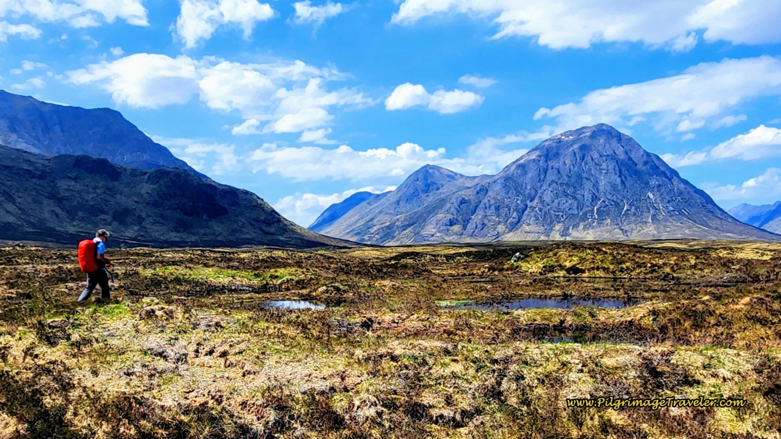
Hiking the West Highland Way
Apr 11, 25 08:51 PM
 Hiking the West Highland Way is a representation of all things Scottish, traversing 96 miles from the lowlands of Milngavie to Ft William, in the highlands.
 -
Way of St Francis eBook Guide (Via di San Francesco)
Apr 11, 25 08:49 PM
Our Way of St Francis eBook Guide, a digital guidebook is full of current information to assist you in finding your Way. In downloadable, digital, PDF format.

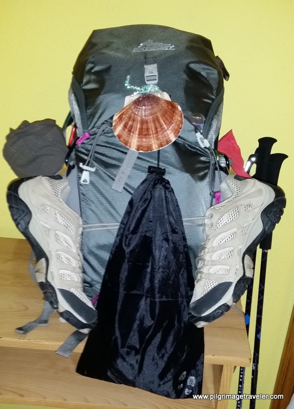
Need suggestions on what to pack for your next pilgrimage? Click Here or on the photo below!
.%20However%2C%20we%20were%20not%20able%20to%20see%20inside.%20This%20is%20just%20before%20the%20town%20of%20Vilabade%20on%20day%20nine%2C%20Camino%20Primitivo.)
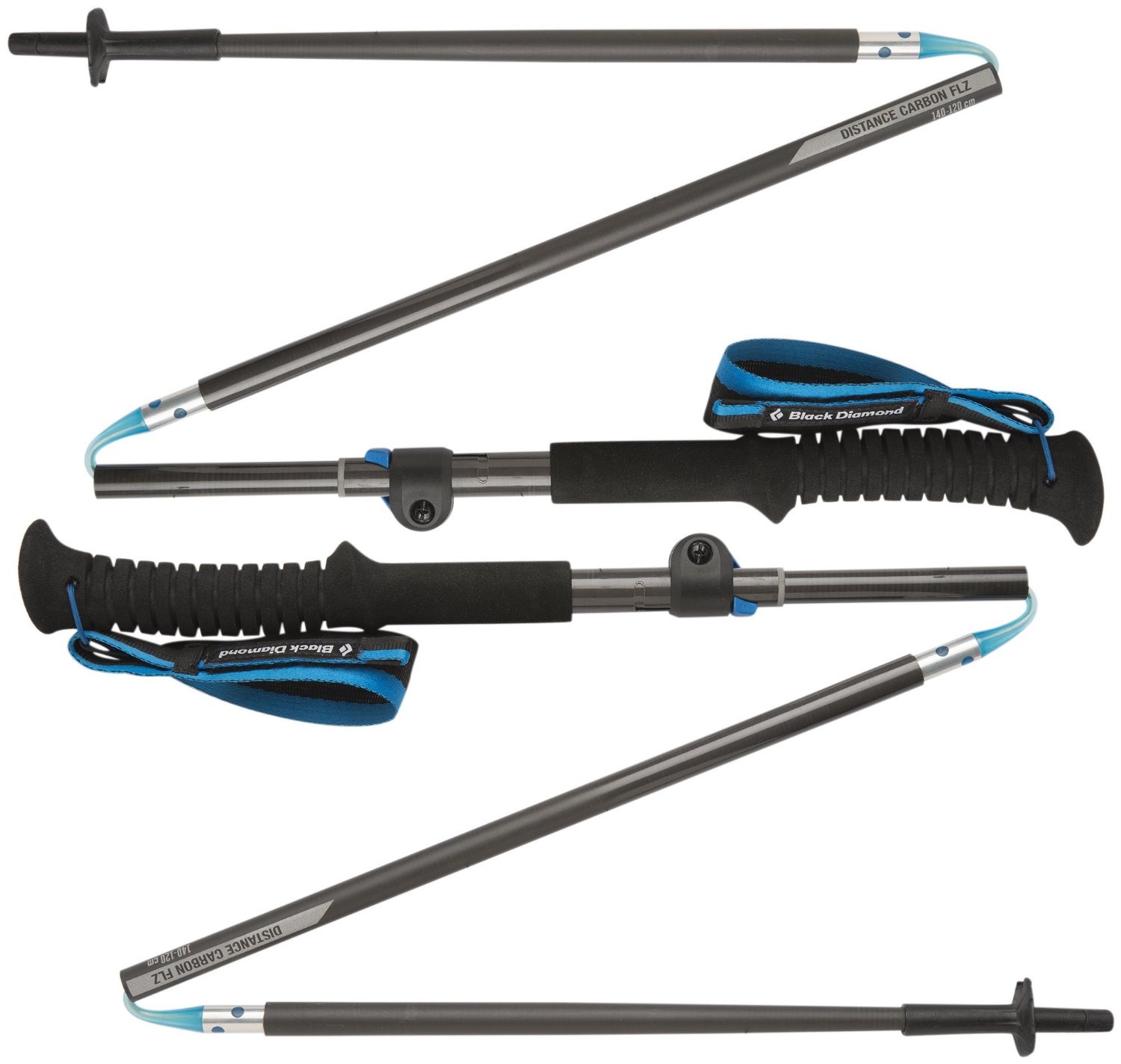
Carbon fiber construction (not aluminum) in a trekking pole makes them ultra lightweight. We like the Z-Pole style from Black Diamond so we can hide our poles in our pack from potential thieves before getting to our albergue! There are many to choose from! (See more of our gear recommendations! )
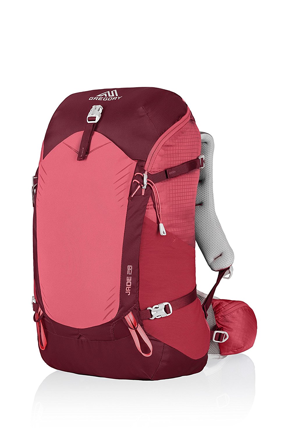
Gregory BackPack - My Favorite Brand

Do not forget your quick-dry microfiber towel!
Booking.com
My absolute favorite book on how to be a pilgrim:


Your Opinion Matters! Comments
Have you had a similar experience, have some advice to give, or have something else you'd like to share? We would love to hear from you! Please leave us a comment in the box below.