- ~ Home
- ~ Camino Inglés (The English Way)
- Day One, Ferrol to Neda
Day One on the Camino Inglés
~ Ferrol to Neda, 13.14 Km (8.17 Miles)
Disclosure: the PilgrimageTraveler.com is an associate of Booking.com, Roamless, and Amazon. As associates of these merchants, we earn from qualifying purchases from our links.
Day one on the Camino Inglés takes us from Ferrol, around the estuary of the Ría de Ferrol and into the town of Neda, Spain. While there are periodic strenuous hill climbs, this day follows the river predominantly. Join us on our journey, of this first leg of the pilgrimage to Santiago de Compostela.
"A pilgrim's journey, unlike a traveler's never ends; it only deepens." ~ Author Unknown
My husband Rich and I and our prior Camino buddies whom we joined in Ferrol, set out on the first day, having walked the first 1.74 kilometers the night prior, from the official start at the docks, to our hotel, the Hostal La Frontera. The following morning we wound our way through the streets of Ferrol and along the river, to complete the rest of the approximately 12 kilometer day.
🙋♀️ Why Trust Us at the Pilgrimage Traveler?
We’re not a travel agency ~ we’re fellow pilgrims! (See About Us)
We've trekked Pilgrimage Routes Across Europe since 2014!
💬 We’ve:
- Gotten lost so you don’t have to. 😉
- Followed waymarks in the glowing sunlight, the pouring rain and by moonlight. ☀️🌧️🌙
- Slept in albergues, hostels & casa rurals. Ate and drank in cafés along the way. 🛌 😴
- Created comprehensive and downloadable GPS maps and eBook Guides, full of must-have information based on real pilgrimage travels. 🧭 🗺️
- Shared our complete journeys, step by step to help YOU plan your ultimate pilgrimage and walk with your own Heart and Soul. 💙✨
Every detail is from our own experiences. Just fellow pilgrims sharing the Way. We have added a touch of spirituality, heartfelt insights and practical guidance from the road ~ offering a genuine connection to the spirit of pilgrimage. Tap into the wisdom of seasoned pilgrims!
Ultreia and Safe Pilgrimage Travels, Caminante! 💫 💚 🤍
Maps and Stats of Day One on the Camino Inglés
Here is our Google map of our journey, from Ferrol to Neda. It is created from our uploaded GPS tracks and I have included accommodations, supermarkets and cafés along the way, for your convenience. The map is totally interactive, so click, pinch and expand!
There is a municipal Albergue Casa do Mar de Ferrol (+34 981 35 79 47), with 60 beds. You can find it along the waterfront at 25 Estrada Alta. Also, as of 2020 there is an 8-bed, very basic donativo albergue in Ferrol, the Donativo de Pedro Ráez Baldán, designed for pilgrims without means. Please do not stay here unless you plan to donate generously, as Pedro is providing services with no profit motive at all. You can find him at the Rúa Catalunya, n 27 29, on the east side of the train/Monbus station (Check the interactive map below).
For hotel accommodation you can reserve by clicking here. It is a good idea to have a reservation before your arrival, as it may save you a lot of headaches, if there is a holiday or it is in the peak summer season. I always stay in the Hostal la Frontera, and it is very adequate, economical and mere steps from the Camino. Click on the link for more info and to see photos of it.
Here is the elevation profile of day one on the Camino Inglés. If you are a strong hiker, you can combine this day with day two, for an almost 30 kilometer day. The choice is yours. You can see the strong climb and descent starting around kilometer 8.0 in the profile below.
 Elevation Profile, Day One, Camino Inglés, Ferrol to Neda
👣 Camino Inglés EBook Guide
Walk smarter with our ad-free, beautifully formatted and downloadable Camino Inglés eBook Guide in PDF Format, perfect for offline use along this Way. Includes daily stages, details on accommodation and not-to-be-missed sites, stunning photos and the narrative of our unique story!
Don't carry a heavy paper book, but use our digital eBook on your mobile device instead! You can walk with clarity and confidence as you deeply connect to nature in the deep Galician countryside!
📲 Instant download. 💸 Money-back guarantee. 🔄 Free updates for 1 year.
👉 Click here for more information OR BUY NOW!
Photo-Rich Travelogue of Day One on the Camino Inglés
In the Port of Ferrol, shown below, is our foursome getting ready for the Camino, imagining that we have disembarked from our ships onto the north coast of Spain, climbing the steps from our boat! Meet Rob, my husband Rich, Steve and yours truly! Camino friends reunited!
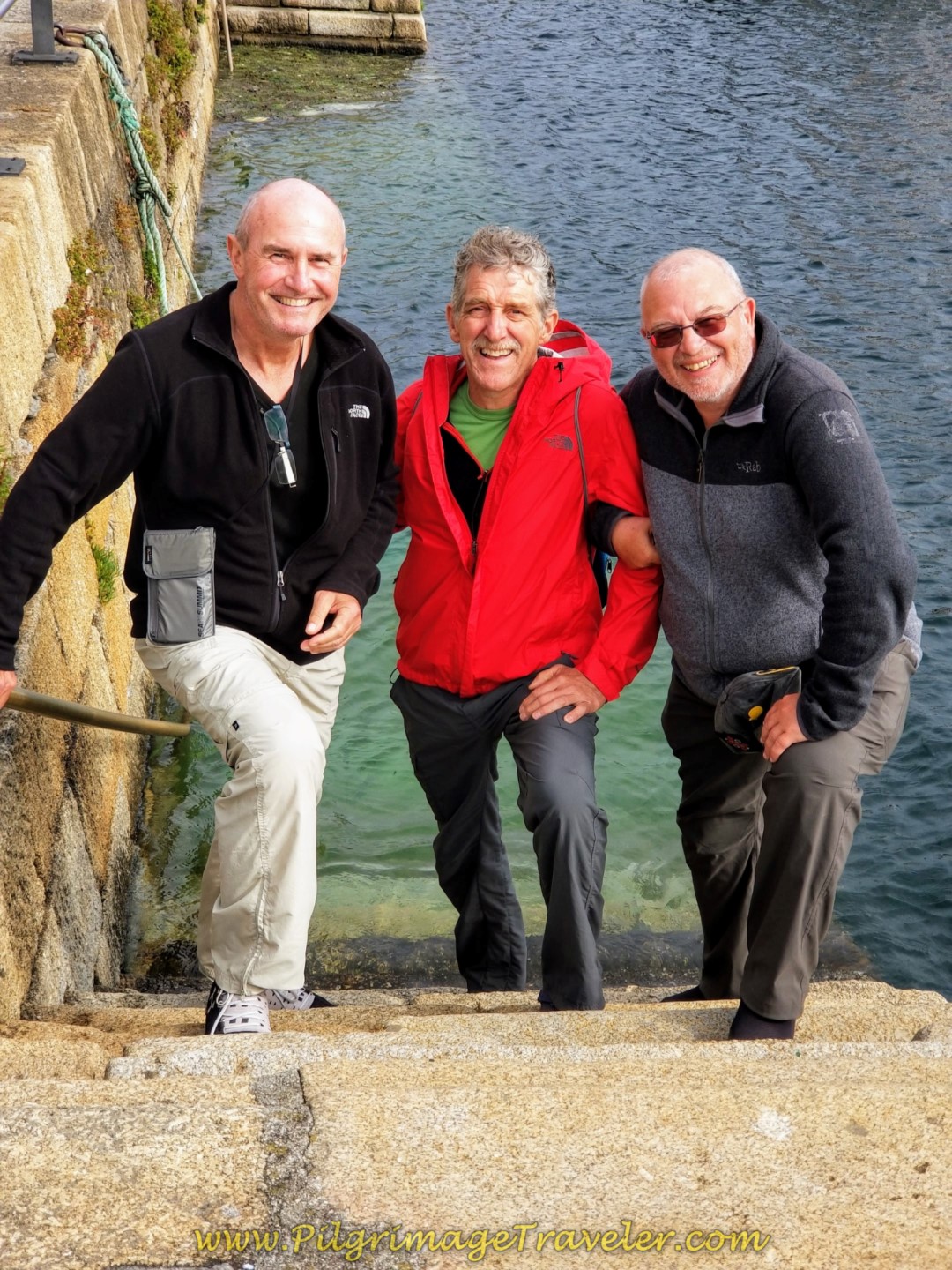 Rob, Rich and Steve "Arriving" at the Ferrol Harbor
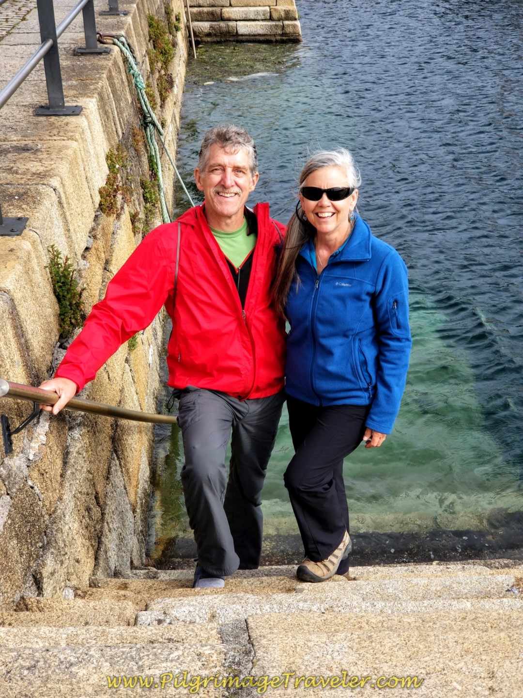 Rich and Elle Also "Arriving"
This was a special reunion for the four of us, having walked together for portions of the Camino Portugués the prior year. Steve had even longer Camino connections with Rob. It is amazing how many life-long friends we have made from our Caminos.
It was also a special time for us, because Rob had been newly diagnosed with Parkinson's disease and I was hoping to see the Camino from a new perspective ~ his. I admired his courage to set off with us, as he strove to maintain his physical abilities. None of us knew what this Camino would bring us, but we were setting out with open minds and hearts.
The Camino has taught me a lot over the years, and it seemed that surrendering to what is, is a repeated theme!
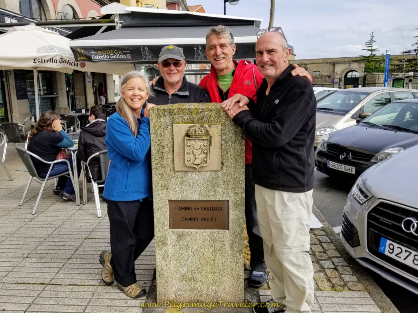
The official start of the Camino Inglés is at this plaque, below, rather hidden behind the café tables at the restaurant across the street from the big white letters of Ferrol. This is on the street called the Paseo Mariña. For more details, you can go to the introductory page to see exactly how to find it.
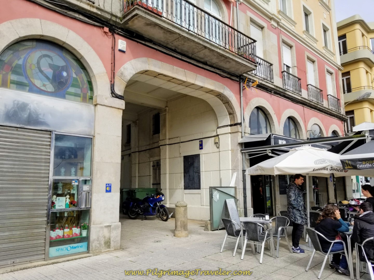
Look for this arched building just behind the plaque, and a particular archway, shown below, with the first blue Camino sign up on the wall. This is the passageway that you must take to start your Camino Inglés.
It may be tricky to find this, again, because the café has taken over the sidewalk here. Zoom in on our Google map above, to locate this place.
After you pass through the archway and walk down the Rúa Carmen Curuxeiras, you will come to a T-intersection in 170 meters. Turn left here onto the Calle San Francisco, following the blue sign, shown on the gold building, below. These signs are easy to see and follow throughout the city.
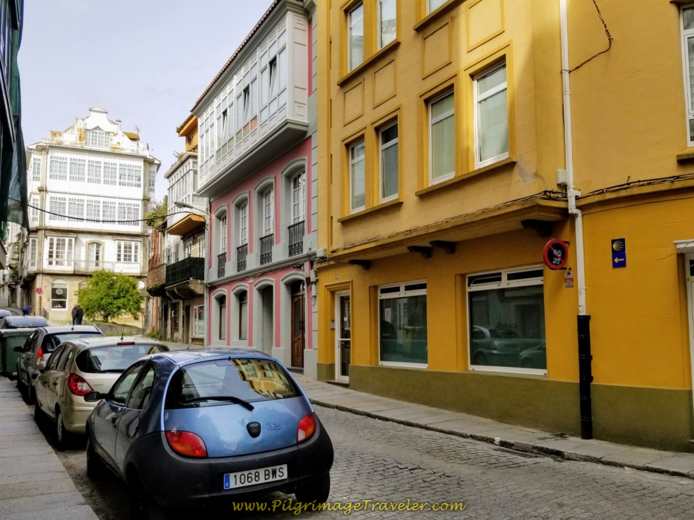 Left Here Onto the Calle San Francisco
Just after the church of San Francisco, and after 250 meters walking on the street of the same name, join the Rúa Real, by turning right at the first official kilometer marker of 112.8, shown below. The Rúa Real is the main street for just about everything in Ferrol.
The Parador of Ferrol is to your right at the turn. If you are feeling like a splurge, click on the link to see more. Just beyond the Parador is this nice cross to Santiago, below, with a view of the harbor in the distance.
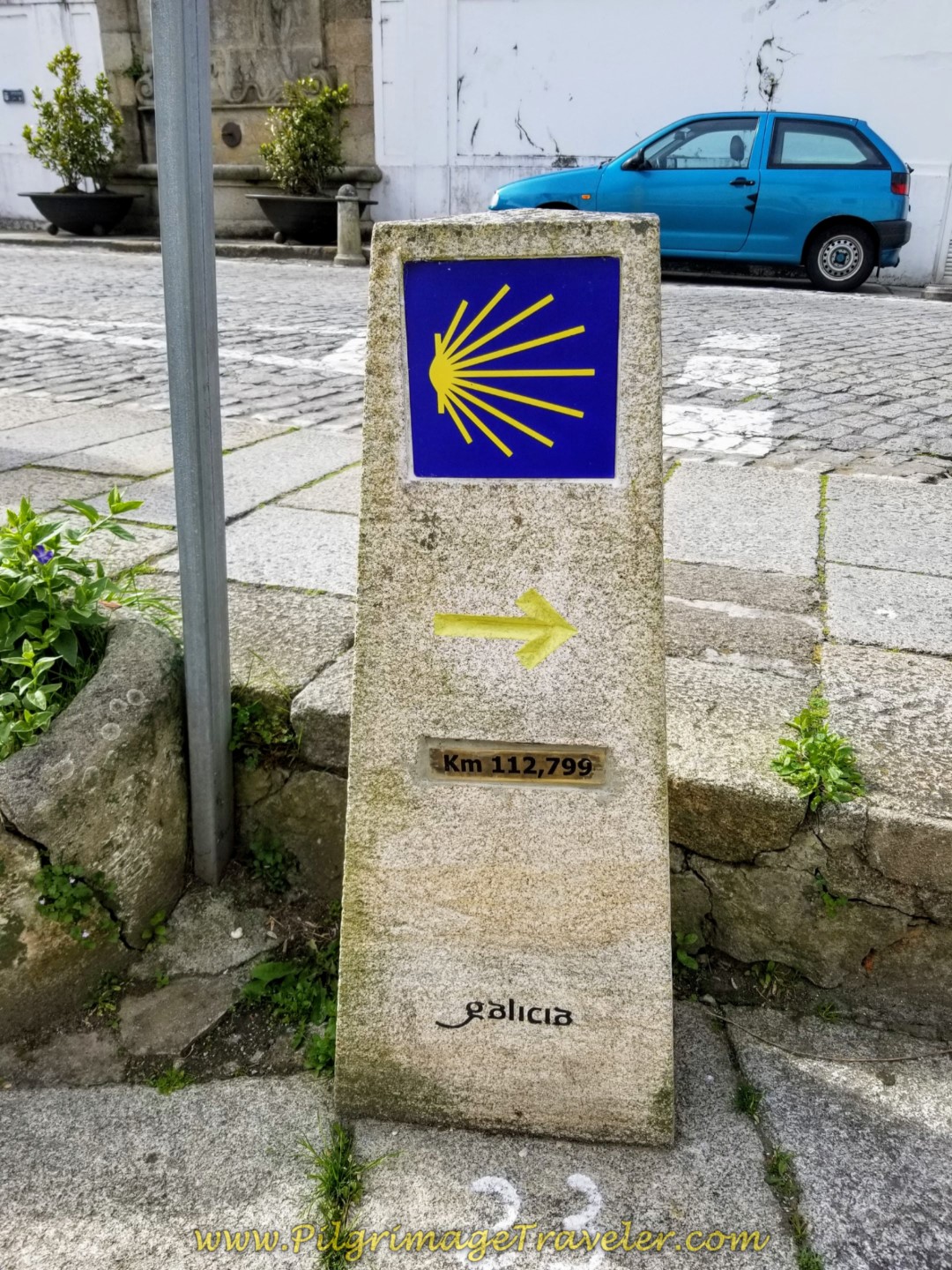 Right Turn onto the Rúa Real at First Kilometer Marker, 112.799
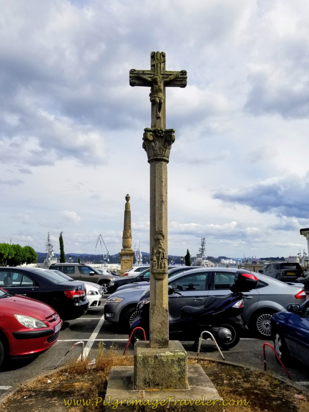 Pass the Santiago Cross by the Parador de Ferrol
Continue walking on the Rúa Real for about 700 meters, passing the large plaza, below, until you see the Camino sign to turn right onto the Rúa Terra, also below.
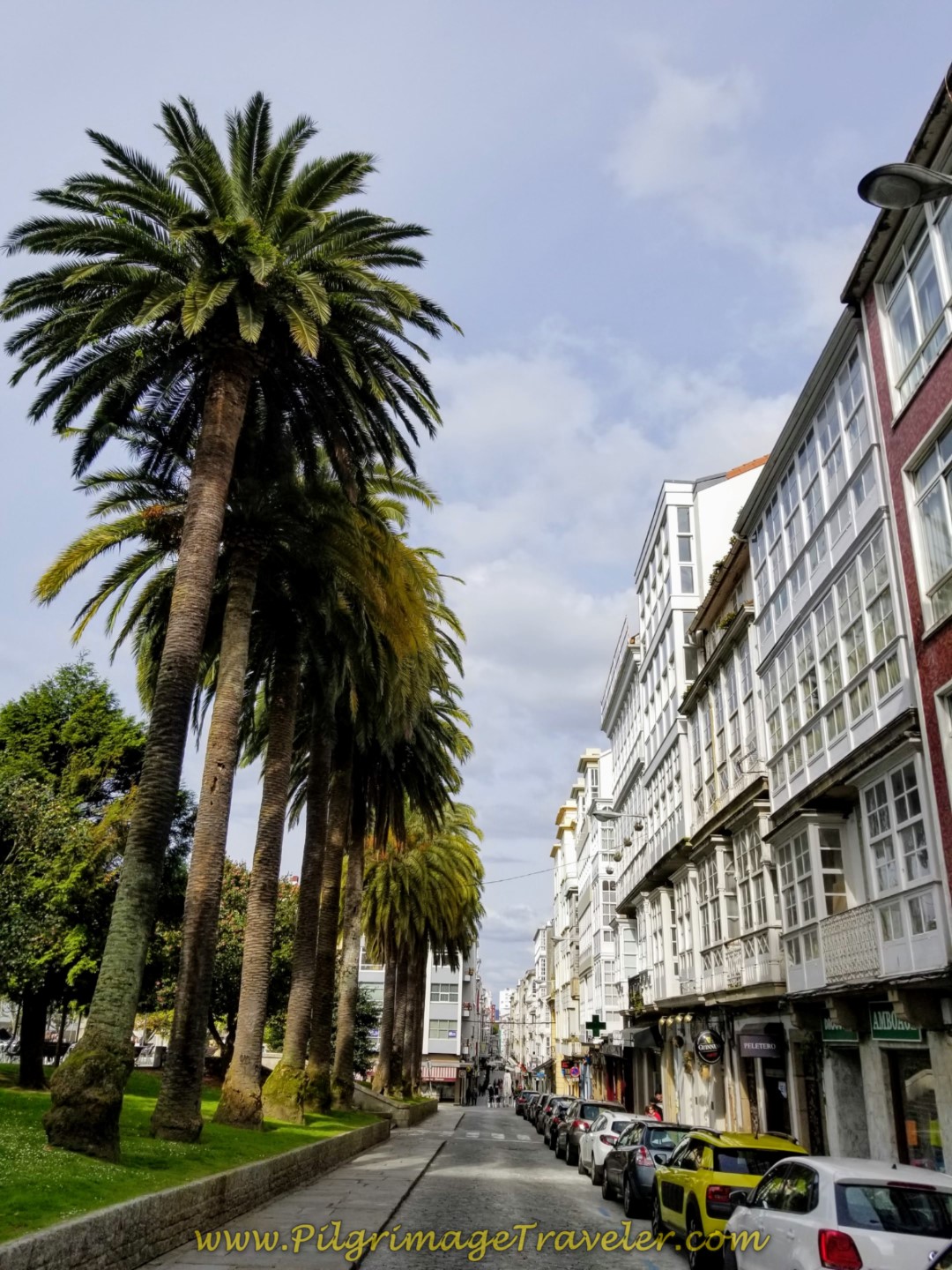 Continue on the Rúa Real, Pass by the Plaza de Amboage
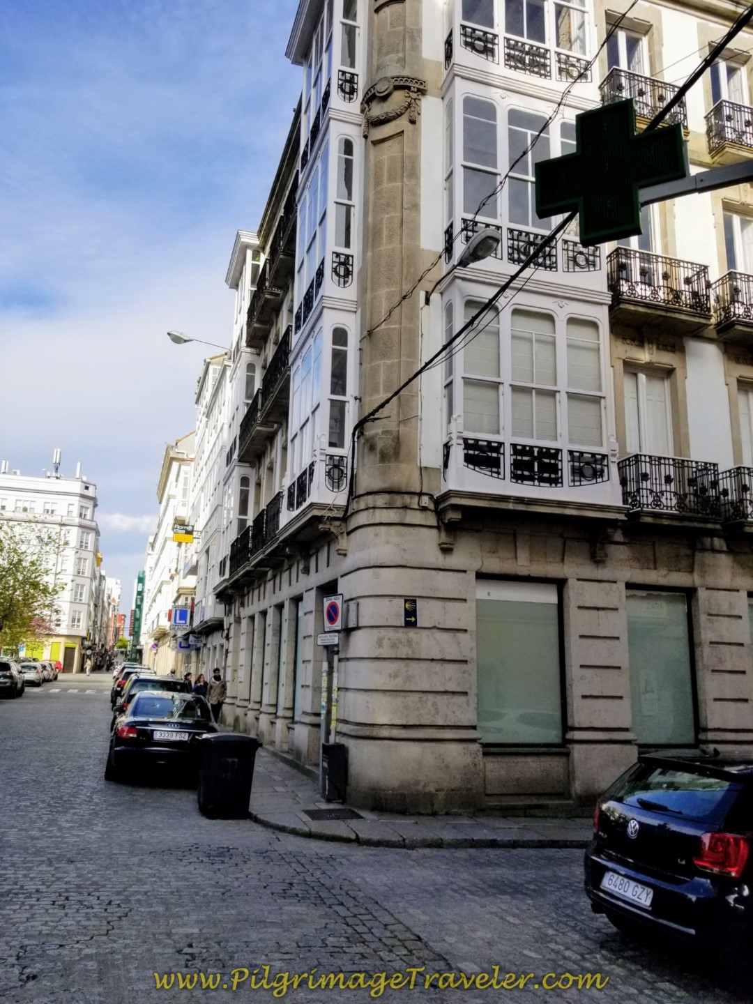 Right Turn Here Onto Rúa Terra on Day One of the Camino Inglés
This intersection is across from the Ferrol City Hall, shown below, so you can't miss it.
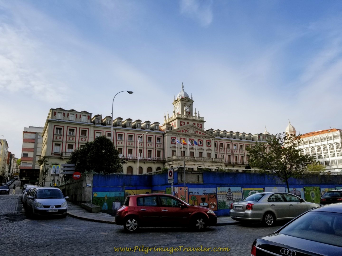 Ferrol City Hall in the Plaza de Armas, Along the Rúa Real
Walk two short blocks on the Rúa Terra and come out at the large park, called the Praza da Constitución. Enter the plaza and walk toward the gazebo.
Since I knew the general direction we needed to walk, I crossed the plaza, keeping the street to my left, and in a south-easterly fashion, heading towards the church below, the Santuario de Nosa Señora das Angustias Claretianos, across the plaza on the eastern side. Walking through the plaza is about 300 meters in length. This proved to be the correct way as I saw a concrete waymarker on the street close to the church.
Use the crosswalk beside the church, crossing over the Avenida Esteiro and head towards the tall white walls of the Navantia shipyards, shown below. Turn left onto the street called the Rúa Taxonera.
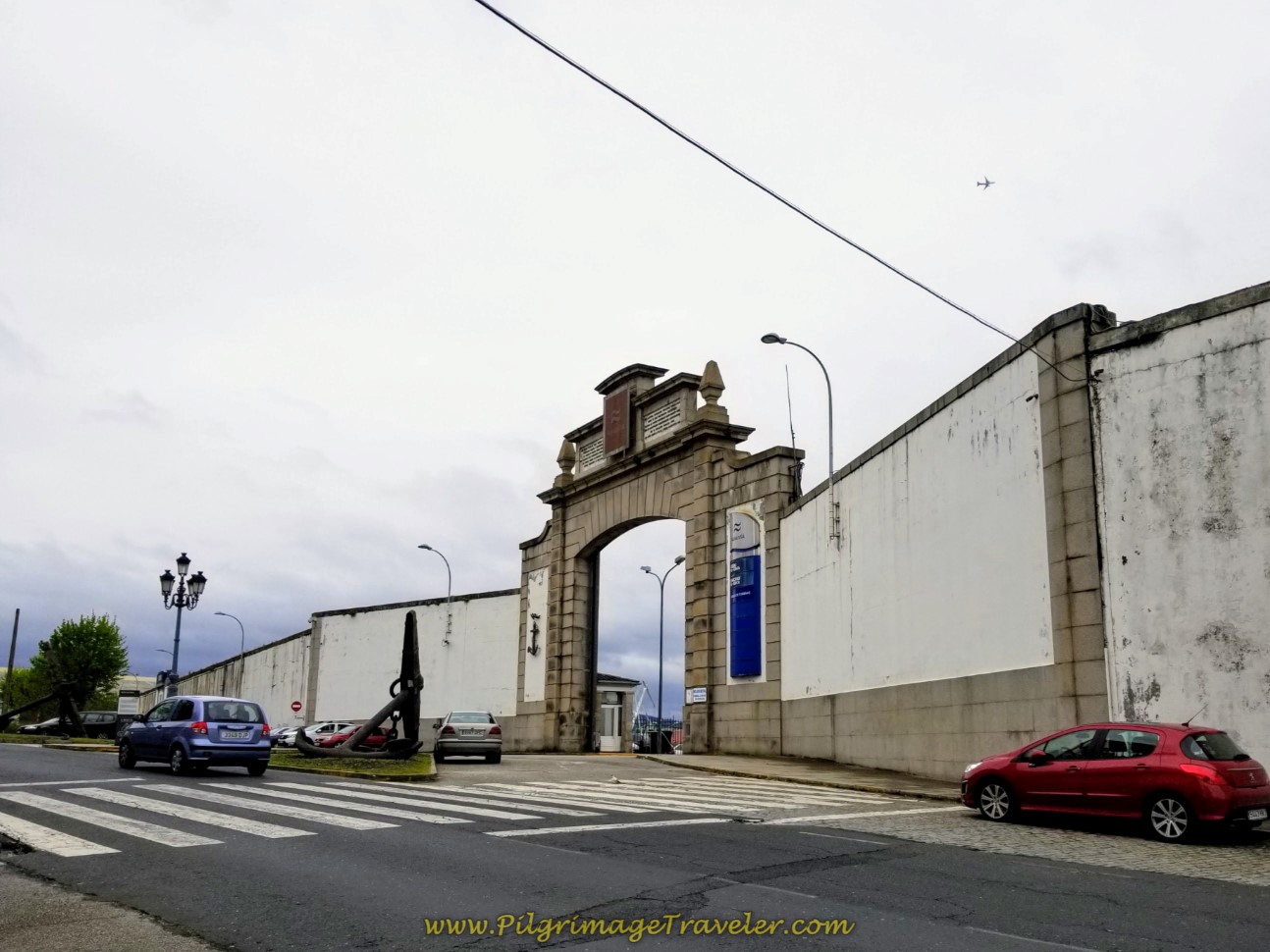 Navantia Shipyard Entrance on the Rúa Taxonera
The street becomes the Avenida Mac Mahón as you walk by a military installment, after about 1/2 kilometer from the park plaza.
There are many cafés along this bustling highway, if you need to get a meal.
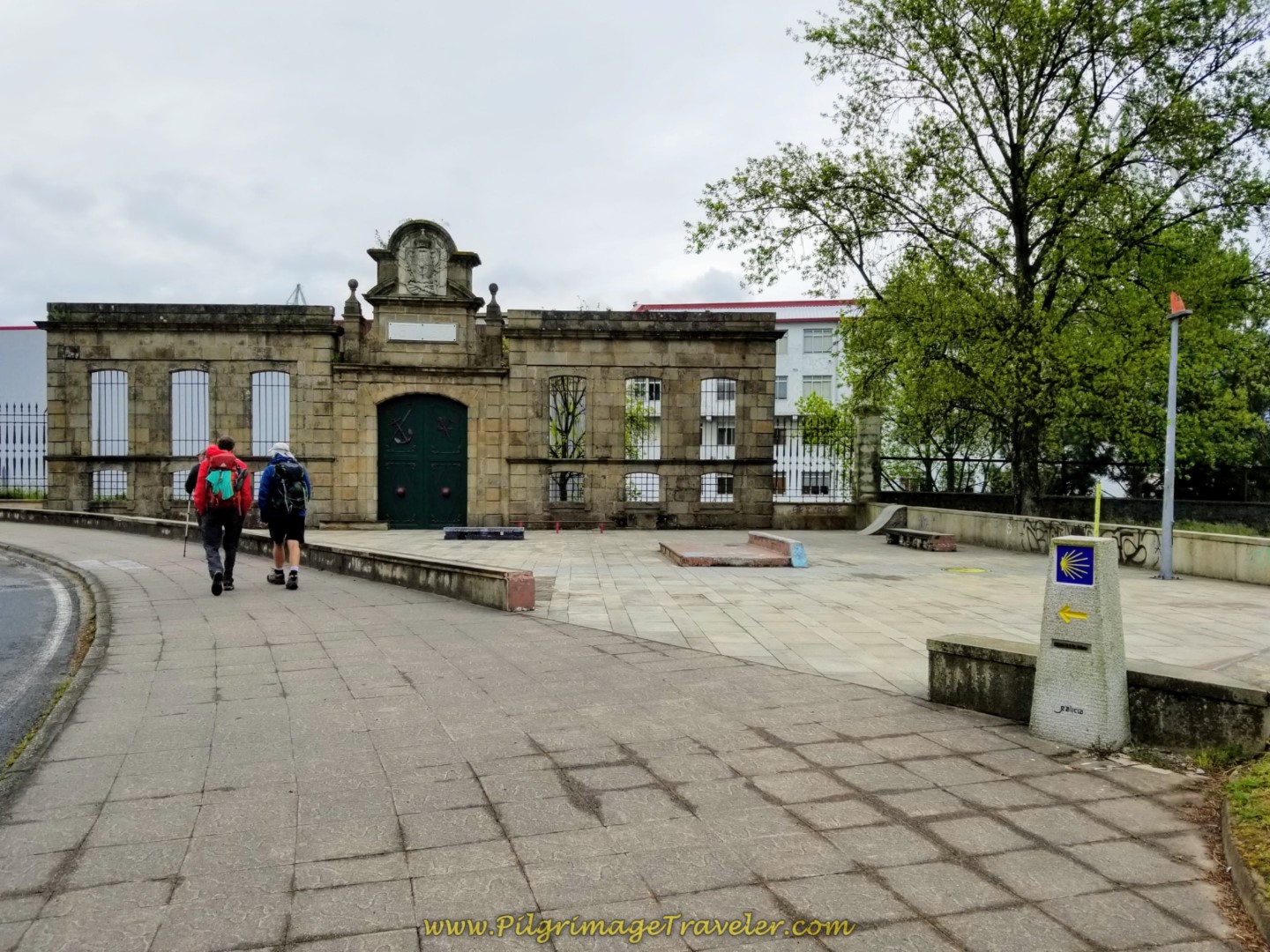
Shortly after the entrance to the military installment, come to a bend in the street as it heads northward and walk by the oldest military arsenal gate, built in the mid-18th century, shown below.
Continue to follow the nice sidewalk with yellow arrows interspersed along the way, where the street becomes the Estrada Caranza after about 300 meters. Continue until a T-intersection by a large housing high rise complex, below.
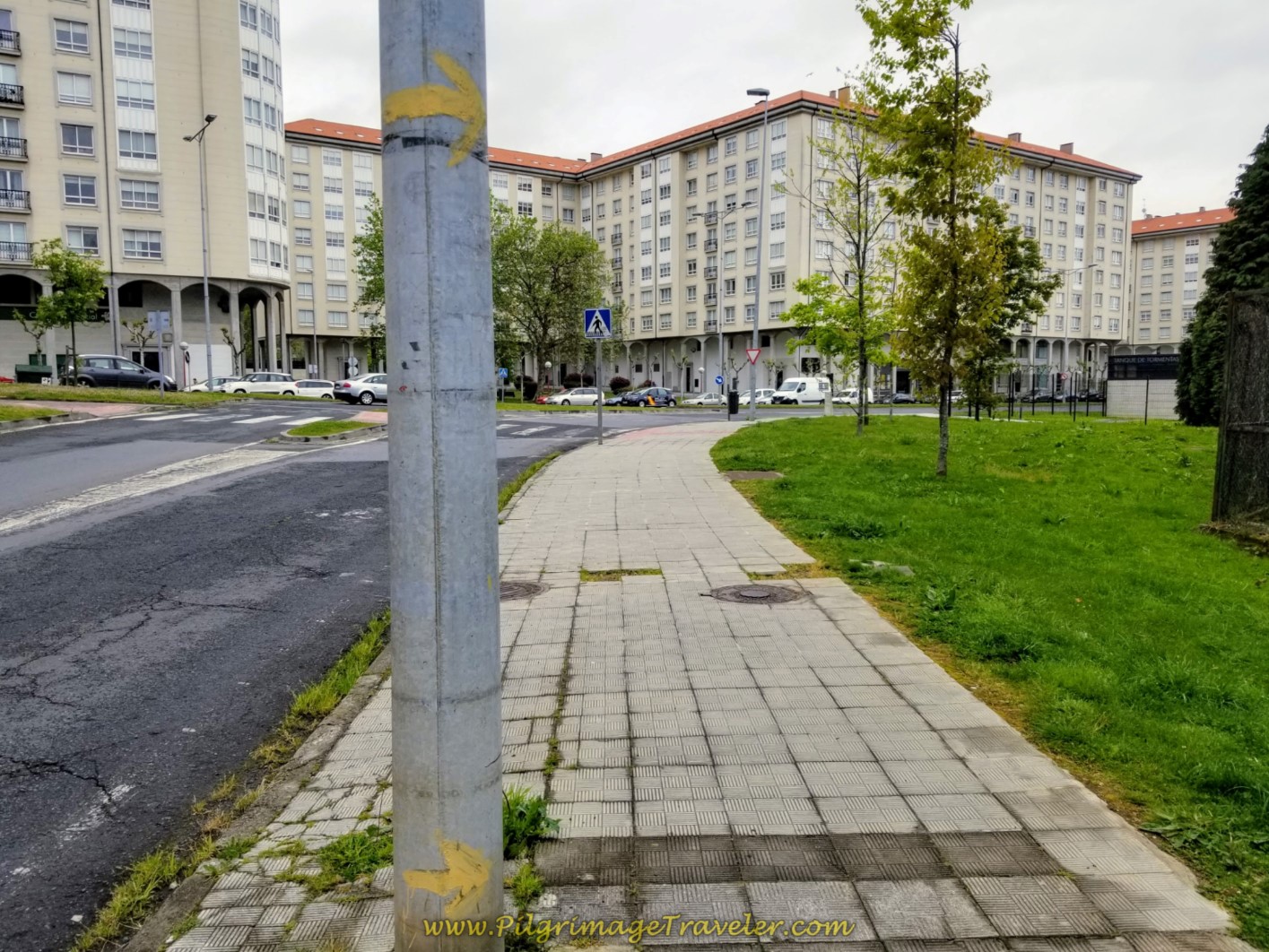 Follow the Estrada Caranza on Nice Sidewalk
Turn right here onto the Avenida Esteiro. Walk several hundred meters more, through the district of Caranza and come to a roundabout, taking your first right onto the Rúa Telleiras.
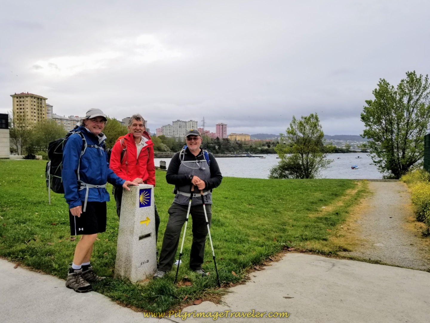
Walk another 1/2 kilometer, passing the large naval academy on your right and see this waymark, below, where you turn right off the highway and onto a nice path leading to the waterfront.
As you can see it was a cool, blustery day in Ferrol in early May, when I shot these photos, and it was threatening to rain.
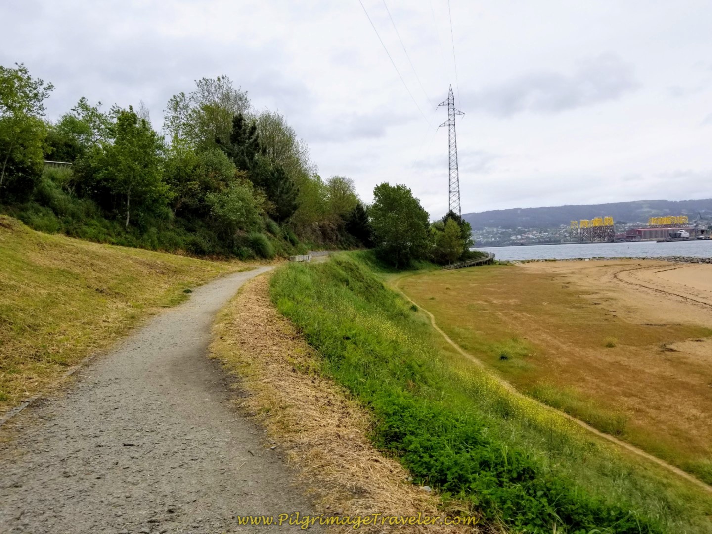
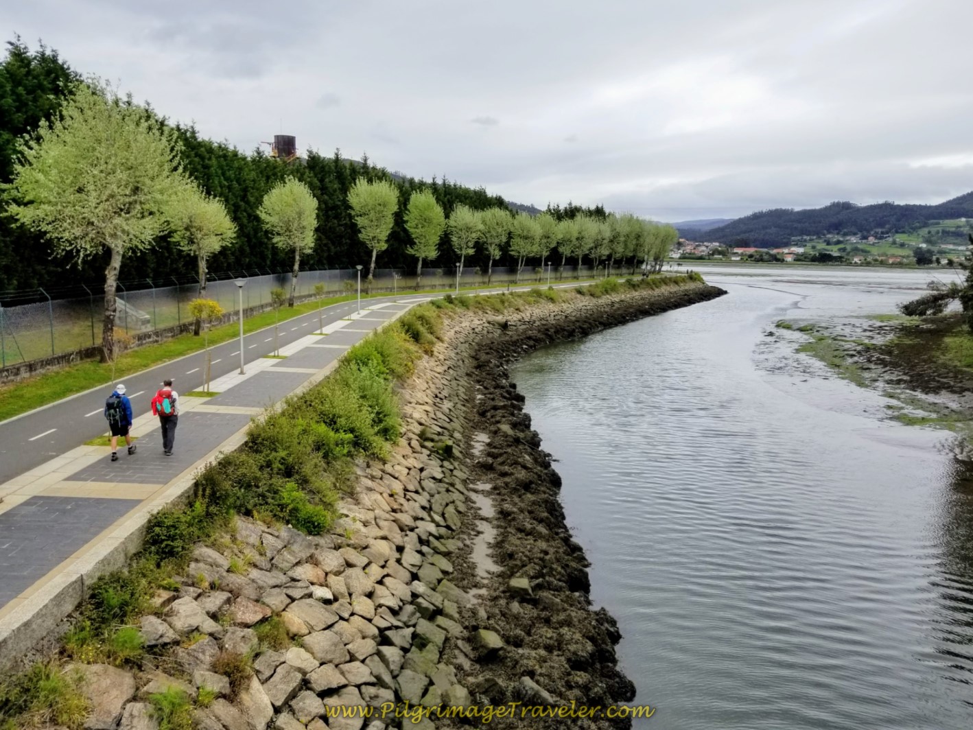
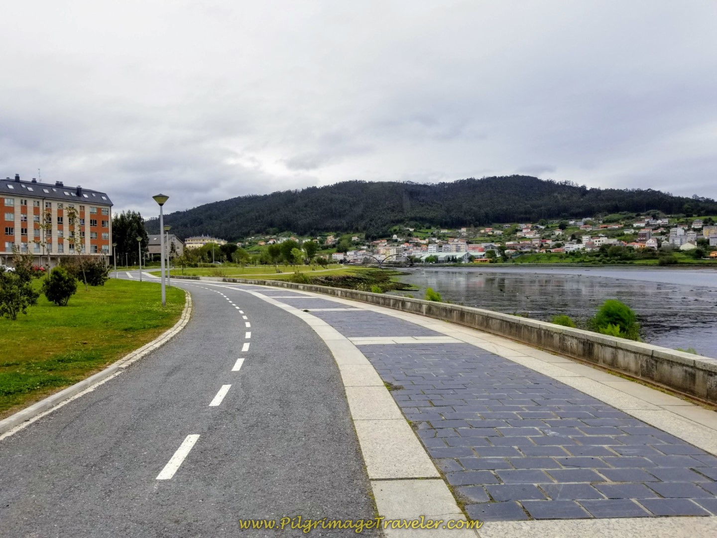
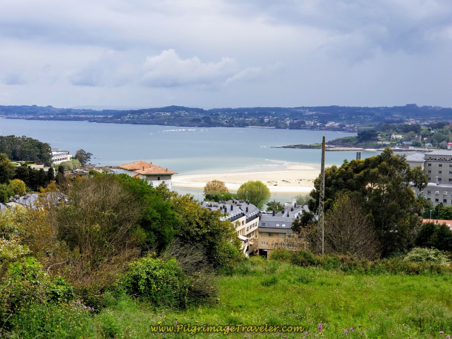
Walk along the river front for about 3/4 kilometer, with sweeping views of the Ferrol estuary and the shipyards behind you.
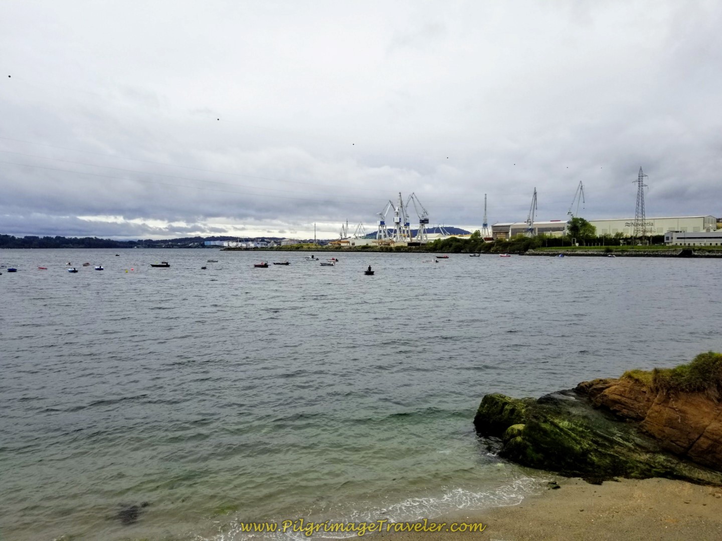 Waterfront View of Shipyards on Day One of the Camino Inglés
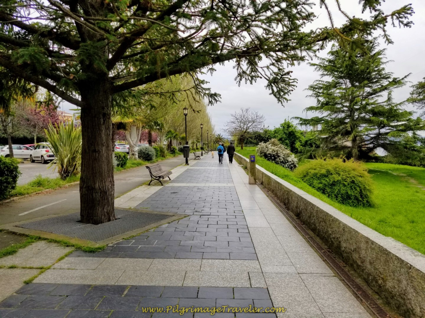
When the path ends, join the lovely promenade that runs along the Avenida do Mar, below.
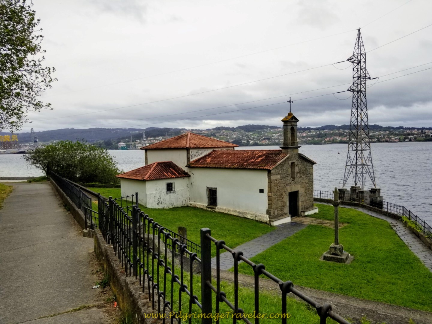
About 1/2 kilometer later, leave the Avenida do Mar by picking up a path to the right. Walk along this path that takes you onto a small peninsula that juts into the estuary. There is a park here, where you walk by the lovely little Capela de Caranza, by the sea, after about 4.5 kilometers from the start. I always like to breathe a prayer of gratitude when I pass by a church, so I did!
Just past the Capela is a beach-side path, where you turn left, below, to stay off the beach, unless of course you prefer to walk upon it! This is the Playa de Caranza.
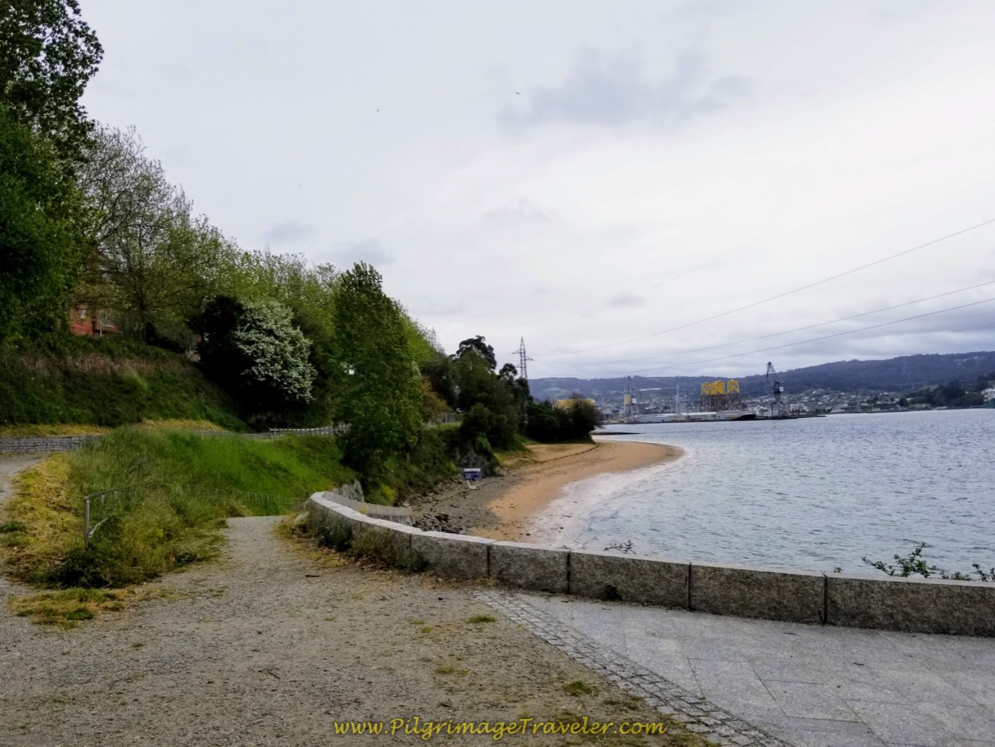 Turn Left Here After the Capela
This nice path continues just beside, but not on the beach.
As the path rounds the peninsula on the other side, it rejoins the Avenida do Mar, below. You have the option to walk on the casual dirt path beside the promenade, or on the hard surface itself.
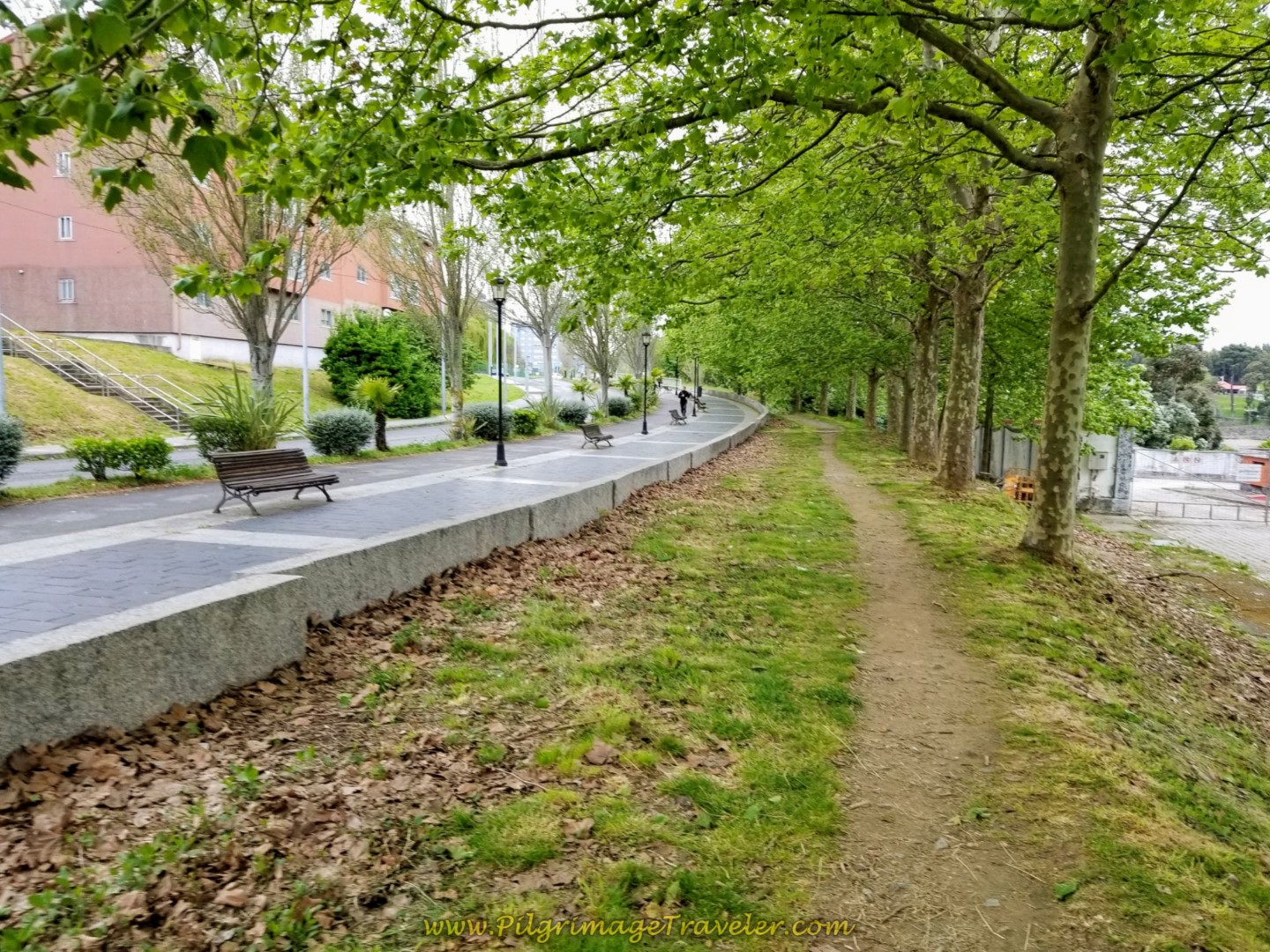 Re-join Avenida do Mar on Side Path
After a few meters the path drops below the street level on this side road. You could actually keep walking up on the promenade on the street level, if you desired. It may be a safer option for single pilgrimage travelers.
 Side Path Continues on the Avenida do Mar
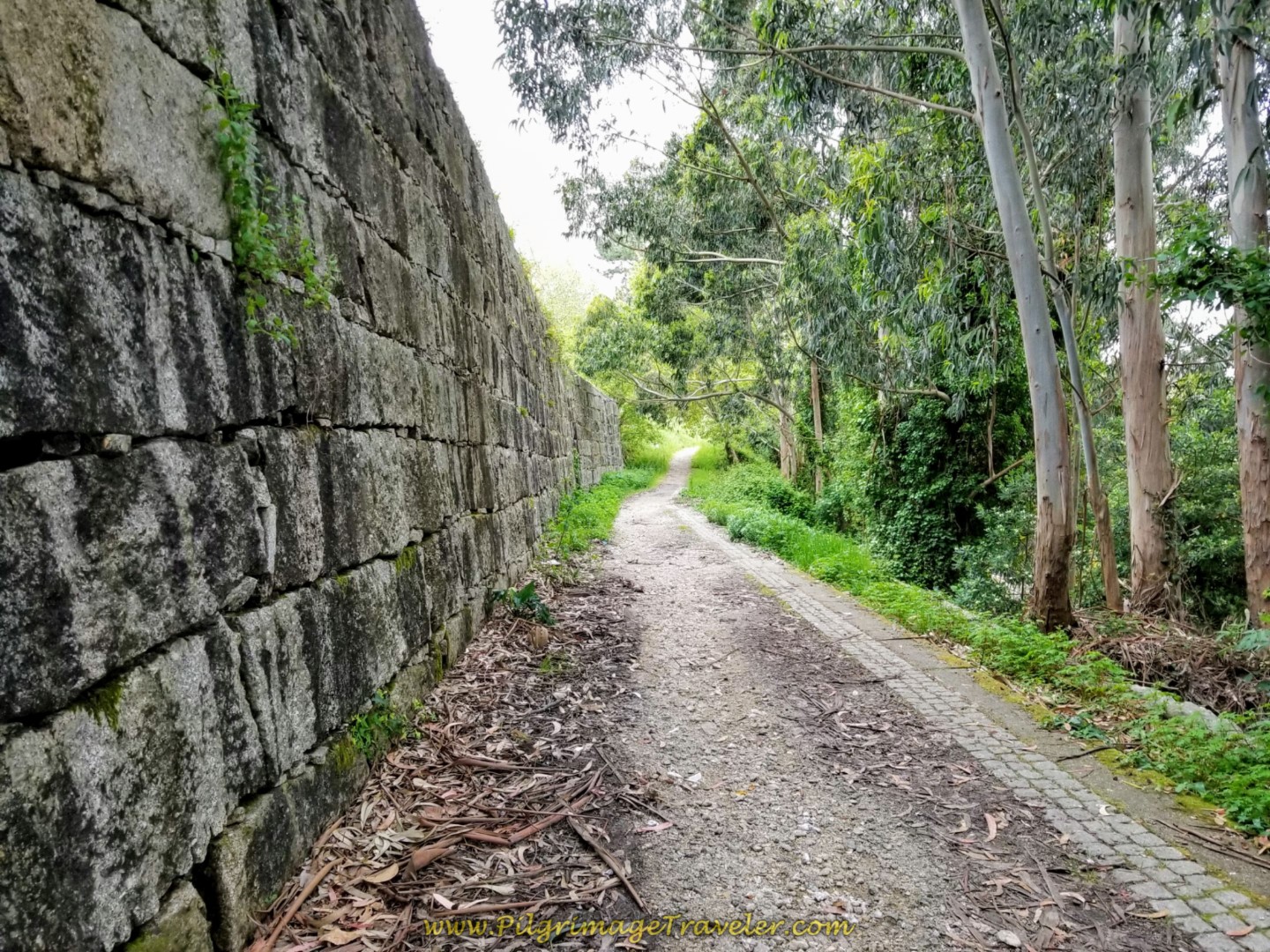
The path does join up with the Avenida do Mar again, the promenade has now ended, and the Way takes you a few more meters toward this overpass. All-in-all it is about 1.5 kilometers of very nice walking around the peninsula on the dirt path before joining the pavement again.
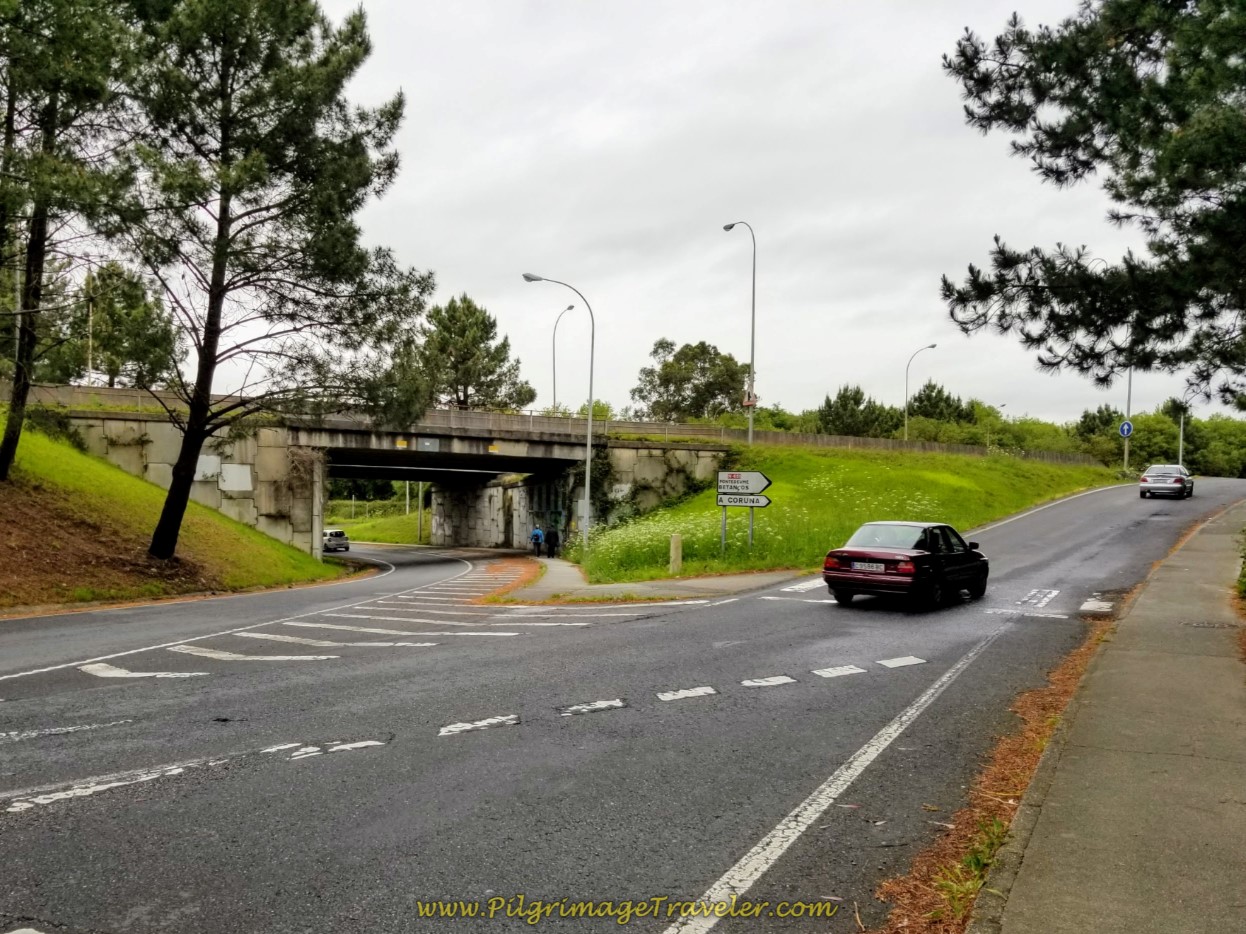 Stay on Avenida do Mar and Walk Under Bridge
Next, you walk under the highway, shown above, and after about 1/2 kilometer, turn right here, onto the Rúa Luis Seoane, in the direction of the giant Lidl supermarket, not pictured. This is a perfect opportunity to stock your pack if you haven't already.
You are now heading into the heart of the industrial area in Ferrol on day one of the Camino Inglés.
Mercifully, in a few hundred meters, the Way turns right onto this path.
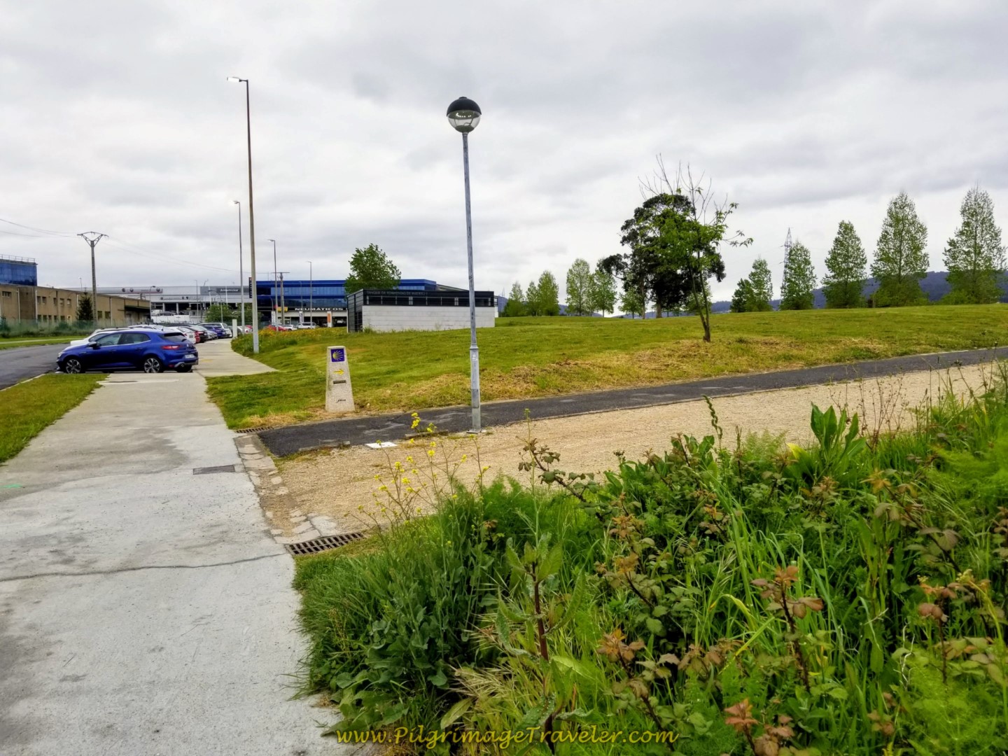 Right Turn Onto Pathway Through Industrial Area
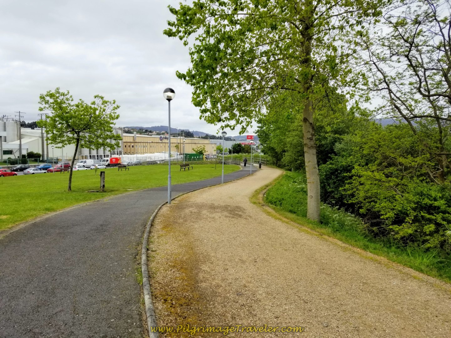
This is not a bad walk through the industrial zone with a park and picnic tables, for a bit more than one kilometer on day one of the Camino Inglés.
Then the path ends, and turns right to re-join the pavement of the Avenida do Mar once again, to walk through more industrial loveliness in the Gandara district! In a few meters come to a large roundabout, but stay to the left of it until the Avenida comes to an end. Turn right onto the Carretera Gandara and walk over the FE-11 on this overpass, below.
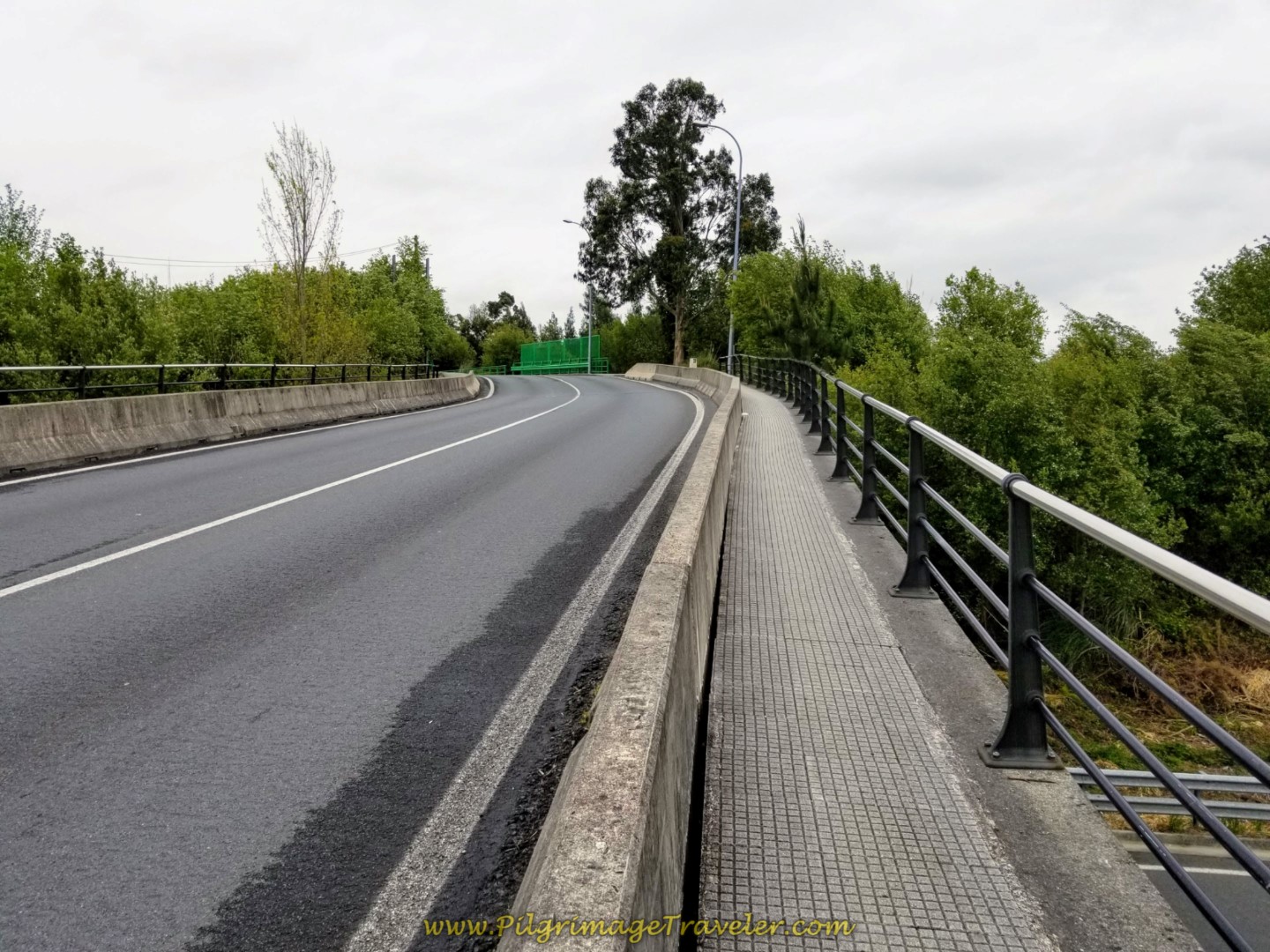 The Camino Inglés on Day One, Joins the Pavement and Crosses the FE-11 on Bridge
Fortunately, just across the bridge, The English Way on day one turns right onto this lovely path.
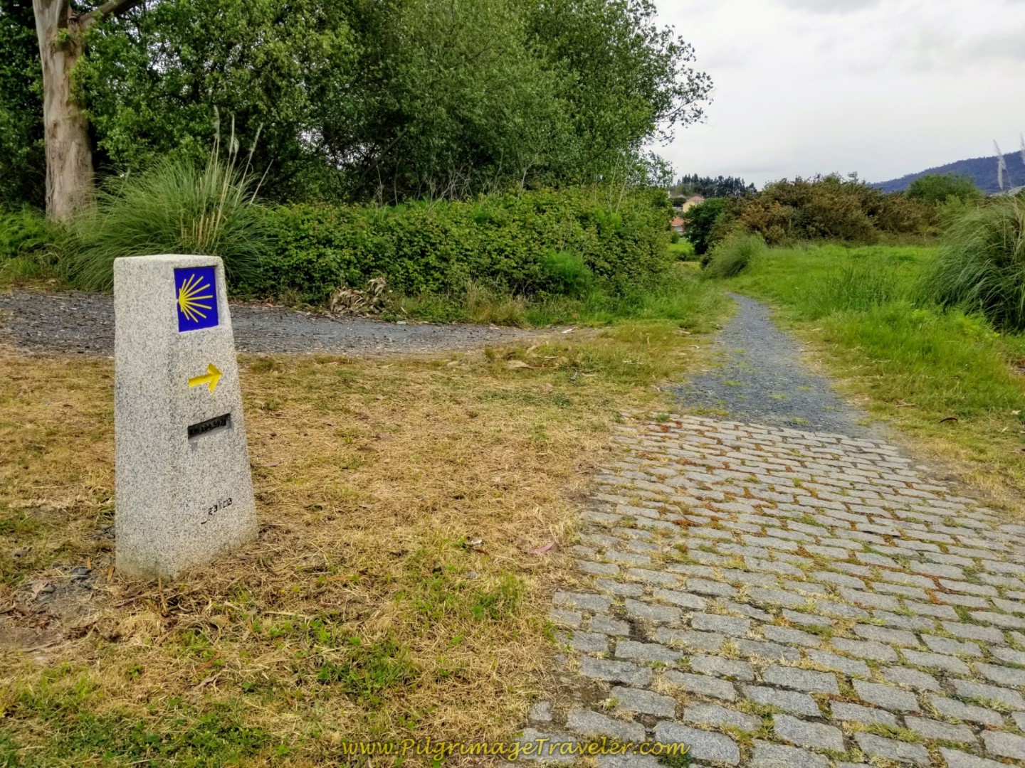 Right Turn Onto Path at 104 Kilometer Marker
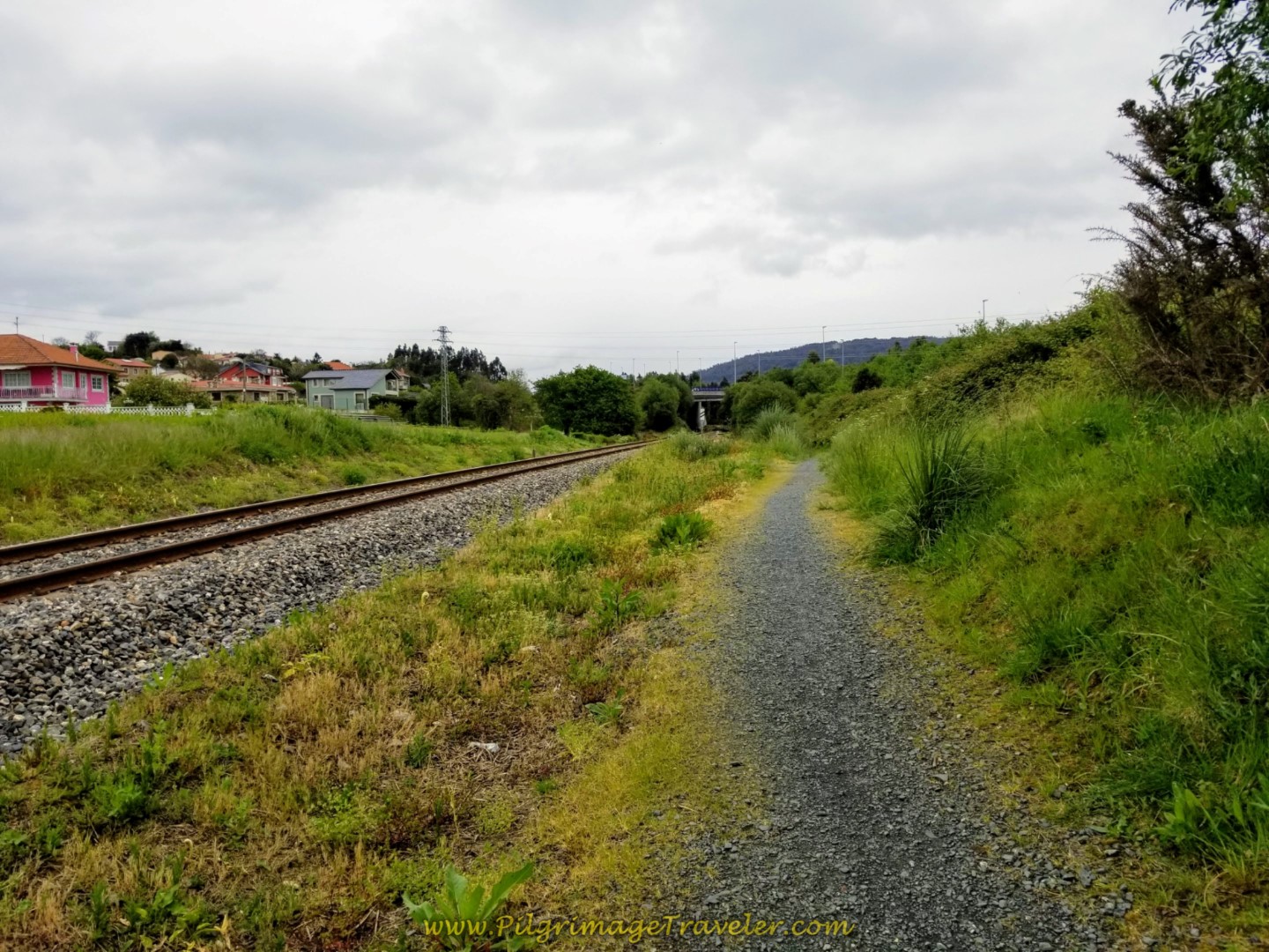
The path joins the railroad tracks and walks next to them for several hundred meters.
Then it turns and goes under the tracks...
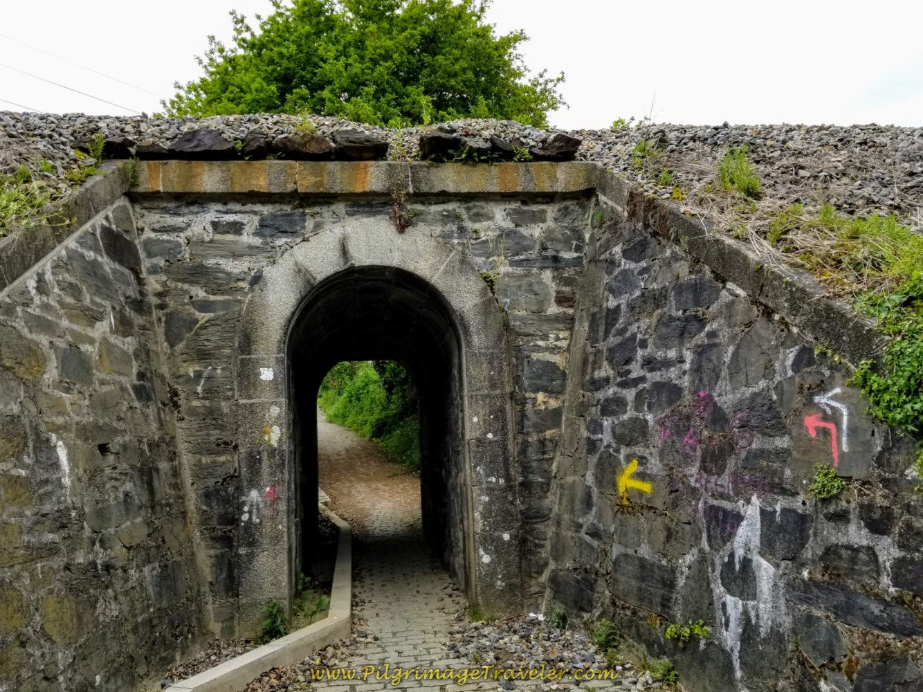 Walk Under the Railway
...and from the tunnel, the path is now brick and begins the very steep climb of the day. Yahoo!
You have completed about 8.1 kilometers at this tunnel. The climb ahead is over about the next 800 meters.
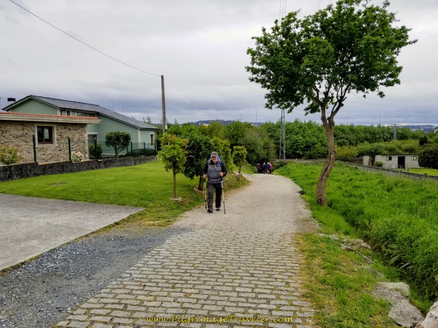 Steve Climbing on the Camiño da Fonte do Vilar Path From RR Tracks
It is only about 100 meters total on this brick path when it joins the road, the Camiño do Vilar, shown below, as the Camino keeps climbing.
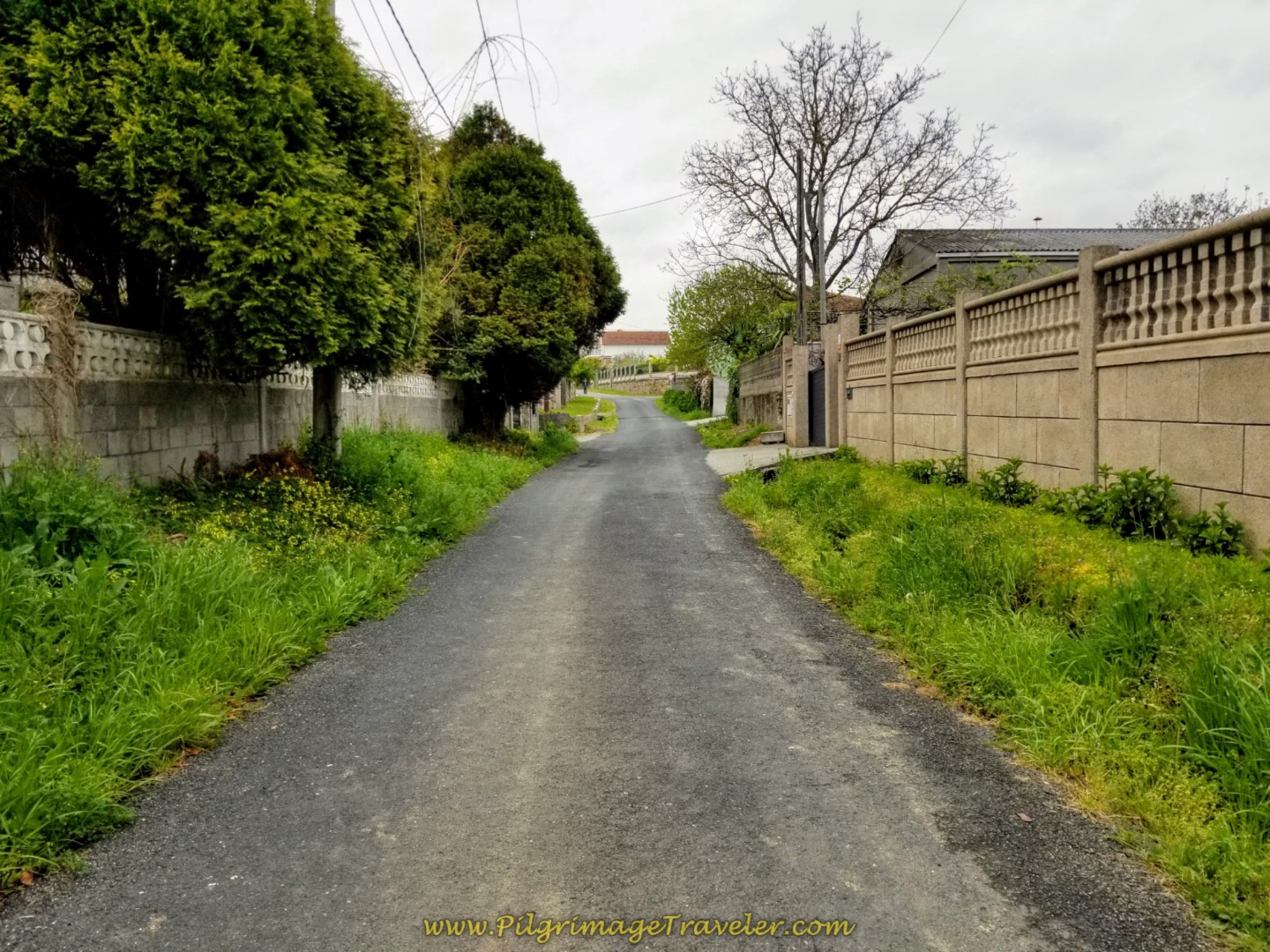 Path Joins the Camiño do Vilar Street and Keeps Climbing
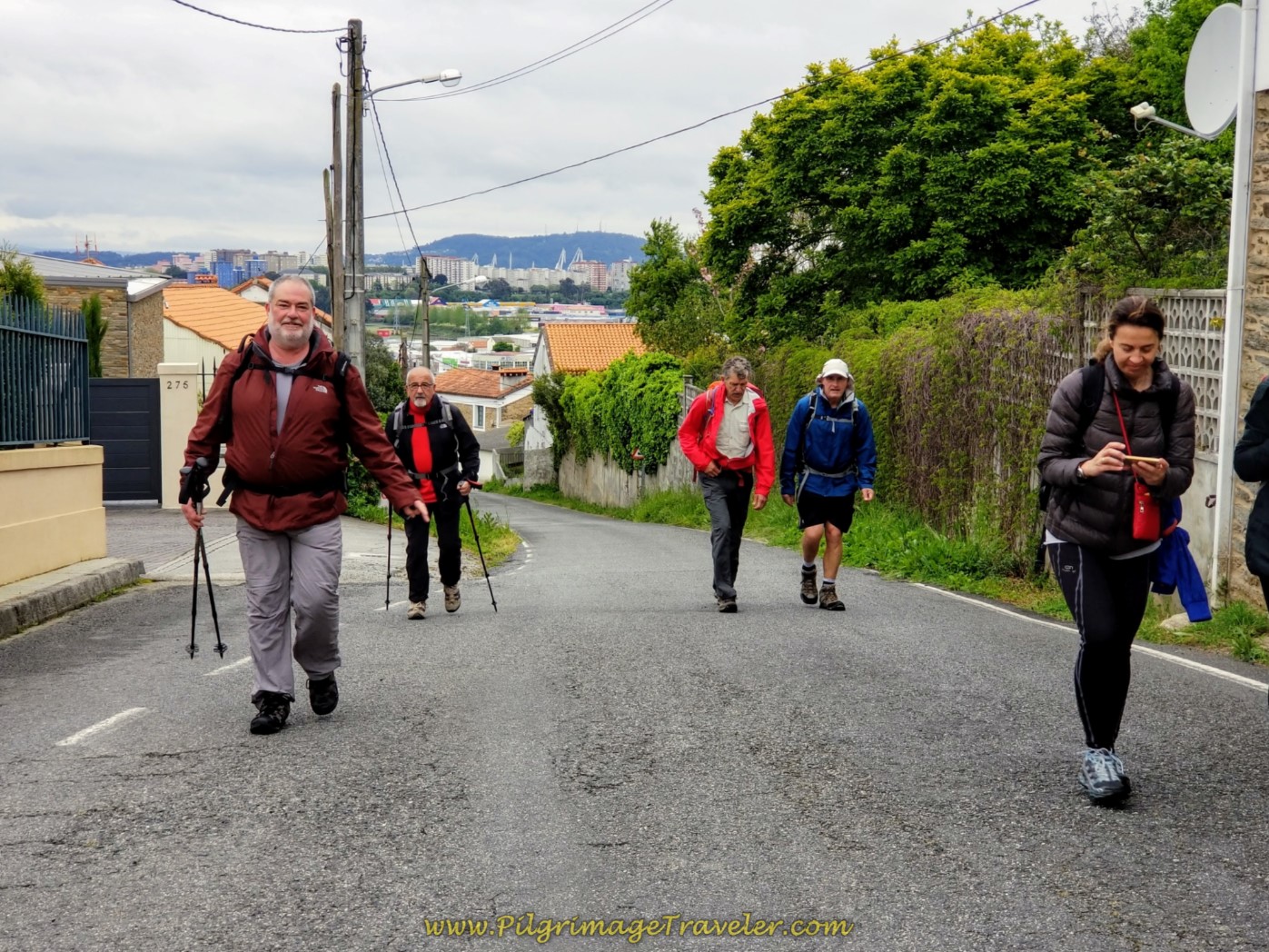
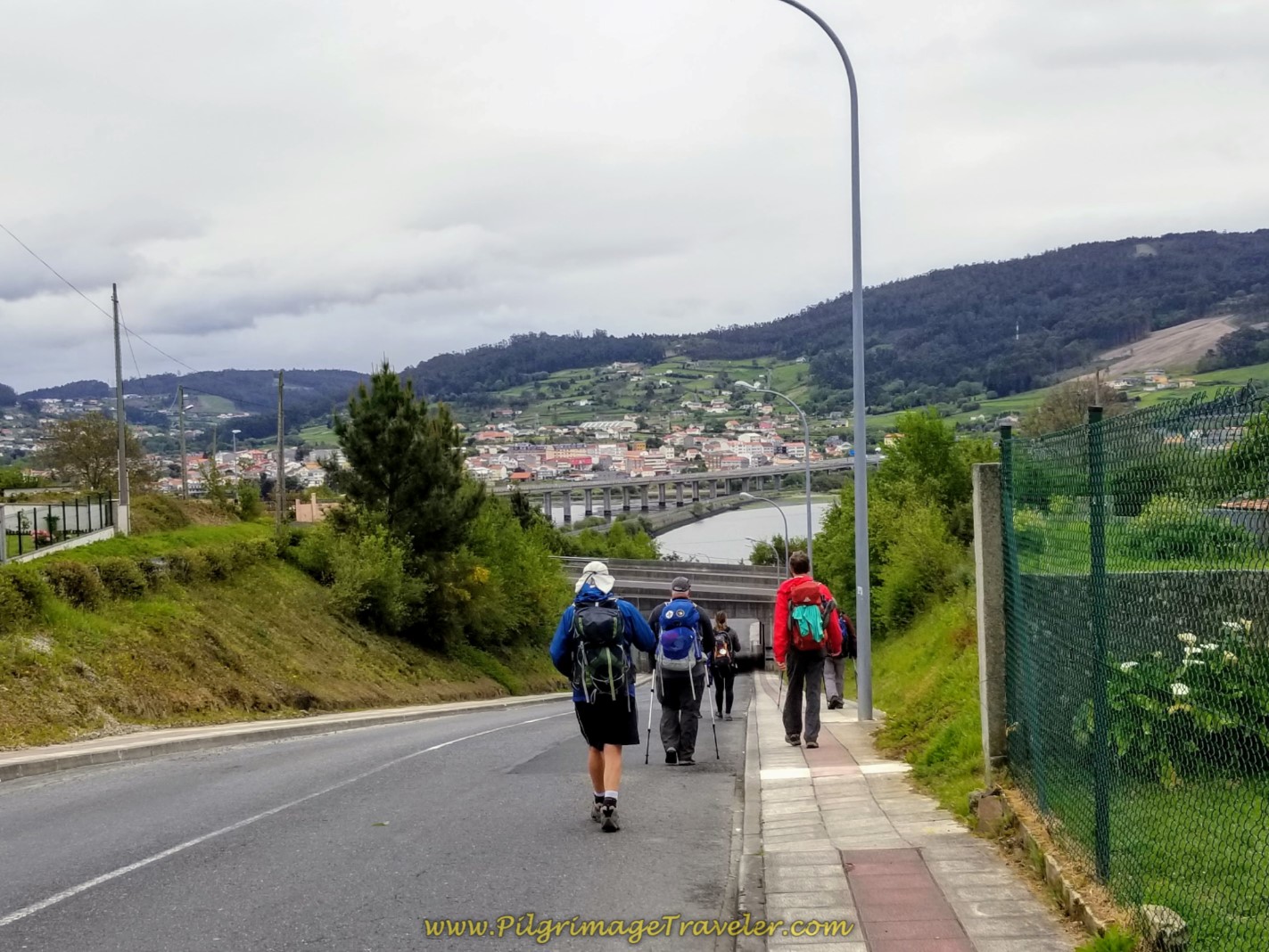
We caught up to a group of Spanish pilgrims on the long climb. We skirted the town of Narón to the south, in this section.
Follow the Camiño do Vilar until coming to this intersection where you turn left onto the Av. Souto Vizoso and continue climbing the remaining part of the steep hill.
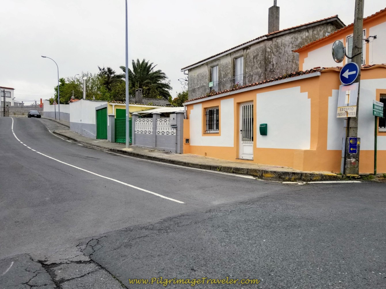 Left Turn Onto Avenida Souto Vizoso on Day One of the Camino Inglés
Turn right after only a few more meters and you have reached the top of the steep hill! The climb was short and sweet, though quite steep.
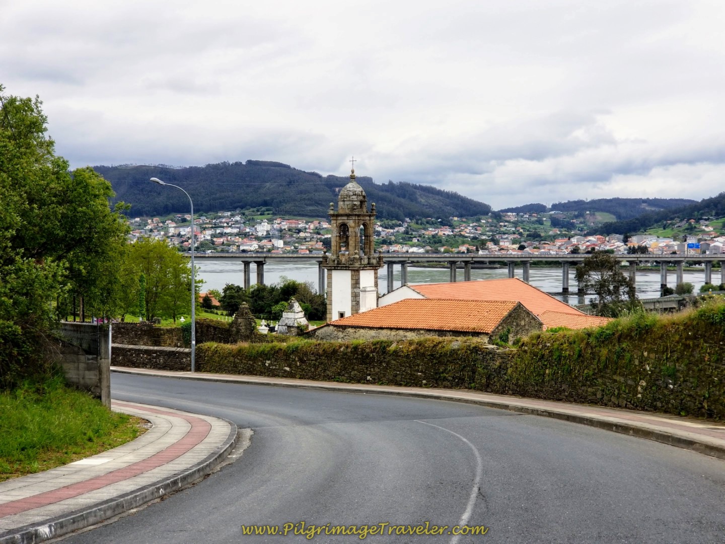
Your reward is the steep downhill on the other side, as you head back down toward the estuary for about 350 meters toward the next landmark.
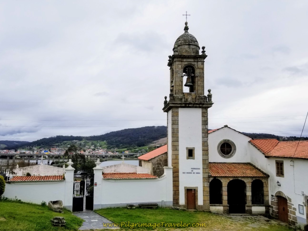
At the bottom of the hill is the captivating monastery, the Monasterio de San Martiño de Xubia.
This is a very tranquil place, if you can spend some moments here on the grounds.
There is a cross and a statue of an angel to contemplate before you push onward, as the Camino turns to the left and up another hill, shown below.
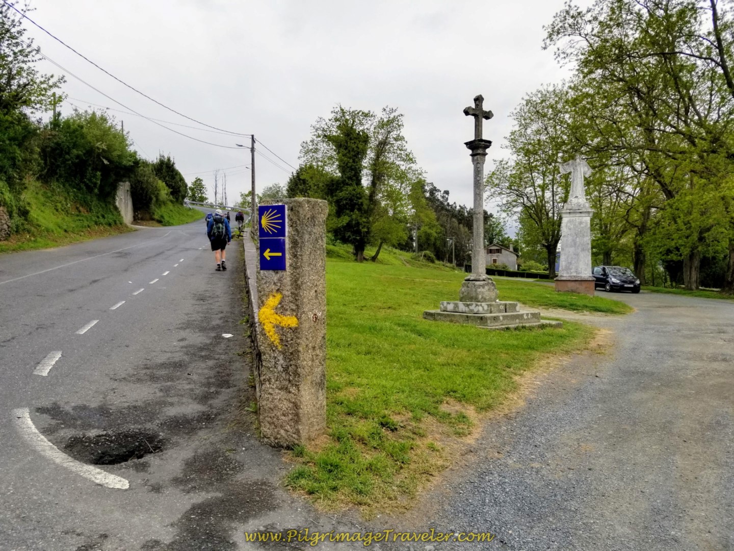 Left Turn Up the Hill After the Monastery
The hill is short-lived, as you turn right after another few meters onto a side road. From the side road, in several hundred meters more the Camino turns left on yet another nice path, as it continues to follow the river, shown below, and walks under the AP-9 highway bridge.
This path widens, essentially following the line of the FE-11 highway, which you can see through the vegetation at times.
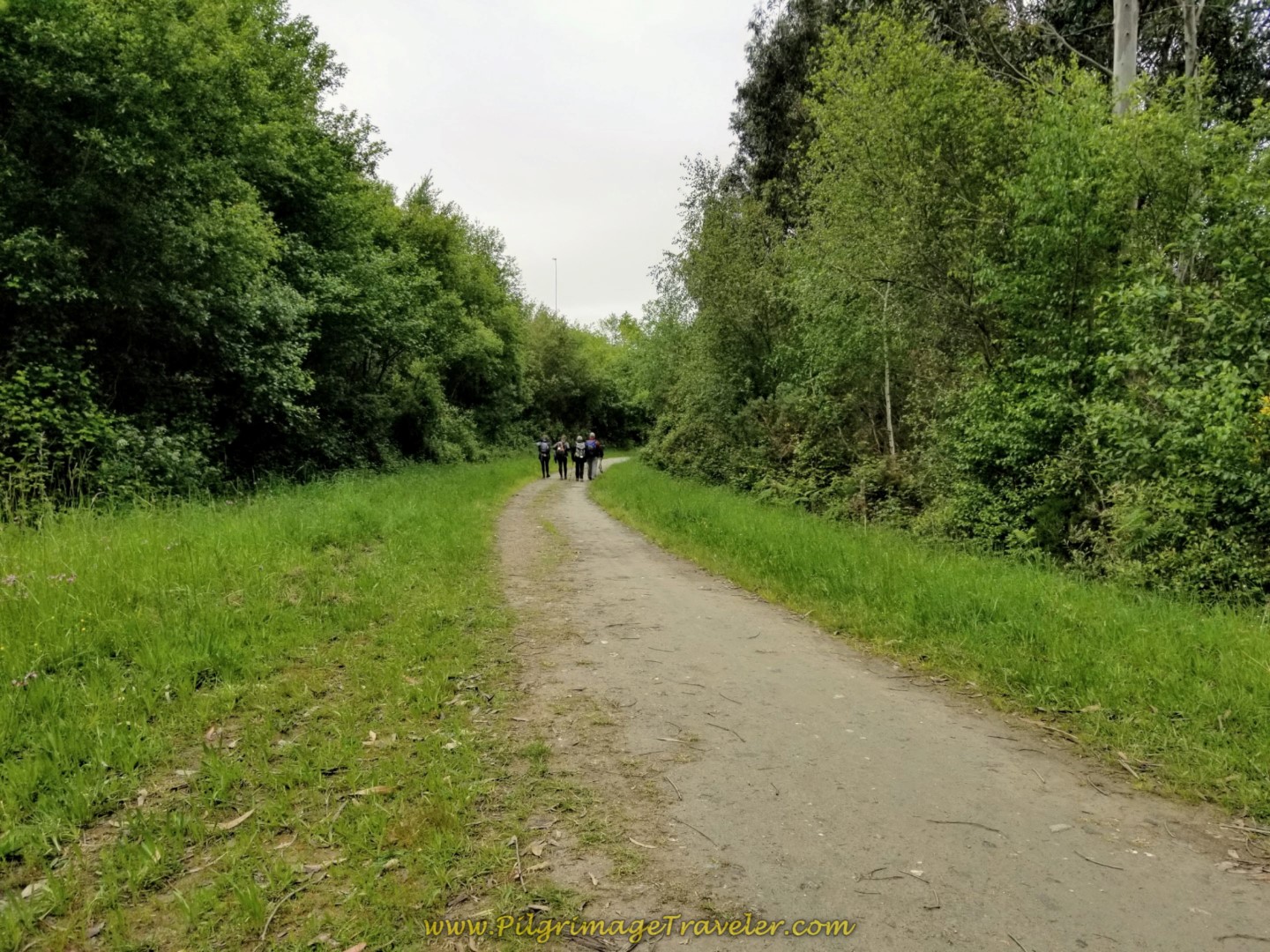 Path Parallels the FE-11
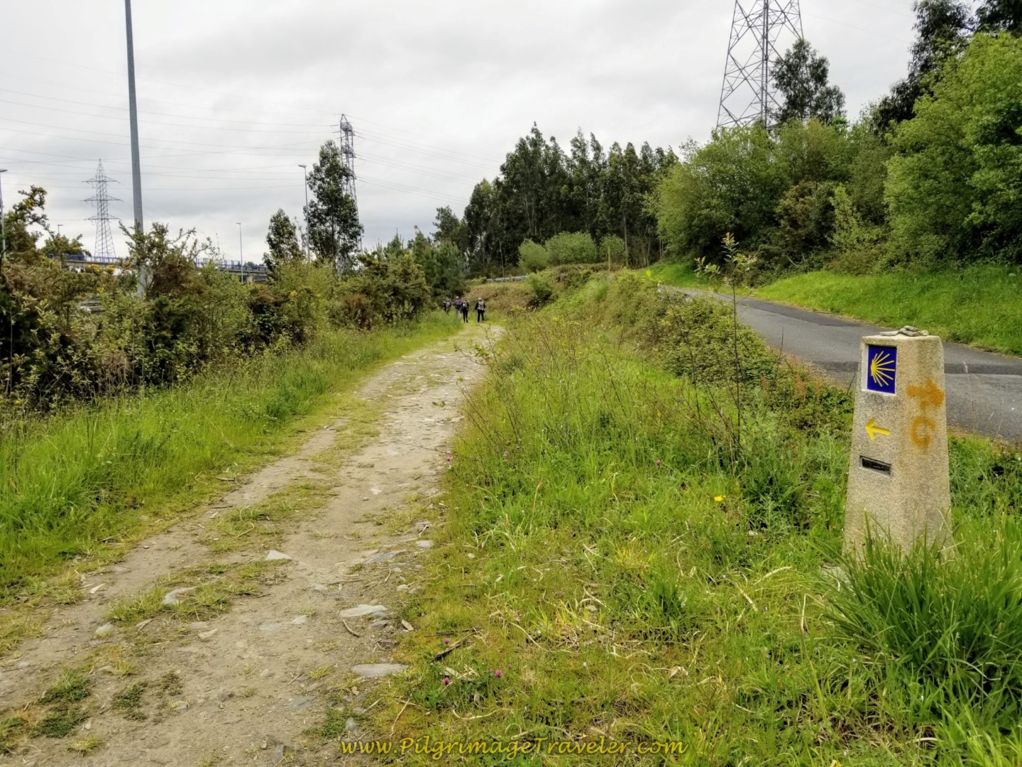 Path Continues Along the FE-11 on Day One of the Camino Inglés
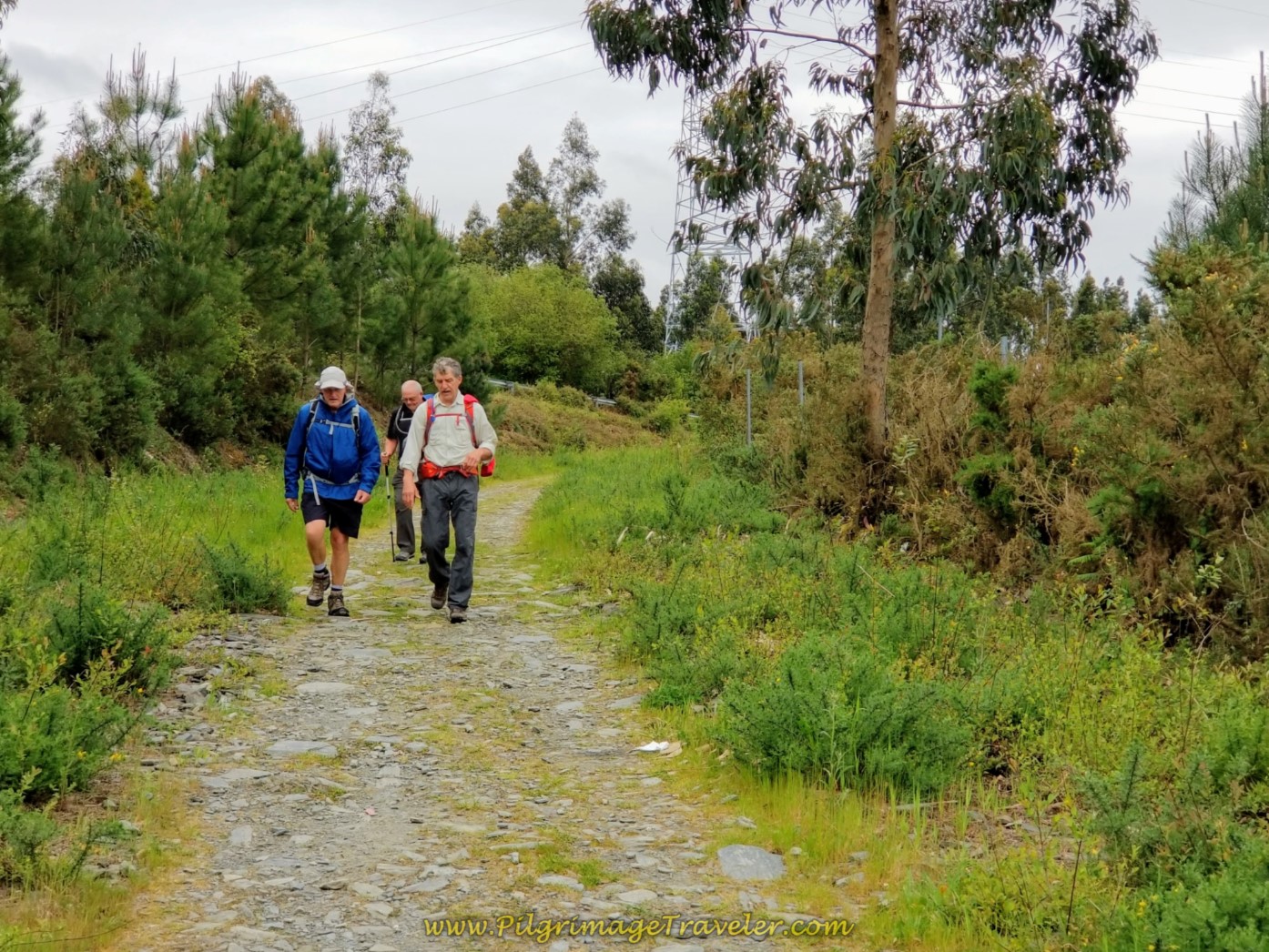
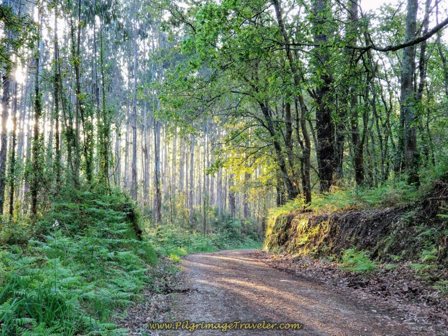
This nice off-road Camino carries on for about 2.0 full kilometers and makes a pleasant walk on day one of the Camino Inglés. Here are the gentlemen, chatting away. I believe it was Rich doing most of the chatting!
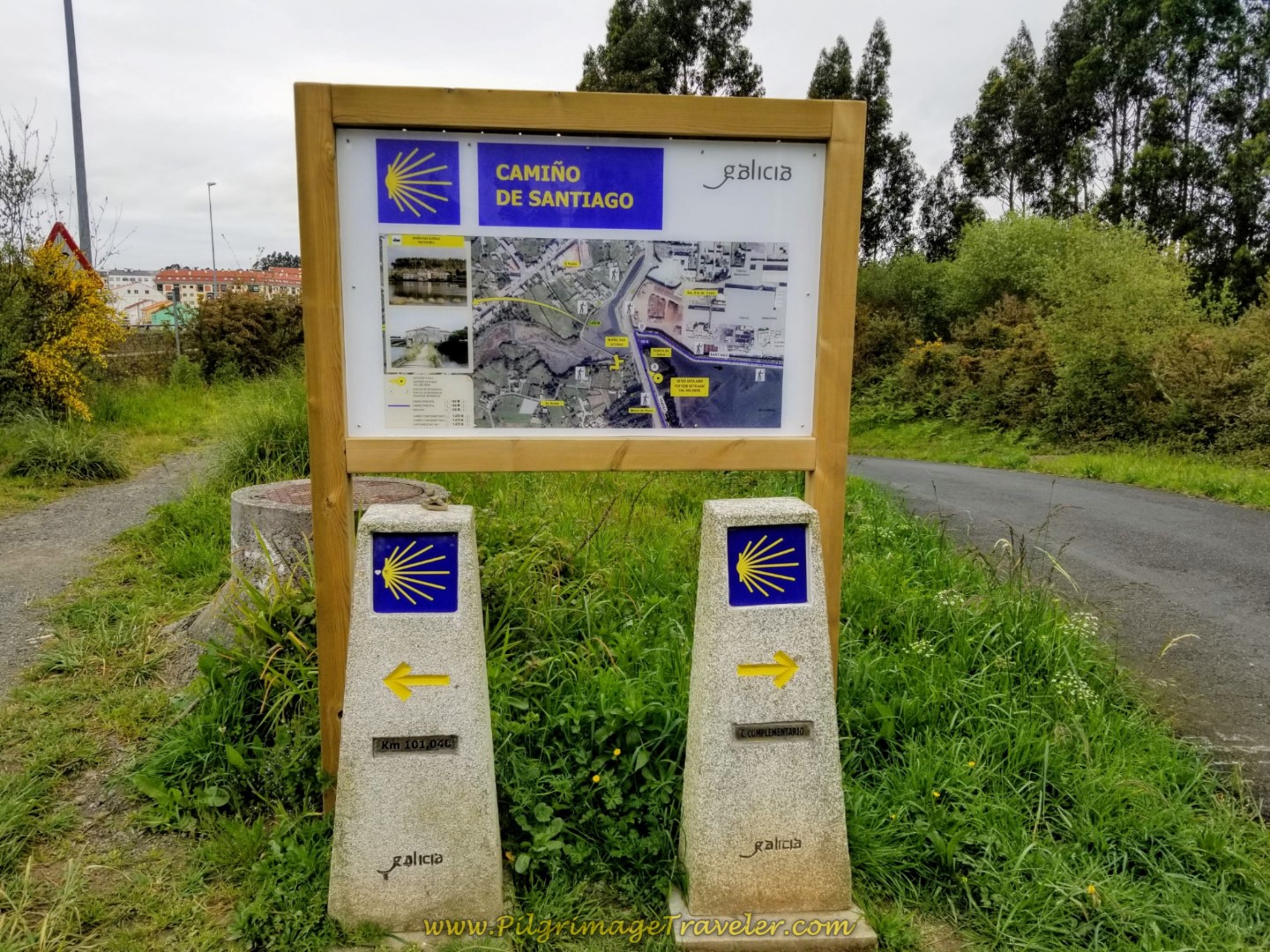
And then we arrived at the end of the path, after completing about 11.5 kilometers total. We noted our Spanish pilgrim friends clustering around the board ahead by the bridge.
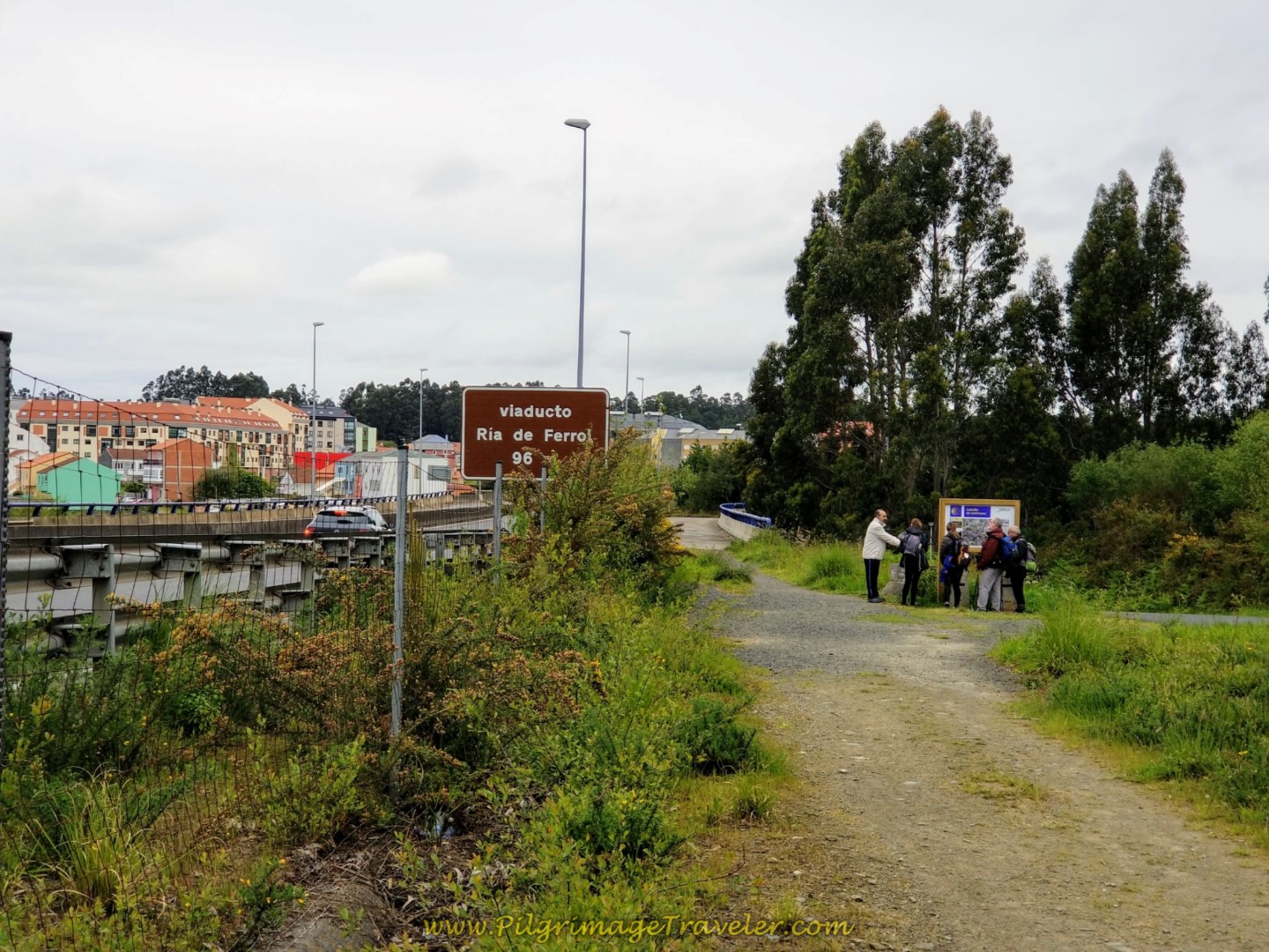 Viaducto Ría de Ferrol
There were two choices going forward, the "C. Complementario" to the right at 1.47 kilometers long, and the "Main Way" to the left for 160 meters. The longer route continues around the estuary and passes natural and historical sites. We voted to go the shorter, more direct Main Way.
The Main Way takes a shortcut across the footbridge, below, as it continues to follow the FE-11.
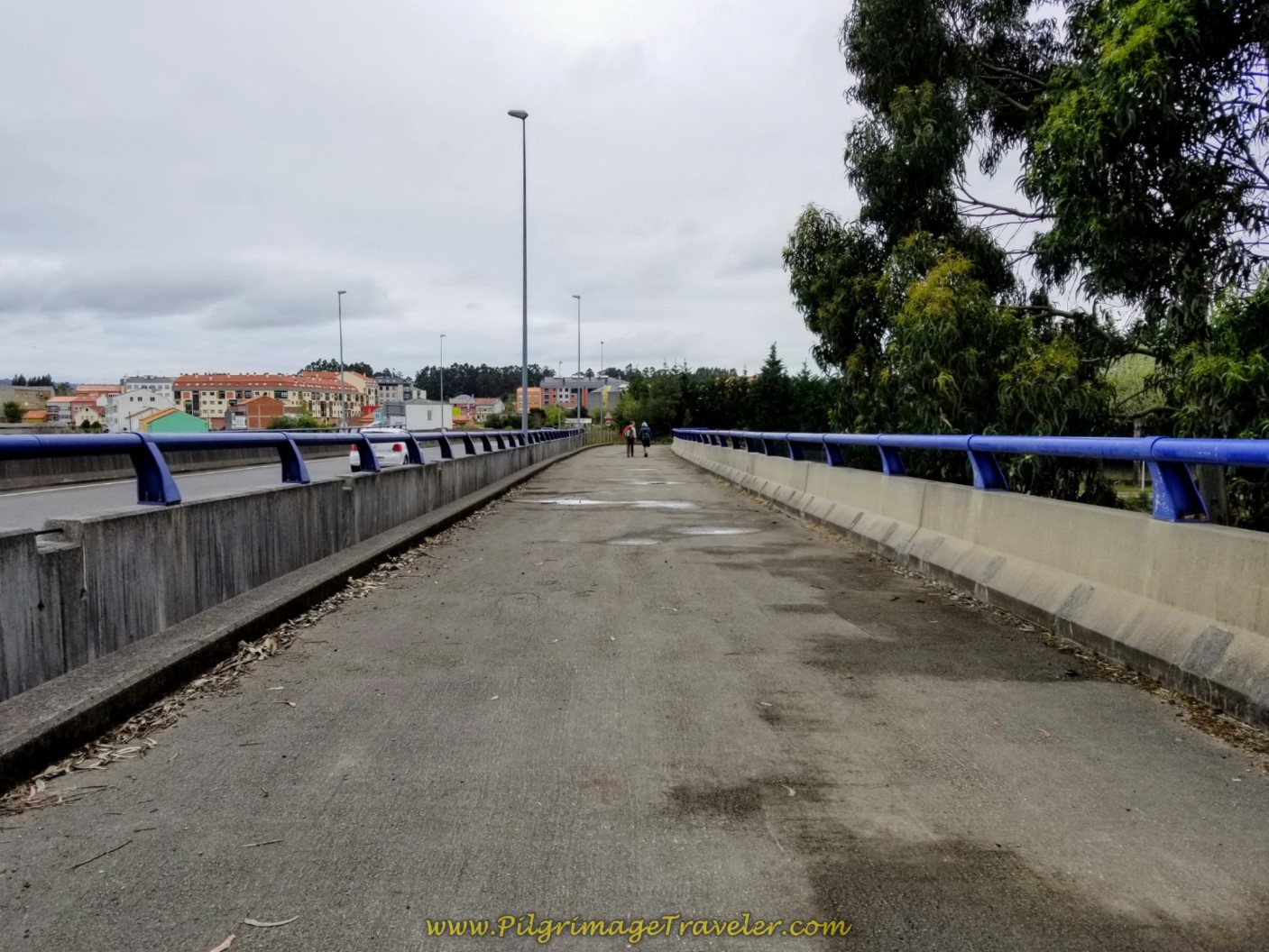 Cross the Ría de Ferrol on Footbridge Paralleling the FE-11
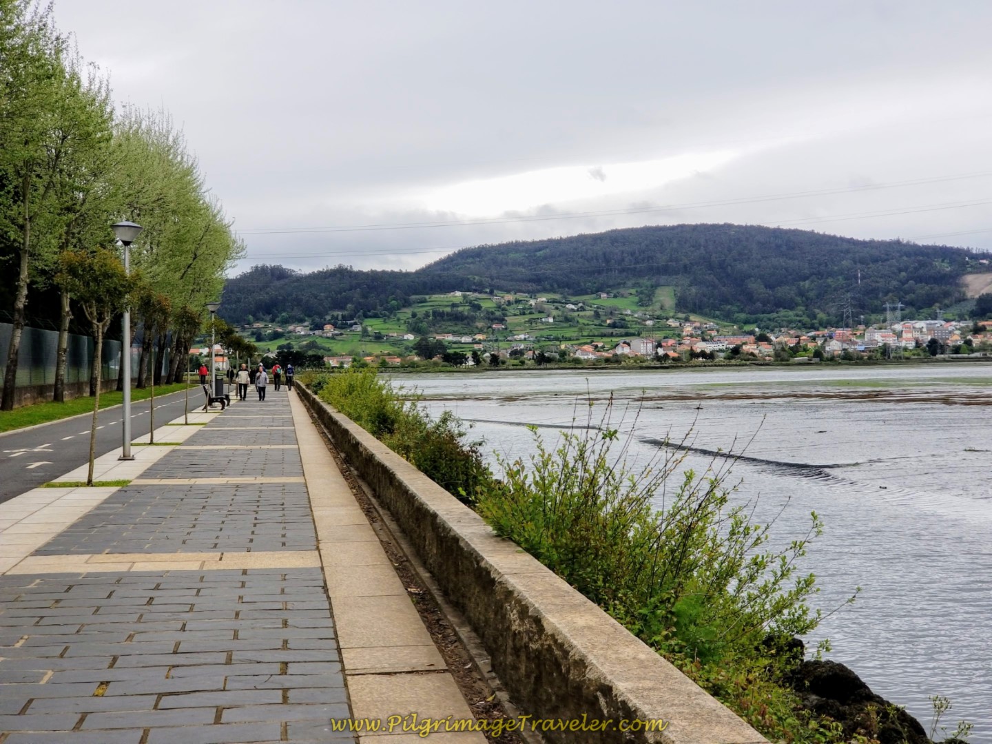
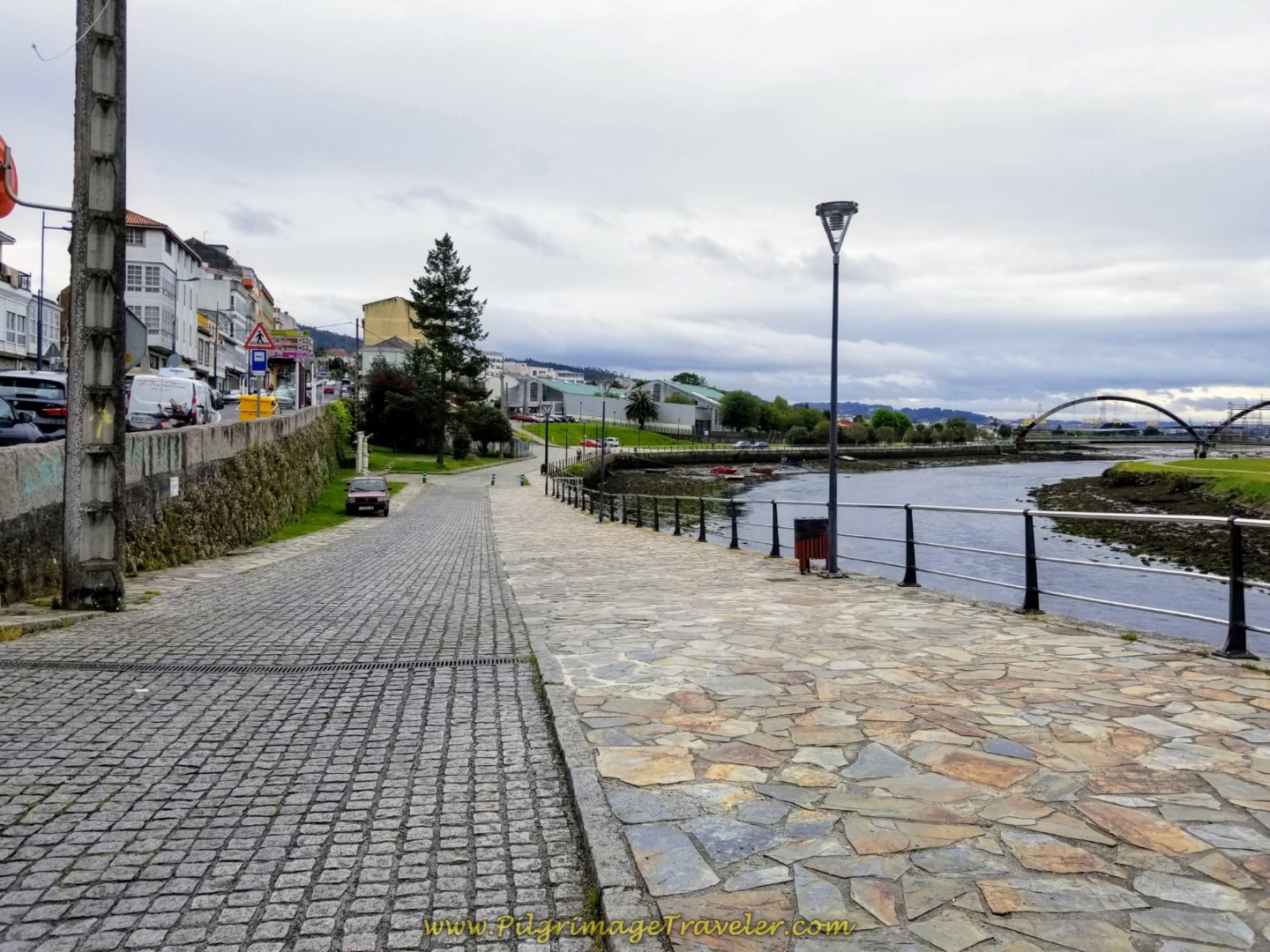
From the viaduct, the stairs lead down to another riverside promenade, shown below.
If you are planning a stay in Neda, but not the albergue a bit farther on, the Hotel Marcial, the La Casa de la Abuela (+34 604 08 13 82), or the Hotela Alda Narón (formerly the Hotel Kensington, +34 981 38 73 26) are all economical accommodations. To find them, you would continue walking north along the F-11, instead of descending to the promenade, until the first roundabout, turning right onto the Rúa Carretera de Castilla. First encounter the Hotel Marcial on a side street to the left, next the Hostal de la Abuela and finally the Hotel Alda Narón, both right along the highway, on the right. Consult the map above for their exact location.
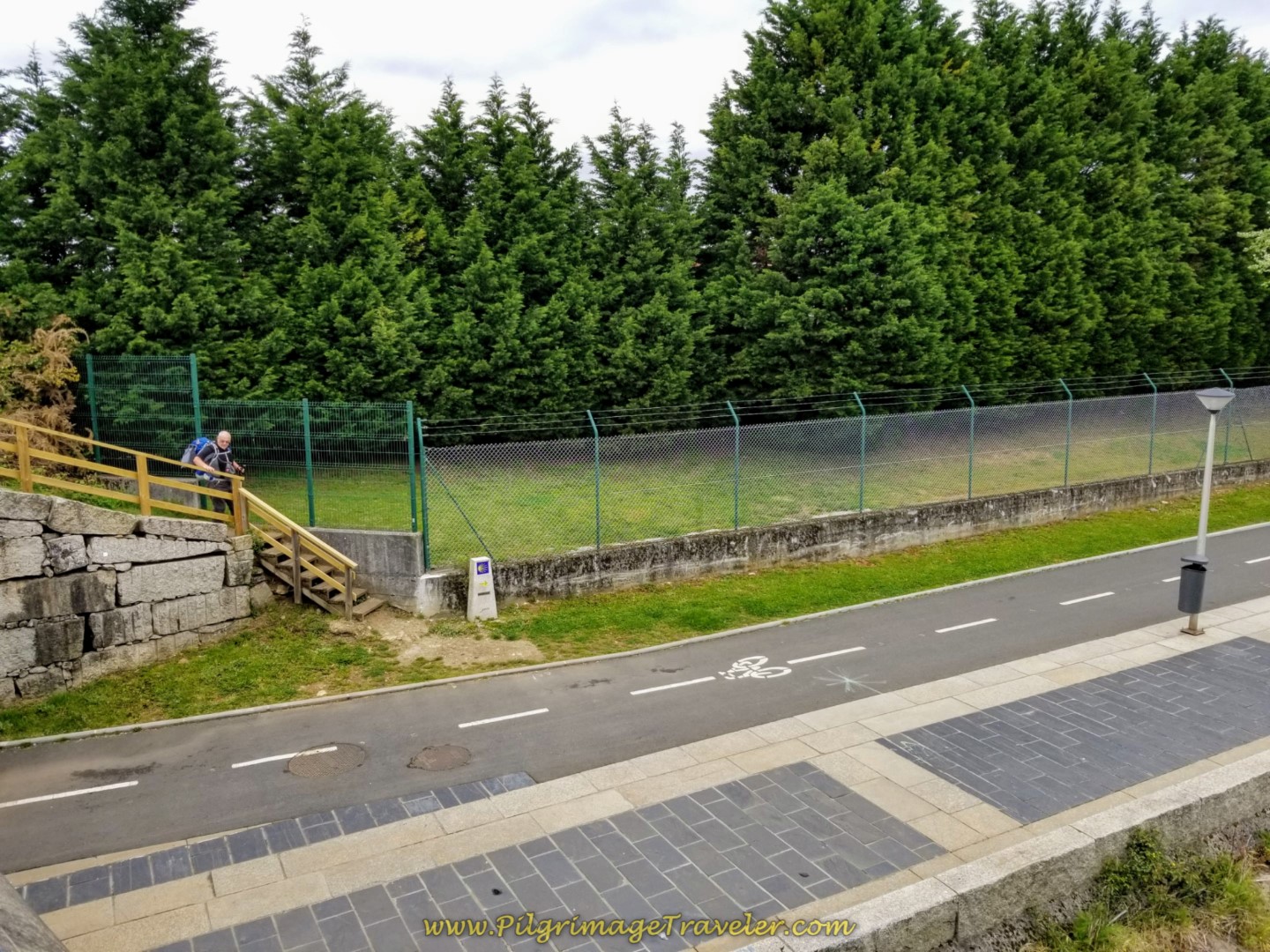 Steve Taking the Stairway Down to the Riverside Promenade
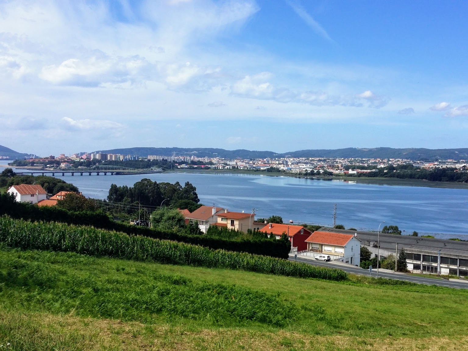
The way ahead from the bridge looked absolutely fabulous in the spring of day one on the Camino Inglés.
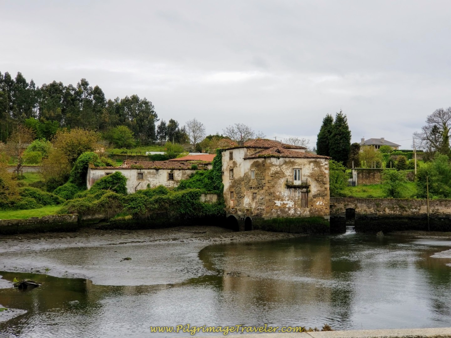
Ever the curious one, as I walked down the stairs from the viaduct, instead of turning to the right, I went left, and backwards a bit along where the Complementary Way joins the Main Way. I could clearly see one of the main historical buildings on the route, this wonderful old watermill. It is a picturesque sight, indeed, and worth the few steps backwards to see it.
Then back I went to join the gentlemen on the regular route. The rain continued to threaten, so I suppose it was good that we took the shortcut.
As we got closer to Neda, we passed the 100 kilometer marker. 13 kilometers down, about 100 left to go!
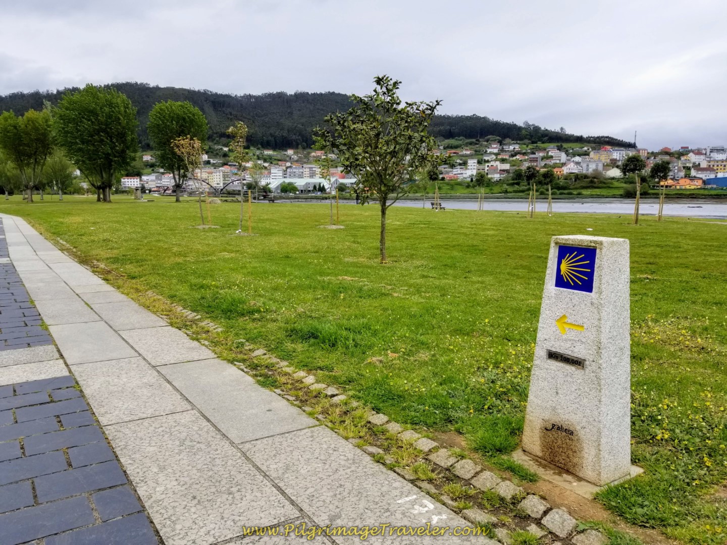 Exactly 100 Kilometer Marker
And just beyond the 100 km marker are the “Letras de Narón” the large white letters of Narón, announcing where you are (not pictured).
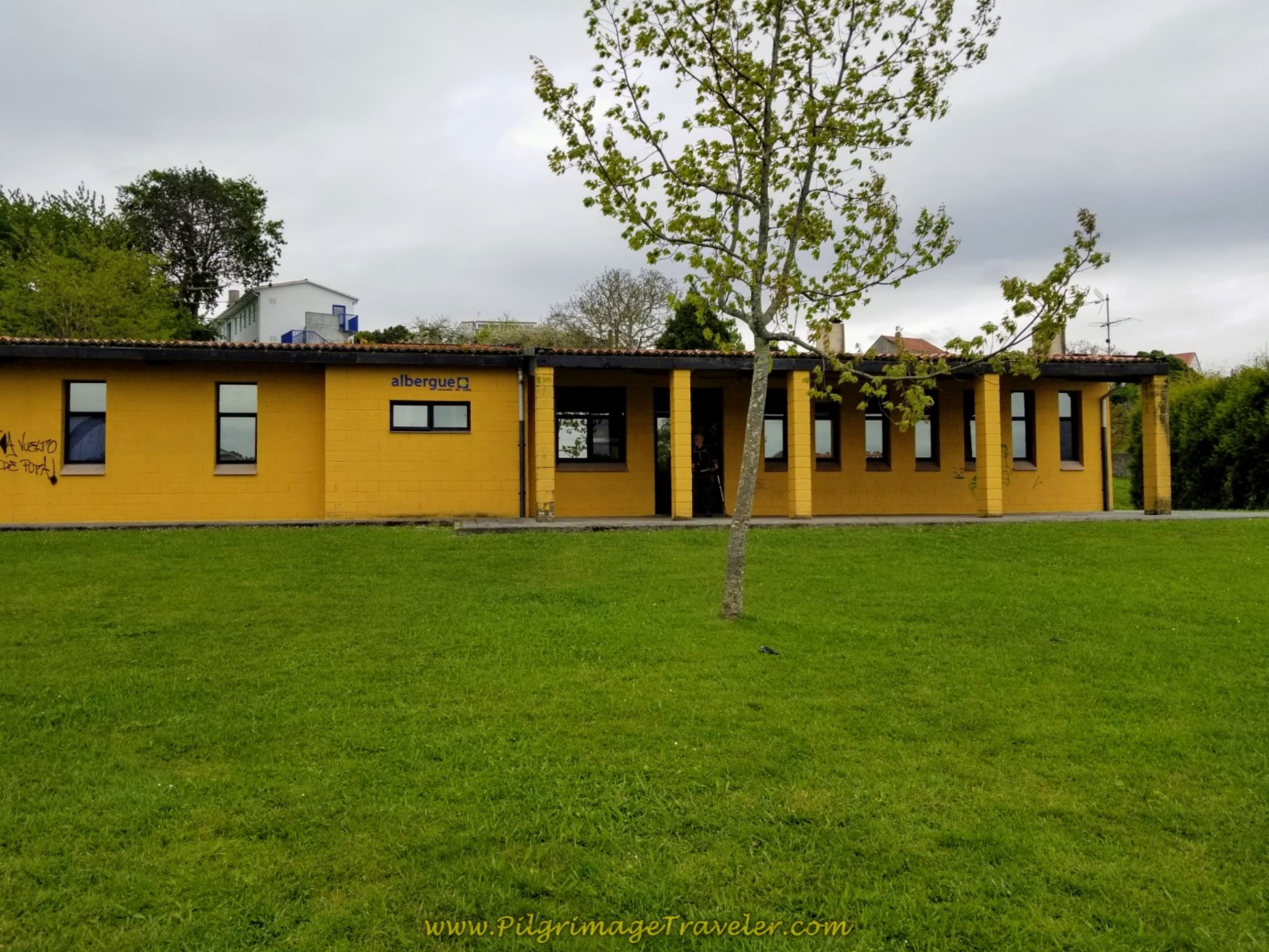
From across the river you can see the albergue, the one-story bright yellow building to the right in the photo below. Unfortunately, the footbridge, also seen in the photo, was under construction and was closed at the time of our passing. Going all the way around to the traffic bridge (see the map) added another 2/3 kilometer to the journey.
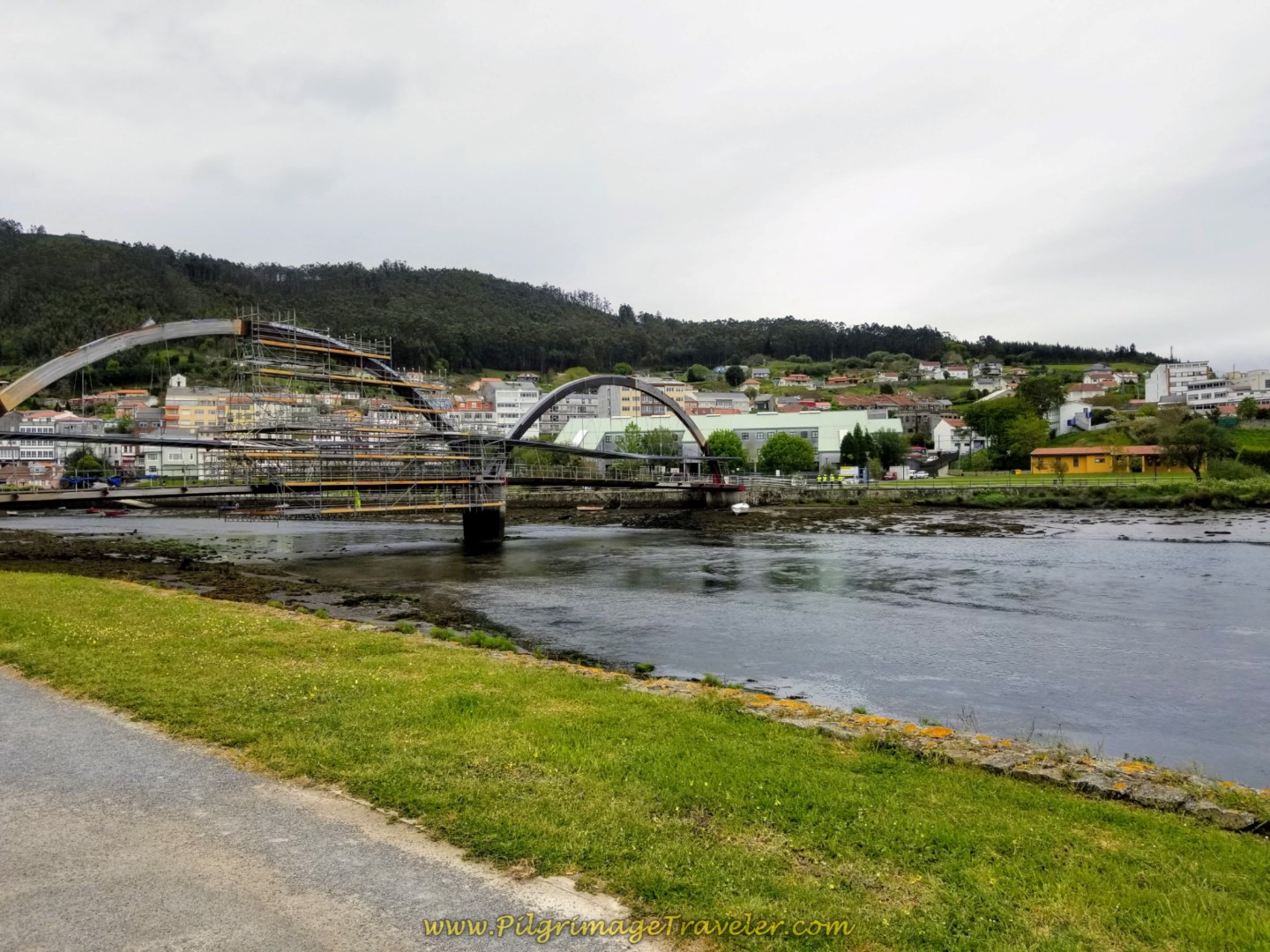 Footbridge Towards Albergue de Neda
We continued on past the footbridge. This is the actual route if you are not stopping for the night in the albergue, but walking onward.
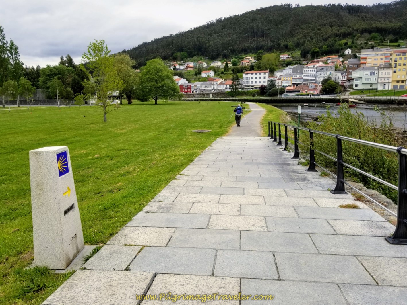 Toward the Town of Neda
We reached the historic traffic bridge, the Puente de Narón, after a total of about 1.5 kilometers on the river promenade.
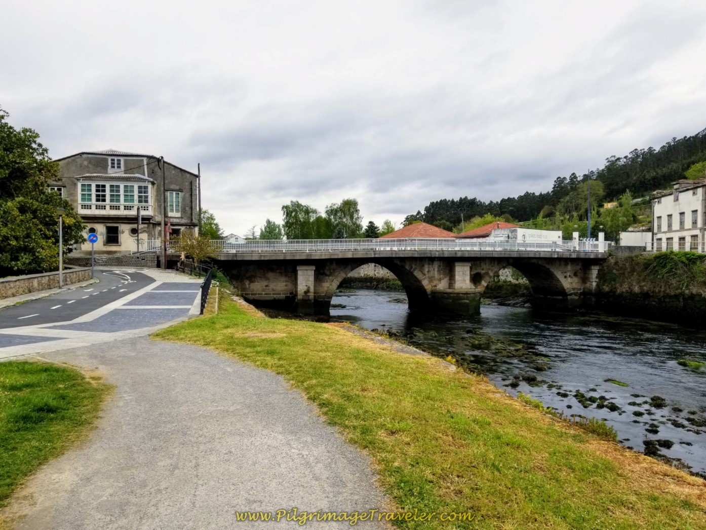 Puente de Narón
As you cross the bridge, look over your left shoulder to see a historic old mill, the Muíño de Xuvia (not pictured).
After crossing the bridge, you will come to a nice-looking café bar on the other side, to the left, La Flor de Mayo, seen below. Other pilgrims had the same idea that we did - time for a break at mere steps from the albergue!
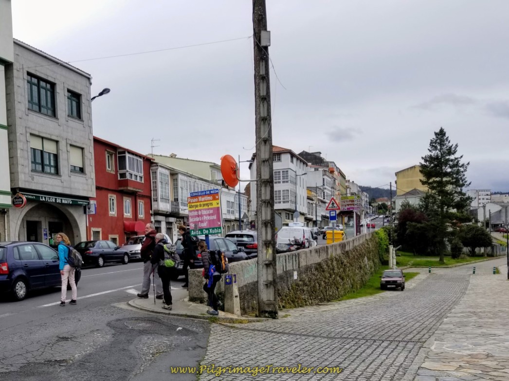 Café La Flor de Mayo
Even though the footbridge is now open, you may still want to go this longer way, for the very reason that you need something to eat, like we did!
The Camino turns to the right just before the café, shown in the photo above. 100 meters later, it continues to the left and up the hill, but the The 26-bed municipal Albergue de Peregrinos de Neda is to the right, a few more meters along the river.
After our lovely break, it was onward for the next few hundred meters to the albergue along the river, encountering it just after the footbridge on the other side.
Here is the brightly-colored building of the albergue. It is adequate and essentially comfortable, but not new. There are lots of available blankets which was important to me since I was only carrying a sleeping bag liner. The day was very cool and the sky proceeded to open up and pour rain later in the afternoon. We were lucky to have beaten the long downpour!
Neda and the adjoining town of Narón are decent-sized towns with many amenities. There are grocery stores, many cafés and family-run accommodations as already noted.
We four decided to go to the small grocery store up the street and cook dinner at the albergue. The cooking facilities are good here. We cooked up the special local sausage (chorizo) that a bystander at the store recommended to us and it was fabulous. We threw in some pasta and zucchini to the pot, added plenty of red wine to accompany the meal and our pilgrim bellies were content!
Our night was a bit rough, as someone forgot to turn off his alarm on his phone. We all woke up suddenly, about 4:oo a.m. to a rooster crowing! The pilgrim turned it off. Then about 15 minutes later, the rooster crowed again! OMG. The man hit the snooze instead of the off button. A woman started laughing hysterically. What a charade!
Needless to say, I didn't sleep well after 4:00 a.m. It is my witching hour anyway, when I tend to sleep much lighter, and I was unable to settle back into any real meaningful sleep. The beauty of albergues!

Still thinking about our Camino Inglés eBook Guide? Would a money back guarentee and free updates for a full year help you make your decision? Remember our guide is a digital-only eBook with no added weight in your pack which you can refer to anywhere. Click here for more information or just BUY NOW!
Reflections on Day One on the Camino Inglés
All-in-all our day one on the Camino Inglés went without a glitch. We were all walking strong, enjoying the day, having completed the 13 kilometers in less than four hours. We had a long luxurious afternoon watching the rain from the local bar and the albergue, as we watched one pilgrim after another come in from the pouring rain.
Had we tried to reach Pontedeume, undoubtedly we would have gotten soaked. Even though to me this day felt like just a warm-up, in regards to our usual longer days, I was content.
With so many levels of skill on the Caminos, I thought this was a perfect opportunity to keep each day short in my writings about the Camino Inglés. I would design stages for a more moderate ability, so that the very strong walkers could easily combine the stages as they so desired.
An eight-day schedule for the Inglés would meet almost anyone's needs, even though the four of us did not take a full eight days to complete it. It took us six ~ a major accomplishment for a person with Parkinson's.
Looking at the Camino through the eyes of others of all abilities was the way I chose to go deeper into my own pilgrimage. I hoped to commit to this type of pilgrimage going forward, even after my journey was over.
Salutation
May your own day one on the Camino Inglés be a pilgrimage that never ends, as you deepen your own personal journey! Ultreia!
Camino Inglés Stages
~ La Coruña Arm
~ Ferrol Arm
Please Consider Showing Your Support
Many readers contact me, Elle, to thank me for all the time and care that I have spent creating this informative website. If you have been truly blessed by my efforts, have not purchased an eBook, yet wish to contribute, I am exeedingly grateful. Thank you!
Search This Website:
🙋♀️ Why Trust Us at the Pilgrimage Traveler?

We’re not a travel agency ~ we’re fellow pilgrims! (See About Us)
We've trekked Pilgrimage Routes Across Europe since 2014!
💬 We’ve:
- Gotten lost so you don’t have to. 😉
- Followed waymarks in the glowing sunlight, the pouring rain and by moonlight. ☀️🌧️🌙
- Slept in albergues, hostels & casa rurals. Ate and drank in cafés along the way. 🛌 😴
- Created comprehensive and downloadable GPS maps and eBook Guides, full of must-have information based on real pilgrimage travels. 🧭 🗺️
- Shared our complete journeys, step by step to help YOU plan your ultimate pilgrimage and walk with your own Heart and Soul. 💙✨
Every detail is from our own experiences. Just fellow pilgrims sharing the Way. We have added a touch of spirituality, heartfelt insights and practical guidance from the road ~ offering a genuine connection to the spirit of pilgrimage. Tap into the wisdom of seasoned pilgrims!
Ultreia and Safe Pilgrimage Travels, Caminante! 💫 💚 🤍
Follow Me on Pinterest:
Find the Pilgrimage Traveler on Facebook:
Like / Share this page on Facebook:
***All Banners, Amazon, Roamless and Booking.com links on this website are affiliate links. As an Amazon associate and a Booking.com associate, the Pilgrimage Traveler website will earn from qualifying purchases when you click on these links, at no cost to you. We sincerely thank you as this is a pilgrim-supported website***
PS: Our eBook Guide books are of our own creation and we appreciate your purchase of those too!!
Shroud Yourself in Mystery, along the Via de Francesco!
Walk in the Footsteps of St. Francis, and Connect Deeply to the Saint and to Nature in the Marvelous Italian Countryside!
Need suggestions on what to pack for your next pilgrimage? Click Here or on the photo below!
Find the Best Hotel Deals Using This Tool!
Carbon Trekking Poles ~ My Favorites!
Carbon fiber construction (not aluminum) in a trekking pole makes them ultra lightweight. We like the Z-Pole style from Black Diamond so we can hide our poles in our pack from potential thieves before getting to our albergue! There are many to choose from! (See more of our gear recommendations! )
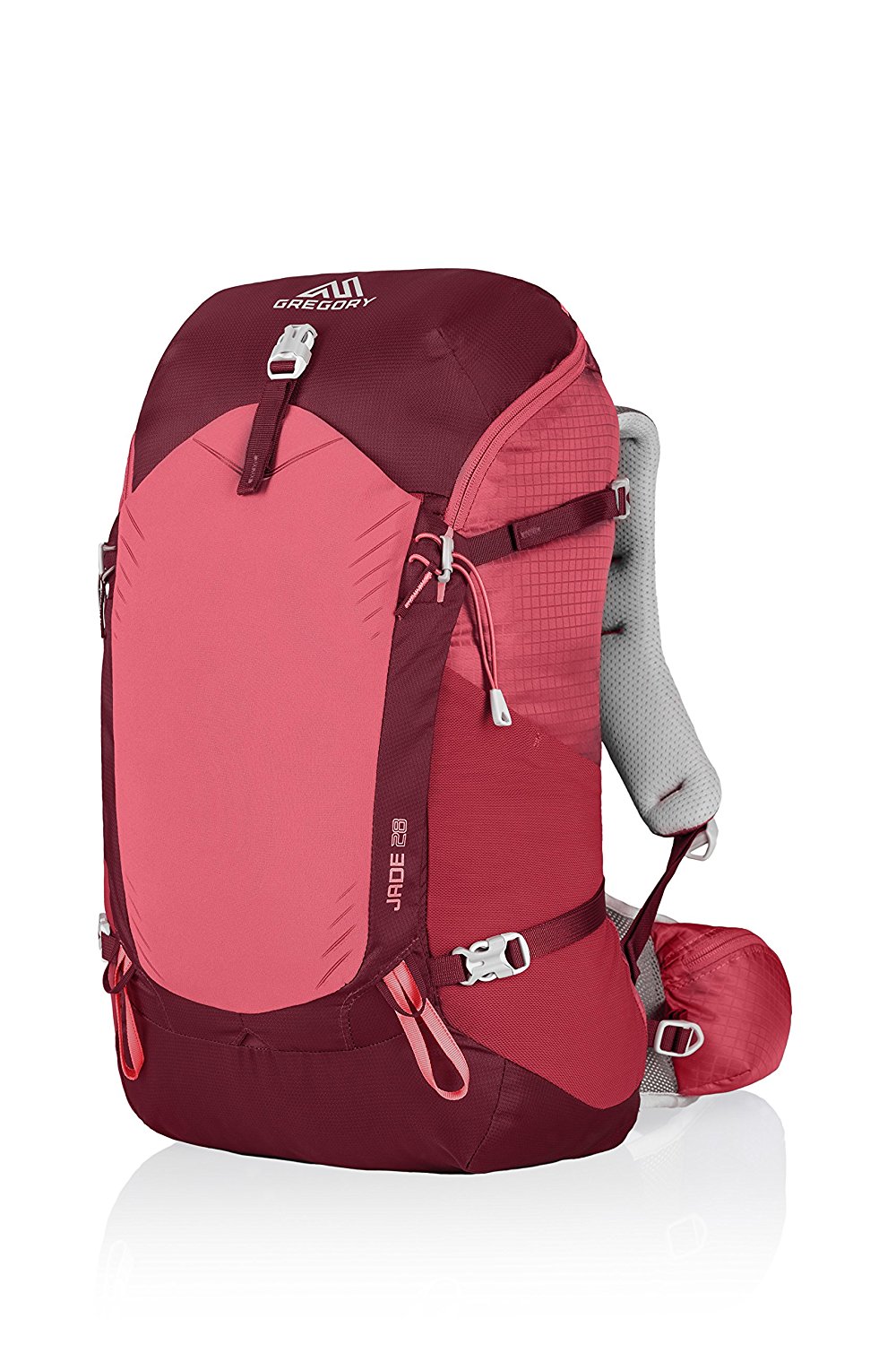
Gregory BackPack ~ My Favorite Brand
Do not forget your quick-dry microfiber towel!




Your Opinion Matters! Comments
Have you had a similar experience, have some advice to give, or have something else you'd like to share? We would love to hear from you! Please leave us a comment in the box below.