- Home
- ~ Camino Primitivo (The Original Way)
- Day Ten, Lugo to As Seixas
Jump to Camino Primitivo Stages
Day Ten on the Camino Primitivo ~ Lugo to As Seixas, 31.9 Kilometers (19.82 Miles)
Our day ten on the Camino Primitivo was a definite turning point, with a new understanding of loneliness as we walked essentially alone on this incredibly long, monotonous and rural route with very little infrastructure.
"Keep in mind that to avoid loneliness, many people need both a social circle and an intimate attachment. Having just one of two may still leave you feeling lonely." ~ Gretchen Ruben
Day Ten, Camino Primitivo Maps and Stats
For some reason, this particular stage seemed most dramatic in its loneliness, at least to me. The hole left in my soul by the absence of our Camino family, was noticeable indeed.
Our long rest day in Lugo served its purpose to refuel us, plus for the very first time on the entire Camino, I think we were in bed prior to 10 p.m. This stage became a lengthy one, because we were fit and flying. For sure, the terrain was also much easier than before.
Here is the Google interactive map that I created from our journey on day ten of the Camino. As always, I included the services along the Way, that will be helpful in your planning. I did not include all the possibilities for accommodation in Lugo, just albergues, hostals and reasonably-priced pensions near the center of town. Click here to see others.
We set out from our own accommodation, the comfortable Hotel España, just across from the medieval walls, a few steps south of the Lugo cathedral. I was very happy that we had mapped the route out of Lugo the day before on our rest day. There is more than one way out of town as you can see on the map. Just zoom in on Lugo.
It may be confusing getting out of the city, so I describe in detail the two possible routes, farther below. The first possible route shown on the map is in orange. It is the alternative, more historic route which is also mostly on paths, and the blue route is the standard route, entirely on pavement.
The second route in orange on the map below is the optional alternative to the extremely historic and highly unusual Santuario de Santalla de Bóveda, alternatively known as Santa Eulalia de Bóveda, a Roman structure built in the 3rd century and later converted into a temple. While the site is 2.44 kilometers off-Camino to the north, because there is a triangular route that will not require a backtrack, a visit to the site will only require an additional 2.1 kilometers of walking. For us, it was well worth it. It is perhaps one of the most interesting sites in Spain and definitely one of the oldest.
Because of the length of the already long stage to As Seixas of 31.9 kilometers, if you went to the temple it would be a lengthy 34 kilometers total.
If you wish to make the stage shorter there are many opportunities to do so, the first in San Romao, after 18 kilometers (20.1 if going to the temple), O Borgo de Negral after 21.4 kilometers (23.6) and Ferreira after 25.6 kilometers (27.7).
Below are the elevation profiles that coincide with our day ten, the first without the Temple Alternative, and the second one with it. You can see with the alternative, that it only requires about 40 meters additional elevation gain, because of the equal amount of elevation loss; not very significant amounts.
After dropping off the hill where Lugo sits, the way gently climbs, never more than 200 meters (650 feet) over many kilometers. It does not feel overly strenuous. After Ferreira, at about 26 kilometers, there is a mild climb, followed by a downhill of the same amount, before ending in As Seixas.


Camino Primitivo EBook Guide

Take a look at our Camino Primitivo eBook Guide, for you to download to your personal device for comfortable reading offline and without ads. Our eBook is packed with detailed information and photos, including a *new* bonus side trip, to the incredible and unusual Santa Eulalia de Bóveda temple, the mostly ingnored neolithic standing stones at Montouto and finally, the often-missed, but lovely alternative to the Hospitales Route, (which is gorgeous too), the route to take in the event of inclement weather, along the Río Nisón for 6.8 kilometers! Our eBook Guide is unique because we also entertain and immerse you with our story! Click here for more info OR BUY NOW.
Jump to Camino Primitivo Stages
The Journey on Day Ten, Camino Primitivo
Our early night afforded us the ability to get up and be on our way by 06:30, a full hour earlier than on all other days. Fueled by instant café con leche, additional milk and yogurt bars in our room, we set off in the dark through the sleeping streets of Lugo on day ten of our Camino Primitivo.
I would suggest, depending where you are staying in Lugo, to use as your starting point, either the Tourist Information Center or the Cathedral to get you going on the right way. Almost everyone should know where one of these two landmarks are located. See our Google map above to locate the closest starting point for you.
Alternative Start in Lugo from the North Side of the Cathedral
The photos I include regarding the way out of Lugo were taken in the daylight, the day before, so finding your way through the city in the dark may present a bit more of a challenge.
The advantage of this alternative route is that it is remarkably on quiet paths and lanes, through this part of the city. Plus, you will be walking along the original Via Romana, XIX! The disadvantage is that it may be the longer way to go, depending on where you are staying.
Remember the bronze shells on the pavement at your feet to help guide you. The alternative and more historical route splits off on the north side of the Lugo Cathedral.
Look for the first bronze shell at the intersection with the Rúa da Catedral on the north side of the cathedral. Take this street to the north and 100 meters later you walk by the Tourist Information Office and encounter this bronze waymark on the pavement just outside the building, photo below.
 Street Waymark by the Tourism Office
Follow the waymark and walk northwest along the Rúa do Miña and after only 100 meters turn left onto the Rúa da Tinería. Walk less than 50 meters until you reach the Porta Miñá gate in the Roman wall, below.
 Walk Through Porta Miñá, Roman Wall Gate
Walk through the gate and come out onto the Ronda da Muralla, the circular street that follows the Roman wall. You will see a large Camino sign across the street, directing you to the right. Turn right and then immediately turn left onto the concrete Rúa do Carme by a church, the Capilla de la Cofradía de la Virgen del Carmen.
Follow the Rúa do Carme about 100 meters to a crossroad. Walk straight onward. Immediately after the crossroad, come to this next intersection, shown below. It is at this intersection, where you will see a silver plaque, citing improvements to the Camino Primitivo and the Via Romana XIX in this area. If you look closely on the left side of the photo, you can also see a small post along the wall with the inscription of the Via Romana XIX on it, confirming that this is indeed the historic route. Stay high and to the right to continue along the Rúa do Carme.
 Keep Right to Stay on the Rúa do Carme
Continue along the high-walled Rúa do Carme, passing several buildings as it transitions from semi-paved to a dirt lane, below.
 Rúa do Carme Becomes a Footpath
After about 1/4 kilometer along the Rúa do Carme, the lane comes out at the busy Ronda do Carme, by a crosswalk. Take the crosswalk across the divided highway, and pick up another lovely path on the other side, shown below.
 Path After Crossing the Ronda do Carme
Take this path for another 300 meters before coming out to the Rúa Calzada da Ponte at a T-intersection. This is where you join the standard route coming from the cathedral, by turning right. Notice another Via Romana XIX signpost at this intersection.
Jump to Camino Primitivo Stages
Standard Route Out of Lugo from the Cathedral
Perhaps the easiest way out of Lugo, and for us the shortest, is the blue, southernmost route on the Goggle map above. Simply walk to the very western end of the Cathedral, which is its main entrance. (You may notice the shells on the pavement on the northern side of the cathedral.) If you are facing the entrance, turn around and look at the Roman Gate in front of you to the west. (See the photos of these landmarks in my Lugo, Spain article.)
Walk out this gate, the Porta de Santiago, with Santigo Matomoros on his horse on the top, and come out onto the Ronda da Muralla. Look across the intersection of five points, and slightly to the left, and see the Camino sign leading you across the street and down the Rúa Santiago.
Walk about 270 meters and look for a sign leading you to the right, down a set of stairs and onto the Rúa Calzada da Ponte, pictured below. I thought it was easy to miss this street, so here is a photo of the stairs, so you won’t!
 Walk Down These Stairs and Stay Right
This street leads you down the hill, under a tunnel, past the path where the historical alternative joins it, through a second tunnel, all the way to the Río Minho and to the Roman bridge, now a pedestrian footbridge, after 600 meters.
The Albergue Roots and Boots (+34 982 22 97 09) is on your left just before the river. It is located in a great spot and we had a beer here the day before.
Both routes out of Lugo, on day ten of the Camino Primitivo bring you down to the River Minho, to cross on this wonderful and restored Roman bridge.

Here is another shot of the bridge, with some original Roman parts still intact.

After crossing the bridge, immediately turn right onto the Rúa Fermin Rivera that runs along the south side of the river. After about 3/4 kilometer, and after passing a rowing club and spa, the Club Fluvial Lugo, you will pass the Parroquia San Lázaro, below, that has a nice map of the Camino leg to San Román. But the church itself was closed.
 Parroquia San Lázaro
Only 50 meters after the church, there is a waymark pointing you to go left. There is also a fountain to your left, the Fonte San Lazaro. Immediately after the turn, the long uphill climb out of Lugo from the river begins!
250 meters after the fountain, stay to the right at the next Y-intersection. It is worth it to have a look-back towards Lugo as you climb, for some good views of the city and the cathedral.
As you leave the buildings behind and the Way becomes decidedly more rural, you know you are nearing the top of the first part of the climb when this white stone mansion appears, below. You have achieved about 2.8 kilometers from the cathedral at the top of this first climb.
 Nearing the First Top
After the mansion, continue straight through the next intersection and after not quite 400 meters more, walk down the hill and arrive at a larger intersection with the N-640. The Camino appropriately provides the pilgrimage traveler with a lane to the right, to pass safely under the highway to the other side.
From this intersection, you will now begin the second part of the long climb up from the river in Lugo. Walk a few meters more and arrive at a Y-intersection with another high-walled and gated mansion, below. Stay to the left.
 Stay Left at Gated Mansion
Continue along this unnamed street, past many more walled estates. To me, this looked like the wealthy suburbs of Lugo. After not quite one kilometer along this quiet, paved road, and after about 4.3 kilometers total from the cathedral, arrive at a roundabout with the LU-232 and walk straight onwards onto the LU-P-2901, below. And as I like to say, cozy up to this road, because you will follow it all the way to San Romao, about 14 more kilometers down the road! At least for the next 3.0 kilometers, you will be walking on a side path as you can also see in the photo.
 Join the LU-P-2901
As you walk along the LU-P-2901, below, you will notice the highway kilometer markers, counting up, revealing your progress as you go along. I found them to be both encouraging and discouraging!
 Along the Long LU-P-2901 Side Path
A few meters past the highway one kilometer marker, pass the town sign of San Xoán do Alto. You are still gently climbing.
After just shy of 7.0 kilometers total, and not quite 2.7 kilometers along the LU-P-2901, look out for a sign pointing to the town of Seoane to the right. By this intersection, you have finally completed the long climb from the river in Lugo.
You need to turn right here and walk only about 80 meters off-Camino to see the historic church, the Igrexa Parroquial de San Xoán do Alto, below. According to the link provided, this church is quite old, with origins that may go back as far as the 8th-9th centuries, albeit with many recent renovations. It has an interesting, added detached portico.
 Igrexa de San Xoán do Alto, Day Ten, Camino Primitivo
Near the church, a bus came along, stopped and dumped off about 15 peregrinos! We figured it was some sort of supported tour, for those walking the final 100 kilometers, and this was their first staging area. My first thought was "Welcome to the Camino Francés!" even though the Francés was a day and a half away.
Of course, we felt a little urgency to return to the trail. Soon there was a small, older man who was following us, who caught up to us when I needed to use the bushes. He overtook us marching along with his large pack. Immediately, I decided that I was firmly refusing to be part of any race - I was going to walk my Camino. (unlike my day four!)
Approximately 400 meters past Seoane and the church, you will pass the highway 3.0 kilometer marker and about 250 meters after that, the roadway narrows and your pilgrim’s side path disappears. For safety, you should now cross to the left side of the street.
Enter the town of San Vicente do Burgo, after about another 1/2 kilometer and 8.0 kilometers from Lugo. However, it is another kilometer or so until you actually reach the town itself, passing a really nice picnic area with a fountain, the Fonte de A Bicas on your left, along the way.
Once you arrive in town, there is the very convenient Casa Zapateiro vending machine area, inside a shed, below, after approximately 9.1 kilometers total, on the left side of the road. They provide restrooms, a microwave, tables and a place to sit! Fantastic! We happily stopped since it is the only place for refreshments until San Romao, another nine kilometers away.
 Convenient Casa Zapateiro Vending Area
A few meters past the Casa Zapateiro, come to the crossroads in the center of town, pictured next. If you are planning to go to the Santa Eulalia de Bóveda temple, you will see a sign here, pointing the way to the right. Ignore this sign and continue onward for a shorter route ahead.

After San Vicente do Burgo, continue along the quiet and narrow LU-P-2901, passing the entrance sign for the Parroquia (parish) de Poutomillos, and the 6.0 kilometer marker highway sign. The roadway widens again but there is no pilgrims path. It is about 850 meters more when you come to the intersection with the LU-P-2903, after 11.1 kilometers from Lugo and to the turnoff for Santa Eulalia de Bóveda.
Jump to Camino Primitivo Stages
Side Trip to the Santuario de Santalla de Bóveda, or the Santa Eulalia de Bóveda
Look for the pink, historic sign that you can see in the photo below, at the turnoff for the Santa Eulalia de Bóveda.
 Turnoff for Santa Eulalia de Bóveda
Make sure that you plan your visit appropriately, because it is closed on Sundays, Mondays and holidays, and hours are limited, especially on Saturdays. Click on the link for more info.
Turn right and continue along the white-lined LU-P-2903 all the way to the Santuario, keeping straight on the obvious main road whenever there is an intersection, for the next 2.0 kilometers.
After about one kilometer, farther along, you will be following a marked route with a red and white sign, with a red arrow called the Ruta: O Vello Lugo Agrario, the Old Lugo Agrarian Route. See the photo, farther below.
After 2.0 kilometers, come to a T-intersection. Turn left to stay on the LU-P-2903, following another pink sign. The Santa Eulalia de Bóveda is only 400 meters ahead and by the town church, pictured below. The attraction is below the church!
According to the brochure given to us at the monument, it was “discovered” in 1926 by a historical society in Lugo, however, it had been known by the local parish priests.
 Nearing the Hamlet of Bóveda and the Church
The actual purpose of this monument is still not clear, but excavation shows it was built in five distinct phases. Some most accepted theories are that it was pagan temple, a Roman temple devoted to the worship of nymphs, a Visigoth temple, a healing center with healing waters that was later Christianized, or a funerary monument.
Regardless of its purpose, its origin dates back to the 3rd or 4th century C.E. Because it was later converted into a Christian temple, it was not destroyed and survived the centuries. All that remains of the original temple is the crypt below, that we see today.
Enter the monument by going down a set of stairs to an outer courtyard, pictured below, with unique carvings on the doors. Next, pass through a horseshoe archway, believed to be the oldest one of its kind in the Iberian peninsula, and experts dispute its origin, between Roman or Visigoth.
 The Entrance to the Monument
As you enter the temple, below, you are struck by the center pool, now dry and covered in plants/moss and the amazing frescoes that surround you, depicting birds. Their design is Asturian pre-Romanesque.
From the archway in the interior, flowed water from a fountain, also now dry. These waters were said to have healing properties, which is why many believe this place was a healing center.
 The Monument Interior, Day Ten, Camino Primitivo
Below is a close-up of a section of frescoes. When you are here, take a moment (or ten) to admire them up close.
 Frescoes Cover the Walls
There was a guide at the site who only spoke Spanish, but I could understand quite a bit, and she gave us a very helpful brochure that was in English!
 The Guide Explains the Features to Rich
I hope you decide to take the time to go to this most amazing place. It was one of the highlights, for me, along the entire Camino Primitivo!
After visiting the monument, continuing past it and the church, notice a nice map just to the north a few steps, showing you the Ruta: O Vello Lugo Agrário. This explains this route that we have been following, that is a full circle taking the hiker through historic sites in the area. You will be conveniently using this route to return to the Camino, just after the Iglesia de San Miguel de Bacurín. I will also describe it next.
Continue onward a few more steps and take the first left in the middle of town, which brings you around the back of the monument but to the front side of the church. Follow a tractor lane that you pick up at the end of the road, leading you in a southwestern direction towards the hamlet of Cabanas.
Continue along the tractor lane for about 400 meters, coming to a farm and a T-intersection. Turn left and enter town. You may encounter some barking, loose dogs here, but they were not dangerous for us. About 100 meters later, turn left, onto another lane, still following the Ruta: O Vello Lugo Agrário, below. There is also a fountain at this turn.
 Turn Left to Follow O Vello Lugo Agrário Route
After entering a forested area, and about 325 meters later, cross a stream by a historic mill (molino) on the left.
 Cross Creek with Historic Mill
150 meters later, come to a T-intersection with an improved dirt road. Turn right. Around 1/2 kilometer later, join a paved road.
After 200 meters on the paved road, arrive at the attractive landmark Romanesque church, the Iglesia de San Miguel de Bacurín.
 Iglesia de San Miguel de Bacurín
From the church, it is only 100 meters until you arrive at an intersection, where the two routes join together once again, turning to the right at a long wall, to pick up the standard Camino route onto a country dirt lane.
Jump to Camino Primitivo Stages
The Continuing Route Along the LU-P-2901 at the Turnoff For Sta. Eulalia
After passing the Santa Eulalia de Bóveda turnoff, continue along the LU-P-2901, when after about another 800 meters, the roadway narrows to one lane again. The continuing way along the LU-P-2901 is open and long, boring and can be very hot. We were lucky that it was overcast when we walked through here.
It was somewhere along a long stretch of the LU-P-2901 when a car came up from behind us, blowing his horn as a warning, several hundred meters back. We heard him, got over far to the side of the road. When the car passed he still almost brushed me and my poles! He must have been only inches away, as I felt the breeze from the vehicle. It scared the crap out of me! In order for him to have passed so closely, it certainly had to be a deliberate maneuver!
I had the urge to give him the middle finger, but instead, I stuck my hand in the air, waving in anger. I was trying to be polite, even though I was pretty shaken! Rich did give him the finger, but then, recovering quickly from my shock, in my anger I yelled F- you! I was not really pleased with myself about this, but this driver was really, really aggressive and fortunately, out of ear-shot.
Along this section of road, they don't really divert us very well!! So please be careful walking through here! I imagine the locals are quite sick of peregrinos! Not everyone is supportive of our journeys! I hope this is a very infrequent occurrence.
There is a diversion from the pavement, when the Camino turns off of the LU-P-2901, almost 3.0 kilometers from San Vicente do Borgo, and a total of approximately 12 kilometers into the day. From the turn off to the right, the Camino walks you to the next town of Bacurín on this forest path, shown below.

This two kilometer diversion is quite lovely, full of moss-covered and enchanted trees.

It was through this section that we talked to the tour coordinator (who was waiting in his support vehicle by the forest turn to ensure that his pilgrims were on the right path) who indeed confirmed that the groups' destination for the day was one of the private albergues in Ferreira. We decided then for sure, to go on to As Sexias. (This narrative was from our first trip on the Primitivo and we had not gone to the Sta. Eulalia temple, because we did not know about it!)
By just after nine o'clock, we arrived here in the hamlet of Bacurín, 12.8 kilometers into the day.

After walking through Bacurín, the way again diverts onto a path through a forest, and only 200 meters later, comes to a T-intersection with a paved road, and turns left where it joins the alternative route from Santa Eulalia de Bóveda.
You can visit the 13th century Romanesque church, the Iglesia de San Miguel de Bacurín by staying to the right on the pavement another 90 meters, see the photo farther above. Otherwise, turn left onto a path into the forest.
From this point forward, the total mileage figures I will give first will be the standard route. In parentheses, I will add the additional 2.1 kilometers for those who walked the alternative route to Bóveda.
It was in this section that we noticed some supported Spanish peregrinos, behind us. It was an older couple and a young man, who were really, really walking fast to pass us. Here we go again! The "race" was on. We just smiled at one another, and kept our current pace. Ahead, at the top of a hill, the woman stopped, took off her pack and appeared to be complaining about it.
I checked my own pride, because I was relatively certain that the peregrinos would not keep up this pace, and I patted myself on the back for being right. It was difficult not to be smug. It is everyone's own Camino, to walk in the way that each one choses, isn't it? We did notice that the young man did not stop for long, but did stay very close to us as we walked on.
This nice forest path lasts for about 900 meters, crossing a footbridge along the way, below, when the Camino rejoins the LU-P-2901.
 Cross Footbridge in the Forest
Pass the 10 kilometer highway sign along the way to the next village of O Hospital, below.
 Back to the LU-P-2901 before O Hospital
Pass the O Hospital town entrance sign after about 15 (17.1) kilometers into the day. There are no services in this town.
After walking through O Hospital, you will soon be directed to the right, on a short but longer by about 80 meters, diversion from the LU-P-2901. While the diversion is on a nice path, you’d do well by just staying on the pavement.
Almost immediately after where the path from the diversion joins the pavement again, walk past the highway 11 kilometer sign and the entrance sign for the next town of San Pedro de Baixo is just steps ahead. There is not much to this town either.
After San Pedro de Baixo, about 3/4 kilometer later you will walk by the Taberna de Rodrigo in Crecente. It is now permanently closed. Continue along the LU-P-2901 and you know you are nearing the next town of San Román or San Romao when you see this wonderful little mill by the waterfall, below.
 Old Mill by Waterfall, Day Ten, Camino Primitivo
About 150 meters later you will come to the 13 kilometers highway sign. Just beyond the sign, the Camino turns to the right, and off the LU-P-2901 for now. The wonderful 12th century Romanesque Iglesia de San Román de Retorta, below, greets you at the turn, after about 18 (20.1) kms from Lugo.

After passing the church, walking around to the front, turn right at the T-intersection. Once again, we will join the old Via Romana XIX through this section. Just up the hill from the church after turning right onto the Old Roman route, there is a replica of a Roman milestone, called a milario, photo below. The original is in a museum in Astorga.
 Replica of Roman Milario
Just across from the miliario is the Apartamentos San Román. This is an economical place if you have two, and even better if there are four. And a few steps onward, at the next intersection is a tavern where we have stopped and enjoyed a lovely break.
At the crossroads by the taberna, the Camino de Santiago crosses a major road and continues along a quiet paved road, on the short walk towards San Román. Only 600 meters after the crossing we reached the private Albergue O Cándido, below, brightly painted, and had a wonderful lunch! At the time of this story, it was our first substantial meal of the day at around 10:30 and about 18.8 (20.9) kilometers under our belts. We were extremely grateful! The café con leche and the bocadillo tasted great.
Unlike other days on our Camino, we only saw one young man here. No Camino family members, one-by-one slowly coming along to join us!
 Albergue O Cándido Lunch Stop
Just beyond the O Candido is a casa rural called the Casa Castrelo, (+34 686 15 38 88). This is a small rural home with three rooms to rent. And also along the Camino is the municipal Albergue de Peregrinos de San Román De Retorta. This is a very basic albergue, so before deciding to stay here, you may want to have a look.
After town, the way is extraordinarily rural and follows this country lane, below.

Once you enter the forest after San Román, you will be climbing on a grade for the next 1/2 kilometer. Reach the top of this small climb at this waymark, pictured below, after 20.2 (22.3) kilometers.
 Top of Climb Towards O Burgo de Negral
The day remained overcast, but it never rained during our entire day. We could, however, definitely feel the humidity rising as we walked closer toward the coast, deep into Galicia. We walked down the long hill into the next town of O Burgo de Negral, below, 1.3 kilometers from the top and 21.5 (23.6) kilometers total.
 Walking into O Burgo de Negral
At the first intersection after arriving into town at the 77.185 Camino waymark, is the O Lar do Alecrín, below, a very nice restaurant and casa rural with a vending machine out front. We have stayed here and it is clean and comfortable and the restaurant is quite good.
 O Lar do Alecrín
There is a 4-bedroom house in town called the Casa Isaura de Pena, a few meters off-Camino, that is inexpensive and rents by the room and also the Hotel Rural O Cruce do Burgo a few meters later right along the way. There are no albergues in the town of O Borgo de Negral. It is not until Ferreira that you will find albergues, 3.5-4.0 kilometers away.
On this long and lonely stretch of open road, I had plenty of time to think and voice journal. This was another one of those days where I wished I wasn't walking, and wondered why I was doing this? I didn't like it anymore. It just seemed like so much effort for what reason, I was not sure.
When the doubt happens, then you just settle into it, and keep on walking because that is what pilgrims do. Here is an excerpt from my voice journal: "Here we are, the beginning of the last 100 km and it's going to be full of a lot of new people. We have to get used to it. We thought we'd have a few more days until we met the Camino Francés for this to occur. And we miss our family!!"
The whole struggle for me on day ten of our Camino Primitivo was that I was feeling very, very mixed emotions. On the one hand, I was happy we were on the Camino with new people, yet when we sat down for lunch in San Román, I found myself feeling, where is my family? They should be coming along soon, as one by one they had usually rolled in, in the past.
We were pretty much alone by now. No one was at the lunch stop. Where was everyone?? We saw several peregrinos pass us early on, and there was a young man at the albergue, but now, there was virtually no one on the road. What a change!
After O Burgo de Negral, we walked on long, country paved roads, up the hill after O Burgo de Negral, through Vilacarpide, one kilometer later and passing a picnic area in town, then Pacio, 3/4 kilometer after that, after a total of 23.5 (25.6) kilometers.
The Cruceiro in the town of Pacio, below, is right in front of the church, pictured next. I still tried to do my gratitude practice and I stopped to gaze at this church.

Jump to Camino Primitivo Stages
 Ermita de Santa María de Pacio
The hórreos are now long and thin and of the Galician style, instead of the wider and square ones like we saw in Asturias. Here is a particularly charming one, below.

On the long afternoon of day ten on our Camino Primitivo, here is another excerpt from my thinking-out-loud voice journal: "My biggest issue is that I want to be there. I want to be in Santiago. I want it to be over! I do not want to be here. How can I bring myself to be here? To look down on each day as an individual day. For me, today is very difficult. I feel good walking, my feet are burning a little but not bad. I am actually getting over my cold, (in my voice journals, my voice sounds better.)
"I think I miss home, I think I miss my life - we are reminiscing about the future for the first time on this Camino. I'm tired of the food. We said goodbye to Kurt and Ulli in Lugo - very sad! Igor is gone, only just a few peregrinos remain ahead that we might catch up to.
"We think that Saskia and Glyvia stayed at the O Candido last night, because they wanted a short day and we may yet catch up to them. We are keeping a 5 km/hr clip - we did 20 km by 10:30. If they can make it to Melide by today, we could catch up to them by tomorrow."
And so it was. I kept asking myself, how can I stay in the moment today? I didn't even feel like listening to music, I just wanted to be there - wherever "there" was. I was definitely getting tired of walking, even though my body was feeling well. It was my mind, on this day, that was the challenge! And this was my Camino.
While my laryngitis was improving nicely, my gut was flopping around on day ten of our Camino Primitivo. Rich said his was too. We blamed it on the kebab we had in Lugo the day before. Fortunately, it didn't slow either of us down, despite a few trots to the bushes!
Onward we walked, back on the LU-P-2901. One kilometer from Pacio and just before the next town of Ferreira, is a left turn for the private Albergue Cruz Ferreira, after 24.6 (26.7) kilometers total. This is your first opportunity for accommodation in this town. 200 meters past the turn, come to a crossroads with the LU-231, and carry-on straight.
About 600 meters later, you will see a wonderful, bright red painted building ahead, just beyond the 22 kilometer highway marker. This is the inviting-looking Cantina Ferreira, below, and signals your entry into town.
 Entering Ferreira
When you reach the intersection across from the cantina, you will turn left to continue along the Camino, however to reach another private albergue, the Albergue A Nave de Ferreira, stay straight onwards. It has both a dormitory and private rooms. And steps past the turn is the brand-new, private Pensión KM73, also with a dormitory and private rooms. Both accommodations are about 25.5 (27.6) kilometers from Lugo.
You are now walking along a narrow paved road, below, for the next 400 meters, past a sign for the municipality of Ferreira.
 The Sign Ahead Says "Ferreira"
A few meters beyond the sign, you encounter the Casa da Ponte Ferreira, a casa rural with five rooms. And just beyond it is a lovely picnic grove, below, with an old Roman bridge, the Ponte Romana de Ferreira, which is quite small and you can just make it out in the photo behind the picnic tables.
 Inviting Picnic Grove at the Ponte Ferreira
After the picnic grove, the Camino turns to the right, passes the Roman bridge and the interesting hórreo, below, and onto a steep concrete footpath. You are beginning another small climb of 90 meters in altitude over the next several kilometers.

When you reach the end of the path, turn left and you are back onto the LU-P-2901 once again! A few meters onward, we walked by the very charming-looking private Albergue Ponte Ferreira after 26.3 (28.4) kilometers, your last choice of accommodation for the next 2.0 kilometers. The food is reported to be great here. But we walked on.
A few meters past the albergue, as we climbed, we walked by the 23 kilometer highway sign. It seemed like a long climb, in the afternoon when we were tired, until we reached the top of this hill, pictured below. Near the top, the Camino leaves the LU-P-2901 for now, to turn left onto a dirt lane towards the next town of A Leboreira. This turn is after 28 (30.1) kilometers for the day.
 Top of This Hill Turn Left
About 300 meters later arrive in the town itself, after passing through this intersection, below. As you walk through the center of town, pass by the new private Albergue Merlín, your first option after Ferreira.
 Left Onto This Lane
Staying to the left at the intersection after the albergue, pick up a path that goes through a nice forest for the next half kilometer. This path returns to the LU-P-2901, turning left and west.
Less than 200 meters later, we turned onto this path, below, for a quick shortcut of only 120 meters or so.
 Briefly Leave the LU-P-2901 Towards San Xorxe
We then joined the LU-P-2901 once again, and arrived here, in San Jorge de Aguas Santas, also spelled San Xorxe in Gallego, where there is a wonderful picnic stop and a fountain, below. We were about 29.3 (31.4) kilometers total from Lugo, with only a few kilometers left to go to As Seixas! Yay!

Back along the LU-P-2901, the road kilometer signs just kept on counting up as we entered the actual town of San Xorxe at kilometer marker 26, soon passing the Iglesia de San Xorxe, below.

About 300 meters later the Camino leaves the roadway to the left, dropping down a hill and onto another path, below, towards the next town of Ribadal.
 Turn in Ribadal
After about 1/3 kilometer along this path, join the LU-P-2901 briefly again, turning left, but a few steps later leave it again to the right onto another path. Notice the final kilometer highway marker of 27 just beyond the turn! Can it be that we were on or near this roadway for 27 kilometers, almost since leaving Lugo? Amazing! When you leave the LU-P-2901, you are leaving it for the final time, never to see it again.
Walk only about 250 meters on this wonderfully forested path, actually skirting Ribadal to the north. When you come to an intersection with a quiet paved road, turn to the right and walk into the next hamlet of Merlán.
Arrive at the Iglesia de San Salvador de Merlán, below, a few meters later, yet another quaint country church along the Way on day ten of the Camino Primitivo. It is at this church that you have only one more kilometer left to As Seixas.
 Iglesia de San Salvador de Merlán
A few meters past the church stay left at a Y-intersection and walk on a farmer’s lane, first through a forested area, then opening up to the countryside. Enter the town of As Seixas, below.
 Walking Into As Seixas
When we arrived in As Seixas this Camino kilometer-marker and signs greeted us! 66.992 kilometers and a few days left to Santiago! The marker is at a T-intersection with a narrow paved road, where the Camino goes left.
 The 66.922 Kilometer Waymark
However, to get to the municipal Albergue de Peregrinos de As Seixas, shown farther below, you must go to the right at the T-intersection and walk 150 meters up the hill.
First pass by the Albergue A Toqueira, a private albergue, restaurant and cantina which also has private rooms. It is right next to the municipal albergue.
There is another accommodation in As Seixas, the Casa Camiño Turismo Rural, another 1.4 kilometers farther down the Camino, if you dislike albergues.
The municipal albergue is very nice, new, and with a very nice kitchen. If you want to cook your own meal here you must bring your own supplies from Lugo. We were one of the first to arrive, by 2:00 in the afternoon.

Because we didn't bring food to cook, after checking into the muni, we ate at the Casa Goriños in town, for a giant bowl of Caldo Gallego (Galician Soup) and lots of bread. The food was delicious! (We ate dinner here too.) It seemed to help settle our flip-floppy guts and we also refrained from our usual afternoon beer. There is nothing like Galician soup to rehydrate you and replenish your electrolytes!
 Caldo Gallego
Camino Primitivo EBook Guide
Still thinking about our downloadable, Camino Primitivo eBook Guide? Would a money-back guarantee and free updates for a full year help with your decision? Would it help if we told you that we frequently update our information as we receive it, without the need for publishers and the slow process reprinting of hard copy books, which improves our book's accuracy? Click here for more info OR BUY NOW.
Reflections on Day Ten of our Camino Primitivo
While you were reading our story, and because of the introduction, I am sure that you knew immediately that what we were feeling on day ten of our Camino Primitivo, was social isolation and loneliness. We felt this, yes, even though we were with one another! It just took us a while to figure it out. It is what was the source of my unsettledness on this day, without a doubt.
You especially knew this if you had just read our story from day nine and the intense connection we had felt with our Camino family in the prior days! Day ten on the Camino Primitivo was the exact opposite of our day nine!
With the change in the face of our experience on day ten of our Camino Primitivo, is it any wonder that we had flip-floppy guts that for me persisted even into day eleven? Was it really just the food? I'll never know, perhaps, but I do have my suspicions.
Salutation
May your own day ten on the Camino Primitivo be filled with experiences that challenge you and help you think. May you figure out how to tear down cultural walls and be present to the needs of those around you, regardless of who there are. May you find both social and individual connectedness as you walk your own Camino!
The Camino Primitivo Stages


Please Consider Showing Your Support
Many readers contact me, Elle, to thank me for all the time and care that I have spent creating this informative website. If you have been truly blessed by my efforts, have not purchased an eBook, yet wish to contribute, I am very grateful. Thank-you!
Search This Website:
The Pilgrimage Traveler Digital Guides
Our Guides Help You:
~ Know what to expect each day!
~ Locate historic sites along the Way!
~ Know where you are in your journey!
~ Discover a quote from the sages, for your daily reflection on the journey!
Click on a Photo Below to Get Your Copy.
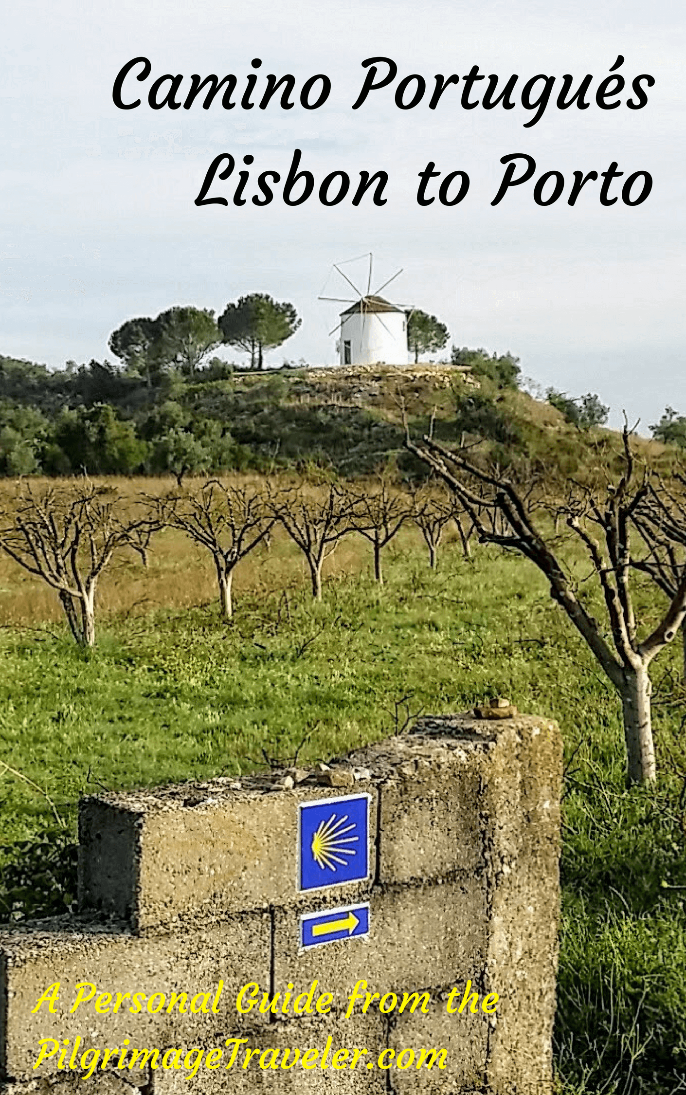
A most popular alternative on the Central Route of the Camino Portugués!

The Portuguese Routes are rapidly gaining in popularity, especially the section from Lisbon! Plan to walk this one soon, before it is no longer a quiet experience!
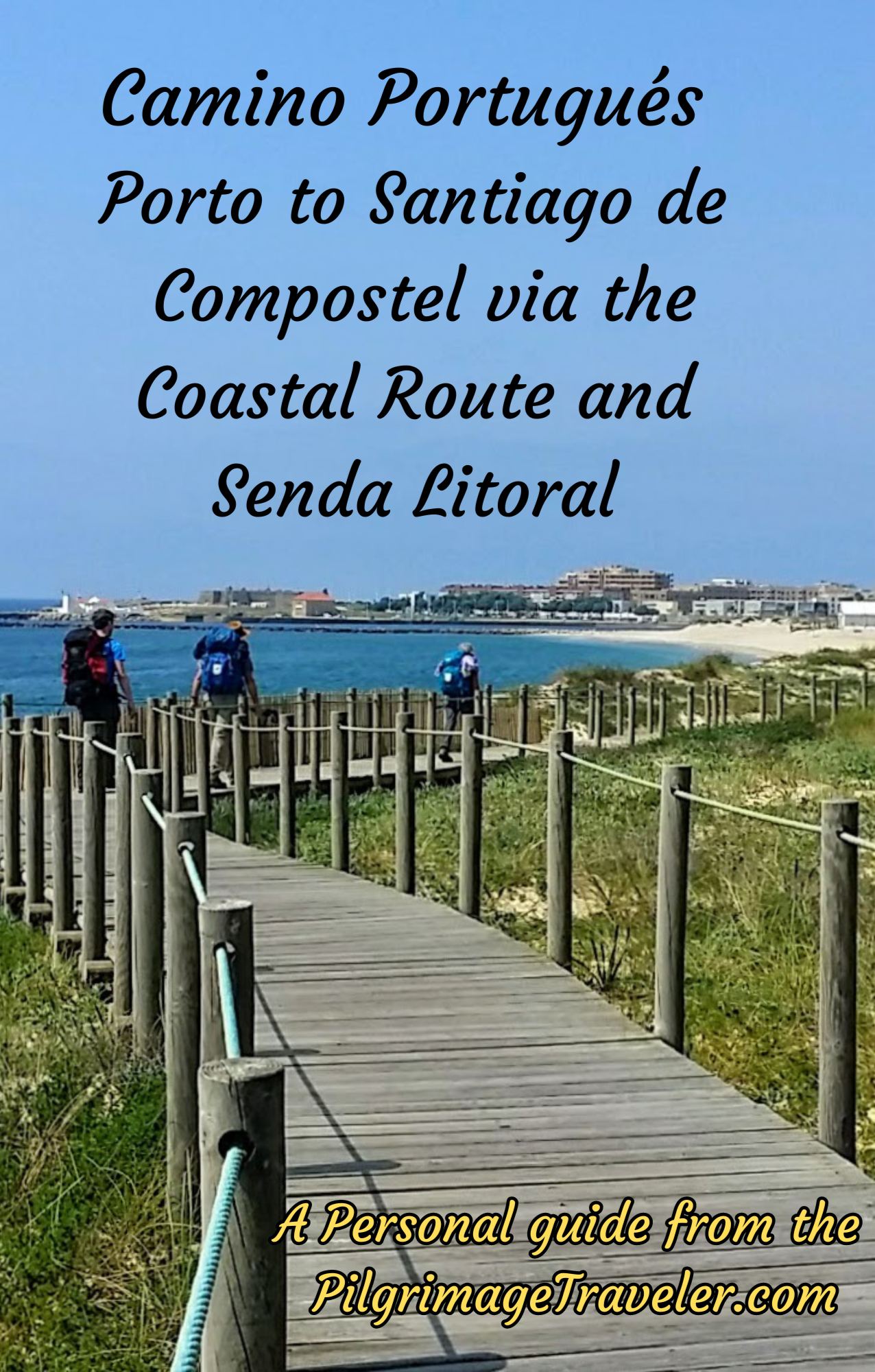
Our Most Popular Guide!
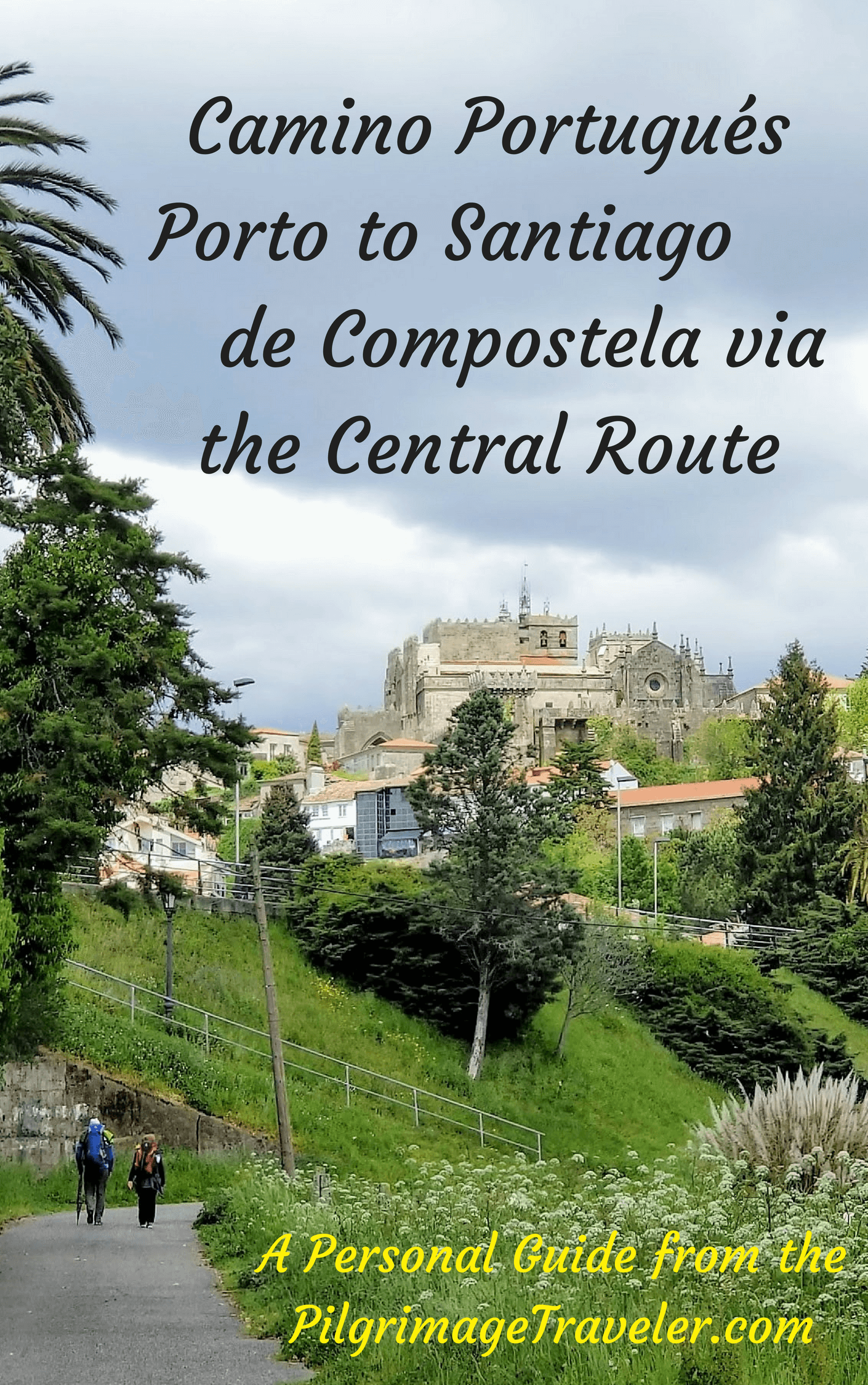
The Most Historic of the Portuguese Caminos - not to be missed!
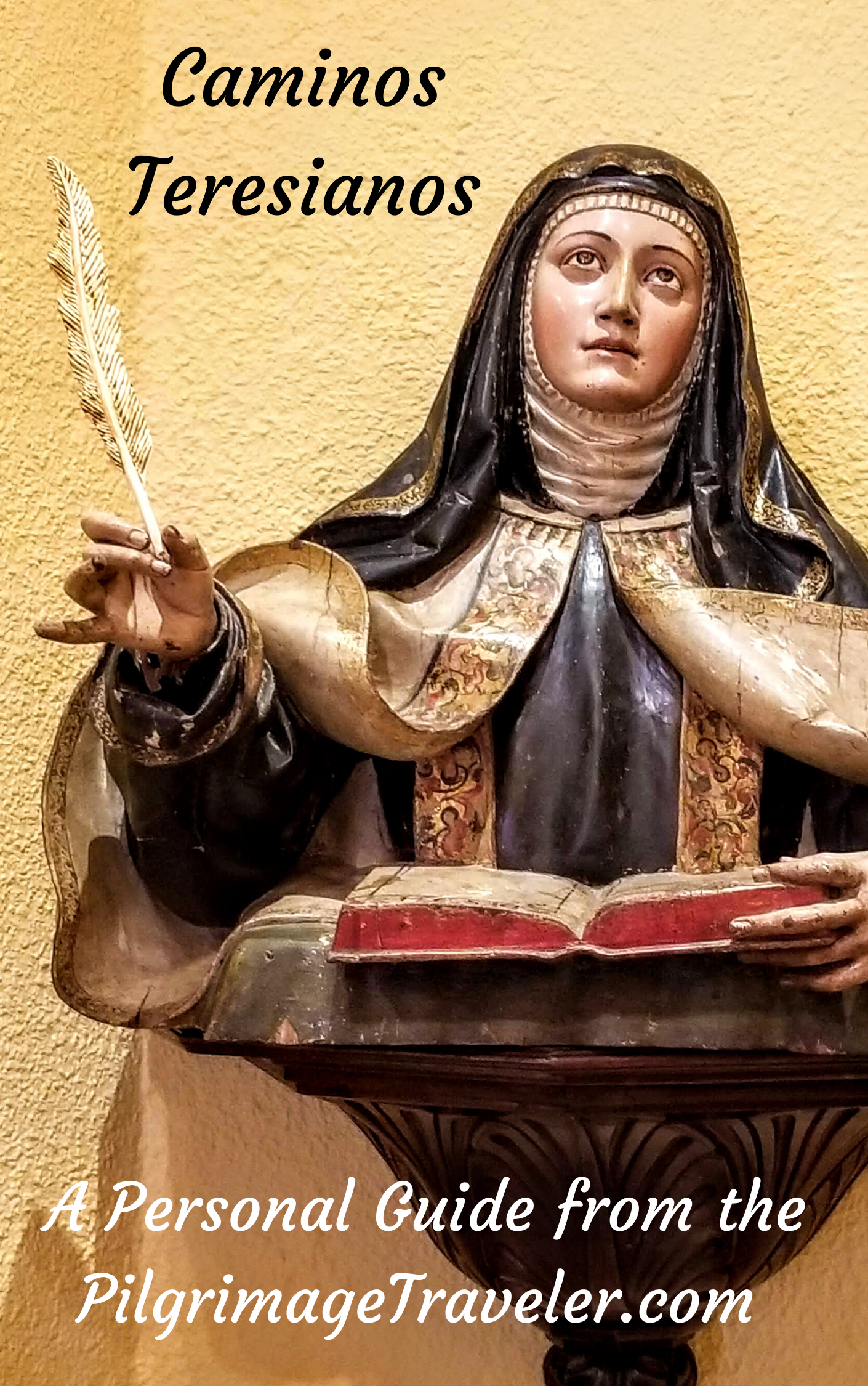
The Spiritual Adventure of a Lifetime, Following in the Footsteps of St. Teresa of Ávila!
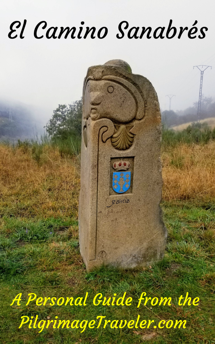
The Amazing Mountain Route Alternative, the Camino Sanabrés, from Granja de Moreruela on the Vía de la Plata!
The Most Incredible Mountain Scenery on this Camino from Leon to Oviedo!

The Shortest of the Caminos, but Not Easy!
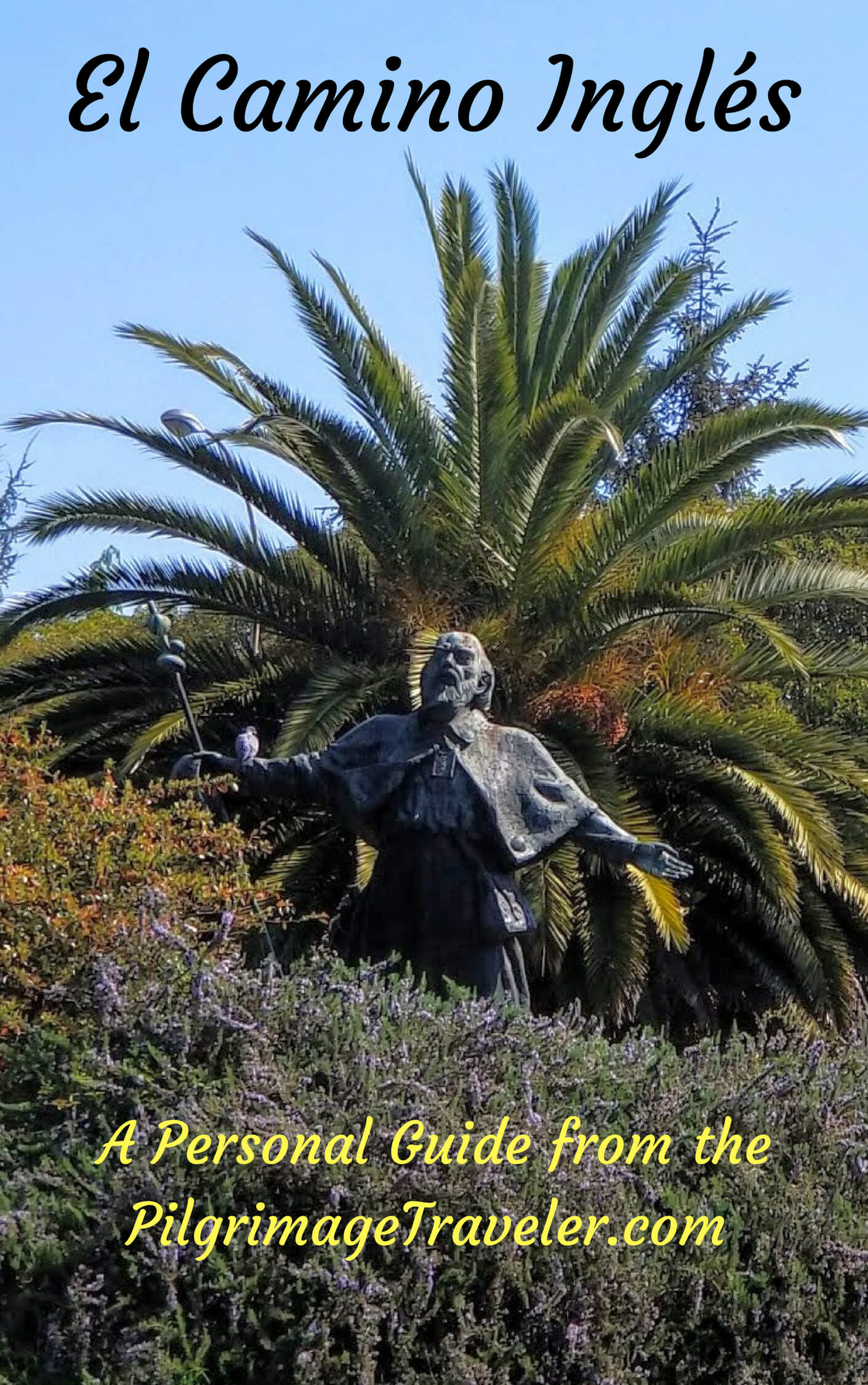
The Very First, Original Camino from Oviedo to Santiago
Entirely Updated and New Version for 2025
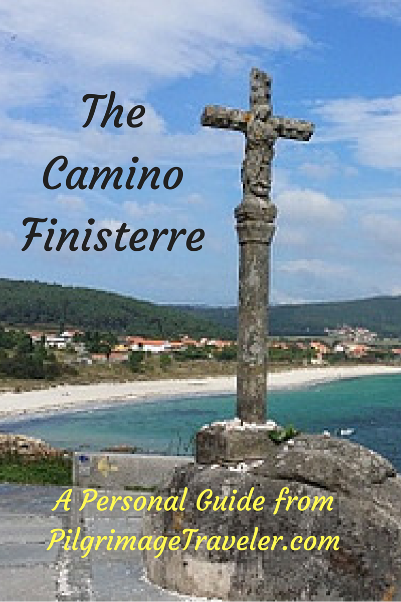
The Pilgrimage to the End of the World - A Must Do!
All Banners, Amazon, Roamless and Booking.com links on this website are affiliate links. As an associate of these companies, the Pilgrimage Traveler website will earn from qualifying purchases when you click on these links. We have used and love all of our product recommendations and believe you will too! We sincerely thank-you!
Follow Me on Pinterest:
Follow Me on Instagram:
Find the Pilgrimage Traveler on Facebook:
Like / Share this page on Facebook:
***All Banners, Amazon, Roamless and Booking.com links on this website are affiliate links. As an Amazon associate and a Booking.com associate, the Pilgrimage Traveler website will earn from qualifying purchases when you click on these links, at no cost to you. We sincerely thank-you as this is a pilgrim-supported website***
PS: Our guide books are of our own creation and we appreciate your purchase of those too!!
Shroud Yourself in Mystery, along the Via de Francesco!

Walk in the Footsteps of St. Francis, and Connect Deeply to the Saint and to Nature in the Marvelous Italian Countryside!
Recent Articles
-
Day One on the Camino Portugués, Lisbon to Alverca do Ribatejo
Apr 15, 25 08:19 PM
 Our Day One on the Camino Portugués was much more beautiful and enjoyable than we had heard.
 -
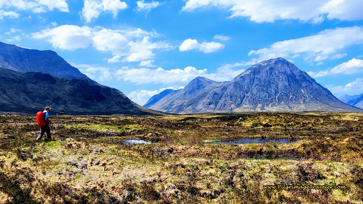
Hiking the West Highland Way
Apr 11, 25 08:51 PM
 Hiking the West Highland Way is a representation of all things Scottish, traversing 96 miles from the lowlands of Milngavie to Ft William, in the highlands.
 -
Way of St Francis eBook Guide (Via di San Francesco)
Apr 11, 25 08:49 PM
Our Way of St Francis eBook Guide, a digital guidebook is full of current information to assist you in finding your Way. In downloadable, digital, PDF format.

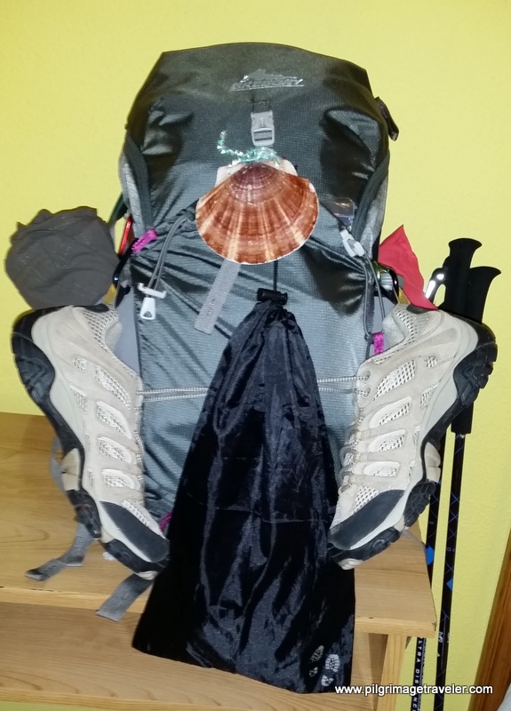
Need suggestions on what to pack for your next pilgrimage? Click Here or on the photo below!
%20in%20San%20Vicente%20do%20Burgo%2C%20Spain%2C%20just%20west%20of%20Lugo%20on%20the%2010th%20stage%20of%20the%20Camino%20Primitivo.)
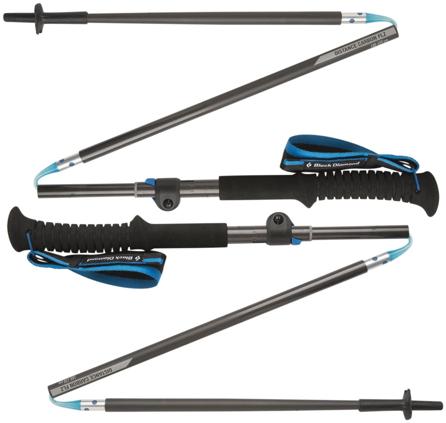
Carbon fiber construction (not aluminum) in a trekking pole makes them ultra lightweight. We like the Z-Pole style from Black Diamond so we can hide our poles in our pack from potential thieves before getting to our albergue! There are many to choose from! (See more of our gear recommendations! )
Gregory BackPack - My Favorite Brand


Do not forget your quick-dry microfiber towel!
Booking.com
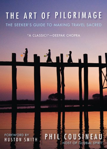
My absolute favorite book on how to be a pilgrim:


Your Opinion Matters! Comments
Have you had a similar experience, have some advice to give, or have something else you'd like to share? We would love to hear from you! Please leave us a comment in the box below.