- Home
- Camino Inglés
- Day Three, Hospital to Muxia
Jump to Camino Finisterre and Muxía Stages
Day Three on the Camino Finisterre
~ Hospital to Muxía, 27.15 Kilometers (16.87 Miles)
This is our journey on the northern alternative for day three on the Camino Finisterre to Muxía. Instead of walking south towards Finisterre, from the bifurcation in Hospital, this Camino turns northward to end in Muxía and the 0.0 kilometer marker on the tip of the peninsula there.
As I have discussed before, you have two choices in the town of Hospital, at the bifurcation, you can walk either to Finisterre via the southern route or to Muxía via the northern route. If you are doing this day from Olveiroa, please see day three on the Camino Finisterre for the initial 6.2 kilometers from Olveiroa until the bifurcation in Hospital and for a total of 32.2 kilometers.
“It is a mistake to think that moving fast is the same as actually going somewhere.” ~ Steve Goodier
The northern extension to Muxía is a beautiful walk. If ever there were a time to take it slowly, savoring your last moments on the Camino, this would be the time!
Maps and Stats of Day Three on the Camino Finisterre to Muxía
Here are our GPS tracks, for the northern route from the bifurcation in Hospital, to the 0.0 kilometer marker in Muxía. I have placed accommodations, grocery stores, and the information center on the map for your convenience in planning.
Next is our elevation profile from Hospital to the bus stop at the waterfront on the eastern side of the peninsula in Muxía. It shows a total of 26 kilometers. You must add another 1.15 kilometers from the center of town to the point on the peninsula where the 0.0 kilometer marker marks the official "End of the World" by the Nosa Señora da Barca church, for the 27.15 total.
The day is essentially a down-hill run, with a drop in elevation of 370 meters (1200 feet), however, this stage feels surprisingly energetic, with many little hills and diversions along the way. If you enlarge the photo below, you will see that this part took us 23 hours! This is because I never reset the GPS and spent the night at the albergue in Dumbria as you will see below.
I also did not include the final 1.15 kilometers to the tip of the peninsula in this profile. There is a gain in elevation of about 35 meters (114 feet) for the final walk from the center of town to the 0.0 marker.
Camino Finisterre and Muxía eBook Guide
Our Downloadable Camino Finisterre eBook Guide in PDF Format contains all the valuable information from our web pages, for comfortable reading offline and without ads on your personal device. Don't carry a hard copy guide book to increase your pack weight. Use our digital guides on your next Camino instead!
Our ebook guide is packed with frequently updated information, because a digital format is more nimble than hard-copy publishing. Our eBook Guide is unique because we also entertain and immerse you with our story!
We cover the entire circular route to both Finisterre and Muxía so you can choose to go to either or both! Click here for your copy or BUY NOW!
Jump to Camino Finisterre and Muxía Stages
Photo-Rich Travelogue of Day Three on the Camino Finisterre, Hospital to Muxía
Because we had already walked the southern route to Finisterre, we taxied to the bifurcation late in the afternoon, to pick up the northern route there.
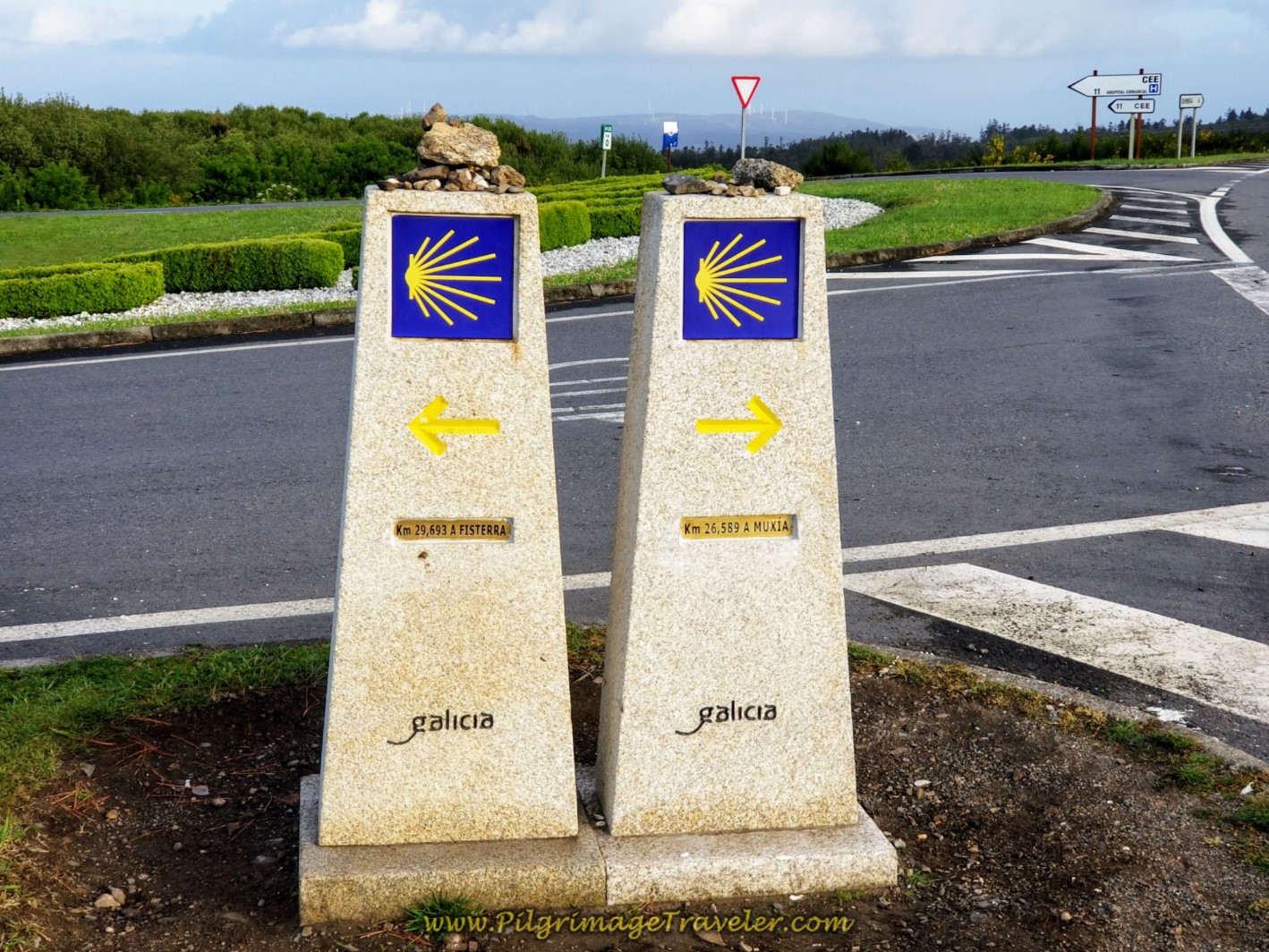
I must admit it felt really strange, getting out of a taxi at the intersection of the DP-2302 and 3404, shown below. We laughed with the taxi driver and I secretly hoped no pilgrims would come along at the moment!
It would have been more expedient if we had just reversed this day from Muxia to this juncture, but I wanted to do it from the westward perspective, since this is the direction that most pilgrims travel.
After being dropped off by the side of the road, we quickly gathered our packs, changed to hiking shoes and set off to the right, as directed in the photo below, before we were noticed!
The day was glorious and sunny, and our only goal, since beginning late in the day, was to reach the albergue in Dumbria, just shy of four kilometers down the road.
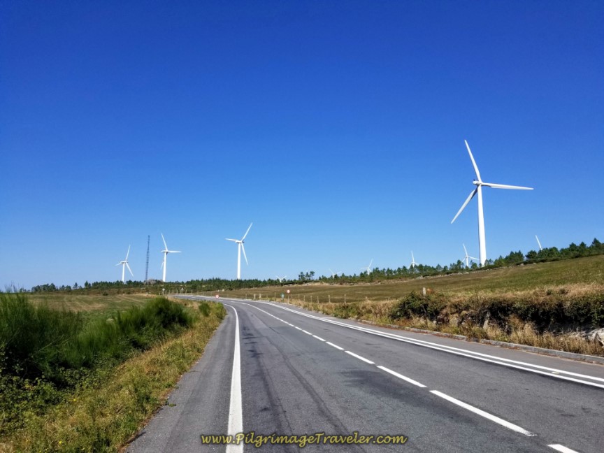
We set off on the DP-3404, with a designated pedestrian lane on the west-bound side.
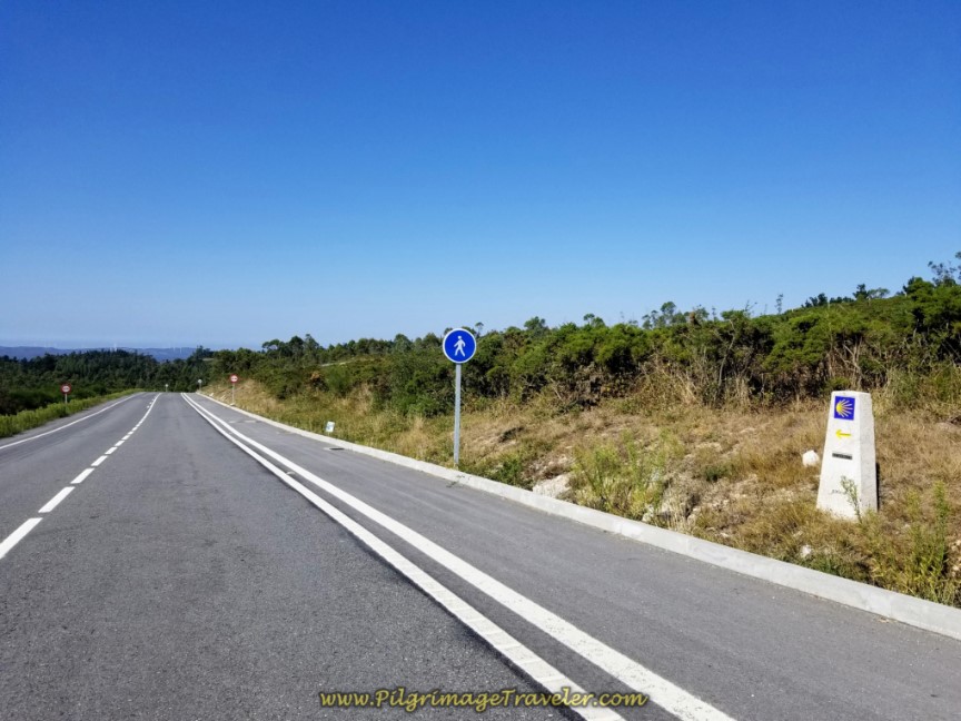 Designated Pedestrian Lane on the DP-3404
You stay on this exposed and open road for only 1.14 kilometers, when you see the concrete waymark, leading you to turn left onto a path, below.
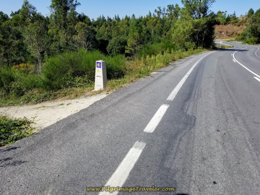 Left Turn Off the DP-3404
For about 1/2 kilometer, the path continues, dropping down to cross a stream, below, essentially paralleling the DP-3404. Here is Rich by the small bridge at the stream crossing.
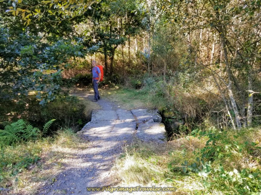 Descend to Stream, Crossing on a Bridge Along the Path
After the 1/2 kilometer, cross over the DP-3404 and onto a gravel road at kilometer marker 24.887.
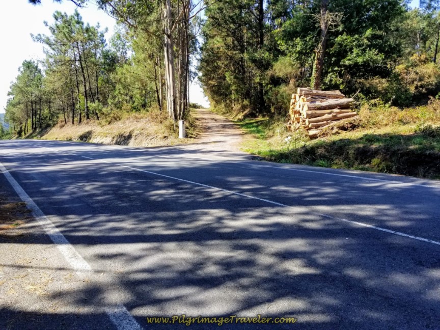 Cross Over the DP-3404 and Continue on Gravel Road
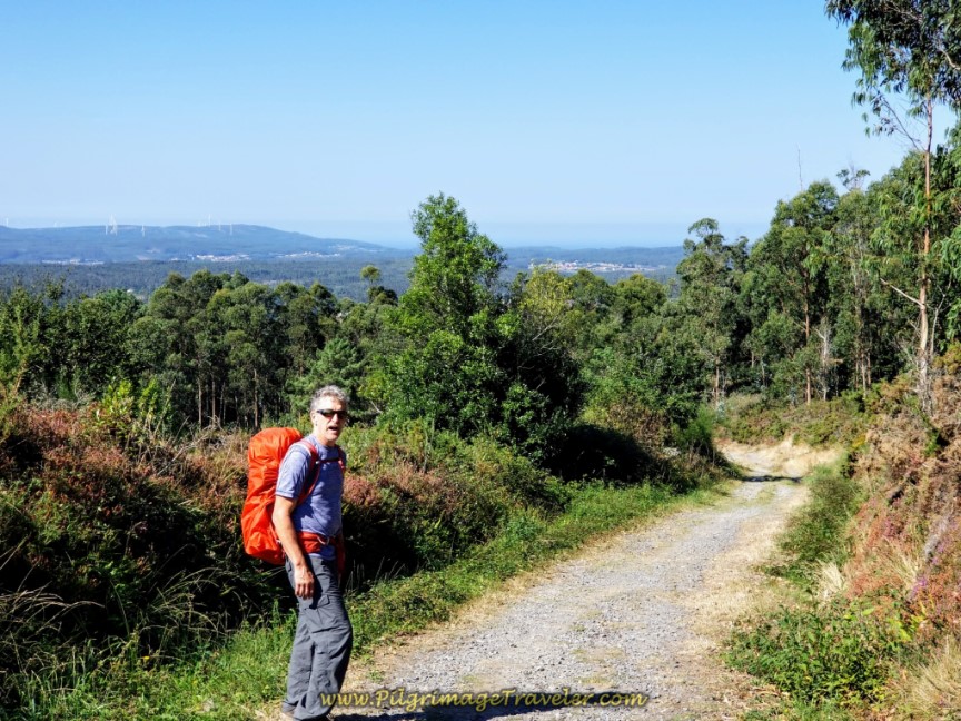 Rich on the High Gravel Road
Continue on the gravel road about 600 meters, when you come to the DP-3404 once again. Turn right and briefly join the road.
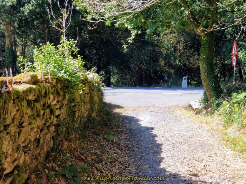 Turn Right Onto DP-3404
After 230 meters on the road, again, follow the 24.081 kilometer waymark to the left, onto another country road that drops steeply towards the hamlet of As Carizas.
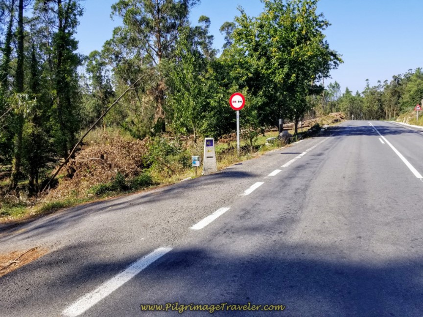 Turn Left Onto Road Towards As Carizas
It is only 250 meters on a dirt track initially, then becoming a paved road, until you arrive in As Carizas.
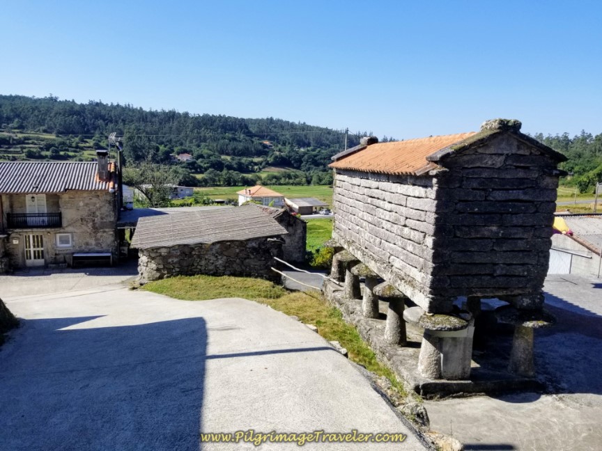
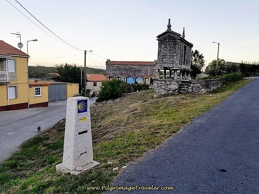
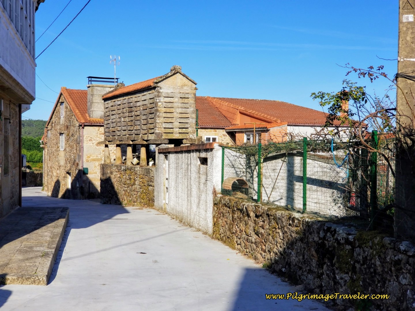
If you blink, you will miss this town. Turn right at the T-intersection in town, just after the hórreo in the photo above, and walk another 200 meters, before coming to this intersection, below. Continue across the paved road and straight on, onto another tractor lane towards the next town of Dumbría and the albergue there.
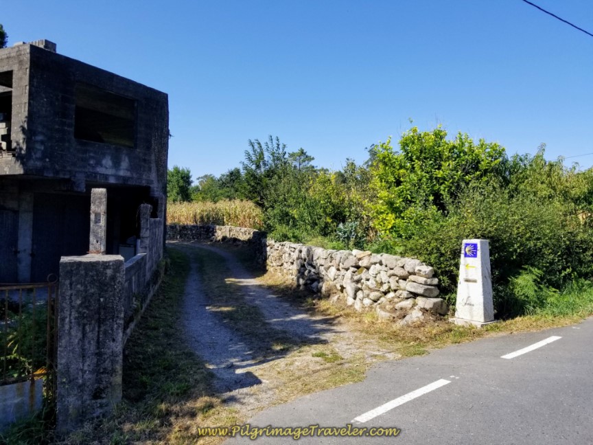 Straight on Towards Dumbría
If however, you were to turn left, the Casa A Pichona is a few meters down the road.
This road, now paved, becomes a dirt lane as it bends northward. A right turn at a T-intersection after about 350 meters brings you back onto the pavement.
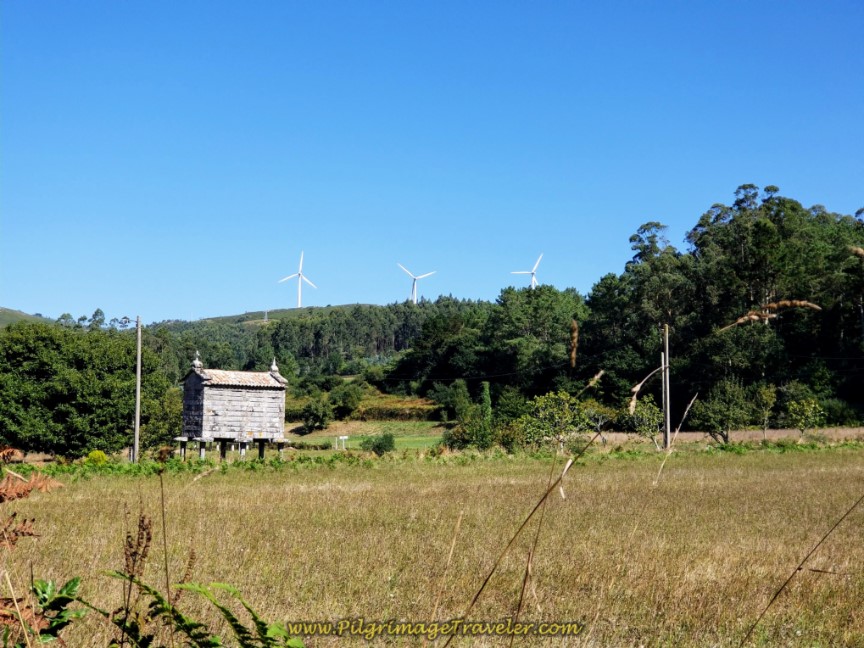
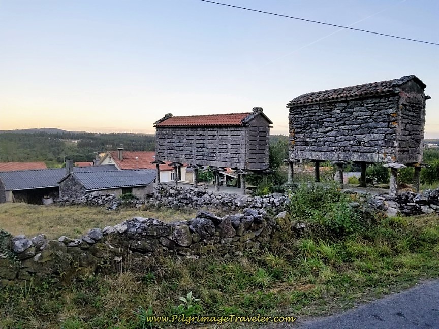
Along the way, see a quaint hórreo in the field among the windmills. There are many old stone hórreos along this route, and they always capture my eye and bring me pleasure. I savored each and every one of them on day three on the Camino Finisterre to Muxía!
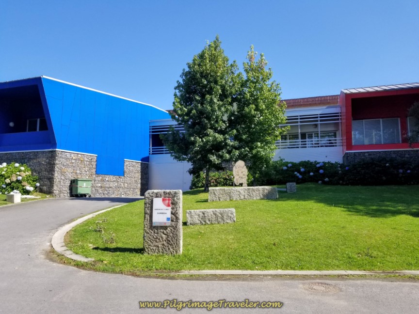
And then, a mere 300 meters later you see a brightly colored building ahead, just before you enter the town proper. It is the Albergue de Peregrinos do Conco (Dumbría). You will see the bright red section first.
At the albergue, you are only 3.66 kilometers from the bifurcation of the northern and southern branches on day three of the Camino Finisterre to Muxía and the walk has been essentially all downhill.
We chose to stay here for the night. There is one more accommodation in Dumbría, at the far end of town, the family-run Casa Mesón O Argentina (+34 981 74 40 51). Check the interactive map for its location, one block off-Camino. It has been given good reports.
The municipal albergue is a modern, clean and well-appointed place. There is a small grocery store about 1/2 kilometer farther along the Camino, in the town of Dumbría, that opened at 6:00 p.m. the day we arrived. It had a very limited selection. We managed to scab together a meal of pasta and canned meatballs!
The restaurants and cafés in town were not open until much later, but there was a sports café bar at the soccer field, up the hill and to the right, behind the albergue that was open (see map above for its location) for snacks and beer.
We were lucky that there was a local soccer game happening, or the bar most likely would also have been closed! It was a Sunday and the town was asleep except for the soccer game. Maybe everyone was there?
The next morning, with only 22.7 kilometers remaining to Muxía, we set off in the semi-darkness. After about 150 meters past the albergue, you turn left to join the DP-3404 once again.
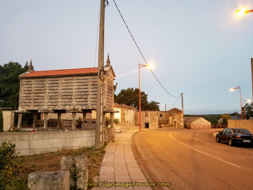
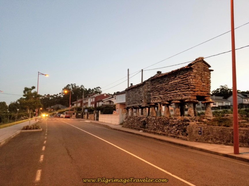
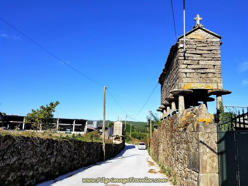
Walking through Dumbría, you will see many gorgeous old stone hórreos. They are now protected by law, and they glowed in the light of the street lamps.
After about one kilometer from the albergue, along the DP-3404 at the landmark health clinic, the Centro de Saúde, shown below, turn left at the 21.7 kilometer waymark. The place was already bustling with clients at 8:00 o'clock in the a.m.
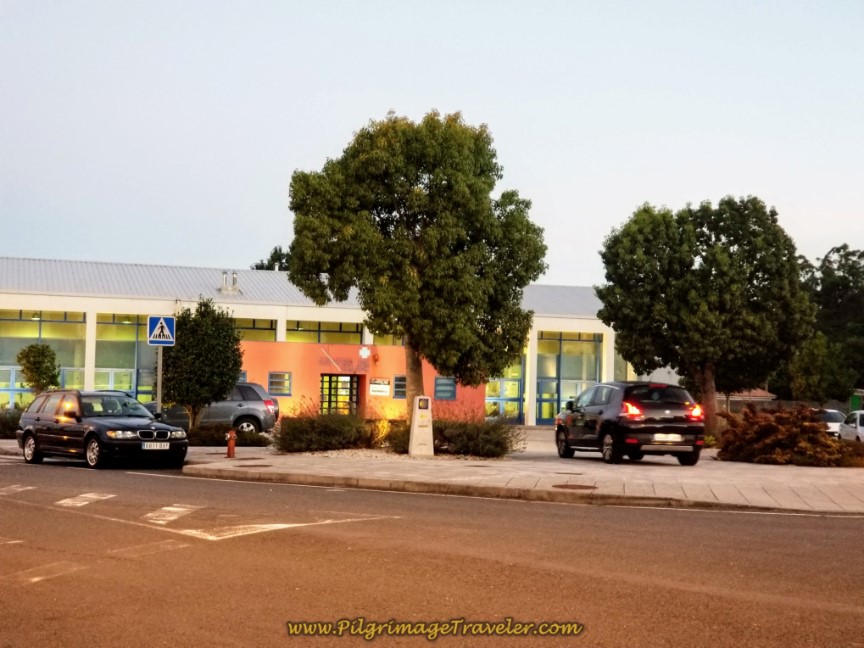 Left Turn at the Centro de Saúde
Walk about 300 meters along the paved road and come to this intersection, below. Turn left.
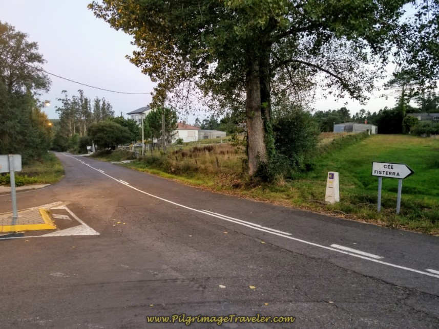 Turn Left at T-intersection
After another 200 meters, look for a lane to the right, which leaves the roadway. Take it.
About 150 meters later the lane takes a big bend to the left, and walks you under the AC-552 highway overpass. Follow it under the highway for about another 200 meters, crossing a river and walking up to join alongside the highway on the other, north side. Just after reaching the level of the highway, continue on the parallel lane a few meters, until it diverts off to the right.
I was very happy not to join the highway, as I could hear the morning rush of traffic, and instead the scent of eucalyptus led me onward into the forest.
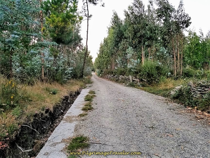
It is a full 1.77 kilometers more that the pilgrimage traveler gets to walk on this continuing gravel lane, through various features, shown in the photos below. First there is a nice hill, shown below, and a right-hand turn, avoiding the highway once again at the 20.437 kilometer marker, on the way to the next town of Trasufre.
After the 1.77 kilometer, come to a T-intersection in Trasufre and turn right.
A few meters later, pass by these hórreos, below, following the waymarks.
On day three, the Camino Finisterre to Muxía deliberately walks you by the historic church, the A Virxe do Espiño, shown below. The church in the center of Trasufre is at 7.66 kilometers from the bifurcation.
After the church, come to a T-intersection and turn to the left.
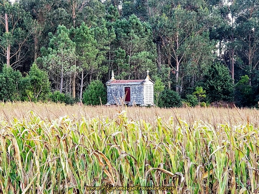
Leave town, and walk by a charming hórreo in a field.
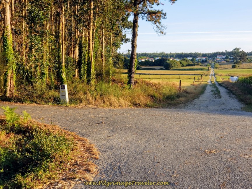
After about 800 meters back on pavement, and after walking through Trasufre, make a right hand turn after crossing this bridge, at the 17.9 kilometer marker, that you can just see in the distance in the photo below, and onto yet more wonderfully quiet, narrow and paved country roads.
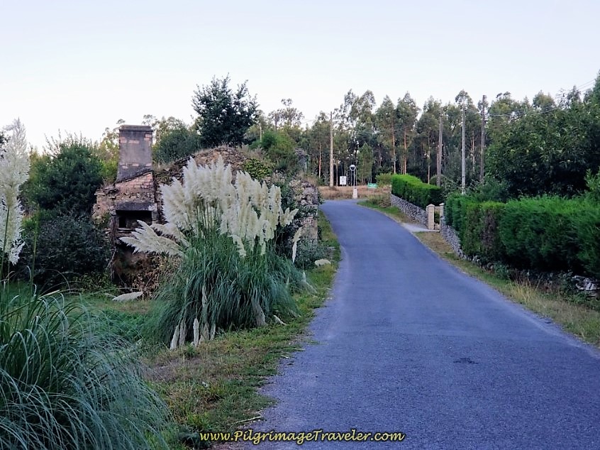 Right Turn at 17.9 Kilometer Marker Ahead
We walked through fields of corn that were just harvested, like below, or being harvested as we walked by.
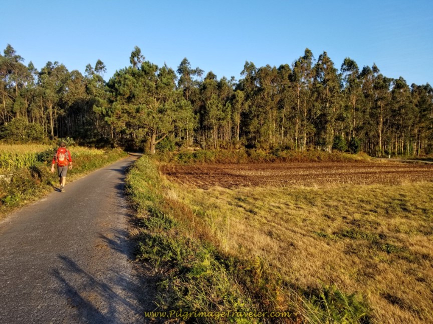 Quiet Country Road Through Fields
At the 17.4 kilometer waymark, below, we turned left and onto a forested path...
...turned right a few meters later at a T-intersection, and arrived in the next town of Senande at precisely the 16.5 kilometer waymark. While geotracking, I noticed that these waymarks at times were a bit off in their readings, but essentially, they are accurate enough for the pilgrim's purpose!
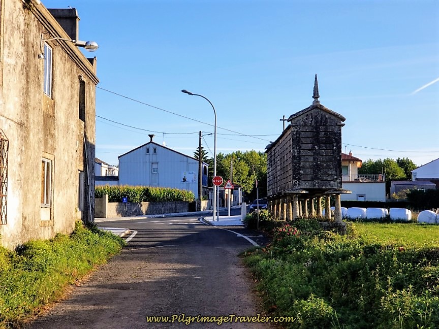 Entering Senande at 16.5 Kilometer Waymark
Being approximately six kilometers into our day three, (and a total of about 10k from the bifurcation), we decided it was an appropriate time for another café con leche. The next town of substance was at least another five or six kilometers away and we were making our best effort at taking the day more slowly. I wanted to savor my last coffee breaks in Spain!
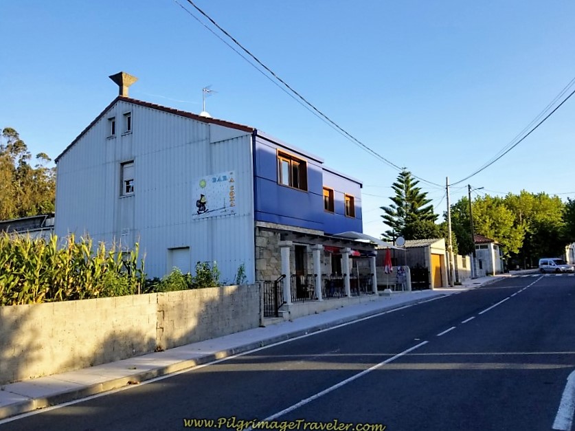
This decision was made easily, as you are immediately greeted by the Bar A Coxa after turning onto the main street in Senande.
The proprietor of the bar is a real character, and he will entertain you! I will not say how, as I do not want to spoil your time here!
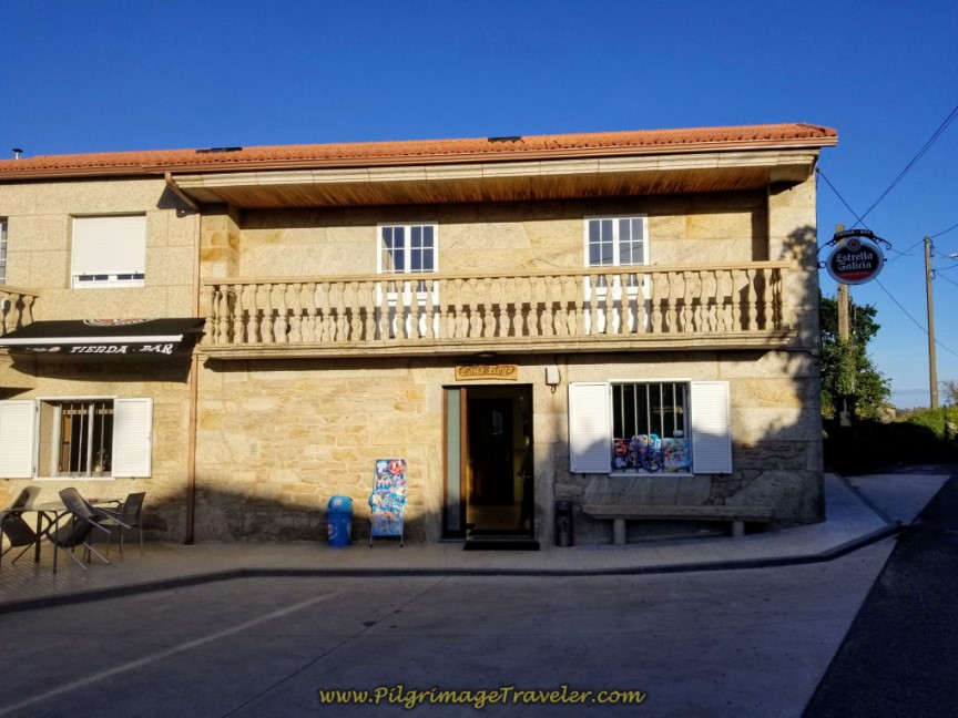
Barely 100 meters on the main road in town, the Camino goes to the left, and you come across another bar and grocerette called the Casa Rego, shown below. If you didn't want to stop at the bars and needed something to eat, this is a good place to get something for your pack.
Leave Senande and walk along the country road, entering the next town of Agrodosío, more of a place name than a town.
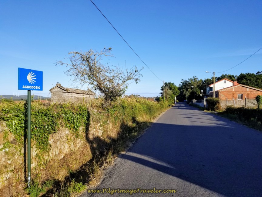 Country Road to Agrodosío
After about 700 meters come to a T-intersection with a cross and turn right to enter into the next town of A Grixa.
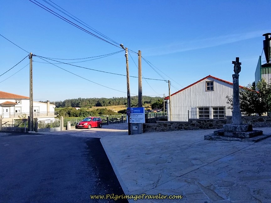 Right Turn at Cruceiro in A Grixa
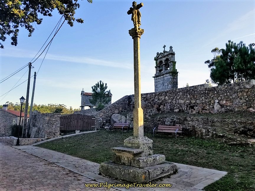
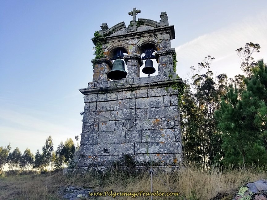
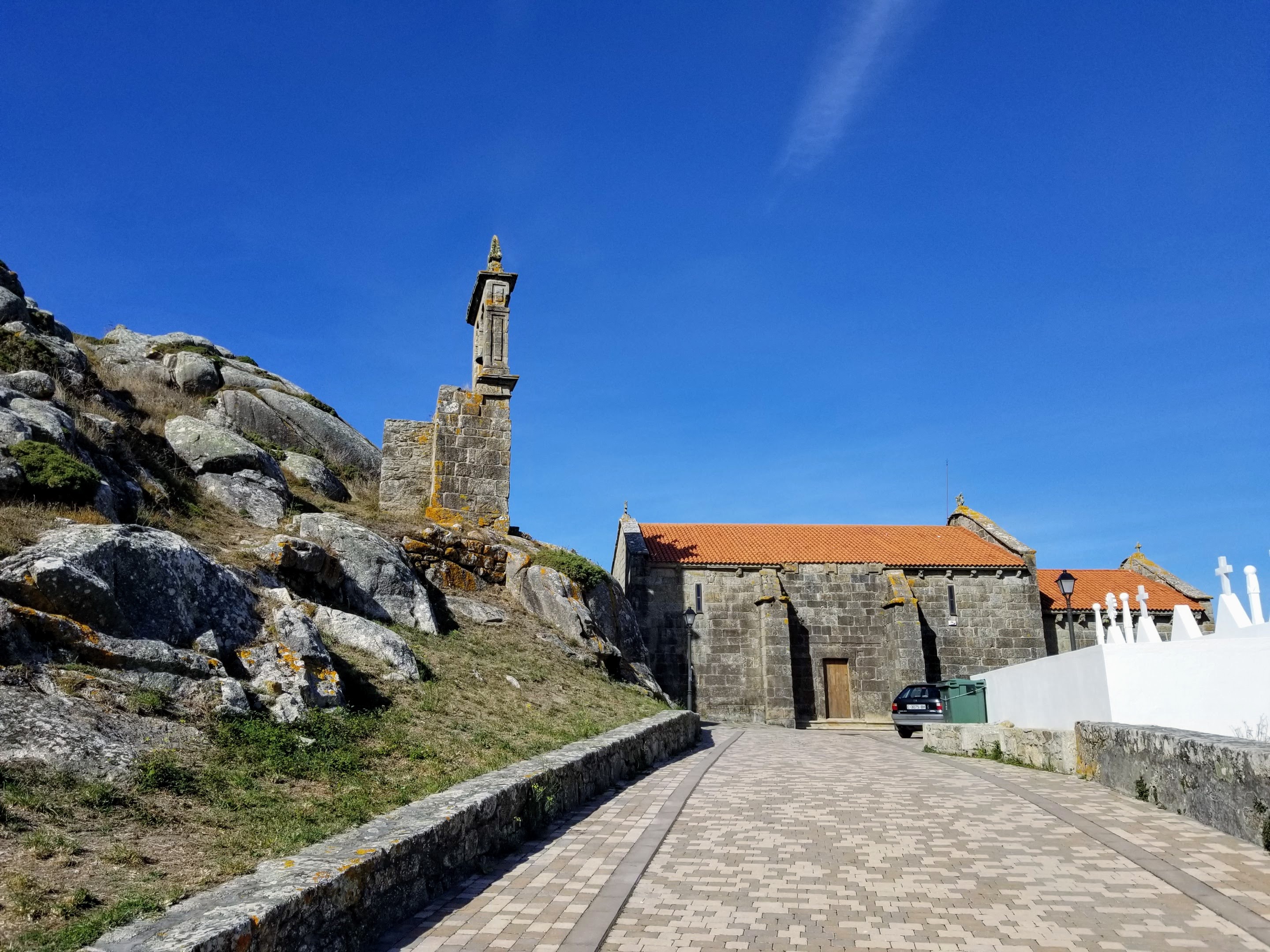
Walk through A Grixa, and within 150 meters, pass by the historic church and bell tower of San Ciprian de Vilastose, built in the 18th century. There is a nice plaque describing the place, in Galician and Spanish, but no English.
Interestingly, the bell tower is separate from the church, up on the hill to the right and the church is on the left. There is a bench to pause here awhile, and contemplate the meaning of your Camino. There are no services in this town, so it is also a good place for a snack from your pack.
Take a walk up the stairs to get a closer look at this unique bell tower.
Just past the church and bell tower, is the Casa Rural Liñeiros, a splurge for the pilgrim.
A few steps farther on is the private albergue and bar, the Albergue-Bar O Cabanel, after about 11 kilometers from the bifurcation.
The Camino takes a left hand turn after the albergue and walks again on a rural, paved country road.
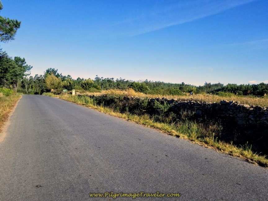 Leave A Grixa on Country Road
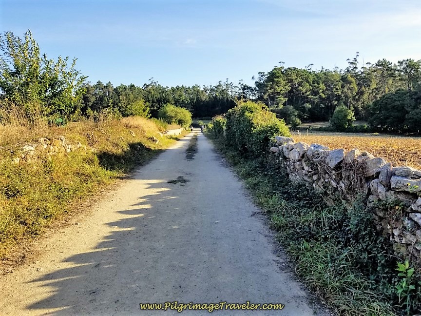
After 1/4 kilometer, you will see the turn to the right, (in the distance in the photo above), where you pick up a long gravel road system, all the way to the next town of Quintáns, about 3.5 kilometers away.
The right turn by the kilometer waymark, states about 15 kilometers left for day three on the Camino Finisterre to Muxía.
After an initial turn to the left, this gravel road is almost a straight-shot northward into the town of Quintáns. As you walk through this section, another healthy climb begins and lasts for about 1.5 kilometers. Then the remaining kilometers are downhill into Quintáns.
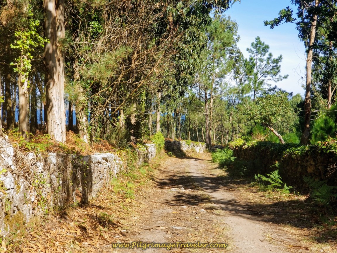
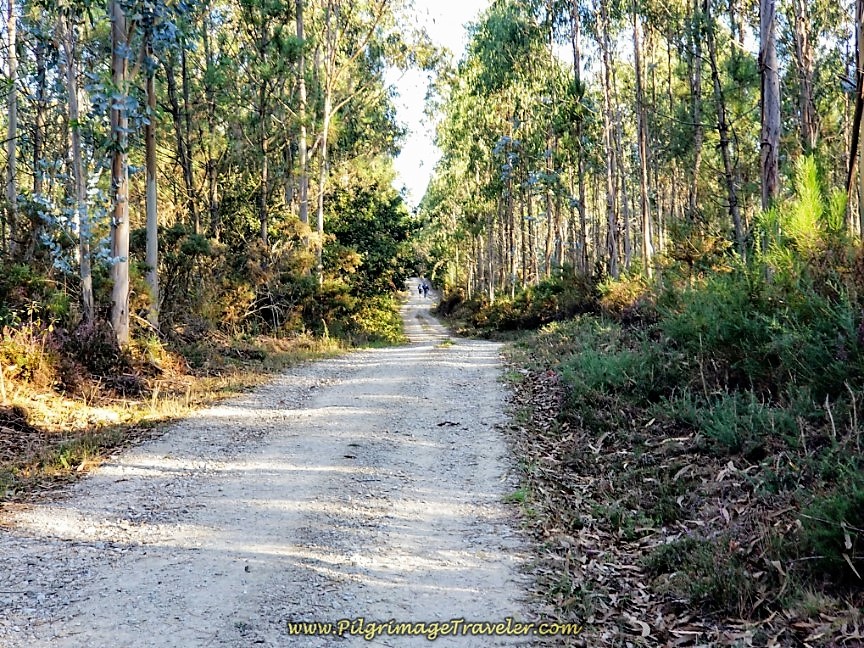 Lane Enters Forest
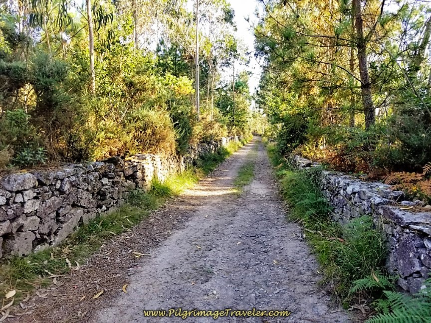 Soon Walls Line the Forest Road
When the forest makes way for open terrain and the gravel road gives way to pavement, the Quintáns sign greets you as you enter town after 15 kilometers from the bifurcation in Hospital.
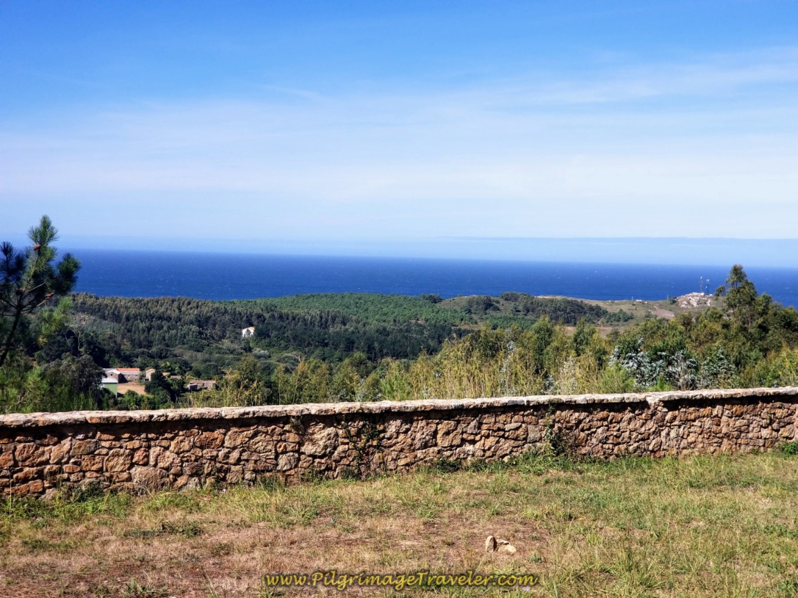
Is that the sea in the distance?
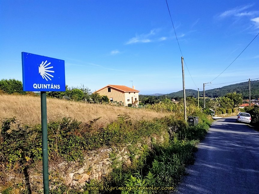 Welcome to Quintáns
Come to a T-intersection at the 11.483 kilometer waymark, turn right and walk into town. Just after the church and before the main square is a nice shady picnic area to rest and lunch, if you need.
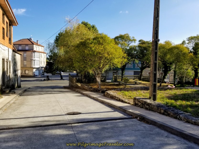 Picnic Area by Plaza in Quintáns
There is one restaurant and three hotels here in town, all near the central plaza. (The next bar is in San Martiño, several kilometers ahead). For more info on the hotels, click on A de Lucia, the Casa Ogando and Pensión Plaza (painted bright orange) with very inexpensive rooms.
After walking through the plaza, by the hotel and restaurant, the Camino stays left two times, the second time at the hórreo, shown below.
Continue bending to the left (westward) through town, following the nice concrete side road by many more charming stone hórreos.
After 300 meters, come to a T-intersection, turning left to leave town. Pick up a country paved road, for 1/2 kilometer, walking toward the next town of Ozón. You will see the sign, identifying the town, shortly after leaving Quintáns, however you never actually walk through it, but pass to the north of it.
The road turns to dirt for a few hundred meters, then back to the pavement where you walk by the lovely Casa Pedrajás (multi-night minimum), a rural home with its own cross in the front, that accommodates guests and right beside it the private Albergue Et Suseia, the choice for pilgrims, at 15.8 kilometers from the bifurcation.
At the next intersection, take a left at the 10.49 kilometer waymark, below, then an almost immediate right onto this lovely dirt road, shown next.
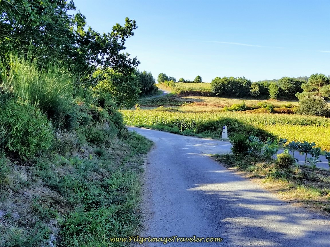 Country Road Passing North of Ozón
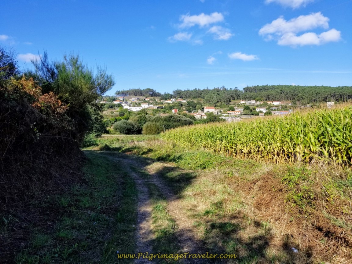 Dirt Road to San Martiño
Walk another 1/2 kilometer on this road, descending to cross a stream, then climbing up on the other side. Walk by a sign pointing you to the Café Bar San Martiño, saying it is 100 meters off the Camino. It is more like 150 meters, but if you need something, it is close enough.
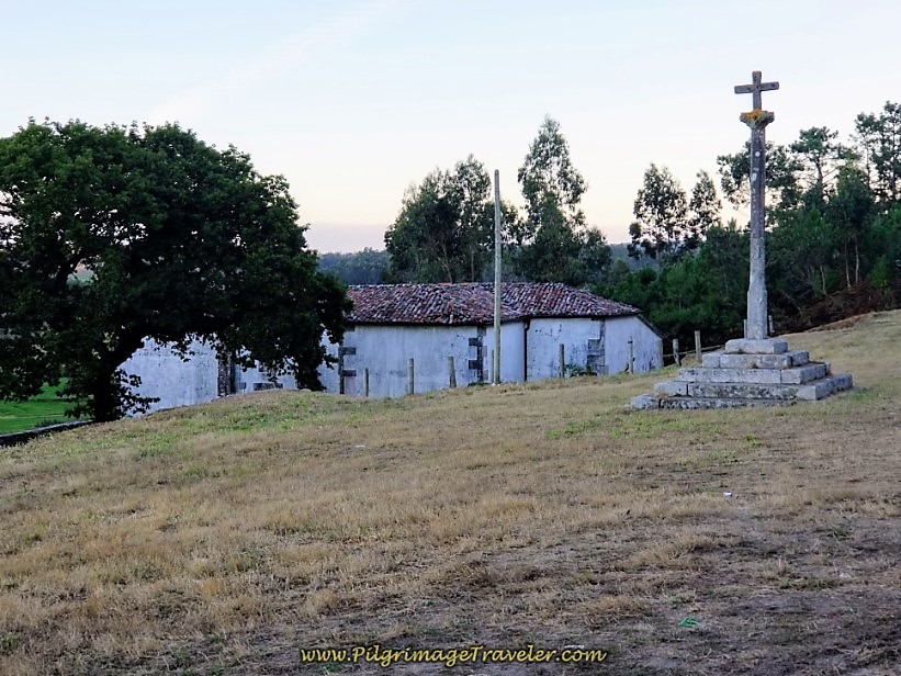
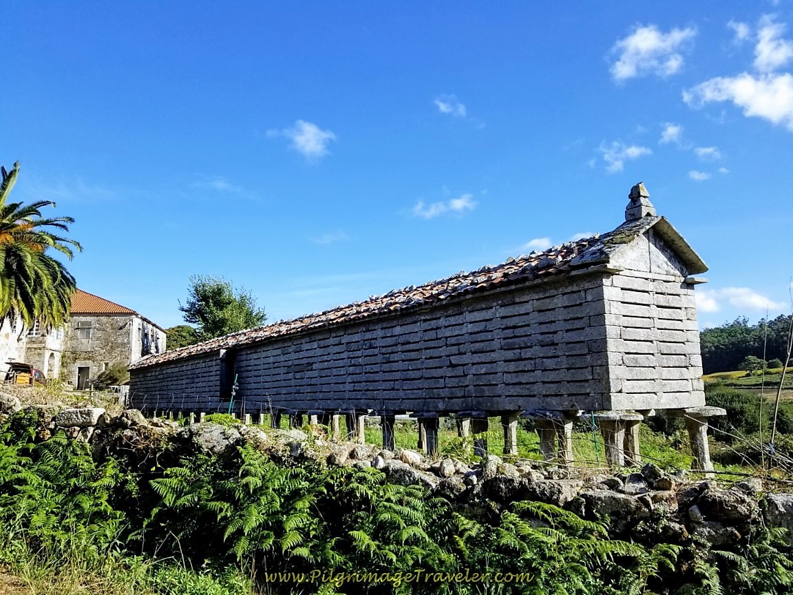
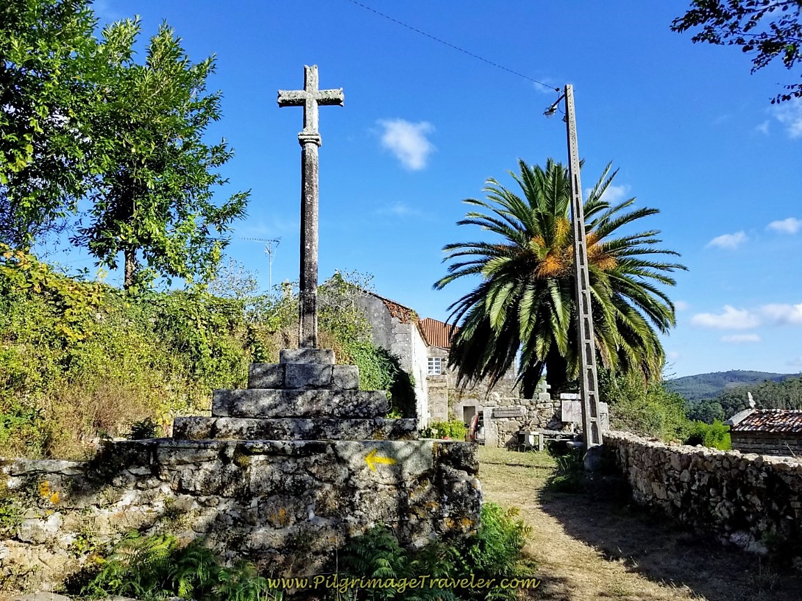
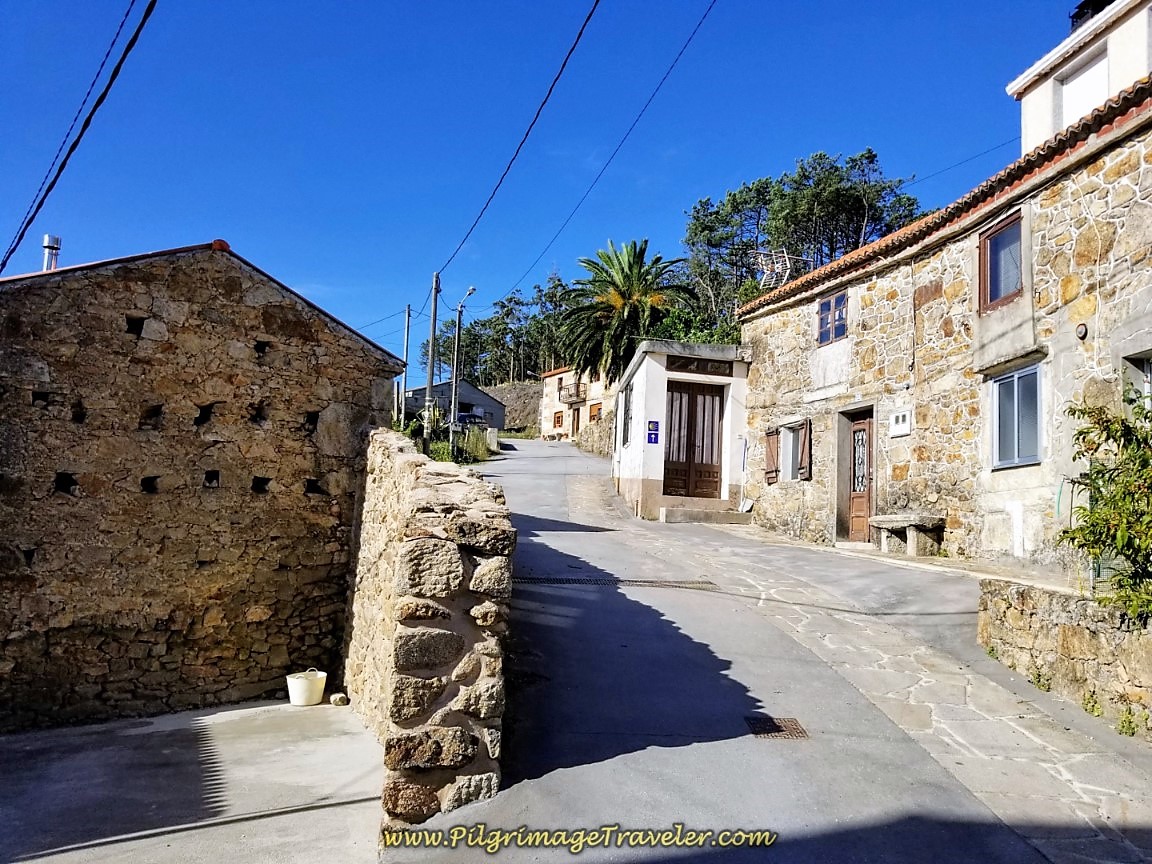
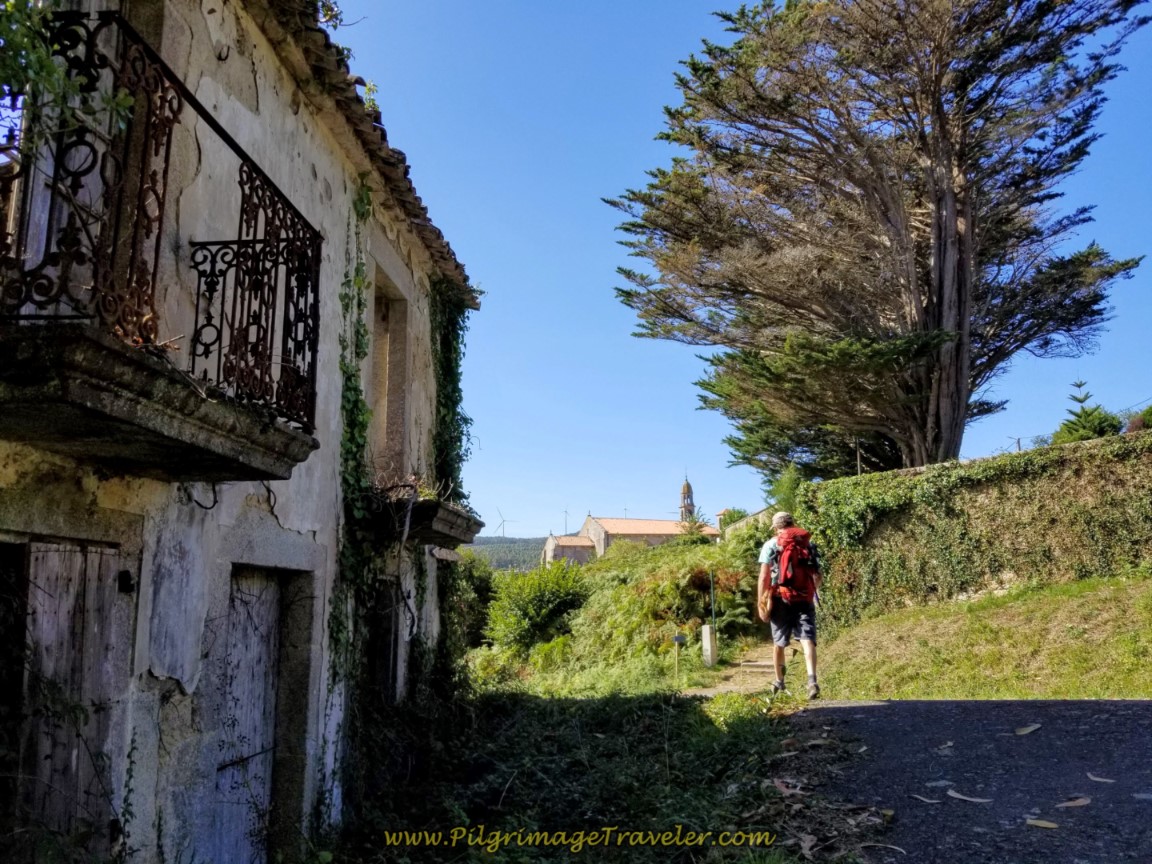
You approach the town of San Martiño at the backside of the Monastery to San Martiño de Ozón. First walk by the longest hórreo I have ever seen, then the cruceiro farther up the hill.
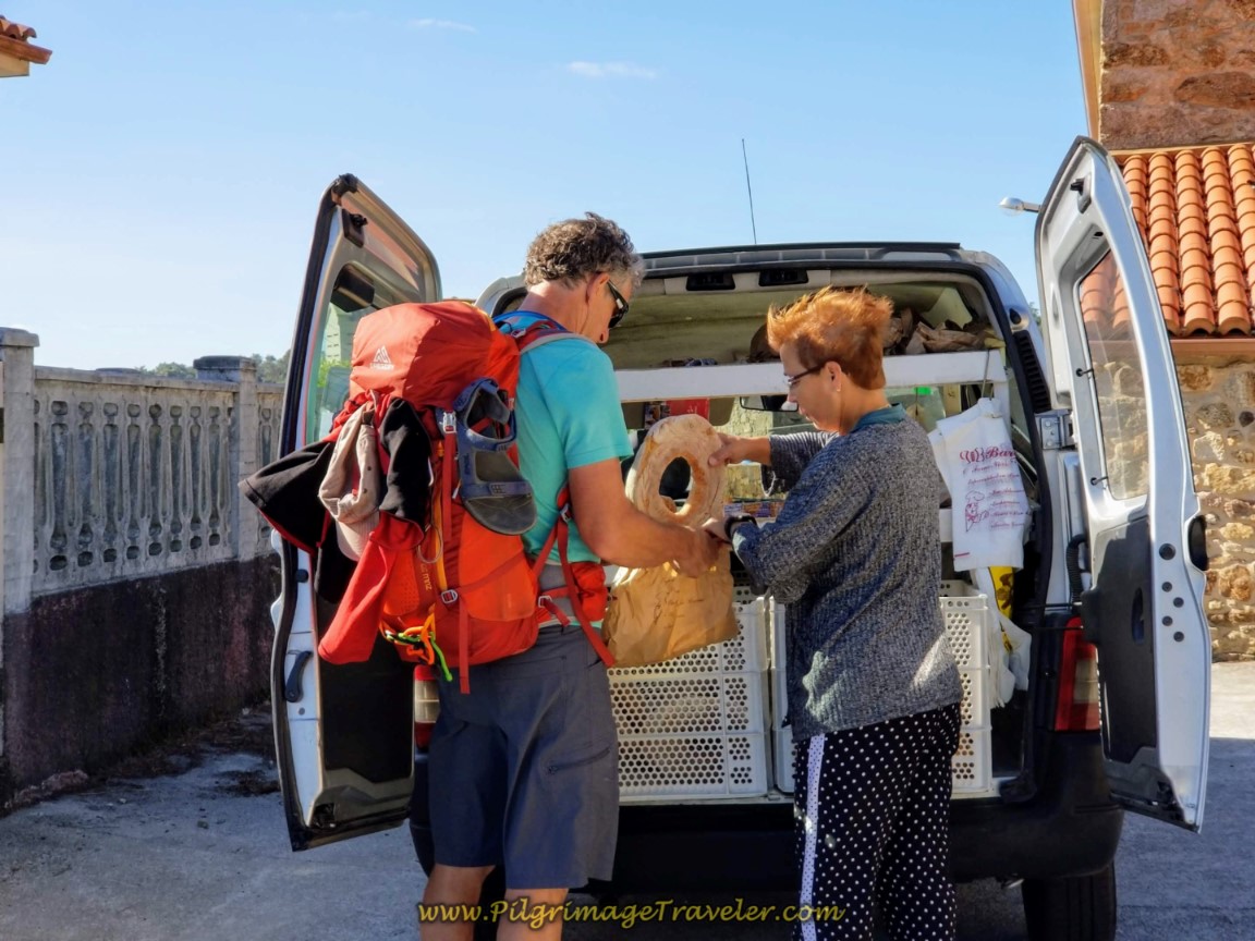
At the top of the hill, turn right by another cruceiro, and walk by the Monastery first and then the church. We chose to take a snack break here at the church of San Martiño de Ozón, eating food from our pack. Boy, am I glad we did, because in a few minutes, along came a van barreling into town, blowing the horn. Turns out she was the village baker, delivering fresh bread to the neighborhood. We jumped up and indeed, were able to buy freshly baked bread for our lunch. What a treat! Perfect timing!
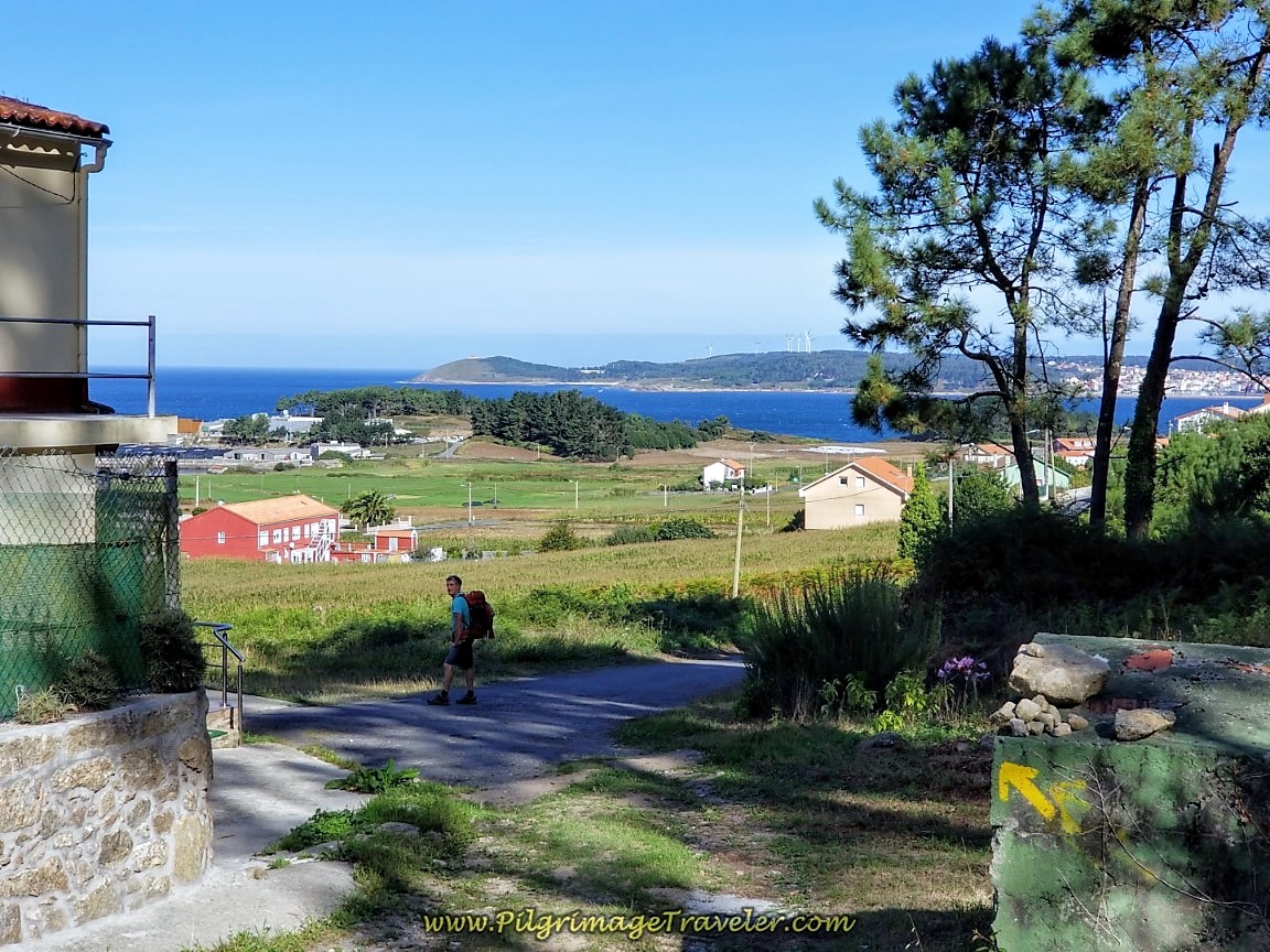
After our break, and continuing through town for about 1/3 kilometer, the Camino takes a hard left turn, and begins to climb steeply up the hill towards the next town of Vilar de Sobremonte. The views that open up as you climb are wonderful. Walk past the sign to town, entering it at the 9.23 kilometer waymark.
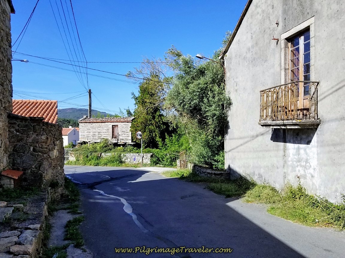
The climb continues through Vilar de Sobremonte, shown below.
Just when you think you must continue all the way up the hill, shown above, the Camino turns right in the middle of town at the 8.96 kilometer waymark, (not visible in the photo) and into the forest, continuing the steep climb for a while longer. It is about 1/2 kilometer from the turn up the hill to this point.
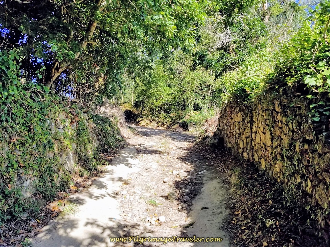 Forest Walk Continuing Ascent
After 17.6 kilometers into your day, you reach the top of this climb at the 8.709 kilometer marker. From here, it goes down the hill toward the next town of Merexo, along the coast.
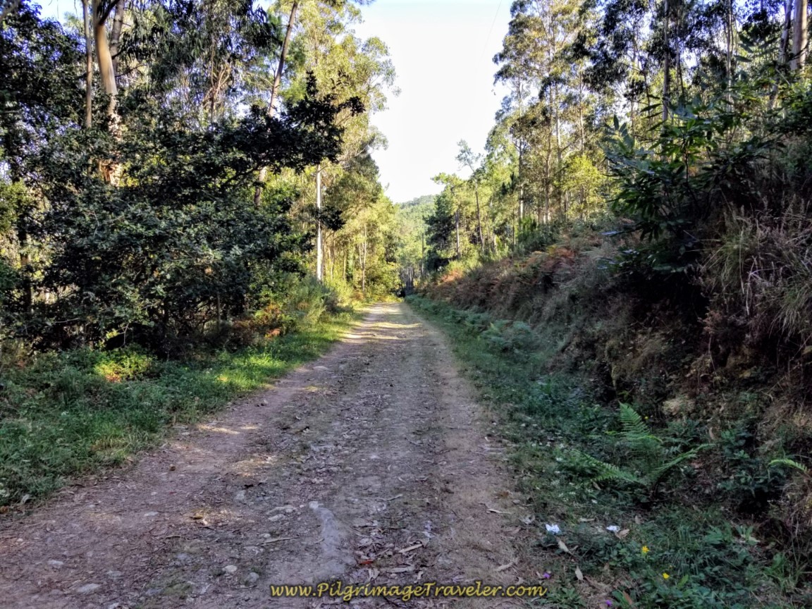 Forest Road to Merexo
After around 18.5 kilometers into this day three of the Camino Finisterre to Muxía, you can see glimpses of the sea through the trees, on your left hand shoulder, confirming that indeed, you are heading to the coast. It is about 1.35 kilometer walk along the forest road until it comes out in the town of Merexo, shown here. The coastline is in full view.
Turn left at the end of the road, skirting the town to the south. Many signs will greet you, including a sign for the Pensión Atlantico, +34 659 13 31 77, which is the large red building in the photo above, where there is also a café, if you so desire. This is the only pilgrim-friendly place, so don’t be fooled by all the casa rurales that require a 2-5 night minimum!
As you follow this road it leaves the town of Merexo and bends to the south, climbing once again away from the coast on the way to the next town of Os Muíños. Along this road, as you climb, you will hear the sea and see it steeply below the road to the right of you.
There is a wonderful walkway the entire length of this road, to stay safe as you walk.
It is about 1.5 kilometers on this coastal road until you arrive in Os Muíños. You can relax and enjoy the downhill walk through town.
As you walk through town, if you'd like a stop at a café, look out for the signs for Café Bar Pataca, a few meters off-Camino.
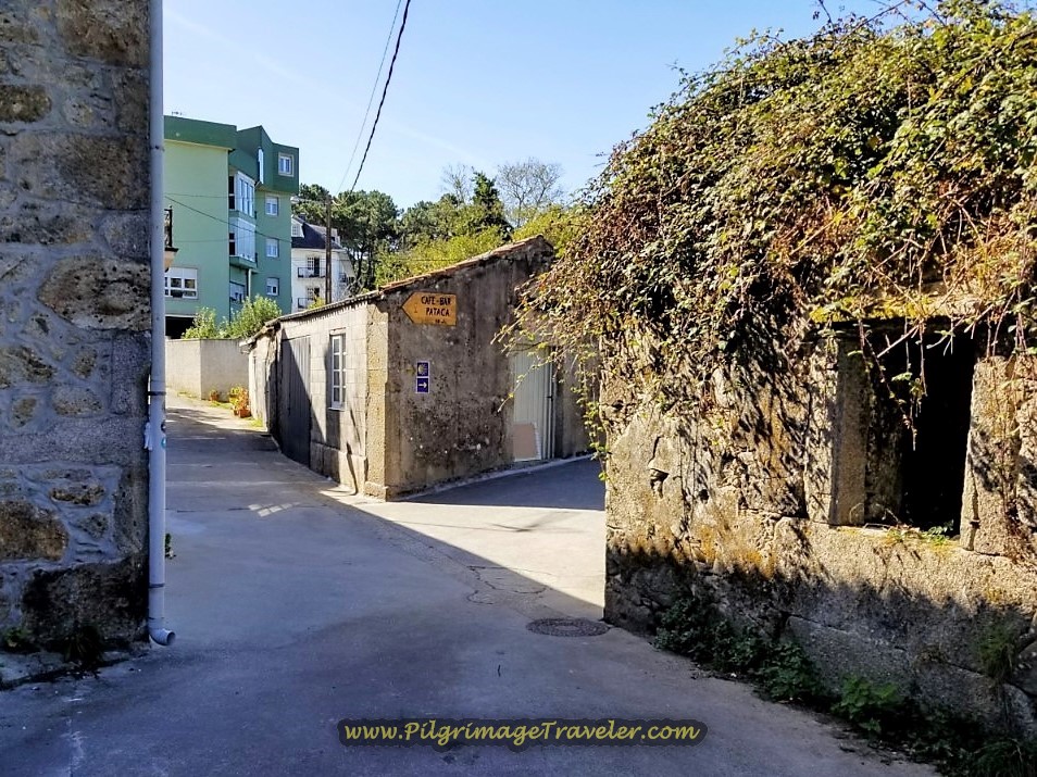 Sign to Café Bar Pataca
There are no pilgrim accommodations in Os Muíños.
Walk by many historic stone hórreos and when you see the pharmacy ahead, stay to the right, and look for another turn to the right, onto a side road just beyond, shown in the photo below
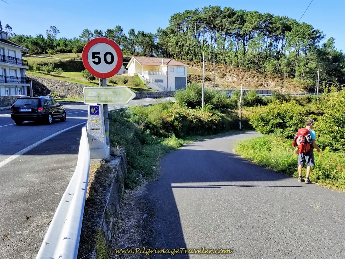 Leave Os Muíños on This Side Road
It is about a 600 meter walk through town, meandering around, following the well-marked Camino.
After another 1/2 kilometer, look carefully for the next turn to the left at kilometer marker 4.91. Somehow we missed this turn and kept going straight toward the beach. Fortunately, it wasn't long before I checked my sources, as the direction of travel didn't seem right to me.
There were cars parked in front of the turn, and large trash containers, so that is my excuse for missing the turn! Or perhaps, I just didn't want to climb another darn hill! Here is the house you need to look for, in the photo below.
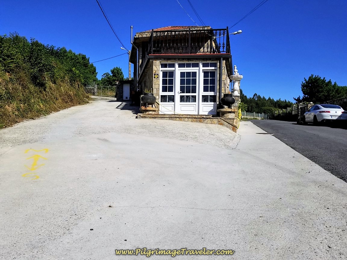 Left Turn Uphill Here
The road initially is concrete, but quickly gives way to a forest path, shown below. Yes, this is a steep climb up the hill, but take heart. It goes by quickly.
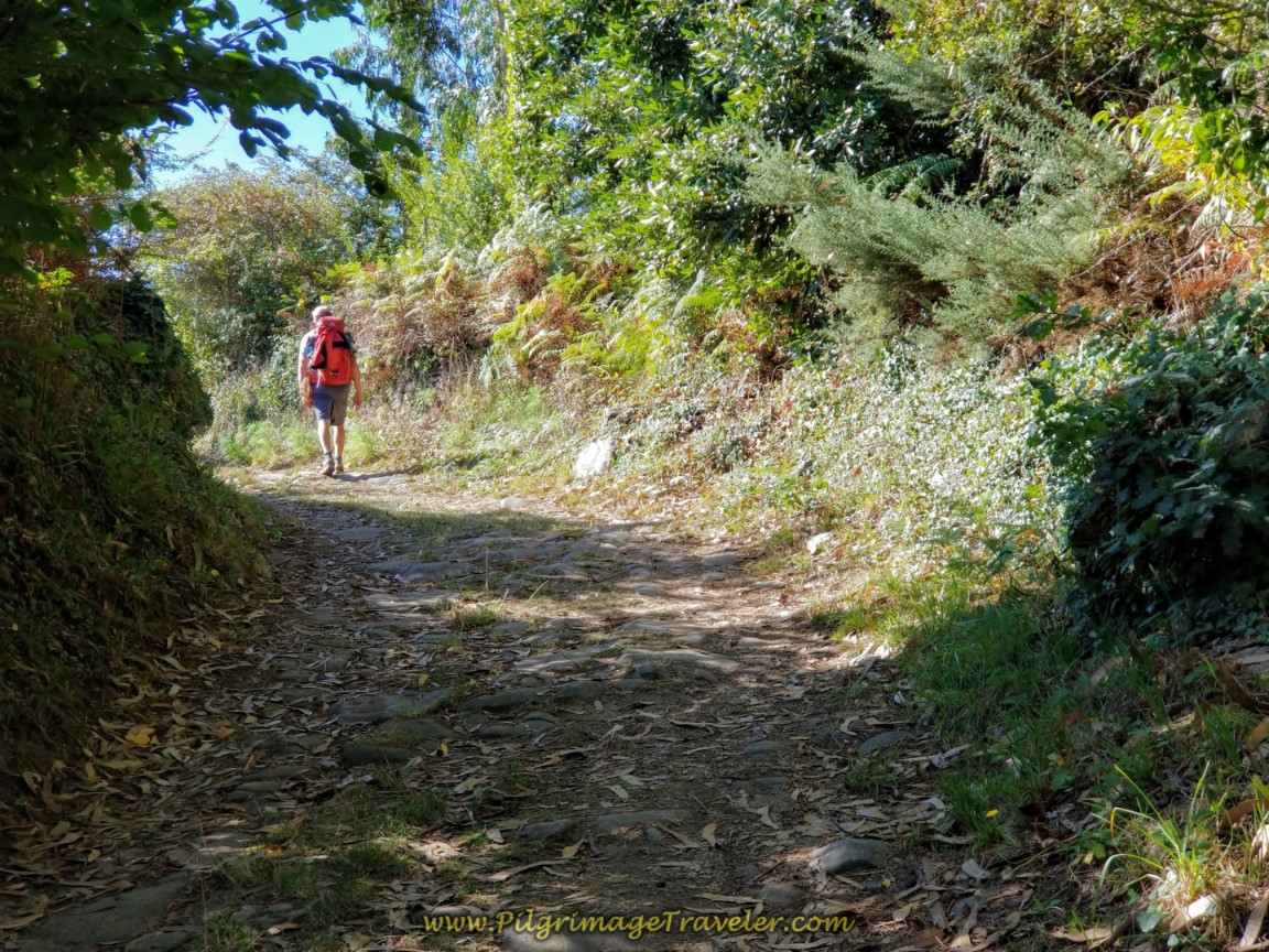 Uphill on Forest Path
After less than 300 meters on this path, the way ahead opens up and you can see your next destination, the Iglesia de San Xulián de Moraime up the hill.
Come to the AC-440, turn right and then immediately take the next left onto a side road leading to the church. You are approaching the 4.558 kilometer waymark and the Mosteiro de San Xulián de Moraime, just up the hill.
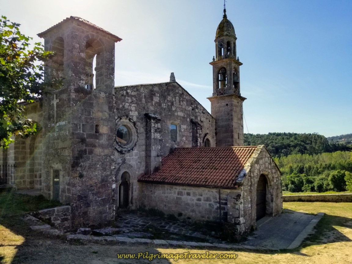
After just over 100 meters on the road you come to a cruceiro, a plaza and the Iglesia de San Xulián de Moraime, after 21.8 kilometers total. Unfortunately, the church was closed on our arrival in the early afternoon. I so longed to see inside it, because of the historic value of the place, including 12th century murals!
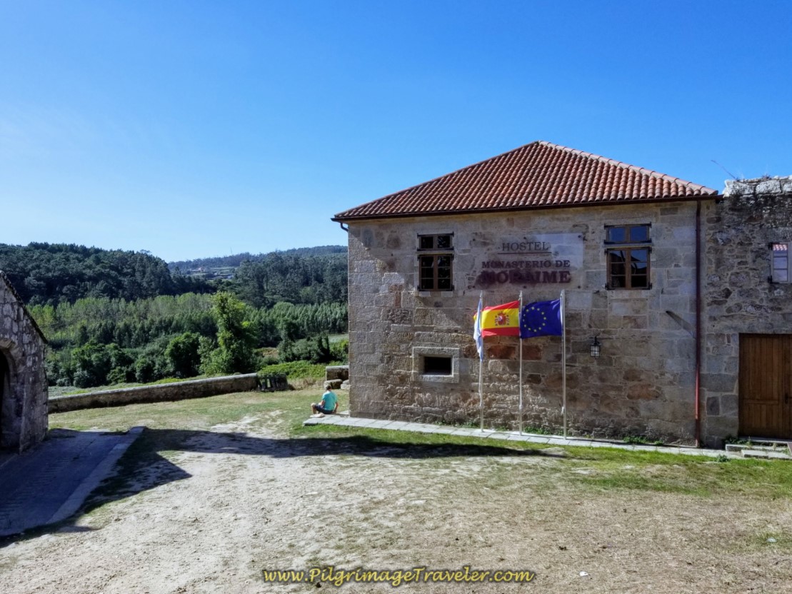
Instead, we sat down by the monastery and took a nice snack break. The monastery, just beside the church is a lovely remodeled Hostal, called the Mosteiro y Pensión de San Xulián de Moraime.
The door to the hostal was open, with no one around, so we conducted a self-tour! Inside it looks amazing and has a sitting area, restrooms, and private rooms. It felt like a very peaceful and lovely place to stay! There used to be an albergue here as well, but that is no longer true.
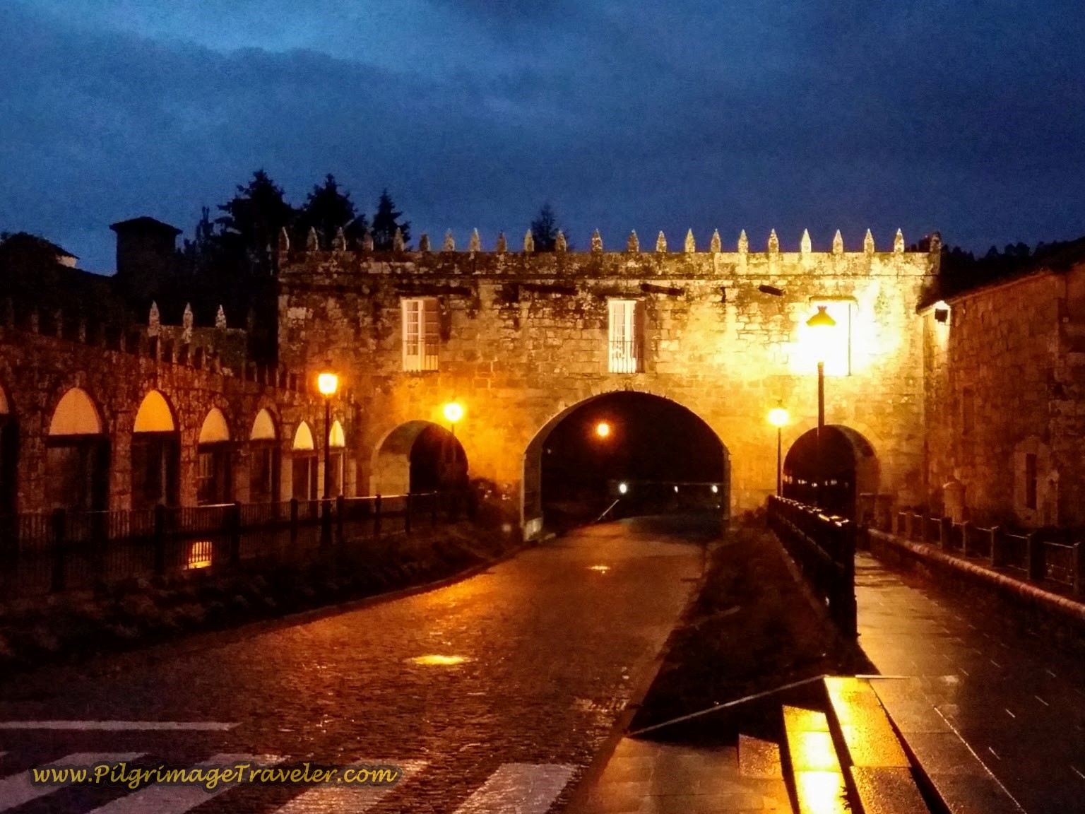
After leaving the monastery, you must climb again on pavement towards the next town of Chorente. Take the walled road by the monastery for about 1/4 kilometer, turning right at the 4.3 kilometer waymark.
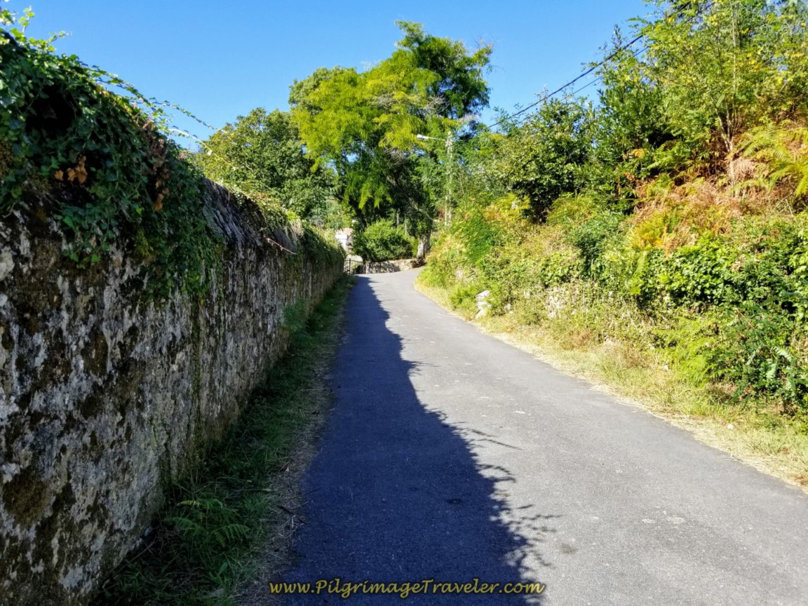 Walled Road Toward Chorente on day three of the Camino Finisterre to Muxía
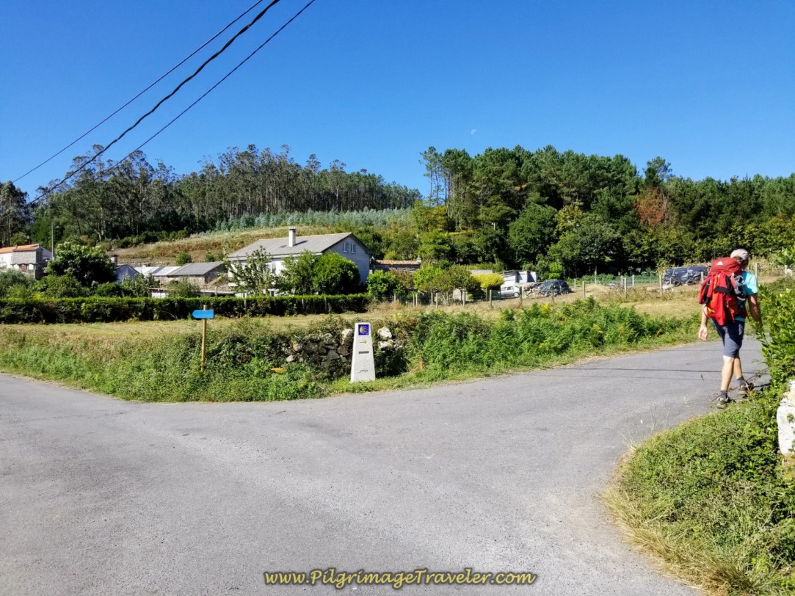 Right Turn at 4.3 Kilometer Waymark
After just under 300 meters, cross over the AC-440 and pick up a quiet road to the next landmark San Roque Church.
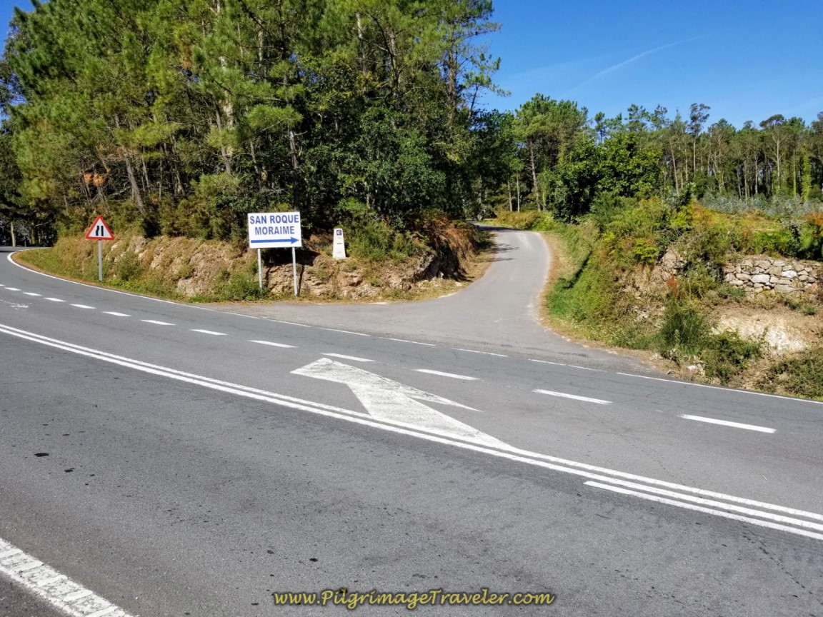 Cross Over the AC-440 Toward San Roque Church
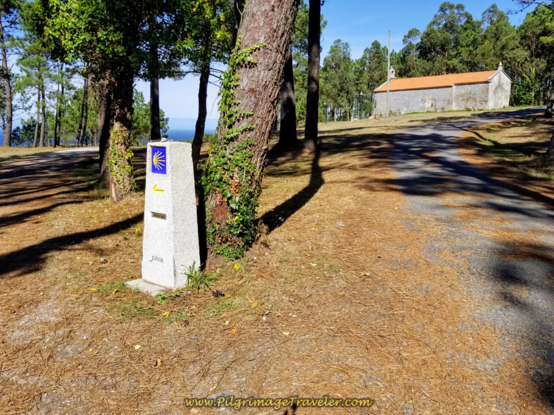
In another 1/4 kilometer, arrive at the lovely Chapel of San Roque Moraime. The good news is that this is the top of the final climb of day three on your Camino Finisterre to Muxía, at 22.6 kilometers total.
You are at the 3.72 kilometer marker, shown in the photo below. While we walked along, marvelous views of the sea open up. When we stopped to savor the moment, I was so very grateful that not only were we under 4.0 kilometers, but that it was all downhill from here! I breathed a deep sigh of relief! Hallelujah!
From the chapel onward another 1/2 kilometer, you come to an intersection in the road and turn right at the 3.167 waymark. Walk a few meters, follow the waymarks to the left, essentially walking by the hamlet of Chorente.
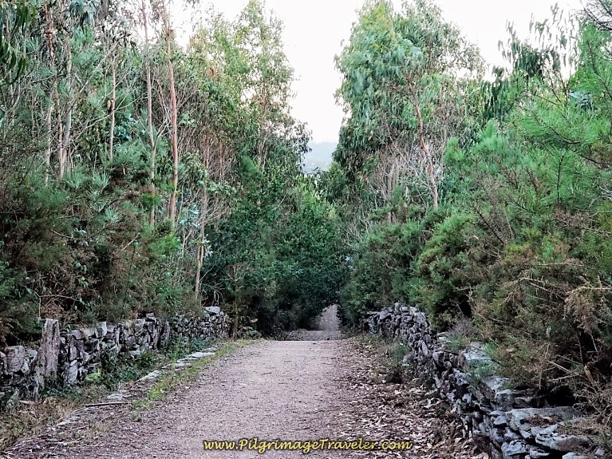
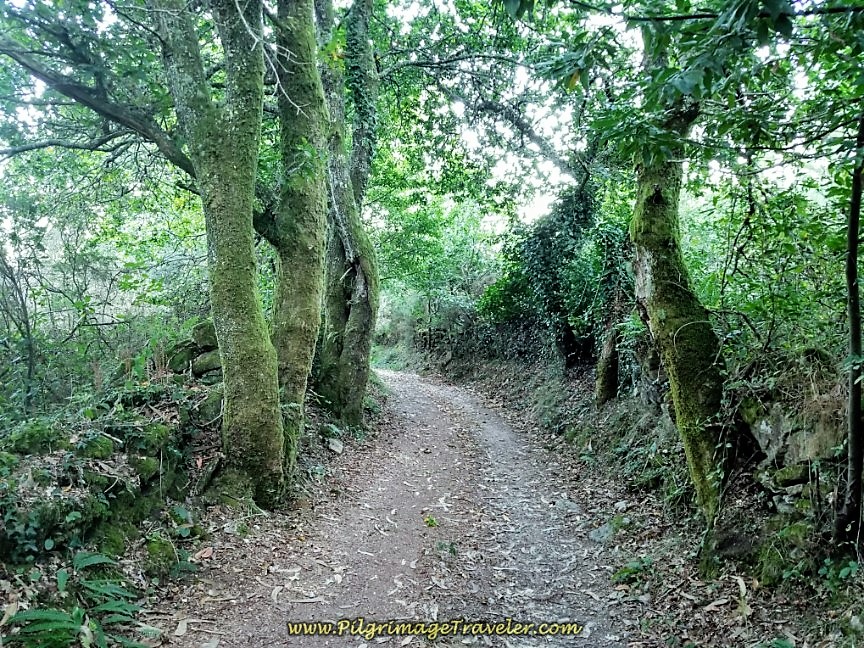
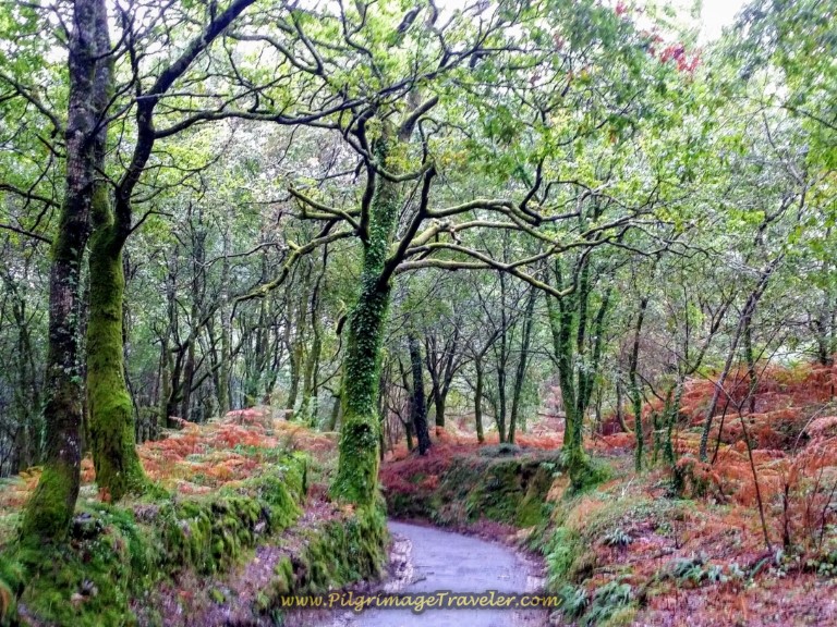
After 150 meters past the turn, once through town, the camino changes from paved roads to a nice dirt road, walking the pilgrimage traveler through the final eucalyptus forest of day three of the Camino Finisterre to Muxía.
400 or so meters later, the Way leaves the dirt road, turns left and onto a path at this 2.56 kilometer waymark.
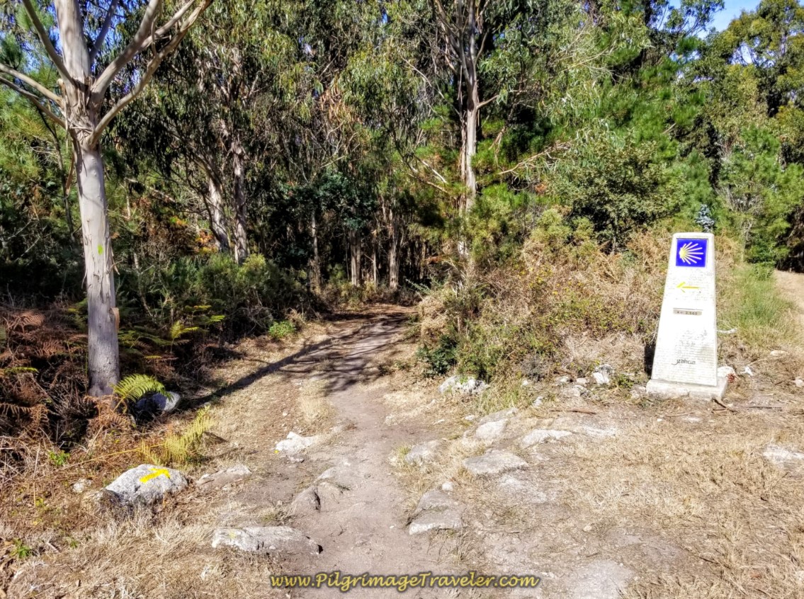 Left Turn onto Path at 2.56 Kilometer Waymark
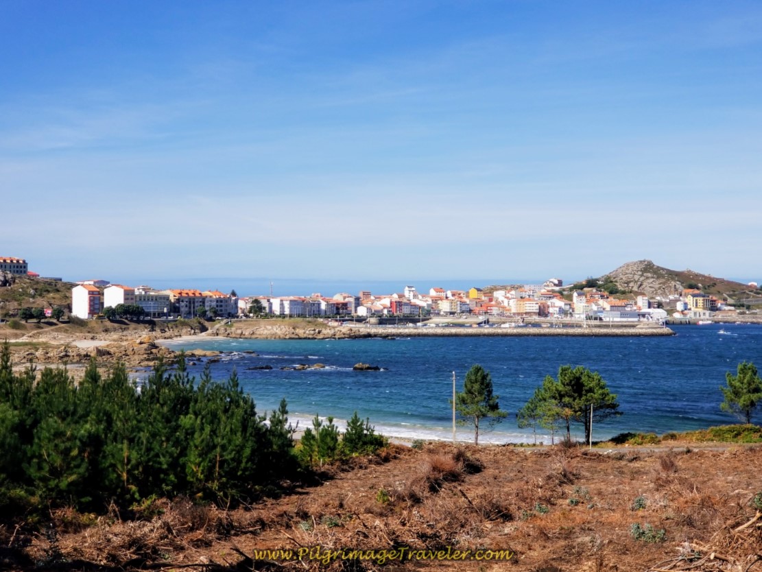
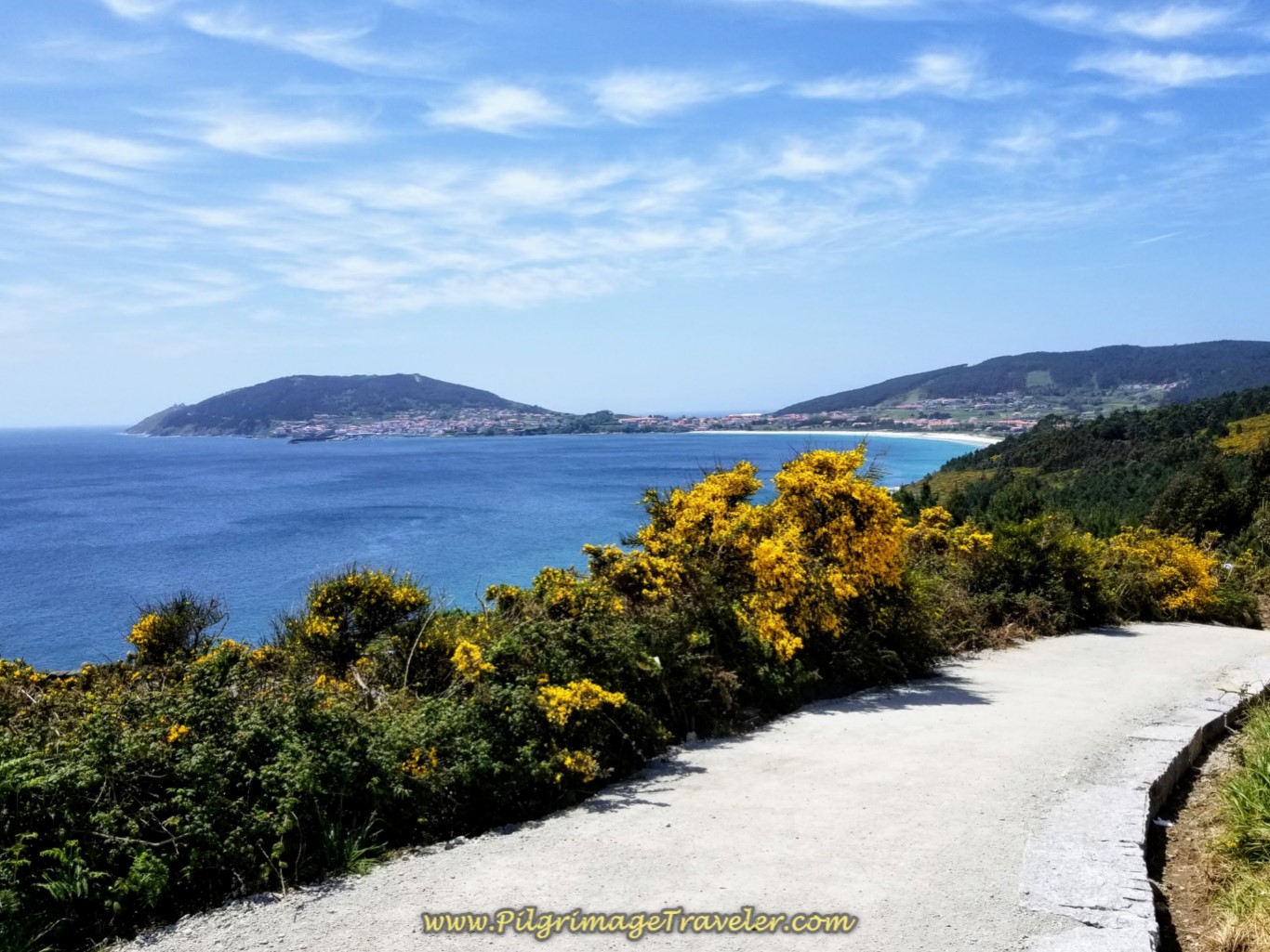
As you drop down the steep hill and through a thick, lush forest on this path, in several hundred meters the views of Muxía open up for the first time!
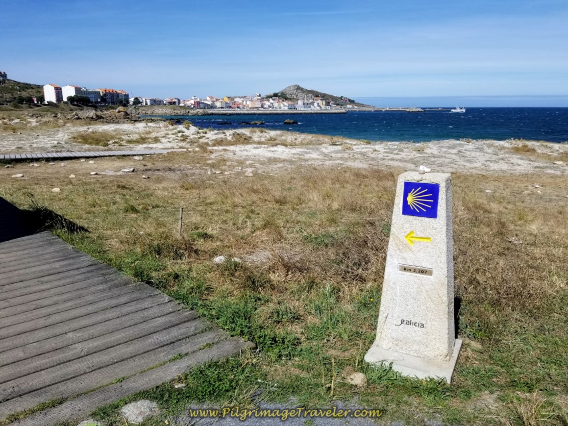
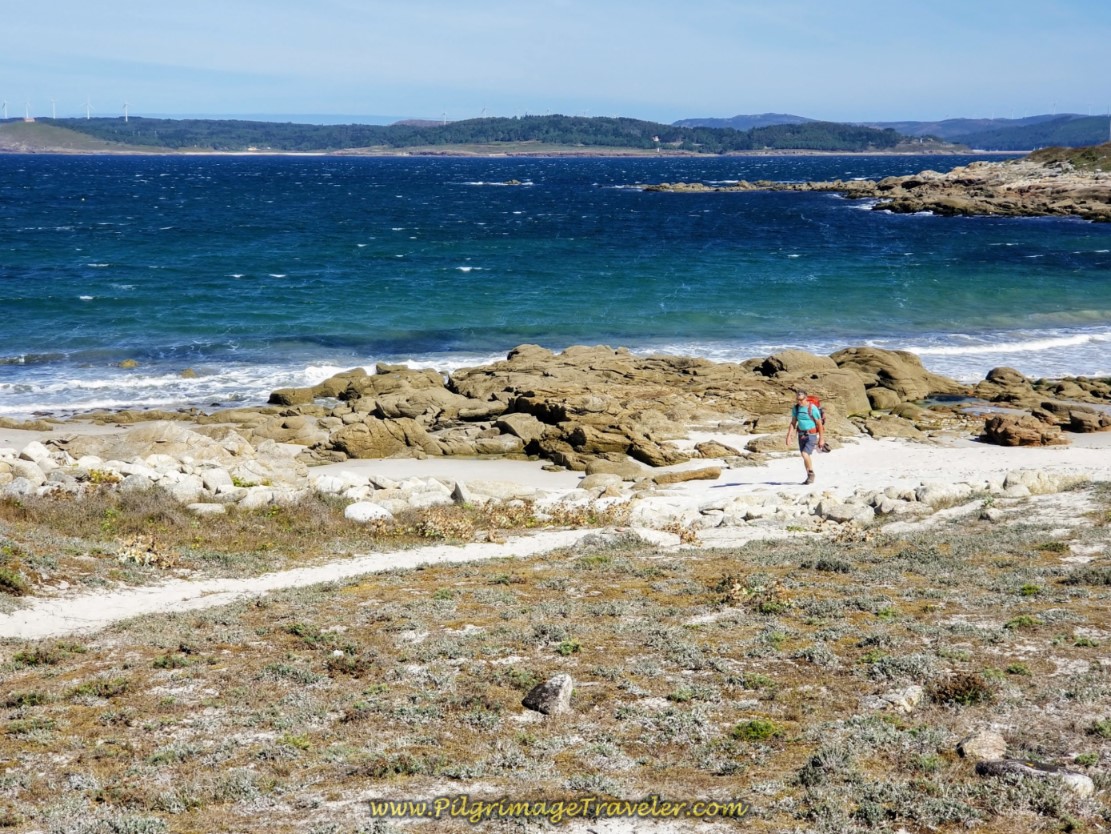
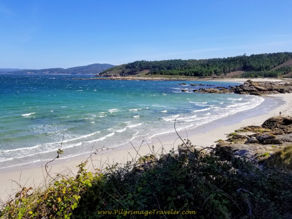
Following the path not quite another 400 meters, you arrive at the beach and the boardwalk that starts at the 2.207 kilometer waymark. You can chose to walk on the beach itself if you like, called the Praia De Espiñeirido or remain on the nice even boardwalk.
Rich chose to walk on the beach itself, and if you choose this path, it will be shorter, albeit harder.
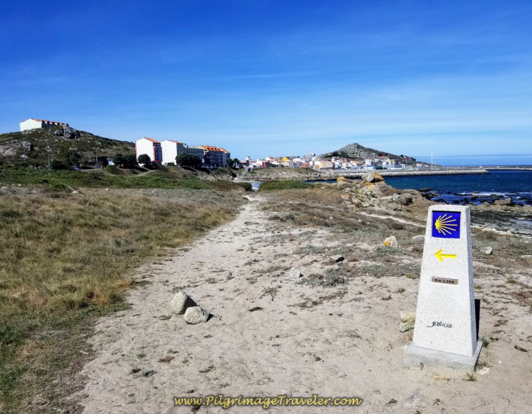
Pass the 1.998 kilometer, staying left at this waymark, OR continue on via the beach path.
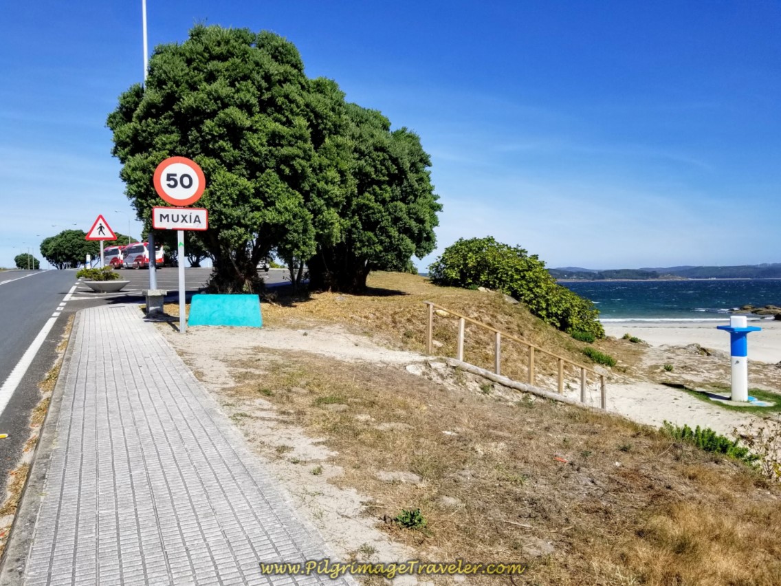
The Camino boardwalk bends southward to join the AC-440 and ends where the sidewalk into town begins.
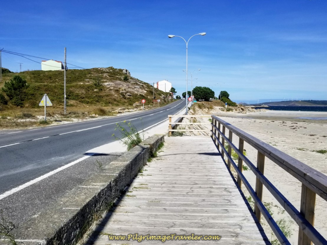 Boardwalk Ends at the AC-440 Junction
After only 150 meters or so, you have arrived in Muxía!
As you walk up the hill into town, and towards the harbor, you can see where the steps up from the beach join the Camino proper, shown below.
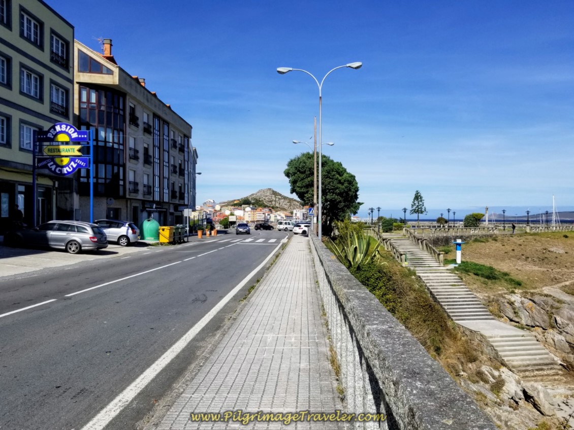 Steps From the Beach Join the Camino
The first accommodation you see, to the left, in the photo above is the pension called the Hostal La Cruz. It was abuzz with pilgrims when we walked by, due to its location, I am sure.
There are many accommodations in Muxía. Click on the link to see them. Plus there is the municipal albergue, the Albergue Público de Peregrinos de Muxia, on the street immediately behind the Hostal La Cruz (see above interactive map). Some private albergues are: the Albergue Da Costa Muxia, the Albergue Arribada, and the Albergue@Muxía.
But we love the private albergues, the Muxía Mare (I have stayed here three times) and the Bela Muxía (I have stayed here two times) and are farther along into town.
The Bela Muxía has individual cubbies with charging stations at each and every head of the bed! Nice. You also have your own backpack locker as well. The place is huge with two fully equipped kitchens. Despite its size the proprietors are extremely warm, helpful and friendly. There is a mirador (look-out) to the sea from the top deck that is also very nice. They also have private rooms that were full when we were there in September, so you may need to book ahead for those.
The Muxía Mare is small and intimate, on the Finisterre side of the Camino, but with all the amenities. I love the family who runs this place as well! They are so helpful and kind, plus you get a view of the sea to the west from the establishment. We usually get a double room that faces the sea when we stay here! It is so lovely!
But your Camino Finisterre to Muxía is not yet done! There is more than a kilometer left to go to the 0.0 kilometer waymark and the End of the World. Perhaps it's easier to get your accommodation first, then walk on to the end.
Continue to walk onward on the waterfront AC-440, by the harbor, shown below.
It is important to locate the Monbus and Arriva Bus Stops on the other side of the street, close to the end of the harbor. It is where the bus stop is located, if you plan to bus back to Santiago. You can’t miss the giant blue sign to the left, along the street with bus information on it! I have also located it on the map above to guide you.
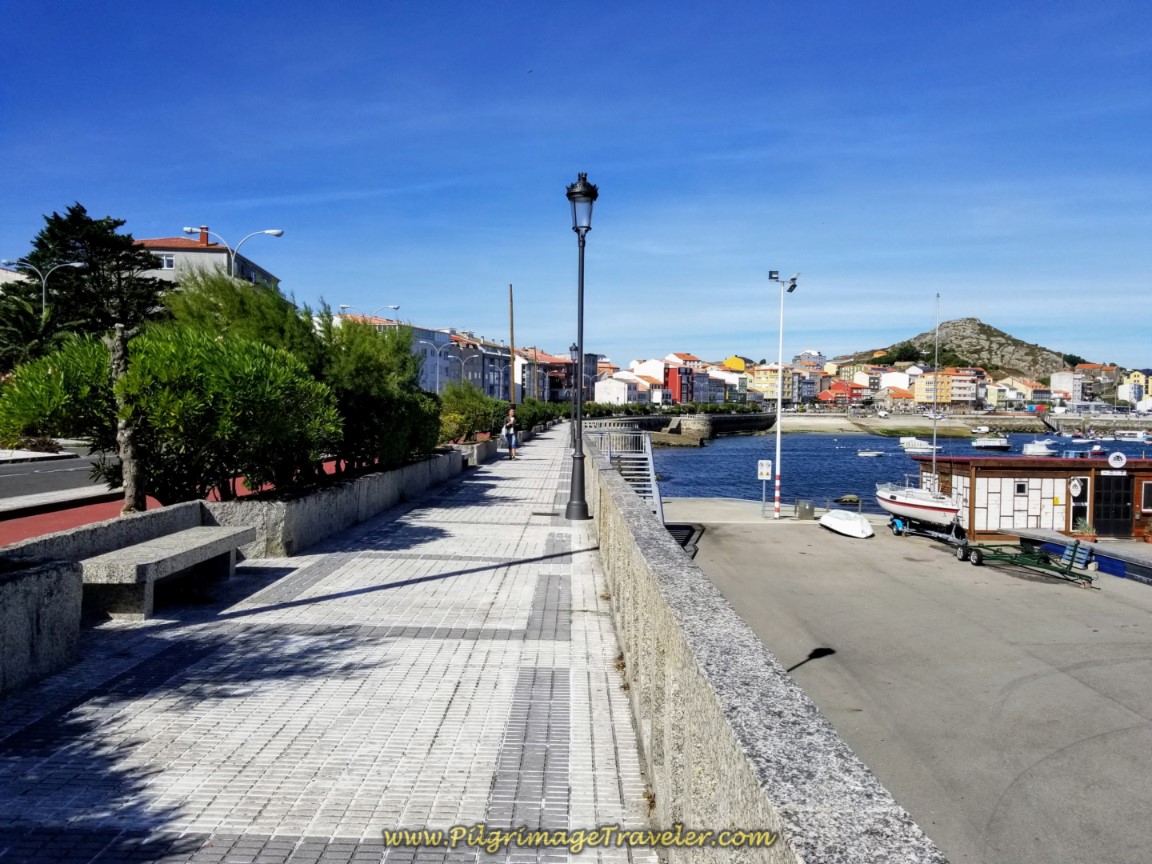 Muxía Harbor
It is a good 3/4 kilometer along the AC-440 from when you enter town, until you see this sign below, and make a left turn towards the End of the World at the Café Bar Plaia das Lanchas. It is easier to spot the white sign to the Bela Muxía albergue and the blue information board, in the photo below, than the blue Camino sign with the shell.
The turn is right after a large open, concrete plaza on your left.
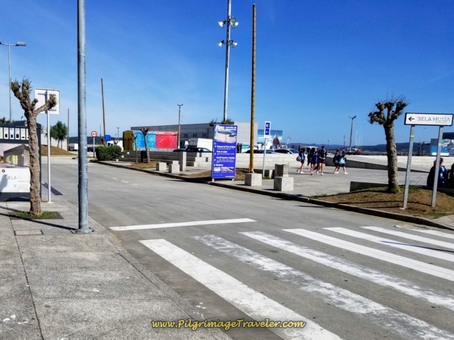 Leave the AC-440 at Waterfront and Turn Left
If you follow the signs to the Bela Muxía for the next three turns, you will be just fine. It is one block up the hill from the waterfront, then a turn to the right. Walk for another block and turn left, then another block and turn right and onto the Rúa Encarnación.
When you come to the cross in the middle of the street, pass to the left of it and continue along the Rúa Encarnación and up the hill. Do NOT turn right towards the Bela Muxía at the cross.
Your aim is the small church shown below, the Parroquia de Santa María and the path to the left (west) of it. If you miss this uphill path, you will end up on the road along the coast, and it will still get you there, but it won't be quite as nice a walk.
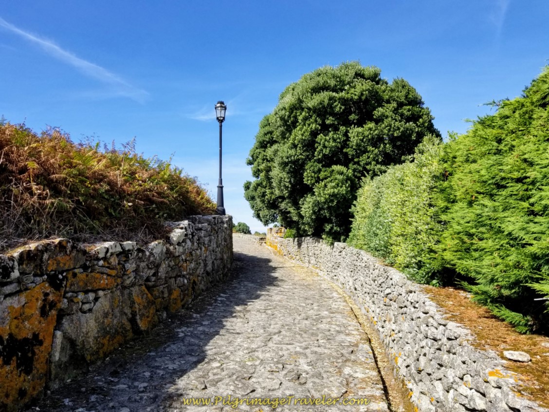
After the church, the path becomes cobblestone with stone walls on each side.
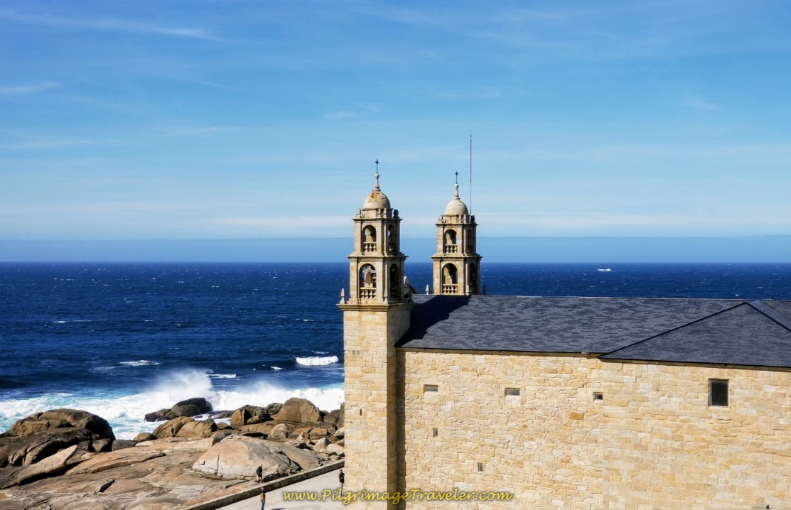
As you climb the hill of the peninsula, the views of the harbor, windmills and finally, the famous Nosa Señora da Barca Church come into view.
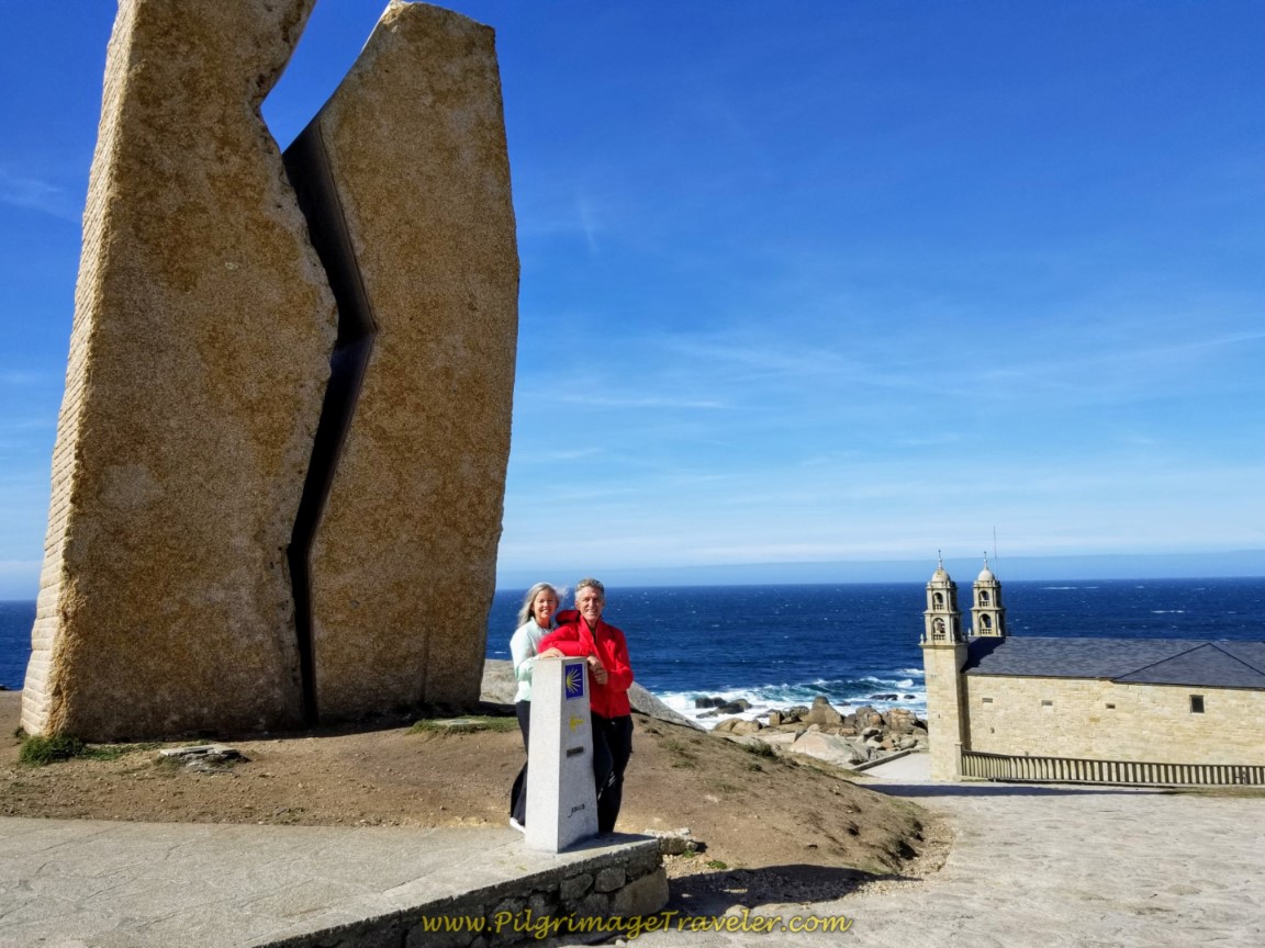
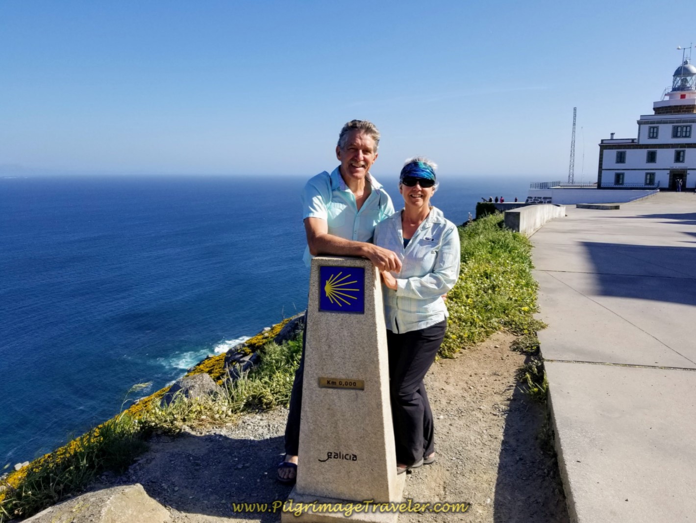
If you look to your left, you can't miss the Monument to the Prestige and the zero kilometer marker. Please read my article on Muxía to learn all about these historic monuments at the End of the World!
Here is Rich and I ~ two very happy pilgrimage travelers at our final destination!
Jump to Camino Finisterre and Muxía Stages
Reflections on Day Three on the Camino Finisterre, Hospital to Muxía
This day was such beautiful a walk for me! There is just something about walking to the End of the World, whether it is to Finisterre or Muxía. This is an enchanted land, so full of legends, myths and healing!
It is the perfect walk to slow down, ponder your completed journey, stay present to the full experience of the moment, and reflect on how your journey forward will change!
Having finally done both walks from the bifurcation in Hospital, I can honestly say that while both routes are beautiful, I prefer the walk to Finisterre. However, I just had to do both, and I have no regrets.
Day three on the Camino Finisterre to Muxía is more arduous than I thought, with many ups and downs along the way. If you start your day three from Olveiroa, you may want to break it into two, and there are many gorgeous places to stay along this leg, as you have seen, in this article.
The descent on the southern leg from Hospital to Finisterre is dramatic, (see day three on the Camino Finisterre) and would be very, very difficult to do in reverse, if you were planning to make a loop back to Santiago. Therefore, I would advise that if you are planning to do the loop, go to Finisterre first.
The Finisterre to Muxía section may be easier to travel northward, but it saves the intense hill climb until the end of a long 30k day, (see my Finisterre to Muxia extension).
All-in-all, whatever direction and/or leg you chose, you will not be disappointed. Both Ends of the World are fabulous places that should be seen eventually, regardless of your original Camino. And if you don't have time for both sacred places, there is always your next Camino!
Salutation
May your own day three on the Camino Finisterre to Muxía be filled with joyful moments lived in the present. May your own pilgrimage to the End of the World be a slow and savoring walk, delighting in all there is to see, as there is plenty of time later to rush into everyday life!
Camino Finisterre and Muxía Stages:
Booking.com
Please Consider Showing Your Support
Many readers contact me, Elle, to thank me for all the time and care that I have spent creating this informative website. If you have been truly blessed by my efforts, have not purchased an eBook, yet wish to contribute, I am very grateful. Thank-you!
Search This Website:
Follow Me on Pinterest:
Follow Me on Instagram:
Find the Pilgrimage Traveler on Facebook:
Like / Share this page on Facebook:
***All Banners, Amazon, Roamless and Booking.com links on this website are affiliate links. As an Amazon associate and a Booking.com associate, the Pilgrimage Traveler website will earn from qualifying purchases when you click on these links, at no cost to you. We sincerely thank-you as this is a pilgrim-supported website***
PS: Our guide books are of our own creation and we appreciate your purchase of those too!!
Shroud Yourself in Mystery, along the Via de Francesco!
Walk in the Footsteps of St. Francis, and Connect Deeply to the Saint and to Nature in the Marvelous Italian Countryside!
Recent Articles
-
Day One on the Camino Portugués, Lisbon to Alverca do Ribatejo
Apr 15, 25 08:19 PM
Our Day One on the Camino Portugués was much more beautiful and enjoyable than we had heard. -
Hiking the West Highland Way
Apr 11, 25 08:51 PM
Hiking the West Highland Way is a representation of all things Scottish, traversing 96 miles from the lowlands of Milngavie to Ft William, in the highlands. -
Way of St Francis eBook Guide (Via di San Francesco)
Apr 11, 25 08:49 PM
Our Way of St Francis eBook Guide, a digital guidebook is full of current information to assist you in finding your Way. In downloadable, digital, PDF format.
Need suggestions on what to pack for your next pilgrimage? Click Here or on the photo below!
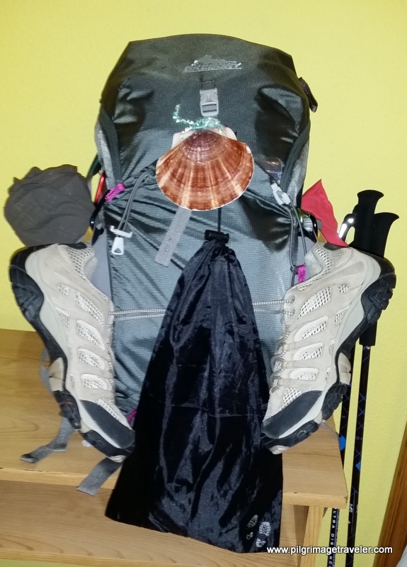
Carbon fiber construction (not aluminum) in a trekking pole makes them ultra lightweight. We like the Z-Pole style from Black Diamond so we can hide our poles in our pack from potential thieves before getting to our albergue! There are many to choose from! (See more of our gear recommendations! )
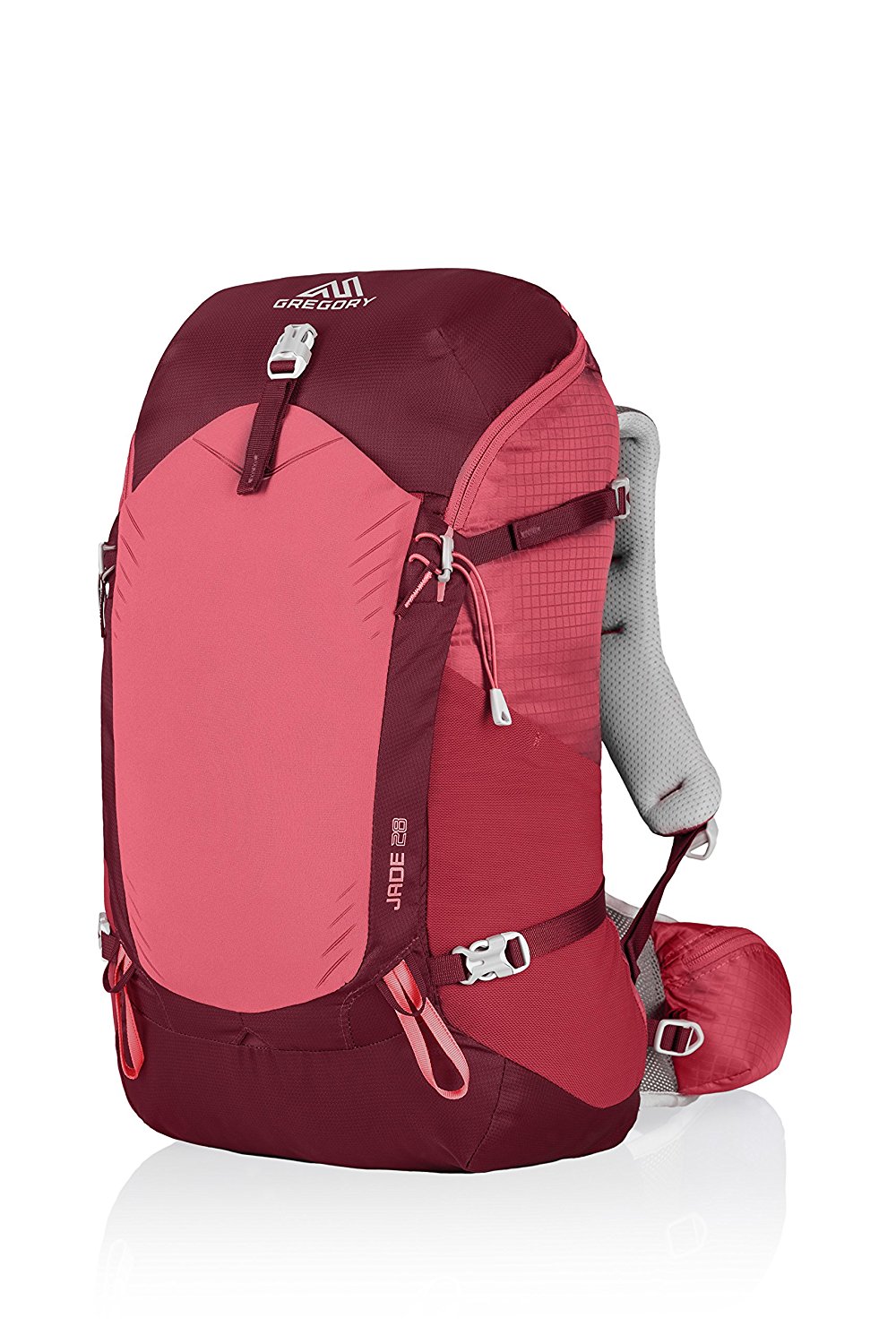
Gregory BackPack - My Favorite Brand
Do not forget your quick-dry microfiber towel!
Booking.com
My absolute favorite book on how to be a pilgrim:








Your Opinion Matters! Comments
Have you had a similar experience, have some advice to give, or have something else you'd like to share? We would love to hear from you! Please leave us a comment in the box below.