- Home
- Camino Inglés
- Day Three Camino Teresiano
Jump to Camino Teresiano Stages
Day Three on the Camino Teresiano, Fontiveros to Narros del Castillo, 13.2 Kilometers (8.2 Miles)
Day three on the Camino Teresiano takes you on a short distance, through more open fields passing by historic monuments. Because of the brevity of this traditional stage, we chose to go onward to Mancera de Abajo, another 14.1 kilometers, described in our day four.
“Accustom yourself continually to make many acts of love, for they enkindle and melt the soul.” ~ Santa Teresa
Maps and Stats of Day Three on the Camino Teresiano
Here is our interactive Google map for the day, with our GPS tracks. There is a bar in Rivilla de Barajas at 3.7 kilometers and again in Narros del Castillo at the end of the stage. Once you arrive in Narros del Castillo there is an albergue and three bars, only one of which was open when we arrived here around 10:30 in the morning.
The elevation profile portrays what appears to be a good climb, however, the elevation change is only about 100 meters for the day. You will not even notice anything, except for the little hump into the first town of Rivilla de Barajas at about 3.7 kilometers into the day.
Caminos Teresianos EBook
Our downloadable Caminos Teresianos Guide in PDF Format contains all the valuable information from our web pages, for comfortable reading offline and without ads on your personal device. Don't carry a heavy guide book to increase your pack weight. Use our digital guides on your next Camino instead!
Our eBook guides are packed with frequently updated information, because a digital format is more nimble than hard-copy publishing. Our eBook Guide is unique because we also entertain and immerse you with our story! Click here for more info or BUY NOW!
Jump to Camino Teresiano Stages
Photo-Rich Travelogue for Day Three on the Camino Teresiano
We cooked a substantial breakfast in the Casa Rural La Fonte (+34 636 03 79 55), before leaving Fontiveros at daybreak. My heart and my belly were happy and full as we set off.
Just north of the Casa Rural La Fonte, after only a few meters, at the intersection with the Calle Santa Ana, the Ruta Teresiana takes a westword turn onto the Camino Sur at this juncture, below. We took a left hand turn here onto this street.
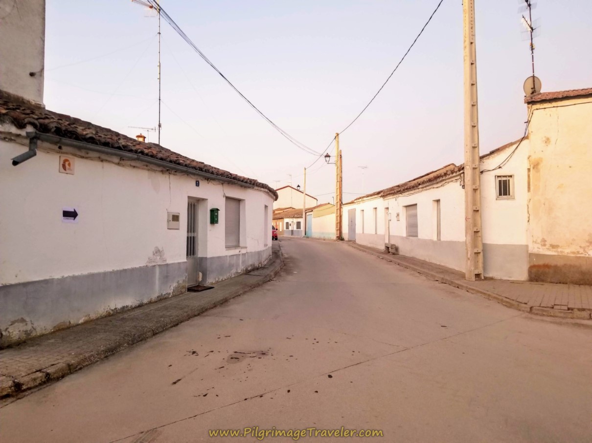 Leaving Fontiveros on the Calle Sur
After only about 250 meters, come to this intersection, and turn right onto the Camino Fontiveros.
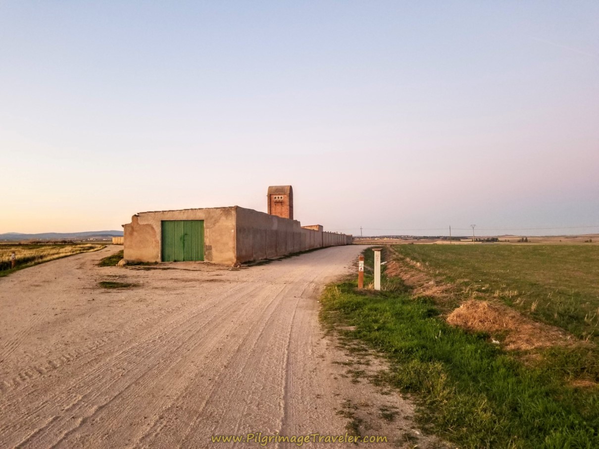 Turn Right at Y onto the Camino Fontiveros
As we wandered down the lane, the morning was glowing, in my most favorite time of the day. Rich and I were chatting this morning, discussing our experience thus far on this most solitary of Caminos.
I had originally planned to walk this Camino by myself, but was grateful that I had chosen to bring Rich. I am not a fan of total solitude, and without a lot of services, no pilgrims on the road, relying on my wits alone, it would have been quite a challenge for me, as a single, over-60 woman.
I found that I could find as much solitude as I needed with my husband. We would just turn off the chatting as needed. Was I happy to have made the choice to walk St. Teresa's Way? Absolutely! Was I happy I brought Rich? Absolutely!
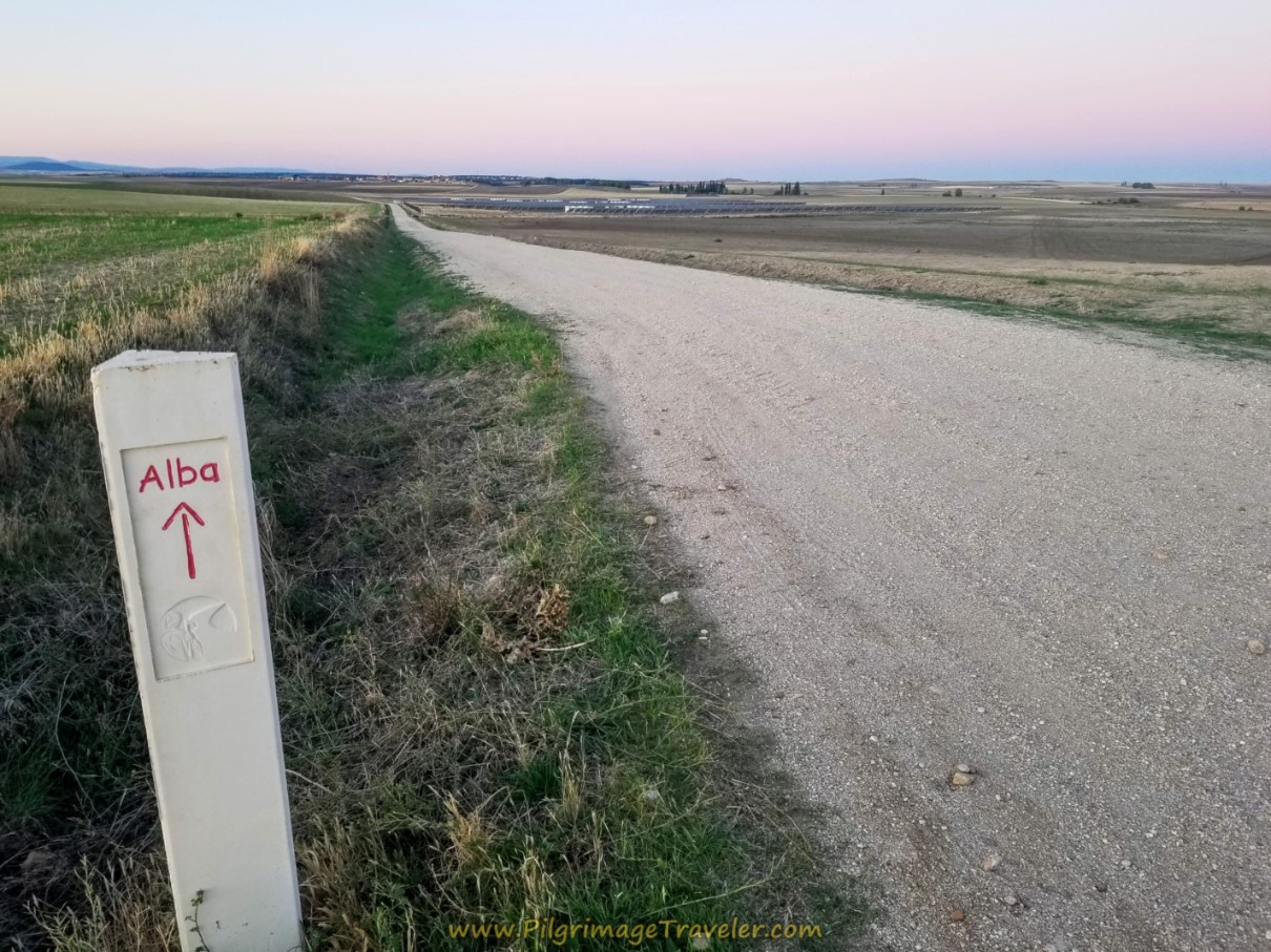
Almost immediately after leaving Fontiveros, you see a huge something ahead. If you can pinch open the photo below, you will see that it is a huge solar farm. And even farther in the distance, you can see your first destination, the town of Rivilla de Barajas, only 3.7 kilometers away.
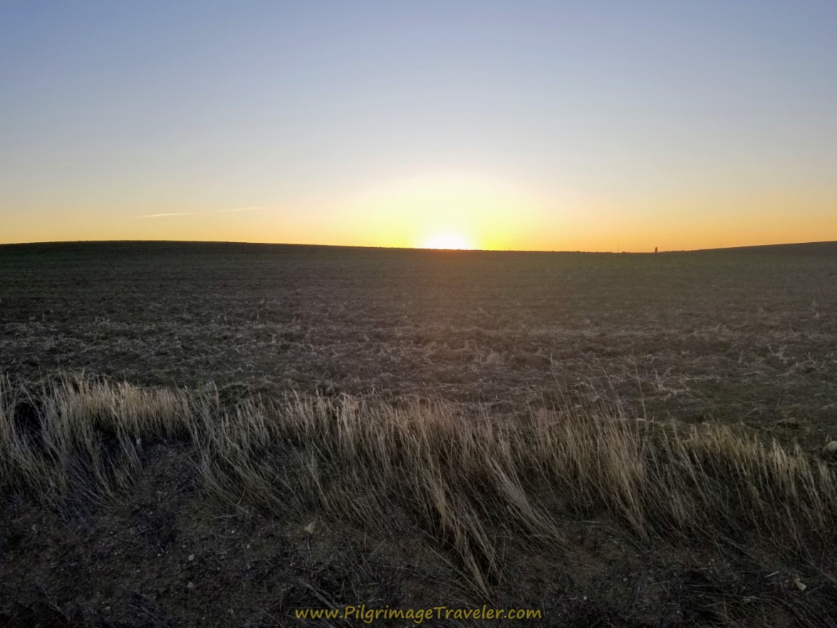
We watched the sun on our left shoulder as it commenced to daybreak! It was a glorious phenomenon in this wide open space on the Ruta Teresiana on day three.
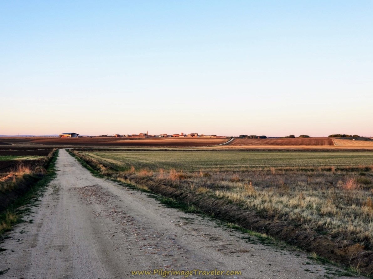
The sun was only starting to light up the town, as we made it halfway there. As you can see, there is a rise in the land just before town, with a brief hill climb of about 25 meters (80 feet).
When we arrived only 40 minutes later, the town was asleep. Once again, when in town, you follow the Teresiano tiles on the buildings, shown by the mirror in the photo below. It is a quaint directional indication, isn't it?
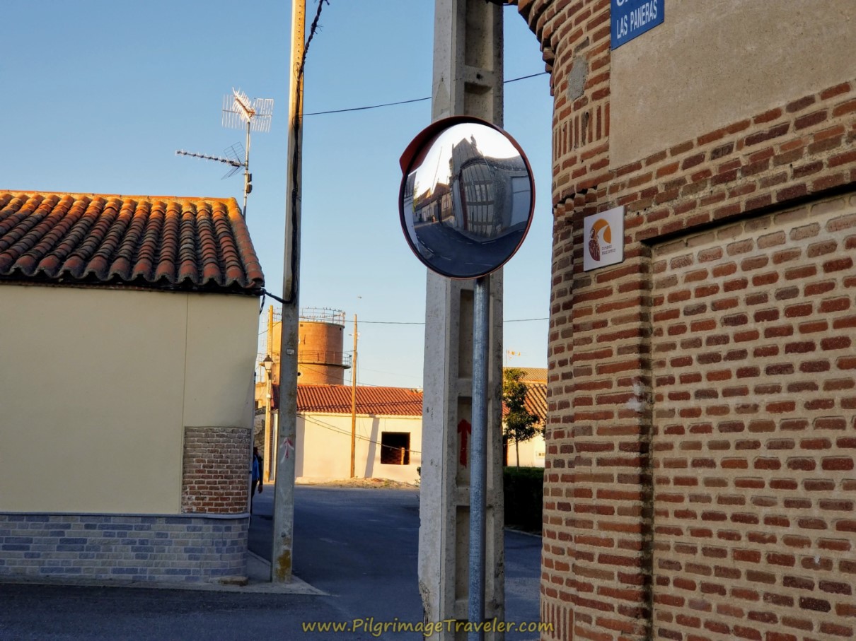 Follow Camino Teresiano Tiles Through Town
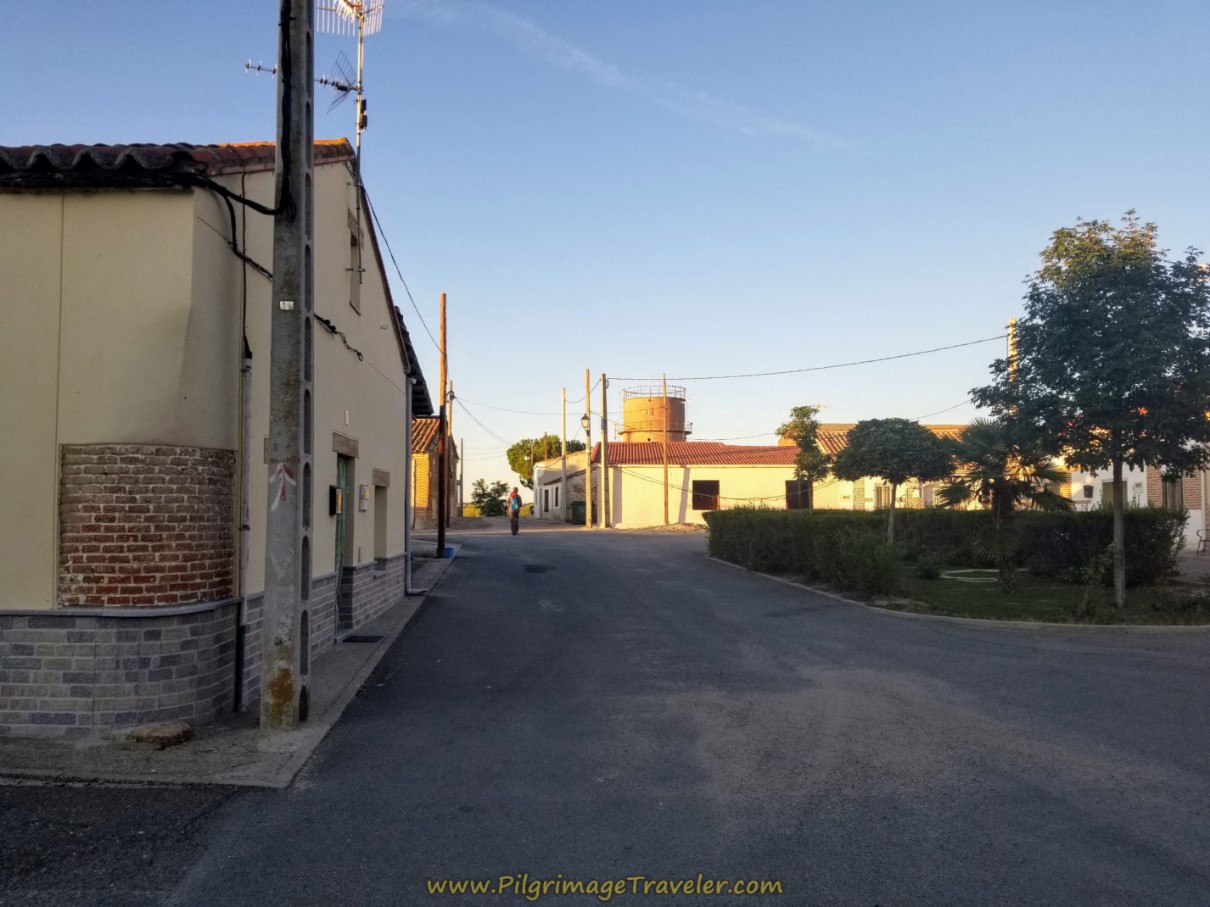
The town is quite small, and it is essentially a 1/4 kilometer, straight shot through it, toward the tower at the other end, shown in the photo below.
Jump to Camino Teresiano Stages
Even though it is small, there is a prominent church, the Iglesia de Santa María Magdalena, its bell tower looming above on the left, at the exit to town (not pictured). We did not take the short detour to see it.
There is also a café bar here, just before the church, one block west of the Camino. I am unable to find its opening hours, but it was most certainly not open at the early hour we were passing through.
Instead we kept straight on the lane leaving town, as it descended toward the Río Zapardiel and the arroyo ahead. The trees were the giveaway that water was close by.
After only 80 meters or so, you cross the river and follow along the Arroyo Molinillo and its trees. There is a lovely park along the river, with picnic tables and BBQ grills.
After a bit more than a kilometer, leave the comfort of the shade and walk up and out onto the open lane again.
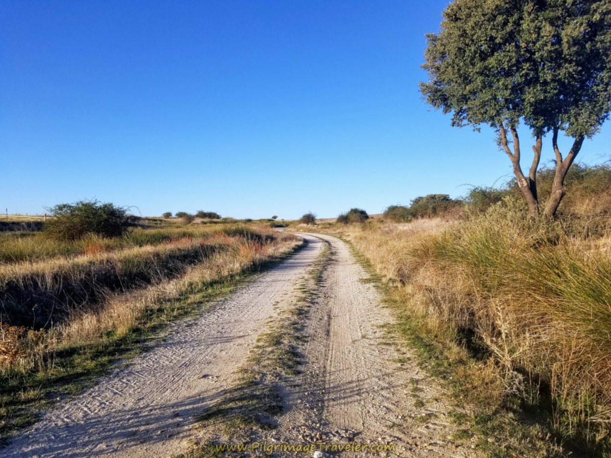 Climb Up From the Arroyo
Just ahead, a mound rising above the earth comes into view. We couldn't figure out what it was at first. We were approaching the A-50 motorway, coming up on our right. We soon realized that this was an overpass, over the highway.
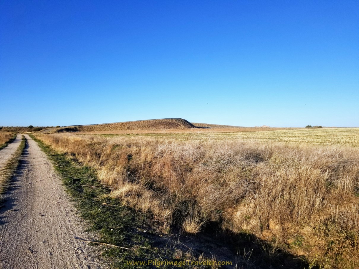 Overpass of the A-50 Ahead, Day Three, Camino Teresiano
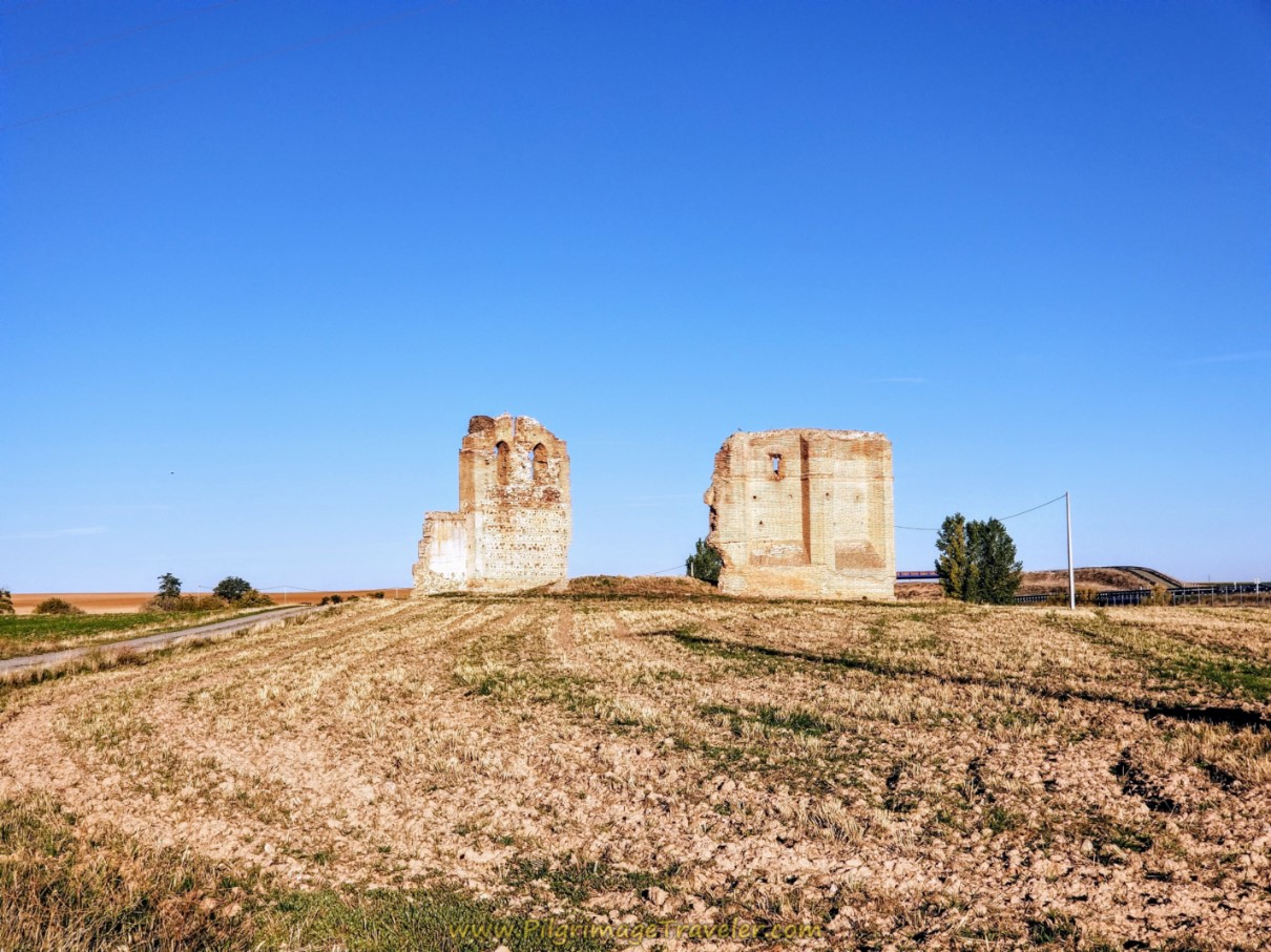
It is just shy of 2.0 kilometers from the river crossing to the top of the overpass, after almost exactly 6.0 kilometers into the day. Here is a photo at the top, shown below, and you can see the next attractions that lie ahead. First, is the ruined 15th century Mudejar church, the Iglesia de Castronuevo.
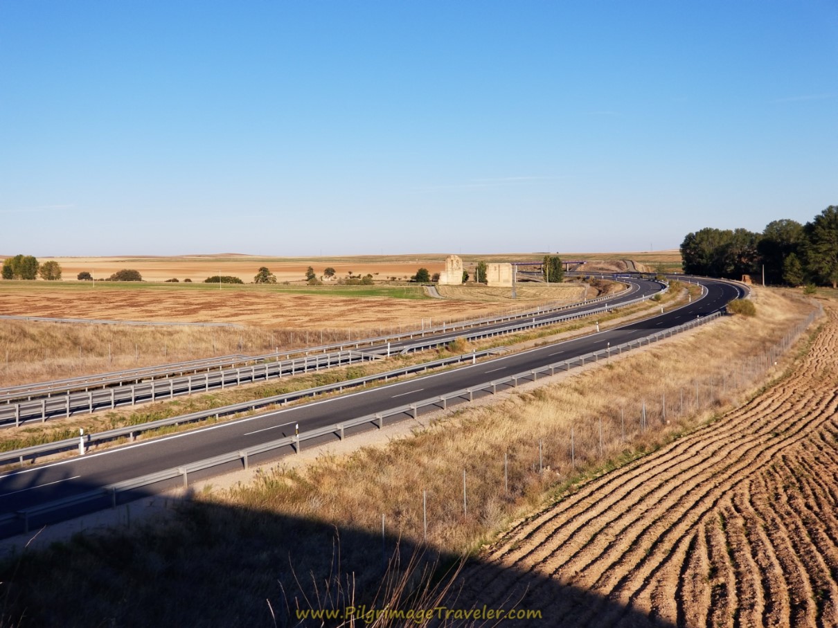 Iglesia de Castronuevo From Overpass
As we descended to the north, on the other side, the Castillo de Castronuevo can also be seen. There is a yellow arrow on this side rail. I was unsure of its purpose! Did someone confuse this with the Camino de Santiago??
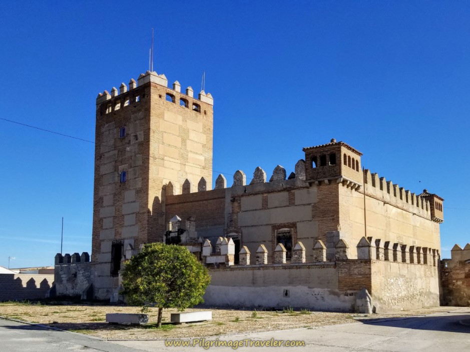
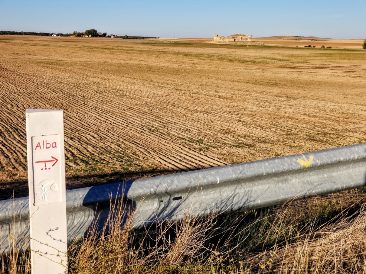 Castillo de Castronuevo Ahead
It is about 1/2 kilometer from the top of the overpass until you walk by the Iglesia de Castronuevo. You are about 6.6 kilometers into your day three on the Camino Teresiana at this point.
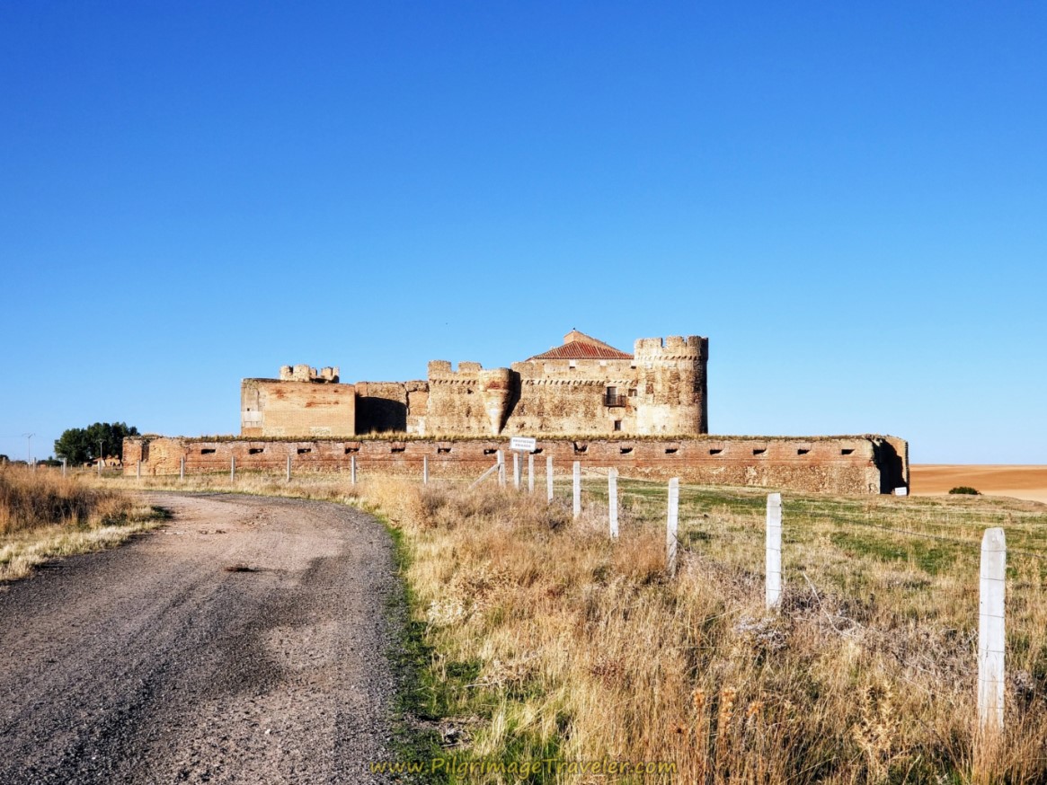
From the church, the Ruta Teresiana bends to the left and west to walk by the castle, after another 1/2 kilometer. According to Wikipedia, the castle was first built in 1481, then sold to the Duke of Alba nine years later. You can read more about its architecture by clicking on the link.
This palace is on private property, and you can only view it from the road. There is a high fence and warnings to keep trespassers out. Apparently, these buildings and the estate lands surrounding it are still owned by the House of Alba, after all these centuries! Click on this link for more of the interesting history surrounding how this estate came to exist.
Jump to Camino Teresiano Stages
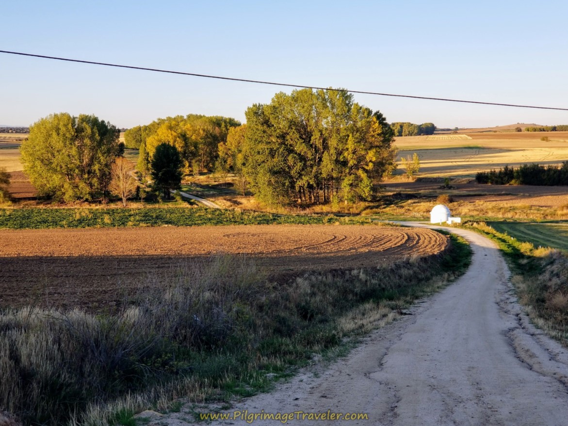
After gawking at the Castillo de Castronuevo for a while, we carried on towards the family farm of the House of Alba. You can see it just ahead as you leave the castle area.
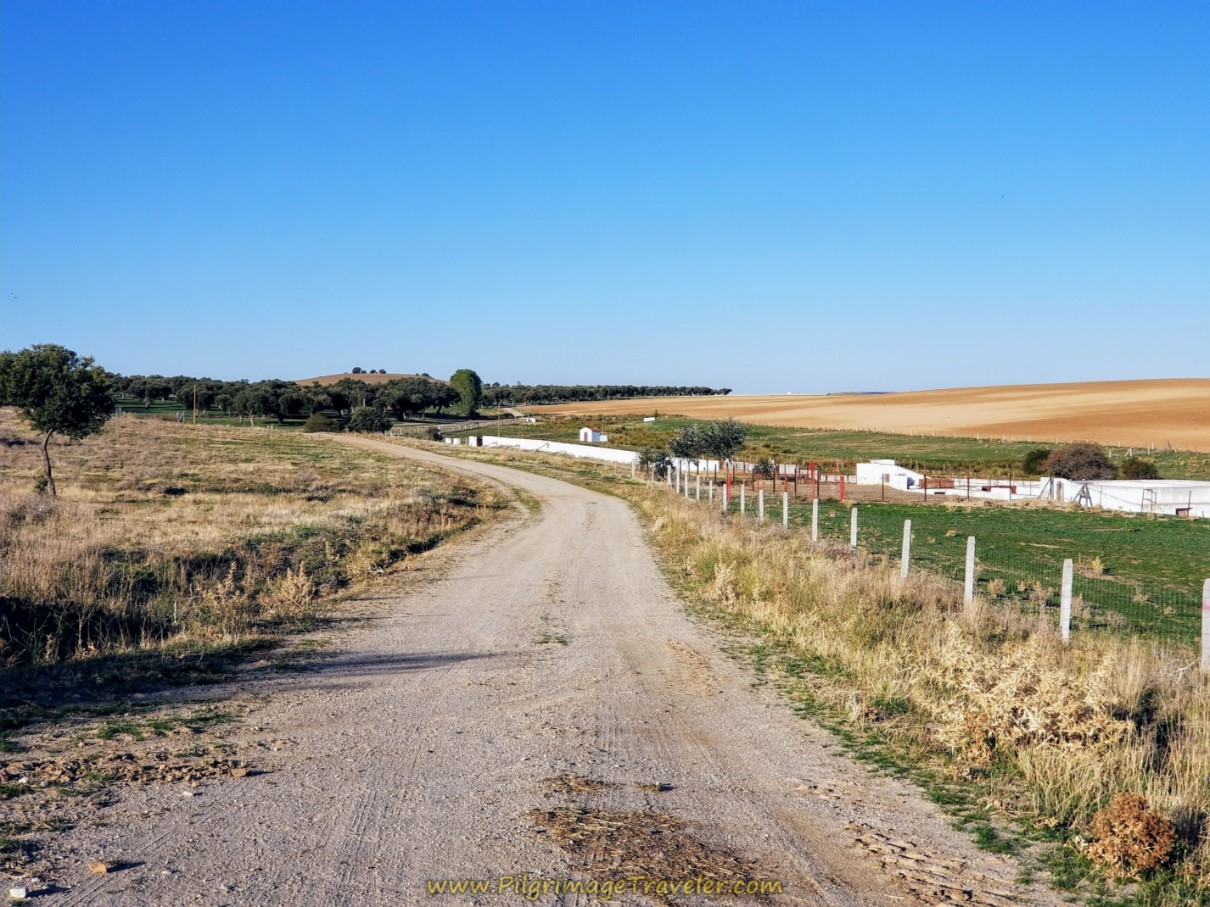 Walk Toward the House of Alba, Estate Farm
As we got closer to the estate house, up on a bank to our left, we spotted a very large dog, looking down at us. I thought - uh oh - here we go! A guard dog! But the yellow giant was wagging his tail, and came tumbling down the bank to greet us. He was a gentle giant for sure and would have wished us to ruff his fur forever!
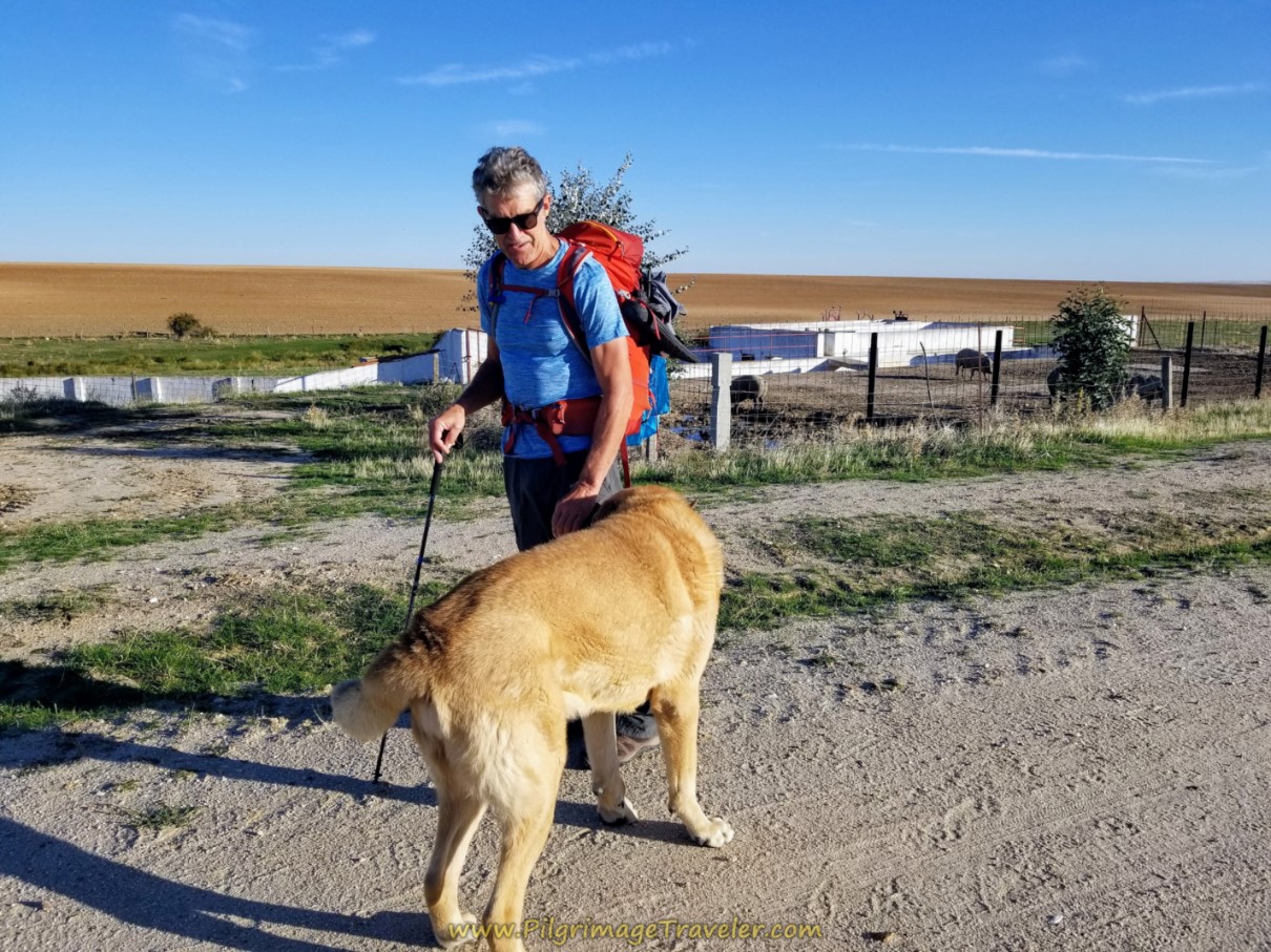 Friendly Farm Dog on Day Three, Camino Teresiano
There is a giant pig pen and buildings behind Rich, above, so pigs are a large part of this estate.
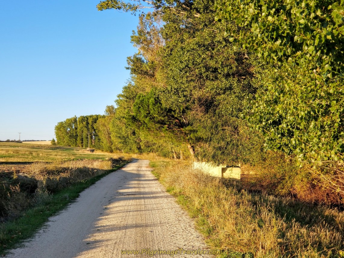
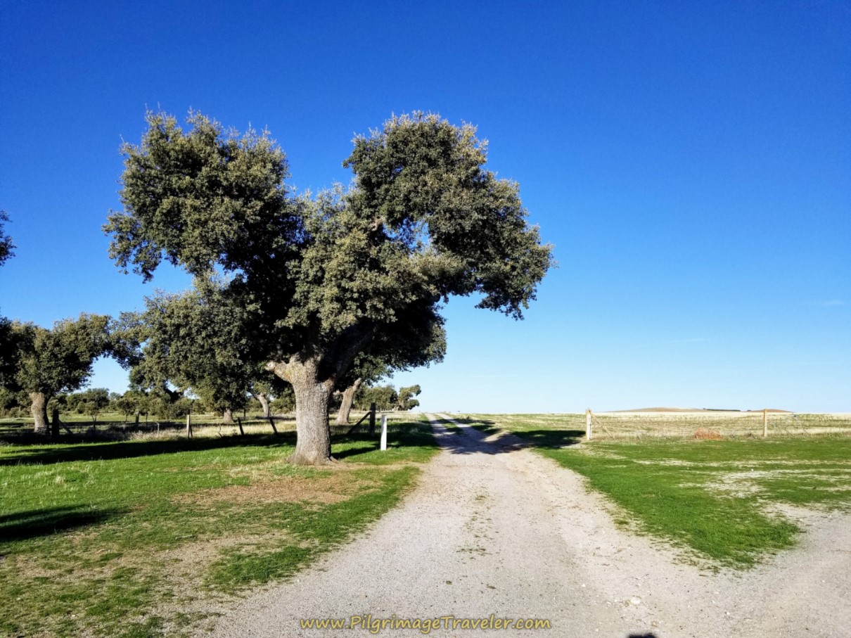
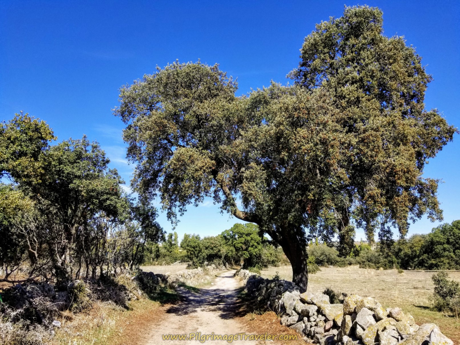
Farther along the estate road, drop down to cross the familiar Arroyo de Molinillo and on the other side, encounter a large stand of the Spanish evergreen oaks. The oak's acorns are a staple in the diet of the pigs. I discussed this interesting fact on day one.
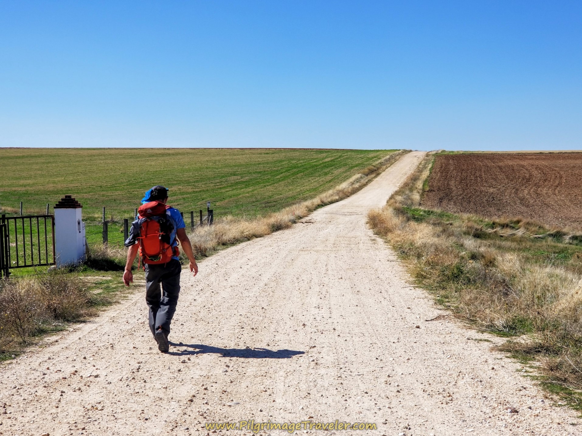
You walk through more grain fields for a short distance, before coming to the A-50 once again. It is about 2.5 kilometers from the castle to the juncture of the A-50. You never join the highway, but walk parallel to it on the south side. The route is well way-marked.
Walk adjacent to the A-50 as the lane continues onward for 300 meters until the top of the overpass and the blue bridge, shown below.
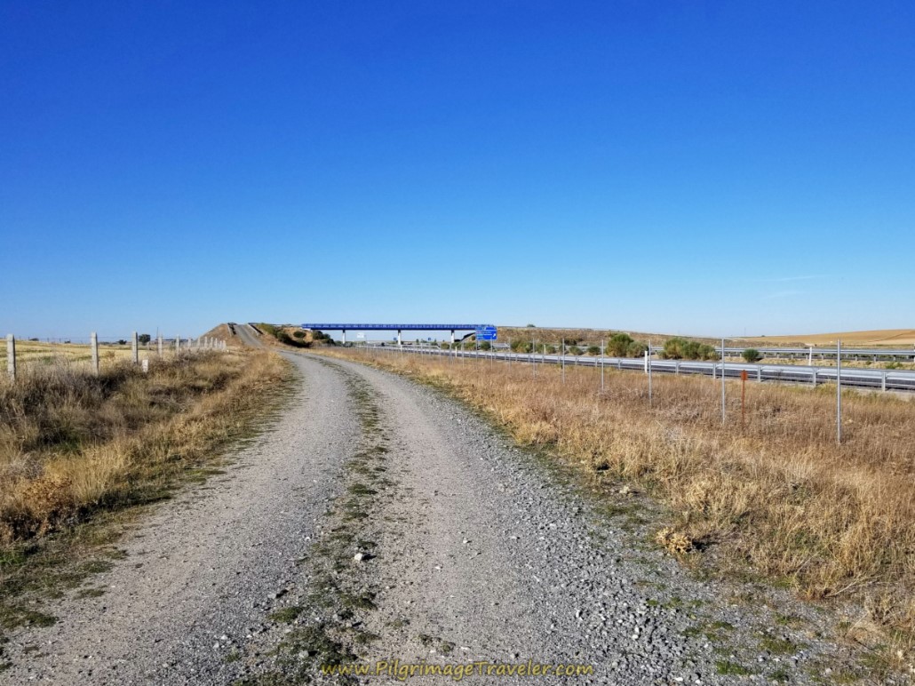 Walk Along the A-50
After approximately 10 kilometers into day three on the Ruta Teresiano you reach the top of the flyover at the blue bridge. The sign says to "Salvadiós," if you were to turn right and over the A-50, or to "Narros del Castillo," if you were to continue straight on, which is our direction of travel.
Here is Rich, heading down the other side of the overpass, to continue straight on towards Narros del Castillo, about 3.2 kilometers from here. The road bends to the left and southward on its way there.
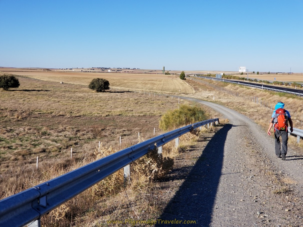 Straight On at the Overpass
After about 670 meters from the flyover, you cross the N-501, shown below.
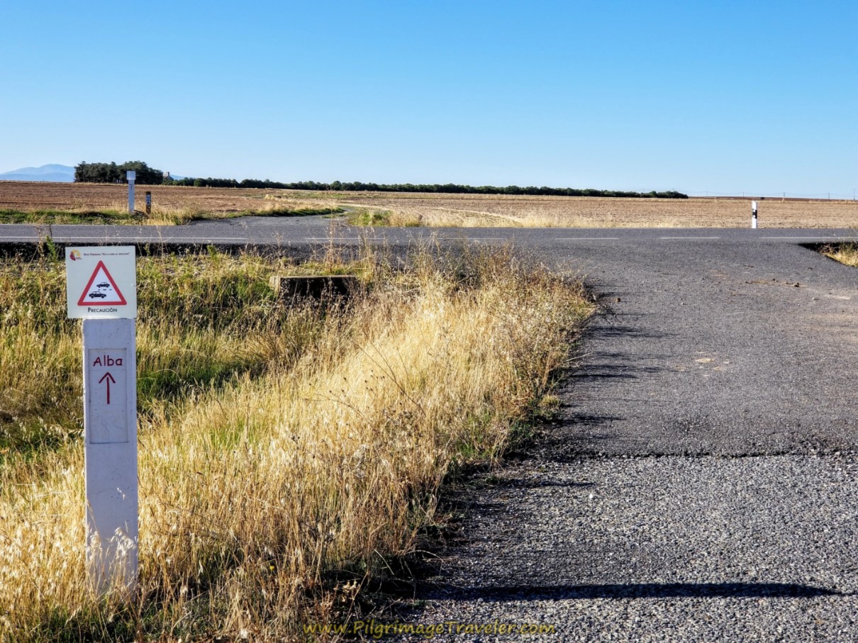 Cross the N-501
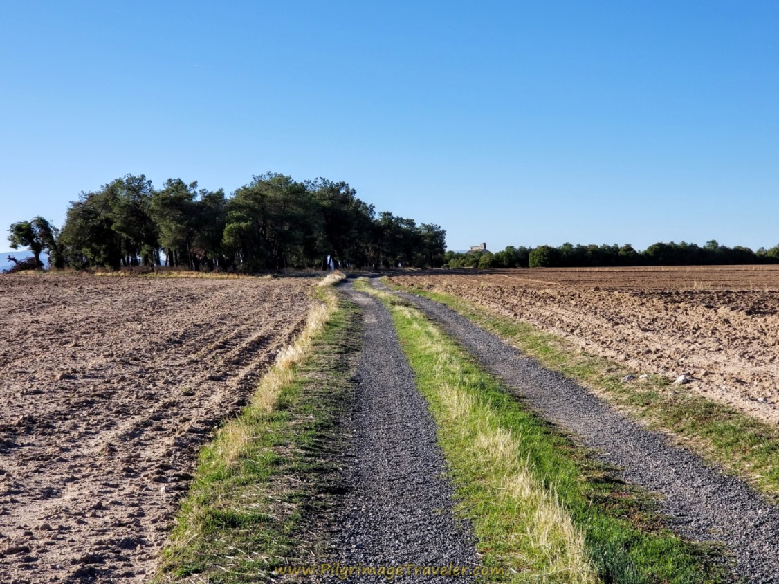
Across the road, the Camino heads toward the clump of trees. (Don't you think it's interesting that landmarks in this country are trees?)
Reach the trees after about 600 meters, and by one kilometer, the Ruta Teresiana on day three, takes a westward bend to the right when it reaches these railroad tracks.
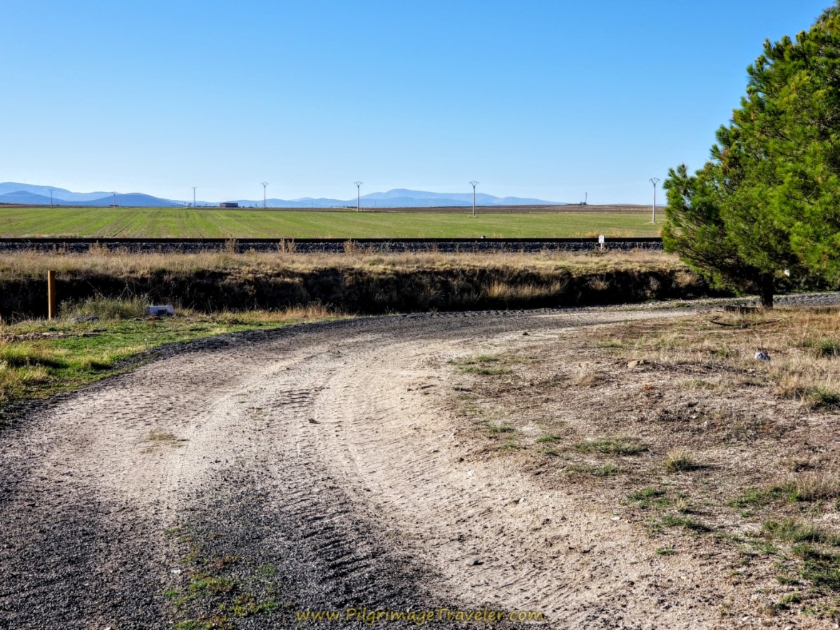 Bend in Road Joins Railroad Tracks
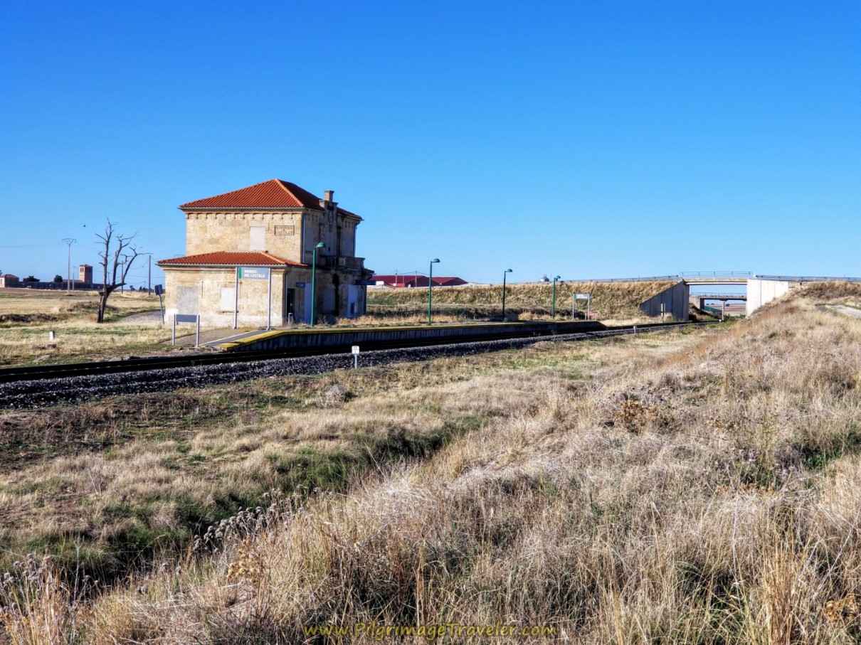
You follow the railroad tracks, past a grain elevator and this now-abandoned train station of Narros del Castillo.
You continue along the railroad tracks for a total of almost 300 meters, before the Camino climbs up to join the AV-P-627 at the overpass shown in the photo above. Take a left on the road and over the bridge towards Narros del Castillo. The town is less than one kilometer from here.
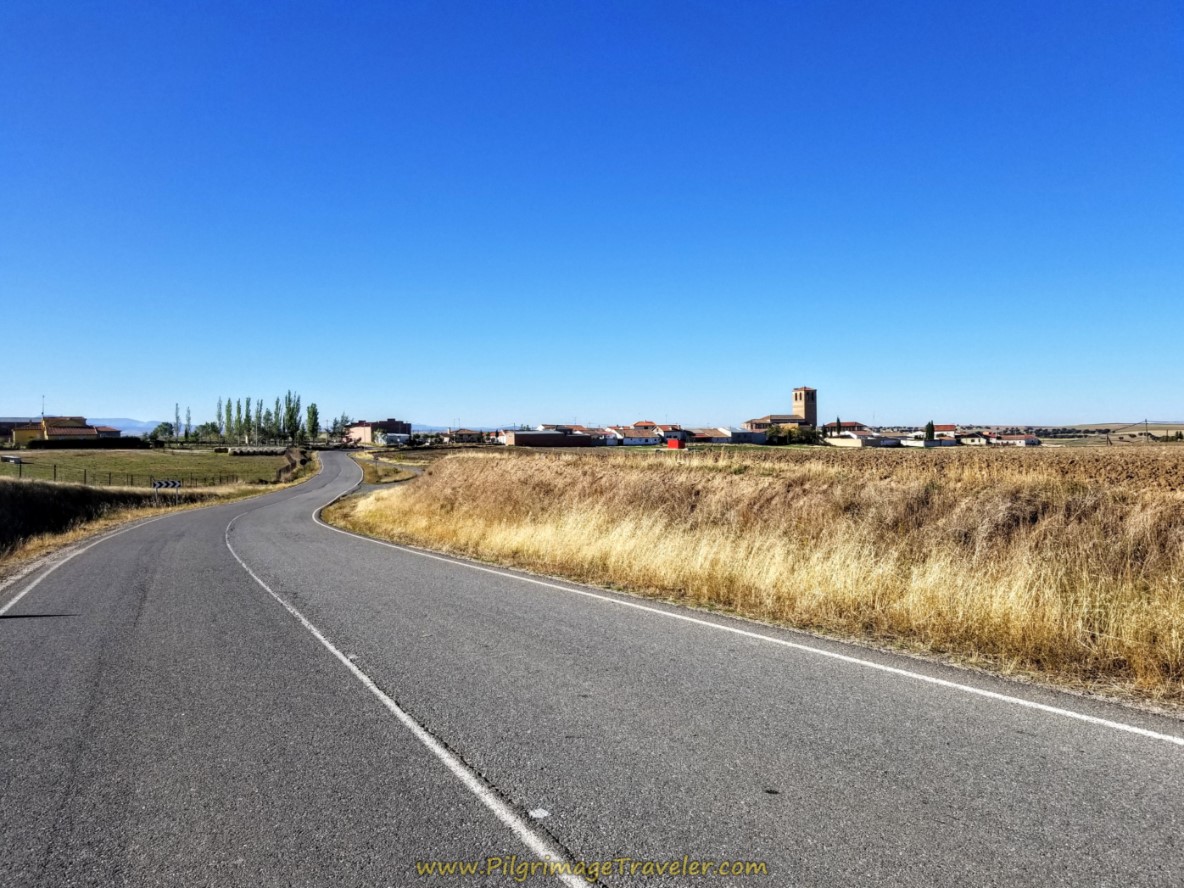 Narros del Castillo Ahead
Jump to Camino Teresiano Stages
Enroute, pass by a high-walled cemetery on your right and a caravan campground on your left, just before you enter town, past the town sign at 13.15 kilometers into day three of the Camino Teresiano.
At the first Y-intersection in town, bear left to stay on the main road, the AV-P-627. At this intersection to the right is the bright yellow painted cafeteria, the El Gallo Kiriko, with a big chicken on it that you can't miss. It was closed when we walked by at 10:30ish.
On the corner to your left at the Y-intersection is the Bar Kike. Its drab facade was a bit harder to spot, but there was activity and music coming from the bar. Was this bar open? As it turns out, he was just opening up.
The gentlemen at the bar was a talker, and just yakked away at us! He called us "Yankees" when he found out we were from the USA, in a pronunciation that sounded more like "Johnkies" and it took a bit to figure out what he was saying!
Of course, the conversation was entirely in Spanish and we understood about 60% of what he was saying!
Because we were already halfway (we would continue on to Mancera de Abajo), we took a long break here and had three cups of café con leche, and two Aquarius between the two of us. The barman set out a bowl of mini-muffins, chocolate danishes, and carved off this Serrano ham and served it to us with bread. Now that was the most pinchos I have ever been served!
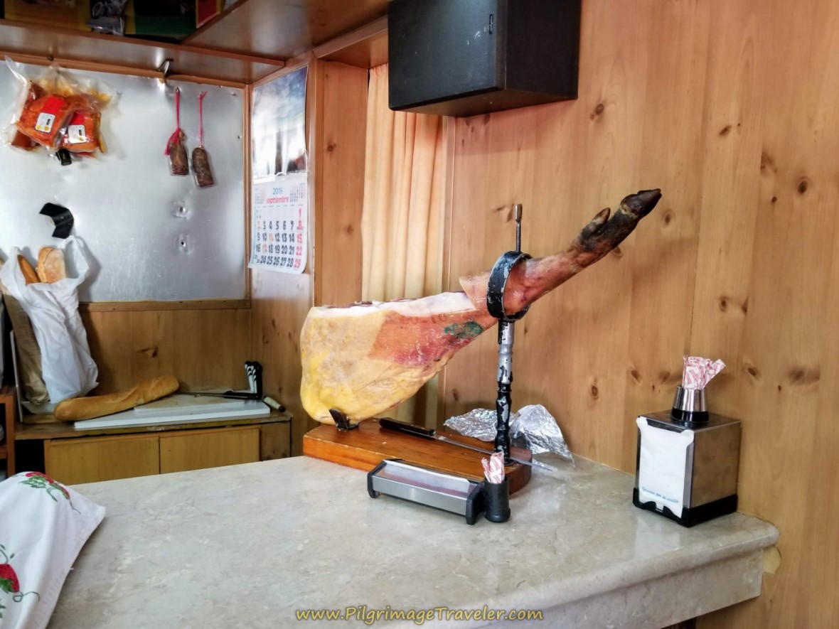 Serrano Ham at the Bar Kike
When we could finally break away and ask for the bill, the friendly man, we figured overcharged us by about 30%! Ha, ha, we didn't say anything and figured it was still a good deal by American standards.
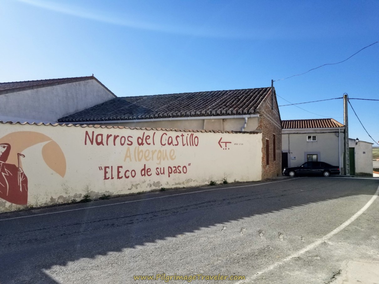
Right next to the Bar Kike is the huge sign for the albergue in town, El Eco de su Paso, with 12 beds (+34 619 384 889 or +34 646 634 231, E-mail: lruiz@despacho.notariado.org). We did not have a look inside, so I do not know what amenities it has.
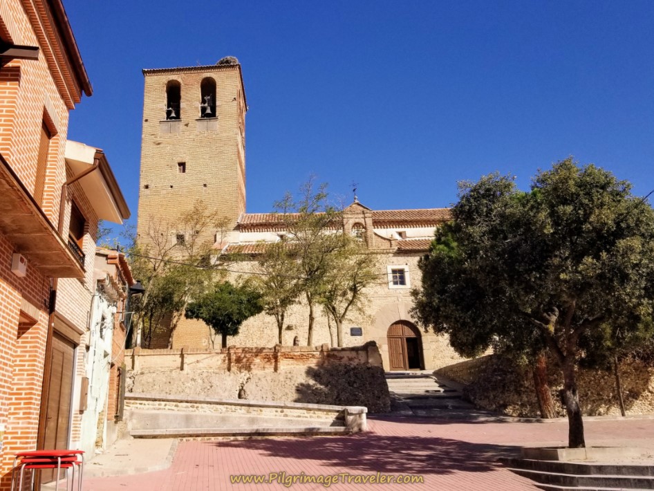
In barely 100 meters onward, you come to the Church of St. John the Baptist. This is where I turned off my GPS for this stage.
This Romanesque-Mudejar style church, first built in the 13th century, is famous for the wooden carvings on the ceiling. I knew about this, but for some reason it did not register when I was here, that this was the church. Hence, I didn't look up and see the embellishments. I was so very disappointed, later in the day when I realized my mistake.
If you click here, the link takes you to a website with the best interior pictures of this church, plus a description of its history.
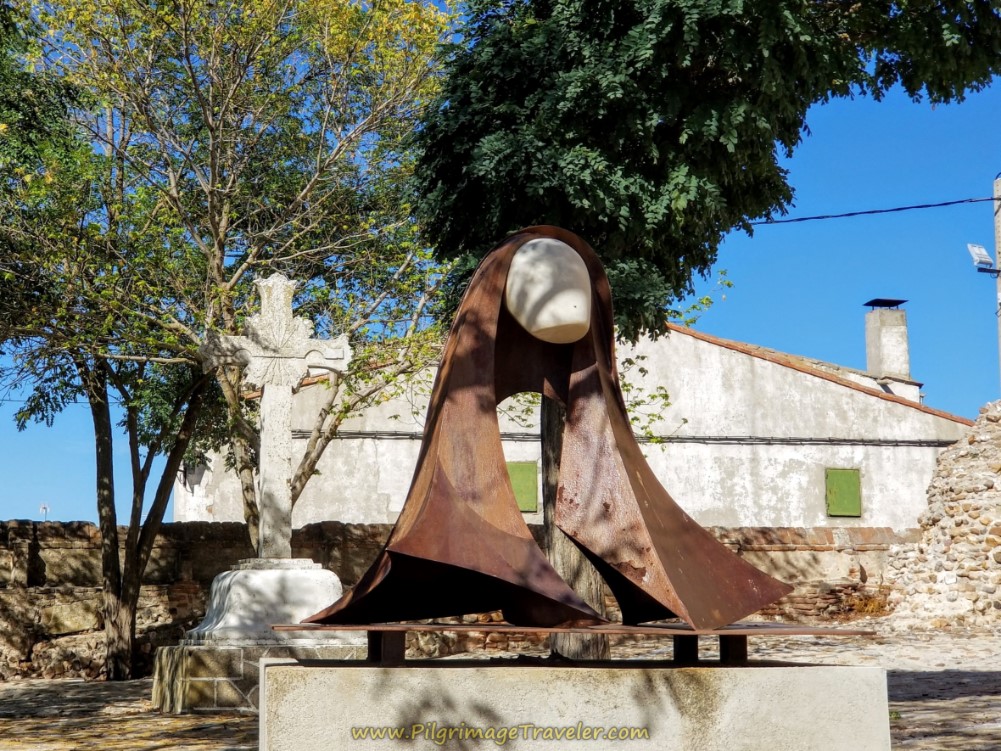
My photographs of the altar turned out blurry as well. However, I did get a great photo of the impressionist sculpture of Santa Teresa on the outside!
And thus ended our day three on the Camino Tresiano.
Reflections on Day Three of the Camino Teresiano
While we encountered few people on this stage, to kindle many acts of love, as Teresa advises in the opening quote, we did have one opportunity to smile and love, despite being taken advantage of.
Our communion with nature and history was perhaps as good as any encounter with living people. However, from the historical perspective, human relations have not been all that loving. Would we, perhaps, be more evolved now?
Salutation
May we all strive to be as St Teresa councils, to "accustom ourselves continually to make many acts of love, for they enkindle and melt the soul." If we all did this, perhaps world peace could be a possibility. Change begins in the hearts of individuals, doesn't it?
Caminos Teresianos Stages
Please Consider Showing Your Support
Many readers contact me, Elle, to thank me for all the time and care that I have spent creating this informative website. If you have been truly blessed by my efforts, have not purchased an eBook, yet wish to contribute, I am very grateful. Thank-you!
Search This Website:
Follow Me on Pinterest:
Follow Me on Instagram:
Find the Pilgrimage Traveler on Facebook:
Like / Share this page on Facebook:
***All Banners, Amazon, Roamless and Booking.com links on this website are affiliate links. As an Amazon associate and a Booking.com associate, the Pilgrimage Traveler website will earn from qualifying purchases when you click on these links, at no cost to you. We sincerely thank-you as this is a pilgrim-supported website***
PS: Our guide books are of our own creation and we appreciate your purchase of those too!!
Shroud Yourself in Mystery, along the Via de Francesco!
Walk in the Footsteps of St. Francis, and Connect Deeply to the Saint and to Nature in the Marvelous Italian Countryside!
Recent Articles
-
Day One on the Camino Portugués, Lisbon to Alverca do Ribatejo
Apr 15, 25 08:19 PM
Our Day One on the Camino Portugués was much more beautiful and enjoyable than we had heard. -
Hiking the West Highland Way
Apr 11, 25 08:51 PM
Hiking the West Highland Way is a representation of all things Scottish, traversing 96 miles from the lowlands of Milngavie to Ft William, in the highlands. -
Way of St Francis eBook Guide (Via di San Francesco)
Apr 11, 25 08:49 PM
Our Way of St Francis eBook Guide, a digital guidebook is full of current information to assist you in finding your Way. In downloadable, digital, PDF format.
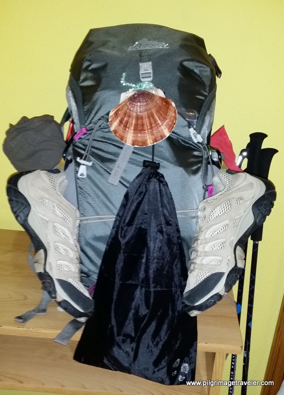
Need suggestions on what to pack for your next pilgrimage? Click Here or on the photo below!
Carbon fiber construction (not aluminum) in a trekking pole makes them ultra lightweight. We like the Z-Pole style from Black Diamond so we can hide our poles in our pack from potential thieves before getting to our albergue! There are many to choose from! (See more of our gear recommendations! )
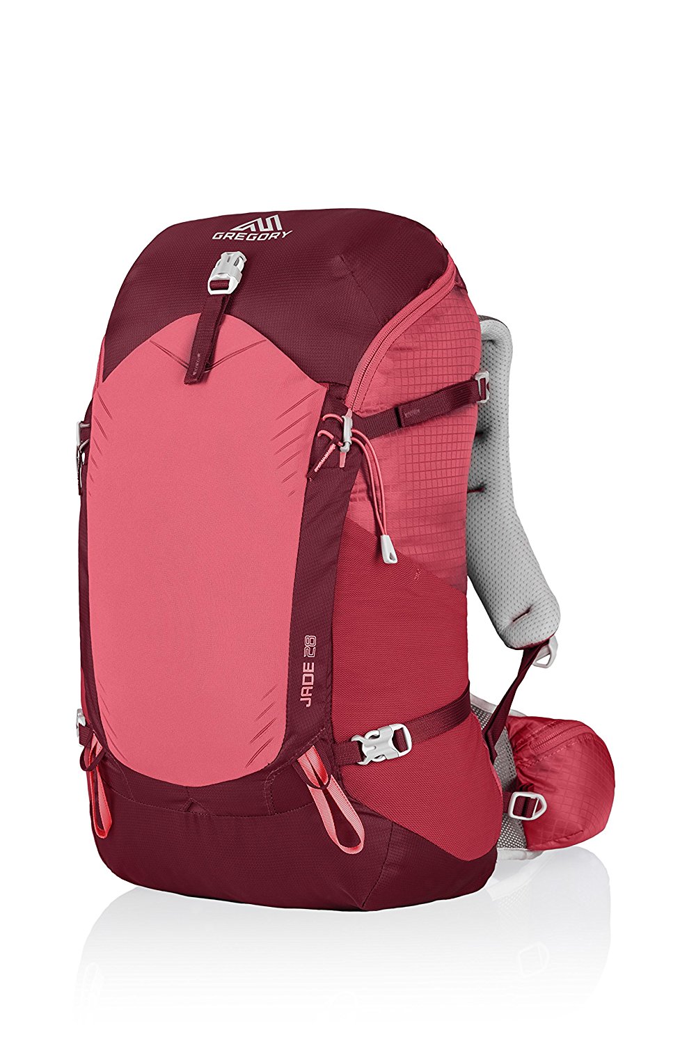
Gregory BackPack - My Favorite Brand
Do not forget your quick-dry microfiber towel!
Booking.com
My absolute favorite book on how to be a pilgrim:








Your Opinion Matters! Comments
Have you had a similar experience, have some advice to give, or have something else you'd like to share? We would love to hear from you! Please leave us a comment in the box below.