- ~ Home
- ~ Camino Portugués (The Portuguese Way)
- Day Twelve, Agueda to Albergaria-a-Nova
Jump to Camino Portugués Stages
Day Twelve on the Camino Portugués
~ Águeda to Albergaria-a-Nova, 22.3 Km (13.86 mi)
Disclosure: the PilgrimageTraveler.com is an associate of Booking.com, Roamless, and Amazon. As associates of these merchants, we earn from qualifying purchases from our links.
Day twelve on the Camino Portugués, was a historical day, filled with old mansions and a 2nd Century Roman bridge, to capture our imagination.
While the traditional stage is from Águeda to Albergaria-a-Velha, for only a 16 kilometer day, we decided to go only 6.5 kilometers more to Albergaria-a-Nova. This shortened our next stage, day thirteen to São João da Madeira, from 28 kilometers to only about 23 kilometers, for two more reasonably staged days, in our opinion.
Albergaria-a-Nova is not as large nor as attractive as Albergaria-a-Velha, so make your own decision here! It's the difference between an old town and a new industrial one! But the albergue where we stayed in Albergaria-a-Nova was wonderful, and they even drove us to the grocery store, free of charge, to get food to make for our dinner!
“Life is a pilgrimage. Each moment is to be lived in depth, because each moment contains God, hidden within it.” ~ Banani Ray, Glory of OM: A Journey to Self-Realization
I felt like I had many God-moments on this stage of our Camino. I definitely get charged up when I feel like I am walking on the ancient paths, and this would be true for our day twelve on the Portuguese Way.
🙋♀️ Why Trust Us at the Pilgrimage Traveler?
We’re not a travel agency ~ we’re fellow pilgrims! (See About Us)
We've trekked Pilgrimage Routes Across Europe since 2014!
💬 We’ve:
- Gotten lost so you don’t have to. 😉
- Followed waymarks in the glowing sunlight, the pouring rain and by moonlight. ☀️🌧️🌙
- Slept in albergues, hostels & casa rurals. Ate and drank in cafés along the way. 🛌 😴
- Created comprehensive and downloadable GPS maps and eBook Guides, full of must-have information based on real pilgrimage travels. 🧭 🗺️
- Shared our complete journeys, step by step to help YOU plan your ultimate pilgrimage and walk with your own Heart and Soul. 💙✨
Every detail is from our own experiences. Just fellow pilgrims sharing the Way. We have added a touch of spirituality, heartfelt insights and practical guidance from the road ~ offering a genuine connection to the spirit of pilgrimage. Tap into the wisdom of seasoned pilgrims!
Ultreia and Safe Pilgrimage Travels, Caminante! 💫 💚 🤍
Map and Stats of Day Twelve on the Camino Portugués
Here is my Google map, uploaded from my GPS files. Remember, I included albergues, hotels, cafés and grocery stores on the map for your convenience.
You can see the two separate routes from the center of town, at the large roundabout just after crossing the river. The official route is in blue, and the shortcut route in red. The red route is also the one you would have taken if you stayed at the Albergue Sto. António.
The official route is longer by only 400 meters and will take you on quieter roads. There is little elevation difference, at most, only 10-15 meters.
If you have taken the red route to the albergue, you can subtract 1.2 kilometers from the totals for this day, and 50 meters in altitude change.
This stage has many more cafés than most, but as always, I advise to carry snacks and plenty of water, at a minimum, at all times.
For the elevation changes on day twelve, on the official route from the center of town, you can see the climb up from the river in the beginning of the day. Then it is essentially flat until a small drop to the Vouga River, and back up, and a slow, steady and barely noticeable climb to Albergaria-a-Velha, followed by a cruise into Albergaria-a-Nova.
 Elevation Profile for Day Twelve, Camino Portugués, From the Center of Águeda to Albergaria-a-Nova
And this is the shorter route, if you are starting from the Albergue Sto. António. There is no climb up from the river, just a brief climb after the albergue.
 Elevation Profile for Day Twelve, Camino Portugués, From the Albergue Sto. António in Águeda to Albergaria-a-Nova
👣 Camino Portugués eBook Guides
Enjoy all the valuable info from our web pages ~ offline, ad-free, and beautifully formatted, including our photos. Why carry a heavy guidebook when you can use a nimble digital version on your device?
Our guides are frequently updated and uniquely entertaining, as we share our own Camino story along the way.
📲 Instant download. 💸 Money-back guarantee. 🔄 Free updates for 1 year.
Buy only what you need ~ or grab all four for the price of three (25% savings). Click here for more information or BUY NOW at only 17.85!
Jump to Camino Portugués Stages
Photo-Rich Travelogue of Day Twelve on the Camino Portugués
The Route from the Albergue Sto. António
We started out our day, making a delicious and hearty breakfast of eggs, toast, coffee and fruit, in the kitchen at the most hospitable Albergue St. António and Residencial Hotel Celeste complex.
We set off early, at dawn and walked out the door and directly onto the not-so-hospitable N1 highway, below. But the shoulder was wide enough and it was too early for much Portuguese traffic, so we felt safe.
After about 1.6 kilometers on the N1, come to a large roundabout with an "Águeda" sign, a McDonalds and the Residencial-Restaurante, O Trindade.
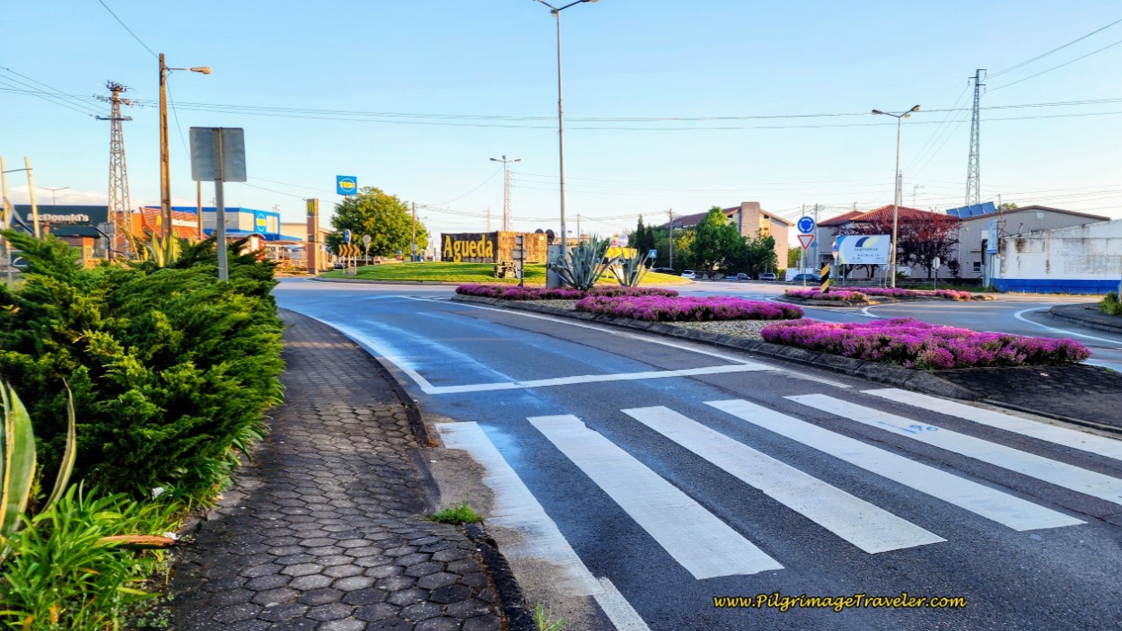 Continue on N1 at Roundabout
Walk straight through the roundabout and after a few more meters, pass a pastry shop and the Residencial Castro (+351 234 644 356).
After about 2.2 kilometers total, look for a lovely little triangular park to the right of the highway, pictured below, with a welcome to Vila de Mourisca do Vougo sign.
Cross over the highway when appropriate and take the diagonal pathway through the park to join the Rua Liberdade on the north side. This intersection is where the official route joins the shortcut route from the albergue.
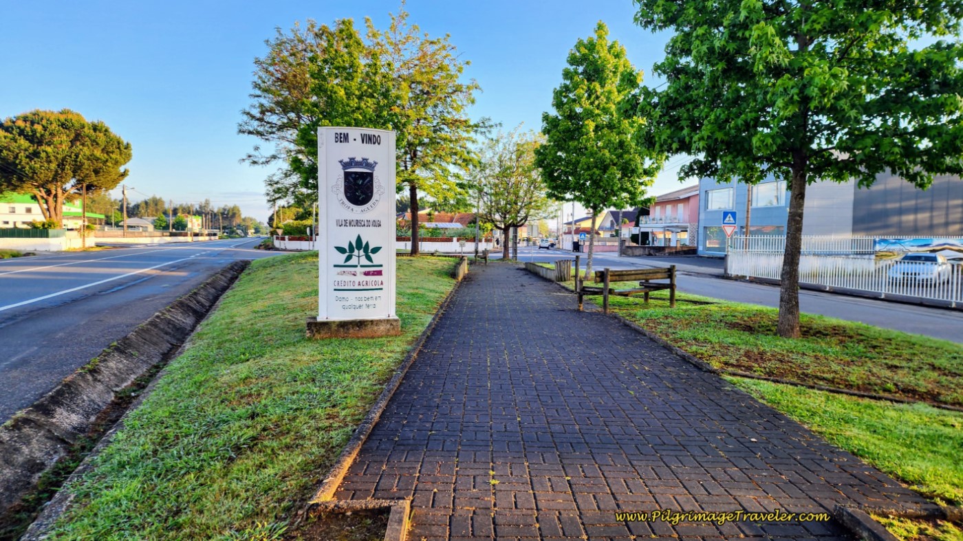 Turn Right off N1 at Triangular Park after 2.2 KM
Jump to Camino Portugués Stages
The Official Route from the Roundabout in the Center of Águeda
From the main roundabout, down by the river where you first enter Águeda, look for the waymark that leads you to the left onto the Rua 5 de Outubro (N230), to continue along the river. Somehow, I missed this turn-off twice, as both times I was going to the Sto. António albergue! If you are walking through Águeda and you wish to take the shortcut route anyway, stay straight at the roundabout, continue up the hill on the N1 for 2.3 kilometers all the way to Mourisca do Vouga.
For the official route, you will turn left and walk along the river, following the road past the point where it bends to the right away from the river, and past a small chapel on your right. Just beyond the chapel, the road ahead becomes much narrower. This is after about 1/2 kilometer total, when you need to look for a right hand turn onto the Rua Anunciação Helena. After turning right, you will immediately begin a steep climb up and through the town of Paredes.
Less than 100 meters later, take the first turn to the right onto the Rua do Ribeiro. Follow this street as the climb continues, staying to the left at a Y-intersection, and for about a total of 400 meters until you come to an intersection with railroad tracks on the other side. You are about one kilometer from the start at the roundabout.
Cross the road in front of you and find an opening to cross the railroad tracks as well. On the other side of the tracks you will see yellow arrows, first directing you to cross another street on the other side of the tracks and second, to stay straight and down the hill onto the Rua Vale de Erva.
Continue on the Rua Vale de Erva, and at the bottom of the hill, stay straight and continue the final steep climb from the river. Leave this street after about 250 meters of climbing, to turn right at a Y-intersection, onto the Rua do Portinho. You are still climbing steeply! You will remain on the Rua do Portinho for about the next 1.8 kilometers.
You are walking through the next urban area of Vale D’Erva. Eventually you will leave the town and walk through more rural countryside, until about 2.3 kilometers into the walk, things become decidedly more industrial-looking. By the time you reach the major intersection with the N1, you are in the heart of an industrial area. The Rua do Portinho ends at this intersection.
Cross over the N1 and continue through the industrial zone for another 300 meters until you come to a T-intersection with the EM578. Turn right. Walk not quite 400 meters more until you arrive at a T-intersection with a major 2-lane highway. Turn to the right, and notice the immediate left at the Rua Liberdade by a small triangular shaped park. Cross the 2-lane highway and join the route from the albergue onto the Rua Liberdade at the northside of the park after not quite four kilometers total for the day.
The first town we walked into after the turn onto the Rua Liberdade was Mourisca do Vouga.
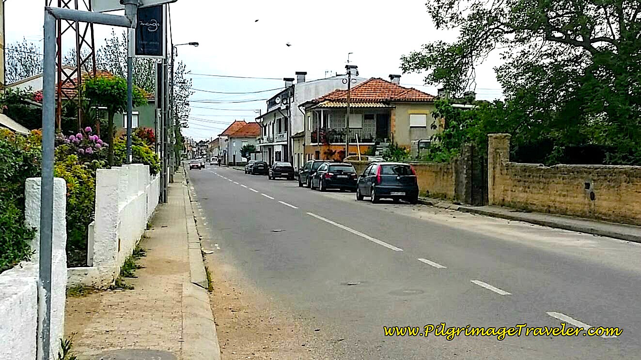 Entering Mourisca do Vouga
It was to be a most interesting town, for which I would love to know more of its history. If you know it, pass the information along to the rest of us!
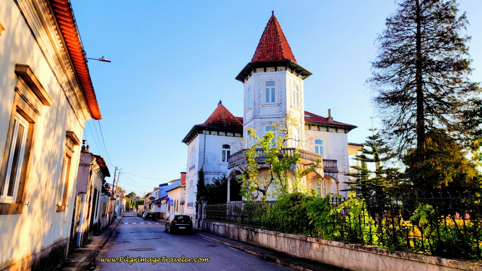
Here is the first mansion we passed by, made of gorgeous azulejo tile, across from the small church square and after about one-half kilometer along the Rua Liberdade. This one looked to be occupied and maintained, a special thing, as you will see as you keep on walking.
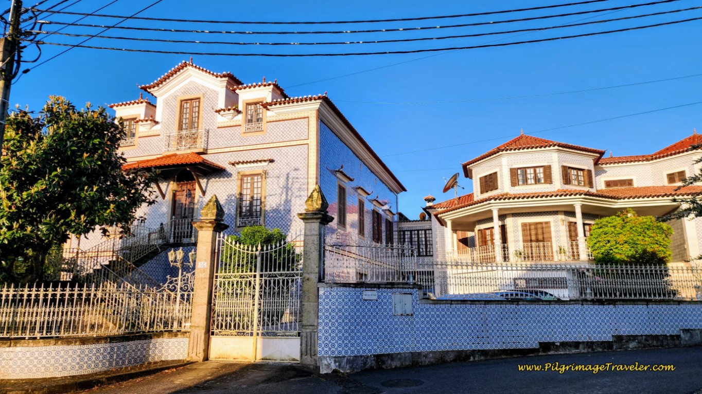 First of the Mansions in Mourisca do Vouga
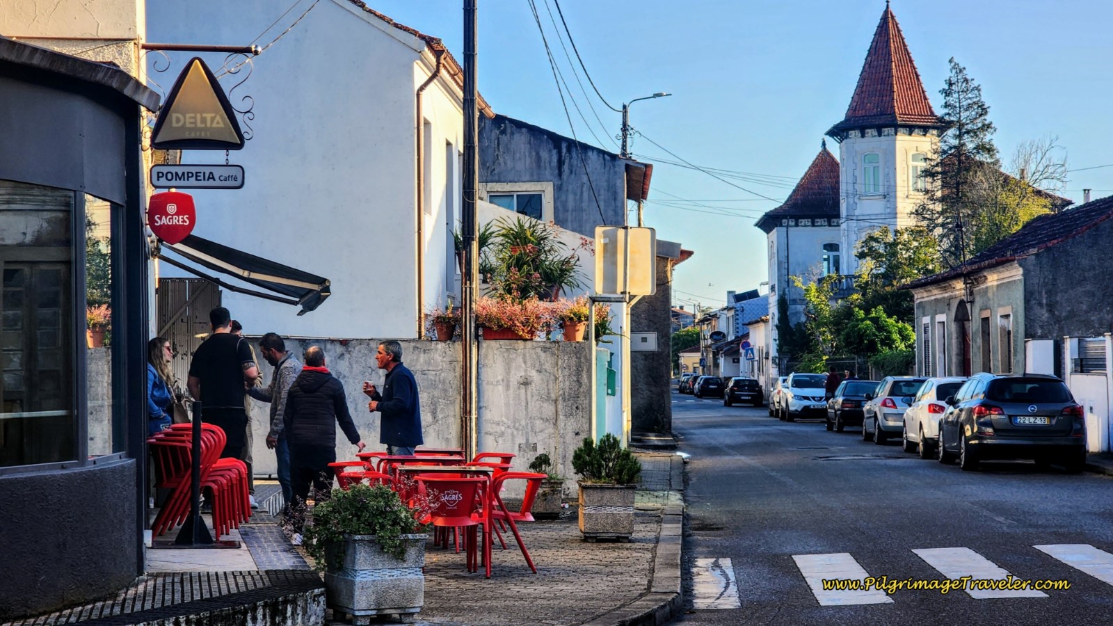
If you are interested in a café, there are many in this town, and even some that open early. Stay right here at the Pompeia Caffé to continue on the Rua Liberdade after 4.9 kilometers.
Just a bit farther along the Rua Liberdade is yet another mansion, you can see in the photo above and a close-up below, this one with a high turret. It also looked well-maintained.
Mourisca do Vouga and the connecting town of São Sebastião appear to have been quite the flourishing towns at one time. I'm not sure how these estates came to be, but I do know that this area is located in the rich, fertile valley of the Vouga River, full of vineyards, commercial forests and fruit trees.
Steps ahead at the large open church square of the Largo Sebastião Saraiva Lima, we stayed left at this intersection.
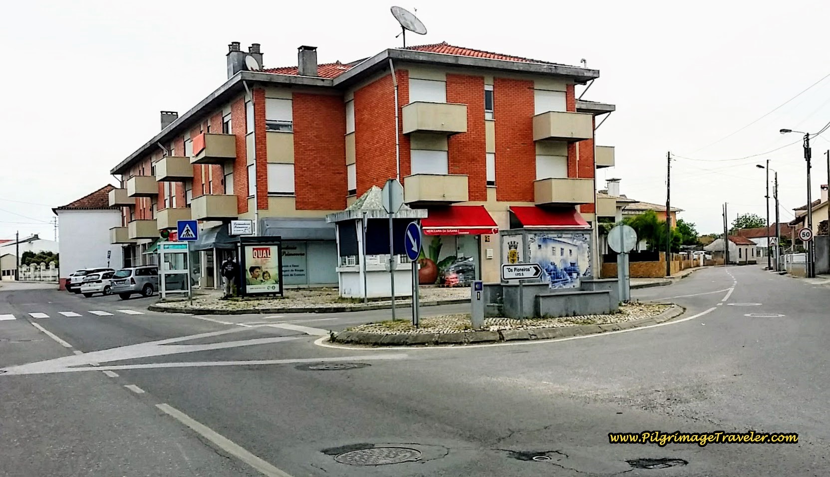 Stay Left at Largo Sebastião Saraiva Lima
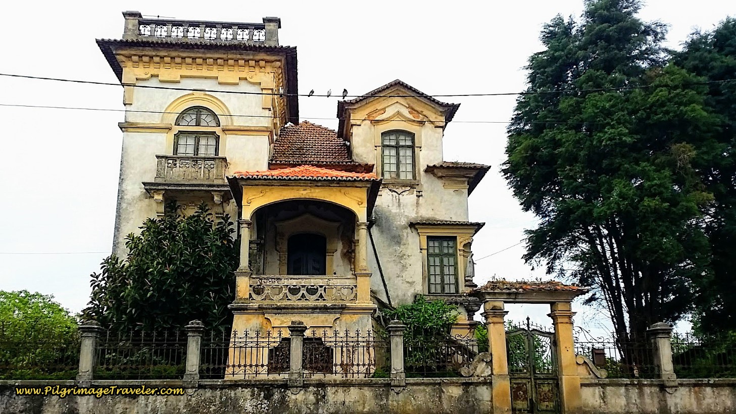
And then, the first of the grand, abandoned estates began to appear! This one was my favorite and we nicknamed it the Munsters House because it looked like something out of the 1960's comedy T.V. show of the same name. You may remember it!
From the Largo Sebastião Saraiva Lima we walked onward on the Rua 25 de Abril and quickly came to yet another dilapidated estate. I loved the widow's walk on the top of this one. But would the wife be watching for her long-gone husband in the fields instead of the sea?
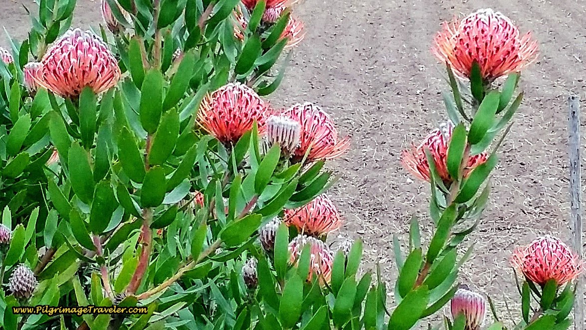
The rich gardens of the estates were gorgeous, even if some of them were overgrown. There is always a God-moment for me when I gaze upon a flower! The Protea blooms were magnificent.
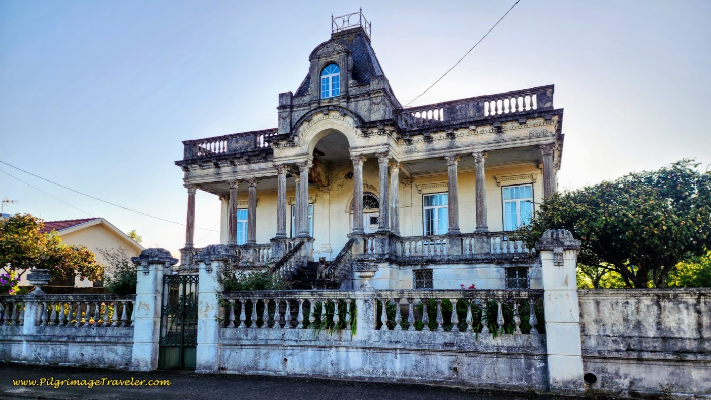
The final estate that captured my imagination:
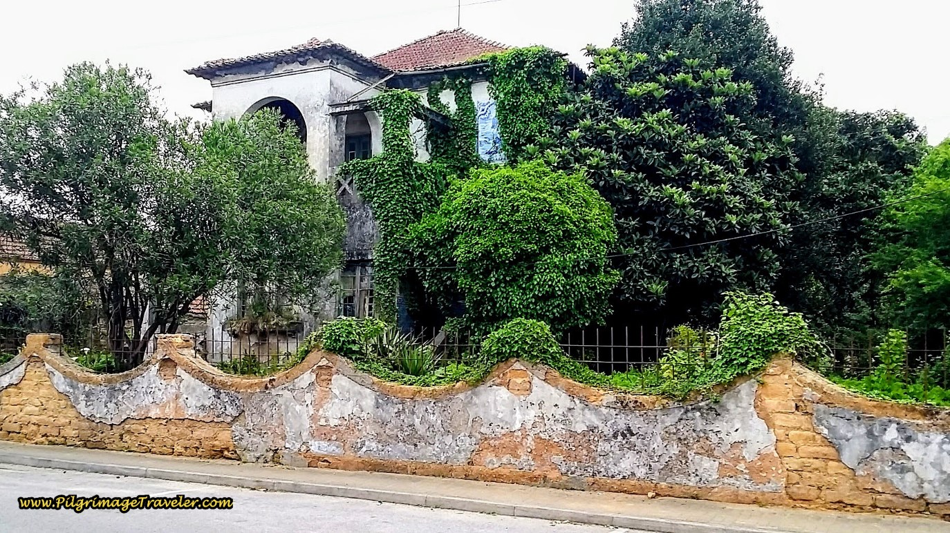 Overgrown Estate on the Rua de Abril
If only we had the time, the desire or the resources to fix-up one of these glorious estates! I do find God-moments when I gaze upon the creativity of man, and these wonderful places, despite their neglected state were something to behold.
If walls could talk, perhaps we'd know what had happened to them? Maybe an albergue or country inn conversion is calling someone's name?
And so we chattered on and on about the possibilities that lie in these old estates for minutes, if not for hours as we walked merrily onward! Fantasies are the making of dreams and dreams allow us to dare to think of possibilities, whether realistic or not!
Positive thinking and faith are closely intertwined, don't you think? You never know how your thoughts may become matter, unless you dare to dream!
A few meters after the last estate, look for a strong bend to the left on the Rua 25 de Abril and immediately cross over the N1 again, in the town of Campelinho, after about 6.0 kilometers total for the day. Join the Estrada Pedaçães on the other side. This street takes you into the next town of Pedaçães after about 1.1 kilometers and after about 7.1 kilometers total, below.
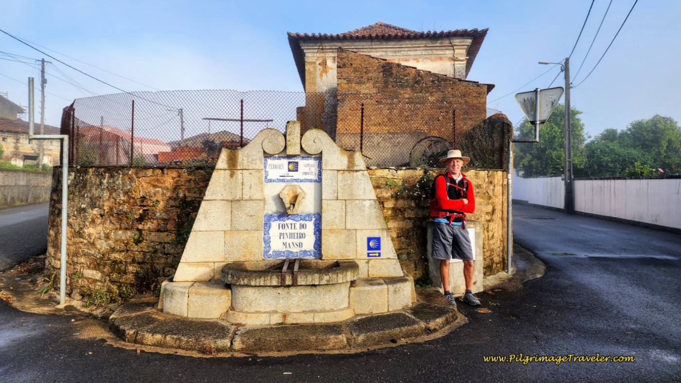
After entering the town, at its center, we turned right at the fountain in the photo, onto the Rua Espanha. There are two cafés and a minimarket to the left of the fountain a few meters away, if you need.
After another 200 meters or so, stay right at this Y-intersection, continuing on the Rua Espanha.
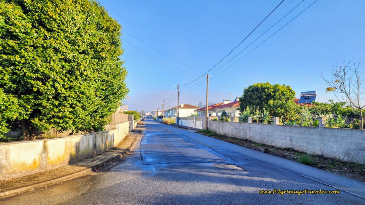
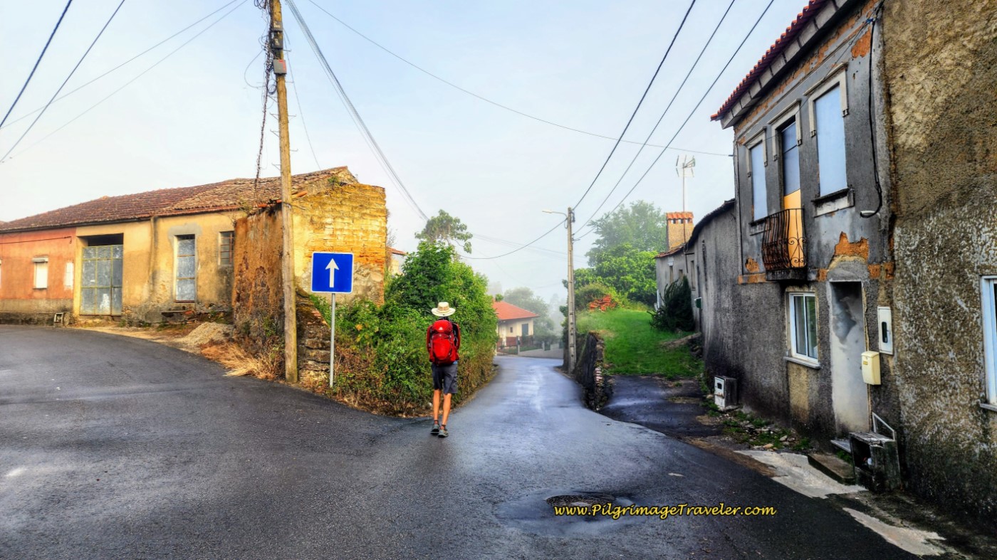 Along the Rua Espanha
A few steps later, at a T-intersection, turn right onto the Rua Costa, and continue down the long hill that you initiated at the fountain and drop towards the Vouga river.
The street drops down steeply to the N1, and once again, fortunately, crosses it onto a dirt road, pictured below. The Way stays straight immediately afterward at the dirt crossroad.
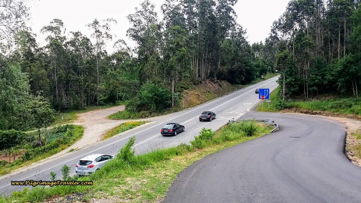 Down the Hill on the Estrada Costa and Cross the N1
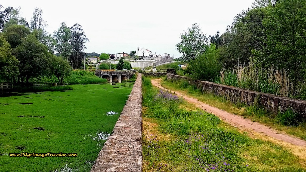
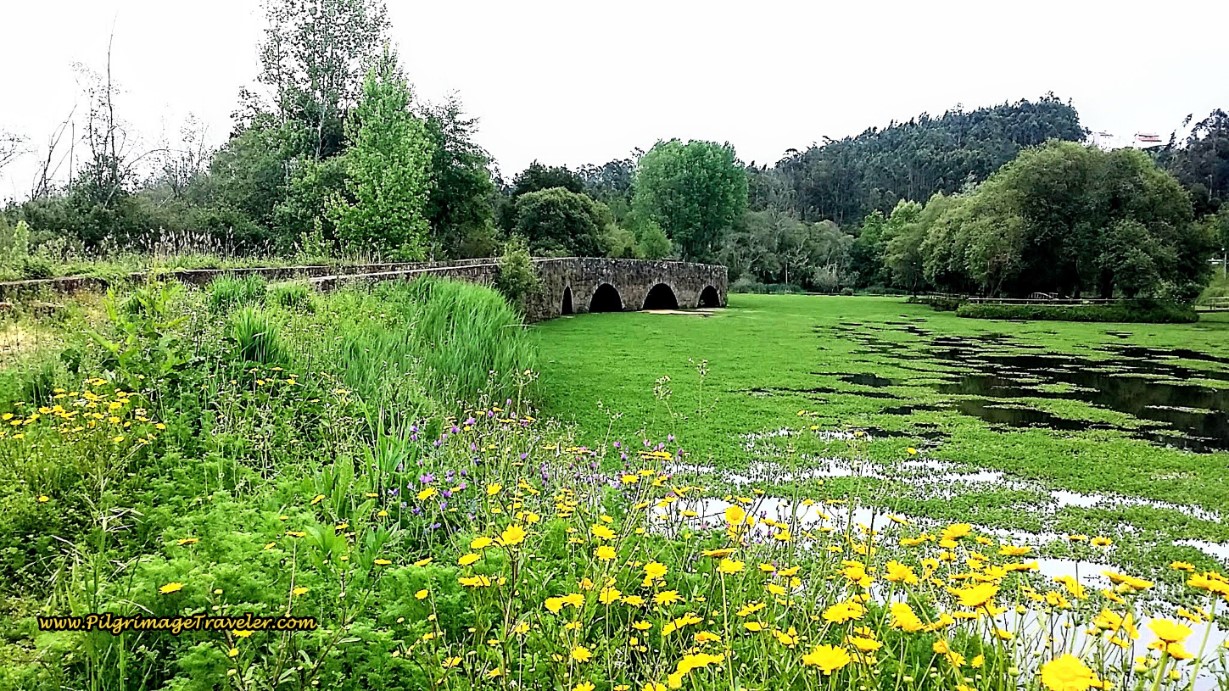
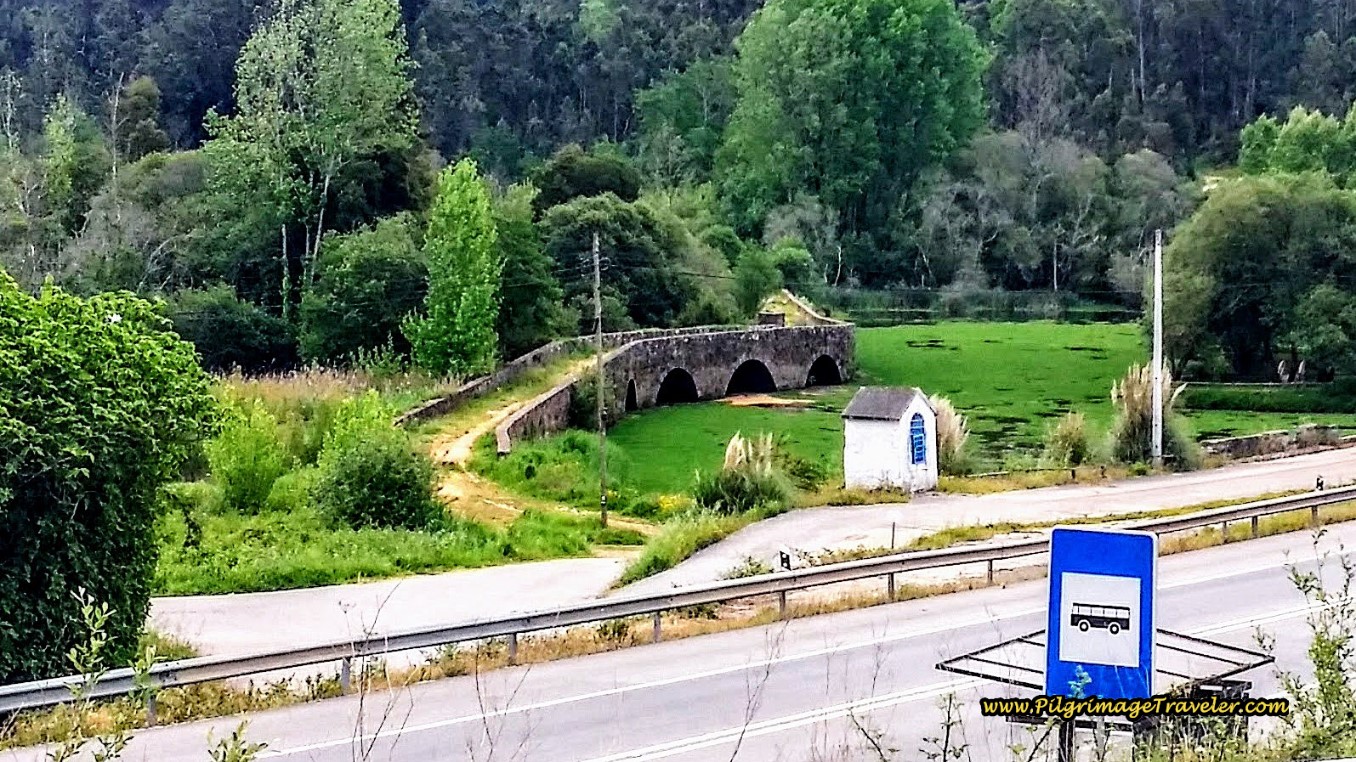
After crossing the N1, the best sight of the day was just ahead, the wonderful Roman bridge called the Cabeço do Vouga. It is also known as the Ponte Velha do Marnel or the Old Bridge of Marnel. It was probably built in the second century and is located in the village of Lamas do Vouga, in the municipality of Águeda. You will encounter the historic bridge after approximately 8.1 kilometers total.
The church of Lamas do Vouga can be seen at the end of the bridge, in the photo, below.
I felt very fortunate to be here in the spring, when the flowers and the algae were blooming. It was an inspiring sight and I actually felt like a "real" pilgrim as I imagined myself in a bygone era, walking across this bridge. This was most definitely a God-moment for me.
An interesting feature of this bridge is that the archways are asymmetric. None are of the same dimensions! I wonder what prompted this architectural feature.
After crossing the Roman bridge, follow the path under the tunnel of the N1 and the dirt lane leads you to the right and up and to the Rua Freguesia Santa Maria de Lamas. When you reach this T-intersection, turn right. As we climbed upward towards the town of Lamas do Vouga, we caught our final glimpse of the Ponte do Cabeço do Vouga, below.
Jump to Camino Portugués Stages
Continue climbing on the Rua Freguesia Santa Maria de Lama toward the church of Lamas do Vouga at the top of the hill. At the top we were about 8.5 kilometers into our day.
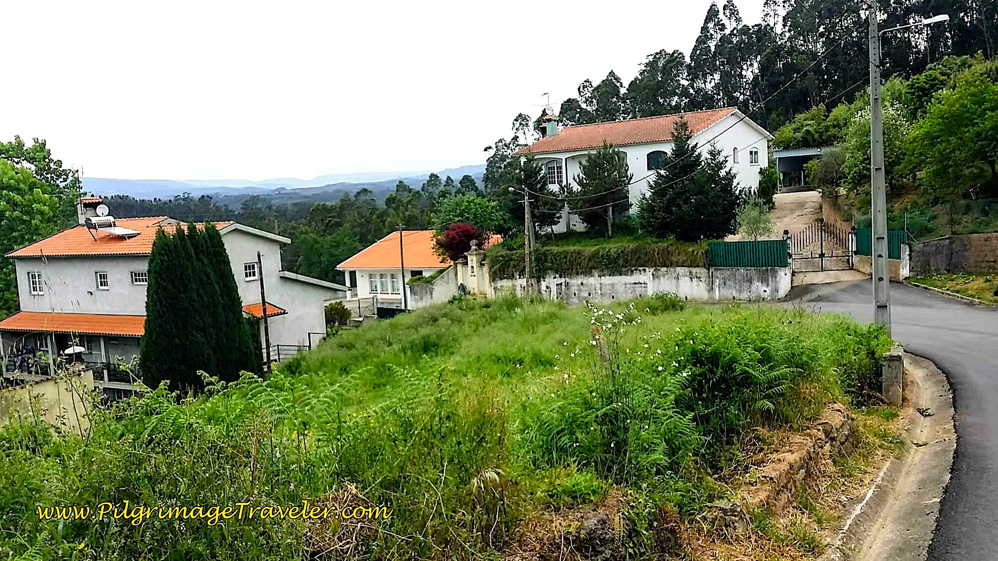
Drop down the other side of the hill and pass a fountain. 150 meters past the fountain, the street bends to the right and joins the N1, below, turning left toward Porto! It was the first time that it hit us that Porto was only a two-and-a-half day walk away! Indeed, our spirits were lifted.
This moment was my first actual realization that we were halfway to Santiago de Compostela and we could truly make it! Without a doubt, a God-moment.
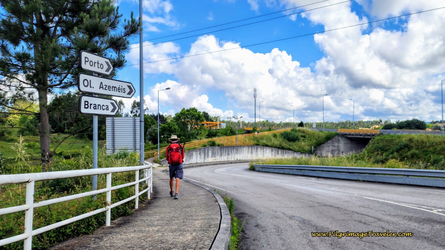
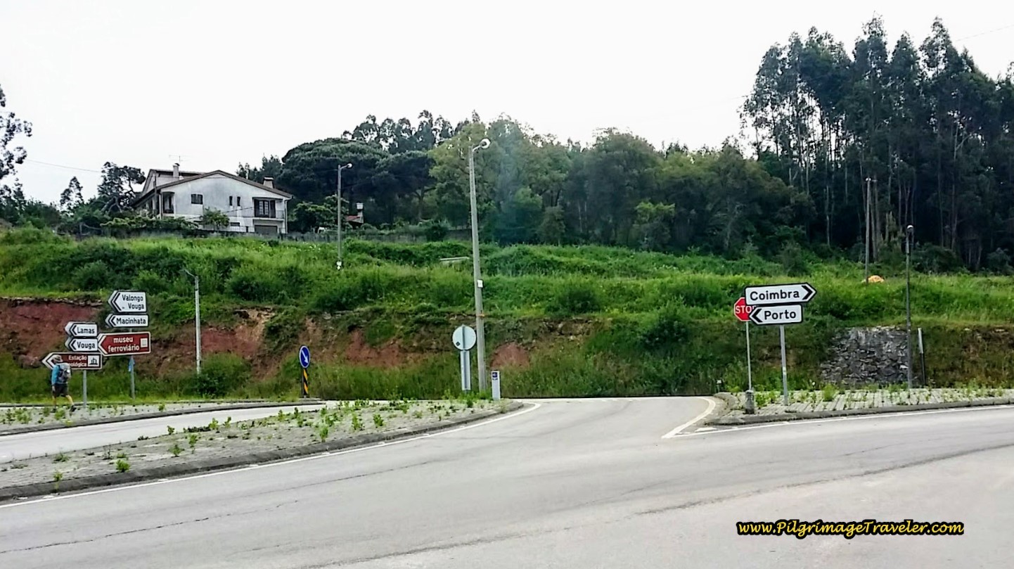 Turn Left onto the N1 Toward Porto
Even though the shoulder was wide on this part of the N1, the traffic was intense, and the fumes worse, with lots of trucks and speeding cars.
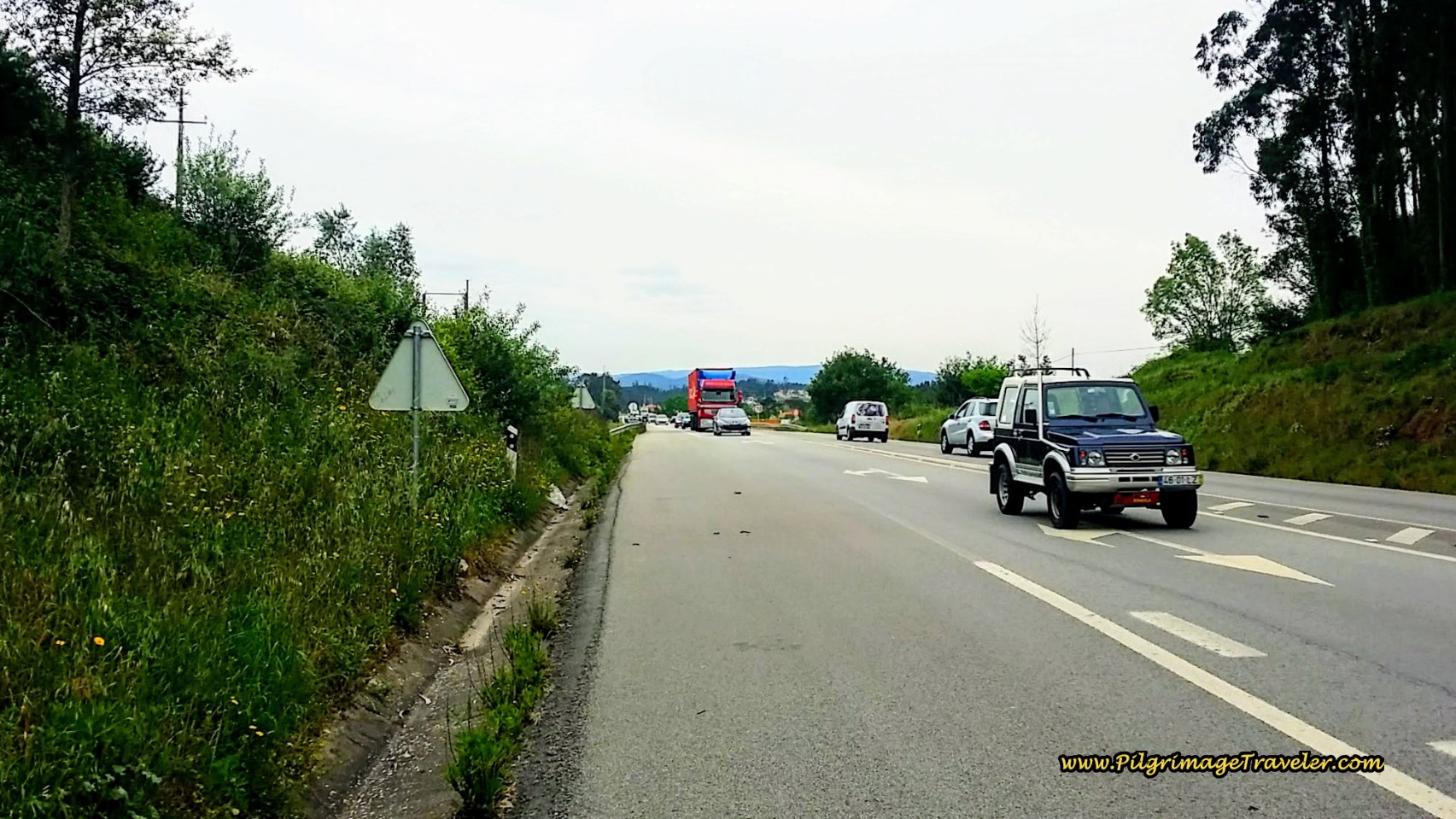 Walking on the N1, Once Again
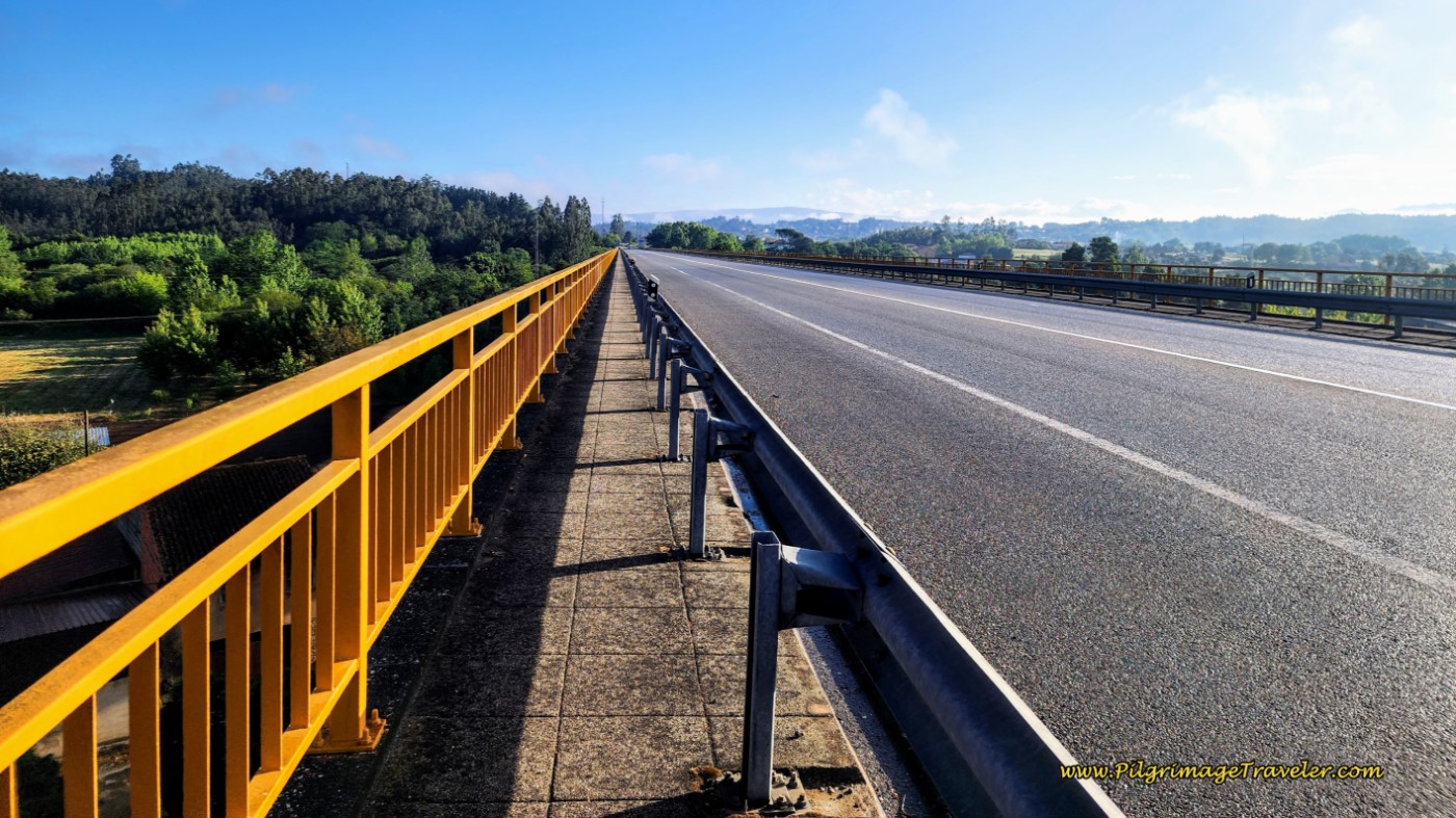
Fortunately it is only a few hundred meters before the long bridge across the Vouga River is available, with a sidewalk and a guardrail to protect the pilgrimage traveler! So put your head down, and "get 'er done!"
After crossing the long, high bridge, it is less than 300 meters before one leaves the N1 to turn left here at this intersection. (If you were to turn right instead, a few meters onward is the Quinta da Mesa.)
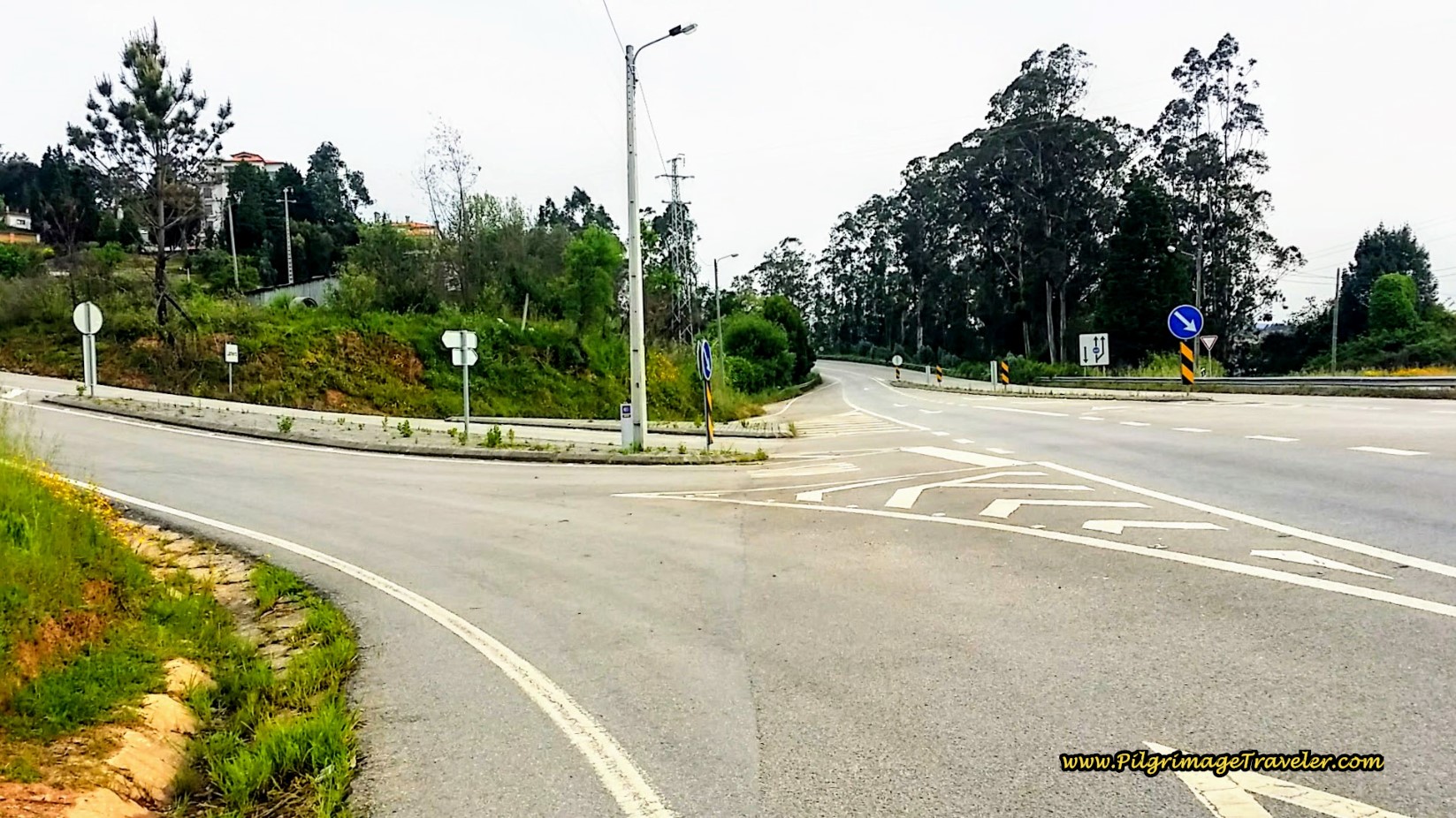 Turn Left Off the N1 Here
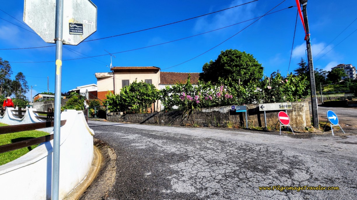
As you exit the N1, there is a café on your left, and up the hill a few more meters, bear to the left and towards the sign pointing to the next town of Serém de Baixo, below.
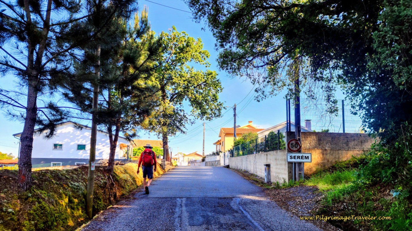
Begin a long climb into town on serene country roads. After only 2/3 kilometer, come to the town sign, below.
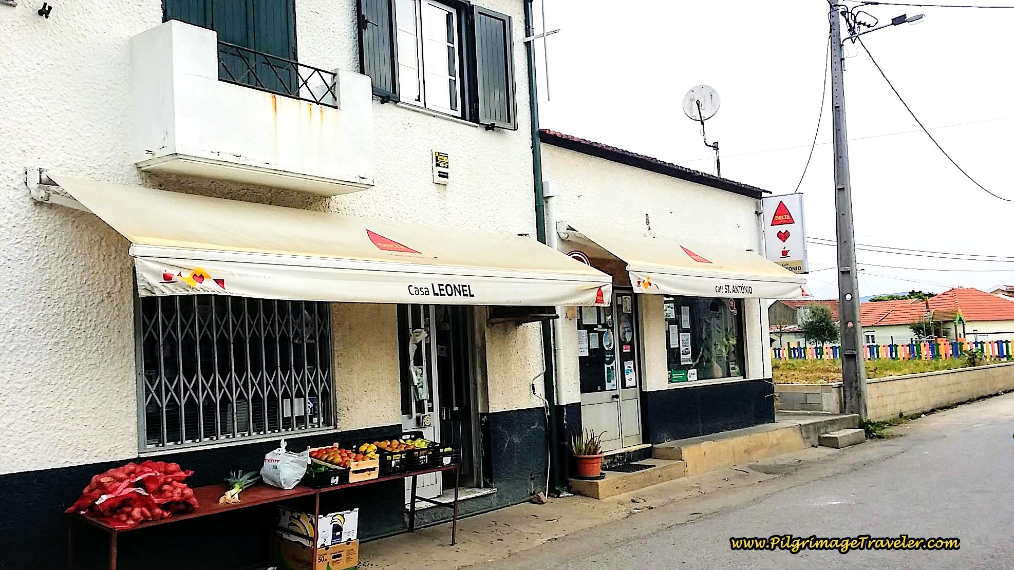
After about 10.9 kilometers, we decided it was time for a pit stop when we stumbled onto the Café St. António at the first intersection in Serém. The usual café con leite and pastries were the welcome lift we needed, halfway through the day.
If you need supplies when you arrive here, there is also the market next door, the Casa Leonel. Our packs were full from the Lidl market by the albergue in Águeda, so we were good.
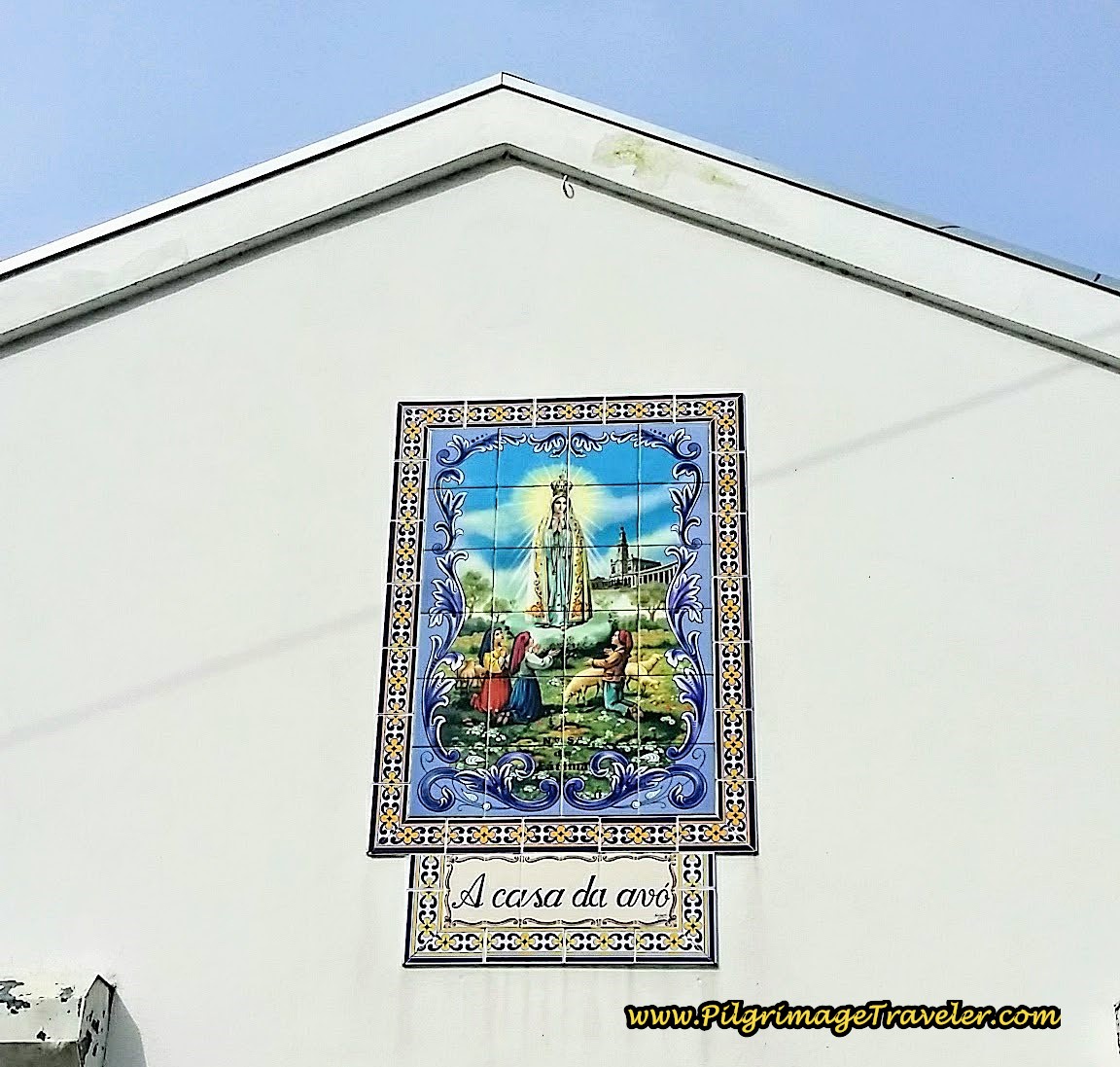
After our break we encountered another beautiful Fátima mural on a home along the main road, the Rua Central in Serém. Another God-moment. I breathed in the legend and the hope as I walked by.
Jump to Camino Portugués Stages
700 meters past the center of town and the café, walking on the Rua Central, the Caminho Portugués finds a side street lane and follows it to the right, pictured below.
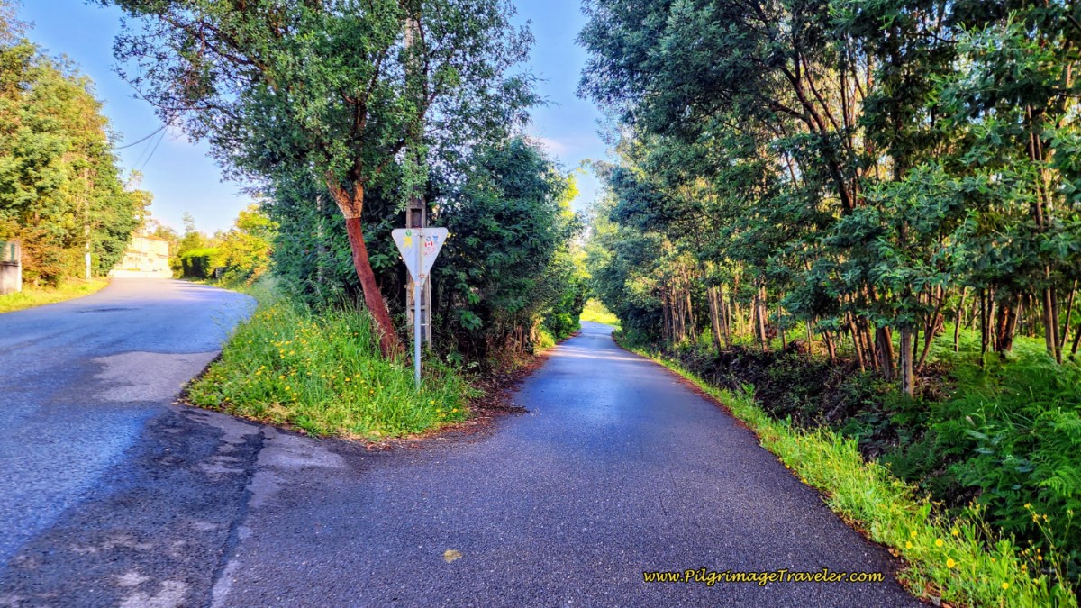 Turn Right Off Rua Central to Paved Lane, Day Twelve, Camino Portugués
The paved lane ends in 200 meters, turns into a trail, and less than 100 meters later crosses a paved road, the Estrada Paus and goes straight on, into a eucalyptus forest after approximately 11.9 kilometers.
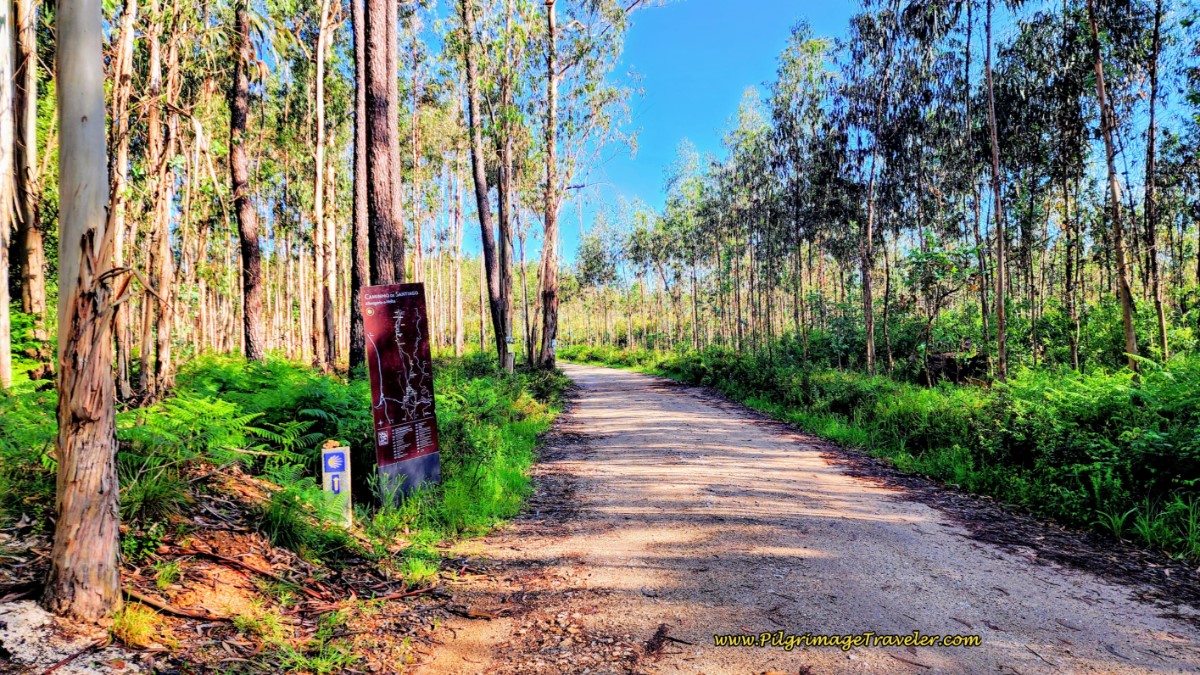
Immediately after the crossing, veer to the left and onto this dirt lane, below, named none other than the Caminho de Santiago.
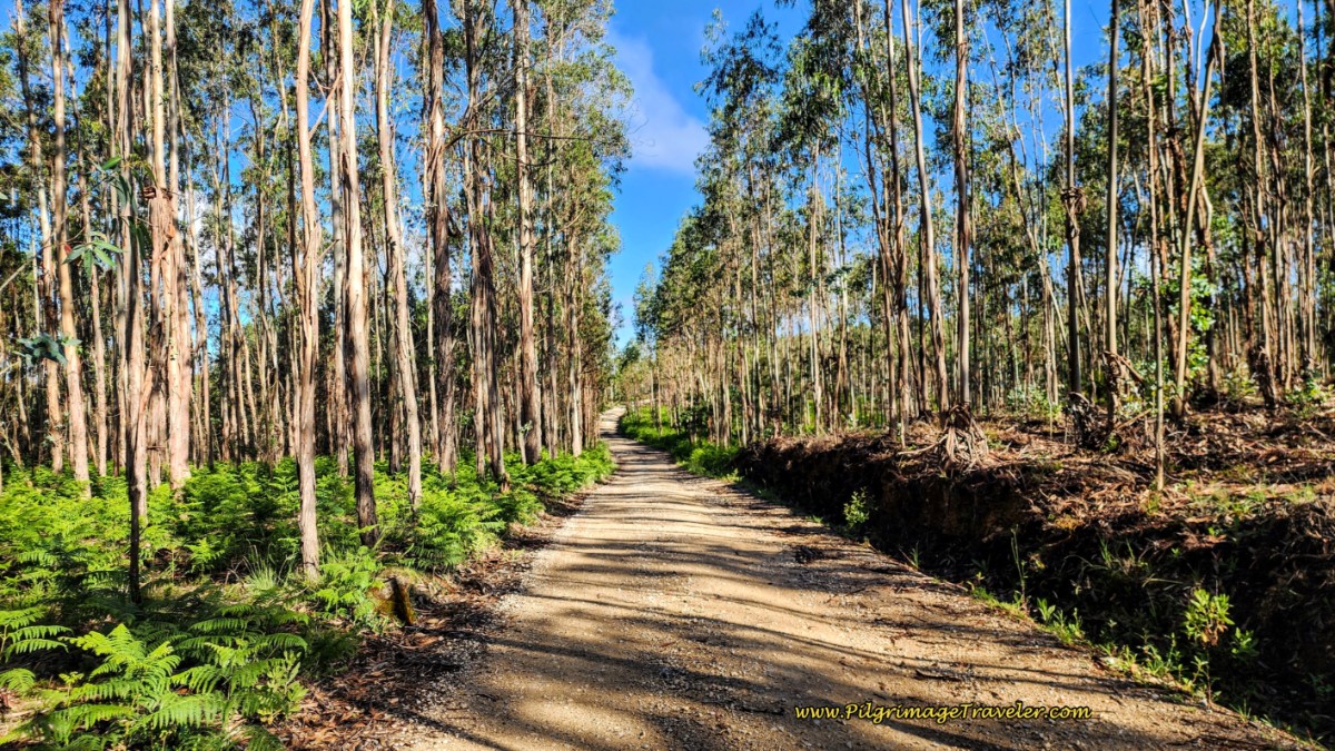
And then it was onward, along the long, eucalyptus-lined Caminho de Santiago, below. You will remain on this dirt lane for 2.5 kilometers. There is only one intersection to be mindful of through the forest, where the road bends to the left after about 1.6 kilometers, however, the turn is well-marked.
It is at this place, below, when the road becomes the Largo Liz and you can see the buildings of the next town of Assilhó ahead.
At the end of the forest road, we came to a T-intersection and made a right turn onto the Rua Dom Dinis, after about 14.5 kilometers and crossed over a major divided highway on a bridge.
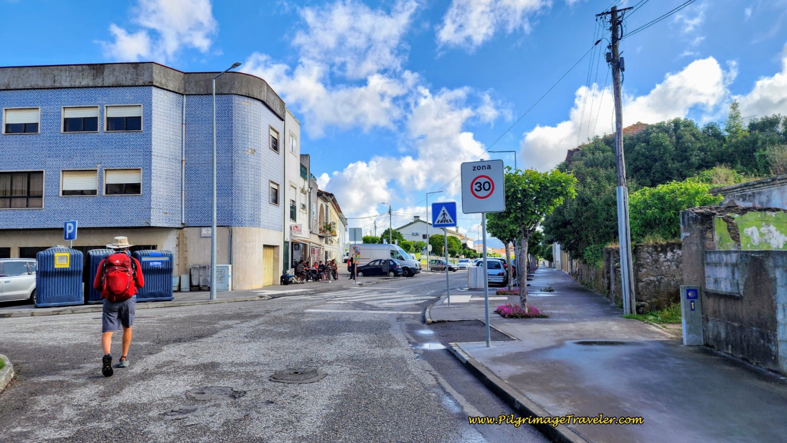
After crossing the bridge, enter the Assilhó town proper, below.
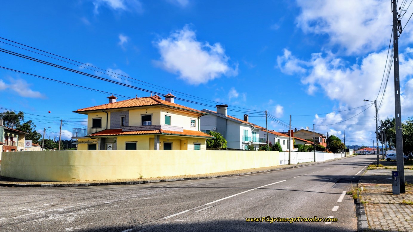 Entering Assilhó
Next, you will walk by the giant Intermarche grocery store (not pictured).
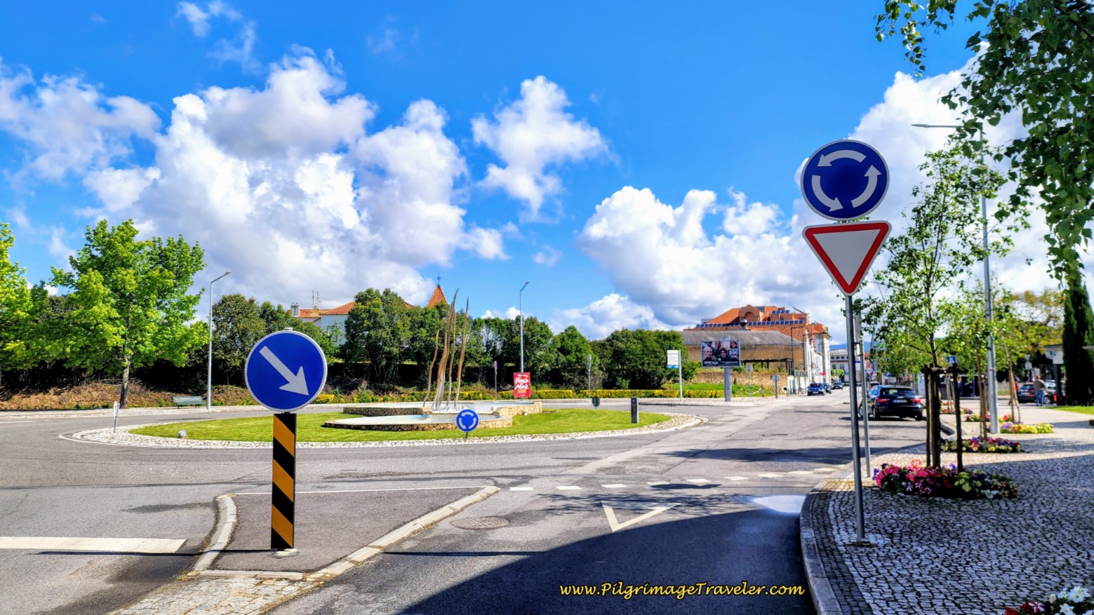
You will come to a large roundabout after about 15 kilometers, where you take the second right, to the left of the large multi-story building, seen below.
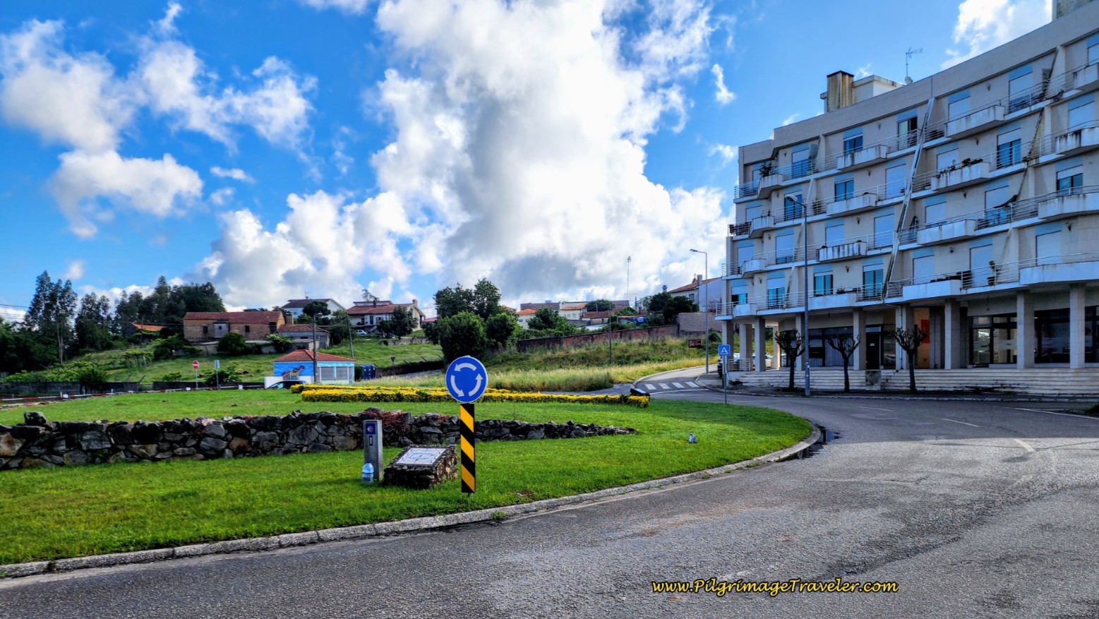
After the roundabout, climb a hill while the street bends to the left, and come to a large square called the Largo Misericórdia, below. Turn to the right at the square. Just beyond the square there is a café, on the left, in the distinctive azulejo tile building, shown below, and another café, farther along on the left.
You are approximately 15.5 kilometers into your day twelve on the Camino Portugués, here in the square at the center of Assilhó, so a stop here might be on your radar.
Pass by the Estúdio Albergaria, right after the cafés.
And then, a mere stone's throw away and we entered the large town of Albergaria-a-Velha, the old town. "Velha" means old.
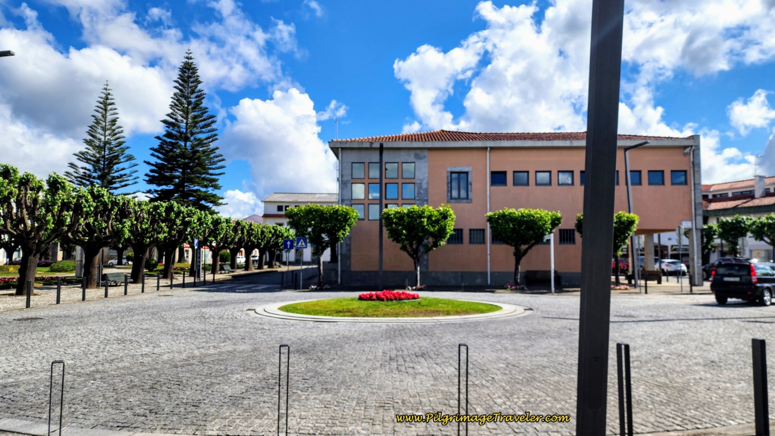
The Albergue de Peregrinos Rainha D. Teresa, is right along the Way and just before this roundabout below, in the center of town, with a wire-like sculpture. Click on the link for their Facebook page for more information.
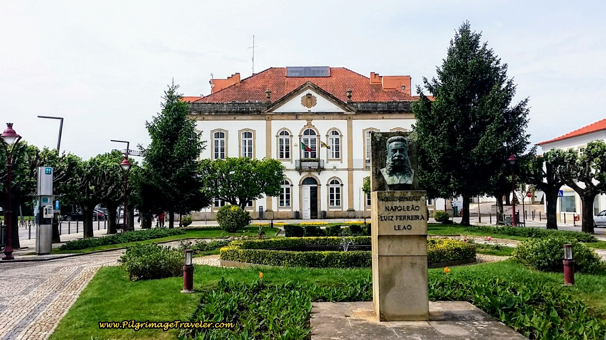
Less than 200 meters later, come to a second roundabout, below. Just to the left of the roundabout you can see the lovely tree-lined Praça Ferreira Tavares which houses the Town Hall in the southern end, see next photo. You will have to look left at the roundabout to see it.
As discussed in the introduction to this day twelve on our Camino Portugués, despite many amenities in the old town of Albergaria, at only 16 kilometers, we decided to walk on to Albergaria-a-Nova, or the "new" Albergaria, only 6.5 more kilometers down the road and the albergue there.
If your Camino lands you in Albergaria-a-Velha for the night and you do not wish to stay in the albergue, click here to see the accommodations available. There are lots of cafés and other amenities in this town.
After walking through the main square, and less than 100 meters onward, we turned left onto the Rua Hospital. A right turn instead would take you in a few steps to the Estalagem dos Padres AL, (+351 930 610 380).
After a few steps on the Rua Hospital, come to a square with a fountain, called the Largo Primeiro Dezembro. A right turn at the fountain brings you to the Pensão Parente, (+351 234 521 271) in a few meters, another very economical dormitory accommodation.
Otherwise, continue straight on the Rua Hospital, passing the castle-like building that houses the Albergaria-a-Velha municipal library on your right and through this intersection, 100 meters later, below. The street is now the N16.
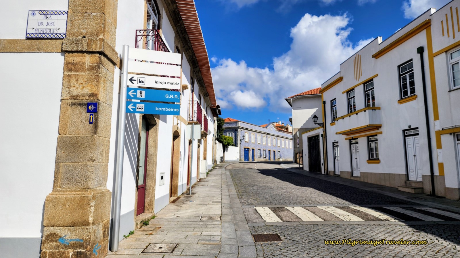 Straight on from the Rua Hospital
Jump to Camino Portugués Stages
Continuing to walk straight and north on a gentle uphill out of Albergaria-a-Velha, after a total of 850 meters through the suburbs, we approached the busy N1 once again.
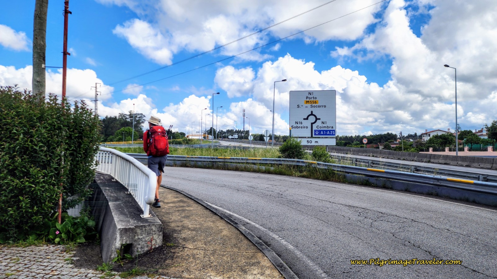 Approaching the Familiar N1 Once Again
However, the N16 does not intersect the N1, but bends to the left, to cross straight through a large roundabout to this road, below. Continuing on this road immediately left of the N1, you will walk under it and through a tunnel.
Less than 200 meters after the tunnel, come to a T-intersection with the Rua Sra. do Socorro. Turn left.
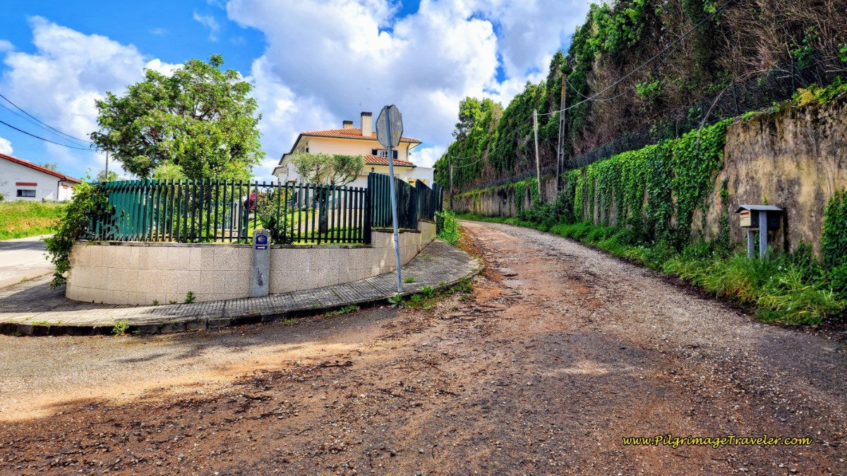
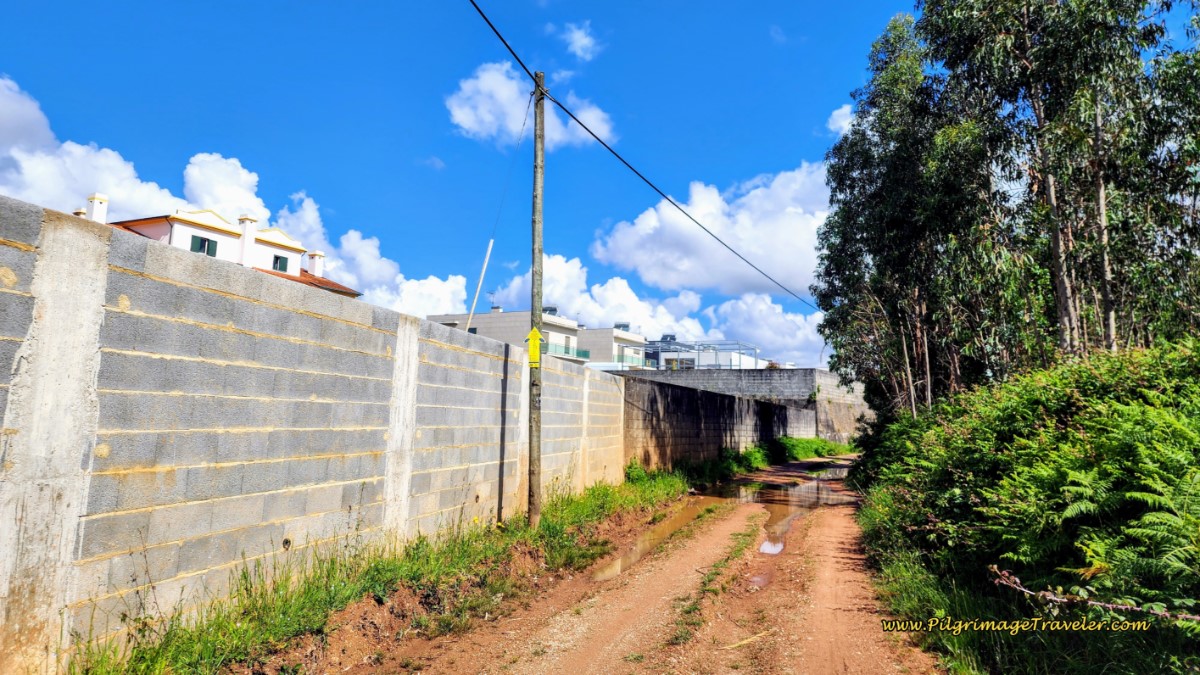
A few meters later, leave the Rua Sra. do Socorros and turn to the right, as seen in the photo below, to be back on a dirt lane, after about 17.7 kilometers into the day.
You will remain on this dirt lane for the next 1.5 kilometers and you are gradually and steadily climbing to the high point of the day.
The dirt lane will parallel a long string of houses and buildings of the town of Urgueiras on your left for about the first kilometer.
After you leave the houses, the lane bends into the cultivated eucalyptus forest, taking a sharp left turn after about 1.2 kilometers on the lane, shown below, and a total of 18.9 kilometers for the day.
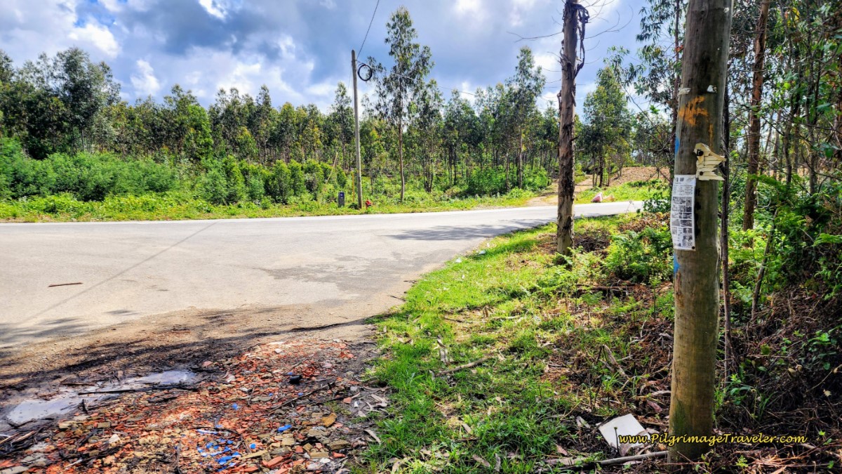
At the end of the forest path, after 19.2 kilometers, we turned left and joined a quiet 2-lane, paved road, below. The albergue in Albergaria-a-Nova is only three kilometers from here, but the steady climb is not yet over.
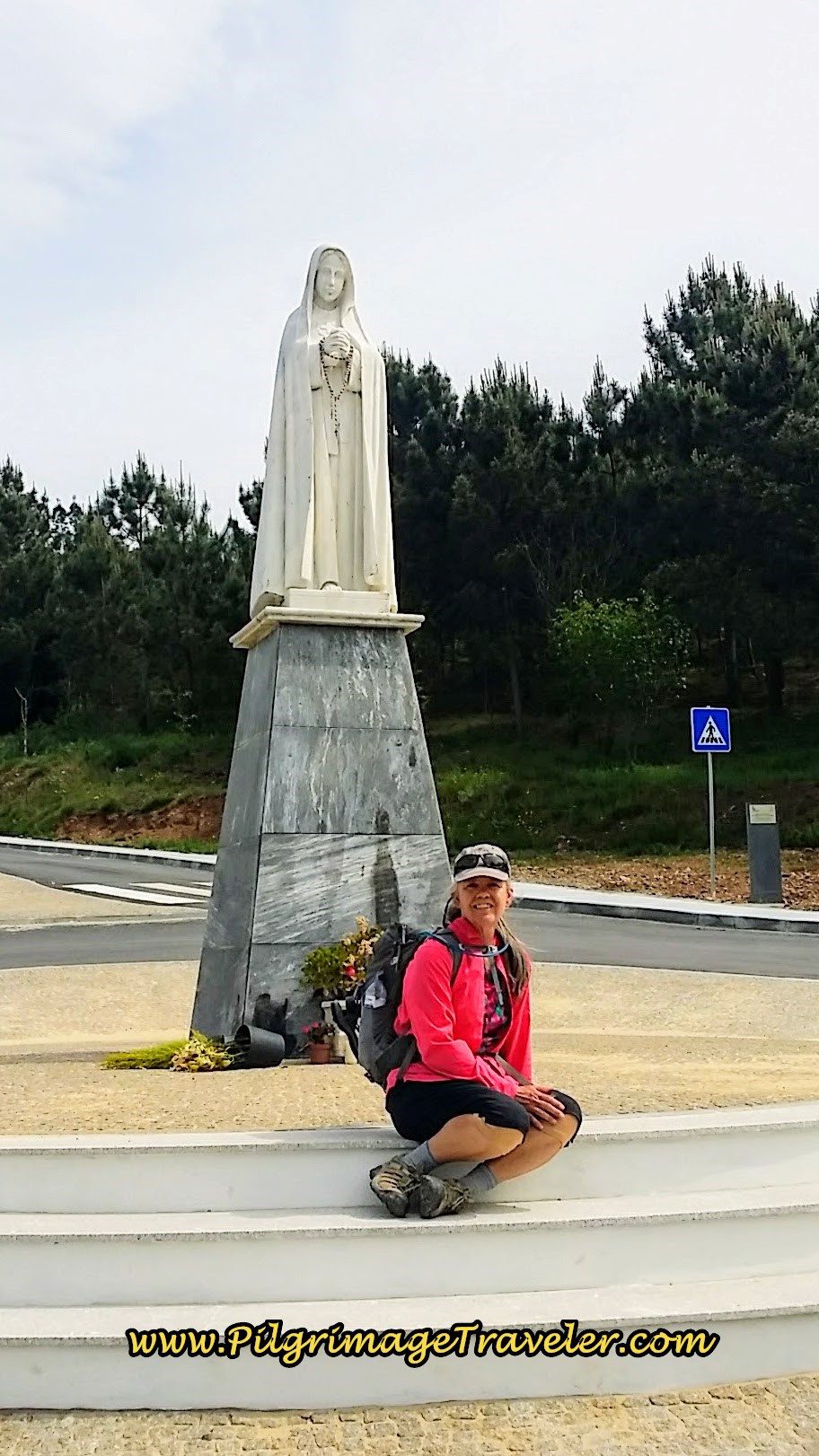
Not quite 300 meters later, at the next intersection, there is a lovely statue, below, of the Nossa Senhora do Socorro (Our Lady of Help), courtesy of the nearby diocese. You arrive here at this statue after about 19.5 kilometers total.
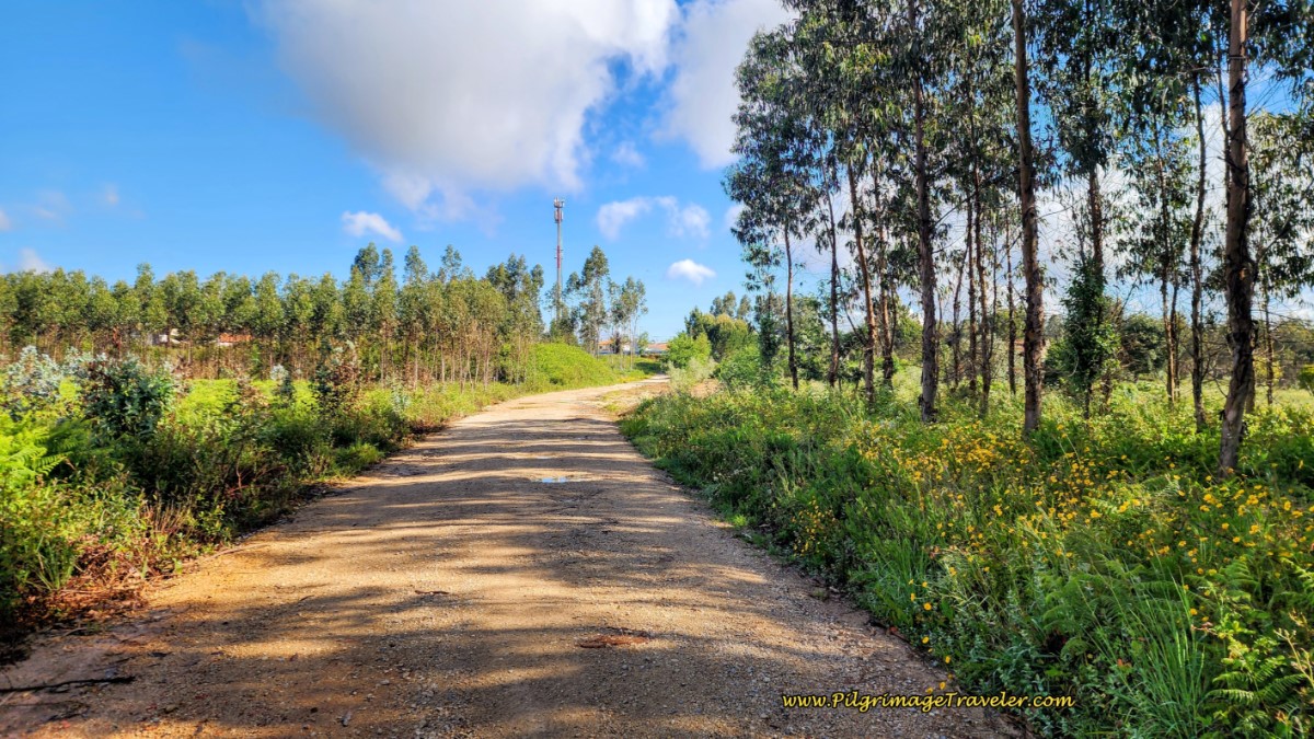
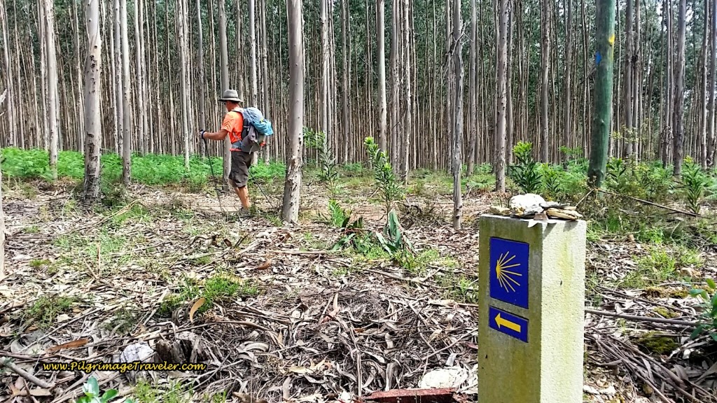
Once again, after about 800 meters from the statue, and 20.2 kilometers into the day, we veered off the paved road to the left, and onto a dirt road, into yet another eucalyptus forest for the next 1.6 kilometers of our day twelve on the Camino Portugués.
You have just crested the highest altitude for the day at this turn-off. It is all downhill from here to Albergaria-a-Nova!
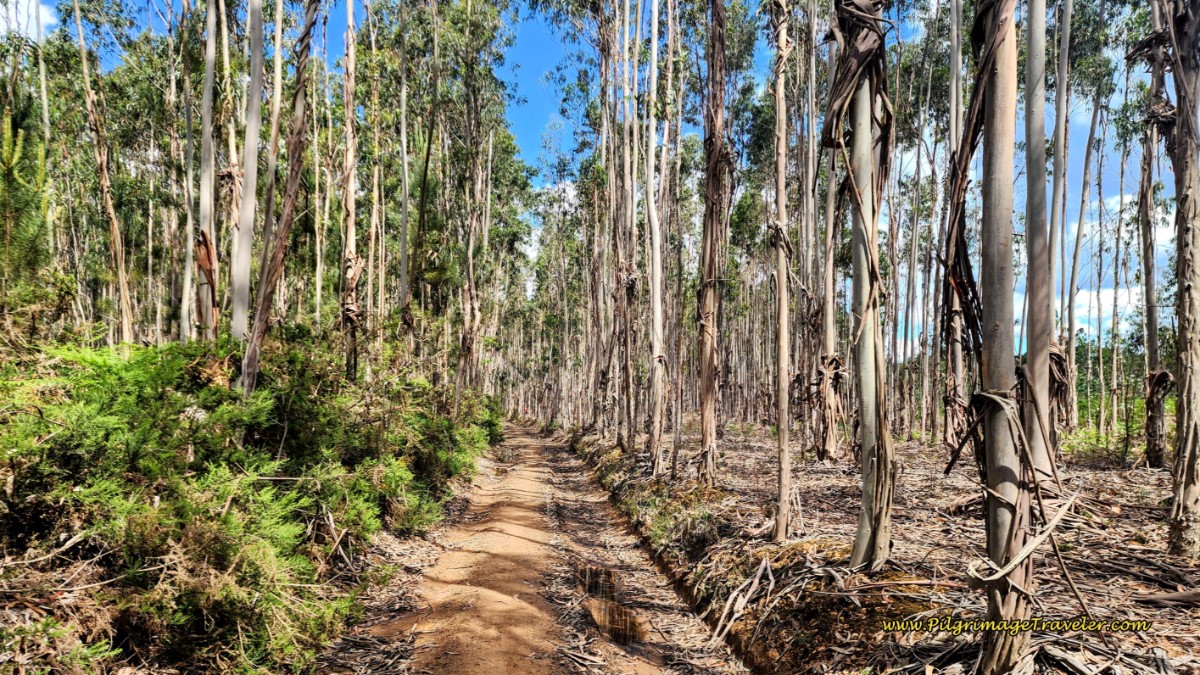 Veer Again Into Eucalyptus Forest
You will encounter several turns as you navigate the forest, the first after about 2/3 kilometer, where you will stay to the left and the second about 350 meters farther on, where you will stay to the right. It should be well-waymarked.
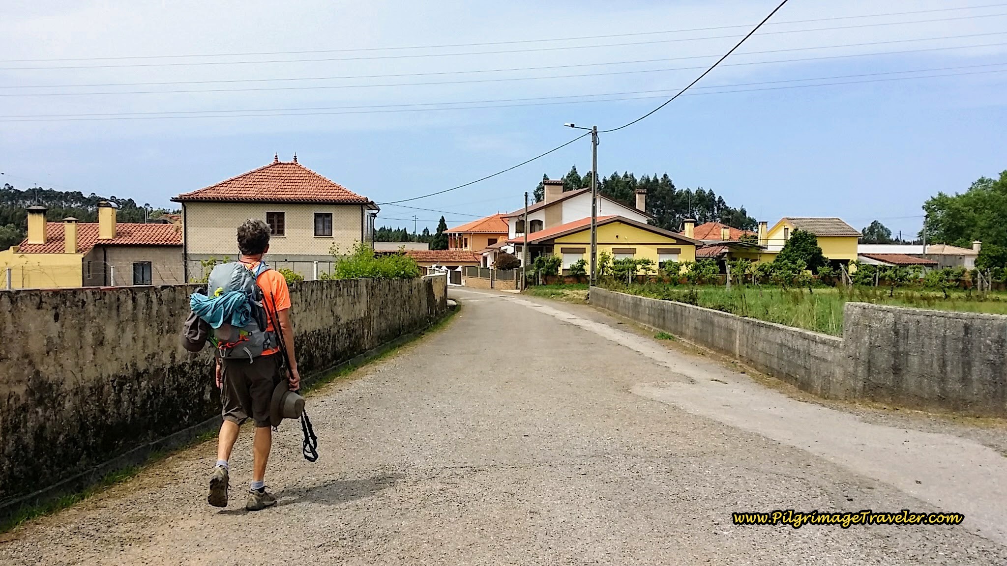
After 21.9 kilometers, you will arrive at a T-intersection at the edge of Albergaria-a-Nova. Turn left onto the paved road. You will follow this road into town, below.
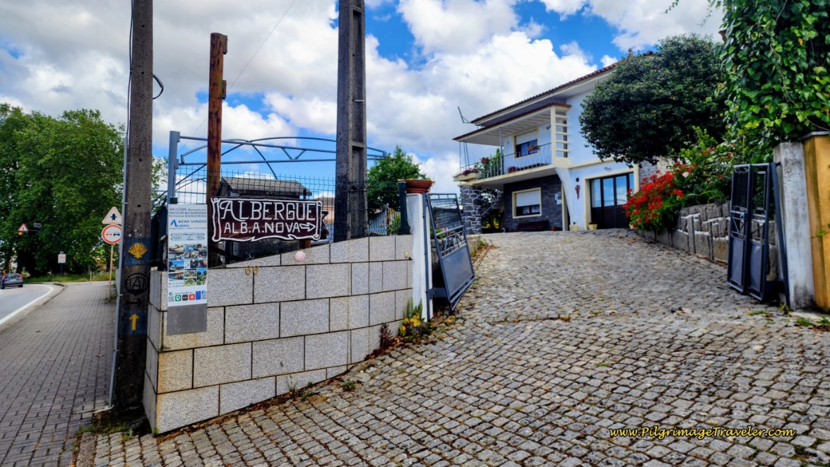
After only about 300 meters and after a bend in the road, you will turn right to cross the railroad tracks. Immediately ahead is the N1. Take a right turn onto the N1 to walk into the heart of town. A mere 80 meters along the N1 and you come to the Albergue Albergaria-a-Nova, below.
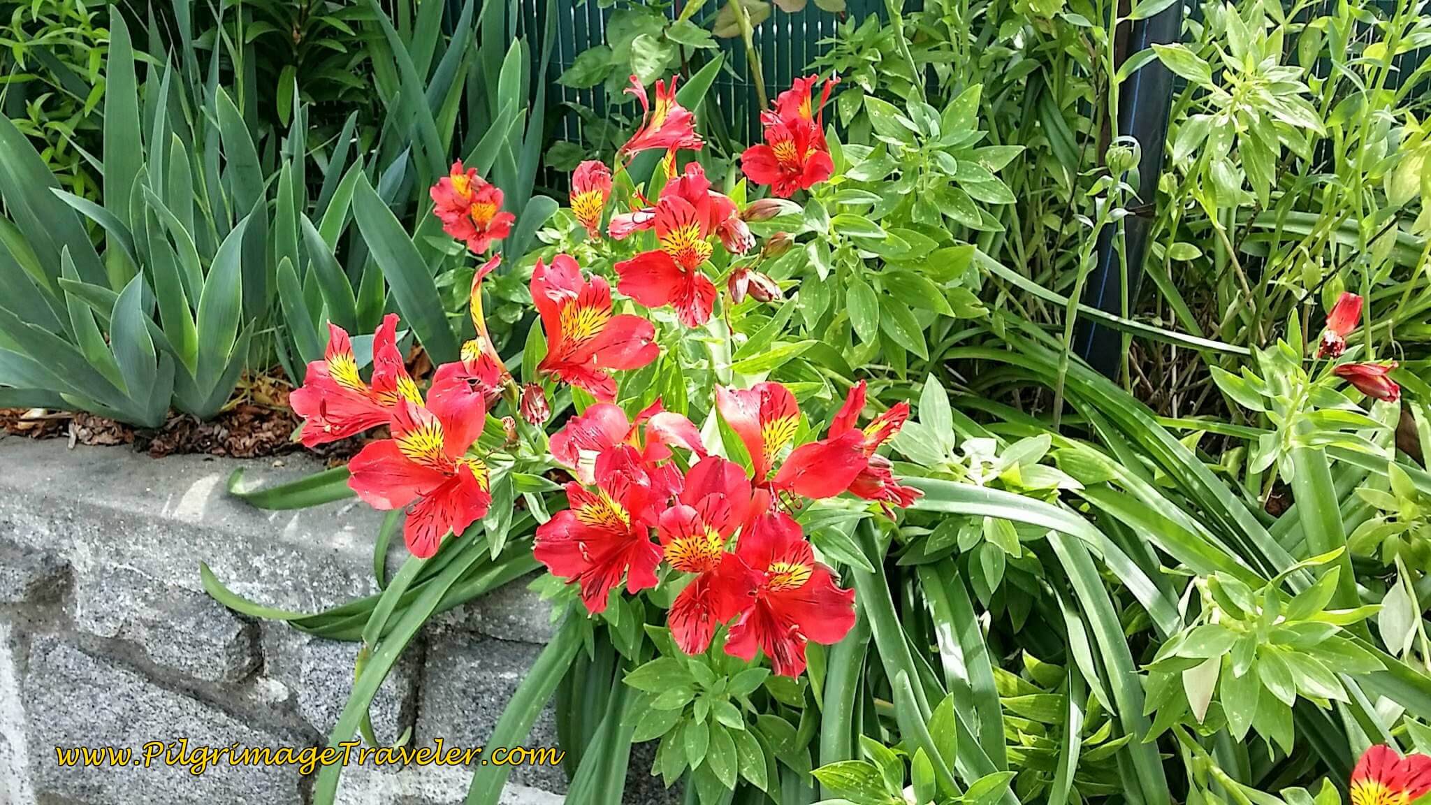
Whenever I see well-kept flower gardens outside, I know a place is well cared for inside as well. And I was not to be disappointed. These Alstroemeria were a welcome, cheery sight, full of hope and inspiration for our night in the Albergue Albergaria-a-Nova. You can reserve at this private albergue by clicking on the link.
The Albergue Albergaria-a-Nova is an actual home converted into an albergue. But the word "albergue" is truly a misnomer because it is so homey and inviting. They have an assortment of rooms, apartments and a dormitory.
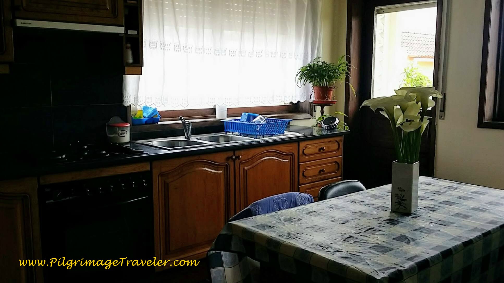
The homey kitchen is well-equipped. We cooked our dinner here after the proprietor drove us to the grocery store!
There are two issues here: One is the traffic, because the albergue is on the busy N1 with lots of trucks making noise. Use your ear plugs! The other is that the closest café is about a kilometer away and there is a bakery with picnic-like items, one-half kilometer away, both to the north along the N1. There is a mini-supermarket and a fruit market also within a kilometer, if you can't get a ride to the large grocery store as we could. (see day thirteen).
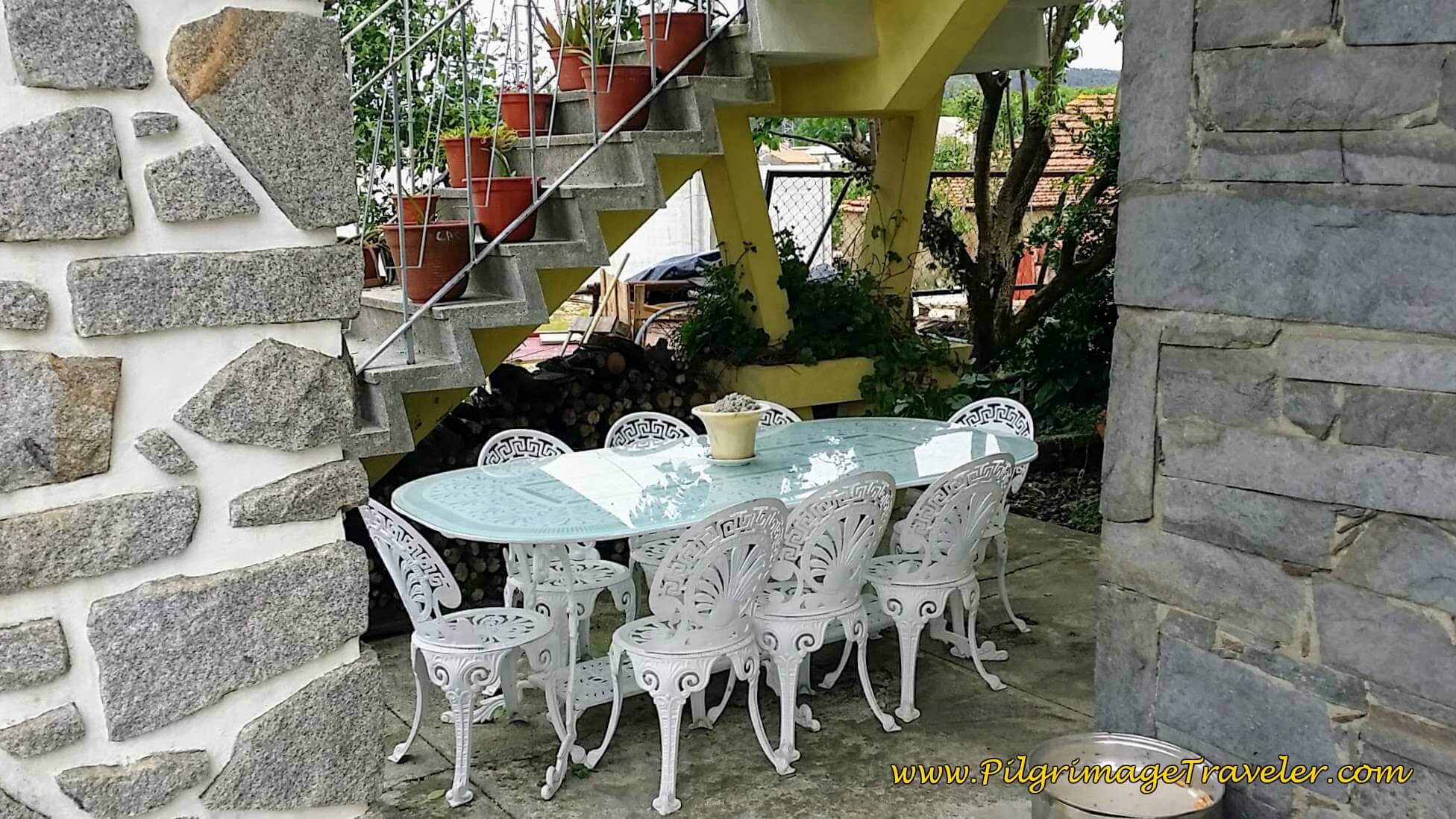
There is an indoor sitting room and outdoor sitting areas as well, to relax and have a beer from their own bar, which we did!
Plus, a hearty continental breakfast the next morning was only 3.50 Euros each, so with the price of the room our total was 42 Euros (35 for the private room with shared bath). The albergue is only 12 Euros per person.
If this albergue is full and you wish to stay in Albergaria-a-Nova, there is another dormitory accommodation another 600 meters along the N1. The Currais Mini Hostel and Suites is 350 meters off Camino, after turning left off the N1 and onto the Rua das Portelas. It is a luxurious place, with a price tag to match.
We have also walked onward, yet another 3.35 kilometers to the wonderfully hosted, donation-based Albergue Casa Católica , +351 916 571 106, for a total of 25.7 kilometers for day twelve. This is a way to extend this day even more and make the next two longer days to Porto more manageable. See day thirteen for this discussion.
Reflections on Day Twelve, Camino Portugués
This was a most pleasant day for me, short and sweet, yet indeed full of inspiration and God-moments. I was happier, less achy and more content today, even though I did have a bit of foot, plantar surface pain by the day's end. I was thrilled to be alive.
I found it difficult to think of anything at home, or anything at all outside of where we were! We were truly living in the moment. It was one of my best days on the Camino thus far!
Salutation
May your own day twelve on the Camino Portugués be delightful and full of present God-moments for you as well!
Camino Portugués Overview
Camino Portugués Stages
Central Route: Lisbon to Porto Stages
Central Route: Porto to Santiago Stages
Senda Litoral or the Coastal Routes: Porto to Santiago Stages
Skip to Central Route Above, for Final Days 22-25 to Santiago
Variante Espiritual Stages
Please Consider Showing Your Support
Many readers contact me, Elle, to thank me for all the time and care that I have spent creating this informative website. If you have been truly blessed by my efforts, have not purchased an eBook, yet wish to contribute, I am exeedingly grateful. Thank you!
Search This Website:
🙋♀️ Why Trust Us at the Pilgrimage Traveler?

We’re not a travel agency ~ we’re fellow pilgrims! (See About Us)
We've trekked Pilgrimage Routes Across Europe since 2014!
💬 We’ve:
- Gotten lost so you don’t have to. 😉
- Followed waymarks in the glowing sunlight, the pouring rain and by moonlight. ☀️🌧️🌙
- Slept in albergues, hostels & casa rurals. Ate and drank in cafés along the way. 🛌 😴
- Created comprehensive and downloadable GPS maps and eBook Guides, full of must-have information based on real pilgrimage travels. 🧭 🗺️
- Shared our complete journeys, step by step to help YOU plan your ultimate pilgrimage and walk with your own Heart and Soul. 💙✨
Every detail is from our own experiences. Just fellow pilgrims sharing the Way. We have added a touch of spirituality, heartfelt insights and practical guidance from the road ~ offering a genuine connection to the spirit of pilgrimage. Tap into the wisdom of seasoned pilgrims!
Ultreia and Safe Pilgrimage Travels, Caminante! 💫 💚 🤍
Follow Me on Pinterest:
Find the Pilgrimage Traveler on Facebook:
Like / Share this page on Facebook:
***All Banners, Amazon, Roamless and Booking.com links on this website are affiliate links. As an Amazon associate and a Booking.com associate, the Pilgrimage Traveler website will earn from qualifying purchases when you click on these links, at no cost to you. We sincerely thank you as this is a pilgrim-supported website***
PS: Our eBook Guide books are of our own creation and we appreciate your purchase of those too!!
Shroud Yourself in Mystery, along the Via de Francesco!
Walk in the Footsteps of St. Francis, and Connect Deeply to the Saint and to Nature in the Marvelous Italian Countryside!
Need suggestions on what to pack for your next pilgrimage? Click Here or on the photo below!
Find the Best Hotel Deals Using This Tool!
Carbon Trekking Poles ~ My Favorites!
Carbon fiber construction (not aluminum) in a trekking pole makes them ultra lightweight. We like the Z-Pole style from Black Diamond so we can hide our poles in our pack from potential thieves before getting to our albergue! There are many to choose from! (See more of our gear recommendations! )
Gregory BackPack ~ My Favorite Brand
Do not forget your quick-dry microfiber towel!





















Your Opinion Matters! Comments
Have you had a similar experience, have some advice to give, or have something else you'd like to share? We would love to hear from you! Please leave us a comment in the box below.