- Home
- ~ Camino Primitivo (The Original Way)
- Day Twelve, Arzua to Lavacolla
Jump to Camino Primitivo Stages
Day Twelve on the Camino Primitivo ~ Arzúa to Lavacolla, 28.5 Kilometers (17.71 Miles)
On day twelve of our Camino Primitivo, we were able to arrive in Lavacolla, only 10 kilometers from Santiago de Compostela! It was our last full, hard day and my heart was so full of gratitude that I thought it would burst.
"I would maintain that thanks are the highest form of thought; and that gratitude is happiness doubled by wonder." ~ G.K. Chesterton
Day Twelve, Camino Primitivo Maps and Stats
Below is our interactive Google map that covers our day twelve on the Camino Primitivo. The route, once again follows the N-547 very closely, to the north and/or to the south, until it reaches the Municipality of Santiago de Compostela, or the Municipio Santiago.
The route is very straightforward, well-signed, well-traveled and well-serviced, as you would expect. The services I placed on the map for your reference are plentiful indeed as you can see!
Here is the elevation profile for the day. As you can see, the day consists of gentle ups and downs for the first 16 kilometers of the day. Then there is a downhill of about 150 meters (500 feet) into O Pedrouzo.
After O Amenal, at about 22 kilometers into the day, there is a 100 meter climb (320 feet) that does not feel that strenuous, especially after the rest of the Primitivo!
While this stage was long, we felt energetic and fit, and wanted to get closer to Santiago, so that the noon pilgrim's mass was obtainable on the last day.

Camino Primitivo EBook Guide

Take a look at our Camino Primitivo eBook Guide, for you to download to your personal device for comfortable reading offline and without ads. Our eBook is packed with detailed information and photos, including a *new* bonus side trip, to the incredible and unusual Santa Eulalia de Bóveda temple, the mostly ingnored neolithic standing stones at Montouto and finally, the often-missed, but lovely alternative to the Hospitales Route, (which is gorgeous too), the route to take in the event of inclement weather, along the Río Nisón for 6.8 kilometers! Our eBook Guide is unique because we also entertain and immerse you with our story! Click here for more info OR BUY NOW.
Jump to Camino Primitivo Stages
The Journey on Day Twelve of the Camino Primitivo
Our Camino began by leaving the main street in the morning at 08:00 from the Plaza del Peregrino, pictured below, and onto the Rúa Cima do Lugar, to the left of the yellow building which houses the Casa Teodora.
 Leave Main Street Here, Onto the Rúa Cima do Lugar to the Left
My left foot still hurt, as it had for several days, so I took an Ibuprofen after eating breakfast, to start off. I was worried about a stress fracture in my foot, but with only 38 kilometers to go to get to Santiago de Compostela, in no way was I stopping now. I had plenty of time to rest after the Camino!
My knees were holding up really well. For me, the combination of hiking poles, which take 30% of your weight off your knees, and taping them with kinesiology tape worked really, really well. With continued determination, only hours from Santiago de Compostela, I walked on! I set my intention to walk lightly and use my poles as much as I could. Our goal for day twelve on the Camino Primitivo was to reach Lavacolla, only about 28 kilometers away.
About 200 meters from the Plaza del Peregrino, walk by the municipal Albergue de Peregrinos de Arzúa. Immediately after the albergue, on the left hand side, pass the 14th century Capela da Magdalena (most often closed), below, a part of an Augustinian monastery, now gone, that was set up to assist pilgrims. This is where we meet Glyvia to walk with her for the day.
 Capela da Magdalena
At the next intersection, a few meters later, walk straight and onto what is now the Rúa do Carme. One-half block later, you will arrive at the Igrexa de Santiago de Arzúa, which is most often open.
 Igrexa de Santiago de Arzúa
Next, cross a major intersection and after 120 meters from the church, the Camino takes a left turn onto a quiet paved lane by this lovely rest area and the 38.025 kilometer waymark, pictured below.
 Turn Left at Rest Area, 38.025 Waymark
After 300 meters along this lane, come to the historic pilgrim’s fountain, the Fonte do Peregrino, below.

Beyond the fountain, the lane soon turns to dirt and crosses the Río Vello, on a footbridge. After another 1/4 kilometer, pass the sign for the town As Barrosas, and just behind it, a memorial sculpture to a priest who died in a car accident in 1996, helping a pilgrim, not pictured.
My community spirit was ignited by Glyvia who was obviously so grateful for having us with her today on her Camino. She was so animated as she walked and talked, her big mop of curly red hair flying around, her hands gesturing in the air, and the big smiles on her face!
After the memorial, it will be about 1.2 kilometers more on a long shaded lane that parallels the N-547, below, but out of sight of it, dropping down to cross the Río Brandeso along the way on another footbridge, after about 2.0 kilometers from Arzúa.
 Long, Shaded Lane on Day Twelve, Camino Primitivo
200 meters later, the Camino arrives at a T-intersection, and goes to the left and towards the next town of Preguntoño. 1/4 kilometer later, when in the hamlet, pass by the amazingly quaint, highly-reviewed Cafe Bar Preguntoño. A few meters later, cross over the paved road and onto another dirt lane, by the sign for the area of Os Penedos.
A few meters later, walk under the N-547. Walk up the other side and turn right to pick up a long straight lane through the countryside for the next 600 meters, below. The Camino will now follow its path, but to the north.
 Country Lane Towards A Peroxa
At the end of the lane, come to a crossroad and cross over to another lane by the sign for A Peroxa. At the next intersection, pass by the A Granxa de Tato, a locally sourced shop for various products and hand made traditional dishes, at the 35 kilometer waymark.
The Camino continues after the shop, through the forest on a dirt lane for the next 1.8 kilometers. Near the end of the 1.8 kilometers, pass the Albergue Taberna Vella, “Heidi’s Place," and after about 5.4 kilometers into the day, arrive at this distinctive bridge over the A-54, pictured next, absolutely covered with stickers.
 Walking Across the Bridge
Within meters of crossing the bridge, stay right at the next Y-intersection and onto another dirt lane.
Within 1/3 kilometer along the lane, arrive at the next town of A Calzada and a few meters later, the café bar, Casa Calzada, below. This is an attractive pilgrimage stop, right along the Camino in A Calzada after about 6.1 kilometers total. Since we had only been on the road a bit more than an hour, we didn't stop because it was just after 09:00. However we have stopped here another time and it is a decent-enough place.
 The Camino Passes by the Casa Calzada on the Camino Francés
Once again, we continued onward, walking on wonderful tree-lined paths for the next 1.5 kilometers and towards the next town of A Calle. The Camino stays straight onwards and west at any intersection along the way. I continue to be amazed at how rural the French Way is after Melide! Here is a photo of Rich and Glyvia through this wooded section, below. For me, I was truly enjoying this final, full day, day twelve on the Camino Primitivo.

Jump to Camino Primitivo Stages
I was excited to be almost there, excited to be with friends, and just excited all around. The paths here were very protected, shaded and on very little pavement. I was so very grateful for this! I walked more slowly with Glyvia who was keeping a slower pace. We graciously stayed with her throughout the day. We were taking our time on these final steps. We were very close.
We knew that O Pedrouzo, the end of the traditional stage, was a possible pinch point for beds, so we obtained a reservation for Lavacolla, about 9.5 km farther on. Our goal was to make it relatively close to Santiago de Compostela and Lavacolla fit the bill. The plan was to saunter into SDC in the morning, in plenty of time for the noon pilgrim's mass.
There really was no reason to hurry, despite seeing many, many pilgrims. Many of them were hobbling as we passed by! One young woman looked terrible and could barely walk. With only 30 km to go, we knew she would make it, somehow.
You will know you are close to A Calle when the high walls begin on either side of the lane. The lane ends by the Bar Lino on the east end of town, where the Camino joins the pavement only a few steps, then veers off to the left onto another path to take the pilgrim through town, pictured below.
 Turn Left After the Bar Lino
This path joins the main paved road a few meters later, but again leaves it, a few meters farther along, this time to the right, on a lovely stone paved lane.
You can’t get a better advertisement than an hórreo overhead, like the one for A Casa do Hórreo, below, for their bar and hotel which is just to the left.
 Walking Through A Calle
The Camino continues along the stone path until it ends, and picks up the pavement, turning left at the funky and unusual Bar Casa Tía Dolores, below. They call themselves the Peregrinatio Art-Bar because they decorate the place with empty beer bottles that all the pilgrims have drunk!
I have always wanted to stop here, but never have for various reasons, the last time being that it was raining. Besides, they must have cleared out the bottle art, because it was only lining the wall as you can see in the photo.
 Bar Casa Tía Dolores
There are three more possibilities for accommodation in the A Calle area not quite 8.0 kilometers from Arzúa. There is the 30-bed private Albergue A Ponte de Ferreiros, about 250 meters off-Camino to the south and the Pensión Mirador de Routis, 200 meters off-Camino on the east side. Or if you have a group of 4-12, the Casa A Calle may be appropriate for you, which is along the Camino just after the Casa Tía Dolores.
At the Casa a Calle, turn right onto a semi-stoned path for less than 100 meters and cross a little stream called the Riego de Igrexario. After the quaint little bridge, come to an intersection with a paved road, cross it and continue on another narrow dirt path that follows an irrigation canal, below.
 Follow Path With Irrigation Canal
The dirt path becomes pavement, and joins a roadway at the western edge of A Calle, however, the Camino avoids more pavement by turning right, still following that irrigation canal and onto another system of lanes.
These dirt lanes last for the next 1.2 kilometers on the way towards the next town of Boavista. It is a shaded and tranquil walk through here, below.
 Tranquil Walk to Boavista
When you arrive in Boavista, after about 9.3 kilometers into the day there are two bars, one as you enter, below, but not much else!
 Bar A Cova da Meiga, Boavista
A few meters beyond the first bar, turn left at the intersection with a paved road, where there is a second bar, and then an immediate right to go back onto a forest lane.
About 1/2 kilometer later the Camino comes out onto the pavement by a farm and this waymark, below, announcing 28.836 kilometers left to Santiago.
 28.836 kilometers to Santiago
Cross over straight onwards at the next crossroads, and onto another forest path. A bit more that 1/2 kilometer later, arrive at the next cluster of buildings, where the road becomes paved and you pass the Bar O Curro. You are now arriving into the outskirts of the next town of Salceda.
After the bar, continue straight onwards along a narrow paved path for the next 400 meters until the Camino joins the N-547 where it walks on a strong path to the side of the road, and to the entrance sign for Salceda, below, after a total of 11 kilometers into day twelve on the Camino Primitivo. The town sign was illegible, due to the many stickers defacing it!
 Camino Path by N-547 in Salceda
There are five possibilities for accommodation in Salceda, the Pensión Albergue Turístico Salceda, 400 meters off-Camino to the south, and right along the Camino, the Pensión Albergue Alborada, the Café-Bar Pensión Tasaga, the Albergue La Corona1 and the Casa Tia Teresa Bar-Pensión.
Fortunately, it is only about 400 meters that the Camino stays along this highway, passing four of the possible accommodations, above.
After passing the last accommodation, the Casa Tia Teresa, on the left side of the N-547, the Camino turns right onto a dirt lane on the north side of the highway. The forested path continues for the next 1/2 kilometer, passing the landmark monument, the Monumento de Guillermo Watt along the way. This is a monument to a Swiss pilgrim who died here on his pilgrimage, one day before reaching Santiago.
The path eventually will parallel along the N-547 once again, but after only a few meters and by a tractor dealership on the right side, the Camino crosses it to the other side. You will now be on a country dirt lane for about the next kilometer, arriving into the next hamlet of As Ras.
As you arrive into town, which is just a cluster of buildings, pick up a paved lane that parallels the N-547, but continues down and under it, through a tunnel, below.
 Lane to Tunnel Under the N-547
On the other side of the tunnel, join another country dirt lane to walk into the next town of A Brea after about 13.5 kilometers total.
There are two bars in A Brea, both right along the Camino and within a few meters of one another. When the lane through town ends at a T-intersection, the Camino turns left and onto a paved road, after the second bar, El Rincón de María, shown in the photo below.
 Left Turn in A Brea After the Bar
There are more accommodations in A Brea if you choose to end your day twelve here, on the Camino Primitivo, the Pensión O' Mesón Café-Bar, (+34 981 511 040) and the Pensión Mar de Frisia, one a few meters north of the Camino and the other a few meters to the south.
A few meters after the bar, the Camino turns to the right onto another country lane. It continues along this lane for the next 1/2 kilometer until coming to a T-intersection. Turn left and within a few meters, the Camino joins the N-547 once again, along a parallel path, below. Note the pilgrim with a pull-cart instead of a backpack!
 Join the N-547 Near Cerceda, Day Twelve, Camino Primitivo
About 400 meters after joining the highway, you will cross over to the left (south) side. There is a nice picnic rest area after you cross, if you prefer a break outdoors. At the next crossroads, turn to the right for the Hotel O Pozo, (+34 674 04 75 98), another choice in accommodation. Otherwise, continue walking a few more meters, arriving into the next town of Cerceda, after 15.2 kilometers, where you have a choice of three bars/restaurants.
 Three Bars at Crossroads in Cerceda
While we have not tried all three bars, let me tell you how good the Restaurante Parrillada Andaina is! It is the brown building in the photo, on the north side of the highway. On a different Camino, we arrived here, unfortunately at 3:30 p.m, not in time for lunch, but the evidence of the crowd was ridiculous. The bar and restaurant had been packed, with dirty dishes and dirty glasses stacked on the bar and throughout the entire place. We were wanting to check into the private 15-bed Albergue de Peregrinos Andaina, also in the building and the staff were so busy, we had to wait by the bar! I felt sorry for them and tried not to appear pushy!
The albergue is quite inexpensive and clean, but bare bones, fortunately with updated bathrooms. There is no kitchen for cooking, however the restaurant is so good, why would you want to cook? The lentil soup was to die for, the pimientos de Padrón delicious and the calamari tender. The dinner we had was most likely one of the best, if not the best food we had on the entire Primitivo!
We did not stay at the Albergue Parrillada Andaina at the time of our story, but we did stop for lunch here, and I do not remember it being so good! The improvements, especially to the albergue, I hope continue!
From the N-547, turn right at the restaurants onto a paved road, and when it goes to the right several meters later, turn left or westward onto a dirt lane toward the next town of Santa Irene. Initially it seems this lane is going back into the forest, however a few short meters later, it is cruising alongside the N-547 once again.
After approximately 16 kilometers total, come to this decision point in Santa Irene, below, with 22.745 kilometers on the waymark.
 Decision Point, Santa Irene
The way to the left, and under the N-547 via a tunnel, is the official route, taking you to the 18th century Ermita de Santa Irene. For the shortest way, stay straight, along what the officials call another Camino Complementario.
From the decision point, you can practically see the hermitage through the tunnel, that’s how close it is and you can definitely see the historic fountain on the other side, just steps away. It is worth it to take the diversion to see the ruined chapel if you have time. After seeing the chapel, continue along an obvious stone pathway to the street above it. Continue on the street until it meets the N-547 a few hundred meters later. The private Alojamiento Albergue Santa Irene is along this street. Cross over the N-547 and rejoin the Camino Complementario.
Otherwise, if you take the Camino Complementario it is a straight shot along the parallel path by the N-547. When the two routes join up 200 meters later, pass a bar on the right, and farther along pick up a gorgeous stone path to walk through a wonderful picnic rest area, below. The nice ornamental fountain you will pass may be inoperable, so don’t count on it.
 Picnic Rest Area, Santa Irene
And just beyond the rest area is the 36-bed municipal Albergue de Peregrinos de Santa Irene. The town of Santa Irene is your last chance for some quiet if you want to avoid staying in the bustling town of O Pedrouzo, still two kilometers away.
About 1/4 kilometer past the municipal albergue, the Camino finally diverts away from the N-547 and into the forest once again. However, this only for a short-lived 400 meters, when you meet the N-547 once again. Fortunately, the Camino walks down and under the highway, through another tunnel.
After walking up from the tunnel, turn left to pick up a paved lane and pass another picnic rest area on the right. Next, pass a cluster of houses, and leave the pavement onto another country lane. After only about 1/3 kilometer, the village of A Rua is ahead of you, at these high walls, below, 1.7 kilometers from Santa Irene and 17.8 kilometers into the day.
 Approaching A Rúa
The lane ends, at an intersection, below, turns left and joins the pavement to walk through town. A Rúa has four possible accommodations, the 46-bed private Albergue Espiritu Xacobeo, just one block south of the Camino after the first intersection, the Hotel Rural O Acivro, right along the Camino in the center of town, the Hotel O Pino, 200 meters off-Camino to the north at the intersection, and the giant campground, Kampoah O Pedrouzo with 112-beds in tents, just beyond the O Acivro in the center of town.
 Joining the Pavement in A Rúa, Day Twelve, Camino Primitivo
After the camping facility in A Rúa, it is only 400 meters later, when the Camino intersects with the N-547 in the next town of O Burgo, after 18.6 total kilometers, below.
The Camino crosses over the highway and continues straight onwards, however, this is where you must leave the Camino and head south on the highway if you plan to stay in O Burgo or O Pedrouzo.
 Cross the N-547 in O Burgo for Onward Camino
After crossing the highway, the Camino avoids the town of O Pedrouzo almost altogether and walks to the north of it on quieter streets. If you choose to continue onward, the next opportunity for accommodation is about 3.7 kilometers away in O Amenal.
There are two accommodations in O Burgo, only 300 meters down the N-547. O Pedrouzo is only 500 meters from the turn-off after a respectable 19 kilometers on the road from Arzúa.
Upon reaching the turn-off area, we parted ways with Glyvia. She had a reservation in O Pedrouzo and didn't want to go any farther. It seemed like mostly all the pilgrims stopped here on their way to Santiago. It felt like we were essentially going onward alone. We said our goodbyes and promised to meet up in Santiago de Compostela, the next day! It was still almost 10 kilometers to our destination in Lavacolla.
Jump to Camino Primitivo Stages
Accommodations in O Burgo and O Pedrouzo
There are an amazing number of accommodations and other services in this area! In O Burgo, the first one you come to is the private Albergue O Burgo, (+34 981 51 14 06), and within the same building, the Pensión Compás.
Only 200 meters farther along the N-547 is the giant municipal Albergue de Peregrinos de O Pedrouza, Arca do Pino, (+34) 649 880 954), and across the street the large, private Albergue Mirador de Pedrouzo, (+34 686 87 12 15). Farther in town is the Albergue Porta de Santiago, (+34 607 83 53 54), and the Albergue O Trisquel, (+34 616 64 47 40). The Albergue Otero, (+34 671 66 33 74), is to the north of the N-547 and the Albergue Edreira, (+34 981 51 13 65), the Albergue REM (+34 981 51 04 07), and the Albergue Cruceiro de Pedrouzo, (+34 981 51 13 71), are farther south. All of these albergues are quite large, most with 50 or more beds.
There are so many pensions in this town if you prefer them over the albergues, then your best option may be to check out our Google map above with all them placed on it. Or you can click here to see what deals booking.com is offering today!
Continuing Along the Camino
After crossing over the N-547 at the turnoff to O Pedrouzo, the French Way becomes very rural again as we set off on this calm and beautiful afternoon. The forest we walked through for the next 600 meters felt cool and enchanted, below.
 Forest Walk Near O Pedrouzo
After the brief forest walk and as you reapproach the northern edge of O Pedrouzo, the lane makes a strong bend to the left and you must walk through some industrial buildings. Come to a T-intersection with the Rúa Concello. This intersection is where many pilgrims who have stayed the night in O Pedrouzo join the Camino once again.
Turn right onto the Rúa Concello, with perpendicular parking spaces on both sides of the street. Pass by the absolutely wonderful espresso bar, the Café Bar Miras on the left, where we stopped for a quick pick-up on the rainy day of our updated photos! I just caught the edge of the bar on the left side of the photo below.
 Along the Rúa Concello
Not even 100 meters past the Café Bar Miras, and after the street narrows, as you can see in the photo above, the Camino turns to the left onto a dirt lane. Then it's onward through the lush Galician forest once again, this time for just shy of 1/2 kilometer and to the next hamlet of San Antón. This town is about 20 kilometers from the start.
Walk through San Antón, coming first to a T-intersection, with a right turn, then a few steps later, a left turn to continue the westward direction towards Santiago and back into the forest, below.
 Leaving San Antón
The Way onwards toward the next town of O Armenal is mostly through more lush forests, and some open countryside farther along, but still very rural. When you break out of the forest after about one kilometer from San Antón, continue following the waymarks along the dirt lanes, first a bend to the left, then a right turn, through open fields.
After a few meters the Camino returns to the forest and after several hundred meters more, it makes a strong bend to the left and southward. This lane now becomes paved and the feeling of civilization predominates, below.
 Nearing O Amenal on Paved Lane
After arriving onto the pavement, the Camino takes the second turn to the right, back into a westerly direction. Almost immediately after the turn, you can see the town ahead and down the hill. Continue on this quiet paved lane until coming to a T-intersection in town, turn to the right, and a few meters later, stay to the left at a Y-intersection.
You will arrive into the center of O Amenal, just after crossing the river, the Rego de Amenal, below. A few meters after the river, the Kilómetro 15 Pensión Bar will greet you just before the intersection with the N-547 and after 22.3 kilometers total.
 Cross the Rego de Amenal
The Hotel Restaurant Amenal is just across the highway. At this intersection you will also see a sign for the Pensión CHE, which you can reach by turning right onto the N-547 after 800 kilometers.
The Camino crosses the N-547, walks past the Hotel Amenal, and returns to a lush forest lane, pictured below. The deeply cut lanes are amazing to me, and I always wonder how they came to be.
 Deeply Cut Lane on Day Twelve, Camino Primitivo
Continue along forested lanes, sometimes with huge eucalyptus trees, photo below, for 1.9 kilometers, staying straight onwards through two crossroads, as directed by the waymarks.
We certainly were relishing the mostly flat way and we were still in the forest, yay! By this time I was longing to see the airport, for then I knew we would be close to the end of the day.

Lavacolla is on the other side of the Santiago airport, to the west. We were a little worried about staying in a place next to planes flying in and out, but not so much, since it was only for one night. As it turned out there was nothing to worry about.
When you arrive at a T-intersection, after 24.2 kilometers, the Camino takes an abrupt turn to the right, and north to take the pilgrim alongside the Santiago de Compostela airport’s east side. You can see the airport on your left, as you walk onward, below. I was surprised that it was actually rather pleasant to walk by the airport, not as noisy as I expected. In fact, I barely noticed that it was there.
 Parallel Lane with the Santiago Airport
Continue along this parallel airport lane until you meet two frontage roads with the A-54 highway, one dirt and one paved, about 600 meters later.
Turn left onto the dirt frontage road and not quite 100 meters later, see the famous sculpture, below, marking your entrance into the municipality of Santiago! Fortunately, I have a decent photo of this sculpture on a day when it wasn’t raining! The grin is large, on Rich's face! This landmark is after 24.9 kilometers into the day.

After the sculpture, the Camino follows the dirt road around the airport to the north. As you walk along, notice the large airport embankment to your left.
About 1/2 kilometer beyond the sculpture, the Camino passes by a tall, red and white striped metal structure, its purpose unknown to me! And just after this structure, pass by the 13.280 kilometer waymark, below.
 Waymark North Side of the Airport
When you arrive at this waymark, you are at the northernmost end of the airport. The Camino continues along this path as it becomes surprisingly more wooded, and as it bends to skirt the airport in a southerly direction, but now on its western side.
When the path climbs up to join the paved roadway, on the western side of the airport, after a few meters it crosses over the road to the other side, following it about 250 meters before turning right towards the next town of San Paio.
San Paio is a quaint little village, only a few meters after the turn. As we walked into town, we were greeted by the charming Casa Porta de Santiago, a nice little bar. It was there where we stopped for a break. Instead of visiting the bar, we climbed into the field next to it, to eat from our pack. Here is where we ran into Mattias again, who joined us on our break.
Prior to heading back to the road, Rich bought a bocadillo to go, since we were approaching the "witching hour" when the bars closed down for siesta! Rich walked on with Mattias, chatting for a way.
Just beyond the bar, is the equally charming little church in San Paio, below, where you can get a stamp. I lingered here, breathing in my deeply held gratitude for my personal journey and my health, strength, and stamina! I was so grateful to be here, and I thanked God for the many, many wonders of the journey!

Across from the church is the Last 12K Premium Guest House, within striking distance of Santiago and the attached Patio Bar. Both of these bars in San Paio can be bustling!
After the visit to the church, the Camino picks up a paved lane towards the south, staying to the left when it splits, but then leaves it after 180 meters for a dirt path to the right, below.
 Right Turn onto Dirt Lane After San Paio
After another 200 meters, you will walk through a tunnel under the N-634 highway. After you cross, return to the forest lanes, staying left after about 1/2 kilometer, to pick up an improved dirt lane.
You are now heading into the area of Esquipa, which is just east of Lavacolla. As you emerge from the forest, walk by tall hedges and a few buildings here and there, for the next 1/3 kilometer until you come to a stop sign. Turn right and into town.
The Camino continues downhill along this quiet and narrow paved road through Esquipa, passing the economical Casa O Fogar de Maru on the left-hand side after only a few meters, until you reach the Pension Xacobeo Lavacolla, on the right-hand side after another 1/2 kilometer. Just beyond the pension is an intersection with this sign, shown below, finally welcoming the pilgrim to A Lavacolla. As in all afternoons, the final few kilometers seemed, to me, to take forever!
 Lavacolla at Last!
Even after seeing the Lavacolla sign, the Camino bends its way through town another 430 meters, in a giant U-shaped course, until the Iglesia de San Paio comes into view, below.
However, if you are walking onward after A Lavacolla or you are staying in the large, private Albergue Lavacolla or farther to the east the Hotel Ruta Jacobea and the Hotel Garcas, you can take a left turn at this intersection to chop off about 250 meters from your walk. In fact, you will see many signs at the intersection, tempting you to go to the left instead of straight onwards! You need to stay on the Camino and go straight here if you are staying at the private Albergue A Fábrica, the Apartamento A Fábrica, the Hostal and Restaurante San Paio (+34 981 88 82 05), or the Pensión Dorotea, all accessed from less than 200 meters at the next intersection. Look for the signs.

When you reach the church in the center of town, there are stairs that lead downward to a nice, central plaza, some bars and the river, the Río Sionlla and another accommodation, the inexpensive, Hostal A Concha. It is by this river where historically, pilgrims stopped to bathe before entering Santiago de Compostela, in order to be clean. This fact, rather refutes the notion that the botafumeiro in the cathedral of Santiago de Compostela was originally swung to cover the stench of unbathed pilgrims!
According to Glyvia, there is not much to see of the river in Lavacolla, and it is not such a nice place. From what we could see, the plaza and park were pleasant enough, but the river was barely discernible for the modern bridge and highway crossing it. There was no access to the river for bathing, that we could tell! So, Glyvia was right. Modern pilgrims do stop here to reflect on their Camino, especially at the chapel in town.
After the church, the Camino bends to the left, to take the pilgrim on the final 200 meters for this stage, when it joins the N-634. A few meters later along the highway, the above described shortcut joins the standard route here at a large crosswalk. The onward Camino continues, by crossing the N-634, close to a well-stocked grocery store just across the street. However, for the Lavacolla Albergue do not cross over the highway, but walk a few more meters and it is on your left, see photo next.
 Albergue Lavacolla
We finally found our hostal (now a high-priced, multi-night casa rural, just before the highway) where we had made a reservation around three p.m. After showering and resting in the room, we stopped by the Bar de Comidas Botana, on the plaza by the river. It was a charming and friendly little place. The food was very reasonable and we shared a shot of Scotch whiskey, 100 Pipers, to toast to our arrival, 10 kilometers from Santiago de Compostela.
Reflections from Day Twelve on the Camino Primitivo
It was appropriate that here we were, at the end of our day twelve on the Camino Primitivo, in the town of Lavacolla, a place for reflection. As we spent our evening, alone together, the two of us talked extensively on what our journey meant and how it had impacted us.
We were both so very grateful that we had the ability, the time and the resources to even make such a journey a possibility. For us, gratitude was indeed wrapped up in happiness and wonder! Our entire journey was filled with happiness and wonder, despite the many hardships, the body pains and the cultural unfamiliarities.
My favorite Camino Primitivo days were day five on the Hospitales Route, day eight in Montouto, with the ancient standing stones and day ten with the Santa Eulalia de Bóveda temple. While each and every day brought special sights, special feelings and lessons, these days stood out to me.
Both Rich and I were amazed as we reflected on how much this Camino brought so many of us together in a way that could never have happened otherwise. While we both walked together the whole way, or mostly with other pilgrims, we were able to experience the inner journey as well.
No great lightning bolts of insight occurred, nor any great revelations. Our experience was to receive it all as it came, to stay present to the experience and never stop moving forward.
Never did I ever feel like I would not make it. Many times I wanted to quit, but I did not. Quitting was not in the plan. I was grateful to be close to the end, however, on this day twelve of our Camino Primitivo!
Salutation
May your own day twelve on your Camino Primitivo be filled with the happiness and wonder that brings great gratitude to your own heart! May you be filled with gratitude that you made it, that Santiago is just a glimpse away now! Ultreia!
The Camino Primitivo Stages


Please Consider Showing Your Support
Many readers contact me, Elle, to thank me for all the time and care that I have spent creating this informative website. If you have been truly blessed by my efforts, have not purchased an eBook, yet wish to contribute, I am very grateful. Thank-you!
Search This Website:
The Pilgrimage Traveler Digital Guides
Our Guides Help You:
~ Know what to expect each day!
~ Locate historic sites along the Way!
~ Know where you are in your journey!
~ Discover a quote from the sages, for your daily reflection on the journey!
Click on a Photo Below to Get Your Copy.
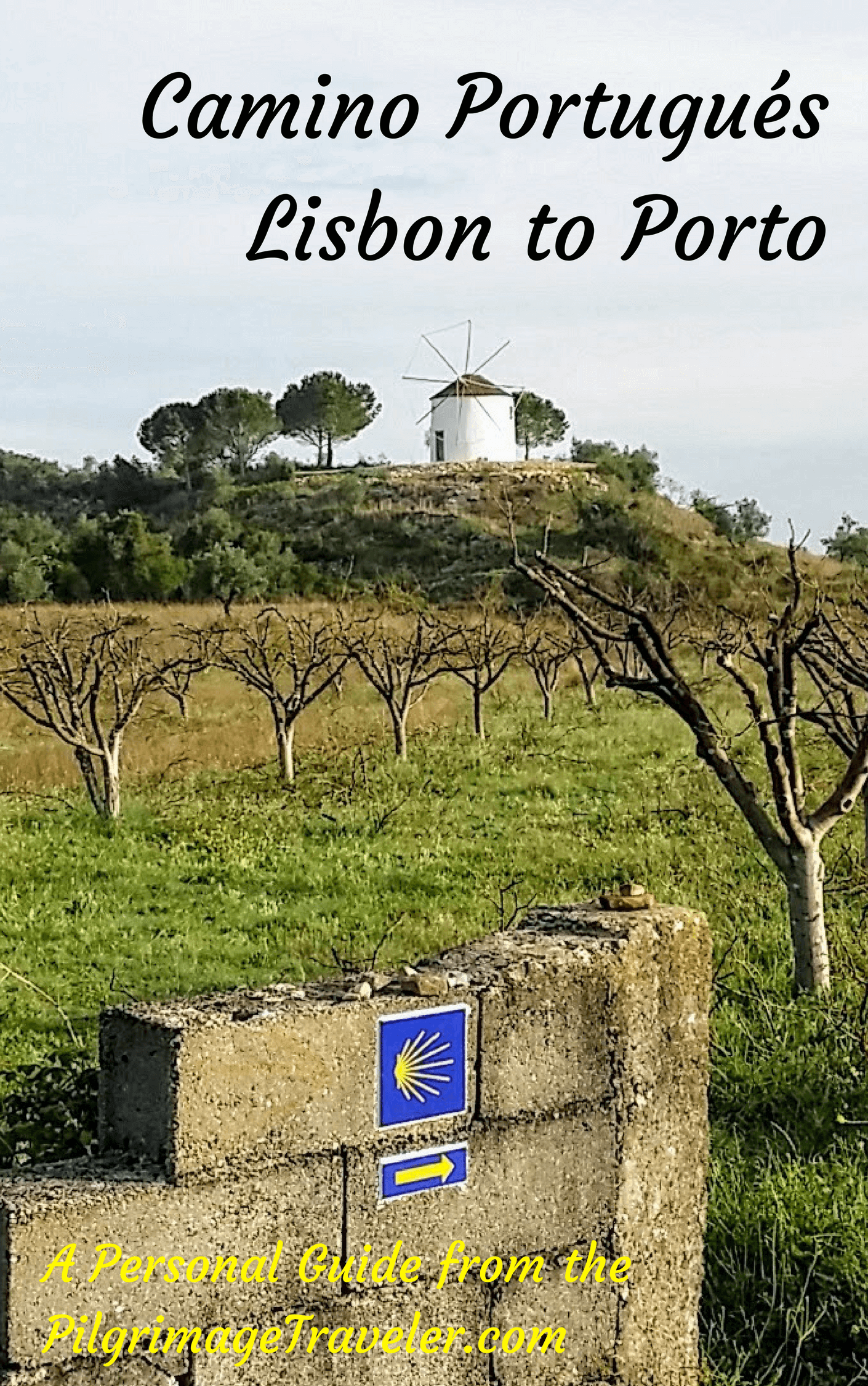
A most popular alternative on the Central Route of the Camino Portugués!

The Portuguese Routes are rapidly gaining in popularity, especially the section from Lisbon! Plan to walk this one soon, before it is no longer a quiet experience!
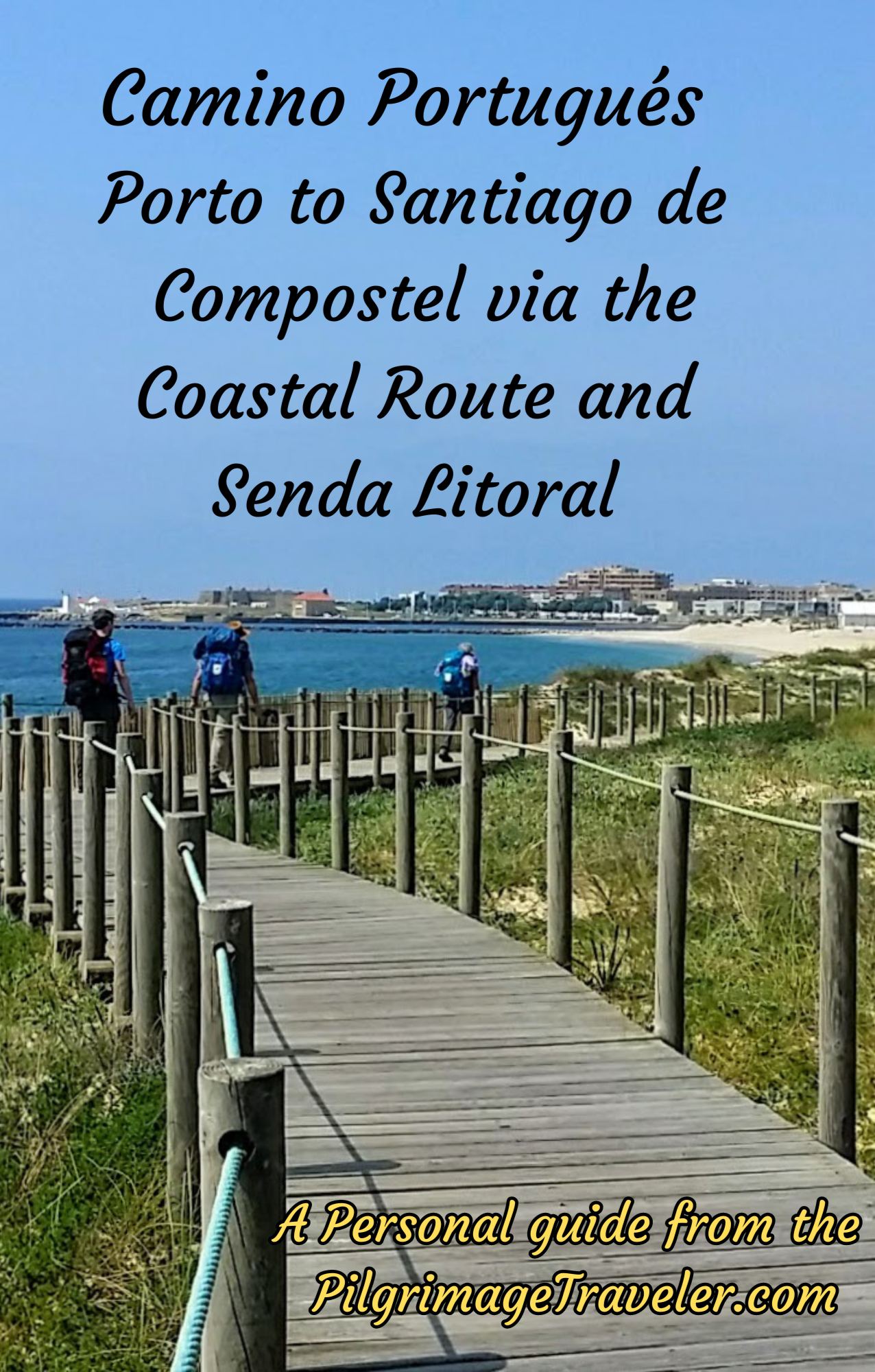
Our Most Popular Guide!
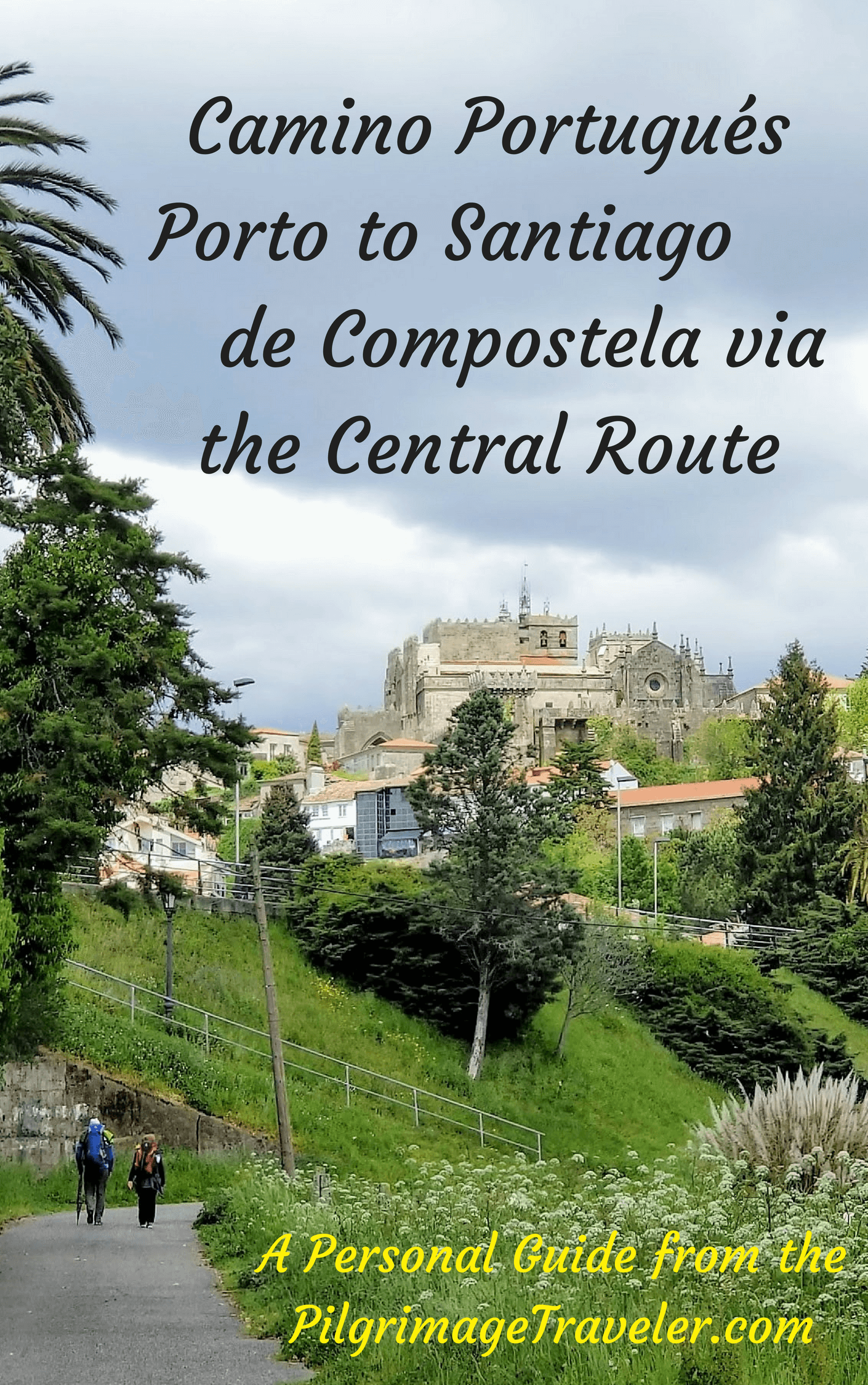
The Most Historic of the Portuguese Caminos - not to be missed!
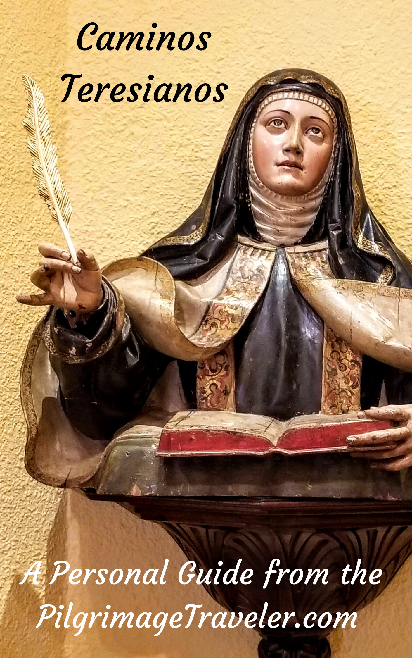
The Spiritual Adventure of a Lifetime, Following in the Footsteps of St. Teresa of Ávila!
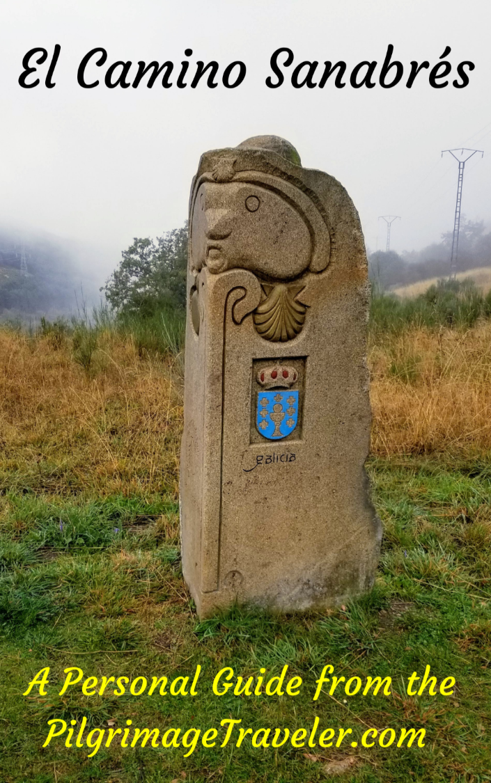
The Amazing Mountain Route Alternative, the Camino Sanabrés, from Granja de Moreruela on the Vía de la Plata!
The Most Incredible Mountain Scenery on this Camino from Leon to Oviedo!

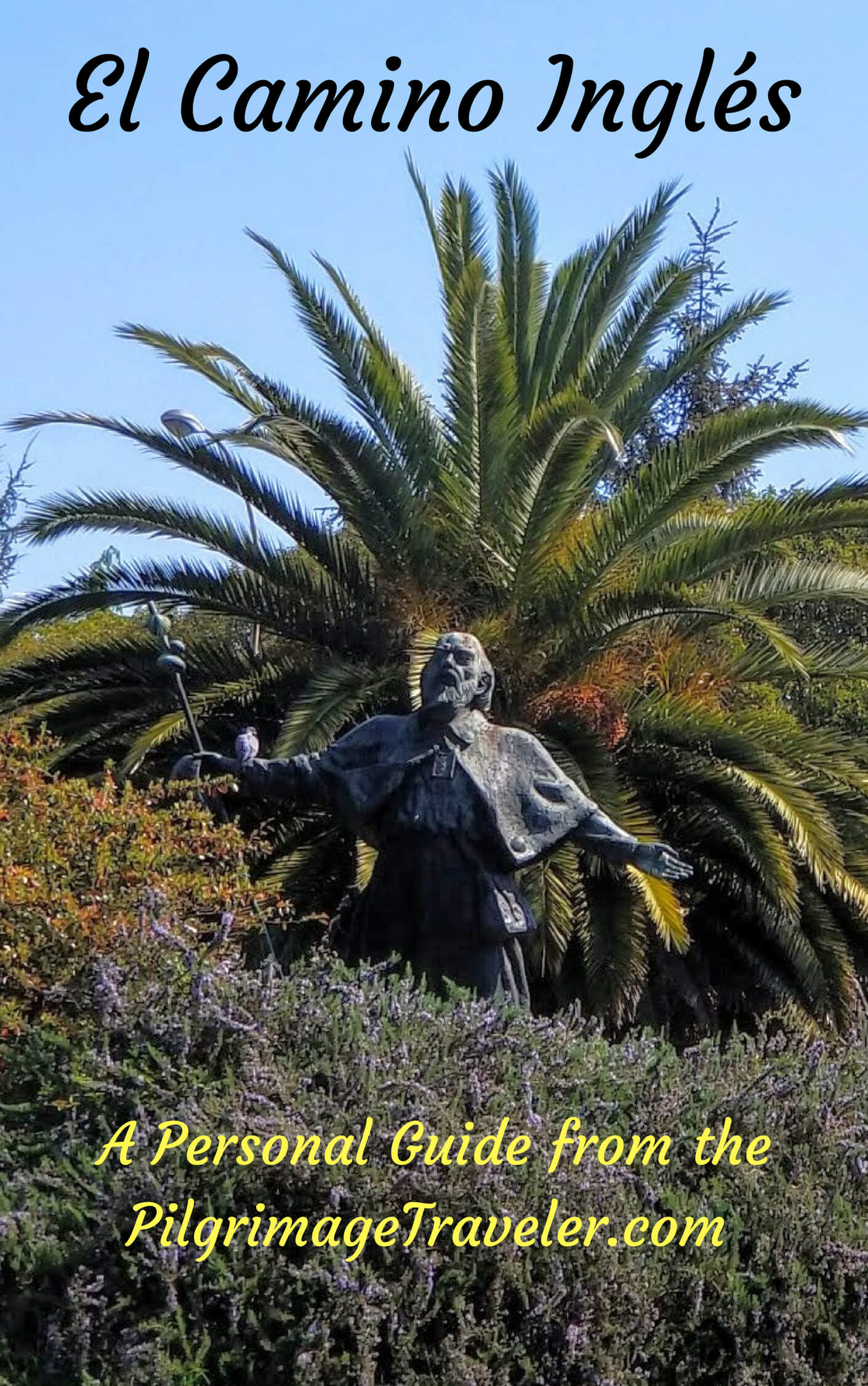
The Shortest of the Caminos, but Not Easy!
The Very First, Original Camino from Oviedo to Santiago
Entirely Updated and New Version for 2025
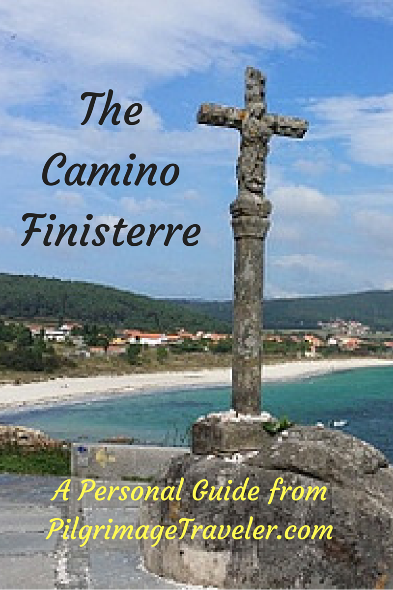
The Pilgrimage to the End of the World - A Must Do!
All Banners, Amazon, Roamless and Booking.com links on this website are affiliate links. As an associate of these companies, the Pilgrimage Traveler website will earn from qualifying purchases when you click on these links. We have used and love all of our product recommendations and believe you will too! We sincerely thank-you!
Follow Me on Pinterest:
Follow Me on Instagram:
Find the Pilgrimage Traveler on Facebook:
Like / Share this page on Facebook:
***All Banners, Amazon, Roamless and Booking.com links on this website are affiliate links. As an Amazon associate and a Booking.com associate, the Pilgrimage Traveler website will earn from qualifying purchases when you click on these links, at no cost to you. We sincerely thank-you as this is a pilgrim-supported website***
PS: Our gui\nde books are of our own creation and we appreciate your purchase of those too!!
Shroud Yourself in Mystery, along the Via de Francesco!

Walk in the Footsteps of St. Francis, and Connect Deeply to the Saint and to Nature in the Marvelous Italian Countryside!
Need suggestions on what to pack for your next pilgrimage? Click Here or on the photo below!
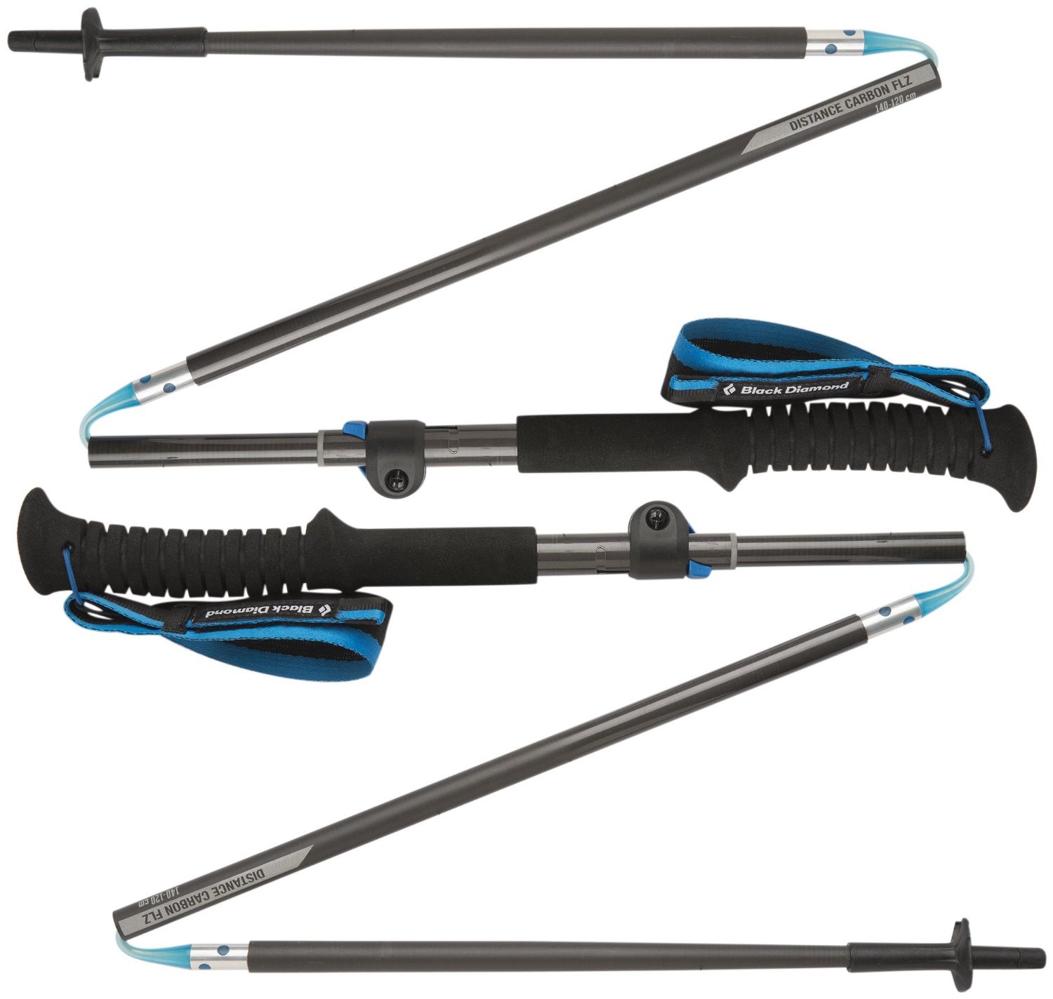
Carbon fiber construction (not aluminum) in a trekking pole makes them ultra lightweight. We like the Z-Pole style from Black Diamond so we can hide our poles in our pack from potential thieves before getting to our albergue! There are many to choose from! (See more of our gear recommendations! )
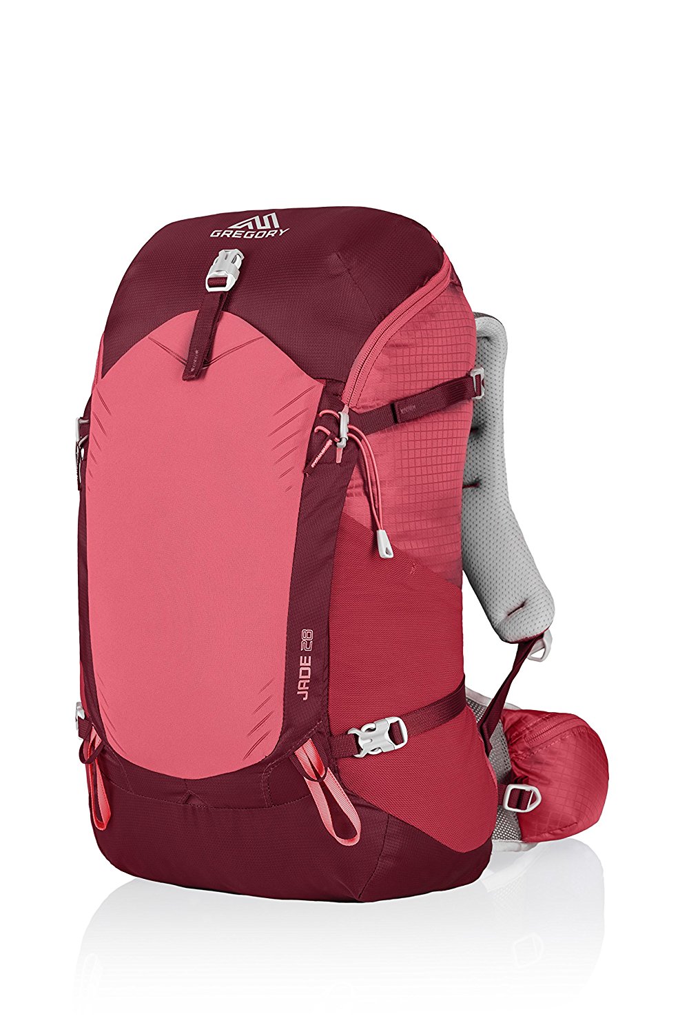
Gregory BackPack - My Favorite Brand

Do not forget your quick-dry microfiber towel!
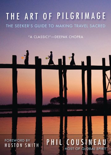
My absolute favorite book on how to be a pilgrim:


Your Opinion Matters! Comments
Have you had a similar experience, have some advice to give, or have something else you'd like to share? We would love to hear from you! Please leave us a comment in the box below.