- ~ Home
- ~ Camino Portugués (The Portuguese Way)
- Day Twenty, Coastal Route, Viladesuso to A Ramallosa
Jump to Camino Portugués Stages
Day Twenty on the Coastal Route of the Camino Portugués
~ Viladesuso (Mougás) to A Ramallosa, 18.37 Km (11.43 Miles)
Disclosure: the PilgrimageTraveler.com is an associate of Booking.com, Roamless, and Amazon. As associates of these merchants, we earn from qualifying purchases from our links.
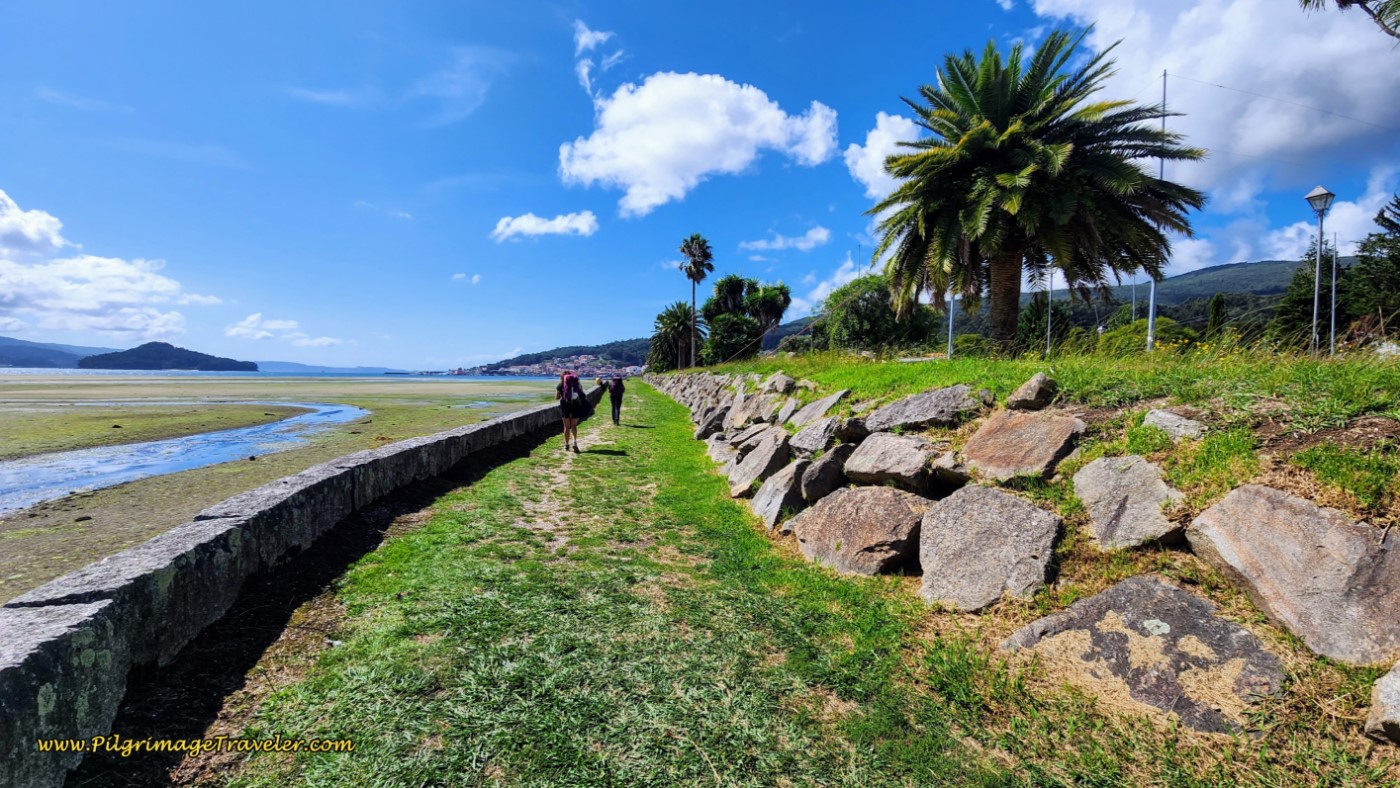
Day twenty on the Coastal Route of the Camino Portugués, combines the first 7.6 kilometers with the Senda Litoral, as it walks you as close to the seacoast as possible on the roads and highways.
After 7.6 kilometers, you can choose the Senda Litoral which stays on the paved bikeway that follows along the PO-552 to Baiona, past rugged seacoast viewpoints, commemorative monuments and a sea glass beach along the way, then past the stunning fortress there, and finally bikeways, boardwalks and coastal pathways along the harbor and beaches into A Ramallosa.
OR you can take the climb up and away from the coast on the traditional Coastal Route along the “Estrada Velha” (old road), walking on medieval roads of the Camiña da Portela, then from a higher place walking above the harbor, finally descending back to sea level, visiting historic medieval churches, wells, crosses and bridges as you walk through the old towns of O Burgo and Sabaris on the way to A Ramallosa.
Whichever route you choose, the mileage is about the same. Remember, it will be about 2.5 kilometers shorter if you are starting in Mougás. The traditional stage ends in A Ramallosa for a short day for most pilgrims. If you linger here, it is a golden opportunity to explore the castle in Baiona, the gorgeous beaches and indulge in wonderful seafood restaurants.
However, if you do want to walk farther, the Albergue Peregrinos San Xurxo is conveniently located after about 8.5 kilometers more (or 7.8 kilometers if you take the shortcut), after A Ramallosa, and could extend your day. See day twenty-one for the route information. The albergue is conveniently located between the two routes, less than one kilometer east of the Sendal Litoral and only a few meters west of the Coastal Route.
“Life is a
pilgrimage. Each moment is to be lived in depth, because each moment contains
God, hidden within it.” ~ Banani Ray, Glory of OM: A Journey to
Self-Realization
🙋♀️ Why Trust Us at the Pilgrimage Traveler?
We’re not a travel agency ~ we’re fellow pilgrims! (See About Us)
We've trekked Pilgrimage Routes Across Europe since 2014!
💬 We’ve:
- Gotten lost so you don’t have to. 😉
- Followed waymarks in the glowing sunlight, the pouring rain and by moonlight. ☀️🌧️🌙
- Slept in albergues, hostels & casa rurals. Ate and drank in cafés along the way. 🛌 😴
- Created comprehensive and downloadable GPS maps and eBook Guides, full of must-have information based on real pilgrimage travels. 🧭 🗺️
- Shared our complete journeys, step by step to help YOU plan your ultimate pilgrimage and walk with your own Heart and Soul. 💙✨
Every detail is from our own experiences. Just fellow pilgrims sharing the Way. We have added a touch of spirituality, heartfelt insights and practical guidance from the road ~ offering a genuine connection to the spirit of pilgrimage. Tap into the wisdom of seasoned pilgrims!
Ultreia and Safe Pilgrimage Travels, Caminante! 💫 💚 🤍
Map and Stats of Day Twenty, Coastal Route, Camino Portugués
Here is my google map for day twenty of the Coastal Route, created from my uploaded GPS tracks for the day. I placed albergues, hotels, cafés, supermarkets and churches and other places of interest on the map. There are plenty of services along the way on this entire route, as you can see from the map below. I added some for your reference, but there are many more.
There are two relatively significant climbs for the day, of 100 meters (328 feet) and 70 meters (230 feet), that you can see on the elevation profile below. This is what the Senda Litoral avoids. However, the climbs are through very scenic areas as you will learn if you keep reading! This is a short day, so relax, take it slowly and enjoy what is to come.
👣 Camino Portugués eBook Guides
Enjoy all the valuable info from our web pages ~ offline, ad-free, and beautifully formatted, including our photos. Why carry a heavy guidebook when you can use a nimble digital version on your device?
Our guides are frequently updated and uniquely entertaining, as we share our own Camino story along the way.
📲 Instant download. 💸 Money-back guarantee. 🔄 Free updates for 1 year.
Buy only what you need ~ or grab all four for the price of three (25% savings). Click here for more information or BUY NOW at only 17.85!
Jump to Camino Portugués Stages
Photo-Rich Travelogue of Day Twenty, Coastal Route, Camino Portugués
We began our day at our friend Glyvia's house with a hearty continental breakfast, including bread and cheese. It was a great start to the day.
We had stayed overnight at her "Albergue de Glyvia." She decided that she wanted to walk the first few kilometers with us to the albergue in Mougás. We were thrilled.
Since it is one hour later in Spain than Portugal, it did not get light until about 8:30 when we set off for the day.
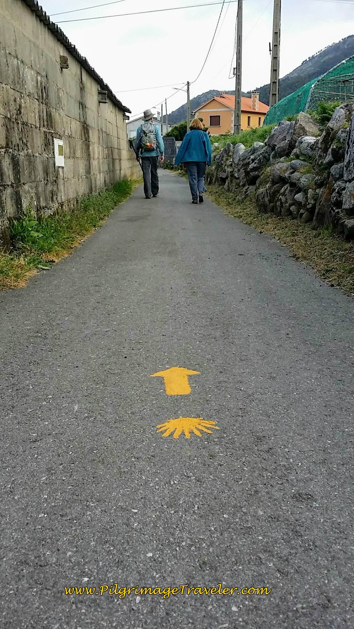
We started from the waymark where we left off on day nineteen, just beyond the Albergue da Estrela. This quiet paved road that runs almost by Glyvia's house, essentially parallels the PO-552, but now to the east. The planners of this route keep the pilgrimage traveler off the highway whenever possible.
The seacoast was just beginning to brighten up. I love the post-dawn light on the sea!
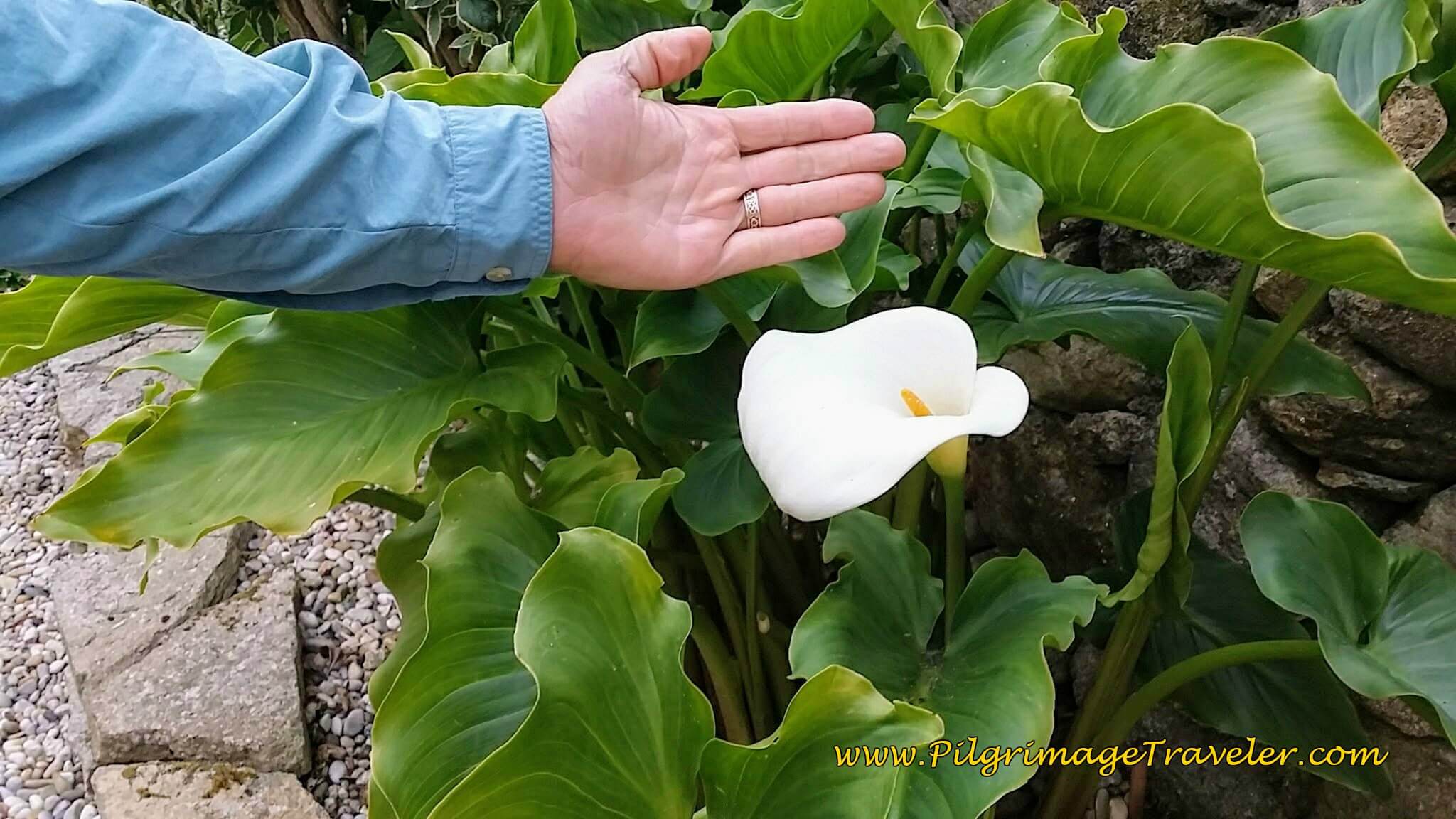
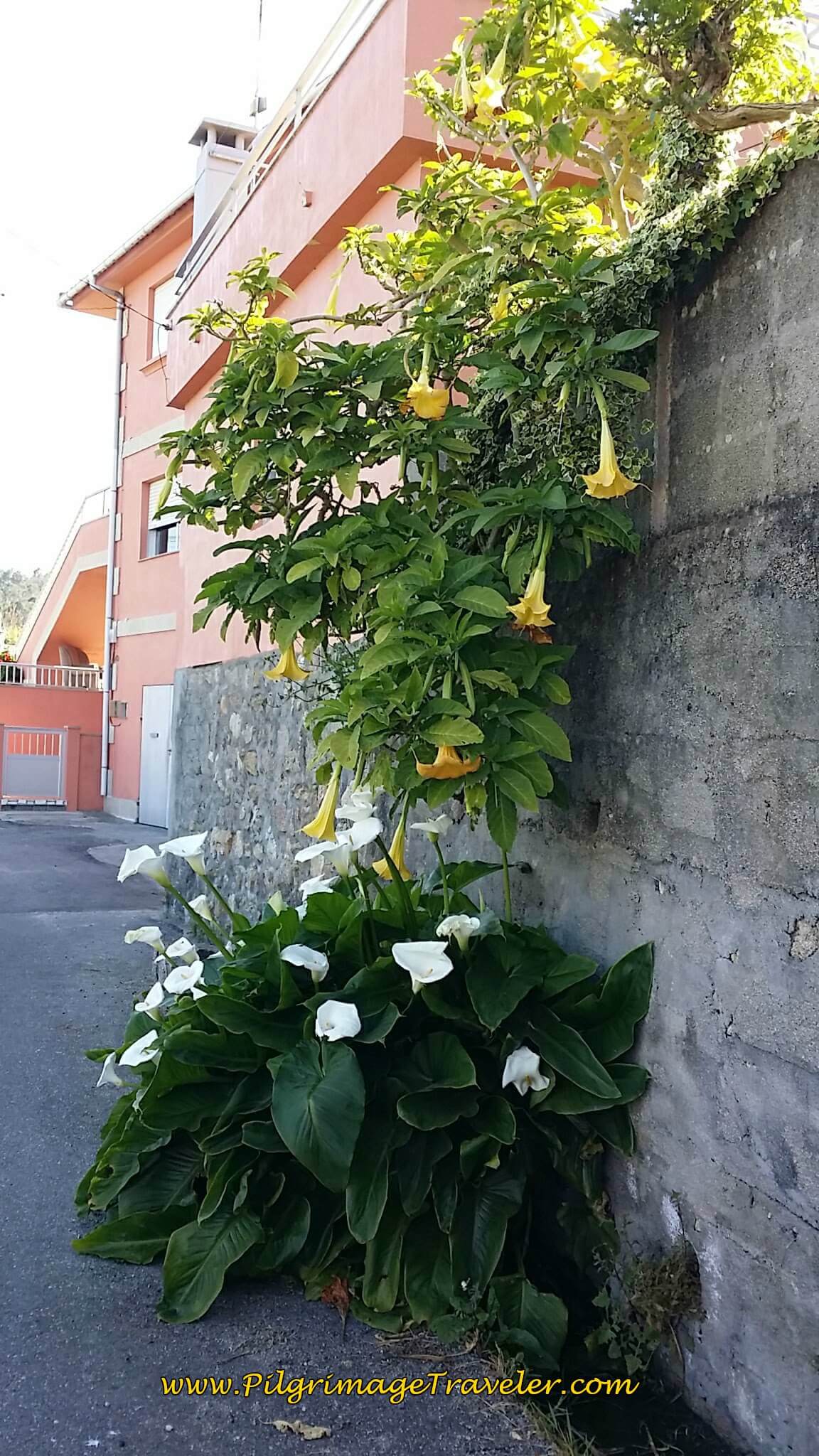
The Calla Lilies lined the roads. They grow so incredibily wild and huge here, just like in Portugal.
The Camino meanders through Viladesuso, staying on quiet, unnamed paved roads. We followed the first road about 1/2 kilometer, until it almost bent around to the highway, but then turned right to avoid it. If you were to join the highway, the Hotel and Restaurant Costa Verde is there, another accommodation in Viladesuso.
Onward onto the next paved road, about 400 meters, we came to a T-intersection, where we turned left.
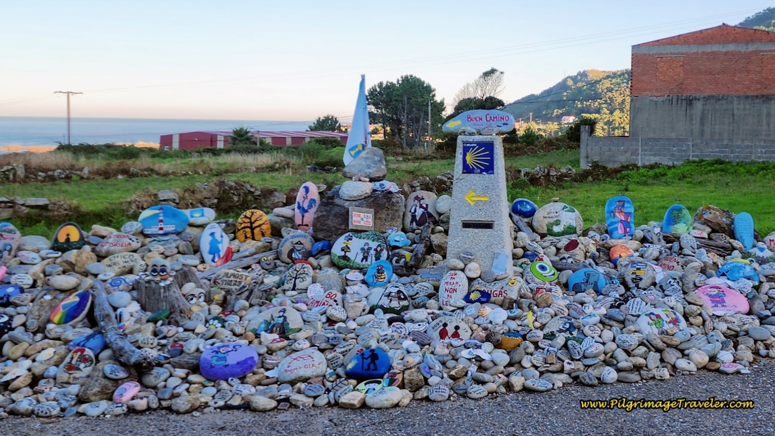
Continuing on another 400 meters or so, we took a left turn here, at this landmark with a mojón, the Hito de Mougás. Another tribute to the ever-changing face of the Camino.
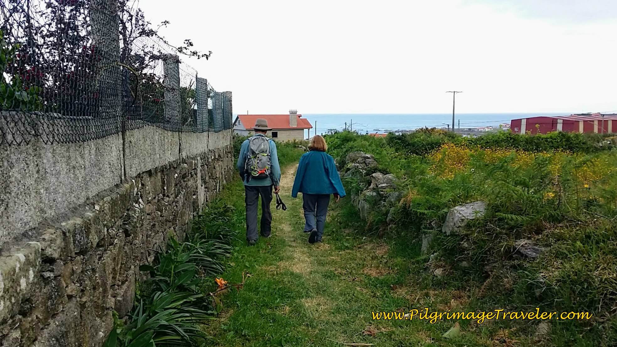
We walked next along this high wall on a path, that shortcuts to the street called the Lugar o Porto to arrive in the town of Mougás.
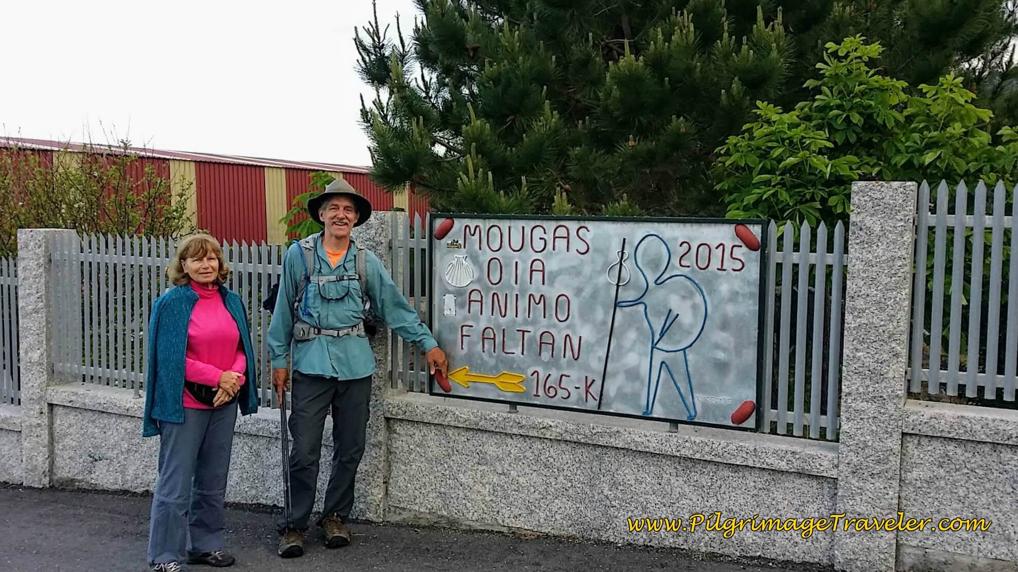
A nice sign for pilgrims greets you on the Lugar O Porto street in Mougás, where you turn left. I have no idea what this sign means, but I received the encouraging message nonetheless! 165 Km is approximately the distance left to Santiago from here!
Walk a few hundred meters until just before the PO-552, then make a quick right to avoid it as the Lugar O Porto continues to run north and parallel to the highway, as it becomes the Camiño de Salcidos.
After 300 meters, the Camiño de Salcidos ends at the highway, crosses over it to join a nice foot path. Follow the footpath along the highway for several more meters and where it joins the highway and the Albergue Turístico Aguncheiro is just another quarter kilometer ahead. Turn left onto the paved road in front of the albergue. You will see the sign for the albergue, so you can't miss it really.
Jump to Camino Portugués Stages
Follow the paved road, past the albergue and along the coast for about 3/4 kilometer.
The road joins the PO-552 and its nice bike lane once again. After another 250 meters the Camino turns left onto another dirt lane as you get closer to the windmill at the Camping Bungalow Park.
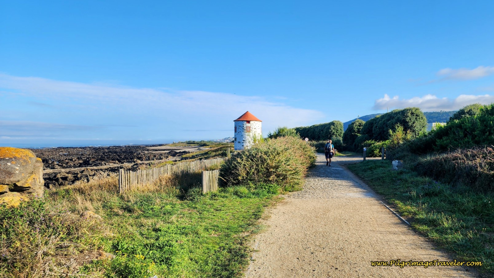
After another five hundred meters, the lane joins the highway again to walk past the restored windmill at the park.
We said goodbye to Glyvia here, at the windmill after about four total kilometers from her house (or from the Albergue da Estrela). There is now a bustling O Muiño café here, a much frequented pilgrim’s stop. It is the first café after Viladesuso. If it is too crowded, there is another café, the O Peñasco, just a few more meters down the road.
After passing the windmill, we walked to the side of the highway for another 0.4 kilometers, where the Camino veers left to walk on yet another dirt lane, below. Then it switches back on itself in a quarter kilometer, to climb back up to the highway. A whole lot of extra walking to avoid a small stretch of highway. After the first time here, we just kept to the highway through this short section!
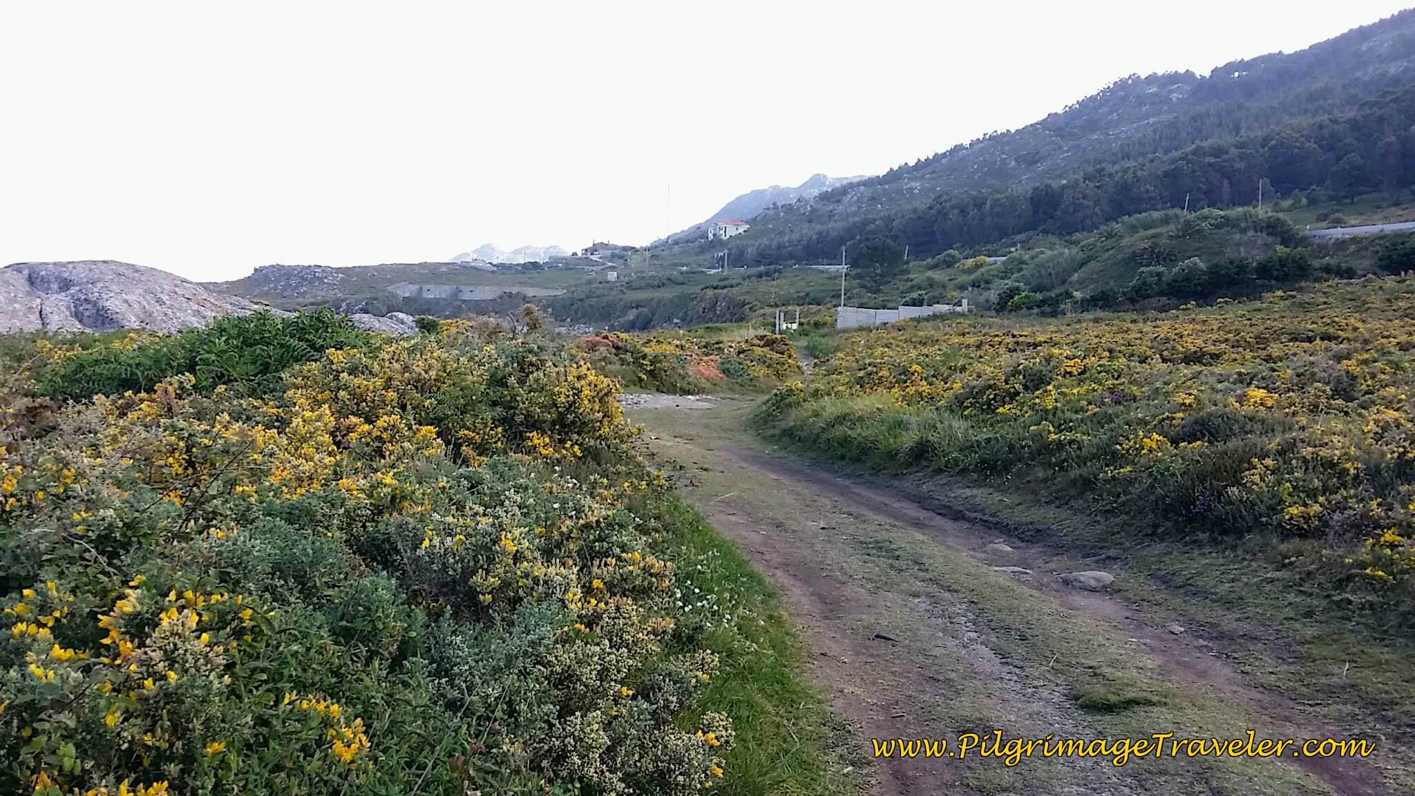 Dirt Lane After Windmill
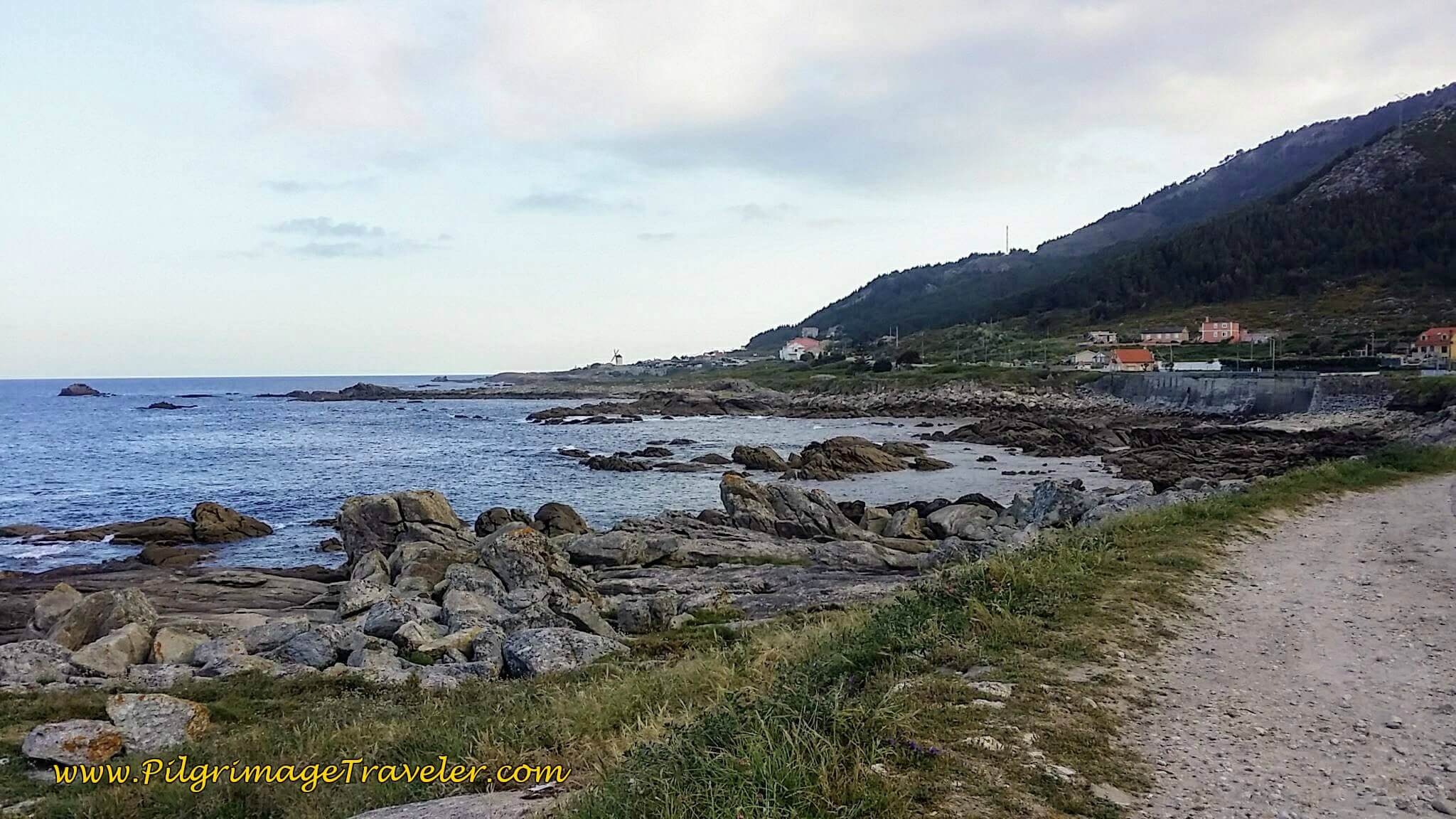
The seacoast is quite gorgeous here, however, so it may be worth walking it. This bush was alive with yellow spring blooms our first time through.
The Camino joins the PO-552 after the short diversion, with the continuing walking/bike lane.
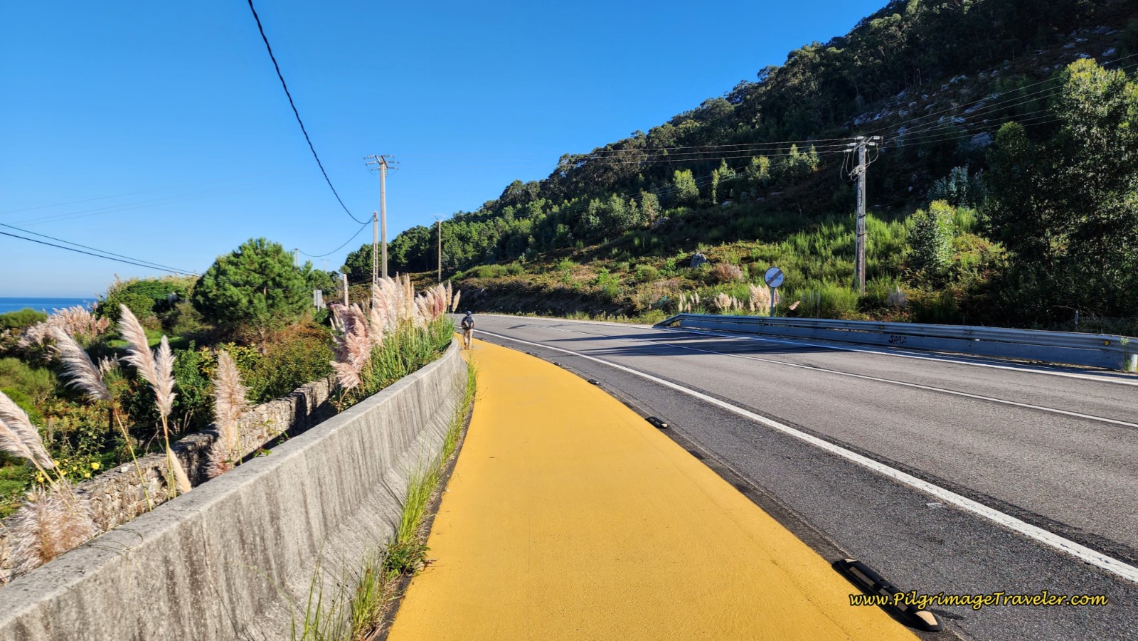 Join the PO-552 and the Bike Lane
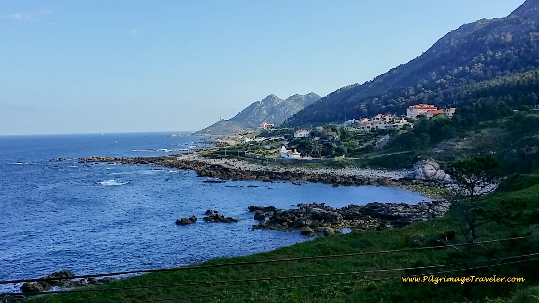
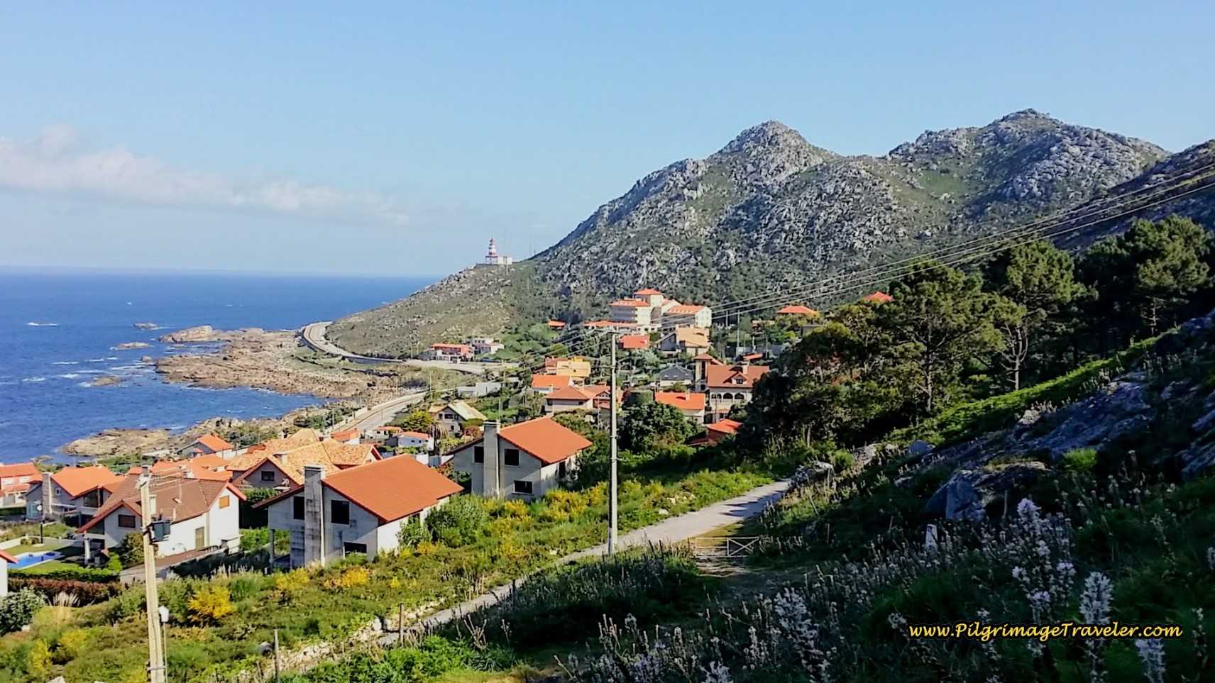
The next landmark to watch out for is the lighthouse at Cape Silleiro. While the coastal route does not walk there, but shortcuts through the next peninsula, one can see it for quite a ways along the highway. The Senda Litoral does walk by this lighthouse.
The walk along the highway is about 2.5 kilometers. The bikeway allows the pilgrimage traveler to walk on the shoulder safely, thru A Ermida. In this town there is another camping accommodation, Camping Mougas and the Hotel Soremma (+34 986 35 60 67).
Just before the town of As Mariñas, is the turn off at about 7.6 kilometers into the day (from Viladesuso), below.
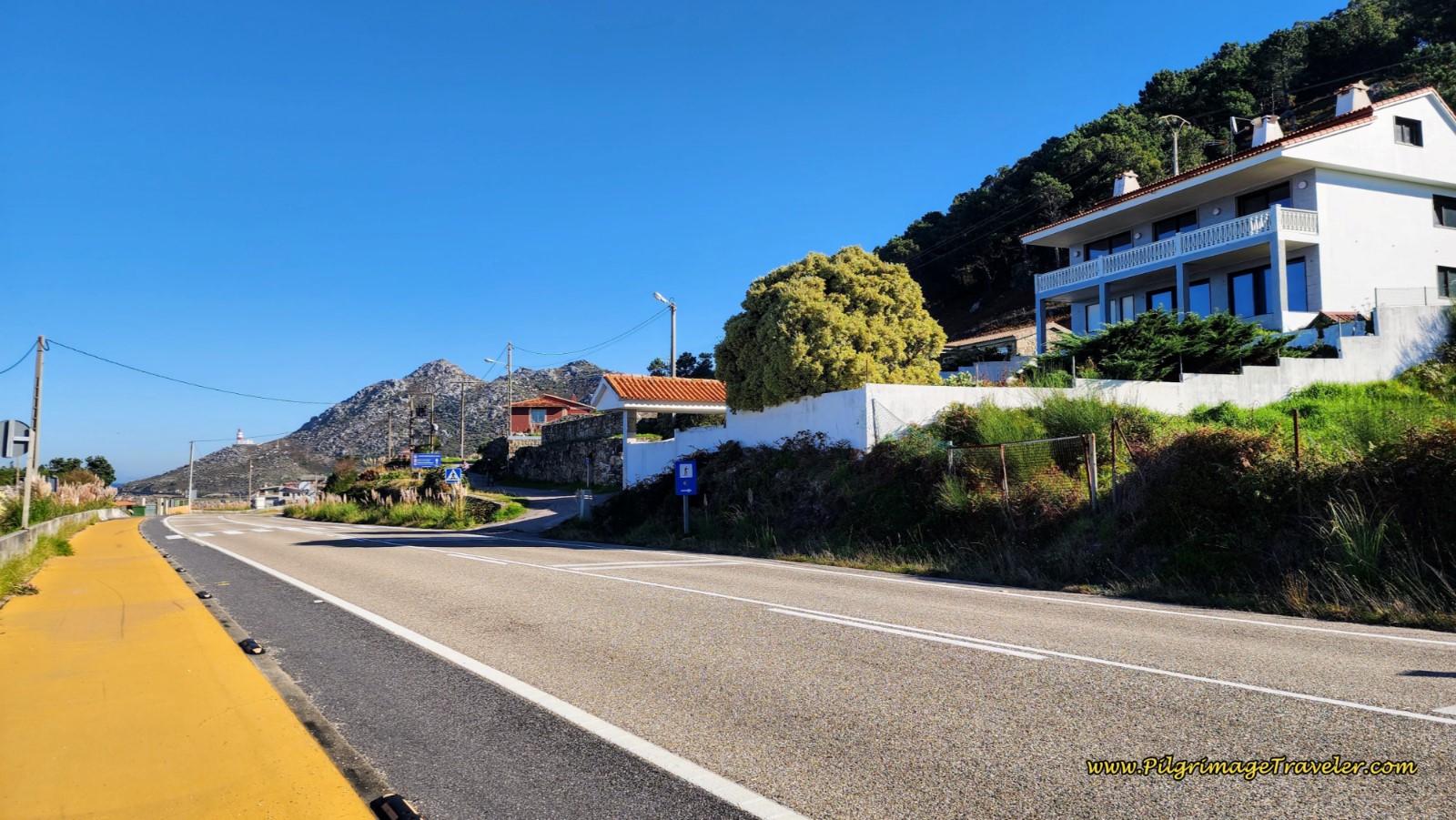 Coastal Route Turn-Off Just Ahead
You can't miss this sign at the turn!
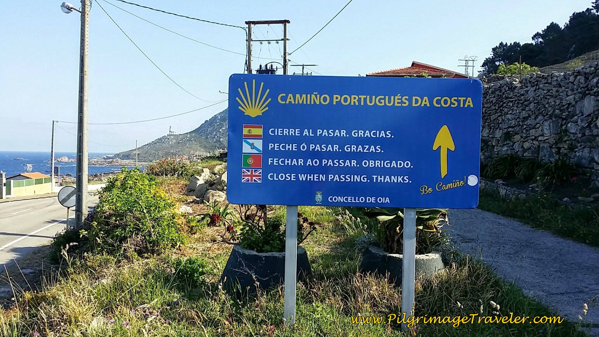 Turn Right from PO-552 Here
You can make the choice to continue on the PO-552 all the way to Baiona to create your own Senda Litoral so you won't have to climb the hills. Our Japanese friend, Hiro, confessed to us later that he chose the PO-552 to avoid the hill climbing, and apparaently, more and more pilgrims are doing the same.
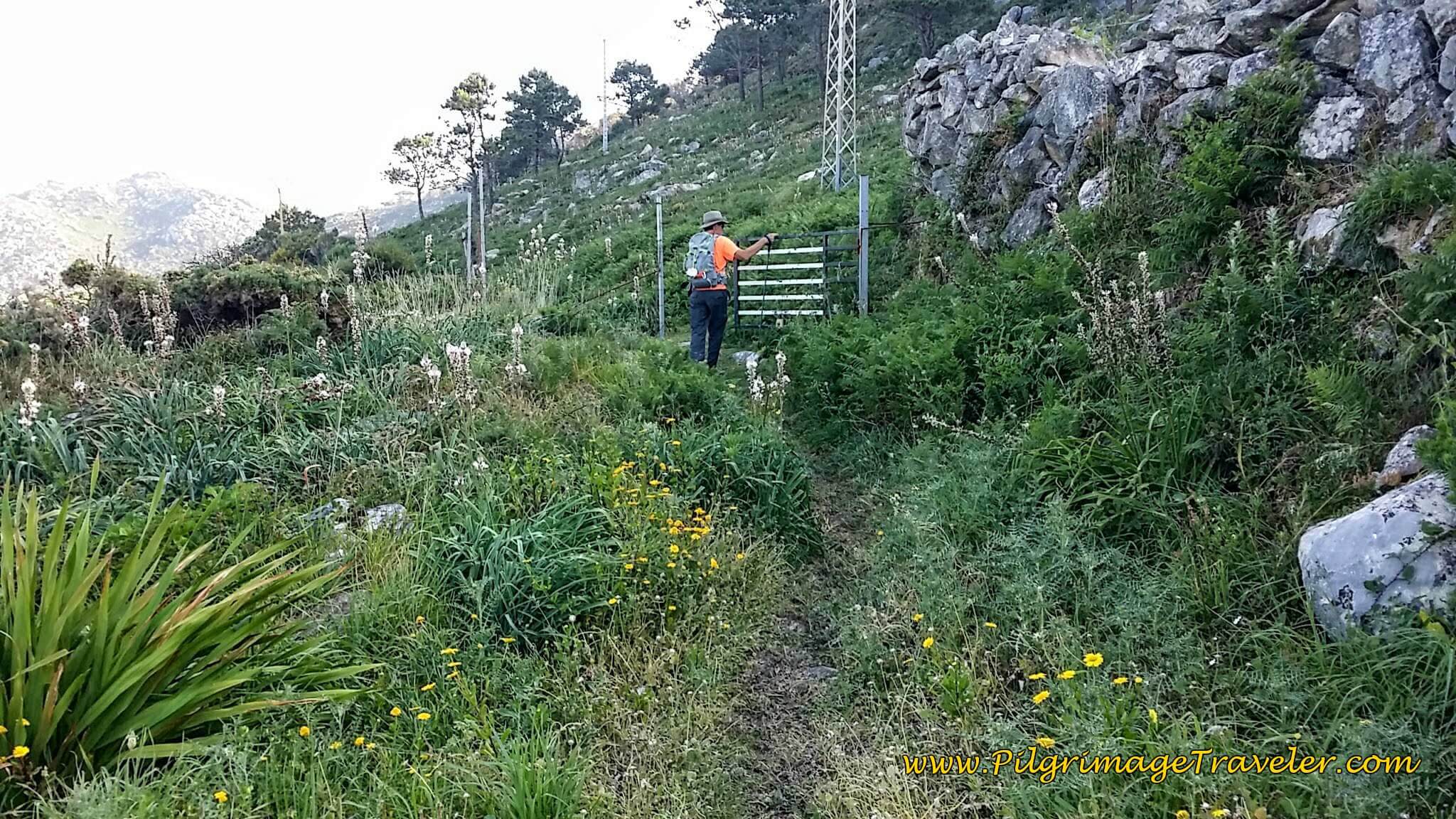
The road quickly becomes nothing more than a path, called the Camiño da Portela, the "Gate Road." Walk through the gate and close it behind you!
The views are wonderful as you climb above As Mariñas.
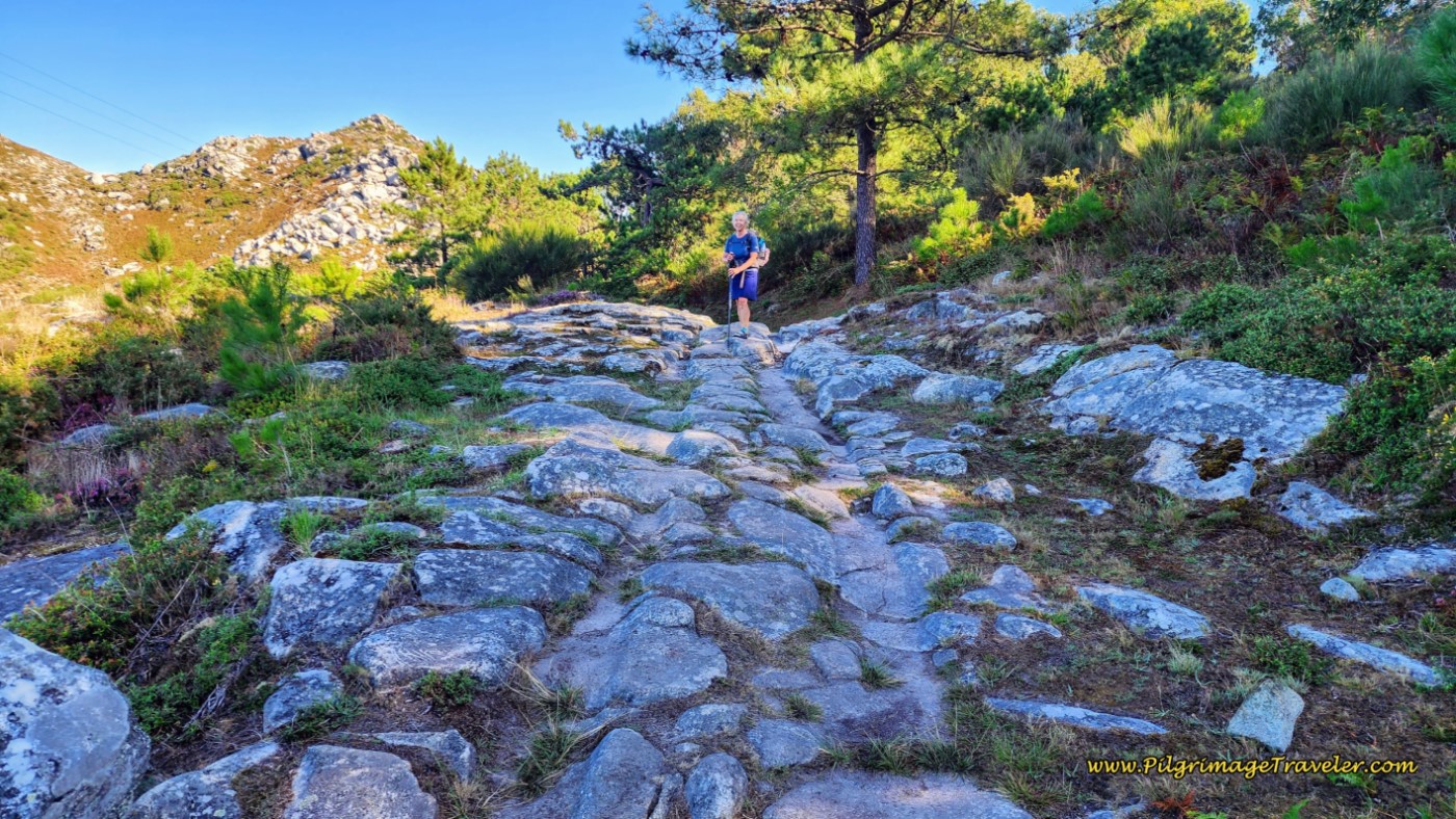
Soon it becomes apparent that this is a historic road.
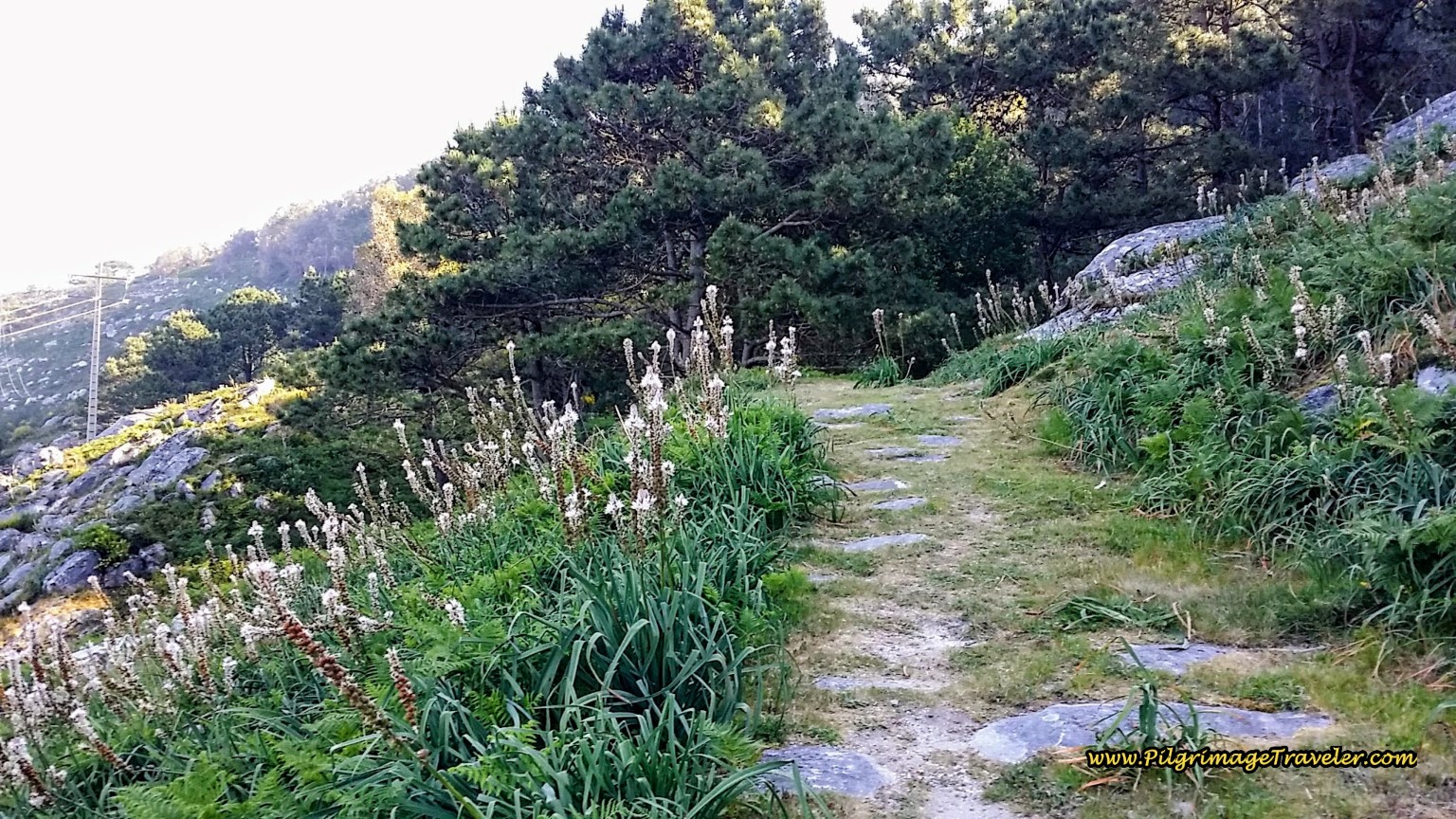 Historic Paved Road on Day Twenty, Coastal Route, Camino Portugués
This looks like the rock was quarried out here to make way for the road.
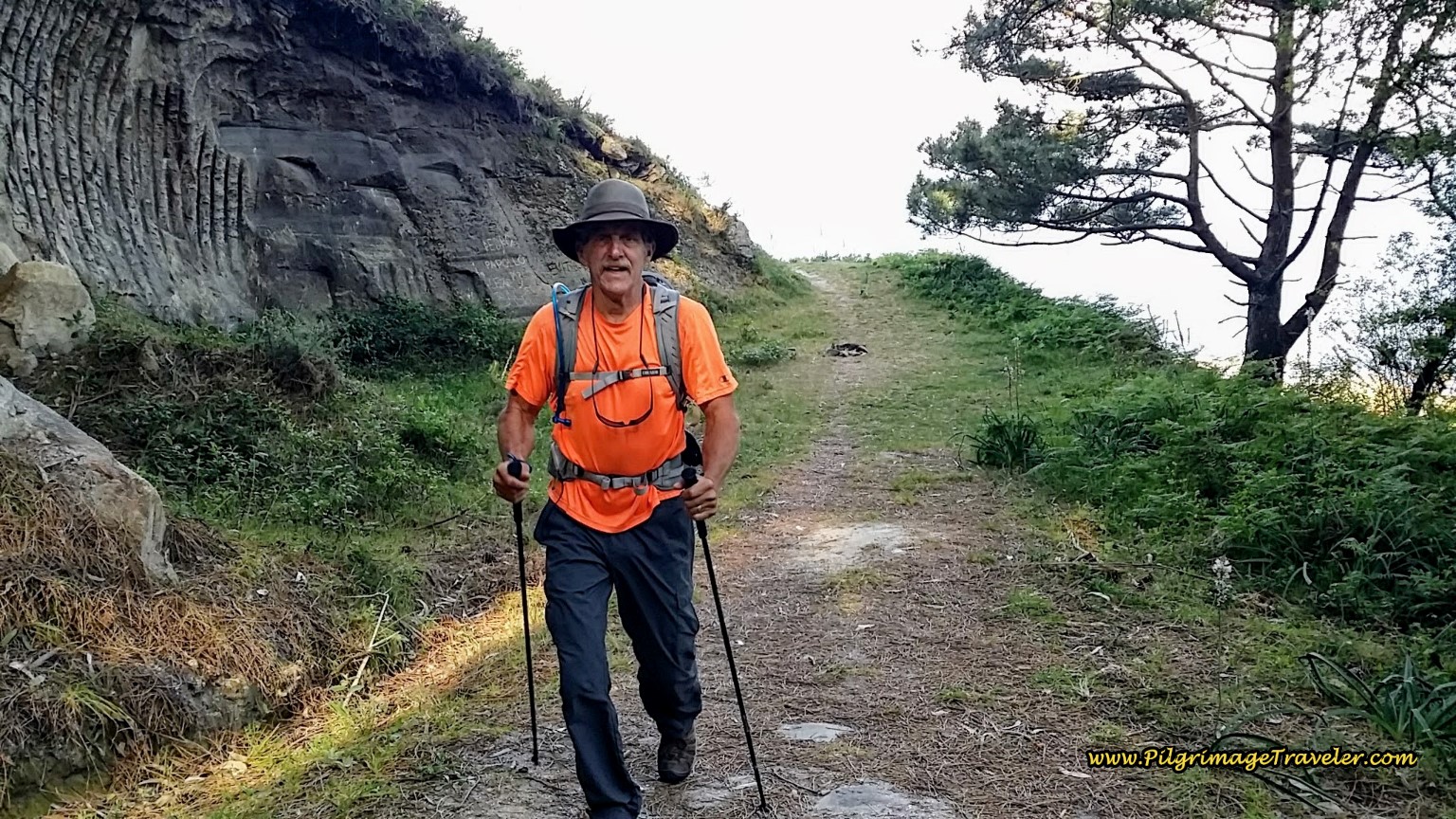 Rich Climbing on the Camiño da Portela
It is a healthy climb up to here, and a passing pilgrim shot this photo of the two of us at one of the viewpoints where we caught our breath.
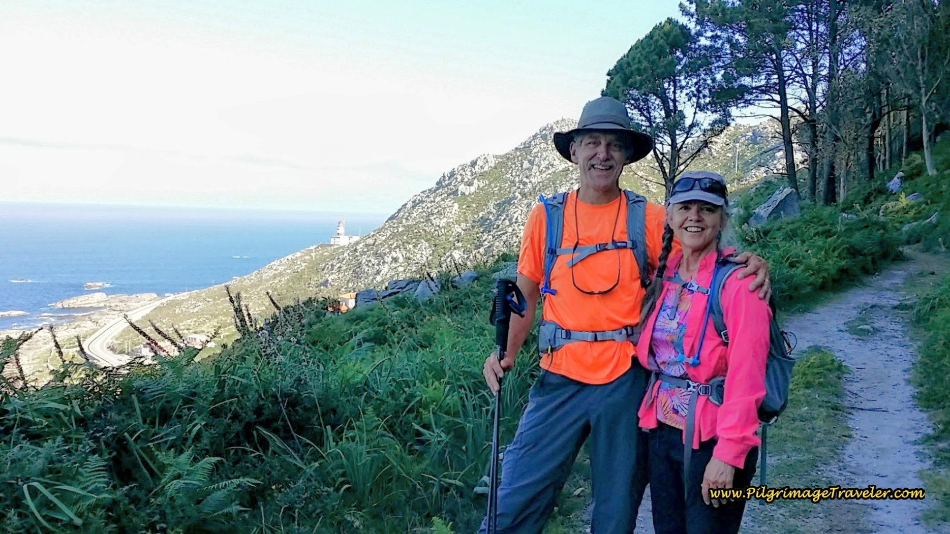 Rich and Elle on the Camiño da Portela
Almost at the top, the rocky road bears ruts from the wagons that traversed here.
There are two obelisks at the top, after a nice 100 meter climb. The top is at about 120 meters above sea level and about 8.6 kilometers total from Viladesuso.
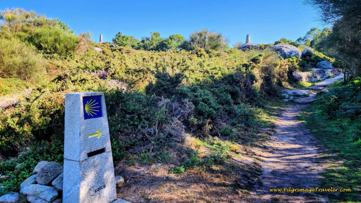 The Summit is Ahead at the Obelisks
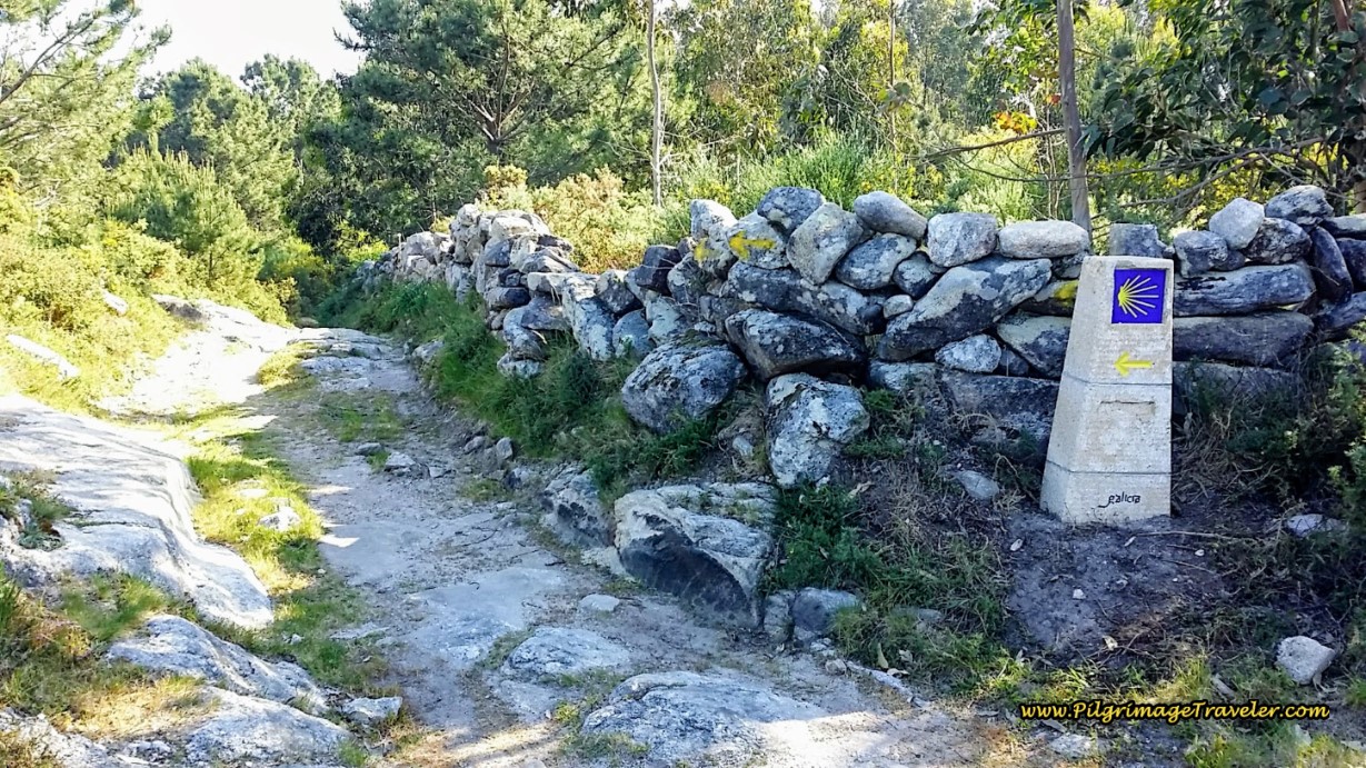
Continue straight on here at the top. It is well waymarked, with beautiful, new concrete pylons. It is a lovely two kilometers worth of imagining that we were medieval pilgrimage travelers walking the ancient roads!
Drop down the other side of the hill and onto the O Cabreiro street and turn right.
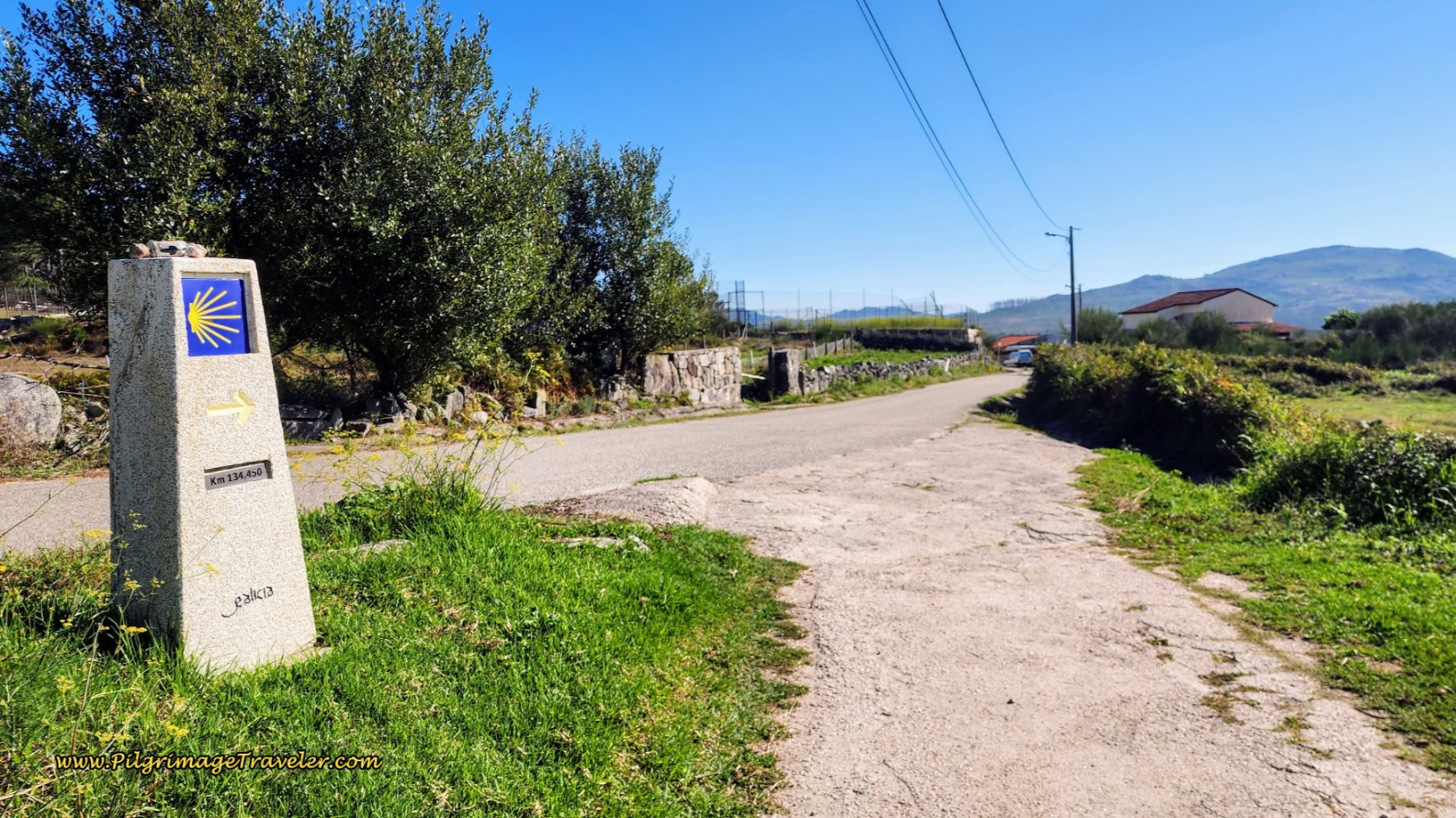 Ancient Road Joins O Cabreiro Street
Barely one hundred meters later, you will come to A Casa do Peixe on this road, a perfectly located pilgrim's stop, cafe and bar. It was packed with pilgrims when we stopped for coffee and a snack.
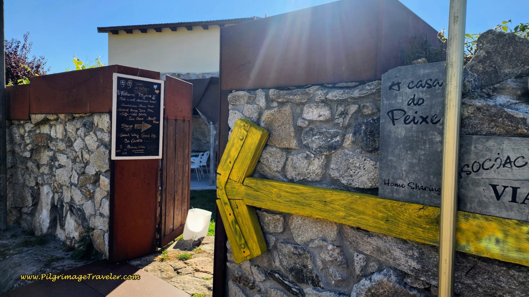 A Casa do Peixe
Walk on O Cabreiro St. for a full kilometer on day twenty on the Coastal Route of the Camino Portugués.
O Cabreiro ends at a T intersection with a cruzeiro in the middle of the road. At this juncture is the Casa Rural Oscar, not pictured, a possible accommodation for the night.
You continue to the right onto the Camiño O Sinal for about 300 meters as this street becomes the Lugar Ponte. Along the way, I would frequently stop to admire the gorgeous spring flowers.
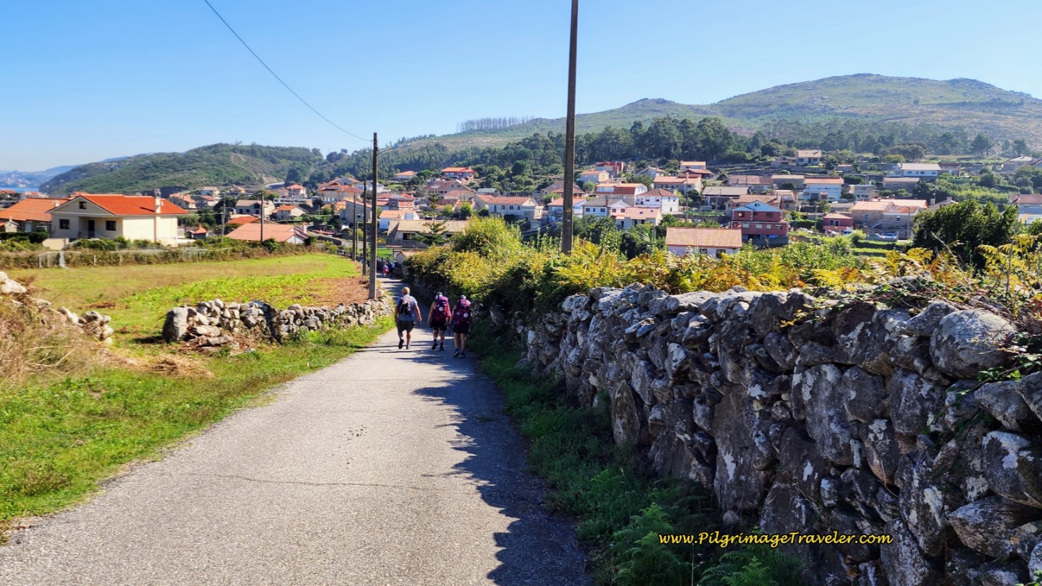
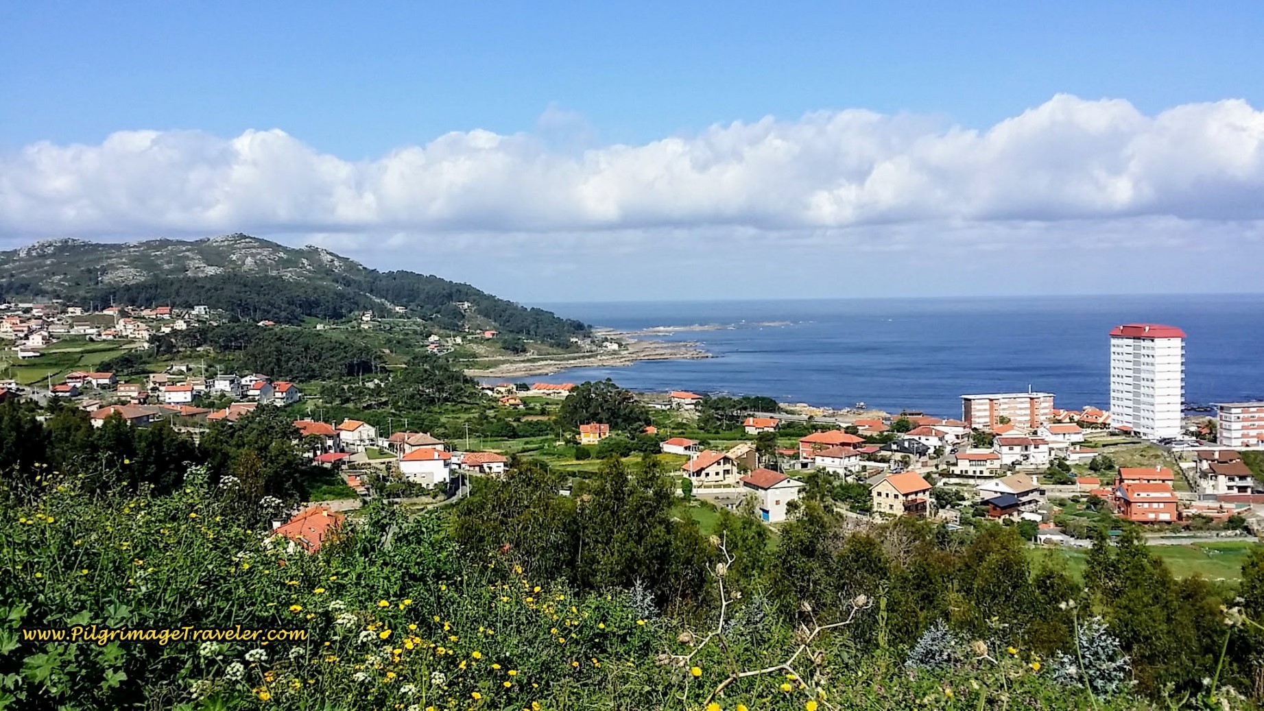
These small paved side roads have views of the sea, from a higher level than at the coastline and the Camino de la Costa meanders its way through the rural seaside country.
After walking a few meters, stay right at the Camiño Río Pequeno, and start climbing a nice hill again, on a paved road.
After only 300 meters, the road turns sharply to the right and you climb more steeply until you come to an intersection with the Estrada de Baredo. Turn sharply to the left to continue on this wider, paved road with no walking shoulder, as it continues to climb higher. This is the second strenuous hill of the day. The views are astounding from the top, of the islands out to sea. This lookout area is called the Monte Alto Miradoiro, where you have reached approximately 11.8 kilometers total from Viladesuso.
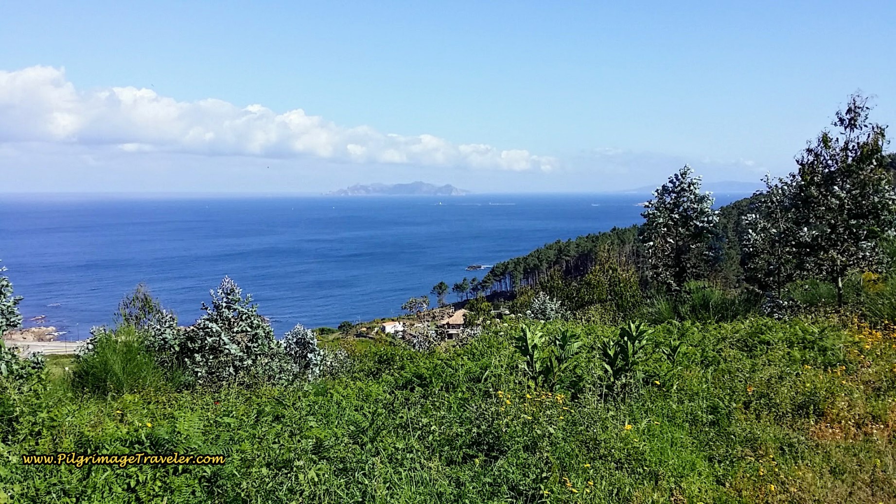 View of Illas Estelas Islands
After another 1/2 kilometer, come to a T-intersection and turn left onto the EP-2202, for a very short distance as it crosses up over a superhighway, then an immediate right, onto the quiet side road called San Antón, shown below, with a large cruzeiro on the corner.
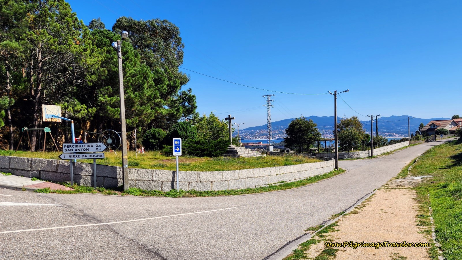 Right Turn Here on the San Antón Street
Begin the long, steep descent down hill, back towards the coast. 350 meters after turning onto the San Antón street, the Camino turns left by this funky tower that houses a fountain, pictured below, and farther along, a colonnaded pool.
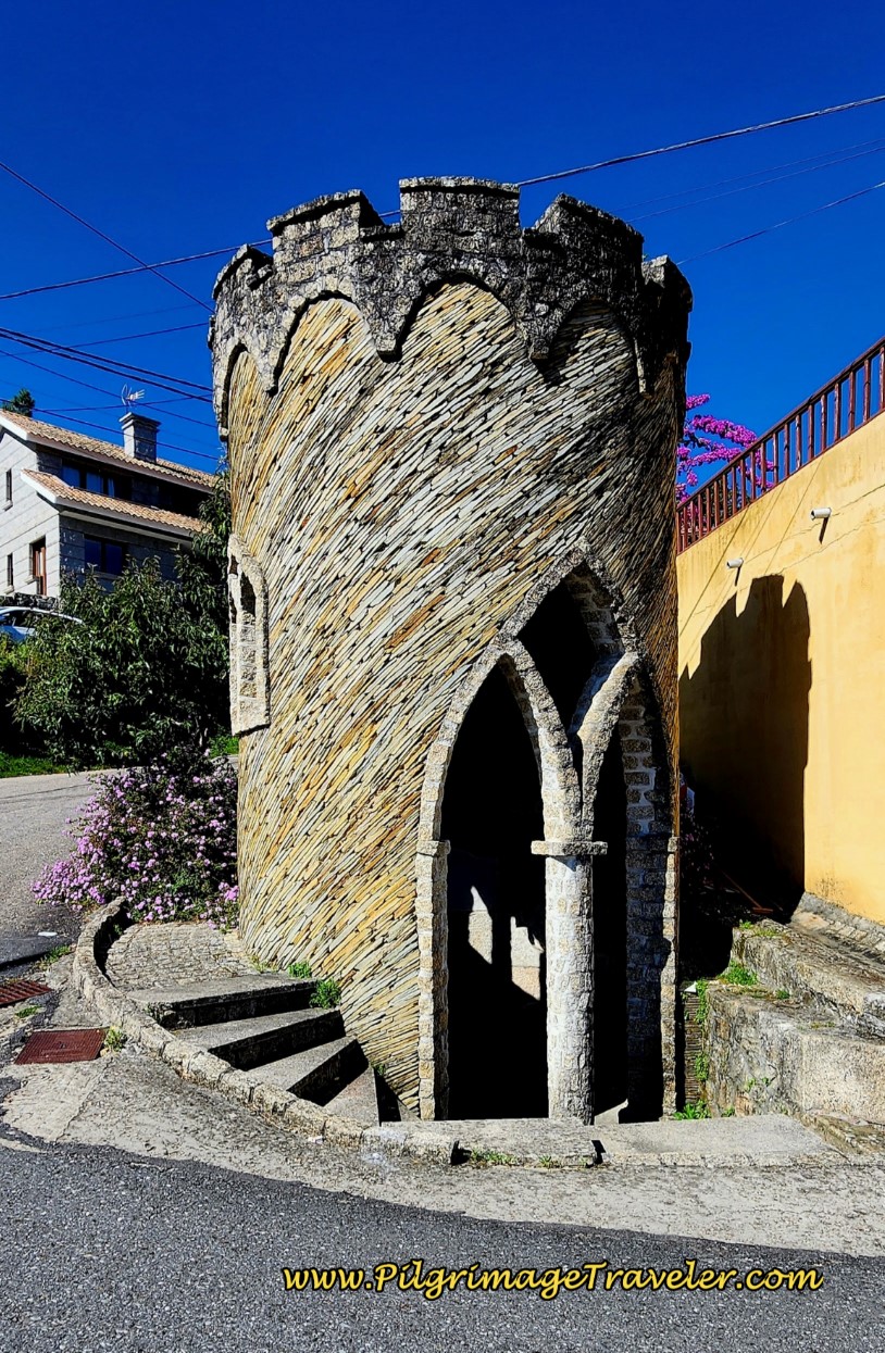 Left Turn at this Funky Fountain Tower
As you continue onward, 100 meters later, turn right onto the Camiño do Pino Manso. As you walk along this street for another 350 meters, you will catch glimpses of the Castelo de Monterreal of Baiona. It is a lovely sight!
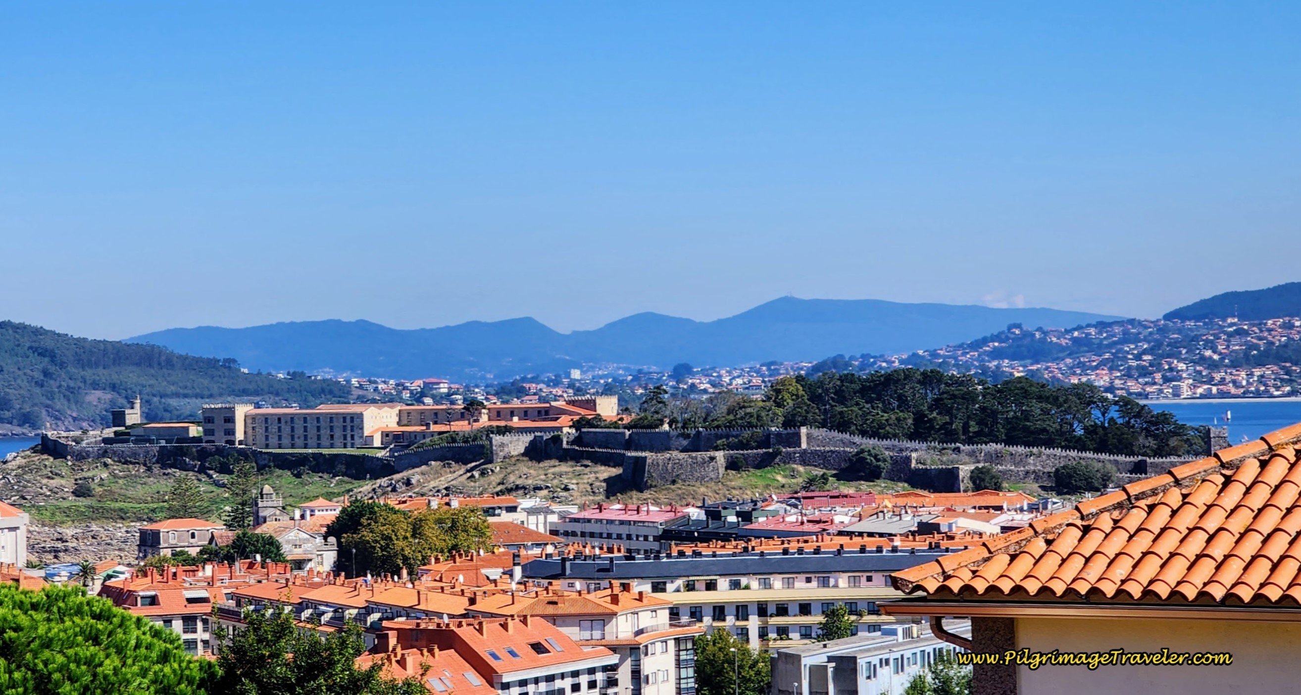 Views of the Castelo de Monterreal
A hard left onto the Rúa Covaterreña and after another 1/4 km, you finally come to a large roundabout in Baiona. There is a large soccer field here where you take the first right at the roundabout.
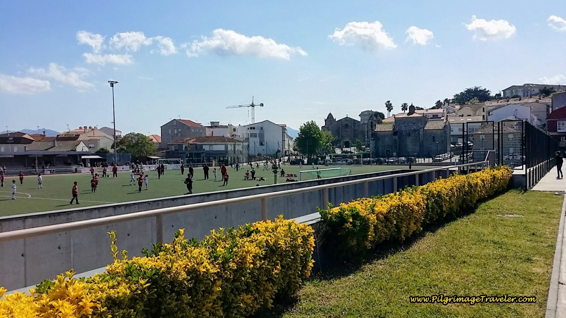 Landmark Soccer Field in Baiona, Day Twenty, Senda Litoral, Camino Portugués
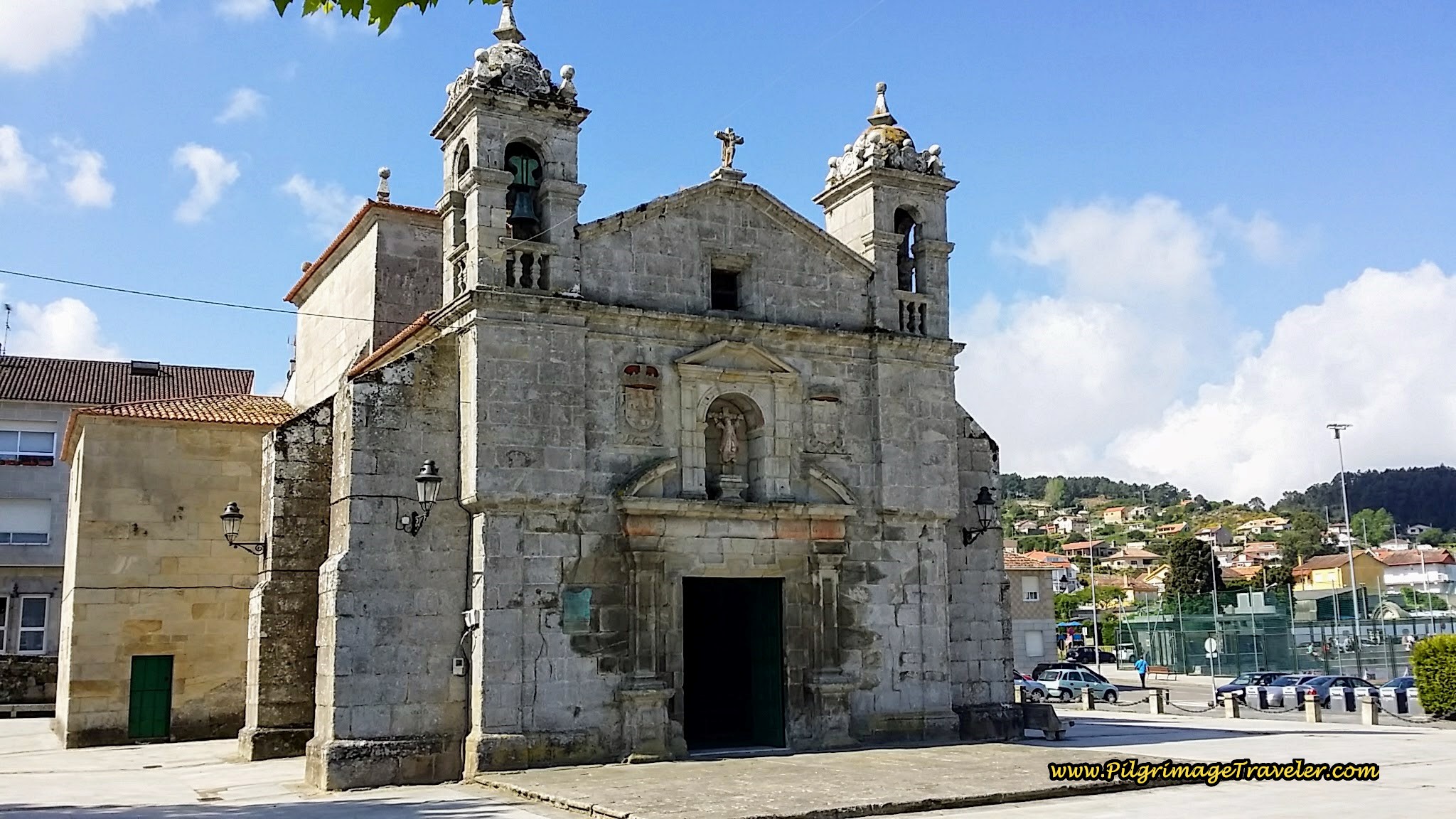
Walk past the soccer field and toward the prominent church to the east. First come to the Plaza Santa Liberata and its church, the Capela de Santa Liberata on day twenty on the Coastal Route of the Camino Portugués, after 13.8 kilometers total.
The altar inside the capela is telling, pictured below. The chapel is devoted to the first woman martyr ever crucified in the first century. Look closely at the altar and you can see her. Santiago is at the top, above her as Matamoros, the Moor Slayer. This chapel was built in 1695. To read more about this legend, you can click here. It is quite fascinating.
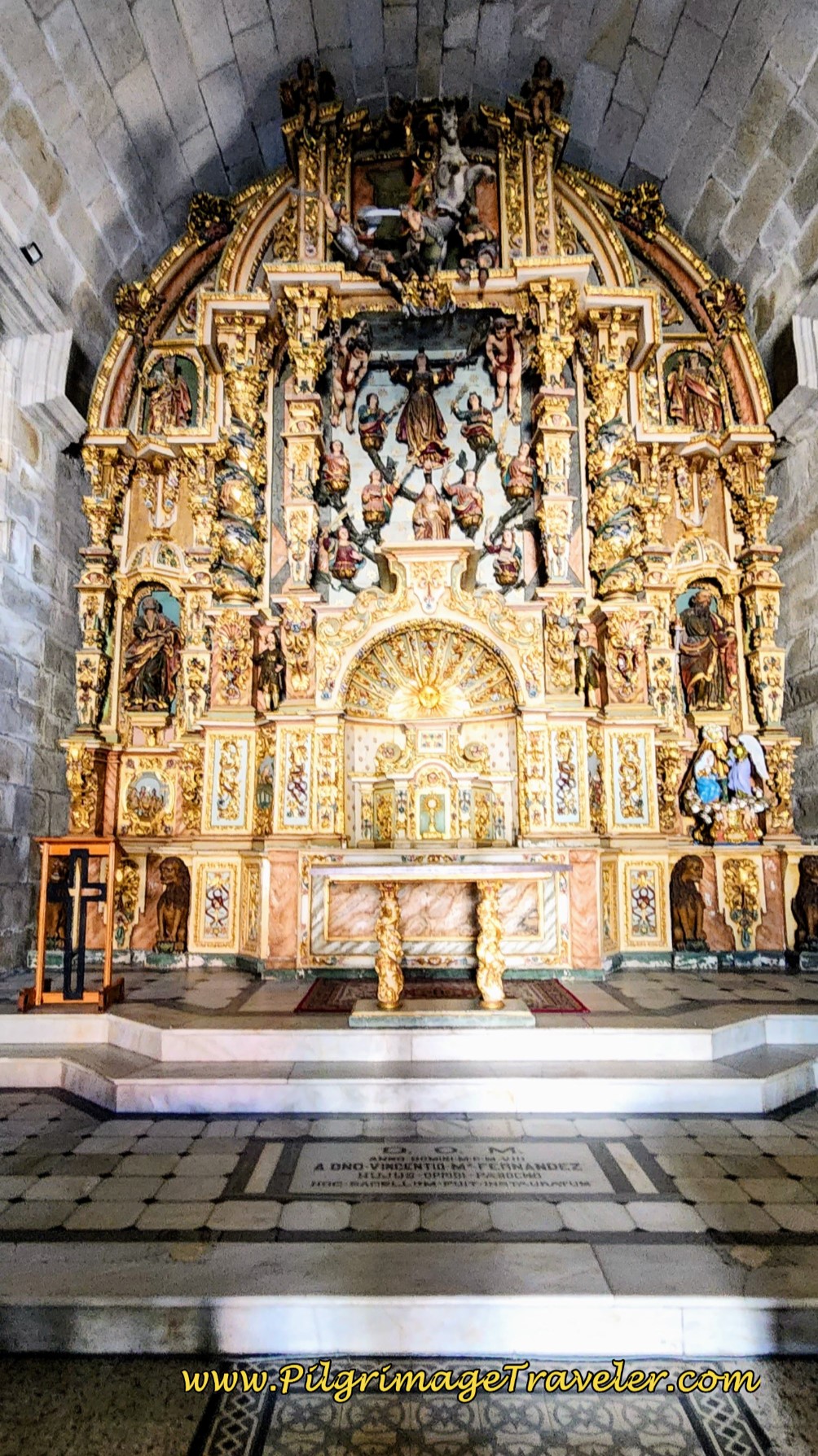 High Altar, Capela Santa Liberata
Directly east of the Santa Liberata is the parish church, the Parroquia de Santa María de Baiona, built in 1278 and restored in 1976, according to its placard. Inside there is a niche with Santiago depicted as a pilgrim.
Jump to Camino Portugués Stages
If you walk past the parish church to the left, only one block later you will see a waymark, leading you to the left, and onto the Rúa Manuel Valverde, below.
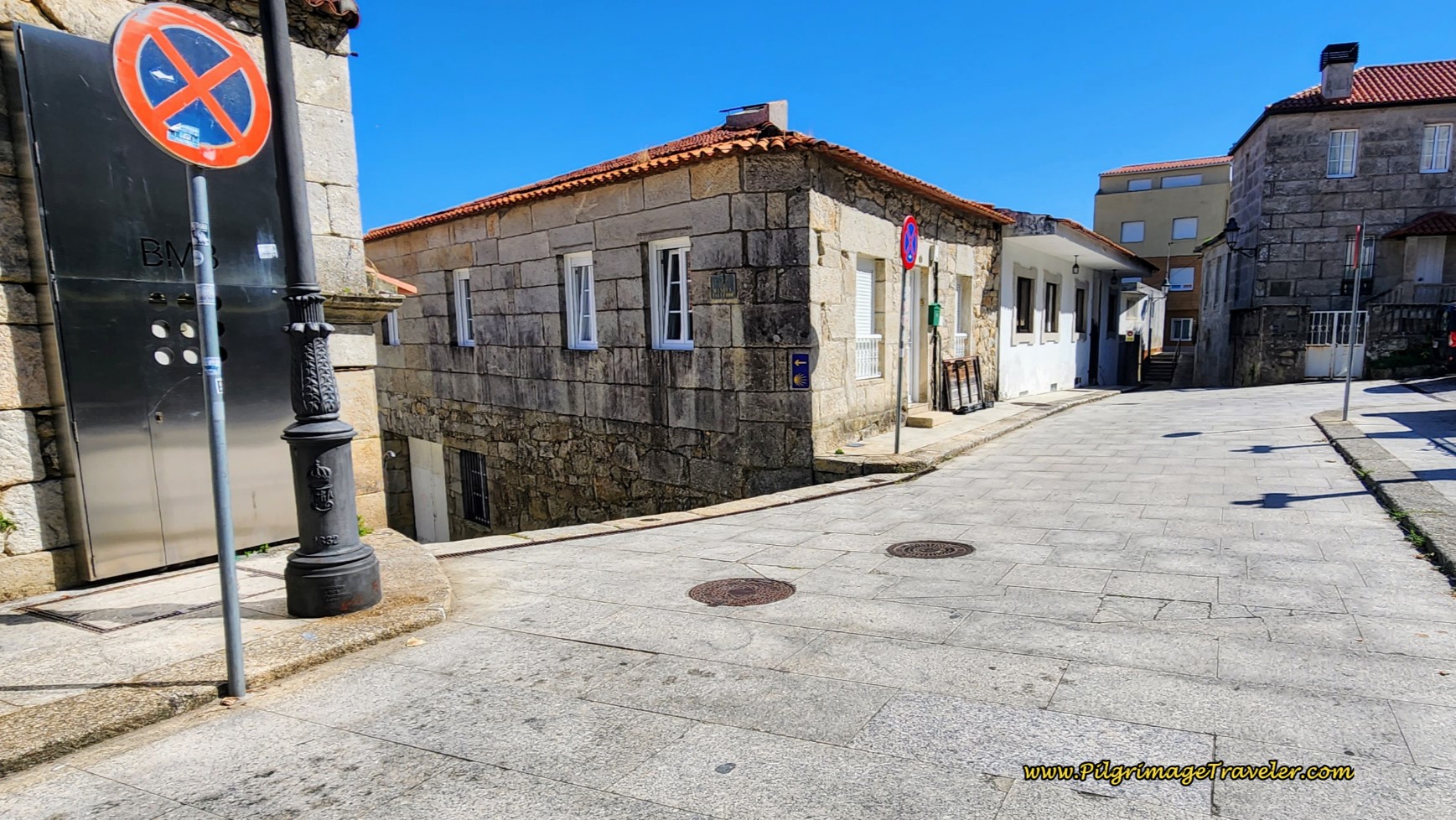 Left Turn One Block After the Parish Church
Barely 60 meters later, turn right onto the Rúa do Conde into the heart of the old town, pictured below. There are lovely brass shell waymarks on the pavement through the old part of town, as one might expect.
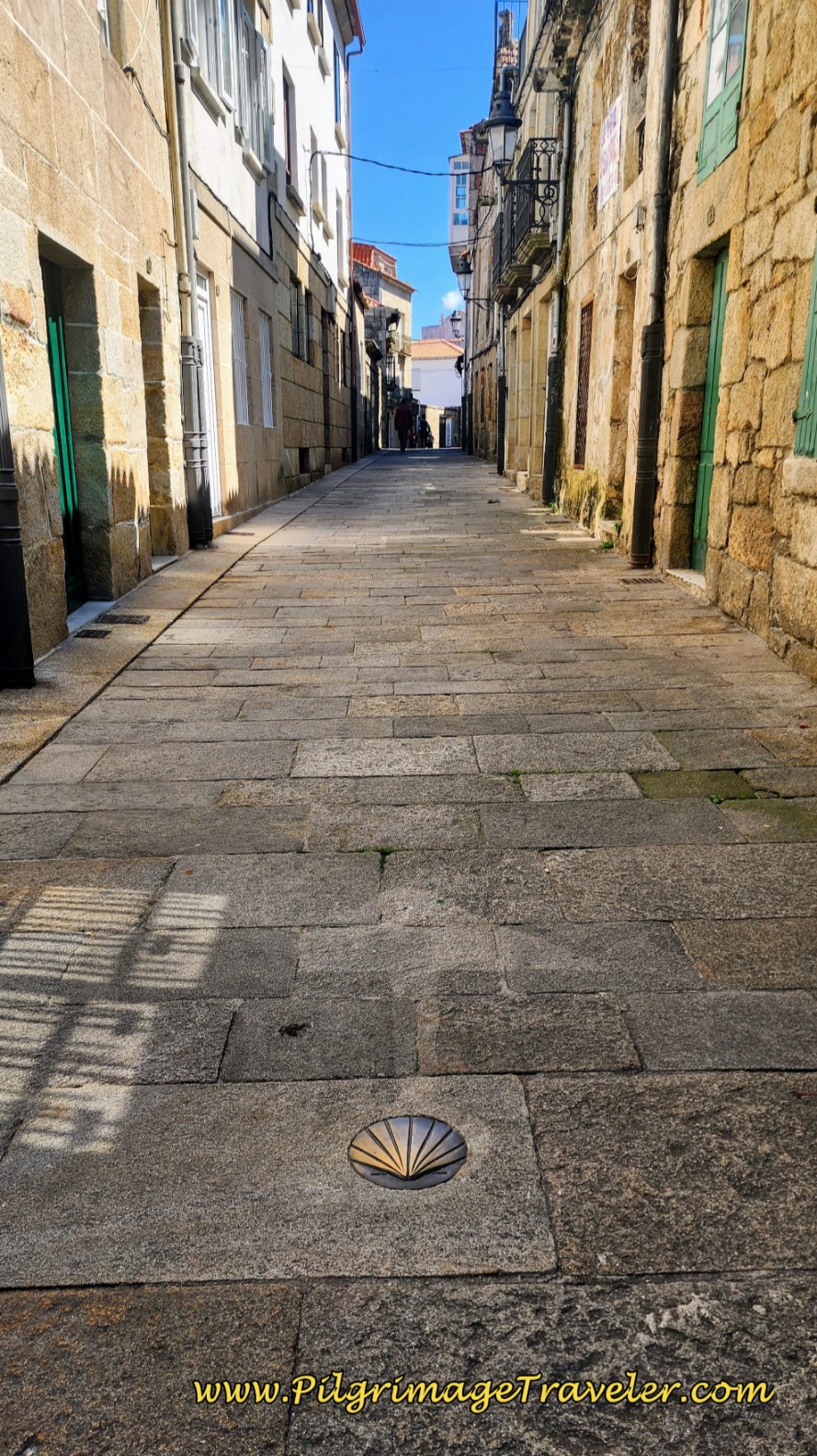 Brass Shell Waymarks on the Rúa do Conde
You can easily cross over from Rúa do Conde on a street to the left, to finish this stage on the Senda Litoral, if you wish to do that instead.
There are so very many eateries and places to stay in the Baiona area. Click here if you wish to stay here. There are two private albergues, the Albergue Estela do Mar and the Hostal Albergue Baionamar. There are several hostals that are quite reasonably priced, the Carabela La Pinta, the Hotel Pinzón and the Hostal Santa Marta Playa (+34 986 35 60 45). I located these places on the interactive map above.
The next 4.5 kilometers of this day on the traditional Coastal Route will be a walk back in time along the old Roman Road, the Camino Real! While I absolutely adore the coast and the beaches, this next section is also very fascinating, making the choice between the Senda Litoral and the Coastal Route a more difficult choice. There is more hill climbing on the Coastal, making it the physically harder choice, for sure.
After about 200 meters, the Rúa do Conde comes to a T-intersection with the Rúa Fonte de Zeta. The Camino goes to the right and within a few more steps you will arrive at the next historic landmark, a fountain, the Fonte de Zeta, pictured below, in the plaza down the stairs. The water is safe to drink.
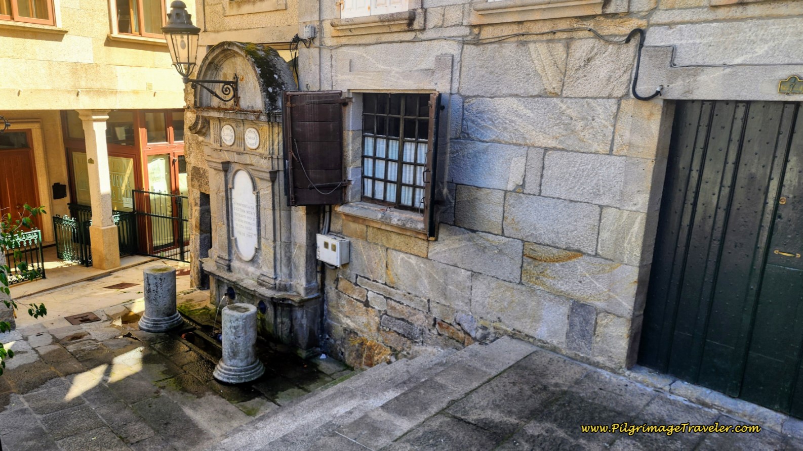 Fonte de Zeta
Walking onward, the street now starts to climb and takes a bend where the name is now the Rúa Porta da Vila. About 80 meters later you will arrive at another intersection, walking straight on, climbing more steeply on the Rúa O Mariñeiro, below.
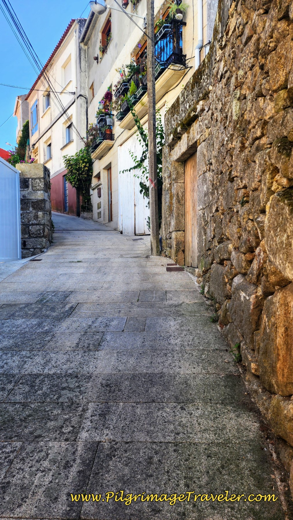 Climbing on the Rúa O Mariñeiro
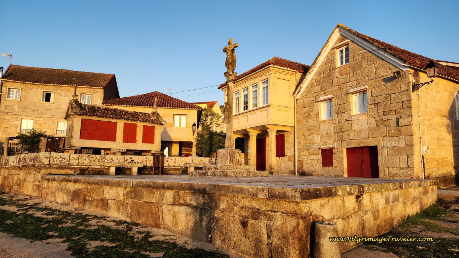
You are on your way to the next historic landmark, high on the hill, overlooking the harbor, the Cruceiro da Santísima Trinidade. This granite monument, where you will arrive after about 14.5 kilometers into the day, and pictured below, is impressive, with a canopy housing the cross; on one side depicting Christ, and the other Mary. It was built in the 15th century, along the old Roman road, honoring the holy trinity.
The altar below the cross was used for mass in times of the plague for the locals, and for crews of ships anchored below. The views over the harbor from the monument are wonderful. It is well-worth the climb. Pause here and contemplate your pilgrimage. As the quote at the beginning of the day invites you, live this moment in depth! Insight may be hidden in it!
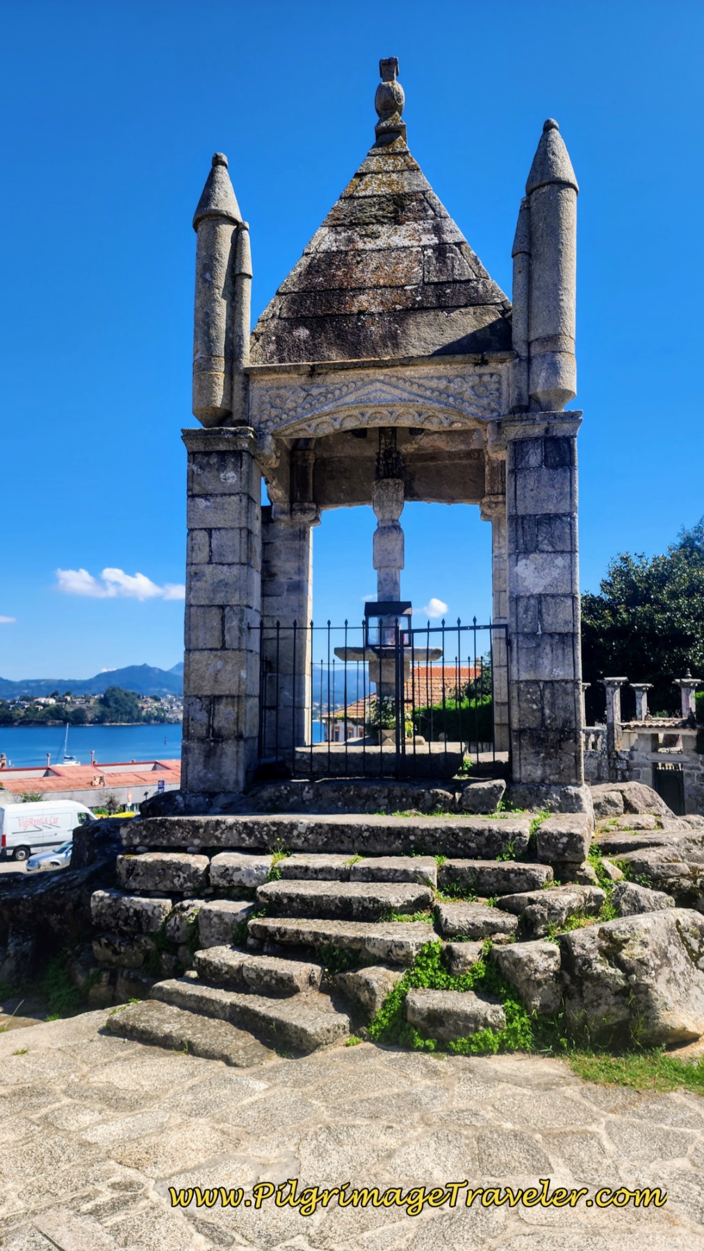 Cruceiro de Santísima Trinidade
After your pause, turn to the left at the monument and walk down the hill, taking the first street to the right, the Rúa Loureiral. Walk onward, straight through a roundabout for a total of about 400 meters, on your way to the next town of O Burgo. Where the street changes its name, to none other than the Rúa Burgo, the first historic bridge, the Ponte de O Burgo is just ahead.
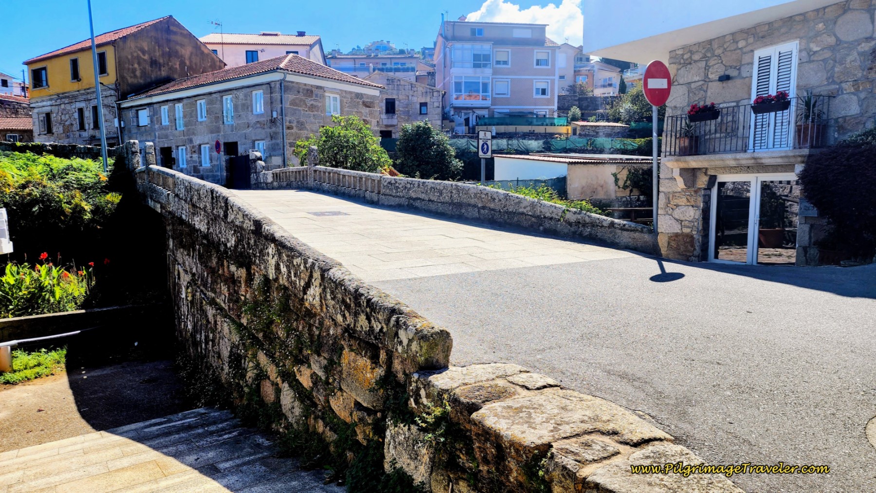 Ponte de O Burgo
Continue along the Rúa Burgo, pictured below, for about 550 meters until arriving at the next landmark, the historic Fonte de Gafos, pictured next. There was a boy filling up water bottles at this fountain, while his mother waited in the car for him. For sure, it is safe to drink.
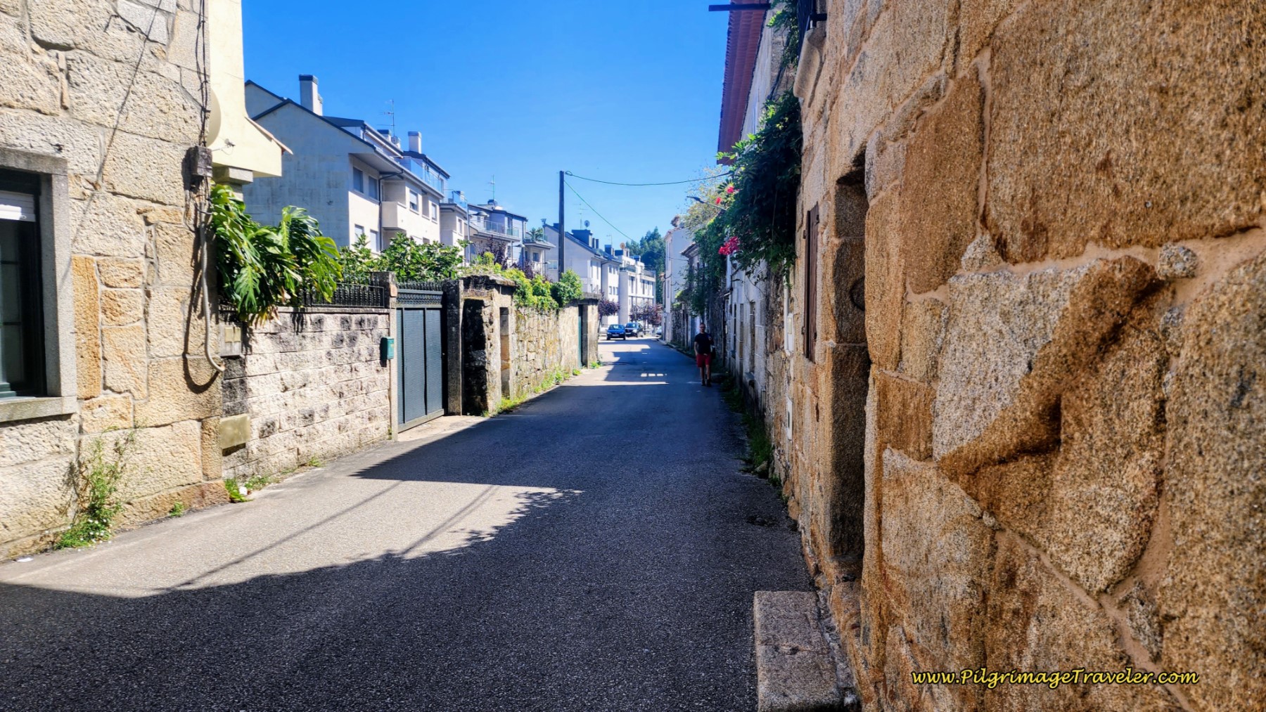 Along the Rúa Burgo, Day Twenty, Coastal Route, Camino Portugués
 Fonte de Gafos
Less than 300 meters later, you will encounter yet another historic fountain, the Fonte do Pombal, below, also labeled as safe for human consumption. This Gothic-style architecture, perhaps built in the 16th century (plaques by the fountain) is believed to be designed by the same architect as the Cruceiro da Santísima Trinidade since it has a similar style. Regardless, we are still following along the old Roman Road, or the Camino Real as it was known.
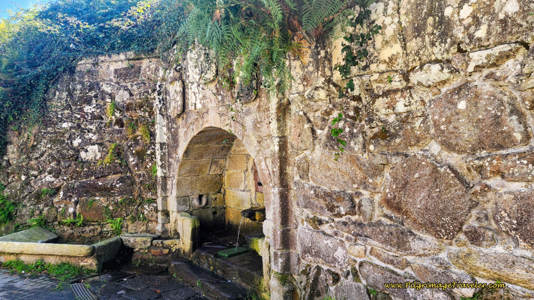 Fonte do Pombal
After the fountain, the street has now become the Rúa Cruceiro. Guess what is up ahead? You got it ~ a cross, the historic Cruceiro do Loureiro, 300 meters from the Pombal fountain and about 16.2 kilometers into the day.
The backdrop for this simple cross is pathetic. It sits in front of a new apartment building, where an old walnut tree and historic building was demolished. However, despite much internet research, I can’t find when this cross was built. All I know is that it looks very old!
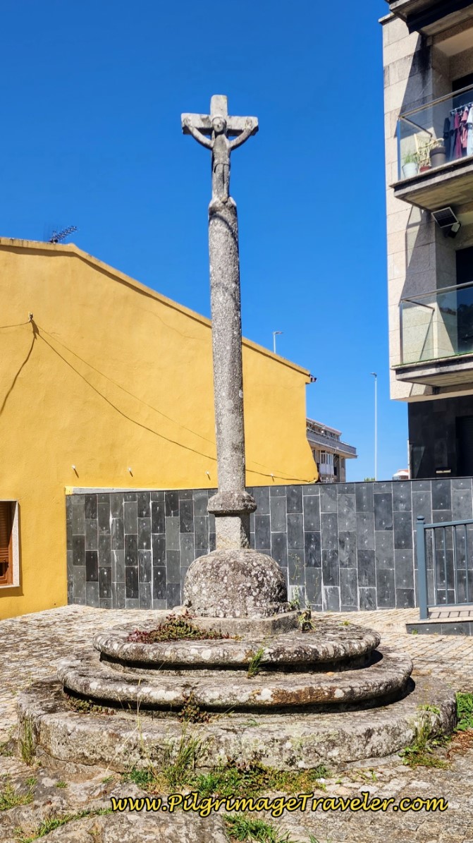 Cruceiro do Loureiro
As we continue along the old Roman road, after the cross, pass straight through a roundabout, where the street is now called the Rúa A Ponte Nova. And a few steps later, you will see the medieval bridge, A Ponte Nova or the New Bridge.
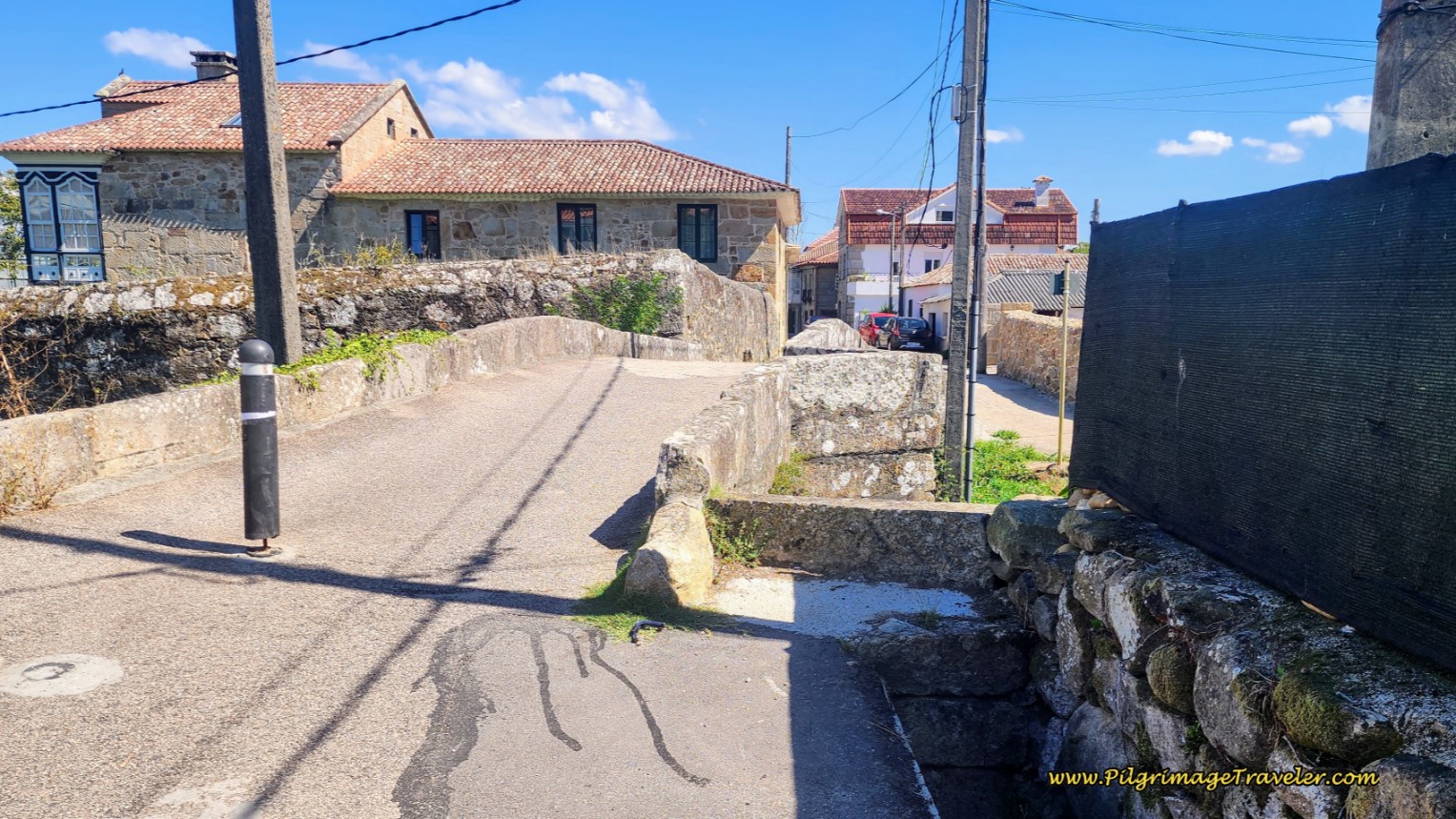 A Ponte Nova, Day Twenty, Coastal Route, Camino Portugués
A bit more than 200 meters after the Ponte Nova, come to a T-intersection and turn right onto the Rúa Porta do Sol. Within a few meters on this street you will pass the new and lovely-looking Albergue Playa de Sabaris, after 16.8 kilometers total. You are now in the town of Sabaris. There is less than one kilometer left in this stage, however, there is a climb ahead!
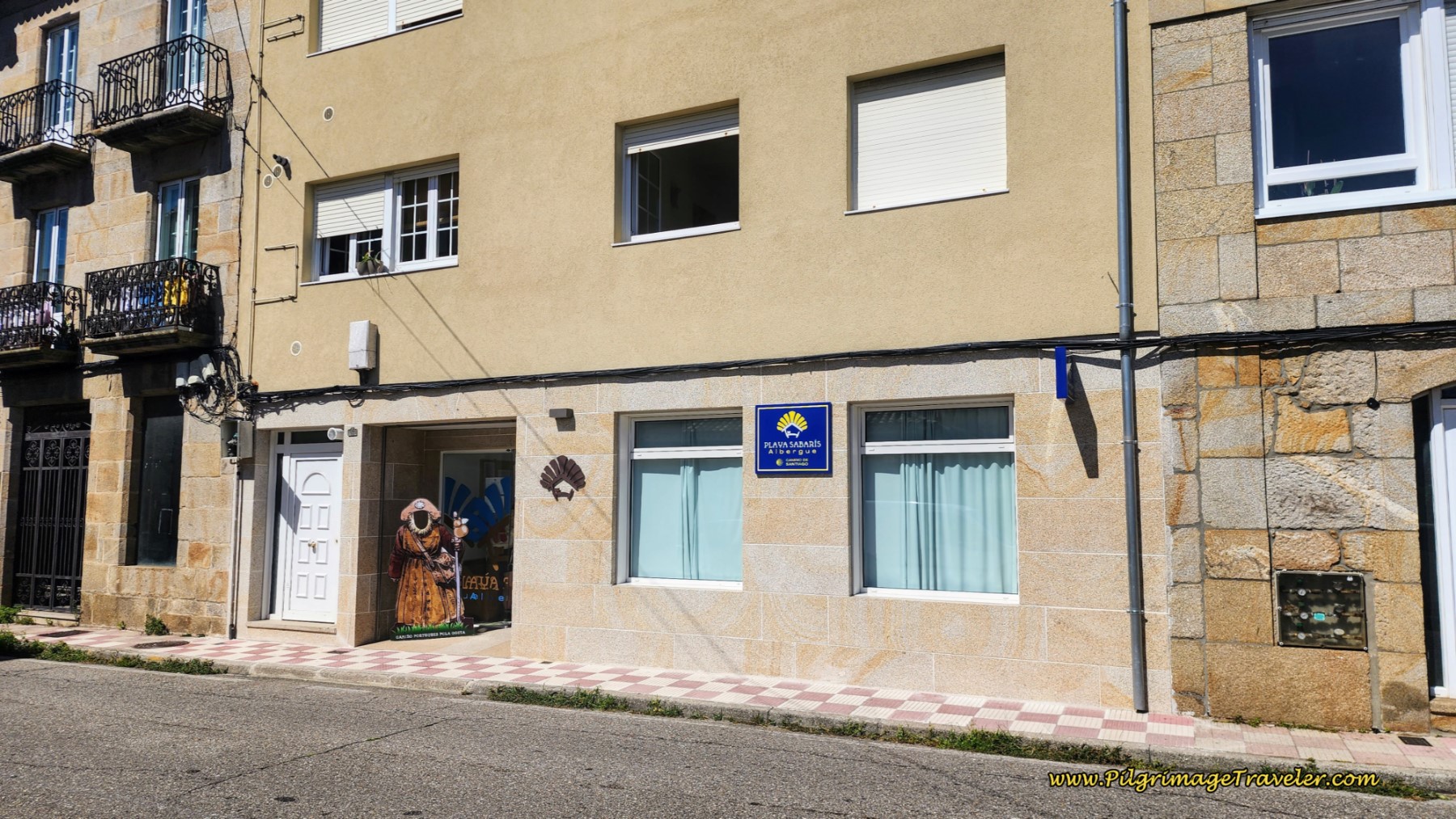 Albergue Playa de Sabaris
After the albergue, continuing on the Rúa Porta do Sol, within about 100 meters, the Camino takes a side street to the right, onto the Rúa da Ponte to cross the next historic medieval bridge, the Ponte Vella, or the Old Bridge. There are several cafes after this bridge, that would be a lovely place to stop if you desire a break.
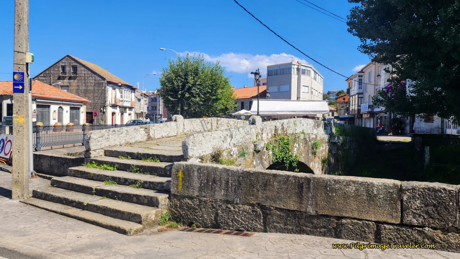 Ponte Vella, Day Twenty, Coastal Route, Camino Portugués
And just a few steps after the bridge, continuing on the Rúa da Ponte, the climb begins. The road takes a bend and becomes the Viso de Calvos and keeps climbing.
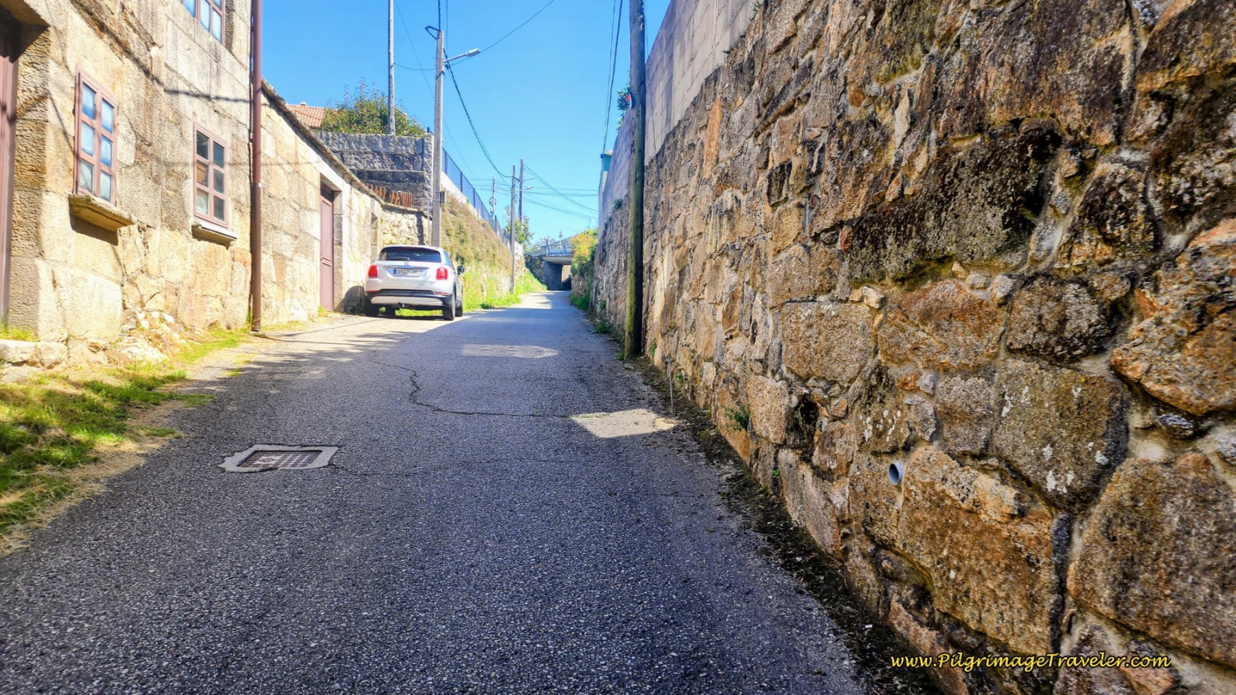 Climbing on the Viso de Calvos
The street comes to a T-insertion with the wider, Av. José Pereira Troncoso and turns right. After only a few meters, you will see this intersection, below, at a shrine, where you turn left onto a dirt, two-track lane. You are now at the top of the climb and walking on a shelf-like road!
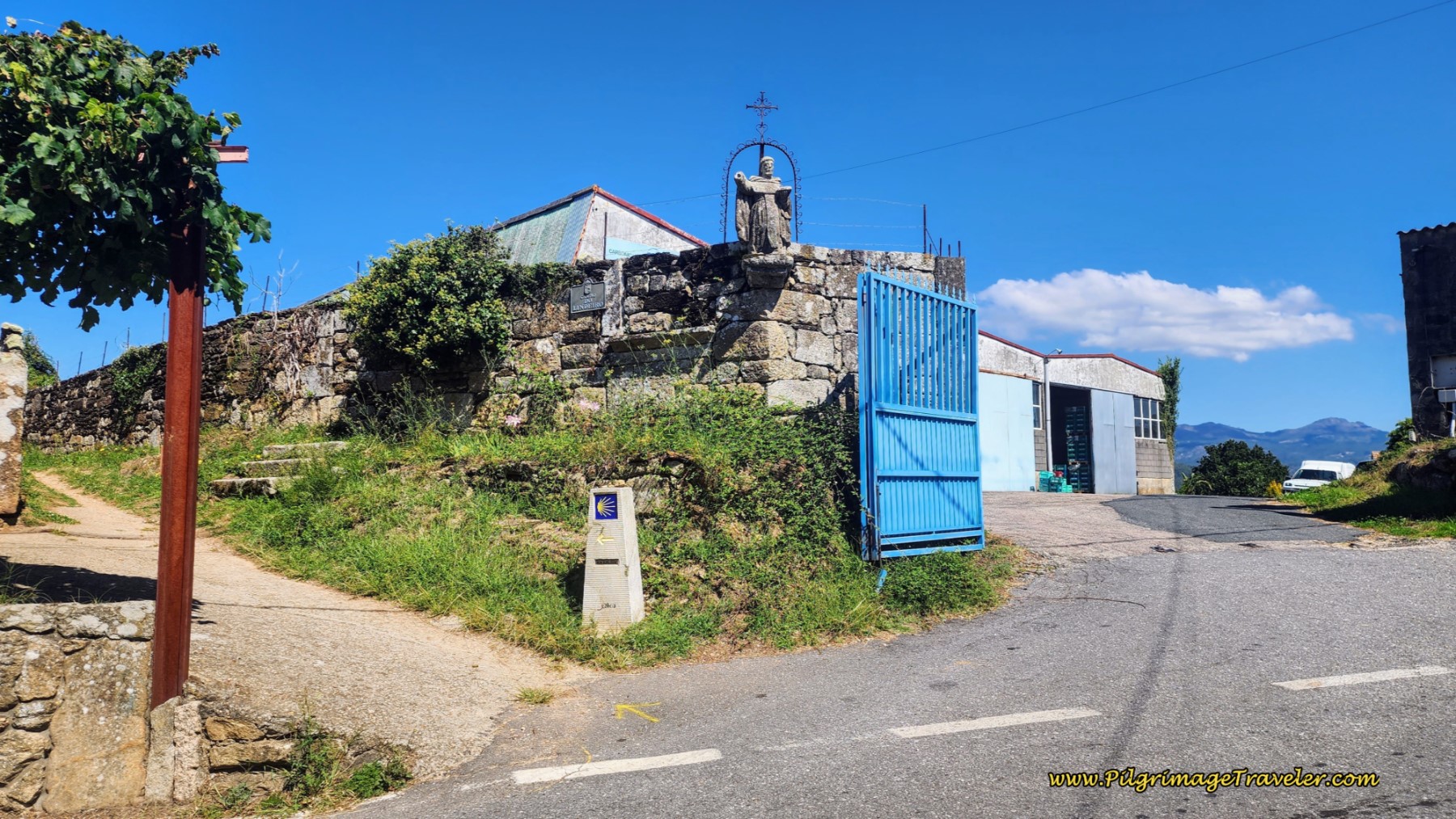 Turn Left Onto Dirt Lane at Shrine
This lane turns to pavement less than 100 meters later when it joins the Camiño do Lindeiro. The Camino follows this street for about 250 meters when it once again becomes a two-track, dirt lane.
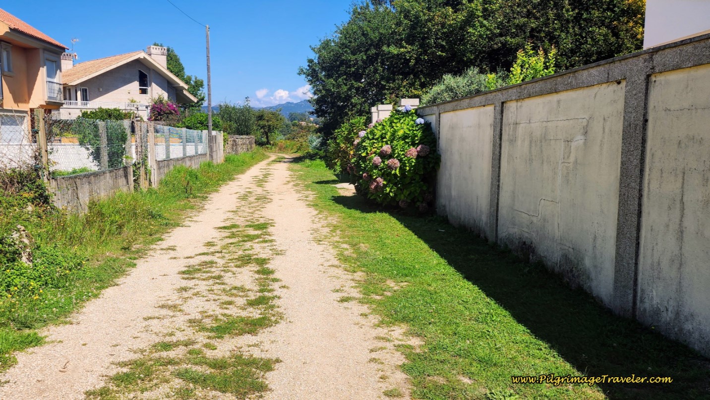 Follow Dirt Lane Once Again
The pilgrim needs to continue to follow the dirt, Camiño do Lindeiro, as it descends steeply down to the Miñor River.
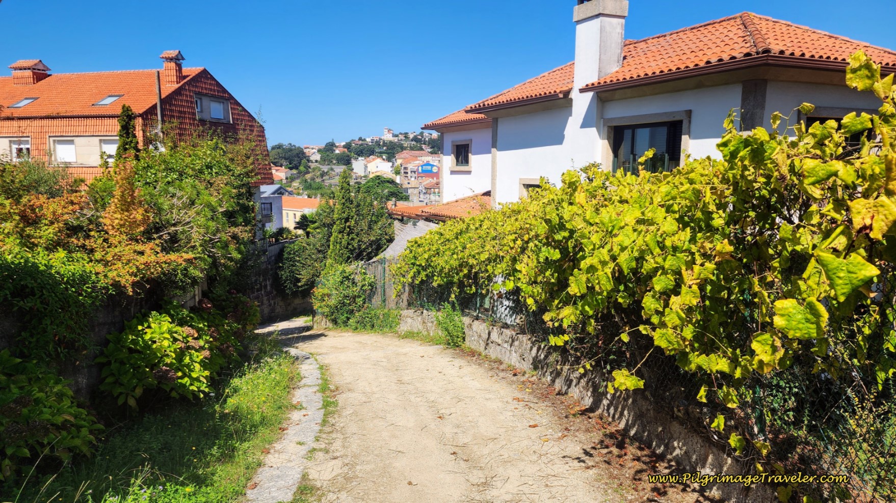 Descend on Lane Towards the Rio Miñor
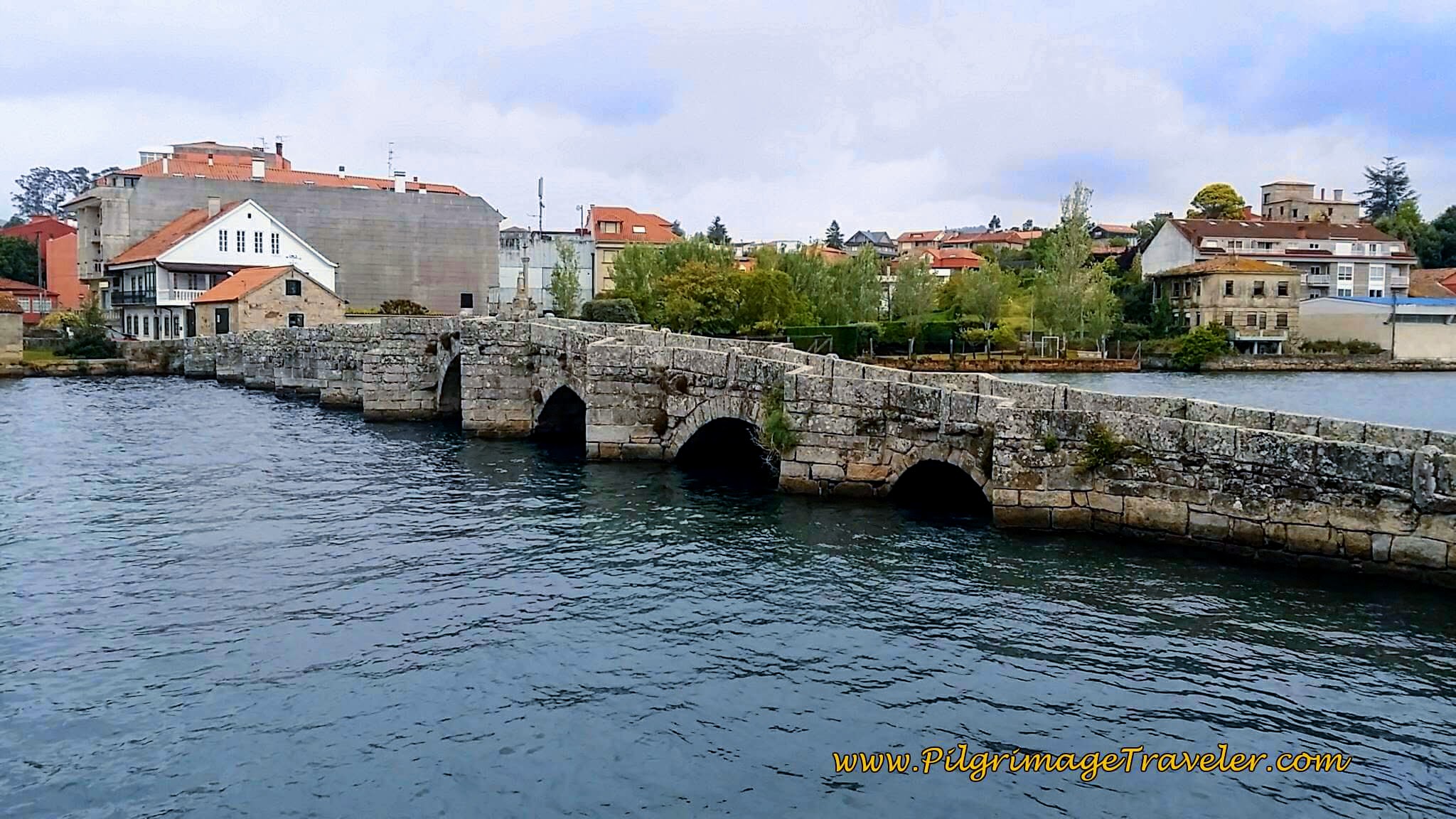
Come to a T-intersection at the bottom, with the Rúa Julián Valverde and turn to the left. The grand medieval bridge, the Ponte Romantica de A Ramallosa, built in the 13th century, is just ahead. When you arrive at the bridge, turn right onto it to cross the river, on the street called the Avenida de Portugal.
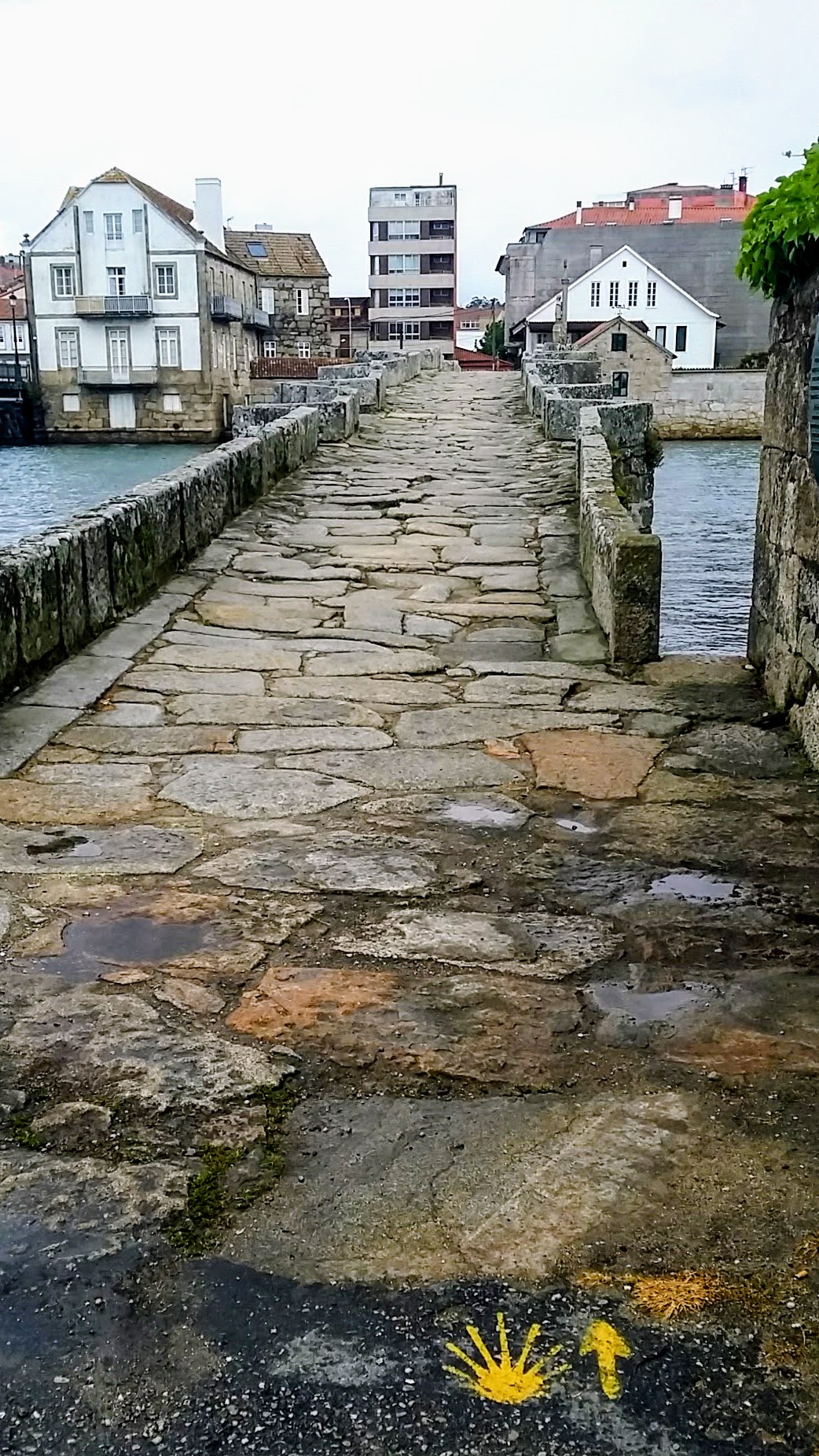 Ponte Romantica de A Ramallosa
Here is a another photo of the medieval bridge from the other direction, as seen from the Senda Litoral as it approaches and joins the Coastal Route, also turning to walk on the bridge.
As you cross the medieval bridge, notice the modern highway bridge paralleling the medieval bridge to your left. This is the PO-552.
The stage officially ends after crossing the medieval bridge at a traffic circle, where the Avenida de Portugal continues to the right on the other side.
If A Ramallosa and El Pazo Pías Albergue is your destination, take the first right at the traffic circle onto the continuing Avenida de Portugal, followed by an immediate left onto the Rúa Damas Apostólicas. Follow this street for another 300 meters to the albergue.
There is a wonderful supermarket, the Supermercado Gadis, just across the river, near the Pazo Pía, if you are planning to cook or restock your pack. The Tapas bar nearby was not good, but the Cafetería Casino de Sabarís, wasn't bad!
Just before crossing the medieval bridge, in the area of Sabarís, there are more economical places in this town that you may want to check out, the Hotel Vasco de Gama, the Hotel Avenida and the Hotel Arce Baiona, all clustered close to the albergue.
Reflections on Day Twenty, Coastal Route, Camino Portugués
Our day twenty on the coastal route of the Camino Portugués was a lovely day. We had more wonderful moments with our friend Glyvia, walked on ancient paths, connected with medieval pilgrims of yesteryear and enjoyed fabulous views over the sea.
I believe the depth of our lives is found within the deep connections we have with others. Not only do we find God within our own hearts, but also within the hearts of others. It is through a physical pilgrimage that, if we are open, we can begin to understand about the pilgrimage of the heart. It was a special day indeed, on day twenty on the Coastal Route of our Camino Portugués!
Salutation
May your own day twenty on the Coastal Route of the Camino Portugués be filled with all the depth of God hidden in it. May your connections with other pilgrims be loving and true. May you find God in each and every one! Ultreia!
Camino Portugués Overview
Camino Portugués Stages
Central Route: Lisbon to Porto Stages
Central Route: Porto to Santiago Stages
Senda Litoral or the Coastal Routes: Porto to Santiago Stages
Skip to Central Route Above, for Final Days 22-25 to Santiago
Variante Espiritual Stages
Please Consider Showing Your Support
Many readers contact me, Elle, to thank me for all the time and care that I have spent creating this informative website. If you have been truly blessed by my efforts, have not purchased an eBook, yet wish to contribute, I am exeedingly grateful. Thank you!
Search This Website:
🙋♀️ Why Trust Us at the Pilgrimage Traveler?

We’re not a travel agency ~ we’re fellow pilgrims! (See About Us)
We've trekked Pilgrimage Routes Across Europe since 2014!
💬 We’ve:
- Gotten lost so you don’t have to. 😉
- Followed waymarks in the glowing sunlight, the pouring rain and by moonlight. ☀️🌧️🌙
- Slept in albergues, hostels & casa rurals. Ate and drank in cafés along the way. 🛌 😴
- Created comprehensive and downloadable GPS maps and eBook Guides, full of must-have information based on real pilgrimage travels. 🧭 🗺️
- Shared our complete journeys, step by step to help YOU plan your ultimate pilgrimage and walk with your own Heart and Soul. 💙✨
Every detail is from our own experiences. Just fellow pilgrims sharing the Way. We have added a touch of spirituality, heartfelt insights and practical guidance from the road ~ offering a genuine connection to the spirit of pilgrimage. Tap into the wisdom of seasoned pilgrims!
Ultreia and Safe Pilgrimage Travels, Caminante! 💫 💚 🤍
Follow Me on Pinterest:
Find the Pilgrimage Traveler on Facebook:
Like / Share this page on Facebook:
***All Banners, Amazon, Roamless and Booking.com links on this website are affiliate links. As an Amazon associate and a Booking.com associate, the Pilgrimage Traveler website will earn from qualifying purchases when you click on these links, at no cost to you. We sincerely thank you as this is a pilgrim-supported website***
PS: Our eBook Guide books are of our own creation and we appreciate your purchase of those too!!
Shroud Yourself in Mystery, along the Via de Francesco!
Walk in the Footsteps of St. Francis, and Connect Deeply with the Saint and to Nature in the Marvelous Italian Countryside!
Need suggestions on what to pack for your next pilgrimage? Click Here or on the photo below!
Find the Best Hotel Deals Using This Tool!
Carbon Trekking Poles ~ My Favorites!
Carbon fiber construction (not aluminum) in a trekking pole makes them ultra lightweight. We like the Z-Pole style from Black Diamond so we can hide our poles in our pack from potential thieves before getting to our albergue! There are many to choose from! (See more of our gear recommendations! )
Gregory BackPack ~ My Favorite Brand
Do not forget your quick-dry microfiber towel!
























Your Opinion Matters! Comments
Have you had a similar experience, have some advice to give, or have something else you'd like to share? We would love to hear from you! Please leave us a comment in the box below.