- Home
- Camino Portugués
- Day Twenty-One, Coastal Route, San Miguel de Oia to Redondela
Jump to Camino Portugués Stages
Day Twenty-One on the Coastal Route of the Camino Portugués
~ A Ramallosa to Vigo, 24.9 Km (15.5 Miles)
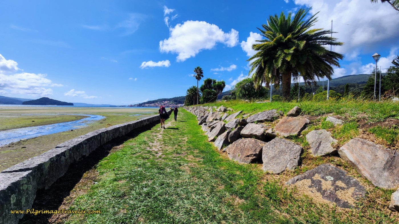
Our day twenty-one on the Coastal Route of the Camino Portugués was a beautiful walk and much better than we anticipated, (we had heard nightmare stories about the challenges of walking through Vigo). However, we saw very few pilgrims on this day until arriving at the municipal albergue. Amazing! Perhaps they were all on the Senda Litoral?
I had learned to lean into the silence, the solitude and the contemplative experience, at times chatting and processing with Rich, my husband. I had accepted that this was the purpose of my Camino on this day.
"Life is a long pilgrimage from fear to love." ~ Paulo Coelho
Map and Stats of Day Twenty-One, Coastal Route, Camino Portugués
Here is my Google map, created from my GPS tracks. I placed the albergues/hotels/cafés on the maps that we visited, plus other albergues and places of interest. There are enough services, but they are far apart until you get to Vigo.
I included both the Coastal Route and the Senda Litoral on the map, for your reference and if you want to cross over at various points. It is especially easy to cross over at the Albergue Peregrinos San Xurxo from either route, and then later on from the Senda Litoral in San Miguel de Oia. Both of these crossovers are shown in red on the map.
If you are planning to stay in Vigo, there are many attractions in the center of town that you may wish to go see, including the Castelo do Castro and its park, with other castros (ancient town sites) on the hill in the center of town.
There is no doubt that the Coastal Route, shown in blue, has more physical challenges than the Senda Litoral. There is a 50 meter (160 feet) gain in the very beginning that may feel strenuous. However the real climb for the day starts after 3.3 kilometers, and gains 170 meters (550 feet), over the next 5.7 kilometers. Fortunately, this isn't so bad because of the distance involved in the gain.
And finally, the 70 meter (230 feet) gain after 14.4 kilometers, and the 90 meter (300 feet) gain after 20.4 kilometers you will feel, especially the one at the end of the day.
If you are walking through Vigo, you won’t be heading back down to sea level to the municipal albergue, so you can take 2.1 kilometers off the 24.9 total and you won't lose the elevation you just gained! If, however, you still want to stop in Vigo, this may be a reason to choose a closer accommodation to the main Coastal Route. There are several economical choices close to the junction of the two routes in Vigo, in the suburb of Lavadores, that may be just what you need, including the Kaps Hostel Vigo, the Hotel Pantón, the Lapplandia, the B&B Hotel Vigo and lastly, the Hotel Alda Estación Vigo.
And finally, you can shave off about 800 meters from the day’s total if you take my recommended shortcut through Nigrán, see the route description, farther below.
Camino Portugués eBook Guides
Our Downloadable Camino Portugués eBook Guides in PDF Format contain all the valuable information from our web pages, for comfortable reading offline and without ads on your personal device. Don't carry a hard copy guide book to increase your pack weight. Use our digital guides on your next Camino instead!
Our ebook guides are packed with frequently updated information, because a digital format is more nimble than hard-copy publishing. Our eBook Guide is unique because we also entertain and immerse you with our story! Click on any eBook above for more information.
Buy only what you need OR buy ALL FOUR eBooks for the price of THREE - a 25% savings! Click here for more information or BUY NOW at only 17.85!
Jump to Camino Portugués Stages
Photo-Rich Travelogue of Day Twenty-One, Coastal Route, Camino Portugués
We started our day from El Pazo Pías Albergue, after our usual cold breakfast in our room, purchased from the Gadis supermarket just down the street the day before. We dressed quickly and had our cold lattes: instant coffee stirred into a glass of milk. Because we were not returning to the junction of the Senda Litoral and the Coastal routes at the two bridges, but walking onward from the Pazo Pías, we were not sure when we would find an open bar. I am not a very happy pilgrim, walking out with an empty stomach.
If you are starting from the two bridges that cross the Río Miñor, in A Ramallosa, on the north side of the medieval one, take the first right at the traffic circle onto the Avenida de Portugal, followed by an immediate left onto the Rúa Damas Apostólicas. Follow this street for another 300 meters, climbing to a T-intersection. The conveniently located Pazo Pías is in front of you. Take a right turn at this intersection onto the Rúa Romana G. Hmm, could it be that we are continuing along the old Roman road?
Stay to the left after a bit more than 100 meters, picking up the high-walled Camiño da Cabreira, climbing up and out of A Ramallosa. The glow from the street lamps in the early morning light was guiding and magical. A simple form of Love, don’t you think?
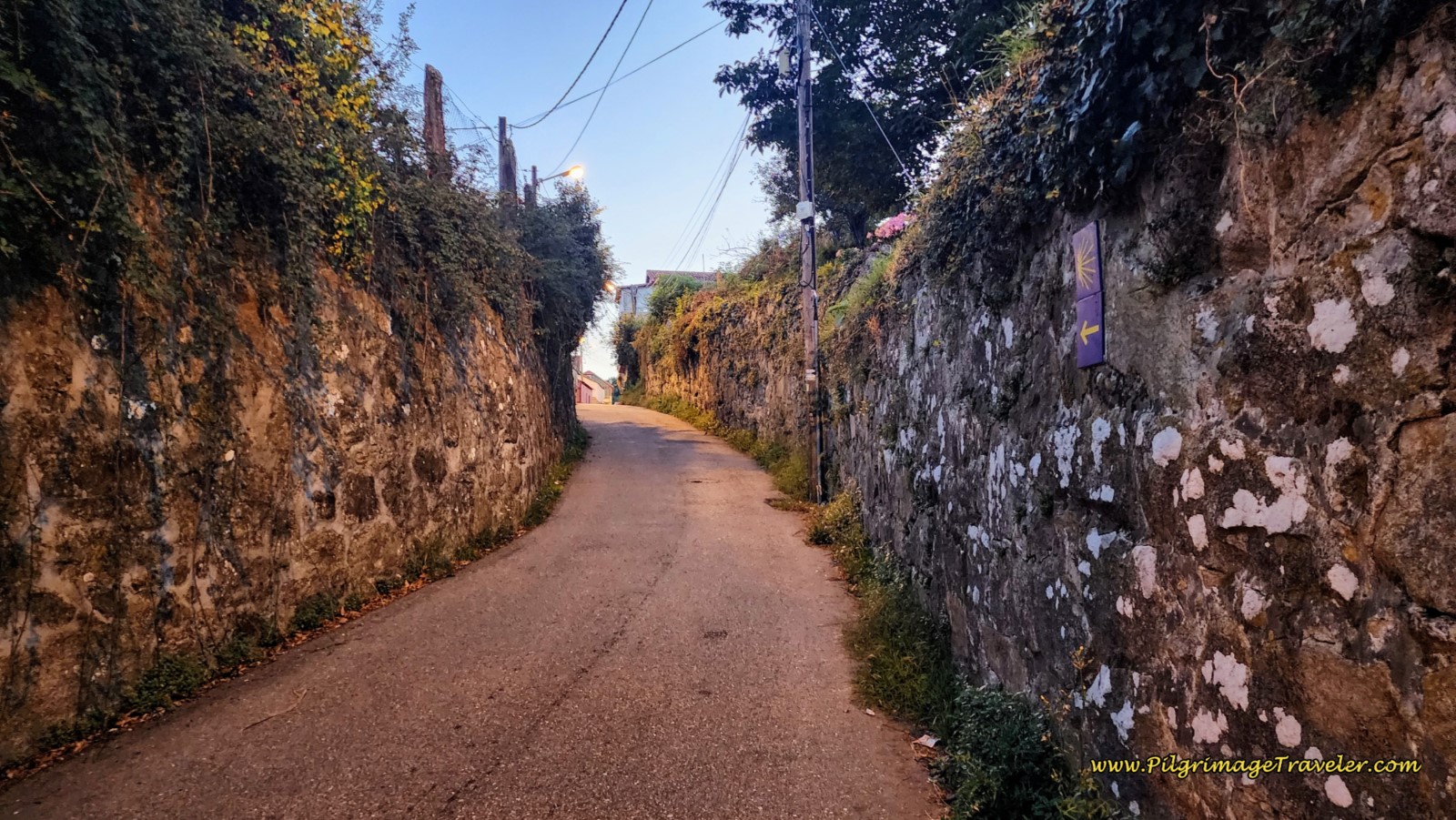 High-Walled Camiño da Cabreira
Continue on this street for about 800 meters, coming to a crossroads and taking a hard left turn. There are signs for services at this intersection, all of which you can safely ignore. These amenities are off-Camino at least one or more kilometers. Within less than 200 meters after the turn, pass the Cruceiro da Macha.
The first climb of the day is over at this cross. It's all downhill for the next 1.5 kilometers.
After another 150 meters, bend to the left, by the Igrexa de San Pedro da Ramallosa which you can barely see on your right and not pictured. And after yet another 150 meters, make a right turn onto the Rúa Pereira, which also has high walls on each side. Continue on this street another 350 meters, staying to the left, halfway through, at this intersection, below.
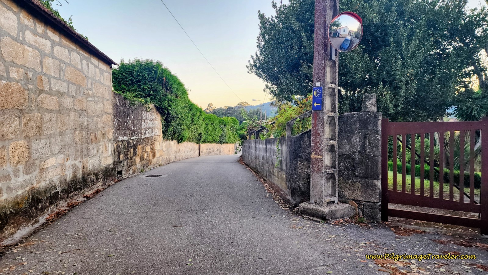 Stay Left to Continue on the Rúa Pereira
At the next intersection, continue straight through, picking up the Camiño da Camesella, which soon enters a forested area, bending around to walk through a roundabout, and after about 350 meters, turns to the left, and onto a nice pathway by the Río Muiños, shown below.
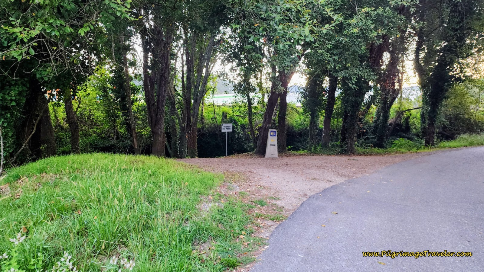 Left Turn Onto Río Muiños Pathway
Take this riverside path for not even 200 meters and come to a tunnel under a road, after about 2.7 kilometers into day twenty-one on the Coastal Route of the Camino Portugués.
On the other side of the tunnel, the route continues to the right, over a wooden bridge and along the river. This is the “official” route. However, unless you have a need to go 800 meters out of the way, into Nigrán, it is a no-brainer to take the shortcut alternative, shown in red on the map above, by turning left instead. There is no yellow arrow here, but walk up to the road, and turn left and onto the blue pedestrian bridge, pictured below.
To go into Nigrán, continue on the river pathway about another half-kilometer, turning north when you reach the first road, the good-old PO-552. Turn right and continue northward, through a roundabout, approximately 500 meters until you are directed to take a parallel side road to the right. After another 200 meters, turn right onto the next street, the Rúa Telleira. There are two cafés on this street as well as two nearby accommodations farther north, the pricey Hotel Val Convention and the less expensive Pensión Venus. There is also the Camping Playa America if you wish to stay in a bungalow or tent. If you are walking through, continue along the Rúa Telleira for about ¾ kilometer, until you join the shortcut route at the intersection with the Camiño Volta do Medico, where you will turn left.
If you don't need services in Nigrán, walk up and over the highway.
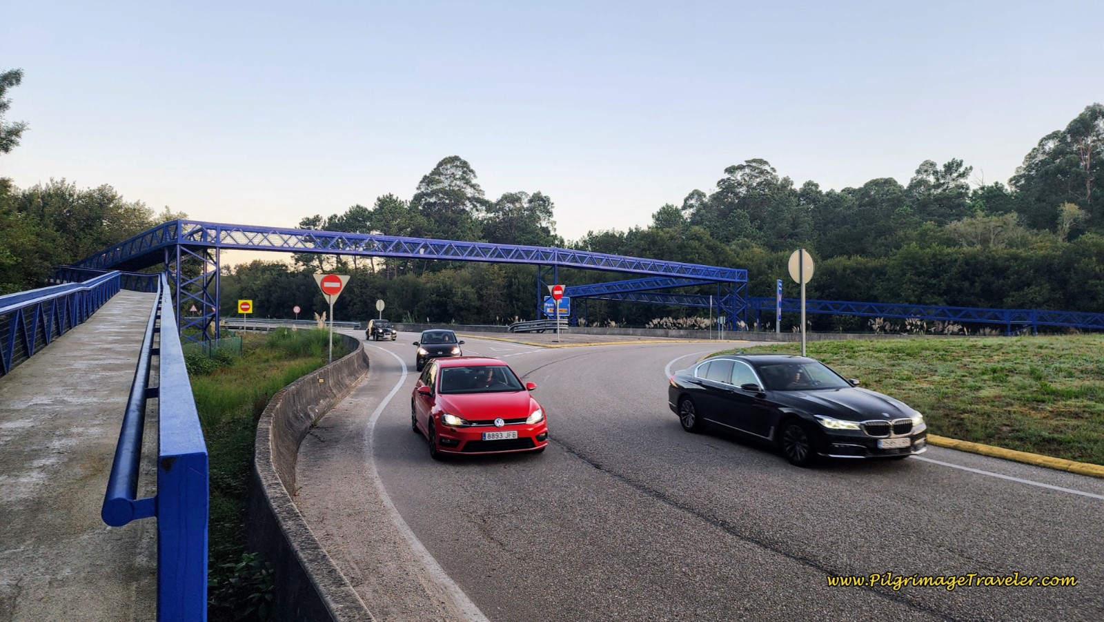 Crossover highway on Blue Pedestrian Bridge
Apparently, others feel the shortcut is an appropriate alternative, because this yellow arrow greeted us on the other side of the pedestrian bridge! And there are more ahead.
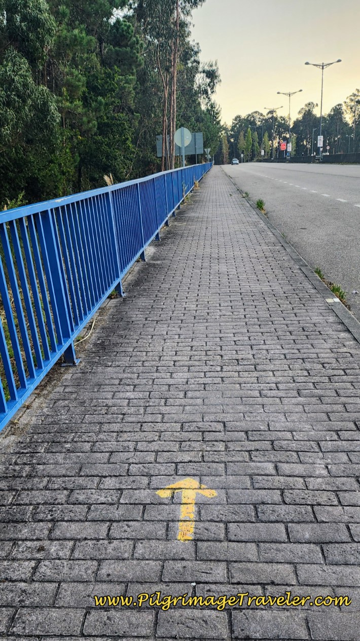 Yellow Arrow on the Other Side of the Bridge!
The yellow arrow directs you to join the Rúa Porto do Molle as it continues onward to the next giant roundabout. There is a Penoil station on the other side. Continue straight through the roundabout and pass the station. Walk along this street, after the bridge, a full 800 meters, passing a long covered bus stop area on your left and coming to the intersection with the Rúa Telleira, joining the route from Nigrán.
If you were to turn right onto the Rúa Telleira, the Hotel 7 Uvas is only a few hundred meters farther along.
To stay on the Coastal Route, cross over the Rúa Telleira and continue northward. After 200 meters, come to a T-intersection and turn right onto the Rúa do Casás. Walk for an additional 100 meters, when you come to the historic gate of the 17th Century, Albacial de Nigrán after approximately 5.2 kilometers into the day. Behind this gate is the parish house of the Church of San Fiz.
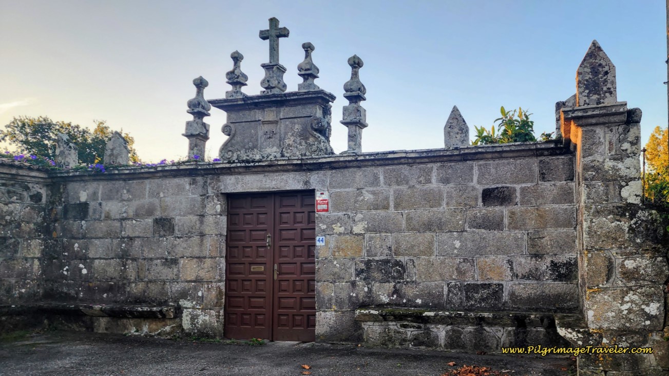 Abacial de Nigrán
If you haven’t already noticed, you have been climbing slowly and steadily since crossing the highway pedestrian bridge, down by the river! And the climb continues for another four kilometers from here.
Take a left turn by the historic gate, onto the Camiño da Dehesa. This is a lovely walk through the countryside for the next 620 meters or so. The sun performed its early morning dance of Love through the trees.
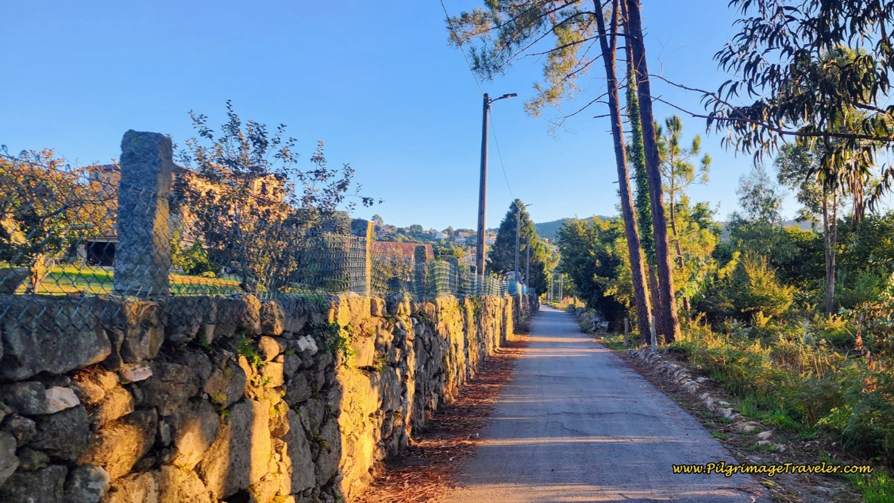 Along the Camiño da Dehesa
Come next to the intersection, below, with the wonderful-looking Casa Batalla on the corner. This is a very economical AirBnB if you have a group of four.
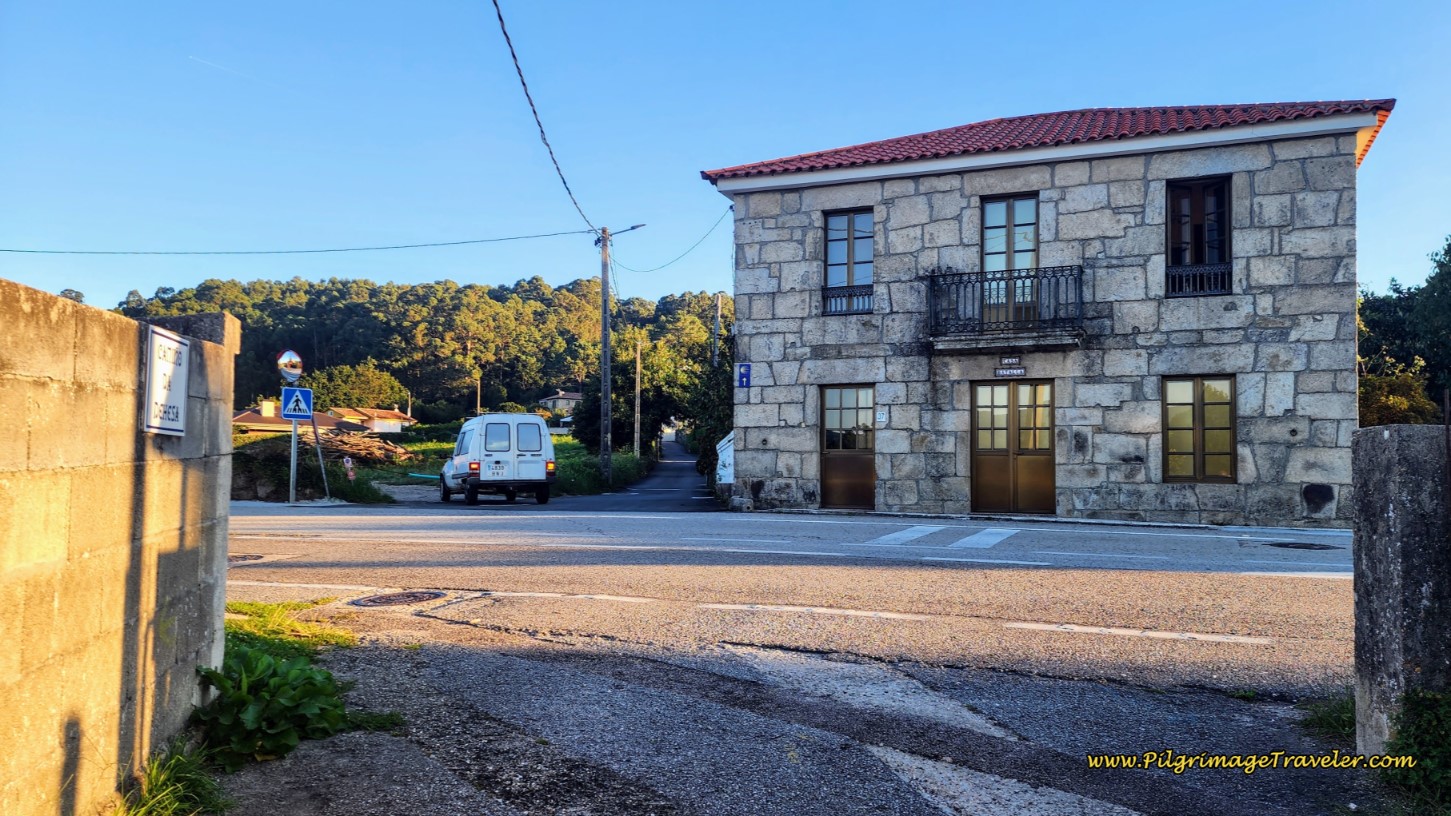 Straight Through at the Casa Batalla
After 200 meters past the Casa Batalla, take a hard left turn to continue on the Rúa da Nogueira, climbing more noticeably now on the street through a rural area with homes. At the top, after the homes, there is a short downhill reprieve, to a historic well, below. There appears to be a fresh water tap next to the well, but I do not know if the water is potable. I did not see any signs, so I would not fill up here.
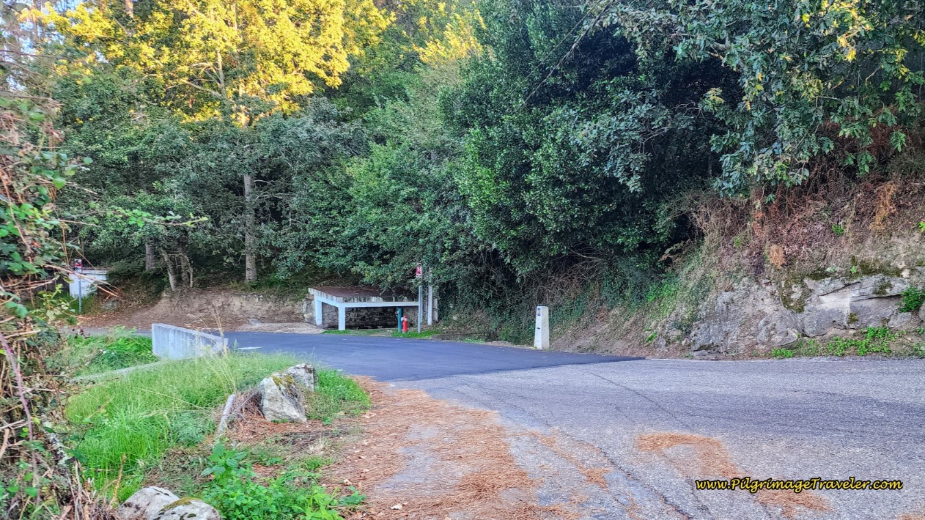 Pass Historic Washing Well
You will walk past the well, continuing another ¼ kilometer, and take a rough looking dirt lane to the right, when directed. Very quickly this dirt lane turns into a rocky, paved Roman road! Indeed, just like most preserved Roman roads, this one will also go directly up and over the mountain. This road is even more fun, going through high stone walls, below. This road is called the Camiño de Cea and you reach the preserved part after approximately 6.5 kilometers total on day twenty-one on the Coastal Route of the Camino Portugués.
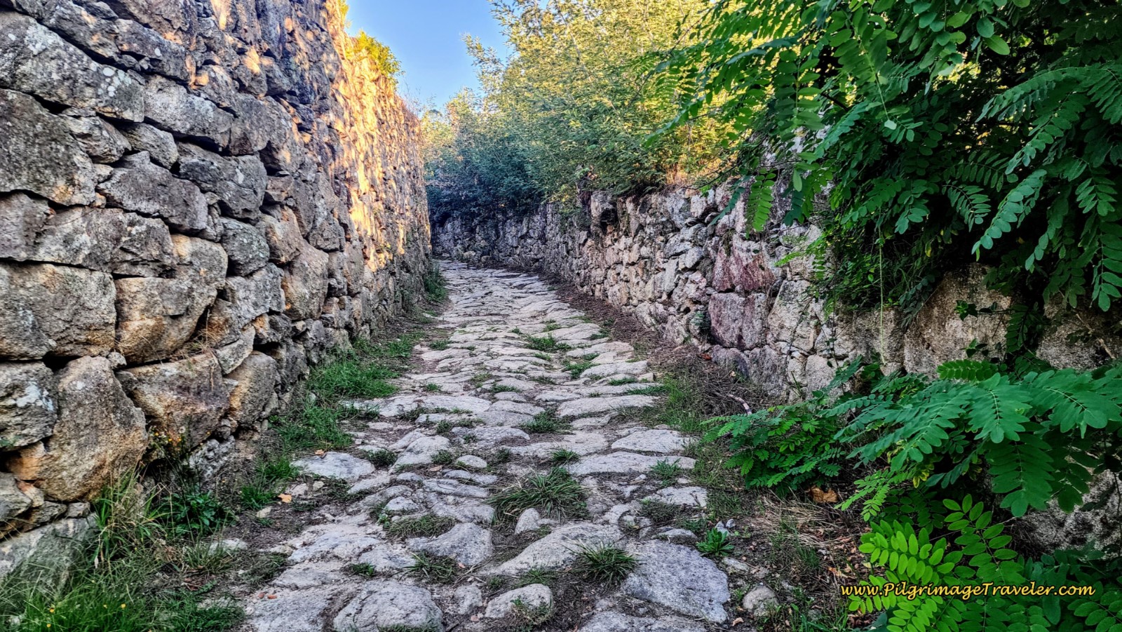 High-Walled Roman Road
The preserved road doesn’t last long, and soon it is an improved dirt lane.
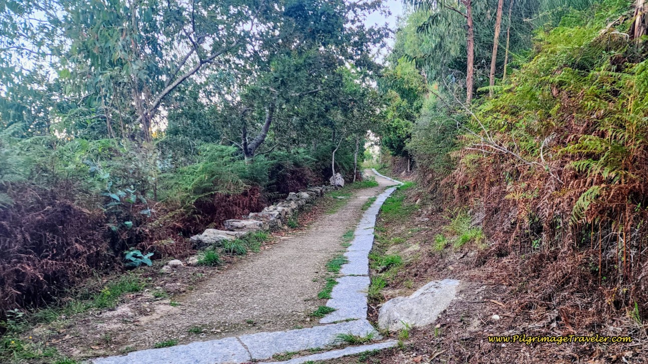 Along the Improved Dirt, Camiño de Cea
All together, the off-pavement section along the Camiño de Cea lasts for about 3/4 kilometer, climbing steadily. When the road turns to pavement, you will push up the final elevation gain for now, over 200 meters into the next town of Priegue.
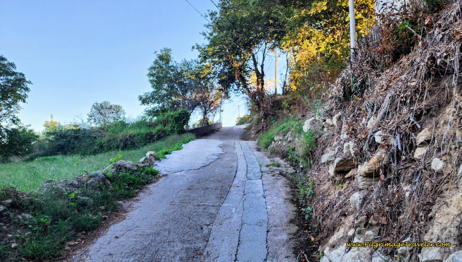 Steep Hill into Priegue
When you arrive at the top of this hill, come to a T-intersection, and turn left to walk through town. Follow this next street less than 100 meters, turning left at the next T-intersection.
A few meters later, a right turn leads you downhill to the PO-552. There are a lot of pilgrim signs at the intersection, and a small shrine. You will see a sign for the Albergue San Xurxo, stating it is one kilometer away. The official route is to cross over to the other side of the PO-552 and take the parallel side road. But this is such a short distance, that it is most efficient just to stay on the sidewalk on the right side of the road.
Not even 100 meters after joining the PO-552, you will leave it and take a right hand turn up the hill, just past the Farmicia Priegue and onto the Rúa Mestra Emerita. If you stay on the PO-552, there is a pizza joint, a restaurant and a café. We took a quick look at the pizza place, but it was closed, so we did not stray farther down the road.
Along the way, as you walk the 800 meters on the Rúa Mestra Emerita you will be treated with lofty views of the sea, to your left. You will also pass a historic, 17th century manor home and another historic washing well, this one very nicely renovated.
Next, you will walk steeply downhill to join the PO-552 once again, after about 8.5 kilometers into the day. This intersection is important to note, as you must turn to the left onto the Baixada á Praia at the roundabout if your plan is to stay at the Albergue San Xurxo. It is only another 400 meters away. Head for the church at the top of the hill to find the entrance. There is also a café at the foot of the hill, if you want to venture that far off the Camino. We did not.
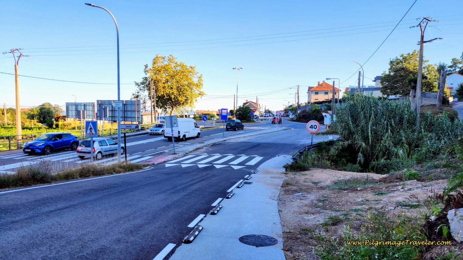 Turn for the Albergue at Roundabout
The Coastal Route, however, turns to the right, just before the roundabout and onto the Camiño Cal do Outeiro. Get ready for the final steep push to the altitude top of the day!
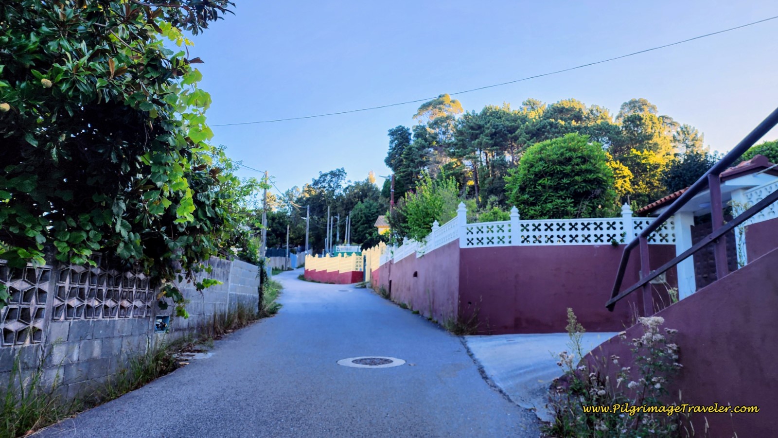 Begin the Steep Climb to the Altitude Top
This really is a steep climb, over the next 500 meters from the highway to the forest, and to the altitude top. A bit more than 200 meters after leaving the PO-552, come to a T-intersection and turn right. The next 150 meters on the pavement, is probably the steepest, below.
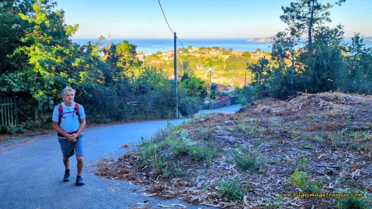 Steep Climbing on Pavement
After the 150 meters, come to a T-intersection and cross over it and onto this nice forest path, but keep climbing!
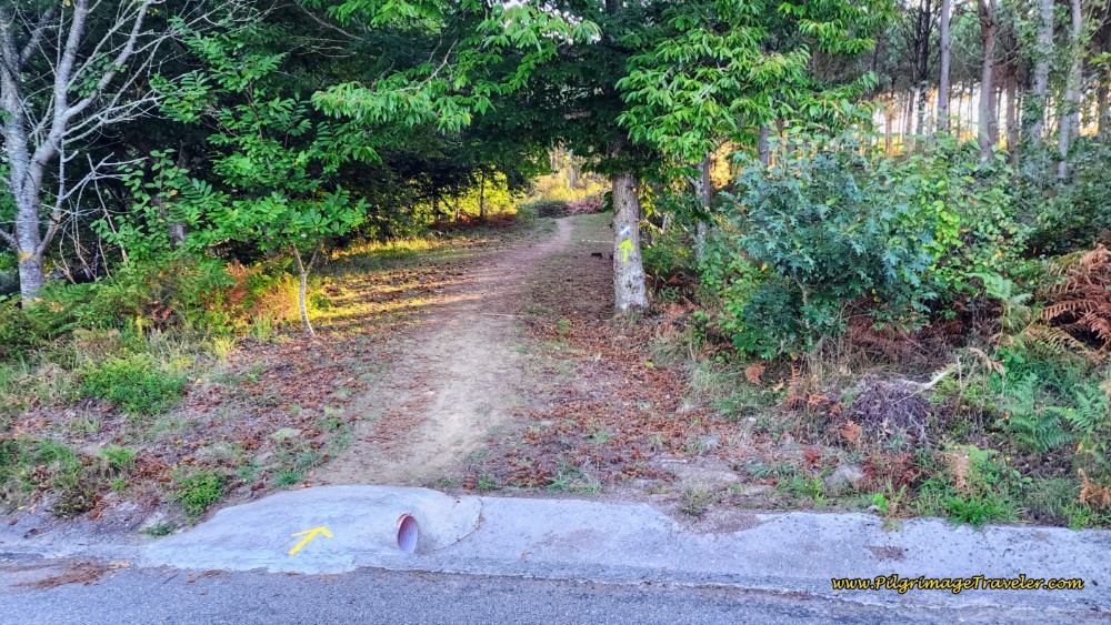 Continue Straight onto Forest Path, Keep Climbing!
And finally, after 9.2 kilometers total, come to the altitude top at this sign, letting you know that it is 115 kilometers to Santiago de Compostela from here!
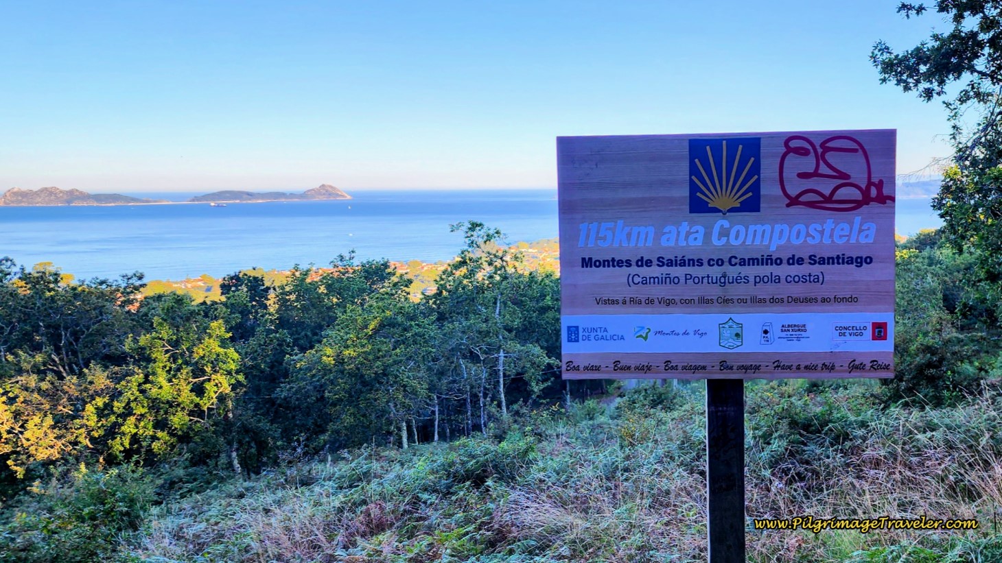 Reach the Altitude Top at 9.2 Kilometers
Jump to Camino Portugués Stages
The views are really great up here! Relax, enjoy your accomplishment, as it is all mostly downhill for the next five kilometers!
The way onward is through the forest, nice and cool. Following the frequent waymarks, after about 280 meters, we came to a sign for the Croa Terrazas, on the Castro de Saiáns, a historic settlement on the hill.
We took the turn and looked around for something, but nothing other than the hill mound itself presented itself. I wasn’t motivated to keep searching, so we returned to the trail. A few meters later, we were rewarded with this old, ruined mill, or muiño.
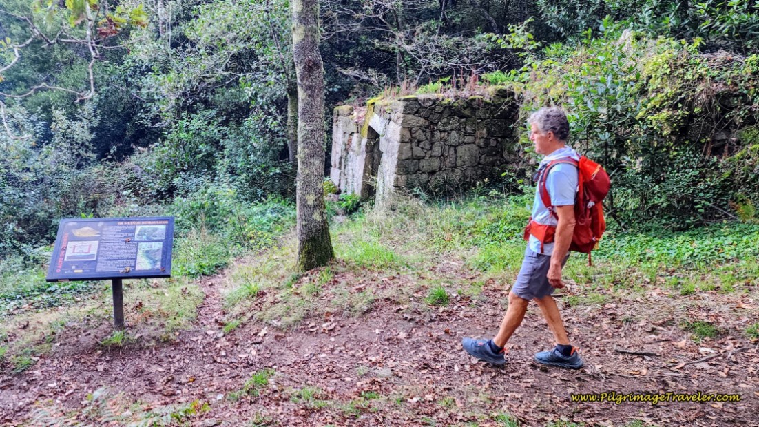 Pass Ruined Muiño
We are now following a stream, and we saw the historic canals that were built to divert the water to the mill. And shortly after there is a signposted water fountain, that is simply a water pipe coming out of the ground, called the Fonte dos Peregrinos, or the Pilgrim’s Fountain.
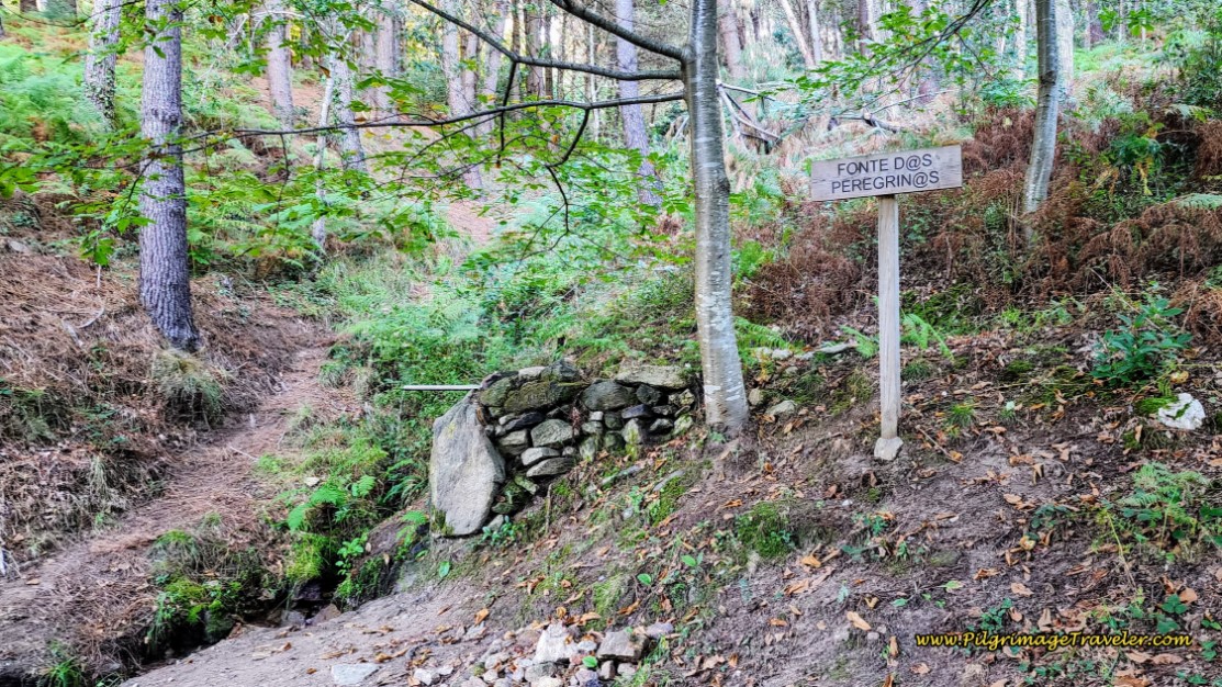 Pass Pilgrim’s Fountain
The forest turns to tall, gorgeous pines, and you can see ahead, an opening, with a fabulous view.
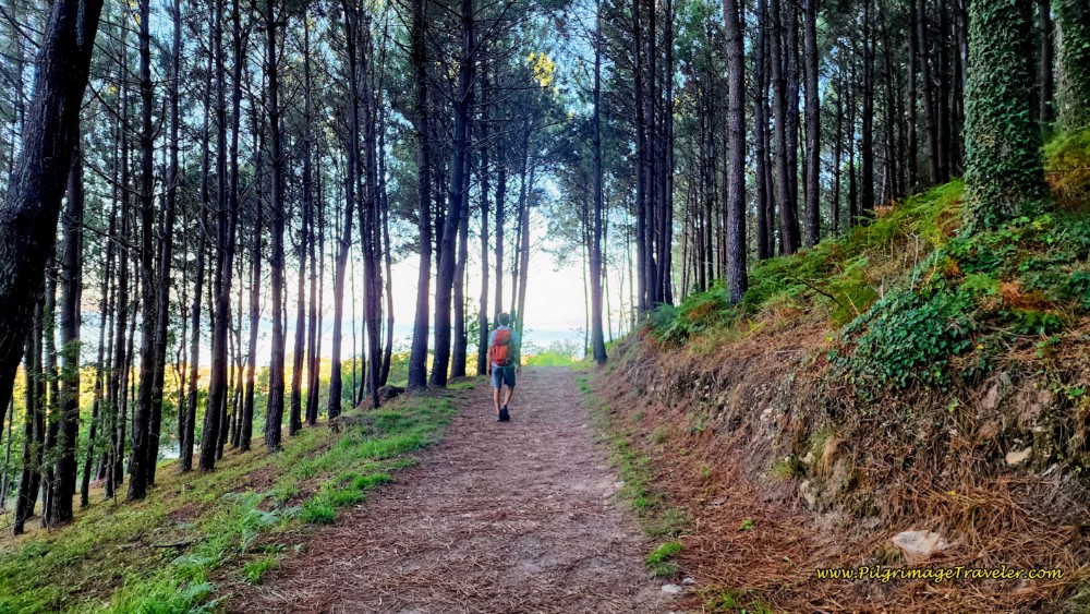 Tall Pines and Sea Views
The wide dirt lane continues for about a half kilometer, past the Pilgrim’s fountain. Then the Coastal Route joins the pavement for a few meters, and turns right at a T-intersection. A few steps later it leaves the pavement by turning to the left and onto this path, where it's back into the forest, for another full kilometer.
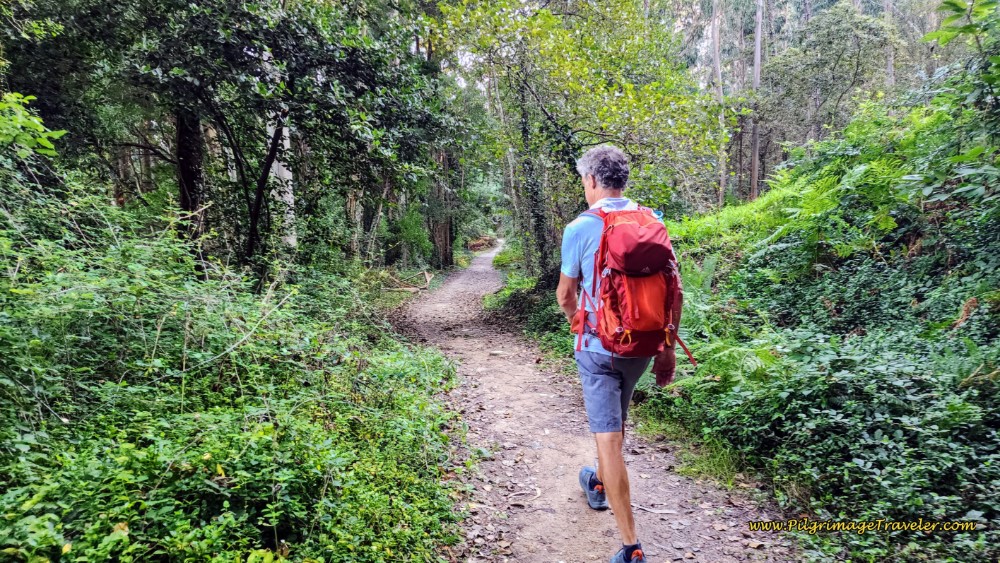
After approximately 11 kilometers from the start, you will pass a sign for the restaurant and bar, Lagareta, which says it is a 2-minute walk and has a terrace with a view. We did not check it out, but if you do, take the left turn and you will drop steeply down to the PO-552 and arrive after about 125 meters. It would be most expedient, then, to stay on the PO-552, as the Coastal Route will join it after about 1.1 kilometers down the road. In fact, we saw some pilgrims doing exactly this. We could see them from the higher trail, farther along as it parallels the PO-552
Back on the trail, after the turn off for the Lagareta, the path widens and descends rather steeply for the next few hundred meters. If wet, the mud and rocks could be harder to negotiate. After the full kilometer through the forest, the terrain opens up and passes a group of buildings.
A few meters later you will arrive at an intersection with another dirt lane that goes to the right and up the hill. There is a hand-painted sign here for the Albergue O Freixo and a Camino map. This is not, I repeat, not the way to Vigo on the Coastal Route. There are green arrows on the sign, designating that this is an entirely different route called the Camino do Freixo, so do not be fooled. It is a looong way to this albergue and many kilometers south of Vigo. However, if you actually do want to walk this route, the sign has QR codes where you can download the GPS tracks.
Continue straight at the O Freixo sign and towards a row of bright yellow apartment buildings. The lane becomes a paved road and continues past the buildings and a few meters later, past a construction company. Beyond the construction company, the lane turns to dirt, and you will walk on yet another segment of preserved Roman road, replete with wagon ruts.
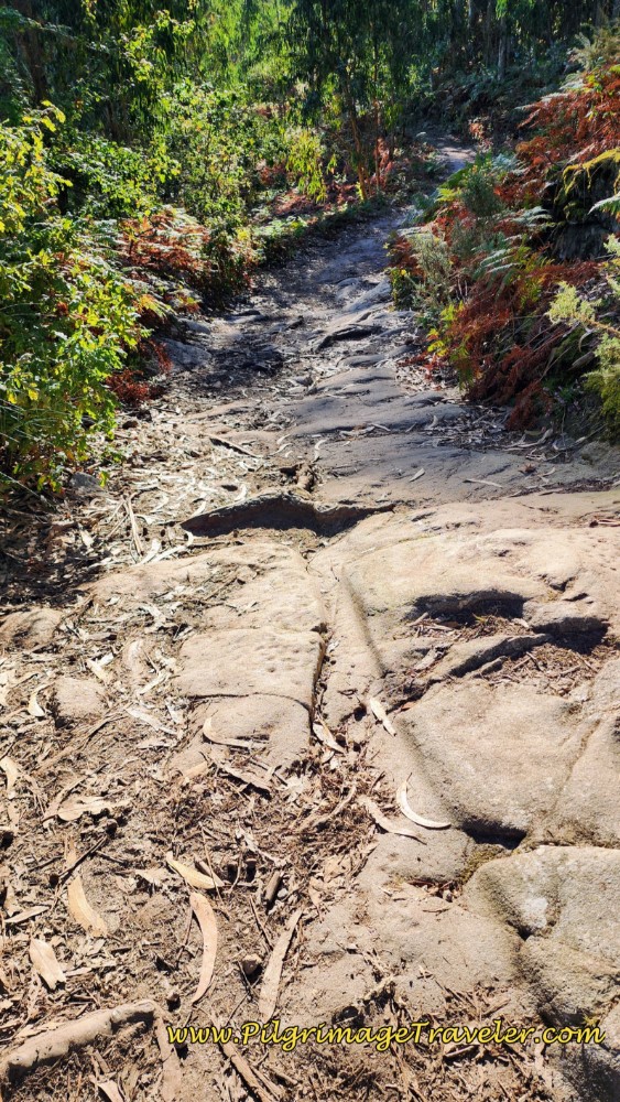 Wagon Ruts on Ancient Road
Continue on through the forest about another 1/2 kilometer, descending steeply again and meeting the PO-552 at 12.3 kilometers into the day, below, in the suburb of Coruxo.
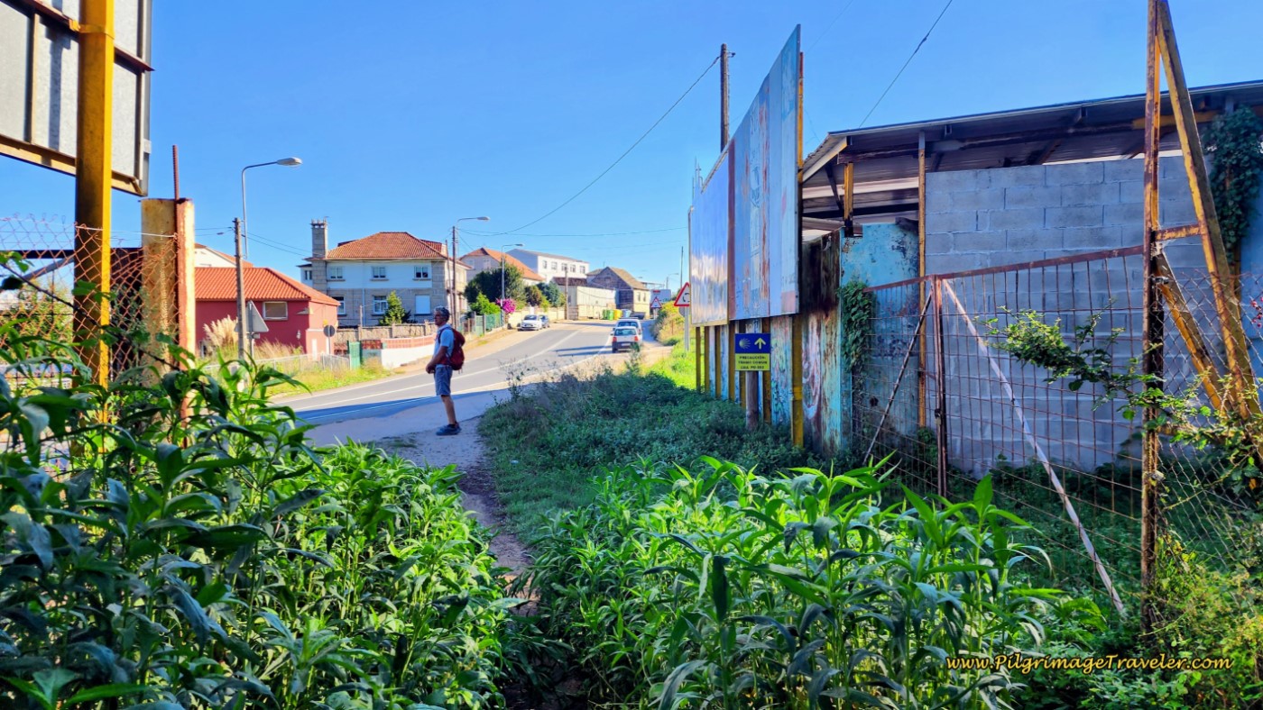 The Path Joins the PO-552
Unfortunately, the walk on the sidewalks of the PO-552, lasts for about 1.5 kilometers. After 350 meters, come to the landmark, Igrexa de San Salvador de Coruxo, after 12.6 kilometers into the day.
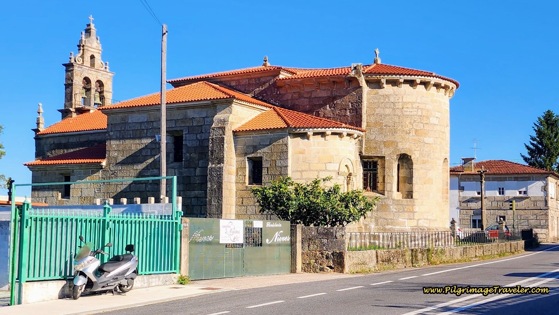 Igrexa de San Salvador de Coruxo
We finally stopped for a bite and more coffee around 10:45, a few hundred meters past the church, at the Cafetería Atanea, with outdoor tables in the back. The garden is a great place to chill and regroup for a while!
600 meters past the Coruxo church, there is a large roundabout that intersects with the EP-2003. There are many bars at this juncture, and this is where the second crossover from the Senda Litoral joins the Coastal Route, shown in red on my map above.
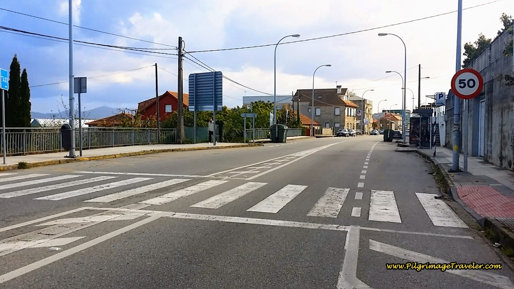 Coastal and Senda Litoral Crossover Merge Here
After another 0.5 kilometers on the PO-552, and after walking through a small roundabout the Coastal route turns right onto a small side road, the Camino Pitasia, shown below.
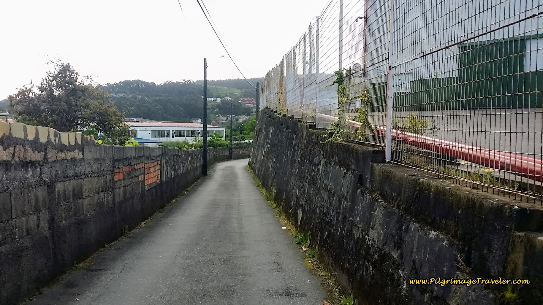 Turn Right onto the Camiño Pitasia
Just 300 meters on the Camino Pitasia, and then it ends at a T-intersection, where you turn left, then an immediate right to walk under the overpass of the highway, the VG-20 for approximately 250 meters.
At the next intersection, turn left then an immediate right onto a dirt road, the Camiño do Río de Gonzas to walk along a creek. At this creek juncture, you have finally reached the end of the long 5k descent from the top, after 14.5 kilometers into the day.
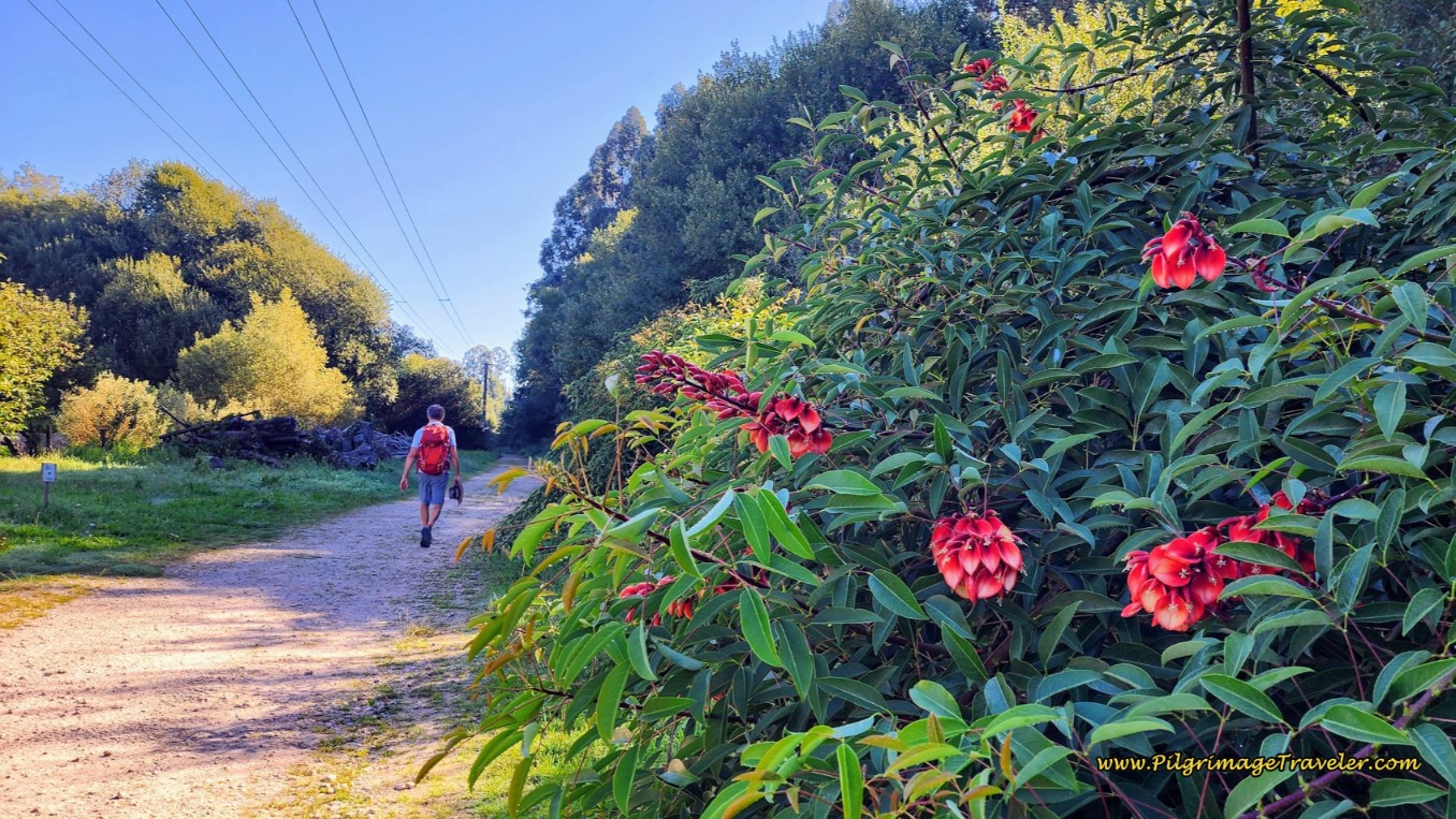 Walking on a Dirt Road by a Creek, on the Camiño do Río de Gonzas
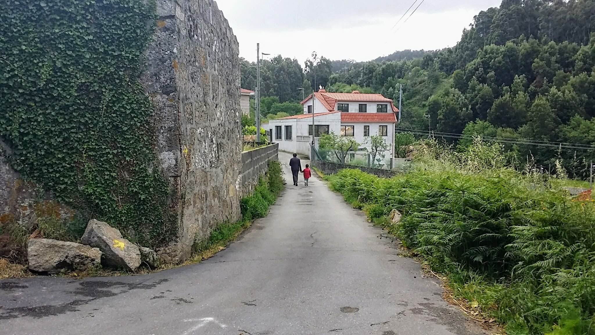
We walked along the creek for about 350 meters, then left onto another dirt road, the Camiño Rodeira, which turns into a paved road, to walk up a long hill and back into town. You have just begun the next small hill climb of the day.
Here is a photo of a woman and child, walking along the incredibly rural-looking Camiño Rodeira. As it turned out, they were walking to the church shown farther below.
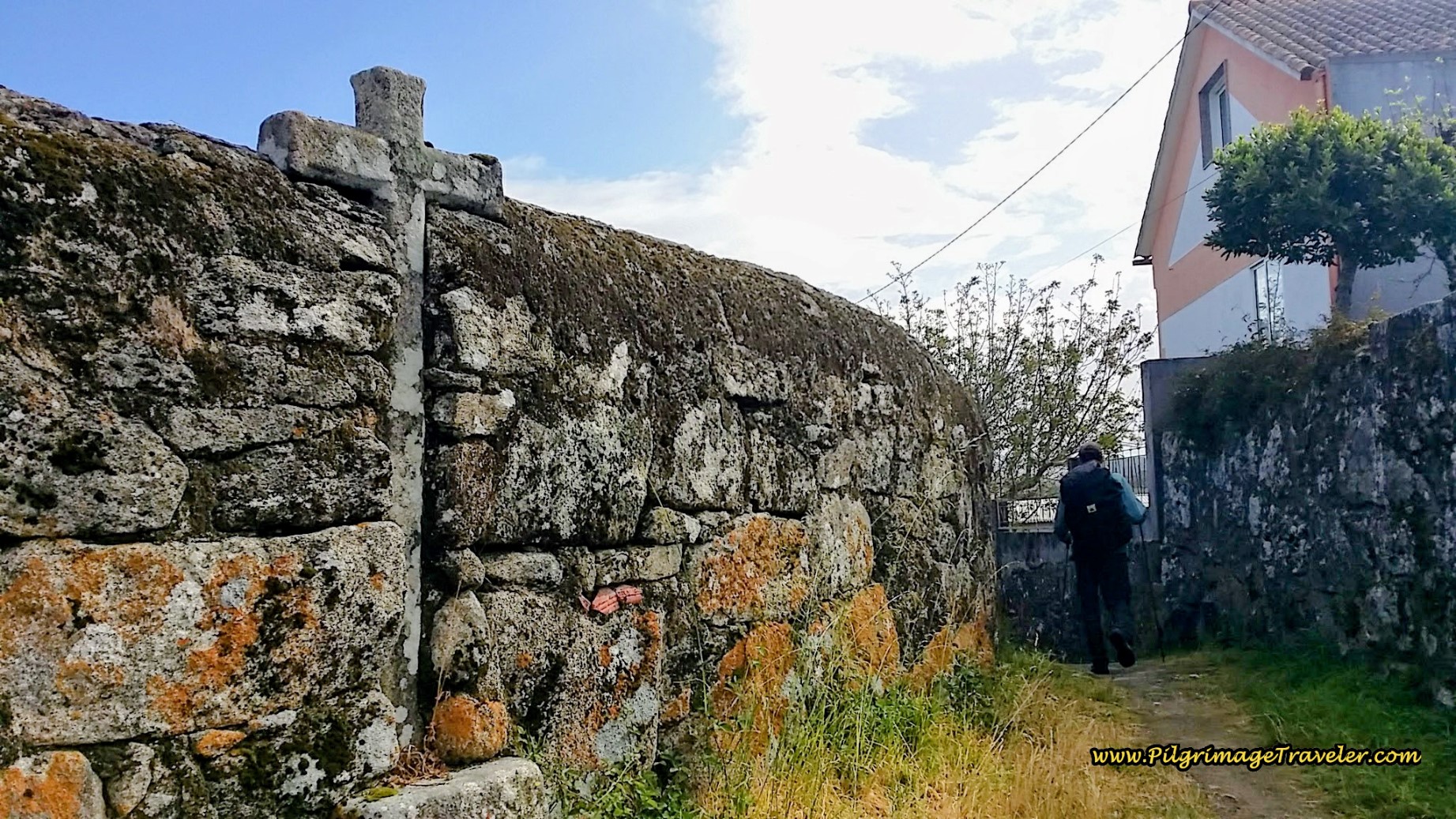
It is always fascinating to me, how this road was chosen for the Camino, because the features were superb. Crosses are embedded into the wall every so often! Fantastic!
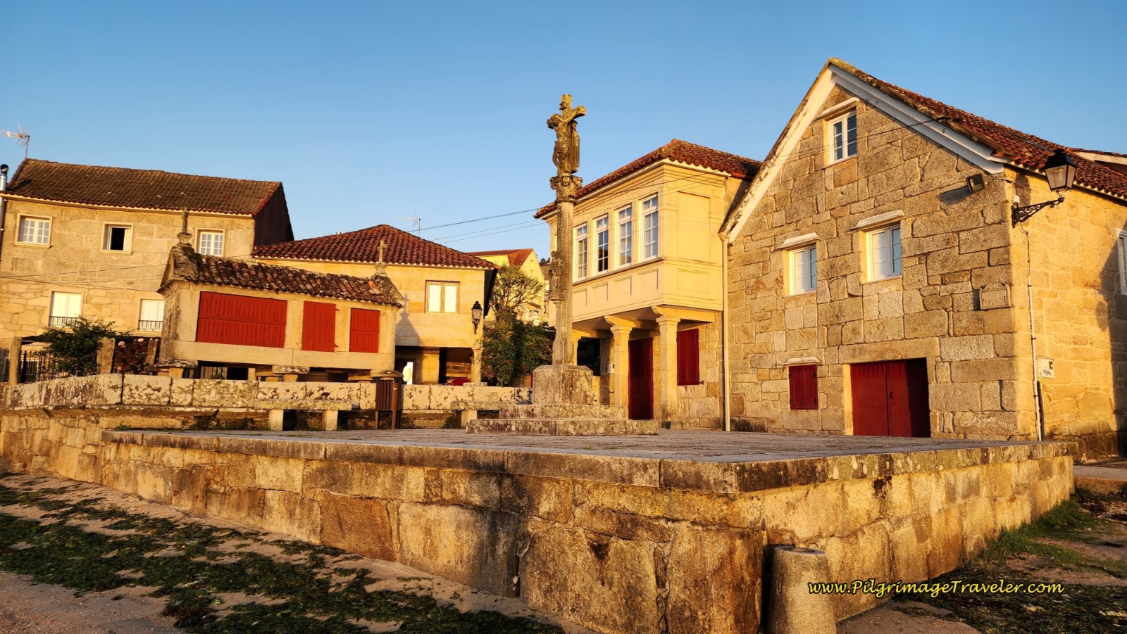
After 200 meters, at the next intersection, take the second road from the left, and after 50 meters, arrive at this historic square by a cross, below. Walk to the house in the photo, turning to the right, and join a path in front of it. You can see a yellow arrow to follow, on the retaining wall of the porch.
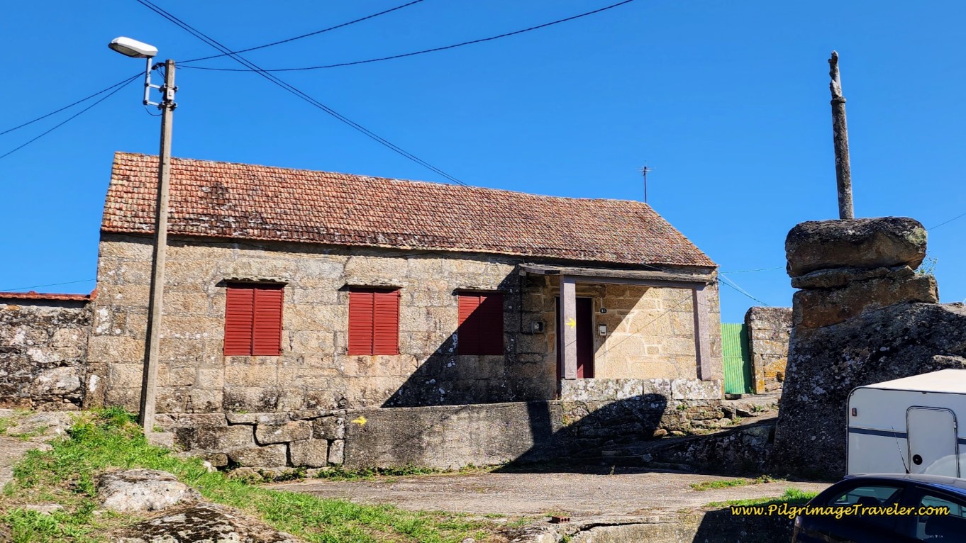 Historic Square with Cross
Just beyond the path is an alleyway, shown below, with one of the lovely crosses mentioned above, embedded in the high wall. Nothing like constant reminders in this town to mind your ways!
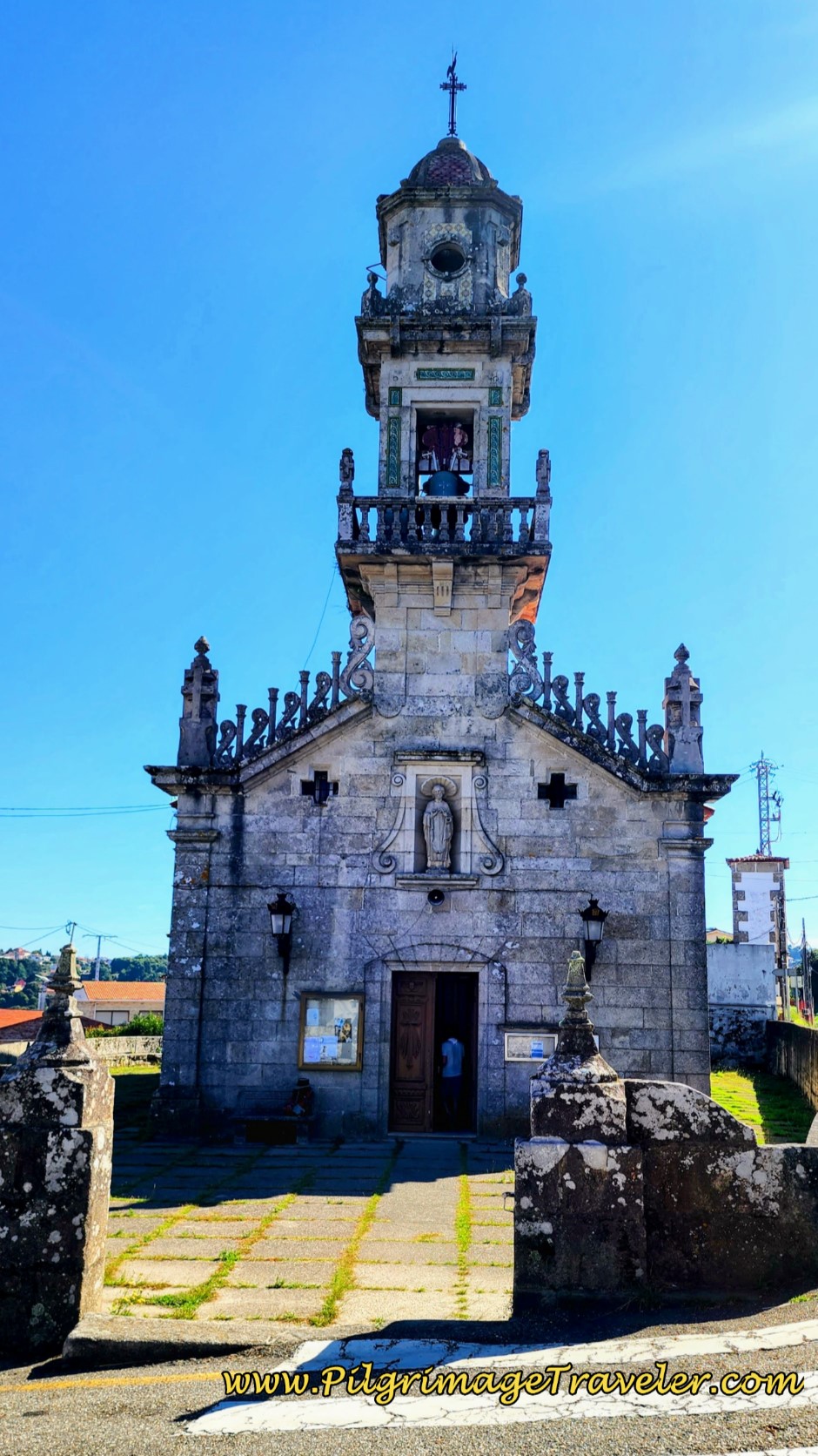
A few steps later, this alley will join the Camiño Rodeira once again, by turning left, and in another few meters, comes to a T-intersection with the Estrada Matamá Pazo-Comesaña. Turn to the right and come to the next landmark, the church mentioned above, the Parroquia de San Andrés de Comesaña. It was a Sunday morning, and the church bells were ringing! It was such a lovely sound. At this church you are about 15.3 kilometers from the start in A Ramallosa. Just after the church is a shady and inviting park with picnic tables if you would like a break.
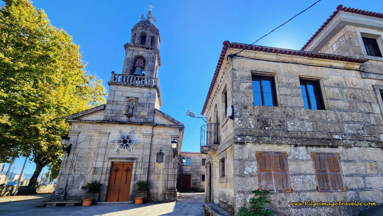 Walk by the Parroquia de San Andrés de Comesaña
After about another 1/3 kilometer, the Camino turns right onto the Camiño Sanín. It is about 600 meters along this street, until coming to an overpass of a divided highway, the PO-010. Walk through the tunnel under the highway and continue straight onward.
A few meters later, pass the historic mill, the Muiño da Regueira.
Walk another 300 meters on the Camiño Sanín until coming to a T-intersection, where you turn right onto the Rúa de Leonardo Alonso. We walked on this street for only about a few hundered meters, but what an experience this small stretch was in this suburb of Vigo, called Matamá.
Here is Rich, walking along the street, toward the center of town after turning onto the main street, the Rúa de Leonardo Alonso. You can see the steepness of the climb into town.
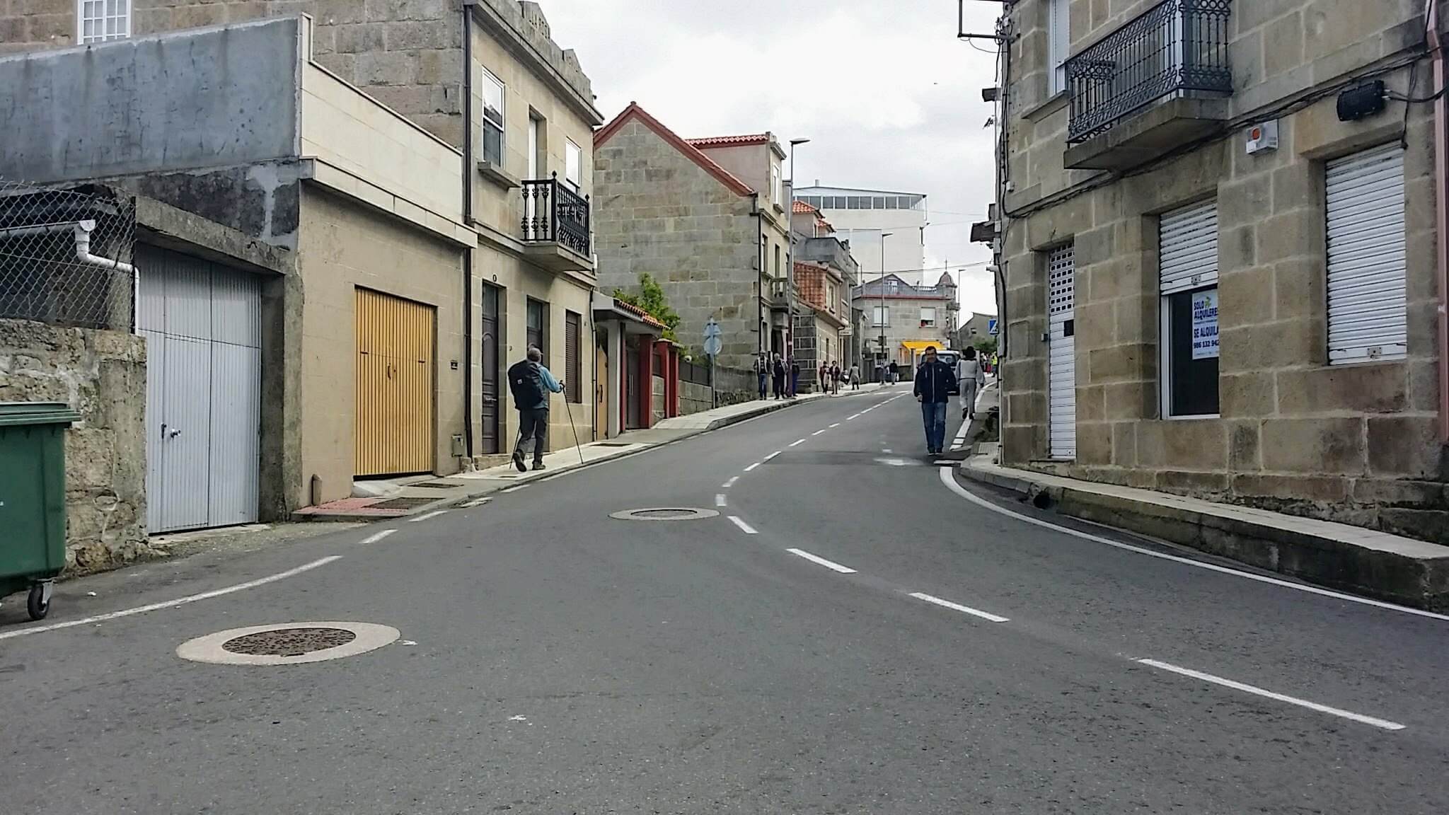 Right Turn on the Rúa de Leonardo Alonso
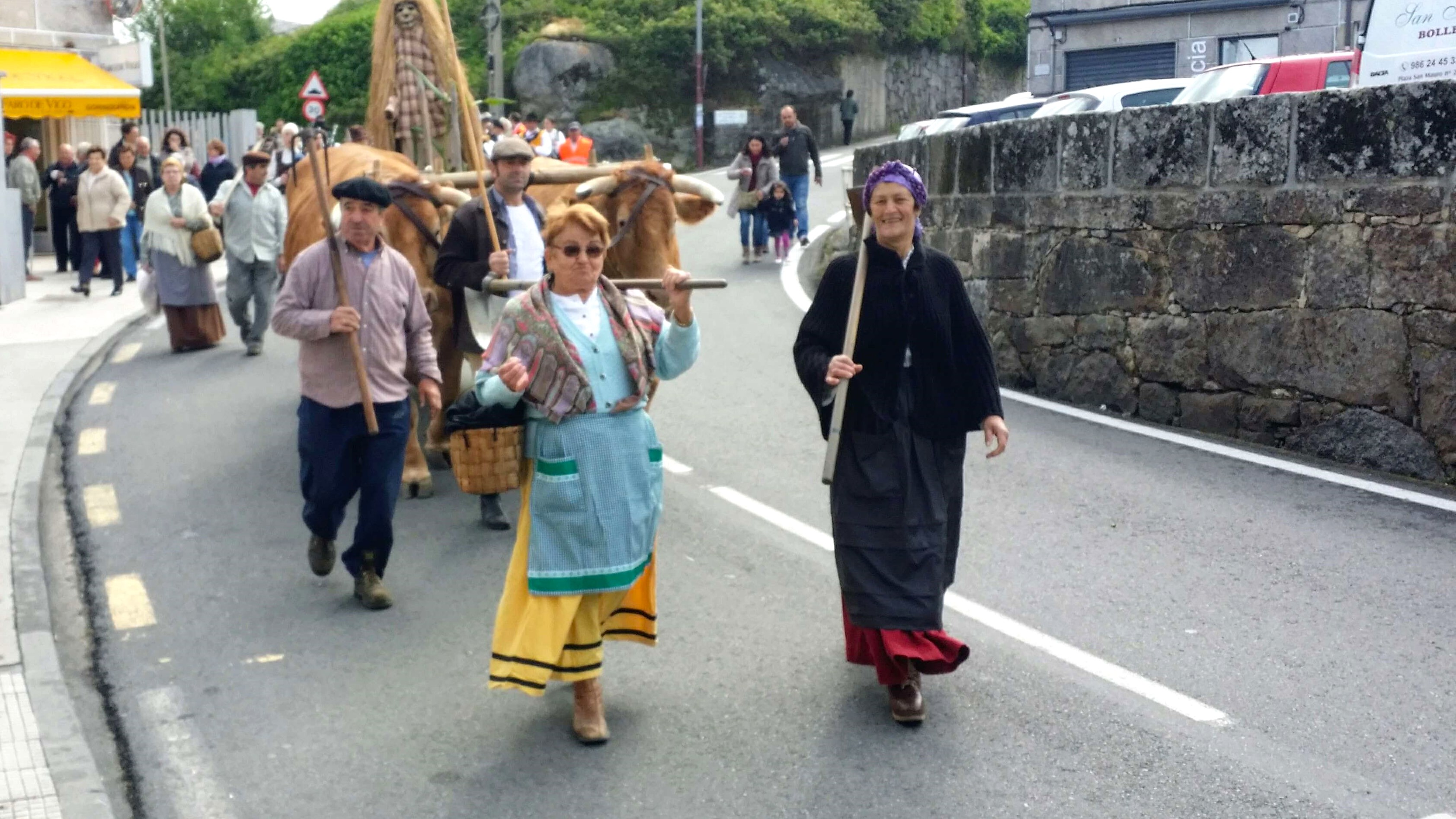
As we were walking through Matamá we started seeing crowds and heard a commotion up ahead. We had stumbled onto a little parade going through town. I have no idea what the celebration was about, and I didn't ask. Something celebrating the farmers of the area perhaps? Oxen and peasants with scythes. Hmmm.
After the small parade went by, a great smelling bakery caught our eye! Or shall I say, caught our nose? We stopped in at the Panadería San Amaro in the center of town, which I marked on the map, as I would indeed recommend it! (There is also a café a few steps onward, if you prefer.)
At the counter, being pegged as pilgrims (and foreigners), the proprietress started nudging her daughter, about 12 years old, to interact with us in English! I caught the nature of her conversation. She wanted her daughter to practice her English on us, which she had learned in school!
We smiled at her, as she shyly approached the counter. We spoke English to her, asking her for a loaf of bread. She spoke back to us very well. The encounter was darling.
We stuffed the delicious long loaf of bread into Rich's pack, after eating half of it and traveled onward. At the interesting Iglesia de San Pedro de Matamá, below, we turned left to walk down the Camiño Real.
You are now at the top of the second small hill climb of the day after 16.8 kilometers. Your next two kilometers will be a strong descent into the heart of the city of Vigo.
Jump to Camino Portugués Stages
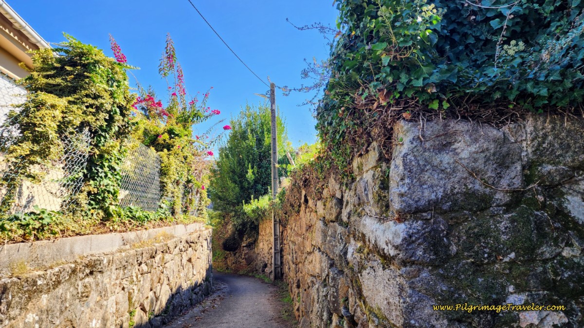 Along the Quaint Camiño Real
At the first intersection, stay straight onto the Rúa do Castro for another 200 meters, then turn left onto the Rúa do Roupeiro.
Then the Camino follows the Rúa do Roupeiro right after about another 200 meters descending the hill steeply on switchbacks, heading toward the center of Vigo, below.
At the bottom of the hill there is a high concrete wall on your left that you follow. This wall contains the Peugeot-Citroën manufacturing buildings. After another 1/2 km on the Rúa do Roupeiro, the concrete wall ends just before a tall building. Here is where the Camino turns left onto the Camiño de Sabarís on a narrow paved road. This turn was not well marked the last time we went through, so I have included a photo of it below. There is a pale yellow arrow on the wall, barely discernable in the photo.
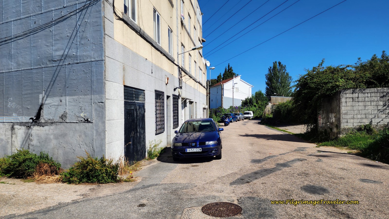 Left Turn Here onto the Camiño de Sabarís
At the turn, look to your left and it is easy to spot the high, white painted wall that you will now follow.
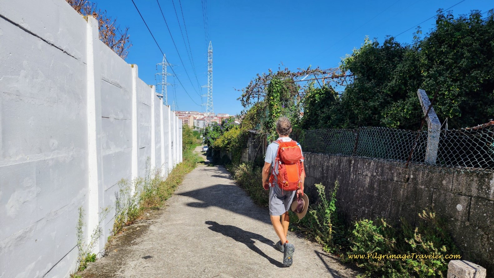 High Wall along the Camiño de Sabarís
Continue to follow this road along the high wall until it turns to dirt, and walks under ugly power lines for a total of about 1/2 kilometer, passing by an electrical distribution area with more high walls on each side. You will come out smack into the center of town and turn right onto the Avenida do Alcalde Portanet. You are now about 18.4 kilometers from the start.
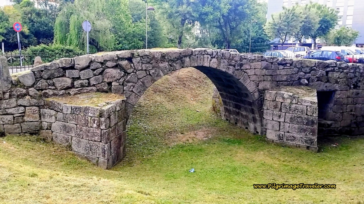
We carried on, and after only a few meters on the avenida, turned left onto a pedestrian walkway, and then after a block turned right at the next intersection, and onto the Travesía da Ponte Romano. This little street walks you by a remnant of a historic Roman bridge, the Ponte Romano.
There are bars along this avenida, if you need refreshments!
After about 100 meters only, this side street and/or path follows the river, winding around the shops to pick up a pedestrian walkway. This walkway brings you out to another avenue, the Avenida de Castrelos that runs along a very large park, the Parque de Castrelos. Cross the Avenida into the park.
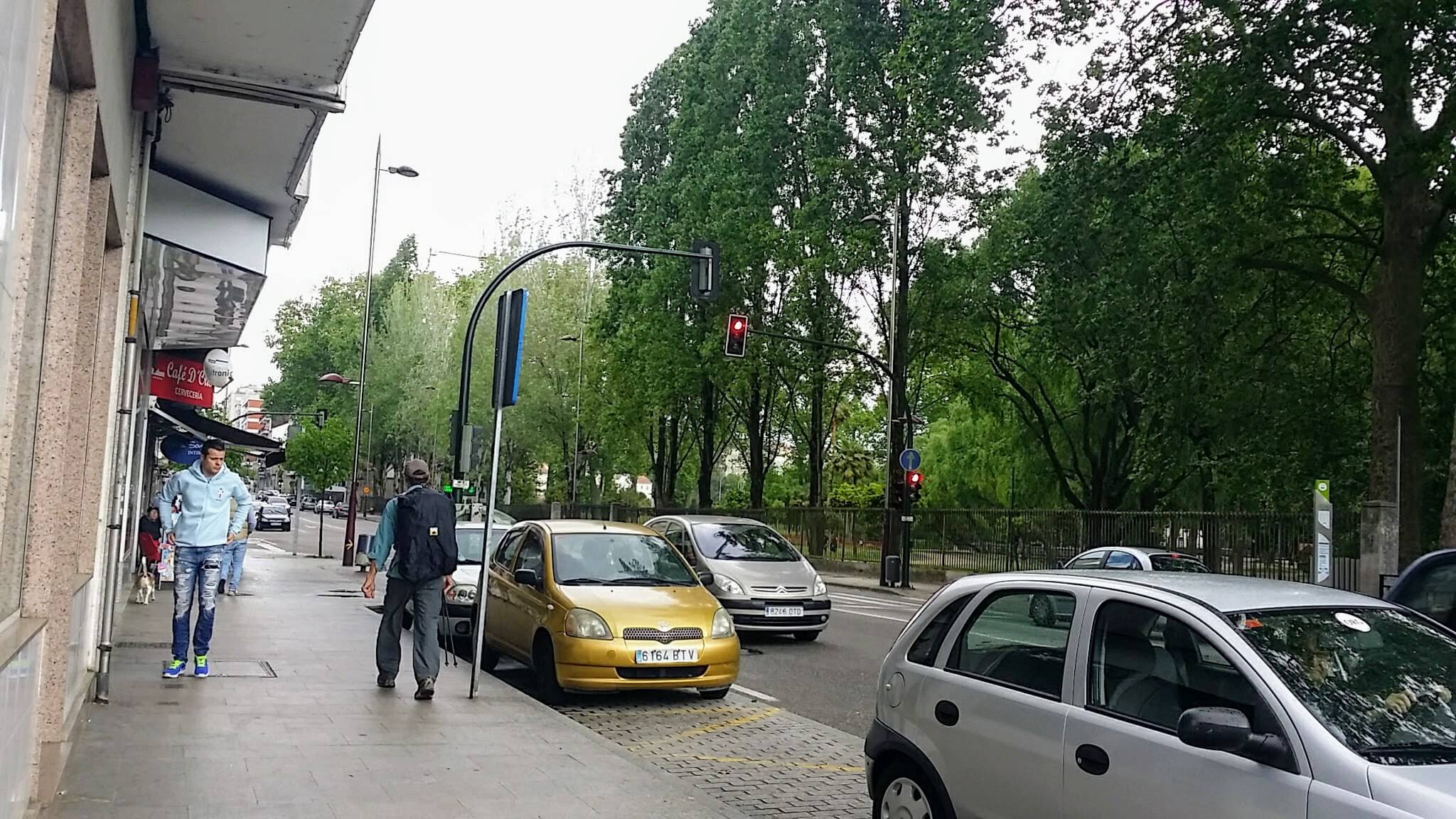 Avenida de Castrelos by the Parque de Castrelos
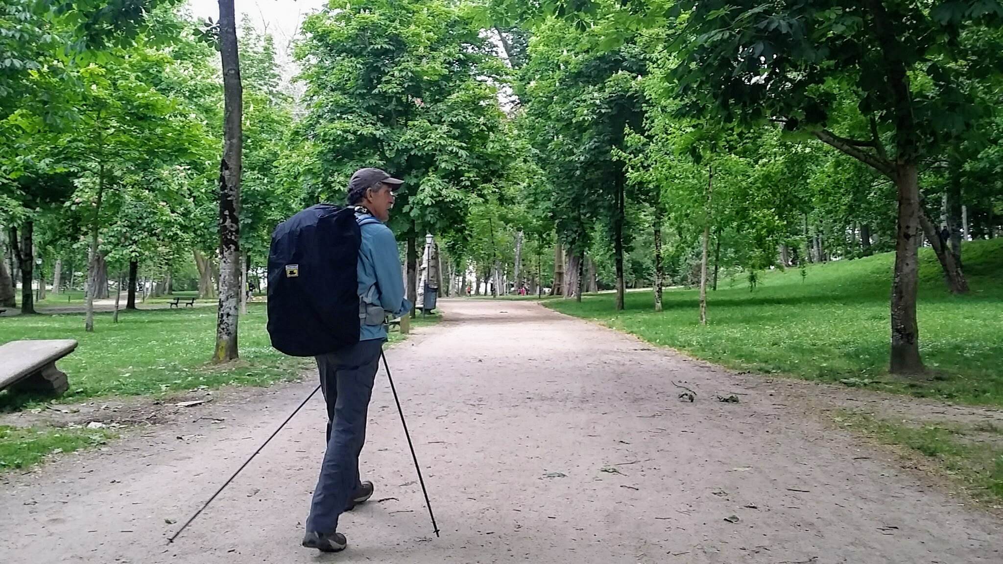 Rich, in the Parque de Castrelos
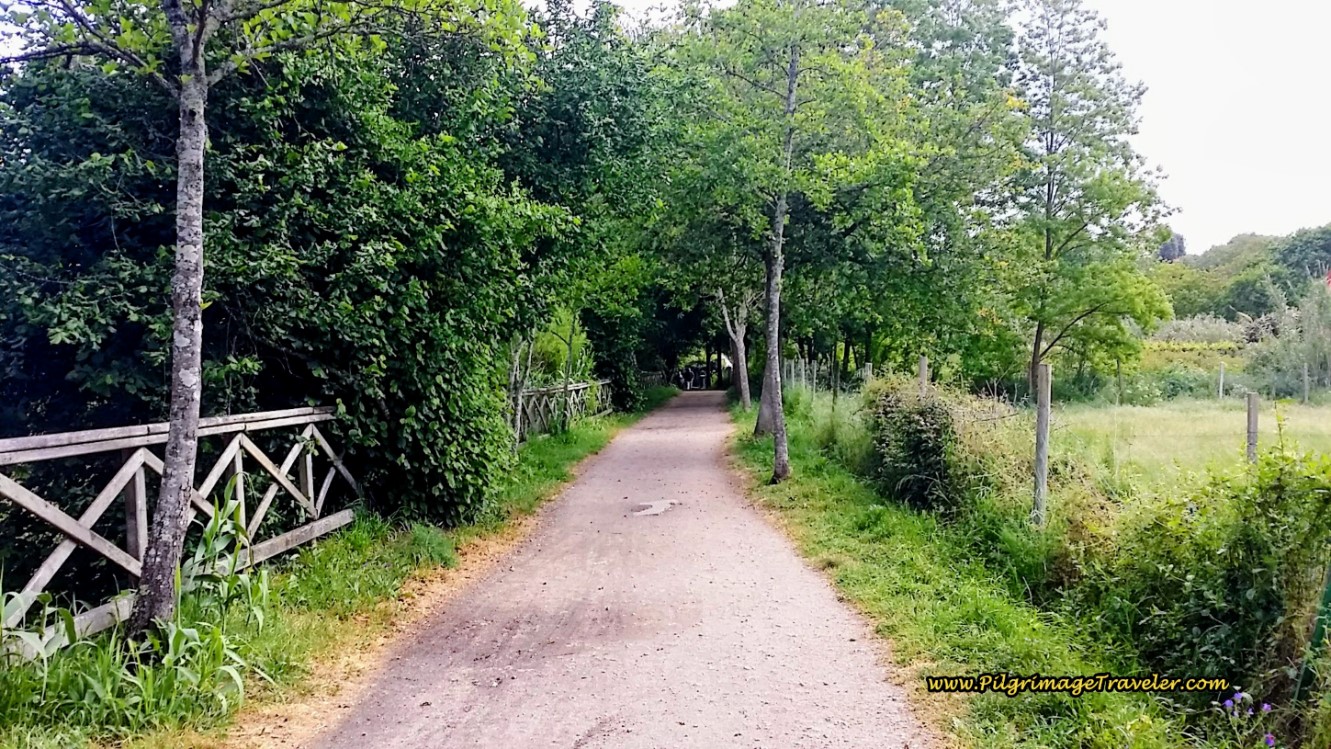
Walk northeast across the park, following the yellow arrows, for about 1/2 kilometer, then on the other side, join a really nice trail system, the Senda do Lagares that leads you along the Rego Lagares River. This next 1.4 kilometers along the river is flat, shady and so very enjoyable!
After about 1/2 kilometer on the Senda do Lagares, you come to a street that you must cross. The Coastal Route turns left and passes a municipal fountain, below. While the water is unsafe to drink, it was still very refreshing. Rich just dipped his head into it!
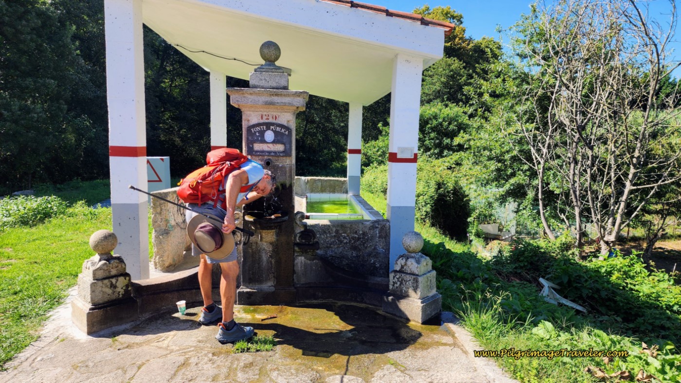 Public Fountain at Crossover on the Riverwalk
The route now crosses the street and crosses over to the north (left) side of the river, but in actuality, it doesn’t matter which side you walk on. They both end up at the same place, however, the northern, official route is wider and more established.
Your lovely riverwalk ends, when you see across the river, this medieval bridge, below, the Ponte Medieval de Sárdoma, which crosses the river and meets the Coastal Route at the street called the Camiño Carreiros. You will arrive at this bridge after 20.9 kilometers thus far.
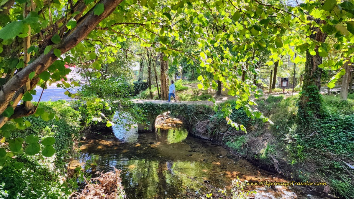 Ponte Medieval de Sárdoma
Jump to Camino Portugués Stages
Turn left onto the Camiño Carreiros, where you will now begin the final 80 meter climb of the stage, over the next 1.4 kilometers, all the way to the San Roque church, so get ready! It feels very steep at the end of the day.
After walking on the road through a well-graffitied tunnel, immediately start to climb on the pavement. In a few meters, come to a Y-intersection and take a right turn onto the Baixada á Salgueira.
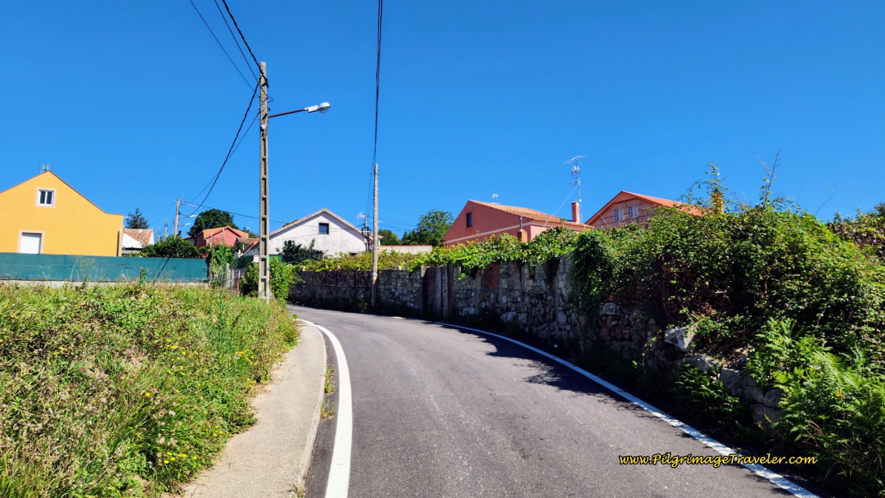 Up the Hill on the Baixada á Salgueira
After not quite 400 meters, come to a T-intersection, seen in front of the house in the photo below.
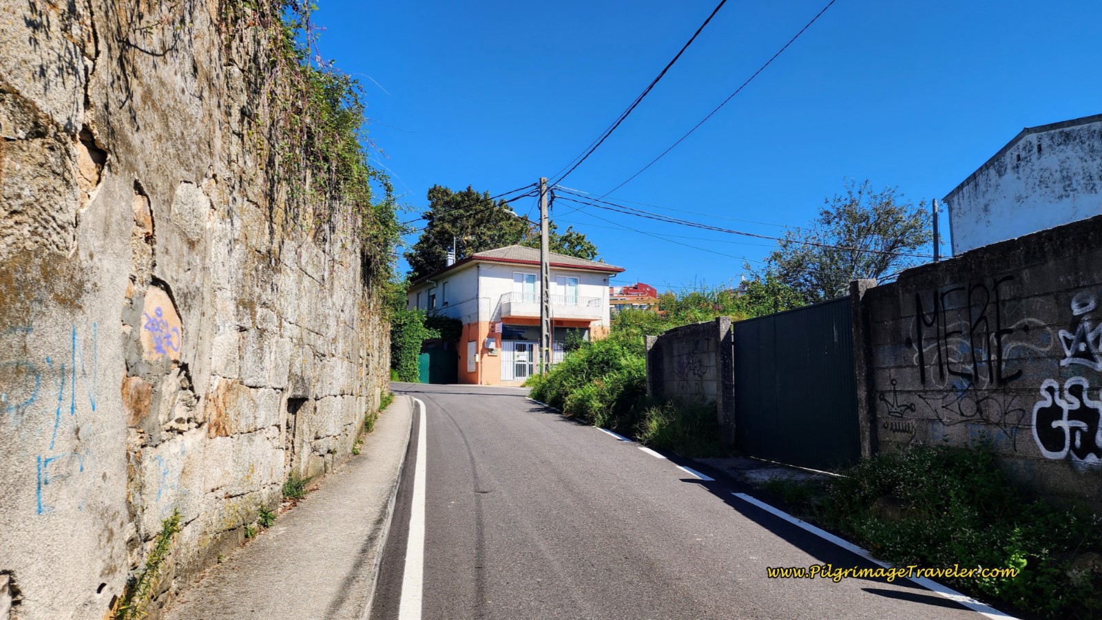 Continue Climbing on the Baixada á Salgueira
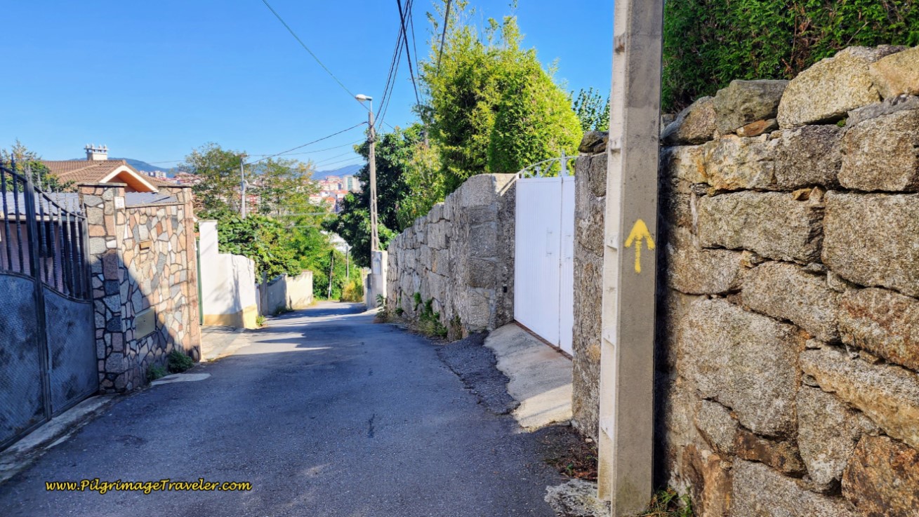
Follow the yellow arrow on the pole and turn right onto the Rúa do Carballo. Walk on this street for about 300 meters, pictured below, until you come to another T- intersection. Make a left turn, then an almost immediate right turn onto the Rúa do Loureiro.
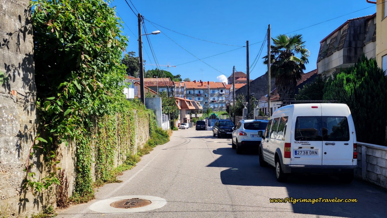 Along the Rúa do Carballo
After only about 100 meters, come to the highway, the N-120 (Avenida de Madrid) and take the crosswalk on your left, to cross over to the other side of the street. Head towards the high bank and wall that surrounds the Ermida de San Roque complex, and a fountain called the Fonte da Avenida de Madrid. You are almost at the top of the hill!
Walk along the high wall a few meters and turn left onto a brick pedestrian walkway, below.
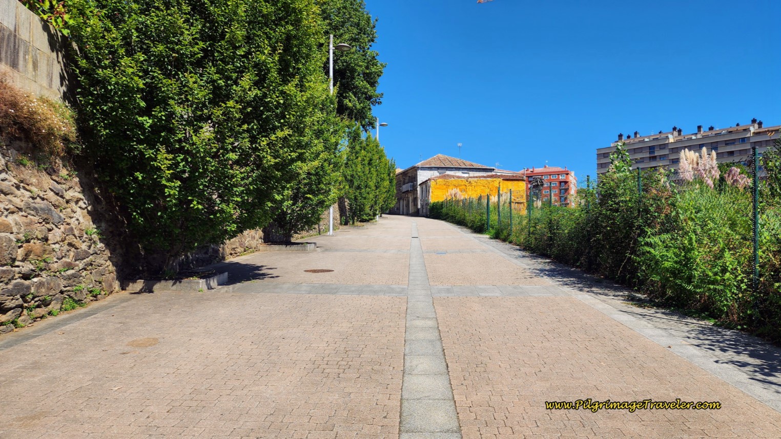 Climb Up and Around the Ermida de San Roque
This walkway is a bit more than one hundred meters and ends in a set of stairs. Climb the stairs to the street above and you will see the entrance gate to the Ermida de San Roque, pictured below, after about 22.1 kilometers total.
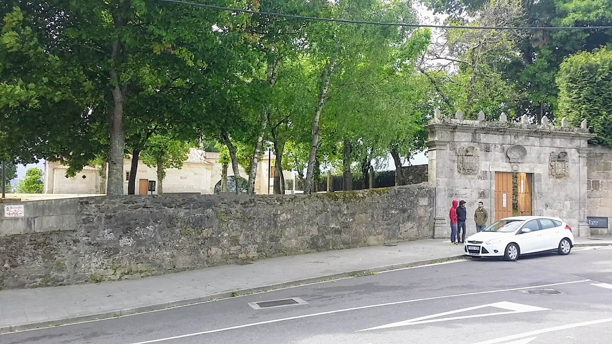 The Ermida de San Roque
Make the second right to stay on the Rúa de San Roque. Within a few hundred meters, you are finally at the top of the hill!
Walk a total of 1/2 kilometer onward and turn right to stay onto the Rúa de San Roque. Walk another 170 meters, and turn left onto the Av. Alcalde Gregorio Espino. Walk for one block, then arrive at the intersection with the Rúa de Urzáiz in the shopping district of Lavadores, shown below. It is at this intersection where the Senda Litoral joins the Coastal Route.
My photo of this intersection, I took the following morning, after arriving here from the municipal Albergue de Peregrinos de Vigo, 2.1 kilometers away and down by the docks, as discussed earlier. The Coastal Route continues onward, between the light rays in the photo.
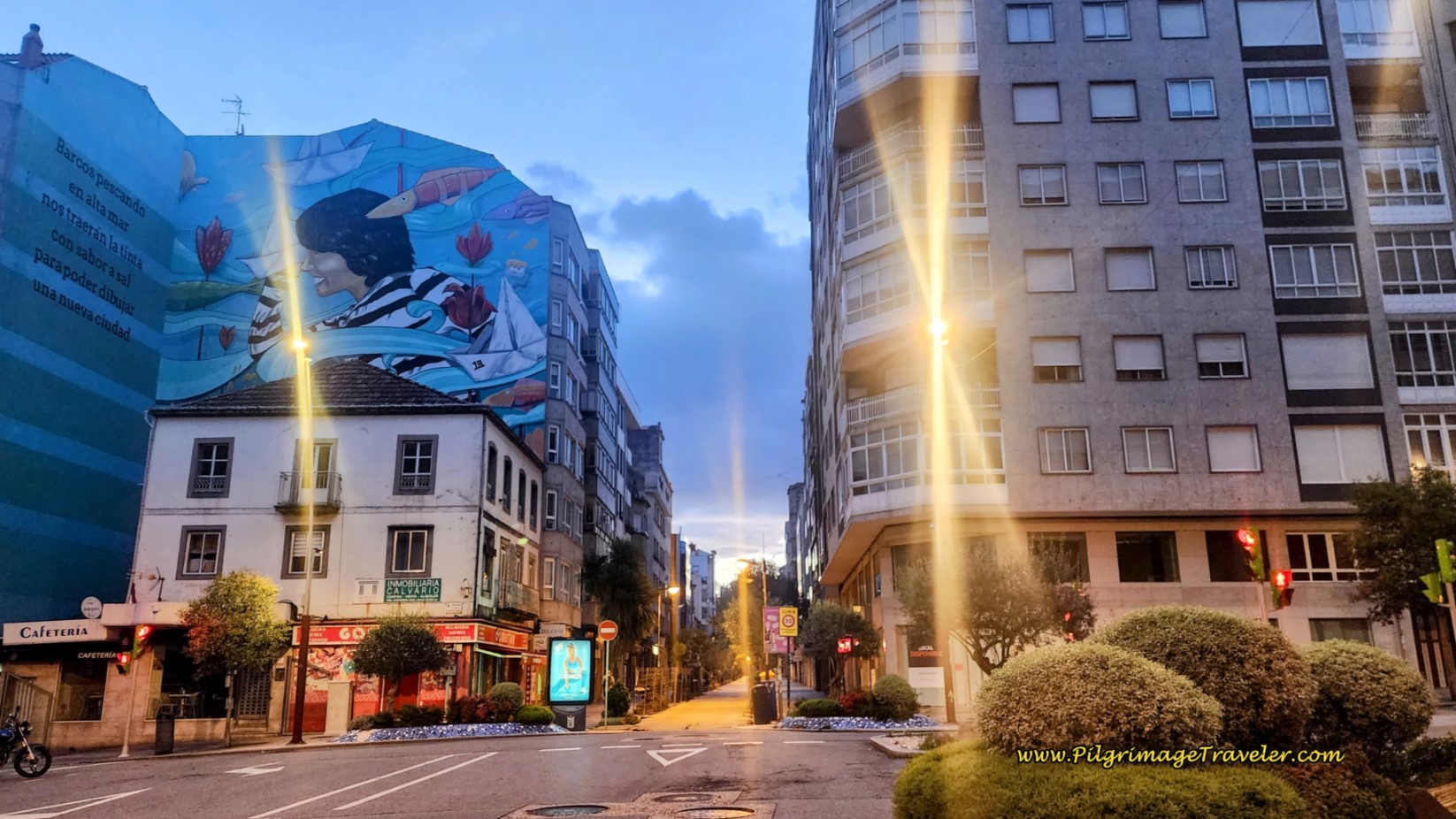 Coastal Route and the Senda Litoral Merge Here
If Vigo is your destination for the day, don’t forget there are several inexpensive places nearby this juncture, including the Kaps Hostel Vigo, the Hotel Pantón, the Lapplandia, the B&B Hotel Vigo and lastly, the Hotel Alda Estación Vigo.
If you are walking onward to Redondela, click here for the next day's stage.
If you’d like to stay at the municipal albergue, you will follow the Senda Litoral backwards (westward). Turn left at the juncture instead of right, onto the Rúa de Urzáiz and walk on it for 1.1 kilometers, on a strong downhill towards the waterfront.
When the roadway takes a strong bend to the right, stay straight and onto a wide and beautiful pedestrian walkway. You may spot the historic O Farol de Urzáiz, a large lamppost at this intersection. At Christmas time there is a huge light ball at this corner as well.
This pedestrian way that you will now take is the Rúa do Principe and you will walk by many shops and eateries for the next 1/2 kilometer. You will be able to find just about anything you would need along this pedestrian shopping street.
The Rúa do Principe comes out at a large open plaza, called the Praza Porto do Sol. Continue onward, straight along the pedestrian way until it narrows at the next plaza, the Plaza Princesa. There is a large café on your right (Café Don Gregorio). Find the alleyway between the Café Don Gregorio and the inexpensive Hotel Alda Puerta de Sol. This alleyway leads you to the Praza de la Constitución, lined with more cafés. Ahead, you can see the church tower of the Colexiata de Santa María de Vigo. This is your next destination.
Walk across the plaza, to find the next street, the Rúa Triunfo that after about 50 meters takes you to a T-intersection. Turn left onto the Rúa da Palma and into the church square, the Praza Igrexa, where the church looms before you. Stop to admire the church and read its historical plaque if you wish. The Hostal la Colegiata, is in this square, another inexpensive accommodation.
All of these squares that you have passed through are absolutely packed with revelers, all night long on the weekends and then some! If you like to party, this is definitely your town!
After admiring the church, continue straight onward, onto the Rúa Real, and follow it for about one-quarter kilometer, passing the Hostal Real Vigo, until you arrive at the waterfront, at the Rúa da Ribeira do Berbés. The albergue is just ahead, under the historic archway that you see. There is a historic cross just in front of the albergue.
As noted on day twenty-one of the Senda Litoral, this albergue was packed both times we stayed here. It is almost brand-new, so it has definitely fulfilled a need. Do try to arrive early in the high season, if you plan to stay here.
If you are planning to stay in Vigo, there are many attractions in the center of town that you may wish to go see, including the Castelo do Castro and its park. Take time to read the plaques that are by historic buildings. There are many of them. Or just hang out in one of the plazas and watch the action!
Reflections on Day Twenty-One, Coastal Route, Camino Portugués
Our day twenty-one on the Coastal Route of the Camino Portugués was a much more enjoyable day than we could have imagined. You definitely should not fear this way, as it was much more peaceful, I felt, than the Senda Litoral and much less crowded. The paths through the forests may be your best choice anyway if the day is really hot and if you have seen enough beaches. You will find sparks of Love on this pilgrimage day, if you stay with the moment, enjoying each step, each sight and each sound along your pilgrimage.
Regardless of which route you choose for day twenty-one, you will have to walk through Vigo if you choose the shorter days, although I enjoyed exploring the town the two nights we stayed here. Or just extend your prior days and walk on by.
Salutation
May your own day twenty-one on the Coastal Route of the Camino Portugués help you lose your fear, and be filled with connections with nature, other pilgrims and yourself that are loving and true. May you find Love in each and every experience! Ultreia!
Camino Portugués Stages:
Lisbon to Porto
Senda Litoral or the Coastal Routes: Porto to Santiago
Skip to Central Route Below, for Final Days 22-25 to Santiago
Central Route: Porto to Santiago
Variante Espiritual
Please Consider Showing Your Support
Many readers contact me, Elle, to thank me for all the time and care that I have spent creating this informative website. If you have been truly blessed by my efforts, have not purchased an eBook, yet wish to contribute, I am very grateful. Thank-you!
Search This Website:
Follow Me on Pinterest:
Follow Me on Instagram:
Find the Pilgrimage Traveler on Facebook:
Like / Share this page on Facebook:
***All Banners, Amazon, Roamless and Booking.com links on this website are affiliate links. As an Amazon associate and a Booking.com associate, the Pilgrimage Traveler website will earn from qualifying purchases when you click on these links, at no cost to you. We sincerely thank-you as this is a pilgrim-supported website***
PS: Our guide books are of our own creation and we appreciate your purchase of those too!!
Shroud Yourself in Mystery, along the Via de Francesco!
Walk in the Footsteps of St. Francis, and Connect Deeply to the Saint and to Nature in the Marvelous Italian Countryside!
Recent Articles
-
Day One on the Camino Portugués, Lisbon to Alverca do Ribatejo
Apr 15, 25 08:19 PM
Our Day One on the Camino Portugués was much more beautiful and enjoyable than we had heard. -
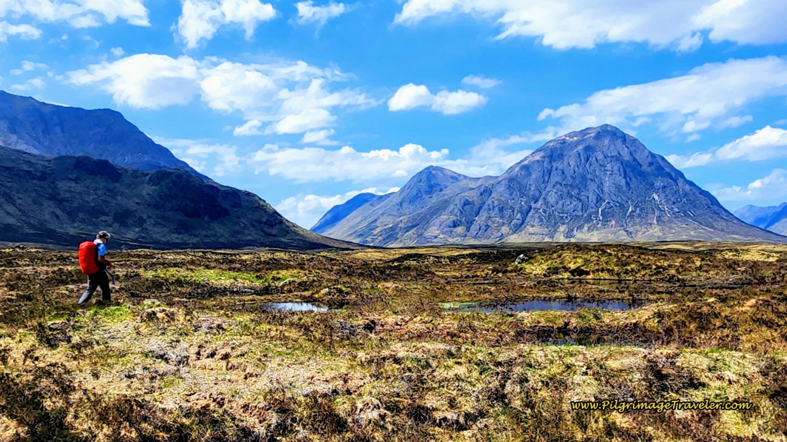
Hiking the West Highland Way
Apr 11, 25 08:51 PM
Hiking the West Highland Way is a representation of all things Scottish, traversing 96 miles from the lowlands of Milngavie to Ft William, in the highlands. -
Way of St Francis eBook Guide (Via di San Francesco)
Apr 11, 25 08:49 PM
Our Way of St Francis eBook Guide, a digital guidebook is full of current information to assist you in finding your Way. In downloadable, digital, PDF format.
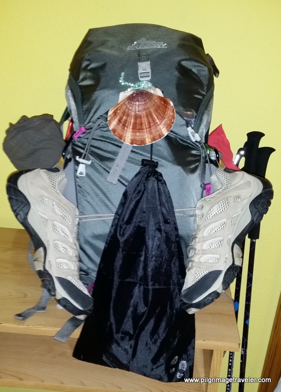
Need suggestions on what to pack for your next pilgrimage? Click Here or on the photo below!
Carbon fiber construction (not aluminum) in a trekking pole makes them ultra lightweight. We like the Z-Pole style from Black Diamond so we can hide our poles in our pack from potential thieves before getting to our albergue! There are many to choose from! (See more of our gear recommendations! )
Gregory BackPack - My Favorite Brand
Do not forget your quick-dry microfiber towel!
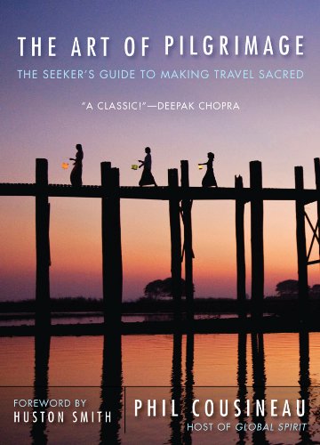
My absolute favorite book on how to be a pilgrim:

























Your Opinion Matters! Comments
Have you had a similar experience, have some advice to give, or have something else you'd like to share? We would love to hear from you! Please leave us a comment in the box below.