- Home
- Camino Portugués
- Day Twenty, Senda Litoral, As Mariñas to A Ramallosa
Jump to Camino Portugués Stages
Day Twenty on the Senda Litoral of the Camino Portugués
~ Viladesuso (Mougás) to A Ramallosa, 18.55 Kilometers (11.53 Miles)
Day twenty on the Senda Litoral of the Camino Portugués, shares the beginning 7.6 kilometers with the Coastal Route. Click on the link for this initial route description from Viladesuso to As Mariñas.
"Blessed are you, pilgrim, if on your way you meet yourself and give yourself all the time in the world not to neglect the image of your heart." ~ Australian Friends of the Camino
Map and Stats of Day Twenty, Senda Litoral, Camino Portugués
Here are my google maps for day twenty, showing both the Coastal Route in blue, as well as the Senda Litoral in orange. There are plenty of services along the way on this entire route, as you can see from the map below.
Remember, that this is a short stage so if you are a pilgrim who wishes to extend the day by approximately 8.0 kilometers more, the Albergue Peregrinos San Xurxo is conveniently located between the Senda Litoral and Coastal Route of day twenty-one, both on a slight off-Camino diversion.
The elevation profile shown below is of the route, only from As Mariñas where the Coastal and the Senda Litoral split after 7.6 kilometers, and the remaining 10.9 kilometers onward to A Ramallosa.
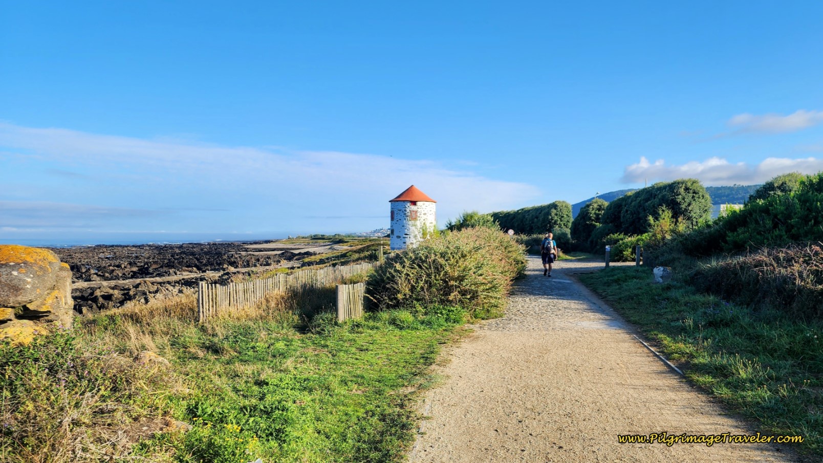
Because this route travels exclusively along the highways and bikeways of the seacoast, the elevation changes are due to mild undulations from sea level to 25 meters (80 feet) along the rocky coast before Baiona and essentially no elevation change between Baiona and A Ramallosa.
Camino Portugués eBook Guides
Our Downloadable Camino Portugués eBook Guides in PDF Format contain all the valuable information from our web pages, for comfortable reading offline and without ads on your personal device. Don't carry a hard copy guide book to increase your pack weight. Use our digital guides on your next Camino instead!
Our ebook guides are packed with frequently updated information, because a digital format is more nimble than hard-copy publishing. Our eBook Guide is unique because we also entertain and immerse you with our story! Click on any eBook above for more information.
Buy only what you need OR buy ALL FOUR eBooks for the price of THREE - a 25% savings! Click here for more information or BUY NOW at only 17.85!
Jump to Camino Portugués Stages
Photo-Rich Travelogue of Day Twenty, Senda Litoral, Camino Portugués
From the Coastal Route turnoff at 7.6 kilometers, you can make the choice to continue on the PO-552 all the way to Baiona, on the Senda Litoral so you won't have to climb the hills of the Coastal Route.
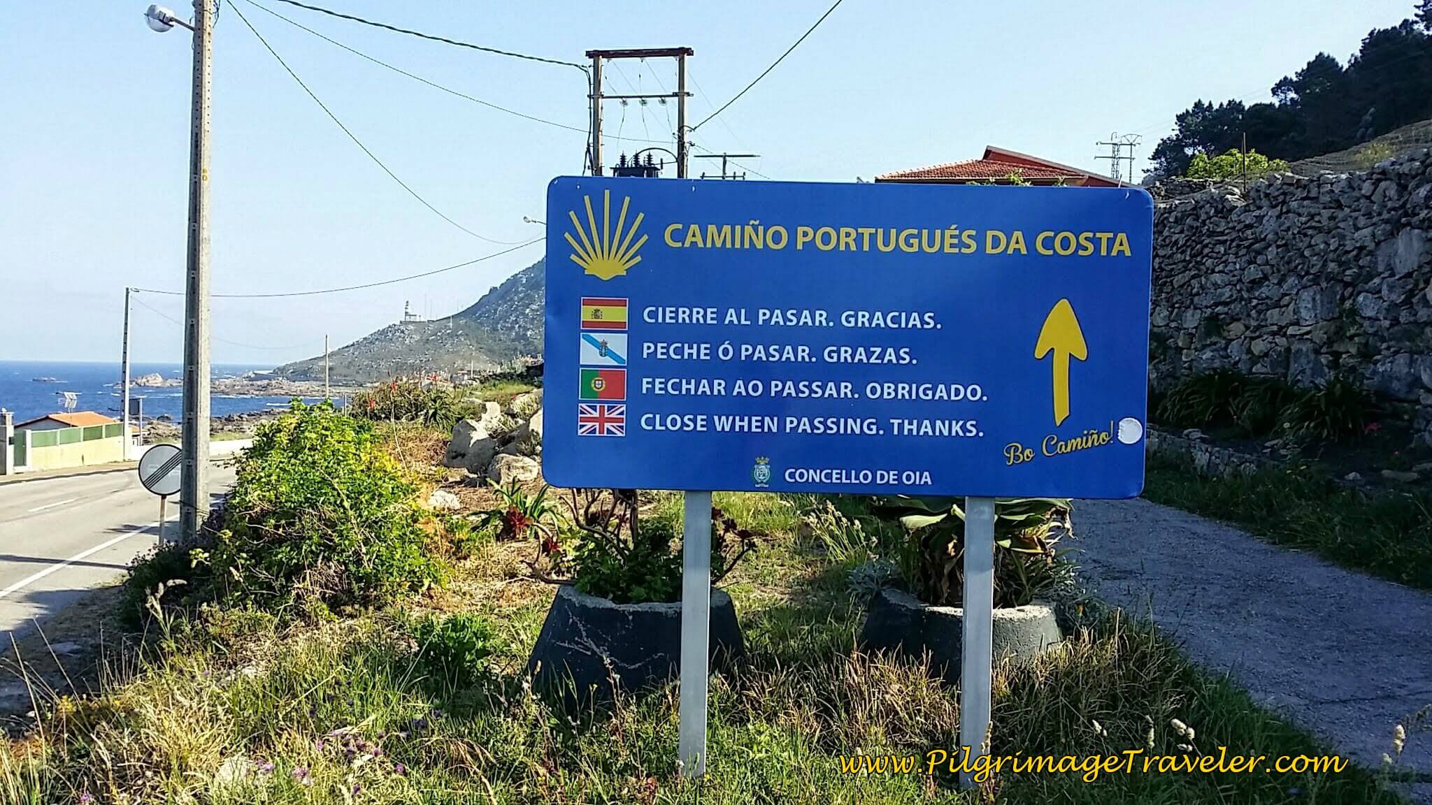 Stay Straight at the Coastal Route Turnoff from the PO-552 Here
Our Japanese friend, Hiro, confessed to us later that he chose the PO-552 for this very reason, and more and more pilgrims are following suit. You will not find any waymarks or yellow arrows along the Senda Litoral to A Ramallosa, but you really don’t need them.
There are indeed many attractions if you don’t mind walking on pavement the whole way, including an amazing sea glass beach, lighthouses, monuments and ocean views, so each to their own heart! This way will also take you right by the wonderful medieval castle, the Castelo de Monterreal. And finally, the harbor is quite attractive to walk by, as well as the lovely beaches after the castle, the Santa de Marta beach and the Ladeira beach.
Continuing on the bikeway along the PO-552, walk through the town of As Mariñas. With the Monte Silleiro and the Faro de Cabo Silleiro (lighthouse) always still in front of you, after about one kilometer pass the gigantic hotel and restaurant complex, the Talaso Atlántico.
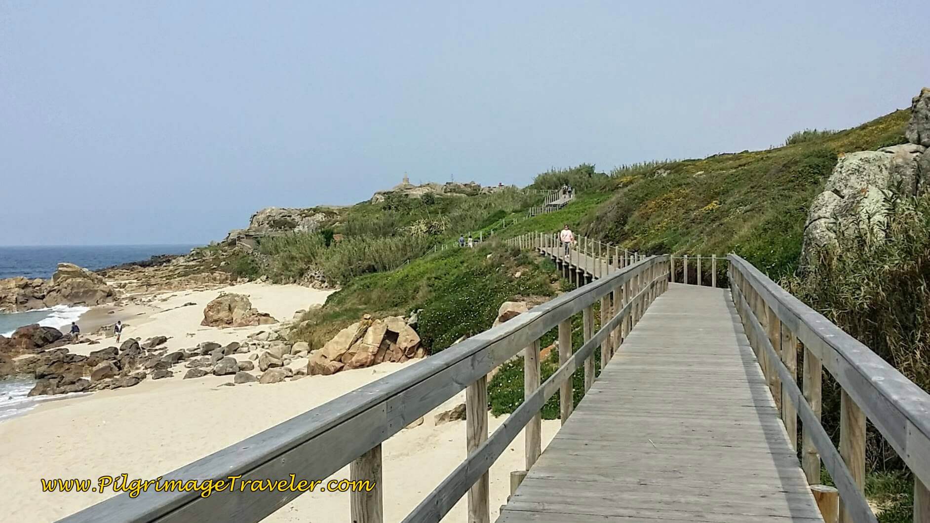
One-half kilometer later, as you round the mountain, finally pass the lighthouse on the slope above you to the right. As you continue onward along the bike path, you may notice that you are climbing a bit, toward your next destination, the Cape itself, Cabo Silleiro.
When you reach a large roundabout, approximately 500 meters later, at a total of about 2.1 kilometers from the Coastal turn-off, you have arrived at the Cape. You have the option of diverting down a side road to an old lighthouse and the sea glass beach, the Praia dos Cristais de Silleiro.
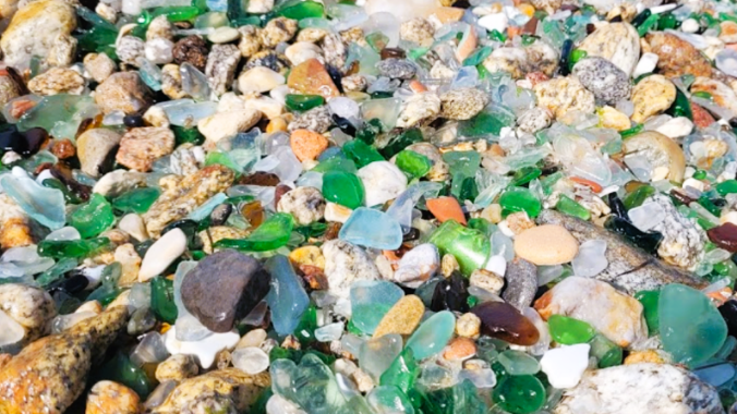 Sea Glass Beach, Praia dos Cristais de Silleiro
Or you could just divert a few meters for the lookout alone, the Miradoiro do Thalasa. There is a commemorative plaque at the lookout dedicated to Norwegian sailors who lost their lives on this rugged coastline on Jan 1, 1949.
Continuing onward, round the cape on the bikeway towards the next town of As Cadeiras. The bike path undulates along the coastline, until arriving at the first cluster of houses of the town on the way to the next lookout towards a group of islands, called the Miradoiro ás Illas Cíes after about 4.0 kilometers.
Pass more clusters of houses, highrises and the restaurant Rocamar, 600 meters later, which gets great reviews for its food and its views of the sea. Leave the town behind, shortly after the restaurant. After 800 more meters on the bikeway, come to a pull-out for a large parking area. This lookout/parking area has benches where you could have a picnic with a view if your heart desires!
About 5.6 kilometers from the Coastal turnoff is a memorial sculpture, A Volta dos Nove, (Circle of Nine), that looks like a tree stump facing the water, with a plaque of the names of nine anti-fascist fighters who were imprisoned, then murdered during the beginning of the Spanish Civil war.
200 meters later, round a point and come to the lookout called the Miradoiro Rompeolas (the breakers viewpoint). There are more benches here to take in the view, inviting you to pause awhile. It is at this viewpoint that you can first see the castle of Baiona, the Castelo de Monterreal. Baiona is near!
A few meters down the bike path, you will arrive at another parking area, and if you look up to your right, on the high rocks, there is a huge statue of the Virgin (Mary) of the Rock, or Virxe da Rocha in Gallego. If you want to have a closer look at her, there is a pathway that climbs up to the statue, about ¼ kilometer long. There is a “Calvario” or three crosses and a Tapas Bar at the top to reward you for the climb.
A few steps later you will pass the Hotel Rompeolas, which may have a 2-night minimum, but the Albergue Estela do Mar is only 450 meters farther down the road, a more appropriate pilgrim accommodation if you wish to stay right next to the castle!
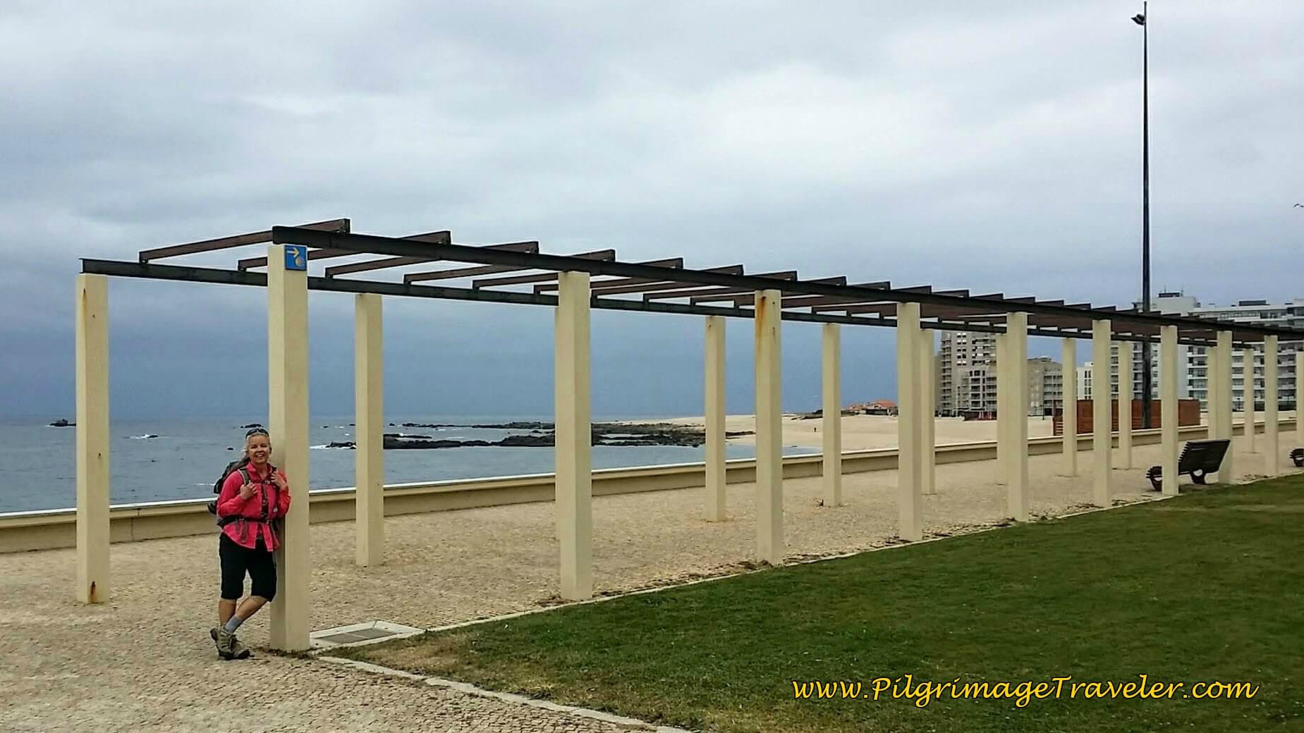
As you approach the castle, a lovely seaside promenade presents itself. Here is my husband, Rich and our friend Glyvia, posing in front of it. This is the view you will see as you walk by. You will arrive at the castle after about 6.75 kilometers from the turnoff. It is a wonderful place to explore if you have the time. We were lucky to have extra days to do it, after our Camino. If you heart calls you to linger, perhaps you should not neglect it?
 Rich and Glyvia the Castelo de Monterreal
After the castle, and once arriving in Baiona, there are so very many eateries and places to stay. Click here to see them. There is another private albergue, the Hostal Albergue Baionamar in Baiona, and farther along, just before A Ramallosa, the Albergue Playa de Sabaris along the traditional coastal route. Finally, at the end of the stage, just on the other side of the Miñor River after the medieval bridge, is the private albergue, El Pazo Pías. There is unfortunately, no municiple albergue here.
In addition there are several hostals and hotels that are quite reasonably priced, the Hotel Pinzón, the Pensión El Mosquito, the Hotel Pazo de Mendoza, and the Hotel Tres Carabelas all clustered around the harbor, the Hostal Santa Marta Playa (+34 986 35 60 45) and the El Viejo Galeón in O Borgo and finally, in Sabaris, the Hotel Vasco de Gama and the Hotel Avenida. I located all these places on the interactive map above.
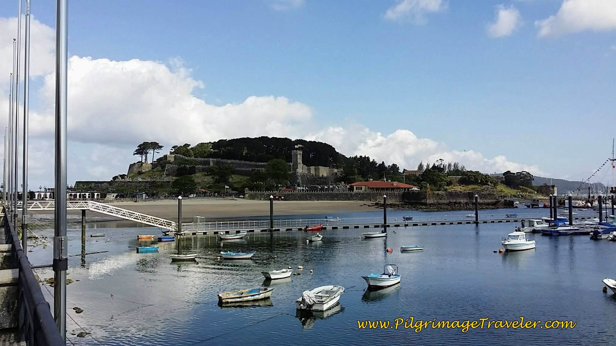
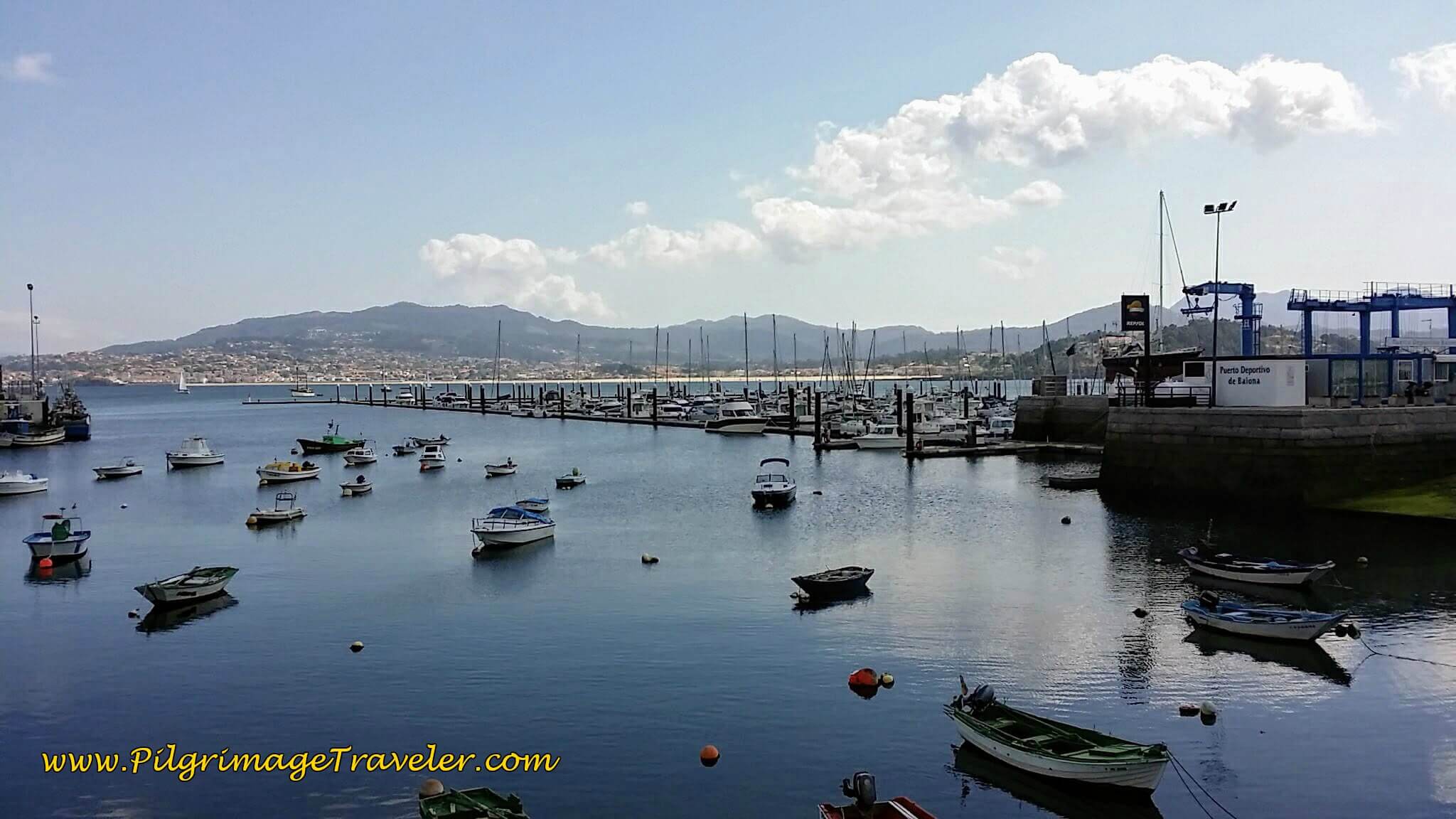
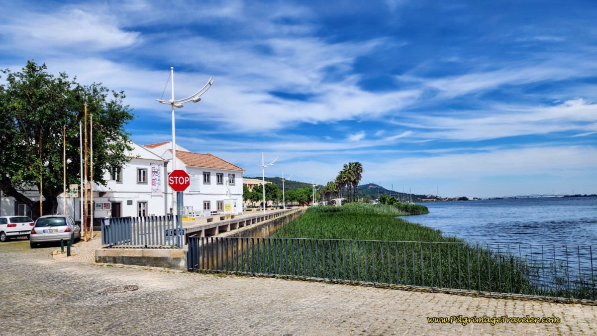
After the castle you arrive at the Port of Baiona, and it is a lovely place! Below is a shot of the castle from the harbor, and next is the harbor itself.
Shortly, in the center of the harbor area, is a nice cross-over point if you want to continue along the Coastal route from here. At the very least, if you have time to go inland a few hundred meters and see the historic churches, the Igrexa de Santa María de Baiona and the Capela de Santa Liberata you will not be sorry. The street to head inland is the very narrow Rua Gondomar, just after the walkway into the boat marina. For more information on these churches, click the link in this paragraph.
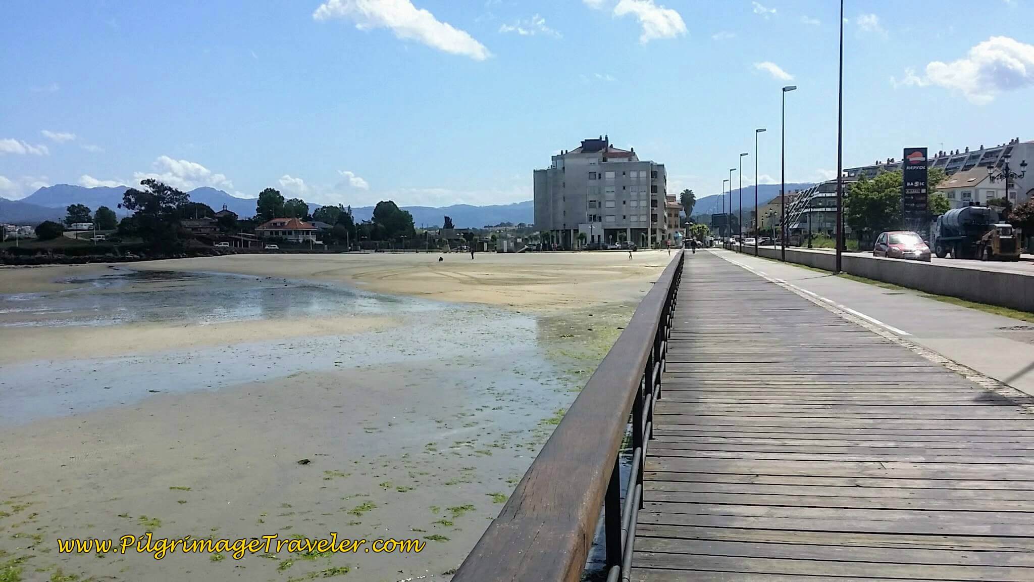
Continuing on the Senda Litoral, there is a nice promenade and boardwalk along the bay of Baiona to the beach, the Praia de Santa Marta, pictured below. There is a chapel, the Ermida de Santa Marta just beyond the beach on the small peninsula to the north. You will arrive at this beach after about 8.1 kilometers.
We walked eastward along the PO-552, full of shops and restaurants on the more than one kilometer walk from the castle to the Praia de Santa Marta, pictured below.
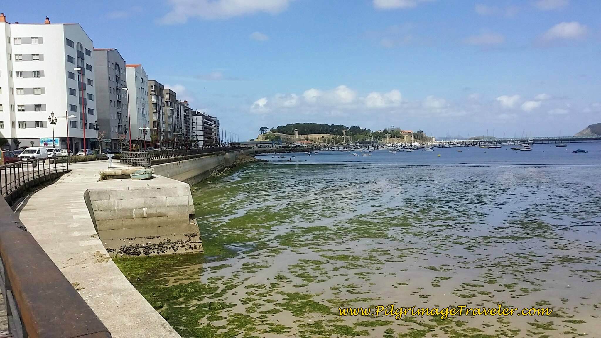
Here is a look back to the promenade, the harbor and the Castelo from the Santa Marta beach.
Jump to Camino Portugués Stages
Just before a roundabout and the Santa Marta Beach we stopped for a break, for café con leche and pastries. After our break, we walked on, by the Santa Marta beach continuing along the PO-552.
After 300 meters the coastal pathway leaves the PO-552 and turns to the left along the Avenida Praia Ladeira, at the next wonderful beach, the Praia Ladeira. Who should we stumble onto here, but Janny from the Netherlands. It was a wonderful reunion. The three of us walked on together.
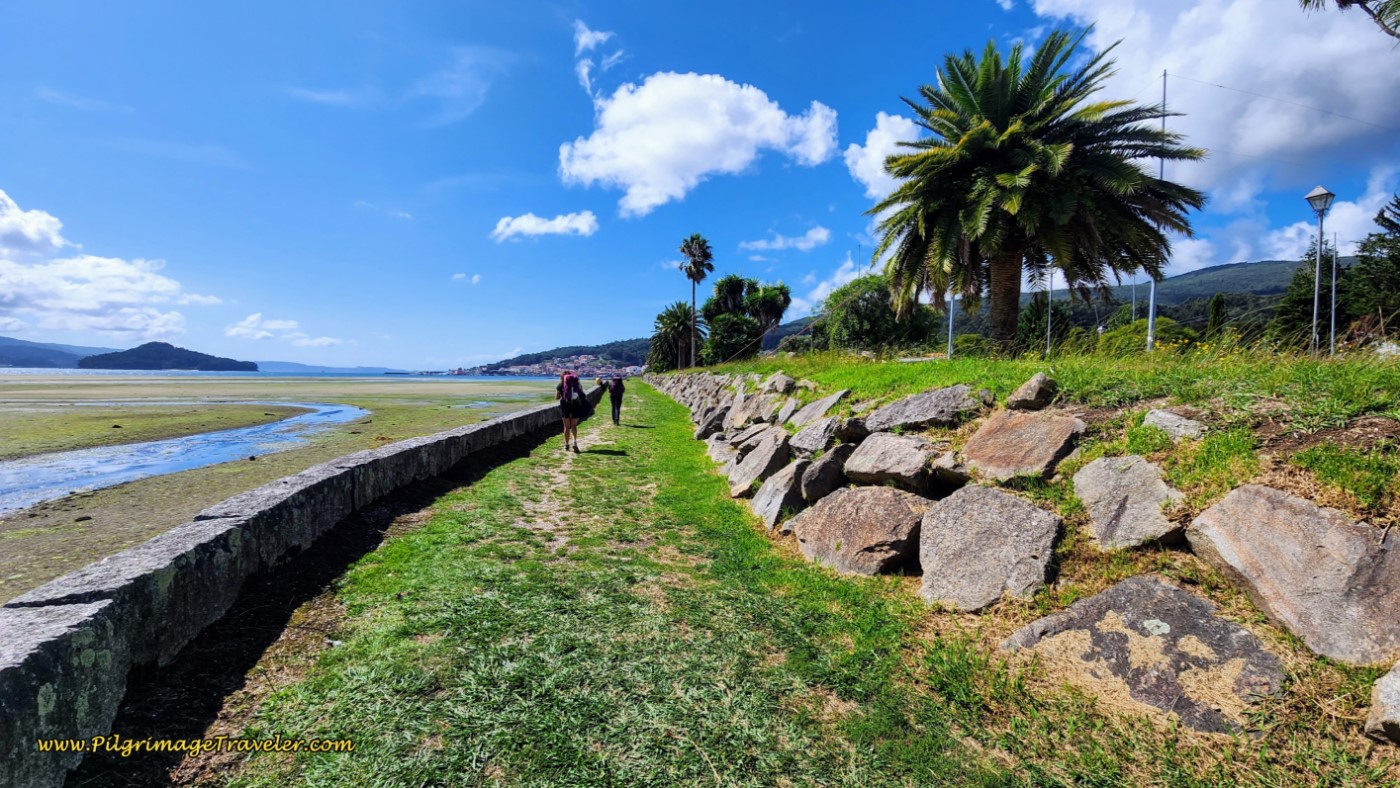
The Praia Ladeira is a beautiful long beach, with a paved pathway/bikeway running right next to it for the pilgrimage traveler to walk upon.
If you are spending the night in the area, this is the best beach for relaxing, if you so desire. We did not spend time here, but were eager at the time to get to Santiago. We were able to return, fortunately, to see the sights that Baiona has to offer, after our Camino. It would be my advice to plan a rest day here, or at least an afternoon, after a shorter day. Follow your own heart!
This coastal pathway soon leaves the beach and bends to the left, away from the Avenida Praia Ladeira, shown below. but continues for about 1.3 kilometers to complete this stage.
It crosses another peninsula that forms the mouth of the Río Miñor, where there is a funky camping place where you could stay in a glamping tent, the Kampaoh Bayona Playa. It isn’t cheap, but it is more accessible than the other “camping” accommodation on the peninsula. We talked to a pilgrim couple who stayed there and loved it!
The path makes a perpendicular bend to the right and shortly after, at about 9.7 kilometers, meets the PO-552 once again at a large roundabout. You will follow the pathway to the north of the roundabout, and then follow the road, all the way to the junction of the Río Miñor, pictured below.
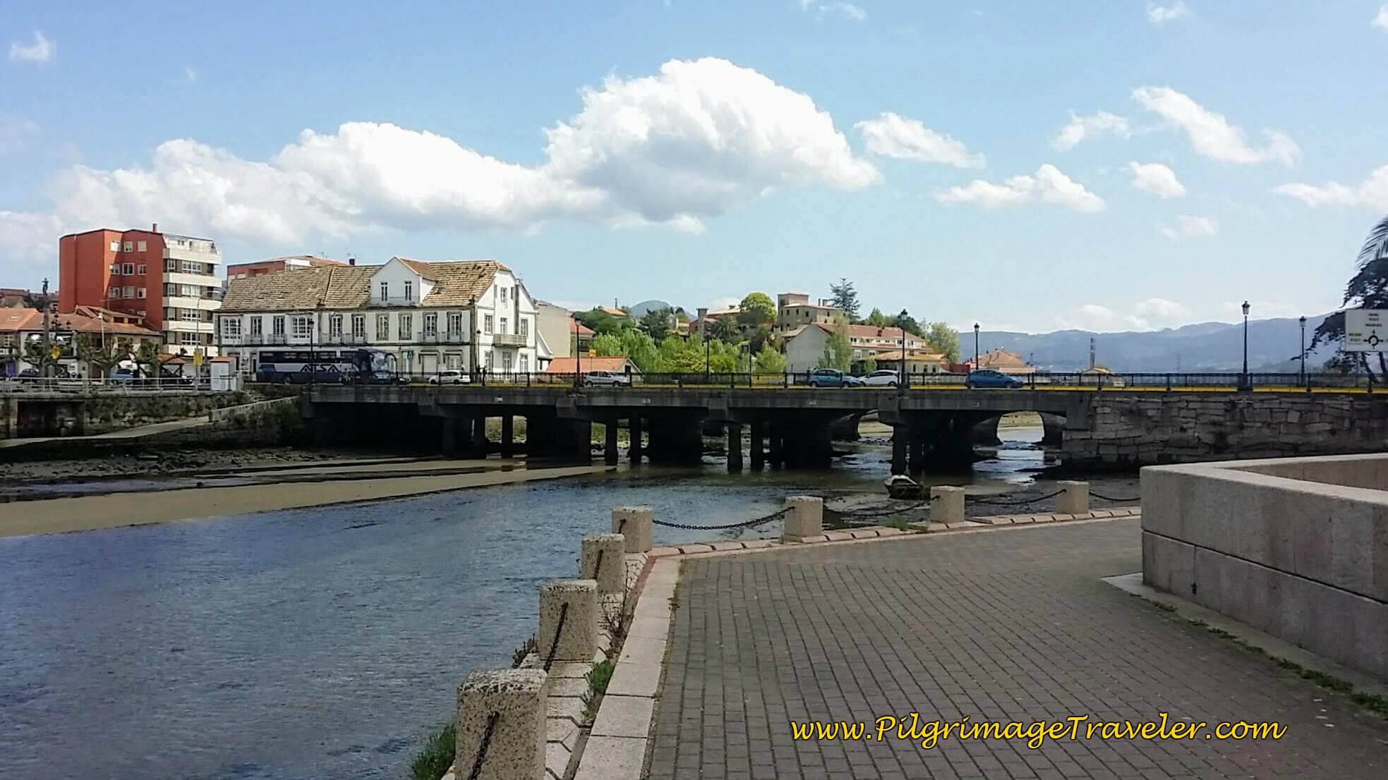
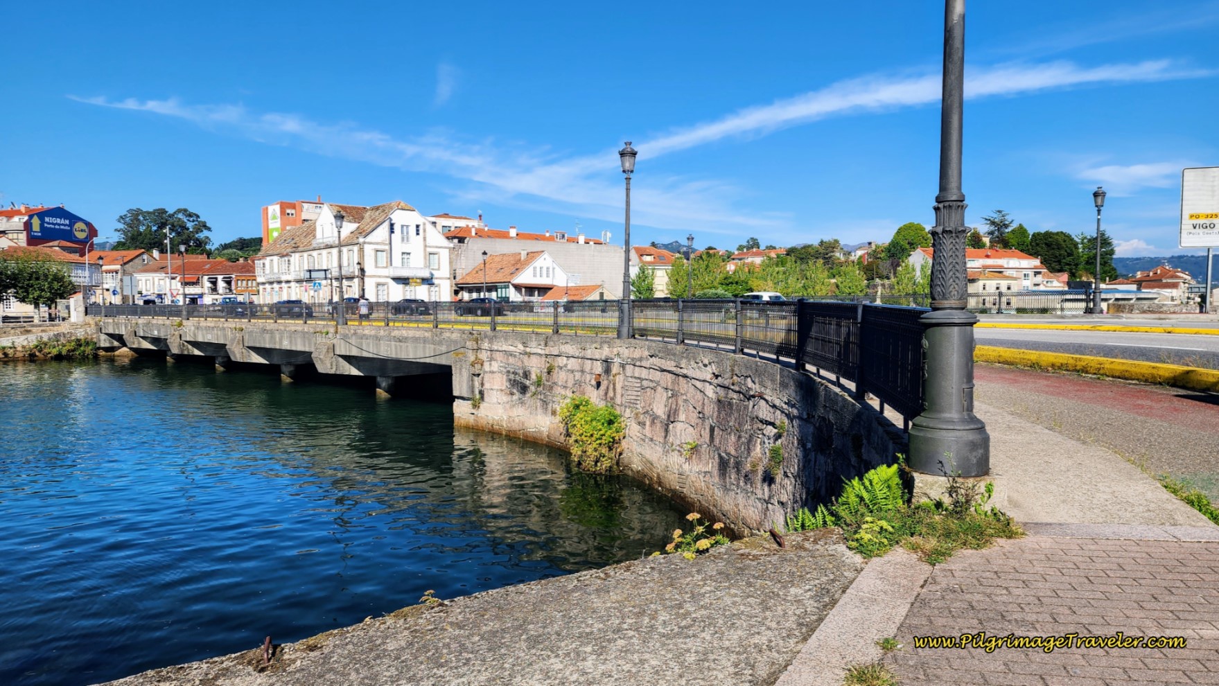
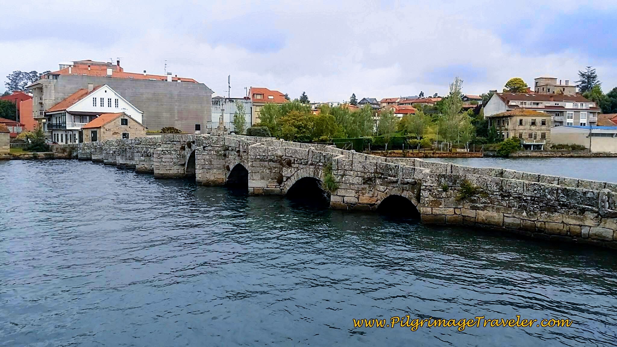
When you come to the bridge, there are two of them, side-by-side, crossing over into A Ramallosa. The first is a modern bridge and right next to it is the medieval one, the Ponte Romanica, built in the 13th century.
Here is a photo of the medieval bridge, below.
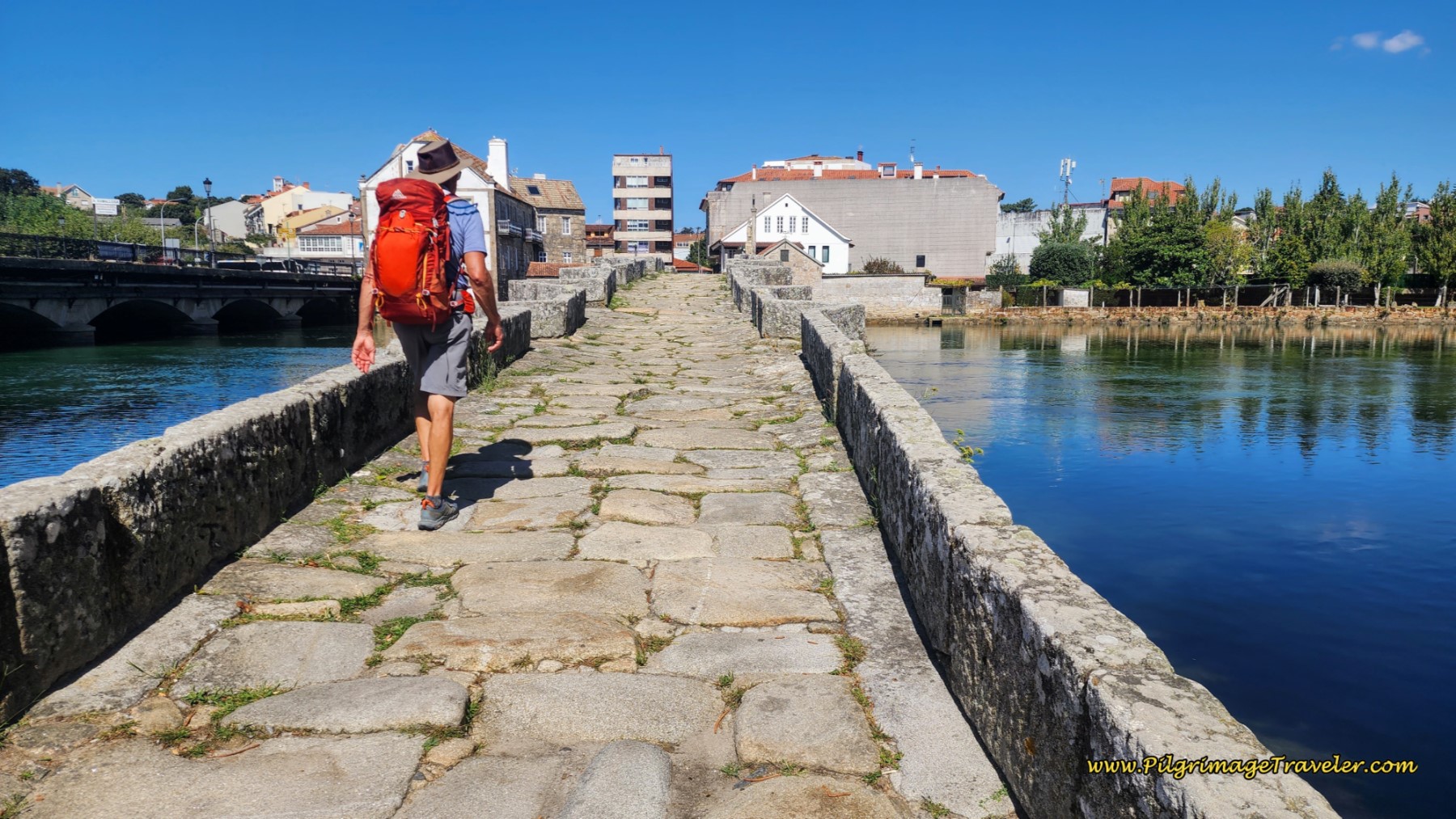
The Camino walks across the old bridge of course!
Walk the 100 meters across the bridge. This is where the Coastal Route meets the Senda Litoral and the stage officially ends.
If A Ramallosa and the El Pazo Pías Albergue is your destination, keep walking straight onward after the bridge, take the first right at the traffic circle, and an immediate left onto the Rúa Damas Apostólicas. Follow this street for another 300 meters to the albergue. We have stayed here and found it to be quite comfortable. We stayed in a double room.
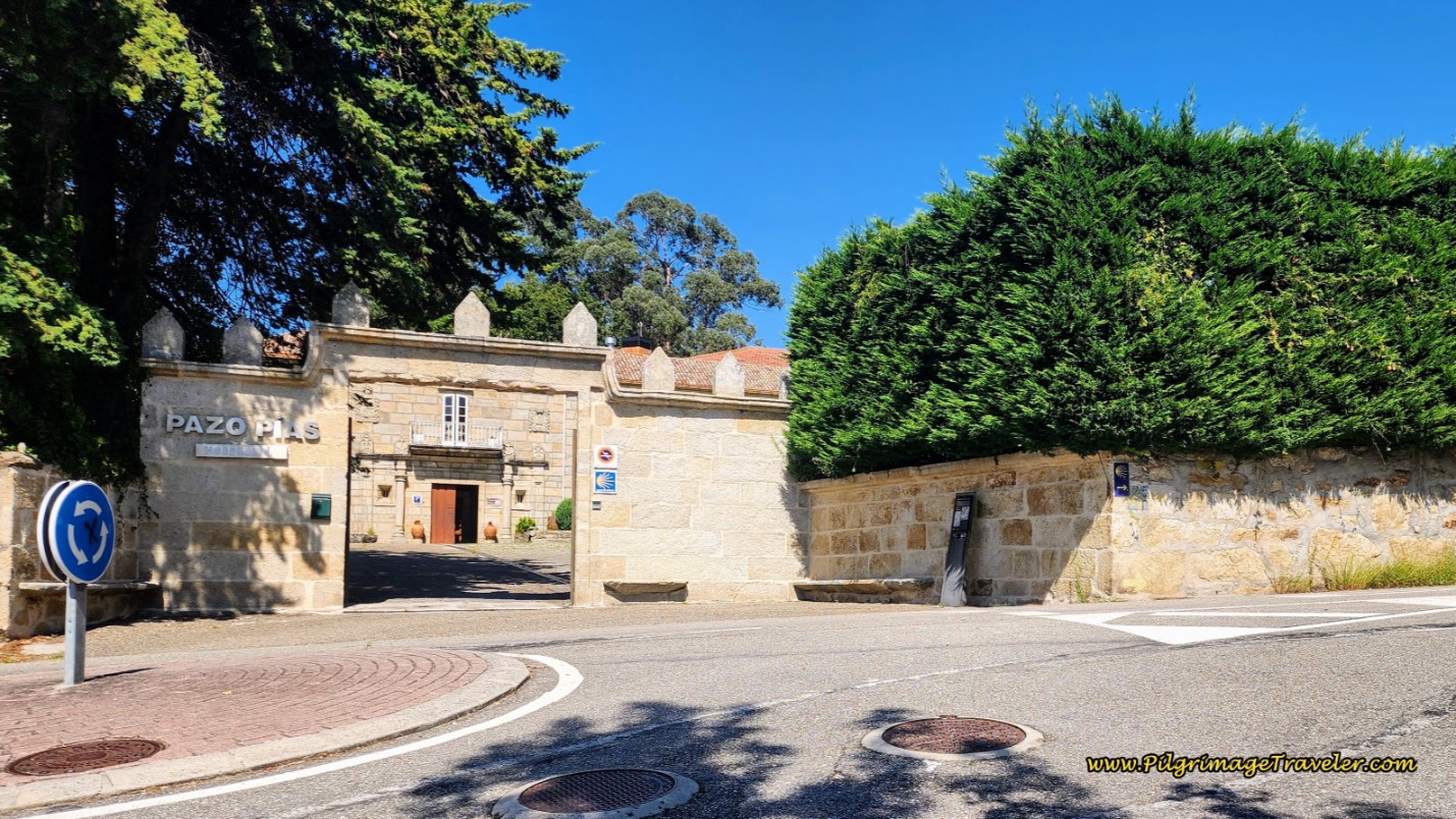 Albergue and Hospedería, El Pazo Pía
Just before crossing the medieval bridge, in the area of Sabarís, there is another private albergue the Albergue Playa de Sabaris along the traditional coastal route, as noted above. You may also want to check out more very economical places in this town, the Hotel Vasco de Gama, the Hotel Avenida and the Hotel Arce Baiona, all clustered close to the albergue, if you wish to end your stage here.
There is a wonderful supermarket, the Supermercado Gadis, just across the river, near the Pazo Pía, if you are planning to cook or restock your pack. The Tapas bar nearby was marginal, but the Cafetería Casino de Sabarís, wasn't bad!
Reflections on Day Twenty, Senda Litoral, Camino Portugués
Day twenty on the Senda Litoral of the Camino Portugués, for us, was a beautiful walk along the rocky coastline, by the medieval marvel that is the castle, eating decicious sea food by the seacoast and the ability to spend precious time on some of the most beautiful beaches I have ever been on.
While we did not spend as much time on the beach and in this area as I would personally have liked, we did return to do so after our Camino.
Our moments walking together, spending time by the beaches and reconnecting with our friends Yanny and Glyvia were indeed heartfelt moments, that ultimately connected us to ourselves.
Salutation
May your own day twenty on the Senda Litoral of the Camino Portugués bless you with meeting yourself, understanding your heart and its desires! May you not neglect the callings of your own heart! Ultreia!
Camino Portugués Stages:
Lisbon to Porto
Senda Litoral or the Coastal Routes: Porto to Santiago
Skip to Central Route Below, for Final Days 22-25 to Santiago
Central Route: Porto to Santiago
Variante Espiritual
Please Consider Showing Your Support
Many readers contact me, Elle, to thank me for all the time and care that I have spent creating this informative website. If you have been truly blessed by my efforts, have not purchased an eBook, yet wish to contribute, I am very grateful. Thank-you!
Search This Website:
Follow Me on Pinterest:
Follow Me on Instagram:
Find the Pilgrimage Traveler on Facebook:
Like / Share this page on Facebook:
***All Banners, Amazon, Roamless and Booking.com links on this website are affiliate links. As an Amazon associate and a Booking.com associate, the Pilgrimage Traveler website will earn from qualifying purchases when you click on these links, at no cost to you. We sincerely thank-you as this is a pilgrim-supported website***
PS: Our guide books are of our own creation and we appreciate your purchase of those too!!
Shroud Yourself in Mystery, along the Via de Francesco!
Walk in the Footsteps of St. Francis, and Connect Deeply to the Saint and to Nature in the Marvelous Italian Countryside!
Recent Articles
-
Day One on the Camino Portugués, Lisbon to Alverca do Ribatejo
Apr 15, 25 08:19 PM
Our Day One on the Camino Portugués was much more beautiful and enjoyable than we had heard. -
Hiking the West Highland Way
Apr 11, 25 08:51 PM
Hiking the West Highland Way is a representation of all things Scottish, traversing 96 miles from the lowlands of Milngavie to Ft William, in the highlands. -
Way of St Francis eBook Guide (Via di San Francesco)
Apr 11, 25 08:49 PM
Our Way of St Francis eBook Guide, a digital guidebook is full of current information to assist you in finding your Way. In downloadable, digital, PDF format.
Need suggestions on what to pack for your next pilgrimage? Click Here or on the photo below!
Carbon fiber construction (not aluminum) in a trekking pole makes them ultra lightweight. We like the Z-Pole style from Black Diamond so we can hide our poles in our pack from potential thieves before getting to our albergue! There are many to choose from! (See more of our gear recommendations! )
Gregory BackPack - My Favorite Brand
Do not forget your quick-dry microfiber towel!
Booking.com
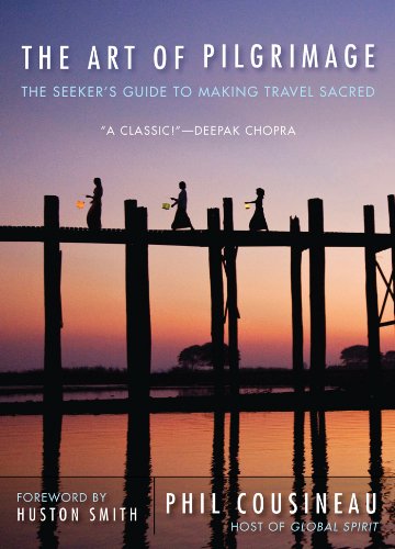
My absolute favorite book on how to be a pilgrim:



























Your Opinion Matters! Comments
Have you had a similar experience, have some advice to give, or have something else you'd like to share? We would love to hear from you! Please leave us a comment in the box below.