- Home
- Camino Inglés
- The Way of St. Francis, Città di Castello to Pietralunga, Day Six
Jump to Way of St. Francis Stages
Day Six on the
Way of St. Francis ~ Città di Castello to Pietralunga, 29.2 Kilometers (18.14 Miles)
Our day six on the Way of St. Francis from Città di Castello to Pietralunga was a long walk, mostly on monotonous pavement, but on quiet roads through the countryside. The highlight of the day, after 19.5 kilometers, is the early Christian basilica, the Pieve de' Saddi.
"Keep a clear eye toward life's end. Do not forget your purpose and destiny as God's creature. What you are in His sight is what you are and nothing more. Remember that when you leave this earth, you can take nothing you have received, but only what you have given; a full heart enriched by honest service, love, sacrifice and courage.” ~ St Francis of Assisi
You can certainly understand your place in the Universe and create a full heart, as you walk this Way of St. Francis on this day! It is certainly a day where you keep an eye on "life's end" or more appropriately for this day, the pilgrim's goal.
Maps and Stats, The Way of St. Francis, Città di Castello to Pietralunga
This typical day on the Way starts out with a 400 meter (1300 feet) climb up and out of Città di Castello over the first 15 kilometers. Then a descent over the next five to the Pieve de' Saddi, a wonderful place to take a lunch break (pack your own).
In fact there are no services on this day, so be sure to bring plenty of food and water, as you need.
The remaining third of your day is followed by two more climbs and descents, the first only about 100 meters (328 feet), the second about 200 meters (656 feet).
The final, brief climb is up and into the lovely, small, medieval city of Pietralunga.
See my maps below, for an overview of the day. It is longer and a bit more industrious than the prior days, so be mentally prepared! Or you can break up the day if needed, as you can see in the map, below, at either the Rifugio Candeggio after about 14 kilometers, or the donativo, Chiesa di Pieve de' Saddi after about 19.5 kilometers.
Way of St. Francis EBook Guide
Our downloadable Way of St. Francis eBook Guide, in PDF format, contains all the valuable information from our web pages, for comfortable reading off-line in the mountainous and remote areas along this Way. Don't carry a heavy paper book, but use our digital eBook on your mobile device instead! You can deeply connect to nature, following in the footsteps of St. Francis, through the Italian countryside!
Our eBook guides are packed with frequently updated information, because a digital format is more nimble than hard-copy publishing. Our eBook Guide is unique because we also entertain and immerse you with our story! Click here for more information OR BUY NOW.
Jump to Way of St. Francis Stages
Photo-Rich Travelogue, The Way of St. Francis, Città di Castello to Pietralunga
The end of day five was at the splendid Baroque Cattedrale dei Santi Florido e Amanzio in the center of Città di Castello. The Via di Francesco continues onward, on day six, following the street around the north side of the cathedral (to the left of the cathedral as you look at the entrance doors).
We actually walked the initial way through the city in the daylight of day five as you can see from the photos below.
Continue onward to the east, on the Corso Camillo Benso Conte di Cavour and in a few meters after the cathedral, pass the Torre Civica or Civic Tower, (that I pictured on day five) when the street becomes very narrow and walks under an archway with a pedestrian bridge over it.
Continue straight on this narrow street until it opens up to the main piazza, the Piazza Giacomo Matteotti, shown below. You can easily recognize this piazza, despite the lack of waymarks to guide you through the city.
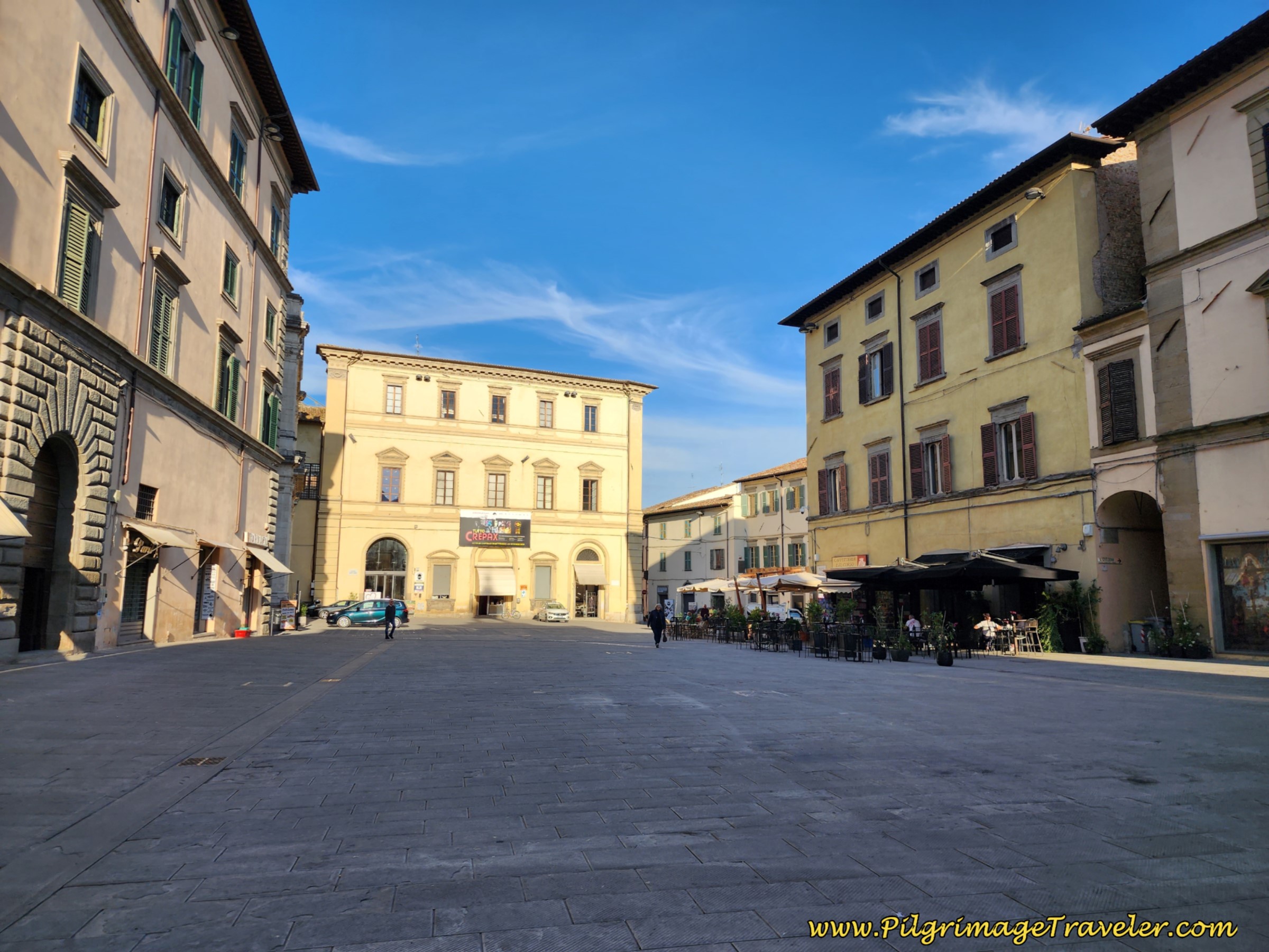 Piazza Giacomo Matteotti, Città di Castello
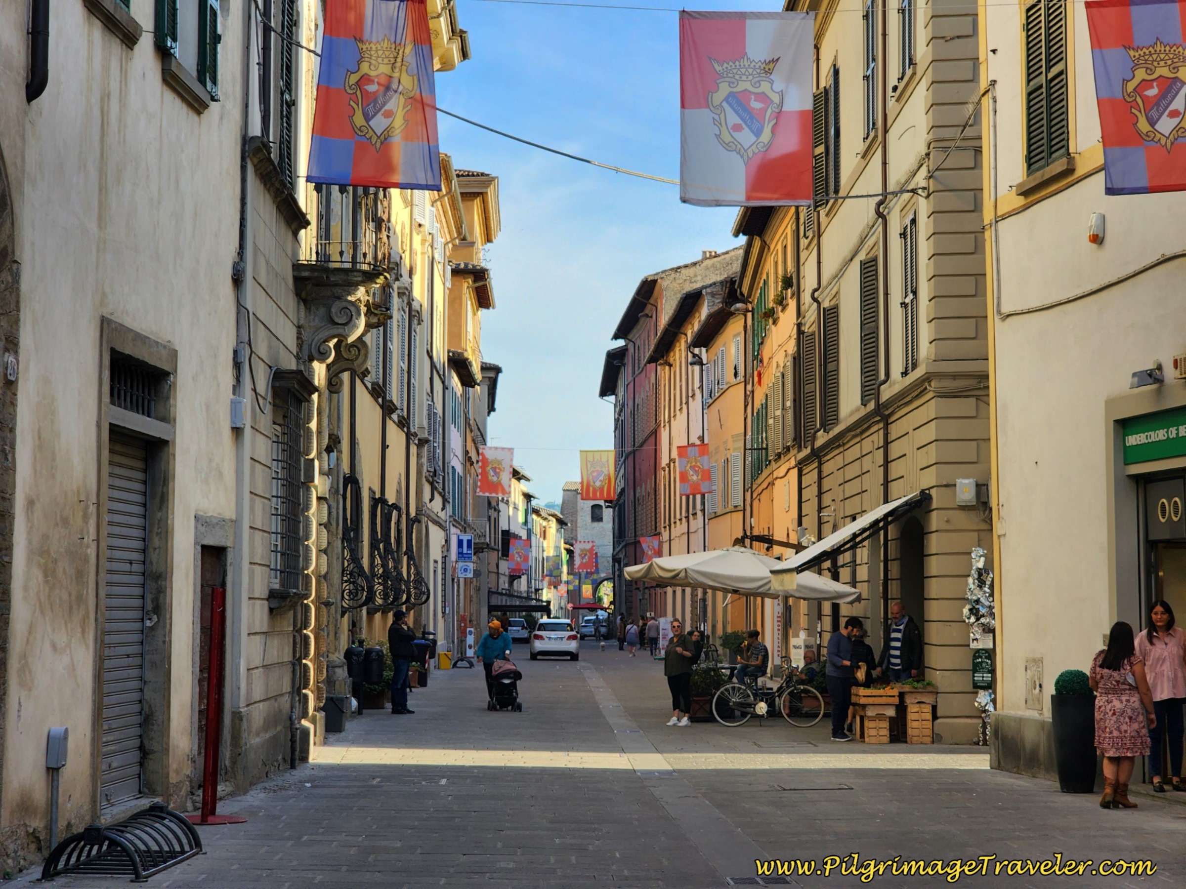
As you face the bright yellow municipal building shown above, look to your right and find a narrow street called the Corso Vittorio Emanuele, shown below. Turn right onto this street by the Caffetteria Corso. The cafe tables block the entrance to this street, so you must look closely to find it. It had these nice flags when we passed through.
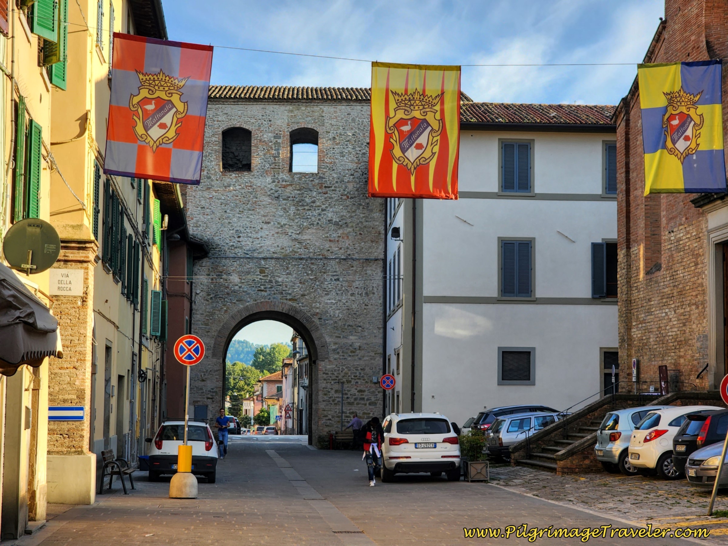
Continue on the Corso Vittorio Emanuele for about 400 meters southward, all the way to the southern medieval gate, shown next.
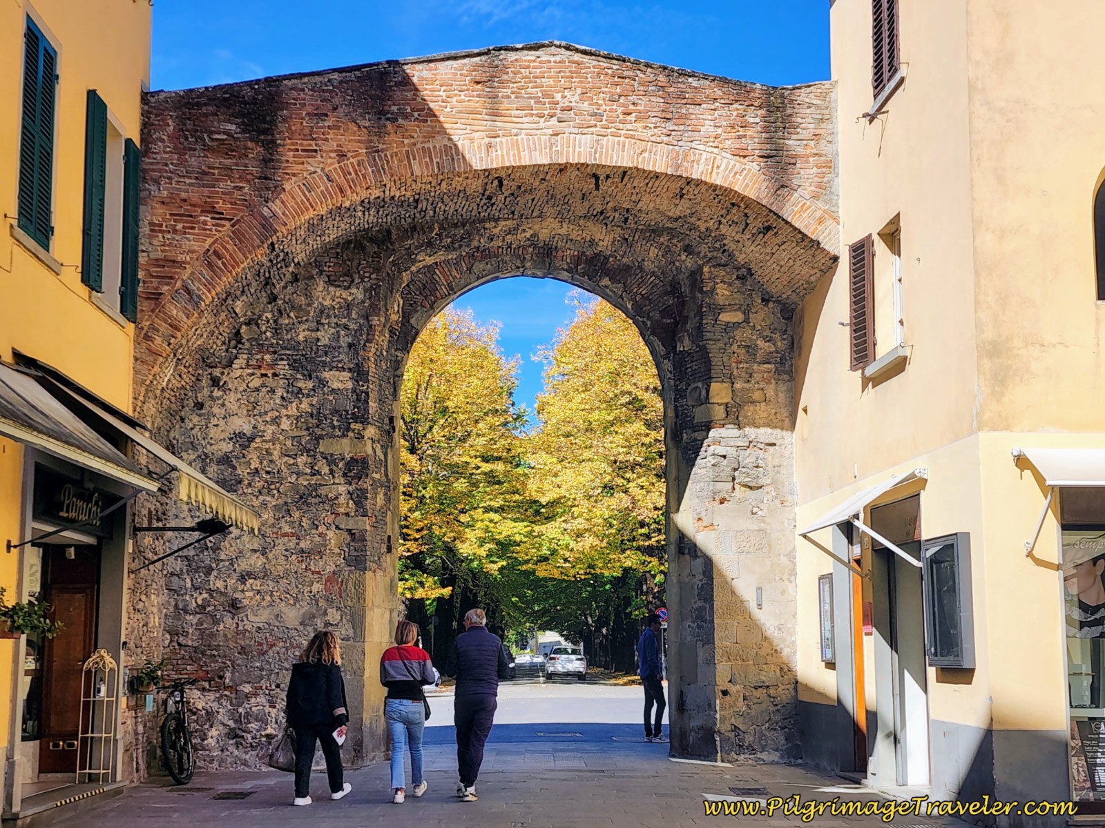
If you were to turn right just before the church, by the gate, shown in the right side of the photo above, you would come to the Hotel Le Mura in about 100 meters, where we stayed that night. It is the closest accommodation to the Way of St. Francis route and not only do I recommend it, but in addition, they have a huge, fabulous buffet breakfast (for extra) that you can access early along with the construction workers!
And now I offer our day six photo of the medieval gate from the outside, as we looked back in the early morning light.
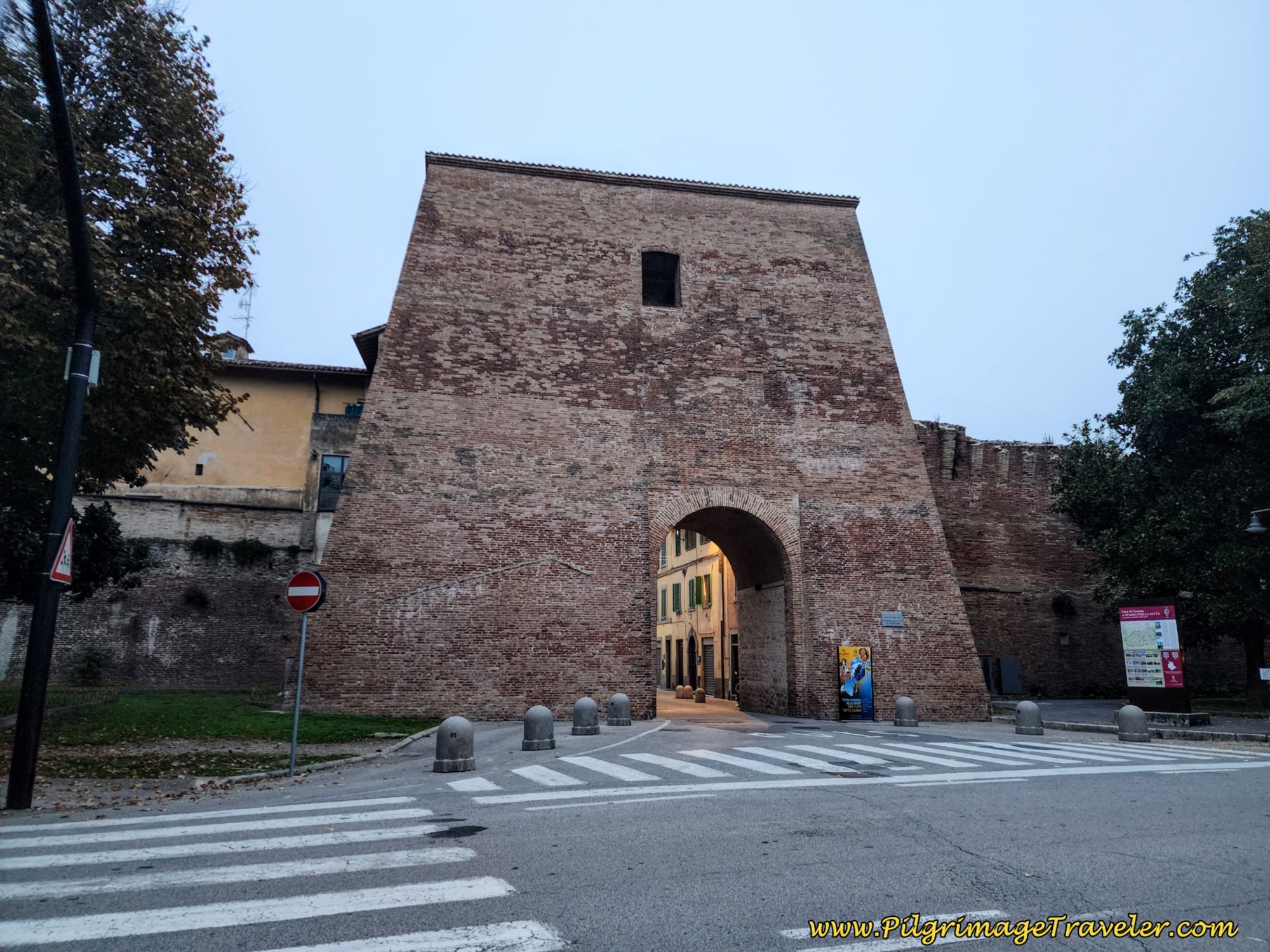 Outside View of Southern Medieval Gate, Città di Castello
We continued straight on the quiet street past the gate, now called the Via di Rignaldello, walking through the southern reaches of town.
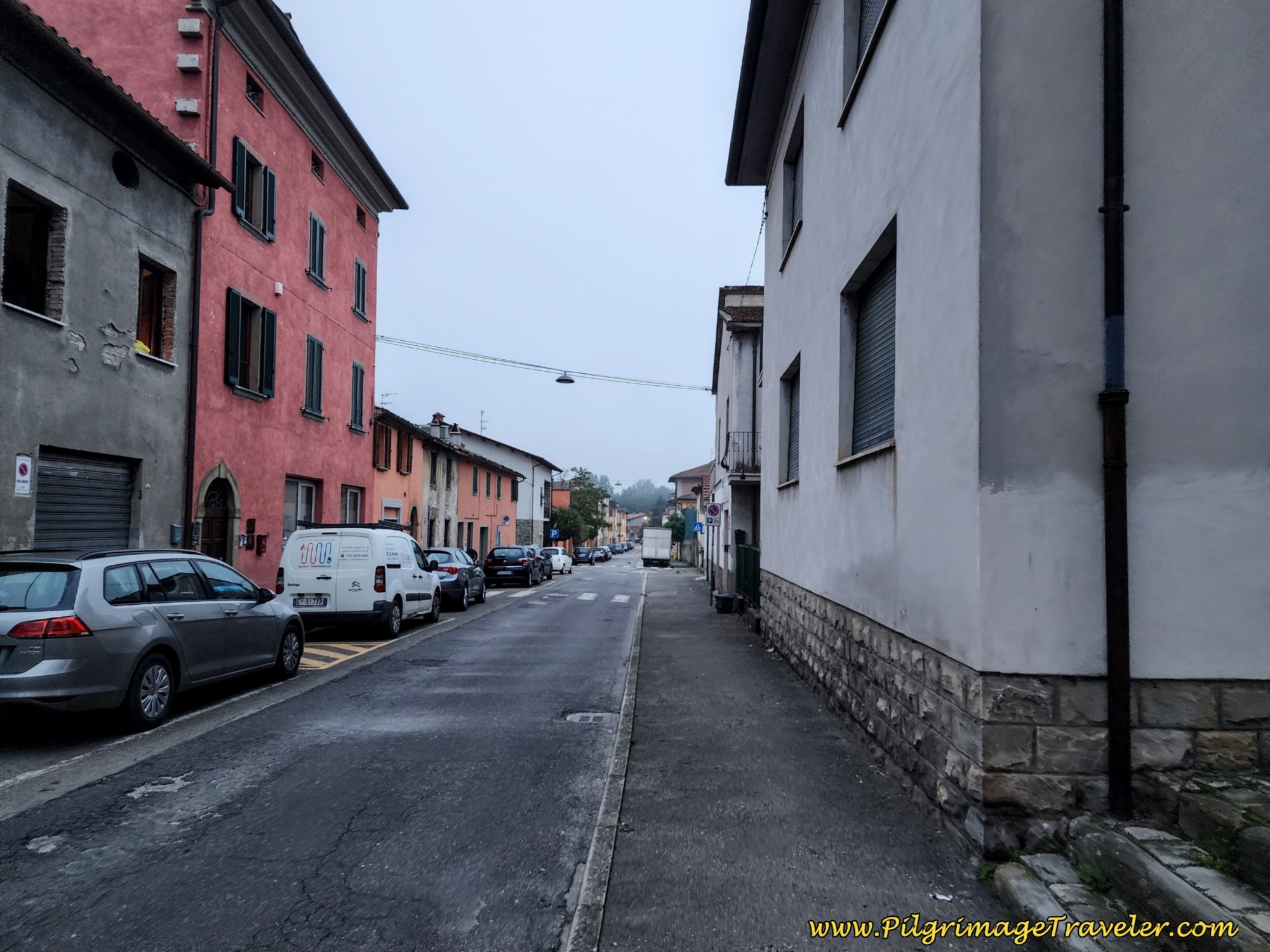 Walk South Through Città di Castello
Not quite a half kilometer later, the road takes a bend to the East and you come to a large traffic circle.
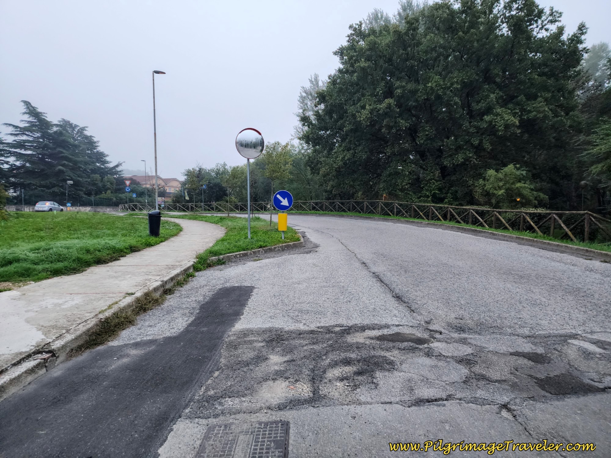 Large Traffic Circle Ahead
I could find no waymarks in this circle and we had a bit of a discussion as to which way to go as we had conflicting GPS tracks. As it turns out, the easiest and best way is to continue on straight through the circle, eastward, and meet up with the SP106 several hundred meters later.
Turn right (south) onto the SP106. Cozy up to this highway, because you must walk on it for the next 6.5 kilometers! As you can see in the next photo, it is treacherous, narrow and sometimes with blind curves. I couldn't resist showing how this looked with a big bus coming at us!
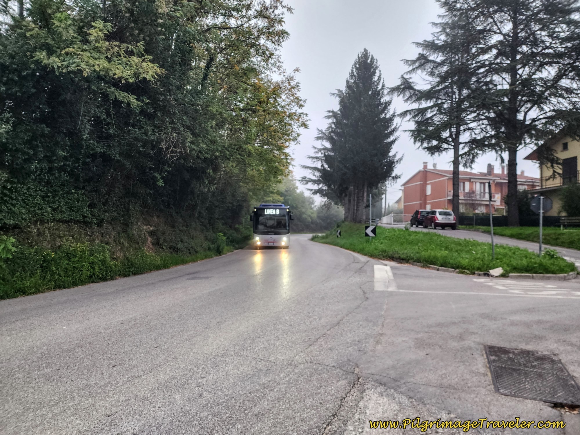 Leaving Città di Castello on the SP106
There is no real shoulder for most of the 6.5 kilometers for pilgrims to walk safely. Fortunately, the traffic lessens significantly farther on, as you climb up and out of town somewhat gradually for the first three kilometers of day six.
Your first nice landmark along the SP106 to look for at 3.4 kilometers into the day is this shrine, pictured below. It is in this area that the highway now takes a large bend eastward.
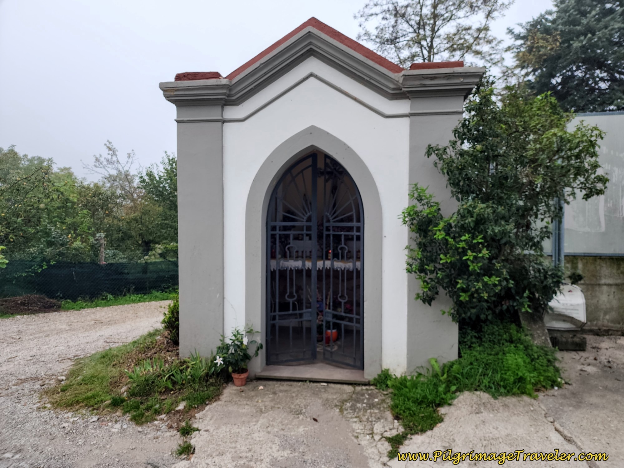 Pass Small Shrine
At 3.9 kilometers come to the entrance to the hamlet of Baucca, on day six of the Way of St. Francis from Città di Castello to Pietralunga.
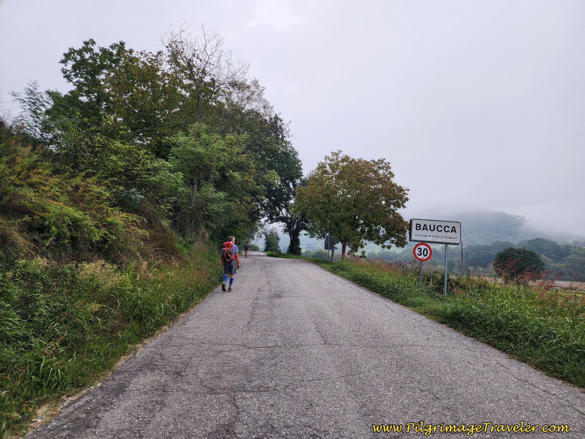 Walk Through Hamlet of Baucca
At about six kilometers this cliff appears on your left and you enter a bridge system.
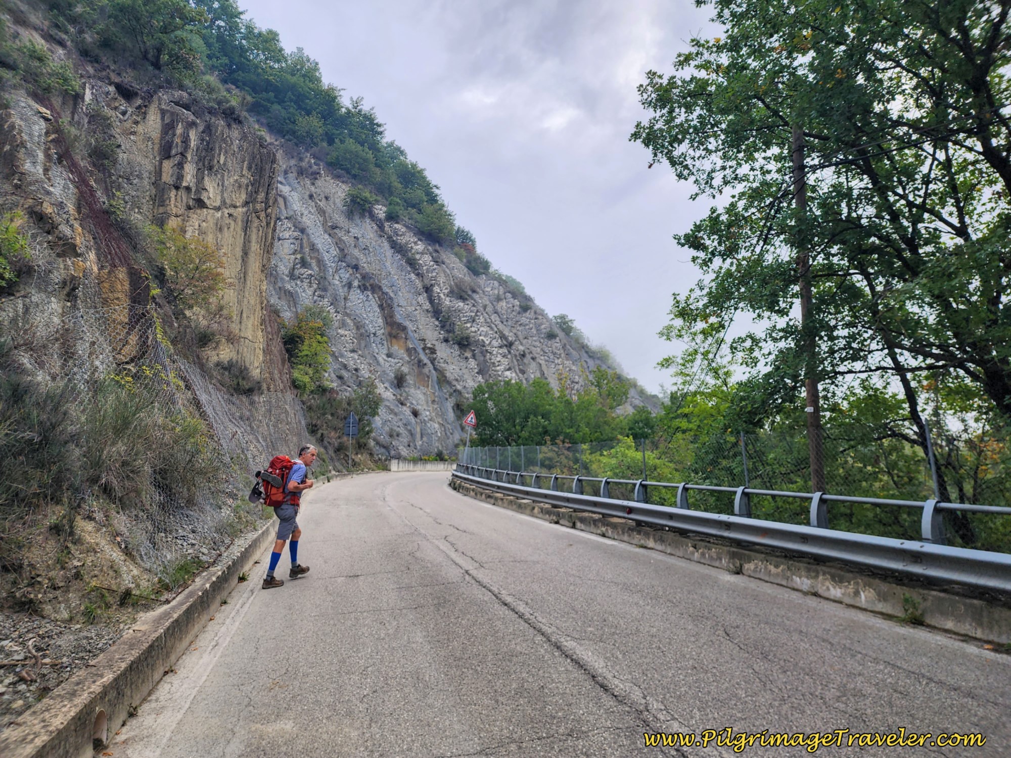 Cliff and Bridge
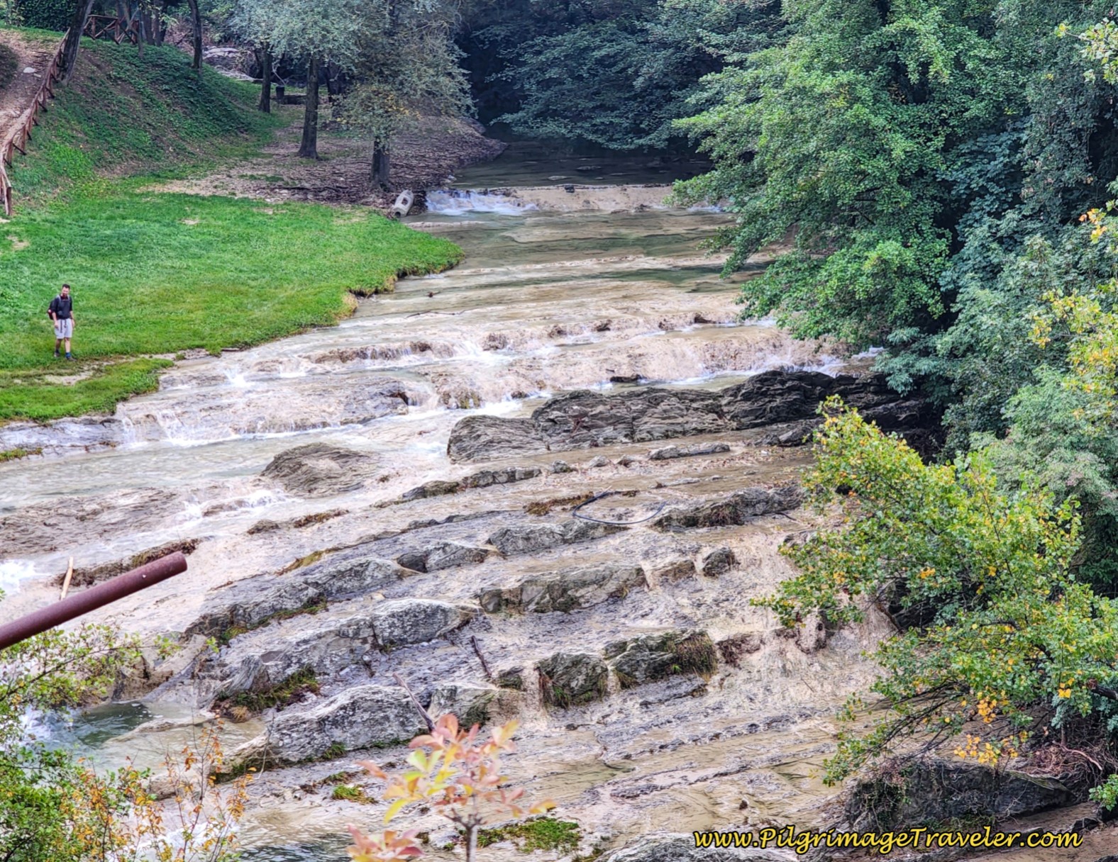
A few meters later, you come to this spillway on your right. Nick took the time to walk down to the shore line and explore, but I was content to view it from the bridge and snap this photo.
 Nick at Spillway
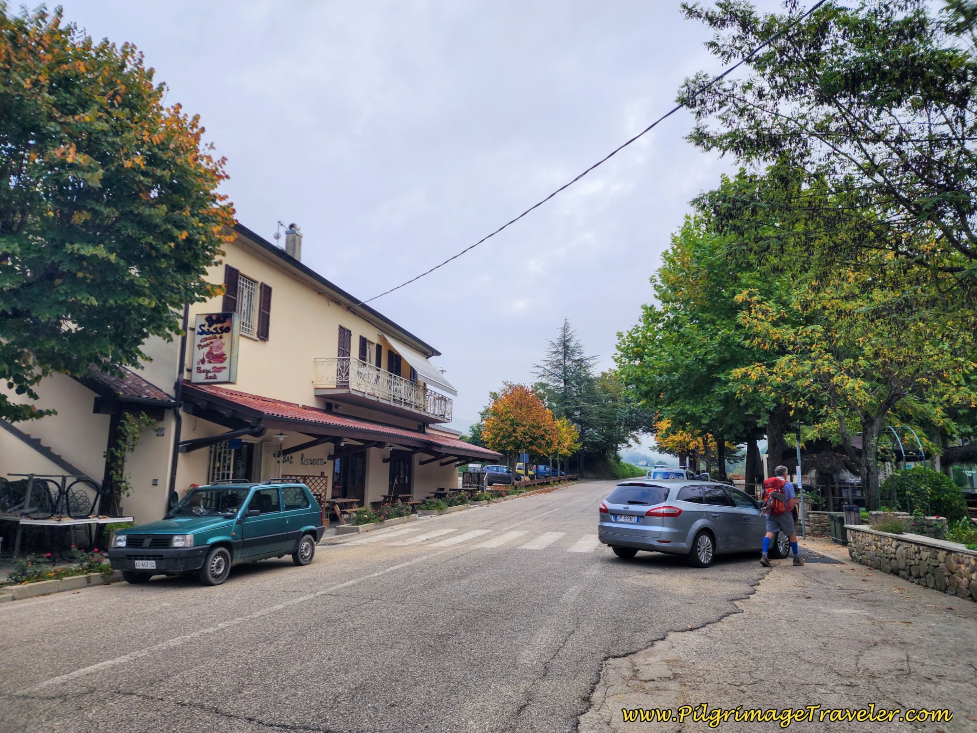
Almost immediately after the spillway, the Il Sasso restaurant is on your left, with the last amenities until Pietralunga. There is a lovely picnic area under nice shade on your right, if a stop at this time is appropriate for you. Since we had a huge breakfast at the Hotel Le Mura, we did not stop.
 Il Sasso Restaurant
Jump to Way of St. Francis Stages
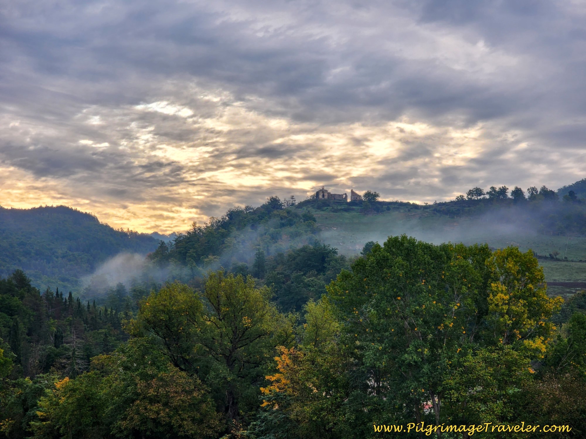
As we walked onward, the sky and the clouds gave a lovely silhouette for the ruined buildings on the ridge to the south. When you see these buildings, you are nearing the end of the walk on the SP106.
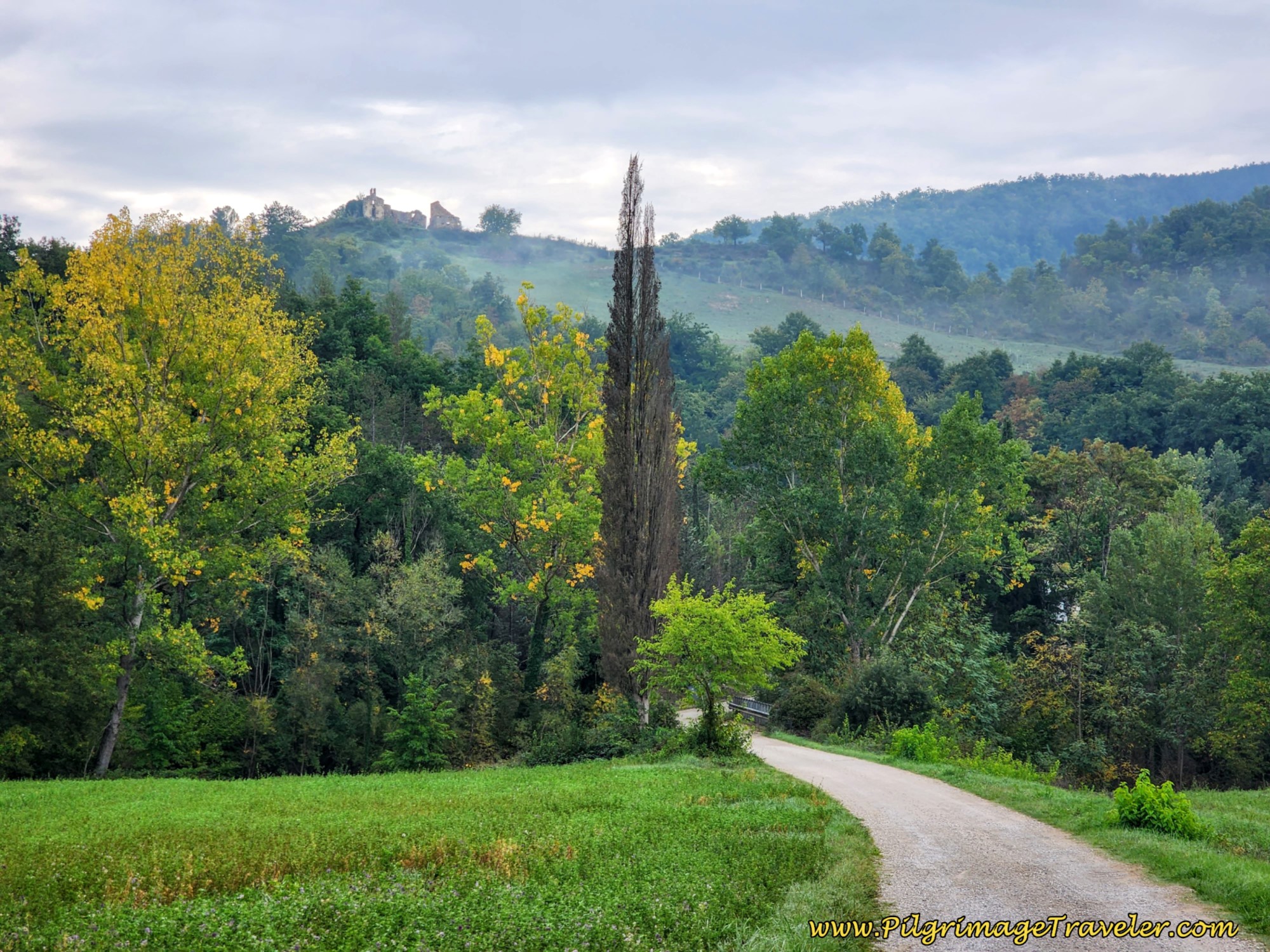
When the Way of St. Francis finally leaves the SP106 after 7.85 kilometers out of Città di Castello, it takes this lovely paved lane to the right, shown next, towards the same ruined buildings on the ridge above.
The sign at the turn onto this paved lane states that it is 11.8 kilometers to Pieve de' Saddi and 21 kilometers to Pietralunga. Wow, almost a third of the day finished already! (If the signs are correct!)
After only a few hundred meters on this lane, the more serious climb now begins! You will pass a sign for the Agriturismo La Tana, a possible accommodation choice on day six of the Way of St. Francis from Città di Castello to Pietralunga.
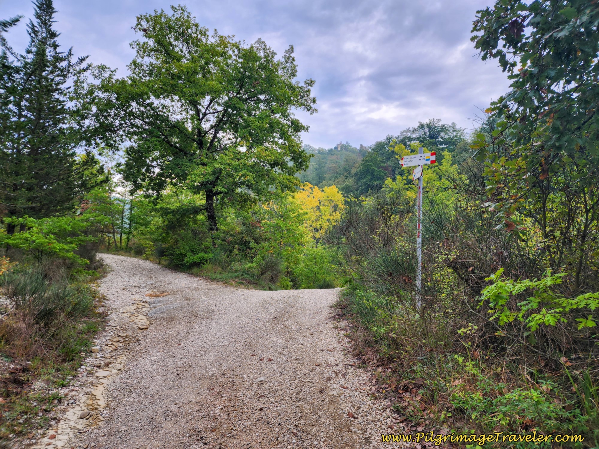
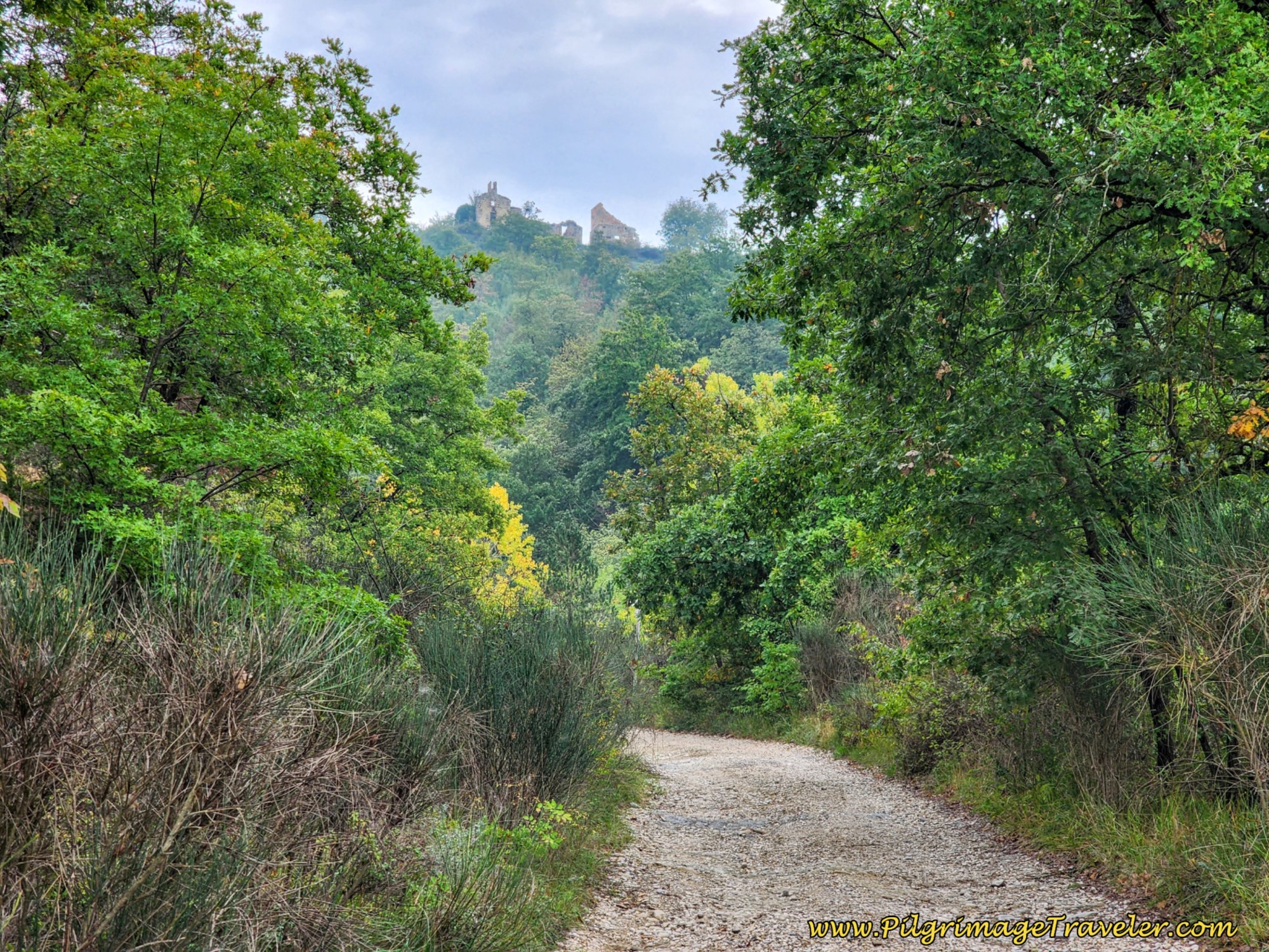
At 8.1 kilometers, the Way takes a left hand turn onto a nice gravel lane, where the pilgrimage traveler can continue to catch glimpses, for the last time, of the unnamed ruins on the ridge.
A few meters later, the lane branches again and you stay to the left, as directed.
 Come to Y-Intersection on Gravel Lane
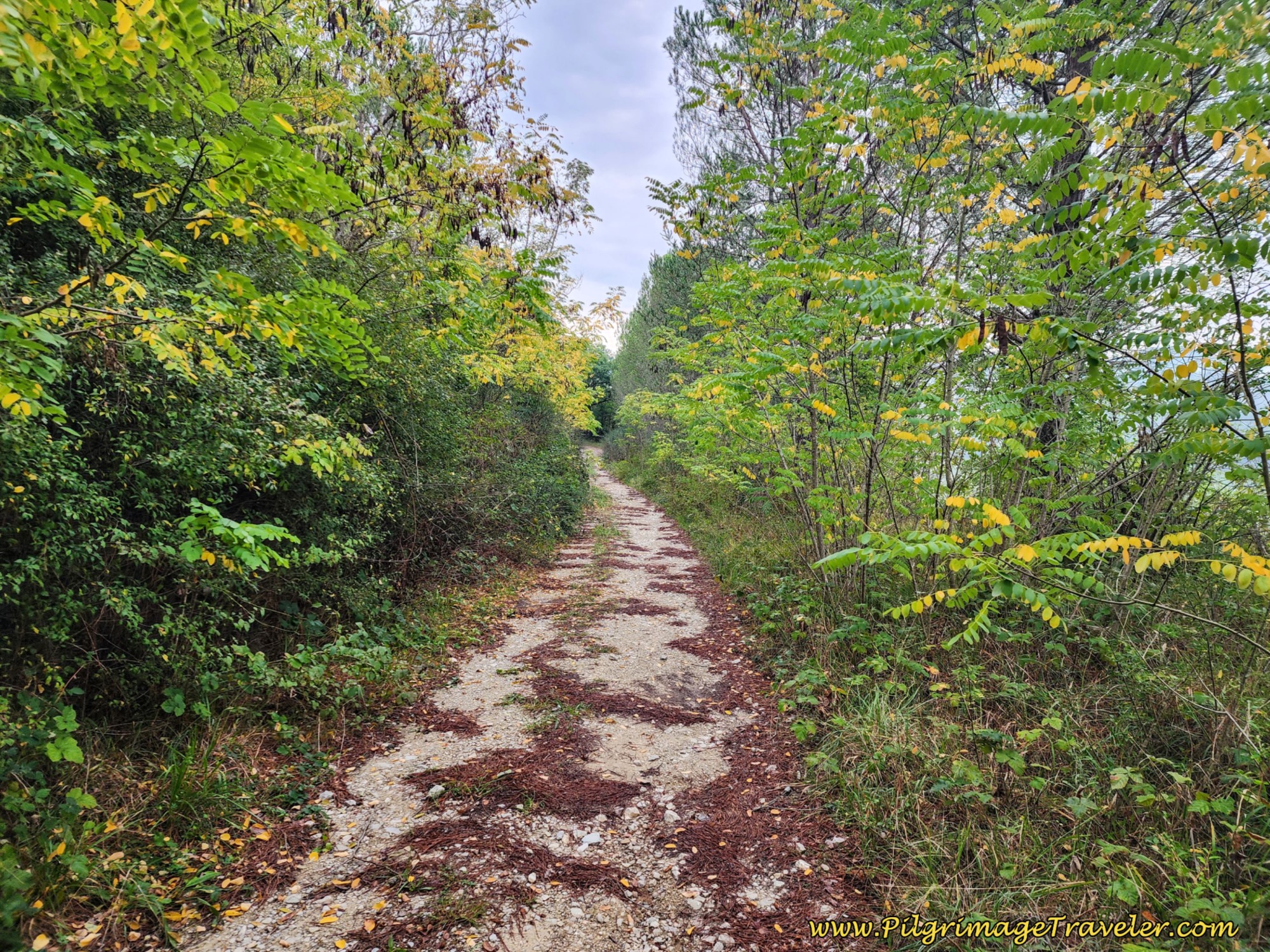
Climbing steeply on this lane, it narrows and begins to switchback up the ridge.
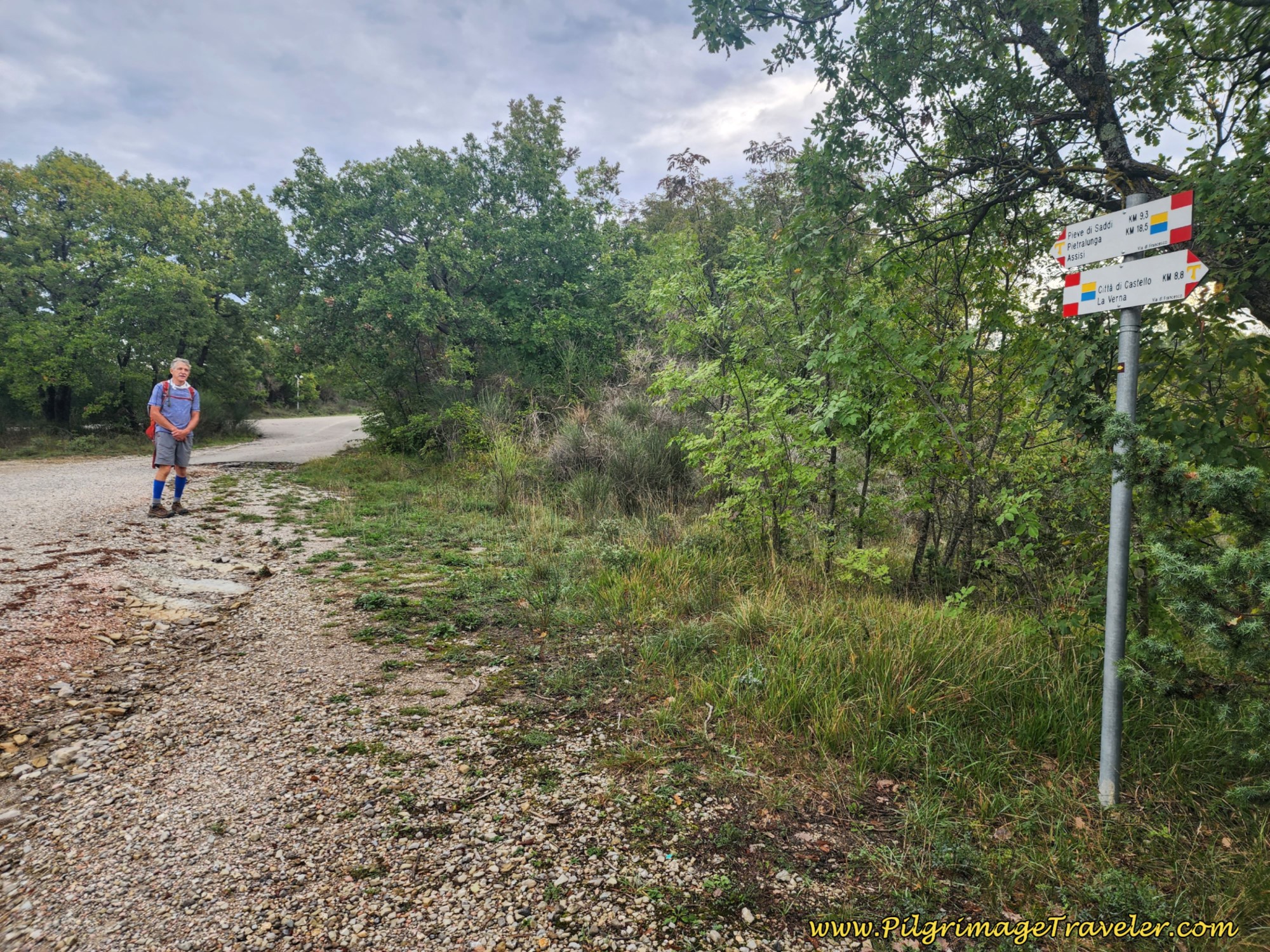
At approximately 10.3 kilometers, the gravel lane comes to a T-intersection with a paved and narrow country road. Turn right here.
 Rich at Paved T-Intersection
You will be on narrow, quiet and paved roads for most of the remainder of the day and there are hairpin turns here and there, since you are in the mountains, so it is still necessary to stay alert to what little traffic there is!
A bit onward we reached a wonderful, terraced olive grove, where we heard tractors and people working in the field.
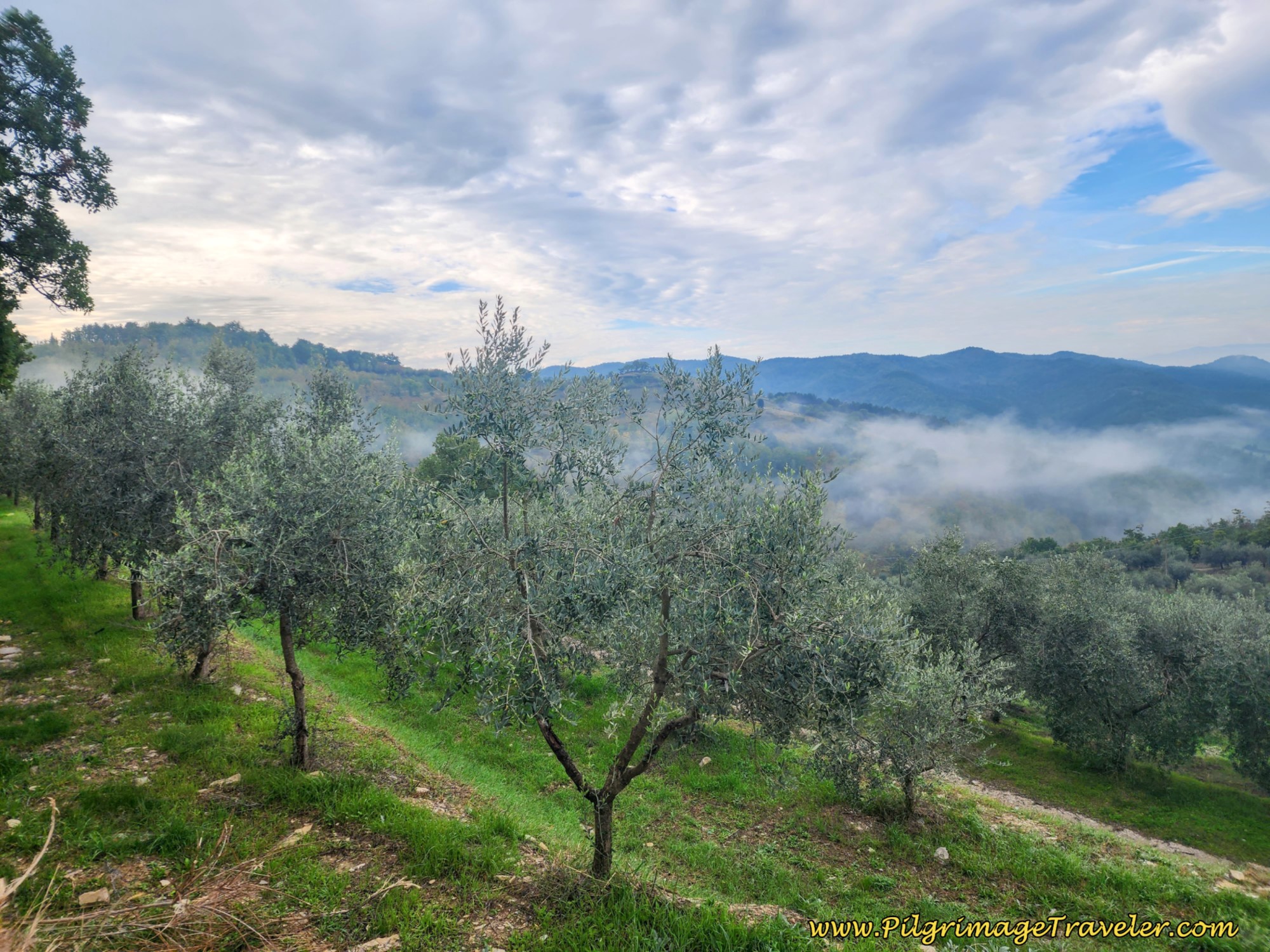 Terraced Olive Grove
And indeed, it was olive harvesting time! Below are bins filled with the fruits of their labor!
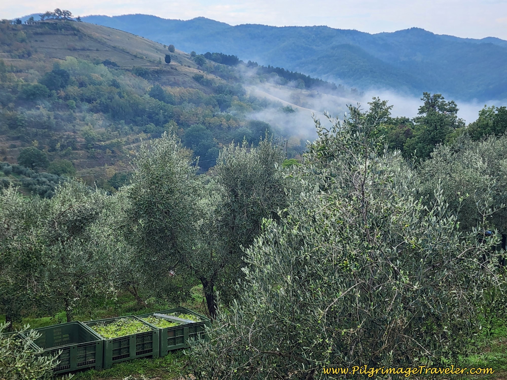 Green Olive Harvest
Next, pass a turnoff for the Collevecchio, but stay straight here.
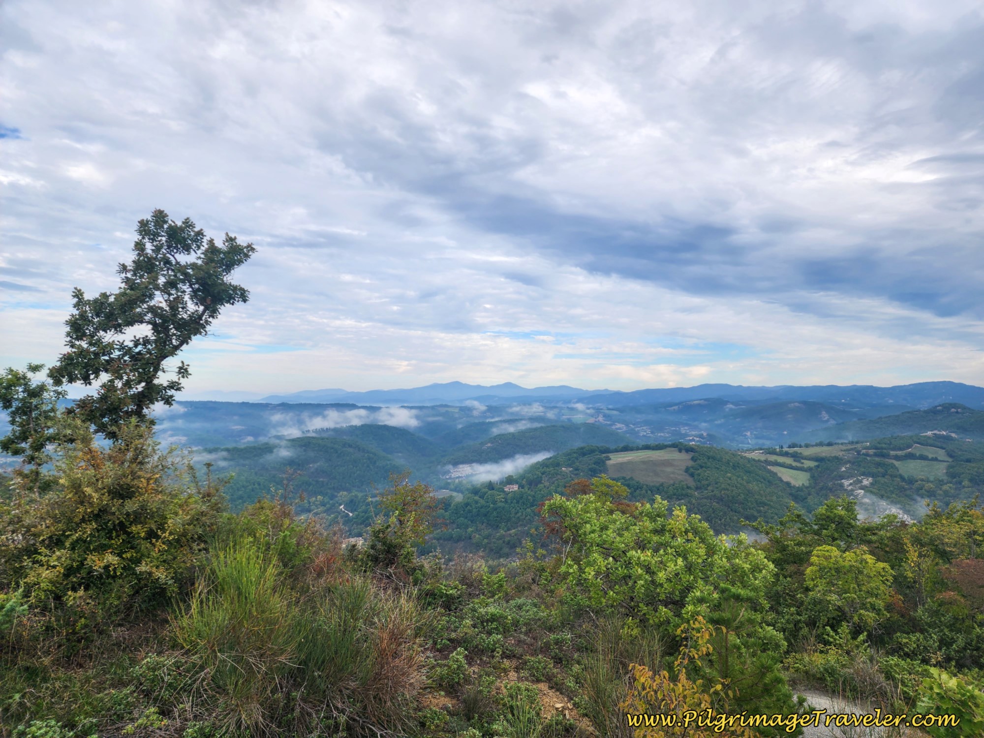
At about 11 kilometers, come to an open area with power lines running across the road and with an obvious viewpoint off to the left of the ridge. I felt that this looked like an appropriate place for our first break of the day. We scrambled under the power poles and found a spot to sit for our break. The one power pole does have a concrete base to sit on but we preferred just sitting on the ground.
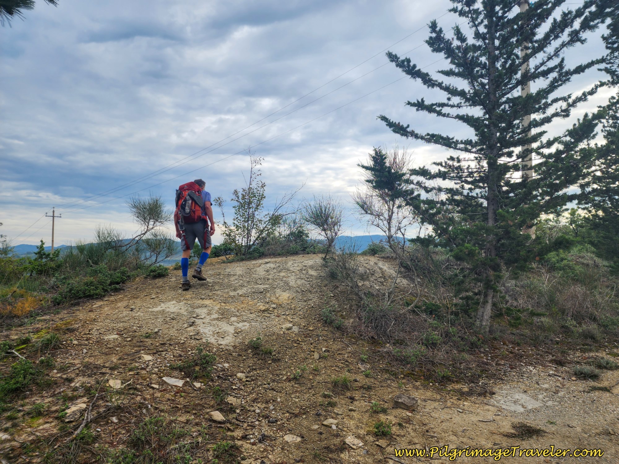 Rich Climbs to Viewpoint Under Power Poles
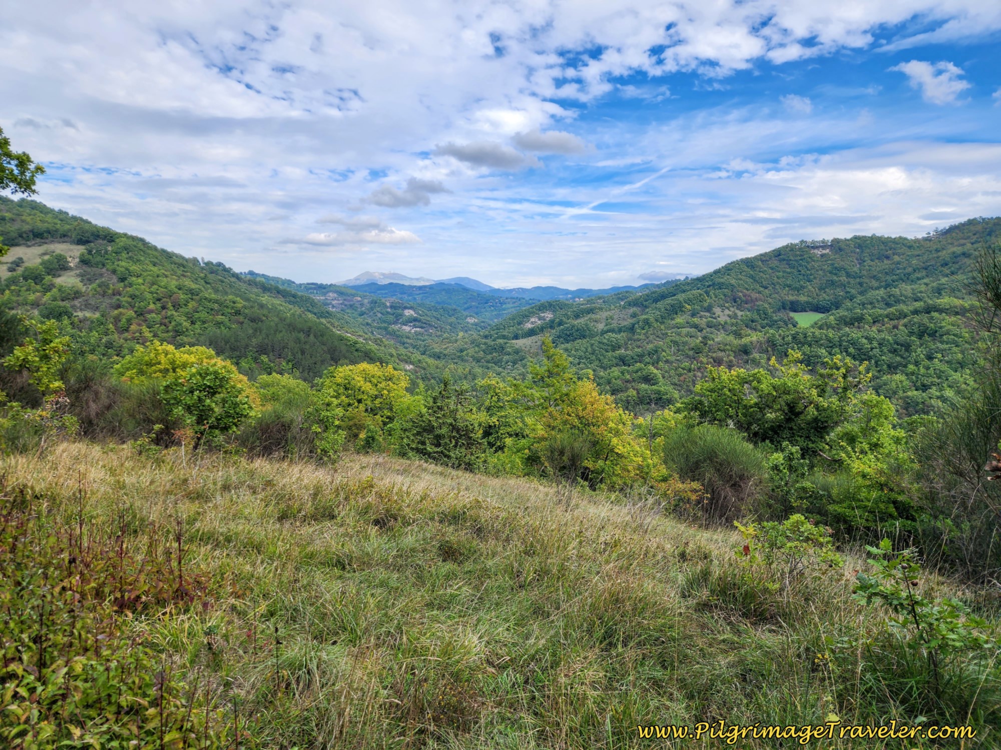
My photo doesn't quite give the sweeping views justice.
Jump to Way of St. Francis Stages
I noticed at our break how unbelievably humid the weather was in October! Everything we had was just saturated. When I went to put my pack back on, the entire back of it was wet!
After walking only 11 kilometers, when I took my shoes off to air out my feet, my socks were already drenched too! Note: you may want to have extra socks if you are prone to blisters. But at least I did not have any of those!
After our break, the Way onward is open and downhill for a nice respite, before we climb again. The sign says we are 8.3 kilometers from Pieve de' Saddi on day six of the Way of St. Francis from Città di Castello to Pietralunga.
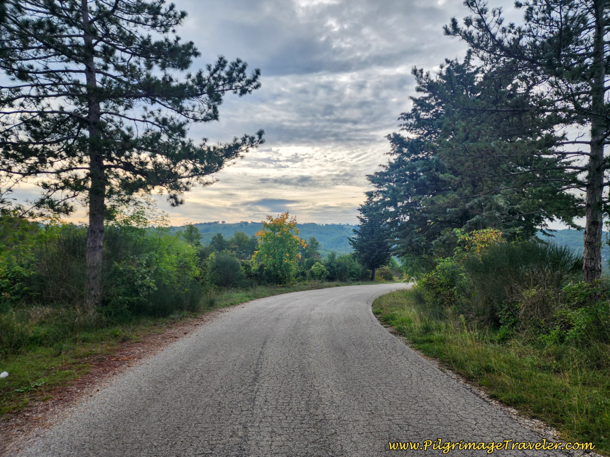 The Open Way Onward
Continuing on the same road, by 13.8 kilometers, we came to the turnoff to the Rifugio Candeggio, a pilgrim's ostello. Nick, who had walked on while we took our break, was at the intersection, now taking a break himself. There are nice benches and a potable water fountain here. You can't miss this turnoff if you are looking for the refugio as it is very well signed.
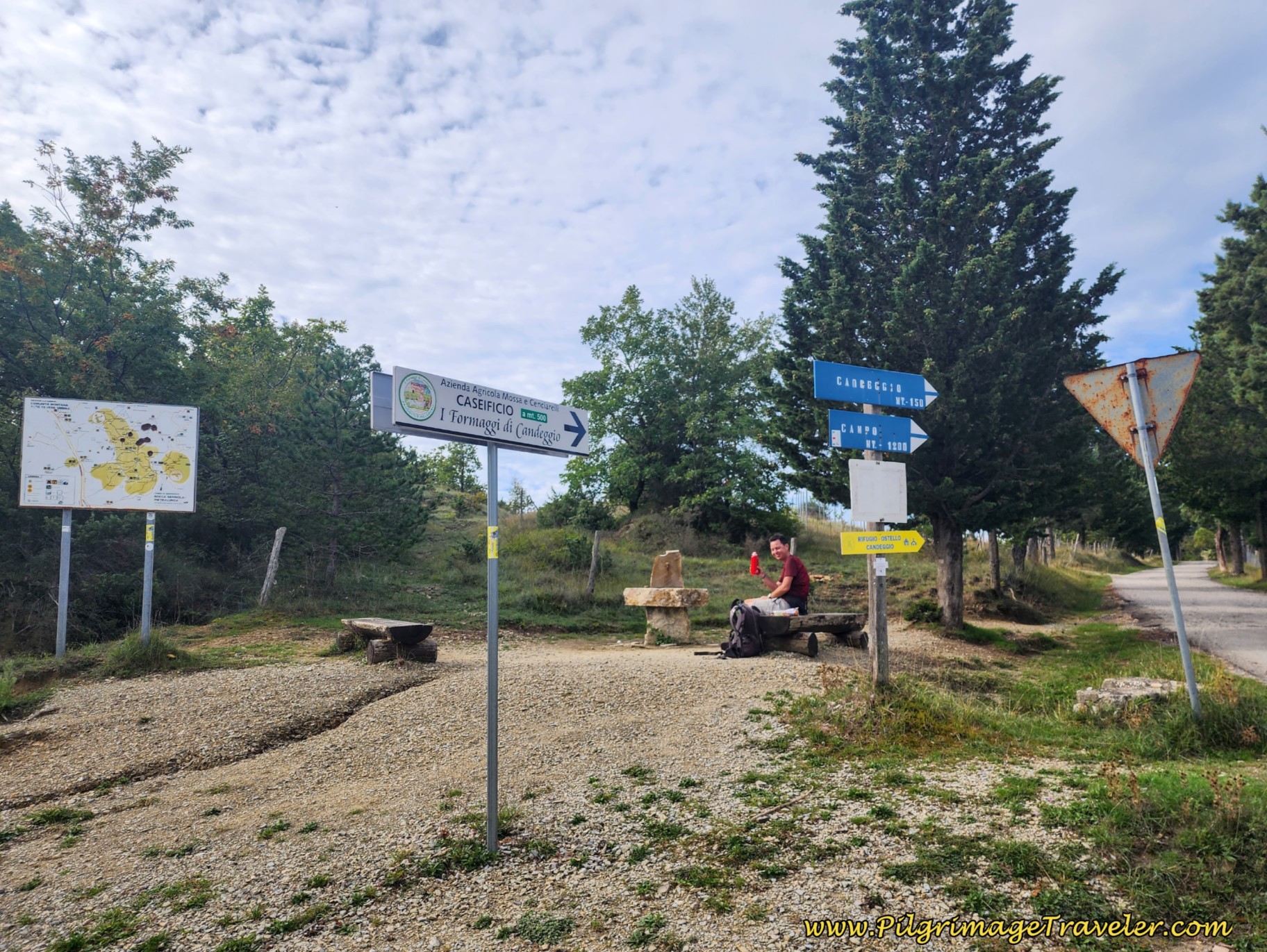 Turnoff to the Rifugio Candeggio, Picnic Area and Fountain
Continue on the main, open road along the ridgetop staying to the left at the first intersection after the fountain. There is a bit more climbing after the turnoff.
It is at approximately 14.8 kilometers that you reach the altitude top of the day. When you see this sign, below, showing that Pietralunga is the opposite way (via a different route so ignore it), but Pieve de' Saddi is onward, you have essentially reached the top.
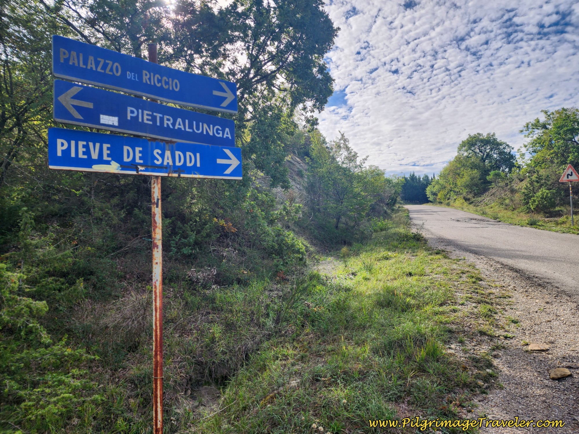 Altitude Top of Day Six
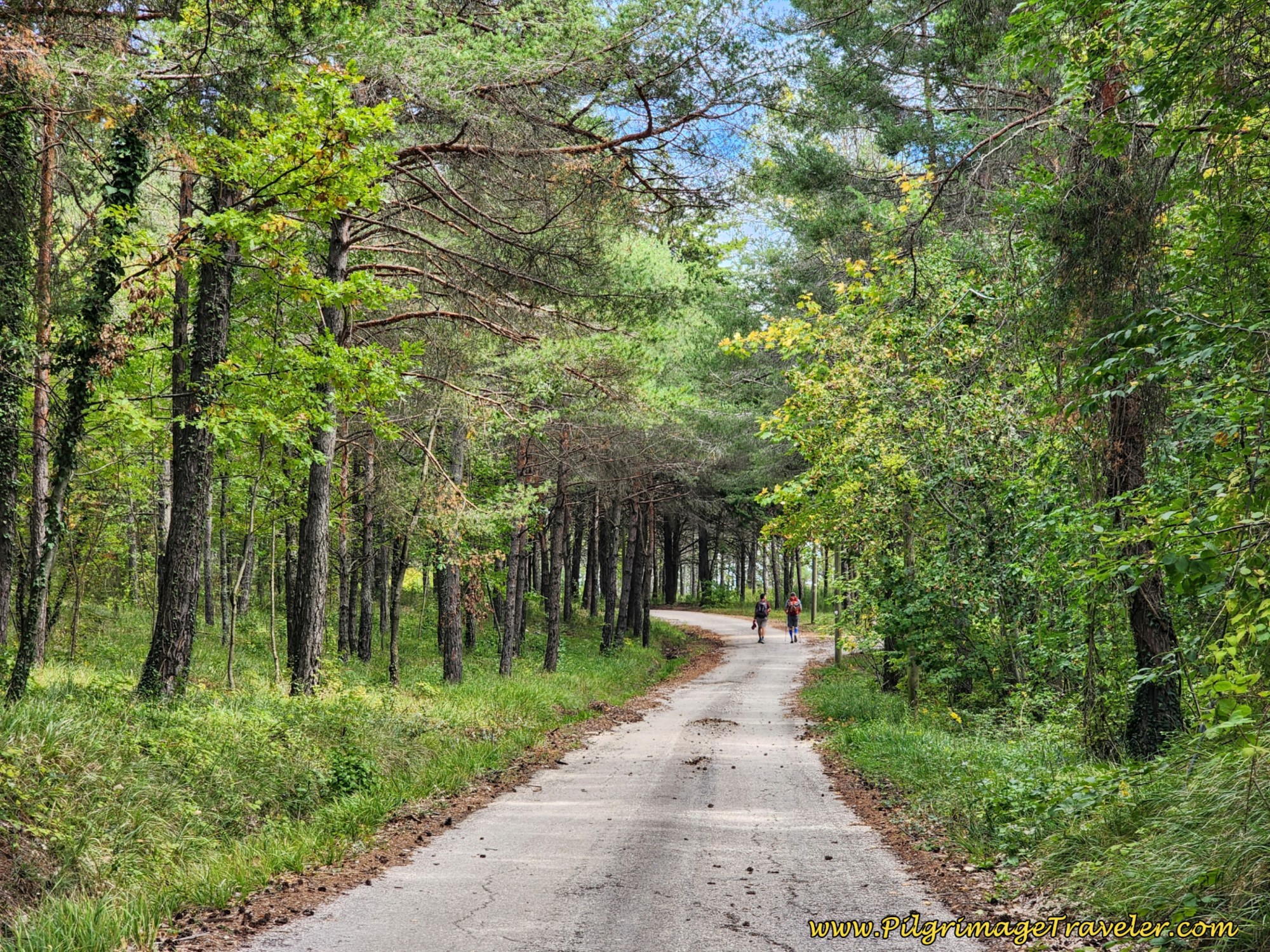
Over the next 3.5 kilometers or so, the Way of St. Francis stays on this paved route that sees very little traffic. During this section, after an initial descent, you are walking along the top of a high ridge with small ups and downs and often dramatic views on either side. We also saw lots of hunters through this area.
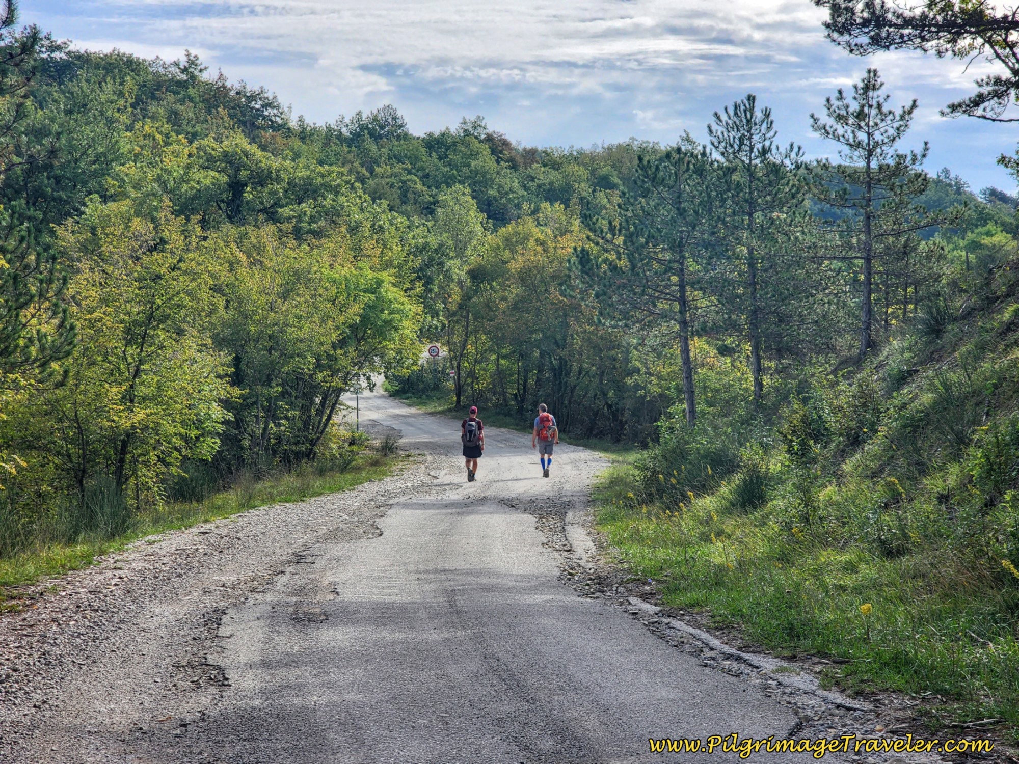 Nick and Rich on the Road to Pieve de' Saddi
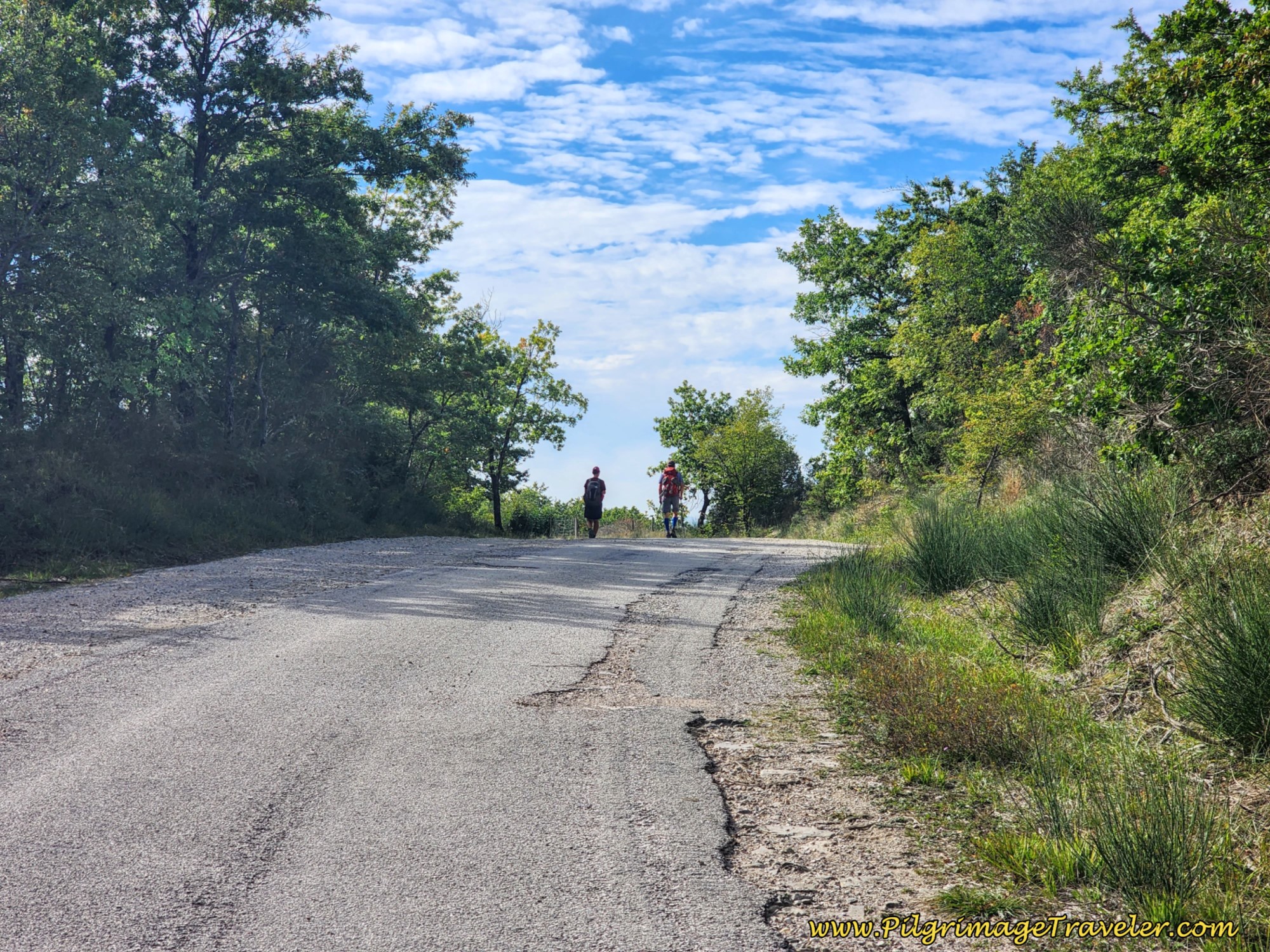 Up and Down along the Ridge on Broken Pavement
Approximately 18.2 kilometers, stay to the right at a Y-intersection, where the sign says the Pieve de' Saddi is 1.2 kilometers away.
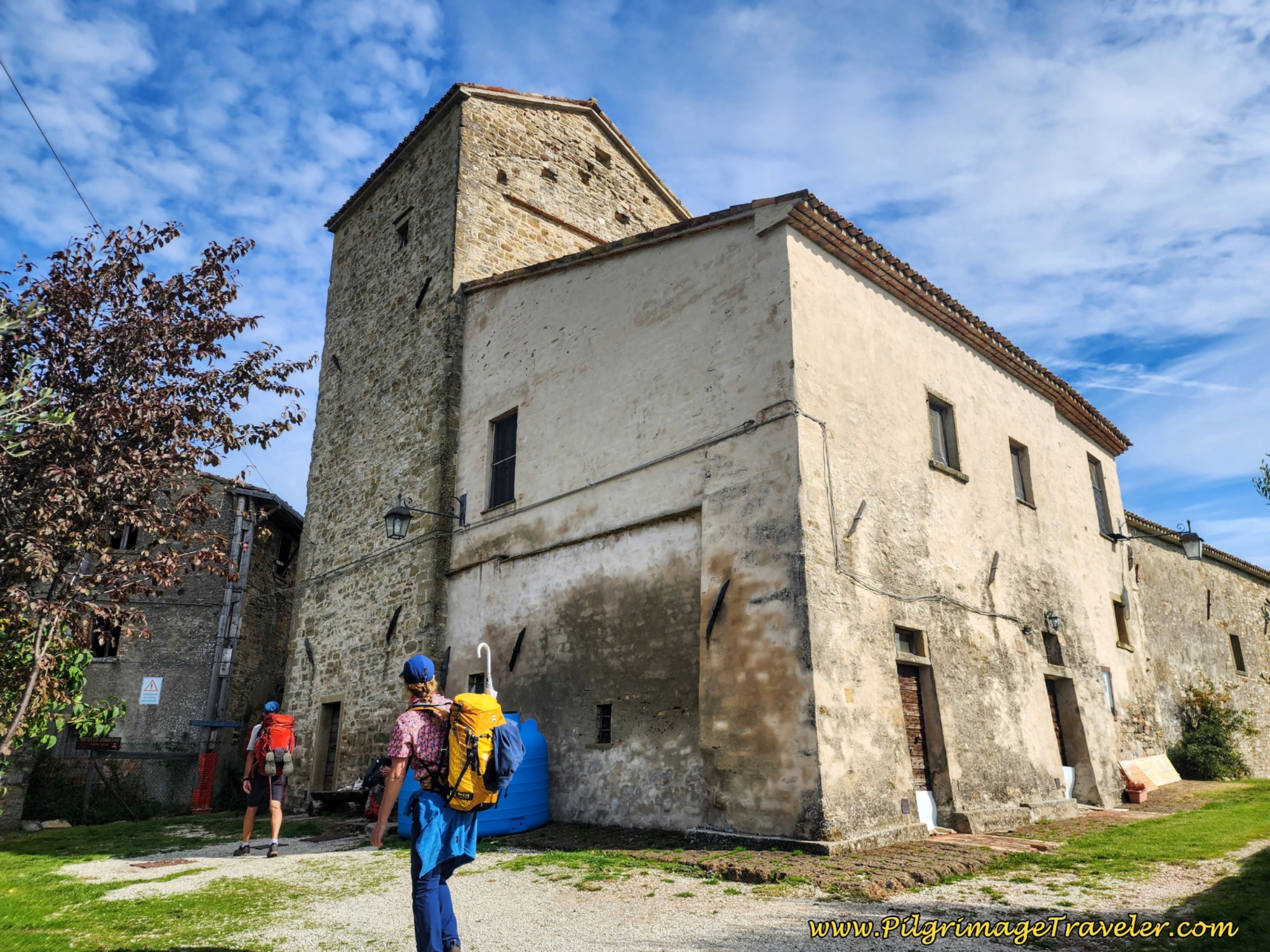
At about 18.6 kilometers into the day, there is a more noticeable descent. At 18.8 kilometers, the way bends strongly to the left, still on the pavement, following a sign to Pietralunga, until around 19.3 kilometers, a large group of buildings appears on your left, shown below. This is the Pieve de' Saddi at last.
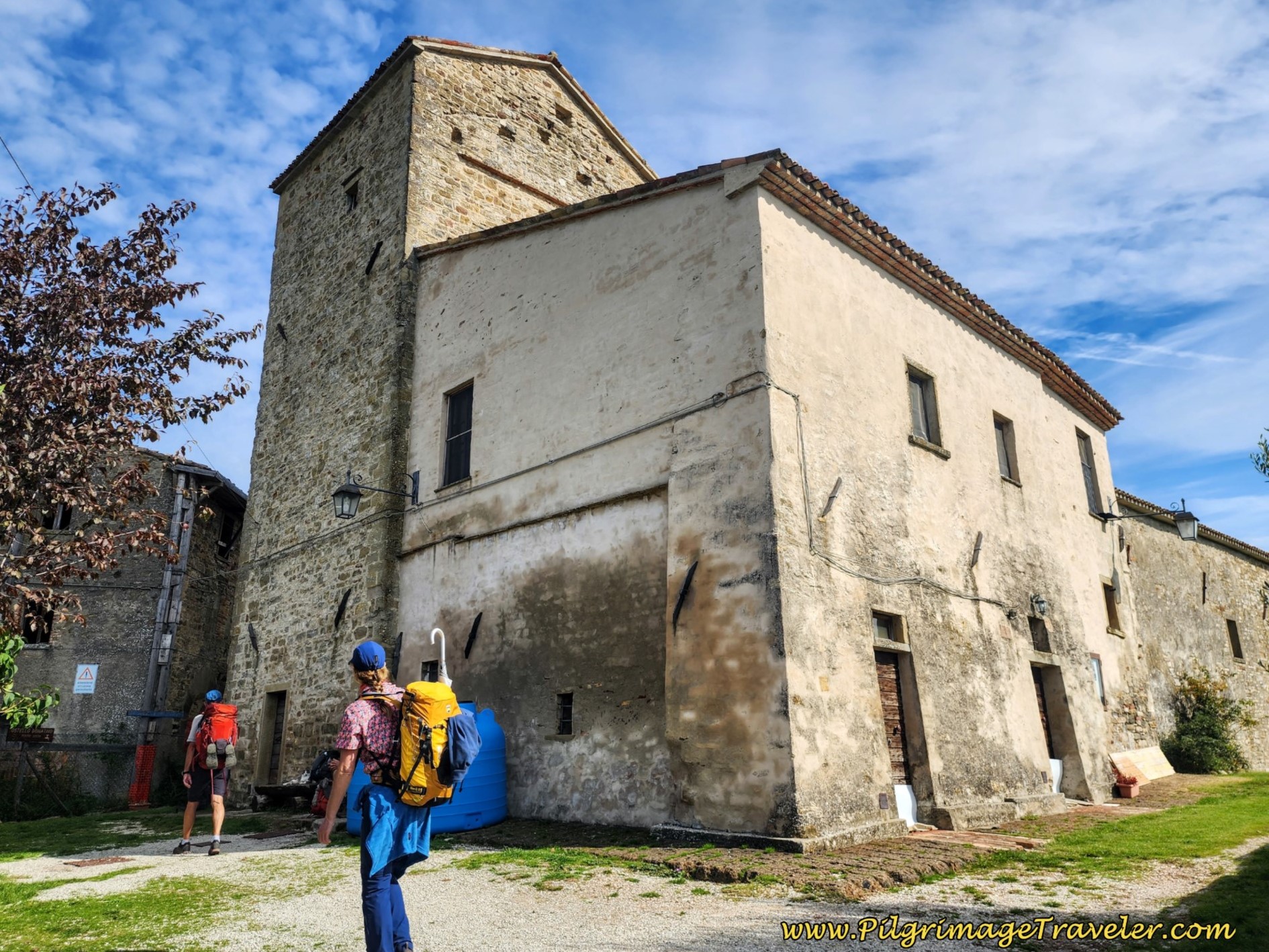
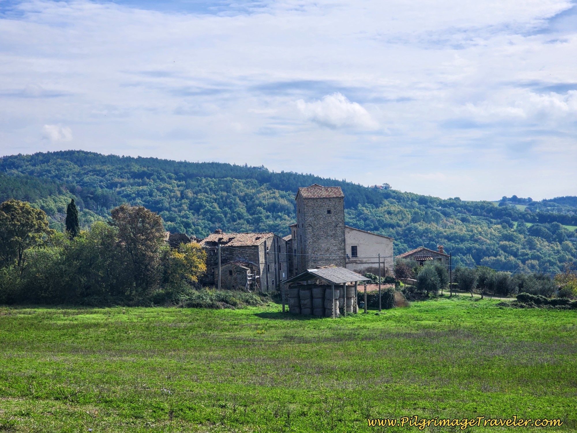 Pieve de' Saddi Ahead
It is several hundred meters later, after a total of 19.5 kilometers, that you will arrive at the turn for the lane to the early Christian basilica of Pieve de' Saddi.
There are posted numbers to call, on the side of the church (right side of the photo below), if no one is there when you arrive. (+39 329 562 0677 for Frederico or email, pievedesaddi@gmail.com). It is worth the wait until someone can show you inside. I think we waited for about one hour, so you may want to call ahead!
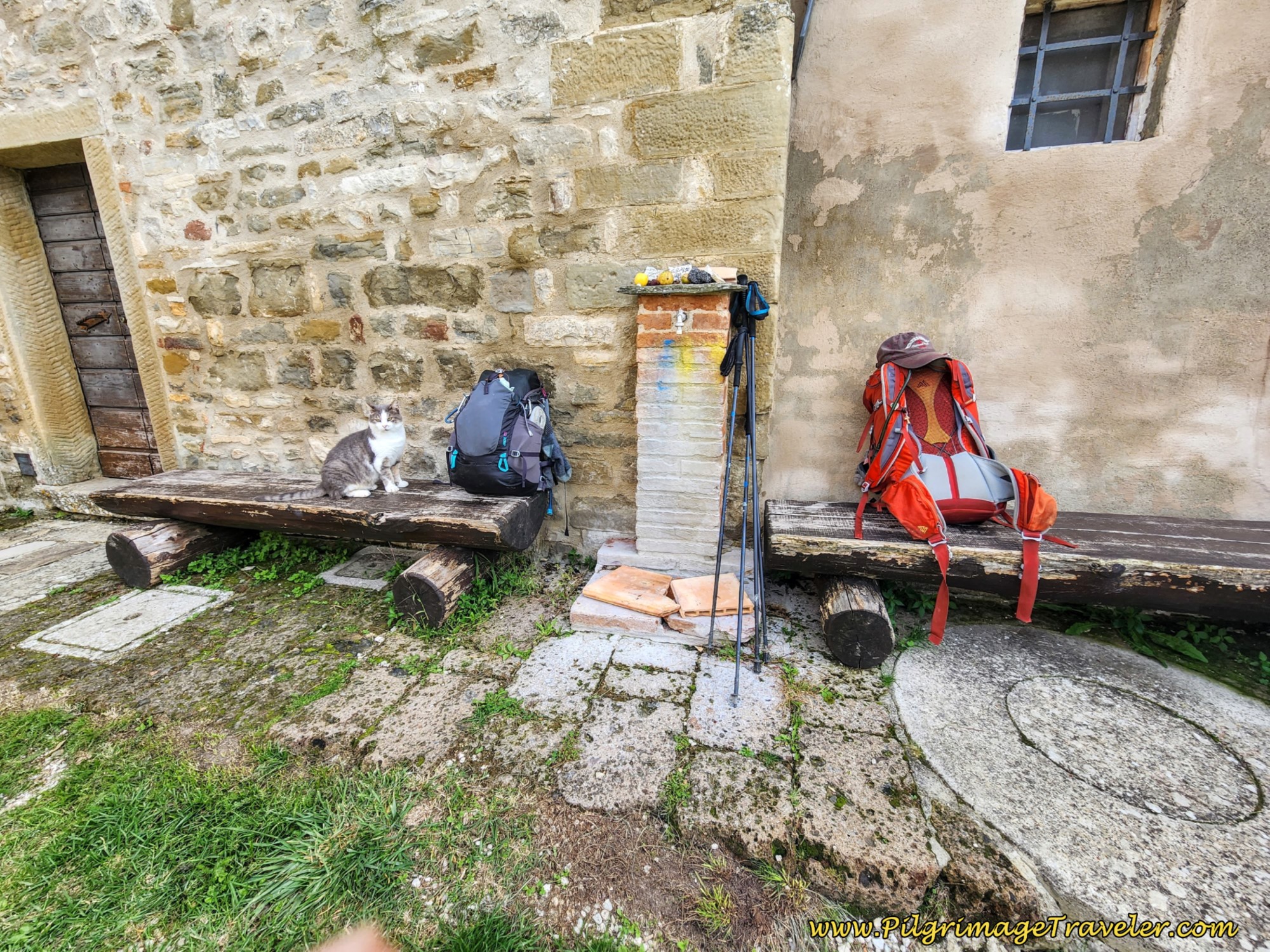
There are benches and two fountains to enjoy this space while you wait for the caretakers to come. There is also a table and chairs around the back. This place also accepts pilgrims for overnight accommodation, for a donation. We did not see the rifugio, but judging from the outside appearance of the buildings, it is very, very basic at best.
The caretakers told extraordinary stories of the history of this place. Apparently it was first built in the 3rd century. The upper building collapsed at some point and the church was rebuilt. The frescos that survived are of the 11th century. It is only the crypt below that is originally from the 3rd century.
I show the simple altar and one of the frescoes below.
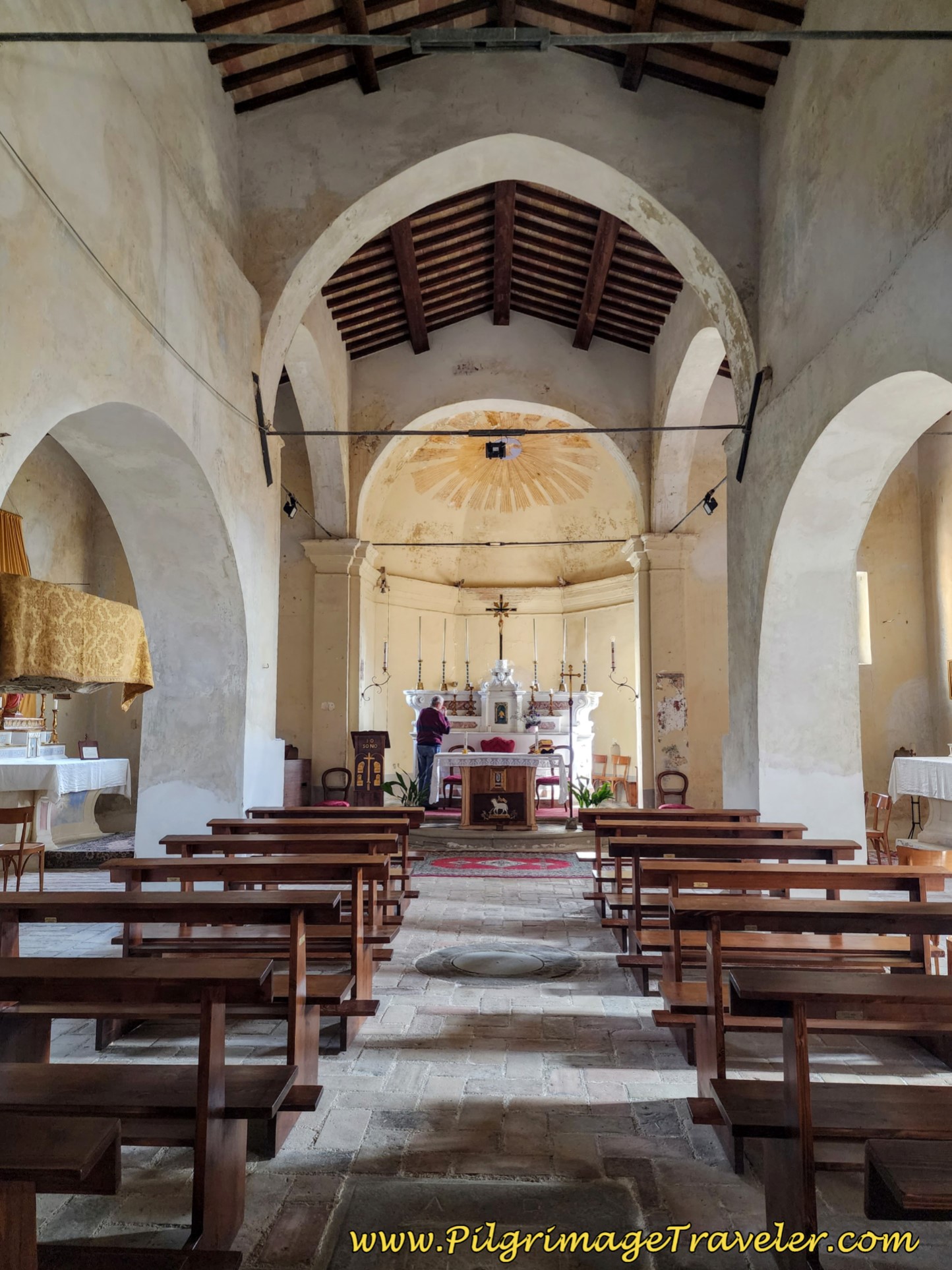 Pieve de' Saddi Simple Altar
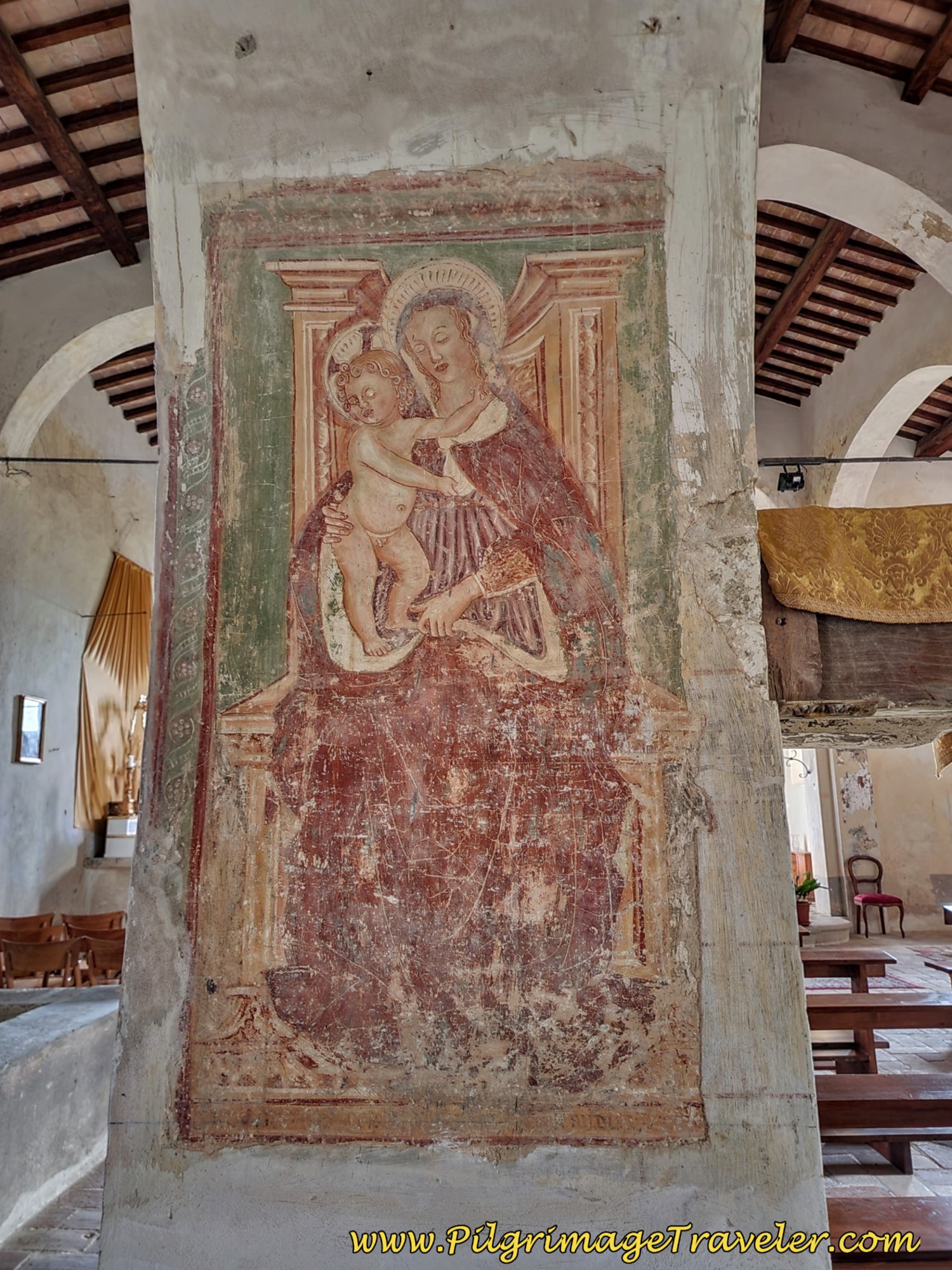 Pieve de' Saddi 4th Century Fresco
Below the church is a crypt where Roman soldiers who had converted to Christianity were laid to rest after they were killed by the imperial Romans.
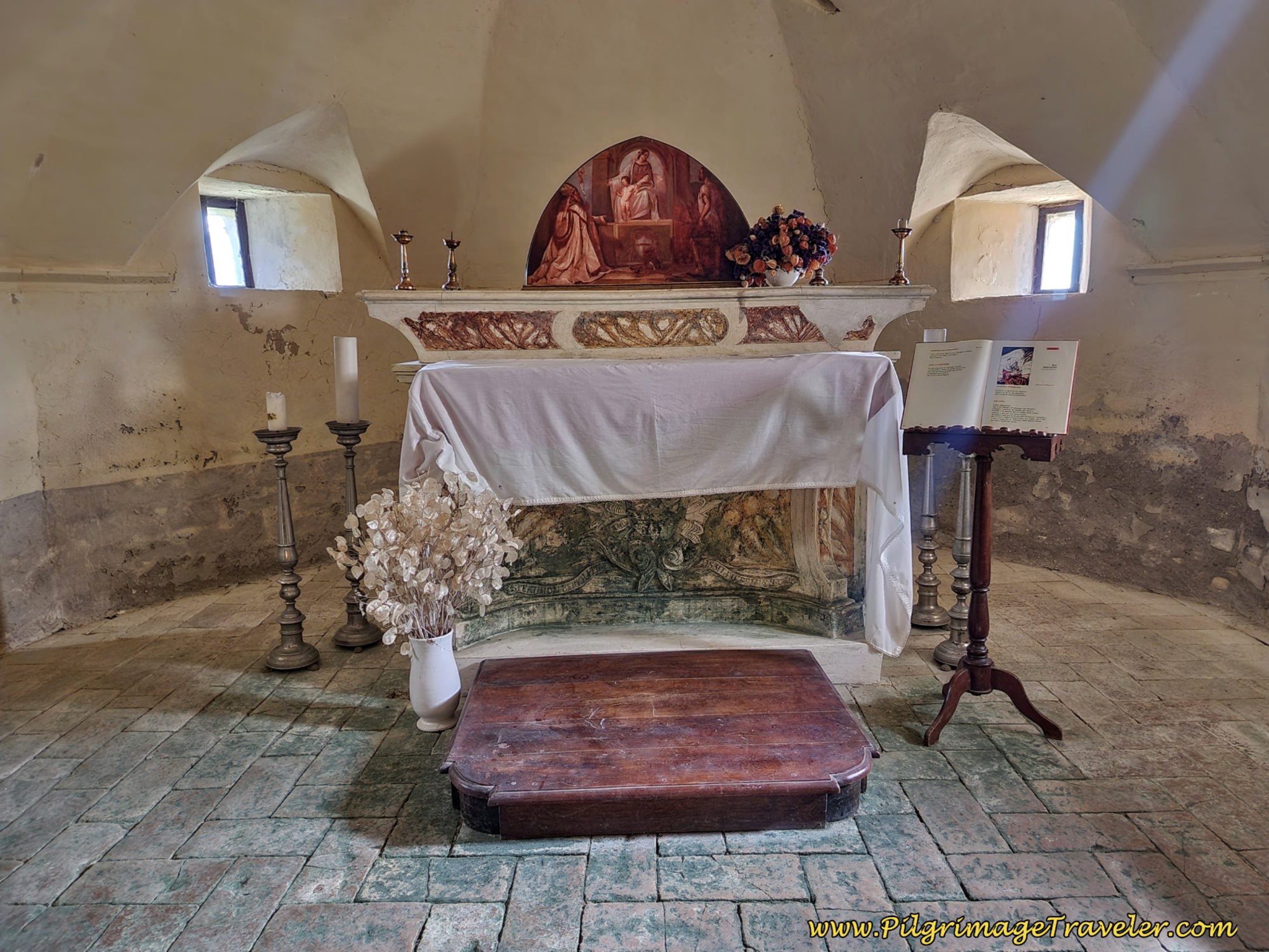 Memorial Crypt to Christian Roman Soldiers
Jump to Way of St. Francis Stages
After about 700 meters from the Pieve de' Saddi, at about 20.2 kilometers into the day, you pass by a shrine. Here is where the second, nice climb of about 100 meters in elevation begins, on broken asphalt on day six of the Way of St. Francis from Città di Castello to Pietralunga.
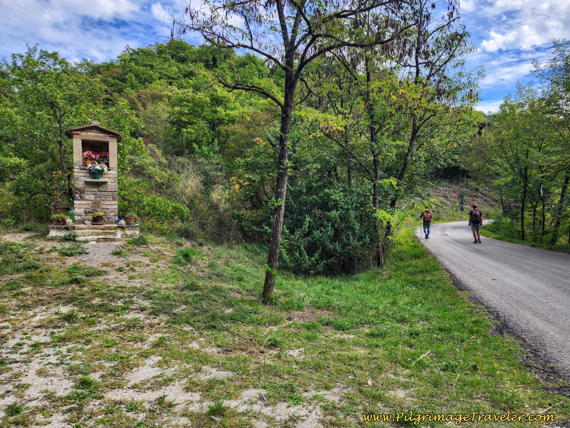 Second Climb Begins Near Shrine
At about 20.7 kilometers, stay left and high at a Y-intersection where the sign says Pietralunga is 8.2 kilometers away.
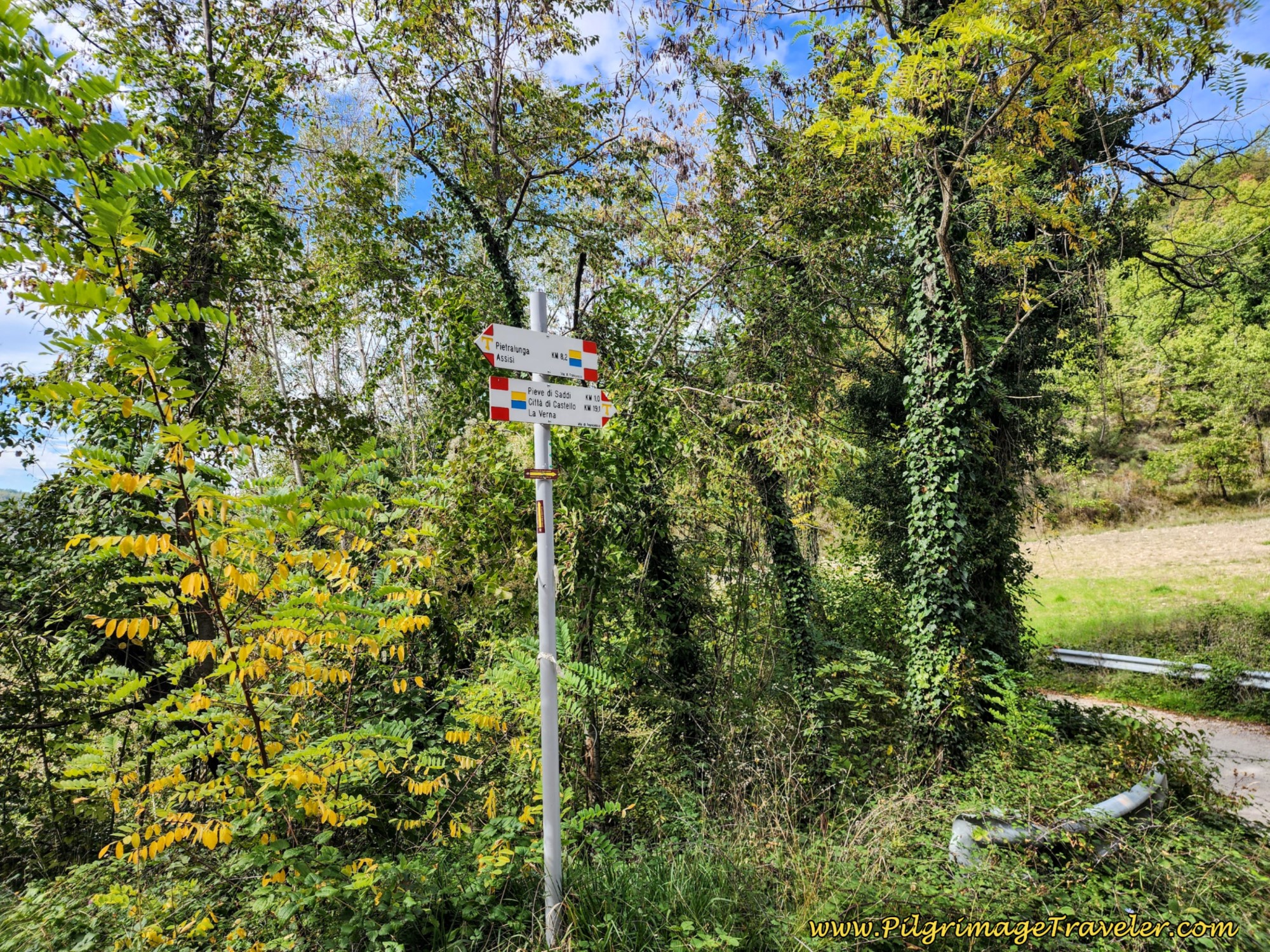 Stay Left at Y-Intersection ~ 8.2 Km Left to Go
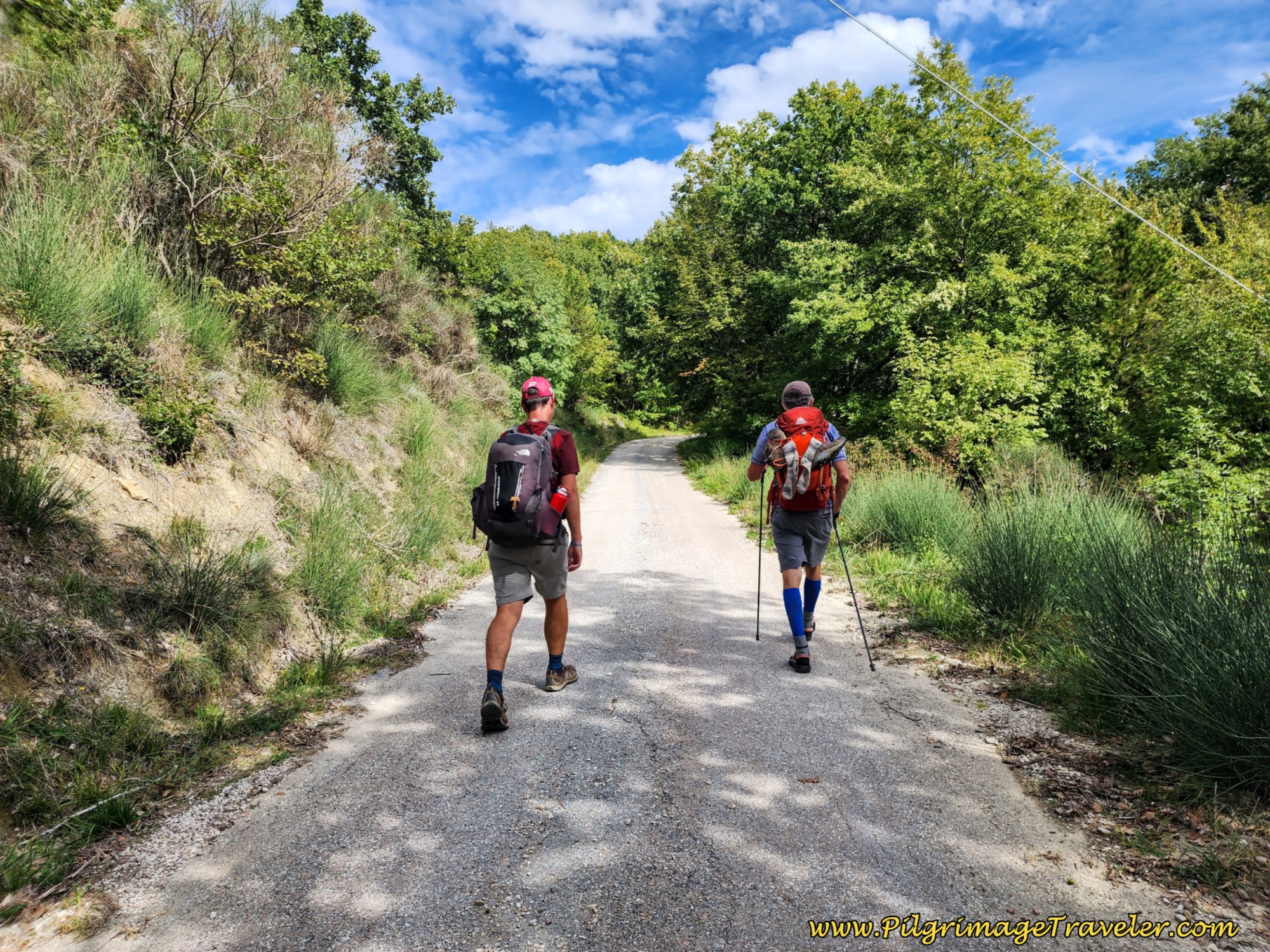 Nick and Rich on Last Few Kilometers
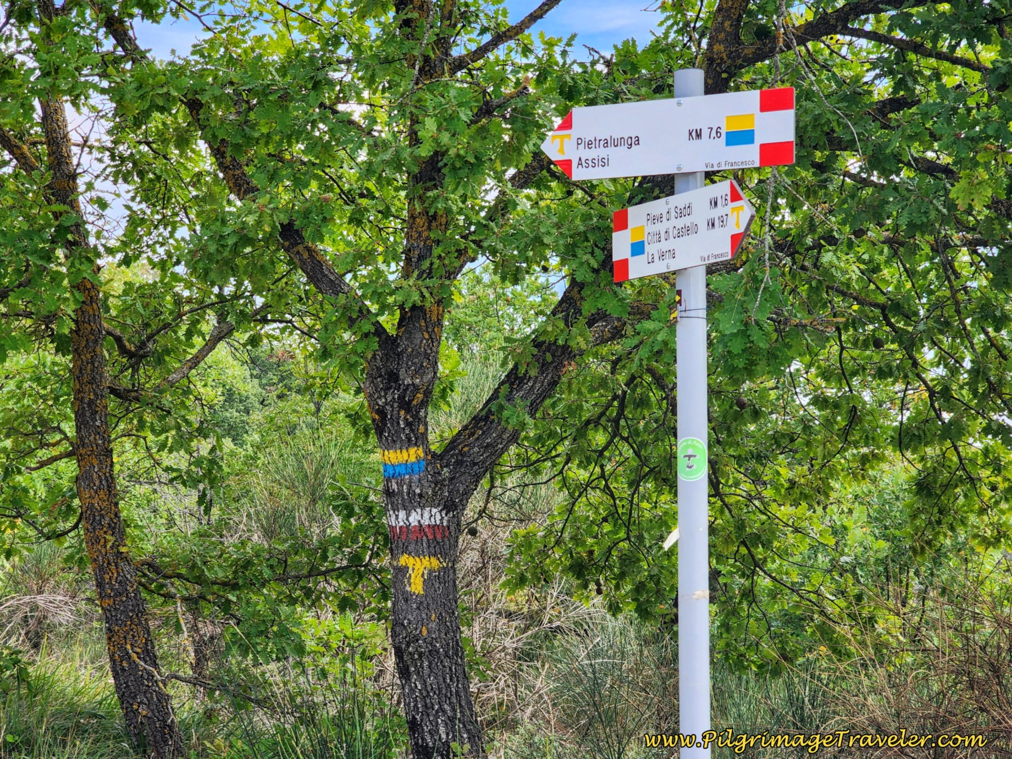
At about 21.3 kilometers take a left turn, where the sign now says 7.6 km to Pietralunga.
And about 300 meters later, when you come to a crossroads, at 21.6 kilometers total, you obviously crest the second high point of the day.
The descent on the other side is steep and switchbacks down the mountain. You will catch some nice viewpoints on the way down.
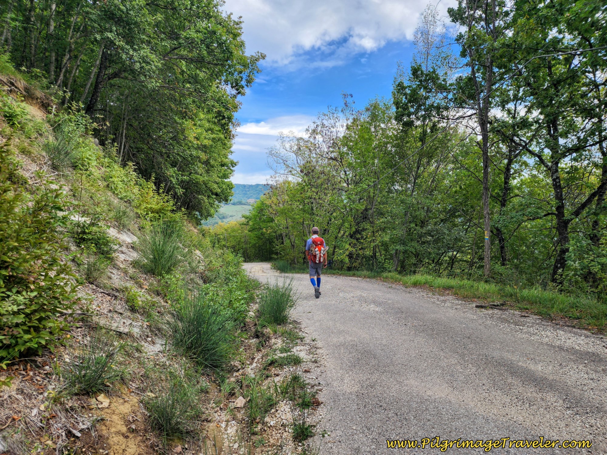 Steep Descent from Second Altitude Top
After dropping more than 200 meters over 2.6 kilometers, come to an intersection, where you take a hard left turn, at a total of about 24.2 kilometers for the day. You cross a creek after the turn and this is the bottom of the descent.
You will see signs for the Agriturismo Il Pioppo which welcomes pilgrims, however, this place looks well beyond the needs of most pilgrims.
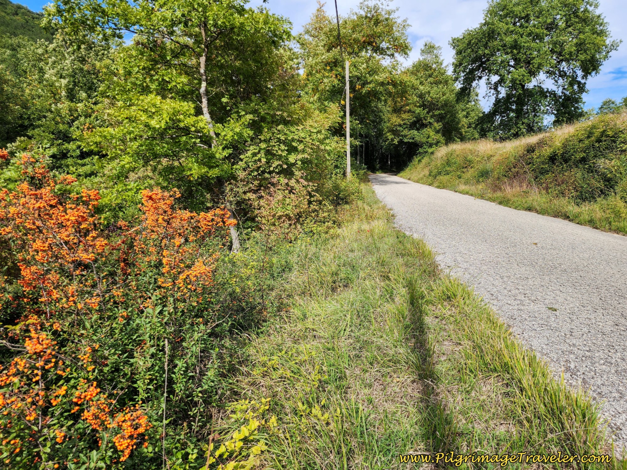
Shortly after the turn, the Way begins the final ascent of the day, of not quite 200 meters in altitude. By this time, the monotonous similarity of the onward road was somewhat trying for me. The third climb on the asphalt was not only tedious but strenuous at the end of the day!
I looked for the unique, and found these interesting fall berries lining the side of the road.
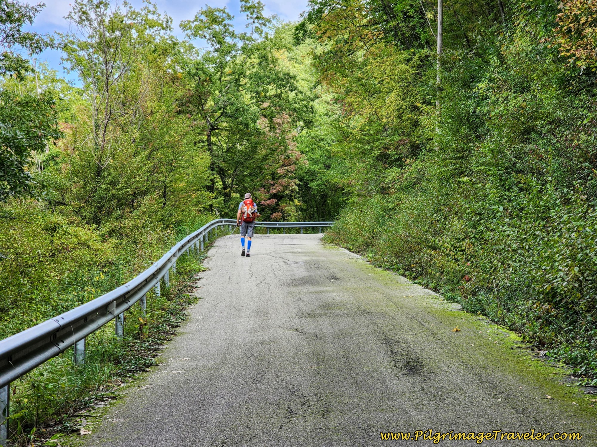 Third Climb Continues
As we climbed, we crisscrossed under power lines.
Not quite 27 kilometers in the day, the forest opens up and you see signs of civilization. You can feel the top getting near.
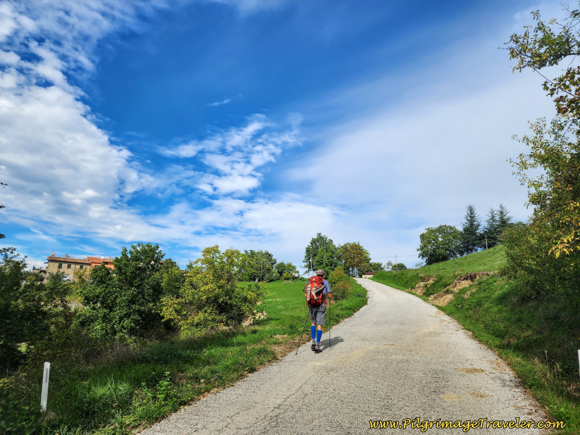 Third Altitude Top Ahead
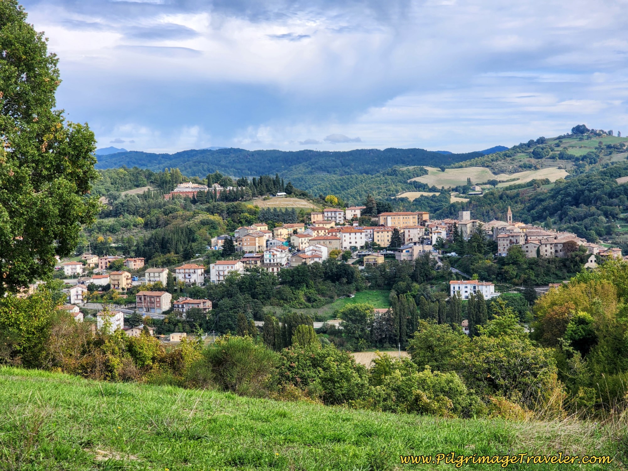
A few hundred meters onward you reach an area where your first views of Pietralunga over the ridge to your right (east) appear. It was so very exciting and encouraging to see!
Jump to Way of St. Francis Stages
It is at 27.3 kilometers into the day that you reach the ultimate and final altitude top. When the road levels out, you come to a prominent crossroads, seen in the distance in the photo below. Take a hard right at this crossroads at 27.8 kilometers.
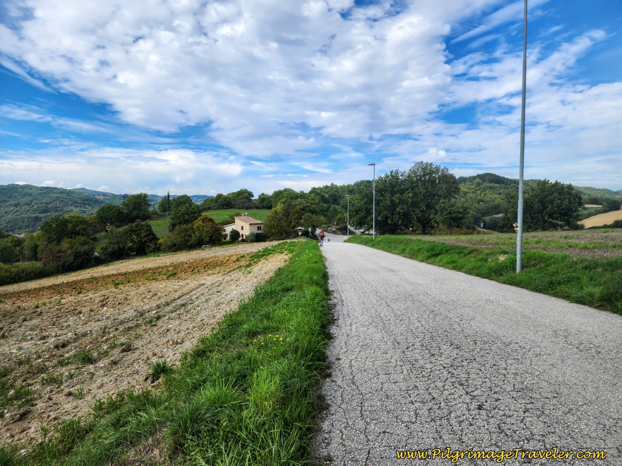 Road Levels Out
As you walk along this paved road, passing a small shrine in a few meters, it takes the pilgrimage traveler on the final drop toward Pietralunga.
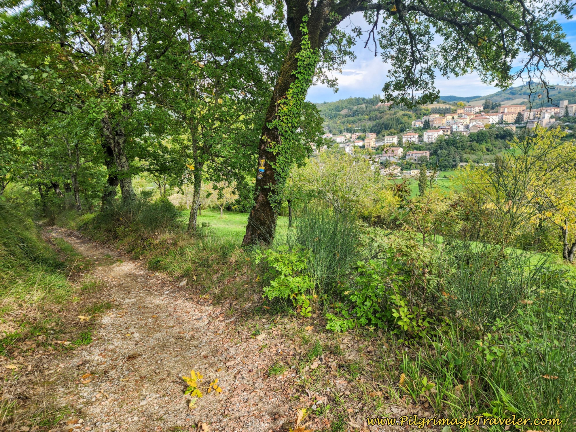
Not even 1/2 kilometer later at 28.2 km total, look for signs that lead you to the left and onto a nice path.
This path is only about 170 meters in length and drops you out between two buildings of a farm!
Once you pass the farm, turning right onto the pavement, you pass an almost hidden fountain on a curve on your right. This farm road, shown below, though paved, is only a few meters long, taking you to a left turn onto the main road, the Via San Vincenzo.
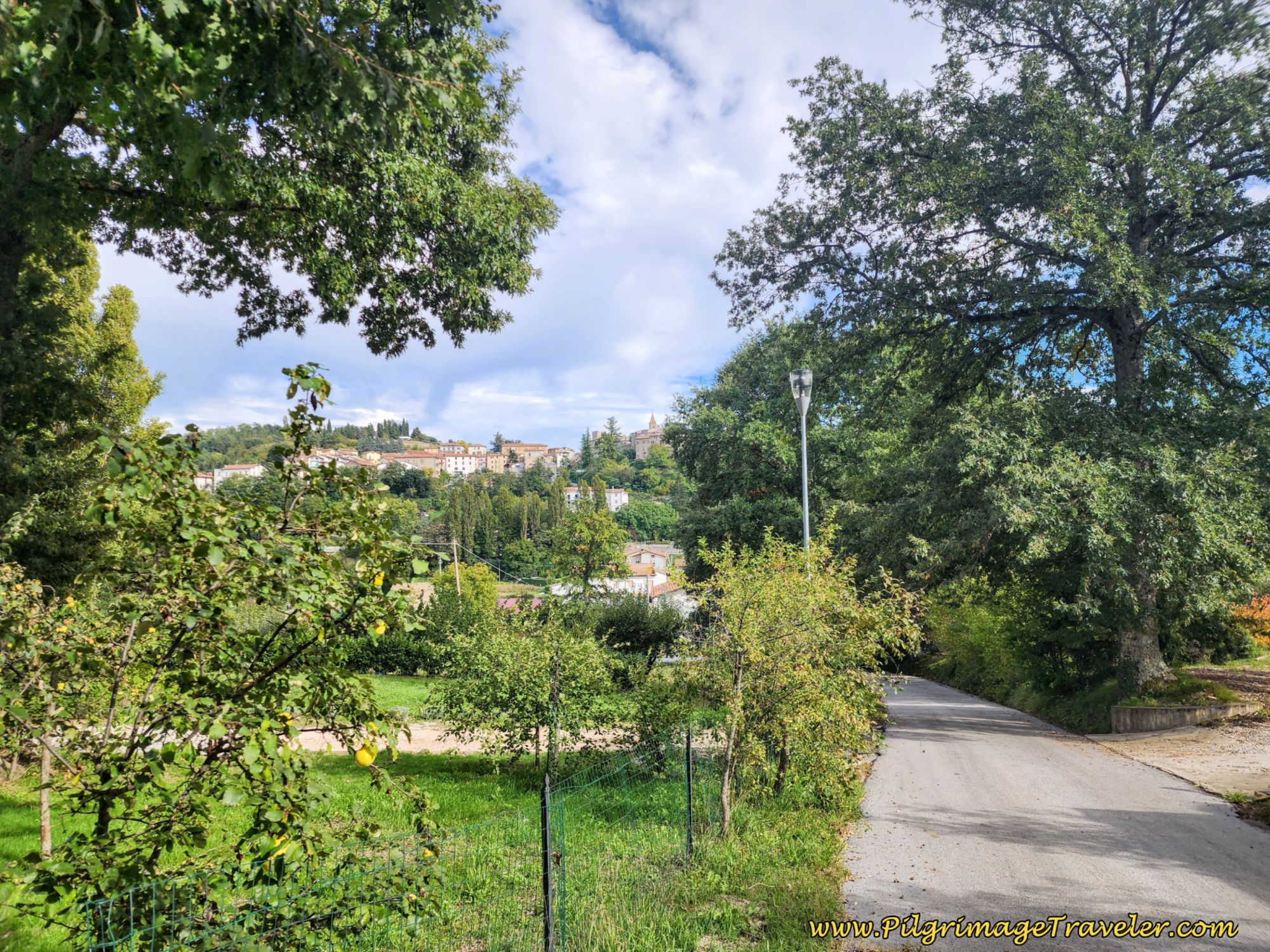 Farm Road, Pietralunga in Distance
As you can see in the photo above, you are dropping to an elevation below the city, and in the last kilometer, you have a final elevation push to attain the level of the town.
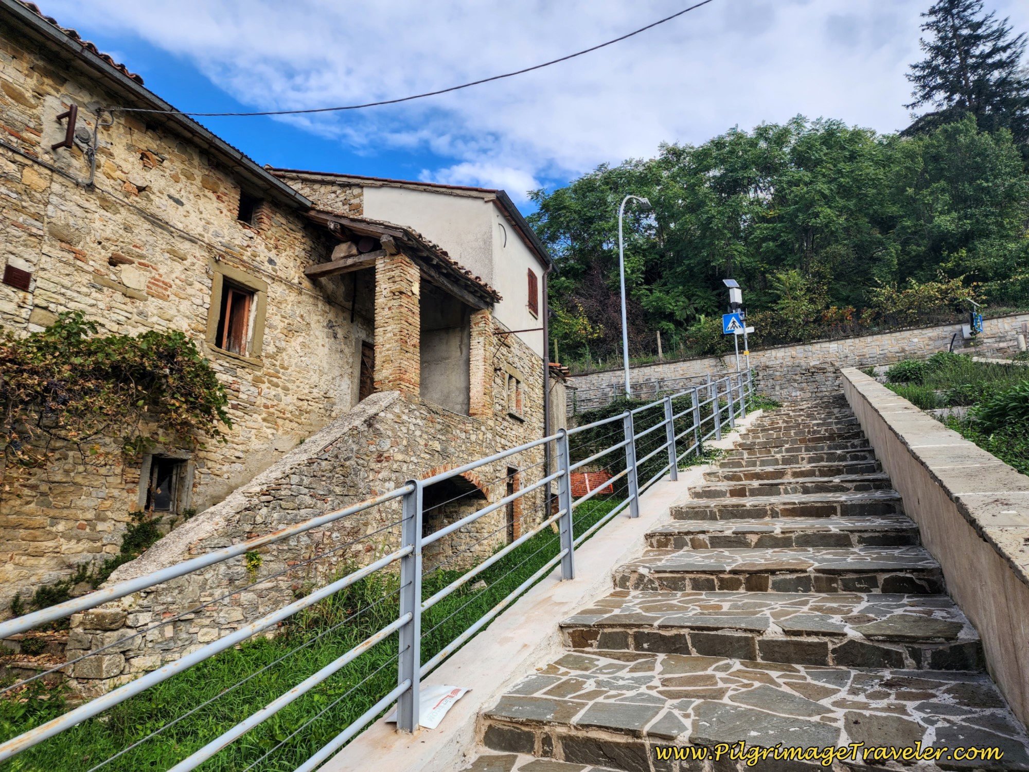
Remain on the Via San Vincenzo for about 300 meters until it ends in this staircase.
Climb to the top of the stairs and turn left onto the SP201. Follow the terrace wall above you for about 75 meters and take the first hard right, climbing up the ramp.
When you reach the end of this road in less than 100 meters, take a left, climbing up the next ramp. Here is Nick and Rich negotiating the climb.
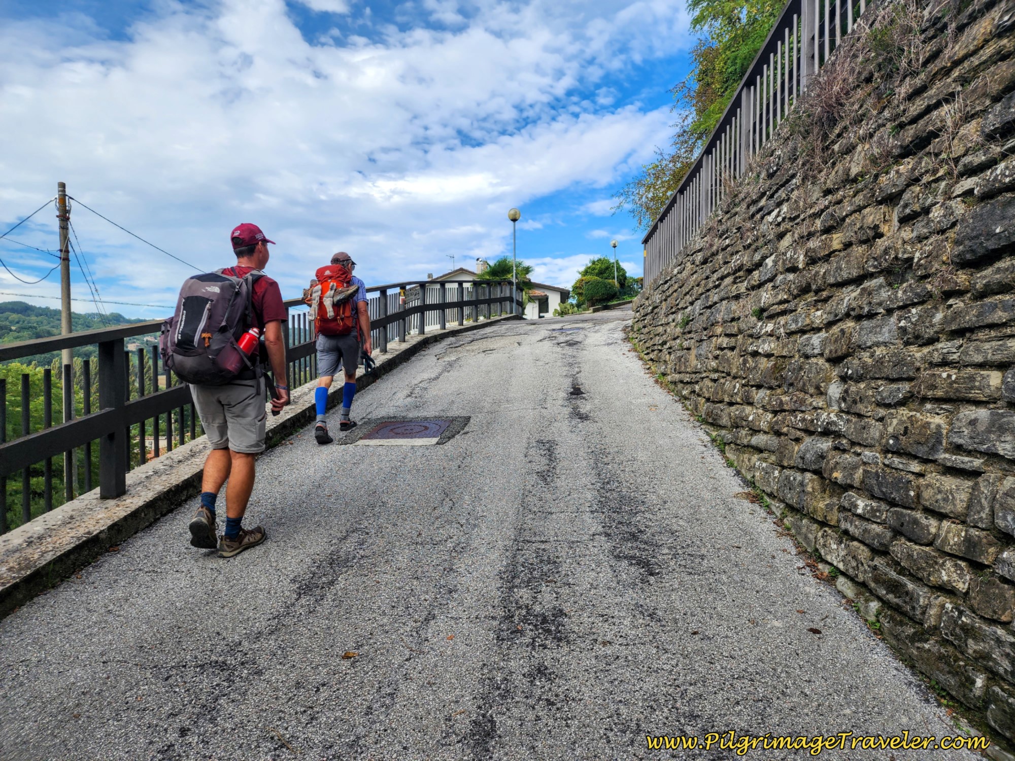 Zig Zag Up Ramps to Pietralunga Center
A few meters later, take the next right hand turn seen in the distance in the photo above, to join a narrow and quaint medieval street called the Via Dell'Ospedale.
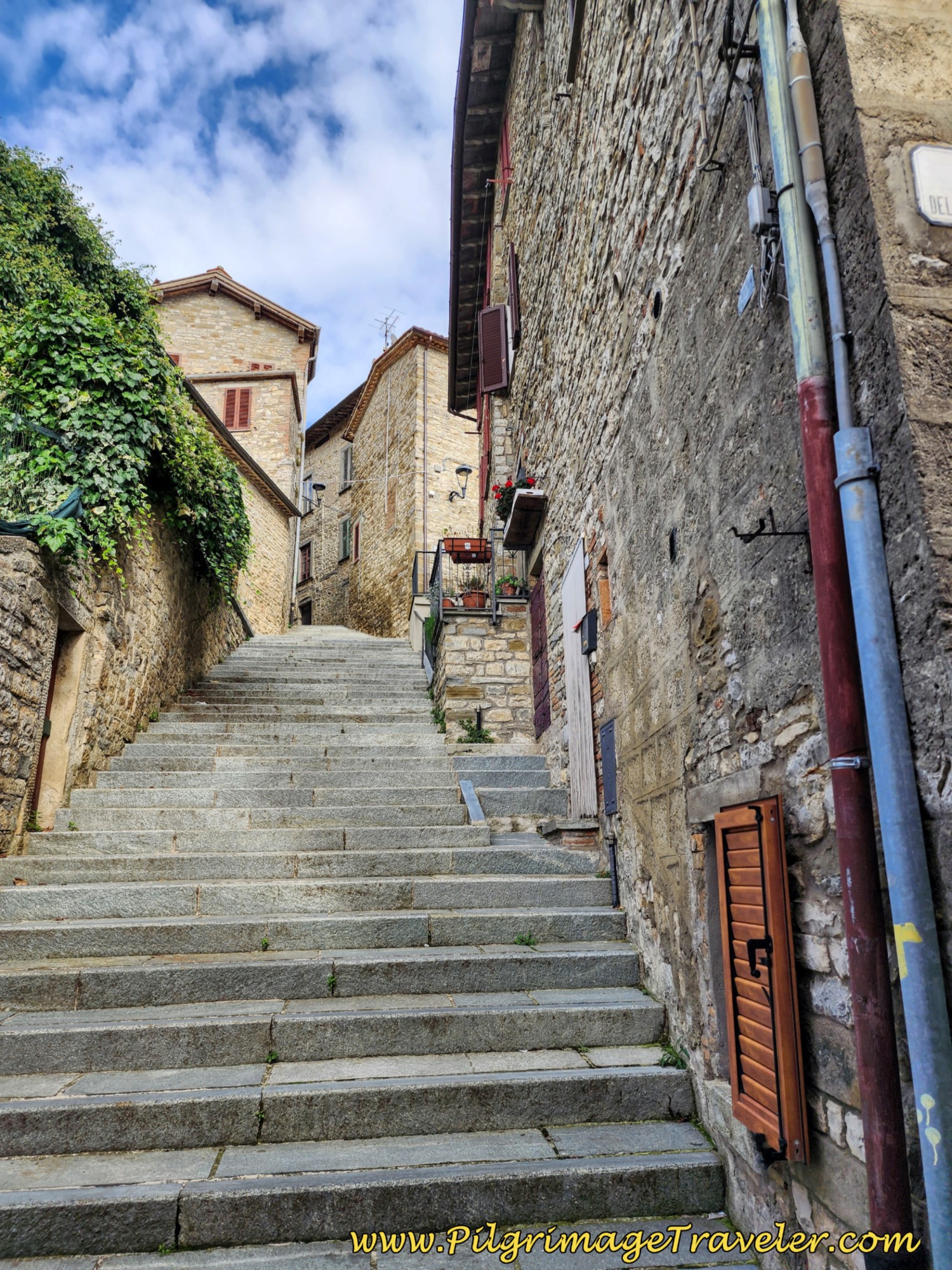
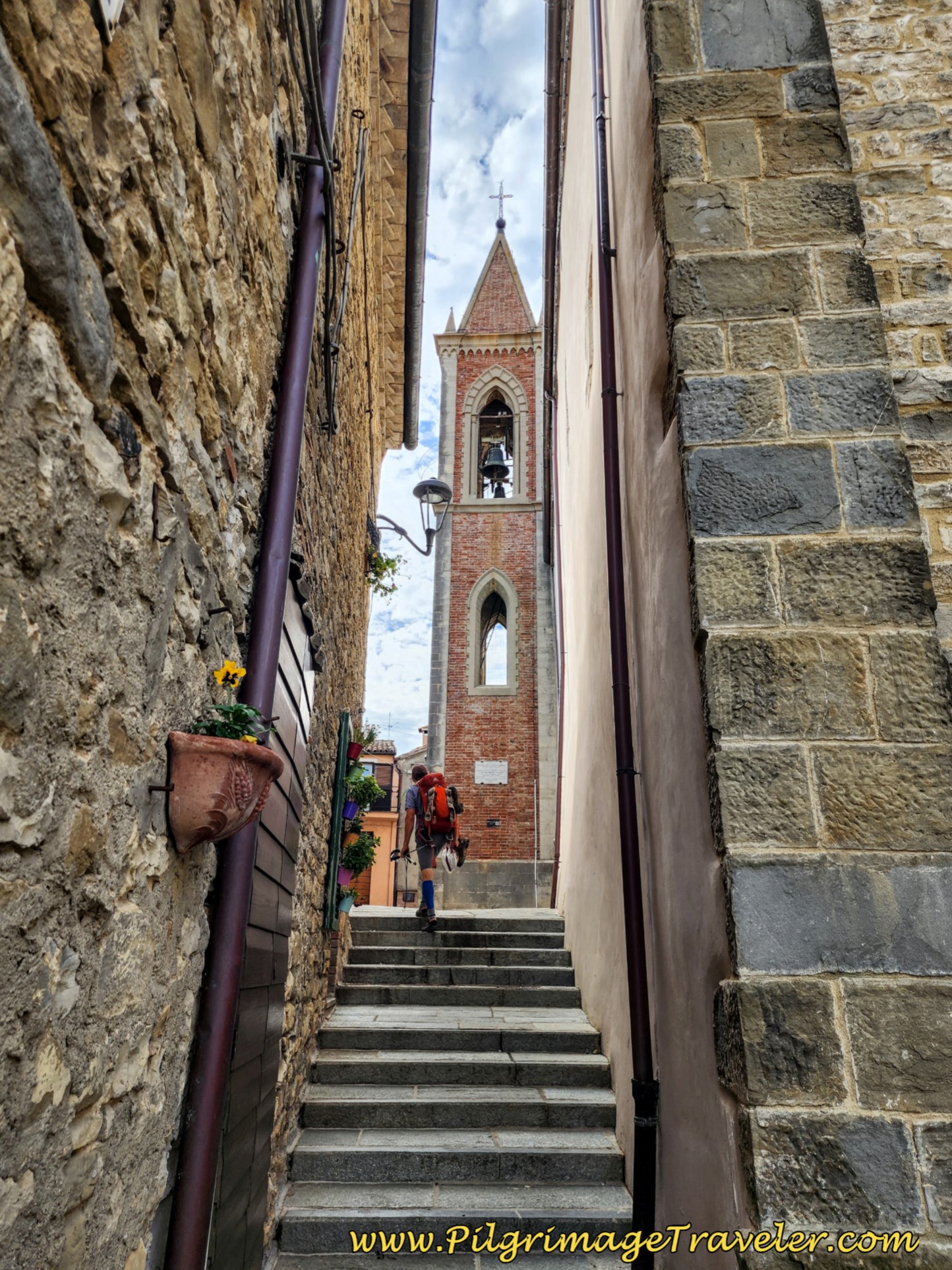
A short 50 meters later, you take a left turn up the steep stairs of the Via Sant'Agostino, below.
When the stairs end, bend to the right on the Corso Giacomo Matteotti.
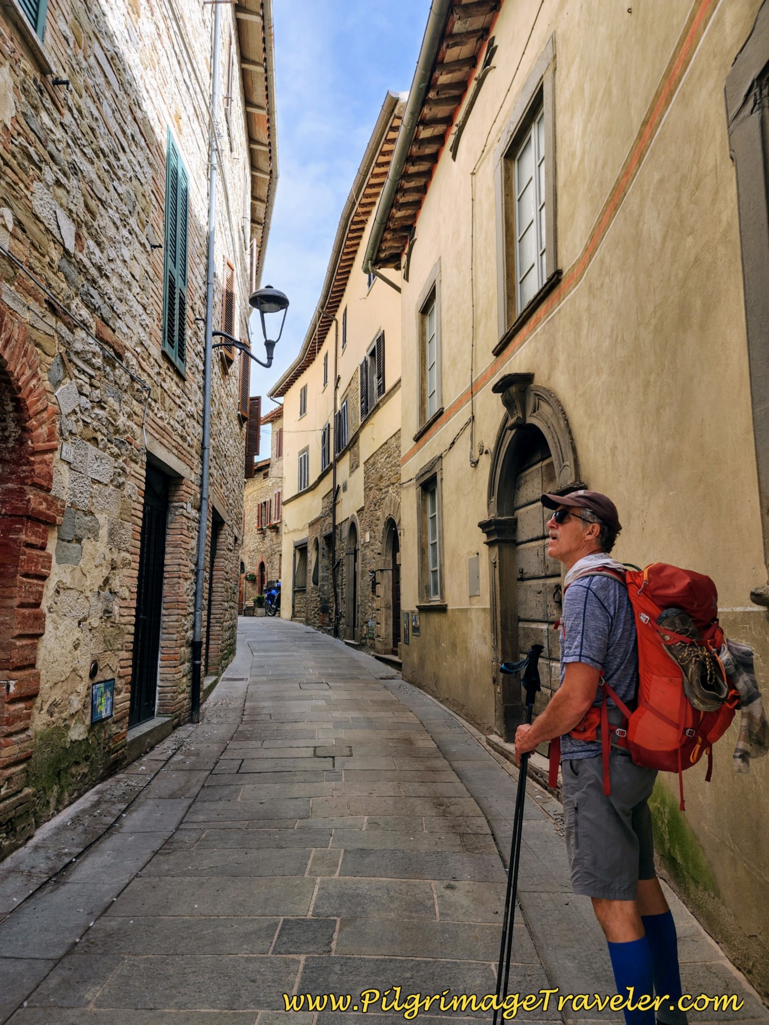 Rich on Narrow Medieval Street, Leading into the Center of Pietralunga
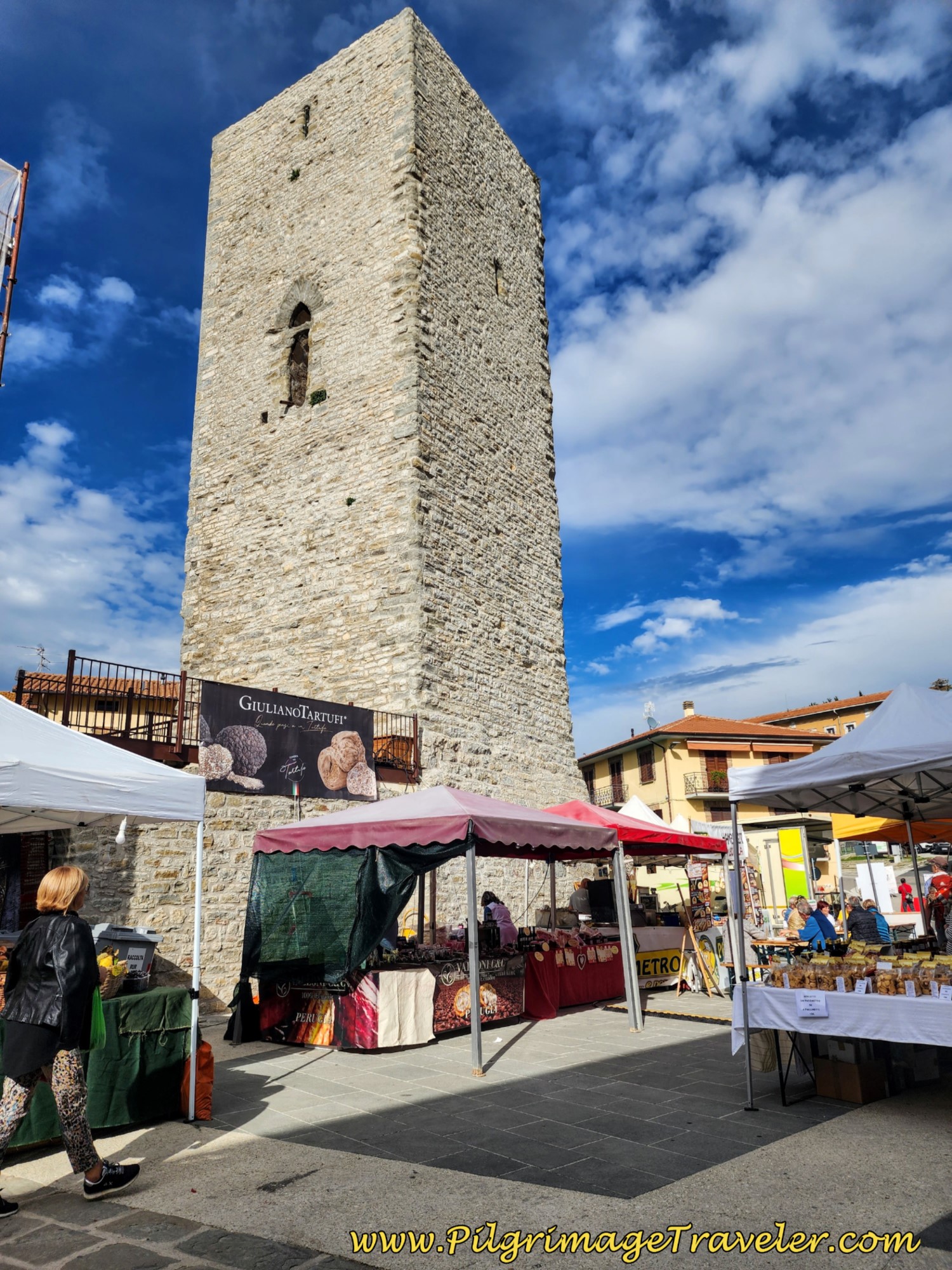
A few meters onward, you will see a clock tower ahead, just before the main church square. As we approached the center of town, we realized that there was a fair of some nature going on. It turned out to be the annual Truffle Festival!
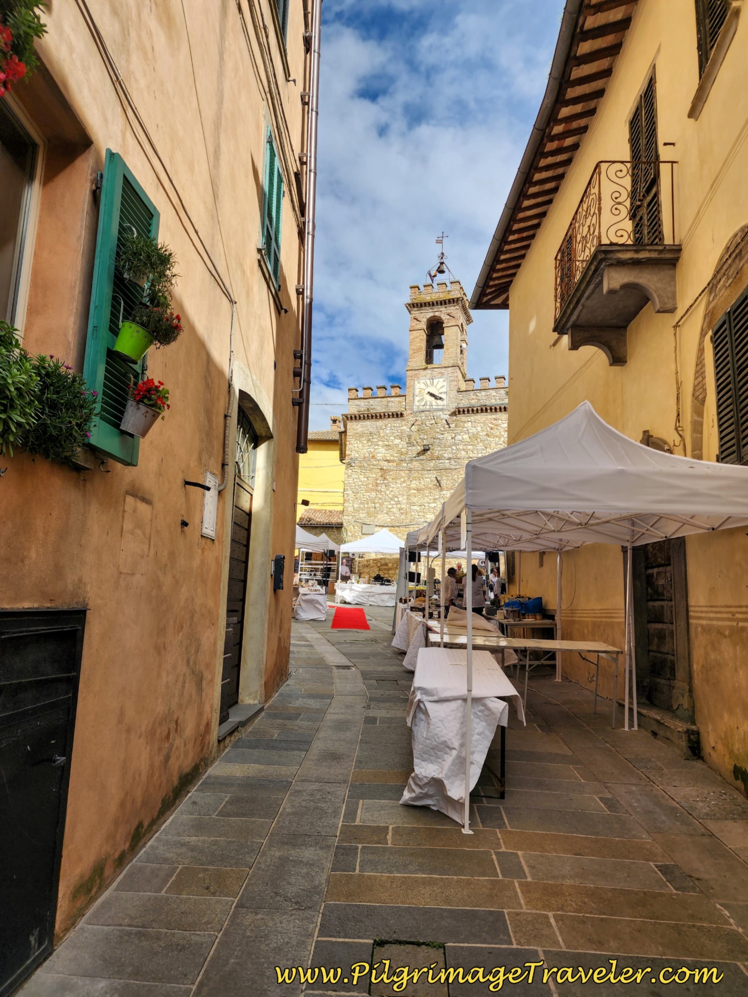 Corso Giacomo Matteotti and Clock Tower
A few steps later you arrive in the central plaza square. The church with the rifugio for pilgrims is to your left (west), the Chiesa Santa Maria, shown below. It is right beside the town hall, with the flags flying.
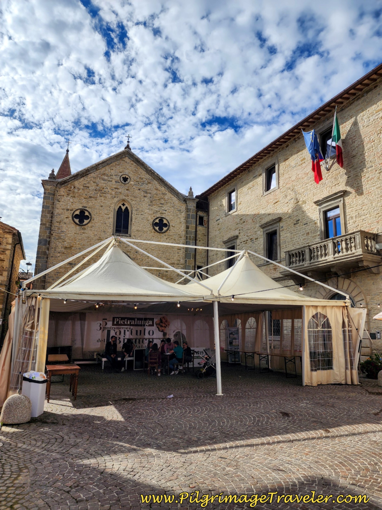 Chiesa Santa Maria with Rifugio
Upon our arrival into the square, the first thing we saw were the festival tents, but most likely the first thing you will see is this dominating tower, the La Rocca Longobarda Tower.
To get to the Rifugio Betania Per i Pellegrini, (+39 328 033 8261) as you face the church there is this narrow stairway to the left. Take it and go through a gate to your right at the top of the stairs, going around to the back. There is a priest in the room to the right who will check you in.
This rifugio for pilgrims is a wonderful place to stay, with an incredibly warm welcome. It is even accommodating for dogs, as would have been true for San Francesco himself.
We stayed in a room for three, and the room above us on the second floor served six. There were only five total pilgrims here on this night.
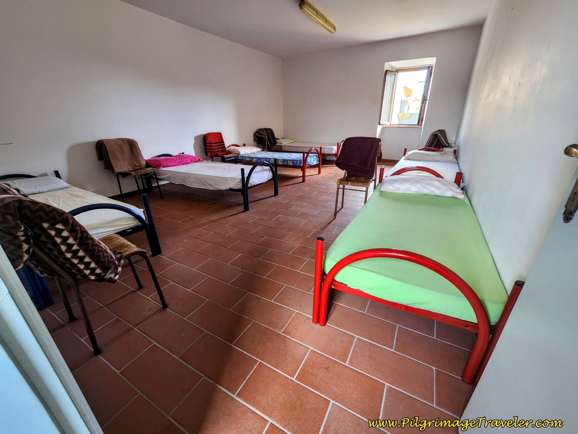 Accommodation at the Rifugio
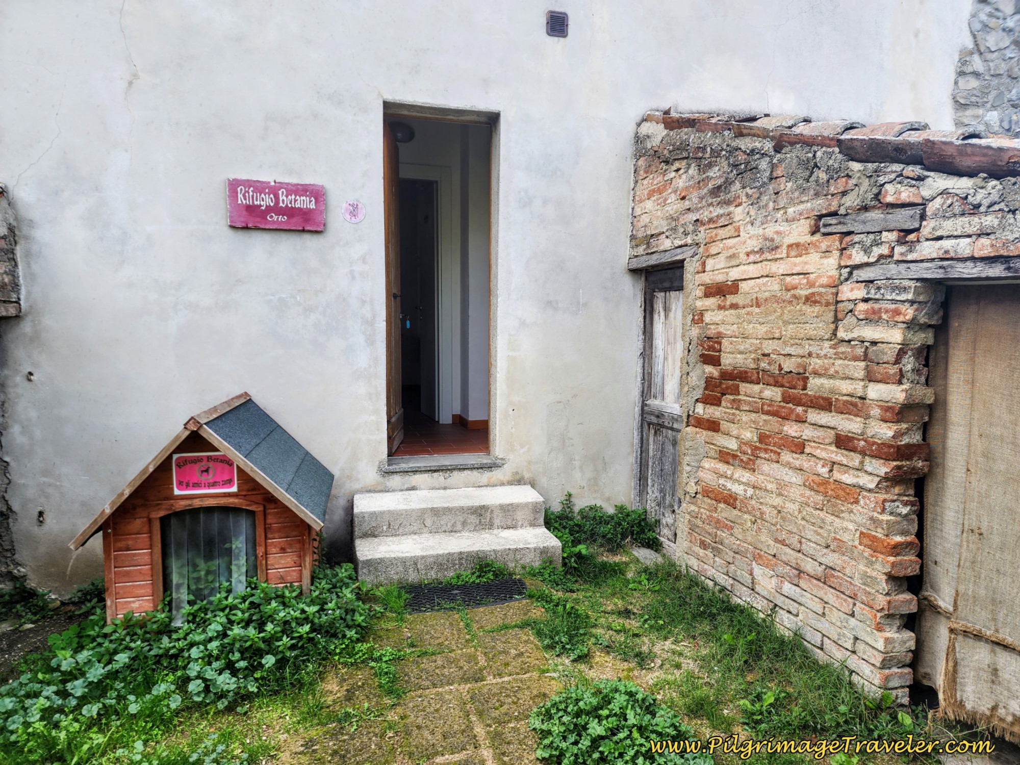 Room for All God's Creatures
We gathered all five for dinner, plus two more we ran into along the way, staying in private accommodation and had one of the only "community" meals on our journey. The restaurant, the Ristorante Pizzeria Locanda Dei Fiorucci was on the terrace wall in the square, overlooking the valley below. It was a lovely way to end our day six on the Way of St. Francis from Città di Castello to Pietralunga.
Reflections, The Way of St. Francis, Città di Castello to Pietralunga
Today was a long day, but successful. I truly felt the monotony of the day, yet was able to find uniqueness along the way as well. And after wandering around the festival and testing various delicacies, and having a wonderful community meal with other pilgrims, I retired to bed with a full heart.
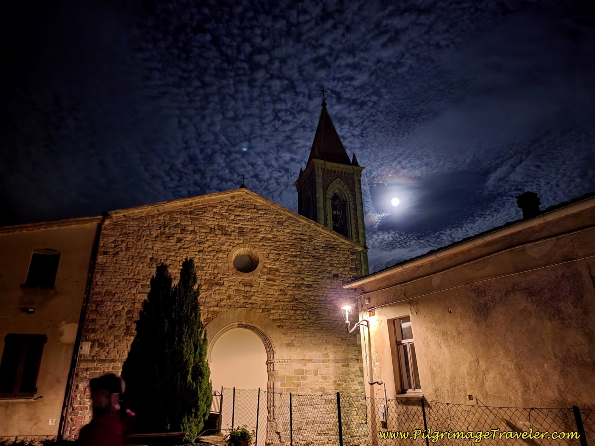
And the icing on the cake greeted me that night, filling my heart even fuller!
Salutation
May your own Way of St. Francis from Città di Castello to Pietralunga fill your heart, enriched by honest service, love, sacrifice and courage. Ultreia!
Way of St. Francis Stages
Please Consider Showing Your Support
Many readers contact me, Elle, to thank me for all the time and care that I have spent creating this informative website. If you have been truly blessed by my efforts, have not purchased an eBook, yet wish to contribute, I am very grateful. Thank-you!
Search This Website:
Follow Me on Pinterest:
Follow Me on Instagram:
Find the Pilgrimage Traveler on Facebook:
Like / Share this page on Facebook:
***All Banners, Amazon, Roamless and Booking.com links on this website are affiliate links. As an Amazon associate and a Booking.com associate, the Pilgrimage Traveler website will earn from qualifying purchases when you click on these links, at no cost to you. We sincerely thank-you as this is a pilgrim-supported website***
PS: Our guide books are of our own creation and we appreciate your purchase of those too!!
Shroud Yourself in Mystery, along the Via de Francesco!
Walk in the Footsteps of St. Francis, and Connect Deeply to the Saint and to Nature in the Marvelous Italian Countryside!
Recent Articles
-
Day One on the Camino Portugués, Lisbon to Alverca do Ribatejo
Apr 15, 25 08:19 PM
Our Day One on the Camino Portugués was much more beautiful and enjoyable than we had heard. -
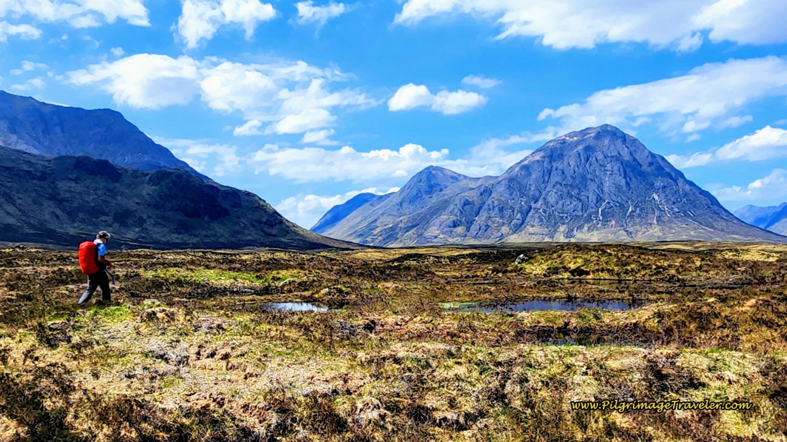
Hiking the West Highland Way
Apr 11, 25 08:51 PM
Hiking the West Highland Way is a representation of all things Scottish, traversing 96 miles from the lowlands of Milngavie to Ft William, in the highlands. -
Way of St Francis eBook Guide (Via di San Francesco)
Apr 11, 25 08:49 PM
Our Way of St Francis eBook Guide, a digital guidebook is full of current information to assist you in finding your Way. In downloadable, digital, PDF format.
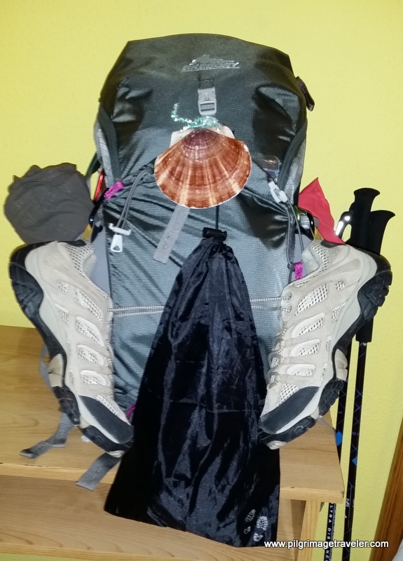
Need suggestions on what to pack for your next pilgrimage? Click Here or on the photo below!
Carbon fiber construction (not aluminum) in a trekking pole makes them ultra lightweight. We like the Z-Pole style from Black Diamond so we can hide our poles in our pack from potential thieves before getting to our albergue! There are many to choose from! (See more of our gear recommendations! )
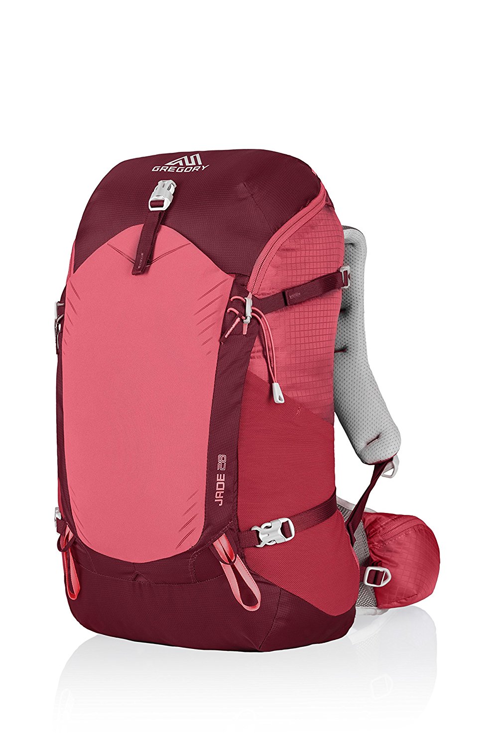
Gregory BackPack - My Favorite Brand
Do not forget your quick-dry microfiber towel!
Booking.com
My absolute favorite book on how to be a pilgrim:








Your Opinion Matters! Comments
Have you had a similar experience, have some advice to give, or have something else you'd like to share? We would love to hear from you! Please leave us a comment in the box below.