- Home
- Camino Inglés
- Day Three on the Way of St. Francis, Montagna to Sansepolcro
Jump to Way of St. Francis Stages
Day Three on the
Way of St Francis ~
Montagna to Sansepolcro, 11.7 Kilometers (7.27 Miles)
Our day three on the Way of St. Francis from Montagna to Sansepolcro was a forest walk down the mountain to the serene Eremo di Montecasale, followed by an even steeper walk through the forest after the hermitage, and a final 4 kilometer jaunt on pavement into the town of Sansepolcro.
"What you are looking for is what is looking." ~ St Francis of Assisi
For this stage, I have chosen the contemplative saying above, from the saint, so that if you are soul searching on this day and on your pilgrimage, you can reflect on the fact that indeed, God (or the Universe, if you prefer) is present with you always. This is regardless of whether you can see, touch or feel that Presence!
Maps and Stats, The Way of St. Francis ~ Montagna to Sansepolcro
This is a very short stage that we combined with my day four to make a reasonable total of about 23.1 kilometers. Because we did not walk all the way to Sansepolcro on the prior day two (thank heavens, as you will see below), walking only from Montagna to Sansepolcro was indeed too short at 11.7 kilometers.
Secondly, the onward walk from Sansepolcro to Citerna was also too short for us at only 11.4 kilometers, so we combined the two.
By creating separate days in my narrative, day three and day four, a pilgrim can pick up the "official" stages in Sansepolcro as recommended by the Italian Via di Francesco source if (s)he so desires.
Also, the pilgrim who chose the valley route instead of the mountain route from Pieve Santo Stefano, can also pick up my narrative from day four.
Or, if you like short stages, and/or wish to spend the night in Sansepolcro, this is also a better narrative for those pilgrims!
Here are my GPS tracks for the day. There are several fountains in the early kilometers, but with Sansepolcro an easy first target, you would not need to carry much water, and no food if you did not want to.
However, I always recommend carrying snacks, as you never know what might happen on any given day, and there is minimal traffic on these forest roads and paths.
The day's elevation changes are predominantly downhill, as you can see in the elevation profile below, but there is a small climb out of Montagna as you can also see, in the first 1.5 kilometers.
Next is a ridge run, essentially flat, followed by an incredibly steep drop off the mountainside for about two kilometers just before and after you visit the hermitage and convent of Montecasale.
Way of St. Francis EBook Guide
Our downloadable Way of St. Francis eBook Guide, in PDF format, contains all the valuable information from our web pages, for comfortable reading off-line in the mountainous and remote areas along this Way. Don't carry a heavy paper book, but use our digital eBook on your mobile device instead! You can deeply connect to nature, following in the footsteps of St. Francis, through the Italian countryside!
Our eBook guides are packed with frequently updated information, because a digital format is more nimble than hard-copy publishing. Our eBook Guide is unique because we also entertain and immerse you with our story! Click here for more information OR BUY NOW.
Jump to Way of St. Francis Stages
Photo-Rich Travelogue, The Way of Sts Francis, Montagna to Sansepolcro
We left the Alla Battuta B&B after an early breakfast at 7:30, in cool, crisp 5.0 degree Celsius weather (about 40 degrees Fahrenheit). Our clothes were damp, since they failed to dry overnight. This was to be a recurring theme on this pilgrimage - putting on damp clothes and drying them out solely by the warmth of our bodies!
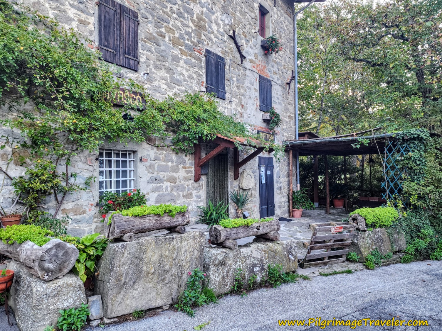
It was so very gorgeous walking through Montagna in the early morning light. We first passed the now closed Trattoria Da Vasco restaurant, shown below. What a pity, as this place looks so amazingly quaint!
Immediately after the Trattoria, take a left turn, uphill, continuing on a paved road. The signage is good as you walk through town.
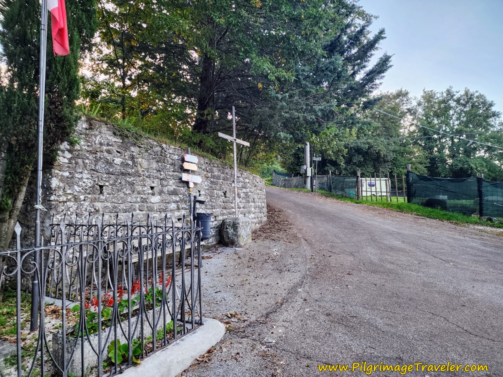 Left Turn Uphill in Montagna
Pass by the small town church, not pictured, now turned into a community center. This is the former Church of San Michele Arcangelo, which has closed its doors to pilgrim stays.
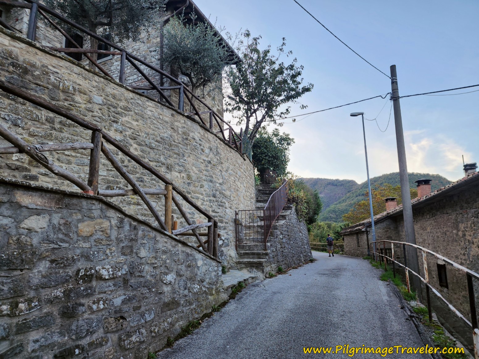
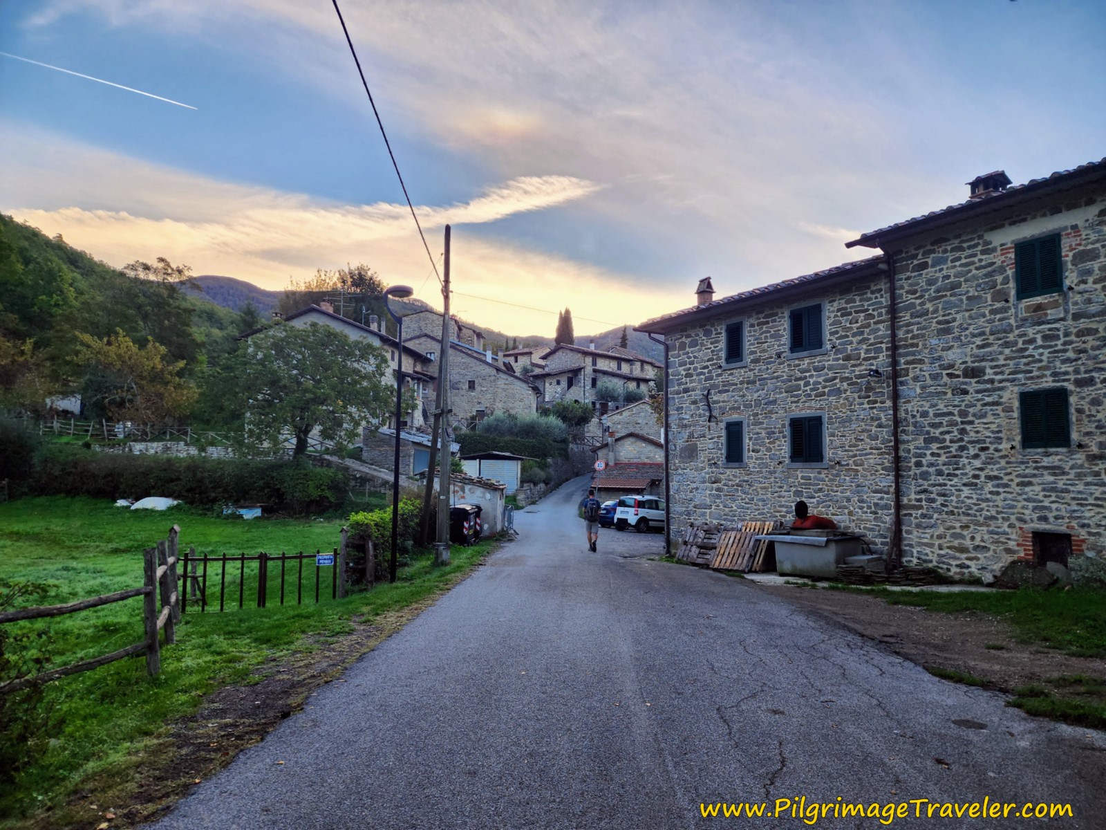 Continue Climb Through Quaint Montagna
Montagna is essentially a strip along the main road, with terraced homes on the hill. It is such a picturesque village!
After leaving the village, at about 600 meters into the day, the pavement of the road turns to gravel.
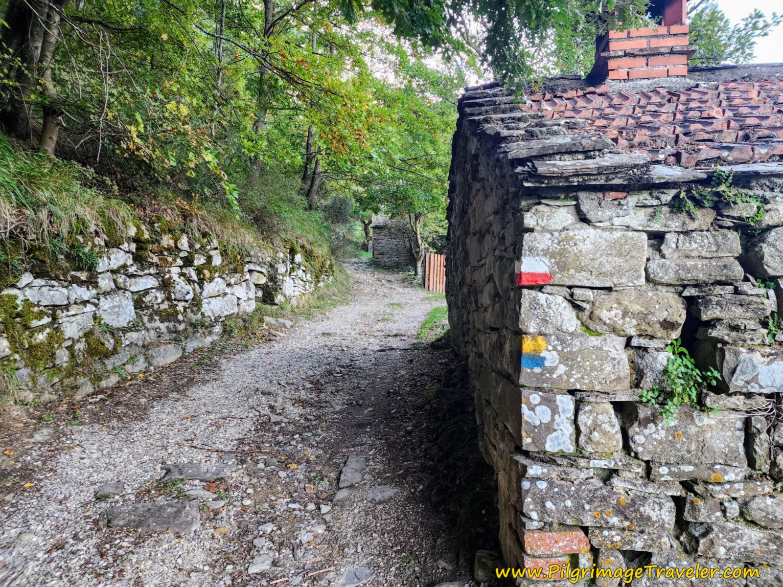
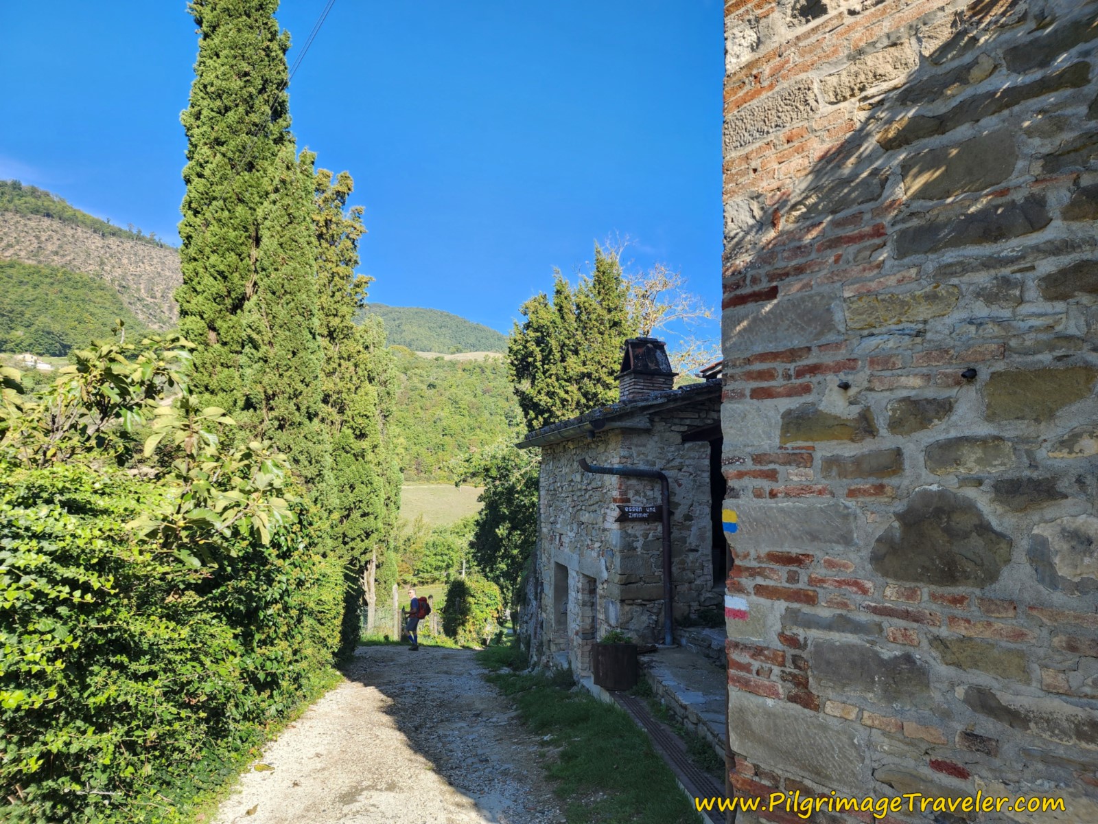
At approximately 1.25 kilometers into the day, come to a cluster of abandoned buildings, seen here. Note the trail marker blazes on the building.
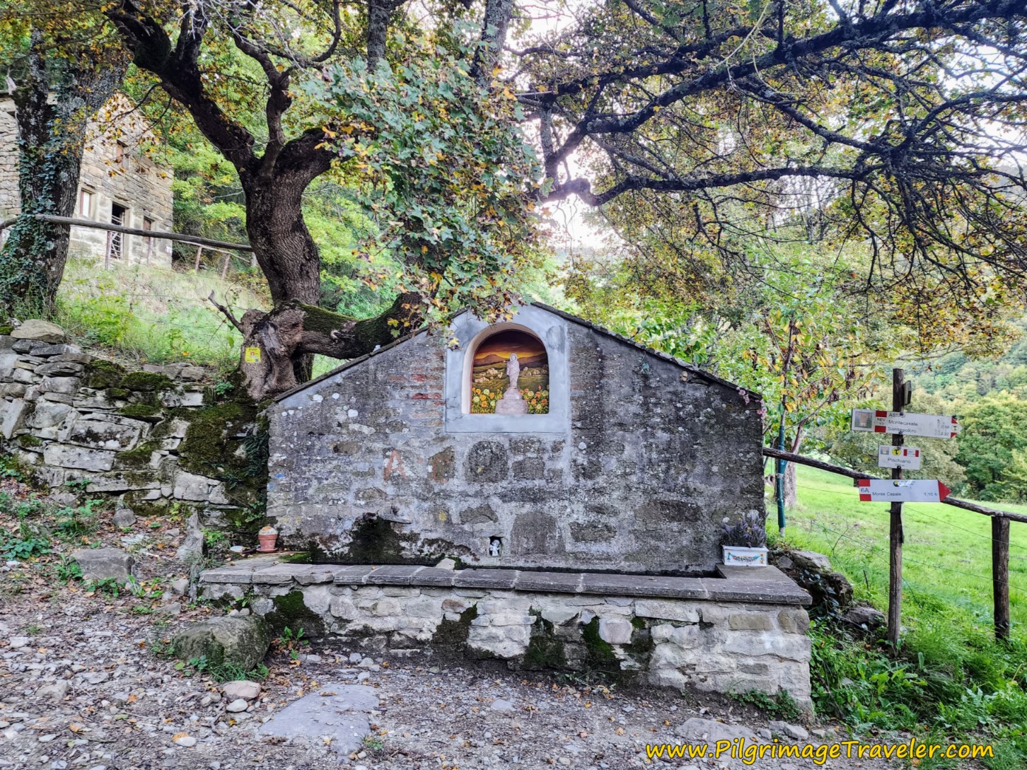
About 150 meters later, arrive at this inviting shrine, with a fountain! Take a right hand turn here at the shrine.
After the turn the Via is now a path, and it drops steeply down a hill and crosses a drainage, shown next.
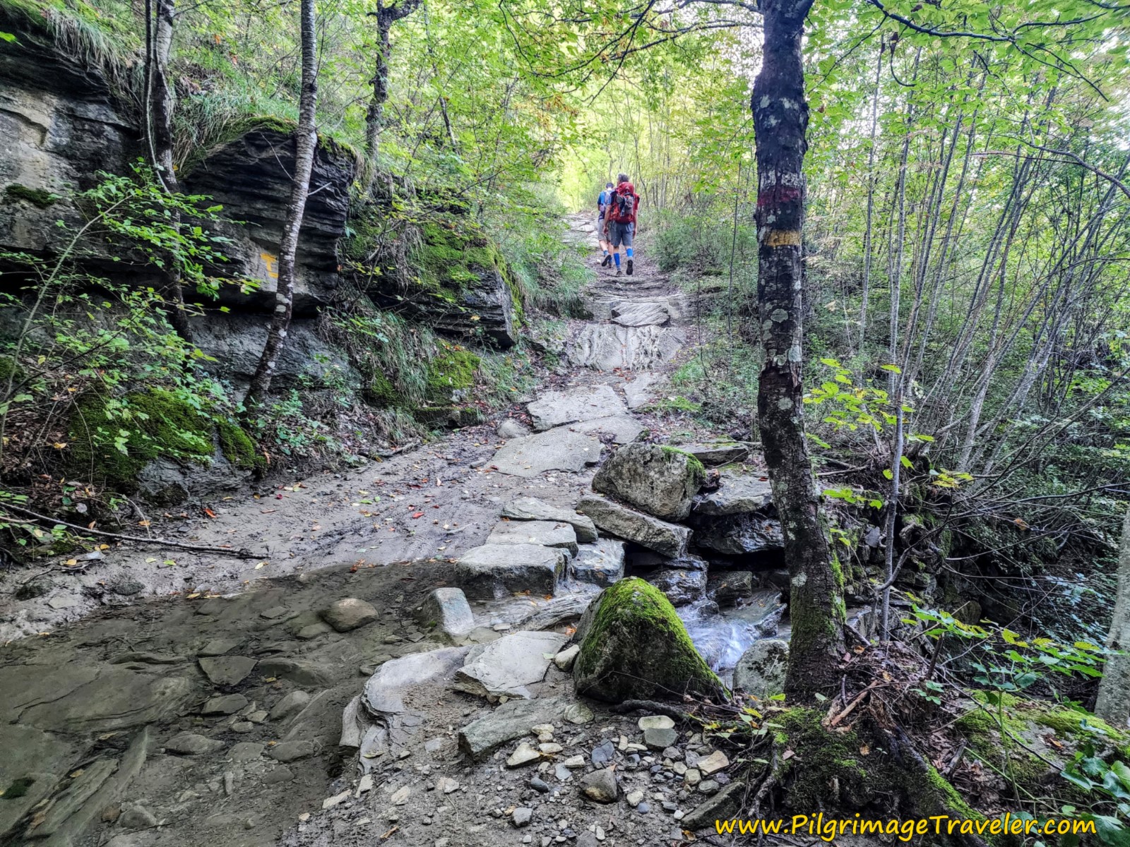 Cross First Drainage
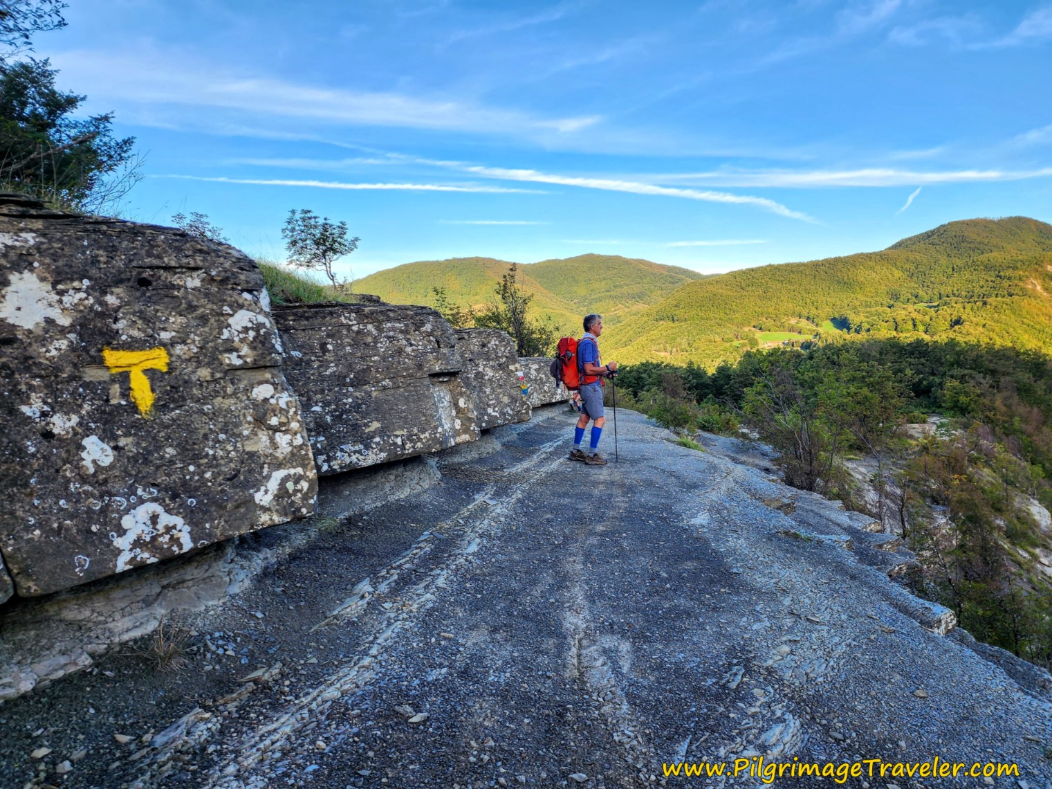
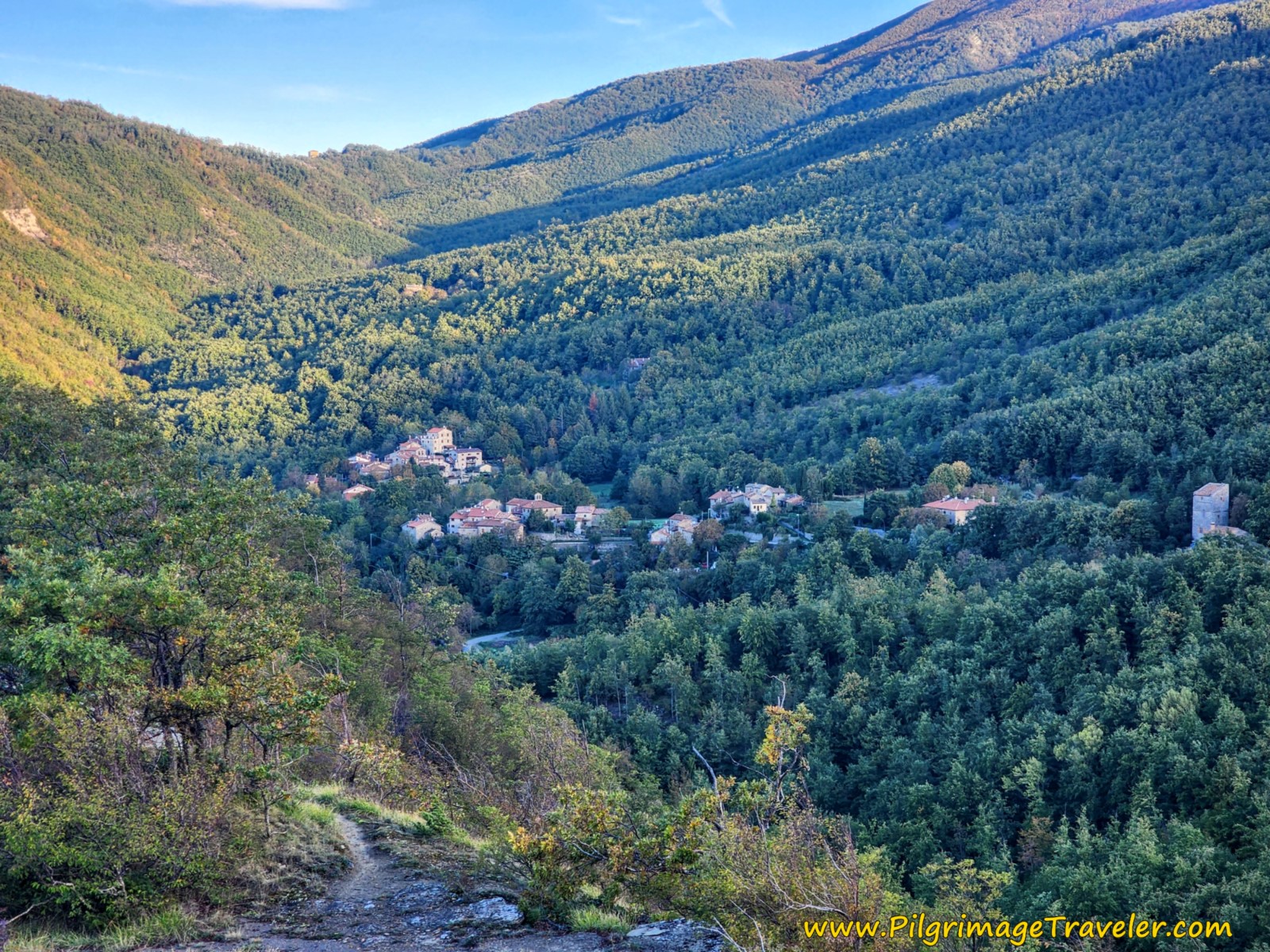
Climb back up and out of the drainage, hiking up to a shelf with an overlook at about 1.87 kilometers. You can look back to see Montagna. It is a lovely sight!
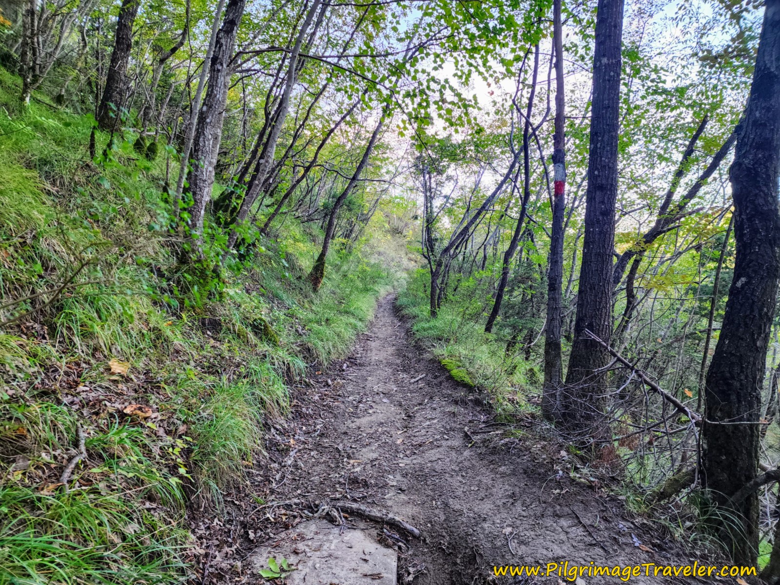
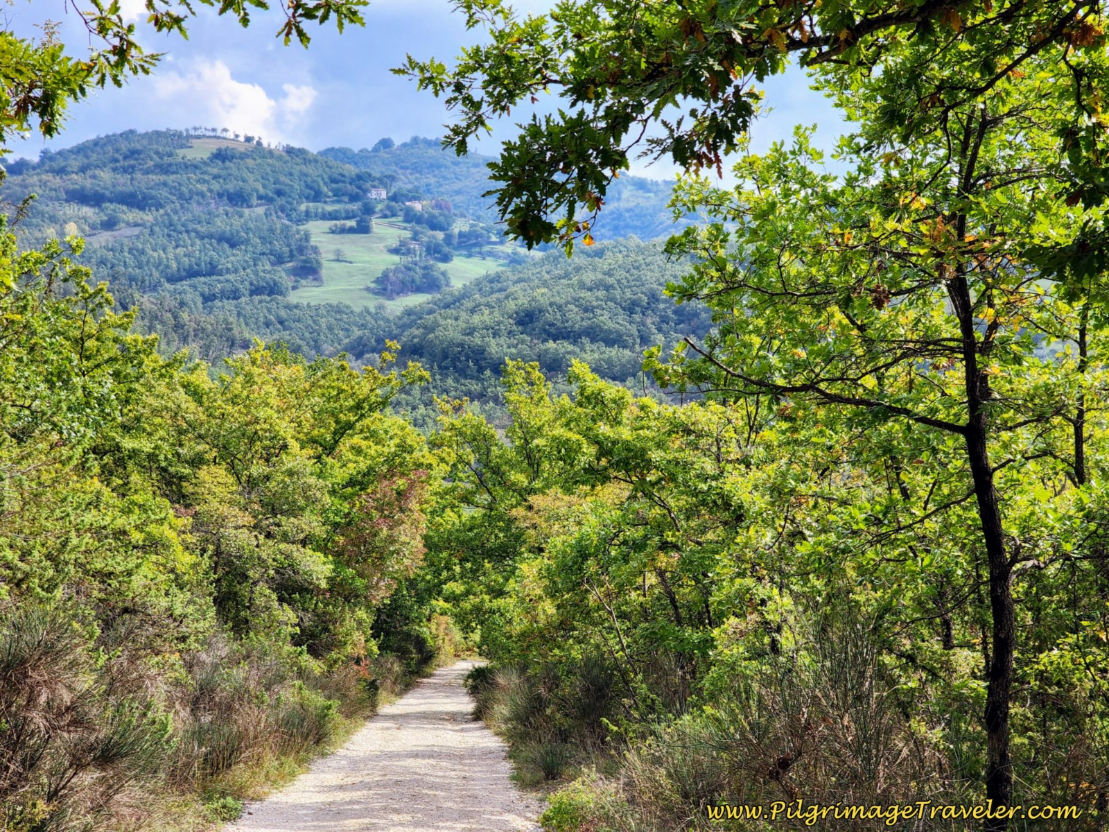
The path onward from the shelf lookout is verdant and cool, as you continue walking through the forest.
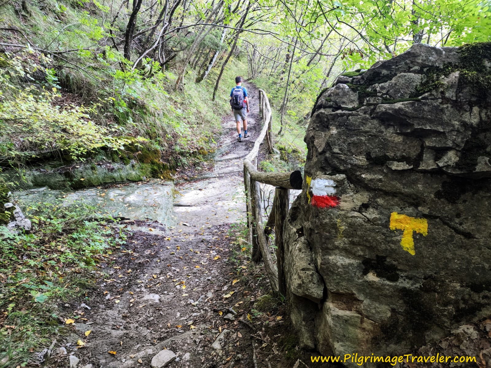
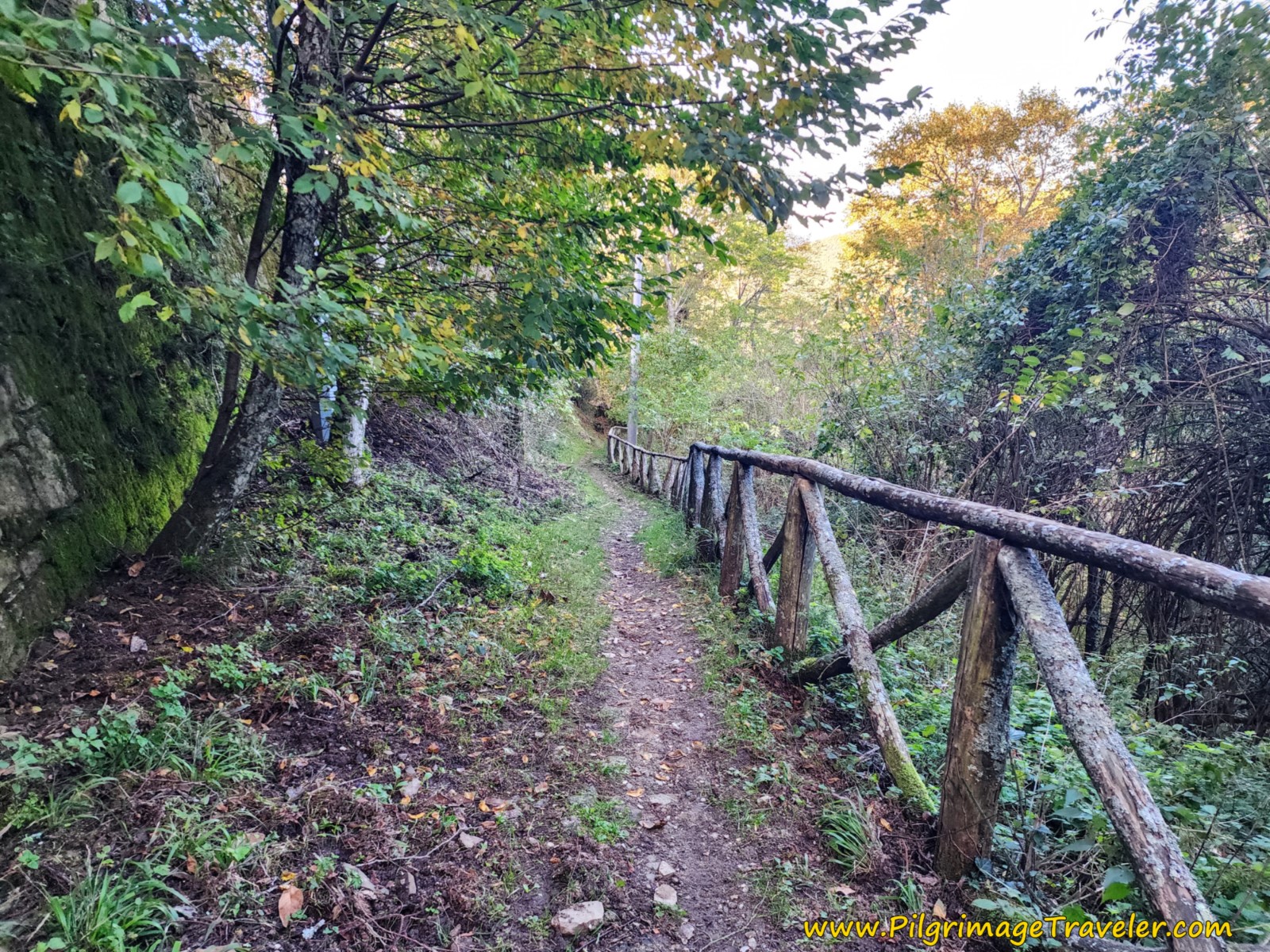
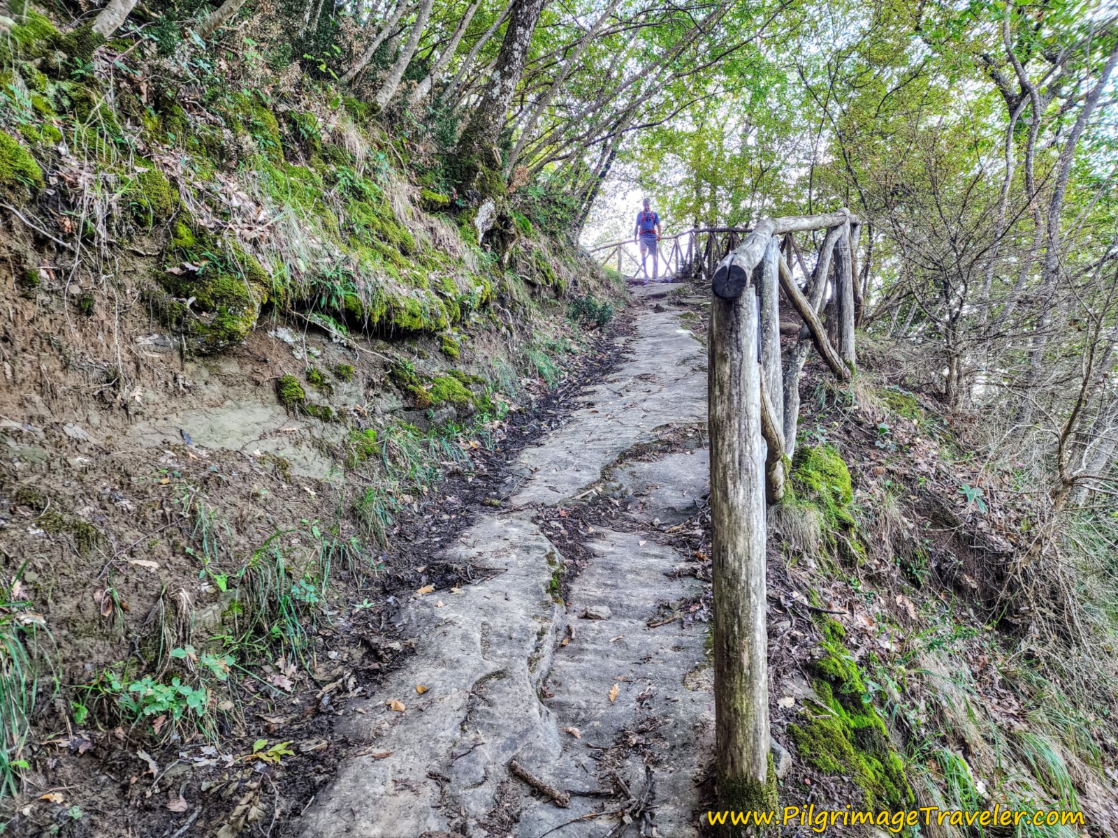
At approximately 3.23 kilometers, come to the second drainage, shown below. As you can see this section of trail is well-maintained and there are significant trail improvements, like the rail fencing.
Approximately 3.9 kilometers into the day, come to the second fountain. This is your final chance to fill your water bottles before Sansepolcro, about seven kilometers away.
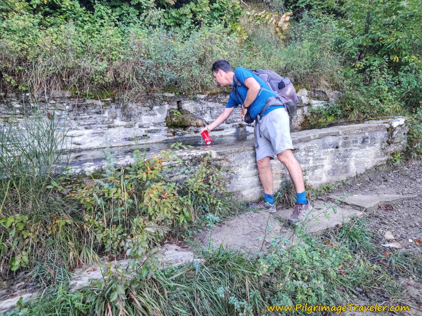 Nick Filling Up at the Second Fountain
The Way of St. Francis from Montagna to Sansepolcro continues to undulate along the ridgeline, with little variation in elevation.
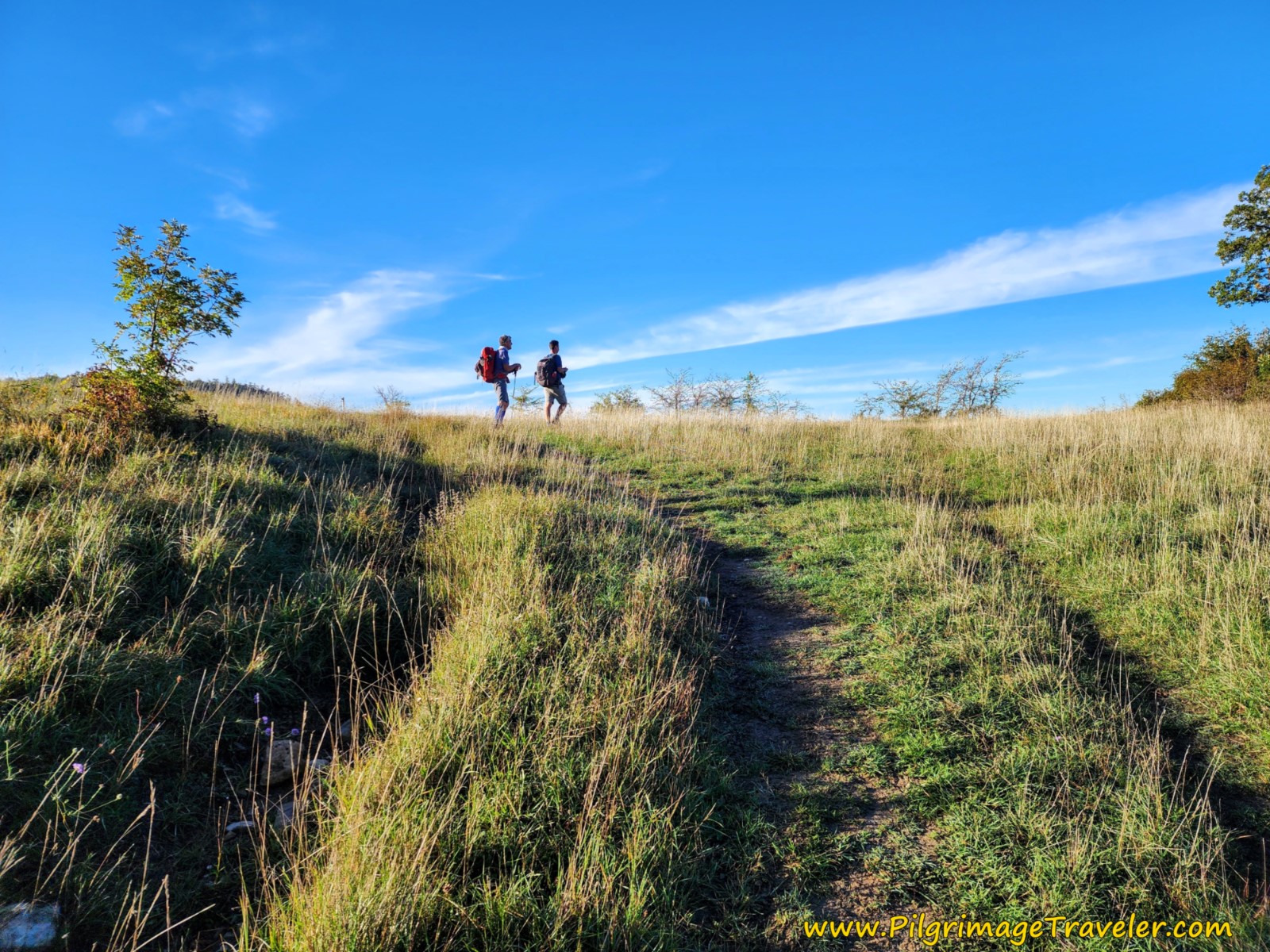
And then an opening appears, ahead. Here is Rich and Nick breathing in the now very open space, at the top of the hill. Nick even spotted a huge herd of deer up here, too far away to capture well in a photo.
Jump to Way of St. Francis Stages
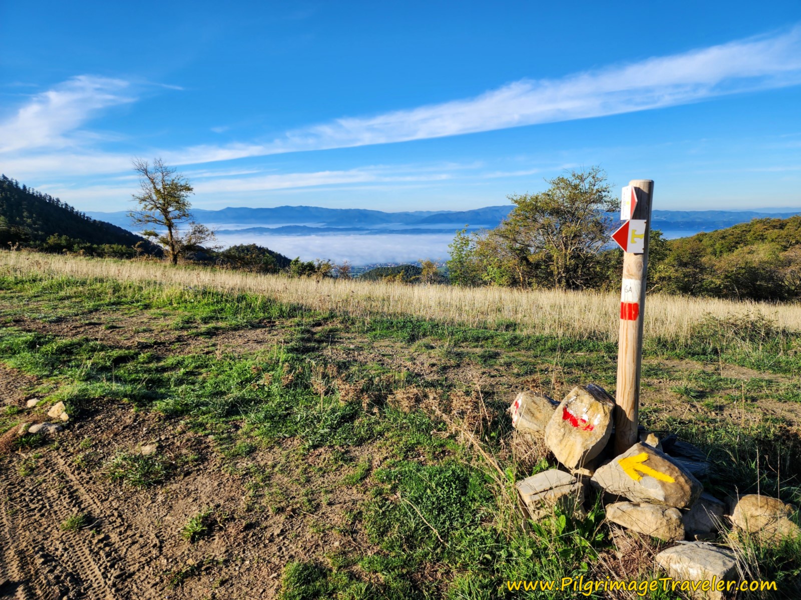
As you reach the top of this open area, at approximately 4.2 kilometers, it feels like a mountain pass. But I could find no name for this area, which is the altitude top of the day. A stake marks the spot.
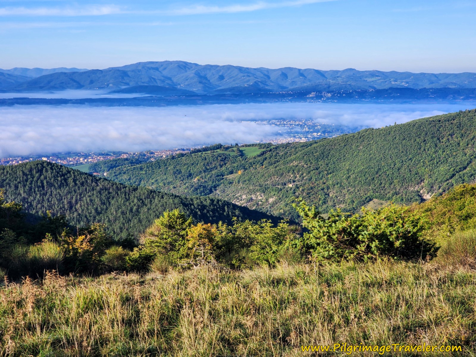
The views from up here are truly great, and we paused for a while to admire it and take more photos.
On our day in October, the valley below, where you can see your destination, Sansepolcro, was filled with fog.
The Via di Francesco turns left at the stake, then right almost immediately afterwards, to follow a road that steeply switchbacks down the mountain and back into the forest for the next 1.25 kilometers.
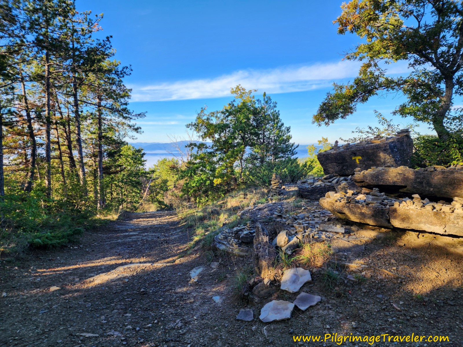 Follow the Well-Marked Gravel Road Down the Mountain
This gravel road is well marked, and takes two hard lefts about one quarter of a kilometer from the top. The road gets nicer as you descend, one which motor vehicles could use, however we didn't see any.
As you continue to drop down a long straightaway to a drainage, at just about 5.08 kilometers, you will see little trail off to the right, but stay straight. A few meters later, you come to a gate across the road, which explains the lack of any traffic.
At approximately 5.2 kilometers, come to a crossroads, where you stay straight. There is a field up and to the left.
A group of buildings can be seen ahead at about 5.5 kilometers. This is also where pavement begins.
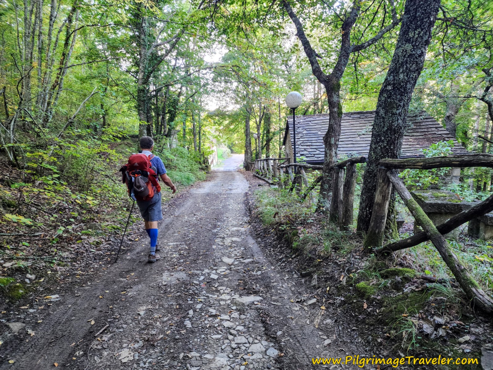 Rich Approaching Buildings
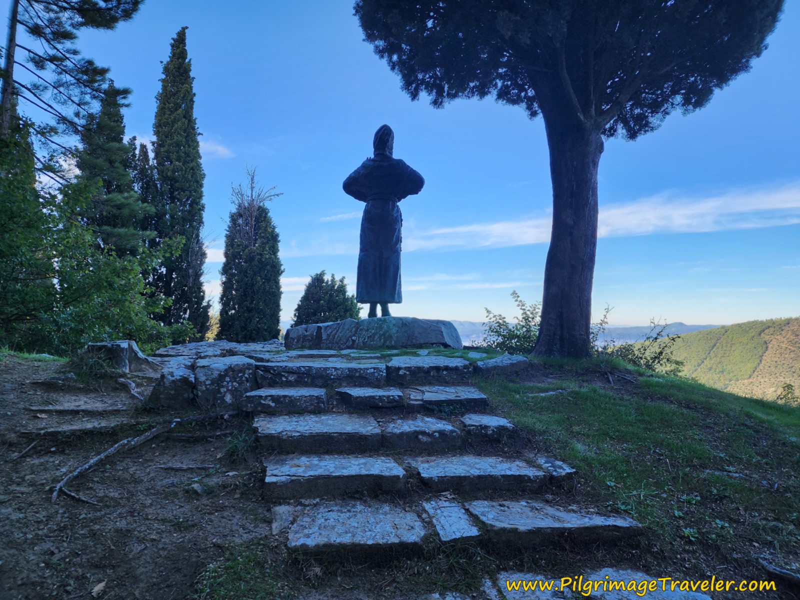
A few meters after joining the pavement, you come to a statue of St. Francis on a high rock, shown below. You are now approaching the hermitage, the Eremo di Montecasale.
After admiring St. Francis and enjoying his view, you continue on the paved road that circles around the statue to the right and to directly below it. You can now admire St. Francis from the front, at the lower vantage point from the road.
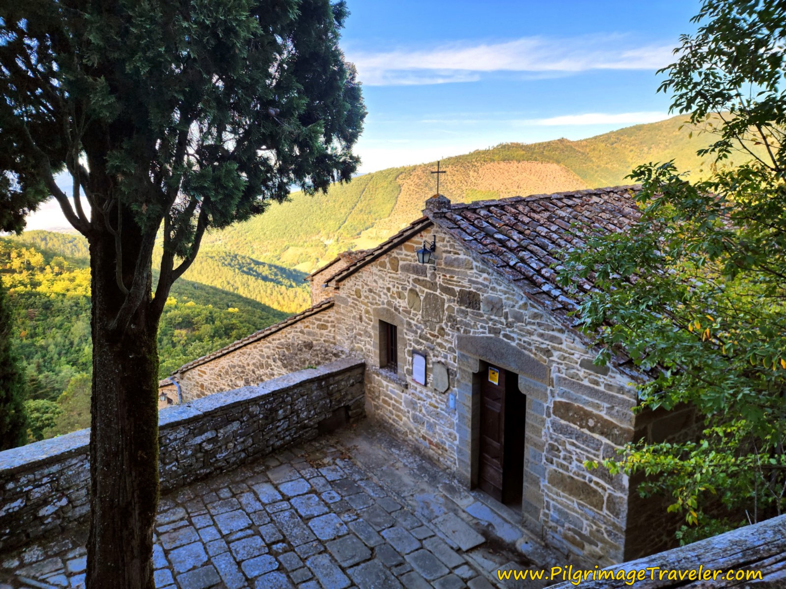
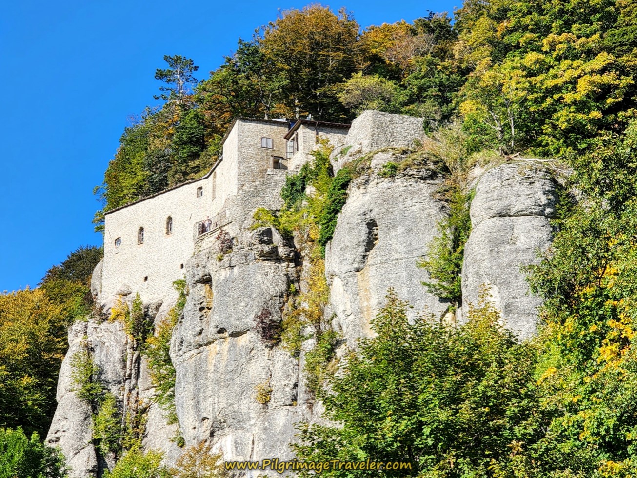
The hermitage itself is actually difficult to spot, and there is no sign that I saw, to direct you. Look below you when you are standing at the bottom of the statue, and you will see the hermitage below you through the trees, pictured below. Walking on the road, just beyond the foot of the statue you will see a cobblestone road on your right. The way is now obvious. You are at about 5.62 kilometers into the day.
The location here is sublime and the views from the lofty heights are everywhere. To read more about this place, one of St. Francis' favorites, see the link, Eremo di Montecasale.
If you are not awe-inspired by this serene and holy place, I'm not sure what will make you take notice of what is "looking" at you!
The hermitage was started in the 11th century as a fortification, then later became a hospice for pilgrims and a hospital for the sick. It was given to the Franciscans in 1212 when it became a hermitage.
Spend some time here if you are able, because it is full of legends and artifacts, including the remains of thieves in the reliquary that St. Francis converted. The terraces are just calling for your repose as well. Depending on your timing, this is a most excellent place to take a break.
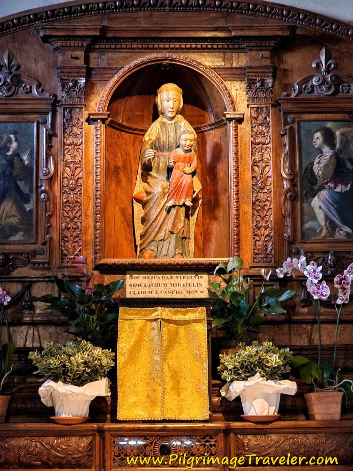
Here is a photo of the high altar at the Eremo, with a 13th century sculpture of the Madonna and Child. This sculpture is in the niche of the altar, is made of walnut and sculpted by a friar in the 17th century. Simple and just lovely.
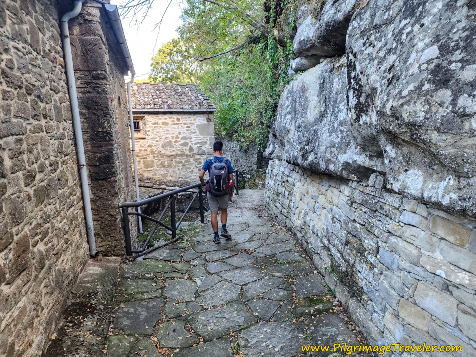
Alas, we forced ourselves to move on, on this day three of the Way of St. Francis from Montagna to Sansepolcro. After a visit to the hermitage, the way forward is via a passageway to the right (east) of the Eremo. Go back to the main entrance to find it, shown below. The passageway continues on a long flight of stairs that lead down. Here is Nick, negotiating the passageway, just before the stairs.
Jump to Way of St. Francis Stages
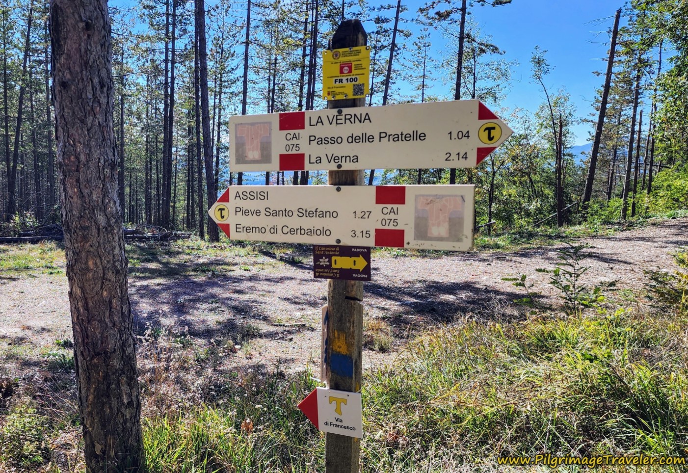
Once at the bottom of the stairs, follow the signs to the right and onto a grassy lane. (If you were to go left here, you will arrive at a most lovely terrace and overlook). Look carefully for the signs through the hermitage grounds.
A few meters onward and a sharp left turn takes you to the path that you will now follow for the next two kilometers. And what a path it is! It starts out mild and quaint, shown below.
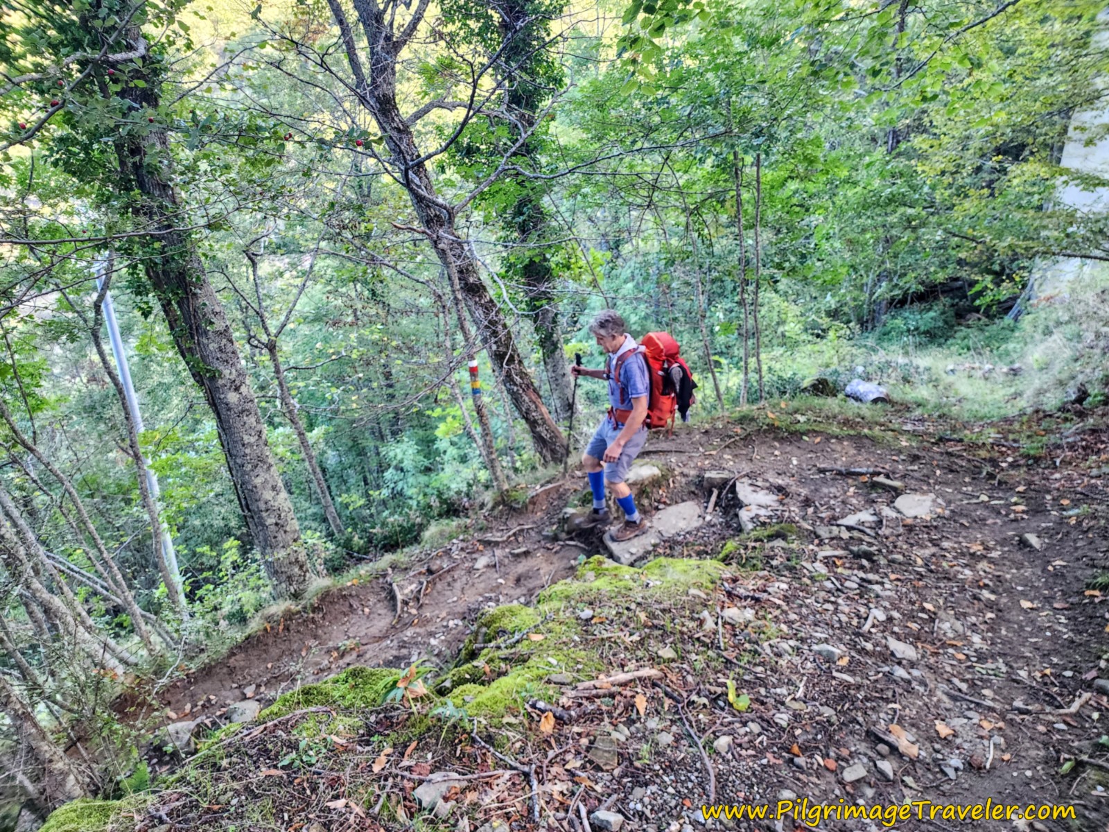
I don't think I have been on a much steeper "developed" path! It quickly begins to switchback horrifically on very rocky and steep trails. The rocks were still a bit wet from the recent rains, and poles were very handy here. I can't imagine negotiating this trail if it were actually raining. Lots of time and care would be needed.
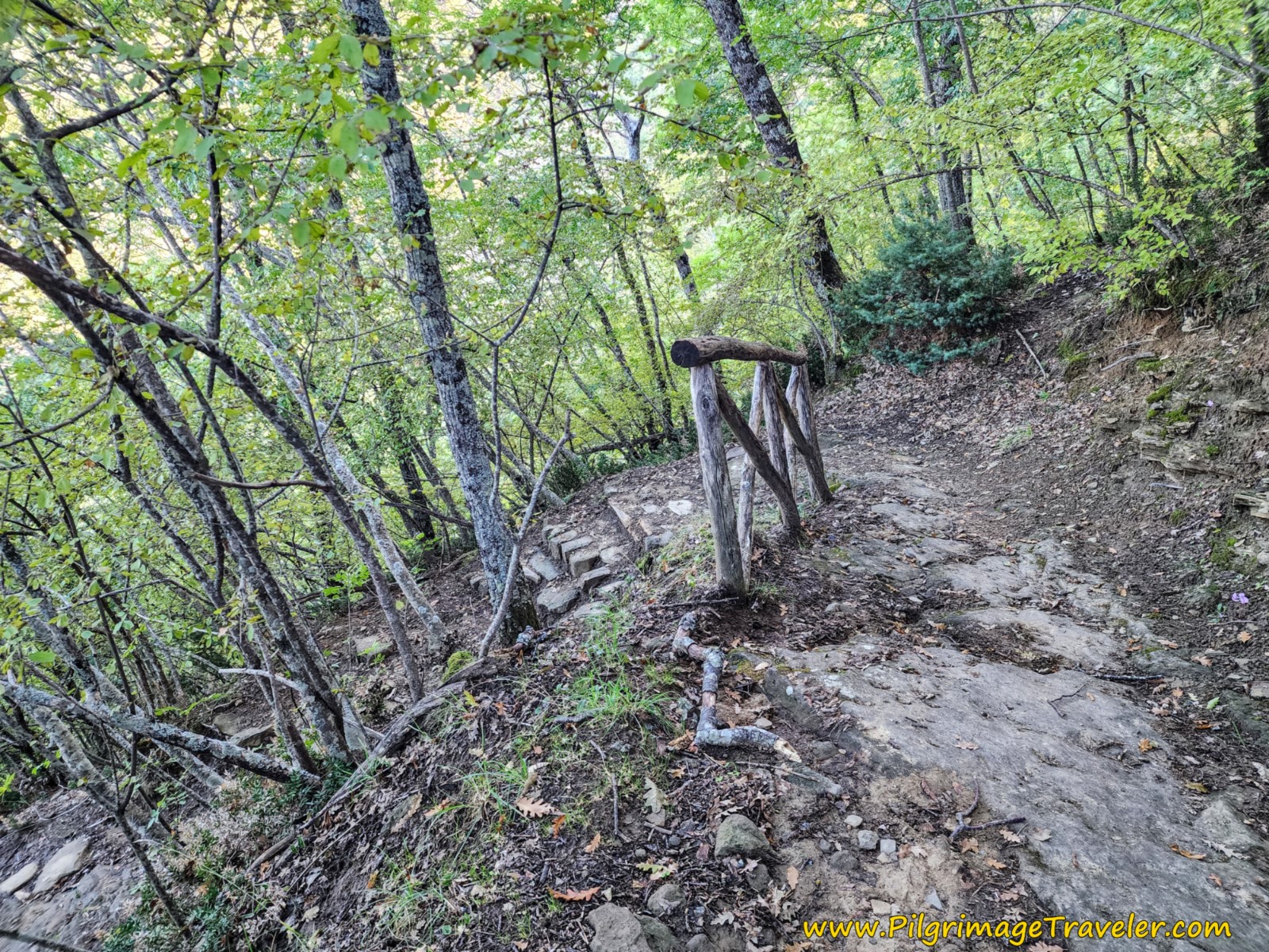 Steps and Switchbacks
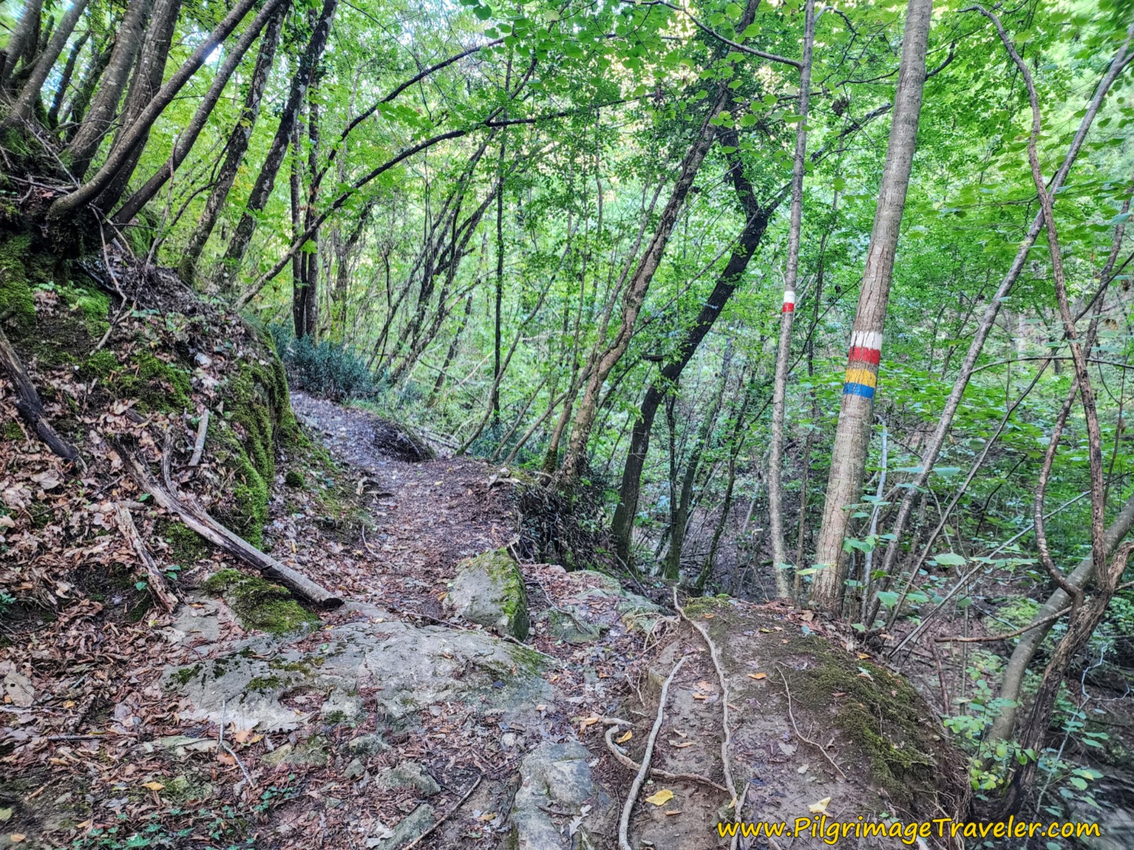
At approximately 6.33 kilometers the trail drops to a drainage. In the photo below, you can see a waymark on the tree, and Rich walking past it. We thought this waymark was a confirmation of the continuation of the trail. However it marks a hard turn to the left instead, that we missed!
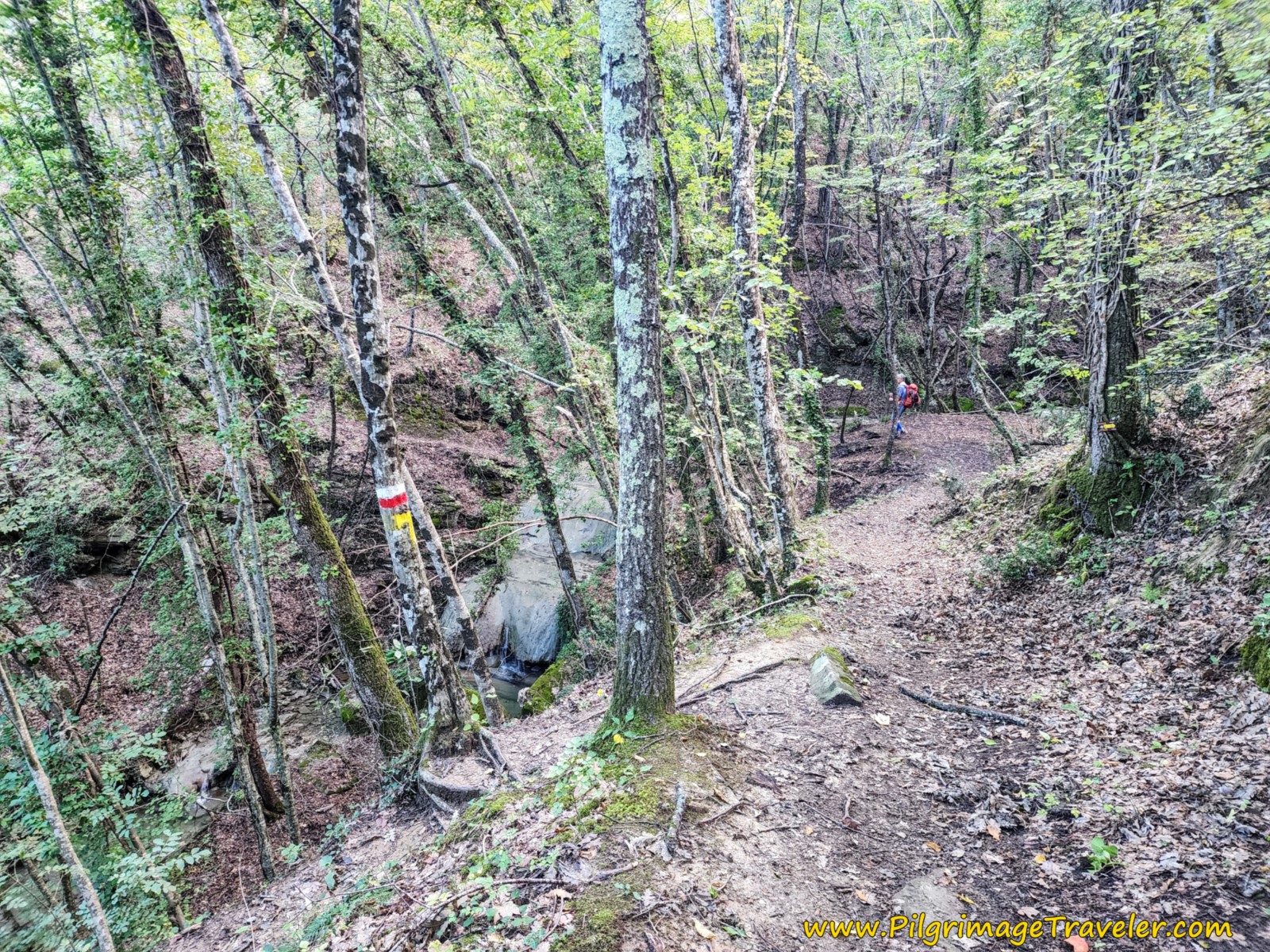 The Important Turn Before the Drainage
If you see this drainage, shown in the photo below, you have missed the turn and have gone too far, so BEWARE. The small stream is indeed lovely, but because we missed the turnoff, the trail continues steeply up and out of the drainage on the other side.
After about 200 meters or so climbing strongly on this wrong trail, I knew something was wrong. I knew there was no more climbing for the day, so we backtracked and found the turn above.
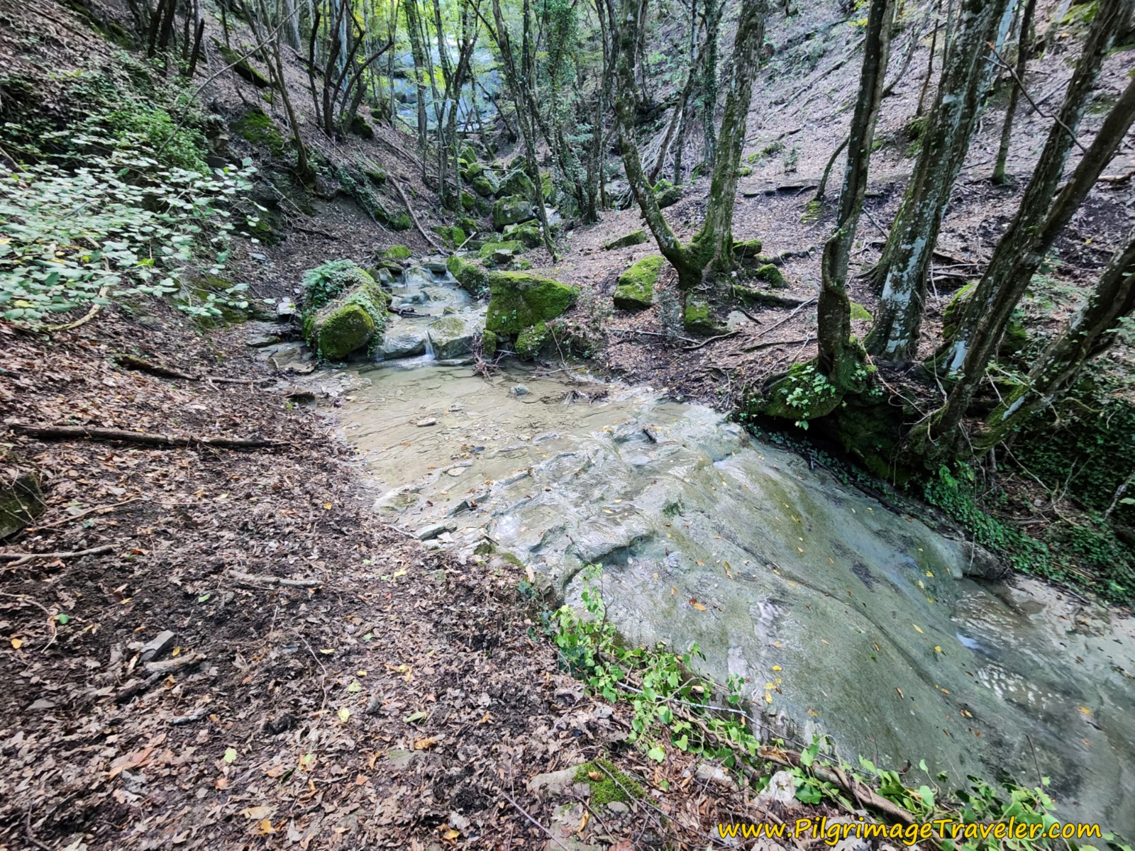 The Drainage That is Too Far
About 100 meters, after the stream turnoff, come to a decision area, shown in the photo below. You can stay straight ahead, following a fence line, which requires going directly down steep rock steps. The steps are steep!
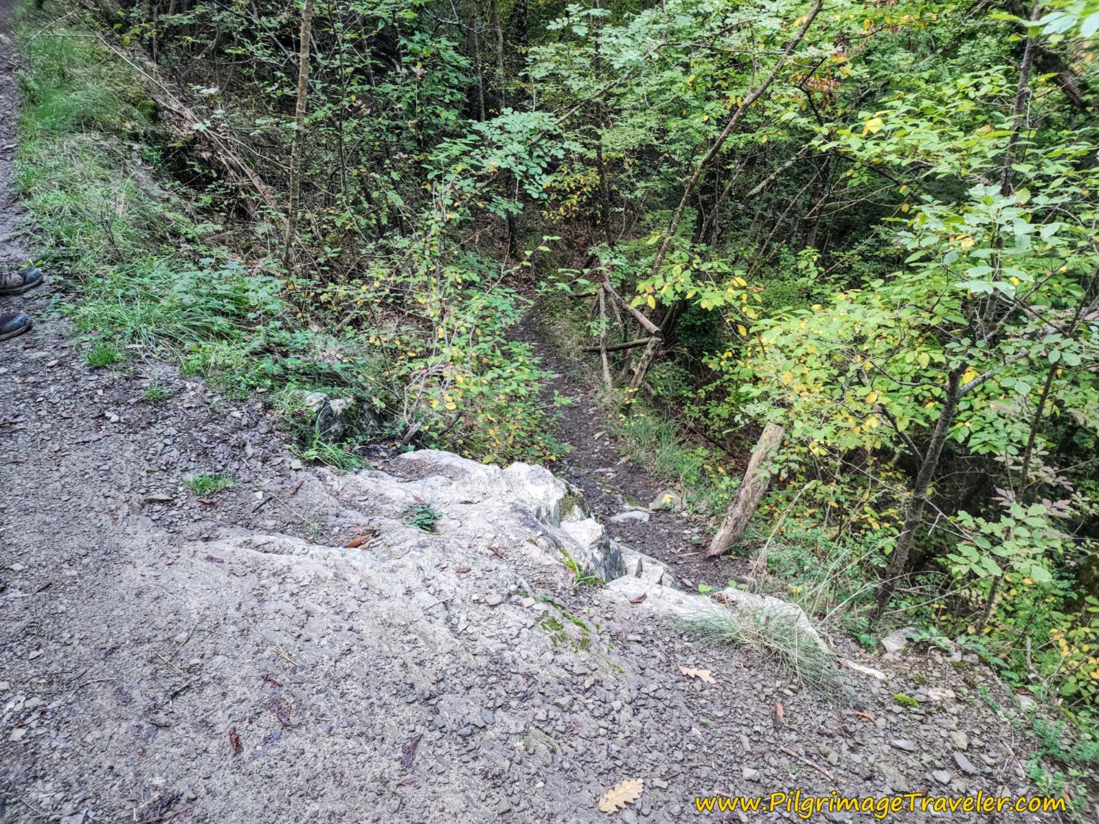 Steep Steps Along Fence Line
Or you can go up the hill a bit to the left, to go around to an easier way down. The way up and to the left then rejoins the main trail a few meters onward.
We negotiated the final, steep switchbacks downward, following the river. It is very steep through here and the trail was wet and full of puddles from the recent rains. Rocks and tree roots everywhere.
Next, you come to a power line around 6.75 kilometers, with a well, shown in the photo below.
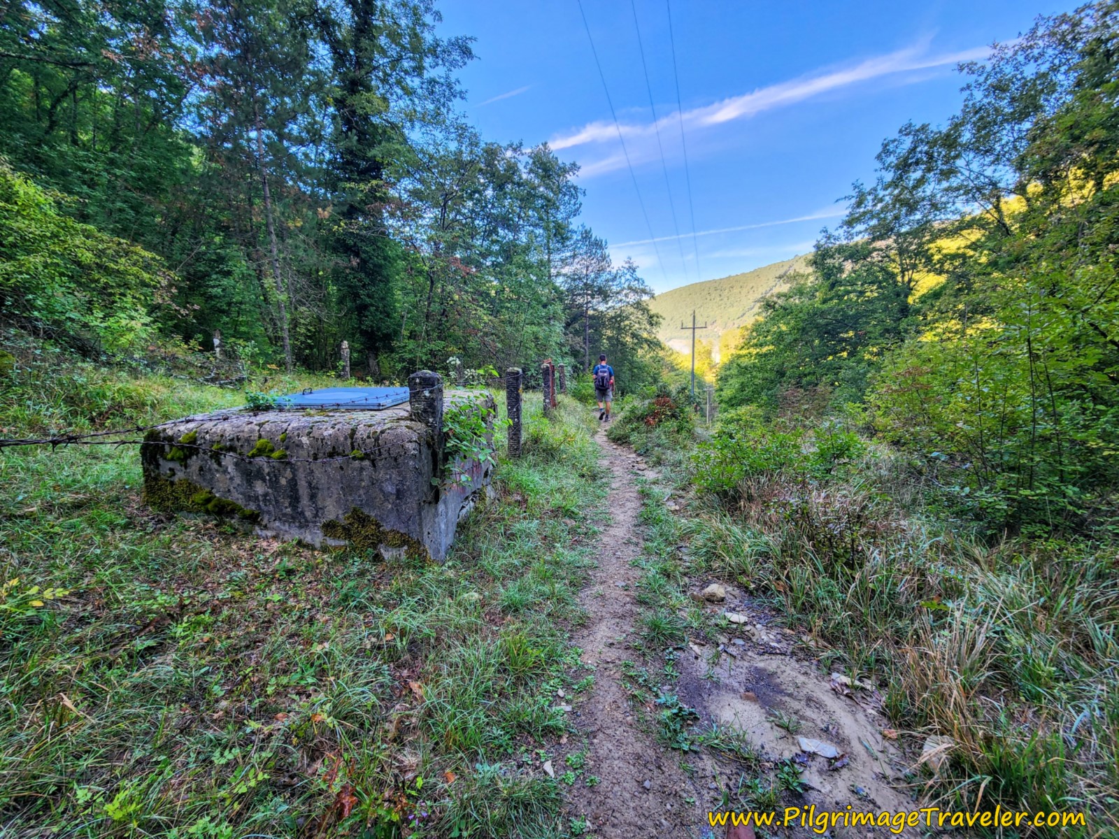 Cross Power Line at This Well
The Way takes a hard left after the well, and the road now becomes wider. We passed four pilgrims through this section that were traveling in the opposite direction. What a pity!
A few meters later, you come to a second well and make another stream crossing. As you can see in the next photo, the trail flattens out significantly, as the trail crisscrosses under the powerline to the other side.
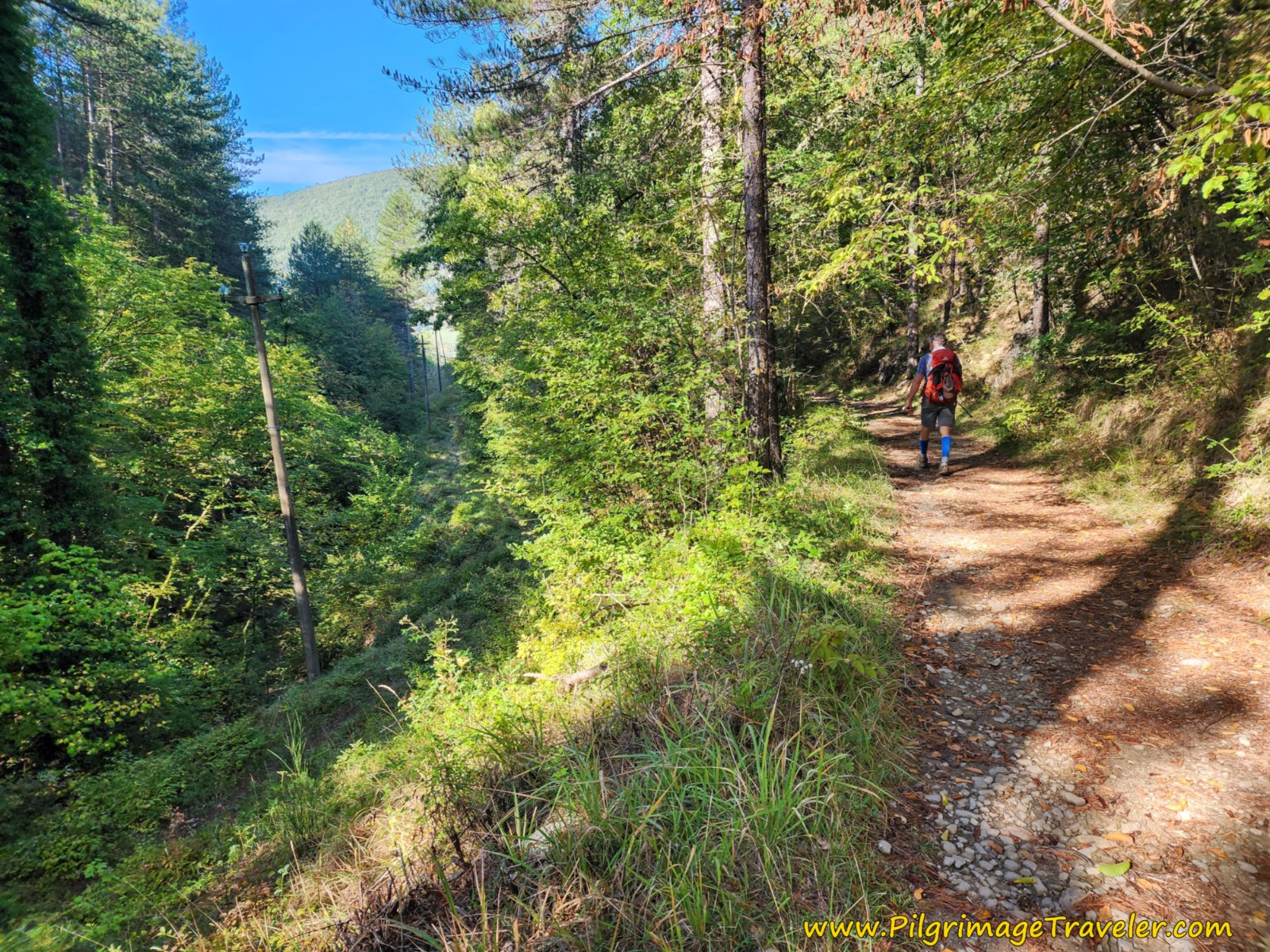 Following the Power Line
Through this area we soon came to a sign in the forest announcing "Camere," (Rooms), soon followed by a welcome building ahead and a sign in English saying "Snacks - Rooms."
It was the very nice-looking B&B San Martino Vald'Afra, where we arrived at about 7.5 kilometers, into this stage on the Way of St. Francis from Montagna to Sansepolcro.
Jump to Way of St. Francis Stages
Just 150 meters after the B&B, you come to a T-intersection and turn left (south) onto a paved road, the Via della Montagna. From this intersection, it is about a three kilometer walk to reach the outskirts of Sansepolcro and another kilometer to reach the plaza in the center of town.
Whether or not you enjoy walking on pavement, it is an easy walk into town from here, and you most likely will make good time.
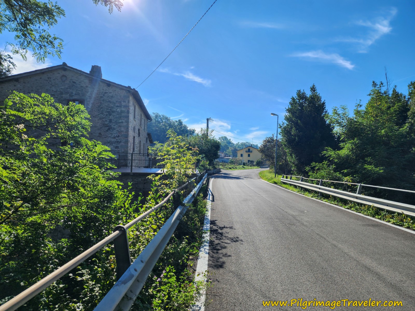 The Paved Road, the Via di Montagna to Sansepolcro
On the way to town, first cross the Gorgo del Ciliegio (Cherry Tree Gorge), the first bridge you encounter, pass farms and fields, and closer to town cross the signed Ponte San Francesco, built in 1882.
The signage is good along the road as you continue to follow it, and at approximately 10.6 kilometers, pass the turn off to the large hospital that rises up to the right.
Come to a major intersection with the SS73, and cross it at 11.0 kilometers. Not even 100 meters later, the Way turns to the right and onto the street shown below, the Via Anconetana.
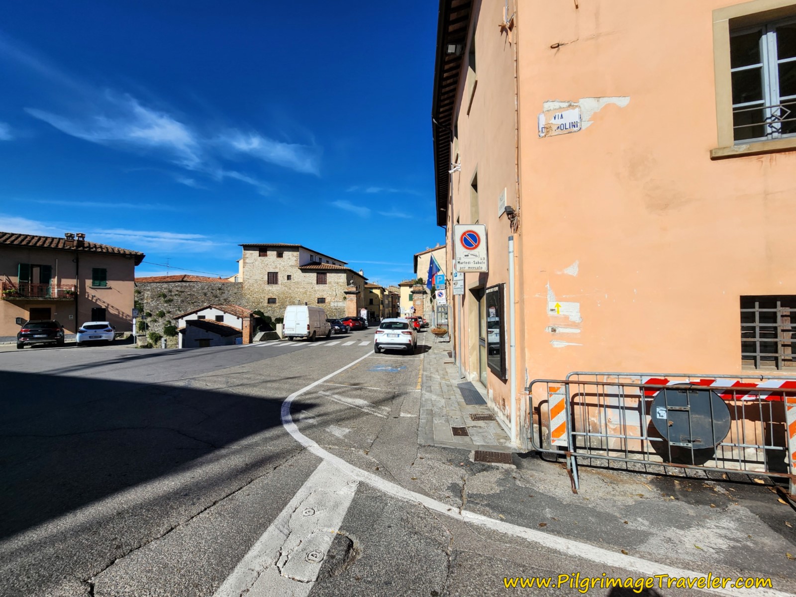 Right Turn onto the Via Anconetana
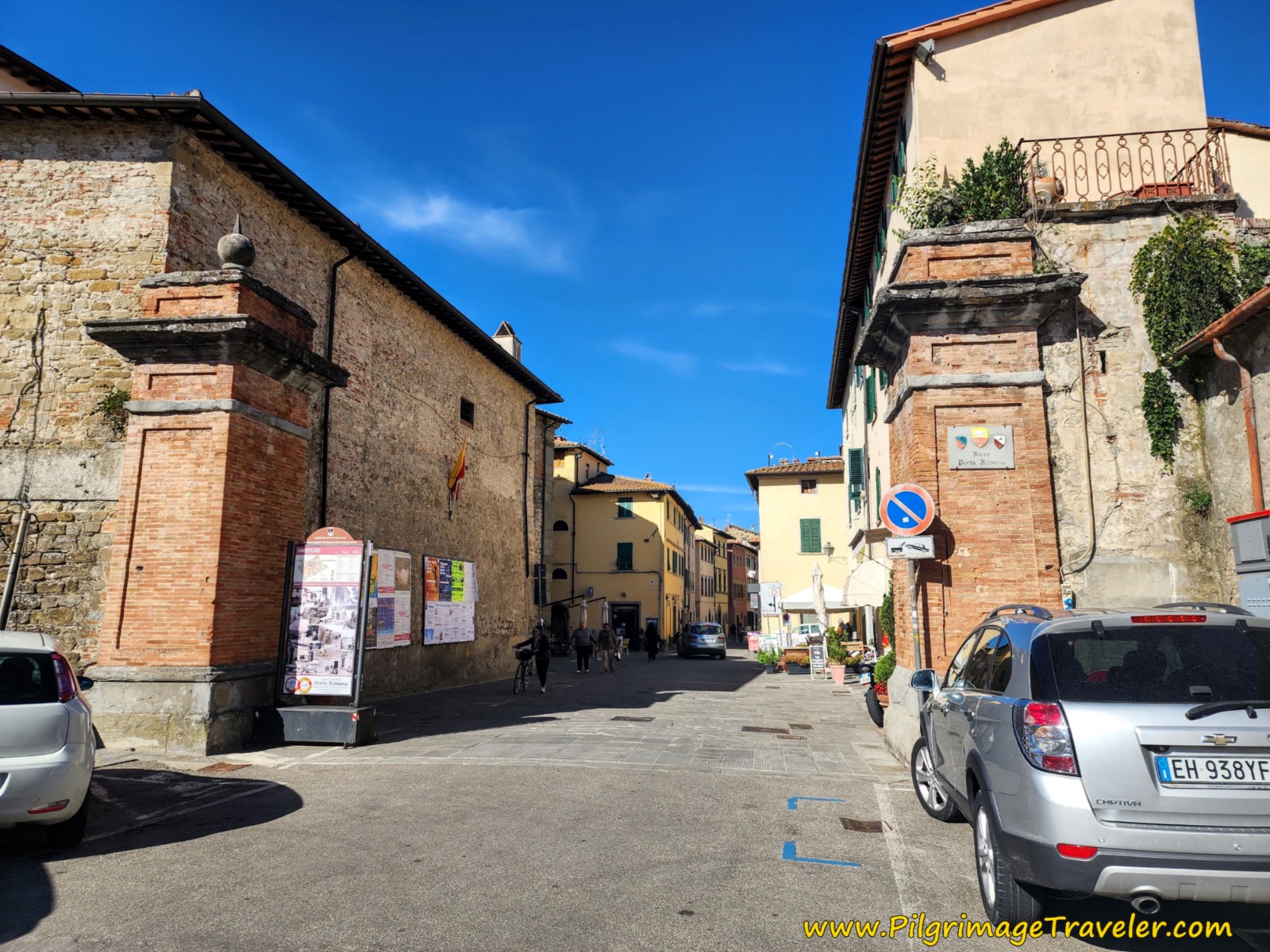
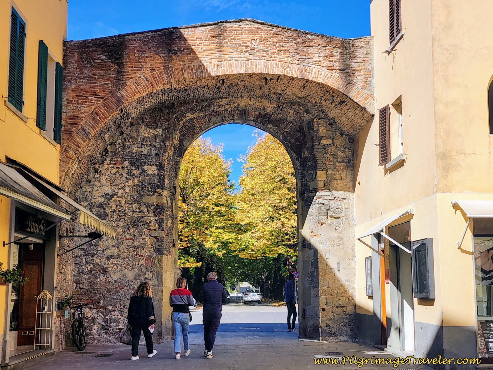
Continue onward another 400 meters until you come to the ancient Roman Gate and walls into the city of Sansepolcro, shown below.
After entering the gate, this same street is now called the Via XX Settembre, shown below. It is now a pedestrian only walkway, and it is your route through the medieval town center.
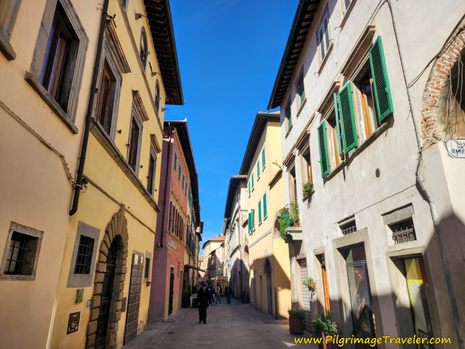 Follow the Via XX Settembre into the Center of Medieval Sansepolcro
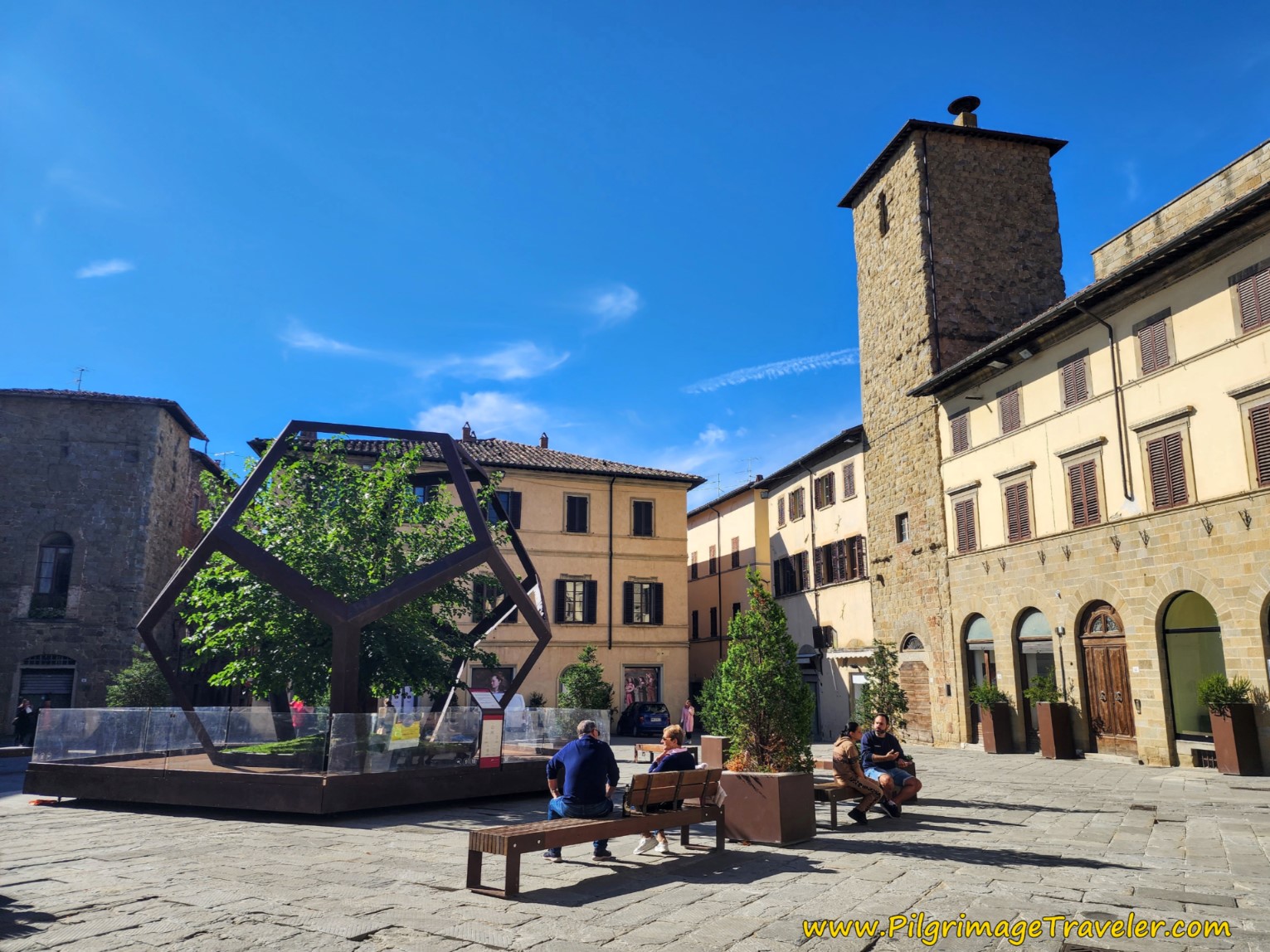
300 meters after the gates, the destination for this stage on the Way of St. Francis from Montagna to Sansepolcro, is the Piazza Torre di Berta, the Berta Tower Square.
There is an aptly named Happy Bar in this square, where we refreshed ourselves with café lattes and the chips that came with it. There are also pizzerias close by.
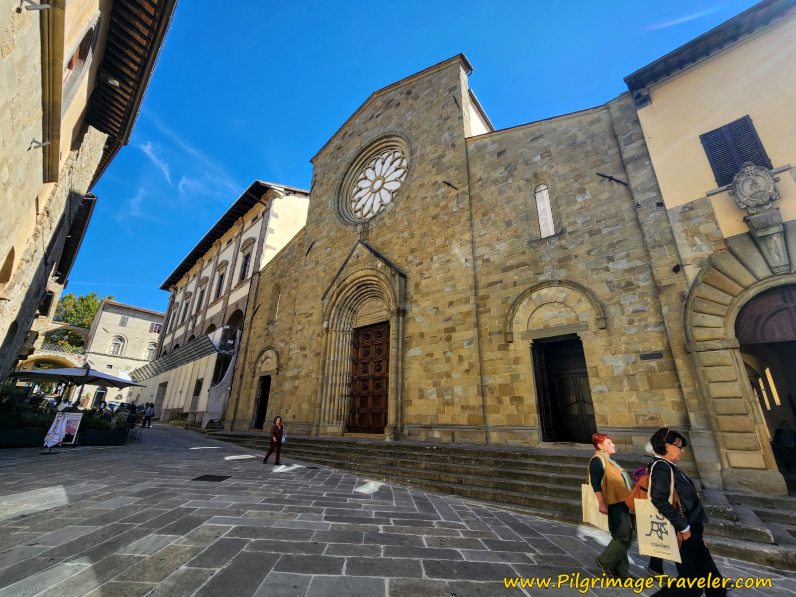
Our next objective was to visit the town cathedral, the Basilica Concattedrale di San Giovanni Evangelista, which is worth a look and to see any nearby attractions. There are more towers scattered near the basilica and quaint, narrow side streets with steps and archways.
The Museo Civico di Sansepolcro, near the Berta Square houses some famous Renaissance Resurrection frescos and other commissioned works of art by the city, starting in the 15th century. Click on the link to learn more about the collections here. We did not take the time to visit the museum, since Citerna was still almost 12 kilometers away.
There is also a tourist information center in this square if you are planning to spend the night here. Booking.com accommodations for Sansepolcro are numerous. There are quite a few places clustered around the main square, the Piazza Torre di Berta as you can see if you click on the Sansepolcro link.
Pilgrim accommodations in Sansepolcro are limited, since the Monastero San Bernardo Tolomei closed around 2019. The least expensive accommodation that I have found is the Camere Mazzini 49 and the Camere La Terrazza Sansepolcro. Both are in the center of Sansepolcro, and mere steps from the trail itself. (Please remember that I receive a small commission if you book through these links. I thank you, as this is a pilgrim-supported website!
Reflections, The Way of St. Francis, Montagna to Sansepolcro
As stated above, we did not stay in Sansepolcro, but continued onward to Citerna. I enjoyed this part of the walk immensely, as it was filled with stunning views and a sense of closeness to St. Francis and to nature.
The crowning glory of this stage is the Montecasale hermitage, where the presence of the saint is felt even stronger. Seeing the views and the hermitage was worth the extra effort of the mountain route, versus the valley route.
The steep downhill from the hermitage is the biggest challenge of this stage, in my opinion, and should be approached with care, especially if there is any kind of weather.
Salutation
May your own day three on the Way of St. Francis from Montagna to Sansepolcro be filled with reflective "looking," and may you indeed see what is looking!
Way of St. Francis Stages
Please Consider Showing Your Support
Many readers contact me, Elle, to thank me for all the time and care that I have spent creating this informative website. If you have been truly blessed by my efforts, have not purchased an eBook, yet wish to contribute, I am very grateful. Thank-you!
Search This Website:
Follow Me on Pinterest:
Follow Me on Instagram:
Find the Pilgrimage Traveler on Facebook:
Like / Share this page on Facebook:
***All Banners, Amazon, Roamless and Booking.com links on this website are affiliate links. As an Amazon associate and a Booking.com associate, the Pilgrimage Traveler website will earn from qualifying purchases when you click on these links, at no cost to you. We sincerely thank-you as this is a pilgrim-supported website***
PS: Our guide books are of our own creation and we appreciate your purchase of those too!!
Shroud Yourself in Mystery, along the Via de Francesco!
Walk in the Footsteps of St. Francis, and Connect Deeply to the Saint and to Nature in the Marvelous Italian Countryside!
Recent Articles
-
Day One on the Camino Portugués, Lisbon to Alverca do Ribatejo
Apr 15, 25 08:19 PM
Our Day One on the Camino Portugués was much more beautiful and enjoyable than we had heard. -
Hiking the West Highland Way
Apr 11, 25 08:51 PM
Hiking the West Highland Way is a representation of all things Scottish, traversing 96 miles from the lowlands of Milngavie to Ft William, in the highlands. -
Way of St Francis eBook Guide (Via di San Francesco)
Apr 11, 25 08:49 PM
Our Way of St Francis eBook Guide, a digital guidebook is full of current information to assist you in finding your Way. In downloadable, digital, PDF format.
Need suggestions on what to pack for your next pilgrimage? Click Here or on the photo below!
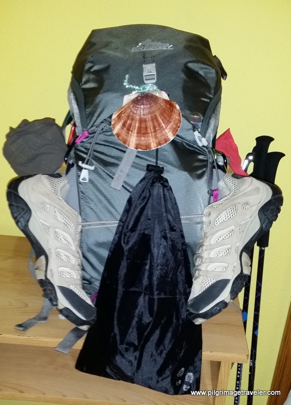
Carbon fiber construction (not aluminum) in a trekking pole makes them ultra lightweight. We like the Z-Pole style from Black Diamond so we can hide our poles in our pack from potential thieves before getting to our albergue! There are many to choose from! (See more of our gear recommendations! )
Gregory BackPack - My Favorite Brand
Do not forget your quick-dry microfiber towel!
Booking.com
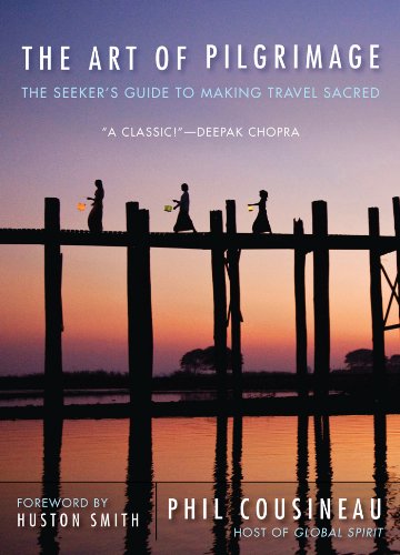
My absolute favorite book on how to be a pilgrim:









Your Opinion Matters! Comments
Have you had a similar experience, have some advice to give, or have something else you'd like to share? We would love to hear from you! Please leave us a comment in the box below.