- Home
- Camino Teresiano
- Camino Natural Via De La Plata
Jump to Camino Teresiano Stages
Camino Natural Vía de la Plata, Alba de Tormes to Salamanca, 23.1 Kilometers (14.4 Miles)
The Camino Natural Via de la Plata connects Alba de Tormes and Salamanca, and is an excellent path if you wish to continue onward from Alba de Tormes to the Via de la Plata (Camino de Santiago), starting in Salamanca.
This Camino, also known as the Vía Verde, is a full 20.3 kilometer pathway along an old railroad bed that makes for superb walking, totally in nature, off-pavement and with gentle grades.
We greatly enjoyed this natural path as I am sure you will! If you are a walking pilgrim, consider walking to Salamanca, instead of taking the bus from Alba. You will not regret it.
Plus, if you are a history buff you can also see a war memorial from the famous Battle of Salamanca in July of 1812, on Arapiles hill. The fields where the Camino Natural Vía de la Plata walks through is the site of this famous battle in the Peninsular War. It is not quite an extra kilometer to see this memorial.
"God leads every soul by a separate path." ~ St John of the Cross
Maps and Stats of the Camino Natural Via de la Plata
Here is our map created from our GPS tracks. To connect to Salamanca, you join the Camino Natural Via de la Plata just west of Alba. There are no services on the 18 kilometer stretch that you will walk, so if you need provisions, get them in Alba de Tormes before you leave. There is one water fountain available but it is early in the walk. If you are looking for accommodation in Alba de Tormes, click here for the current deals on booking. com.
There are about 120 meters (390 feet) of elevation change on this journey from cathedral to cathedral in the respective towns. The change is even and gradual and you may not even notice it.
Below is the elevation profile including the small side trip to the Arapiles Battle Monument that adds not quite a kilometer to the day. The monument is on a hill, and that is the little hump at 12.5 kilometers into the day shown below. The total kilometers with the monument included is 24 kilometers with an additional 50 meters of elevation.
Caminos Teresianos EBook
Our downloadable Caminos Teresianos Guide in PDF Format contains all the valuable information from our web pages, for comfortable reading offline and without ads on your personal device. Don't carry a heavy guide book to increase your pack weight. Use our digital guides on your next Camino instead!
Our eBook guides are packed with frequently updated information, because a digital format is more nimble than hard-copy publishing. Our eBook Guide is unique because we also entertain and immerse you with our story! Click here for more info or BUY NOW!
Jump to Camino Teresiano Stages
Photo-Rich Travelogue for the Camino Natural Via de la Plata
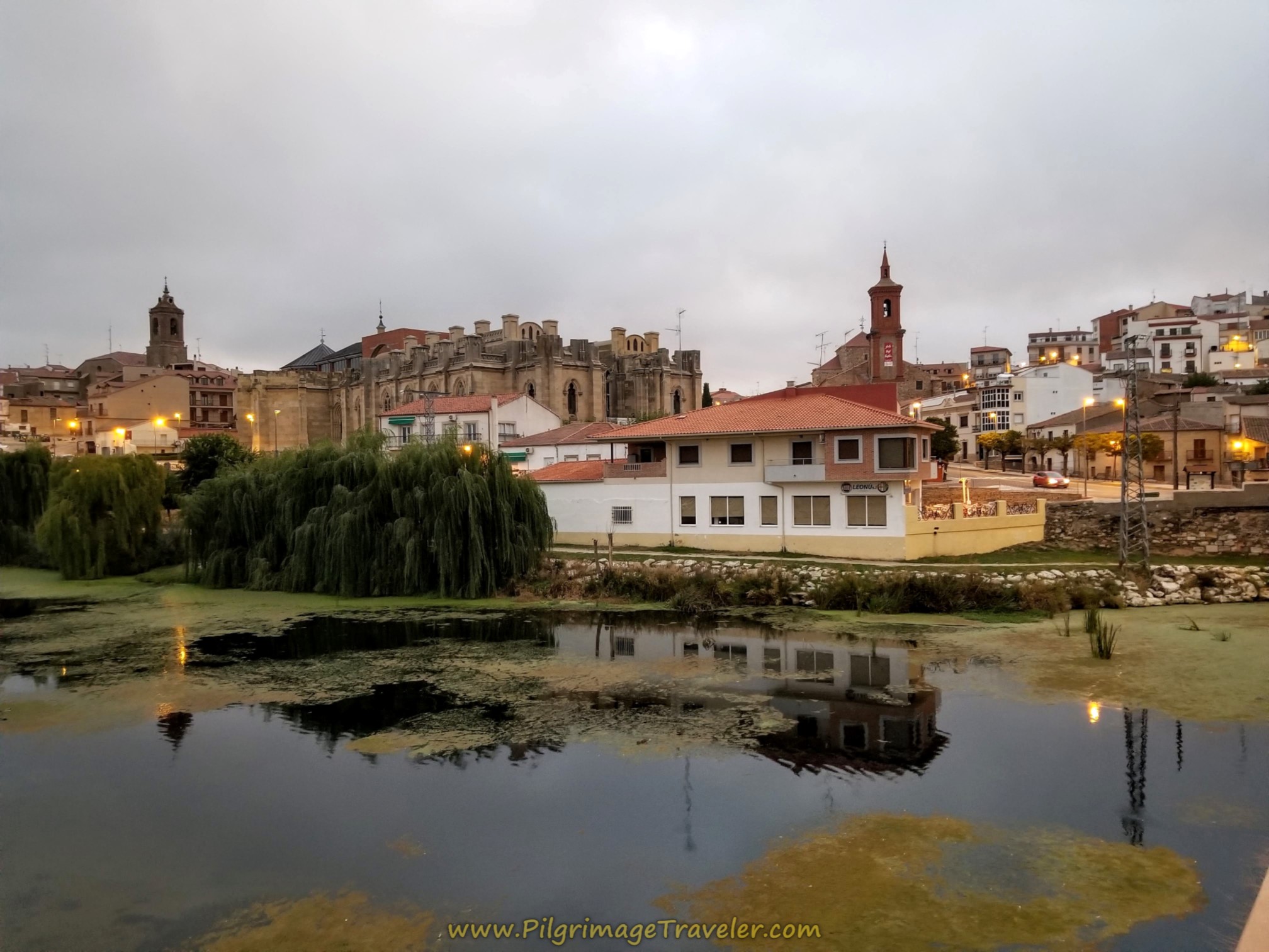
We left the Plaza de Santa Teresa in the center of Alba de Tormes on a blustery day at sunrise. Here is a look-back at the town from the bridge crossing the River Tormes. So long Alba!
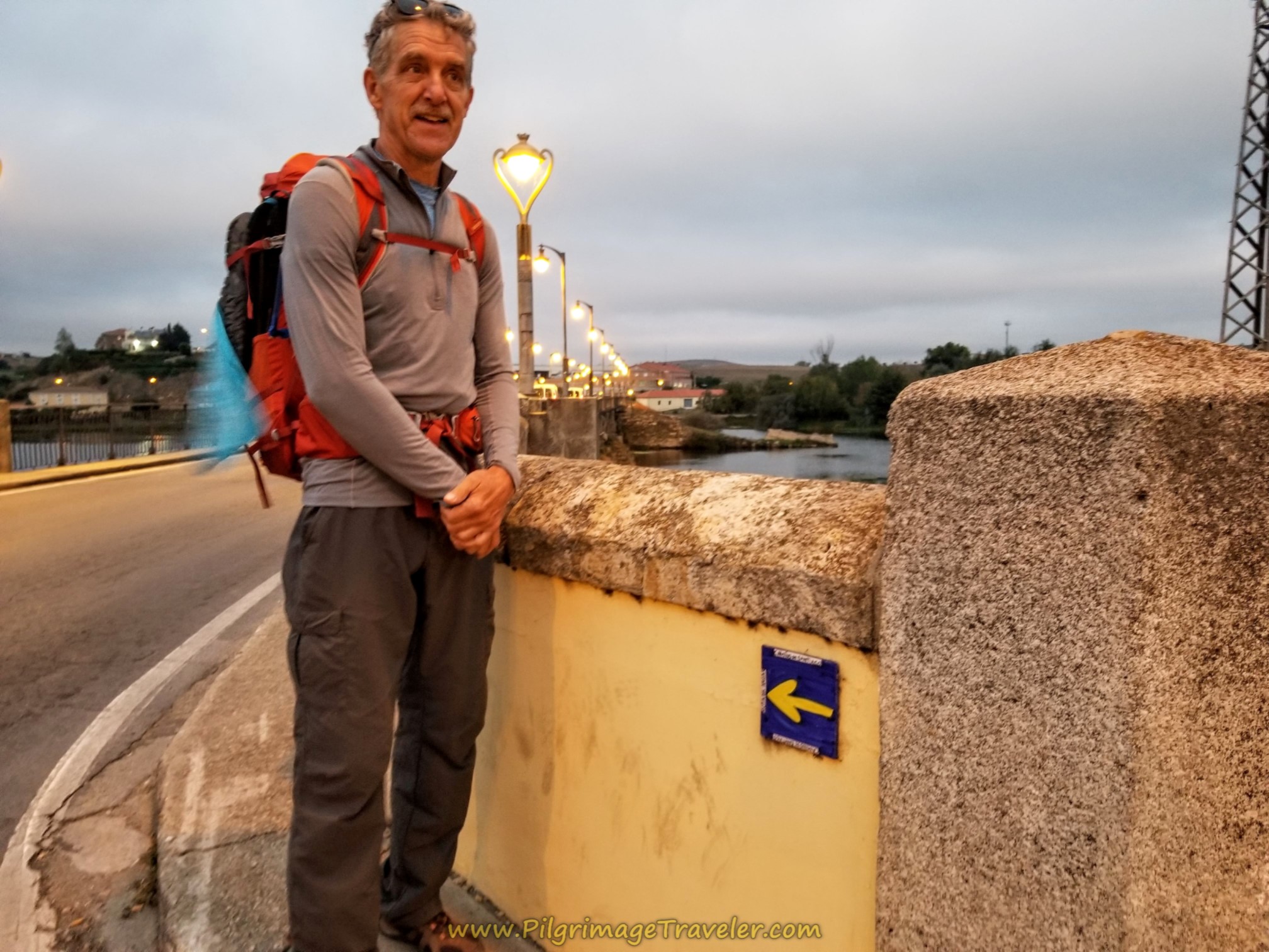
Our first goal of the day was to reach this bridge that lies on the west side of town, crossing the Rio Tormes. Here is Rich at the entrance to the bridge. Surprisingly we encountered a yellow arrow on the bridge indicating the Camino de Santiago was in the direction crossing the bridge.
I am not sure what the purpose of this tile is, as we saw no others prior to this day's journey and we were not yet on the Via de la Plata. Apparently someone put it here to guide those who wish to continue onward on the Via de la Plata in Salamanca, from the Ruta Teresiana or merely from Alba de Tormes, like we were planning to do.
We carried on across the bridge and the Rio Tormes. On the other side, this intersection greeted us, in the photo below. The way to the Camino Natural Via de la Plata is straight on and up the hill, on the DSA-120.
Interestingly, at the intersection, but not visible in the photo below, a yellow arrow is painted on the curb, showing the Camino de Santiago is along the highway to the right, the CL-510.
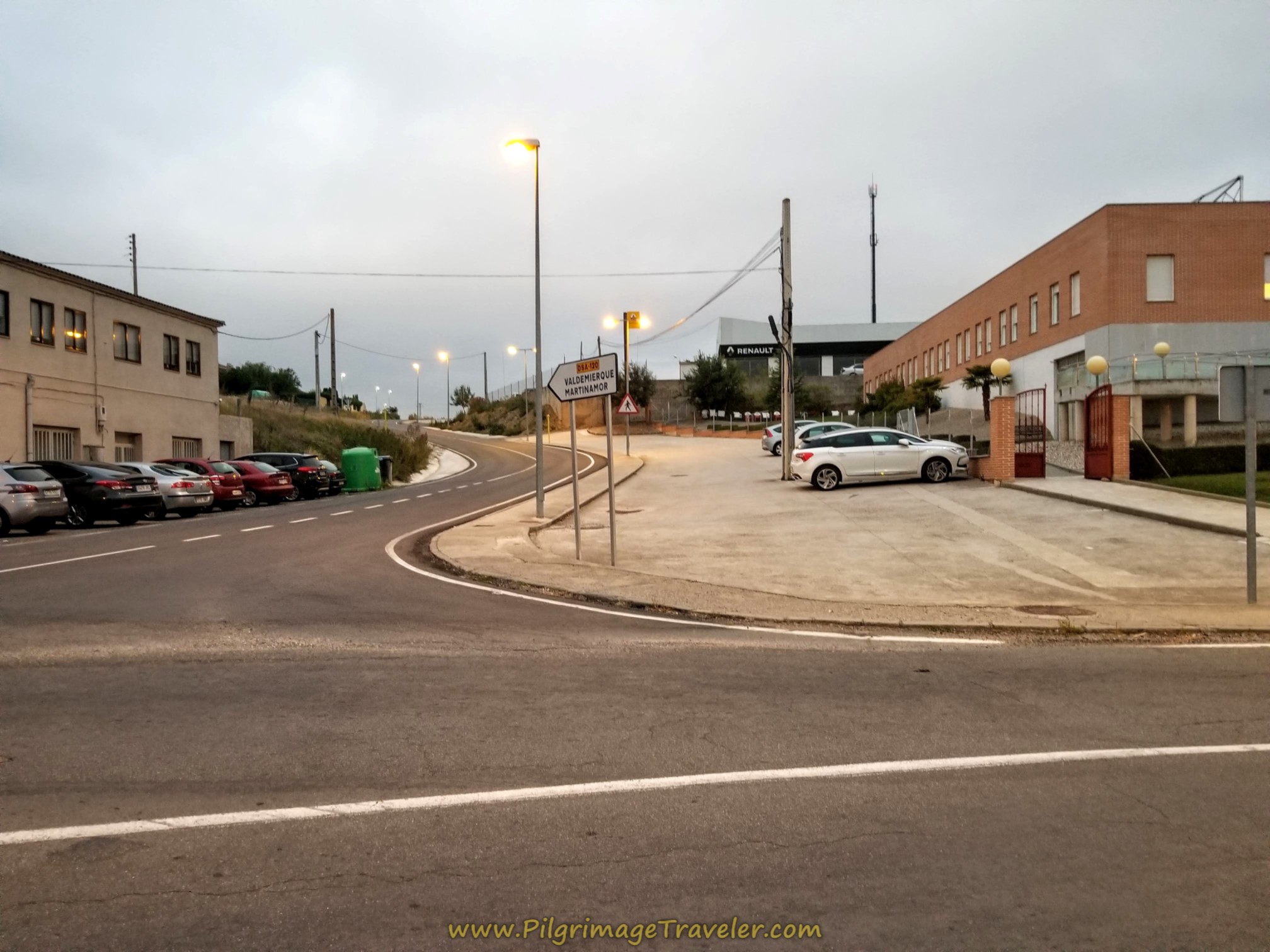 Straight Up the Hill on the DSA-120
As best as I can tell from studying Google maps, this route guides the pilgrimage traveler along the highway for the entire way to Salamanca. A kind, but misguided soul is giving you the shorter and more direct way to Salamanca, but who would choose the highway over the wonderful Via Verde that is ahead?
Although initially it is not lovely to walk upon the DSA-120, that will change quickly. Soon pass the sign leaving Alba de Tormes, and a child's playground on the left, and then this 10 km marker, and see an overpass ahead. The overpass contains the old railroad line that we will be joining soon.
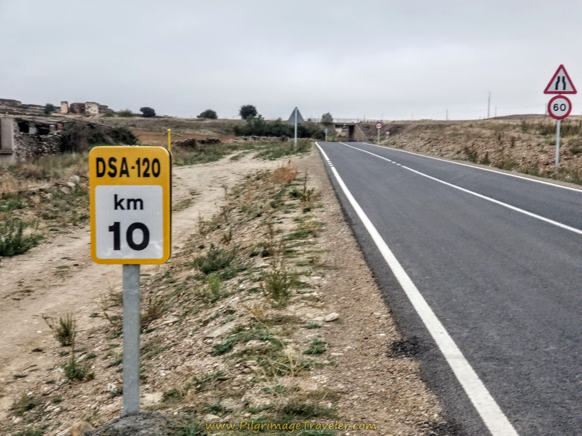 Climb the DSA-120
Just before the overpass, after 1.36 kilometers into the journey, you come to a lane turning to the right, shown below. Take it.
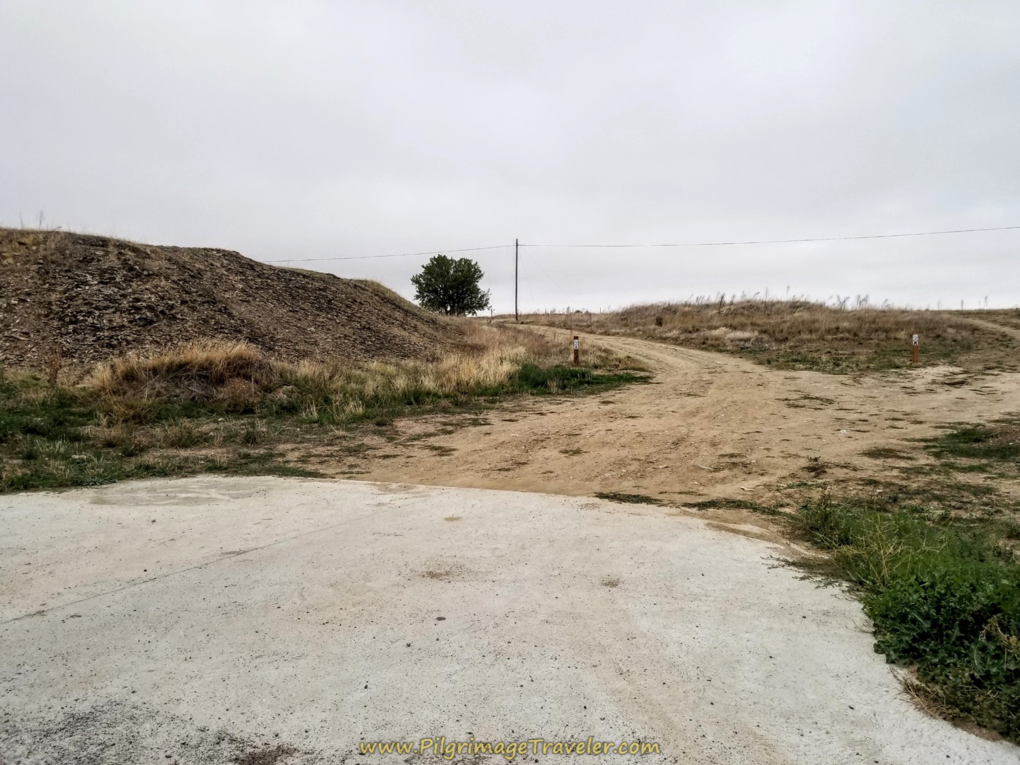 Right Turn Towards the Camino Natural Via de la Plata
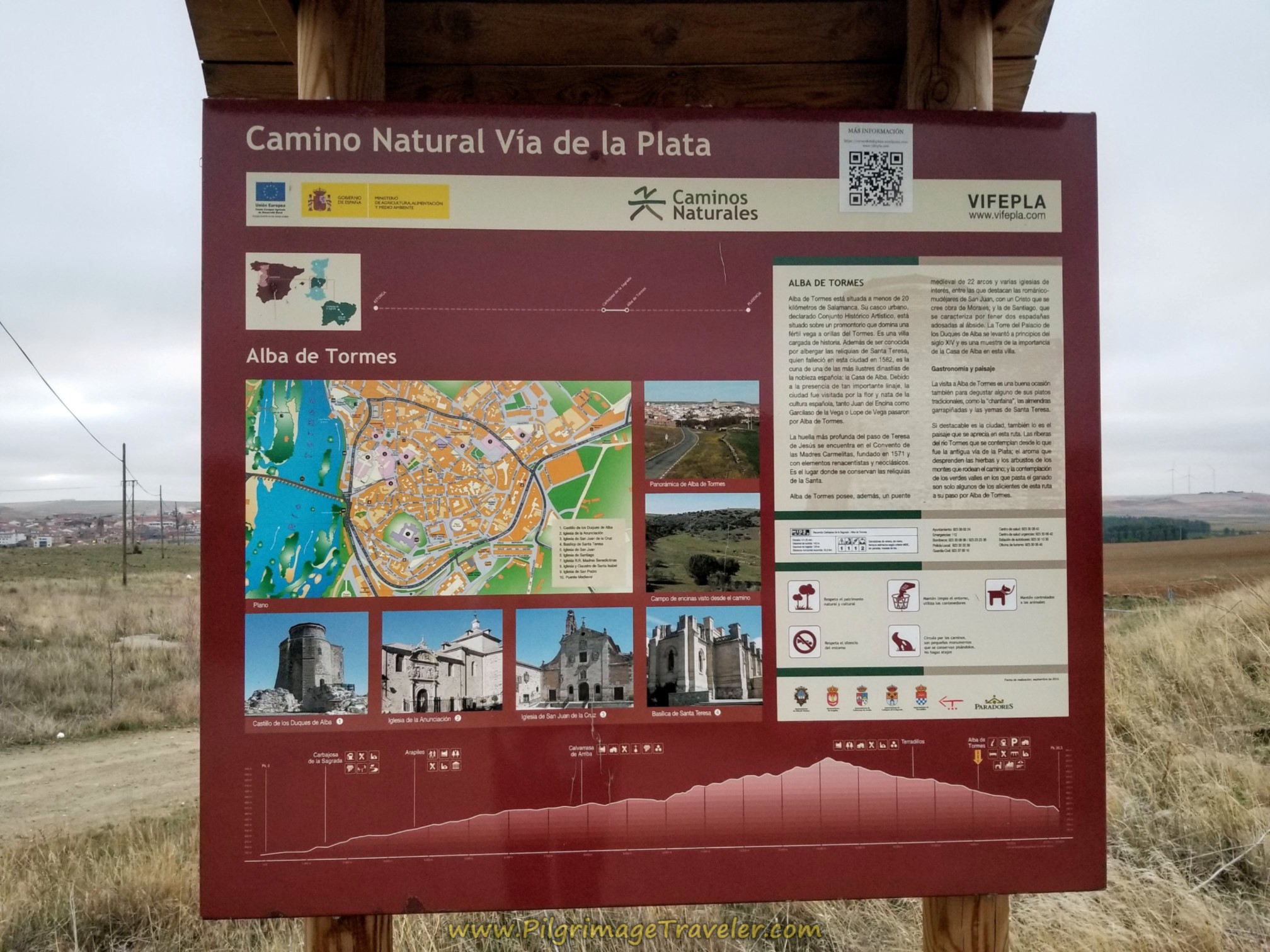
It is exactly 1.5 kilometers from the Plaza de Santa Teresa to the joining of the Camino Natural Via de la Plata at this lovely information board. This route is very well maintained and the signposts and kilometer markings are excellent. We joined the route at the 18 kilometer waymark.
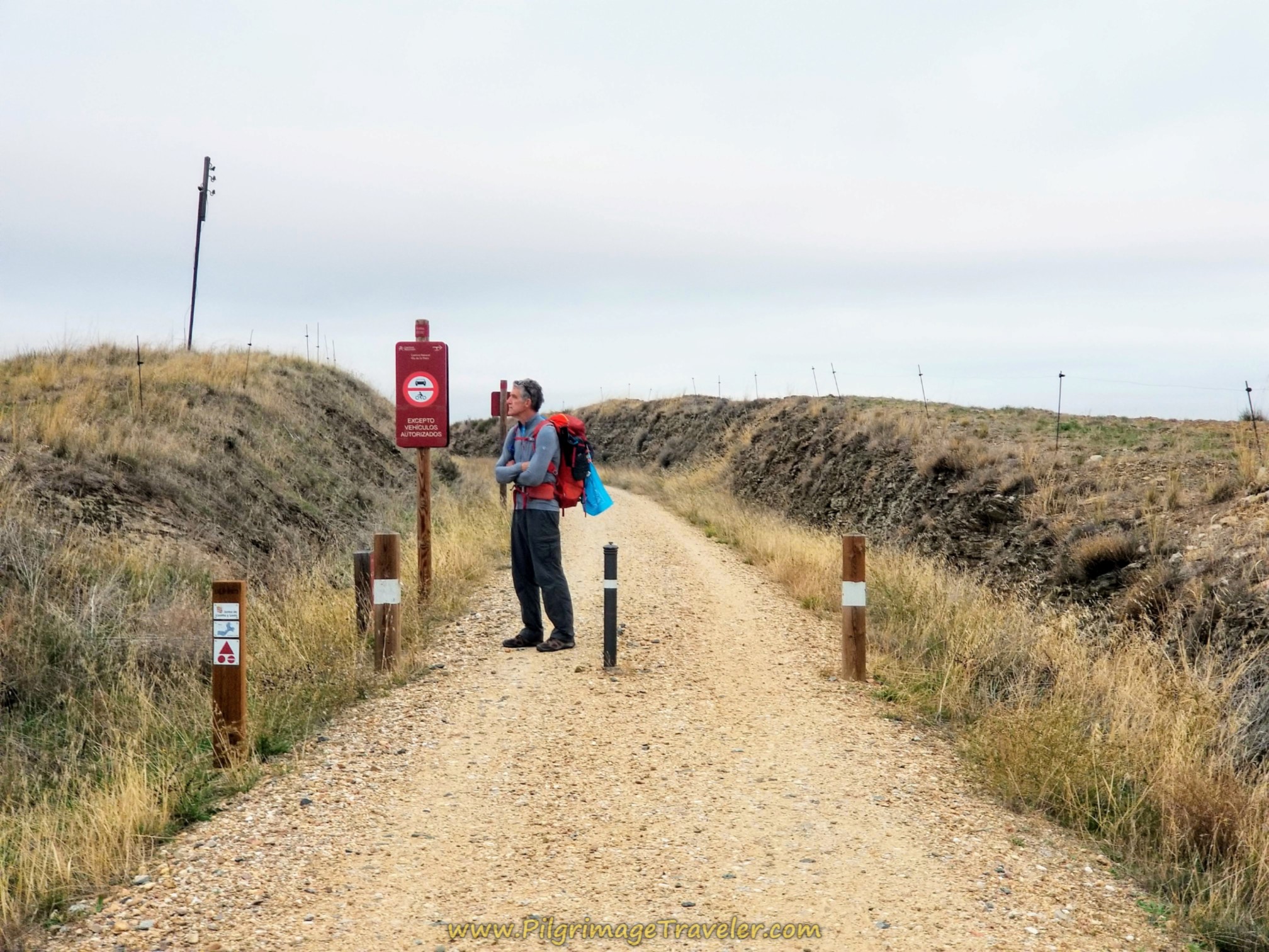
Here is a photo of the way ahead. Only foot and bicycle traffic is allowed on this Camino.
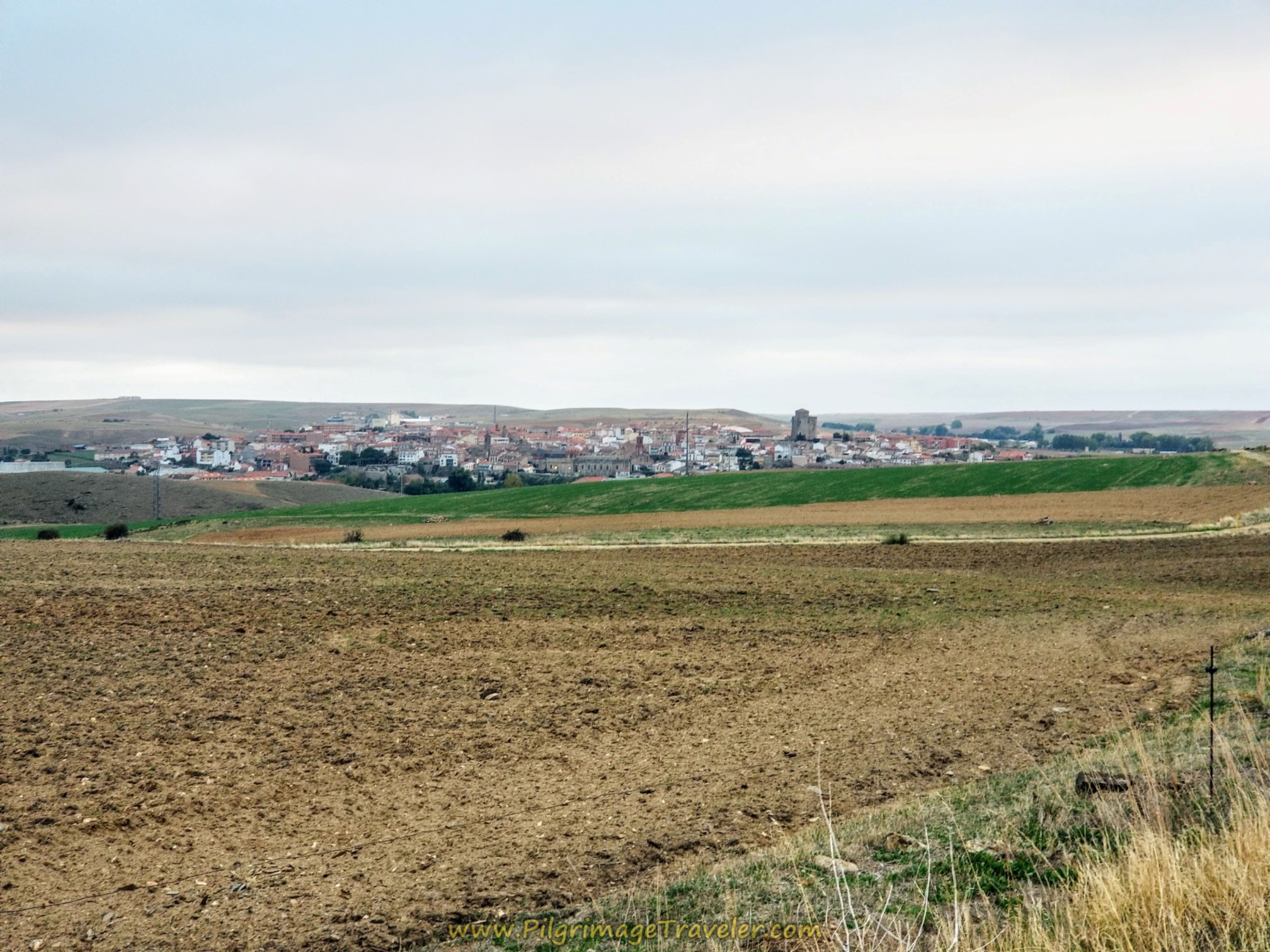
As we walked along the high grade, wonderful views of Alba de Tormes opened up on our right shoulder.
After 1.6 kilometers on the Camino Natural, we saw the first of many kilometer signposts, like the one shown below. We had 17.5 kilometers more to go until this Camino Natural ended, at the "Final de Etapa," or the end of the stage.
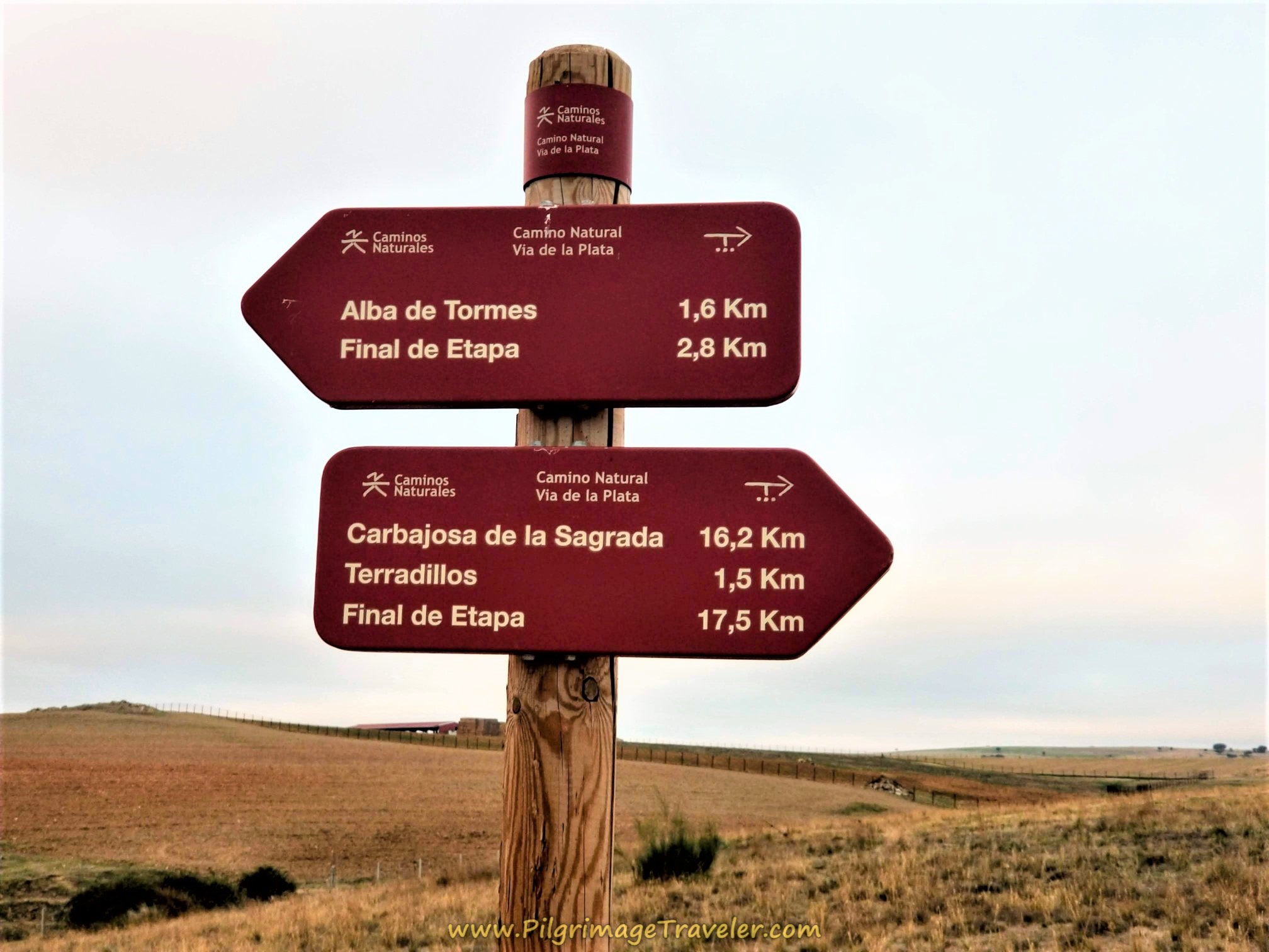 Signposts, Camino Natural Vía de la Plata
After about 3.0 kilometers into the day, the town of Terradillos is visible ahead. The Camino Natural Via de la Plata does not walk through it.
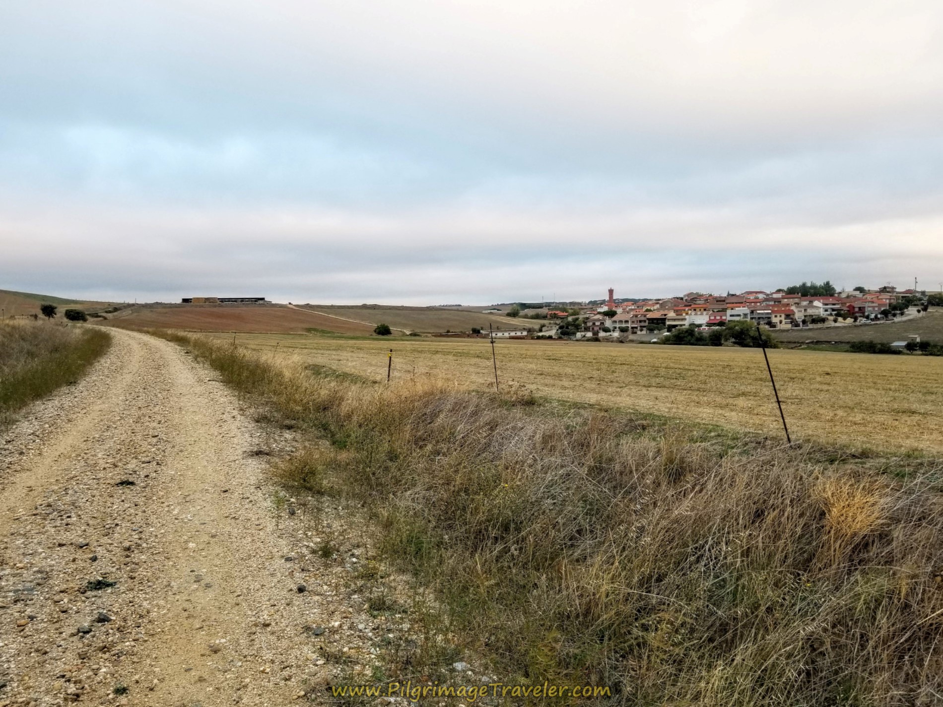 First Town of Terradillos Ahead
As we passed by Terradillos, crossing over an arroyo, we came to this nice public fountain where you can fill up if needed.
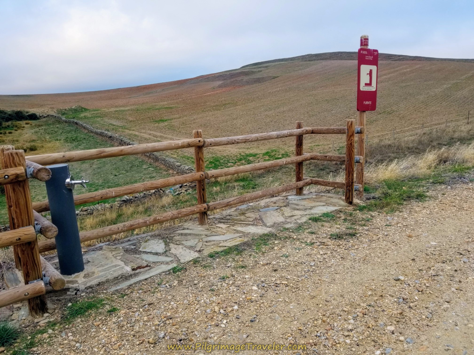 Public Fountain
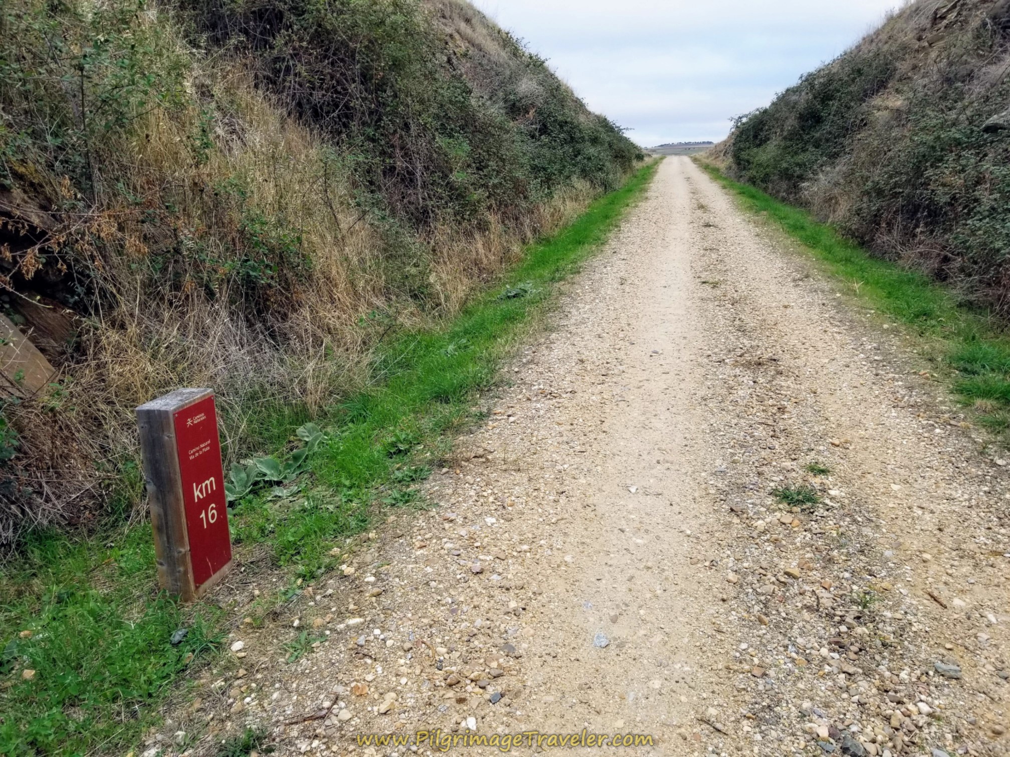
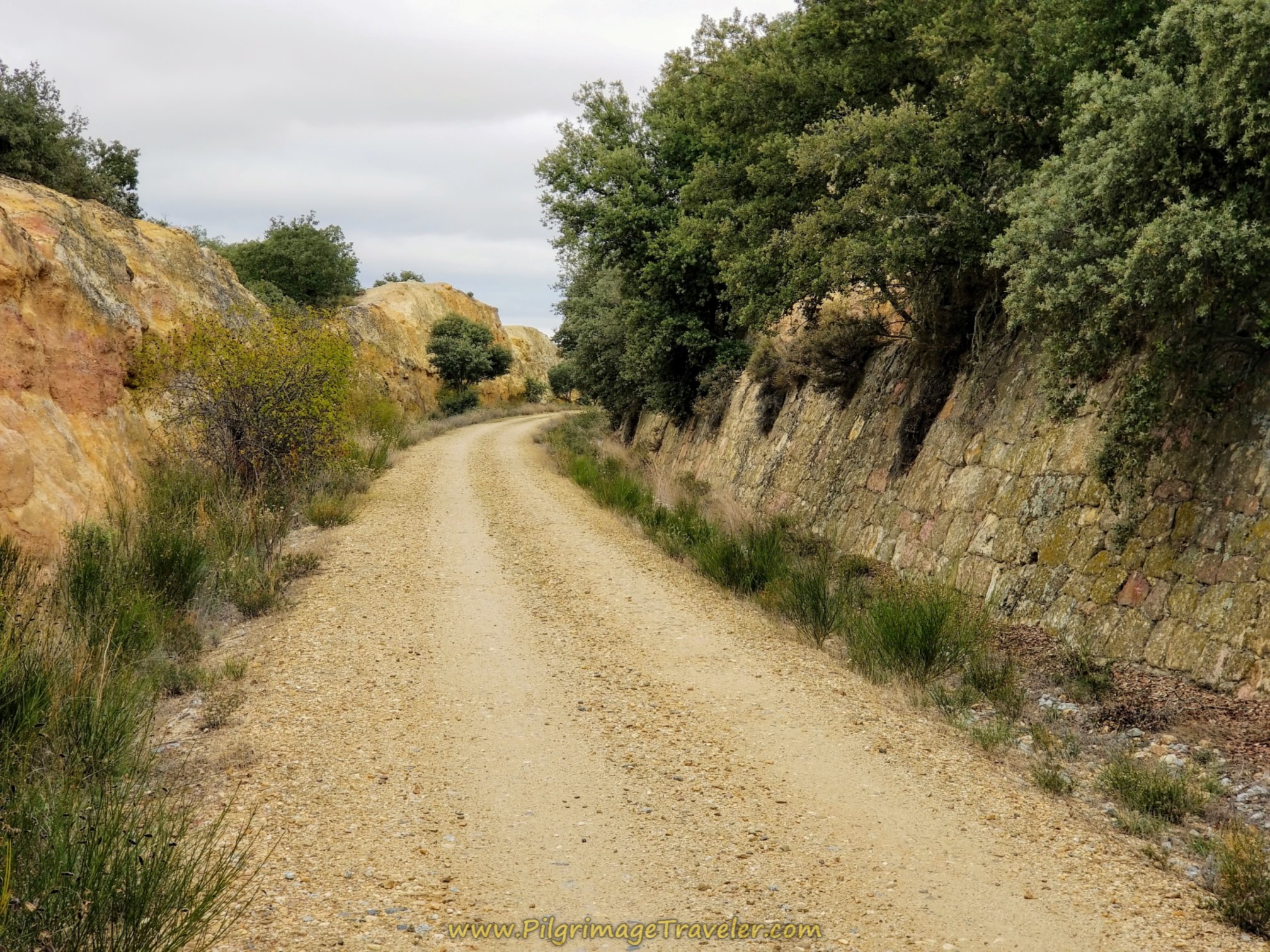
It's very nice to walk upon a railroad bed when the Way goes through the hill instead of over it at the 16 kilometer waymark.
Jump to Camino Teresiano Stages
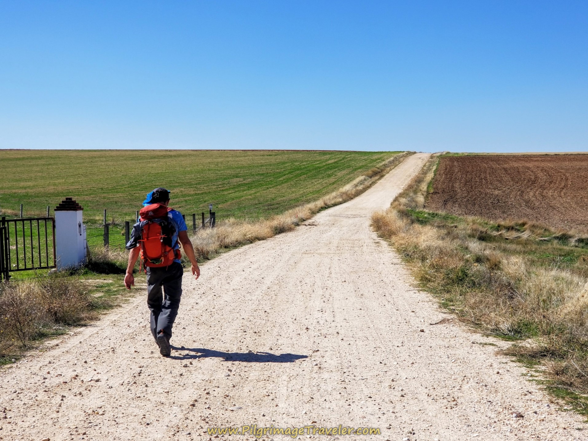
The Camino ahead is open, and flat.
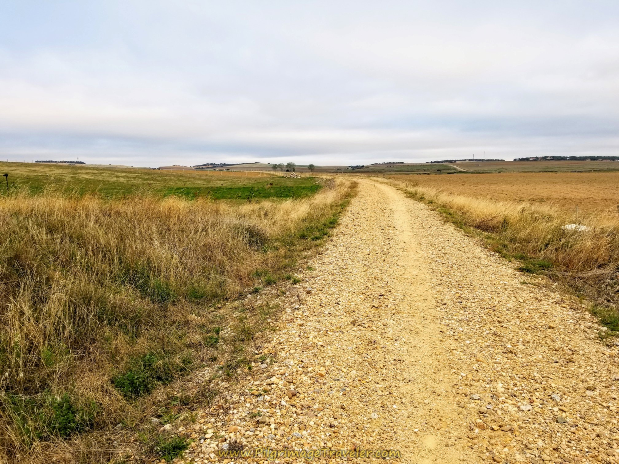 Easy Open Country Walking
There were wonderful wild blackberry bushes all along the route. September is prime time to harvest them and here is Rich helping himself.
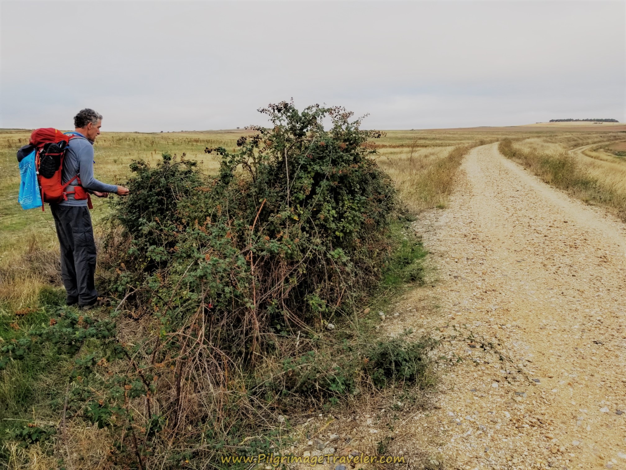 Abundant Blackberries Along the Trail
Our day had been mostly cloudy up until we approached this railroad cut.
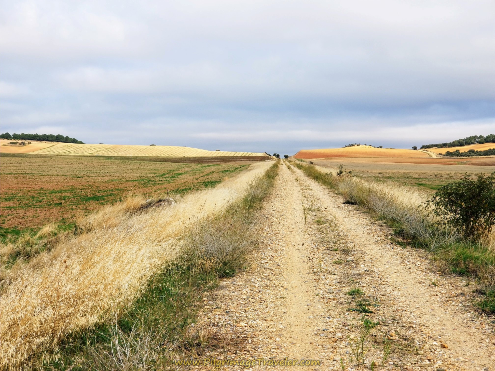 Track Cut Ahead
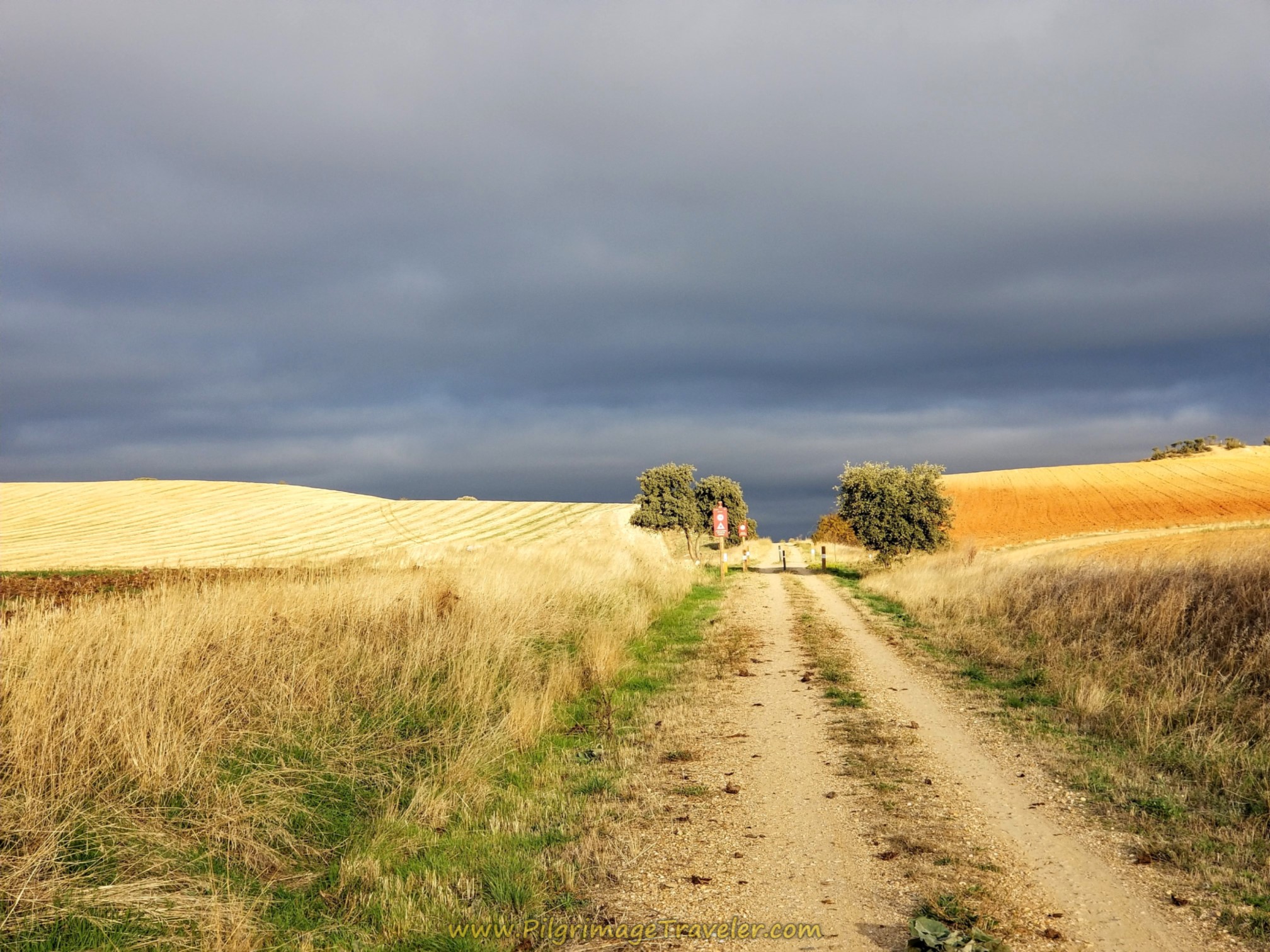
Then suddenly, the darkened sky was lit up with a break through by the sun. It was a gorgeous sight, despite the fact that we were worried that it may rain at any moment.
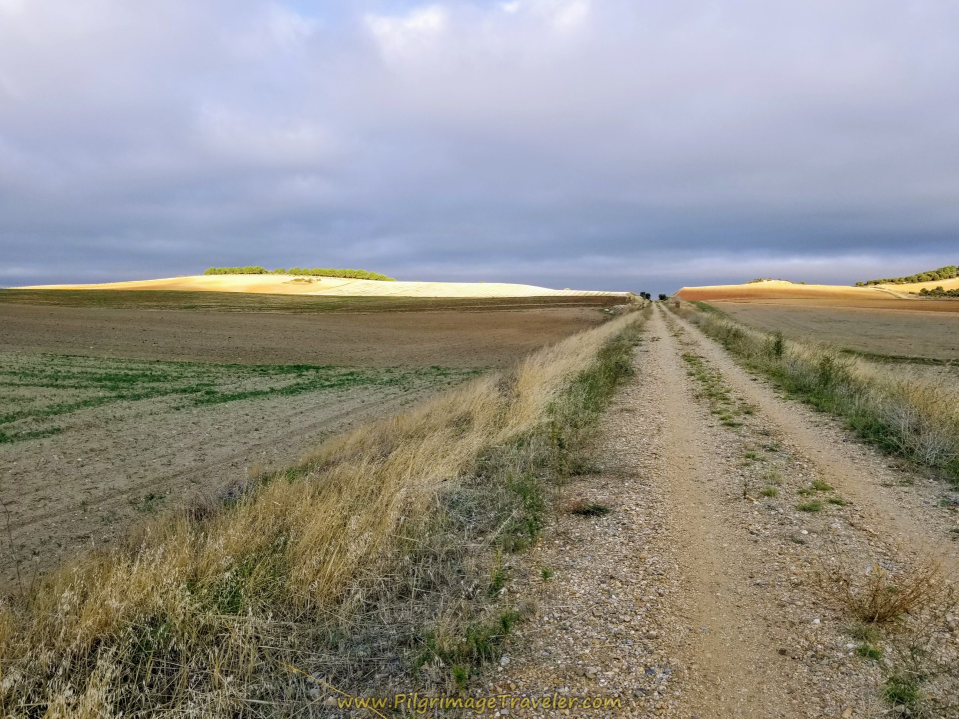 Sky Darkens
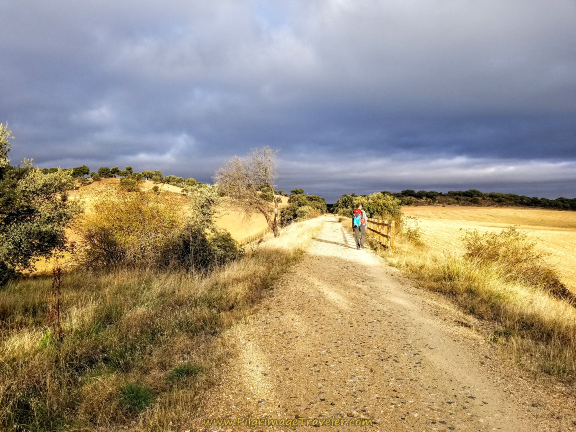
Here is the sky as it looked as we walked on. The fields were brightly lit, while the menacing clouds threatened in the distance.
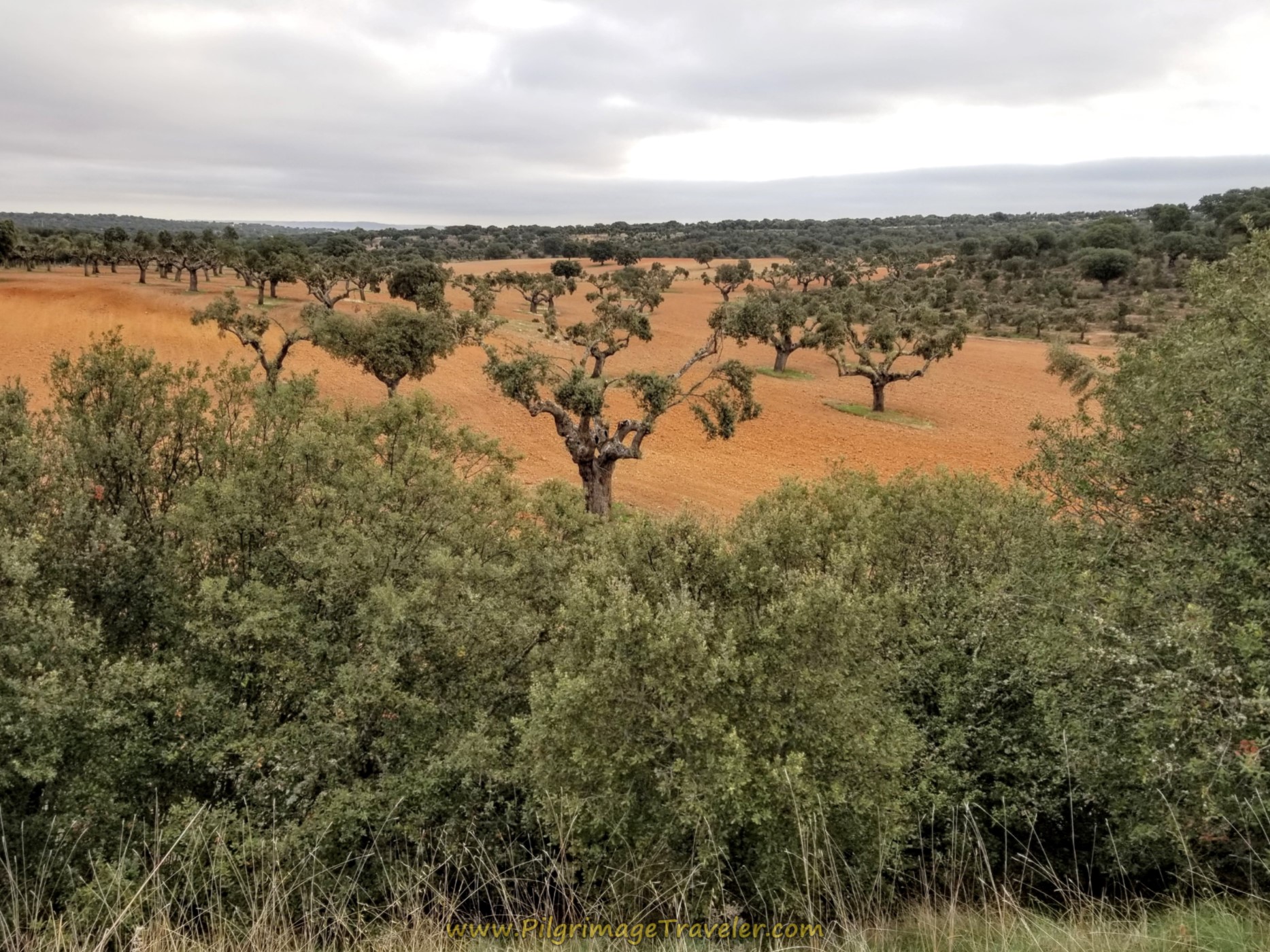
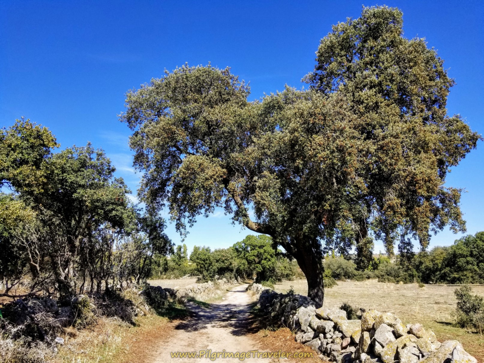
We walked on, and after about 5.8 kilometers on the Camino Natural Vía de la Plata, we entered an evergreen oak forest. These trees with moss growing on them are cultivated for their acorns to feed the pigs that become Serrano ham. The trees were a lovely sight against the red earth.
And just ahead is the 12 kilometer marker, 6.0 kilometers into the Vía.
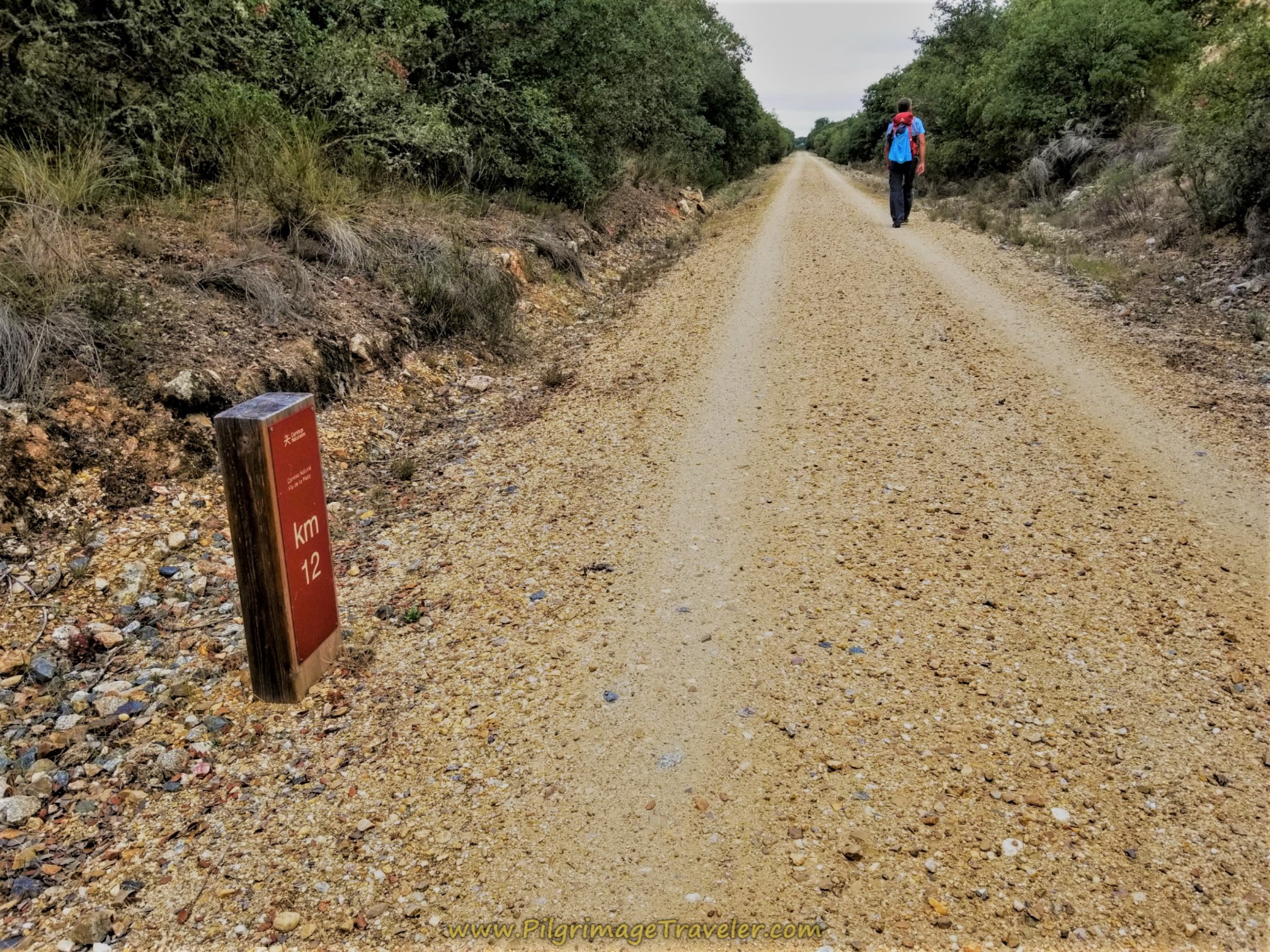 12 Kilometer Marker
About 2.5 kilometers later, 8.5 kilometers down the trackway, you pass this lovely rest area.
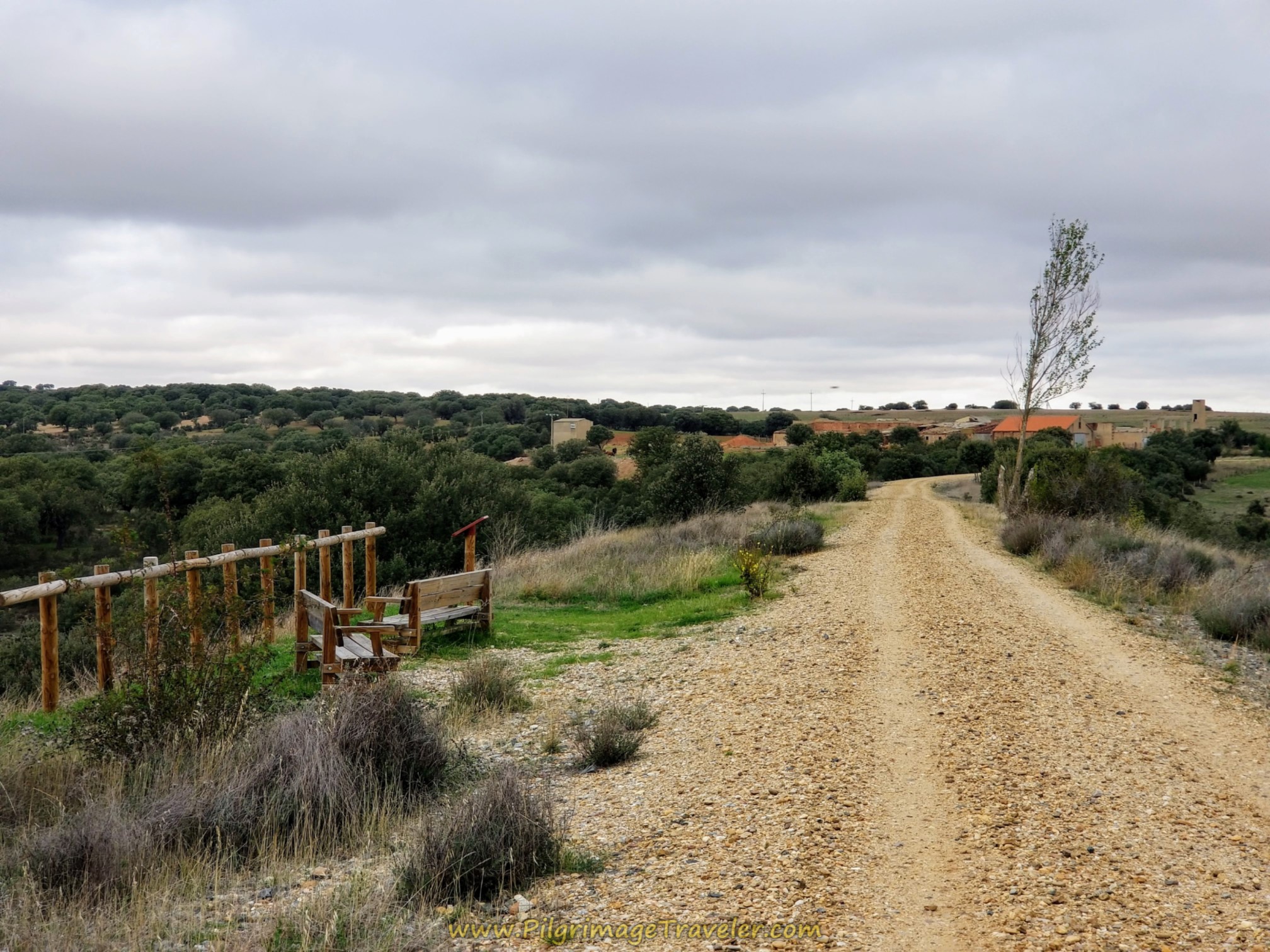 Rest Area
The gentle terrain continues.
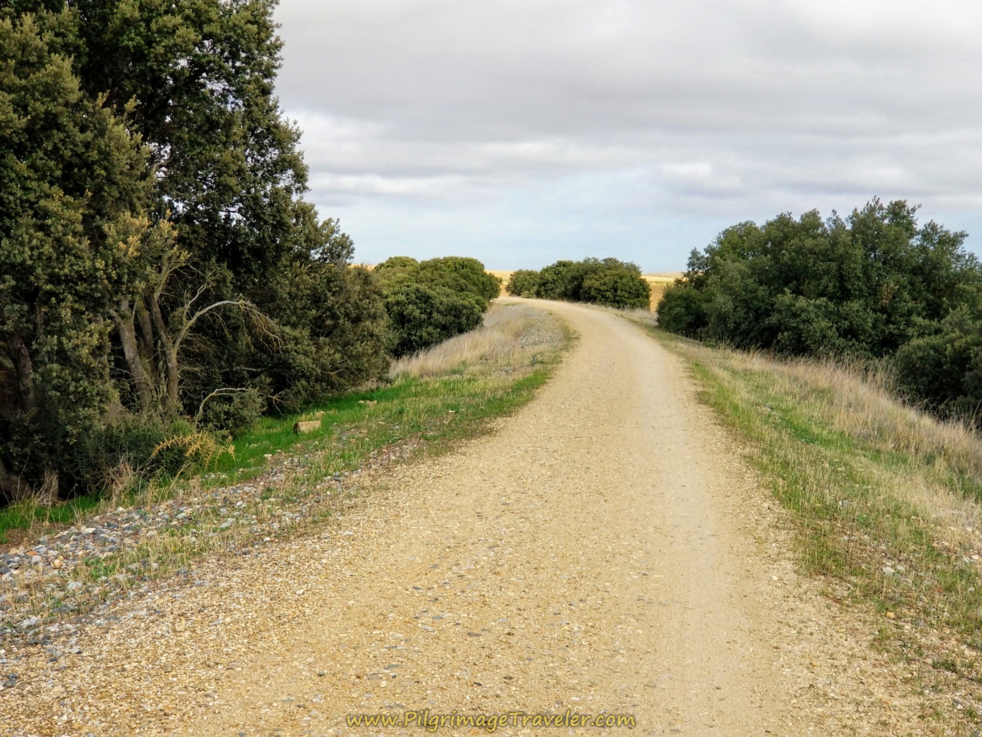 Onward Through Forest
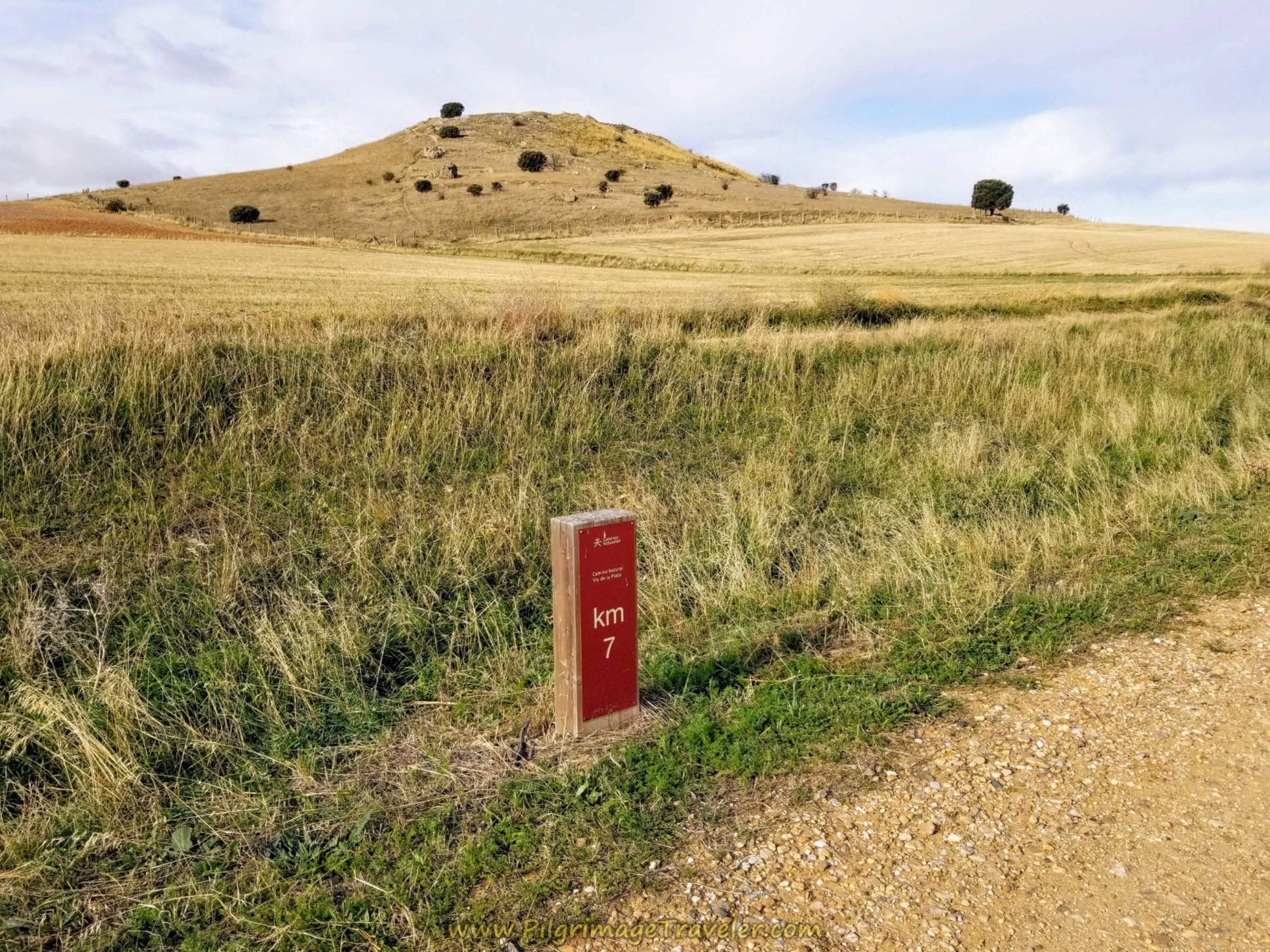
After 12.6 kilometers from the start in Alba de Tormes, and 11 kilometers on the Camino Natural Vía de la Plata, you come to the path leading to the monument hill at the 7.0 km marker, shown below. The Arapiles Battle monument is just on the other side of this hill, that you can see in the distance for quite a ways.
We took the use path from the Camino, westward to the top of the hill and the first marker, which is not the monument, but a geologic marker, shown below.
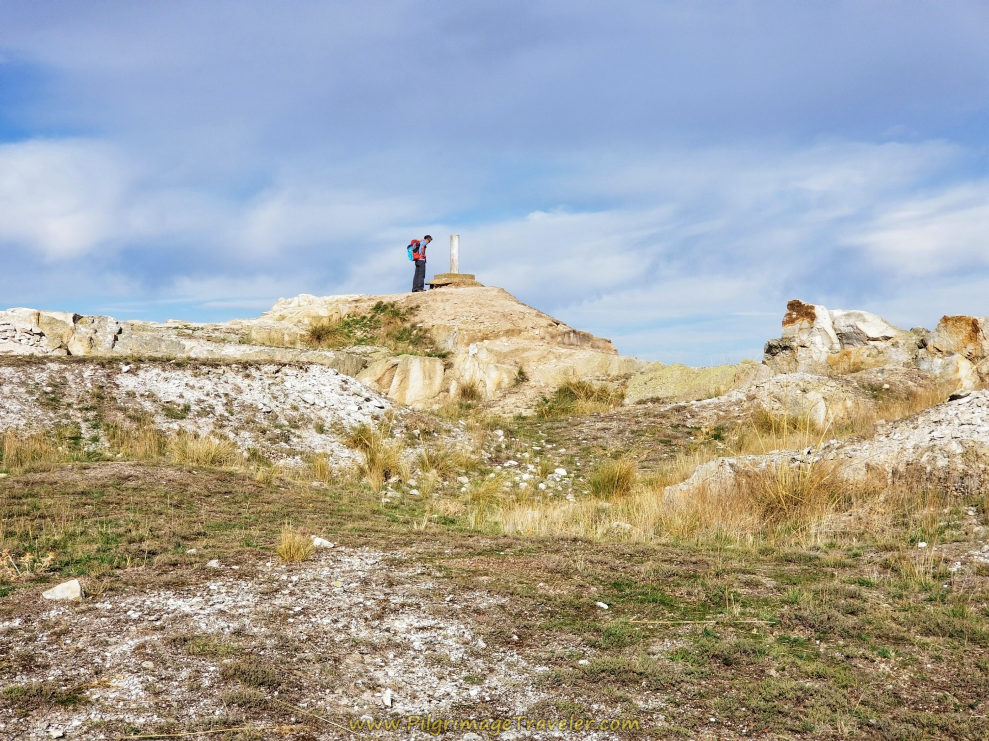 Rich at Geological Marker
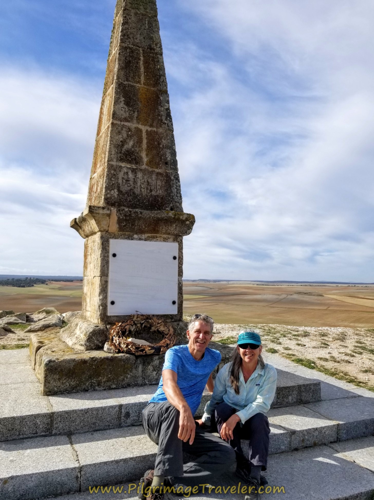
And then ahead, in the distant hill, the monument comes into view. Here is Rich and I taking a break at this marker. There was a British couple here, touring the area, who took our photo. We conversed with them for a while and it was the first English that we had spoken in days.
The British gentleman was a bit of a history buff and it was fascinating listening to him tell about the battle here, led by the British Leut. General Wellington, who led the charge against the French, to ultimately win the battle for Spain.
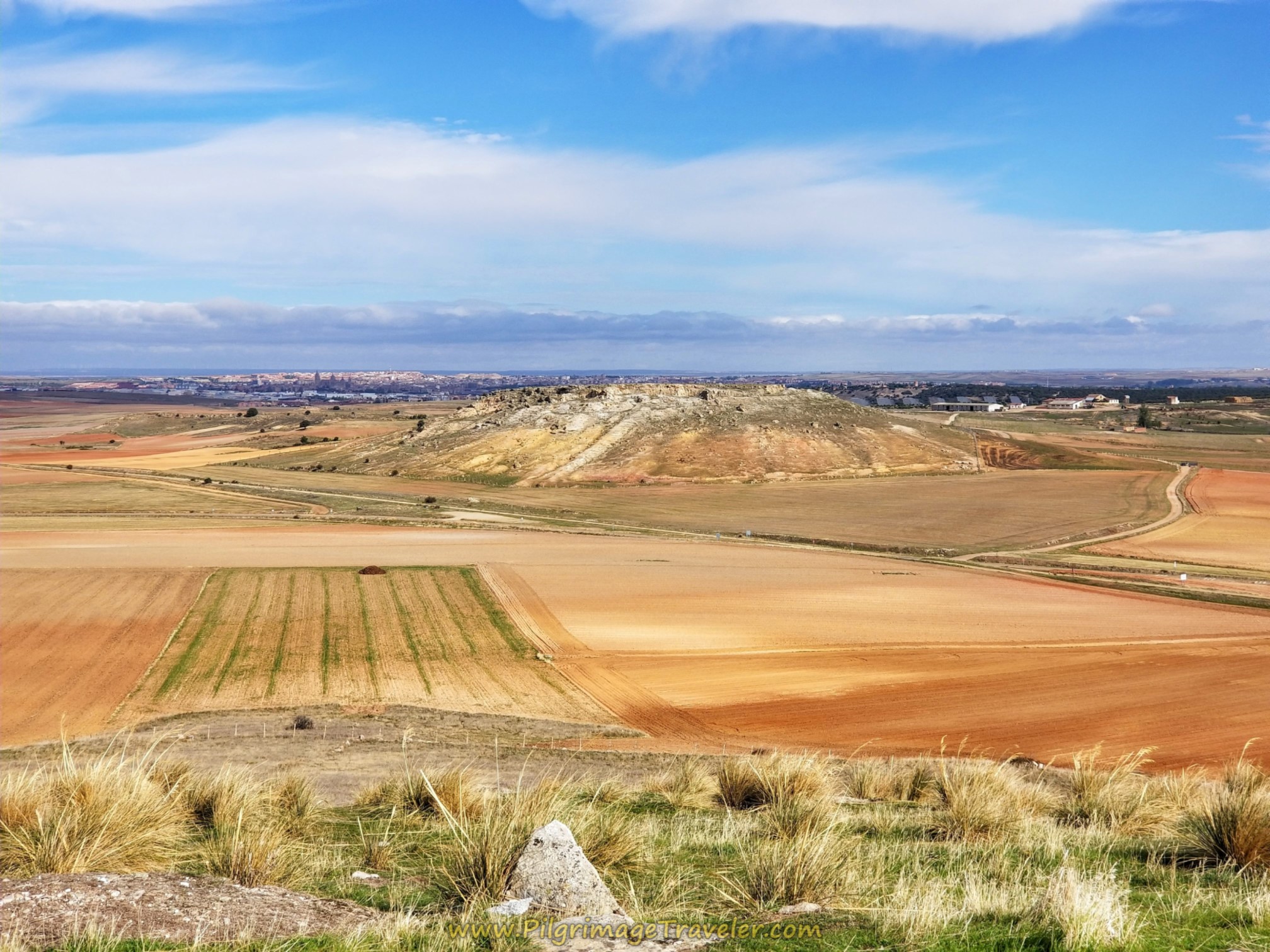
The view from the Arapiles hill to the north was superb, and you can see Salamanca in the distance. The short 0.45 kilometer climb up the hill, one-way, is worth it for the view alone. We were lucky that the sky cleared and it never did rain.
Jump to Camino Teresiano Stages
After our picnic break at the monument, we continued onward along the railroad bed. We passed by this picnic area, and this shot is of a look-back to Arapiles Hill. You can see the monument if you look closely, on the top of the plateau.
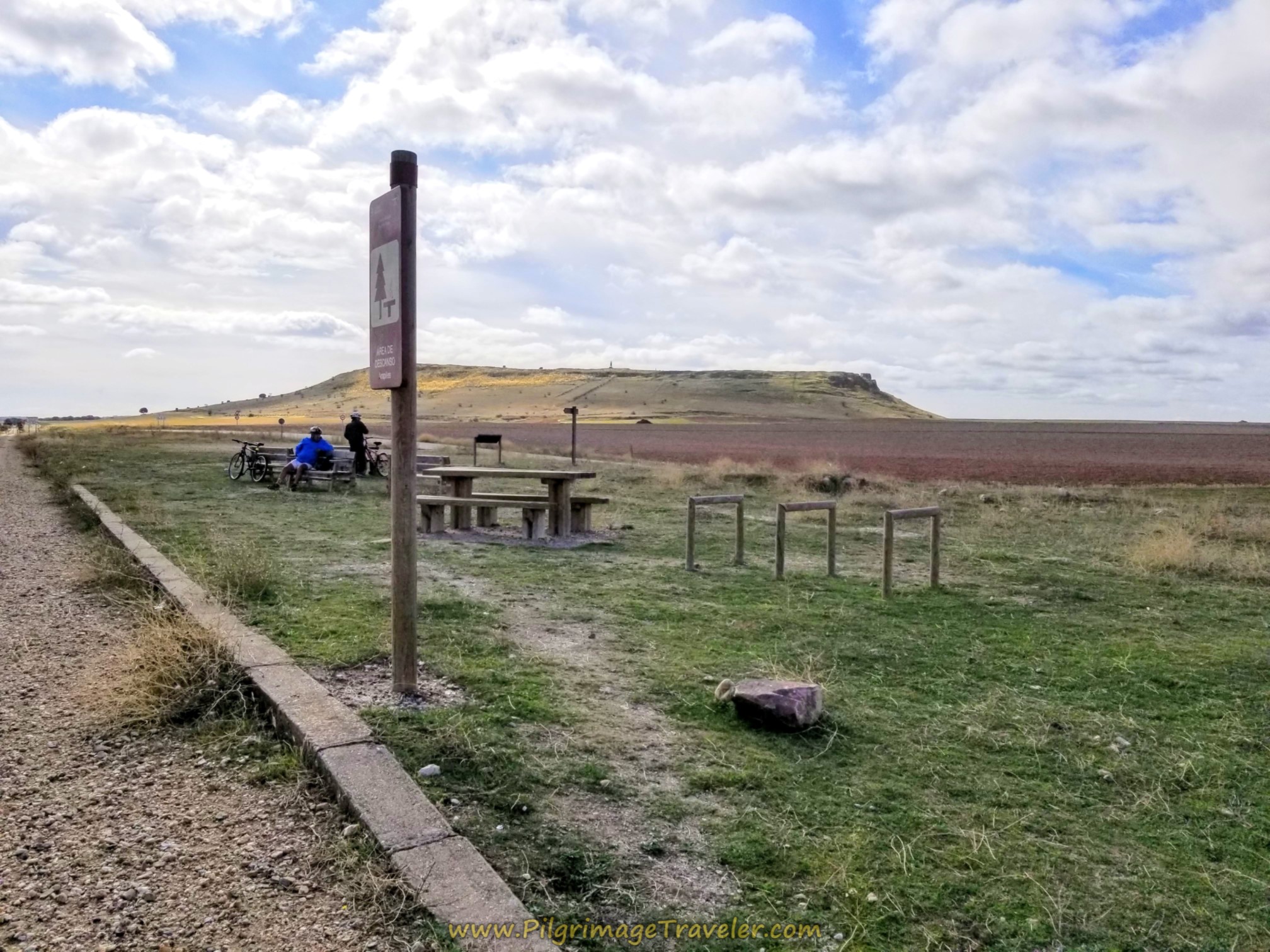 Picnic Area Along the Camino Natural Vía de la Plata
After about 850 meters from where we re-joined the Camino Natural Vía de la Plata, we crossed the DSA-106.
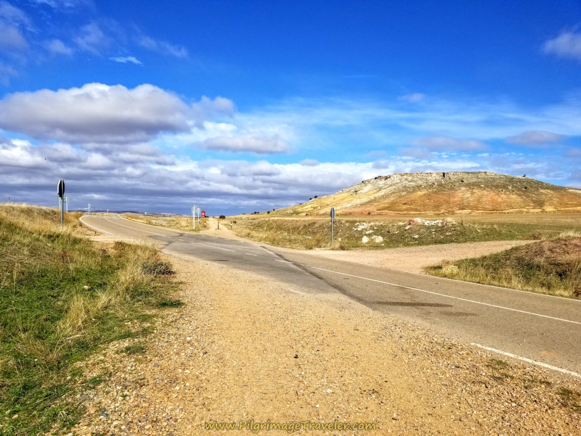 Crossing the DSA-106
The way from here is long and straight.
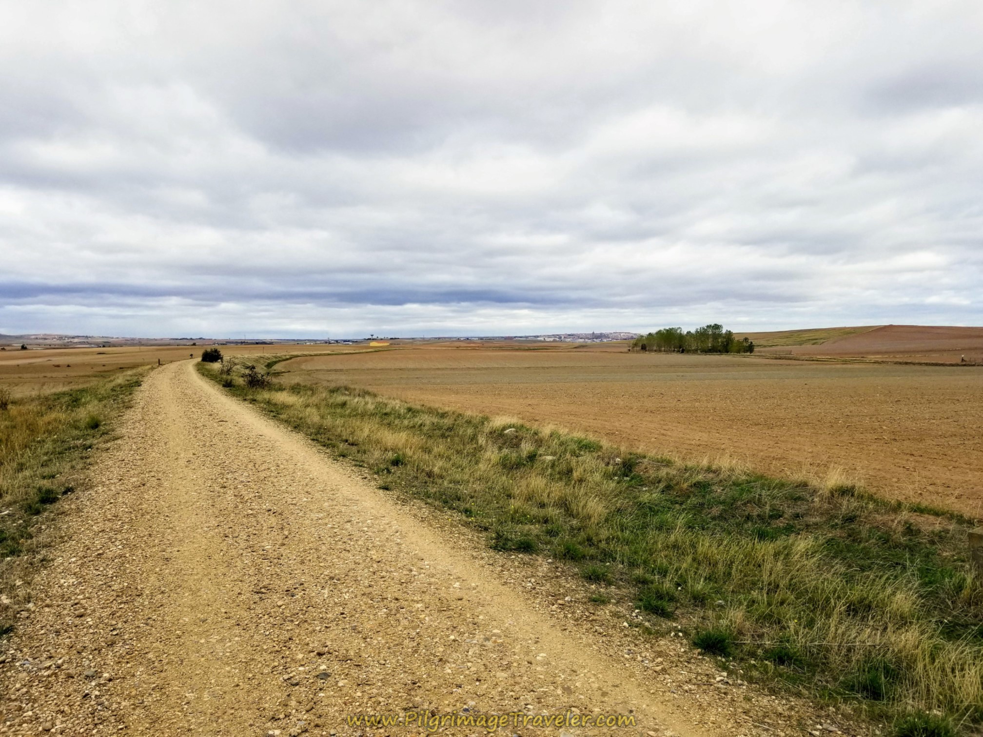 Straight Shot to Salamanca
It was fun to watch Salamanca get closer and closer with every step...
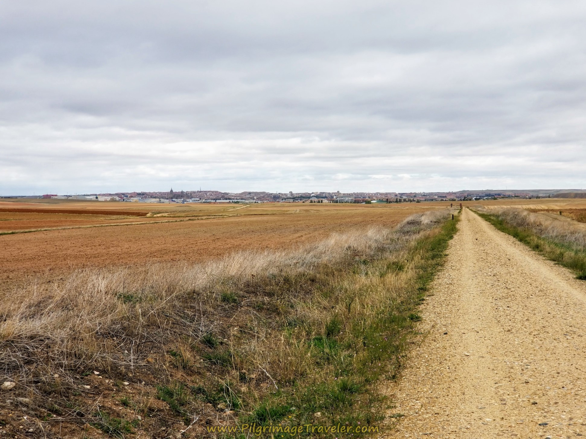 Salamanca Getting Closer
...until eventually the towers of the Salamanca cathedral, shown in the photo below, came into view.
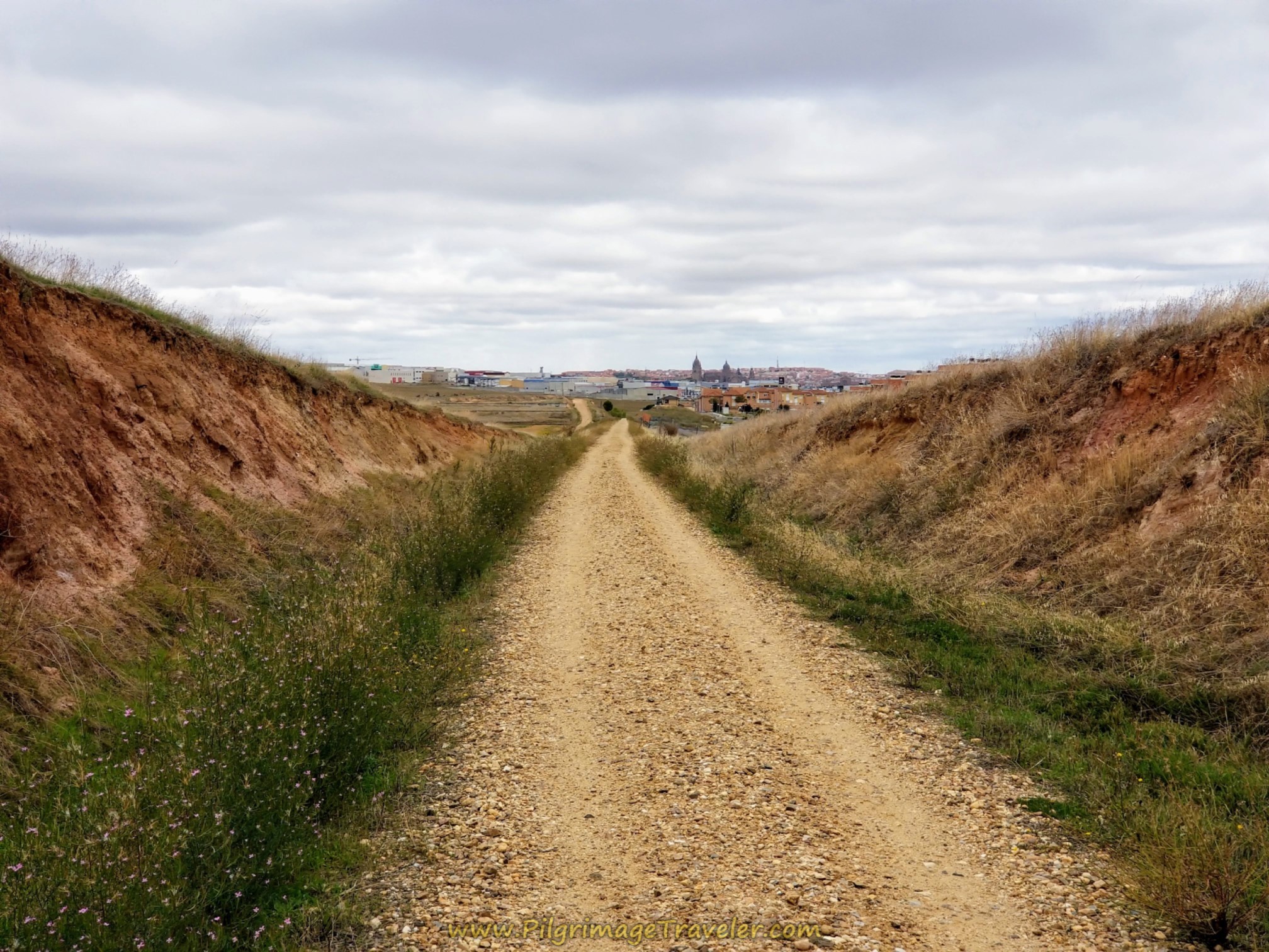 Salamanca Cathedral Comes Into View
After 17.85 kilometers from Alba de Tormes, the first buildings of the town of Carbajosa de la Sagrada come into view.
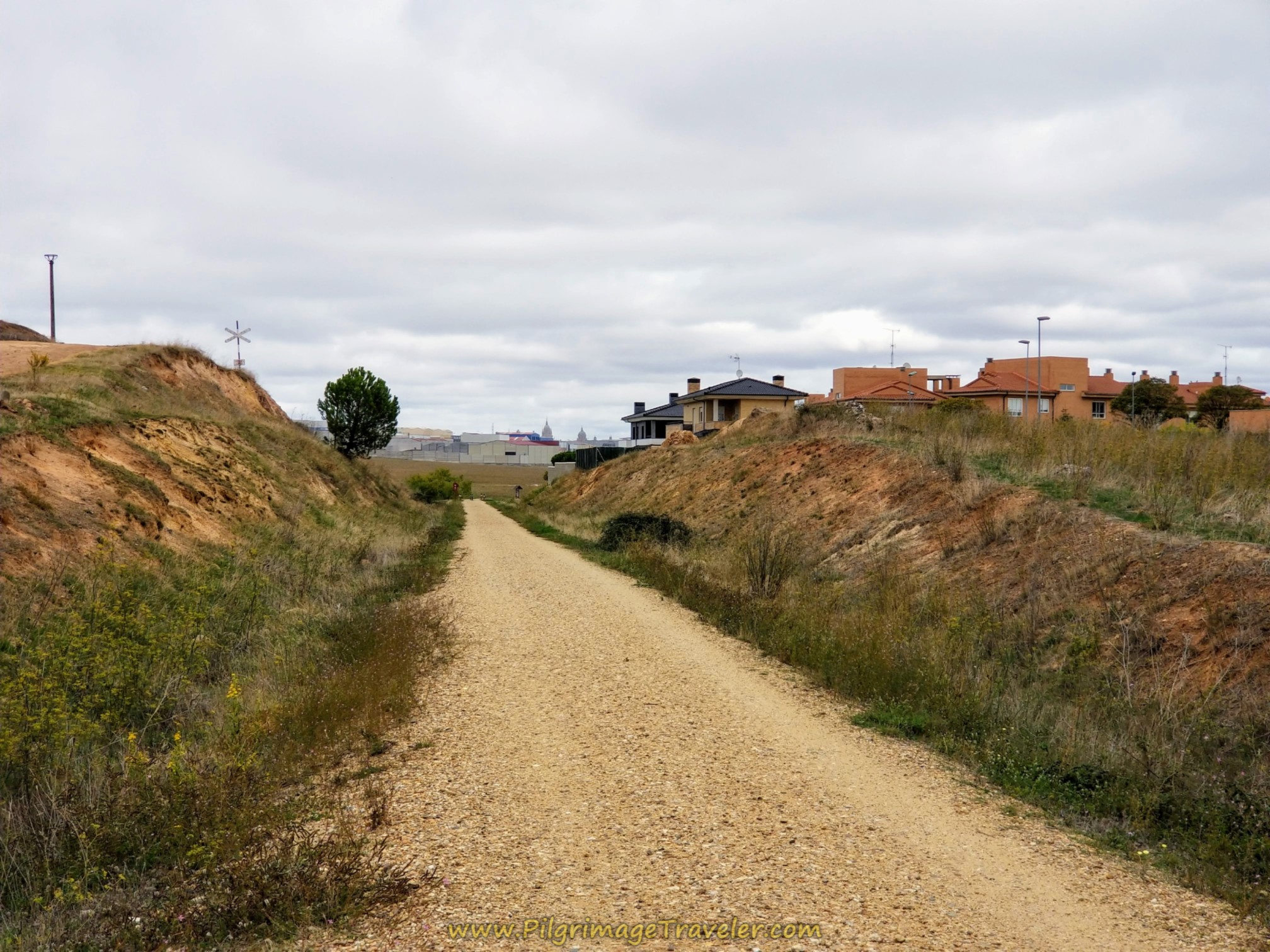 First Buildings of Carbajosa de la Sagrada
650 meters later, you come to the one kilometer waymark. This is all that is left of the official route of the Camino Natural Vía de la Plata and you are now entering the suburbs of Salamanca.
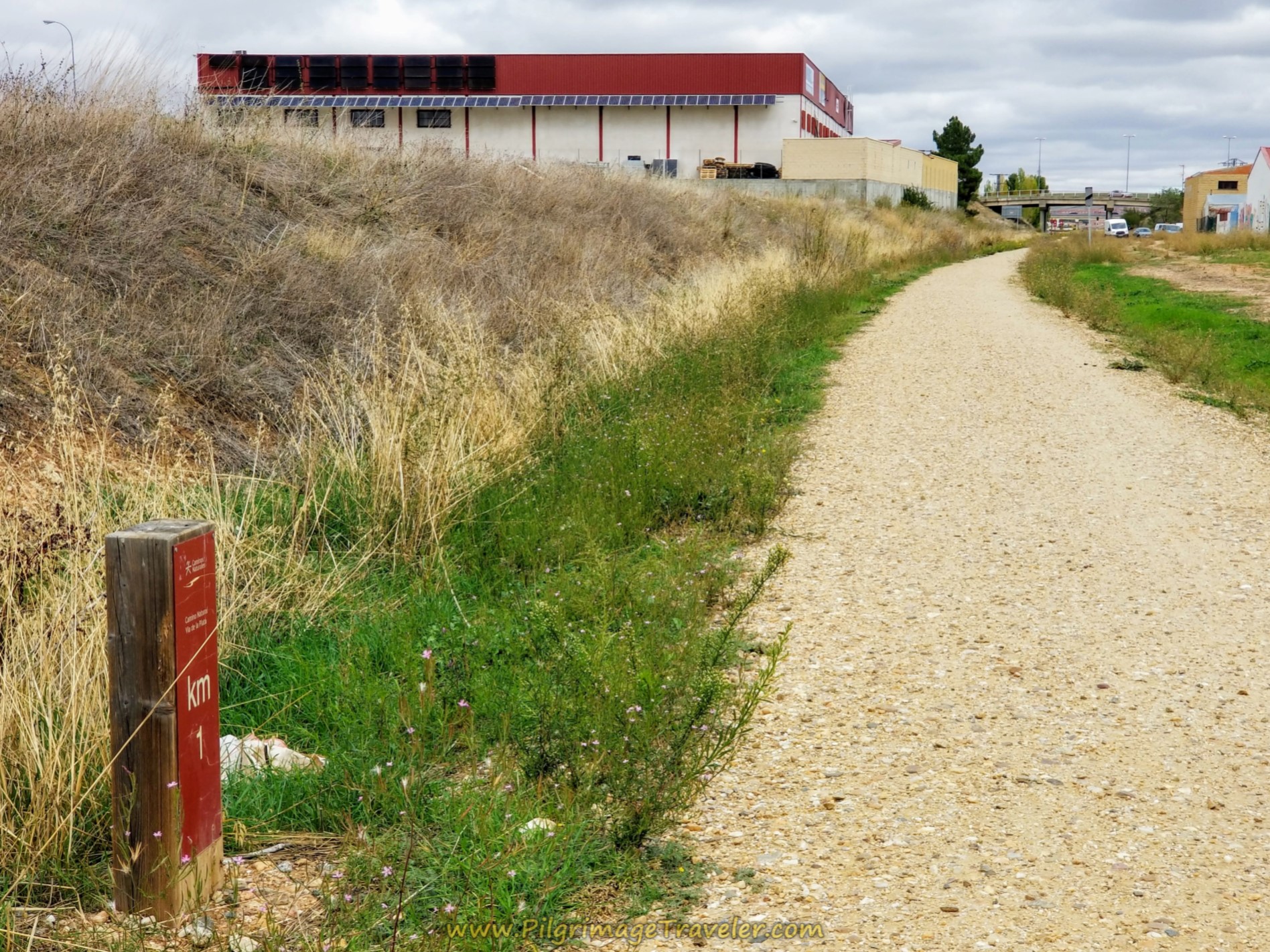 One Kilometer to Go on the Camino Natural Vía de la Plata
The Camino walks under this overpass, the Calle Salamanca...
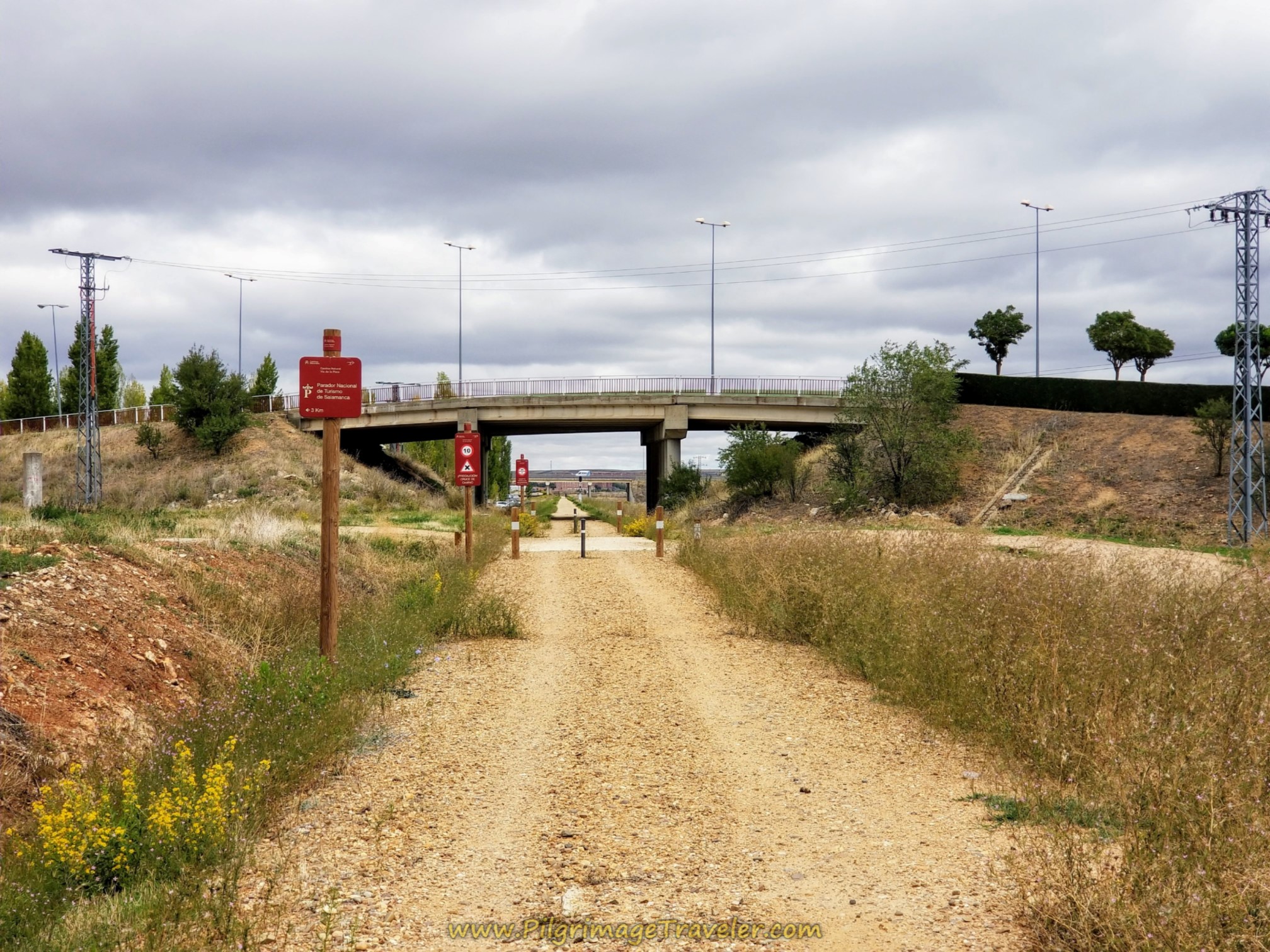 Walk Under the Calle Salamanca
...and ends shortly thereafter at a nice information board and the Calle Newton, shown below. This is the street that you take to the west.
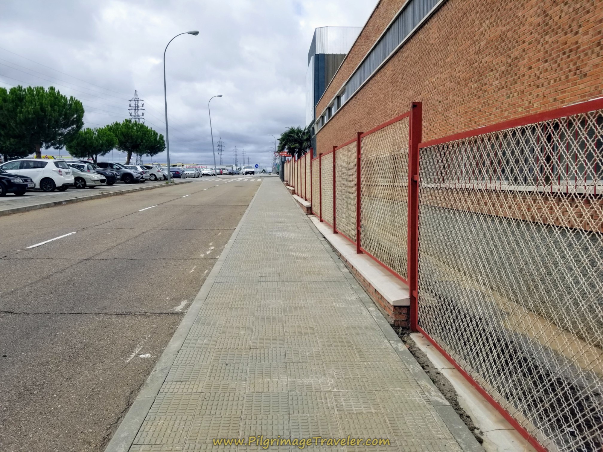 Left Turn Onto Calle Newton
After 365 meters, come to this roundabout, shown below.
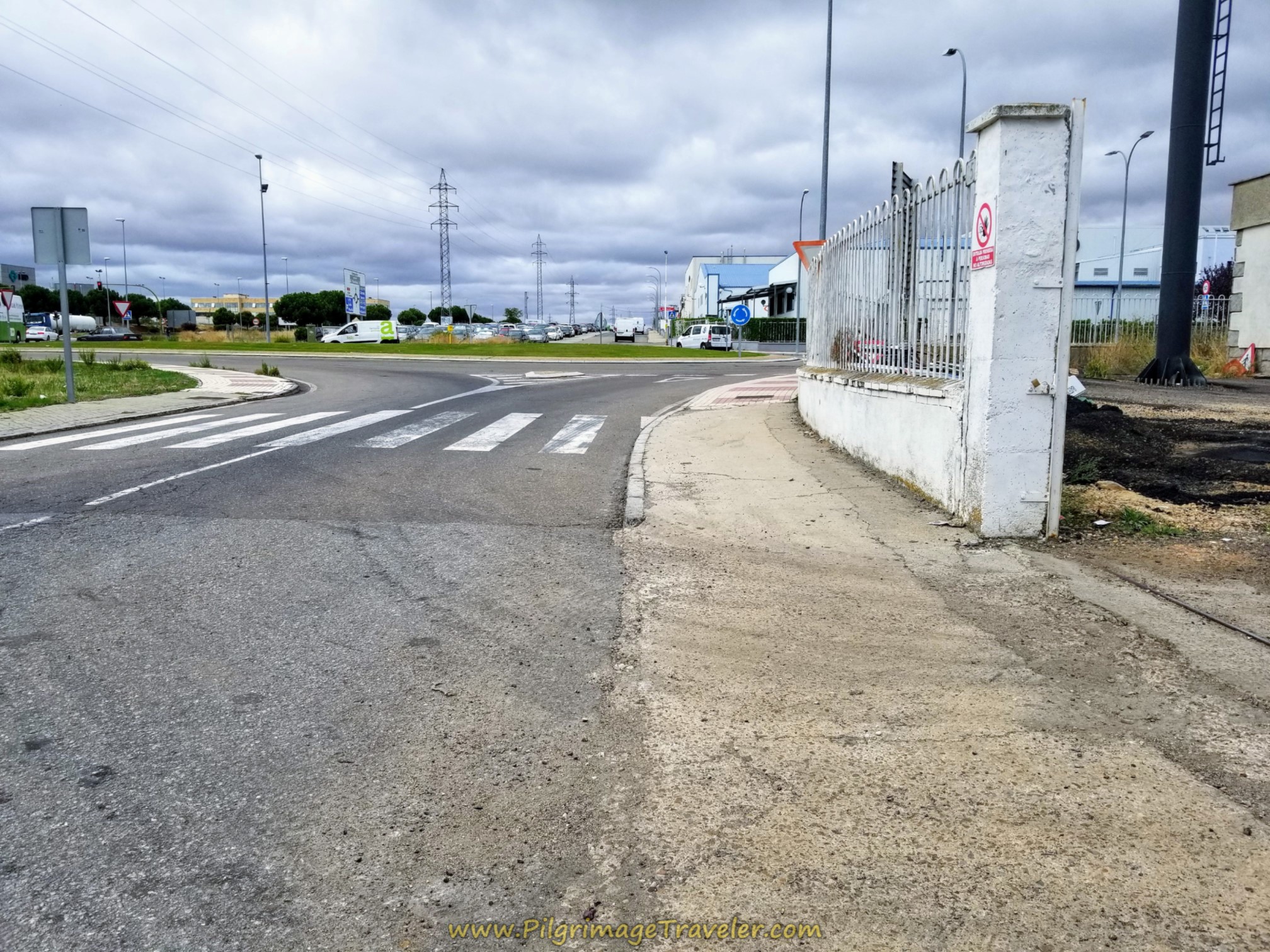 Right Turn at Roundabout
You take a right at the roundabout and onto the Av. Carbajosa de la Sagrada. You will be walking through a very commercial area, with lots of restaurants for the workers, and a huge New Holland agriculture building.
One-half kilometer later, you come to the Salamanca sign, shown here. Welcome to Salamanca!
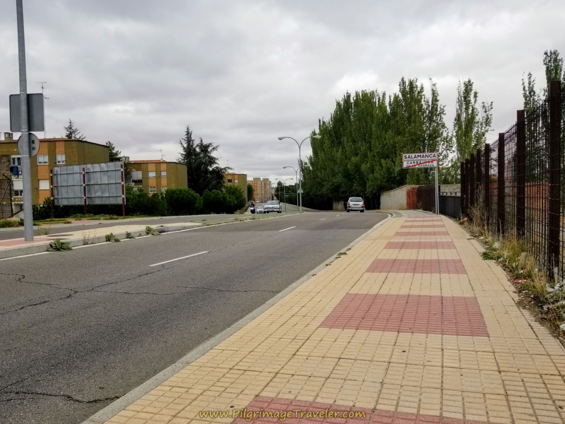 Entering Salamanca Along the Avenida Carbajosa de la Sagrada
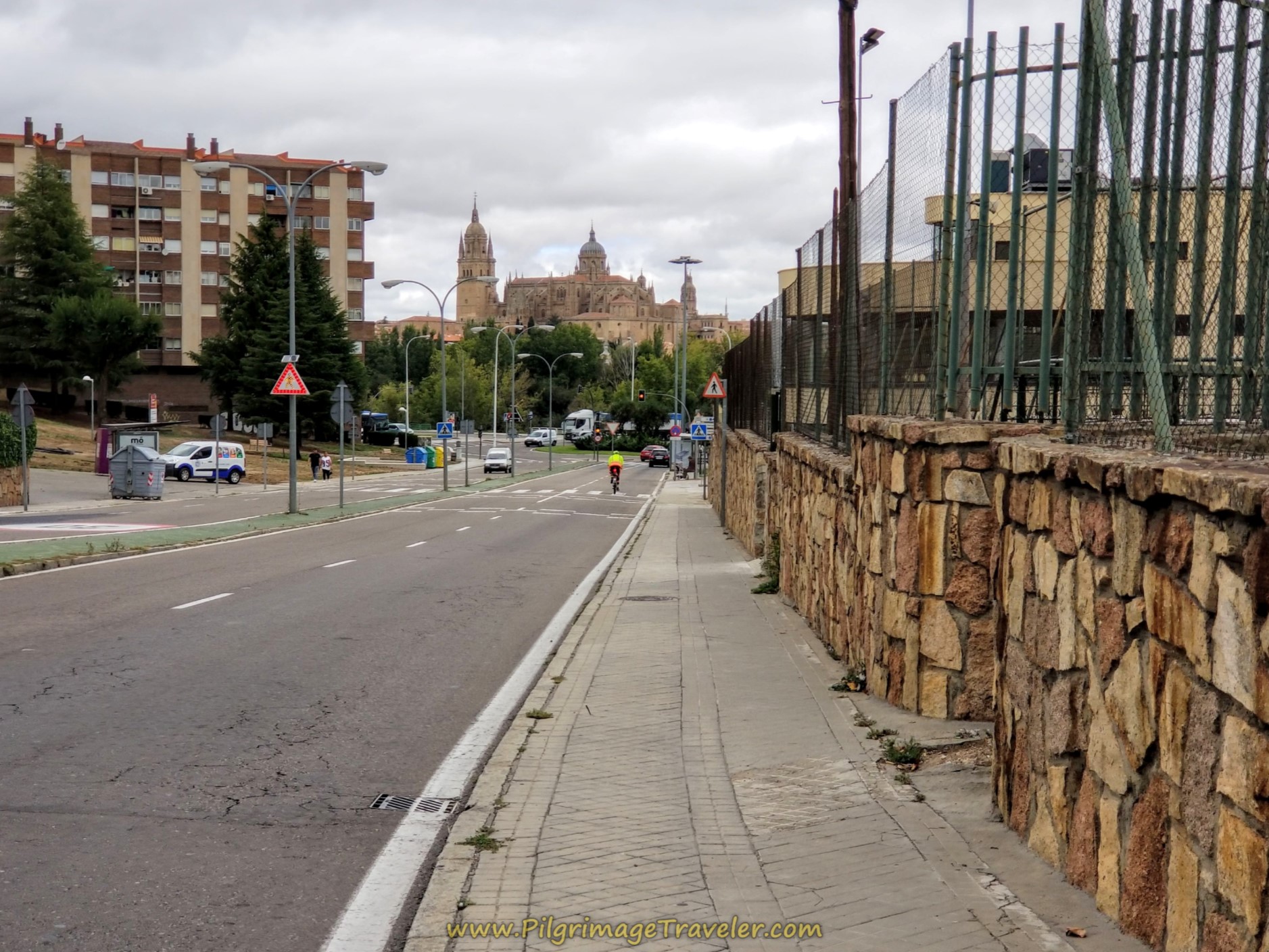
You continue onward past the Salamanca sign, as the road bends to the northwest and becomes the Calle Joaquín Rodrigo at a Y-intersection. Stay to the right and continue onward. The cathedral spires are now in full view!
You follow the Calle Joaquín Rodrigo for about 200 meters to the next roundabout where you head toward the river. You will see this lovely bikeway on the west side of the roundabout that follows the River Tormes.
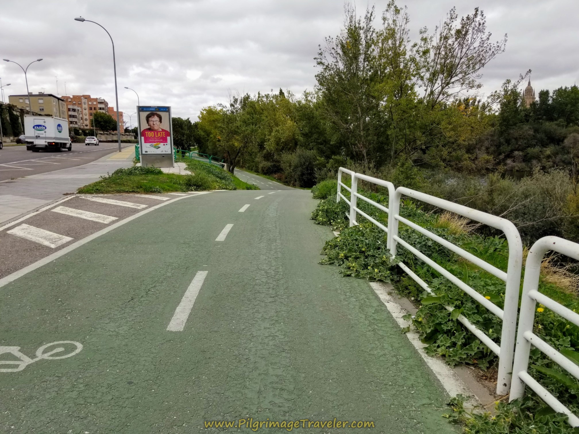 Pick Up the Bike Path Along the Río Tormes
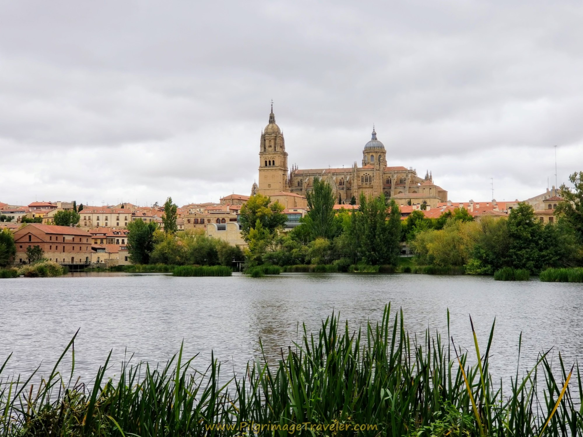
Head west on the bikeway along the river, keeping a look-out for bicycles. The views of the Catedral de Salamanca that you will see are stunning, even on a cloudy day.
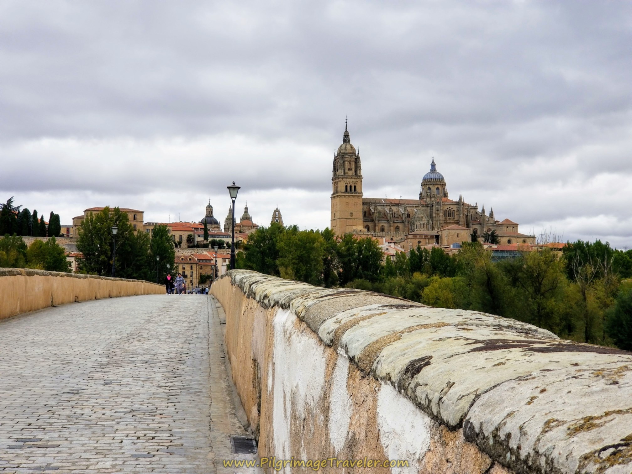
While you can access the city of Salamanca from any of three bridges along this pathway, the best of course is to continue on for about 870 meters until you come to the fabulous Roman bridge, the Puente Romano de Salamanca, after 22.1 kilometers from Alba de Tormes. shown below.
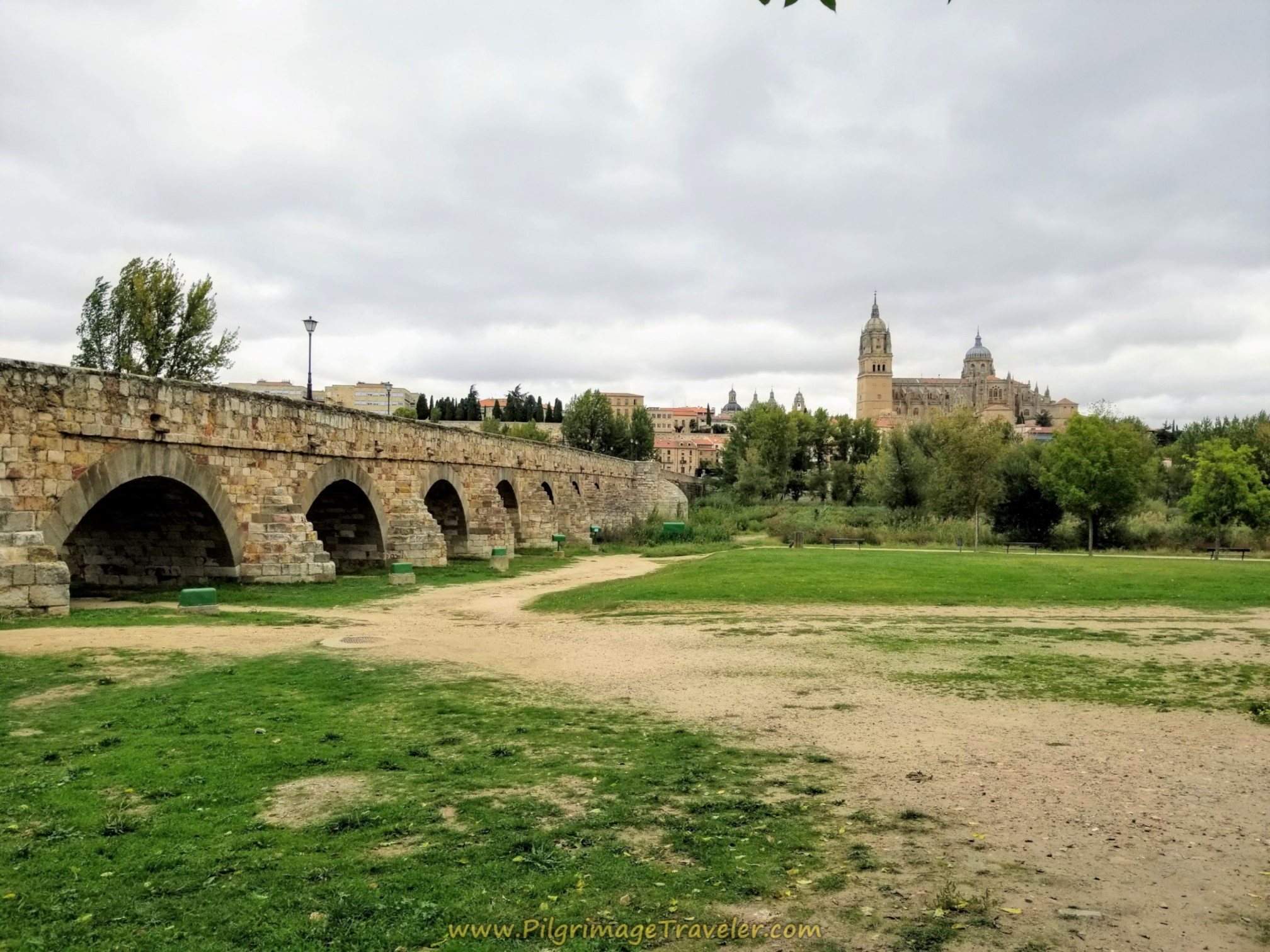 Puente Romano de Salamanca
The Roman bridge or Puente Romano is a wonderful pedestrian bridge and it is here where you now join the official Vía de la Plata, the Camino de Santiago that starts in Sevilla. Yet another reason to walk into downtown Salamanca on this bridge!
Jump to Camino Teresiano Stages
After lulling on the bridge and taking many more photos than I have shown, we arrived on the other side, and were greeted by this prehistoric figure, called a Verraco. This is believed to be a boar, but no one is really sure. A lion, perhaps or a bull? Click on the link to read more about these stone figures found throughout the central plateau of Spain.
In the photo below you can also see the small Iglesia de Santiago, built in the 12th century in the Mudejar Romanesque style. It was recently restored, but not in its original form. I could find no information as to when it opens, and indeed the plaza in front of it is currently being used as a skate park. It is a shame, because apparently this church is the only church of the Mozarabic Parrish.
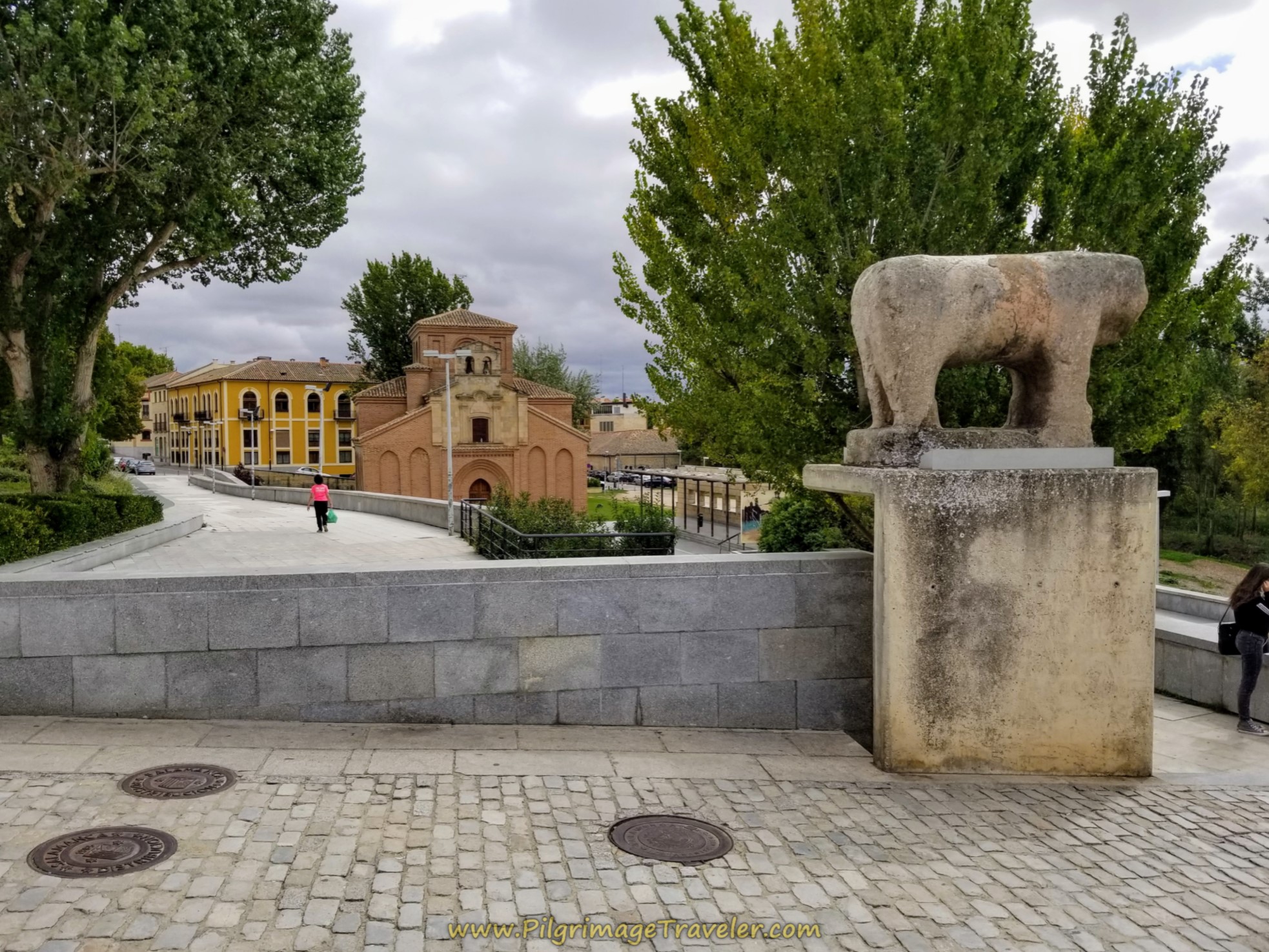 Verraco del Puente, Plaza de Santiago
After the bridge, and passing by the Santiago church, you come to a T-intersection with the Paseo de San Gregorio. Look across the road to see this staircase, shown below, with a yellow arrow and the yellow "A" for albergue, painted on the bottom step. The small pedestrian way to your right and up a slight incline, seen in the photo, is the way to go towards the Catedral de Salamanca and the municipal albergue.
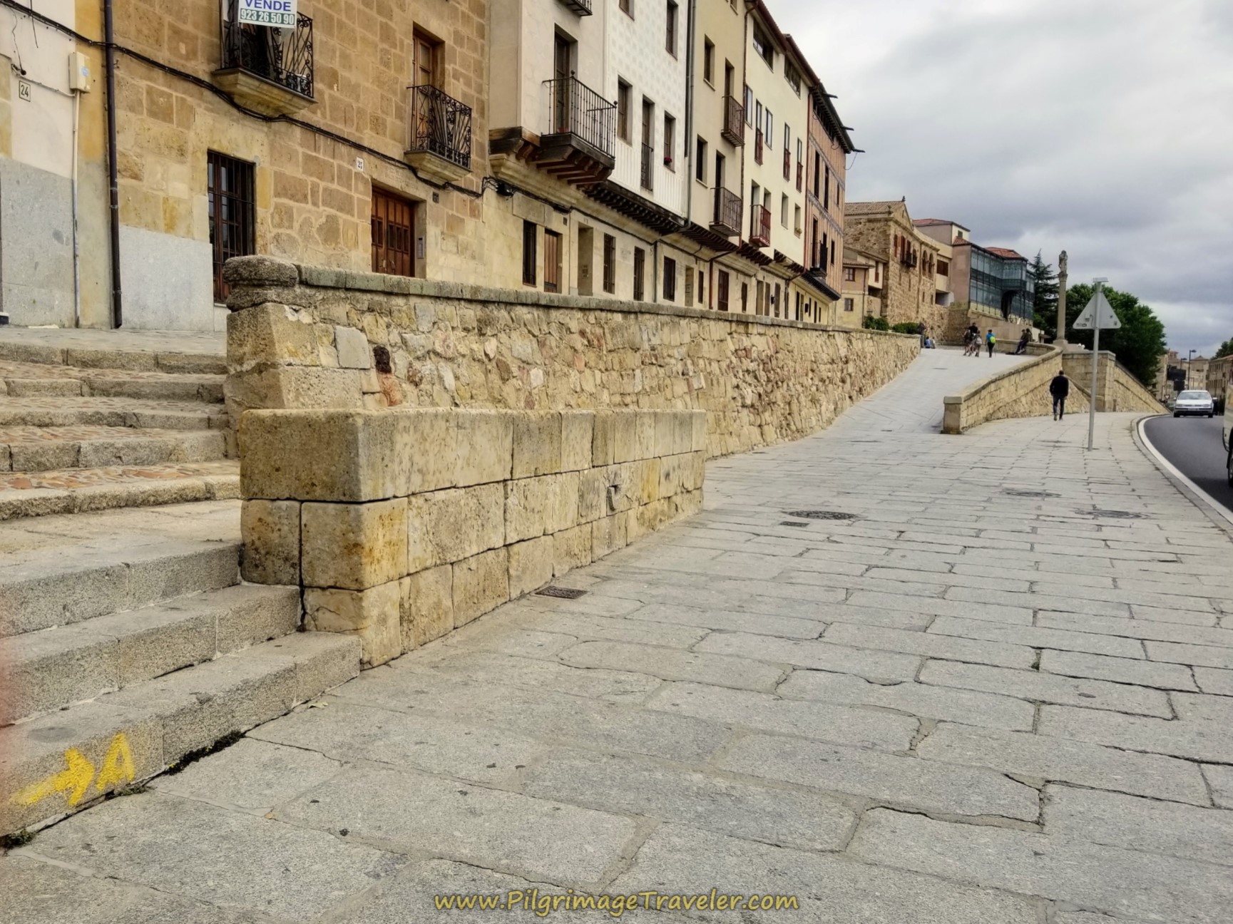 Left Turn Onto Calle Ribera del Puente
Here is Rich, below left, sitting on the wall of this pedestrian way called the Calle Ribera del Puente, just after we encountered the Camino de Santiago shell embedded in the pavement. It was a welcoming sight! The cross ahead, the Cruz de los Ajusticiados (Cross of the Executed) is the direction of travel!
Once you pass the cross, take an immediate left and up the hill onto another pedestrian street called Tentenecio. The street is distinctive with the red pavers, shown below right. If you were to stay on Tentenecio, you would arrive on the west side of the cathedral. In fact, you may catch glimpses of the Ieronimus Tower on the old cathedral as you walk here.
Keep climbing on Tentenecio until the first right turn after only 50 meters. The intersection is shown in the photo on the right, below.
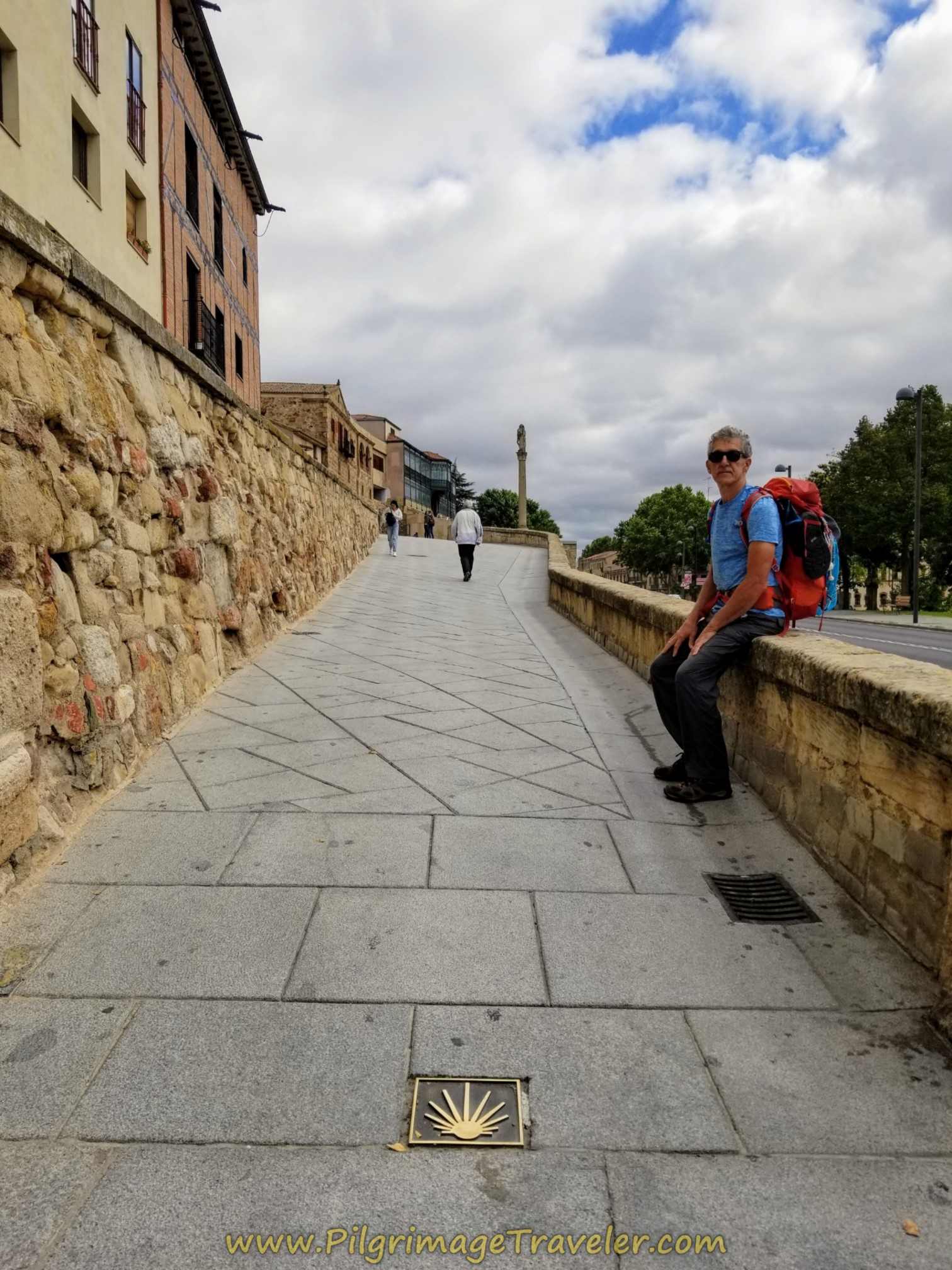 Camino Shell Along the Calle Ribera del Puente
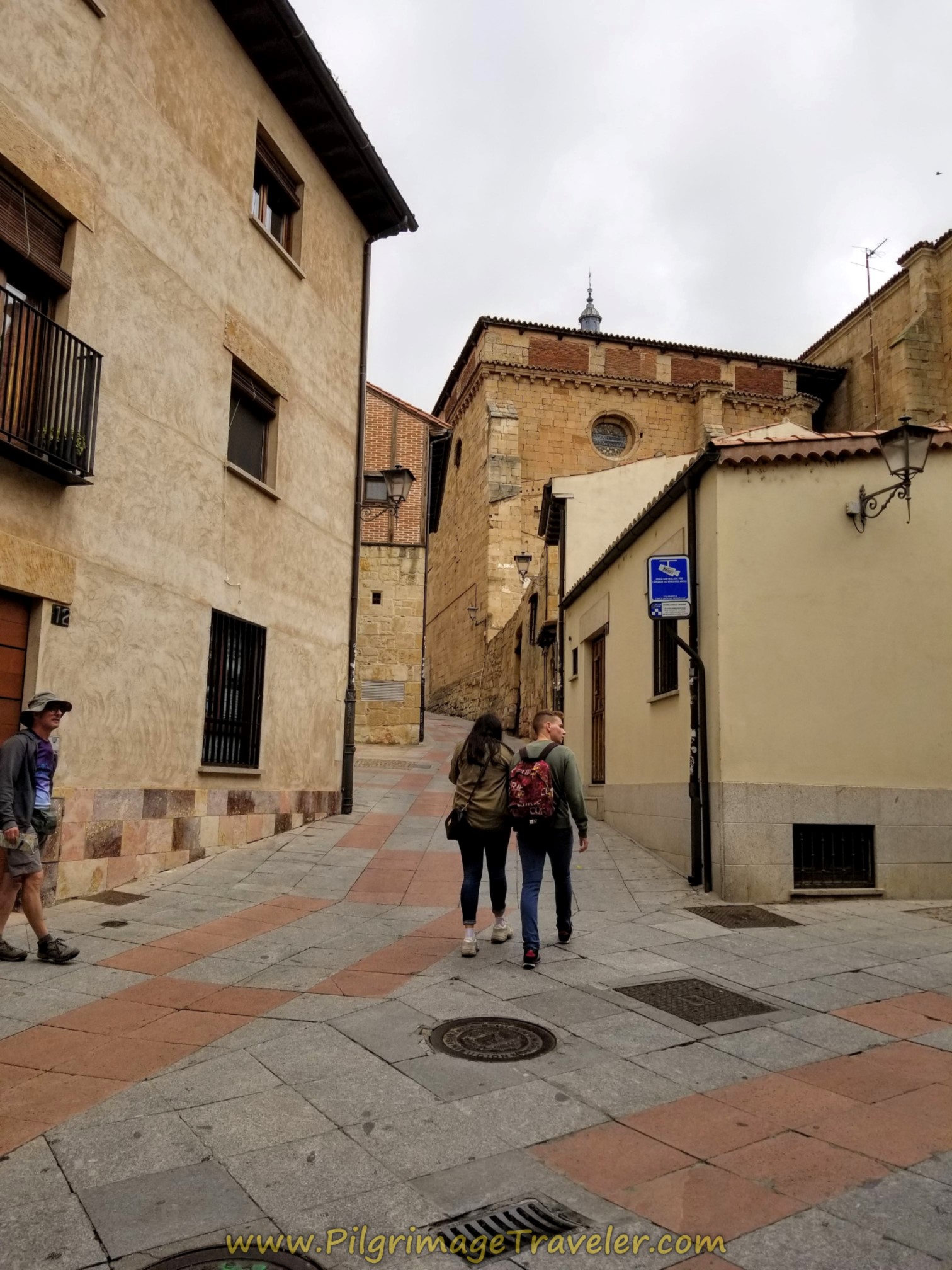 Left Turn Onto Tentenecio
The right turn is towards the albergue and onto Gibraltar street with two museums on the corner, first the Centro Documental de la Memoria Histórica and next the Casa Lis, an art deco museum.
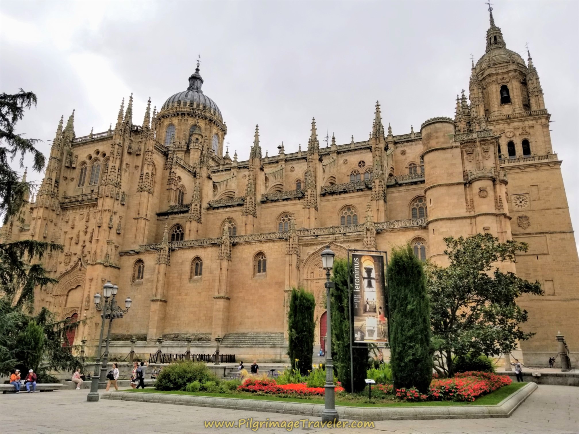
Past the museums, Gibraltar street bends around to the south side of the catedral, and you get an amazing first view of it at the Patio Chico door, shown below. It is a majestic sight indeed as you approach it. In this view, the tower is one of the two main domes that you see all over as you walk into town.
Just before the door, take a right hand turn onto the Calle Arcediano, staying straight on until it ends in a nice plaza at the entrance to a wonderful garden called the Huerto de Calixto y Melibea. The Casa la Calera municipal albergue is to the right of the garden entrance in the plaza, shown in the photo below.
This wonderful little albergue is in a perfect location for visiting the cathedral, the university, which is the oldest in Spain, and many other sites. Located next to the garden mentioned, it is a quiet and meditative place, perched above the old walls of the medieval town. It is also where we obtained the special credencial for our onward Camino on the Vía de la Plata. Many people start the Vía de la Plata in Salamanca as we were going to do. (Please note that this is not an official credential if you wish to obtain a Compostela in Santiago - ours were recognized, but the Pilgrim's office didn't like it!)
The albergue is a donativo with 18 beds. They do not take reservations, but a sign on the door when we were there, states that opening hour is at 1500 and you must leave in the morning by 07:30. In the past you could drop off your backpack at 1300, but apparently that is no longer true.
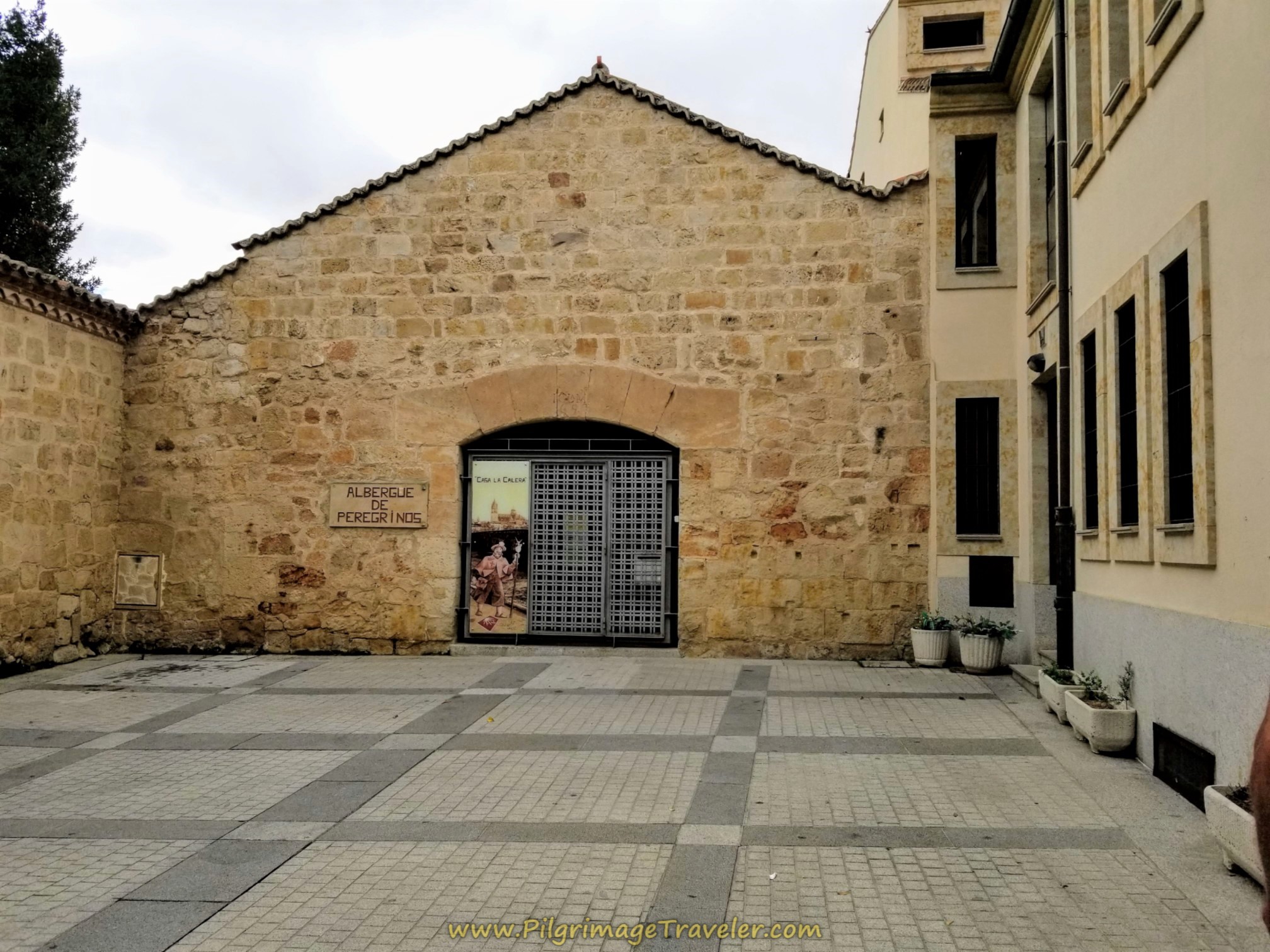 Albergue de Peregrinos, Casa Calera
We did not stay at the albergue because we were joining friends in Salamanca and wished to stay two nights in an apartment setting. We wanted to kick off our Camino together after exploring the town with much to see. For the four of us, in a two-bedroom apartment, we found the Apartamentos Gran Vía Salamanca to be very economical. It has a nice kitchen, a living area and a washer/dryer which we found to be quite convenient.
There are many economical places to stay in Salamanca, as you might imagine for a city of this size. If you prefer something other than the albergue, or desire a reservation, click here to see the current deals for when you plan to arrive.
The albergue was closed when we first arrived, so we turned around on the Calle Arcediano to head back to the cathedral. I didn't realize that a wonderful view of the second tower, the Ieronimus clock tower was behind us the whole time!
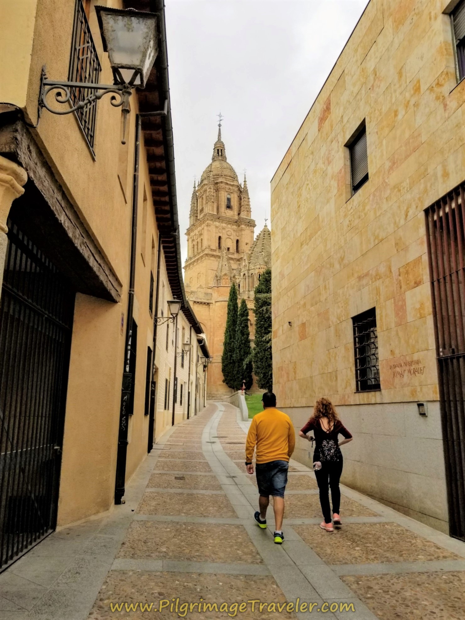 Along the Calle Arcediano, Ieronimus Tower in View
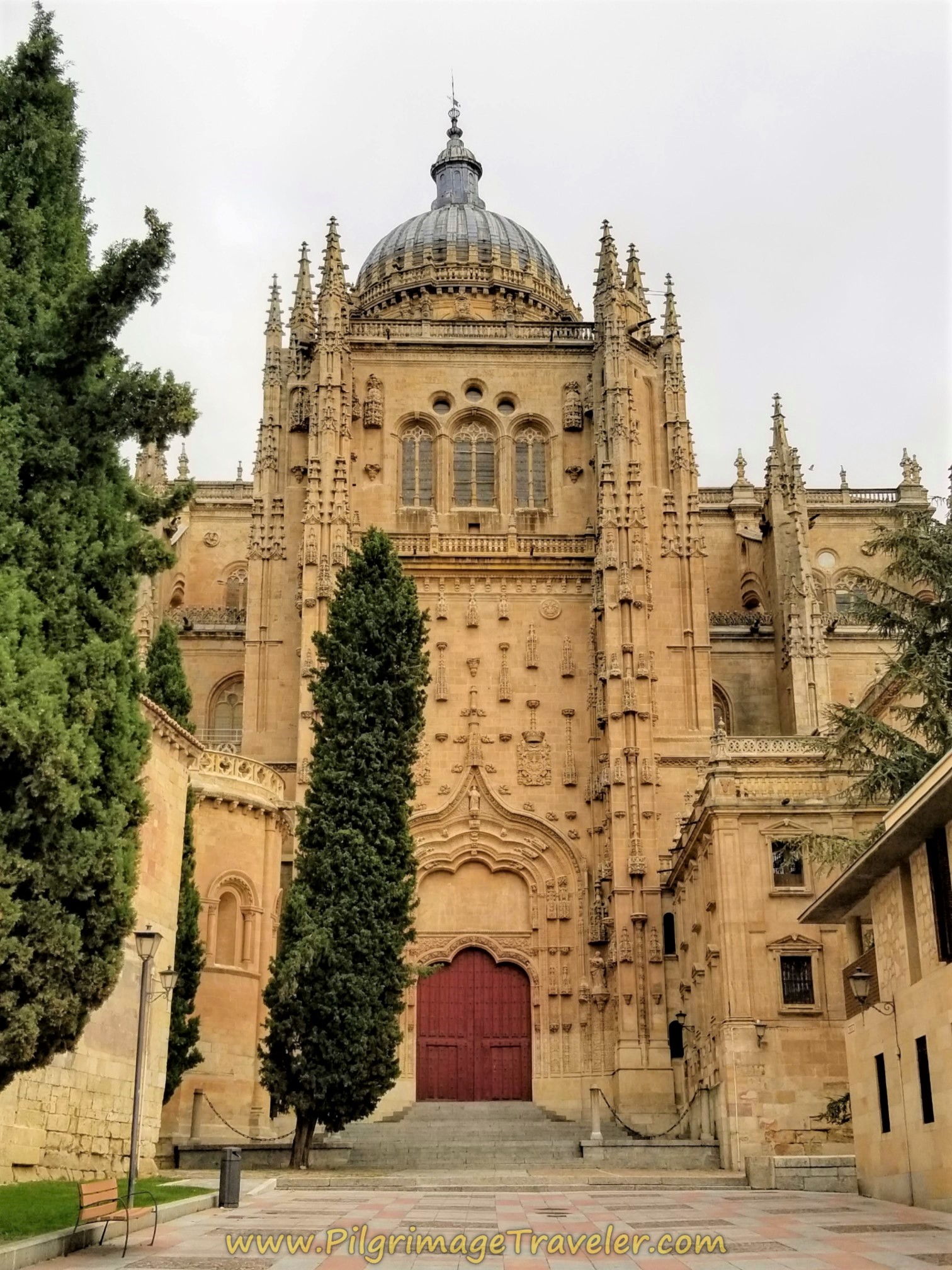
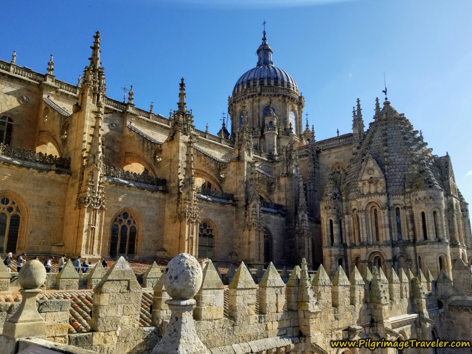
We circumnavigated the Salamanca Cathedral on the east side, to arrive around the front and main entrance to the new cathedral on the north in the Plaza de Anaya. The new cathedral was built between the 16th and 18th centuries in the Gothic and Baroque style.
It was from here in the Plaza de Anaya that I turned off my GPS for the mileage readings for this article.
The old cathedral (not pictured) directly adjacent to the new was built between the 12th and 14th centuries in the Romanesque/Gothic style. It is of great art and historical value and we are fortunate that it was not torn down, but the new cathedral was built beside it, utilizing one complete wall shared by the two. Because of this we can enjoy the old cathedral for all of posterity.
The entrance door on the north side, pictured below, is a dual entrance into the new and old cathedrals that are side-by-side. You must pay a separate entry fee to access the old cathedral's Ieronimus Clock Tower, on the right side of the photo, and you can gain entrance on the west side of the cathedral.
The cathedral complex represents over nine centuries of history and religious art and is just that - complex. Please click on the link to it above for more detailed information if you desire. This complex is an absolute must-see!
I have also included for your information, the west door of the new cathedral which we visited in the late afternoon for a sunlit photo. It is in the shadow for most of the day. Here it is in all its glory!
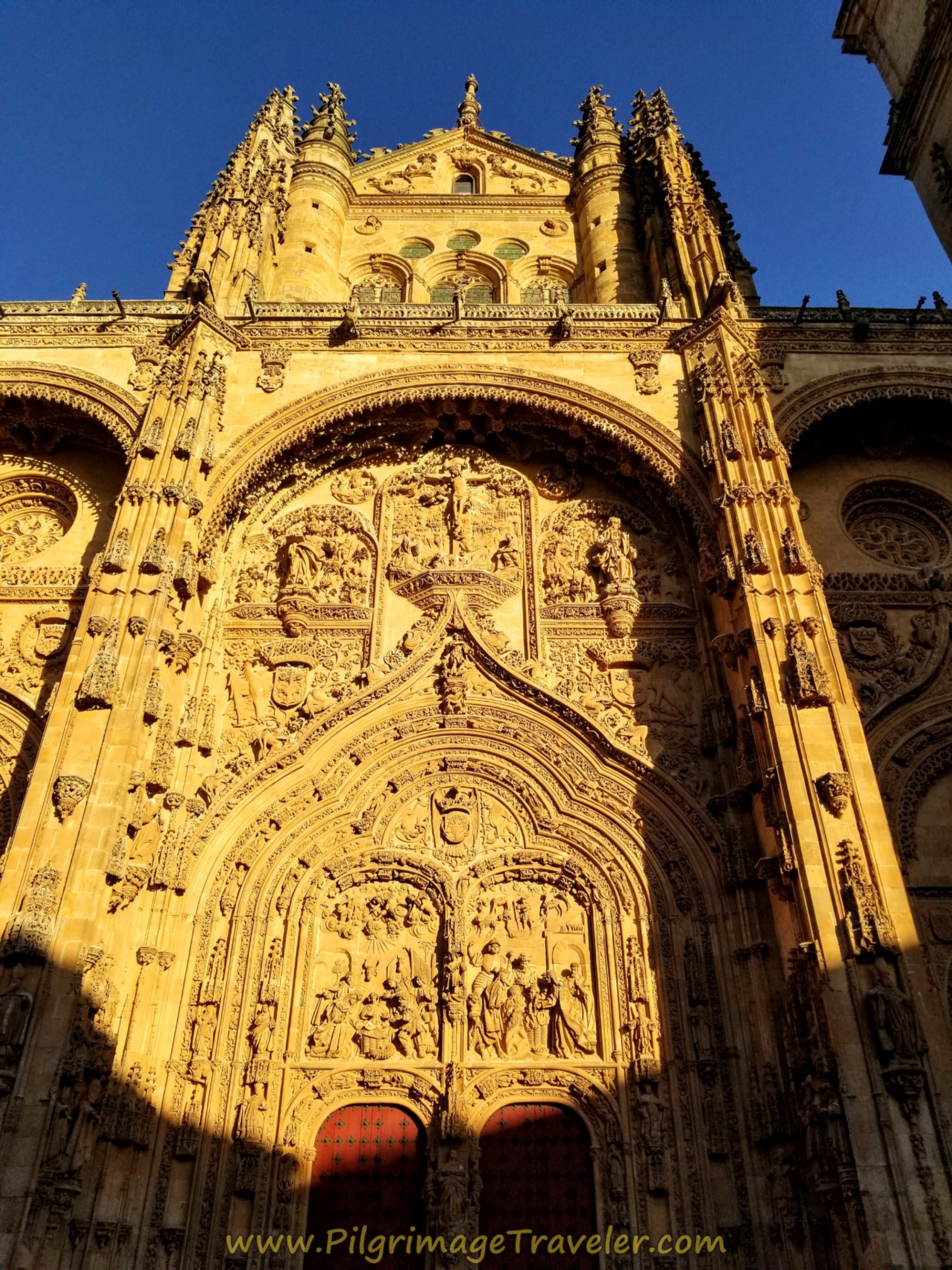 Catedral de Salamanca, West Door
The carvings on this door are especially amazing, and I have included two close-ups of them, below.
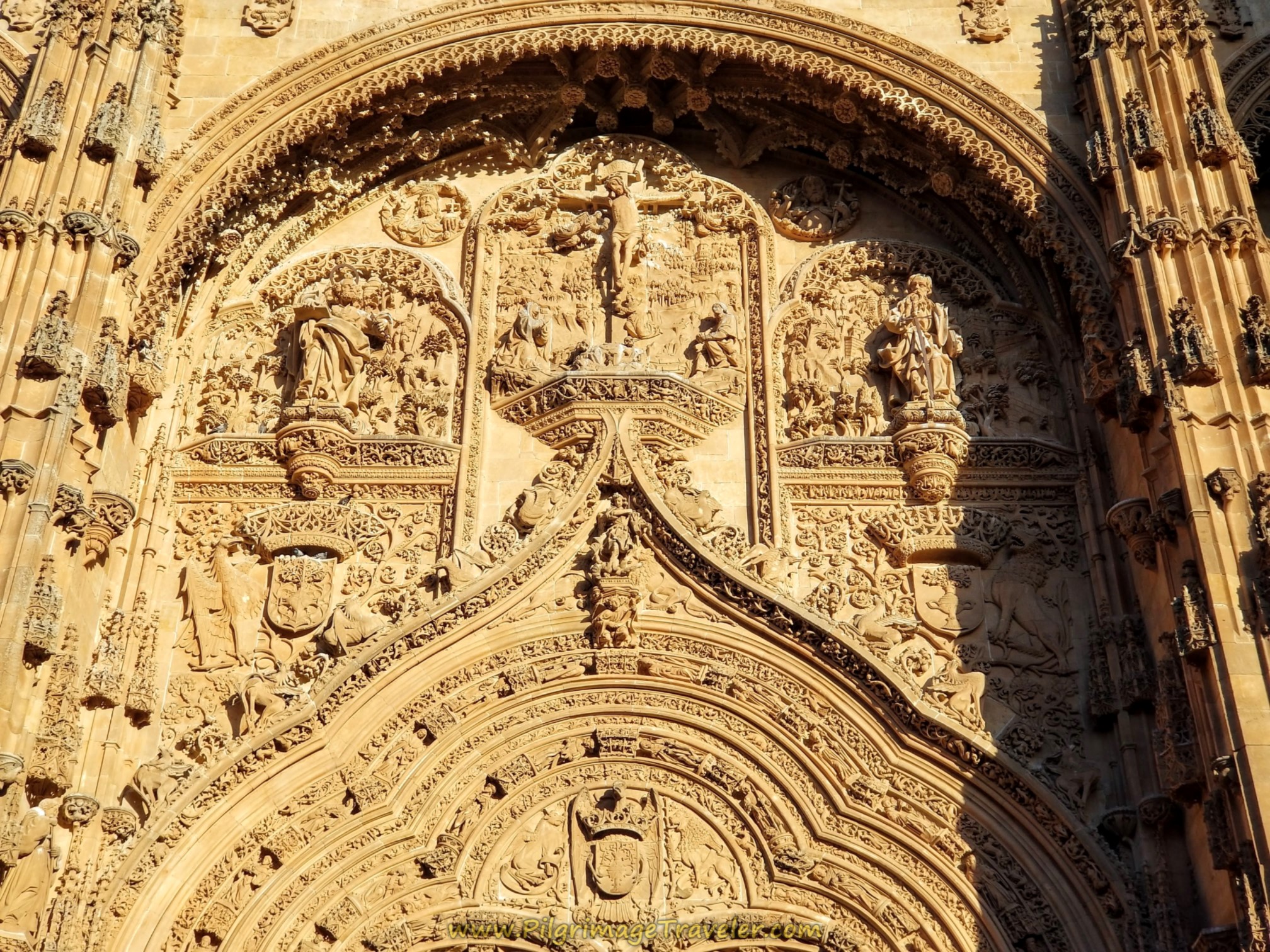 Catedral de Salamanca, West Door Close-Up
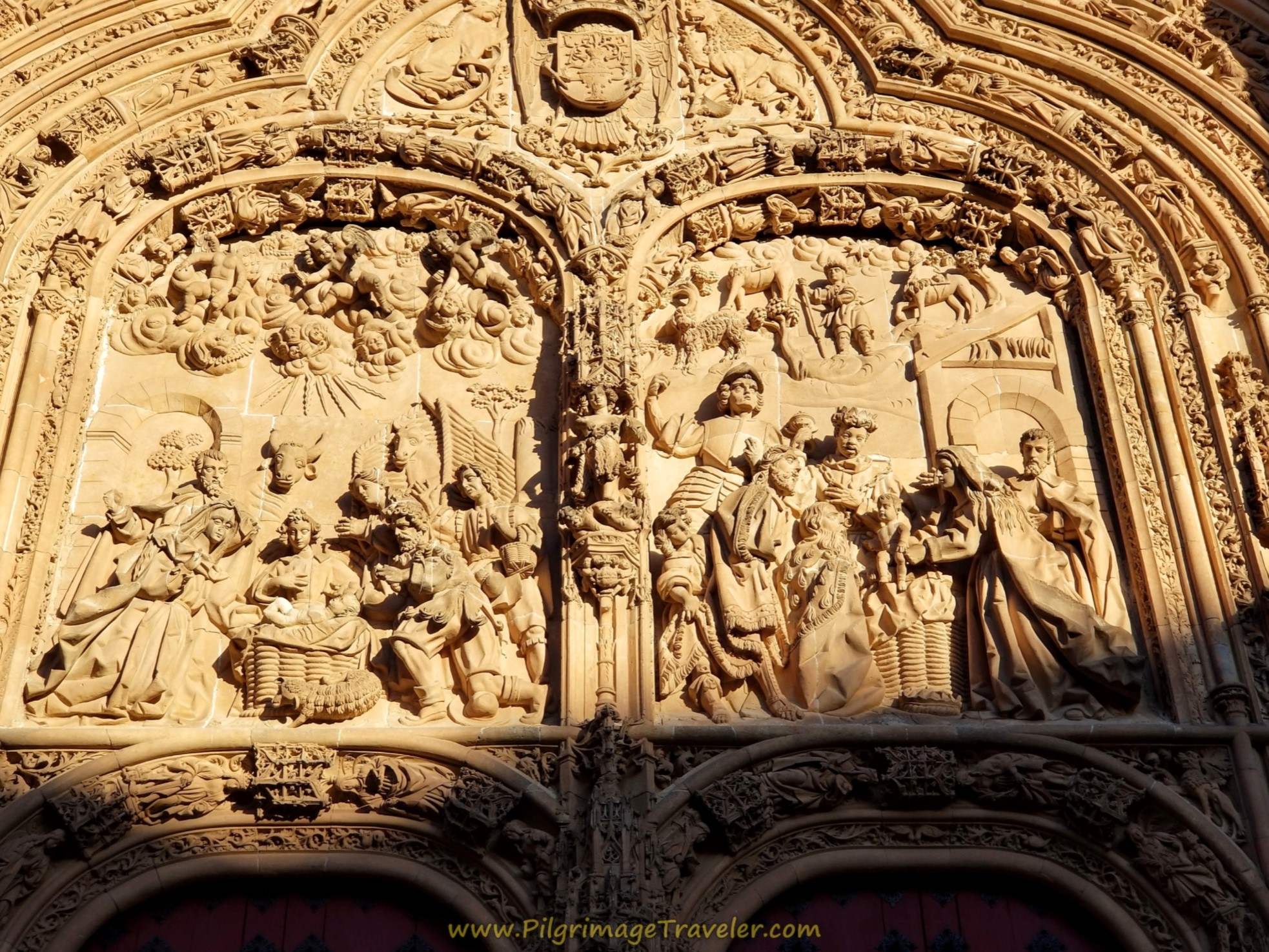 Catedral de Salamanca, West Door Close-Up
Reflections on the Camino Natural Via de la Plata
Our journey on this day on the Camino Natural Vía de la Plata was perhaps one of, if not the easiest walking days on any Camino I have done. The nature of its gentle grade, the ease of the off-pavement on the feet and legs, a historical mid-way monument, being in nature and the wide-open spaces and the grand finale of the historical Cathedral of Salamanca made for a perfect pilgrimage traveler's day.
My left knee, while a bit stiff and weak, was not too sore to complete the day. I would have a rest day in Salamanca, I was using kinesiology tape on my knee and I had shortened my stride to decrease the force of my left leg push-off. These were all tactics that would prove successful in my pilgrimage going forward.
Even though I didn't know it at the time that I would make it all the way to Santiago on the Vía de la Plata/Camino Sanabrés, I was living day-by-day with my knee, ready for whatever came my way, even if it meant that I would need to stop walking.
If God truly leads each individual on a different path, then I was OK with what my path presented to me, whatever the outcome.
Salutation
May your own Camino Natural Vía de la Plata be unique, separate from others and totally fulfilling as you walk onward with God! Ultreia!
Caminos Teresianos Stages
Please Consider Showing Your Support
Many readers contact me, Elle, to thank me for all the time and care that I have spent creating this informative website. If you have been truly blessed by my efforts, have not purchased an eBook, yet wish to contribute, I am very grateful. Thank-you!
Search This Website:
Follow Me on Pinterest:
Follow Me on Instagram:
Find the Pilgrimage Traveler on Facebook:
Like / Share this page on Facebook:
***All Banners, Amazon, Roamless and Booking.com links on this website are affiliate links. As an Amazon associate and a Booking.com associate, the Pilgrimage Traveler website will earn from qualifying purchases when you click on these links, at no cost to you. We sincerely thank-you as this is a pilgrim-supported website***
PS: Our guide books are of our own creation and we appreciate your purchase of those too!!
Shroud Yourself in Mystery, along the Via de Francesco!
Walk in the Footsteps of St. Francis, and Connect Deeply to the Saint and to Nature in the Marvelous Italian Countryside!
Recent Articles
-
Day One on the Camino Portugués, Lisbon to Alverca do Ribatejo
Apr 15, 25 08:19 PM
Our Day One on the Camino Portugués was much more beautiful and enjoyable than we had heard. -
Hiking the West Highland Way
Apr 11, 25 08:51 PM
Hiking the West Highland Way is a representation of all things Scottish, traversing 96 miles from the lowlands of Milngavie to Ft William, in the highlands. -
Way of St Francis eBook Guide (Via di San Francesco)
Apr 11, 25 08:49 PM
Our Way of St Francis eBook Guide, a digital guidebook is full of current information to assist you in finding your Way. In downloadable, digital, PDF format.
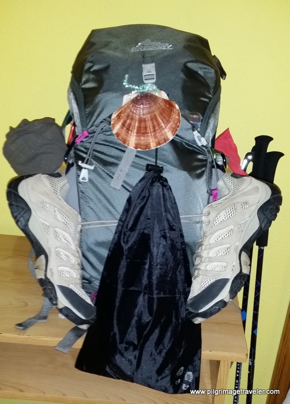
Need suggestions on what to pack for your next pilgrimage? Click Here or on the photo below!
Carbon fiber construction (not aluminum) in a trekking pole makes them ultra lightweight. We like the Z-Pole style from Black Diamond so we can hide our poles in our pack from potential thieves before getting to our albergue! There are many to choose from! (See more of our gear recommendations! )
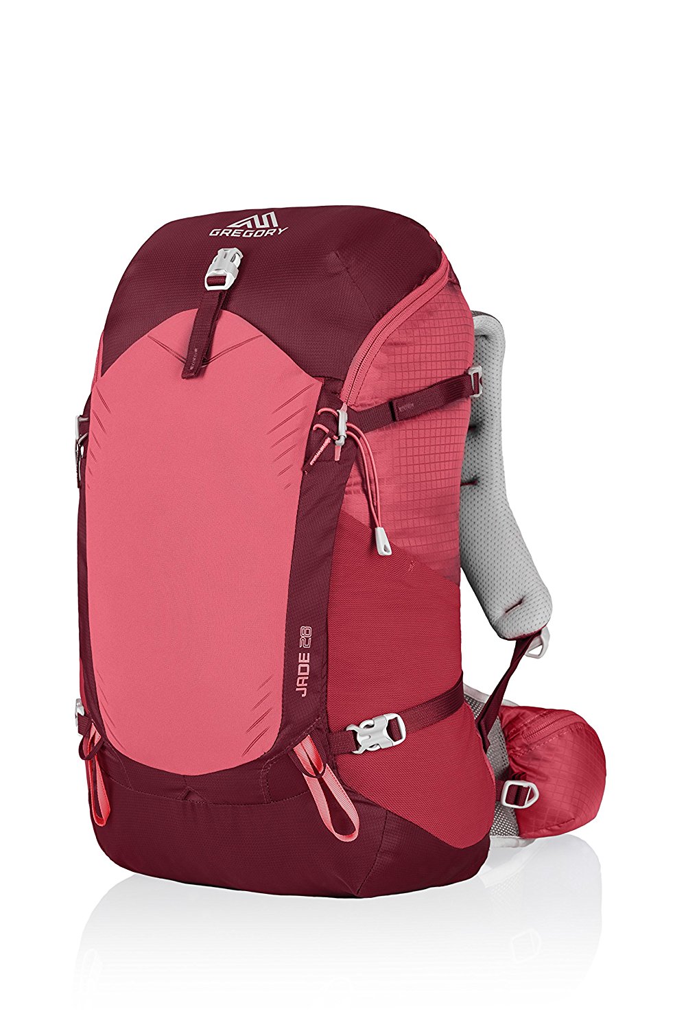
Gregory BackPack - My Favorite Brand
Do not forget your quick-dry microfiber towel!
Booking.com
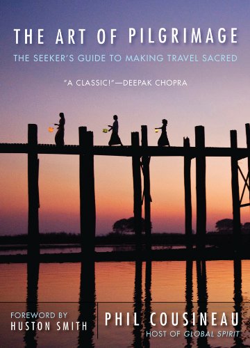
My absolute favorite book on how to be a pilgrim:








Your Opinion Matters! Comments
Have you had a similar experience, have some advice to give, or have something else you'd like to share? We would love to hear from you! Please leave us a comment in the box below.