- Home
- ~ Camino Primitivo (The Original Way)
- Day Five, Campiello to Berducedo via the Hospitales Route
Jump to Camino Primitivo Stages
Day Five on the Camino Primitivo ~ The Hospitales Route, Campiello to Berducedo, 27.2 Kilometers (16.9 Miles)
Day five on the Camino Primitivo along the Hospitales Route was the most glorious day for me, in all ways ~ physically, emotionally and spiritually. No other day impacted me like this day, from a historical perspective, and specifically from the empathy that I felt for pilgrims of all times, traveling this route. The abject hardships that the collective pilgrimage traveler had to face on this route impacted me deeply ~ and I had a "good" weather day!
The physical thrill of hiking above the treeline, my body and my shins finally settling in to cause no pain, a low percentage of pavement walking, no fog or rain, a full pack of food, and a personal epiphany, all led to a pilgrimage traveler's heaven. It was a day above the clouds for me.
"Open your ears to the ancestors and you will understand the language of spirits." (African Proverb)"Without history, [there is] no life." (Nigeria)
"The future emerges from the past." (Senegal)
~ A collection from Mary Harrell-Sesniak
Day Five, Camino Primitivo Maps and Stats
Here is our map, created from our GPS tracks for our day five on the Camino Primitivo for both routes, the Hospitales Route in blue and the Pola de Allande Route in orange. Notice the short red connecting route, if you stay at the albergue in Colinas de Arriba, yet still want to walk the Hospitales Route, it can be done using this alternative.
Next is the elevation profile for day five on the Camino Primitivo via the Hospitales Route from Campiello to Berducedo. It is a long day, for which you must come prepared as there are absolutely no services from Borres until Berducedo, a full 24 kilometers. Stock up your packs with plenty of food and water in Campiello for this day!
There is little to no elevation gain between Campiello and Borres, as you walk the 3.0 kilometers, mostly along roads between the two towns. After Borres, the real climb begins and the elevation gain of about 640 meters (2100 feet) to the top of the first climb is significant! Upon reaching the Puerto del Palo, after the second summit of the day, the difficulties are not yet over, as the descent into Montefurado is extremely steep, followed by two more smaller climbs for a full, 27.2 kilometer day. The cumulative elevation gain for the Hospitales Route is 1161 meters (3809 feet) and a cumulative elevation loss of 868 meters (2848 feet). A significantly energetic day, for sure.

Pictured next is the elevation profile from Campiello to Berducedo along the Pola de Allande Route. The total mileage is 31.3 kilometers, a very long and difficult day! This is why many pilgrims have an overnight stop in Pola de Allande, or extend the prior day four beyond Campiello. And here is why: On the Pola Route, there is a cumulative elevation gain of 1440 meters (4724 feet) and a cumulative elevation loss of 1172 meters (3845 feet)! This is clearly not the easier of the two routes! It will take all your energy reserves to complete this day.
The elevation profile is the same as the Hospitales route for the first 4.25 kilometers and the last 9.2 kilometers. After the decision point, there are two altitude tops, called "Altos" in Spanish; The Alto de Porciles after about 8.8 kilometers from Campiello, and the Alto de Lavadoira, several kilometers later, after 10.8 kilometers. Both of these "small" climbs will be noticed.
You can see in the profile below that you lose quite a bit of elevation, after leaving the Alto de Lavadoira, dropping all the way to Pola de Allande, after 14 kilometers at the low point of the day. Then it is a dramatic climb of 618 meters (2028 feet), up to the Puerto del Palo, the high-point of this route, where the Pola Route re-joins the Hospitales Route. The walk itself up and out of Pola de Allande is gorgeous, as you shall see, with enchanting and enthralling tracks along the river and views once you reach the top. The steep drop from the Puerto del Palo is not for the faint-hearted!

The following journey description is for both routes until the decision point in Samblismo and from where the two routes converge again at the Puerto de Palo. To see the Pola de Allande Route from Samblismo to the Puerto de Palo, please click here.
Camino Primitivo EBook Guide

Take a look at our Camino Primitivo eBook Guide, for you to download to your personal device for comfortable reading offline and without ads. Our eBook is packed with detailed information and photos, including a *new* bonus side trip, to the incredible and unusual Santa Eulalia de Bóveda temple, the mostly ingnored neolithic standing stones at Montouto and finally, the often-missed, but lovely alternative to the Hospitales Route, (which is gorgeous too), the route to take in the event of inclement weather, along the Río Nisón for 6.8 kilometers! Our eBook Guide is unique because we also entertain and immerse you with our story! Click here for more info OR BUY NOW.
Jump to Camino Primitivo Stages
The Journey
We had heard rumors of giant cups of café con leche at the Casa Hermania in Campiello. We stopped by for breakfast and were not disappointed! Accompanied by a large basket of tostada, we ate as much as we comfortably could.
On this late August morning at 7:30 am, we started our day with another glorious Asturian sunrise, below. It made the pavement walking on the TI-3 for the one kilometer ahead more enjoyable.

Pass open fields and within 500 meters, pass the town sign of El Fresno. Several hundred meters later, come to a nice park and picnic area on your left, and after the area's end, the quaint little Capilla de la Magdalena, below, after about 900 meters total.
 Capilla de la Magdalena, El Fresno
Less than 100 meters past the chapel, pass the exit sign for El Fresno, and after not quite another 100 meters, pass the town sign for El Espín.
About 150 meters later, the Camino leaves the TI-3 at the exit sign to El Espín, and goes left onto a paved secondary road to the south. In a few meters, you will encounter a sign for a donativo albergue in El Espín, the Casa Pascual (+34 606 24 20 97) after 1.5 kilometers from Campiello. It is only a few meters south, off-Camino and gets lovely reviews. (This is a good place to extend your day four.)
A few meters later when the road takes a strong bend to the left, you leave the road for a dirt track to the right. Continue on similar tractor tracks, like below, for an additional 1.2 kilometers, all the way to the next town of Borres.
 Dirt Track Toward Borres, Day Five, Camino Primitivo, Hospitales Route
Shortly after joining the tracks, you will catch views of Borres ahead, and also views of the municipal Albergue de Peregrinos de Borres below. The albergue is on the hill above you to your right and is the typical, renovated former schoolhouse.
 Albergue de Peregrinos de Borres Santa María
It is after about 2.7 kilometers from Campiello that you will see this fountain, pictured next, with a sign to the right of it for the turn-off trail to the albergue, 150 meters to the north. The painted letters on the fountain warn that the water is not potable. The albergue is a very basic 21-bed accommodation where you must retrieve the keys at the town bar, El Barín, about 200 meters ahead in the center of town.
 Turn for Alberge at Fountain
It is after this fountain that the Way starts its almost 640 meter (2100 foot) climb. After the fountain as you enter town, at the first crossroads, if you turn right, there is the private Albergue La Montera, a few steps off Camino to the north, just before the bar. We have stayed here in this 10-bed albergue, which also has a private apartment, and though it is small, it is very nice, new and with a fully equipped kitchen.
But the best part of Borres, in our opinion, is the bar El Barín, just a few steps past the first crossroad, below. There are pilgrim-friendly, helpful locals and then there are just those with a special energy about them. The proprietress of the bar is one, a true Camino Mother. She was so nurturing and warm and helped us when a fellow peregrina was sick. She serves huge portions of food with kindness and love, just for the pilgrims. It was a lovely experience for us, both at happy hour and dinner!
 Cafe Bar El Barín, Center of Borres
After the bar, you will come to a T-intersection and turn right at the town church. Within a few meters cross over the AS-219 onto a steep and grooved road, shown below, continuing the steep climb. A few meters onward, look for the distinct building with an hórreo on top, also shown in the photo. It contains an indoor vending area with all types of beverages, energy bars, coffee and snacks and is about 3.2 kilometers from Campiello. This is your last chance to obtain anything until Berducedo, 24 kilometers away!
 Vending Area Ahead at Hórreo
After the vending area in Borres, the Camino leaves the pavement to walk on this track, below.
 Track When Pavement Ends
The track narrows to a path and after almost exactly one kilometer later, you will come very quickly upon the decision-making place, pictured below, after 4.25 kilometers. To the right, (upper waymark in the photo) is the Hospitales Route, and to the left, (lower waymark) is the longer La Pola Route. To see the Pola de Allande Route from the decision point, please click here.
The painted bench with the spiritual symbols is a nice addition in recent years. We paused for a while to admire it and read its message.
 Hospitales or La Pola Route?
On the large sign with the map of the Camino Primitivo, there is a small sign attached pointing to the left for the town of Colinas de Arriba, 3.4 kilometers farther along the Pola de Allande Route. This is the town you need to go to if you are staying at the private Alojamiento-Albergue Los Hospitales. You can stay here and still walk the Hospitales Route, with the red alternative shown on the map above. Click on their link for more specifics.
There used to be an albergue near this junction, in Samblismo, a few steps down the road, but sadly it is closed indefinitely due to the illness of the owner.
Since the weather was clear, we decided, of course, to take the Hospitales Route, the original pilgrimage way. Later we were to walk the Pola Route, which is equal in value, and many pilgrims chose this way too, especially if it is winter or if the weather is bad. We have had little luck on the Hospitales Route and I apologize for my older, but best photos because of this.
If you come to this crossroad, and the weather is bad, please consider your choice very carefully. Apparently, when it is foggy, finding your way is next to impossible. If it is snowing, it is impossible. Why would you want to take the chance? Or wait it out for another, clear day, if you have the time and still want to do the Hospitales Route!
Even though we had a mostly clear day, the wind was ferocious up there, coming off the sea, I suppose. It was very difficult going for a long while in the never-ceasing wind. I would not have wanted to be caught in the weather in this very exposed place.
My chest constriction and post-nasal drip were better than on day four, since I refrained from drinking wine the prior night and I got a good, solid, eight hours of sleep. I did cough some through the night, but my energy levels felt high, in anticipation of the day.
While we ran into the Three Amigos, early on, I decided that I was going to give up any need to push myself too hard on this day.
From the decision point, follow the track to the right for about one kilometer, below, coming to a T-intersection with a paved road. Turn to the right.
 The Country Path Just Beyond Borres
Within a few meters, leave the road again, to the left and onto an improved dirt lane. 5.6 kilometers into the day, the hamlet of La Mortera comes into view, below. As I viewed the small chapel from afar, I witnessed a group of five pilgrims, rushing right by the chapel, on the race to the top, or the race to the end, or to wherever. I smiled at my own tendency to race.

I thought how different it would have been for the medieval pilgrims. Most likely, at each little chapel along the way, they would have stopped and prayed, and asked for absolution from something, or maybe broke bread, or maybe stayed the night. Who knows? But they would have paid homage to what was there for them, because every chapel is a pilgrimage stop along the way.
For pilgrims in previous centuries, their journey was a test of their faith amidst incredible hardships. Perhaps we modern pilgrims have lost this purpose? Then all of a sudden I had this flash of insight, that indeed, my pilgrimage is a test of my faith; but with a difference.
I thought: My pilgrimage is a test of my faith in myself. Immediately I got an overwhelming sense of emotion, which included a strong body reaction. I couldn't name the emotion, or determine what it meant in the moment. It was a spontaneous thought. Or was it? The first place that my heart wanted to go was that my pilgrimage was a test of my faith in myself and my belief that God is in me, guiding me on my path.
For the medieval pilgrims they paid homage to a God who was an external force. This force just whipped them around causing all kinds of travesties in their lives. For me, it was my faith in myself to believe that God is there, God is in me, and God will provide. It was a pretty nice insight for me on my day five along the Camino Primitivo, Hospitales Route.
Once I got to the chapel, the Capilla de San Pascual, after 5.8 kilometers total, shown below, I spent about 10 minutes there, absorbing the collective spirit of all the pilgrimage travelers that had come before me, for whatever reason and with whatever belief. For their aspirations and mine, I was so grateful to be part of this amazing community of souls. For better or for worse, we come together to unite as one people, one heart, one soul.

A few steps after the chapel, you will come to a Y-intersection and ascend to the left. The climb begins in earnest now.
Soon after beginning this part of the climb, you will see evidence of fire that went through in the spring of 2023. My photos are from before the fire, but I kept them because not only are they nicer, you will still get a lay of the land, it is only on the lower part of the route, it is only for a short while and we hold the hope that eventually it will look similar again!
Walking along a nice lane, pictured below, after about 1.2 kilometers later, and a bit more than 7.0 kilometers total, notice a cement block structure ahead. This is where you will make a turn to the left and go through a yellow metal cattle gate. Make sure to close it behind you.
 Country Lane Takes Us Higher
100 meters after the cattle gate, there is a water fountain, the last one until Lago, more than 16 kilometers away. The fountain is after 7.2 kilometers into the day. It is easy to spot in a re-grown meadow below the charred trees above it.
1.5 kilometer more of climbing on the lane, below, brings you to a road coming from Colinas de Arriba. This is where the red alternative route joins the Camino, about 8.7 kilometers from Campiello.
 Fewer Trees as the Altitude and Exposure Increases on the Hospitales Route
By the time we reached these sweeping views, my spirit was flying. The emotional joy I felt at being here created the necessary physical vitality to meet the demands of the journey.
From a purely physical standpoint, my shins and feet no longer hurt at all. This feeling was true even on the very steep downhills later on.

After roughly 9.0 kilometers, arrive at a high plateau, that you can see ahead in the photo, below.
 Closer to Treeline
When you reach this high point, the views of the granite cliffs on your right open, below. It is a grand view!
 The Granite Cliffs to the North, Day Five, Camino Primitivo, Hospitales Route
As we neared the highest and most exposed part of the route, we had to stop and put on layers to protect against the winds that were rushing up from the valley floors below. Do not underestimate the exposure of this place!
 Toward the First Hospital
The flat green patch of land that you see in the photo above and below is where the first hospital is located. You can see this patch for quite a long way in the distance.

After about 3.8 kilometers from La Mortera, and two-and-a-half hours of total walking and 9.6 kilometers from Campiello, we arrived at the ruins of the Hospital de Paradiella. You can see in the photo below that there is a bit of a downhill slope to this building spot, at a crook in the ridgetop. Not a whole lot of protection here!
 Arriving at the Hospital Paradiella
Hospitals in the middle centuries were often under royal protection and were staffed by Catholic orders. Food, shelter and even clothing were given to the pilgrims at the hospitals. If they were ill, care was provided. Donations were encouraged but many poor pilgrims were in rough shape, with insufficient warm clothes and often in poor health. I can only imagine the struggle just to get from one hospital to the next under these conditions. Some of them barely made it.
There is not much left of the Hospital de Paradiella, as you can see in the next two photos, built originally in the 15th century. Even though these photos look like clear weather here, it was anything but comfortable! The trees tell the tale; all wind-blown and gnarled. The wind at this juncture was amazingly strong. We could barely hear each other above the wind when we tried to talk!

While our weather was not sunny and calm, at least it wasn't foggy and raining. We did have to exert considerable effort as we struggled through the wind in this area. It truly was relentless!
 Not Much Left of the Hospital Paradiella
Why the Catholic order chose to build at this spot seemed crazy to me at first. But perhaps because of the exposed conditions was precisely why they built here. It was an area where the most need existed. We hurried on to find a more sheltered spot.
The two roads you see ahead of you in the distance in the photos above, of course, the high road is the Way forward!
As you can see from the following photos, there are frequent waymarks and yellow arrows on posts. The visibility was pretty good on this day, but frequently, it is not.
From the first hospital taking the high road, climb for another full kilometer to the next flattish spot in a grove of trees, below. There are often many horses and/or cows sheltering in this area.
 At the Top of the Next Hill, Day Five, Camino Primitivo, Hospitales Route
And then it was a push up the next hill, below, for the next 600 meters.
 Upwards to the Next Hill, Day Five, Camino Primitivo, Hospitales Route
This next photo, approximately captures the highest point of the Hospitales Route, of just over 1200 meters (about 3900 feet), after about 11.4 kilometers into the day. There is a huge cairn here, not pictured, that has become a sort of shrine and many pilgrims leave rocks and memorabilia.

The walk continued to be a struggle due to the relentless wind. My husband said it was like taking one step forward and two steps sideways!

After the high point, we descended another 400 meters and arrived at the ruins of the second hospital, pictured below, the Hospital de Fonfaraón, after 11.8 kilometers total into the day. It is the most well-preserved of the three.

Jump to Camino Primitivo Stages
The views from up here are absolutely phenomenal. Photos never do it justice. Unfortunately, we couldn't eat lunch and look out over the view, because the wind was way too strong to sit comfortably outside.
 Shelter in the Mountains
I can just imagine the pilgrims of yore, huddling together in these small shelters, shivering with fever, sipping on soup and trying to get warm by a small fire. My day was so much easier than what these determined medieval pilgrimage travelers had to go through. I was grateful for albergues (in valleys!), Gore Tex, lightweight packs, sturdy shoes, warm high-tech layers and the ability to afford a pack full of food.
 Our 11:00 a.m. Lunch Stop
After the Hospital de Fonfaraón, which is in a bit of a low spot on the high ridge, climb up again to another high spot, summiting it about another kilometer later, under the high peak, the Pico Hospital, in the photo above.
The view ahead, below, shows the descent to the next hospital, but the hospital itself is difficult to spot, because not much is left of it.
 The Descent Towards the Hospital Valparaiso
Along the way we encountered this lovely little flower, below. This bright little flower grew close to the ground because of the harshness of the weather. However, it is a bulb-grower whose flower comes first, in August, then the leaves come later. It is called Colchicum Montanum or August Crocus, in English and Merendera Montana in Spanish.
 Merendera Montana ~ Bright Spot on the Hospitales Route
The third hospital, the Hospital de Valparaiso, below, is so ruined, that without the signpost, one could very easily walk right on by it. We arrived here, 1.6 kilometers after the second hospital, only 20 minutes later and at 13.6 kilometers total. The descent on the leeward side went pretty quickly! Even though the weather looks threatening, it never did rain on our entire day. We were very lucky!
 Hospital de Valparaiso, Day Five, Camino Primitivo, Hospitales Route
From the Hospital de Valparaiso you will descend again about another kilometer to the next landmark, the Laguna de la Marta, below, after 14.4 kilometers. This small lake, barely discernible in the photo, is on a high plateau as you can see. There are often wild horses and cattle milling around the lake. Don't worry, the horses practically ignore us humans!
 The Open High Plateau
Jump to Camino Primitivo Stages
The Original Way runs along the "top" of this plateau for glorious views all around.
 The Way to Alto de la Marta, Day Five, Camino Primitivo, Hospitales Route
Next, you will skirt the hill you see ahead and 900 meters later, drop down and join the AS-3664 briefly at a high pass called the Alto de la Marta, at 1105 meters (not pictured but signposted on the road). When you reach this point, 1.9 km later and 15.2 kilometers total, you are more than half way through your day, and getting close to the Puerto del Palo.
At the Alto de la Marta, you will see a sign for the interpretive trail, “Del Oro a las Estrellas,” or “From Gold to the Stars.” You may wish to stop and have a look at the sign, and in particular, look for the historic Fana de la Freita that you will see in another kilometer. This is a very interesting site where the Romans mined for gold.
The vagaries of the day are now almost over. After crossing the AS-3664 there is a final 1.1 kilometer climb with an altitude gain of less than 100 meters (328 feet) left to go.
Climb up and over the second high point of the day, passing by a small white building on the ridge above you, the Refugio del Estreitin, that you have been seeing for a while. As far as I know this is an emergency hut only.
After 16.3 kilometers total, at the second altitude top, you will encounter the Fana de la Freita, mentioned above, not pictured. A “freita” is a type of mine and if you look over the valley at the U-shaped ravine it is the remnants of a Roman gold mine! The Romans injected hot water into the mountain to remove thousands of tons of earth to extract gold. For this purpose, they built water reservoirs, canals and tunnels. The small lakes of the Alto de la Marta and the Puerto del Palo are part of these reservoirs.
The name Palo comes from the latin "Palus" for reservoir. If you click on the link you can see a short YouTube video of it so you know what to look for.
From here it is a final 700 meter walk across the top and a final one kilometer descent down to the Puerto del Palo, altitude of 1146 meters, and after 18 kilometers total and after almost 14 kilometers of exposed mountain walking. This is where the two routes, the Hospitales and the Pola, converge by the AS-14.
Below is a photo of the picnic tables and information boards at the convergence on an inclement weather day. You couldn’t even see the high mountains! Here, essentially is the end of the Hospitales Route on day five of the Camino Primitivo.
 Puerto del Palo - Picnic Area at Convergence by the AS-14
With the wind and/or the fog on the days I was here, it was not at all conducive to linger. I don't show the highway at this convergence, but it is a place that is quite obvious, as you come off the upper elevation. There is also a huge electric substation that is visible across the road.
The onward Camino never joins the highway, but turns to the right just before it at the convergence on a lane parallel to the road and a power line that you will follow downward.
There is a small hut at the Puerto del Palo a few meters down the road but still visible from the lane, called the Refugio del Puerto del Palo, which I placed on our interactive Google map. However, it is a tiny structure, made of concrete that should be used in emergencies only!
From the beginning of the onward trail from the top of the Puerto del Palo, the view of the valley below is astounding, despite the visible power line on the left side of the photo.

A bit farther down the slope, you can even faintly see the tiny hamlet of Montefurado, the next town, on the lower ridge by the power poles, below. The way is very, very steep here, and you can see that I am essentially side stepping it, as I use my poles to help me brake. If it is wet, exercise extreme caution!

The steep descent from the Puerto del Palo to Montefurado is only 1.7 kilometers but it feels longer, due to the extra time and care needed. As you descend in elevation, about 500 meters from the Puerto del Palo, cross the AS-14 highway. The trail becomes less steep and the view of Montefurado clearer, below.

Next come to a very distinct high rock outcropping with a deep cut for the trail, below. Here the views around the valley and to Montefurado are stunning, see the next photo. You can see in the photo the town and the hill behind it you must climb. Perhaps this is the best view of the town!
 High Rock Outcrop
About 450 meters after the rocky point, come to a juncture with the AS-14. This is the end for the descent and there is a wooden sign signalling that Lago is four kilometers away. The AS-14 will now be on your right, just below the ridge as you walk through town. The Camino essentially follows the path of the AS-14, from here all the way into Berducedo. It is on your right shoulder and you will catch glimpses of it as you walk along.
Arrive into Montefurado, after a total of 19.6 kilometers (23.8 for the Pola Route). When walking into town along the grassy road, have a look back to the Puerto del Palo. The photo below shows how steep the path was coming down!

As you look forward to the town itself, the next photo shown, it is an amazing step back in time!
 Montefurado - A Step Back in Time
The tiny chapel, the first outstanding structure, below, the Capilla de Santiago de Montefurado, gave me a small respite while I breathed a quick prayer of gratitude as I stopped and enjoyed the view. You can see how small it is with Rich standing beside it!
The chapel is a great place, more sheltered, for a bite to eat as well. Too bad there is not a café bar here! That would be fantastic!

From the chapel, continue onward through town, and take in the well-preserved structures. The one on the far end, below, is my favorite! I love this little town high in the mountains! And as you see when we walked here for these photos the weather was almost clear!

Jump to Camino Primitivo Stages
Then it’s onward to complete the final climb for the day, up the hill after town, a gain of about 80 meters (262 feet) over the next kilometer. Walk through a gate as you start the climb. Here is a view of the hill ahead, after the gate, below.
 The Climb Out of Montefurado
This was such a lovely place, even after all the views we had already seen. The cows lying down were an added feature.

After the meadow, the Way takes you through some trees, skirting the left or southside of the ridge, then comes out into a scrubby area where the path is rocky and uneven. You are essentially heading for the highest power tower that you can see in the distance. After walking through another cattle gate, you will arrive at the altitude top, the Sierra del Palo, after 20.5 kilometers (24.8 for the Pola Route). There are no views here.
You will now descend steeply for the next 1.5 kilometers, back down to the AS-14, skirting the right or north side of the ridge now. You can see the highway below you as you walk onward.
 Descending Ridge Toward the AS-14
About 700 meters from the top, walk through yet another cattle gate. After descending the final 700 meters, you will be joining the highway after 22 kilometers into the day (26 km - Pola Route). It is at the bottom of your descent.
You will not actually walk on the AS-14 highway, but turn left and find a nice path that parallels the highway, below. You will be walking on this off-pavement path/lane for about 1.3 kilometers until reaching the next town of Lago.
 Path Parallels the AS-14 Highway
You will arrive at the Lago cemetery first, after 23.1 kilometers (27.3 km - Pola Route). After the cemetery, join a semi-paved lane and 300 meters later, arrive at the church, the Iglesia de Santa María de Lago, below, after 23.4 kilometers (27.6 km - Pola Route). It is a nice shady place, with benches to sit and a grotto to meditate by. We stumbled on James, a Camino family member, and interrupted his respite here.
 Iglesia de Santa María de Lago
We all joined together to walk up the hill and into Lago. After passing the church, walk up the hill, turning left onto the AS-14 once again.
When we walked here years ago, there was an open bar in Lago at the edge of town, where we joined friends for a nice break. Sadly, it is no longer open! There is now, truly nothing from Borres to Berducedo.
After only 300 meters, leave the AS-14, climbing up from the roadway. 200 meters later, cross over a paved road and continue a slight climb, cross a field and enter an amazing moss-covered forest, below. Walk through this forest about 400 meters, coming out by the AS-14 after 24.8 kilometers (28.9 km - Pola Route).
 Walking Through Lush Forest
Again, you will divert from the highway, following it on a path to the right. Continue on this parallel path for 800 meters.
Come to another intersection with the AS-14, cross it and take the first right after the crossing onto a forest lane. After coming out of the forest, walk on the lane through the fields, below.
 The Lane on the Way to Berducedo
After 1.5 kilometers, arrive at the 12-bed municipal Albergue de Peregrinos de Berducedo, with a kitchen. We arrived here around 3:15 at Berducedo, after a very long day.
 Albergue de Peregrinos de Berducedo
When the now-paved lane ends at a T-intersection after the albergue, turn left onto the AS-34. There is a picnic area and a colorful fenced children’s playground across the street.
We chose the Bar Casa Marques, a few steps farther along in town, below, over the municipal albergue which looked barely tolerable to my spoiled eyes. They have an albergue and also private rooms if desired.
 Hostal Casa Marques
There are a total of three albergues in Berducedo, all essentially right along the Camino. The remaining one is the 38-bed private Albergue Camino Primitivo. There is also the Casa Uria Berducedo a two bedroom home for up to six, and finally, the Casa de Aldea Araceli, a manor home, both just south of town and west of the AS-14. Check our map above for their locations.
While cleaning up in the hotel, I heard cow bells ringing. I went to the window to have a look, and as I suspected, a farmer was driving his cows home, through town.
 Cattle Drive Thru Town - Seen From Our Hotel Window
The family gathered around a large table in the Bar Casa Marques for dinner. The pork chops, french fries and eggs were to die for! Most likely I could have eaten rubber and been happy that night.
Camino Primitivo EBook Guide
Still thinking about our downloadable, Camino Primitivo eBook Guide? Would a money-back guarantee and free updates for a full year help with your decision? Would it help if we told you that we frequently update our information as we receive it, without the need for publishers and the slow process reprinting of hard copy books, which improves our book's accuracy? Click here for more info OR BUY NOW.
Reflections
My day five on the Camino Primitivo (Hospitales Route, the first time through) would turn out to be the best day of my pilgrimage. I was overwhelmed with joy and energy for most of the day. I never ran out of stamina. The walking was arduous, the wind ferocious for long, long stretches and it was a very lengthy day.
For all this effort, you will be rewarded by the scenery, awed by the intentions of pilgrims past, present and future, find emotional healing and have your own physical vitality super-charged.
Is is any wonder that I had an epiphany on this day? If my pilgrimage was to be a test of my faith in myself, and my soul, I realized that I could contemplate on this thought all that day ~ the entire pilgrimage ~ perhaps all my life. What does this look like for me? What does it mean for me, right now, in this moment?
What day five of the Camino Primitivo on the Hospitales Route did for me was to confirm that I was up for the task. I was ready. If I only knew what this would all mean.
Salutation
May your own pilgrimage travels be filled with personal insights as you enjoy your own day five on the Camino Primitivo, via the Hospitales Route! May you be graced with sunny and calm weather. May you also be filled with physical energy and unbounded joy! May you be infused with the power of the history that is before you! It is all there for you if you are willing to receive! Buen Camino!
The Camino Primitivo Stages


Please Consider Showing Your Support
Many readers contact me, Elle, to thank me for all the time and care that I have spent creating this informative website. If you have been truly blessed by my efforts, have not purchased an eBook, yet wish to contribute, I am very grateful. Thank-you!
Search This Website:
The Pilgrimage Traveler Digital Guides
Our Guides Help You:
~ Know what to expect each day!
~ Locate historic sites along the Way!
~ Know where you are in your journey!
~ Discover a quote from the sages, for your daily reflection on the journey!
Click on a Photo Below to Get Your Copy.
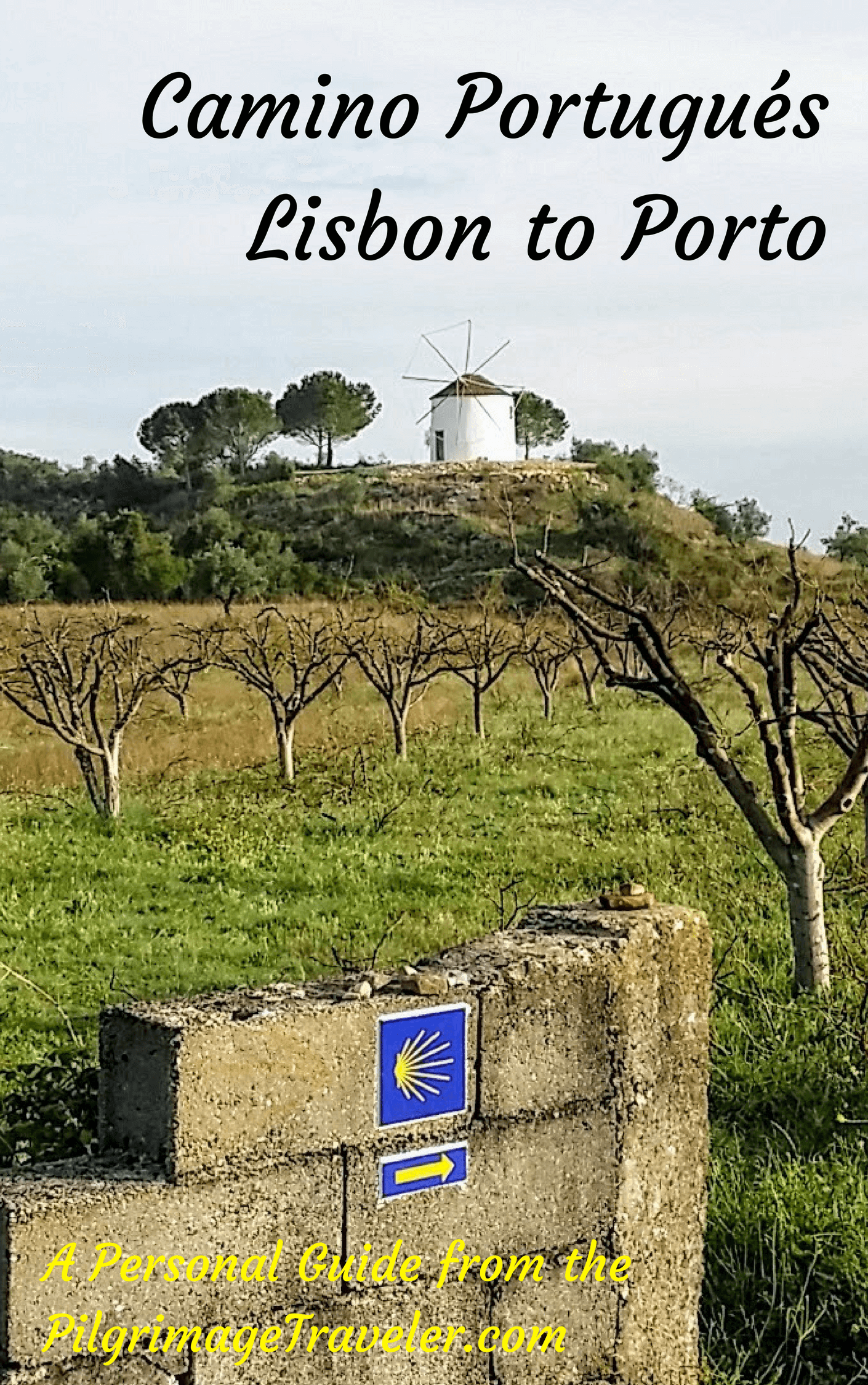
A most popular alternative on the Central Route of the Camino Portugués!

The Portuguese Routes are rapidly gaining in popularity, especially the section from Lisbon! Plan to walk this one soon, before it is no longer a quiet experience!
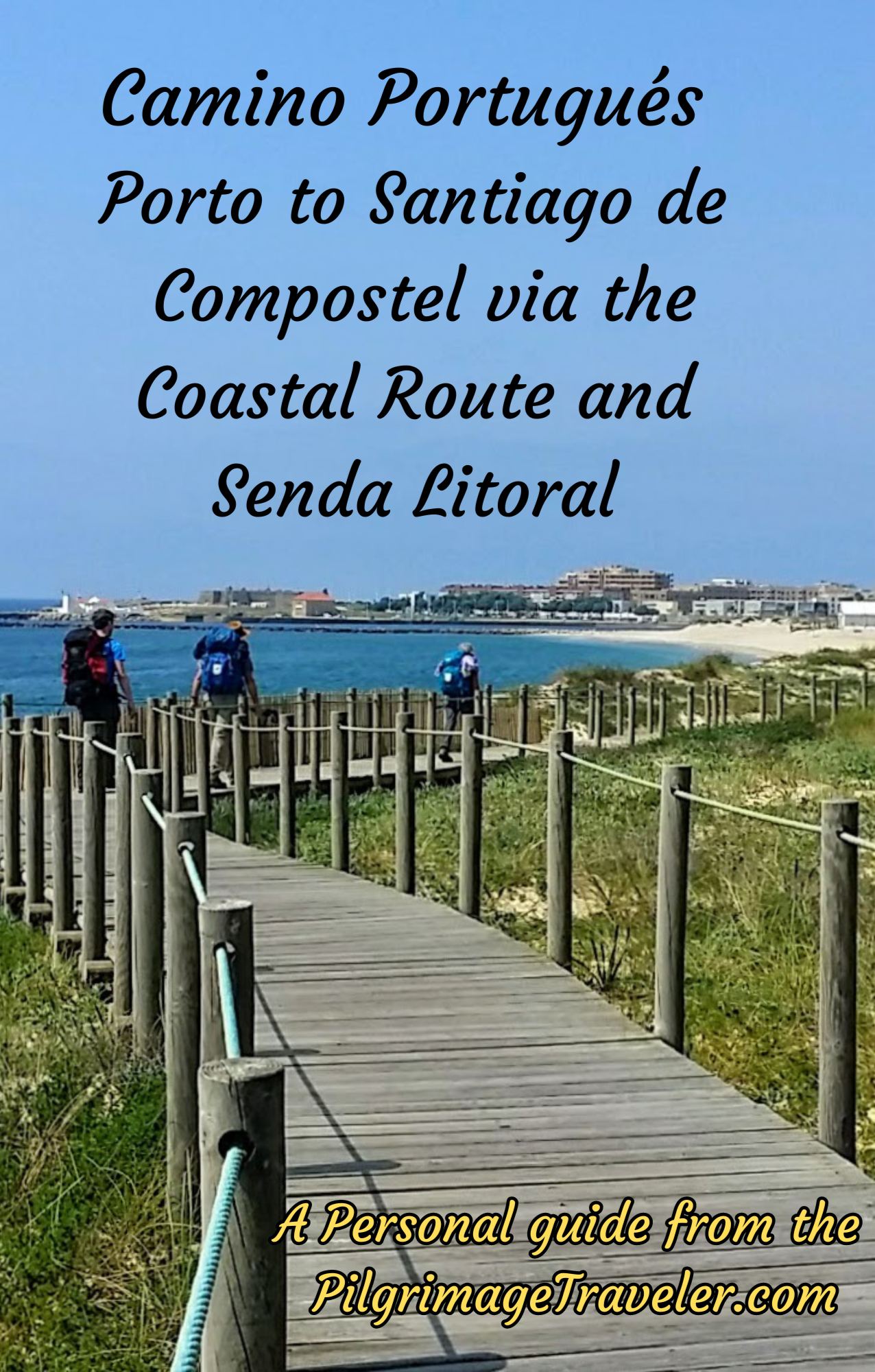
Our Most Popular Guide!
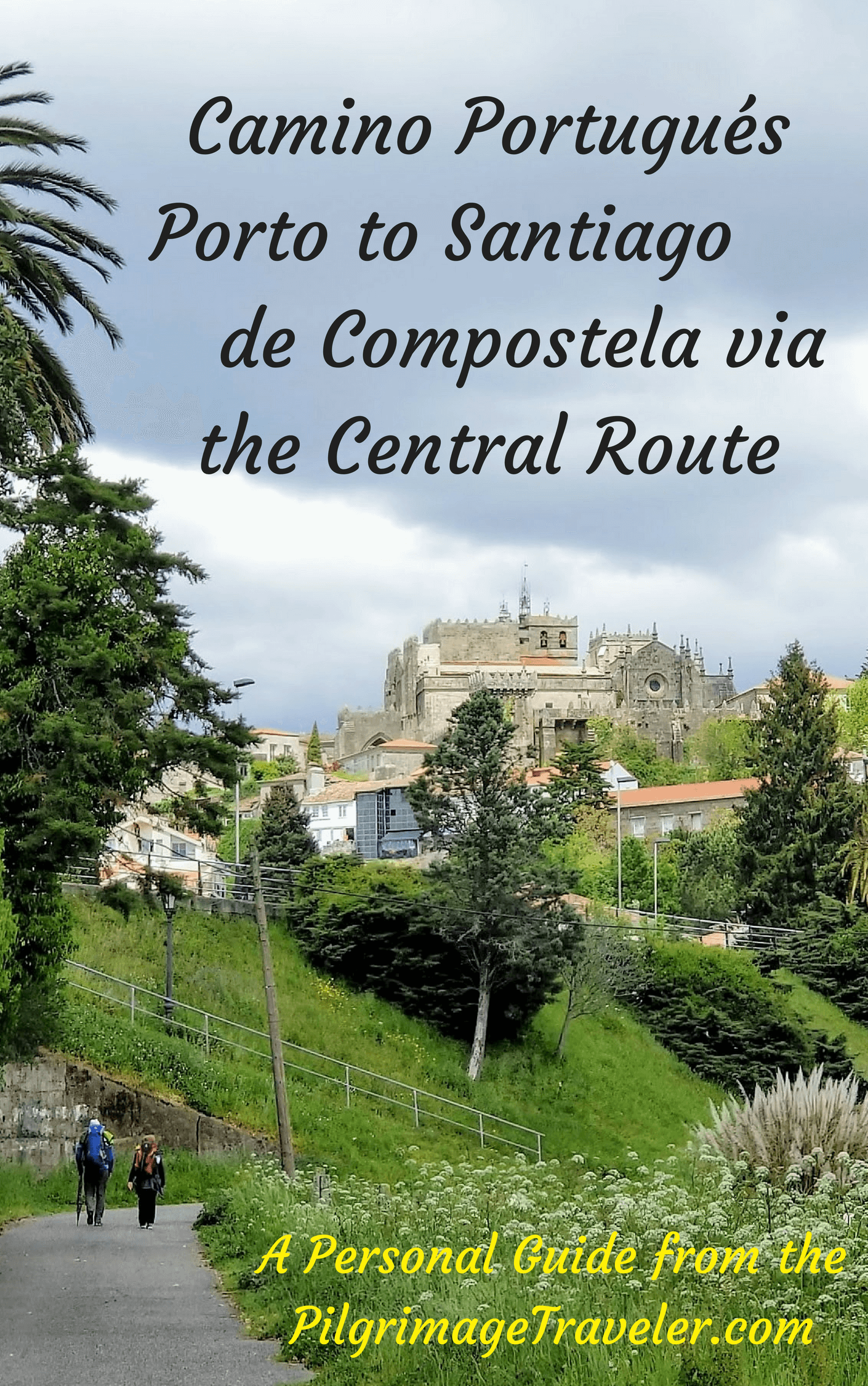
The Most Historic of the Portuguese Caminos - not to be missed!
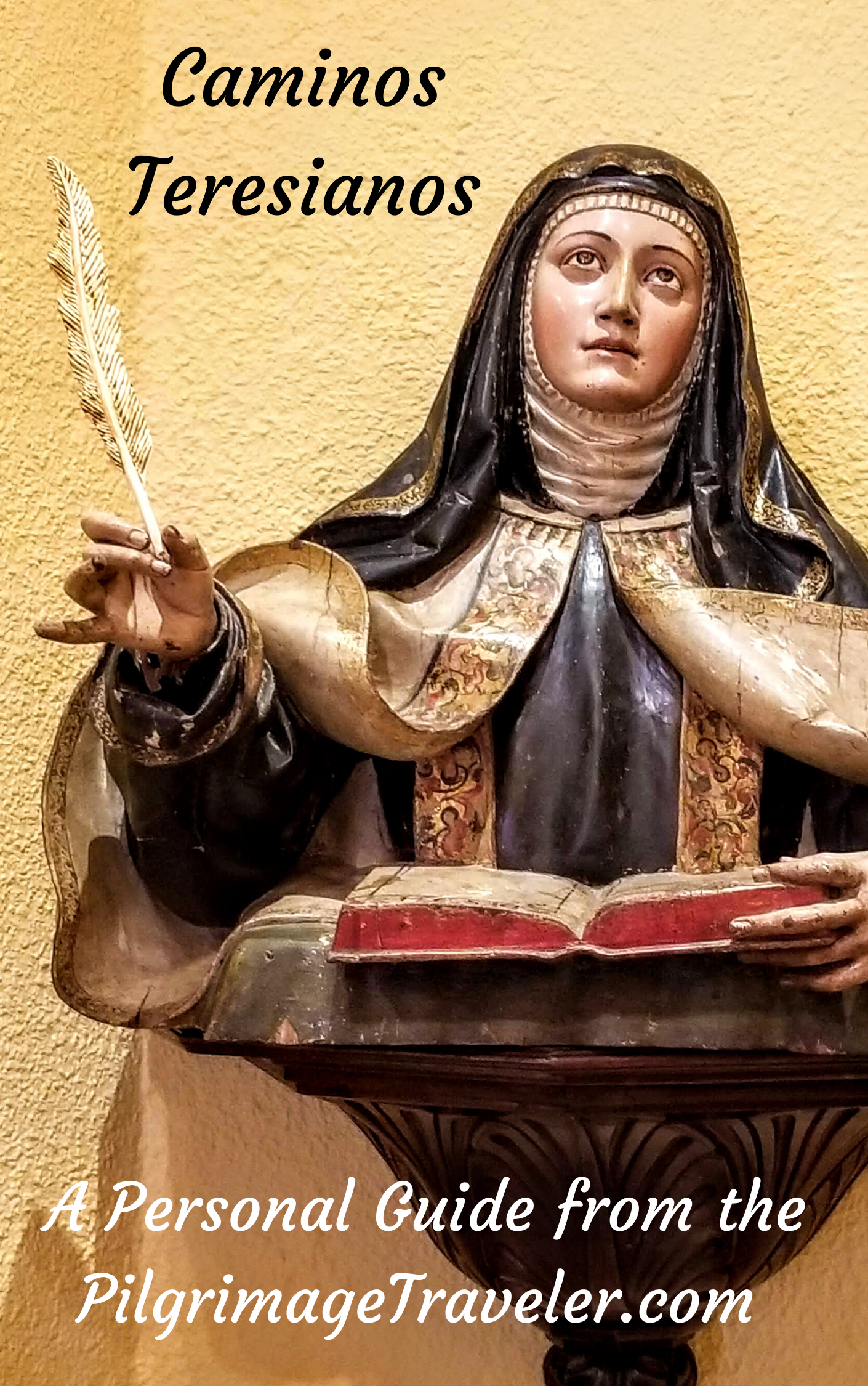
The Spiritual Adventure of a Lifetime, Following in the Footsteps of St. Teresa of Ávila!
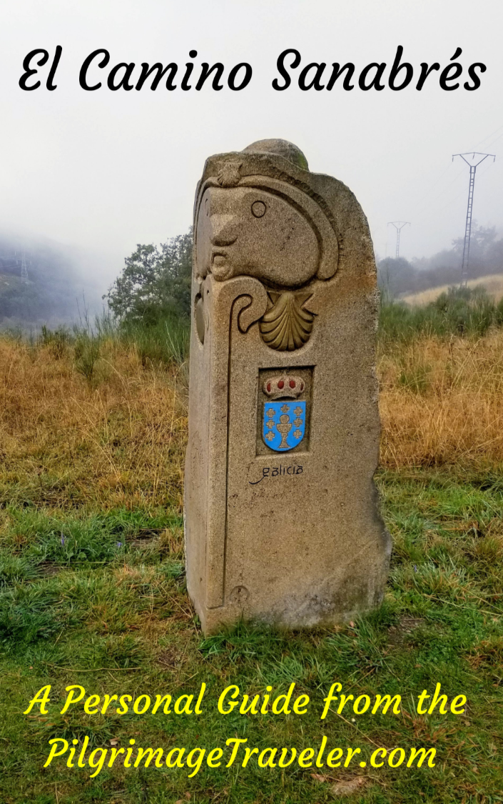
The Amazing Mountain Route Alternative, the Camino Sanabrés, from Granja de Moreruela on the Vía de la Plata!
The Most Incredible Mountain Scenery on this Camino from Leon to Oviedo!

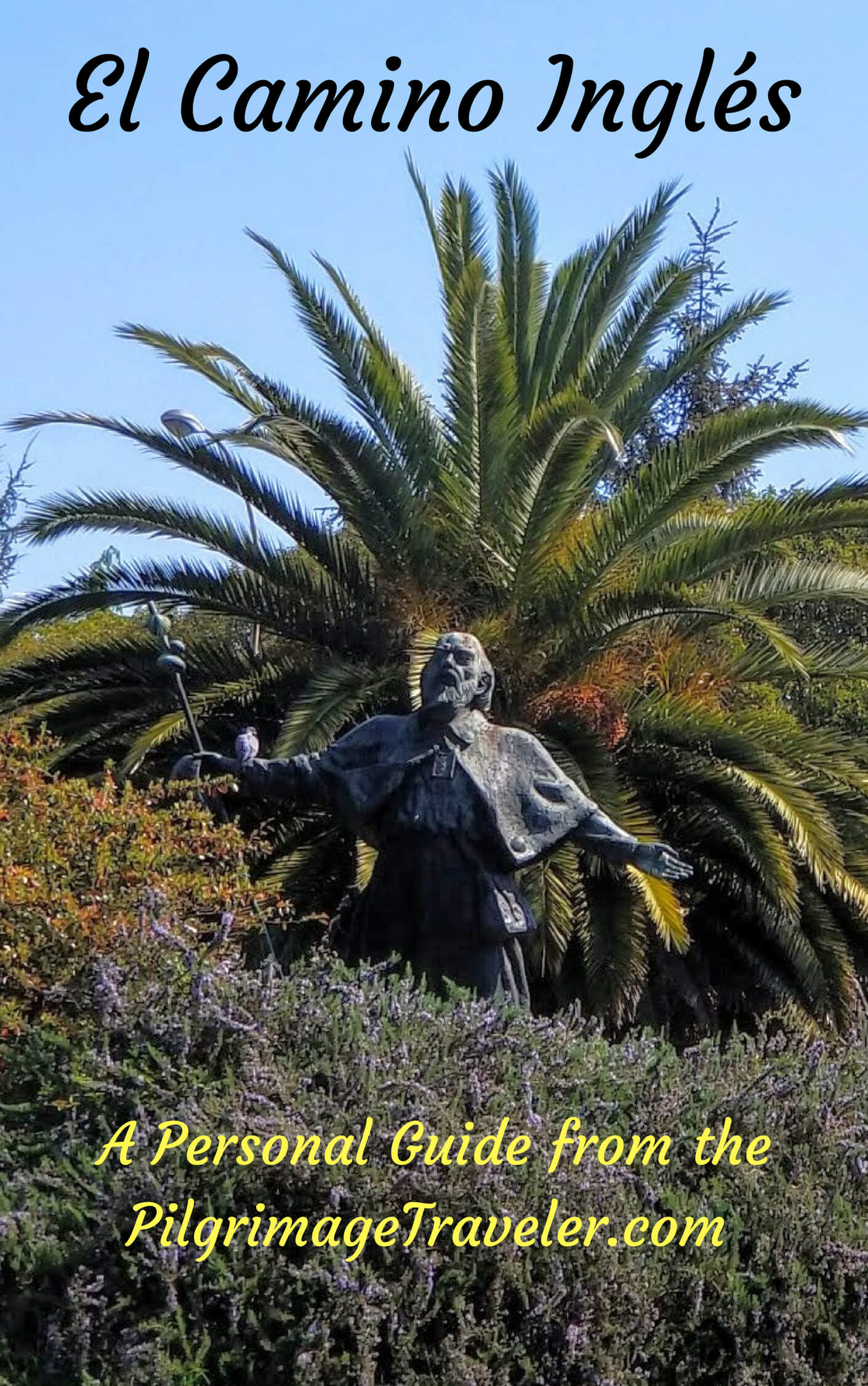
The Shortest of the Caminos, but Not Easy!
The Very First, Original Camino from Oviedo to Santiago
Entirely Updated and New Version for 2025
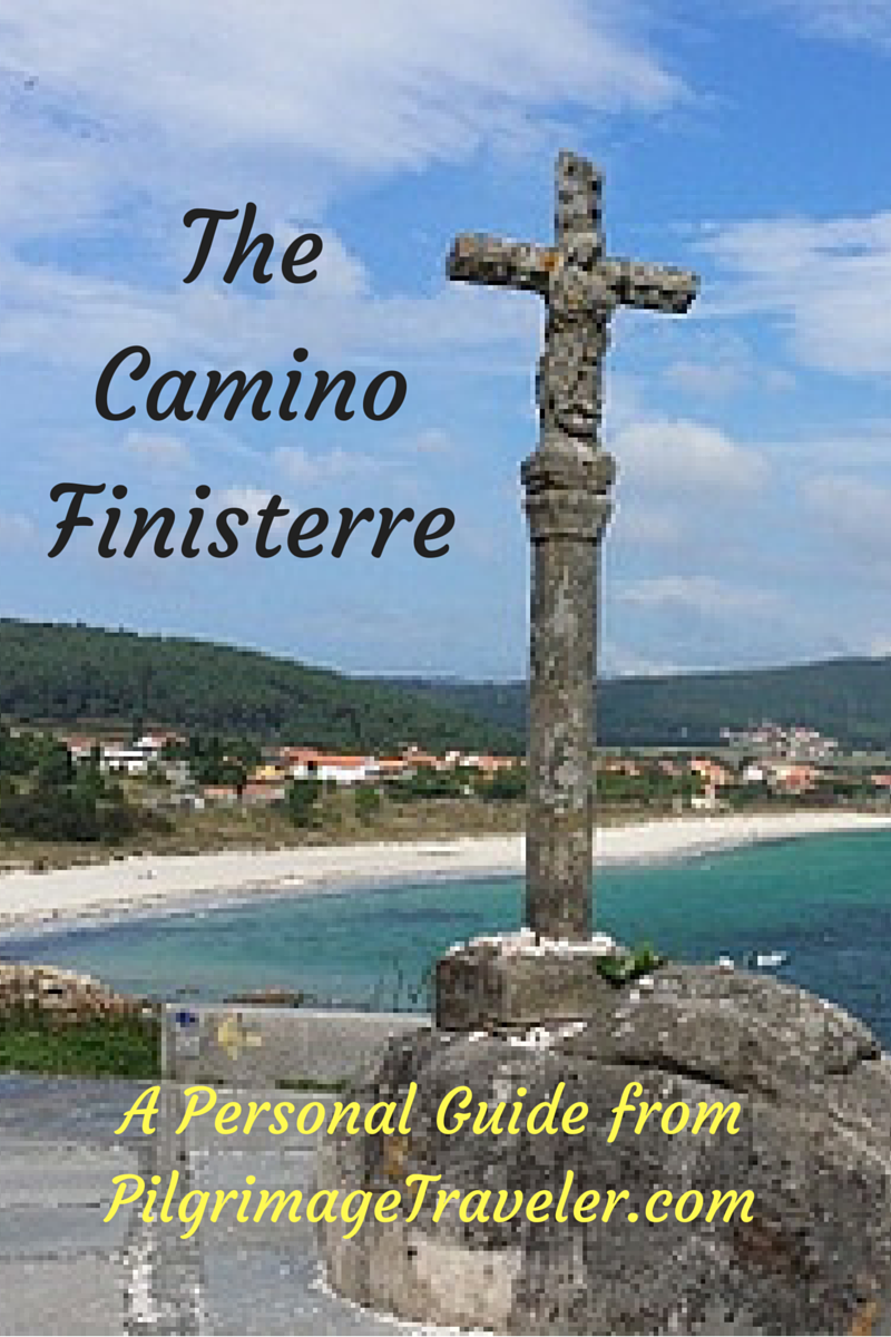
The Pilgrimage to the End of the World - A Must Do!
All Banners, Amazon, Roamless and Booking.com links on this website are affiliate links. As an associate of these companies, the Pilgrimage Traveler website will earn from qualifying purchases when you click on these links. We have used and love all of our product recommendations and believe you will too! We sincerely thank-you!
Follow Me on Pinterest:
Follow Me on Instagram:
Find the Pilgrimage Traveler on Facebook:
Like / Share this page on Facebook:
***All Banners, Amazon, Roamless and Booking.com links on this website are affiliate links. As an Amazon associate and a Booking.com associate, the Pilgrimage Traveler website will earn from qualifying purchases when you click on these links, at no cost to you. We sincerely thank-you as this is a pilgrim-supported website***
PS: Our guide books are of our own creation and we appreciate your purchase of those too!!
Shroud Yourself in Mystery, along the Via de Francesco!

Walk in the Footsteps of St. Francis, and Connect Deeply to the Saint and to Nature in the Marvelous Italian Countryside!
Recent Articles
-
Day One on the Camino Portugués, Lisbon to Alverca do Ribatejo
Apr 15, 25 08:19 PM
 Our Day One on the Camino Portugués was much more beautiful and enjoyable than we had heard.
 -
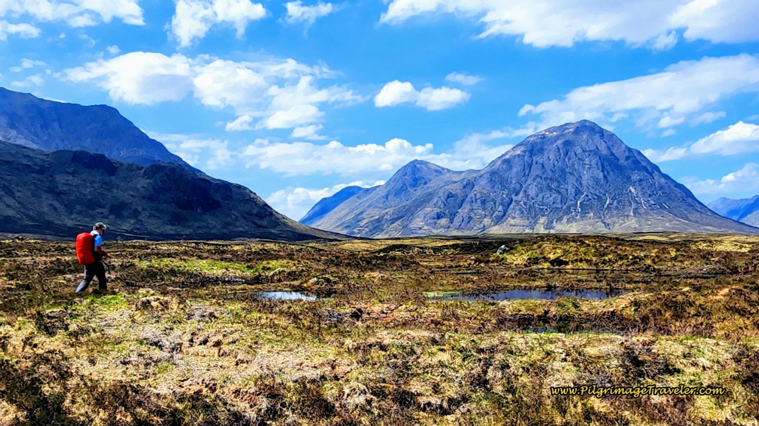
Hiking the West Highland Way
Apr 11, 25 08:51 PM
 Hiking the West Highland Way is a representation of all things Scottish, traversing 96 miles from the lowlands of Milngavie to Ft William, in the highlands.
 -
Way of St Francis eBook Guide (Via di San Francesco)
Apr 11, 25 08:49 PM
Our Way of St Francis eBook Guide, a digital guidebook is full of current information to assist you in finding your Way. In downloadable, digital, PDF format.

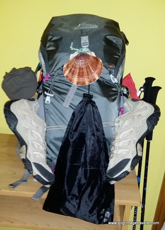
Need suggestions on what to pack for your next pilgrimage? Click Here or on the photo below!
%20on%20the%20Hospitales%20Route%20of%20the%20Camino%20Primitivo.)
%20on%20the%20waymark%20of%20the%20Hospitales%20Route%20on%20the%20Camino%20Primitivo.)
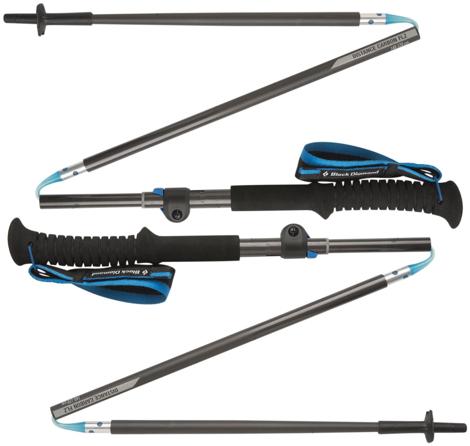
Carbon fiber construction (not aluminum) in a trekking pole makes them ultra lightweight. We like the Z-Pole style from Black Diamond so we can hide our poles in our pack from potential thieves before getting to our albergue! There are many to choose from! (See more of our gear recommendations! )
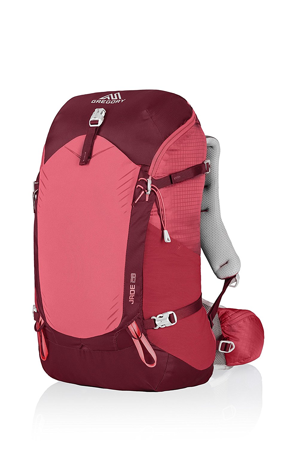
Gregory BackPack - My Favorite Brand
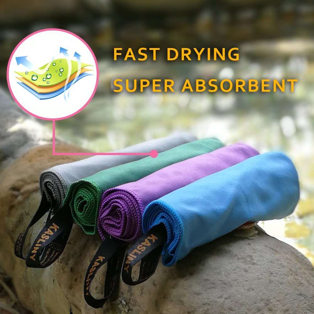
Do not forget your quick-dry microfiber towel!
Booking.com
My absolute favorite book on how to be a pilgrim:


Your Opinion Matters! Comments
Have you had a similar experience, have some advice to give, or have something else you'd like to share? We would love to hear from you! Please leave us a comment in the box below.