- Home
- ~ Camino Primitivo (The Original Way)
- Day One, Oviedo to Venta de Escamplero
Jump to Camino Primitivo Stages
Day One on the Camino Primitivo, Oviedo to Venta de Escamplero, 12.2 Kilometers (7.58 Miles)
Day One on the Camino Primitivo is a short and sweet walk, but when combined with a 6.2 kilometer jaunt to the Naranco Sites, makes for a respectable first stage on the Camino Primitivo.
"It is often when the outside world fails us that we realize that the source of real resilience lives within. It is through the resources of the inward journey that we survive change, cataclysmic events, and even death itself." ~ Dr. Sheryl A. Kujawa-Holbrook, "Pilgrimage - The Sacred Art: Journey to the Center of the Heart"
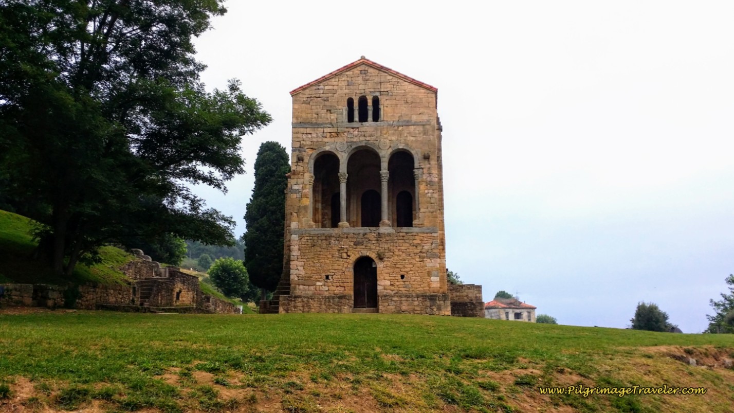
In total our day one on the Camino Primitivo was a bit more than 18 kilometers, which included our 6.2 kilometer walk to the Naranco Sites (click here for this route description to/from Oviedo). Or, if you arrive midday into Oviedo, this would be a nice afternoon walk.
After visiting the Naranco Sites, we decided just to walk back down the mountain into town and pick up the route near the train station, along the N-634. We did this instead of taking a described shortcut from Naranco onward, which we could never actually find.
When standing at the Miguel de Lillo Church (See the map on the Naranco page), it was not easy to find this shortcut. All we could see was a field where the path was supposed to be, looking quite uninviting. A young woman from Russia that we met at the church decided to try this shortcut. We wished her luck as she went on her way.
It barely took us 30 minutes to hoof it down the hill of Monte Naranco, back towards the train tracks to pick up the N-634 and the Original Way.
Day One on the Camino Primitivo Maps and Stats
Because so many folks get lost walking through Oviedo, please study the interactive map below. While it isn't always easy to find the Camino shells, if you pay attention to the signs you will be fine. The "signs," as in life, are there, if you are willing to see them! You must stay alert, know your route and be prepared.
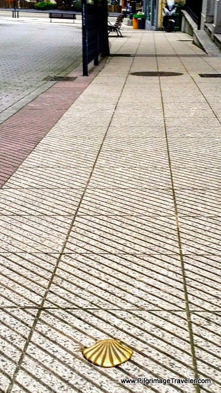
While walking through town, pay attention to the street beneath your feet. For the first several kilometers through Oviedo, every time you come to an intersection, or are required to make a change in direction, there will be a bronze shell under your feet on the pavement!
Just beware that the direction of travel shown by the Asturian shells are from the rays to the point of the shell. In the photo, this means you are walking toward the benches in the upper part of the photo.
Below is a map of our entire day one through Oviedo on our Camino Primitivo. The GPS maps which I have created on Google are entirely interactive. If you have a data plan in Spain you can just keep the map up to help you if you lose the shells. (For data plans, I recommend the Roamless eSim after all the plans I have tried. The best part is that your data never expires!)
There are plenty of services on this short leg's journey, that I placed on the map for your planning, such as cafés, grocery stores, albergues and other accommodations. For advance reservations in Oviedo, click here. I placed on the map the hotels that are the most economical. We have stayed in the budget Hostal Romero, and the economical Gran Hotel España and enjoyed them both very much.
There are several albergues in Oviedo, the privates Albergue Turistico La Peregrina, La Hospedería Oviedo and the HiHome Hostel, and the huge parochial Albergue de Peregrinos El Salvador, (+34 985 228 525), at the Seminario Metropolitano de Oviedo.
Click on the map, move it around, zoom, expand and whatever you need to do to help you see where to walk! Click on the right upper hand corner square to get a large map in a separate window.
Because of our decision to first visit the Naranco sites on day one of the Camino Primitivo, our goal for the day was Escamplero, a short day. If you choose to go to Grado, the stage is much longer at about 25 kilometers.
I was not prepared for the amount of hills present on day one of the Camino Primitivo! For some reason I expected it to be easier and it was not! Even on this short day there is a healthy climb of 150 meters, almost 500 feet, 10 kilometers into the day, as you walk into Escamplero. There are many ups and downs along the way, as you can see.
Camino Primitivo EBook Guide
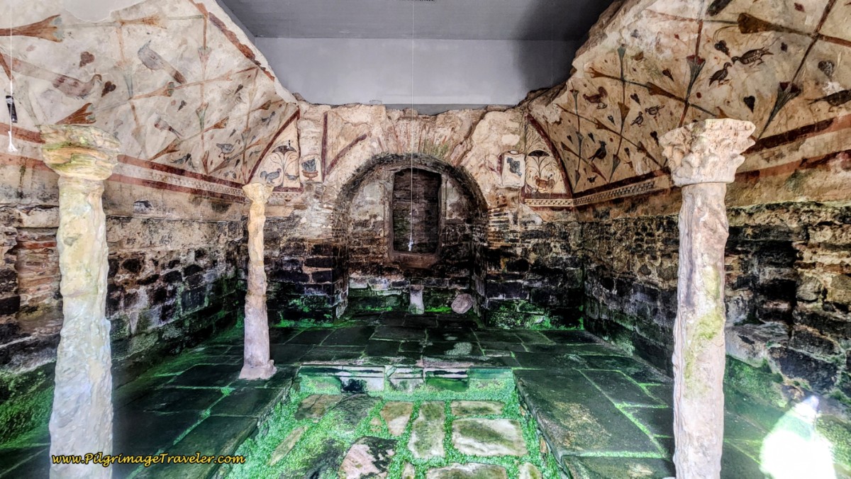
Take a look at our Camino Primitivo eBook Guide, for you to download to your personal device for comfortable reading offline and without ads. Our eBook is packed with detailed information and photos, including a *new* bonus side trip, to the incredible and unusual Santa Eulalia de Bóveda temple, the mostly ingnored neolithic standing stones at Montouto and finally, the often-missed, but lovely alternative to the Hospitales Route, (which is gorgeous too), the route to take in the event of inclement weather, along the Río Nisón for 6.8 kilometers! Our eBook Guide is unique because we also entertain and immerse you with our story! Click here for more info OR BUY NOW.
Jump to Camino Primitivo Stages
Detailed Directions of the Way Through Oviedo
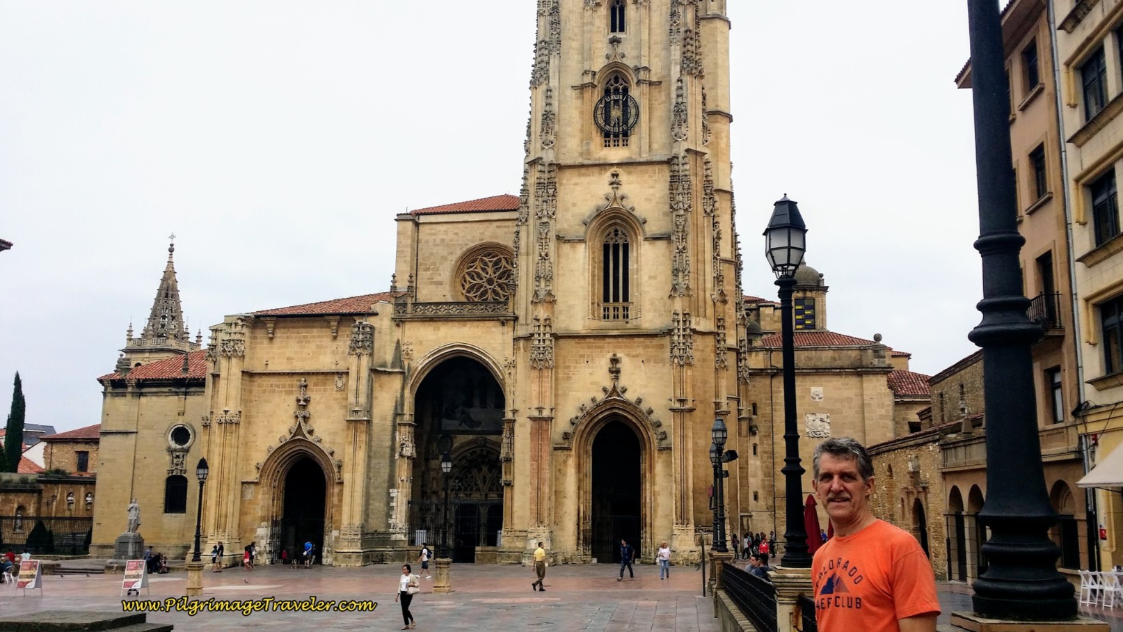
As you know, from the introduction to the Camino Primitivo, the official start is at the Cathedral of Oviedo.
You will leave the cathedral at the plaque directly across from the statue of King Alfonso II just to the left of the main entrance (see article on Oviedo for more information.) This street is the Calle del Águila. Walk a few meters north and take the first left onto the Calle Schultz. Walk barely 100 meters, and turn right onto the Plaza San Juan. 50 meters later, turn left onto the Calle Jovellanos followed by an immediate right onto the Calle Luna.
After 100 meters along the Calle Luna, come to an intersection with the Calle Manuel García Conde and with two parallel streets running ahead on the other side. Cross the intersection at the crosswalk on the right. Turn left on the other side and cross both streets and then an immediate right onto the Calle Santa Clara. It is important not to take the first right, but the second.
Don't forget to continue to look down on the pavement for a bronze shell, whenever there is an intersection, to confirm that you are going the correct way! There are there, but very easy to miss. Remember to always go toward the point on the shell where the rays come together.
Follow the Calle Santa Clara, which becomes the Calle Covadonga, which becomes the Calle Alvarez, then the Calle de la Independencia, for a total of about 800 meters, until you come to the main route, the N-634. If you stay on the south side of the street (left side) as you are walking westward, you will see a bronze shell on the sidewalk at every intersection, to assure you that you are still going the right way. Along the way, after about 700 meters, pass the massive 20th century Basilica de San Juan el Real, not pictured. And shortly onward at the intersection with the Calle Uria, you cross on the left side towards the small church on the corner, the Congregación Siervas de Jesús de la Caridad.
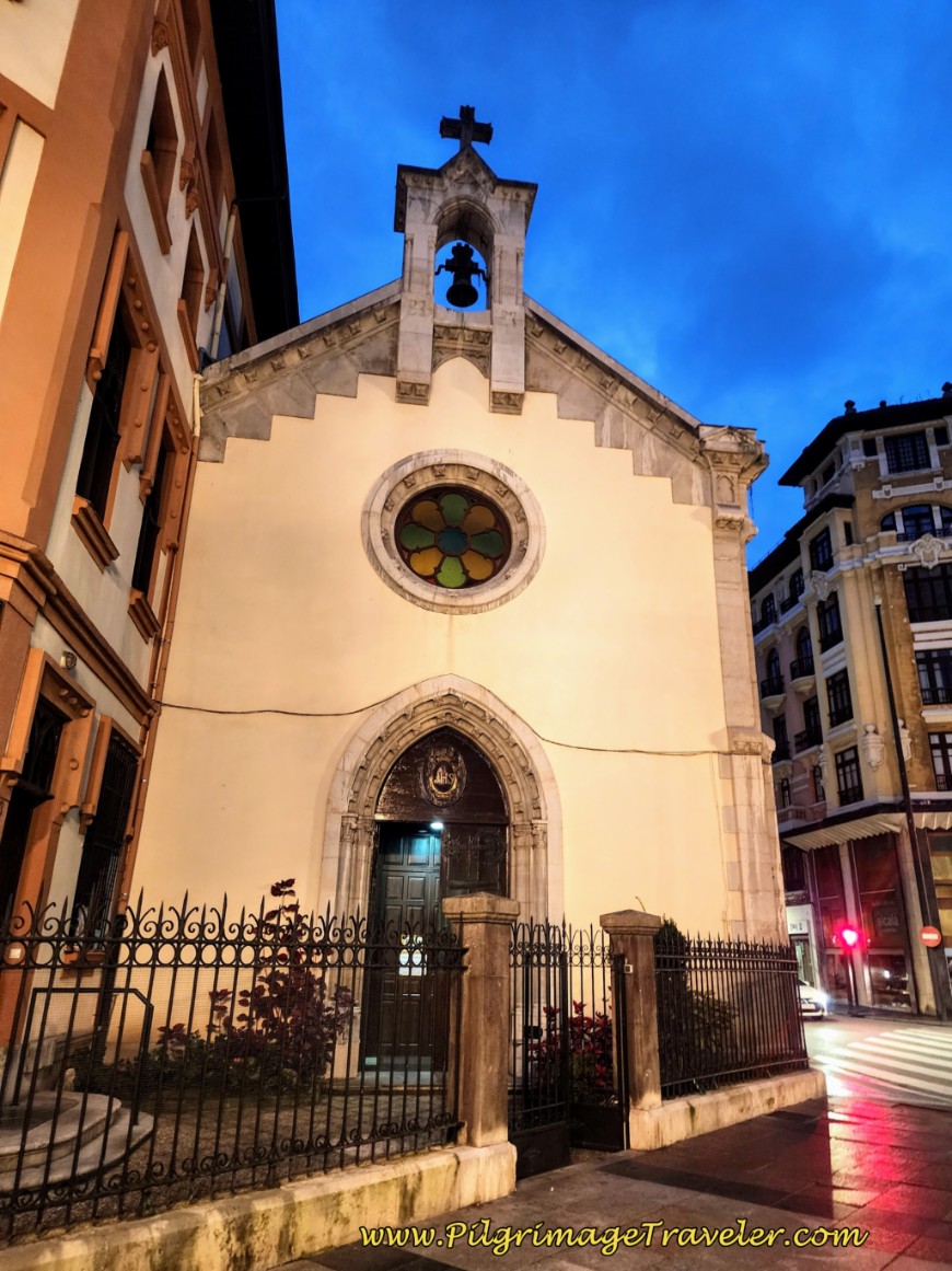 Congregación Siervas de Jesús de la Caridad
(Please note that our photos are from a combination of Caminos, leaving at various times during the day. However, we have chosen to keep the story from our very first one - but with updated facts and directions, of course!)
When you come to the N-634, a very busy, multi-lane highway, stay to the left as you join it. (If you have walked from Naranco, this is where you join the Camino.) Cross over the very first intersection with the Calle Asturias. Immediately turn right to cross over to the north side of the N-634 as directed by the shells. You will finally begin to see yellow arrows and blue Camino de Santiago signs through here to assist you.
Walk by a row of bizarre high-rise apartment buildings, made of brightly colored squares.
After about 200 meters, at the next large roundabout, follow the fenceline around to the first street to the right, which avoids the roundabout altogether, to head northward a few meters until you see a lovely pedestrian way to your left. Turn left and cross the intersection as it leads you toward another row of brightly squared high rises. There are new blue Camino signs with arrows that now appear. Follow the arrow and take this pedestrian way and walk for 150 meters, by fountains and more colorful apartment buildings, pictured below.
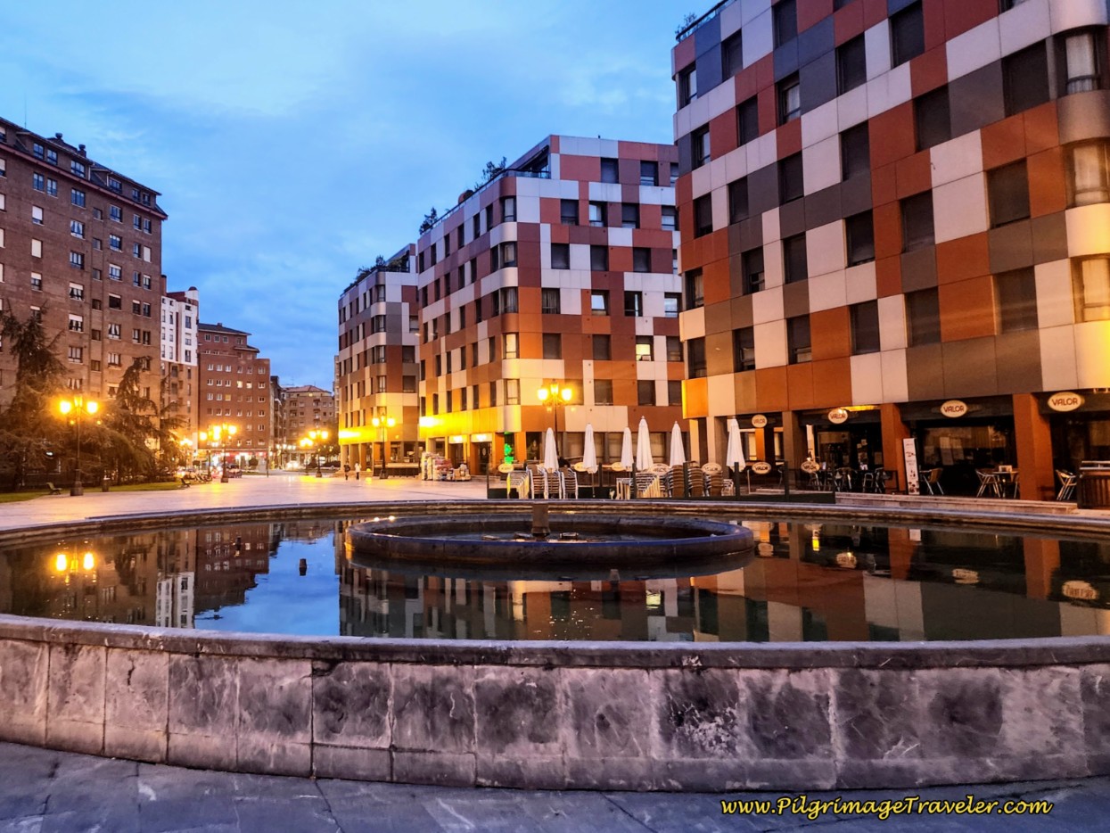 Pass Colorful Apartment Buildings at Fountain
Come to the end of the pedestrian way, and another large roundabout, pictured below. Take the crosswalk in front of you, continuing around the roundabout, picking up the second left-hand street, called the Calle Argañosa.
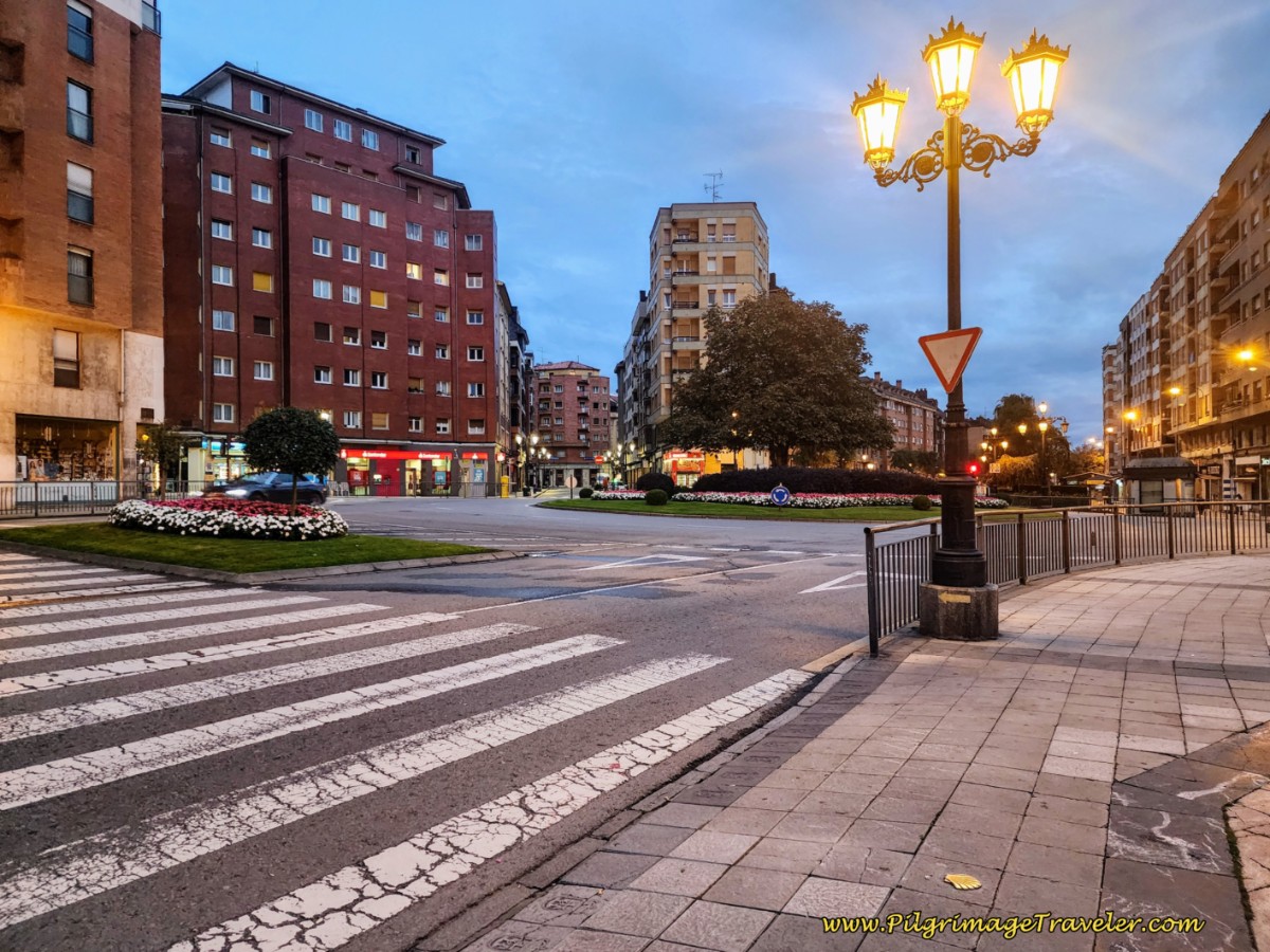 Arrows and Shells Abound at Next Roundabout
Follow the Calle Argañosa for 3/4 kilometer. You will pass by several open bars along this street if you need breakfast.
Come to a small roundabout, stay right and turn right immediately onto a side street and pedestrian way toward the Argañosa train station, pictured below. You will see the Bar Choque on the corner, and your first concrete waymark (mojón) and information board ahead. Follow the yellow arrows to cross the railroad tracks up and over on a pedestrian bridge. This is a key landmark to find, after about 2.5 kilometers from the start at the cathedral.
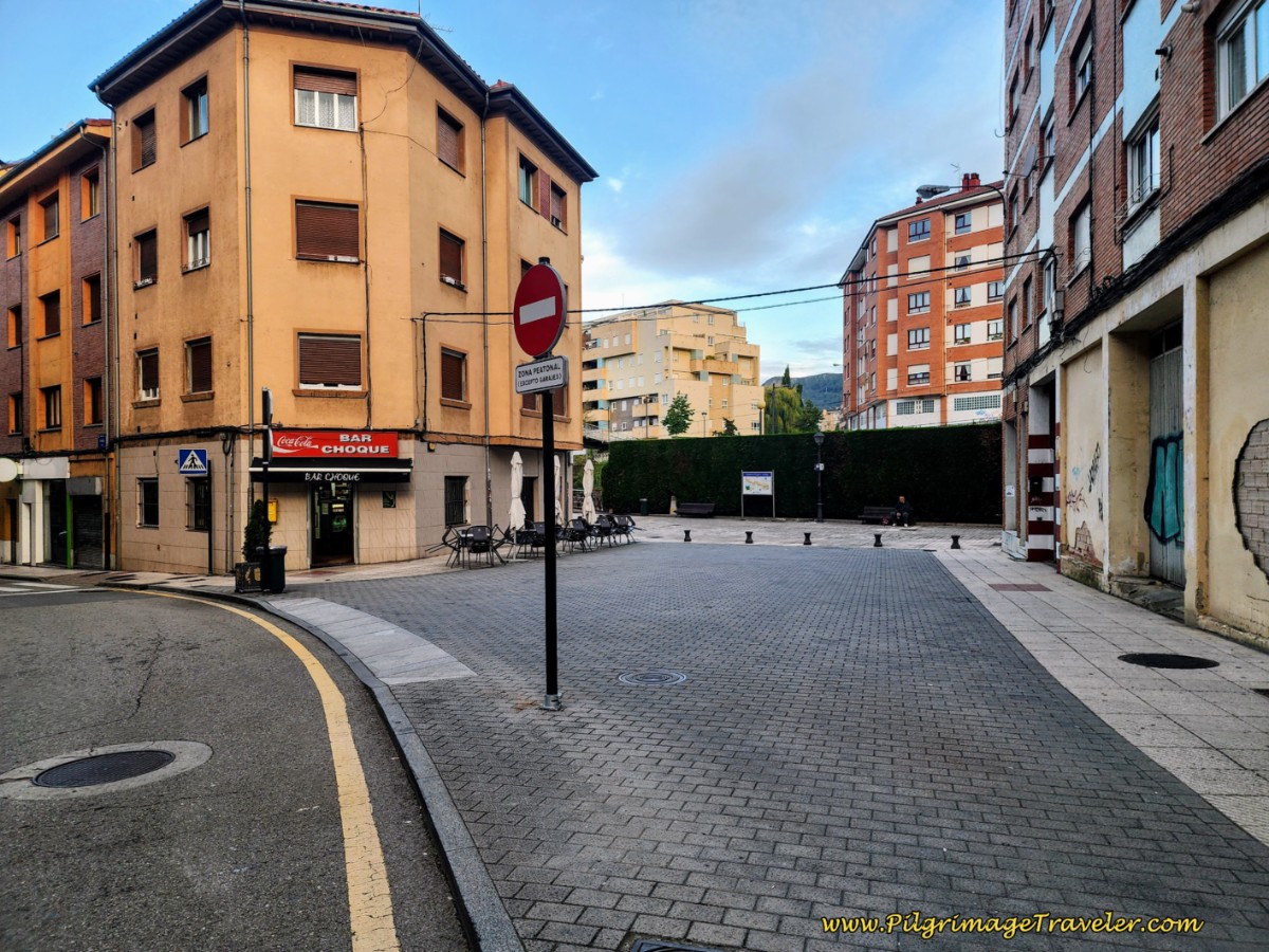 The Bar Choque at the Argañosa Train Station
After crossing the railroad tracks, stay high and to the left and take the first left turn onto the Calle Bermudo I. Walk on this street for about 100 meters to the first roundabout, staying straight through, passing the Familia Market.
Walk one block to the next larger roundabout and take a right turn onto the Calle Cudillero, passing the large Lidl Market. Walk another couple hundred meters until you come to another large roundabout with the lovely divided street called the Paseo de la Florida. Take heart because you are almost through town! You can see and feel the mountains ahead!
At the roundabout, you stay straight on, crossing the Paseo de la Florida. A few meters ahead you approach an open park, appropriately called the Parque Camino de Santiago! Here you will see a large Camino Primitivo sign accompanied by a mojón, shown next. You have now officially left the city of Oviedo!
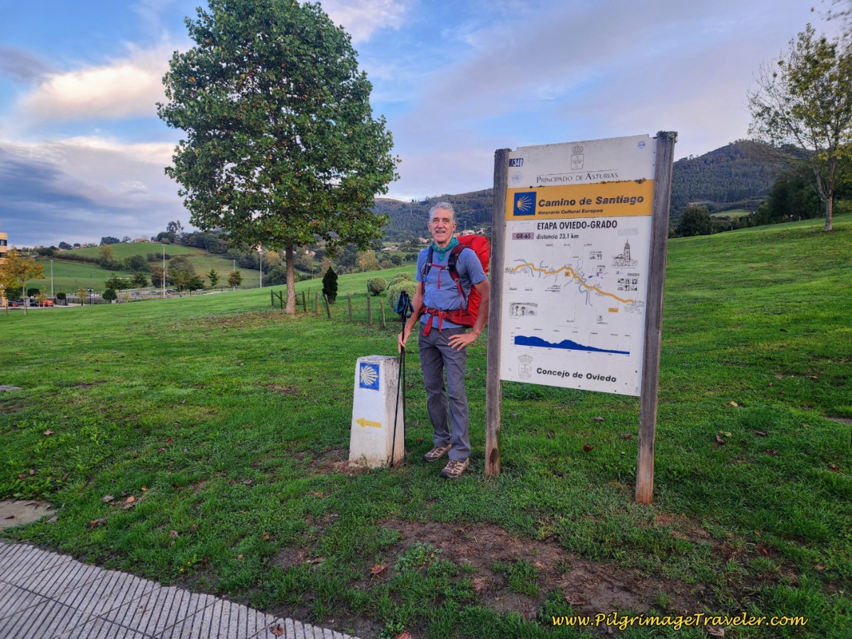 Rich at the Parque Camino de Santiago
At the waymark, turn left onto a paved walking path. Follow the paved walkway down the hill 140 meters, and then to the right for another 90 meters, skirting the park, and turning left onto the Calle Muros del Nalón. Another 130 meters on this street and the countryside is wide open!
Jump to Camino Primitivo Stages
The Journey Onward
Take a right turn at the first intersection with the Calle Navia and an almost immediate left onto a paved walkway, pictured below. Begin a small climb up to the next village of San Lazaro de Paniceres.
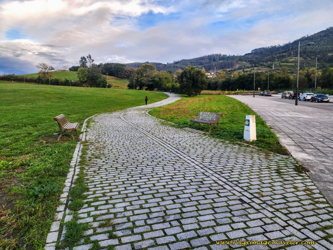 Follow Paved-Walkway
Another 130 meters and the Way joins the Calle de Alfonso I where the roadway goes from four lanes to two, as you continue to climb the hill up and out of Oviedo.
As you walk up the hill, notice a lovely parallel path on your left, leading to picnic tables through the grassy park.
This path looked nice to me, but only on a dry day, because in places the grass was a bit high and wet-looking. These picnic tables boast a nice view over Oviedo and the mountains to the south.
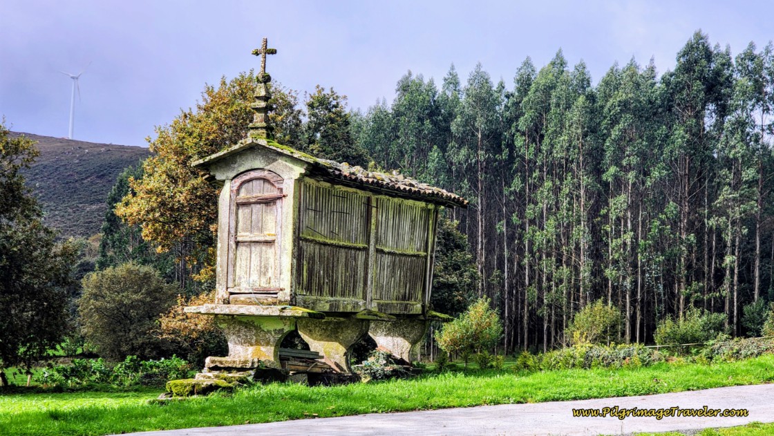
Come to the town entry sign for San Lazaro de Paniceres. As you round the next bend, near the top of the hill, notice a ruined hórreo (an old, historic granary) on your left and a parking area. A few short meters later you will reach the top of the hill and pass by a cluster of houses in the center of town at a crossroads, after about 4.2 kilometers into the day. Notice a fountain on the road leaving to the left.
Continue along straight through several more intersections following the concrete waymarks, on easy and essentially flat pavement. At a Y-intersection, ignore the road to the right up the hill and stay to the left on a downhill trajectory.
Come to a strong hairpin turn, pictured below, and on the other side, turn left onto another paved road, following the waymark and a sign toward “Villamar.” Avoid another climb up the hill to the right. Yay! So far so good. The open countryside through here is stunning, but it gets better!
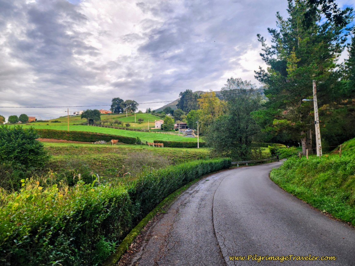 Hairpin Turn in the Country Road
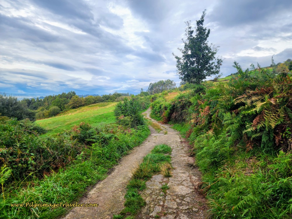
Stay on this flattish, paved road for another 150 meters, turning to the right at the first intersection and onto a worn-down paved road, turned into a two-track lane, below. You are now beginning the final part of the first climb for this stage. It is short and sweet.
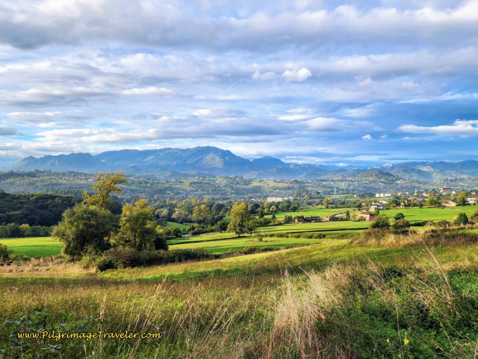
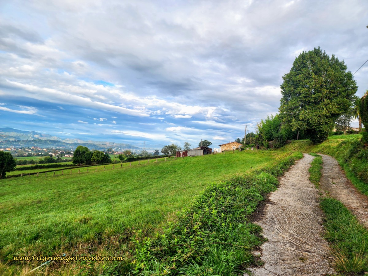 Asturian Countryside on Day One of the Camino Primitivo
Just before the top of the climb, the views to the south open up. A lovely portend of the views to come on this Camino Primitivo!
At approximately the top of the climb, after about 5.4 kilometers into the day, we clamored up into a field and found a lovely spot for our lunch break with a grand view! This lunch spot is where the young Russian woman that we met at the Naranco sites, caught up to us to tell us that the shortcut from Naranco was not good.
(We have not attempted recently to find this supposed shortcut and I have been unsuccessful finding any information at all about it, therefore I still do not advise taking it. Please let me know if you find different information validating a safe or easy-to-find route!)
She stated that not only did she get lost, but because there was no path through the brush, she got her bare legs all scratched up. I was glad to have made the choice we did, to return to town. Her "shortcut" took longer than our sojourn back to town, which was longer by 2.3 kilometers. This is an interesting life metaphor, don't you think? Shortcuts may seem appropriate, however, they may not be as effective as the "slow" journey!
Because it was late summer our first time walking, the lane was flanked by hedges of blackberry bushes, below.
My husband, Rich, a die-hard berry picker, was in heaven. Every chance he could get he'd stop to pick a handful to jam into his mouth! I would look back often, to see him picking! I would also stop and I too would gorge on the wonderful, sun-ripened fruit.
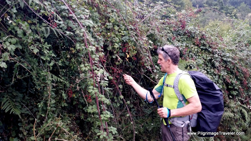 Rich Picks the Ripe Berries
Eventually, the deteriorating lane turns to improved dirt, see below, and walks the pilgrimage traveler briefly through a forest, leaving the lane for another to the right.
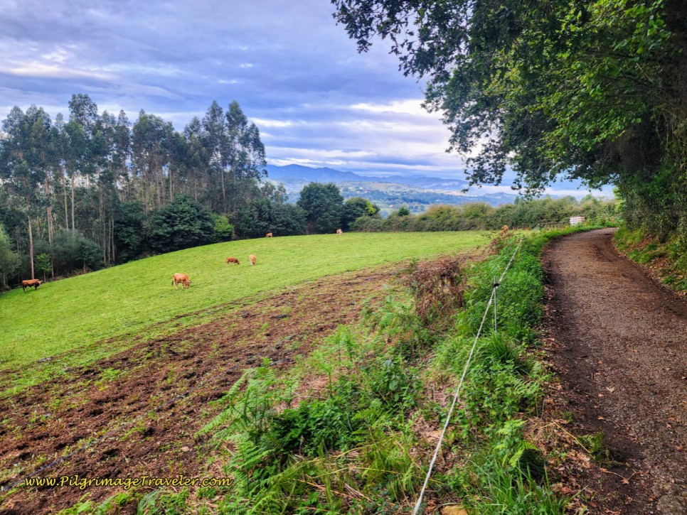 The Lane Turns to Dirt
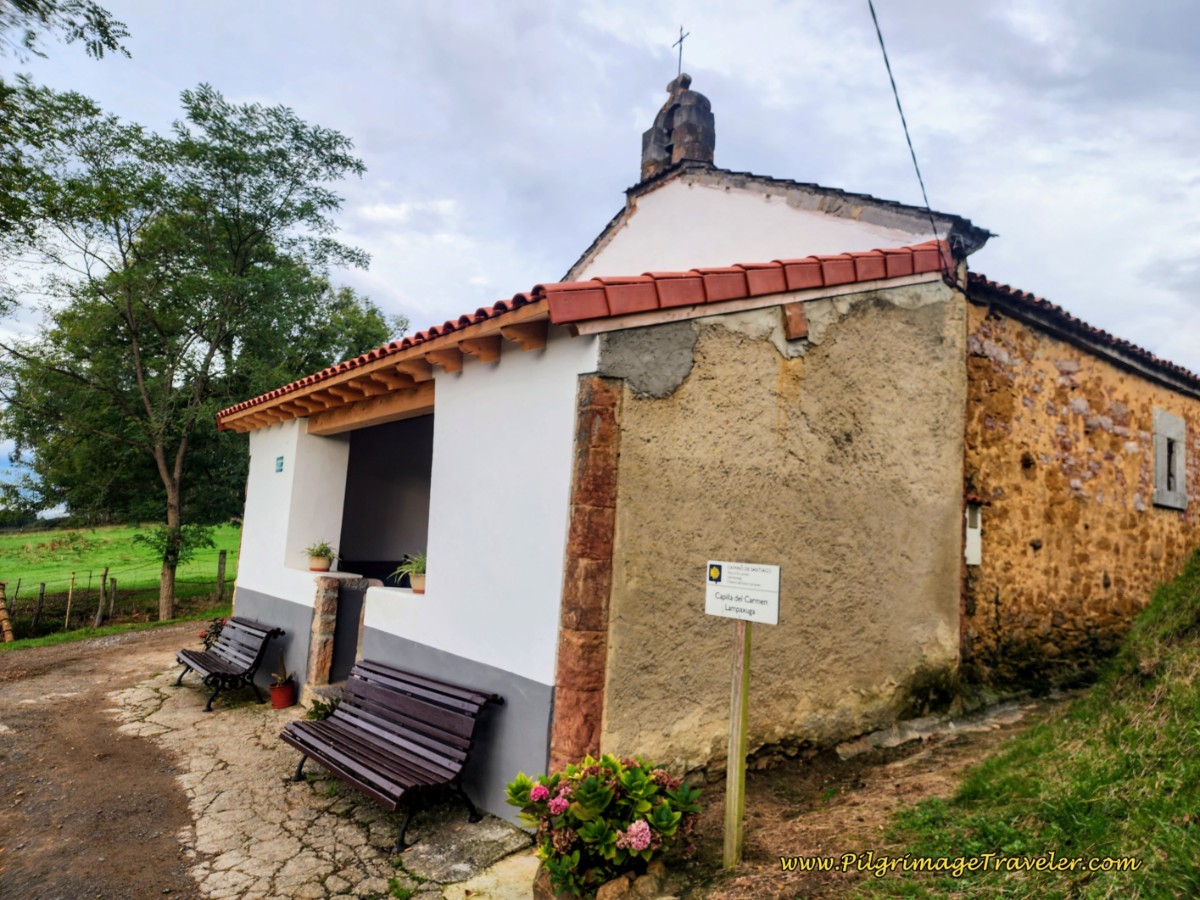
After a brief 200 meters, and after passing a farm, arrive at a crossroads with a paved road. Continue straight, crossing the paved road, and join a lane on the other side, with the first feature of interest, the Ermita del Carmen (Llampaxuga) just ahead. Arrive at the chapel after about 6.6 kilometers total. You can stop here and reflect on your journey.
Just below the chapel, on your left, is a washing well (lavadero) and fountain, not pictured.
A few steps after the Ermita, stay to the right at a Y-intersection and continue about another 800 meters on a very steep downhill country lane. If it is wet, it will be slick! A precaution sign warns cyclists, so stay alert through here.
At the bottom of the hill, meet a paved road and arrive at the historic washing well called La Pipera, below. The sign says the water is not potable here. There is a nice picnic area if you are in need of a break after 7.5 kilometers.
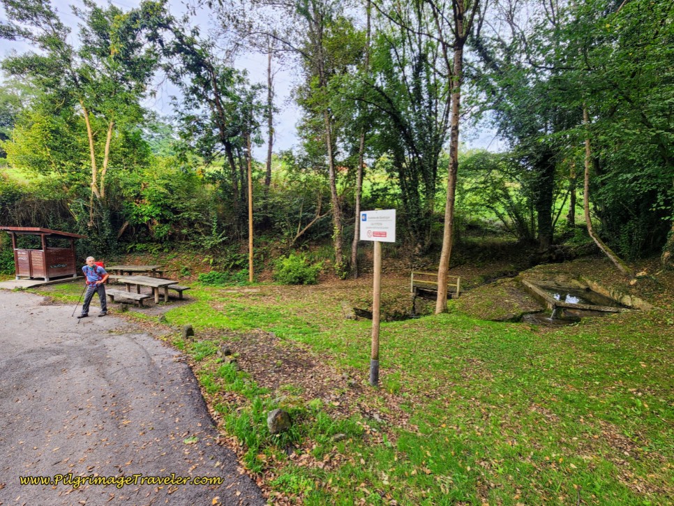 La Pipera Lavadero Traditional and Picnic Area
Walk up the hill on the other side and in less than 200 meters, come to a T-intersection in the next little hamlet of Lloriana. Turn left at the intersection, and the 12th century Iglesia Santa María de Lloriana appears ahead.
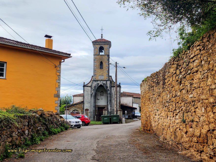 12th Century Church of Santa María de Lloriana
By the church, on the right side is yet another fountain, where you can soak your tired feet. The water from the spigot is potable and many pilgrims stop here and fill up after halfway to Escamplero. However, the church itself was closed.
From the waymark sitting opposite the church, turn right. Escamplero is about 4.5 kilometers from here.
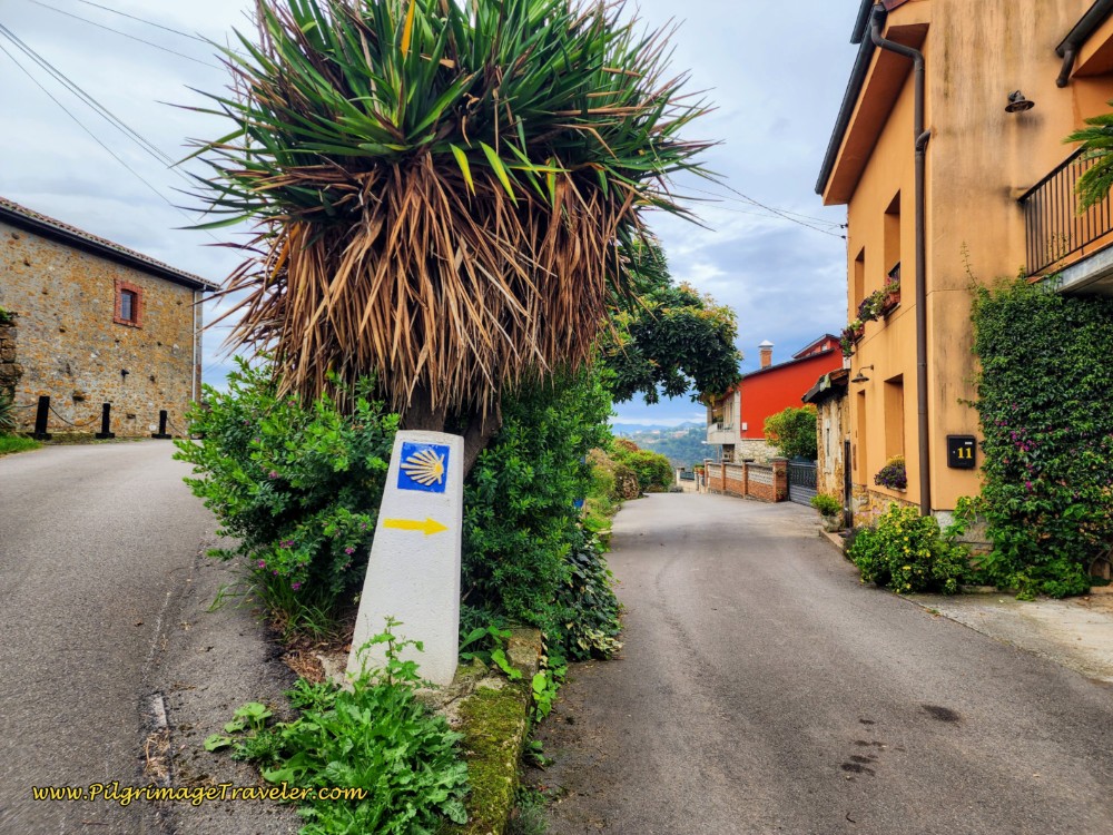 Right Turn Here, after the Church
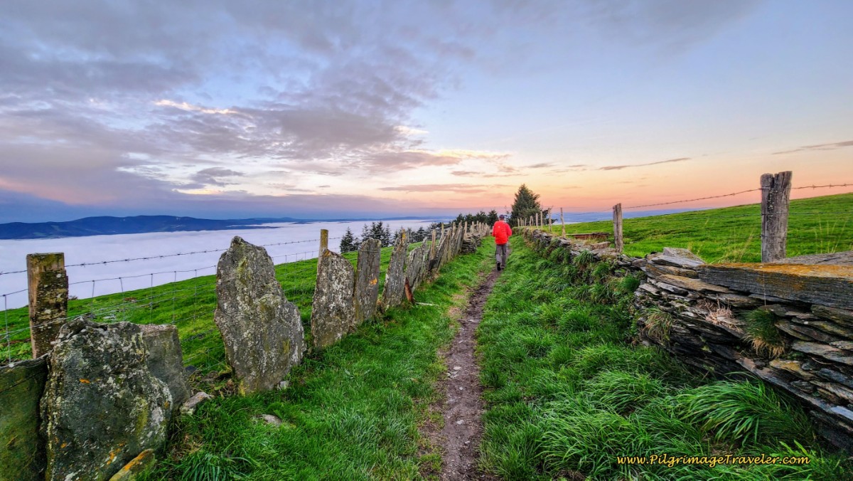
The Way after Lloriana continues strongly downhill and takes the pilgrim along a wonderful, but paved country lane for about half a kilometer, below. The quaint countryside along the way enchanted me. This is a hilly, verdant country! I loved the stone walls that lined the country lanes. I stopped to breathe in this photo.
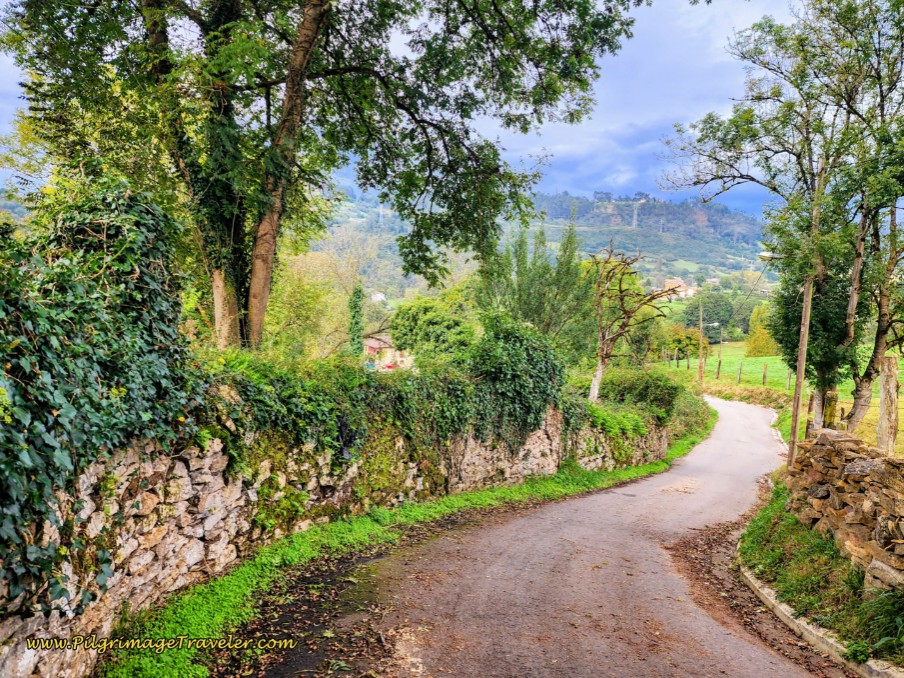 Stone and Country Lane to Euphoria
Next, you will come to a T-intersection with the major 2-lane roadway of the AS-371. Turn right and enter the village of Bolguina. There is a café bar on the corner if you need one.
After you join the AS-371, you will remain walking on it for the next 1.3 kilometers approximately. You will not join it again until you near the albergue in Venta de Escamplero, still about 4.0 kilometers away.
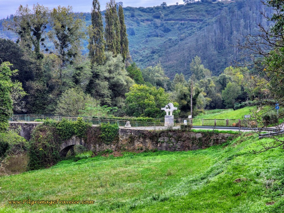
650 meters after joining the AS-371, and after 8.8 kilometers total, the road takes you onto the medieval bridge, the Ponte de Gallegos (Galician Bridge) via a small diversion off the highway. This 13th century bridge, below, also has an interesting stone sculpture. I took the photo of the medieval bridge from the AS-371, as the little side road to the bridge just re-joins the AS-371 a few meters later. It is shorter to just stay on the road, and admire the bridge from a distance - a better vantage point than actually walking over the bridge.
Jump to Camino Primitivo Stages
After the Ponte de Gallegos, the pilgrim has to climb a long hill that you see in the elevation profile above, beginning after about 9.0 kilometers into the day. The first 600 meters of this climb is on the highway, the AS-371 and through the town of Gallegos. It is not all that pleasant. Here is the beginning of the long hill on the pavement, shown below. Just before the orange building on the right, and covered in the brush, is another water fountain, at a lavadero, with potable water.
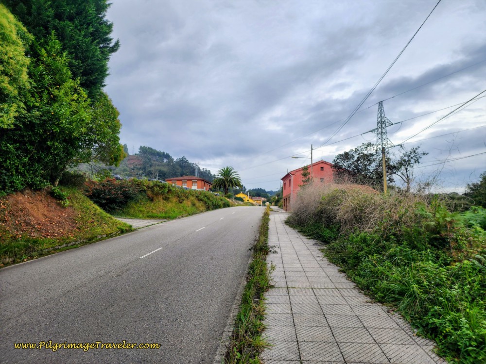 Long Hill Towards Gallegos - Lots of Pavement Walking
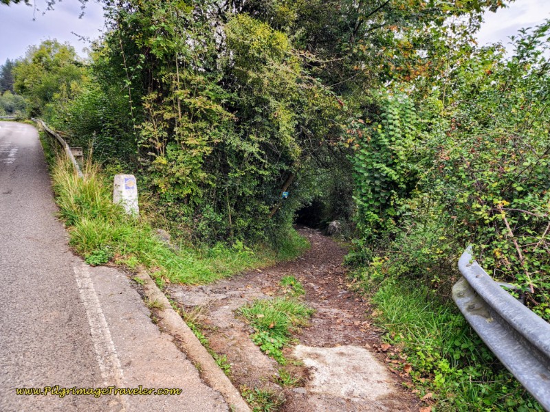
Shortly after leaving the town of Gallegos, the Way suddenly veers off the AS-371 and joins a lane into the forest as I show in the photo, below.
The lane drops down about 50 meters initially, flattens out for a while for a nice reprieve on the legs, then starts the long and final climb into Escamplero. You will walk on this lane for the next 1.5 kilometers, shown below.
At various sections this lane appears to have remnants of yet another old Roman road. The flat section follows along the Nora River for about 300 meters and is quite pleasant!
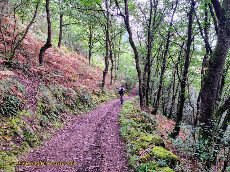 Forest Path Becomes a Dirt Lane
After a strong, and long U-shaped bend in the lane, passing the sign for the Molino de Quintos, begin the final steep climb up and into the town of Escamplero. After 1.5 kilometers, you will come to a T-intersection with a paved road and turn to the left. Walk through town for the next 400 meters, still climbing.
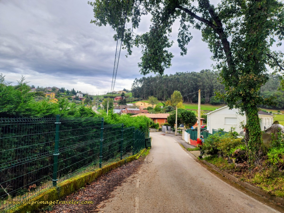 Left Turn Towards Escamplero
Come to the T-intersection with the AS-371. After turning right onto this highway and after only a few meters, finally arrive at the top at a roundabout with the AS-233, seen ahead in the photo below. This high point is called the Alto L' Escampleru, at 248 meters above sea level. As you walk toward the roundabout, stay to the right, also shown in the photo and walk on the side road.
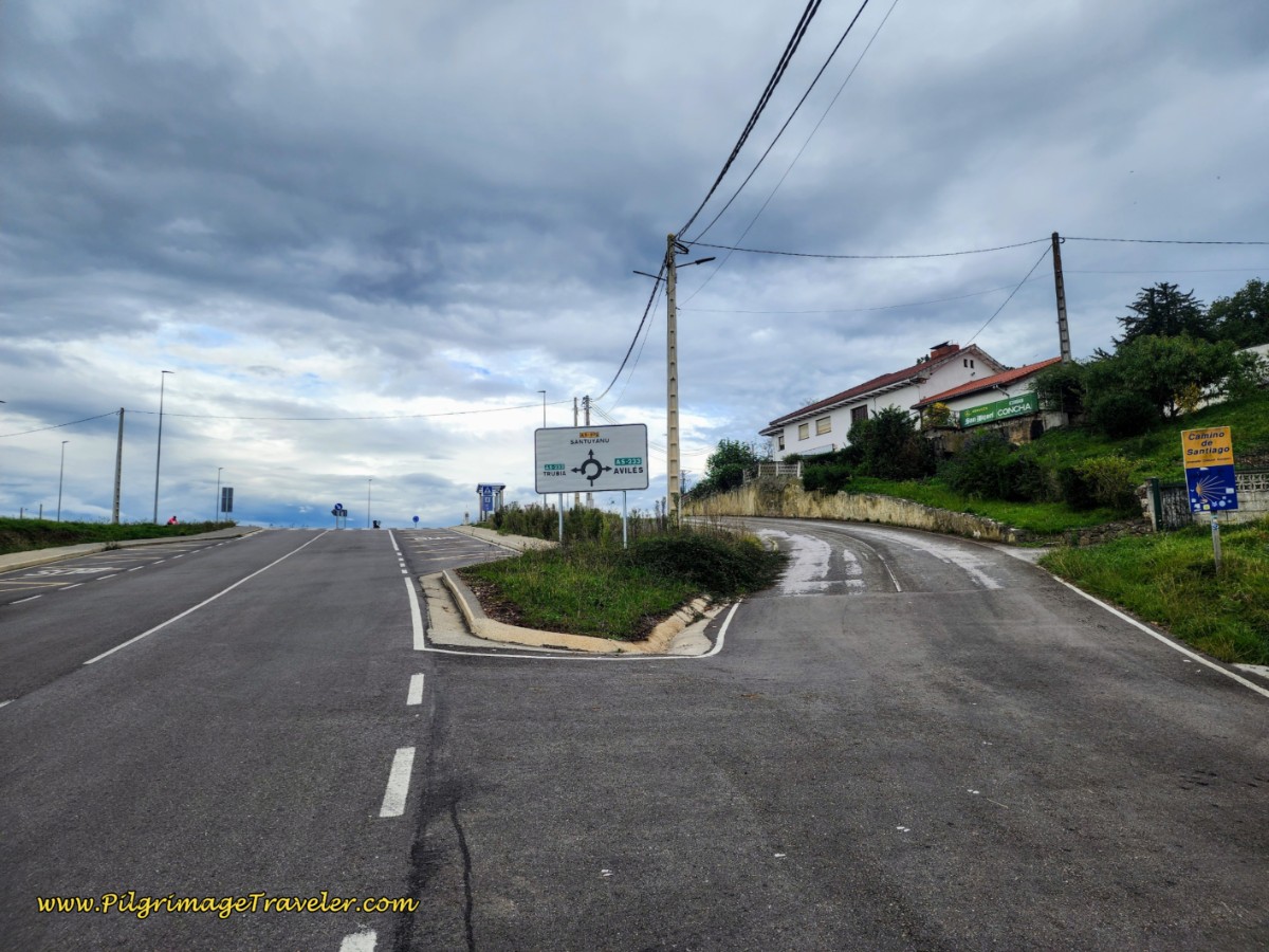 Stay Right Before Roundabout
As it turned out, had we stayed on the AS-371 after Gallegos and not turned off onto the shady lane, we would have walked a more direct and shorter route into Escamplero; however, it will also be sunnier and hotter. It is almost exactly 1.0 kilometer on the road, versus about 1.85 kilometers on the off-road lane. Not only is the highway shorter, you don’t lose any altitude either! Choose your own route as you see fit. Short, open and sunny along more dangerous pavement, or longer, cooler and more elevation loss/gain on the Roman lane?
At the roundabout and the Alto L’Escampleru, turn right onto an improved pilgrim’s path.
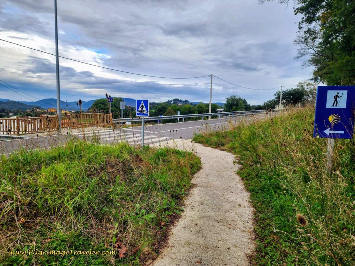 Crossover the AS-233 from Pilgrim’s Path
This path leads you to a crosswalk that crosses the AS-233, down a ramp on the other side, through another crosswalk, crossing the AS-372 on a lower level.
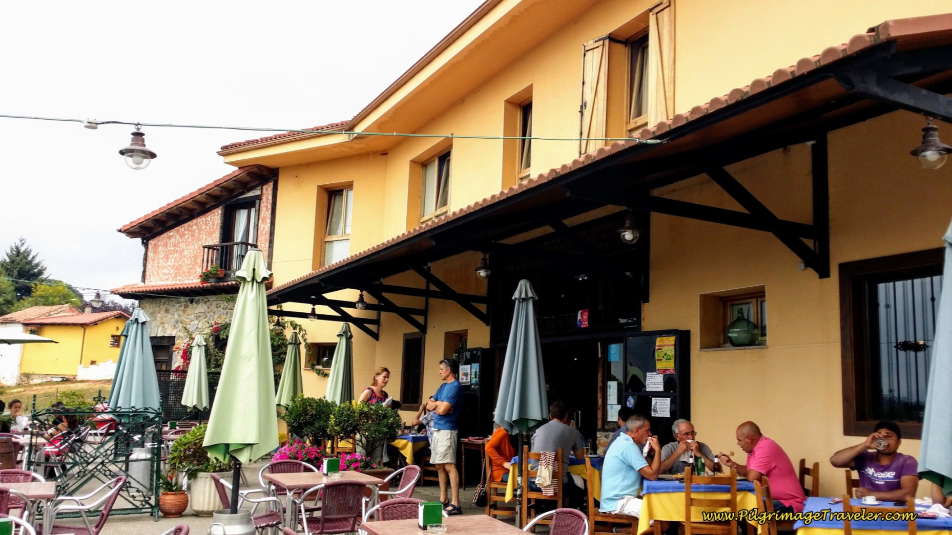
It is the AS-372, which takes you to the restaurant in Venta de Escamplero, El Tendejón Restaurant after 100 more meters, next photos below. The establishment also has rooms for pilgrims. Alas, both the hotel and the restaurant are always closed on Wednesdays!
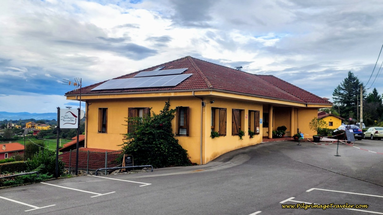 El Tendejón de Fernando, Hotel and Restaurant
If you walk down the hill from the sign, the main entrance to the restaurant can be found, with outdoor tables and a marvelous view of the mountains to the west. It is here in the bar that you register for the municipal Albergue de Peregrinos de Escamplero, (+34 985 799 005), If you want the rooms, inquire here as well. They have two double rooms and one triple.
The municipal albergue itself is actually about another 350 meters down the road from the restaurant where you sign in, so it can be confusing. If you go to the albergue first, you must go back to the Restaurante El Tendejón to register and pay for the night.
Although the photo doesn't show it, the restaurant indoors was packed at 3:00 pm with locals finishing their long Saturday lunch. If you don't know the Spanish culture regarding meal times, you may want to read my Camino Trip Planning Tips to ensure that you are not caught during siesta when getting nourishment is a challenging proposition.
We hung out on the patio, had a beer and then a café con leche. This was often our pattern - a beer followed by coffee - one to refresh us, and then one to wake us up again so we wouldn't fall asleep! We didn't want to miss a thing.
The Asturian San Miguel beer was especially light and refreshing that first afternoon on the Camino and it soon became our favorite.
Please keep in mind that if you are planning to cook in the albergue, there is no grocery store nearby. There is a butcher shop down the street from the Restaurante El Tendejón, with a few items that may suffice for your supper, including bread, sliced meat and cheeses. We have stopped here for cold drinks and bocadillos (sandwiches) which they will happily make for you, if the Tendejón is closed or if you prefer it.
This is a small town and your best bet may be to get your groceries in Oviedo if you plan to cook. Also ensure that you have food for breakfast and/or snacks, since there is nothing for the first seven kilometers after Escamplero.
Jump to Camino Primitivo Stages
Side Trip to San Pedro de Nora
Since we arrived early in the afternoon, we decided to chase down a site marked by a brown signpost we had passed, at the top of the hill where the Camino Primitivo left the AS-232. There was a church called the San Pedro de Nora that appeared to be worth a look, just outside of town. We thought this because the sign was a brown one, the color used to mark sites of cultural interest in Asturias, Spain.
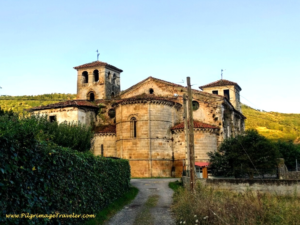
We set off to find the church, but as the road wound down the hill ever more steeply, I decided I was too tired to climb back up the hill on the return and turned around. 19 kilometers was enough for the first day. I was disappointed that I had not found the church when I looked up where the site was on Google, when I put this article together. It is a fabulous, well-preserved, 9th century Romanesque church! Had I realized it was so glorious, I would have taken a taxi to see it.
When looking on the map, the San Pedro de Nora is a full 3.4 kilometers from the Restaurante El Tendejón! It would have been a long, long walk down the hill to the Nora River and back up.
Bed and Dinner
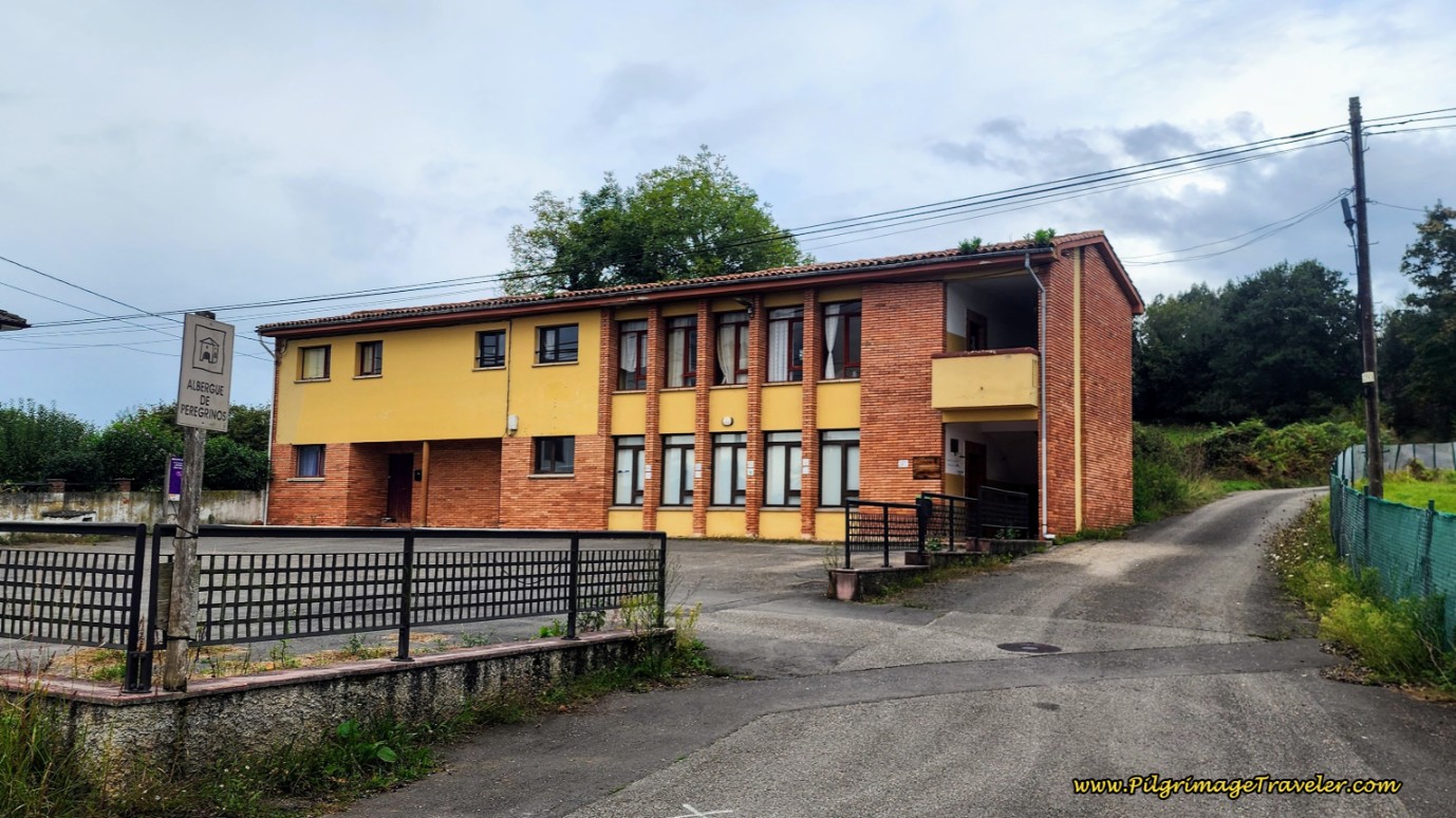
Below is the picture of the municipal albergue of Escamplero. It has several rooms, two that contained two bunks and slept four, one with a triple bunk that slept three and two large open rooms containing quite a few bunks.
We were lucky enough to get the room down the back stairs with the triple bunk, but no one took the highest bed, so we had a private room. The albergue was not totally full in late August when we were there. Don't count on this now, though!
It was clean, comfortable and very basic. We did not join the other pilgrims in cooking here, as we wanted to try the wonderful looking restaurant that was so packed for lunch!
The "Comida Tipica" (typical food) on the menu for dinner was typical for the region of Asturias. It started out with an ensalada (salad) with sugar-coated walnuts and blue cheese, followed by veal thinly cut with ham and cheese stuffed in between the two filets - Cachopo! Absolutely one of the best meals we had in Asturias, and I highly recommend the Restaurante El Tendejón. Indeed, the portions were quite large, so consider sharing this meal if you decide to have it!
Camino Primitivo EBook Guide
Still thinking about our downloadable, Camino Primitivo eBook Guide? Would a money-back guarantee and free updates for a full year help with your decision? Would it help if we told you that we frequently update our information as we receive it, without the need for publishers and the slow process reprinting of hard copy books, which improves our book's accuracy? Click here for more info OR BUY NOW.
Reflections on Day One of our Camino Primitivo
It was here in Escamplero on day one of our Camino Primitivo that we first met a wonderful lady that my husband was to dub the "Camino Mother." If you continue to follow my daily stories, you will see that she became a vital part of our Camino Family.
At first, Camino Mother was not very appealing to us, since we thought she was rather loud and bossy. In fact, we made a note to ourselves to avoid her! However, as good families do, she soon was to be absorbed within our group, a vital part of its cohesiveness and its uniqueness.
Our first day was very enjoyable. The whole day was euphoric for me, as it was my first day back on the road again! The Camino Road, that is. And I was lovin' it!
Salutation
May you too find your own pilgrim's way along the ancient and Original Way on day one of your Camino Primitivo. May you walk between the liminal spaces of security and adventure, where you are better able to meet yourself in the moment! Buen Camino!
The Camino Primitivo Stages
Please Consider Showing Your Support
Many readers contact me, Elle, to thank me for all the time and care that I have spent creating this informative website. If you have been truly blessed by my efforts, have not purchased an eBook, yet wish to contribute, I am very grateful. Thank-you!
Search This Website:
Follow Me on Pinterest:
Follow Me on Instagram:
Find the Pilgrimage Traveler on Facebook:
Like / Share this page on Facebook:
***All Banners, Amazon, Roamless and Booking.com links on this website are affiliate links. As an Amazon associate and a Booking.com associate, the Pilgrimage Traveler website will earn from qualifying purchases when you click on these links, at no cost to you. We sincerely thank-you as this is a pilgrim-supported website***
PS: Our guide books are of our own creation and we appreciate your purchase of those too!!
Shroud Yourself in Mystery, along the Via de Francesco!
Walk in the Footsteps of St. Francis, and Connect Deeply to the Saint and to Nature in the Marvelous Italian Countryside!
Recent Articles
-
Day One on the Camino Portugués, Lisbon to Alverca do Ribatejo
Apr 15, 25 08:19 PM
Our Day One on the Camino Portugués was much more beautiful and enjoyable than we had heard. -
Hiking the West Highland Way
Apr 11, 25 08:51 PM
Hiking the West Highland Way is a representation of all things Scottish, traversing 96 miles from the lowlands of Milngavie to Ft William, in the highlands. -
Way of St Francis eBook Guide (Via di San Francesco)
Apr 11, 25 08:49 PM
Our Way of St Francis eBook Guide, a digital guidebook is full of current information to assist you in finding your Way. In downloadable, digital, PDF format.
Need suggestions on what to pack for your next pilgrimage? Click Here or on the photo below!
Carbon fiber construction (not aluminum) in a trekking pole makes them ultra lightweight. We like the Z-Pole style from Black Diamond so we can hide our poles in our pack from potential thieves before getting to our albergue! There are many to choose from! (See more of our gear recommendations! )
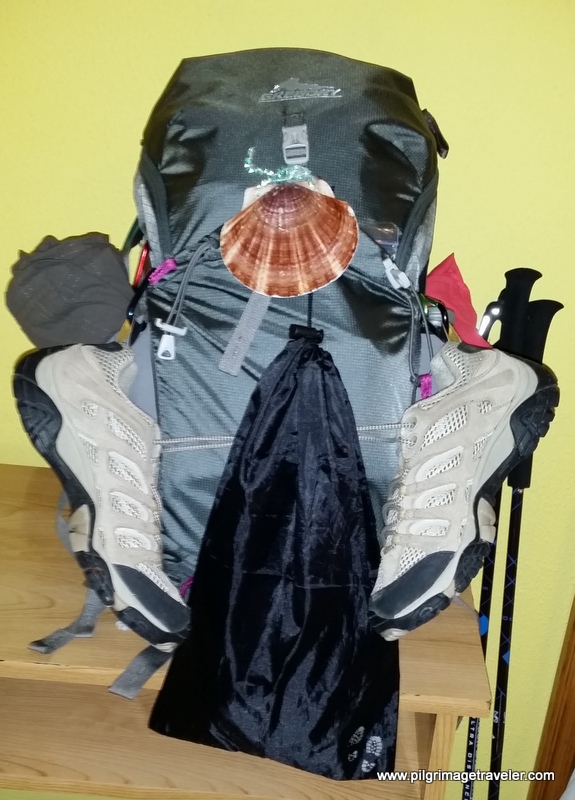
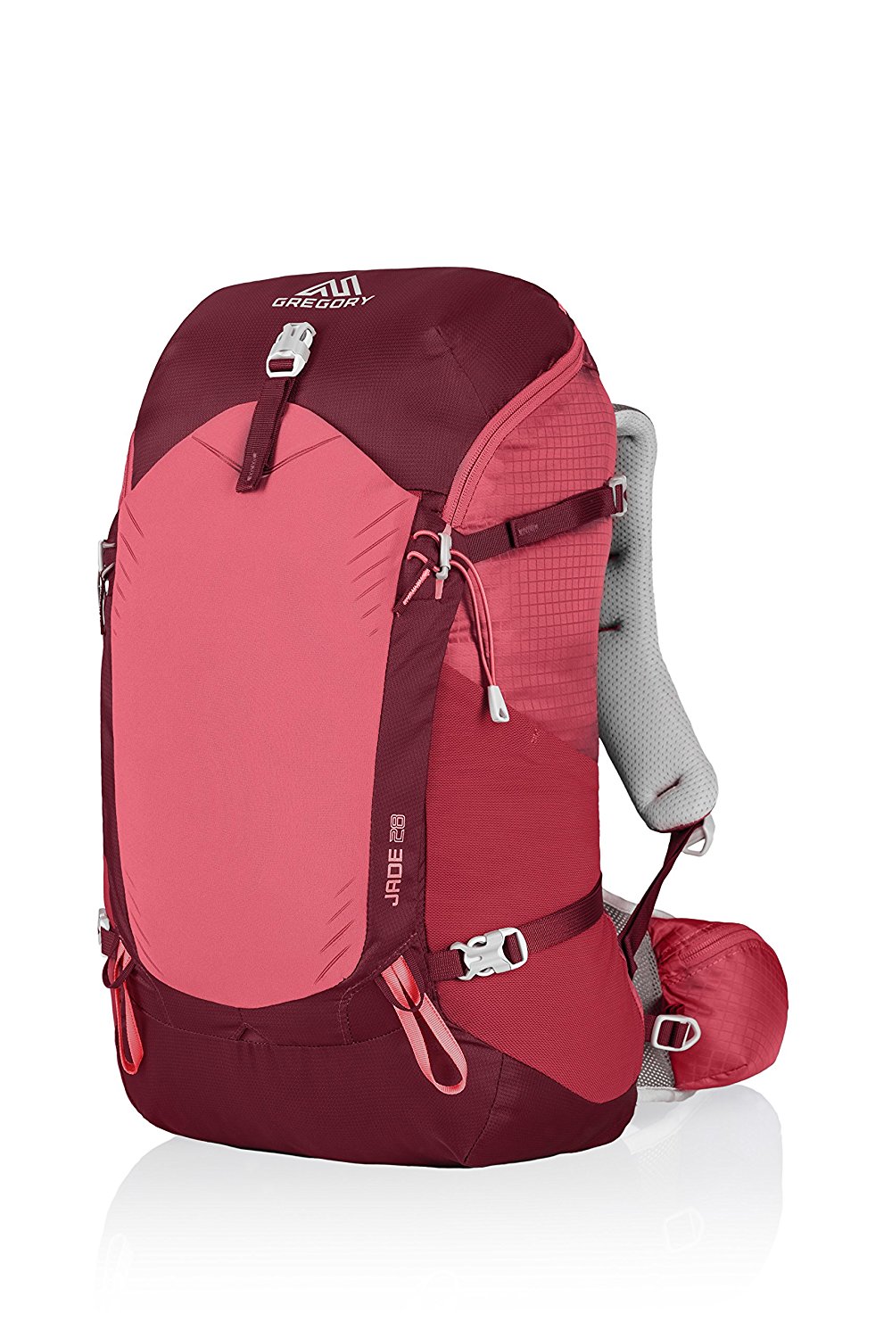
Gregory BackPack - My Favorite Brand
Do not forget your quick-dry microfiber towel!
Booking.com
My absolute favorite book on how to be a pilgrim:








Your Opinion Matters! Comments
Have you had a similar experience, have some advice to give, or have something else you'd like to share? We would love to hear from you! Please leave us a comment in the box below.