- Home
- Camino Ingles
- Day Two, Neda to Pontedeume
Day Two on the Camino Inglés ~ Neda to Pontedeume, 14.07 Km (8.74 Miles)
Day two on the Camino Inglés is a nice, but mostly uphill walk through the historic medieval town of Neda and onward over the hills, to cross the Eume River into another medieval town of Pontedeume. While short in length, the climb is significant and not to be underestimated.
Our foursome continued onward from the albergue in Neda, making it to Pontedeume in fours hours. We chose to continue on and complete the next stage to Miño, shown in day three, for a very strenuous and hilly 25 kilometer day. Read on to make your own choice wisely, according to your own desires.
"Only when you drink from the river of silence shall you indeed sing. And when you have reached the mountaintop, then you shall begin to climb." ~ Khalil Gibran
Maps and Stats of Day Two on the Camino Inglés
Here is our Google map of day two on the Camino Inglés. I have added many places of interest ~ hotels, albergues, cafés and supermarkets, to assist your Camino.
Here is the elevation profile for day two. A small hill climb, followed by a long and steep climb for a total elevation gain of 376 meters (1233 feet) is the essence of the day!
Camino Inglés EBook Guide
Our Downloadable Camino Inglés eBook Guide in PDF Format contains all the valuable information from our web pages, for comfortable reading offline and without ads on your personal device. Don't carry the heavy weight of a book. Use our digital guides on your next Camino instead!
Our ebook guides are packed with frequently updated information, because a digital format is more nimble than hard-copy publishing. Our eBook Guide is unique because we also entertain and immerse you with our story! Click here for more information OR BUY NOW!
Photo-Rich Travelogue of Day Two on the Camino Inglés, Neda to Pontedeume
It was a crisp and clear morning along the Ferrol estuary as we set out from the Albergue de Peregrinos de Neda. The rain from day one had cleared out and the view over the river was calm and most beautiful. We had sufficient food to prepare ourselves a substantial breakfast before setting off for our day of hill climbing! There are also sufficient cafés on this leg to Pontedeume, so you don't have to carry food if you don't want to.
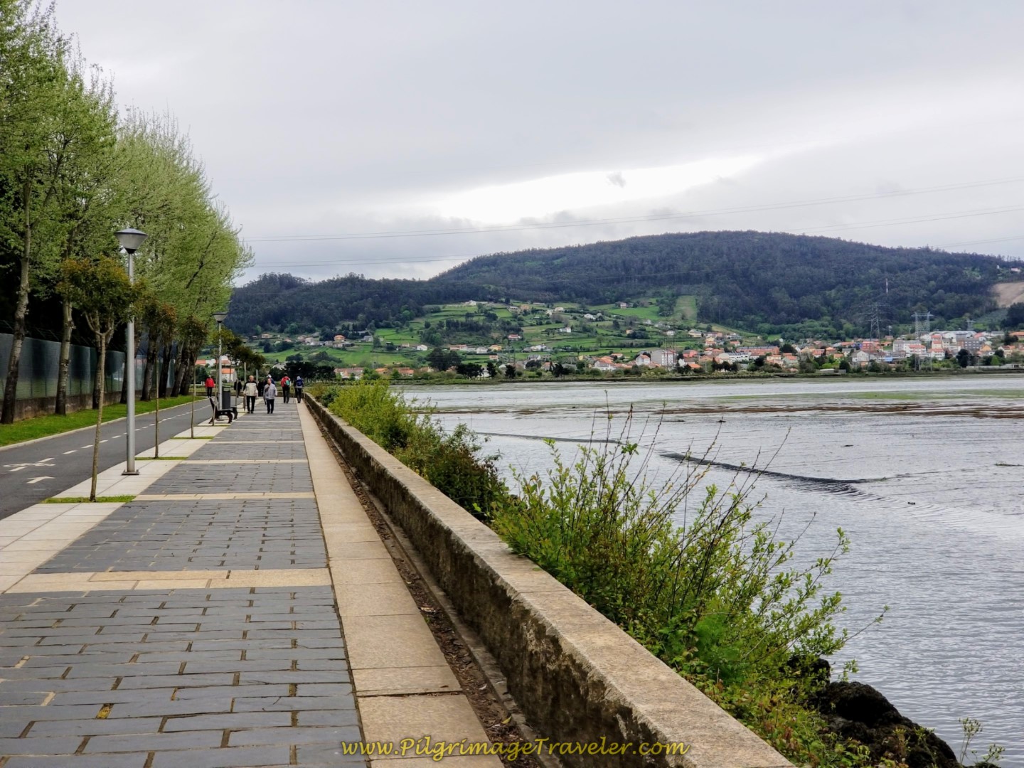
In the past, the Way continued on the promenade along the river, but the route was changed in 2017 to instead take the alley behind the albergue, to the south, and climb up the hill, turning right onto the street called the Aldea Empedron. The street was still wet from the rain as we climbed up towards the main road, the AC-115 through town.
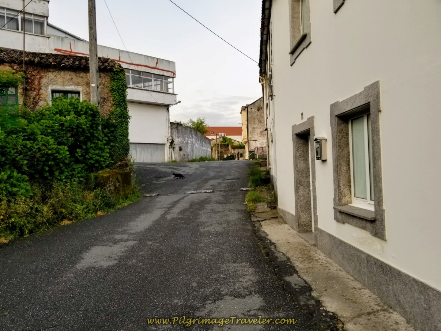 Uphill from the Albergue on the Aldea Empedron
It is only a few hundred meters before the Way joins the AC-115, by turning right onto it.
Farther along the main road you come to a giant building that used to be the supermarket, the Dia. You can see it in the photo, the building with the bright blue roof. It is now an auto body shop.
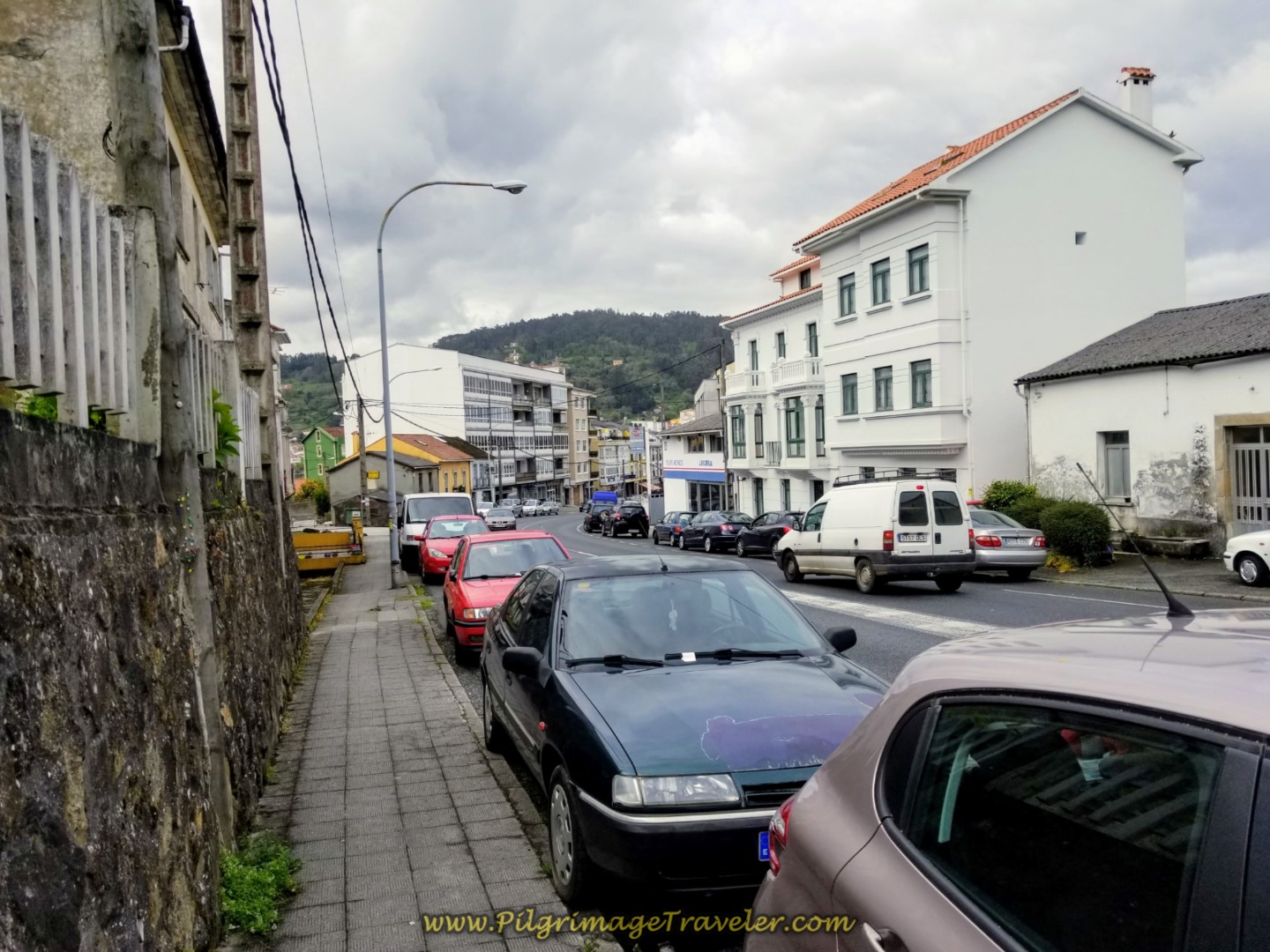
 Walking Along the AC-115
When possible, the Camino planners keep you off busy roads, and for a few meters, you are diverted onto this side street, paralleling the AC-112.
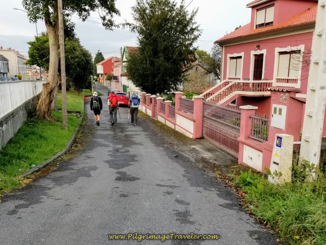 Rúa Coto Parallels the AC-115
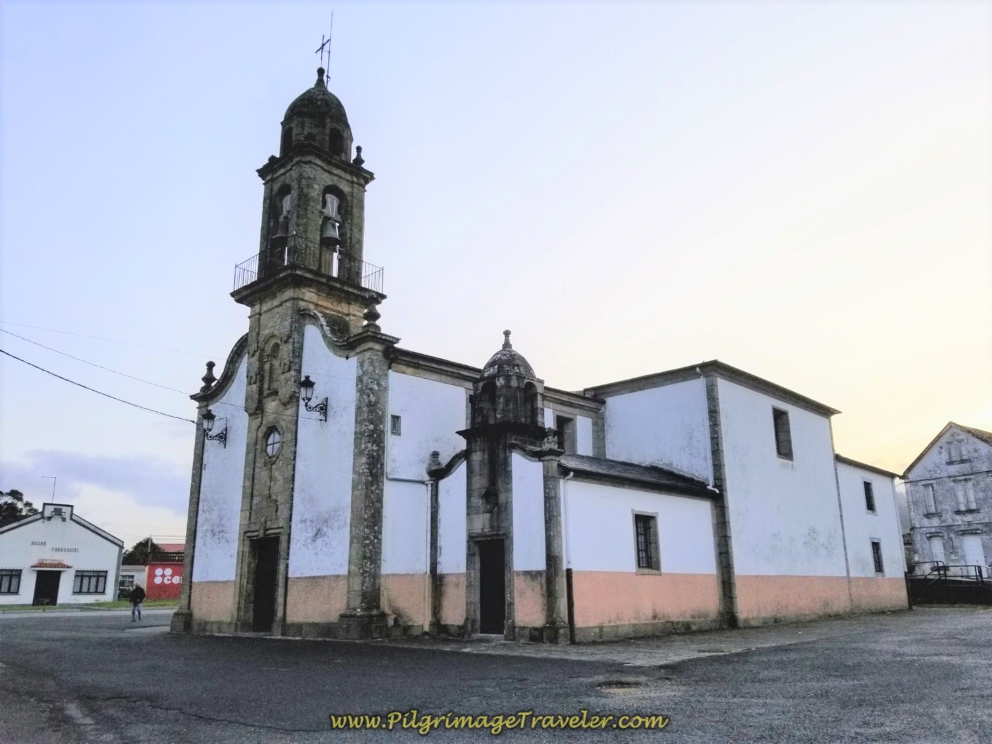
You must walk on the AC-115 for not quite a full kilometer before coming to the backside of the Iglesia de Santa María de Neda where you turn right towards the church.
On the church's wall is a plaque, shown below, that shows a dedication for all the pilgrims on the Camino Inglés, on their way to Santiago de Compostela. This plaque was placed here in 2010, to commemorate the Holy Year.
A Holy Year is whenever St. James Day, which is July 25th, falls on a Sunday. The next holy years will be in 2027 and 2032. The holy years are a very special time with special events and celebrations. The Cathedral in Santiago grants plenary indulgences and a special door is opened, called the Puerta Santa (Holy Door), for pilgrims to enter from the Plaza de la Quintana.
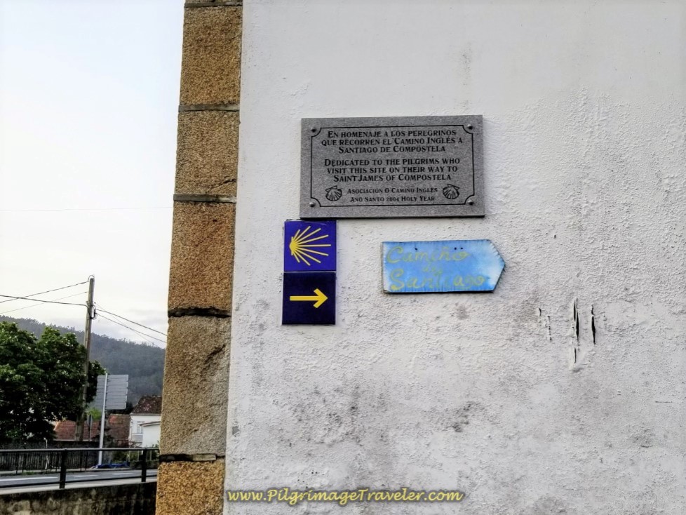 Commemorative Plaque to Pilgrims at the Iglesia de Santa María de Neda
Follow the yellow arrow around the back of the church to the front side, shown below.
Look opposite from the front side of the church and you will see a yellow arrow leading you by a playground on your left and picnic tables on your right, pictured below. There is a concrete waymark a few steps in as well that you can see on the photo, that will reassure you.
Before entering the path if you look to the left, down the street, you will see the church cross and by it a water fountain, if you need a fill up.
This path takes you across the Ferrol River on a footbridge and onto the Aldea Santa María alleyway.
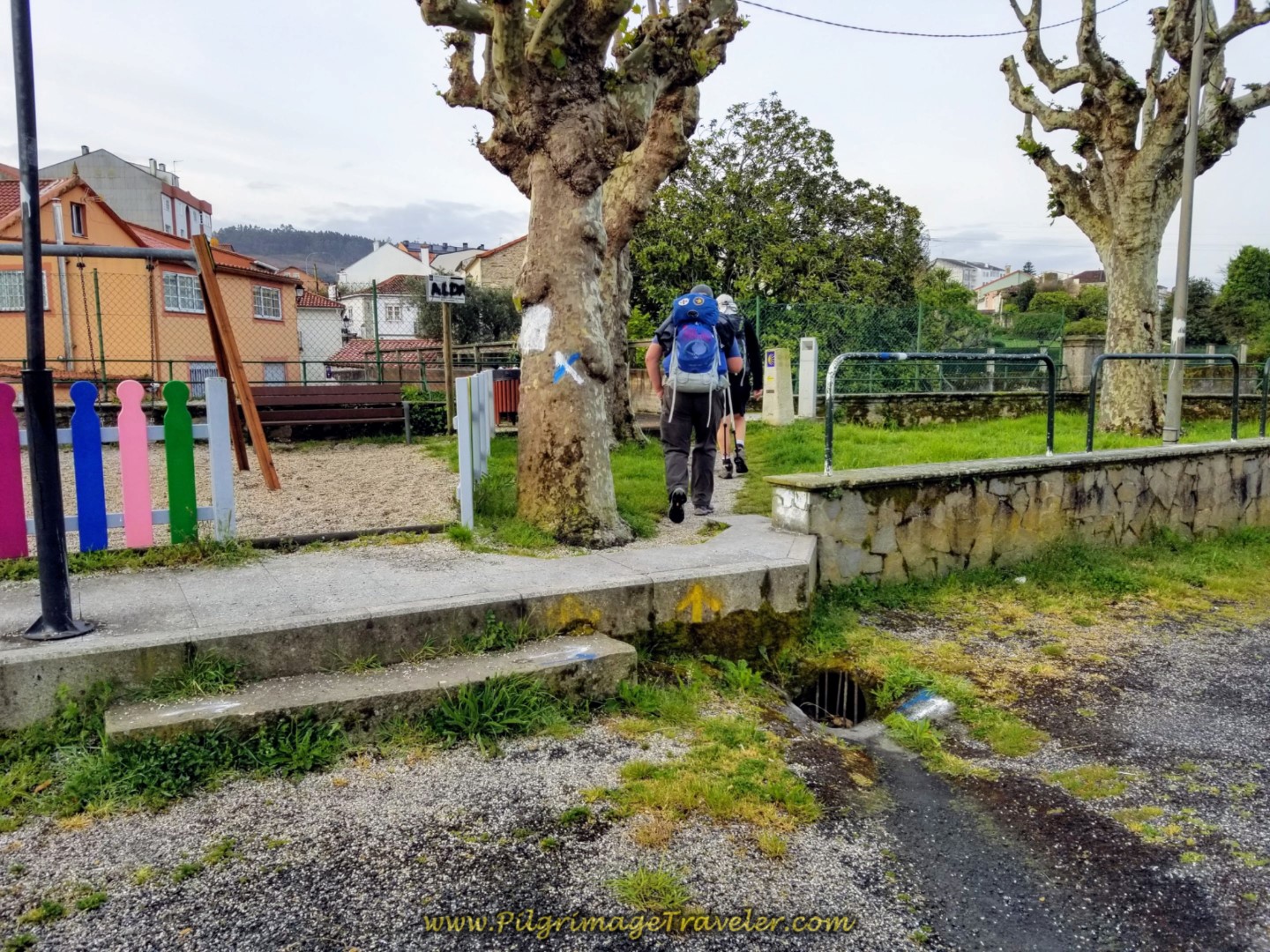 Shortcut Path by Playground on Day Two of the Camino Inglés
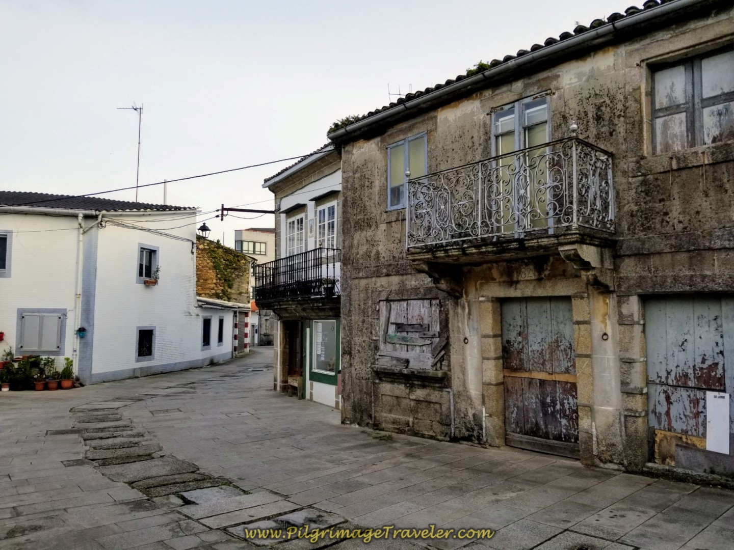
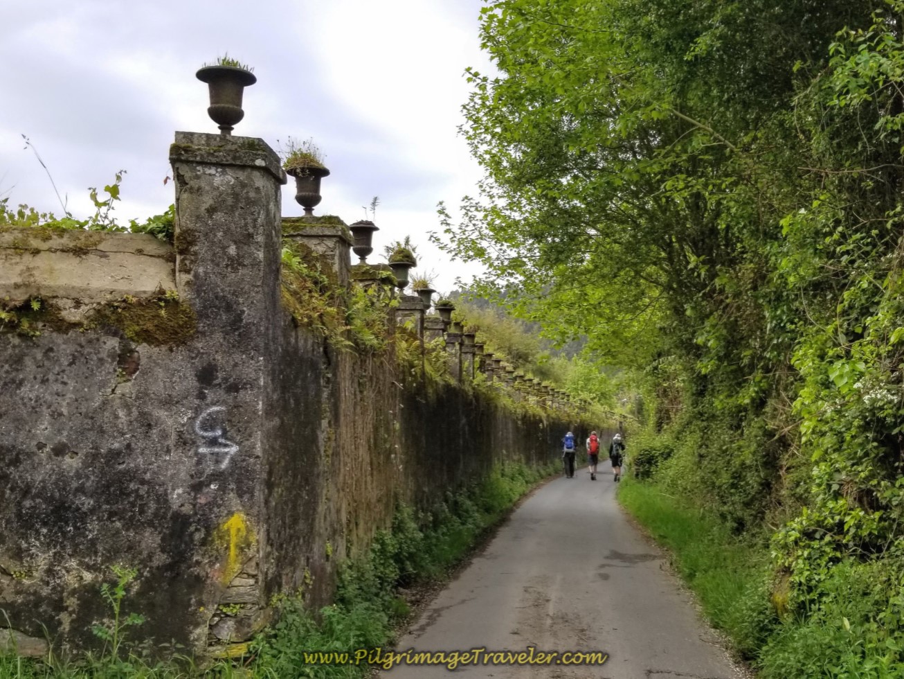
A few meters later, you will come to a T-intersection, and turn to the right onto the high-walled Rúa Paraíso. About 200 meters later, at the town cross, the road becomes the main road called the Rúa Real and leads you onward through the old medieval town of Neda, with its narrow streets and classic overhanging balconies.
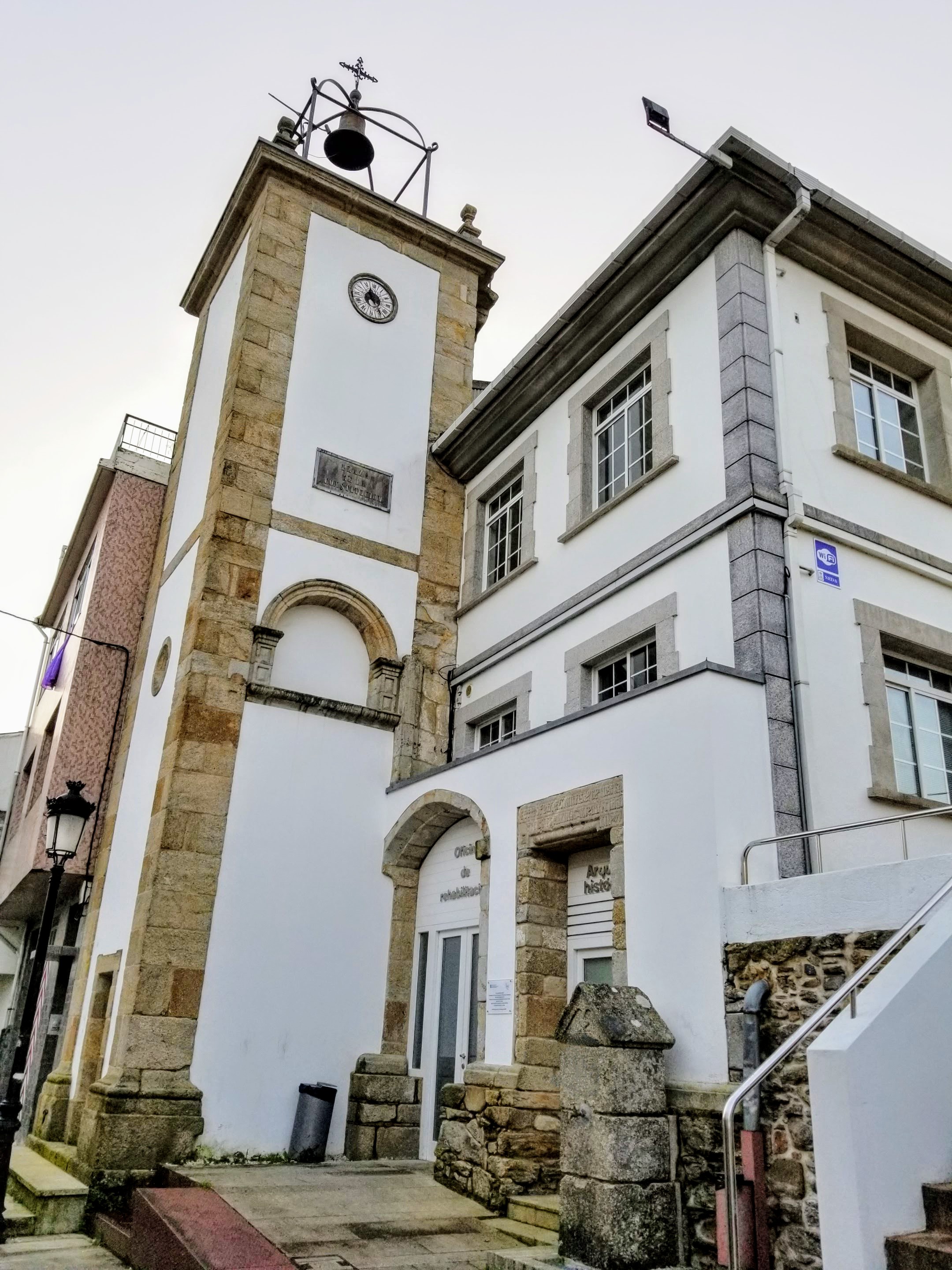
The first place of interest that you come to along the Rúa Real (Royal Road) in the medieval town is the former pilgrim hospital, now converted into the Neda town hall. According to the Confraternity of St. James, this was known as the Hospice of the Holy Spirit in medieval times. It has an attractive clock tower that you can see, and if you look closely, there is another fountain below the blue sign, that has potable water if you need a fill up.
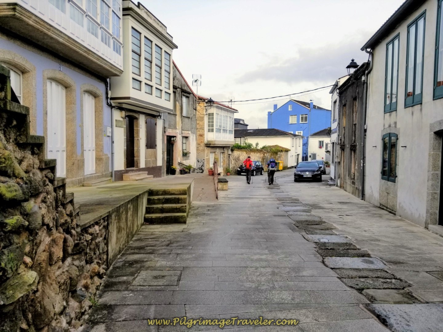 Onward Through the Streets of Neda
We passed by a café close to the end of the Rúa Real, called the O Recuncho, but it was closed up tight this early in the morning.
It is a short 1/2 kilometer through the medieval town, when just beyond the café you come to this T-intersection, below. The Camino goes left, but if you walk to the right a hundred meters toward the waterfront you will see the 14th century church, the Iglesia de San Nicolás. Unfortunately, I didn't know about it, so we turned and walked onward. Thus ends the jaunt back in time.
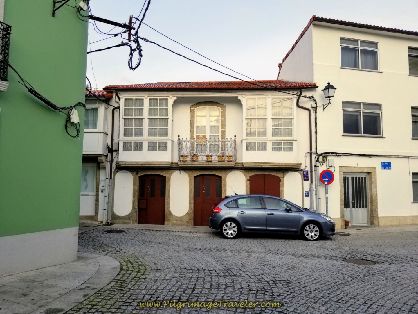 Left Turn Here Onto the Rua Xeneral Morgado
Then it's straight onward for approximately another 600 meters, before coming once again to the AC-115, and turning right onto it (there are several grocery stores to the left, if needed). We are joking around at the bus stop where you turn right, pretending we were heading back to Ferrol on the bus!
 Elle and Rich at the Right Turn at the Bus Stop on the AC-115
The Way does not remain on the AC-115, but immediately takes a side road to the left. After 100 meters or so it bears to the right, to begin the first climb of the day at about 2.5 kilometers total from the albergue.
First it is up to the bridge that crosses over the Ap-9 as it comes from the other side of the estuary. You can see the viaduct across the estuary in the photo below. We passed by this bridge on the other side, and you can see from our map how we have been circumnavigating the very long estuary.
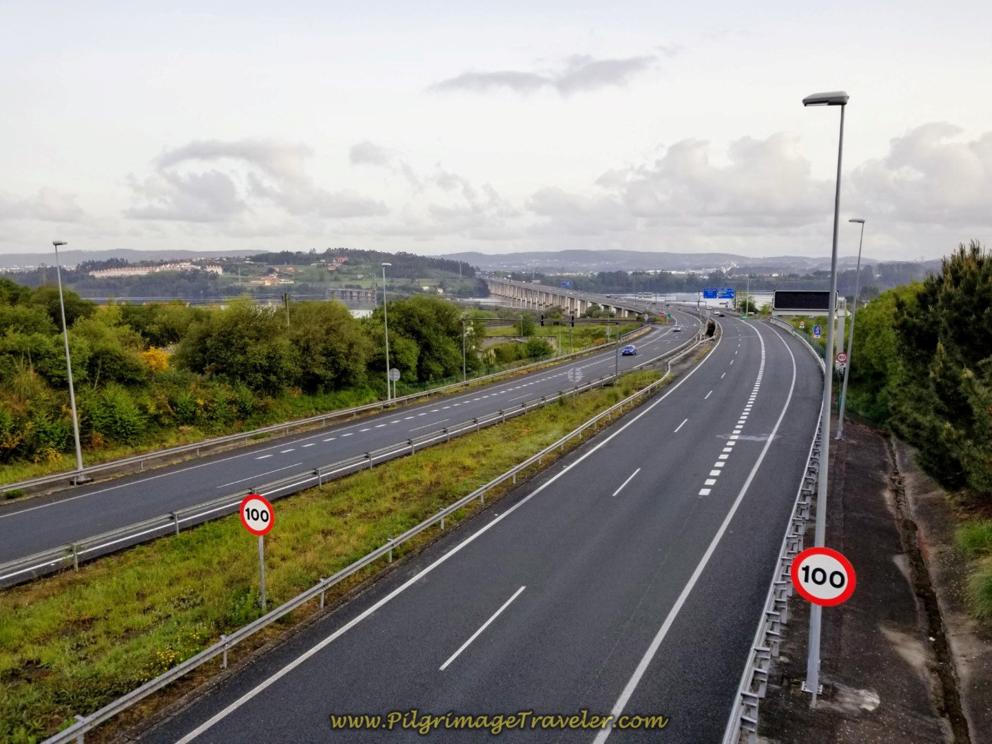 Cross the AP-9 on Bridge
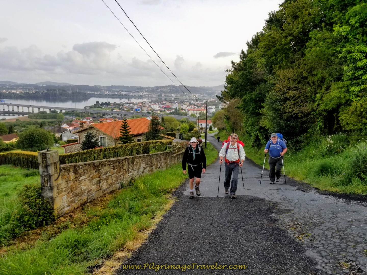
After the bridge over the AP-9, the climb steepens significantly. Below is Rich and Rob negotiating the steep pavement.
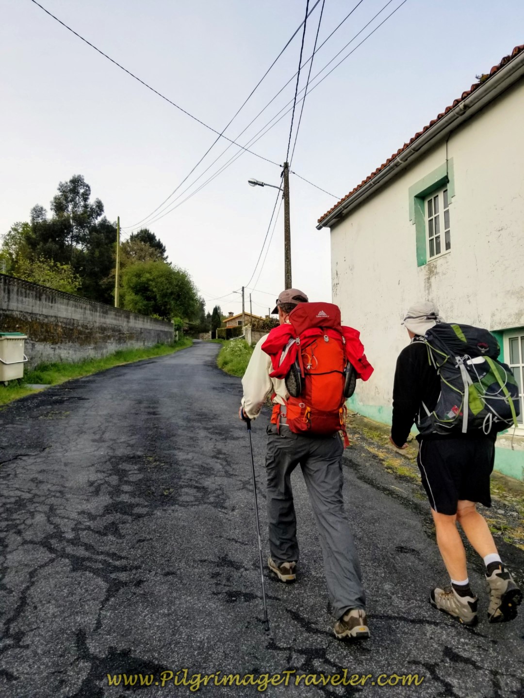 Begin Steep Climb on the Calle Fabrica Labora
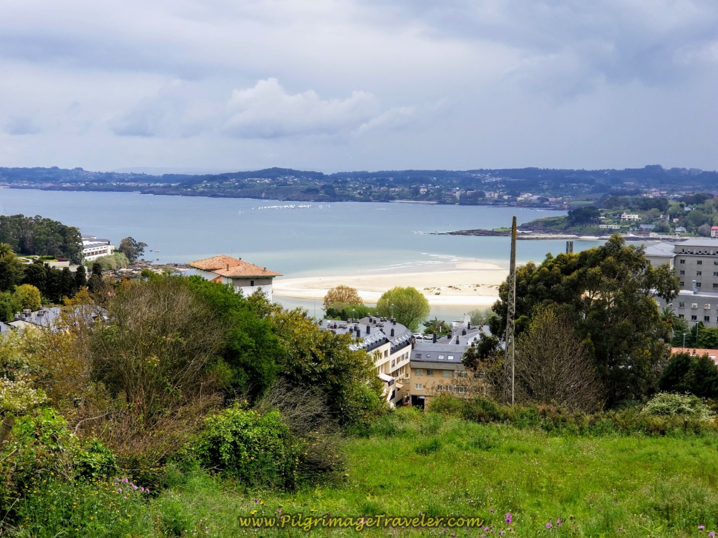
I ran ahead to photograph the climbing pilgrimage travelers, Rob, Rich and Steve and get a shot of the view that no one bothered to look behind them to see!
It is a mere 600 meter climb to the top, so take heart! The top is at this next T-intersection, where the Way goes to the right, onto the Aldea Silva, shown below.
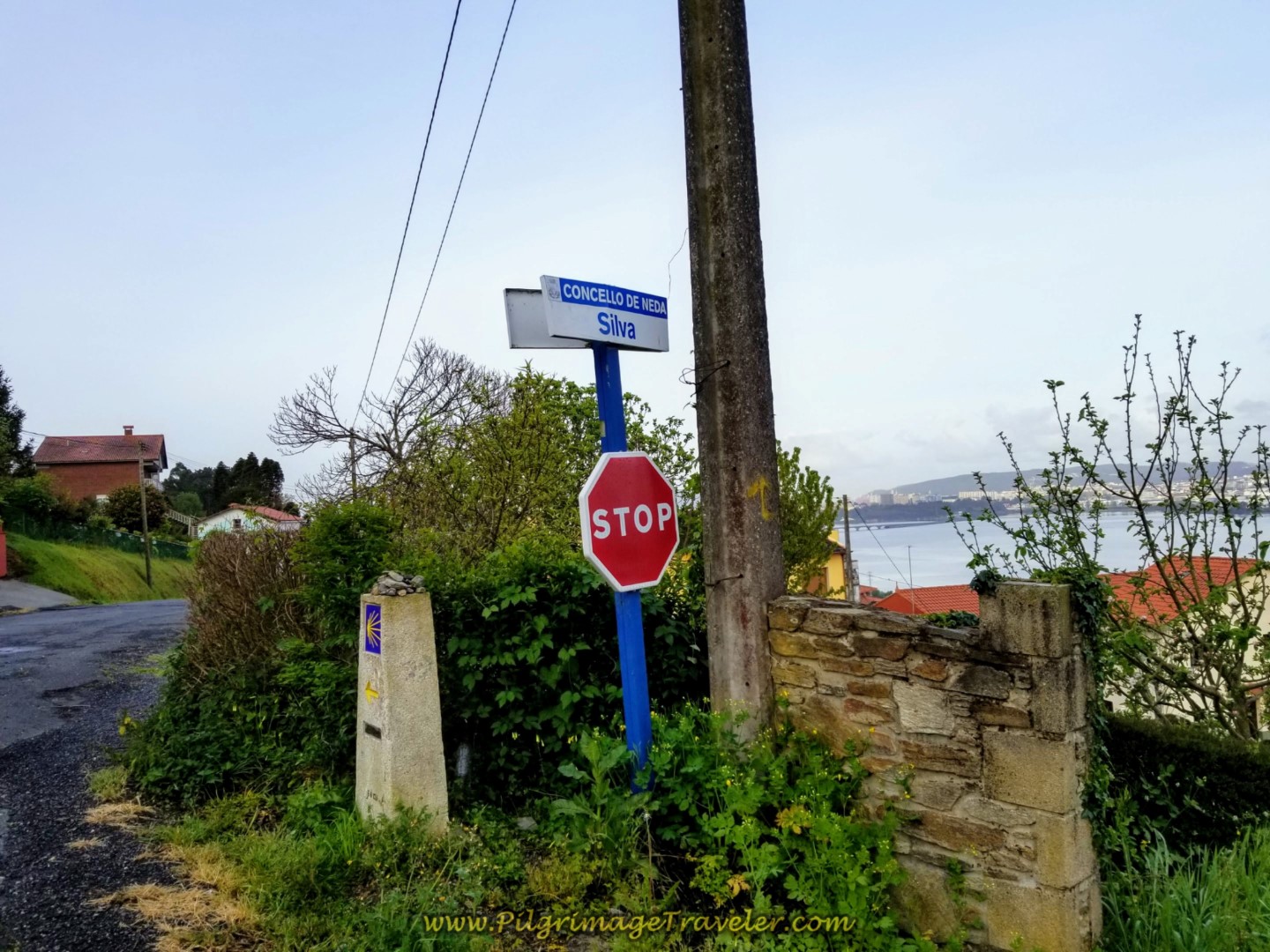 Welcome to Silva Sign at the Top
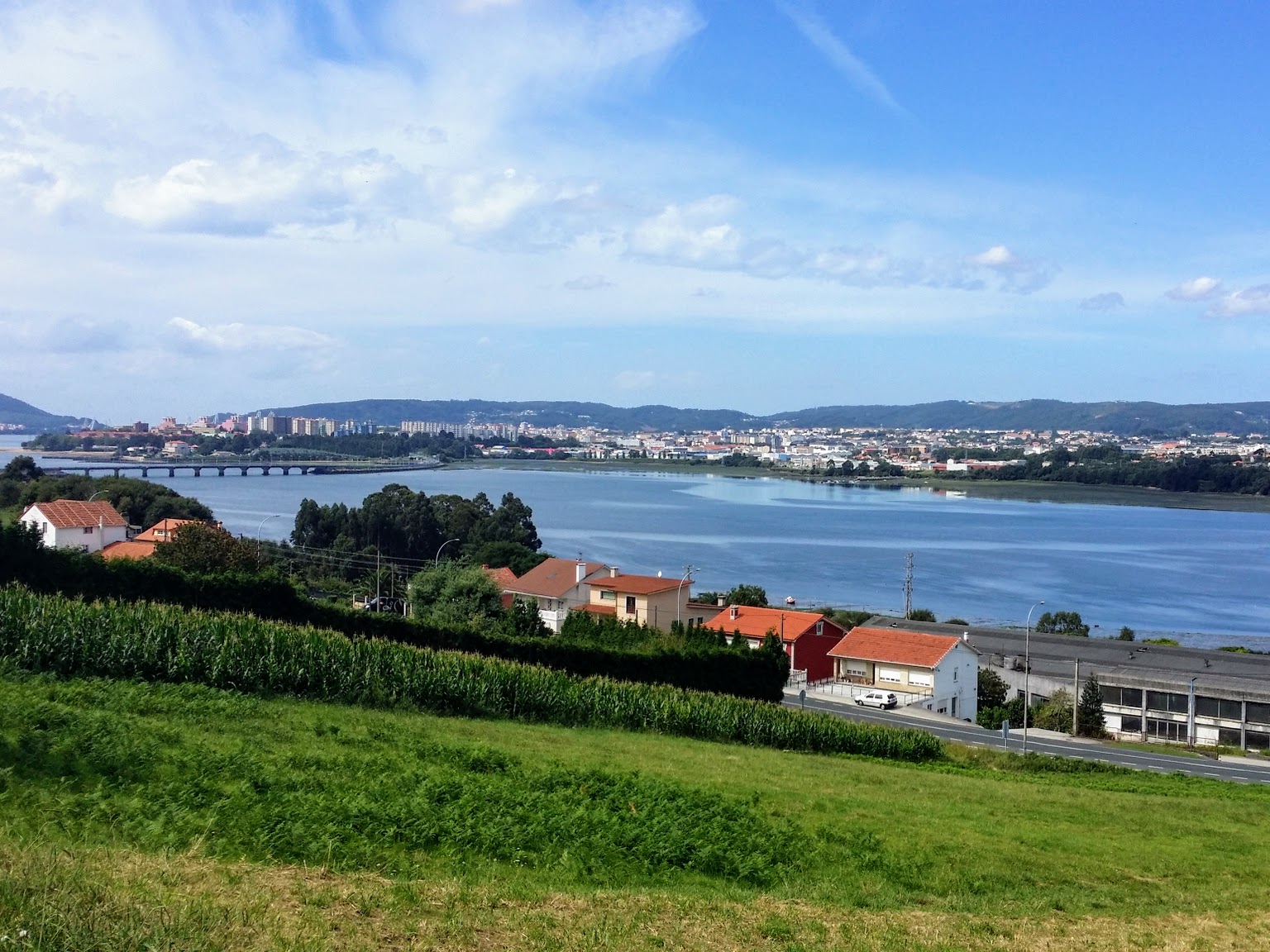
It feels quite flat to walk along the Aldea Silva, a sort of high shelf road, where the lofty views of the Ferrol estuary kept my eyes full of wonder for a long while!
After 600 meters, follow the kilometer marker to the left and onto the Aldea Conces, below. The nice views continue for a while longer.
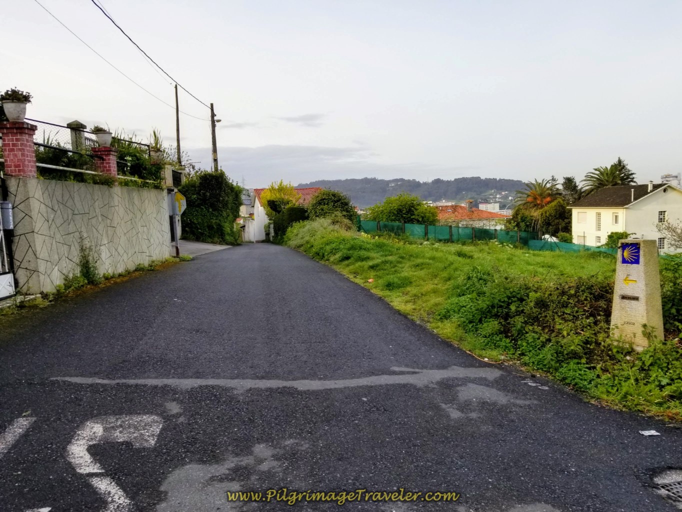 Turn Left Here Onto Aldea Conces
Spring was in full bloom on day two of the Camino Inglés and it was never evidenced as much as with this gorgeous Camellia tree. We were to see many more of them along the English Way.
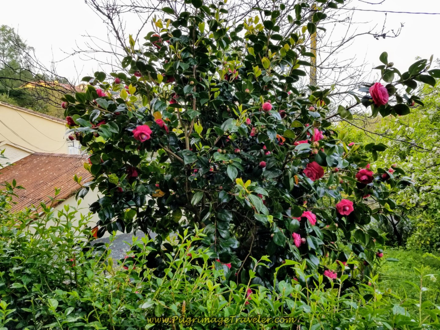 Red Camellia Bush
300 meters from the start of the Aldea Conces, after descending and rounding a bend, come to a historic washing well, with a fountain and a picnic table. Just beyond the well, you will come to a road sign stating that you are entering the municipality of Fene.
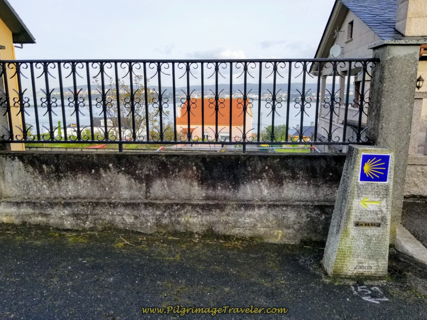
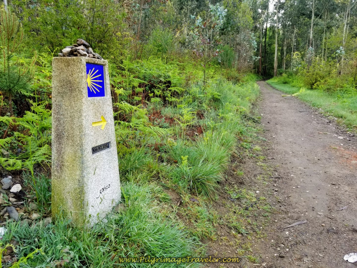
We walked up the hill towards the sign and onto the Aldea Palma which soon becomes the Rúa Fonte do Campo. Still climbing, we walked past the 94.5 kilometer marker, with a view of the estuary behind it.
There is another 700 meters or so of nice flat walking along the top with continued open views on the Rúa Fonte do Campo.
Then it is a left turn on a bit of an uphill and onto the Rúa Casa Vella, where we came to the sign for the first town of Casanova, shown in the photo below.
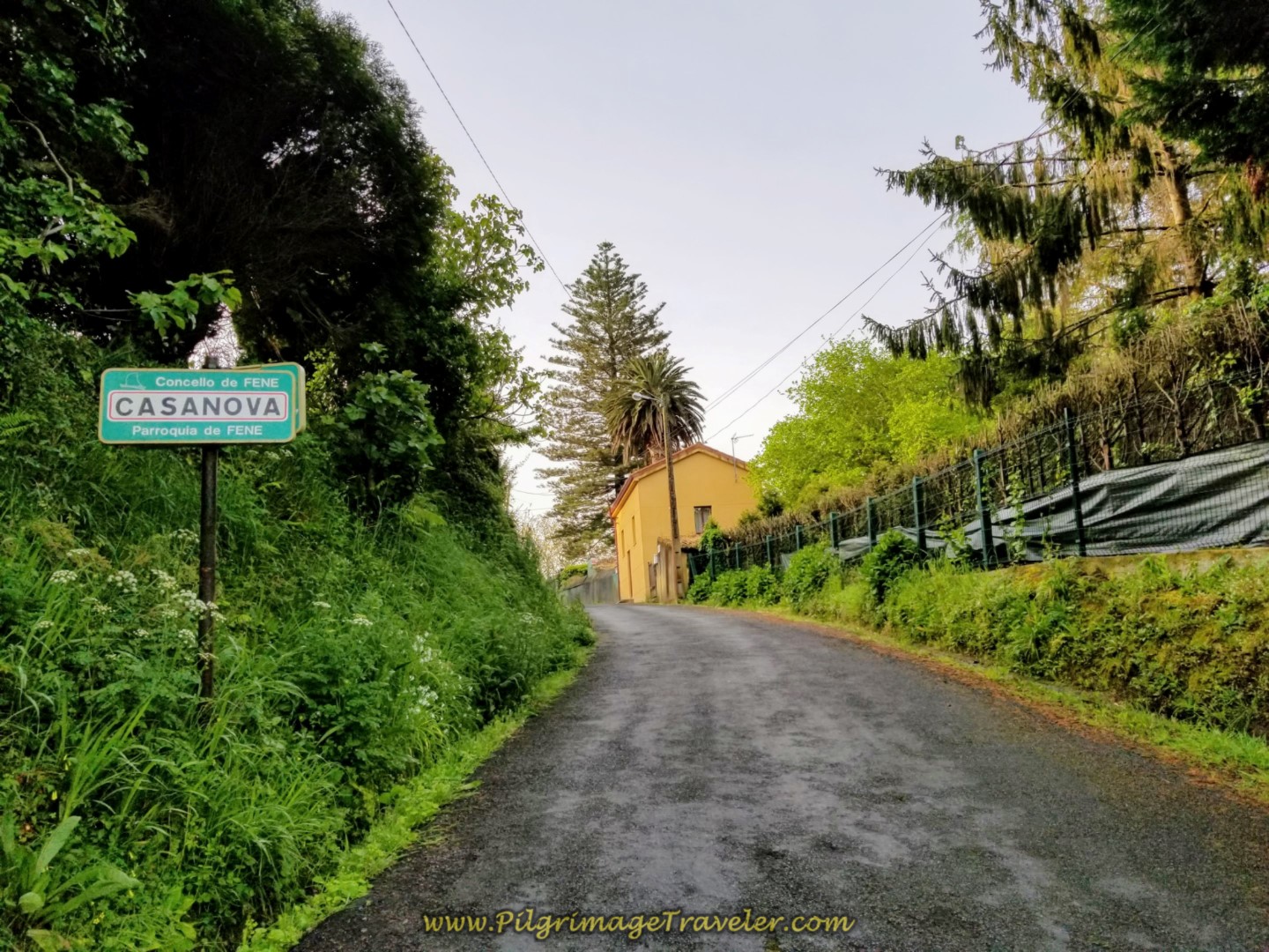 Left Turn Here Towards Casanova
Then it is a mere 400 meters along the Rúa Casa Vella as you are directed, down a hill, left turn onto the Camiño Casanova, and into the center of town of Fene.
You come to the intersection for the main street, the N-651, shown below. Across the street, is the Café Lembranza. Since we were only about 5.1 kilometers into day two on the English Way, we continued onward. On my first trip through here, my Camino partner and I stopped and had a very nice coffee break here.
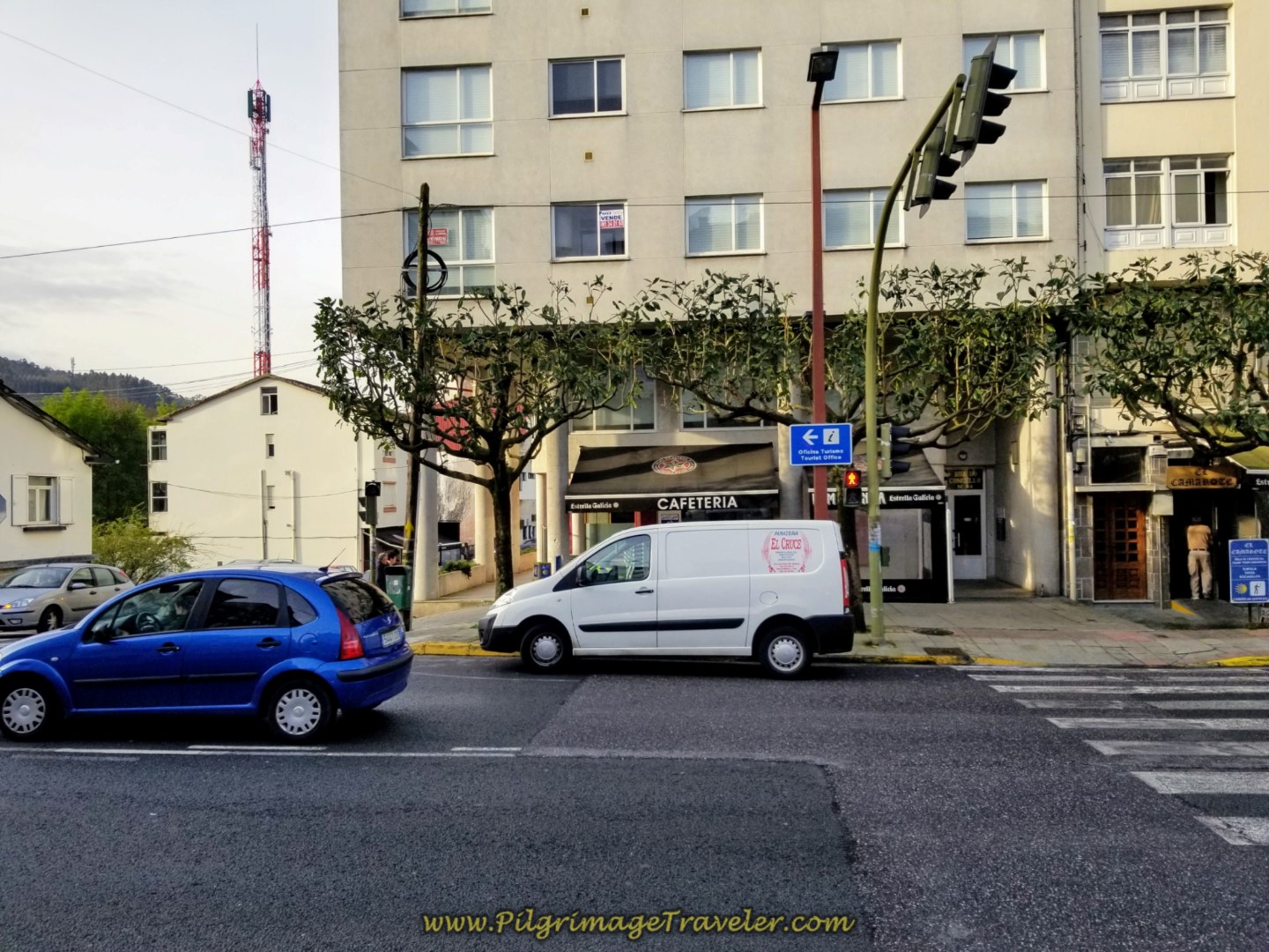 Café Lembranza in Fene
There are two more eateries at this intersection! Enjoy your break, because the steep 4.0 kilometer climb begins here!
If you were to turn to the right onto the N-651, 400 meters later you will see the O Albergue de Fene, a private dormitory accommodation, after turning left onto the AC-133.
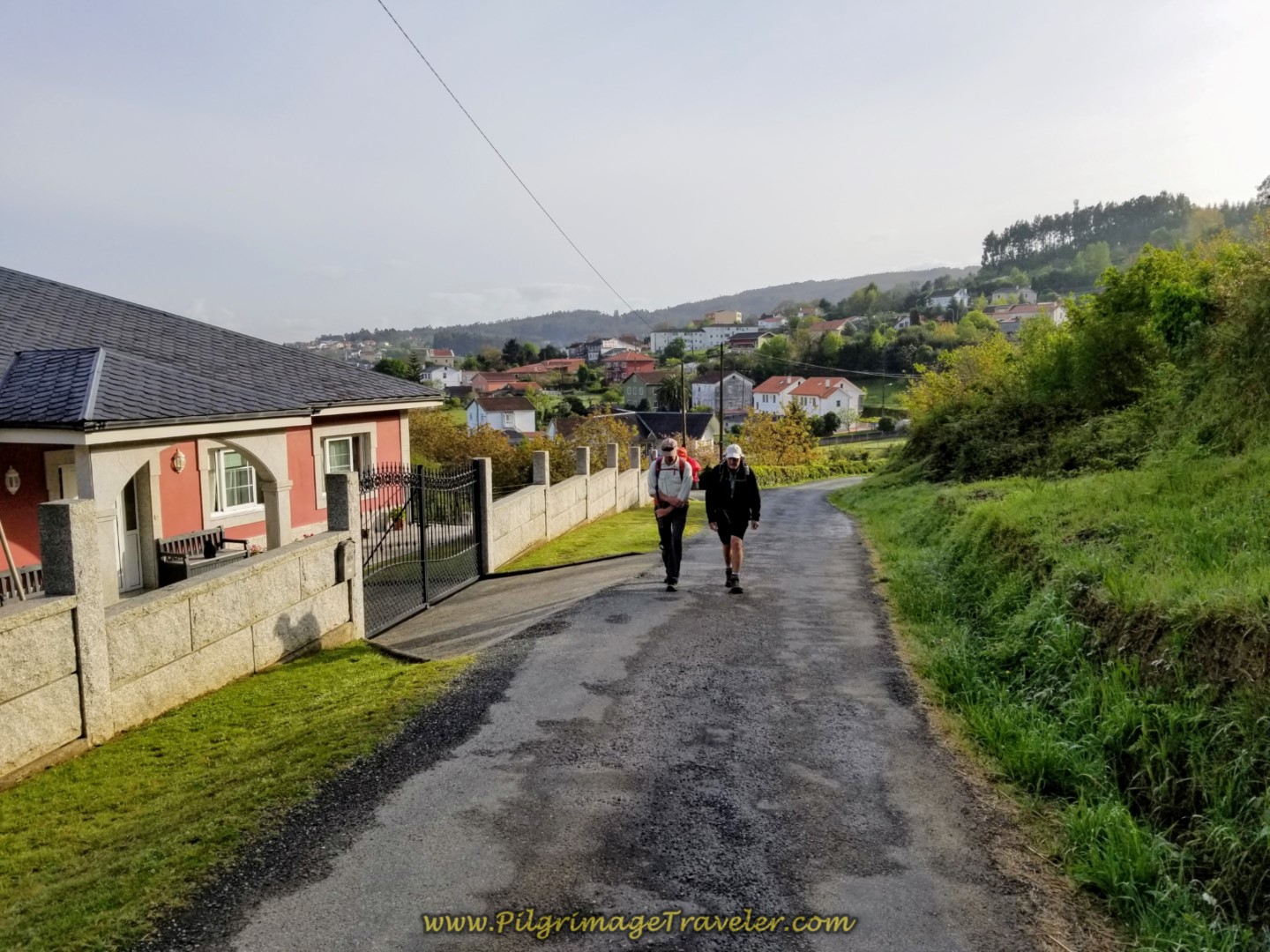
The Camino crosses the N-651 and heads due south, jogging left, then right onto the Rúa Alcalde Gerardo Díaz in As Foxas, heading straight south, as it begins a gradual climb. After less than a kilometer, the climb begins to steepen as you walk through the village of Chamoso. Here the Way joins the Rúa Travesa, and less than 150 meters later passes another fountain with a Camino shell, not pictured.
 Initial Gradual Climb Out of Fene
After 200 more meters, arrive at a Y-intersection by a historic washing well and stay to the left. As you walk farther south, the Way becomes more rural.
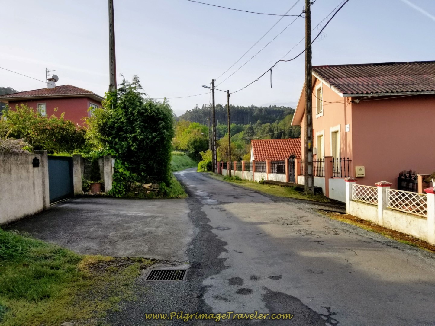 Southward on the Rural Rúa Travesa
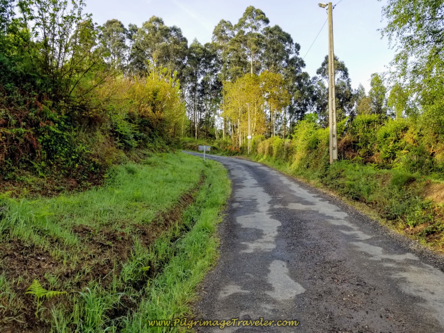
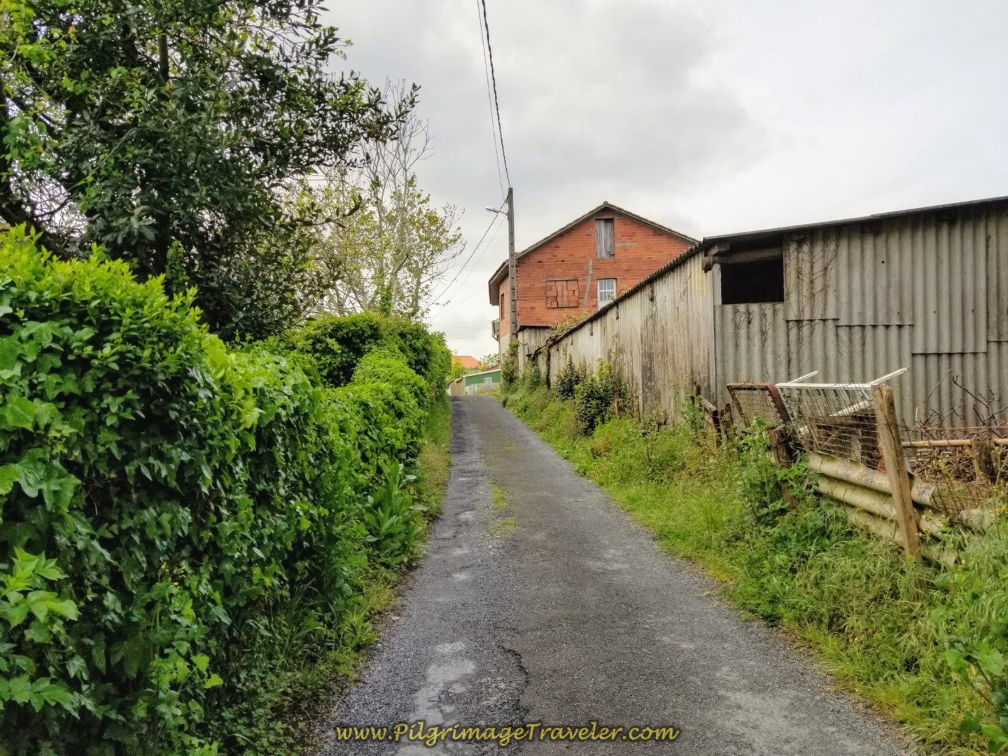
As you leave the village of Chamoso, the rural road becomes much more steep.
After about another 200 meters, you leave the road, below, and turn right onto the path shown farther below.
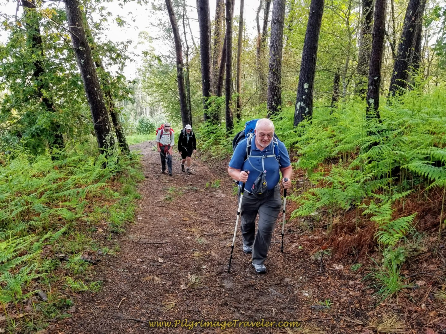
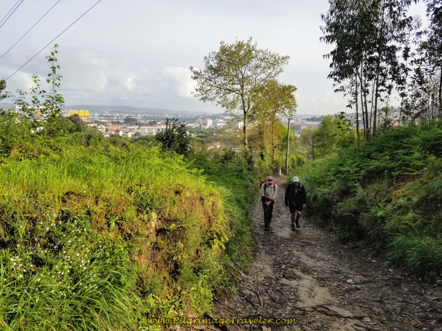 Rich and Rob Climbing More Steeply on the Path
I was kind of naughty running ahead to take a photo of the gentlemen exerting up the final push. However, it is my job to document the journey, right? (Grin ~ Wink ~ Grin)
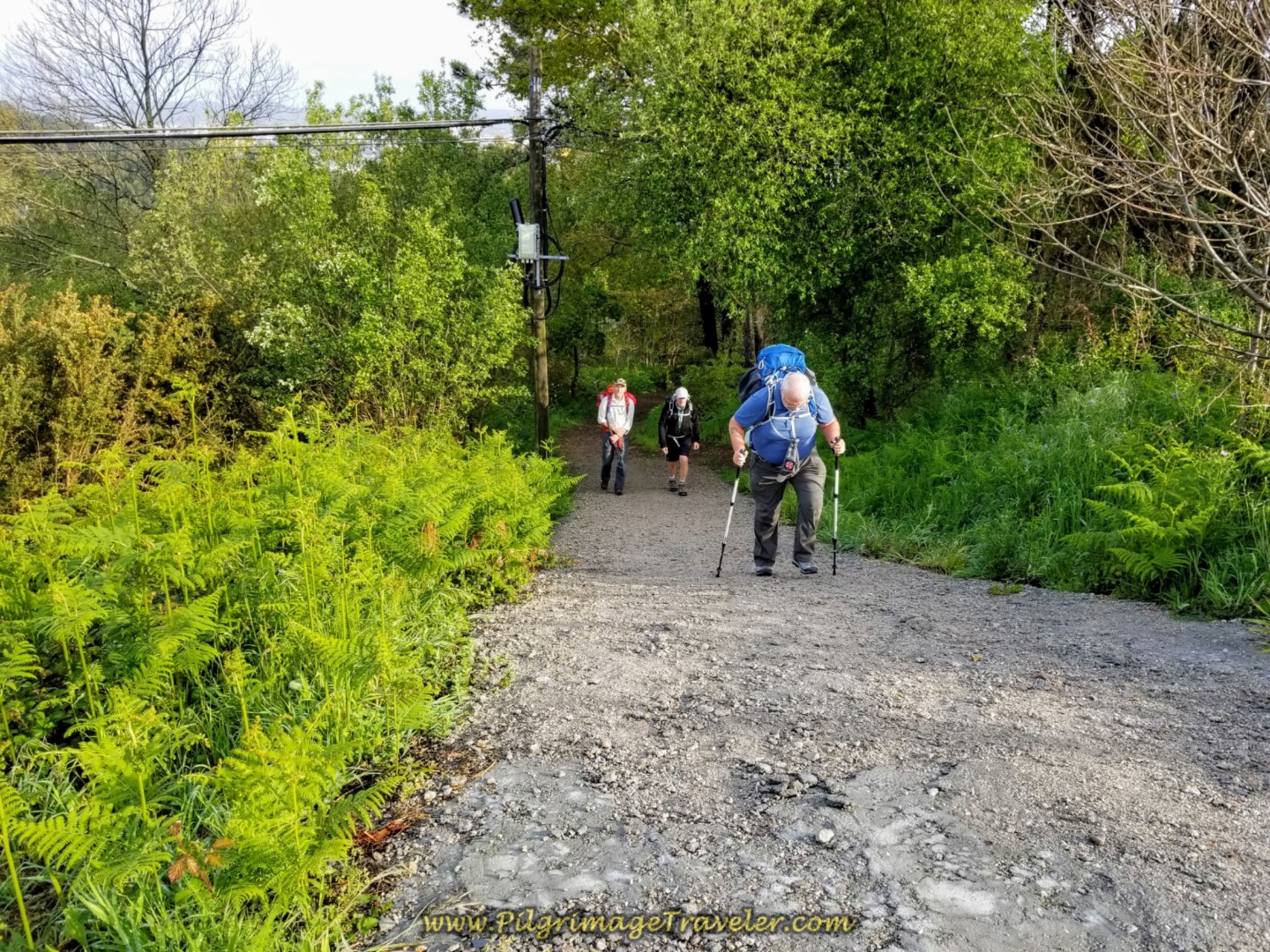 The Final Push on the Ultra-Steep Section
It is another 1/2 kilometer on the dirt path until the first top, for a total of about 2.0 kilometers on the climb thus far and a total of approixmately 7.1 kilometers for the day. Not that bad, eh?
You walk on this path next to the AP-9 for about 1/3 kilometer. It was rather muddy when we passed through, but improved farther along as you can see in the next photos below.
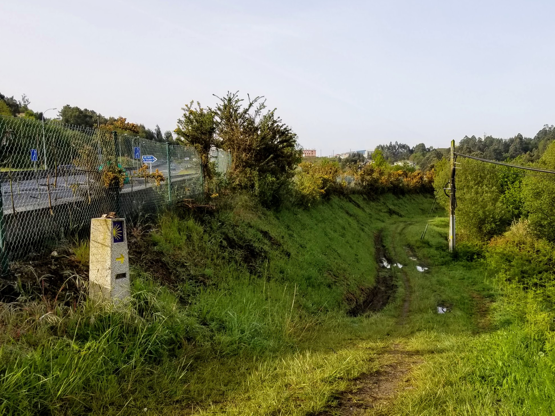 The Top of the Arduous Climb by the AP-9
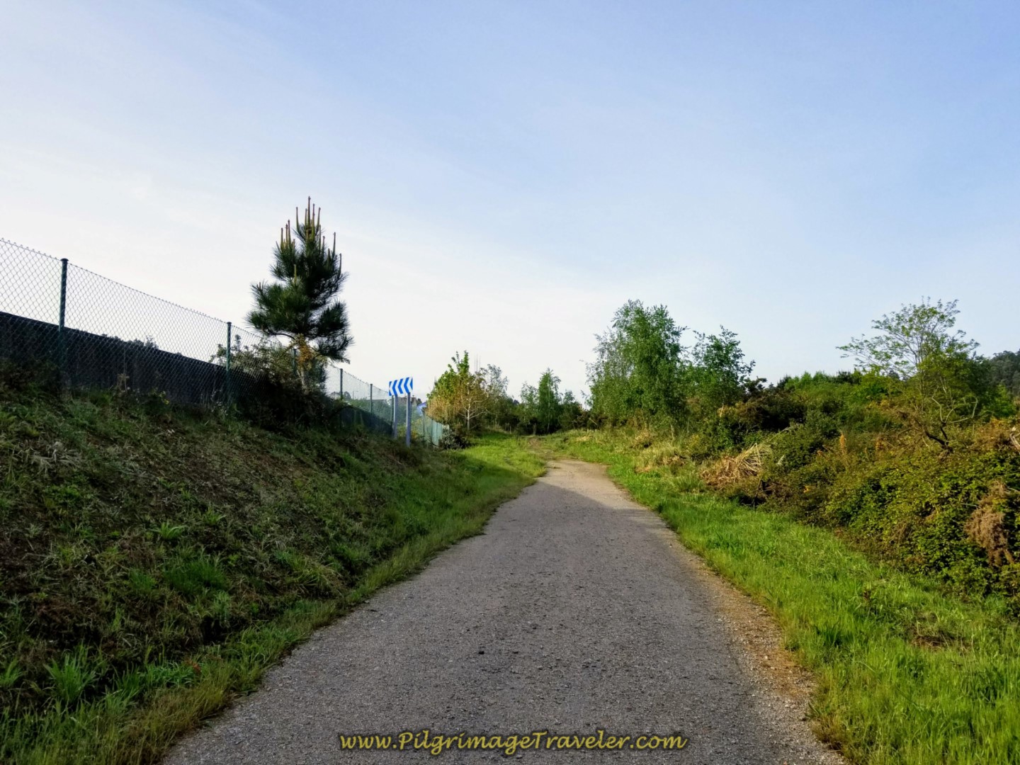 Path Follows the AP-9 for 1/3 Kilometer
The path walks under the AP-9, pops out on the other side, shown in this photo below. I would have preferred not to walk near a very busy highway, but I suppose if we had to cross over it, this wasn't a bad way to do it.
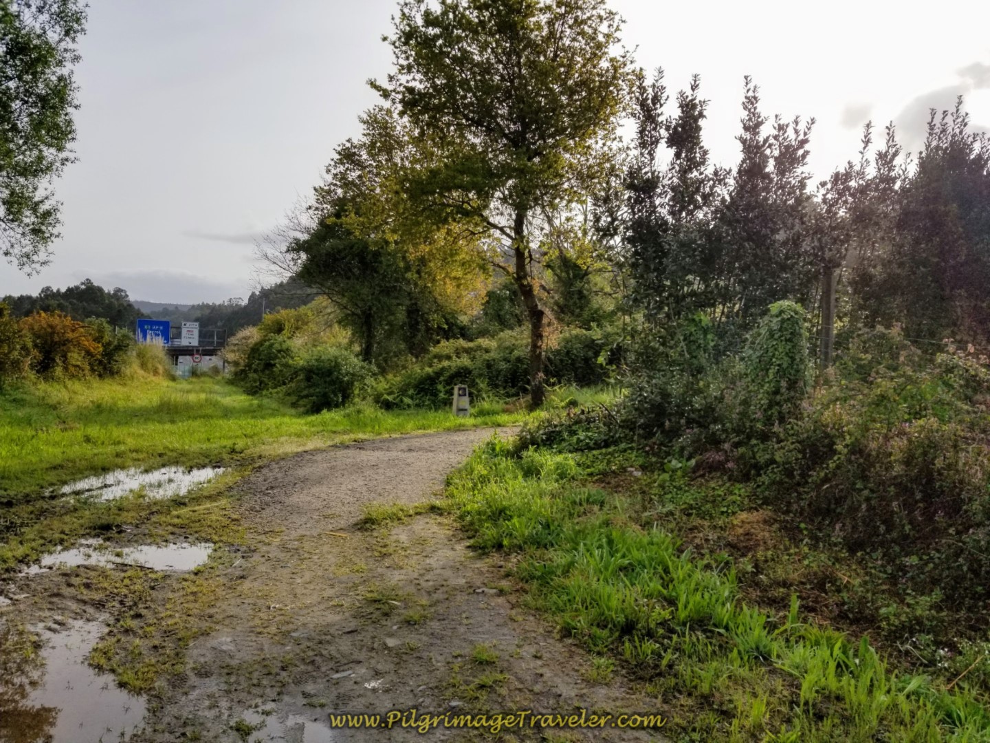 Path on the Other Side of the AP-9
In a very short way from the other side, we turned right onto a lane that runs parallel and below the N-651. Walking onward about 300 meters, we came to this intersection, below, and crossed over the road, the DP-3503 to continue to follow the lane. We are still climbing a bit, but since the AP-9 crossing it feels much more gradual.
Continue on the lane for 400 meters until it comes up and to a T-intersection with the highway, VG-1.2. The Camino turns to the left onto the highway.
However, there is a wonderful, large Gadis supermarket on your right at this intersection if your pack needs replenishing. If you wish for a café, just a few more meters to your right and past the Gadis is the Café Vilar do Colo, pictured below. This place serves the industrial area that you can see all around, and is bustling with activity.
We were more than happy to seize the opportunity to take a break and have lunch, about 8.5 kilometers into our day since Neda. This place also has a nice convenience store to get snacks for your pack if needed, but most likely the Gadis will be more economical.
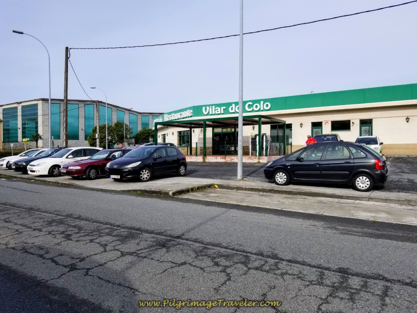 Café Vilar do Colo
There is also the newly opened, economical Hotel Chips Fene a few steps to the north of the Gadis if you need to end your day here.
In several hundred meters after the Gadis, along the VG-1.2, first walk straight through a large roundabout, then the Camino goes under the overpass of the N-651 and immediately turns to the right to climb up the stairs on the other side, re-joining the N-651 once again, but only briefly.
You may be able to see in the photo below left, the next blue Camino sign directing the next move to the left, right after the rugged-looking house.
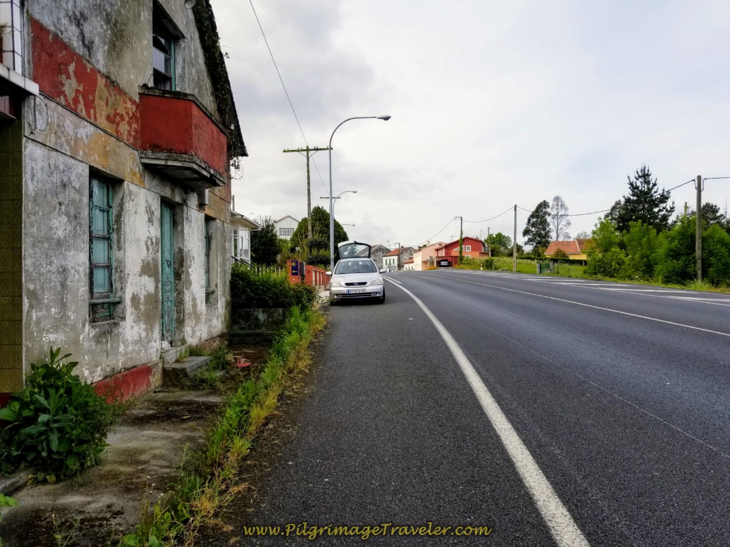 Briefly Join the N-651
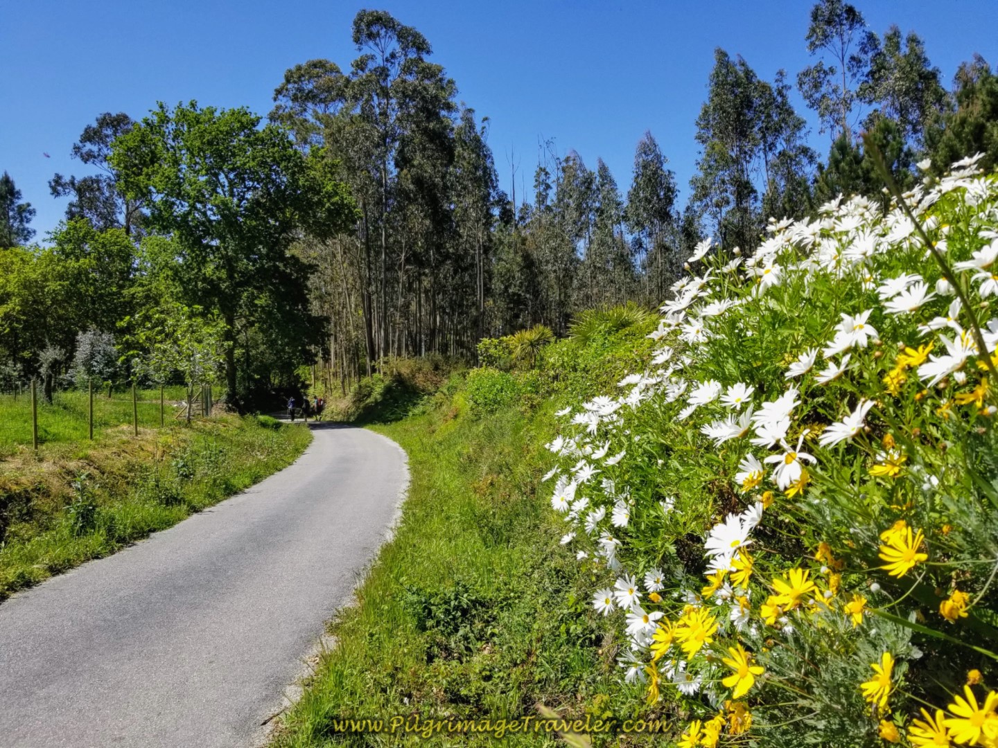
A left turn off the N-651 puts you on this nice side lane for about 400 meters.
But alas, we rejoin the N-651 to walk into the town of Pereiro. It is in this town, just before the N-651 that you finally reach the ultimate top of the big climb for the day, at about 9.2 kilometers total.
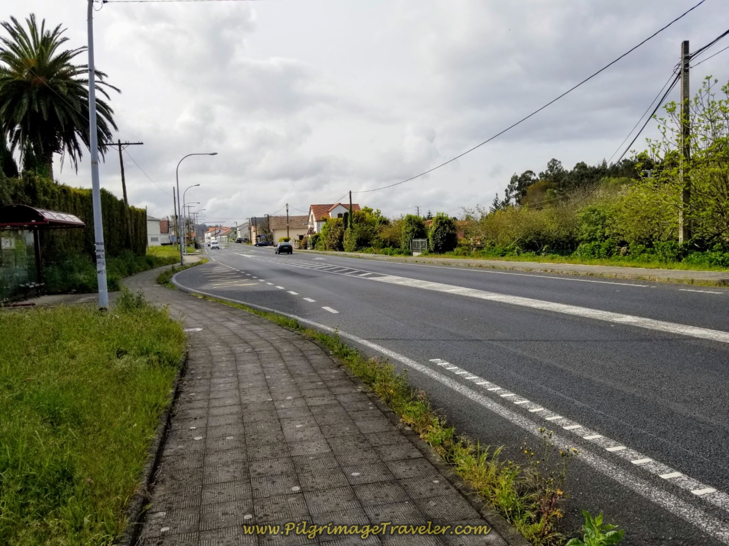 Rejoin the N-651 in Pereiro
And fortunately, the Camino Inglés on day two only stays on the N-651 for about another 400 meters.
However, there is a brand new and very economical private albergue about 200 meters after the turn, the Alda Cabanas Nature, and the Bar Victor is just across the street. This albergue is very conveniently located about halfway between Neda and Pontedueme, giving the pilgrimage traveler even more choices.
200 meters after the bar, the Camino turns right onto another nice path, shown below.
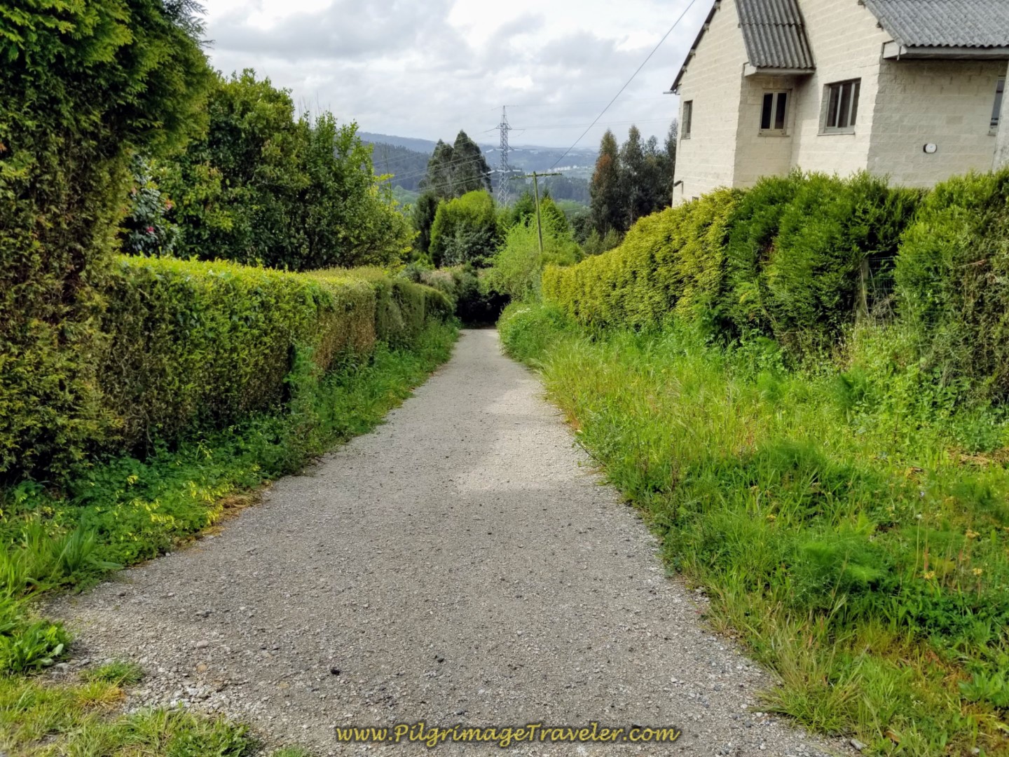 Right Turn Onto Path in Pereiro
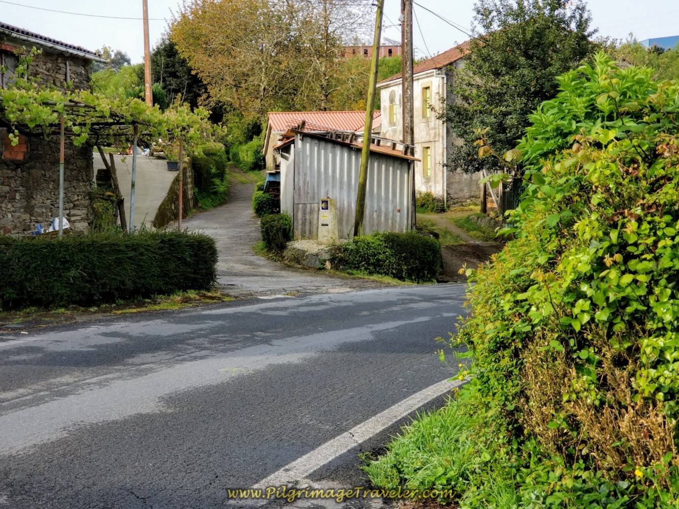
The path is a short-lived, 150 meters where at its end you pick up the Camino Feal to the left. That is the AP-9 ahead, that you must walk under on this street. As you walk under the AP-9, a sign identifies that you have just walked into the next town of O Feal.
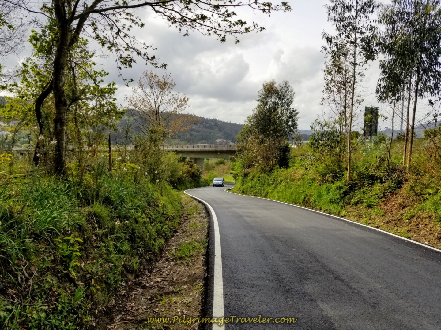 Walking Toward the AP-9 and O Feal
About 400 meters onward, after crossing under the highway, you will come to a decision point at a T-intersection. There are two mojones, one which shows you a longer alternative that avoids crossing the N-651 ahead. I’m not sure why the Camino planners make such a big deal out of this crossing, unless a pilgrim was hurt, or worse.
We continued on the standard route, to the right. You will meander around the countryside on the Camino Feal for a total of 1.8 kilometers until you meet up again with the N-651. This is mostly an easy downhill jaunt on pavement.
The last 700 meters on the Camino Feal is a mild uphill which we barely noticed.
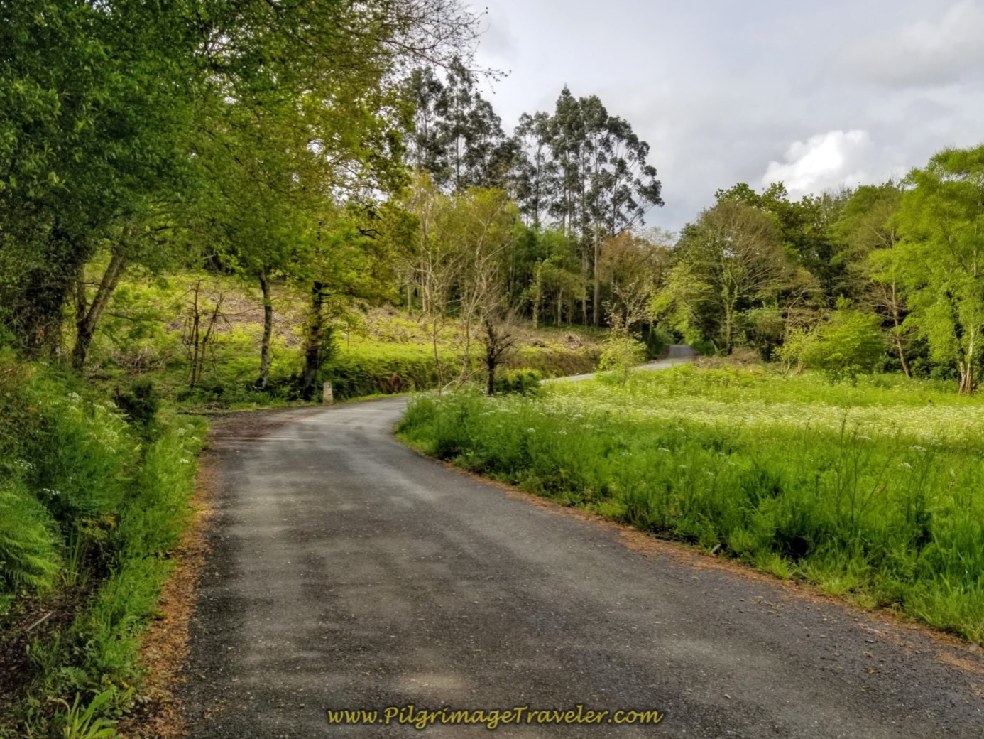 Continue Along the Camino Feal on Day Two of the English Way
Take extra care when you cross this dangerous intersection of the N-651!
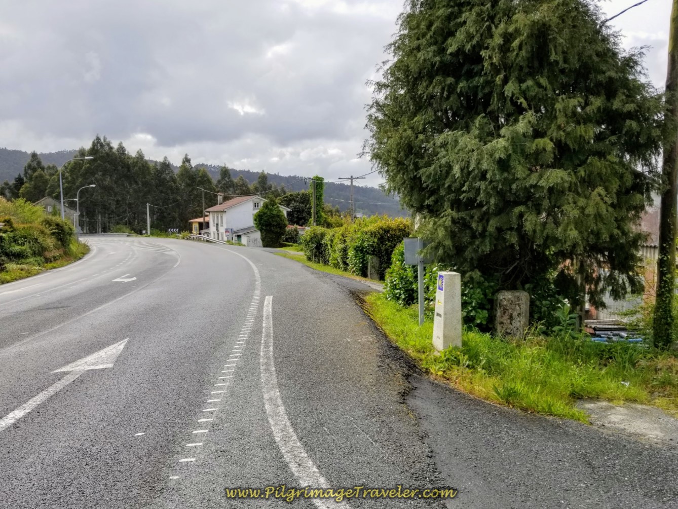
Just after crossing the N-651, and continuing straight on, you see this kilometer marker and the road becomes the Camiño do Cadivas.
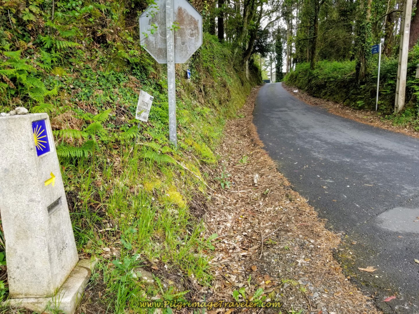 80.952 Kilometer Marker on the Camiño do Cadivas
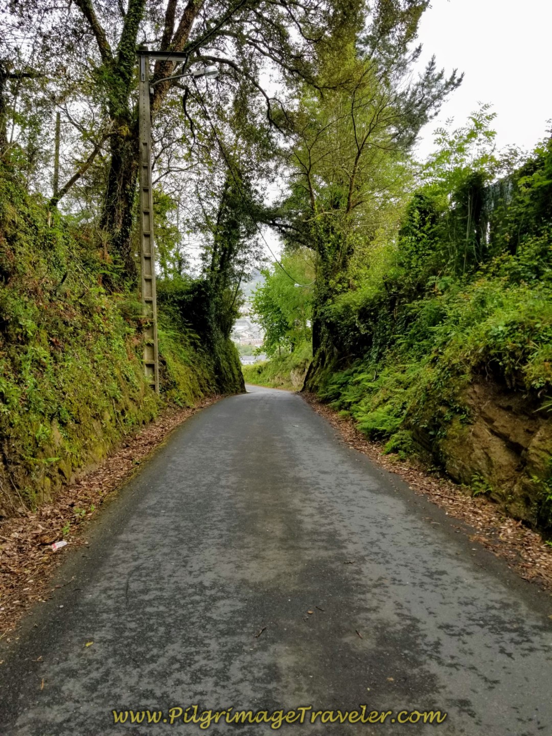 Along the Camiño do Cadivas
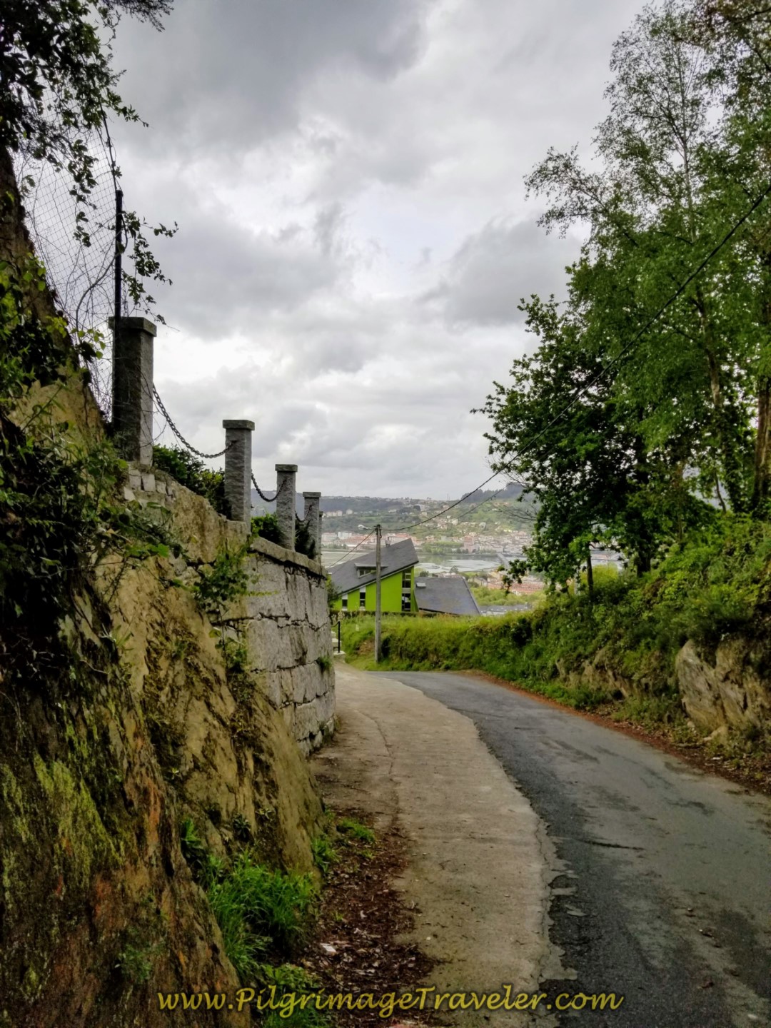 Continue on the Camiño do Cadivas
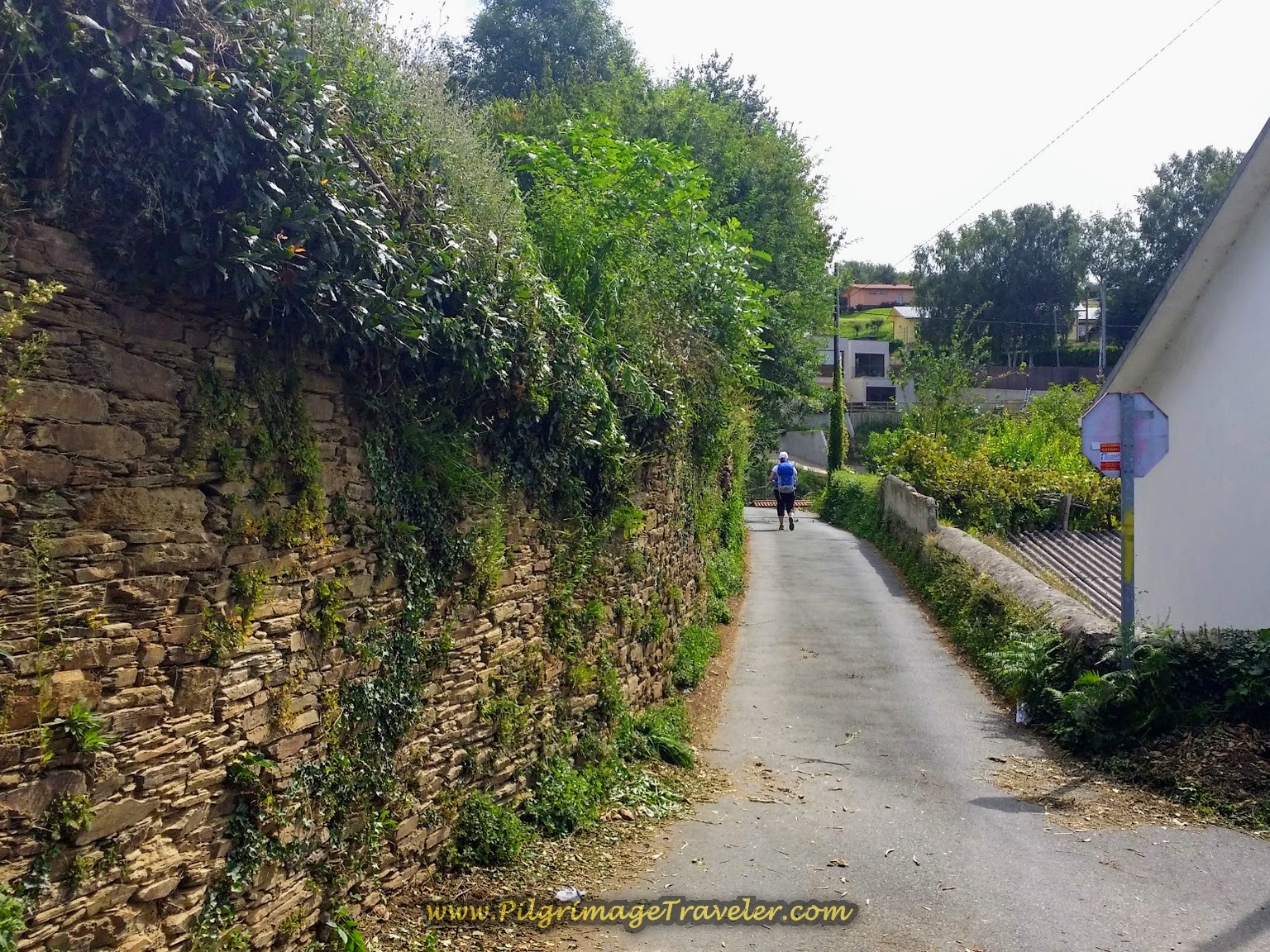
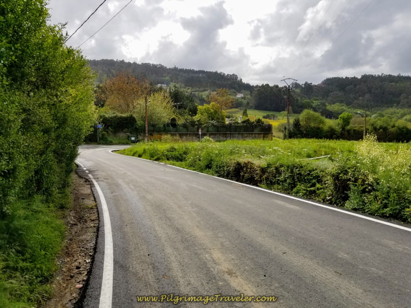
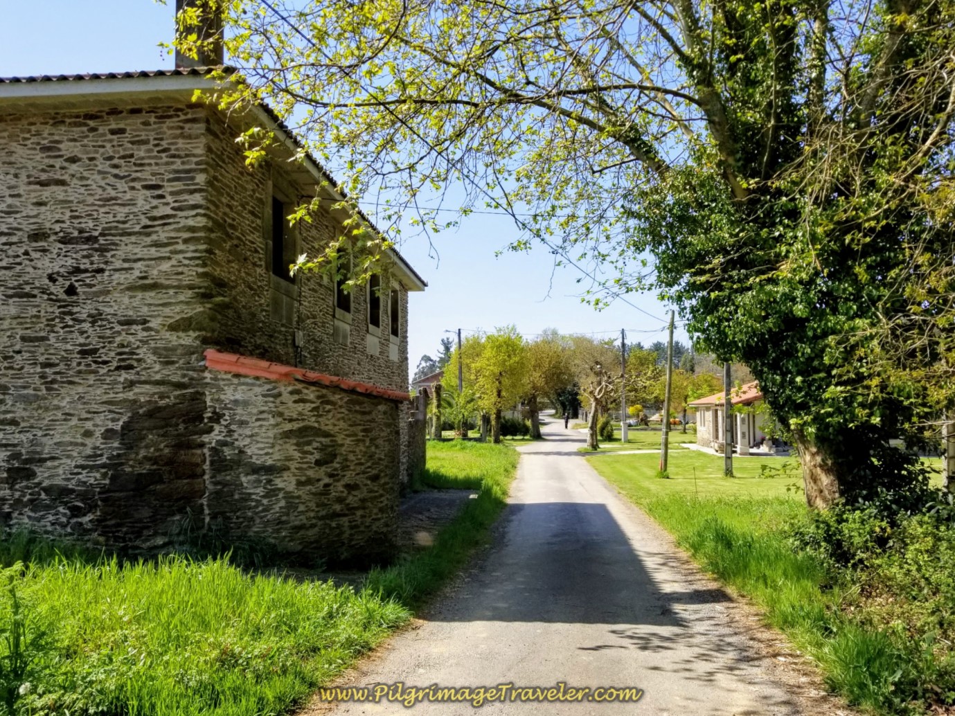
The 2/3 kilometer walk along the Camiño do Cadivas, though paved, is pleasant and quiet and very rural for being so close to Pontedeume.
Then you come to a wider street, the AC-141, shown below, and cross over it, to stay right and walk onto the lane instead. You are now entering the next town of Cabañas on day two of the English Way. Almost there!
 Stay Right Onto Lane, Entering Cabañas
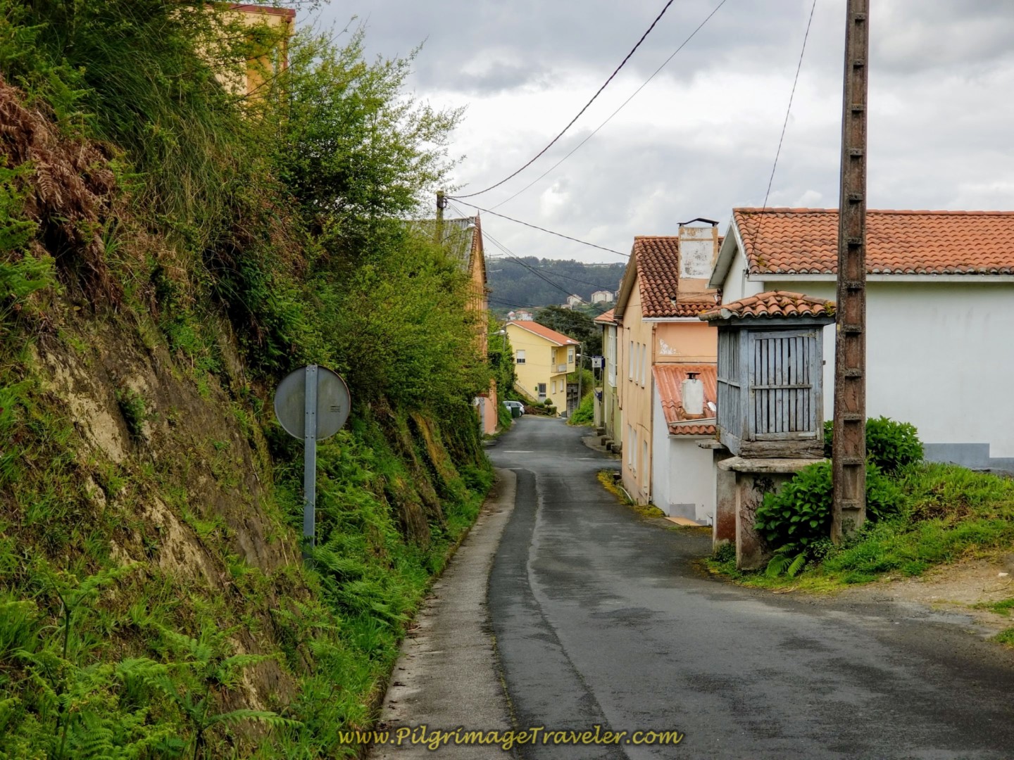
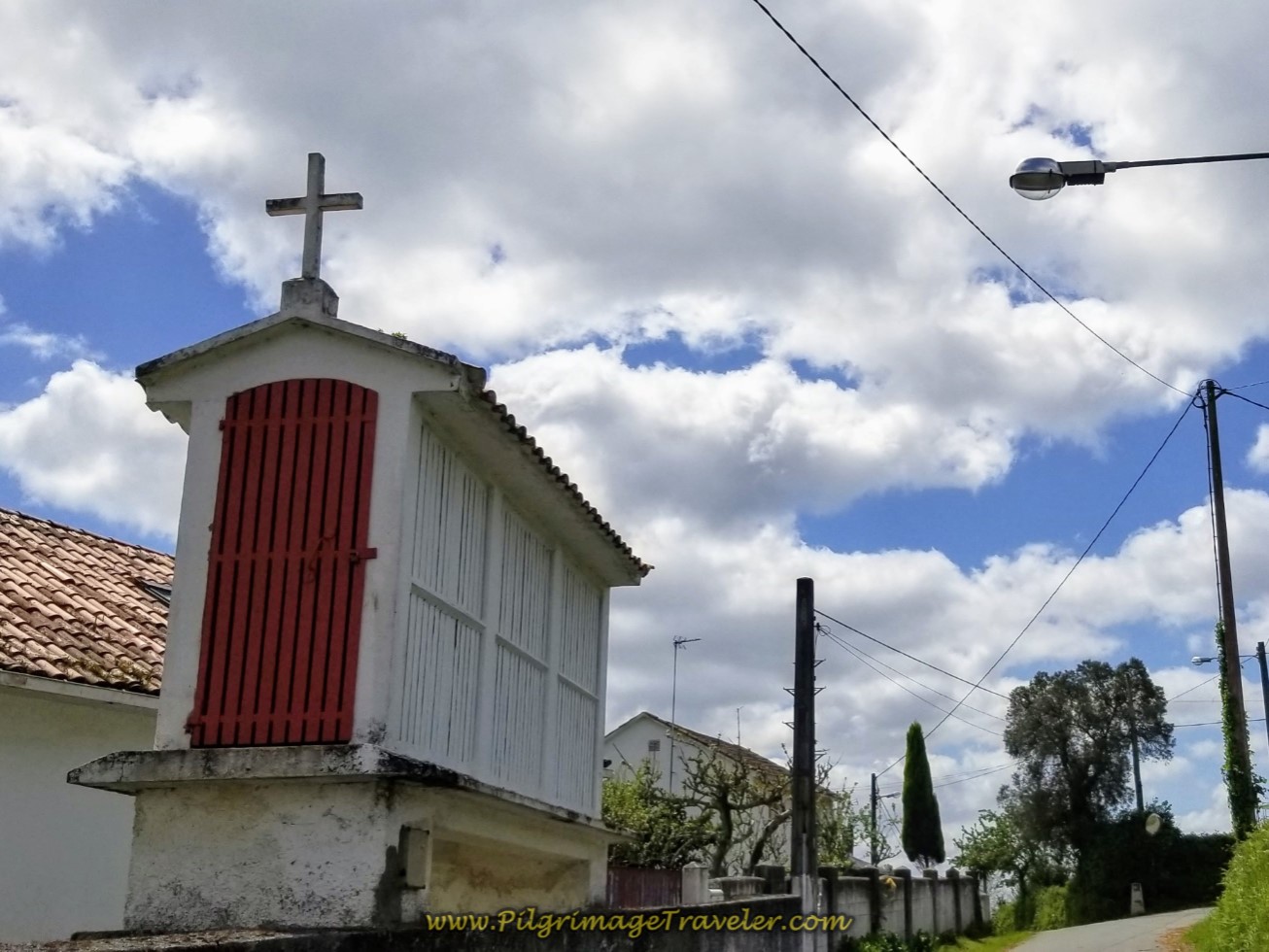
Then the nice descent toward the Eume River becomes steeper. Notice the gray granary, called an "hórreo" in the next photo.
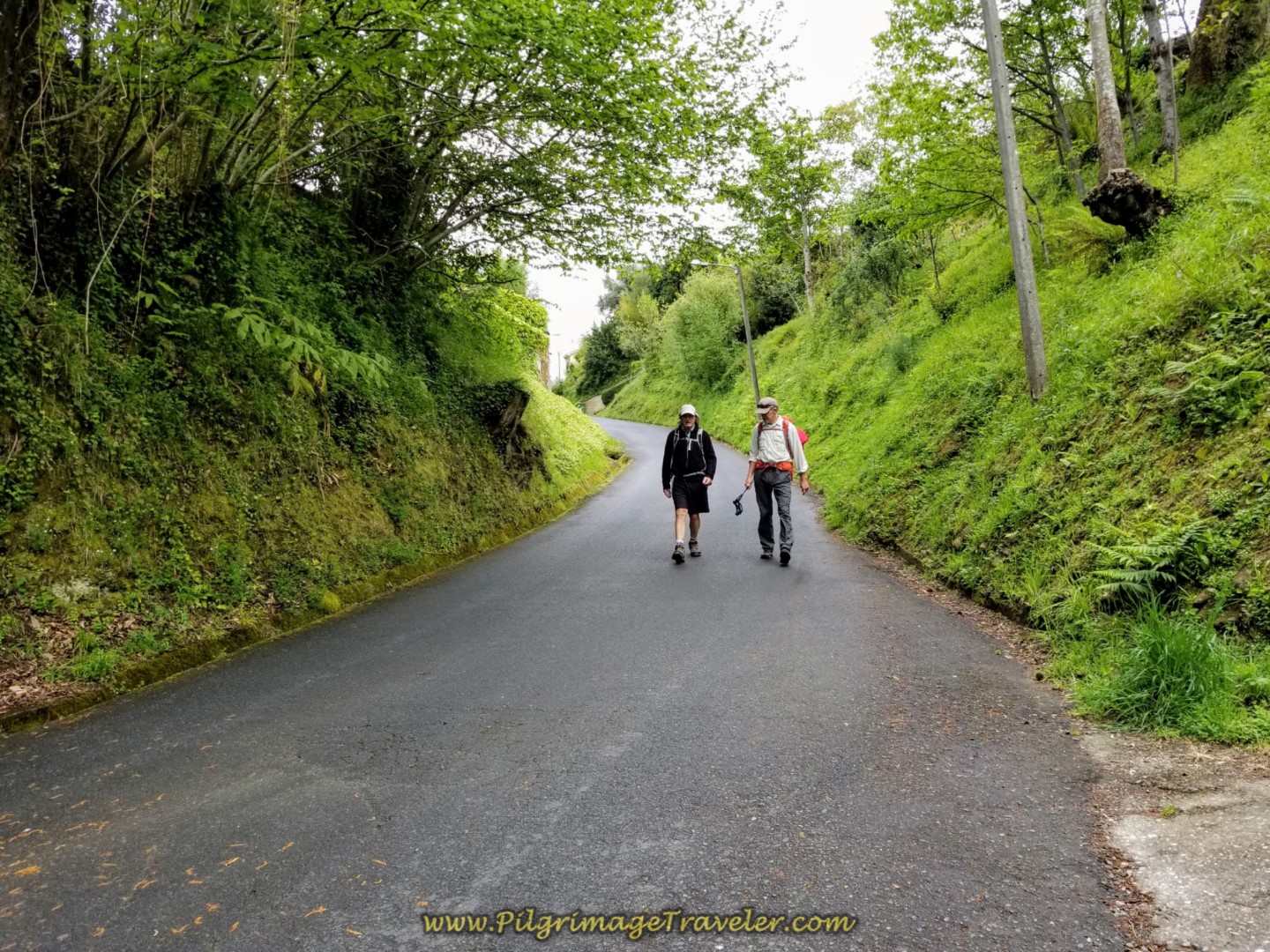 Rob and Rich Chatting on the Descent
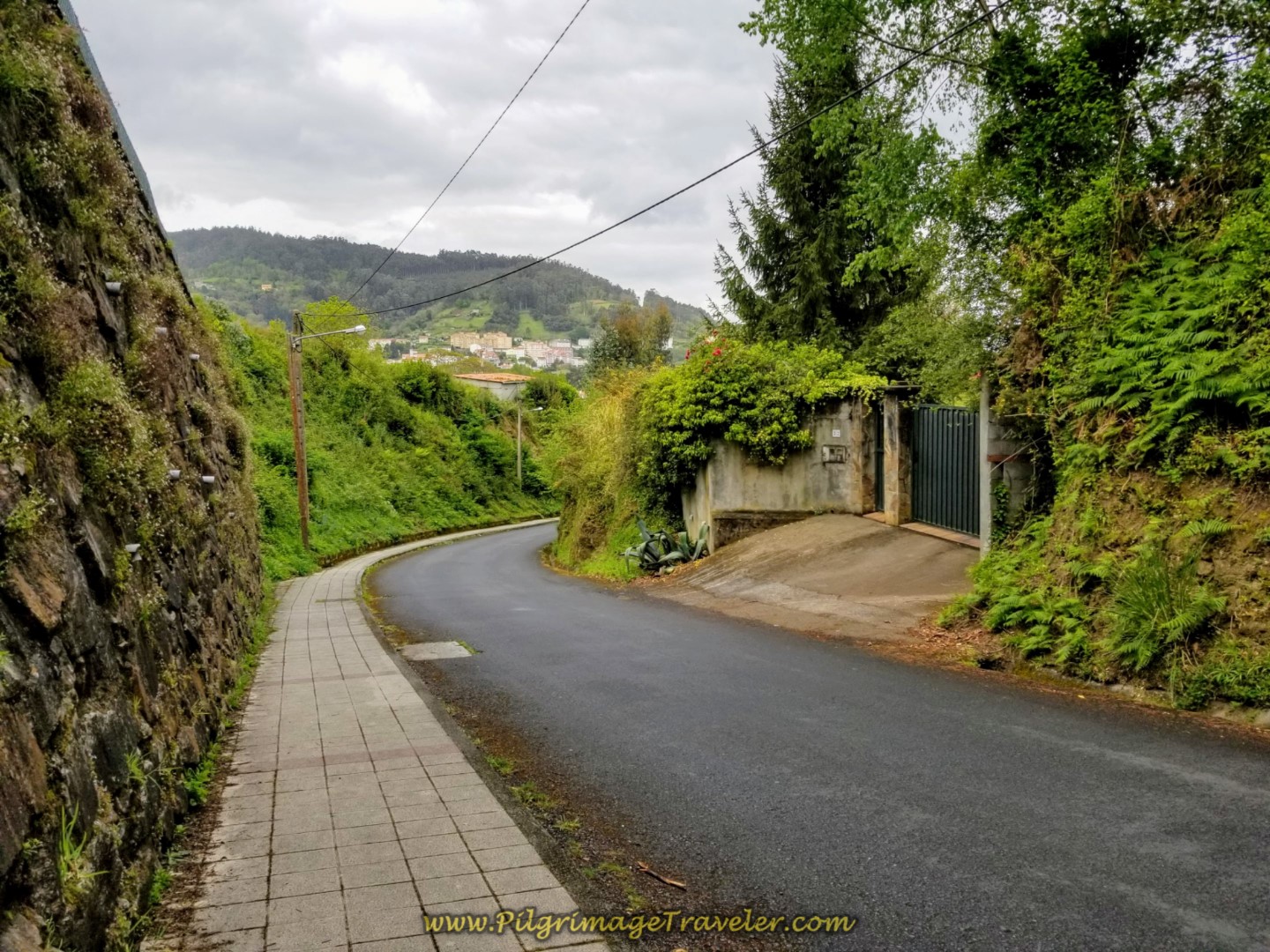 Steep Descent Toward Pontedeume on the Camino Nogueira
After another 1/2 kilometer, the Camino comes to the N-651 and turns left here.
A few meters after joining the N-651, the Camino diverts to the left and rejoins it after ¼ kilometer or you can just stay straight for the shorter route and walk through Cabañas, which is not unpleasant nor unsafe, as you can see in the next photo.
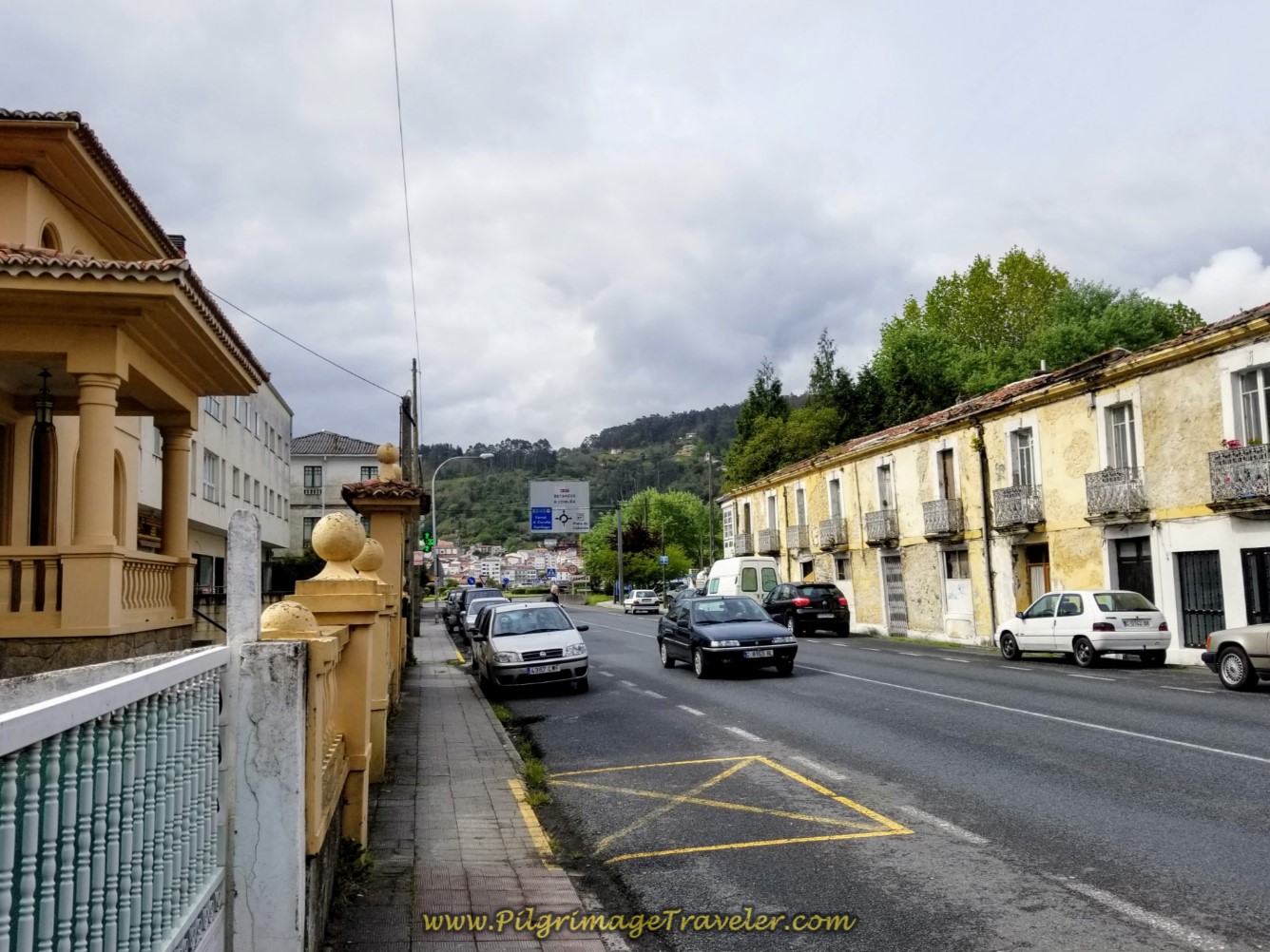 Continue on the N-651 in Cabañas
Farther along on your right is the first accommodation possibility, the Hotel y Apartamentos Sarga. This mid-range accommodation would be perfect if you want to be close to the wonderful Cabañas Beach, however you will need four for the apartment to be economical! There is also the Hotel Alda Cabanas Playa farther west, 650 meters off-Camino and along the beach.
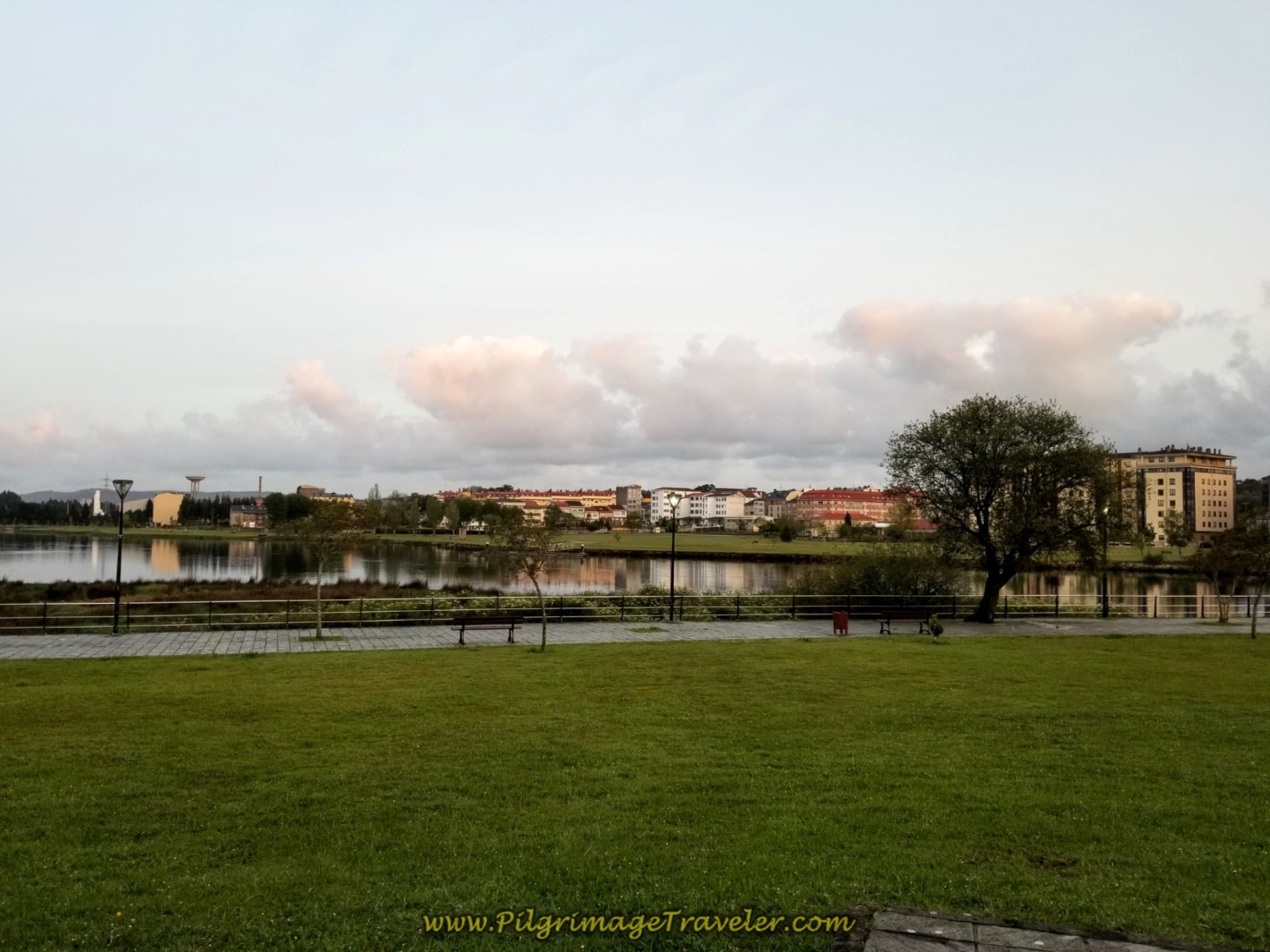
After 1/2 kilometer on the N-651, come to the roundabout by the Parque de Cabañas, shown below and walk straight on towards the bridge.
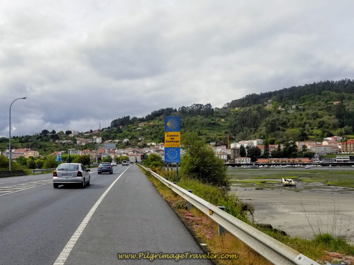
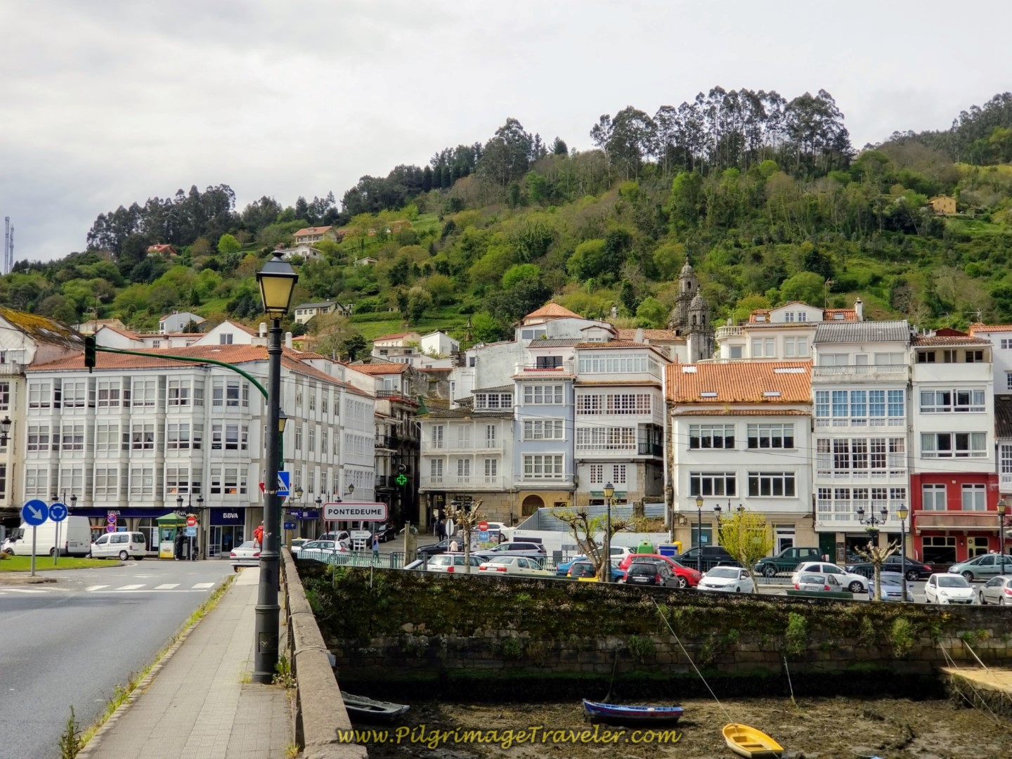
The only thing that separates you and Pontedeume at this point is the bridge across the river. It is a long 1/2 kilometer walk across the bridge. The first time I walked it, it was to end the long first day's stage from Ferrol. I thought the bridge went on forever!
The 20-bed municipal Albergue de Peregrinos de Pontedeume is in the long, orange-roofed building that you can see on the right side of the photo, below, directly above the boat. When you cross the bridge and reach the roundabout, take the first right, walk along the waterfront and arrive at the albergue in 200 meters. It is the 4th door down of the long, stone building.
This second time I walked the bridge it went much faster. I was only 14 kilometers into my day this time. What a difference it made on how I felt.
My Camino pals and I did not end our day here in Pontedeume, but walked on to Miño. See day three for this day's adventure.
On my first Camino I stayed here, in the Hostal Allegue, a comfortable family-run place, mere steps from the Camino. We had checked out the albergue and didn't like the fact that someone was spraying down the beds with bug spray when we arrived! It was my first Camino ever and this scared me!
There was also no hospitalero to check in with until eight o'clock. I know now that this is not a problem, that you can still get settled in and then get checked in later with the hospitalero when it is convenient for him/her. Live and learn I guess.
There are several more accommodations available, including one private albergue, the Albergue Río Eume, about 1/2 km off-Camino along the N-651. For a full list for comparison shopping from booking.com click here.
If you don't like albergues, there is the Hotel Eumesa, right along the river, the Pensión Casa Apilladeira (+34 638 96 25 54), the Albatros Pontedeume, the OKtheway Praza do Conde, the Hotel A Falúa, the Restaurante and Hostal Luis, (+34 666 54 79 84), the Camino do Eume, the Hospedaje Bar Norte, (+34 981 43 45 27 and the Hostal San Cristóbal, another 1/4 km farther down the N-651 in an old retreat center of the Santiago archdiocese.
Reflections on Day Two on the Camino Inglés
The route has changed significantly from the time I first walked it. I was happy to see some familiar sights, yet not very sure that I enjoyed some of the other chosen routing.
Our friend with Parkinson's was walking strong, despite the strenuous hills so we decided to walk the 10 more kilometers to Miño in the afternoon. He was an inspiration to us! You can see Rich chatting away with him in a lot of the photos, keeping his mind occupied. I am not sure if that was the right thing to do or not, but it appeared to work.
We stopped in Pontedeume for a while to rest and eat ice cream. We also wandered off the Camino to see the 16th century Igrexa Parroquial de Santiago, the St. James church. It is a lovely place, but it was closed around noon when we arrived. I have yet to get inside it! See our day three for photos of it.
While we did lots of hills on day two of our Camino Inglés, the one ahead out of Pontedeume, from sea level, would be the biggest challenge going forward. The quote above, from Khalil Gibran can be taken quite literally, for day two and most days ahead. It seemed like when you reached the top of the hill, there was always another one to replace it! Thus is the way of the English Way! Thus is life!

Still thinking about our Camino Inglés eBook Guide? Would a money back guarentee and free updates for a full year help you make your decision? Remember our guide is a digital-only eBook with no added weight in your pack which you can refer to anywhere. Click here for more information or just BUY NOW!
Salutation
May your own day two on your Camino Inglés be filled with the sweet and challenging song of many hills. May you conquer those hills ~ ready, willing and able to do it again and again! Ultreia!
Camino Inglés Stages
~ La Coruña Arm
~ Ferrol Arm
Please Consider Showing Your Support
Many readers contact me, Elle, to thank me for all the time and care that I have spent creating this informative website. If you have been truly blessed by my efforts, have not purchased an eBook, yet wish to contribute, I am very grateful. Thank-you!
Search This Website:
Follow Me on Pinterest:
Follow Me on Instagram:
Find the Pilgrimage Traveler on Facebook:
Like / Share this page on Facebook:
***All Banners, Amazon, Roamless and Booking.com links on this website are affiliate links. As an Amazon associate and a Booking.com associate, the Pilgrimage Traveler website will earn from qualifying purchases when you click on these links, at no cost to you. We sincerely thank-you as this is a pilgrim-supported website***
PS: Our guide books are of our own creation and we appreciate your purchase of those too!!
Shroud Yourself in Mystery, along the Via de Francesco!
Walk in the Footsteps of St. Francis, and Connect Deeply to the Saint and to Nature in the Marvelous Italian Countryside!
Recent Articles
-
Day One on the Camino Portugués, Lisbon to Alverca do Ribatejo
Apr 15, 25 08:19 PM
Our Day One on the Camino Portugués was much more beautiful and enjoyable than we had heard. -
Hiking the West Highland Way
Apr 11, 25 08:51 PM
Hiking the West Highland Way is a representation of all things Scottish, traversing 96 miles from the lowlands of Milngavie to Ft William, in the highlands. -
Way of St Francis eBook Guide (Via di San Francesco)
Apr 11, 25 08:49 PM
Our Way of St Francis eBook Guide, a digital guidebook is full of current information to assist you in finding your Way. In downloadable, digital, PDF format.
Need suggestions on what to pack for your next pilgrimage? Click Here or on the photo below!
Carbon fiber construction (not aluminum) in a trekking pole makes them ultra lightweight. We like the Z-Pole style from Black Diamond so we can hide our poles in our pack from potential thieves before getting to our albergue! There are many to choose from! (See more of our gear recommendations! )
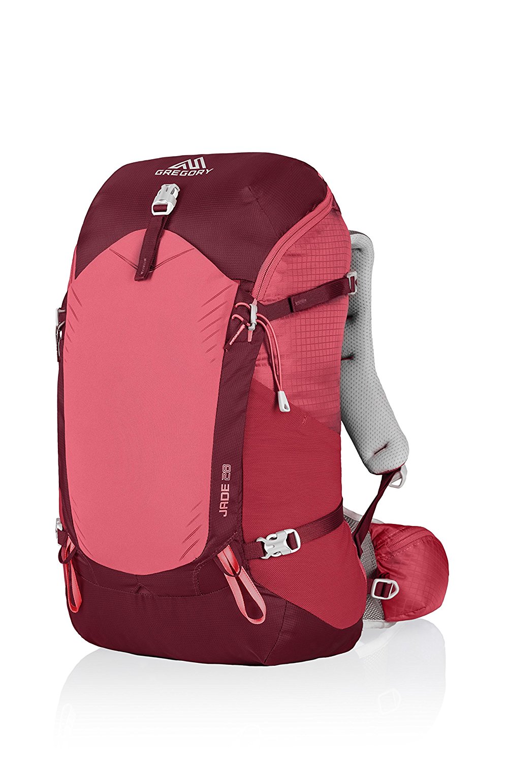
Gregory BackPack - My Favorite Brand
Do not forget your quick-dry microfiber towel!
Booking.com
My absolute favorite book on how to be a pilgrim:








Your Opinion Matters! Comments
Have you had a similar experience, have some advice to give, or have something else you'd like to share? We would love to hear from you! Please leave us a comment in the box below.