- Home
- The Way of St. Francis
- The Way of St. Francis, Sansepolcro to Citerna, Day Four
Jump to Way of St. Francis Stages
Day Four on the
Way of St. Francis ~
Sansepolcro to Citerna, 11.4 Kilometers (7.08 Miles)
Our day four on the Way of St. Francis from Sansepolcro to Citerna was a relatively easy and flat jaunt, with a steep climb at 8.55 kilometers, through stations of the cross, and a final steep climb up and into the enchanting medieval city of Citerna.
"Where there is patience and humility there is neither anger nor worry.” ~ St Francis of Assisi
You may wish to reflect on this wisdom saying of St. Francis, for your pilgrimage day. It is a good one, and we did have an opportunity to exercise its wisdom on this day.
Maps and Stats, The Way of St. Francis, Sansepolcro to Citerna
As stated in day three's adventure, we combined days three and four for a manageable effort for us. Day four of our pilgrimage actually ends in Zoccolanti, at the Monastero della SS Crocifisso, about 750 meters before Citerna. It is the only reasonably priced pilgrim accommodation for this stage.
Here is my map, with my GPS tracks uploaded, and features and accommodation placed on it. The map is of our entire stage, including day three and four. If you are looking for different accommodations in Citerna, click here.
You can see that I added my own personal alternate route in red. We did not take this route, but I was able to easily create it, when I looked closely at the Google map. It would avoid the steep bump near the end of the day.
The official route takes you on a one-kilometer, 60 meter climb, at 8.45 kilometers into the day as you can see in the elevation profile below. This has less pavement by about 450 meters total, but the climb is hardly worth it, just to go through 12 stages of the cross. There is no other feature, other than a fountain, in my opinion, that contains any value for the pilgrim! Therefore, make your own choice, wisely.
Way of St. Francis EBook Guide
Our downloadable Way of St. Francis eBook Guide, in PDF format, contains all the valuable information from our web pages, for comfortable reading off-line in the mountainous and remote areas along this Way. Don't carry a heavy paper book, but use our digital eBook on your mobile device instead! You can deeply connect to nature, following in the footsteps of St. Francis, through the Italian countryside!
Our eBook guides are packed with frequently updated information, because a digital format is more nimble than hard-copy publishing. Our eBook Guide is unique because we also entertain and immerse you with our story! Click here for more information OR BUY NOW.
Jump to Way of St. Francis Stages
Photo-Rich Travelogue, The Way of St. Francis, Sansepolcro to Citerna
After poking around the center of Sansepolcro and having coffee at the Happy Bar, we continued the walk late in the morning. We thought we would walk a bit farther and find a different place for lunch, since it was early and it would be awhile until we would reach the city limits.
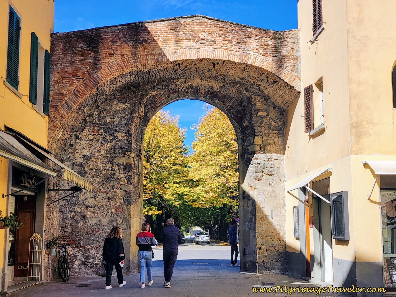
We continued along the Via XX Settembre from the Piazza Torre di Berta in the center of town, arriving at the northwestern Roman gate, after 300 meters, pictured below.
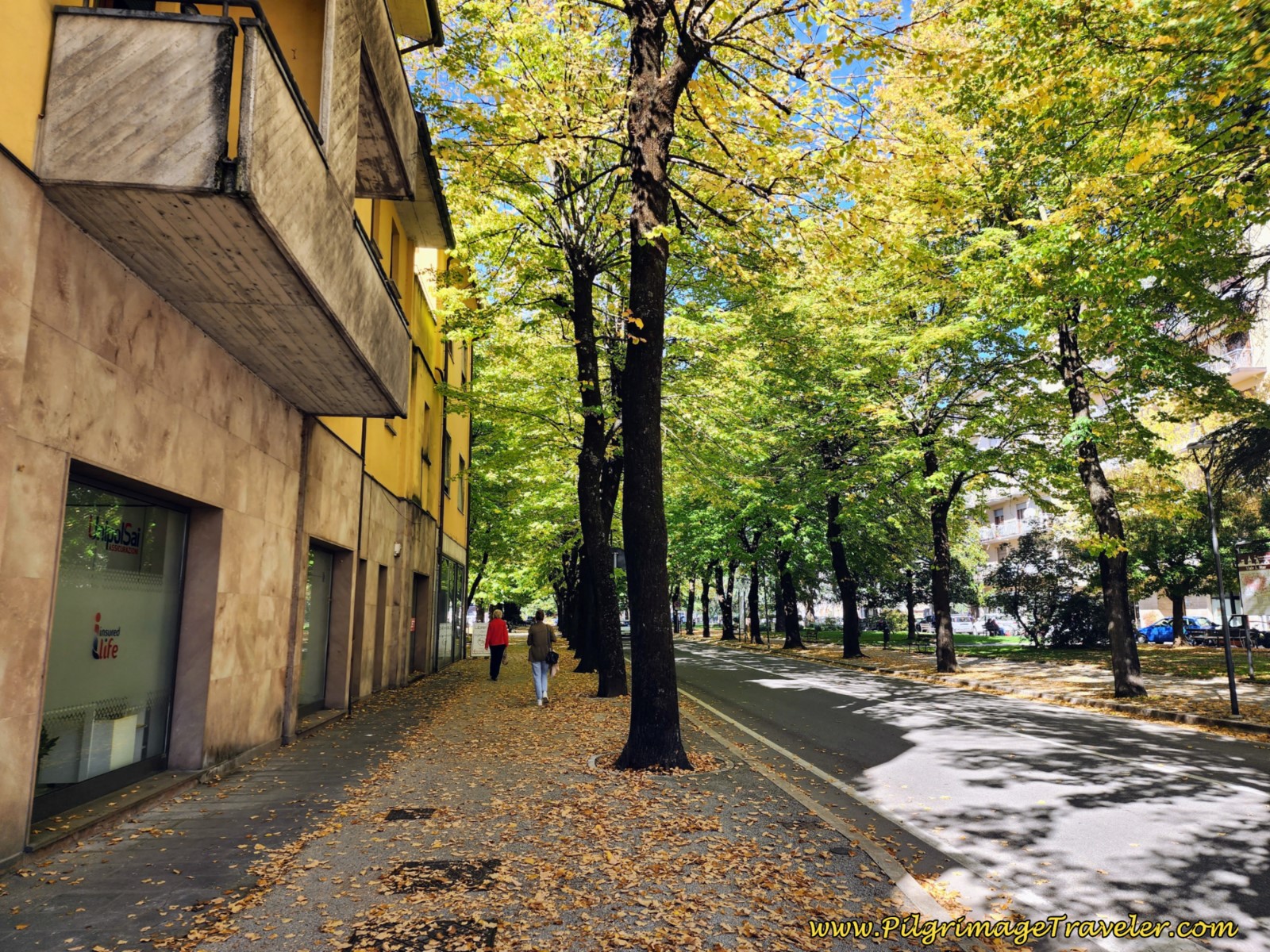
After the gate, the street becomes the Viale Armando Diaz. It is wonderfully lined with trees, which in October were so gorgeous!
About 200 meters onward, the street takes a big bend to the left (southwestward) and is now a major artery, the SS73 highway. This is not very pleasant walking, but a pilgrim does what a pilgrim needs to do.
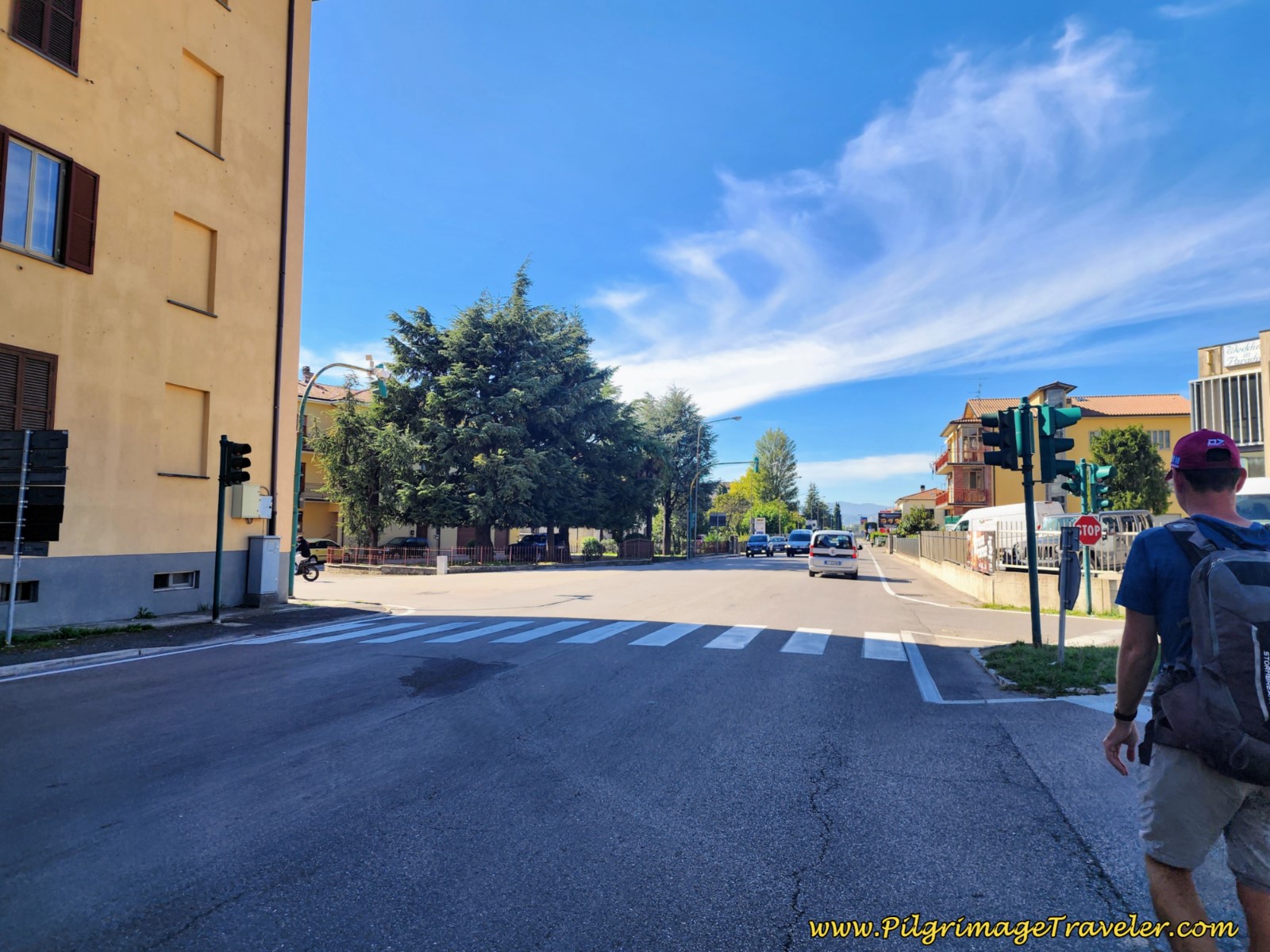 Join the SS73 Highway
This is the very final stretch of highway that you must walk if you chose the Valley Alternative (see day two) and you wish to go into the center of town to stay the night. There are few accommodation choices outside the medieval center. You will have to enter Sansepolcro along the SS73, and on the next day, exit Sansepolcro again on the SS73, for a back track of about two full kilometers. Ick!
By now, we had begun looking in earnest for a bar, but it was difficult finding a place where Nick, who is vegan, could eat the food. After stopping into about three places, we finally found the Bar Santioni, on the left, just before the edge of town! I placed it on the map above, if you are in the same position.
There were surprisingly few eateries along this stretch of highway, and we were all able to practice the art of leaving worry and anger behind! It isn't always easy, at least not for me. But I wasn't yet at the "hangry" place so I believe I did well!
Next, you walk under the E45 overpass, at about 1.75 kilometers into the day and onto a nice gravel pilgrim's path that continues to follow the SS73.
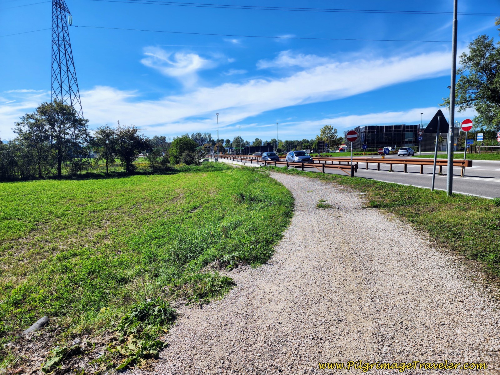 Gravel Pilgrim's Path Parallel to the SS73
Stay to the left (south) at the next roundabout, and cross the Tevere (Tiber) River on this bridge.
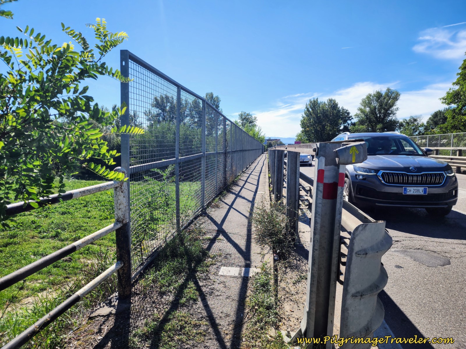 Cross Tevere River on this Bridge
About 2.22 kilometers, and immediately after the bridge, take the first left turn at a large industrial building that makes prefabricated electrical substations, called Ediltevere. This is also the spot where the Valley Alternative joins from the north.
Walk past this business, and after about 100 meters, the pavement becomes a gravel lane. Continue past more buildings, for another 100 meters or so and take the next lane up and to the left, shown below. You are now leaving the industries behind.
Jump to Way of St. Francis Stages
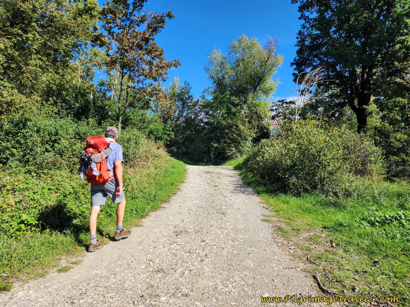
Barely 50 meters later, at the top of the rise, the pilgrimage traveler is directed to take a bend to the right and onto a raised path that loosely follows the Tevere River, shown in the photo below.
It was rather disconcerting when a sign greeted us, saying in various languages, "Danger, possibility of sudden flood waves because of maneuvers on hydraulic plants!" We quickly moved through the 400 meters of this pathway.
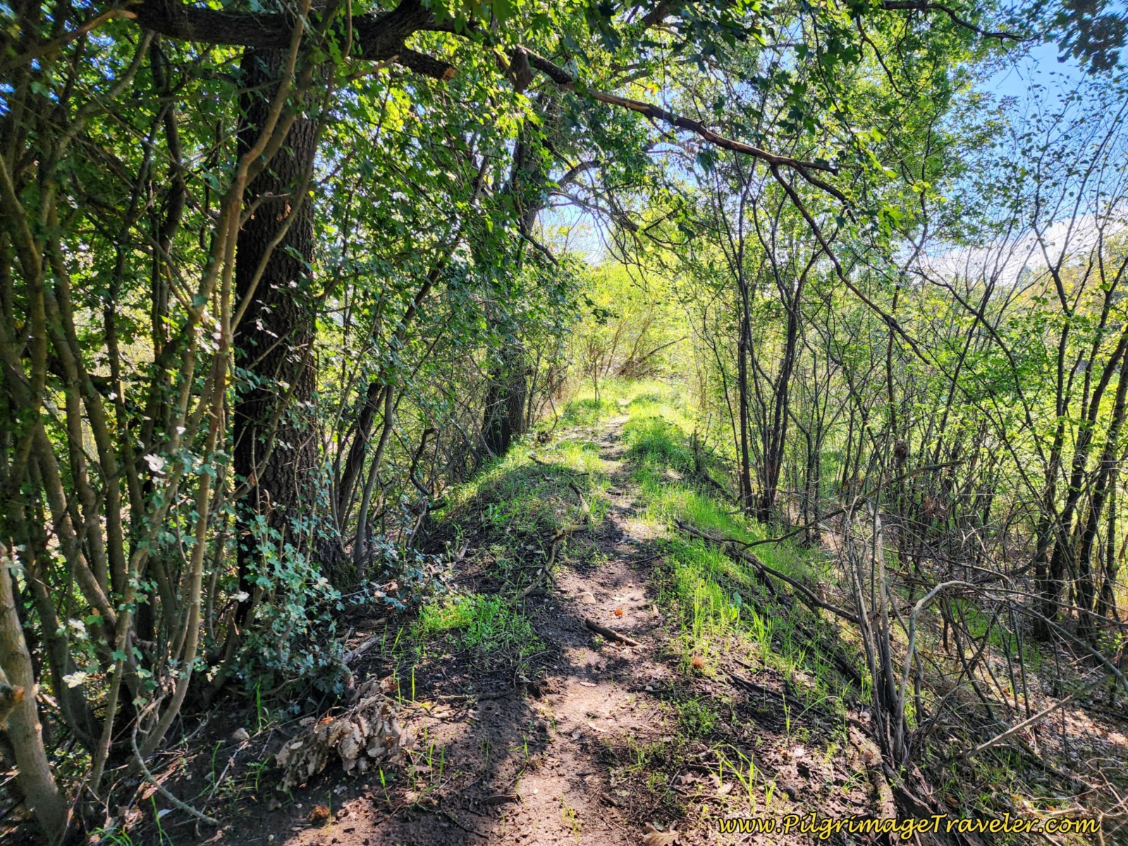 Path Along the Tevere River
Approximately 2.68 kilometers into the day, come to a T-intersection and take a right turn, onto a lane. Follow this lane for another 300 meters, coming to an intersection, where you will turn left onto a paved road, shown below, and towards more industrial buildings.
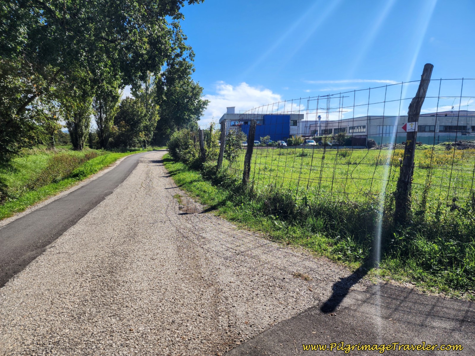 Left Turn Towards More Industrial Building
After approximately another 150 meters, in the middle of the next group of industrial buildings, you will take a right turn, at approximately 3.15 kilometers.
Follow this industrial road for about 1.1 kilometers, shown below, until you come to this intersection, at 4.23 kilometers total, shown next.
 Follow Industrial Road for 1.1 Kilometers
 Leave Industrial Road, Turning Left Toward This Farm
The next maneuver is to actually walk through the farm, first shown above, and around the back and onto a tractor lane.
 Nick and Rich Walking Through the Farm
Here is the tractor lane after it ends at a T-intersection, at 4.7 kilometers into day four on the Way of St. Francis from Sansepolcro to Citerna.
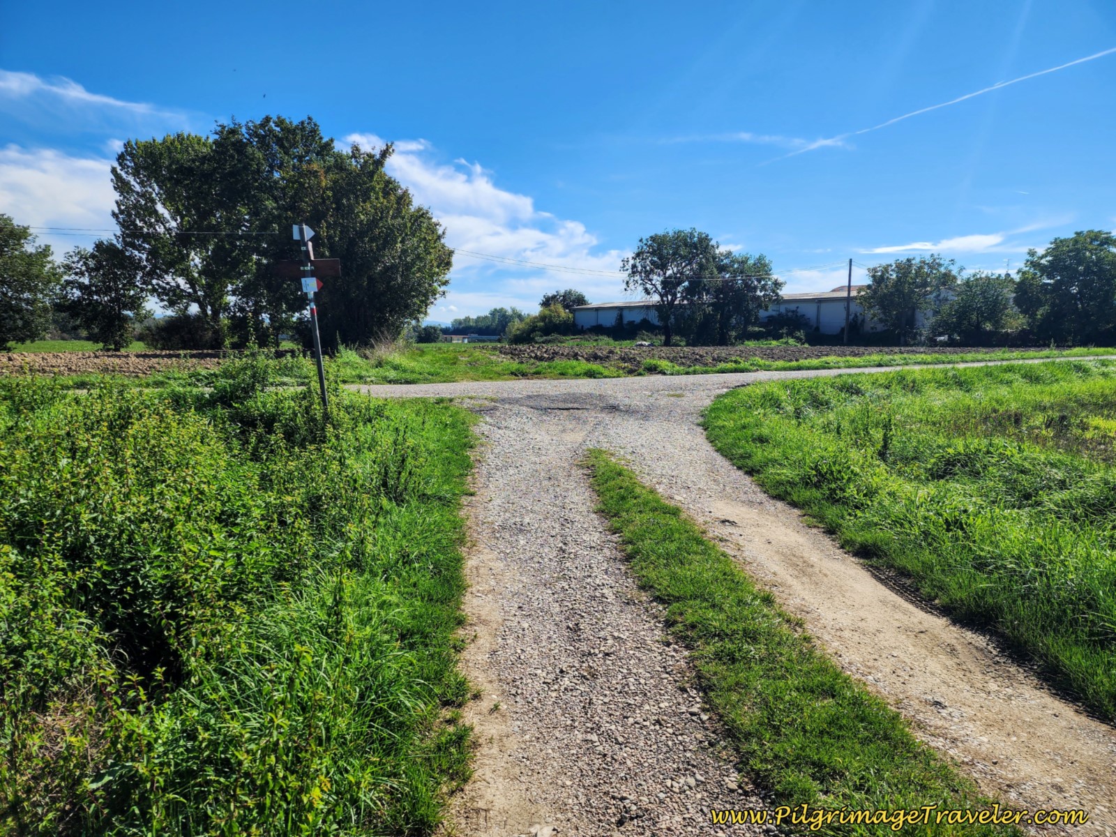 Tractor Lane Past the Farm
Approximately 5.24 kilometers, the first buildings of the next town of Gricignano come into view.
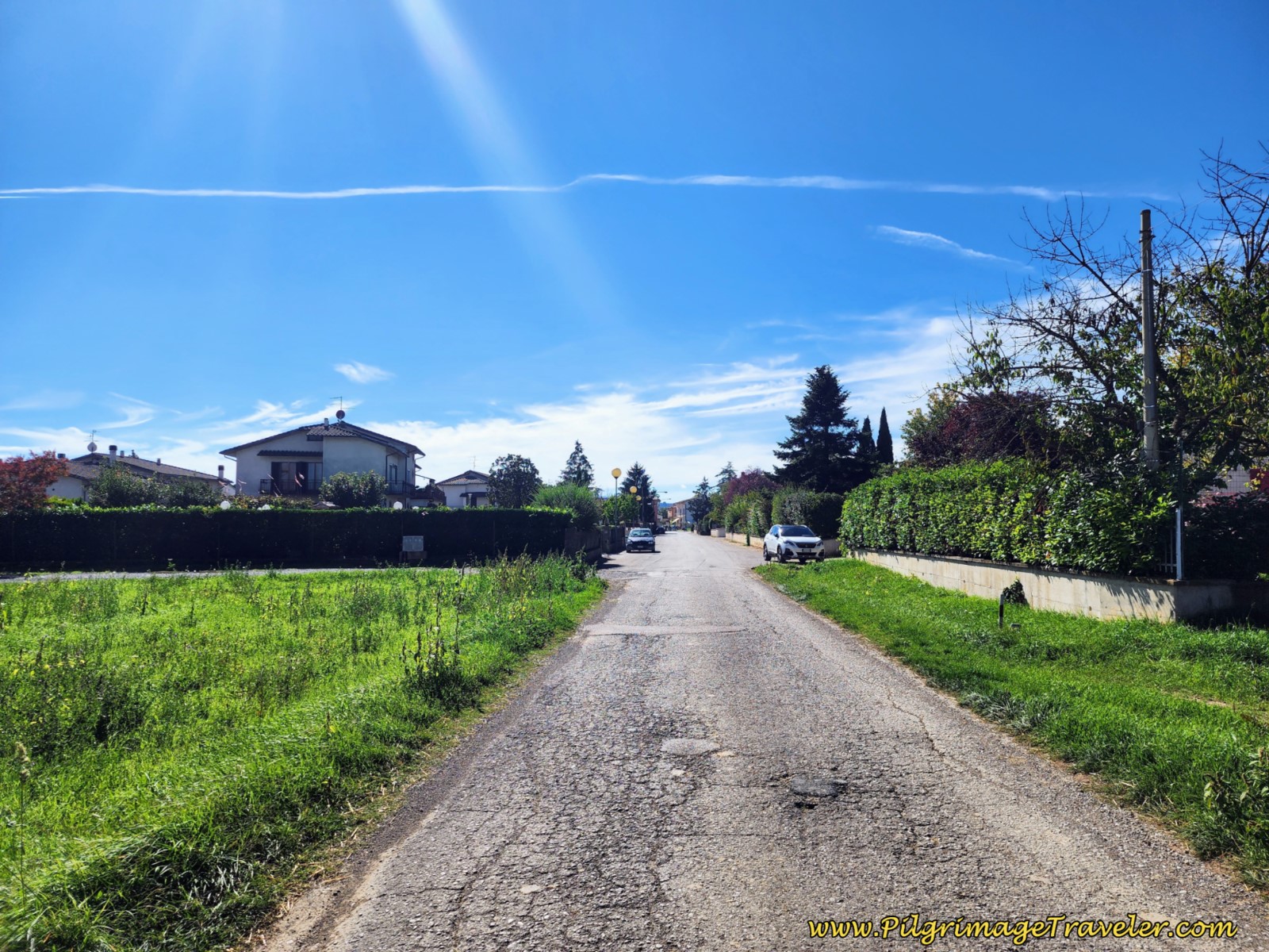 Paved Road to Gricignano
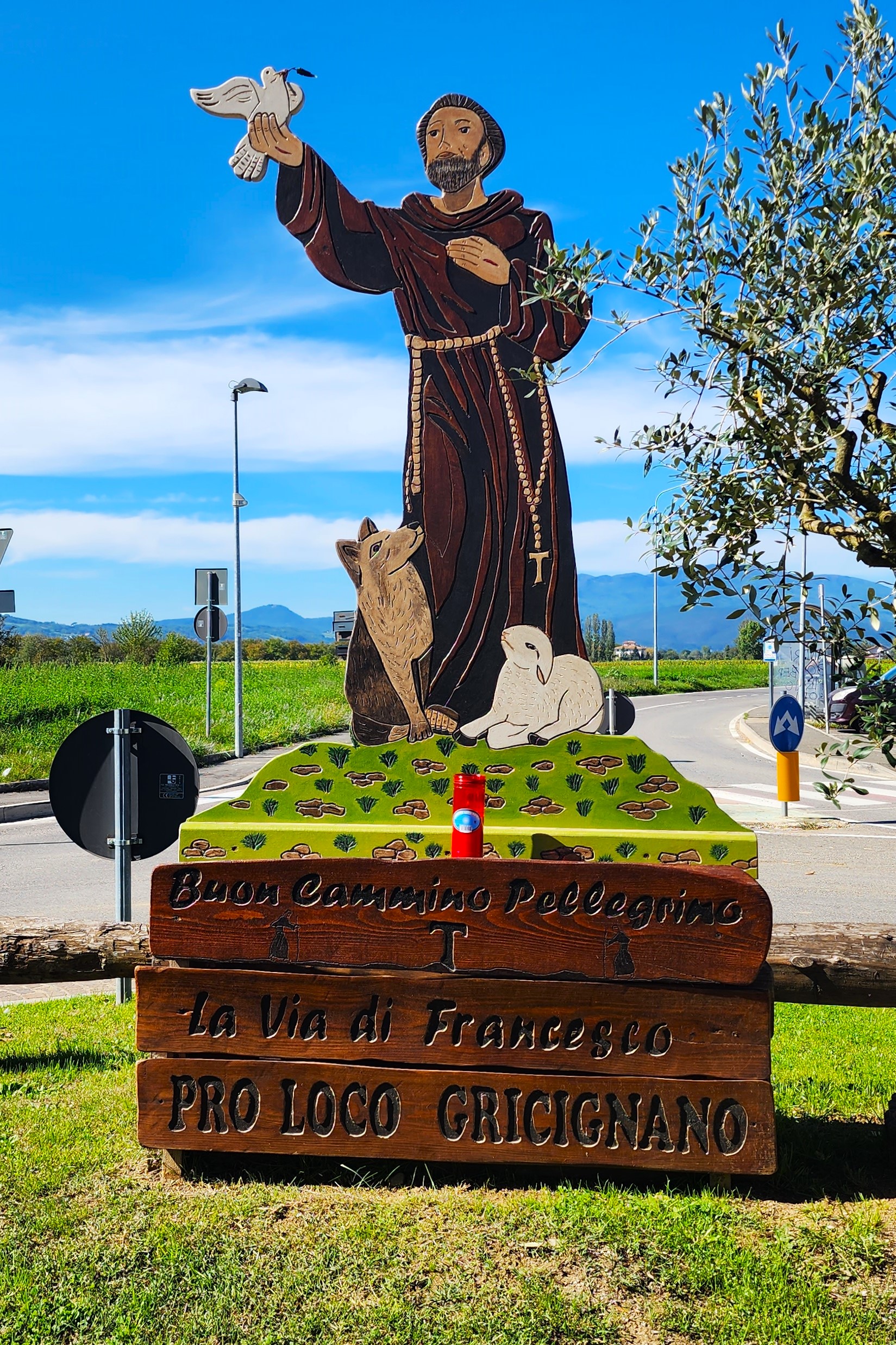
They love St. Francis in Gricignano, and 200 meters later the pilgrimage traveler is greeted by him in the roundabout.
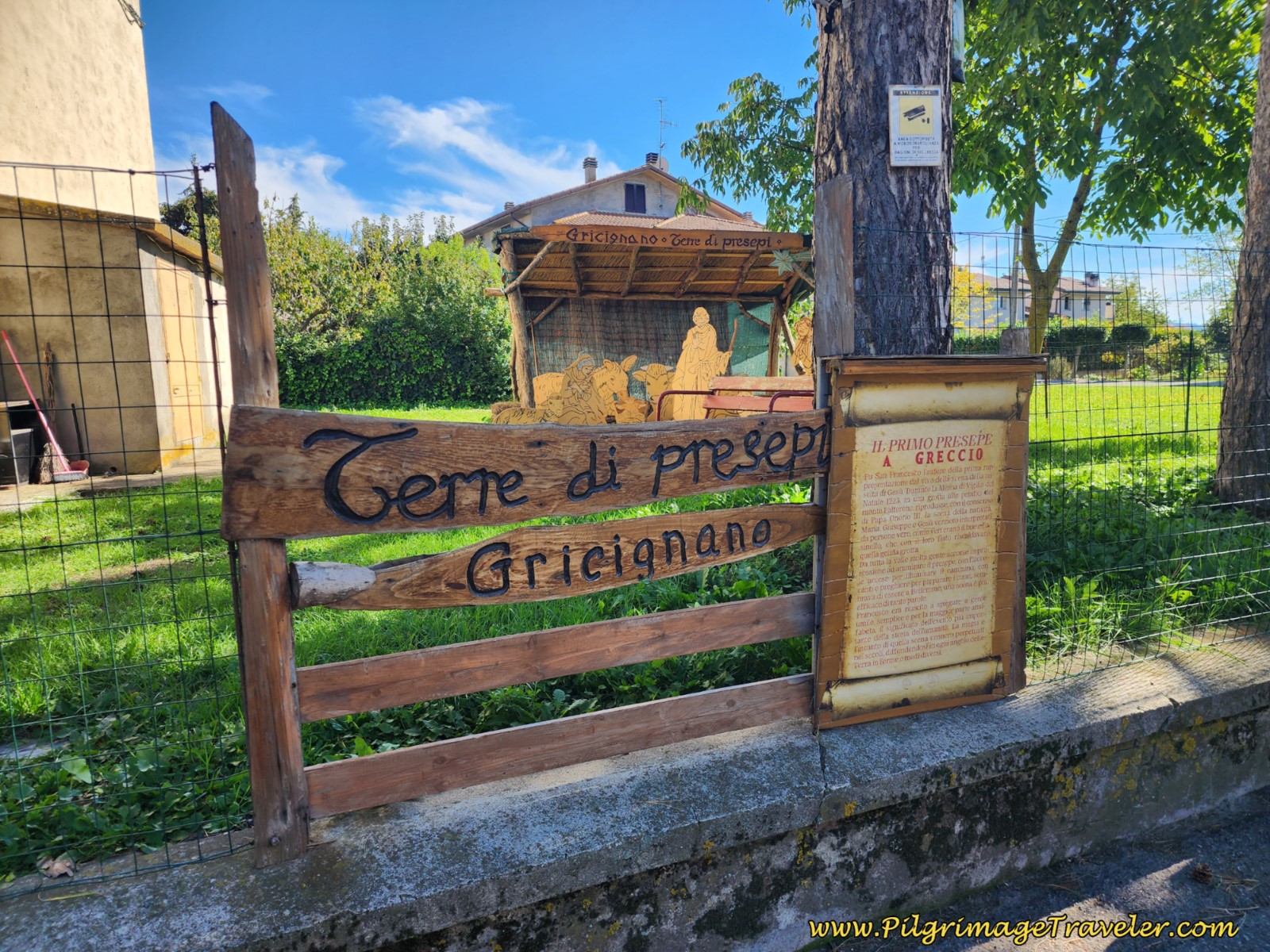
Throughout your straight walk southward through town, you will encounter billboards, like the one below, explaining several life events of St. Francis. Take your time, if you have it, and read the stories! You can get to know St. Francis better, if you have the patience to read the boards. I felt they were lovely, indeed! There is no open café that I could find here, so you may as well enjoy what the town has to offer to the pilgrim.
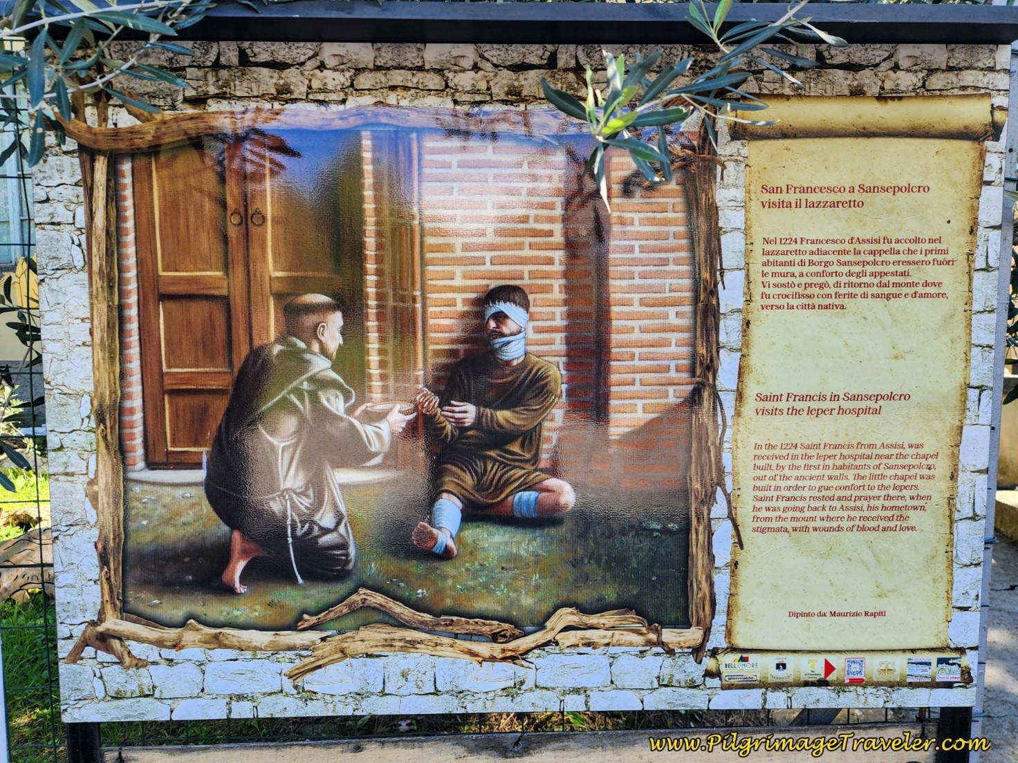 St. Francis Story Boards in Gricignano
You will also see several manger scenes in town. Gricignano is known as the "Terre di Presepi" or Land of Mangers. Manger scenes are one of the Italian hallmarks of St. Francis, because he supposedly created the first live manager scene in 1223 in a cave near Monte Falterona. Many villagers from the valley arrived at this scene, as a torchlight procession. Apparently, because of this spectacular event, St. Francis was able to convert many simple people who would not have heard the news otherwise.
Jump to Way of St. Francis Stages
The town abruptly ends after less than a 700 meter walk through it and the pilgrimage traveler is faced with open, hot pavement for the next 2.4 kilometers.
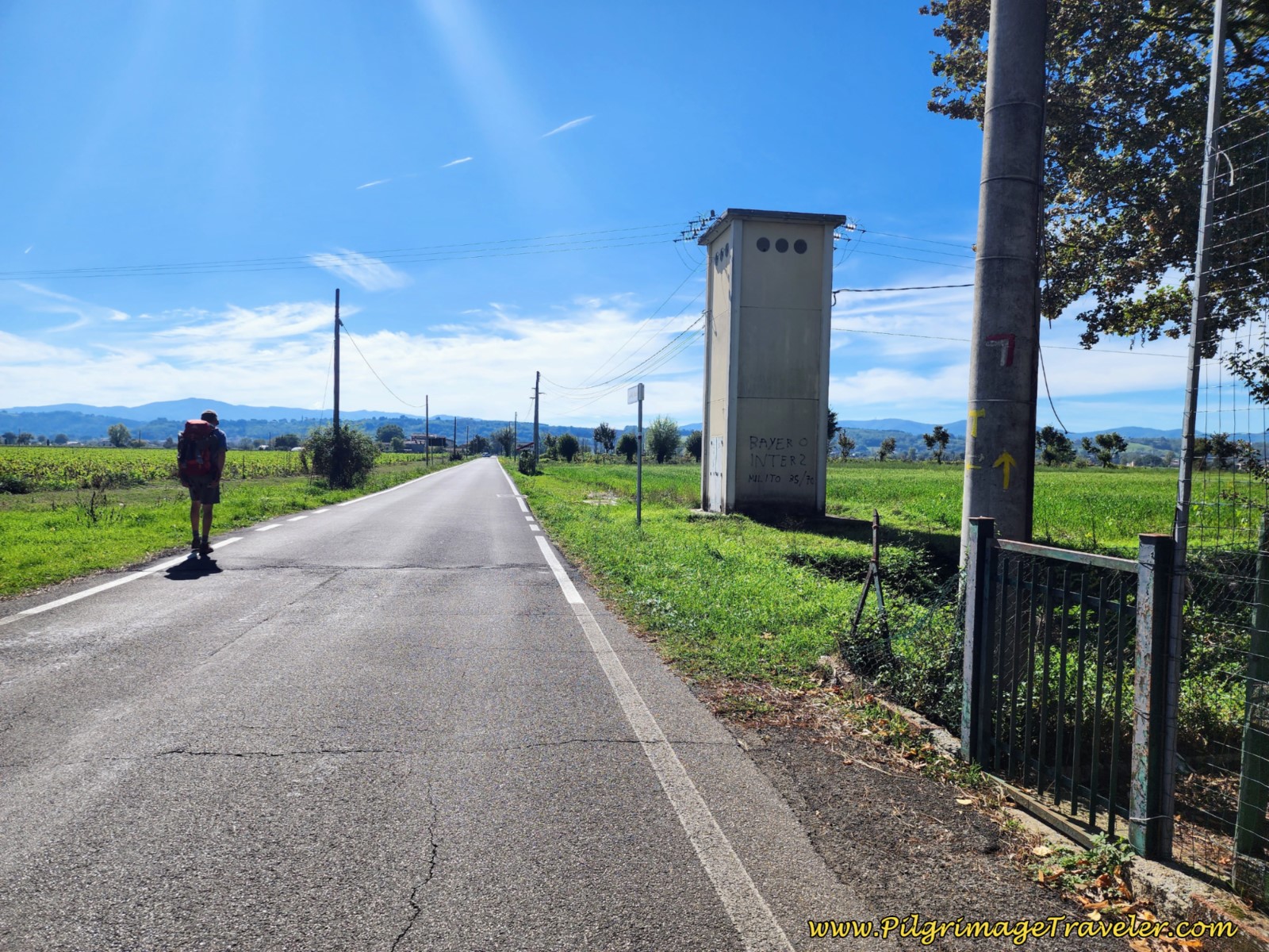 Leaving Gricignano on the Way of St. Francis, Sansepolcro to Citerna
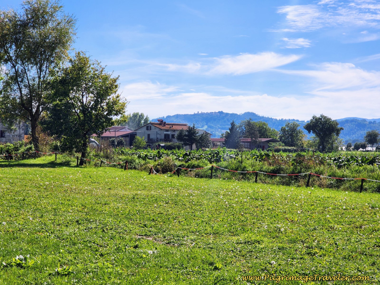
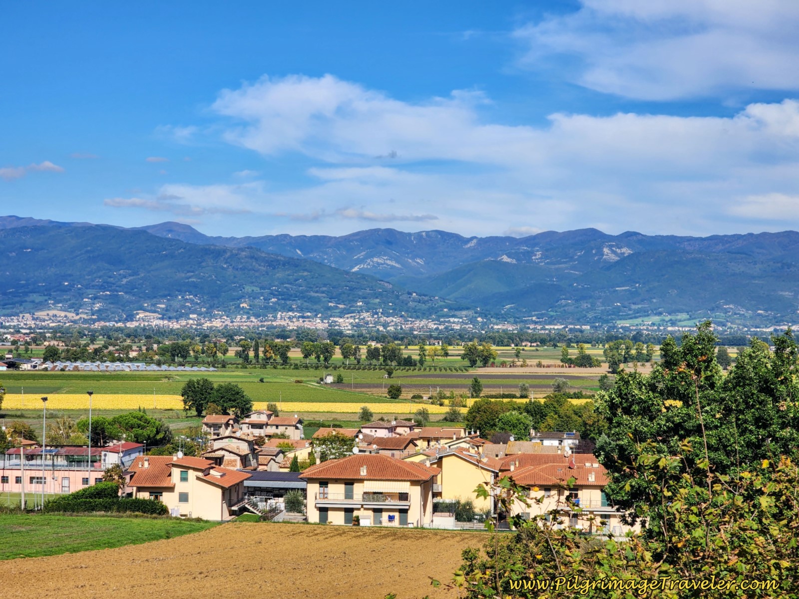
After the road takes a big bend to the left (southeast) at about 6.5 kilometers, keep your eyes peeled to the right and you will catch glimpses of Citerna's towers on the ridge, shown below. The destination is in sight, but there is still some work to do! You are a bit more than half way into the stage when you can see Citerna.
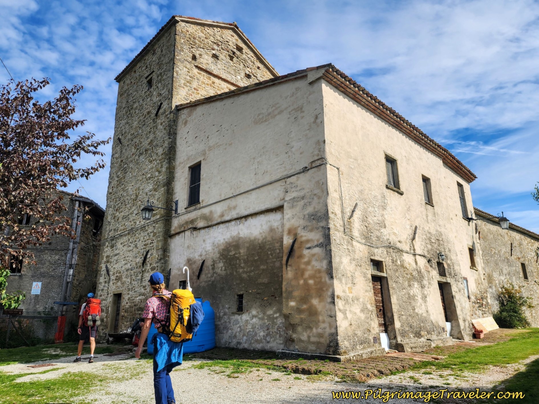
Approximately 7.1 kilometers into the day, the Way of St. Francis from Sansepolcro to Citerna takes another big bend, this time to the right (southwest), at the landmark, Country House Torre del Guado. You can stay here if you wish, but it is mostly a place for events.
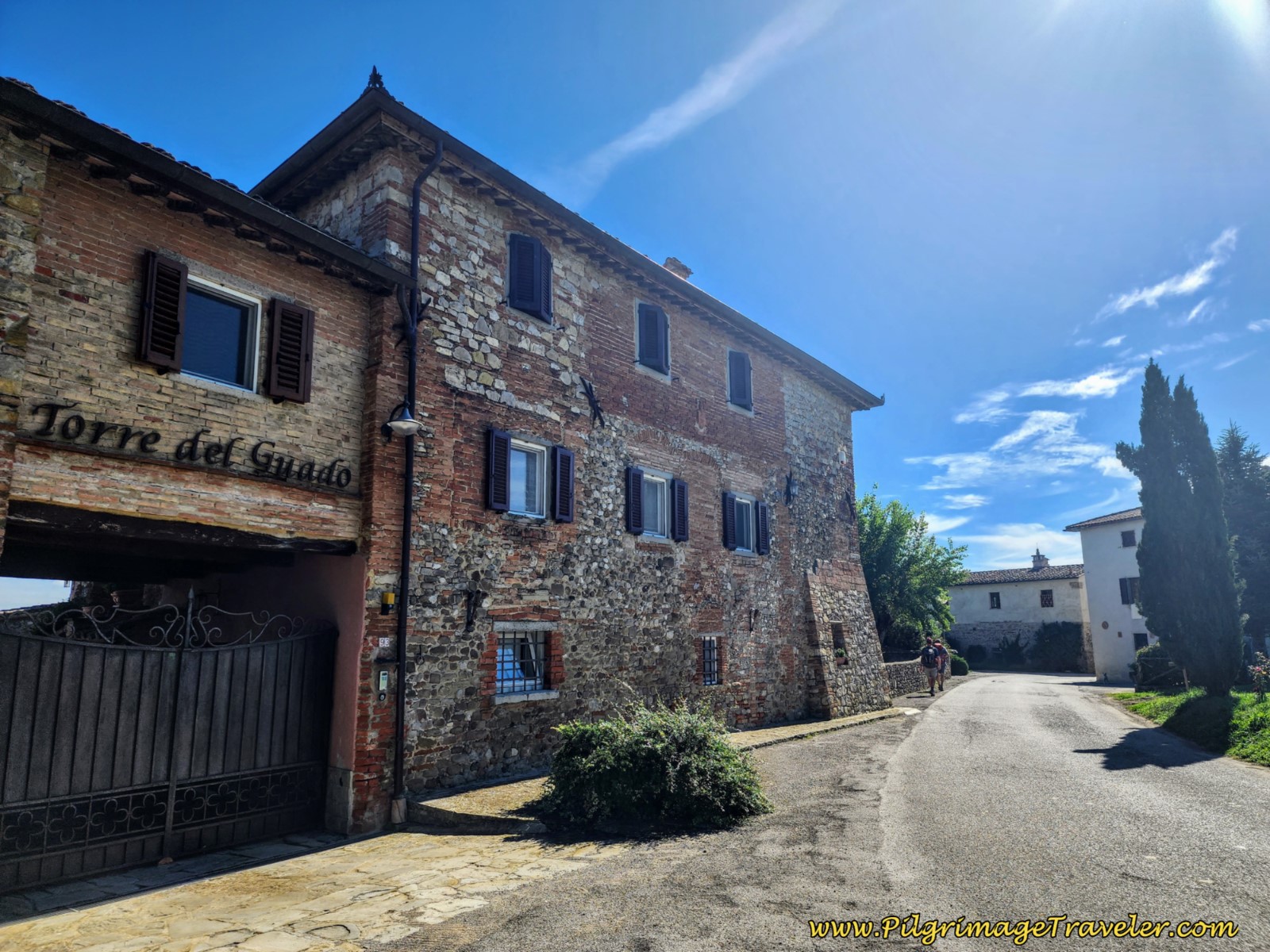 Pass the Country House, the Torre del Guado
After passing the country house, the way is open again, towards the next town of Fighille.
It is along this stretch of road that the pilgrimage traveler passes from the province of Tuscany into Umbria! So long, Tuscany!
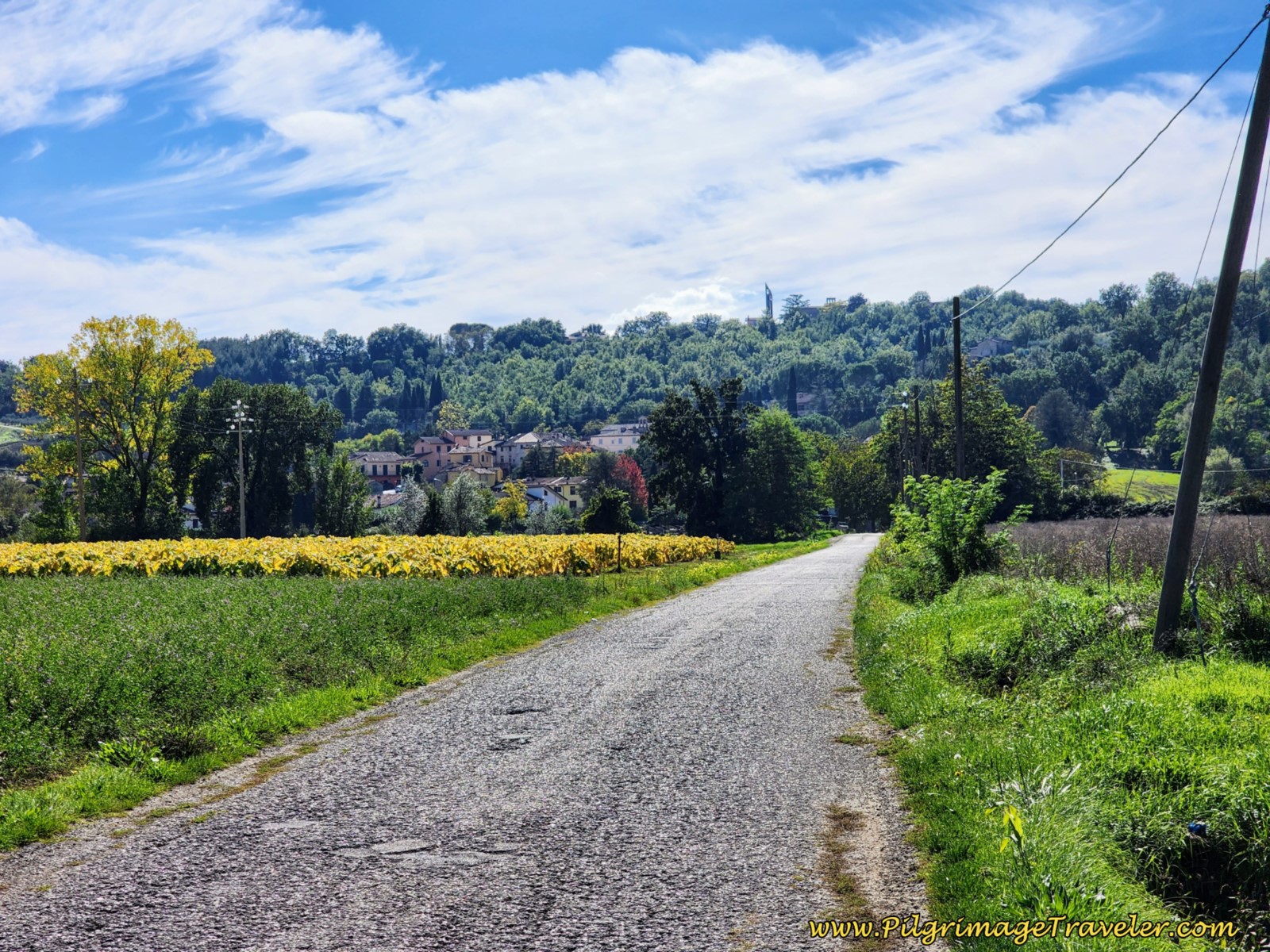
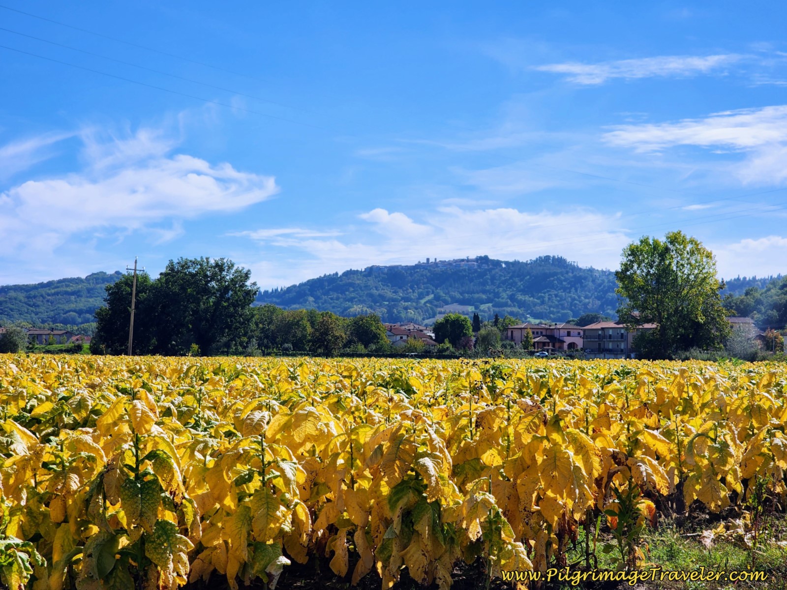
The tobacco fields in the autumn were stunning against the blue sky and green grass. You can see the yellow tobacco leaves in the photo above, and in a close up, below. You can also see Citerna on the ridge.
When you reach Fighille, come to a T-intersection at 8.3 kilometers. Turn left into town. Walk along a wrought iron fence line.
After only 150 meters, take the first street to the right, to continue along the fence line and begin a climb up the hill. It is at this turn, where you have the choice to stay straight and avoid the climb, as I discussed in the beginning of this article.
Jump to Way of St. Francis Stages
Town Alternative Route, Way of St. Francis, Sansepolcro to Citerna
If you choose to avoid the hill climb, up to the stations of the cross, stay straight here and walk into Fighille. After walking under a stone archway, and after about 300 meters total, take a right hand turn onto the Via del Mulino at a Tavern. A visit to the town tavern may be reason enough to take this alternative, but Citerna is only about 3.5 kilometers away.
Stay on the Via del Mulino as it bends around, for about 860 meters, where it crosses the official route. This intersection you will not miss, as the lane on the right is coming steeply down the hill, there is a clear, brown sign to turn left to Citerna on a paved road and there are clear Tau waymarks and Via di Francesco signs.
The road to the left, back on the official route is paved, and views of Citerna on the hill above are soon plainly visible.
Back on the Official Route Up the Hill, Way of St. Francis, Sansepolcro to Citerna
Otherwise, take the first right hand turn up the hill, continuing along the wrought iron fence. My photos though Fighille are washed out with sunshine, so I didn't include them.
In 100 meters, take a left turn onto the Via Gabriotti.
About 75 meters later, take a bend to the right onto the Via della Dogana as the road continues to climb through Fighille.
A few meters later come to a T-intersection, and following the waymarks, take a left turn. You will see your first station of the cross, numbered III and the high wall, shown below, with a yellow arrow and Tau. You will see stations III thru X on the pilgrimage.
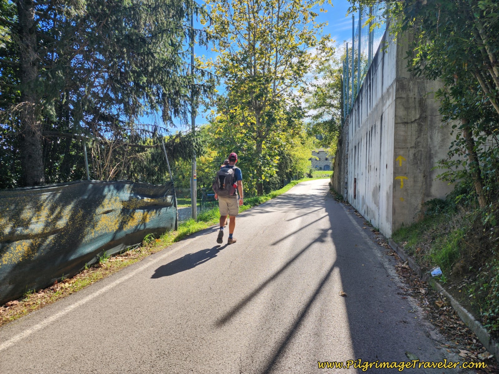 Hill Climbing on Road Out of Fighille
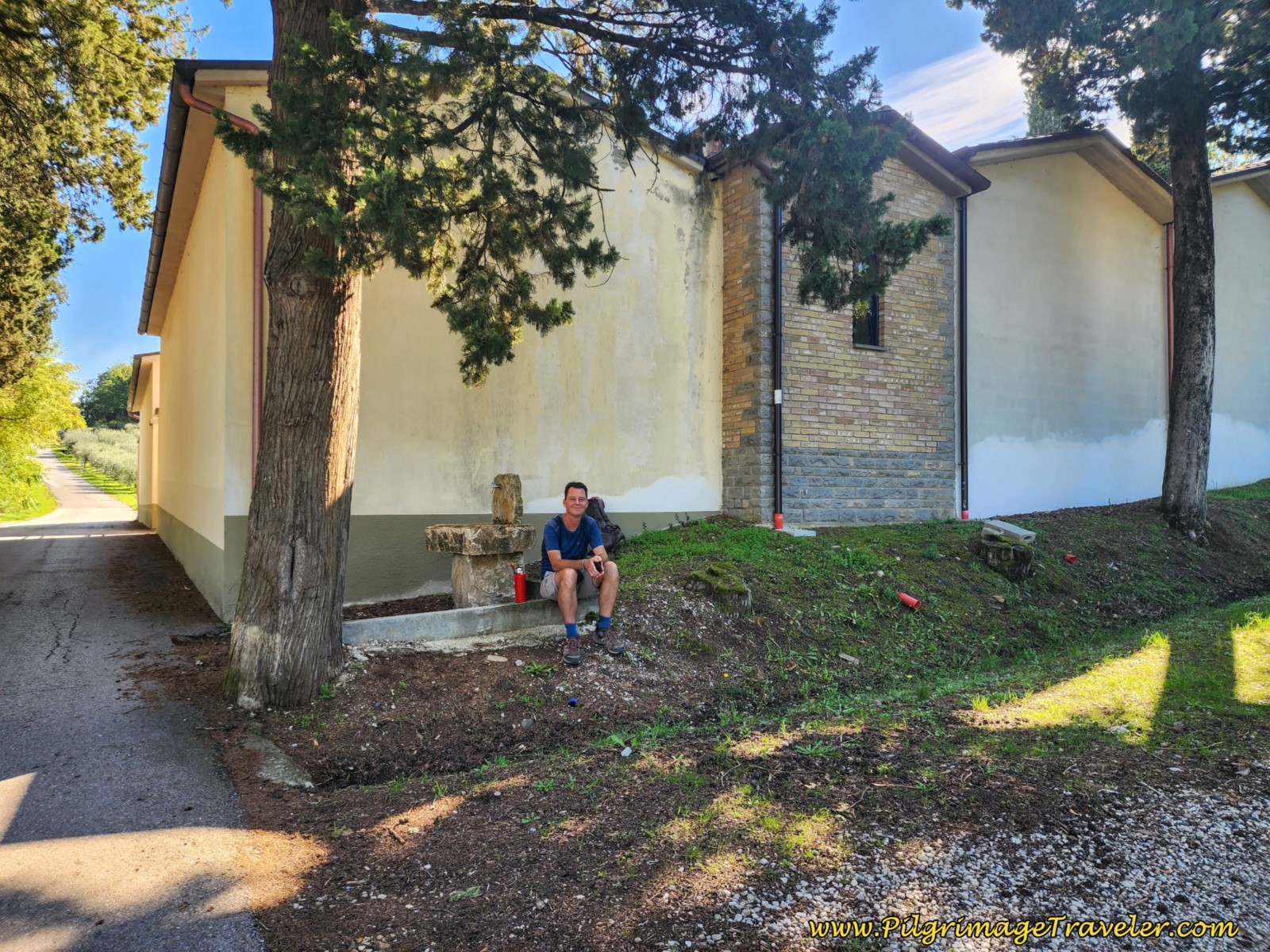
At 8.95 kilometers just after the seventh station of the cross, you come to what looks like a cluster of buildings. I thought it was a church, but it is an enclosed cemetery. It has a fountain just before the entrance, under a cool tree where we relaxed and drank water. Here is Nick, enjoying the shade.
After refreshing at the fountain, you continue your uphill walk on the road, catching views of Fighille and the valley below.
Continue climbing past the next three stations. Just after the 10th station of the cross, and at 9.15 kilometers, leave the road where it bends strongly to the right and pick up a path that is straight on. The path continues the steep climb.
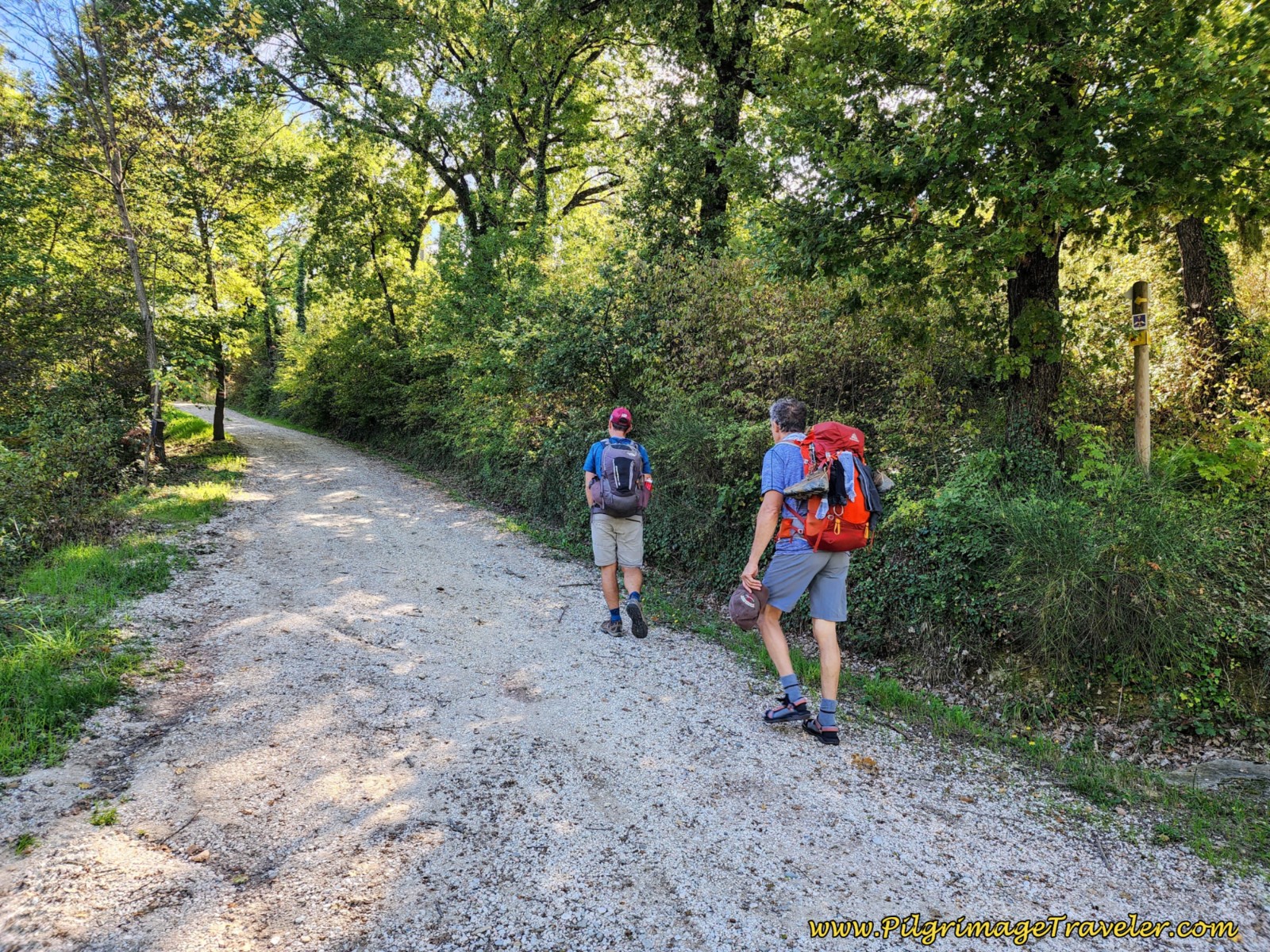 Continue Steep Climb on Path
By 9.22 kilometers, reach the top of the little hill climb.
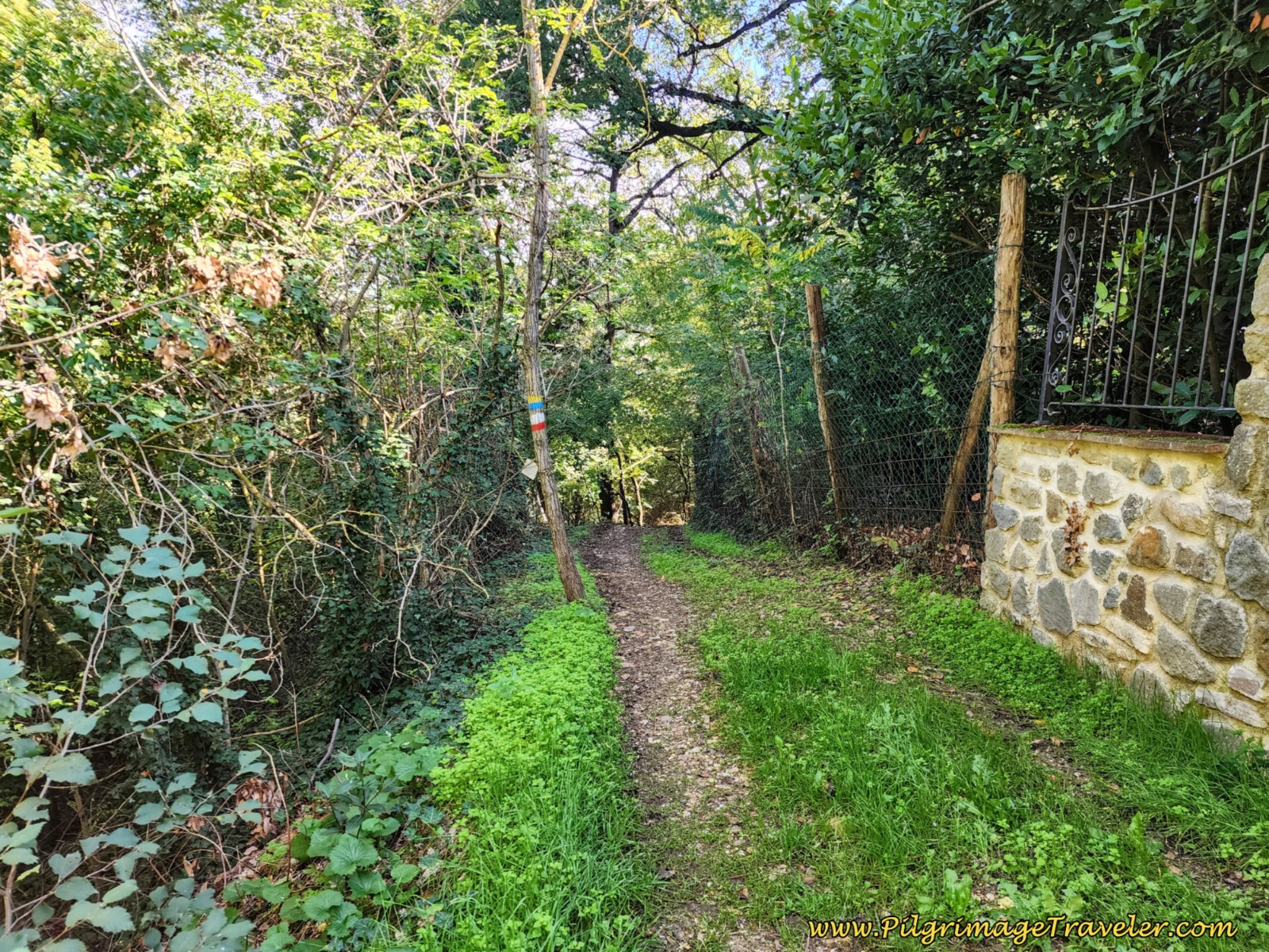 Narrow Path at Summit, Way of St. Francis, Sansepolcro to Citerna
After the top, the way widens again and drops off steeply on the other side.
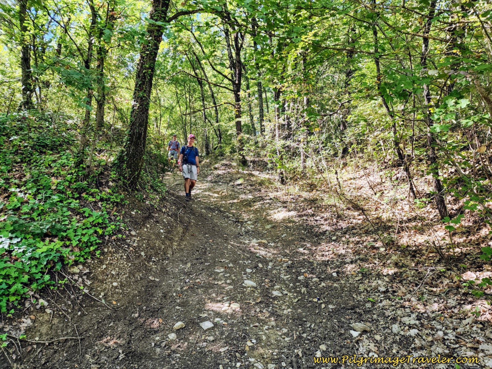 Nick and Rich Negotiating the Steep Drop on the Other Side
About 250 meters from the top, the lane drops to an intersection. This intersection is where the alternate route through Fighille joins from the left.
Continue straight through the intersection, where the road is now paved, shown below.
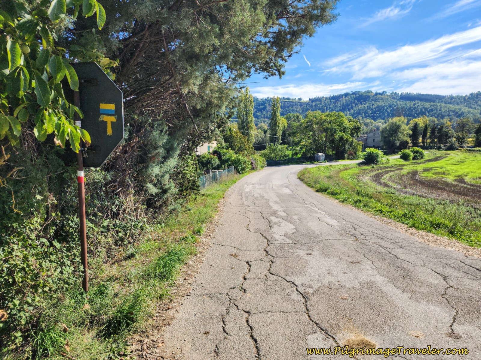 Join Alternate Route From Town on Pavement Towards Citerna
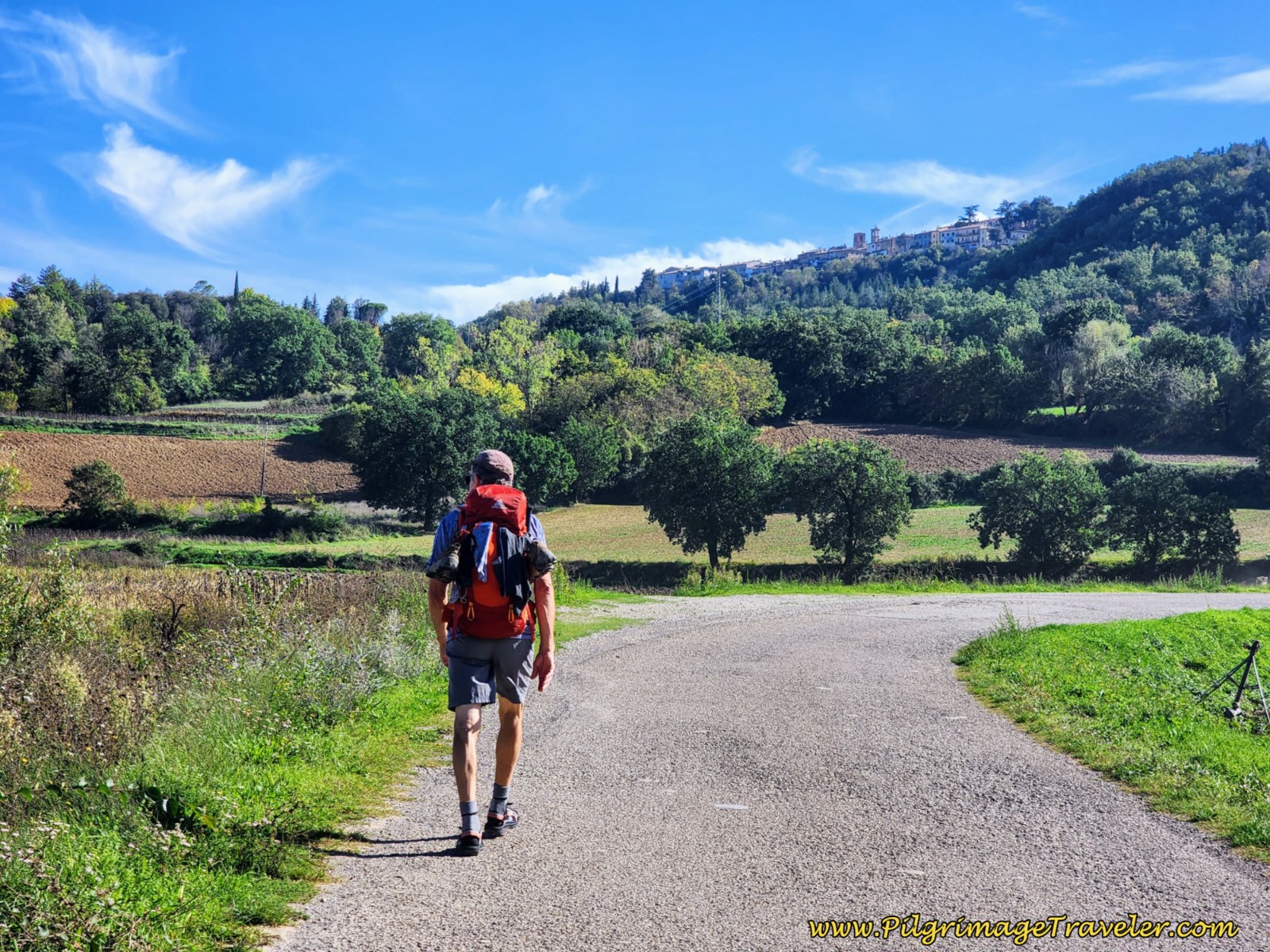
You will soon be seeing Citerna on the hill in the distance. It is a welcome sight!
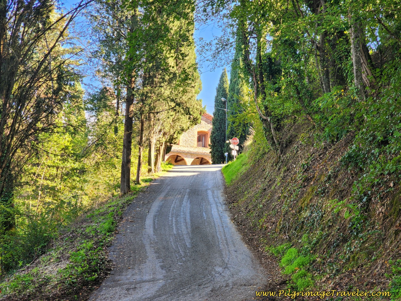
In 9.9 kilometers, cross a creek on a bridge. Continue walking on the road, shown below, with Citerna above.
Jump to Way of St. Francis Stages
At 10.5 kilometers, you reach a point where the hill climb on the pavement to Citerna looks straightforward. My official GPS tracks from the Italian website, shows this is the way to go, staying on the pavement. However, the new routing now has you turn to the right, onto a clearly waymarked tractor track into a field.
When I look at the old route vs the new, they are almost identical in distance. The new route may be more pleasant as it runs through field and forest instead of on the more dangerous pavement. Choose for yourself.
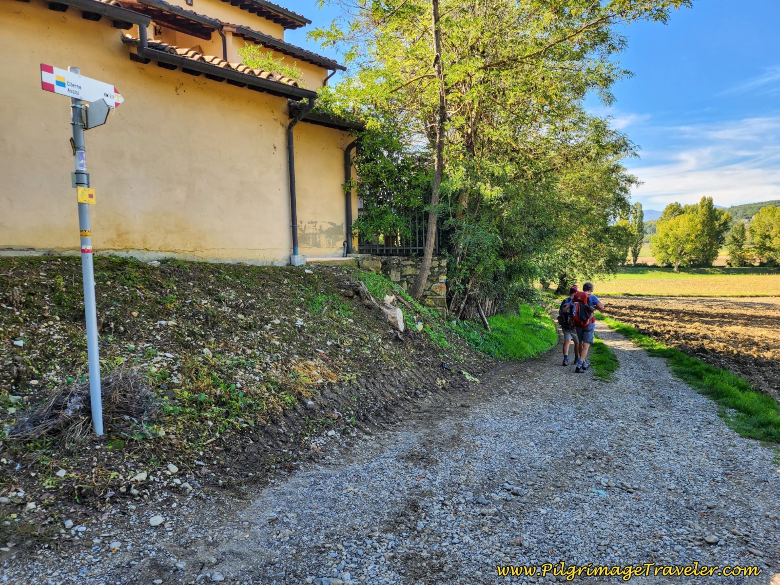 New Route to Citerna, Off Road
As you can see from the elevation profile above, the final kilometer from this turnoff to the Monastero della SS Crocifisso ES Maria is very steep!
About 100 meters after the turnoff from the pavement the via takes a sharp turn to the left and up the hill. This path is shown below.
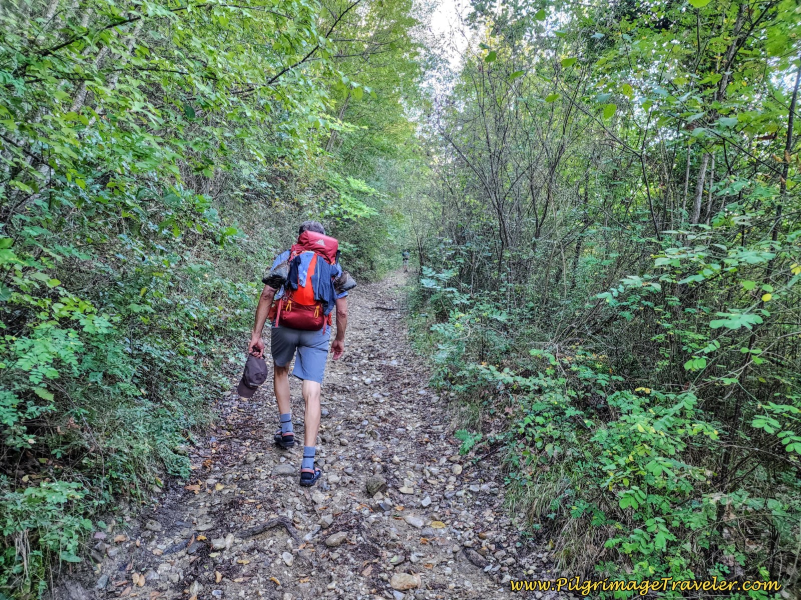 Final Path Uphill
300 meters later there is another sharp turn up and to the left, taking a sharp S-curve, followed by a jaunt skirting this field, below. Your uphill work is almost done.
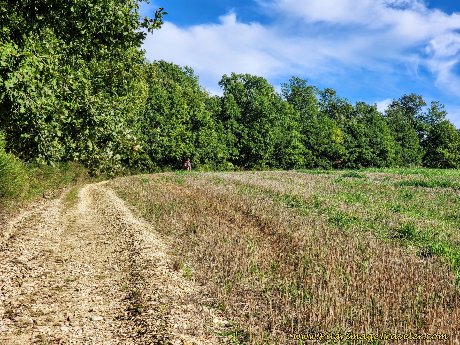 Skirt Open Field, Way of St Francis from Sansepolcro to Citerna
After the field, the final uphill push through the woods brings you back to the pavement, and you can see the monastery ahead. The intersection with the pavement is where you join the old route.
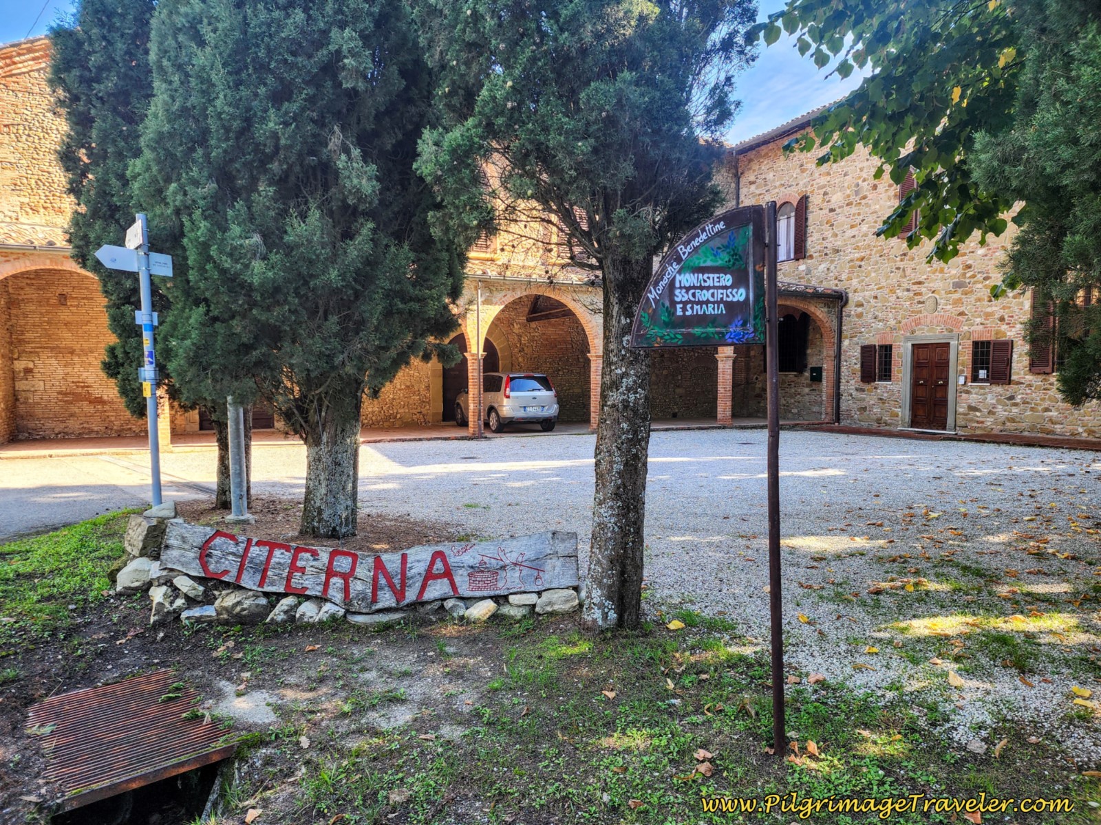
The entrance to the monastery is through the wooden door, shown on the right side of the photo below. There are explicit instructions on the door. One sign says in Italian, translated, "If after having rang you do not receive an answer on the intercom, we kindly ask you to call the 366 29 69 218, Grazie." OK, easy enough.
However, in four languages and this is most important, the second sign says, "Do not ring the doorbell during silence and rest between 14-15:30 nor after 2100."
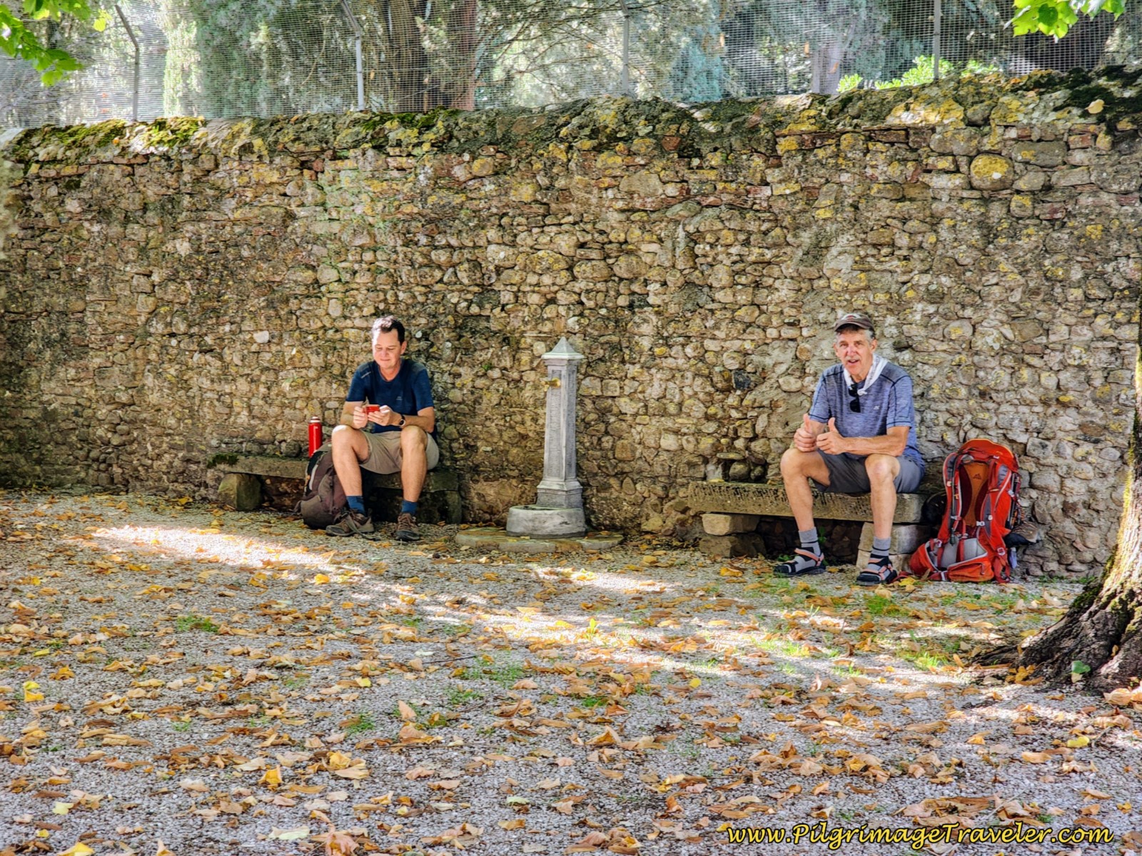
We arrived around 3:00 p.m. There is a fountain and two stone benches, off to the side where we had to wait for 1/2 hour until the rest period was over. While this took some patience, I was only too happy to photograph the guys, refresh my water pack and sort through my photos from the day!
The Monastero del SS Crocifisso ES Maria, has only 6 beds and takes donations for your stay. There were five of us there on the night we stayed. If you arrive here after it is full, plan on paying significantly more money to stay in Citerna, 800 meters farther on.
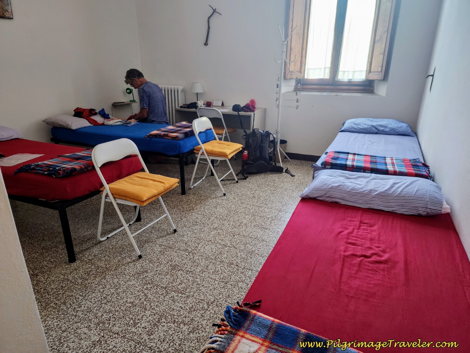 Simple Pilgrim's Room at the Monastero Del SS. Crocifisso E S. Maria
La Fonte Degna dei Pellegrini may be your next most economical choice. Head towards Citerna from the monastery, and just before town, turn right onto the Via degli Eroi, walk about 180 meters to find it, street number 15.
If there are more than two of you, La Casa di Carolina is a two-bedroom apartment, that may be your best choice. It is right along the route in the center of Citerna.
In the monastery, one room has four beds with its own bathroom, and the second room has 2 beds with its own bathroom. If you are a couple and you are able to snag the room for two, it would be fabulous!
The monastery provides a bottom sheet, pillowcase and pillow and one blanket. You may wish to have your own sleep sack if that is not sufficient for you. You will have to wash your clothes in the sink in the bathroom, with a tiny little clothesline out the window, but at least it was south facing.
The monastery has a small kitchen for your use, with a tea and coffee maker. Breakfast is available, consisting of only coffee, white bread and jam. The kitchen does have a full set of dishes, a hot plate and a cappuccino maker.
We checked into the 4-bedded room, showered and washed our clothes before heading up the hill into town, an 800 meters distance and a 52 meter climb.
Citerna is a gorgeous little medieval town with many things to see! We managed to squeeze in sightseeing until sunset, around seven p.m. in October, when we had the most amazing (but not cheap) dinner at the Belvedere. It happened to be the only place open on that Sunday!
But before dinner we had happy hour in the main square, at the Bar Vita Frenetica, shown below. It is such a lovely place, filled with ambience.
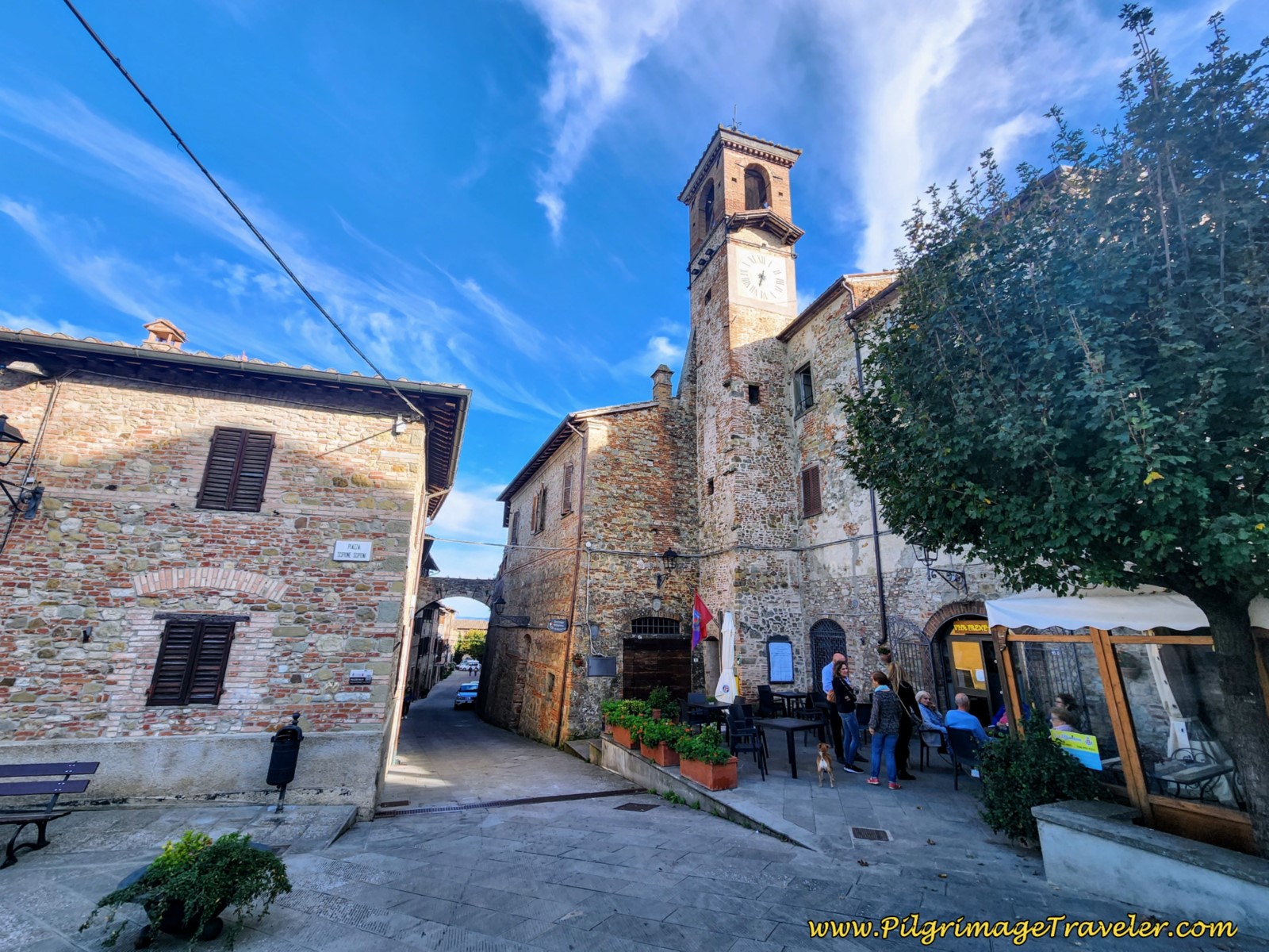 Bar Vita Frenetica, Main Square of Citerna
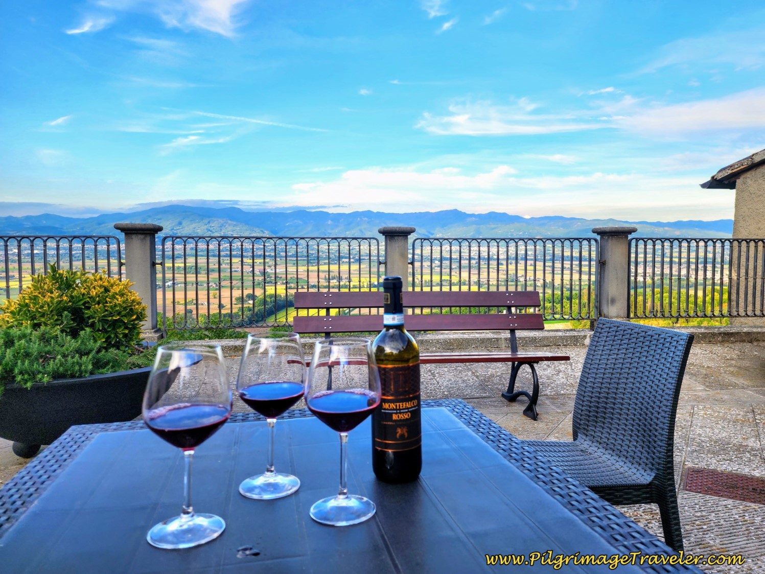
Across from the bar is its terrace. And check out our view at happy hour! Doesn't get any better than this!
For more information on this wonderful little town of Citerna and its sights, click the link here!
Reflections, The Way of St. Francis, Sansepolcro to Citerna
There were no real difficulties presented to us on this day, having completed both days three and four. The 23 kilometers were very doable and we still arrived in Citerna in sufficient time to see most of the sights, have a fabulous happy hour on the terrace overlooking the valley, capture the sunset in photos and finish off with a fabulous, perhaps our best meal on the Via di Francesco!
The few moments which exercised our patience were temporary and not all that momentous. All-in-all it was a most enjoyable day.
Salutation
May your own day four on the Way of St. Francis from Sansepolcro to Citerna be free of anger and worry, because you are practicing patience and humility! Ultreia!
Way of St. Francis Stages
Please Consider Showing Your Support
Many readers contact me, Elle, to thank me for all the time and care that I have spent creating this informative website. If you have been truly blessed by my efforts, have not purchased an eBook, yet wish to contribute, I am very grateful. Thank-you!
Search This Website:
Follow Me on Pinterest:
Follow Me on Instagram:
Find the Pilgrimage Traveler on Facebook:
Like / Share this page on Facebook:
***All Banners, Amazon, Roamless and Booking.com links on this website are affiliate links. As an Amazon associate and a Booking.com associate, the Pilgrimage Traveler website will earn from qualifying purchases when you click on these links, at no cost to you. We sincerely thank-you as this is a pilgrim-supported website***
PS: Our guide books are of our own creation and we appreciate your purchase of those too!!
Shroud Yourself in Mystery, along the Via de Francesco!
Walk in the Footsteps of St. Francis, and Connect Deeply to the Saint and to Nature in the Marvelous Italian Countryside!
Recent Articles
-
Day One on the Camino Portugués, Lisbon to Alverca do Ribatejo
Apr 15, 25 08:19 PM
Our Day One on the Camino Portugués was much more beautiful and enjoyable than we had heard. -
Hiking the West Highland Way
Apr 11, 25 08:51 PM
Hiking the West Highland Way is a representation of all things Scottish, traversing 96 miles from the lowlands of Milngavie to Ft William, in the highlands. -
Way of St Francis eBook Guide (Via di San Francesco)
Apr 11, 25 08:49 PM
Our Way of St Francis eBook Guide, a digital guidebook is full of current information to assist you in finding your Way. In downloadable, digital, PDF format.
Need suggestions on what to pack for your next pilgrimage? Click Here or on the photo below!
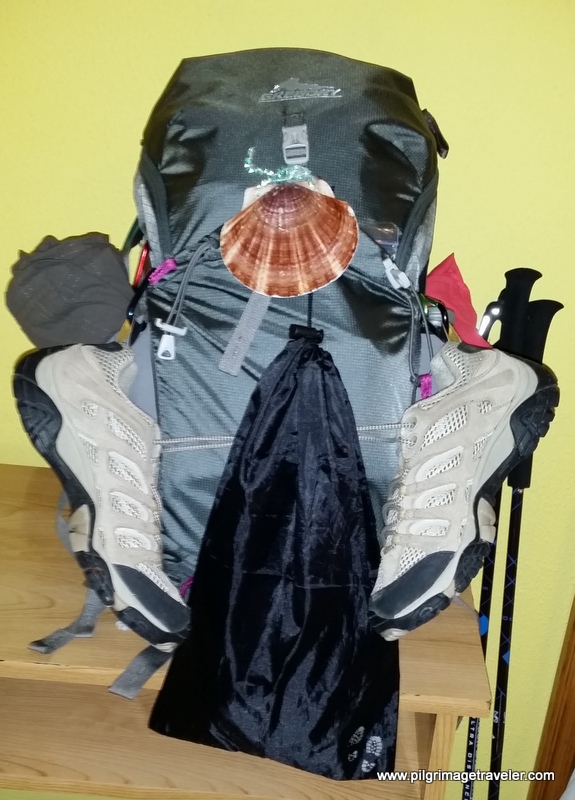
Carbon fiber construction (not aluminum) in a trekking pole makes them ultra lightweight. We like the Z-Pole style from Black Diamond so we can hide our poles in our pack from potential thieves before getting to our albergue! There are many to choose from! (See more of our gear recommendations! )
Gregory BackPack - My Favorite Brand
Do not forget your quick-dry microfiber towel!
Booking.com
My absolute favorite book on how to be a pilgrim:









Your Opinion Matters! Comments
Have you had a similar experience, have some advice to give, or have something else you'd like to share? We would love to hear from you! Please leave us a comment in the box below.